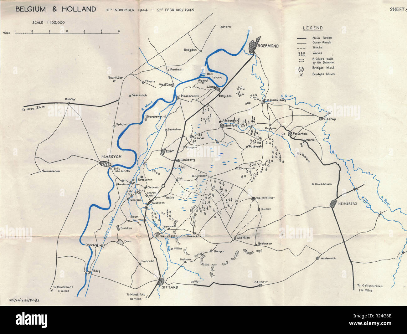
World War 2 European Campaign Maps 1945, Belgium and Holland

RMID:Image ID:R24G6E
Image details
Contributor:
RAC Images / Alamy Stock PhotoImage ID:
R24G6EFile size:
170 MB (8 MB Compressed download)Releases:
Model - no | Property - noDo I need a release?Dimensions:
8891 x 6683 px | 75.3 x 56.6 cm | 29.6 x 22.3 inches | 300dpiDate taken:
1945Location:
EuropeMore information:
This image could have imperfections as it’s either historical or reportage.
I found these Maps in my late Fathers belonging's. He was in the Royal Artillery during the Second World War.