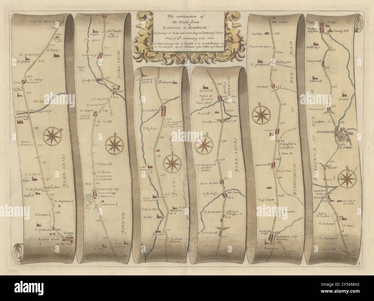
York-Northallerton-Darlington-Durham-Chester/Street OGILBY road map #8 1675

Image details
Contributor:
Antiqua Print Gallery / Alamy Stock PhotoImage ID:
2Y56MH2File size:
257.8 MB (13.9 MB Compressed download)Releases:
Model - no | Property - noDo I need a release?Dimensions:
11061 x 8148 px | 93.6 x 69 cm | 36.9 x 27.2 inches | 300dpiDate taken:
1675Location:
Yorkshire & DurhamMore information:
This image could have imperfections as it’s either historical or reportage.
The continuation of the road from London to Barwick, beginning at York and extending to Chester in ye Street. Plate ye 4th [York - Boroughbridge - Topcliffe - Catton - Northallerton - Great Smeaton - Darlington - Woodham - Durham - Chester le Street]. Artist/engraver/cartographer: John Ogilby. Provenance: "'Britannia, Volume the First. Or An Illustration of the Kingdom of England and Dominion of Wales: by A Geographical and Historical Description of the Principal Roads Thereof", by John Ogilby. This book was the first national road atlas of any Western European country, and a landmark in the mapping of England & Wales. . Type: A large antique road strip map. York - Boroughbridge - Topcliffe - Catton - Northallerton - Great Smeaton - Darlington - Woodham - Durham - Chester le Street