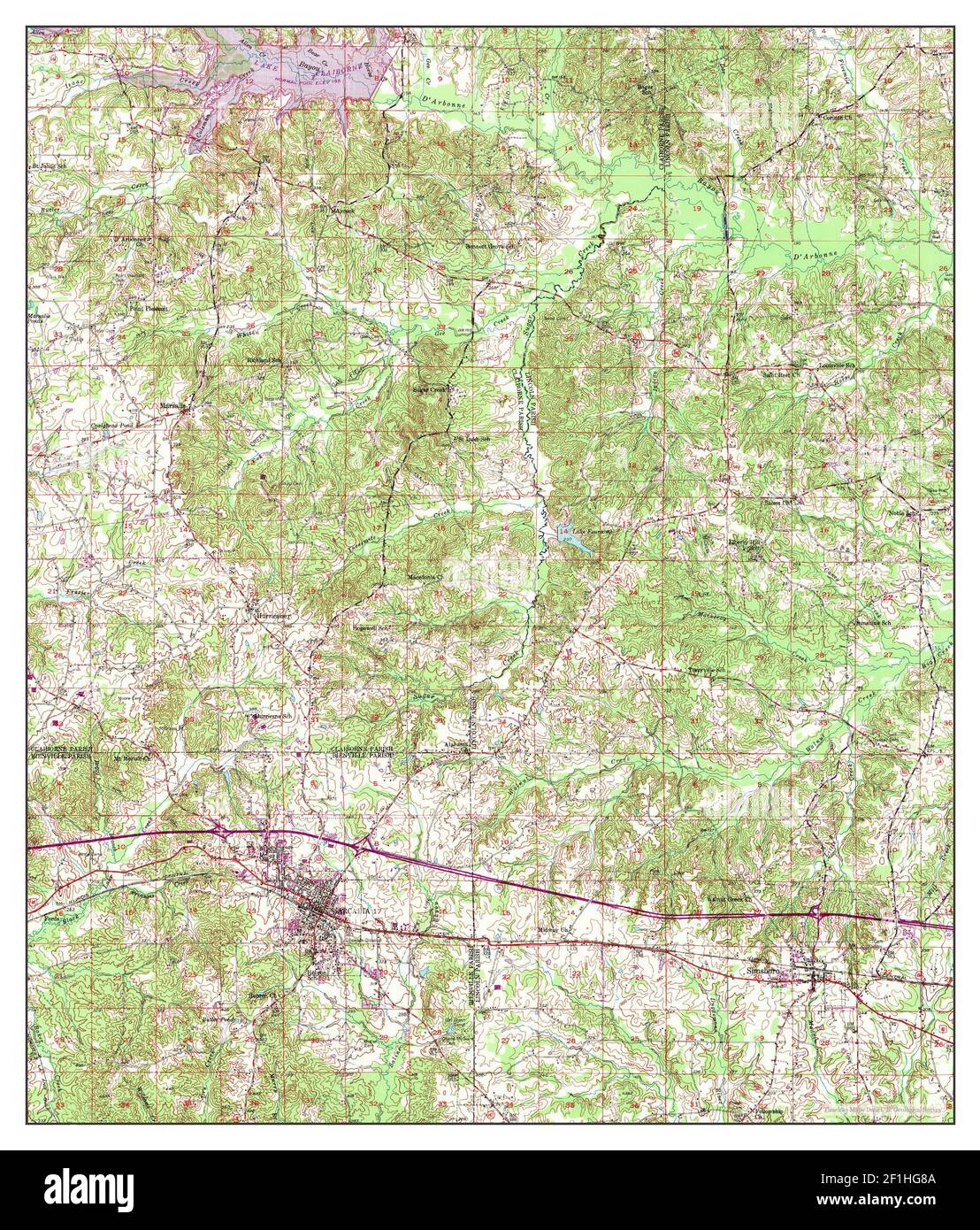
Arcadia, Louisiana, map 1950, 1:62500, United States of America by Timeless Maps, data U.S. Geological Survey
RMID:Image ID:2F1HG8A
Image details
Contributor:
Penta Springs Limited / Alamy Stock PhotoImage ID:
2F1HG8AFile size:
41.2 MB (5.2 MB Compressed download)Releases:
Model - no | Property - noDo I need a release?Dimensions:
3506 x 4110 px | 29.7 x 34.8 cm | 11.7 x 13.7 inches | 300dpiPhotographer:
ArtokoloroMore information:
This image could have imperfections as it’s either historical or reportage.