Quick filters:
Topographic map Stock Photos and Images
 Seamless topographic map texture. Cartography elevation maps contour, contoured terrain lines vector background Stock Vectorhttps://www.alamy.com/image-license-details/?v=1https://www.alamy.com/seamless-topographic-map-texture-cartography-elevation-maps-contour-contoured-terrain-lines-vector-background-image344769123.html
RF2B0WGEY–Seamless topographic map texture. Cartography elevation maps contour, contoured terrain lines vector background
 topographic map Stock Vectorhttps://www.alamy.com/image-license-details/?v=1https://www.alamy.com/stock-photo-topographic-map-96682754.html
RFFH87RE–topographic map
 Green and Red Topographic Map with Terrain Relief. Stock Photohttps://www.alamy.com/image-license-details/?v=1https://www.alamy.com/green-and-red-topographic-map-with-terrain-relief-image452881232.html
RF2H8PEHM–Green and Red Topographic Map with Terrain Relief.
 Seamless pattern. Topographic map background with space for copy Seamless texture. Line topography map contour background , geographic grid . Mountain hiking trail over terrain . Stock Vectorhttps://www.alamy.com/image-license-details/?v=1https://www.alamy.com/seamless-pattern-topographic-map-background-with-space-for-copy-seamless-texture-line-topography-map-contour-background-geographic-grid-mountain-hiking-trail-over-terrain-image183091919.html
RFMHTFH3–Seamless pattern. Topographic map background with space for copy Seamless texture. Line topography map contour background , geographic grid . Mountain hiking trail over terrain .
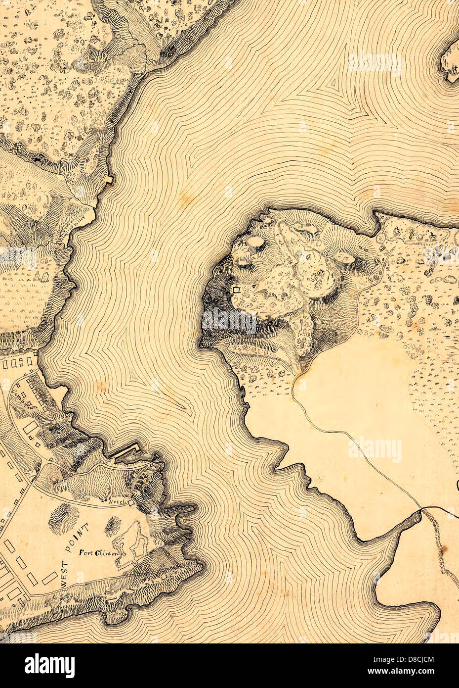 Topographic Map of West Point, Constitution Island, and Vicinity, N.Y. 1842 Stock Photohttps://www.alamy.com/image-license-details/?v=1https://www.alamy.com/stock-photo-topographic-map-of-west-point-constitution-island-and-vicinity-ny-56826244.html
RMD8CJCM–Topographic Map of West Point, Constitution Island, and Vicinity, N.Y. 1842
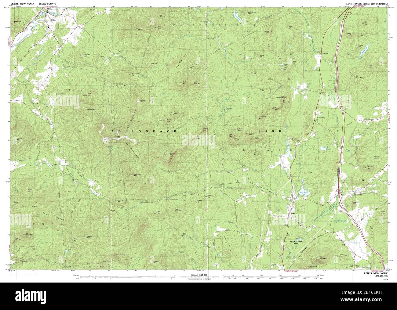 Highly detailed view of the 1978 topographic map for Lewis, NY Stock Photohttps://www.alamy.com/image-license-details/?v=1https://www.alamy.com/highly-detailed-view-of-the-1978-topographic-map-for-lewis-ny-image344965253.html
RF2B16EKH–Highly detailed view of the 1978 topographic map for Lewis, NY
 Abstract vector topographic map Stock Vectorhttps://www.alamy.com/image-license-details/?v=1https://www.alamy.com/stock-photo-abstract-vector-topographic-map-114824717.html
RFGJPM2N–Abstract vector topographic map
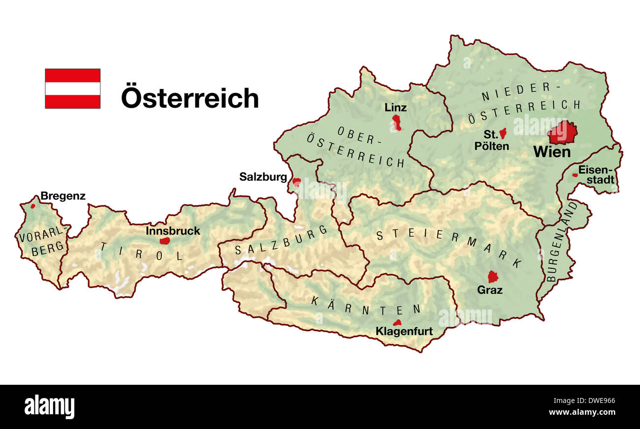 Topographic map of Austria in Europe with cities, federal states, borders and flag. German labeling! Stock Photohttps://www.alamy.com/image-license-details/?v=1https://www.alamy.com/topographic-map-of-austria-in-europe-with-cities-federal-states-borders-image67312062.html
RFDWE966–Topographic map of Austria in Europe with cities, federal states, borders and flag. German labeling!
 Topographic map of part of the Rhine course at the exit of Lake Constance, Topographical map of the Rhine near Stein am Rhein and Gailingen, signed: Effectué par l'Aile droite de l'Armée du Rhin; Dessiné sous la Direction du Chef de Brigade d'Artillerie Dedon; Gravé par Tardieu l'ainé, Taf. 2, according to p. 231, Armée du Rhin (effectué); Dedon, Franc̦ois-Louis (dir.); Tardieu (gravé), Franc̦ois-Louis Dedon: Relation détaillée du passage de la Limat, effectué le 3 vendémiaire an 8: suivie de celle du passage du Rhin, du 11 floréal suivant, et de quelques autres passages de fleuve. Paris: de l Stock Photohttps://www.alamy.com/image-license-details/?v=1https://www.alamy.com/topographic-map-of-part-of-the-rhine-course-at-the-exit-of-lake-constance-topographical-map-of-the-rhine-near-stein-am-rhein-and-gailingen-signed-effectu-par-laile-droite-de-larme-du-rhin-dessin-sous-la-direction-du-chef-de-brigade-dartillerie-dedon-grav-par-tardieu-lain-taf-2-according-to-p-231-arme-du-rhin-effectu-dedon-francois-louis-dir-tardieu-grav-francois-louis-dedon-relation-dtaille-du-passage-de-la-limat-effectu-le-3-vendmiaire-an-8-suivie-de-celle-du-passage-du-rhin-du-11-floral-suivant-et-de-quelques-autres-passages-de-fleuve-paris-de-l-image328756040.html
RM2A2T3K4–Topographic map of part of the Rhine course at the exit of Lake Constance, Topographical map of the Rhine near Stein am Rhein and Gailingen, signed: Effectué par l'Aile droite de l'Armée du Rhin; Dessiné sous la Direction du Chef de Brigade d'Artillerie Dedon; Gravé par Tardieu l'ainé, Taf. 2, according to p. 231, Armée du Rhin (effectué); Dedon, Franc̦ois-Louis (dir.); Tardieu (gravé), Franc̦ois-Louis Dedon: Relation détaillée du passage de la Limat, effectué le 3 vendémiaire an 8: suivie de celle du passage du Rhin, du 11 floréal suivant, et de quelques autres passages de fleuve. Paris: de l
 Topographic map backdrop. Conditional geography scheme and the terrain path. Contour line abstract background. Stock Vectorhttps://www.alamy.com/image-license-details/?v=1https://www.alamy.com/topographic-map-backdrop-conditional-geography-scheme-and-the-terrain-path-contour-line-abstract-background-image179556415.html
RFMC3E13–Topographic map backdrop. Conditional geography scheme and the terrain path. Contour line abstract background.
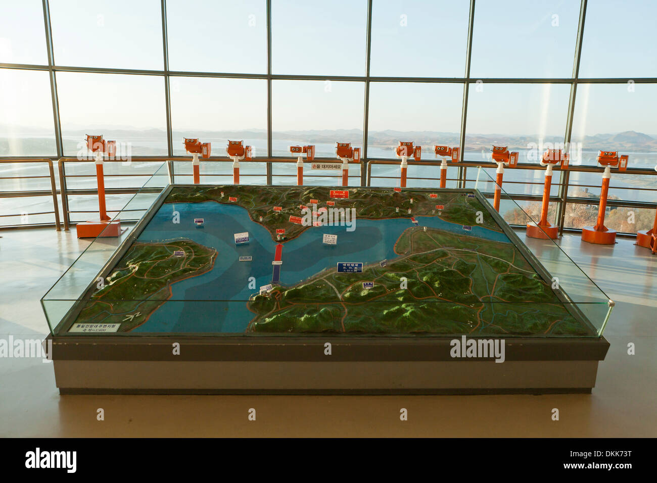 Topographic map showing DMZ at Unification Observatory - Odusan, South Korea Stock Photohttps://www.alamy.com/image-license-details/?v=1https://www.alamy.com/topographic-map-showing-dmz-at-unification-observatory-odusan-south-image63732252.html
RMDKK73T–Topographic map showing DMZ at Unification Observatory - Odusan, South Korea
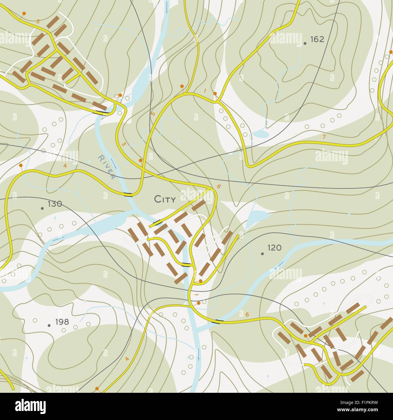 Topographic map of territory with rivers, forests and roads Stock Vectorhttps://www.alamy.com/image-license-details/?v=1https://www.alamy.com/stock-photo-topographic-map-of-territory-with-rivers-forests-and-roads-87165005.html
RFF1PKRW–Topographic map of territory with rivers, forests and roads
 Abstract 3d rendering of colorful topographic map background, illustration Stock Photohttps://www.alamy.com/image-license-details/?v=1https://www.alamy.com/stock-photo-abstract-3d-rendering-of-colorful-topographic-map-background-illustration-113936188.html
RFGHA6NG–Abstract 3d rendering of colorful topographic map background, illustration
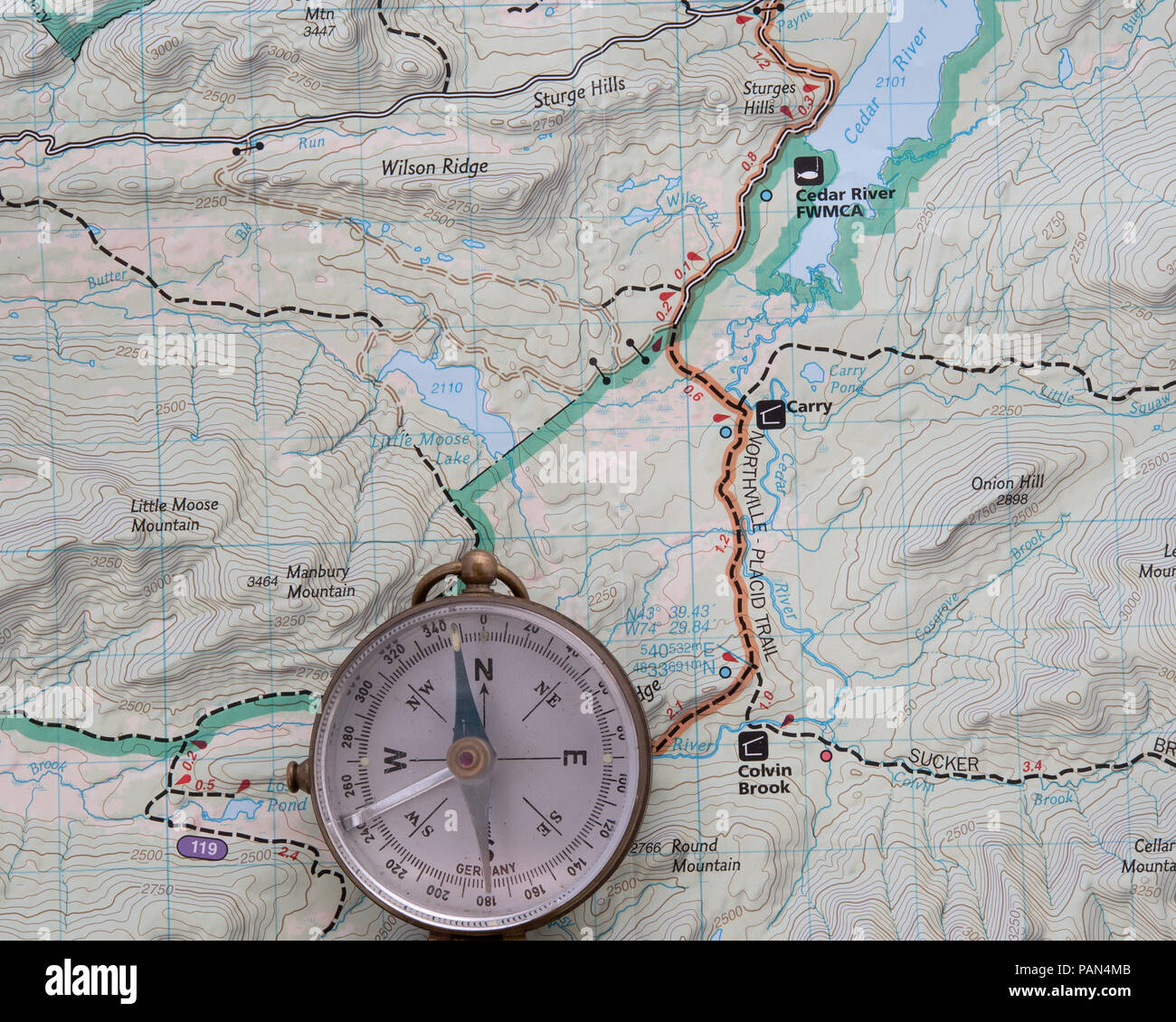 A topographic map of a portion of the Adirondack Mountains with a compass to assist in navigation. Stock Photohttps://www.alamy.com/image-license-details/?v=1https://www.alamy.com/a-topographic-map-of-a-portion-of-the-adirondack-mountains-with-a-compass-to-assist-in-navigation-image213135675.html
RFPAN4MB–A topographic map of a portion of the Adirondack Mountains with a compass to assist in navigation.
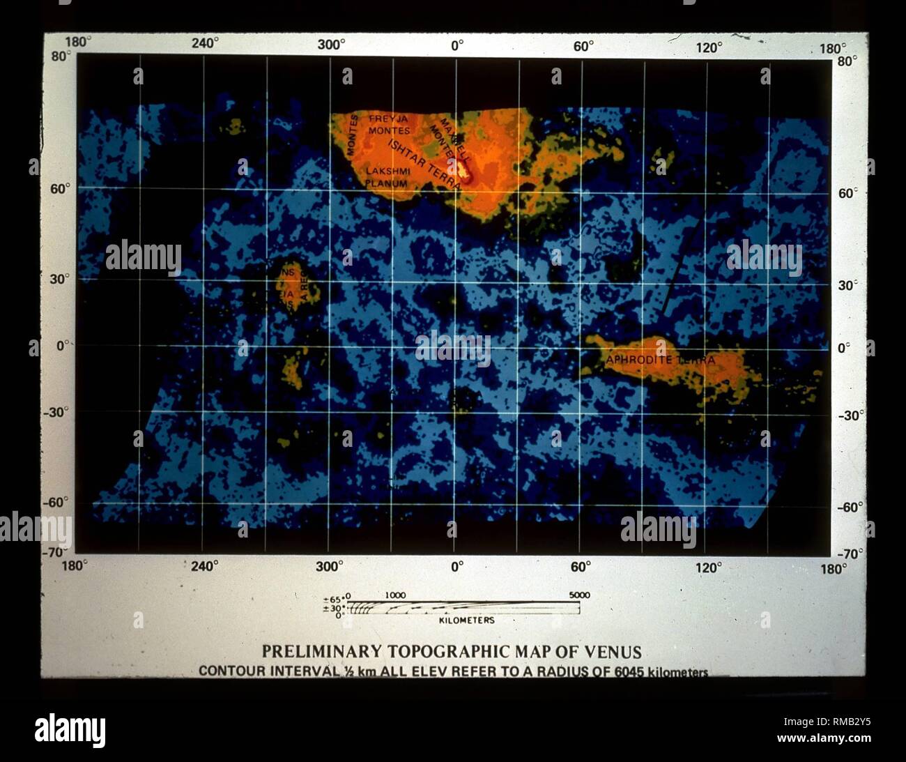 Topographic map of Venus. Undated photo, probably from the 1980s. Stock Photohttps://www.alamy.com/image-license-details/?v=1https://www.alamy.com/topographic-map-of-venus-undated-photo-probably-from-the-1980s-image236271705.html
RMRMB2Y5–Topographic map of Venus. Undated photo, probably from the 1980s.
 Topographic map background of mountain terrain. Vector mapping contour texture with elevation. Relief mountain, contour topography terrain illustration Stock Vectorhttps://www.alamy.com/image-license-details/?v=1https://www.alamy.com/topographic-map-background-of-mountain-terrain-vector-mapping-contour-texture-with-elevation-relief-mountain-contour-topography-terrain-illustration-image354462428.html
RF2BGK4CC–Topographic map background of mountain terrain. Vector mapping contour texture with elevation. Relief mountain, contour topography terrain illustration
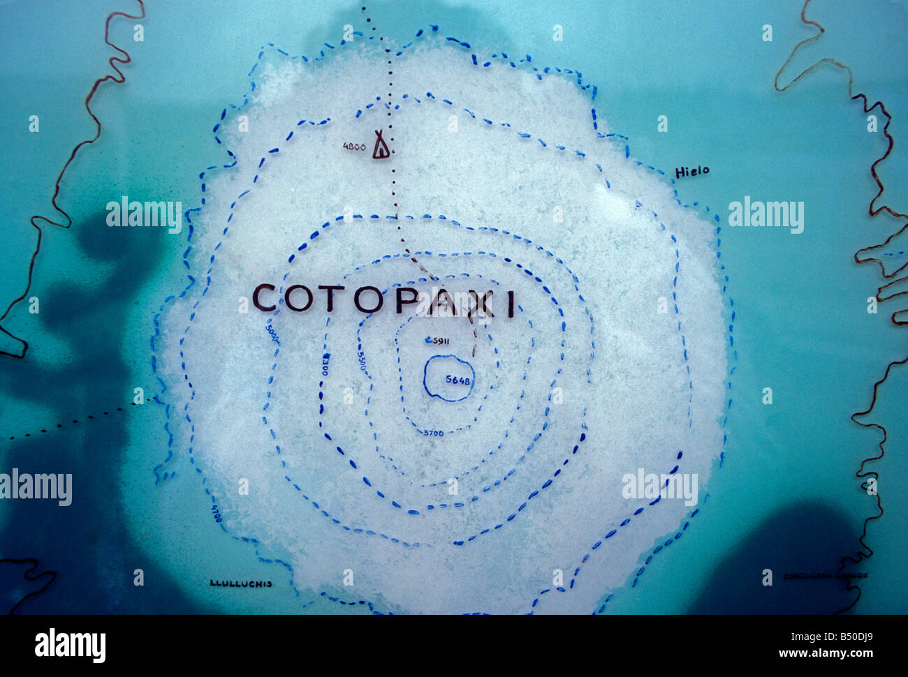 topographic map, Cotopaxi Volcano, Cotopaxi National Park, Parque Nacional Cotopaxi, Cotopaxi Province, Ecuador, South America Stock Photohttps://www.alamy.com/image-license-details/?v=1https://www.alamy.com/stock-photo-topographic-map-cotopaxi-volcano-cotopaxi-national-park-parque-nacional-20294353.html
RMB50DJ9–topographic map, Cotopaxi Volcano, Cotopaxi National Park, Parque Nacional Cotopaxi, Cotopaxi Province, Ecuador, South America
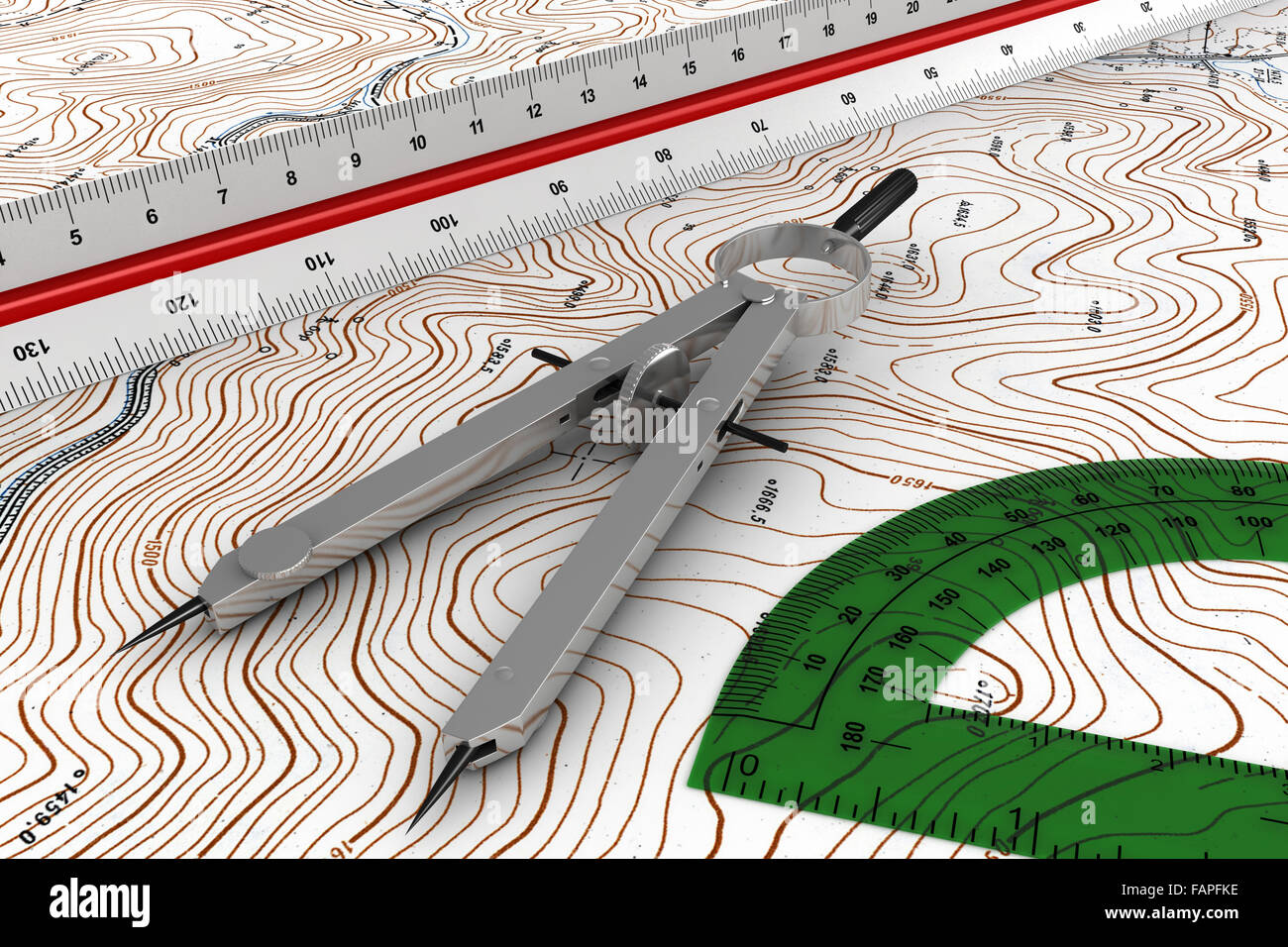 3d render of engineering tools over topographic map Stock Photohttps://www.alamy.com/image-license-details/?v=1https://www.alamy.com/stock-photo-3d-render-of-engineering-tools-over-topographic-map-92693650.html
RFFAPFKE–3d render of engineering tools over topographic map
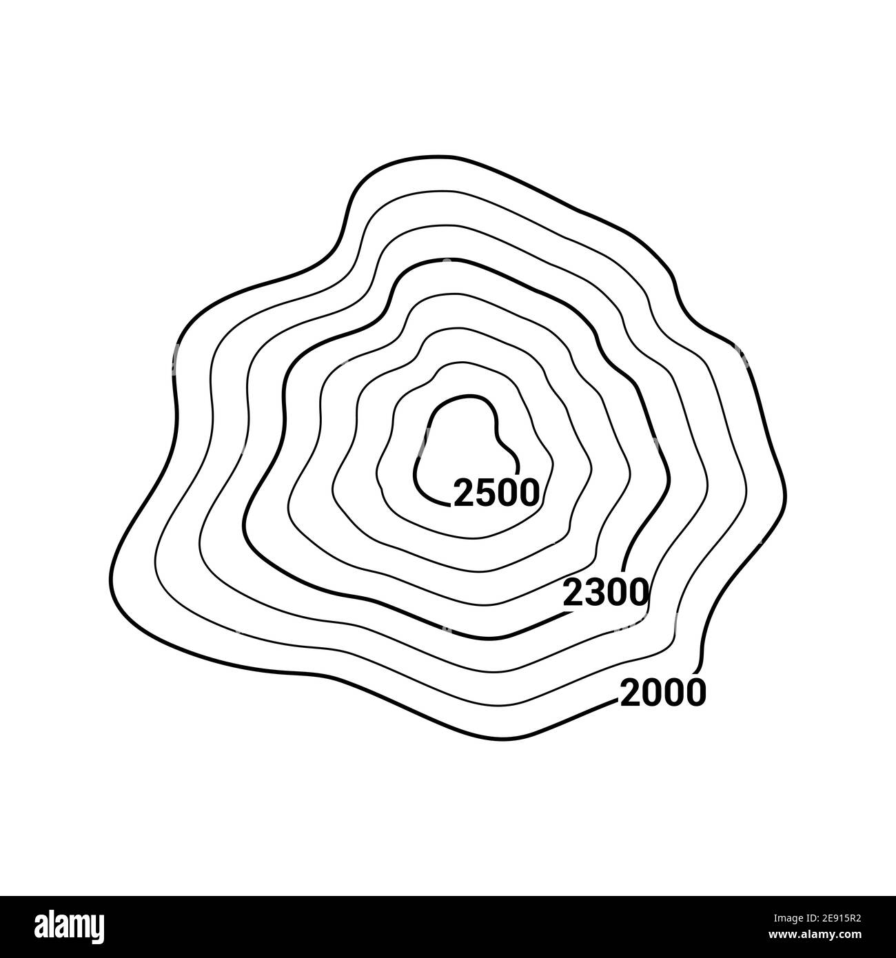 Topographic map contour vector mountain geographic relief background. Contour map terrain Stock Vectorhttps://www.alamy.com/image-license-details/?v=1https://www.alamy.com/topographic-map-contour-vector-mountain-geographic-relief-background-contour-map-terrain-image401396886.html
RF2E915R2–Topographic map contour vector mountain geographic relief background. Contour map terrain
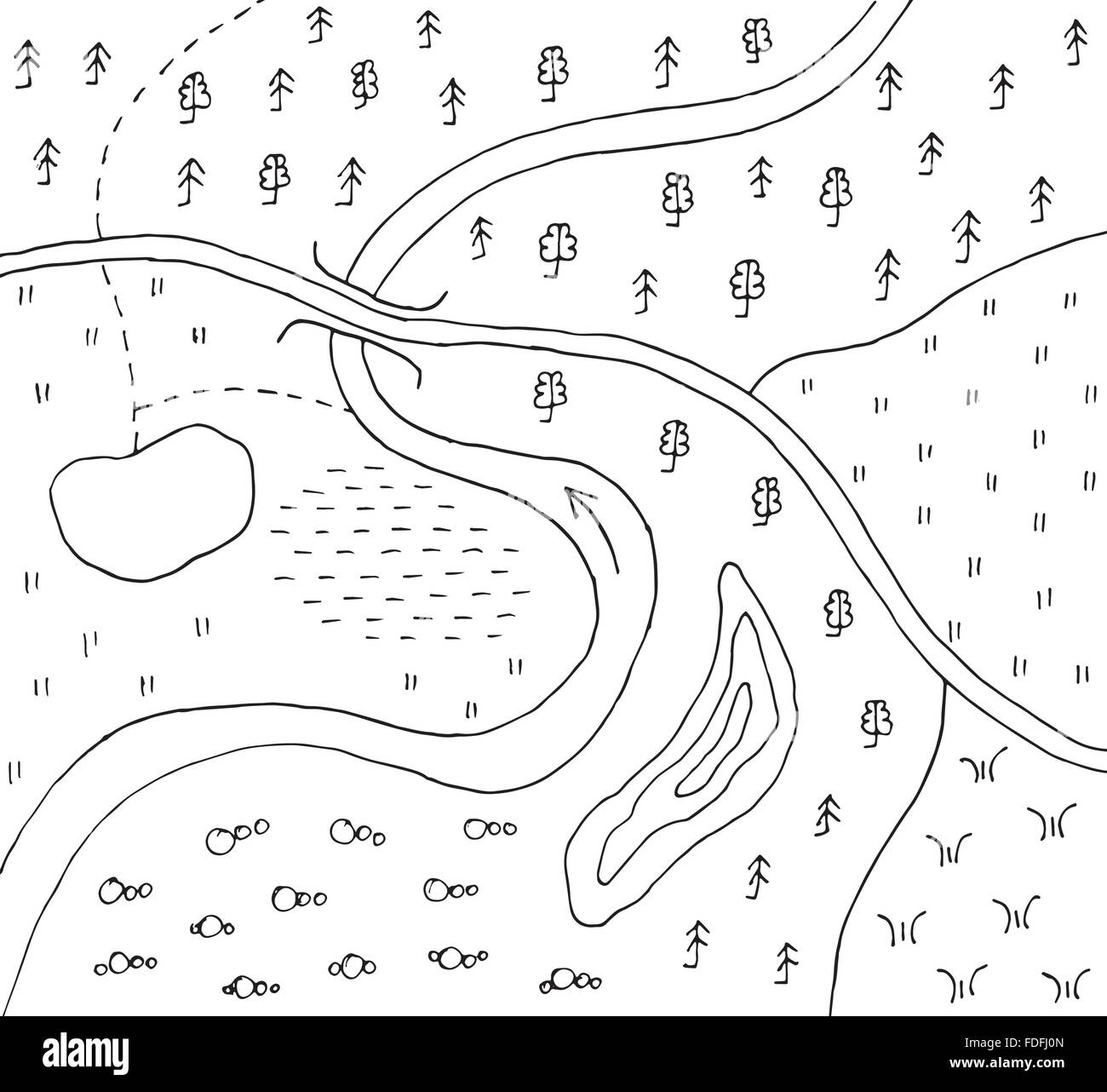 Hand drawn abstract topographic map Stock Vectorhttps://www.alamy.com/image-license-details/?v=1https://www.alamy.com/stock-photo-hand-drawn-abstract-topographic-map-94385781.html
RFFDFJ0N–Hand drawn abstract topographic map
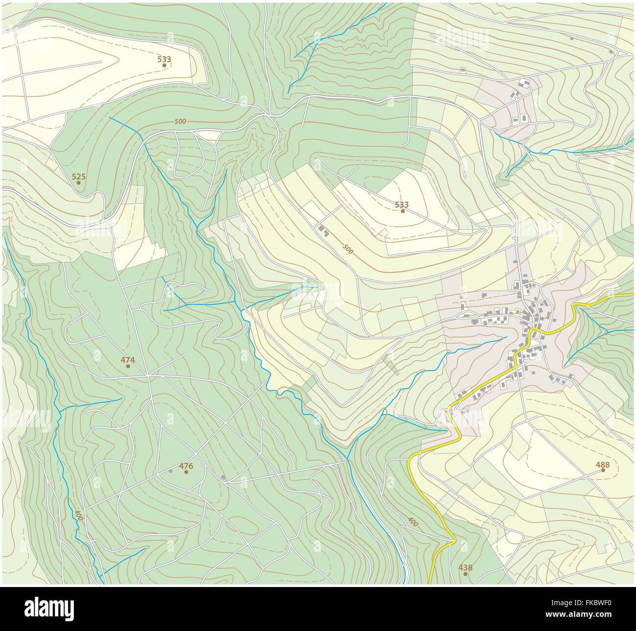 topographic map Stock Vectorhttps://www.alamy.com/image-license-details/?v=1https://www.alamy.com/stock-photo-topographic-map-97991796.html
RFFKBWF0–topographic map
 Color map with line contour for hiking. Geographic topographic vector illustration Stock Vectorhttps://www.alamy.com/image-license-details/?v=1https://www.alamy.com/color-map-with-line-contour-for-hiking-geographic-topographic-vector-illustration-image354352753.html
RF2BGE4FD–Color map with line contour for hiking. Geographic topographic vector illustration
 Seamless pattern. Topographic map background with space for copy Seamless texture. Line topography map contour background , geographic grid . Mountain hiking trail over terrain . Stock Vectorhttps://www.alamy.com/image-license-details/?v=1https://www.alamy.com/seamless-pattern-topographic-map-background-with-space-for-copy-seamless-texture-line-topography-map-contour-background-geographic-grid-mountain-hiking-trail-over-terrain-image221114191.html
RFPRMHBB–Seamless pattern. Topographic map background with space for copy Seamless texture. Line topography map contour background , geographic grid . Mountain hiking trail over terrain .
 Topographic map contour background pattern. Contour Landscape Map Concept. Abstract Geographic World Topography Map. Vector illustration Stock Vectorhttps://www.alamy.com/image-license-details/?v=1https://www.alamy.com/topographic-map-contour-background-pattern-contour-landscape-map-concept-abstract-geographic-world-topography-map-vector-illustration-image181644458.html
RFMFEHA2–Topographic map contour background pattern. Contour Landscape Map Concept. Abstract Geographic World Topography Map. Vector illustration
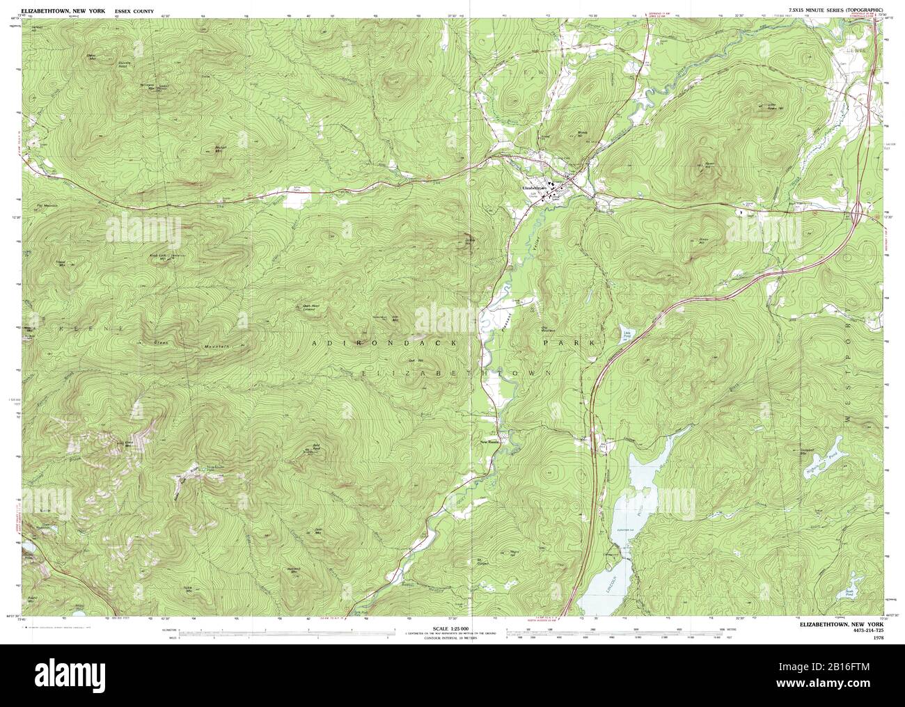 Highly detailed view of the 1978 topographic map for Elizabethtown, NY Stock Photohttps://www.alamy.com/image-license-details/?v=1https://www.alamy.com/highly-detailed-view-of-the-1978-topographic-map-for-elizabethtown-ny-image344966180.html
RF2B16FTM–Highly detailed view of the 1978 topographic map for Elizabethtown, NY
 Abstract vector topographic map in blue colors Stock Vectorhttps://www.alamy.com/image-license-details/?v=1https://www.alamy.com/stock-photo-abstract-vector-topographic-map-in-blue-colors-114972808.html
RFGK1CYM–Abstract vector topographic map in blue colors
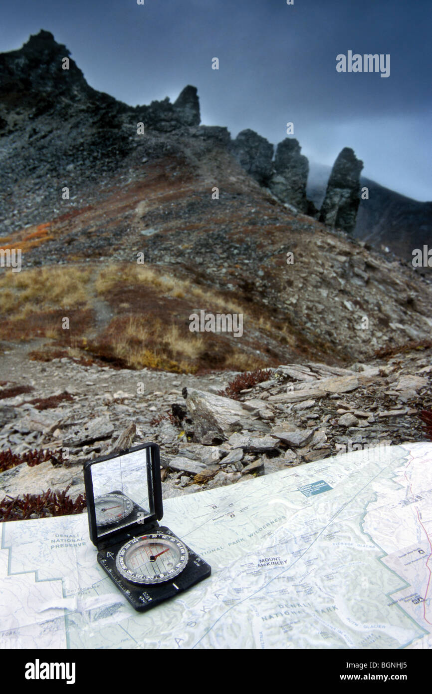 Topographic map and compass for orientation in the mountains Stock Photohttps://www.alamy.com/image-license-details/?v=1https://www.alamy.com/stock-photo-topographic-map-and-compass-for-orientation-in-the-mountains-27519693.html
RMBGNHJ5–Topographic map and compass for orientation in the mountains
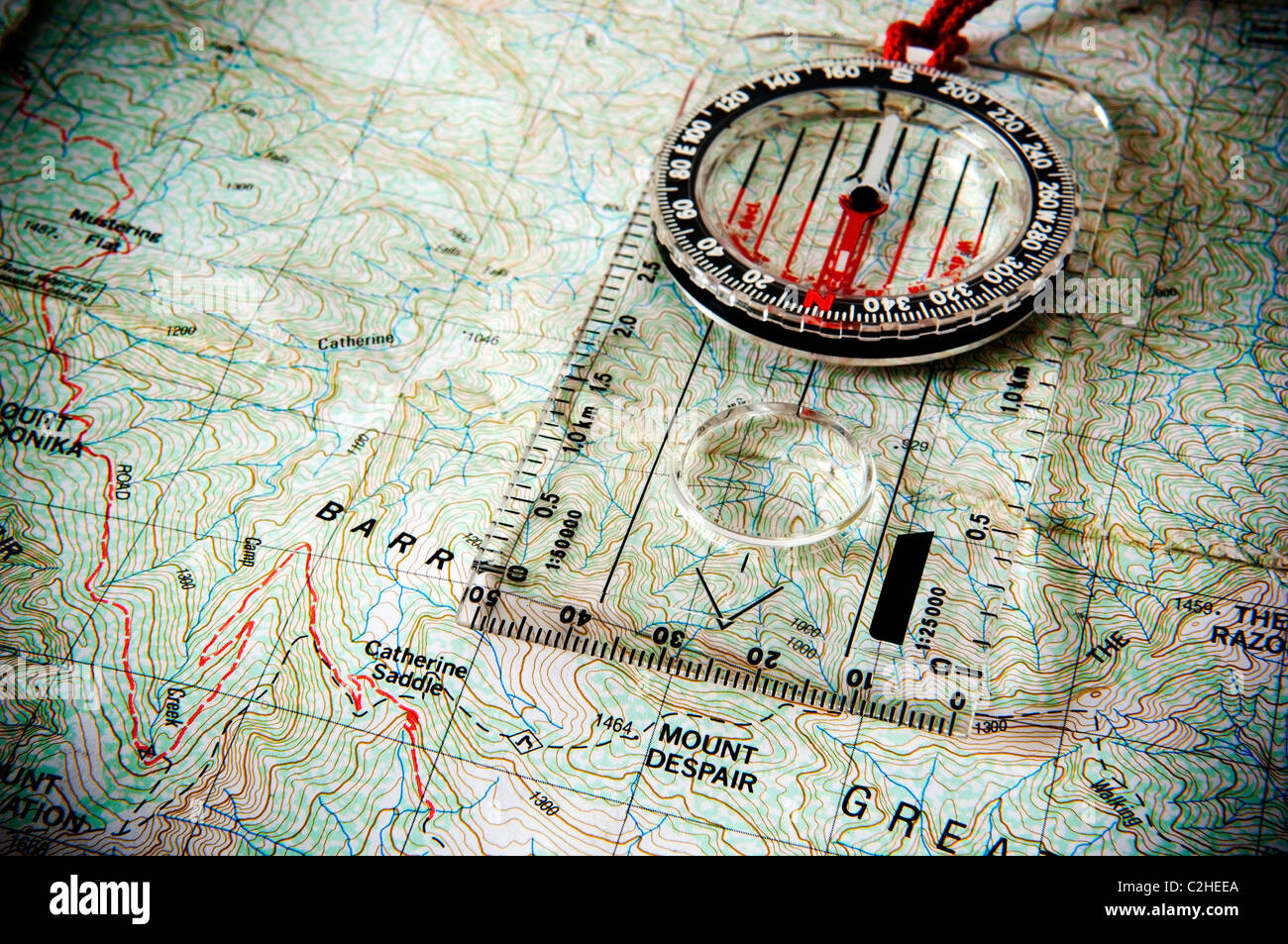 Classic compass laying on a topographic map points towards Mount Despair Stock Photohttps://www.alamy.com/image-license-details/?v=1https://www.alamy.com/stock-photo-classic-compass-laying-on-a-topographic-map-points-towards-mount-despair-36034610.html
RFC2HEEA–Classic compass laying on a topographic map points towards Mount Despair
 Topographic map backdrop. Conditional geography scheme and the terrain path. Contour line abstract background. Stock Vectorhttps://www.alamy.com/image-license-details/?v=1https://www.alamy.com/topographic-map-backdrop-conditional-geography-scheme-and-the-terrain-path-contour-line-abstract-background-image179556428.html
RFMC3E1G–Topographic map backdrop. Conditional geography scheme and the terrain path. Contour line abstract background.
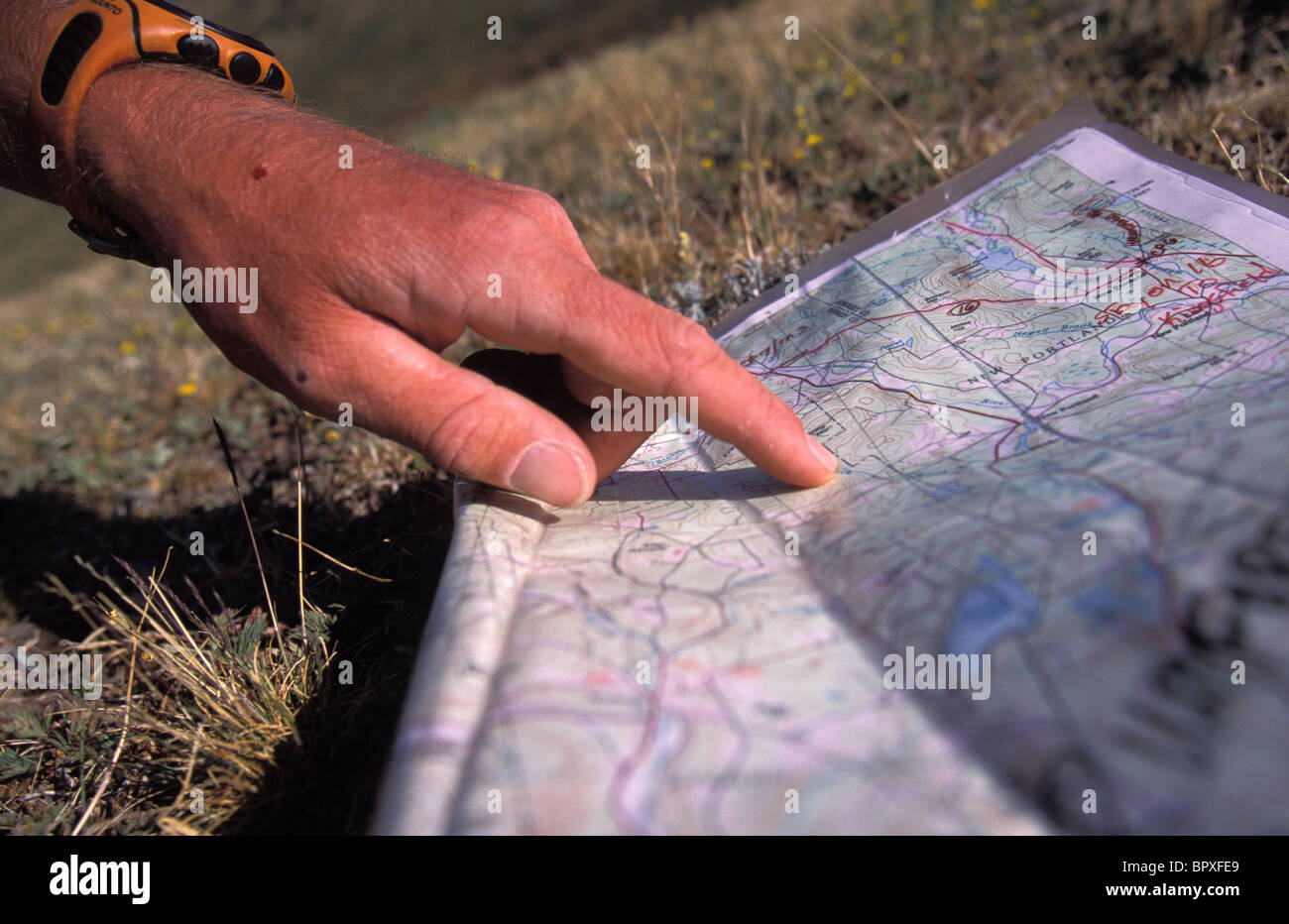 Man uses compass and topographic map to navigate in the mountains above Ouray, Colorado Stock Photohttps://www.alamy.com/image-license-details/?v=1https://www.alamy.com/stock-photo-man-uses-compass-and-topographic-map-to-navigate-in-the-mountains-31315713.html
RFBPXFE9–Man uses compass and topographic map to navigate in the mountains above Ouray, Colorado
 Topographic map. Geographic terrain, vintage old geological contour lines with grid. Seamless pattern topography map vector background. Area with different routes and curves top view Stock Vectorhttps://www.alamy.com/image-license-details/?v=1https://www.alamy.com/topographic-map-geographic-terrain-vintage-old-geological-contour-lines-with-grid-seamless-pattern-topography-map-vector-background-area-with-different-routes-and-curves-top-view-image434468034.html
RF2G6RMBE–Topographic map. Geographic terrain, vintage old geological contour lines with grid. Seamless pattern topography map vector background. Area with different routes and curves top view
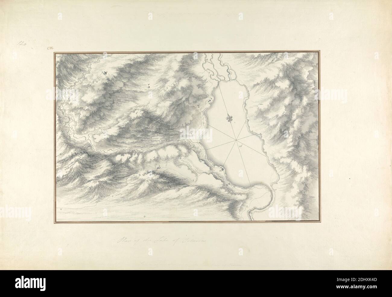 Plan of Lake Tiberias, Giovanni Battista Borra, 1713–1770, Italian, ca. 1750, Black ink with gray wash over graphite on moderately thick, moderately textured, beige laid paper, Sheet: 14 13/16 x 21 7/16 inches (37.7 x 54.5 cm) and Image: 9 1/4 x 14 7/16 inches (23.5 x 36.6 cm), architectural subject, cartographic material, hills, lake, landscape, site plan, topographic map, Asia, HaZafon, Mehoz, Israel, Sea of Galilee Stock Photohttps://www.alamy.com/image-license-details/?v=1https://www.alamy.com/plan-of-lake-tiberias-giovanni-battista-borra-17131770-italian-ca-1750-black-ink-with-gray-wash-over-graphite-on-moderately-thick-moderately-textured-beige-laid-paper-sheet-14-1316-x-21-716-inches-377-x-545-cm-and-image-9-14-x-14-716-inches-235-x-366-cm-architectural-subject-cartographic-material-hills-lake-landscape-site-plan-topographic-map-asia-hazafon-mehoz-israel-sea-of-galilee-image389663021.html
RM2DHXK4D–Plan of Lake Tiberias, Giovanni Battista Borra, 1713–1770, Italian, ca. 1750, Black ink with gray wash over graphite on moderately thick, moderately textured, beige laid paper, Sheet: 14 13/16 x 21 7/16 inches (37.7 x 54.5 cm) and Image: 9 1/4 x 14 7/16 inches (23.5 x 36.6 cm), architectural subject, cartographic material, hills, lake, landscape, site plan, topographic map, Asia, HaZafon, Mehoz, Israel, Sea of Galilee
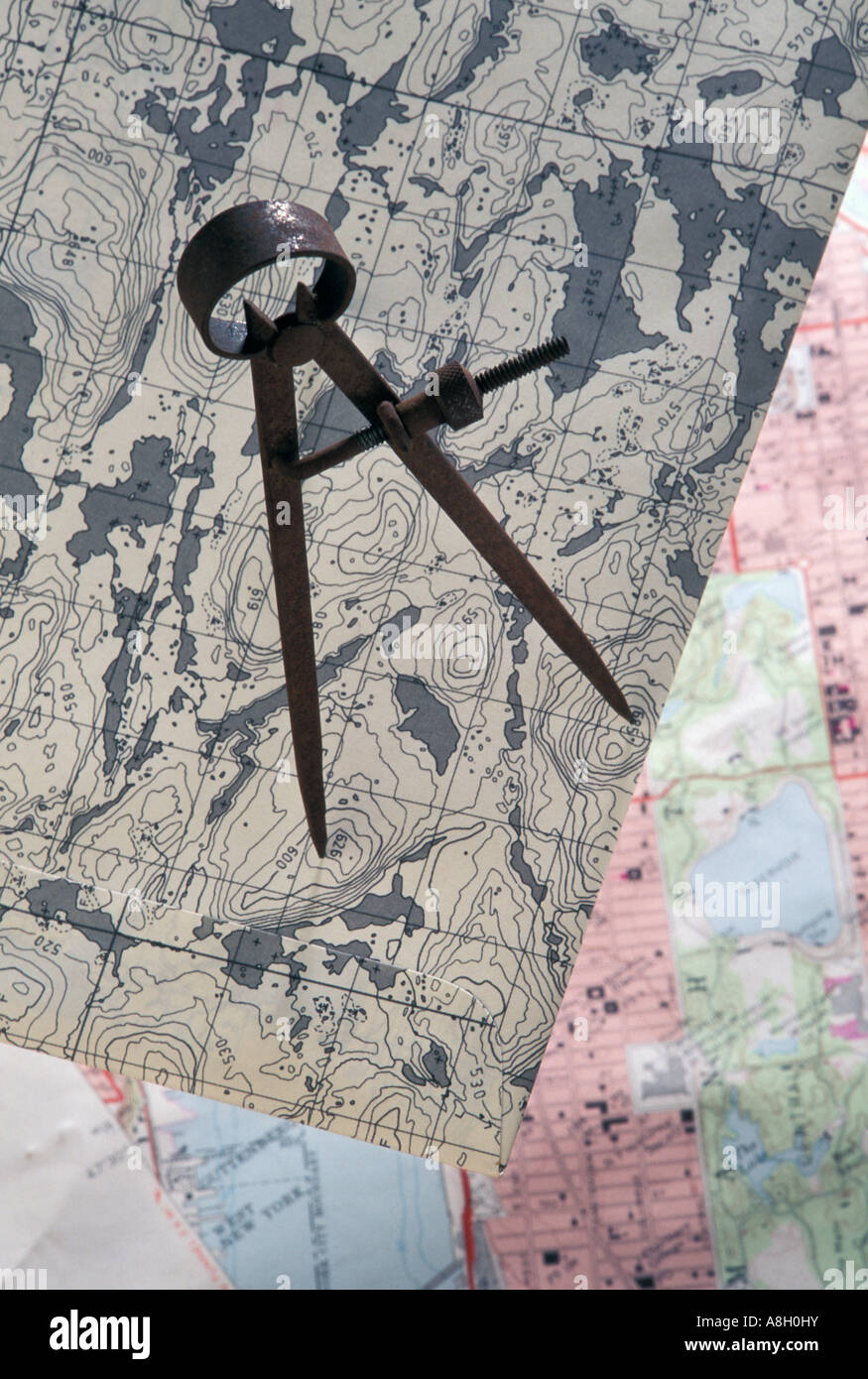 topographic map, compass Stock Photohttps://www.alamy.com/image-license-details/?v=1https://www.alamy.com/stock-photo-topographic-map-compass-12102038.html
RMA8H0HY–topographic map, compass
 Topographic Map Contour Background. Topo Map with Elevation. Contour Map Vector. Geographic World Topography Map Grid Abstract Vector illustration in Grey Colors. Stock Vectorhttps://www.alamy.com/image-license-details/?v=1https://www.alamy.com/topographic-map-contour-background-topo-map-with-elevation-contour-map-vector-geographic-world-topography-map-grid-abstract-vector-illustration-in-grey-colors-image382276177.html
RF2D5X54H–Topographic Map Contour Background. Topo Map with Elevation. Contour Map Vector. Geographic World Topography Map Grid Abstract Vector illustration in Grey Colors.
 Handheld GPS receiver resting on a topographic map Stock Photohttps://www.alamy.com/image-license-details/?v=1https://www.alamy.com/stock-photo-handheld-gps-receiver-resting-on-a-topographic-map-13944649.html
RMAFGTGX–Handheld GPS receiver resting on a topographic map
 Topographic map on dark blue background. Abstract vector illustration Stock Vectorhttps://www.alamy.com/image-license-details/?v=1https://www.alamy.com/stock-photo-topographic-map-on-dark-blue-background-abstract-vector-illustration-172437217.html
RFM0F5C1–Topographic map on dark blue background. Abstract vector illustration
 Topographic map background of mountain terrain. Vector mapping contour texture with elevation. Relief mountain, contour topography terrain illustratio Stock Vectorhttps://www.alamy.com/image-license-details/?v=1https://www.alamy.com/topographic-map-background-of-mountain-terrain-vector-mapping-contour-texture-with-elevation-relief-mountain-contour-topography-terrain-illustratio-image354204886.html
RF2BG7BXE–Topographic map background of mountain terrain. Vector mapping contour texture with elevation. Relief mountain, contour topography terrain illustratio
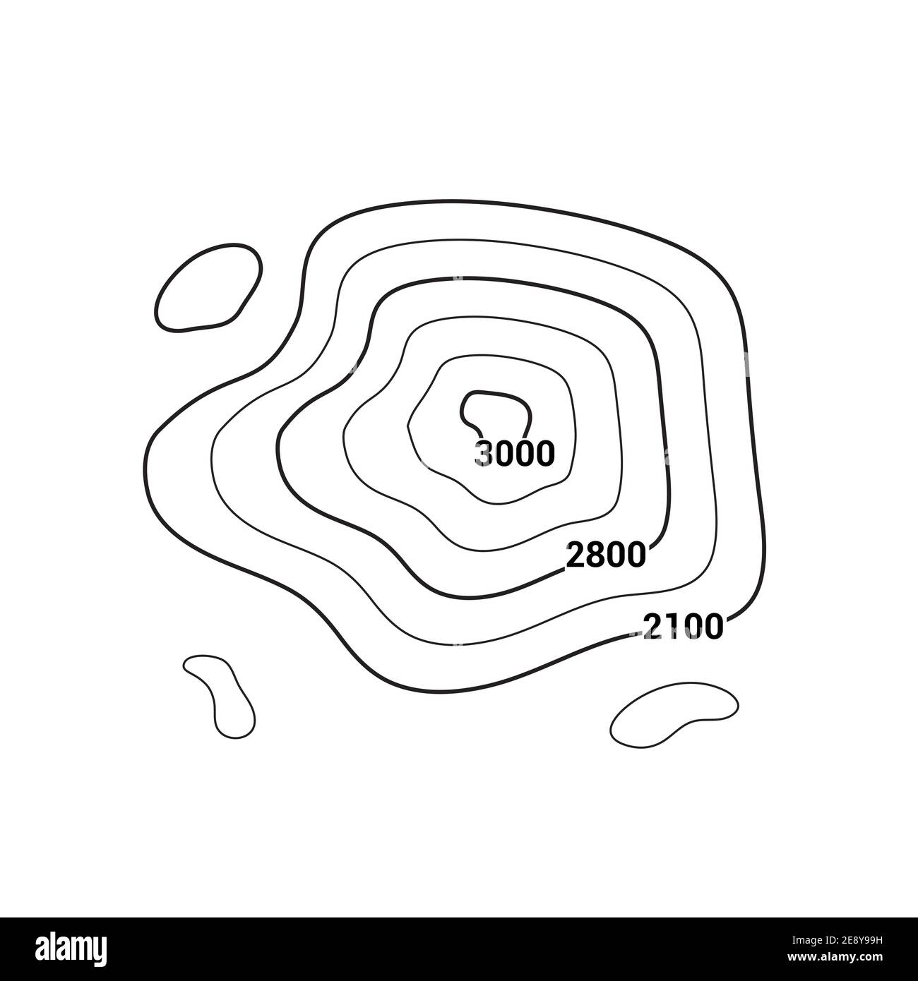 Topographic map contour vector mountain geographic relief background. Contour map terrain Stock Vectorhttps://www.alamy.com/image-license-details/?v=1https://www.alamy.com/topographic-map-contour-vector-mountain-geographic-relief-background-contour-map-terrain-image401355741.html
RF2E8Y99H–Topographic map contour vector mountain geographic relief background. Contour map terrain
 Abstract vector topographic map in brown colors Stock Photohttps://www.alamy.com/image-license-details/?v=1https://www.alamy.com/abstract-vector-topographic-map-in-brown-colors-image227782949.html
RFR6GBD9–Abstract vector topographic map in brown colors
 detailed topographic map with contour lines of a mountain Stock Vectorhttps://www.alamy.com/image-license-details/?v=1https://www.alamy.com/stock-photo-detailed-topographic-map-with-contour-lines-of-a-mountain-96682811.html
RFFH87WF–detailed topographic map with contour lines of a mountain
 Abstract contour map with different relief. Topographic vector illustration for navigation Stock Vectorhttps://www.alamy.com/image-license-details/?v=1https://www.alamy.com/abstract-contour-map-with-different-relief-topographic-vector-illustration-for-navigation-image354293337.html
RF2BGBCND–Abstract contour map with different relief. Topographic vector illustration for navigation
 Seamless pattern. Topographic map background with space for copy Seamless texture. Line topography map contour background , geographic grid . Mountain hiking trail over terrain . Stock Vectorhttps://www.alamy.com/image-license-details/?v=1https://www.alamy.com/seamless-pattern-topographic-map-background-with-space-for-copy-seamless-texture-line-topography-map-contour-background-geographic-grid-mountain-hiking-trail-over-terrain-image183864801.html
RFMK3NC1–Seamless pattern. Topographic map background with space for copy Seamless texture. Line topography map contour background , geographic grid . Mountain hiking trail over terrain .
 Topographic map contour background pattern. Contour Landscape Map Concept. Abstract Geographic World Topography Map. Vector illustration Stock Vectorhttps://www.alamy.com/image-license-details/?v=1https://www.alamy.com/topographic-map-contour-background-pattern-contour-landscape-map-concept-abstract-geographic-world-topography-map-vector-illustration-image181547982.html
RFMFA68E–Topographic map contour background pattern. Contour Landscape Map Concept. Abstract Geographic World Topography Map. Vector illustration
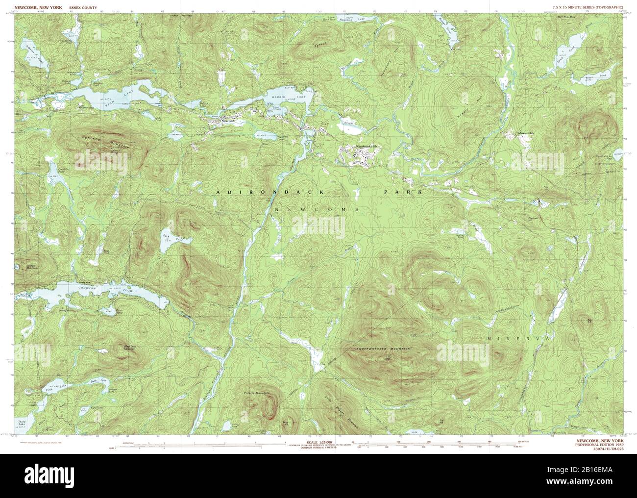 Highly detailed view of the 1989 topographic map for Newcomb, NY Stock Photohttps://www.alamy.com/image-license-details/?v=1https://www.alamy.com/highly-detailed-view-of-the-1989-topographic-map-for-newcomb-ny-image344965274.html
RF2B16EMA–Highly detailed view of the 1989 topographic map for Newcomb, NY
 Abstract topographic map. Vector illustration . Stock Vectorhttps://www.alamy.com/image-license-details/?v=1https://www.alamy.com/abstract-topographic-map-vector-illustration-image231176158.html
RFRC2YFA–Abstract topographic map. Vector illustration .
 Group of children wearing backpacks while hiking and reading topographic map with compass near lake Stock Photohttps://www.alamy.com/image-license-details/?v=1https://www.alamy.com/stock-photo-group-of-children-wearing-backpacks-while-hiking-and-reading-topographic-26259951.html
RMBEM6RB–Group of children wearing backpacks while hiking and reading topographic map with compass near lake
 A female hiker in her early thirties navigates with a topographic map while hiking in the Stein Valley. The Stein River is in th Stock Photohttps://www.alamy.com/image-license-details/?v=1https://www.alamy.com/stock-photo-a-female-hiker-in-her-early-thirties-navigates-with-a-topographic-29487413.html
RFBKY7DW–A female hiker in her early thirties navigates with a topographic map while hiking in the Stein Valley. The Stein River is in th
 Topographic map backdrop. Conditional geography scheme and the terrain path. Contour line abstract background. Stock Vectorhttps://www.alamy.com/image-license-details/?v=1https://www.alamy.com/topographic-map-backdrop-conditional-geography-scheme-and-the-terrain-path-contour-line-abstract-background-image179556424.html
RFMC3E1C–Topographic map backdrop. Conditional geography scheme and the terrain path. Contour line abstract background.
 Closeup shot of senior man and woman reading topographic map together while enjoying a day in nature Stock Photohttps://www.alamy.com/image-license-details/?v=1https://www.alamy.com/closeup-shot-of-senior-man-and-woman-reading-topographic-map-together-while-enjoying-a-day-in-nature-image382959001.html
RF2D71835–Closeup shot of senior man and woman reading topographic map together while enjoying a day in nature
 Urban city map, town streets gps navigation. Downtown map with roads, parks and river. Abstract roadmap navigations scheme vector illustration. Topographic map with different areas Stock Vectorhttps://www.alamy.com/image-license-details/?v=1https://www.alamy.com/urban-city-map-town-streets-gps-navigation-downtown-map-with-roads-parks-and-river-abstract-roadmap-navigations-scheme-vector-illustration-topographic-map-with-different-areas-image438691636.html
RF2GDM3JC–Urban city map, town streets gps navigation. Downtown map with roads, parks and river. Abstract roadmap navigations scheme vector illustration. Topographic map with different areas
 Contour Topographic Map Vector. Geography Wavy Backdrop. Cartography Graphic Concept. Stock Vectorhttps://www.alamy.com/image-license-details/?v=1https://www.alamy.com/stock-photo-contour-topographic-map-vector-geography-wavy-backdrop-cartography-143712520.html
RFJ9PJP0–Contour Topographic Map Vector. Geography Wavy Backdrop. Cartography Graphic Concept.
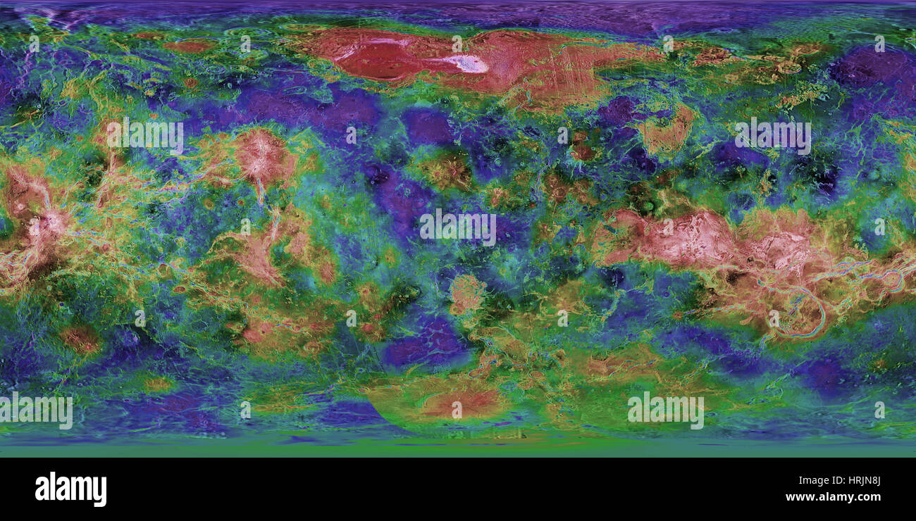 Venus, Topographic Map, Mercator Projection Stock Photohttps://www.alamy.com/image-license-details/?v=1https://www.alamy.com/stock-photo-venus-topographic-map-mercator-projection-135021506.html
RMHRJN8J–Venus, Topographic Map, Mercator Projection
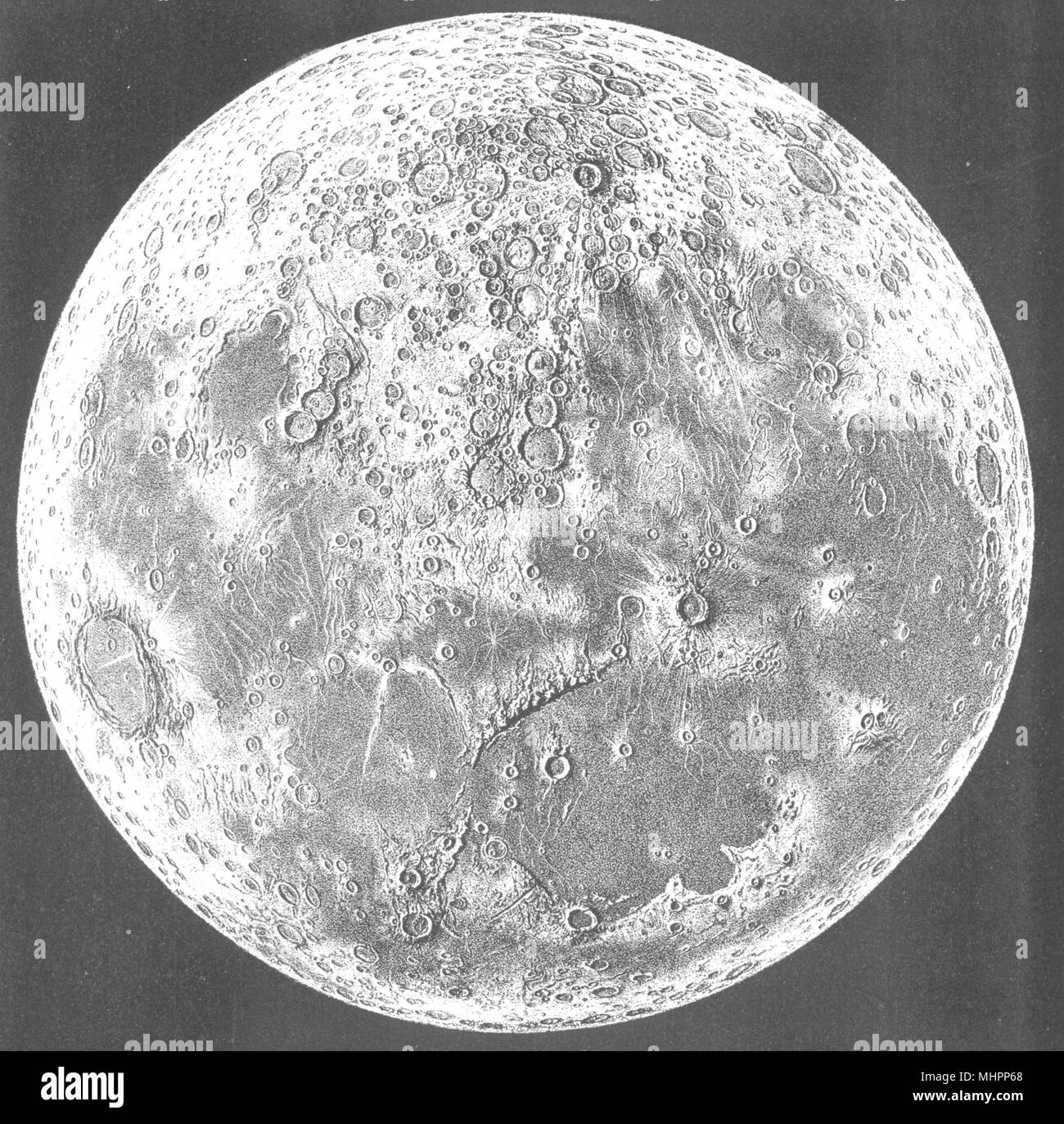 MOON. Topographic Map with tissue guard overlay naming c250 craters & seas 1877 Stock Photohttps://www.alamy.com/image-license-details/?v=1https://www.alamy.com/moon-topographic-map-with-tissue-guard-overlay-naming-c250-craters-seas-1877-image183053200.html
RFMHPP68–MOON. Topographic Map with tissue guard overlay naming c250 craters & seas 1877
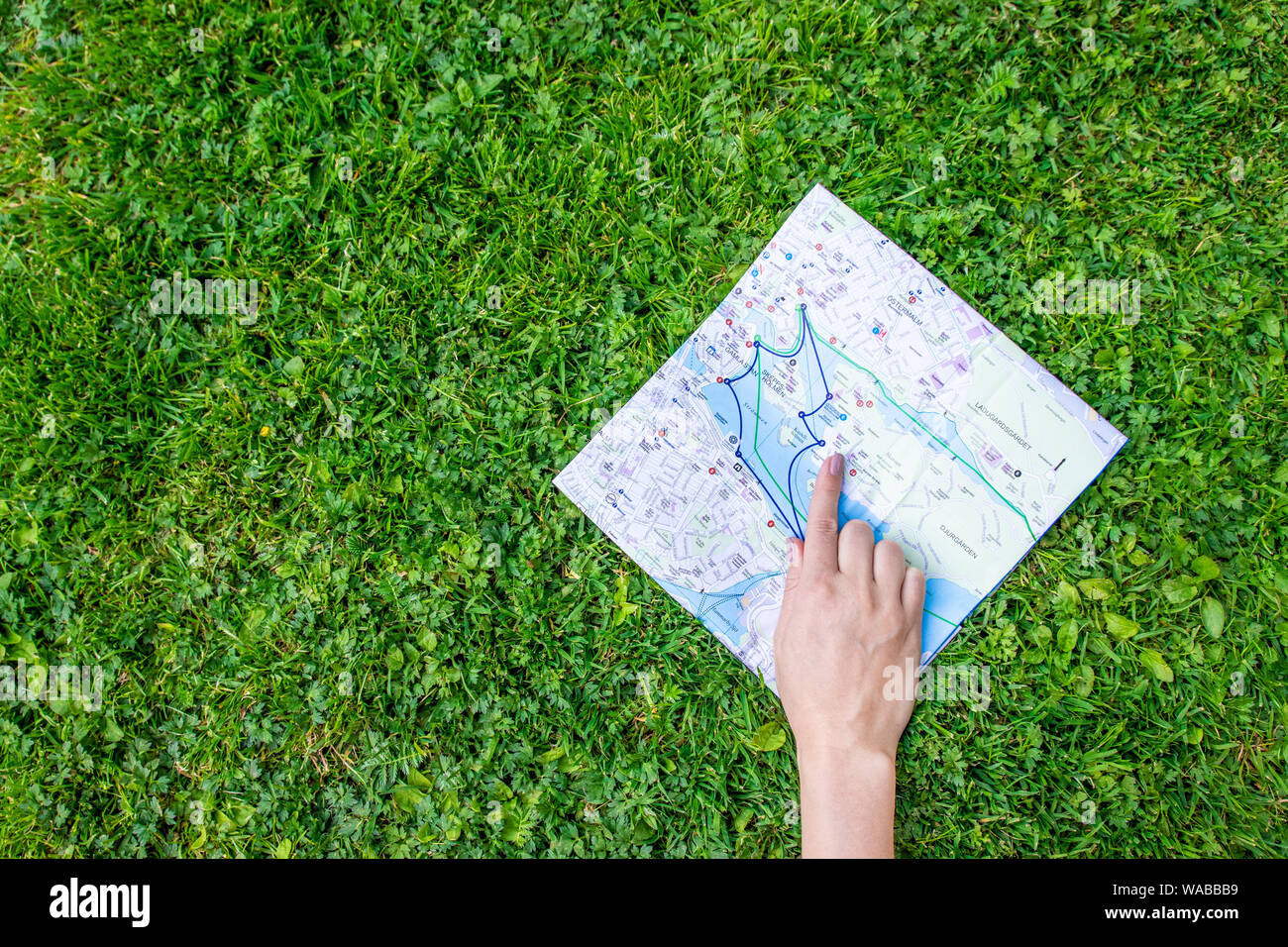 Female hand shows a finger on a topographic map on the grass. Travel on the map. Stock Photohttps://www.alamy.com/image-license-details/?v=1https://www.alamy.com/female-hand-shows-a-finger-on-a-topographic-map-on-the-grass-travel-on-the-map-image264552493.html
RFWABBB9–Female hand shows a finger on a topographic map on the grass. Travel on the map.
 Topographic map on light brown background. Abstract vector illustration Stock Vectorhttps://www.alamy.com/image-license-details/?v=1https://www.alamy.com/stock-image-topographic-map-on-light-brown-background-abstract-vector-illustration-167270495.html
RFKM3R67–Topographic map on light brown background. Abstract vector illustration
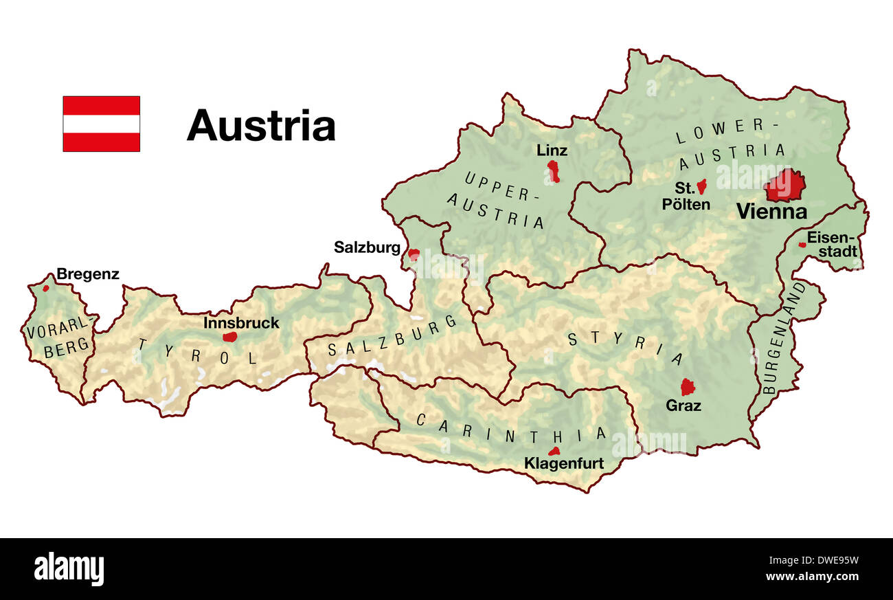 Topographic map of Austria in Europe with cities, federal states, borders and flag. Stock Photohttps://www.alamy.com/image-license-details/?v=1https://www.alamy.com/topographic-map-of-austria-in-europe-with-cities-federal-states-borders-image67312053.html
RFDWE95W–Topographic map of Austria in Europe with cities, federal states, borders and flag.
 Topographic map contour vector mountain geographic relief background. Contour map terrain Stock Vectorhttps://www.alamy.com/image-license-details/?v=1https://www.alamy.com/topographic-map-contour-vector-mountain-geographic-relief-background-contour-map-terrain-image401399488.html
RF2E91940–Topographic map contour vector mountain geographic relief background. Contour map terrain
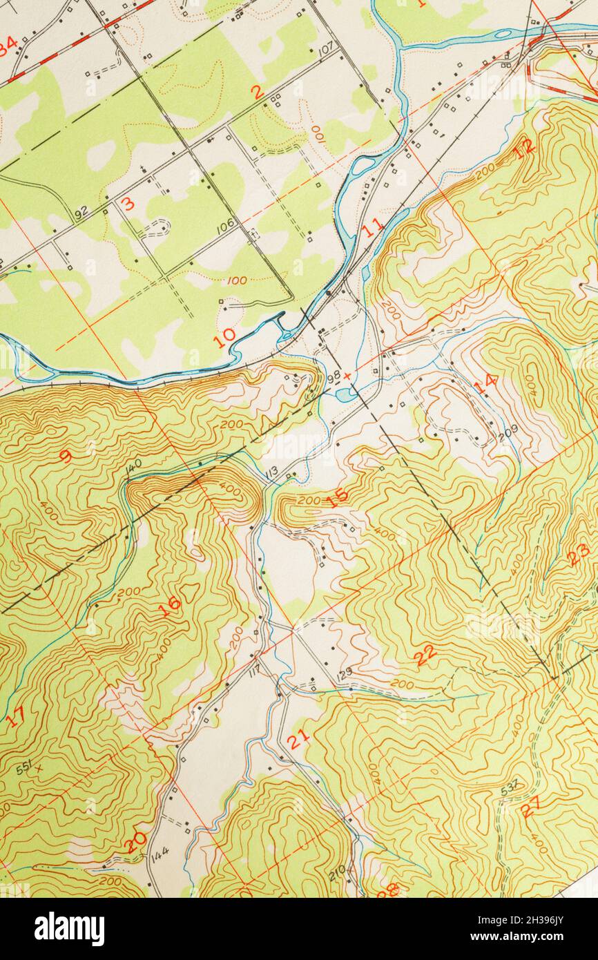 Topographic Map with Terrain Relief with River and Flat Land. Stock Photohttps://www.alamy.com/image-license-details/?v=1https://www.alamy.com/topographic-map-with-terrain-relief-with-river-and-flat-land-image449516339.html
RF2H396JY–Topographic Map with Terrain Relief with River and Flat Land.
 topographic map Stock Vectorhttps://www.alamy.com/image-license-details/?v=1https://www.alamy.com/stock-photo-topographic-map-96682864.html
RFFH87YC–topographic map
![Lucerne - Engelberg, Topographic map of the Engelberg Valley, p. 11, Hofer & Burger (ill.), Albert Fleiner; Xaver Imfeld [et al.]: Engelberg: Streifzüge durch Gebirg und Tal. Zürich: Hofer & Burger, [18 Stock Photo Lucerne - Engelberg, Topographic map of the Engelberg Valley, p. 11, Hofer & Burger (ill.), Albert Fleiner; Xaver Imfeld [et al.]: Engelberg: Streifzüge durch Gebirg und Tal. Zürich: Hofer & Burger, [18 Stock Photo](https://c8.alamy.com/comp/2A2RJTE/lucerne-engelberg-topographic-map-of-the-engelberg-valley-p-11-hofer-burger-ill-albert-fleiner-xaver-imfeld-et-al-engelberg-streifzge-durch-gebirg-und-tal-zrich-hofer-burger-18-2A2RJTE.jpg) Lucerne - Engelberg, Topographic map of the Engelberg Valley, p. 11, Hofer & Burger (ill.), Albert Fleiner; Xaver Imfeld [et al.]: Engelberg: Streifzüge durch Gebirg und Tal. Zürich: Hofer & Burger, [18 Stock Photohttps://www.alamy.com/image-license-details/?v=1https://www.alamy.com/lucerne-engelberg-topographic-map-of-the-engelberg-valley-p-11-hofer-burger-ill-albert-fleiner-xaver-imfeld-et-al-engelberg-streifzge-durch-gebirg-und-tal-zrich-hofer-burger-18-image328745998.html
Lucerne - Engelberg, Topographic map of the Engelberg Valley, p. 11, Hofer & Burger (ill.), Albert Fleiner; Xaver Imfeld [et al.]: Engelberg: Streifzüge durch Gebirg und Tal. Zürich: Hofer & Burger, [18 Stock Photohttps://www.alamy.com/image-license-details/?v=1https://www.alamy.com/lucerne-engelberg-topographic-map-of-the-engelberg-valley-p-11-hofer-burger-ill-albert-fleiner-xaver-imfeld-et-al-engelberg-streifzge-durch-gebirg-und-tal-zrich-hofer-burger-18-image328745998.htmlRM2A2RJTE–Lucerne - Engelberg, Topographic map of the Engelberg Valley, p. 11, Hofer & Burger (ill.), Albert Fleiner; Xaver Imfeld [et al.]: Engelberg: Streifzüge durch Gebirg und Tal. Zürich: Hofer & Burger, [18
 Seamless pattern. Topographic map background with space for copy Seamless texture. Line topography map contour background , geographic grid . Mountain hiking trail over terrain . Stock Vectorhttps://www.alamy.com/image-license-details/?v=1https://www.alamy.com/seamless-pattern-topographic-map-background-with-space-for-copy-seamless-texture-line-topography-map-contour-background-geographic-grid-mountain-hiking-trail-over-terrain-image183864627.html
RFMK3N5R–Seamless pattern. Topographic map background with space for copy Seamless texture. Line topography map contour background , geographic grid . Mountain hiking trail over terrain .
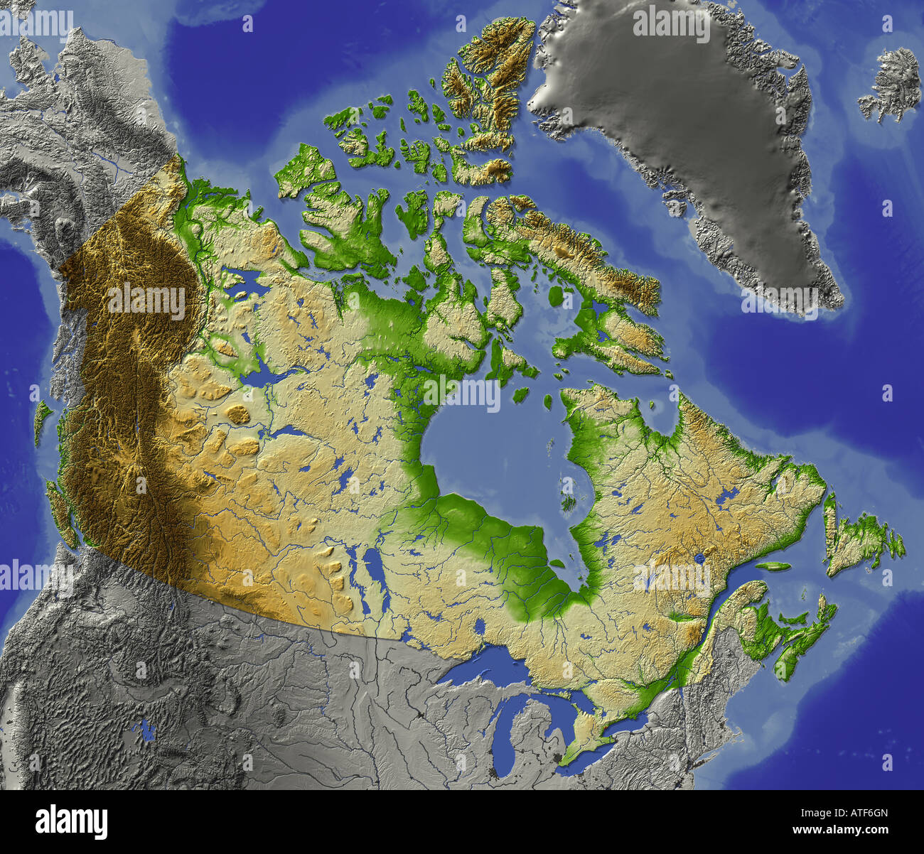 Relief map of Canada Stock Photohttps://www.alamy.com/image-license-details/?v=1https://www.alamy.com/stock-photo-relief-map-of-canada-16300004.html
RFATF6GN–Relief map of Canada
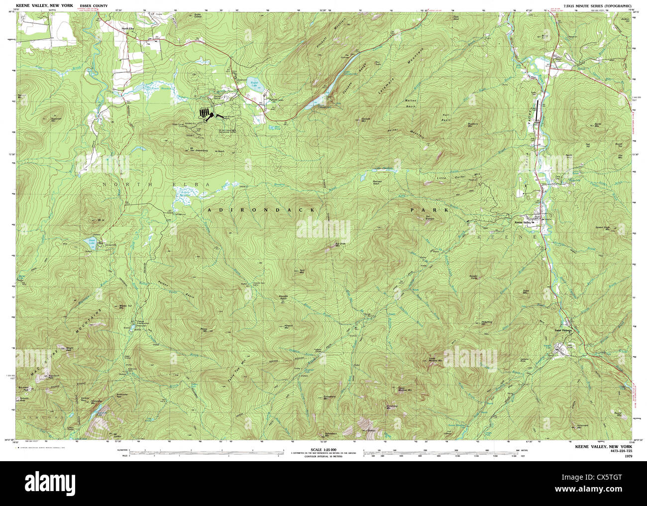 Highly detailed view of the 1979 topographic map for Keene Valley, NY Stock Photohttps://www.alamy.com/image-license-details/?v=1https://www.alamy.com/stock-photo-highly-detailed-view-of-the-1979-topographic-map-for-keene-valley-50530840.html
RFCX5TGT–Highly detailed view of the 1979 topographic map for Keene Valley, NY
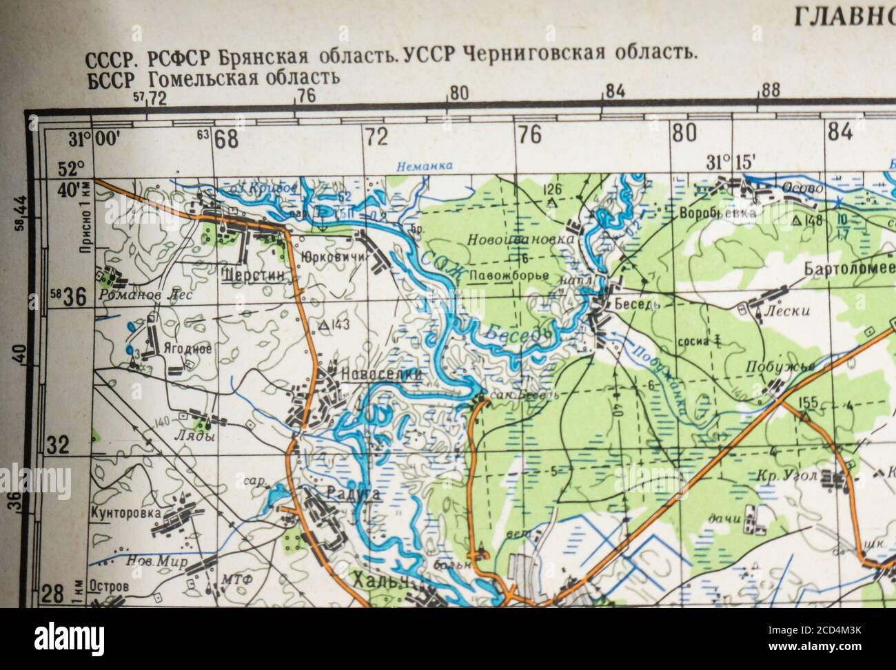 Topographic map of the city of Novozybkov and its environs. Stock Photohttps://www.alamy.com/image-license-details/?v=1https://www.alamy.com/topographic-map-of-the-city-of-novozybkov-and-its-environs-image369511847.html
RM2CD4M3K–Topographic map of the city of Novozybkov and its environs.
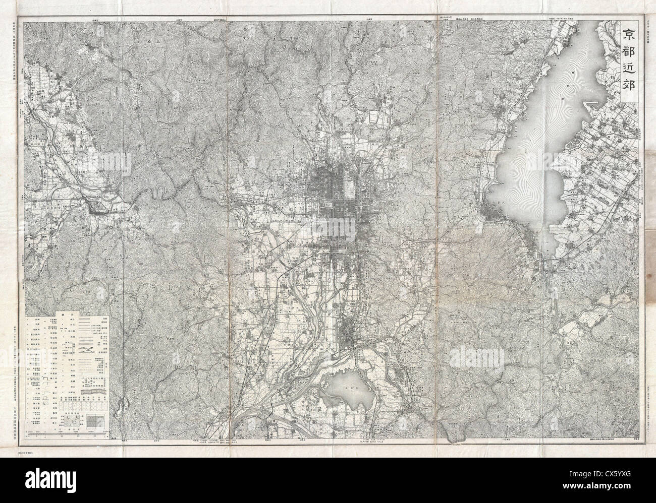 1936 Showa 11 Japanese Topographic Map of Kyoto, Japan Stock Photohttps://www.alamy.com/image-license-details/?v=1https://www.alamy.com/stock-photo-1936-showa-11-japanese-topographic-map-of-kyoto-japan-50533464.html
RMCX5YXG–1936 Showa 11 Japanese Topographic Map of Kyoto, Japan
 boy reads topographical map Stock Photohttps://www.alamy.com/image-license-details/?v=1https://www.alamy.com/boy-reads-topographical-map-image158667103.html
RFK63WE7–boy reads topographical map
 Topographic map backdrop. Conditional geography scheme and the terrain path. Contour line abstract background. Stock Vectorhttps://www.alamy.com/image-license-details/?v=1https://www.alamy.com/topographic-map-backdrop-conditional-geography-scheme-and-the-terrain-path-contour-line-abstract-background-image179556407.html
RFMC3E0R–Topographic map backdrop. Conditional geography scheme and the terrain path. Contour line abstract background.
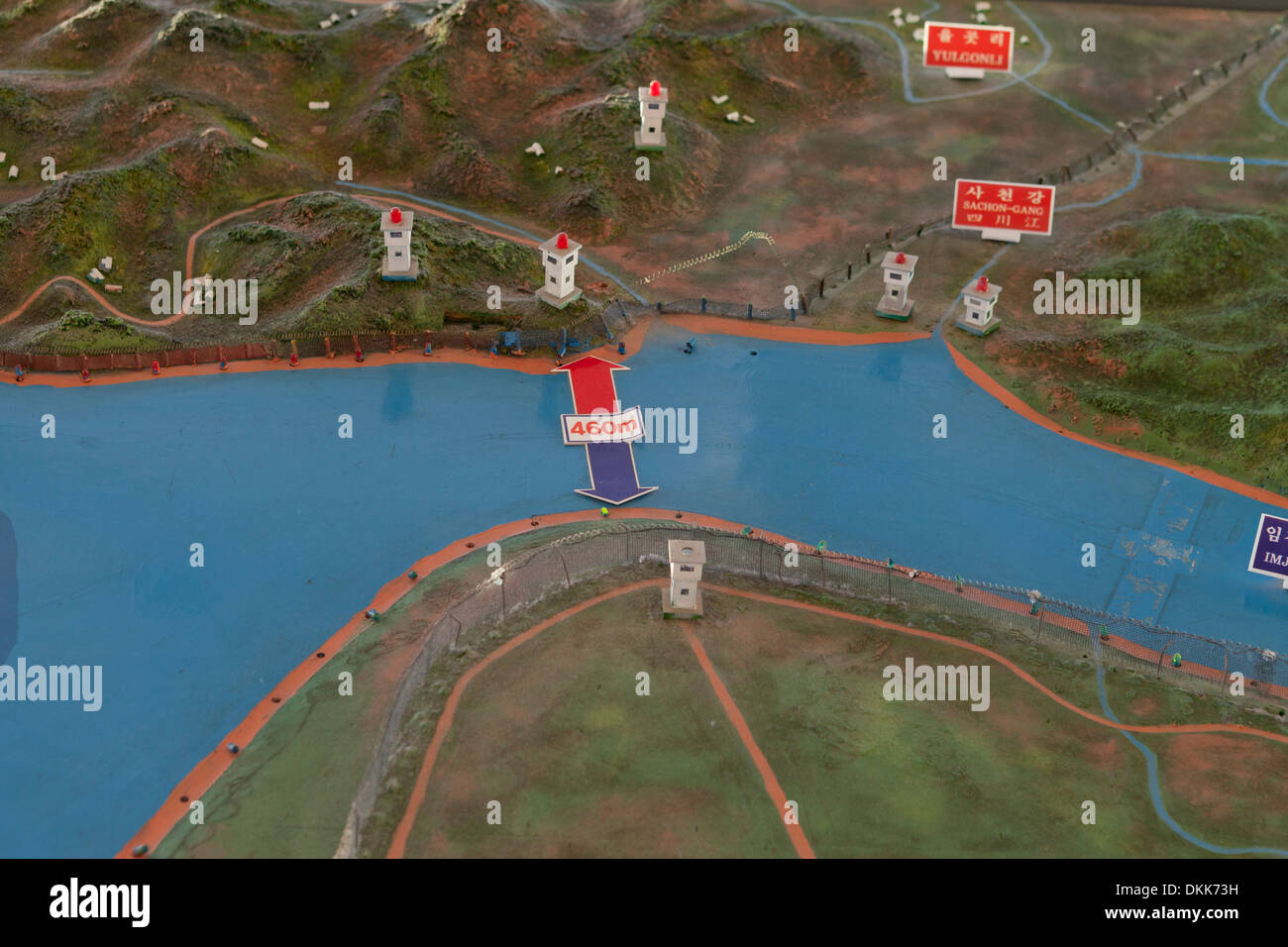 Topographic map showing DMZ at Unification Observatory - Odusan, South Korea Stock Photohttps://www.alamy.com/image-license-details/?v=1https://www.alamy.com/topographic-map-showing-dmz-at-unification-observatory-odusan-south-image63732245.html
RMDKK73H–Topographic map showing DMZ at Unification Observatory - Odusan, South Korea
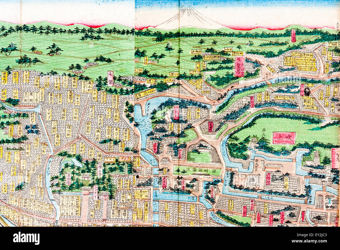 1882 stylized Topographic color Map of Tokyo, Edo, showing part of the city and the Imerial Palace, with trees, waterways and Mount Fuji at the top. Stock Photohttps://www.alamy.com/image-license-details/?v=1https://www.alamy.com/stock-photo-1882-stylized-topographic-color-map-of-tokyo-edo-showing-part-of-the-85495539.html
RMEY2JC3–1882 stylized Topographic color Map of Tokyo, Edo, showing part of the city and the Imerial Palace, with trees, waterways and Mount Fuji at the top.
 Abstract 3d rendering of colorful topographic map background, illustration Stock Photohttps://www.alamy.com/image-license-details/?v=1https://www.alamy.com/stock-photo-abstract-3d-rendering-of-colorful-topographic-map-background-illustration-113936190.html
RFGHA6NJ–Abstract 3d rendering of colorful topographic map background, illustration
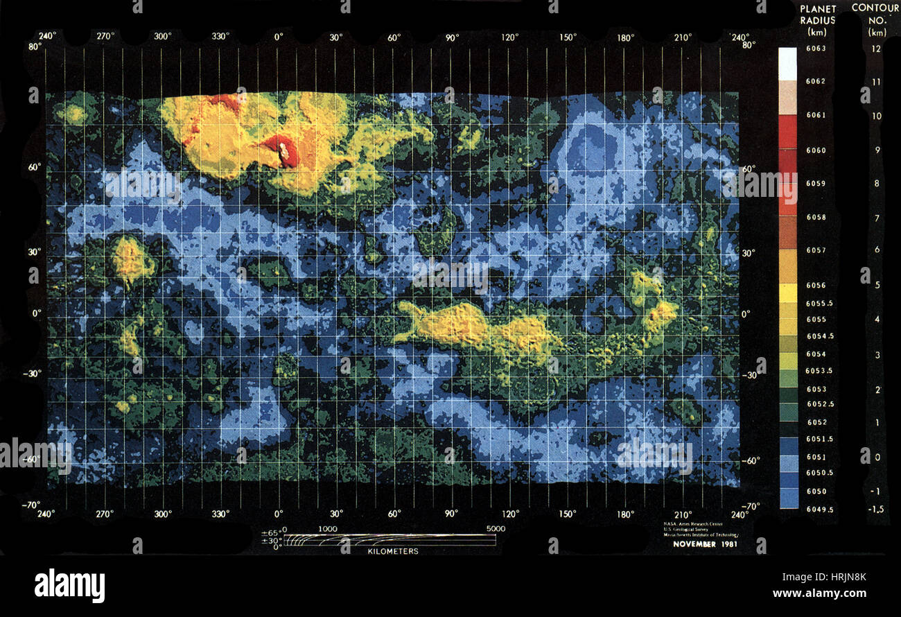 Venus, Topographic Map, Mercator Projection Stock Photohttps://www.alamy.com/image-license-details/?v=1https://www.alamy.com/stock-photo-venus-topographic-map-mercator-projection-135021507.html
RMHRJN8K–Venus, Topographic Map, Mercator Projection
 Topographic map vector background with mountain texture and grid. Topography map for travel, relief map diagram illustration Stock Vectorhttps://www.alamy.com/image-license-details/?v=1https://www.alamy.com/topographic-map-vector-background-with-mountain-texture-and-grid-topography-map-for-travel-relief-map-diagram-illustration-image344412501.html
RF2B099JD–Topographic map vector background with mountain texture and grid. Topography map for travel, relief map diagram illustration
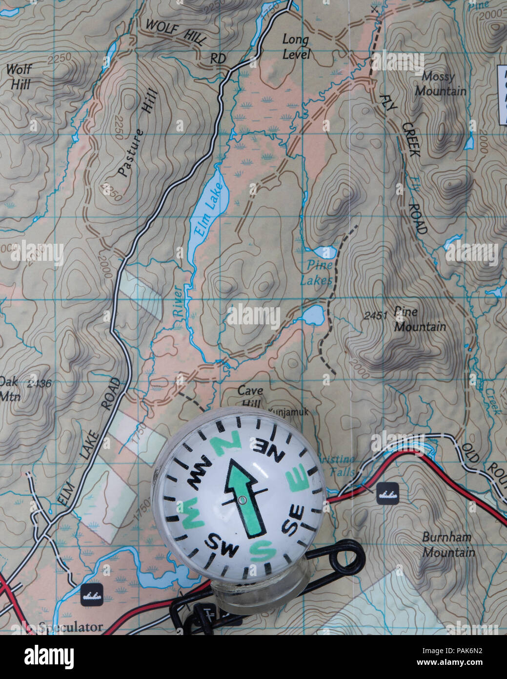 A topographic map of a portion of the Adirondack Mountains with a compass to assist in navigation. Stock Photohttps://www.alamy.com/image-license-details/?v=1https://www.alamy.com/a-topographic-map-of-a-portion-of-the-adirondack-mountains-with-a-compass-to-assist-in-navigation-image213093358.html
RFPAK6N2–A topographic map of a portion of the Adirondack Mountains with a compass to assist in navigation.
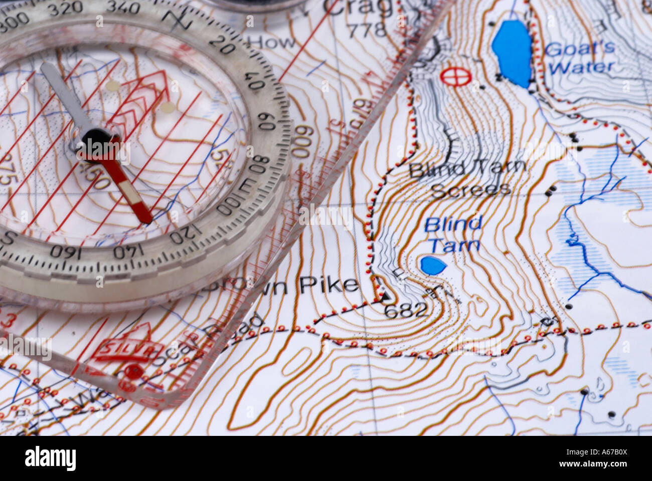 Navigation Map and Compass Stock Photohttps://www.alamy.com/image-license-details/?v=1https://www.alamy.com/stock-photo-navigation-map-and-compass-11484601.html
RMA67B0X–Navigation Map and Compass
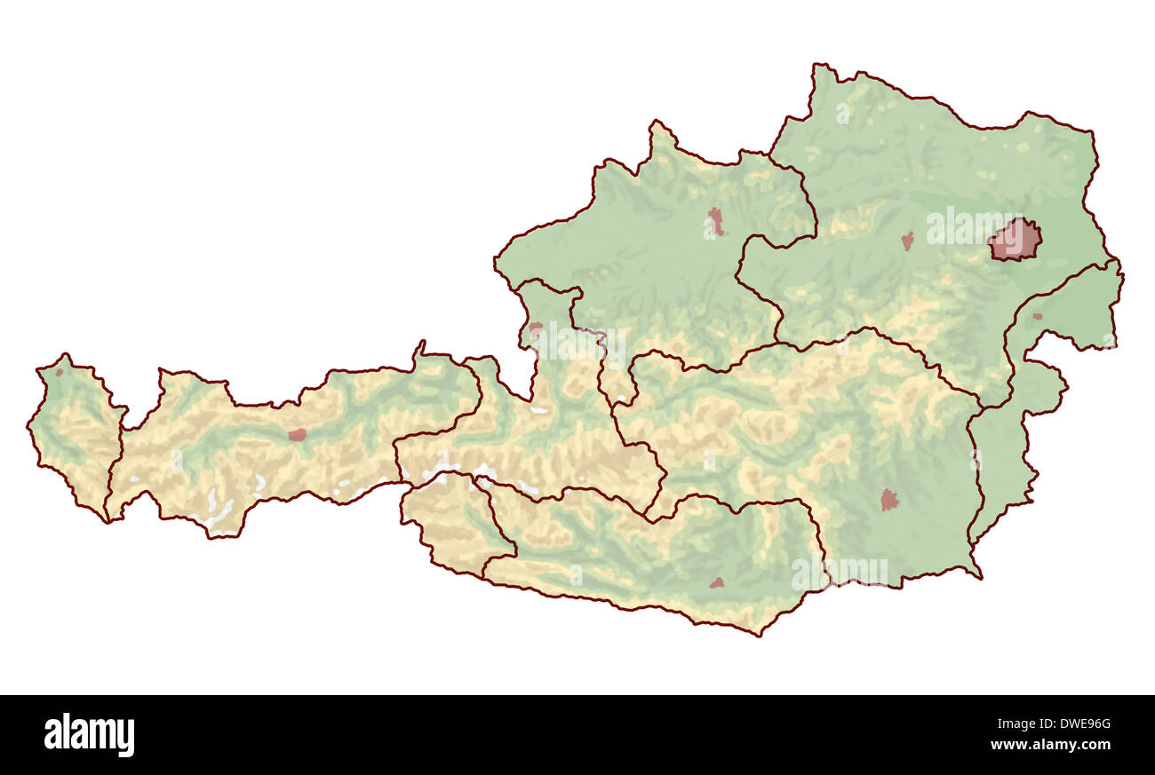 Topographic map of Austria in Europe, which is not labeled. The borders of the cities and the nine provinces are visible. Stock Photohttps://www.alamy.com/image-license-details/?v=1https://www.alamy.com/topographic-map-of-austria-in-europe-which-is-not-labeled-the-borders-image67312072.html
RFDWE96G–Topographic map of Austria in Europe, which is not labeled. The borders of the cities and the nine provinces are visible.
 3D Render abstract topographic map background. Stock Photohttps://www.alamy.com/image-license-details/?v=1https://www.alamy.com/3d-render-abstract-topographic-map-background-image417599815.html
RF2F7B8R3–3D Render abstract topographic map background.
 Black and White Topographic Map Close Up of Terrain Relief. Stock Photohttps://www.alamy.com/image-license-details/?v=1https://www.alamy.com/black-and-white-topographic-map-close-up-of-terrain-relief-image491376254.html
RF2KFC3BX–Black and White Topographic Map Close Up of Terrain Relief.
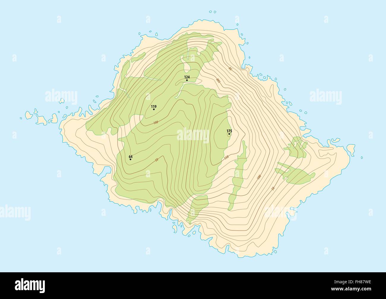 topographic map of a fictional island Stock Vectorhttps://www.alamy.com/image-license-details/?v=1https://www.alamy.com/stock-photo-topographic-map-of-a-fictional-island-96682810.html
RFFH87WE–topographic map of a fictional island
![Topographic map of Brussels. 1836 ., City Map Brussels, p. 272, Shury & Son (eng.), 1837, [S. n.], La Belgique et Nassau, ou, le touriste continental .... Londres: chez Black et Armstrong, [1837 Stock Photo Topographic map of Brussels. 1836 ., City Map Brussels, p. 272, Shury & Son (eng.), 1837, [S. n.], La Belgique et Nassau, ou, le touriste continental .... Londres: chez Black et Armstrong, [1837 Stock Photo](https://c8.alamy.com/comp/2A2T3RN/topographic-map-of-brussels-1836-city-map-brussels-p-272-shury-son-eng-1837-s-n-la-belgique-et-nassau-ou-le-touriste-continental-londres-chez-black-et-armstrong-1837-2A2T3RN.jpg) Topographic map of Brussels. 1836 ., City Map Brussels, p. 272, Shury & Son (eng.), 1837, [S. n.], La Belgique et Nassau, ou, le touriste continental .... Londres: chez Black et Armstrong, [1837 Stock Photohttps://www.alamy.com/image-license-details/?v=1https://www.alamy.com/topographic-map-of-brussels-1836-city-map-brussels-p-272-shury-son-eng-1837-s-n-la-belgique-et-nassau-ou-le-touriste-continental-londres-chez-black-et-armstrong-1837-image328756169.html
Topographic map of Brussels. 1836 ., City Map Brussels, p. 272, Shury & Son (eng.), 1837, [S. n.], La Belgique et Nassau, ou, le touriste continental .... Londres: chez Black et Armstrong, [1837 Stock Photohttps://www.alamy.com/image-license-details/?v=1https://www.alamy.com/topographic-map-of-brussels-1836-city-map-brussels-p-272-shury-son-eng-1837-s-n-la-belgique-et-nassau-ou-le-touriste-continental-londres-chez-black-et-armstrong-1837-image328756169.htmlRM2A2T3RN–Topographic map of Brussels. 1836 ., City Map Brussels, p. 272, Shury & Son (eng.), 1837, [S. n.], La Belgique et Nassau, ou, le touriste continental .... Londres: chez Black et Armstrong, [1837
 Seamless pattern. Topographic map background with space for copy Seamless texture. Line topography map contour background , geographic grid . Mountain hiking trail over terrain . Stock Vectorhttps://www.alamy.com/image-license-details/?v=1https://www.alamy.com/seamless-pattern-topographic-map-background-with-space-for-copy-seamless-texture-line-topography-map-contour-background-geographic-grid-mountain-hiking-trail-over-terrain-image183864867.html
RFMK3NEB–Seamless pattern. Topographic map background with space for copy Seamless texture. Line topography map contour background , geographic grid . Mountain hiking trail over terrain .
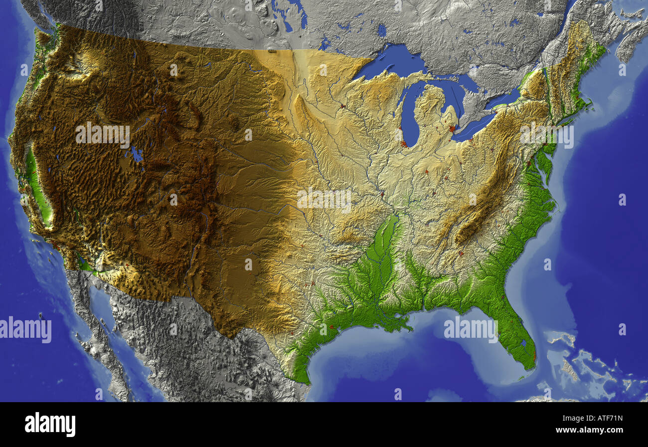 USA, relief map Stock Photohttps://www.alamy.com/image-license-details/?v=1https://www.alamy.com/stock-photo-usa-relief-map-16300160.html
RFATF71N–USA, relief map
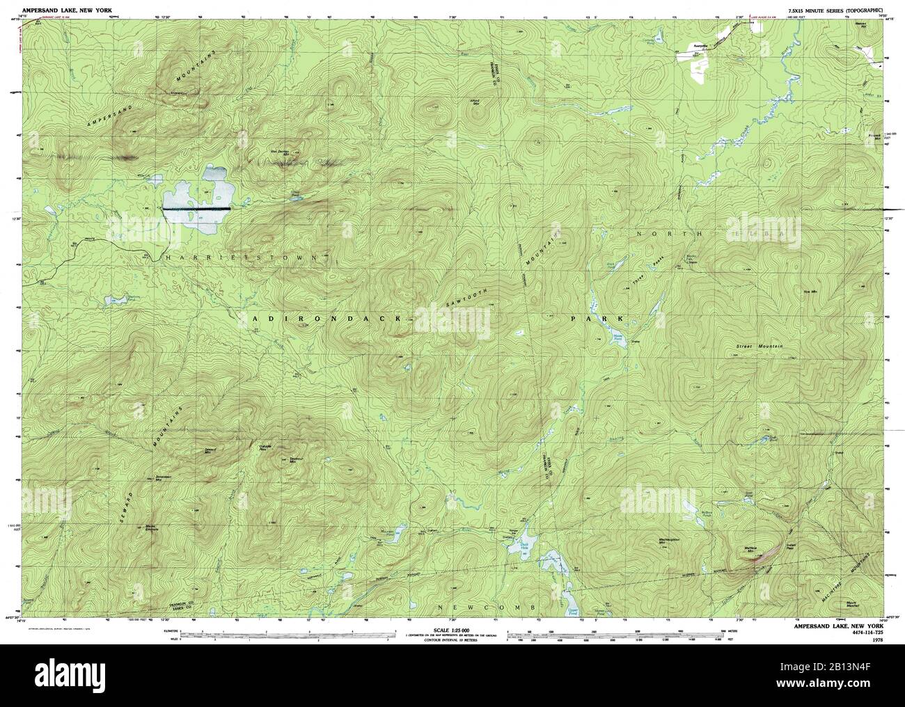 Highly detailed view of the 1978 topographic map for Ampersand Lake, NY Stock Photohttps://www.alamy.com/image-license-details/?v=1https://www.alamy.com/highly-detailed-view-of-the-1978-topographic-map-for-ampersand-lake-ny-image344904463.html
RF2B13N4F–Highly detailed view of the 1978 topographic map for Ampersand Lake, NY
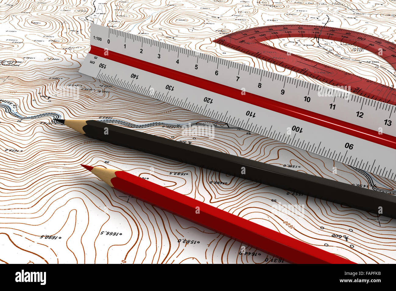 3d render of engineering tools over topographic map Stock Photohttps://www.alamy.com/image-license-details/?v=1https://www.alamy.com/stock-photo-3d-render-of-engineering-tools-over-topographic-map-92693647.html
RFFAPFKB–3d render of engineering tools over topographic map
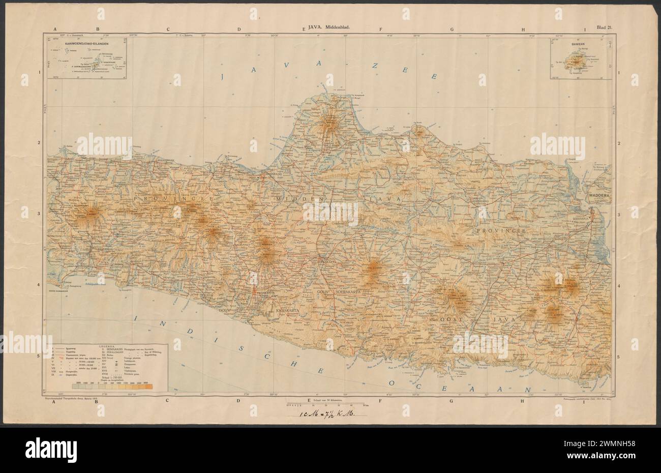 Topographic map of Central Java 1912-1935 Stock Photohttps://www.alamy.com/image-license-details/?v=1https://www.alamy.com/topographic-map-of-central-java-1912-1935-image597920100.html
RF2WMNH58–Topographic map of Central Java 1912-1935
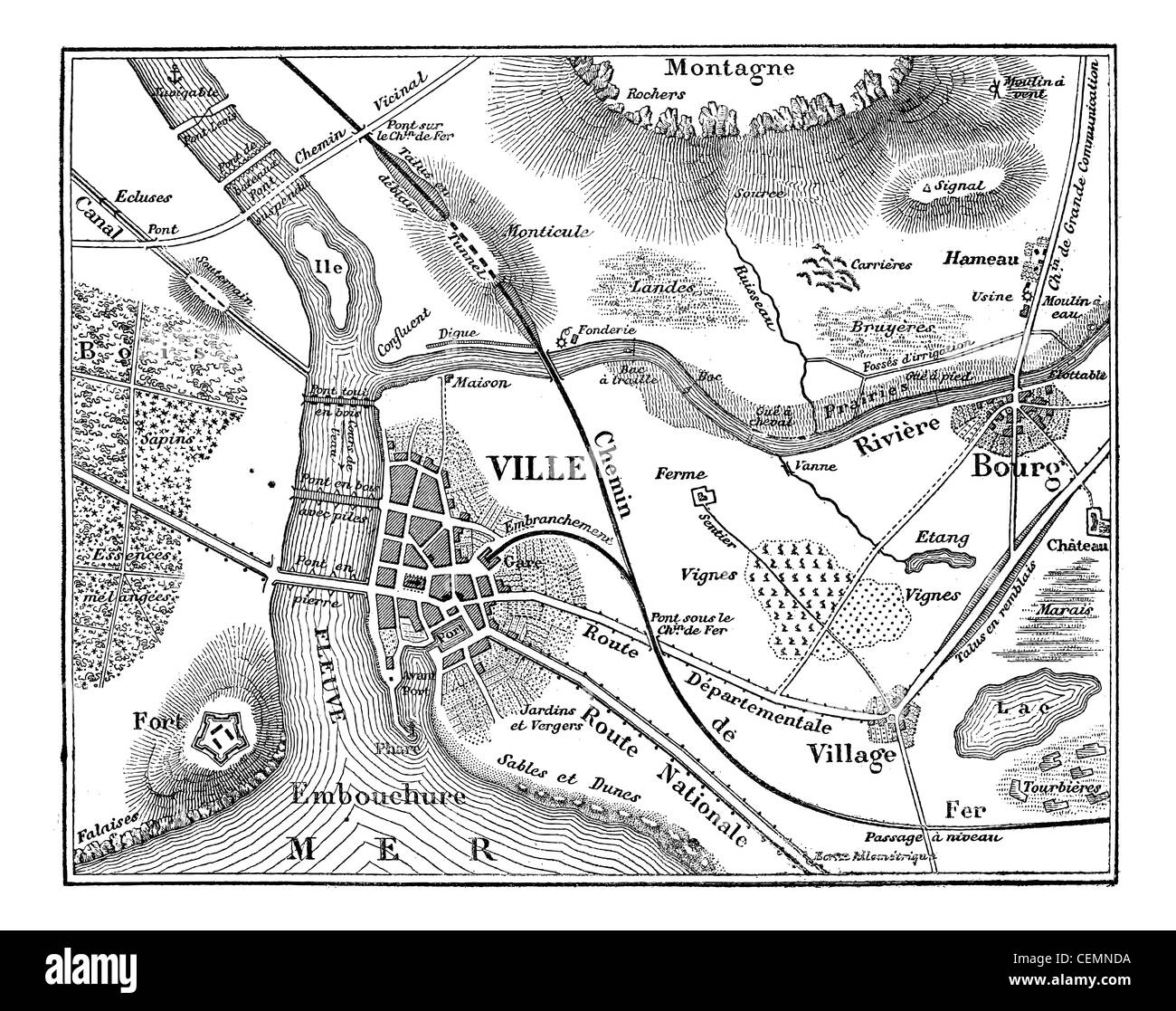 Topographic map, vintage engraved illustration. Magasin Pittoresque 1875. Stock Photohttps://www.alamy.com/image-license-details/?v=1https://www.alamy.com/stock-photo-topographic-map-vintage-engraved-illustration-magasin-pittoresque-43481798.html
RFCEMNDA–Topographic map, vintage engraved illustration. Magasin Pittoresque 1875.
 Topographic map backdrop. Conditional geography scheme and the terrain path. Contour line abstract background. Stock Vectorhttps://www.alamy.com/image-license-details/?v=1https://www.alamy.com/topographic-map-backdrop-conditional-geography-scheme-and-the-terrain-path-contour-line-abstract-background-image179556423.html
RFMC3E1B–Topographic map backdrop. Conditional geography scheme and the terrain path. Contour line abstract background.
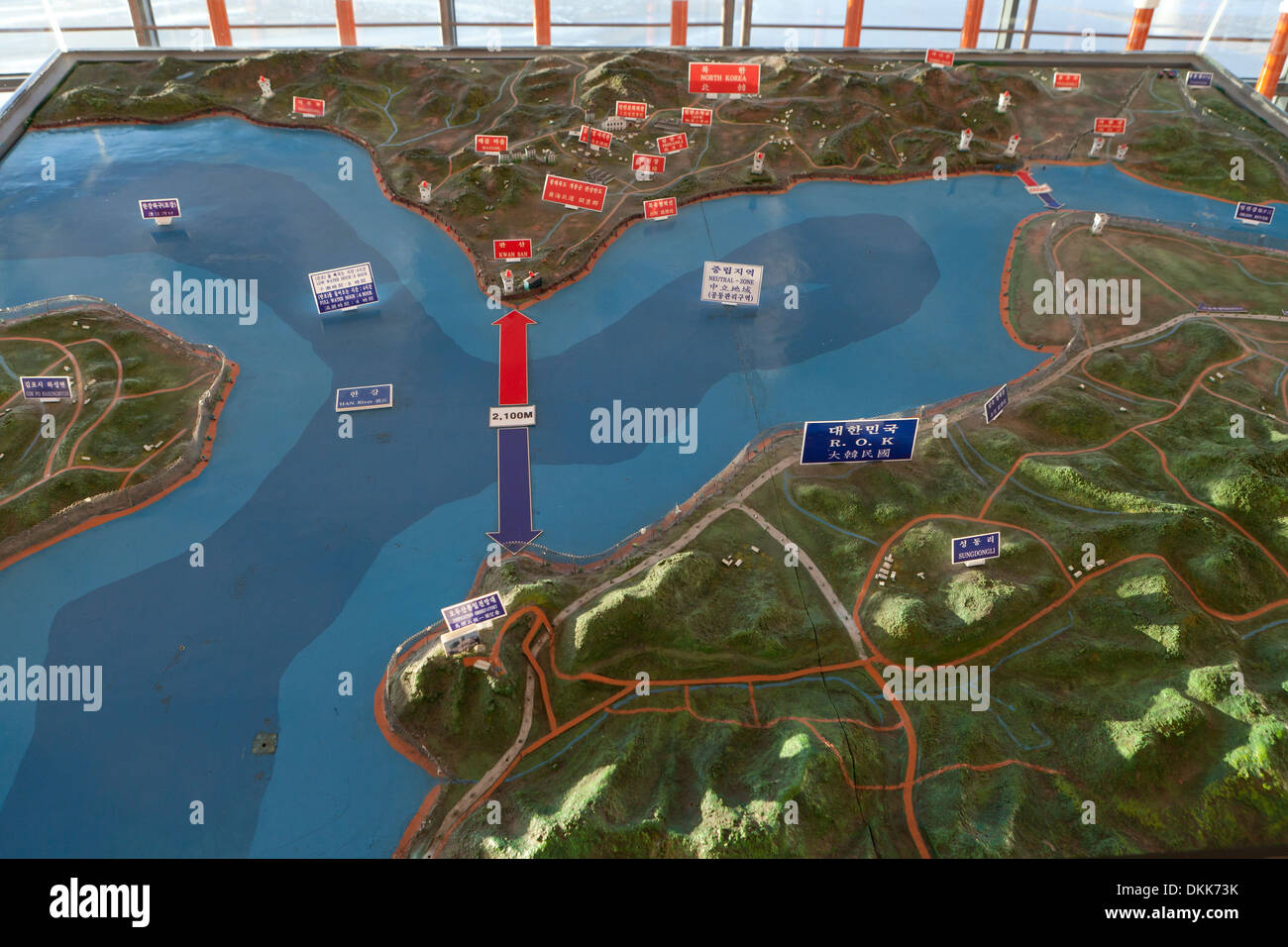 Topographic map showing DMZ at Unification Observatory - Odusan, South Korea Stock Photohttps://www.alamy.com/image-license-details/?v=1https://www.alamy.com/topographic-map-showing-dmz-at-unification-observatory-odusan-south-image63732247.html
RMDKK73K–Topographic map showing DMZ at Unification Observatory - Odusan, South Korea
 Map background with topographic contours and features Stock Vectorhttps://www.alamy.com/image-license-details/?v=1https://www.alamy.com/stock-photo-map-background-with-topographic-contours-and-features-71084786.html
RFE3J5AA–Map background with topographic contours and features
 Abstract 3d rendering of colorful topographic map background, illustration Stock Photohttps://www.alamy.com/image-license-details/?v=1https://www.alamy.com/stock-photo-abstract-3d-rendering-of-colorful-topographic-map-background-illustration-113936186.html
RFGHA6NE–Abstract 3d rendering of colorful topographic map background, illustration
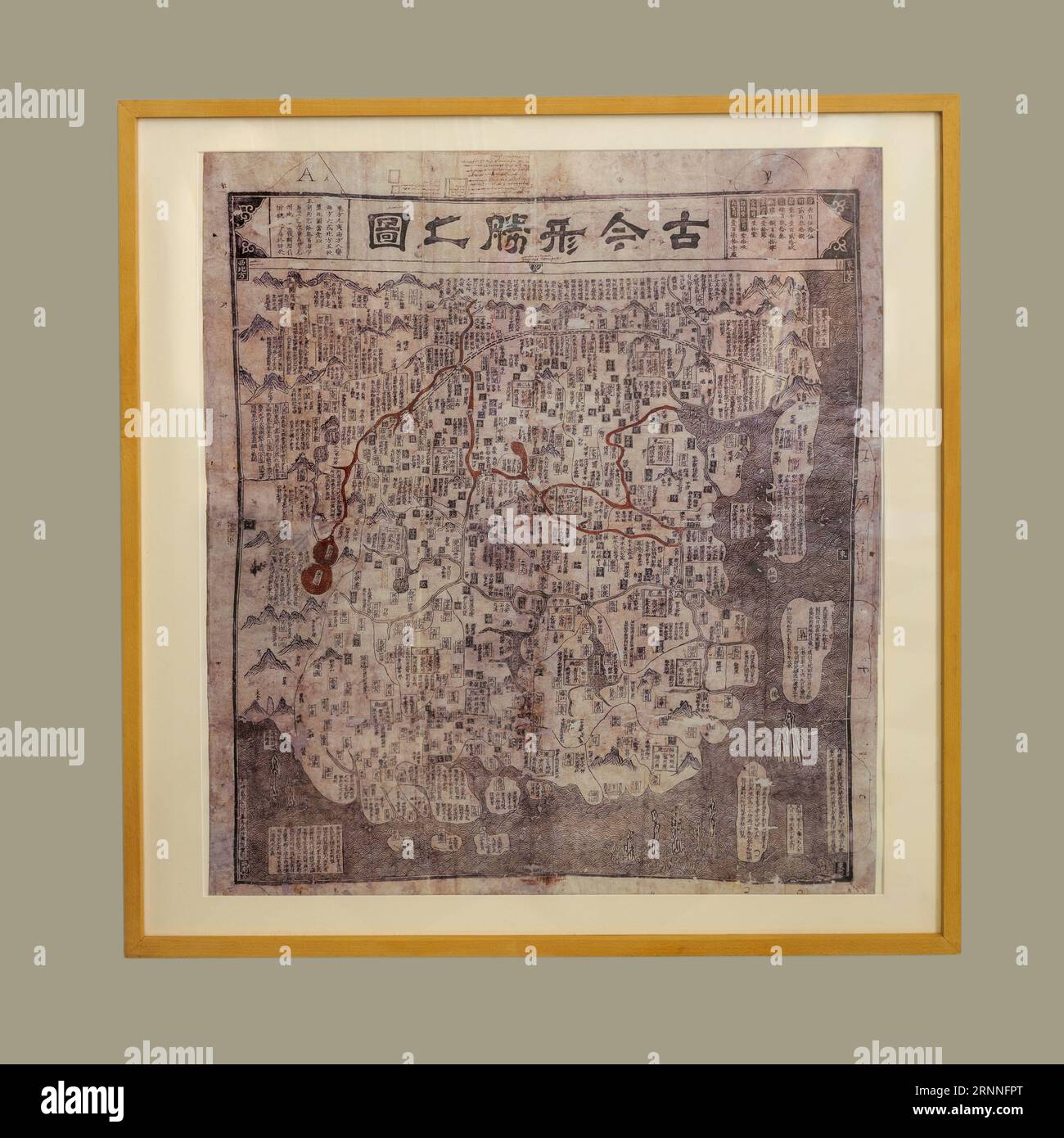 Ku Chin Hsing Shêng Chih Tu map (Modern and ancient topographic map) of China. Reprint from 1555 based on an original from 1541. Stock Photohttps://www.alamy.com/image-license-details/?v=1https://www.alamy.com/ku-chin-hsing-shng-chih-tu-map-modern-and-ancient-topographic-map-of-china-reprint-from-1555-based-on-an-original-from-1541-image564112944.html
RF2RNNFPT–Ku Chin Hsing Shêng Chih Tu map (Modern and ancient topographic map) of China. Reprint from 1555 based on an original from 1541.
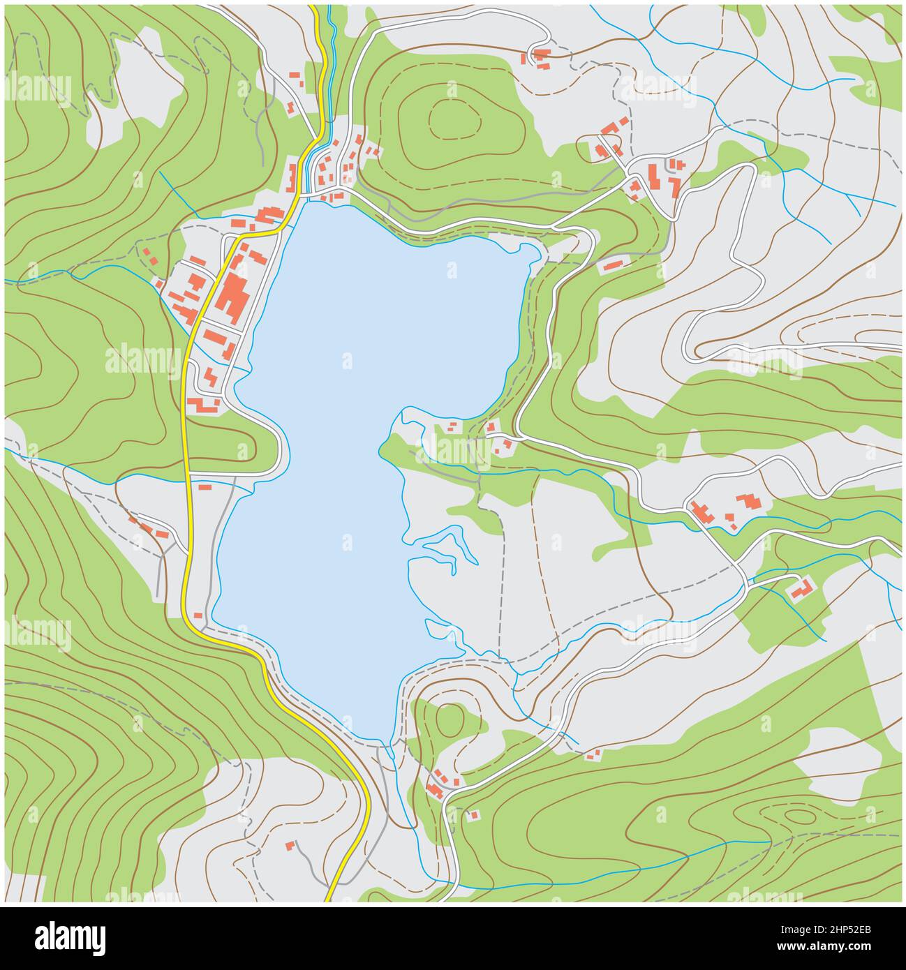 Imaginary topographic map of an area with buildings and streets Stock Vectorhttps://www.alamy.com/image-license-details/?v=1https://www.alamy.com/imaginary-topographic-map-of-an-area-with-buildings-and-streets-image461103731.html
RF2HP52EB–Imaginary topographic map of an area with buildings and streets
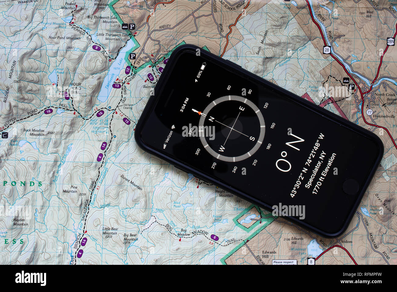 An iPhone 7 with a compass application shown with a topographic map of a portion of the Adirondack Mountains to assist in navigation in the wilderness Stock Photohttps://www.alamy.com/image-license-details/?v=1https://www.alamy.com/an-iphone-7-with-a-compass-application-shown-with-a-topographic-map-of-a-portion-of-the-adirondack-mountains-to-assist-in-navigation-in-the-wilderness-image233411357.html
RFRFMPFW–An iPhone 7 with a compass application shown with a topographic map of a portion of the Adirondack Mountains to assist in navigation in the wilderness
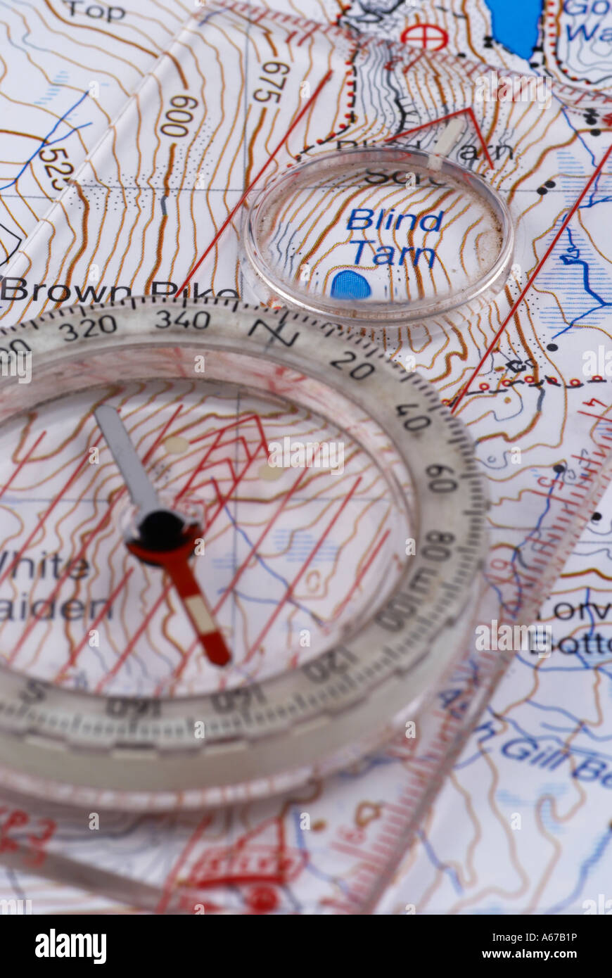 Navigation Map and Compass Stock Photohttps://www.alamy.com/image-license-details/?v=1https://www.alamy.com/stock-photo-navigation-map-and-compass-11484609.html
RMA67B1P–Navigation Map and Compass
 Vector tree rings background, topographic map background concept Stock Vectorhttps://www.alamy.com/image-license-details/?v=1https://www.alamy.com/vector-tree-rings-background-topographic-map-background-concept-image230583046.html
RFRB3Y0P–Vector tree rings background, topographic map background concept
 Compass, map. The magnetic compass is located on a topographic map. Stock Photohttps://www.alamy.com/image-license-details/?v=1https://www.alamy.com/stock-photo-compass-map-the-magnetic-compass-is-located-on-a-topographic-map-74575271.html
RFE995EF–Compass, map. The magnetic compass is located on a topographic map.
 Topographic map and pencils close up Stock Photohttps://www.alamy.com/image-license-details/?v=1https://www.alamy.com/topographic-map-and-pencils-close-up-image66644488.html
RFDTBWM8–Topographic map and pencils close up
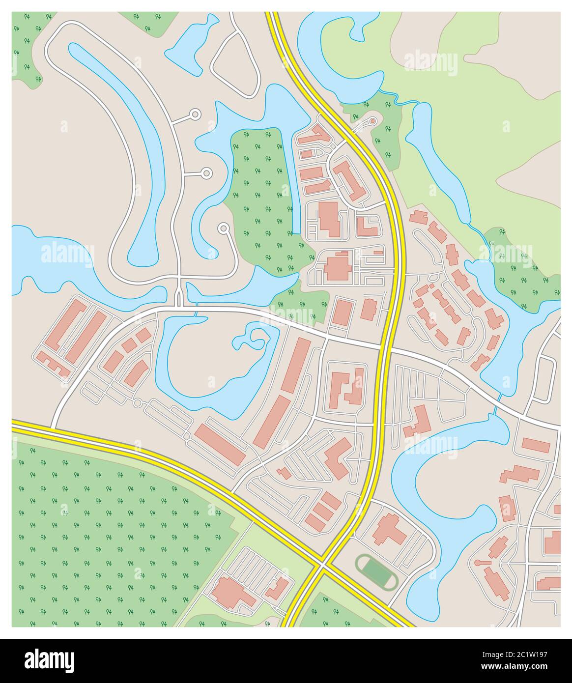 abstract detailed colored topographic contour map Stock Vectorhttps://www.alamy.com/image-license-details/?v=1https://www.alamy.com/abstract-detailed-colored-topographic-contour-map-image362582227.html
RF2C1W197–abstract detailed colored topographic contour map
![Trace, Marked railway line (railway line) of Wengernalp on an existing topographic map, Fig. 2, p. 5, 1893, Emil Strub: Le chemin de fer de la Wengernalp. [s.l.]: [s.n.], 1893 Stock Photo Trace, Marked railway line (railway line) of Wengernalp on an existing topographic map, Fig. 2, p. 5, 1893, Emil Strub: Le chemin de fer de la Wengernalp. [s.l.]: [s.n.], 1893 Stock Photo](https://c8.alamy.com/comp/2A2RJNN/trace-marked-railway-line-railway-line-of-wengernalp-on-an-existing-topographic-map-fig-2-p-5-1893-emil-strub-le-chemin-de-fer-de-la-wengernalp-sl-sn-1893-2A2RJNN.jpg) Trace, Marked railway line (railway line) of Wengernalp on an existing topographic map, Fig. 2, p. 5, 1893, Emil Strub: Le chemin de fer de la Wengernalp. [s.l.]: [s.n.], 1893 Stock Photohttps://www.alamy.com/image-license-details/?v=1https://www.alamy.com/trace-marked-railway-line-railway-line-of-wengernalp-on-an-existing-topographic-map-fig-2-p-5-1893-emil-strub-le-chemin-de-fer-de-la-wengernalp-sl-sn-1893-image328745921.html
Trace, Marked railway line (railway line) of Wengernalp on an existing topographic map, Fig. 2, p. 5, 1893, Emil Strub: Le chemin de fer de la Wengernalp. [s.l.]: [s.n.], 1893 Stock Photohttps://www.alamy.com/image-license-details/?v=1https://www.alamy.com/trace-marked-railway-line-railway-line-of-wengernalp-on-an-existing-topographic-map-fig-2-p-5-1893-emil-strub-le-chemin-de-fer-de-la-wengernalp-sl-sn-1893-image328745921.htmlRM2A2RJNN–Trace, Marked railway line (railway line) of Wengernalp on an existing topographic map, Fig. 2, p. 5, 1893, Emil Strub: Le chemin de fer de la Wengernalp. [s.l.]: [s.n.], 1893
 Topographic map contour background. Topo map with elevation. Contour map vector. Geographic World Topography map grid abstract vector illustration . Mountain hiking trail line map design . Stock Vectorhttps://www.alamy.com/image-license-details/?v=1https://www.alamy.com/topographic-map-contour-background-topo-map-with-elevation-contour-map-vector-geographic-world-topography-map-grid-abstract-vector-illustration-mountain-hiking-trail-line-map-design-image183862870.html
RFMK3JY2–Topographic map contour background. Topo map with elevation. Contour map vector. Geographic World Topography map grid abstract vector illustration . Mountain hiking trail line map design .
