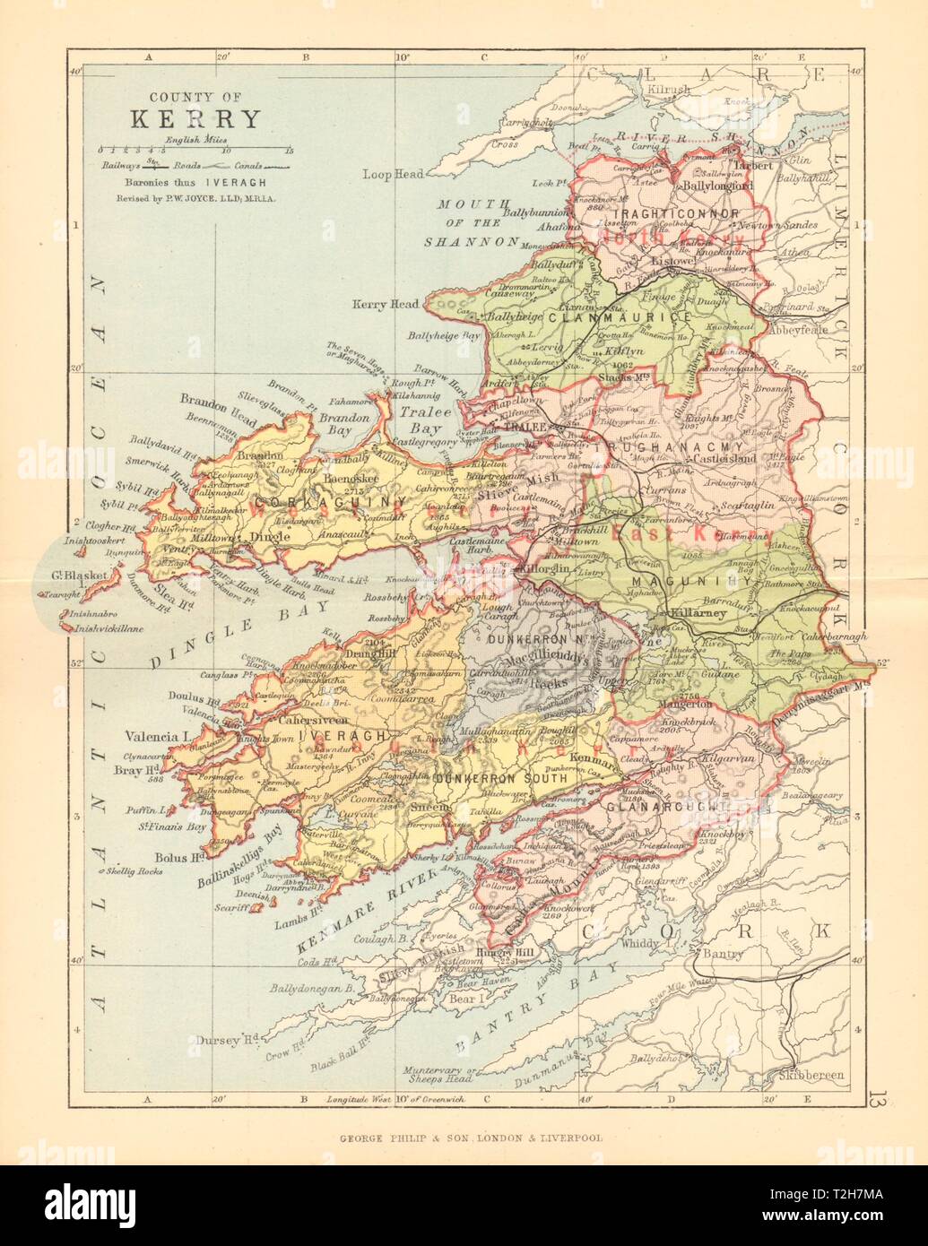
COUNTY KERRY. Antique county map. Munster. Ireland. BARTHOLOMEW 1886 old
RFID:Image ID:T2H7MA
Image details
Contributor:
Antiqua Print Gallery / Alamy Stock PhotoImage ID:
T2H7MAFile size:
16 MB (841.3 KB Compressed download)Releases:
Model - no | Property - noDo I need a release?Dimensions:
2113 x 2652 px | 17.9 x 22.5 cm | 7 x 8.8 inches | 300dpiDate taken:
1886Location:
IrelandMore information:
This image could have imperfections as it’s either historical or reportage.
County of Kerry. Artist/engraver/cartographer: John Bartholomew. Provenance: "Philips Handy Atlas of Counties of Ireland"; Constructed by John Bartholomew, Revised by P.W. Joyce, Published by George Philip & Son, London. Type: Antique colour map.