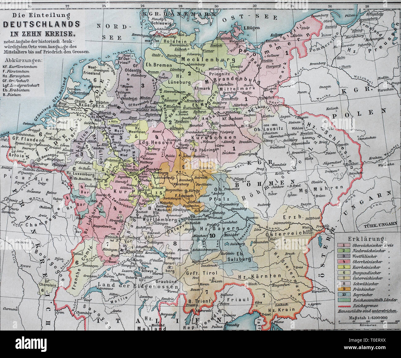
Historic map dividing Germany into ten districts in the 16th century, Imperial Circle / Historische Landkarte, die Einteilung Deutschland in zehn Kreise im 16. Jahrhundert, Reichskreise

RFID:Image ID:T0ERXX
Image details
Contributor:
Sunny Celeste / Alamy Stock PhotoImage ID:
T0ERXXFile size:
29.5 MB (2.4 MB Compressed download)Releases:
Model - no | Property - noDo I need a release?Dimensions:
3536 x 2912 px | 29.9 x 24.7 cm | 11.8 x 9.7 inches | 300dpiLocation:
worldMore information:
This image could have imperfections as it’s either historical or reportage.