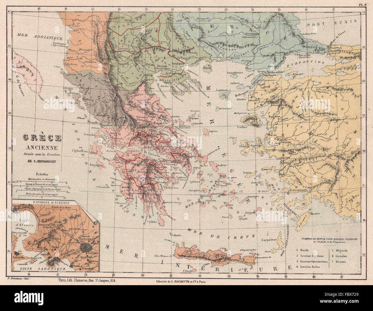
ANCIENT GREECE in provinces. Thrace Thessaly Macedonia &c. CORTAMBERT, 1880 map

RFID:Image ID:FBX729
Image details
Contributor:
Antiqua Print Gallery / Alamy Stock PhotoImage ID:
FBX729File size:
27.1 MB (2.1 MB Compressed download)Releases:
Model - no | Property - noDo I need a release?Dimensions:
3520 x 2690 px | 29.8 x 22.8 cm | 11.7 x 9 inches | 300dpiDate taken:
1880Location:
GreeceMore information:
This image could have imperfections as it’s either historical or reportage.
Artist/engraver/cartographer: Gravé par P. Bineteau. Dressée sous la direction de E Cortambert. Provenance: "Nouvel Atlas de Géographie" by E. Cortambert, Published by Librairie Hachette, Paris. Type: Antique colour lithographic map.