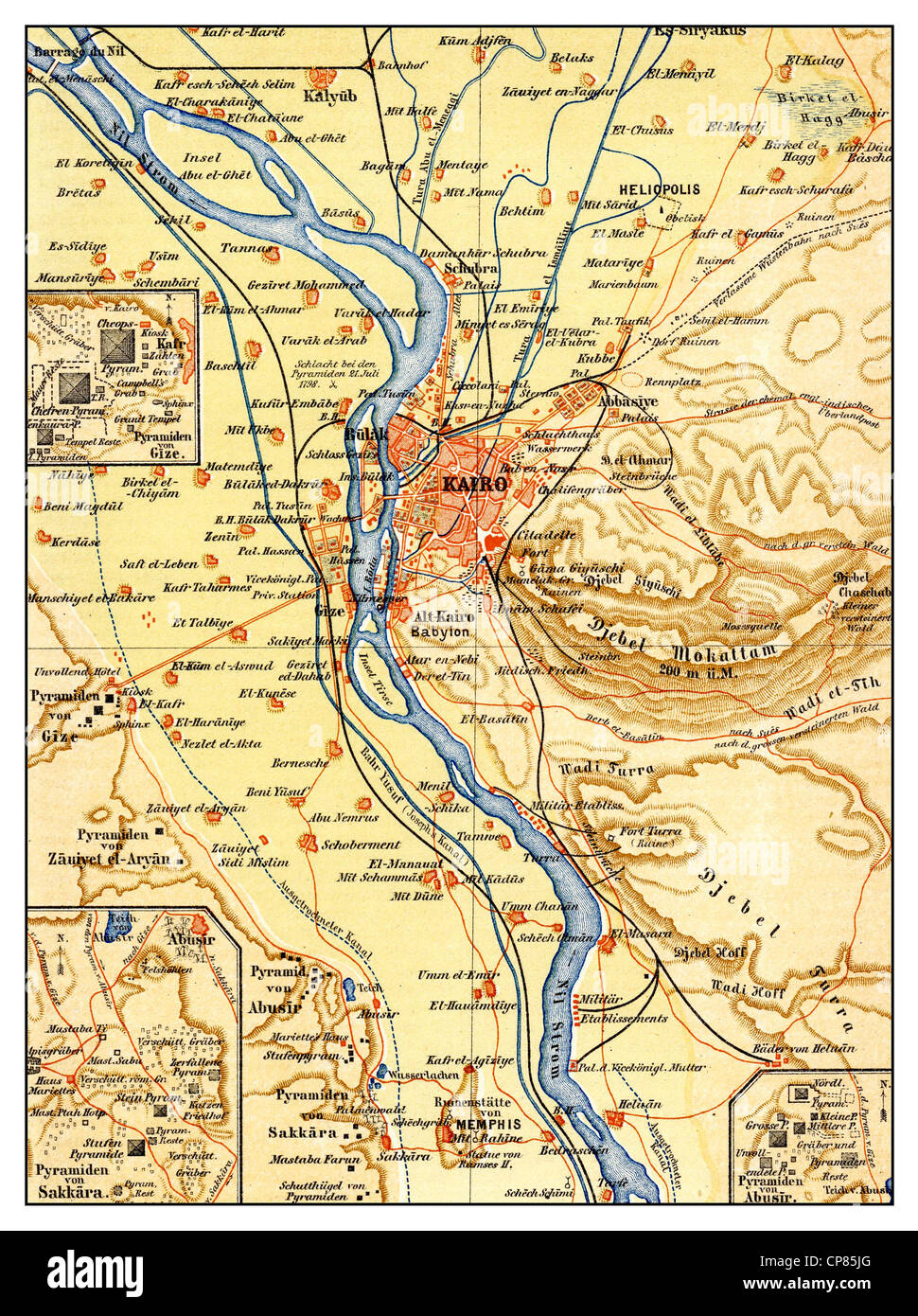
map of Cairo and surroundings, Egypt, 19th century, Historische, zeichnerische Darstellung, Landkarte, Kairo und Umgebung, Ägypt

RMID:Image ID:CP85JG
Image details
Contributor:
Falkenstein/Bildagentur-online Historical Collect. / Alamy Stock PhotoImage ID:
CP85JGFile size:
19.2 MB (2.1 MB Compressed download)Releases:
Model - no | Property - noDo I need a release?Dimensions:
2240 x 3000 px | 19 x 25.4 cm | 7.5 x 10 inches | 300dpiMore information:
This image could have imperfections as it’s either historical or reportage.
map of Cairo and surroundings, Egypt, 19th century, Historische, zeichnerische Darstellung, Landkarte, Kairo und Umgebung, Ägypten, 19. Jahrhundert, aus Meyers Konversations-Lexikon, 1889