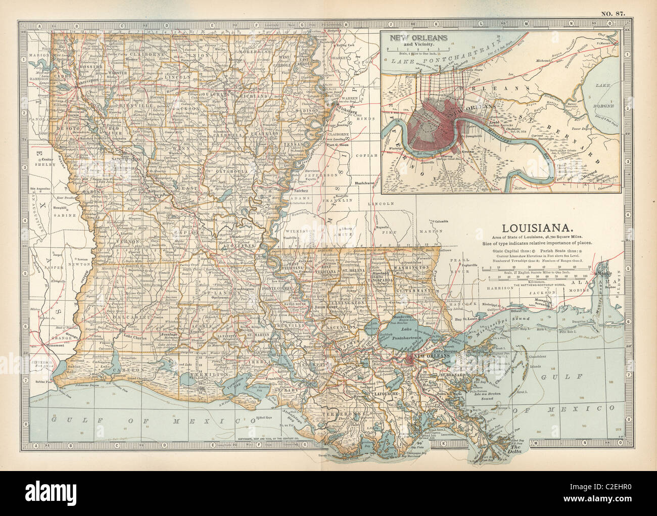
Map of Louisiana
RMID:Image ID:C2EHR0
Image details
Contributor:
Universal Images Group North America LLC / Alamy Stock PhotoImage ID:
C2EHR0File size:
46.9 MB (3.7 MB Compressed download)Releases:
Model - no | Property - noDo I need a release?Dimensions:
4782 x 3427 px | 40.5 x 29 cm | 15.9 x 11.4 inches | 300dpiPhotographer:
Encyclopaedia Britannica, Inc.More information:
This image could have imperfections as it’s either historical or reportage.
Map of Louisiana, United States, with inset map of New Orleans and Vicinity, circa 1902, from the 10th edition of Encyclopaedia Britannica.