Quick filters:
Map of louisiana Stock Photos and Images
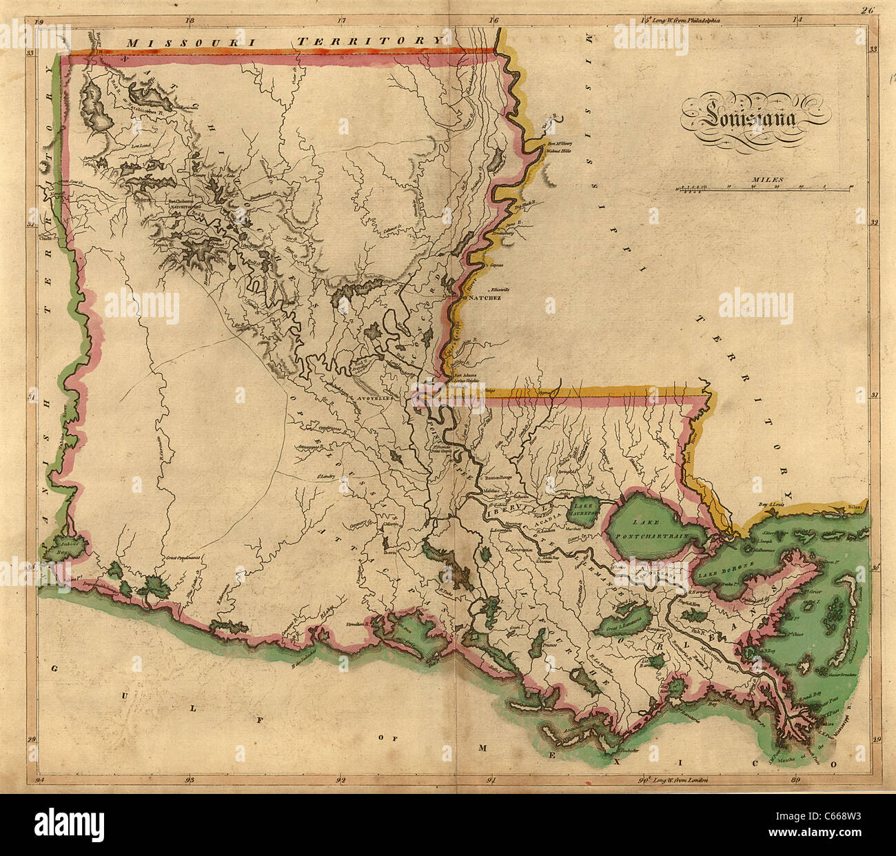 1814 Map of Louisiana - Vintage Antiquarian Map by John Carey Stock Photohttps://www.alamy.com/image-license-details/?v=1https://www.alamy.com/stock-photo-1814-map-of-louisiana-vintage-antiquarian-map-by-john-carey-38247359.html
RFC668W3–1814 Map of Louisiana - Vintage Antiquarian Map by John Carey
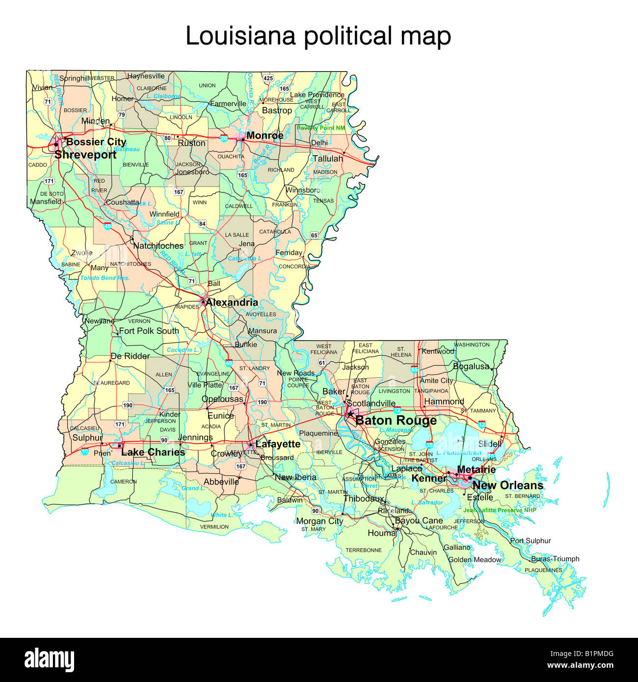 Louisiana state political map Stock Photohttps://www.alamy.com/image-license-details/?v=1https://www.alamy.com/stock-photo-louisiana-state-political-map-18324028.html
RFB1PMDG–Louisiana state political map
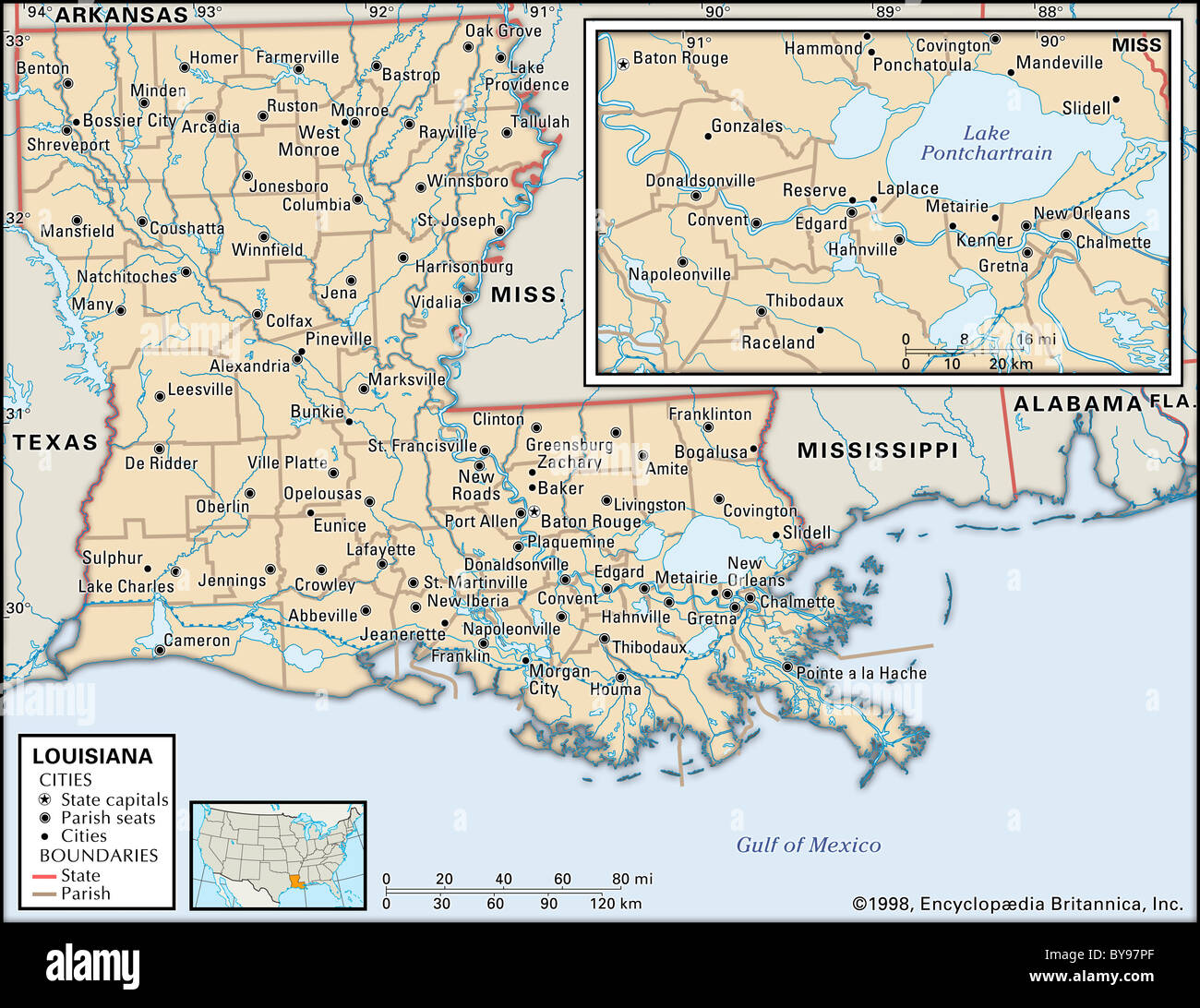 Political map of Louisiana Stock Photohttps://www.alamy.com/image-license-details/?v=1https://www.alamy.com/stock-photo-political-map-of-louisiana-34009767.html
RMBY97PF–Political map of Louisiana
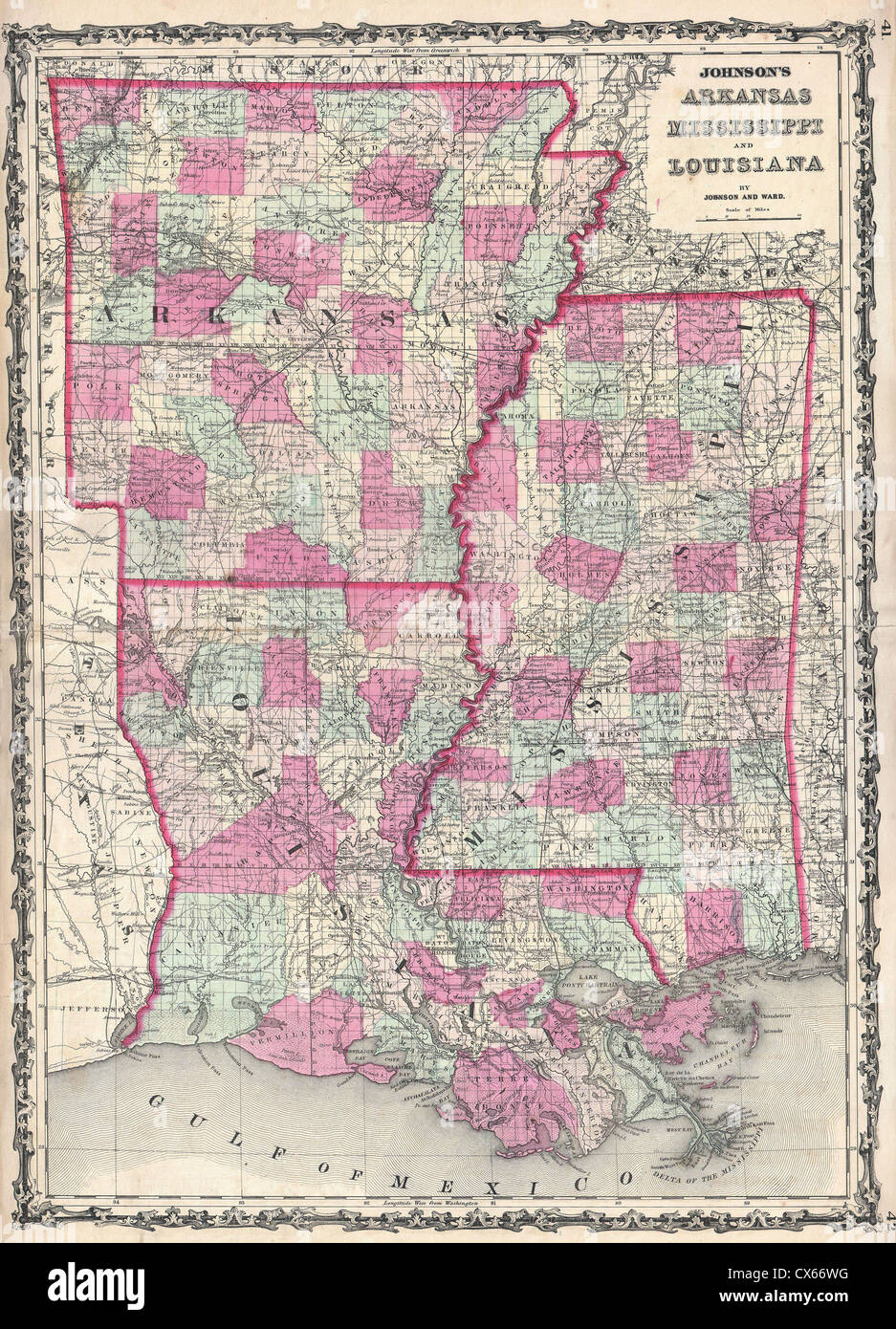 1862 Johnson Map of Louisiana, Mississippi and Arkansas Stock Photohttps://www.alamy.com/image-license-details/?v=1https://www.alamy.com/stock-photo-1862-johnson-map-of-louisiana-mississippi-and-arkansas-50538924.html
RMCX66WG–1862 Johnson Map of Louisiana, Mississippi and Arkansas
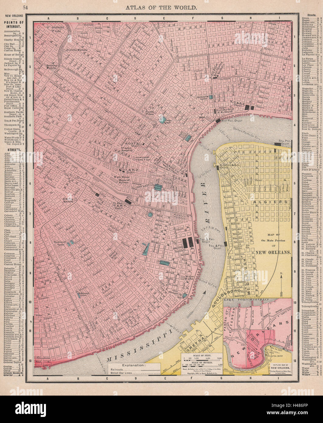 New Orleans town city map plan. Louisiana. RAND MCNALLY 1912 old antique Stock Photohttps://www.alamy.com/image-license-details/?v=1https://www.alamy.com/stock-photo-new-orleans-town-city-map-plan-louisiana-rand-mcnally-1912-old-antique-123111962.html
RFH486FP–New Orleans town city map plan. Louisiana. RAND MCNALLY 1912 old antique
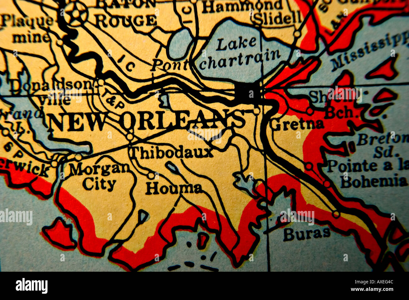 New Orleans on an antique map Stock Photohttps://www.alamy.com/image-license-details/?v=1https://www.alamy.com/new-orleans-on-an-antique-map-image5490763.html
RFAXEG4C–New Orleans on an antique map
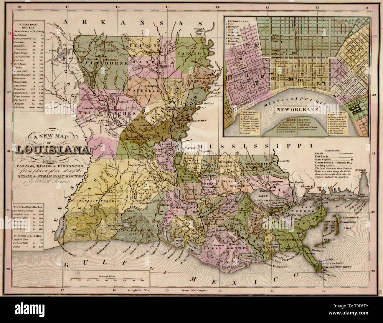 Map of Louisiana, 1844 Stock Photohttps://www.alamy.com/image-license-details/?v=1https://www.alamy.com/map-of-louisiana-1844-image246965403.html
RMT9P6TY–Map of Louisiana, 1844
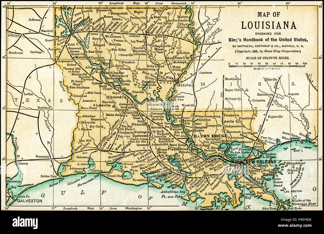 Louisiana Antique Map 1891: Map of Louisiana from an 1891 guidebook: 'King's Hand-Book of the United States.' Date of Publishing: 1891. Moses King (1853 1909) was an American editor and publisher of travel books. Stock Photohttps://www.alamy.com/image-license-details/?v=1https://www.alamy.com/louisiana-antique-map-1891-map-of-louisiana-from-an-1891-guidebook-kings-hand-book-of-the-united-states-date-of-publishing-1891-moses-king-1853-1909-was-an-american-editor-and-publisher-of-travel-books-image209304163.html
RFP4EHGK–Louisiana Antique Map 1891: Map of Louisiana from an 1891 guidebook: 'King's Hand-Book of the United States.' Date of Publishing: 1891. Moses King (1853 1909) was an American editor and publisher of travel books.
 Silver Map of Louisiana Stock Photohttps://www.alamy.com/image-license-details/?v=1https://www.alamy.com/silver-map-of-louisiana-image8320060.html
RFAHX8KD–Silver Map of Louisiana
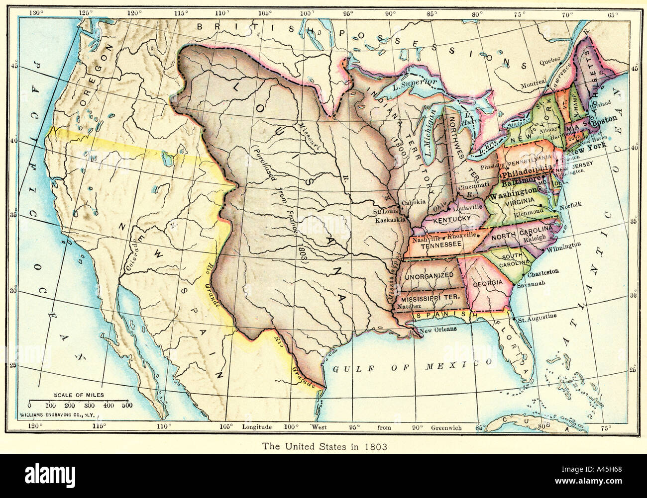 Map of the US of the Louisiana Purchase as understood in 1803, later modified by treaty. Color lithograph Stock Photohttps://www.alamy.com/image-license-details/?v=1https://www.alamy.com/map-of-the-us-of-the-louisiana-purchase-as-understood-in-1803-later-image3571047.html
RMA45H68–Map of the US of the Louisiana Purchase as understood in 1803, later modified by treaty. Color lithograph
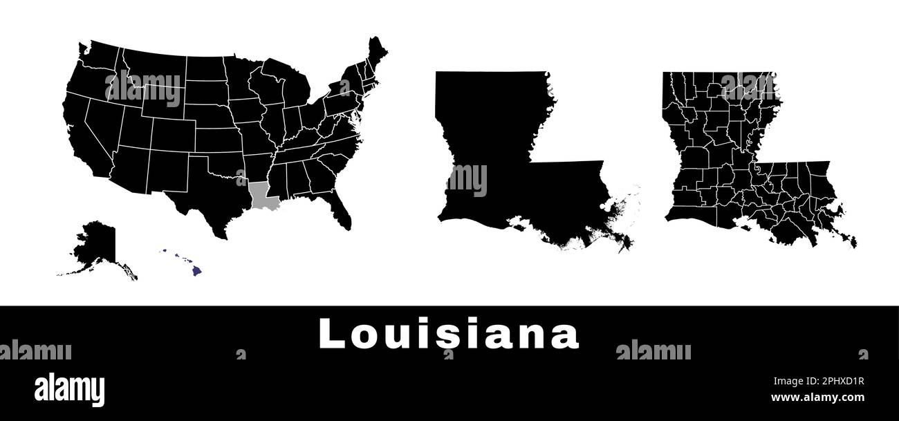 Map of Louisiana state, USA. Set of Louisiana maps with outline border, counties and US states map. Black and white color vector illustration. Stock Vectorhttps://www.alamy.com/image-license-details/?v=1https://www.alamy.com/map-of-louisiana-state-usa-set-of-louisiana-maps-with-outline-border-counties-and-us-states-map-black-and-white-color-vector-illustration-image544551555.html
RF2PHXD1R–Map of Louisiana state, USA. Set of Louisiana maps with outline border, counties and US states map. Black and white color vector illustration.
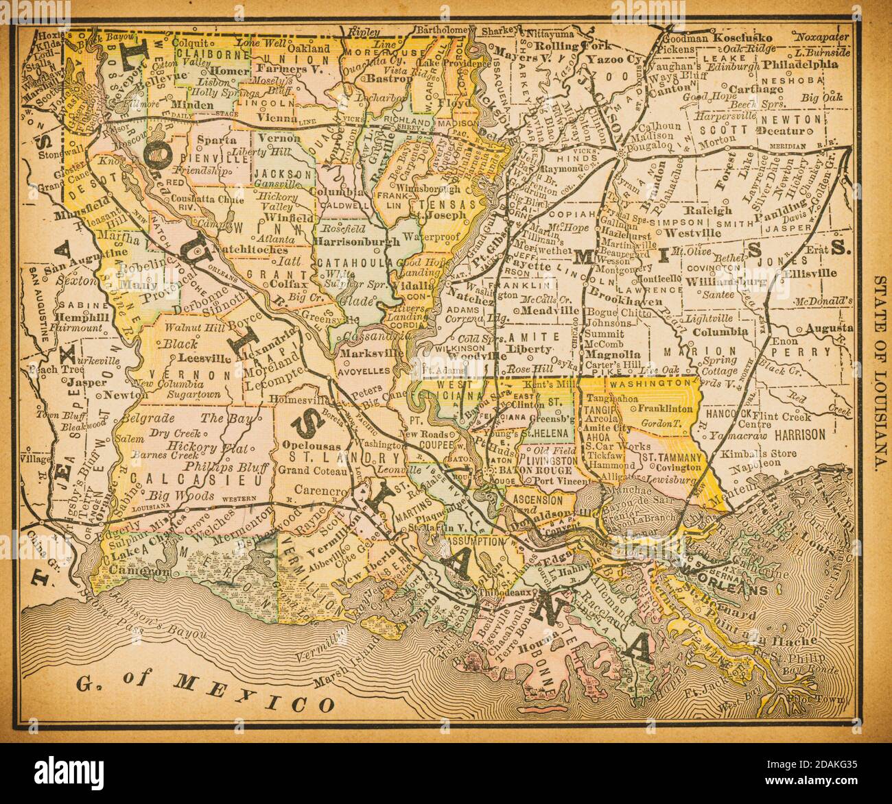 19th century map of Louisiana. Published in New Dollar Atlas of the United States and Dominion of Canada. (Rand McNally & Co's, Chicago, 1884). Stock Photohttps://www.alamy.com/image-license-details/?v=1https://www.alamy.com/19th-century-map-of-louisiana-published-in-new-dollar-atlas-of-the-united-states-and-dominion-of-canada-rand-mcnally-cos-chicago-1884-image385204377.html
RF2DAKG35–19th century map of Louisiana. Published in New Dollar Atlas of the United States and Dominion of Canada. (Rand McNally & Co's, Chicago, 1884).
 map of louisiana Stock Photohttps://www.alamy.com/image-license-details/?v=1https://www.alamy.com/stock-photo-map-of-louisiana-143559547.html
RFJ9FKJK–map of louisiana
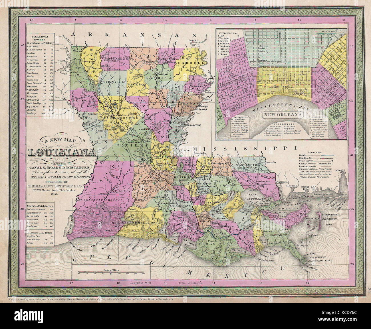 1853, Mitchell Map of Louisiana Stock Photohttps://www.alamy.com/image-license-details/?v=1https://www.alamy.com/stock-image-1853-mitchell-map-of-louisiana-162575908.html
RMKCDY6C–1853, Mitchell Map of Louisiana
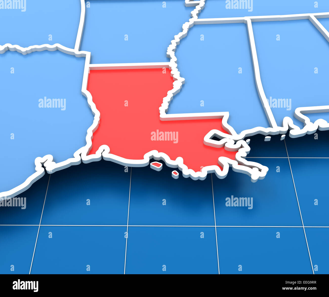 3d render of USA map with Louisiana state highlighted Stock Photohttps://www.alamy.com/image-license-details/?v=1https://www.alamy.com/stock-photo-3d-render-of-usa-map-with-louisiana-state-highlighted-77805611.html
RFEEG9RR–3d render of USA map with Louisiana state highlighted
 Label with map of Louisiana Stock Photohttps://www.alamy.com/image-license-details/?v=1https://www.alamy.com/label-with-map-of-louisiana-image477459319.html
RF2JMP46F–Label with map of Louisiana
 Louisiana map typography. Louisiana state map typography. Louisiana lettering. Stock Vectorhttps://www.alamy.com/image-license-details/?v=1https://www.alamy.com/louisiana-map-typography-louisiana-state-map-typography-louisiana-lettering-image467950612.html
RF2J58YNT–Louisiana map typography. Louisiana state map typography. Louisiana lettering.
 Silver Map of Louisiana Stock Photohttps://www.alamy.com/image-license-details/?v=1https://www.alamy.com/stock-photo-silver-map-of-louisiana-49894346.html
RFCW4TMX–Silver Map of Louisiana
 Map of Louisiana State USA Stock Vectorhttps://www.alamy.com/image-license-details/?v=1https://www.alamy.com/map-of-louisiana-state-usa-image553658974.html
RF2R4N9JP–Map of Louisiana State USA
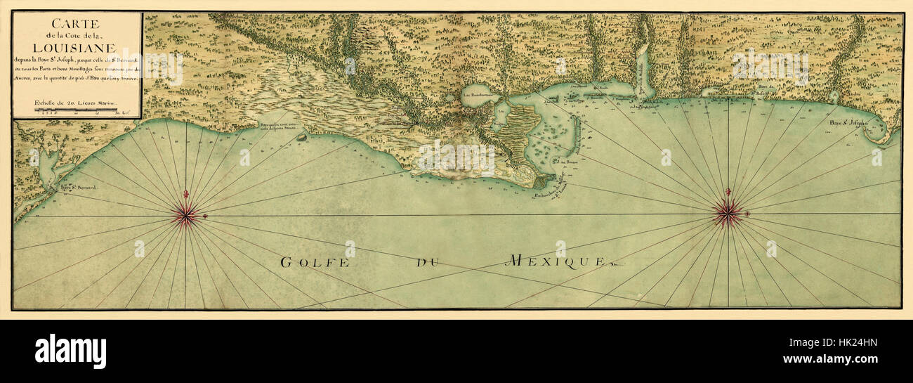 Map Of The Gulf Coast 1732 Stock Photohttps://www.alamy.com/image-license-details/?v=1https://www.alamy.com/stock-photo-map-of-the-gulf-coast-1732-132198577.html
RFHK24HN–Map Of The Gulf Coast 1732
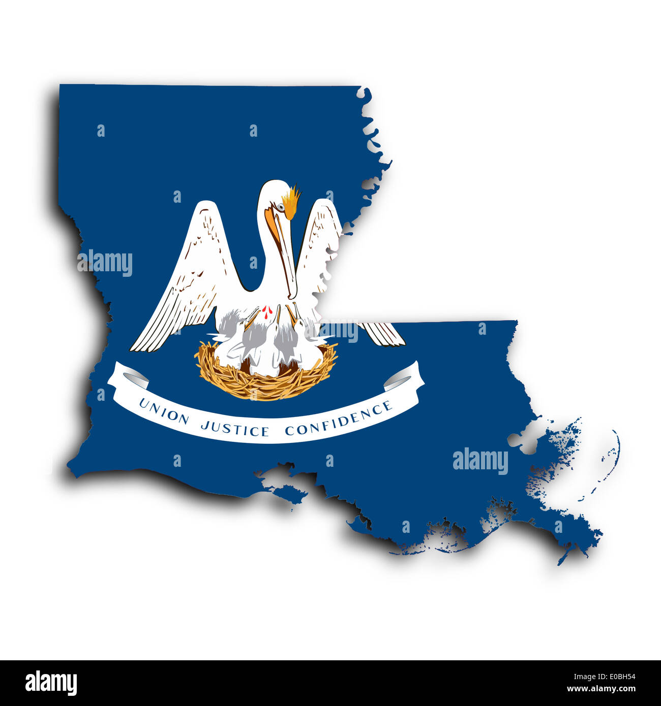 Map of Louisiana filled with the state flag Stock Photohttps://www.alamy.com/image-license-details/?v=1https://www.alamy.com/map-of-louisiana-filled-with-the-state-flag-image69096416.html
RFE0BH54–Map of Louisiana filled with the state flag
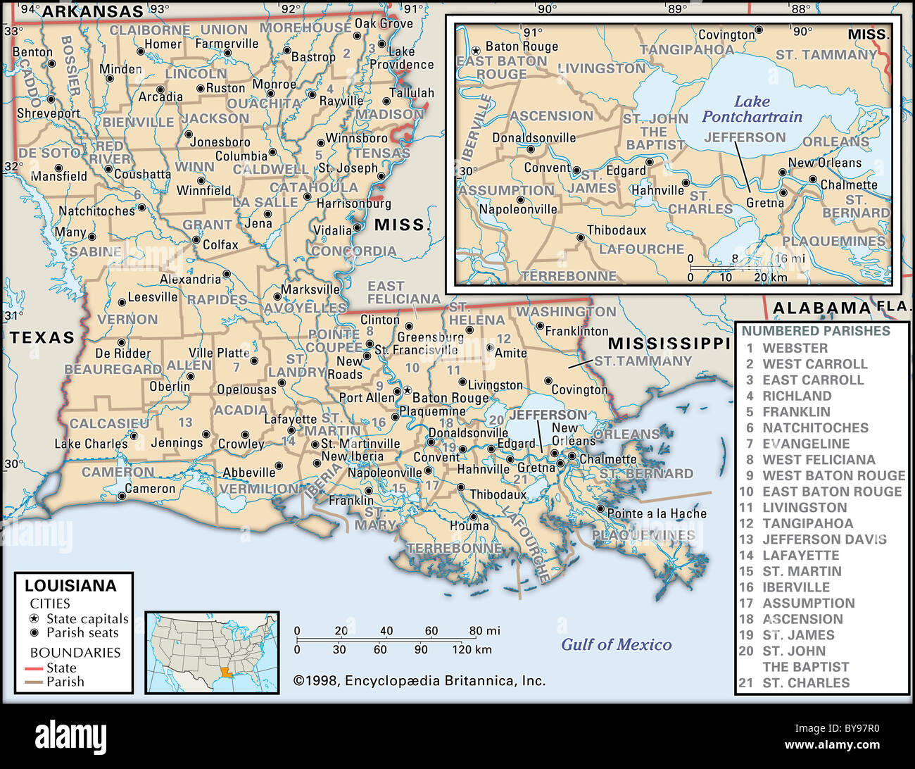 Political map of Louisiana Stock Photohttps://www.alamy.com/image-license-details/?v=1https://www.alamy.com/stock-photo-political-map-of-louisiana-34009780.html
RMBY97R0–Political map of Louisiana
 1780 Raynal and Bonne Map of Louisiana, Florida and Carolina - Stock Photohttps://www.alamy.com/image-license-details/?v=1https://www.alamy.com/stock-photo-1780-raynal-and-bonne-map-of-louisiana-florida-and-carolina-49968659.html
RMCW87EY–1780 Raynal and Bonne Map of Louisiana, Florida and Carolina -
 J. H. Colton's map of Mississippi and Louisiana 1864 old antique chart Stock Photohttps://www.alamy.com/image-license-details/?v=1https://www.alamy.com/j-h-coltons-map-of-mississippi-and-louisiana-1864-old-antique-chart-image419554338.html
RF2FAG9RE–J. H. Colton's map of Mississippi and Louisiana 1864 old antique chart
 New Orleans on an antique map Stock Photohttps://www.alamy.com/image-license-details/?v=1https://www.alamy.com/new-orleans-on-an-antique-map-image5490765.html
RFAXEG4E–New Orleans on an antique map
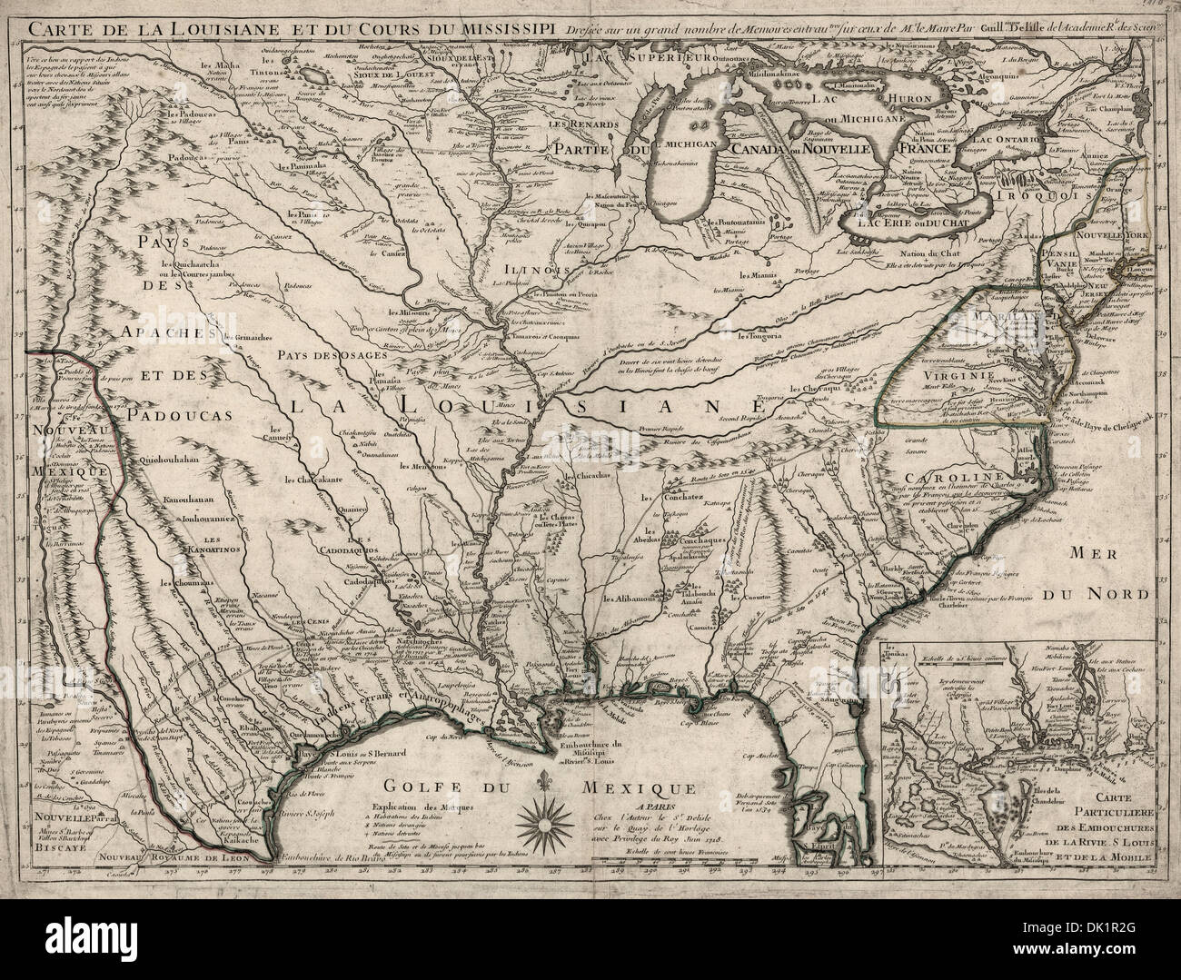 Map of Louisiana and Mississippi River area, 1718 Stock Photohttps://www.alamy.com/image-license-details/?v=1https://www.alamy.com/map-of-louisiana-and-mississippi-river-area-1718-image63349624.html
RMDK1R2G–Map of Louisiana and Mississippi River area, 1718
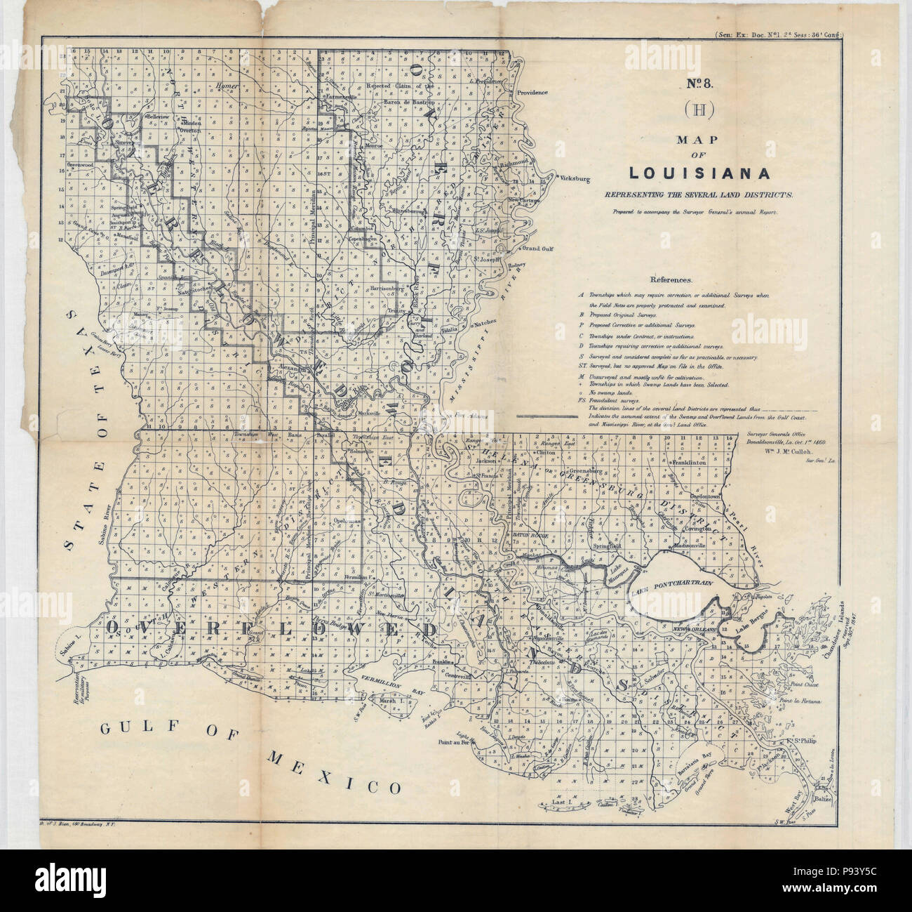 Map of Louisiana Representing the Several Land Districts, from the Surveyor General's Report 1860 Stock Photohttps://www.alamy.com/image-license-details/?v=1https://www.alamy.com/map-of-louisiana-representing-the-several-land-districts-from-the-surveyor-generals-report-1860-image212143496.html
RMP93Y5C–Map of Louisiana Representing the Several Land Districts, from the Surveyor General's Report 1860
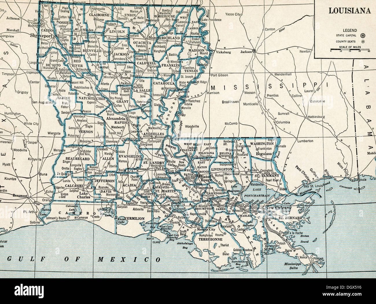 Old map of Louisiana state, 1930's Stock Photohttps://www.alamy.com/image-license-details/?v=1https://www.alamy.com/old-map-of-louisiana-state-1930s-image62041034.html
RMDGX5Y6–Old map of Louisiana state, 1930's
 Map of Louisiana, 1870s. Printed color lithograph Stock Photohttps://www.alamy.com/image-license-details/?v=1https://www.alamy.com/map-of-louisiana-1870s-printed-color-lithograph-image264777303.html
RMWANJ47–Map of Louisiana, 1870s. Printed color lithograph
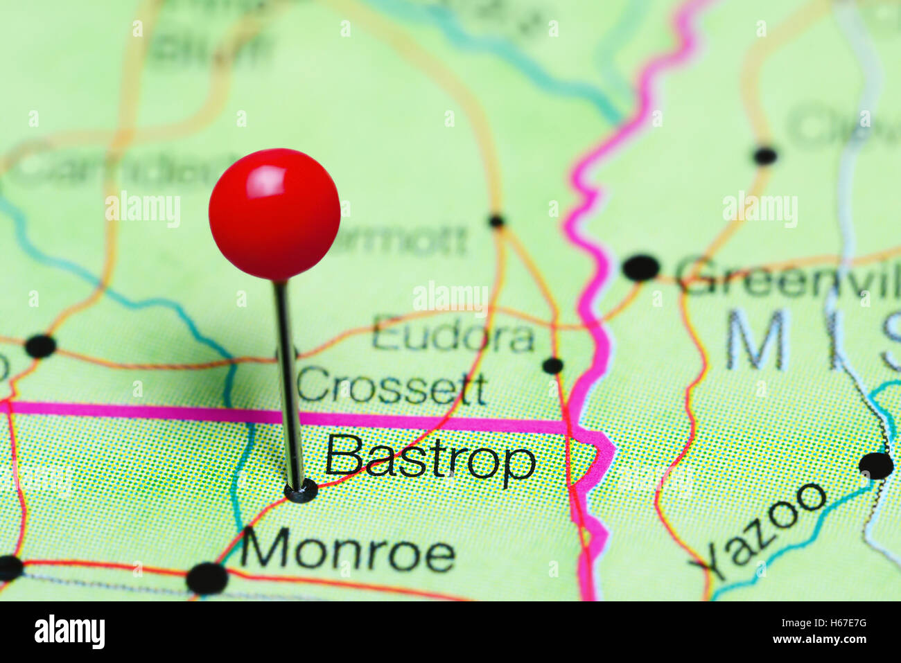 Bastrop pinned on a map of Louisiana, USA Stock Photohttps://www.alamy.com/image-license-details/?v=1https://www.alamy.com/stock-photo-bastrop-pinned-on-a-map-of-louisiana-usa-124325364.html
RFH67E7G–Bastrop pinned on a map of Louisiana, USA
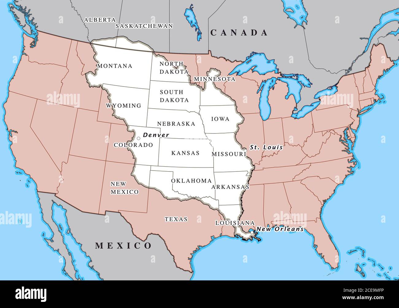 Louisiana Purchase. Map showing the territories (highlighted in white) purchased by the United States from France in April 1803 Stock Photohttps://www.alamy.com/image-license-details/?v=1https://www.alamy.com/louisiana-purchase-map-showing-the-territories-highlighted-in-white-purchased-by-the-united-states-from-france-in-april-1803-image370236602.html
RM2CE9MFP–Louisiana Purchase. Map showing the territories (highlighted in white) purchased by the United States from France in April 1803
 map of louisiana Stock Photohttps://www.alamy.com/image-license-details/?v=1https://www.alamy.com/stock-photo-map-of-louisiana-143708438.html
RFJ9PDG6–map of louisiana
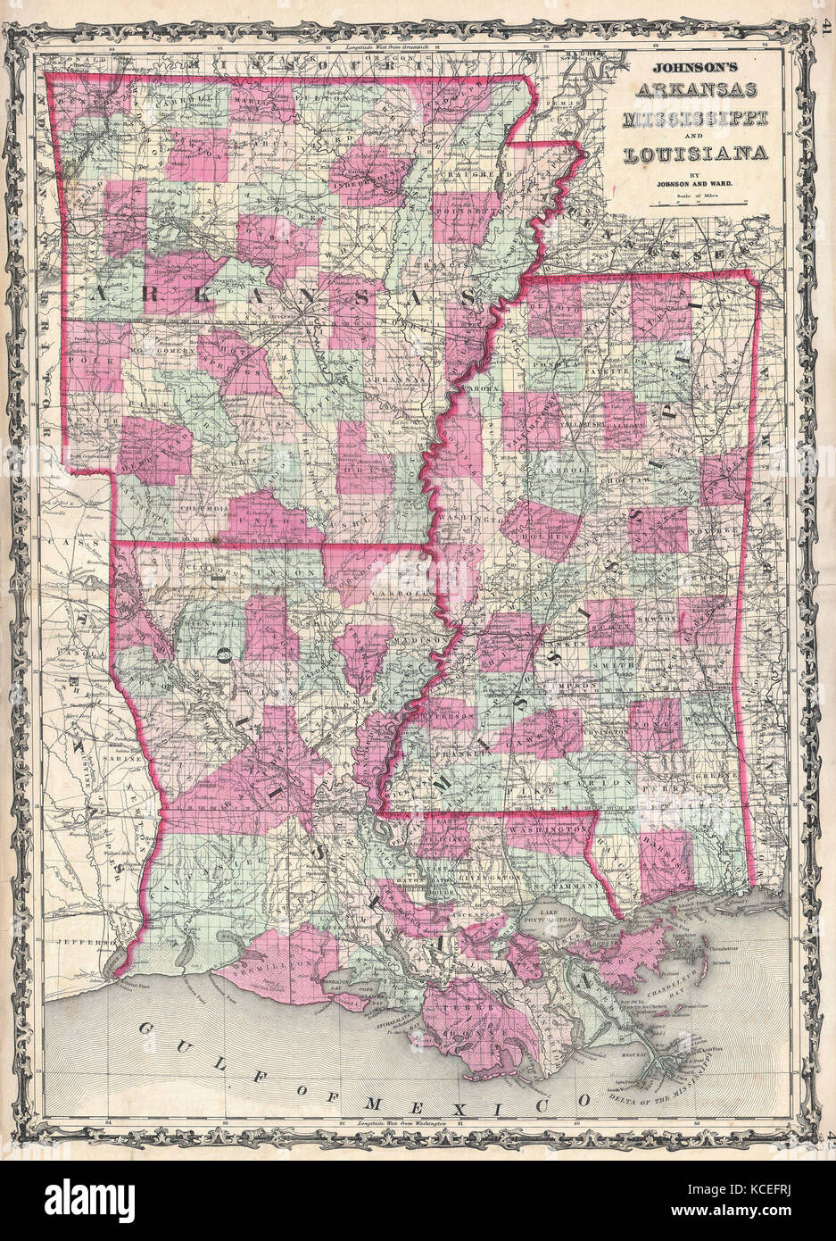 1862, Johnson Map of Louisiana, Mississippi and Arkansas Stock Photohttps://www.alamy.com/image-license-details/?v=1https://www.alamy.com/stock-image-1862-johnson-map-of-louisiana-mississippi-and-arkansas-162588934.html
RMKCEFRJ–1862, Johnson Map of Louisiana, Mississippi and Arkansas
 1911 McNally Map - Mississippi Delta - Louisiana New Orleans Baton Rouge Stock Photohttps://www.alamy.com/image-license-details/?v=1https://www.alamy.com/stock-image-1911-mcnally-map-mississippi-delta-louisiana-new-orleans-baton-rouge-163898164.html
RFKEJ5NT–1911 McNally Map - Mississippi Delta - Louisiana New Orleans Baton Rouge
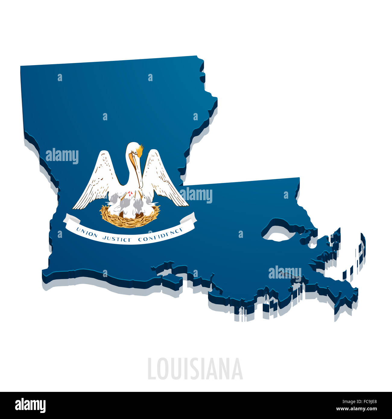 Map of Louisiana Stock Photohttps://www.alamy.com/image-license-details/?v=1https://www.alamy.com/stock-photo-map-of-louisiana-93639792.html
RFFC9JE8–Map of Louisiana
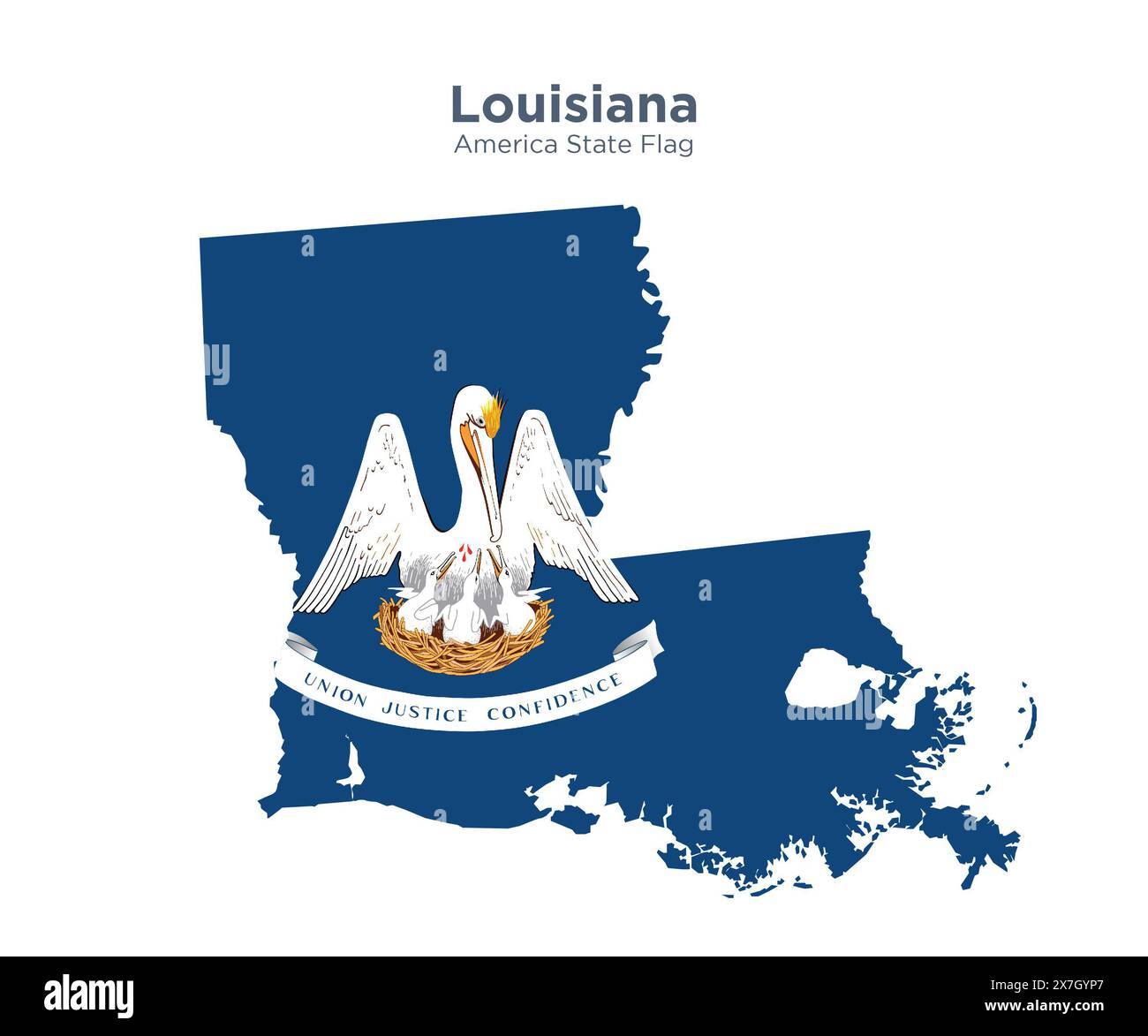 Louisiana flag and map. Flags of the U.S. states and territories. America states flag and map on white background. Stock Photohttps://www.alamy.com/image-license-details/?v=1https://www.alamy.com/louisiana-flag-and-map-flags-of-the-us-states-and-territories-america-states-flag-and-map-on-white-background-image607038495.html
RF2X7GYP7–Louisiana flag and map. Flags of the U.S. states and territories. America states flag and map on white background.
 Barthelemy Lafon - Map of Louisiana - 1806 - 001. Stock Photohttps://www.alamy.com/image-license-details/?v=1https://www.alamy.com/barthelemy-lafon-map-of-louisiana-1806-001-image217670878.html
RMPJ3NBX–Barthelemy Lafon - Map of Louisiana - 1806 - 001.
 3d isometric Map of Louisiana is a state of United States with national flag Stock Vectorhttps://www.alamy.com/image-license-details/?v=1https://www.alamy.com/3d-isometric-map-of-louisiana-is-a-state-of-united-states-with-national-flag-image491462202.html
RF2KFG11E–3d isometric Map of Louisiana is a state of United States with national flag
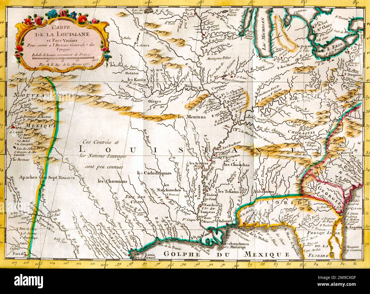 18th century Map of the State of Louisiana, America Stock Photohttps://www.alamy.com/image-license-details/?v=1https://www.alamy.com/18th-century-map-of-the-state-of-louisiana-america-image504916847.html
RM2M9CXGF–18th century Map of the State of Louisiana, America
 Map of Louisiana filled with the state flag Stock Photohttps://www.alamy.com/image-license-details/?v=1https://www.alamy.com/map-of-louisiana-filled-with-the-state-flag-image69096442.html
RFE0BH62–Map of Louisiana filled with the state flag
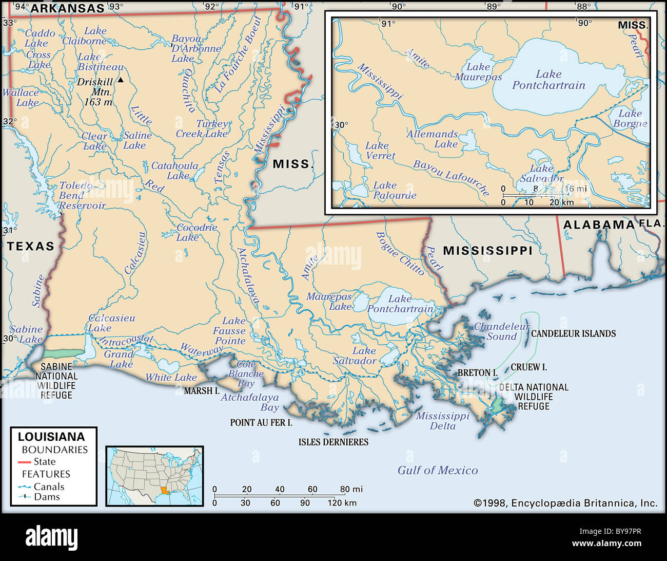 Physical map of Louisiana Stock Photohttps://www.alamy.com/image-license-details/?v=1https://www.alamy.com/stock-photo-physical-map-of-louisiana-34009775.html
RMBY97PR–Physical map of Louisiana
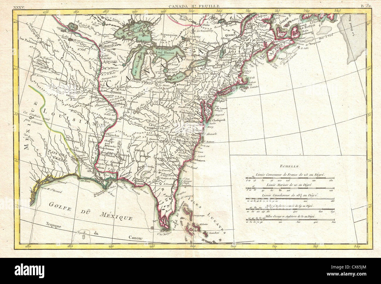 1776 Bonne Map of Louisiana and the British Colonies in North America Stock Photohttps://www.alamy.com/image-license-details/?v=1https://www.alamy.com/stock-photo-1776-bonne-map-of-louisiana-and-the-british-colonies-in-north-america-50537948.html
RMCX65JM–1776 Bonne Map of Louisiana and the British Colonies in North America
 'Louisiane'. Louisiana. Maison Rouge/de Bastrop land claims. BUCHON, 1825 map Stock Photohttps://www.alamy.com/image-license-details/?v=1https://www.alamy.com/stock-photo-louisiane-louisiana-maison-rougede-bastrop-land-claims-buchon-1825-92815643.html
RFFB038B–'Louisiane'. Louisiana. Maison Rouge/de Bastrop land claims. BUCHON, 1825 map
 Barthelemy Lafon Map of Louisiana 1806 001 Stock Photohttps://www.alamy.com/image-license-details/?v=1https://www.alamy.com/stock-photo-barthelemy-lafon-map-of-louisiana-1806-001-142409509.html
RMJ7K8NW–Barthelemy Lafon Map of Louisiana 1806 001
 General Map of Louisiana to the coast of Mobile Bay, 1747 Stock Photohttps://www.alamy.com/image-license-details/?v=1https://www.alamy.com/stock-photo-general-map-of-louisiana-to-the-coast-of-mobile-bay-1747-73439604.html
RME7DCY0–General Map of Louisiana to the coast of Mobile Bay, 1747
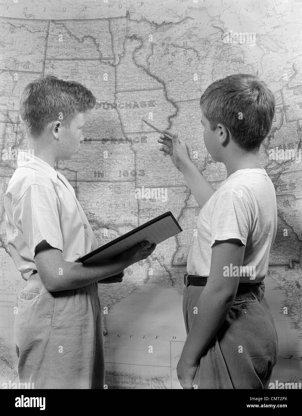 1950s TWO BOYS STUDYING MAP OF LOUISIANA PURCHASE Stock Photohttps://www.alamy.com/image-license-details/?v=1https://www.alamy.com/stock-photo-1950s-two-boys-studying-map-of-louisiana-purchase-47242914.html
RMCMT2PX–1950s TWO BOYS STUDYING MAP OF LOUISIANA PURCHASE
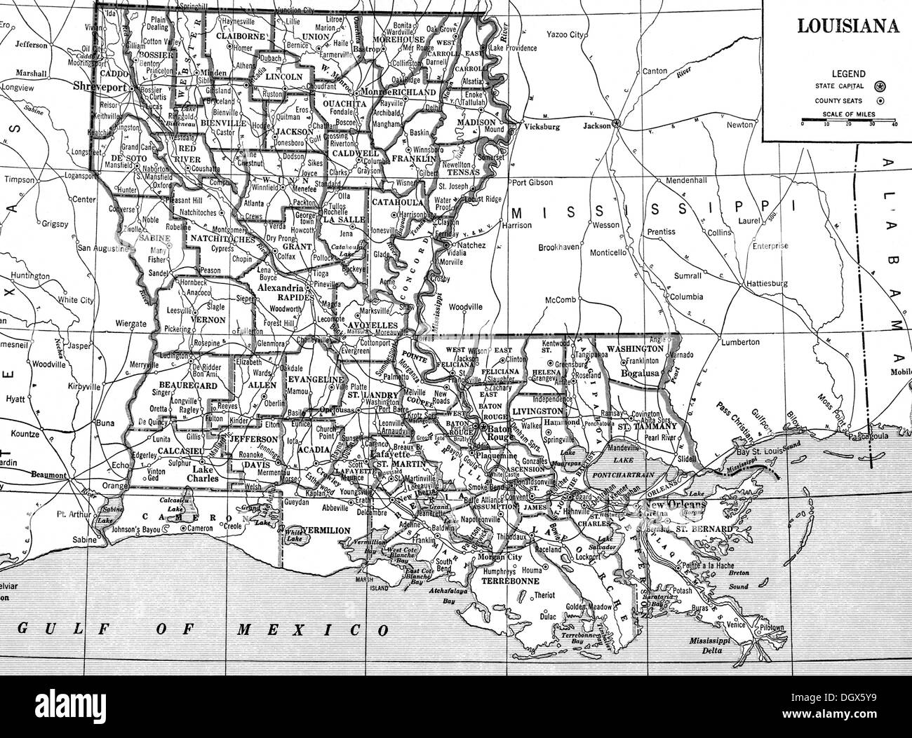 Old map of Louisiana state, 1930's Stock Photohttps://www.alamy.com/image-license-details/?v=1https://www.alamy.com/old-map-of-louisiana-state-1930s-image62041037.html
RMDGX5Y9–Old map of Louisiana state, 1930's
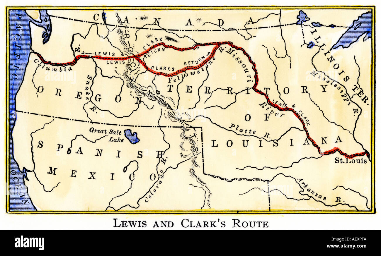 Map of the Lewis and Clark route across Louisiana Territory 1804 to 1806. Hand-colored woodcut Stock Photohttps://www.alamy.com/image-license-details/?v=1https://www.alamy.com/map-of-the-lewis-and-clark-route-across-louisiana-territory-1804-to-image4497145.html
RMAEXPFA–Map of the Lewis and Clark route across Louisiana Territory 1804 to 1806. Hand-colored woodcut
 Scotlandville pinned on a map of Louisiana, USA Stock Photohttps://www.alamy.com/image-license-details/?v=1https://www.alamy.com/stock-photo-scotlandville-pinned-on-a-map-of-louisiana-usa-124325321.html
RFH67E61–Scotlandville pinned on a map of Louisiana, USA
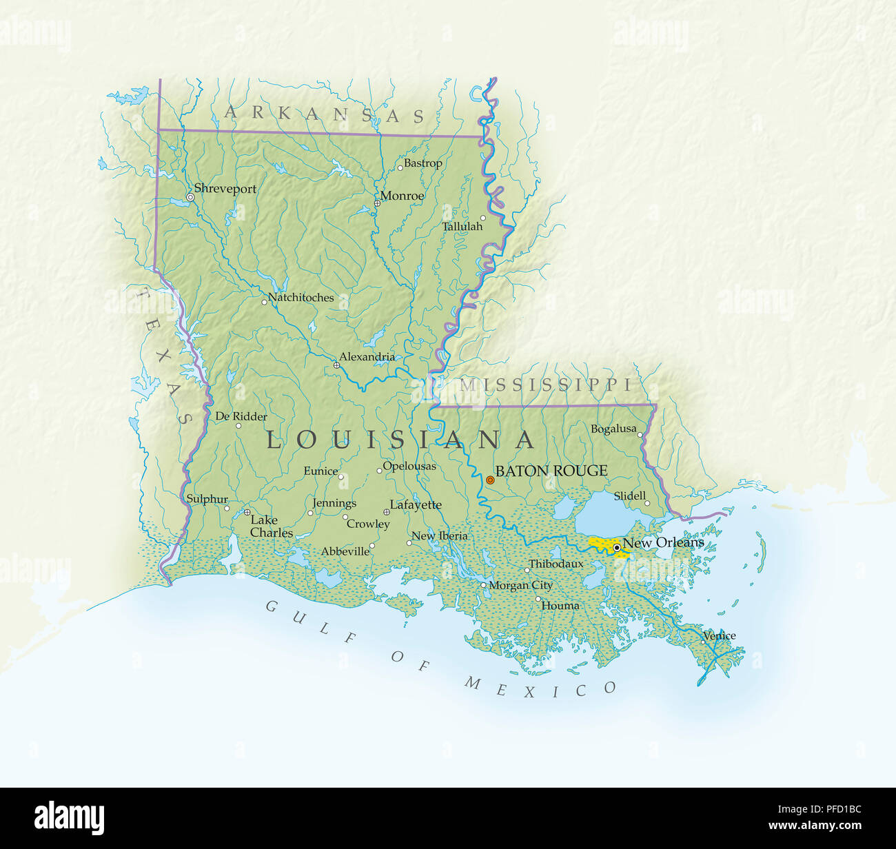 Map of Louisiana, close-up Stock Photohttps://www.alamy.com/image-license-details/?v=1https://www.alamy.com/map-of-louisiana-close-up-image216030736.html
RMPFD1BC–Map of Louisiana, close-up
 map of louisiana Stock Photohttps://www.alamy.com/image-license-details/?v=1https://www.alamy.com/stock-photo-map-of-louisiana-143678852.html
RFJ9N3RG–map of louisiana
 1864, Johnson Map of Louisiana, Mississippi and Arkansas Stock Photohttps://www.alamy.com/image-license-details/?v=1https://www.alamy.com/stock-image-1864-johnson-map-of-louisiana-mississippi-and-arkansas-162589011.html
RMKCEFXB–1864, Johnson Map of Louisiana, Mississippi and Arkansas
 Kentwood Louisiana USA Shown on a Geography map or road map Stock Photohttps://www.alamy.com/image-license-details/?v=1https://www.alamy.com/kentwood-louisiana-usa-shown-on-a-geography-map-or-road-map-image426018804.html
RM2FN2R98–Kentwood Louisiana USA Shown on a Geography map or road map
 Louisiana state map outline with home written in the outline Stock Vectorhttps://www.alamy.com/image-license-details/?v=1https://www.alamy.com/louisiana-state-map-outline-with-home-written-in-the-outline-image364937736.html
RF2C5M9PG–Louisiana state map outline with home written in the outline
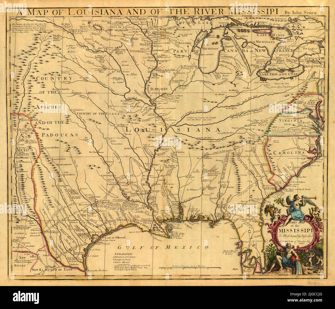 British Map of Louisiana and of the River Mississipi, 1719, by John Senex Stock Photohttps://www.alamy.com/image-license-details/?v=1https://www.alamy.com/british-map-of-louisiana-and-of-the-river-mississipi-1719-by-john-senex-image474787784.html
RF2JGCCJG–British Map of Louisiana and of the River Mississipi, 1719, by John Senex
 Vintage label with map of Louisiana Stock Photohttps://www.alamy.com/image-license-details/?v=1https://www.alamy.com/vintage-label-with-map-of-louisiana-image477448348.html
RF2JMNJ6M–Vintage label with map of Louisiana
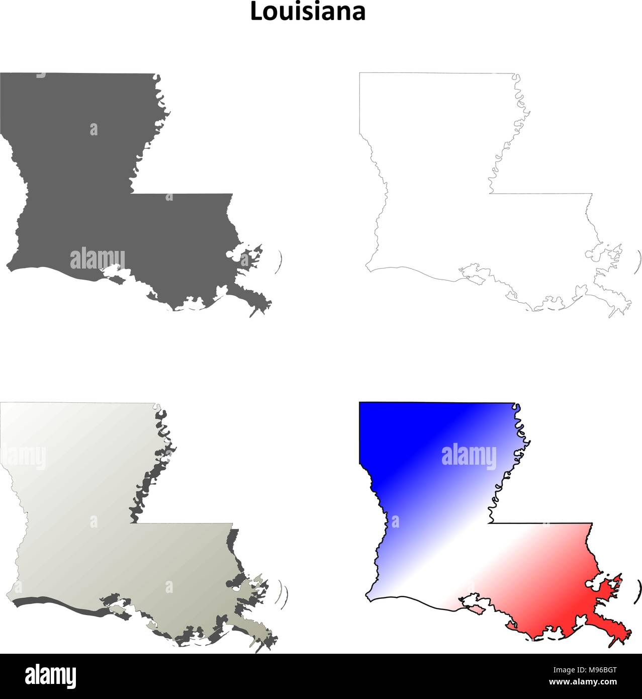 Louisiana outline map set Stock Vectorhttps://www.alamy.com/image-license-details/?v=1https://www.alamy.com/louisiana-outline-map-set-image177776392.html
RFM96BGT–Louisiana outline map set
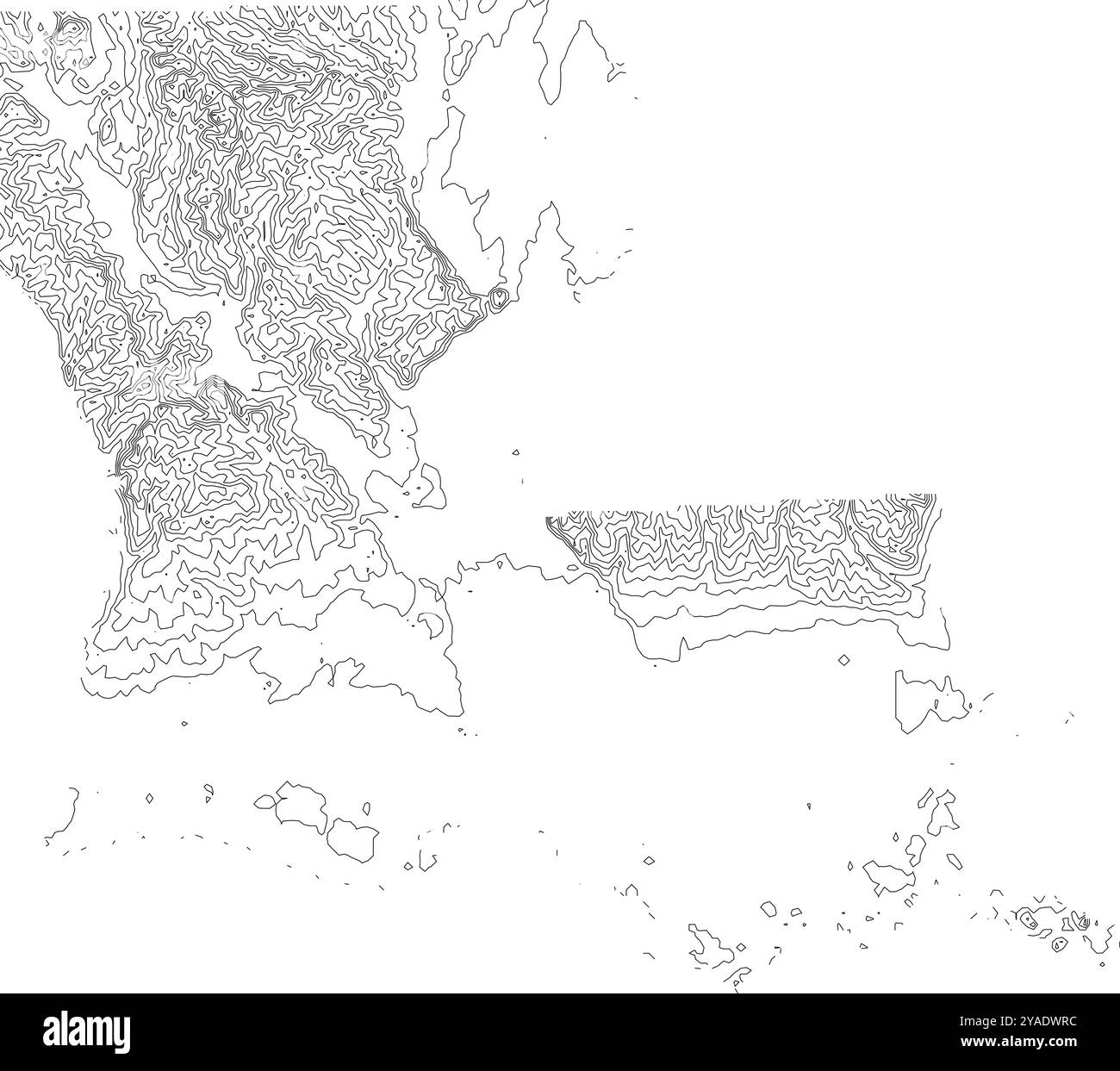 Intricate contour map of Louisiana state, depicting its low-lying topography and coastal features Stock Vectorhttps://www.alamy.com/image-license-details/?v=1https://www.alamy.com/intricate-contour-map-of-louisiana-state-depicting-its-low-lying-topography-and-coastal-features-image626025440.html
RF2YADWRC–Intricate contour map of Louisiana state, depicting its low-lying topography and coastal features
 Map of Louisiana filled with the state flag Stock Photohttps://www.alamy.com/image-license-details/?v=1https://www.alamy.com/map-of-louisiana-filled-with-the-state-flag-image69096447.html
RFE0BH67–Map of Louisiana filled with the state flag
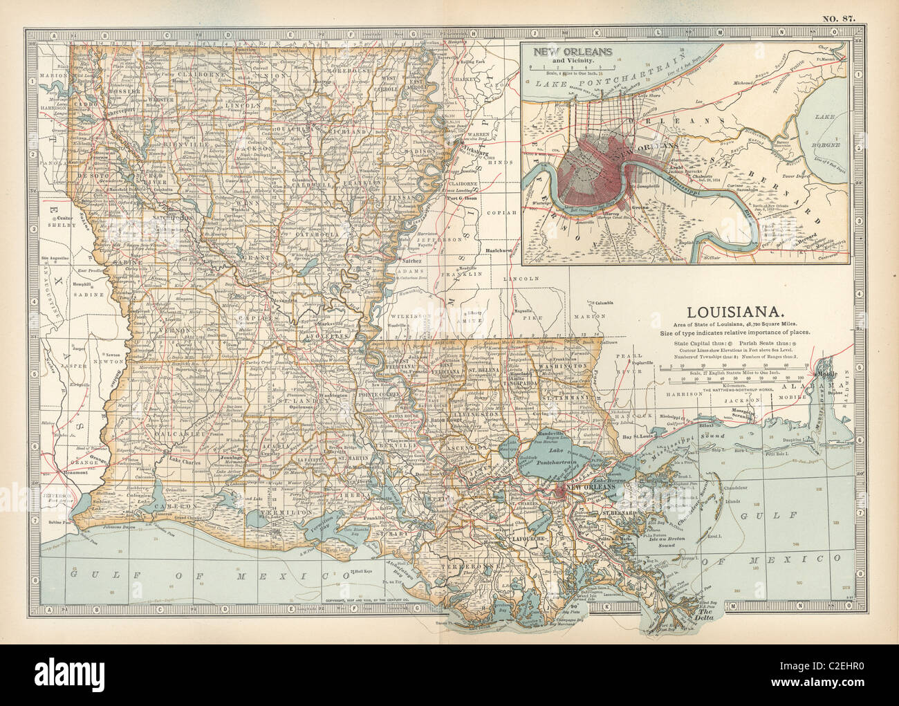 Map of Louisiana Stock Photohttps://www.alamy.com/image-license-details/?v=1https://www.alamy.com/stock-photo-map-of-louisiana-35971348.html
RMC2EHR0–Map of Louisiana
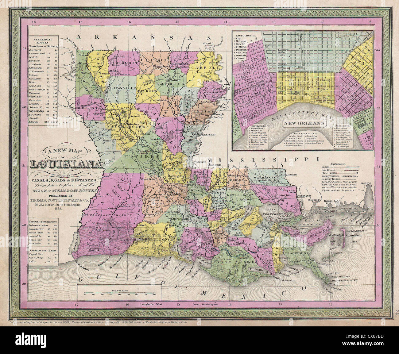 1853 Mitchell Map of Louisiana - Stock Photohttps://www.alamy.com/image-license-details/?v=1https://www.alamy.com/stock-photo-1853-mitchell-map-of-louisiana-50539313.html
RMCX67BD–1853 Mitchell Map of Louisiana -
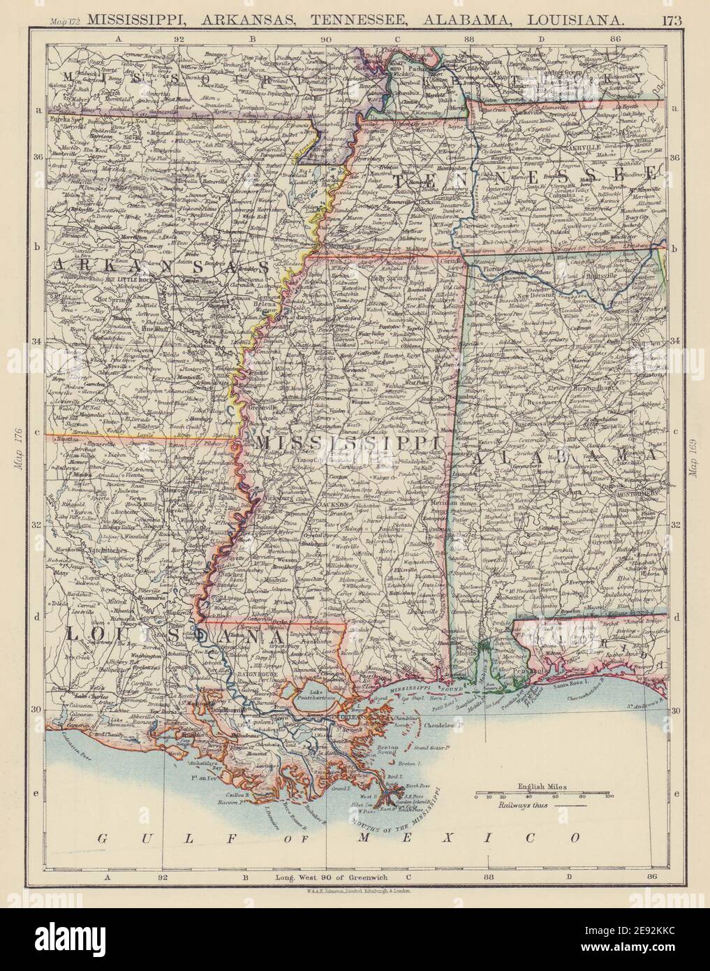 MISSISSIPPI VALLEY. Mississippi Arkansas Tennessee Alabama Louisiana 1901 map Stock Photohttps://www.alamy.com/image-license-details/?v=1https://www.alamy.com/mississippi-valley-mississippi-arkansas-tennessee-alabama-louisiana-1901-map-image401429712.html
RF2E92KKC–MISSISSIPPI VALLEY. Mississippi Arkansas Tennessee Alabama Louisiana 1901 map
 1732 map of Louisiana Stock Photohttps://www.alamy.com/image-license-details/?v=1https://www.alamy.com/stock-photo-1732-map-of-louisiana-142549348.html
RMJ7WK44–1732 map of Louisiana
 A Map of Louisiana and of the River Mississippi. 1721 Stock Photohttps://www.alamy.com/image-license-details/?v=1https://www.alamy.com/stock-photo-a-map-of-louisiana-and-of-the-river-mississippi-1721-71717947.html
RME4K0Y7–A Map of Louisiana and of the River Mississippi. 1721
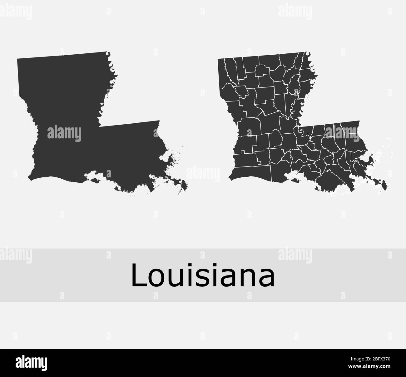 Louisiana maps vector outline counties, townships, regions, municipalities, departments, borders Stock Vectorhttps://www.alamy.com/image-license-details/?v=1https://www.alamy.com/louisiana-maps-vector-outline-counties-townships-regions-municipalities-departments-borders-image358303092.html
RF2BPX370–Louisiana maps vector outline counties, townships, regions, municipalities, departments, borders
 Map of Louisiana Stock Photohttps://www.alamy.com/image-license-details/?v=1https://www.alamy.com/map-of-louisiana-image384429796.html
RF2D9C83G–Map of Louisiana
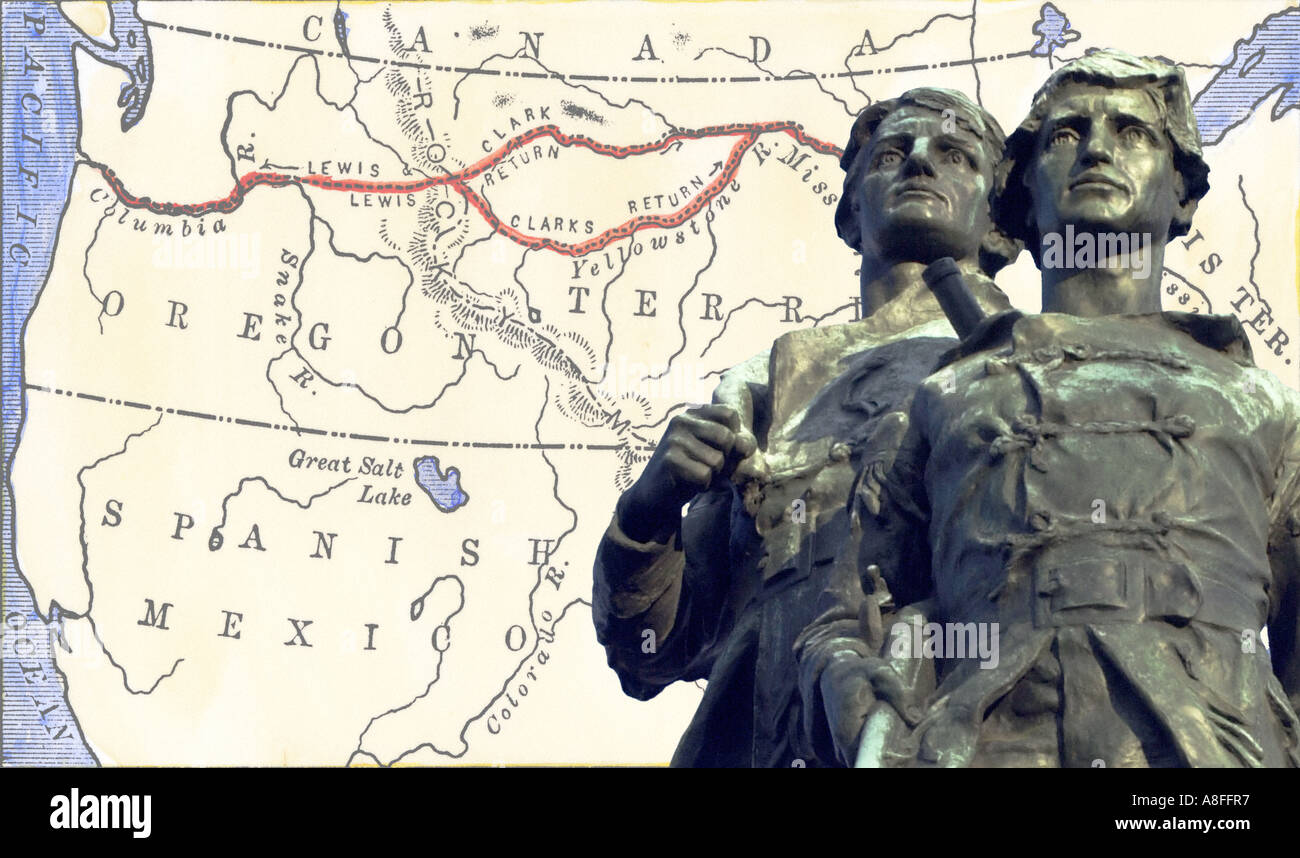 Meriwether Lewis and William Clark with a map of their expedition across Louisiana Territory1804 to 1806. Hand-colored woodcut map & photo Stock Photohttps://www.alamy.com/image-license-details/?v=1https://www.alamy.com/meriwether-lewis-and-william-clark-with-a-map-of-their-expedition-image6907574.html
RMA8FFR7–Meriwether Lewis and William Clark with a map of their expedition across Louisiana Territory1804 to 1806. Hand-colored woodcut map & photo
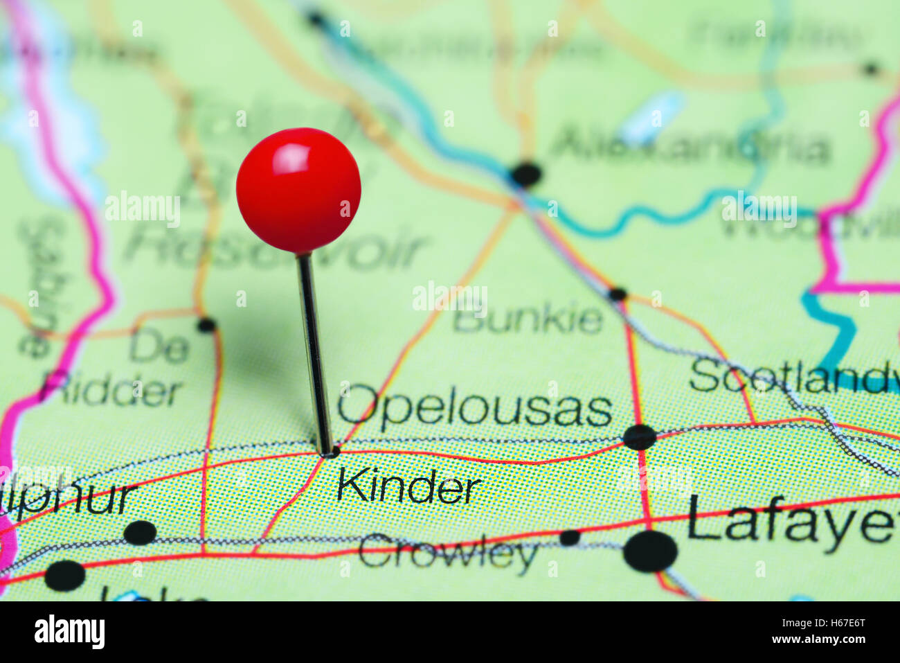 Kinder pinned on a map of Louisiana, USA Stock Photohttps://www.alamy.com/image-license-details/?v=1https://www.alamy.com/stock-photo-kinder-pinned-on-a-map-of-louisiana-usa-124325344.html
RFH67E6T–Kinder pinned on a map of Louisiana, USA
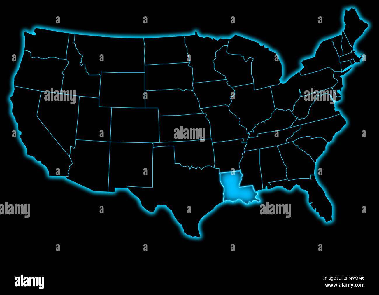 united state of america map with louisiana blue glow futuristic design Stock Photohttps://www.alamy.com/image-license-details/?v=1https://www.alamy.com/united-state-of-america-map-with-louisiana-blue-glow-futuristic-design-image546366246.html
RF2PMW3M6–united state of america map with louisiana blue glow futuristic design
 map of louisiana Stock Photohttps://www.alamy.com/image-license-details/?v=1https://www.alamy.com/stock-photo-map-of-louisiana-143716151.html
RFJ9PRBK–map of louisiana
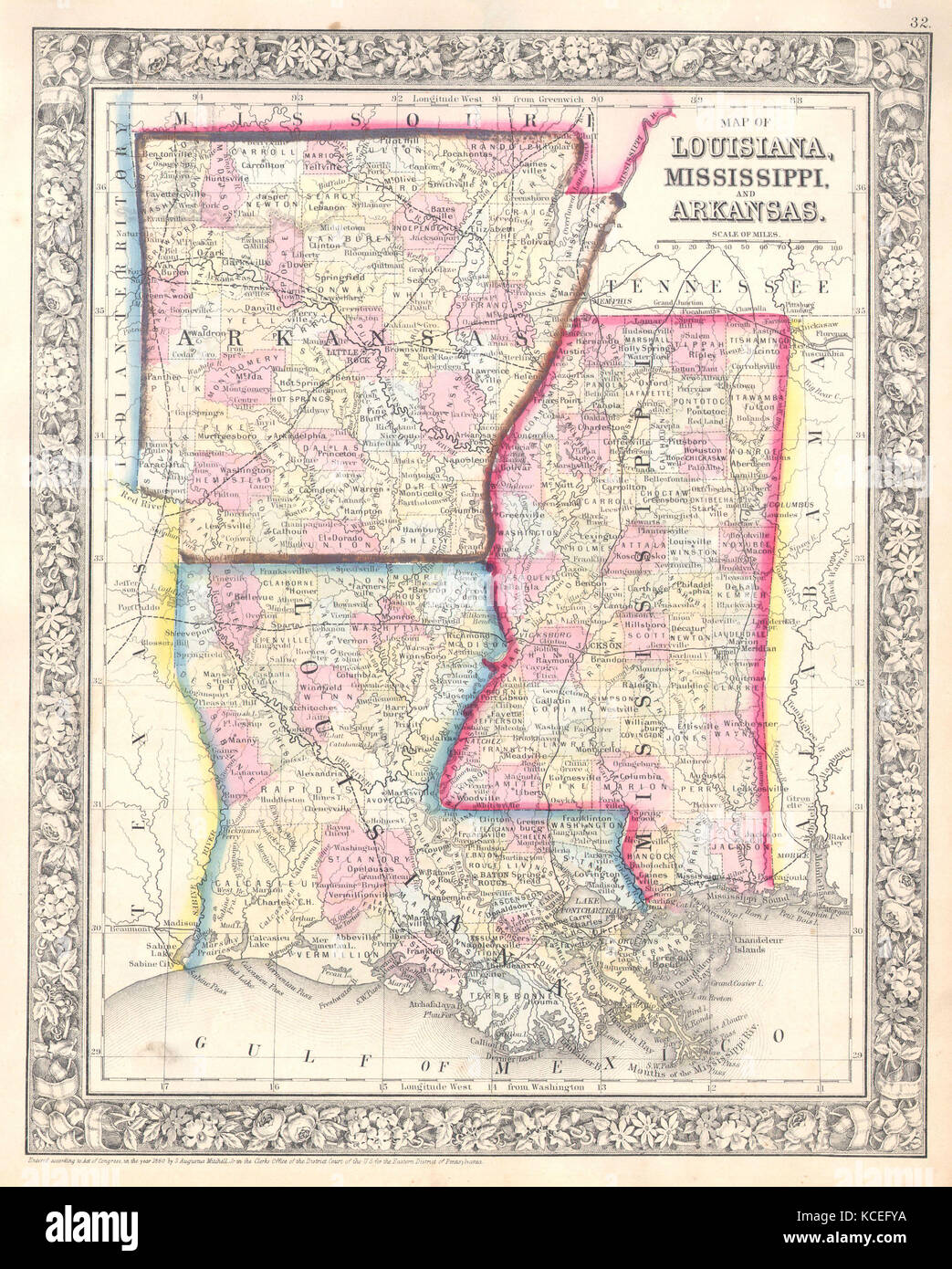 1864, Mitchell Map of Louisiana, Mississippi and Arkansas Stock Photohttps://www.alamy.com/image-license-details/?v=1https://www.alamy.com/stock-image-1864-mitchell-map-of-louisiana-mississippi-and-arkansas-162589038.html
RMKCEFYA–1864, Mitchell Map of Louisiana, Mississippi and Arkansas
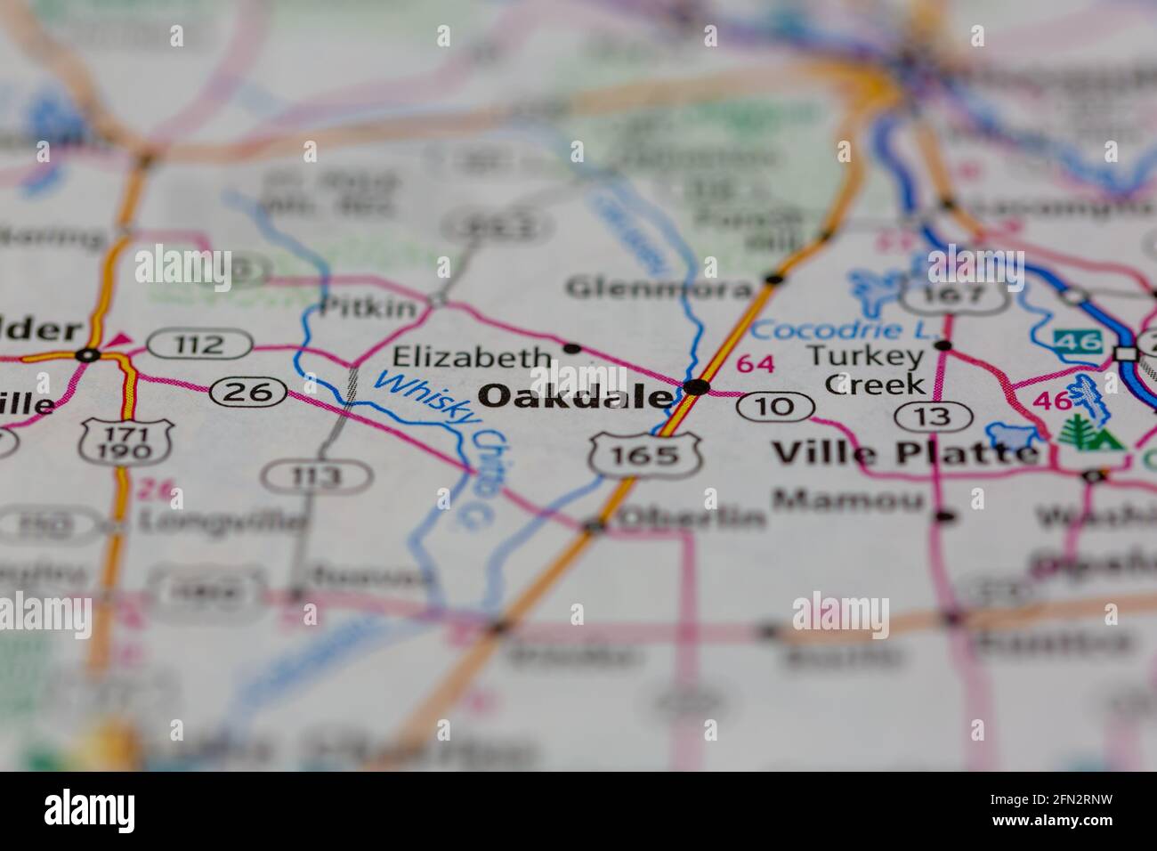 Oakdale Louisiana USA Shown on a Geography map or road map Stock Photohttps://www.alamy.com/image-license-details/?v=1https://www.alamy.com/oakdale-louisiana-usa-shown-on-a-geography-map-or-road-map-image426019157.html
RM2FN2RNW–Oakdale Louisiana USA Shown on a Geography map or road map
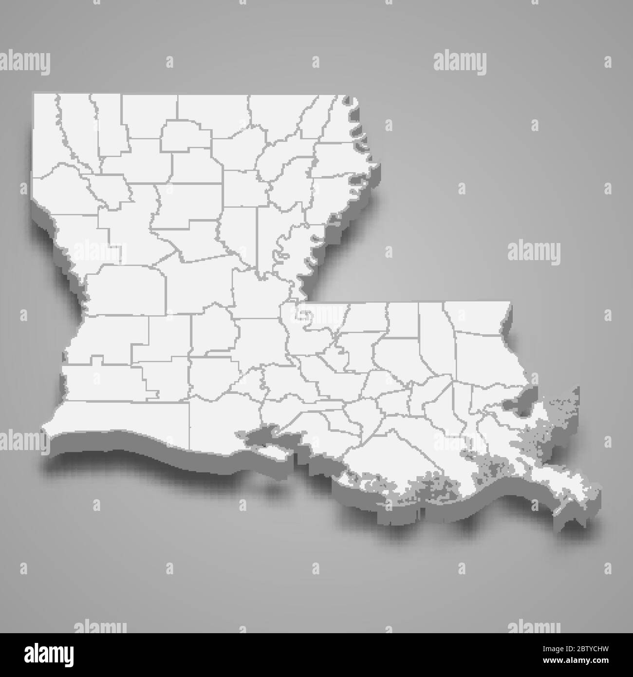 3d map of Louisiana is a state of United States Stock Vectorhttps://www.alamy.com/image-license-details/?v=1https://www.alamy.com/3d-map-of-louisiana-is-a-state-of-united-states-image359561717.html
RF2BTYCHW–3d map of Louisiana is a state of United States
RF2G9NJYF–Biometric Map Of Louisiana Filled with Fingerprint Pattern icon logo design Vector illustration
 372 Darlington map of louisiana 1680 Stock Photohttps://www.alamy.com/image-license-details/?v=1https://www.alamy.com/372-darlington-map-of-louisiana-1680-image212608758.html
RMP9W4HX–372 Darlington map of louisiana 1680
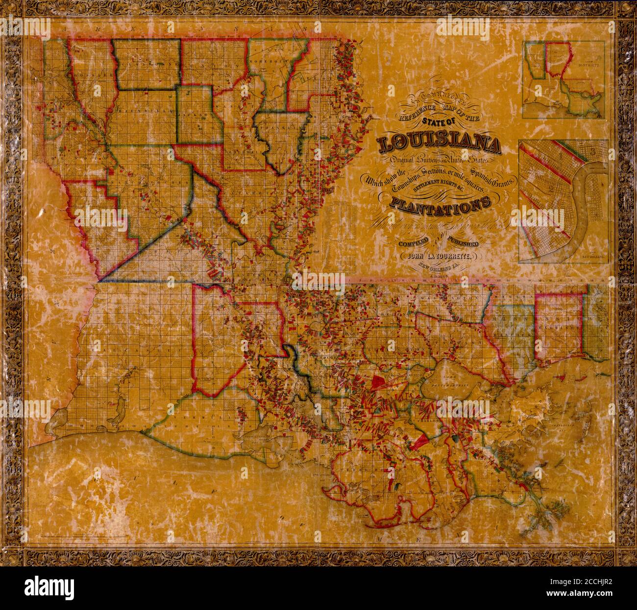 Map Of Louisiana 1848 Stock Photohttps://www.alamy.com/image-license-details/?v=1https://www.alamy.com/map-of-louisiana-1848-image369181542.html
RF2CCHJR2–Map Of Louisiana 1848
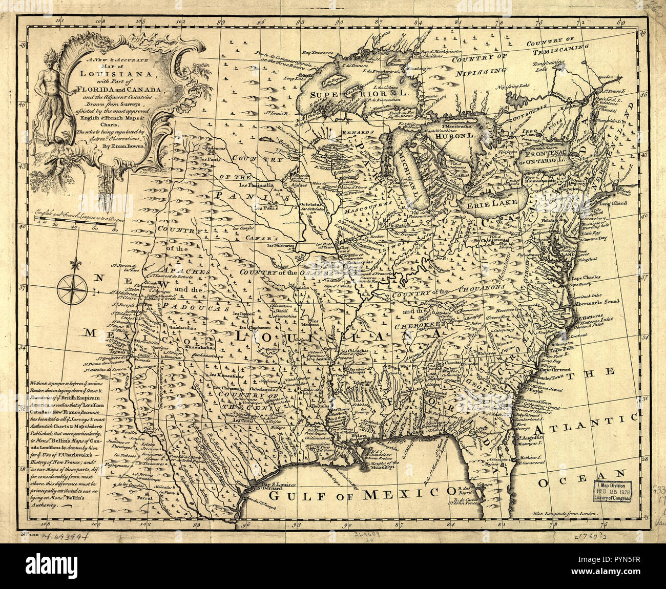 Vintage Maps / Antique Maps - A new & accurate map of Louisiana, with part of Florida and Canada, and the adjacent countries ca. 1752 Stock Photohttps://www.alamy.com/image-license-details/?v=1https://www.alamy.com/vintage-maps-antique-maps-a-new-accurate-map-of-louisiana-with-part-of-florida-and-canada-and-the-adjacent-countries-ca-1752-image223585483.html
RMPYN5FR–Vintage Maps / Antique Maps - A new & accurate map of Louisiana, with part of Florida and Canada, and the adjacent countries ca. 1752
 Map of Louisiana filled with the national flag Stock Photohttps://www.alamy.com/image-license-details/?v=1https://www.alamy.com/map-of-louisiana-filled-with-the-national-flag-image69096433.html
RFE0BH5N–Map of Louisiana filled with the national flag
 Franquelin's map of Louisiana. Stock Photohttps://www.alamy.com/image-license-details/?v=1https://www.alamy.com/franquelins-map-of-louisiana-image343984098.html
RM2AYHR6A–Franquelin's map of Louisiana.
 1827 Finley Map of Louisiana Stock Photohttps://www.alamy.com/image-license-details/?v=1https://www.alamy.com/stock-photo-1827-finley-map-of-louisiana-50537024.html
RMCX64DM–1827 Finley Map of Louisiana
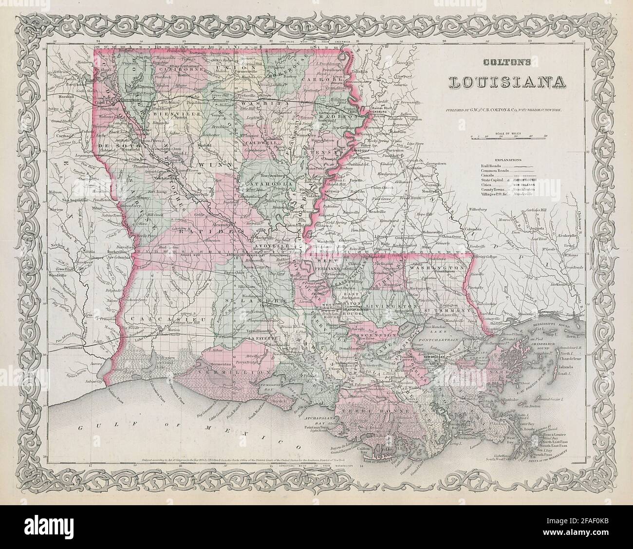 Colton's Louisiana. Decorative antique US state map 1869 old chart Stock Photohttps://www.alamy.com/image-license-details/?v=1https://www.alamy.com/coltons-louisiana-decorative-antique-us-state-map-1869-old-chart-image419525215.html
RF2FAF0KB–Colton's Louisiana. Decorative antique US state map 1869 old chart
 US MAPS(1891) p480 MAP OF LOUISIANA Stock Photohttps://www.alamy.com/image-license-details/?v=1https://www.alamy.com/us-maps1891-p480-map-of-louisiana-image154604915.html
RMJYET43–US MAPS(1891) p480 MAP OF LOUISIANA
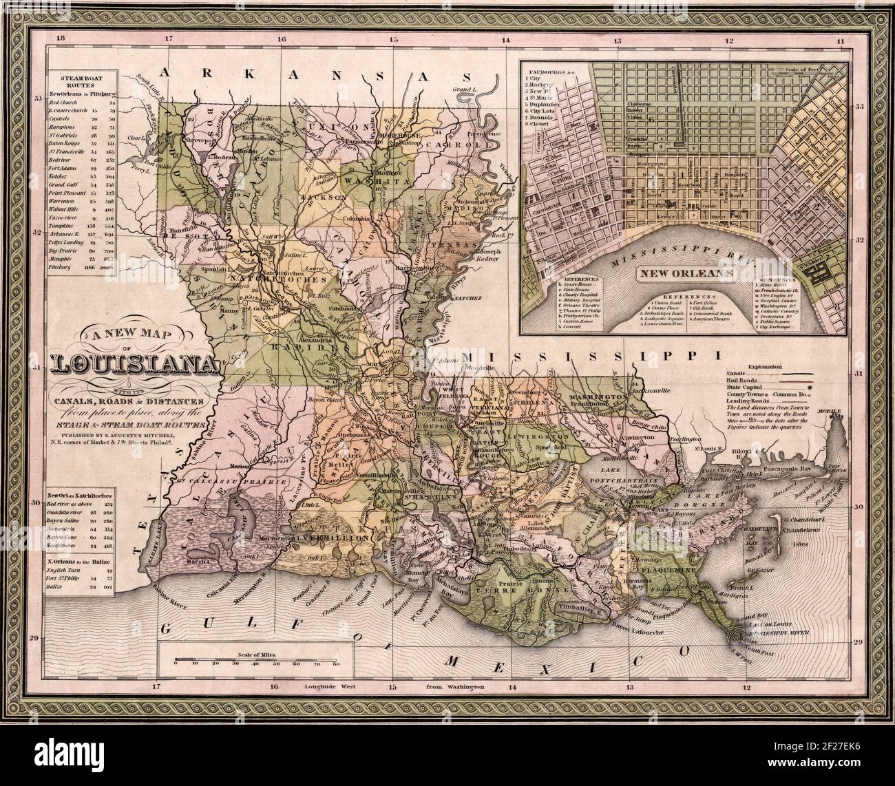 A new map of Louisiana : with its canals, roads & distances from place to place, along the stage & steam boat routes - Samuel Augustus Mitchell, 1846 Stock Photohttps://www.alamy.com/image-license-details/?v=1https://www.alamy.com/a-new-map-of-louisiana-with-its-canals-roads-distances-from-place-to-place-along-the-stage-steam-boat-routes-samuel-augustus-mitchell-1846-image414443322.html
RM2F27EK6–A new map of Louisiana : with its canals, roads & distances from place to place, along the stage & steam boat routes - Samuel Augustus Mitchell, 1846
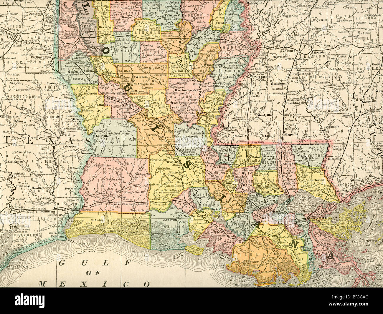 Original old map of Louisiana from 1884 geography textbook Stock Photohttps://www.alamy.com/image-license-details/?v=1https://www.alamy.com/stock-photo-original-old-map-of-louisiana-from-1884-geography-textbook-26618664.html
RMBF8GAG–Original old map of Louisiana from 1884 geography textbook
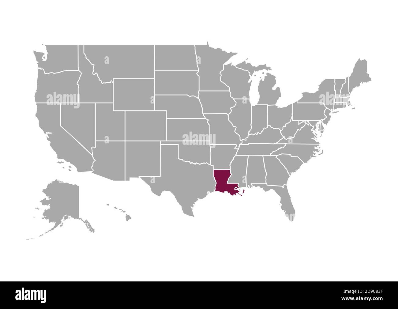 Map of Louisiana compared to the other United States of America Stock Photohttps://www.alamy.com/image-license-details/?v=1https://www.alamy.com/map-of-louisiana-compared-to-the-other-united-states-of-america-image384429795.html
RF2D9C83F–Map of Louisiana compared to the other United States of America
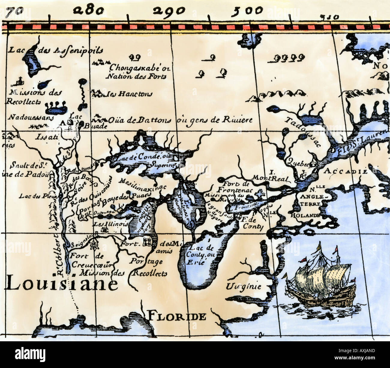 Hennepin map of New France Louisiana Carte de la Nouvelle France 1683. Hand-colored woodcut Stock Photohttps://www.alamy.com/image-license-details/?v=1https://www.alamy.com/hennepin-map-of-new-france-louisiana-carte-de-la-nouvelle-france-1683-image9632220.html
RMAXJAND–Hennepin map of New France Louisiana Carte de la Nouvelle France 1683. Hand-colored woodcut
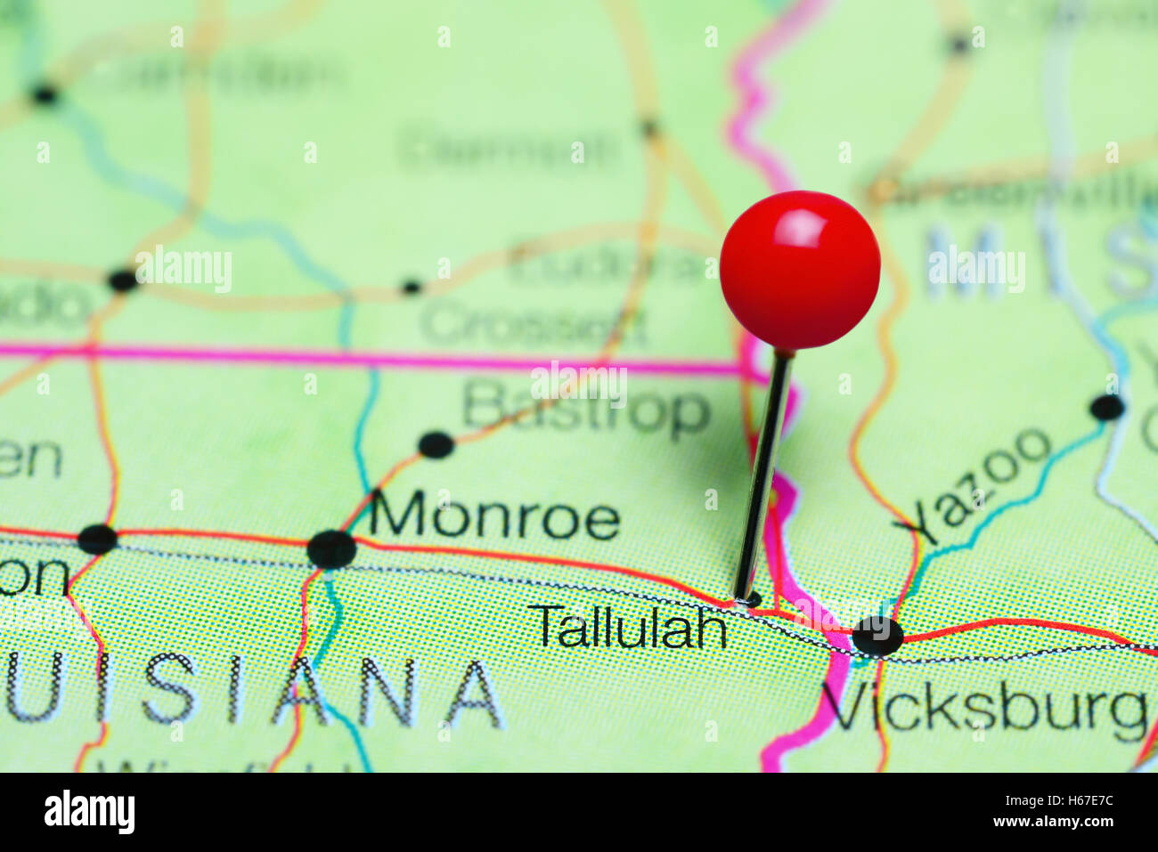 Tallulah pinned on a map of Louisiana, USA Stock Photohttps://www.alamy.com/image-license-details/?v=1https://www.alamy.com/stock-photo-tallulah-pinned-on-a-map-of-louisiana-usa-124325360.html
RFH67E7C–Tallulah pinned on a map of Louisiana, USA
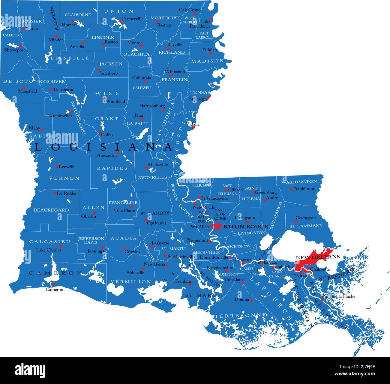 Detailed map of Louisiana state,in vector format,with county borders and major cities. Stock Vectorhttps://www.alamy.com/image-license-details/?v=1https://www.alamy.com/detailed-map-of-louisiana-statein-vector-formatwith-county-borders-and-major-cities-image469326186.html
RF2J7FJ9E–Detailed map of Louisiana state,in vector format,with county borders and major cities.
 map of louisiana Stock Photohttps://www.alamy.com/image-license-details/?v=1https://www.alamy.com/stock-photo-map-of-louisiana-143467071.html
RFJ9BDKY–map of louisiana
 1780, Raynal and Bonne Map of Louisiana, Florida and Carolina, Rigobert Bonne 1727 – 1794 Stock Photohttps://www.alamy.com/image-license-details/?v=1https://www.alamy.com/stock-image-1780-raynal-and-bonne-map-of-louisiana-florida-and-carolina-rigobert-162567902.html
RMKCDH0E–1780, Raynal and Bonne Map of Louisiana, Florida and Carolina, Rigobert Bonne 1727 – 1794
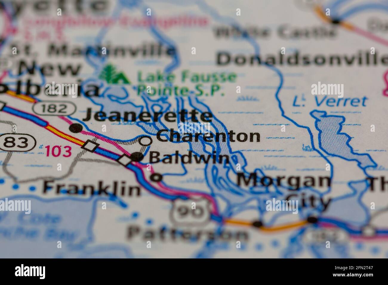 Charenton Louisiana USA Shown on a Geography map or road map Stock Photohttps://www.alamy.com/image-license-details/?v=1https://www.alamy.com/charenton-louisiana-usa-shown-on-a-geography-map-or-road-map-image426019447.html
RM2FN2T47–Charenton Louisiana USA Shown on a Geography map or road map
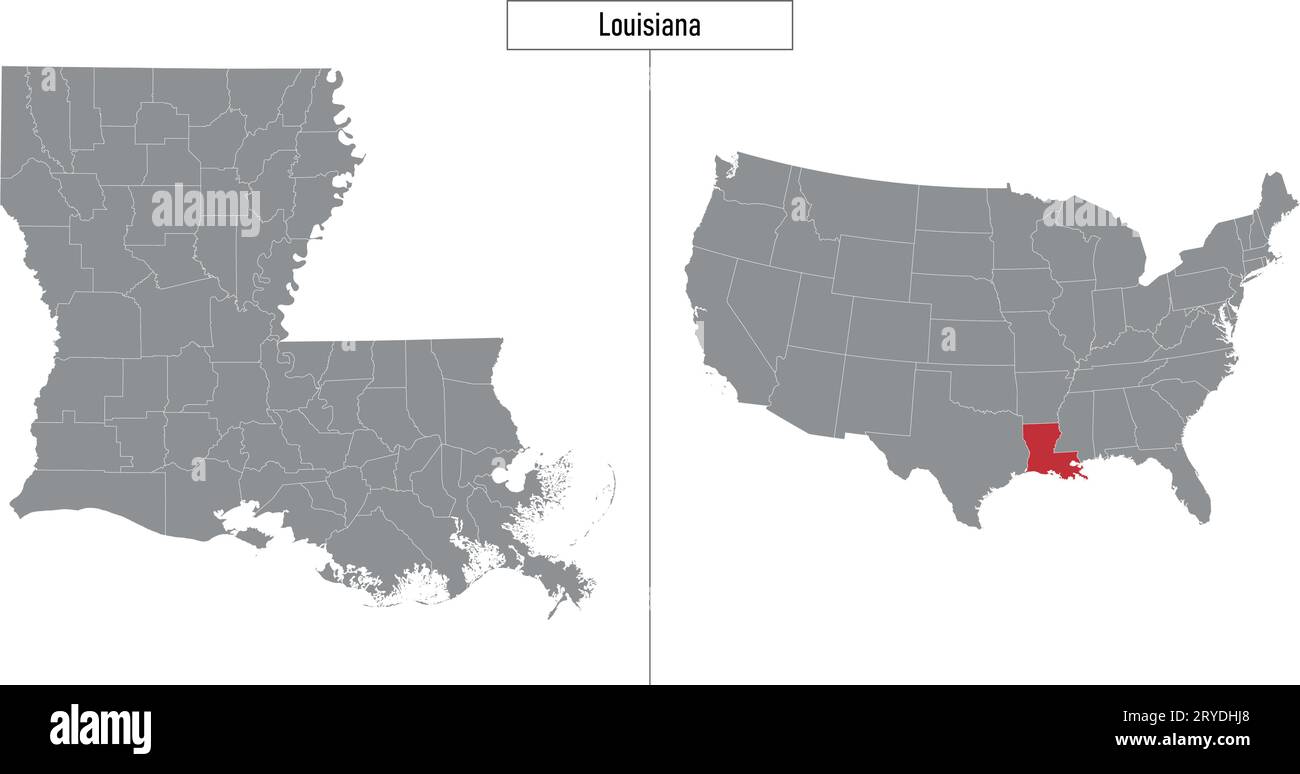 Simple map of Louisiana state of United States and location on USA map Stock Vectorhttps://www.alamy.com/image-license-details/?v=1https://www.alamy.com/simple-map-of-louisiana-state-of-united-states-and-location-on-usa-map-image567626704.html
RF2RYDHJ8–Simple map of Louisiana state of United States and location on USA map
 Louisiana State map isolated on a white background, USA. Stock Photohttps://www.alamy.com/image-license-details/?v=1https://www.alamy.com/stock-photo-louisiana-state-map-isolated-on-a-white-background-usa-79898532.html
RMEHYKB0–Louisiana State map isolated on a white background, USA.
 993 Map of Louisiana, Mississippi, and Arkansas (NYPL b13663520-1510811) Stock Photohttps://www.alamy.com/image-license-details/?v=1https://www.alamy.com/993-map-of-louisiana-mississippi-and-arkansas-nypl-b13663520-1510811-image213418251.html
RMPB614B–993 Map of Louisiana, Mississippi, and Arkansas (NYPL b13663520-1510811)
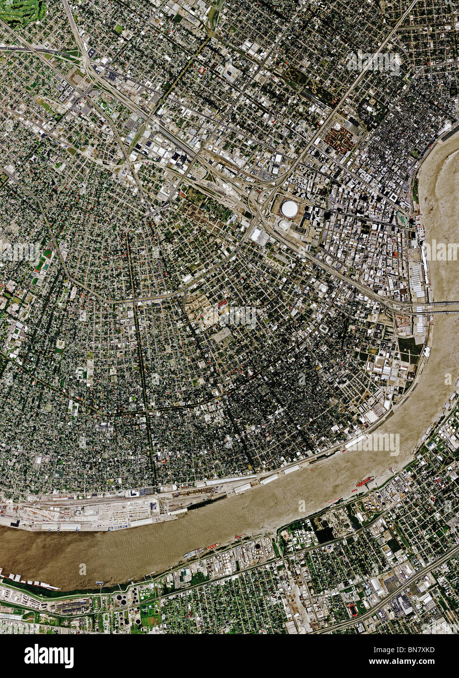 aerial map view above New Orleans Louisiana Mississippi river Stock Photohttps://www.alamy.com/image-license-details/?v=1https://www.alamy.com/stock-photo-aerial-map-view-above-new-orleans-louisiana-mississippi-river-30292737.html
RFBN7XKD–aerial map view above New Orleans Louisiana Mississippi river
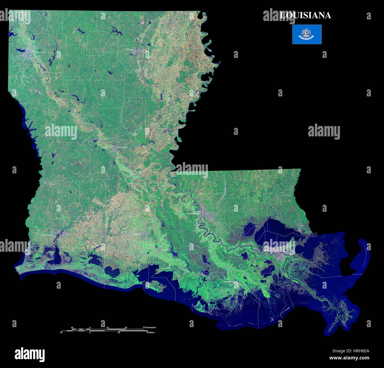 Louisiana Stock Photohttps://www.alamy.com/image-license-details/?v=1https://www.alamy.com/stock-photo-louisiana-134987954.html
RMHRH6EA–Louisiana
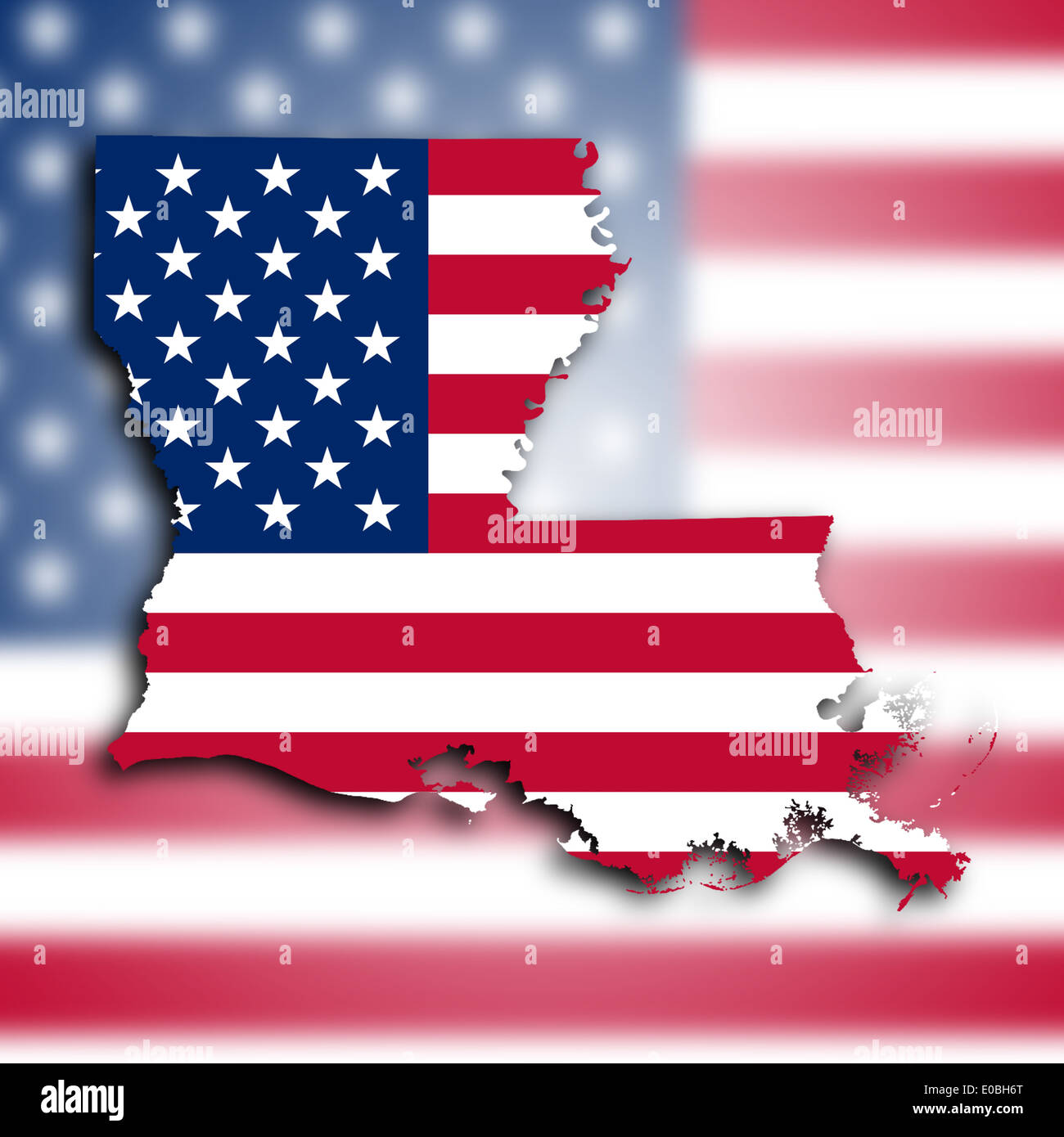 Map of Louisiana filled with the national flag Stock Photohttps://www.alamy.com/image-license-details/?v=1https://www.alamy.com/map-of-louisiana-filled-with-the-national-flag-image69096464.html
RFE0BH6T–Map of Louisiana filled with the national flag
 Map of Louisiana. Stock Photohttps://www.alamy.com/image-license-details/?v=1https://www.alamy.com/map-of-louisiana-image398185238.html
RM2E3PW9A–Map of Louisiana.
 US-MAPS(1891) p480 - MAP OF LOUISIANA Stock Photohttps://www.alamy.com/image-license-details/?v=1https://www.alamy.com/stock-photo-us-maps1891-p480-map-of-louisiana-73669493.html
RME7RX59–US-MAPS(1891) p480 - MAP OF LOUISIANA
 Johnson's Arkansas, Mississippi & Louisiana showing counties/parishes 1865 map Stock Photohttps://www.alamy.com/image-license-details/?v=1https://www.alamy.com/johnsons-arkansas-mississippi-louisiana-showing-countiesparishes-1865-map-image451494605.html
RF2H6F9Y9–Johnson's Arkansas, Mississippi & Louisiana showing counties/parishes 1865 map