Africa african map continent Stock Photos and Images
(12,128)See africa african map continent stock video clipsQuick filters:
Africa african map continent Stock Photos and Images
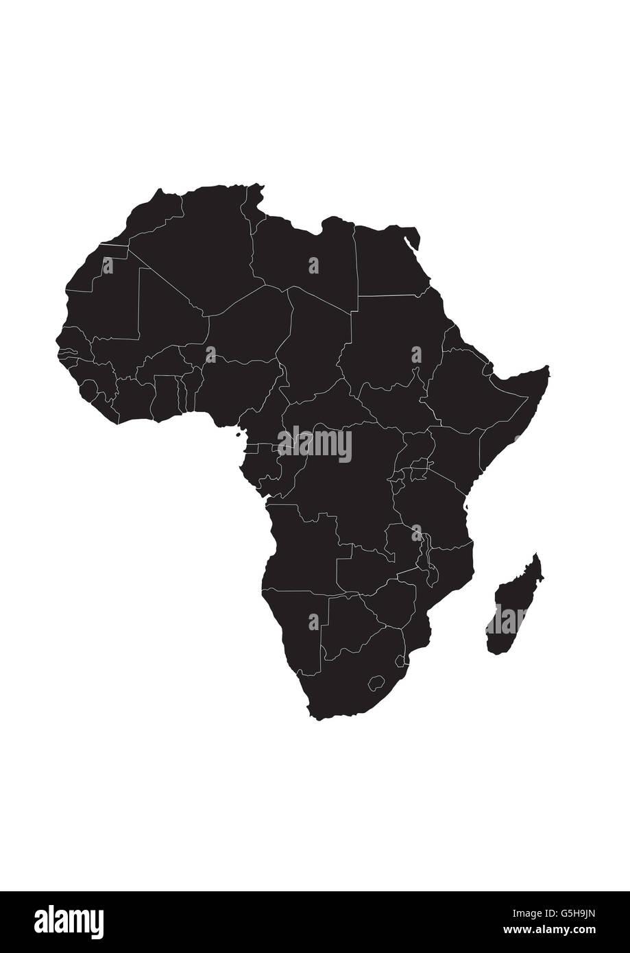 Map of Africa Stock Photohttps://www.alamy.com/image-license-details/?v=1https://www.alamy.com/stock-photo-map-of-africa-106716253.html
RMG5H9JN–Map of Africa
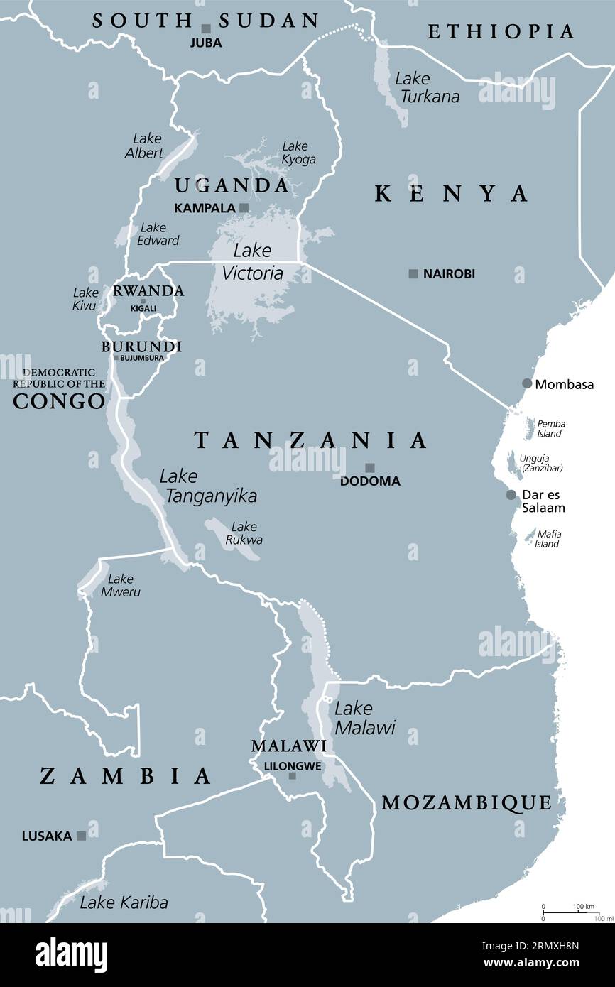 African Great Lakes region, gray political map. Large rift lakes of Africa, and their riparian countries with capitals and borders. Lake Victoria etc. Stock Photohttps://www.alamy.com/image-license-details/?v=1https://www.alamy.com/african-great-lakes-region-gray-political-map-large-rift-lakes-of-africa-and-their-riparian-countries-with-capitals-and-borders-lake-victoria-etc-image563609221.html
RF2RMXH8N–African Great Lakes region, gray political map. Large rift lakes of Africa, and their riparian countries with capitals and borders. Lake Victoria etc.
 Africa 3d white map Stock Photohttps://www.alamy.com/image-license-details/?v=1https://www.alamy.com/stock-photo-africa-3d-white-map-26181625.html
RFBEGJX1–Africa 3d white map
 African map Stock Photohttps://www.alamy.com/image-license-details/?v=1https://www.alamy.com/stock-photo-african-map-41273617.html
RFCB44WN–African map
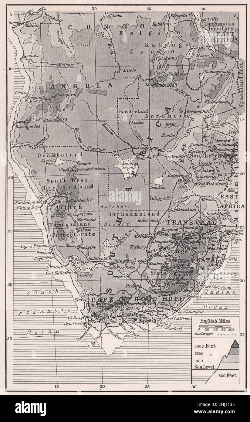 Southernmost extremity of the African continent. South Africa. Southern Africa (1923 map) Stock Photohttps://www.alamy.com/image-license-details/?v=1https://www.alamy.com/southernmost-extremity-of-the-african-continent-south-africa-southern-africa-1923-map-image459061097.html
RF2HJT135–Southernmost extremity of the African continent. South Africa. Southern Africa (1923 map)
 Africa continent map illustration in papercut style with wild african animals. Includes cutout elephant and giraffe. Stock Vectorhttps://www.alamy.com/image-license-details/?v=1https://www.alamy.com/africa-continent-map-illustration-in-papercut-style-with-wild-african-animals-includes-cutout-elephant-and-giraffe-image246410734.html
RFT8TYBA–Africa continent map illustration in papercut style with wild african animals. Includes cutout elephant and giraffe.
 Map of African continent, isolated on white background. Stock Photohttps://www.alamy.com/image-license-details/?v=1https://www.alamy.com/stock-photo-map-of-african-continent-isolated-on-white-background-25859655.html
RMBE2073–Map of African continent, isolated on white background.
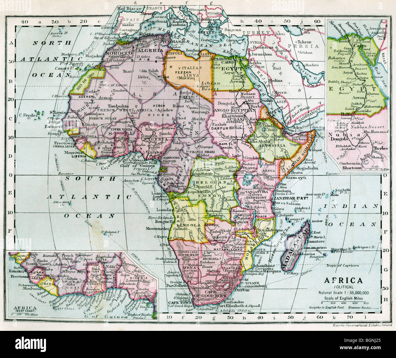 Continent of Africa between World War One and World War Two. Stock Photohttps://www.alamy.com/image-license-details/?v=1https://www.alamy.com/stock-photo-continent-of-africa-between-world-war-one-and-world-war-two-27520029.html
RMBGNJ25–Continent of Africa between World War One and World War Two.
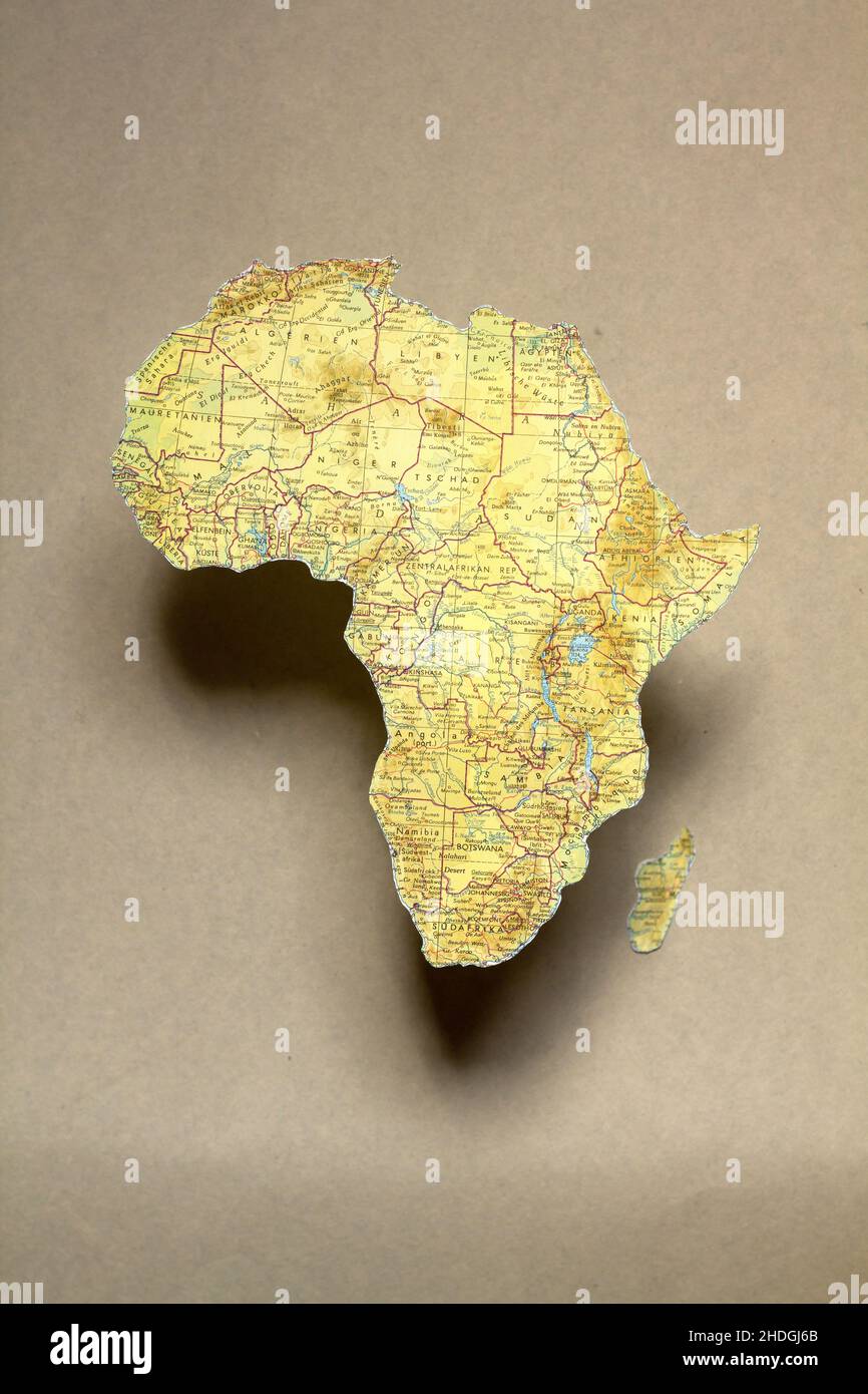 map, africa, continent, maps, african, continents Stock Photohttps://www.alamy.com/image-license-details/?v=1https://www.alamy.com/map-africa-continent-maps-african-continents-image455825619.html
RF2HDGJ6B–map, africa, continent, maps, african, continents
 Woodcut Map of Africa, 1540. By Sebastian Munster (1488-1552). Munster's map is the earliest map of the continent of Africa. Stock Photohttps://www.alamy.com/image-license-details/?v=1https://www.alamy.com/woodcut-map-of-africa-1540-by-sebastian-munster-1488-1552-munsters-map-is-the-earliest-map-of-the-continent-of-africa-image484791839.html
RM2K4M4X7–Woodcut Map of Africa, 1540. By Sebastian Munster (1488-1552). Munster's map is the earliest map of the continent of Africa.
 Africa patterned map. Banner with tribal traditional grunge African pattern, elements, concept design. Vector isolated on orange background Stock Vectorhttps://www.alamy.com/image-license-details/?v=1https://www.alamy.com/africa-patterned-map-banner-with-tribal-traditional-grunge-african-pattern-elements-concept-design-vector-isolated-on-orange-background-image455127306.html
RF2HCCREJ–Africa patterned map. Banner with tribal traditional grunge African pattern, elements, concept design. Vector isolated on orange background
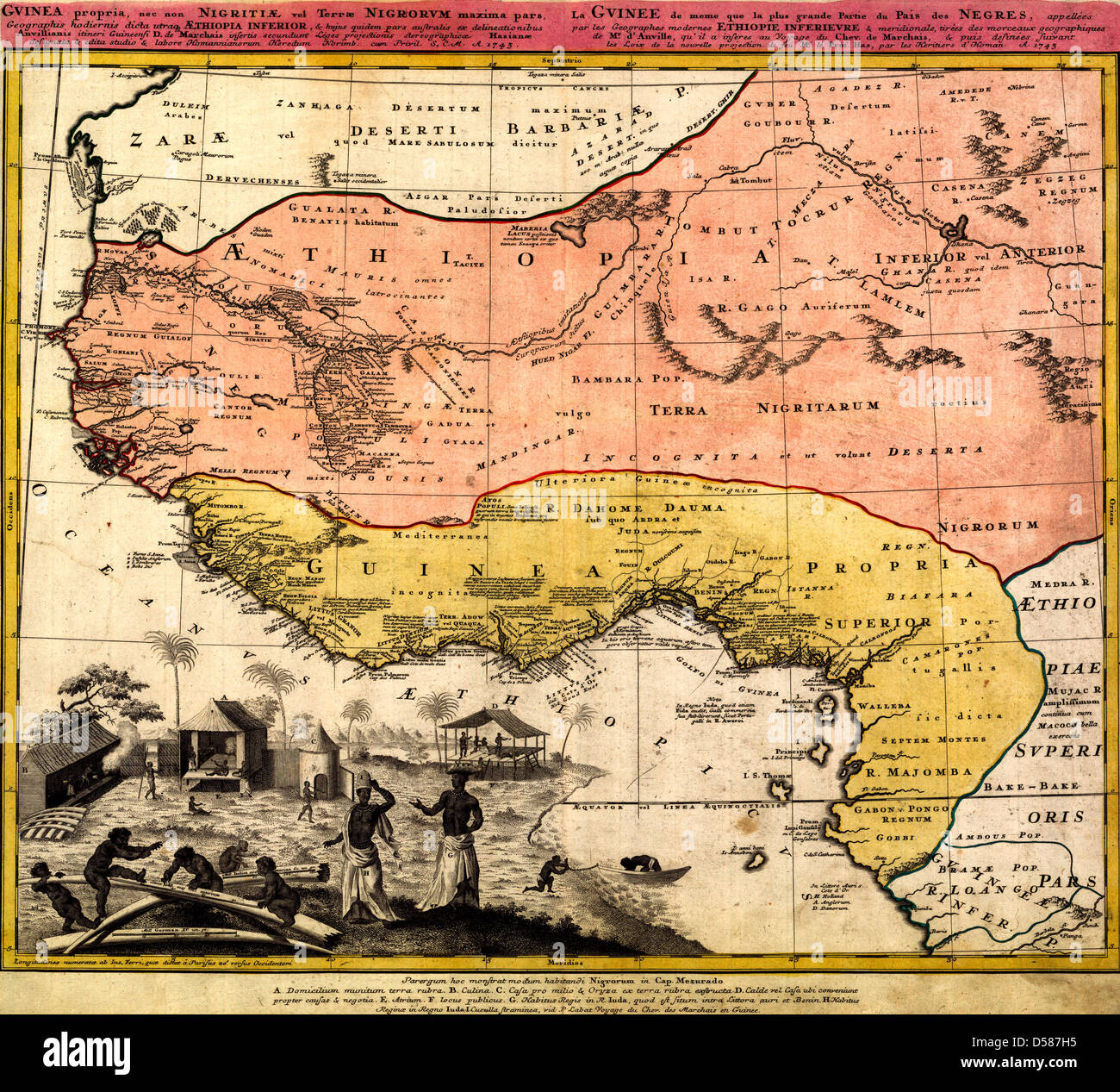 Map of West Africa, circa 1743 Stock Photohttps://www.alamy.com/image-license-details/?v=1https://www.alamy.com/stock-photo-map-of-west-africa-circa-1743-54885969.html
RMD587H5–Map of West Africa, circa 1743
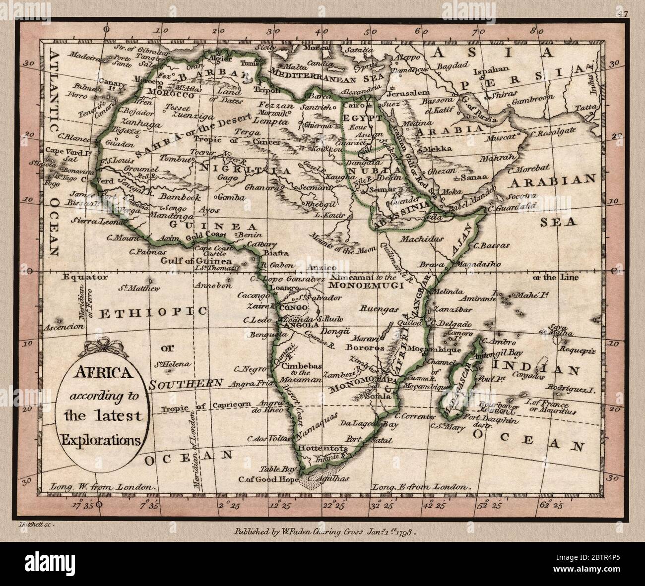 'Africa according to the latest Explorations.' Map shows important landmarks of the African continent. This is a beautifully detailed historic map reproduction. Original from a British atlas published by famed cartographer William Faden was created circa 1798. Stock Photohttps://www.alamy.com/image-license-details/?v=1https://www.alamy.com/africa-according-to-the-latest-explorations-map-shows-important-landmarks-of-the-african-continent-this-is-a-beautifully-detailed-historic-map-reproduction-original-from-a-british-atlas-published-by-famed-cartographer-william-faden-was-created-circa-1798-image359467757.html
RM2BTR4P5–'Africa according to the latest Explorations.' Map shows important landmarks of the African continent. This is a beautifully detailed historic map reproduction. Original from a British atlas published by famed cartographer William Faden was created circa 1798.
 Dotted Map of the African continent vector illustration Stock Vectorhttps://www.alamy.com/image-license-details/?v=1https://www.alamy.com/dotted-map-of-the-african-continent-vector-illustration-image263233302.html
RFW878NA–Dotted Map of the African continent vector illustration
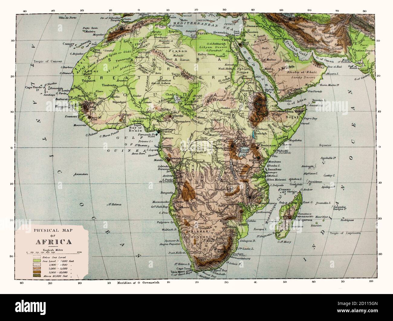 A late 19th Century physical map of Africa, note the names of some locations are no longer in use. Geologically, Africa includes the Arabian Peninsula; the Zagros Mountains of Iran and the Anatolian Plateau of Turkey mark where the African Plate collided with Eurasia. The Afrotropical realm and the Saharo-Arabian desert to its north unite the region biogeographically, and the Afro-Asiatic language family unites the north linguistically. Stock Photohttps://www.alamy.com/image-license-details/?v=1https://www.alamy.com/a-late-19th-century-physical-map-of-africa-note-the-names-of-some-locations-are-no-longer-in-use-geologically-africa-includes-the-arabian-peninsula-the-zagros-mountains-of-iran-and-the-anatolian-plateau-of-turkey-mark-where-the-african-plate-collided-with-eurasia-the-afrotropical-realm-and-the-saharo-arabian-desert-to-its-north-unite-the-region-biogeographically-and-the-afro-asiatic-language-family-unites-the-north-linguistically-image379269093.html
RM2D115GN–A late 19th Century physical map of Africa, note the names of some locations are no longer in use. Geologically, Africa includes the Arabian Peninsula; the Zagros Mountains of Iran and the Anatolian Plateau of Turkey mark where the African Plate collided with Eurasia. The Afrotropical realm and the Saharo-Arabian desert to its north unite the region biogeographically, and the Afro-Asiatic language family unites the north linguistically.
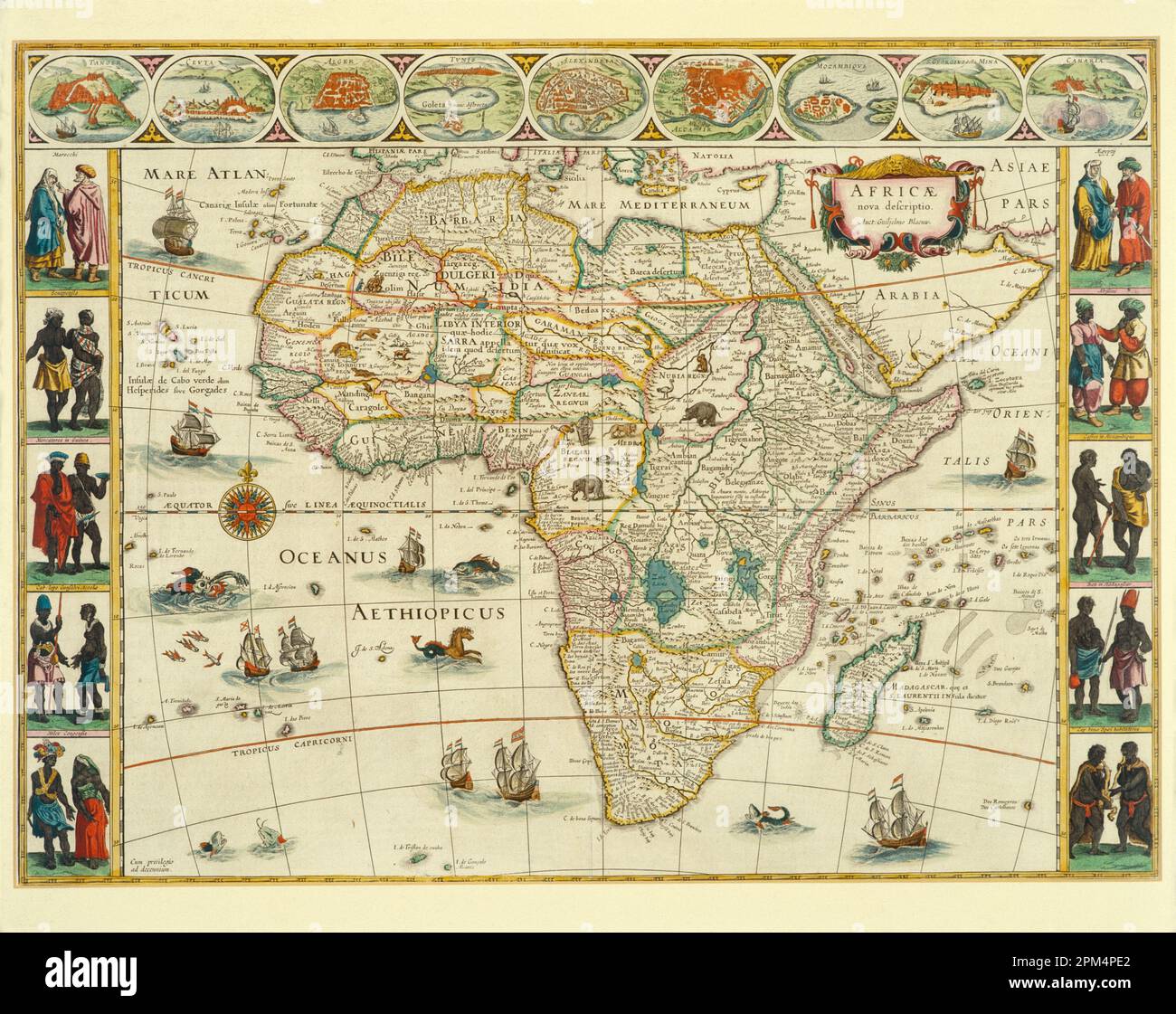 Artwork. Historical antique illustrated map showing the Continent of Africa. By Willem Janszoon Blaeu. Circa 1635. Stock Photohttps://www.alamy.com/image-license-details/?v=1https://www.alamy.com/artwork-historical-antique-illustrated-map-showing-the-continent-of-africa-by-willem-janszoon-blaeu-circa-1635-image545919978.html
RM2PM4PE2–Artwork. Historical antique illustrated map showing the Continent of Africa. By Willem Janszoon Blaeu. Circa 1635.
RF2F7P0BK–White and yellow hexagonal pixel map of Africa. Vector illustration African continent hexagon map dotted mosaic. Administrative border, land compositi
 ETHIOPIA Addis Ababa, AU African Union new building, constructed and gifted by China, emblem of AU in foyer of plenary hall / AETHIOPIEN, Addis Abeba, neues Gebaeude der AU Afrikanischen Union, gebaut und geschenkt von China Stock Photohttps://www.alamy.com/image-license-details/?v=1https://www.alamy.com/ethiopia-addis-ababa-au-african-union-new-building-constructed-and-gifted-by-china-emblem-of-au-in-foyer-of-plenary-hall-aethiopien-addis-abeba-neues-gebaeude-der-au-afrikanischen-union-gebaut-und-geschenkt-von-china-image221405888.html
RMPT5WD4–ETHIOPIA Addis Ababa, AU African Union new building, constructed and gifted by China, emblem of AU in foyer of plenary hall / AETHIOPIEN, Addis Abeba, neues Gebaeude der AU Afrikanischen Union, gebaut und geschenkt von China
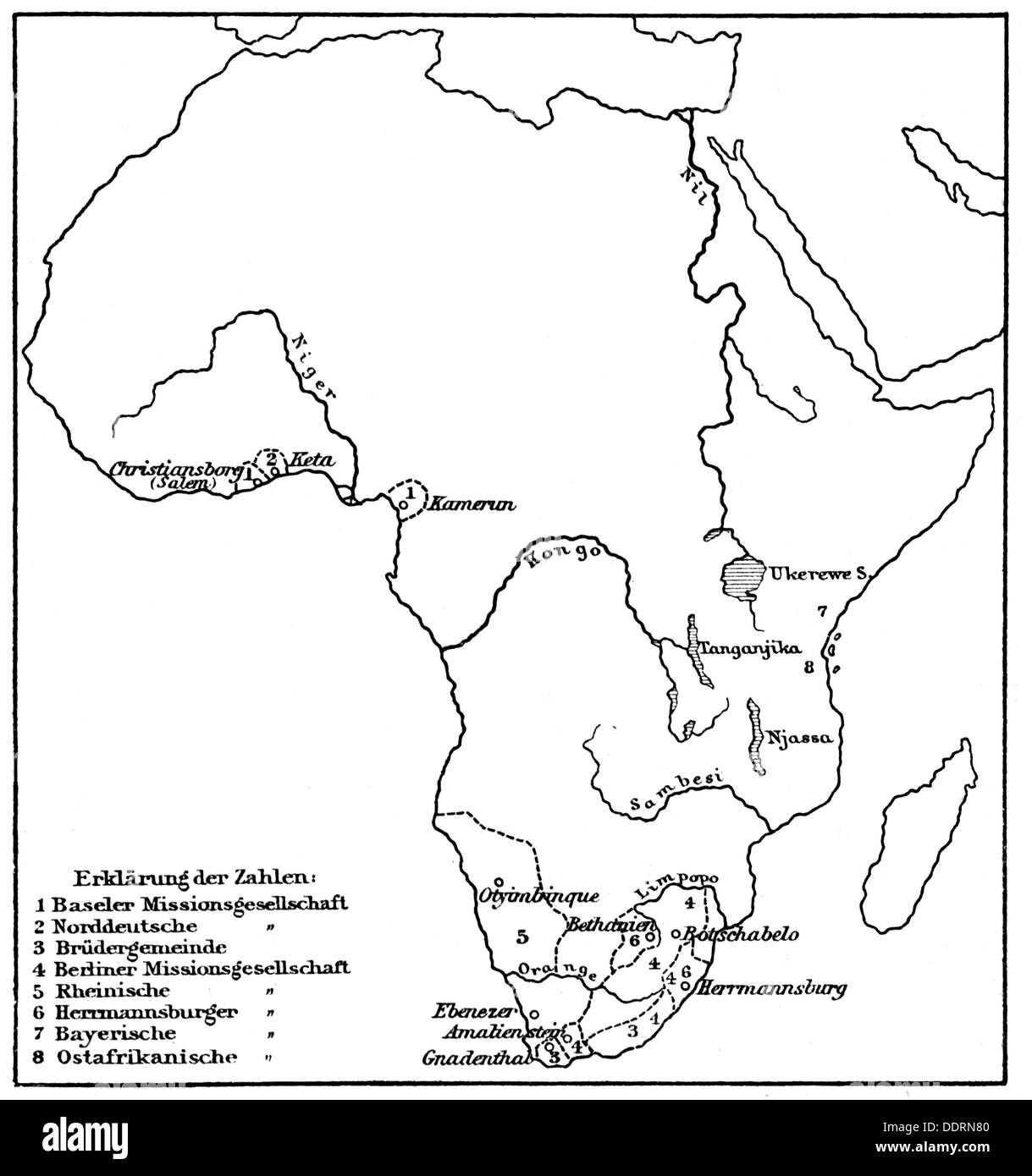 cartography, thematic map, territories of German mission in Africa, 1: Basel missionary society, 2: North German missionary society, 3: Brethren assembly, 4: Berlin missionary society, 5: Rhenish missionary society, 6: Bavarian missionary society, 7: East African missionary society, wood engraving, late 19th century, mission, missions, religion, religions, Christianity, Nile, congo, Niger, river, rivers, continent, continents, proseltyting, Germany, German Empire, Imperial Era, cartography, map printing, map, maps, historic, historical, Additional-Rights-Clearences-Not Available Stock Photohttps://www.alamy.com/image-license-details/?v=1https://www.alamy.com/cartography-thematic-map-territories-of-german-mission-in-africa-1-image60143216.html
RMDDRN80–cartography, thematic map, territories of German mission in Africa, 1: Basel missionary society, 2: North German missionary society, 3: Brethren assembly, 4: Berlin missionary society, 5: Rhenish missionary society, 6: Bavarian missionary society, 7: East African missionary society, wood engraving, late 19th century, mission, missions, religion, religions, Christianity, Nile, congo, Niger, river, rivers, continent, continents, proseltyting, Germany, German Empire, Imperial Era, cartography, map printing, map, maps, historic, historical, Additional-Rights-Clearences-Not Available
 A 1930's map of Africa, top, with detail of west Africa, bottom. Stock Photohttps://www.alamy.com/image-license-details/?v=1https://www.alamy.com/stock-photo-a-1930s-map-of-africa-top-with-detail-of-west-africa-bottom-111675673.html
RMGDK7CW–A 1930's map of Africa, top, with detail of west Africa, bottom.
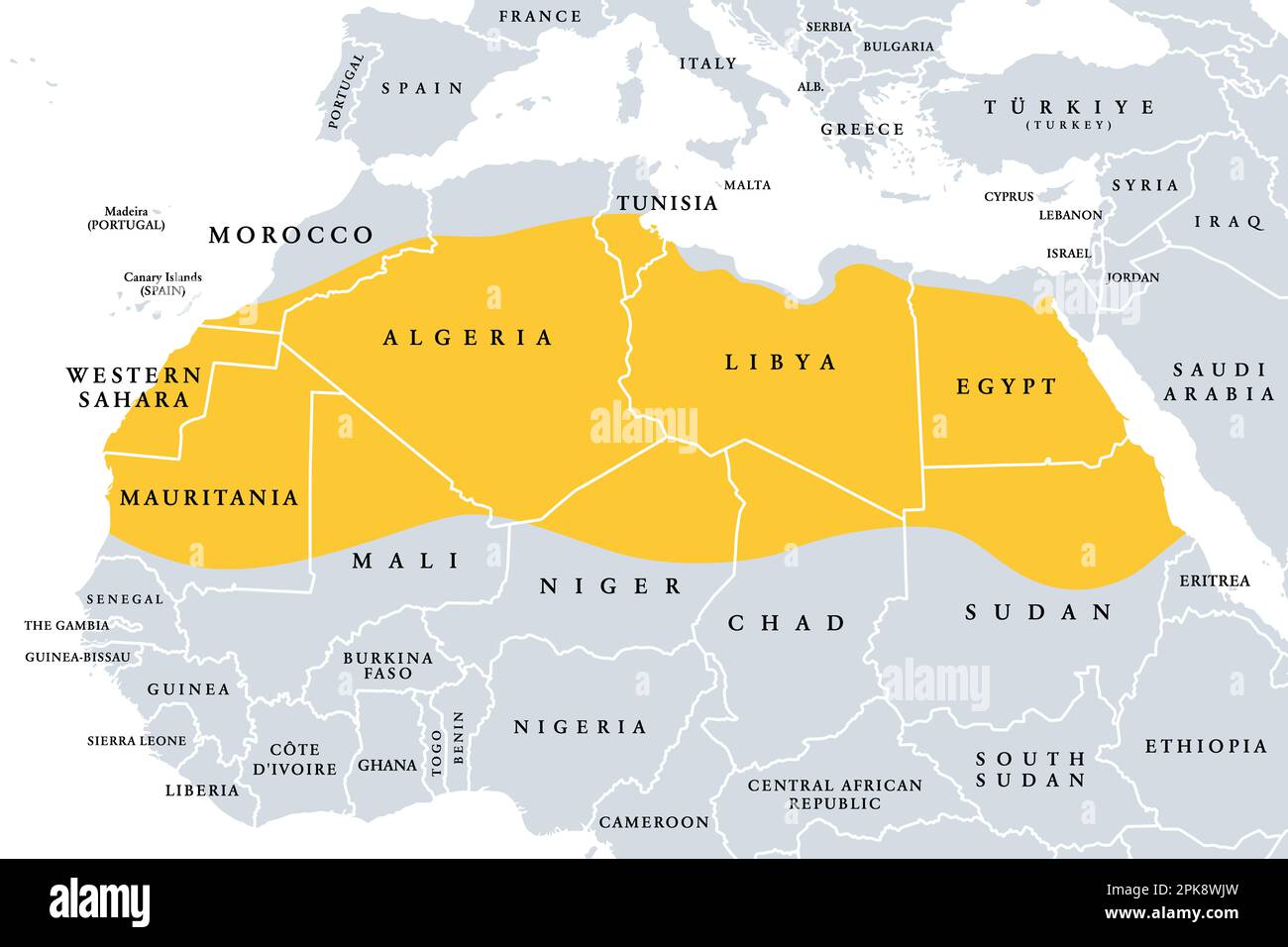 The Sahara, desert on African continent, political map. Largest hot desert in the world, making up most of North Africa. Stock Photohttps://www.alamy.com/image-license-details/?v=1https://www.alamy.com/the-sahara-desert-on-african-continent-political-map-largest-hot-desert-in-the-world-making-up-most-of-north-africa-image545395617.html
RF2PK8WJW–The Sahara, desert on African continent, political map. Largest hot desert in the world, making up most of North Africa.
 Africa 3d silver map Stock Photohttps://www.alamy.com/image-license-details/?v=1https://www.alamy.com/stock-photo-africa-3d-silver-map-26047792.html
RFBEAG68–Africa 3d silver map
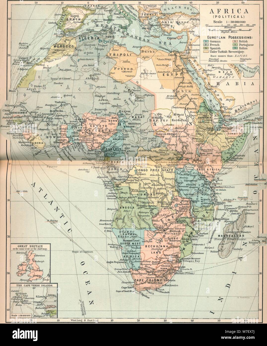 'Africa (Political)', c1902, (1903). Artist: Unknown. Stock Photohttps://www.alamy.com/image-license-details/?v=1https://www.alamy.com/africa-political-c1902-1903-artist-unknown-image262786038.html
RMW7EX7J–'Africa (Political)', c1902, (1903). Artist: Unknown.
 Chinese yuan on the map of Africa continent. Trading between China and african countries, tourism, economy and investment Stock Photohttps://www.alamy.com/image-license-details/?v=1https://www.alamy.com/chinese-yuan-on-the-map-of-africa-continent-trading-between-china-and-african-countries-tourism-economy-and-investment-image463443203.html
RF2HWYJEY–Chinese yuan on the map of Africa continent. Trading between China and african countries, tourism, economy and investment
 Africa continent map shape illustration concept made of traditional african culture decoration and colorful tribal art symbol on isolated background. Stock Vectorhttps://www.alamy.com/image-license-details/?v=1https://www.alamy.com/africa-continent-map-shape-illustration-concept-made-of-traditional-african-culture-decoration-and-colorful-tribal-art-symbol-on-isolated-background-image432651293.html
RF2G3TY3W–Africa continent map shape illustration concept made of traditional african culture decoration and colorful tribal art symbol on isolated background.
 Outline map of continent of Africa isolated on white background with clipping path. Stock Photohttps://www.alamy.com/image-license-details/?v=1https://www.alamy.com/stock-photo-outline-map-of-continent-of-africa-isolated-on-white-background-with-26489849.html
RMBF2M21–Outline map of continent of Africa isolated on white background with clipping path.
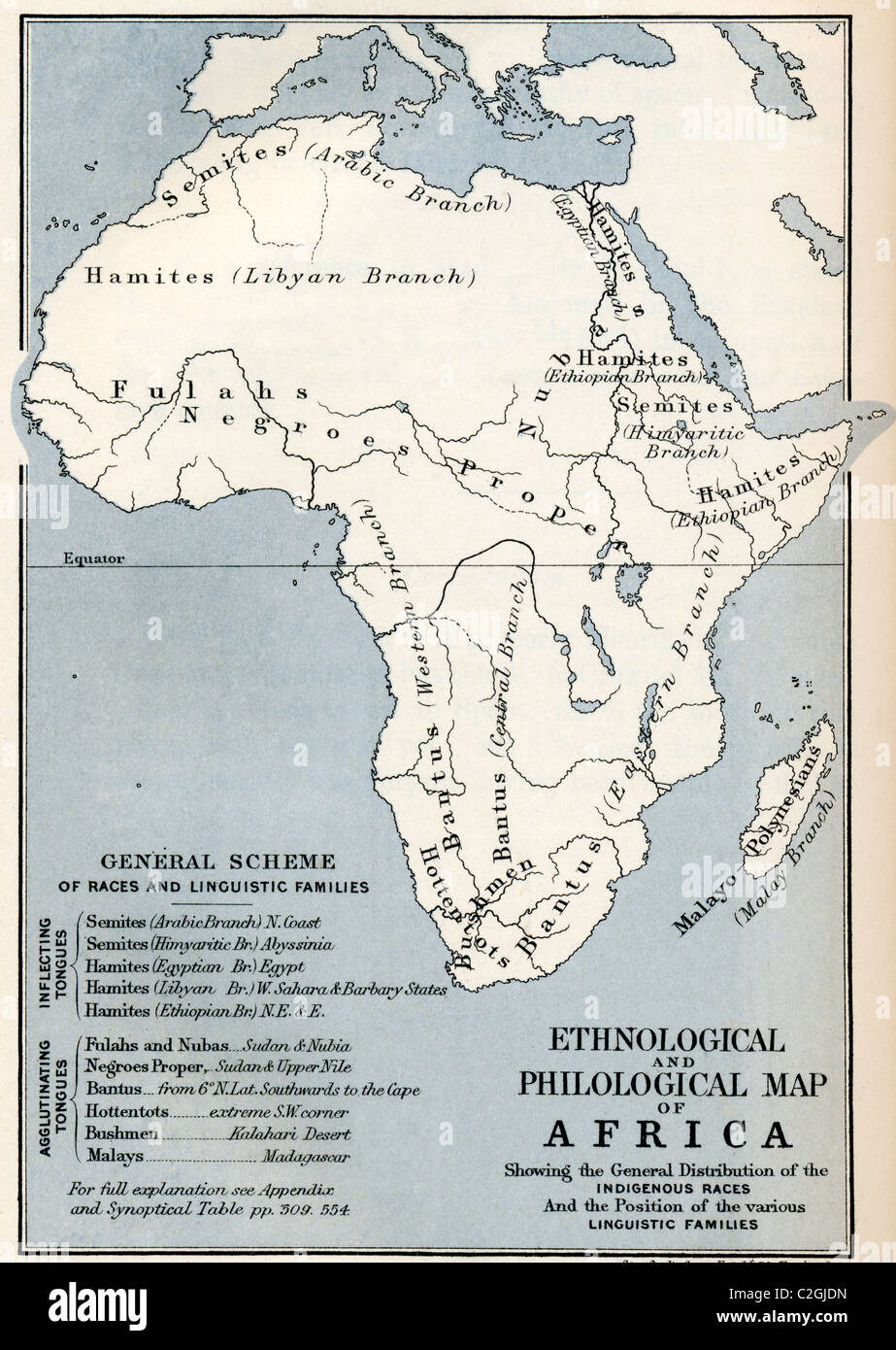 Ethnological and Philological map of Africa as it was in the 19th century. Stock Photohttps://www.alamy.com/image-license-details/?v=1https://www.alamy.com/stock-photo-ethnological-and-philological-map-of-africa-as-it-was-in-the-19th-36015777.html
RMC2GJDN–Ethnological and Philological map of Africa as it was in the 19th century.
 White silhouette from the continent of Africa. World map illustration on the blue background. Stock Photohttps://www.alamy.com/image-license-details/?v=1https://www.alamy.com/white-silhouette-from-the-continent-of-africa-world-map-illustration-on-the-blue-background-image605174892.html
RF2X4G2N0–White silhouette from the continent of Africa. World map illustration on the blue background.
 19th century map of Africa Copperplate engraving From the Encyclopaedia Londinensis or, Universal dictionary of arts, sciences, and literature; Volume I; Edited by Wilkes, John. Published in London in 1810 Stock Photohttps://www.alamy.com/image-license-details/?v=1https://www.alamy.com/19th-century-map-of-africa-copperplate-engraving-from-the-encyclopaedia-londinensis-or-universal-dictionary-of-arts-sciences-and-literature-volume-i-edited-by-wilkes-john-published-in-london-in-1810-image401785828.html
RF2E9JWWT–19th century map of Africa Copperplate engraving From the Encyclopaedia Londinensis or, Universal dictionary of arts, sciences, and literature; Volume I; Edited by Wilkes, John. Published in London in 1810
 Africa patterned map with ethnic sunset landscape. Logo Banner, tribal traditional African colors, strips pattern elements, concept design. Vector Stock Vectorhttps://www.alamy.com/image-license-details/?v=1https://www.alamy.com/africa-patterned-map-with-ethnic-sunset-landscape-logo-banner-tribal-traditional-african-colors-strips-pattern-elements-concept-design-vector-image469186305.html
RF2J797WN–Africa patterned map with ethnic sunset landscape. Logo Banner, tribal traditional African colors, strips pattern elements, concept design. Vector
 world map, continent, world maps, continents Stock Photohttps://www.alamy.com/image-license-details/?v=1https://www.alamy.com/world-map-continent-world-maps-continents-image455825612.html
RF2HDGJ64–world map, continent, world maps, continents
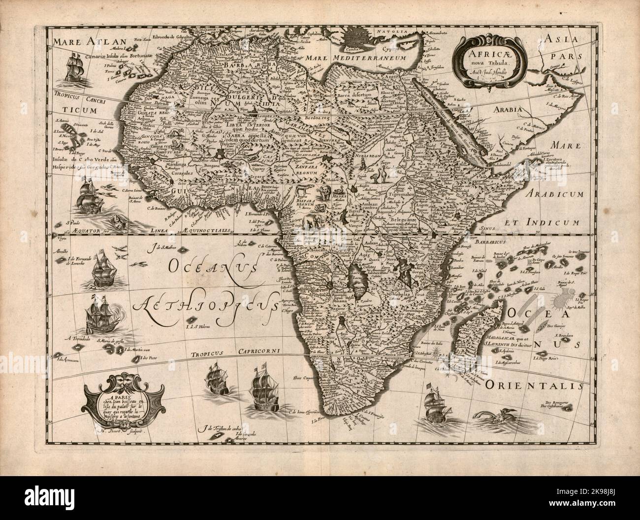 Antique map of the continent of Africa by by Dutch cartographer Jodocus Hondius ca. 1640 Stock Photohttps://www.alamy.com/image-license-details/?v=1https://www.alamy.com/antique-map-of-the-continent-of-africa-by-by-dutch-cartographer-jodocus-hondius-ca-1640-image487612178.html
RM2K98J8J–Antique map of the continent of Africa by by Dutch cartographer Jodocus Hondius ca. 1640
 Dotted Map of the African continent vector illustration Stock Vectorhttps://www.alamy.com/image-license-details/?v=1https://www.alamy.com/dotted-map-of-the-african-continent-vector-illustration-image245007709.html
RFT6H1R9–Dotted Map of the African continent vector illustration
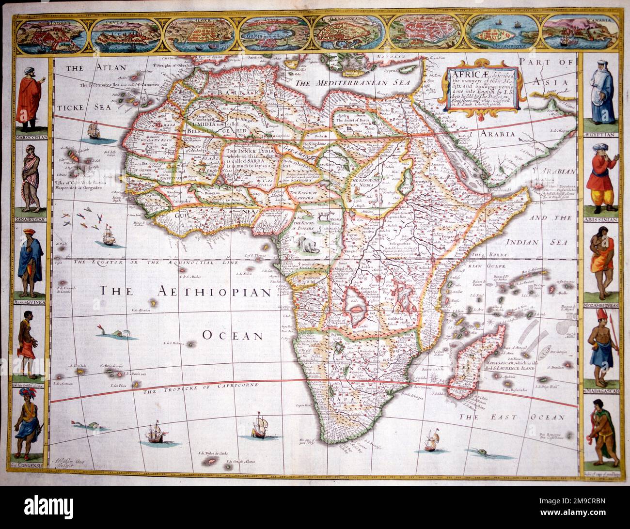 17th century Map of Africa Stock Photohttps://www.alamy.com/image-license-details/?v=1https://www.alamy.com/17th-century-map-of-africa-image504914361.html
RM2M9CRBN–17th century Map of Africa
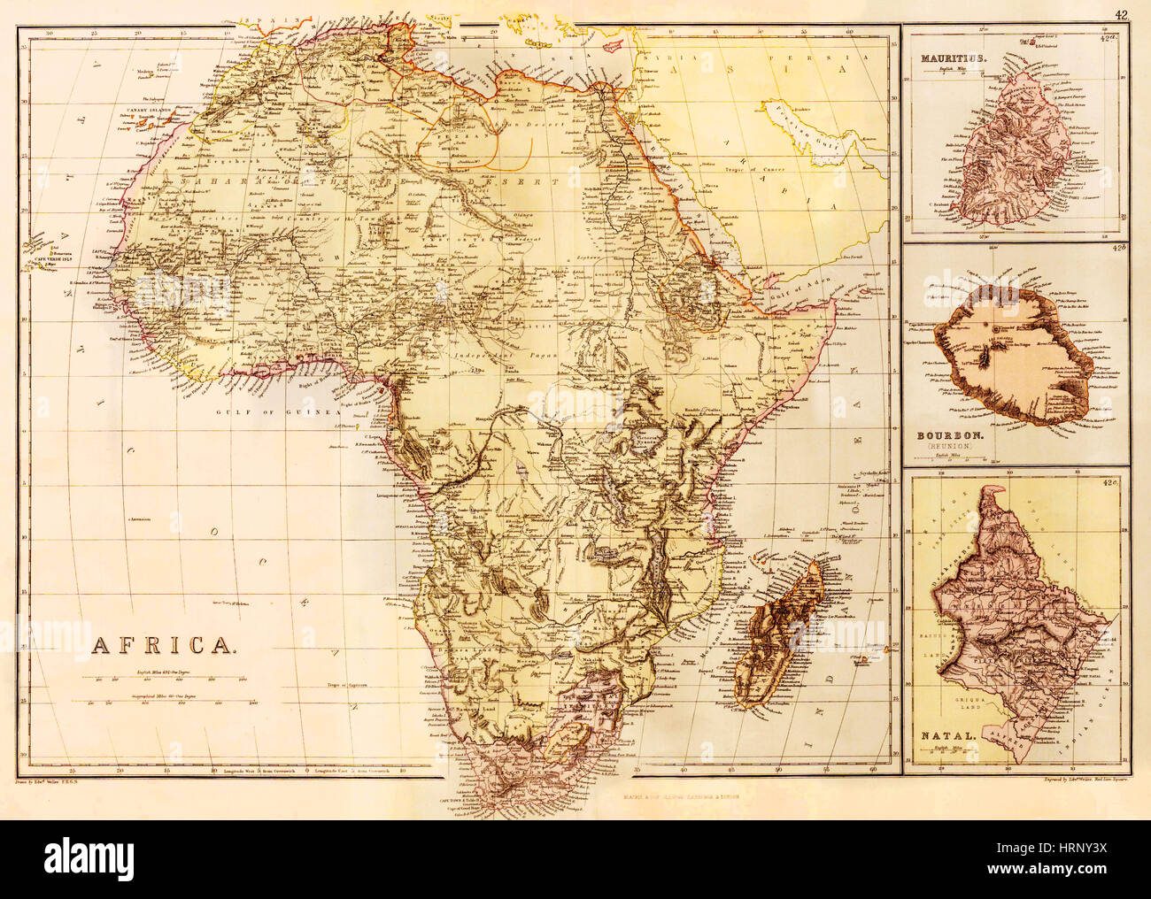 Map of Africa, c. 1850 Stock Photohttps://www.alamy.com/image-license-details/?v=1https://www.alamy.com/stock-photo-map-of-africa-c-1850-135091934.html
RMHRNY3X–Map of Africa, c. 1850
 Continent of Africa flag button Stock Photohttps://www.alamy.com/image-license-details/?v=1https://www.alamy.com/stock-image-continent-of-africa-flag-button-169191514.html
RFKR79E2–Continent of Africa flag button
 Relief map of Africa. Detail of The Africa Service Medal: South African campaign medal for service during the Second World War, awarded to members of Stock Photohttps://www.alamy.com/image-license-details/?v=1https://www.alamy.com/relief-map-of-africa-detail-of-the-africa-service-medal-south-african-campaign-medal-for-service-during-the-second-world-war-awarded-to-members-of-image213526632.html
RMPBAYB4–Relief map of Africa. Detail of The Africa Service Medal: South African campaign medal for service during the Second World War, awarded to members of
 TOGO, Tohoun, school teacher with africa map Stock Photohttps://www.alamy.com/image-license-details/?v=1https://www.alamy.com/togo-tohoun-school-teacher-with-africa-map-image373585214.html
RM2CKP7N2–TOGO, Tohoun, school teacher with africa map
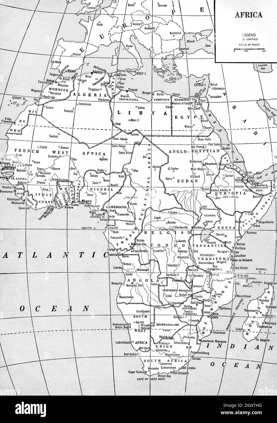 Old map of Africa, 1930's Stock Photohttps://www.alamy.com/image-license-details/?v=1https://www.alamy.com/old-map-of-africa-1930s-image62055660.html
RMDGXTHG–Old map of Africa, 1930's
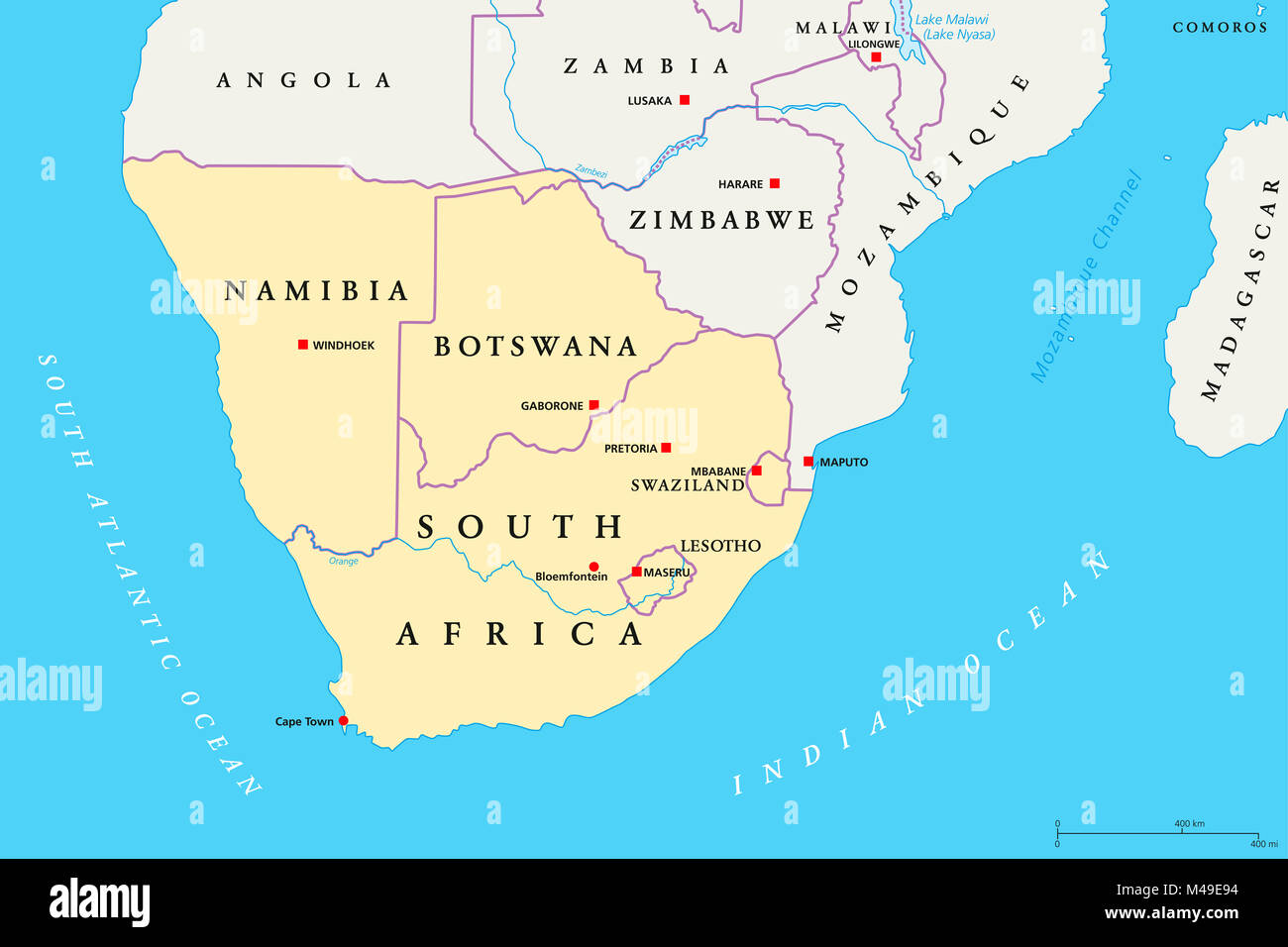 Southern Africa region political map. Southernmost region of African continent. South Africa, Namibia, Botswana, Swaziland and Lesotho. Stock Photohttps://www.alamy.com/image-license-details/?v=1https://www.alamy.com/stock-photo-southern-africa-region-political-map-southernmost-region-of-african-174771104.html
RFM49E94–Southern Africa region political map. Southernmost region of African continent. South Africa, Namibia, Botswana, Swaziland and Lesotho.
 Africa 3d golden map Stock Photohttps://www.alamy.com/image-license-details/?v=1https://www.alamy.com/stock-photo-africa-3d-golden-map-16426850.html
RFAW0M2Y–Africa 3d golden map
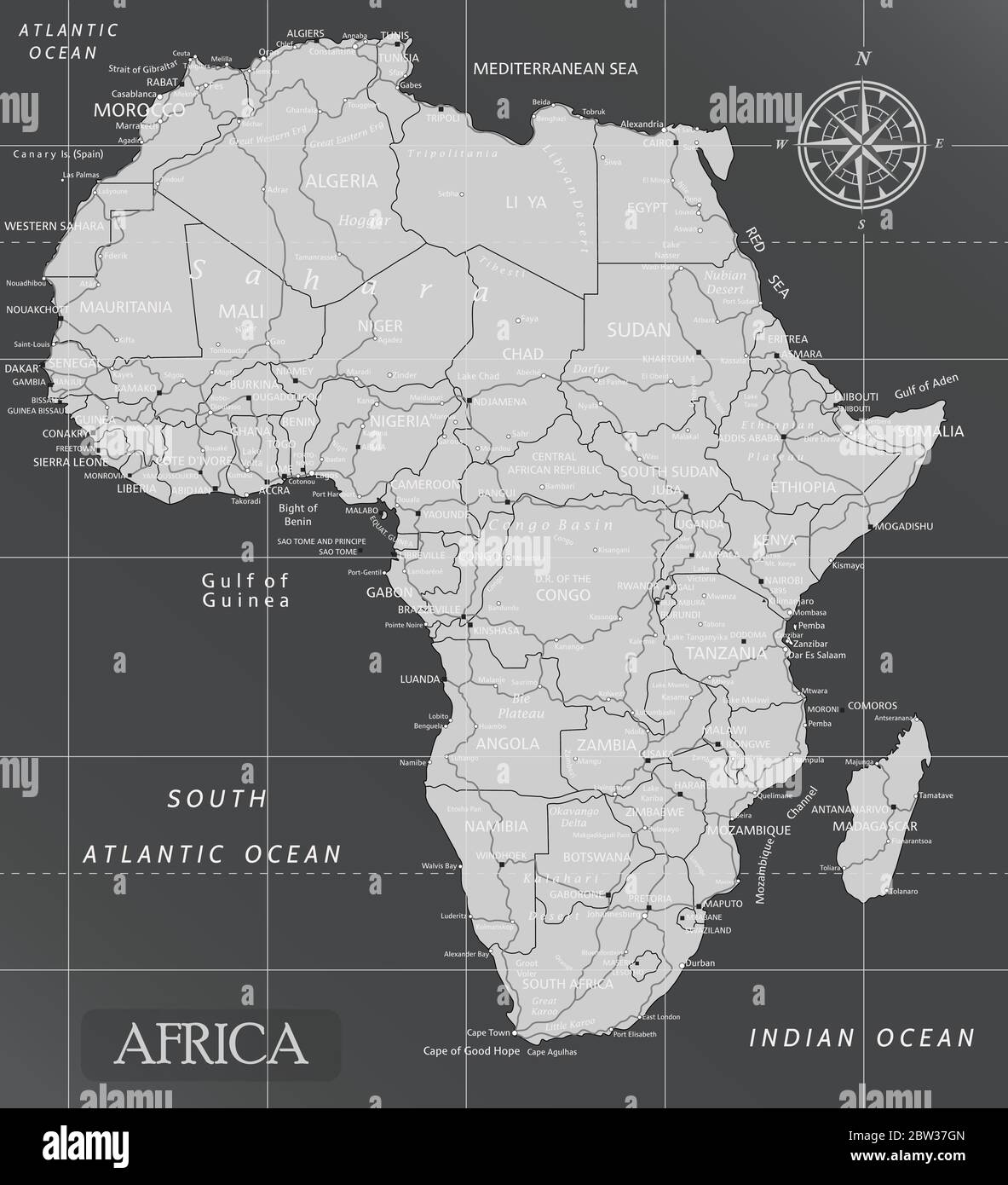 Africa minimal map with dark colors. Stock Vectorhttps://www.alamy.com/image-license-details/?v=1https://www.alamy.com/africa-minimal-map-with-dark-colors-image359645573.html
RF2BW37GN–Africa minimal map with dark colors.
 Chinese yuan on the map of Africa continent. Trading between China and african countries, tourism, economy and investment Stock Photohttps://www.alamy.com/image-license-details/?v=1https://www.alamy.com/chinese-yuan-on-the-map-of-africa-continent-trading-between-china-and-african-countries-tourism-economy-and-investment-image461499934.html
RF2HPR3TE–Chinese yuan on the map of Africa continent. Trading between China and african countries, tourism, economy and investment
 Africa continent map background illustration made of traditional african culture texture and hand fist for freedom concept or social fight. Stock Vectorhttps://www.alamy.com/image-license-details/?v=1https://www.alamy.com/africa-continent-map-background-illustration-made-of-traditional-african-culture-texture-and-hand-fist-for-freedom-concept-or-social-fight-image439184343.html
RF2GEEG33–Africa continent map background illustration made of traditional african culture texture and hand fist for freedom concept or social fight.
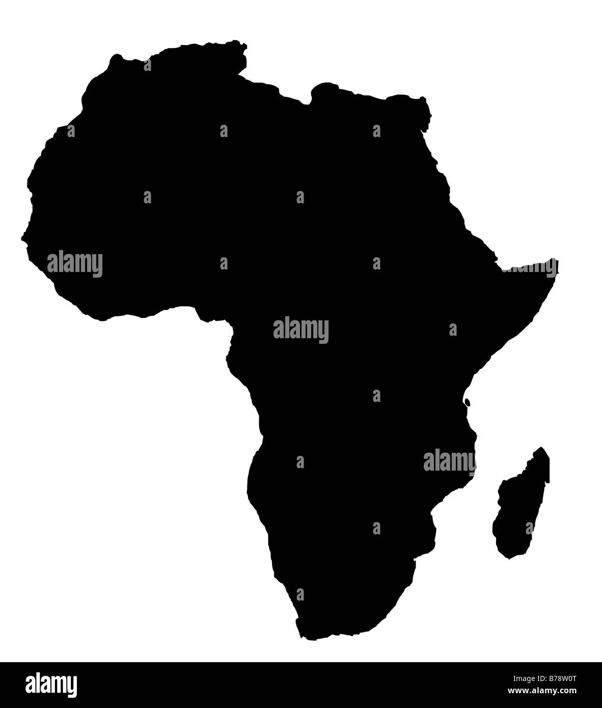 Outline map of Africa continent in black isolated on white background Stock Photohttps://www.alamy.com/image-license-details/?v=1https://www.alamy.com/stock-photo-outline-map-of-africa-continent-in-black-isolated-on-white-background-21708200.html
RMB78W0T–Outline map of Africa continent in black isolated on white background
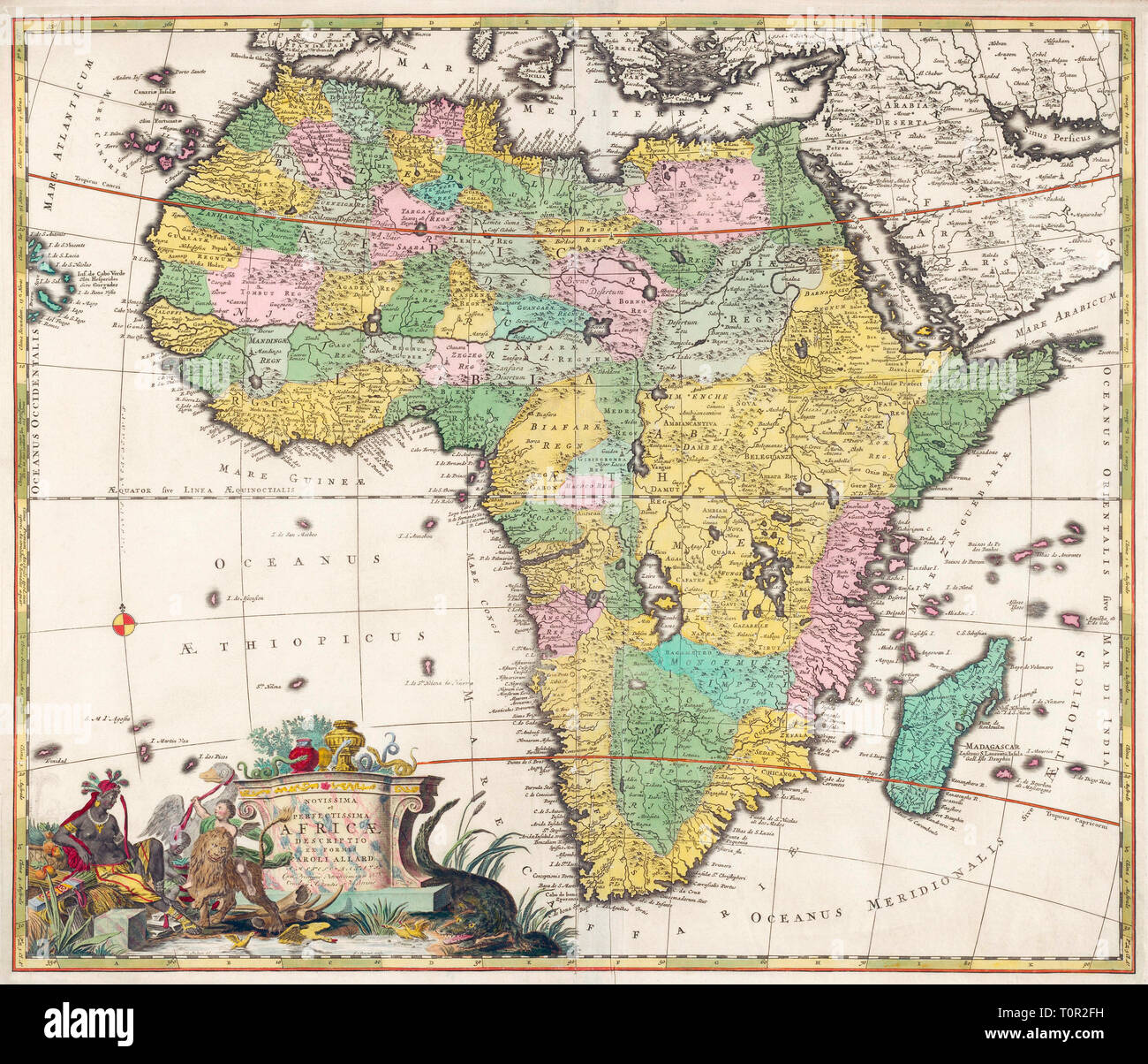 Map of Africa dating from the late 17th century published by Carel Allard, 1648 - 1709. Stock Photohttps://www.alamy.com/image-license-details/?v=1https://www.alamy.com/map-of-africa-dating-from-the-late-17th-century-published-by-carel-allard-1648-1709-image241452053.html
RMT0R2FH–Map of Africa dating from the late 17th century published by Carel Allard, 1648 - 1709.
 Black silhouette from the continent of Africa. World map illustration on the white background. Stock Photohttps://www.alamy.com/image-license-details/?v=1https://www.alamy.com/black-silhouette-from-the-continent-of-africa-world-map-illustration-on-the-white-background-image605174893.html
RF2X4G2N1–Black silhouette from the continent of Africa. World map illustration on the white background.
RF2B8WGP2–Africa map icon. isolated on white background. Vector illustration.
 Africa patterned map and frame ethnic motifs. Banner with tribal traditional grunge African pattern, elements, concept design. Vector isolated orange Stock Vectorhttps://www.alamy.com/image-license-details/?v=1https://www.alamy.com/africa-patterned-map-and-frame-ethnic-motifs-banner-with-tribal-traditional-grunge-african-pattern-elements-concept-design-vector-isolated-orange-image462516799.html
RF2HTDCW3–Africa patterned map and frame ethnic motifs. Banner with tribal traditional grunge African pattern, elements, concept design. Vector isolated orange
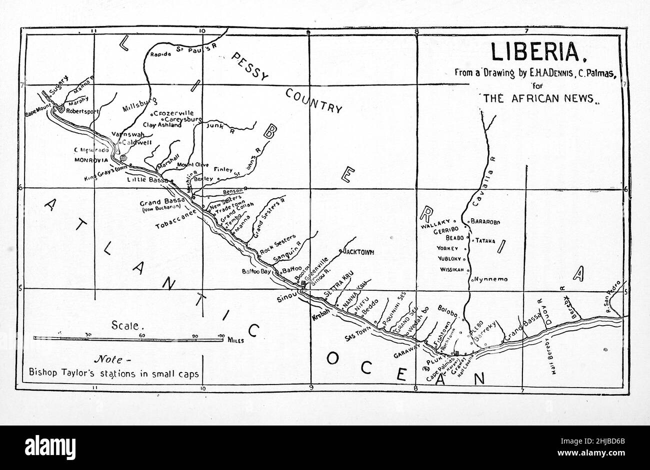 Ancient Map of the coast of Liberia from the book Stanley in Africa. The wonderful discoveries and thrilling adventures of the great African explorer, and other travelers, pioneers and missionaries by James Penny Boyd, Publisher: Philadelphia, Pa.; St. Louis, Mo., P. W. Ziegler & co in 1889 Stock Photohttps://www.alamy.com/image-license-details/?v=1https://www.alamy.com/ancient-map-of-the-coast-of-liberia-from-the-book-stanley-in-africa-the-wonderful-discoveries-and-thrilling-adventures-of-the-great-african-explorer-and-other-travelers-pioneers-and-missionaries-by-james-penny-boyd-publisher-philadelphia-pa-st-louis-mo-p-w-ziegler-co-in-1889-image458785219.html
RF2HJBD6B–Ancient Map of the coast of Liberia from the book Stanley in Africa. The wonderful discoveries and thrilling adventures of the great African explorer, and other travelers, pioneers and missionaries by James Penny Boyd, Publisher: Philadelphia, Pa.; St. Louis, Mo., P. W. Ziegler & co in 1889
 Map of Africa Stock Photohttps://www.alamy.com/image-license-details/?v=1https://www.alamy.com/stock-photo-map-of-africa-139800412.html
RMJ3CCRT–Map of Africa
 Dotted Map of the African continent. Vector illustration Stock Vectorhttps://www.alamy.com/image-license-details/?v=1https://www.alamy.com/dotted-map-of-the-african-continent-vector-illustration-image225361808.html
RFR2J380–Dotted Map of the African continent. Vector illustration
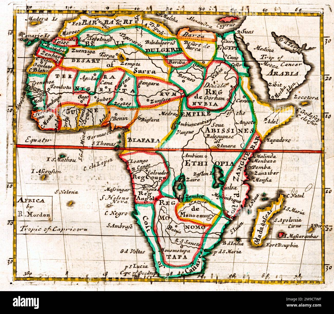 17th century Map of Africa Stock Photohttps://www.alamy.com/image-license-details/?v=1https://www.alamy.com/17th-century-map-of-africa-image504915531.html
RM2M9CTWF–17th century Map of Africa
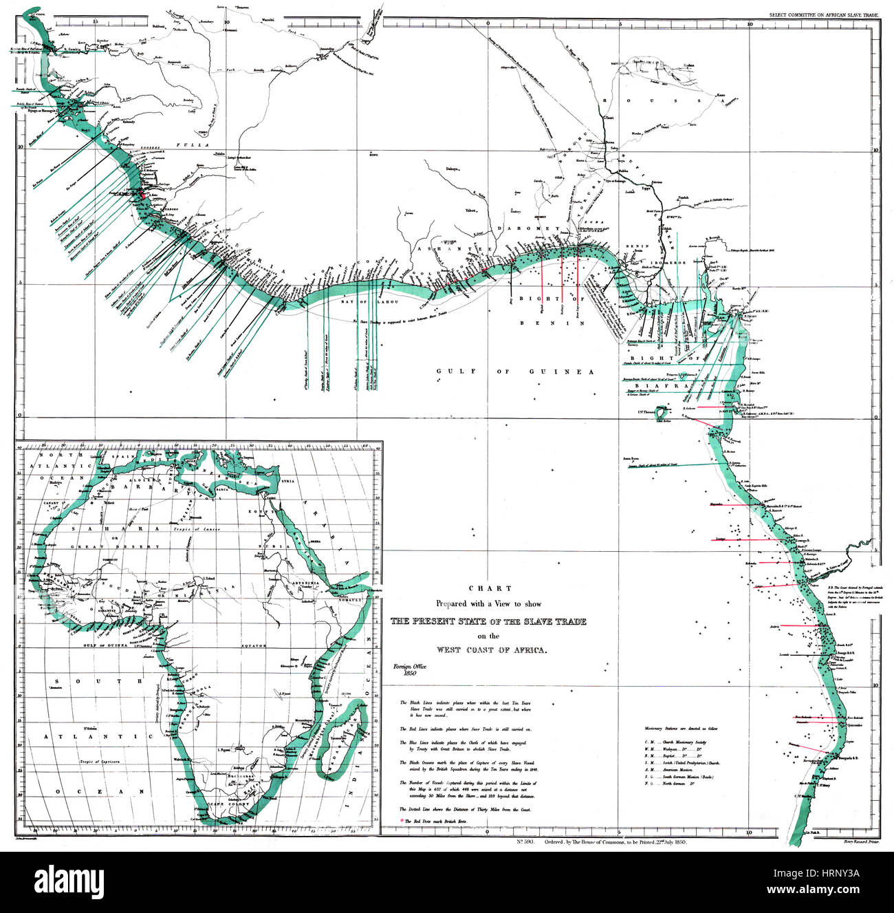 Africa Map Areas of Slave Trade, 1850 Stock Photohttps://www.alamy.com/image-license-details/?v=1https://www.alamy.com/stock-photo-africa-map-areas-of-slave-trade-1850-135091918.html
RMHRNY3A–Africa Map Areas of Slave Trade, 1850
RF2JR3E8J–Africa line map vector icon. African outline continent art flat coutour isolated african shape map
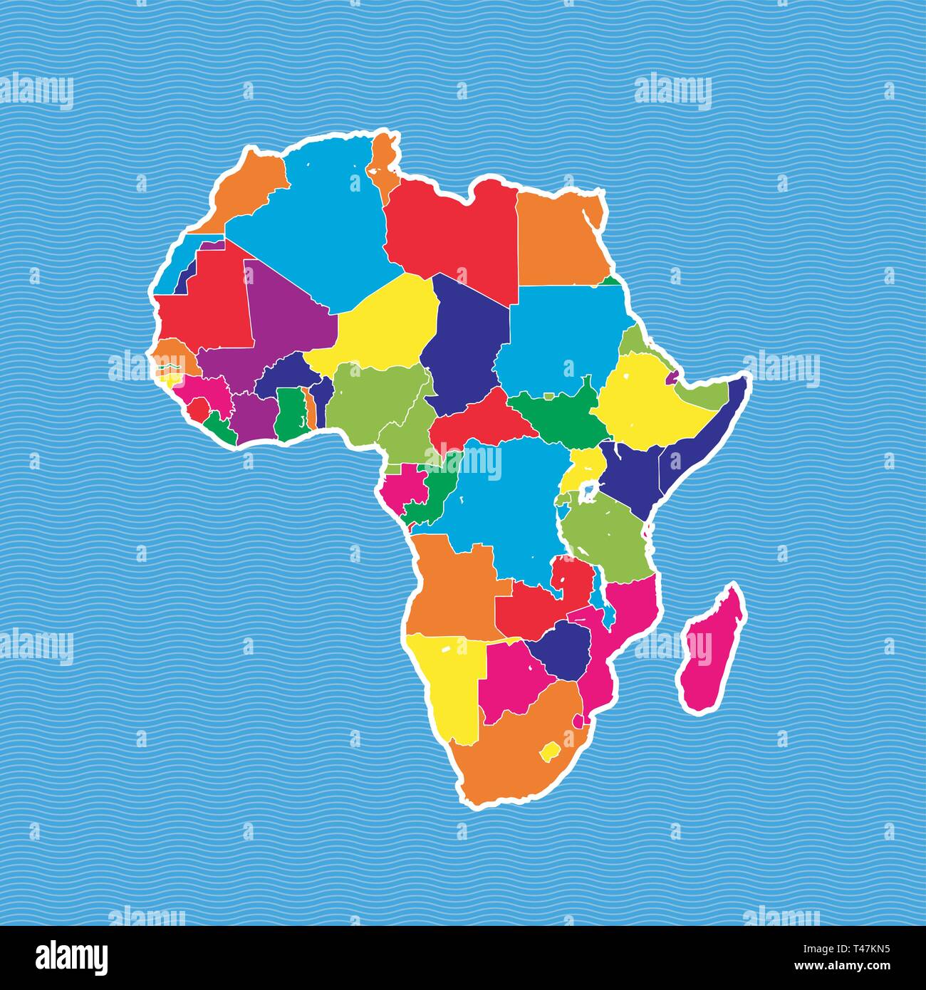 Africa political map. Colorful map separated on blue wave water background. Stock Vectorhttps://www.alamy.com/image-license-details/?v=1https://www.alamy.com/africa-political-map-colorful-map-separated-on-blue-wave-water-background-image243572929.html
RFT47KN5–Africa political map. Colorful map separated on blue wave water background.
 Africa map logo design illustration vector template Stock Vectorhttps://www.alamy.com/image-license-details/?v=1https://www.alamy.com/africa-map-logo-design-illustration-vector-template-image438495755.html
RF2GDB5PK–Africa map logo design illustration vector template
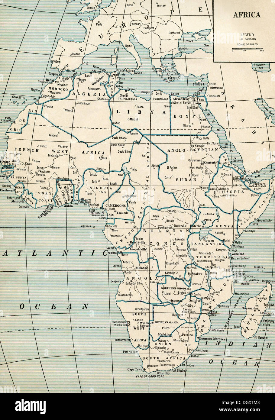 Old map of Africa, 1930's Stock Photohttps://www.alamy.com/image-license-details/?v=1https://www.alamy.com/old-map-of-africa-1930s-image62055731.html
RMDGXTM3–Old map of Africa, 1930's
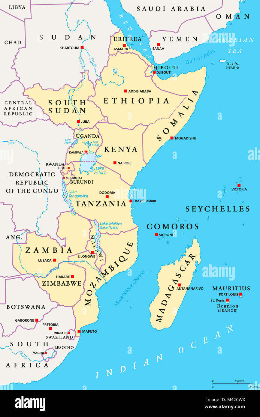 East Africa region, political map. Area with capitals, borders, lakes and important rivers. Easterly region of the African continent. Stock Photohttps://www.alamy.com/image-license-details/?v=1https://www.alamy.com/stock-photo-east-africa-region-political-map-area-with-capitals-borders-lakes-174616342.html
RFM42CWX–East Africa region, political map. Area with capitals, borders, lakes and important rivers. Easterly region of the African continent.
 Africa 3d golden map Stock Photohttps://www.alamy.com/image-license-details/?v=1https://www.alamy.com/stock-photo-africa-3d-golden-map-23017065.html
RFB9CEE1–Africa 3d golden map
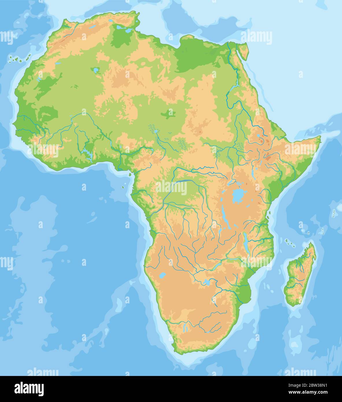 High detailed Africa physical map. Stock Vectorhttps://www.alamy.com/image-license-details/?v=1https://www.alamy.com/high-detailed-africa-physical-map-image359646477.html
RF2BW38N1–High detailed Africa physical map.
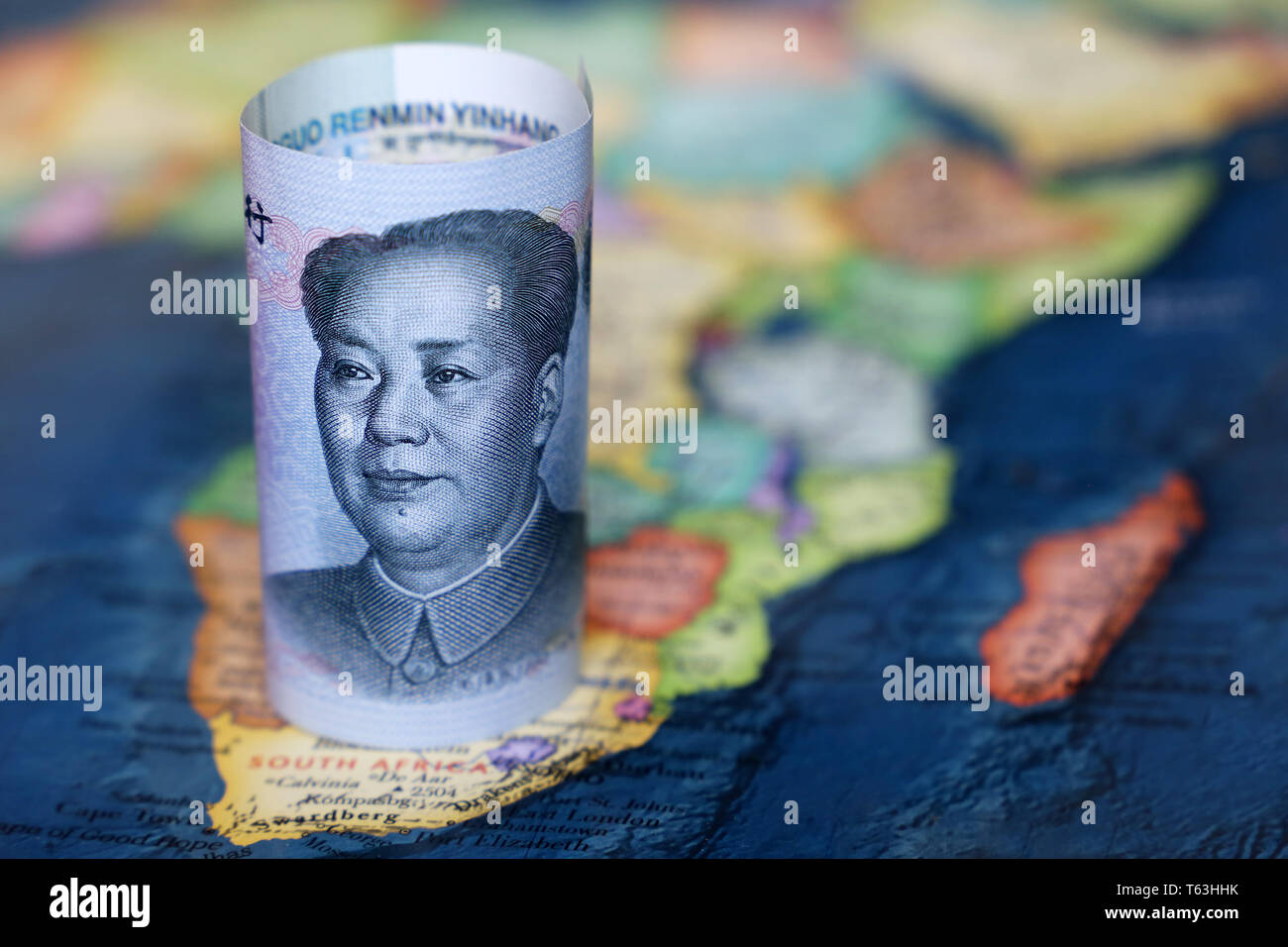 Chinese yuan on the map of Africa continent. Trading between China and african countries, tourism, economy and investment Stock Photohttps://www.alamy.com/image-license-details/?v=1https://www.alamy.com/chinese-yuan-on-the-map-of-africa-continent-trading-between-china-and-african-countries-tourism-economy-and-investment-image244712767.html
RFT63HHK–Chinese yuan on the map of Africa continent. Trading between China and african countries, tourism, economy and investment
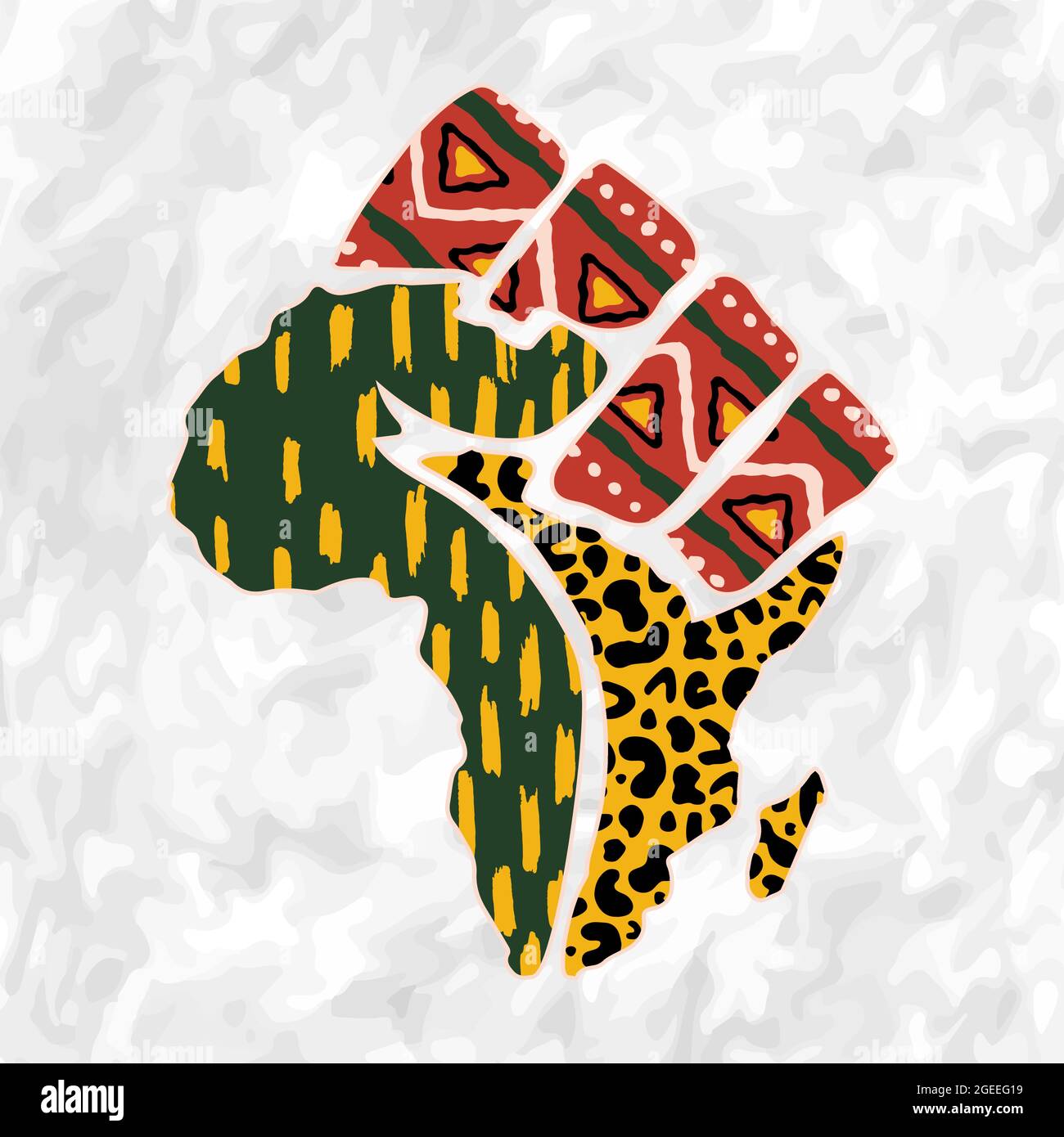 Africa continent map shape illustration made of traditional african culture texture and hand fist on isolated background for freedom concept. Stock Vectorhttps://www.alamy.com/image-license-details/?v=1https://www.alamy.com/africa-continent-map-shape-illustration-made-of-traditional-african-culture-texture-and-hand-fist-on-isolated-background-for-freedom-concept-image439184293.html
RF2GEEG19–Africa continent map shape illustration made of traditional african culture texture and hand fist on isolated background for freedom concept.
 Outline map of Africa continent in green isolated on white background Stock Photohttps://www.alamy.com/image-license-details/?v=1https://www.alamy.com/stock-photo-outline-map-of-africa-continent-in-green-isolated-on-white-background-21708163.html
RMB78TYF–Outline map of Africa continent in green isolated on white background
 Map of Africa in the 17th century. Nova Africa Descriptio, published in Amsterdam in 1660s by Dutch cartographer Frederik de Wit Stock Photohttps://www.alamy.com/image-license-details/?v=1https://www.alamy.com/stock-photo-map-of-africa-in-the-17th-century-nova-africa-descriptio-published-27939340.html
RMBHCMWG–Map of Africa in the 17th century. Nova Africa Descriptio, published in Amsterdam in 1660s by Dutch cartographer Frederik de Wit
 Africa hand drawn map, continent silhouette, stylized contour borders, black line. Stock Vectorhttps://www.alamy.com/image-license-details/?v=1https://www.alamy.com/africa-hand-drawn-map-continent-silhouette-stylized-contour-borders-black-line-image611852181.html
RF2XFC7KH–Africa hand drawn map, continent silhouette, stylized contour borders, black line.
 Vector map silhouette of Africa, showcasing its distinct shape and geographical layout. Ideal for educational and design purpose, graphic emphasizes the continent borders without any details. Stock Vectorhttps://www.alamy.com/image-license-details/?v=1https://www.alamy.com/vector-map-silhouette-of-africa-showcasing-its-distinct-shape-and-geographical-layout-ideal-for-educational-and-design-purpose-graphic-emphasizes-the-continent-borders-without-any-details-image616141220.html
RF2XPBJBG–Vector map silhouette of Africa, showcasing its distinct shape and geographical layout. Ideal for educational and design purpose, graphic emphasizes the continent borders without any details.
 Africa patterned map silhouette. Banner with tribal traditional grunge African pattern, elements, concept design. Vector isolated on white background Stock Vectorhttps://www.alamy.com/image-license-details/?v=1https://www.alamy.com/africa-patterned-map-silhouette-banner-with-tribal-traditional-grunge-african-pattern-elements-concept-design-vector-isolated-on-white-background-image455141474.html
RF2HCDDGJ–Africa patterned map silhouette. Banner with tribal traditional grunge African pattern, elements, concept design. Vector isolated on white background
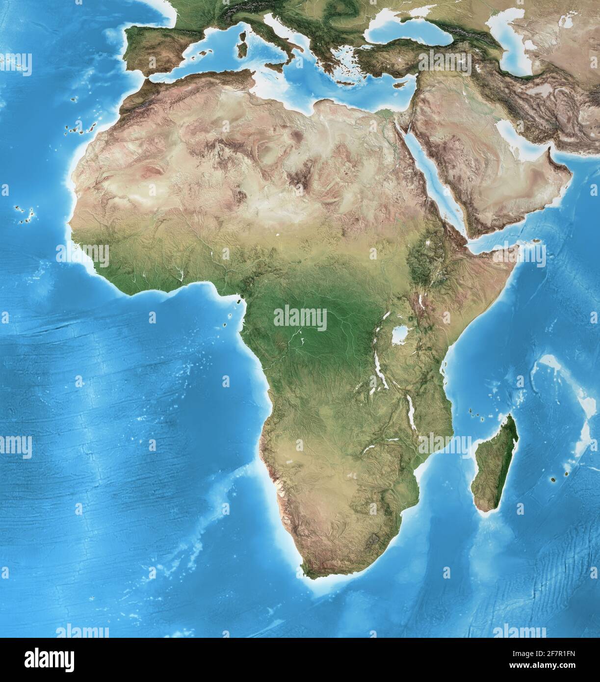 Physical map of Africa, with high resolution details. Flattened satellite view of Planet Earth and its geography - Elements furnished by NASA Stock Photohttps://www.alamy.com/image-license-details/?v=1https://www.alamy.com/physical-map-of-africa-with-high-resolution-details-flattened-satellite-view-of-planet-earth-and-its-geography-elements-furnished-by-nasa-image417857545.html
RF2F7R1FN–Physical map of Africa, with high resolution details. Flattened satellite view of Planet Earth and its geography - Elements furnished by NASA
 Vector layered paper cut style map of Africa continent. Travel poster, banner. Stock Vectorhttps://www.alamy.com/image-license-details/?v=1https://www.alamy.com/vector-layered-paper-cut-style-map-of-africa-continent-travel-poster-banner-image387793539.html
RF2DEWEH7–Vector layered paper cut style map of Africa continent. Travel poster, banner.
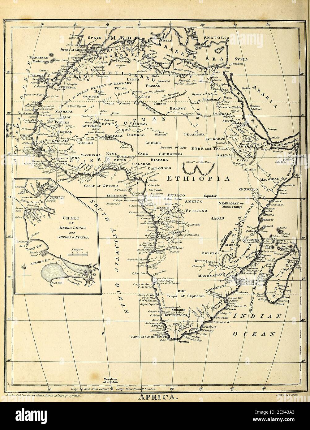 19th century map of Africa Copperplate engraving From the Encyclopaedia Londinensis or, Universal dictionary of arts, sciences, and literature; Volume I; Edited by Wilkes, John. Published in London in 1810 Stock Photohttps://www.alamy.com/image-license-details/?v=1https://www.alamy.com/19th-century-map-of-africa-copperplate-engraving-from-the-encyclopaedia-londinensis-or-universal-dictionary-of-arts-sciences-and-literature-volume-i-edited-by-wilkes-john-published-in-london-in-1810-image401460811.html
RF2E943A3–19th century map of Africa Copperplate engraving From the Encyclopaedia Londinensis or, Universal dictionary of arts, sciences, and literature; Volume I; Edited by Wilkes, John. Published in London in 1810
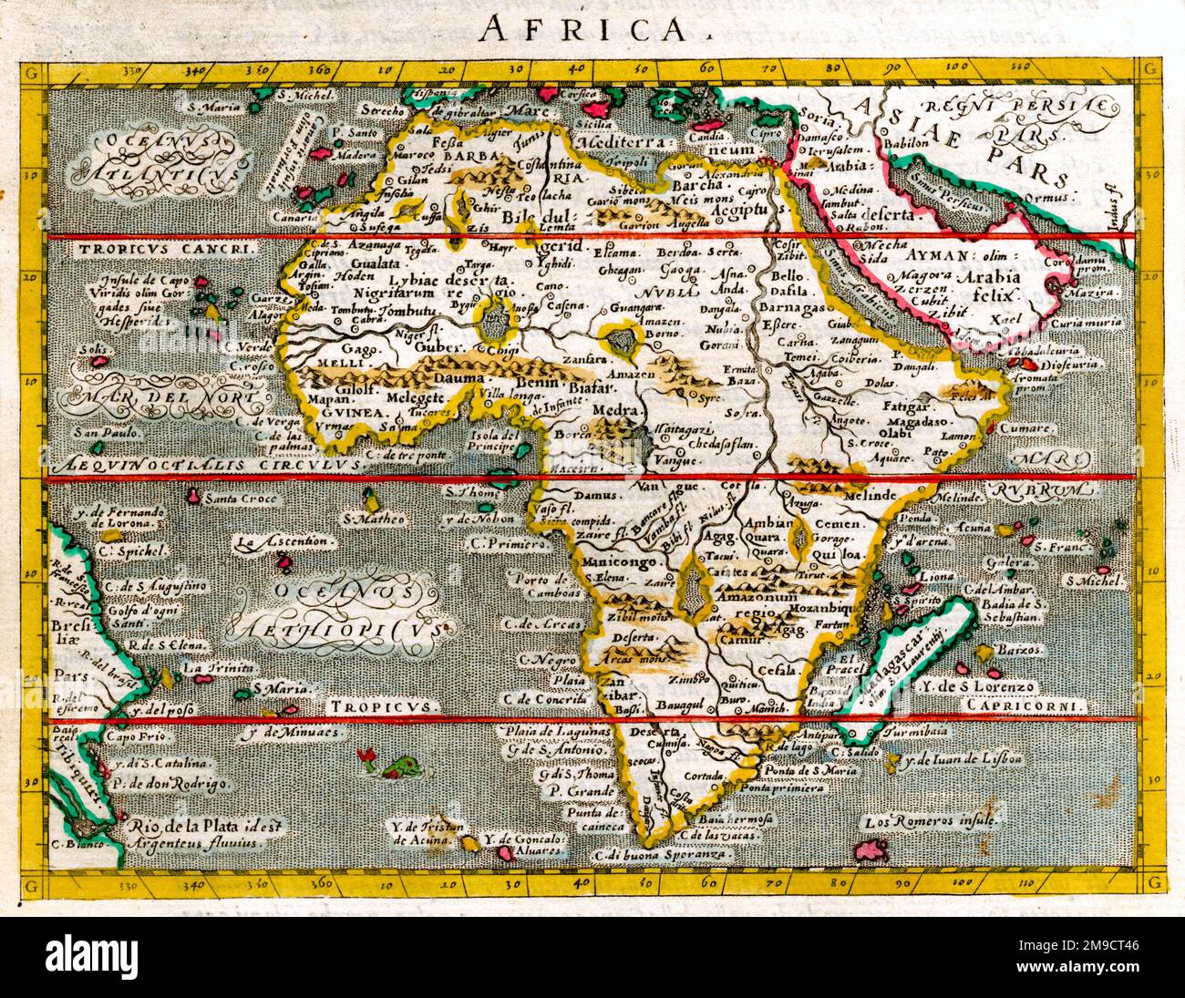 16th century Map of Africa Stock Photohttps://www.alamy.com/image-license-details/?v=1https://www.alamy.com/16th-century-map-of-africa-image504914934.html
RM2M9CT46–16th century Map of Africa
RFJBAA67–pixel map gray - continent africa
RF2H811JW–Africa line map vector icon. African outline continent art flat coutour isolated african shape map
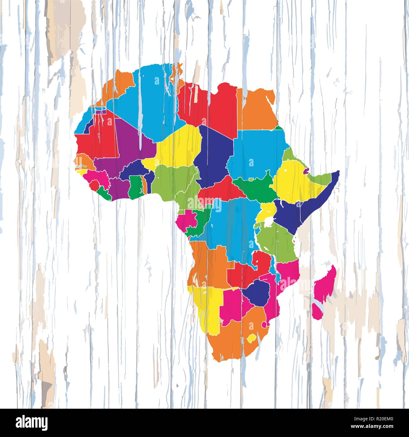 Colorful map of African Coutries. Vector illustration template for wall art and marketing in square format. Stock Vectorhttps://www.alamy.com/image-license-details/?v=1https://www.alamy.com/colorful-map-of-african-coutries-vector-illustration-template-for-wall-art-and-marketing-in-square-format-image224975632.html
RFR20EM0–Colorful map of African Coutries. Vector illustration template for wall art and marketing in square format.
 Old school world wall map Africa Sahara Niger Congo French cartography Stock Photohttps://www.alamy.com/image-license-details/?v=1https://www.alamy.com/stock-photo-old-school-world-wall-map-africa-sahara-niger-congo-french-cartography-74617002.html
RME9B2MX–Old school world wall map Africa Sahara Niger Congo French cartography
 17th century map of the African continent Africae Accurata Tabula ex officina Nic. Visscher by Nicolaes Visscher Stock Photohttps://www.alamy.com/image-license-details/?v=1https://www.alamy.com/17th-century-map-of-the-african-continent-africae-accurata-tabula-ex-officina-nic-visscher-by-nicolaes-visscher-image262834664.html
RMW7H488–17th century map of the African continent Africae Accurata Tabula ex officina Nic. Visscher by Nicolaes Visscher
 Central Africa region, political map. Area with capitals, borders, lakes and important rivers. Core region of the African continent. Stock Photohttps://www.alamy.com/image-license-details/?v=1https://www.alamy.com/stock-photo-central-africa-region-political-map-area-with-capitals-borders-lakes-174459530.html
RFM3R8WE–Central Africa region, political map. Area with capitals, borders, lakes and important rivers. Core region of the African continent.
 Africa 3d golden map Stock Photohttps://www.alamy.com/image-license-details/?v=1https://www.alamy.com/stock-photo-africa-3d-golden-map-26079895.html
RFBEC14R–Africa 3d golden map
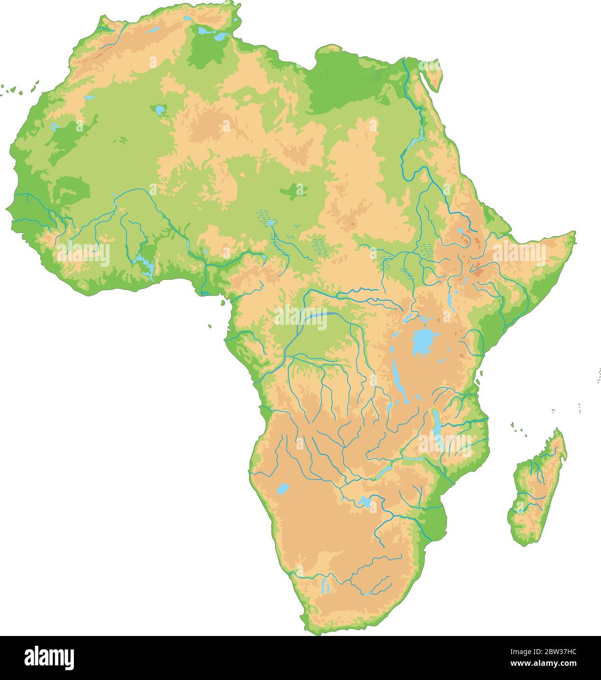 High detailed Africa physical map. Stock Vectorhttps://www.alamy.com/image-license-details/?v=1https://www.alamy.com/high-detailed-africa-physical-map-image359645592.html
RF2BW37HC–High detailed Africa physical map.
 Wild african giraffe Stock Vectorhttps://www.alamy.com/image-license-details/?v=1https://www.alamy.com/wild-african-giraffe-image502577004.html
RF2M5JA2M–Wild african giraffe
 Africa continent map shape illustration concept made of traditional african culture decoration and colorful tribal art texture on isolated background. Stock Vectorhttps://www.alamy.com/image-license-details/?v=1https://www.alamy.com/africa-continent-map-shape-illustration-concept-made-of-traditional-african-culture-decoration-and-colorful-tribal-art-texture-on-isolated-background-image439184205.html
RF2GEEFX5–Africa continent map shape illustration concept made of traditional african culture decoration and colorful tribal art texture on isolated background.
 Outline map of Africa continent in green isolated on blue background Stock Photohttps://www.alamy.com/image-license-details/?v=1https://www.alamy.com/stock-photo-outline-map-of-africa-continent-in-green-isolated-on-blue-background-21708503.html
RMB78WBK–Outline map of Africa continent in green isolated on blue background
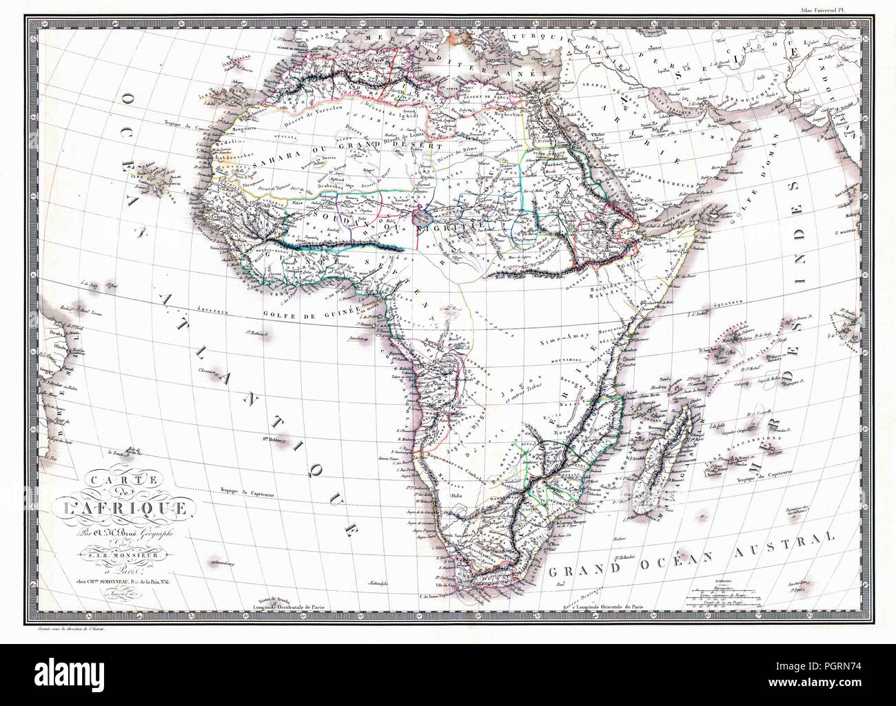 Map of the African continent by the geographer A.H. Brue, published in Paris January 1820. Stock Photohttps://www.alamy.com/image-license-details/?v=1https://www.alamy.com/map-of-the-african-continent-by-the-geographer-ah-brue-published-in-paris-january-1820-image216880472.html
RMPGRN74–Map of the African continent by the geographer A.H. Brue, published in Paris January 1820.
RF2F756NA–Blue hexagonal pixel map of Africa. Vector illustration African continent hexagon map dotted mosaic. Administrative border, land composition.
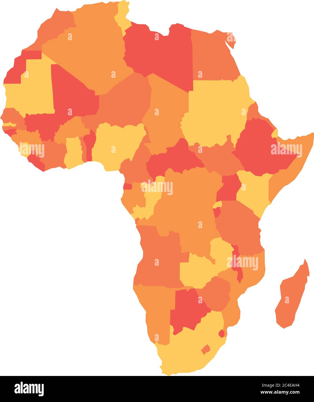 Orange political map of Africa. Vector illustration. Stock Vectorhttps://www.alamy.com/image-license-details/?v=1https://www.alamy.com/orange-political-map-of-africa-vector-illustration-image364192000.html
RF2C4EAH4–Orange political map of Africa. Vector illustration.
 ethnic Africa map of the continent and the mainland. African Mandala. Textured vector map of Africa. Hand drawn ethno print pattern, tribal background Stock Vectorhttps://www.alamy.com/image-license-details/?v=1https://www.alamy.com/ethnic-africa-map-of-the-continent-and-the-mainland-african-mandala-textured-vector-map-of-africa-hand-drawn-ethno-print-pattern-tribal-background-image453644119.html
RF2HA17KK–ethnic Africa map of the continent and the mainland. African Mandala. Textured vector map of Africa. Hand drawn ethno print pattern, tribal background
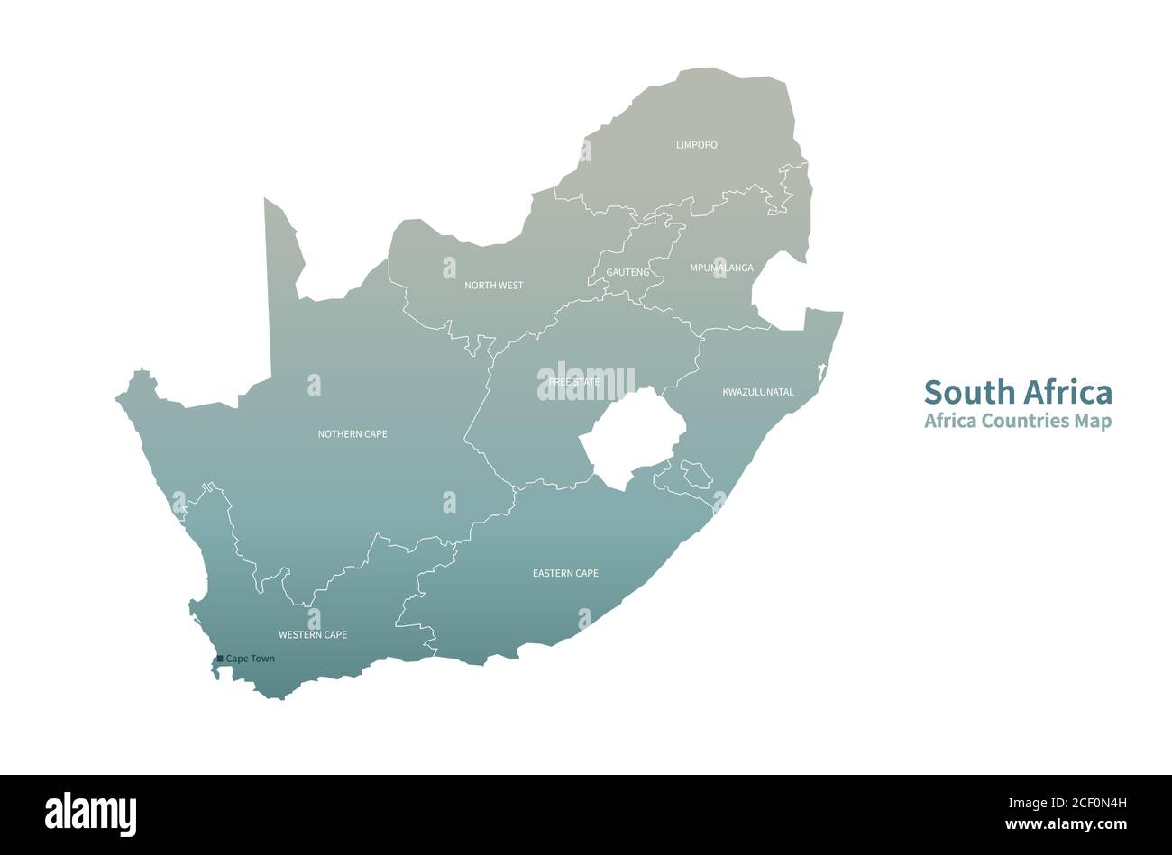 South Africa Vector map. African Countries map. Stock Vectorhttps://www.alamy.com/image-license-details/?v=1https://www.alamy.com/south-africa-vector-map-african-countries-map-image370654161.html
RF2CF0N4H–South Africa Vector map. African Countries map.
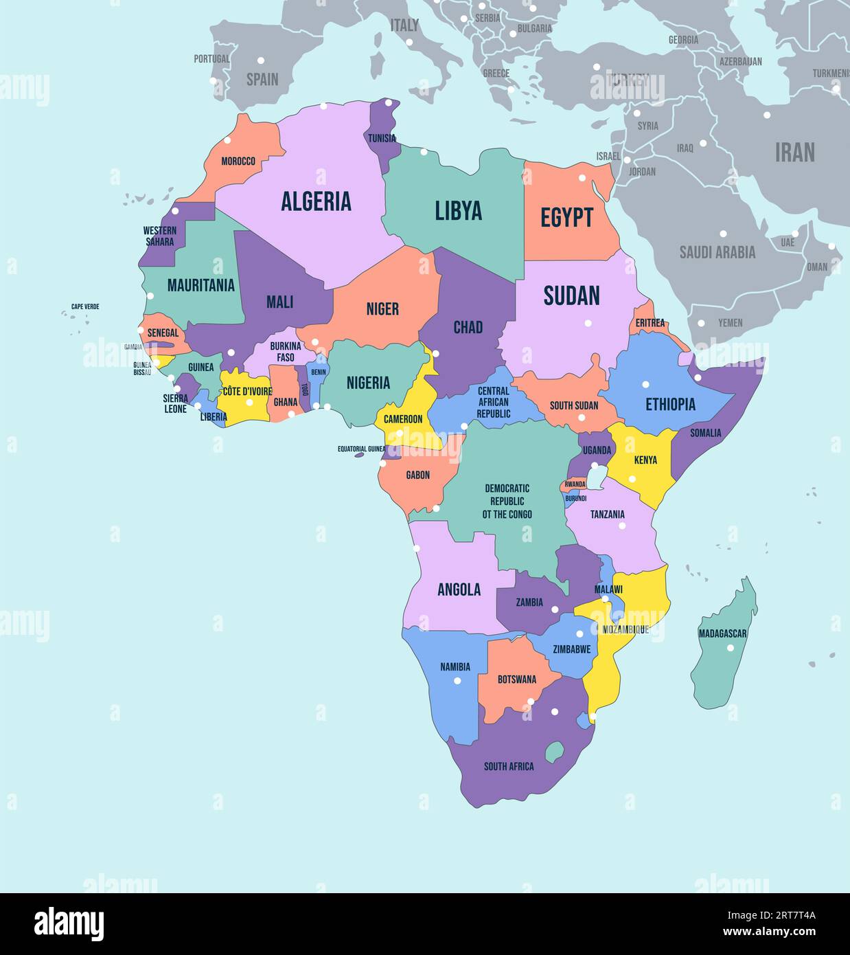 Political Map of Africa continent. English labeled countries names and Africa region borders vector illustration Stock Vectorhttps://www.alamy.com/image-license-details/?v=1https://www.alamy.com/political-map-of-africa-continent-english-labeled-countries-names-and-africa-region-borders-vector-illustration-image565656122.html
RF2RT7T4A–Political Map of Africa continent. English labeled countries names and Africa region borders vector illustration
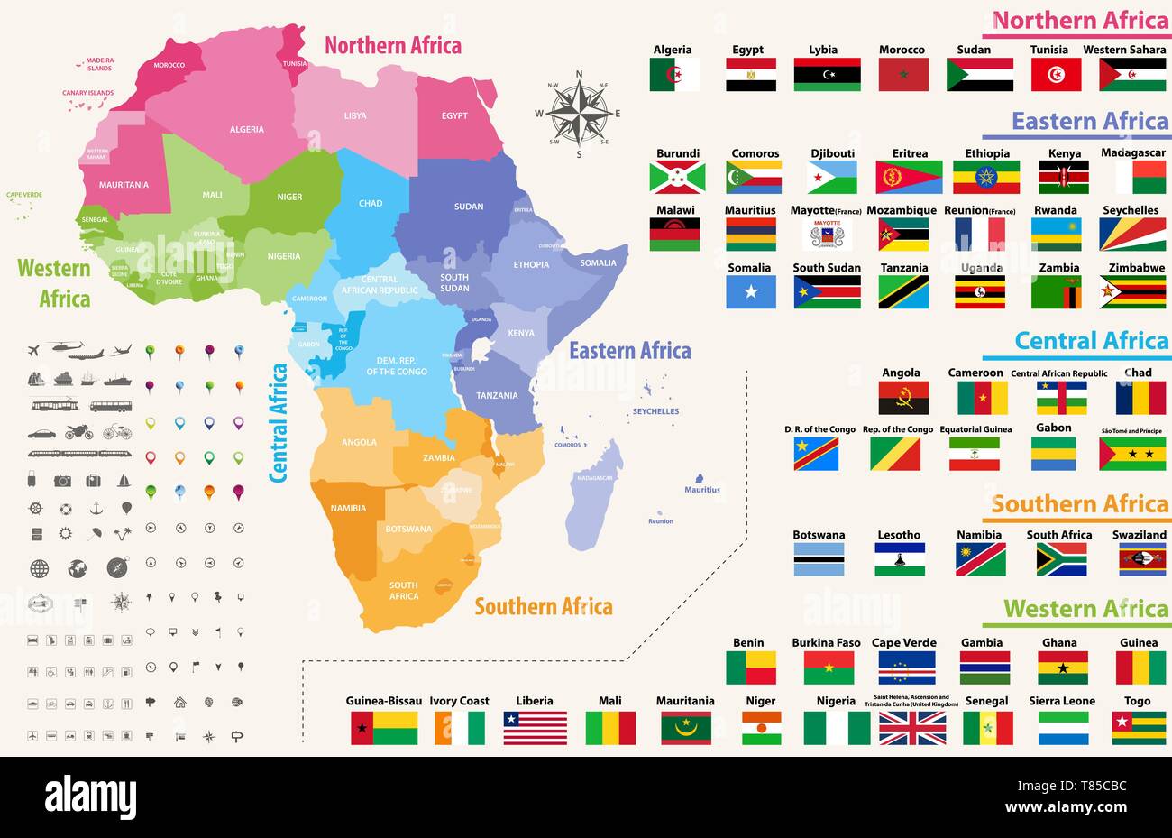 vector map of Africa continent colored by regions. All flags of African countries Stock Vectorhttps://www.alamy.com/image-license-details/?v=1https://www.alamy.com/vector-map-of-africa-continent-colored-by-regions-all-flags-of-african-countries-image245981888.html
RFT85CBC–vector map of Africa continent colored by regions. All flags of African countries
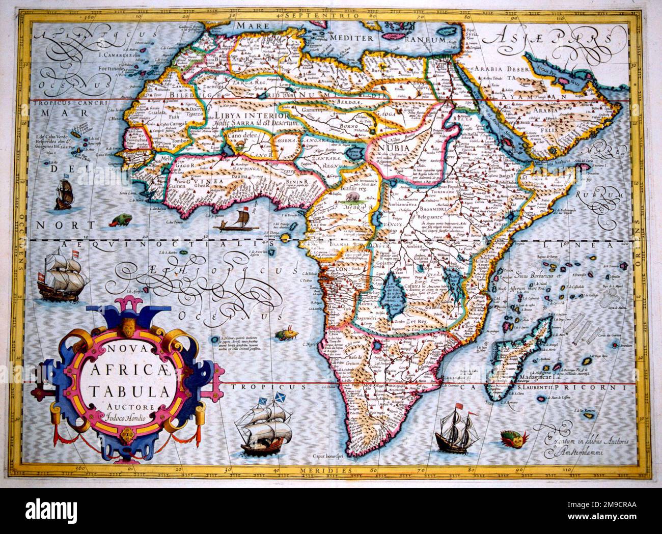 17th century Map of Africa Stock Photohttps://www.alamy.com/image-license-details/?v=1https://www.alamy.com/17th-century-map-of-africa-image504914322.html
RM2M9CRAA–17th century Map of Africa
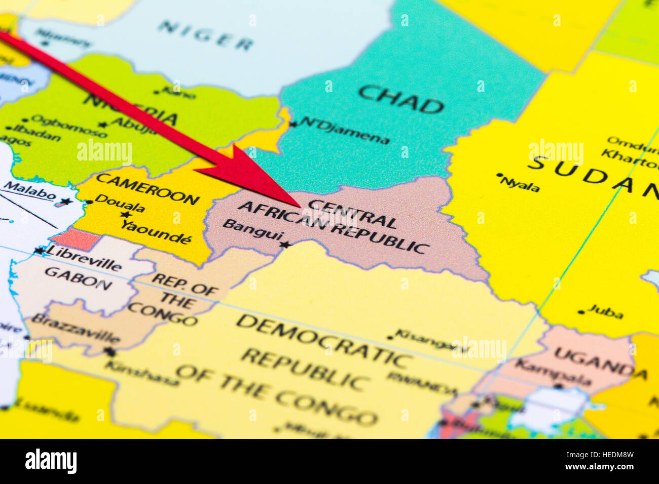 Red arrow pointing Central African Republic on the map of Africa continent Stock Photohttps://www.alamy.com/image-license-details/?v=1https://www.alamy.com/stock-photo-red-arrow-pointing-central-african-republic-on-the-map-of-africa-continent-129379065.html
RMHEDM8W–Red arrow pointing Central African Republic on the map of Africa continent
 Africa Map Stock Photohttps://www.alamy.com/image-license-details/?v=1https://www.alamy.com/stock-photo-africa-map-91712737.html
RFF95TEW–Africa Map
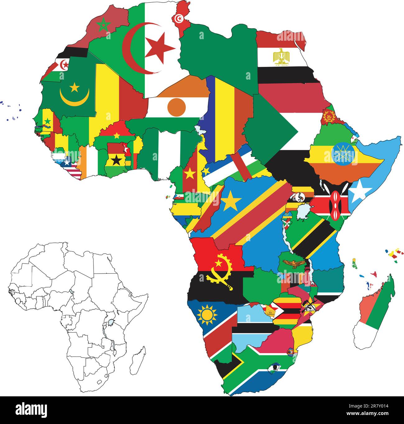 Vector illustration for the continent of Africa. Over 50 countries including several small islands, rivers and lakes not visible unless zoomed in. ... Stock Vectorhttps://www.alamy.com/image-license-details/?v=1https://www.alamy.com/vector-illustration-for-the-continent-of-africa-over-50-countries-including-several-small-islands-rivers-and-lakes-not-visible-unless-zoomed-in-image555627104.html
RF2R7Y014–Vector illustration for the continent of Africa. Over 50 countries including several small islands, rivers and lakes not visible unless zoomed in. ...
 Pakistan VS South Africa flags. Islamic Republic of Pakistan VS South African flags, isolated on grey world map background. Vector illustration. Stock Vectorhttps://www.alamy.com/image-license-details/?v=1https://www.alamy.com/pakistan-vs-south-africa-flags-islamic-republic-of-pakistan-vs-south-african-flags-isolated-on-grey-world-map-background-vector-illustration-image485201027.html
RF2K5APT3–Pakistan VS South Africa flags. Islamic Republic of Pakistan VS South African flags, isolated on grey world map background. Vector illustration.
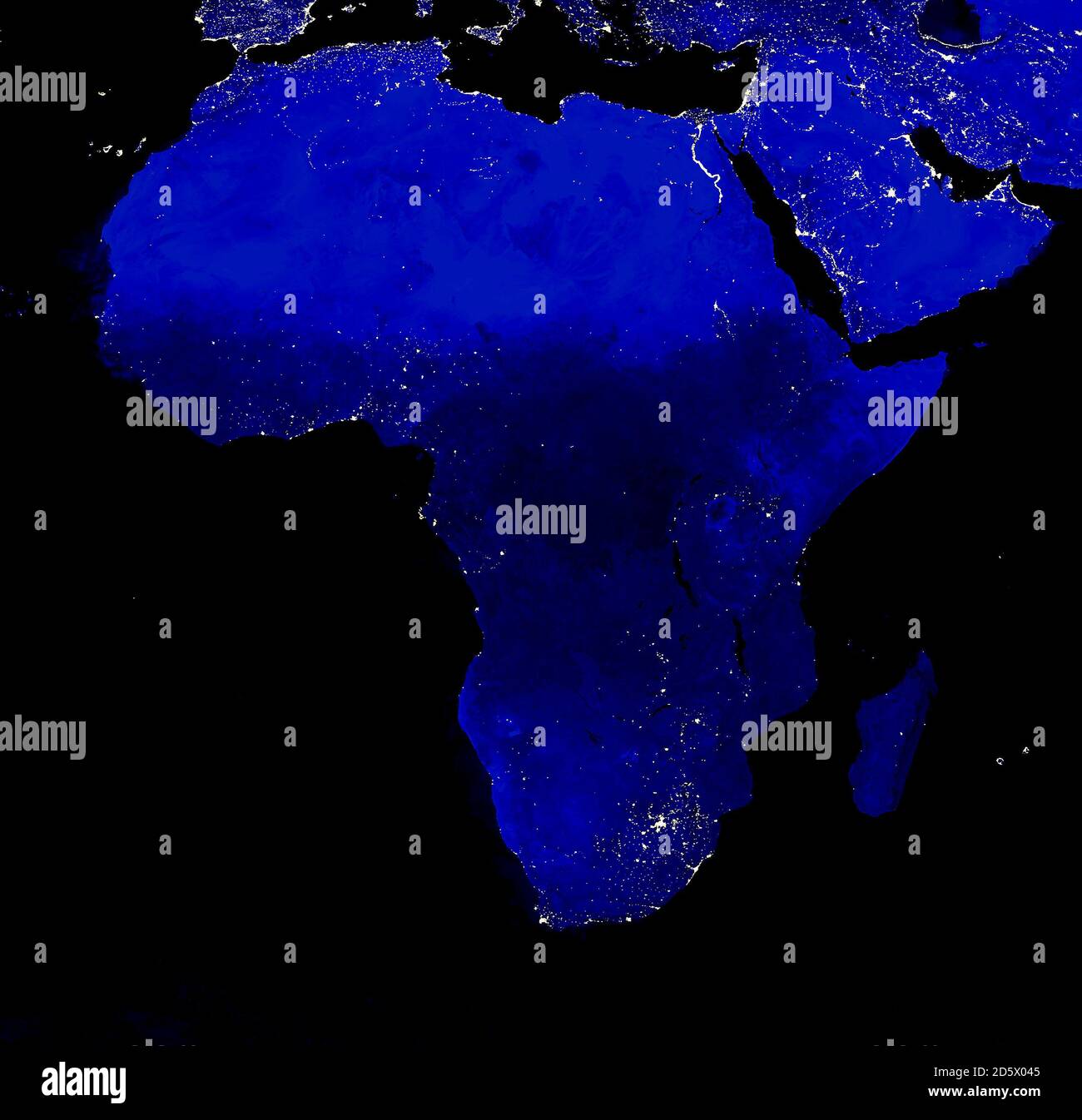 African continent electric lights map at night. City lights. Map of Africa. View from outer space Stock Photohttps://www.alamy.com/image-license-details/?v=1https://www.alamy.com/african-continent-electric-lights-map-at-night-city-lights-map-of-africa-view-from-outer-space-image382272245.html
RF2D5X045–African continent electric lights map at night. City lights. Map of Africa. View from outer space
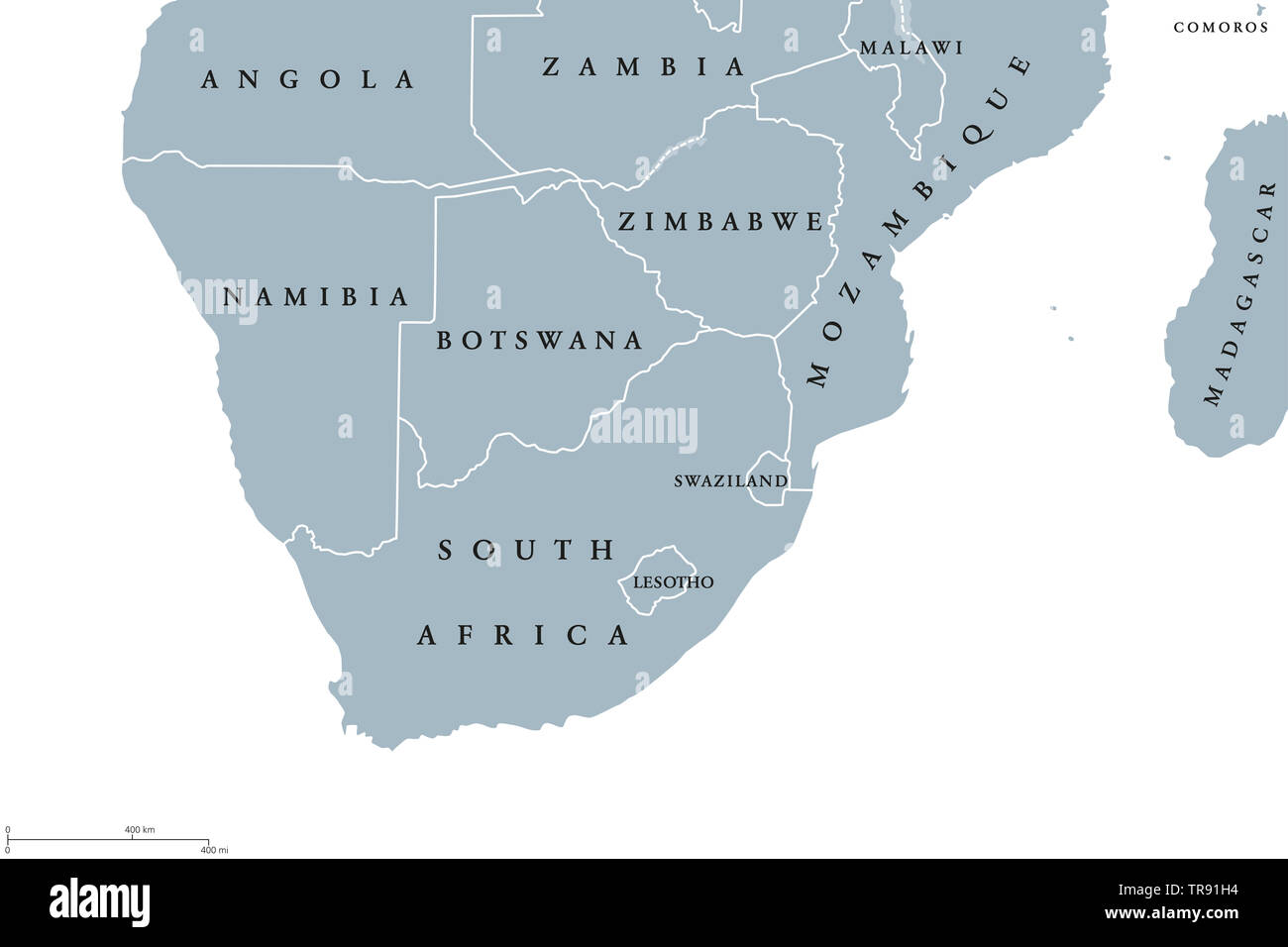 Southern Africa region political map. Southernmost region of African continent. South Africa, Namibia, Botswana, Swaziland and Lesotho. English. Stock Photohttps://www.alamy.com/image-license-details/?v=1https://www.alamy.com/southern-africa-region-political-map-southernmost-region-of-african-continent-south-africa-namibia-botswana-swaziland-and-lesotho-english-image255281072.html
RFTR91H4–Southern Africa region political map. Southernmost region of African continent. South Africa, Namibia, Botswana, Swaziland and Lesotho. English.
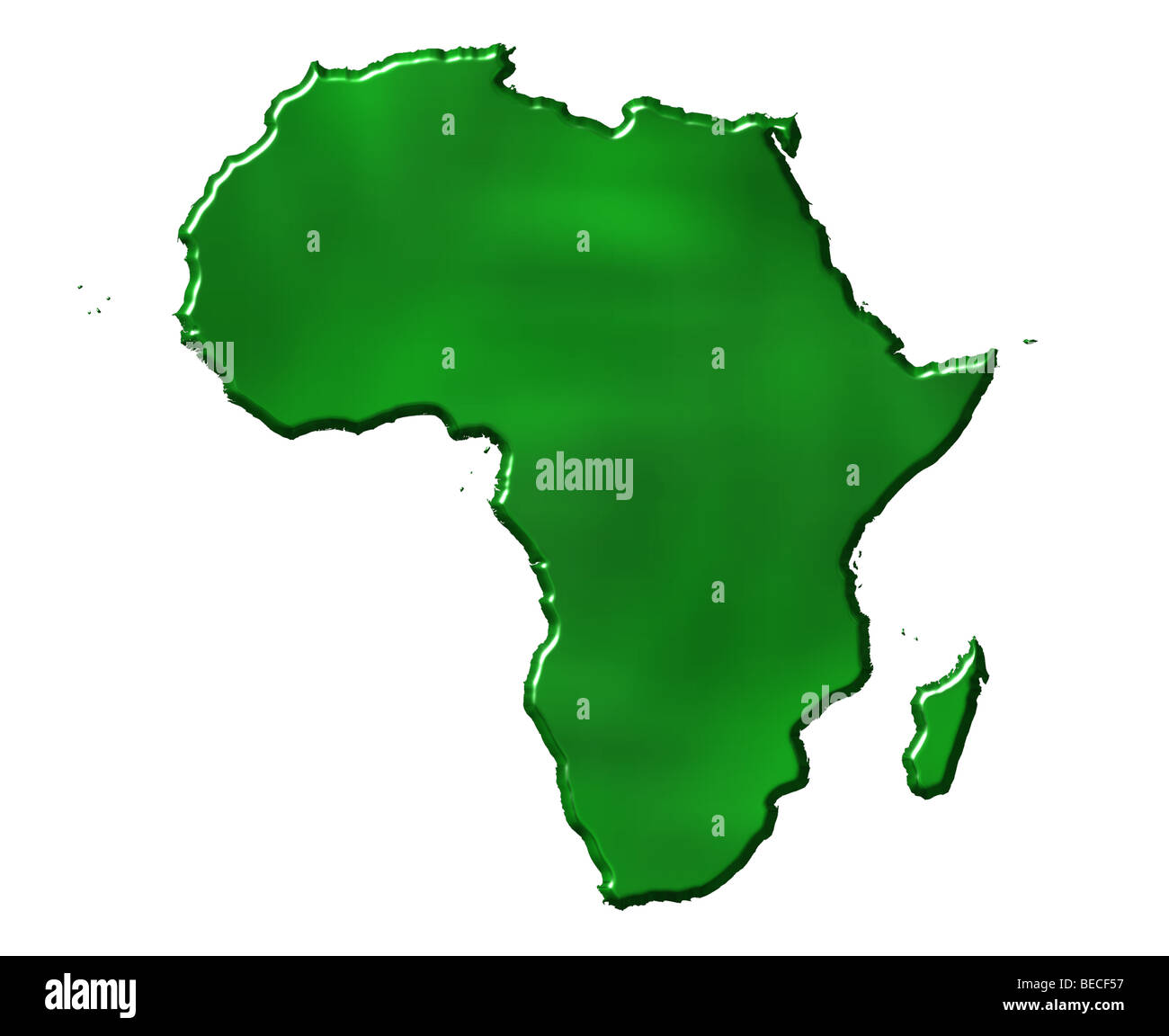 3d ecological Africa map Stock Photohttps://www.alamy.com/image-license-details/?v=1https://www.alamy.com/stock-photo-3d-ecological-africa-map-26090883.html
RFBECF57–3d ecological Africa map
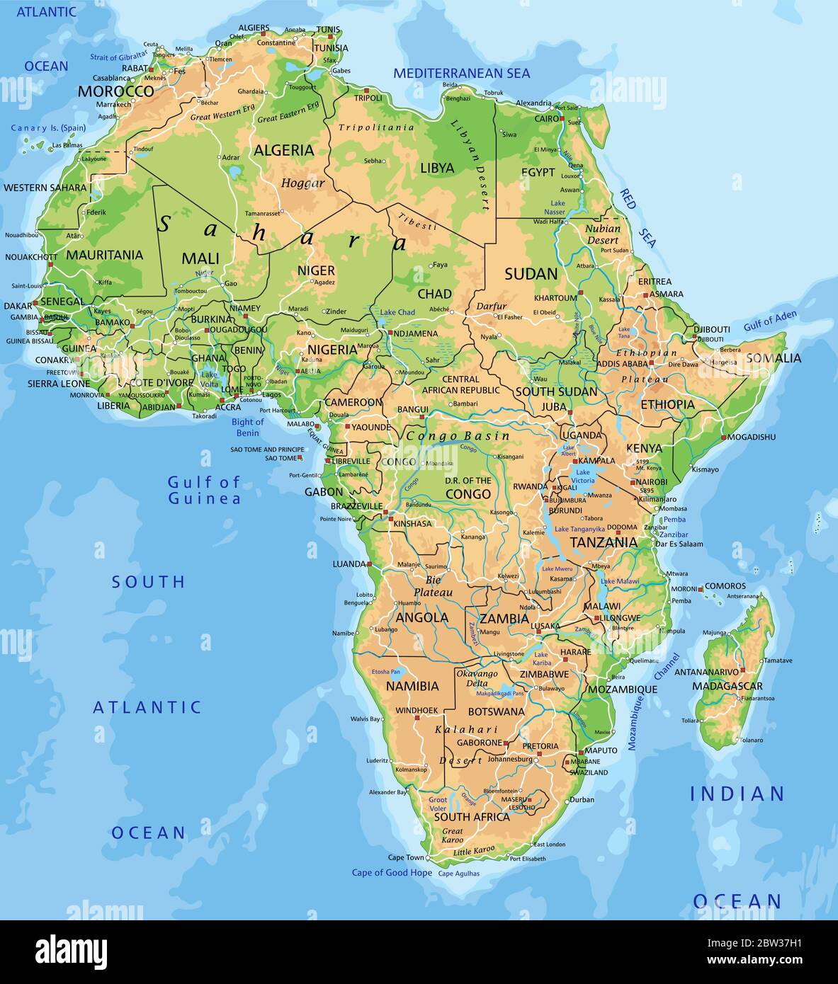 High detailed Africa physical map with labeling. Stock Vectorhttps://www.alamy.com/image-license-details/?v=1https://www.alamy.com/high-detailed-africa-physical-map-with-labeling-image359645581.html
RF2BW37H1–High detailed Africa physical map with labeling.
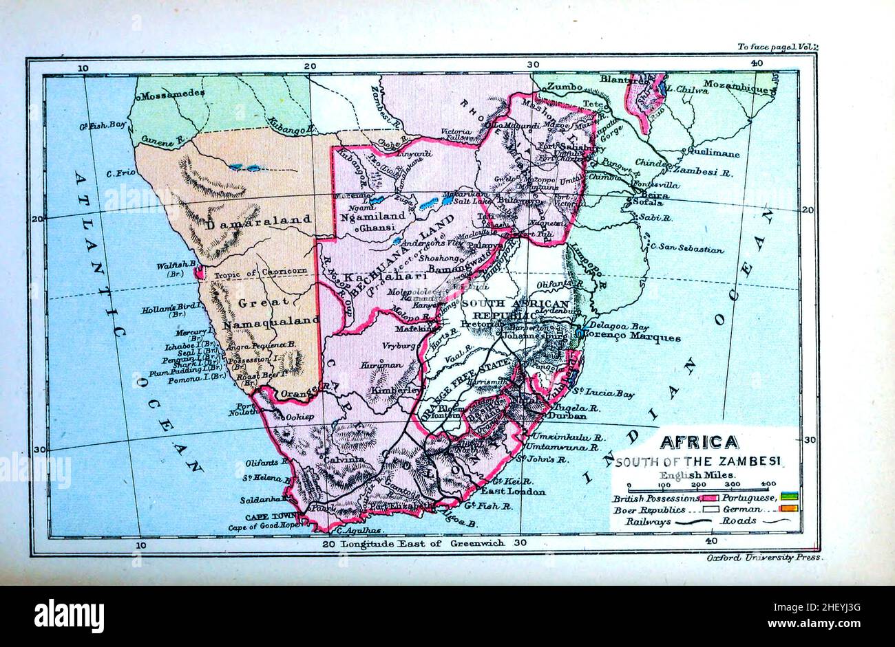 Map of Africa South of the Zambesi The Zambezi River (also spelled Zambeze and Zambesi) from the book HISTORICAL GEOGRAPHY OF THE BRITISH COLONIES printed in 1897 Stock Photohttps://www.alamy.com/image-license-details/?v=1https://www.alamy.com/map-of-africa-south-of-the-zambesi-the-zambezi-river-also-spelled-zambeze-and-zambesi-from-the-book-historical-geography-of-the-british-colonies-printed-in-1897-image456681668.html
RF2HEYJ3G–Map of Africa South of the Zambesi The Zambezi River (also spelled Zambeze and Zambesi) from the book HISTORICAL GEOGRAPHY OF THE BRITISH COLONIES printed in 1897