Amazon jungle aerial brazil Stock Photos and Images
(1,672)See amazon jungle aerial brazil stock video clipsQuick filters:
Amazon jungle aerial brazil Stock Photos and Images
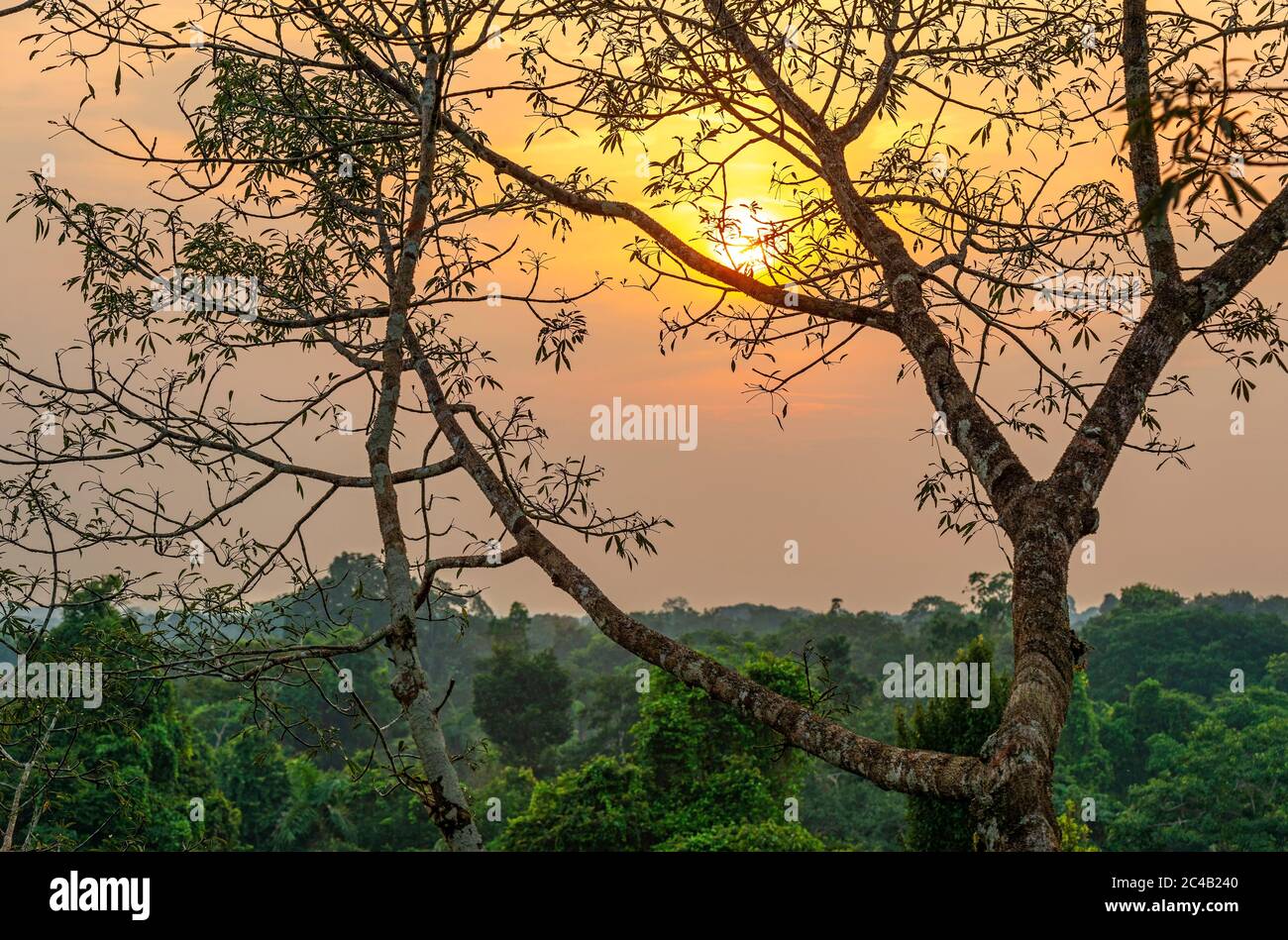 Aerial Amazon Rainforest landscape at sunset comprising the countries Brazil, Peru, Ecuador, Suriname, (French) Guyana, Bolivia, Venezuela, Colombia. Stock Photohttps://www.alamy.com/image-license-details/?v=1https://www.alamy.com/aerial-amazon-rainforest-landscape-at-sunset-comprising-the-countries-brazil-peru-ecuador-suriname-french-guyana-bolivia-venezuela-colombia-image364119504.html
RF2C4B240–Aerial Amazon Rainforest landscape at sunset comprising the countries Brazil, Peru, Ecuador, Suriname, (French) Guyana, Bolivia, Venezuela, Colombia.
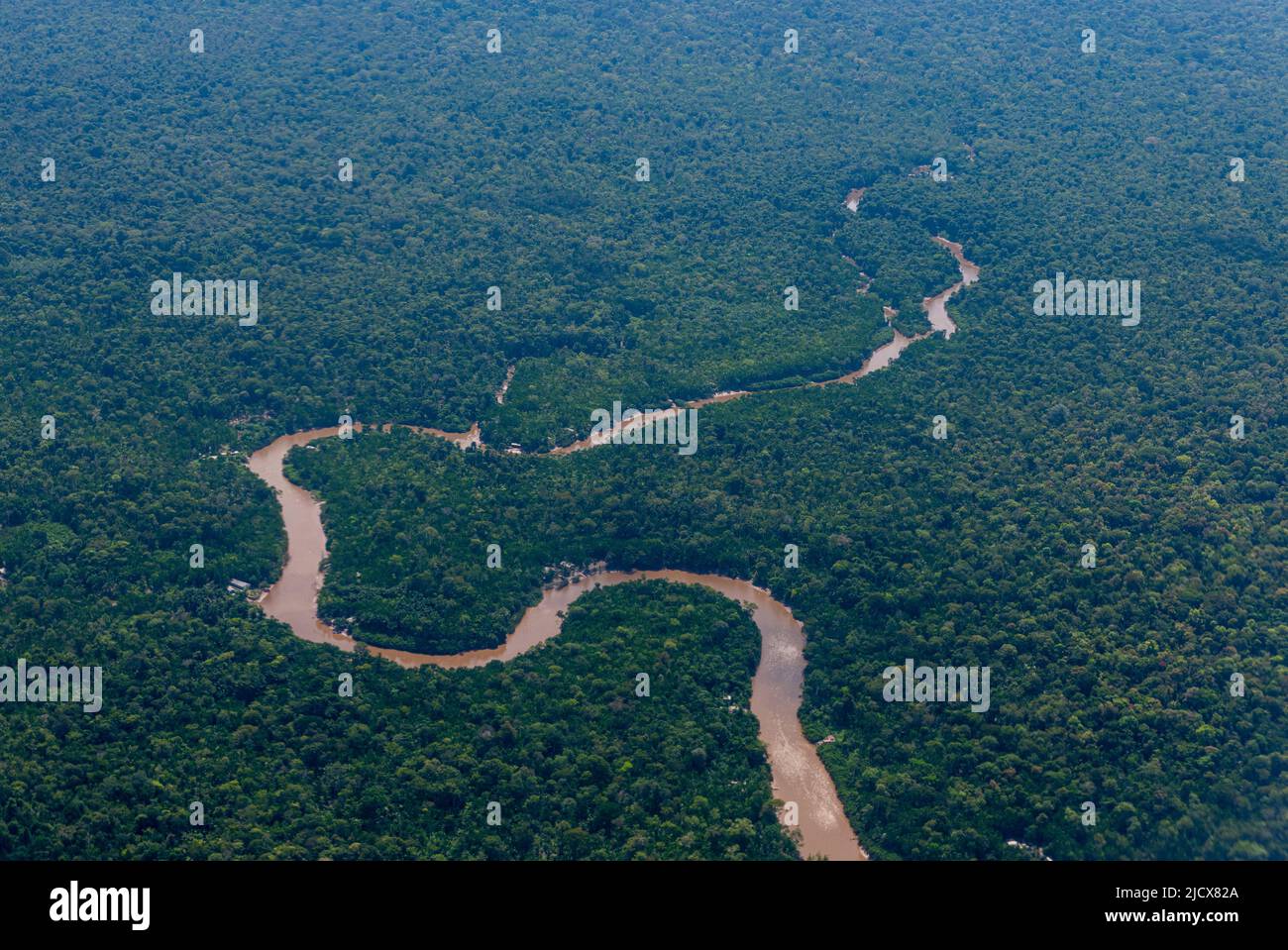 Aerial of the Amazon River, Macapa, Brazil, South America Stock Photohttps://www.alamy.com/image-license-details/?v=1https://www.alamy.com/aerial-of-the-amazon-river-macapa-brazil-south-america-image472632898.html
RF2JCX82A–Aerial of the Amazon River, Macapa, Brazil, South America
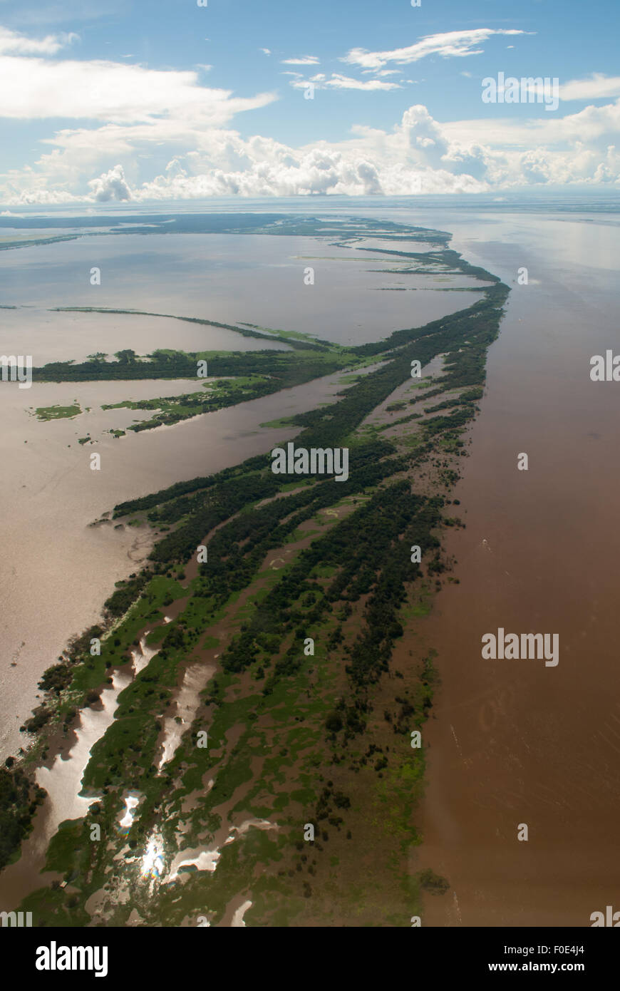 Amazonas, Brazil. Aerial view of flooded archipelago in the Amazon river. Stock Photohttps://www.alamy.com/image-license-details/?v=1https://www.alamy.com/stock-photo-amazonas-brazil-aerial-view-of-flooded-archipelago-in-the-amazon-river-86362812.html
RMF0E4J4–Amazonas, Brazil. Aerial view of flooded archipelago in the Amazon river.
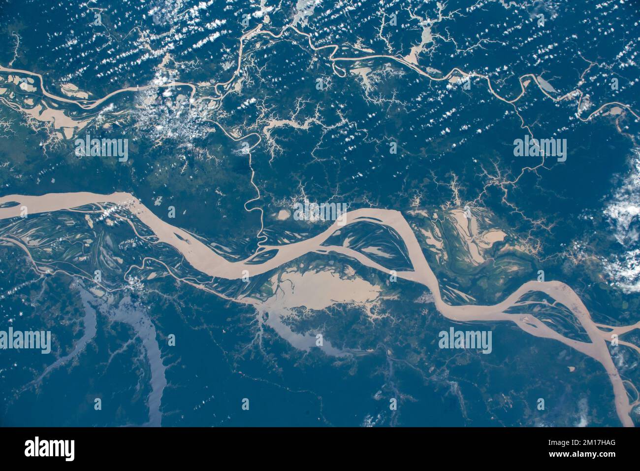 Aerial view of the Amazon River in Brazil. Digitally enhanced. Elements of this image furnished by NASA. Stock Photohttps://www.alamy.com/image-license-details/?v=1https://www.alamy.com/aerial-view-of-the-amazon-river-in-brazil-digitally-enhanced-elements-of-this-image-furnished-by-nasa-image499882616.html
RF2M17HAG–Aerial view of the Amazon River in Brazil. Digitally enhanced. Elements of this image furnished by NASA.
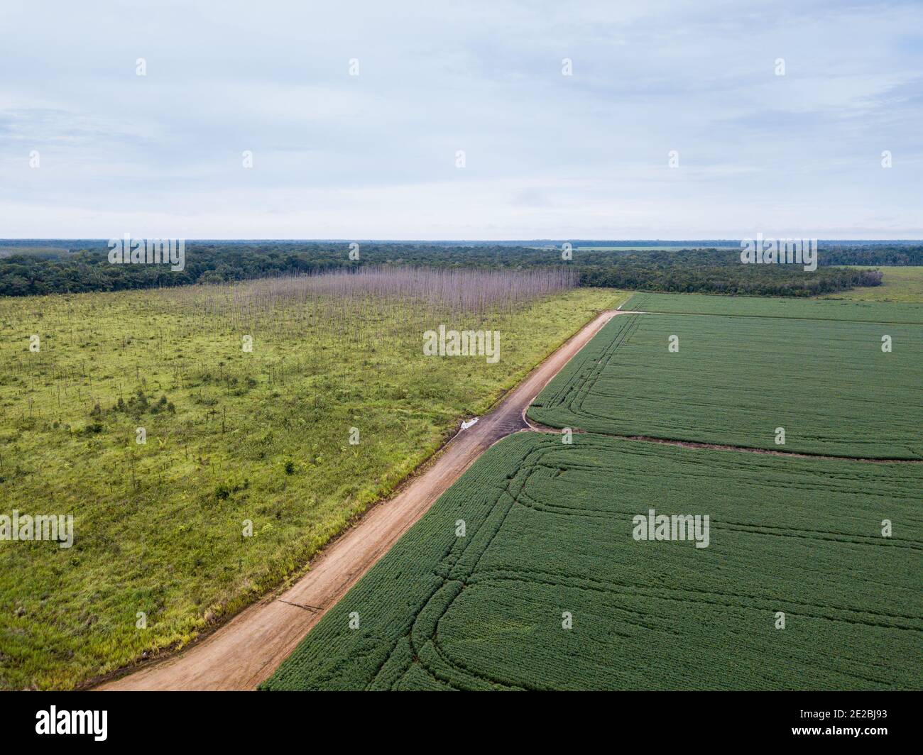 Aerial drone view of soybean plantation in soy farm, dirt road and deforestation area in Amazon rainforest, Brazil. Concept of ecology, conservation. Stock Photohttps://www.alamy.com/image-license-details/?v=1https://www.alamy.com/aerial-drone-view-of-soybean-plantation-in-soy-farm-dirt-road-and-deforestation-area-in-amazon-rainforest-brazil-concept-of-ecology-conservation-image397323615.html
RF2E2BJ93–Aerial drone view of soybean plantation in soy farm, dirt road and deforestation area in Amazon rainforest, Brazil. Concept of ecology, conservation.
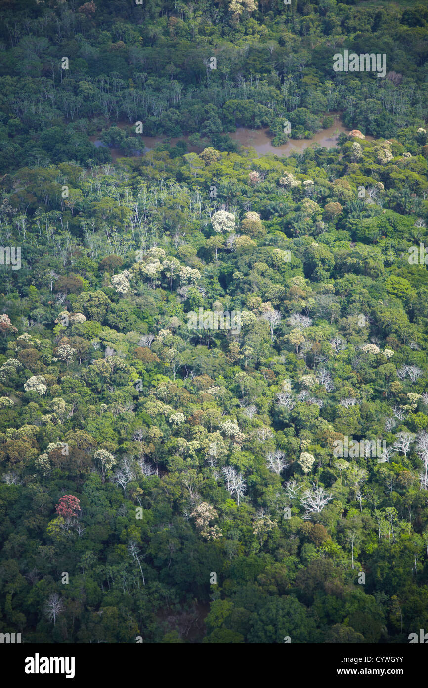 Aerial view of Amazon Rainforest, Manaus, Amazonas, Brazil Stock Photohttps://www.alamy.com/image-license-details/?v=1https://www.alamy.com/stock-photo-aerial-view-of-amazon-rainforest-manaus-amazonas-brazil-51578575.html
RMCYWGYY–Aerial view of Amazon Rainforest, Manaus, Amazonas, Brazil
 A hydroelectric power plant in the Brazilian Amazon forest. Situated in the Teles Pires river, close to the city of Alta Floresta. Stock Photohttps://www.alamy.com/image-license-details/?v=1https://www.alamy.com/stock-photo-a-hydroelectric-power-plant-in-the-brazilian-amazon-forest-situated-129185161.html
RFHE4TYN–A hydroelectric power plant in the Brazilian Amazon forest. Situated in the Teles Pires river, close to the city of Alta Floresta.
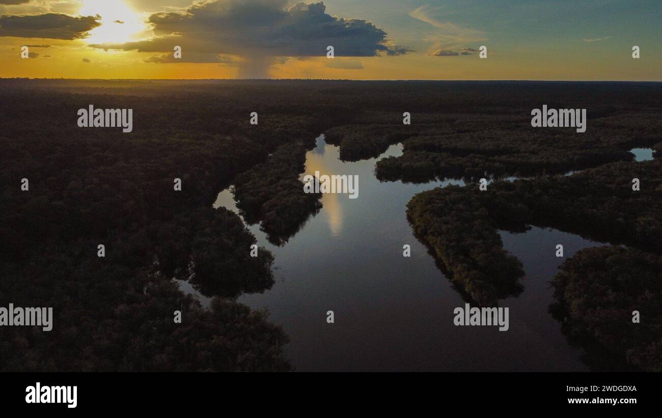 The Rio flowing in the dense Amazon forest in Brazil Stock Photohttps://www.alamy.com/image-license-details/?v=1https://www.alamy.com/the-rio-flowing-in-the-dense-amazon-forest-in-brazil-image593505202.html
RF2WDGDXA–The Rio flowing in the dense Amazon forest in Brazil
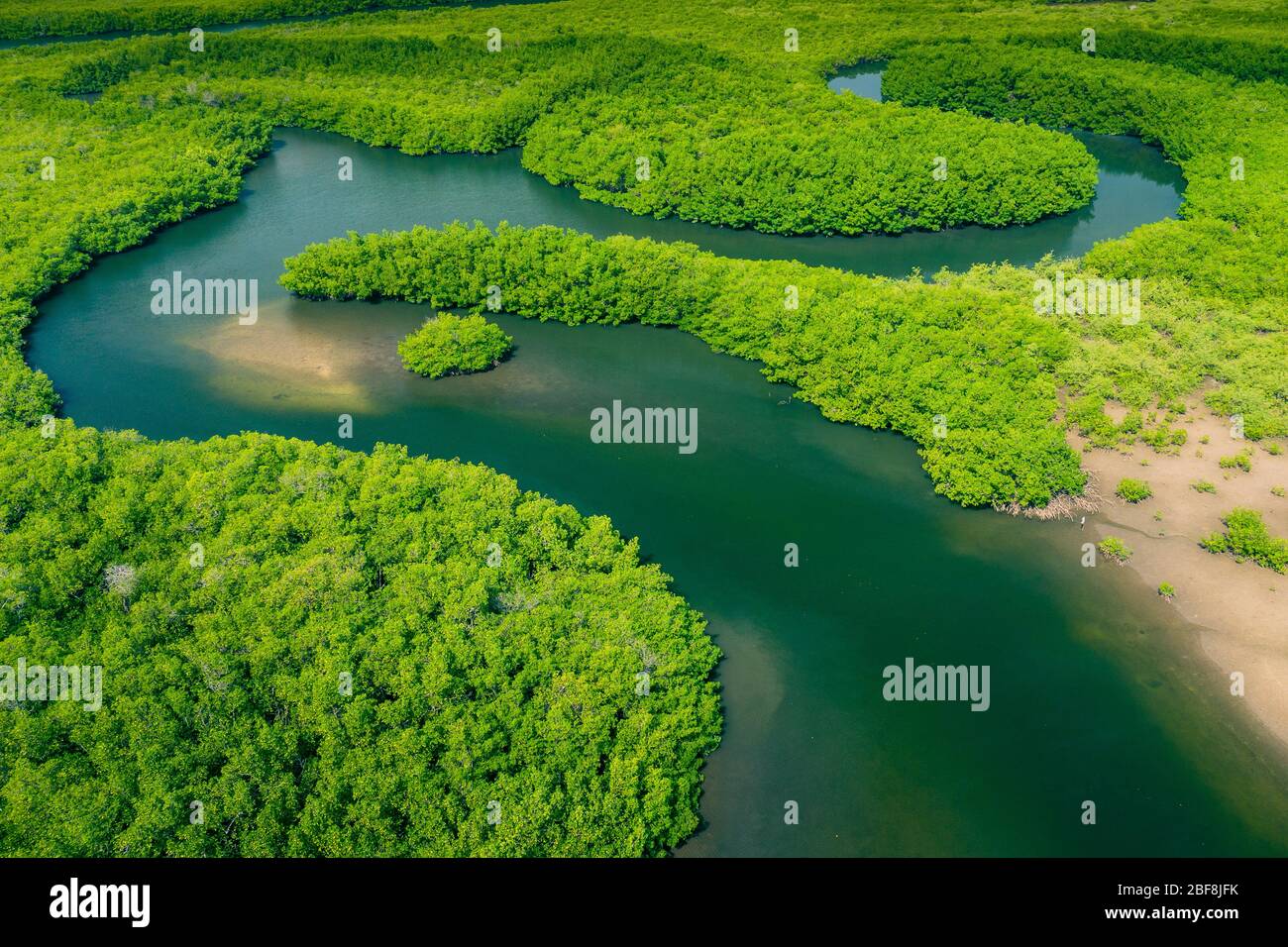 Aerial view of Amazon rainforest in Brazil, South America. Green forest. Bird's-eye view. Stock Photohttps://www.alamy.com/image-license-details/?v=1https://www.alamy.com/aerial-view-of-amazon-rainforest-in-brazil-south-america-green-forest-birds-eye-view-image353617367.html
RF2BF8JFK–Aerial view of Amazon rainforest in Brazil, South America. Green forest. Bird's-eye view.
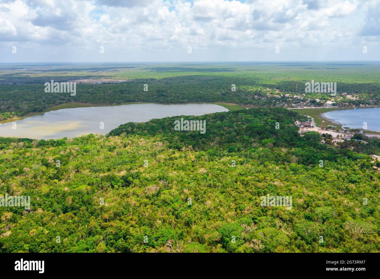 Huge jungle forest in the middle of th eBrasil near Amazon river Stock Photohttps://www.alamy.com/image-license-details/?v=1https://www.alamy.com/huge-jungle-forest-in-the-middle-of-th-ebrasil-near-amazon-river-image434646247.html
RF2G73RM7–Huge jungle forest in the middle of th eBrasil near Amazon river
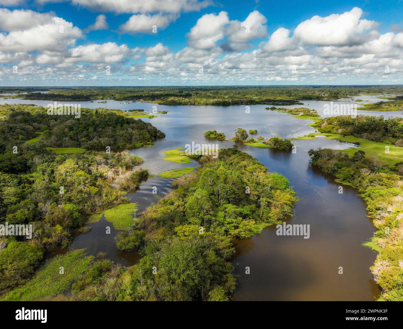 Amazon rainforest Brazil Stock Photohttps://www.alamy.com/image-license-details/?v=1https://www.alamy.com/amazon-rainforest-brazil-image599150931.html
RM2WPNK3F–Amazon rainforest Brazil
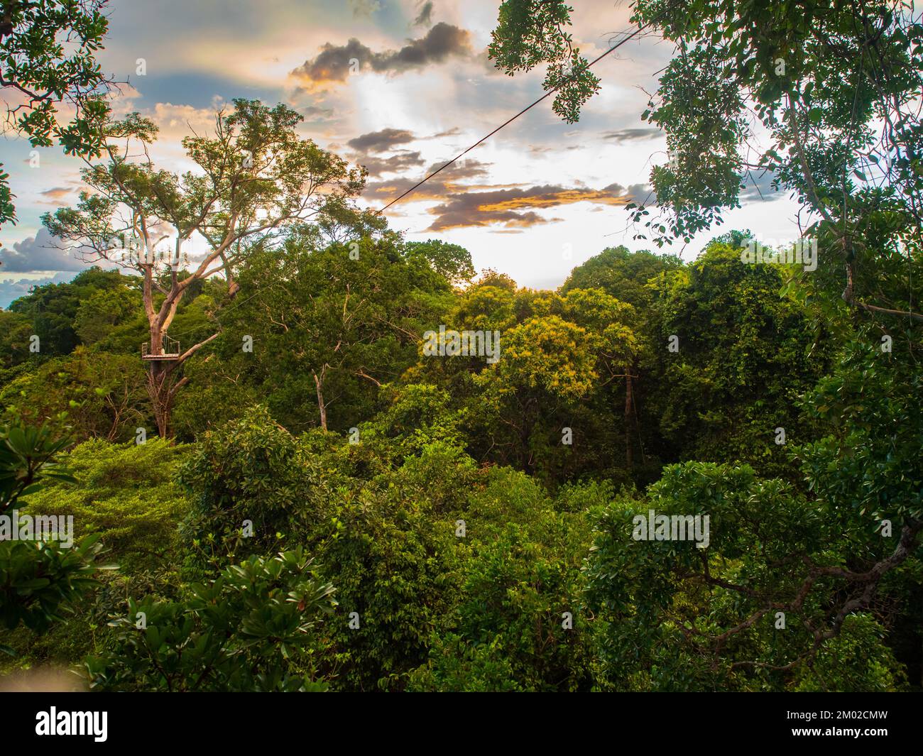 View from the top of the Amazon jungle while climbing tall trees in the jungle or 'conoping' sport. Amazonia. Latin America. Brazil. Peru Stock Photohttps://www.alamy.com/image-license-details/?v=1https://www.alamy.com/view-from-the-top-of-the-amazon-jungle-while-climbing-tall-trees-in-the-jungle-or-conoping-sport-amazonia-latin-america-brazil-peru-image499154569.html
RF2M02CMW–View from the top of the Amazon jungle while climbing tall trees in the jungle or 'conoping' sport. Amazonia. Latin America. Brazil. Peru
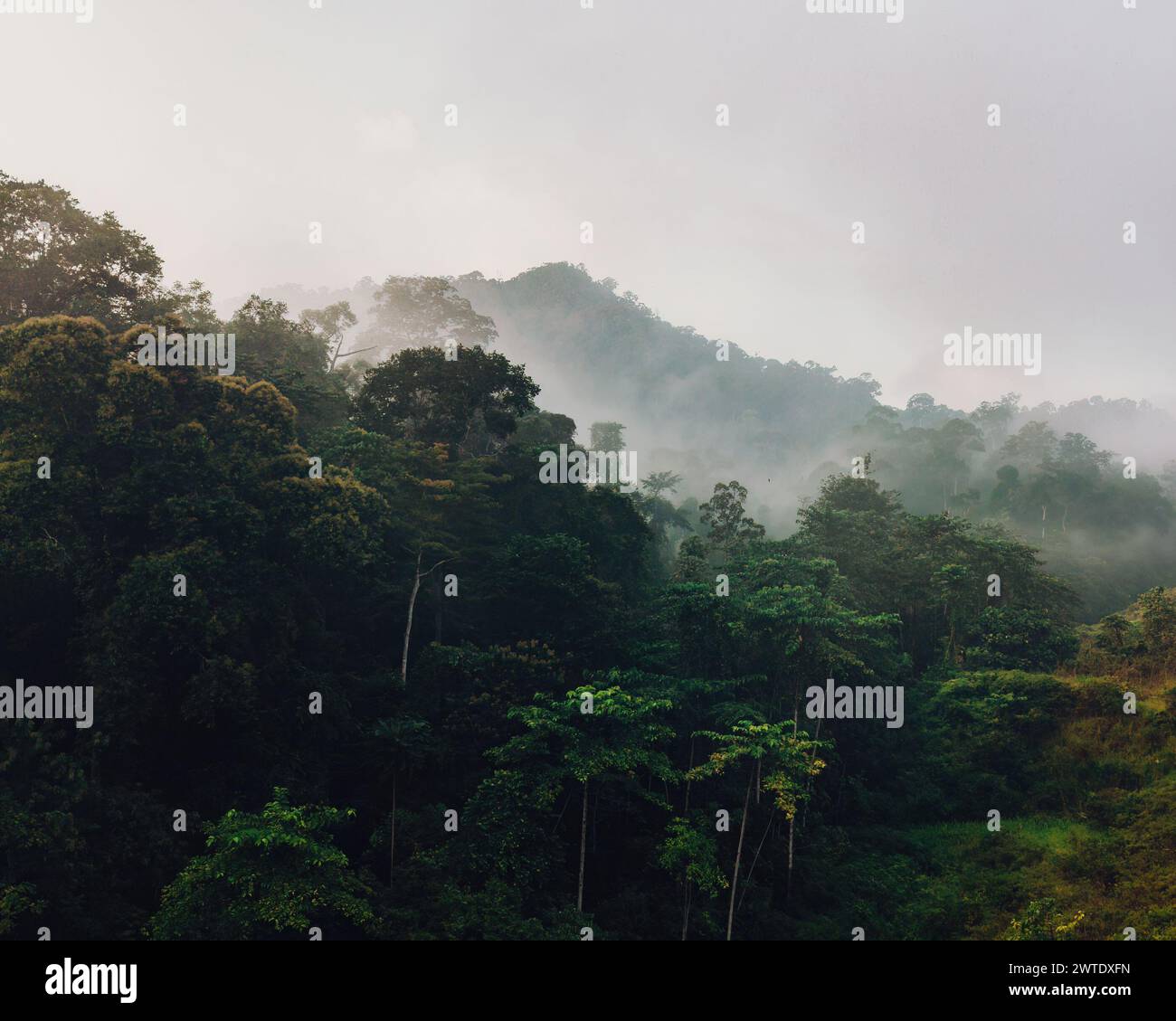 Aerial view of mist, blanket cloud and fog hanging over a lush tropical rainforest in the morning. Stock Photohttps://www.alamy.com/image-license-details/?v=1https://www.alamy.com/aerial-view-of-mist-blanket-cloud-and-fog-hanging-over-a-lush-tropical-rainforest-in-the-morning-image600210457.html
RF2WTDXFN–Aerial view of mist, blanket cloud and fog hanging over a lush tropical rainforest in the morning.
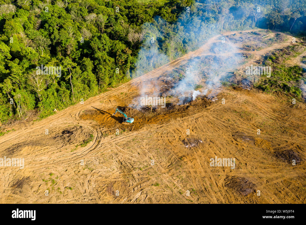 Top down aerial view of deforestation - jungle being removed and burnt to make way for plantations in Thailand Stock Photohttps://www.alamy.com/image-license-details/?v=1https://www.alamy.com/top-down-aerial-view-of-deforestation-jungle-being-removed-and-burnt-to-make-way-for-plantations-in-thailand-image261631668.html
RFW5J9T4–Top down aerial view of deforestation - jungle being removed and burnt to make way for plantations in Thailand
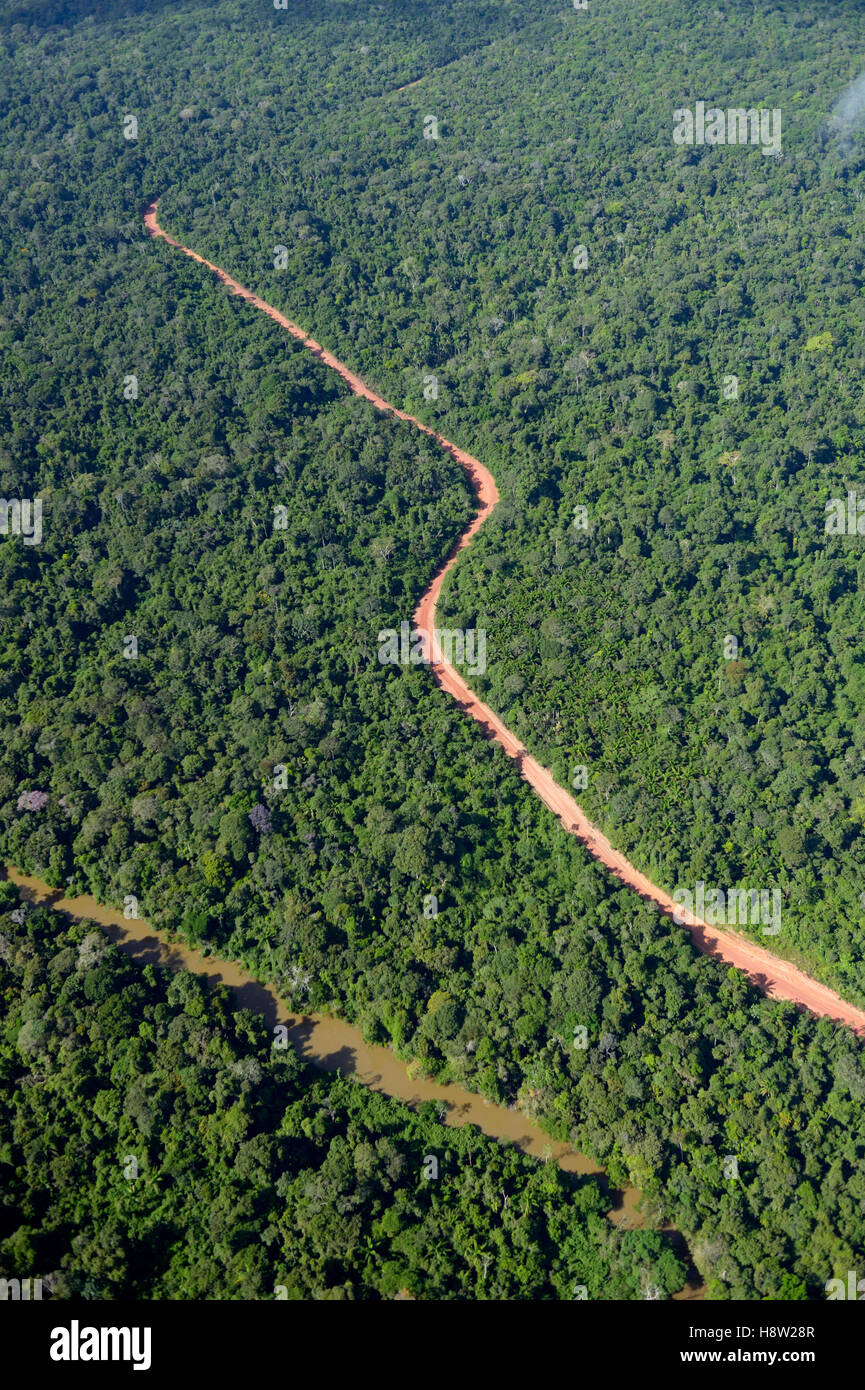 Road through Amazon rainforest, illegal logging route, Trairão District, Pará, Brazil Stock Photohttps://www.alamy.com/image-license-details/?v=1https://www.alamy.com/stock-photo-road-through-amazon-rainforest-illegal-logging-route-trairo-district-125940439.html
RFH8W28R–Road through Amazon rainforest, illegal logging route, Trairão District, Pará, Brazil
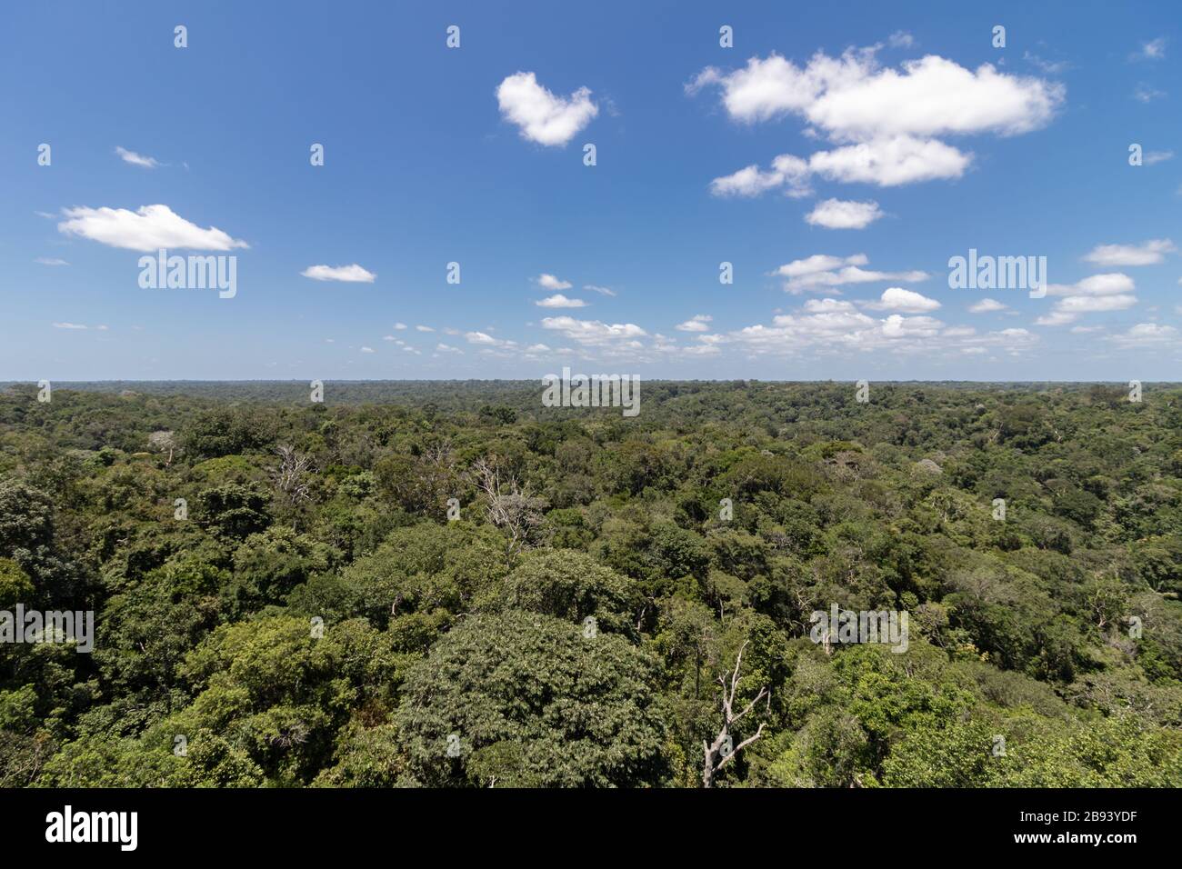 Amazon rainforest in the city of Manaus Amazonas Brasil Stock Photohttps://www.alamy.com/image-license-details/?v=1https://www.alamy.com/amazon-rainforest-in-the-city-of-manaus-amazonas-brasil-image349826667.html
RF2B93YDF–Amazon rainforest in the city of Manaus Amazonas Brasil
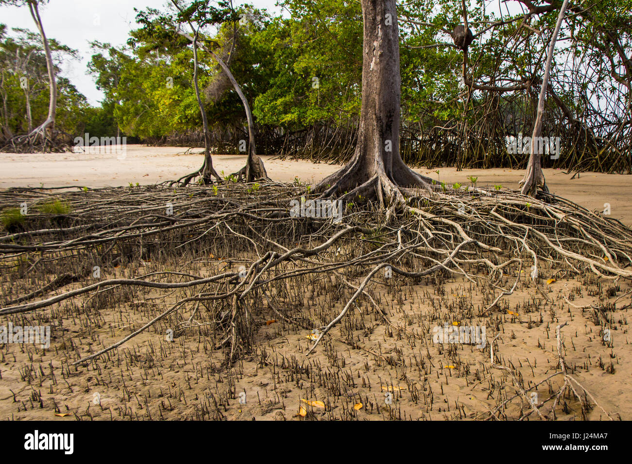 Mangrove trees roots in Barra Velha beach, by the Amazon river mouth, in Soure, Marajo island, Brazil. Stock Photohttps://www.alamy.com/image-license-details/?v=1https://www.alamy.com/stock-photo-mangrove-trees-roots-in-barra-velha-beach-by-the-amazon-river-mouth-139016031.html
RFJ24MA7–Mangrove trees roots in Barra Velha beach, by the Amazon river mouth, in Soure, Marajo island, Brazil.
 Beautiful aerial view to islands and rocks in wild green amazon Stock Photohttps://www.alamy.com/image-license-details/?v=1https://www.alamy.com/beautiful-aerial-view-to-islands-and-rocks-in-wild-green-amazon-image566327302.html
RF2RWAC72–Beautiful aerial view to islands and rocks in wild green amazon
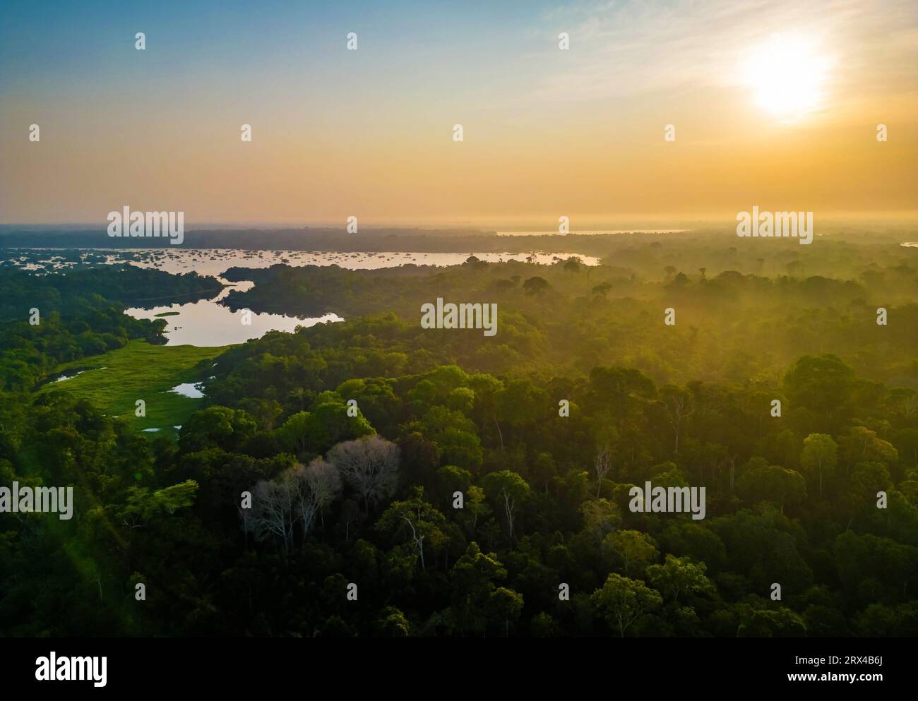 Scenic aerial sunset view of rainforest jungle in Amazonas state Brazil Stock Photohttps://www.alamy.com/image-license-details/?v=1https://www.alamy.com/scenic-aerial-sunset-view-of-rainforest-jungle-in-amazonas-state-brazil-image566809450.html
RF2RX4B6J–Scenic aerial sunset view of rainforest jungle in Amazonas state Brazil
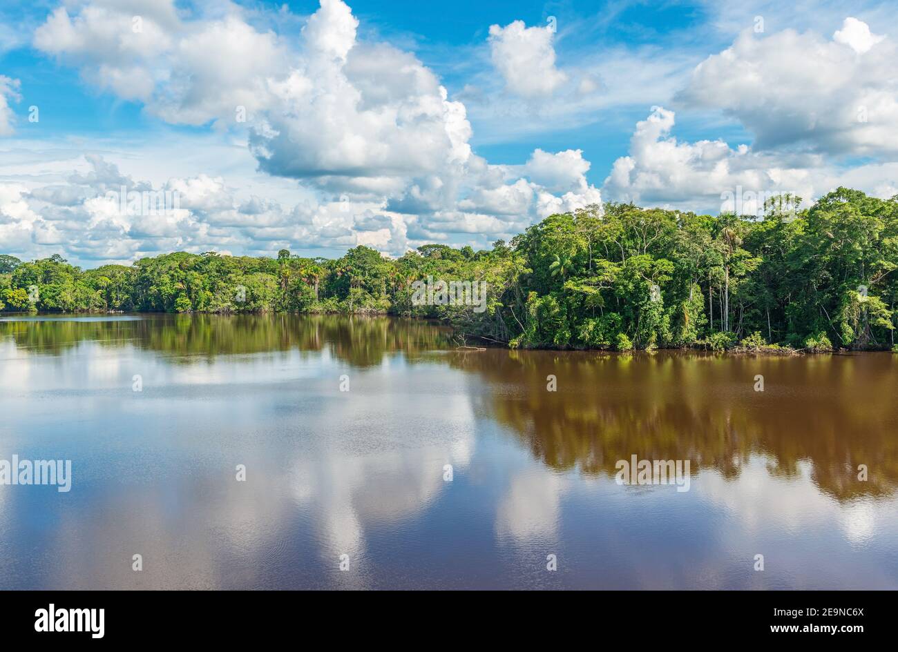 Amazon rainforest lake reflection, the Amazon river basin comprise Bolivia, Brazil, Colombia, Ecuador, Peru, (French) Guyana, Suriname, Venezuela. Stock Photohttps://www.alamy.com/image-license-details/?v=1https://www.alamy.com/amazon-rainforest-lake-reflection-the-amazon-river-basin-comprise-bolivia-brazil-colombia-ecuador-peru-french-guyana-suriname-venezuela-image401840962.html
RF2E9NC6X–Amazon rainforest lake reflection, the Amazon river basin comprise Bolivia, Brazil, Colombia, Ecuador, Peru, (French) Guyana, Suriname, Venezuela.
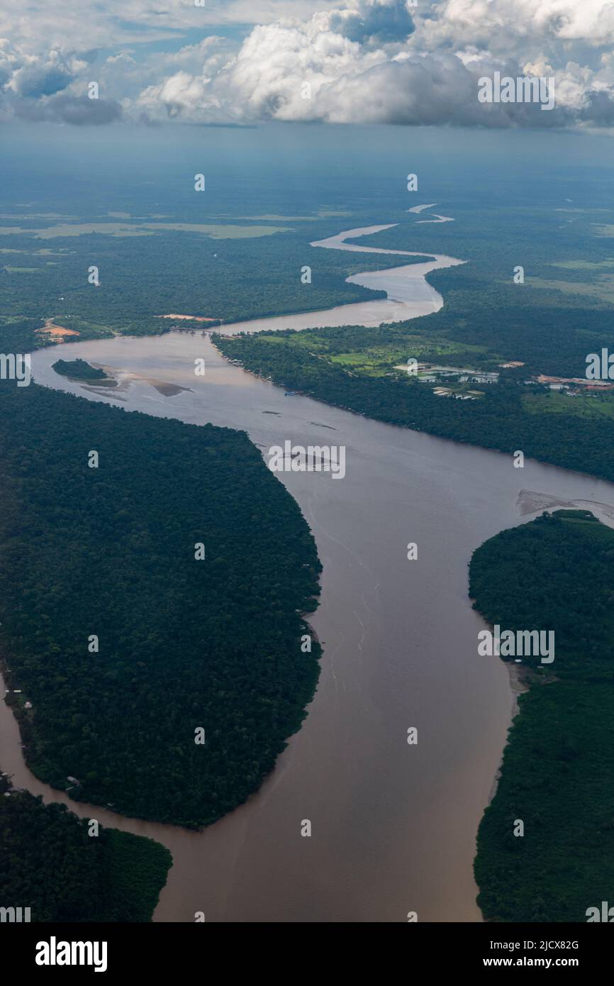 Aerial of the Amazon River, Macapa, Brazil, South America Stock Photohttps://www.alamy.com/image-license-details/?v=1https://www.alamy.com/aerial-of-the-amazon-river-macapa-brazil-south-america-image472632904.html
RF2JCX82G–Aerial of the Amazon River, Macapa, Brazil, South America
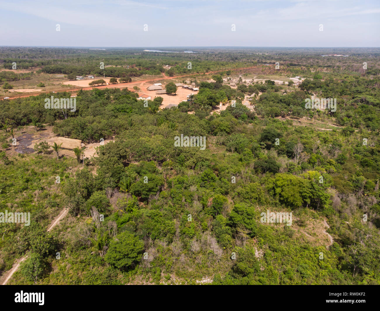 Mato Grosso State, Brazil. Aerial view of Piaraçu Kayapo Village. Stock Photohttps://www.alamy.com/image-license-details/?v=1https://www.alamy.com/mato-grosso-state-brazil-aerial-view-of-piarau-kayapo-village-image239116502.html
RMRW0KF2–Mato Grosso State, Brazil. Aerial view of Piaraçu Kayapo Village.
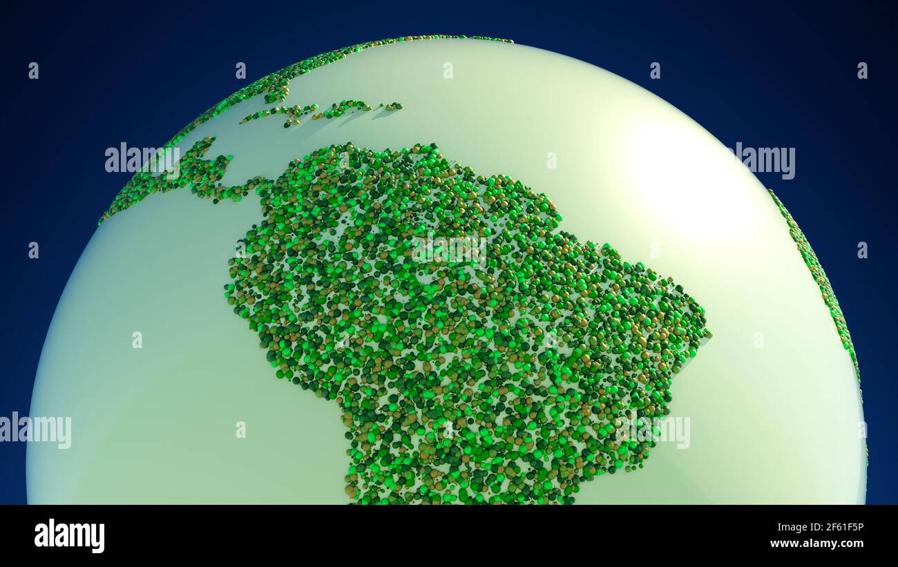 Satellite view of the Amazon rainforest, map, states of South America. Forest deforestation. Climate change and global warming. Abstract map, circles Stock Photohttps://www.alamy.com/image-license-details/?v=1https://www.alamy.com/satellite-view-of-the-amazon-rainforest-map-states-of-south-america-forest-deforestation-climate-change-and-global-warming-abstract-map-circles-image416770642.html
RF2F61F5P–Satellite view of the Amazon rainforest, map, states of South America. Forest deforestation. Climate change and global warming. Abstract map, circles
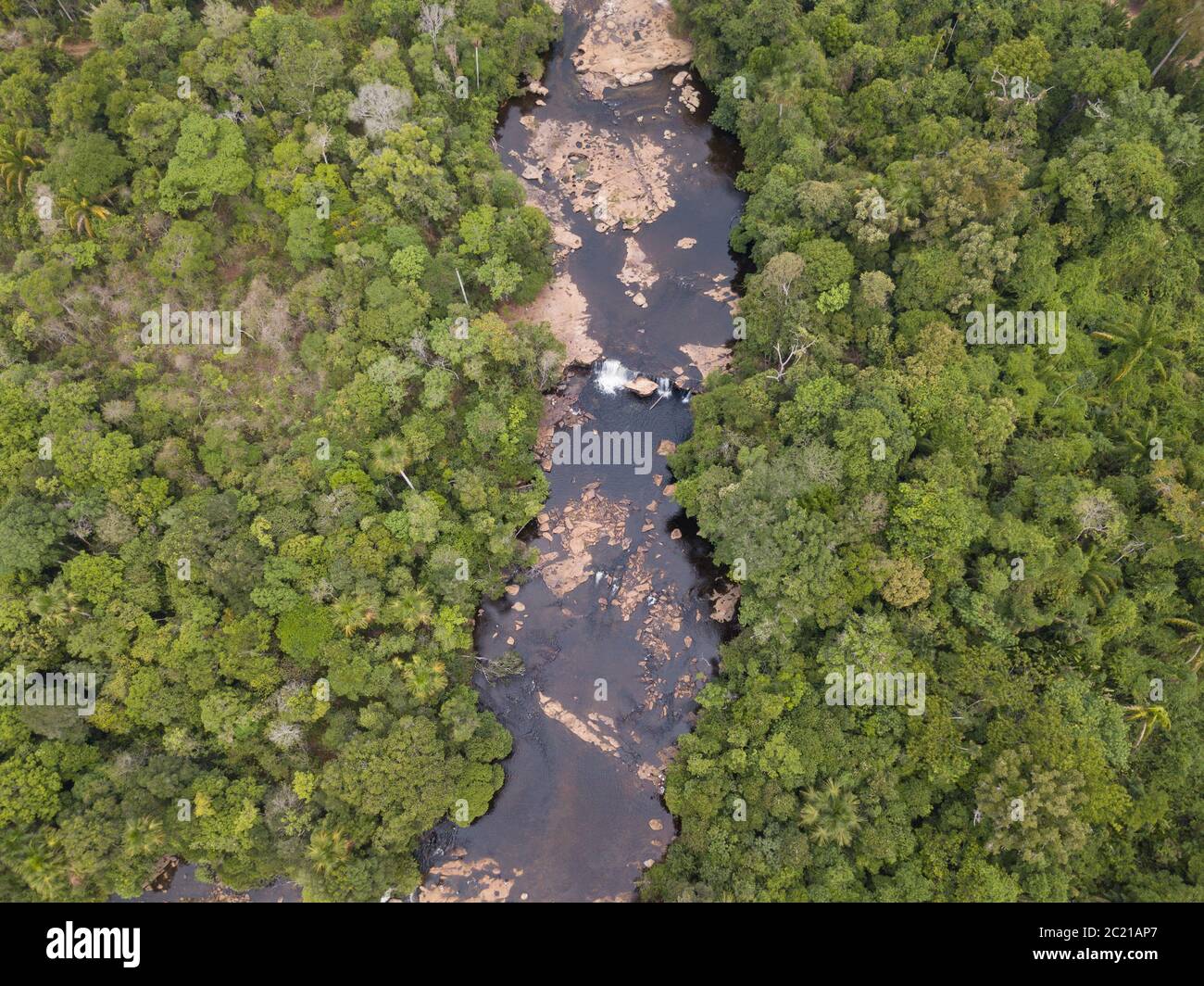 Beautiful drone aerial view over Curua River waterfalls and forest trees in the Serra do Cachimbo in the Amazon rainforest, Para, Brazil. Stock Photohttps://www.alamy.com/image-license-details/?v=1https://www.alamy.com/beautiful-drone-aerial-view-over-curua-river-waterfalls-and-forest-trees-in-the-serra-do-cachimbo-in-the-amazon-rainforest-para-brazil-image362677455.html
RF2C21AP7–Beautiful drone aerial view over Curua River waterfalls and forest trees in the Serra do Cachimbo in the Amazon rainforest, Para, Brazil.
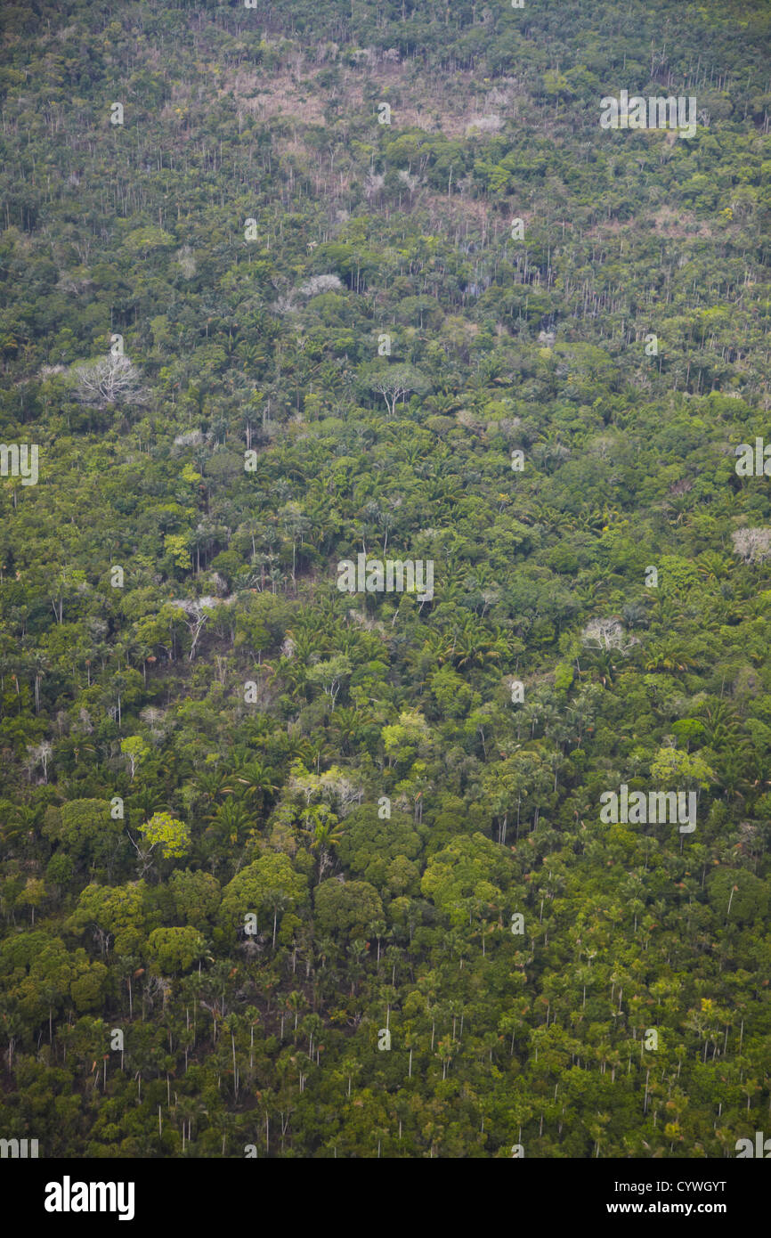 Aerial view of Amazon Rainforest, Manaus, Amazonas, Brazil Stock Photohttps://www.alamy.com/image-license-details/?v=1https://www.alamy.com/stock-photo-aerial-view-of-amazon-rainforest-manaus-amazonas-brazil-51578572.html
RMCYWGYT–Aerial view of Amazon Rainforest, Manaus, Amazonas, Brazil
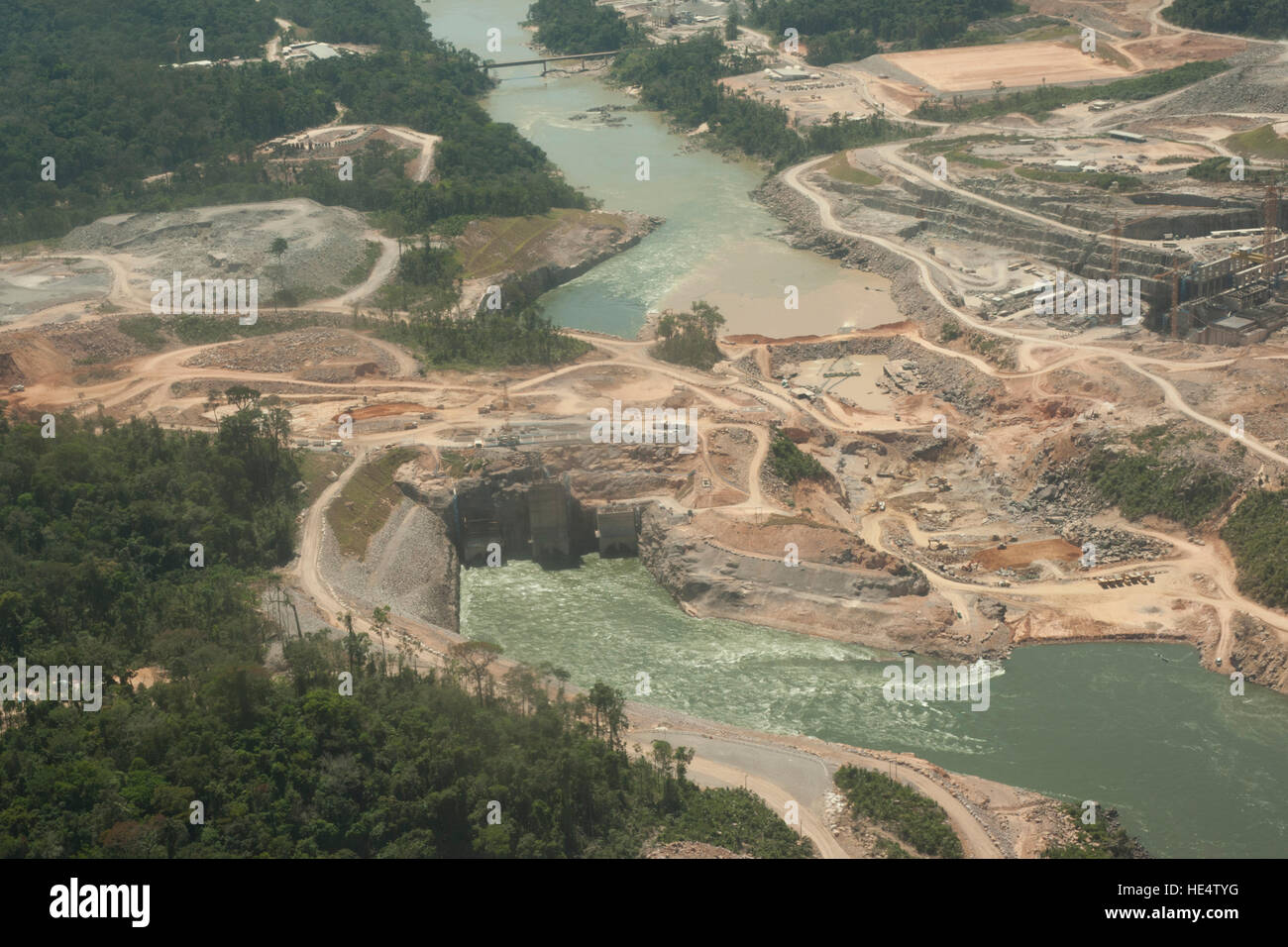 Hydroelectric power plant in the Brazilian Amazon forest. Situated in the Teles Pires river, close to the city of Alta Floresta, Matro Grosso. Stock Photohttps://www.alamy.com/image-license-details/?v=1https://www.alamy.com/stock-photo-hydroelectric-power-plant-in-the-brazilian-amazon-forest-situated-129185156.html
RFHE4TYG–Hydroelectric power plant in the Brazilian Amazon forest. Situated in the Teles Pires river, close to the city of Alta Floresta, Matro Grosso.
 The Rio flowing in the dense Amazon forest in Brazil Stock Photohttps://www.alamy.com/image-license-details/?v=1https://www.alamy.com/the-rio-flowing-in-the-dense-amazon-forest-in-brazil-image593505355.html
RF2WDGE3R–The Rio flowing in the dense Amazon forest in Brazil
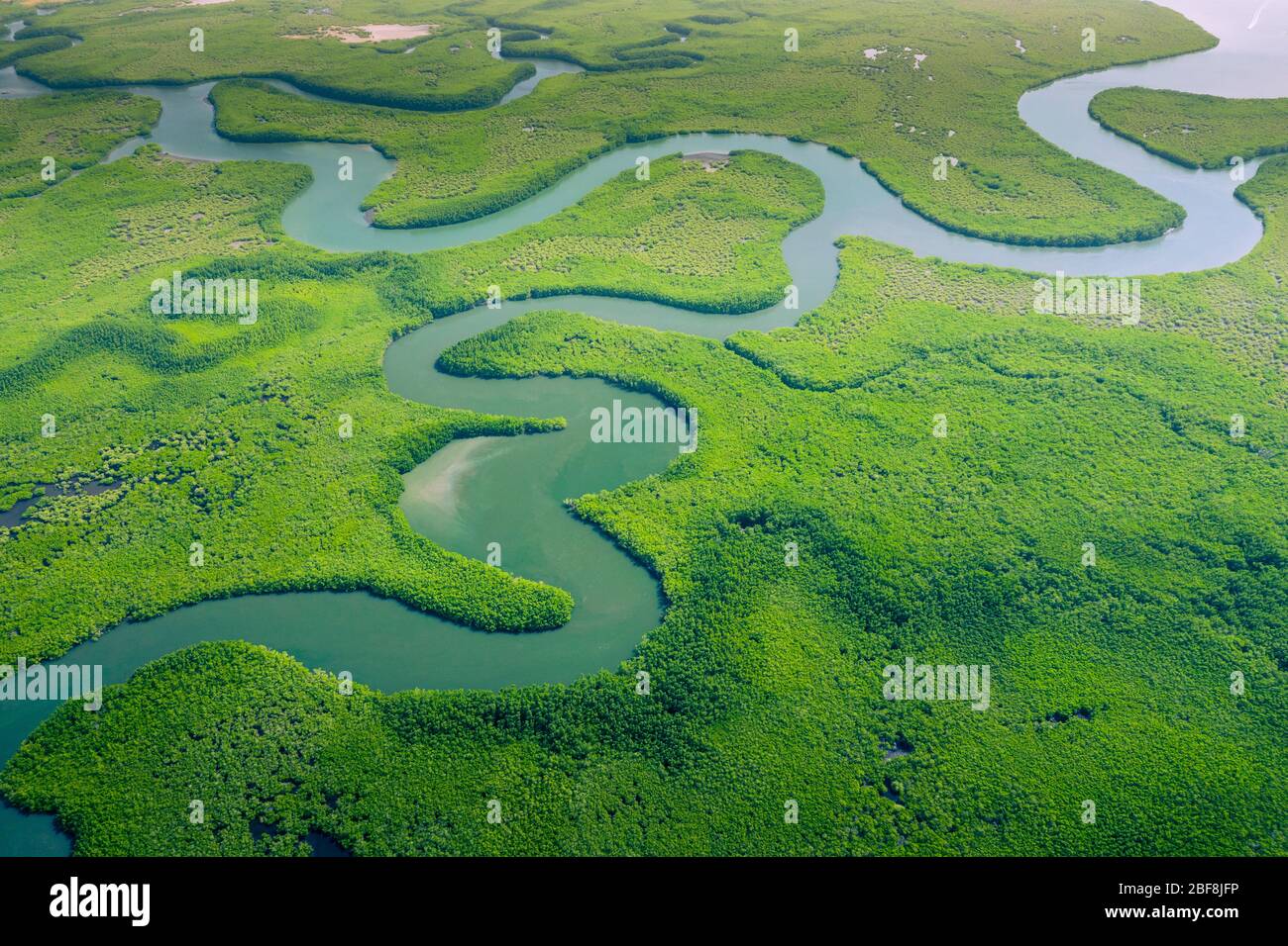 Aerial view of Amazon rainforest in Brazil, South America. Green forest. Bird's-eye view. Stock Photohttps://www.alamy.com/image-license-details/?v=1https://www.alamy.com/aerial-view-of-amazon-rainforest-in-brazil-south-america-green-forest-birds-eye-view-image353617370.html
RF2BF8JFP–Aerial view of Amazon rainforest in Brazil, South America. Green forest. Bird's-eye view.
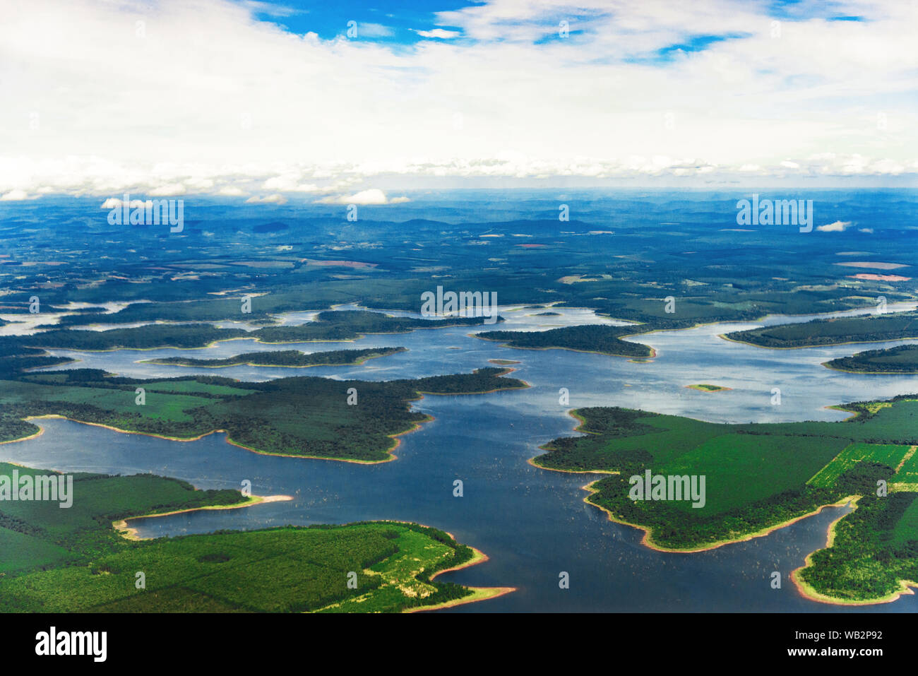 Landscape aerial view of colorful Amazon rivers, forest, jungle, and fields Stock Photohttps://www.alamy.com/image-license-details/?v=1https://www.alamy.com/landscape-aerial-view-of-colorful-amazon-rivers-forest-jungle-and-fields-image264978142.html
RFWB2P92–Landscape aerial view of colorful Amazon rivers, forest, jungle, and fields
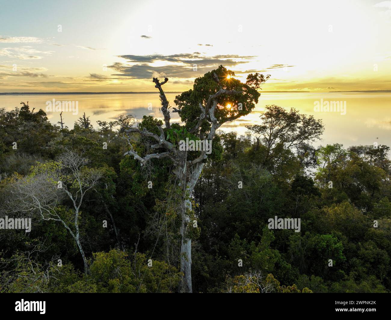 Amazon rainforest Brazil Stock Photohttps://www.alamy.com/image-license-details/?v=1https://www.alamy.com/amazon-rainforest-brazil-image599150907.html
RM2WPNK2K–Amazon rainforest Brazil
 View of a jungle roof from a high platform on a tree. Amazonia. Brazil, South America Stock Photohttps://www.alamy.com/image-license-details/?v=1https://www.alamy.com/view-of-a-jungle-roof-from-a-high-platform-on-a-tree-amazonia-brazil-south-america-image426529181.html
RF2FNX291–View of a jungle roof from a high platform on a tree. Amazonia. Brazil, South America
 Aerial view of golden mist, blanket cloud and fog hanging over a lush tropical rainforest in the morning. Stock Photohttps://www.alamy.com/image-license-details/?v=1https://www.alamy.com/aerial-view-of-golden-mist-blanket-cloud-and-fog-hanging-over-a-lush-tropical-rainforest-in-the-morning-image600210460.html
RF2WTDXFT–Aerial view of golden mist, blanket cloud and fog hanging over a lush tropical rainforest in the morning.
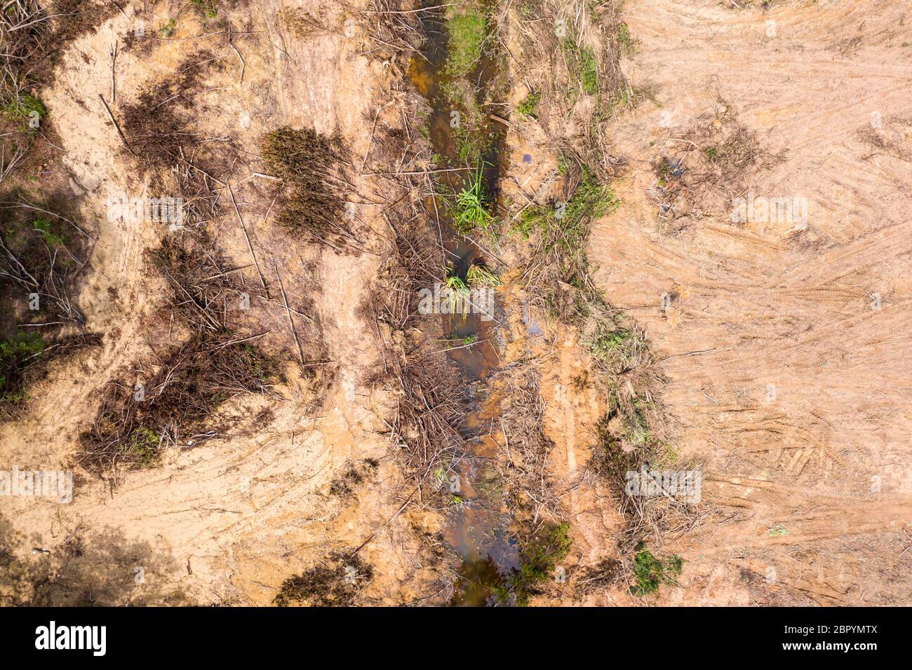 Aerial drone view of logging operatons and active deforestation of a tropical rainforest contributing to habitat destruction and man-made climate chan Stock Photohttps://www.alamy.com/image-license-details/?v=1https://www.alamy.com/aerial-drone-view-of-logging-operatons-and-active-deforestation-of-a-tropical-rainforest-contributing-to-habitat-destruction-and-man-made-climate-chan-image358338874.html
RF2BPYMTX–Aerial drone view of logging operatons and active deforestation of a tropical rainforest contributing to habitat destruction and man-made climate chan
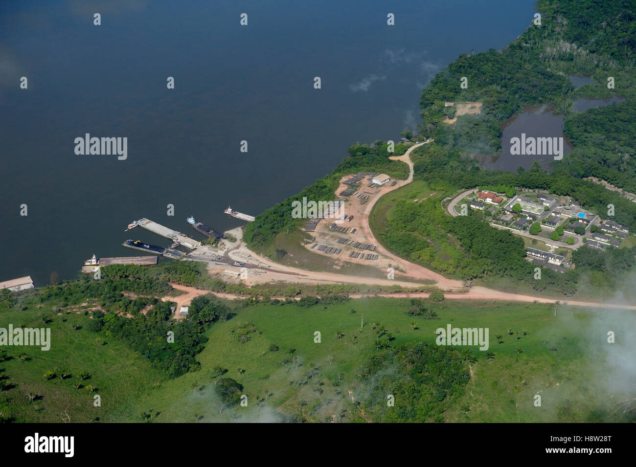 Harbor, illegally logged timber transport, Amazon rainforest, Itaituba District, Pará, Brazil Stock Photohttps://www.alamy.com/image-license-details/?v=1https://www.alamy.com/stock-photo-harbor-illegally-logged-timber-transport-amazon-rainforest-itaituba-125940440.html
RFH8W28T–Harbor, illegally logged timber transport, Amazon rainforest, Itaituba District, Pará, Brazil
 Amazon rainforest in the city of Manaus Amazonas Brasil Stock Photohttps://www.alamy.com/image-license-details/?v=1https://www.alamy.com/amazon-rainforest-in-the-city-of-manaus-amazonas-brasil-image349826082.html
RF2B93XMJ–Amazon rainforest in the city of Manaus Amazonas Brasil
 Top View of Amazon rainforest sandy estuary, Bolivia Stock Photohttps://www.alamy.com/image-license-details/?v=1https://www.alamy.com/top-view-of-amazon-rainforest-sandy-estuary-bolivia-image220521523.html
RFPPNHCK–Top View of Amazon rainforest sandy estuary, Bolivia
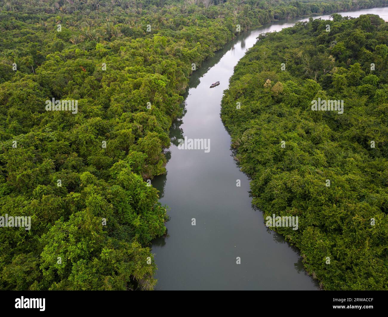 Beautiful aerial view to green amazon rainforest Igarapé near Juruena Stock Photohttps://www.alamy.com/image-license-details/?v=1https://www.alamy.com/beautiful-aerial-view-to-green-amazon-rainforest-igarap-near-juruena-image566327455.html
RF2RWACCF–Beautiful aerial view to green amazon rainforest Igarapé near Juruena
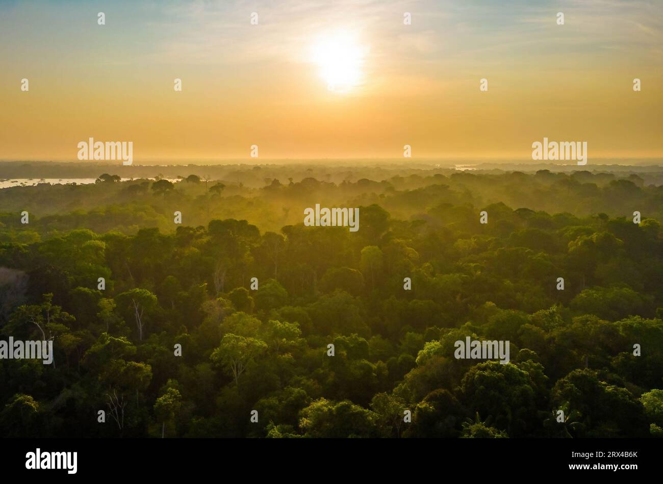 Scenic aerial sunset view of rainforest jungle in Amazonas state Brazil Stock Photohttps://www.alamy.com/image-license-details/?v=1https://www.alamy.com/scenic-aerial-sunset-view-of-rainforest-jungle-in-amazonas-state-brazil-image566809451.html
RF2RX4B6K–Scenic aerial sunset view of rainforest jungle in Amazonas state Brazil
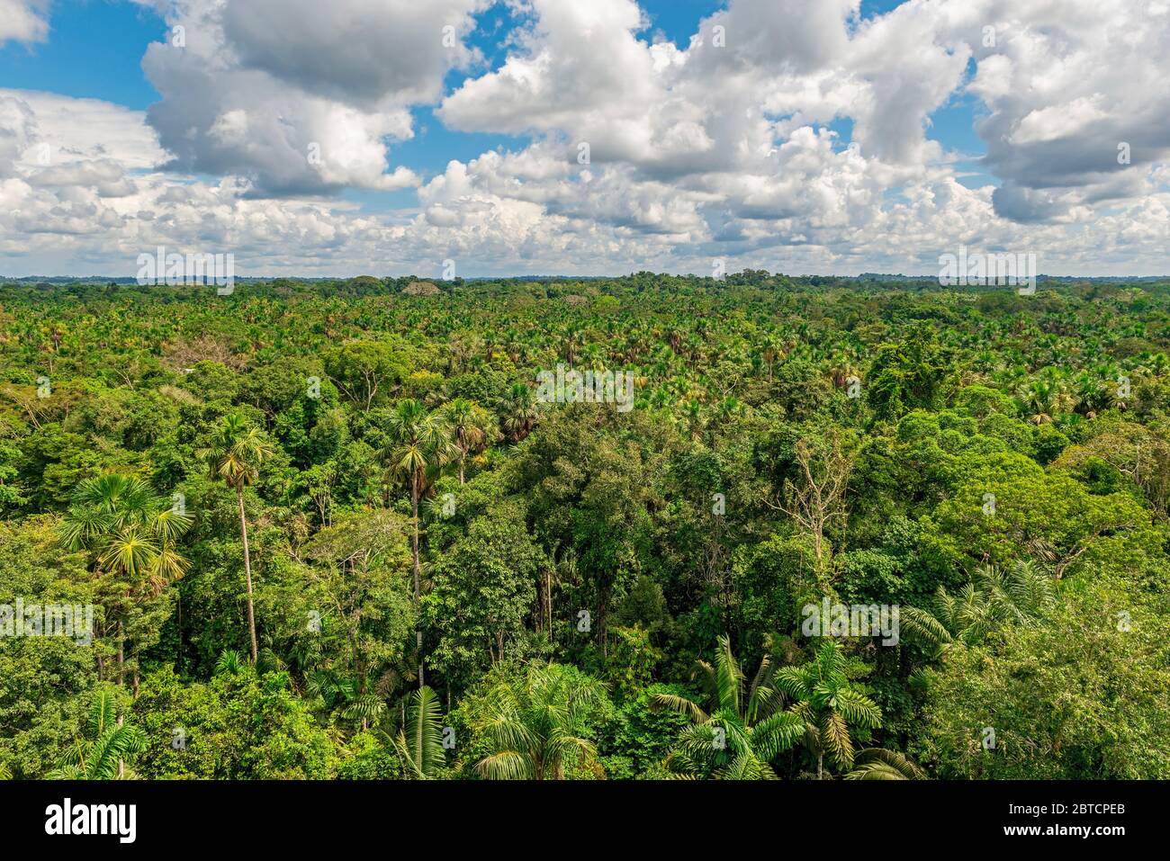 Aerial view of the Amazon Rainforest which comprise the countries of Brazil, Bolivia, Colombia, Ecuador, (French) Guyana, Peru, Suriname and Venezuela. Stock Photohttps://www.alamy.com/image-license-details/?v=1https://www.alamy.com/aerial-view-of-the-amazon-rainforest-which-comprise-the-countries-of-brazil-bolivia-colombia-ecuador-french-guyana-peru-suriname-and-venezuela-image359240179.html
RF2BTCPEB–Aerial view of the Amazon Rainforest which comprise the countries of Brazil, Bolivia, Colombia, Ecuador, (French) Guyana, Peru, Suriname and Venezuela.
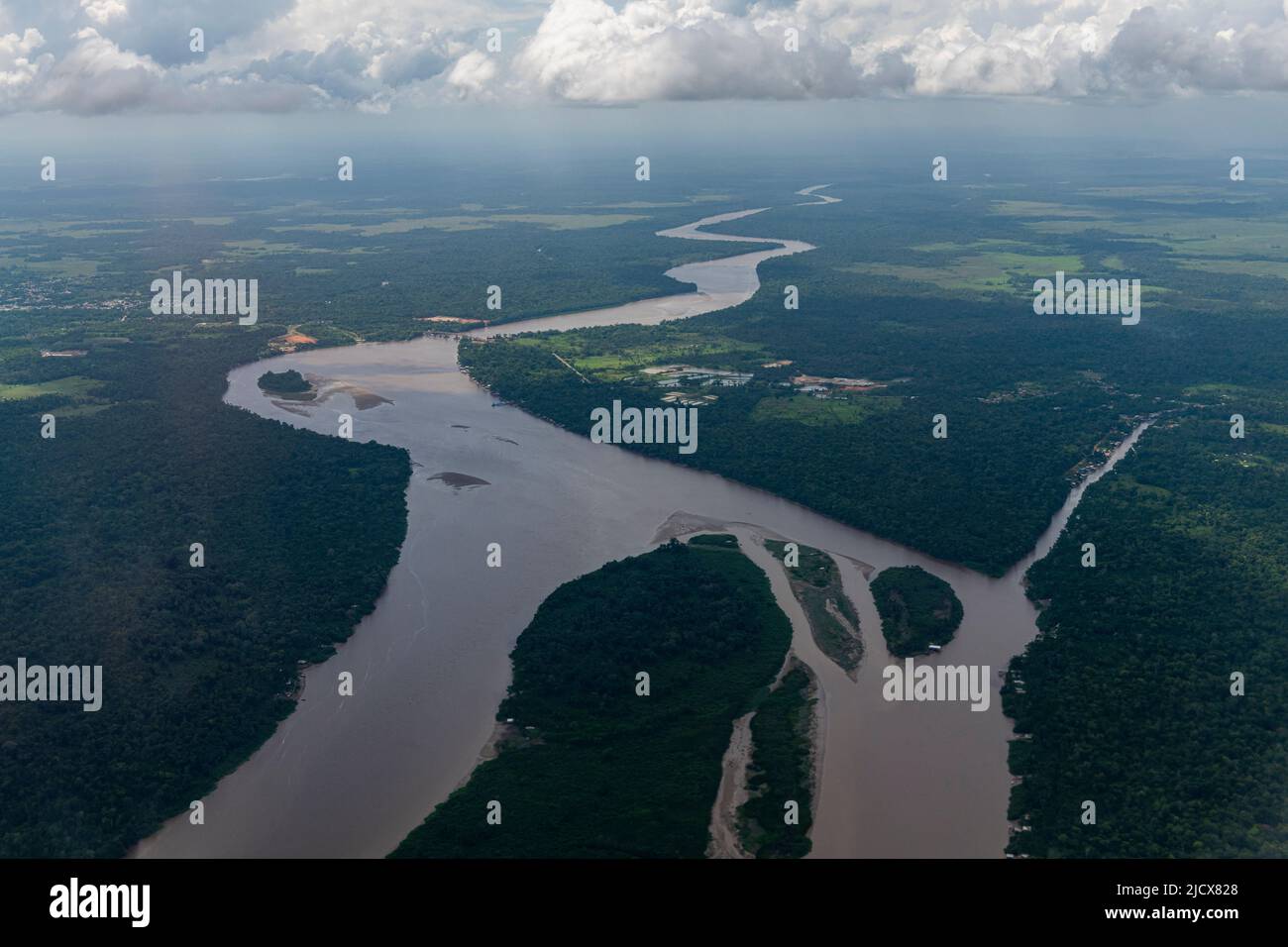 Aerial of the Amazon River, Macapa, Brazil, South America Stock Photohttps://www.alamy.com/image-license-details/?v=1https://www.alamy.com/aerial-of-the-amazon-river-macapa-brazil-south-america-image472632896.html
RF2JCX828–Aerial of the Amazon River, Macapa, Brazil, South America
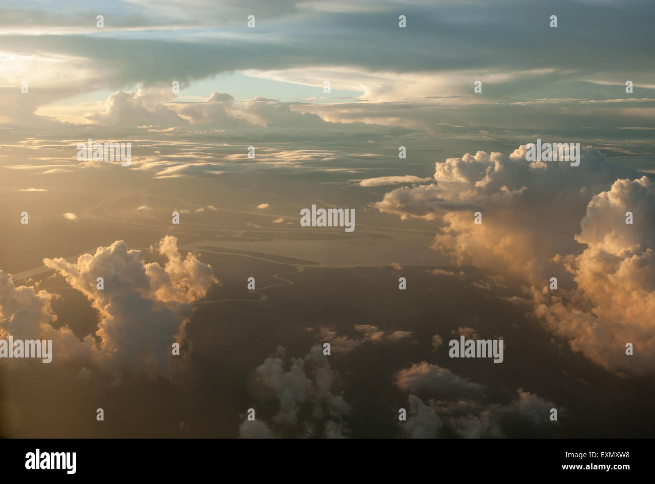 Amazon River, Para State, Brazil. Aerial view with rain clouds at dusk. Stock Photohttps://www.alamy.com/image-license-details/?v=1https://www.alamy.com/stock-photo-amazon-river-para-state-brazil-aerial-view-with-rain-clouds-at-dusk-85282660.html
RMEXMXW8–Amazon River, Para State, Brazil. Aerial view with rain clouds at dusk.
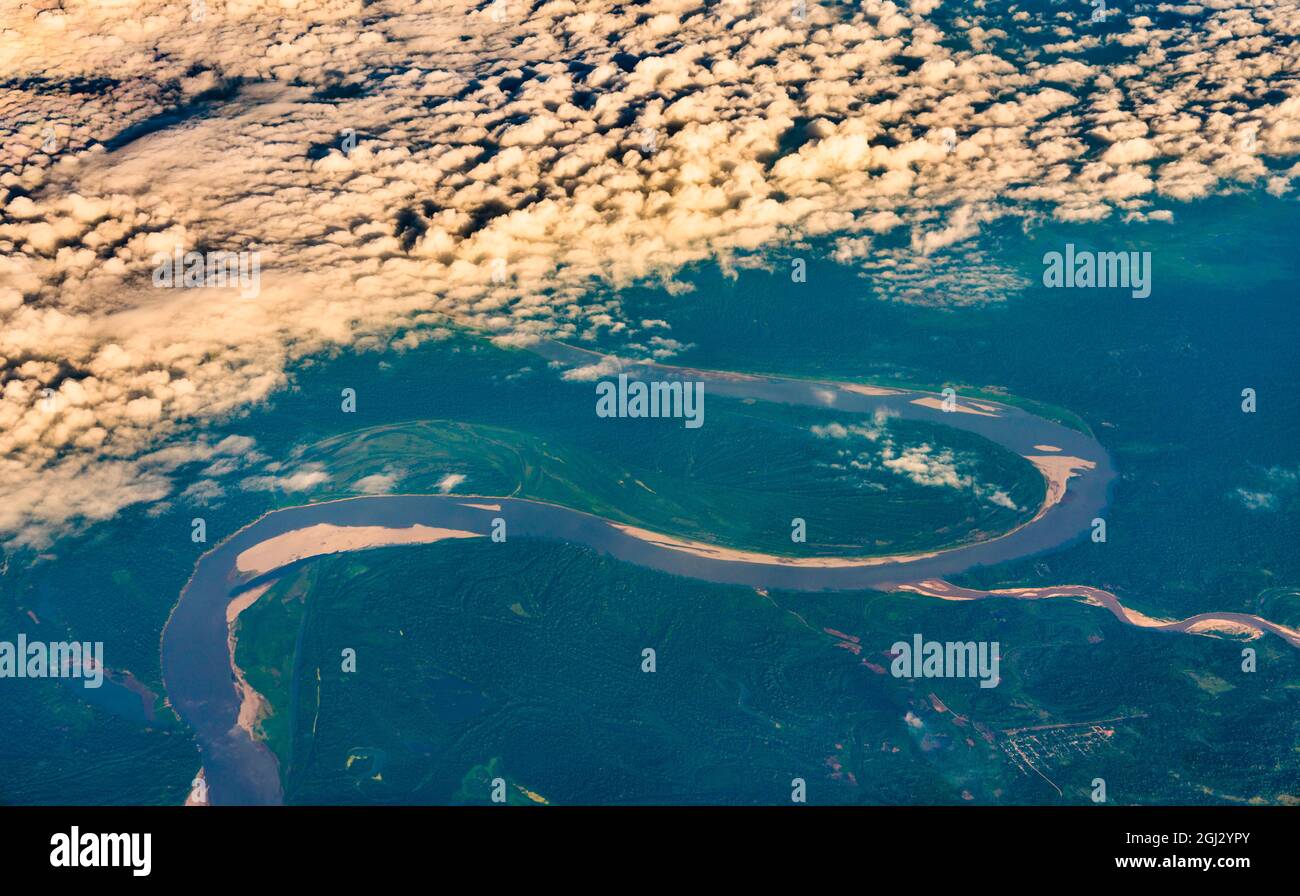 Aerial view of the Amazon river in Peru Stock Photohttps://www.alamy.com/image-license-details/?v=1https://www.alamy.com/aerial-view-of-the-amazon-river-in-peru-image441388723.html
RF2GJ2YPY–Aerial view of the Amazon river in Peru
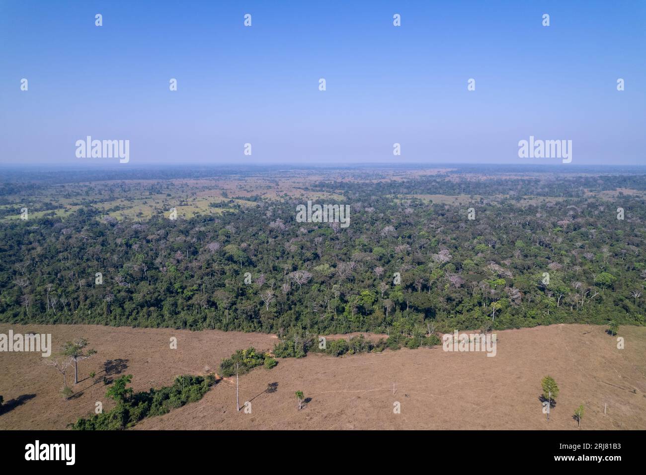 Aerial drone view of beautiful Amazon rainforest trees and deforestation to open land for cattle in livestock farm. Amazonas, Brazil. Environment. Stock Photohttps://www.alamy.com/image-license-details/?v=1https://www.alamy.com/aerial-drone-view-of-beautiful-amazon-rainforest-trees-and-deforestation-to-open-land-for-cattle-in-livestock-farm-amazonas-brazil-environment-image561972295.html
RF2RJ81B3–Aerial drone view of beautiful Amazon rainforest trees and deforestation to open land for cattle in livestock farm. Amazonas, Brazil. Environment.
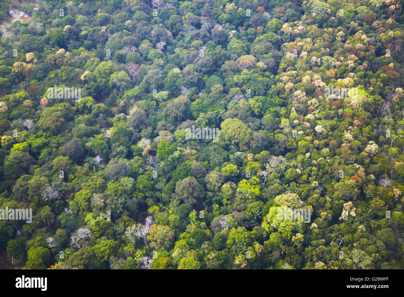 Aerial view of Amazon Rainforest, Manaus, Amazonas, Brazil Stock Photohttps://www.alamy.com/image-license-details/?v=1https://www.alamy.com/stock-photo-aerial-view-of-amazon-rainforest-manaus-amazonas-brazil-104749107.html
RMG2BMFF–Aerial view of Amazon Rainforest, Manaus, Amazonas, Brazil
 An aerial view of a hydroelectric power plant in the Brazilian Amazon forest. Situated in the Teles Pires river, close to the city of Alta Floresta. Stock Photohttps://www.alamy.com/image-license-details/?v=1https://www.alamy.com/stock-photo-an-aerial-view-of-a-hydroelectric-power-plant-in-the-brazilian-amazon-129113798.html
RFHE1HY2–An aerial view of a hydroelectric power plant in the Brazilian Amazon forest. Situated in the Teles Pires river, close to the city of Alta Floresta.
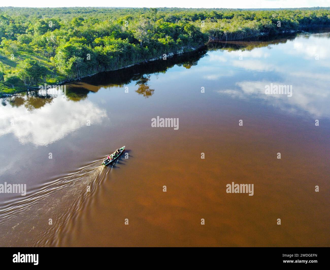 The Rio flowing in the dense Amazon forest in Brazil Stock Photohttps://www.alamy.com/image-license-details/?v=1https://www.alamy.com/the-rio-flowing-in-the-dense-amazon-forest-in-brazil-image593505689.html
RF2WDGEFN–The Rio flowing in the dense Amazon forest in Brazil
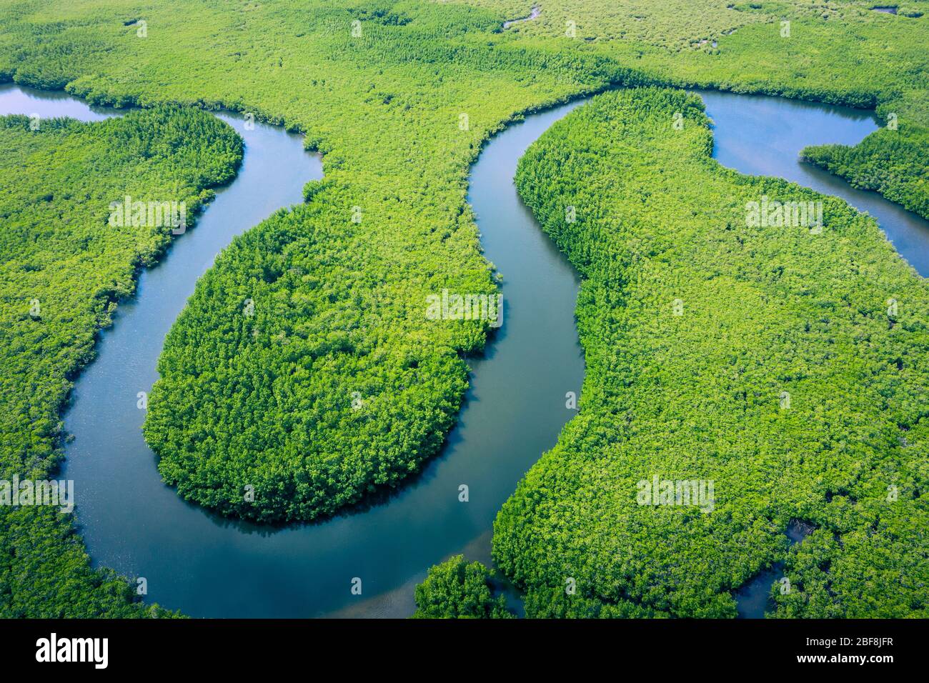 Aerial view of Amazon rainforest in Brazil, South America. Green forest. Bird's-eye view. Stock Photohttps://www.alamy.com/image-license-details/?v=1https://www.alamy.com/aerial-view-of-amazon-rainforest-in-brazil-south-america-green-forest-birds-eye-view-image353617371.html
RF2BF8JFR–Aerial view of Amazon rainforest in Brazil, South America. Green forest. Bird's-eye view.
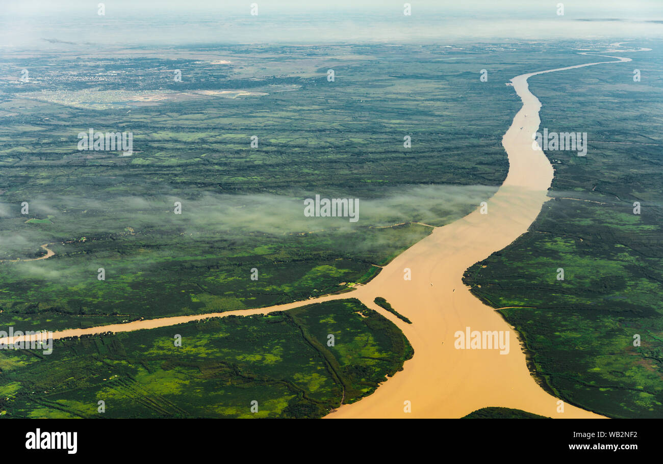 Landscape aerial view of colorful Amazon rivers, forest, jungle, and fields Stock Photohttps://www.alamy.com/image-license-details/?v=1https://www.alamy.com/landscape-aerial-view-of-colorful-amazon-rivers-forest-jungle-and-fields-image264977526.html
RFWB2NF2–Landscape aerial view of colorful Amazon rivers, forest, jungle, and fields
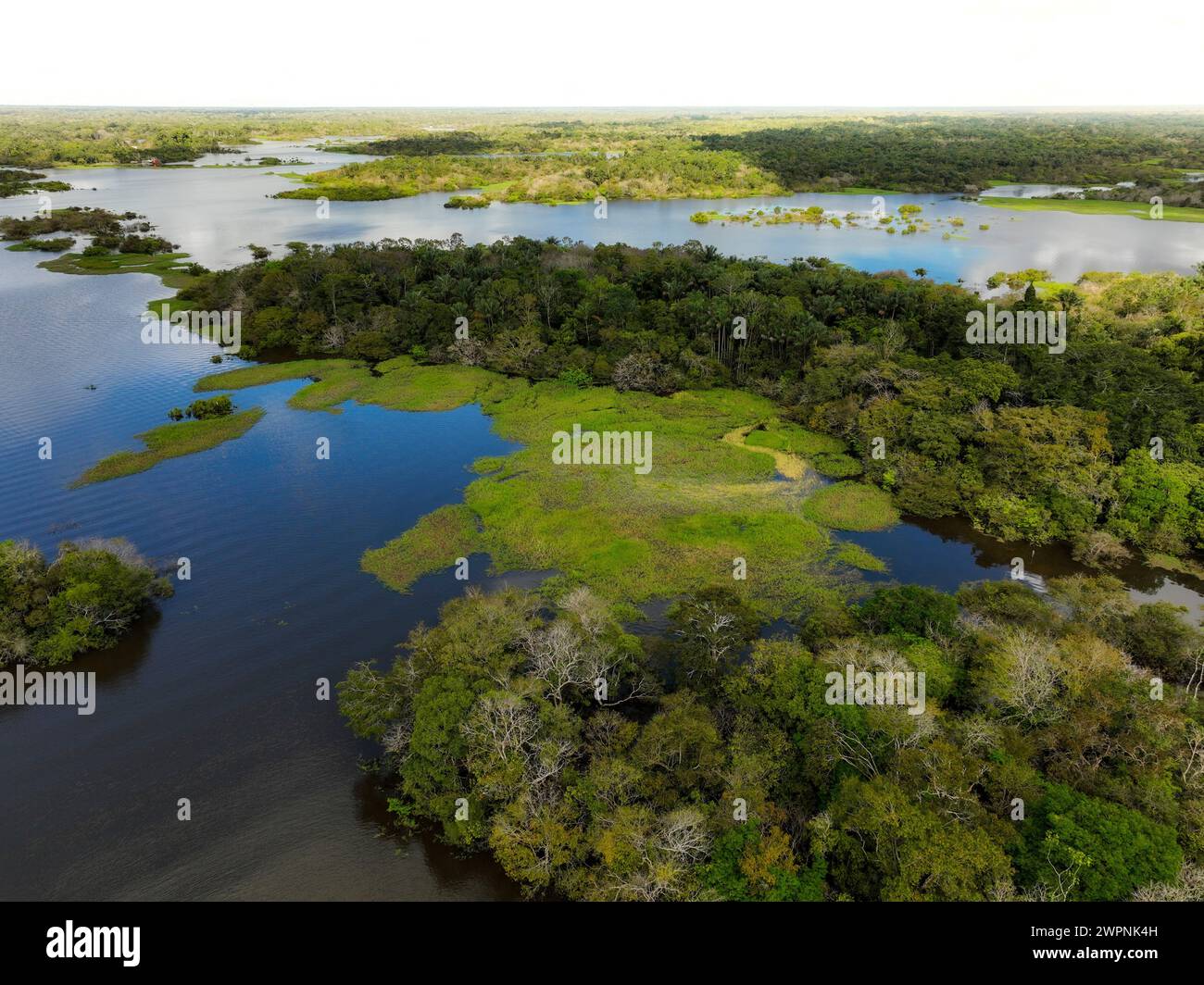 Amazon rainforest Brazil Stock Photohttps://www.alamy.com/image-license-details/?v=1https://www.alamy.com/amazon-rainforest-brazil-image599150961.html
RM2WPNK4H–Amazon rainforest Brazil
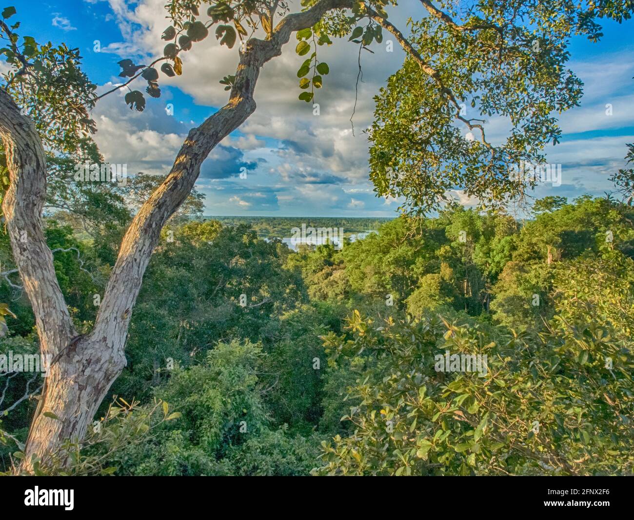 View of a jungle roof from a high platform on a tree. Amazonia. Brazil, South America Stock Photohttps://www.alamy.com/image-license-details/?v=1https://www.alamy.com/view-of-a-jungle-roof-from-a-high-platform-on-a-tree-amazonia-brazil-south-america-image426529354.html
RF2FNX2F6–View of a jungle roof from a high platform on a tree. Amazonia. Brazil, South America
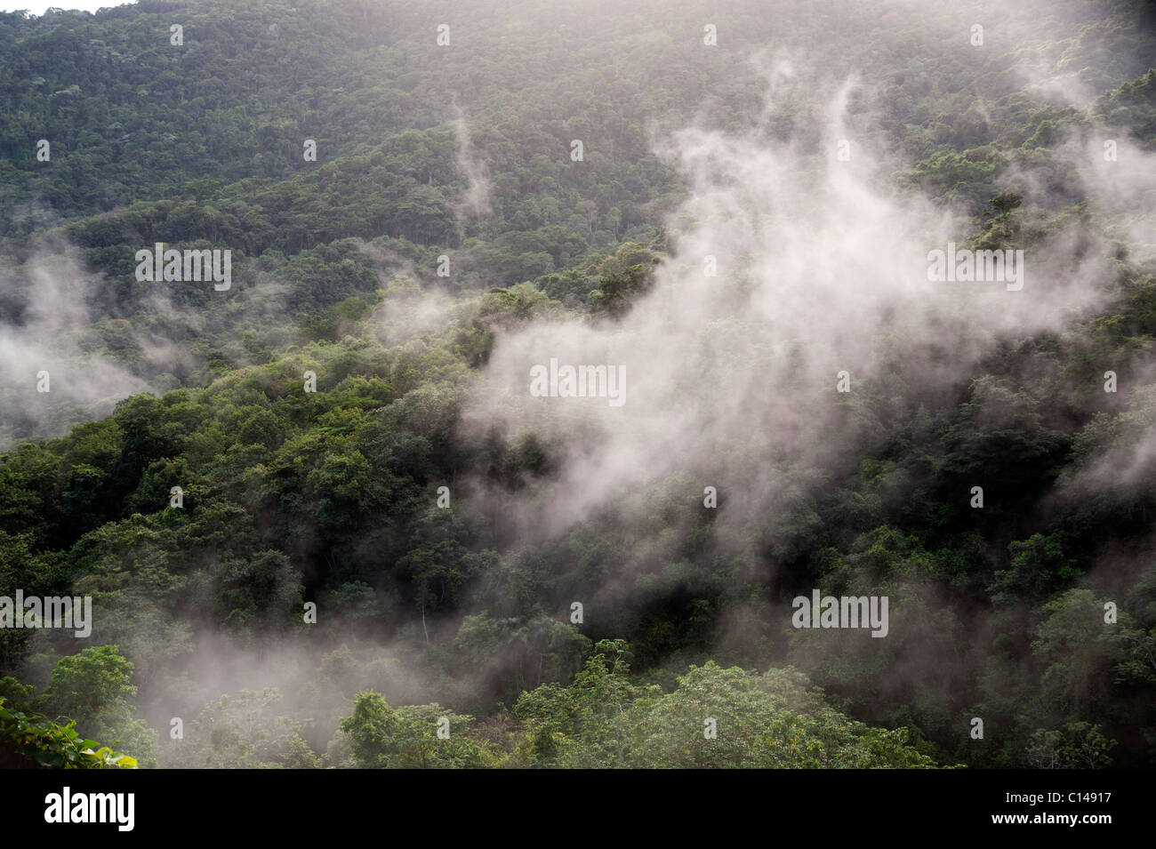 Amazon, Rainforest covered in mist, Brazil Stock Photohttps://www.alamy.com/image-license-details/?v=1https://www.alamy.com/stock-photo-amazon-rainforest-covered-in-mist-brazil-35130291.html
RMC14917–Amazon, Rainforest covered in mist, Brazil
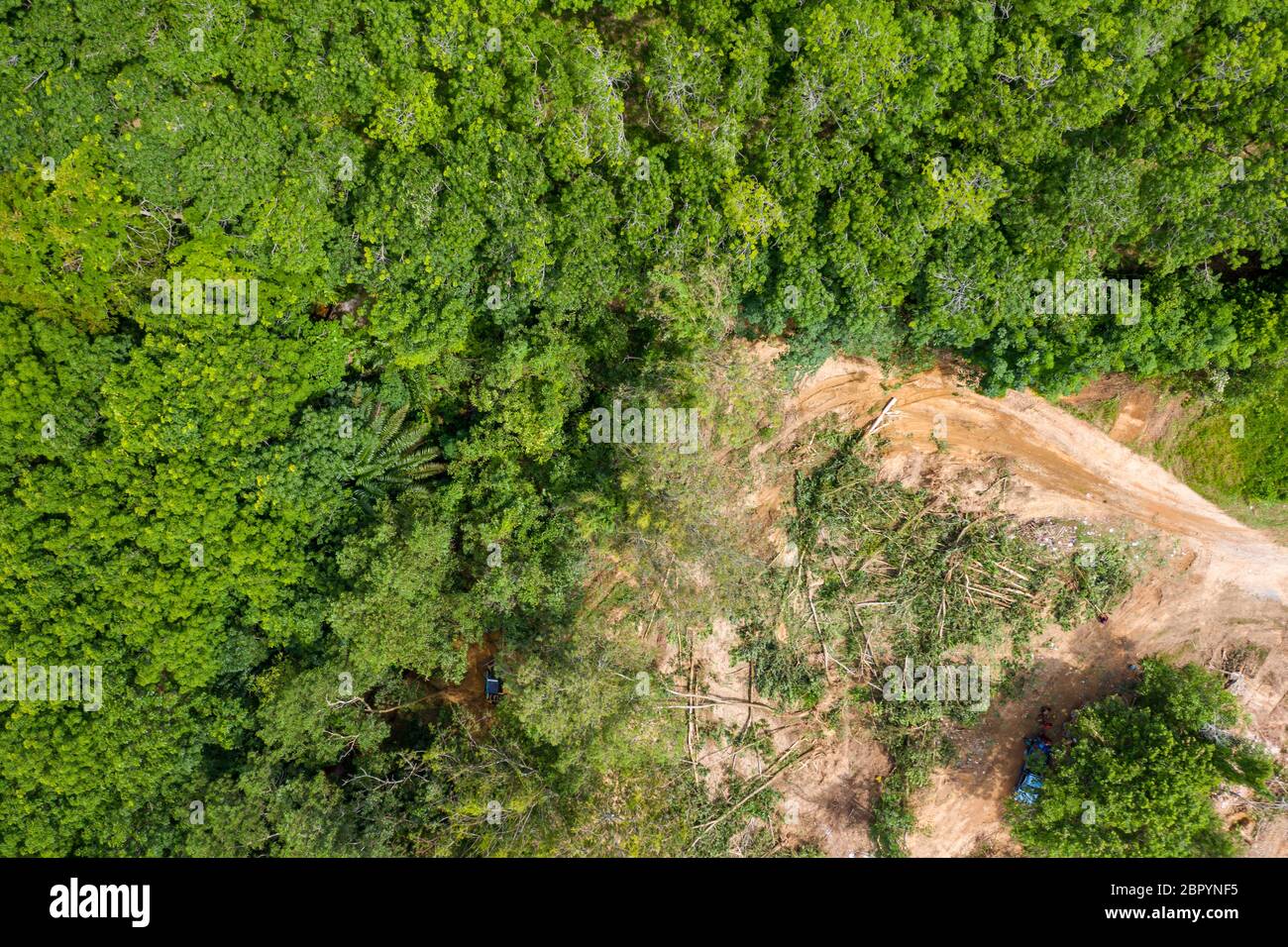 Aerial drone view of logging operatons and active deforestation of a tropical rainforest contributing to habitat destruction and man-made climate chan Stock Photohttps://www.alamy.com/image-license-details/?v=1https://www.alamy.com/aerial-drone-view-of-logging-operatons-and-active-deforestation-of-a-tropical-rainforest-contributing-to-habitat-destruction-and-man-made-climate-chan-image358339385.html
RF2BPYNF5–Aerial drone view of logging operatons and active deforestation of a tropical rainforest contributing to habitat destruction and man-made climate chan
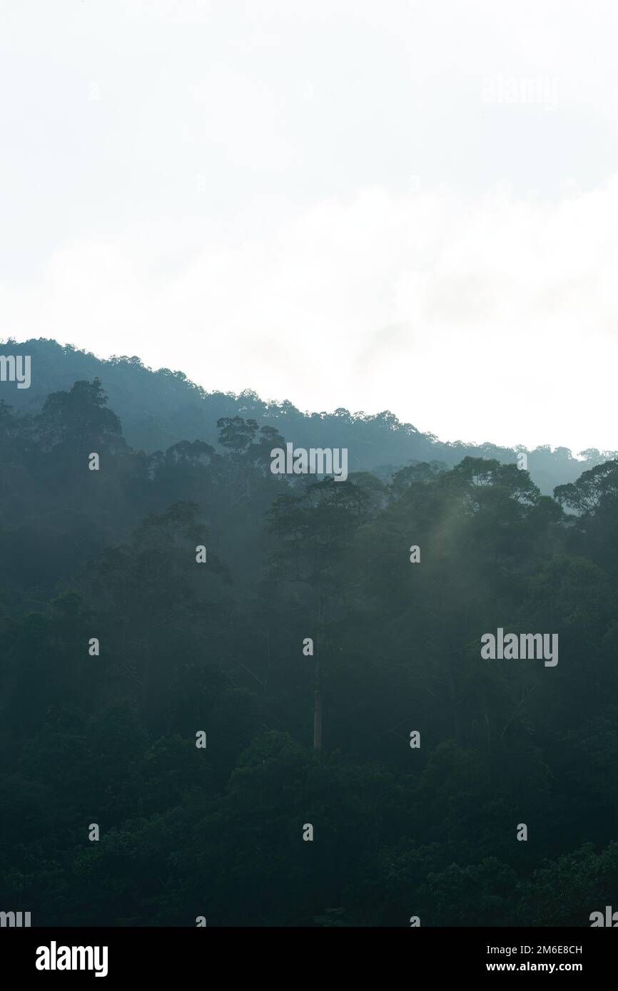 Aerial view of mist, blanket cloud and fog hanging over a lush tropical rainforest in the morning. Stock Photohttps://www.alamy.com/image-license-details/?v=1https://www.alamy.com/aerial-view-of-mist-blanket-cloud-and-fog-hanging-over-a-lush-tropical-rainforest-in-the-morning-image503102561.html
RF2M6E8CH–Aerial view of mist, blanket cloud and fog hanging over a lush tropical rainforest in the morning.
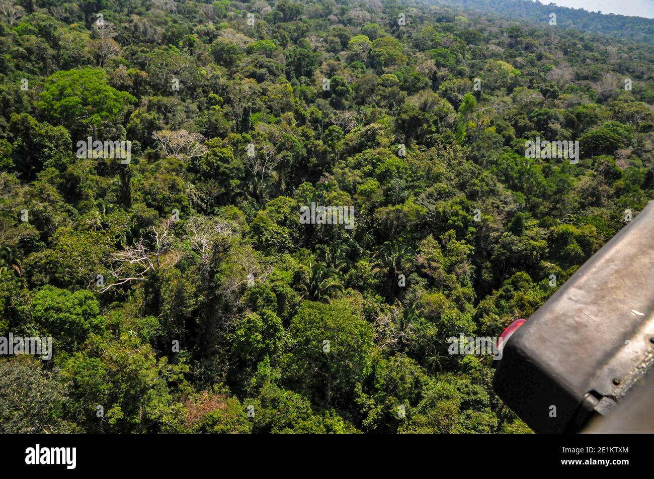 Aerial view of the Brazilian rainforest Stock Photohttps://www.alamy.com/image-license-details/?v=1https://www.alamy.com/aerial-view-of-the-brazilian-rainforest-image396889772.html
RM2E1KTXM–Aerial view of the Brazilian rainforest
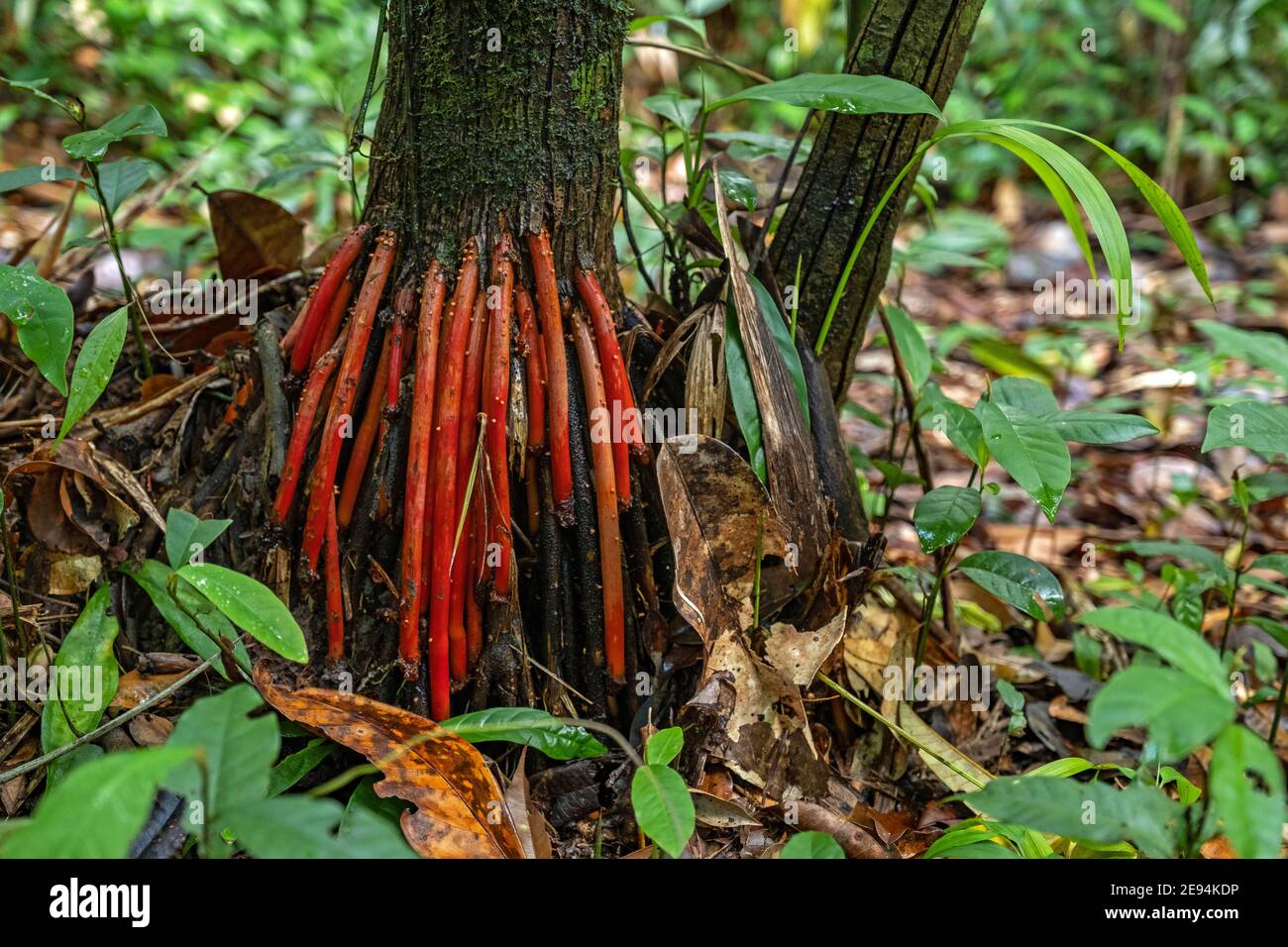 Red aerial roots of the açaí palm tree (Euterpe oleracea) in tropical rainforest / rain forest / jungle in South America Stock Photohttps://www.alamy.com/image-license-details/?v=1https://www.alamy.com/red-aerial-roots-of-the-aa-palm-tree-euterpe-oleracea-in-tropical-rainforest-rain-forest-jungle-in-south-america-image401473458.html
RM2E94KDP–Red aerial roots of the açaí palm tree (Euterpe oleracea) in tropical rainforest / rain forest / jungle in South America
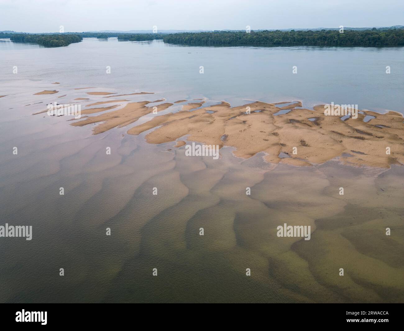 Beautiful aerial view to islands and sandbanks in wild green amazon Stock Photohttps://www.alamy.com/image-license-details/?v=1https://www.alamy.com/beautiful-aerial-view-to-islands-and-sandbanks-in-wild-green-amazon-image566327450.html
RF2RWACCA–Beautiful aerial view to islands and sandbanks in wild green amazon
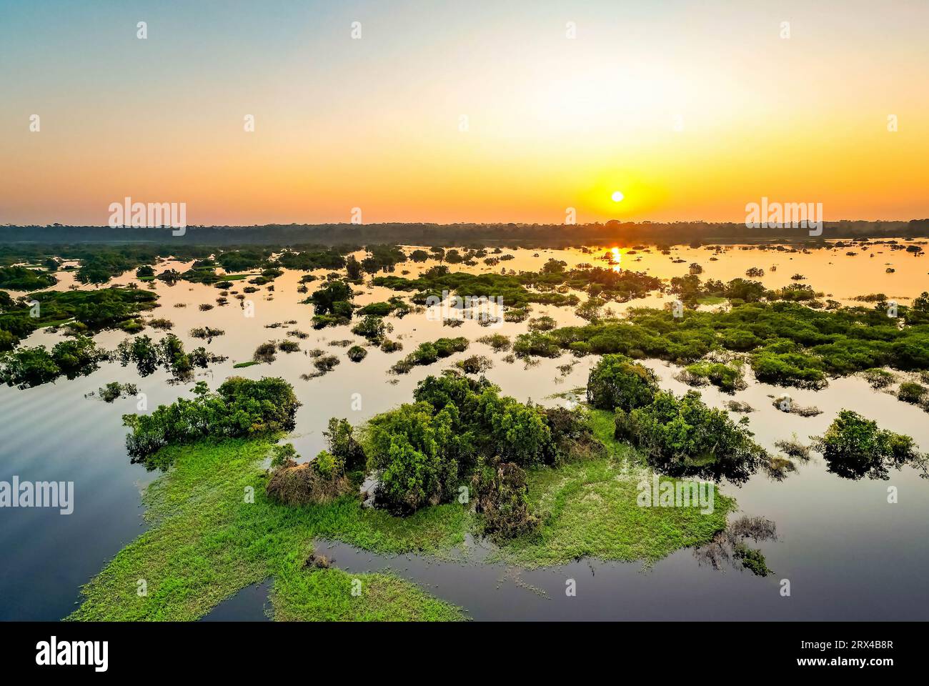 Scenic aerial sunset view of rainforest water jungle in Amazonas state Brazil Stock Photohttps://www.alamy.com/image-license-details/?v=1https://www.alamy.com/scenic-aerial-sunset-view-of-rainforest-water-jungle-in-amazonas-state-brazil-image566809511.html
RF2RX4B8R–Scenic aerial sunset view of rainforest water jungle in Amazonas state Brazil
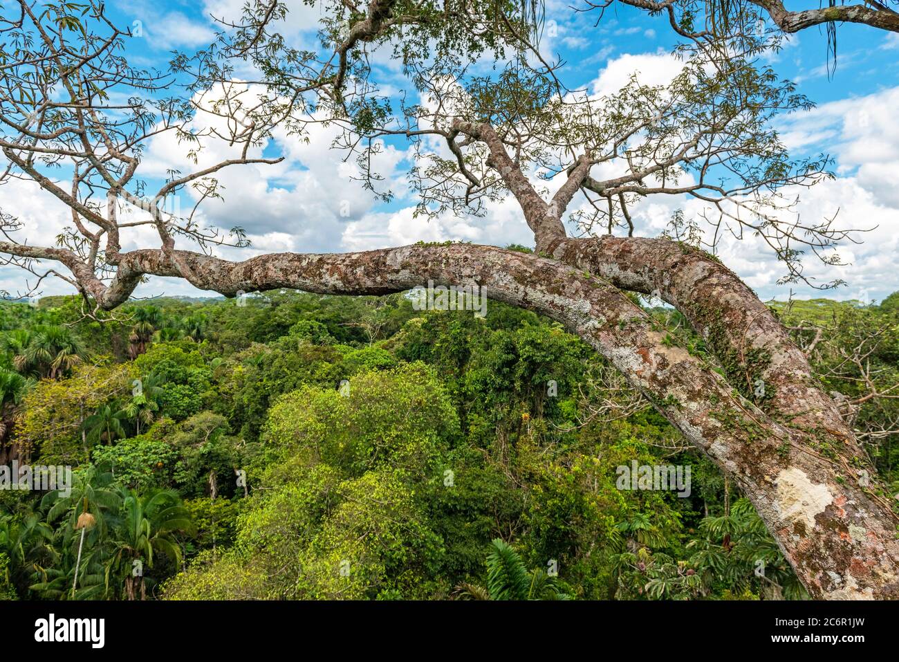 Aerial view of the Amazon Rainforest seen from a ceiba tree, Yasuni national park, Ecuador. Stock Photohttps://www.alamy.com/image-license-details/?v=1https://www.alamy.com/aerial-view-of-the-amazon-rainforest-seen-from-a-ceiba-tree-yasuni-national-park-ecuador-image365611873.html
RF2C6R1JW–Aerial view of the Amazon Rainforest seen from a ceiba tree, Yasuni national park, Ecuador.
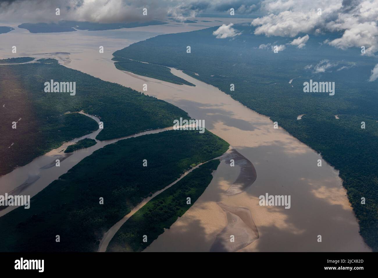 Aerial of the Amazon River, Macapa, Brazil, South America Stock Photohttps://www.alamy.com/image-license-details/?v=1https://www.alamy.com/aerial-of-the-amazon-river-macapa-brazil-south-america-image472632901.html
RF2JCX82D–Aerial of the Amazon River, Macapa, Brazil, South America
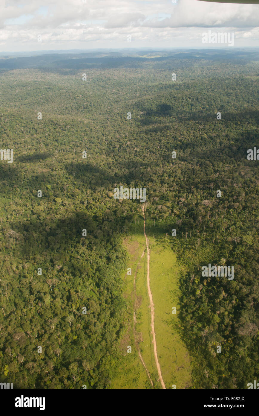 Novo Progresso, Para State, Amazon, Brazil. Aerial view of deep, thick forest with a track, deforested on both sides. Stock Photohttps://www.alamy.com/image-license-details/?v=1https://www.alamy.com/stock-photo-novo-progresso-para-state-amazon-brazil-aerial-view-of-deep-thick-86229554.html
RMF082JX–Novo Progresso, Para State, Amazon, Brazil. Aerial view of deep, thick forest with a track, deforested on both sides.
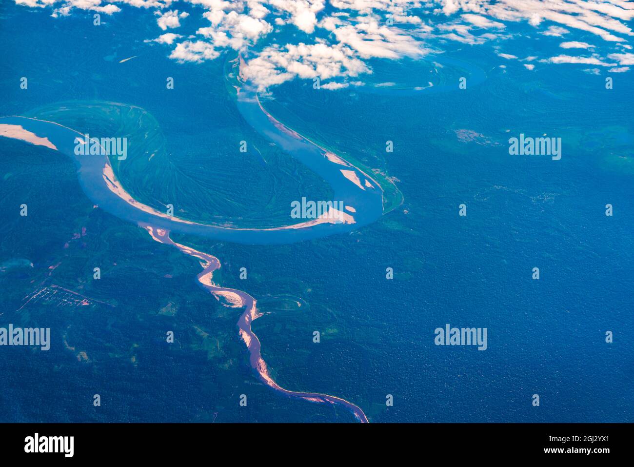 Aerial view of the Amazon river in Peru Stock Photohttps://www.alamy.com/image-license-details/?v=1https://www.alamy.com/aerial-view-of-the-amazon-river-in-peru-image441388809.html
RF2GJ2YX1–Aerial view of the Amazon river in Peru
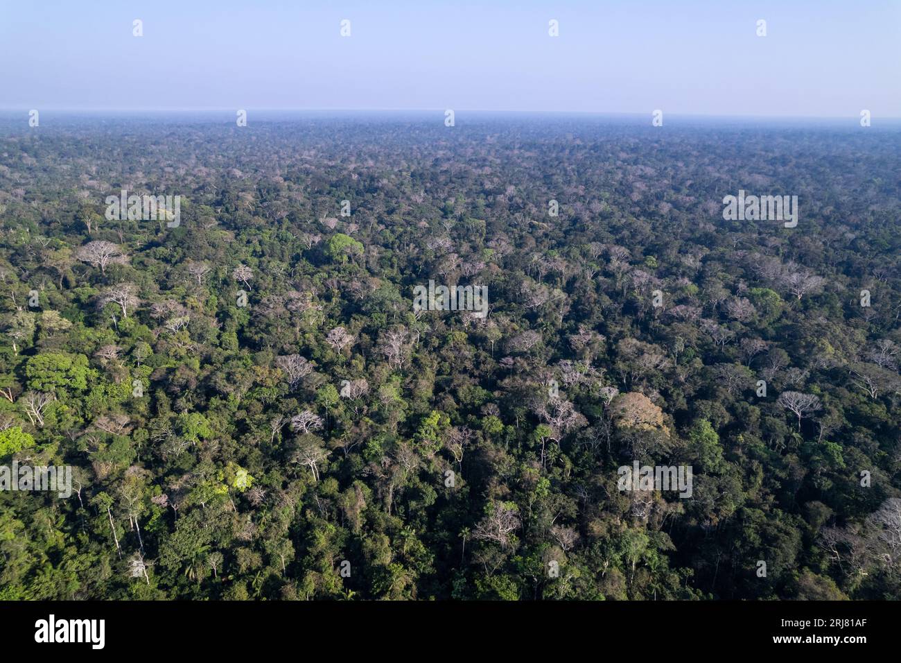 Amazon rainforest trees aerial beautiful drone view, primary forest in environmental conservation area. Amazonas, Brazil. Environment, ecology. Stock Photohttps://www.alamy.com/image-license-details/?v=1https://www.alamy.com/amazon-rainforest-trees-aerial-beautiful-drone-view-primary-forest-in-environmental-conservation-area-amazonas-brazil-environment-ecology-image561972279.html
RF2RJ81AF–Amazon rainforest trees aerial beautiful drone view, primary forest in environmental conservation area. Amazonas, Brazil. Environment, ecology.
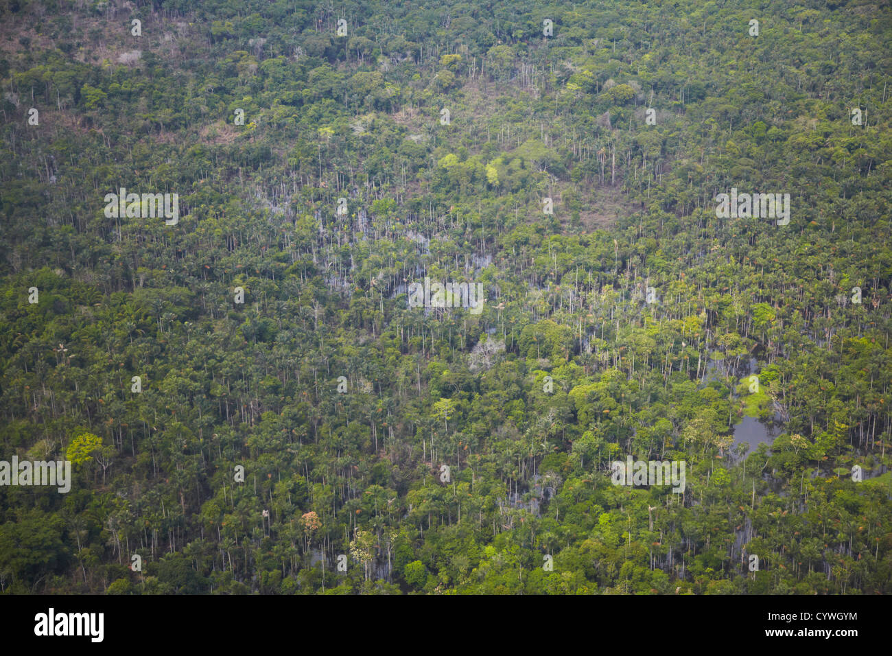 Aerial view of flooded forest in Amazon Rainforest, Manaus, Amazonas, Brazil Stock Photohttps://www.alamy.com/image-license-details/?v=1https://www.alamy.com/stock-photo-aerial-view-of-flooded-forest-in-amazon-rainforest-manaus-amazonas-51578568.html
RMCYWGYM–Aerial view of flooded forest in Amazon Rainforest, Manaus, Amazonas, Brazil
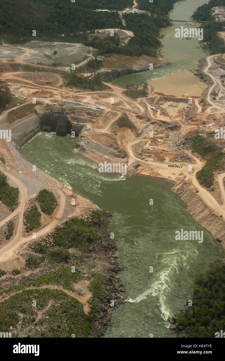 Hydroelectric power plant in the Brazilian Amazon forest. Situated in the Teles Pires river, close to the city of Alta Floresta. Stock Photohttps://www.alamy.com/image-license-details/?v=1https://www.alamy.com/stock-photo-hydroelectric-power-plant-in-the-brazilian-amazon-forest-situated-129185154.html
RFHE4TYE–Hydroelectric power plant in the Brazilian Amazon forest. Situated in the Teles Pires river, close to the city of Alta Floresta.
 The Rio flowing in the dense Amazon forest in Brazil Stock Photohttps://www.alamy.com/image-license-details/?v=1https://www.alamy.com/the-rio-flowing-in-the-dense-amazon-forest-in-brazil-image593505232.html
RF2WDGDYC–The Rio flowing in the dense Amazon forest in Brazil
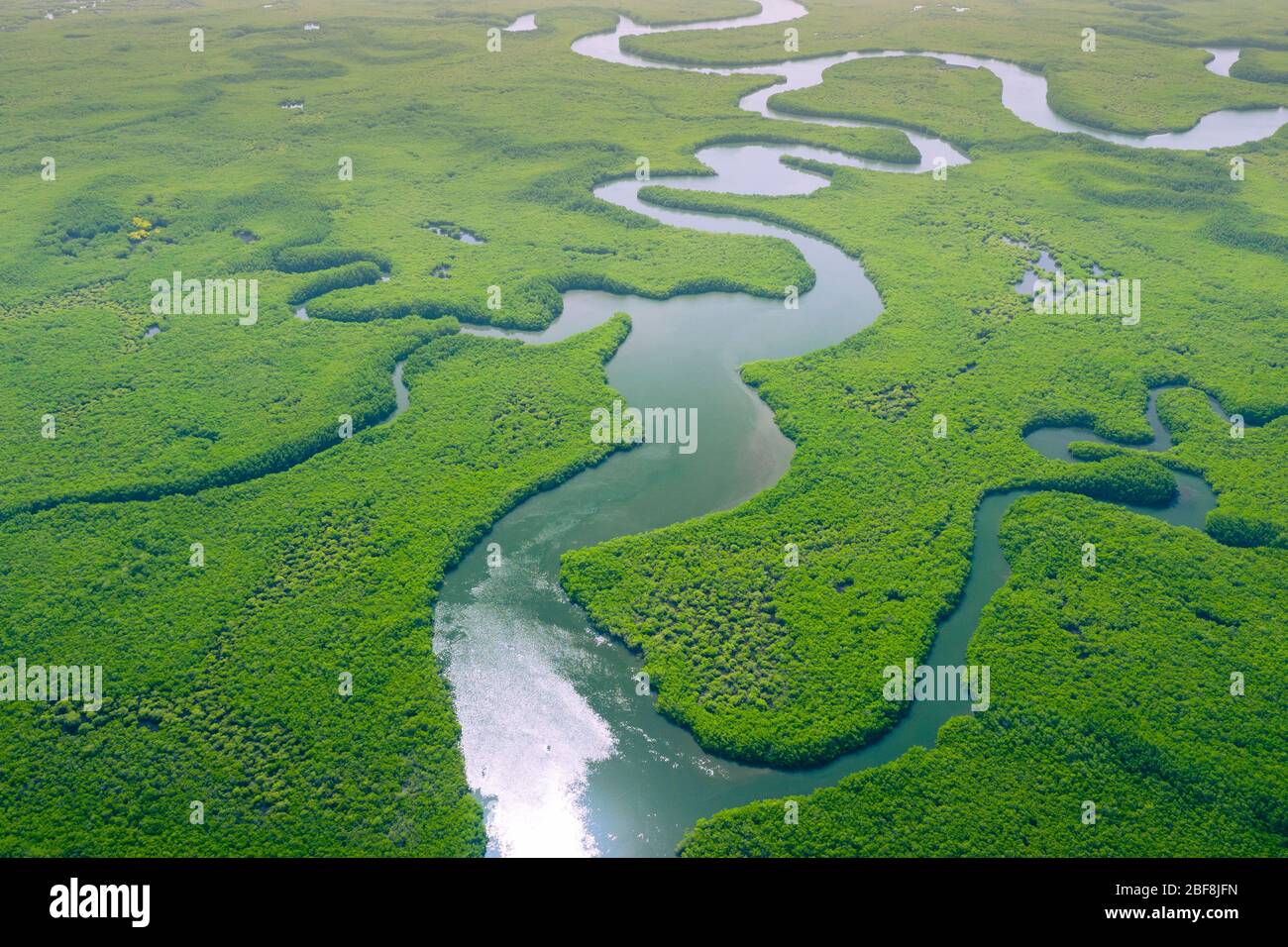 Aerial view of Amazon rainforest in Brazil, South America. Green forest. Bird's-eye view. Stock Photohttps://www.alamy.com/image-license-details/?v=1https://www.alamy.com/aerial-view-of-amazon-rainforest-in-brazil-south-america-green-forest-birds-eye-view-image353617369.html
RF2BF8JFN–Aerial view of Amazon rainforest in Brazil, South America. Green forest. Bird's-eye view.
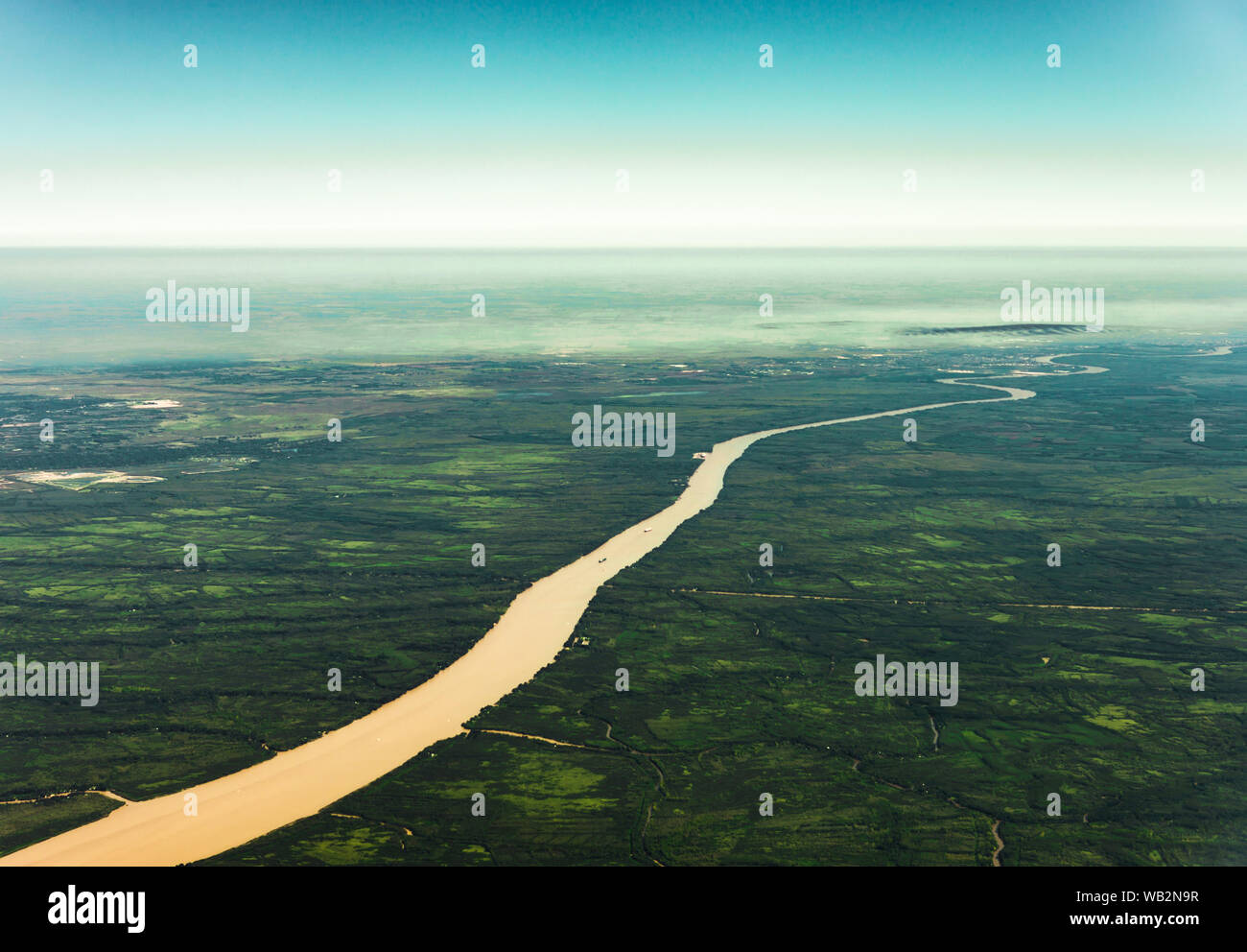 Landscape aerial view of colorful Amazon rivers, forest, jungle, and fields Stock Photohttps://www.alamy.com/image-license-details/?v=1https://www.alamy.com/landscape-aerial-view-of-colorful-amazon-rivers-forest-jungle-and-fields-image264977379.html
RFWB2N9R–Landscape aerial view of colorful Amazon rivers, forest, jungle, and fields
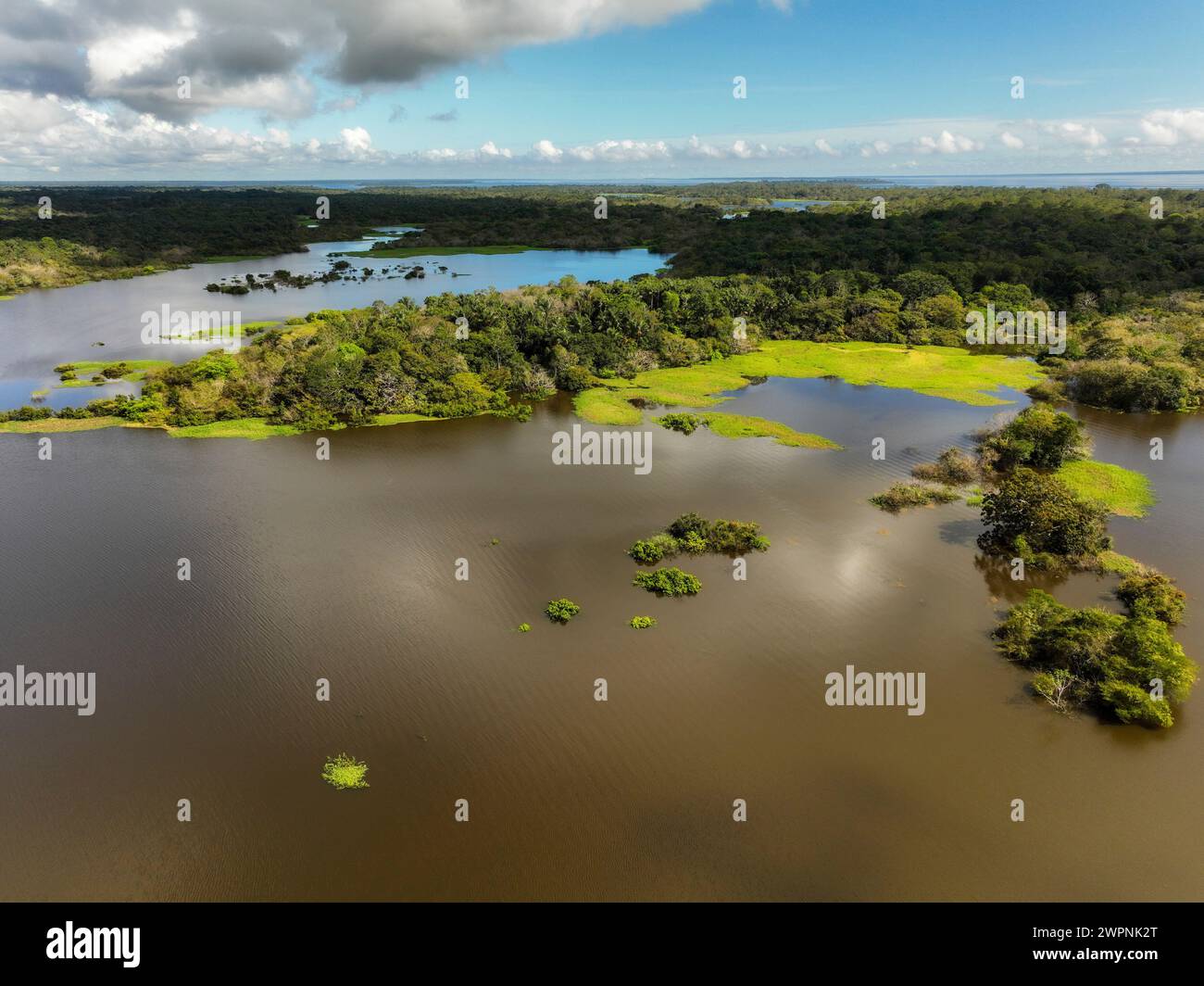 Amazon rainforest Brazil Stock Photohttps://www.alamy.com/image-license-details/?v=1https://www.alamy.com/amazon-rainforest-brazil-image599150912.html
RM2WPNK2T–Amazon rainforest Brazil
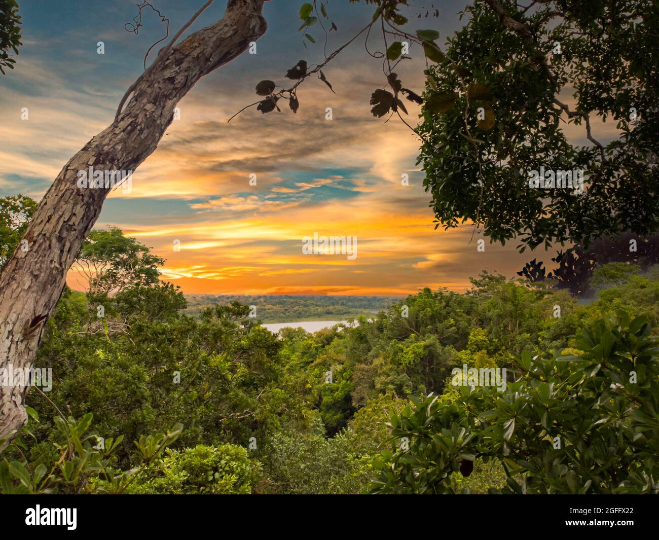 Sunset over the Amazon jungle. Amazonia. Latin America. Javari Valley, Brazil. Peru Stock Photohttps://www.alamy.com/image-license-details/?v=1https://www.alamy.com/sunset-over-the-amazon-jungle-amazonia-latin-america-javari-valley-brazil-peru-image439828762.html
RF2GFFX22–Sunset over the Amazon jungle. Amazonia. Latin America. Javari Valley, Brazil. Peru
RF2HR7R6N–Amazon Simple vector icon.
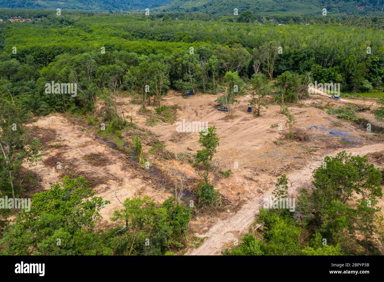 Aerial drone view of logging operatons and active deforestation of a tropical rainforest contributing to habitat destruction and man-made climate chan Stock Photohttps://www.alamy.com/image-license-details/?v=1https://www.alamy.com/aerial-drone-view-of-logging-operatons-and-active-deforestation-of-a-tropical-rainforest-contributing-to-habitat-destruction-and-man-made-climate-chan-image358339839.html
RF2BPYP3B–Aerial drone view of logging operatons and active deforestation of a tropical rainforest contributing to habitat destruction and man-made climate chan
 Aerial view of golden mist, blanket cloud and fog hanging over a lush tropical rainforest in the morning. Stock Photohttps://www.alamy.com/image-license-details/?v=1https://www.alamy.com/aerial-view-of-golden-mist-blanket-cloud-and-fog-hanging-over-a-lush-tropical-rainforest-in-the-morning-image503101671.html
RF2M6E78R–Aerial view of golden mist, blanket cloud and fog hanging over a lush tropical rainforest in the morning.
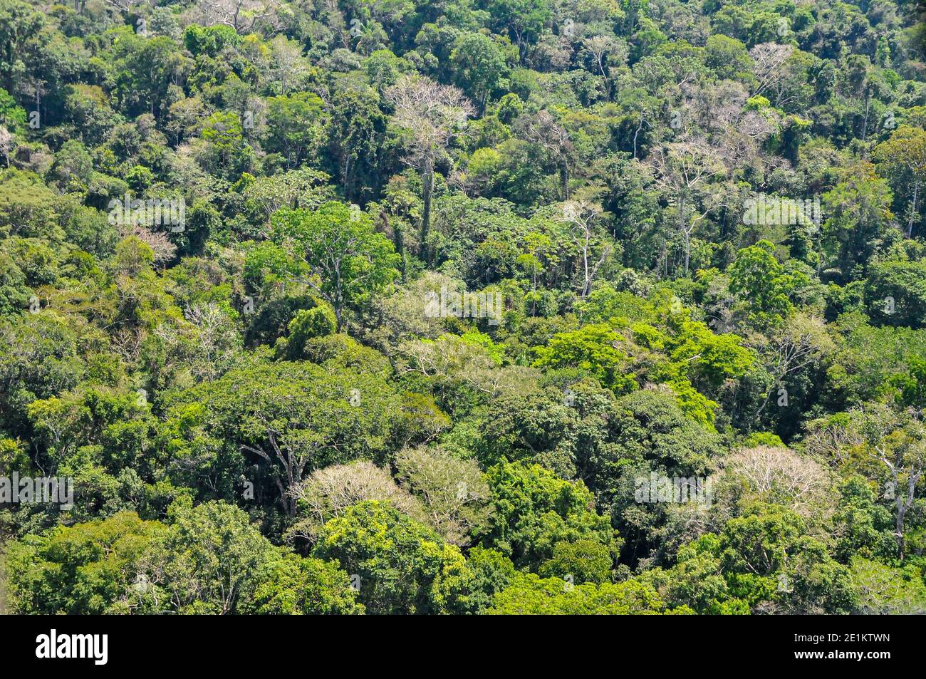 Aerial view of the Brazilian rainforest Stock Photohttps://www.alamy.com/image-license-details/?v=1https://www.alamy.com/aerial-view-of-the-brazilian-rainforest-image396889745.html
RM2E1KTWN–Aerial view of the Brazilian rainforest
RF2HRK9AW–Amazon Simple vector icon. Illustration symbol design template for web mobile UI element.
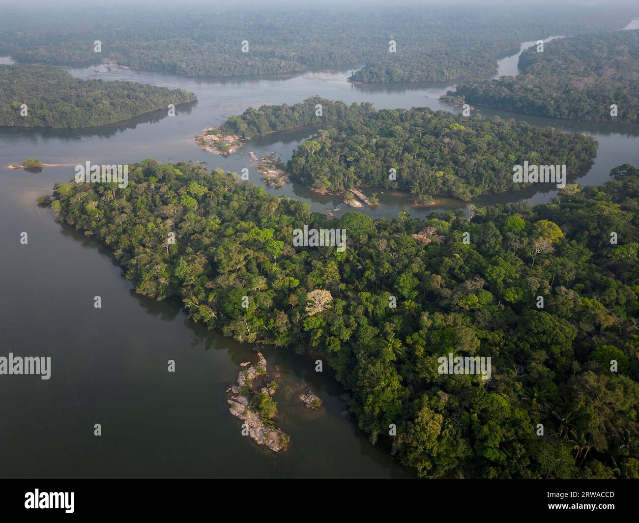 Beautiful aerial view to islands in wild green amazon rainforest Stock Photohttps://www.alamy.com/image-license-details/?v=1https://www.alamy.com/beautiful-aerial-view-to-islands-in-wild-green-amazon-rainforest-image566327453.html
RF2RWACCD–Beautiful aerial view to islands in wild green amazon rainforest
 Scenic aerial sunset view of rainforest water jungle in Amazonas state Brazil Stock Photohttps://www.alamy.com/image-license-details/?v=1https://www.alamy.com/scenic-aerial-sunset-view-of-rainforest-water-jungle-in-amazonas-state-brazil-image566809524.html
RF2RX4B98–Scenic aerial sunset view of rainforest water jungle in Amazonas state Brazil
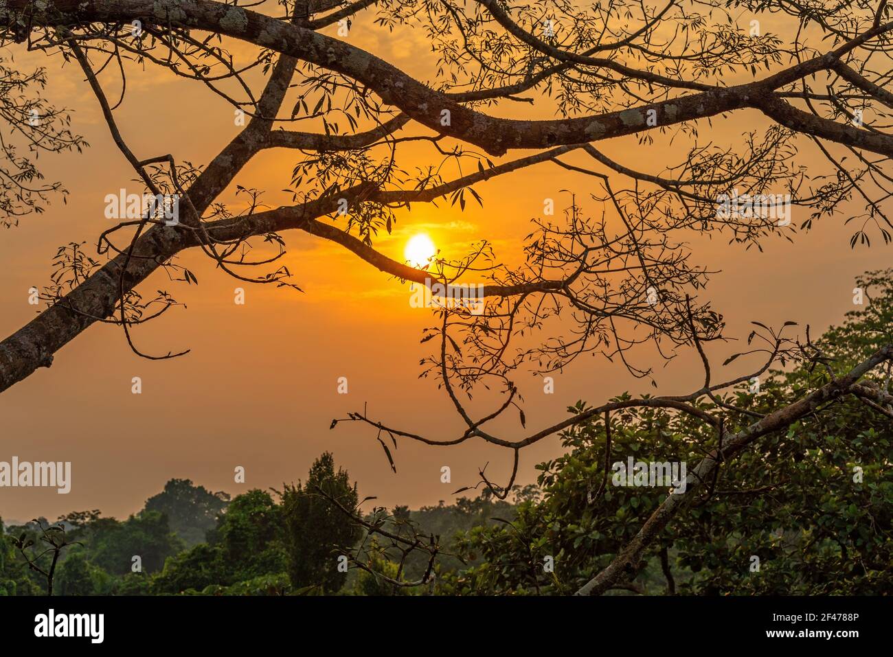 Aerial Amazon rainforest sunset, Yasuni national park, Ecuador. Stock Photohttps://www.alamy.com/image-license-details/?v=1https://www.alamy.com/aerial-amazon-rainforest-sunset-yasuni-national-park-ecuador-image415667638.html
RF2F4788P–Aerial Amazon rainforest sunset, Yasuni national park, Ecuador.
 Female Harpy eagle (Harpia harpyja), feeding her four month old chick, Alta Floresta, Amazon, Brazil, South America Stock Photohttps://www.alamy.com/image-license-details/?v=1https://www.alamy.com/female-harpy-eagle-harpia-harpyja-feeding-her-four-month-old-chick-alta-floresta-amazon-brazil-south-america-image618381314.html
RF2XX1KJX–Female Harpy eagle (Harpia harpyja), feeding her four month old chick, Alta Floresta, Amazon, Brazil, South America
 Para state, Brazil. Aerial view of Forested hills and farmland beyond. Stock Photohttps://www.alamy.com/image-license-details/?v=1https://www.alamy.com/stock-photo-para-state-brazil-aerial-view-of-forested-hills-and-farmland-beyond-85282651.html
RMEXMXTY–Para state, Brazil. Aerial view of Forested hills and farmland beyond.
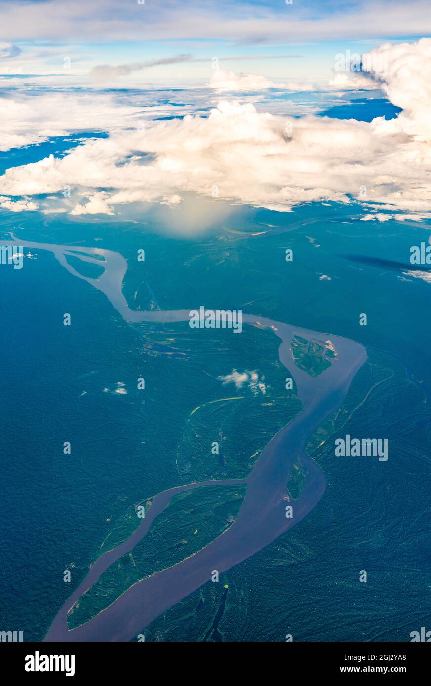 Aerial view of the Amazon river in Peru Stock Photohttps://www.alamy.com/image-license-details/?v=1https://www.alamy.com/aerial-view-of-the-amazon-river-in-peru-image441388368.html
RF2GJ2YA8–Aerial view of the Amazon river in Peru
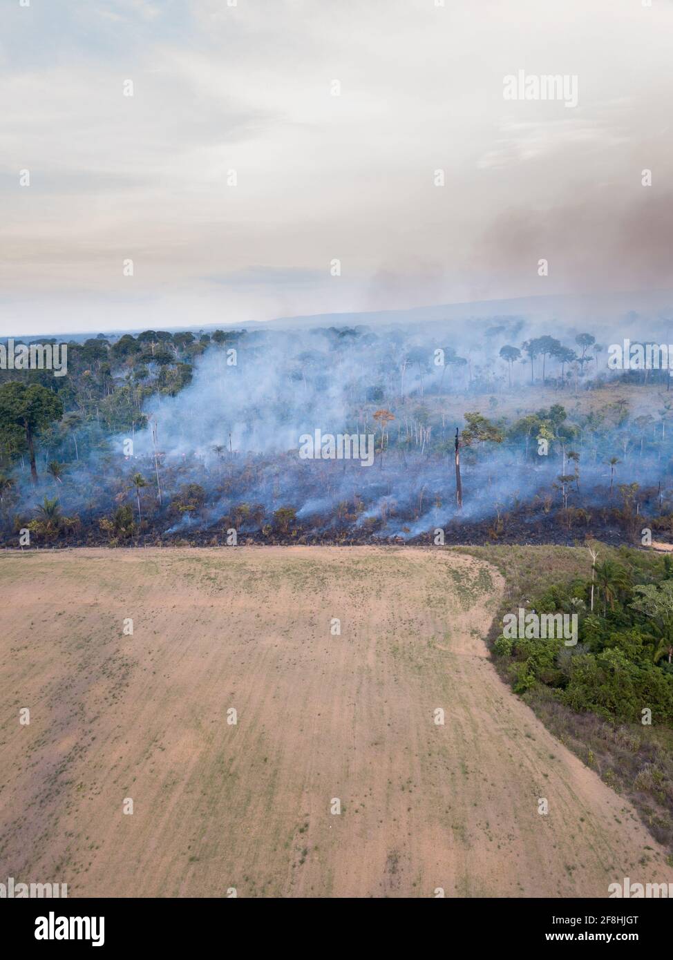 Aerial drone view of fire burning in Amazon rainforest illegal deforestation landscape to make land for agriculture and cattle pasture in Para, Brazil Stock Photohttps://www.alamy.com/image-license-details/?v=1https://www.alamy.com/aerial-drone-view-of-fire-burning-in-amazon-rainforest-illegal-deforestation-landscape-to-make-land-for-agriculture-and-cattle-pasture-in-para-brazil-image418353848.html
RF2F8HJGT–Aerial drone view of fire burning in Amazon rainforest illegal deforestation landscape to make land for agriculture and cattle pasture in Para, Brazil
 Aerial view of an Amazon lagoon with palms in and around, natural island in a agricultural area, environmental protection, San Jose do Rio Claro, Mato Stock Photohttps://www.alamy.com/image-license-details/?v=1https://www.alamy.com/aerial-view-of-an-amazon-lagoon-with-palms-in-and-around-natural-island-in-a-agricultural-area-environmental-protection-san-jose-do-rio-claro-mato-image547245244.html
RF2PP94W0–Aerial view of an Amazon lagoon with palms in and around, natural island in a agricultural area, environmental protection, San Jose do Rio Claro, Mato
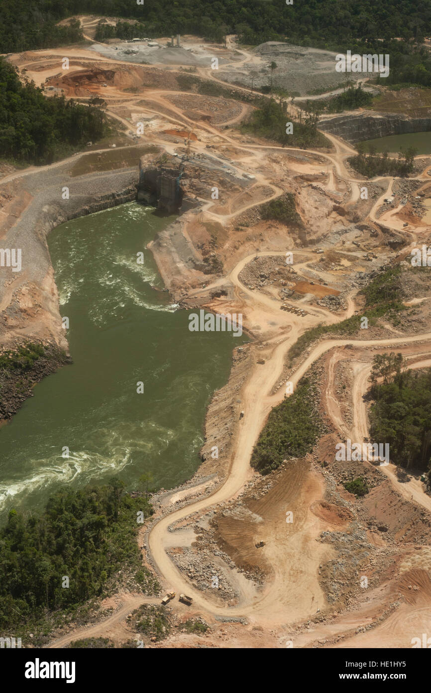 Hydroelectric power plant in the Brazilian Amazon forest. Situated in the Teles Pires river, close to the city of Alta Floresta. Stock Photohttps://www.alamy.com/image-license-details/?v=1https://www.alamy.com/stock-photo-hydroelectric-power-plant-in-the-brazilian-amazon-forest-situated-129113801.html
RFHE1HY5–Hydroelectric power plant in the Brazilian Amazon forest. Situated in the Teles Pires river, close to the city of Alta Floresta.
 The Rio flowing in the dense Amazon forest in Brazil Stock Photohttps://www.alamy.com/image-license-details/?v=1https://www.alamy.com/the-rio-flowing-in-the-dense-amazon-forest-in-brazil-image593505219.html
RF2WDGDXY–The Rio flowing in the dense Amazon forest in Brazil
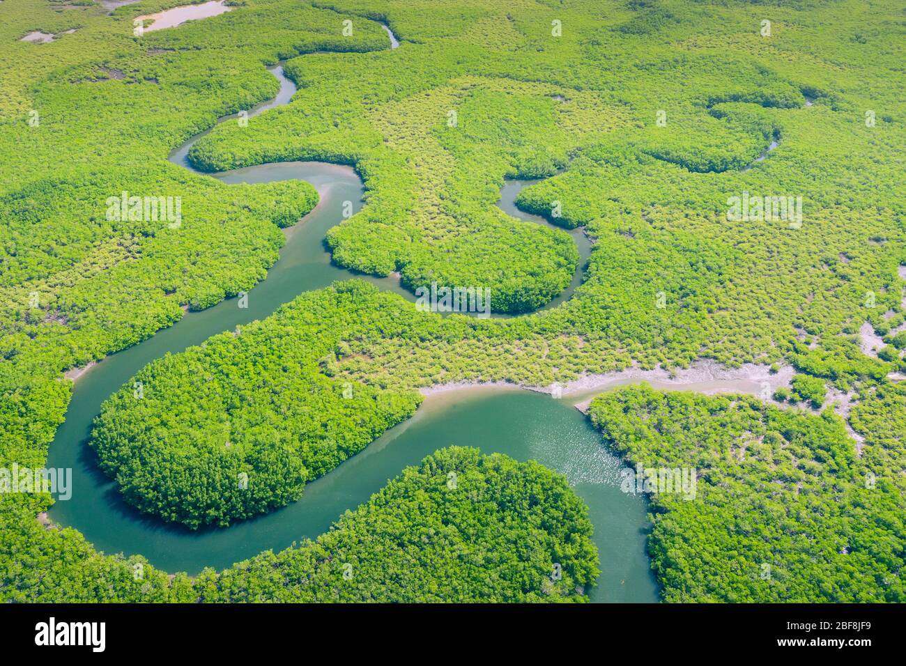 Aerial view of Amazon rainforest in Brazil, South America. Green forest. Bird's-eye view. Stock Photohttps://www.alamy.com/image-license-details/?v=1https://www.alamy.com/aerial-view-of-amazon-rainforest-in-brazil-south-america-green-forest-birds-eye-view-image353617357.html
RF2BF8JF9–Aerial view of Amazon rainforest in Brazil, South America. Green forest. Bird's-eye view.
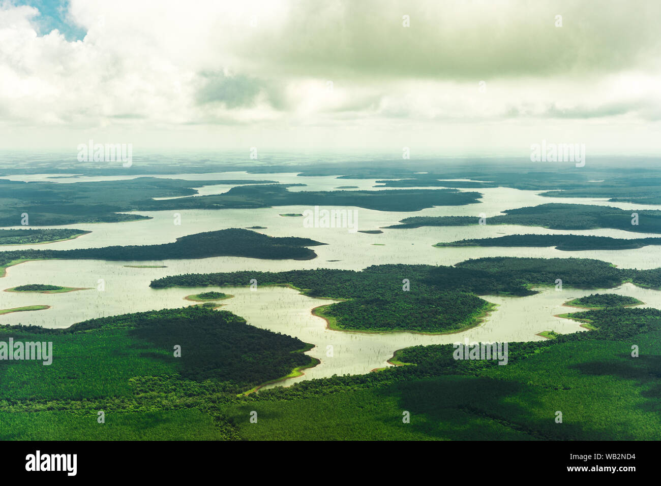 Landscape aerial view of colorful Amazon rivers, forest, jungle, and fields Stock Photohttps://www.alamy.com/image-license-details/?v=1https://www.alamy.com/landscape-aerial-view-of-colorful-amazon-rivers-forest-jungle-and-fields-image264977472.html
RFWB2ND4–Landscape aerial view of colorful Amazon rivers, forest, jungle, and fields
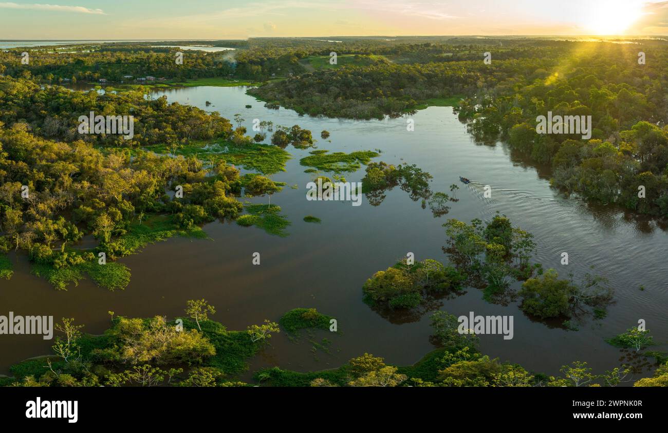 Amazon rainforest Brazil Stock Photohttps://www.alamy.com/image-license-details/?v=1https://www.alamy.com/amazon-rainforest-brazil-image599150855.html
RM2WPNK0R–Amazon rainforest Brazil
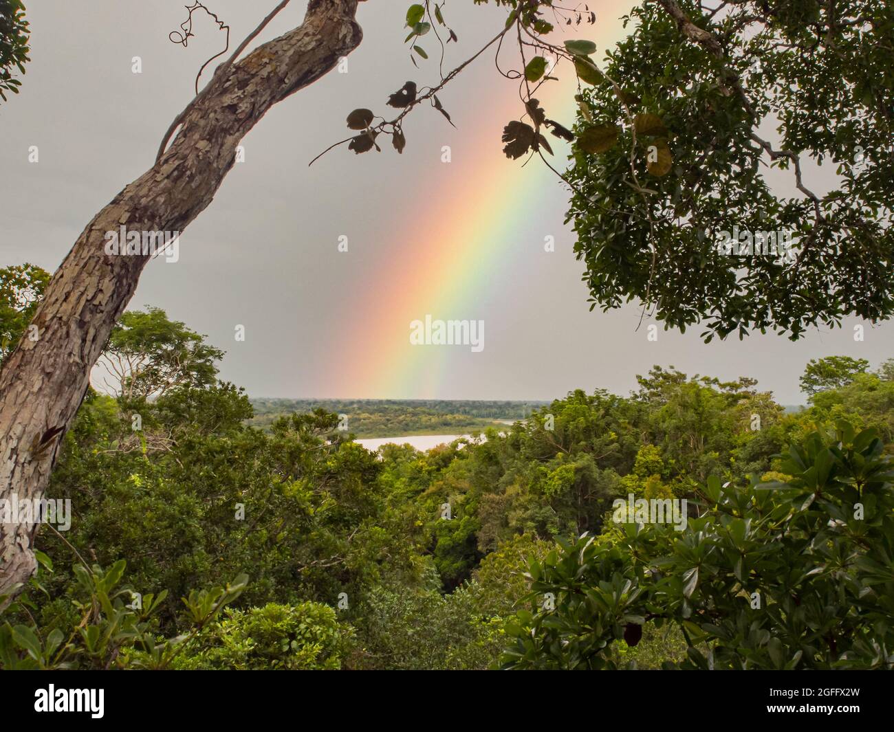 View for the rainbow over the Amazon jungle. Amazonia. Javari Valley Latin America. Brazil. Peru Stock Photohttps://www.alamy.com/image-license-details/?v=1https://www.alamy.com/view-for-the-rainbow-over-the-amazon-jungle-amazonia-javari-valley-latin-america-brazil-peru-image439828785.html
RF2GFFX2W–View for the rainbow over the Amazon jungle. Amazonia. Javari Valley Latin America. Brazil. Peru
 aerial view over the Amazon river near Santarem, Brazil Stock Photohttps://www.alamy.com/image-license-details/?v=1https://www.alamy.com/aerial-view-over-the-amazon-river-near-santarem-brazil-image460650198.html
RM2HNCC0P–aerial view over the Amazon river near Santarem, Brazil
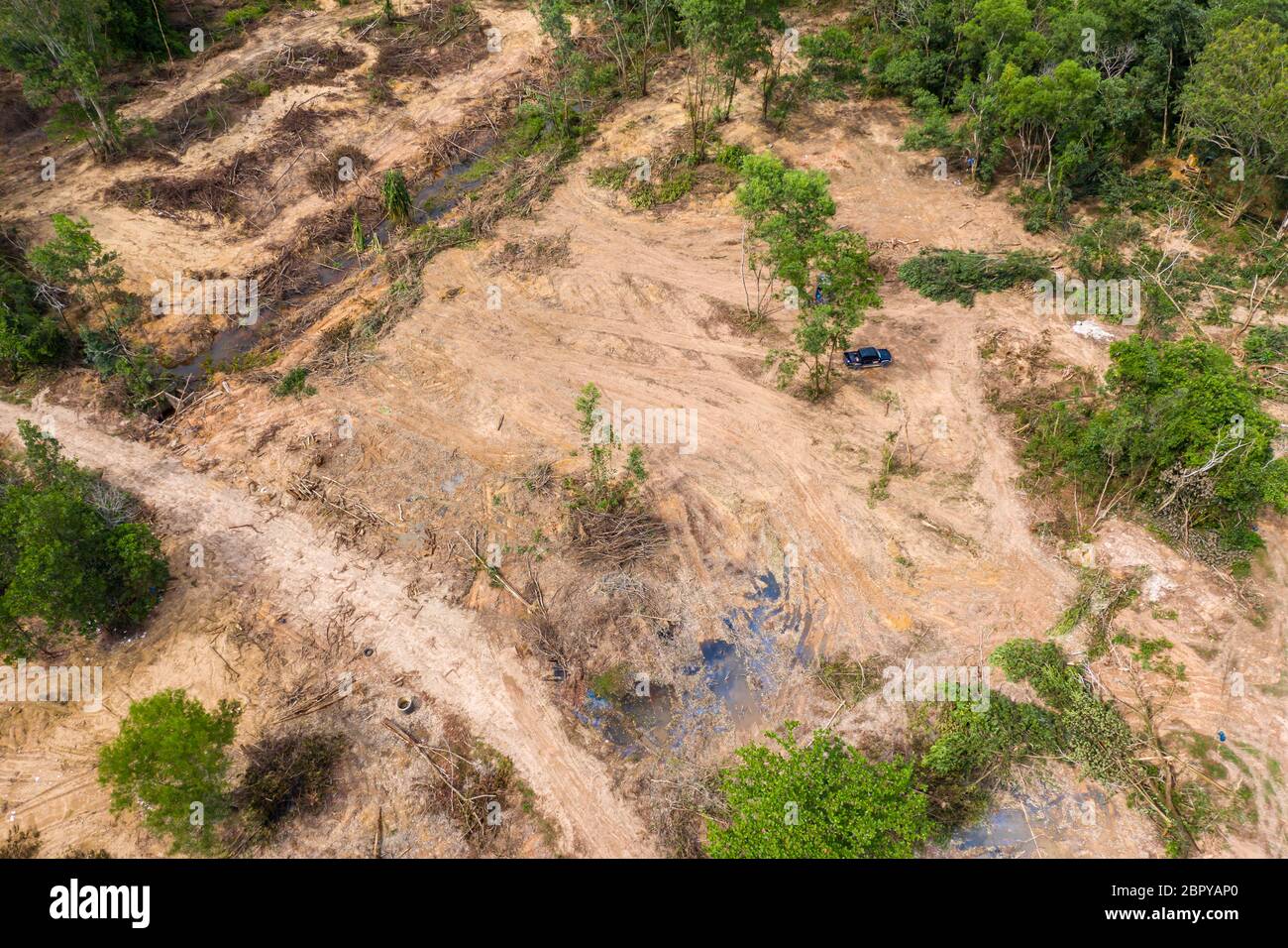 Aerial drone view of logging operatons and active deforestation of a tropical rainforest contributing to habitat destruction and man-made climate chan Stock Photohttps://www.alamy.com/image-license-details/?v=1https://www.alamy.com/aerial-drone-view-of-logging-operatons-and-active-deforestation-of-a-tropical-rainforest-contributing-to-habitat-destruction-and-man-made-climate-chan-image358330952.html
RF2BPYAP0–Aerial drone view of logging operatons and active deforestation of a tropical rainforest contributing to habitat destruction and man-made climate chan
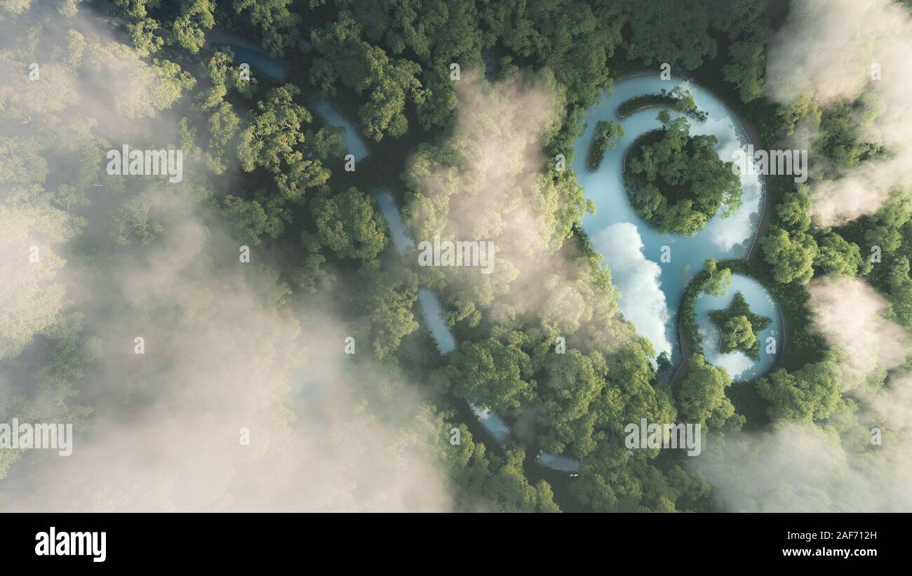 Eco travelling concept. 3d rendering of dense misty amazonian rainforest with map point sign in a shape of pond. Stock Photohttps://www.alamy.com/image-license-details/?v=1https://www.alamy.com/eco-travelling-concept-3d-rendering-of-dense-misty-amazonian-rainforest-with-map-point-sign-in-a-shape-of-pond-image336371353.html
RF2AF712H–Eco travelling concept. 3d rendering of dense misty amazonian rainforest with map point sign in a shape of pond.
 Aerial view of the Brazilian rainforest Stock Photohttps://www.alamy.com/image-license-details/?v=1https://www.alamy.com/aerial-view-of-the-brazilian-rainforest-image396889696.html
RM2E1KTT0–Aerial view of the Brazilian rainforest
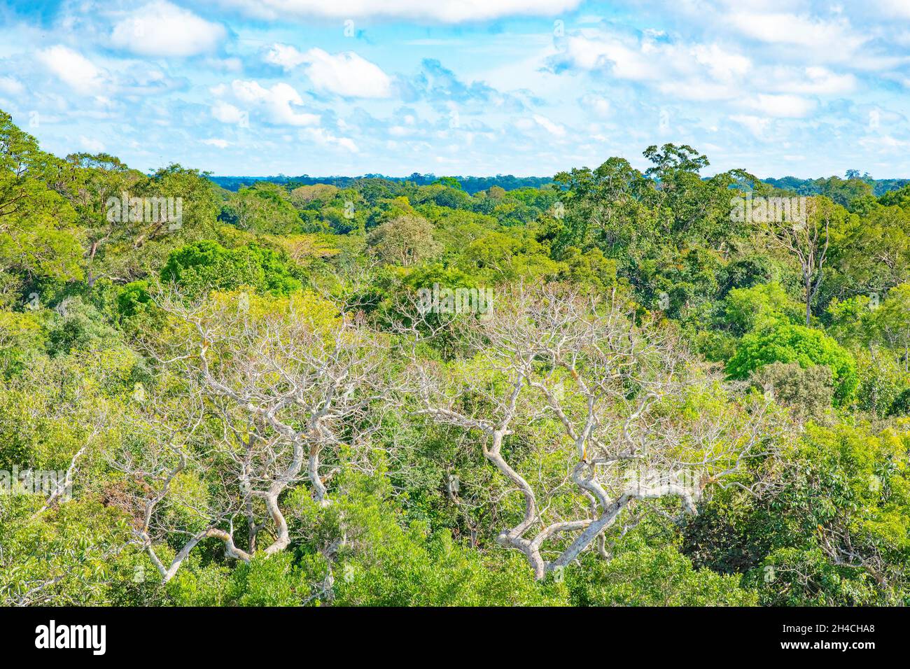 Aerial treetop view of Amazon canopy taken from tower observatory in Amazon rainforest Manaus, Brazil. Stock Photohttps://www.alamy.com/image-license-details/?v=1https://www.alamy.com/aerial-treetop-view-of-amazon-canopy-taken-from-tower-observatory-in-amazon-rainforest-manaus-brazil-image450205232.html
RF2H4CHA8–Aerial treetop view of Amazon canopy taken from tower observatory in Amazon rainforest Manaus, Brazil.
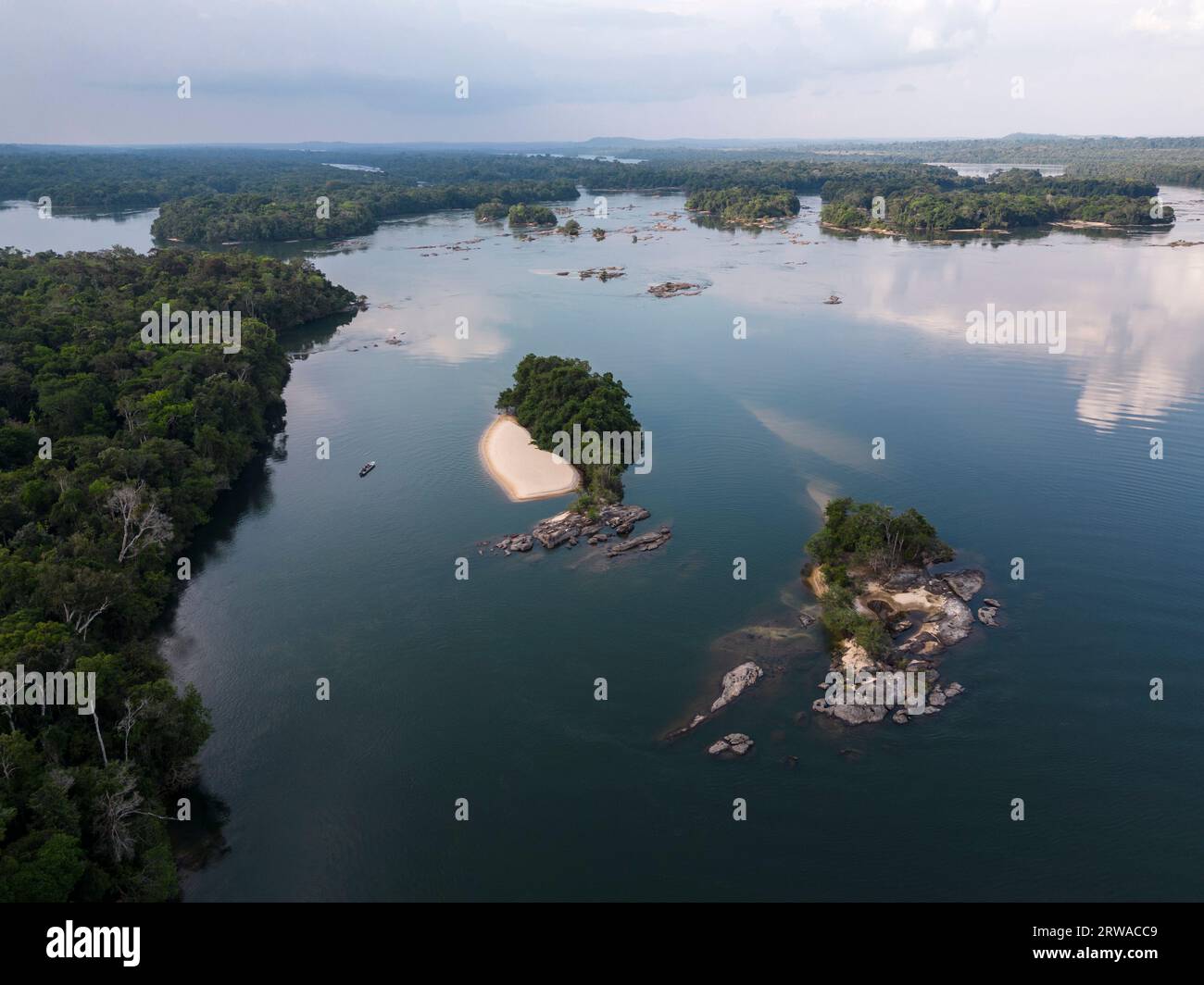 Beautiful aerial view to islands in wild green amazon rainforest Stock Photohttps://www.alamy.com/image-license-details/?v=1https://www.alamy.com/beautiful-aerial-view-to-islands-in-wild-green-amazon-rainforest-image566327449.html
RF2RWACC9–Beautiful aerial view to islands in wild green amazon rainforest
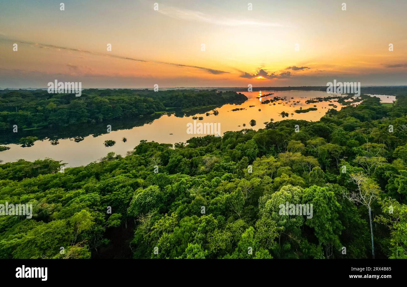 Scenic aerial sunset view of rainforest water jungle in Amazonas state Brazil Stock Photohttps://www.alamy.com/image-license-details/?v=1https://www.alamy.com/scenic-aerial-sunset-view-of-rainforest-water-jungle-in-amazonas-state-brazil-image566809493.html
RF2RX4B85–Scenic aerial sunset view of rainforest water jungle in Amazonas state Brazil
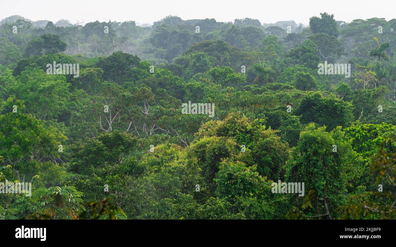 Aerial landscape panorama of Amazon rainforest trees, Yasuni national park, Ecuador. Stock Photohttps://www.alamy.com/image-license-details/?v=1https://www.alamy.com/aerial-landscape-panorama-of-amazon-rainforest-trees-yasuni-national-park-ecuador-image493355949.html
RF2KJJ8F9–Aerial landscape panorama of Amazon rainforest trees, Yasuni national park, Ecuador.
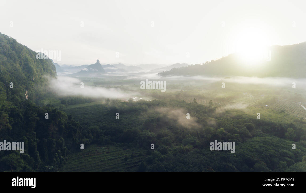 Aerial view of rain forest with mist and sunlight in the morning. Stock Photohttps://www.alamy.com/image-license-details/?v=1https://www.alamy.com/stock-image-aerial-view-of-rain-forest-with-mist-and-sunlight-in-the-morning-169194040.html
RFKR7CM8–Aerial view of rain forest with mist and sunlight in the morning.
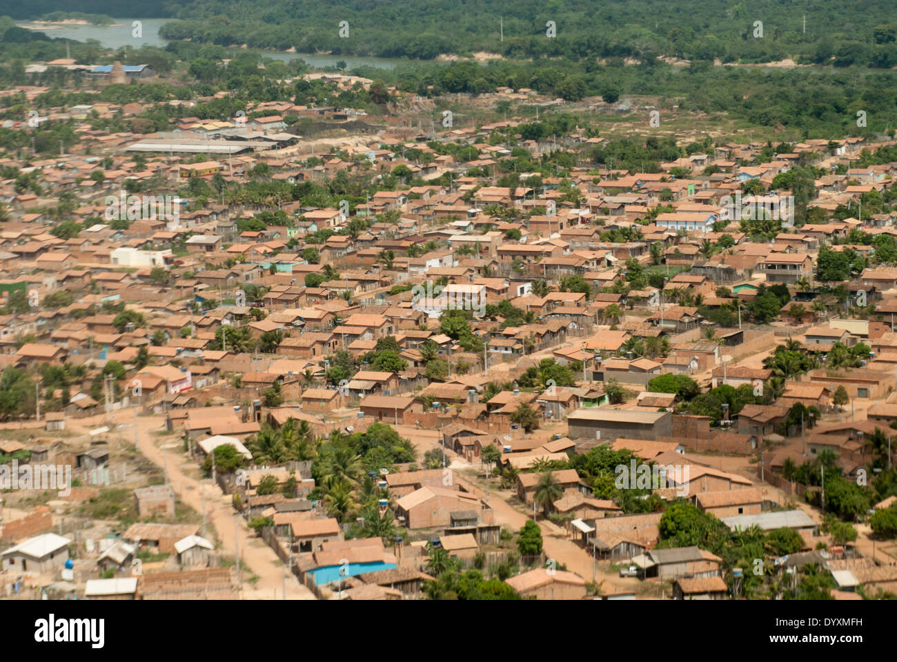 Maraba, Para State, Brazil. Aerial view of local houses. Stock Photohttps://www.alamy.com/image-license-details/?v=1https://www.alamy.com/maraba-para-state-brazil-aerial-view-of-local-houses-image68813685.html
RMDYXMFH–Maraba, Para State, Brazil. Aerial view of local houses.
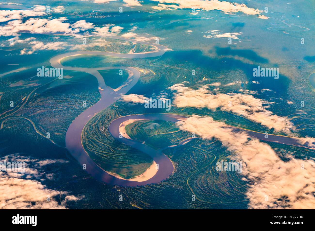 Aerial view of the Amazon river in Peru Stock Photohttps://www.alamy.com/image-license-details/?v=1https://www.alamy.com/aerial-view-of-the-amazon-river-in-peru-image441388470.html
RF2GJ2YDX–Aerial view of the Amazon river in Peru
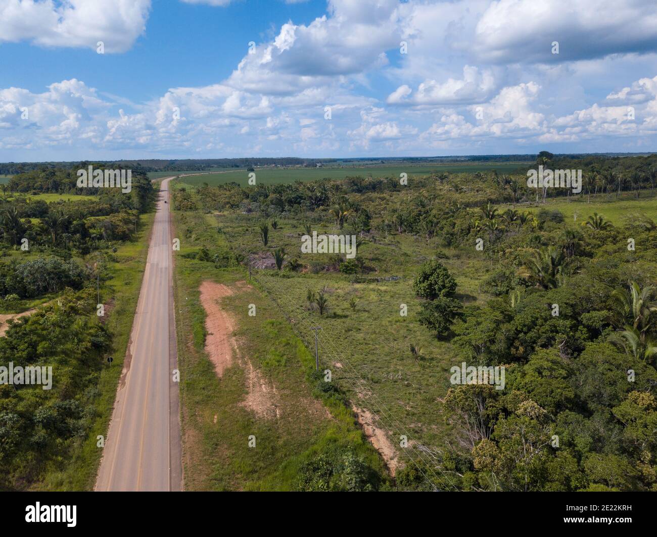 Aerial drone view of BR 319 road in Amazon rainforest landscape in the border of Amazonas and Rondônia state, Brazil. Concept of ecology. Stock Photohttps://www.alamy.com/image-license-details/?v=1https://www.alamy.com/aerial-drone-view-of-br-319-road-in-amazon-rainforest-landscape-in-the-border-of-amazonas-and-rondnia-state-brazil-concept-of-ecology-image397127237.html
RF2E22KRH–Aerial drone view of BR 319 road in Amazon rainforest landscape in the border of Amazonas and Rondônia state, Brazil. Concept of ecology.