Quick filters:
Atlantic region canada Stock Photos and Images
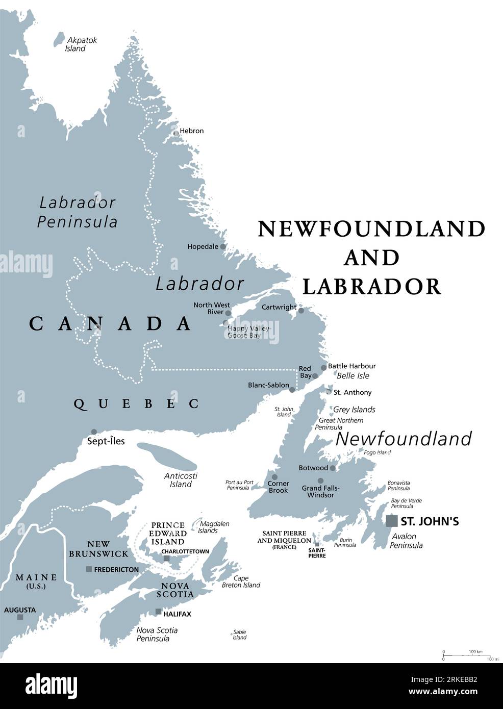 Newfoundland and Labrador, gray political map. Province of Canada, in the Atlantic region. With capital St. Johns, Newfoundland and Labrador. Stock Photohttps://www.alamy.com/image-license-details/?v=1https://www.alamy.com/newfoundland-and-labrador-gray-political-map-province-of-canada-in-the-atlantic-region-with-capital-st-johns-newfoundland-and-labrador-image562726502.html
RF2RKEBB2–Newfoundland and Labrador, gray political map. Province of Canada, in the Atlantic region. With capital St. Johns, Newfoundland and Labrador.
 Canada, Province of New Brunswick, Chaleur Region, French Street Signs with Acadian Flag Stock Photohttps://www.alamy.com/image-license-details/?v=1https://www.alamy.com/canada-province-of-new-brunswick-chaleur-region-french-street-signs-with-acadian-flag-image266948644.html
RMWE8FM4–Canada, Province of New Brunswick, Chaleur Region, French Street Signs with Acadian Flag
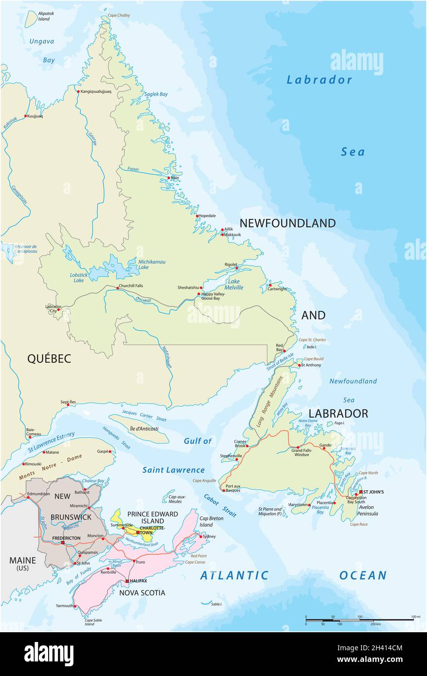 Vector road map of the four canada atlantic provinces Stock Vectorhttps://www.alamy.com/image-license-details/?v=1https://www.alamy.com/vector-road-map-of-the-four-canada-atlantic-provinces-image449953636.html
RF2H414CM–Vector road map of the four canada atlantic provinces
 Storm clouds Kamouraska Quebec Canada Stock Photohttps://www.alamy.com/image-license-details/?v=1https://www.alamy.com/storm-clouds-kamouraska-quebec-canada-image246707746.html
RMT9AE6X–Storm clouds Kamouraska Quebec Canada
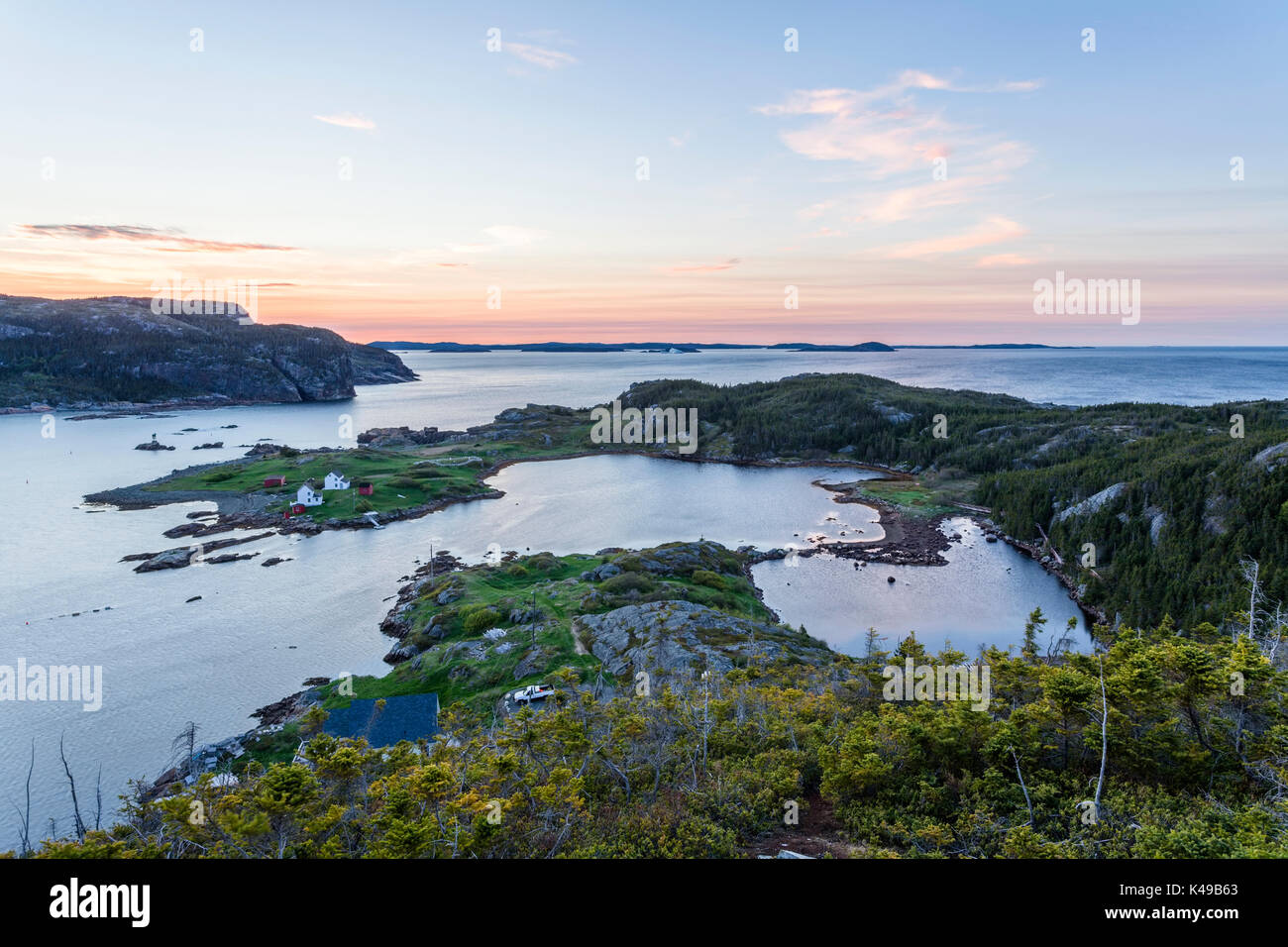 Overlooking Bishop's Harbour and the Atlantic Ocean near the town of Salvage at sunset in Newfoundland and Labrador, Canada. Stock Photohttps://www.alamy.com/image-license-details/?v=1https://www.alamy.com/overlooking-bishops-harbour-and-the-atlantic-ocean-near-the-town-of-image157558299.html
RMK49B63–Overlooking Bishop's Harbour and the Atlantic Ocean near the town of Salvage at sunset in Newfoundland and Labrador, Canada.
 Cape Breton Region Fire Service rescue boat sits at the ready docked at the Sydney Nova Scotia waterfront. Stock Photohttps://www.alamy.com/image-license-details/?v=1https://www.alamy.com/cape-breton-region-fire-service-rescue-boat-sits-at-the-ready-docked-at-the-sydney-nova-scotia-waterfront-image478347135.html
RM2JP6GJ7–Cape Breton Region Fire Service rescue boat sits at the ready docked at the Sydney Nova Scotia waterfront.
 Mid Atlantic Minerals and port across the St. Lawrence River from Levis, Quebec, Canada Stock Photohttps://www.alamy.com/image-license-details/?v=1https://www.alamy.com/mid-atlantic-minerals-and-port-across-the-st-lawrence-river-from-levis-quebec-canada-image612079008.html
RF2XFPH0G–Mid Atlantic Minerals and port across the St. Lawrence River from Levis, Quebec, Canada
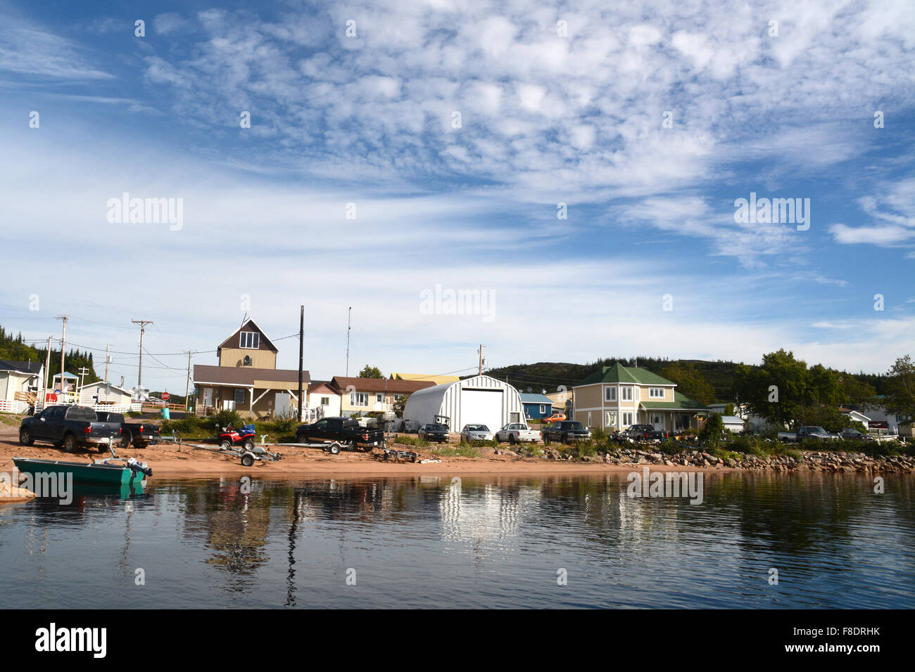 The village of St. Augustin, located on the Gulf of St. Lawrence in the Lower North Shore region of Quebec, Canada. Stock Photohttps://www.alamy.com/image-license-details/?v=1https://www.alamy.com/stock-photo-the-village-of-st-augustin-located-on-the-gulf-of-st-lawrence-in-the-91272991.html
RMF8DRHK–The village of St. Augustin, located on the Gulf of St. Lawrence in the Lower North Shore region of Quebec, Canada.
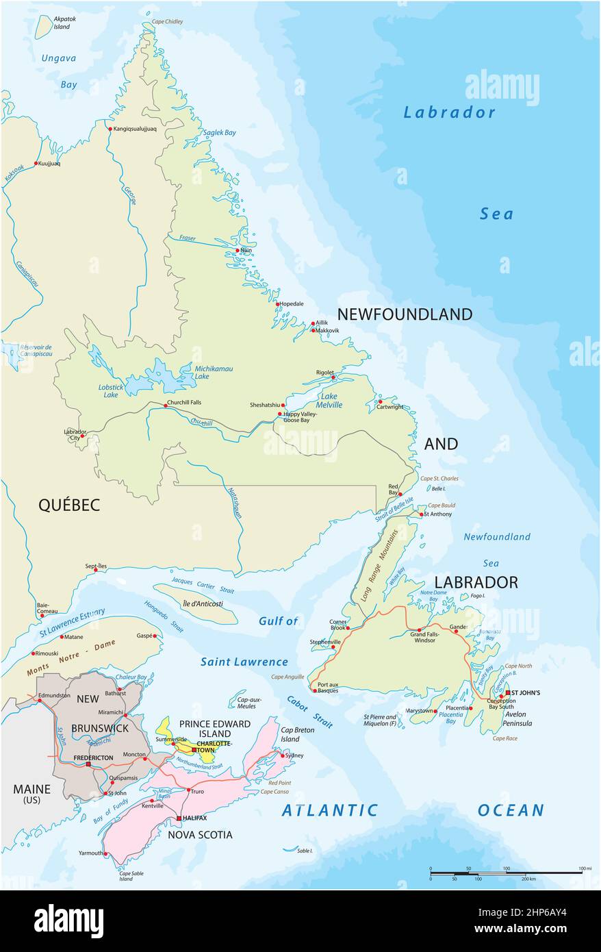 Vector road map of the four canada atlantic provinces Stock Vectorhttps://www.alamy.com/image-license-details/?v=1https://www.alamy.com/vector-road-map-of-the-four-canada-atlantic-provinces-image461132312.html
RF2HP6AY4–Vector road map of the four canada atlantic provinces
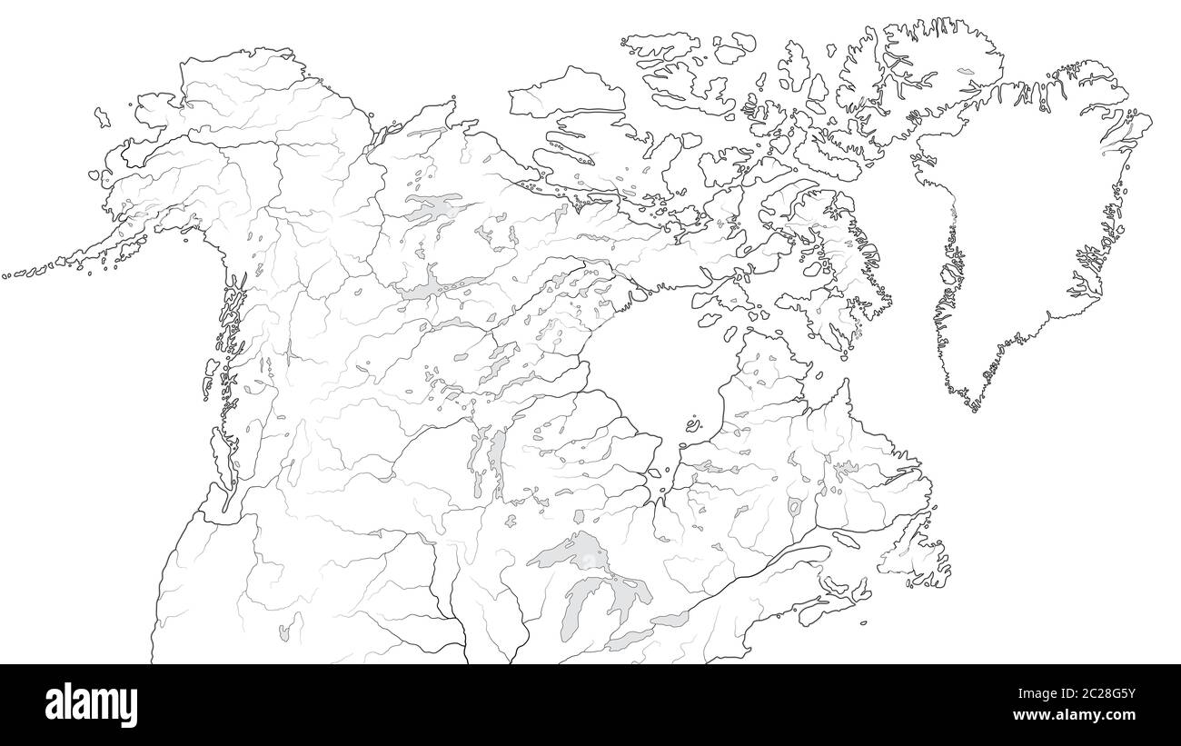 World Map of CANADA and NORTH AMERICA REGION: America, Canada, Greenland, Alaska. (Geographic chart). Stock Photohttps://www.alamy.com/image-license-details/?v=1https://www.alamy.com/world-map-of-canada-and-north-america-region-america-canada-greenland-alaska-geographic-chart-image362835367.html
RM2C28G5Y–World Map of CANADA and NORTH AMERICA REGION: America, Canada, Greenland, Alaska. (Geographic chart).
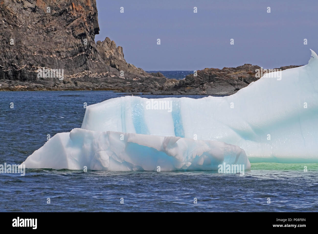 Ice berg in the Atlantic Ocean off the coast of Newfoundland, Canada Stock Photohttps://www.alamy.com/image-license-details/?v=1https://www.alamy.com/ice-berg-in-the-atlantic-ocean-off-the-coast-of-newfoundland-canada-image206712037.html
RFP08F8N–Ice berg in the Atlantic Ocean off the coast of Newfoundland, Canada
 North America, Canada, Maritimes, New Brunswick, Kouchibouguac National Park, Maritime Plain Natural Region, sunrise, boardwalk Stock Photohttps://www.alamy.com/image-license-details/?v=1https://www.alamy.com/stock-photo-north-america-canada-maritimes-new-brunswick-kouchibouguac-national-85698426.html
RMEYBW62–North America, Canada, Maritimes, New Brunswick, Kouchibouguac National Park, Maritime Plain Natural Region, sunrise, boardwalk
 Rocky Atlantic coast in the west of Cape Breton, Nova Scotia, Canada, North America Stock Photohttps://www.alamy.com/image-license-details/?v=1https://www.alamy.com/stock-photo-rocky-atlantic-coast-in-the-west-of-cape-breton-nova-scotia-canada-48835889.html
RMCRCJJW–Rocky Atlantic coast in the west of Cape Breton, Nova Scotia, Canada, North America
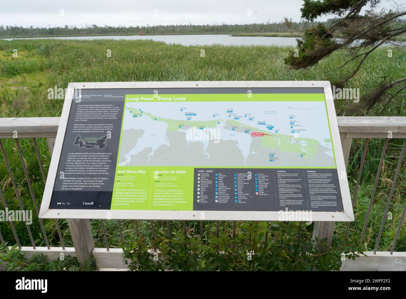 Informational board with map of the Gulf Shore Way in Prince Edward Island National Park, Canada Stock Photohttps://www.alamy.com/image-license-details/?v=1https://www.alamy.com/informational-board-with-map-of-the-gulf-shore-way-in-prince-edward-island-national-park-canada-image594703622.html
RM2WFF2F2–Informational board with map of the Gulf Shore Way in Prince Edward Island National Park, Canada
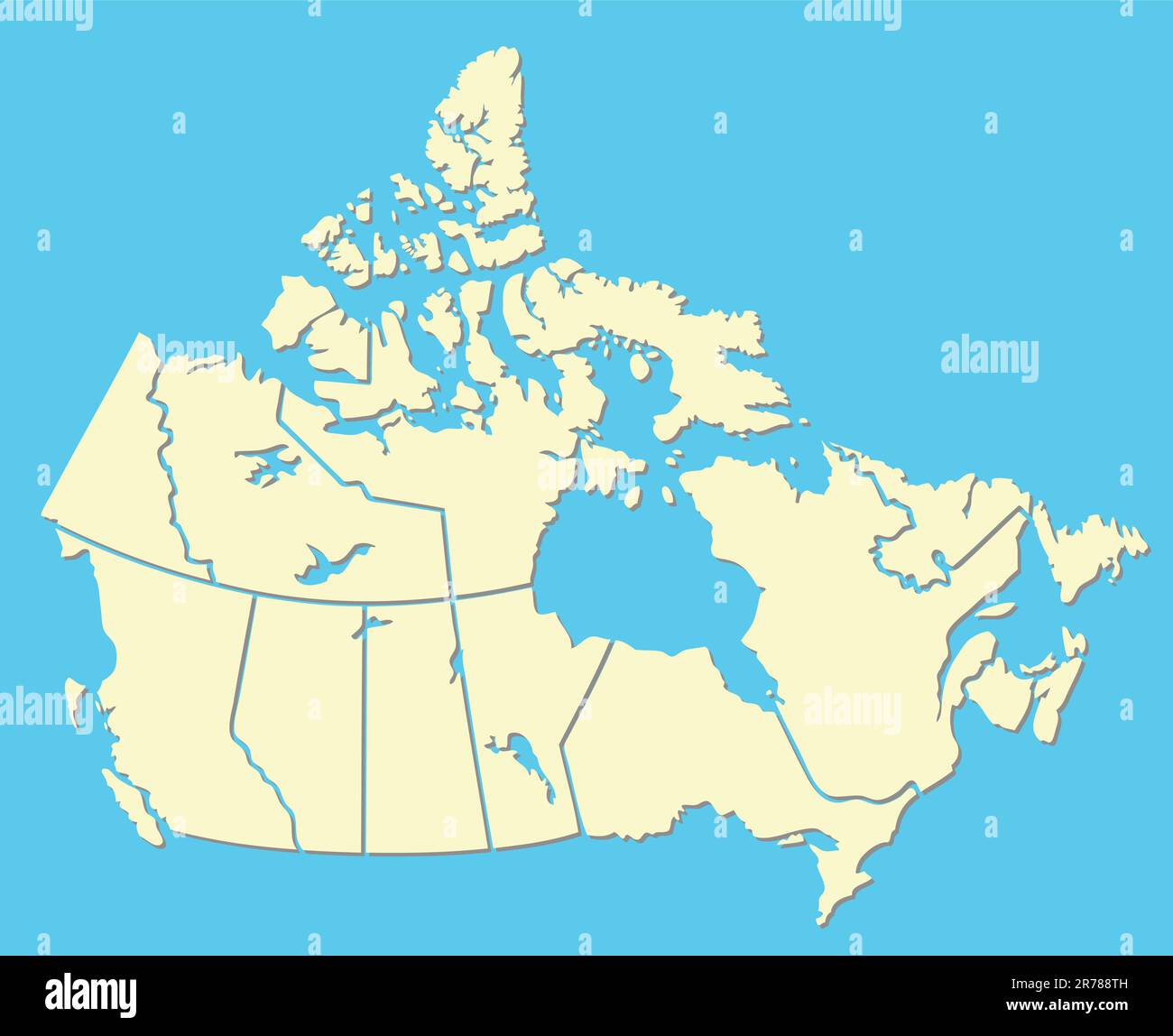 vector map of canada Stock Vectorhttps://www.alamy.com/image-license-details/?v=1https://www.alamy.com/vector-map-of-canada-image555216945.html
RF2R788TH–vector map of canada
 Rocher Perce rock in Gaspe Peninsula, Quebec, Gaspesie region, Canada. Famous landmark in blue Saint Lawrence gulf water. Panoramic, horizontal photo. Stock Photohttps://www.alamy.com/image-license-details/?v=1https://www.alamy.com/rocher-perce-rock-in-gaspe-peninsula-quebec-gaspesie-region-canada-famous-landmark-in-blue-saint-lawrence-gulf-water-panoramic-horizontal-photo-image455405897.html
RF2HCWET9–Rocher Perce rock in Gaspe Peninsula, Quebec, Gaspesie region, Canada. Famous landmark in blue Saint Lawrence gulf water. Panoramic, horizontal photo.
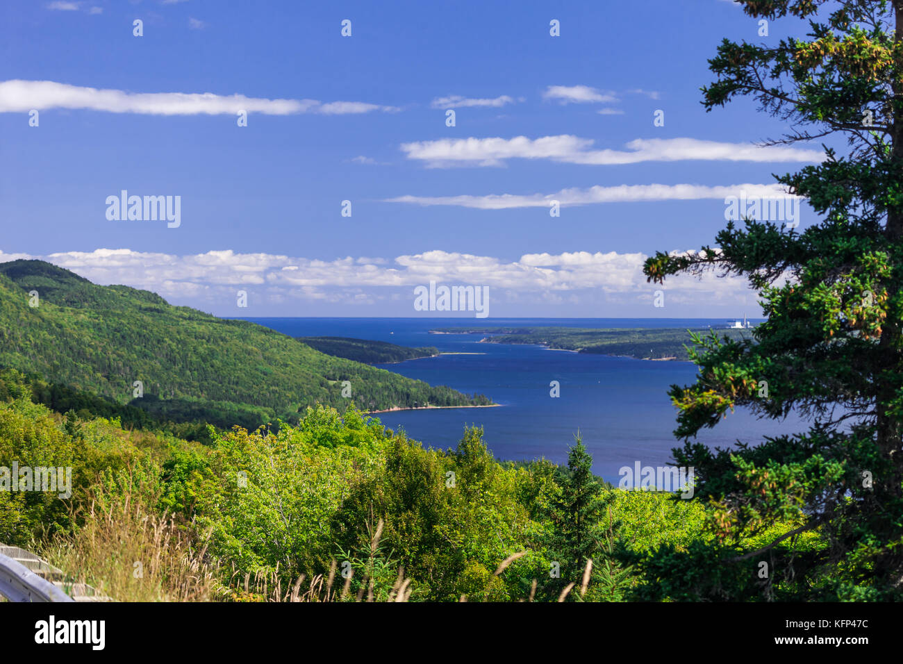 The Cape Breton Highlands region of Nova Scotia Canada. Stock Photohttps://www.alamy.com/image-license-details/?v=1https://www.alamy.com/stock-image-the-cape-breton-highlands-region-of-nova-scotia-canada-164599440.html
RFKFP47C–The Cape Breton Highlands region of Nova Scotia Canada.
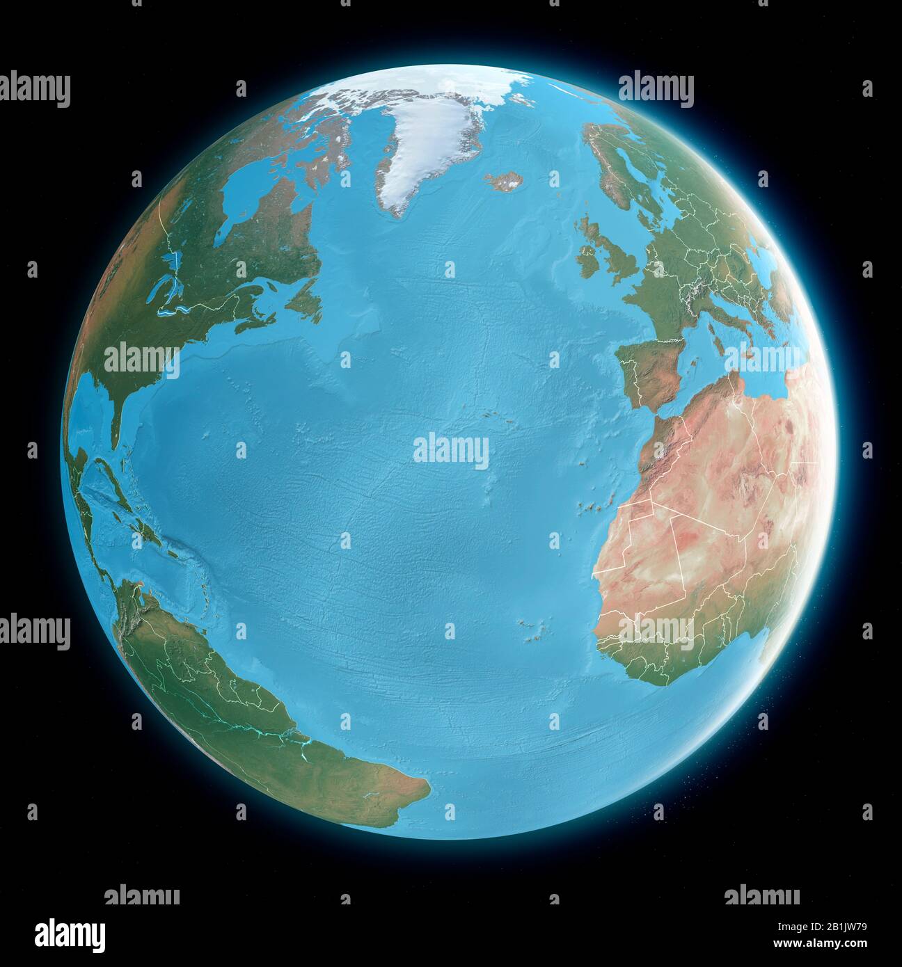 Globe map of Atlantic ocean, Mediterranean Sea, America, Africa and Europe. Cartography, geographical atlas. 3d render. Stock Photohttps://www.alamy.com/image-license-details/?v=1https://www.alamy.com/globe-map-of-atlantic-ocean-mediterranean-sea-america-africa-and-europe-cartography-geographical-atlas-3d-render-image345236957.html
RF2B1JW79–Globe map of Atlantic ocean, Mediterranean Sea, America, Africa and Europe. Cartography, geographical atlas. 3d render.
 Shoreline buildings, Twillingate, Newfoundland and Labrador NL, Canada Stock Photohttps://www.alamy.com/image-license-details/?v=1https://www.alamy.com/shoreline-buildings-twillingate-newfoundland-and-labrador-nl-canada-image367889662.html
RM2CAER0E–Shoreline buildings, Twillingate, Newfoundland and Labrador NL, Canada
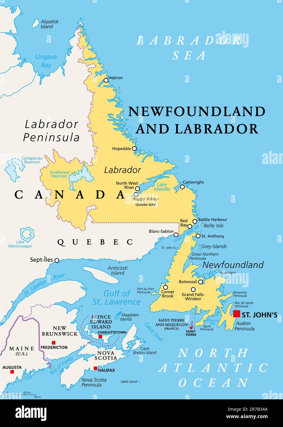 Newfoundland and Labrador, political map. Province of Canada, in Atlantic region, capital St. Johns. Island of Newfoundland and region of Labrador. Stock Photohttps://www.alamy.com/image-license-details/?v=1https://www.alamy.com/newfoundland-and-labrador-political-map-province-of-canada-in-atlantic-region-capital-st-johns-island-of-newfoundland-and-region-of-labrador-image555278314.html
RF2R7B34A–Newfoundland and Labrador, political map. Province of Canada, in Atlantic region, capital St. Johns. Island of Newfoundland and region of Labrador.
 Canada, Province of New Brunswick, Chaleur Region, Chaleur Bay, spring ice melt Stock Photohttps://www.alamy.com/image-license-details/?v=1https://www.alamy.com/canada-province-of-new-brunswick-chaleur-region-chaleur-bay-spring-ice-melt-image266948652.html
RMWE8FMC–Canada, Province of New Brunswick, Chaleur Region, Chaleur Bay, spring ice melt
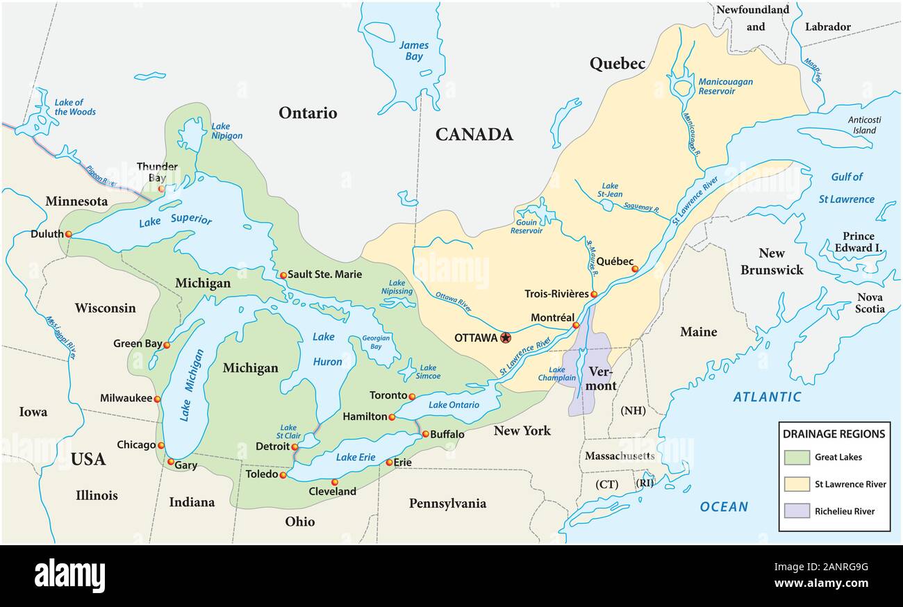 Map of the great lakes and st lawrence river drainage aregions Stock Vectorhttps://www.alamy.com/image-license-details/?v=1https://www.alamy.com/map-of-the-great-lakes-and-st-lawrence-river-drainage-aregions-image340422476.html
RF2ANRG9G–Map of the great lakes and st lawrence river drainage aregions
 Shoreline along the Gulf of St. Lawrence Quebec Canada Stock Photohttps://www.alamy.com/image-license-details/?v=1https://www.alamy.com/shoreline-along-the-gulf-of-st-lawrence-quebec-canada-image246709435.html
RMT9AGB7–Shoreline along the Gulf of St. Lawrence Quebec Canada
 Gaspé crab boats Stock Photohttps://www.alamy.com/image-license-details/?v=1https://www.alamy.com/stock-photo-gasp-crab-boats-31158509.html
RFBPKAYW–Gaspé crab boats
 Bishop's Harbour and the town of Salvage at sunset in Newfoundland and Labrador, Canada. Stock Photohttps://www.alamy.com/image-license-details/?v=1https://www.alamy.com/bishops-harbour-and-the-town-of-salvage-at-sunset-in-newfoundland-image157558206.html
RMK49B2P–Bishop's Harbour and the town of Salvage at sunset in Newfoundland and Labrador, Canada.
 Canada Flag in Map, Canada Map with Flag, Country Map, Canada Map with Flag, Nation Flag Canada Stock Vectorhttps://www.alamy.com/image-license-details/?v=1https://www.alamy.com/canada-flag-in-map-canada-map-with-flag-country-map-canada-map-with-flag-nation-flag-canada-image619306745.html
RF2XYFT21–Canada Flag in Map, Canada Map with Flag, Country Map, Canada Map with Flag, Nation Flag Canada
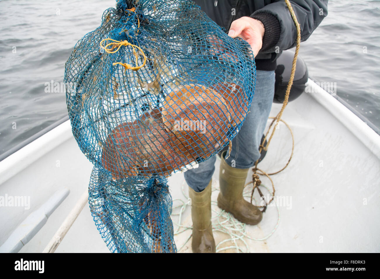 Farmed aquaculture scallops in their shells, grown in a net in the Atlantic waters of Blanc Sablon, Quebec, Canada. Stock Photohttps://www.alamy.com/image-license-details/?v=1https://www.alamy.com/stock-photo-farmed-aquaculture-scallops-in-their-shells-grown-in-a-net-in-the-91273031.html
RMF8DRK3–Farmed aquaculture scallops in their shells, grown in a net in the Atlantic waters of Blanc Sablon, Quebec, Canada.
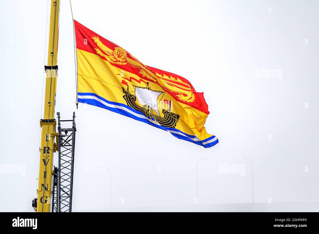 Saint John, NB, Canada - August 14, 2021: Large New Brunswick flag flying from an Irving crane. Foggy day with obscured harbor bridge behind. Stock Photohttps://www.alamy.com/image-license-details/?v=1https://www.alamy.com/saint-john-nb-canada-august-14-2021-large-new-brunswick-flag-flying-from-an-irving-crane-foggy-day-with-obscured-harbor-bridge-behind-image441042989.html
RF2GHF6R9–Saint John, NB, Canada - August 14, 2021: Large New Brunswick flag flying from an Irving crane. Foggy day with obscured harbor bridge behind.
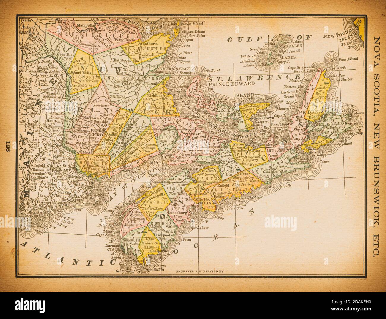 19th century map of Nova Scotia, New Brunswick. Published in New Dollar Atlas of the United States and Dominion of Canada. (Rand McNally & Co's, Chica Stock Photohttps://www.alamy.com/image-license-details/?v=1https://www.alamy.com/19th-century-map-of-nova-scotia-new-brunswick-published-in-new-dollar-atlas-of-the-united-states-and-dominion-of-canada-rand-mcnally-cos-chica-image385203196.html
RF2DAKEH0–19th century map of Nova Scotia, New Brunswick. Published in New Dollar Atlas of the United States and Dominion of Canada. (Rand McNally & Co's, Chica
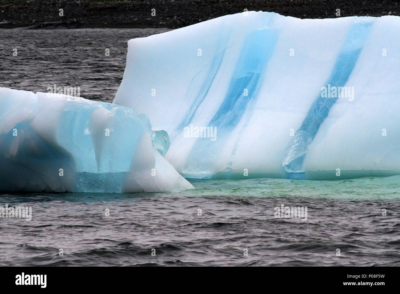 Ice berg in the Atlantic Ocean off the , Stock Photohttps://www.alamy.com/image-license-details/?v=1https://www.alamy.com/ice-berg-in-the-atlantic-ocean-off-the-image206711957.html
RFP08F5W–Ice berg in the Atlantic Ocean off the ,
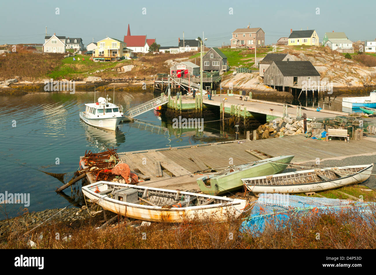 Harbor Reflections at Peggy's Cove, Nova Scotia, Canada Stock Photohttps://www.alamy.com/image-license-details/?v=1https://www.alamy.com/stock-photo-harbor-reflections-at-peggys-cove-nova-scotia-canada-54576689.html
RMD4P53D–Harbor Reflections at Peggy's Cove, Nova Scotia, Canada
 Rocky Atlantic coast in the west of Cape Breton, Nova Scotia, Canada, North America Stock Photohttps://www.alamy.com/image-license-details/?v=1https://www.alamy.com/stock-photo-rocky-atlantic-coast-in-the-west-of-cape-breton-nova-scotia-canada-48835861.html
RMCRCJHW–Rocky Atlantic coast in the west of Cape Breton, Nova Scotia, Canada, North America
 Informational board with map of the Gulf Shore Way in Prince Edward Island National Park, Canada Stock Photohttps://www.alamy.com/image-license-details/?v=1https://www.alamy.com/informational-board-with-map-of-the-gulf-shore-way-in-prince-edward-island-national-park-canada-image594703681.html
RM2WFF2H5–Informational board with map of the Gulf Shore Way in Prince Edward Island National Park, Canada
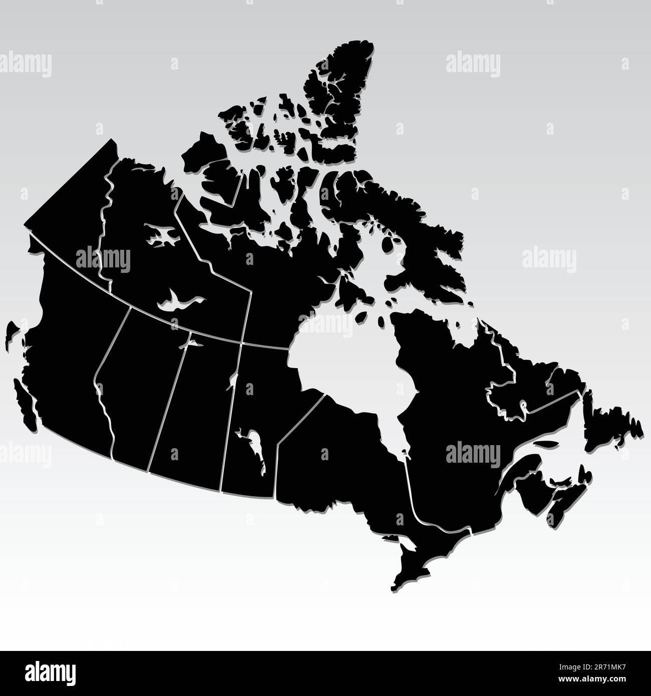 vector map of Canada Stock Vectorhttps://www.alamy.com/image-license-details/?v=1https://www.alamy.com/vector-map-of-canada-image555072539.html
RF2R71MK7–vector map of Canada
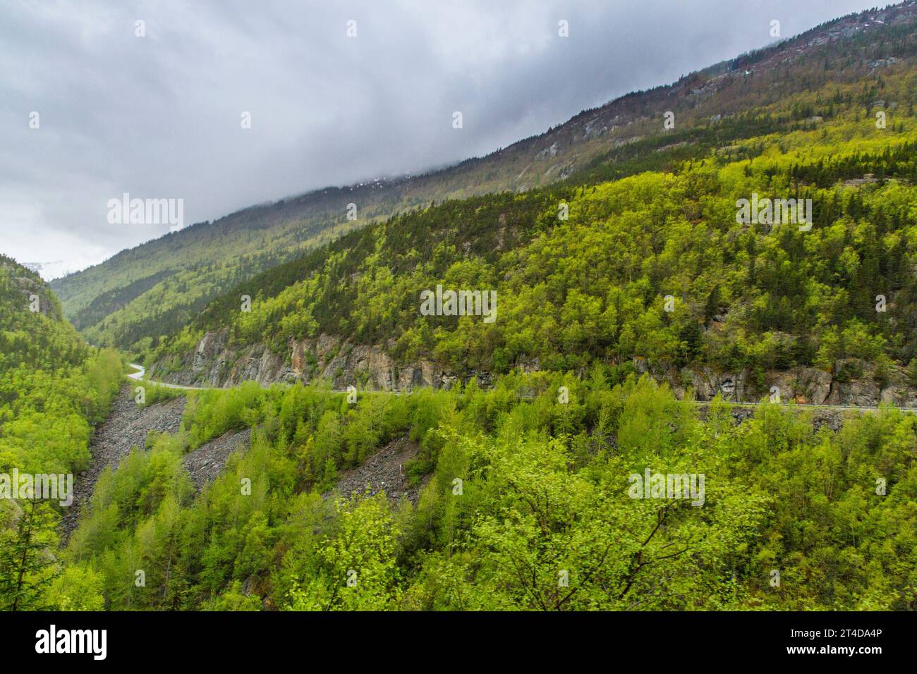 Klondike Highway in Yukon Territory of Canada. Stock Photohttps://www.alamy.com/image-license-details/?v=1https://www.alamy.com/klondike-highway-in-yukon-territory-of-canada-image570694118.html
RM2T4DA4P–Klondike Highway in Yukon Territory of Canada.
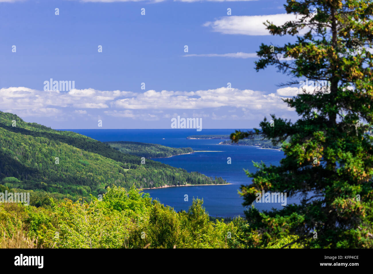 The Cape Breton Highlands region of Nova Scotia Canada. Stock Photohttps://www.alamy.com/image-license-details/?v=1https://www.alamy.com/stock-image-the-cape-breton-highlands-region-of-nova-scotia-canada-164599582.html
RFKFP4CE–The Cape Breton Highlands region of Nova Scotia Canada.
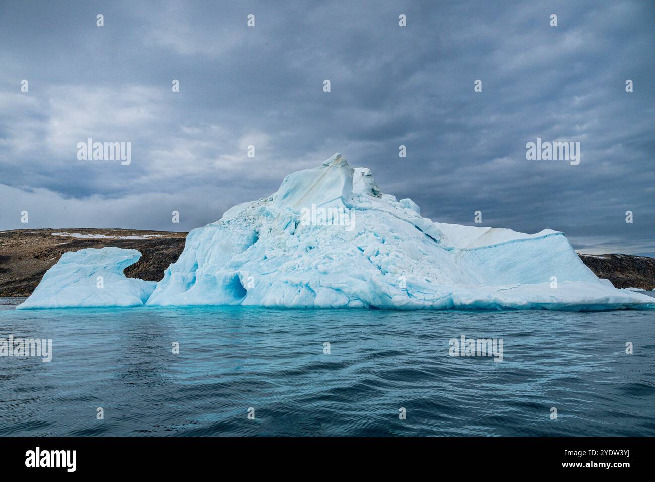 Iceberg on Belcher island, Devon island, Nunavut, Canadian Arctic, Canada, North America Stock Photohttps://www.alamy.com/image-license-details/?v=1https://www.alamy.com/iceberg-on-belcher-island-devon-island-nunavut-canadian-arctic-canada-north-america-image628115702.html
RF2YDW3YJ–Iceberg on Belcher island, Devon island, Nunavut, Canadian Arctic, Canada, North America
 Harbour buildings, Fogo, Newfoundland and Labrador NL, Canada Stock Photohttps://www.alamy.com/image-license-details/?v=1https://www.alamy.com/harbour-buildings-fogo-newfoundland-and-labrador-nl-canada-image367890037.html
RM2CAERDW–Harbour buildings, Fogo, Newfoundland and Labrador NL, Canada
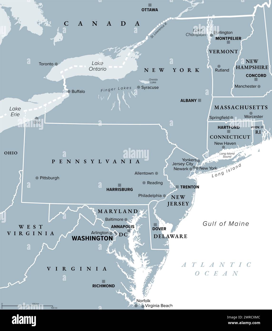 Mid-Atlantic region of the United States, gray political map. The overlap between the Northeastern and Southeastern states. Stock Photohttps://www.alamy.com/image-license-details/?v=1https://www.alamy.com/mid-atlantic-region-of-the-united-states-gray-political-map-the-overlap-between-the-northeastern-and-southeastern-states-image599573980.html
RF2WRCXMC–Mid-Atlantic region of the United States, gray political map. The overlap between the Northeastern and Southeastern states.
 Canada, Province of New Brunswick, Chaleur Region, colorful door decorated in winter Stock Photohttps://www.alamy.com/image-license-details/?v=1https://www.alamy.com/canada-province-of-new-brunswick-chaleur-region-colorful-door-decorated-in-winter-image266948642.html
RMWE8FM2–Canada, Province of New Brunswick, Chaleur Region, colorful door decorated in winter
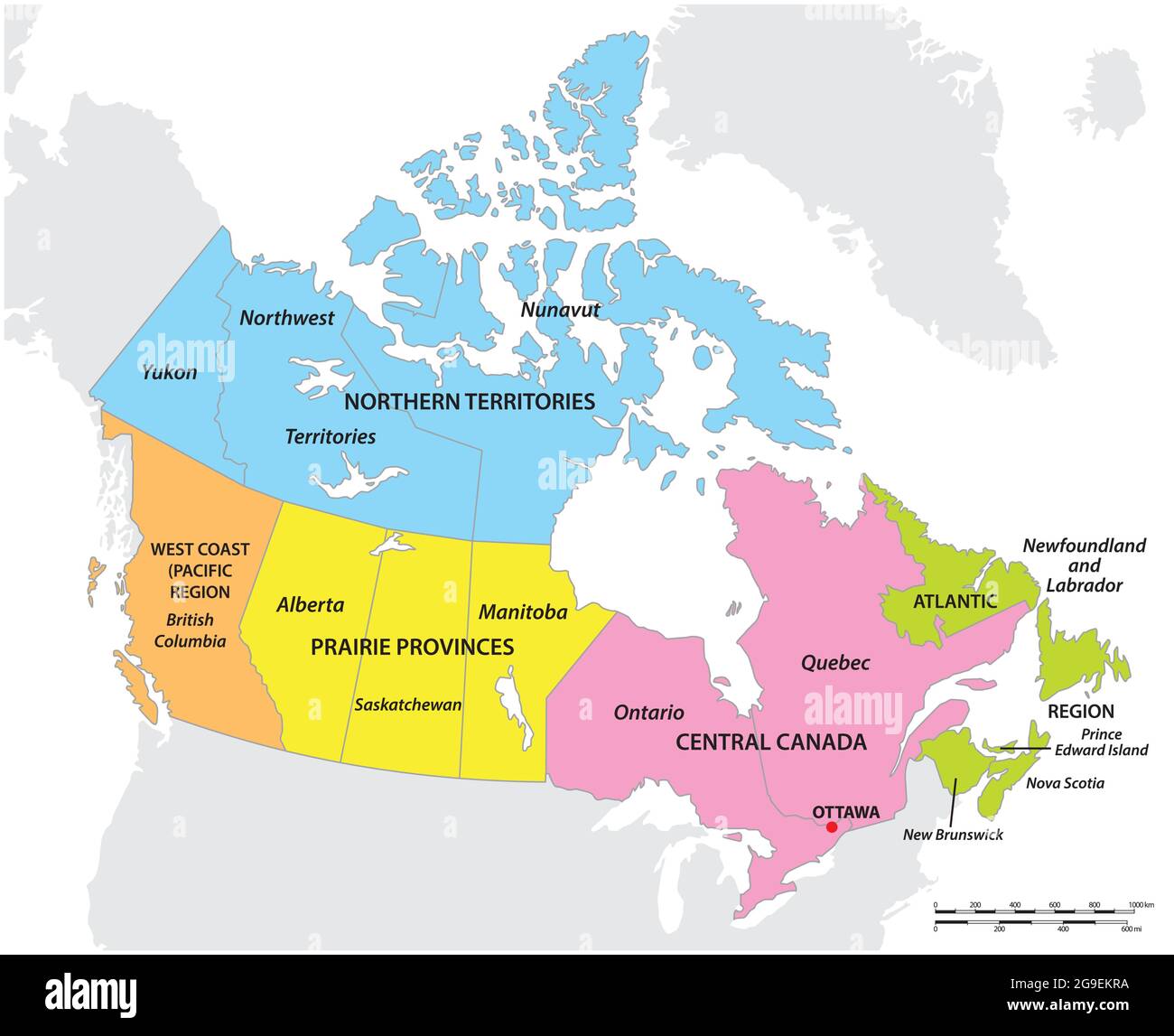 vector map of the five geographic regions of Canada Stock Vectorhttps://www.alamy.com/image-license-details/?v=1https://www.alamy.com/vector-map-of-the-five-geographic-regions-of-canada-image436113982.html
RF2G9EKRA–vector map of the five geographic regions of Canada
 Rocky coastline along the Gulf of St. Lawrence Quebec Canada Stock Photohttps://www.alamy.com/image-license-details/?v=1https://www.alamy.com/rocky-coastline-along-the-gulf-of-st-lawrence-quebec-canada-image246707669.html
RMT9AE45–Rocky coastline along the Gulf of St. Lawrence Quebec Canada
 This Street sign in Porters Lake, Nova Scotia, Canada Stock Photohttps://www.alamy.com/image-license-details/?v=1https://www.alamy.com/this-street-sign-in-porters-lake-nova-scotia-canada-image609892431.html
RF2XC700F–This Street sign in Porters Lake, Nova Scotia, Canada
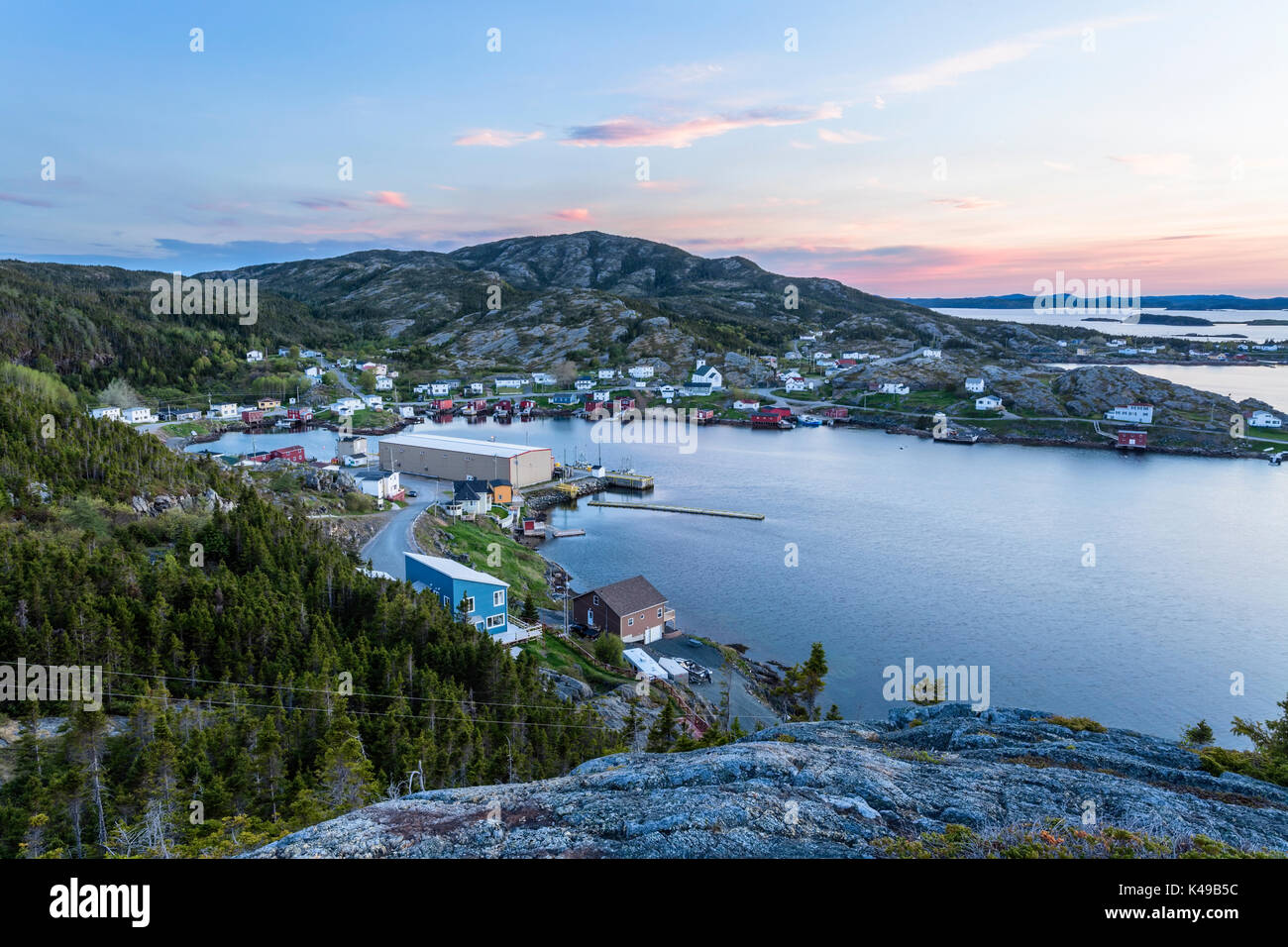 Bishop's Harbour and the town of Salvage at sunset in Newfoundland and Labrador, Canada. Stock Photohttps://www.alamy.com/image-license-details/?v=1https://www.alamy.com/bishops-harbour-and-the-town-of-salvage-at-sunset-in-newfoundland-image157558280.html
RMK49B5C–Bishop's Harbour and the town of Salvage at sunset in Newfoundland and Labrador, Canada.
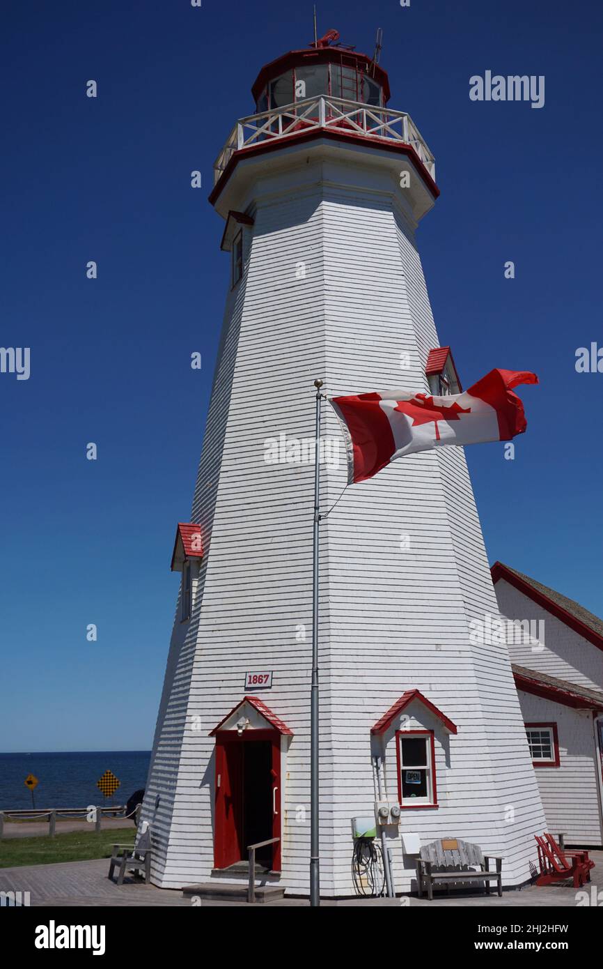 East Point Lighthouse on Prince Edward Island, Canada. Built 1867, the lighthouse is 64 ft. tall and there are 67 steps to the top. Stock Photohttps://www.alamy.com/image-license-details/?v=1https://www.alamy.com/east-point-lighthouse-on-prince-edward-island-canada-built-1867-the-lighthouse-is-64-ft-tall-and-there-are-67-steps-to-the-top-image458591053.html
RF2HJ2HFW–East Point Lighthouse on Prince Edward Island, Canada. Built 1867, the lighthouse is 64 ft. tall and there are 67 steps to the top.
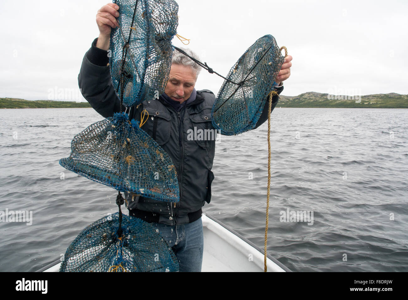 A man pulls up a net containing farmed aquaculture scallops in their shells, grown in the Atlantic waters of Quebec, Canada. Stock Photohttps://www.alamy.com/image-license-details/?v=1https://www.alamy.com/stock-photo-a-man-pulls-up-a-net-containing-farmed-aquaculture-scallops-in-their-91273025.html
RMF8DRJW–A man pulls up a net containing farmed aquaculture scallops in their shells, grown in the Atlantic waters of Quebec, Canada.
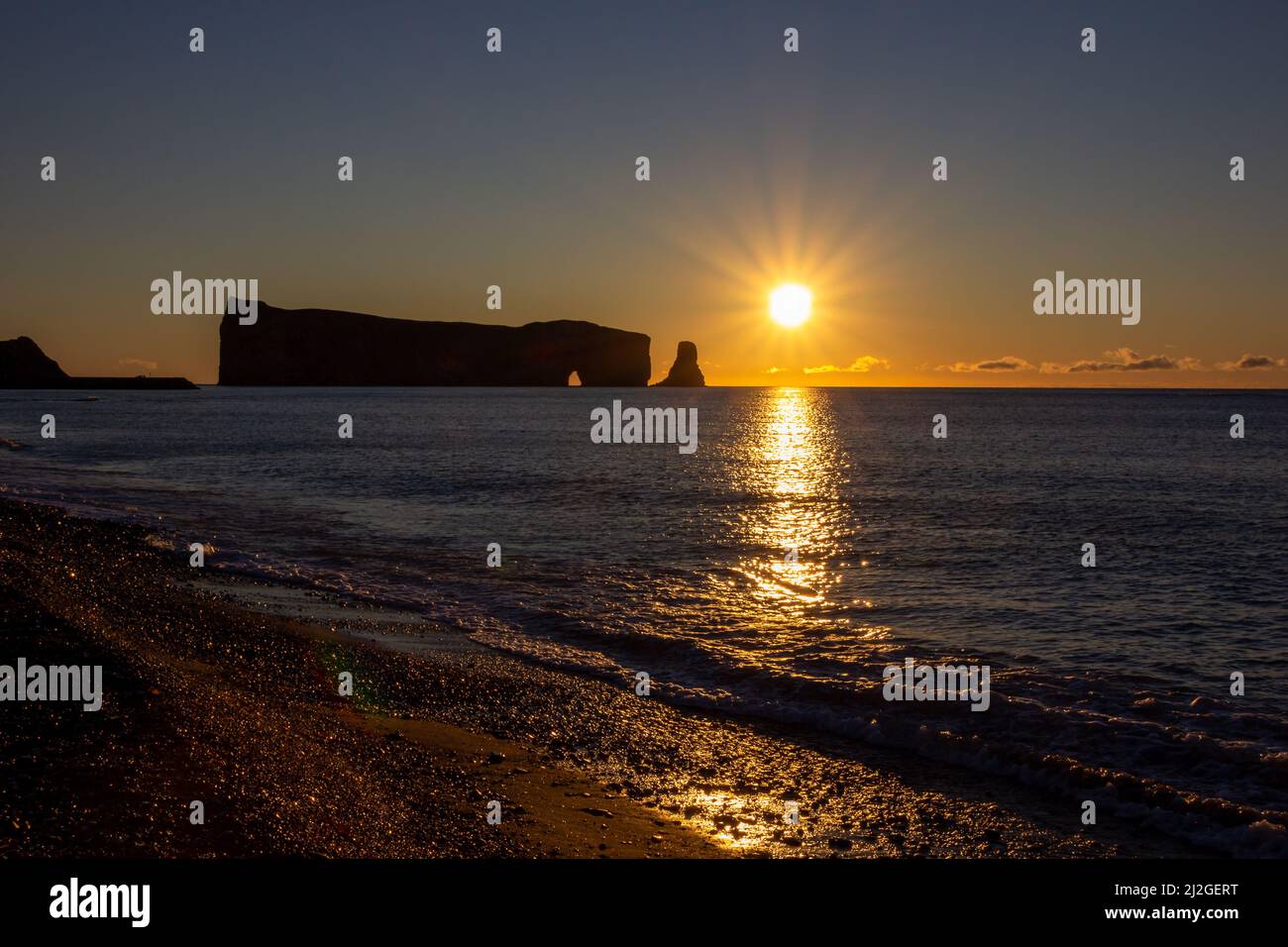 Sunset on Rocher Perce rock in Gaspe Peninsula, Quebec, Gaspesie region, Canada. Famous landmark in St-Lawrence gulf water. Stock Photohttps://www.alamy.com/image-license-details/?v=1https://www.alamy.com/sunset-on-rocher-perce-rock-in-gaspe-peninsula-quebec-gaspesie-region-canada-famous-landmark-in-st-lawrence-gulf-water-image466272124.html
RF2J2GERT–Sunset on Rocher Perce rock in Gaspe Peninsula, Quebec, Gaspesie region, Canada. Famous landmark in St-Lawrence gulf water.
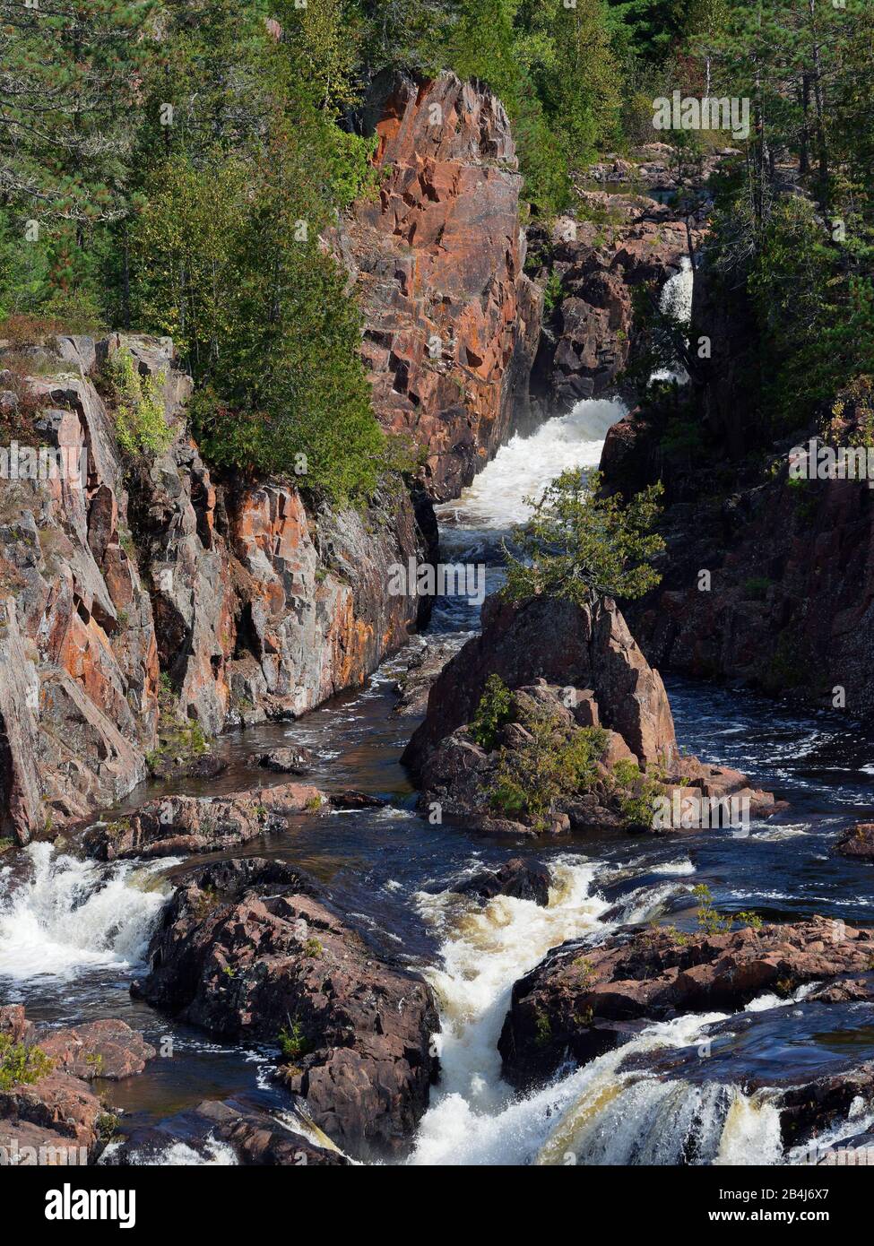 Algoma region, Aubrey Falls, autumn, Kanada, coniferous trees, fresh, Group of Seven site, natural, nature, Ontario, power, pure, river gorge, rocks, Wild Atlantic Way, wilderness Stock Photohttps://www.alamy.com/image-license-details/?v=1https://www.alamy.com/algoma-region-aubrey-falls-autumn-kanada-coniferous-trees-fresh-group-of-seven-site-natural-nature-ontario-power-pure-river-gorge-rocks-wild-atlantic-way-wilderness-image347066559.html
RM2B4J6X7–Algoma region, Aubrey Falls, autumn, Kanada, coniferous trees, fresh, Group of Seven site, natural, nature, Ontario, power, pure, river gorge, rocks, Wild Atlantic Way, wilderness
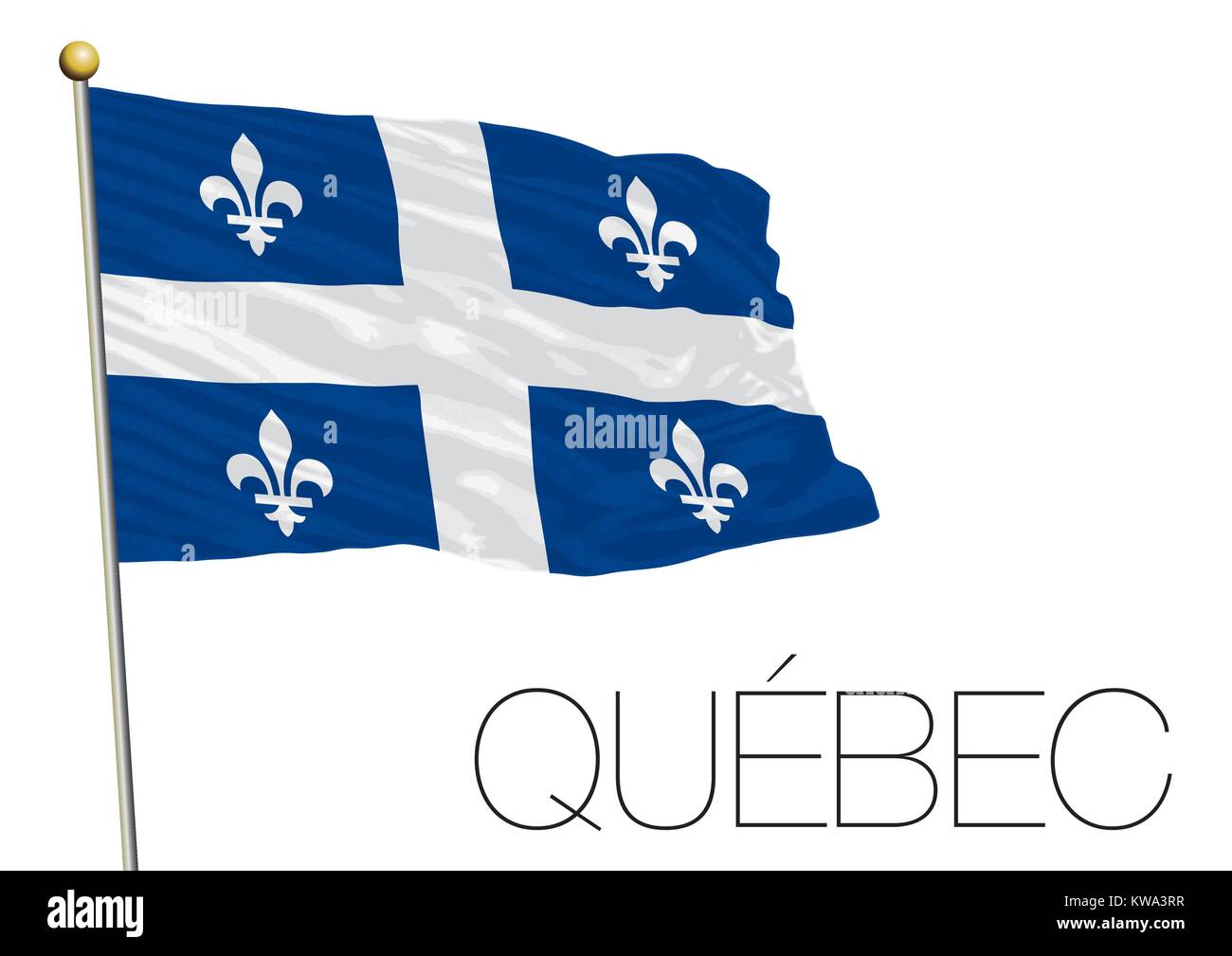 Quebec regional flag, Canada Stock Vectorhttps://www.alamy.com/image-license-details/?v=1https://www.alamy.com/stock-photo-quebec-regional-flag-canada-170482251.html
RFKWA3RR–Quebec regional flag, Canada
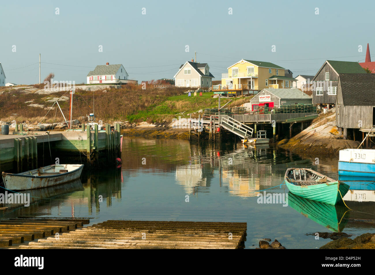 Harbor Reflections at Peggy's Cove, Nova Scotia, Canada Stock Photohttps://www.alamy.com/image-license-details/?v=1https://www.alamy.com/stock-photo-harbor-reflections-at-peggys-cove-nova-scotia-canada-54576665.html
RMD4P52H–Harbor Reflections at Peggy's Cove, Nova Scotia, Canada
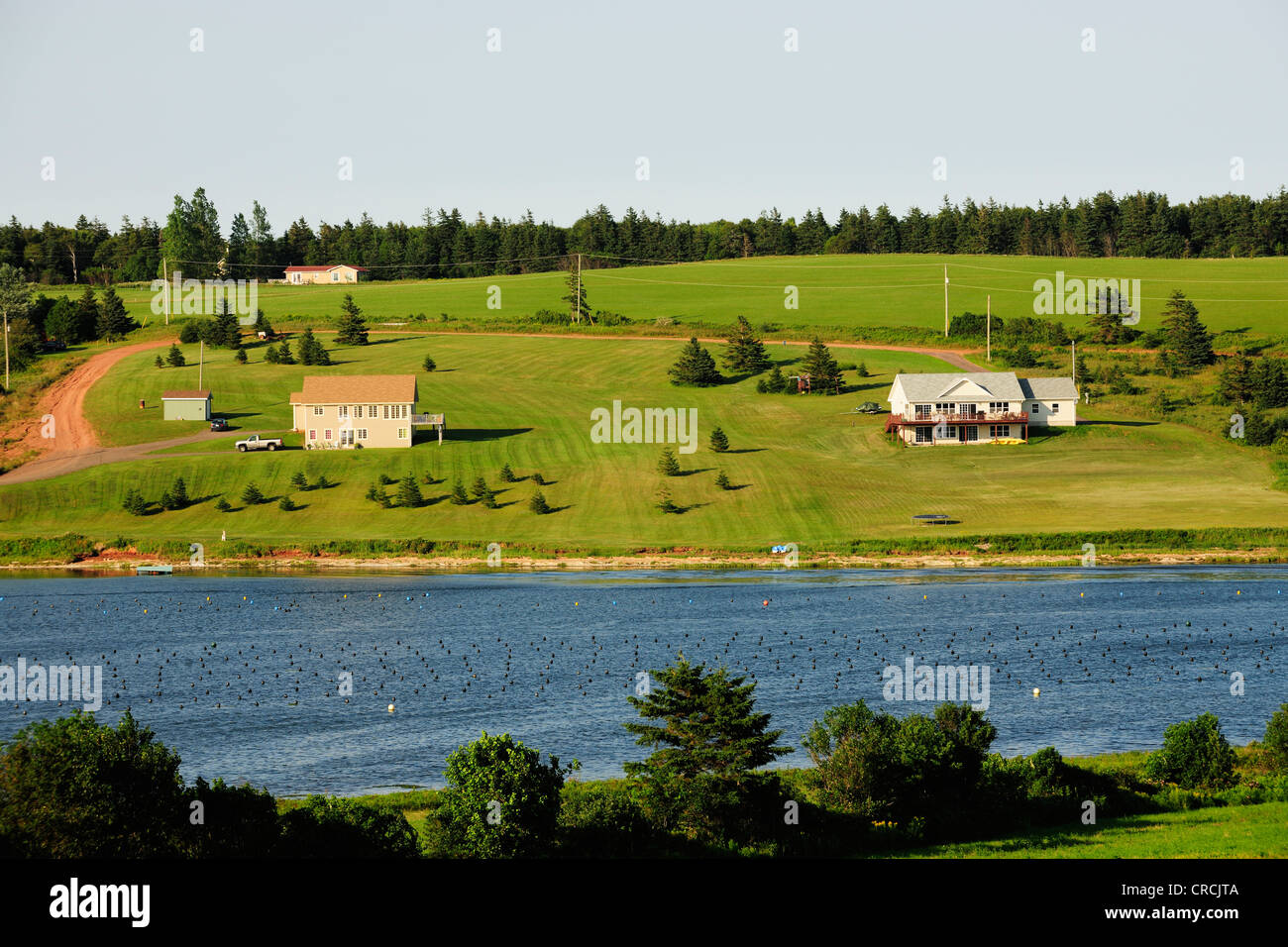 The green island in the Atlantic, Atlantic coast west of Cavendish, Prince Edward Island, Canada Stock Photohttps://www.alamy.com/image-license-details/?v=1https://www.alamy.com/stock-photo-the-green-island-in-the-atlantic-atlantic-coast-west-of-cavendish-48836042.html
RMCRCJTA–The green island in the Atlantic, Atlantic coast west of Cavendish, Prince Edward Island, Canada
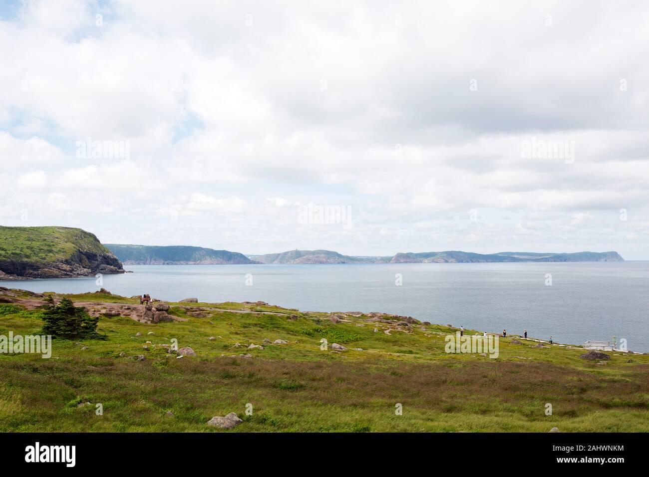 Coastline at the Avalon Peninsula in Newfoundland and Labrador, Canada. The region has the easterly most point in North America. Stock Photohttps://www.alamy.com/image-license-details/?v=1https://www.alamy.com/coastline-at-the-avalon-peninsula-in-newfoundland-and-labrador-canada-the-region-has-the-easterly-most-point-in-north-america-image338011960.html
RM2AHWNKM–Coastline at the Avalon Peninsula in Newfoundland and Labrador, Canada. The region has the easterly most point in North America.
 vector map of Canada Stock Vectorhttps://www.alamy.com/image-license-details/?v=1https://www.alamy.com/vector-map-of-canada-image554627155.html
RF2R69CGK–vector map of Canada
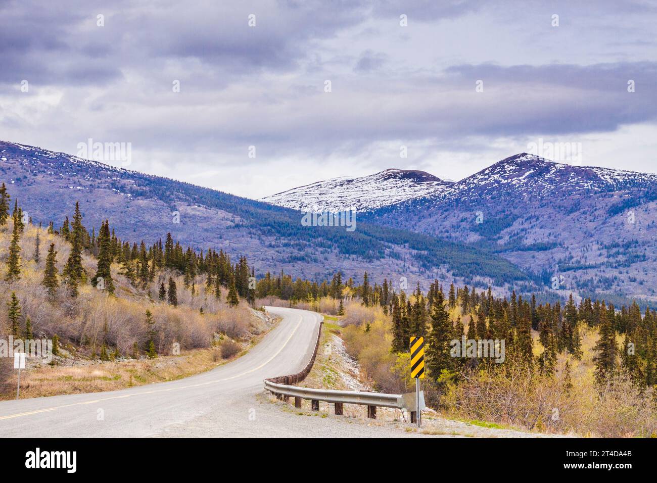 Klondike Highway in Yukon Territory of Canada. Stock Photohttps://www.alamy.com/image-license-details/?v=1https://www.alamy.com/klondike-highway-in-yukon-territory-of-canada-image570694107.html
RM2T4DA4B–Klondike Highway in Yukon Territory of Canada.
 The Cape Breton Highlands region of Nova Scotia Canada. Stock Photohttps://www.alamy.com/image-license-details/?v=1https://www.alamy.com/stock-image-the-cape-breton-highlands-region-of-nova-scotia-canada-164599651.html
RFKFP4EY–The Cape Breton Highlands region of Nova Scotia Canada.
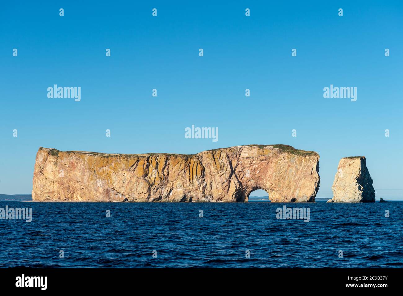 Rocher Perce rock in Gaspe Peninsula, Quebec, Gaspesie, Canada Stock Photohttps://www.alamy.com/image-license-details/?v=1https://www.alamy.com/rocher-perce-rock-in-gaspe-peninsula-quebec-gaspesie-canada-image367193679.html
RF2C9B37Y–Rocher Perce rock in Gaspe Peninsula, Quebec, Gaspesie, Canada
 Sunset skies, Fogo, Newfoundland and Labrador NL, Canada Stock Photohttps://www.alamy.com/image-license-details/?v=1https://www.alamy.com/sunset-skies-fogo-newfoundland-and-labrador-nl-canada-image367889847.html
RM2CAER73–Sunset skies, Fogo, Newfoundland and Labrador NL, Canada
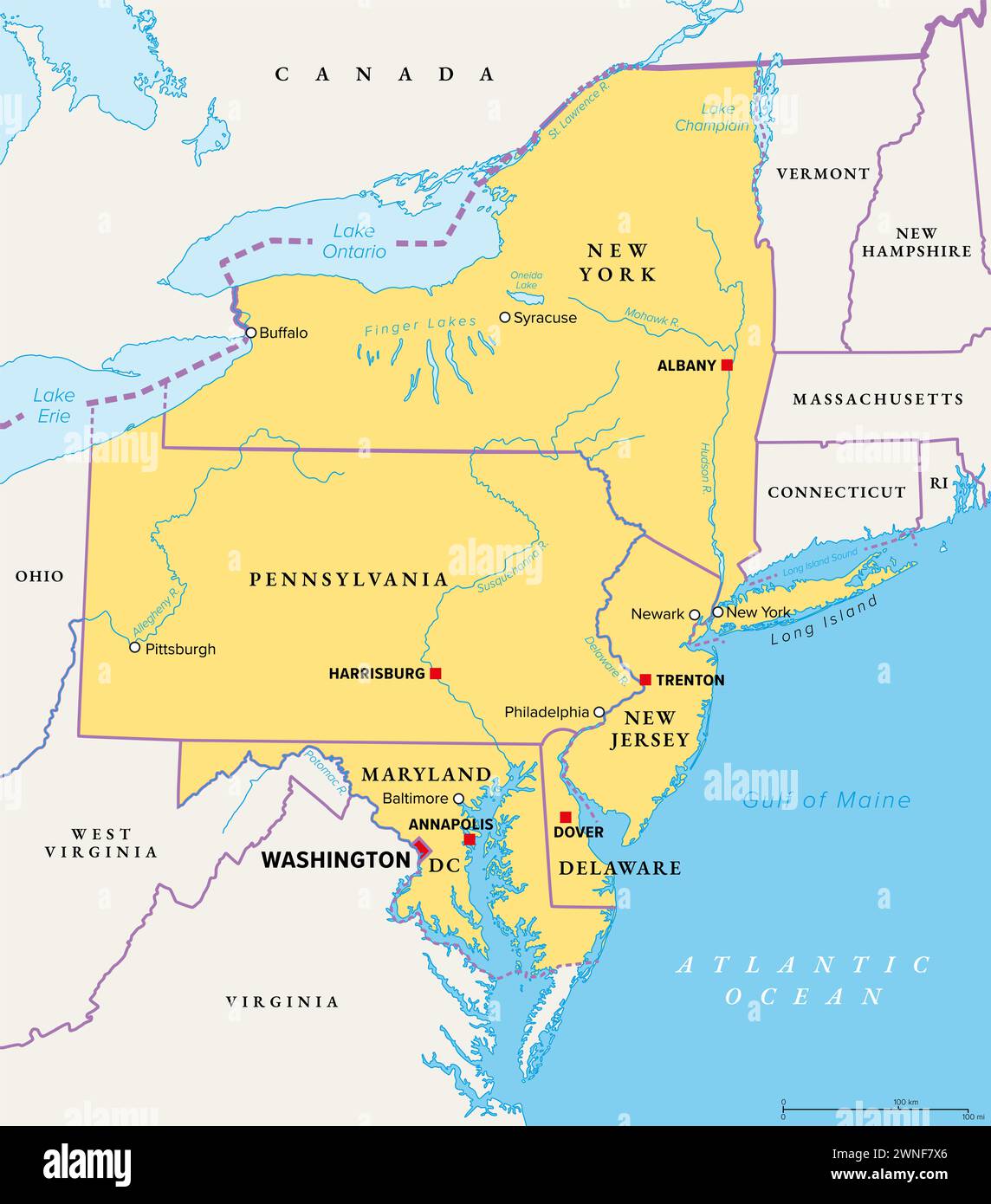 Mid-Atlantic region of the United States, political map. Located in the overlap between Northeastern and Southeastern states. Stock Photohttps://www.alamy.com/image-license-details/?v=1https://www.alamy.com/mid-atlantic-region-of-the-united-states-political-map-located-in-the-overlap-between-northeastern-and-southeastern-states-image598395790.html
RF2WNF7X6–Mid-Atlantic region of the United States, political map. Located in the overlap between Northeastern and Southeastern states.
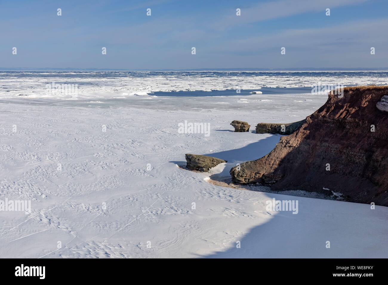 Canada, Province of New Brunswick, Chaleur Region, Chaleur Bay, Great Anse and Bathurst Coast Stock Photohttps://www.alamy.com/image-license-details/?v=1https://www.alamy.com/canada-province-of-new-brunswick-chaleur-region-chaleur-bay-great-anse-and-bathurst-coast-image266948639.html
RMWE8FKY–Canada, Province of New Brunswick, Chaleur Region, Chaleur Bay, Great Anse and Bathurst Coast
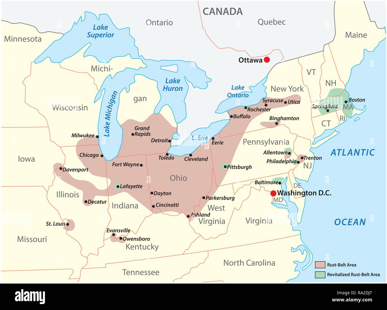 Map of the region Rust Belt in the United States of America Stock Vectorhttps://www.alamy.com/image-license-details/?v=1https://www.alamy.com/map-of-the-region-rust-belt-in-the-united-states-of-america-image229935968.html
RFRA2DJT–Map of the region Rust Belt in the United States of America
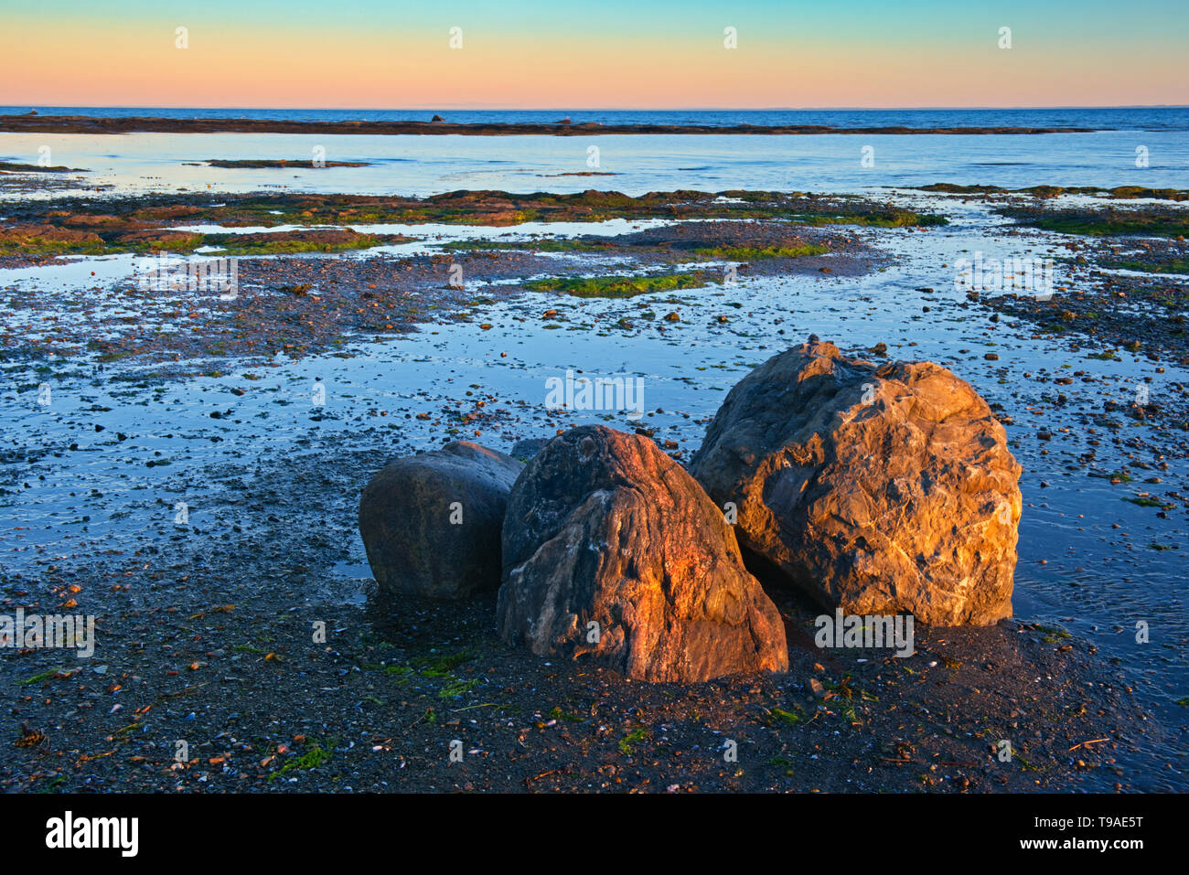 Rocky coastline along the Gulf of St. Lawrence Quebec Canada Stock Photohttps://www.alamy.com/image-license-details/?v=1https://www.alamy.com/rocky-coastline-along-the-gulf-of-st-lawrence-quebec-canada-image246707716.html
RMT9AE5T–Rocky coastline along the Gulf of St. Lawrence Quebec Canada
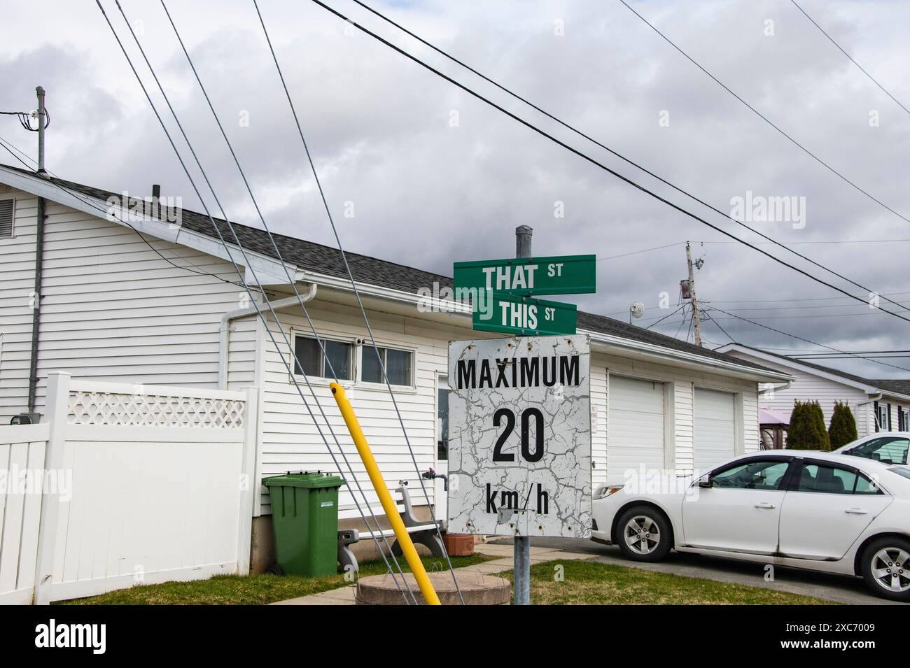 This and That Street signs in Porters Lake, Nova Scotia, Canada Stock Photohttps://www.alamy.com/image-license-details/?v=1https://www.alamy.com/this-and-that-street-signs-in-porters-lake-nova-scotia-canada-image609892425.html
RF2XC7009–This and That Street signs in Porters Lake, Nova Scotia, Canada
 Cove beach in Bonaventure Island in Quebec, Canada in Gaspe, Gaspesie region with two grey seals Stock Photohttps://www.alamy.com/image-license-details/?v=1https://www.alamy.com/stock-image-cove-beach-in-bonaventure-island-in-quebec-canada-in-gaspe-gaspesie-166136210.html
RFKJ84C2–Cove beach in Bonaventure Island in Quebec, Canada in Gaspe, Gaspesie region with two grey seals
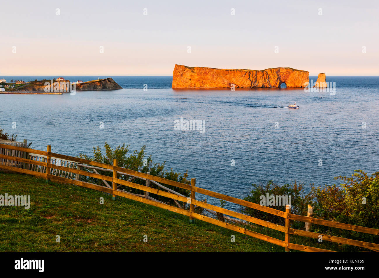 Perce Rock view from Gaspe Peninsula at sunset in Quebec, Canada Stock Photohttps://www.alamy.com/image-license-details/?v=1https://www.alamy.com/stock-image-perce-rock-view-from-gaspe-peninsula-at-sunset-in-quebec-canada-163971397.html
RFKENF59–Perce Rock view from Gaspe Peninsula at sunset in Quebec, Canada
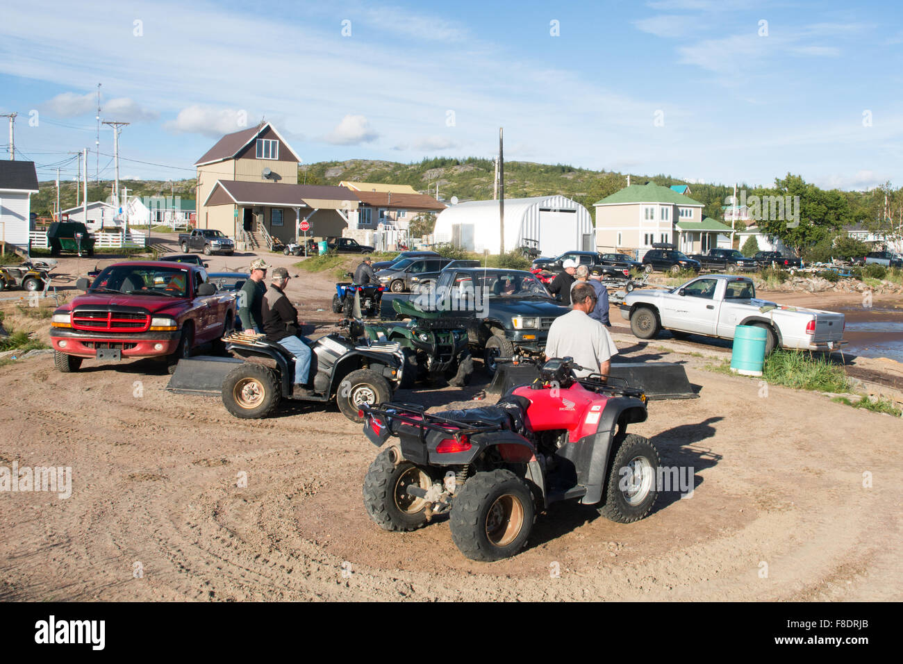 Men on quads in the village of St. Augustin, located on the Gulf of St. Lawrence, Lower North Shore region, Quebec, Canada. Stock Photohttps://www.alamy.com/image-license-details/?v=1https://www.alamy.com/stock-photo-men-on-quads-in-the-village-of-st-augustin-located-on-the-gulf-of-91273011.html
RMF8DRJB–Men on quads in the village of St. Augustin, located on the Gulf of St. Lawrence, Lower North Shore region, Quebec, Canada.
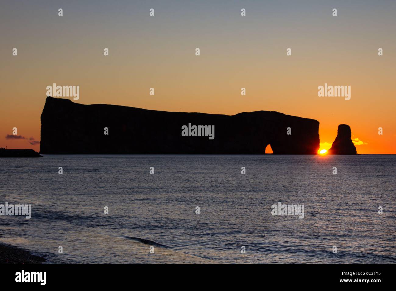 Sunrise on Rocher Perce rock in Gaspe Peninsula, Quebec, Gaspesie region, Canada. Famous landmark in St-Lawrence gulf water. Stock Photohttps://www.alamy.com/image-license-details/?v=1https://www.alamy.com/sunrise-on-rocher-perce-rock-in-gaspe-peninsula-quebec-gaspesie-region-canada-famous-landmark-in-st-lawrence-gulf-water-image489333577.html
RF2KC31Y5–Sunrise on Rocher Perce rock in Gaspe Peninsula, Quebec, Gaspesie region, Canada. Famous landmark in St-Lawrence gulf water.
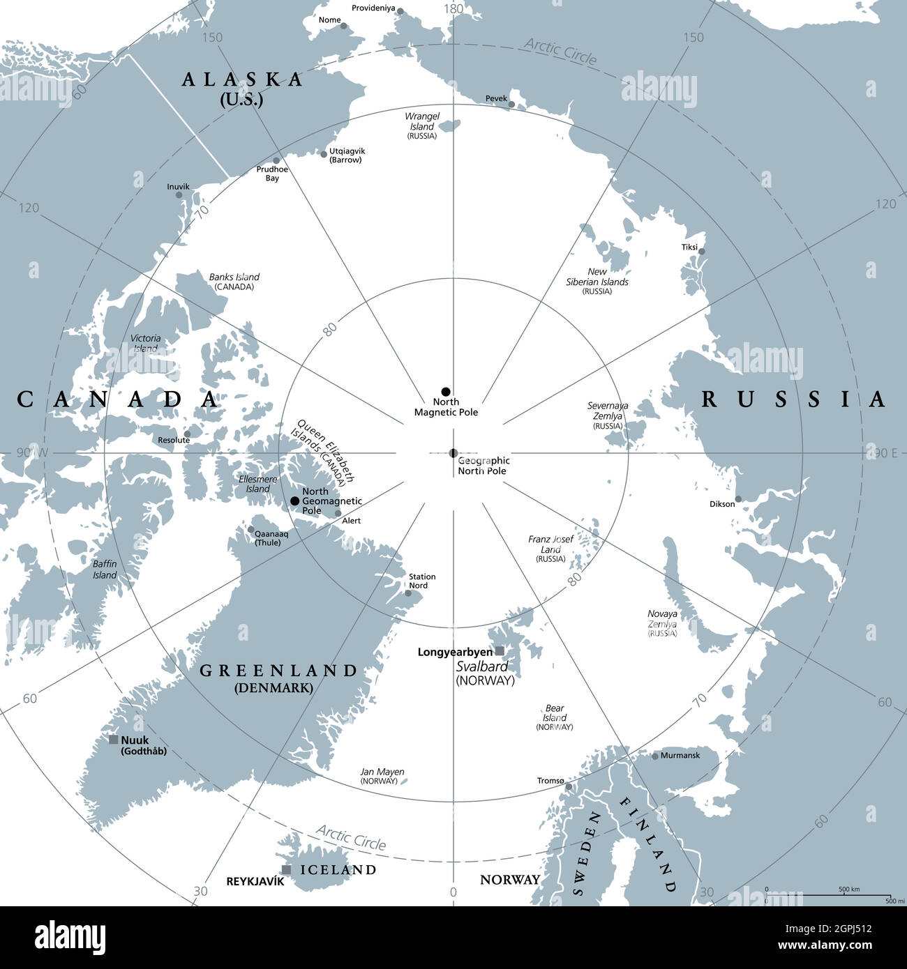 Arctic region, polar region around North Pole, gray political map Stock Vectorhttps://www.alamy.com/image-license-details/?v=1https://www.alamy.com/arctic-region-polar-region-around-north-pole-gray-political-map-image444180718.html
RF2GPJ512–Arctic region, polar region around North Pole, gray political map
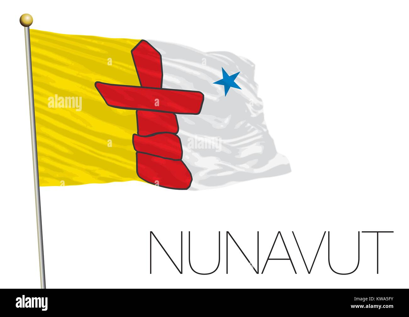 Nunavut regional flag, Canada Stock Vectorhttps://www.alamy.com/image-license-details/?v=1https://www.alamy.com/stock-photo-nunavut-regional-flag-canada-170483599.html
RFKWA5FY–Nunavut regional flag, Canada
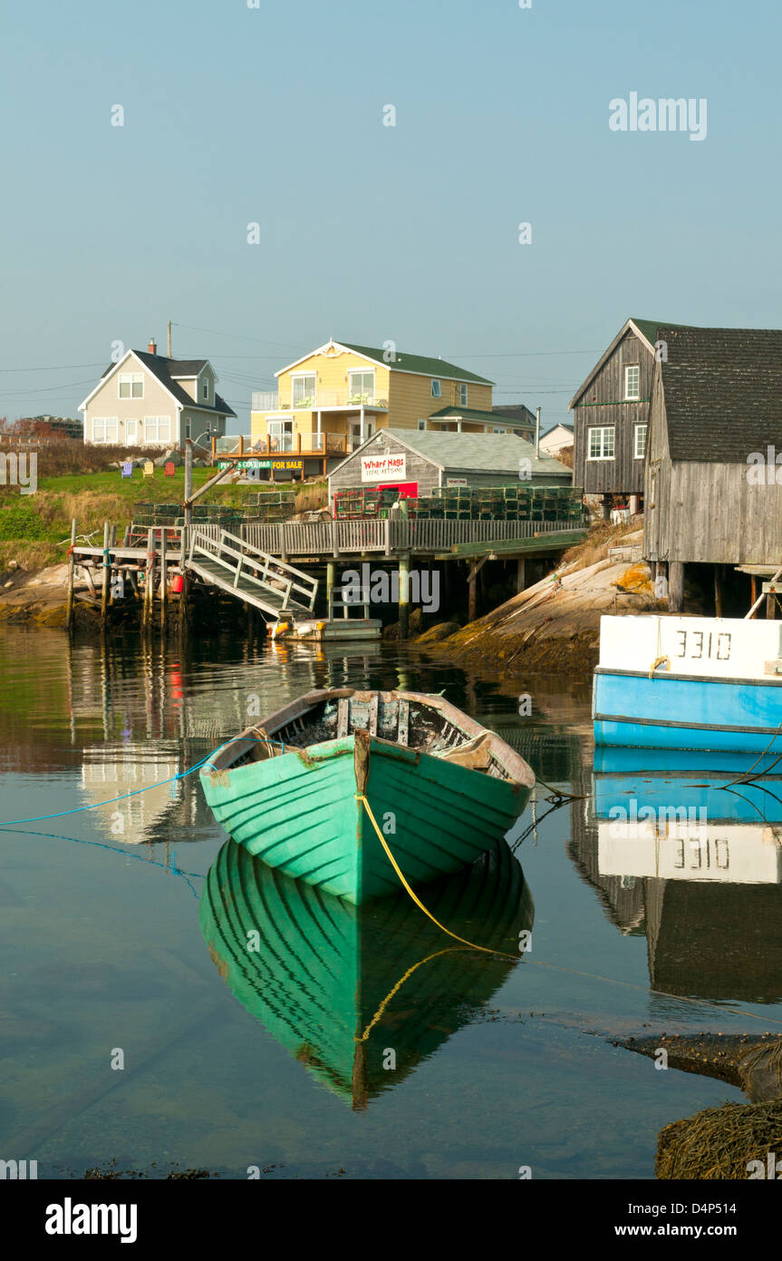 Harbor Reflections at Peggy's Cove, Nova Scotia, Canada Stock Photohttps://www.alamy.com/image-license-details/?v=1https://www.alamy.com/stock-photo-harbor-reflections-at-peggys-cove-nova-scotia-canada-54576624.html
RMD4P514–Harbor Reflections at Peggy's Cove, Nova Scotia, Canada
 Western Atlantic coast in the Cape Breton Highlands National Park, Cape Breton, Nova Scotia, Canada, North America Stock Photohttps://www.alamy.com/image-license-details/?v=1https://www.alamy.com/stock-photo-western-atlantic-coast-in-the-cape-breton-highlands-national-park-48835851.html
RMCRCJHF–Western Atlantic coast in the Cape Breton Highlands National Park, Cape Breton, Nova Scotia, Canada, North America
 Detail of an iceberg in the Atlantic ocean off the Newfoundland Labrador coast, Canada Stock Photohttps://www.alamy.com/image-license-details/?v=1https://www.alamy.com/stock-photo-detail-of-an-iceberg-in-the-atlantic-ocean-off-the-newfoundland-labrador-35177798.html
RMC16DHX–Detail of an iceberg in the Atlantic ocean off the Newfoundland Labrador coast, Canada
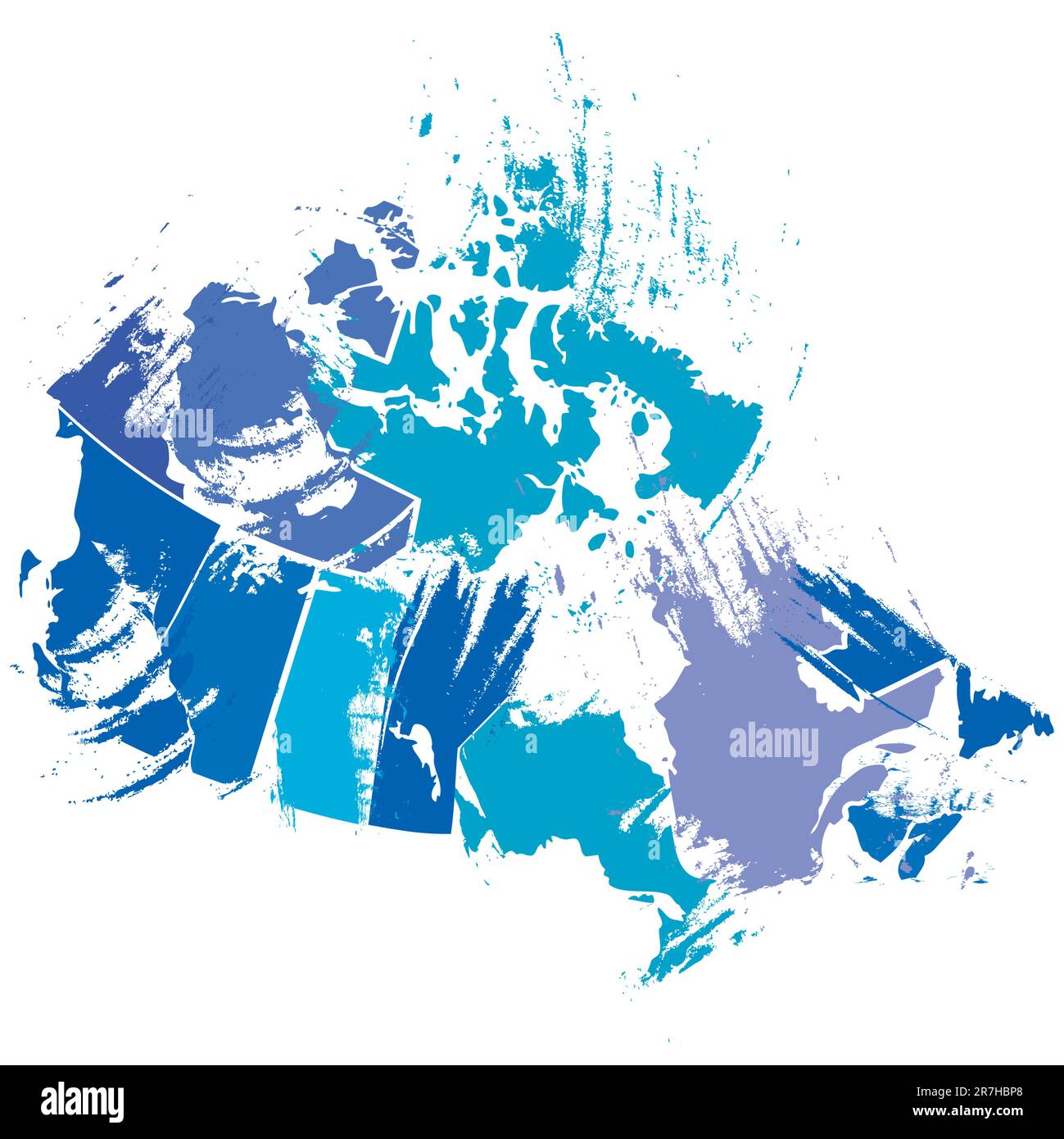 vector canadian map by artistic brush strokes Stock Vectorhttps://www.alamy.com/image-license-details/?v=1https://www.alamy.com/vector-canadian-map-by-artistic-brush-strokes-image555416800.html
RF2R7HBP8–vector canadian map by artistic brush strokes
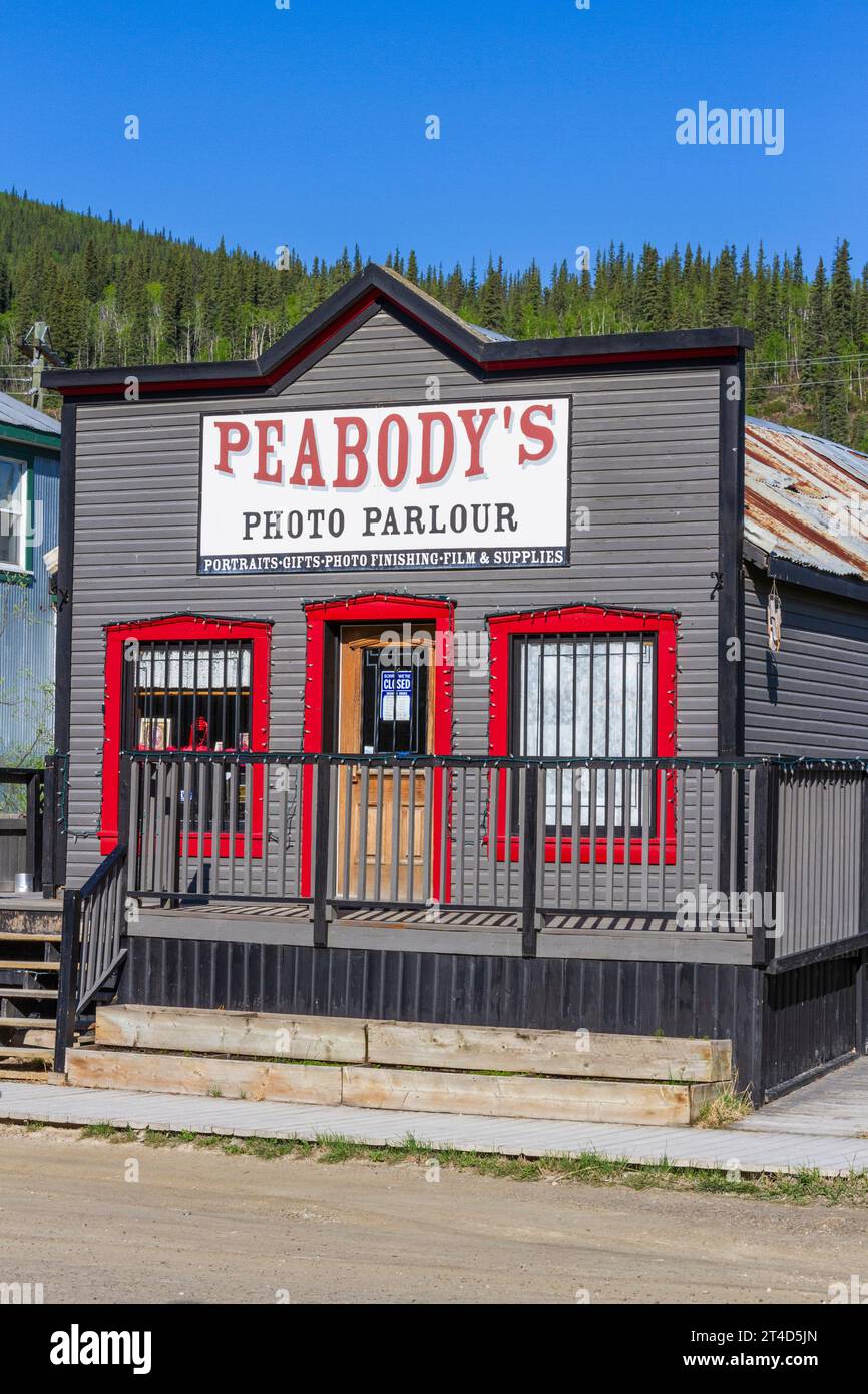 Dawson City in the Yukon Territory, Canada, has a subarctic climate and a year round population of about 1900. Stock Photohttps://www.alamy.com/image-license-details/?v=1https://www.alamy.com/dawson-city-in-the-yukon-territory-canada-has-a-subarctic-climate-and-a-year-round-population-of-about-1900-image570690589.html
RM2T4D5JN–Dawson City in the Yukon Territory, Canada, has a subarctic climate and a year round population of about 1900.
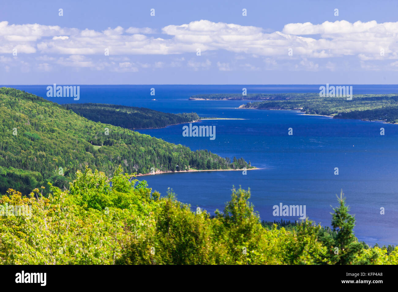 The Cape Breton Highlands region of Nova Scotia Canada. Stock Photohttps://www.alamy.com/image-license-details/?v=1https://www.alamy.com/stock-image-the-cape-breton-highlands-region-of-nova-scotia-canada-164599520.html
RFKFP4A8–The Cape Breton Highlands region of Nova Scotia Canada.
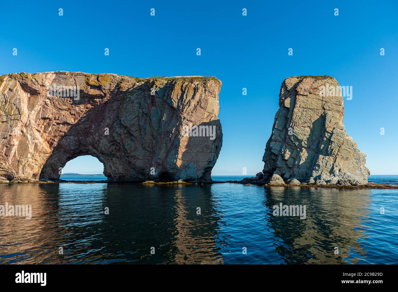 Rocher Perce rock in Gaspe Peninsula, Quebec, Gaspesie, Canada Stock Photohttps://www.alamy.com/image-license-details/?v=1https://www.alamy.com/rocher-perce-rock-in-gaspe-peninsula-quebec-gaspesie-canada-image367192937.html
RF2C9B29D–Rocher Perce rock in Gaspe Peninsula, Quebec, Gaspesie, Canada
 Sunset skies, Fogo, Newfoundland and Labrador NL, Canada Stock Photohttps://www.alamy.com/image-license-details/?v=1https://www.alamy.com/sunset-skies-fogo-newfoundland-and-labrador-nl-canada-image367889891.html
RM2CAER8K–Sunset skies, Fogo, Newfoundland and Labrador NL, Canada
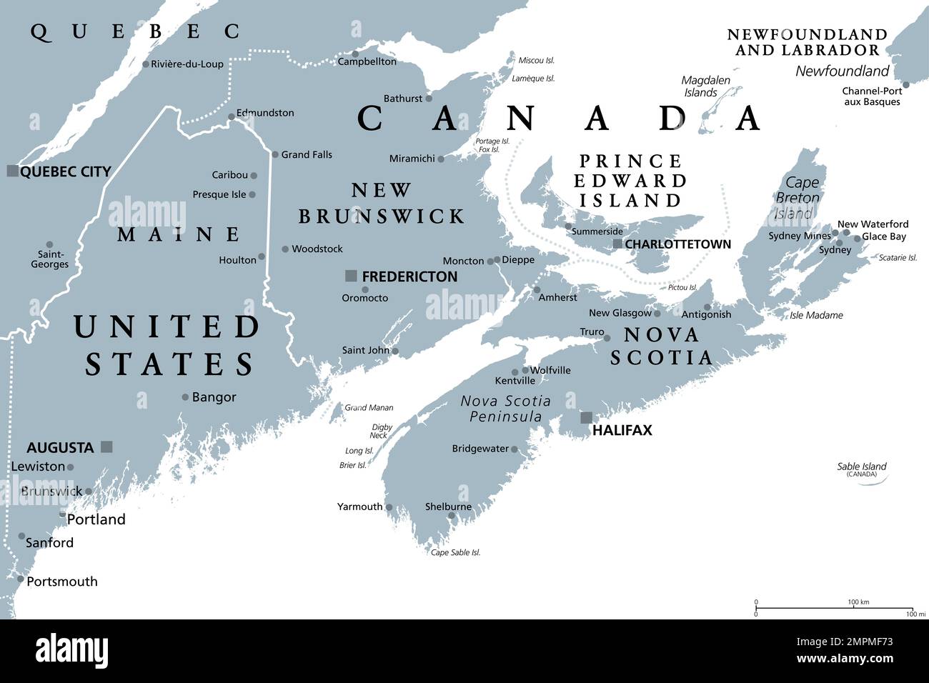 Maritimes region of Eastern Canada, Maritime provinces, gray political map. New Brunswick, Nova Scotia, and Prince Edward Island. Stock Photohttps://www.alamy.com/image-license-details/?v=1https://www.alamy.com/maritimes-region-of-eastern-canada-maritime-provinces-gray-political-map-new-brunswick-nova-scotia-and-prince-edward-island-image513074103.html
RF2MPMF73–Maritimes region of Eastern Canada, Maritime provinces, gray political map. New Brunswick, Nova Scotia, and Prince Edward Island.
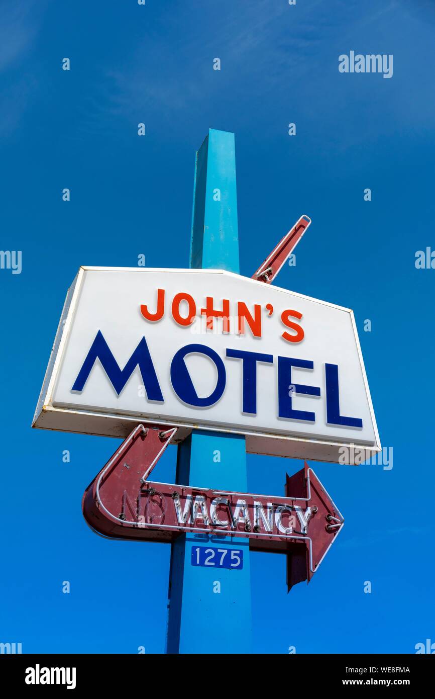 Canada, Province of New Brunswick, Chaleur Region, Beresford, John's Motel, retro design sign Stock Photohttps://www.alamy.com/image-license-details/?v=1https://www.alamy.com/canada-province-of-new-brunswick-chaleur-region-beresford-johns-motel-retro-design-sign-image266948650.html
RMWE8FMA–Canada, Province of New Brunswick, Chaleur Region, Beresford, John's Motel, retro design sign
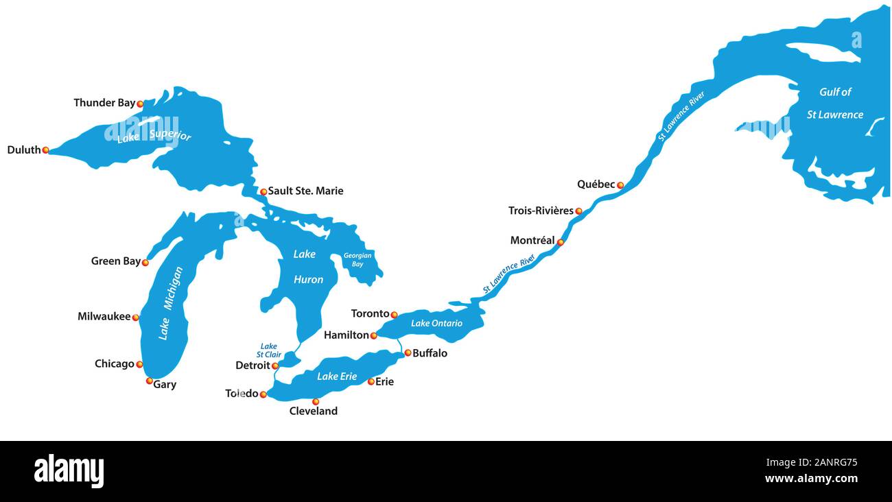 Map of the great lakes and st lawrence river with major cities Stock Vectorhttps://www.alamy.com/image-license-details/?v=1https://www.alamy.com/map-of-the-great-lakes-and-st-lawrence-river-with-major-cities-image340422409.html
RF2ANRG75–Map of the great lakes and st lawrence river with major cities
 Sunset light over creek Kamouraska Quebec Canada Stock Photohttps://www.alamy.com/image-license-details/?v=1https://www.alamy.com/sunset-light-over-creek-kamouraska-quebec-canada-image246707752.html
RMT9AE74–Sunset light over creek Kamouraska Quebec Canada
 This and The Other Street signs in Porters Lake, Nova Scotia, Canada Stock Photohttps://www.alamy.com/image-license-details/?v=1https://www.alamy.com/this-and-the-other-street-signs-in-porters-lake-nova-scotia-canada-image609892434.html
RF2XC700J–This and The Other Street signs in Porters Lake, Nova Scotia, Canada
 Canada, Prince Edward Island NP, Maritime Plain National Region. Greenwich Peninsula, Cavendish Coastal dune area. Stock Photohttps://www.alamy.com/image-license-details/?v=1https://www.alamy.com/stock-photo-canada-prince-edward-island-np-maritime-plain-national-region-greenwich-24059111.html
RFBB3YHY–Canada, Prince Edward Island NP, Maritime Plain National Region. Greenwich Peninsula, Cavendish Coastal dune area.
 Perce Rock or Rocher Percé view from beach at Gaspe Peninsula in Quebec, Canada. Stock Photohttps://www.alamy.com/image-license-details/?v=1https://www.alamy.com/stock-image-perce-rock-or-rocher-perc-view-from-beach-at-gaspe-peninsula-in-quebec-163971616.html
RFKENFD4–Perce Rock or Rocher Percé view from beach at Gaspe Peninsula in Quebec, Canada.
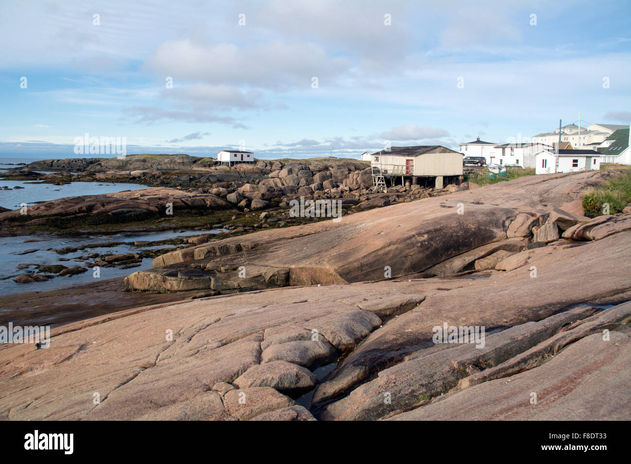 Fishing cottages and homes in Blanc Sablon, on the rocky shores of the Gulf of St. Lawrence in the Lower North Shore region of Quebec, Canada. Stock Photohttps://www.alamy.com/image-license-details/?v=1https://www.alamy.com/stock-photo-fishing-cottages-and-homes-in-blanc-sablon-on-the-rocky-shores-of-91273367.html
RFF8DT33–Fishing cottages and homes in Blanc Sablon, on the rocky shores of the Gulf of St. Lawrence in the Lower North Shore region of Quebec, Canada.
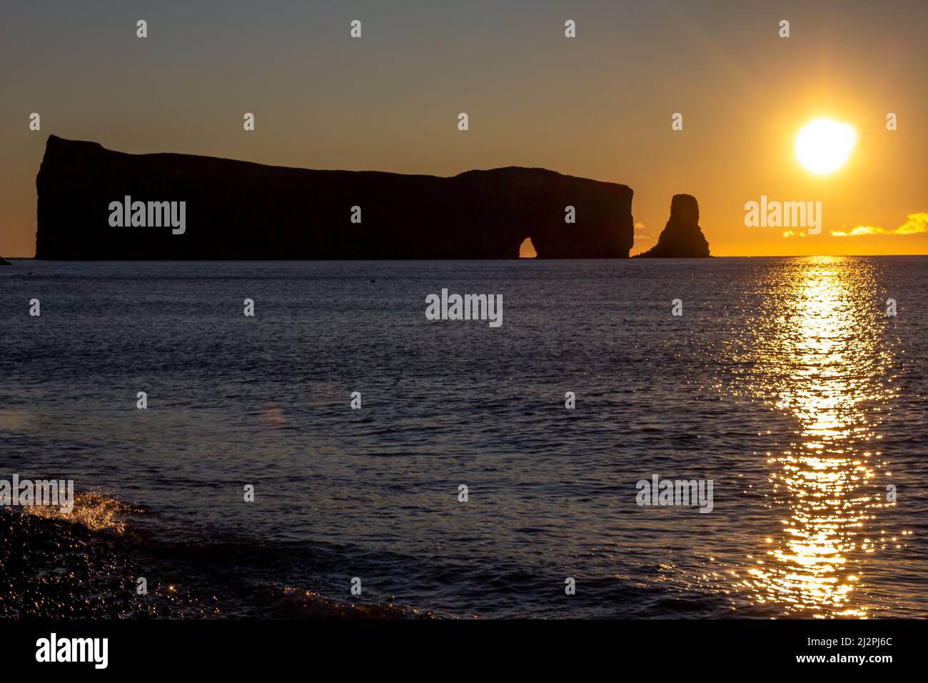 Morning sunset on Rocher Perce rock in Gaspe Peninsula, Quebec, Gaspesie region, Canada. Famous landmark in St-Lawrence gulf water. Stock Photohttps://www.alamy.com/image-license-details/?v=1https://www.alamy.com/morning-sunset-on-rocher-perce-rock-in-gaspe-peninsula-quebec-gaspesie-region-canada-famous-landmark-in-st-lawrence-gulf-water-image466406484.html
RF2J2PJ6C–Morning sunset on Rocher Perce rock in Gaspe Peninsula, Quebec, Gaspesie region, Canada. Famous landmark in St-Lawrence gulf water.
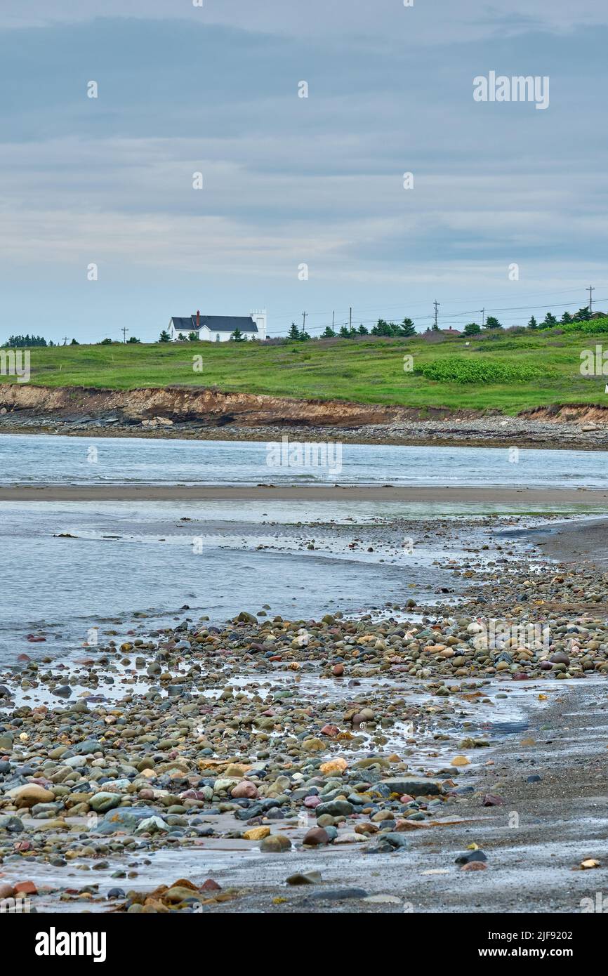 A small whire church typical of the region sits atop a hill overlooking Glace bay Beach. Stock Photohttps://www.alamy.com/image-license-details/?v=1https://www.alamy.com/a-small-whire-church-typical-of-the-region-sits-atop-a-hill-overlooking-glace-bay-beach-image474098914.html
RM2JF9202–A small whire church typical of the region sits atop a hill overlooking Glace bay Beach.
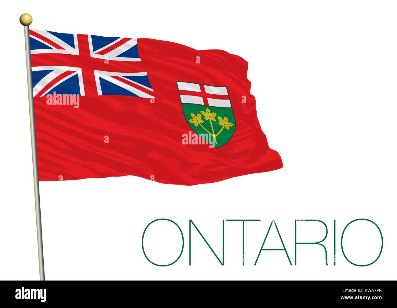 Ontario regional flag, Canada Stock Vectorhttps://www.alamy.com/image-license-details/?v=1https://www.alamy.com/stock-photo-ontario-regional-flag-canada-170485359.html
RFKWA7PR–Ontario regional flag, Canada
 Canada New Brunswick Landscape of multi colored lupine flowers Bay of Fundy Region Fundy Coast Stock Photohttps://www.alamy.com/image-license-details/?v=1https://www.alamy.com/stock-photo-canada-new-brunswick-landscape-of-multi-colored-lupine-flowers-bay-18528662.html
RMB241DX–Canada New Brunswick Landscape of multi colored lupine flowers Bay of Fundy Region Fundy Coast
 Cabot Trail and the Atlantic Ocean, Cape Breton Highlands National Park, Cape Breton, Nova Scotia, Canada, North America Stock Photohttps://www.alamy.com/image-license-details/?v=1https://www.alamy.com/stock-photo-cabot-trail-and-the-atlantic-ocean-cape-breton-highlands-national-48835823.html
RMCRCJGF–Cabot Trail and the Atlantic Ocean, Cape Breton Highlands National Park, Cape Breton, Nova Scotia, Canada, North America
 Detail of an iceberg in the Atlantic ocean off the Newfoundland Labrador coast, Canada Stock Photohttps://www.alamy.com/image-license-details/?v=1https://www.alamy.com/stock-photo-detail-of-an-iceberg-in-the-atlantic-ocean-off-the-newfoundland-labrador-35177815.html
RMC16DJF–Detail of an iceberg in the Atlantic ocean off the Newfoundland Labrador coast, Canada
 Barred owl, Strix varia, in Acadian forest region, New Brunswick, Canada. Stock Photohttps://www.alamy.com/image-license-details/?v=1https://www.alamy.com/barred-owl-strix-varia-in-acadian-forest-region-new-brunswick-canada-image181680424.html
RMMFG76G–Barred owl, Strix varia, in Acadian forest region, New Brunswick, Canada.
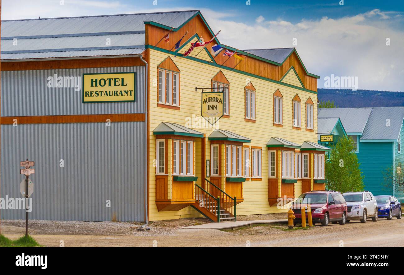 Dawson City in the Yukon Territory, Canada, has a subarctic climate and a year round population of about 1900. Stock Photohttps://www.alamy.com/image-license-details/?v=1https://www.alamy.com/dawson-city-in-the-yukon-territory-canada-has-a-subarctic-climate-and-a-year-round-population-of-about-1900-image570690567.html
RM2T4D5HY–Dawson City in the Yukon Territory, Canada, has a subarctic climate and a year round population of about 1900.
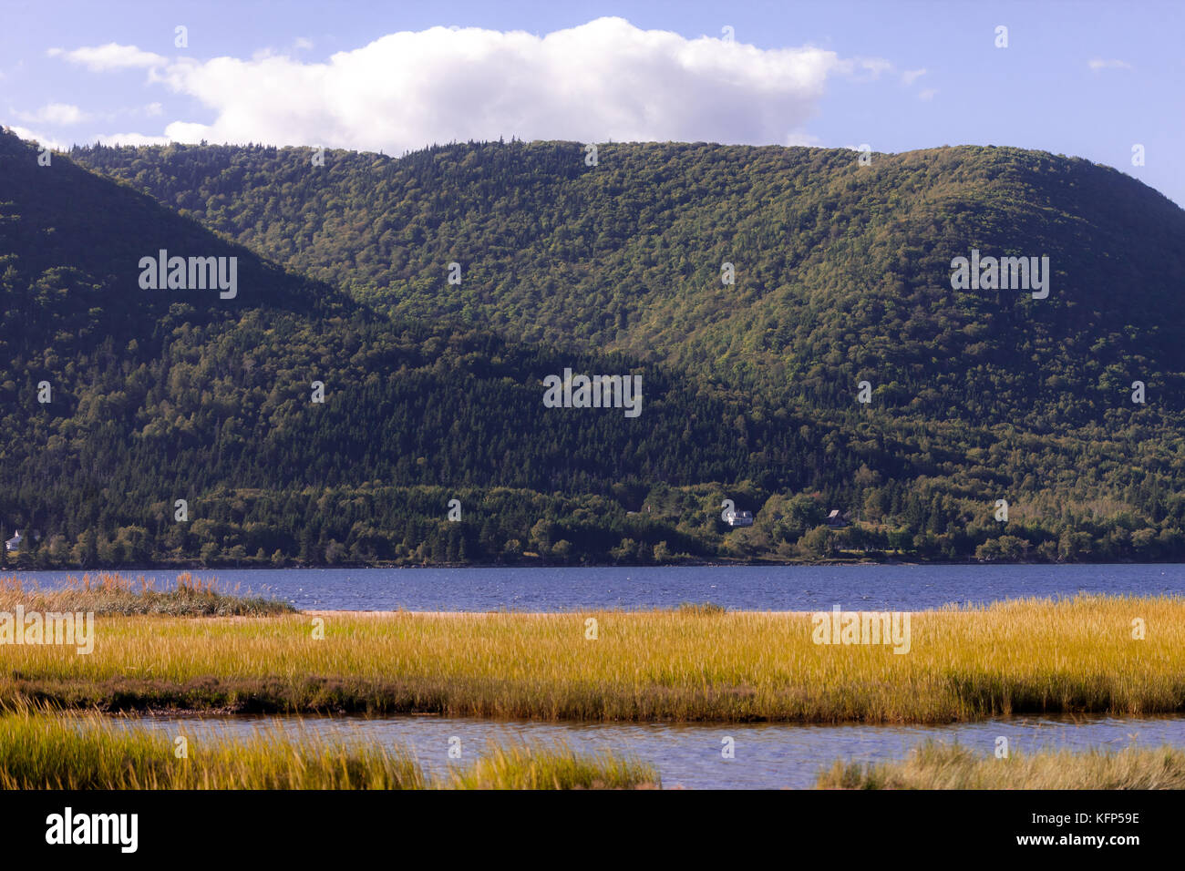 The Cape Breton Highlands region of Nova Scotia Canada. Stock Photohttps://www.alamy.com/image-license-details/?v=1https://www.alamy.com/stock-image-the-cape-breton-highlands-region-of-nova-scotia-canada-164600282.html
RFKFP59E–The Cape Breton Highlands region of Nova Scotia Canada.
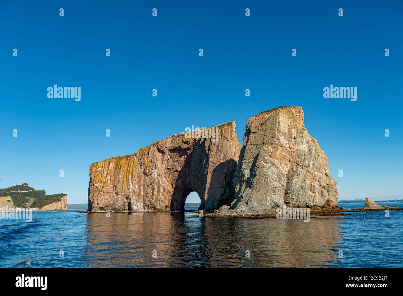 Rocher Perce rock in Gaspe Peninsula, Quebec, Gaspesie, Canada Stock Photohttps://www.alamy.com/image-license-details/?v=1https://www.alamy.com/rocher-perce-rock-in-gaspe-peninsula-quebec-gaspesie-canada-image367193183.html
RF2C9B2J7–Rocher Perce rock in Gaspe Peninsula, Quebec, Gaspesie, Canada
 Sunset skies, Fogo, Newfoundland and Labrador NL, Canada Stock Photohttps://www.alamy.com/image-license-details/?v=1https://www.alamy.com/sunset-skies-fogo-newfoundland-and-labrador-nl-canada-image367889910.html
RM2CAER9A–Sunset skies, Fogo, Newfoundland and Labrador NL, Canada
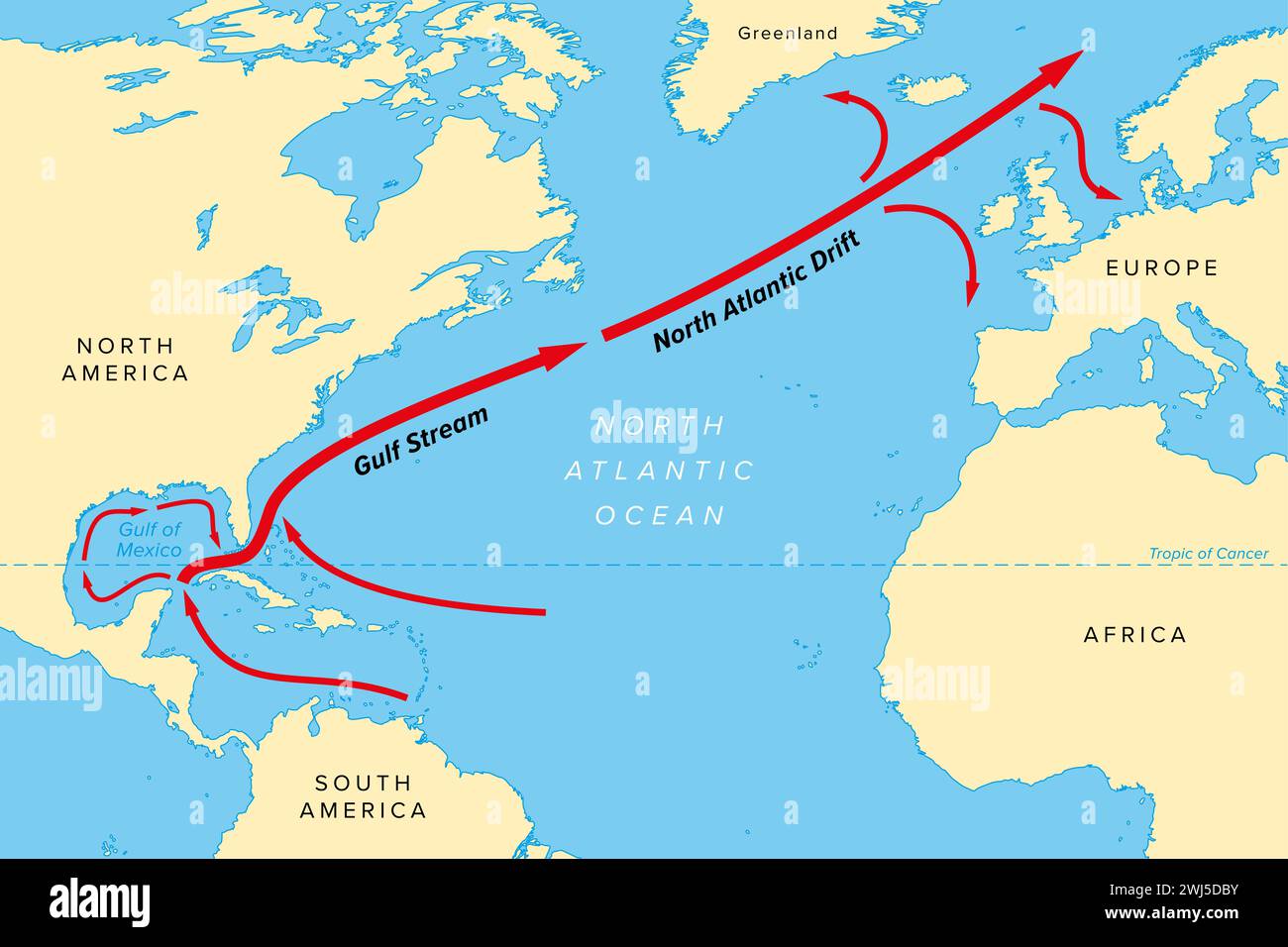 Map of the Gulf Stream with its northern extension North Atlantic Drift. Warm and swift Atlantic Ocean current, originates in Gulf of Mexico. Stock Photohttps://www.alamy.com/image-license-details/?v=1https://www.alamy.com/map-of-the-gulf-stream-with-its-northern-extension-north-atlantic-drift-warm-and-swift-atlantic-ocean-current-originates-in-gulf-of-mexico-image596336607.html
RF2WJ5DBY–Map of the Gulf Stream with its northern extension North Atlantic Drift. Warm and swift Atlantic Ocean current, originates in Gulf of Mexico.
 Canada, Province of New Brunswick, Chaleur Region, Chaleur Bay, Great Anse and Bathurst Coast Stock Photohttps://www.alamy.com/image-license-details/?v=1https://www.alamy.com/canada-province-of-new-brunswick-chaleur-region-chaleur-bay-great-anse-and-bathurst-coast-image266948655.html
RMWE8FMF–Canada, Province of New Brunswick, Chaleur Region, Chaleur Bay, Great Anse and Bathurst Coast
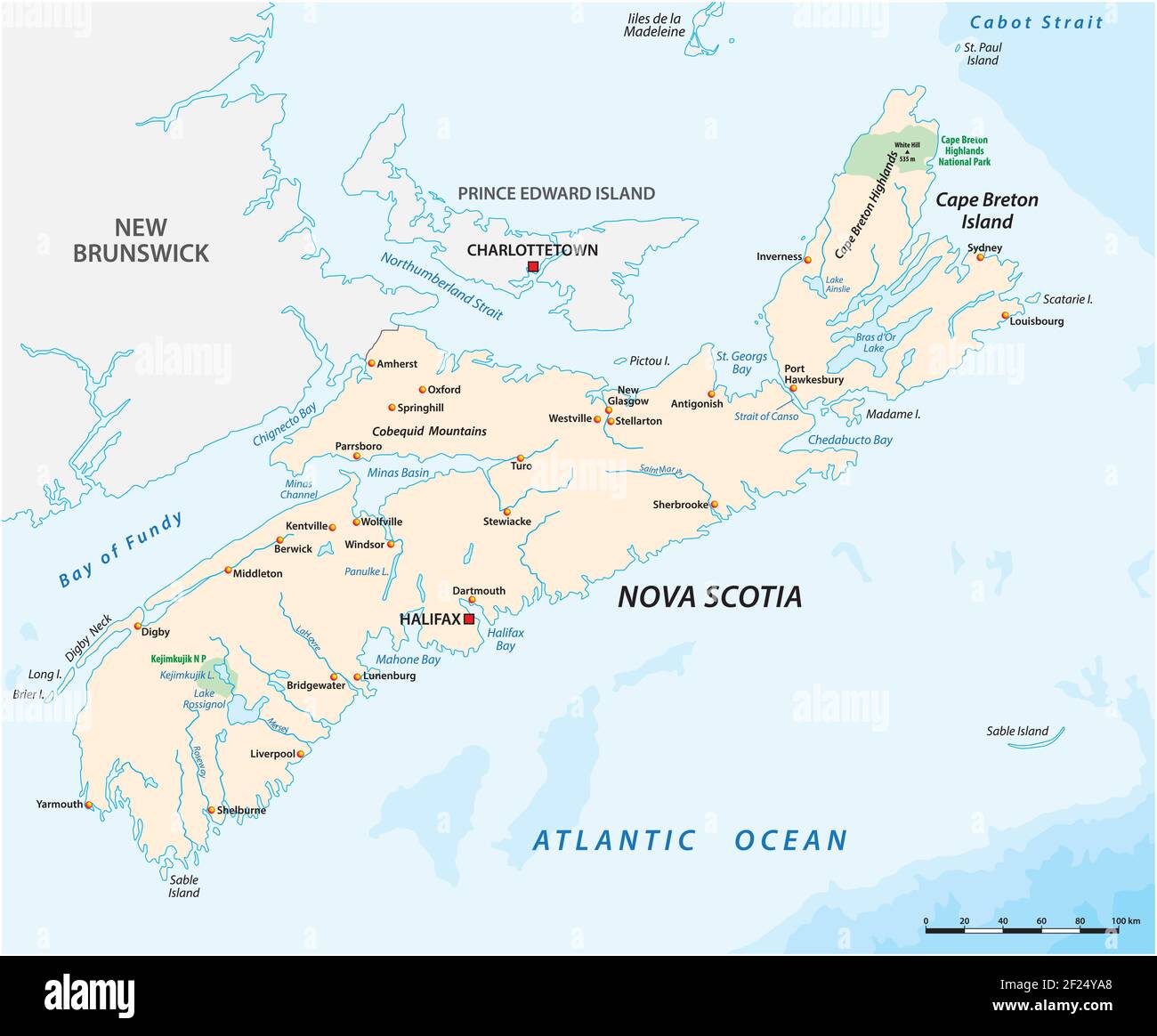 Vector map of the Canadian province of Nova Scotia Stock Vectorhttps://www.alamy.com/image-license-details/?v=1https://www.alamy.com/vector-map-of-the-canadian-province-of-nova-scotia-image414387408.html
RF2F24YA8–Vector map of the Canadian province of Nova Scotia
 Dawn along the North Shore of the Gulf of St. Lawrence Côte-Nord Quebec Canada Stock Photohttps://www.alamy.com/image-license-details/?v=1https://www.alamy.com/dawn-along-the-north-shore-of-the-gulf-of-st-lawrence-cte-nord-quebec-canada-image246707007.html
RMT9AD8F–Dawn along the North Shore of the Gulf of St. Lawrence Côte-Nord Quebec Canada
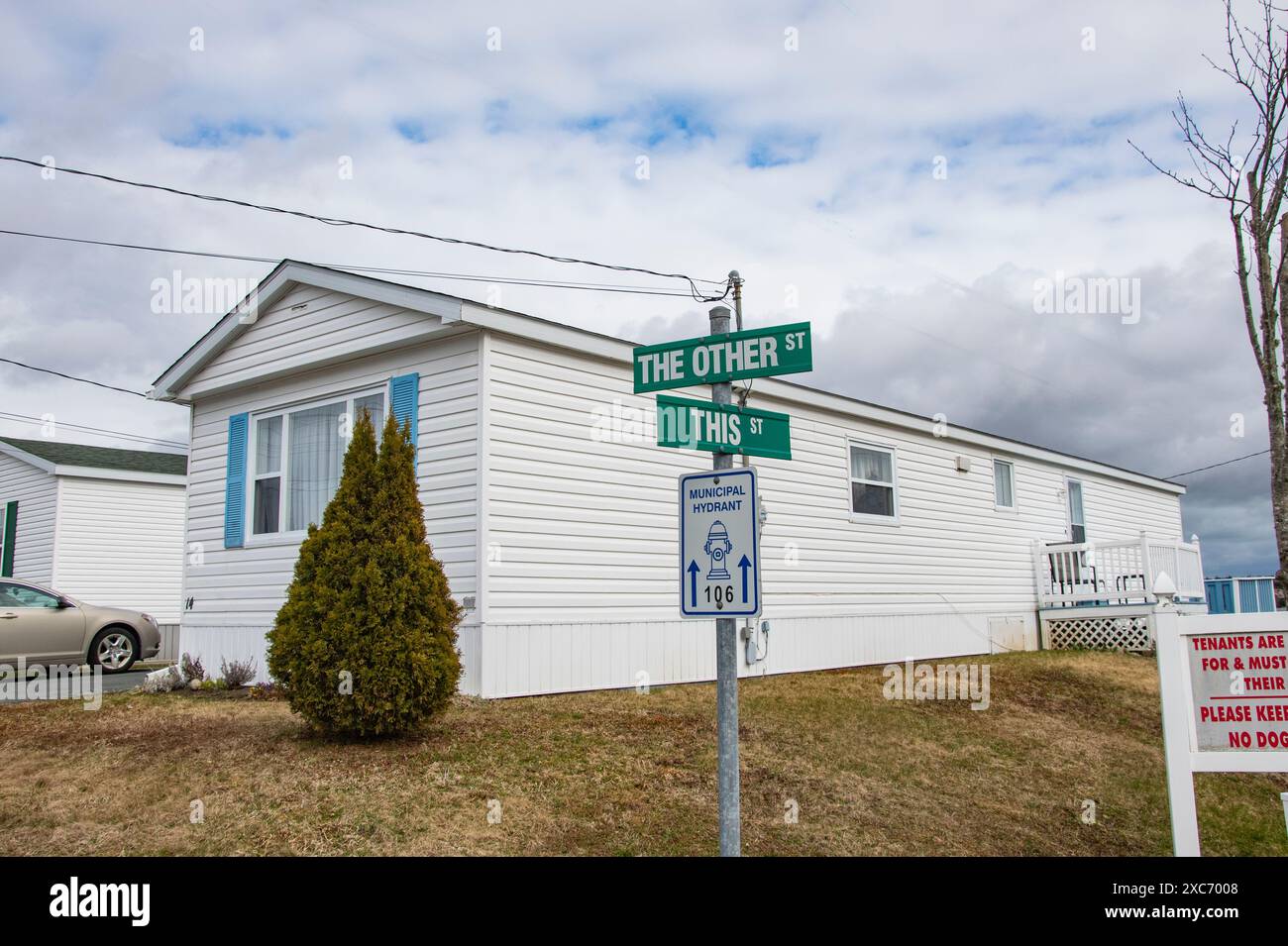 This and The Other Street signs in Porters Lake, Nova Scotia, Canada Stock Photohttps://www.alamy.com/image-license-details/?v=1https://www.alamy.com/this-and-the-other-street-signs-in-porters-lake-nova-scotia-canada-image609892424.html
RF2XC7008–This and The Other Street signs in Porters Lake, Nova Scotia, Canada