Boston harbor aerial view Stock Photos and Images
(568)See boston harbor aerial view stock video clipsQuick filters:
Boston harbor aerial view Stock Photos and Images
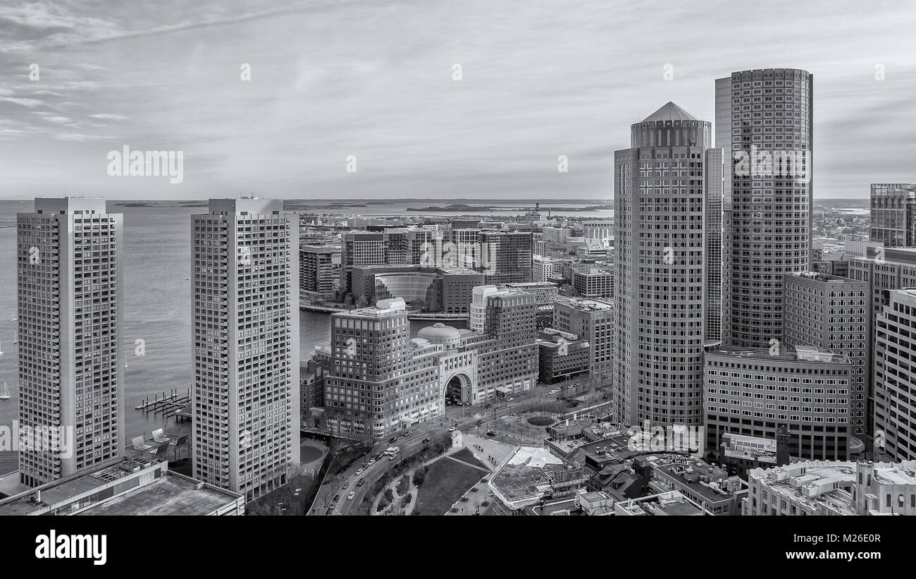 Boston Harbor aerial view. Stock Photohttps://www.alamy.com/image-license-details/?v=1https://www.alamy.com/stock-photo-boston-harbor-aerial-view-173475703.html
RFM26E0R–Boston Harbor aerial view.
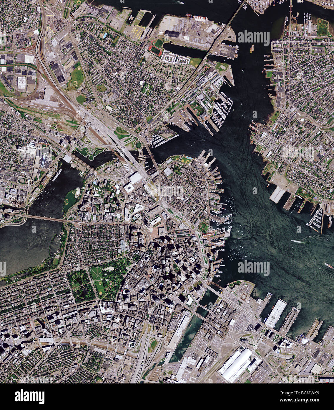 aerial map view above downtown Boston Massachusetts and Boston harbor Stock Photohttps://www.alamy.com/image-license-details/?v=1https://www.alamy.com/stock-photo-aerial-map-view-above-downtown-boston-massachusetts-and-boston-harbor-27504045.html
RFBGMWK9–aerial map view above downtown Boston Massachusetts and Boston harbor
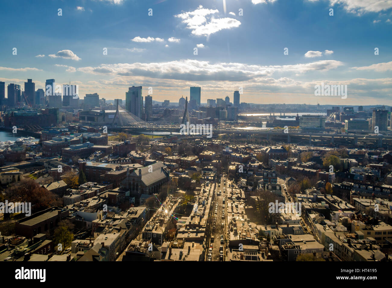 Aerial view of Boston from Bunker Hill Monument - Boston, Massachusetts, USA Stock Photohttps://www.alamy.com/image-license-details/?v=1https://www.alamy.com/stock-photo-aerial-view-of-boston-from-bunker-hill-monument-boston-massachusetts-135313169.html
RFHT4195–Aerial view of Boston from Bunker Hill Monument - Boston, Massachusetts, USA
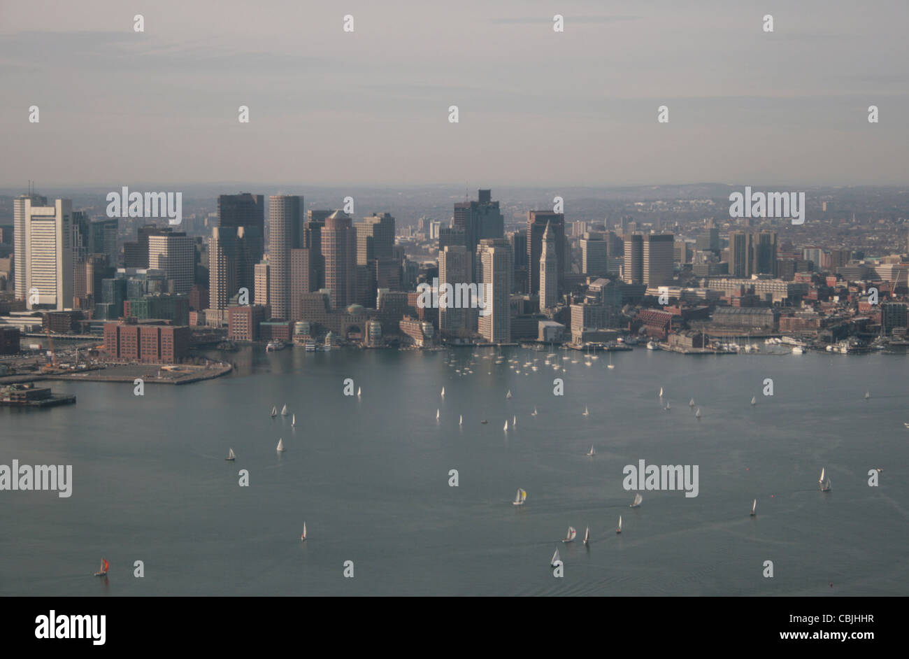 Aerial view of Boston Harbor with sailboats Stock Photohttps://www.alamy.com/image-license-details/?v=1https://www.alamy.com/stock-photo-aerial-view-of-boston-harbor-with-sailboats-41590915.html
RFCBJHHR–Aerial view of Boston Harbor with sailboats
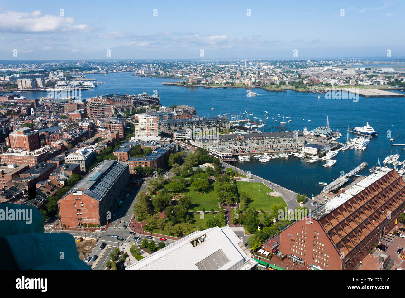 Boston Harbor Waterfront View Stock Photohttps://www.alamy.com/image-license-details/?v=1https://www.alamy.com/stock-photo-boston-harbor-waterfront-view-38935496.html
RMC79JHC–Boston Harbor Waterfront View
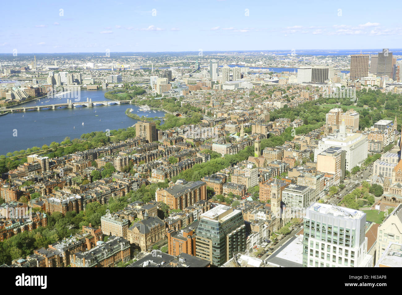 Aerial view of Boston City Skyline in the Boston Harbor where the famous tea party ocurred. The Boston Tea Party arose from two Stock Photohttps://www.alamy.com/image-license-details/?v=1https://www.alamy.com/stock-photo-aerial-view-of-boston-city-skyline-in-the-boston-harbor-where-the-124234832.html
RFH63AP8–Aerial view of Boston City Skyline in the Boston Harbor where the famous tea party ocurred. The Boston Tea Party arose from two
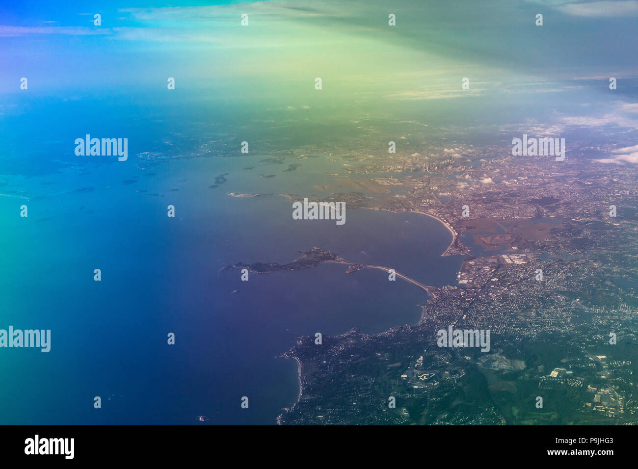 Aerial view, Boston Harbor, Mass., USA, North America Stock Photohttps://www.alamy.com/image-license-details/?v=1https://www.alamy.com/aerial-view-boston-harbor-mass-usa-north-america-image212465235.html
RMP9JHG3–Aerial view, Boston Harbor, Mass., USA, North America
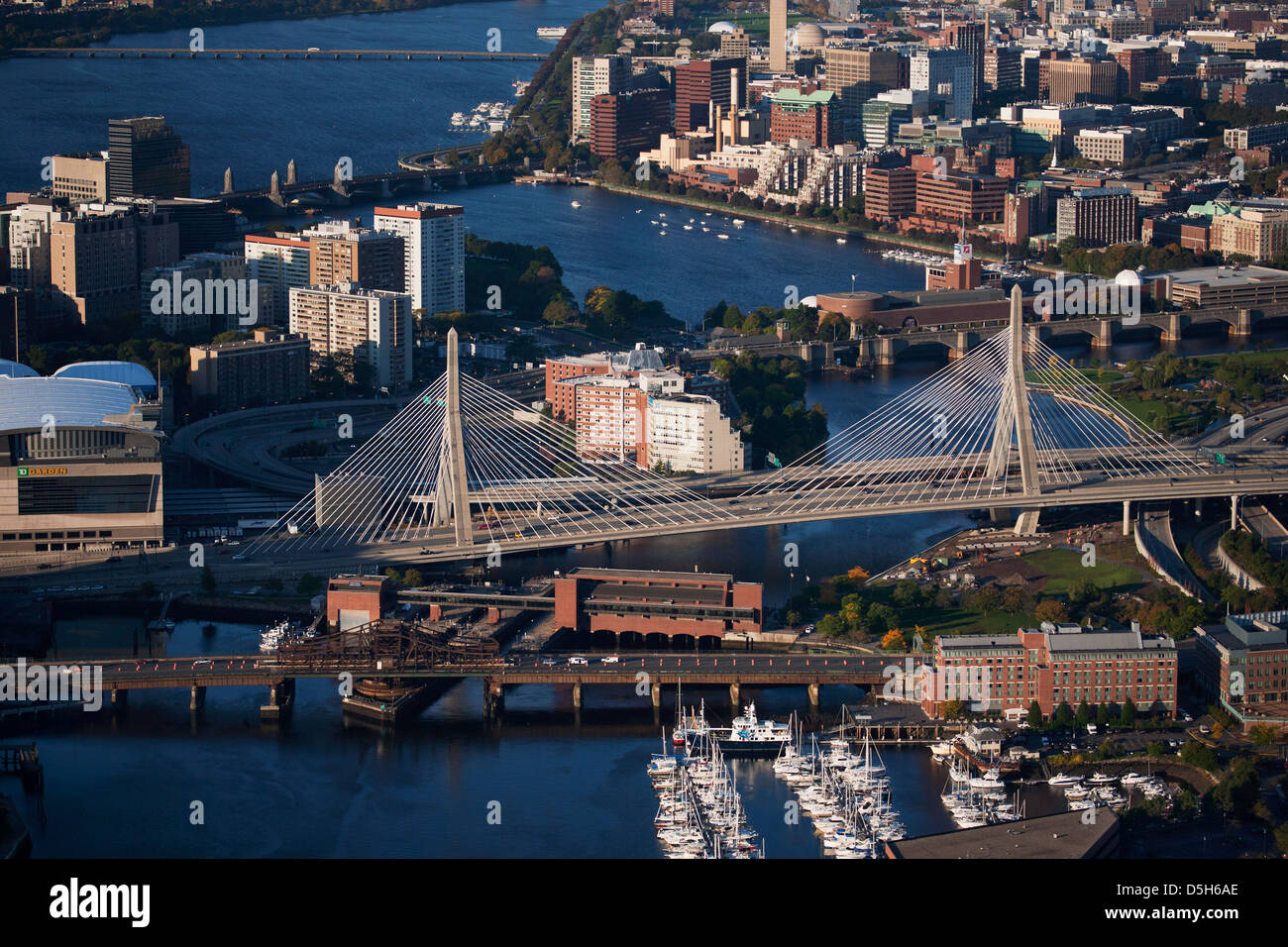 AERIAL morning view of harbor of Boston, MA Stock Photohttps://www.alamy.com/image-license-details/?v=1https://www.alamy.com/stock-photo-aerial-morning-view-of-harbor-of-boston-ma-55082566.html
RFD5H6AE–AERIAL morning view of harbor of Boston, MA
 Boston Faneuil Hall square and cityscape view, Massachusetts state of USA Stock Photohttps://www.alamy.com/image-license-details/?v=1https://www.alamy.com/boston-faneuil-hall-square-and-cityscape-view-massachusetts-state-of-usa-image624407733.html
RM2Y7T6C5–Boston Faneuil Hall square and cityscape view, Massachusetts state of USA
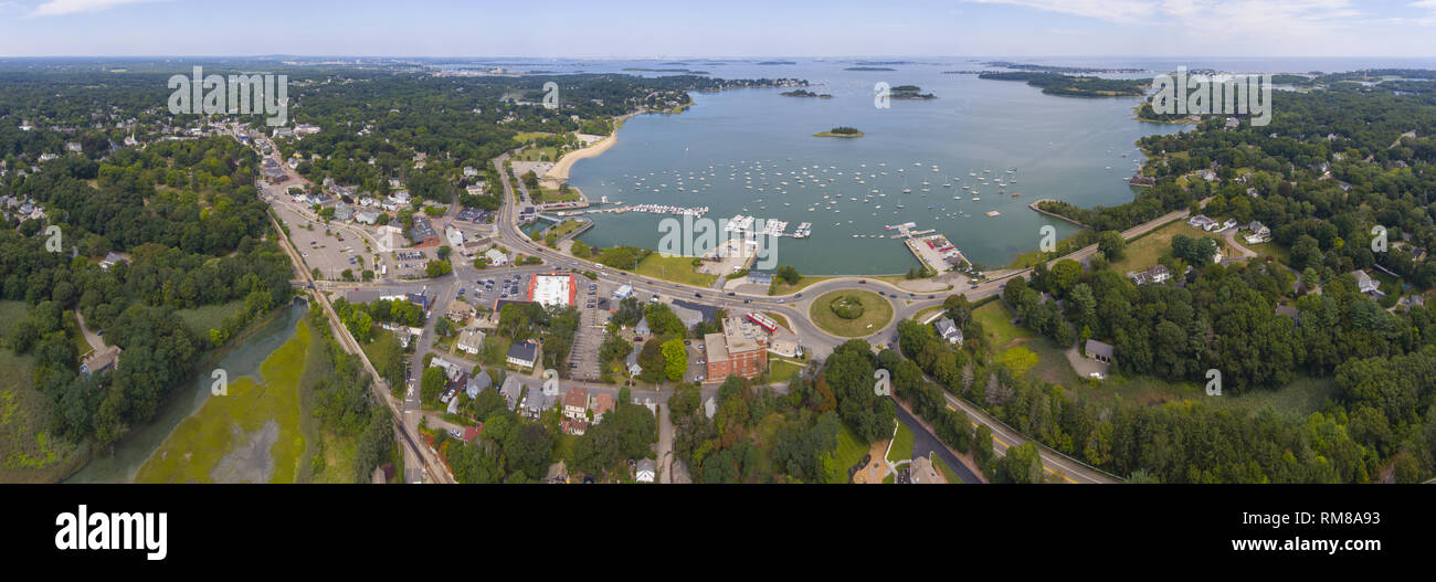 Hingham Harbor panorama aerial view in Hingham near Boston, Massachusetts, USA. Stock Photohttps://www.alamy.com/image-license-details/?v=1https://www.alamy.com/hingham-harbor-panorama-aerial-view-in-hingham-near-boston-massachusetts-usa-image236211615.html
RFRM8A93–Hingham Harbor panorama aerial view in Hingham near Boston, Massachusetts, USA.
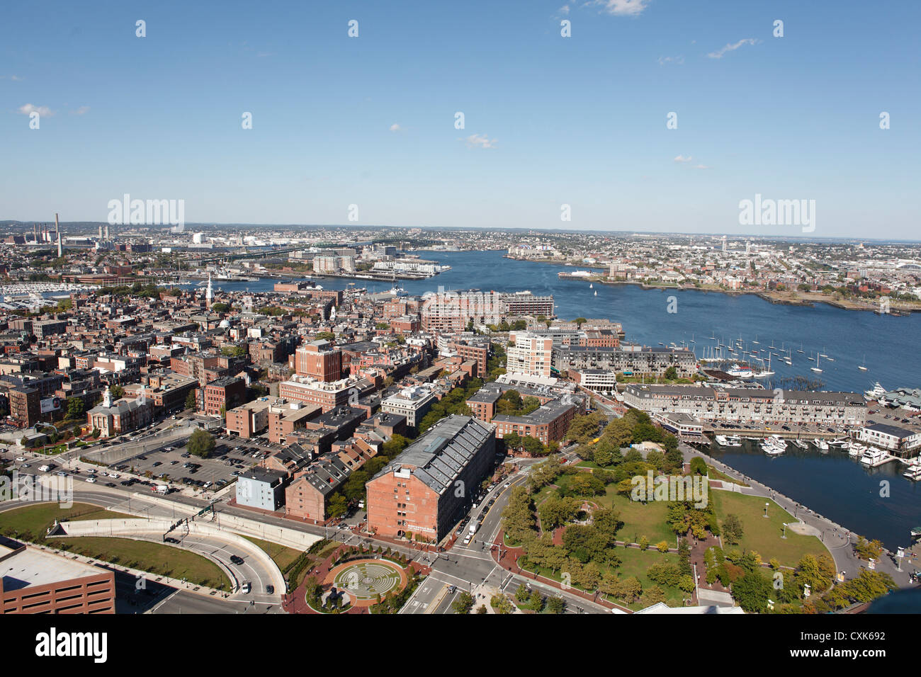 Aerial View Of The North End, Boston, Massachusetts With The Harbor And Charlestown In The Distance Stock Photohttps://www.alamy.com/image-license-details/?v=1https://www.alamy.com/stock-photo-aerial-view-of-the-north-end-boston-massachusetts-with-the-harbor-50823838.html
RMCXK692–Aerial View Of The North End, Boston, Massachusetts With The Harbor And Charlestown In The Distance
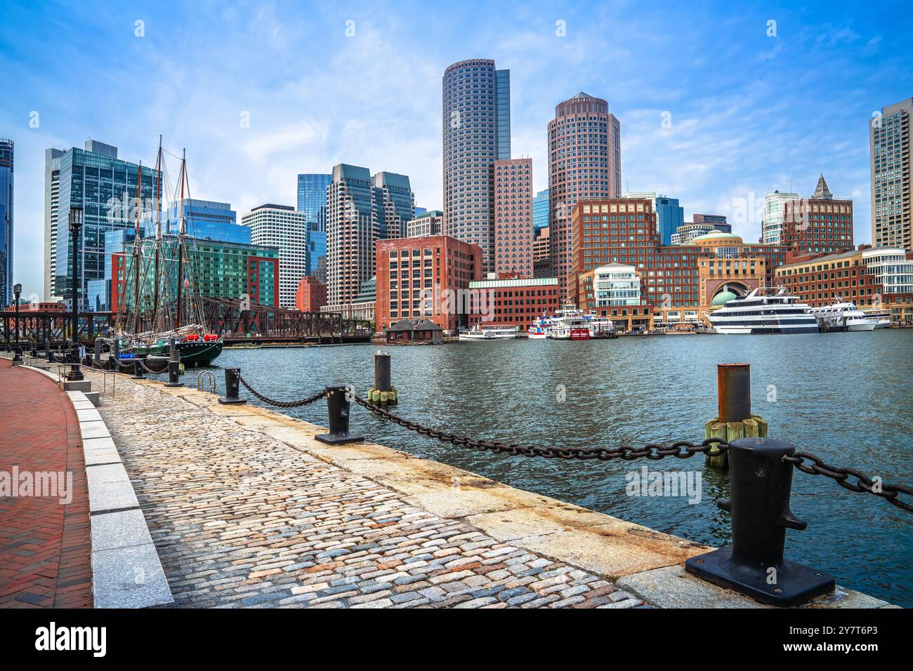 Boston harbor and cityscape skyline view, Massachusetts, USA Stock Photohttps://www.alamy.com/image-license-details/?v=1https://www.alamy.com/boston-harbor-and-cityscape-skyline-view-massachusetts-usa-image624408011.html
RF2Y7T6P3–Boston harbor and cityscape skyline view, Massachusetts, USA
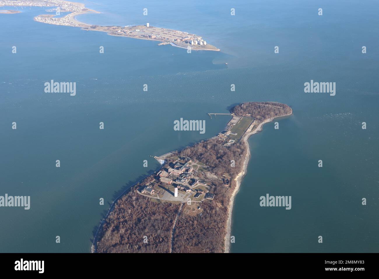 View from airplane window - airplane wing over harbor Stock Photohttps://www.alamy.com/image-license-details/?v=1https://www.alamy.com/view-from-airplane-window-airplane-wing-over-harbor-image504478355.html
RF2M8MY83–View from airplane window - airplane wing over harbor
 Massachusetts State House in Boston street view, landmark in United states of America Stock Photohttps://www.alamy.com/image-license-details/?v=1https://www.alamy.com/massachusetts-state-house-in-boston-street-view-landmark-in-united-states-of-america-image624407703.html
RM2Y7T6B3–Massachusetts State House in Boston street view, landmark in United states of America
 Buildings at the waterfront, Seaport Boston Hotel, Seaport World Trade Center, Boston Harbor, Boston, Massachusetts, USA Stock Photohttps://www.alamy.com/image-license-details/?v=1https://www.alamy.com/stock-photo-buildings-at-the-waterfront-seaport-boston-hotel-seaport-world-trade-53782545.html
RFD3E055–Buildings at the waterfront, Seaport Boston Hotel, Seaport World Trade Center, Boston Harbor, Boston, Massachusetts, USA
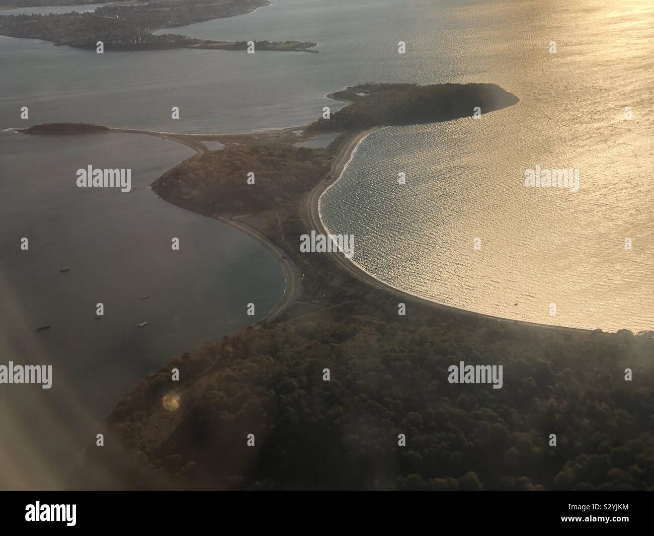 Flying over Peddocks Island, Boston Harbor, Massachusetts, USA. Stock Photohttps://www.alamy.com/image-license-details/?v=1https://www.alamy.com/flying-over-peddocks-island-boston-harbor-massachusetts-usa-image311623304.html
RFS2YJKM–Flying over Peddocks Island, Boston Harbor, Massachusetts, USA.
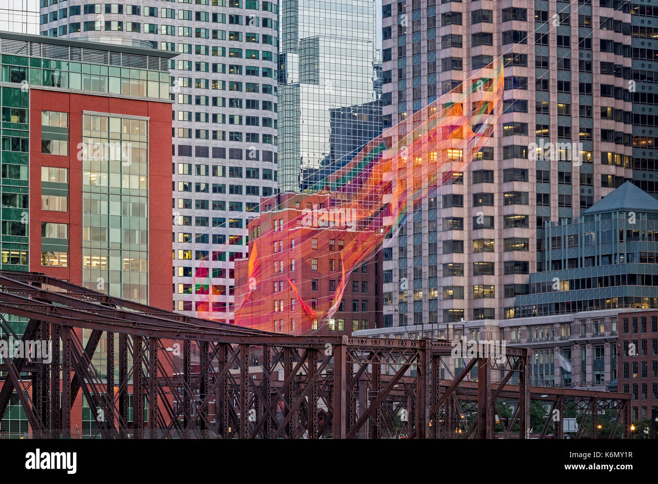 Colorful Fibers Over The Boston Skyline - A view from Harbor-walk of the Boston skyline skyscrapers along with the colorful Janet Echelman's “As If It Were Already Here” aerial sculpture suspended over Boston's Rose Kennedy Greenway. The sculpture is made by hand-splicing rope and knotting twine into an interconnected mesh of more than a half-million nodes. When any one of its elements moves, every other element is affected. Also seen in the foreground is the Old Northern Bridge. Stock Photohttps://www.alamy.com/image-license-details/?v=1https://www.alamy.com/colorful-fibers-over-the-boston-skyline-a-view-from-harbor-walk-of-image159041507.html
RMK6MY1R–Colorful Fibers Over The Boston Skyline - A view from Harbor-walk of the Boston skyline skyscrapers along with the colorful Janet Echelman's “As If It Were Already Here” aerial sculpture suspended over Boston's Rose Kennedy Greenway. The sculpture is made by hand-splicing rope and knotting twine into an interconnected mesh of more than a half-million nodes. When any one of its elements moves, every other element is affected. Also seen in the foreground is the Old Northern Bridge.
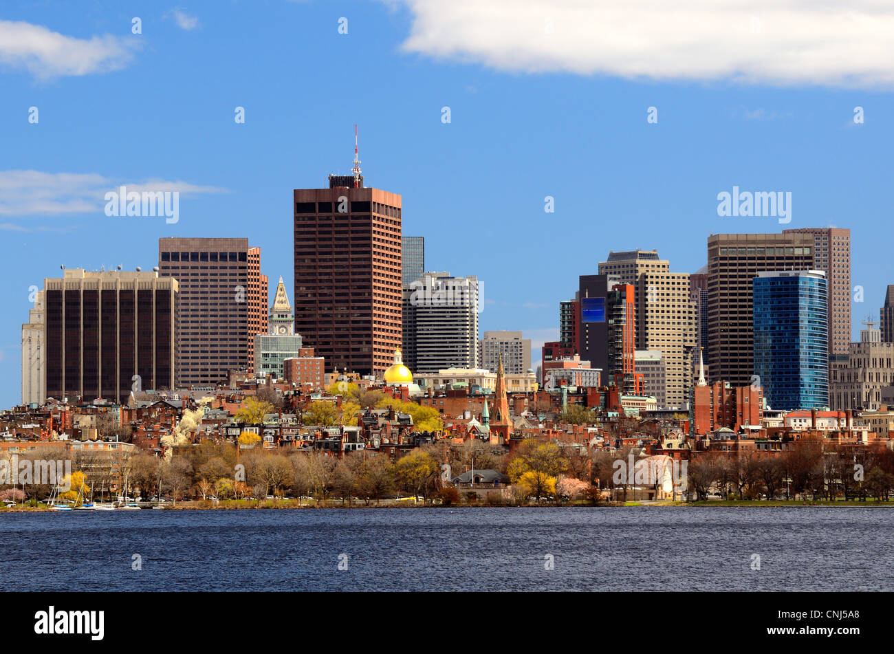 Financial District of Boston, Massachusetts Stock Photohttps://www.alamy.com/image-license-details/?v=1https://www.alamy.com/stock-photo-financial-district-of-boston-massachusetts-47727856.html
RFCNJ5A8–Financial District of Boston, Massachusetts
 Skyscrapers in a city, Rose Kennedy Greenway, Boston Harbor Hotel, Boston, Massachusetts, USA Stock Photohttps://www.alamy.com/image-license-details/?v=1https://www.alamy.com/stock-photo-skyscrapers-in-a-city-rose-kennedy-greenway-boston-harbor-hotel-boston-53785141.html
RFD3E3DW–Skyscrapers in a city, Rose Kennedy Greenway, Boston Harbor Hotel, Boston, Massachusetts, USA
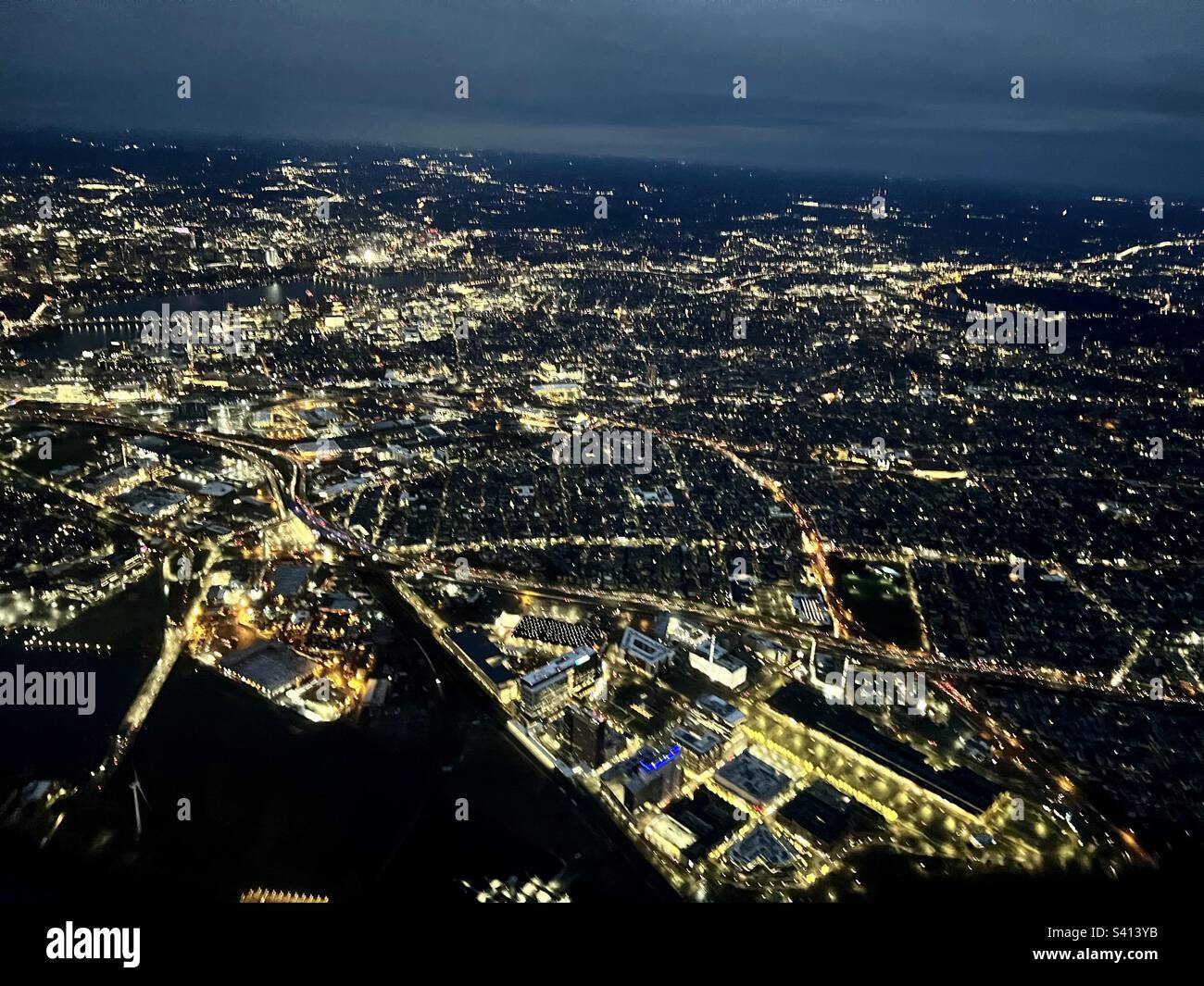 Aerial view of Boston, MA at dawn in winter Stock Photohttps://www.alamy.com/image-license-details/?v=1https://www.alamy.com/aerial-view-of-boston-ma-at-dawn-in-winter-image312270319.html
RFS413YB–Aerial view of Boston, MA at dawn in winter
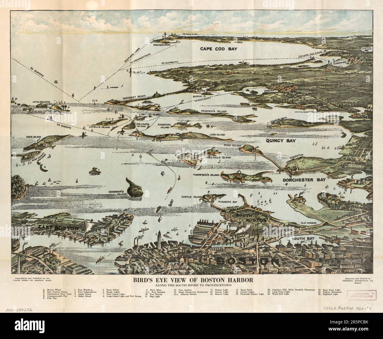 MAP Bird's eye view of Boston Harbor along the South Shore to Plymouth, Cape Cod Canal, and Provincetown : in colors : showing all steamboat routes. B Stock Photohttps://www.alamy.com/image-license-details/?v=1https://www.alamy.com/map-birds-eye-view-of-boston-harbor-along-the-south-shore-to-plymouth-cape-cod-canal-and-provincetown-in-colors-showing-all-steamboat-routes-b-image554297735.html
RF2R5PCBK–MAP Bird's eye view of Boston Harbor along the South Shore to Plymouth, Cape Cod Canal, and Provincetown : in colors : showing all steamboat routes. B
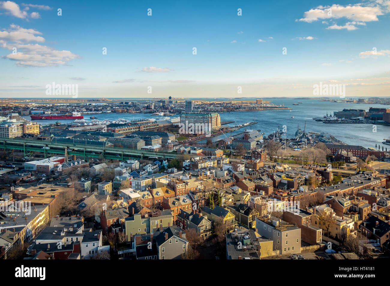 Aerial view of Boston from Bunker Hill Monument - Boston, Massachusetts, USA Stock Photohttps://www.alamy.com/image-license-details/?v=1https://www.alamy.com/stock-photo-aerial-view-of-boston-from-bunker-hill-monument-boston-massachusetts-135313137.html
RFHT4181–Aerial view of Boston from Bunker Hill Monument - Boston, Massachusetts, USA
 An aerial view of a Boston neighborhood Stock Photohttps://www.alamy.com/image-license-details/?v=1https://www.alamy.com/stock-photo-an-aerial-view-of-a-boston-neighborhood-76162335.html
RFEBWDRB–An aerial view of a Boston neighborhood
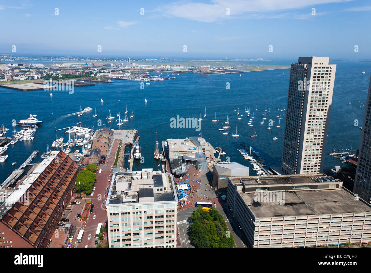 View of Boston Harbor Waterfront Stock Photohttps://www.alamy.com/image-license-details/?v=1https://www.alamy.com/stock-photo-view-of-boston-harbor-waterfront-38935484.html
RMC79JH0–View of Boston Harbor Waterfront
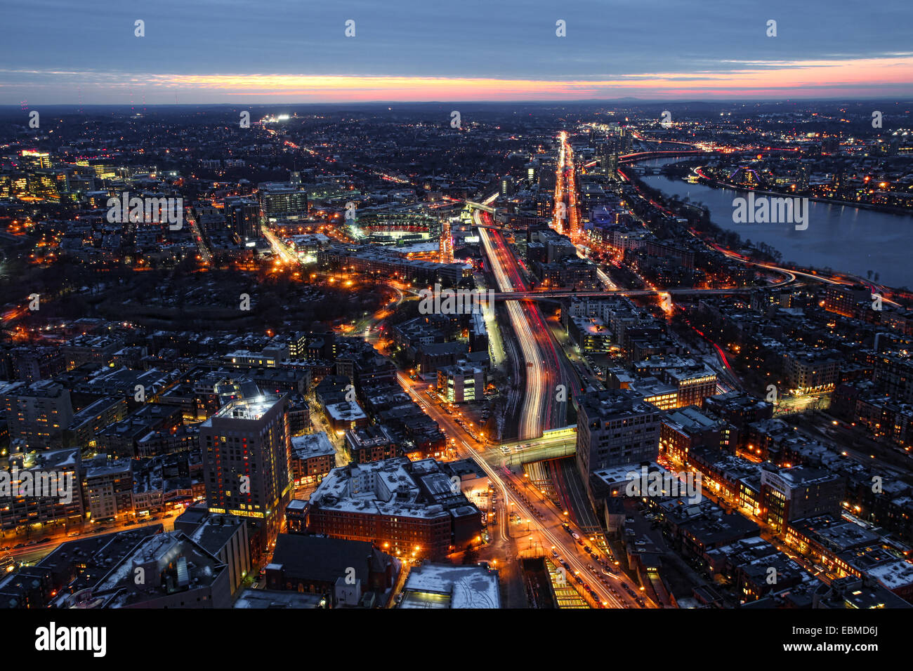 Aerial view of Boston Massachusetts at night Stock Photohttps://www.alamy.com/image-license-details/?v=1https://www.alamy.com/stock-photo-aerial-view-of-boston-massachusetts-at-night-76052106.html
RFEBMD6J–Aerial view of Boston Massachusetts at night
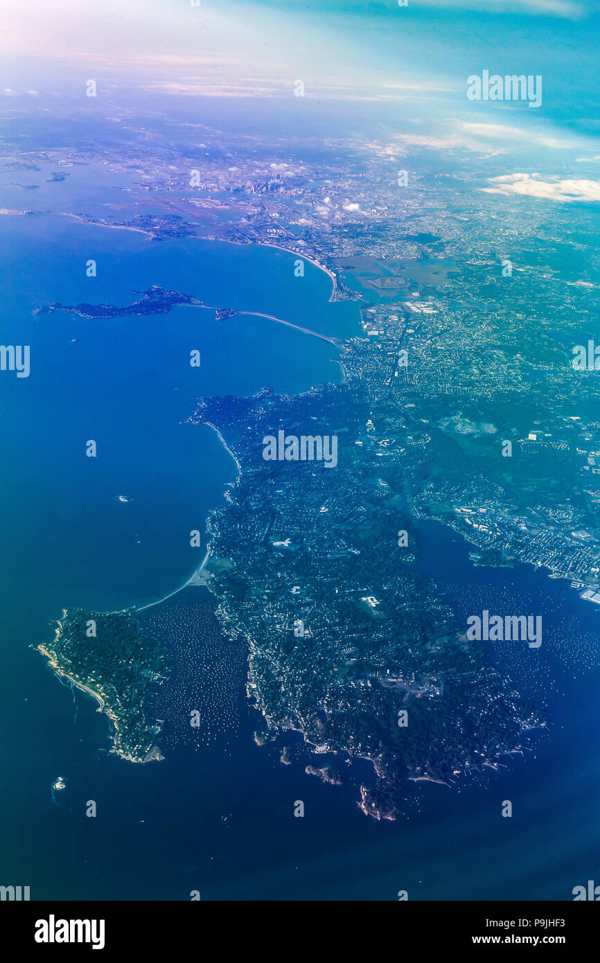 Aerial view, Marblehead Harbor and Boston, Mass., USA, North America Stock Photohttps://www.alamy.com/image-license-details/?v=1https://www.alamy.com/aerial-view-marblehead-harbor-and-boston-mass-usa-north-america-image212465207.html
RMP9JHF3–Aerial view, Marblehead Harbor and Boston, Mass., USA, North America
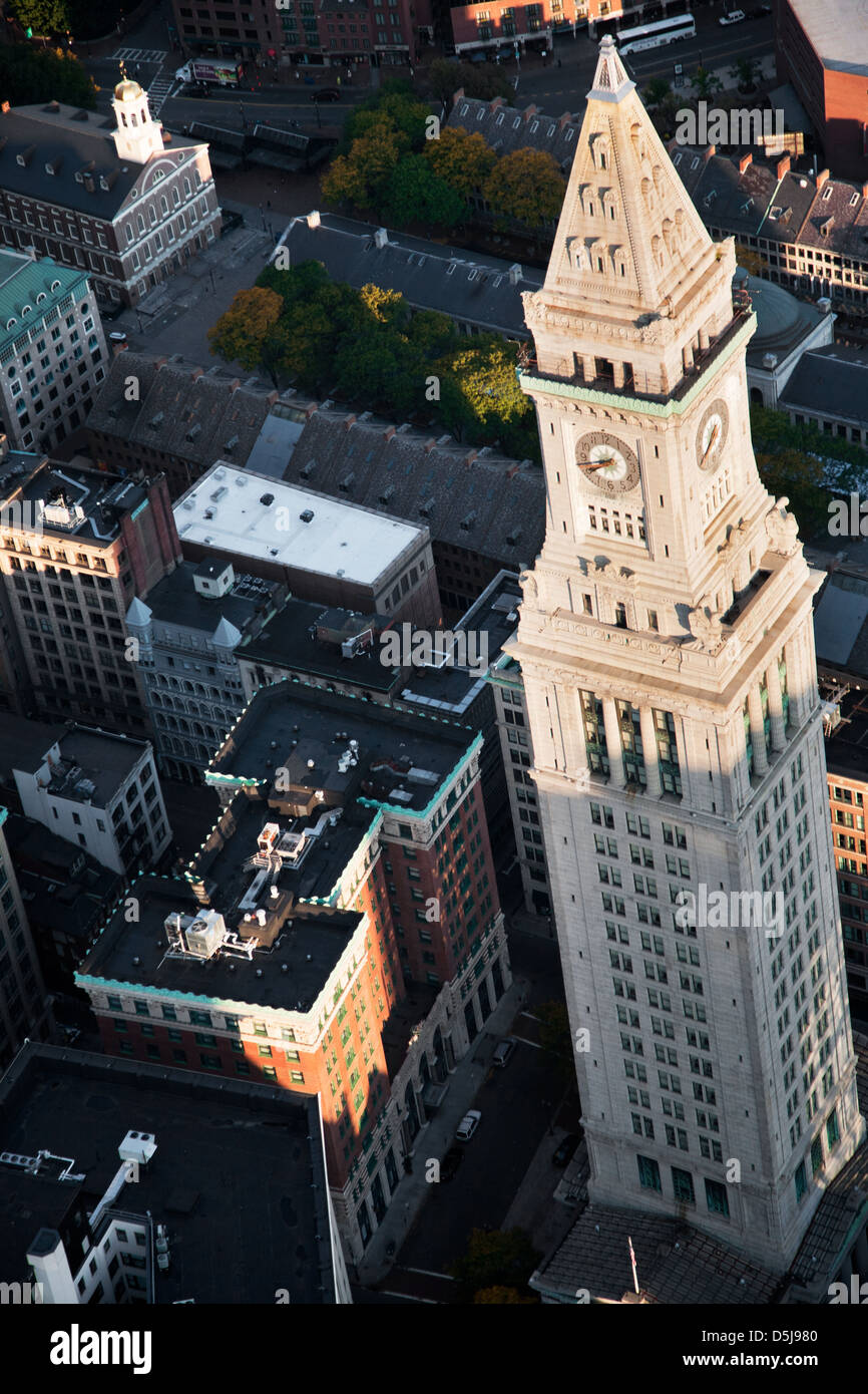 AERIAL of Boston Harbor area focusing on Leonard P. Zakim Bunker Hill Memorial Bridge, Boston, MA Stock Photohttps://www.alamy.com/image-license-details/?v=1https://www.alamy.com/stock-photo-aerial-of-boston-harbor-area-focusing-on-leonard-p-zakim-bunker-hill-55106800.html
RFD5J980–AERIAL of Boston Harbor area focusing on Leonard P. Zakim Bunker Hill Memorial Bridge, Boston, MA
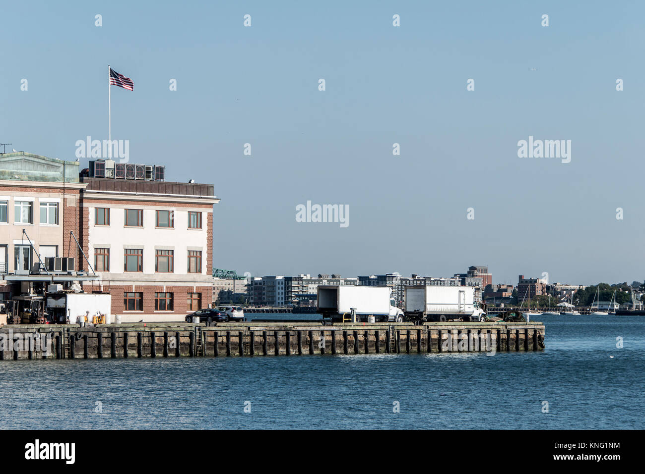 View of harbor from the Boston Waterfront with fishing boat trucks and boats anchored Massachusets USA Stock Photohttps://www.alamy.com/image-license-details/?v=1https://www.alamy.com/stock-image-view-of-harbor-from-the-boston-waterfront-with-fishing-boat-trucks-168153712.html
RFKNG1NM–View of harbor from the Boston Waterfront with fishing boat trucks and boats anchored Massachusets USA
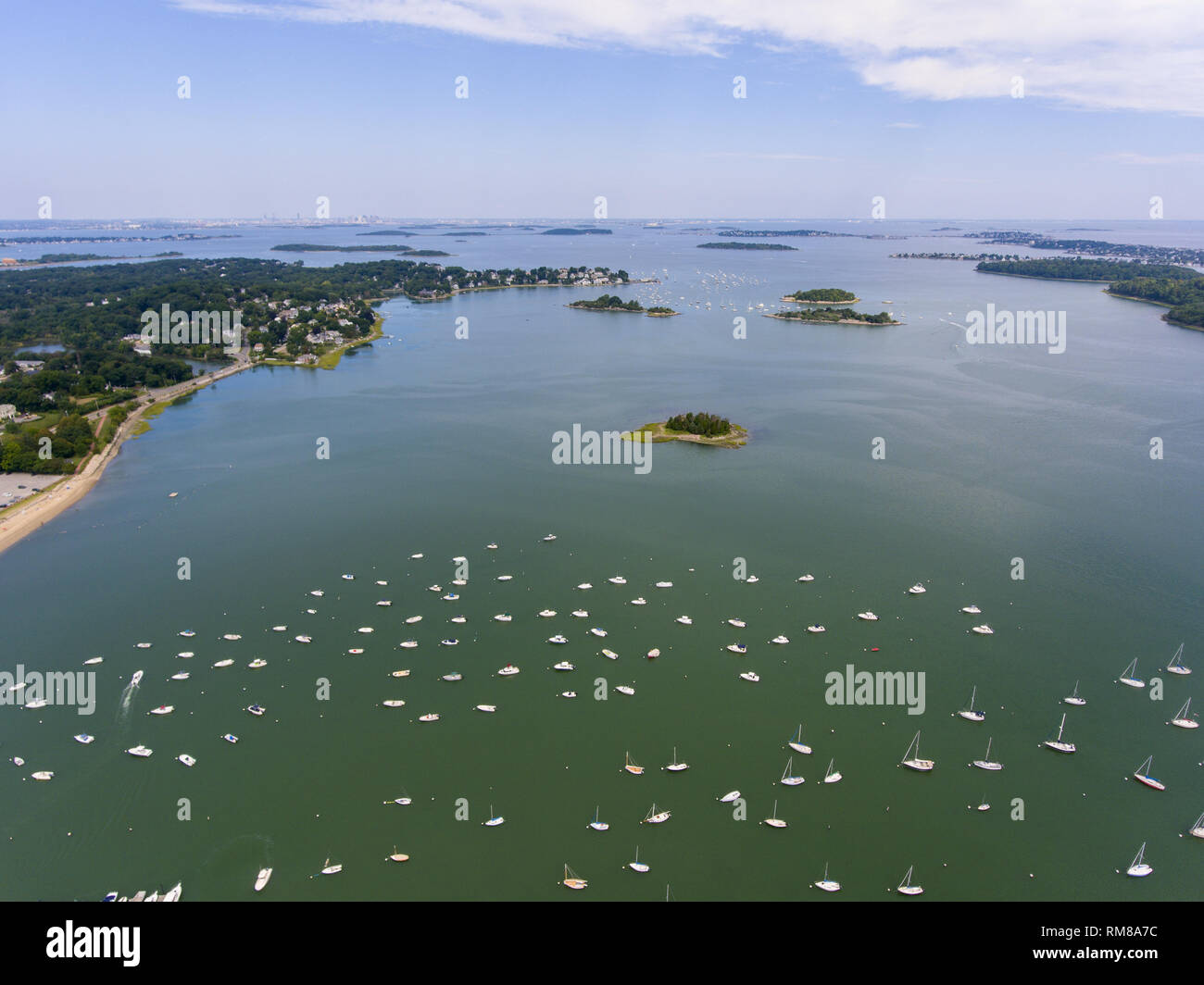 Hingham Harbor aerial view in Hingham near Boston, Massachusetts, USA. Stock Photohttps://www.alamy.com/image-license-details/?v=1https://www.alamy.com/hingham-harbor-aerial-view-in-hingham-near-boston-massachusetts-usa-image236211568.html
RFRM8A7C–Hingham Harbor aerial view in Hingham near Boston, Massachusetts, USA.
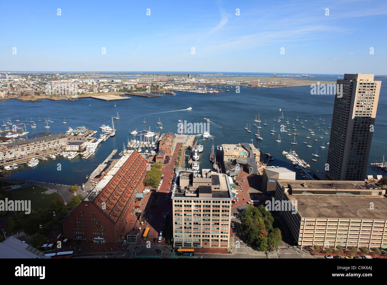 Aerial View Of Boston Long Wharf And Harbor At The Waterfront With Logan International Airport In The Distance, October 2012 Stock Photohttps://www.alamy.com/image-license-details/?v=1https://www.alamy.com/stock-photo-aerial-view-of-boston-long-wharf-and-harbor-at-the-waterfront-with-50823882.html
RMCXK6AJ–Aerial View Of Boston Long Wharf And Harbor At The Waterfront With Logan International Airport In The Distance, October 2012
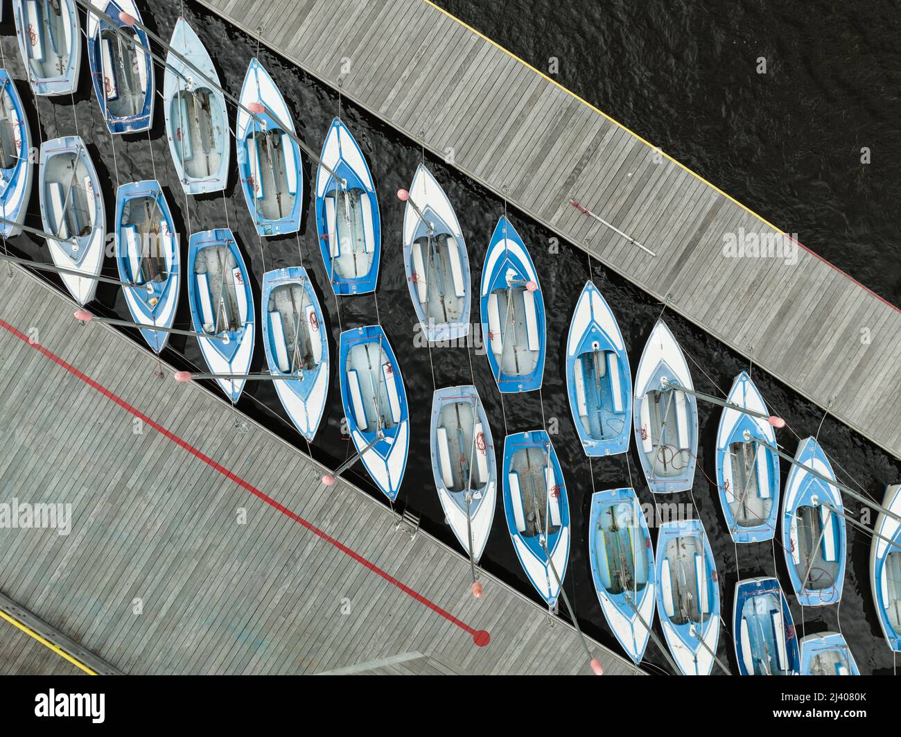 Rows of blue and white sailboats docked near the Charles river in Boston aerial view Stock Photohttps://www.alamy.com/image-license-details/?v=1https://www.alamy.com/rows-of-blue-and-white-sailboats-docked-near-the-charles-river-in-boston-aerial-view-image467144851.html
RF2J4080K–Rows of blue and white sailboats docked near the Charles river in Boston aerial view
 View from airplane window - airplane wing over harbor Stock Photohttps://www.alamy.com/image-license-details/?v=1https://www.alamy.com/view-from-airplane-window-airplane-wing-over-harbor-image504478364.html
RF2M8MY8C–View from airplane window - airplane wing over harbor
 Historic paved street in old city of Boston, Massachusetts, USA Stock Photohttps://www.alamy.com/image-license-details/?v=1https://www.alamy.com/historic-paved-street-in-old-city-of-boston-massachusetts-usa-image624407724.html
RM2Y7T6BT–Historic paved street in old city of Boston, Massachusetts, USA
 Boston, aerial view of the entire metropolitan area of the city Stock Photohttps://www.alamy.com/image-license-details/?v=1https://www.alamy.com/boston-aerial-view-of-the-entire-metropolitan-area-of-the-city-image264925393.html
RFWB0B15–Boston, aerial view of the entire metropolitan area of the city
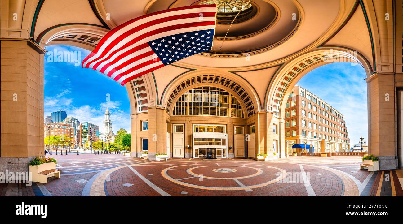 Boston harbor Rowes Wharf passage and cityscape panoramic view, large flag of America, Massachusetts, USA Stock Photohttps://www.alamy.com/image-license-details/?v=1https://www.alamy.com/boston-harbor-rowes-wharf-passage-and-cityscape-panoramic-view-large-flag-of-america-massachusetts-usa-image624407992.html
RM2Y7T6NC–Boston harbor Rowes Wharf passage and cityscape panoramic view, large flag of America, Massachusetts, USA
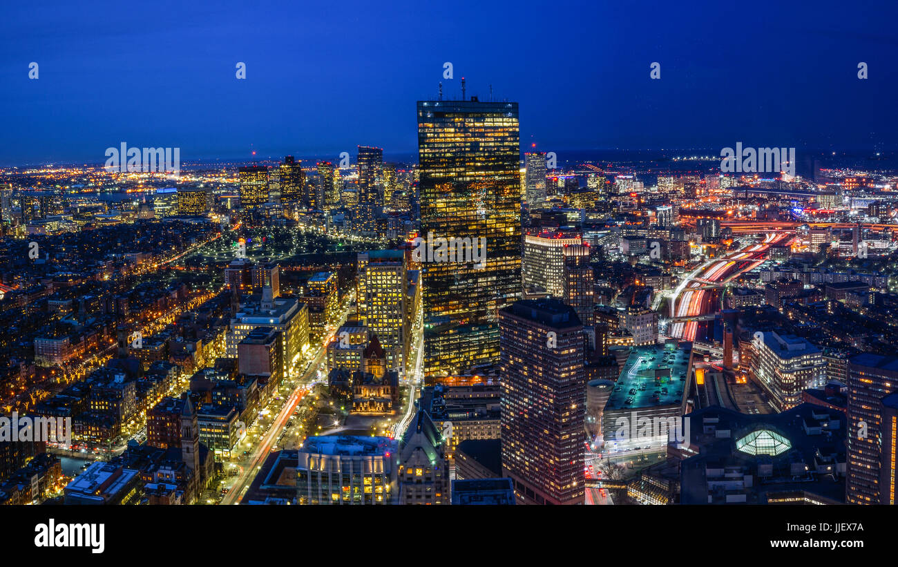 Boston Skyline at Night Aerial View Stock Photohttps://www.alamy.com/image-license-details/?v=1https://www.alamy.com/stock-photo-boston-skyline-at-night-aerial-view-149074670.html
RFJJEX7A–Boston Skyline at Night Aerial View
 Financial District of Boston, Massachusetts Stock Photohttps://www.alamy.com/image-license-details/?v=1https://www.alamy.com/stock-photo-financial-district-of-boston-massachusetts-47728035.html
RFCNJ5GK–Financial District of Boston, Massachusetts
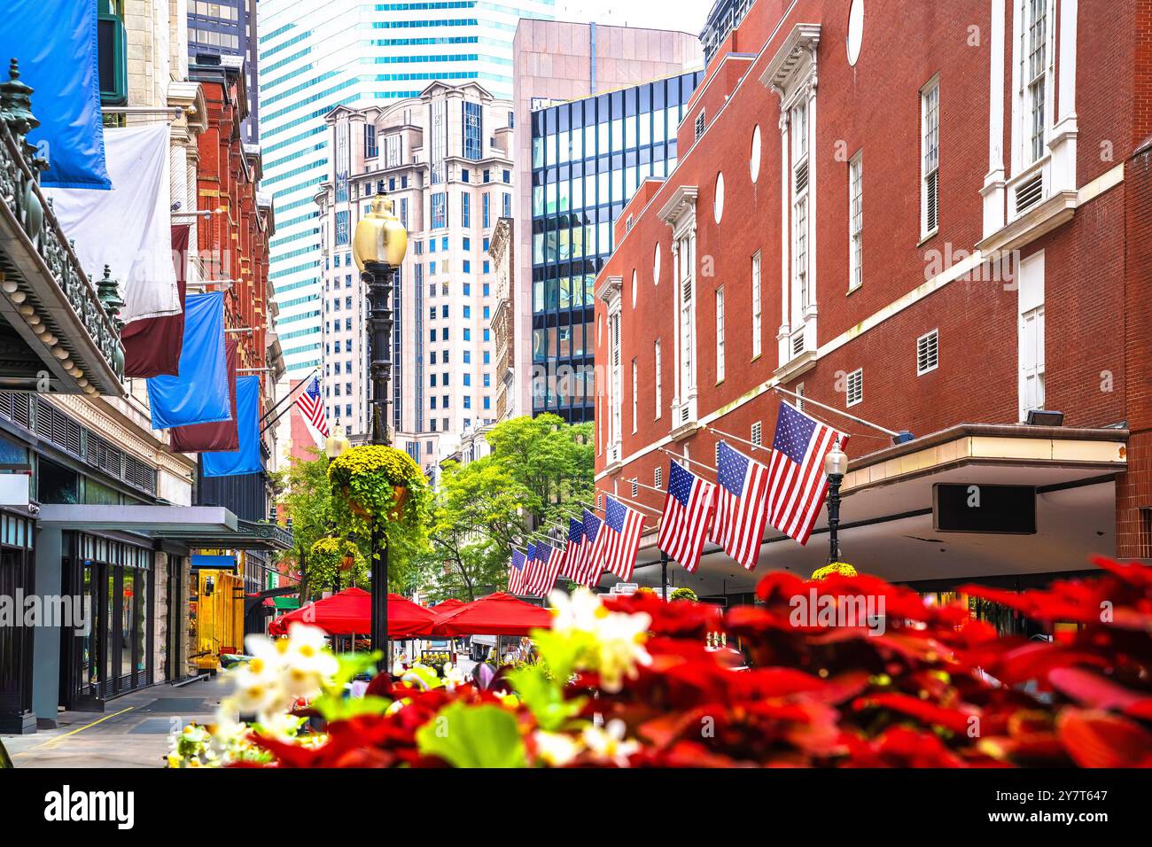 Boston downtown cityscape street view, Massachusetts, USA Stock Photohttps://www.alamy.com/image-license-details/?v=1https://www.alamy.com/boston-downtown-cityscape-street-view-massachusetts-usa-image624407511.html
RM2Y7T647–Boston downtown cityscape street view, Massachusetts, USA
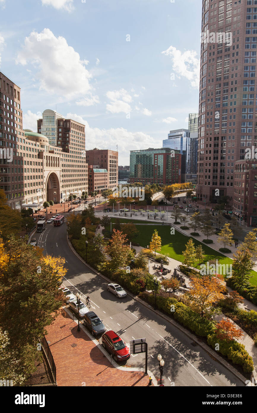 Skyscrapers in a city, Rose Kennedy Greenway, Boston Harbor Hotel, Boston, Massachusetts, USA Stock Photohttps://www.alamy.com/image-license-details/?v=1https://www.alamy.com/stock-photo-skyscrapers-in-a-city-rose-kennedy-greenway-boston-harbor-hotel-boston-53785150.html
RFD3E3E6–Skyscrapers in a city, Rose Kennedy Greenway, Boston Harbor Hotel, Boston, Massachusetts, USA
 A view of Boston from atop the Bunker Hill Memorial at Breeds Hill in the Charlestown section of Boston Massachusetts on a New england autumn day. Stock Photohttps://www.alamy.com/image-license-details/?v=1https://www.alamy.com/a-view-of-boston-from-atop-the-bunker-hill-memorial-at-breeds-hill-in-the-charlestown-section-of-boston-massachusetts-on-a-new-england-autumn-day-image357647528.html
RF2BNT720–A view of Boston from atop the Bunker Hill Memorial at Breeds Hill in the Charlestown section of Boston Massachusetts on a New england autumn day.
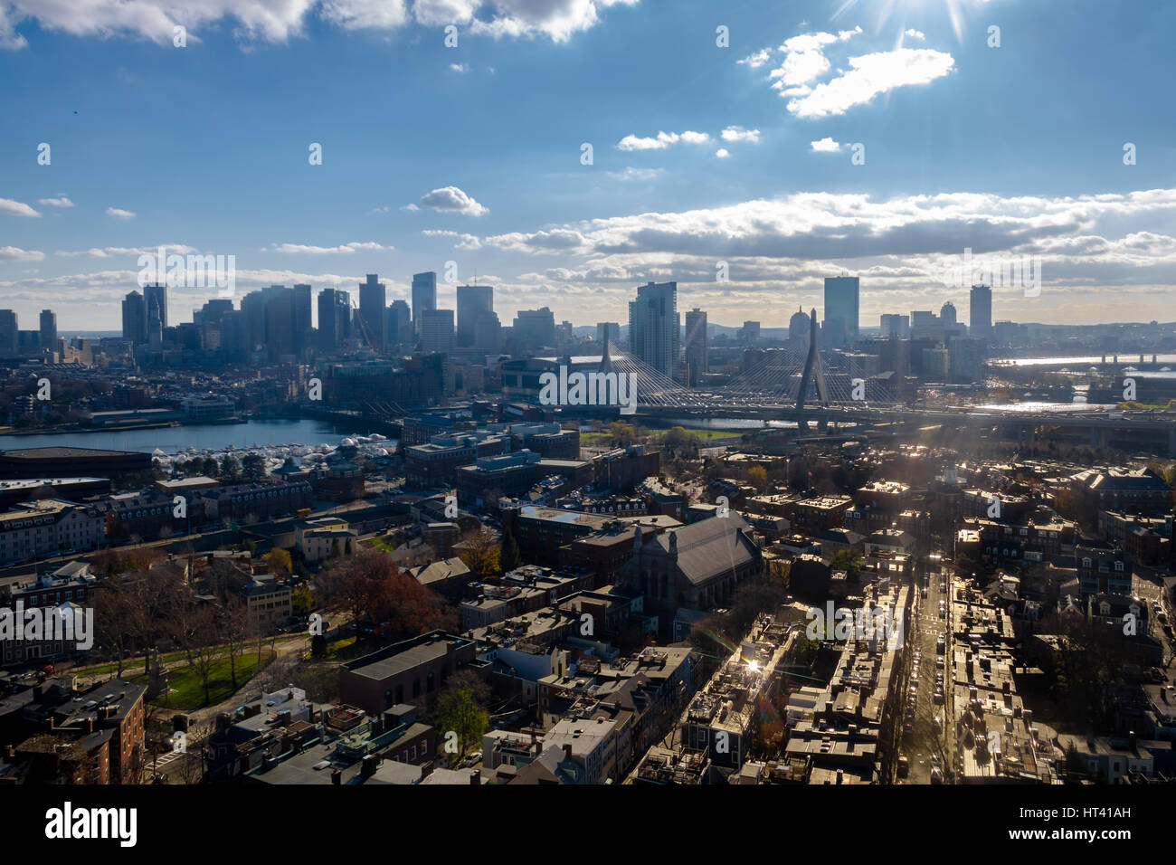 Aerial view of Boston from Bunker Hill Monument - Boston, Massachusetts, USA Stock Photohttps://www.alamy.com/image-license-details/?v=1https://www.alamy.com/stock-photo-aerial-view-of-boston-from-bunker-hill-monument-boston-massachusetts-135313209.html
RFHT41AH–Aerial view of Boston from Bunker Hill Monument - Boston, Massachusetts, USA
 Skyline of Boston, taken from a boat the harbor Stock Photohttps://www.alamy.com/image-license-details/?v=1https://www.alamy.com/skyline-of-boston-taken-from-a-boat-the-harbor-image620595018.html
RF2Y1JF7P–Skyline of Boston, taken from a boat the harbor
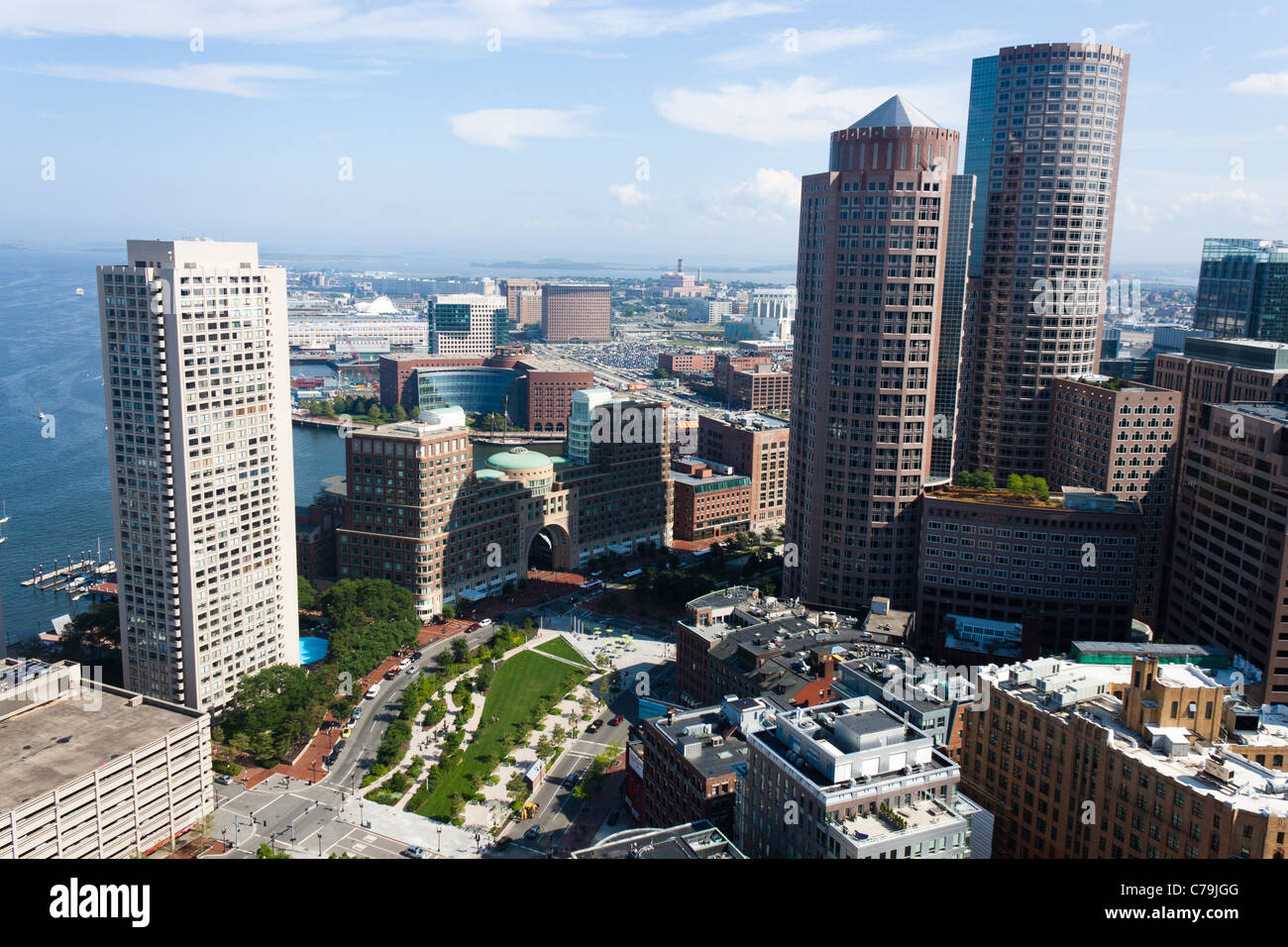 Aerial view of Boston Harbor Waterfront Stock Photohttps://www.alamy.com/image-license-details/?v=1https://www.alamy.com/stock-photo-aerial-view-of-boston-harbor-waterfront-38935472.html
RMC79JGG–Aerial view of Boston Harbor Waterfront
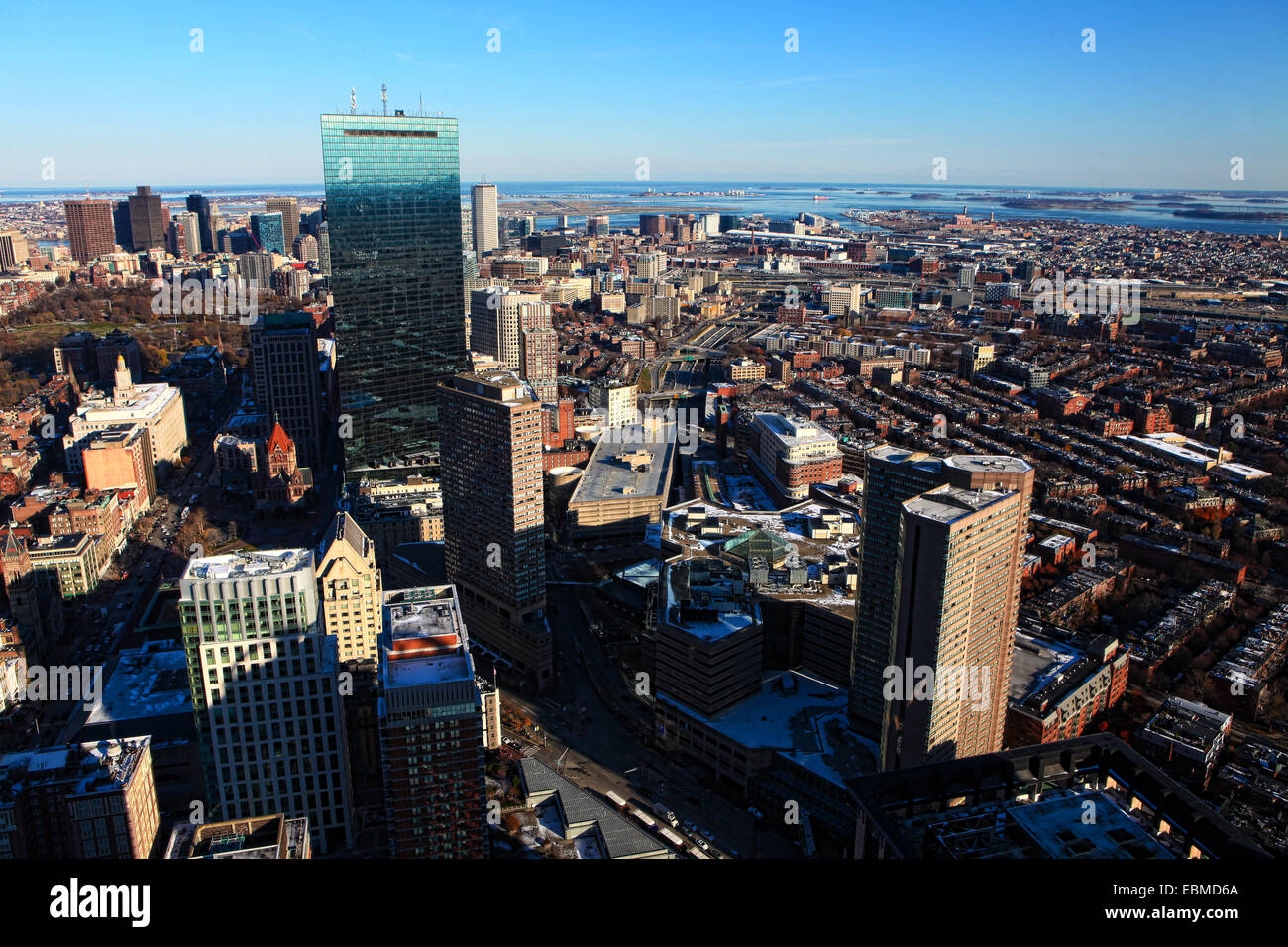 Aerial view of Boston Massachusetts at dusk Stock Photohttps://www.alamy.com/image-license-details/?v=1https://www.alamy.com/stock-photo-aerial-view-of-boston-massachusetts-at-dusk-76052098.html
RFEBMD6A–Aerial view of Boston Massachusetts at dusk
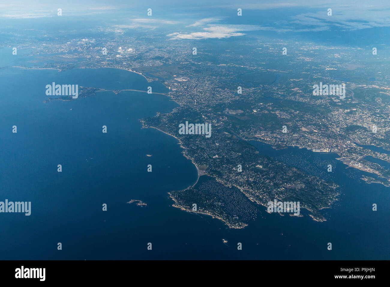 Aerial view, Marblehead Harbor and Boston, Mass., USA, North America Stock Photohttps://www.alamy.com/image-license-details/?v=1https://www.alamy.com/aerial-view-marblehead-harbor-and-boston-mass-usa-north-america-image212465309.html
RMP9JHJN–Aerial view, Marblehead Harbor and Boston, Mass., USA, North America
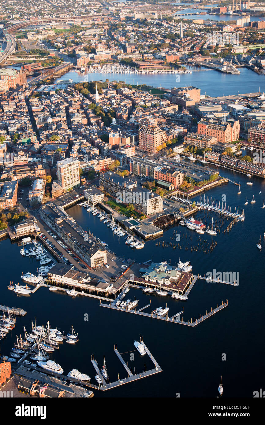 AERIAL of Boston Harbor area focusing on Leonard P. Zakim Bunker Hill Memorial Bridge, Boston, MA Stock Photohttps://www.alamy.com/image-license-details/?v=1https://www.alamy.com/stock-photo-aerial-of-boston-harbor-area-focusing-on-leonard-p-zakim-bunker-hill-55082679.html
RFD5H6EF–AERIAL of Boston Harbor area focusing on Leonard P. Zakim Bunker Hill Memorial Bridge, Boston, MA
 Aerial view of Boston Logan Airport and Marine Terminal Stock Photohttps://www.alamy.com/image-license-details/?v=1https://www.alamy.com/aerial-view-of-boston-logan-airport-and-marine-terminal-image222079616.html
RMPW8GPT–Aerial view of Boston Logan Airport and Marine Terminal
 Hingham Harbor aerial view in Hingham near Boston, Massachusetts, USA. Stock Photohttps://www.alamy.com/image-license-details/?v=1https://www.alamy.com/hingham-harbor-aerial-view-in-hingham-near-boston-massachusetts-usa-image236211636.html
RFRM8A9T–Hingham Harbor aerial view in Hingham near Boston, Massachusetts, USA.
 Aerial View Of Boston Long Wharf And Harbor At The Waterfront With Logan International Airport In The Distance, October 2012 Stock Photohttps://www.alamy.com/image-license-details/?v=1https://www.alamy.com/stock-photo-aerial-view-of-boston-long-wharf-and-harbor-at-the-waterfront-with-50823396.html
RMCXK5N8–Aerial View Of Boston Long Wharf And Harbor At The Waterfront With Logan International Airport In The Distance, October 2012
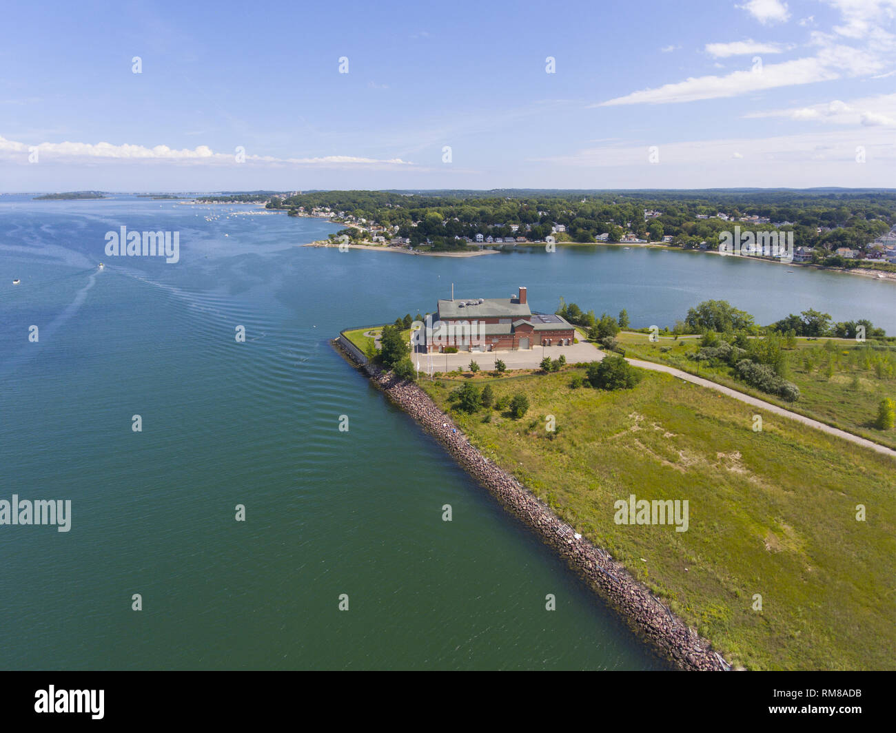 Aerial view of Sea shore in Boston Harbor in Weymouth, Massachusetts, USA. Stock Photohttps://www.alamy.com/image-license-details/?v=1https://www.alamy.com/aerial-view-of-sea-shore-in-boston-harbor-in-weymouth-massachusetts-usa-image236211735.html
RFRM8ADB–Aerial view of Sea shore in Boston Harbor in Weymouth, Massachusetts, USA.
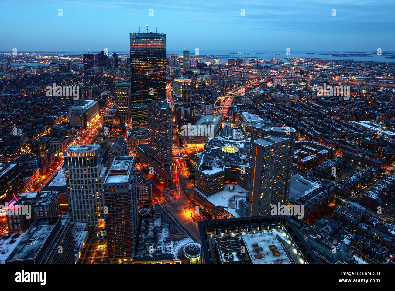 An aerial view of Boston Massachusetts at night Stock Photohttps://www.alamy.com/image-license-details/?v=1https://www.alamy.com/stock-photo-an-aerial-view-of-boston-massachusetts-at-night-76052105.html
RFEBMD6H–An aerial view of Boston Massachusetts at night
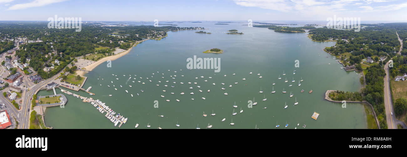 Hingham Harbor panorama aerial view in Hingham near Boston, Massachusetts, USA. Stock Photohttps://www.alamy.com/image-license-details/?v=1https://www.alamy.com/hingham-harbor-panorama-aerial-view-in-hingham-near-boston-massachusetts-usa-image236211601.html
RFRM8A8H–Hingham Harbor panorama aerial view in Hingham near Boston, Massachusetts, USA.
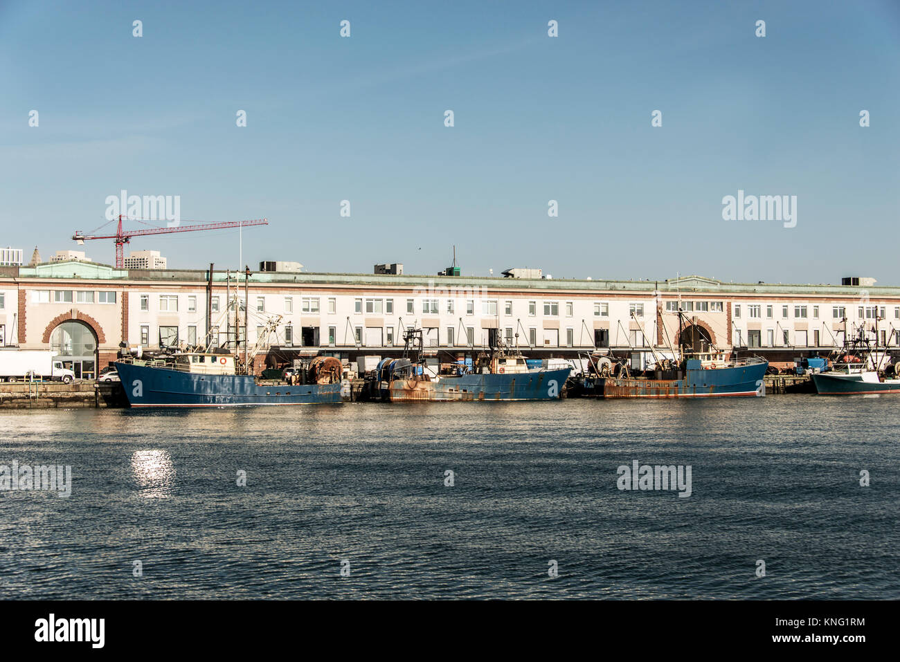 View of harbor from the Boston Waterfront with fishing boat trucks and boats anchored Massachusets USA Stock Photohttps://www.alamy.com/image-license-details/?v=1https://www.alamy.com/stock-image-view-of-harbor-from-the-boston-waterfront-with-fishing-boat-trucks-168153768.html
RFKNG1RM–View of harbor from the Boston Waterfront with fishing boat trucks and boats anchored Massachusets USA
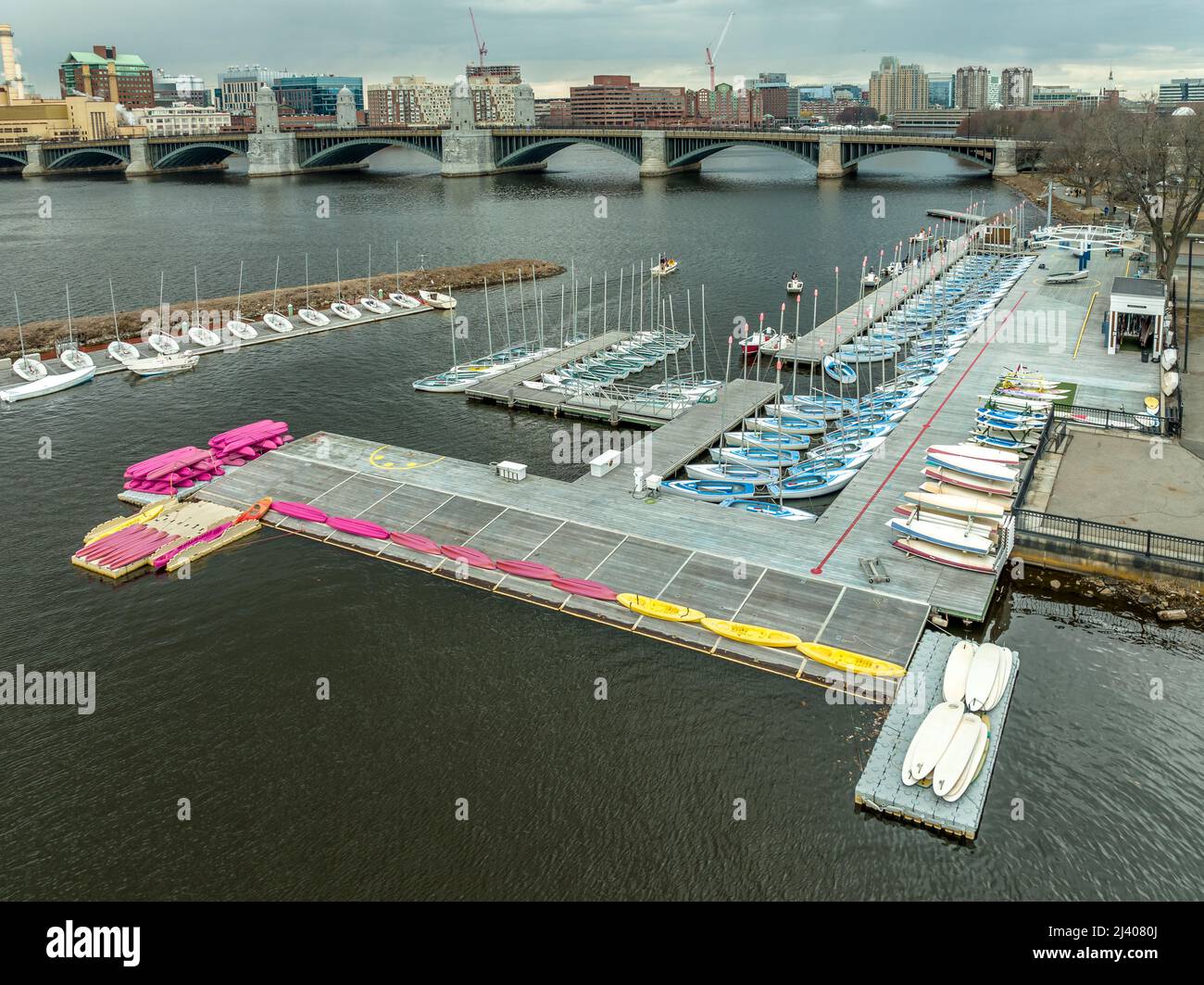 Rows of blue and white sailboats docked near the Charles river in Boston aerial view Stock Photohttps://www.alamy.com/image-license-details/?v=1https://www.alamy.com/rows-of-blue-and-white-sailboats-docked-near-the-charles-river-in-boston-aerial-view-image467144850.html
RF2J4080J–Rows of blue and white sailboats docked near the Charles river in Boston aerial view
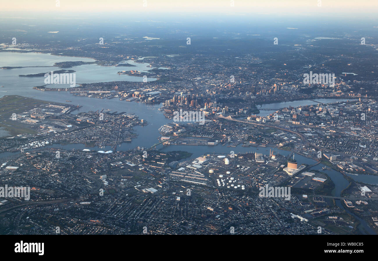 Boston, aerial view of the entire metropolitan area of the city Stock Photohttps://www.alamy.com/image-license-details/?v=1https://www.alamy.com/boston-aerial-view-of-the-entire-metropolitan-area-of-the-city-image264926373.html
RFWB0C85–Boston, aerial view of the entire metropolitan area of the city
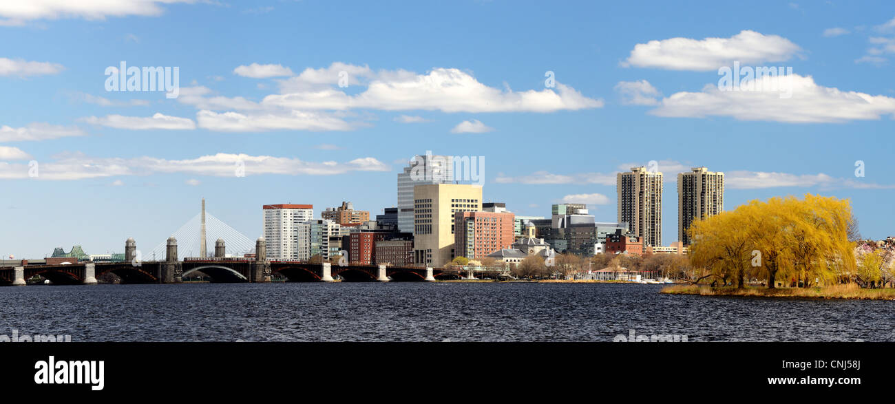 Financial District of Boston, Massachusetts Stock Photohttps://www.alamy.com/image-license-details/?v=1https://www.alamy.com/stock-photo-financial-district-of-boston-massachusetts-47727810.html
RFCNJ58J–Financial District of Boston, Massachusetts
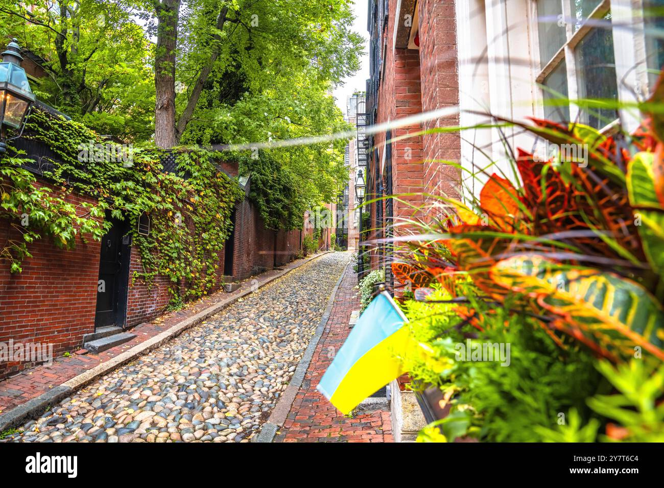 Historic paved Acorn street in old city of Boston, Massachusetts, USA Stock Photohttps://www.alamy.com/image-license-details/?v=1https://www.alamy.com/historic-paved-acorn-street-in-old-city-of-boston-massachusetts-usa-image624407732.html
RF2Y7T6C4–Historic paved Acorn street in old city of Boston, Massachusetts, USA
 Financial District of Boston, Massachusetts. Stock Photohttps://www.alamy.com/image-license-details/?v=1https://www.alamy.com/stock-photo-financial-district-of-boston-massachusetts-47519177.html
RFCN8K5D–Financial District of Boston, Massachusetts.
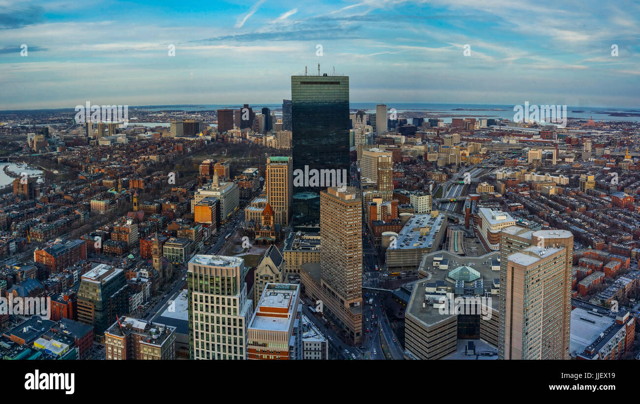 Boston Skyline at Night Aerial View with clear sky Stock Photohttps://www.alamy.com/image-license-details/?v=1https://www.alamy.com/stock-photo-boston-skyline-at-night-aerial-view-with-clear-sky-149074501.html
RFJJEX19–Boston Skyline at Night Aerial View with clear sky
 Aerial view of Boston from Bunker Hill Monument - Boston, Massachusetts, USA Stock Photohttps://www.alamy.com/image-license-details/?v=1https://www.alamy.com/stock-photo-aerial-view-of-boston-from-bunker-hill-monument-boston-massachusetts-135313294.html
RFHT41DJ–Aerial view of Boston from Bunker Hill Monument - Boston, Massachusetts, USA
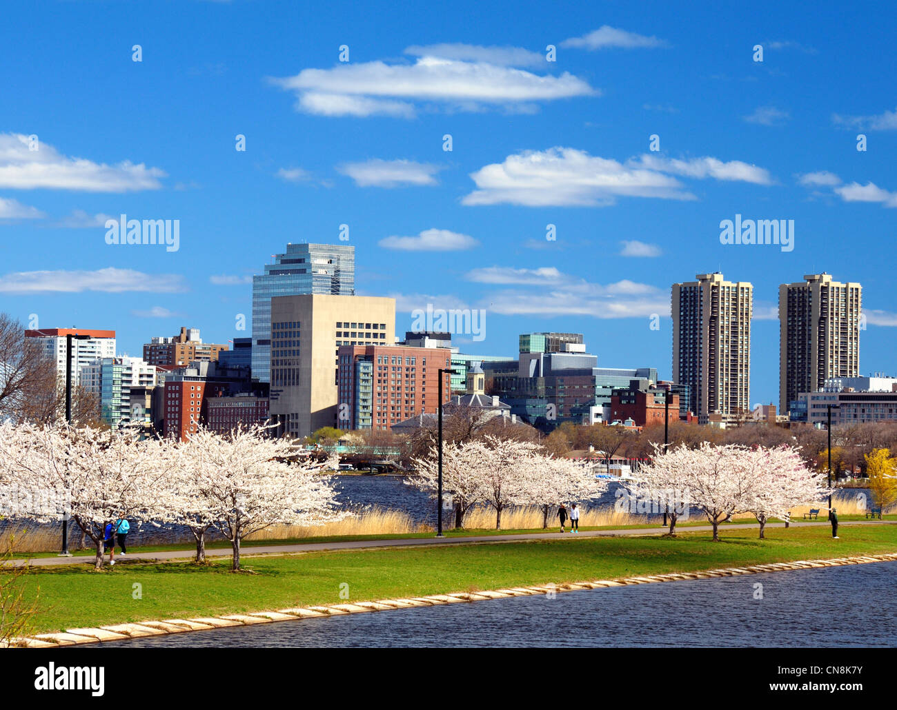 Financial District of Boston, Massachusetts with spring blossoms. Stock Photohttps://www.alamy.com/image-license-details/?v=1https://www.alamy.com/stock-photo-financial-district-of-boston-massachusetts-with-spring-blossoms-47519247.html
RFCN8K7Y–Financial District of Boston, Massachusetts with spring blossoms.
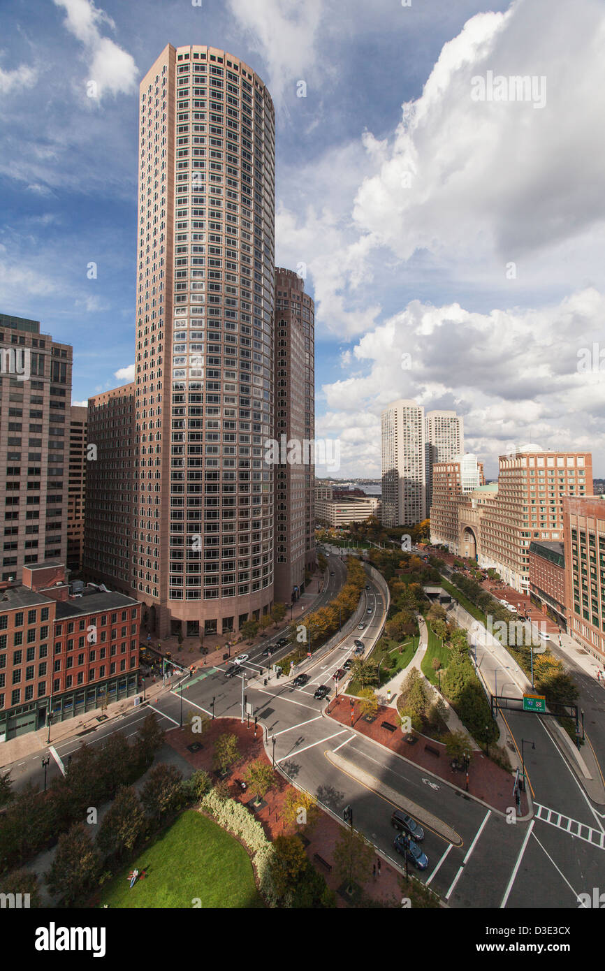 Skyscrapers in a city, Rose Kennedy Greenway, Boston Harbor Hotel, Rowe's Wharf, Boston, Massachusetts, USA Stock Photohttps://www.alamy.com/image-license-details/?v=1https://www.alamy.com/stock-photo-skyscrapers-in-a-city-rose-kennedy-greenway-boston-harbor-hotel-rowes-53785114.html
RFD3E3CX–Skyscrapers in a city, Rose Kennedy Greenway, Boston Harbor Hotel, Rowe's Wharf, Boston, Massachusetts, USA
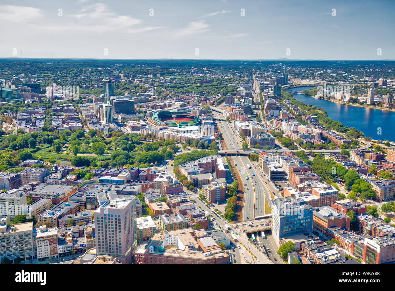 Panoramic aerial view of Boston from Prudential Tower observation deck Stock Photohttps://www.alamy.com/image-license-details/?v=1https://www.alamy.com/panoramic-aerial-view-of-boston-from-prudential-tower-observation-deck-image264045959.html
RFW9G98R–Panoramic aerial view of Boston from Prudential Tower observation deck
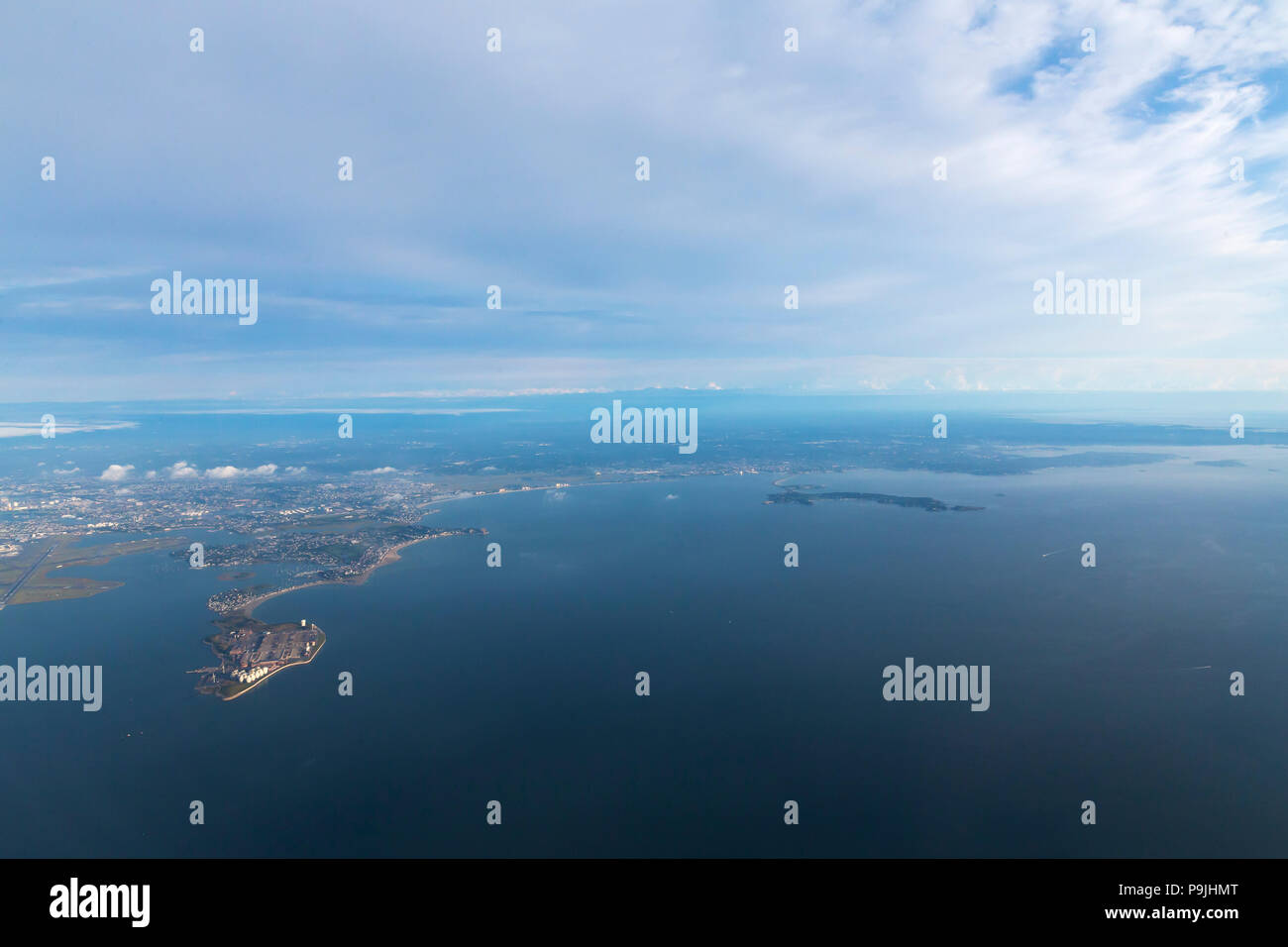 Deer Island Waste Water Treatment Plant, Boston Harbor, Boston, Mass., USA, North America Stock Photohttps://www.alamy.com/image-license-details/?v=1https://www.alamy.com/deer-island-waste-water-treatment-plant-boston-harbor-boston-mass-usa-north-america-image212465368.html
RMP9JHMT–Deer Island Waste Water Treatment Plant, Boston Harbor, Boston, Mass., USA, North America
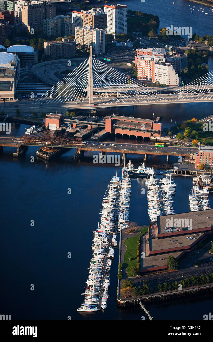 AERIAL morning view of harbor of Boston, MA Stock Photohttps://www.alamy.com/image-license-details/?v=1https://www.alamy.com/stock-photo-aerial-morning-view-of-harbor-of-boston-ma-55082559.html
RFD5H6A7–AERIAL morning view of harbor of Boston, MA
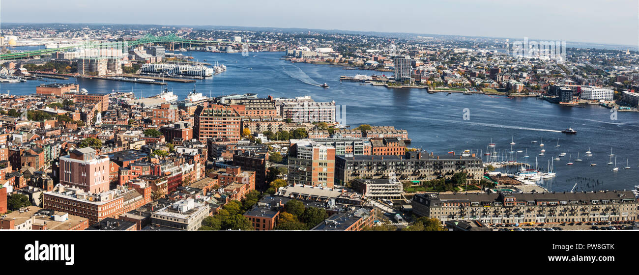 Aerial view of Boston Harbor, the Harborfront & Charleston Stock Photohttps://www.alamy.com/image-license-details/?v=1https://www.alamy.com/aerial-view-of-boston-harbor-the-harborfront-charleston-image222079667.html
RMPW8GTK–Aerial view of Boston Harbor, the Harborfront & Charleston
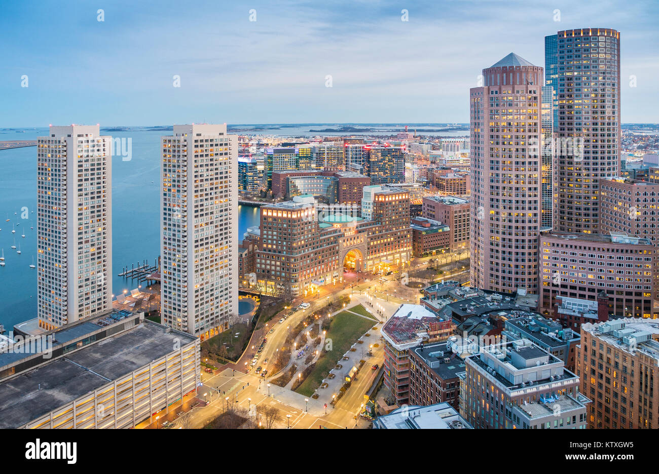 Boston Harbor in MA, USA. Stock Photohttps://www.alamy.com/image-license-details/?v=1https://www.alamy.com/stock-photo-boston-harbor-in-ma-usa-170229057.html
RFKTXGW5–Boston Harbor in MA, USA.
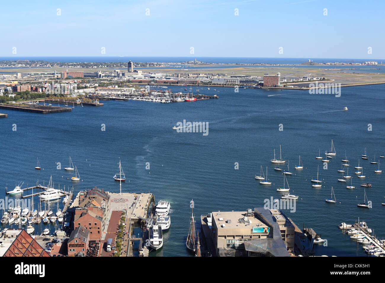 Aerial View Of Boston Long Wharf And Harbor At The Waterfront With Logan International Airport In The Distance, October 2012 Stock Photohttps://www.alamy.com/image-license-details/?v=1https://www.alamy.com/stock-photo-aerial-view-of-boston-long-wharf-and-harbor-at-the-waterfront-with-50823277.html
RMCXK5H1–Aerial View Of Boston Long Wharf And Harbor At The Waterfront With Logan International Airport In The Distance, October 2012
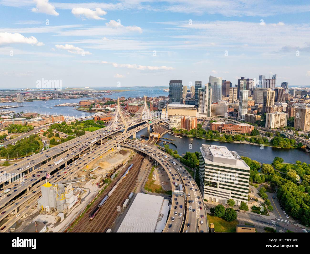 Boston stock photo 2024. Aerial view of rivers, bridges, office buildings and harbor. Stock Photohttps://www.alamy.com/image-license-details/?v=1https://www.alamy.com/boston-stock-photo-2024-aerial-view-of-rivers-bridges-office-buildings-and-harbor-image616191094.html
RF2XPDX0P–Boston stock photo 2024. Aerial view of rivers, bridges, office buildings and harbor.
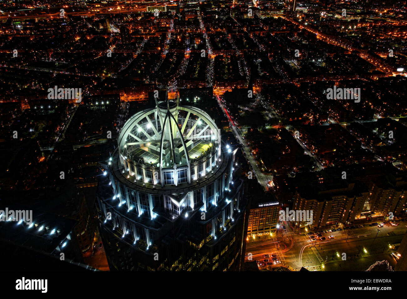 An aerial view of Boston at night Stock Photohttps://www.alamy.com/image-license-details/?v=1https://www.alamy.com/stock-photo-an-aerial-view-of-boston-at-night-76162334.html
RFEBWDRA–An aerial view of Boston at night
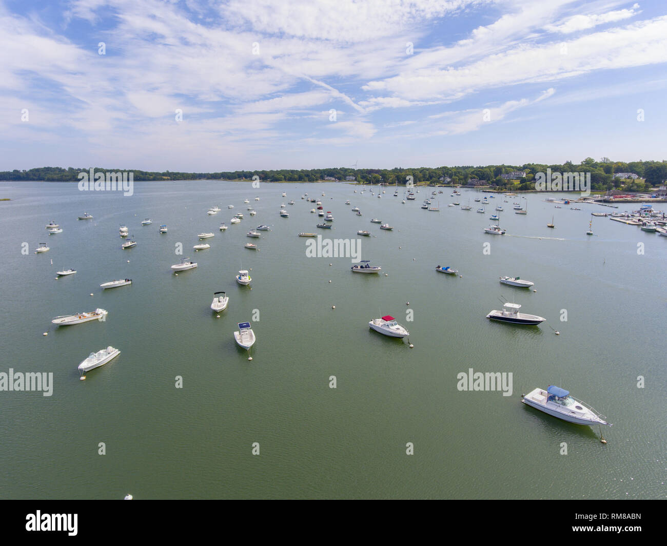 Hingham Harbor aerial view in Hingham near Boston, Massachusetts, USA. Stock Photohttps://www.alamy.com/image-license-details/?v=1https://www.alamy.com/hingham-harbor-aerial-view-in-hingham-near-boston-massachusetts-usa-image236211689.html
RFRM8ABN–Hingham Harbor aerial view in Hingham near Boston, Massachusetts, USA.
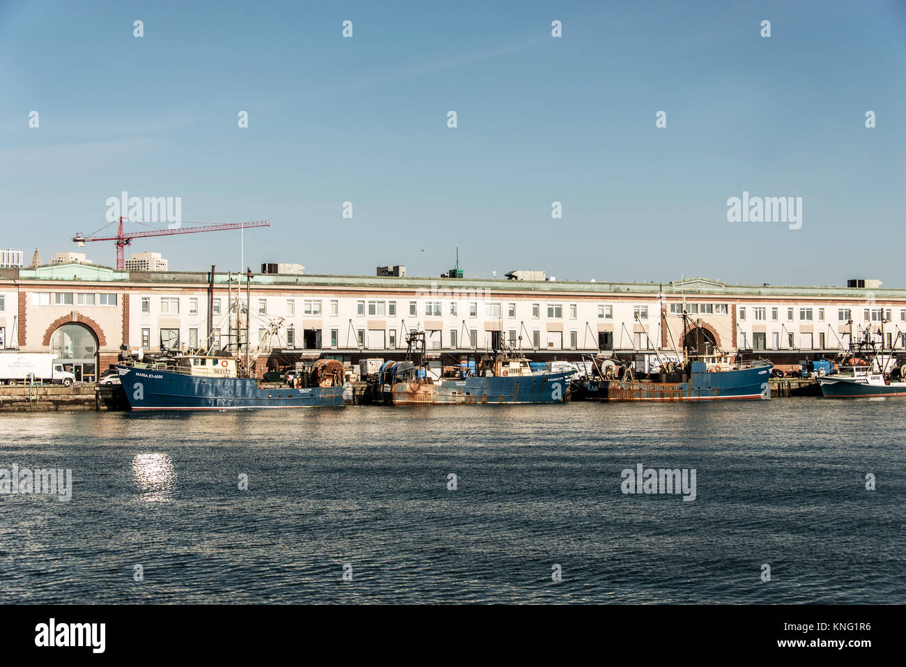 Boston MA USA 04.09.2017 View of harbor from the Boston Waterfront with fishing boat trucks and boats anchored Massachusets USA Stock Photohttps://www.alamy.com/image-license-details/?v=1https://www.alamy.com/stock-image-boston-ma-usa-04092017-view-of-harbor-from-the-boston-waterfront-with-168153754.html
RFKNG1R6–Boston MA USA 04.09.2017 View of harbor from the Boston Waterfront with fishing boat trucks and boats anchored Massachusets USA
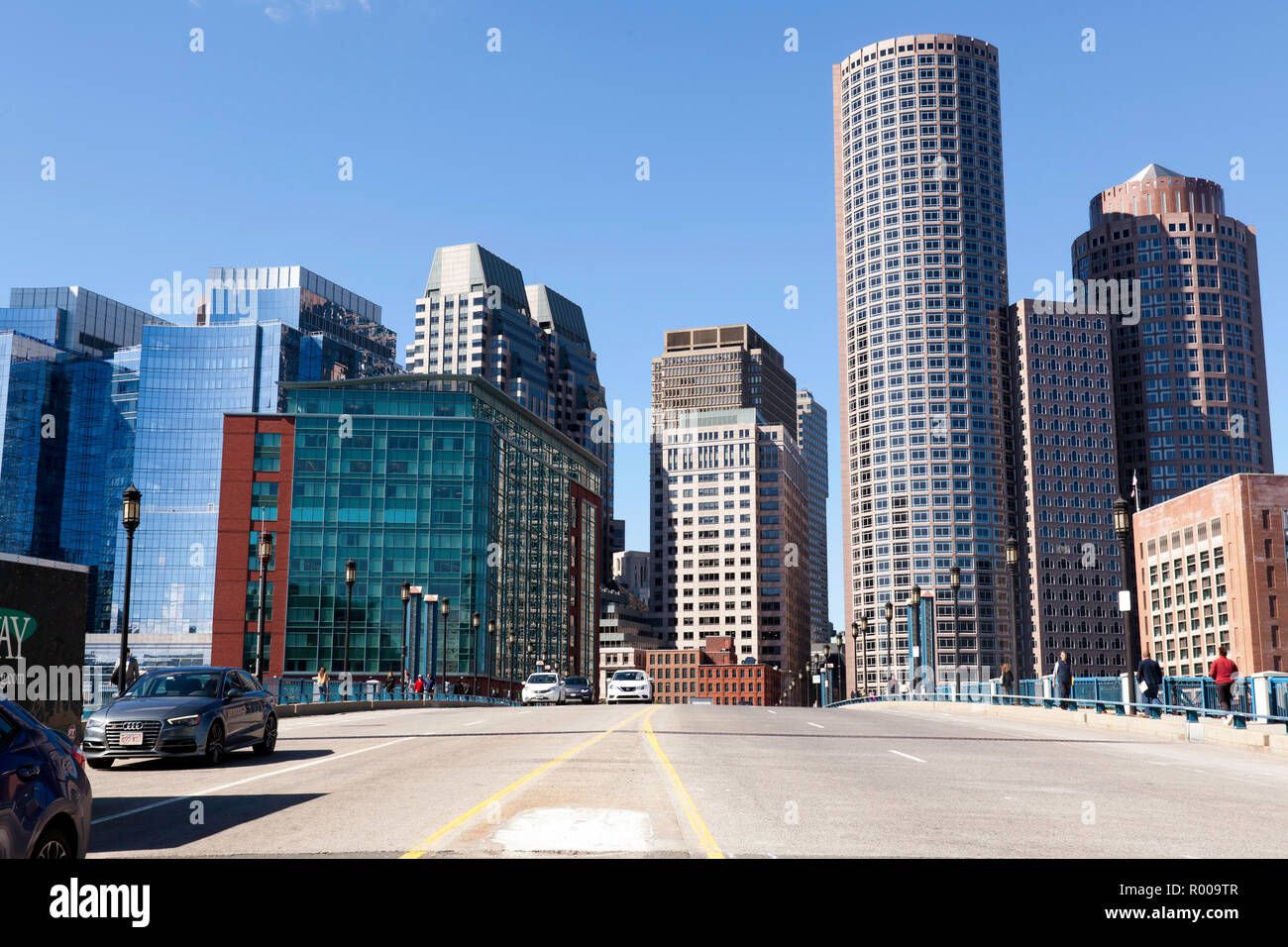 Aerial view of Boston skyline and the Seaport boulevard bridge Massachusetts USA Stock Photohttps://www.alamy.com/image-license-details/?v=1https://www.alamy.com/aerial-view-of-boston-skyline-and-the-seaport-boulevard-bridge-massachusetts-usa-image223742535.html
RMR009TR–Aerial view of Boston skyline and the Seaport boulevard bridge Massachusetts USA
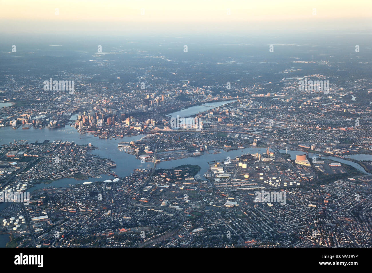 Boston, aerial view in the early morning sun Stock Photohttps://www.alamy.com/image-license-details/?v=1https://www.alamy.com/boston-aerial-view-in-the-early-morning-sun-image264836762.html
RFWAT9YP–Boston, aerial view in the early morning sun
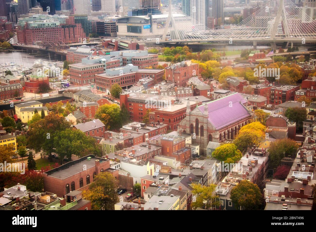 Boston, Massachusetts. October 30, 2018. A view of Boston from atop the Bunker Hill Memorial at Breeds Hill in the Charlestown section of Boston Mass Stock Photohttps://www.alamy.com/image-license-details/?v=1https://www.alamy.com/boston-massachusetts-october-30-2018-a-view-of-boston-from-atop-the-bunker-hill-memorial-at-breeds-hill-in-the-charlestown-section-of-boston-mass-image357645378.html
RF2BNT496–Boston, Massachusetts. October 30, 2018. A view of Boston from atop the Bunker Hill Memorial at Breeds Hill in the Charlestown section of Boston Mass
 Aerial view of Boston in Massachusetts, USA Stock Photohttps://www.alamy.com/image-license-details/?v=1https://www.alamy.com/stock-photo-aerial-view-of-boston-in-massachusetts-usa-134552108.html
RFHPWAGC–Aerial view of Boston in Massachusetts, USA
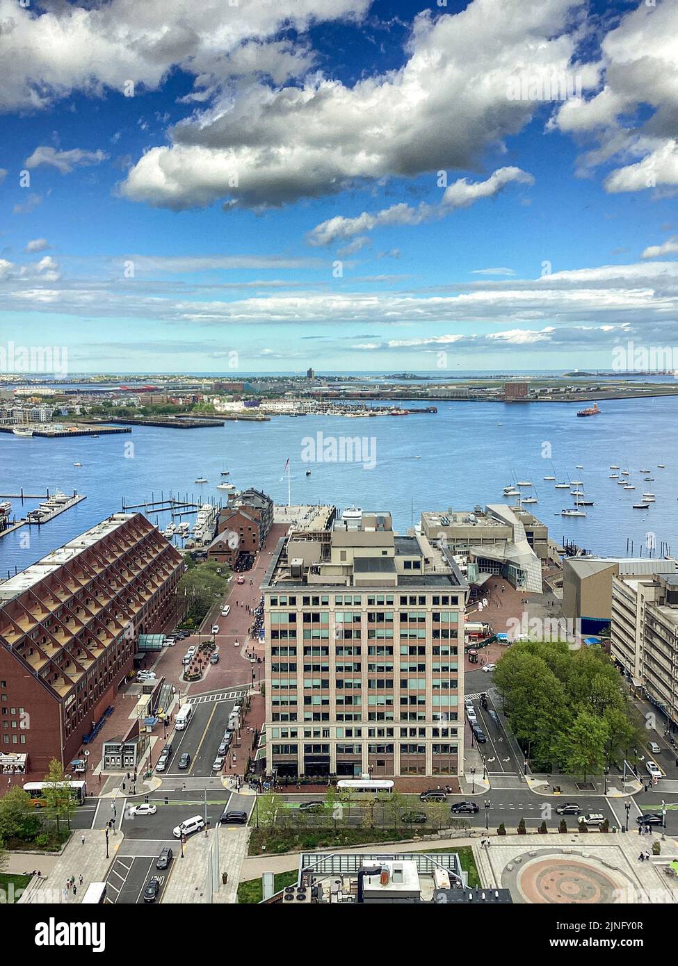 Boston Harbor Looking East Stock Photohttps://www.alamy.com/image-license-details/?v=1https://www.alamy.com/boston-harbor-looking-east-image477938183.html
RM2JNFY0R–Boston Harbor Looking East
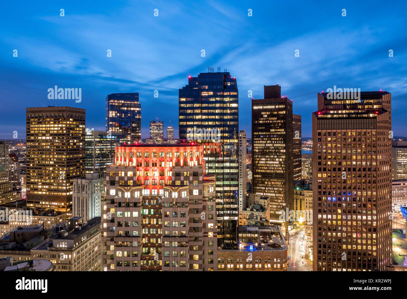 Aerial view of Boston in Massachusetts, USA at night. Stock Photohttps://www.alamy.com/image-license-details/?v=1https://www.alamy.com/stock-image-aerial-view-of-boston-in-massachusetts-usa-at-night-169094538.html
RFKR2WPJ–Aerial view of Boston in Massachusetts, USA at night.
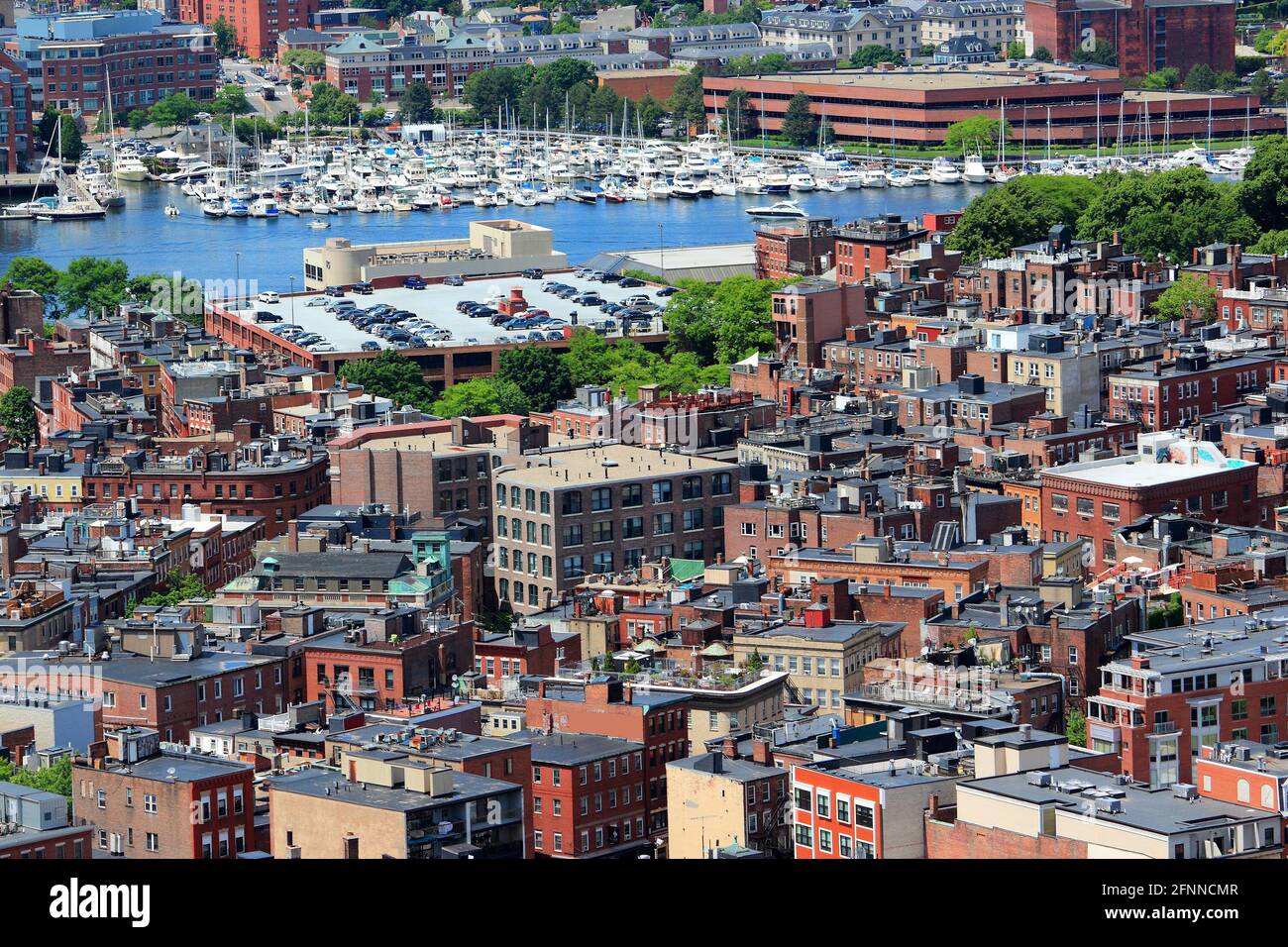 Boston city aerial view with North End and Constitution Wharf. Urban cityscape of Boston. Stock Photohttps://www.alamy.com/image-license-details/?v=1https://www.alamy.com/boston-city-aerial-view-with-north-end-and-constitution-wharf-urban-cityscape-of-boston-image426427591.html
RF2FNNCMR–Boston city aerial view with North End and Constitution Wharf. Urban cityscape of Boston.
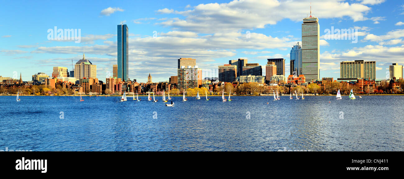 Skyline of Back Bay Boston, Massachusetts Stock Photohttps://www.alamy.com/image-license-details/?v=1https://www.alamy.com/stock-photo-skyline-of-back-bay-boston-massachusetts-47726813.html
RFCNJ411–Skyline of Back Bay Boston, Massachusetts
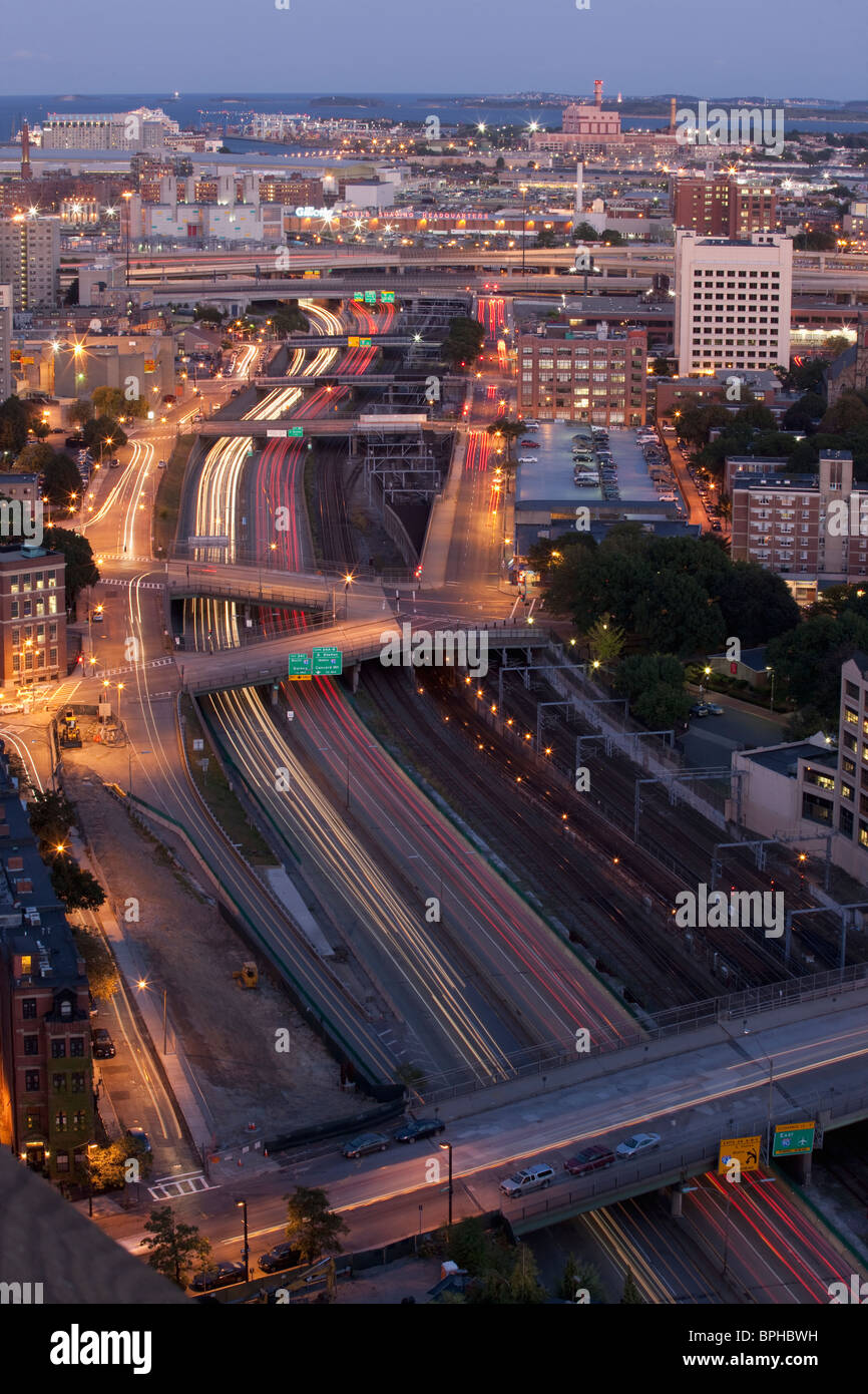 Aerial view of a city, Boston, Suffolk County, Massachusetts, USA Stock Photohttps://www.alamy.com/image-license-details/?v=1https://www.alamy.com/stock-photo-aerial-view-of-a-city-boston-suffolk-county-massachusetts-usa-31115325.html
RFBPHBWH–Aerial view of a city, Boston, Suffolk County, Massachusetts, USA
 Boston, Massachusetts, USA downtown cityscape at dusk. Stock Photohttps://www.alamy.com/image-license-details/?v=1https://www.alamy.com/stock-image-boston-massachusetts-usa-downtown-cityscape-at-dusk-168316496.html
RFKNRDBC–Boston, Massachusetts, USA downtown cityscape at dusk.
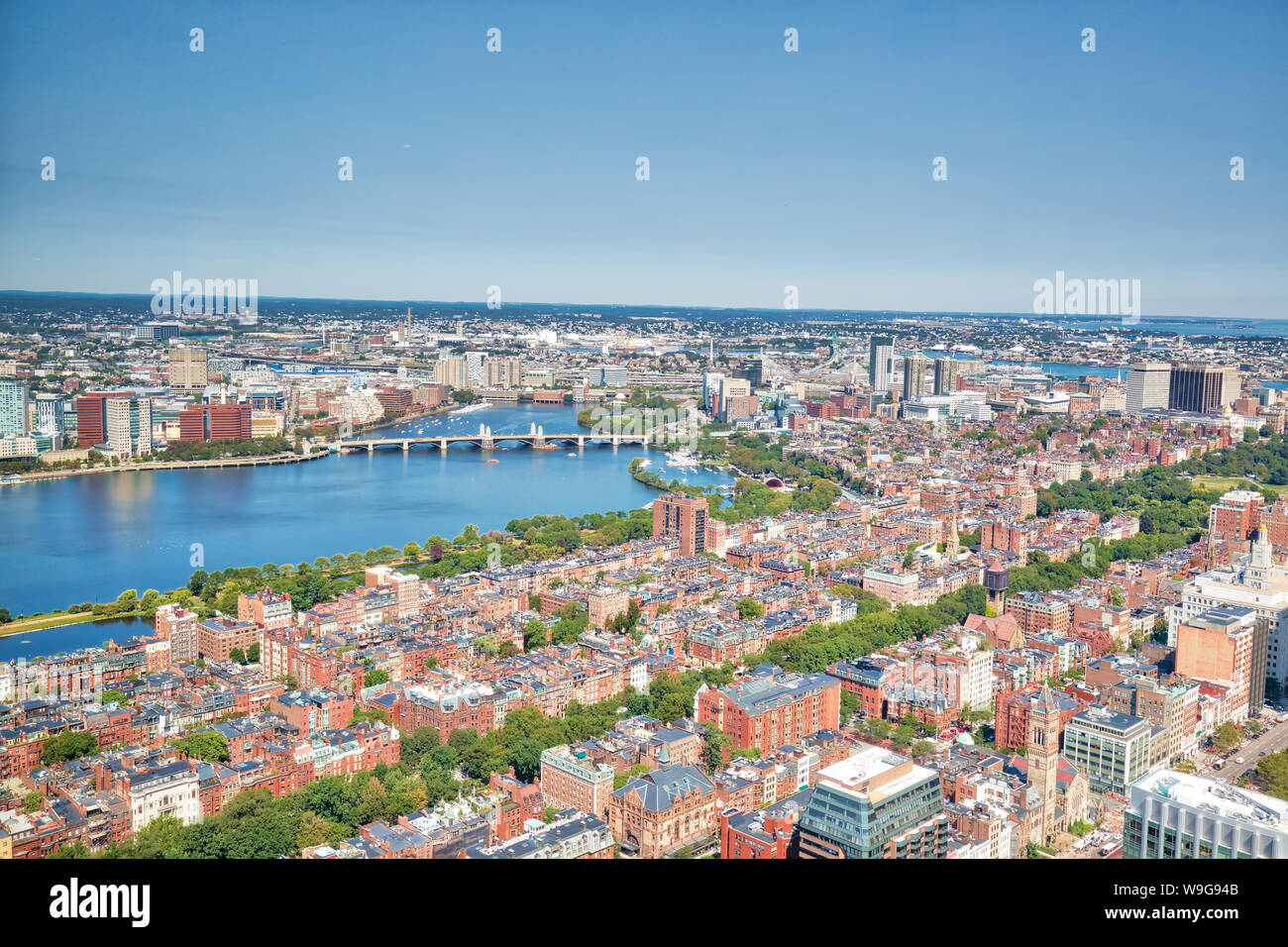 Panoramic aerial view of Boston from Prudential Tower observation deck Stock Photohttps://www.alamy.com/image-license-details/?v=1https://www.alamy.com/panoramic-aerial-view-of-boston-from-prudential-tower-observation-deck-image264045835.html
RFW9G94B–Panoramic aerial view of Boston from Prudential Tower observation deck
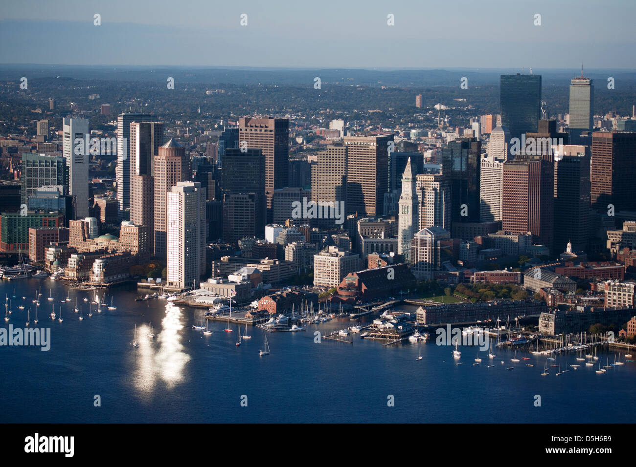 AERIAL VIEW of Wind Turbine and Tug Boat pushing red barge, Boston Harbor, MA Stock Photohttps://www.alamy.com/image-license-details/?v=1https://www.alamy.com/stock-photo-aerial-view-of-wind-turbine-and-tug-boat-pushing-red-barge-boston-55082589.html
RFD5H6B9–AERIAL VIEW of Wind Turbine and Tug Boat pushing red barge, Boston Harbor, MA
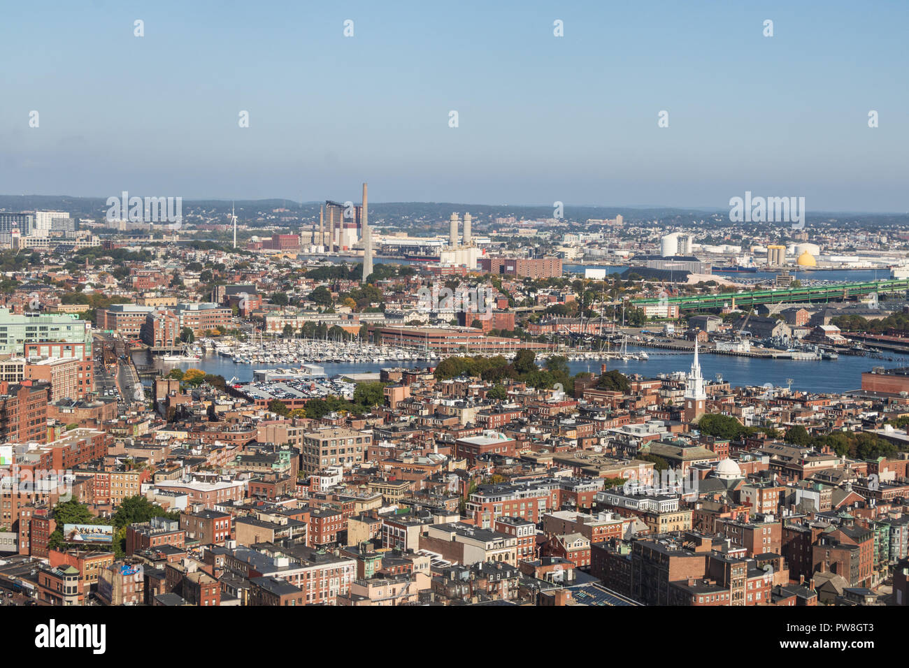 Aerial view of Boston's North End and Charlestown Stock Photohttps://www.alamy.com/image-license-details/?v=1https://www.alamy.com/aerial-view-of-bostons-north-end-and-charlestown-image222079651.html
RMPW8GT3–Aerial view of Boston's North End and Charlestown
 Skyline of Boston, taken from a boat the harbor Stock Photohttps://www.alamy.com/image-license-details/?v=1https://www.alamy.com/skyline-of-boston-taken-from-a-boat-the-harbor-image620597154.html
RF2Y1JJ02–Skyline of Boston, taken from a boat the harbor
 Aerial View Of Boston Long Wharf And Harbor At The Waterfront With Logan International Airport In The Distance, October 2012 Stock Photohttps://www.alamy.com/image-license-details/?v=1https://www.alamy.com/stock-photo-aerial-view-of-boston-long-wharf-and-harbor-at-the-waterfront-with-50823723.html
RMCXK64Y–Aerial View Of Boston Long Wharf And Harbor At The Waterfront With Logan International Airport In The Distance, October 2012
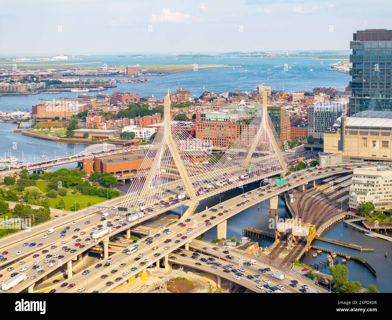 Boston stock photo 2024. Aerial view of rivers, bridges, office buildings and harbor. Stock Photohttps://www.alamy.com/image-license-details/?v=1https://www.alamy.com/boston-stock-photo-2024-aerial-view-of-rivers-bridges-office-buildings-and-harbor-image616191095.html
RF2XPDX0R–Boston stock photo 2024. Aerial view of rivers, bridges, office buildings and harbor.
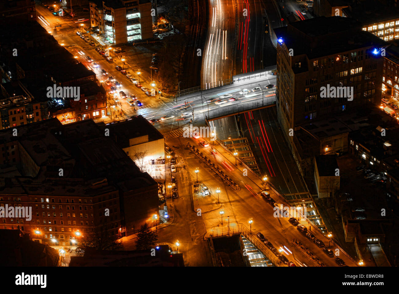 An aerial view of Boston traffic at night Stock Photohttps://www.alamy.com/image-license-details/?v=1https://www.alamy.com/stock-photo-an-aerial-view-of-boston-traffic-at-night-76162332.html
RFEBWDR8–An aerial view of Boston traffic at night
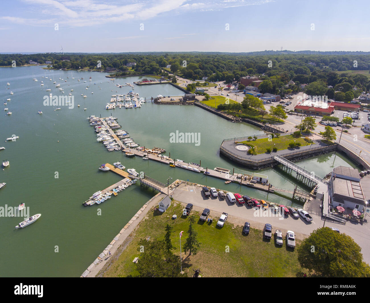 Hingham Harbor aerial view in Hingham near Boston, Massachusetts, USA. Stock Photohttps://www.alamy.com/image-license-details/?v=1https://www.alamy.com/hingham-harbor-aerial-view-in-hingham-near-boston-massachusetts-usa-image236211547.html
RFRM8A6K–Hingham Harbor aerial view in Hingham near Boston, Massachusetts, USA.
 helicopter flight Aerial view image of Boston MA, USA during sunset harbor with boats near waterfront bay Stock Photohttps://www.alamy.com/image-license-details/?v=1https://www.alamy.com/stock-image-helicopter-flight-aerial-view-image-of-boston-ma-usa-during-sunset-167438471.html
RFKMBDDB–helicopter flight Aerial view image of Boston MA, USA during sunset harbor with boats near waterfront bay
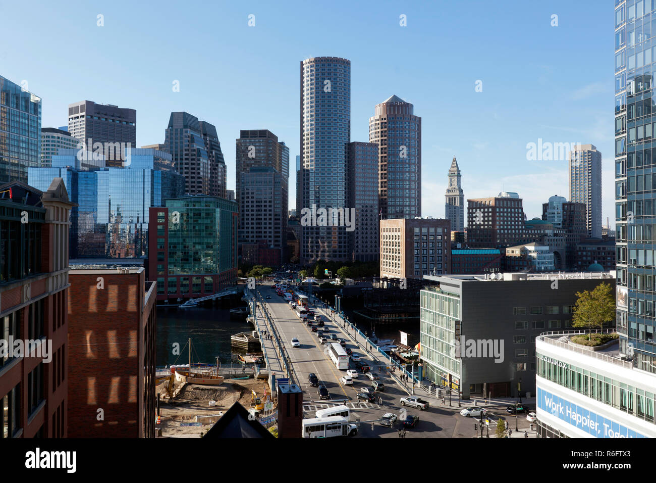 Aerial view of Boston skyline and the Seaport boulevard bridge Massachusetts USA Stock Photohttps://www.alamy.com/image-license-details/?v=1https://www.alamy.com/aerial-view-of-boston-skyline-and-the-seaport-boulevard-bridge-massachusetts-usa-image227771547.html
RMR6FTX3–Aerial view of Boston skyline and the Seaport boulevard bridge Massachusetts USA
 view from Bunker Hill Monument - Boston, Massachusetts, USA Stock Photohttps://www.alamy.com/image-license-details/?v=1https://www.alamy.com/view-from-bunker-hill-monument-boston-massachusetts-usa-image456514870.html
RF2HEM1AE–view from Bunker Hill Monument - Boston, Massachusetts, USA
 The skyline of Boston in Massachusetts, USA at sunset Stock Photohttps://www.alamy.com/image-license-details/?v=1https://www.alamy.com/the-skyline-of-boston-in-massachusetts-usa-at-sunset-image440388788.html
RF2GGDCB0–The skyline of Boston in Massachusetts, USA at sunset
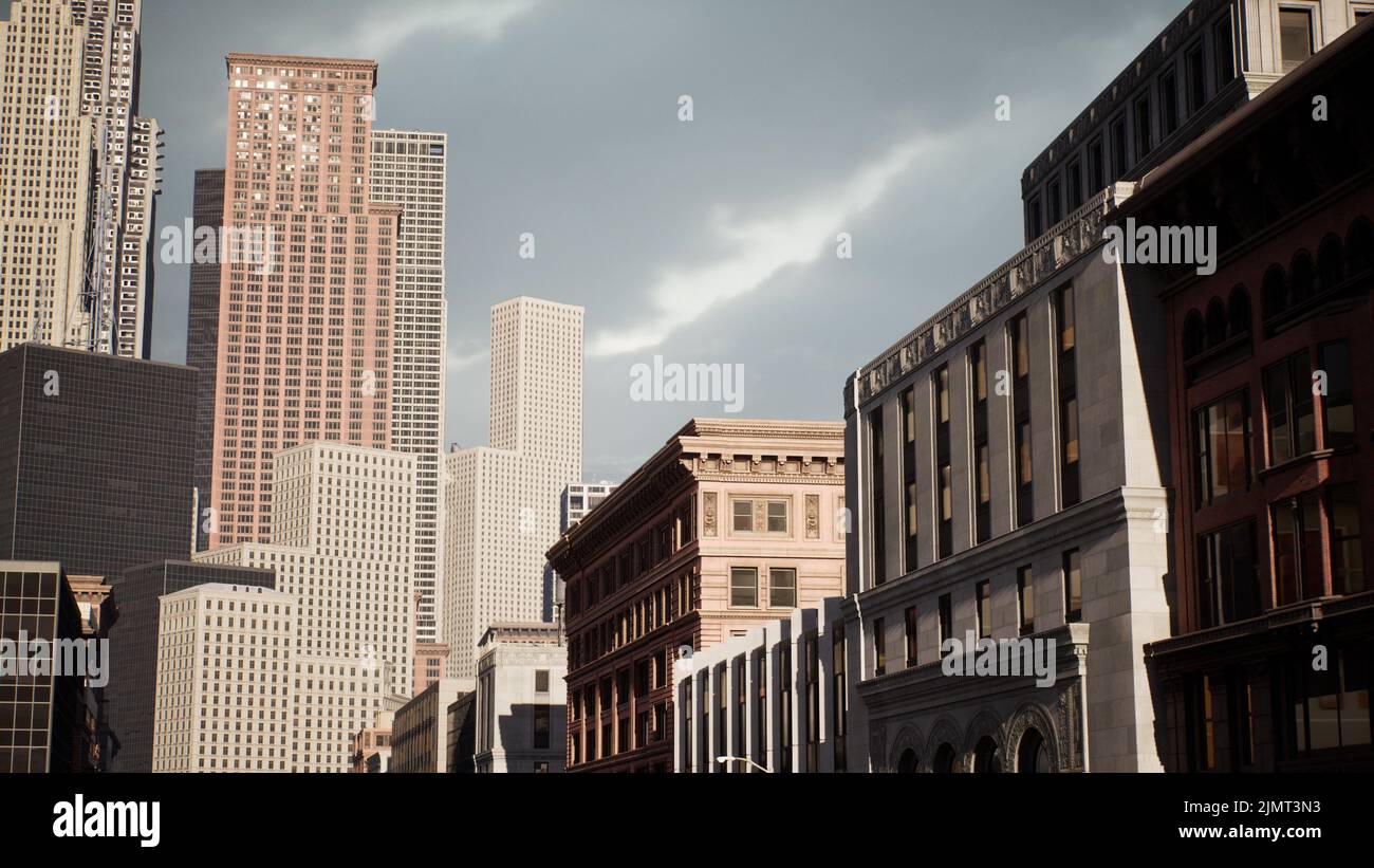 Financial downtown city view of Boston at day time Stock Photohttps://www.alamy.com/image-license-details/?v=1https://www.alamy.com/financial-downtown-city-view-of-boston-at-day-time-image477502847.html
RF2JMT3N3–Financial downtown city view of Boston at day time
 Boston Harbor Looking East Stock Photohttps://www.alamy.com/image-license-details/?v=1https://www.alamy.com/boston-harbor-looking-east-image477949016.html
RM2JNGCRM–Boston Harbor Looking East
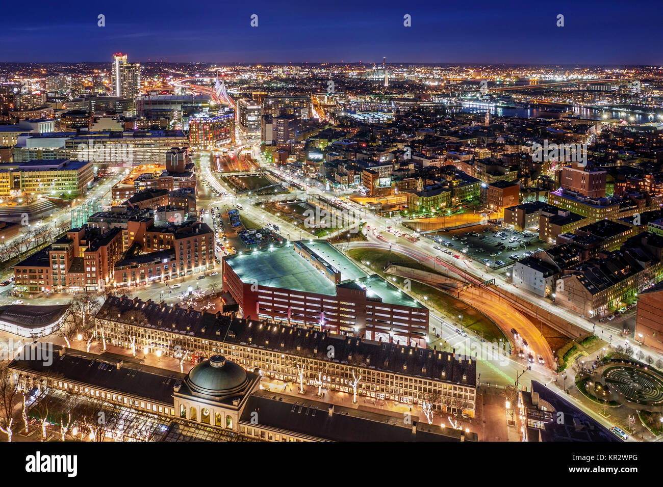 Aerial view of Boston in Massachusetts, USA at night. Stock Photohttps://www.alamy.com/image-license-details/?v=1https://www.alamy.com/stock-image-aerial-view-of-boston-in-massachusetts-usa-at-night-169094536.html
RFKR2WPG–Aerial view of Boston in Massachusetts, USA at night.
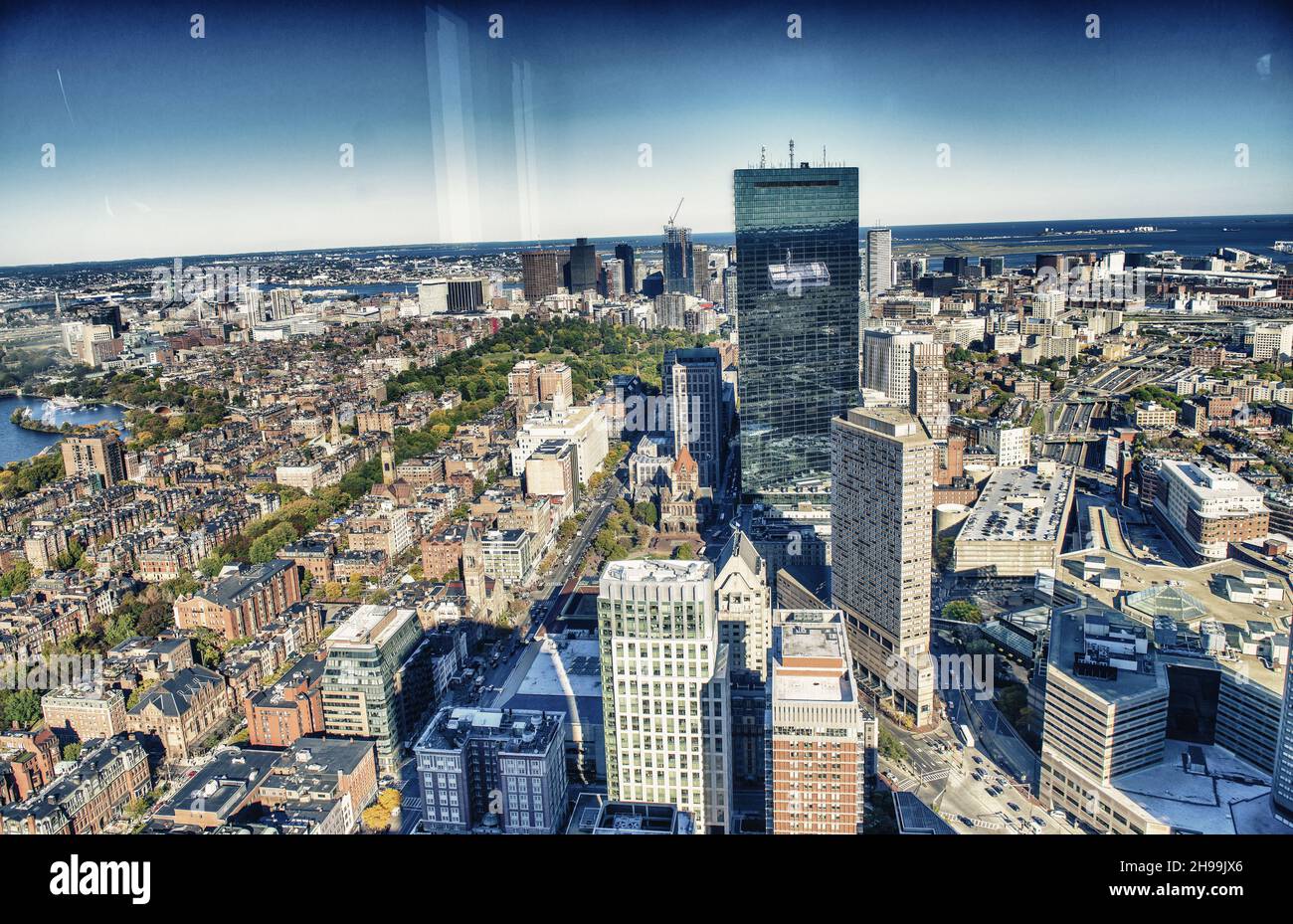 Boston aerial skyline, Massachussetts. City skyscrapers on a beautiful autumn day. Stock Photohttps://www.alamy.com/image-license-details/?v=1https://www.alamy.com/boston-aerial-skyline-massachussetts-city-skyscrapers-on-a-beautiful-autumn-day-image453213886.html
RF2H99JX6–Boston aerial skyline, Massachussetts. City skyscrapers on a beautiful autumn day.
