Quick filters:
Carsphairn Stock Photos and Images
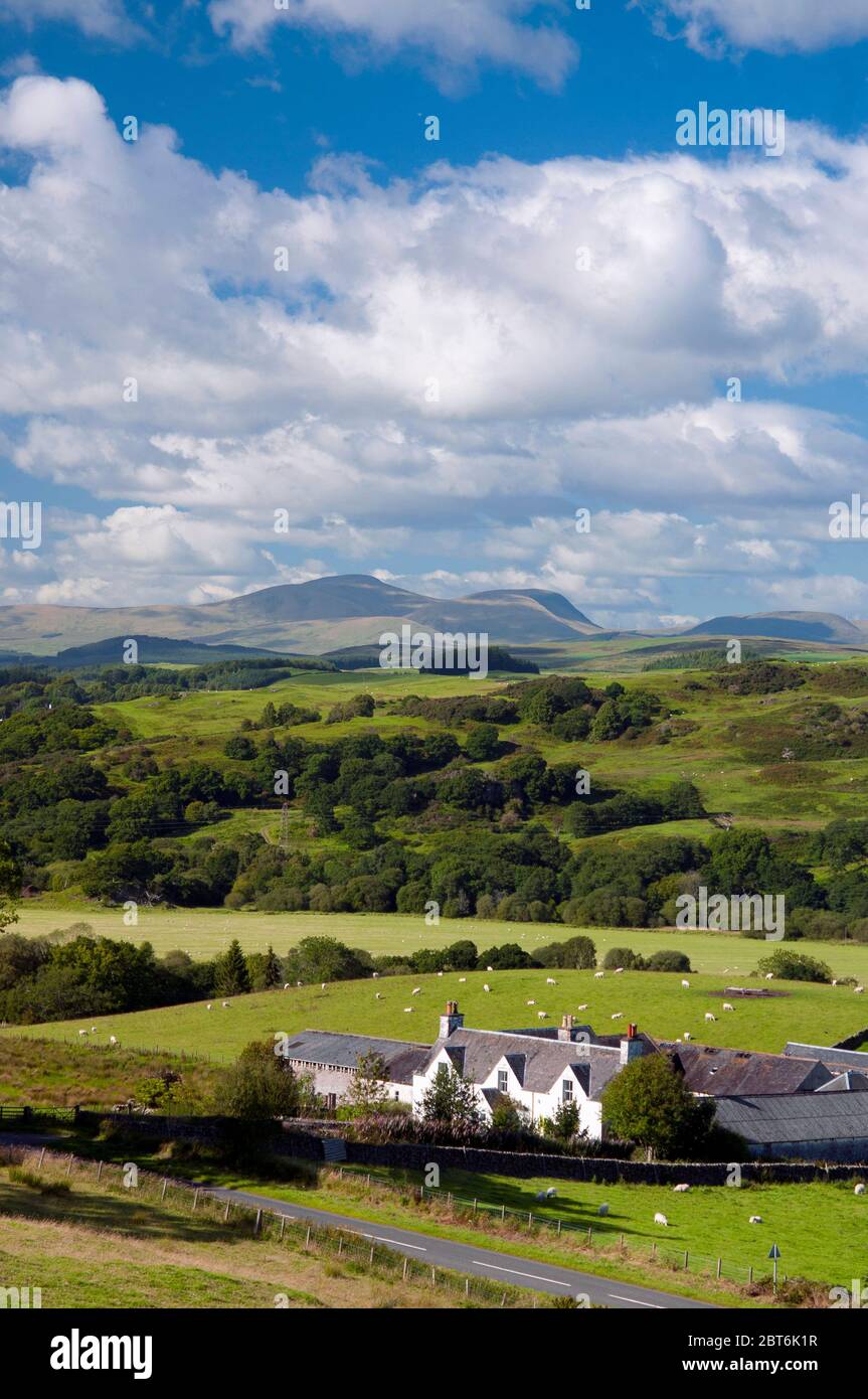 Fintloch Farm overlooking St John's Town of Dalry and Carsphairn Hills, Galloway Stock Photohttps://www.alamy.com/image-license-details/?v=1https://www.alamy.com/fintloch-farm-overlooking-st-johns-town-of-dalry-and-carsphairn-hills-galloway-image359105763.html
RM2BT6K1R–Fintloch Farm overlooking St John's Town of Dalry and Carsphairn Hills, Galloway
 Remains of settlement and mine workings at Garryhorn, near Carsphairn, Dumfries and Galloway, Scotland Stock Photohttps://www.alamy.com/image-license-details/?v=1https://www.alamy.com/stock-photo-remains-of-settlement-and-mine-workings-at-garryhorn-near-carsphairn-51325556.html
RMCYE27G–Remains of settlement and mine workings at Garryhorn, near Carsphairn, Dumfries and Galloway, Scotland
 Cairnsmore of Carsphairn with farm track and dyke Stock Photohttps://www.alamy.com/image-license-details/?v=1https://www.alamy.com/cairnsmore-of-carsphairn-with-farm-track-and-dyke-image359104765.html
RM2BT6HP5–Cairnsmore of Carsphairn with farm track and dyke
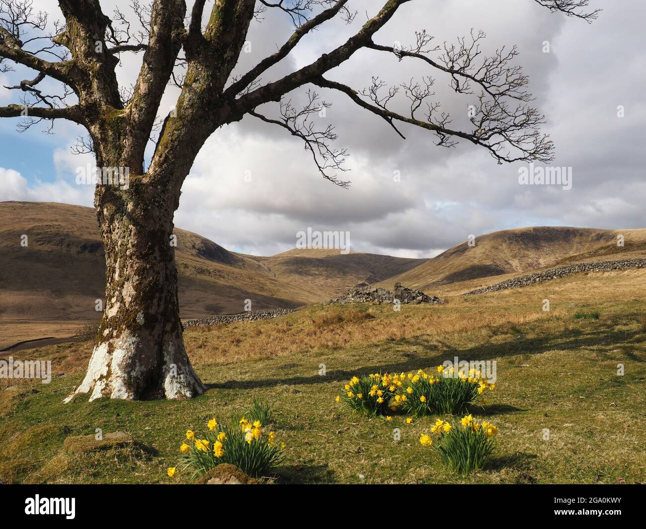 Tree and daffodils, Woodhead lead mine, near Carsphairn, Dumfries and Galloway Stock Photohttps://www.alamy.com/image-license-details/?v=1https://www.alamy.com/tree-and-daffodils-woodhead-lead-mine-near-carsphairn-dumfries-and-galloway-image436421383.html
RM2GA0KWY–Tree and daffodils, Woodhead lead mine, near Carsphairn, Dumfries and Galloway
 War Memorial Carsphairn, Dumfries and Galloway Stock Photohttps://www.alamy.com/image-license-details/?v=1https://www.alamy.com/stock-image-war-memorial-carsphairn-dumfries-and-galloway-164998871.html
RMKGC9MR–War Memorial Carsphairn, Dumfries and Galloway
 Dry Stone Wall Leading up to the Scottish Mountain Cairnsmore of Carsphairn (Corbett) Stock Photohttps://www.alamy.com/image-license-details/?v=1https://www.alamy.com/stock-photo-dry-stone-wall-leading-up-to-the-scottish-mountain-cairnsmore-of-carsphairn-72301134.html
RME5HGRA–Dry Stone Wall Leading up to the Scottish Mountain Cairnsmore of Carsphairn (Corbett)
 Castle Douglas and Cairnsmore of Cairsphairn from Screel, Galloway Stock Photohttps://www.alamy.com/image-license-details/?v=1https://www.alamy.com/castle-douglas-and-cairnsmore-of-cairsphairn-from-screel-galloway-image67048589.html
RMDW294D–Castle Douglas and Cairnsmore of Cairsphairn from Screel, Galloway
 Looking to the lower slopes of the Corbett Cairnsmore of Carsphain and the hill Willieanna Stock Photohttps://www.alamy.com/image-license-details/?v=1https://www.alamy.com/looking-to-the-lower-slopes-of-the-corbett-cairnsmore-of-carsphain-and-the-hill-willieanna-image351726437.html
RM2BC6EJD–Looking to the lower slopes of the Corbett Cairnsmore of Carsphain and the hill Willieanna
 The Green Well of Scotland at Carsphairn, Dumfries and Galloway, Scotland Stock Photohttps://www.alamy.com/image-license-details/?v=1https://www.alamy.com/the-green-well-of-scotland-at-carsphairn-dumfries-and-galloway-scotland-image468617920.html
RF2J6BAX8–The Green Well of Scotland at Carsphairn, Dumfries and Galloway, Scotland
 Galloway heifers, Marbrack Farm, Carsphairn, Castle Douglas, Scotland Stock Photohttps://www.alamy.com/image-license-details/?v=1https://www.alamy.com/galloway-heifers-marbrack-farm-carsphairn-castle-douglas-scotland-image415013576.html
RF2F35E1C–Galloway heifers, Marbrack Farm, Carsphairn, Castle Douglas, Scotland
 A field of spring flowers near Carsphairn Dumfries and Galloway, Scotland UK 2008 Stock Photohttps://www.alamy.com/image-license-details/?v=1https://www.alamy.com/stock-photo-a-field-of-spring-flowers-near-carsphairn-dumfries-and-galloway-scotland-19559038.html
RMB3PYN2–A field of spring flowers near Carsphairn Dumfries and Galloway, Scotland UK 2008
 Hill walking Scotland two hill walkers near Cairnsmore of Carsphairn following dry stane dyke to farm Galloway UK Stock Photohttps://www.alamy.com/image-license-details/?v=1https://www.alamy.com/stock-photo-hill-walking-scotland-two-hill-walkers-near-cairnsmore-of-carsphairn-15646540.html
RMAP1NNH–Hill walking Scotland two hill walkers near Cairnsmore of Carsphairn following dry stane dyke to farm Galloway UK
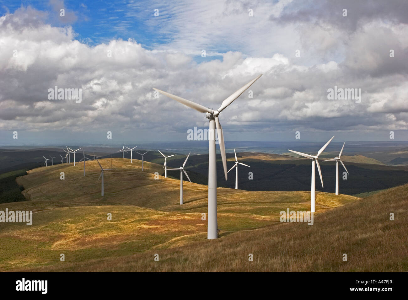 Wind Power Turbines at Windy Standard Wind Farm, above Carsphairn Forest, Dumfries and Galloway, Scotland UK Stock Photohttps://www.alamy.com/image-license-details/?v=1https://www.alamy.com/stock-photo-wind-power-turbines-at-windy-standard-wind-farm-above-carsphairn-forest-10959310.html
RMA47FJR–Wind Power Turbines at Windy Standard Wind Farm, above Carsphairn Forest, Dumfries and Galloway, Scotland UK
 Samuel Smith, first minister of the Free Church at Borgue, Dumfries & Galloway, Scotland (Minister 1792-1816) Stock Photohttps://www.alamy.com/image-license-details/?v=1https://www.alamy.com/samuel-smith-first-minister-of-the-free-church-at-borgue-dumfries-galloway-scotland-minister-1792-1816-image183195183.html
RMMJ1793–Samuel Smith, first minister of the Free Church at Borgue, Dumfries & Galloway, Scotland (Minister 1792-1816)
 Polmaddy Village Stock Photohttps://www.alamy.com/image-license-details/?v=1https://www.alamy.com/polmaddy-village-image333485359.html
RF2AAFFYB–Polmaddy Village
 Long haired Highland cow at knockengorroch world Ceilidh Stock Photohttps://www.alamy.com/image-license-details/?v=1https://www.alamy.com/long-haired-highland-cow-at-knockengorroch-world-ceilidh-image67142877.html
RFDW6HBW–Long haired Highland cow at knockengorroch world Ceilidh
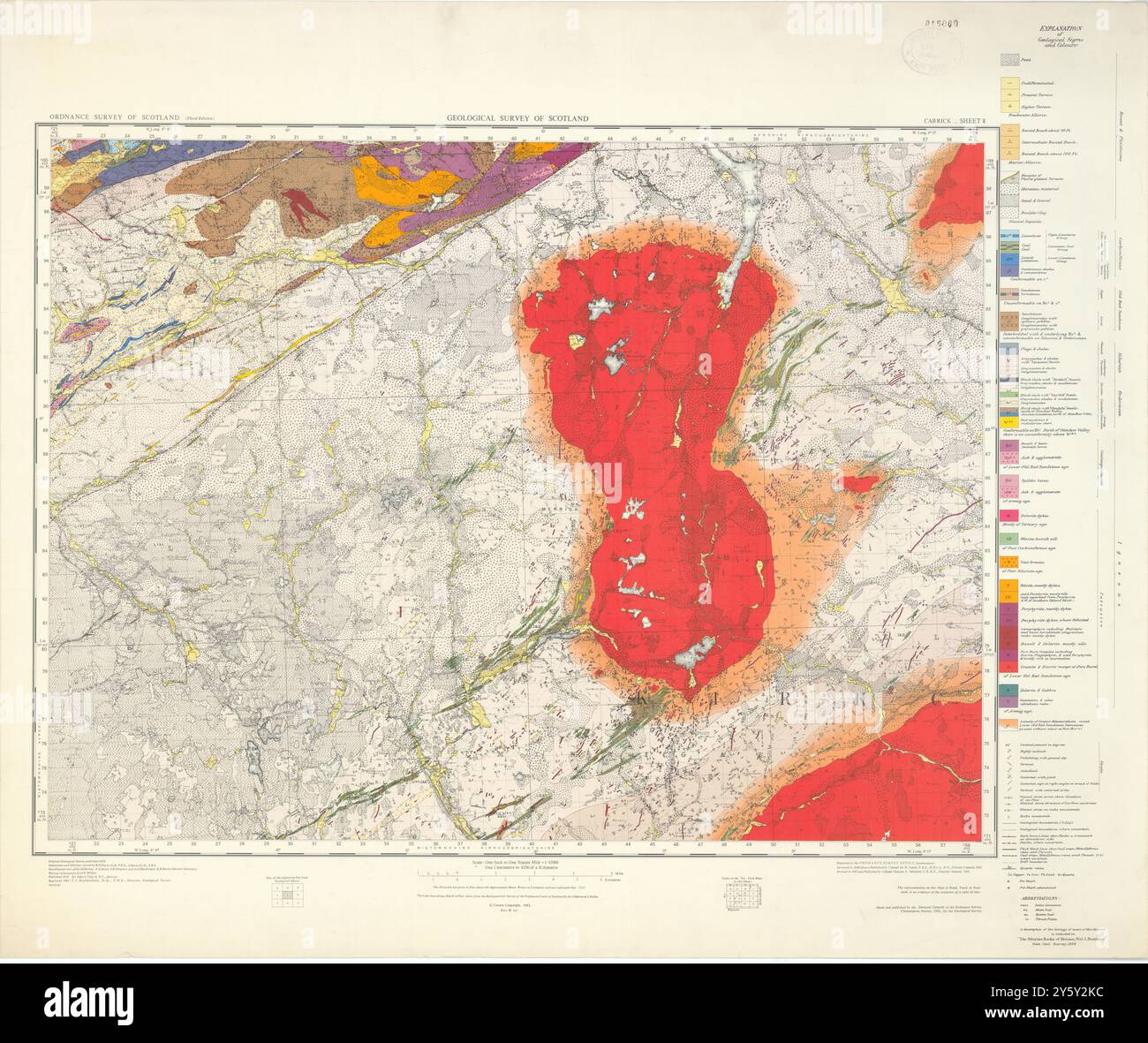 Carrick. Geological Survey of Scotland sheet 8. Rowantree, Carsphairn 1962 map Stock Photohttps://www.alamy.com/image-license-details/?v=1https://www.alamy.com/carrick-geological-survey-of-scotland-sheet-8-rowantree-carsphairn-1962-map-image623241344.html
RF2Y5Y2KC–Carrick. Geological Survey of Scotland sheet 8. Rowantree, Carsphairn 1962 map
 Carsphairn Lane, GB, United Kingdom, Scotland, N 55 13' 0'', S 4 16' 0'', map, Cartascapes Map published in 2024. Explore Cartascapes, a map revealing Earth's diverse landscapes, cultures, and ecosystems. Journey through time and space, discovering the interconnectedness of our planet's past, present, and future. Stock Photohttps://www.alamy.com/image-license-details/?v=1https://www.alamy.com/carsphairn-lane-gb-united-kingdom-scotland-n-55-13-0-s-4-16-0-map-cartascapes-map-published-in-2024-explore-cartascapes-a-map-revealing-earths-diverse-landscapes-cultures-and-ecosystems-journey-through-time-and-space-discovering-the-interconnectedness-of-our-planets-past-present-and-future-image604179291.html
RM2X2XMRR–Carsphairn Lane, GB, United Kingdom, Scotland, N 55 13' 0'', S 4 16' 0'', map, Cartascapes Map published in 2024. Explore Cartascapes, a map revealing Earth's diverse landscapes, cultures, and ecosystems. Journey through time and space, discovering the interconnectedness of our planet's past, present, and future.
 Cairnsmore of Carsphairn, with Highland cattle in foreground Stock Photohttps://www.alamy.com/image-license-details/?v=1https://www.alamy.com/cairnsmore-of-carsphairn-with-highland-cattle-in-foreground-image359105744.html
RM2BT6K14–Cairnsmore of Carsphairn, with Highland cattle in foreground
 Ruined house at old mine near Carsphairn, Dumfries and Galloway, Scotland Stock Photohttps://www.alamy.com/image-license-details/?v=1https://www.alamy.com/ruined-house-at-old-mine-near-carsphairn-dumfries-and-galloway-scotland-image436421362.html
RM2GA0KW6–Ruined house at old mine near Carsphairn, Dumfries and Galloway, Scotland
 War Memorial Carsphairn, with snow covered Rhins of Kells Stock Photohttps://www.alamy.com/image-license-details/?v=1https://www.alamy.com/stock-image-war-memorial-carsphairn-with-snow-covered-rhins-of-kells-164998880.html
RMKGC9N4–War Memorial Carsphairn, with snow covered Rhins of Kells
 Dry Stone Wall Leading up to the Scottish Mountain Cairnsmore of Carsphairn (Corbett) Stock Photohttps://www.alamy.com/image-license-details/?v=1https://www.alamy.com/stock-photo-dry-stone-wall-leading-up-to-the-scottish-mountain-cairnsmore-of-carsphairn-72301115.html
RME5HGPK–Dry Stone Wall Leading up to the Scottish Mountain Cairnsmore of Carsphairn (Corbett)
 Castle Douglas and Cairnsmore of Cairsphairn from Screel aboce Auchencairn, Galloway, South West Scotland Stock Photohttps://www.alamy.com/image-license-details/?v=1https://www.alamy.com/castle-douglas-and-cairnsmore-of-cairsphairn-from-screel-aboce-auchencairn-image67048570.html
RMDW293P–Castle Douglas and Cairnsmore of Cairsphairn from Screel aboce Auchencairn, Galloway, South West Scotland
 Looking to the lower slopes of the Corbett Cairnsmore of Carsphain and the hill Willieanna Stock Photohttps://www.alamy.com/image-license-details/?v=1https://www.alamy.com/looking-to-the-lower-slopes-of-the-corbett-cairnsmore-of-carsphain-and-the-hill-willieanna-image351726412.html
RM2BC6EHG–Looking to the lower slopes of the Corbett Cairnsmore of Carsphain and the hill Willieanna
 The confluence of the Water of Deugh and Polmaddy Burn at Sunset at Dundeugh, Carsphairn, Scotland Stock Photohttps://www.alamy.com/image-license-details/?v=1https://www.alamy.com/the-confluence-of-the-water-of-deugh-and-polmaddy-burn-at-sunset-at-dundeugh-carsphairn-scotland-image468617948.html
RF2J6BAY8–The confluence of the Water of Deugh and Polmaddy Burn at Sunset at Dundeugh, Carsphairn, Scotland
 Galloway heifers, Marbrack Farm, Carsphairn, Castle Douglas, Scotland Stock Photohttps://www.alamy.com/image-license-details/?v=1https://www.alamy.com/galloway-heifers-marbrack-farm-carsphairn-castle-douglas-scotland-image415013710.html
RF2F35E66–Galloway heifers, Marbrack Farm, Carsphairn, Castle Douglas, Scotland
 Countryside near Carsphairn Dumfries and Galloway Scotland UK 2008 Stock Photohttps://www.alamy.com/image-license-details/?v=1https://www.alamy.com/stock-photo-countryside-near-carsphairn-dumfries-and-galloway-scotland-uk-2008-19865744.html
RMB48XXT–Countryside near Carsphairn Dumfries and Galloway Scotland UK 2008
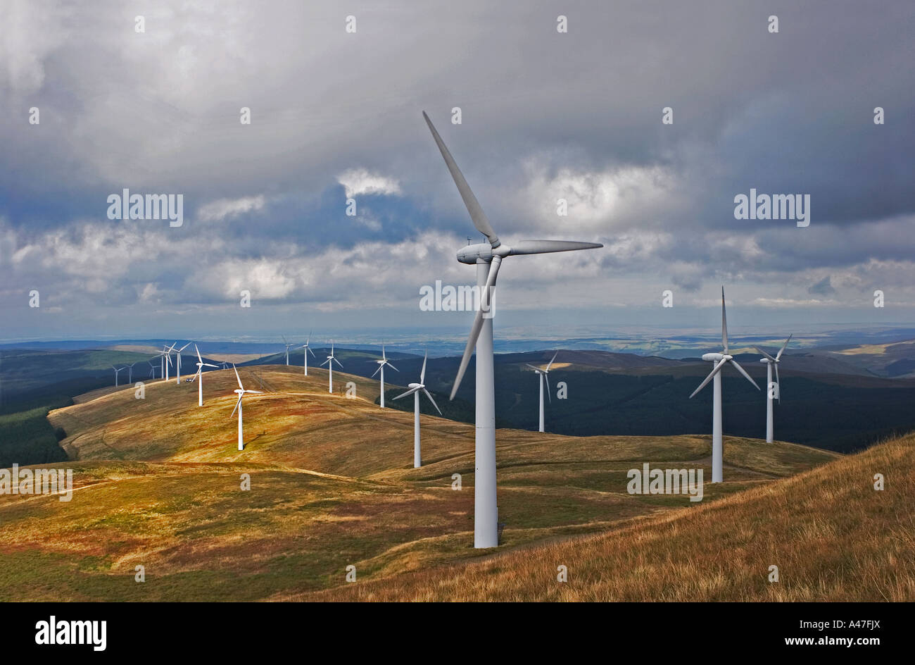 Wind Power Turbines at Windy Standard Wind Farm, above Carsphairn Forest, Dumfries and Galloway, Scotland UK Stock Photohttps://www.alamy.com/image-license-details/?v=1https://www.alamy.com/stock-photo-wind-power-turbines-at-windy-standard-wind-farm-above-carsphairn-forest-10959313.html
RMA47FJX–Wind Power Turbines at Windy Standard Wind Farm, above Carsphairn Forest, Dumfries and Galloway, Scotland UK
 Polmaddy Village Stock Photohttps://www.alamy.com/image-license-details/?v=1https://www.alamy.com/polmaddy-village-image333485236.html
RF2AAFFR0–Polmaddy Village
 Carrick. Geological Survey of Scotland sheet 8. Rowantree, Carsphairn 1962 map Stock Photohttps://www.alamy.com/image-license-details/?v=1https://www.alamy.com/carrick-geological-survey-of-scotland-sheet-8-rowantree-carsphairn-1962-map-image623241525.html
RF2Y5Y2WW–Carrick. Geological Survey of Scotland sheet 8. Rowantree, Carsphairn 1962 map
 Carsphairn, Dumfries and Galloway, GB, United Kingdom, Scotland, N 55 12' 46'', S 4 15' 47'', map, Cartascapes Map published in 2024. Explore Cartascapes, a map revealing Earth's diverse landscapes, cultures, and ecosystems. Journey through time and space, discovering the interconnectedness of our planet's past, present, and future. Stock Photohttps://www.alamy.com/image-license-details/?v=1https://www.alamy.com/carsphairn-dumfries-and-galloway-gb-united-kingdom-scotland-n-55-12-46-s-4-15-47-map-cartascapes-map-published-in-2024-explore-cartascapes-a-map-revealing-earths-diverse-landscapes-cultures-and-ecosystems-journey-through-time-and-space-discovering-the-interconnectedness-of-our-planets-past-present-and-future-image604179299.html
RM2X2XMT3–Carsphairn, Dumfries and Galloway, GB, United Kingdom, Scotland, N 55 12' 46'', S 4 15' 47'', map, Cartascapes Map published in 2024. Explore Cartascapes, a map revealing Earth's diverse landscapes, cultures, and ecosystems. Journey through time and space, discovering the interconnectedness of our planet's past, present, and future.
 Cairnsmore of Carsphairn, with Highland cattle in foreground Stock Photohttps://www.alamy.com/image-license-details/?v=1https://www.alamy.com/cairnsmore-of-carsphairn-with-highland-cattle-in-foreground-image359104707.html
RM2BT6HM3–Cairnsmore of Carsphairn, with Highland cattle in foreground
 Tree and daffodils, Woodhead lead mine, near Carsphairn, Dumfries and Galloway Stock Photohttps://www.alamy.com/image-license-details/?v=1https://www.alamy.com/tree-and-daffodils-woodhead-lead-mine-near-carsphairn-dumfries-and-galloway-image436421419.html
RM2GA0KY7–Tree and daffodils, Woodhead lead mine, near Carsphairn, Dumfries and Galloway
 Carsphairn War Memorial Stock Photohttps://www.alamy.com/image-license-details/?v=1https://www.alamy.com/stock-photo-carsphairn-war-memorial-145430761.html
RMJCGXBN–Carsphairn War Memorial
 Dry Stone Wall Leading up to the Scottish Mountain Cairnsmore of Carsphairn (Corbett) Stock Photohttps://www.alamy.com/image-license-details/?v=1https://www.alamy.com/stock-photo-dry-stone-wall-leading-up-to-the-scottish-mountain-cairnsmore-of-carsphairn-72301082.html
RME5HGNE–Dry Stone Wall Leading up to the Scottish Mountain Cairnsmore of Carsphairn (Corbett)
 Castle Douglas and Cairnsmore of Cairsphairn from Screel, Galloway Stock Photohttps://www.alamy.com/image-license-details/?v=1https://www.alamy.com/castle-douglas-and-cairnsmore-of-cairsphairn-from-screel-galloway-image66726308.html
RMDTFJ2C–Castle Douglas and Cairnsmore of Cairsphairn from Screel, Galloway
 Looking across to the Corbett Cairnsmore of Carsphain from the ridge on Dunool, Dumfries and Galloway, Scotland, UK Stock Photohttps://www.alamy.com/image-license-details/?v=1https://www.alamy.com/looking-across-to-the-corbett-cairnsmore-of-carsphain-from-the-ridge-on-dunool-dumfries-and-galloway-scotland-uk-image351726204.html
RM2BC6EA4–Looking across to the Corbett Cairnsmore of Carsphain from the ridge on Dunool, Dumfries and Galloway, Scotland, UK
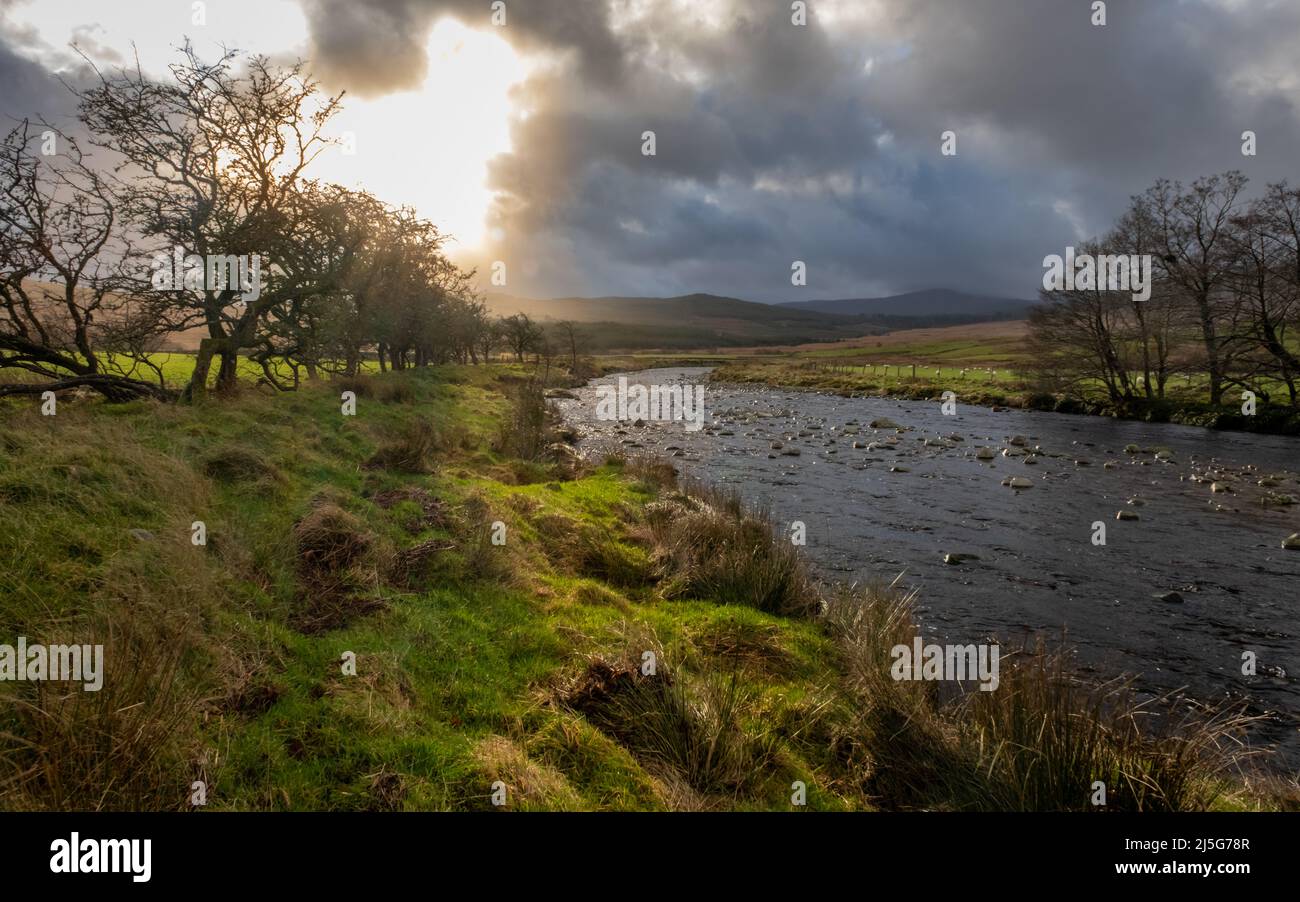 The Water of Deugh near Carsphairn at sunset in winter, Dumfries and Galloway, Scotland Scotland Stock Photohttps://www.alamy.com/image-license-details/?v=1https://www.alamy.com/the-water-of-deugh-near-carsphairn-at-sunset-in-winter-dumfries-and-galloway-scotland-scotland-image468110183.html
RF2J5G78R–The Water of Deugh near Carsphairn at sunset in winter, Dumfries and Galloway, Scotland Scotland
 Galloway heifers, Marbrack Farm, Carsphairn, Castle Douglas, Scotland Stock Photohttps://www.alamy.com/image-license-details/?v=1https://www.alamy.com/galloway-heifers-marbrack-farm-carsphairn-castle-douglas-scotland-image415013639.html
RF2F35E3K–Galloway heifers, Marbrack Farm, Carsphairn, Castle Douglas, Scotland
 Wind Power Turbines at Windy Standard Wind Farm, above Carsphairn Forest, Dumfries and Galloway, Scotland UK Stock Photohttps://www.alamy.com/image-license-details/?v=1https://www.alamy.com/stock-photo-wind-power-turbines-at-windy-standard-wind-farm-above-carsphairn-forest-10959319.html
RMA47FKM–Wind Power Turbines at Windy Standard Wind Farm, above Carsphairn Forest, Dumfries and Galloway, Scotland UK
 Polmaddy Village Stock Photohttps://www.alamy.com/image-license-details/?v=1https://www.alamy.com/polmaddy-village-image333485353.html
RF2AAFFY5–Polmaddy Village
 Cairnsmore of Carsphairn, Dumfries and Galloway, GB, United Kingdom, Scotland, N 55 15' 21'', S 4 12' 47'', map, Cartascapes Map published in 2024. Explore Cartascapes, a map revealing Earth's diverse landscapes, cultures, and ecosystems. Journey through time and space, discovering the interconnectedness of our planet's past, present, and future. Stock Photohttps://www.alamy.com/image-license-details/?v=1https://www.alamy.com/cairnsmore-of-carsphairn-dumfries-and-galloway-gb-united-kingdom-scotland-n-55-15-21-s-4-12-47-map-cartascapes-map-published-in-2024-explore-cartascapes-a-map-revealing-earths-diverse-landscapes-cultures-and-ecosystems-journey-through-time-and-space-discovering-the-interconnectedness-of-our-planets-past-present-and-future-image604179975.html
RM2X2XNM7–Cairnsmore of Carsphairn, Dumfries and Galloway, GB, United Kingdom, Scotland, N 55 15' 21'', S 4 12' 47'', map, Cartascapes Map published in 2024. Explore Cartascapes, a map revealing Earth's diverse landscapes, cultures, and ecosystems. Journey through time and space, discovering the interconnectedness of our planet's past, present, and future.
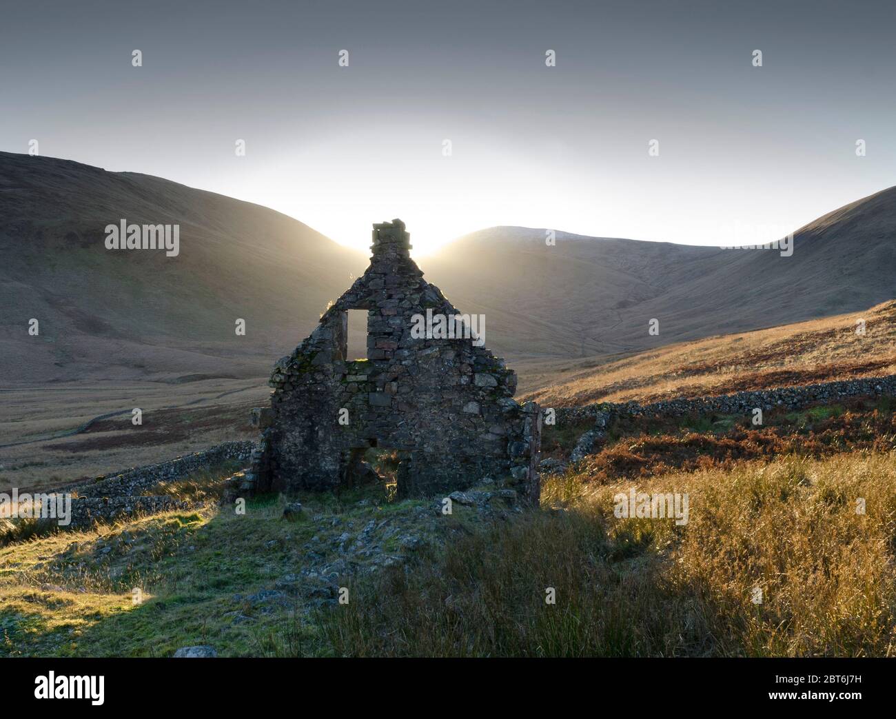 Ruinoud relic gable end of former Lead Mine with the Black Gairy, Carsphairn, Galloway Stock Photohttps://www.alamy.com/image-license-details/?v=1https://www.alamy.com/ruinoud-relic-gable-end-of-former-lead-mine-with-the-black-gairy-carsphairn-galloway-image359105141.html
RM2BT6J7H–Ruinoud relic gable end of former Lead Mine with the Black Gairy, Carsphairn, Galloway
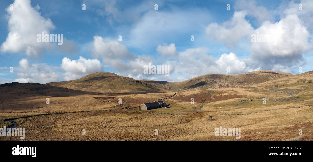 Ruined house at Woodhead lead mine near Carsphairn, Dumfries and Galloway, Scotland Stock Photohttps://www.alamy.com/image-license-details/?v=1https://www.alamy.com/ruined-house-at-woodhead-lead-mine-near-carsphairn-dumfries-and-galloway-scotland-image436421428.html
RM2GA0KYG–Ruined house at Woodhead lead mine near Carsphairn, Dumfries and Galloway, Scotland
 Dry Stone Wall Leading up to the Scottish Mountain Cairnsmore of Carsphairn (Corbett) Stock Photohttps://www.alamy.com/image-license-details/?v=1https://www.alamy.com/stock-photo-dry-stone-wall-leading-up-to-the-scottish-mountain-cairnsmore-of-carsphairn-72301100.html
RME5HGP4–Dry Stone Wall Leading up to the Scottish Mountain Cairnsmore of Carsphairn (Corbett)
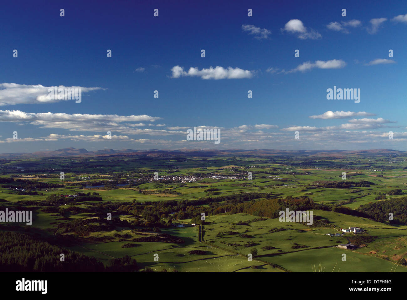 Castle Douglas and Cairnsmore of Cairsphairn from Screel aboce Auchencairn, Galloway, South West Scotland Stock Photohttps://www.alamy.com/image-license-details/?v=1https://www.alamy.com/castle-douglas-and-cairnsmore-of-cairsphairn-from-screel-aboce-auchencairn-image66726060.html
RMDTFHNG–Castle Douglas and Cairnsmore of Cairsphairn from Screel aboce Auchencairn, Galloway, South West Scotland
 Dry Stone Wall on the Ridge Between Cairnsmore of Carsphairn (A Corbett) and Dunool Stock Photohttps://www.alamy.com/image-license-details/?v=1https://www.alamy.com/stock-photo-dry-stone-wall-on-the-ridge-between-cairnsmore-of-carsphairn-a-corbett-72301150.html
RME5HGRX–Dry Stone Wall on the Ridge Between Cairnsmore of Carsphairn (A Corbett) and Dunool
 A walker descending off the Corbett Cairnsmore of Carsphain with the Range of the Awful Hand in the distance, Dumfries and Galloway, Scotland, UK Stock Photohttps://www.alamy.com/image-license-details/?v=1https://www.alamy.com/a-walker-descending-off-the-corbett-cairnsmore-of-carsphain-with-the-range-of-the-awful-hand-in-the-distance-dumfries-and-galloway-scotland-uk-image351726447.html
RM2BC6EJR–A walker descending off the Corbett Cairnsmore of Carsphain with the Range of the Awful Hand in the distance, Dumfries and Galloway, Scotland, UK
 Galloway heifers, Marbrack Farm, Carsphairn, Dumfries & Galloway, Scotland Stock Photohttps://www.alamy.com/image-license-details/?v=1https://www.alamy.com/galloway-heifers-marbrack-farm-carsphairn-dumfries-galloway-scotland-image415006192.html
RF2F354HM–Galloway heifers, Marbrack Farm, Carsphairn, Dumfries & Galloway, Scotland
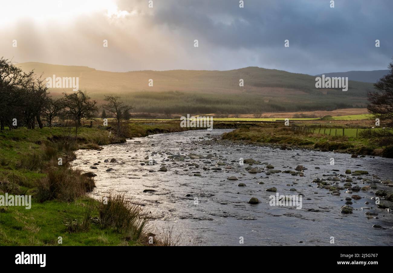 The Water of Deugh near Carsphairn at sunset in winter, Dumfries and Galloway, Scotland Scotland Stock Photohttps://www.alamy.com/image-license-details/?v=1https://www.alamy.com/the-water-of-deugh-near-carsphairn-at-sunset-in-winter-dumfries-and-galloway-scotland-scotland-image468110111.html
RF2J5G767–The Water of Deugh near Carsphairn at sunset in winter, Dumfries and Galloway, Scotland Scotland
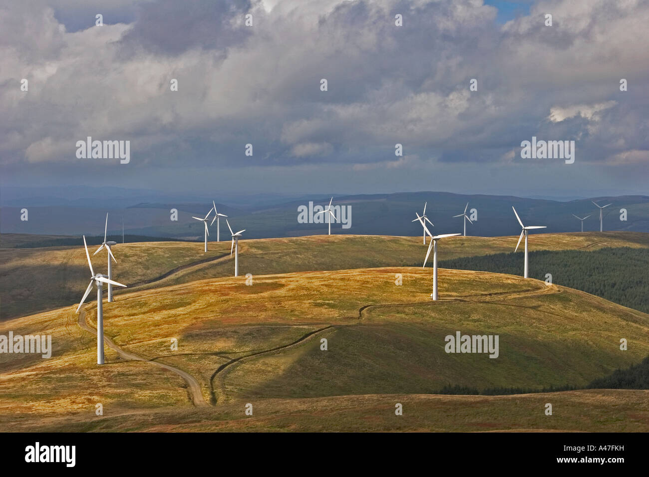 Wind Power Turbines at Windy Standard Wind Farm, above Carsphairn Forest, Dumfries and Galloway, Scotland UK Stock Photohttps://www.alamy.com/image-license-details/?v=1https://www.alamy.com/stock-photo-wind-power-turbines-at-windy-standard-wind-farm-above-carsphairn-forest-10959316.html
RMA47FKH–Wind Power Turbines at Windy Standard Wind Farm, above Carsphairn Forest, Dumfries and Galloway, Scotland UK
 Carsphairn, Dumfries and Galloway, United Kingdom, Scotland, N 55 12' 46'', W 4 15' 47'', map, Timeless Map published in 2021. Travelers, explorers and adventurers like Florence Nightingale, David Livingstone, Ernest Shackleton, Lewis and Clark and Sherlock Holmes relied on maps to plan travels to the world's most remote corners, Timeless Maps is mapping most locations on the globe, showing the achievement of great dreams Stock Photohttps://www.alamy.com/image-license-details/?v=1https://www.alamy.com/carsphairn-dumfries-and-galloway-united-kingdom-scotland-n-55-12-46-w-4-15-47-map-timeless-map-published-in-2021-travelers-explorers-and-adventurers-like-florence-nightingale-david-livingstone-ernest-shackleton-lewis-and-clark-and-sherlock-holmes-relied-on-maps-to-plan-travels-to-the-worlds-most-remote-corners-timeless-maps-is-mapping-most-locations-on-the-globe-showing-the-achievement-of-great-dreams-image439400381.html
RM2GETBJN–Carsphairn, Dumfries and Galloway, United Kingdom, Scotland, N 55 12' 46'', W 4 15' 47'', map, Timeless Map published in 2021. Travelers, explorers and adventurers like Florence Nightingale, David Livingstone, Ernest Shackleton, Lewis and Clark and Sherlock Holmes relied on maps to plan travels to the world's most remote corners, Timeless Maps is mapping most locations on the globe, showing the achievement of great dreams
 Dramatic light across the fallen ruins of former Polmaddy village, Dundeugh, Carsphairn, Glenkens, Galloway Stock Photohttps://www.alamy.com/image-license-details/?v=1https://www.alamy.com/dramatic-light-across-the-fallen-ruins-of-former-polmaddy-village-dundeugh-carsphairn-glenkens-galloway-image359105959.html
RM2BT6K8R–Dramatic light across the fallen ruins of former Polmaddy village, Dundeugh, Carsphairn, Glenkens, Galloway
 Pile of Stones Marking the Summit of Dunrool Looking Towards the Western Ridge of Cairnsmore of Carsphairn (A Corbett) Stock Photohttps://www.alamy.com/image-license-details/?v=1https://www.alamy.com/stock-photo-pile-of-stones-marking-the-summit-of-dunrool-looking-towards-the-western-72301145.html
RME5HGRN–Pile of Stones Marking the Summit of Dunrool Looking Towards the Western Ridge of Cairnsmore of Carsphairn (A Corbett)
 The summit trig point of the Corbett Cairnsmore of Carsphain with the Range of the Awful Hand in the distance, Dumfries and Galloway, Scotland, UK Stock Photohttps://www.alamy.com/image-license-details/?v=1https://www.alamy.com/the-summit-trig-point-of-the-corbett-cairnsmore-of-carsphain-with-the-range-of-the-awful-hand-in-the-distance-dumfries-and-galloway-scotland-uk-image351726408.html
RM2BC6EHC–The summit trig point of the Corbett Cairnsmore of Carsphain with the Range of the Awful Hand in the distance, Dumfries and Galloway, Scotland, UK
 Galloway heifers, Marbrack Farm, Carsphairn, Dumfries & Galloway, Scotland Stock Photohttps://www.alamy.com/image-license-details/?v=1https://www.alamy.com/galloway-heifers-marbrack-farm-carsphairn-dumfries-galloway-scotland-image415006012.html
RF2F354B8–Galloway heifers, Marbrack Farm, Carsphairn, Dumfries & Galloway, Scotland
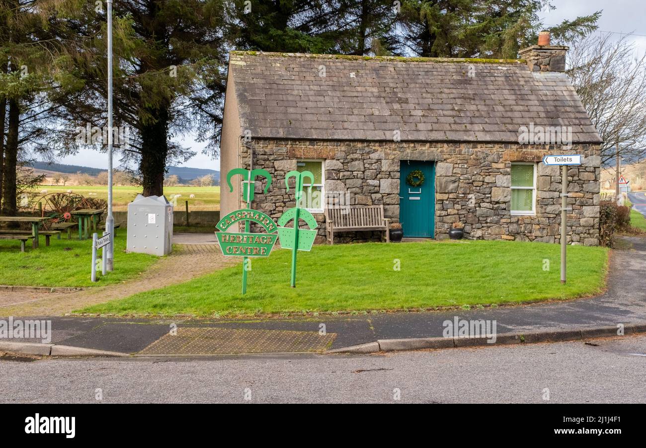 Carsphairn, Scotland - January 2nd 2022: Carsphairn Heritage Centre Building, Dumfries and Galloway, Scotland Stock Photohttps://www.alamy.com/image-license-details/?v=1https://www.alamy.com/carsphairn-scotland-january-2nd-2022-carsphairn-heritage-centre-building-dumfries-and-galloway-scotland-image465693285.html
RF2J1J4F1–Carsphairn, Scotland - January 2nd 2022: Carsphairn Heritage Centre Building, Dumfries and Galloway, Scotland
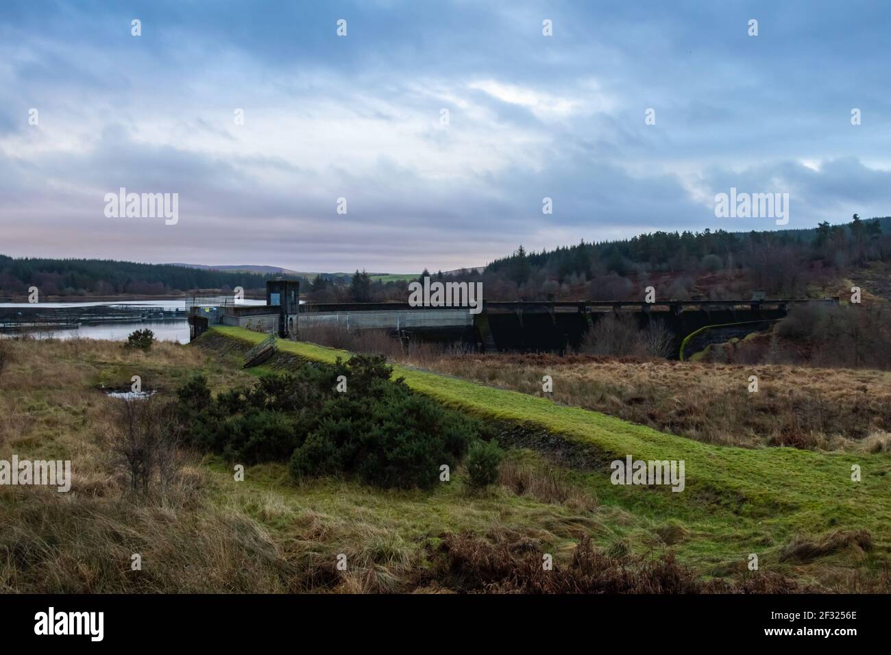 Deugh Dam and Kendoon Loch at sunset in winter near Carsphairn, Dumfries and Galloway, Scotland Stock Photohttps://www.alamy.com/image-license-details/?v=1https://www.alamy.com/deugh-dam-and-kendoon-loch-at-sunset-in-winter-near-carsphairn-dumfries-and-galloway-scotland-image414940806.html
RF2F3256E–Deugh Dam and Kendoon Loch at sunset in winter near Carsphairn, Dumfries and Galloway, Scotland
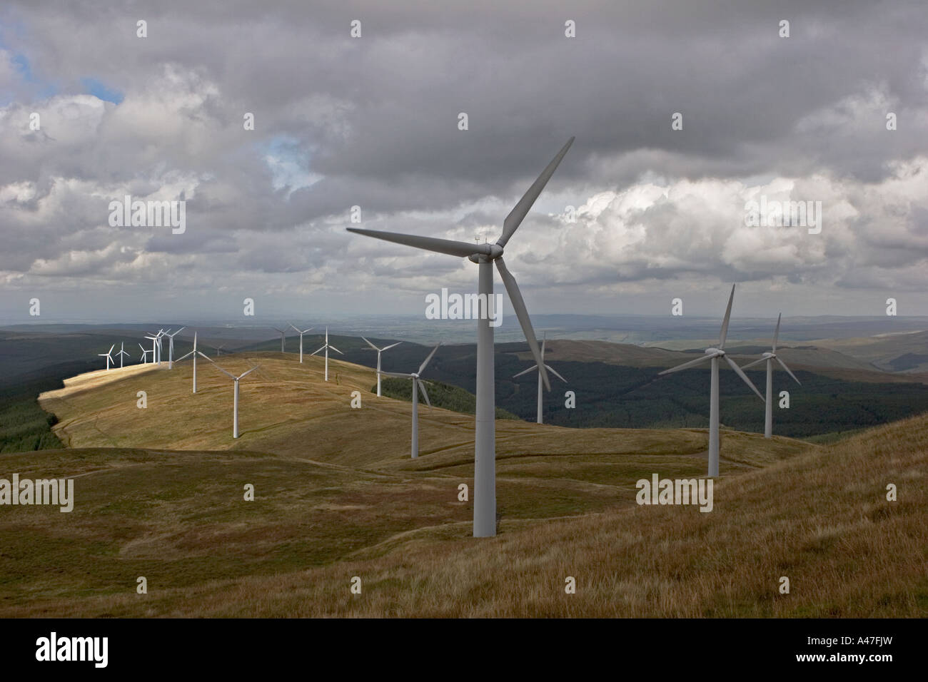 Wind Power Turbines at Windy Standard Wind Farm, above Carsphairn Forest, Dumfries and Galloway, Scotland UK Stock Photohttps://www.alamy.com/image-license-details/?v=1https://www.alamy.com/stock-photo-wind-power-turbines-at-windy-standard-wind-farm-above-carsphairn-forest-10959312.html
RMA47FJW–Wind Power Turbines at Windy Standard Wind Farm, above Carsphairn Forest, Dumfries and Galloway, Scotland UK
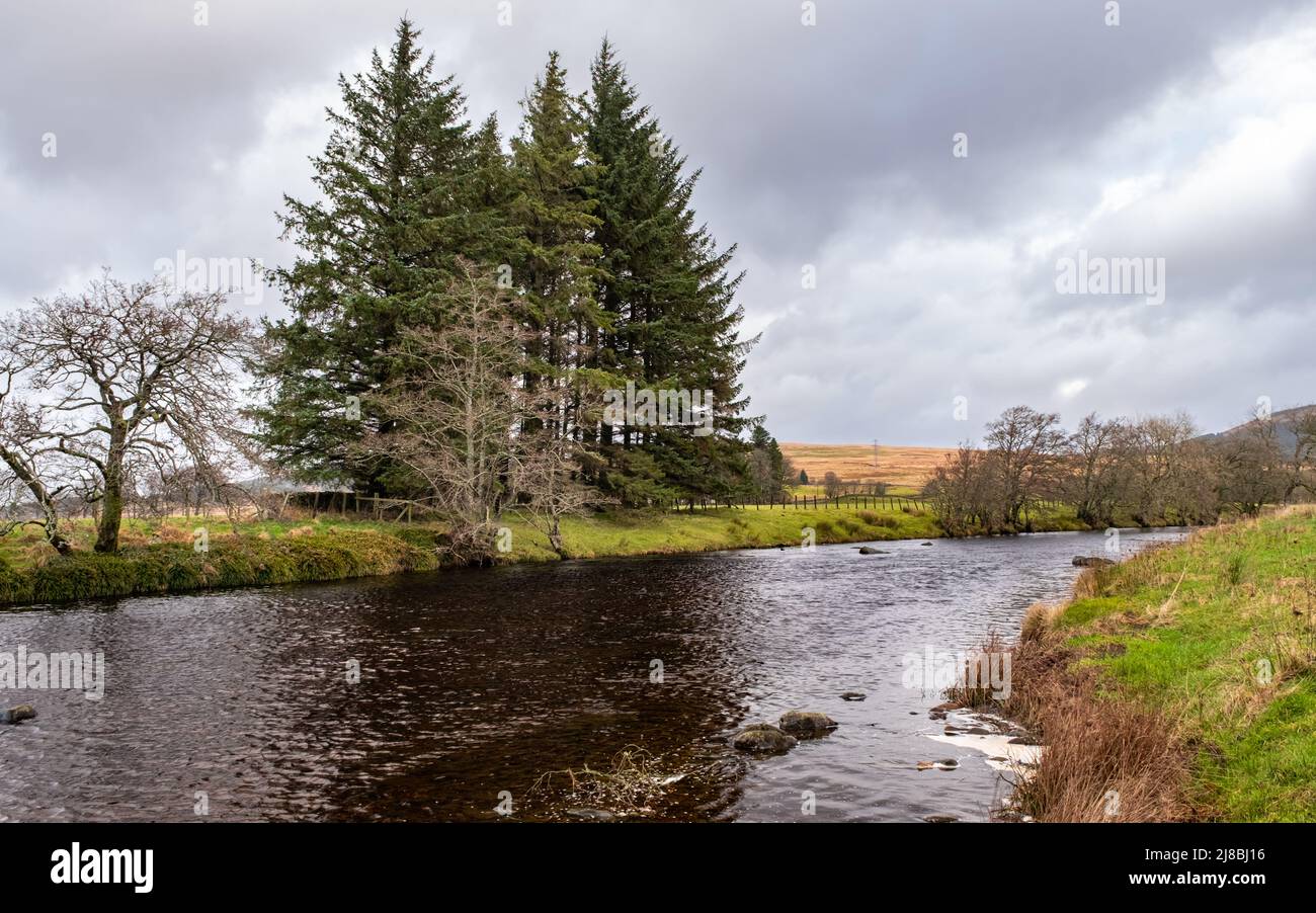 The Long Pool on the Water of Deugh river near Carsphairn in winter, Dumfries and Galloway, Scotland Stock Photohttps://www.alamy.com/image-license-details/?v=1https://www.alamy.com/the-long-pool-on-the-water-of-deugh-river-near-carsphairn-in-winter-dumfries-and-galloway-scotland-image469852802.html
RF2J8BJ16–The Long Pool on the Water of Deugh river near Carsphairn in winter, Dumfries and Galloway, Scotland
 Palmaddy Burn and rough moorland in Autumn light Stock Photohttps://www.alamy.com/image-license-details/?v=1https://www.alamy.com/palmaddy-burn-and-rough-moorland-in-autumn-light-image359106103.html
RM2BT6KDY–Palmaddy Burn and rough moorland in Autumn light
 Dry Stone Wall & Shelter with Triangulation Point on the Summit of Cairnsmore of Carsphairn (A Corbett) Stock Photohttps://www.alamy.com/image-license-details/?v=1https://www.alamy.com/stock-photo-dry-stone-wall-shelter-with-triangulation-point-on-the-summit-of-cairnsmore-72301141.html
RME5HGRH–Dry Stone Wall & Shelter with Triangulation Point on the Summit of Cairnsmore of Carsphairn (A Corbett)
 Descending off the Corbett Cairnsmore of Carsphain with the Range of the Awful Hand in the distance, Dumfries and Galloway, Scotland, UK Stock Photohttps://www.alamy.com/image-license-details/?v=1https://www.alamy.com/descending-off-the-corbett-cairnsmore-of-carsphain-with-the-range-of-the-awful-hand-in-the-distance-dumfries-and-galloway-scotland-uk-image351726441.html
RM2BC6EJH–Descending off the Corbett Cairnsmore of Carsphain with the Range of the Awful Hand in the distance, Dumfries and Galloway, Scotland, UK
 Galloway heifers, Marbrack Farm, Carsphairn, Dumfries & Galloway, Scotland Stock Photohttps://www.alamy.com/image-license-details/?v=1https://www.alamy.com/galloway-heifers-marbrack-farm-carsphairn-dumfries-galloway-scotland-image415005979.html
RF2F354A3–Galloway heifers, Marbrack Farm, Carsphairn, Dumfries & Galloway, Scotland
 Carsphairn, Scotland - January 2nd 2022: The A713 road leading into the village of Carsphairn, Dumfries and Galloway, Scotland Stock Photohttps://www.alamy.com/image-license-details/?v=1https://www.alamy.com/carsphairn-scotland-january-2nd-2022-the-a713-road-leading-into-the-village-of-carsphairn-dumfries-and-galloway-scotland-image465693280.html
RF2J1J4ET–Carsphairn, Scotland - January 2nd 2022: The A713 road leading into the village of Carsphairn, Dumfries and Galloway, Scotland
 Palmaddy Burn and rough moorland in Autumn light Stock Photohttps://www.alamy.com/image-license-details/?v=1https://www.alamy.com/palmaddy-burn-and-rough-moorland-in-autumn-light-image359105231.html
RM2BT6JAR–Palmaddy Burn and rough moorland in Autumn light
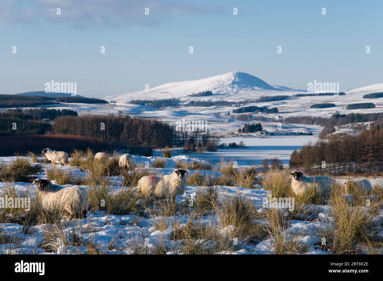 sheep and hills, high bridge of ken Stock Photohttps://www.alamy.com/image-license-details/?v=1https://www.alamy.com/sheep-and-hills-high-bridge-of-ken-image359105782.html
RM2BT6K2E–sheep and hills, high bridge of ken
 Lead mine relic, Carsphairn Stock Photohttps://www.alamy.com/image-license-details/?v=1https://www.alamy.com/lead-mine-relic-carsphairn-image359104766.html
RM2BT6HP6–Lead mine relic, Carsphairn
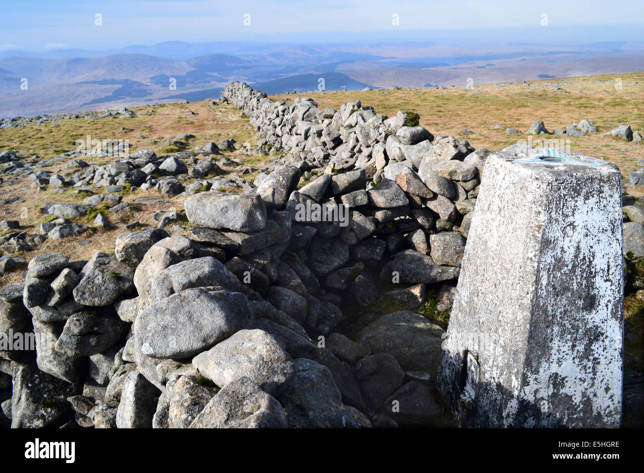 Dry Stone Wall & Shelter with Triangulation Point on the Summit of Cairnsmore of Carsphairn (A Corbett) Stock Photohttps://www.alamy.com/image-license-details/?v=1https://www.alamy.com/stock-photo-dry-stone-wall-shelter-with-triangulation-point-on-the-summit-of-cairnsmore-72301138.html
RME5HGRE–Dry Stone Wall & Shelter with Triangulation Point on the Summit of Cairnsmore of Carsphairn (A Corbett)
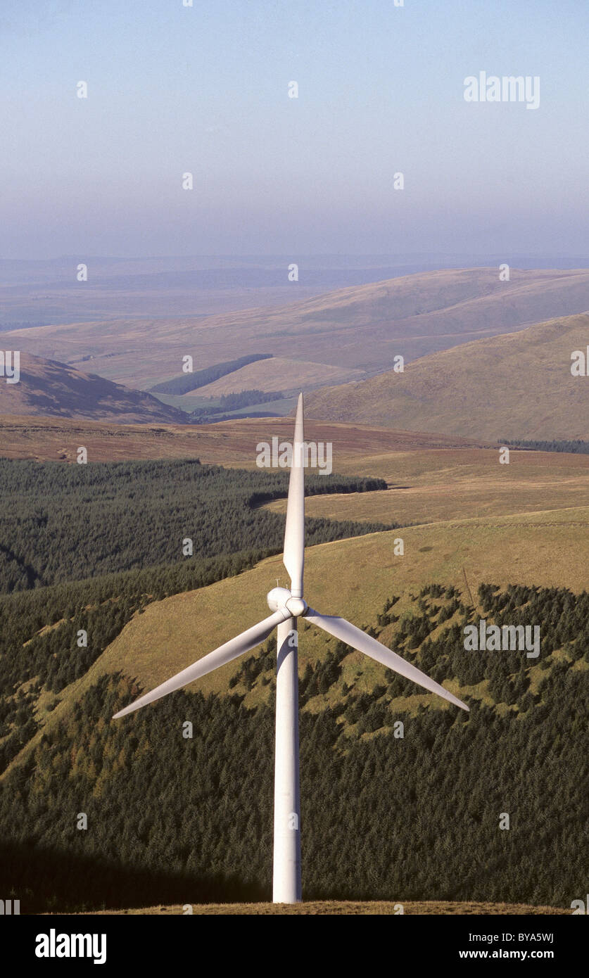 Detail of wind turbine at windy standard carsphairn hills galloway Stock Photohttps://www.alamy.com/image-license-details/?v=1https://www.alamy.com/stock-photo-detail-of-wind-turbine-at-windy-standard-carsphairn-hills-galloway-34030238.html
RMBYA5WJ–Detail of wind turbine at windy standard carsphairn hills galloway
 Galloway heifers, Marbrack Farm, Carsphairn, Dumfries & Galloway, Scotland Stock Photohttps://www.alamy.com/image-license-details/?v=1https://www.alamy.com/galloway-heifers-marbrack-farm-carsphairn-dumfries-galloway-scotland-image415006106.html
RF2F354EJ–Galloway heifers, Marbrack Farm, Carsphairn, Dumfries & Galloway, Scotland
 Cottage at Loch Doon and Rhinns of Kells in snow, Galloway Forest Park Stock Photohttps://www.alamy.com/image-license-details/?v=1https://www.alamy.com/cottage-at-loch-doon-and-rhinns-of-kells-in-snow-galloway-forest-park-image359104695.html
RM2BT6HKK–Cottage at Loch Doon and Rhinns of Kells in snow, Galloway Forest Park
 Carsphairn, Scotland - January 2nd 2022: Ram horn shaped sign at Carsphairn Heritage Centre, Scotland Stock Photohttps://www.alamy.com/image-license-details/?v=1https://www.alamy.com/carsphairn-scotland-january-2nd-2022-ram-horn-shaped-sign-at-carsphairn-heritage-centre-scotland-image465693283.html
RF2J1J4EY–Carsphairn, Scotland - January 2nd 2022: Ram horn shaped sign at Carsphairn Heritage Centre, Scotland
 Galloway heifers, Marbrack Farm, Carsphairn, Dumfries & Galloway, Scotland Stock Photohttps://www.alamy.com/image-license-details/?v=1https://www.alamy.com/galloway-heifers-marbrack-farm-carsphairn-dumfries-galloway-scotland-image415005925.html
RF2F35485–Galloway heifers, Marbrack Farm, Carsphairn, Dumfries & Galloway, Scotland
 Feeding Scottish Blackface Sheep in the snow Stock Photohttps://www.alamy.com/image-license-details/?v=1https://www.alamy.com/feeding-scottish-blackface-sheep-in-the-snow-image411270365.html
RF2EW2YF9–Feeding Scottish Blackface Sheep in the snow
 Galloway cattle, Marbrack Farm, Carsphairn, Dumfries & Galloway Stock Photohttps://www.alamy.com/image-license-details/?v=1https://www.alamy.com/galloway-cattle-marbrack-farm-carsphairn-dumfries-galloway-image413996318.html
RF2F1F4EP–Galloway cattle, Marbrack Farm, Carsphairn, Dumfries & Galloway
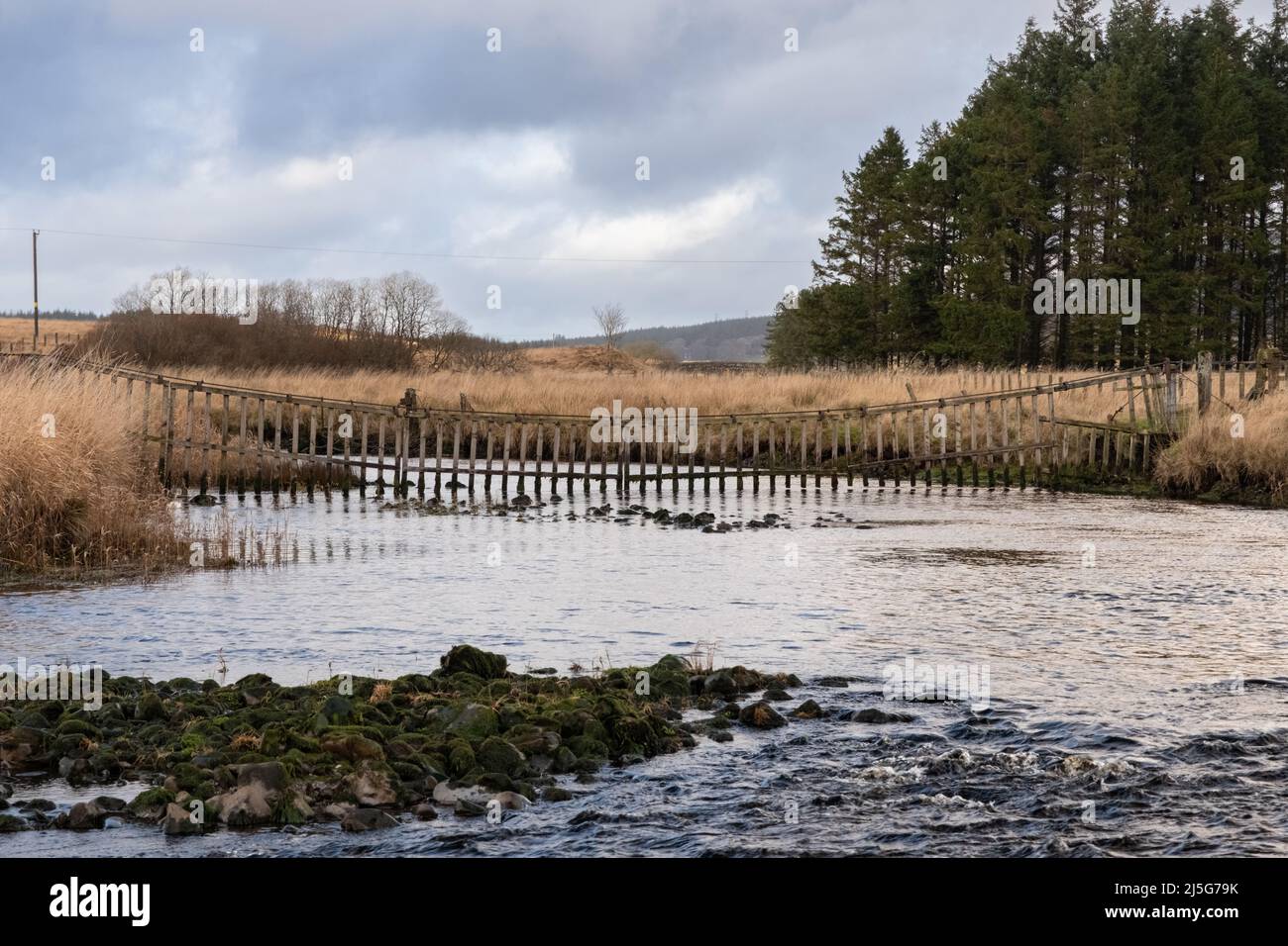 A watergate hanging across the Carsphairn Lane River at the confluence with the Water of Deugh in winter, Dumfries and Galloway Scotland Stock Photohttps://www.alamy.com/image-license-details/?v=1https://www.alamy.com/a-watergate-hanging-across-the-carsphairn-lane-river-at-the-confluence-with-the-water-of-deugh-in-winter-dumfries-and-galloway-scotland-image468110207.html
RF2J5G79K–A watergate hanging across the Carsphairn Lane River at the confluence with the Water of Deugh in winter, Dumfries and Galloway Scotland
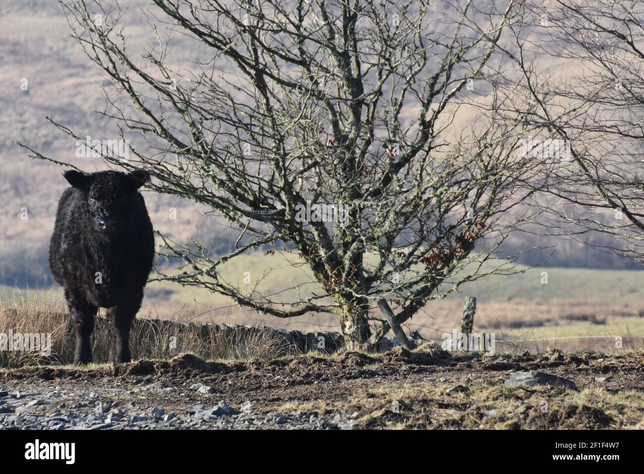 Galloway cattle, Marbrack Farm, Carsphairn, Dumfries & Galloway Stock Photohttps://www.alamy.com/image-license-details/?v=1https://www.alamy.com/galloway-cattle-marbrack-farm-carsphairn-dumfries-galloway-image413996611.html
RF2F1F4W7–Galloway cattle, Marbrack Farm, Carsphairn, Dumfries & Galloway
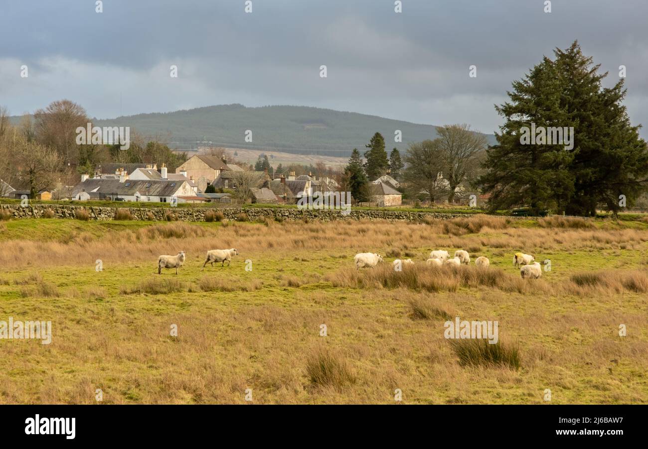 A flock of sheep in a Scottish field beside the town of Carsphairn, with Cairnsmore of Carsphairn in the background, Scotland Stock Photohttps://www.alamy.com/image-license-details/?v=1https://www.alamy.com/a-flock-of-sheep-in-a-scottish-field-beside-the-town-of-carsphairn-with-cairnsmore-of-carsphairn-in-the-background-scotland-image468617891.html
RF2J6BAW7–A flock of sheep in a Scottish field beside the town of Carsphairn, with Cairnsmore of Carsphairn in the background, Scotland
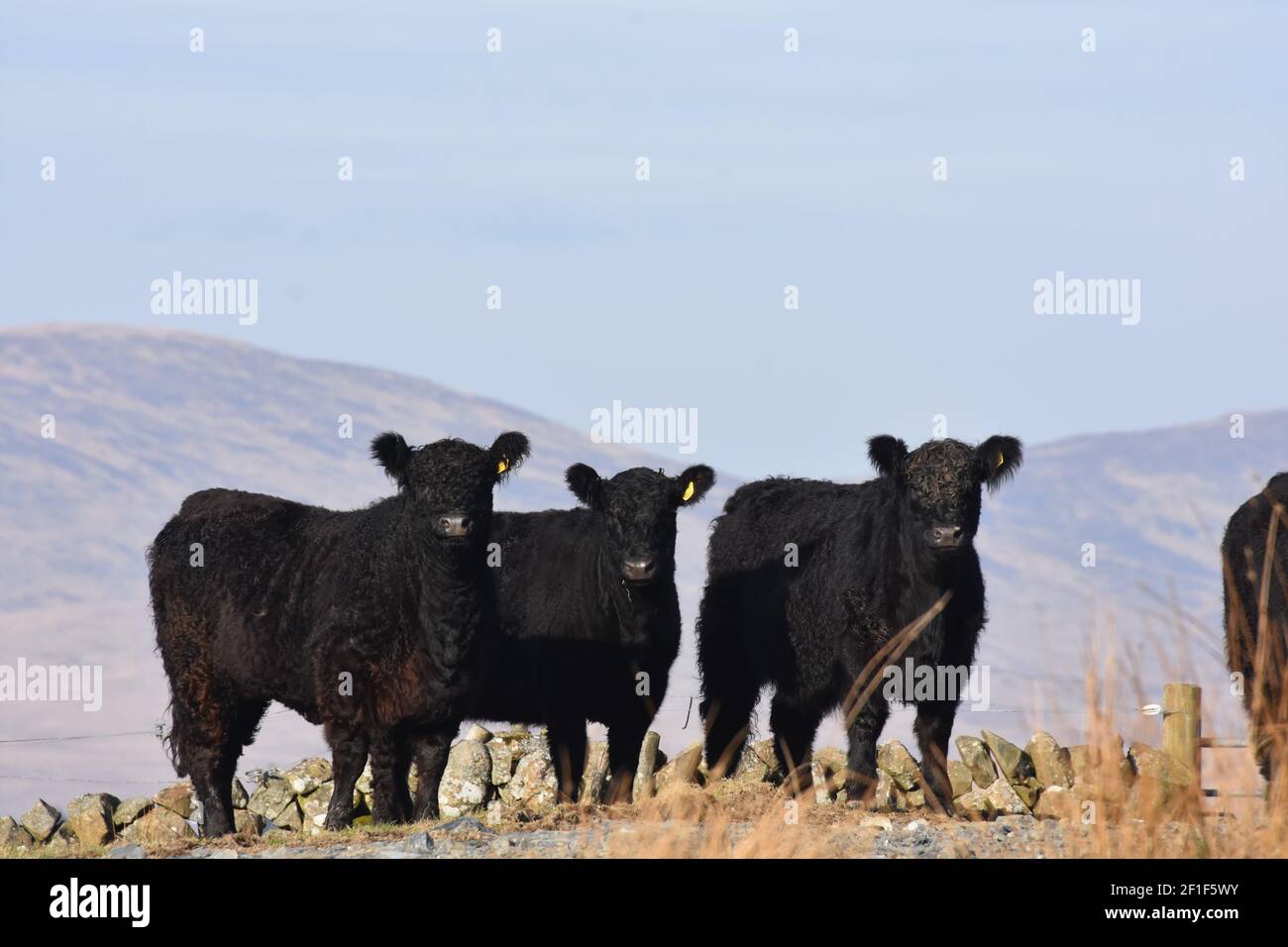 Galloway cattle, Marbrack Farm, Carsphairn, Dumfries & Galloway Stock Photohttps://www.alamy.com/image-license-details/?v=1https://www.alamy.com/galloway-cattle-marbrack-farm-carsphairn-dumfries-galloway-image413997415.html
RF2F1F5WY–Galloway cattle, Marbrack Farm, Carsphairn, Dumfries & Galloway
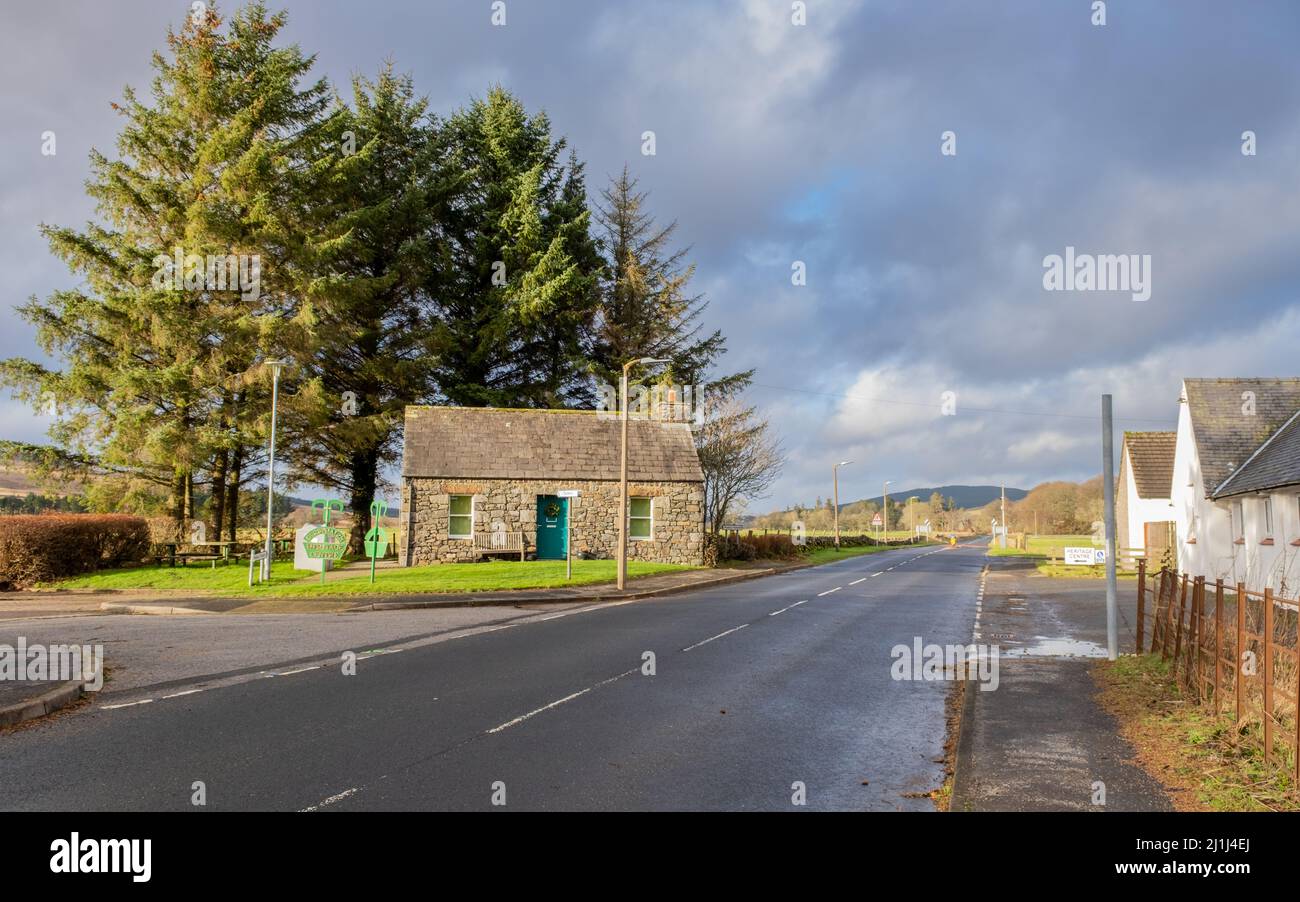 Carsphairn, Scotland - January 2nd 2022: Carsphairn Heritage Centre beside the a713 road to Ayrshire, on a winters day in Scotland Stock Photohttps://www.alamy.com/image-license-details/?v=1https://www.alamy.com/carsphairn-scotland-january-2nd-2022-carsphairn-heritage-centre-beside-the-a713-road-to-ayrshire-on-a-winters-day-in-scotland-image465693274.html
RF2J1J4EJ–Carsphairn, Scotland - January 2nd 2022: Carsphairn Heritage Centre beside the a713 road to Ayrshire, on a winters day in Scotland
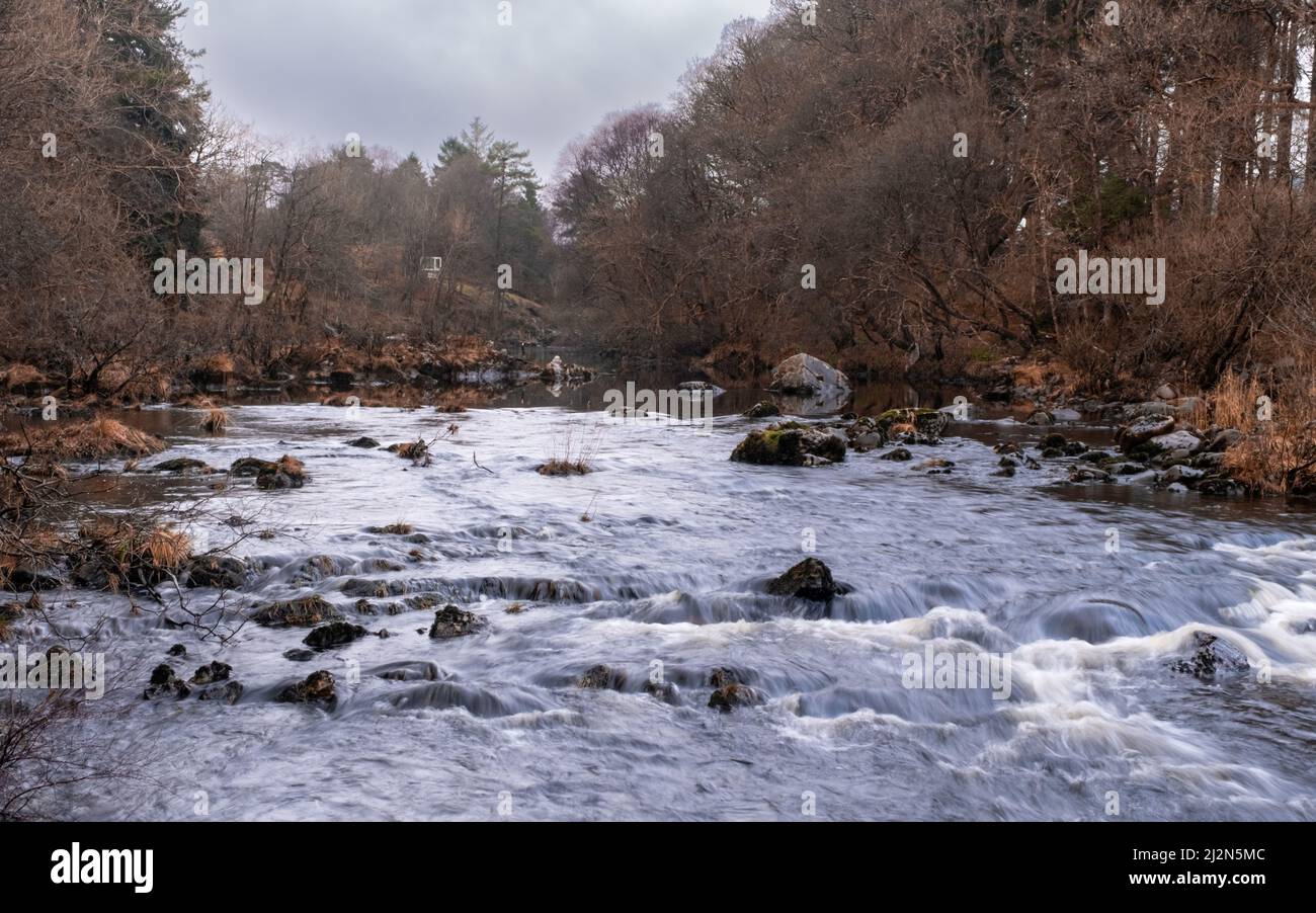 The Water of Deugh flowing through Dundeugh below the Polmaddy Burn confluence in Winter, Dumfries and Galloway, Scotland Stock Photohttps://www.alamy.com/image-license-details/?v=1https://www.alamy.com/the-water-of-deugh-flowing-through-dundeugh-below-the-polmaddy-burn-confluence-in-winter-dumfries-and-galloway-scotland-image466374732.html
RF2J2N5MC–The Water of Deugh flowing through Dundeugh below the Polmaddy Burn confluence in Winter, Dumfries and Galloway, Scotland
 Galloway cattle, Marbrack Farm, Carsphairn, Dumfries & Galloway Stock Photohttps://www.alamy.com/image-license-details/?v=1https://www.alamy.com/galloway-cattle-marbrack-farm-carsphairn-dumfries-galloway-image413996691.html
RF2F1F503–Galloway cattle, Marbrack Farm, Carsphairn, Dumfries & Galloway
 Polmaddy, Scotland - December 27th 2021: Entrance sign to Polmaddy in the Galloway Forest Park, Galloway, Scotland Stock Photohttps://www.alamy.com/image-license-details/?v=1https://www.alamy.com/polmaddy-scotland-december-27th-2021-entrance-sign-to-polmaddy-in-the-galloway-forest-park-galloway-scotland-image463870278.html
RF2HXK37J–Polmaddy, Scotland - December 27th 2021: Entrance sign to Polmaddy in the Galloway Forest Park, Galloway, Scotland
 Winter flood debris and wood collected on a fence beside the water of Deugh river, Carsphairn Scotland Stock Photohttps://www.alamy.com/image-license-details/?v=1https://www.alamy.com/winter-flood-debris-and-wood-collected-on-a-fence-beside-the-water-of-deugh-river-carsphairn-scotland-image465693286.html
RF2J1J4F2–Winter flood debris and wood collected on a fence beside the water of Deugh river, Carsphairn Scotland
 Galloway cattle, Marbrack Farm, Carsphairn, Dumfries & Galloway Stock Photohttps://www.alamy.com/image-license-details/?v=1https://www.alamy.com/galloway-cattle-marbrack-farm-carsphairn-dumfries-galloway-image413998097.html
RF2F1F6P9–Galloway cattle, Marbrack Farm, Carsphairn, Dumfries & Galloway
 Winter flood debris and wood collected on a fence beside the water of Deugh river, Carsphairn Scotland Stock Photohttps://www.alamy.com/image-license-details/?v=1https://www.alamy.com/winter-flood-debris-and-wood-collected-on-a-fence-beside-the-water-of-deugh-river-carsphairn-scotland-image465693275.html
RF2J1J4EK–Winter flood debris and wood collected on a fence beside the water of Deugh river, Carsphairn Scotland
 Deugh Dam and fish farm at Kendoon Loch, at sunset in winter near Carsphairn, Dumfries and Galloway, Scotland Stock Photohttps://www.alamy.com/image-license-details/?v=1https://www.alamy.com/deugh-dam-and-fish-farm-at-kendoon-loch-at-sunset-in-winter-near-carsphairn-dumfries-and-galloway-scotland-image414940805.html
RF2F3256D–Deugh Dam and fish farm at Kendoon Loch, at sunset in winter near Carsphairn, Dumfries and Galloway, Scotland
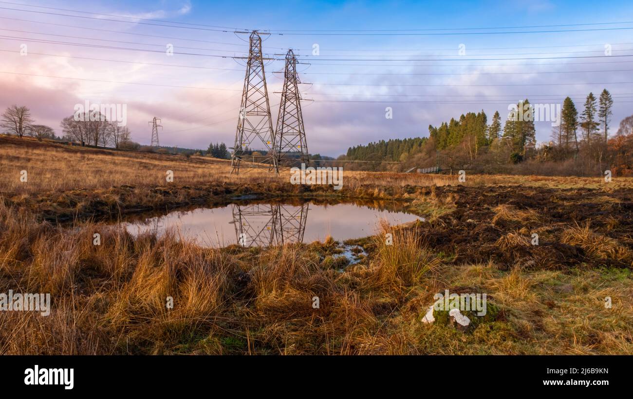 Electricity pylons overlooking a new artificial farm pond or scrape for wildlife, at sunset in winter, Carsphairn, Scotland Stock Photohttps://www.alamy.com/image-license-details/?v=1https://www.alamy.com/electricity-pylons-overlooking-a-new-artificial-farm-pond-or-scrape-for-wildlife-at-sunset-in-winter-carsphairn-scotland-image468616953.html
RF2J6B9KN–Electricity pylons overlooking a new artificial farm pond or scrape for wildlife, at sunset in winter, Carsphairn, Scotland
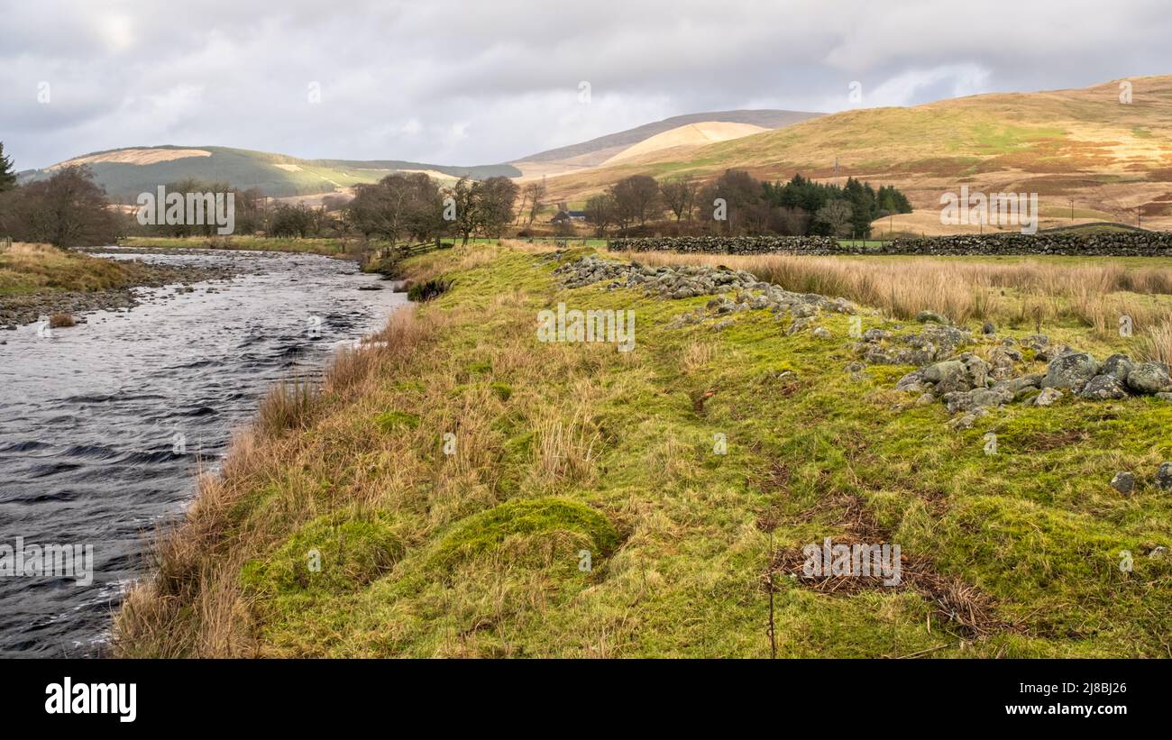 Close up of dredged river rocks offering flood bank protection for fields beside the Water of Deugh, Carsphairn, Scotland Stock Photohttps://www.alamy.com/image-license-details/?v=1https://www.alamy.com/close-up-of-dredged-river-rocks-offering-flood-bank-protection-for-fields-beside-the-water-of-deugh-carsphairn-scotland-image469852830.html
RF2J8BJ26–Close up of dredged river rocks offering flood bank protection for fields beside the Water of Deugh, Carsphairn, Scotland
 Trout fish farm at Kendoon Loch at sunset in winter, near Carsphairn, on the Galloway Hydro Electric Scheme, Scotland Stock Photohttps://www.alamy.com/image-license-details/?v=1https://www.alamy.com/trout-fish-farm-at-kendoon-loch-at-sunset-in-winter-near-carsphairn-on-the-galloway-hydro-electric-scheme-scotland-image414940903.html
RF2F3259Y–Trout fish farm at Kendoon Loch at sunset in winter, near Carsphairn, on the Galloway Hydro Electric Scheme, Scotland
 Old concrete Deugh Dam at Kendoon Loch, Galloway Hydro Electric Scheme, Carsphairn, Dumfries and Galloway Stock Photohttps://www.alamy.com/image-license-details/?v=1https://www.alamy.com/old-concrete-deugh-dam-at-kendoon-loch-galloway-hydro-electric-scheme-carsphairn-dumfries-and-galloway-image414935378.html
RF2F31X8J–Old concrete Deugh Dam at Kendoon Loch, Galloway Hydro Electric Scheme, Carsphairn, Dumfries and Galloway
 Close up of dredged river rocks offering flood bank protection for fields in Scotland Stock Photohttps://www.alamy.com/image-license-details/?v=1https://www.alamy.com/close-up-of-dredged-river-rocks-offering-flood-bank-protection-for-fields-in-scotland-image469852816.html
RF2J8BJ1M–Close up of dredged river rocks offering flood bank protection for fields in Scotland
 Galloway cattle, Marbrack Farm, Carsphairn, Dumfries & Galloway Stock Photohttps://www.alamy.com/image-license-details/?v=1https://www.alamy.com/galloway-cattle-marbrack-farm-carsphairn-dumfries-galloway-image413996117.html
RF2F1F47H–Galloway cattle, Marbrack Farm, Carsphairn, Dumfries & Galloway
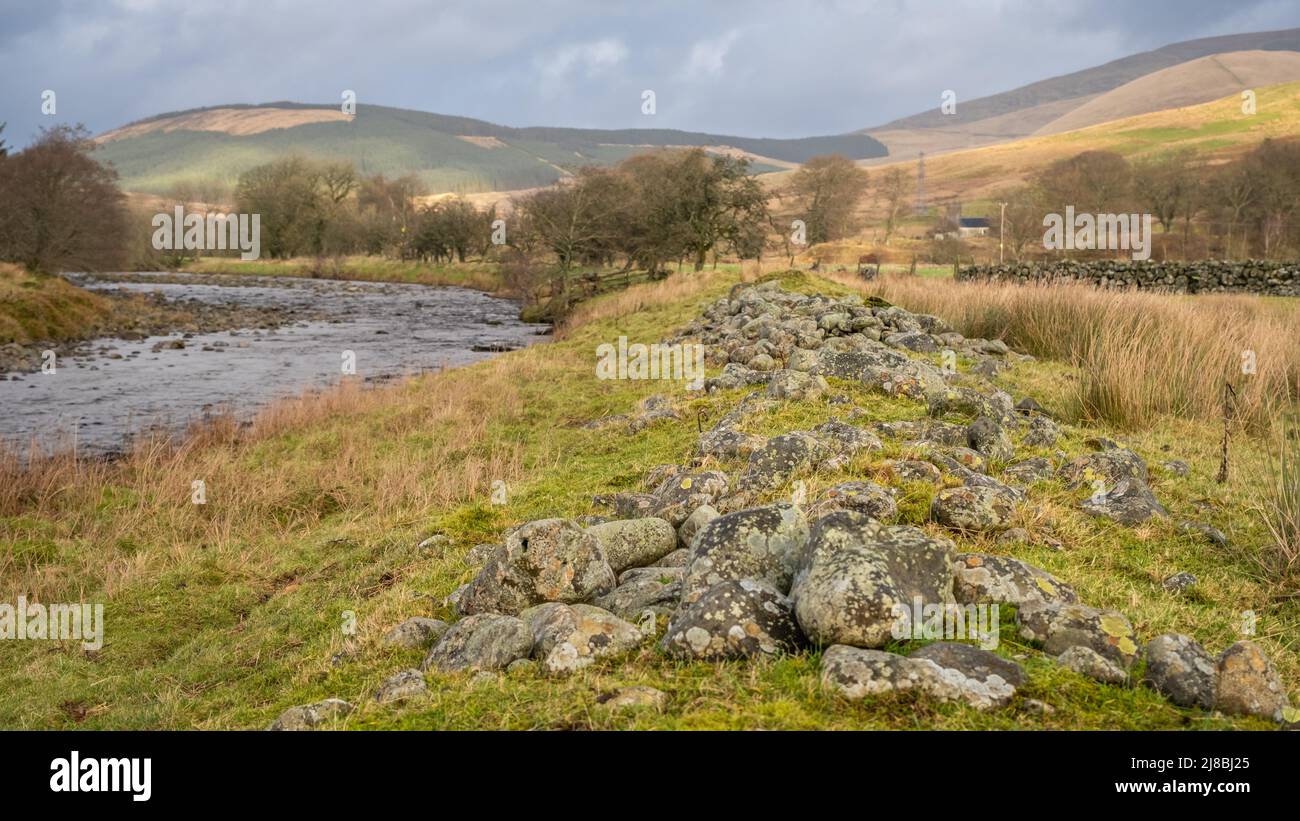 Close up of dredged river rocks offering flood bank protection for fields in Scotland Stock Photohttps://www.alamy.com/image-license-details/?v=1https://www.alamy.com/close-up-of-dredged-river-rocks-offering-flood-bank-protection-for-fields-in-scotland-image469852829.html
RF2J8BJ25–Close up of dredged river rocks offering flood bank protection for fields in Scotland
 Galloway cattle, Marbrack Farm, Carsphairn, Dumfries & Galloway Stock Photohttps://www.alamy.com/image-license-details/?v=1https://www.alamy.com/galloway-cattle-marbrack-farm-carsphairn-dumfries-galloway-image413997918.html
RF2F1F6FX–Galloway cattle, Marbrack Farm, Carsphairn, Dumfries & Galloway
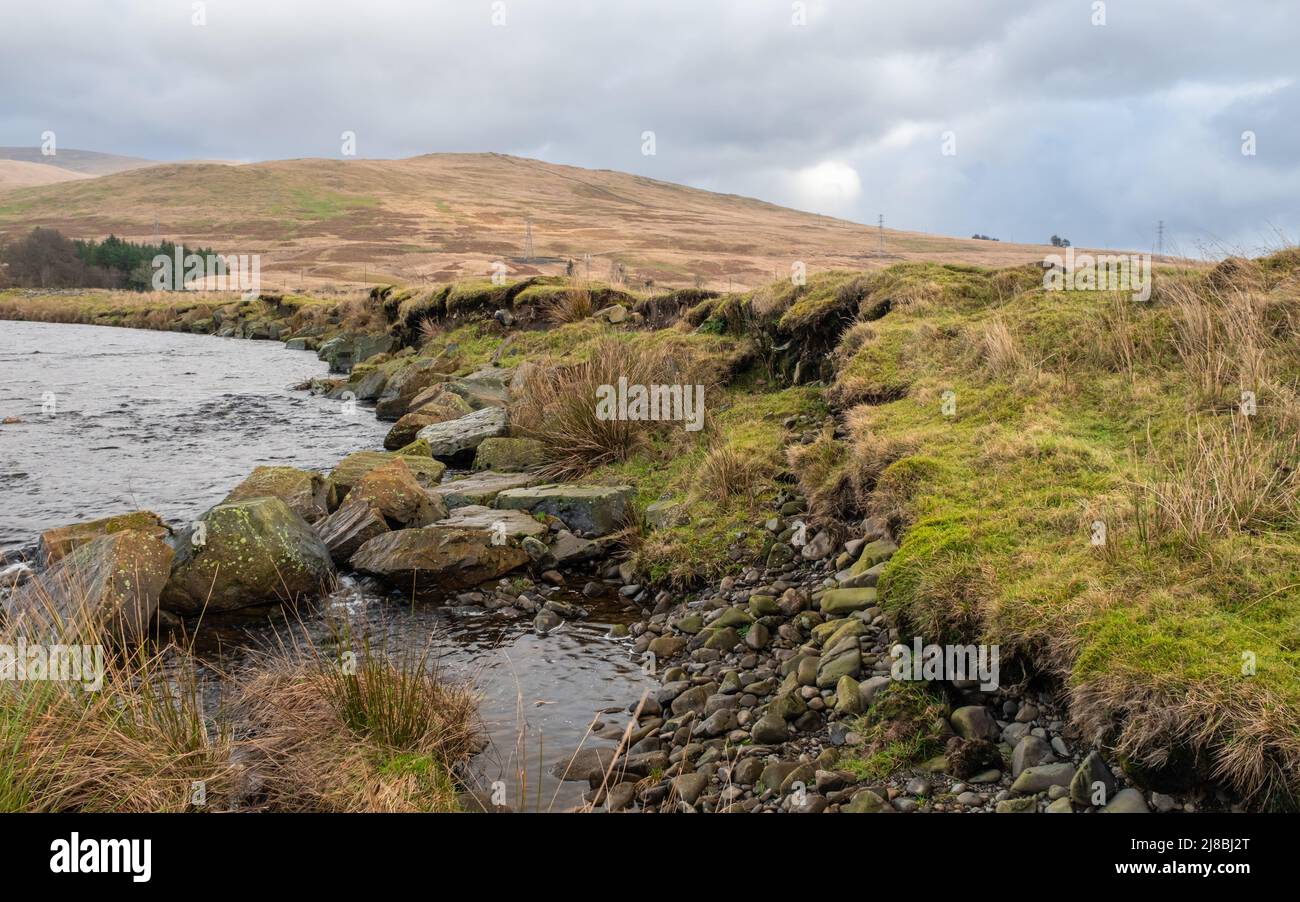 Failed river erosion protection with dredged rip-rap rocks washed out of a river bank in Scotland Stock Photohttps://www.alamy.com/image-license-details/?v=1https://www.alamy.com/failed-river-erosion-protection-with-dredged-rip-rap-rocks-washed-out-of-a-river-bank-in-scotland-image469852848.html
RF2J8BJ2T–Failed river erosion protection with dredged rip-rap rocks washed out of a river bank in Scotland
 Galloway cattle, Marbrack Farm, Carsphairn, Dumfries & Galloway Stock Photohttps://www.alamy.com/image-license-details/?v=1https://www.alamy.com/galloway-cattle-marbrack-farm-carsphairn-dumfries-galloway-image413996533.html
RF2F1F4PD–Galloway cattle, Marbrack Farm, Carsphairn, Dumfries & Galloway
 Dalry, Scotland - December 21st 2020: St. John's Town of Dalry tourist information sign and seating area Stock Photohttps://www.alamy.com/image-license-details/?v=1https://www.alamy.com/dalry-scotland-december-21st-2020-st-johns-town-of-dalry-tourist-information-sign-and-seating-area-image402721739.html
RF2EB5FK7–Dalry, Scotland - December 21st 2020: St. John's Town of Dalry tourist information sign and seating area
 Kendoon Gate entrance to the Dundeugh Forest walk over the suspension bridge to Kendoon Power Station, Dumfries and Galloway, Scotland Stock Photohttps://www.alamy.com/image-license-details/?v=1https://www.alamy.com/kendoon-gate-entrance-to-the-dundeugh-forest-walk-over-the-suspension-bridge-to-kendoon-power-station-dumfries-and-galloway-scotland-image414937473.html
RF2F320YD–Kendoon Gate entrance to the Dundeugh Forest walk over the suspension bridge to Kendoon Power Station, Dumfries and Galloway, Scotland