Quick filters:
Central asia map Stock Photos and Images
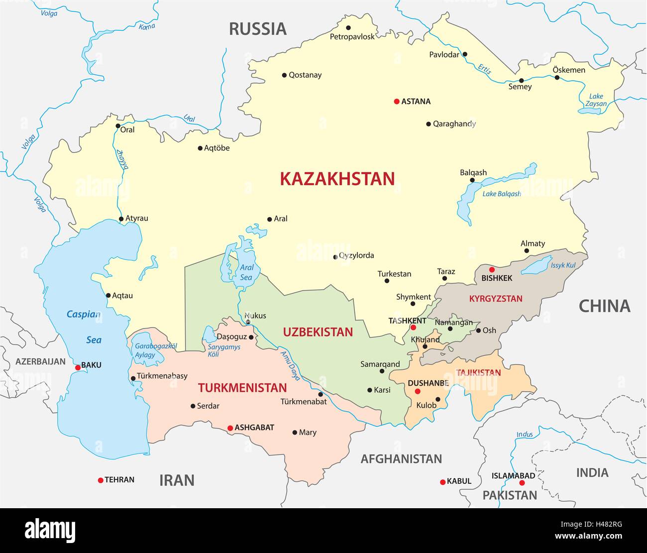 central asia map Stock Vectorhttps://www.alamy.com/image-license-details/?v=1https://www.alamy.com/stock-photo-central-asia-map-123109044.html
RFH482RG–central asia map
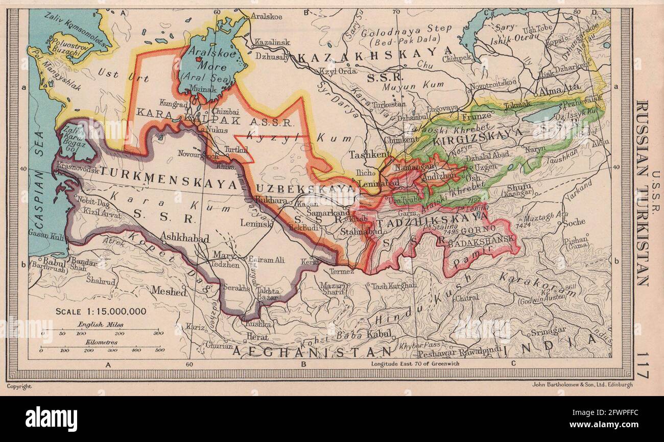 USSR Russian Turkistan Central Asia Turkmenistan Uzbekistan BARTHOLOMEW 1949 map Stock Photohttps://www.alamy.com/image-license-details/?v=1https://www.alamy.com/ussr-russian-turkistan-central-asia-turkmenistan-uzbekistan-bartholomew-1949-map-image428910368.html
RF2FWPFFC–USSR Russian Turkistan Central Asia Turkmenistan Uzbekistan BARTHOLOMEW 1949 map
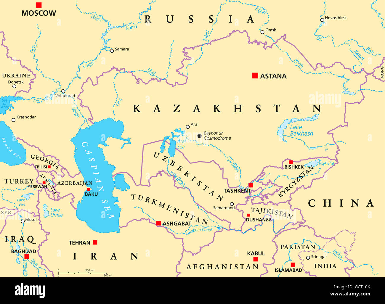 Caucasus and Central Asia political map with countries, their capitals, national borders, important cities, rivers and lakes. Stock Photohttps://www.alamy.com/image-license-details/?v=1https://www.alamy.com/stock-photo-caucasus-and-central-asia-political-map-with-countries-their-capitals-111165731.html
RFGCT10K–Caucasus and Central Asia political map with countries, their capitals, national borders, important cities, rivers and lakes.
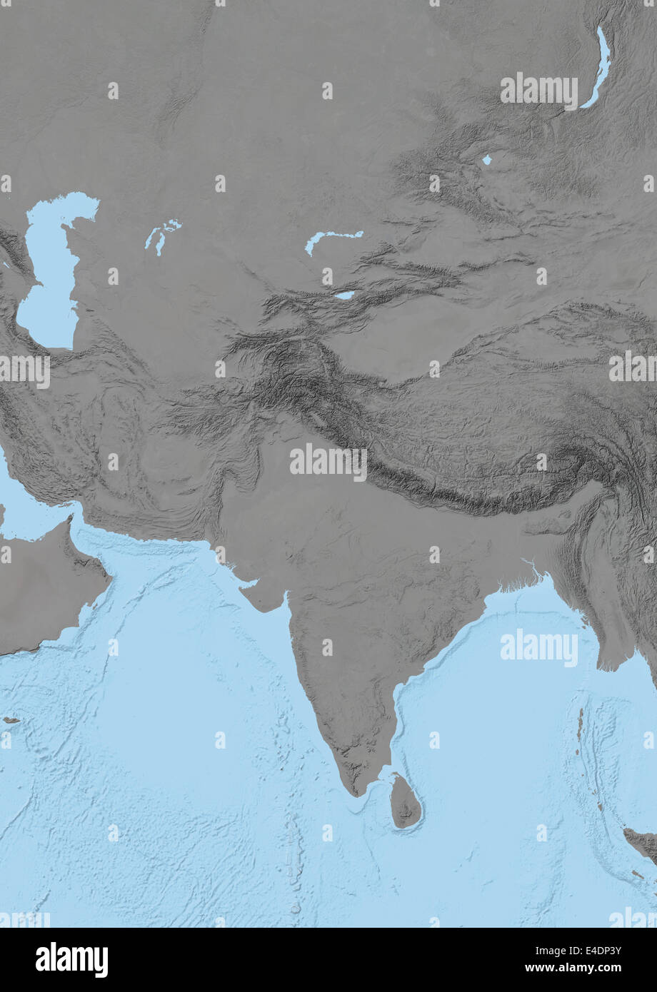 Central Asia, Relief Map Stock Photohttps://www.alamy.com/image-license-details/?v=1https://www.alamy.com/stock-photo-central-asia-relief-map-71602831.html
RME4DP3Y–Central Asia, Relief Map
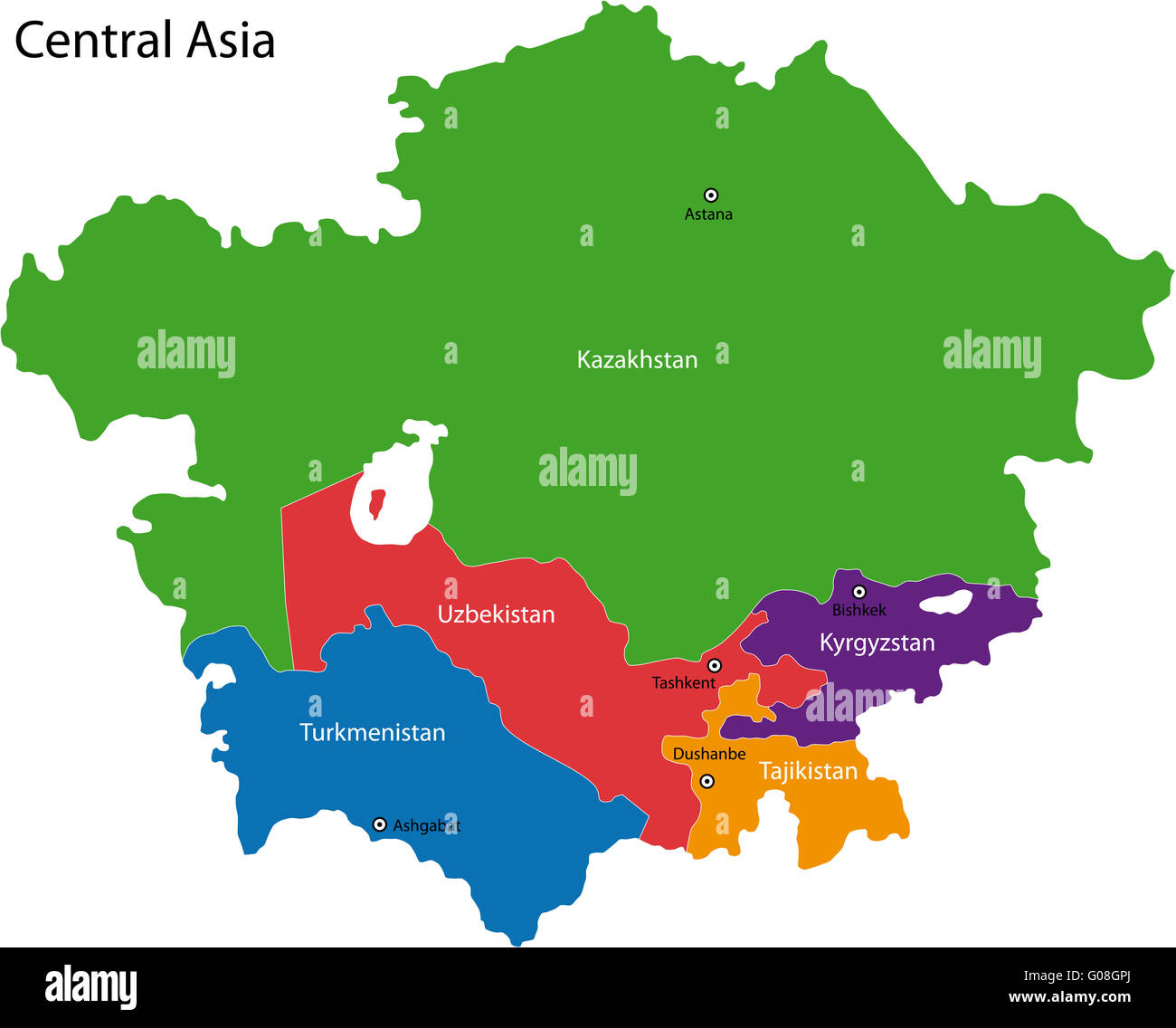 Central Asia map Stock Photohttps://www.alamy.com/image-license-details/?v=1https://www.alamy.com/stock-photo-central-asia-map-103451002.html
RMG08GPJ–Central Asia map
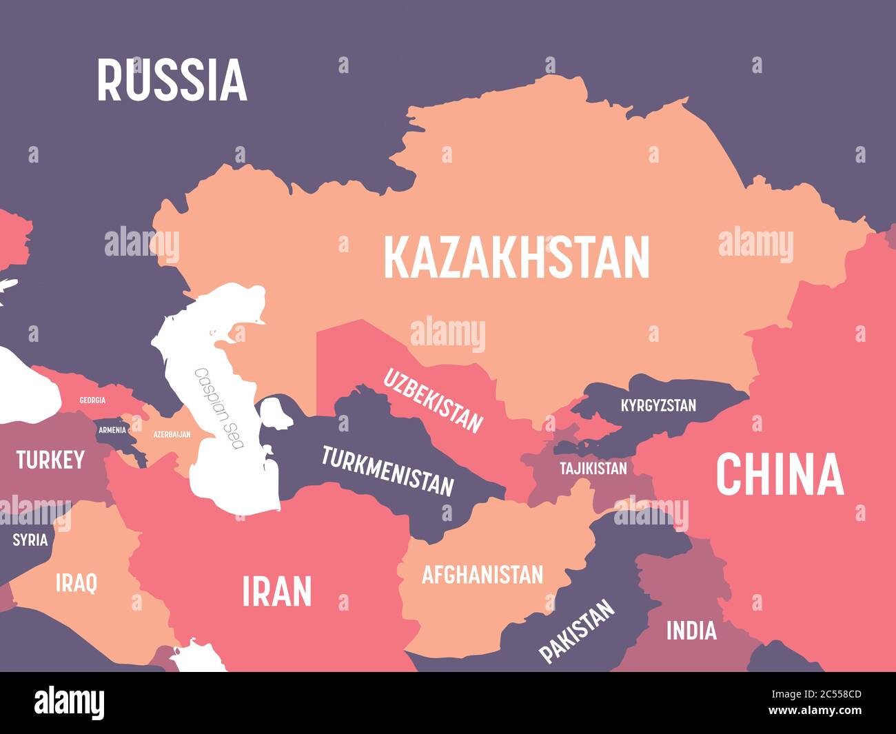 Central Asia map. High detailed political map of central asian region with country, ocean and sea names labeling. Stock Vectorhttps://www.alamy.com/image-license-details/?v=1https://www.alamy.com/central-asia-map-high-detailed-political-map-of-central-asian-region-with-country-ocean-and-sea-names-labeling-image364607389.html
RF2C558CD–Central Asia map. High detailed political map of central asian region with country, ocean and sea names labeling.
 MAP OF CENTRAL ASIA AFGHANISTAN PAKISTAN REPUBLIC OF TAJIKISTAN Stock Photohttps://www.alamy.com/image-license-details/?v=1https://www.alamy.com/stock-photo-map-of-central-asia-afghanistan-pakistan-republic-of-tajikistan-53407337.html
RMD2TWGW–MAP OF CENTRAL ASIA AFGHANISTAN PAKISTAN REPUBLIC OF TAJIKISTAN
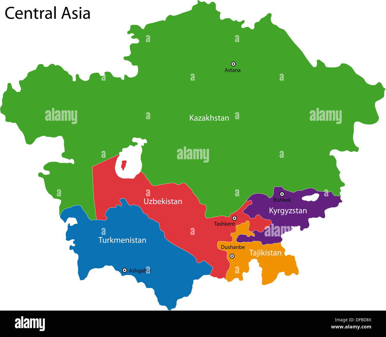 Central Asia map Stock Photohttps://www.alamy.com/image-license-details/?v=1https://www.alamy.com/central-asia-map-image61102858.html
RFDFBD8X–Central Asia map
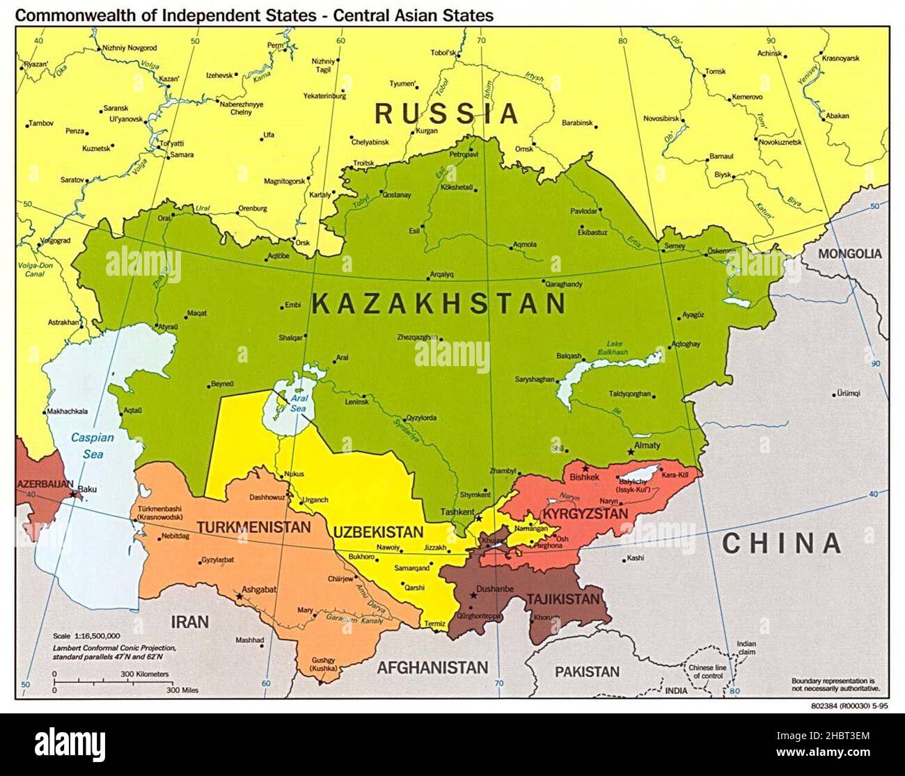 CIA map of Central Asia in 1995 Stock Photohttps://www.alamy.com/image-license-details/?v=1https://www.alamy.com/cia-map-of-central-asia-in-1995-image454760396.html
RM2HBT3EM–CIA map of Central Asia in 1995
 Cartoon of Man Pointing at Asia Continent on Wall World Map Stock Vectorhttps://www.alamy.com/image-license-details/?v=1https://www.alamy.com/cartoon-of-man-pointing-at-asia-continent-on-wall-world-map-image217471997.html
RFPHPKN1–Cartoon of Man Pointing at Asia Continent on Wall World Map
 Map of Soviet Central Asia Stock Photohttps://www.alamy.com/image-license-details/?v=1https://www.alamy.com/map-of-soviet-central-asia-image66159043.html
RMDRHPEY–Map of Soviet Central Asia
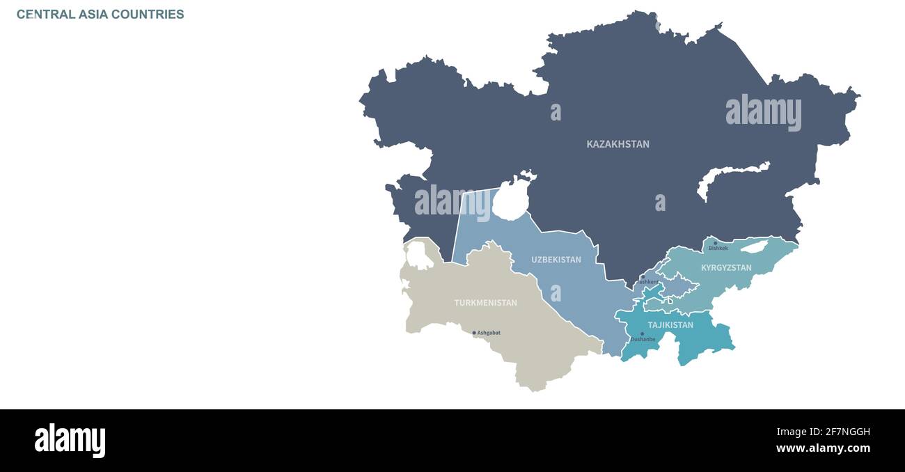 Central asia map. World map vector by continent Stock Vectorhttps://www.alamy.com/image-license-details/?v=1https://www.alamy.com/central-asia-map-world-map-vector-by-continent-image417825425.html
RF2F7NGGH–Central asia map. World map vector by continent
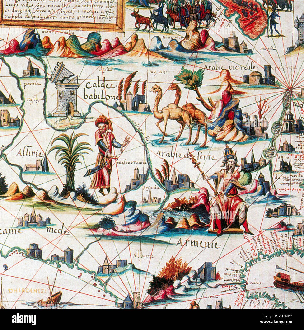 Central Asia ('Arabia') on Pierre Desceliers's World Map, 1550. Pierre Desceliers (c. 1500 - c. 1558) was a French cartographer of the Renaissance and an eminent member of the Dieppe School of Cartography. He is considered the father of French hydrograph Stock Photohttps://www.alamy.com/image-license-details/?v=1https://www.alamy.com/stock-photo-central-asia-arabia-on-pierre-descelierss-world-map-1550-pierre-desceliers-104003459.html
RMG15ND7–Central Asia ('Arabia') on Pierre Desceliers's World Map, 1550. Pierre Desceliers (c. 1500 - c. 1558) was a French cartographer of the Renaissance and an eminent member of the Dieppe School of Cartography. He is considered the father of French hydrograph
 Central Asia map between Issyk-Kul and Baikal lakes. Old 19th century engraved illustration, Le Tour du Monde 1863 Stock Photohttps://www.alamy.com/image-license-details/?v=1https://www.alamy.com/central-asia-map-between-issyk-kul-and-baikal-lakes-old-19th-century-engraved-illustration-le-tour-du-monde-1863-image357328733.html
RM2BN9MCD–Central Asia map between Issyk-Kul and Baikal lakes. Old 19th century engraved illustration, Le Tour du Monde 1863
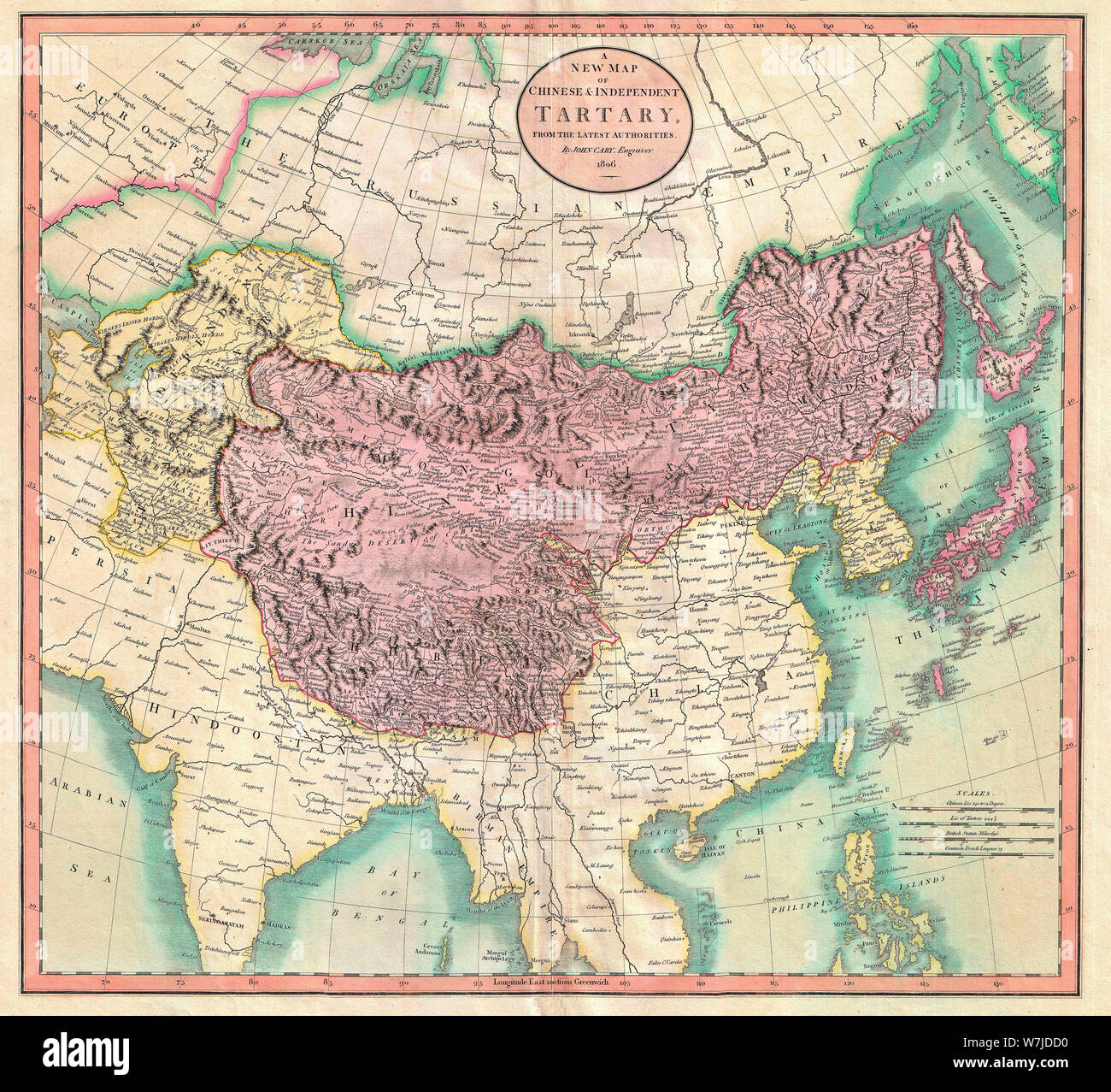 A New Map of Chinese & Independent Tartary - An exceptionally beautiful example of John Cary’s important 1806 map of Chinese and Independent Tartary. Covers Central Asia from the Caspian Sea to Japan, extends as far north as the Obskaia Sea and as far south as India, Burma and the Philippines. Includes the modern day nations of Uzbekistan, Kazakhstan, Turkmenistan, Kirgizstan, Tajikistan and Mongolia. One of Cary’s most interesting maps. Central Asia, despite hundreds of years of passing trade on the Silk Routes, was still, at the turn of the century a largely unknown land. 1806 Stock Photohttps://www.alamy.com/image-license-details/?v=1https://www.alamy.com/a-new-map-of-chinese-independent-tartary-an-exceptionally-beautiful-example-of-john-carys-important-1806-map-of-chinese-and-independent-tartary-covers-central-asia-from-the-caspian-sea-to-japan-extends-as-far-north-as-the-obskaia-sea-and-as-far-south-as-india-burma-and-the-philippines-includes-the-modern-day-nations-of-uzbekistan-kazakhstan-turkmenistan-kirgizstan-tajikistan-and-mongolia-one-of-carys-most-interesting-maps-central-asia-despite-hundreds-of-years-of-passing-trade-on-the-silk-routes-was-still-at-the-turn-of-the-century-a-largely-unknown-land-1806-image262863804.html
RMW7JDD0–A New Map of Chinese & Independent Tartary - An exceptionally beautiful example of John Cary’s important 1806 map of Chinese and Independent Tartary. Covers Central Asia from the Caspian Sea to Japan, extends as far north as the Obskaia Sea and as far south as India, Burma and the Philippines. Includes the modern day nations of Uzbekistan, Kazakhstan, Turkmenistan, Kirgizstan, Tajikistan and Mongolia. One of Cary’s most interesting maps. Central Asia, despite hundreds of years of passing trade on the Silk Routes, was still, at the turn of the century a largely unknown land. 1806
RF2Y0RK05–Central Asia map icon illustration design
 2 tenge coin, Turkmenistan, 2009 Stock Photohttps://www.alamy.com/image-license-details/?v=1https://www.alamy.com/2-tenge-coin-turkmenistan-2009-image67459268.html
RMDWN0YG–2 tenge coin, Turkmenistan, 2009
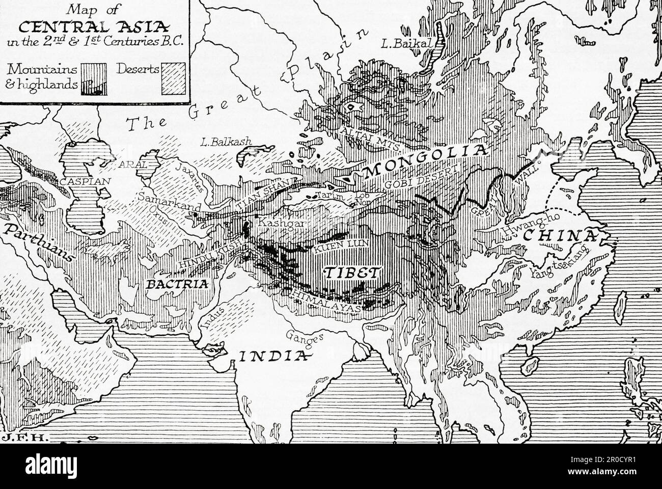 Map of Central Asia in the 2nd and 1st centuries BC. From the book Outline of History by H.G. Wells, published 1920. Stock Photohttps://www.alamy.com/image-license-details/?v=1https://www.alamy.com/map-of-central-asia-in-the-2nd-and-1st-centuries-bc-from-the-book-outline-of-history-by-hg-wells-published-1920-image551017013.html
RM2R0CYR1–Map of Central Asia in the 2nd and 1st centuries BC. From the book Outline of History by H.G. Wells, published 1920.
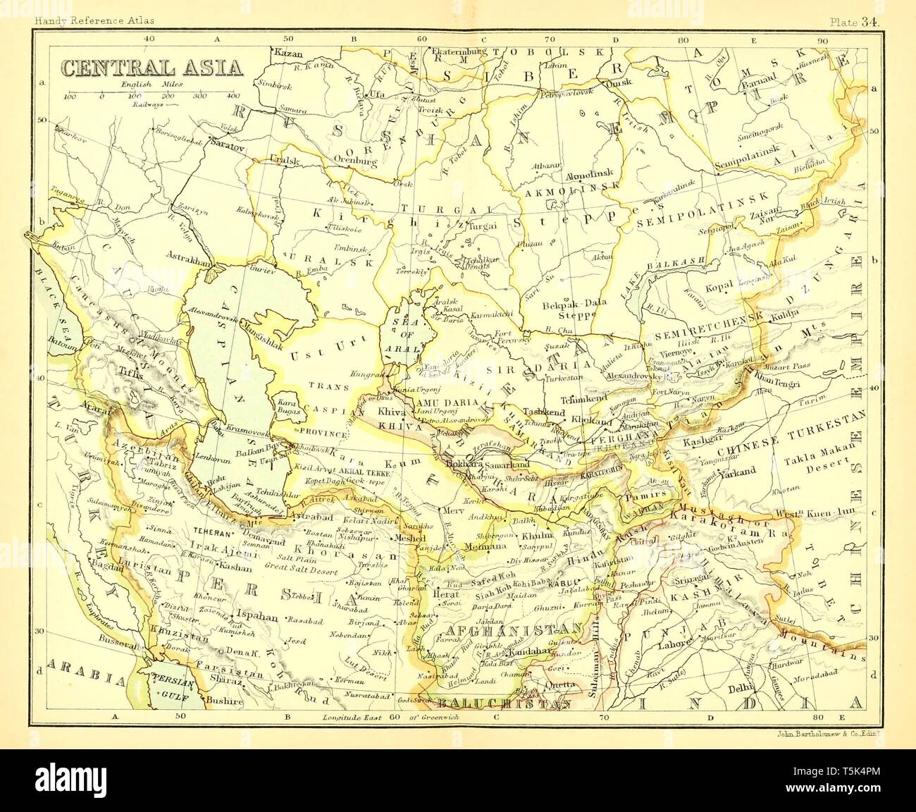 Beautiful vintage hand drawn map illustrations of Central Asia from old book. Can be used as poster or decorative element for interior design. Stock Photohttps://www.alamy.com/image-license-details/?v=1https://www.alamy.com/beautiful-vintage-hand-drawn-map-illustrations-of-central-asia-from-old-book-can-be-used-as-poster-or-decorative-element-for-interior-design-image244439292.html
RFT5K4PM–Beautiful vintage hand drawn map illustrations of Central Asia from old book. Can be used as poster or decorative element for interior design.
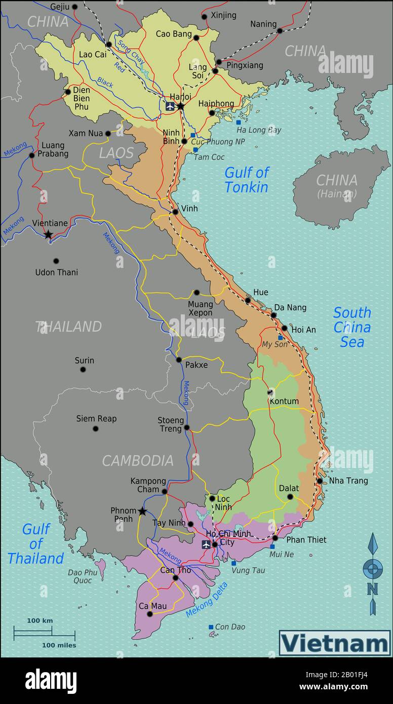 Vietnam: Map of Vietnam showing North, Central, South and Central Highlands regions. Map of Vietnam showing North (yellow), Central (orange), South (purple) and Central Highlands (green) regions. Stock Photohttps://www.alamy.com/image-license-details/?v=1https://www.alamy.com/vietnam-map-of-vietnam-showing-north-central-south-and-central-highlands-regions-map-of-vietnam-showing-north-yellow-central-orange-south-purple-and-central-highlands-green-regions-image344241580.html
RM2B01FJ4–Vietnam: Map of Vietnam showing North, Central, South and Central Highlands regions. Map of Vietnam showing North (yellow), Central (orange), South (purple) and Central Highlands (green) regions.
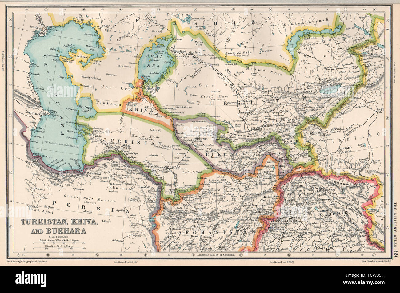 CENTRAL ASIA: Turkistan, Khiva, and Bukhara. BARTHOLOMEW, 1924 vintage map Stock Photohttps://www.alamy.com/image-license-details/?v=1https://www.alamy.com/stock-photo-central-asia-turkistan-khiva-and-bukhara-bartholomew-1924-vintage-93979021.html
RFFCW35H–CENTRAL ASIA: Turkistan, Khiva, and Bukhara. BARTHOLOMEW, 1924 vintage map
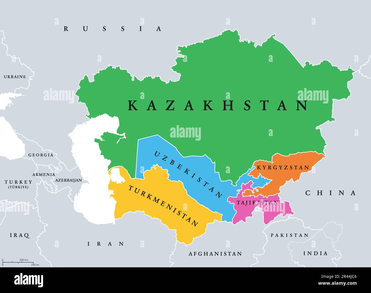 Central Asia, or Middle Asia, colored political map. Region of Asia from Caspian Sea to western China, and from Russia to Afghanistan. Stock Photohttps://www.alamy.com/image-license-details/?v=1https://www.alamy.com/central-asia-or-middle-asia-colored-political-map-region-of-asia-from-caspian-sea-to-western-china-and-from-russia-to-afghanistan-image553292662.html
RF2R44JC6–Central Asia, or Middle Asia, colored political map. Region of Asia from Caspian Sea to western China, and from Russia to Afghanistan.
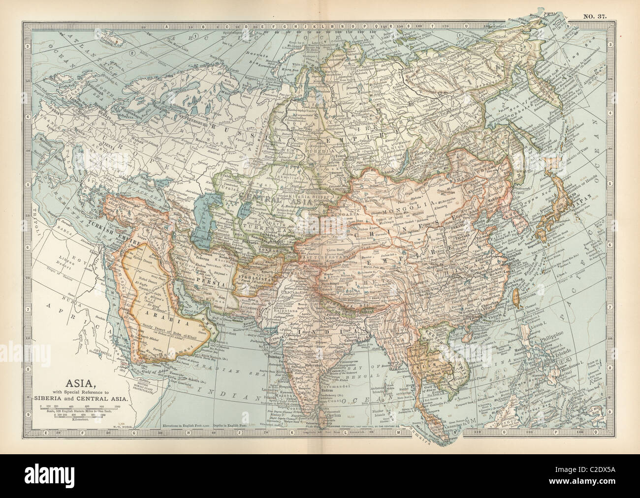 Map of Asia with Siberia and Central Asia Stock Photohttps://www.alamy.com/image-license-details/?v=1https://www.alamy.com/stock-photo-map-of-asia-with-siberia-and-central-asia-35955958.html
RMC2DX5A–Map of Asia with Siberia and Central Asia
 1806 Cary Map of Tartary or Central Asia Stock Photohttps://www.alamy.com/image-license-details/?v=1https://www.alamy.com/stock-photo-1806-cary-map-of-tartary-or-central-asia-50539561.html
RMCX67M9–1806 Cary Map of Tartary or Central Asia
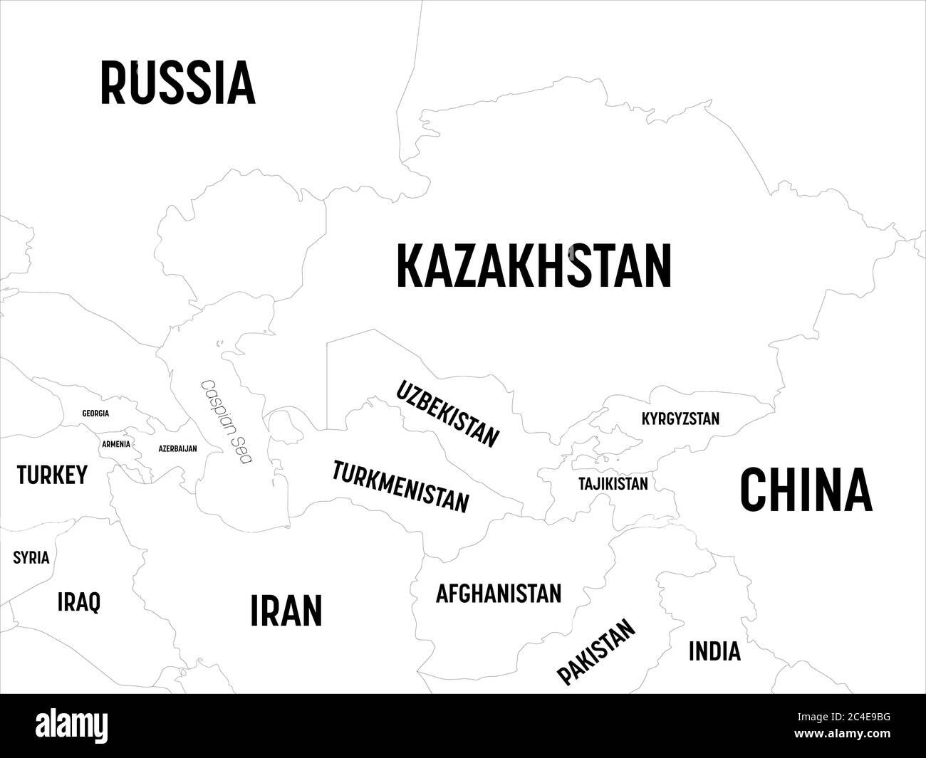 Central Asia map. High detailed political map of central asian region with country, capital, ocean and sea names labeling. Stock Vectorhttps://www.alamy.com/image-license-details/?v=1https://www.alamy.com/central-asia-map-high-detailed-political-map-of-central-asian-region-with-country-capital-ocean-and-sea-names-labeling-image364191060.html
RF2C4E9BG–Central Asia map. High detailed political map of central asian region with country, capital, ocean and sea names labeling.
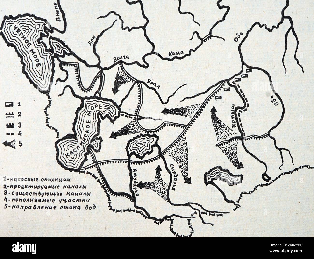 Russian map showing how the rivers of Siberia will come to the aid of the waterless deserts of Central Asia. Stock Photohttps://www.alamy.com/image-license-details/?v=1https://www.alamy.com/russian-map-showing-how-the-rivers-of-siberia-will-come-to-the-aid-of-the-waterless-deserts-of-central-asia-image481955698.html
RM2K02YBE–Russian map showing how the rivers of Siberia will come to the aid of the waterless deserts of Central Asia.
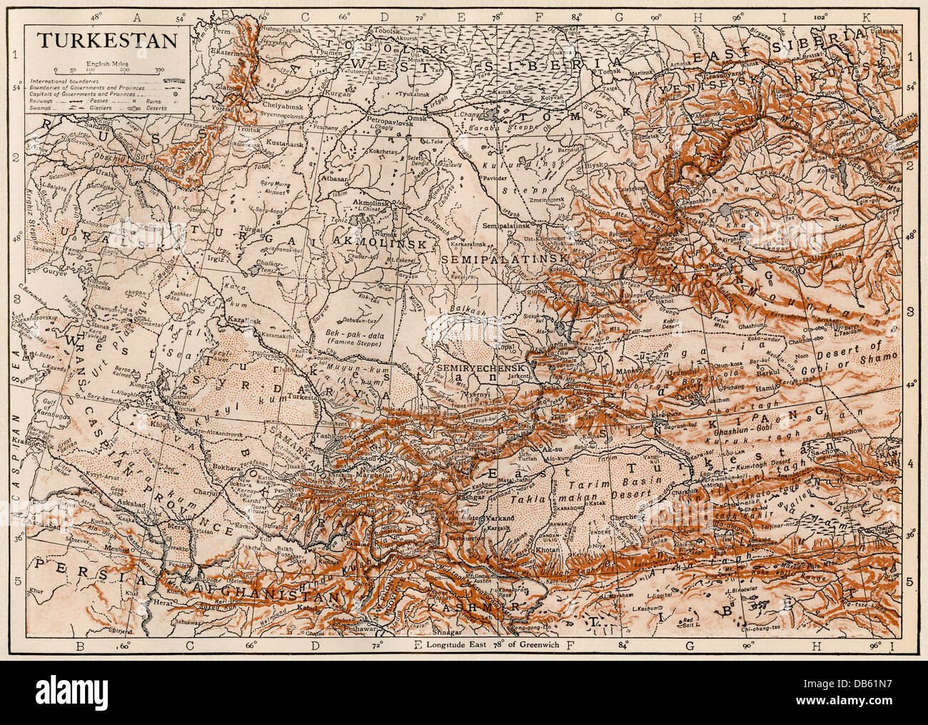 Map of Turkestan region, 1870s. Color lithograph Stock Photohttps://www.alamy.com/image-license-details/?v=1https://www.alamy.com/stock-photo-map-of-turkestan-region-1870s-color-lithograph-58525411.html
RMDB61N7–Map of Turkestan region, 1870s. Color lithograph
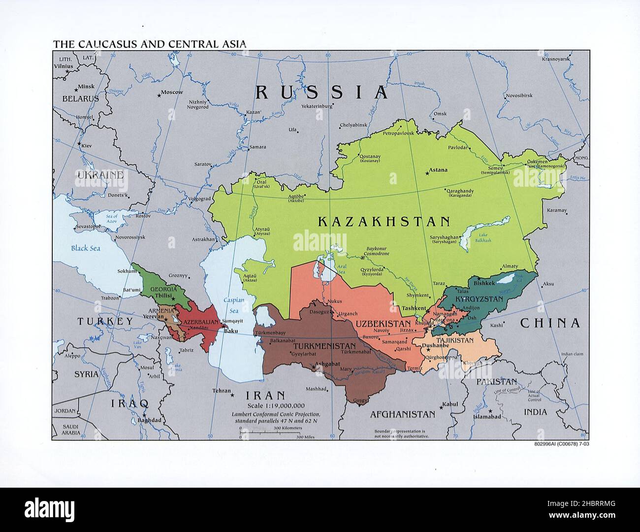 Map of The Caucasus and Central Asia ca. 2003 Stock Photohttps://www.alamy.com/image-license-details/?v=1https://www.alamy.com/map-of-the-caucasus-and-central-asia-ca-2003-image454754288.html
RM2HBRRMG–Map of The Caucasus and Central Asia ca. 2003
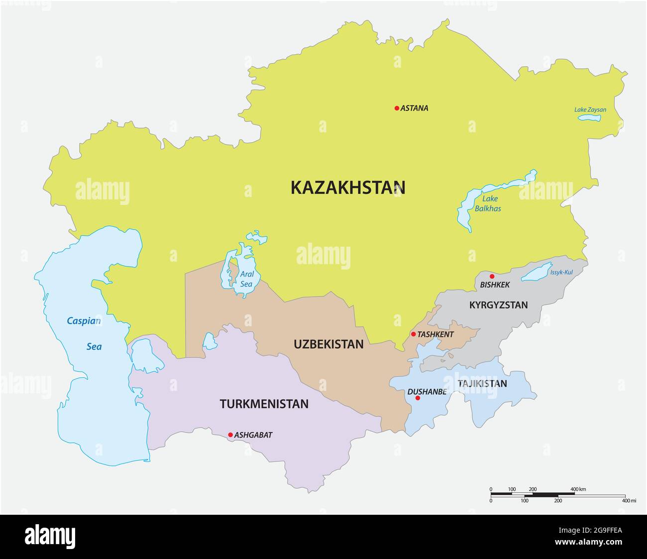 vector map of the five states of central asia Stock Vectorhttps://www.alamy.com/image-license-details/?v=1https://www.alamy.com/vector-map-of-the-five-states-of-central-asia-image436132546.html
RF2G9FFEA–vector map of the five states of central asia
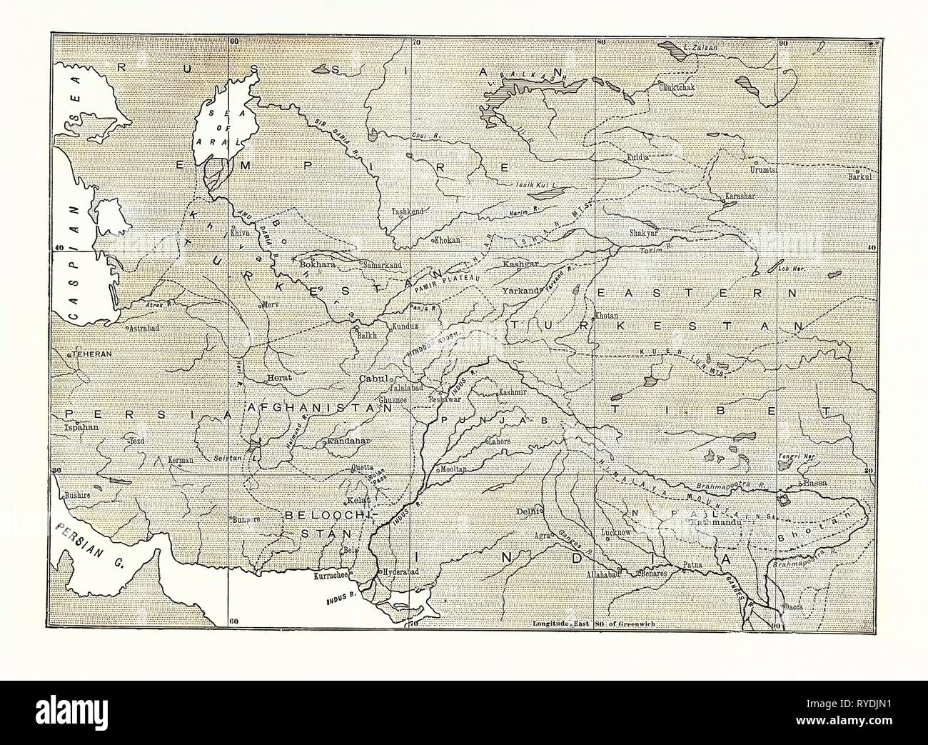 Map of Central Asia Stock Photohttps://www.alamy.com/image-license-details/?v=1https://www.alamy.com/map-of-central-asia-image240630573.html
RMRYDJN1–Map of Central Asia
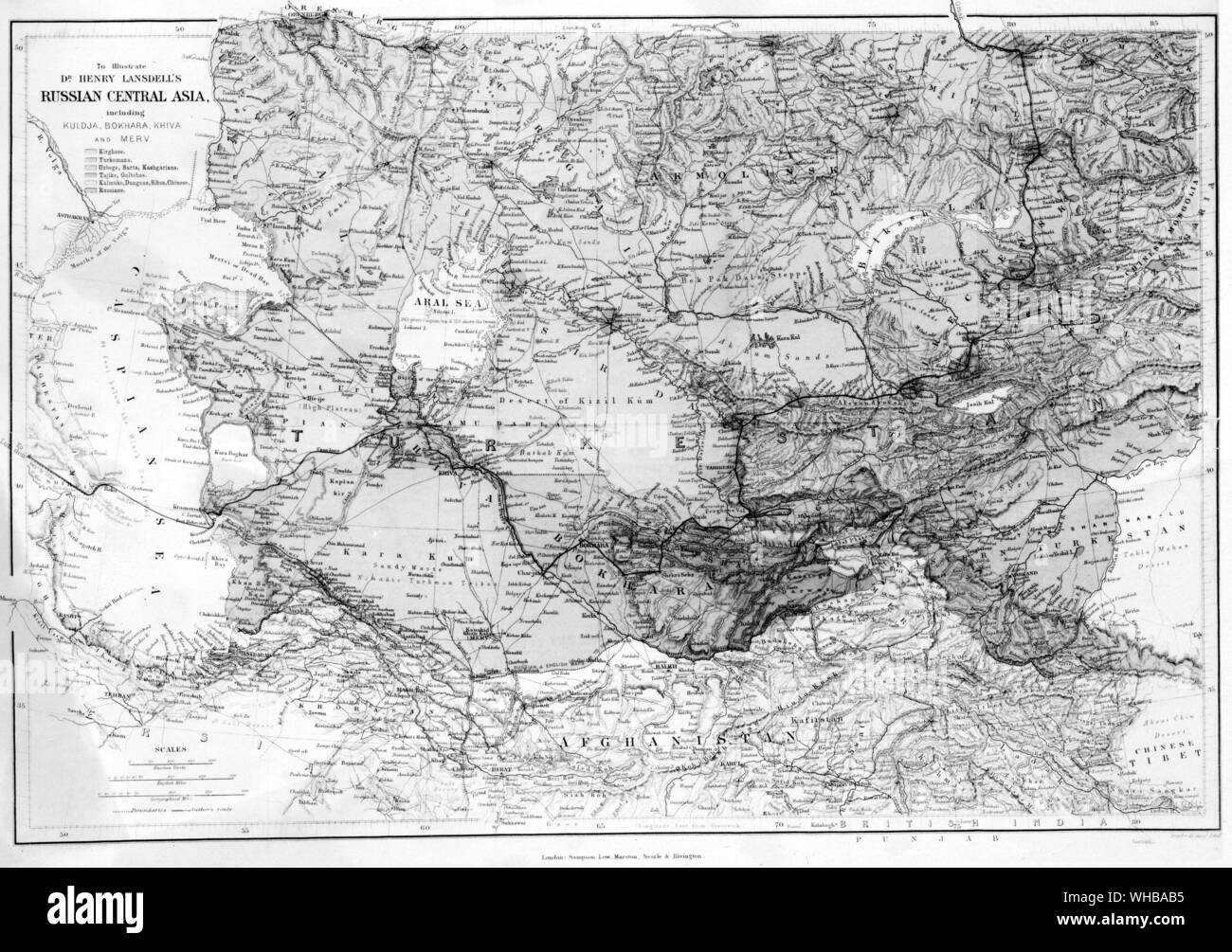 Map : Russian Central Asia. 1885 Stock Photohttps://www.alamy.com/image-license-details/?v=1https://www.alamy.com/map-russian-central-asia-1885-image268854297.html
RMWHBAB5–Map : Russian Central Asia. 1885
 Central Asia old map. By Erhard and Bonaparte, publ. on le Tour du Monde, Paris, 1863 Stock Photohttps://www.alamy.com/image-license-details/?v=1https://www.alamy.com/stock-image-central-asia-old-map-by-erhard-and-bonaparte-publ-on-le-tour-du-monde-165409293.html
RFKH316N–Central Asia old map. By Erhard and Bonaparte, publ. on le Tour du Monde, Paris, 1863
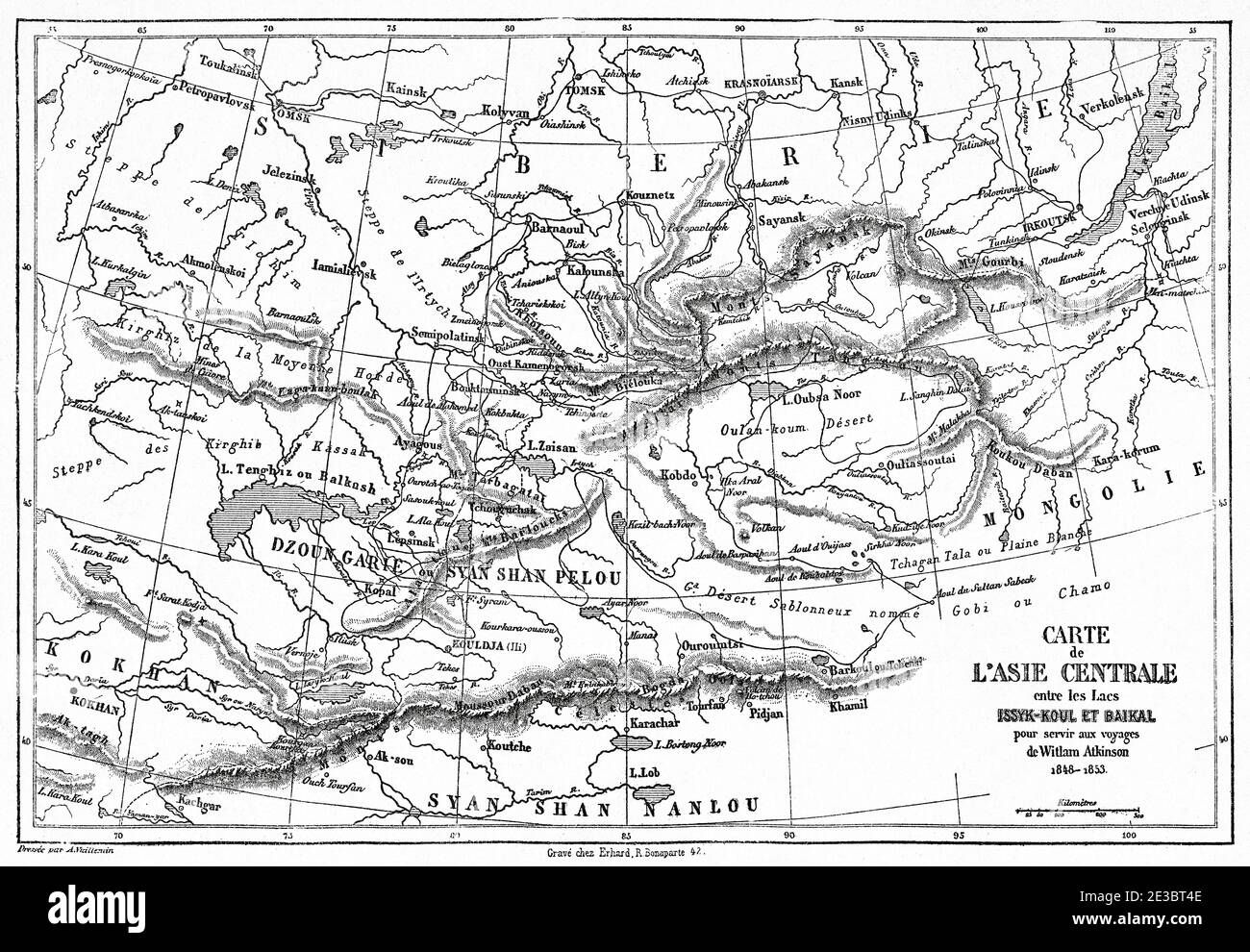 Central Asia map between Issyk-Kul and Baikal lakes. Old 19th century engraved illustration, Le Tour du Monde 1863 Stock Photohttps://www.alamy.com/image-license-details/?v=1https://www.alamy.com/central-asia-map-between-issyk-kul-and-baikal-lakes-old-19th-century-engraved-illustration-le-tour-du-monde-1863-image397942846.html
RM2E3BT4E–Central Asia map between Issyk-Kul and Baikal lakes. Old 19th century engraved illustration, Le Tour du Monde 1863
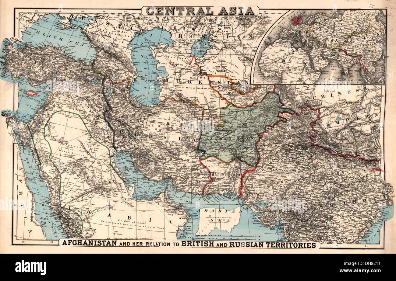 Map of Central Asia - 1885 Stock Photohttps://www.alamy.com/image-license-details/?v=1https://www.alamy.com/map-of-central-asia-1885-image62257469.html
RMDH8211–Map of Central Asia - 1885
RF2Y0RJXM–Central Asia map icon illustration design
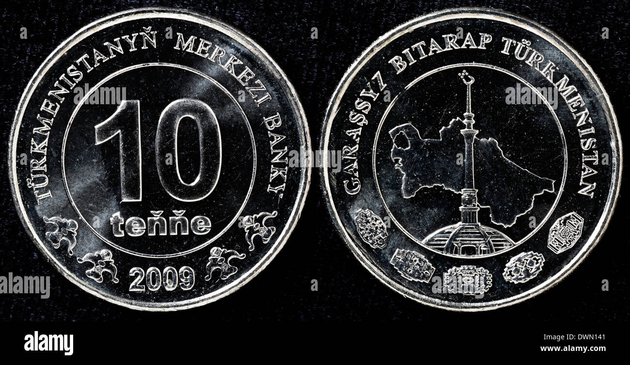 10 tenge coin, Turkmenistan, 2009 Stock Photohttps://www.alamy.com/image-license-details/?v=1https://www.alamy.com/10-tenge-coin-turkmenistan-2009-image67459393.html
RMDWN141–10 tenge coin, Turkmenistan, 2009
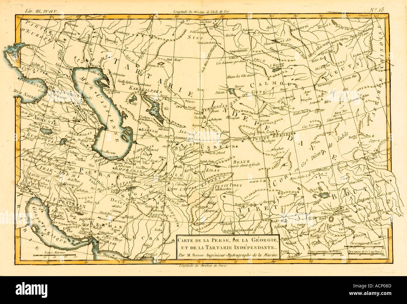 Map of Central Asia circa 1760 Stock Photohttps://www.alamy.com/image-license-details/?v=1https://www.alamy.com/map-of-central-asia-circa-1760-image2449548.html
RMACP08D–Map of Central Asia circa 1760
 Uzbekistan Map Vector Illustration - Silhouette, Outline, Uzbekistan Travel and Tourism Map Stock Vectorhttps://www.alamy.com/image-license-details/?v=1https://www.alamy.com/uzbekistan-map-vector-illustration-silhouette-outline-uzbekistan-travel-and-tourism-map-image611790140.html
RF2XF9CFT–Uzbekistan Map Vector Illustration - Silhouette, Outline, Uzbekistan Travel and Tourism Map
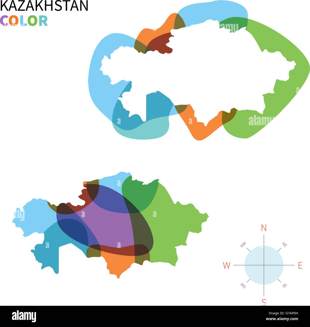 Abstract vector color map of Kazakhstan Stock Vectorhttps://www.alamy.com/image-license-details/?v=1https://www.alamy.com/stock-photo-abstract-vector-color-map-of-kazakhstan-107801585.html
RFG7AP0H–Abstract vector color map of Kazakhstan
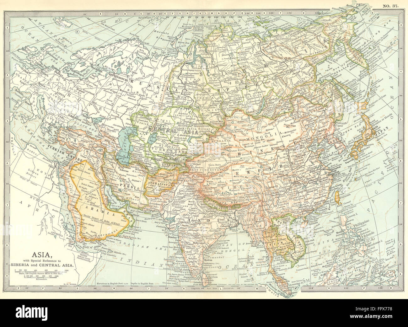 ASIA: With re Siberia & Central: Continent, 1903 antique map Stock Photohttps://www.alamy.com/image-license-details/?v=1https://www.alamy.com/stock-photo-asia-with-re-siberia-central-continent-1903-antique-map-100150716.html
RFFPX778–ASIA: With re Siberia & Central: Continent, 1903 antique map
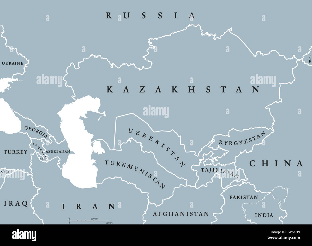 Caucasus and Central Asia countries political map with national borders. English labeling. Illustration. Stock Photohttps://www.alamy.com/image-license-details/?v=1https://www.alamy.com/stock-photo-caucasus-and-central-asia-countries-political-map-with-national-borders-116929633.html
RFGP6GX9–Caucasus and Central Asia countries political map with national borders. English labeling. Illustration.
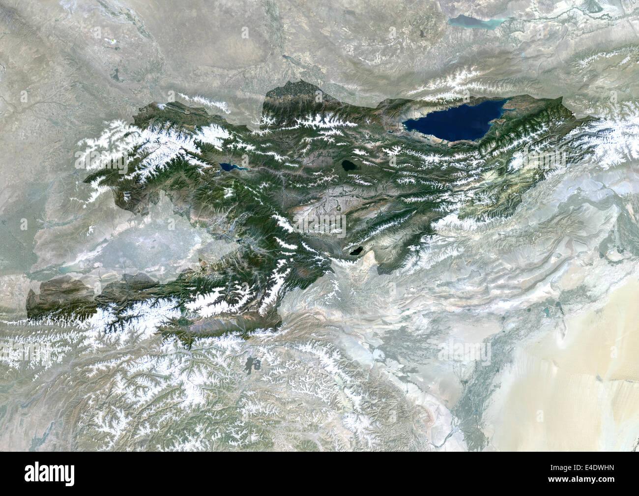 Kyrgyzstan, Asia, True Colour Satellite Image With Mask. Satellite view of Kyrgyzstan (with mask). This image was compiled from Stock Photohttps://www.alamy.com/image-license-details/?v=1https://www.alamy.com/stock-photo-kyrgyzstan-asia-true-colour-satellite-image-with-mask-satellite-view-71605569.html
RME4DWHN–Kyrgyzstan, Asia, True Colour Satellite Image With Mask. Satellite view of Kyrgyzstan (with mask). This image was compiled from
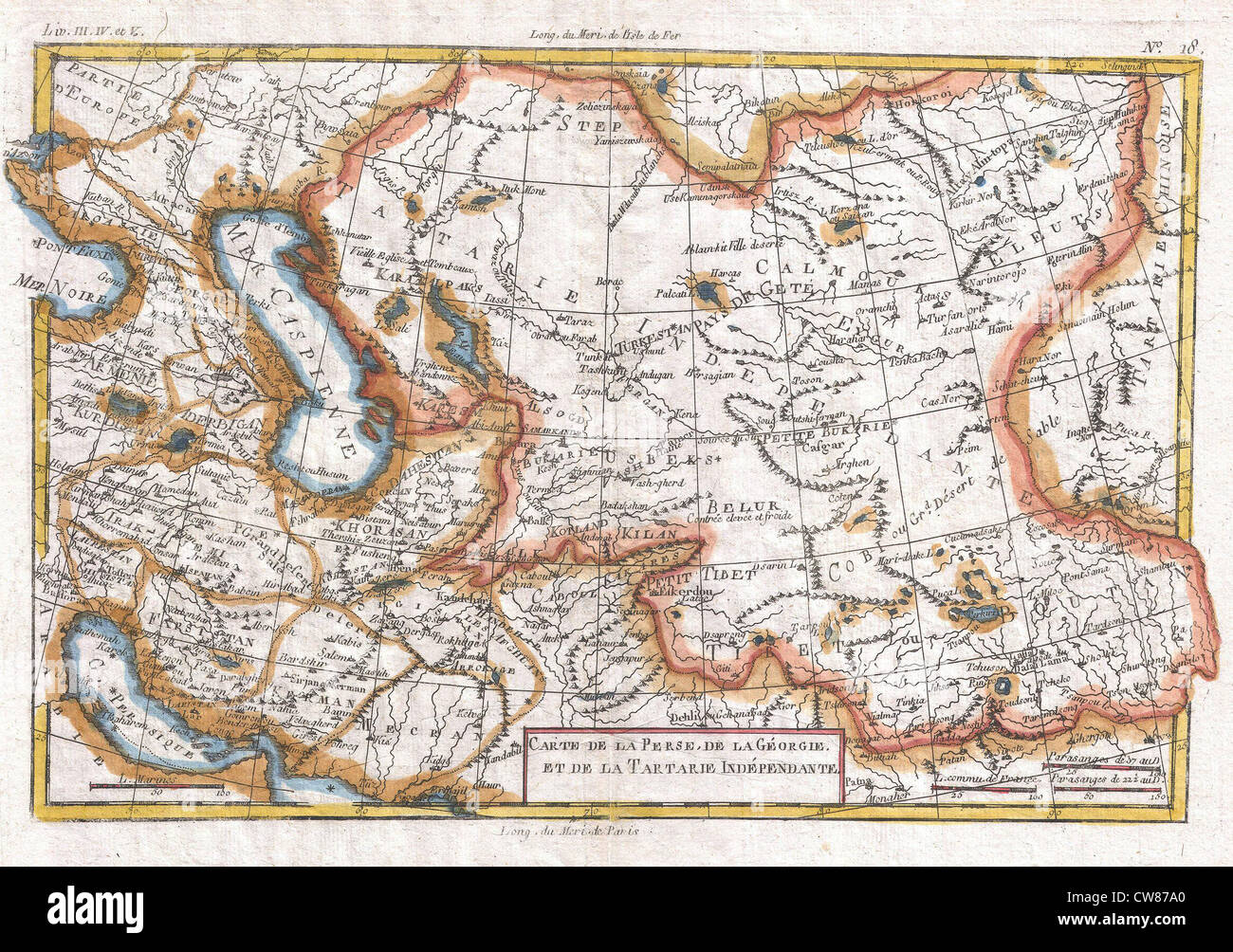 1780 Raynal and Bonne Map of Central Asia Stock Photohttps://www.alamy.com/image-license-details/?v=1https://www.alamy.com/stock-photo-1780-raynal-and-bonne-map-of-central-asia-49968520.html
RMCW87A0–1780 Raynal and Bonne Map of Central Asia
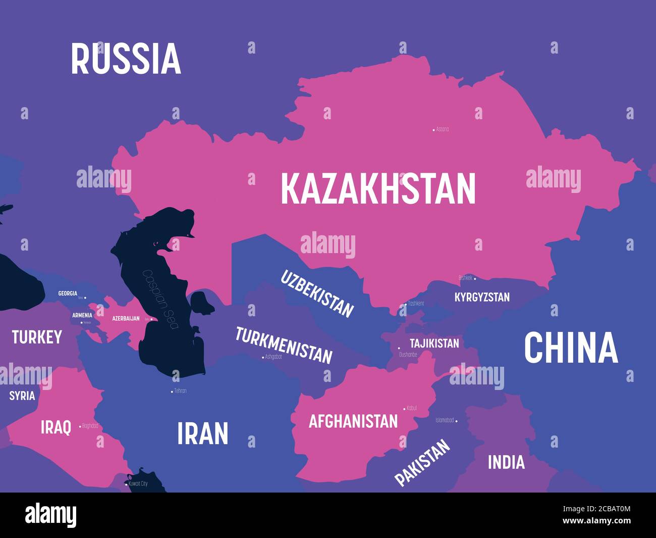 Central Asia map. High detailed political map of central asian region with country, capital, ocean and sea names labeling. Stock Vectorhttps://www.alamy.com/image-license-details/?v=1https://www.alamy.com/central-asia-map-high-detailed-political-map-of-central-asian-region-with-country-capital-ocean-and-sea-names-labeling-image368417300.html
RF2CBAT0M–Central Asia map. High detailed political map of central asian region with country, capital, ocean and sea names labeling.
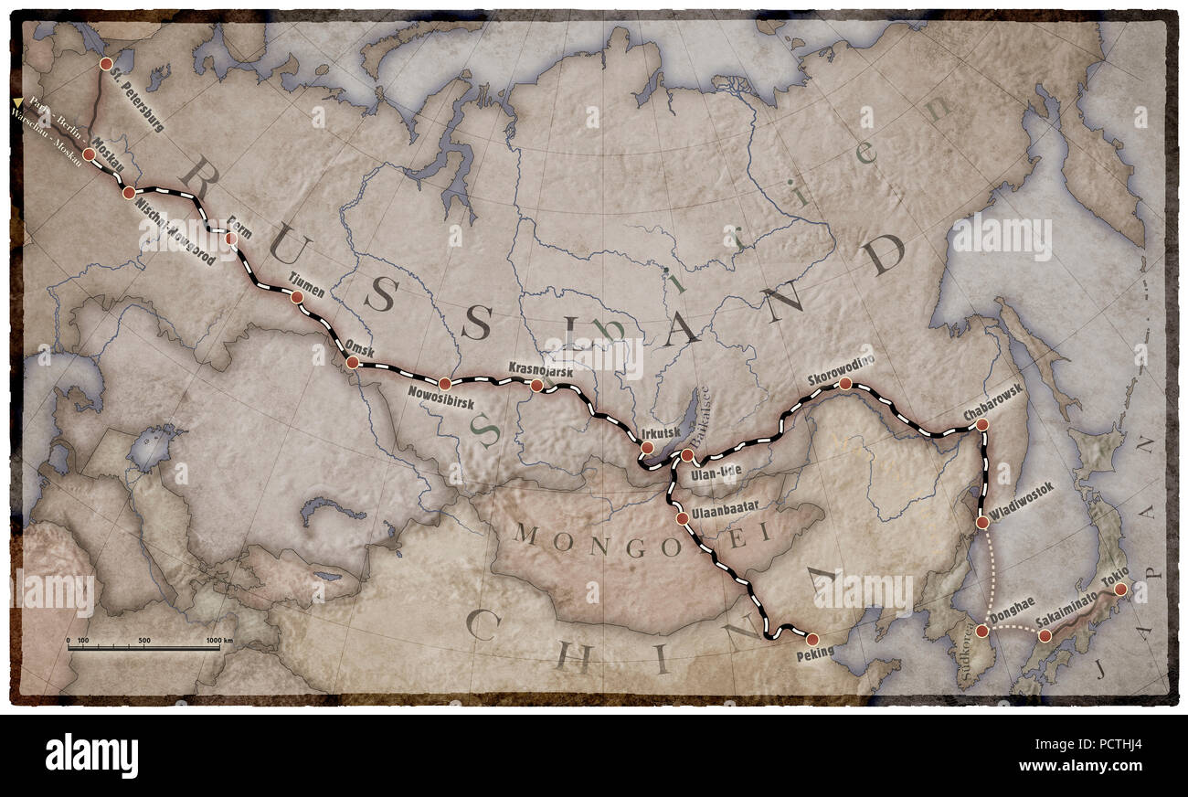 Map, North and Central Asia, Trans-Siberian Railway, Graphic, RailArt Stock Photohttps://www.alamy.com/image-license-details/?v=1https://www.alamy.com/map-north-and-central-asia-trans-siberian-railway-graphic-railart-image214440972.html
RMPCTHJ4–Map, North and Central Asia, Trans-Siberian Railway, Graphic, RailArt
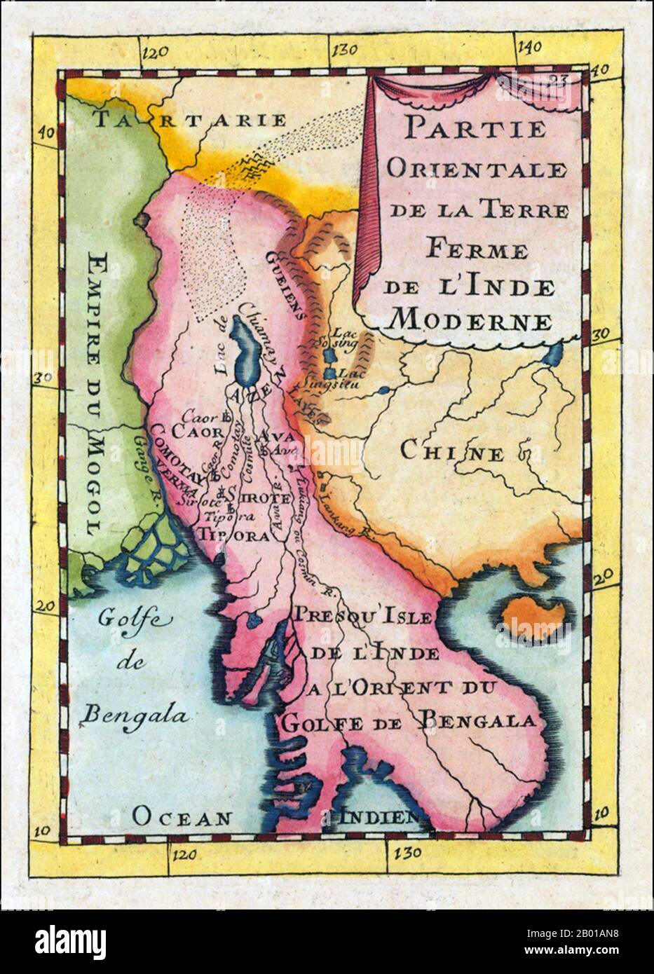 Asia: 'Partie Orientale De La Terre Ferme De L' Inde Moderne'. Map of Indochina showing parts of India, China and Central Asia and featuring prominently the mythical 'Lake Chiamay', by Alain Manesson Mallet (1630-1706), Paris, 1683. Copper engraving, hand colored in wash and outline. Decorative engraved map showing the gulf of Bengal with Burma and Thailand and neighbouring countries. With several engraved names of rivers and regions, including the mythical 'Lake Chiamay' or 'Lake Chiang Mai', supposed source for many of the great rivers of Southeast Asia. Stock Photohttps://www.alamy.com/image-license-details/?v=1https://www.alamy.com/asia-partie-orientale-de-la-terre-ferme-de-l-inde-moderne-map-of-indochina-showing-parts-of-india-china-and-central-asia-and-featuring-prominently-the-mythical-lake-chiamay-by-alain-manesson-mallet-1630-1706-paris-1683-copper-engraving-hand-colored-in-wash-and-outline-decorative-engraved-map-showing-the-gulf-of-bengal-with-burma-and-thailand-and-neighbouring-countries-with-several-engraved-names-of-rivers-and-regions-including-the-mythical-lake-chiamay-or-lake-chiang-mai-supposed-source-for-many-of-the-great-rivers-of-southeast-asia-image344237748.html
RM2B01AN8–Asia: 'Partie Orientale De La Terre Ferme De L' Inde Moderne'. Map of Indochina showing parts of India, China and Central Asia and featuring prominently the mythical 'Lake Chiamay', by Alain Manesson Mallet (1630-1706), Paris, 1683. Copper engraving, hand colored in wash and outline. Decorative engraved map showing the gulf of Bengal with Burma and Thailand and neighbouring countries. With several engraved names of rivers and regions, including the mythical 'Lake Chiamay' or 'Lake Chiang Mai', supposed source for many of the great rivers of Southeast Asia.
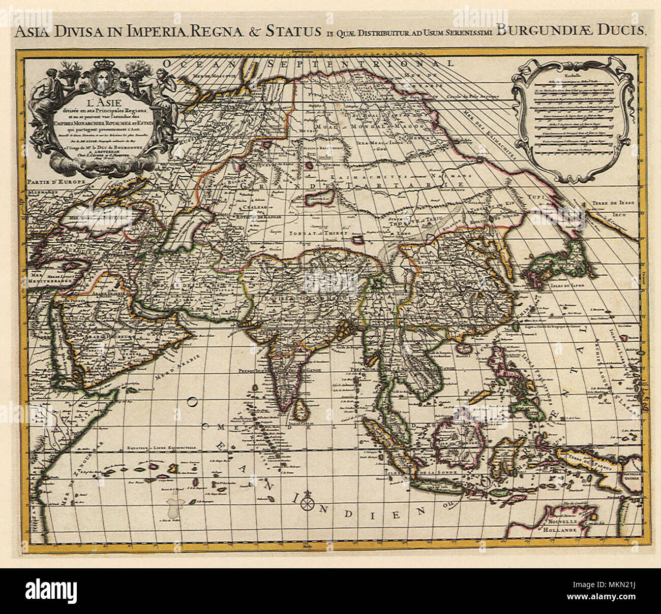 French Map of Asia 1700 Stock Photohttps://www.alamy.com/image-license-details/?v=1https://www.alamy.com/french-map-of-asia-1700-image184244750.html
RMMKN21J–French Map of Asia 1700
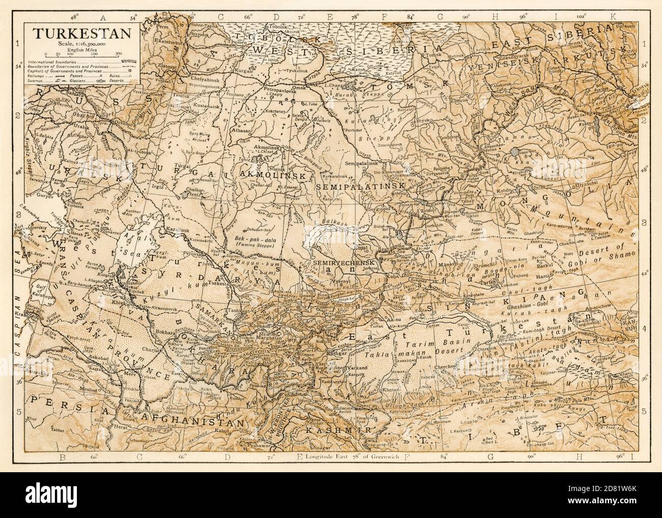 Map of Turkestan in the early 1900s. Color lithograph Stock Photohttps://www.alamy.com/image-license-details/?v=1https://www.alamy.com/map-of-turkestan-in-the-early-1900s-color-lithograph-image383587083.html
RM2D81W6K–Map of Turkestan in the early 1900s. Color lithograph
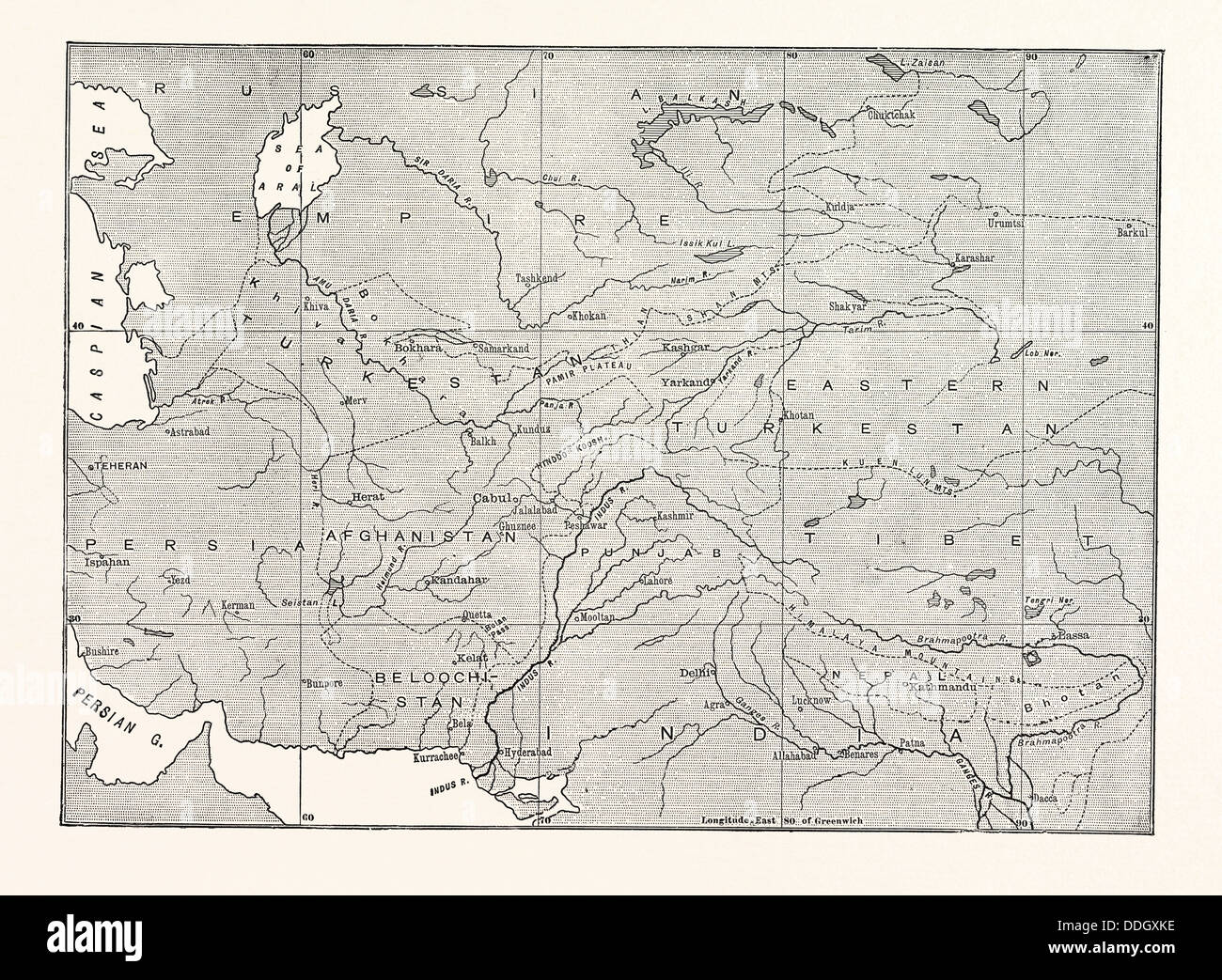 MAP OF CENTRAL ASIA Stock Photohttps://www.alamy.com/image-license-details/?v=1https://www.alamy.com/stock-photo-map-of-central-asia-59993794.html
RMDDGXKE–MAP OF CENTRAL ASIA
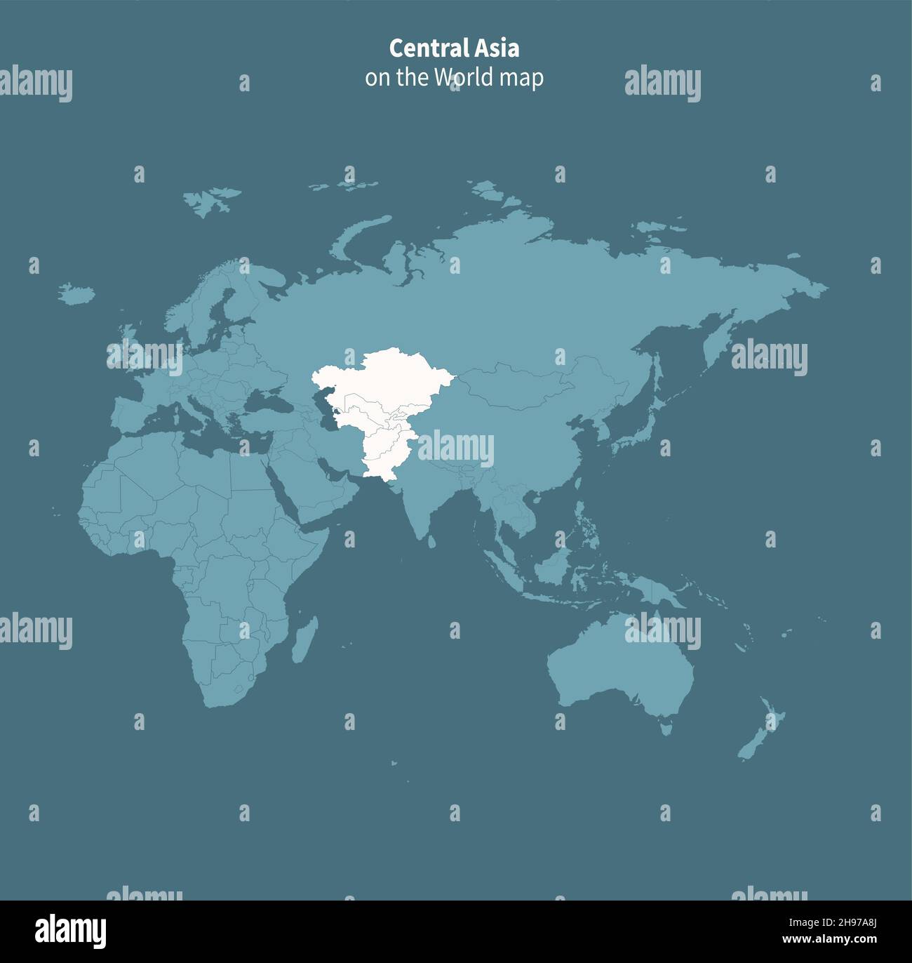 Central asia vector map. world map by region. Stock Vectorhttps://www.alamy.com/image-license-details/?v=1https://www.alamy.com/central-asia-vector-map-world-map-by-region-image453163218.html
RF2H97A8J–Central asia vector map. world map by region.
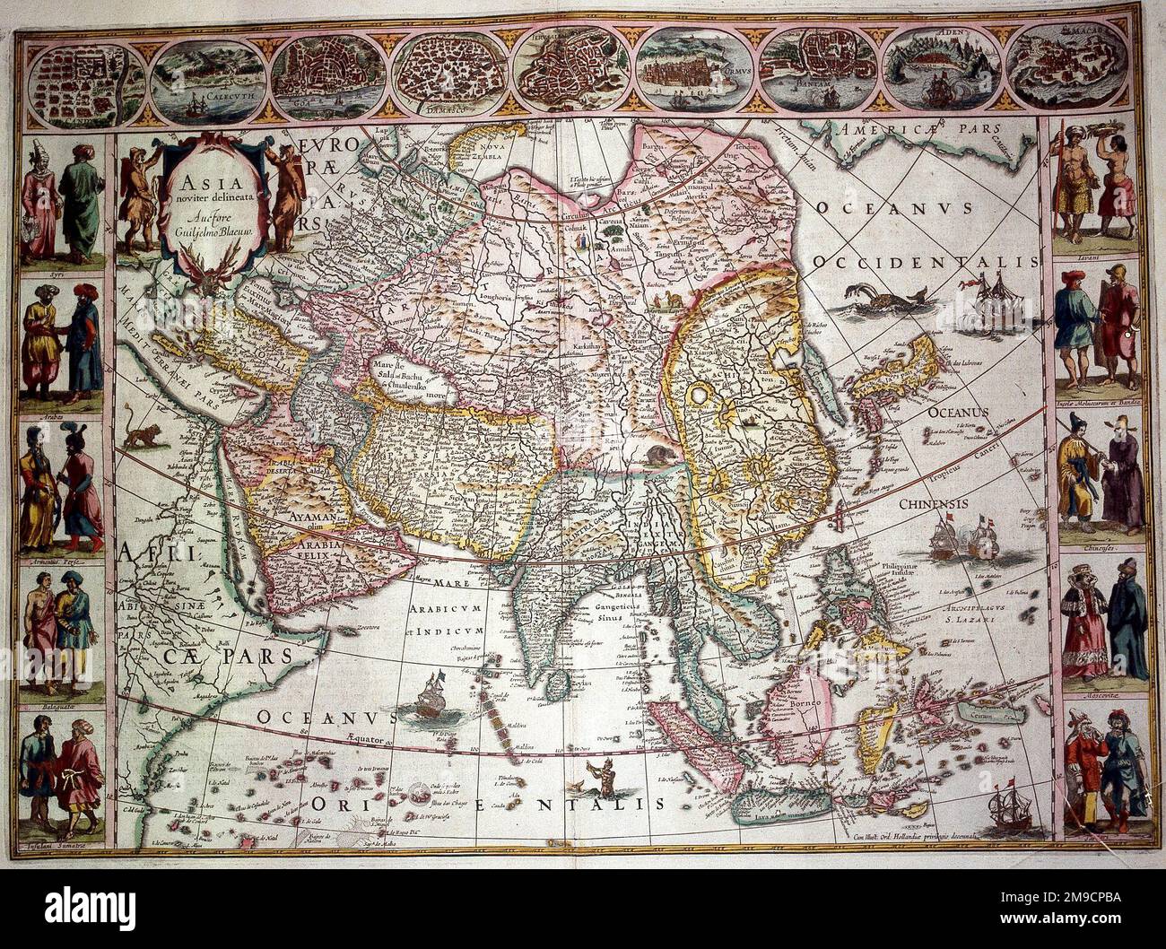 16th / 17th century Map of Asia Stock Photohttps://www.alamy.com/image-license-details/?v=1https://www.alamy.com/16th-17th-century-map-of-asia-image504913566.html
RM2M9CPBA–16th / 17th century Map of Asia
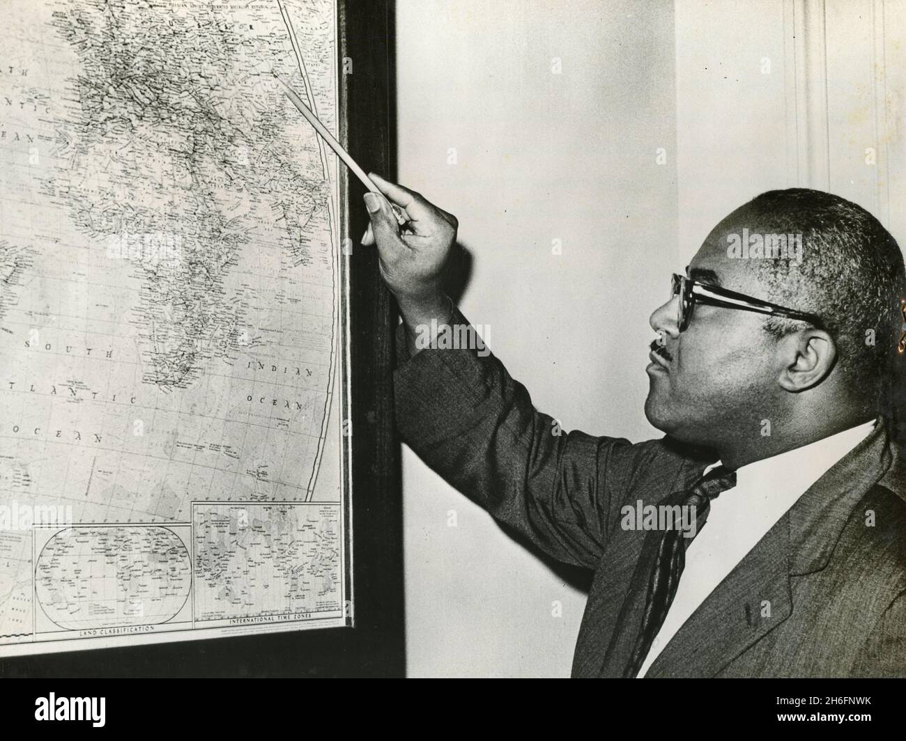 Andrew Hatcher, associate White House press secretary points to a map of Central Asia where Soviet nuclear test moritorium was broken, USA 1961 Stock Photohttps://www.alamy.com/image-license-details/?v=1https://www.alamy.com/andrew-hatcher-associate-white-house-press-secretary-points-to-a-map-of-central-asia-where-soviet-nuclear-test-moritorium-was-broken-usa-1961-image451503967.html
RM2H6FNWK–Andrew Hatcher, associate White House press secretary points to a map of Central Asia where Soviet nuclear test moritorium was broken, USA 1961
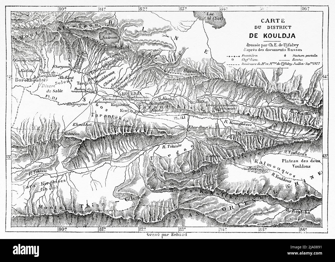 Old Map of Kuldja district. Yining, northwestern part of Xinjiang in the People's Republic of China, Central Asia. From Orenburg to Samarkand 1876-1878 by Madame Marie Ujfalvy-Bourdon, Le Tour du Monde 1879 Stock Photohttps://www.alamy.com/image-license-details/?v=1https://www.alamy.com/old-map-of-kuldja-district-yining-northwestern-part-of-xinjiang-in-the-peoples-republic-of-china-central-asia-from-orenburg-to-samarkand-1876-1878-by-madame-marie-ujfalvy-bourdon-le-tour-du-monde-1879-image470833021.html
RM2JA0891–Old Map of Kuldja district. Yining, northwestern part of Xinjiang in the People's Republic of China, Central Asia. From Orenburg to Samarkand 1876-1878 by Madame Marie Ujfalvy-Bourdon, Le Tour du Monde 1879
RF2Y0RM5X–Central Asia map icon illustration design
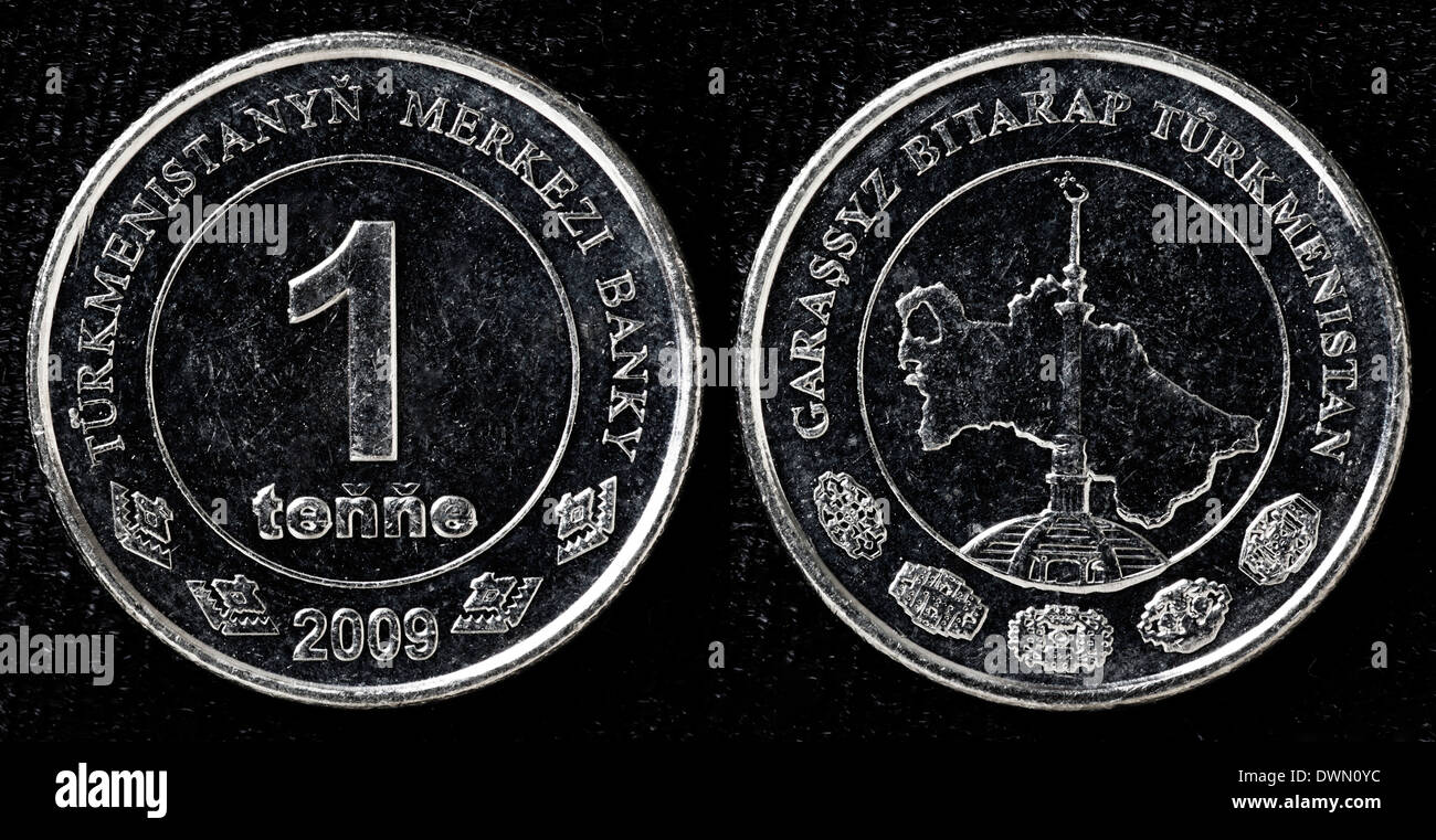 1 tenge coin, Turkmenistan, 2009 Stock Photohttps://www.alamy.com/image-license-details/?v=1https://www.alamy.com/1-tenge-coin-turkmenistan-2009-image67459264.html
RMDWN0YC–1 tenge coin, Turkmenistan, 2009
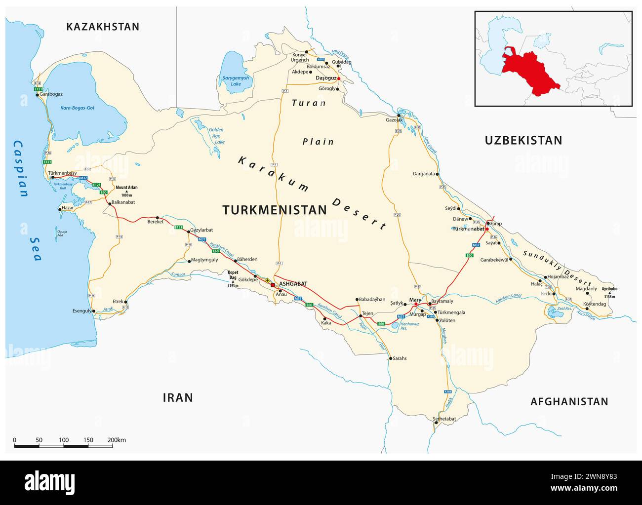 Vector road map of the Central Asian state of Turkmenistan Stock Photohttps://www.alamy.com/image-license-details/?v=1https://www.alamy.com/vector-road-map-of-the-central-asian-state-of-turkmenistan-image598257299.html
RF2WN8Y83–Vector road map of the Central Asian state of Turkmenistan
 Kyrgyzstan Map Vector Illustration - Silhouette, Outline, Kyrgyzstan Travel and Tourism Map Stock Vectorhttps://www.alamy.com/image-license-details/?v=1https://www.alamy.com/kyrgyzstan-map-vector-illustration-silhouette-outline-kyrgyzstan-travel-and-tourism-map-image611784633.html
RF2XF95F5–Kyrgyzstan Map Vector Illustration - Silhouette, Outline, Kyrgyzstan Travel and Tourism Map
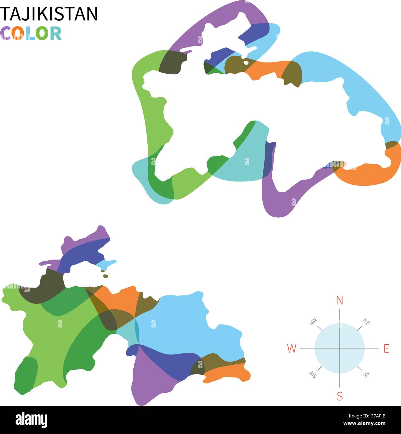 Abstract vector color map of Tajikistan Stock Vectorhttps://www.alamy.com/image-license-details/?v=1https://www.alamy.com/stock-photo-abstract-vector-color-map-of-tajikistan-107802083.html
RFG7APJB–Abstract vector color map of Tajikistan
 Central Asia. Afghanistan Baluchistan Pakistan Uzbekistan Bokhara TIMES 1895 map Stock Photohttps://www.alamy.com/image-license-details/?v=1https://www.alamy.com/central-asia-afghanistan-baluchistan-pakistan-uzbekistan-bokhara-times-1895-map-image451480348.html
RF2H6EKP4–Central Asia. Afghanistan Baluchistan Pakistan Uzbekistan Bokhara TIMES 1895 map
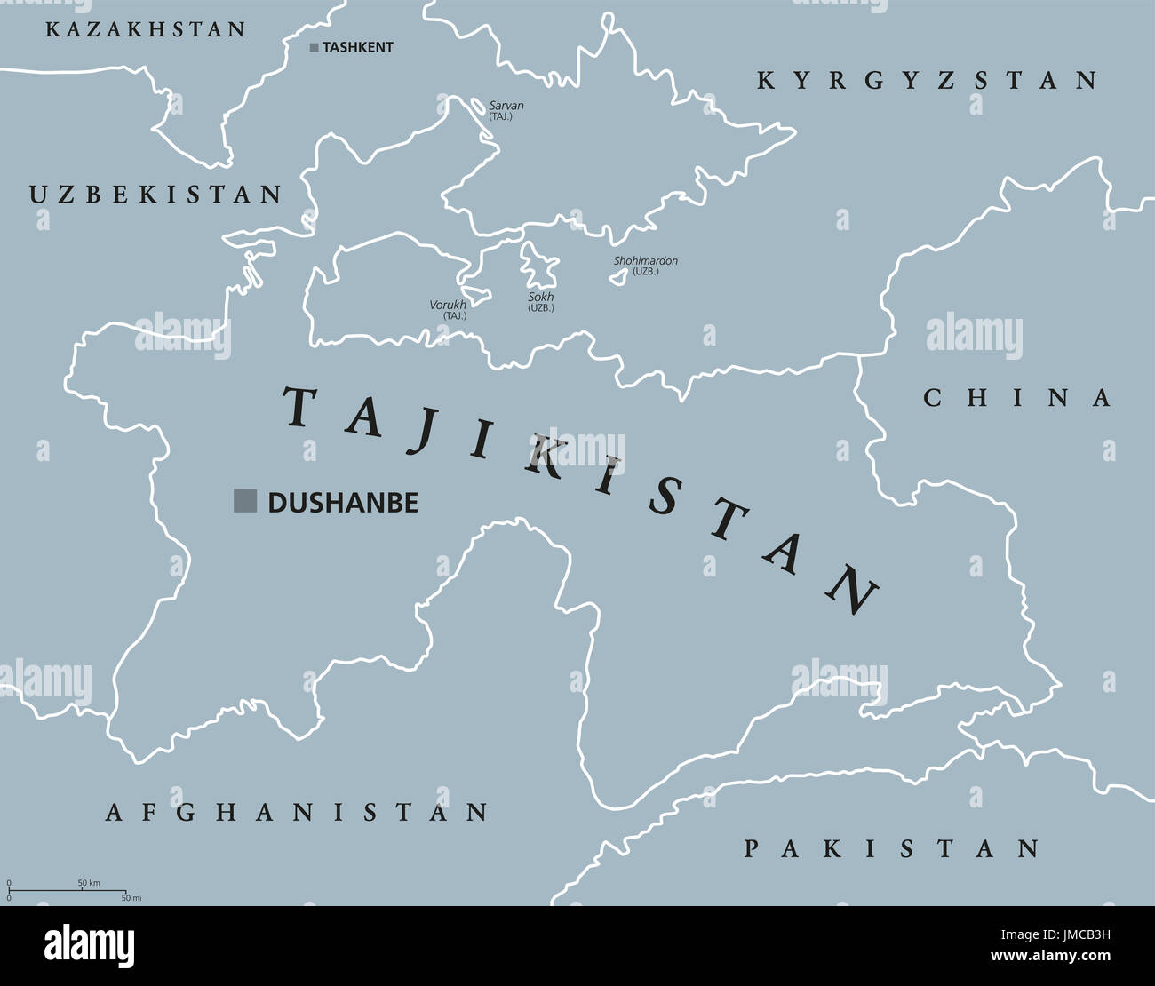 Tajikistan political map with capital Dushanbe and borders. Republic and landlocked country in Central Asia. Gray illustration. English labeling. Stock Photohttps://www.alamy.com/image-license-details/?v=1https://www.alamy.com/tajikistan-political-map-with-capital-dushanbe-and-borders-republic-image150248213.html
RFJMCB3H–Tajikistan political map with capital Dushanbe and borders. Republic and landlocked country in Central Asia. Gray illustration. English labeling.
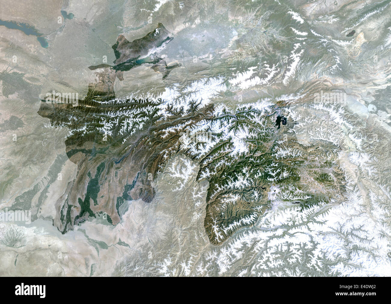 Tajikistan, Asia, True Colour Satellite Image With Mask. Satellite view of Tajikistan (with mask). This image was compiled from Stock Photohttps://www.alamy.com/image-license-details/?v=1https://www.alamy.com/stock-photo-tajikistan-asia-true-colour-satellite-image-with-mask-satellite-view-71605578.html
RME4DWJ2–Tajikistan, Asia, True Colour Satellite Image With Mask. Satellite view of Tajikistan (with mask). This image was compiled from
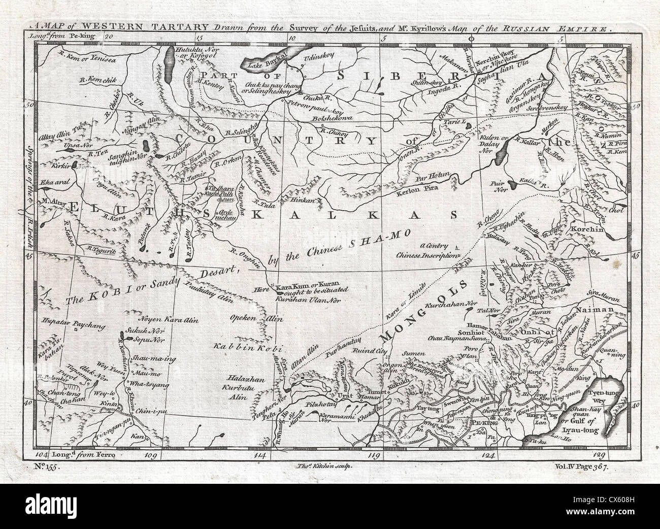 1747 Kitchin Map of Central Asia and the Gobi Desert Stock Photohttps://www.alamy.com/image-license-details/?v=1https://www.alamy.com/stock-photo-1747-kitchin-map-of-central-asia-and-the-gobi-desert-50533745.html
RMCX608H–1747 Kitchin Map of Central Asia and the Gobi Desert
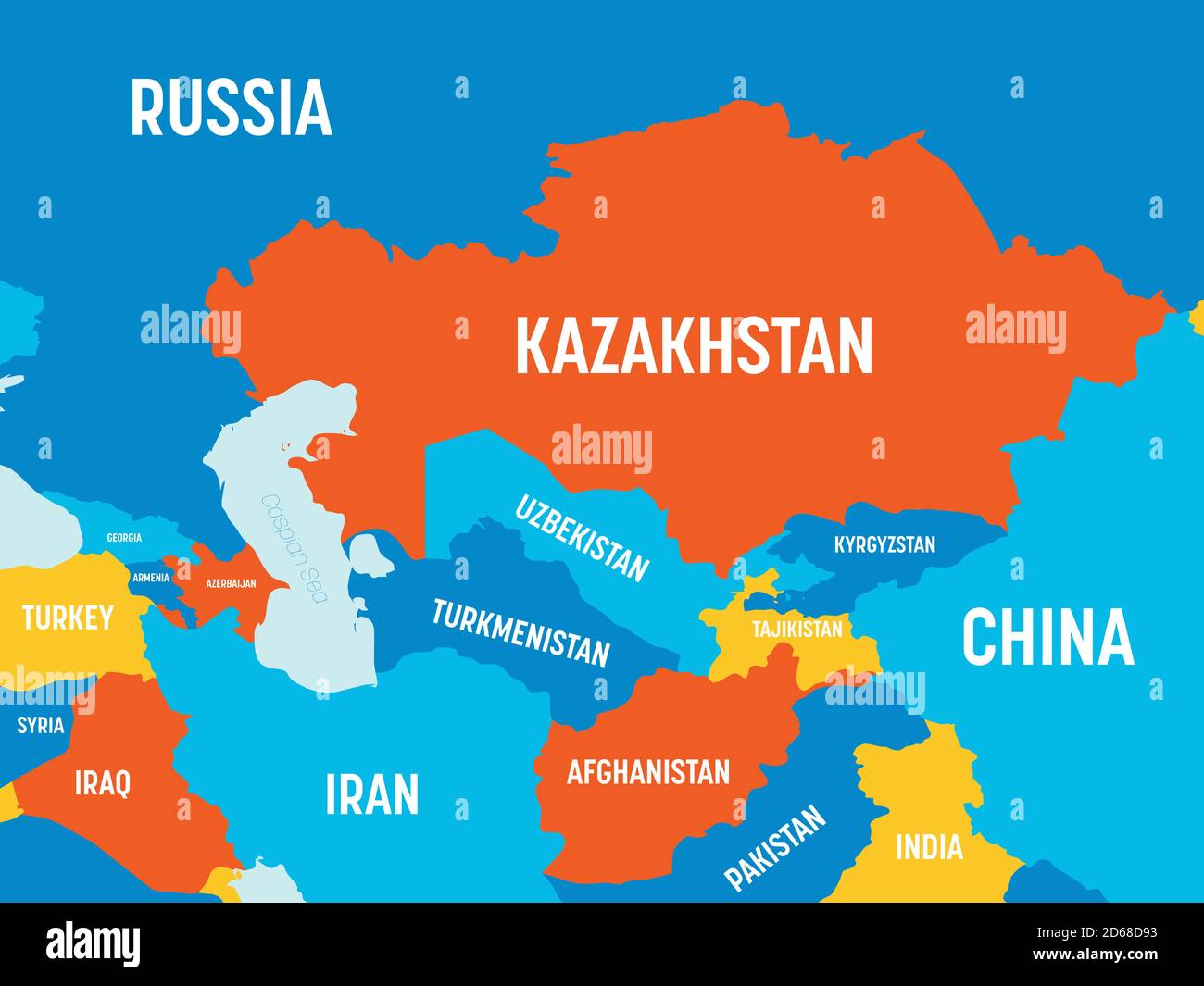 Central Asia map - 4 bright color scheme. High detailed political map of central asian region with country, ocean and sea names labeling. Stock Vectorhttps://www.alamy.com/image-license-details/?v=1https://www.alamy.com/central-asia-map-4-bright-color-scheme-high-detailed-political-map-of-central-asian-region-with-country-ocean-and-sea-names-labeling-image382502095.html
RF2D68D93–Central Asia map - 4 bright color scheme. High detailed political map of central asian region with country, ocean and sea names labeling.
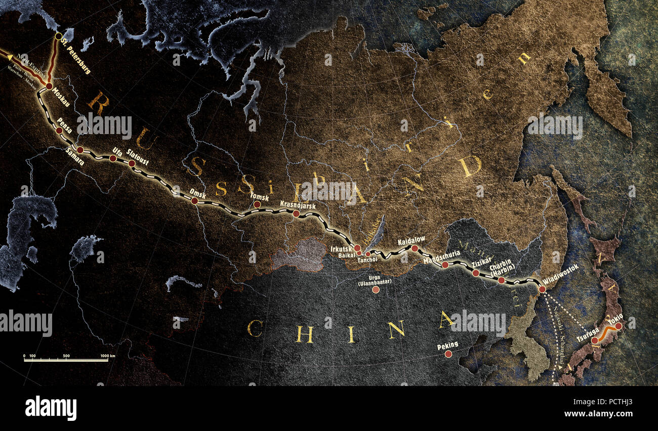 Map, North and Central Asia, Trans-Siberian Railway, Graphic, RailArt Stock Photohttps://www.alamy.com/image-license-details/?v=1https://www.alamy.com/map-north-and-central-asia-trans-siberian-railway-graphic-railart-image214440971.html
RMPCTHJ3–Map, North and Central Asia, Trans-Siberian Railway, Graphic, RailArt
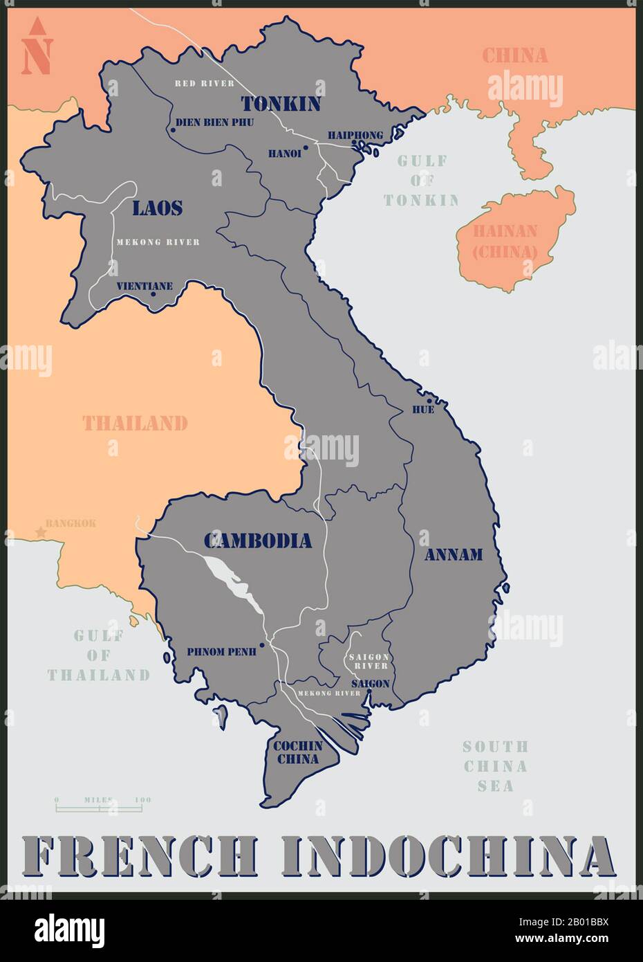 Indochina: Map of French Indochina showing Tonkin, Annam and Cochinchina (all part of Vietnam) as well as Laos and Cambodia, but excluding Guangzhouwan in China. Map by U.S. Air Force, 20th century. French Indochina (French: Indochine française; Vietnamese: Đông Dương thuộc Pháp, frequently abbreviated to Đông Pháp) was part of the French colonial empire in southeast Asia. A federation of the three Vietnamese regions, Tonkin (North), Annam (Central), and Cochinchina (South), as well as Cambodia, was formed in 1887. Laos was added in 1893 and Guangzhouwan (Kouang-Tchéou-Wan) in 1900. Stock Photohttps://www.alamy.com/image-license-details/?v=1https://www.alamy.com/indochina-map-of-french-indochina-showing-tonkin-annam-and-cochinchina-all-part-of-vietnam-as-well-as-laos-and-cambodia-but-excluding-guangzhouwan-in-china-map-by-us-air-force-20th-century-french-indochina-french-indochine-franaise-vietnamese-ng-dng-thuc-php-frequently-abbreviated-to-ng-php-was-part-of-the-french-colonial-empire-in-southeast-asia-a-federation-of-the-three-vietnamese-regions-tonkin-north-annam-central-and-cochinchina-south-as-well-as-cambodia-was-formed-in-1887-laos-was-added-in-1893-and-guangzhouwan-kouang-tchou-wan-in-1900-image344238270.html
RM2B01BBX–Indochina: Map of French Indochina showing Tonkin, Annam and Cochinchina (all part of Vietnam) as well as Laos and Cambodia, but excluding Guangzhouwan in China. Map by U.S. Air Force, 20th century. French Indochina (French: Indochine française; Vietnamese: Đông Dương thuộc Pháp, frequently abbreviated to Đông Pháp) was part of the French colonial empire in southeast Asia. A federation of the three Vietnamese regions, Tonkin (North), Annam (Central), and Cochinchina (South), as well as Cambodia, was formed in 1887. Laos was added in 1893 and Guangzhouwan (Kouang-Tchéou-Wan) in 1900.
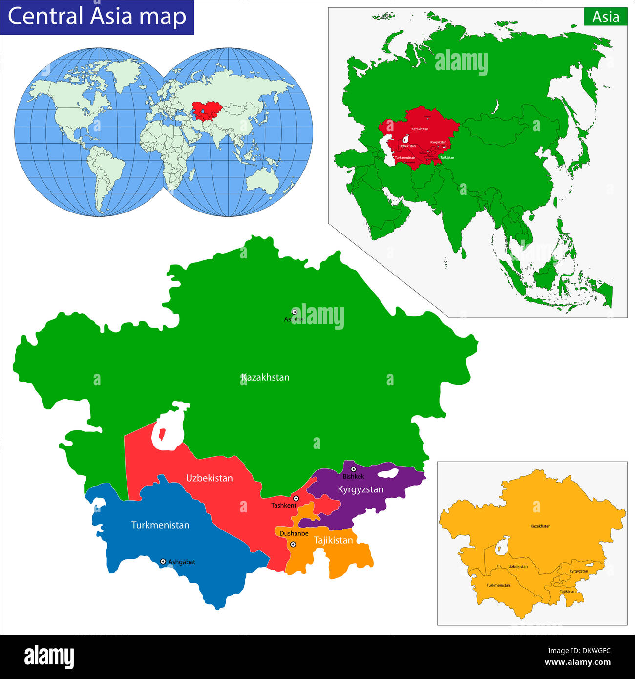 Central Asia map Stock Photohttps://www.alamy.com/image-license-details/?v=1https://www.alamy.com/central-asia-map-image63871344.html
RFDKWGFC–Central Asia map
 Map, explorations in Central Asia, illustration, Meyers Konversations-Lexikon encyclopedia, 1897 Stock Photohttps://www.alamy.com/image-license-details/?v=1https://www.alamy.com/map-explorations-in-central-asia-illustration-meyers-konversations-image62002741.html
RMDGTD3H–Map, explorations in Central Asia, illustration, Meyers Konversations-Lexikon encyclopedia, 1897
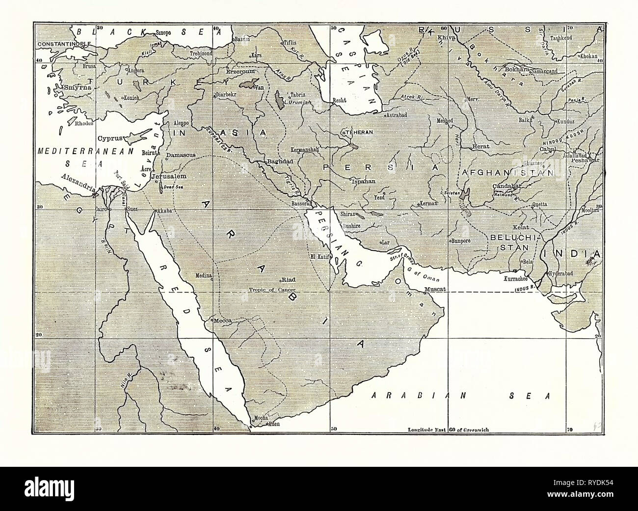 Map of Central Asia, Persia, Arabia, and Turkey in Asia Stock Photohttps://www.alamy.com/image-license-details/?v=1https://www.alamy.com/map-of-central-asia-persia-arabia-and-turkey-in-asia-image240630912.html
RMRYDK54–Map of Central Asia, Persia, Arabia, and Turkey in Asia
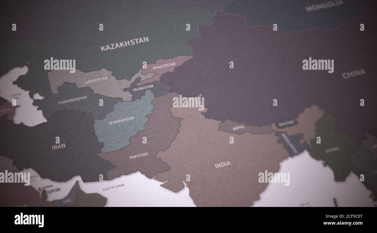 Central Asia Countries Map. Continental Vintage Map 3d Rendering. Stock Photohttps://www.alamy.com/image-license-details/?v=1https://www.alamy.com/central-asia-countries-map-continental-vintage-map-3d-rendering-image370756760.html
RF2CF5C0T–Central Asia Countries Map. Continental Vintage Map 3d Rendering.
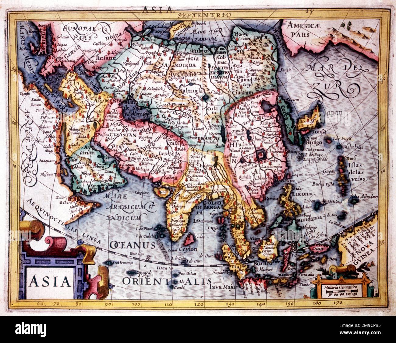 16th / 17th Century Map of Asia and the Orient Stock Photohttps://www.alamy.com/image-license-details/?v=1https://www.alamy.com/16th-17th-century-map-of-asia-and-the-orient-image504913561.html
RM2M9CPB5–16th / 17th Century Map of Asia and the Orient
 Central Asia : Afghanistan and her relation to British and Russian territories. Includes inset of Europe, Asia and Africa. 1885 Stock Photohttps://www.alamy.com/image-license-details/?v=1https://www.alamy.com/stock-photo-central-asia-afghanistan-and-her-relation-to-british-and-russian-territories-50496802.html
RMCX4956–Central Asia : Afghanistan and her relation to British and Russian territories. Includes inset of Europe, Asia and Africa. 1885
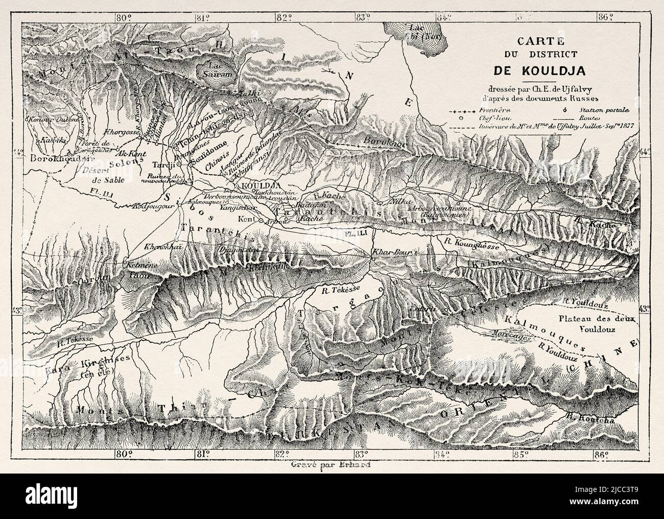 Old Map of Kuldja district. Yining, northwestern part of Xinjiang in the People's Republic of China, Central Asia. From Orenburg to Samarkand 1876-1878 by Madame Marie Ujfalvy-Bourdon, Le Tour du Monde 1879 Stock Photohttps://www.alamy.com/image-license-details/?v=1https://www.alamy.com/old-map-of-kuldja-district-yining-northwestern-part-of-xinjiang-in-the-peoples-republic-of-china-central-asia-from-orenburg-to-samarkand-1876-1878-by-madame-marie-ujfalvy-bourdon-le-tour-du-monde-1879-image472322265.html
RM2JCC3T9–Old Map of Kuldja district. Yining, northwestern part of Xinjiang in the People's Republic of China, Central Asia. From Orenburg to Samarkand 1876-1878 by Madame Marie Ujfalvy-Bourdon, Le Tour du Monde 1879
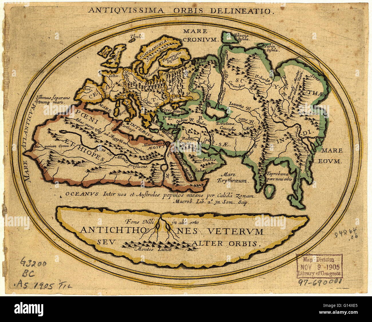 Map of the Old World with Latin text. The title is Antiquissima Orbis Delineatio (ancient world map). The level of geographical knowledge is similar to that until the 15th century. The map shows: Europe (yellow), North Africa (red), West-Central Asia (gre Stock Photohttps://www.alamy.com/image-license-details/?v=1https://www.alamy.com/stock-photo-map-of-the-old-world-with-latin-text-the-title-is-antiquissima-orbis-103985453.html
RMG14XE5–Map of the Old World with Latin text. The title is Antiquissima Orbis Delineatio (ancient world map). The level of geographical knowledge is similar to that until the 15th century. The map shows: Europe (yellow), North Africa (red), West-Central Asia (gre
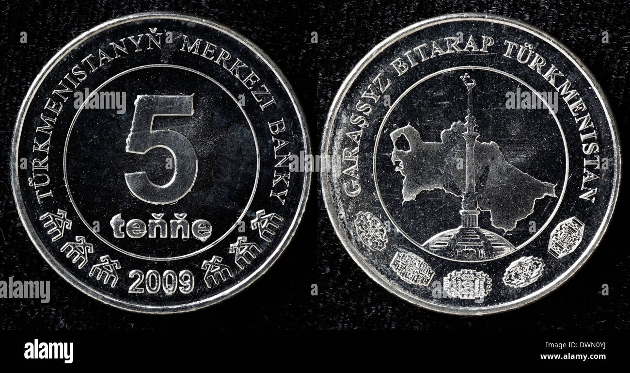 5 tenge coin, Turkmenistan, 2009 Stock Photohttps://www.alamy.com/image-license-details/?v=1https://www.alamy.com/5-tenge-coin-turkmenistan-2009-image67459270.html
RMDWN0YJ–5 tenge coin, Turkmenistan, 2009
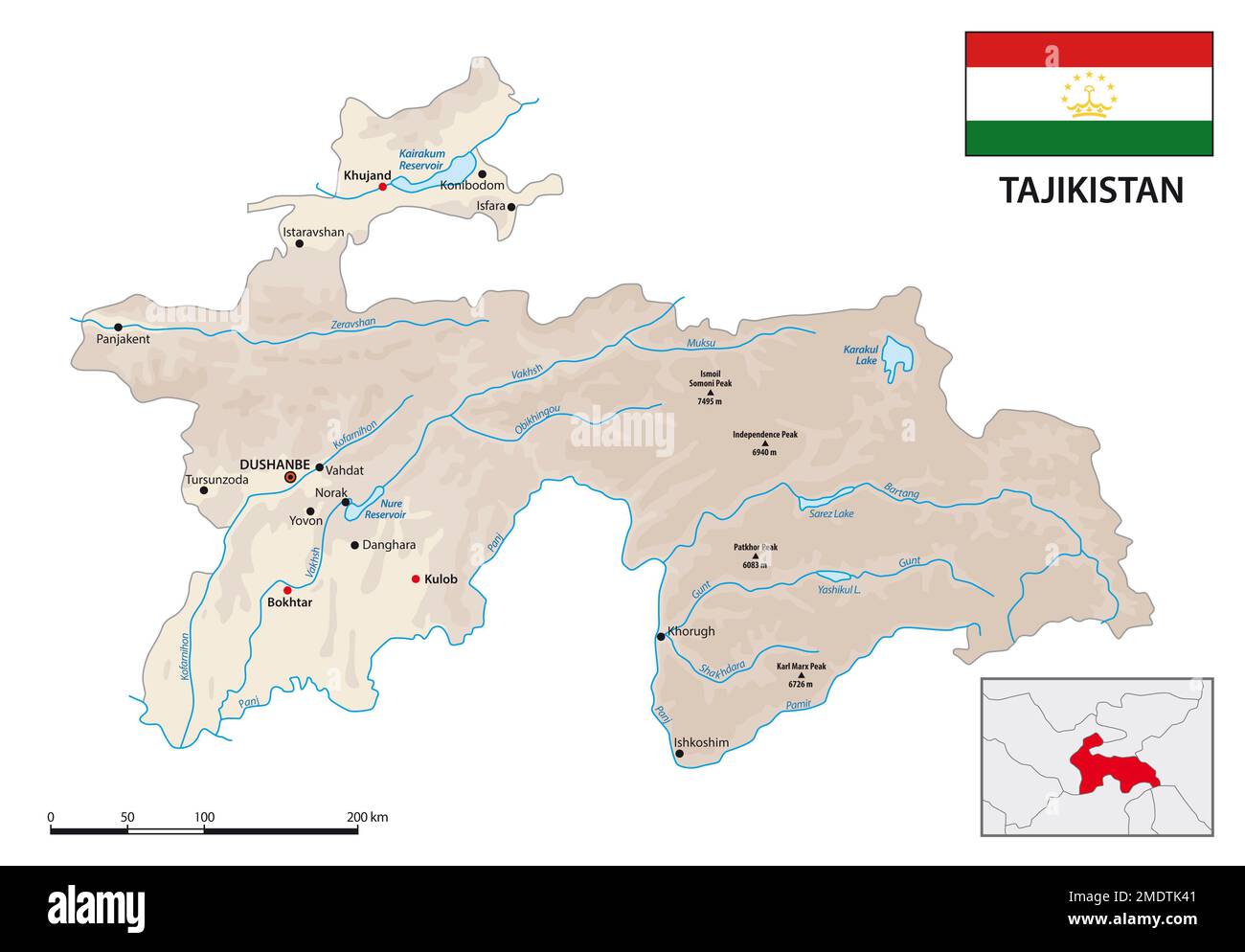 Physical vector map of Central Asian state of Tajikistan with flag Stock Photohttps://www.alamy.com/image-license-details/?v=1https://www.alamy.com/physical-vector-map-of-central-asian-state-of-tajikistan-with-flag-image507633057.html
RF2MDTK41–Physical vector map of Central Asian state of Tajikistan with flag
 Tajikistan Map Vector Illustration - Silhouette, Outline, Tajikistan Travel and Tourism Map Stock Vectorhttps://www.alamy.com/image-license-details/?v=1https://www.alamy.com/tajikistan-map-vector-illustration-silhouette-outline-tajikistan-travel-and-tourism-map-image611789835.html
RF2XF9C4Y–Tajikistan Map Vector Illustration - Silhouette, Outline, Tajikistan Travel and Tourism Map
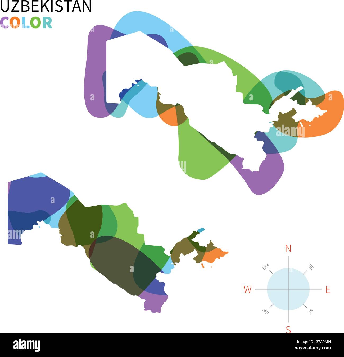 Abstract vector color map of Uzbekistan Stock Vectorhttps://www.alamy.com/image-license-details/?v=1https://www.alamy.com/stock-photo-abstract-vector-color-map-of-uzbekistan-107802145.html
RFG7APMH–Abstract vector color map of Uzbekistan
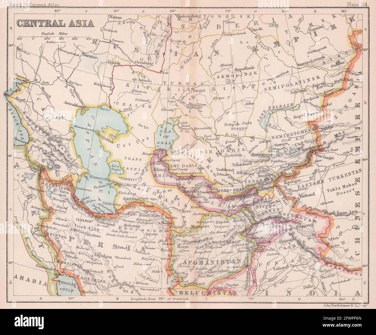 Central Asia. Persia Afghanistan Khiva Bokhara. BARTHOLOMEW 1893 old map Stock Photohttps://www.alamy.com/image-license-details/?v=1https://www.alamy.com/central-asia-persia-afghanistan-khiva-bokhara-bartholomew-1893-old-map-image428910125.html
RF2FWPF6N–Central Asia. Persia Afghanistan Khiva Bokhara. BARTHOLOMEW 1893 old map
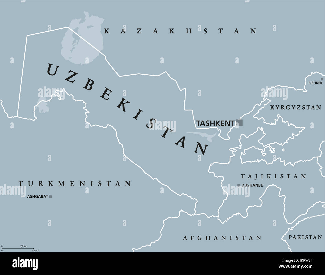 Uzbekistan political map with capital Tashkent and international borders. Republic and landlocked country in Central Asia. Gray illustration. Stock Photohttps://www.alamy.com/image-license-details/?v=1https://www.alamy.com/stock-photo-uzbekistan-political-map-with-capital-tashkent-and-international-borders-149886311.html
RFJKRWEF–Uzbekistan political map with capital Tashkent and international borders. Republic and landlocked country in Central Asia. Gray illustration.
 Tajikistan, Asia, True Colour Satellite Image With Border. Satellite view of Tajikistan (with border). This image was compiled f Stock Photohttps://www.alamy.com/image-license-details/?v=1https://www.alamy.com/stock-photo-tajikistan-asia-true-colour-satellite-image-with-border-satellite-71605112.html
RME4DW1C–Tajikistan, Asia, True Colour Satellite Image With Border. Satellite view of Tajikistan (with border). This image was compiled f
 1771 Bonne Map of Central Asia - Stock Photohttps://www.alamy.com/image-license-details/?v=1https://www.alamy.com/stock-photo-1771-bonne-map-of-central-asia-50537819.html
RMCX65E3–1771 Bonne Map of Central Asia -
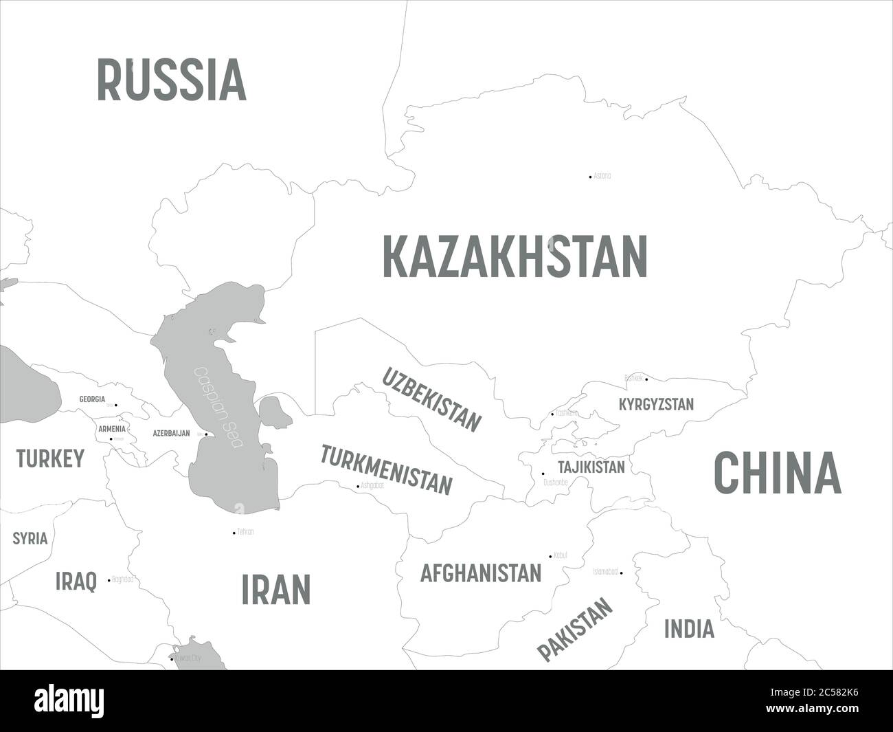 Central Asia map - white lands and grey water. High detailed political map of central asian region with country, capital, ocean and sea names labeling. Stock Vectorhttps://www.alamy.com/image-license-details/?v=1https://www.alamy.com/central-asia-map-white-lands-and-grey-water-high-detailed-political-map-of-central-asian-region-with-country-capital-ocean-and-sea-names-labeling-image364668730.html
RF2C582K6–Central Asia map - white lands and grey water. High detailed political map of central asian region with country, capital, ocean and sea names labeling.
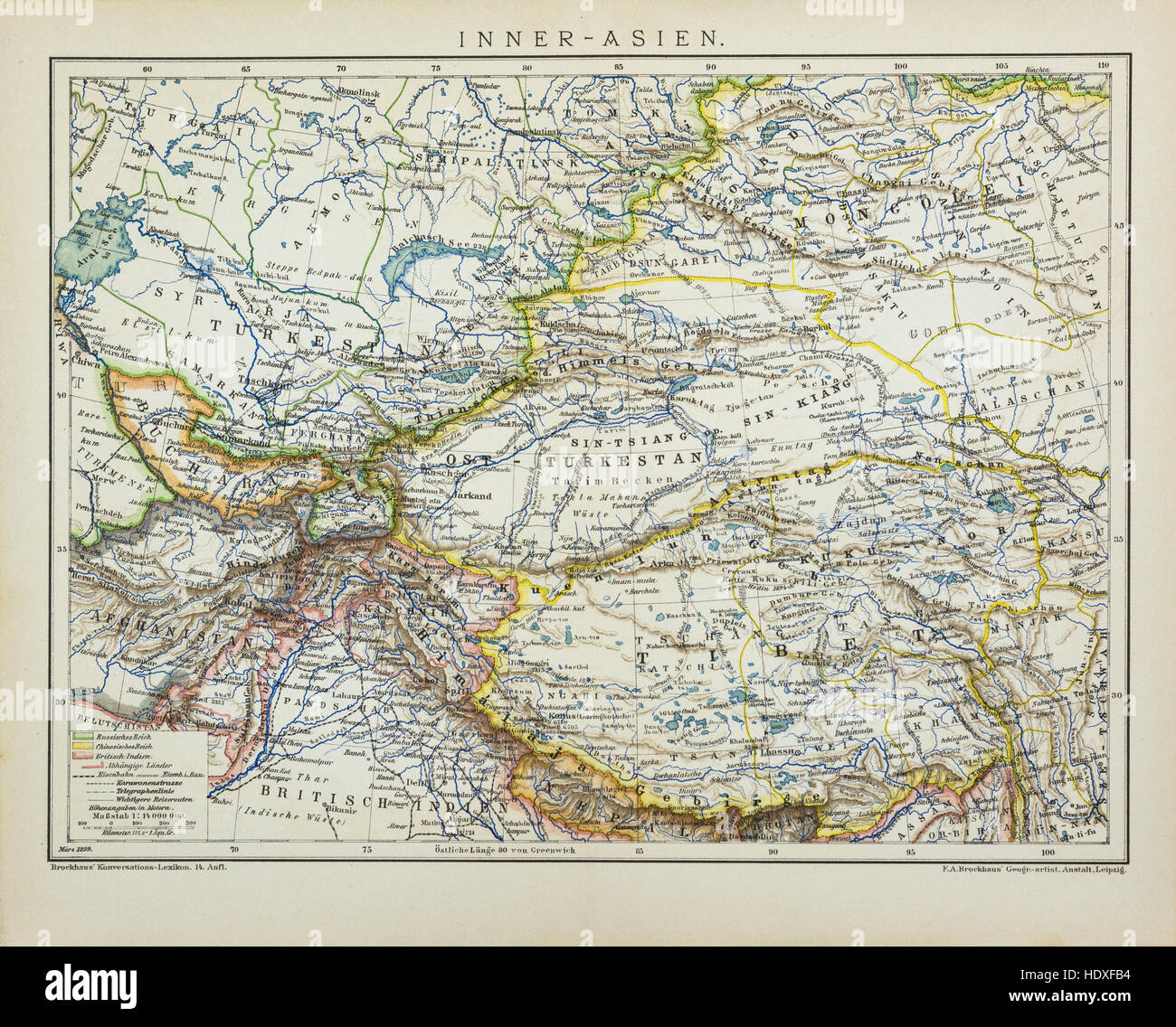 Central Asia antique map Stock Photohttps://www.alamy.com/image-license-details/?v=1https://www.alamy.com/stock-photo-central-asia-antique-map-129045928.html
RFHDXFB4–Central Asia antique map
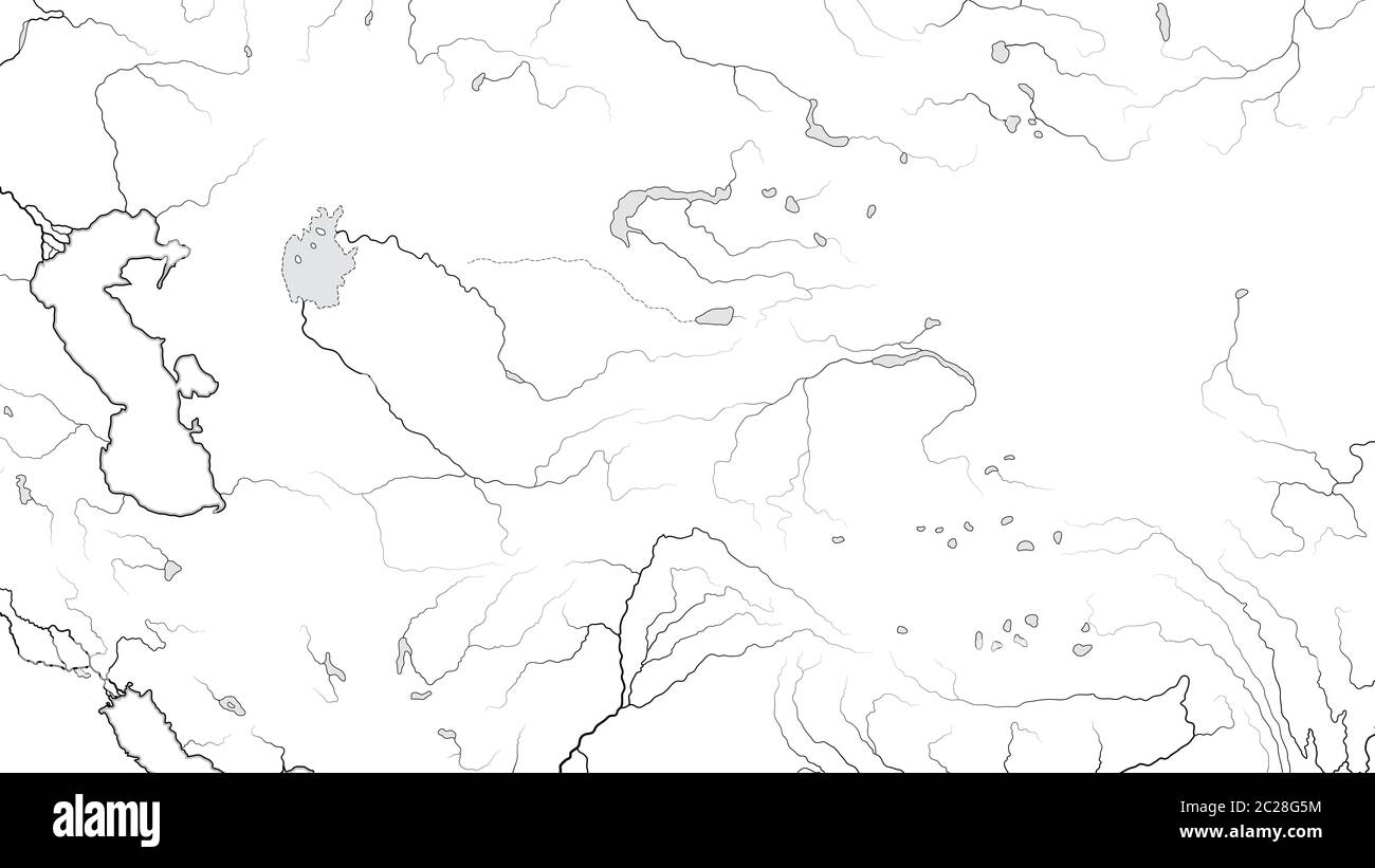 World Map of CENTRAL ASIA REGION (ASIA INTERIOR): Kazakhstan, Turkestan, Afghanistan. (Geographic chart). Stock Photohttps://www.alamy.com/image-license-details/?v=1https://www.alamy.com/world-map-of-central-asia-region-asia-interior-kazakhstan-turkestan-afghanistan-geographic-chart-image362835360.html
RM2C28G5M–World Map of CENTRAL ASIA REGION (ASIA INTERIOR): Kazakhstan, Turkestan, Afghanistan. (Geographic chart).
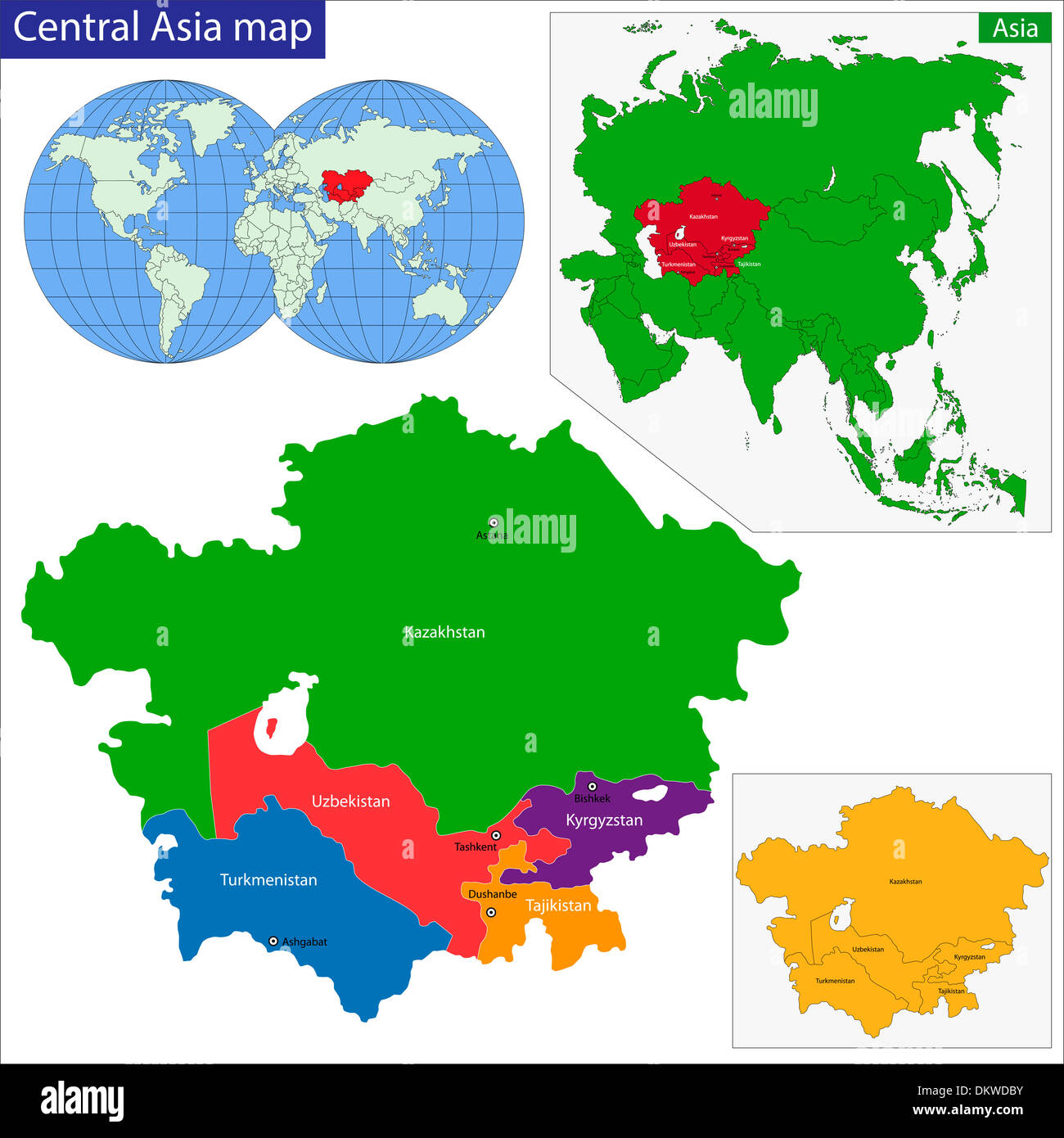 Central Asia map Stock Photohttps://www.alamy.com/image-license-details/?v=1https://www.alamy.com/central-asia-map-image63868895.html
RFDKWDBY–Central Asia map
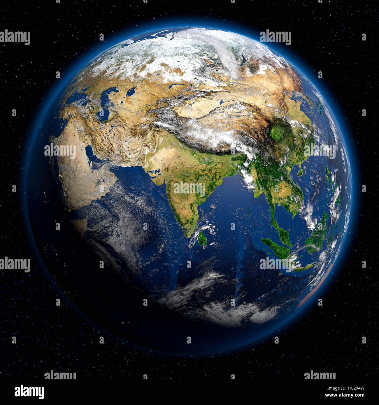 Earth viewed from space showing Central Asia. Realistic digital illustration including relief map hill shading of terrain. Please credit Nasa. Stock Photohttps://www.alamy.com/image-license-details/?v=1https://www.alamy.com/stock-photo-earth-viewed-from-space-showing-central-asia-realistic-digital-illustration-130371497.html
RMHG2X4W–Earth viewed from space showing Central Asia. Realistic digital illustration including relief map hill shading of terrain. Please credit Nasa.
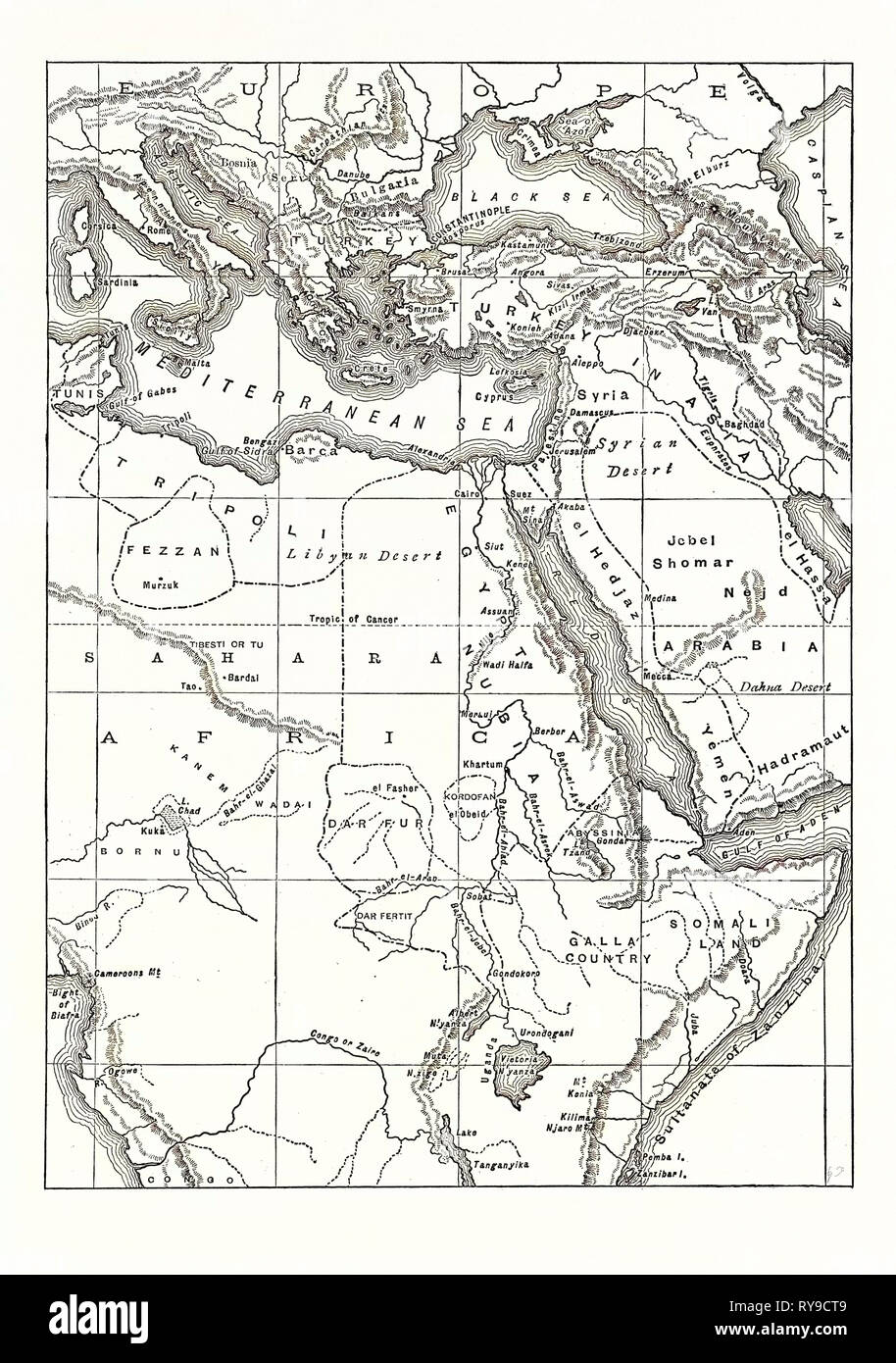 MAP OF SOUTH EASTERN EUROPE, WESTERN ASIA, AND NORTHERN AND CENTRAL AFRICA Stock Photohttps://www.alamy.com/image-license-details/?v=1https://www.alamy.com/map-of-south-eastern-europe-western-asia-and-northern-and-central-africa-image240538153.html
RMRY9CT9–MAP OF SOUTH EASTERN EUROPE, WESTERN ASIA, AND NORTHERN AND CENTRAL AFRICA
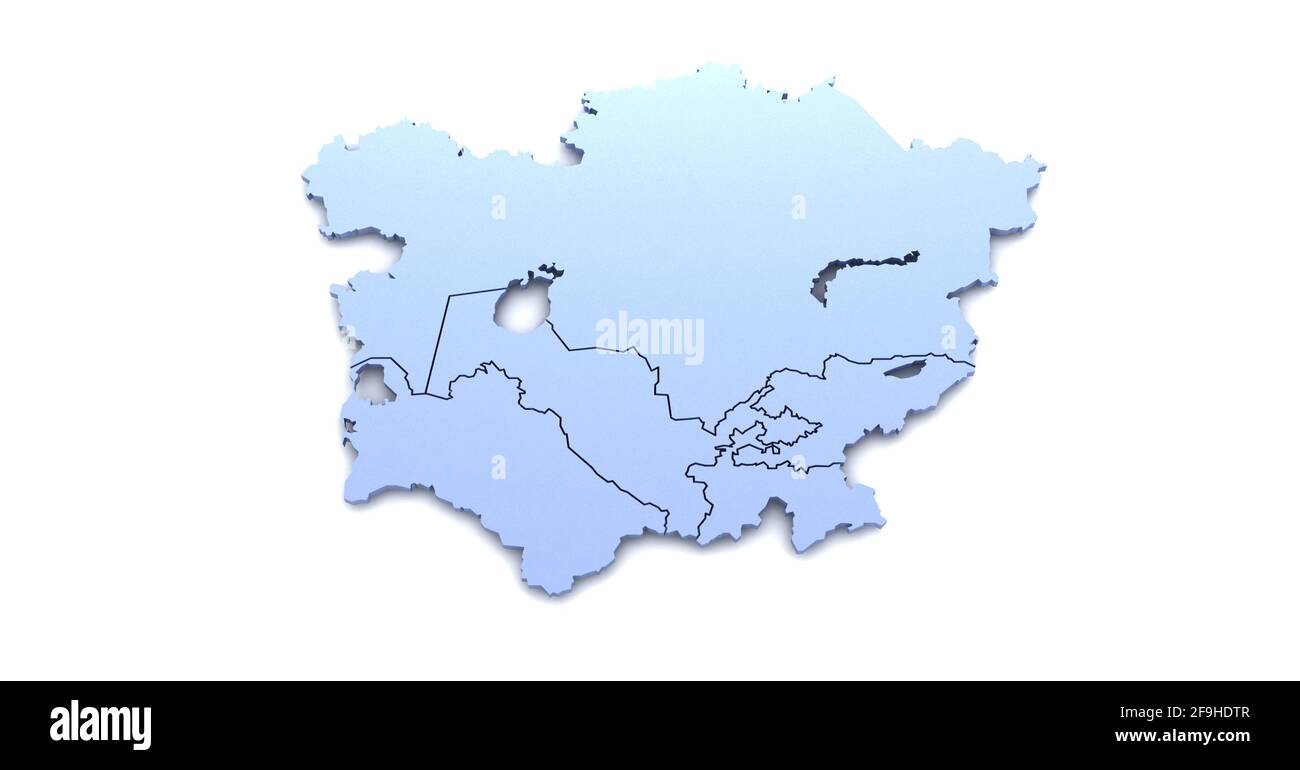 Central asia union. Central asia countries map and flag 3D illustrations on a white background. Stock Photohttps://www.alamy.com/image-license-details/?v=1https://www.alamy.com/central-asia-union-central-asia-countries-map-and-flag-3d-illustrations-on-a-white-background-image418964807.html
RF2F9HDTR–Central asia union. Central asia countries map and flag 3D illustrations on a white background.
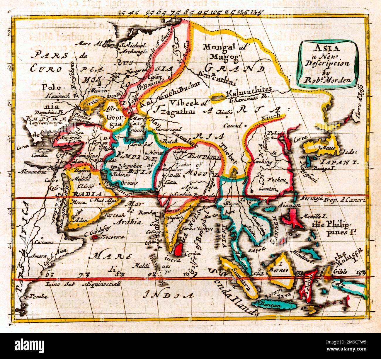 17th century Map of Asia - A new description Stock Photohttps://www.alamy.com/image-license-details/?v=1https://www.alamy.com/17th-century-map-of-asia-a-new-description-image504915521.html
RM2M9CTW5–17th century Map of Asia - A new description
 Central Asia by G.W. & C.B. Colton & Co. 1885. Middle East - South Asia - Arabia. 1885. Stock Photohttps://www.alamy.com/image-license-details/?v=1https://www.alamy.com/central-asia-by-gw-cb-colton-co-1885-middle-east-south-asia-arabia-1885-image463611615.html
RM2HX799K–Central Asia by G.W. & C.B. Colton & Co. 1885. Middle East - South Asia - Arabia. 1885.
 Map of Central Asia with Afghanistan captured by the Taliban. Instead of the flag of Afghanistan, there is a Taliban sign on the contour of the countr Stock Photohttps://www.alamy.com/image-license-details/?v=1https://www.alamy.com/map-of-central-asia-with-afghanistan-captured-by-the-taliban-instead-of-the-flag-of-afghanistan-there-is-a-taliban-sign-on-the-contour-of-the-countr-image438969889.html
RF2GE4PG1–Map of Central Asia with Afghanistan captured by the Taliban. Instead of the flag of Afghanistan, there is a Taliban sign on the contour of the countr
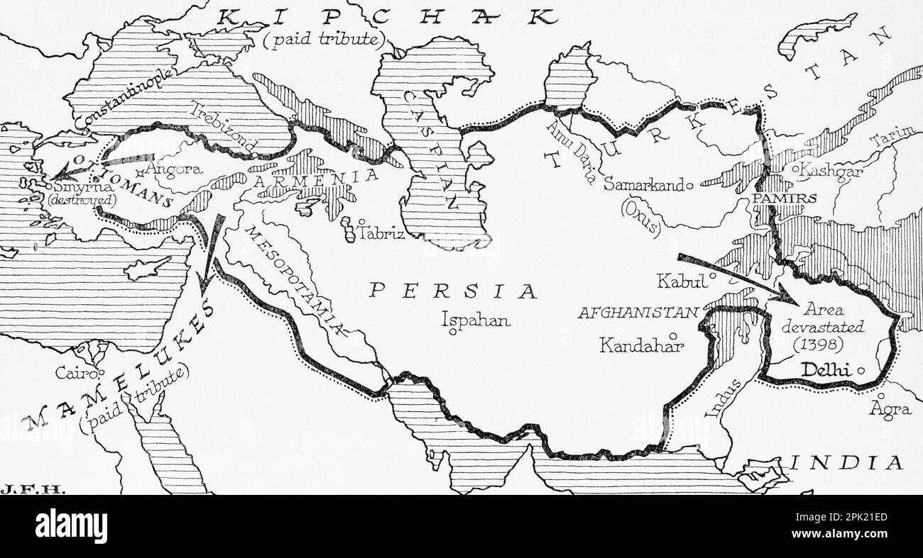 Map showing the Timurid Empire, (modern-day Afghanistan, Iran, Iraq and Central Asia, also parts of Pakistan, North India and Turkey) founded by Timur, aka Tamerlane, 1336 – 1405. From the book Outline of History by H.G. Wells, published 1920. Stock Photohttps://www.alamy.com/image-license-details/?v=1https://www.alamy.com/map-showing-the-timurid-empire-modern-day-afghanistan-iran-iraq-and-central-asia-also-parts-of-pakistan-north-india-and-turkey-founded-by-timur-aka-tamerlane-1336-1405-from-the-book-outline-of-history-by-hg-wells-published-1920-image545244965.html
RM2PK21ED–Map showing the Timurid Empire, (modern-day Afghanistan, Iran, Iraq and Central Asia, also parts of Pakistan, North India and Turkey) founded by Timur, aka Tamerlane, 1336 – 1405. From the book Outline of History by H.G. Wells, published 1920.
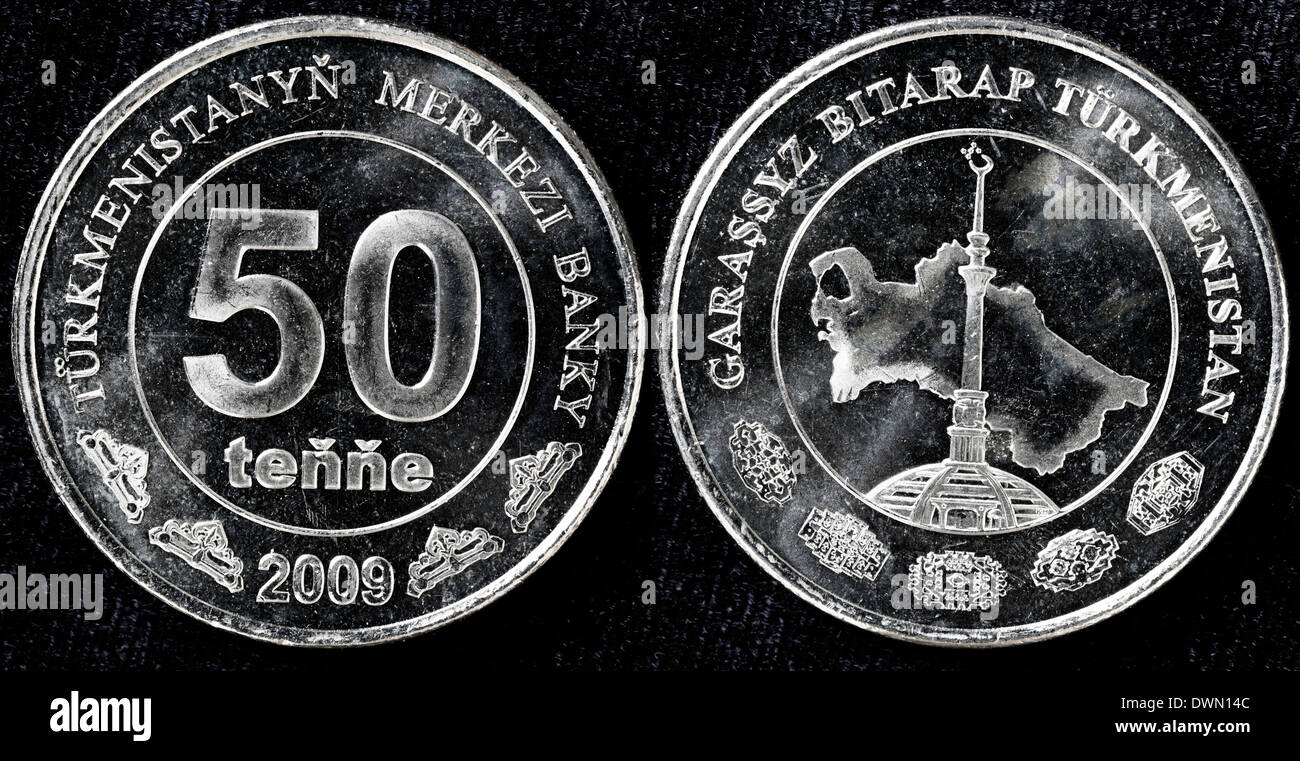 50 tenge coin, Turkmenistan, 2009 Stock Photohttps://www.alamy.com/image-license-details/?v=1https://www.alamy.com/50-tenge-coin-turkmenistan-2009-image67459404.html
RMDWN14C–50 tenge coin, Turkmenistan, 2009
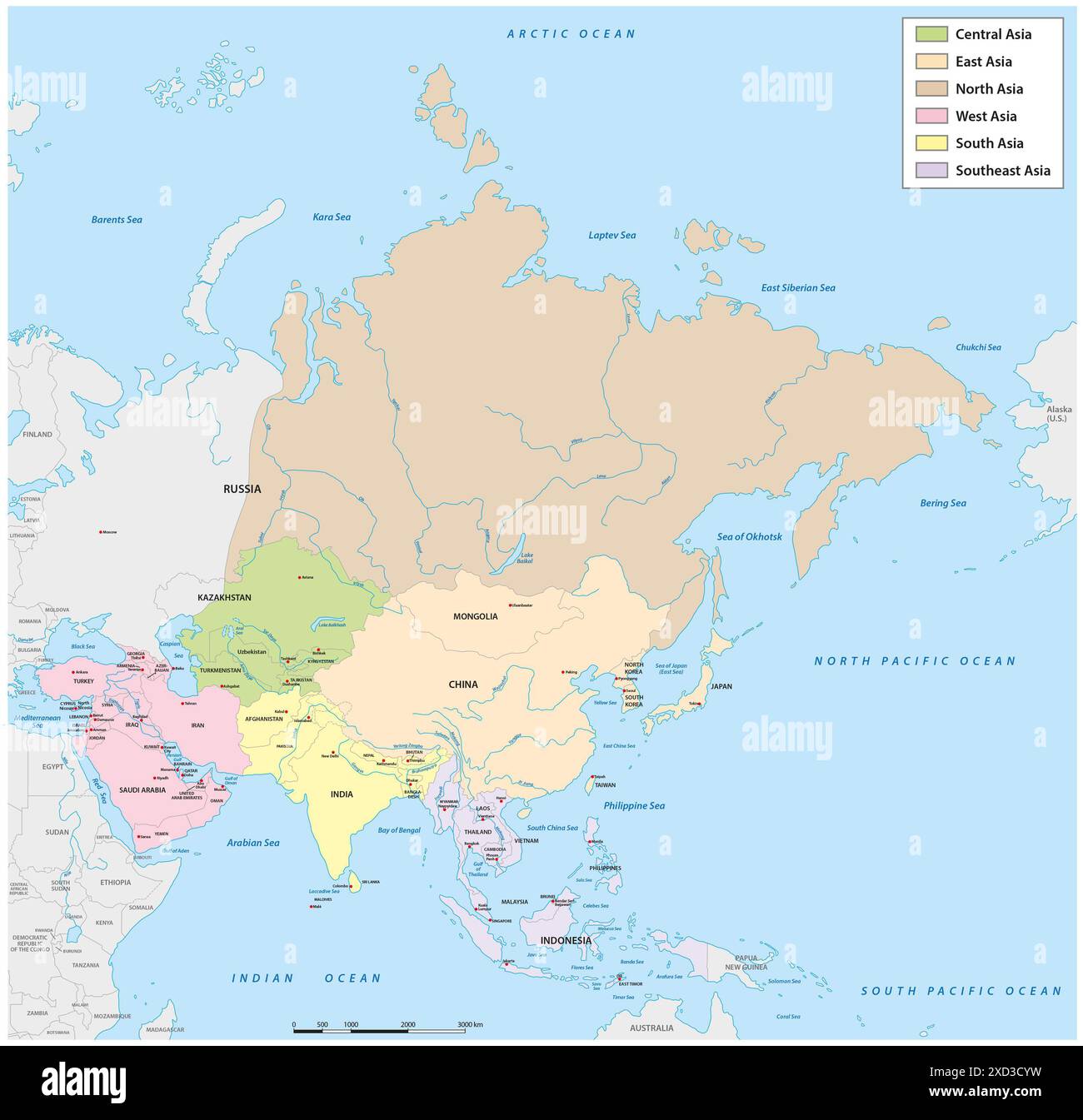 Administrative vector map of Asia divided into the six main regions Stock Photohttps://www.alamy.com/image-license-details/?v=1https://www.alamy.com/administrative-vector-map-of-asia-divided-into-the-six-main-regions-image610429453.html
RF2XD3CYW–Administrative vector map of Asia divided into the six main regions
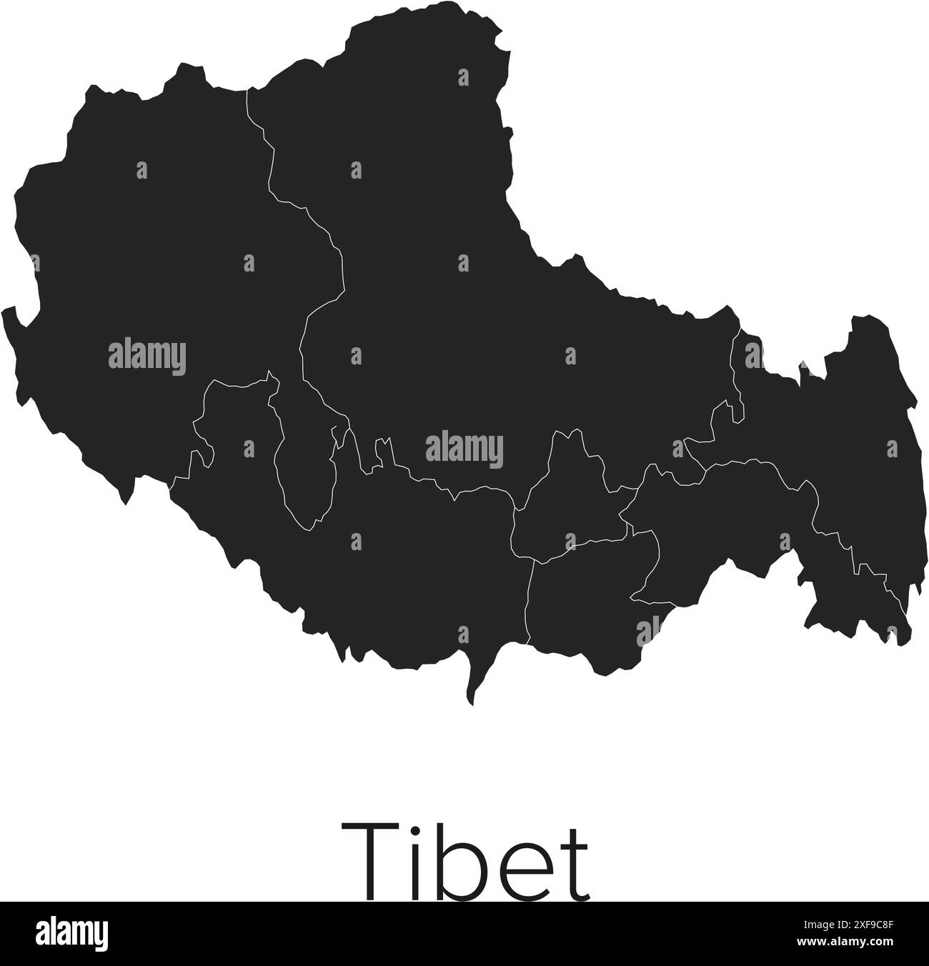 Tibet Map Vector Illustration - Silhouette, Outline, Tibet Travel and Tourism Map Stock Vectorhttps://www.alamy.com/image-license-details/?v=1https://www.alamy.com/tibet-map-vector-illustration-silhouette-outline-tibet-travel-and-tourism-map-image611789935.html
RF2XF9C8F–Tibet Map Vector Illustration - Silhouette, Outline, Tibet Travel and Tourism Map
 Abstract vector color map of Turkmenistan Stock Vectorhttps://www.alamy.com/image-license-details/?v=1https://www.alamy.com/stock-photo-abstract-vector-color-map-of-turkmenistan-107802117.html
RFG7APKH–Abstract vector color map of Turkmenistan
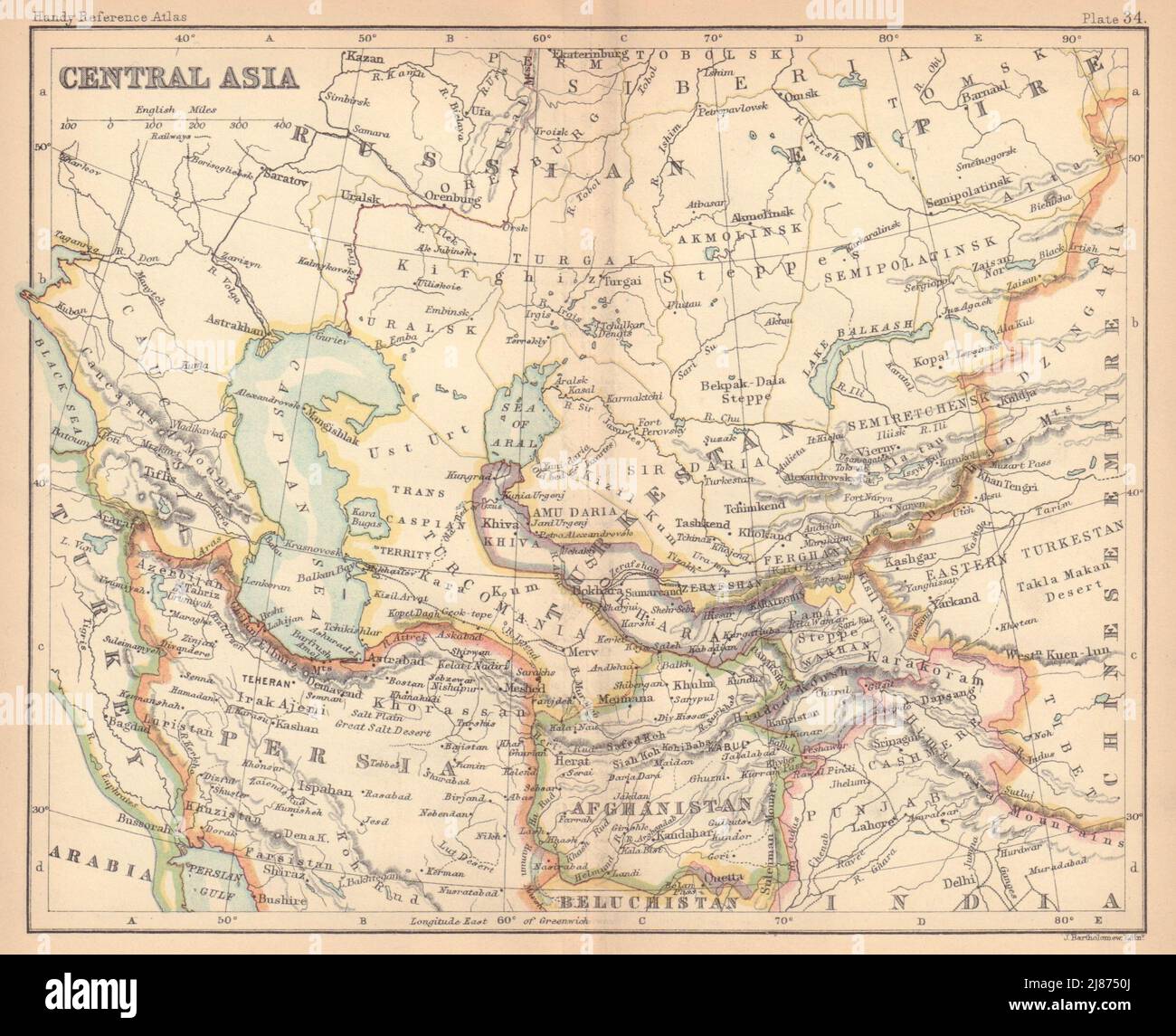 Central Asia. Persia Afghanistan Khiva Bokhara. BARTHOLOMEW 1888 old map Stock Photohttps://www.alamy.com/image-license-details/?v=1https://www.alamy.com/central-asia-persia-afghanistan-khiva-bokhara-bartholomew-1888-old-map-image469754786.html
RF2J8750J–Central Asia. Persia Afghanistan Khiva Bokhara. BARTHOLOMEW 1888 old map
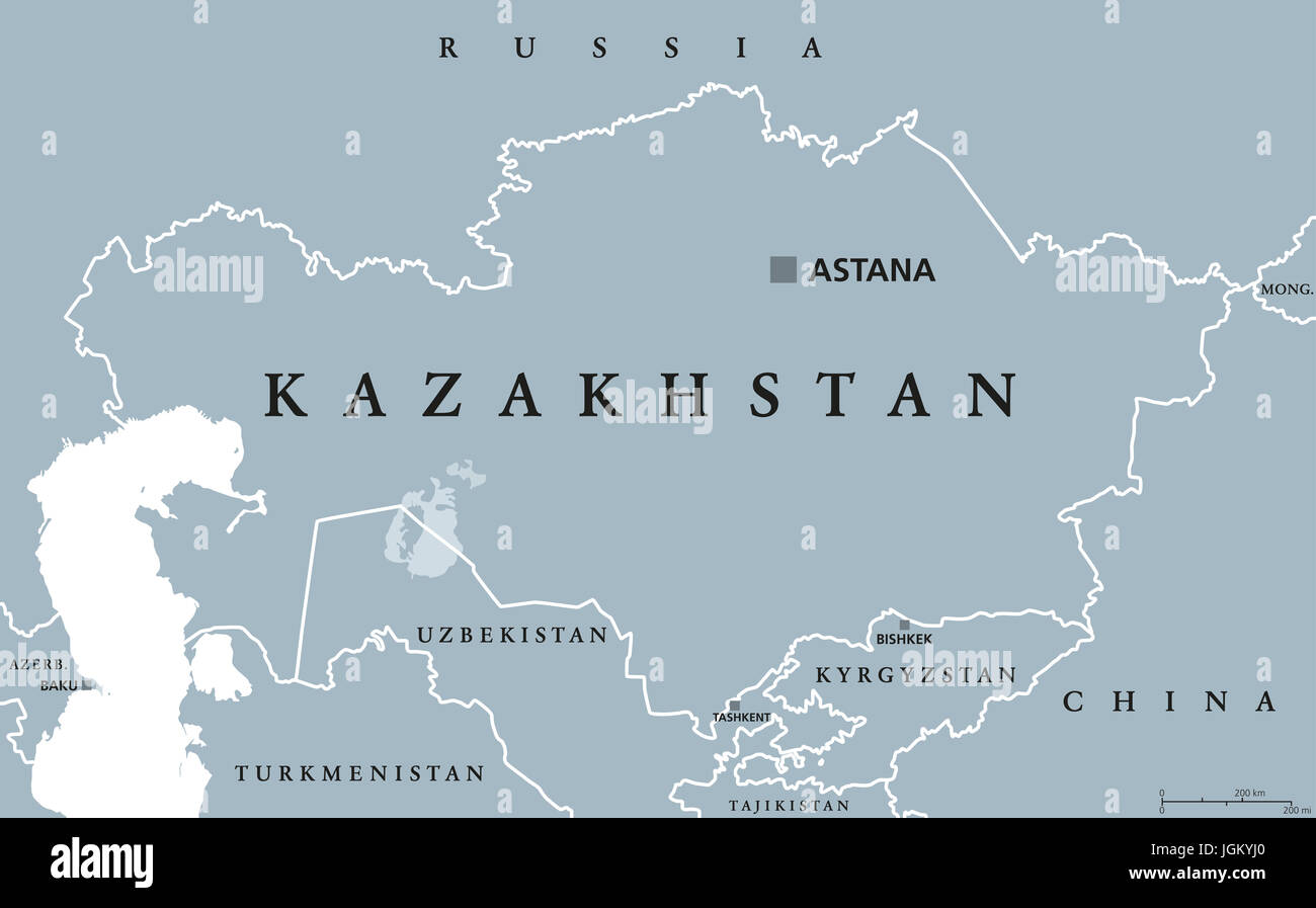 Kazakhstan political map with capital Astana. Republic. Transcontinental country in northern Central Asia and Eastern Europe. Gray illustration. Stock Photohttps://www.alamy.com/image-license-details/?v=1https://www.alamy.com/stock-photo-kazakhstan-political-map-with-capital-astana-republic-transcontinental-147956200.html
RFJGKYJ0–Kazakhstan political map with capital Astana. Republic. Transcontinental country in northern Central Asia and Eastern Europe. Gray illustration.
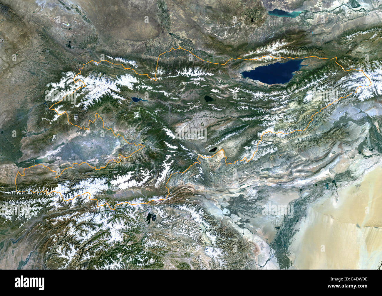 Kyrgyzstan, Asia, True Colour Satellite Image With Border. Satellite view of Kyrgyzstan (with border). This image was compiled f Stock Photohttps://www.alamy.com/image-license-details/?v=1https://www.alamy.com/stock-photo-kyrgyzstan-asia-true-colour-satellite-image-with-border-satellite-71605086.html
RME4DW0E–Kyrgyzstan, Asia, True Colour Satellite Image With Border. Satellite view of Kyrgyzstan (with border). This image was compiled f
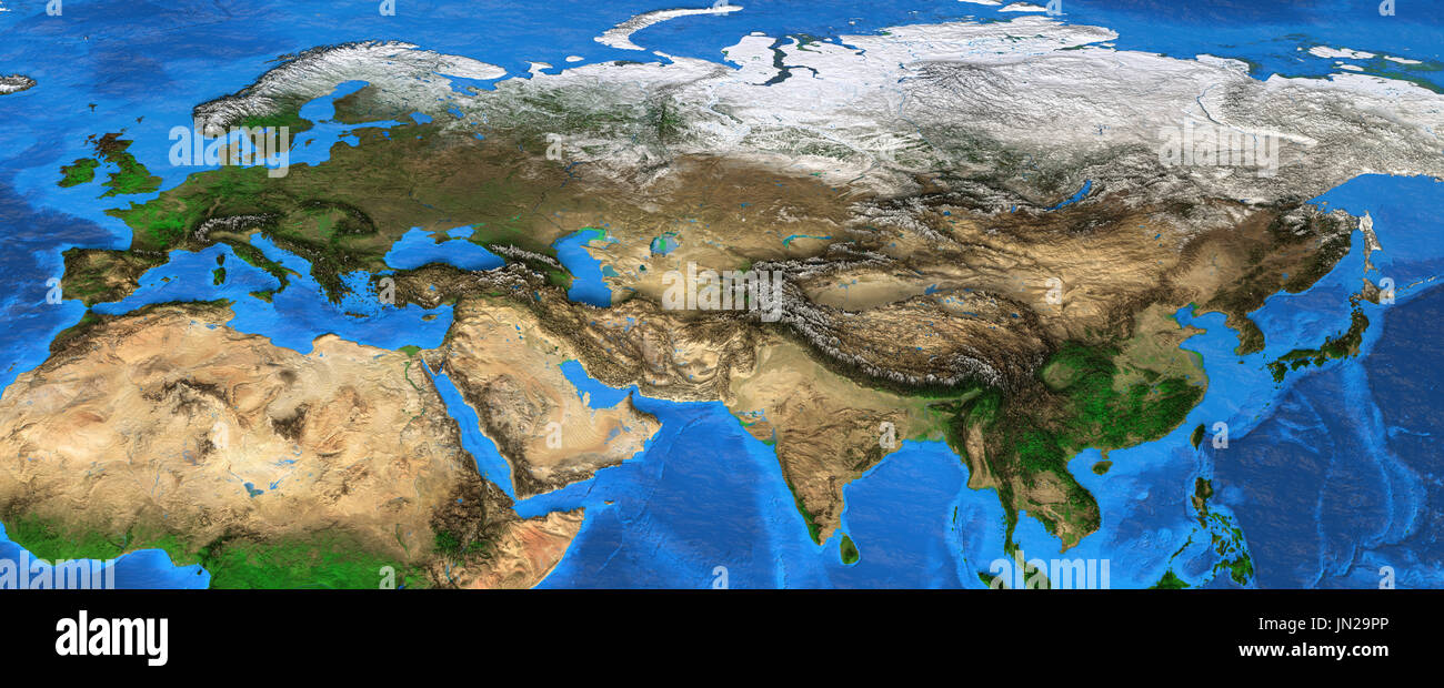 Map of Eurasia. Detailed satellite view of the Earth and its landforms, focused on Europe and Asia. Elements of this image furnished by NASA Stock Photohttps://www.alamy.com/image-license-details/?v=1https://www.alamy.com/map-of-eurasia-detailed-satellite-view-of-the-earth-and-its-landforms-image150642318.html
RFJN29PP–Map of Eurasia. Detailed satellite view of the Earth and its landforms, focused on Europe and Asia. Elements of this image furnished by NASA