Quick filters:
Central london map Stock Photos and Images
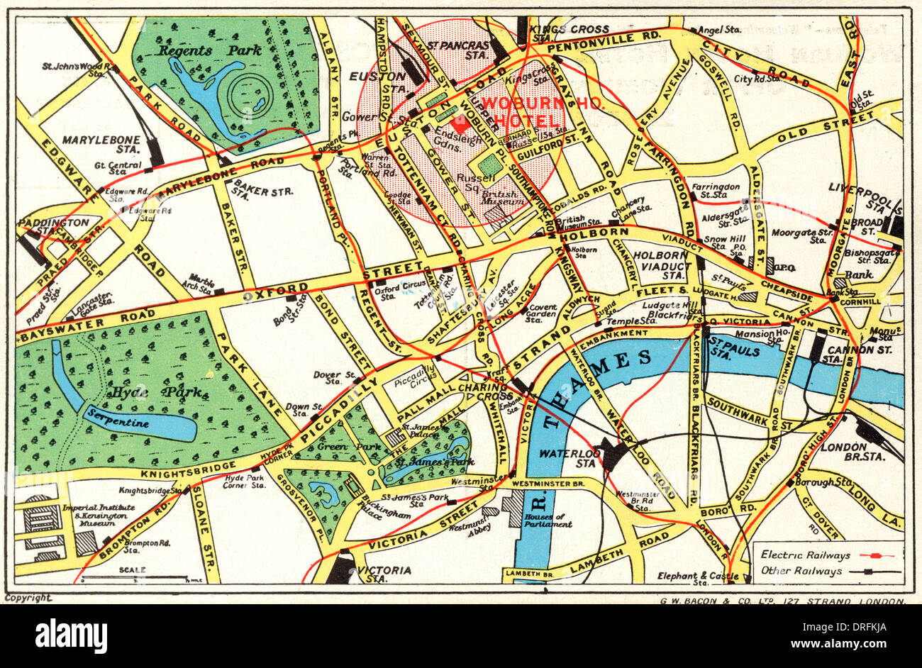 Map of Central London with Woburn House Hotel marked Stock Photohttps://www.alamy.com/image-license-details/?v=1https://www.alamy.com/map-of-central-london-with-woburn-house-hotel-marked-image66112882.html
RMDRFKJA–Map of Central London with Woburn House Hotel marked
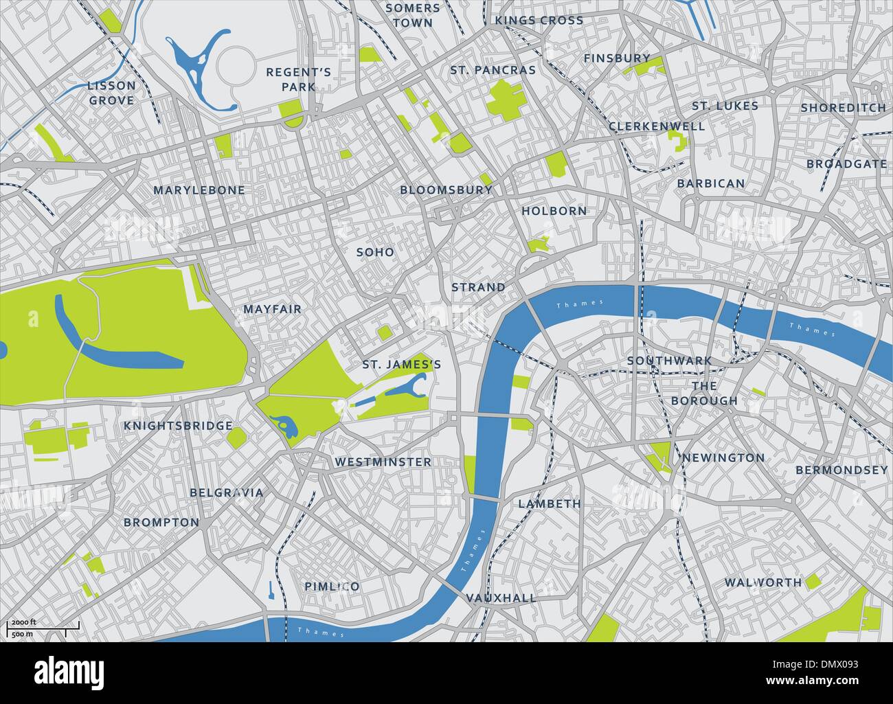 Central London Vector Map Stock Vectorhttps://www.alamy.com/image-license-details/?v=1https://www.alamy.com/central-london-vector-map-image64495231.html
RFDMX093–Central London Vector Map
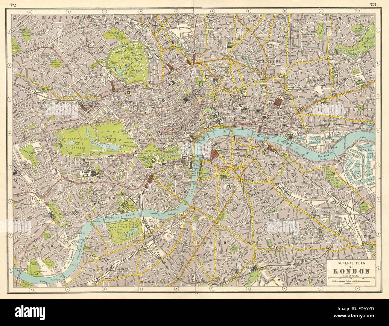 LONDON: Central London plan. HARMSWORTH, 1920 vintage map Stock Photohttps://www.alamy.com/image-license-details/?v=1https://www.alamy.com/stock-photo-london-central-london-plan-harmsworth-1920-vintage-map-94283825.html
RFFDAYYD–LONDON: Central London plan. HARMSWORTH, 1920 vintage map
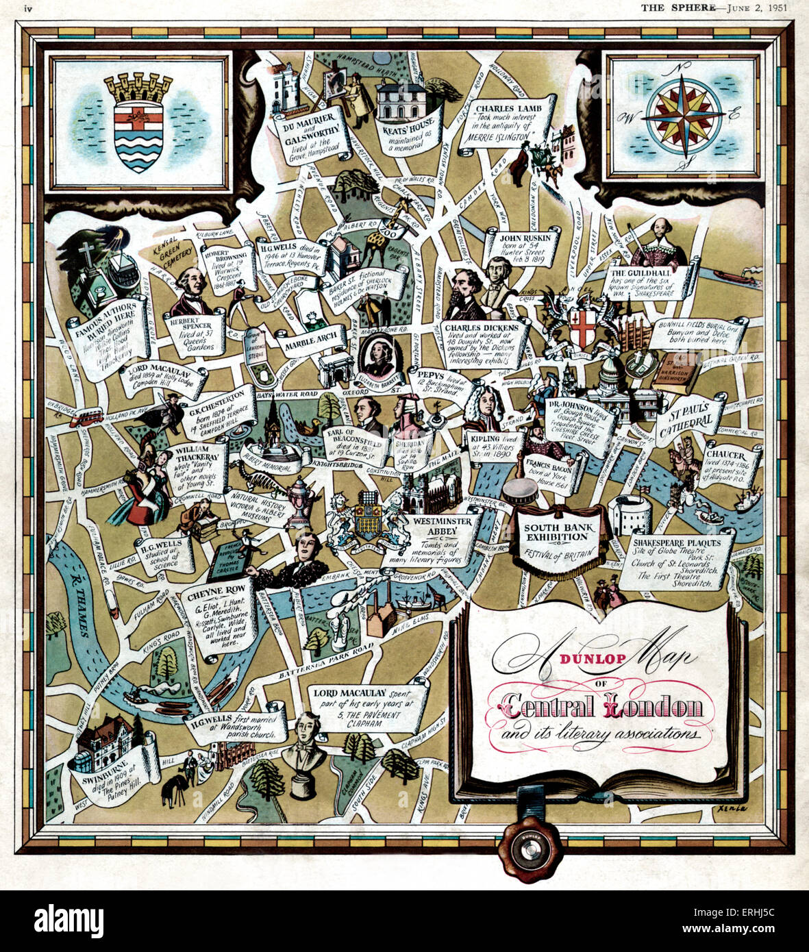 Central London and its literary associations. Illustrated map shows where famous writers and authors lived and worked: Keats, Stock Photohttps://www.alamy.com/image-license-details/?v=1https://www.alamy.com/stock-photo-central-london-and-its-literary-associations-illustrated-map-shows-83366008.html
RMERHJ5C–Central London and its literary associations. Illustrated map shows where famous writers and authors lived and worked: Keats,
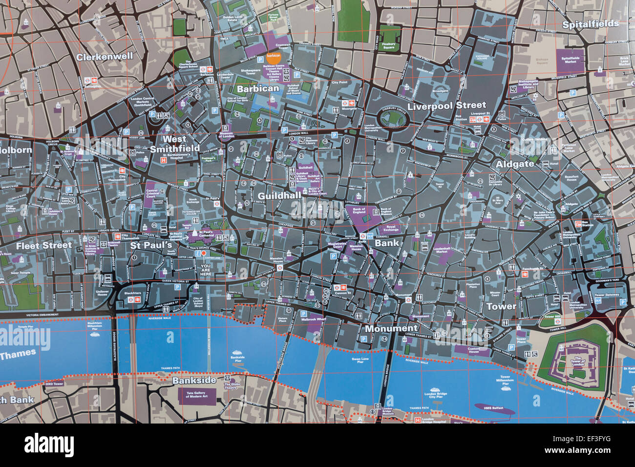 England, London, Street Map of the City of London Stock Photohttps://www.alamy.com/image-license-details/?v=1https://www.alamy.com/stock-photo-england-london-street-map-of-the-city-of-london-78139700.html
RMEF3FYG–England, London, Street Map of the City of London
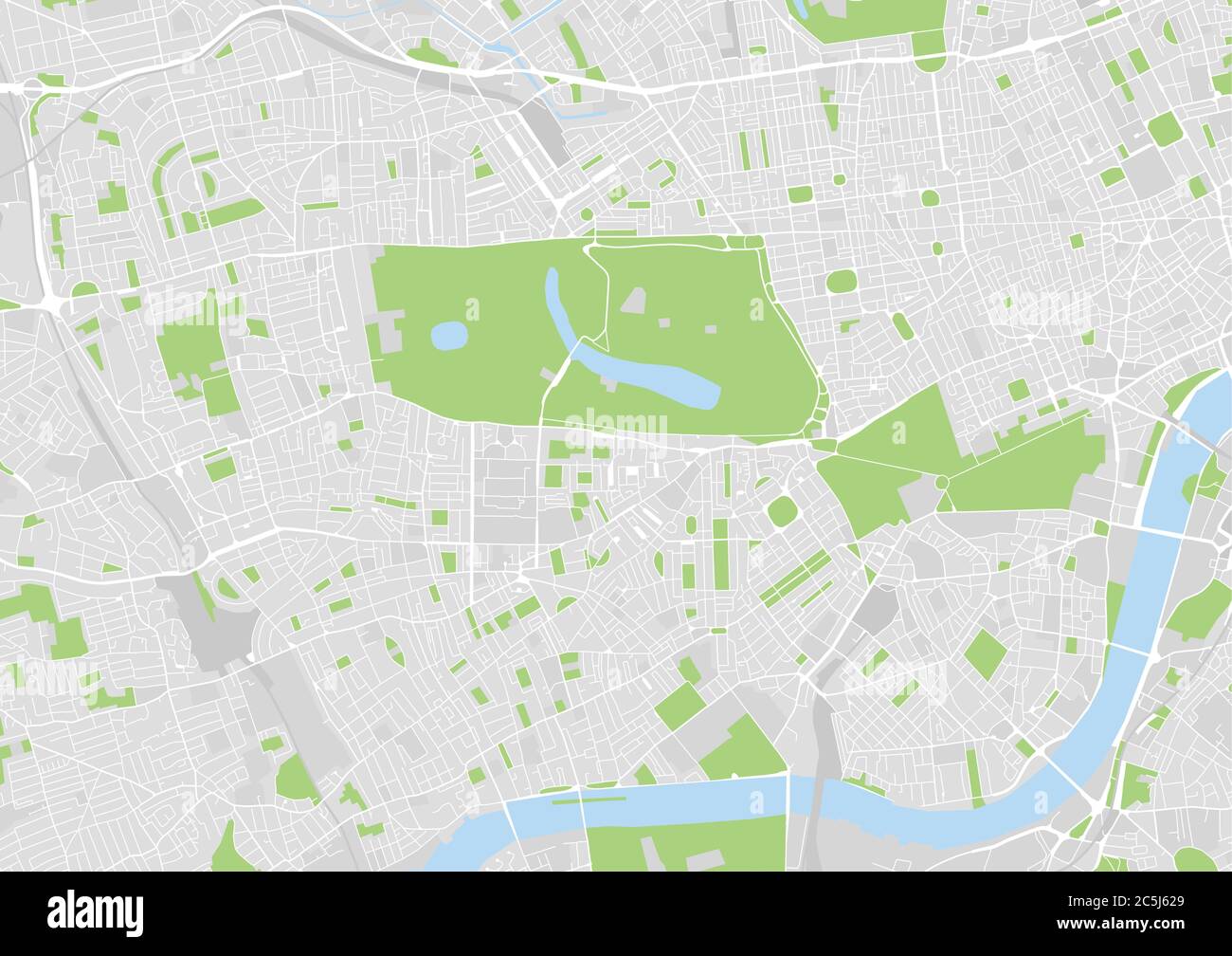 vector city map of West Central London, UK Stock Vectorhttps://www.alamy.com/image-license-details/?v=1https://www.alamy.com/vector-city-map-of-west-central-london-uk-image364890913.html
RF2C5J629–vector city map of West Central London, UK
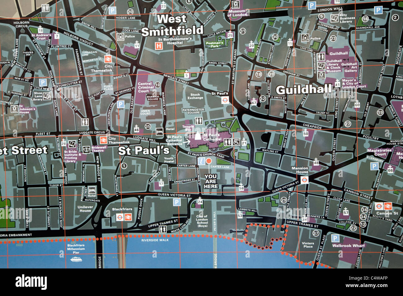 City of London tourist street map central London Stock Photohttps://www.alamy.com/image-license-details/?v=1https://www.alamy.com/stock-photo-city-of-london-tourist-street-map-central-london-37436442.html
RMC4WAFP–City of London tourist street map central London
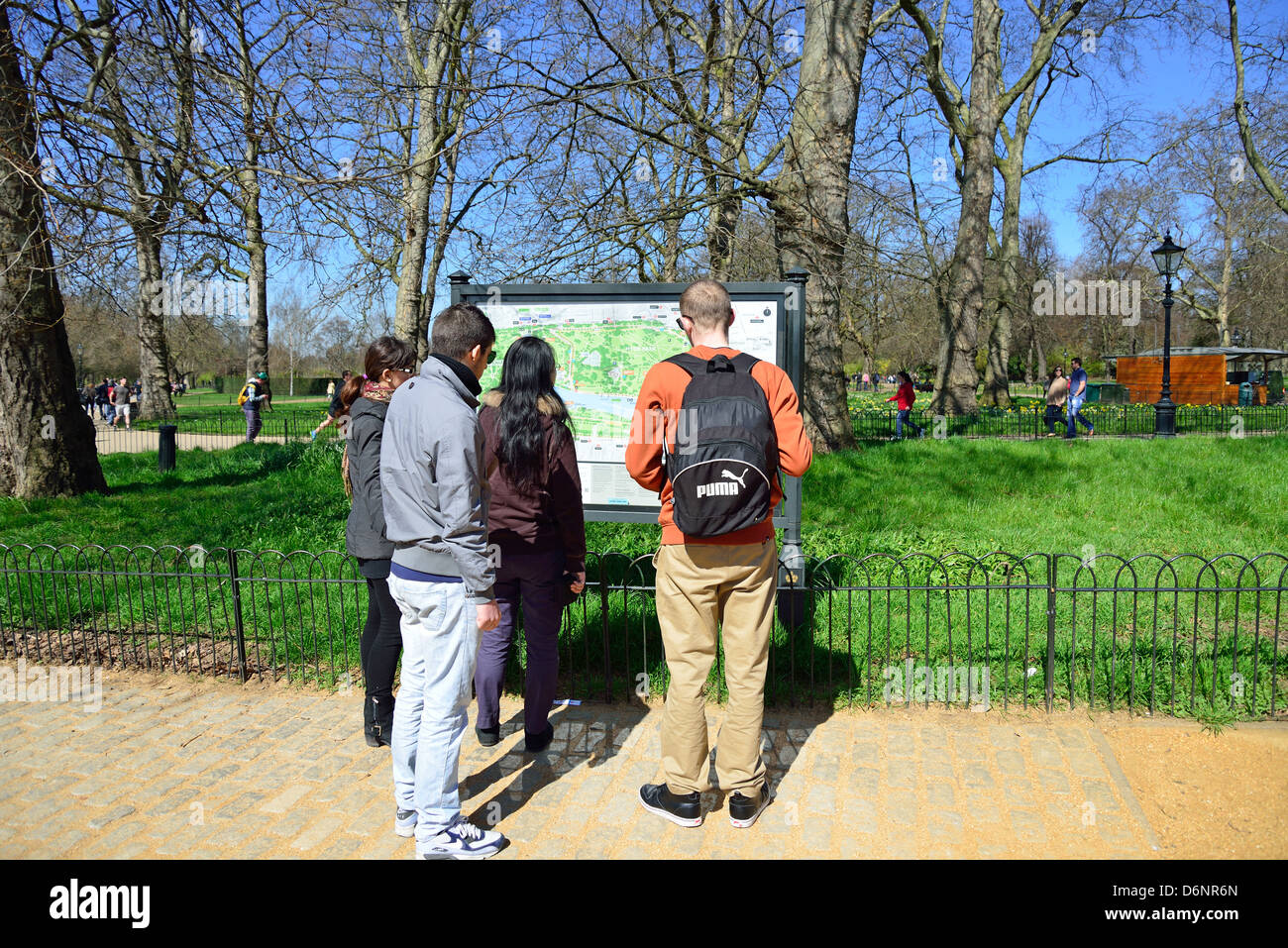 People looking at map of park, Hyde Park, City of Westminster, London, Greater London, England, United Kingdom Stock Photohttps://www.alamy.com/image-license-details/?v=1https://www.alamy.com/stock-photo-people-looking-at-map-of-park-hyde-park-city-of-westminster-london-55798253.html
RMD6NR6N–People looking at map of park, Hyde Park, City of Westminster, London, Greater London, England, United Kingdom
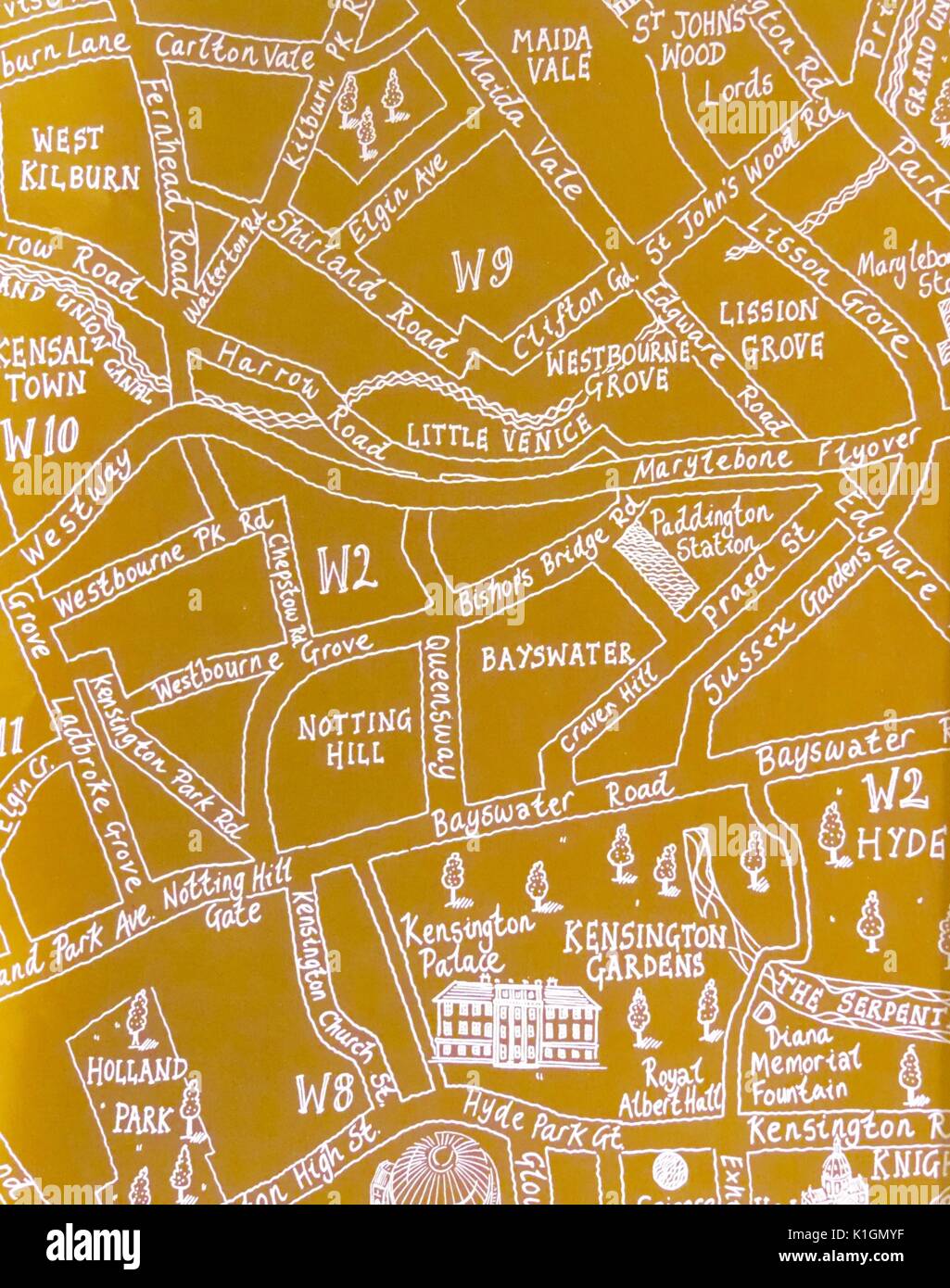 Yellow hand-drawn map of part of central London with pictures of famous sights and monuments Stock Photohttps://www.alamy.com/image-license-details/?v=1https://www.alamy.com/yellow-hand-drawn-map-of-part-of-central-london-with-pictures-of-famous-image155875651.html
RMK1GMYF–Yellow hand-drawn map of part of central London with pictures of famous sights and monuments
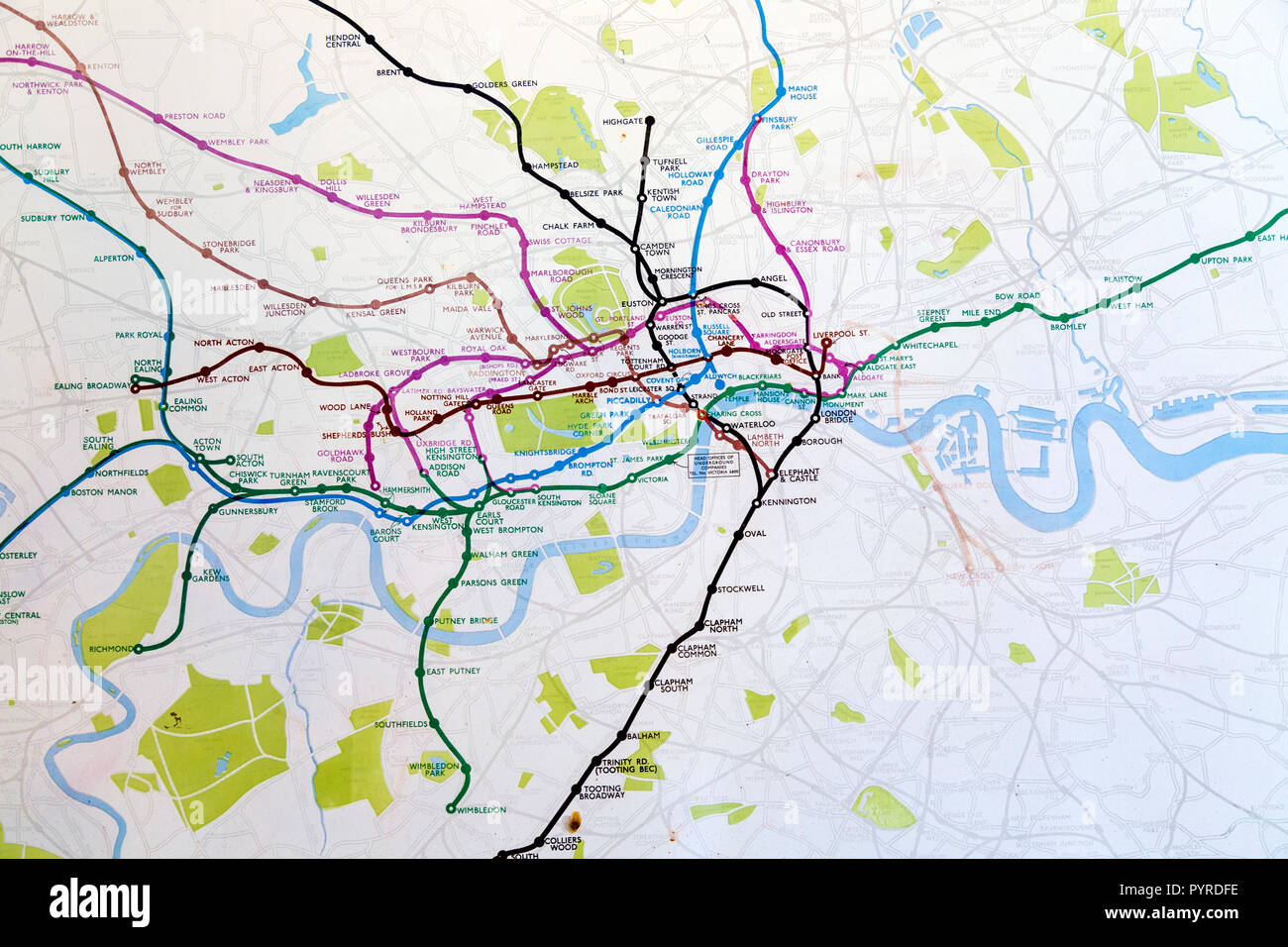 Historic old London Underground map c. 1931, at 55 Broadway building, London, UK Stock Photohttps://www.alamy.com/image-license-details/?v=1https://www.alamy.com/historic-old-london-underground-map-c-1931-at-55-broadway-building-london-uk-image223635650.html
RMPYRDFE–Historic old London Underground map c. 1931, at 55 Broadway building, London, UK
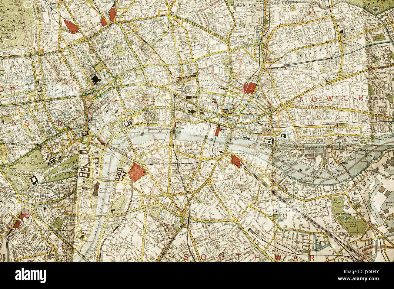 Central London on a folded map Stock Photohttps://www.alamy.com/image-license-details/?v=1https://www.alamy.com/central-london-on-a-folded-map-image154420699.html
RFJY6D4Y–Central London on a folded map
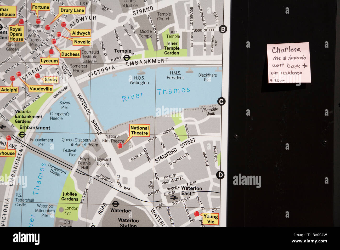 Note stuck on a public information map of Central London Stock Photohttps://www.alamy.com/image-license-details/?v=1https://www.alamy.com/stock-photo-note-stuck-on-a-public-information-map-of-central-london-23357065.html
RMBA004W–Note stuck on a public information map of Central London
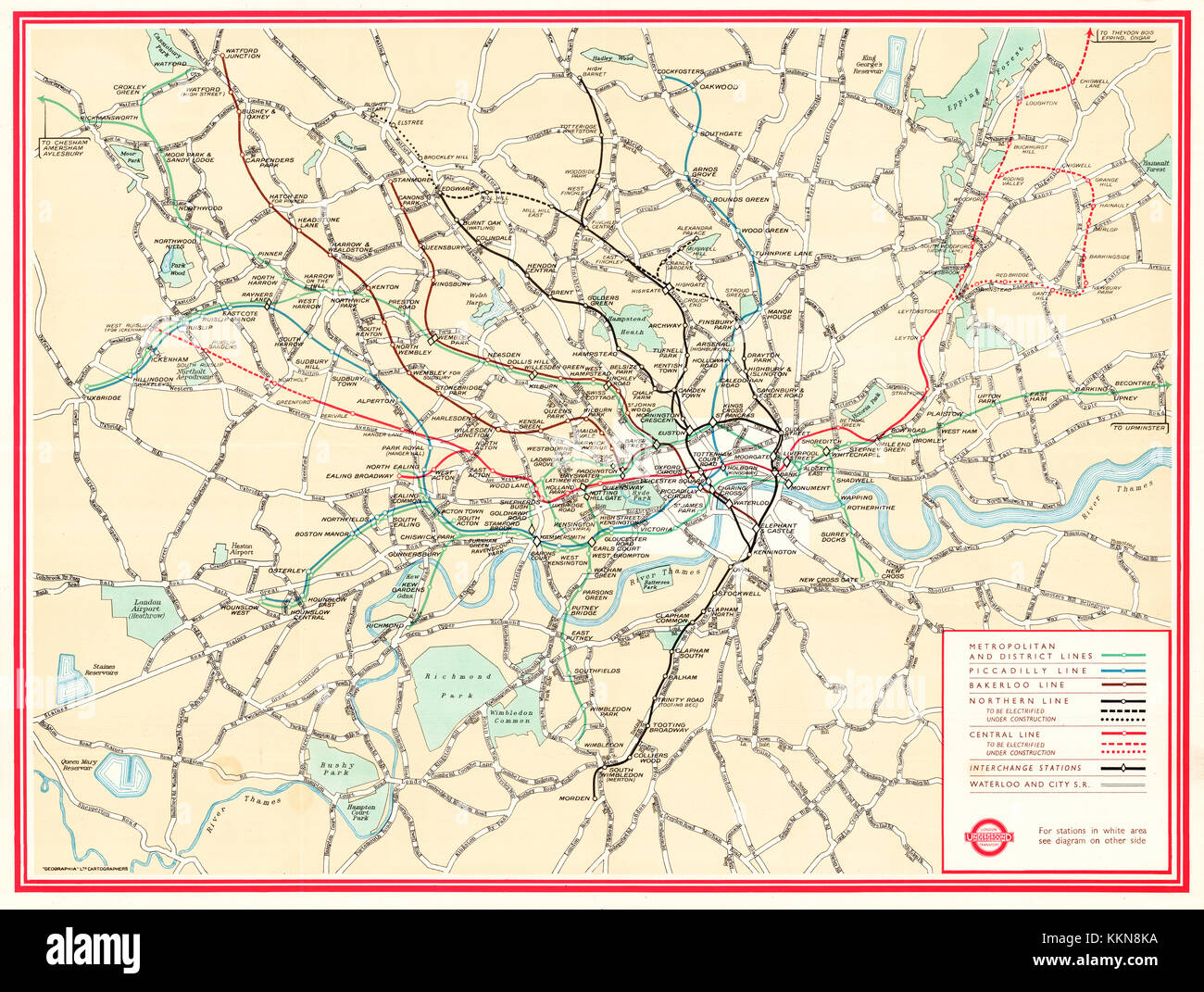 London Underground Map 1947 Stock Photohttps://www.alamy.com/image-license-details/?v=1https://www.alamy.com/stock-image-london-underground-map-1947-167039582.html
RMKKN8KA–London Underground Map 1947
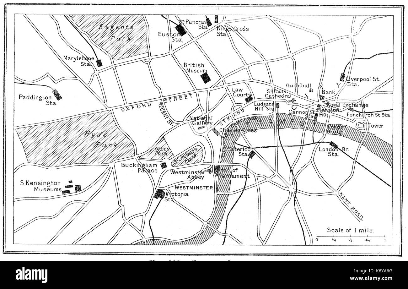 A 1914 map of railway stations and lines in Central London Stock Photohttps://www.alamy.com/image-license-details/?v=1https://www.alamy.com/a-1914-map-of-railway-stations-and-lines-in-central-london-image159181976.html
RMK6YA6G–A 1914 map of railway stations and lines in Central London
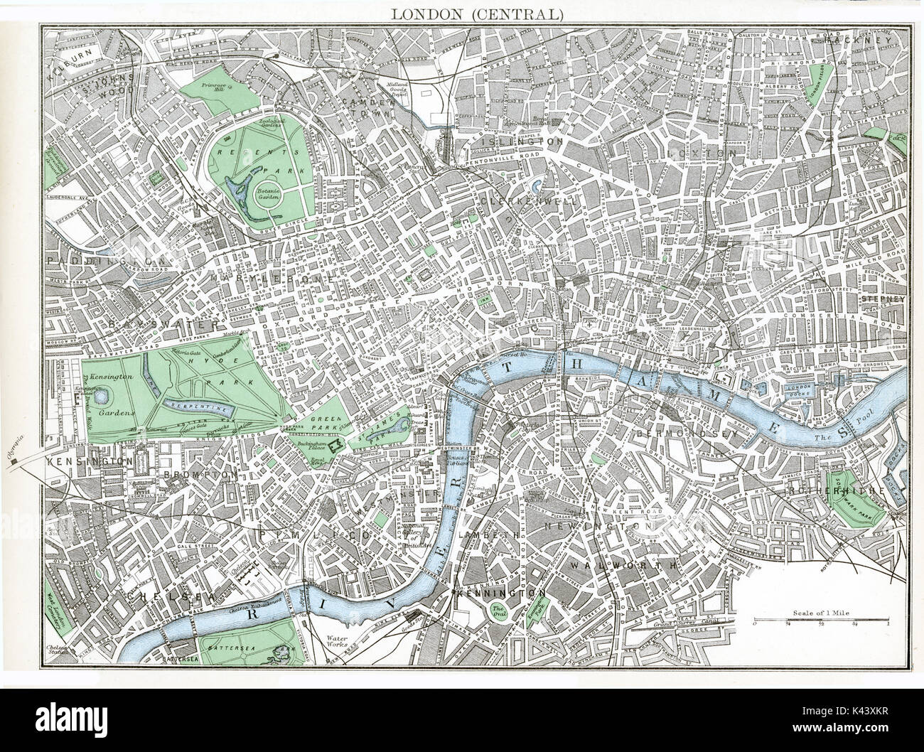 Antique map, circa 1875, of Central London Stock Photohttps://www.alamy.com/image-license-details/?v=1https://www.alamy.com/antique-map-circa-1875-of-central-london-image157438731.html
RMK43XKR–Antique map, circa 1875, of Central London
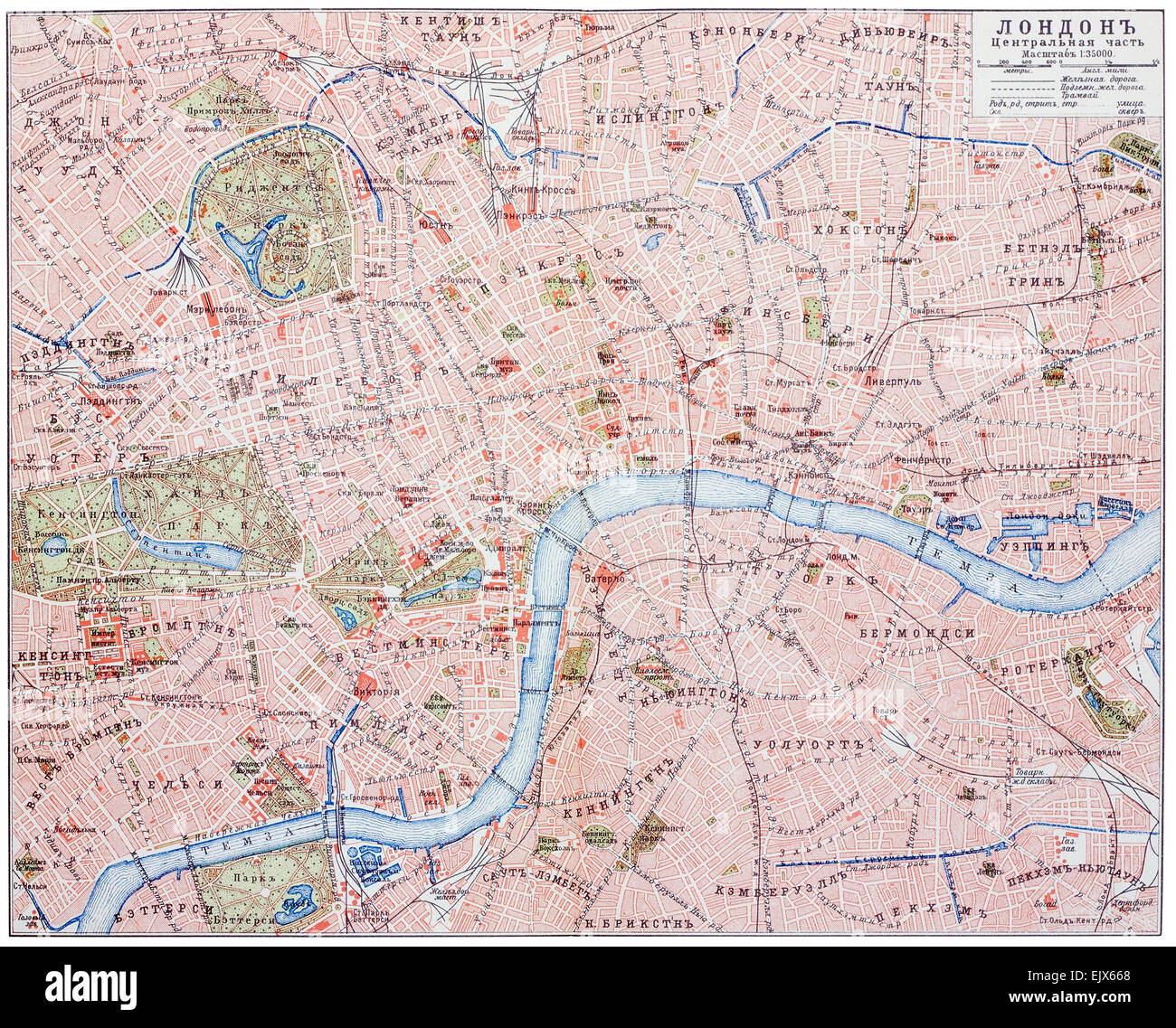 Old retro map of the central part of London. An engraving illustration from the public domain dictionary ( published in 1905). I Stock Photohttps://www.alamy.com/image-license-details/?v=1https://www.alamy.com/stock-photo-old-retro-map-of-the-central-part-of-london-an-engraving-illustration-80480912.html
RFEJX668–Old retro map of the central part of London. An engraving illustration from the public domain dictionary ( published in 1905). I
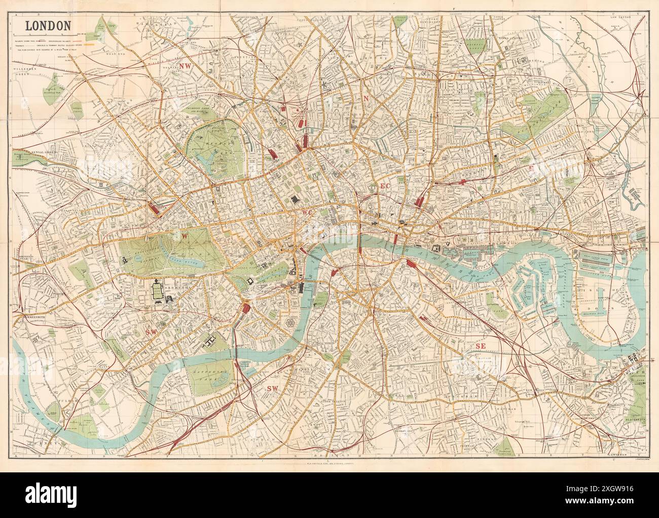 Map of London published by W.H. Smith & Son's showing central London circa 1885. Stock Photohttps://www.alamy.com/image-license-details/?v=1https://www.alamy.com/map-of-london-published-by-wh-smith-sons-showing-central-london-circa-1885-image612753266.html
RM2XGW916–Map of London published by W.H. Smith & Son's showing central London circa 1885.
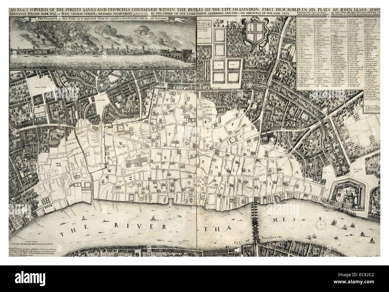 map, of central London; England dated 1677; shows the re-built areas of the city after the 'Great Fire of London' Stock Photohttps://www.alamy.com/image-license-details/?v=1https://www.alamy.com/stock-photo-map-of-central-london-england-dated-1677-shows-the-re-built-areas-76394866.html
RMEC82C2–map, of central London; England dated 1677; shows the re-built areas of the city after the 'Great Fire of London'
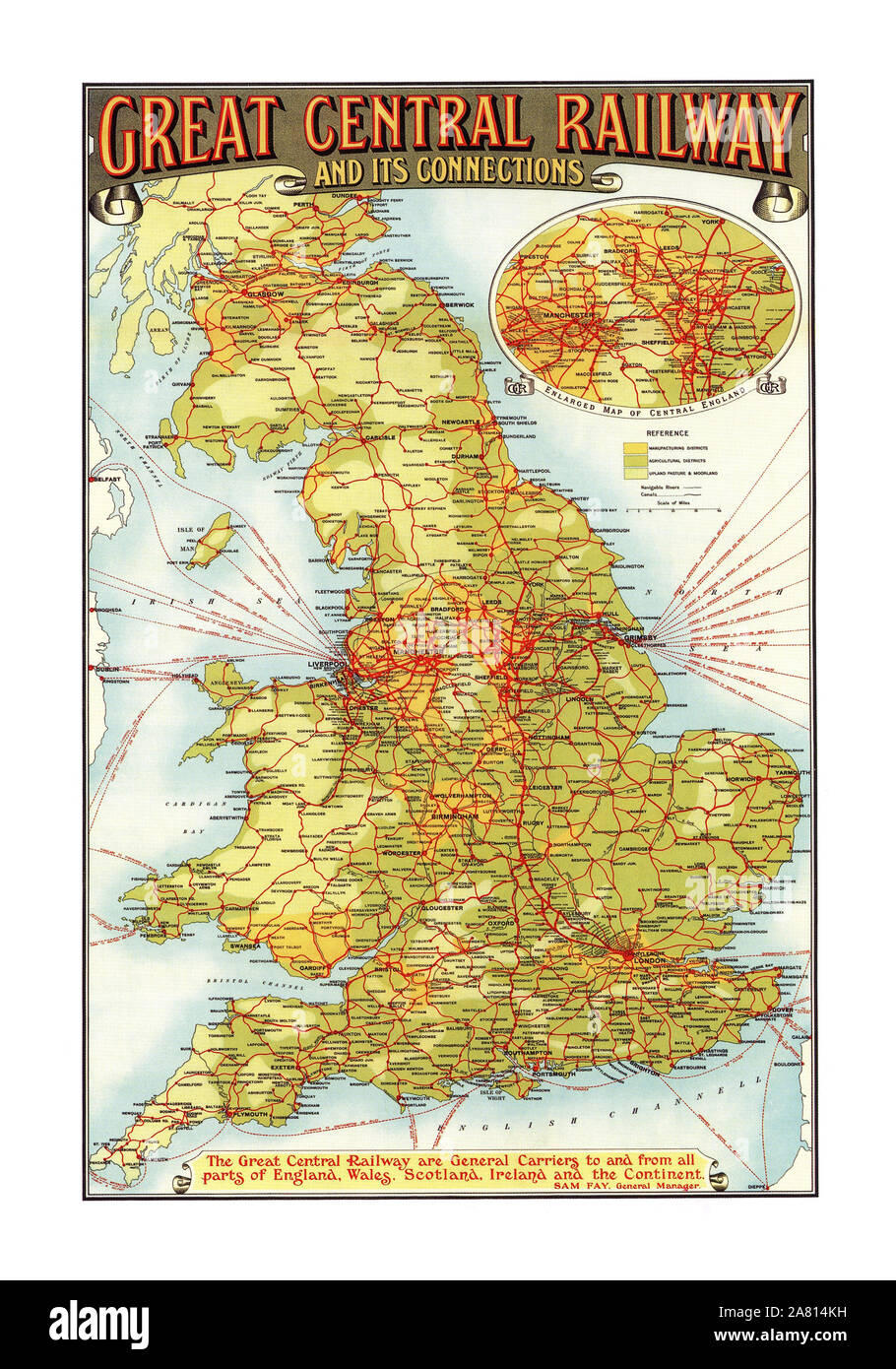 Vintage 1900's Historic Great Central Railway Map Poster and connections All parts of England Wales Scotland Ireland and the Continent Poster GCR GREAT CENTRAL RAILWAY AND ITS CONNECTIONS. Sam Fay General Manager Sir Sam Fay born in Hamble-le-Rice, Hampshire, England, was a career railwayman who joined the London and South Western Railway as a clerk in 1872 and rose to become the last General Manager of the Great Central Railway Printed by John Bartholomew & Co Edinburgh Stock Photohttps://www.alamy.com/image-license-details/?v=1https://www.alamy.com/vintage-1900s-historic-great-central-railway-map-poster-and-connections-all-parts-of-england-wales-scotland-ireland-and-the-continent-poster-gcr-great-central-railway-and-its-connections-sam-fay-general-manager-sir-sam-fay-born-in-hamble-le-rice-hampshire-england-was-a-career-railwayman-who-joined-the-london-and-south-western-railway-as-a-clerk-in-1872-and-rose-to-become-the-last-general-manager-of-the-great-central-railway-printed-by-john-bartholomew-co-edinburgh-image331939877.html
RM2A814KH–Vintage 1900's Historic Great Central Railway Map Poster and connections All parts of England Wales Scotland Ireland and the Continent Poster GCR GREAT CENTRAL RAILWAY AND ITS CONNECTIONS. Sam Fay General Manager Sir Sam Fay born in Hamble-le-Rice, Hampshire, England, was a career railwayman who joined the London and South Western Railway as a clerk in 1872 and rose to become the last General Manager of the Great Central Railway Printed by John Bartholomew & Co Edinburgh
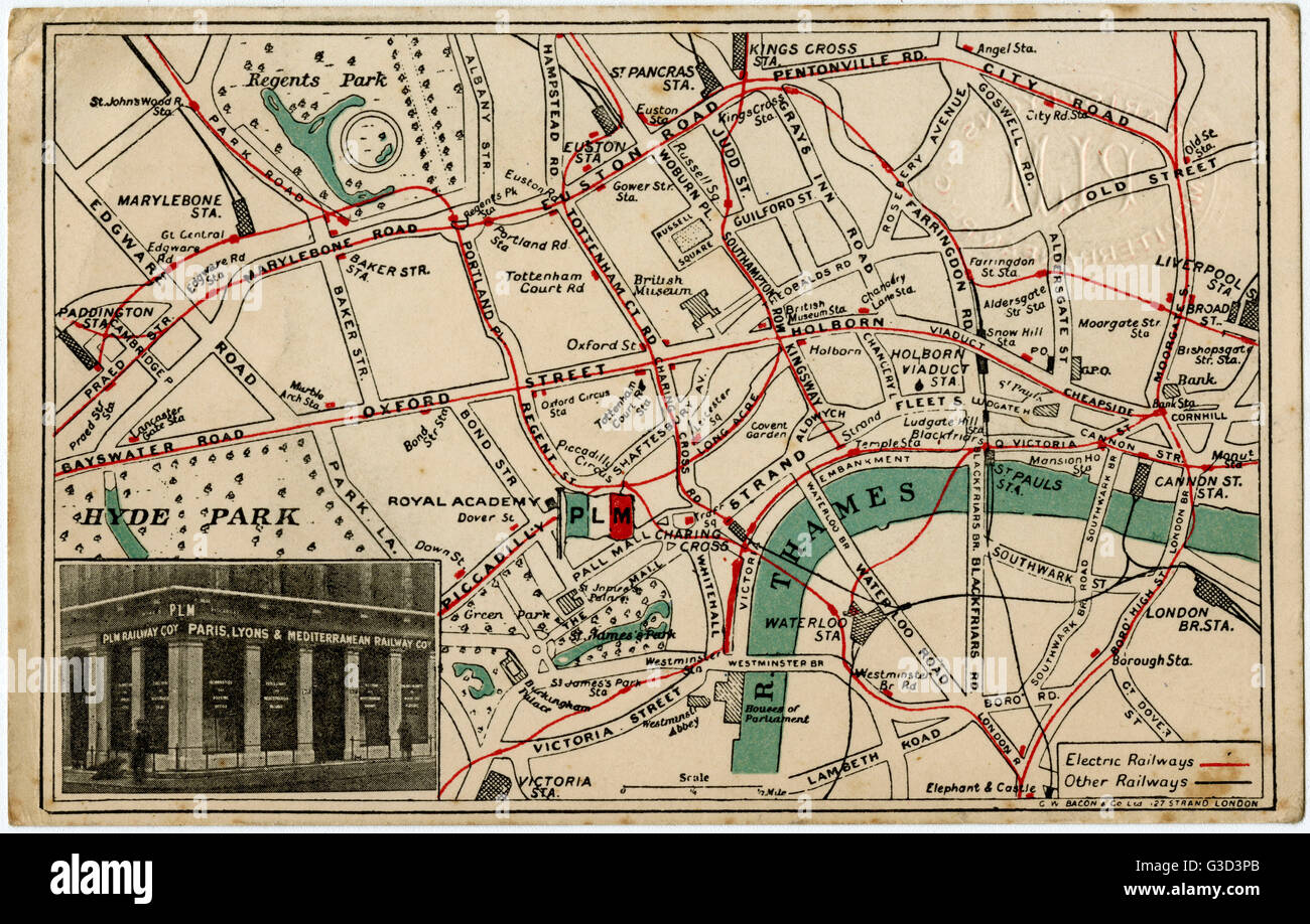 London Map - Railway Routes - PLM Offices Stock Photohttps://www.alamy.com/image-license-details/?v=1https://www.alamy.com/stock-photo-london-map-railway-routes-plm-offices-105394531.html
RMG3D3PB–London Map - Railway Routes - PLM Offices
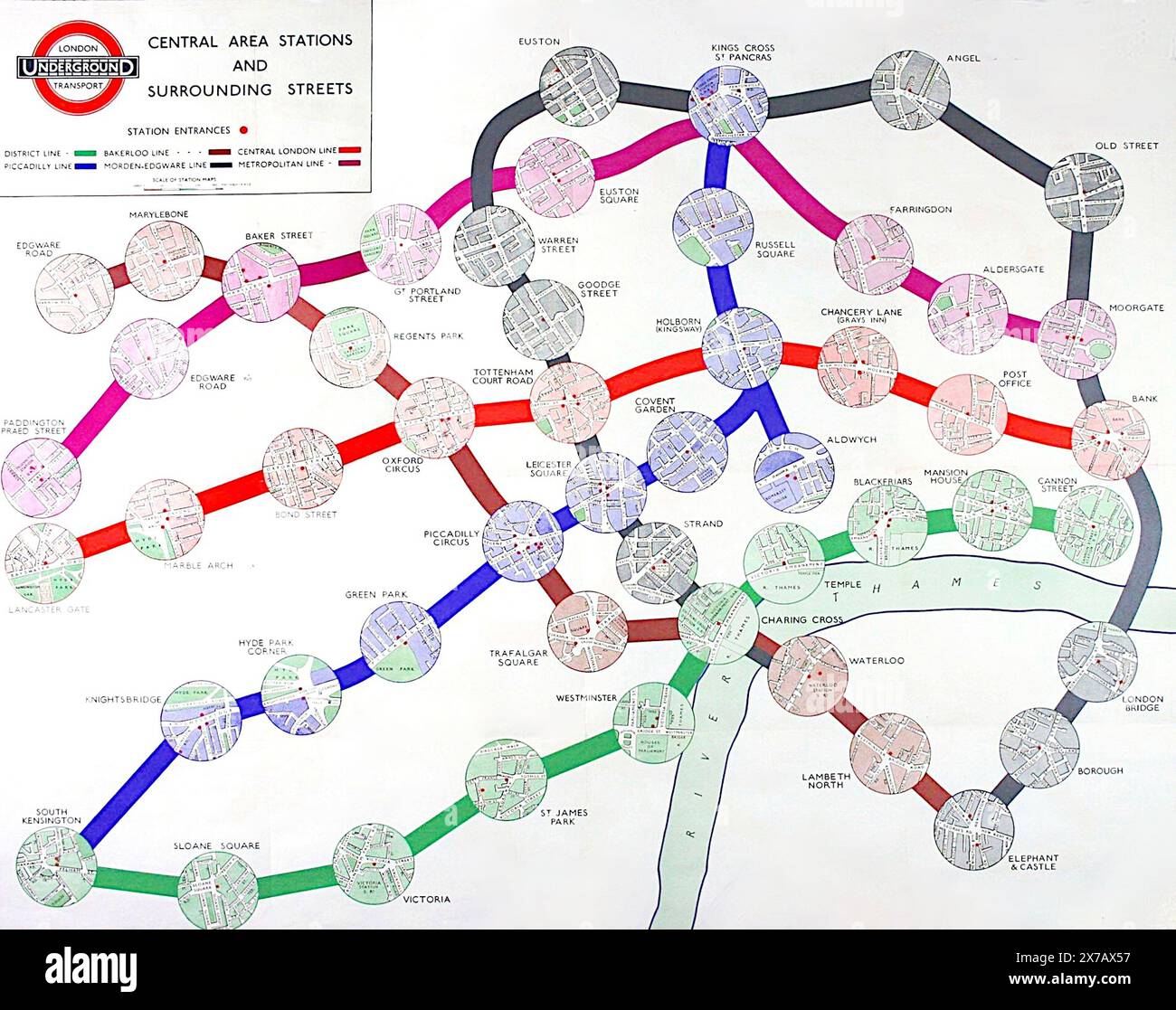 Map of London tube stations, published in 1935 by Edward Stanford Ltd. Stock Photohttps://www.alamy.com/image-license-details/?v=1https://www.alamy.com/map-of-london-tube-stations-published-in-1935-by-edward-stanford-ltd-image606905523.html
RF2X7AX57–Map of London tube stations, published in 1935 by Edward Stanford Ltd.
 CENTRAL LONDON RAILWAY & ROAD MAP. Underground tube. WARD LOCK, 1927 Stock Photohttps://www.alamy.com/image-license-details/?v=1https://www.alamy.com/stock-photo-central-london-railway-road-map-underground-tube-ward-lock-1927-115418344.html
RFGKNN7M–CENTRAL LONDON RAILWAY & ROAD MAP. Underground tube. WARD LOCK, 1927
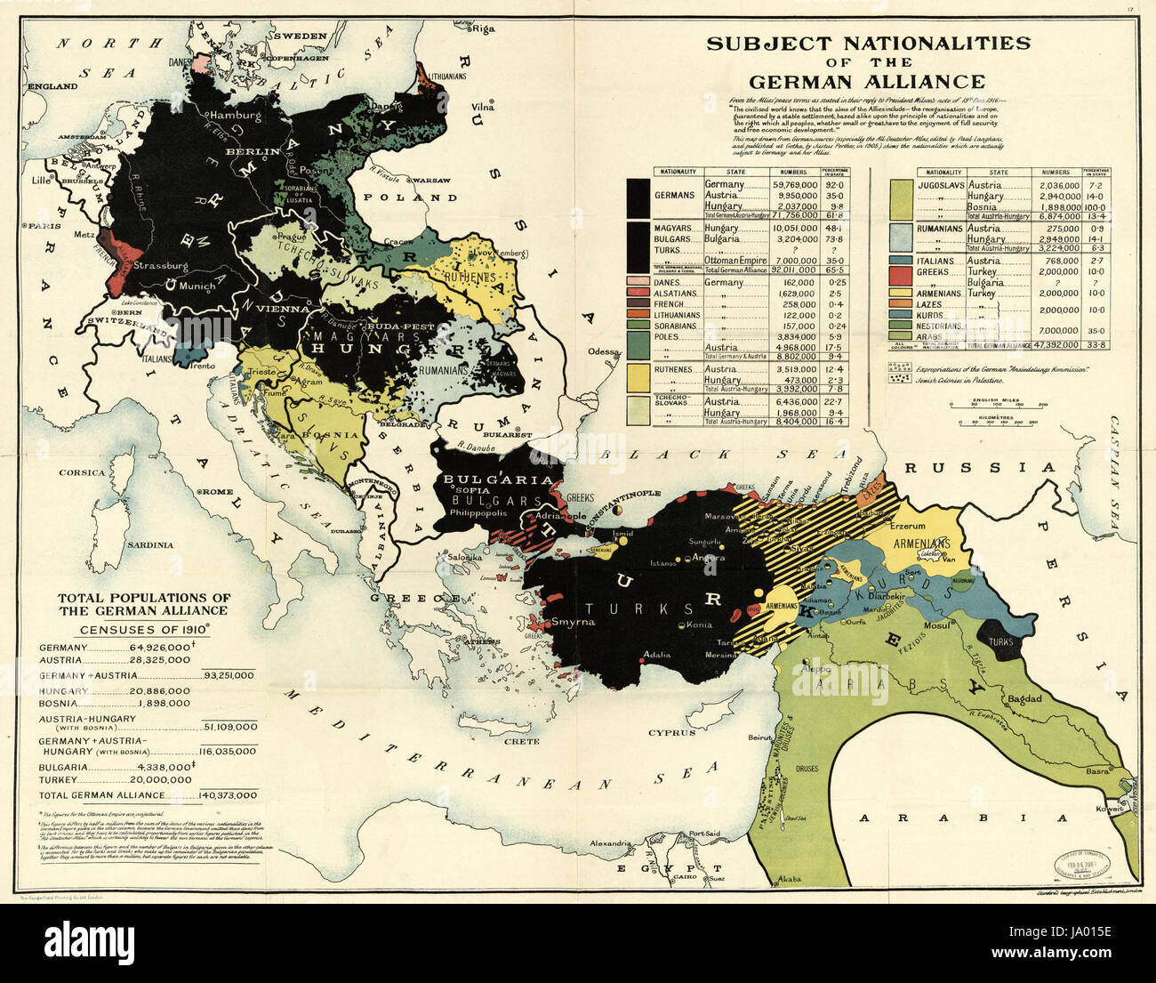 Map drawn from German sources showing nationalities subject to Germany and her allies at the end of World War I, London, England, 1918. Stock Photohttps://www.alamy.com/image-license-details/?v=1https://www.alamy.com/stock-photo-map-drawn-from-german-sources-showing-nationalities-subject-to-germany-143830442.html
RMJA015E–Map drawn from German sources showing nationalities subject to Germany and her allies at the end of World War I, London, England, 1918.
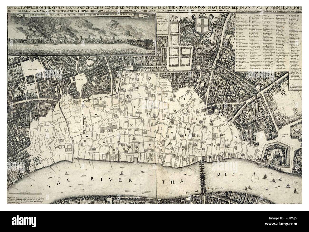 map, of central London; England dated 1677; shows the re-built areas of the city after the 'Great Fire of London' Stock Photohttps://www.alamy.com/image-license-details/?v=1https://www.alamy.com/map-of-central-london-england-dated-1677-shows-the-re-built-areas-of-the-city-after-the-great-fire-of-london-image210408077.html
RMP68WJ5–map, of central London; England dated 1677; shows the re-built areas of the city after the 'Great Fire of London'
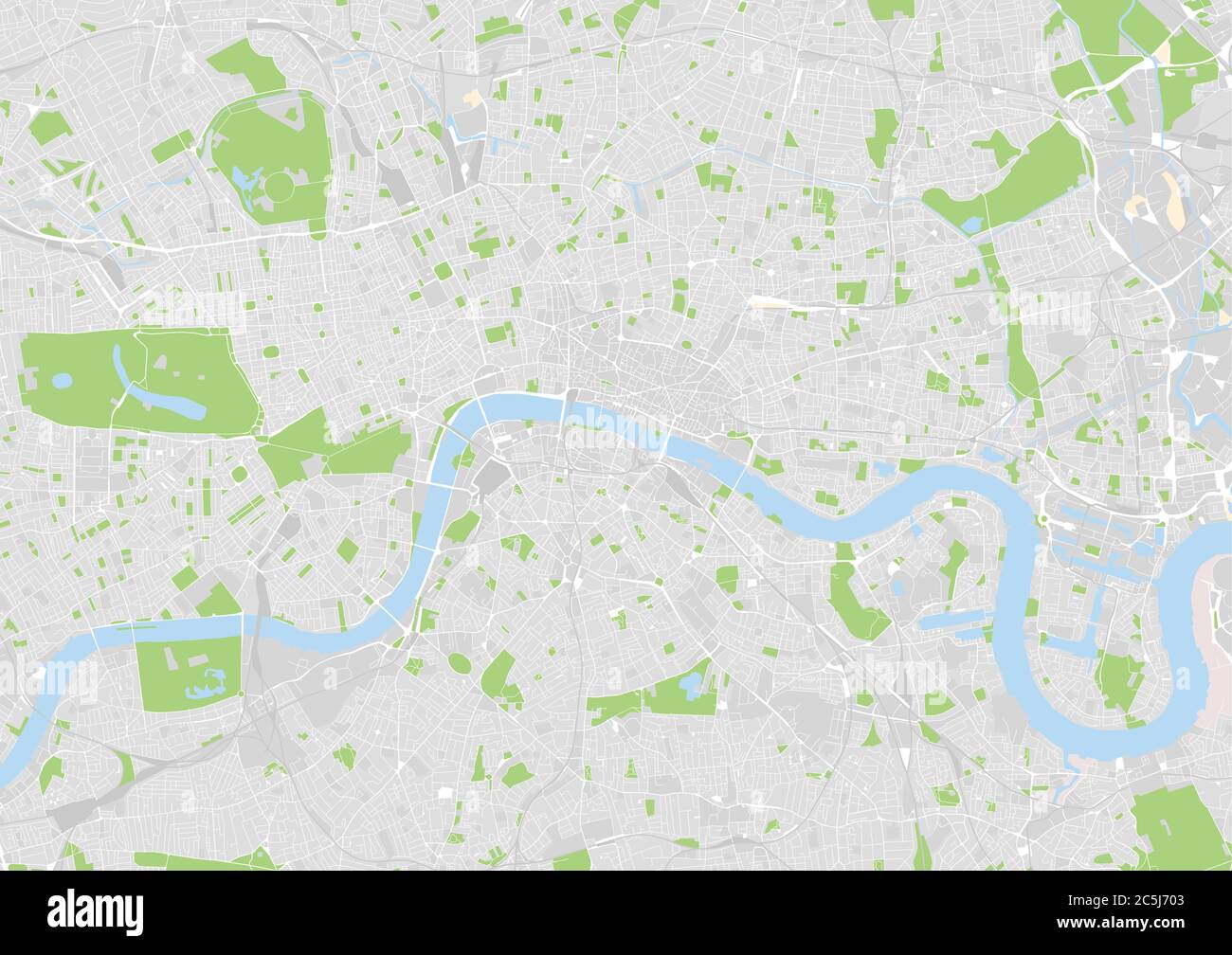 vector city map of central London, United Kingdom Stock Vectorhttps://www.alamy.com/image-license-details/?v=1https://www.alamy.com/vector-city-map-of-central-london-united-kingdom-image364891635.html
RF2C5J703–vector city map of central London, United Kingdom
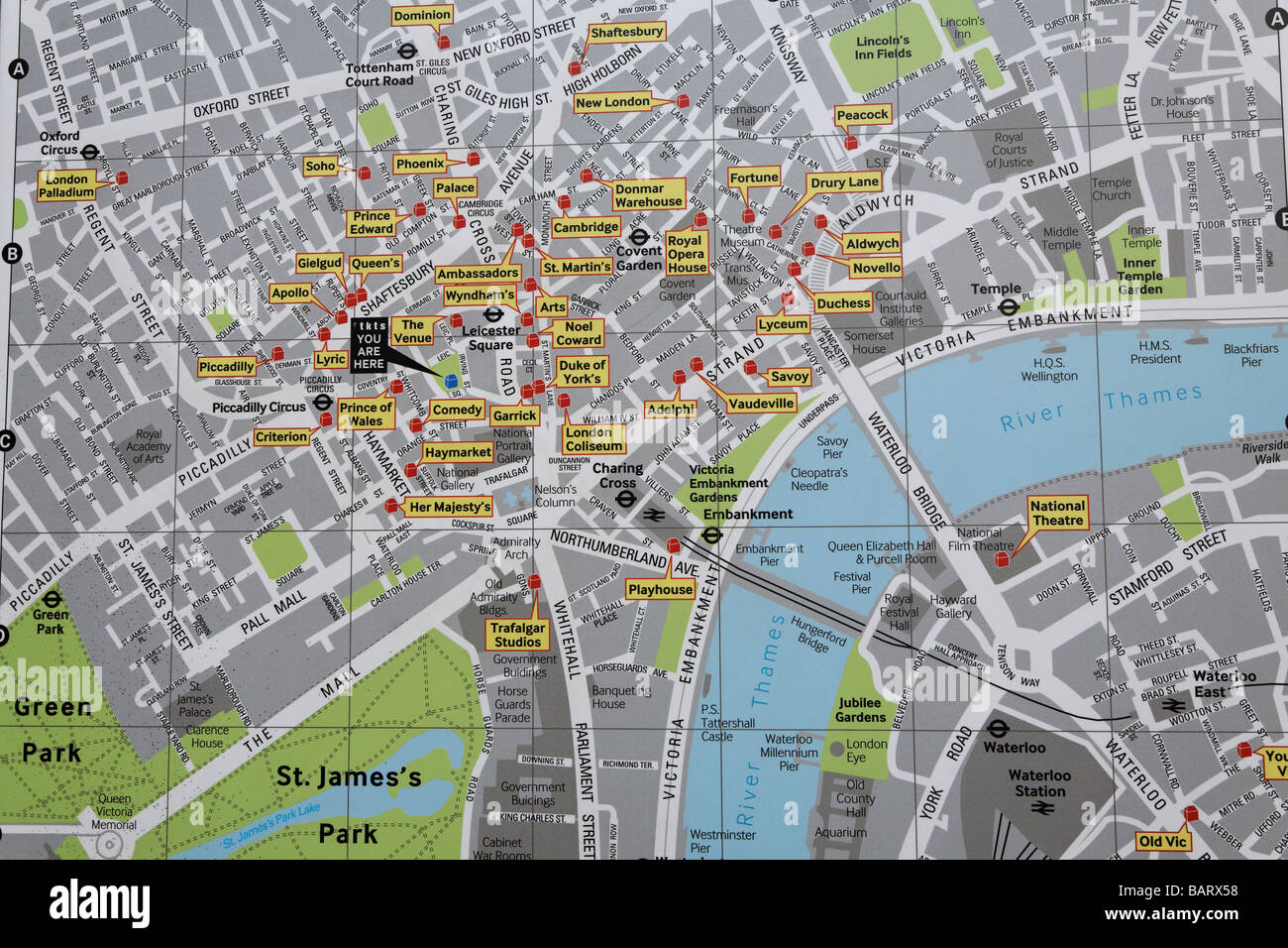 Map of West End theatres, London, England Stock Photohttps://www.alamy.com/image-license-details/?v=1https://www.alamy.com/stock-photo-map-of-west-end-theatres-london-england-23882356.html
RMBARX58–Map of West End theatres, London, England
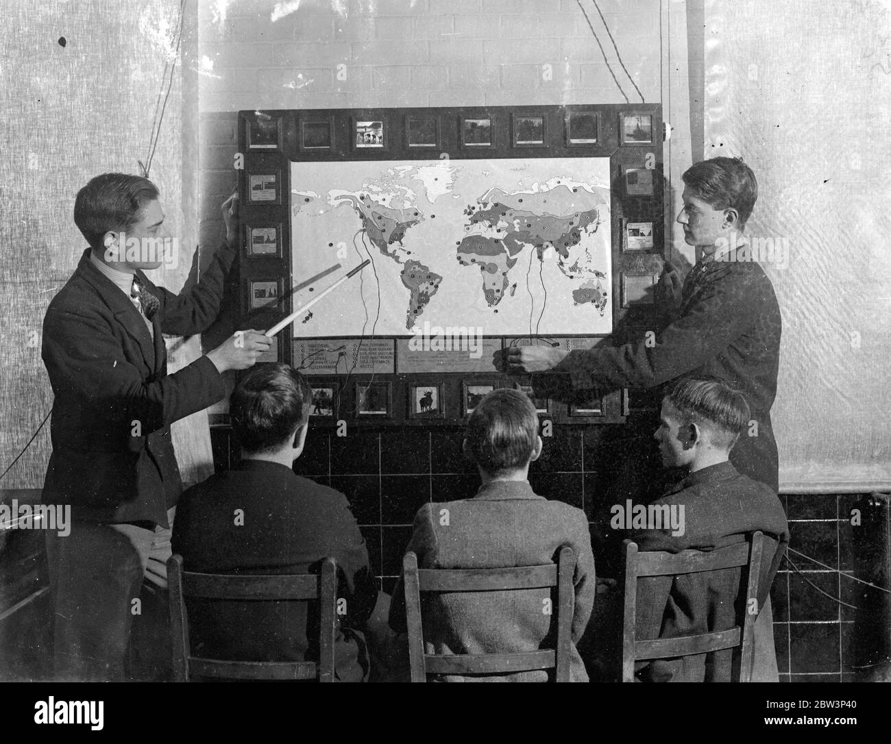 London schoolboy ' plug in ' to geography, home made elecctric map makes them learn and like it . Pupils at Brockley Central School , London now ' plug in ' to geography lessons . Mr W T Harrison , geography master at the school assisted by the art and carpentry masters and the boys of the sixth form , has built an electric map . When a boy is asked a question about any part of the world , he replies by fitting a plug into one of a hundred sockets , a light shines behind a glass slide marked with the temperature , rainfall and chief products of the region . If the boy uses the wrong socket , t Stock Photohttps://www.alamy.com/image-license-details/?v=1https://www.alamy.com/london-schoolboy-plug-in-to-geography-home-made-elecctric-map-makes-them-learn-and-like-it-pupils-at-brockley-central-school-london-now-plug-in-to-geography-lessons-mr-w-t-harrison-geography-master-at-the-school-assisted-by-the-art-and-carpentry-masters-and-the-boys-of-the-sixth-form-has-built-an-electric-map-when-a-boy-is-asked-a-question-about-any-part-of-the-world-he-replies-by-fitting-a-plug-into-one-of-a-hundred-sockets-a-light-shines-behind-a-glass-slide-marked-with-the-temperature-rainfall-and-chief-products-of-the-region-if-the-boy-uses-the-wrong-socket-t-image359656976.html
RM2BW3P40–London schoolboy ' plug in ' to geography, home made elecctric map makes them learn and like it . Pupils at Brockley Central School , London now ' plug in ' to geography lessons . Mr W T Harrison , geography master at the school assisted by the art and carpentry masters and the boys of the sixth form , has built an electric map . When a boy is asked a question about any part of the world , he replies by fitting a plug into one of a hundred sockets , a light shines behind a glass slide marked with the temperature , rainfall and chief products of the region . If the boy uses the wrong socket , t
 Dr Philip W. Errington, senior specialist within the Book Department, at the unveiling of the original map of Winnie-the-Pooh's Hundred Acre Wood by E H Shepard at Sotheby's saleroom in central London ahead of its sale by the auction house. Stock Photohttps://www.alamy.com/image-license-details/?v=1https://www.alamy.com/dr-philip-w-errington-senior-specialist-within-the-book-department-at-the-unveiling-of-the-original-map-of-winnie-the-poohs-hundred-acre-wood-by-e-h-shepard-at-sothebys-saleroom-in-central-london-ahead-of-its-sale-by-the-auction-house-image187579095.html
RMMW4Y1B–Dr Philip W. Errington, senior specialist within the Book Department, at the unveiling of the original map of Winnie-the-Pooh's Hundred Acre Wood by E H Shepard at Sotheby's saleroom in central London ahead of its sale by the auction house.
 London Lakes, Central Highlands, AU, Australia, Tasmania, S 42 11' 31'', N 146 31' 37'', map, Cartascapes Map published in 2024. Explore Cartascapes, a map revealing Earth's diverse landscapes, cultures, and ecosystems. Journey through time and space, discovering the interconnectedness of our planet's past, present, and future. Stock Photohttps://www.alamy.com/image-license-details/?v=1https://www.alamy.com/london-lakes-central-highlands-au-australia-tasmania-s-42-11-31-n-146-31-37-map-cartascapes-map-published-in-2024-explore-cartascapes-a-map-revealing-earths-diverse-landscapes-cultures-and-ecosystems-journey-through-time-and-space-discovering-the-interconnectedness-of-our-planets-past-present-and-future-image625391333.html
RM2Y9D10N–London Lakes, Central Highlands, AU, Australia, Tasmania, S 42 11' 31'', N 146 31' 37'', map, Cartascapes Map published in 2024. Explore Cartascapes, a map revealing Earth's diverse landscapes, cultures, and ecosystems. Journey through time and space, discovering the interconnectedness of our planet's past, present, and future.
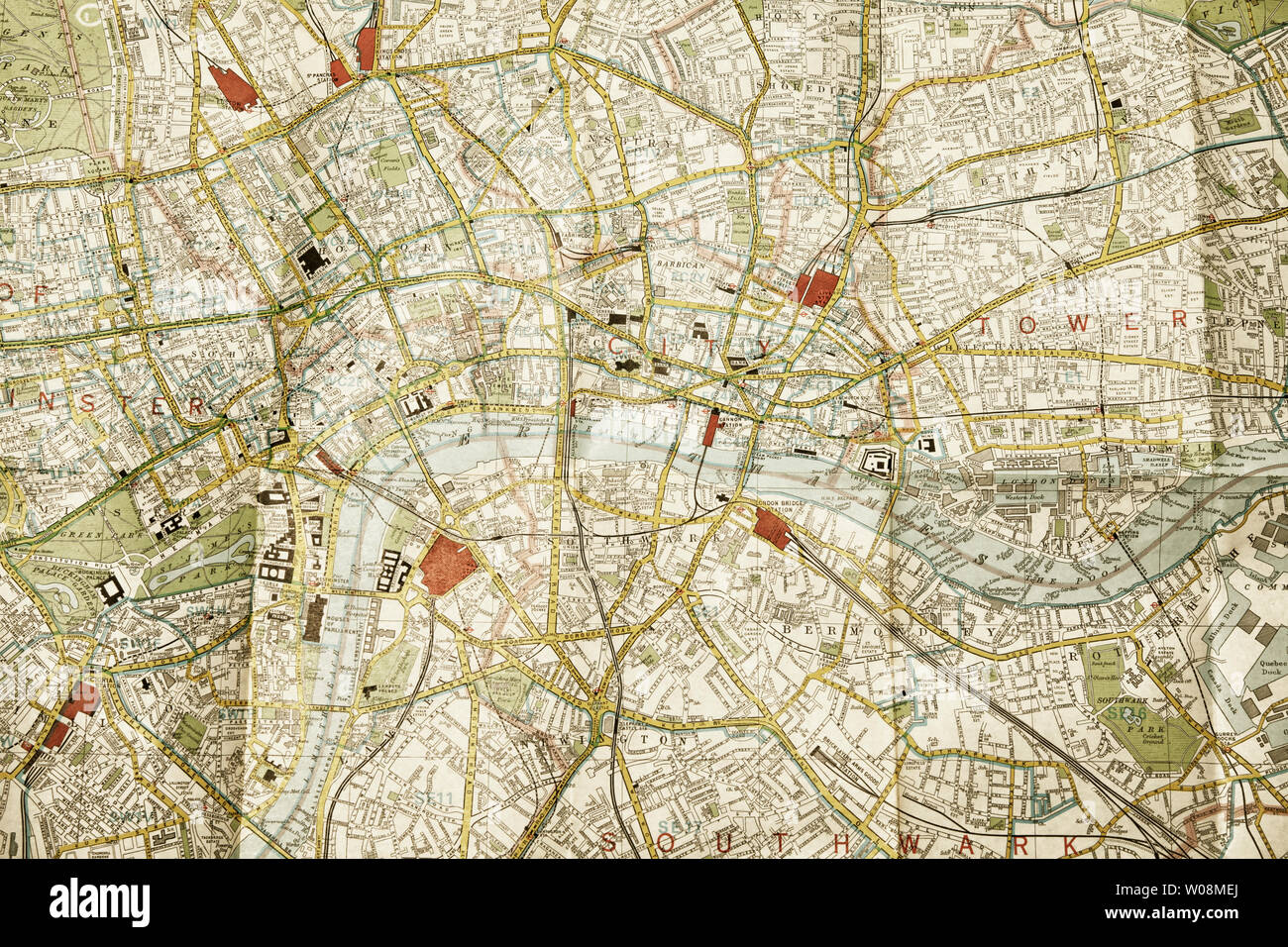 Central London on a folded map Stock Photohttps://www.alamy.com/image-license-details/?v=1https://www.alamy.com/central-london-on-a-folded-map-image258347226.html
RFW08MEJ–Central London on a folded map
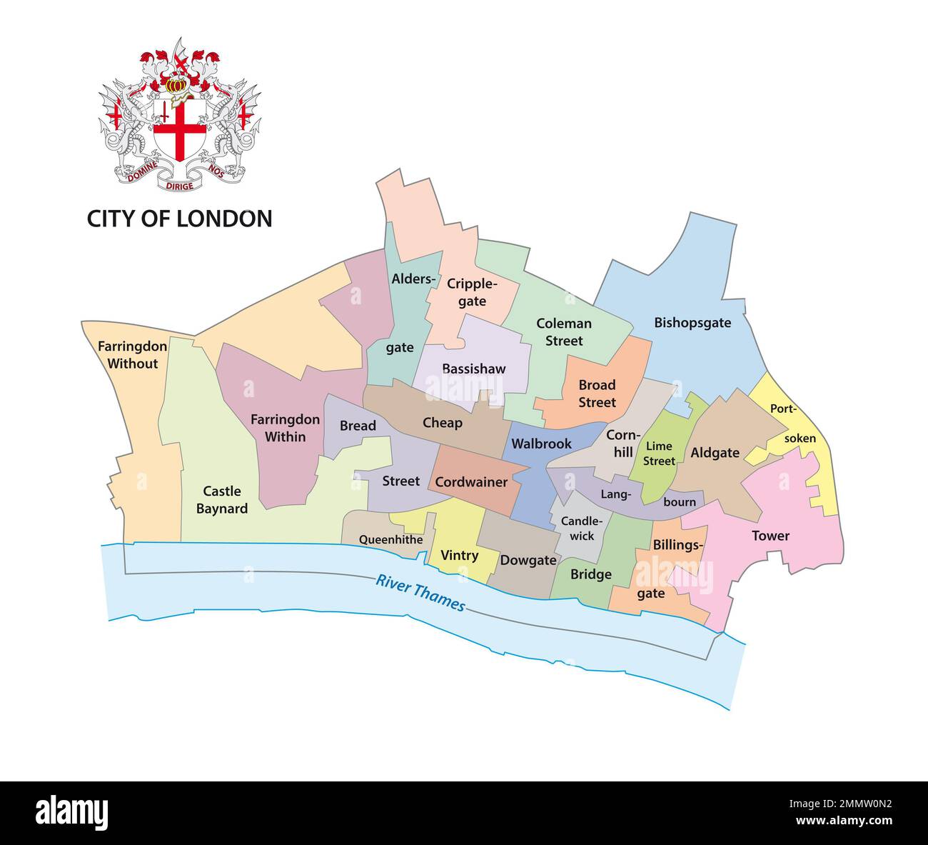 City of London administrative map with coat of arms Stock Photohttps://www.alamy.com/image-license-details/?v=1https://www.alamy.com/city-of-london-administrative-map-with-coat-of-arms-image511943182.html
RF2MMW0N2–City of London administrative map with coat of arms
 map of Europe Stock Photohttps://www.alamy.com/image-license-details/?v=1https://www.alamy.com/map-of-europe-image3242673.html
RFA0AJB2–map of Europe
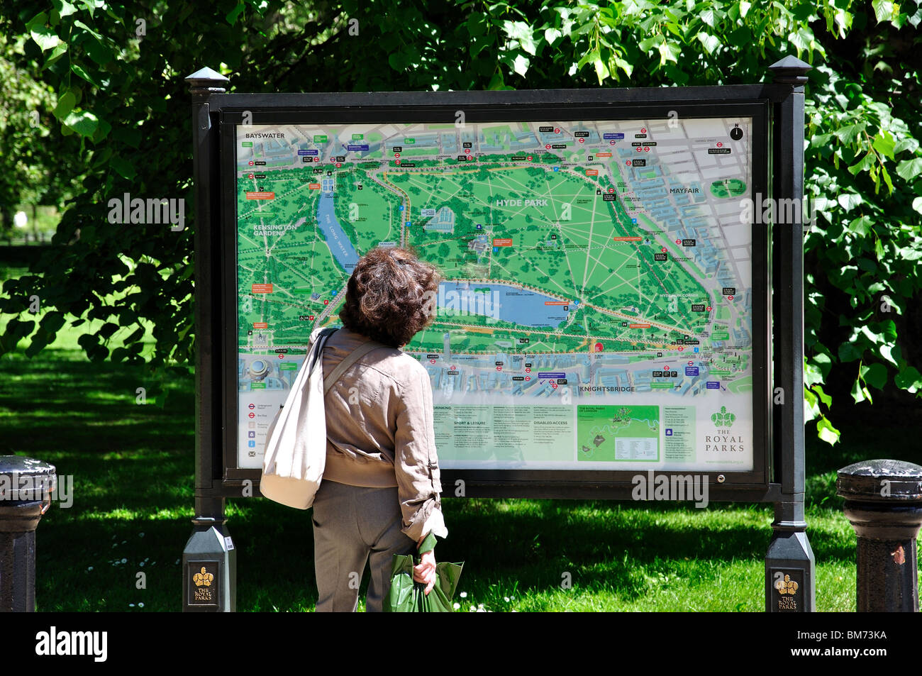 Plan of park, Hyde Park, City of Westminster, Greater London, England, United Kingdom Stock Photohttps://www.alamy.com/image-license-details/?v=1https://www.alamy.com/stock-photo-plan-of-park-hyde-park-city-of-westminster-greater-london-england-29660046.html
RMBM73KA–Plan of park, Hyde Park, City of Westminster, Greater London, England, United Kingdom
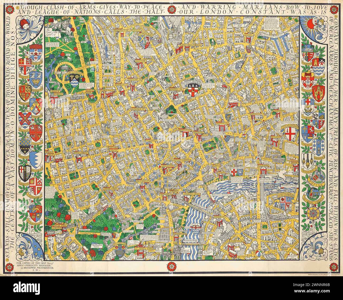 Vintage Illustrated Specialised Map. Central London Clash of Arms, by MacDonald Gill lithograph in colours, 1932, printed by Dobson, Molle & Co. Ltd., London, Stock Photohttps://www.alamy.com/image-license-details/?v=1https://www.alamy.com/vintage-illustrated-specialised-map-central-london-clash-of-arms-by-macdonald-gill-lithograph-in-colours-1932-printed-by-dobson-molle-co-ltd-london-image598539491.html
RM2WNNR6B–Vintage Illustrated Specialised Map. Central London Clash of Arms, by MacDonald Gill lithograph in colours, 1932, printed by Dobson, Molle & Co. Ltd., London,
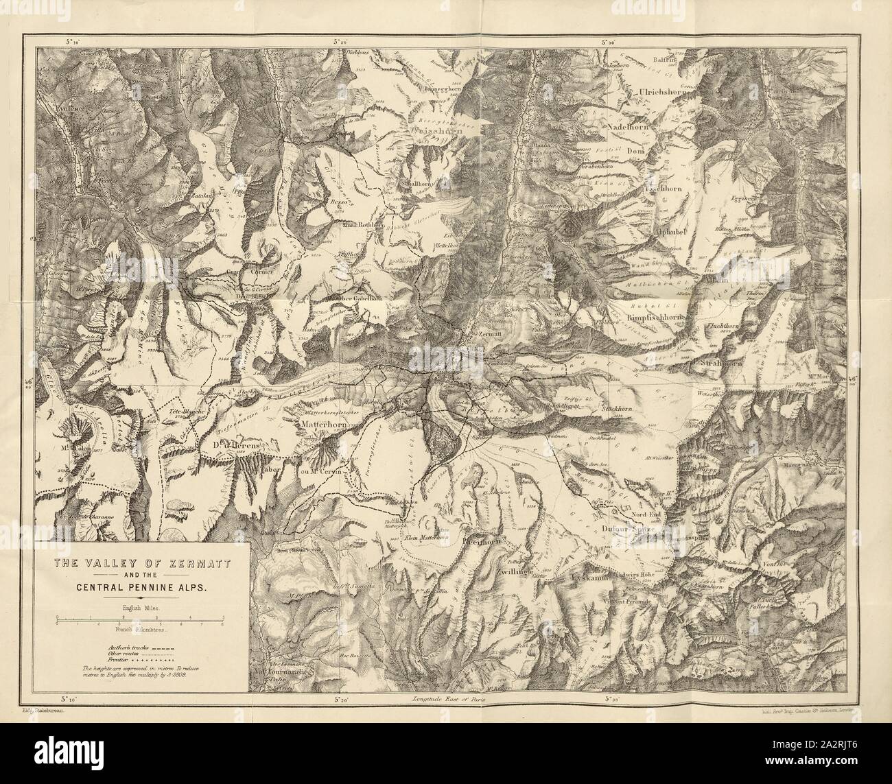 The Valley of Zermatt and the Central Pennine Alps, Map of the Matterhorn and the surrounding towns with a drawing of the route of Edward Whymper, United after p. 325, 1880, Edward Whymper: The ascent of the Matterhorn. London: John Murray, 1880 Stock Photohttps://www.alamy.com/image-license-details/?v=1https://www.alamy.com/the-valley-of-zermatt-and-the-central-pennine-alps-map-of-the-matterhorn-and-the-surrounding-towns-with-a-drawing-of-the-route-of-edward-whymper-united-after-p-325-1880-edward-whymper-the-ascent-of-the-matterhorn-london-john-murray-1880-image328745990.html
RM2A2RJT6–The Valley of Zermatt and the Central Pennine Alps, Map of the Matterhorn and the surrounding towns with a drawing of the route of Edward Whymper, United after p. 325, 1880, Edward Whymper: The ascent of the Matterhorn. London: John Murray, 1880
 Tourists in central London looking at map Stock Photohttps://www.alamy.com/image-license-details/?v=1https://www.alamy.com/stock-photo-tourists-in-central-london-looking-at-map-10419030.html
RMA263KK–Tourists in central London looking at map
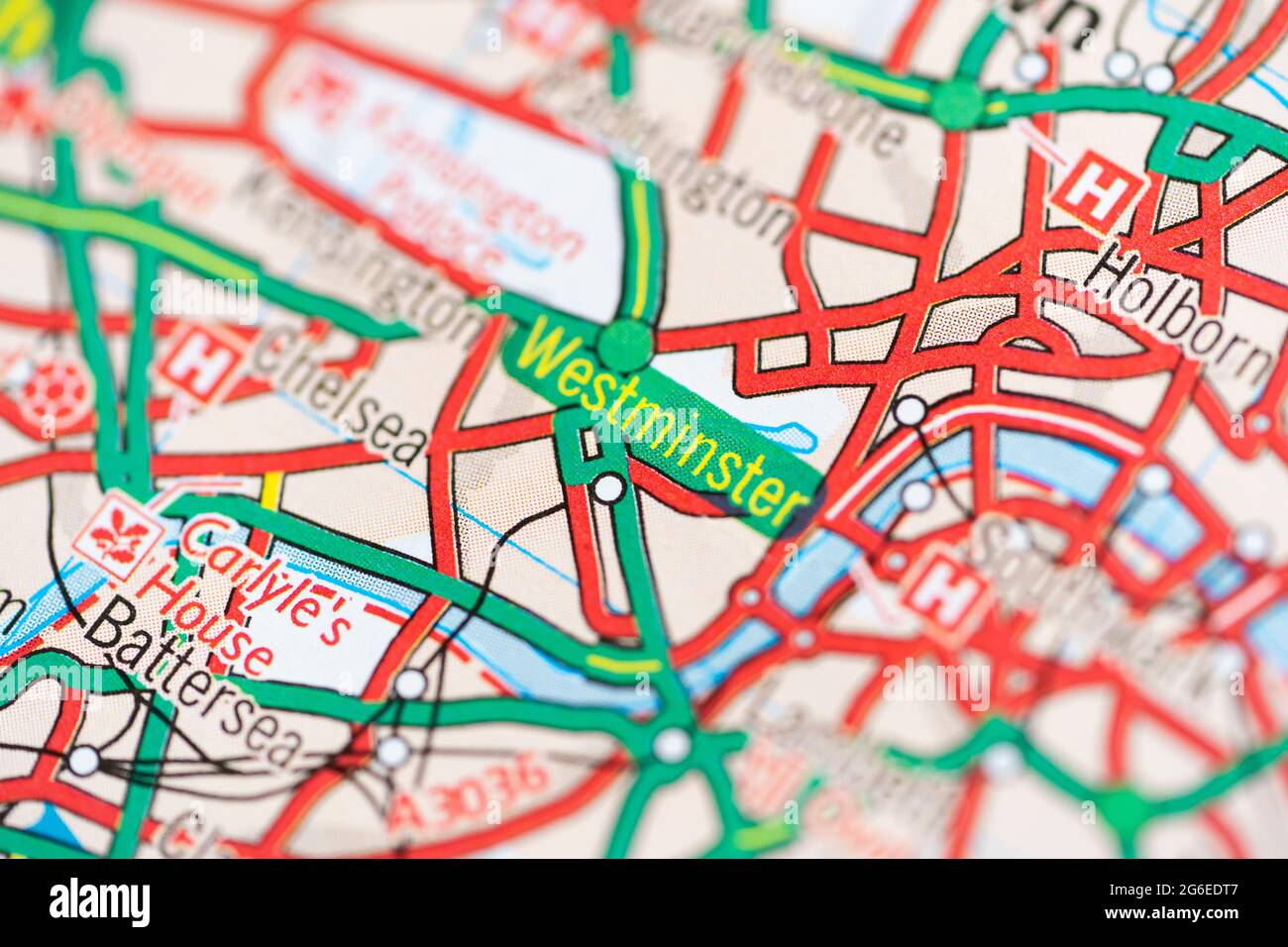 A macro closeup of a page in a printed road map atlas showing the district of Westminster in Central London, England Stock Photohttps://www.alamy.com/image-license-details/?v=1https://www.alamy.com/a-macro-closeup-of-a-page-in-a-printed-road-map-atlas-showing-the-district-of-westminster-in-central-london-england-image434265335.html
RM2G6EDT7–A macro closeup of a page in a printed road map atlas showing the district of Westminster in Central London, England
 Tower of London, Her Majesty's Royal Palace and Fortress, a historic castle located on the north bank of the River Thames in cen Stock Photohttps://www.alamy.com/image-license-details/?v=1https://www.alamy.com/stock-photo-tower-of-london-her-majestys-royal-palace-and-fortress-a-historic-105106955.html
RMG300YR–Tower of London, Her Majesty's Royal Palace and Fortress, a historic castle located on the north bank of the River Thames in cen
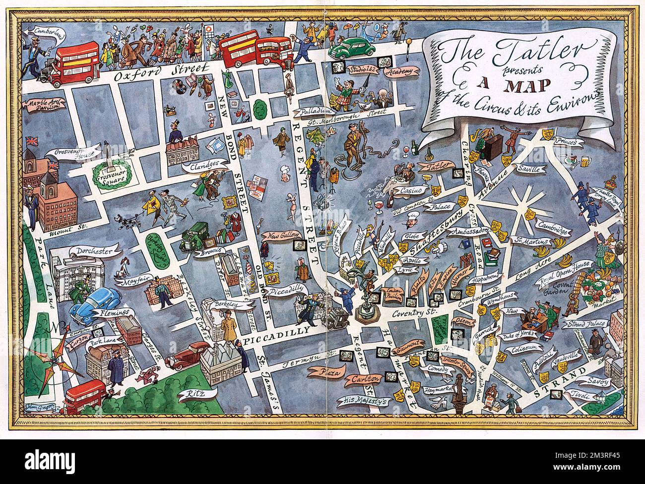 Map of central London with Piccadilly Circus at centre Stock Photohttps://www.alamy.com/image-license-details/?v=1https://www.alamy.com/map-of-central-london-with-piccadilly-circus-at-centre-image501461413.html
RM2M3RF45–Map of central London with Piccadilly Circus at centre
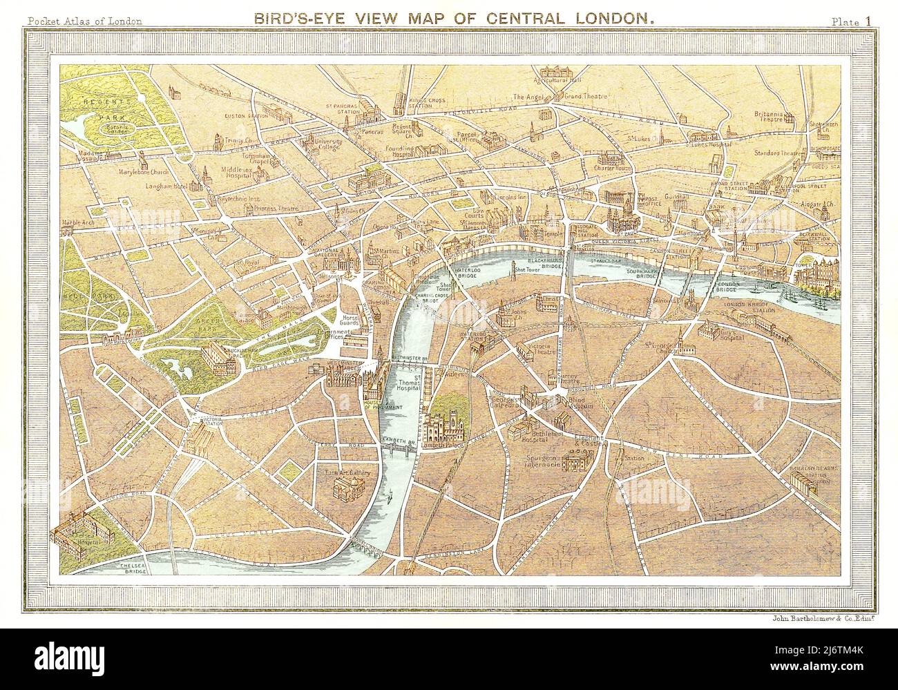 Bird's-Eye View Map of Central London - 1887 Stock Photohttps://www.alamy.com/image-license-details/?v=1https://www.alamy.com/birds-eye-view-map-of-central-london-1887-image468910531.html
RF2J6TM4K–Bird's-Eye View Map of Central London - 1887
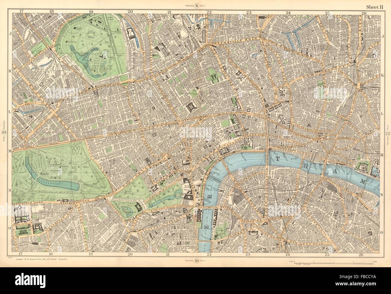 CENTRAL LONDON West End City Southwark Westminster Shoreditch. BACON , 1903 map Stock Photohttps://www.alamy.com/image-license-details/?v=1https://www.alamy.com/stock-photo-central-london-west-end-city-southwark-westminster-shoreditch-bacon-93086654.html
RFFBCCYA–CENTRAL LONDON West End City Southwark Westminster Shoreditch. BACON , 1903 map
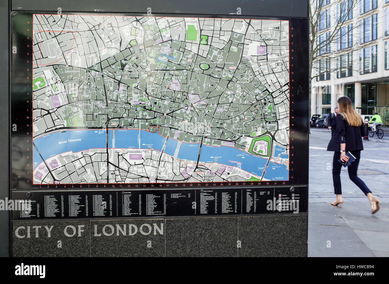 A city worker walks past a map of the City of London financial district in Central London, UK Stock Photohttps://www.alamy.com/image-license-details/?v=1https://www.alamy.com/stock-photo-a-city-worker-walks-past-a-map-of-the-city-of-london-financial-district-136111280.html
RFHWCB94–A city worker walks past a map of the City of London financial district in Central London, UK
 Transport for London map showing Hackney Central. Stock Photohttps://www.alamy.com/image-license-details/?v=1https://www.alamy.com/stock-photo-transport-for-london-map-showing-hackney-central-112458369.html
RMGEXWP9–Transport for London map showing Hackney Central.
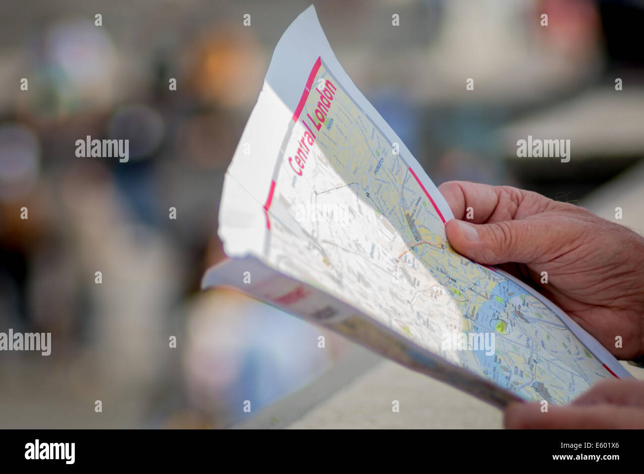 hand of a tourist holding a map of central London Stock Photohttps://www.alamy.com/image-license-details/?v=1https://www.alamy.com/stock-photo-hand-of-a-tourist-holding-a-map-of-central-london-72530926.html
RME601X6–hand of a tourist holding a map of central London
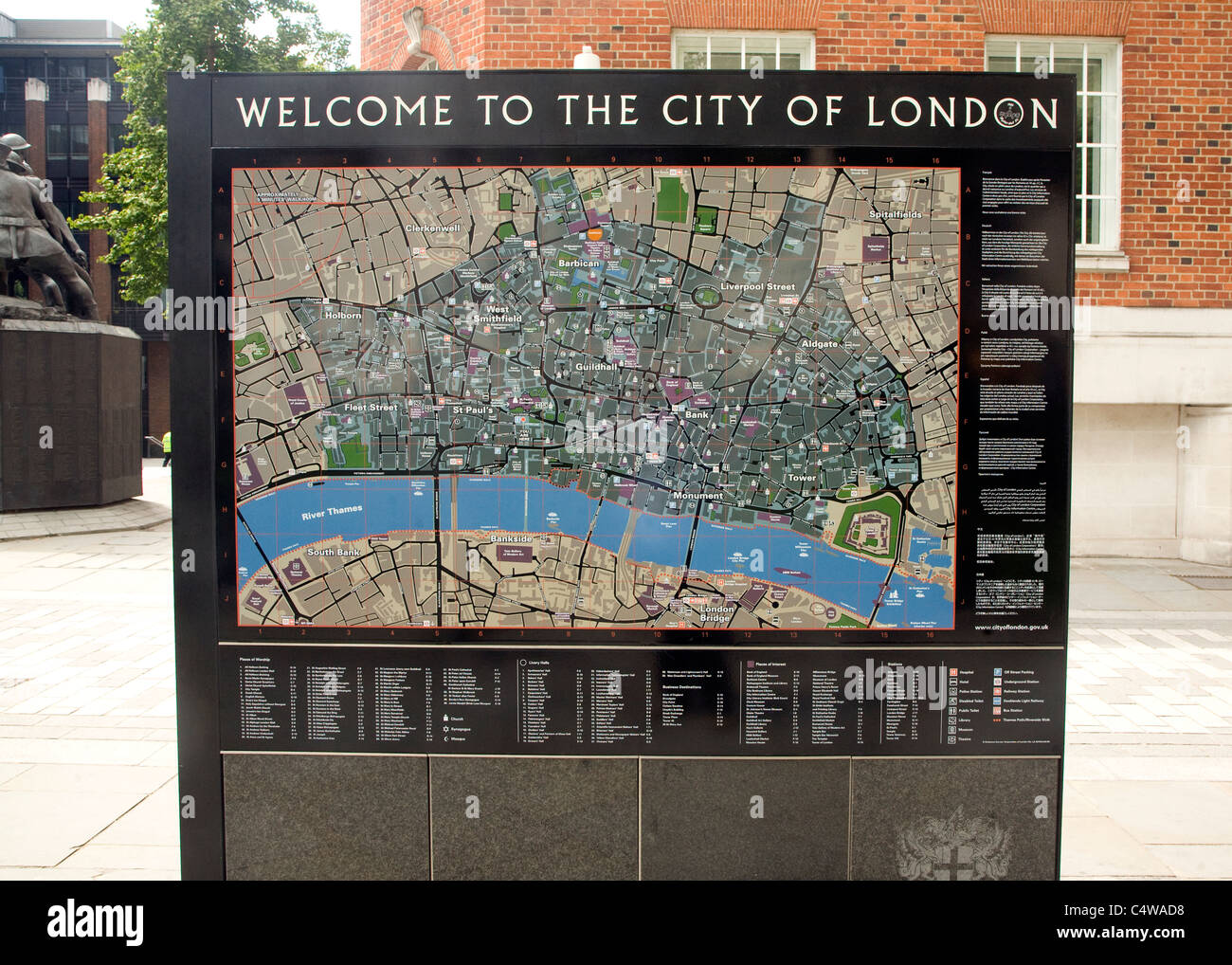 City of London tourist street map central London Stock Photohttps://www.alamy.com/image-license-details/?v=1https://www.alamy.com/stock-photo-city-of-london-tourist-street-map-central-london-37436372.html
RMC4WAD8–City of London tourist street map central London
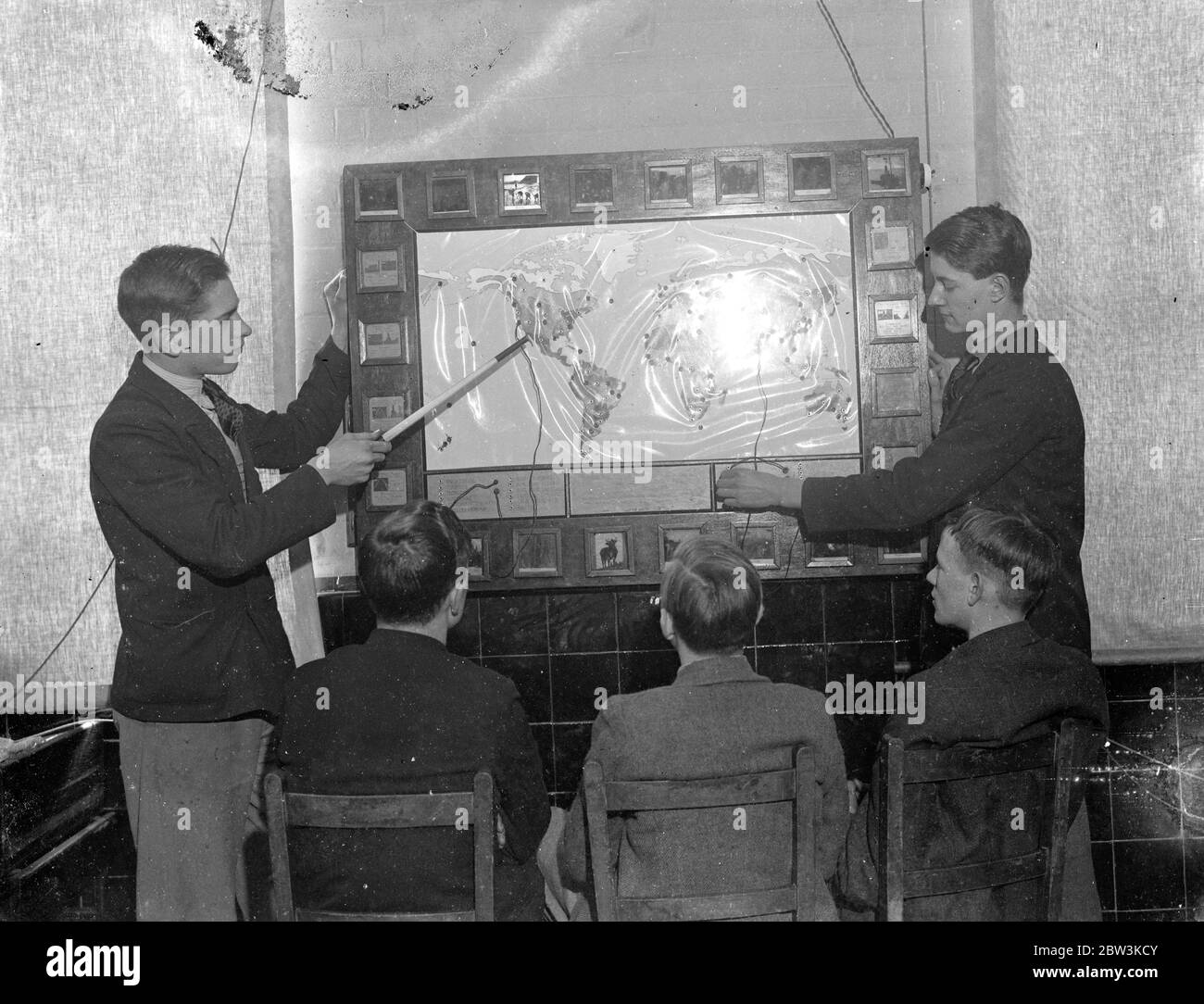 London schoolboy ' plug in ' to geography, home made elecctric map makes them learn and like it . Pupils at Brockley Central School , London now ' plug in ' to geography lessons . Mr W T Harrison , geography master at the school assisted by the art and carpentry masters and the boys of the sixth form , has built an electric map . When a boy is asked a question about any part of the world , he replies by fitting a plug into one of a hundred sockets , a light shines behind a glass slide marked with the temperature , rainfall and chief products of the region . If the boy uses the wrong socket , t Stock Photohttps://www.alamy.com/image-license-details/?v=1https://www.alamy.com/london-schoolboy-plug-in-to-geography-home-made-elecctric-map-makes-them-learn-and-like-it-pupils-at-brockley-central-school-london-now-plug-in-to-geography-lessons-mr-w-t-harrison-geography-master-at-the-school-assisted-by-the-art-and-carpentry-masters-and-the-boys-of-the-sixth-form-has-built-an-electric-map-when-a-boy-is-asked-a-question-about-any-part-of-the-world-he-replies-by-fitting-a-plug-into-one-of-a-hundred-sockets-a-light-shines-behind-a-glass-slide-marked-with-the-temperature-rainfall-and-chief-products-of-the-region-if-the-boy-uses-the-wrong-socket-t-image359654875.html
RM2BW3KCY–London schoolboy ' plug in ' to geography, home made elecctric map makes them learn and like it . Pupils at Brockley Central School , London now ' plug in ' to geography lessons . Mr W T Harrison , geography master at the school assisted by the art and carpentry masters and the boys of the sixth form , has built an electric map . When a boy is asked a question about any part of the world , he replies by fitting a plug into one of a hundred sockets , a light shines behind a glass slide marked with the temperature , rainfall and chief products of the region . If the boy uses the wrong socket , t
 Sotheby's technicians handling an original signed ink drawing by E.H. Shepard of '...an enchanted place on the very top of the forest', 1928, estimate £70,000-£90,000, during the unveiling of the original map of Winnie-the-Pooh's Hundred Acre Wood by E H Shepard at Sotheby's saleroom in central London ahead of its sale by the auction house. Stock Photohttps://www.alamy.com/image-license-details/?v=1https://www.alamy.com/sothebys-technicians-handling-an-original-signed-ink-drawing-by-eh-shepard-of-an-enchanted-place-on-the-very-top-of-the-forest-1928-estimate-70000-90000-during-the-unveiling-of-the-original-map-of-winnie-the-poohs-hundred-acre-wood-by-e-h-shepard-at-sothebys-saleroom-in-central-london-ahead-of-its-sale-by-the-auction-house-image187579096.html
RMMW4Y1C–Sotheby's technicians handling an original signed ink drawing by E.H. Shepard of '...an enchanted place on the very top of the forest', 1928, estimate £70,000-£90,000, during the unveiling of the original map of Winnie-the-Pooh's Hundred Acre Wood by E H Shepard at Sotheby's saleroom in central London ahead of its sale by the auction house.
 London Lakes, Central Highlands, AU, Australia, Tasmania, S 42 11' 31'', N 146 31' 37'', map, Cartascapes Map published in 2024. Explore Cartascapes, a map revealing Earth's diverse landscapes, cultures, and ecosystems. Journey through time and space, discovering the interconnectedness of our planet's past, present, and future. Stock Photohttps://www.alamy.com/image-license-details/?v=1https://www.alamy.com/london-lakes-central-highlands-au-australia-tasmania-s-42-11-31-n-146-31-37-map-cartascapes-map-published-in-2024-explore-cartascapes-a-map-revealing-earths-diverse-landscapes-cultures-and-ecosystems-journey-through-time-and-space-discovering-the-interconnectedness-of-our-planets-past-present-and-future-image625453813.html
RM2Y9FTM5–London Lakes, Central Highlands, AU, Australia, Tasmania, S 42 11' 31'', N 146 31' 37'', map, Cartascapes Map published in 2024. Explore Cartascapes, a map revealing Earth's diverse landscapes, cultures, and ecosystems. Journey through time and space, discovering the interconnectedness of our planet's past, present, and future.
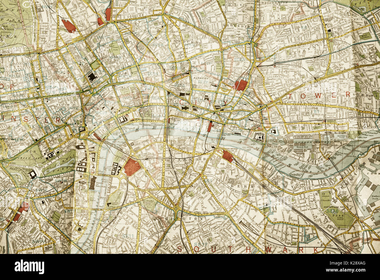 Central London on a folded map Stock Photohttps://www.alamy.com/image-license-details/?v=1https://www.alamy.com/central-london-on-a-folded-map-image156318920.html
RFK28XAG–Central London on a folded map
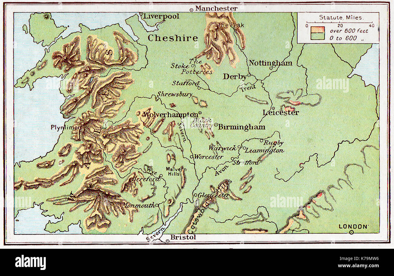 A 1914 map of Central England Stock Photohttps://www.alamy.com/image-license-details/?v=1https://www.alamy.com/a-1914-map-of-central-england-image159409858.html
RMK79MW6–A 1914 map of Central England
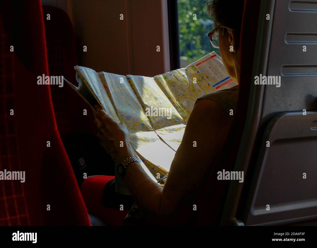 A passenger on a train between Poole and London Waterloo reads a large A to Z tourist map of central London featuring Clerkenwell and Hoxton during the two hour commuter journey from Dorset via Bournemouth and Southamptoonb to the capital city of the United Kingdom. 23 July 2014. Photo: Neil Turner Stock Photohttps://www.alamy.com/image-license-details/?v=1https://www.alamy.com/a-passenger-on-a-train-between-poole-and-london-waterloo-reads-a-large-a-to-z-tourist-map-of-central-london-featuring-clerkenwell-and-hoxton-during-the-two-hour-commuter-journey-from-dorset-via-bournemouth-and-southamptoonb-to-the-capital-city-of-the-united-kingdom-23-july-2014-photo-neil-turner-image384918227.html
RM2DA6F3F–A passenger on a train between Poole and London Waterloo reads a large A to Z tourist map of central London featuring Clerkenwell and Hoxton during the two hour commuter journey from Dorset via Bournemouth and Southamptoonb to the capital city of the United Kingdom. 23 July 2014. Photo: Neil Turner
 Young couple looking at London map in Piccadilly Circus, City of Westminster, London, England, United Kingdom Stock Photohttps://www.alamy.com/image-license-details/?v=1https://www.alamy.com/stock-photo-young-couple-looking-at-london-map-in-piccadilly-circus-city-of-westminster-53571248.html
RMD34AJT–Young couple looking at London map in Piccadilly Circus, City of Westminster, London, England, United Kingdom
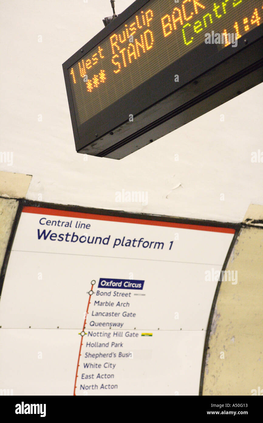 Central Line Tube train map and display board London England Stock Photohttps://www.alamy.com/image-license-details/?v=1https://www.alamy.com/central-line-tube-train-map-and-display-board-london-england-image3641362.html
RMA50G13–Central Line Tube train map and display board London England
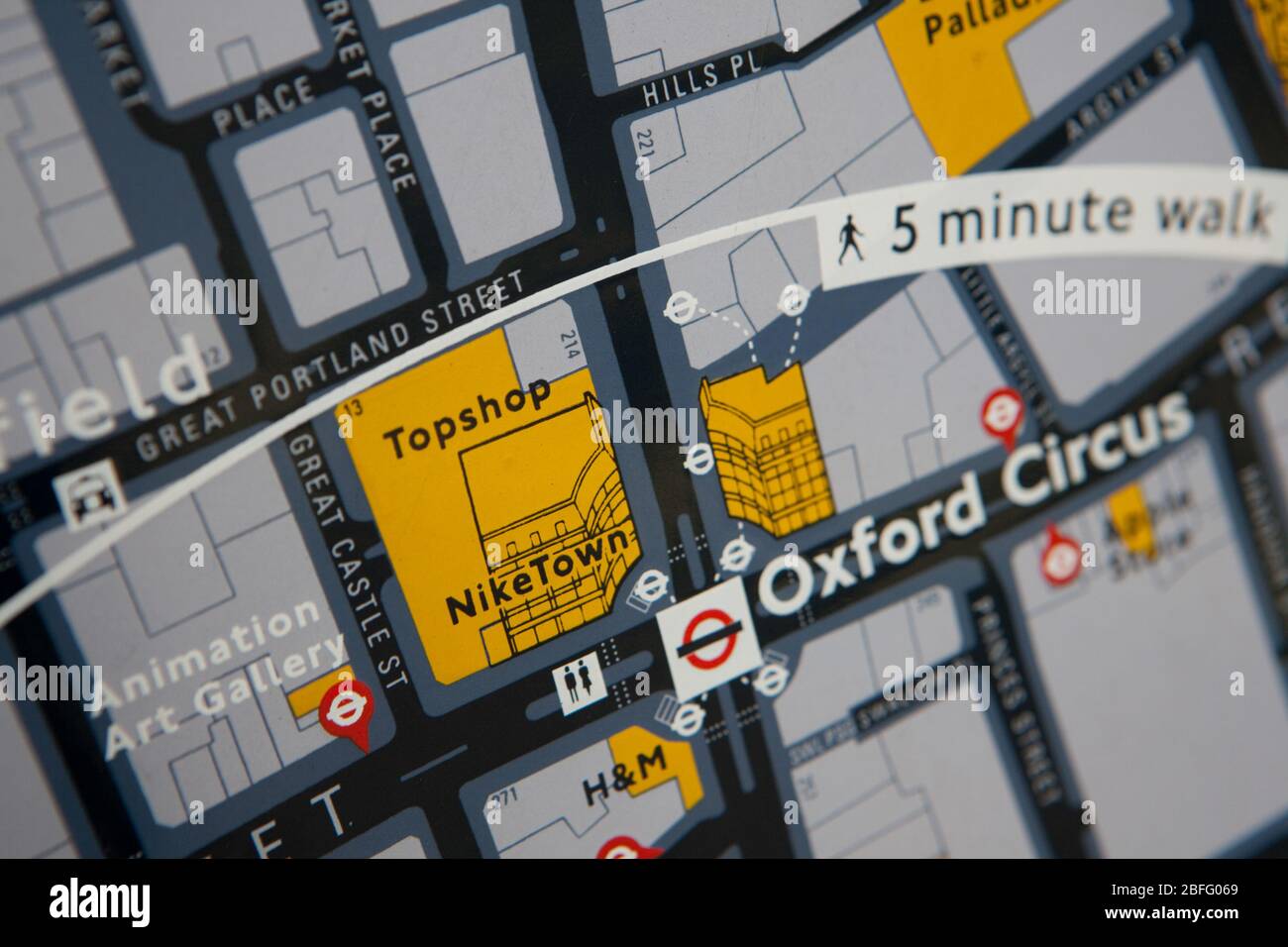 Central London map showing the Topshop and Nike Town stores. Stock Photohttps://www.alamy.com/image-license-details/?v=1https://www.alamy.com/central-london-map-showing-the-topshop-and-nike-town-stores-image353778609.html
RM2BFG069–Central London map showing the Topshop and Nike Town stores.
 Central London bus guide Stock Photohttps://www.alamy.com/image-license-details/?v=1https://www.alamy.com/stock-photo-central-london-bus-guide-49192874.html
RMCT0X0A–Central London bus guide
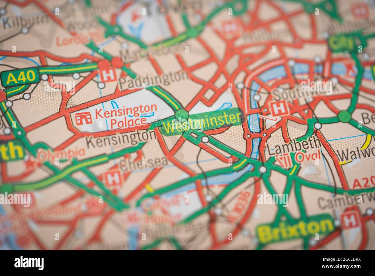 A macro closeup of a page in a printed road map atlas showing the district of Westminster in Central London, England Stock Photohttps://www.alamy.com/image-license-details/?v=1https://www.alamy.com/a-macro-closeup-of-a-page-in-a-printed-road-map-atlas-showing-the-district-of-westminster-in-central-london-england-image434265326.html
RM2G6EDRX–A macro closeup of a page in a printed road map atlas showing the district of Westminster in Central London, England
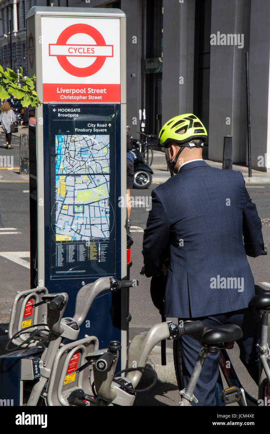 Business man in a suit, wearing a cycle helmet and riding a bicycle, looking at a cycle map of central London. Stock Photohttps://www.alamy.com/image-license-details/?v=1https://www.alamy.com/stock-photo-business-man-in-a-suit-wearing-a-cycle-helmet-and-riding-a-bicycle-145501734.html
RFJCM4XE–Business man in a suit, wearing a cycle helmet and riding a bicycle, looking at a cycle map of central London.
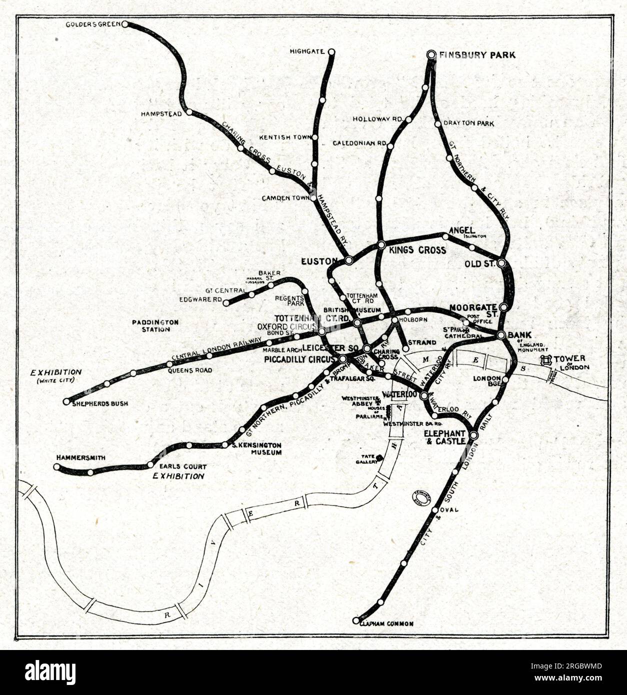 Map of the London Underground Railway System Stock Photohttps://www.alamy.com/image-license-details/?v=1https://www.alamy.com/map-of-the-london-underground-railway-system-image560827917.html
RM2RGBWMD–Map of the London Underground Railway System
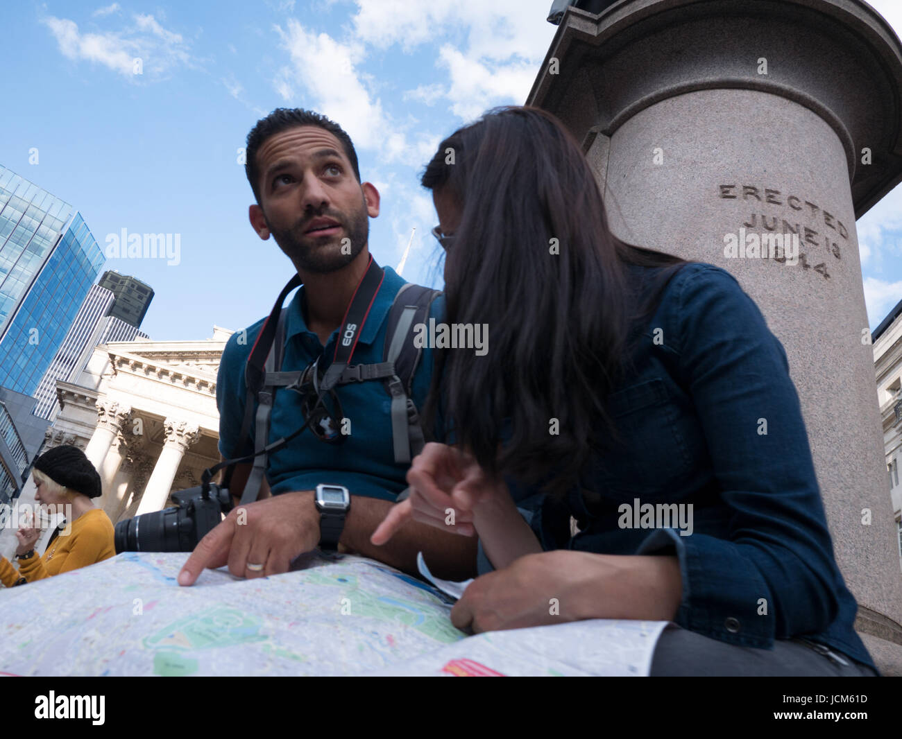 Tourist Couple reading map in Threadneedle street Central London Stock Photohttps://www.alamy.com/image-license-details/?v=1https://www.alamy.com/stock-photo-tourist-couple-reading-map-in-threadneedle-street-central-london-145502601.html
RMJCM61D–Tourist Couple reading map in Threadneedle street Central London
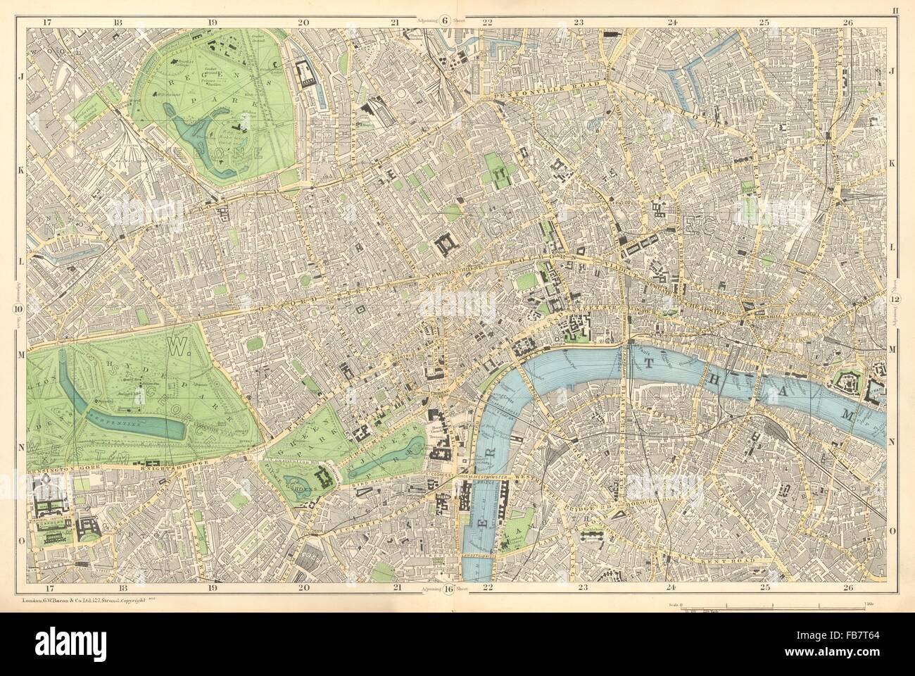 CENTRAL LONDON: West End, City, Southwark,Westminster,Shoreditch.BACON, 1902 map Stock Photohttps://www.alamy.com/image-license-details/?v=1https://www.alamy.com/stock-photo-central-london-west-end-city-southwarkwestminstershoreditchbacon-1902-92985708.html
RFFB7T64–CENTRAL LONDON: West End, City, Southwark,Westminster,Shoreditch.BACON, 1902 map
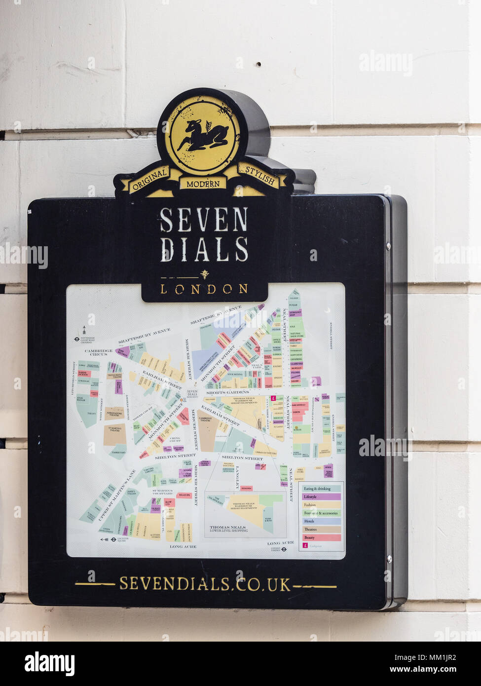 Seven Dials London - London Tourism Map - a street map at Seven Dials in Covent Garden central London, named for the convergence of seven streets Stock Photohttps://www.alamy.com/image-license-details/?v=1https://www.alamy.com/seven-dials-london-london-tourism-map-a-street-map-at-seven-dials-in-covent-garden-central-london-named-for-the-convergence-of-seven-streets-image184433510.html
RFMM1JR2–Seven Dials London - London Tourism Map - a street map at Seven Dials in Covent Garden central London, named for the convergence of seven streets
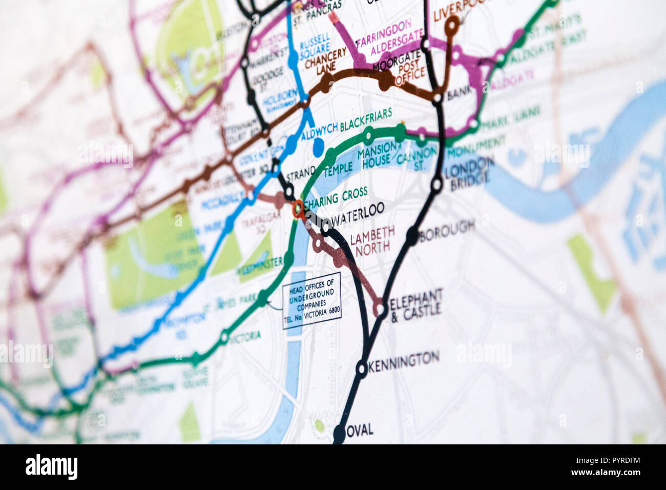 Historic old London Underground map c. 1931, at 55 Broadway Building, London, UK Stock Photohttps://www.alamy.com/image-license-details/?v=1https://www.alamy.com/historic-old-london-underground-map-c-1931-at-55-broadway-building-london-uk-image223635656.html
RMPYRDFM–Historic old London Underground map c. 1931, at 55 Broadway Building, London, UK
 London, England, UK. 28th Oct, 2023.People march through central London. Woman holding a map of Gaza .Credit Image: © Horst Friedrichs Credit: horst friedrichs/Alamy Live News Stock Photohttps://www.alamy.com/image-license-details/?v=1https://www.alamy.com/london-england-uk-28th-oct-2023people-march-through-central-london-woman-holding-a-map-of-gaza-credit-image-horst-friedrichs-credit-horst-friedrichsalamy-live-news-image570528627.html
RM2T45R2B–London, England, UK. 28th Oct, 2023.People march through central London. Woman holding a map of Gaza .Credit Image: © Horst Friedrichs Credit: horst friedrichs/Alamy Live News
RMJ2EMMJ–Europe, United Kingdom, England, Central London, Mayfair, Savile Row. Iconic red postbox painted to mark the launch of London. Home of Menswear heritage map, showing The Royal Academy of Arts in background.
 Mr Alan Cobham with lady Copham , consulting the map in his London Offfice before leaving on a Survey Expedition to Central Africa. 17 July 1931 Stock Photohttps://www.alamy.com/image-license-details/?v=1https://www.alamy.com/mr-alan-cobham-with-lady-copham-consulting-the-map-in-his-london-offfice-before-leaving-on-a-survey-expedition-to-central-africa-17-july-1931-image359631343.html
RM2BW2HCF–Mr Alan Cobham with lady Copham , consulting the map in his London Offfice before leaving on a Survey Expedition to Central Africa. 17 July 1931
 Cat Deeley in front of a floral map of Africa, made entirely from 20,000 African roses, at the launch of FLOWE(RED) - the new online flower service from (RED) that will generate money to help save lives in Africa - at East Piazza in Covent Garden, central London. Stock Photohttps://www.alamy.com/image-license-details/?v=1https://www.alamy.com/stock-photo-cat-deeley-in-front-of-a-floral-map-of-africa-made-entirely-from-20000-110845942.html
RMGC9D3J–Cat Deeley in front of a floral map of Africa, made entirely from 20,000 African roses, at the launch of FLOWE(RED) - the new online flower service from (RED) that will generate money to help save lives in Africa - at East Piazza in Covent Garden, central London.
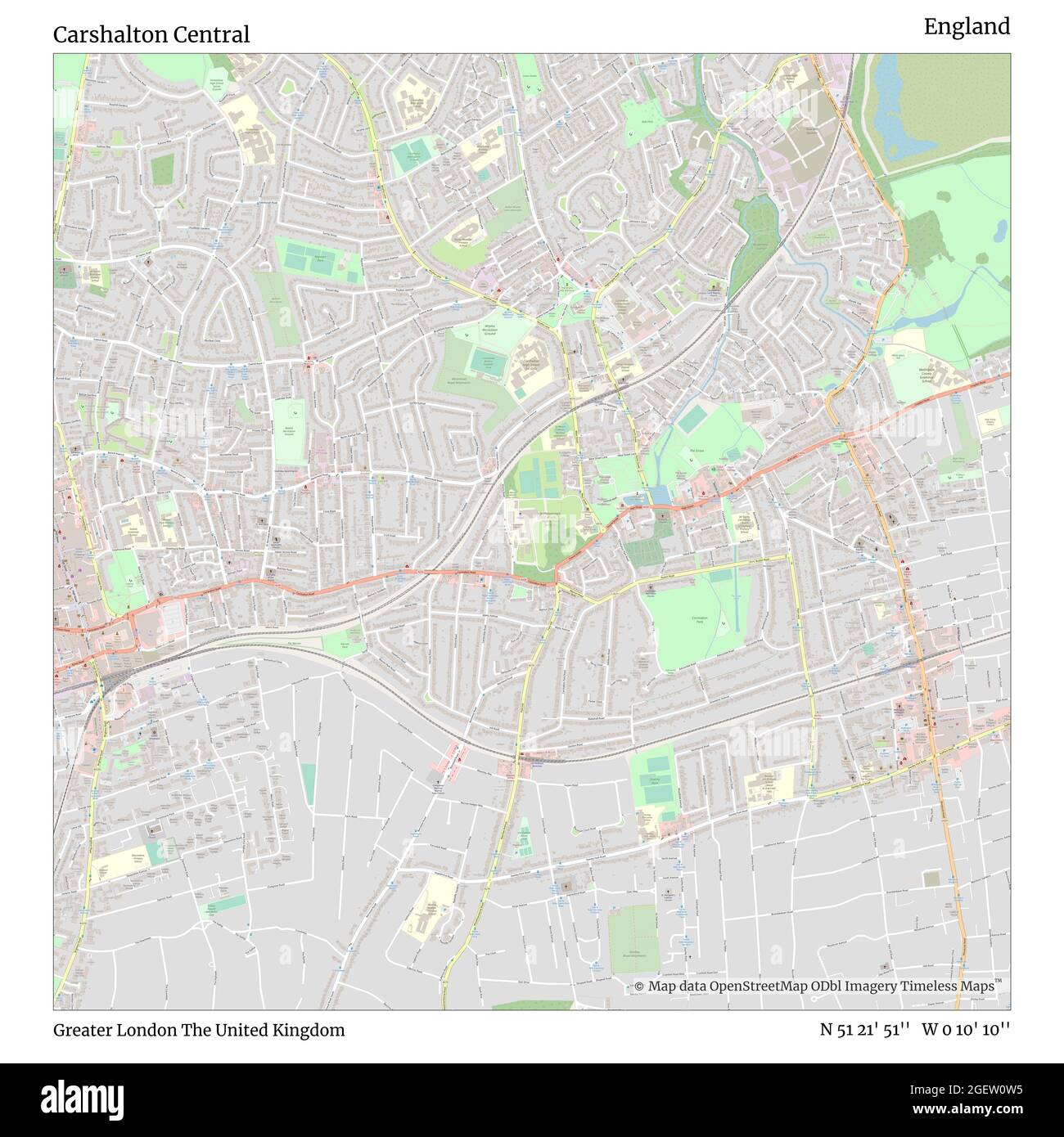 Carshalton Central, Greater London, United Kingdom, England, N 51 21' 51'', W 0 10' 10'', map, Timeless Map published in 2021. Travelers, explorers and adventurers like Florence Nightingale, David Livingstone, Ernest Shackleton, Lewis and Clark and Sherlock Holmes relied on maps to plan travels to the world's most remote corners, Timeless Maps is mapping most locations on the globe, showing the achievement of great dreams Stock Photohttps://www.alamy.com/image-license-details/?v=1https://www.alamy.com/carshalton-central-greater-london-united-kingdom-england-n-51-21-51-w-0-10-10-map-timeless-map-published-in-2021-travelers-explorers-and-adventurers-like-florence-nightingale-david-livingstone-ernest-shackleton-lewis-and-clark-and-sherlock-holmes-relied-on-maps-to-plan-travels-to-the-worlds-most-remote-corners-timeless-maps-is-mapping-most-locations-on-the-globe-showing-the-achievement-of-great-dreams-image439413889.html
RM2GEW0W5–Carshalton Central, Greater London, United Kingdom, England, N 51 21' 51'', W 0 10' 10'', map, Timeless Map published in 2021. Travelers, explorers and adventurers like Florence Nightingale, David Livingstone, Ernest Shackleton, Lewis and Clark and Sherlock Holmes relied on maps to plan travels to the world's most remote corners, Timeless Maps is mapping most locations on the globe, showing the achievement of great dreams
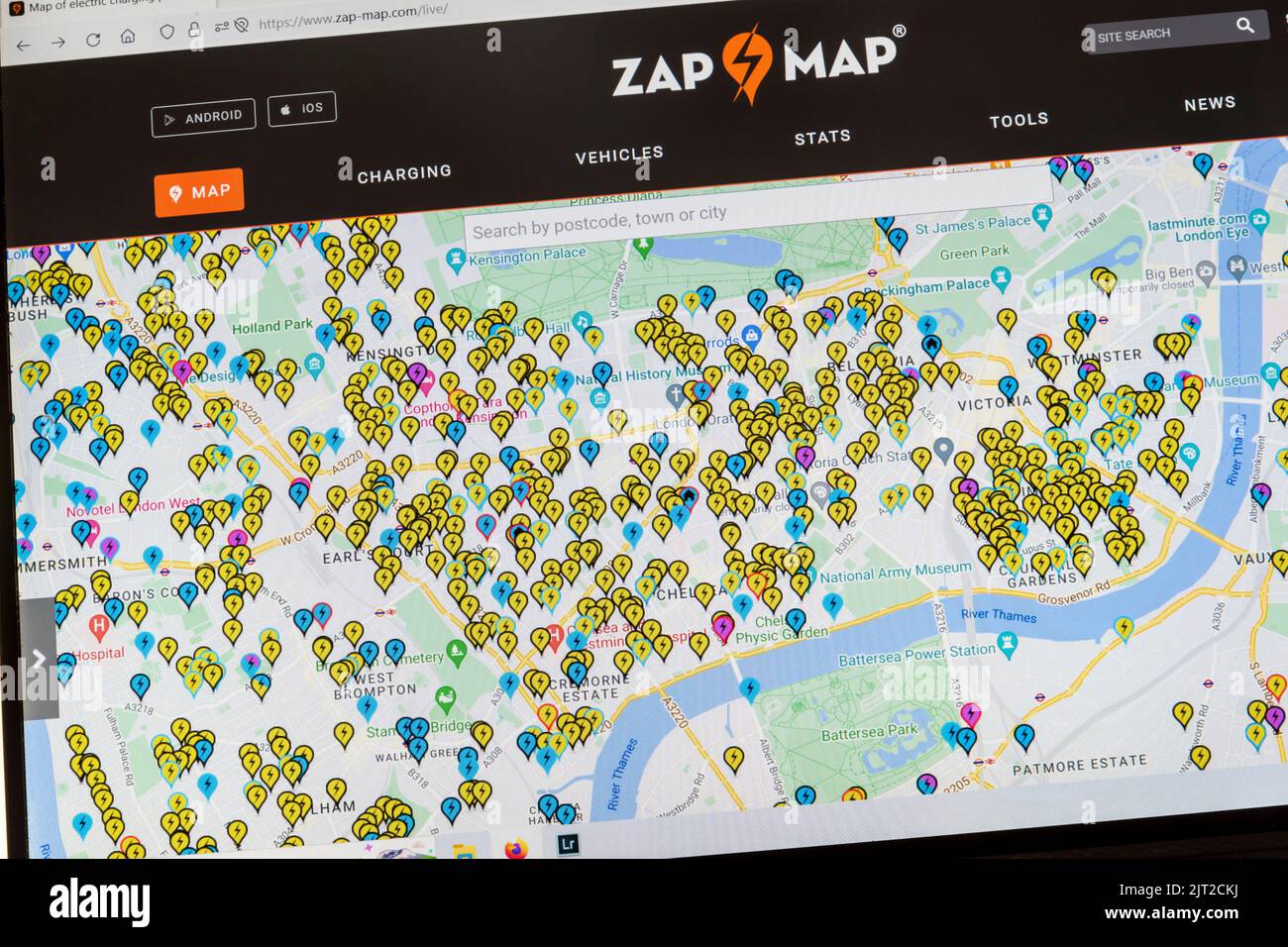 Zap Map website showing the location of EV charging points across central London. Stock Photohttps://www.alamy.com/image-license-details/?v=1https://www.alamy.com/zap-map-website-showing-the-location-of-ev-charging-points-across-central-london-image479485542.html
RM2JT2CKJ–Zap Map website showing the location of EV charging points across central London.
 The tower of London at the time of King Henry VIII (1491 – 1547) with Donjon marked A. Known officially as Her Majesty's Royal Palace and Fortress of the Tower of London in modern times, the historic castle stands on the north bank of the River Thames in central London. It holds the English Crown Jewells and has been used as a prison. The outer wall is mentioned in the The Anglo-Saxon Chronicle stating that in 1097 King William II ordered a wall to be built around the Tower of London; Stock Photohttps://www.alamy.com/image-license-details/?v=1https://www.alamy.com/the-tower-of-london-at-the-time-of-king-henry-viii-1491-1547-with-donjon-marked-a-known-officially-as-her-majestys-royal-palace-and-fortress-of-the-tower-of-london-in-modern-times-the-historic-castle-stands-on-the-north-bank-of-the-river-thames-in-central-london-it-holds-the-english-crown-jewells-and-has-been-used-as-a-prison-the-outer-wall-is-mentioned-in-the-the-anglo-saxon-chronicle-stating-that-in-1097-king-william-ii-ordered-a-wall-to-be-built-around-the-tower-of-london-image453814281.html
RM2HA90MW–The tower of London at the time of King Henry VIII (1491 – 1547) with Donjon marked A. Known officially as Her Majesty's Royal Palace and Fortress of the Tower of London in modern times, the historic castle stands on the north bank of the River Thames in central London. It holds the English Crown Jewells and has been used as a prison. The outer wall is mentioned in the The Anglo-Saxon Chronicle stating that in 1097 King William II ordered a wall to be built around the Tower of London;
 London, England, UK. Young couple looking at a map in Parliament Square Stock Photohttps://www.alamy.com/image-license-details/?v=1https://www.alamy.com/stock-photo-london-england-uk-young-couple-looking-at-a-map-in-parliament-square-86045669.html
RMEYYM3H–London, England, UK. Young couple looking at a map in Parliament Square
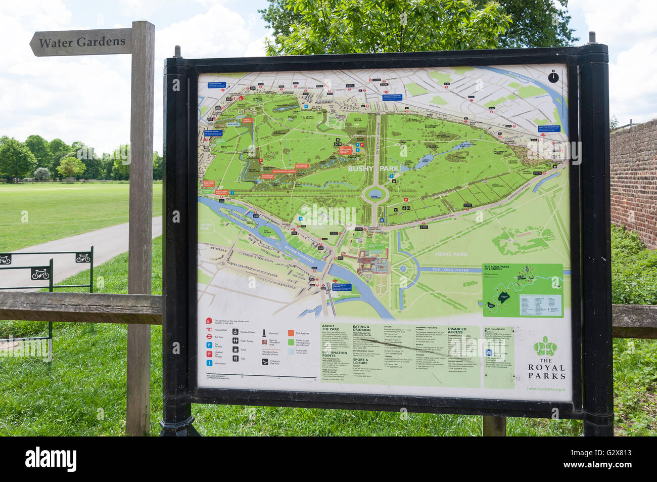 Bushy Park map at Hampton Hill Newgate, Hampton Hill, Borough of Richmond upon Thames, Greater London, England, United Kingdom Stock Photohttps://www.alamy.com/image-license-details/?v=1https://www.alamy.com/stock-photo-bushy-park-map-at-hampton-hill-newgate-hampton-hill-borough-of-richmond-105068575.html
RMG2X813–Bushy Park map at Hampton Hill Newgate, Hampton Hill, Borough of Richmond upon Thames, Greater London, England, United Kingdom
 Motorcycle courier consulting his map book streetfinder in central London in 1986. Scan from 35mm slide film. Stock Photohttps://www.alamy.com/image-license-details/?v=1https://www.alamy.com/stock-photo-motorcycle-courier-consulting-his-map-book-streetfinder-in-central-99575486.html
RMFP01FA–Motorcycle courier consulting his map book streetfinder in central London in 1986. Scan from 35mm slide film.
 Map showing the slave trade areas and routes of equatorial Africa, created by Ernst Georg Ravenstein engraved by John Bartholomew. After a map in the book, Kiunangi: or, Story and History from Central Africa, Written by Boys in the Schools of the Universities Mission to Central Africa edited by missionary and linquist Arthur Cornwallis Madan and published in London 1887. Stock Photohttps://www.alamy.com/image-license-details/?v=1https://www.alamy.com/map-showing-the-slave-trade-areas-and-routes-of-equatorial-africa-created-by-ernst-georg-ravenstein-engraved-by-john-bartholomew-after-a-map-in-the-book-kiunangi-or-story-and-history-from-central-africa-written-by-boys-in-the-schools-of-the-universities-mission-to-central-africa-edited-by-missionary-and-linquist-arthur-cornwallis-madan-and-published-in-london-1887-image360964385.html
RM2BY79N5–Map showing the slave trade areas and routes of equatorial Africa, created by Ernst Georg Ravenstein engraved by John Bartholomew. After a map in the book, Kiunangi: or, Story and History from Central Africa, Written by Boys in the Schools of the Universities Mission to Central Africa edited by missionary and linquist Arthur Cornwallis Madan and published in London 1887.
 CITY OF LONDON MAP LUDGATE HILL LONDON ENGLAND UK Stock Photohttps://www.alamy.com/image-license-details/?v=1https://www.alamy.com/stock-photo-city-of-london-map-ludgate-hill-london-england-uk-18885594.html
RMB2M8NE–CITY OF LONDON MAP LUDGATE HILL LONDON ENGLAND UK
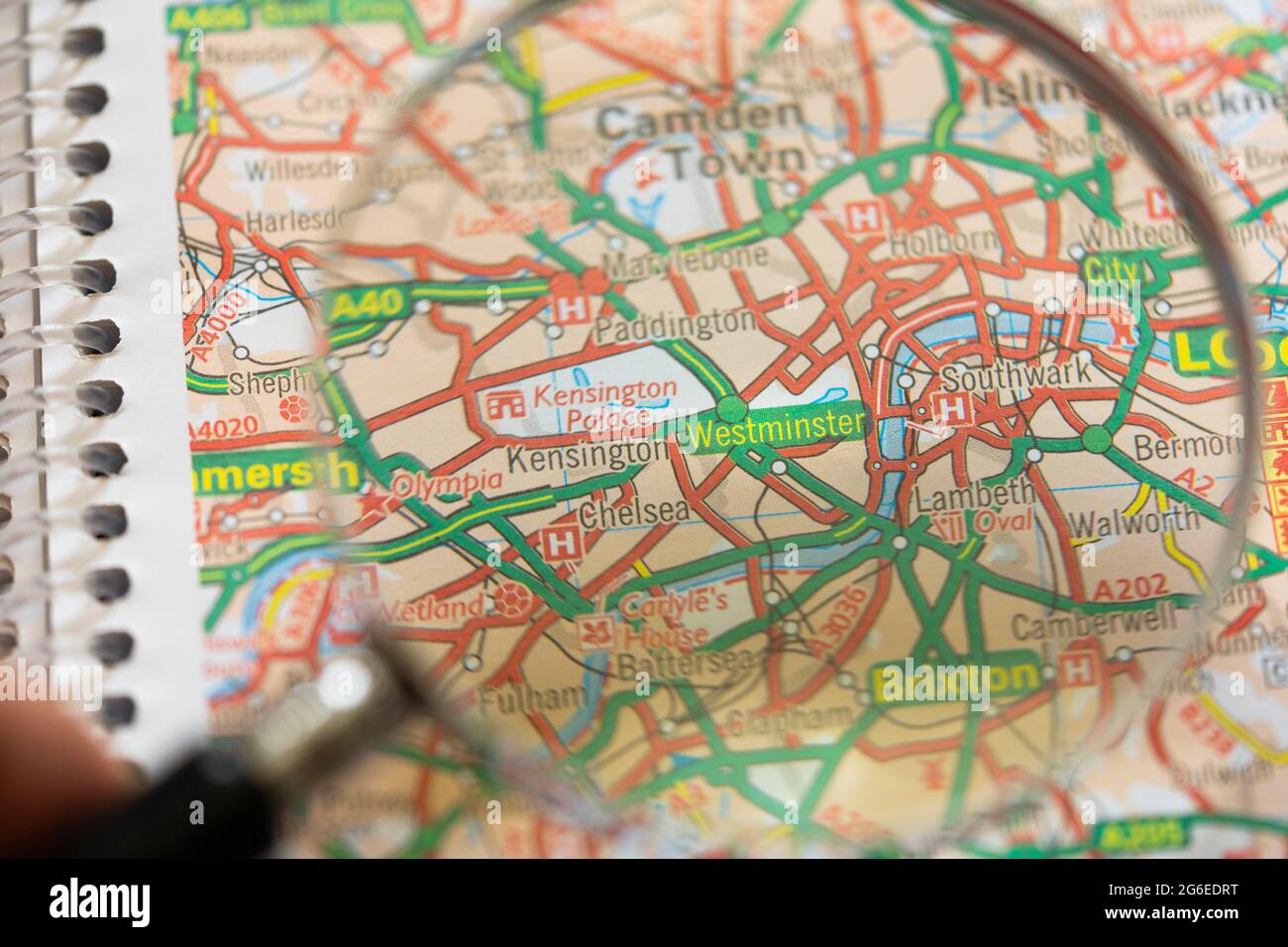 Closeup of a printed road map atlas with a man's hand holding a magnifying glass showing the district of Westminster in Central London, England Stock Photohttps://www.alamy.com/image-license-details/?v=1https://www.alamy.com/closeup-of-a-printed-road-map-atlas-with-a-mans-hand-holding-a-magnifying-glass-showing-the-district-of-westminster-in-central-london-england-image434265324.html
RM2G6EDRT–Closeup of a printed road map atlas with a man's hand holding a magnifying glass showing the district of Westminster in Central London, England
 An outdoor map of the City of London outside the Guildhall. Guildhall, City of London, London, UK. 31 Mar 2008 Stock Photohttps://www.alamy.com/image-license-details/?v=1https://www.alamy.com/an-outdoor-map-of-the-city-of-london-outside-the-guildhall-guildhall-city-of-london-london-uk-31-mar-2008-image470379384.html
RM2J97HKM–An outdoor map of the City of London outside the Guildhall. Guildhall, City of London, London, UK. 31 Mar 2008
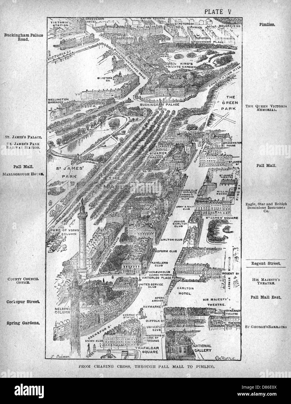 Map of the Pall Mall area of London Stock Photohttps://www.alamy.com/image-license-details/?v=1https://www.alamy.com/stock-photo-map-of-the-pall-mall-area-of-london-56691066.html
RMD86E0X–Map of the Pall Mall area of London
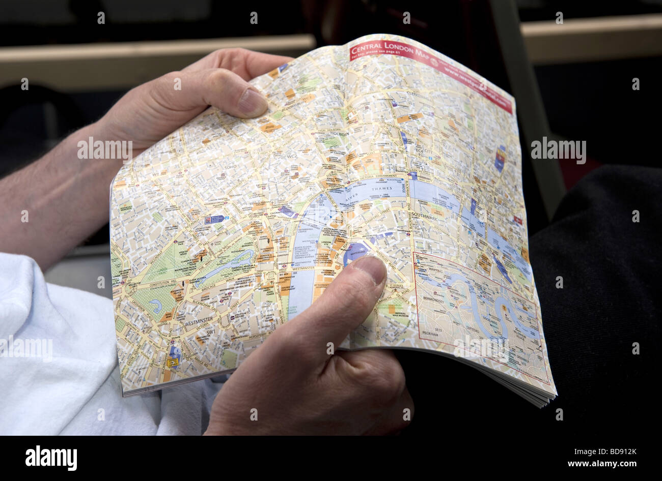 Close up of an A-Z type street map in a guide book of Central London held open in a young man's hands. Stock Photohttps://www.alamy.com/image-license-details/?v=1https://www.alamy.com/stock-photo-close-up-of-an-a-z-type-street-map-in-a-guide-book-of-central-london-25399323.html
RMBD912K–Close up of an A-Z type street map in a guide book of Central London held open in a young man's hands.
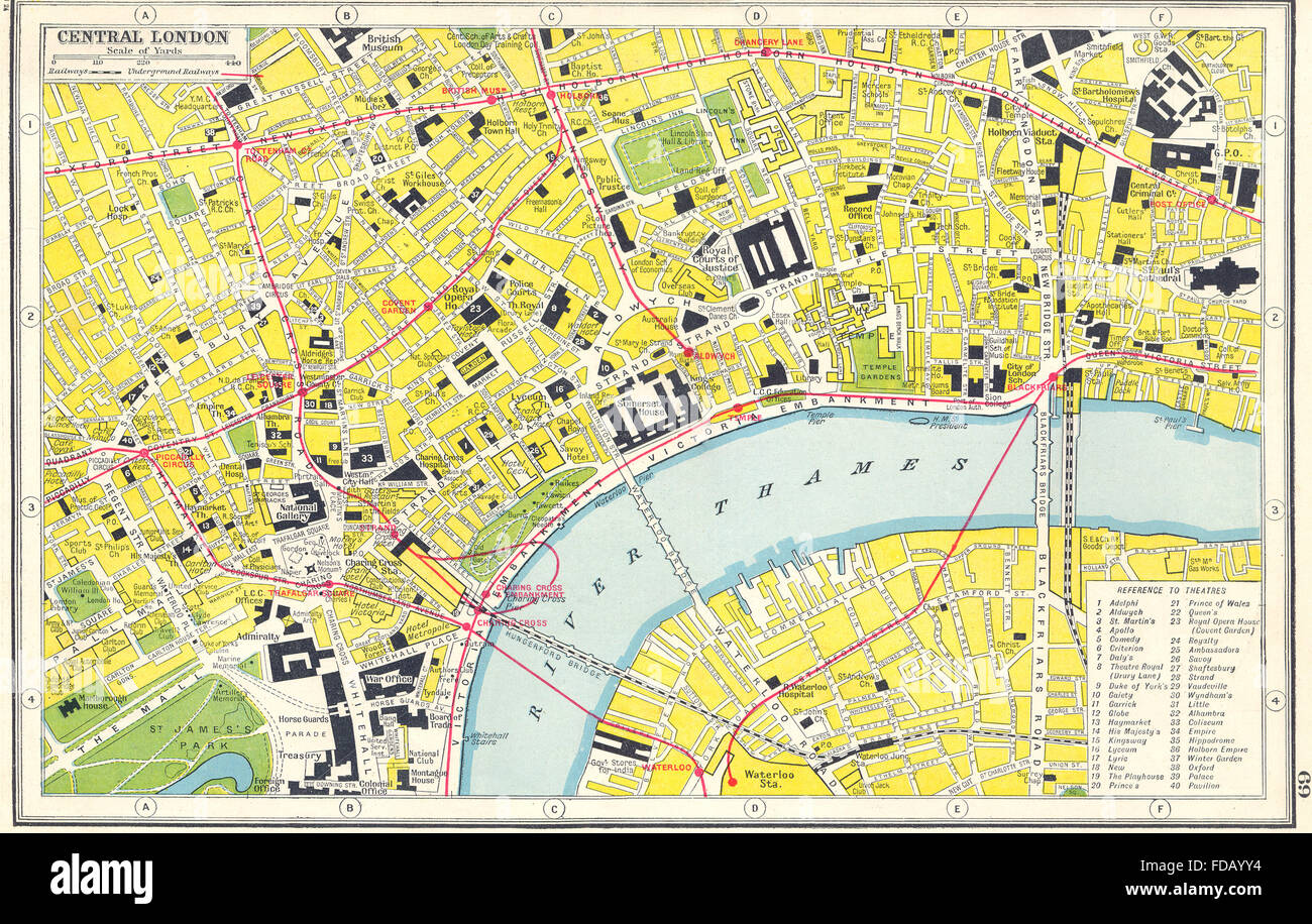 WEST END THEATRES: Central London. HARMSWORTH, 1920 vintage map Stock Photohttps://www.alamy.com/image-license-details/?v=1https://www.alamy.com/stock-photo-west-end-theatres-central-london-harmsworth-1920-vintage-map-94283816.html
RFFDAYY4–WEST END THEATRES: Central London. HARMSWORTH, 1920 vintage map
 A building name sign and campus map for the London School of Economics, part of the University of London, in Central London, UK Stock Photohttps://www.alamy.com/image-license-details/?v=1https://www.alamy.com/stock-photo-a-building-name-sign-and-campus-map-for-the-london-school-of-economics-139578702.html
RFJ32A1J–A building name sign and campus map for the London School of Economics, part of the University of London, in Central London, UK
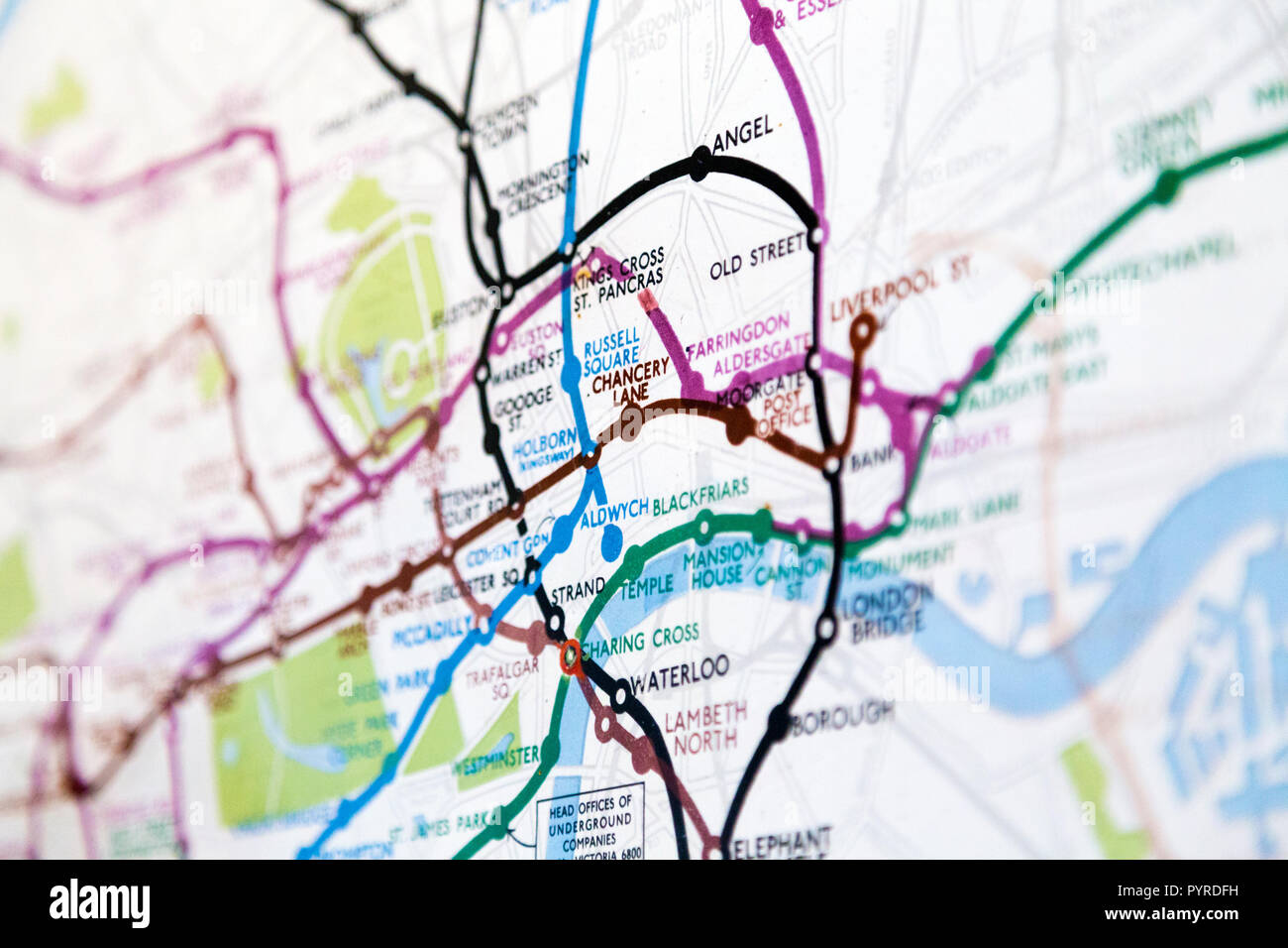 Historic old London Underground map c. 1931, at 55 Broadway Building, London, UK Stock Photohttps://www.alamy.com/image-license-details/?v=1https://www.alamy.com/historic-old-london-underground-map-c-1931-at-55-broadway-building-london-uk-image223635653.html
RMPYRDFH–Historic old London Underground map c. 1931, at 55 Broadway Building, London, UK
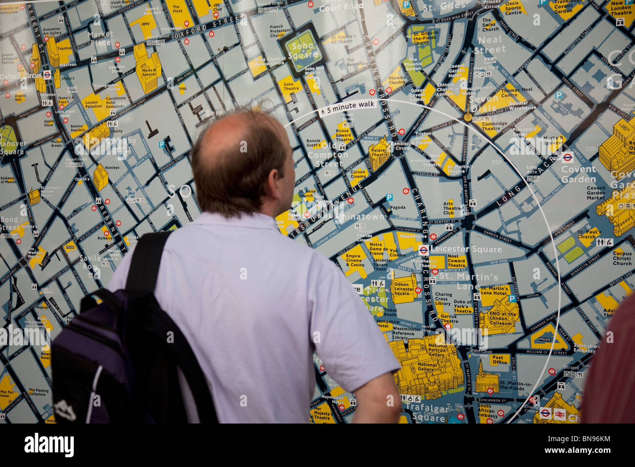 Tourist looks at a map of central London in Leicester Square, a hugely popular area for tourism in the West End, London. Stock Photohttps://www.alamy.com/image-license-details/?v=1https://www.alamy.com/stock-photo-tourist-looks-at-a-map-of-central-london-in-leicester-square-a-hugely-30320968.html
RMBN96KM–Tourist looks at a map of central London in Leicester Square, a hugely popular area for tourism in the West End, London.
RMJ2EMMK–Europe, United Kingdom, England, Central London, Mayfair, Savile Row. Iconic red postbox painted to mark the launch of London. Home of Menswear heritage map, showing The Royal Academy of Arts in background.
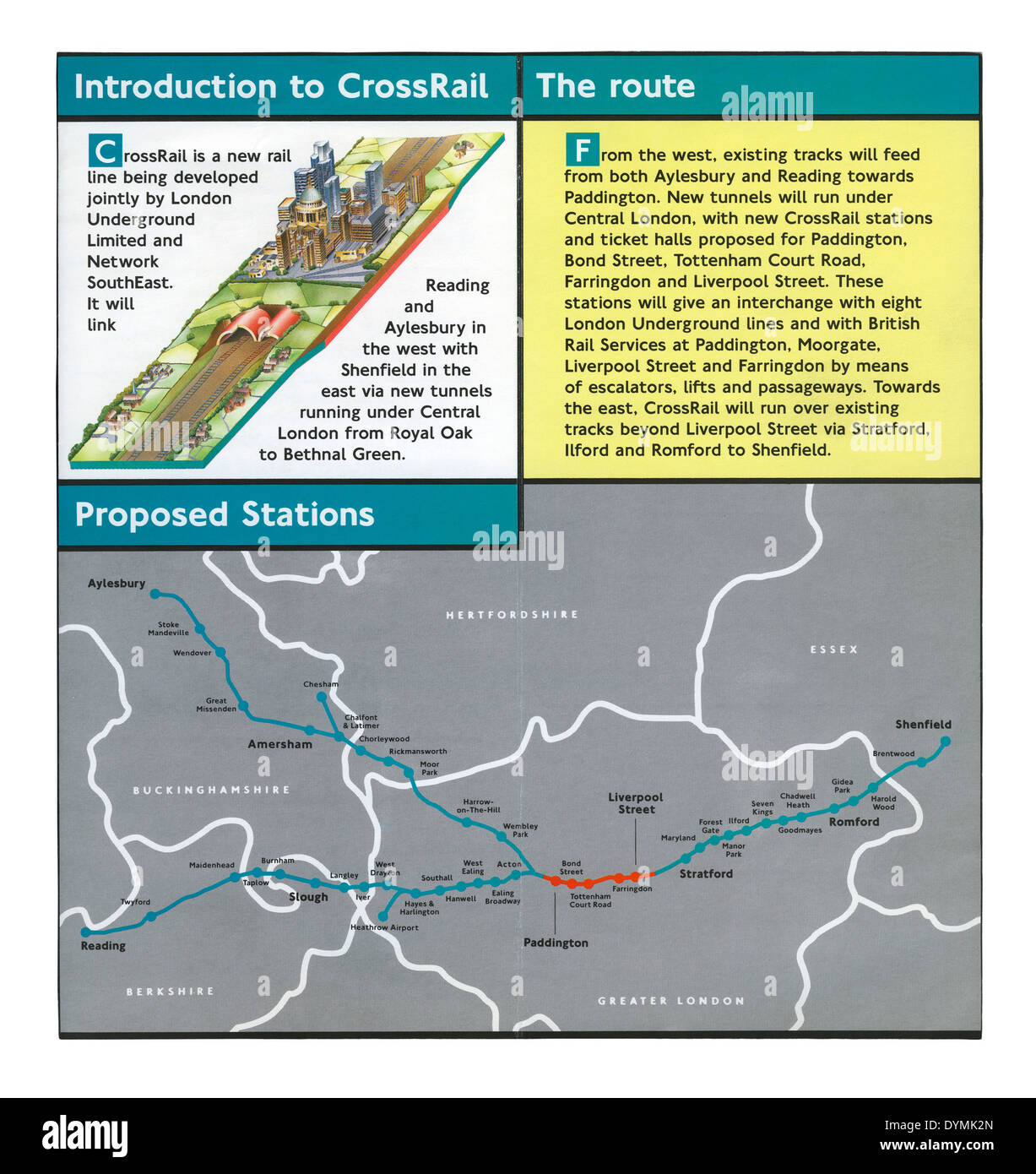 A Crossrail leaflet from the early 1990s - a map shows plans for the rail route below central London and a line to Aylesbury Stock Photohttps://www.alamy.com/image-license-details/?v=1https://www.alamy.com/a-crossrail-leaflet-from-the-early-1990s-a-map-shows-plans-for-the-image68680829.html
RMDYMK2N–A Crossrail leaflet from the early 1990s - a map shows plans for the rail route below central London and a line to Aylesbury
 Cat Deeley in front of a floral map of Africa, made entirely from 20,000 African roses, at the launch of FLOWE(RED) - the new online flower service from (RED) that will generate money to help save lives in Africa - at East Piazza in Covent Garden, central London. Stock Photohttps://www.alamy.com/image-license-details/?v=1https://www.alamy.com/stock-photo-cat-deeley-in-front-of-a-floral-map-of-africa-made-entirely-from-20000-110845954.html
RMGC9D42–Cat Deeley in front of a floral map of Africa, made entirely from 20,000 African roses, at the launch of FLOWE(RED) - the new online flower service from (RED) that will generate money to help save lives in Africa - at East Piazza in Covent Garden, central London.
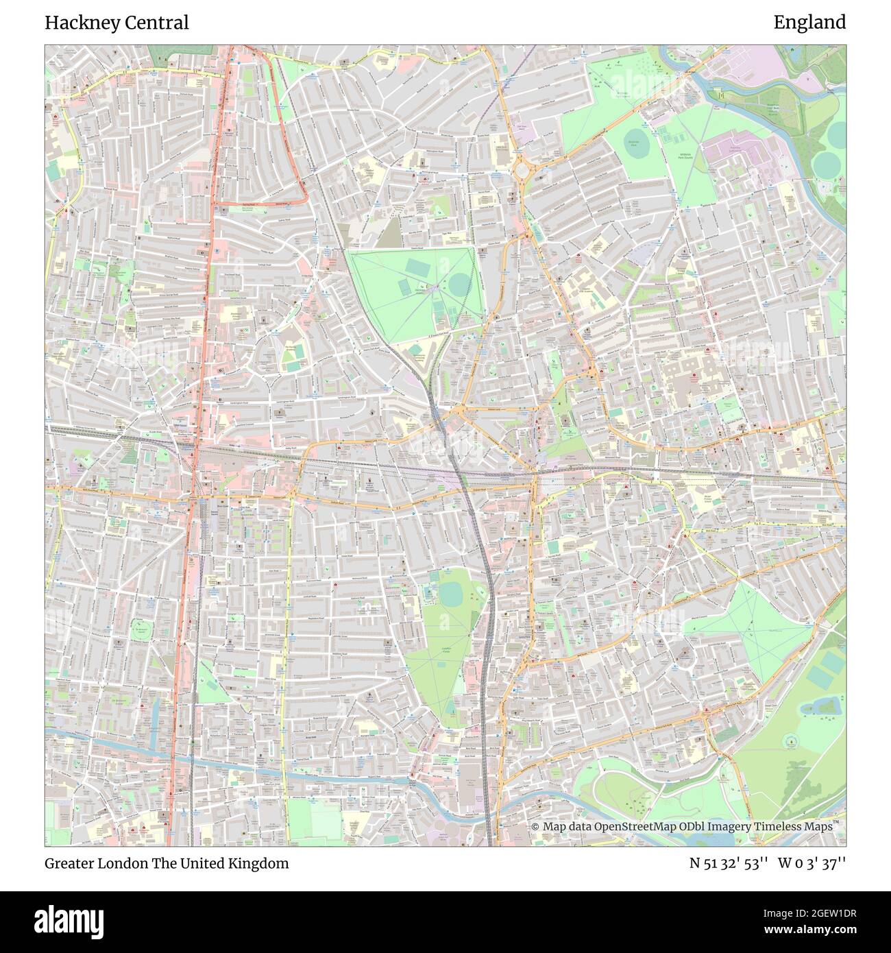 Hackney Central, Greater London, United Kingdom, England, N 51 32' 53'', W 0 3' 37'', map, Timeless Map published in 2021. Travelers, explorers and adventurers like Florence Nightingale, David Livingstone, Ernest Shackleton, Lewis and Clark and Sherlock Holmes relied on maps to plan travels to the world's most remote corners, Timeless Maps is mapping most locations on the globe, showing the achievement of great dreams Stock Photohttps://www.alamy.com/image-license-details/?v=1https://www.alamy.com/hackney-central-greater-london-united-kingdom-england-n-51-32-53-w-0-3-37-map-timeless-map-published-in-2021-travelers-explorers-and-adventurers-like-florence-nightingale-david-livingstone-ernest-shackleton-lewis-and-clark-and-sherlock-holmes-relied-on-maps-to-plan-travels-to-the-worlds-most-remote-corners-timeless-maps-is-mapping-most-locations-on-the-globe-showing-the-achievement-of-great-dreams-image439414355.html
RM2GEW1DR–Hackney Central, Greater London, United Kingdom, England, N 51 32' 53'', W 0 3' 37'', map, Timeless Map published in 2021. Travelers, explorers and adventurers like Florence Nightingale, David Livingstone, Ernest Shackleton, Lewis and Clark and Sherlock Holmes relied on maps to plan travels to the world's most remote corners, Timeless Maps is mapping most locations on the globe, showing the achievement of great dreams
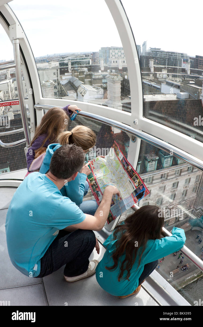 Family reading map on London Eye Stock Photohttps://www.alamy.com/image-license-details/?v=1https://www.alamy.com/stock-photo-family-reading-map-on-london-eye-29462193.html
RMBKX395–Family reading map on London Eye
 London, UK - 09/04/2020: Help point and map for Lambeth Bridge, London with evening sun reflecting off surface Stock Photohttps://www.alamy.com/image-license-details/?v=1https://www.alamy.com/london-uk-09042020-help-point-and-map-for-lambeth-bridge-london-with-evening-sun-reflecting-off-surface-image352830918.html
RF2BE0RC6–London, UK - 09/04/2020: Help point and map for Lambeth Bridge, London with evening sun reflecting off surface
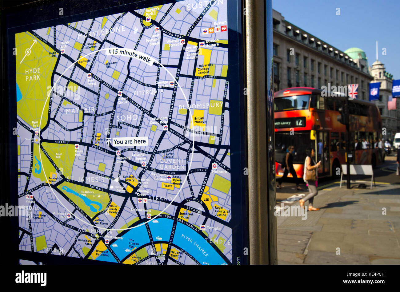 London, England, UK. 'You Are Here' tourist map in Regent Street Stock Photohttps://www.alamy.com/image-license-details/?v=1https://www.alamy.com/stock-image-london-england-uk-you-are-here-tourist-map-in-regent-street-163603905.html
RMKE4PCH–London, England, UK. 'You Are Here' tourist map in Regent Street
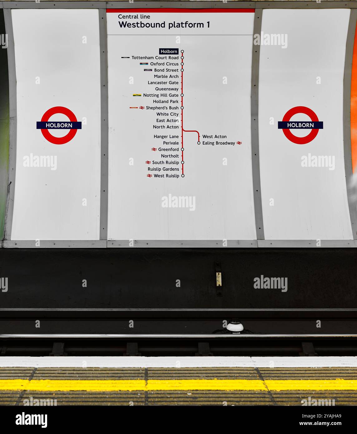 Map, on westbound platform 1, at Holborn underground railway station, London, England, of stations on the Central Line. Stock Photohttps://www.alamy.com/image-license-details/?v=1https://www.alamy.com/map-on-westbound-platform-1-at-holborn-underground-railway-station-london-england-of-stations-on-the-central-line-image626128561.html
RM2YAJHA9–Map, on westbound platform 1, at Holborn underground railway station, London, England, of stations on the Central Line.
 Central London bus guide. Stock Photohttps://www.alamy.com/image-license-details/?v=1https://www.alamy.com/central-london-bus-guide-image61900471.html
RMDGKPK3–Central London bus guide.
 Map Of The City Of London Helping Tourists Find There Way Around Gresham Street City Of London UK Stock Photohttps://www.alamy.com/image-license-details/?v=1https://www.alamy.com/stock-photo-map-of-the-city-of-london-helping-tourists-find-there-way-around-gresham-78752100.html
RMEG3D30–Map Of The City Of London Helping Tourists Find There Way Around Gresham Street City Of London UK
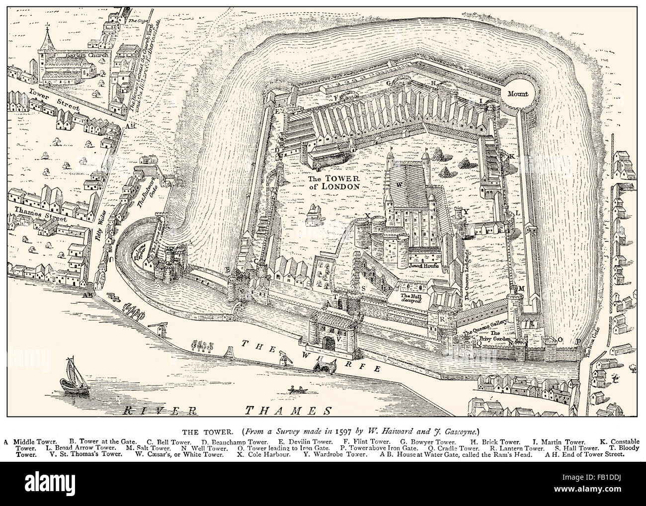 Tower of London, Her Majesty's Royal Palace and Fortress, historic castle on the north bank of the River Thames, 1597 Stock Photohttps://www.alamy.com/image-license-details/?v=1https://www.alamy.com/stock-photo-tower-of-london-her-majestys-royal-palace-and-fortress-historic-castle-92845582.html
RMFB1DDJ–Tower of London, Her Majesty's Royal Palace and Fortress, historic castle on the north bank of the River Thames, 1597
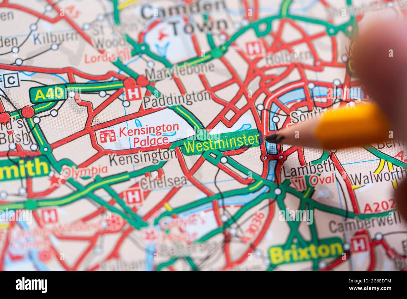 Closeup of a page in a printed road map atlas with a man's hand holding a pencil pointing at the district of Westminster in Central London, England Stock Photohttps://www.alamy.com/image-license-details/?v=1https://www.alamy.com/closeup-of-a-page-in-a-printed-road-map-atlas-with-a-mans-hand-holding-a-pencil-pointing-at-the-district-of-westminster-in-central-london-england-image434265348.html
RM2G6EDTM–Closeup of a page in a printed road map atlas with a man's hand holding a pencil pointing at the district of Westminster in Central London, England
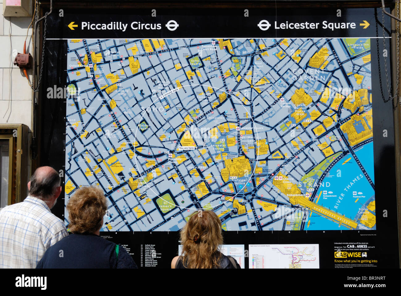 A tourist family looking at a large street map of London Stock Photohttps://www.alamy.com/image-license-details/?v=1https://www.alamy.com/stock-photo-a-tourist-family-looking-at-a-large-street-map-of-london-31430444.html
RMBR3NRT–A tourist family looking at a large street map of London
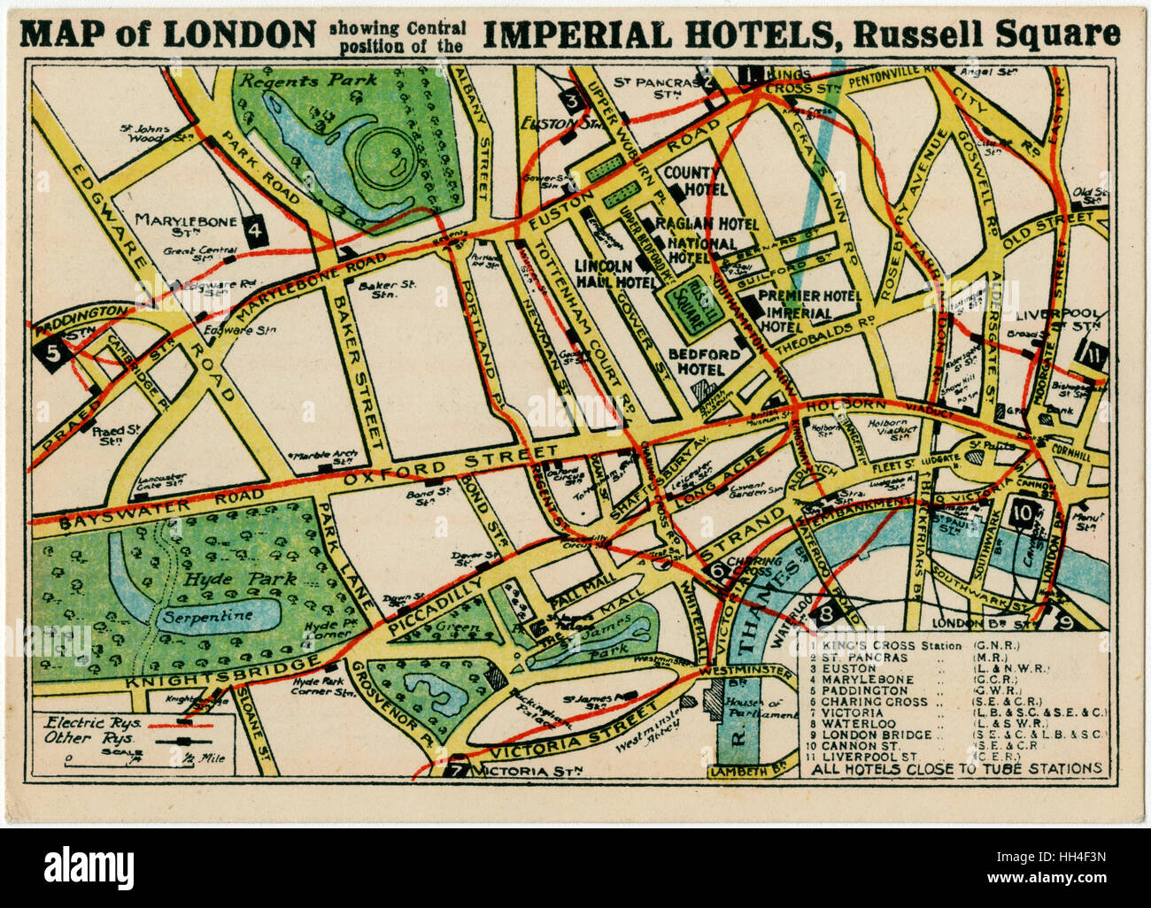 Imperial Hotels, London - Map of Hotels and transport links Stock Photohttps://www.alamy.com/image-license-details/?v=1https://www.alamy.com/stock-photo-imperial-hotels-london-map-of-hotels-and-transport-links-131021401.html
RMHH4F3N–Imperial Hotels, London - Map of Hotels and transport links
 Group of tourists / visitors studying a large board mounted sightseeing map of central London in Leicester Square Stock Photohttps://www.alamy.com/image-license-details/?v=1https://www.alamy.com/stock-photo-group-of-tourists-visitors-studying-a-large-board-mounted-sightseeing-25426253.html
RMBDA7CD–Group of tourists / visitors studying a large board mounted sightseeing map of central London in Leicester Square
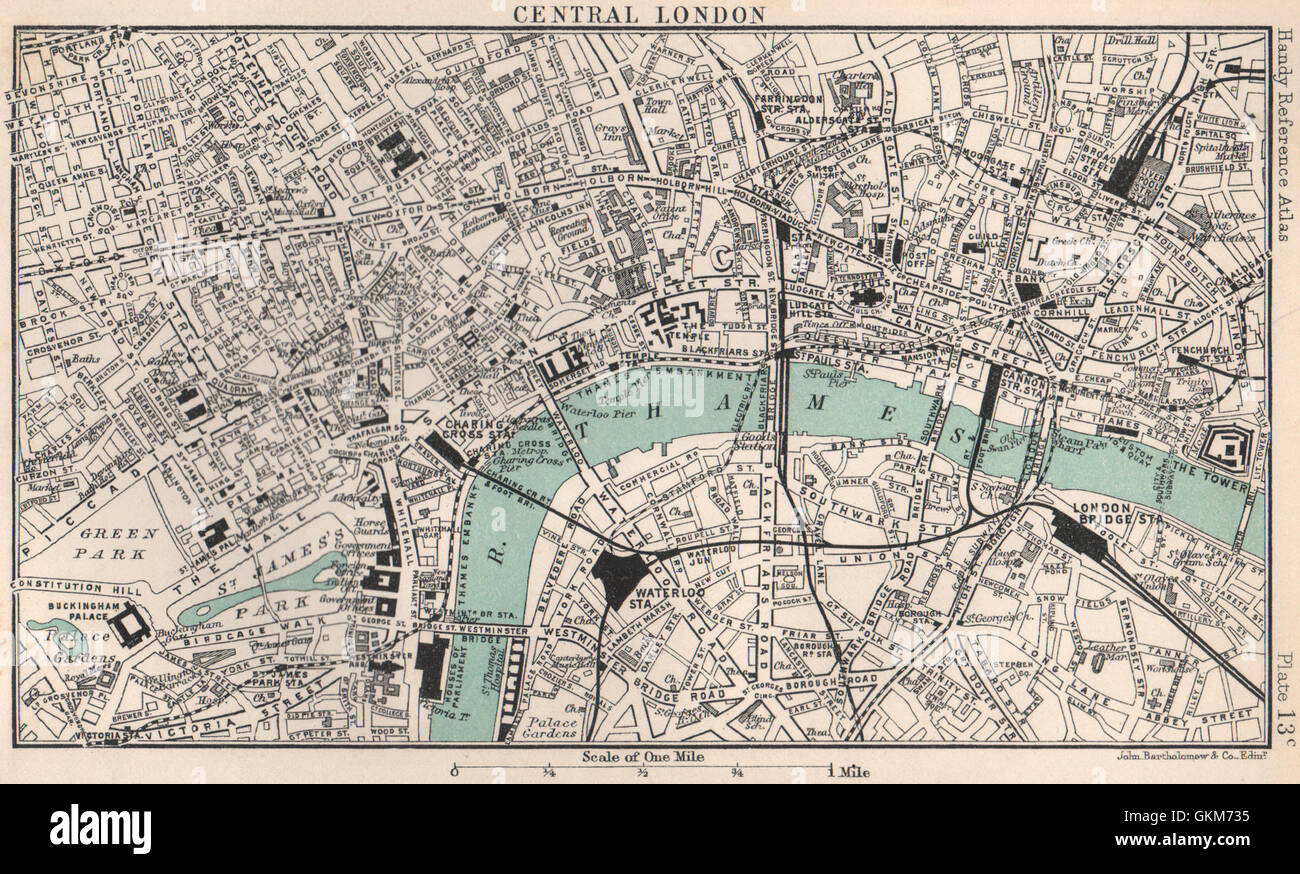 Central London town/city plan. BARTHOLOMEW, 1904 antique map Stock Photohttps://www.alamy.com/image-license-details/?v=1https://www.alamy.com/stock-photo-central-london-towncity-plan-bartholomew-1904-antique-map-115385289.html
RFGKM735–Central London town/city plan. BARTHOLOMEW, 1904 antique map
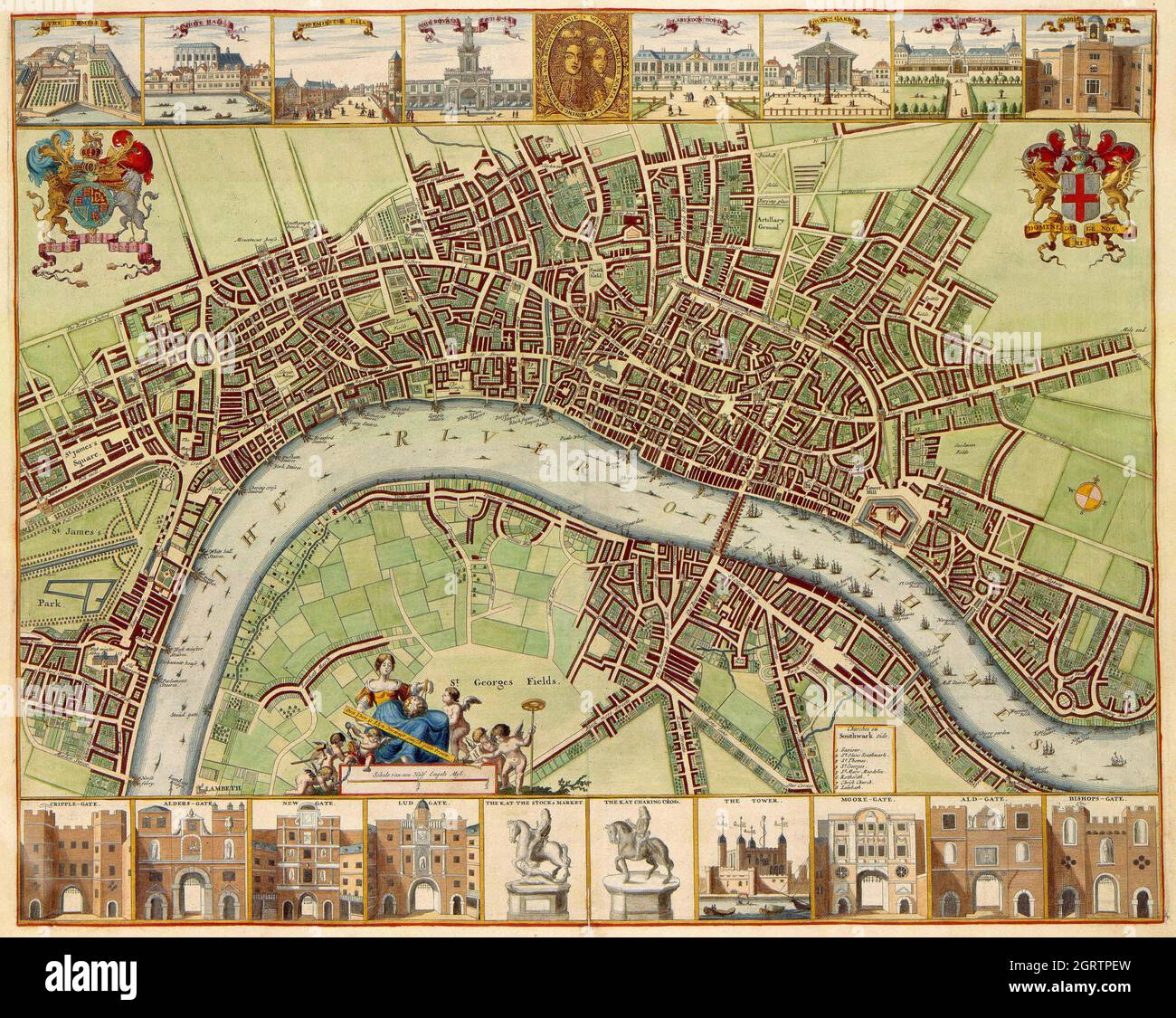 17th century map of London (W. Hollar) Stock Photohttps://www.alamy.com/image-license-details/?v=1https://www.alamy.com/17th-century-map-of-london-w-hollar-image444940801.html
RF2GRTPEW–17th century map of London (W. Hollar)
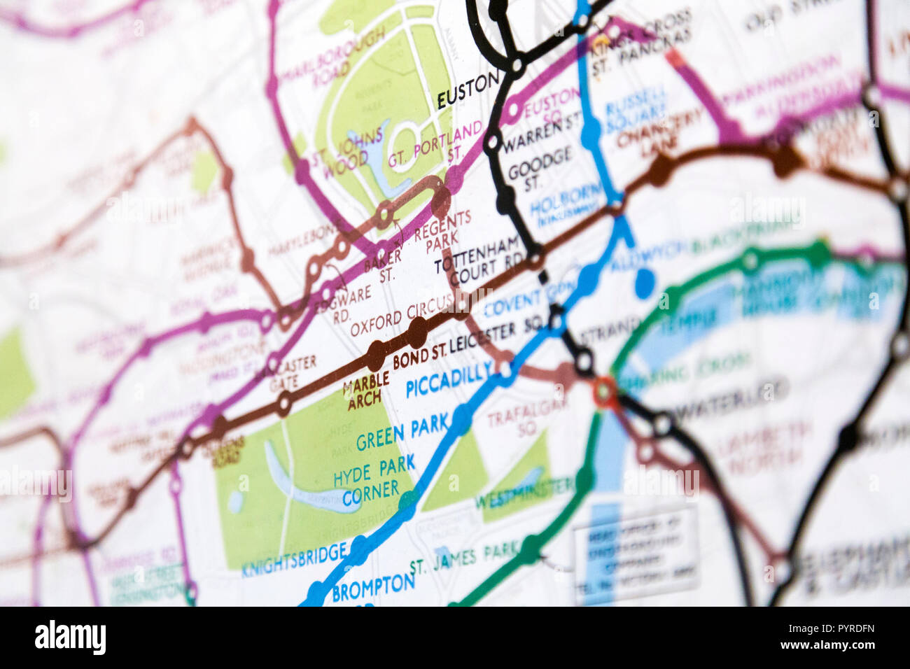 Historic old London Underground map c. 1931, at 55 Broadway Building, London, UK Stock Photohttps://www.alamy.com/image-license-details/?v=1https://www.alamy.com/historic-old-london-underground-map-c-1931-at-55-broadway-building-london-uk-image223635657.html
RMPYRDFN–Historic old London Underground map c. 1931, at 55 Broadway Building, London, UK