Quick filters:
Epsom and ewell map Stock Photos and Images
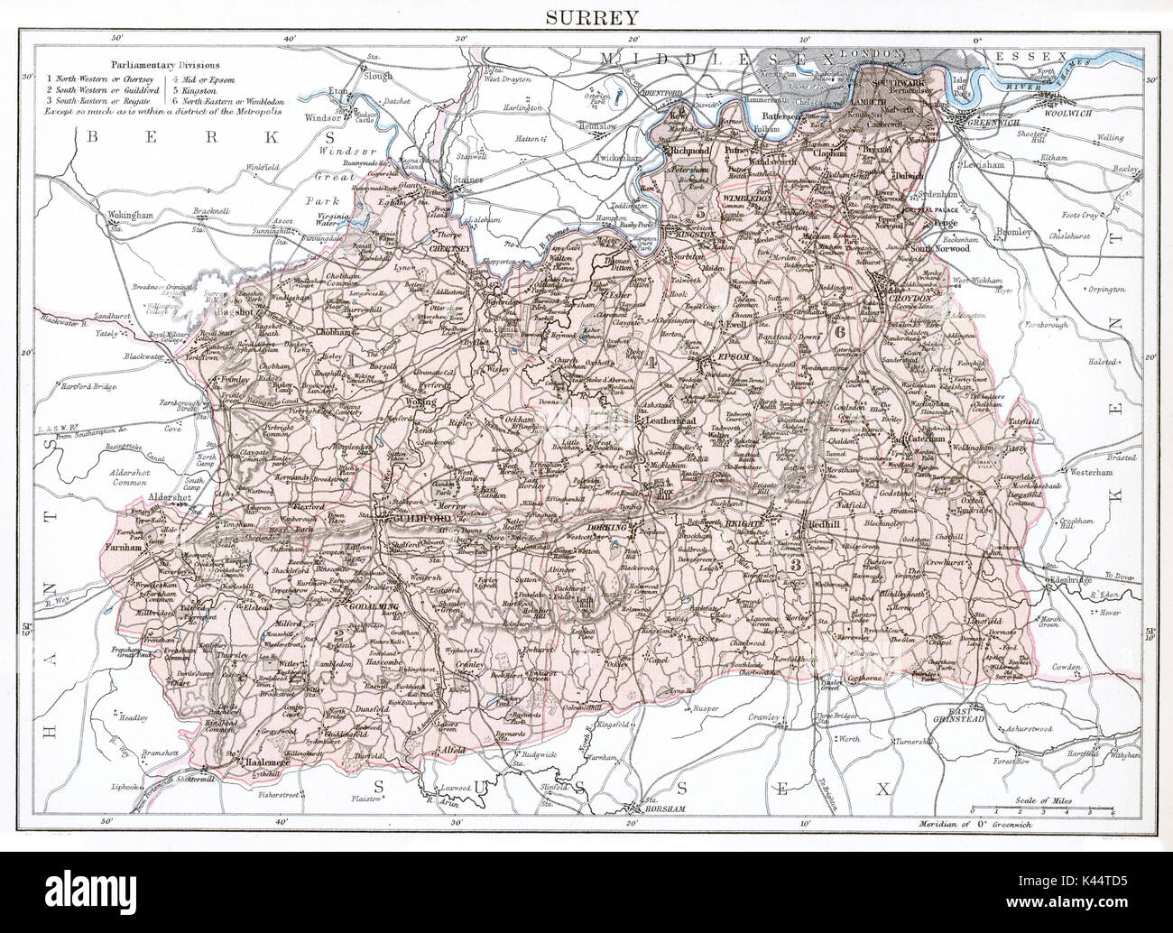 Antique map, circa 1875, of Surrey Stock Photohttps://www.alamy.com/image-license-details/?v=1https://www.alamy.com/antique-map-circa-1875-of-surrey-image157458929.html
RMK44TD5–Antique map, circa 1875, of Surrey
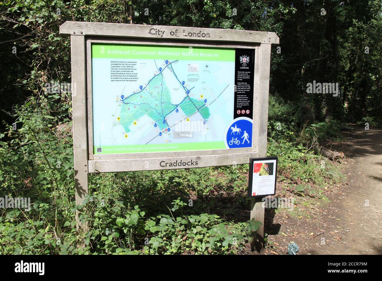 Ashtead Common National Nature Reserve, Craddocks Avenue entrance, Ashtead, Surrey, England, UK, August 2020 Stock Photohttps://www.alamy.com/image-license-details/?v=1https://www.alamy.com/ashtead-common-national-nature-reserve-craddocks-avenue-entrance-ashtead-surrey-england-uk-august-2020-image369304256.html
RM2CCR79M–Ashtead Common National Nature Reserve, Craddocks Avenue entrance, Ashtead, Surrey, England, UK, August 2020
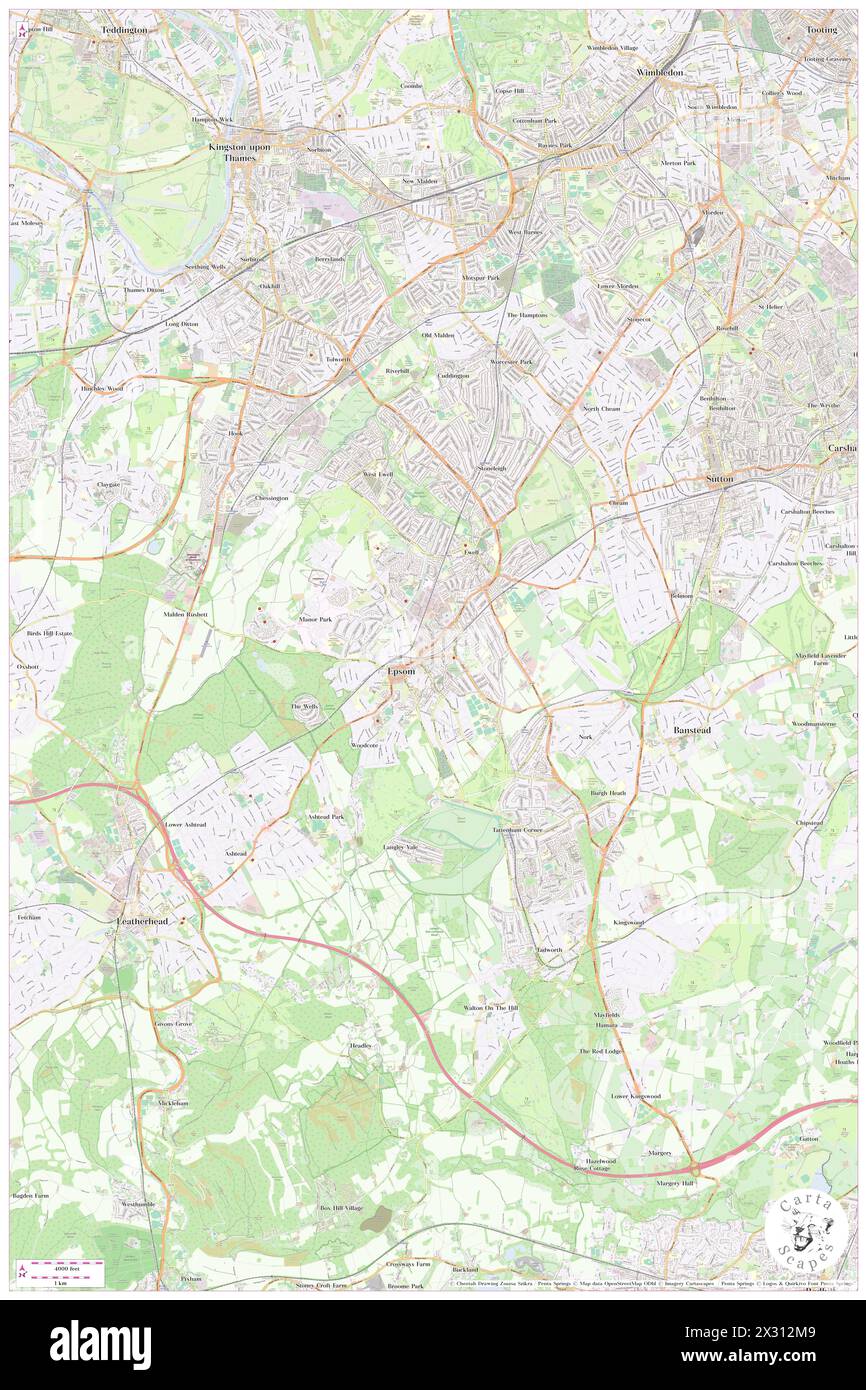 Epsom and Ewell District, Surrey, GB, United Kingdom, England, N 51 20' 8'', S 0 15' 36'', map, Cartascapes Map published in 2024. Explore Cartascapes, a map revealing Earth's diverse landscapes, cultures, and ecosystems. Journey through time and space, discovering the interconnectedness of our planet's past, present, and future. Stock Photohttps://www.alamy.com/image-license-details/?v=1https://www.alamy.com/epsom-and-ewell-district-surrey-gb-united-kingdom-england-n-51-20-8-s-0-15-36-map-cartascapes-map-published-in-2024-explore-cartascapes-a-map-revealing-earths-diverse-landscapes-cultures-and-ecosystems-journey-through-time-and-space-discovering-the-interconnectedness-of-our-planets-past-present-and-future-image604230937.html
RM2X312M9–Epsom and Ewell District, Surrey, GB, United Kingdom, England, N 51 20' 8'', S 0 15' 36'', map, Cartascapes Map published in 2024. Explore Cartascapes, a map revealing Earth's diverse landscapes, cultures, and ecosystems. Journey through time and space, discovering the interconnectedness of our planet's past, present, and future.
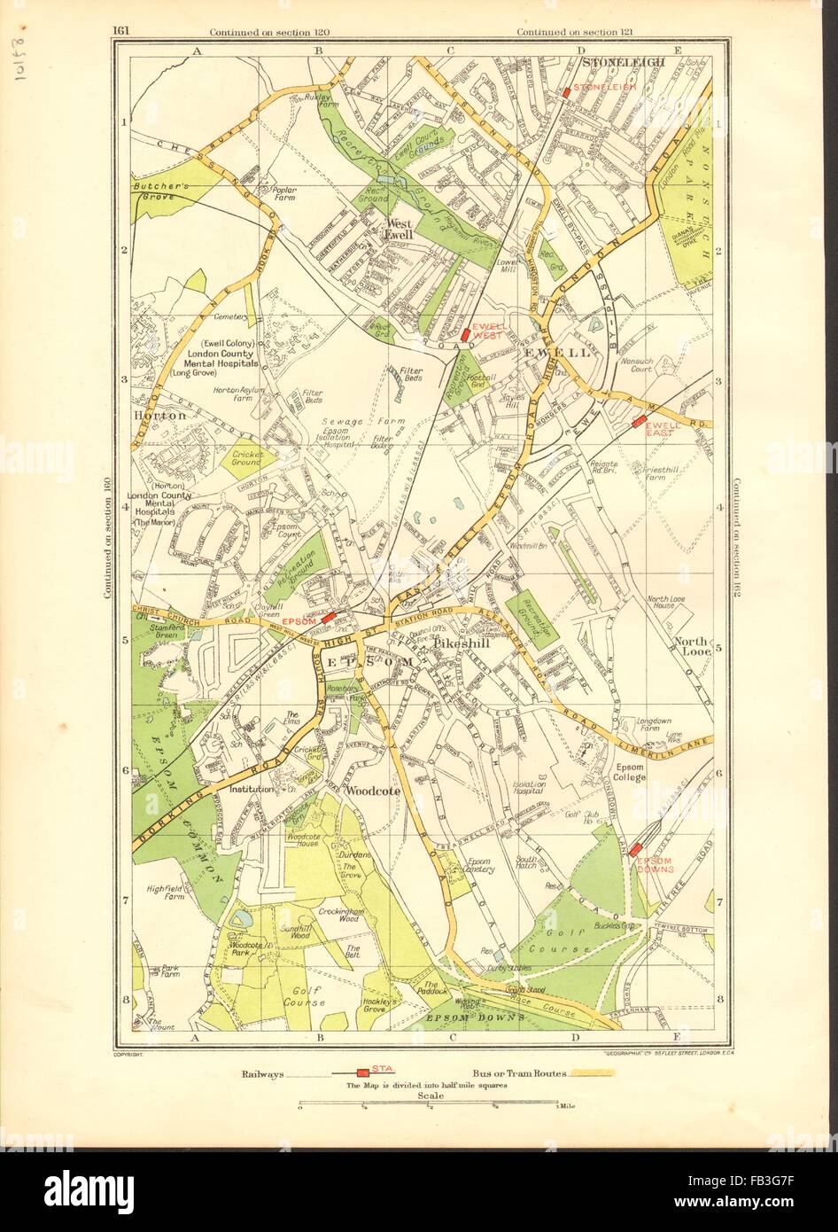 EPSOM EWELL: Stoneleigh,North Looe,Horton,Pikeshill,Woodcote (Surrey), 1937 map Stock Photohttps://www.alamy.com/image-license-details/?v=1https://www.alamy.com/stock-photo-epsom-ewell-stoneleighnorth-looehortonpikeshillwoodcote-surrey-1937-92891667.html
RFFB3G7F–EPSOM EWELL: Stoneleigh,North Looe,Horton,Pikeshill,Woodcote (Surrey), 1937 map
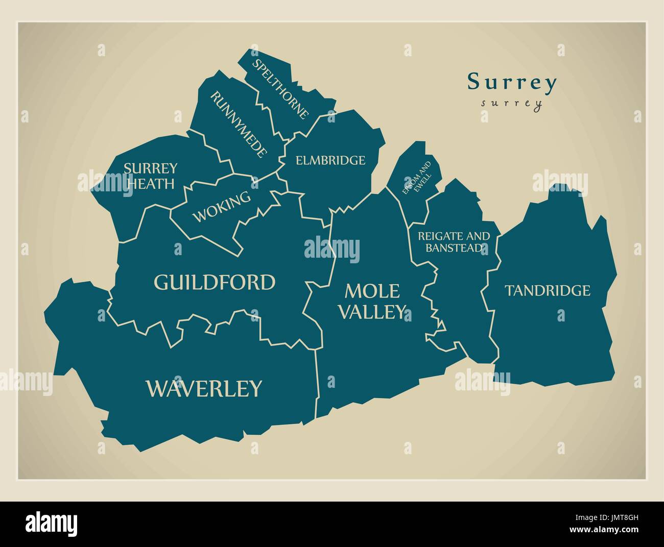 Modern Map - Surrey county with district captions England UK illustration Stock Vectorhttps://www.alamy.com/image-license-details/?v=1https://www.alamy.com/modern-map-surrey-county-with-district-captions-england-uk-illustration-image150509649.html
RFJMT8GH–Modern Map - Surrey county with district captions England UK illustration
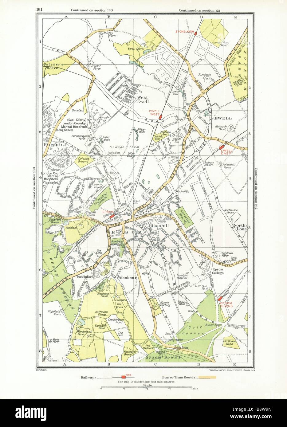 EPSOM EWELL. Stoneleigh,North Looe,Horton,Pikeshill,Woodcote (Surrey), 1933 map Stock Photohttps://www.alamy.com/image-license-details/?v=1https://www.alamy.com/stock-photo-epsom-ewell-stoneleighnorth-looehortonpikeshillwoodcote-surrey-1933-93008545.html
RFFB8W9N–EPSOM EWELL. Stoneleigh,North Looe,Horton,Pikeshill,Woodcote (Surrey), 1933 map
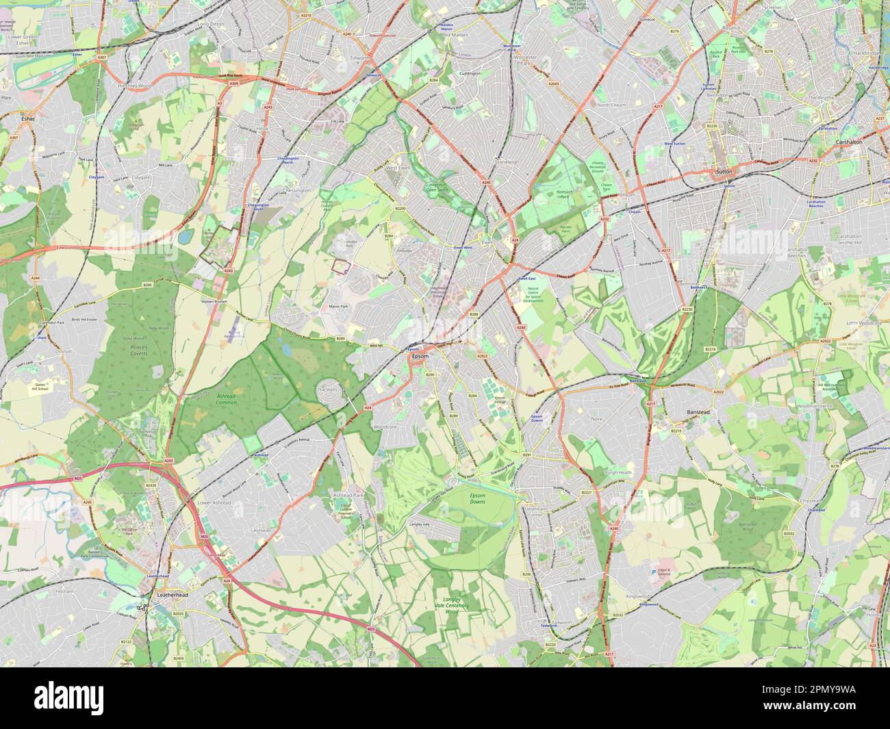 Epsom and Ewell, non metropolitan district of England - Great Britain. Open Street Map Stock Photohttps://www.alamy.com/image-license-details/?v=1https://www.alamy.com/epsom-and-ewell-non-metropolitan-district-of-england-great-britain-open-street-map-image546414998.html
RF2PMY9WA–Epsom and Ewell, non metropolitan district of England - Great Britain. Open Street Map
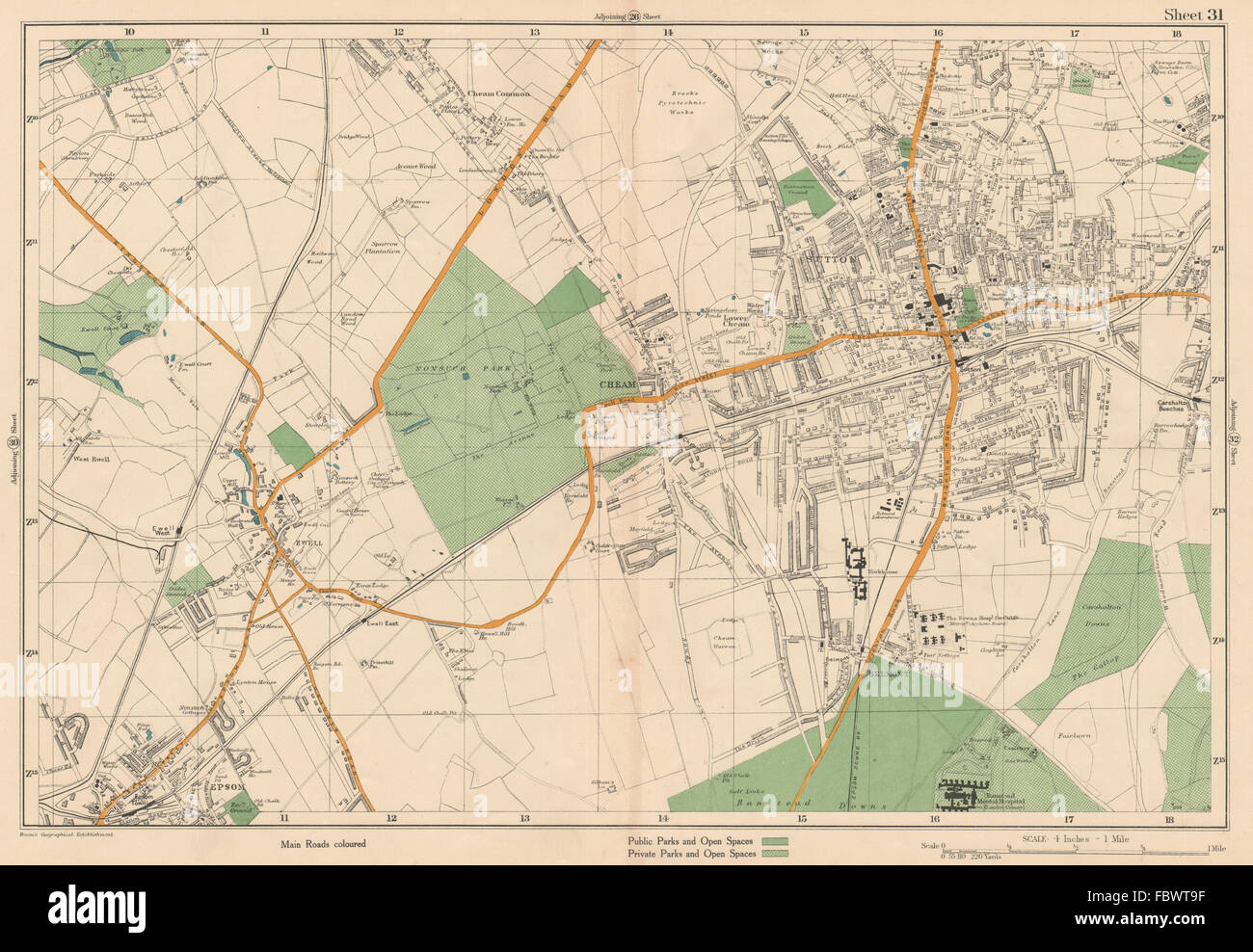 SUTTON Cheam Epsom Belmont Carshalton Ewell Banstead Downs. BACON, 1927 map Stock Photohttps://www.alamy.com/image-license-details/?v=1https://www.alamy.com/stock-photo-sutton-cheam-epsom-belmont-carshalton-ewell-banstead-downs-bacon-1927-93380939.html
RFFBWT9F–SUTTON Cheam Epsom Belmont Carshalton Ewell Banstead Downs. BACON, 1927 map
 EpsomandEwell, South East England, England colorful high resolution vector art map with city boundaries. White outlines for main roads. Many details. Stock Vectorhttps://www.alamy.com/image-license-details/?v=1https://www.alamy.com/epsomandewell-south-east-england-england-colorful-high-resolution-vector-art-map-with-city-boundaries-white-outlines-for-main-roads-many-details-image463616218.html
RF2HX7F62–EpsomandEwell, South East England, England colorful high resolution vector art map with city boundaries. White outlines for main roads. Many details.
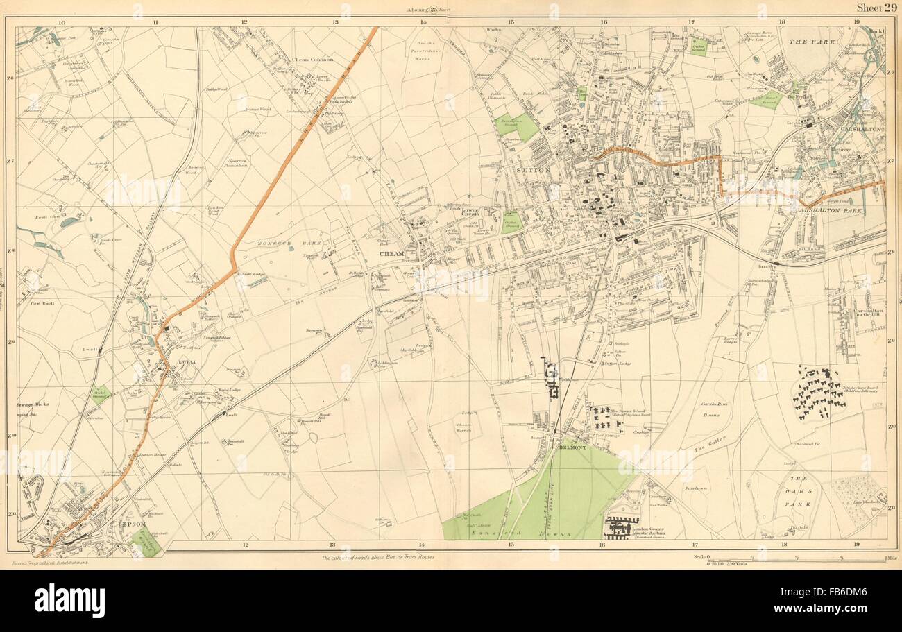 SUTTON: Cheam,Epsom,Belmont,Carshalton,Ewell,Banstead Dns (Bacon), c1911 map Stock Photohttps://www.alamy.com/image-license-details/?v=1https://www.alamy.com/stock-photo-sutton-cheamepsombelmontcarshaltonewellbanstead-dns-bacon-c1911-map-92955526.html
RFFB6DM6–SUTTON: Cheam,Epsom,Belmont,Carshalton,Ewell,Banstead Dns (Bacon), c1911 map
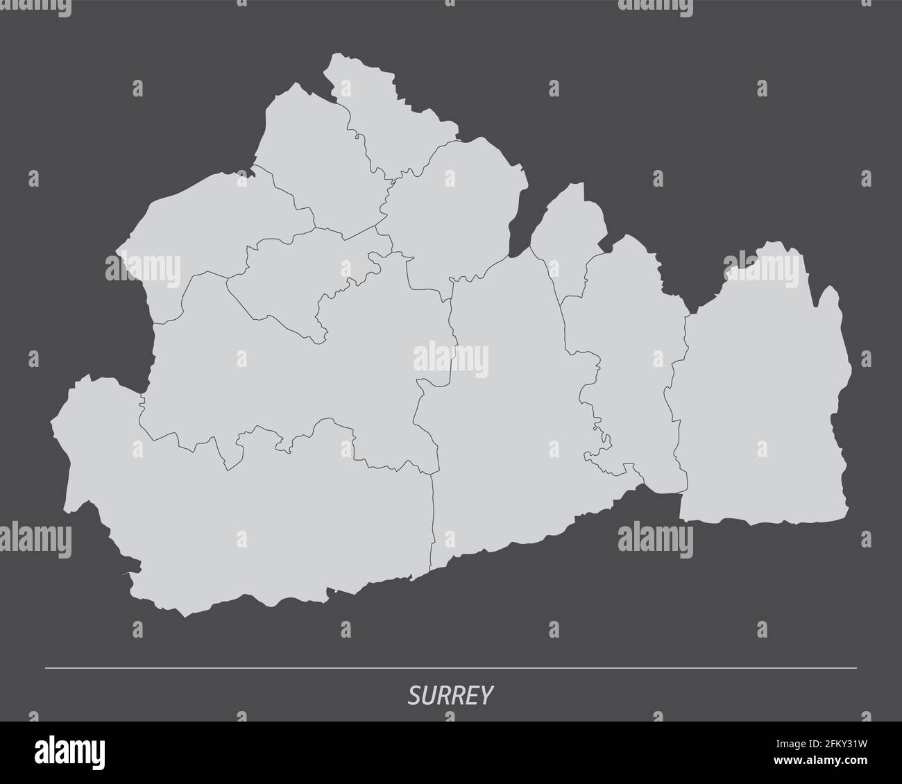 The Surrey county, administrative map isolated on dark background, England Stock Vectorhttps://www.alamy.com/image-license-details/?v=1https://www.alamy.com/the-surrey-county-administrative-map-isolated-on-dark-background-england-image425322405.html
RF2FKY31W–The Surrey county, administrative map isolated on dark background, England
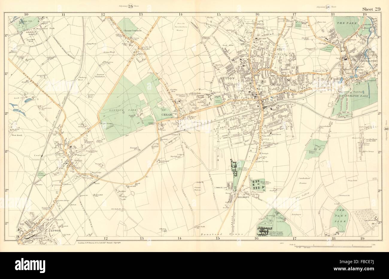 SUTTON Cheam Epsom Belmont Carshalton Ewell Banstead Downs. BACON , 1903 map Stock Photohttps://www.alamy.com/image-license-details/?v=1https://www.alamy.com/stock-photo-sutton-cheam-epsom-belmont-carshalton-ewell-banstead-downs-bacon-1903-93087670.html
RFFBCE7J–SUTTON Cheam Epsom Belmont Carshalton Ewell Banstead Downs. BACON , 1903 map
 Epsom and Ewell Non-metropolitan district, borough (United Kingdom of Great Britain and Northern Ireland, ceremonial county Surrey, England) map vecto Stock Vectorhttps://www.alamy.com/image-license-details/?v=1https://www.alamy.com/epsom-and-ewell-non-metropolitan-district-borough-united-kingdom-of-great-britain-and-northern-ireland-ceremonial-county-surrey-england-map-vecto-image538079558.html
RF2P7BHY2–Epsom and Ewell Non-metropolitan district, borough (United Kingdom of Great Britain and Northern Ireland, ceremonial county Surrey, England) map vecto
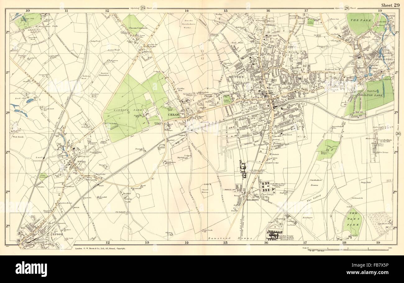 SUTTON: Cheam,Epsom,Belmont,Carshalton,Ewell,Banstead Downs.BACON, 1902 map Stock Photohttps://www.alamy.com/image-license-details/?v=1https://www.alamy.com/stock-photo-sutton-cheamepsombelmontcarshaltonewellbanstead-downsbacon-1902-map-92987266.html
RFFB7X5P–SUTTON: Cheam,Epsom,Belmont,Carshalton,Ewell,Banstead Downs.BACON, 1902 map
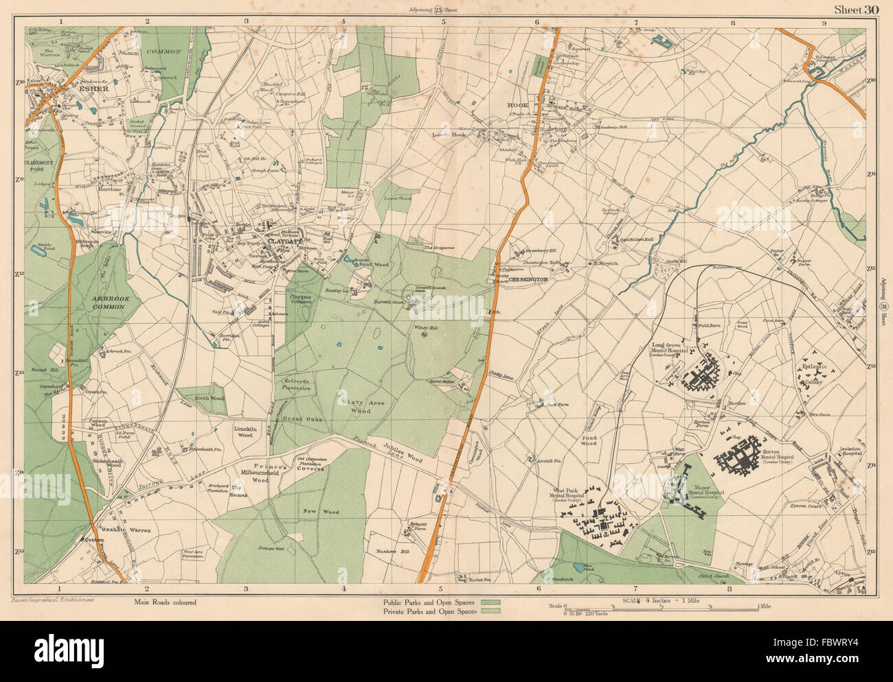 ESHER/EWELL Epsom Claygate Oxshott Hook Chessington Hinchley Wood.BACON 1927 map Stock Photohttps://www.alamy.com/image-license-details/?v=1https://www.alamy.com/stock-photo-esherewell-epsom-claygate-oxshott-hook-chessington-hinchley-woodbacon-93380648.html
RFFBWRY4–ESHER/EWELL Epsom Claygate Oxshott Hook Chessington Hinchley Wood.BACON 1927 map
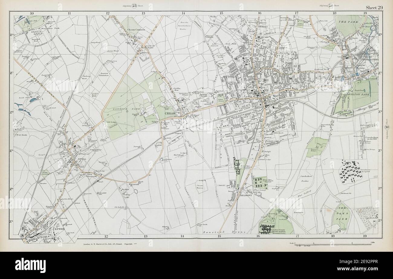 SUTTON Cheam Epsom Belmont Carshalton Ewell Banstead Downs. BACON 1906 map Stock Photohttps://www.alamy.com/image-license-details/?v=1https://www.alamy.com/sutton-cheam-epsom-belmont-carshalton-ewell-banstead-downs-bacon-1906-map-image401432159.html
RF2E92PPR–SUTTON Cheam Epsom Belmont Carshalton Ewell Banstead Downs. BACON 1906 map
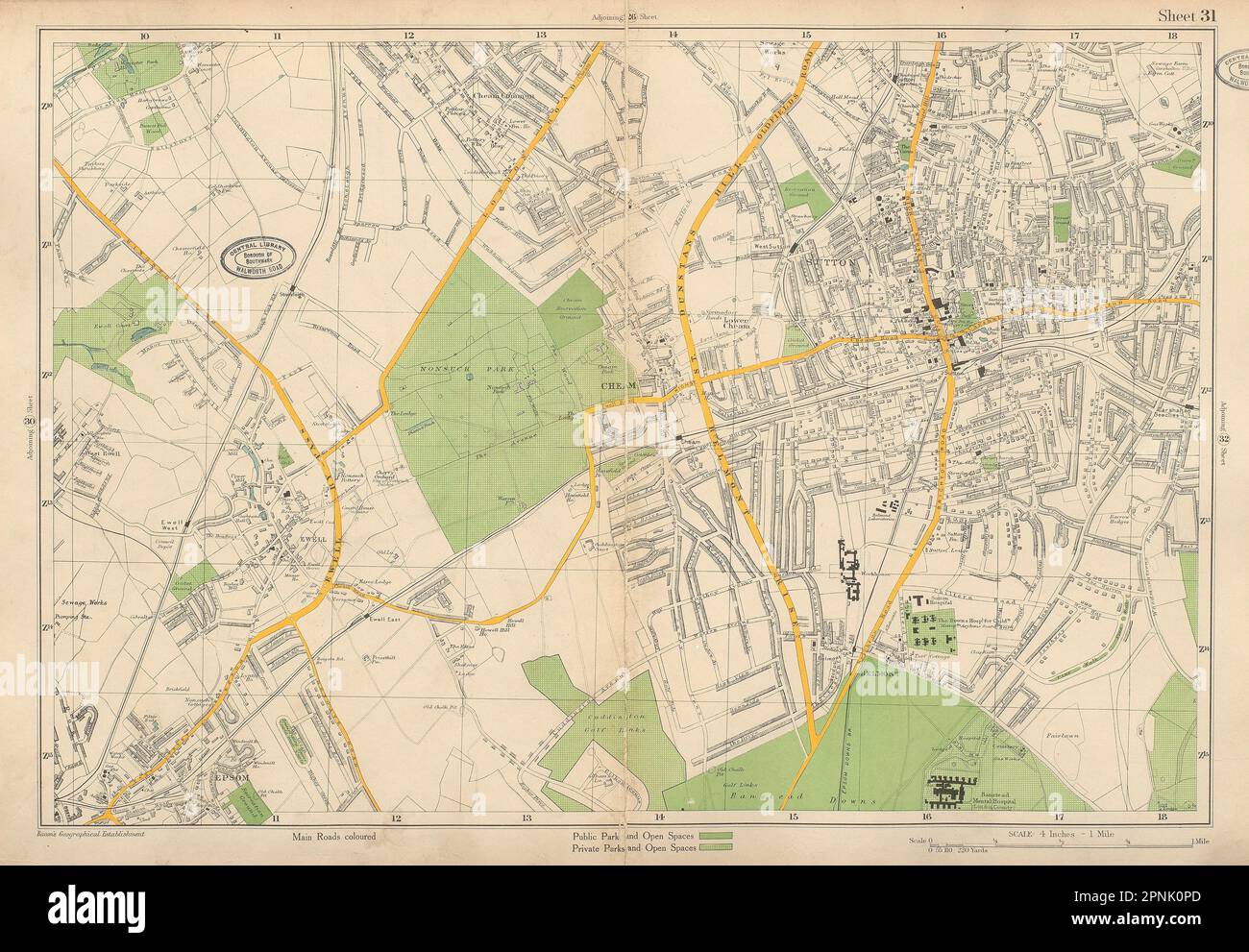 SUTTON Epsom Cheam Belmont Carshalton Ewell Banstead Downs. BACON 1934 old map Stock Photohttps://www.alamy.com/image-license-details/?v=1https://www.alamy.com/sutton-epsom-cheam-belmont-carshalton-ewell-banstead-downs-bacon-1934-old-map-image546846901.html
RF2PNK0PD–SUTTON Epsom Cheam Belmont Carshalton Ewell Banstead Downs. BACON 1934 old map
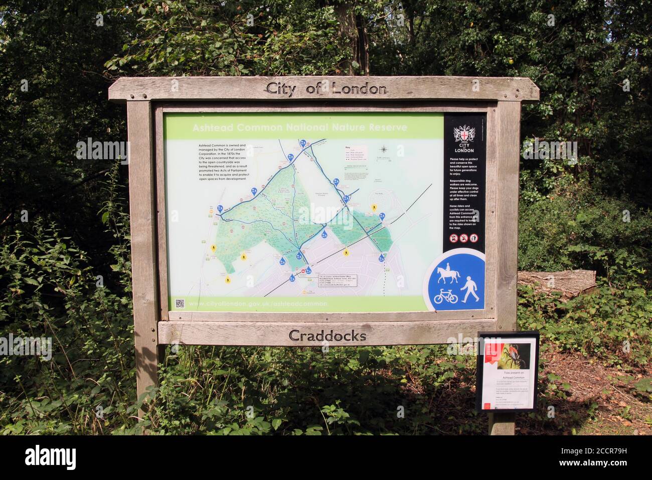 Ashtead Stock Photohttps://www.alamy.com/image-license-details/?v=1https://www.alamy.com/ashtead-image369304253.html
RM2CCR79H–Ashtead
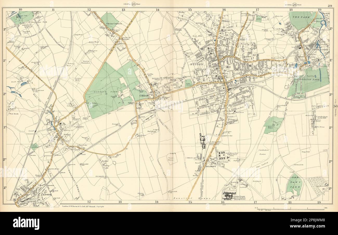 SUTTON Cheam Epsom Belmont Carshalton Ewell Banstead Downs. BACON 1900 map Stock Photohttps://www.alamy.com/image-license-details/?v=1https://www.alamy.com/sutton-cheam-epsom-belmont-carshalton-ewell-banstead-downs-bacon-1900-map-image538853960.html
RF2P8JWM8–SUTTON Cheam Epsom Belmont Carshalton Ewell Banstead Downs. BACON 1900 map
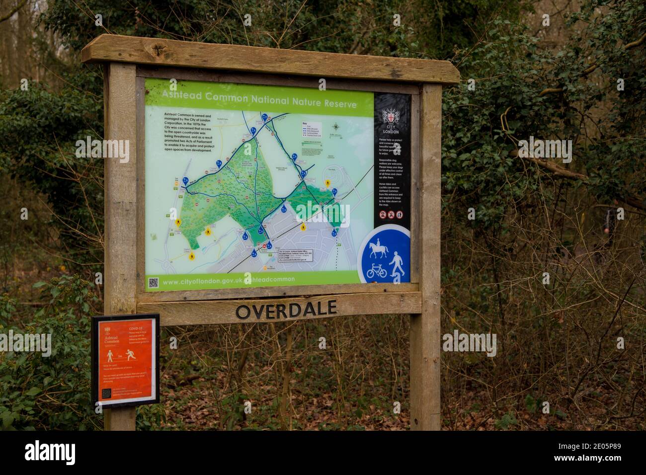 Ashtead Common Noticeboard sign, Overdale Entrance, Ashtead, Surrey, UK, Autumn Winter December 2020 Stock Photohttps://www.alamy.com/image-license-details/?v=1https://www.alamy.com/ashtead-common-noticeboard-sign-overdale-entrance-ashtead-surrey-uk-autumn-winter-december-2020-image395965705.html
RM2E05P89–Ashtead Common Noticeboard sign, Overdale Entrance, Ashtead, Surrey, UK, Autumn Winter December 2020
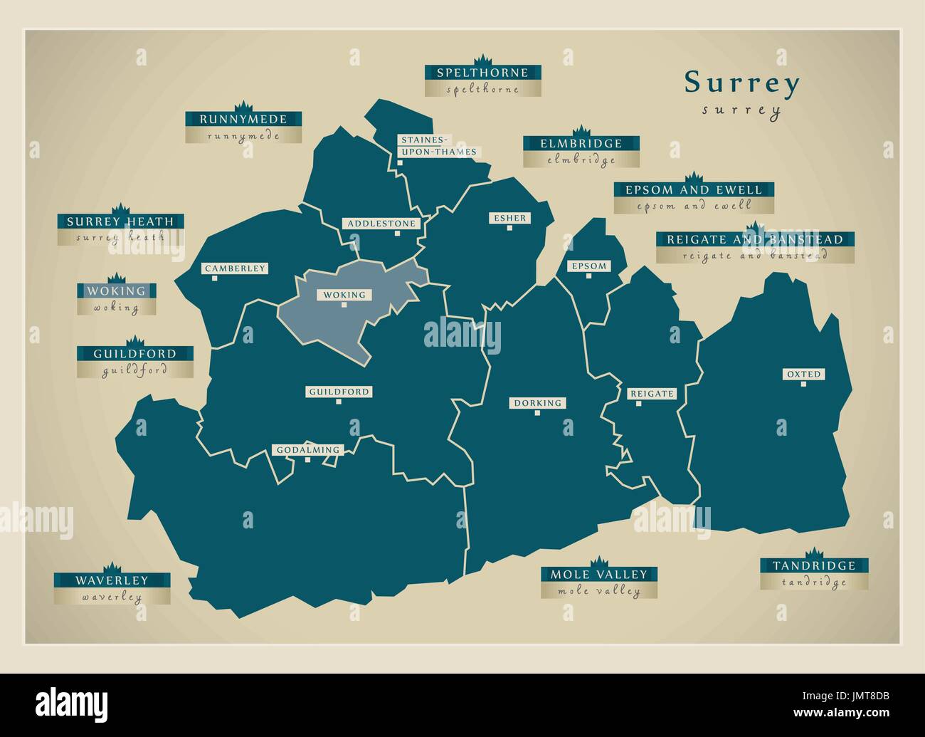 Modern Map - Surrey county with district labels England UK illustration Stock Vectorhttps://www.alamy.com/image-license-details/?v=1https://www.alamy.com/modern-map-surrey-county-with-district-labels-england-uk-illustration-image150509559.html
RFJMT8DB–Modern Map - Surrey county with district labels England UK illustration
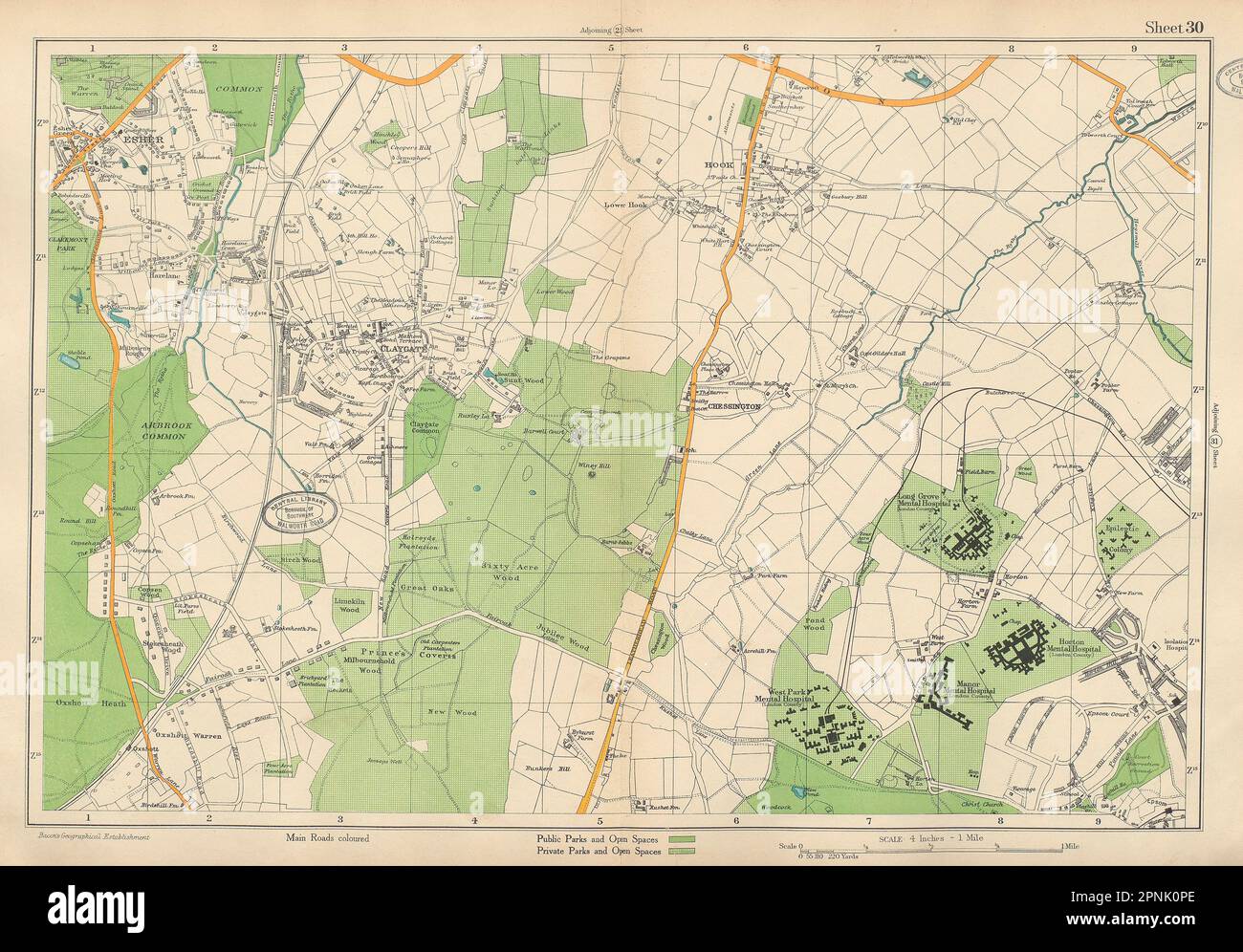 ESHER/EWELL Claygate Epsom Oxshott Hook Chessington Hinchley Wood.BACON 1934 map Stock Photohttps://www.alamy.com/image-license-details/?v=1https://www.alamy.com/esherewell-claygate-epsom-oxshott-hook-chessington-hinchley-woodbacon-1934-map-image546846902.html
RF2PNK0PE–ESHER/EWELL Claygate Epsom Oxshott Hook Chessington Hinchley Wood.BACON 1934 map
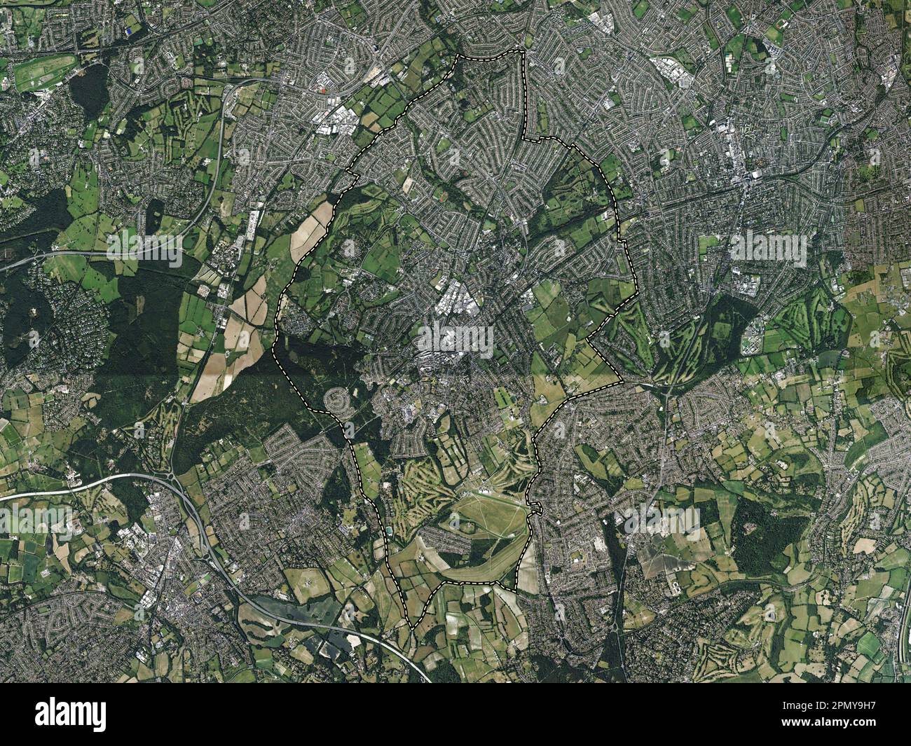 Epsom and Ewell, non metropolitan district of England - Great Britain. High resolution satellite map Stock Photohttps://www.alamy.com/image-license-details/?v=1https://www.alamy.com/epsom-and-ewell-non-metropolitan-district-of-england-great-britain-high-resolution-satellite-map-image546414771.html
RF2PMY9H7–Epsom and Ewell, non metropolitan district of England - Great Britain. High resolution satellite map
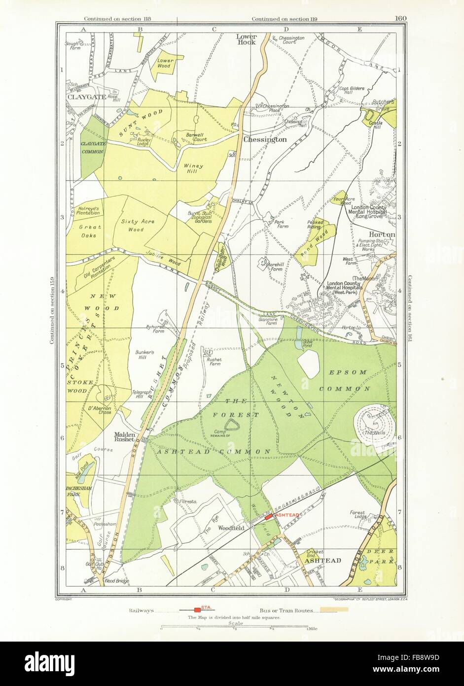 ASHTEAD. Ewell, Chessington, Claygate, Horton, Epsom Common, Hook, 1933 map Stock Photohttps://www.alamy.com/image-license-details/?v=1https://www.alamy.com/stock-photo-ashtead-ewell-chessington-claygate-horton-epsom-common-hook-1933-map-93008537.html
RFFB8W9D–ASHTEAD. Ewell, Chessington, Claygate, Horton, Epsom Common, Hook, 1933 map
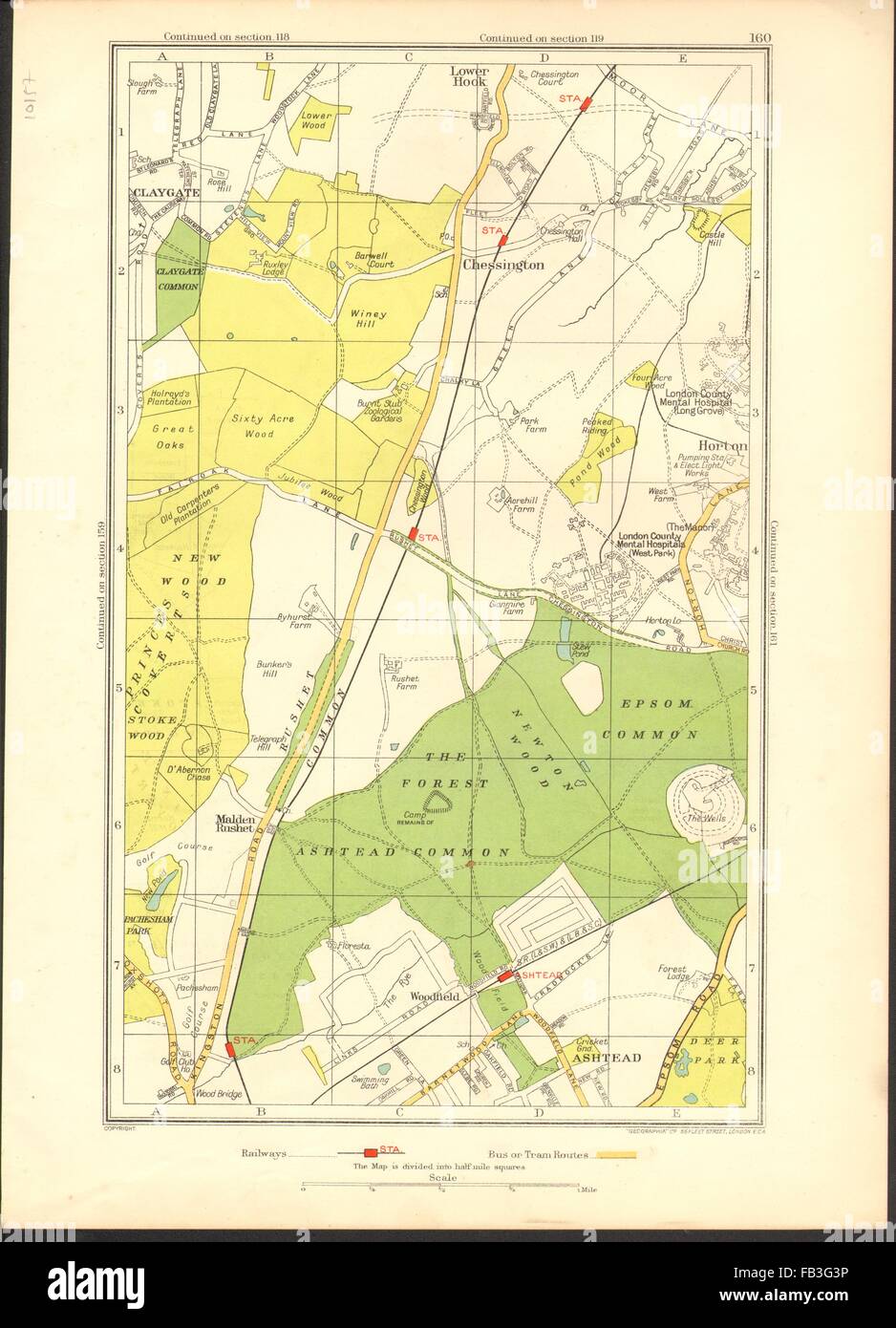 ASHTEAD: Ewell, Chessington, Claygate, Horton, Epsom Common, Hook, 1937 map Stock Photohttps://www.alamy.com/image-license-details/?v=1https://www.alamy.com/stock-photo-ashtead-ewell-chessington-claygate-horton-epsom-common-hook-1937-map-92891562.html
RFFB3G3P–ASHTEAD: Ewell, Chessington, Claygate, Horton, Epsom Common, Hook, 1937 map
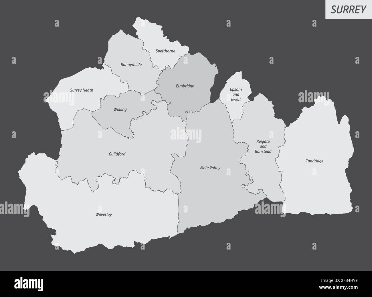 The Surrey county, isolated map divided in districts with labels, England Stock Vectorhttps://www.alamy.com/image-license-details/?v=1https://www.alamy.com/the-surrey-county-isolated-map-divided-in-districts-with-labels-england-image419911949.html
RF2FB4HY9–The Surrey county, isolated map divided in districts with labels, England
 SUTTON Cheam Epsom Belmont Carshalton Ewell Banstead Downs. BACON 1919 map Stock Photohttps://www.alamy.com/image-license-details/?v=1https://www.alamy.com/sutton-cheam-epsom-belmont-carshalton-ewell-banstead-downs-bacon-1919-map-image242572990.html
RFT2J492–SUTTON Cheam Epsom Belmont Carshalton Ewell Banstead Downs. BACON 1919 map
 Epsom and Ewell Non-metropolitan district, borough (United Kingdom of Great Britain and Northern Ireland, ceremonial county Surrey, England) map vecto Stock Vectorhttps://www.alamy.com/image-license-details/?v=1https://www.alamy.com/epsom-and-ewell-non-metropolitan-district-borough-united-kingdom-of-great-britain-and-northern-ireland-ceremonial-county-surrey-england-map-vecto-image557018329.html
RF2RA6AFN–Epsom and Ewell Non-metropolitan district, borough (United Kingdom of Great Britain and Northern Ireland, ceremonial county Surrey, England) map vecto
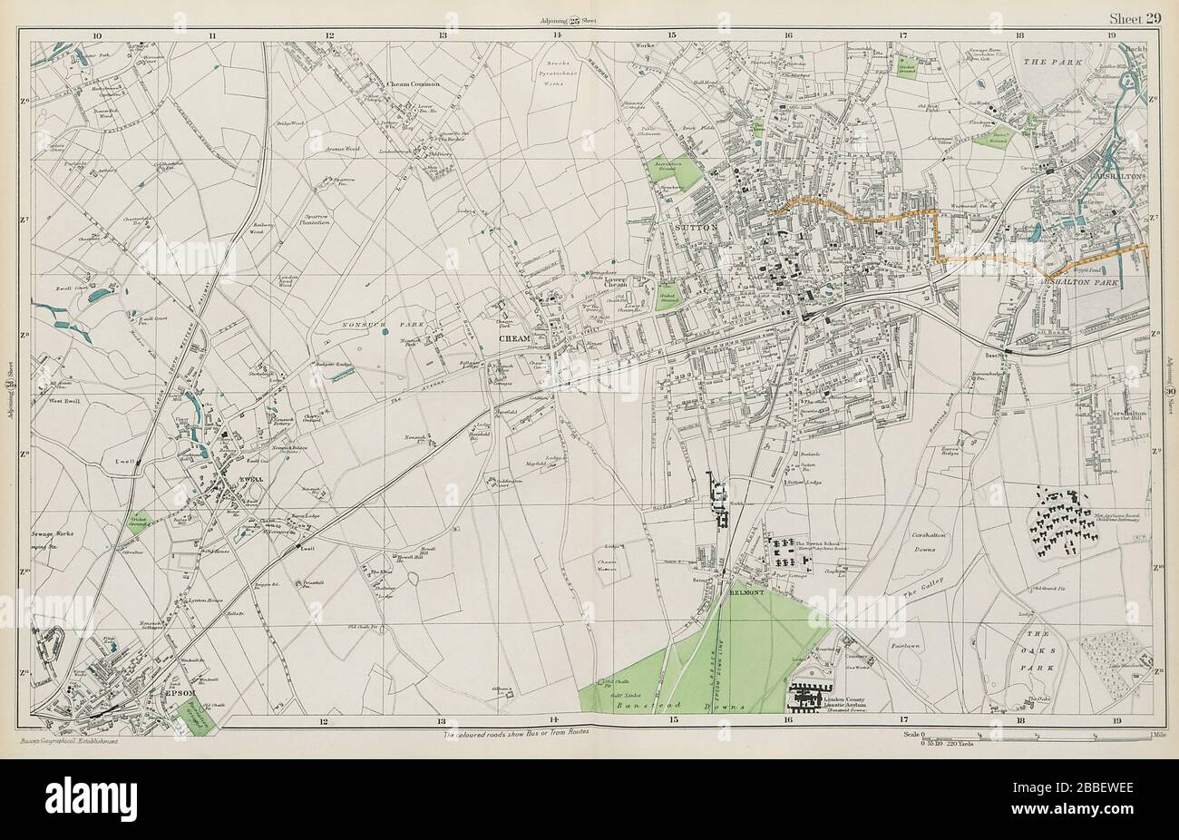 SUTTON Cheam Epsom Belmont Carshalton Ewell Banstead Downs. BACON 1913 map Stock Photohttps://www.alamy.com/image-license-details/?v=1https://www.alamy.com/sutton-cheam-epsom-belmont-carshalton-ewell-banstead-downs-bacon-1913-map-image351295910.html
RF2BBEWEE–SUTTON Cheam Epsom Belmont Carshalton Ewell Banstead Downs. BACON 1913 map
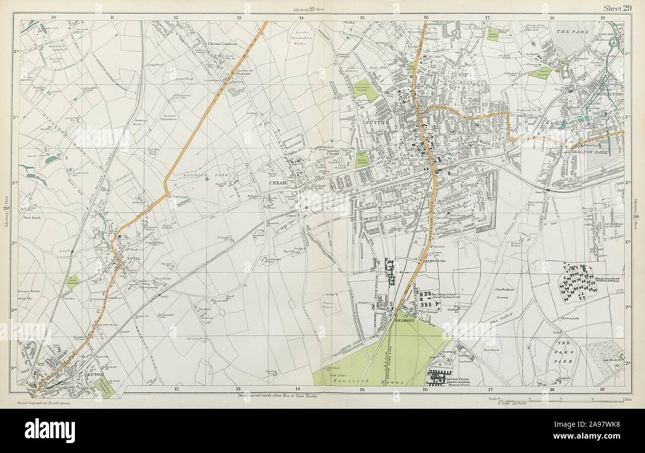 SUTTON Cheam Epsom Belmont Carshalton Ewell Banstead Downs. BACON 1920 map Stock Photohttps://www.alamy.com/image-license-details/?v=1https://www.alamy.com/sutton-cheam-epsom-belmont-carshalton-ewell-banstead-downs-bacon-1920-map-image332702700.html
RF2A97WK8–SUTTON Cheam Epsom Belmont Carshalton Ewell Banstead Downs. BACON 1920 map
 EPSOM. Malden,Ewell,Ashtead,Long Ditton,Chessington,Surbiton,Kingston 1811 map Stock Photohttps://www.alamy.com/image-license-details/?v=1https://www.alamy.com/epsom-maldenewellashteadlong-dittonchessingtonsurbitonkingston-1811-map-image244897175.html
RFT6C0RK–EPSOM. Malden,Ewell,Ashtead,Long Ditton,Chessington,Surbiton,Kingston 1811 map
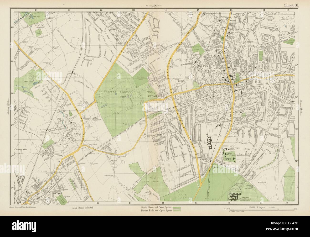 SUTTON Cheam Epsom Belmont Carshalton Ewell Banstead Downs. BACON 1934 old map Stock Photohttps://www.alamy.com/image-license-details/?v=1https://www.alamy.com/sutton-cheam-epsom-belmont-carshalton-ewell-banstead-downs-bacon-1934-old-map-image242572814.html
RFT2J42P–SUTTON Cheam Epsom Belmont Carshalton Ewell Banstead Downs. BACON 1934 old map
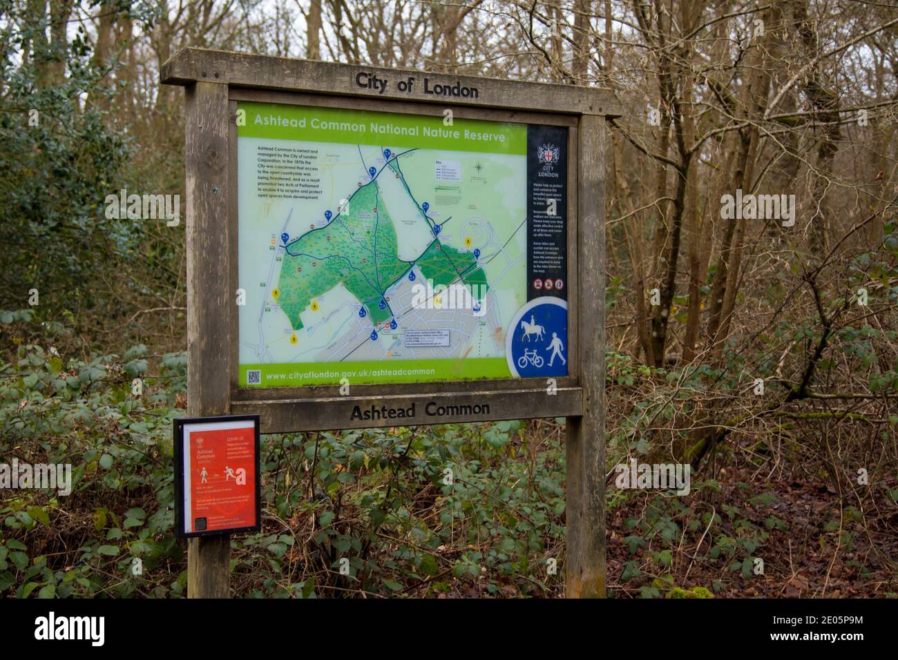 Ashtead Common Noticeboard sign, Ashtead, Surrey, UK, Autumn Winter December 2020 Stock Photohttps://www.alamy.com/image-license-details/?v=1https://www.alamy.com/ashtead-common-noticeboard-sign-ashtead-surrey-uk-autumn-winter-december-2020-image395965744.html
RM2E05P9M–Ashtead Common Noticeboard sign, Ashtead, Surrey, UK, Autumn Winter December 2020
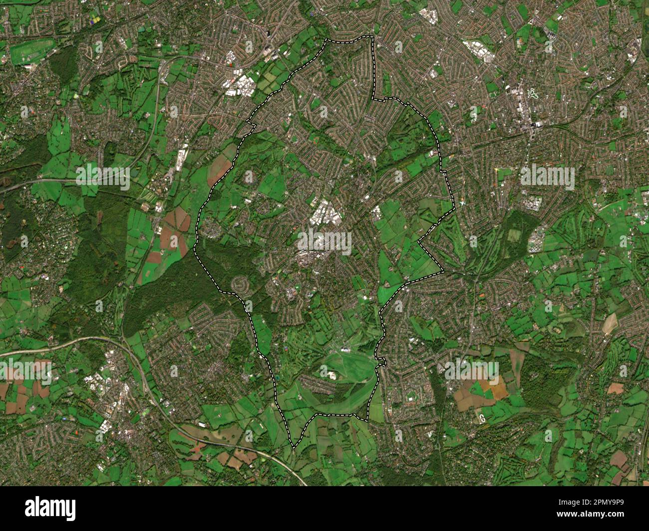 Epsom and Ewell, non metropolitan district of England - Great Britain. Low resolution satellite map Stock Photohttps://www.alamy.com/image-license-details/?v=1https://www.alamy.com/epsom-and-ewell-non-metropolitan-district-of-england-great-britain-low-resolution-satellite-map-image546414913.html
RF2PMY9P9–Epsom and Ewell, non metropolitan district of England - Great Britain. Low resolution satellite map
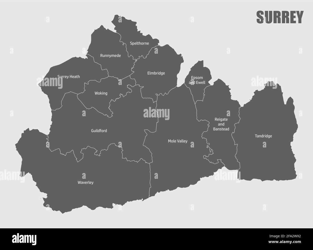 The Surrey county isolated map divided in districts with labels, England Stock Vectorhttps://www.alamy.com/image-license-details/?v=1https://www.alamy.com/the-surrey-county-isolated-map-divided-in-districts-with-labels-england-image419259626.html
RF2FA2WX2–The Surrey county isolated map divided in districts with labels, England
 Epsom and Ewell Non-metropolitan district, borough (United Kingdom of Great Britain and Northern Ireland, ceremonial county Surrey, England) map vecto Stock Vectorhttps://www.alamy.com/image-license-details/?v=1https://www.alamy.com/epsom-and-ewell-non-metropolitan-district-borough-united-kingdom-of-great-britain-and-northern-ireland-ceremonial-county-surrey-england-map-vecto-image491760269.html
RF2KG1H6N–Epsom and Ewell Non-metropolitan district, borough (United Kingdom of Great Britain and Northern Ireland, ceremonial county Surrey, England) map vecto
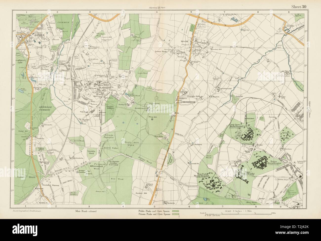 ESHER/EWELL Epsom Claygate Oxshott Hook Chessington Hinchley Wood.BACON 1934 map Stock Photohttps://www.alamy.com/image-license-details/?v=1https://www.alamy.com/esherewell-epsom-claygate-oxshott-hook-chessington-hinchley-woodbacon-1934-map-image242572811.html
RFT2J42K–ESHER/EWELL Epsom Claygate Oxshott Hook Chessington Hinchley Wood.BACON 1934 map
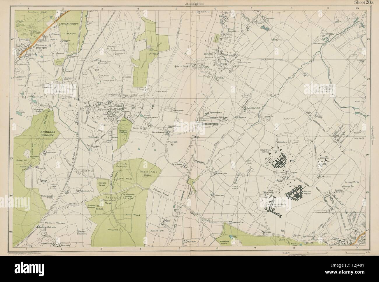 ESHER/EWELL Epsom Claygate Oxshott Hook Chessington Hinchley Wood.BACON 1919 map Stock Photohttps://www.alamy.com/image-license-details/?v=1https://www.alamy.com/esherewell-epsom-claygate-oxshott-hook-chessington-hinchley-woodbacon-1919-map-image242572987.html
RFT2J48Y–ESHER/EWELL Epsom Claygate Oxshott Hook Chessington Hinchley Wood.BACON 1919 map
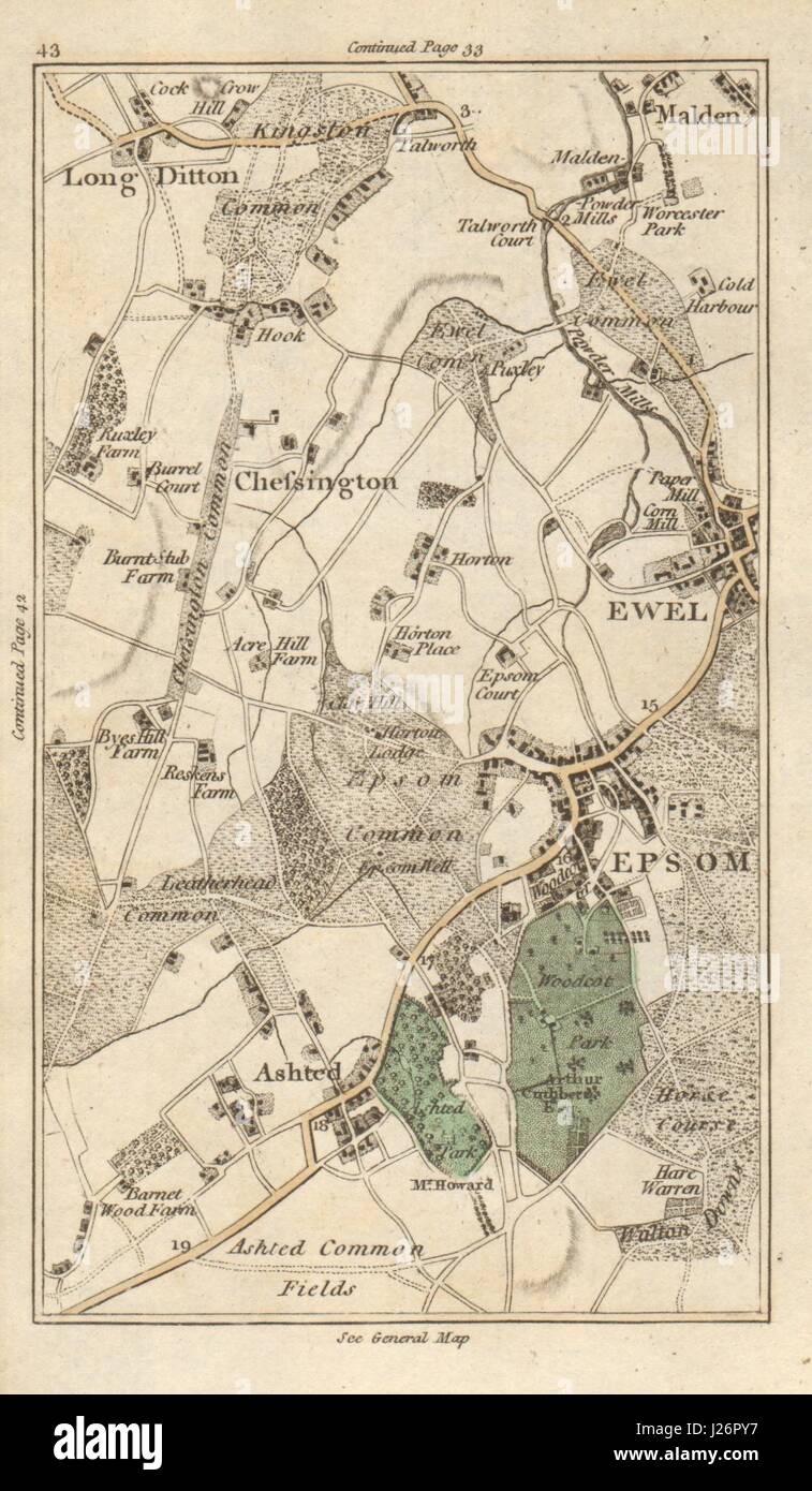 EPSOM Malden Ewell Ashtead Long Ditton Chessington Surbiton Kingston 1786 map Stock Photohttps://www.alamy.com/image-license-details/?v=1https://www.alamy.com/stock-photo-epsom-malden-ewell-ashtead-long-ditton-chessington-surbiton-kingston-139061979.html
RFJ26PY7–EPSOM Malden Ewell Ashtead Long Ditton Chessington Surbiton Kingston 1786 map
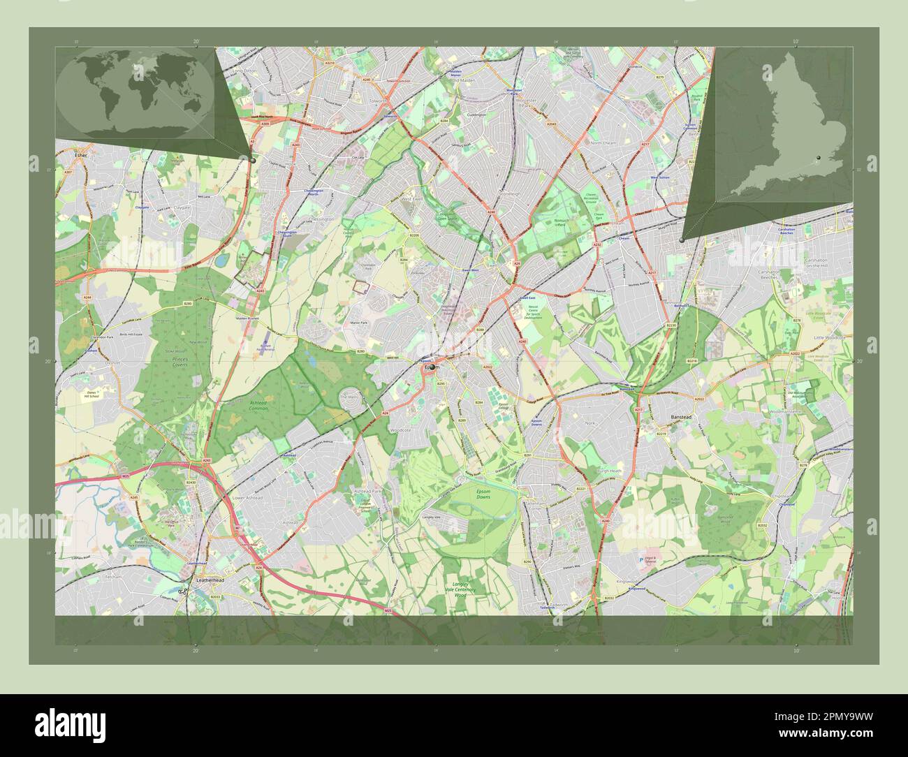 Epsom and Ewell, non metropolitan district of England - Great Britain. Open Street Map. Corner auxiliary location maps Stock Photohttps://www.alamy.com/image-license-details/?v=1https://www.alamy.com/epsom-and-ewell-non-metropolitan-district-of-england-great-britain-open-street-map-corner-auxiliary-location-maps-image546415013.html
RF2PMY9WW–Epsom and Ewell, non metropolitan district of England - Great Britain. Open Street Map. Corner auxiliary location maps
 Surrey county dark silhouette map isolated on white background, England Stock Vectorhttps://www.alamy.com/image-license-details/?v=1https://www.alamy.com/surrey-county-dark-silhouette-map-isolated-on-white-background-england-image439089082.html
RF2GEA6GX–Surrey county dark silhouette map isolated on white background, England
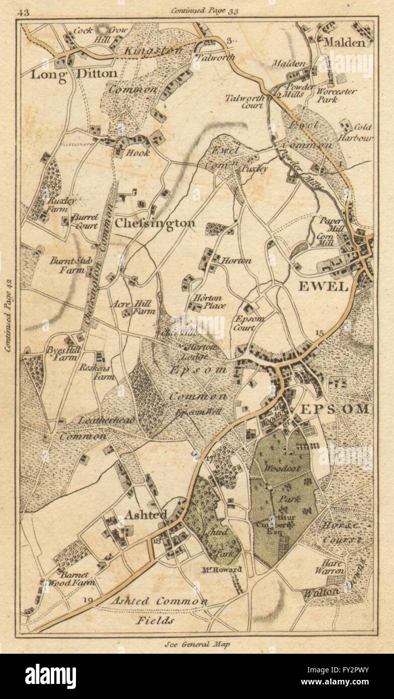 EPSOM: Malden,Ewell,Ashtead,Long Ditton,Chessington,Surbiton,Kingston, 1786 map Stock Photohttps://www.alamy.com/image-license-details/?v=1https://www.alamy.com/stock-photo-epsom-maldenewellashteadlong-dittonchessingtonsurbitonkingston-1786-102709431.html
RFFY2PWY–EPSOM: Malden,Ewell,Ashtead,Long Ditton,Chessington,Surbiton,Kingston, 1786 map
 SUTTON Epsom Cheam Belmont Carshalton Ewell Banstead Downs BACON 1900 old map Stock Photohttps://www.alamy.com/image-license-details/?v=1https://www.alamy.com/sutton-epsom-cheam-belmont-carshalton-ewell-banstead-downs-bacon-1900-old-map-image249444968.html
RFTDR5GT–SUTTON Epsom Cheam Belmont Carshalton Ewell Banstead Downs BACON 1900 old map
 Epsom and Ewell, non metropolitan district of England - Great Britain. High resolution satellite map. Corner auxiliary location maps Stock Photohttps://www.alamy.com/image-license-details/?v=1https://www.alamy.com/epsom-and-ewell-non-metropolitan-district-of-england-great-britain-high-resolution-satellite-map-corner-auxiliary-location-maps-image546414889.html
RF2PMY9ND–Epsom and Ewell, non metropolitan district of England - Great Britain. High resolution satellite map. Corner auxiliary location maps
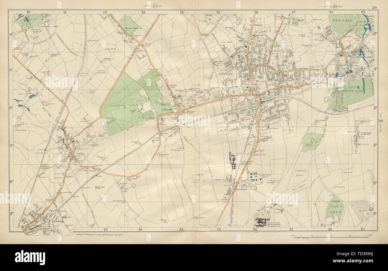 SUTTON Cheam Epsom Belmont Carshalton Ewell Banstead Downs BACON 1900 old map Stock Photohttps://www.alamy.com/image-license-details/?v=1https://www.alamy.com/sutton-cheam-epsom-belmont-carshalton-ewell-banstead-downs-bacon-1900-old-map-image249020146.html
RFTD3RMJ–SUTTON Cheam Epsom Belmont Carshalton Ewell Banstead Downs BACON 1900 old map
 Epsom and Ewell, non metropolitan district of England - Great Britain. Low resolution satellite map. Corner auxiliary location maps Stock Photohttps://www.alamy.com/image-license-details/?v=1https://www.alamy.com/epsom-and-ewell-non-metropolitan-district-of-england-great-britain-low-resolution-satellite-map-corner-auxiliary-location-maps-image546414921.html
RF2PMY9PH–Epsom and Ewell, non metropolitan district of England - Great Britain. Low resolution satellite map. Corner auxiliary location maps
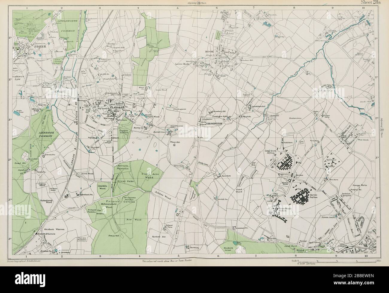 ESHER/EWELL Epsom Claygate Oxshott Hook Chessington Hinchley Wood.BACON 1913 map Stock Photohttps://www.alamy.com/image-license-details/?v=1https://www.alamy.com/esherewell-epsom-claygate-oxshott-hook-chessington-hinchley-woodbacon-1913-map-image351295917.html
RF2BBEWEN–ESHER/EWELL Epsom Claygate Oxshott Hook Chessington Hinchley Wood.BACON 1913 map
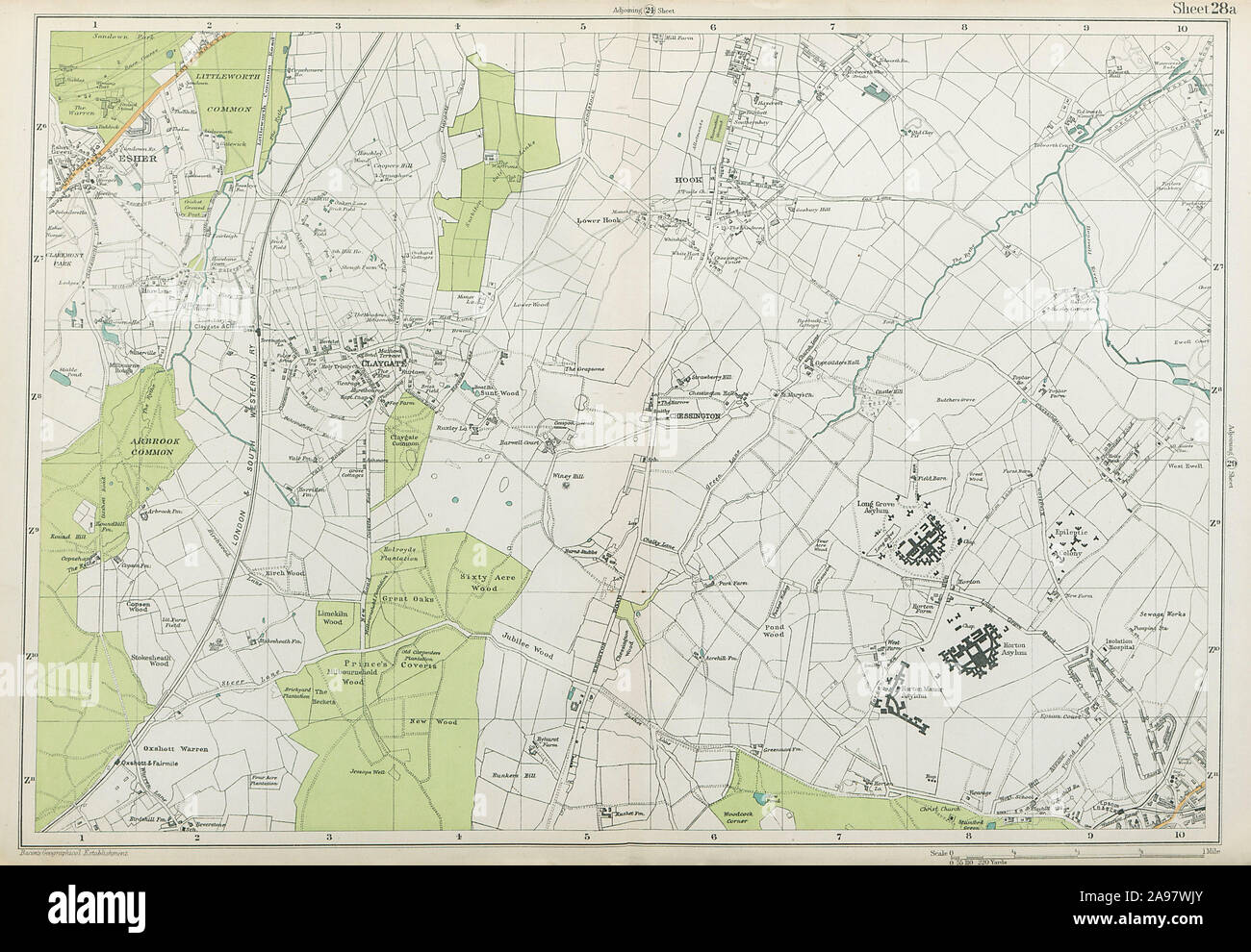 ESHER/EWELL Epsom Claygate Oxshott Hook Chessington Hinchley Wood.BACON 1920 map Stock Photohttps://www.alamy.com/image-license-details/?v=1https://www.alamy.com/esherewell-epsom-claygate-oxshott-hook-chessington-hinchley-woodbacon-1920-map-image332702691.html
RF2A97WJY–ESHER/EWELL Epsom Claygate Oxshott Hook Chessington Hinchley Wood.BACON 1920 map
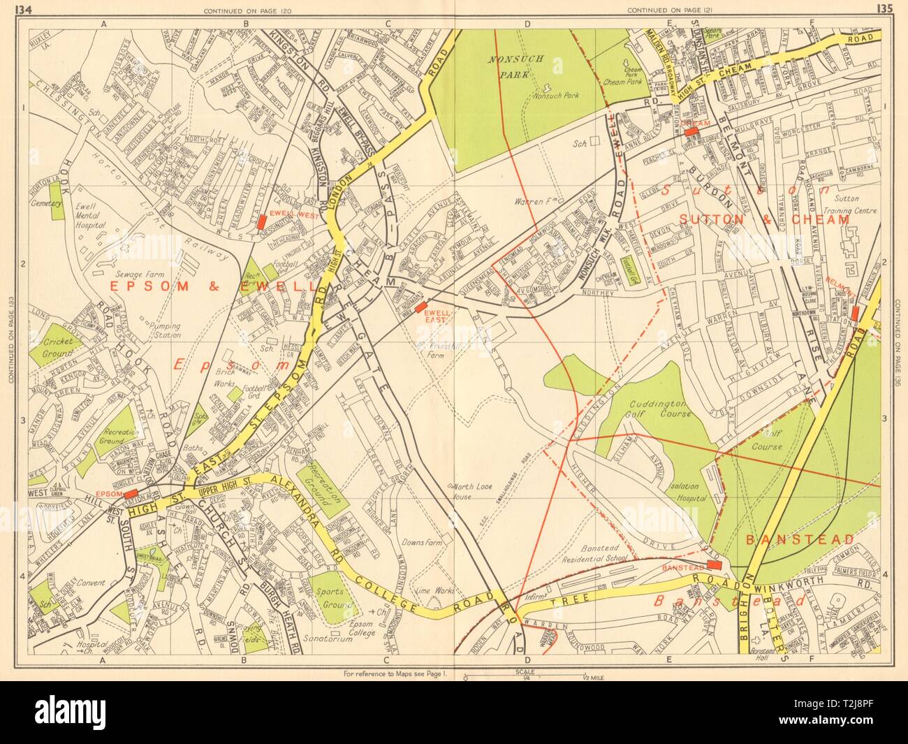 EPSOM & EWELL Cheam Belmont Banstead Sutton. GEOGRAPHERS' A-Z 1948 old map Stock Photohttps://www.alamy.com/image-license-details/?v=1https://www.alamy.com/epsom-ewell-cheam-belmont-banstead-sutton-geographers-a-z-1948-old-map-image242576503.html
RFT2J8PF–EPSOM & EWELL Cheam Belmont Banstead Sutton. GEOGRAPHERS' A-Z 1948 old map
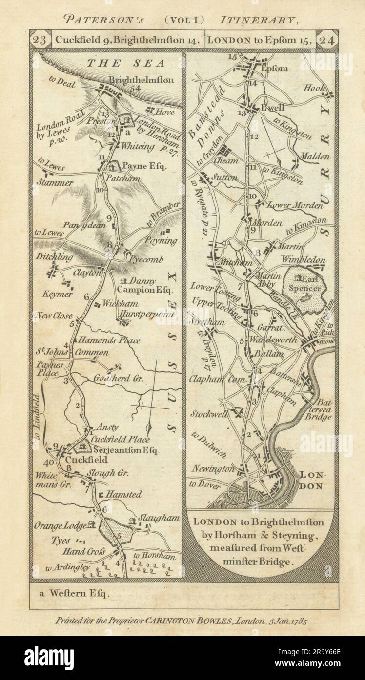 Cuckfield-Brighton. London-Stockwell-Epsom road strip map PATERSON 1785 Stock Photohttps://www.alamy.com/image-license-details/?v=1https://www.alamy.com/cuckfield-brighton-london-stockwell-epsom-road-strip-map-paterson-1785-image556861270.html
RF2R9Y66E–Cuckfield-Brighton. London-Stockwell-Epsom road strip map PATERSON 1785
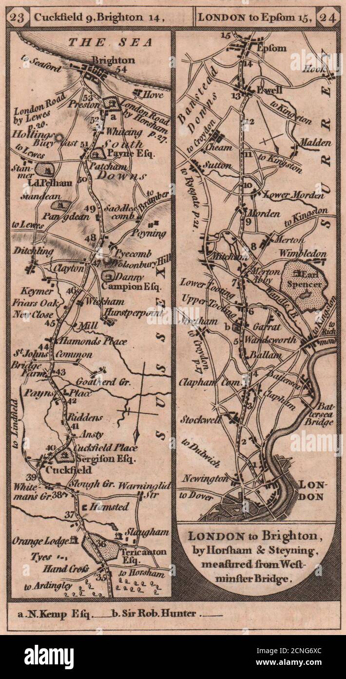 Cuckfield-Brighton. London-Stockwell-Epsom road strip map PATERSON 1803 Stock Photohttps://www.alamy.com/image-license-details/?v=1https://www.alamy.com/cuckfield-brighton-london-stockwell-epsom-road-strip-map-paterson-1803-image374682180.html
RF2CNG6XC–Cuckfield-Brighton. London-Stockwell-Epsom road strip map PATERSON 1803
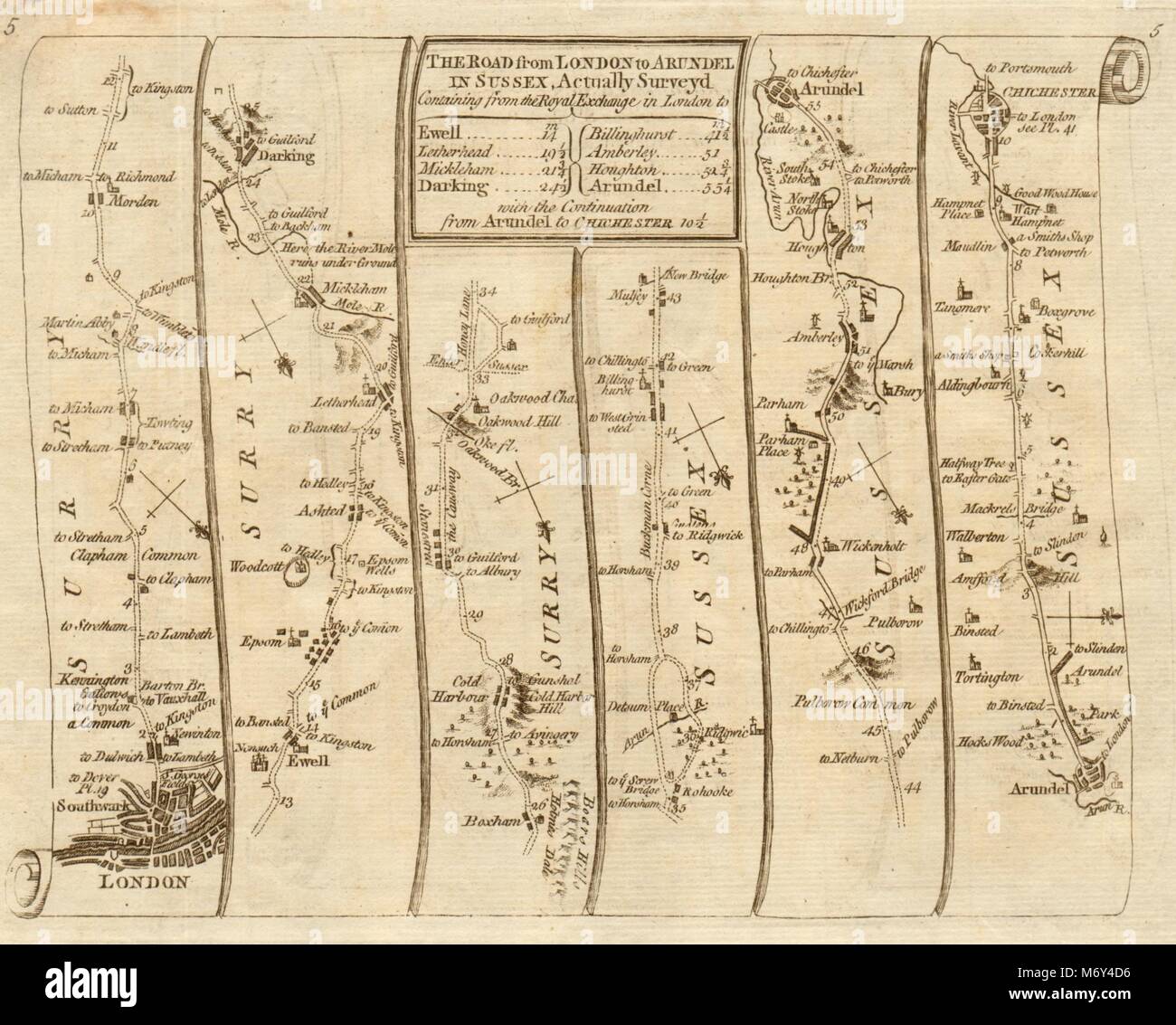 London Clapham Epsom Leatherhead Arundel Chichester. KITCHIN road map 1767 Stock Photohttps://www.alamy.com/image-license-details/?v=1https://www.alamy.com/stock-photo-london-clapham-epsom-leatherhead-arundel-chichester-kitchin-road-map-176387826.html
RFM6Y4D6–London Clapham Epsom Leatherhead Arundel Chichester. KITCHIN road map 1767
 London Clapham Epsom Leatherhead Arundel Chichester SENEX #4 road map 1719 Stock Photohttps://www.alamy.com/image-license-details/?v=1https://www.alamy.com/stock-photo-london-clapham-epsom-leatherhead-arundel-chichester-senex-4-road-map-176388000.html
RFM6Y4KC–London Clapham Epsom Leatherhead Arundel Chichester SENEX #4 road map 1719
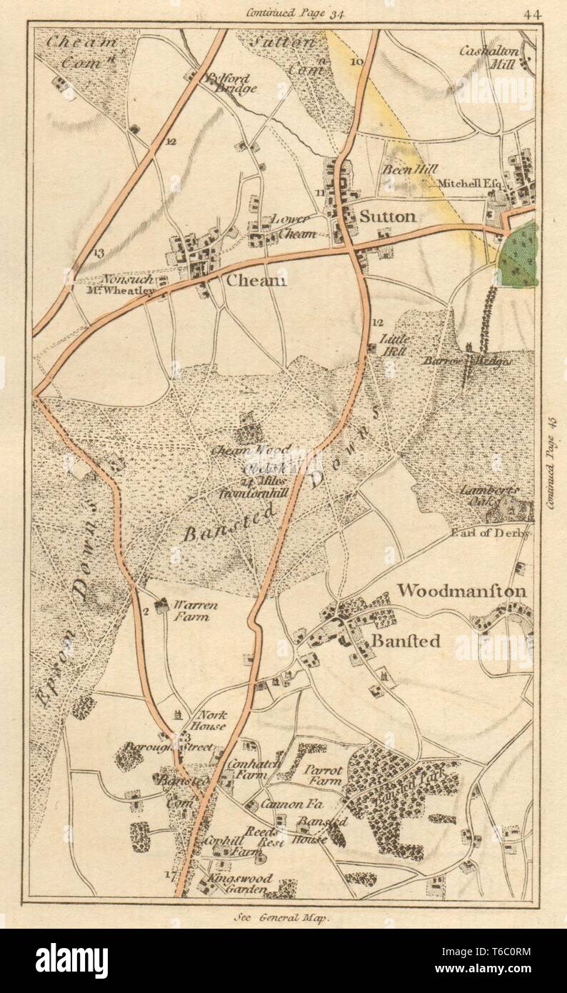 SUTTON. Carshalton, Cheam, Woodmansterne, Banstead, Chipstead, Ewell 1811 map Stock Photohttps://www.alamy.com/image-license-details/?v=1https://www.alamy.com/sutton-carshalton-cheam-woodmansterne-banstead-chipstead-ewell-1811-map-image244897176.html
RFT6C0RM–SUTTON. Carshalton, Cheam, Woodmansterne, Banstead, Chipstead, Ewell 1811 map
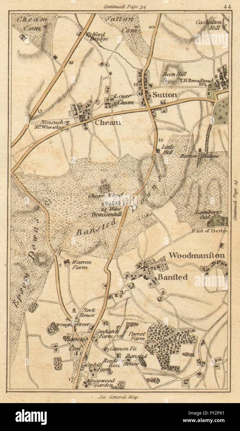 SUTTON: Carshalton, Cheam, Woodmansterne, Banstead, Chipstead, Ewell, 1786 map Stock Photohttps://www.alamy.com/image-license-details/?v=1https://www.alamy.com/stock-photo-sutton-carshalton-cheam-woodmansterne-banstead-chipstead-ewell-1786-102709433.html
RFFY2PX1–SUTTON: Carshalton, Cheam, Woodmansterne, Banstead, Chipstead, Ewell, 1786 map
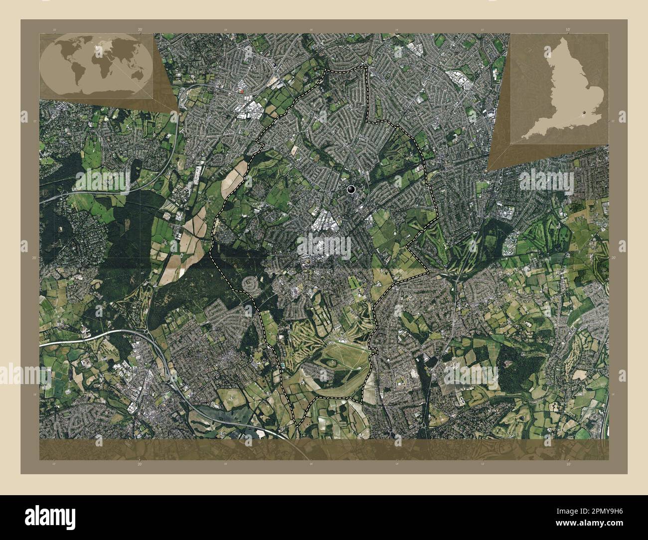 Epsom and Ewell, non metropolitan district of England - Great Britain. High resolution satellite map. Locations of major cities of the region. Corner Stock Photohttps://www.alamy.com/image-license-details/?v=1https://www.alamy.com/epsom-and-ewell-non-metropolitan-district-of-england-great-britain-high-resolution-satellite-map-locations-of-major-cities-of-the-region-corner-image546414770.html
RF2PMY9H6–Epsom and Ewell, non metropolitan district of England - Great Britain. High resolution satellite map. Locations of major cities of the region. Corner
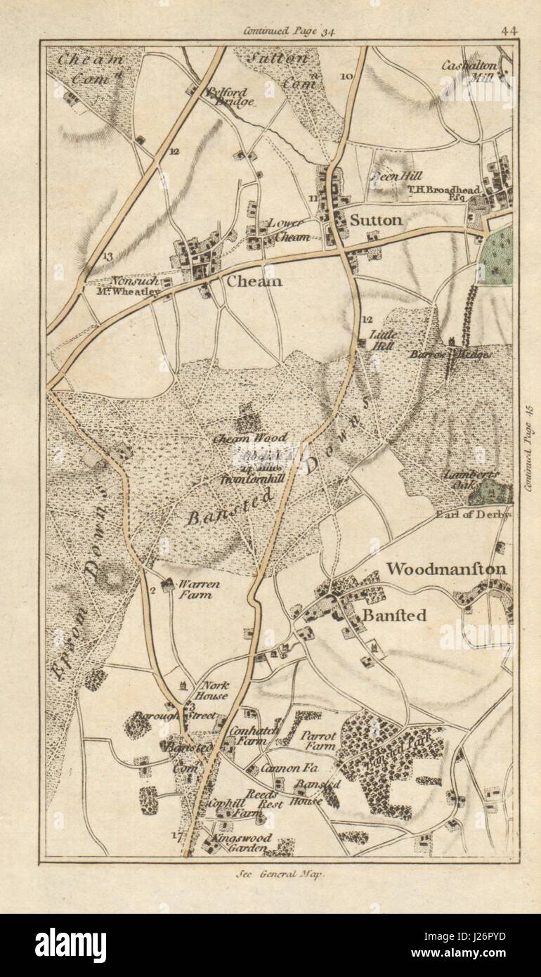 SUTTON Carshalton Cheam Woodmansterne Banstead Chipstead Ewell CARY 1786 map Stock Photohttps://www.alamy.com/image-license-details/?v=1https://www.alamy.com/stock-photo-sutton-carshalton-cheam-woodmansterne-banstead-chipstead-ewell-cary-139061985.html
RFJ26PYD–SUTTON Carshalton Cheam Woodmansterne Banstead Chipstead Ewell CARY 1786 map
 Epsom and Ewell, non metropolitan district of England - Great Britain. High resolution satellite map. Locations and names of major cities of the regio Stock Photohttps://www.alamy.com/image-license-details/?v=1https://www.alamy.com/epsom-and-ewell-non-metropolitan-district-of-england-great-britain-high-resolution-satellite-map-locations-and-names-of-major-cities-of-the-regio-image546414888.html
RF2PMY9NC–Epsom and Ewell, non metropolitan district of England - Great Britain. High resolution satellite map. Locations and names of major cities of the regio
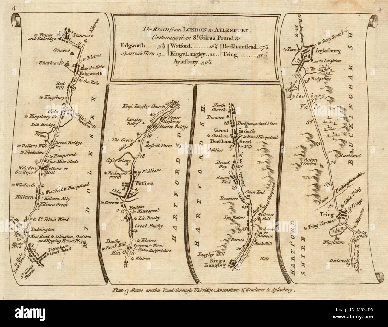 London Stanmore Watford Berkhamsted Tring Aylesbury. KITCHIN road map 1767 Stock Photohttps://www.alamy.com/image-license-details/?v=1https://www.alamy.com/stock-photo-london-stanmore-watford-berkhamsted-tring-aylesbury-kitchin-road-map-176387825.html
RFM6Y4D5–London Stanmore Watford Berkhamsted Tring Aylesbury. KITCHIN road map 1767
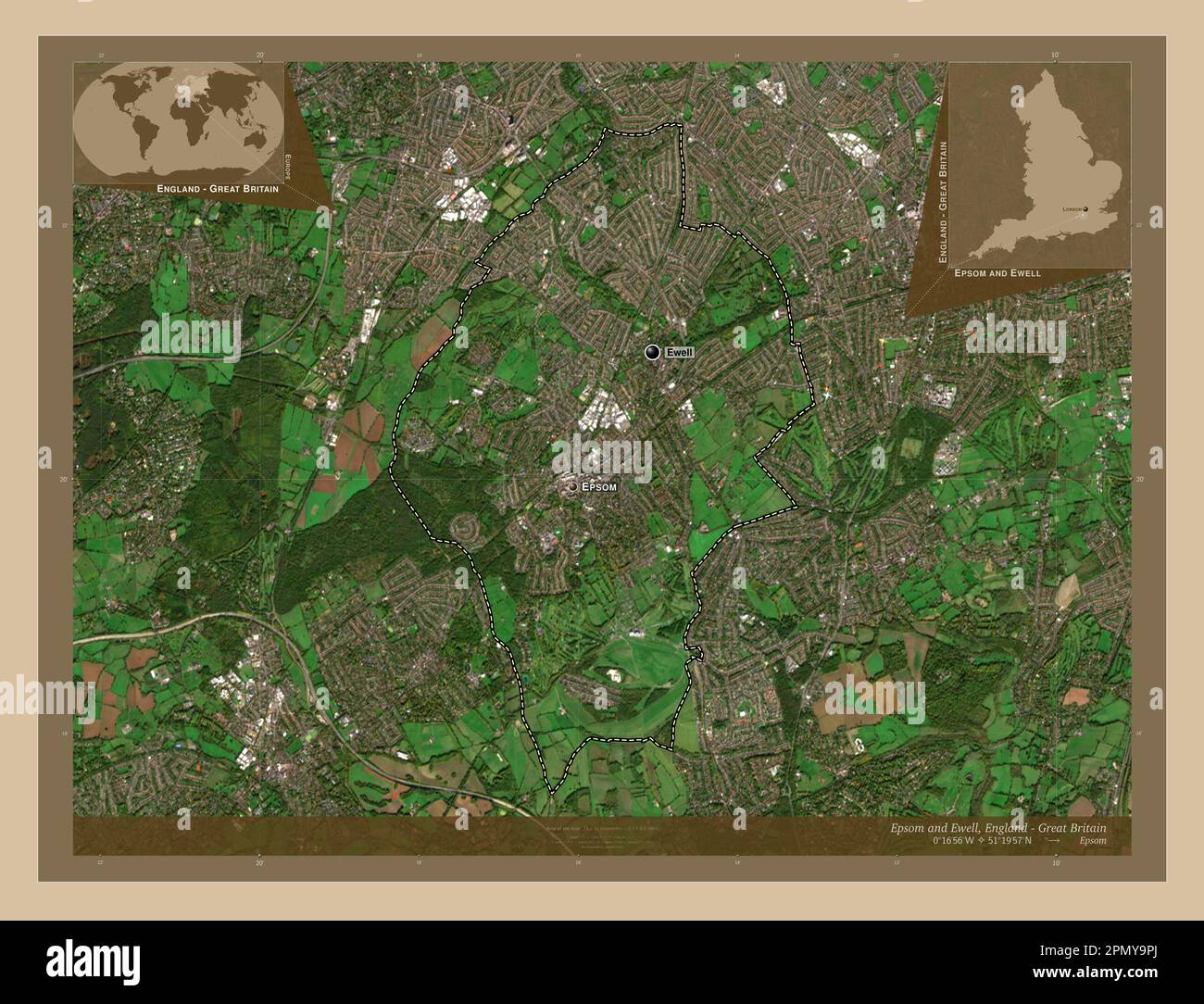 Epsom and Ewell, non metropolitan district of England - Great Britain. Low resolution satellite map. Locations and names of major cities of the region Stock Photohttps://www.alamy.com/image-license-details/?v=1https://www.alamy.com/epsom-and-ewell-non-metropolitan-district-of-england-great-britain-low-resolution-satellite-map-locations-and-names-of-major-cities-of-the-region-image546414922.html
RF2PMY9PJ–Epsom and Ewell, non metropolitan district of England - Great Britain. Low resolution satellite map. Locations and names of major cities of the region
 Epsom and Ewell, non metropolitan district of England - Great Britain. Low resolution satellite map. Locations of major cities of the region. Corner a Stock Photohttps://www.alamy.com/image-license-details/?v=1https://www.alamy.com/epsom-and-ewell-non-metropolitan-district-of-england-great-britain-low-resolution-satellite-map-locations-of-major-cities-of-the-region-corner-a-image546414867.html
RF2PMY9MK–Epsom and Ewell, non metropolitan district of England - Great Britain. Low resolution satellite map. Locations of major cities of the region. Corner a
 Epsom and Ewell, non metropolitan district of England - Great Britain. Open Street Map. Locations and names of major cities of the region. Corner auxi Stock Photohttps://www.alamy.com/image-license-details/?v=1https://www.alamy.com/epsom-and-ewell-non-metropolitan-district-of-england-great-britain-open-street-map-locations-and-names-of-major-cities-of-the-region-corner-auxi-image546415005.html
RF2PMY9WH–Epsom and Ewell, non metropolitan district of England - Great Britain. Open Street Map. Locations and names of major cities of the region. Corner auxi
 Epsom and Ewell, non metropolitan district of England - Great Britain. Open Street Map. Locations of major cities of the region. Corner auxiliary loca Stock Photohttps://www.alamy.com/image-license-details/?v=1https://www.alamy.com/epsom-and-ewell-non-metropolitan-district-of-england-great-britain-open-street-map-locations-of-major-cities-of-the-region-corner-auxiliary-loca-image546414995.html
RF2PMY9W7–Epsom and Ewell, non metropolitan district of England - Great Britain. Open Street Map. Locations of major cities of the region. Corner auxiliary loca
 Epsom and Ewell, non metropolitan district of England - Great Britain. Solid color shape Stock Photohttps://www.alamy.com/image-license-details/?v=1https://www.alamy.com/epsom-and-ewell-non-metropolitan-district-of-england-great-britain-solid-color-shape-image546415004.html
RF2PMY9WG–Epsom and Ewell, non metropolitan district of England - Great Britain. Solid color shape
 Epsom and Ewell, non metropolitan district of England - Great Britain. Solid color shape. Corner auxiliary location maps Stock Photohttps://www.alamy.com/image-license-details/?v=1https://www.alamy.com/epsom-and-ewell-non-metropolitan-district-of-england-great-britain-solid-color-shape-corner-auxiliary-location-maps-image546414994.html
RF2PMY9W6–Epsom and Ewell, non metropolitan district of England - Great Britain. Solid color shape. Corner auxiliary location maps
 Epsom and Ewell, non metropolitan district of England - Great Britain. Diagram showing the location of the region on larger-scale maps. Composition of Stock Photohttps://www.alamy.com/image-license-details/?v=1https://www.alamy.com/epsom-and-ewell-non-metropolitan-district-of-england-great-britain-diagram-showing-the-location-of-the-region-on-larger-scale-maps-composition-of-image546414864.html
RF2PMY9MG–Epsom and Ewell, non metropolitan district of England - Great Britain. Diagram showing the location of the region on larger-scale maps. Composition of
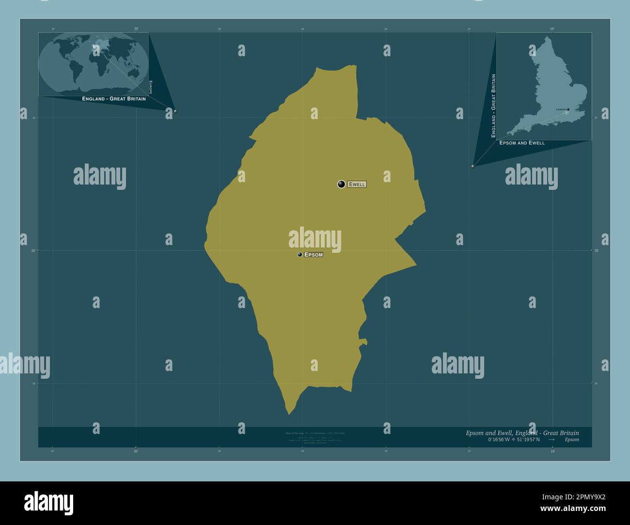 Epsom and Ewell, non metropolitan district of England - Great Britain. Solid color shape. Locations and names of major cities of the region. Corner au Stock Photohttps://www.alamy.com/image-license-details/?v=1https://www.alamy.com/epsom-and-ewell-non-metropolitan-district-of-england-great-britain-solid-color-shape-locations-and-names-of-major-cities-of-the-region-corner-au-image546415018.html
RF2PMY9X2–Epsom and Ewell, non metropolitan district of England - Great Britain. Solid color shape. Locations and names of major cities of the region. Corner au
 Epsom and Ewell, non metropolitan district of England - Great Britain. Solid color shape. Locations of major cities of the region. Corner auxiliary lo Stock Photohttps://www.alamy.com/image-license-details/?v=1https://www.alamy.com/epsom-and-ewell-non-metropolitan-district-of-england-great-britain-solid-color-shape-locations-of-major-cities-of-the-region-corner-auxiliary-lo-image546415016.html
RF2PMY9X0–Epsom and Ewell, non metropolitan district of England - Great Britain. Solid color shape. Locations of major cities of the region. Corner auxiliary lo
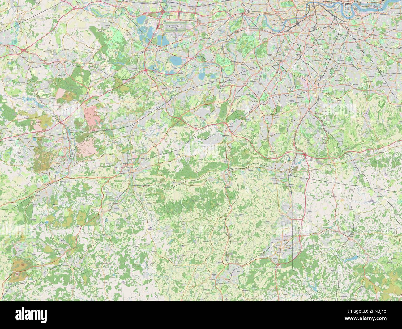 Surrey, administrative county of England - Great Britain. Open Street Map Stock Photohttps://www.alamy.com/image-license-details/?v=1https://www.alamy.com/surrey-administrative-county-of-england-great-britain-open-street-map-image546509913.html
RF2PN3JY5–Surrey, administrative county of England - Great Britain. Open Street Map
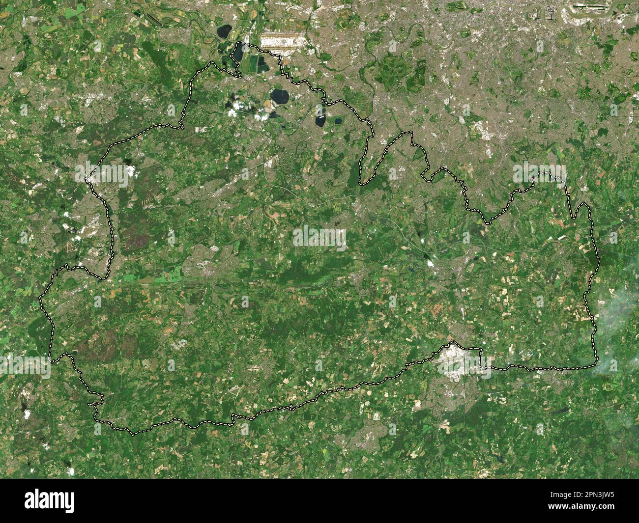 Surrey, administrative county of England - Great Britain. Low resolution satellite map Stock Photohttps://www.alamy.com/image-license-details/?v=1https://www.alamy.com/surrey-administrative-county-of-england-great-britain-low-resolution-satellite-map-image546509857.html
RF2PN3JW5–Surrey, administrative county of England - Great Britain. Low resolution satellite map
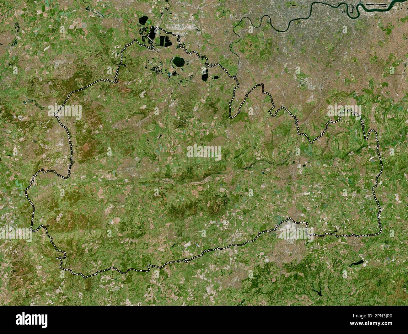 Surrey, administrative county of England - Great Britain. High resolution satellite map Stock Photohttps://www.alamy.com/image-license-details/?v=1https://www.alamy.com/surrey-administrative-county-of-england-great-britain-high-resolution-satellite-map-image546509796.html
RF2PN3JR0–Surrey, administrative county of England - Great Britain. High resolution satellite map
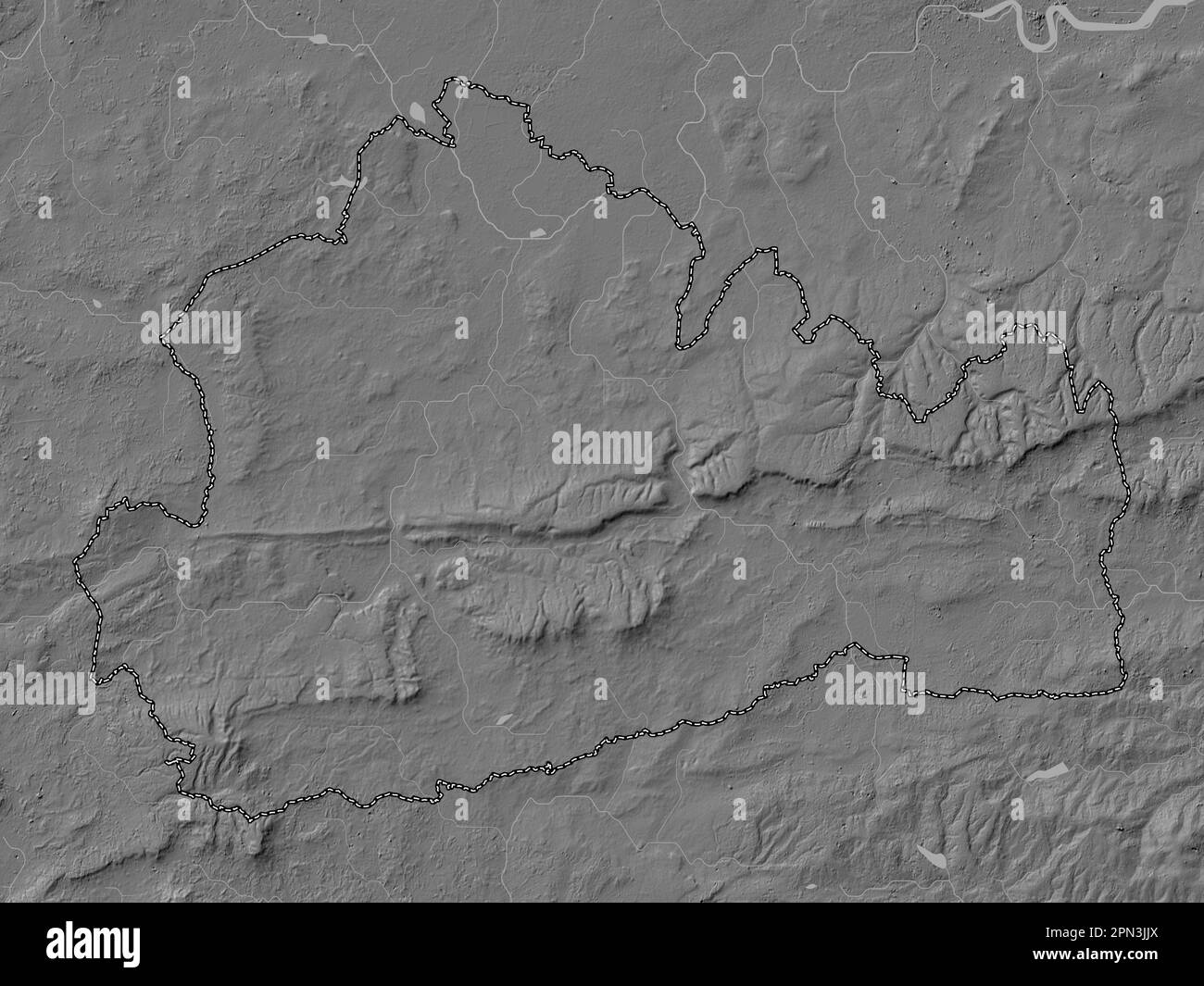 Surrey, administrative county of England - Great Britain. Bilevel elevation map with lakes and rivers Stock Photohttps://www.alamy.com/image-license-details/?v=1https://www.alamy.com/surrey-administrative-county-of-england-great-britain-bilevel-elevation-map-with-lakes-and-rivers-image546509682.html
RF2PN3JJX–Surrey, administrative county of England - Great Britain. Bilevel elevation map with lakes and rivers
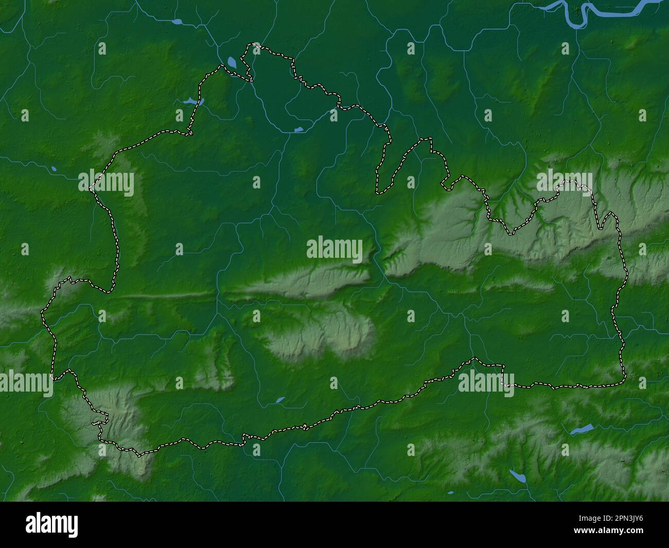 Surrey, administrative county of England - Great Britain. Colored elevation map with lakes and rivers Stock Photohttps://www.alamy.com/image-license-details/?v=1https://www.alamy.com/surrey-administrative-county-of-england-great-britain-colored-elevation-map-with-lakes-and-rivers-image546509914.html
RF2PN3JY6–Surrey, administrative county of England - Great Britain. Colored elevation map with lakes and rivers
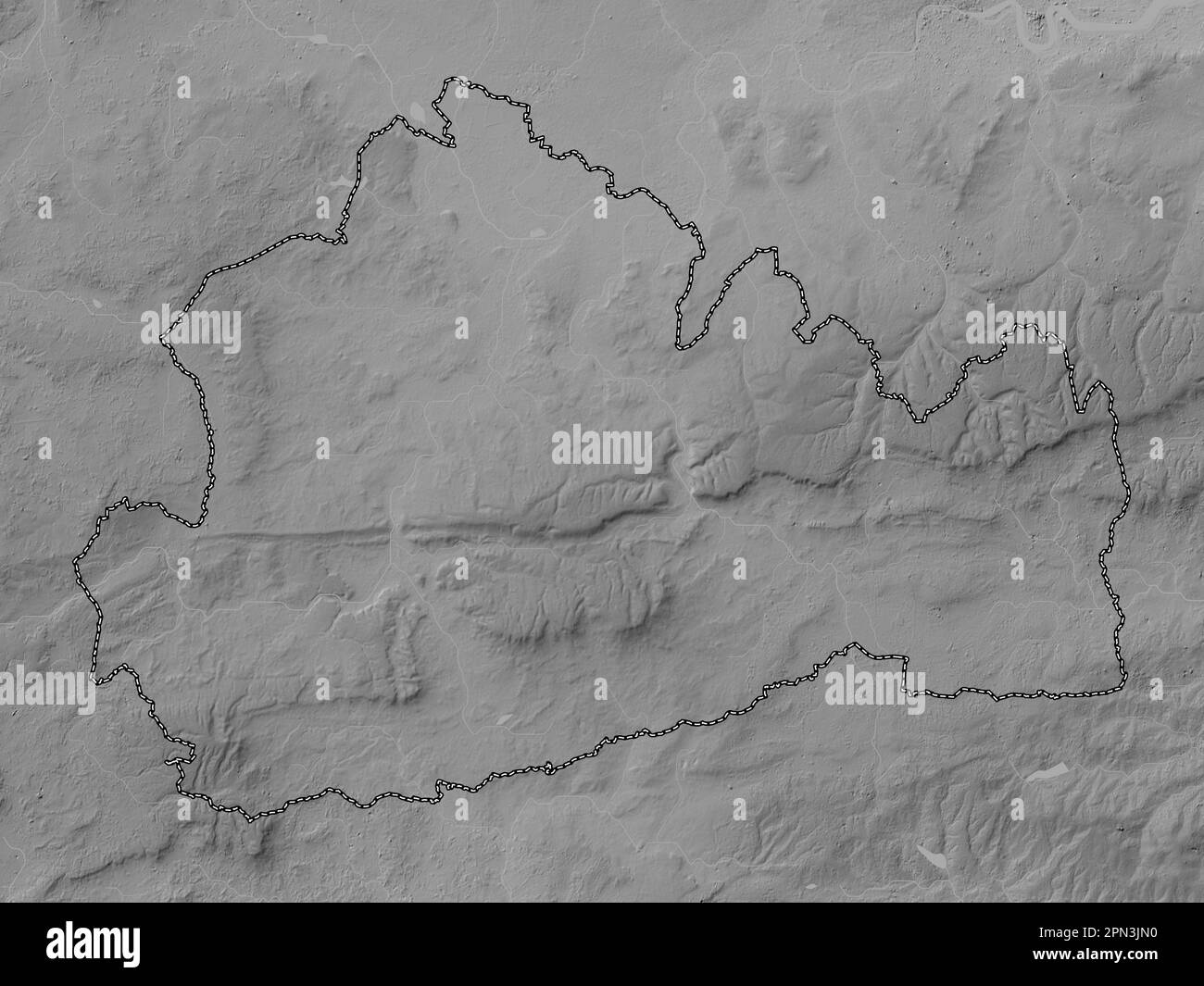 Surrey, administrative county of England - Great Britain. Grayscale elevation map with lakes and rivers Stock Photohttps://www.alamy.com/image-license-details/?v=1https://www.alamy.com/surrey-administrative-county-of-england-great-britain-grayscale-elevation-map-with-lakes-and-rivers-image546509740.html
RF2PN3JN0–Surrey, administrative county of England - Great Britain. Grayscale elevation map with lakes and rivers
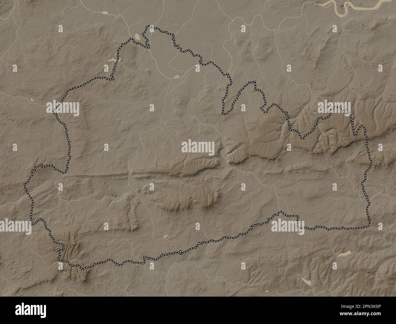 Surrey, administrative county of England - Great Britain. Elevation map colored in sepia tones with lakes and rivers Stock Photohttps://www.alamy.com/image-license-details/?v=1https://www.alamy.com/surrey-administrative-county-of-england-great-britain-elevation-map-colored-in-sepia-tones-with-lakes-and-rivers-image546509958.html
RF2PN3K0P–Surrey, administrative county of England - Great Britain. Elevation map colored in sepia tones with lakes and rivers
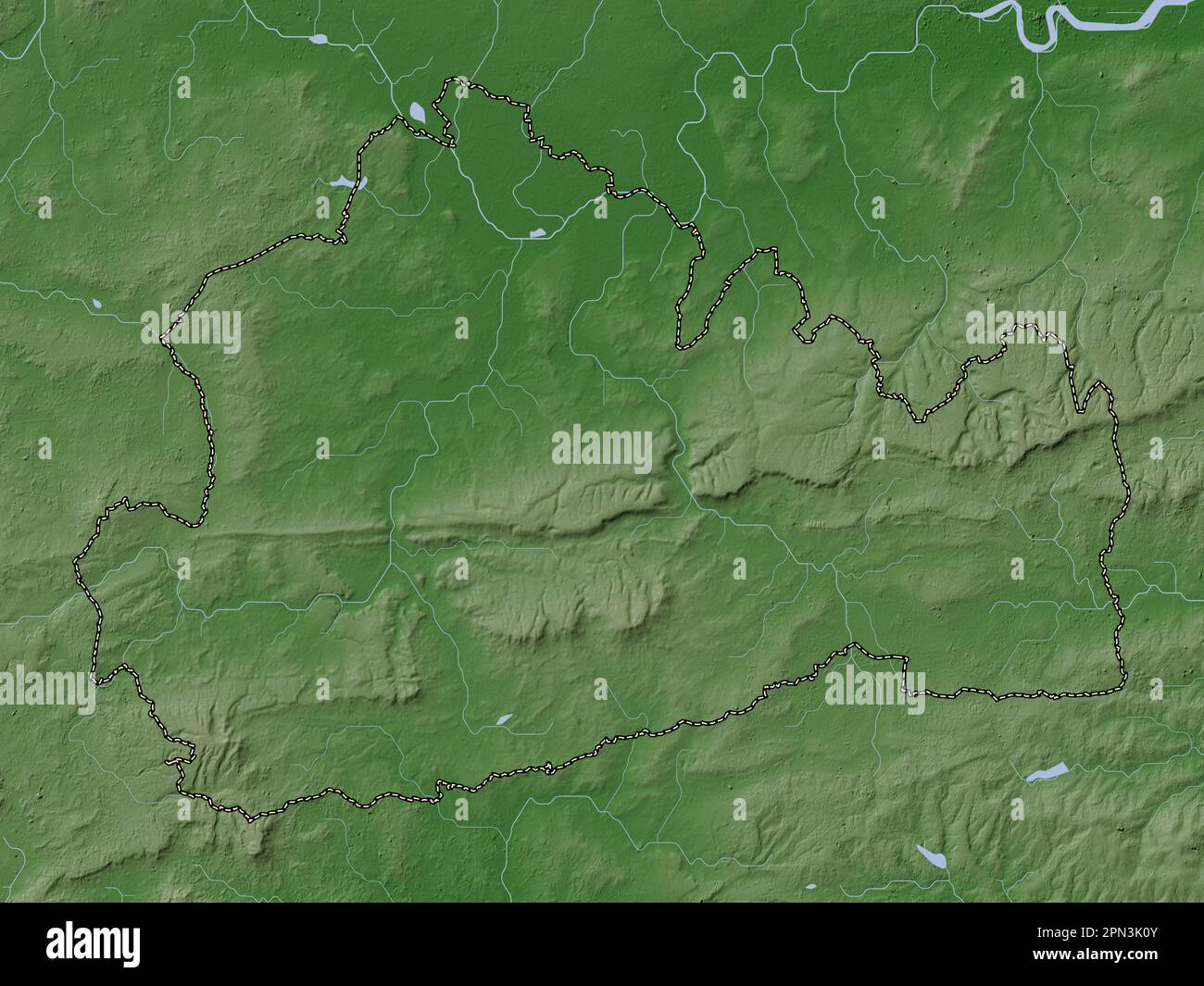 Surrey, administrative county of England - Great Britain. Elevation map colored in wiki style with lakes and rivers Stock Photohttps://www.alamy.com/image-license-details/?v=1https://www.alamy.com/surrey-administrative-county-of-england-great-britain-elevation-map-colored-in-wiki-style-with-lakes-and-rivers-image546509963.html
RF2PN3K0Y–Surrey, administrative county of England - Great Britain. Elevation map colored in wiki style with lakes and rivers
 Surrey, administrative county of England - Great Britain. Grayscale elevation map with lakes and rivers. Locations and names of major cities of the re Stock Photohttps://www.alamy.com/image-license-details/?v=1https://www.alamy.com/surrey-administrative-county-of-england-great-britain-grayscale-elevation-map-with-lakes-and-rivers-locations-and-names-of-major-cities-of-the-re-image546509745.html
RF2PN3JN5–Surrey, administrative county of England - Great Britain. Grayscale elevation map with lakes and rivers. Locations and names of major cities of the re
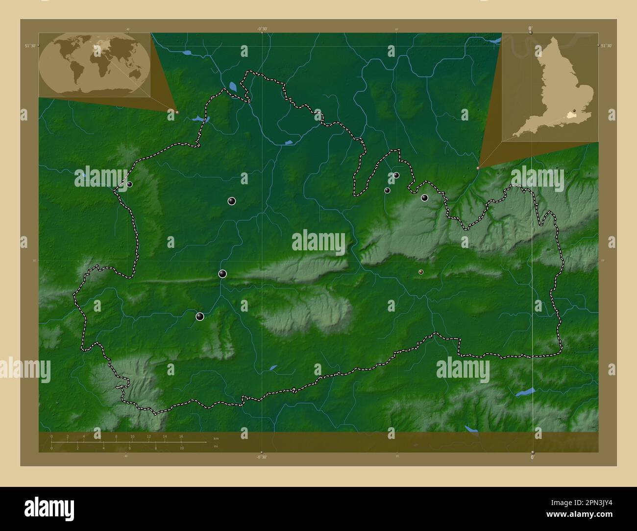 Surrey, administrative county of England - Great Britain. Colored elevation map with lakes and rivers. Locations of major cities of the region. Corner Stock Photohttps://www.alamy.com/image-license-details/?v=1https://www.alamy.com/surrey-administrative-county-of-england-great-britain-colored-elevation-map-with-lakes-and-rivers-locations-of-major-cities-of-the-region-corner-image546509912.html
RF2PN3JY4–Surrey, administrative county of England - Great Britain. Colored elevation map with lakes and rivers. Locations of major cities of the region. Corner
 Surrey, administrative county of England - Great Britain. Bilevel elevation map with lakes and rivers. Locations and names of major cities of the regi Stock Photohttps://www.alamy.com/image-license-details/?v=1https://www.alamy.com/surrey-administrative-county-of-england-great-britain-bilevel-elevation-map-with-lakes-and-rivers-locations-and-names-of-major-cities-of-the-regi-image546509684.html
RF2PN3JK0–Surrey, administrative county of England - Great Britain. Bilevel elevation map with lakes and rivers. Locations and names of major cities of the regi
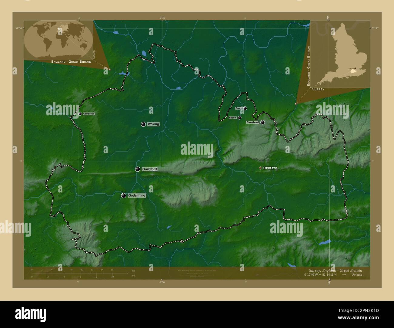 Surrey, administrative county of England - Great Britain. Colored elevation map with lakes and rivers. Locations and names of major cities of the regi Stock Photohttps://www.alamy.com/image-license-details/?v=1https://www.alamy.com/surrey-administrative-county-of-england-great-britain-colored-elevation-map-with-lakes-and-rivers-locations-and-names-of-major-cities-of-the-regi-image546509977.html
RF2PN3K1D–Surrey, administrative county of England - Great Britain. Colored elevation map with lakes and rivers. Locations and names of major cities of the regi
 Surrey, administrative county of England - Great Britain. Grayscale elevation map with lakes and rivers. Locations of major cities of the region. Corn Stock Photohttps://www.alamy.com/image-license-details/?v=1https://www.alamy.com/surrey-administrative-county-of-england-great-britain-grayscale-elevation-map-with-lakes-and-rivers-locations-of-major-cities-of-the-region-corn-image546509702.html
RF2PN3JKJ–Surrey, administrative county of England - Great Britain. Grayscale elevation map with lakes and rivers. Locations of major cities of the region. Corn
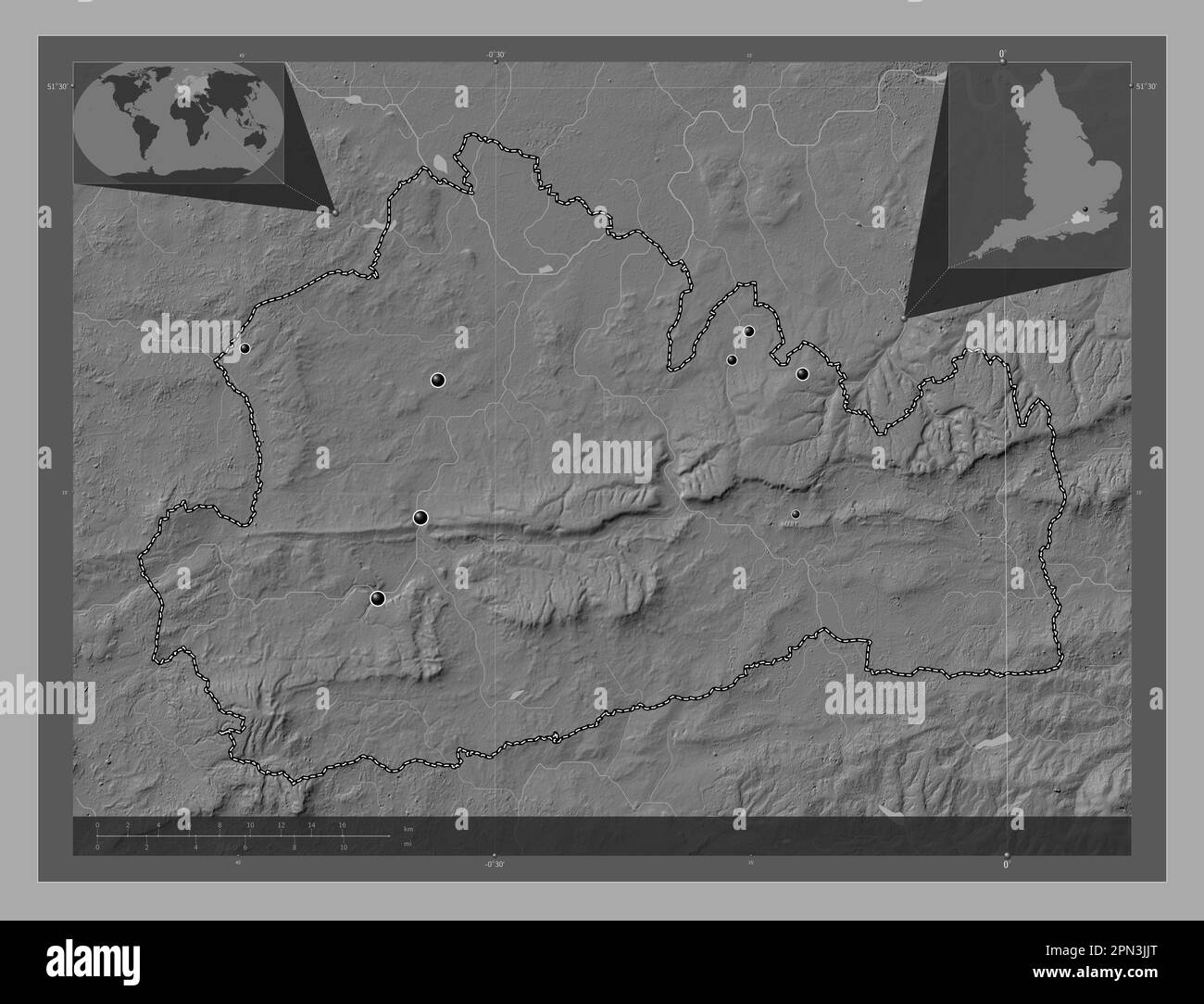 Surrey, administrative county of England - Great Britain. Bilevel elevation map with lakes and rivers. Locations of major cities of the region. Corner Stock Photohttps://www.alamy.com/image-license-details/?v=1https://www.alamy.com/surrey-administrative-county-of-england-great-britain-bilevel-elevation-map-with-lakes-and-rivers-locations-of-major-cities-of-the-region-corner-image546509680.html
RF2PN3JJT–Surrey, administrative county of England - Great Britain. Bilevel elevation map with lakes and rivers. Locations of major cities of the region. Corner
 Surrey, administrative county of England - Great Britain. Low resolution satellite map. Locations of major cities of the region. Corner auxiliary loca Stock Photohttps://www.alamy.com/image-license-details/?v=1https://www.alamy.com/surrey-administrative-county-of-england-great-britain-low-resolution-satellite-map-locations-of-major-cities-of-the-region-corner-auxiliary-loca-image546509850.html
RF2PN3JTX–Surrey, administrative county of England - Great Britain. Low resolution satellite map. Locations of major cities of the region. Corner auxiliary loca
 Surrey, administrative county of England - Great Britain. Open Street Map. Locations and names of major cities of the region. Corner auxiliary locatio Stock Photohttps://www.alamy.com/image-license-details/?v=1https://www.alamy.com/surrey-administrative-county-of-england-great-britain-open-street-map-locations-and-names-of-major-cities-of-the-region-corner-auxiliary-locatio-image546509915.html
RF2PN3JY7–Surrey, administrative county of England - Great Britain. Open Street Map. Locations and names of major cities of the region. Corner auxiliary locatio
 Surrey, administrative county of England - Great Britain. Open Street Map. Locations of major cities of the region. Corner auxiliary location maps Stock Photohttps://www.alamy.com/image-license-details/?v=1https://www.alamy.com/surrey-administrative-county-of-england-great-britain-open-street-map-locations-of-major-cities-of-the-region-corner-auxiliary-location-maps-image546509909.html
RF2PN3JY1–Surrey, administrative county of England - Great Britain. Open Street Map. Locations of major cities of the region. Corner auxiliary location maps
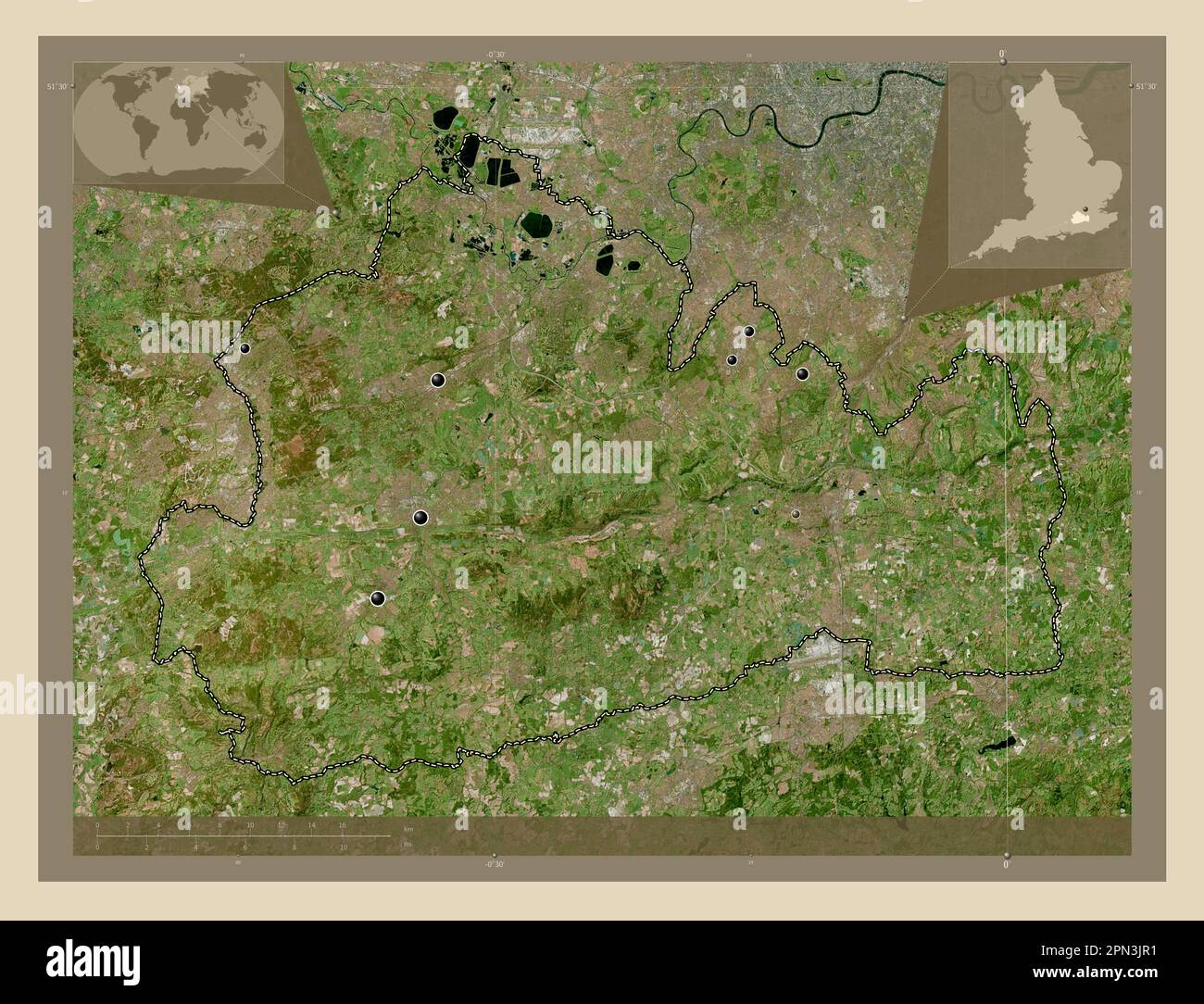 Surrey, administrative county of England - Great Britain. High resolution satellite map. Locations of major cities of the region. Corner auxiliary loc Stock Photohttps://www.alamy.com/image-license-details/?v=1https://www.alamy.com/surrey-administrative-county-of-england-great-britain-high-resolution-satellite-map-locations-of-major-cities-of-the-region-corner-auxiliary-loc-image546509797.html
RF2PN3JR1–Surrey, administrative county of England - Great Britain. High resolution satellite map. Locations of major cities of the region. Corner auxiliary loc
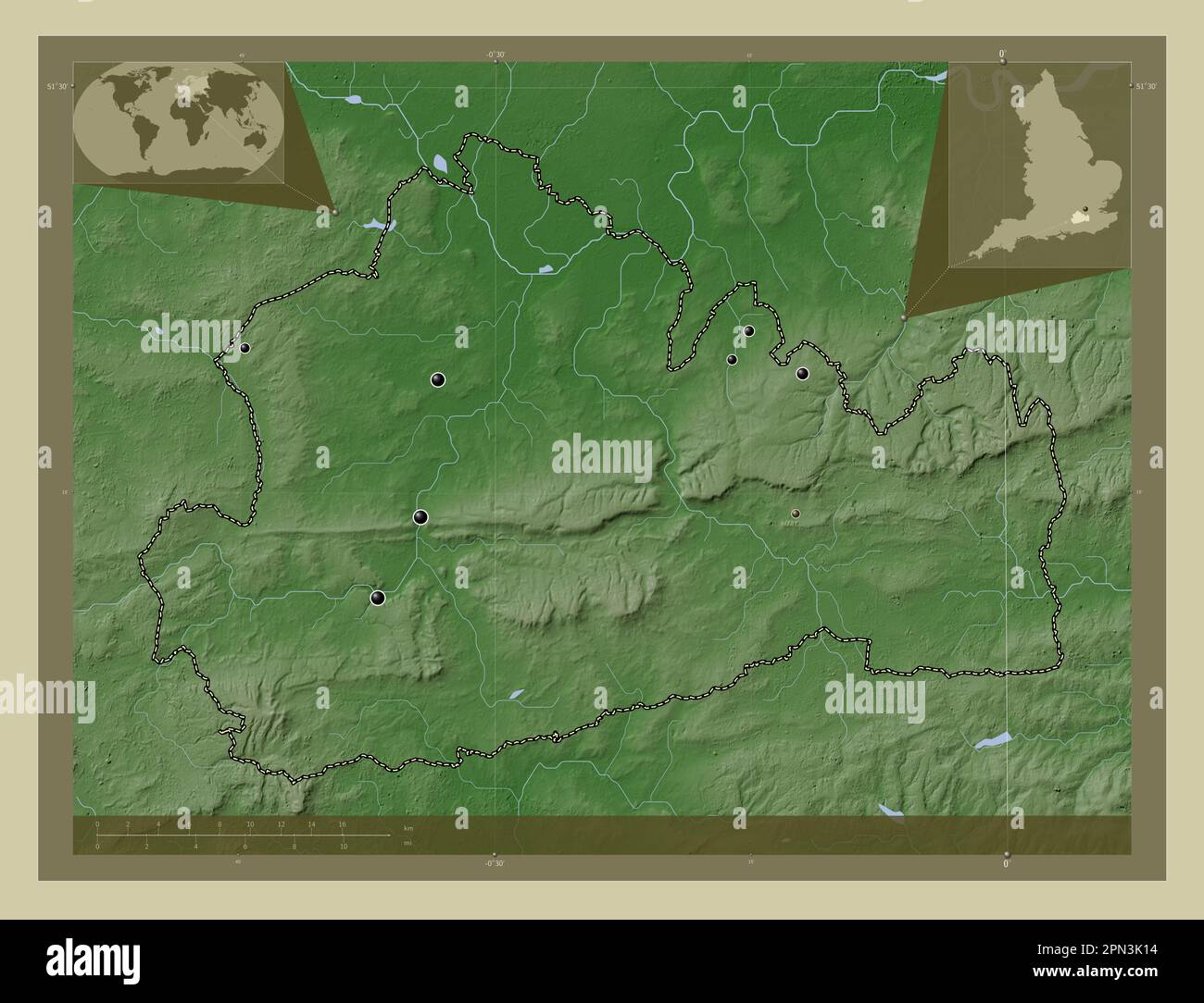 Surrey, administrative county of England - Great Britain. Elevation map colored in wiki style with lakes and rivers. Locations of major cities of the Stock Photohttps://www.alamy.com/image-license-details/?v=1https://www.alamy.com/surrey-administrative-county-of-england-great-britain-elevation-map-colored-in-wiki-style-with-lakes-and-rivers-locations-of-major-cities-of-the-image546509968.html
RF2PN3K14–Surrey, administrative county of England - Great Britain. Elevation map colored in wiki style with lakes and rivers. Locations of major cities of the
 Surrey, administrative county of England - Great Britain. Elevation map colored in sepia tones with lakes and rivers. Locations of major cities of the Stock Photohttps://www.alamy.com/image-license-details/?v=1https://www.alamy.com/surrey-administrative-county-of-england-great-britain-elevation-map-colored-in-sepia-tones-with-lakes-and-rivers-locations-of-major-cities-of-the-image546509945.html
RF2PN3K09–Surrey, administrative county of England - Great Britain. Elevation map colored in sepia tones with lakes and rivers. Locations of major cities of the
 Surrey, administrative county of England - Great Britain. High resolution satellite map. Locations and names of major cities of the region. Corner aux Stock Photohttps://www.alamy.com/image-license-details/?v=1https://www.alamy.com/surrey-administrative-county-of-england-great-britain-high-resolution-satellite-map-locations-and-names-of-major-cities-of-the-region-corner-aux-image546509852.html
RF2PN3JW0–Surrey, administrative county of England - Great Britain. High resolution satellite map. Locations and names of major cities of the region. Corner aux
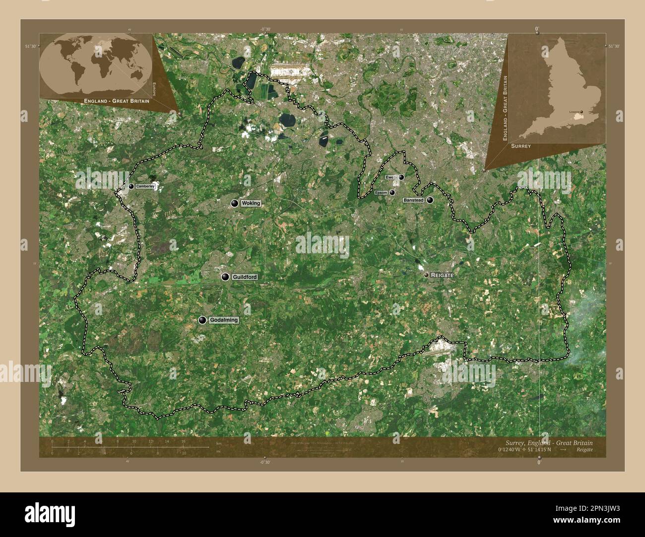 Surrey, administrative county of England - Great Britain. Low resolution satellite map. Locations and names of major cities of the region. Corner auxi Stock Photohttps://www.alamy.com/image-license-details/?v=1https://www.alamy.com/surrey-administrative-county-of-england-great-britain-low-resolution-satellite-map-locations-and-names-of-major-cities-of-the-region-corner-auxi-image546509855.html
RF2PN3JW3–Surrey, administrative county of England - Great Britain. Low resolution satellite map. Locations and names of major cities of the region. Corner auxi
 Surrey, administrative county of England - Great Britain. Elevation map colored in wiki style with lakes and rivers. Locations and names of major citi Stock Photohttps://www.alamy.com/image-license-details/?v=1https://www.alamy.com/surrey-administrative-county-of-england-great-britain-elevation-map-colored-in-wiki-style-with-lakes-and-rivers-locations-and-names-of-major-citi-image546510017.html
RF2PN3K2W–Surrey, administrative county of England - Great Britain. Elevation map colored in wiki style with lakes and rivers. Locations and names of major citi
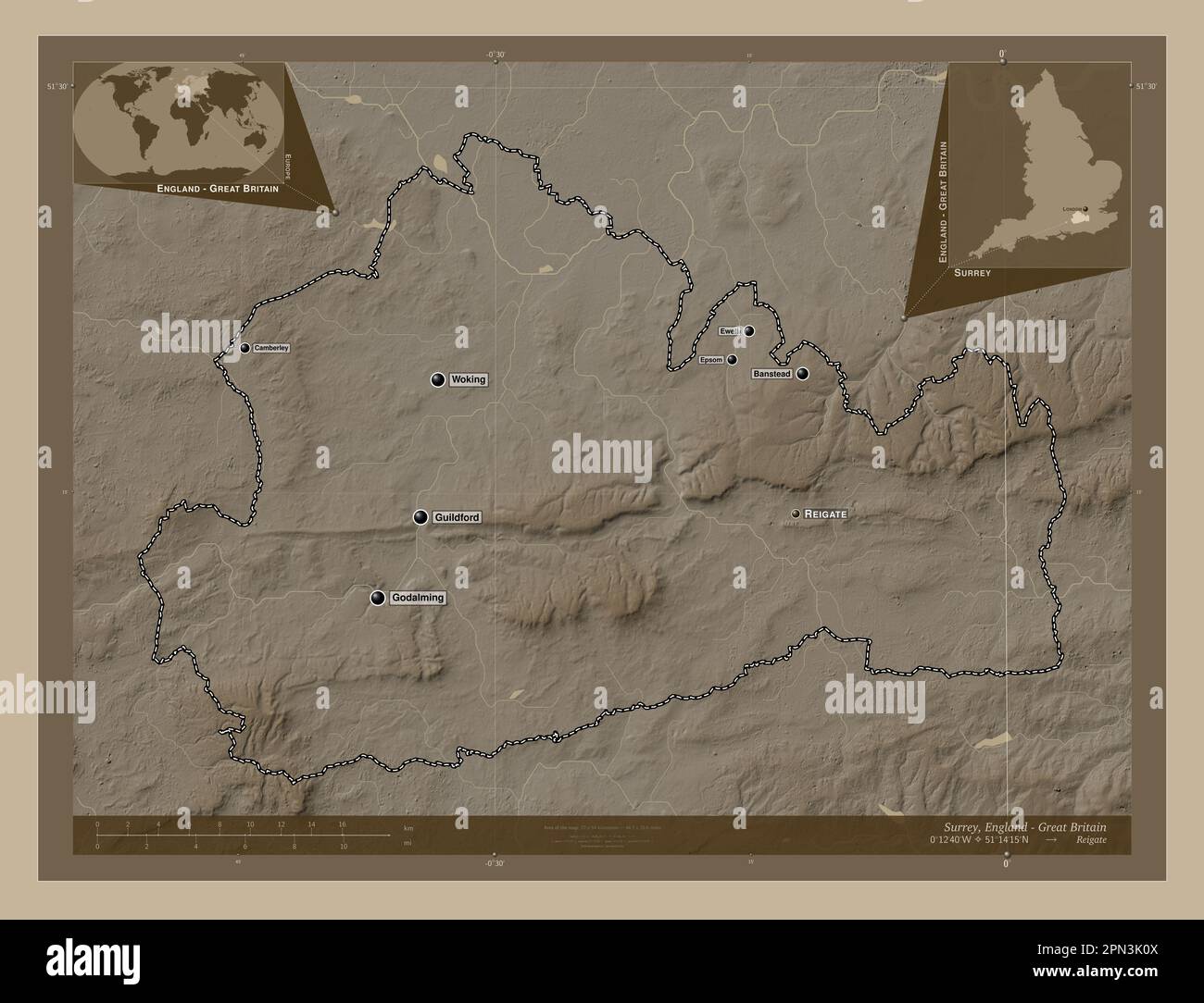 Surrey, administrative county of England - Great Britain. Elevation map colored in sepia tones with lakes and rivers. Locations and names of major cit Stock Photohttps://www.alamy.com/image-license-details/?v=1https://www.alamy.com/surrey-administrative-county-of-england-great-britain-elevation-map-colored-in-sepia-tones-with-lakes-and-rivers-locations-and-names-of-major-cit-image546509962.html
RF2PN3K0X–Surrey, administrative county of England - Great Britain. Elevation map colored in sepia tones with lakes and rivers. Locations and names of major cit
 Surrey, administrative county of England - Great Britain. Solid color shape. Locations and names of major cities of the region. Corner auxiliary locat Stock Photohttps://www.alamy.com/image-license-details/?v=1https://www.alamy.com/surrey-administrative-county-of-england-great-britain-solid-color-shape-locations-and-names-of-major-cities-of-the-region-corner-auxiliary-locat-image546509950.html
RF2PN3K0E–Surrey, administrative county of England - Great Britain. Solid color shape. Locations and names of major cities of the region. Corner auxiliary locat
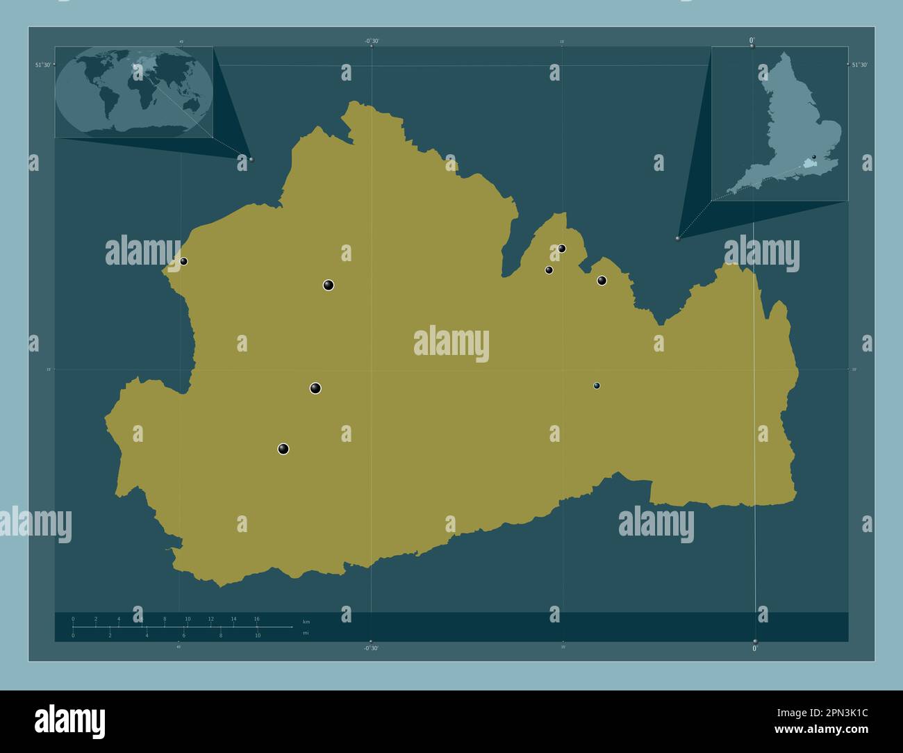 Surrey, administrative county of England - Great Britain. Solid color shape. Locations of major cities of the region. Corner auxiliary location maps Stock Photohttps://www.alamy.com/image-license-details/?v=1https://www.alamy.com/surrey-administrative-county-of-england-great-britain-solid-color-shape-locations-of-major-cities-of-the-region-corner-auxiliary-location-maps-image546509976.html
RF2PN3K1C–Surrey, administrative county of England - Great Britain. Solid color shape. Locations of major cities of the region. Corner auxiliary location maps
 Surrey, administrative county of England - Great Britain. Solid color shape Stock Photohttps://www.alamy.com/image-license-details/?v=1https://www.alamy.com/surrey-administrative-county-of-england-great-britain-solid-color-shape-image546509951.html
RF2PN3K0F–Surrey, administrative county of England - Great Britain. Solid color shape