Quick filters:
Florida counties map Stock Photos and Images
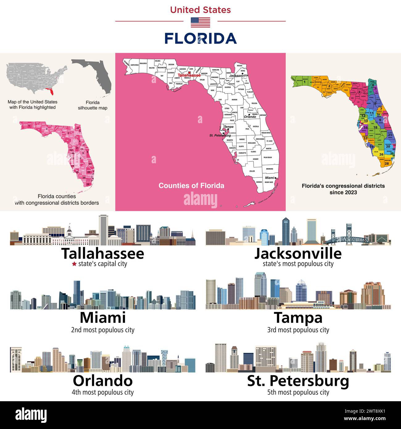 Florida counties map and congressional districts since 2023 map. State's capital city and state's largest cities skylines. Vector set Stock Vectorhttps://www.alamy.com/image-license-details/?v=1https://www.alamy.com/florida-counties-map-and-congressional-districts-since-2023-map-states-capital-city-and-states-largest-cities-skylines-vector-set-image600100789.html
RF2WT8XK1–Florida counties map and congressional districts since 2023 map. State's capital city and state's largest cities skylines. Vector set
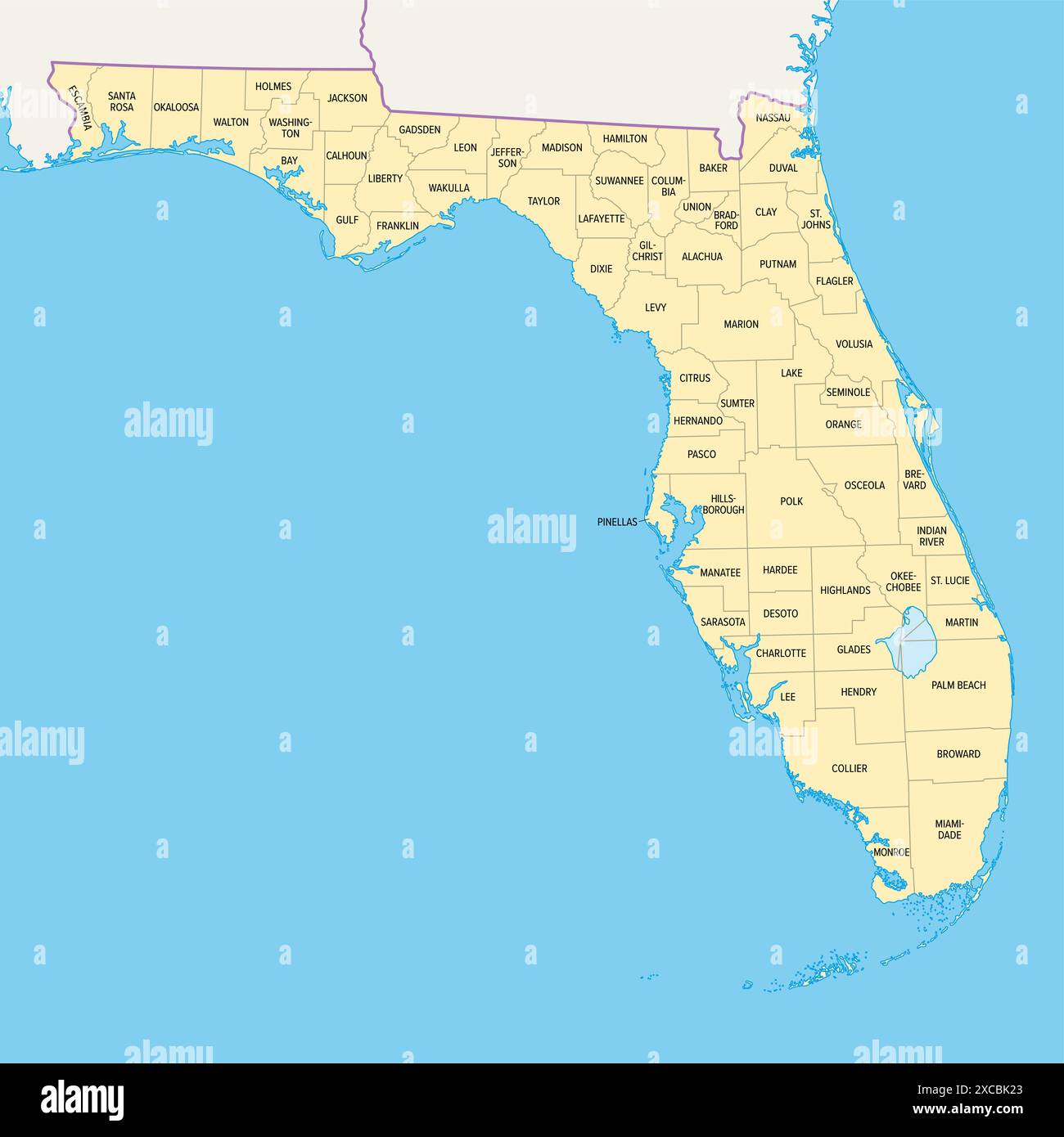 Florida state counties, political map. Florida, a state in the Southeastern region of the United States, subdivided into 67 counties. Stock Photohttps://www.alamy.com/image-license-details/?v=1https://www.alamy.com/florida-state-counties-political-map-florida-a-state-in-the-southeastern-region-of-the-united-states-subdivided-into-67-counties-image609995179.html
RF2XCBK23–Florida state counties, political map. Florida, a state in the Southeastern region of the United States, subdivided into 67 counties.
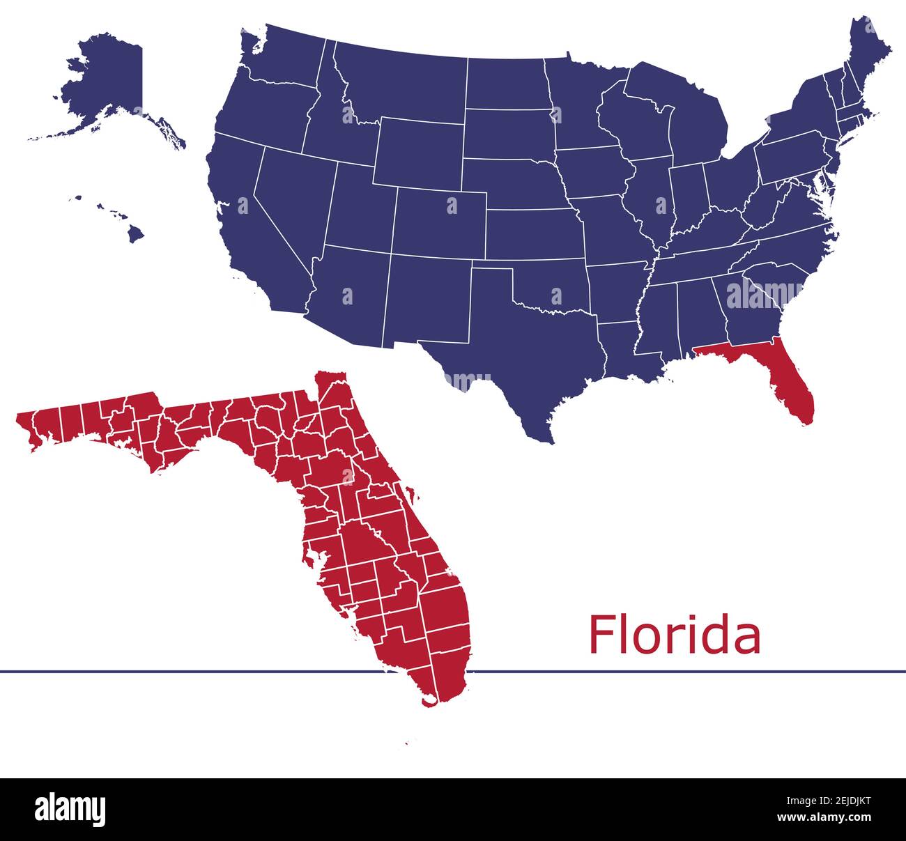 Florida counties vector map outline with USA map colors national flag Stock Vectorhttps://www.alamy.com/image-license-details/?v=1https://www.alamy.com/florida-counties-vector-map-outline-with-usa-map-colors-national-flag-image407202316.html
RF2EJDJKT–Florida counties vector map outline with USA map colors national flag
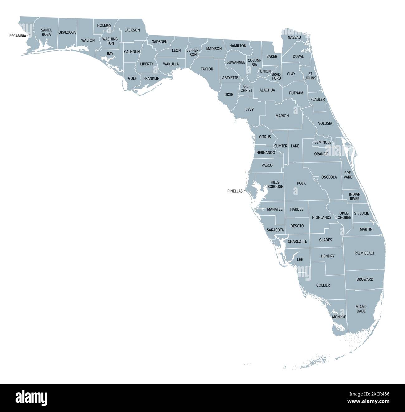 Florida state counties, gray political map. Florida, a state in the Southeastern region of the United States, subdivided into 67 counties. Stock Photohttps://www.alamy.com/image-license-details/?v=1https://www.alamy.com/florida-state-counties-gray-political-map-florida-a-state-in-the-southeastern-region-of-the-united-states-subdivided-into-67-counties-image610246930.html
RF2XCR456–Florida state counties, gray political map. Florida, a state in the Southeastern region of the United States, subdivided into 67 counties.
 Florida maps vector outline counties, townships, regions, municipalities, departments, borders Stock Vectorhttps://www.alamy.com/image-license-details/?v=1https://www.alamy.com/florida-maps-vector-outline-counties-townships-regions-municipalities-departments-borders-image358302779.html
RF2BPX2RR–Florida maps vector outline counties, townships, regions, municipalities, departments, borders
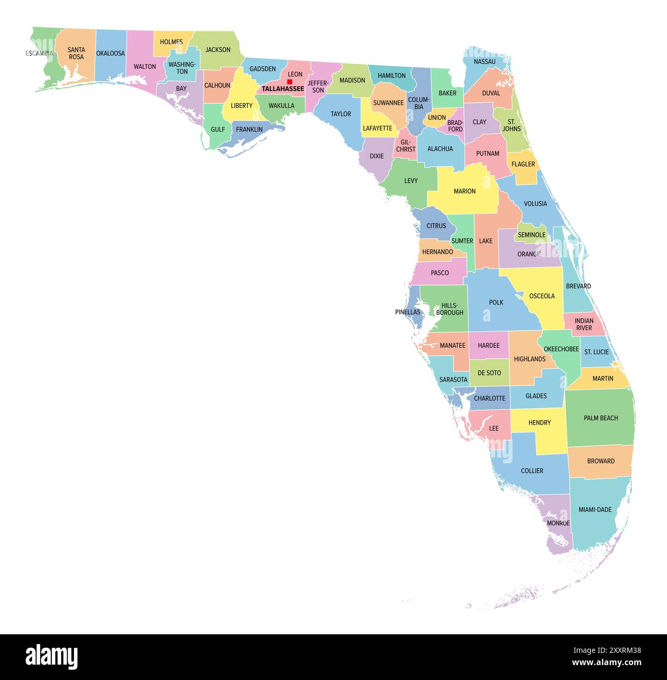 Florida, U.S. state, multi colored political map with borders, county names and its capital Tallahassee. State in Southeastern region of United States. Stock Photohttps://www.alamy.com/image-license-details/?v=1https://www.alamy.com/florida-us-state-multi-colored-political-map-with-borders-county-names-and-its-capital-tallahassee-state-in-southeastern-region-of-united-states-image618864604.html
RF2XXRM38–Florida, U.S. state, multi colored political map with borders, county names and its capital Tallahassee. State in Southeastern region of United States.
 Map of the counties of the state of Florida Stock Photohttps://www.alamy.com/image-license-details/?v=1https://www.alamy.com/map-of-the-counties-of-the-state-of-florida-image575307645.html
RF2TBYENH–Map of the counties of the state of Florida
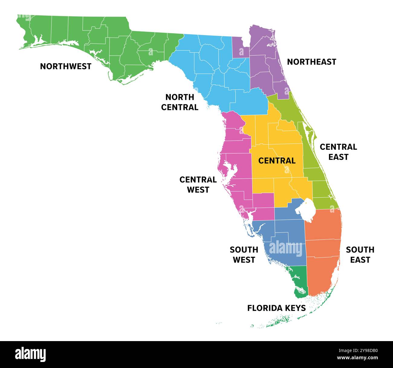 Regions of Florida, a state in the Southeastern United States, colored map. Frequently used division of the U.S. state into 9 main regions. Stock Photohttps://www.alamy.com/image-license-details/?v=1https://www.alamy.com/regions-of-florida-a-state-in-the-southeastern-united-states-colored-map-frequently-used-division-of-the-us-state-into-9-main-regions-image625291268.html
RF2Y98DB0–Regions of Florida, a state in the Southeastern United States, colored map. Frequently used division of the U.S. state into 9 main regions.
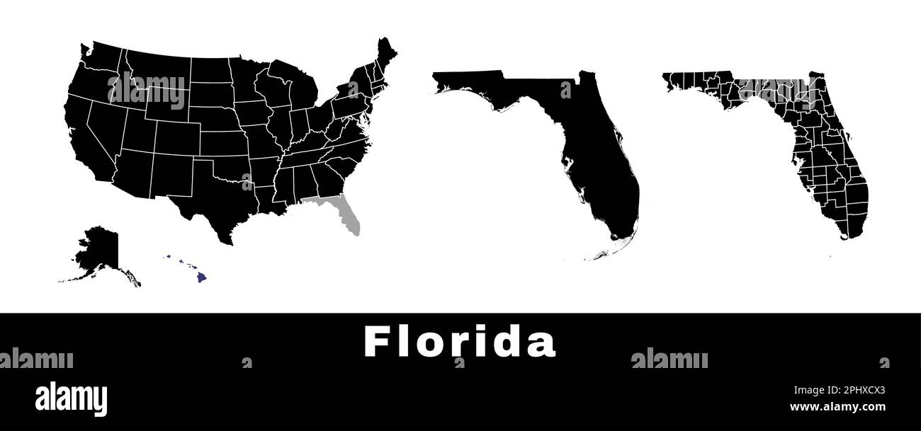 Map of Florida state, USA. Set of Florida maps with outline border, counties and US states map. Black and white color vector illustration. Stock Vectorhttps://www.alamy.com/image-license-details/?v=1https://www.alamy.com/map-of-florida-state-usa-set-of-florida-maps-with-outline-border-counties-and-us-states-map-black-and-white-color-vector-illustration-image544551451.html
RF2PHXCX3–Map of Florida state, USA. Set of Florida maps with outline border, counties and US states map. Black and white color vector illustration.
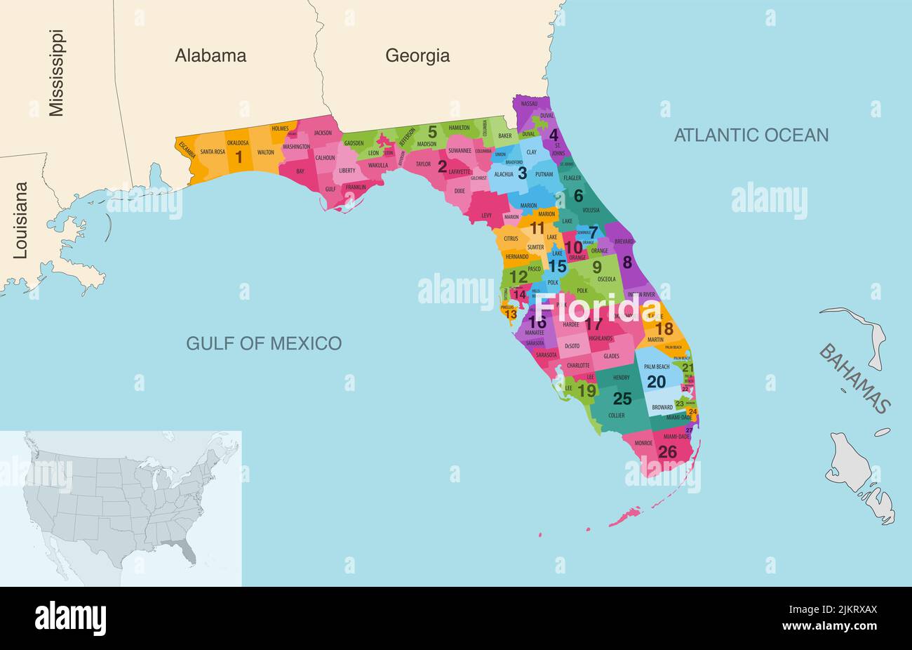 Florida state counties colored by congressional districts vector map with neighbouring states and terrotories Stock Vectorhttps://www.alamy.com/image-license-details/?v=1https://www.alamy.com/florida-state-counties-colored-by-congressional-districts-vector-map-with-neighbouring-states-and-terrotories-image476883986.html
RF2JKRXAX–Florida state counties colored by congressional districts vector map with neighbouring states and terrotories
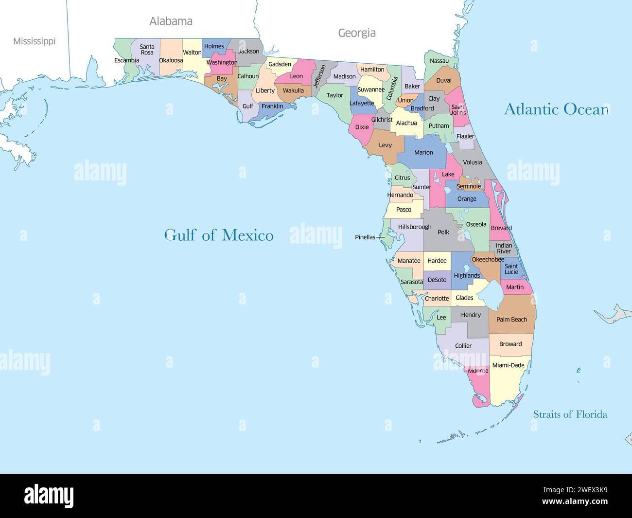 Colorful map of the state of Florida showing county borders. Stock Photohttps://www.alamy.com/image-license-details/?v=1https://www.alamy.com/colorful-map-of-the-state-of-florida-showing-county-borders-image594331341.html
RF2WEX3K9–Colorful map of the state of Florida showing county borders.
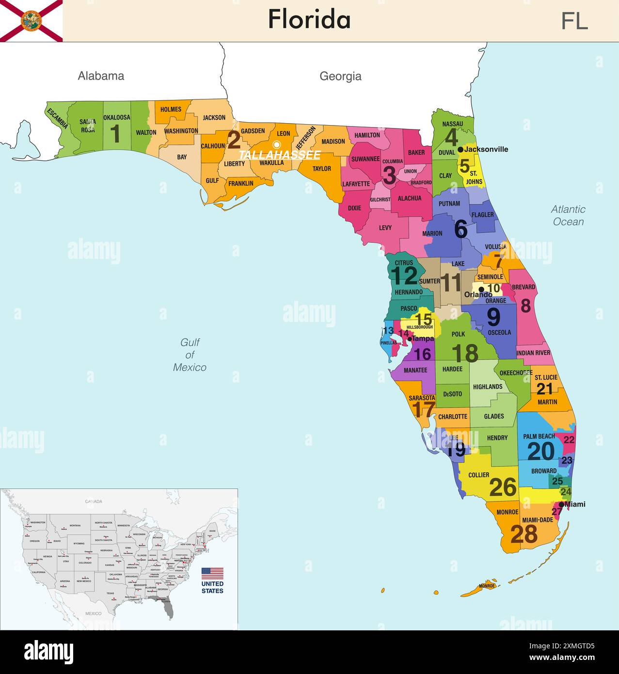 Florida state map with counties borders and colored congressional districts boundaries due to The 2020 United States census and which is valid since 2 Stock Vectorhttps://www.alamy.com/image-license-details/?v=1https://www.alamy.com/florida-state-map-with-counties-borders-and-colored-congressional-districts-boundaries-due-to-the-2020-united-states-census-and-which-is-valid-since-2-image615026417.html
RF2XMGTD5–Florida state map with counties borders and colored congressional districts boundaries due to The 2020 United States census and which is valid since 2
 Florida state political map Stock Photohttps://www.alamy.com/image-license-details/?v=1https://www.alamy.com/stock-photo-florida-state-political-map-18322873.html
RFB1PK09–Florida state political map
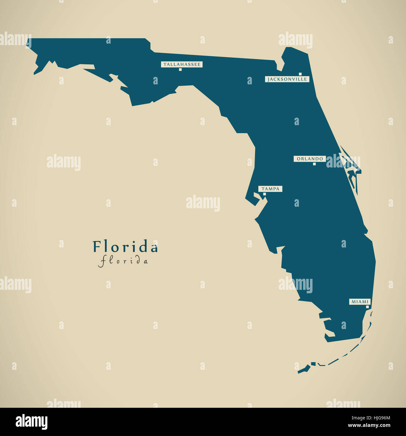 Modern Map - Florida USA federal state illustration silhouette Stock Photohttps://www.alamy.com/image-license-details/?v=1https://www.alamy.com/stock-photo-modern-map-florida-usa-federal-state-illustration-silhouette-131894860.html
RFHJG96M–Modern Map - Florida USA federal state illustration silhouette
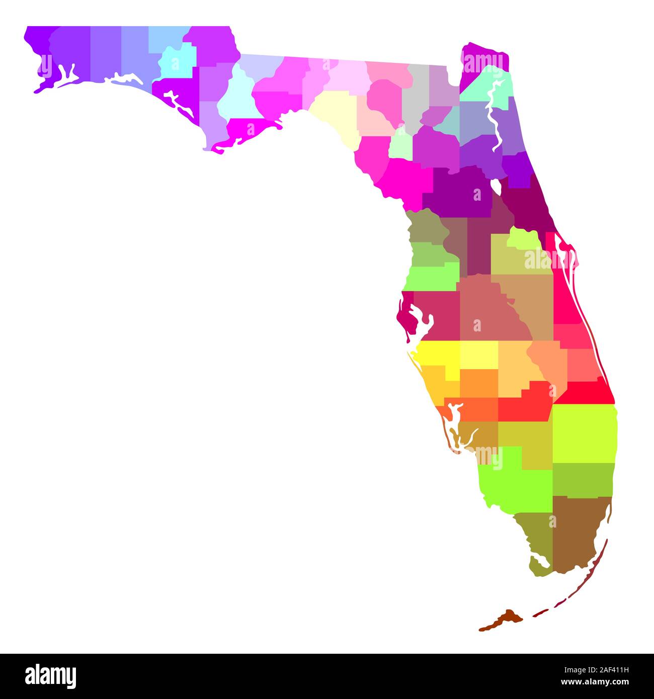 Colorful Map of Florida Stock Photohttps://www.alamy.com/image-license-details/?v=1https://www.alamy.com/colorful-map-of-florida-image336305469.html
RF2AF411H–Colorful Map of Florida
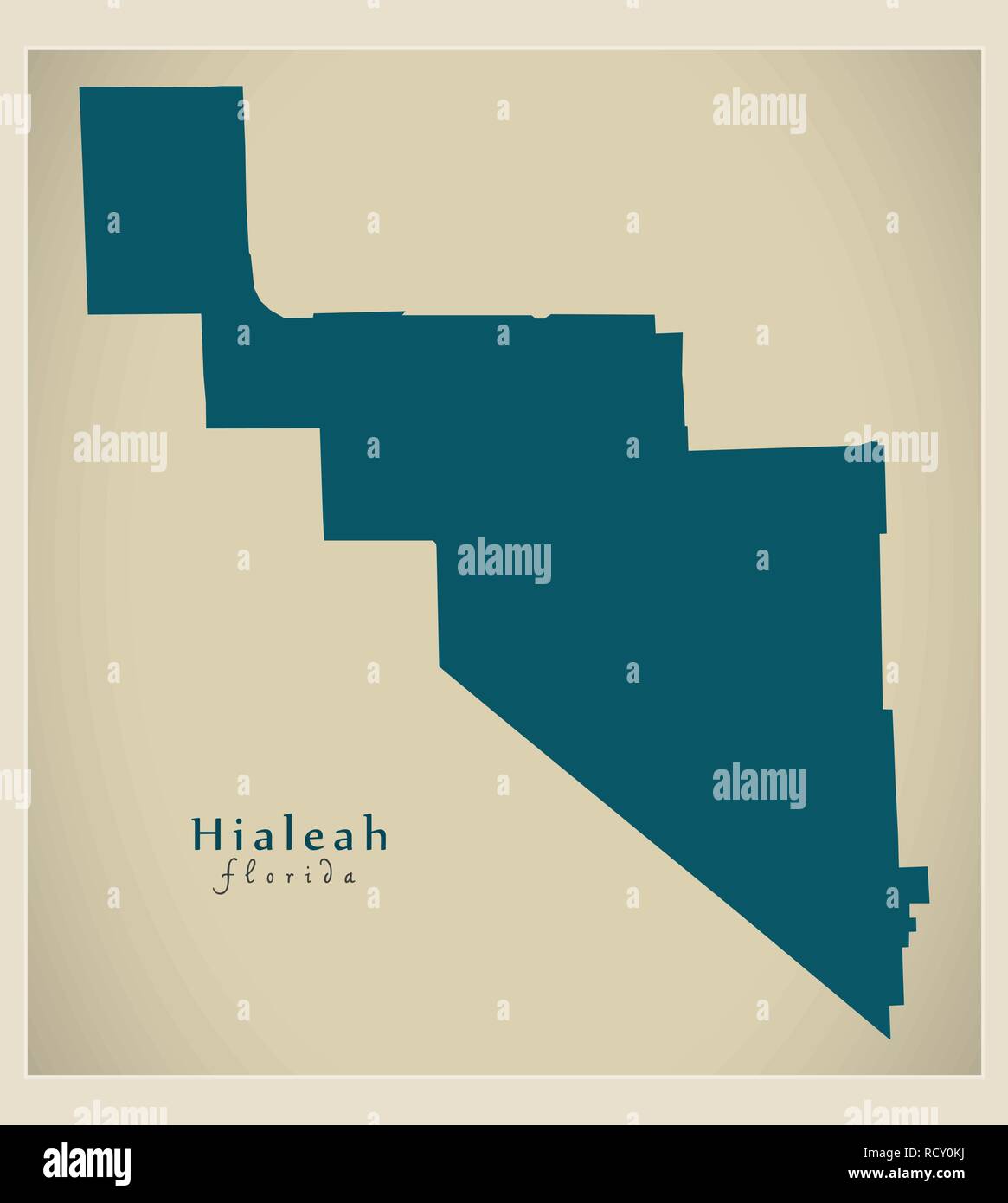 Modern City Map - Hialeah Florida city of the USA Stock Vectorhttps://www.alamy.com/image-license-details/?v=1https://www.alamy.com/modern-city-map-hialeah-florida-city-of-the-usa-image231703910.html
RFRCY0KJ–Modern City Map - Hialeah Florida city of the USA
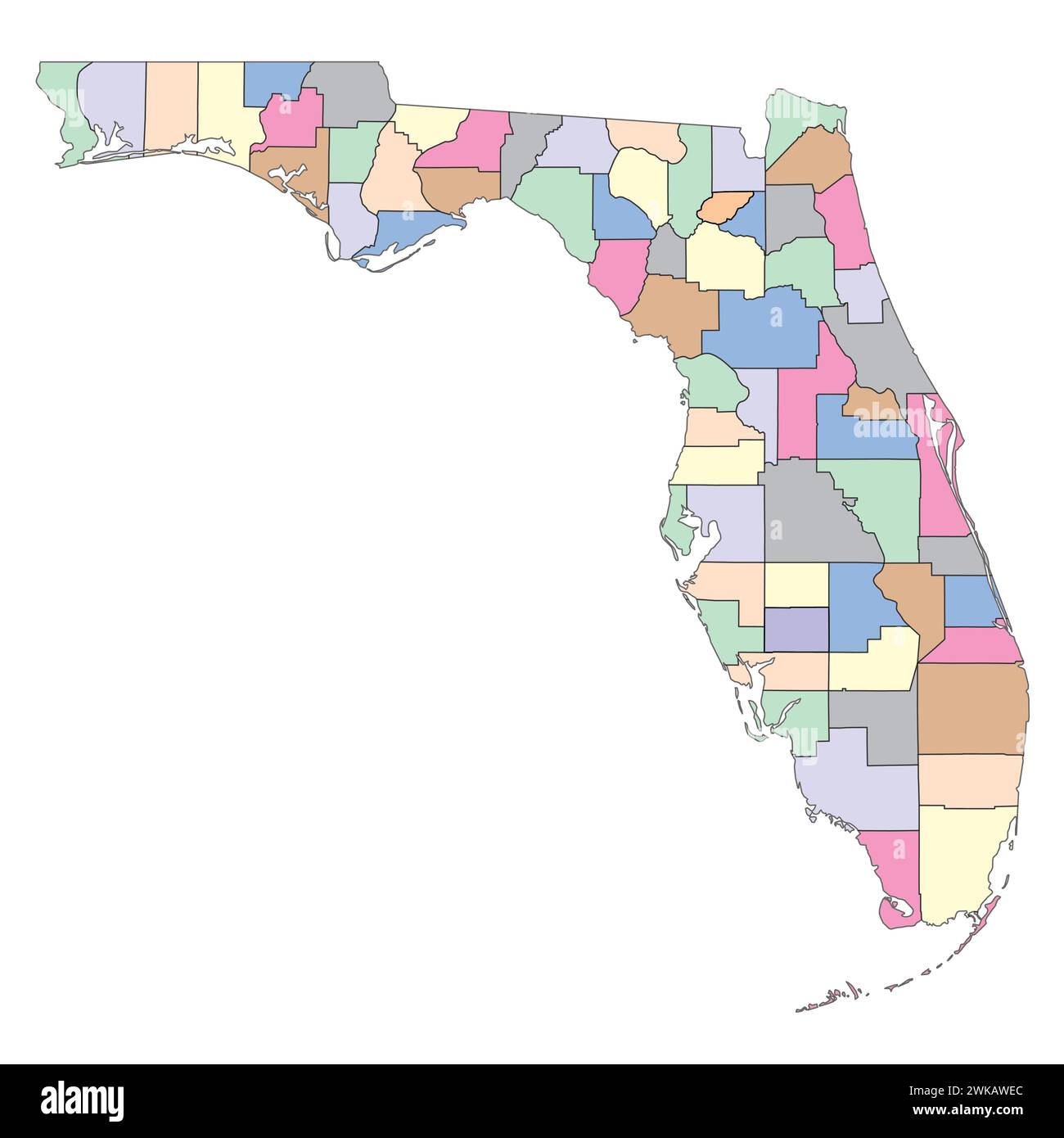 Editable vector file of the state of Florida with counties included. Stock Vectorhttps://www.alamy.com/image-license-details/?v=1https://www.alamy.com/editable-vector-file-of-the-state-of-florida-with-counties-included-image597070500.html
RF2WKAWEC–Editable vector file of the state of Florida with counties included.
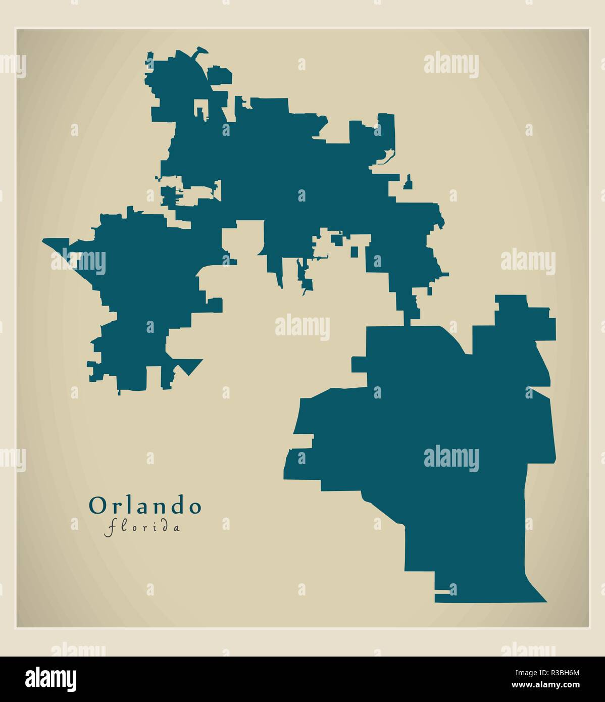 Modern City Map - Orlando Florida city of the USA Stock Vectorhttps://www.alamy.com/image-license-details/?v=1https://www.alamy.com/modern-city-map-orlando-florida-city-of-the-usa-image225833740.html
RFR3BH6M–Modern City Map - Orlando Florida city of the USA
 Word cloud in the shape of Florida showing cities in Florida Stock Photohttps://www.alamy.com/image-license-details/?v=1https://www.alamy.com/stock-photo-word-cloud-in-the-shape-of-florida-showing-cities-in-florida-81996610.html
RFENB7EA–Word cloud in the shape of Florida showing cities in Florida
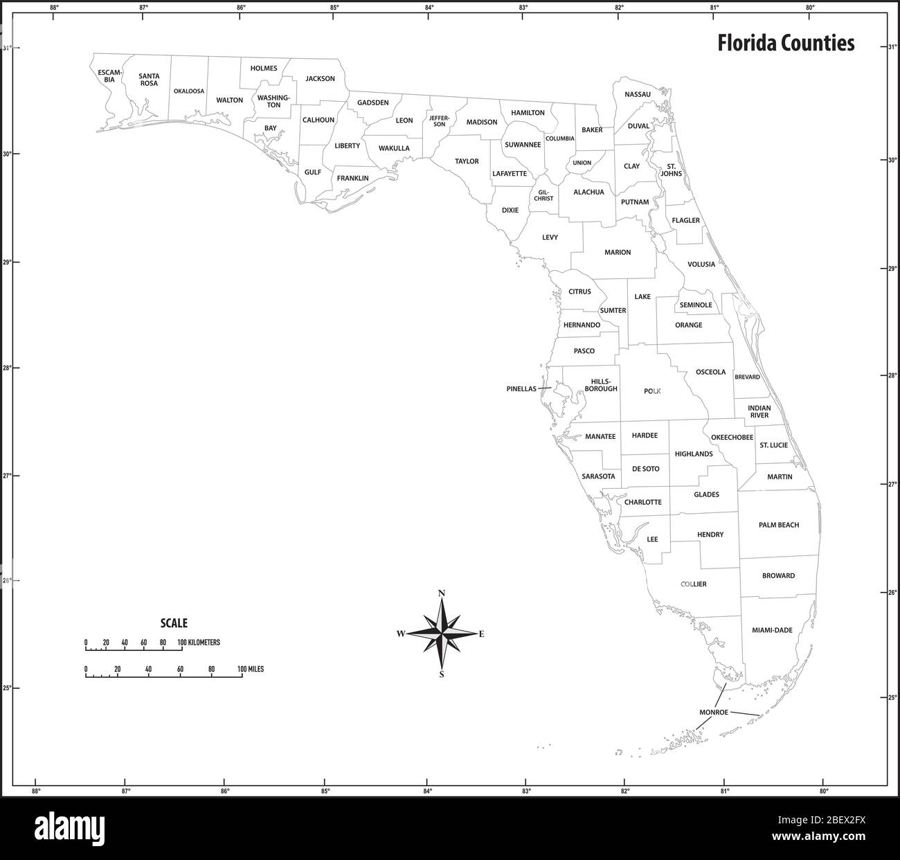 florida state outline administrative and political map in black and white in black and white Stock Vectorhttps://www.alamy.com/image-license-details/?v=1https://www.alamy.com/florida-state-outline-administrative-and-political-map-in-black-and-white-in-black-and-white-image353385310.html
RF2BEX2FX–florida state outline administrative and political map in black and white in black and white
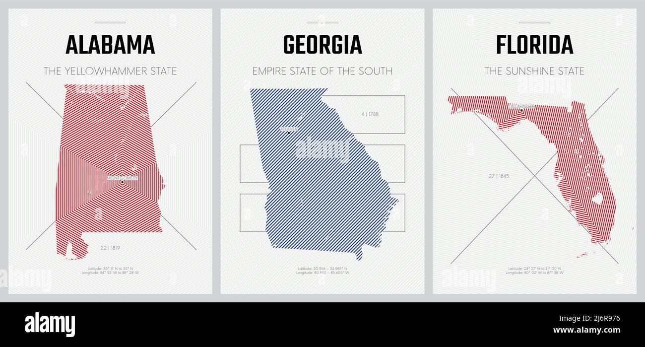 Vector posters detailed silhouettes maps of the states of America with abstract linear pattern, Alabama, Georgia, Florida Stock Vectorhttps://www.alamy.com/image-license-details/?v=1https://www.alamy.com/vector-posters-detailed-silhouettes-maps-of-the-states-of-america-with-abstract-linear-pattern-alabama-georgia-florida-image468880026.html
RF2J6R976–Vector posters detailed silhouettes maps of the states of America with abstract linear pattern, Alabama, Georgia, Florida
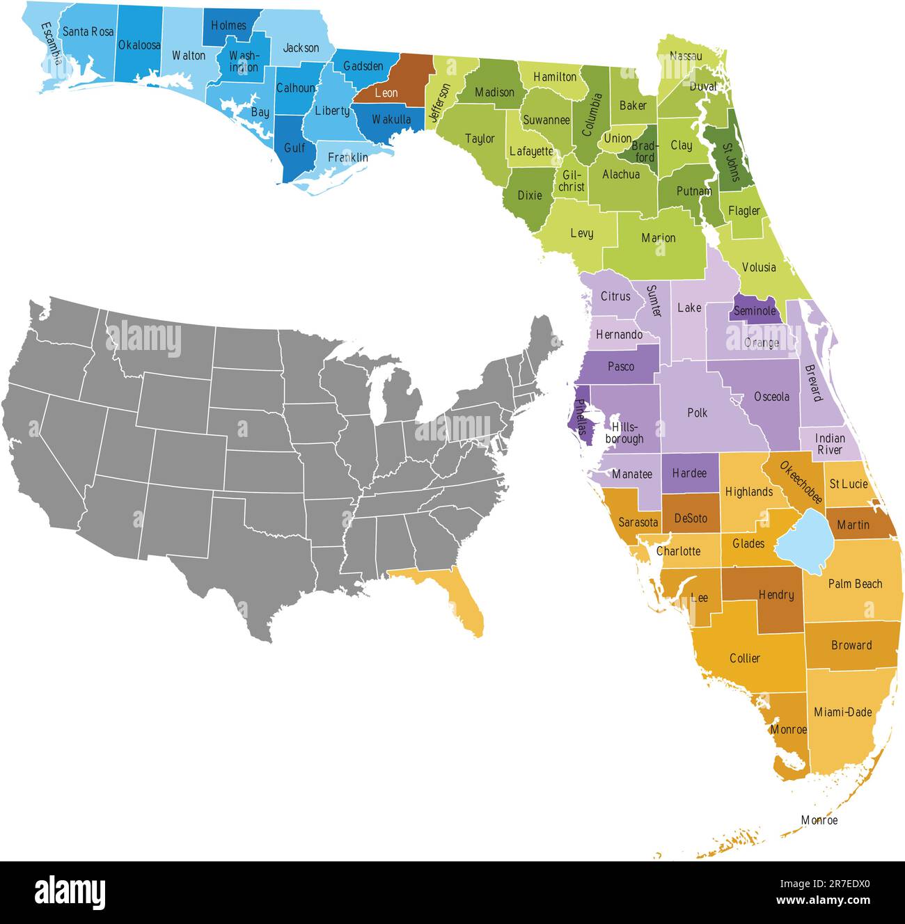 Florida state counties map with boundaries and names . Eps file contains separate layers with county name, boundaries and layer with counties. Ma... Stock Vectorhttps://www.alamy.com/image-license-details/?v=1https://www.alamy.com/florida-state-counties-map-with-boundaries-and-names-eps-file-contains-separate-layers-with-county-name-boundaries-and-layer-with-counties-ma-image555352616.html
RF2R7EDX0–Florida state counties map with boundaries and names . Eps file contains separate layers with county name, boundaries and layer with counties. Ma...
 Vector posters states of the United States with a name, nickname, date admitted to the Union, Alabama, Georgia, Florida Stock Vectorhttps://www.alamy.com/image-license-details/?v=1https://www.alamy.com/vector-posters-states-of-the-united-states-with-a-name-nickname-date-admitted-to-the-union-alabama-georgia-florida-image468880072.html
RF2J6R98T–Vector posters states of the United States with a name, nickname, date admitted to the Union, Alabama, Georgia, Florida
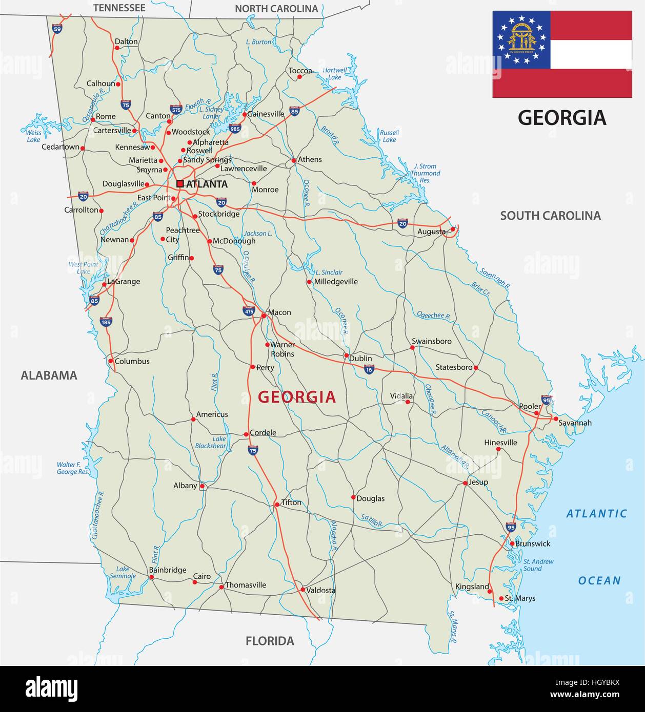 georgia road map with flag Stock Vectorhttps://www.alamy.com/image-license-details/?v=1https://www.alamy.com/stock-photo-georgia-road-map-with-flag-130908958.html
RFHGYBKX–georgia road map with flag
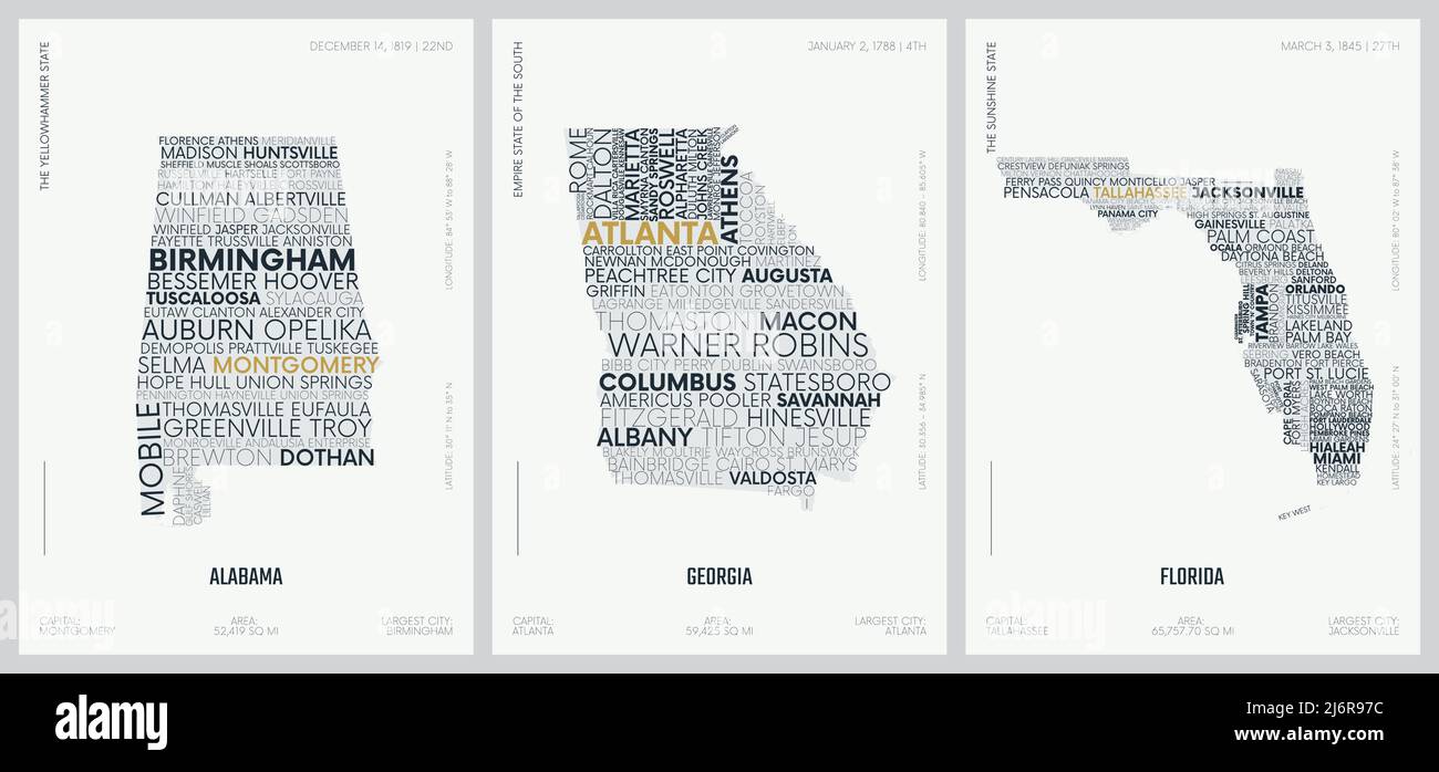 Typography composition of city names, silhouettes maps of the states of America, vector detailed posters, Alabama, Georgia, Florida Stock Vectorhttps://www.alamy.com/image-license-details/?v=1https://www.alamy.com/typography-composition-of-city-names-silhouettes-maps-of-the-states-of-america-vector-detailed-posters-alabama-georgia-florida-image468880032.html
RF2J6R97C–Typography composition of city names, silhouettes maps of the states of America, vector detailed posters, Alabama, Georgia, Florida
 3D grass US State Maps Set I Stock Photohttps://www.alamy.com/image-license-details/?v=1https://www.alamy.com/3d-grass-us-state-maps-set-i-image336399466.html
RF2AF88XJ–3D grass US State Maps Set I
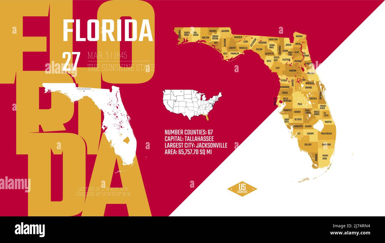 27 of 50 states of the United States, divided into counties with territory nicknames, Detailed vector Florida Map with name and date admitted to the U Stock Vectorhttps://www.alamy.com/image-license-details/?v=1https://www.alamy.com/27-of-50-states-of-the-united-states-divided-into-counties-with-territory-nicknames-detailed-vector-florida-map-with-name-and-date-admitted-to-the-u-image469088960.html
RF2J74RN4–27 of 50 states of the United States, divided into counties with territory nicknames, Detailed vector Florida Map with name and date admitted to the U
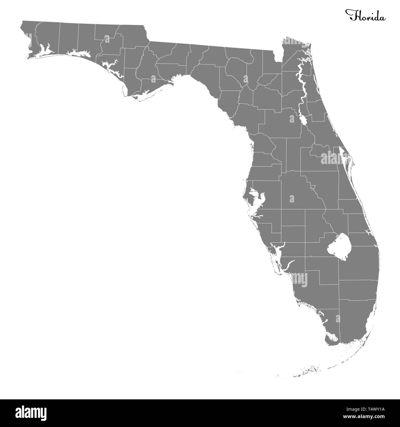 High Quality map of Florida is a state of United States with borders of the counties Stock Vectorhttps://www.alamy.com/image-license-details/?v=1https://www.alamy.com/high-quality-map-of-florida-is-a-state-of-united-states-with-borders-of-the-counties-image243973782.html
RFT4WY1A–High Quality map of Florida is a state of United States with borders of the counties
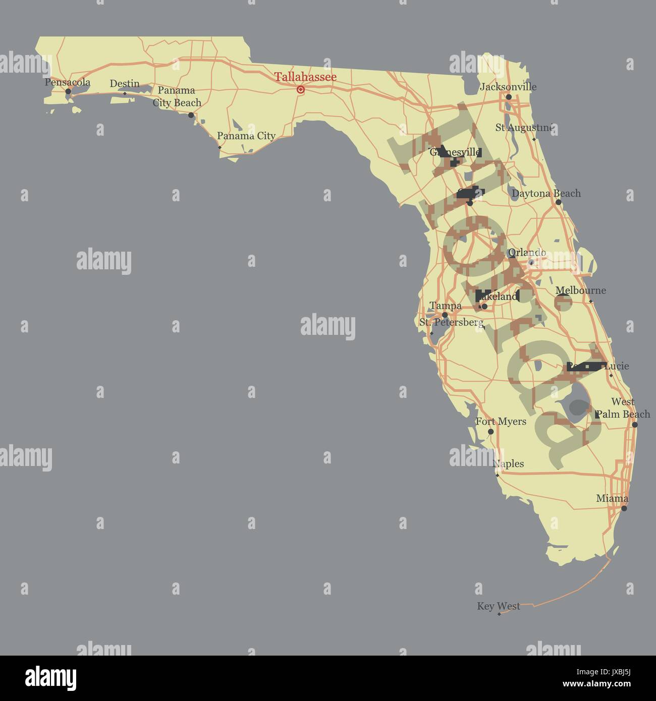 Florida detailed exact detailed State vector Map with Community Assistance and Activates Icons Original yellow Illustration with main roads and city l Stock Vectorhttps://www.alamy.com/image-license-details/?v=1https://www.alamy.com/florida-detailed-exact-detailed-state-vector-map-with-community-assistance-image153919742.html
RFJXBJ5J–Florida detailed exact detailed State vector Map with Community Assistance and Activates Icons Original yellow Illustration with main roads and city l
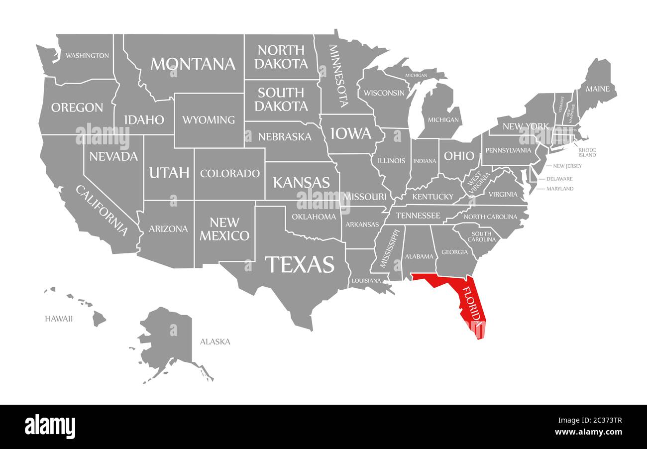 Florida red highlighted in map of the United States of America Stock Photohttps://www.alamy.com/image-license-details/?v=1https://www.alamy.com/florida-red-highlighted-in-map-of-the-united-states-of-america-image363418407.html
RF2C373TR–Florida red highlighted in map of the United States of America
 Geographical Map of United States with States with Counties with Regions with Shadows Stock Photohttps://www.alamy.com/image-license-details/?v=1https://www.alamy.com/geographical-map-of-united-states-with-states-with-counties-with-regions-with-shadows-image473123990.html
RF2JDMJDA–Geographical Map of United States with States with Counties with Regions with Shadows
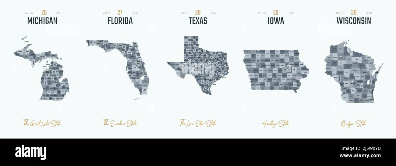 Vector set 6 of 10 Highly detailed silhouettes of US state maps, divided into counties with names and territory nicknames Stock Vectorhttps://www.alamy.com/image-license-details/?v=1https://www.alamy.com/vector-set-6-of-10-highly-detailed-silhouettes-of-us-state-maps-divided-into-counties-with-names-and-territory-nicknames-image468917441.html
RF2J6W0YD–Vector set 6 of 10 Highly detailed silhouettes of US state maps, divided into counties with names and territory nicknames
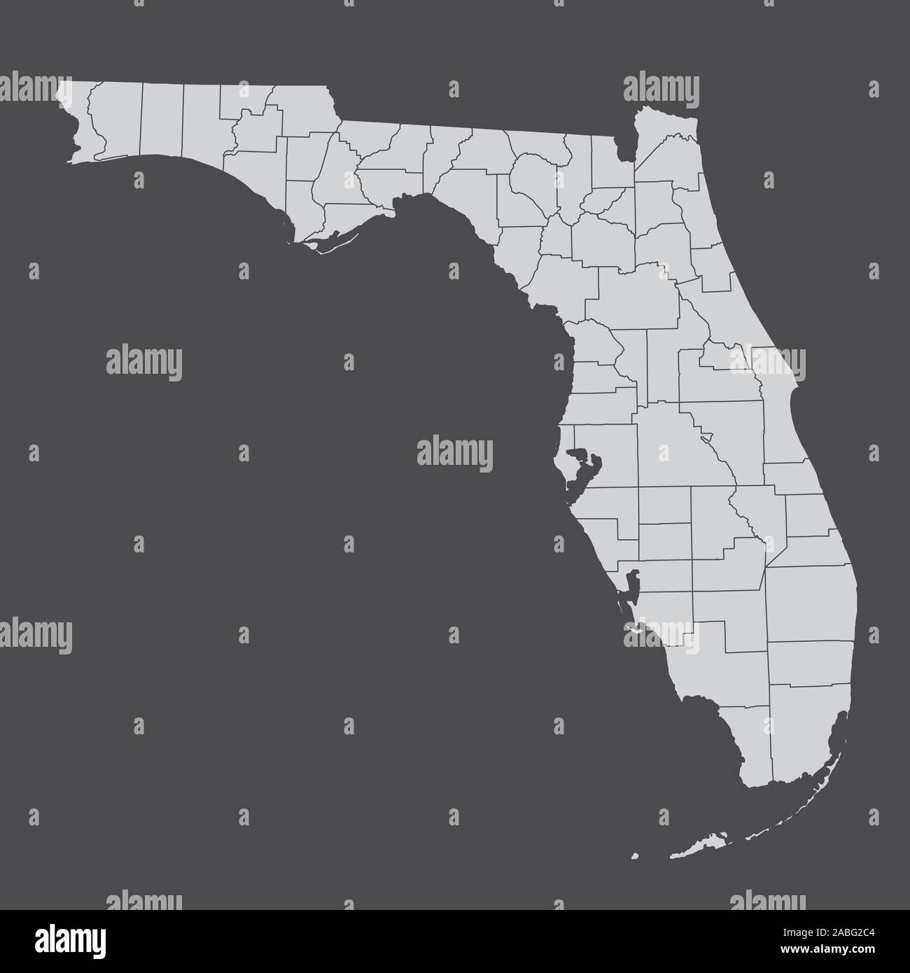 Florida counties map Stock Vectorhttps://www.alamy.com/image-license-details/?v=1https://www.alamy.com/florida-counties-map-image334111348.html
RF2ABG2C4–Florida counties map
 Highly detailed vector silhouettes of US state maps, Division United States into counties, political and geographic subdivisions of a states, South At Stock Vectorhttps://www.alamy.com/image-license-details/?v=1https://www.alamy.com/highly-detailed-vector-silhouettes-of-us-state-maps-division-united-states-into-counties-political-and-geographic-subdivisions-of-a-states-south-at-image468917345.html
RF2J6W0T1–Highly detailed vector silhouettes of US state maps, Division United States into counties, political and geographic subdivisions of a states, South At
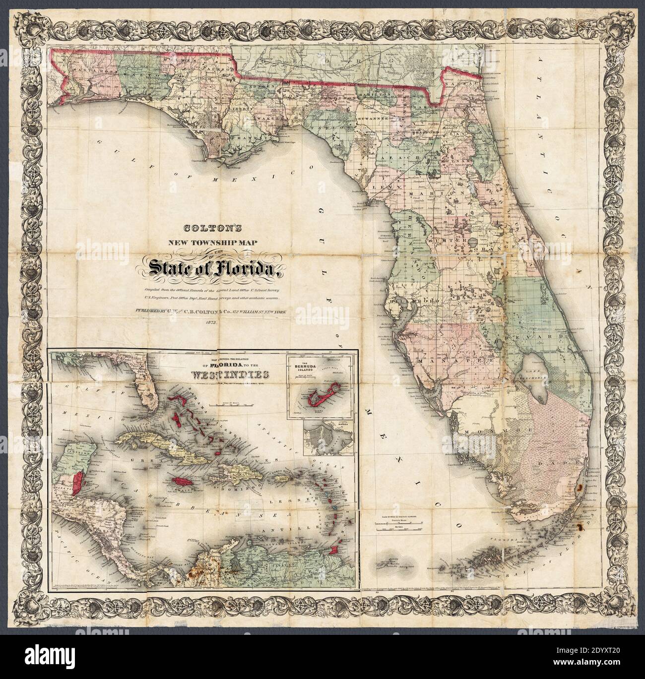 Title of original source: 'Colton's new township map of the state of Florida.' This circa 1873 detailed map includes a maps of the Caribbean, Bermuda, and the city of Havana. Also shows railroads, lakes, swamps, and counties. Stock Photohttps://www.alamy.com/image-license-details/?v=1https://www.alamy.com/title-of-original-source-coltons-new-township-map-of-the-state-of-florida-this-circa-1873-detailed-map-includes-a-maps-of-the-caribbean-bermuda-and-the-city-of-havana-also-shows-railroads-lakes-swamps-and-counties-image395813432.html
RM2DYXT20–Title of original source: 'Colton's new township map of the state of Florida.' This circa 1873 detailed map includes a maps of the Caribbean, Bermuda, and the city of Havana. Also shows railroads, lakes, swamps, and counties.
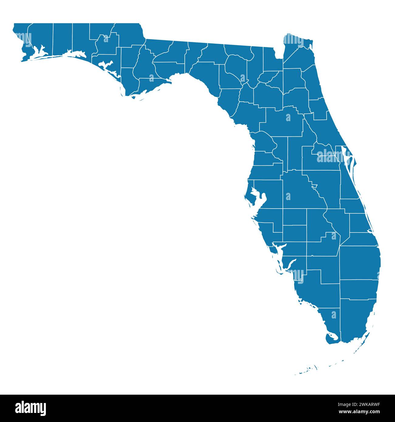 Editable vector file of the state of Florida with counties included. Stock Vectorhttps://www.alamy.com/image-license-details/?v=1https://www.alamy.com/editable-vector-file-of-the-state-of-florida-with-counties-included-image597069243.html
RF2WKARWF–Editable vector file of the state of Florida with counties included.
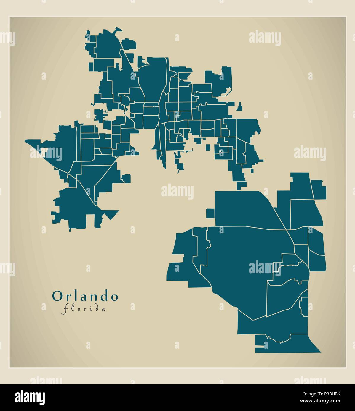 Modern City Map - Orlando Florida city of the USA with neighborhoods Stock Vectorhttps://www.alamy.com/image-license-details/?v=1https://www.alamy.com/modern-city-map-orlando-florida-city-of-the-usa-with-neighborhoods-image225833879.html
RFR3BHBK–Modern City Map - Orlando Florida city of the USA with neighborhoods
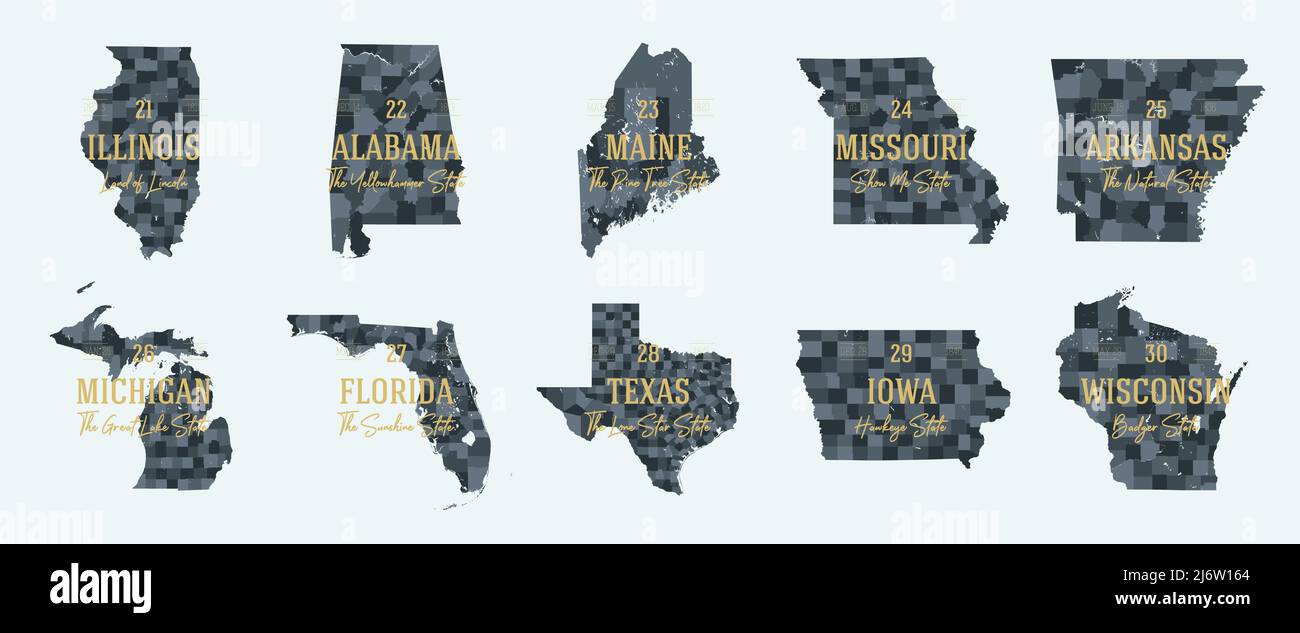 Set 3 of 5 Division United States into counties, political and geographic subdivisions of a states, Highly detailed vector maps with names and territo Stock Vectorhttps://www.alamy.com/image-license-details/?v=1https://www.alamy.com/set-3-of-5-division-united-states-into-counties-political-and-geographic-subdivisions-of-a-states-highly-detailed-vector-maps-with-names-and-territo-image468917628.html
RF2J6W164–Set 3 of 5 Division United States into counties, political and geographic subdivisions of a states, Highly detailed vector maps with names and territo
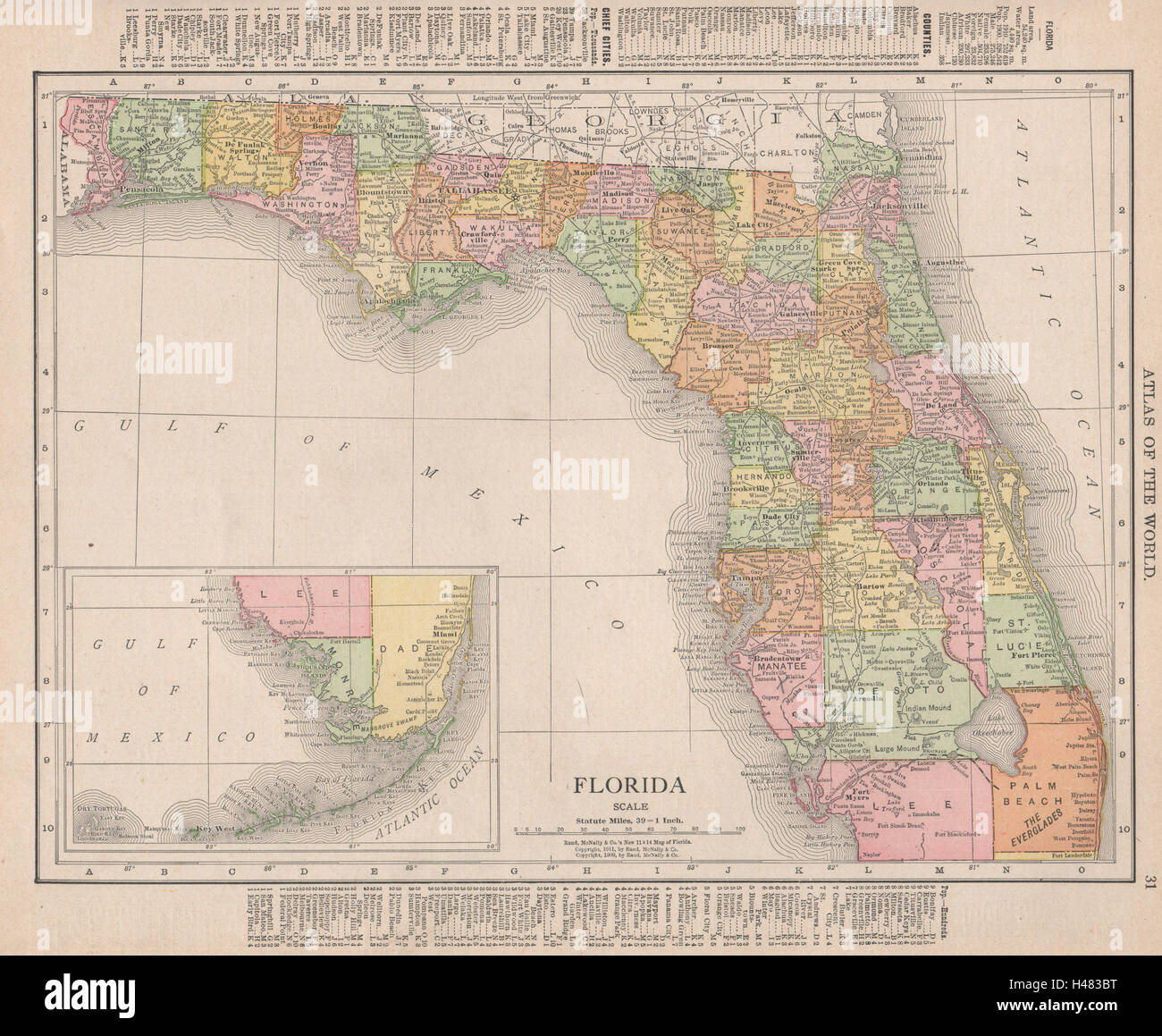 Florida state map showing counties. RAND MCNALLY 1912 old antique chart Stock Photohttps://www.alamy.com/image-license-details/?v=1https://www.alamy.com/stock-photo-florida-state-map-showing-counties-rand-mcnally-1912-old-antique-chart-123109500.html
RFH483BT–Florida state map showing counties. RAND MCNALLY 1912 old antique chart
RF2WJK62G–Icon for orlando,florida
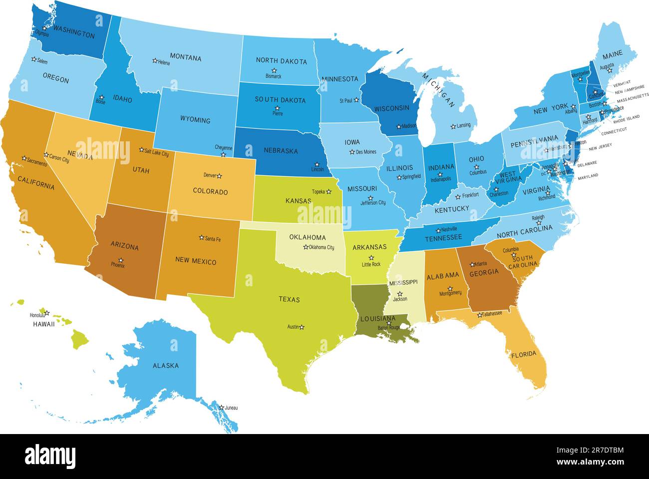 USA states map with names of cities. Eps file contains separate layers with state and sities name, boundaries and layer with counties. Map source... Stock Vectorhttps://www.alamy.com/image-license-details/?v=1https://www.alamy.com/usa-states-map-with-names-of-cities-eps-file-contains-separate-layers-with-state-and-sities-name-boundaries-and-layer-with-counties-map-source-image555338888.html
RF2R7DTBM–USA states map with names of cities. Eps file contains separate layers with state and sities name, boundaries and layer with counties. Map source...
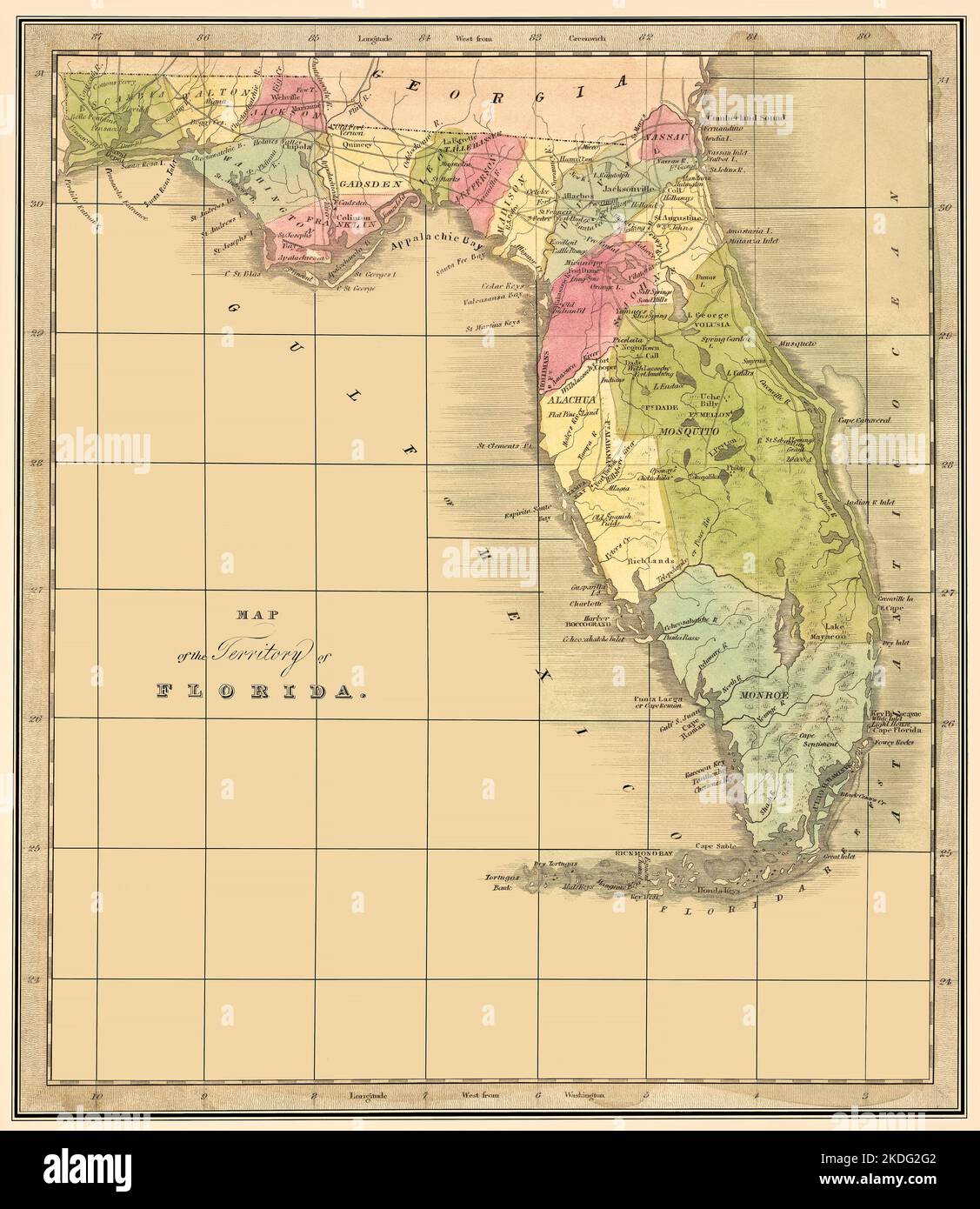 Florida Territory 1842 Map: This is a restored reproduction of an 1842 map of the territory of Florida.Original title: 'Map of the Territory of Florida.' It shows many key place names. Florida became the twenty-seventh state on March 3, 1845. Shows existing counties at about the time of publication. Stock Photohttps://www.alamy.com/image-license-details/?v=1https://www.alamy.com/florida-territory-1842-map-this-is-a-restored-reproduction-of-an-1842-map-of-the-territory-of-floridaoriginal-title-map-of-the-territory-of-florida-it-shows-many-key-place-names-florida-became-the-twenty-seventh-state-on-march-3-1845-shows-existing-counties-at-about-the-time-of-publication-image490234082.html
RF2KDG2G2–Florida Territory 1842 Map: This is a restored reproduction of an 1842 map of the territory of Florida.Original title: 'Map of the Territory of Florida.' It shows many key place names. Florida became the twenty-seventh state on March 3, 1845. Shows existing counties at about the time of publication.
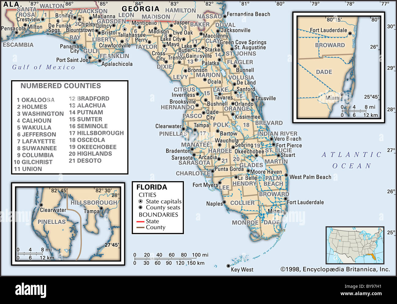 Political map of Florida Stock Photohttps://www.alamy.com/image-license-details/?v=1https://www.alamy.com/stock-photo-political-map-of-florida-34009613.html
RMBY97H1–Political map of Florida
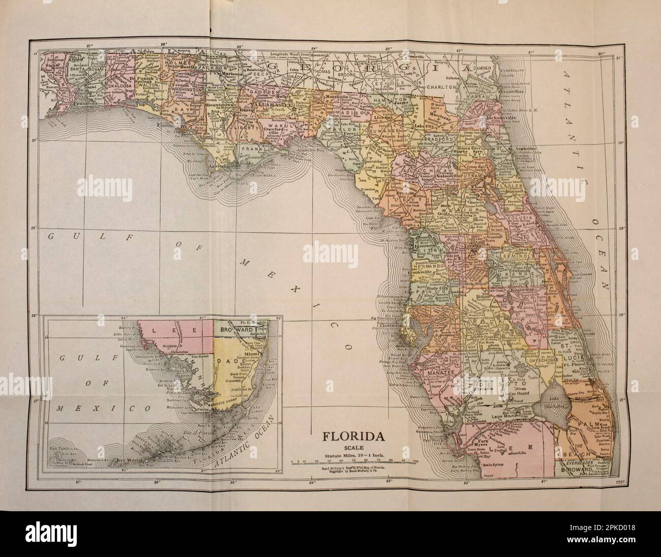 MAP OF FLORIDA from the book ' Florida, the land of enchantment ' by Nevin Otto Winter, 1869-1936 Publication date 1918 Publisher Boston, The Page Company from the ' See America First ' series Stock Photohttps://www.alamy.com/image-license-details/?v=1https://www.alamy.com/map-of-florida-from-the-book-florida-the-land-of-enchantment-by-nevin-otto-winter-1869-1936-publication-date-1918-publisher-boston-the-page-company-from-the-see-america-first-series-image545485284.html
RF2PKD018–MAP OF FLORIDA from the book ' Florida, the land of enchantment ' by Nevin Otto Winter, 1869-1936 Publication date 1918 Publisher Boston, The Page Company from the ' See America First ' series
 Vector posters with highly detailed silhouettes of maps of the states of America, Division South Atlantic and East South Central - Alabama, Georgia, F Stock Vectorhttps://www.alamy.com/image-license-details/?v=1https://www.alamy.com/vector-posters-with-highly-detailed-silhouettes-of-maps-of-the-states-of-america-division-south-atlantic-and-east-south-central-alabama-georgia-f-image468579502.html
RF2J69HX6–Vector posters with highly detailed silhouettes of maps of the states of America, Division South Atlantic and East South Central - Alabama, Georgia, F
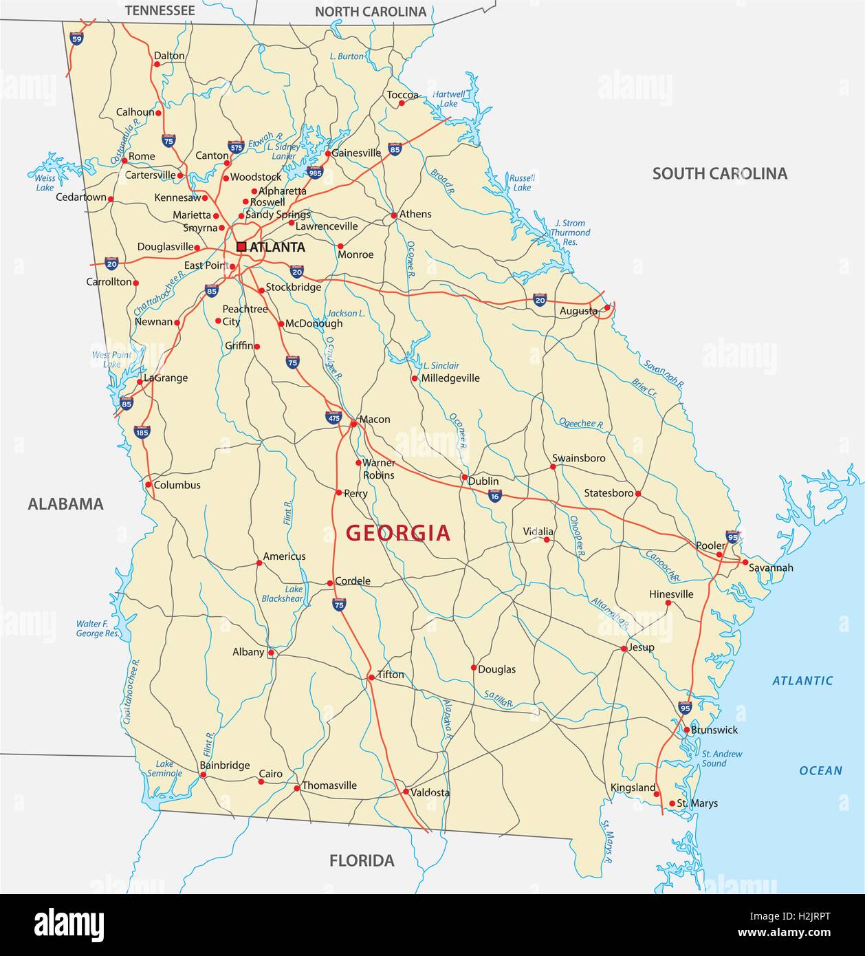 georgia road map Stock Vectorhttps://www.alamy.com/image-license-details/?v=1https://www.alamy.com/stock-photo-georgia-road-map-122115696.html
RFH2JRPT–georgia road map
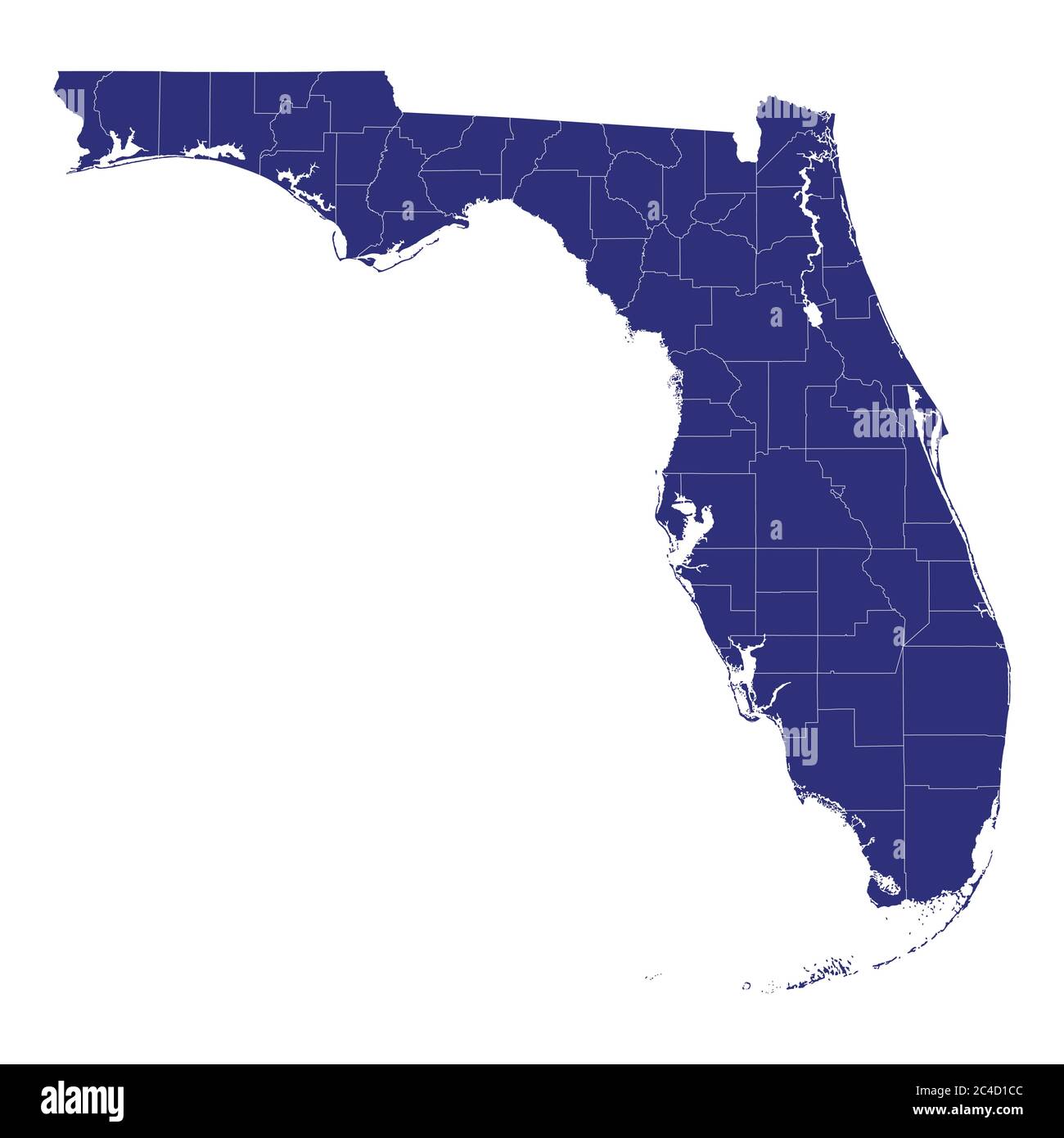 High Quality map of Florida is a state of United States of America with borders of the counties Stock Vectorhttps://www.alamy.com/image-license-details/?v=1https://www.alamy.com/high-quality-map-of-florida-is-a-state-of-united-states-of-america-with-borders-of-the-counties-image364162860.html
RF2C4D1CC–High Quality map of Florida is a state of United States of America with borders of the counties
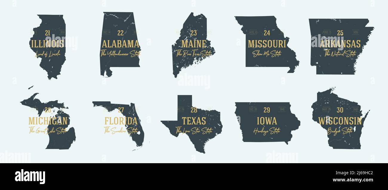 Set 3 of 5 Highly detailed vector silhouettes of USA state maps with names and territory nicknames Stock Vectorhttps://www.alamy.com/image-license-details/?v=1https://www.alamy.com/set-3-of-5-highly-detailed-vector-silhouettes-of-usa-state-maps-with-names-and-territory-nicknames-image468579106.html
RF2J69HC2–Set 3 of 5 Highly detailed vector silhouettes of USA state maps with names and territory nicknames
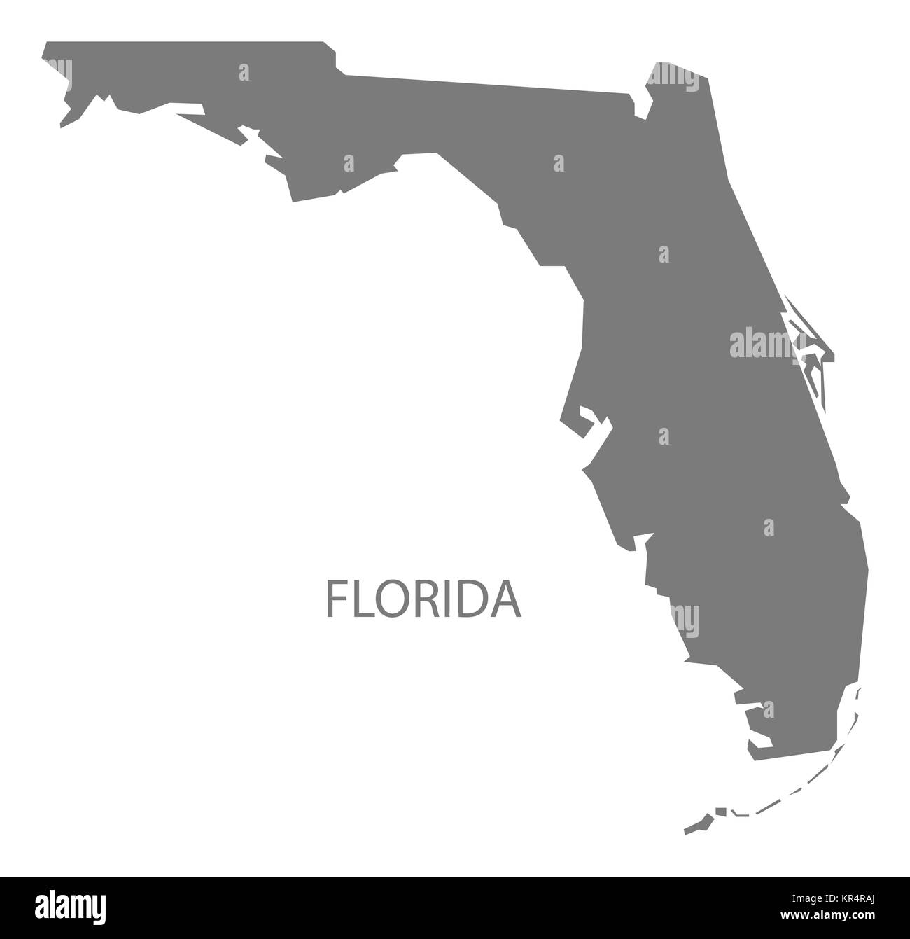 Florida USA Map grey Stock Photohttps://www.alamy.com/image-license-details/?v=1https://www.alamy.com/stock-image-florida-usa-map-grey-169136538.html
RFKR4RAJ–Florida USA Map grey
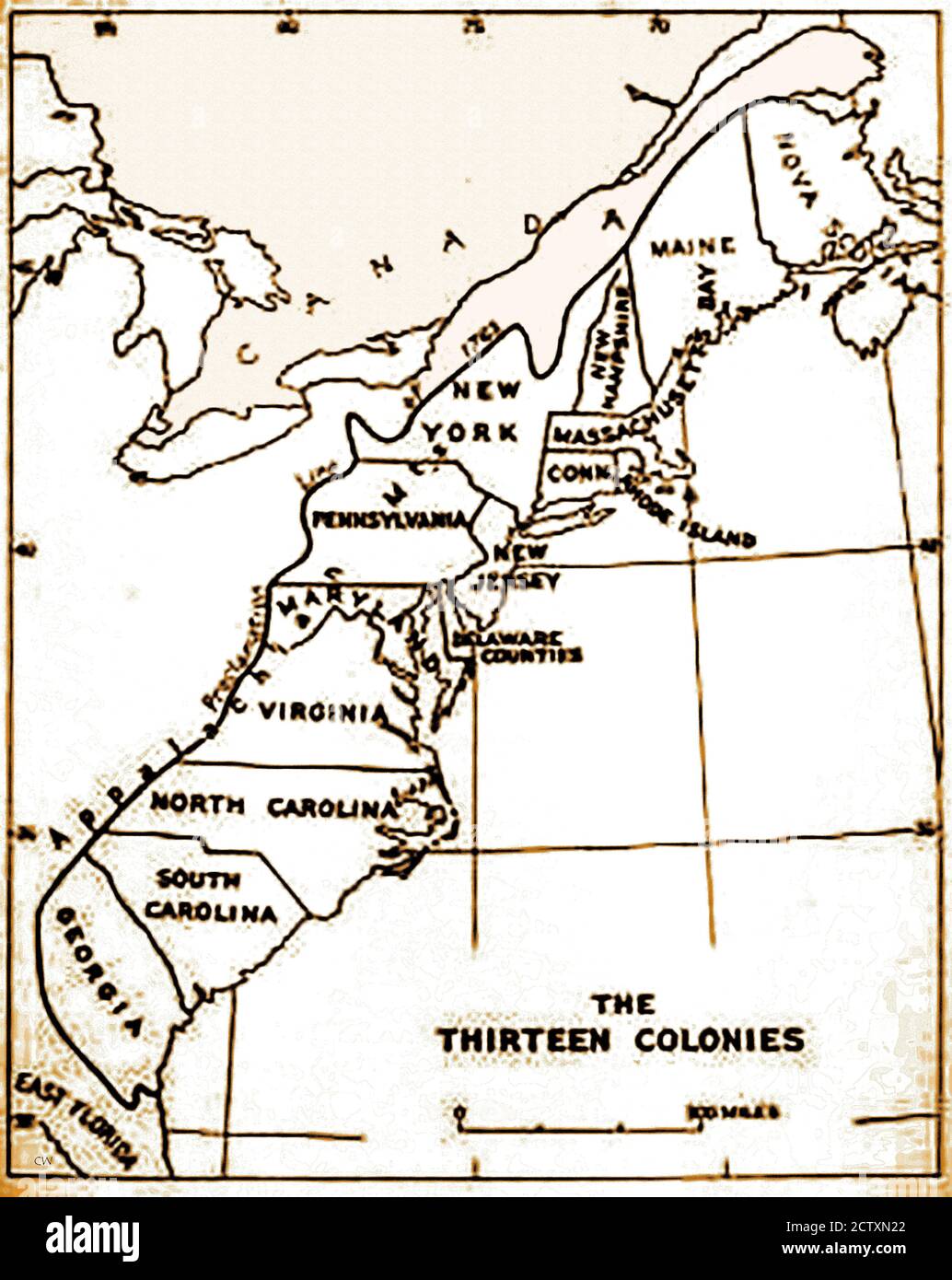 An historical map of the original 13 colonies of the USA. Spain claimed all the land from the Mississippi River to the Pacific Ocean, plus the Gulf of Mexico.The Treaty of Paris created a new nation in 1783 and doubled the size of the original 13 colonies, extending itsboundaries to the Mississippi River. Delaware (a slave state) was the 1st state to ratify the U.S. Constitution in 1787, Pennsylvania was the 2nd in December 12th 1787, declaring itself a 'Free State'. Days later Ndew Jersey followed suit. Stock Photohttps://www.alamy.com/image-license-details/?v=1https://www.alamy.com/an-historical-map-of-the-original-13-colonies-of-the-usa-spain-claimed-all-the-land-from-the-mississippi-river-to-the-pacific-ocean-plus-the-gulf-of-mexicothe-treaty-of-paris-created-a-new-nation-in-1783-and-doubled-the-size-of-the-original-13-colonies-extending-itsboundaries-to-the-mississippi-river-delaware-a-slave-state-was-the-1st-state-to-ratify-the-us-constitution-in-1787-pennsylvania-was-the-2nd-in-december-12th-1787-declaring-itself-a-free-state-days-later-ndew-jersey-followed-suit-image376756746.html
RM2CTXN22–An historical map of the original 13 colonies of the USA. Spain claimed all the land from the Mississippi River to the Pacific Ocean, plus the Gulf of Mexico.The Treaty of Paris created a new nation in 1783 and doubled the size of the original 13 colonies, extending itsboundaries to the Mississippi River. Delaware (a slave state) was the 1st state to ratify the U.S. Constitution in 1787, Pennsylvania was the 2nd in December 12th 1787, declaring itself a 'Free State'. Days later Ndew Jersey followed suit.
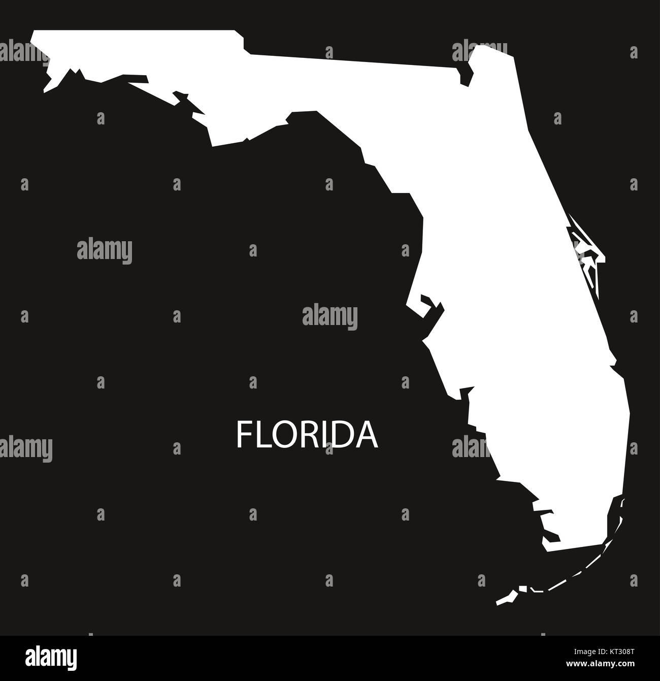 Florida USA Map black inverted silhouette Stock Photohttps://www.alamy.com/image-license-details/?v=1https://www.alamy.com/stock-image-florida-usa-map-black-inverted-silhouette-169711160.html
RFKT308T–Florida USA Map black inverted silhouette
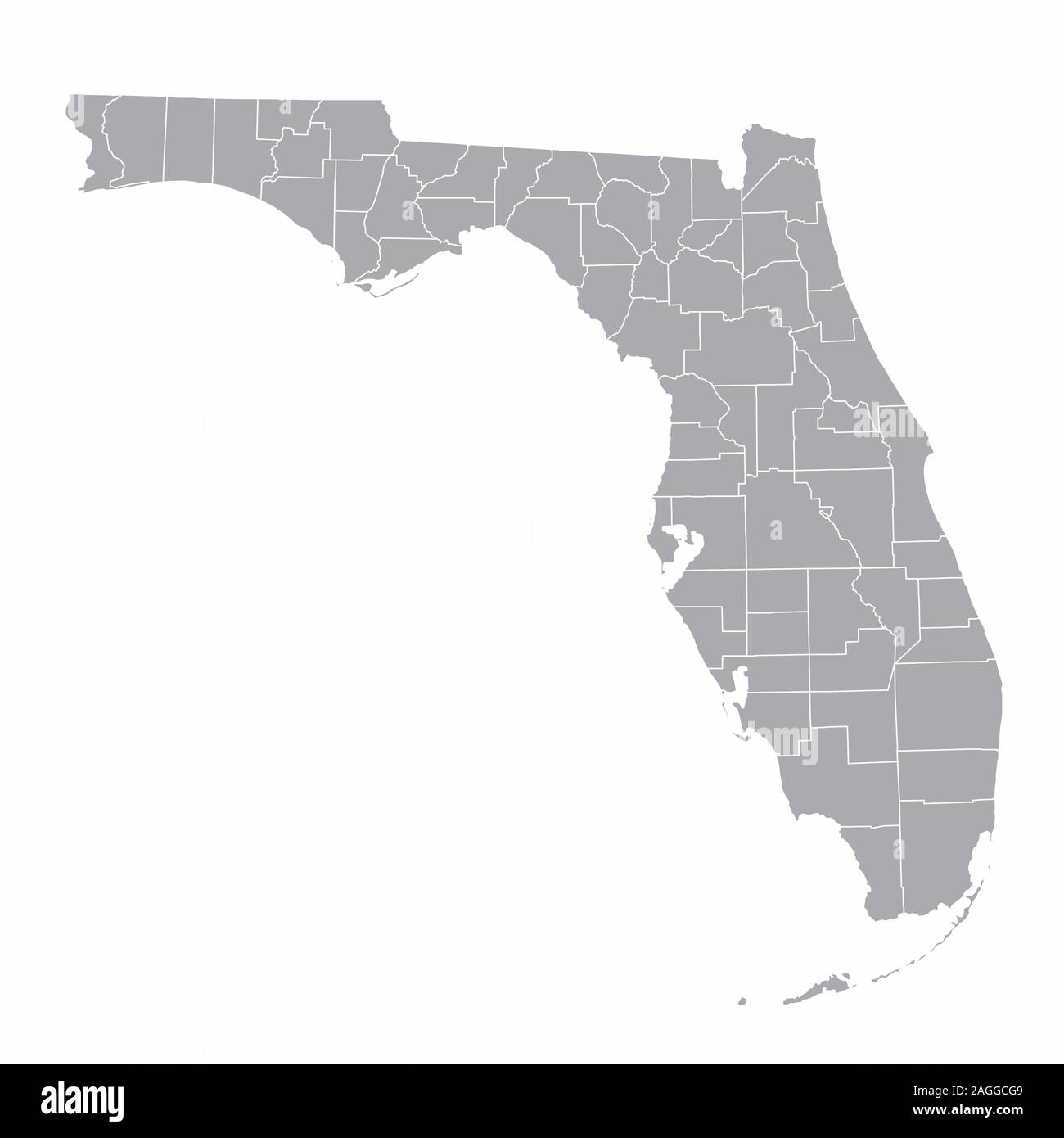 Florida counties map Stock Vectorhttps://www.alamy.com/image-license-details/?v=1https://www.alamy.com/florida-counties-map-image337192585.html
RF2AGGCG9–Florida counties map
 N/A. Excerpt of 'An Accurate Map of the State of Alabama and West Florida', showing Montgomery and surrounding counties . 1837. John LaTourrette; Publisher: Colton & Co., New York 28 1840 Map of Montgomery County, Alabama Stock Photohttps://www.alamy.com/image-license-details/?v=1https://www.alamy.com/na-excerpt-of-an-accurate-map-of-the-state-of-alabama-and-west-florida-showing-montgomery-and-surrounding-counties-1837-john-latourrette-publisher-colton-co-new-york-28-1840-map-of-montgomery-county-alabama-image210219779.html
RMP609D7–N/A. Excerpt of 'An Accurate Map of the State of Alabama and West Florida', showing Montgomery and surrounding counties . 1837. John LaTourrette; Publisher: Colton & Co., New York 28 1840 Map of Montgomery County, Alabama
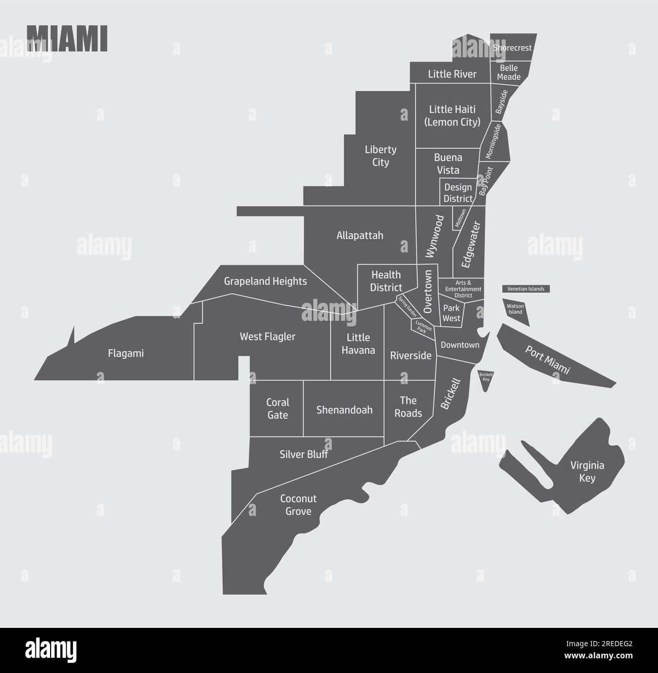 Miami administrative map isolated on gray background Stock Vectorhttps://www.alamy.com/image-license-details/?v=1https://www.alamy.com/miami-administrative-map-isolated-on-gray-background-image559633762.html
RF2REDEG2–Miami administrative map isolated on gray background
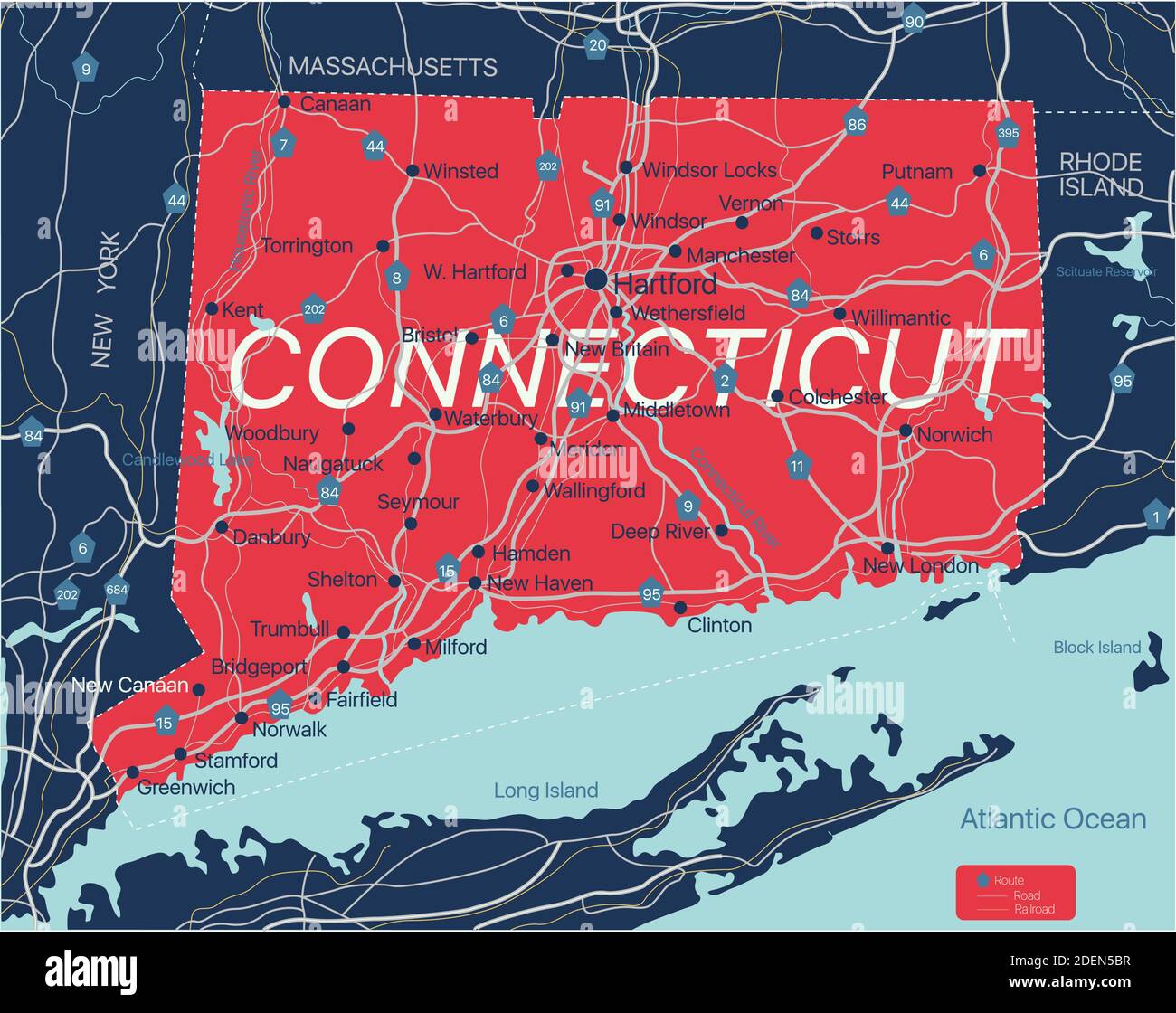 Connecticut state detailed editable map with with cities and towns, geographic sites, roads, railways, interstates and U.S. highways. Vector EPS-10 fi Stock Vectorhttps://www.alamy.com/image-license-details/?v=1https://www.alamy.com/connecticut-state-detailed-editable-map-with-with-cities-and-towns-geographic-sites-roads-railways-interstates-and-us-highways-vector-eps-10-fi-image387698523.html
RF2DEN5BR–Connecticut state detailed editable map with with cities and towns, geographic sites, roads, railways, interstates and U.S. highways. Vector EPS-10 fi
 Orlando Florida City Map USA labelled black illustration Stock Vectorhttps://www.alamy.com/image-license-details/?v=1https://www.alamy.com/orlando-florida-city-map-usa-labelled-black-illustration-image225833776.html
RFR3BH80–Orlando Florida City Map USA labelled black illustration
 Miami map silhouette isolated on white background Stock Vectorhttps://www.alamy.com/image-license-details/?v=1https://www.alamy.com/miami-map-silhouette-isolated-on-white-background-image559822319.html
RF2REP327–Miami map silhouette isolated on white background
 Lake County (Florida) outline map set Stock Vectorhttps://www.alamy.com/image-license-details/?v=1https://www.alamy.com/lake-county-florida-outline-map-set-image620806386.html
RF2Y204TJ–Lake County (Florida) outline map set
RF2WNRYJP–Icon for orlando,florida
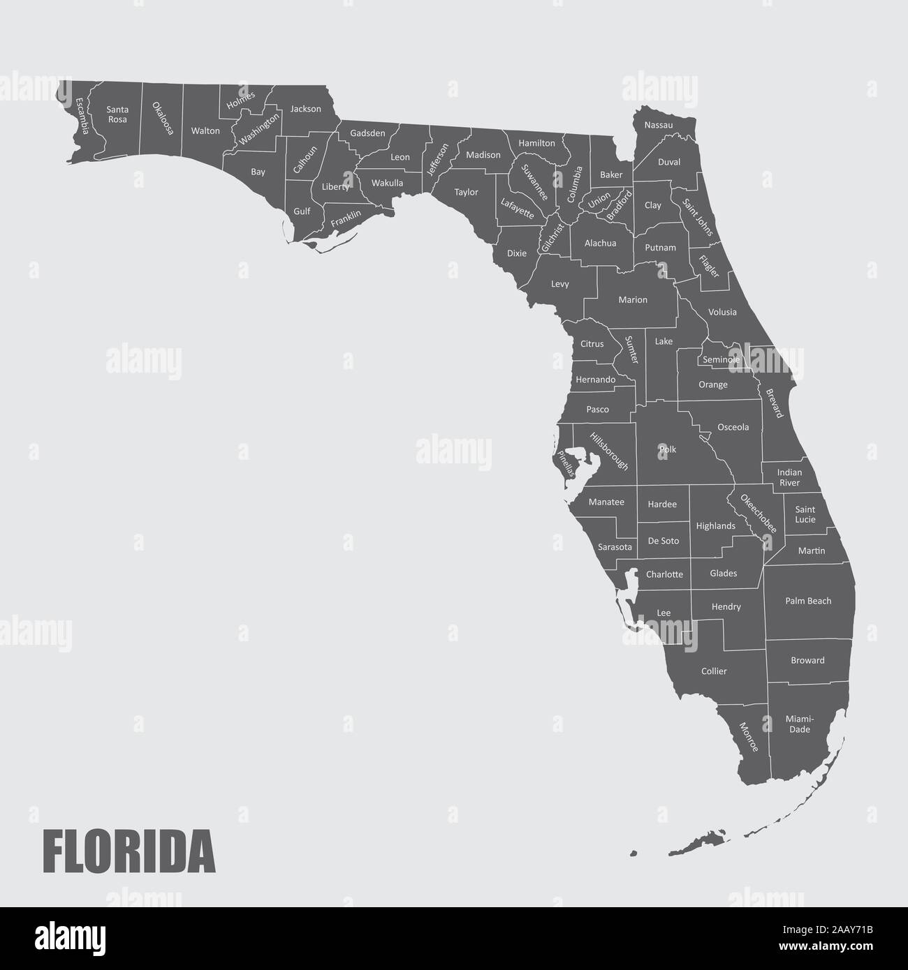 Florida and its counties Stock Vectorhttps://www.alamy.com/image-license-details/?v=1https://www.alamy.com/florida-and-its-counties-image333741783.html
RF2AAY71B–Florida and its counties
 Map of Florida Stock Photohttps://www.alamy.com/image-license-details/?v=1https://www.alamy.com/stock-photo-map-of-florida-98764971.html
RFFMK3MB–Map of Florida
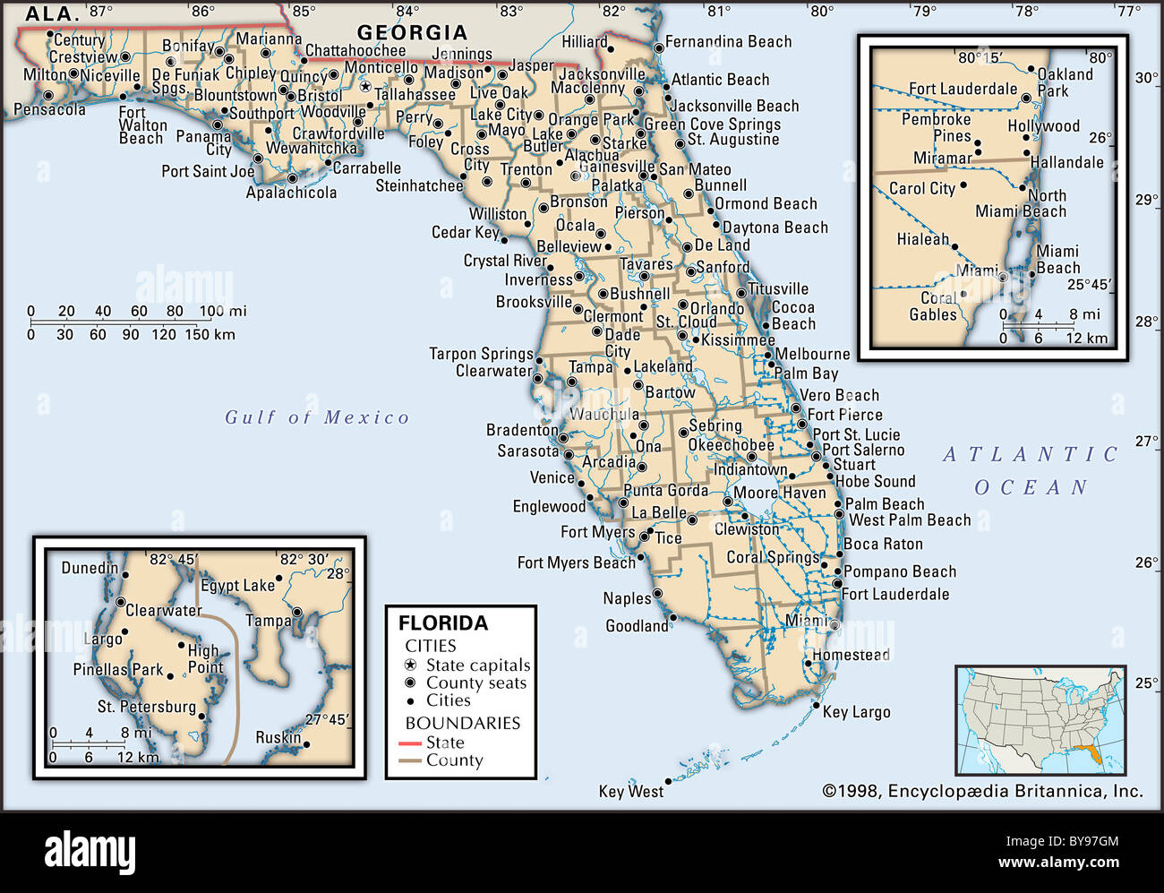 Political map of Florida Stock Photohttps://www.alamy.com/image-license-details/?v=1https://www.alamy.com/stock-photo-political-map-of-florida-34009604.html
RMBY97GM–Political map of Florida
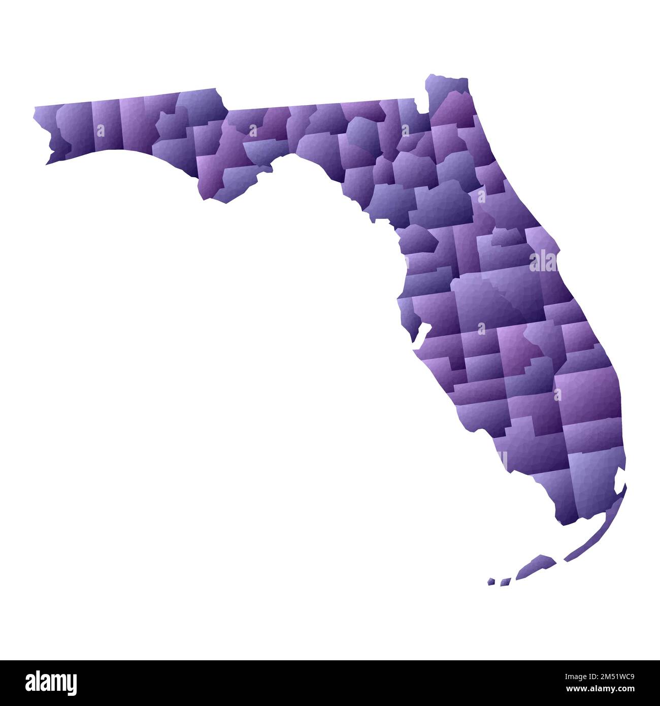 Florida map. Geometric style us state outline with counties. Artistic violet vector illustration. Stock Vectorhttps://www.alamy.com/image-license-details/?v=1https://www.alamy.com/florida-map-geometric-style-us-state-outline-with-counties-artistic-violet-vector-illustration-image502215849.html
RF2M51WC9–Florida map. Geometric style us state outline with counties. Artistic violet vector illustration.
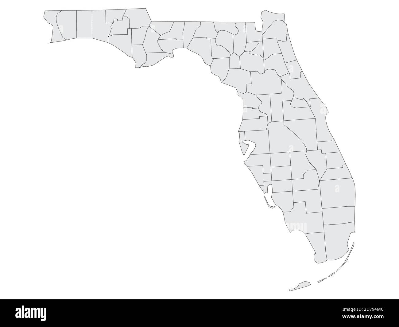 Grey Flat Election Counties Map of the United States of America Federal State of Florida Stock Vectorhttps://www.alamy.com/image-license-details/?v=1https://www.alamy.com/grey-flat-election-counties-map-of-the-united-states-of-america-federal-state-of-florida-image383131964.html
RF2D794MC–Grey Flat Election Counties Map of the United States of America Federal State of Florida
 map of florida Stock Photohttps://www.alamy.com/image-license-details/?v=1https://www.alamy.com/map-of-florida-image227837299.html
RFR6JTPB–map of florida
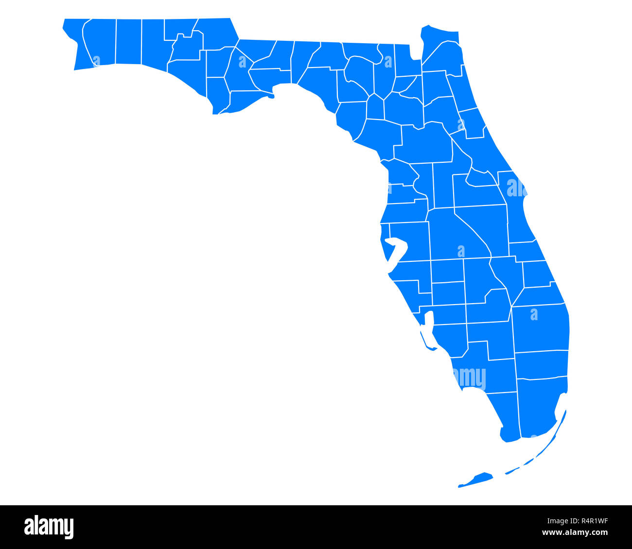 map of florida Stock Photohttps://www.alamy.com/image-license-details/?v=1https://www.alamy.com/map-of-florida-image226699803.html
RFR4R1WF–map of florida
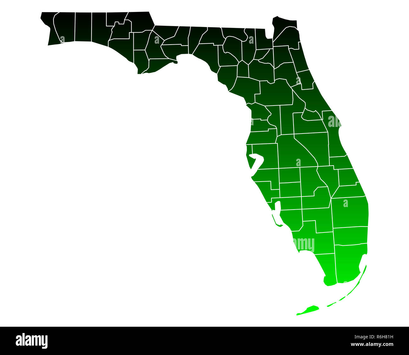 map of florida Stock Photohttps://www.alamy.com/image-license-details/?v=1https://www.alamy.com/map-of-florida-image227802221.html
RFR6H81H–map of florida
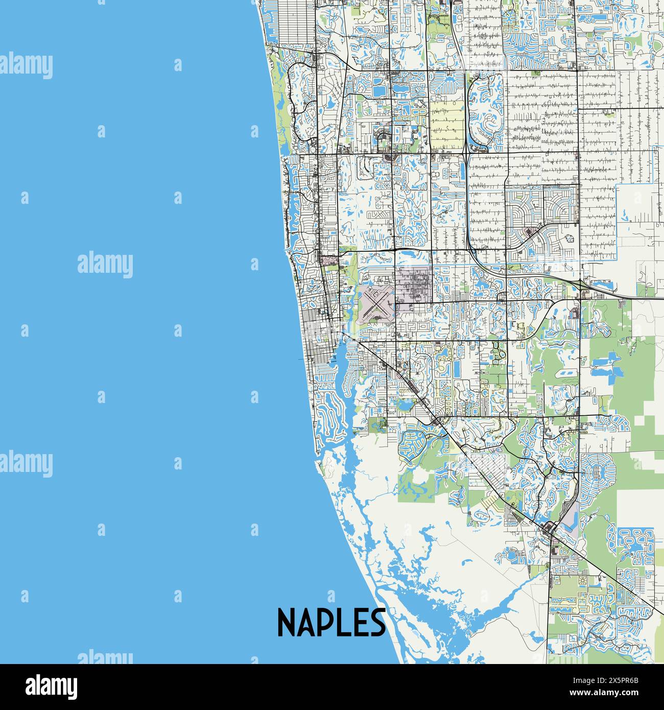 Naples, Florida, USA map poster art Stock Vectorhttps://www.alamy.com/image-license-details/?v=1https://www.alamy.com/naples-florida-usa-map-poster-art-image605937315.html
RF2X5PR6B–Naples, Florida, USA map poster art
 map of florida Stock Photohttps://www.alamy.com/image-license-details/?v=1https://www.alamy.com/map-of-florida-image227596049.html
RFR67W29–map of florida
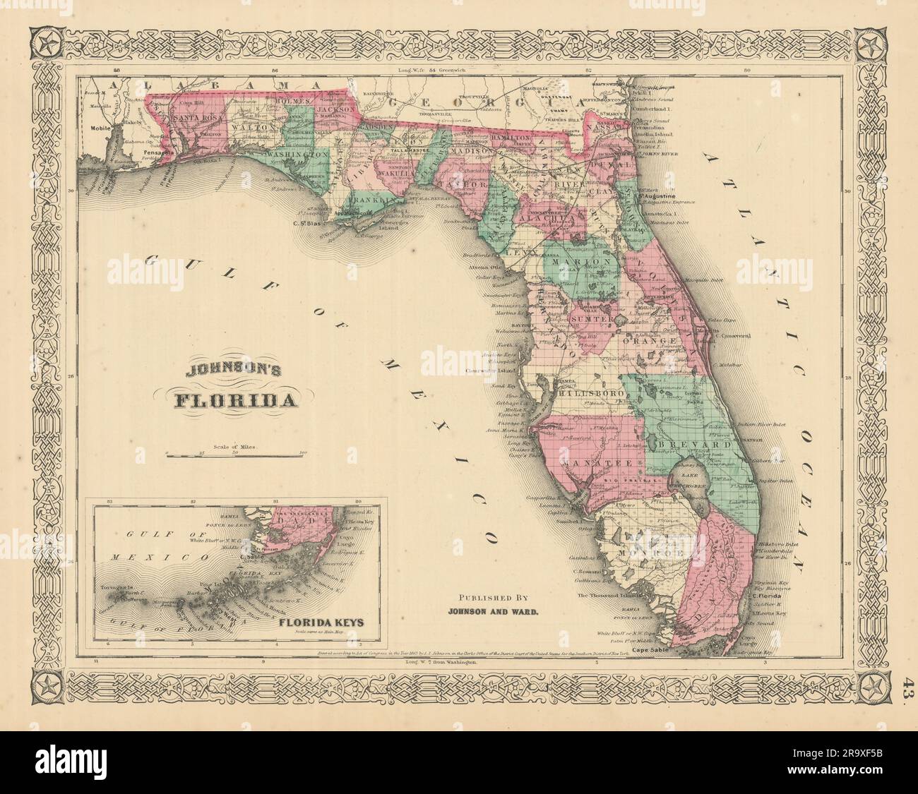 Johnson's Florida. Florida Keys. US state map showing counties 1866 old Stock Photohttps://www.alamy.com/image-license-details/?v=1https://www.alamy.com/johnsons-florida-florida-keys-us-state-map-showing-counties-1866-old-image556846343.html
RF2R9XF5B–Johnson's Florida. Florida Keys. US state map showing counties 1866 old
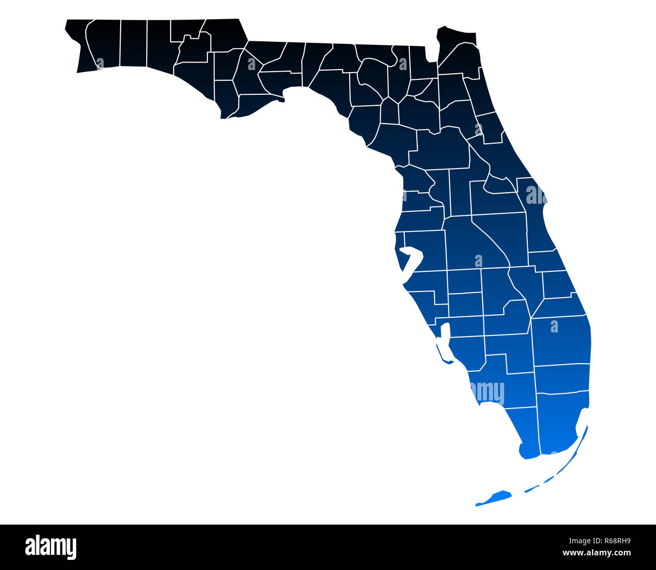 map of florida Stock Photohttps://www.alamy.com/image-license-details/?v=1https://www.alamy.com/map-of-florida-image227616853.html
RFR68RH9–map of florida
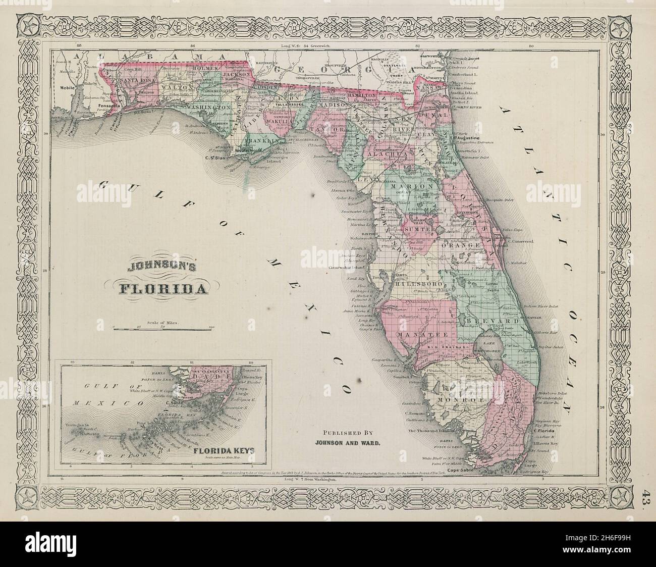 Johnson's Florida. Florida Keys. US state map showing counties 1865 old Stock Photohttps://www.alamy.com/image-license-details/?v=1https://www.alamy.com/johnsons-florida-florida-keys-us-state-map-showing-counties-1865-old-image451494109.html
RF2H6F99H–Johnson's Florida. Florida Keys. US state map showing counties 1865 old
 map of florida Stock Photohttps://www.alamy.com/image-license-details/?v=1https://www.alamy.com/map-of-florida-image227429639.html
RFR608R3–map of florida
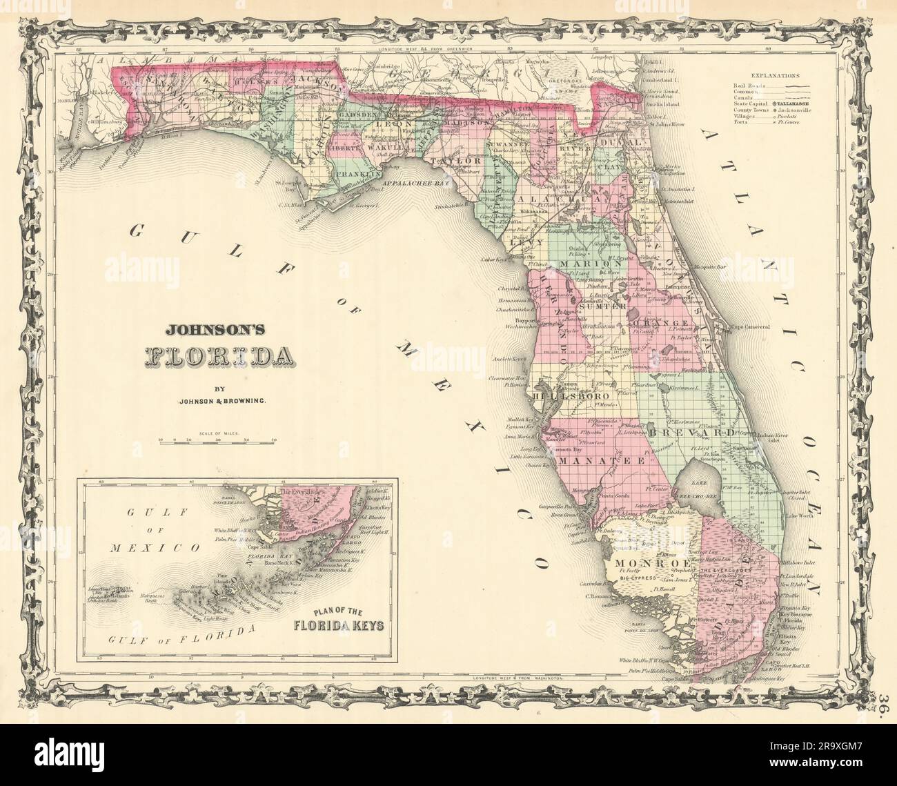 Johnson's Florida. Florida Keys. US state map showing counties 1861 old Stock Photohttps://www.alamy.com/image-license-details/?v=1https://www.alamy.com/johnsons-florida-florida-keys-us-state-map-showing-counties-1861-old-image556847543.html
RF2R9XGM7–Johnson's Florida. Florida Keys. US state map showing counties 1861 old
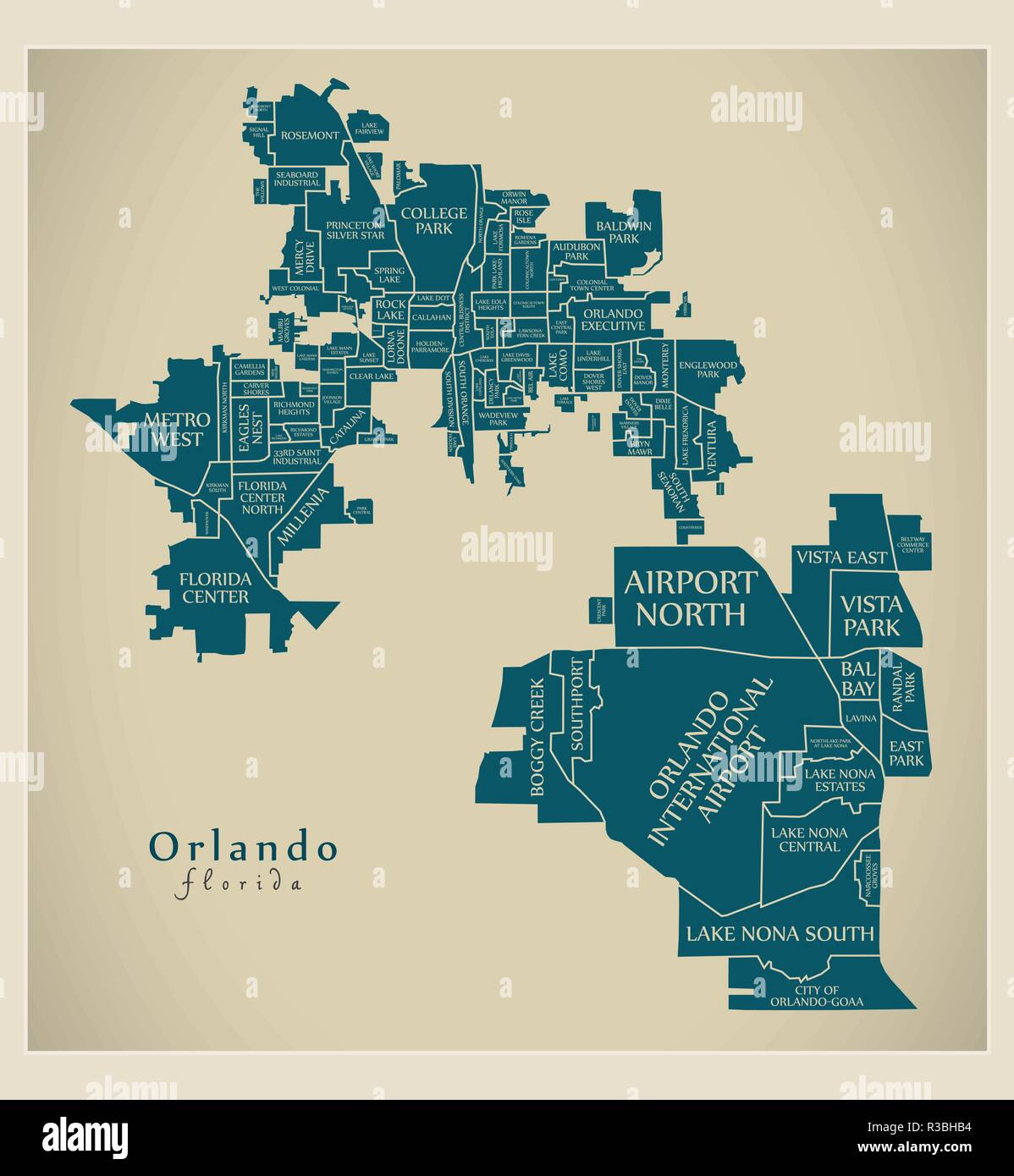 Modern City Map - Orlando Florida city of the USA with neighborhoods and titles Stock Vectorhttps://www.alamy.com/image-license-details/?v=1https://www.alamy.com/modern-city-map-orlando-florida-city-of-the-usa-with-neighborhoods-and-titles-image225833864.html
RFR3BHB4–Modern City Map - Orlando Florida city of the USA with neighborhoods and titles
 map of florida Stock Photohttps://www.alamy.com/image-license-details/?v=1https://www.alamy.com/map-of-florida-image227244548.html
RFR5KTMM–map of florida
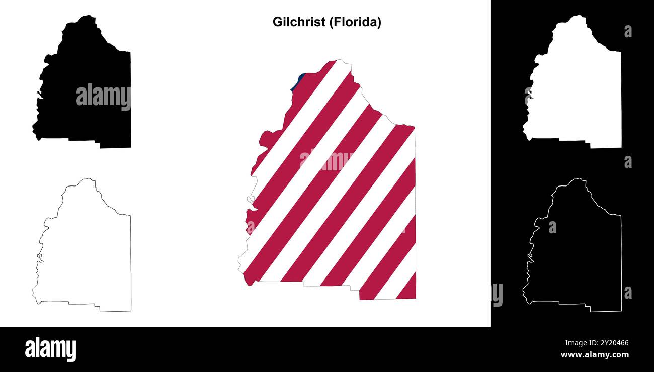 Gilchrist County (Florida) outline map set Stock Vectorhttps://www.alamy.com/image-license-details/?v=1https://www.alamy.com/gilchrist-county-florida-outline-map-set-image620805870.html
RF2Y20466–Gilchrist County (Florida) outline map set
RF2WMMRTB–Icon for orlando,florida
 map of florida Stock Photohttps://www.alamy.com/image-license-details/?v=1https://www.alamy.com/map-of-florida-image226890424.html
RFR53N1C–map of florida
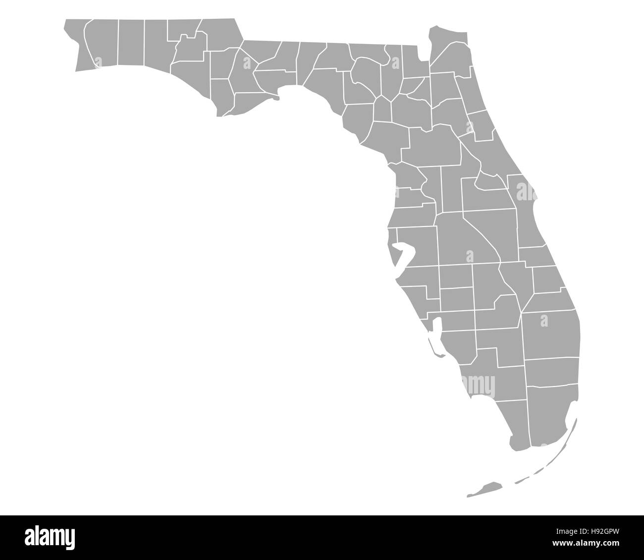 Map of Florida Stock Photohttps://www.alamy.com/image-license-details/?v=1https://www.alamy.com/stock-photo-map-of-florida-126061569.html
RFH92GPW–Map of Florida
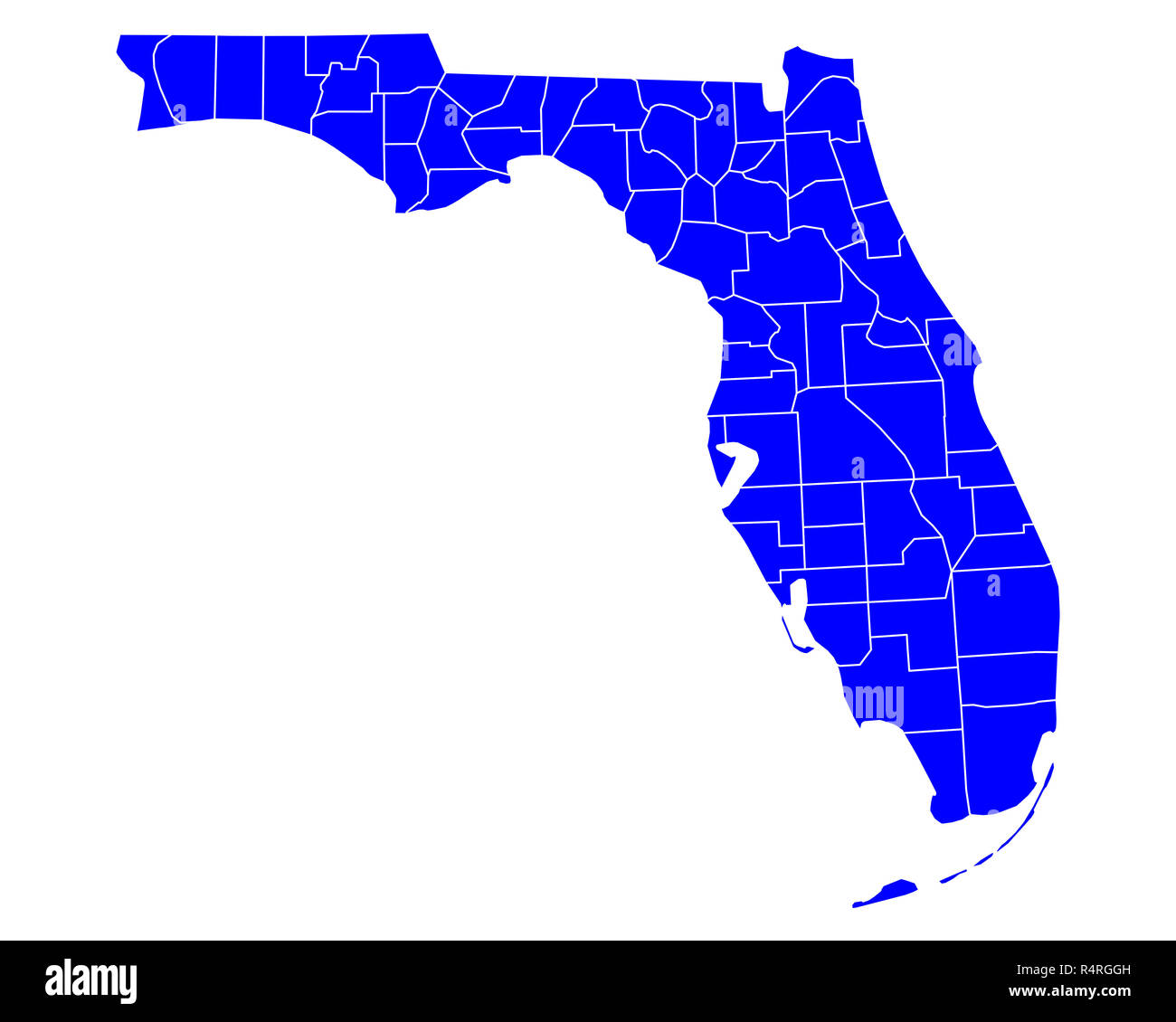 map of florida Stock Photohttps://www.alamy.com/image-license-details/?v=1https://www.alamy.com/map-of-florida-image226711313.html
RFR4RGGH–map of florida
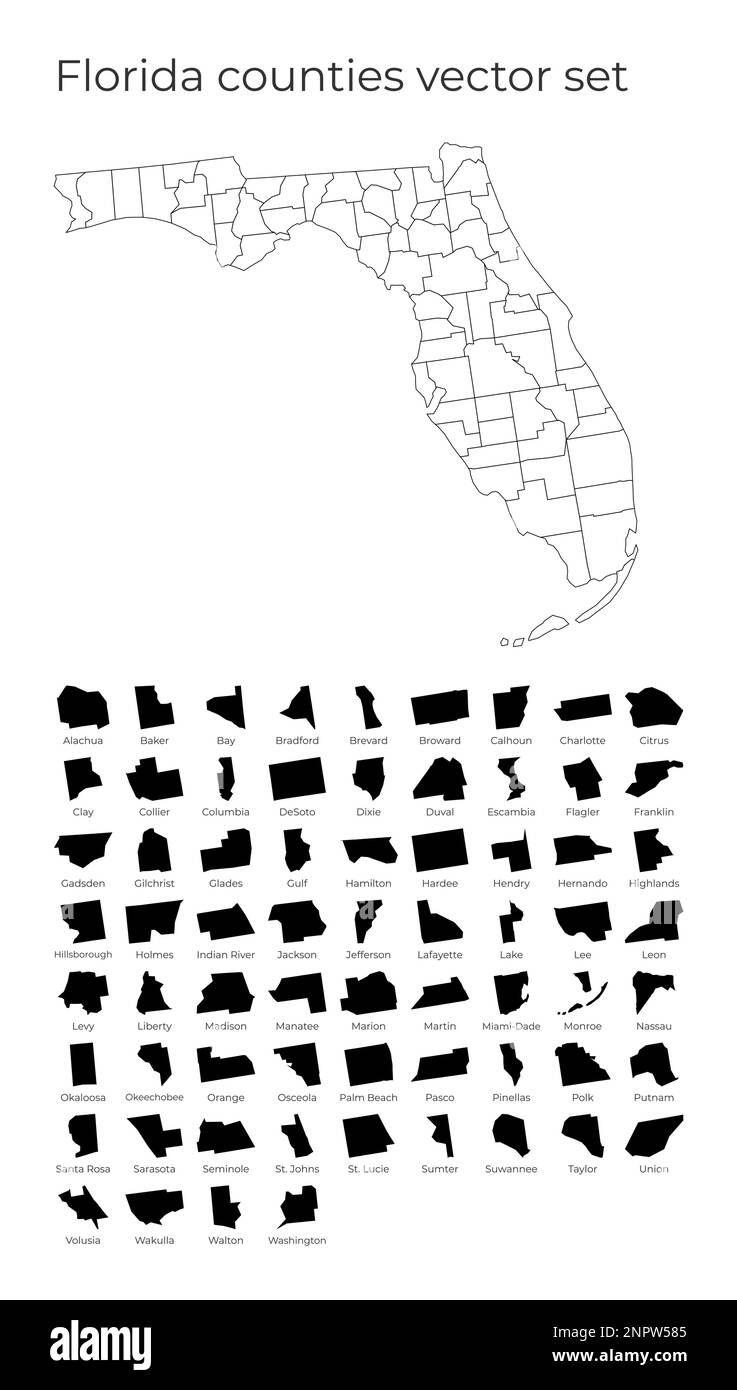 Florida map with shapes of regions. Blank vector map of the Us State with counties. Borders of the us state for your infographic. Vector illustration. Stock Vectorhttps://www.alamy.com/image-license-details/?v=1https://www.alamy.com/florida-map-with-shapes-of-regions-blank-vector-map-of-the-us-state-with-counties-borders-of-the-us-state-for-your-infographic-vector-illustration-image530386421.html
RF2NPW585–Florida map with shapes of regions. Blank vector map of the Us State with counties. Borders of the us state for your infographic. Vector illustration.
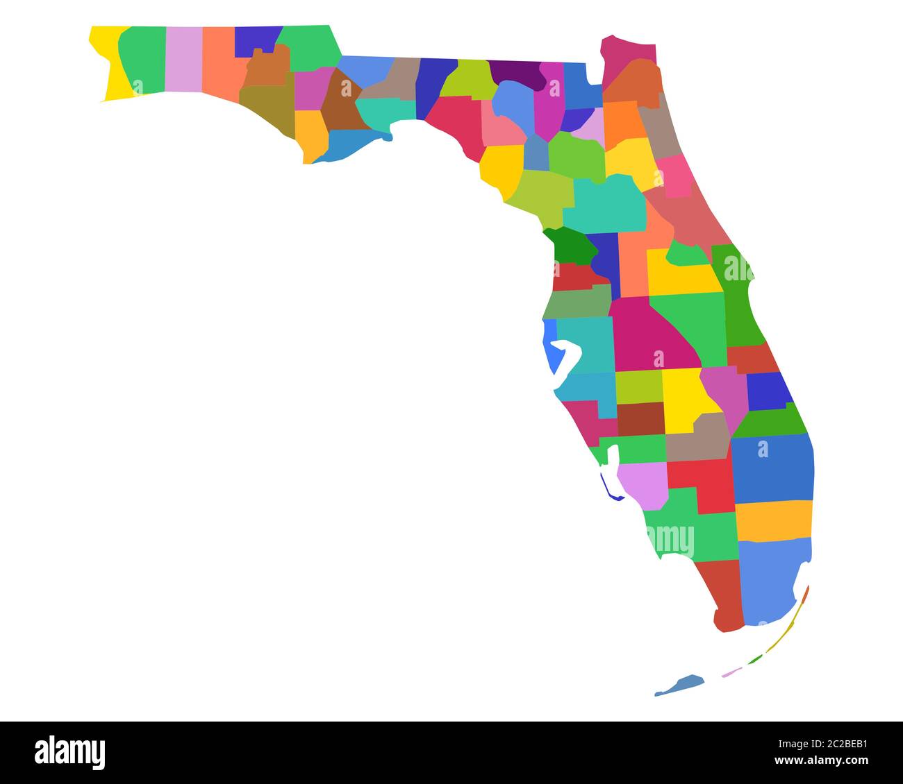 Map of Florida Stock Photohttps://www.alamy.com/image-license-details/?v=1https://www.alamy.com/map-of-florida-image362899797.html
RF2C2BEB1–Map of Florida
 Georgia State on transparent background. Georgia Map sign. flat style. Georgia State Clipart. Stock Photohttps://www.alamy.com/image-license-details/?v=1https://www.alamy.com/georgia-state-on-transparent-background-georgia-map-sign-flat-style-georgia-state-clipart-image414578584.html
RF2F2DK60–Georgia State on transparent background. Georgia Map sign. flat style. Georgia State Clipart.
 map of florida Stock Photohttps://www.alamy.com/image-license-details/?v=1https://www.alamy.com/map-of-florida-image227701208.html
RFR6CK60–map of florida
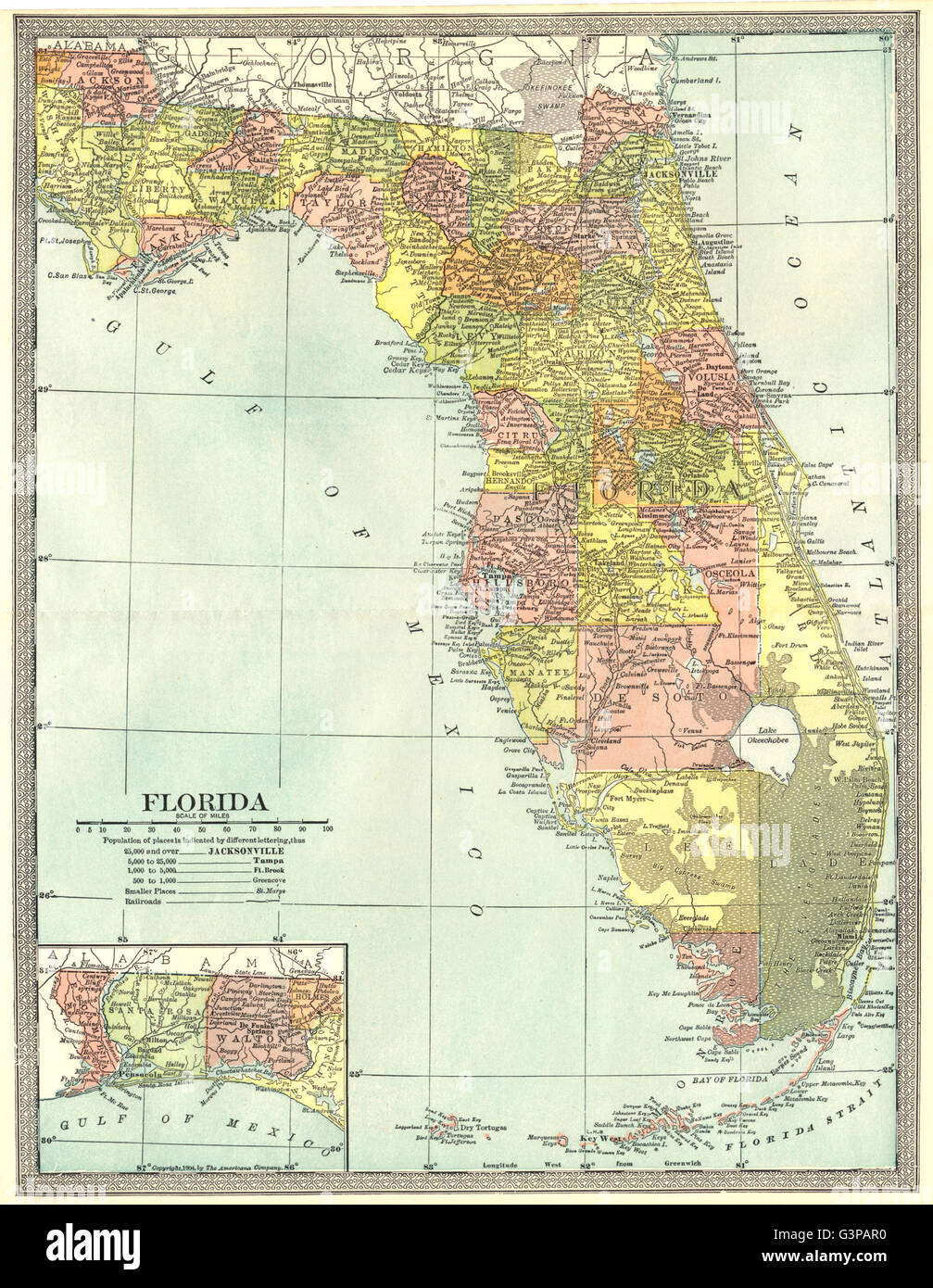 FLORIDA state map. Counties, 1907 Stock Photohttps://www.alamy.com/image-license-details/?v=1https://www.alamy.com/stock-photo-florida-state-map-counties-1907-105597604.html
RFG3PAR0–FLORIDA state map. Counties, 1907
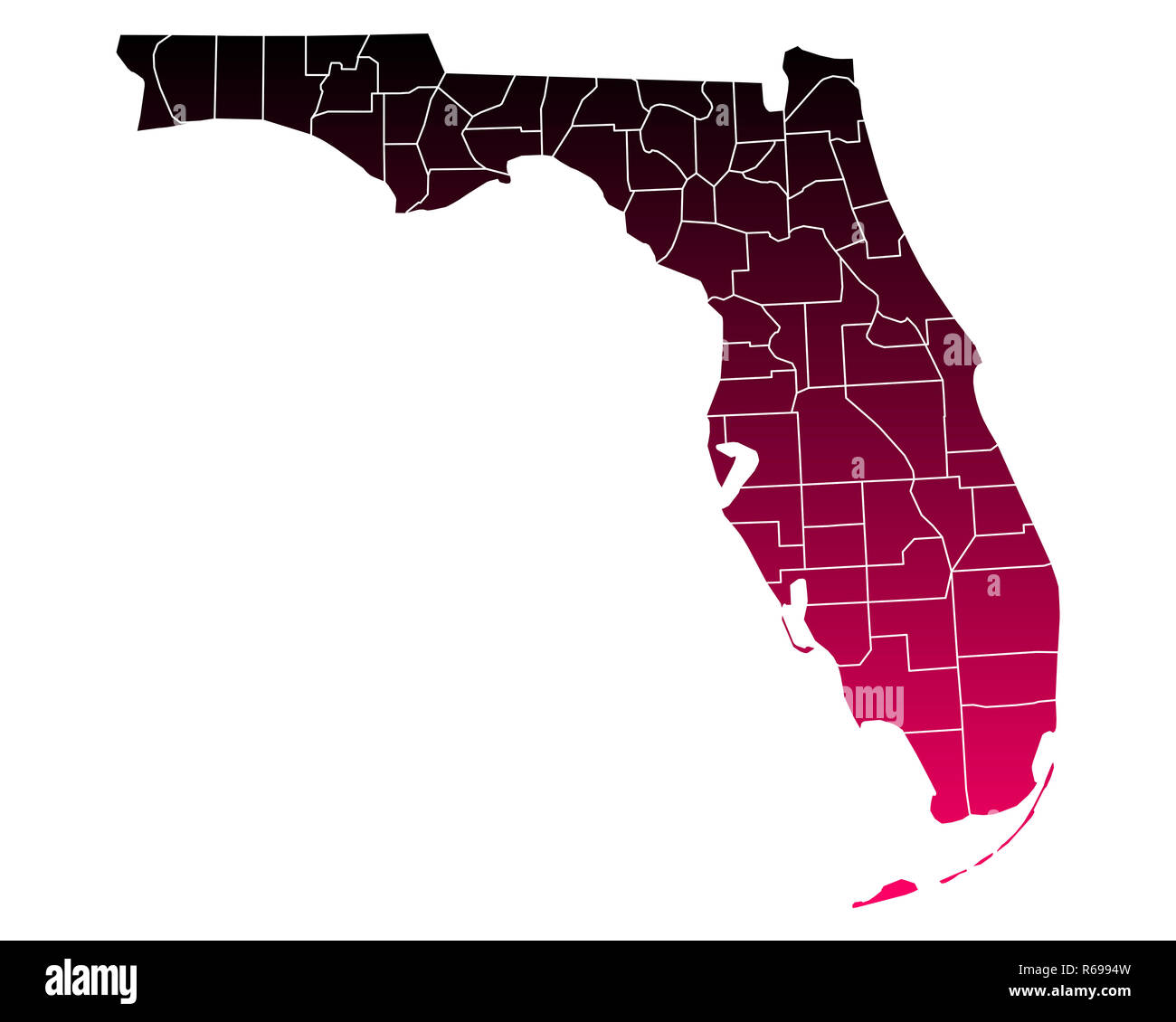 map of florida Stock Photohttps://www.alamy.com/image-license-details/?v=1https://www.alamy.com/map-of-florida-image227627481.html
RFR6994W–map of florida
 FLORIDA: State map showing counties, 1910 Stock Photohttps://www.alamy.com/image-license-details/?v=1https://www.alamy.com/stock-photo-florida-state-map-showing-counties-1910-109594946.html
RFGA8DD6–FLORIDA: State map showing counties, 1910
 map of florida Stock Photohttps://www.alamy.com/image-license-details/?v=1https://www.alamy.com/map-of-florida-image227243131.html
RFR5KPX3–map of florida
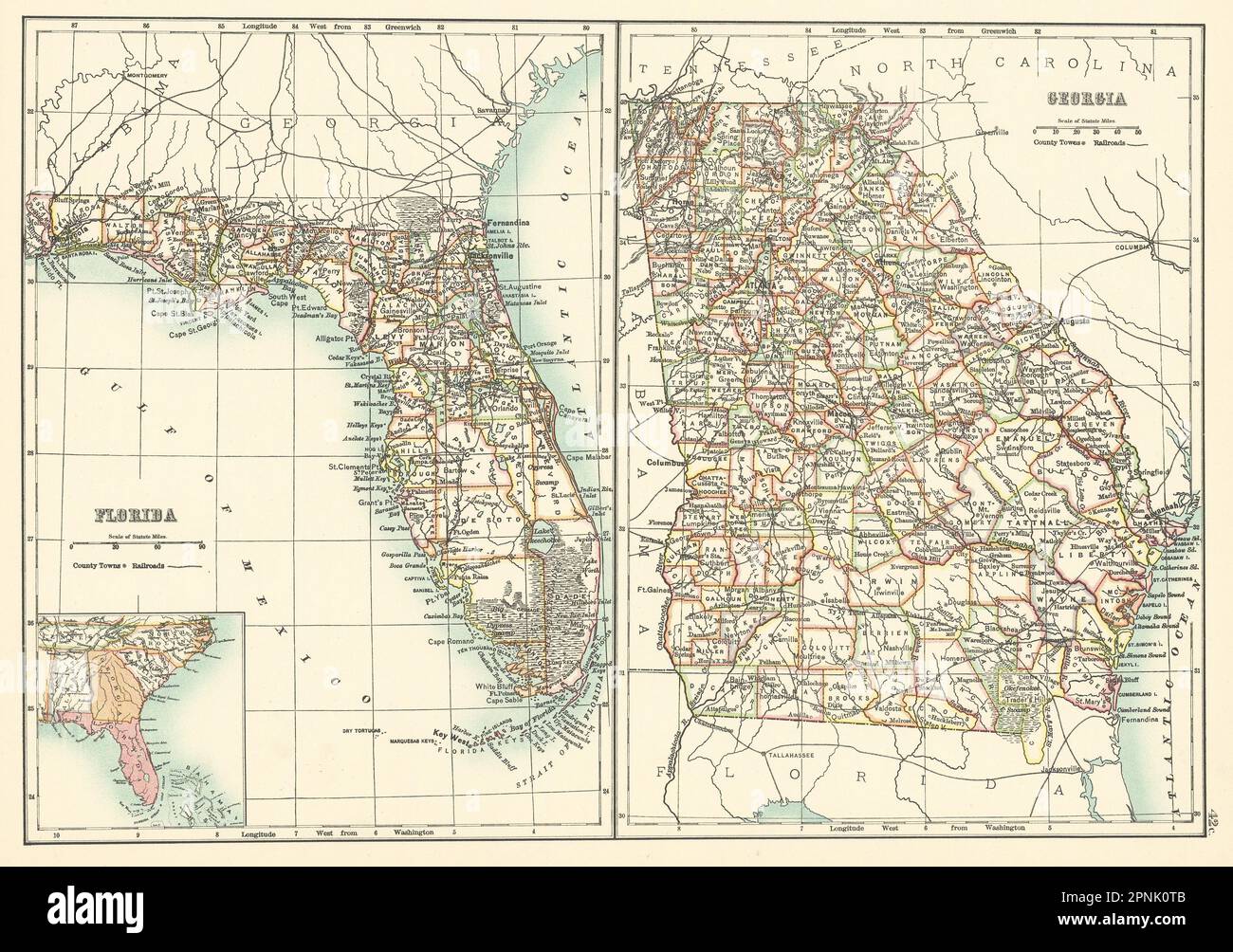 Georgia and Florida state maps showing counties. BARTHOLOMEW 1898 old Stock Photohttps://www.alamy.com/image-license-details/?v=1https://www.alamy.com/georgia-and-florida-state-maps-showing-counties-bartholomew-1898-old-image546846955.html
RF2PNK0TB–Georgia and Florida state maps showing counties. BARTHOLOMEW 1898 old
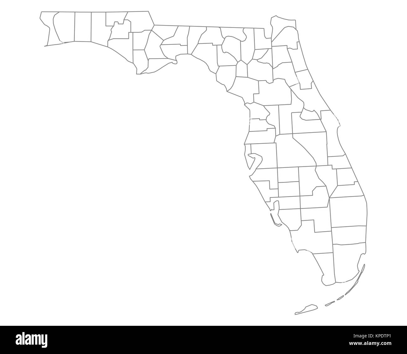 map of florida Stock Photohttps://www.alamy.com/image-license-details/?v=1https://www.alamy.com/stock-image-map-of-florida-168720553.html
RFKPDTP1–map of florida
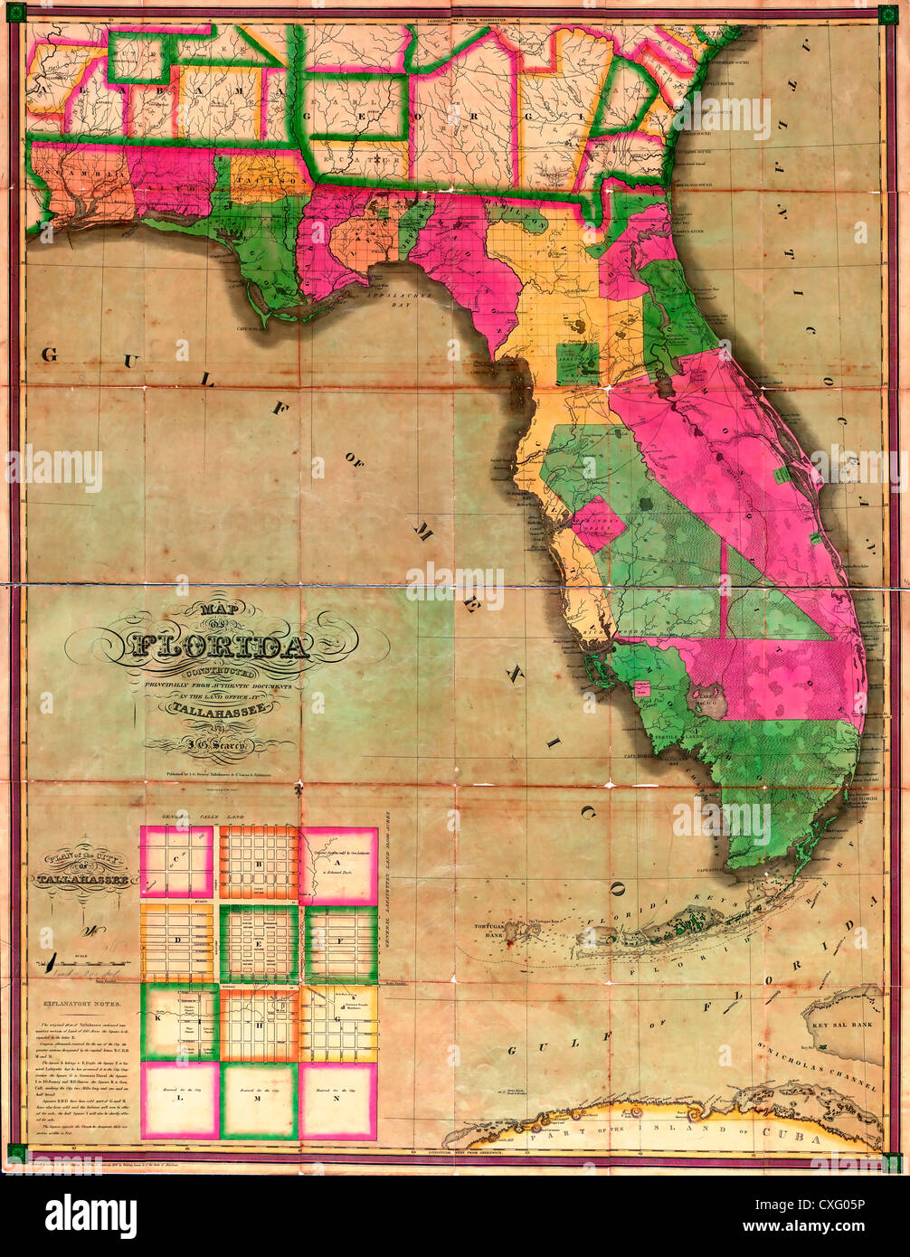 Map of Florida : constructed principally from authentic documents in the land office at Tallahassee - 1829 Stock Photohttps://www.alamy.com/image-license-details/?v=1https://www.alamy.com/stock-photo-map-of-florida-constructed-principally-from-authentic-documents-in-50753186.html
RMCXG05P–Map of Florida : constructed principally from authentic documents in the land office at Tallahassee - 1829
 Florida map with American national flag illustration Stock Photohttps://www.alamy.com/image-license-details/?v=1https://www.alamy.com/florida-map-with-american-national-flag-illustration-image227083998.html
RFR5CFXP–Florida map with American national flag illustration
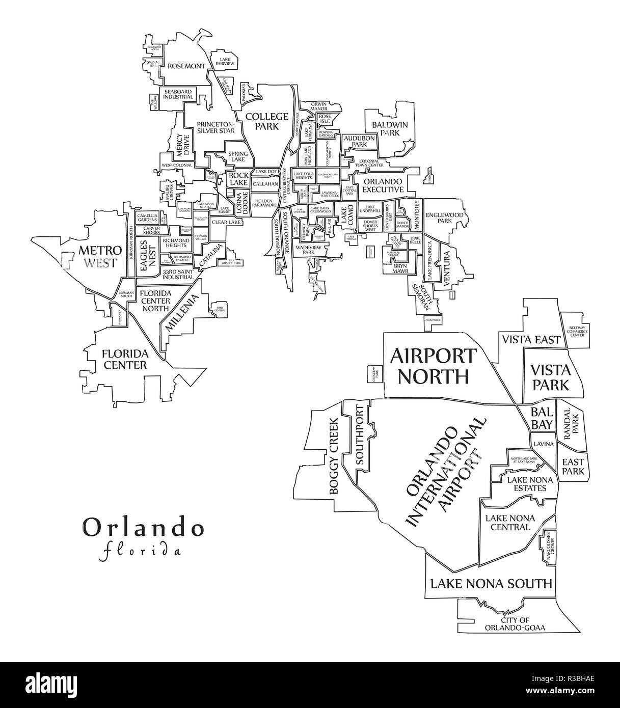 Modern City Map - Orlando Florida city of the USA with neighborhoods and titles outline map Stock Vectorhttps://www.alamy.com/image-license-details/?v=1https://www.alamy.com/modern-city-map-orlando-florida-city-of-the-usa-with-neighborhoods-and-titles-outline-map-image225833846.html
RFR3BHAE–Modern City Map - Orlando Florida city of the USA with neighborhoods and titles outline map
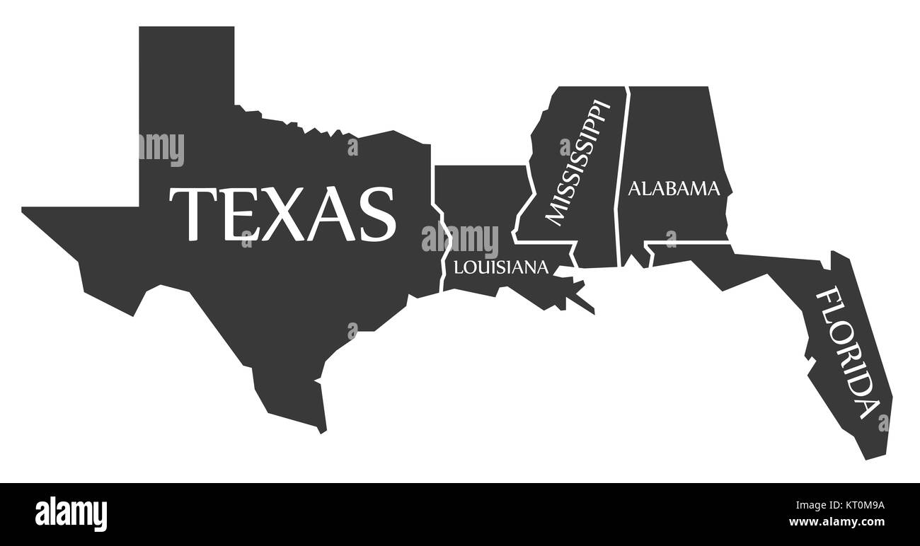 Texas - Louisiana - Mississippi - Alabama - Florida Map labelled black Stock Photohttps://www.alamy.com/image-license-details/?v=1https://www.alamy.com/stock-image-texas-louisiana-mississippi-alabama-florida-map-labelled-black-169660998.html
RFKT0M9A–Texas - Louisiana - Mississippi - Alabama - Florida Map labelled black
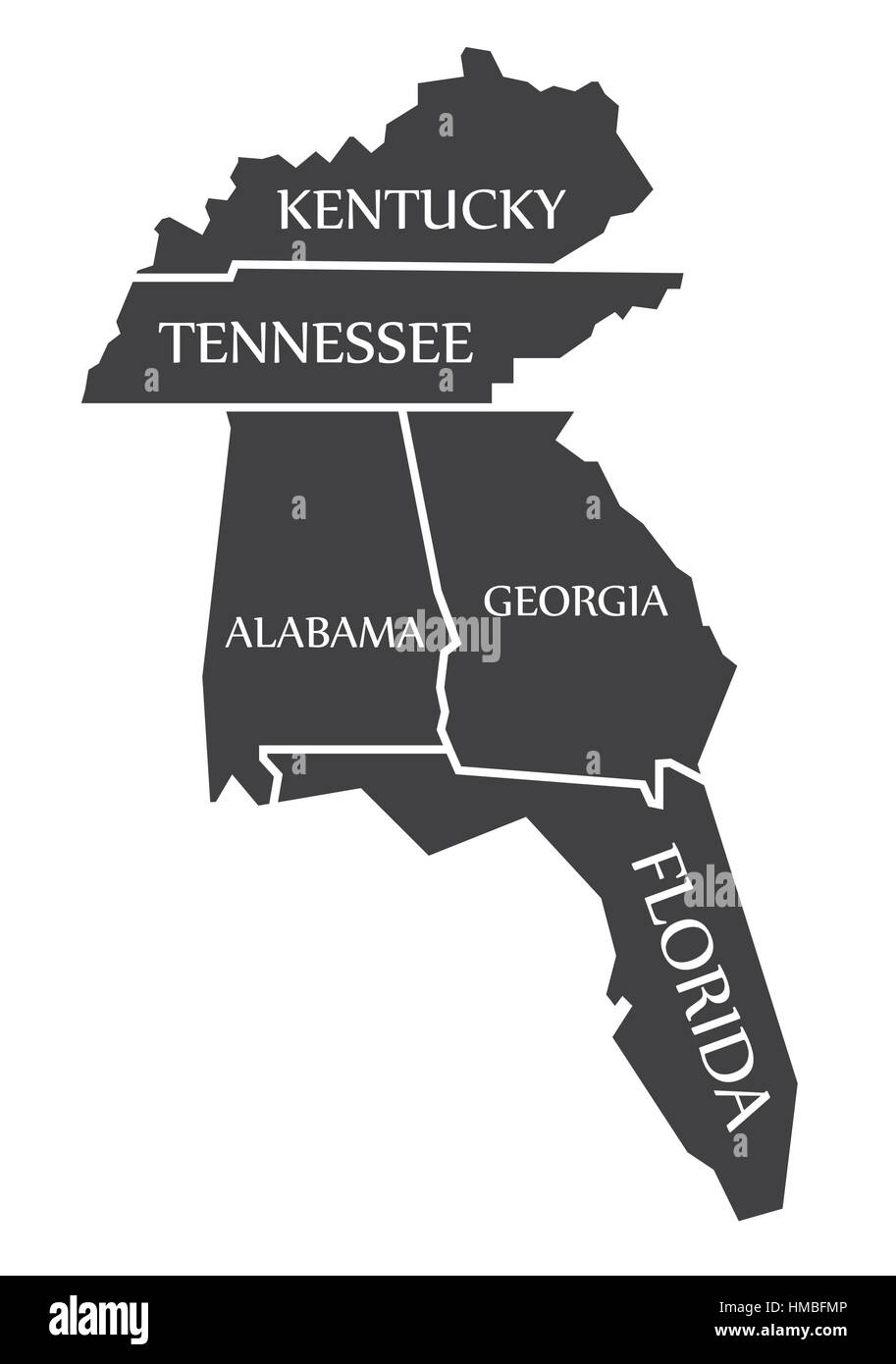 Kentucky - Tennessee - Alabama - Georgia - Florida Map labelled black illustration Stock Vectorhttps://www.alamy.com/image-license-details/?v=1https://www.alamy.com/stock-photo-kentucky-tennessee-alabama-georgia-florida-map-labelled-black-illustration-133019510.html
RFHMBFMP–Kentucky - Tennessee - Alabama - Georgia - Florida Map labelled black illustration
RF2WH269X–Icon for orlando,florida
 Franklin County (Florida) outline map set Stock Vectorhttps://www.alamy.com/image-license-details/?v=1https://www.alamy.com/franklin-county-florida-outline-map-set-image620806173.html
RF2Y204H1–Franklin County (Florida) outline map set

