Quick filters:
Geological survey Stock Photos and Images
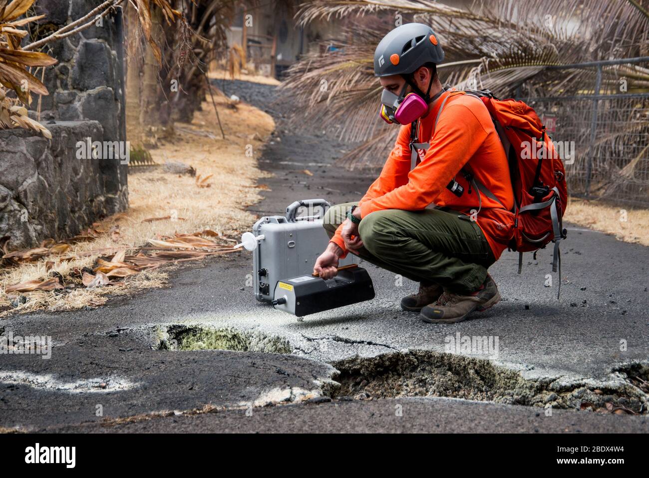 U.S. Geological Survey (USGS) volunteer Allen Lerner uses a sulfur dioxide (SO2) sensor to test the air quality after the Kīlauea volcanic eruption on May 19, 2018. Note the yellow sulfur deposits on the asphalt around the crack in the street. The residential area of Leilani Estates has been evacuated due to the high concentration of SO2 emitting from the cracks in the earth that spilled lava into the subdivisions. Stock Photohttps://www.alamy.com/image-license-details/?v=1https://www.alamy.com/us-geological-survey-usgs-volunteer-allen-lerner-uses-a-sulfur-dioxide-so2-sensor-to-test-the-air-quality-after-the-klauea-volcanic-eruption-on-may-19-2018-note-the-yellow-sulfur-deposits-on-the-asphalt-around-the-crack-in-the-street-the-residential-area-of-leilani-estates-has-been-evacuated-due-to-the-high-concentration-of-so2-emitting-from-the-cracks-in-the-earth-that-spilled-lava-into-the-subdivisions-image352772480.html
RM2BDX4W4–U.S. Geological Survey (USGS) volunteer Allen Lerner uses a sulfur dioxide (SO2) sensor to test the air quality after the Kīlauea volcanic eruption on May 19, 2018. Note the yellow sulfur deposits on the asphalt around the crack in the street. The residential area of Leilani Estates has been evacuated due to the high concentration of SO2 emitting from the cracks in the earth that spilled lava into the subdivisions.
 1875 , Colorado River , USA : Making pictures , Aquarius Plateau . This is John K. Hillers ( 1843 - 1925 ), the photographer U.S. topographical and geological survey of the valley of the Colorado River of the west, by J.W. Powell and A.H. Thompson. Hillers . - FOTOGRAFO - storia della fotografia - laboratorio di sviluppo da viaggio - fotografo ambulante - GEOLOGO - GEOLOGIA - TOPOGRAFO - TOPOGRAFIA - TOPOGRAPHY - GEOLOGY - WEST - camera - macchina fotografica - tripod - tripode - PIONIERE - beard - barba ---- Archivio GBB Stock Photohttps://www.alamy.com/image-license-details/?v=1https://www.alamy.com/1875-colorado-river-usa-making-pictures-aquarius-plateau-this-is-john-k-hillers-1843-1925-the-photographer-us-topographical-and-geological-survey-of-the-valley-of-the-colorado-river-of-the-west-by-jw-powell-and-ah-thompson-hillers-fotografo-storia-della-fotografia-laboratorio-di-sviluppo-da-viaggio-fotografo-ambulante-geologo-geologia-topografo-topografia-topography-geology-west-camera-macchina-fotografica-tripod-tripode-pioniere-beard-barba-archivio-gbb-image541181130.html
RM2PCCX1E–1875 , Colorado River , USA : Making pictures , Aquarius Plateau . This is John K. Hillers ( 1843 - 1925 ), the photographer U.S. topographical and geological survey of the valley of the Colorado River of the west, by J.W. Powell and A.H. Thompson. Hillers . - FOTOGRAFO - storia della fotografia - laboratorio di sviluppo da viaggio - fotografo ambulante - GEOLOGO - GEOLOGIA - TOPOGRAFO - TOPOGRAFIA - TOPOGRAPHY - GEOLOGY - WEST - camera - macchina fotografica - tripod - tripode - PIONIERE - beard - barba ---- Archivio GBB
 Tibet, Chomolungma, Kangshung Valley. Geological survey along a ridge near the Sho La Pass on the way into the Kangshung Valley Stock Photohttps://www.alamy.com/image-license-details/?v=1https://www.alamy.com/stock-photo-tibet-chomolungma-kangshung-valley-geological-survey-along-a-ridge-15622979.html
RMANY7HT–Tibet, Chomolungma, Kangshung Valley. Geological survey along a ridge near the Sho La Pass on the way into the Kangshung Valley
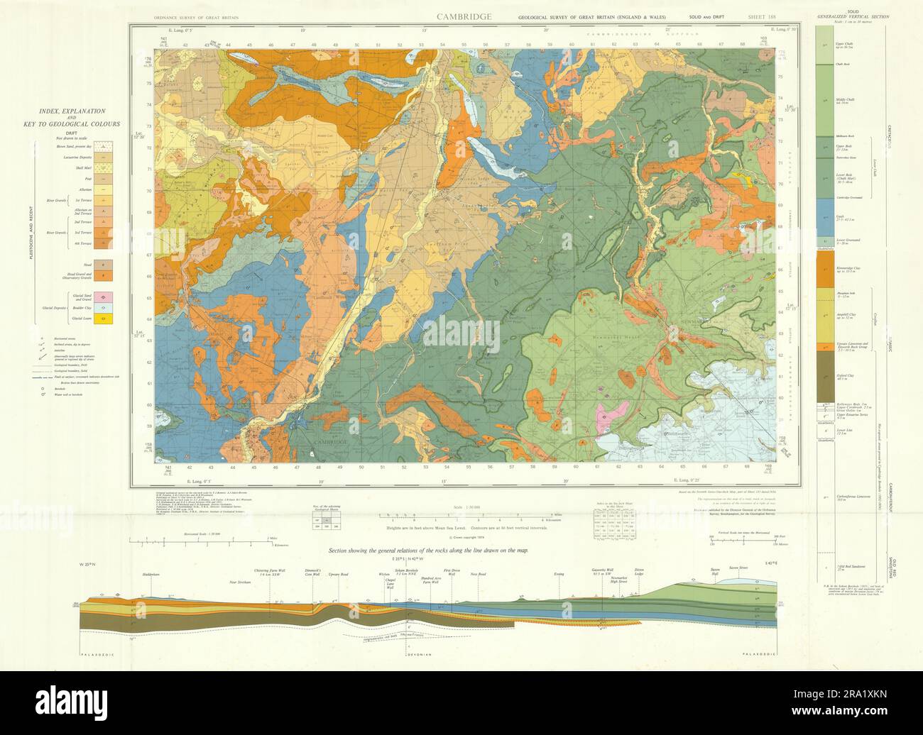 Cambridge. Geological survey map. Sheet 188. Cambridgeshire Newmarket 1974 Stock Photohttps://www.alamy.com/image-license-details/?v=1https://www.alamy.com/cambridge-geological-survey-map-sheet-188-cambridgeshire-newmarket-1974-image556921225.html
RF2RA1XKN–Cambridge. Geological survey map. Sheet 188. Cambridgeshire Newmarket 1974
 David Dale Owen (1808-1860), Scottish-born American physician and geologist who set up the US Geological Survey in 1839 when appointed Geologist of the US. He lived at New Harmony, Indiana, the town founded by his father, the social reformer Robert Owen. Engraving, 1896. Stock Photohttps://www.alamy.com/image-license-details/?v=1https://www.alamy.com/david-dale-owen-1808-1860-scottish-born-american-physician-and-geologist-who-set-up-the-us-geological-survey-in-1839-when-appointed-geologist-of-the-us-he-lived-at-new-harmony-indiana-the-town-founded-by-his-father-the-social-reformer-robert-owen-engraving-1896-image257301366.html
RMTXH2EE–David Dale Owen (1808-1860), Scottish-born American physician and geologist who set up the US Geological Survey in 1839 when appointed Geologist of the US. He lived at New Harmony, Indiana, the town founded by his father, the social reformer Robert Owen. Engraving, 1896.
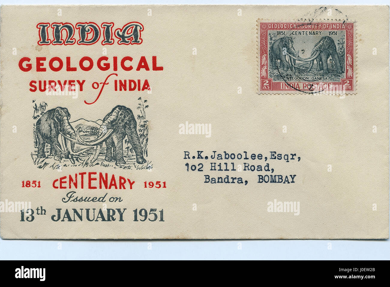 Geological survey, postage stamps, india, asia Stock Photohttps://www.alamy.com/image-license-details/?v=1https://www.alamy.com/stock-photo-geological-survey-postage-stamps-india-asia-138009939.html
RMJ0EW2B–Geological survey, postage stamps, india, asia
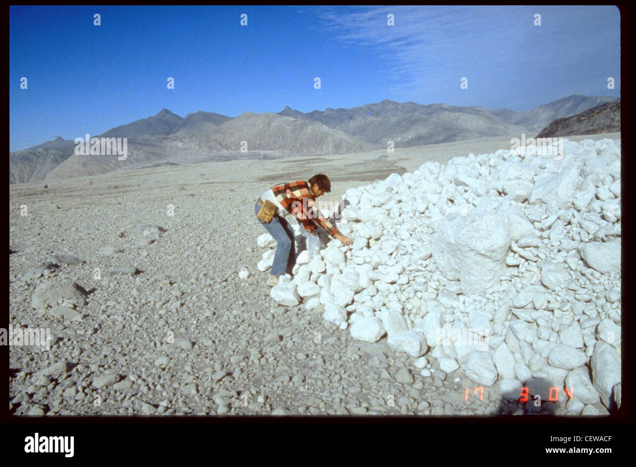 U.S. Geological Survey scientist examines pumice blocks at the toe of a pyroclastic flow. Stock Photohttps://www.alamy.com/image-license-details/?v=1https://www.alamy.com/stock-photo-us-geological-survey-scientist-examines-pumice-blocks-at-the-toe-of-43582911.html
RMCEWACF–U.S. Geological Survey scientist examines pumice blocks at the toe of a pyroclastic flow.
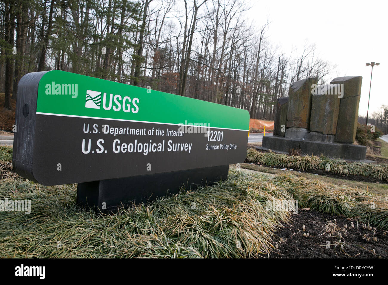 The headquarters of the U.S. Geological Survey in Reston, Virginia. Stock Photohttps://www.alamy.com/image-license-details/?v=1https://www.alamy.com/the-headquarters-of-the-us-geological-survey-in-reston-virginia-image66371085.html
RMDRYCYW–The headquarters of the U.S. Geological Survey in Reston, Virginia.
 Entrance to the hall of the Geological Survey and Museum ( Geological Museum ) at South Kensington . 15 January 1935 Stock Photohttps://www.alamy.com/image-license-details/?v=1https://www.alamy.com/entrance-to-the-hall-of-the-geological-survey-and-museum-geological-museum-at-south-kensington-15-january-1935-image359651250.html
RM2BW3ERE–Entrance to the hall of the Geological Survey and Museum ( Geological Museum ) at South Kensington . 15 January 1935
 Washington, United States. 13 June, 2024. U.S. Geological Survey Associate Director of Natural Hazards Mission Area Michael Grimm delivers remarks during an event launching a new Disaster Response Coordination System at the NASA Headquarters Mary W. Jackson Building, June 13, 2024, in Washington, D.C. The system will provide communities and organizations around the world with access to science and data to aid disaster response. Credit: Bill Ingalls/NASA/Alamy Live News Stock Photohttps://www.alamy.com/image-license-details/?v=1https://www.alamy.com/washington-united-states-13-june-2024-us-geological-survey-associate-director-of-natural-hazards-mission-area-michael-grimm-delivers-remarks-during-an-event-launching-a-new-disaster-response-coordination-system-at-the-nasa-headquarters-mary-w-jackson-building-june-13-2024-in-washington-dc-the-system-will-provide-communities-and-organizations-around-the-world-with-access-to-science-and-data-to-aid-disaster-response-credit-bill-ingallsnasaalamy-live-news-image618469557.html
RM2XX5M6D–Washington, United States. 13 June, 2024. U.S. Geological Survey Associate Director of Natural Hazards Mission Area Michael Grimm delivers remarks during an event launching a new Disaster Response Coordination System at the NASA Headquarters Mary W. Jackson Building, June 13, 2024, in Washington, D.C. The system will provide communities and organizations around the world with access to science and data to aid disaster response. Credit: Bill Ingalls/NASA/Alamy Live News
 Earthquake hits UK. Staff at the British Geological Survey, Edinburgh look at a graph showing the earthquake in Linconshire. Stock Photohttps://www.alamy.com/image-license-details/?v=1https://www.alamy.com/stock-photo-earthquake-hits-uk-staff-at-the-british-geological-survey-edinburgh-109823455.html
RMGAJTX7–Earthquake hits UK. Staff at the British Geological Survey, Edinburgh look at a graph showing the earthquake in Linconshire.
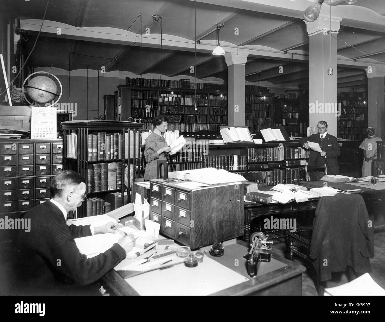 US Geological Survey library in Hooe Building, Washington DC. Note rotating bookcase at left, next to card catalogs, left to right: J.M. Nickles, J.L.V. McCord original Survey librarian, J.E. Latimer, and Mary Coats. Image courtesy USGS. 1917. Stock Photohttps://www.alamy.com/image-license-details/?v=1https://www.alamy.com/stock-image-us-geological-survey-library-in-hooe-building-washington-dc-note-rotating-166754707.html
RMKK8997–US Geological Survey library in Hooe Building, Washington DC. Note rotating bookcase at left, next to card catalogs, left to right: J.M. Nickles, J.L.V. McCord original Survey librarian, J.E. Latimer, and Mary Coats. Image courtesy USGS. 1917.
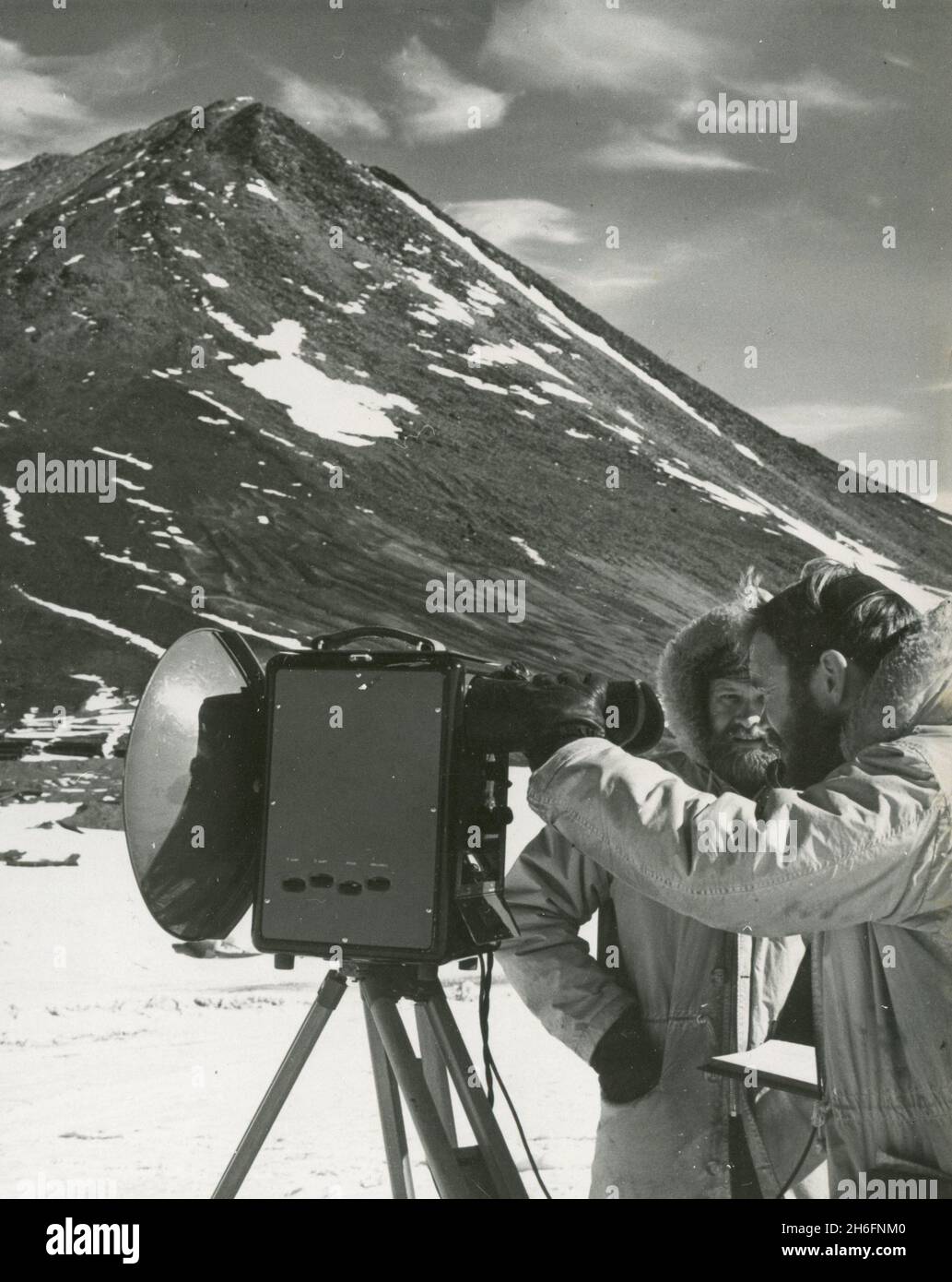 Topographic engineers of the US Geological Survey George Staeffler and Leslie Robinson using a tellurometer to map Antarctica, Ross Sea 1962 Stock Photohttps://www.alamy.com/image-license-details/?v=1https://www.alamy.com/topographic-engineers-of-the-us-geological-survey-george-staeffler-and-leslie-robinson-using-a-tellurometer-to-map-antarctica-ross-sea-1962-image451503808.html
RM2H6FNM0–Topographic engineers of the US Geological Survey George Staeffler and Leslie Robinson using a tellurometer to map Antarctica, Ross Sea 1962
 US Geological Survey stream gaging station along the Alameda Creek in Union City, California Stock Photohttps://www.alamy.com/image-license-details/?v=1https://www.alamy.com/us-geological-survey-stream-gaging-station-along-the-alameda-creek-in-union-city-california-image567102863.html
RM2RXHNDK–US Geological Survey stream gaging station along the Alameda Creek in Union City, California
 United States Department of the Interior Geological Survey seal Stock Photohttps://www.alamy.com/image-license-details/?v=1https://www.alamy.com/stock-photo-united-states-department-of-the-interior-geological-survey-seal-54179384.html
RMD442A0–United States Department of the Interior Geological Survey seal
 Report on forests : Geological Survey of New Jersey Stock Photohttps://www.alamy.com/image-license-details/?v=1https://www.alamy.com/report-on-forests-geological-survey-of-new-jersey-image261424139.html
RMW58W4B–Report on forests : Geological Survey of New Jersey
 Rock core samples at the Geological Survey of Northern Ireland. Stock Photohttps://www.alamy.com/image-license-details/?v=1https://www.alamy.com/stock-image-rock-core-samples-at-the-geological-survey-of-northern-ireland-161874357.html
RMKBA0B1–Rock core samples at the Geological Survey of Northern Ireland.
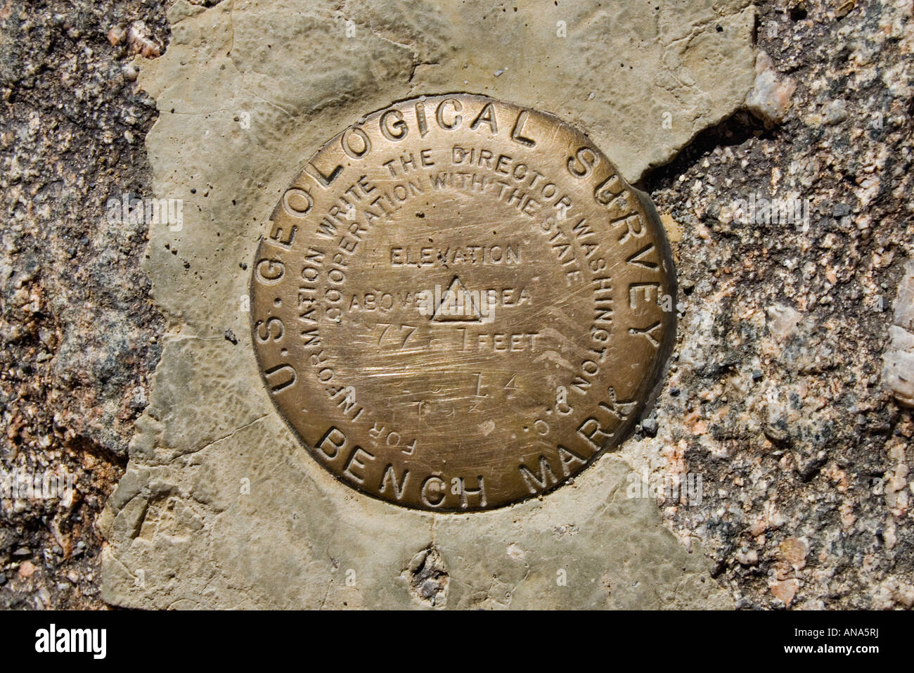 United States Geological Survey Bench Mark Brass Marker Black Canyon of the Gunnison National Park Near Montrose Colorado Stock Photohttps://www.alamy.com/image-license-details/?v=1https://www.alamy.com/stock-photo-united-states-geological-survey-bench-mark-brass-marker-black-canyon-15462437.html
RMANA5RJ–United States Geological Survey Bench Mark Brass Marker Black Canyon of the Gunnison National Park Near Montrose Colorado
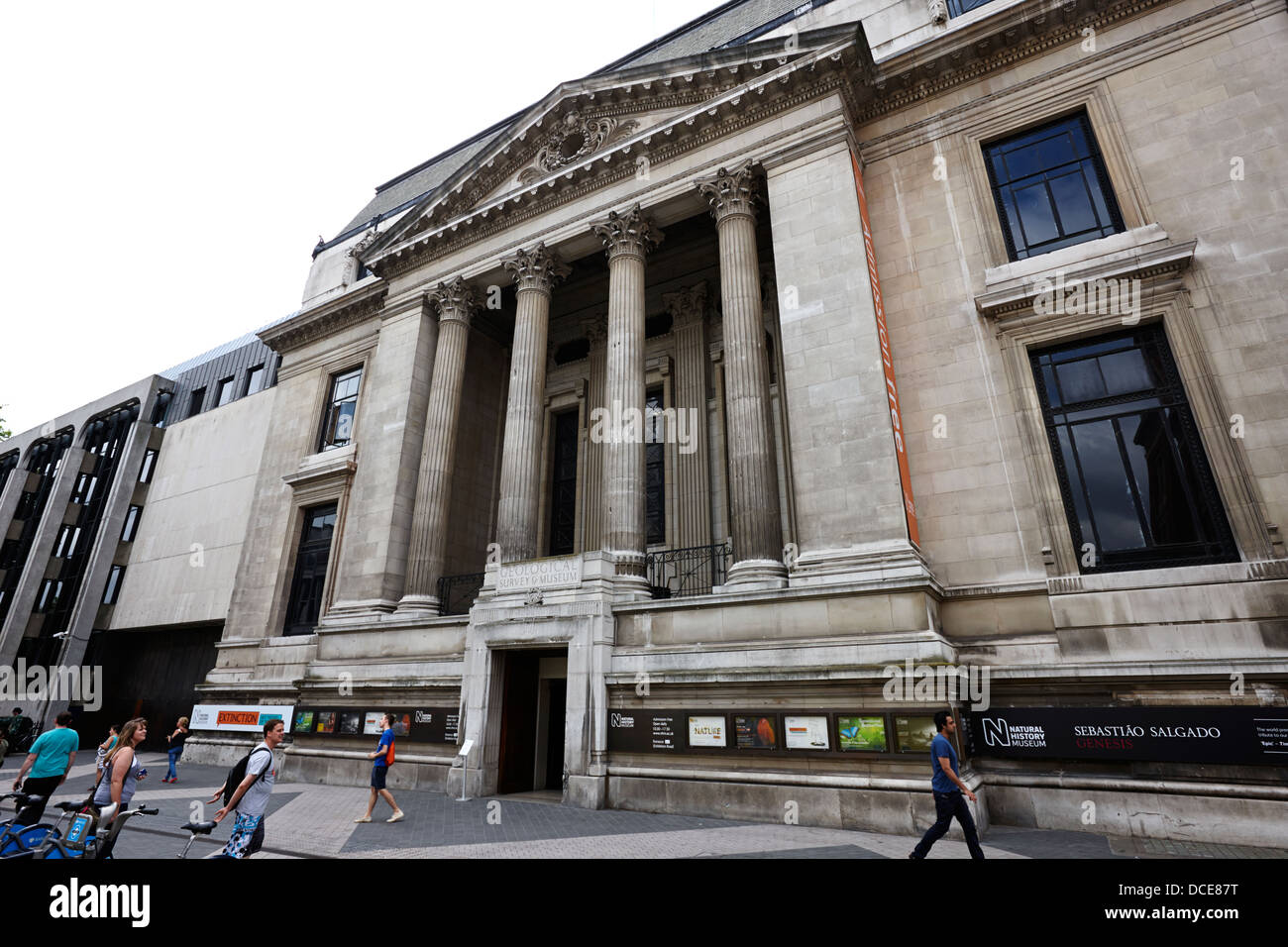 side entrance geological survey museum natural history museum London England UK Stock Photohttps://www.alamy.com/image-license-details/?v=1https://www.alamy.com/stock-photo-side-entrance-geological-survey-museum-natural-history-museum-london-59320796.html
RMDCE87T–side entrance geological survey museum natural history museum London England UK
 U.S. Geological Survey Benchmark Stock Photohttps://www.alamy.com/image-license-details/?v=1https://www.alamy.com/stock-photo-us-geological-survey-benchmark-52070003.html
RMD0KYPY–U.S. Geological Survey Benchmark
 National Geological Survey Haarlem, Haarlem, Nederland, 03-11-2002, Whizgle Dutch News: Historic Images Tailored for the Future. Explore The Netherlands past with modern perspectives through Dutch agency imagery. Bridging yesterday's events with tomorrow's insights. Embark on a timeless journey with stories that shape our future. Stock Photohttps://www.alamy.com/image-license-details/?v=1https://www.alamy.com/national-geological-survey-haarlem-haarlem-nederland-03-11-2002-whizgle-dutch-news-historic-images-tailored-for-the-future-explore-the-netherlands-past-with-modern-perspectives-through-dutch-agency-imagery-bridging-yesterdays-events-with-tomorrows-insights-embark-on-a-timeless-journey-with-stories-that-shape-our-future-image616623170.html
RM2XR5H42–National Geological Survey Haarlem, Haarlem, Nederland, 03-11-2002, Whizgle Dutch News: Historic Images Tailored for the Future. Explore The Netherlands past with modern perspectives through Dutch agency imagery. Bridging yesterday's events with tomorrow's insights. Embark on a timeless journey with stories that shape our future.
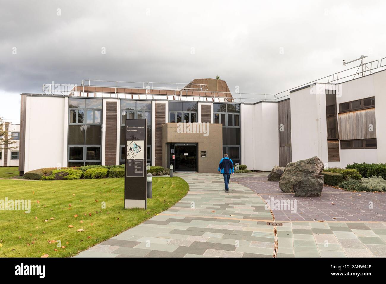 British Geological Survey, Keyworth, Nottingham Stock Photohttps://www.alamy.com/image-license-details/?v=1https://www.alamy.com/british-geological-survey-keyworth-nottingham-image340456830.html
RM2ANW44E–British Geological Survey, Keyworth, Nottingham
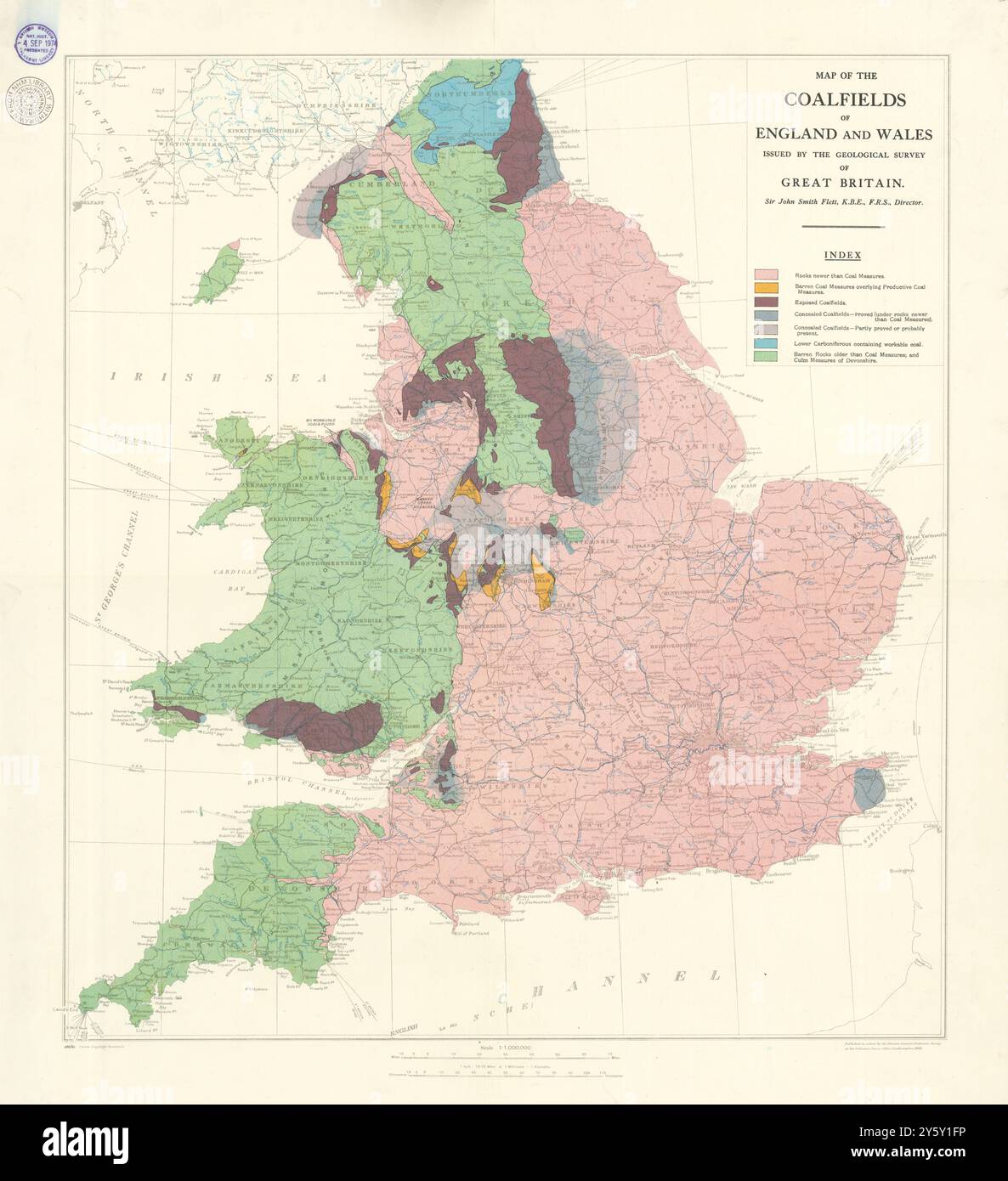 Map of the Coalfields of England and Wales. Great Britain Geological Survey 1935 Stock Photohttps://www.alamy.com/image-license-details/?v=1https://www.alamy.com/map-of-the-coalfields-of-england-and-wales-great-britain-geological-survey-1935-image623240458.html
RF2Y5Y1FP–Map of the Coalfields of England and Wales. Great Britain Geological Survey 1935
 Geological Survey of Norway (Norges Geografiske Oppmling), Norway Stock Photohttps://www.alamy.com/image-license-details/?v=1https://www.alamy.com/geological-survey-of-norway-norges-geografiske-oppmling-norway-image187370141.html
RFMTRCEN–Geological Survey of Norway (Norges Geografiske Oppmling), Norway
 The frontage of the Geological Survey and Museum, showing the entrance with pedestrians passing by. Stock Photohttps://www.alamy.com/image-license-details/?v=1https://www.alamy.com/the-frontage-of-the-geological-survey-and-museum-showing-the-entrance-with-pedestrians-passing-by-image389141935.html
RF2DH2XE7–The frontage of the Geological Survey and Museum, showing the entrance with pedestrians passing by.
 1900 U.S. Geological Survey of Boston and Vicinity, Massachusetts Stock Photohttps://www.alamy.com/image-license-details/?v=1https://www.alamy.com/stock-photo-1900-us-geological-survey-of-boston-and-vicinity-massachusetts-50536776.html
RMCX644T–1900 U.S. Geological Survey of Boston and Vicinity, Massachusetts
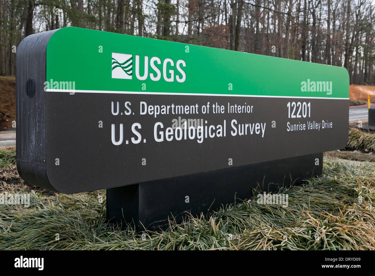 The headquarters of the U.S. Geological Survey in Reston, Virginia. Stock Photohttps://www.alamy.com/image-license-details/?v=1https://www.alamy.com/the-headquarters-of-the-us-geological-survey-in-reston-virginia-image66371097.html
RMDRYD09–The headquarters of the U.S. Geological Survey in Reston, Virginia.
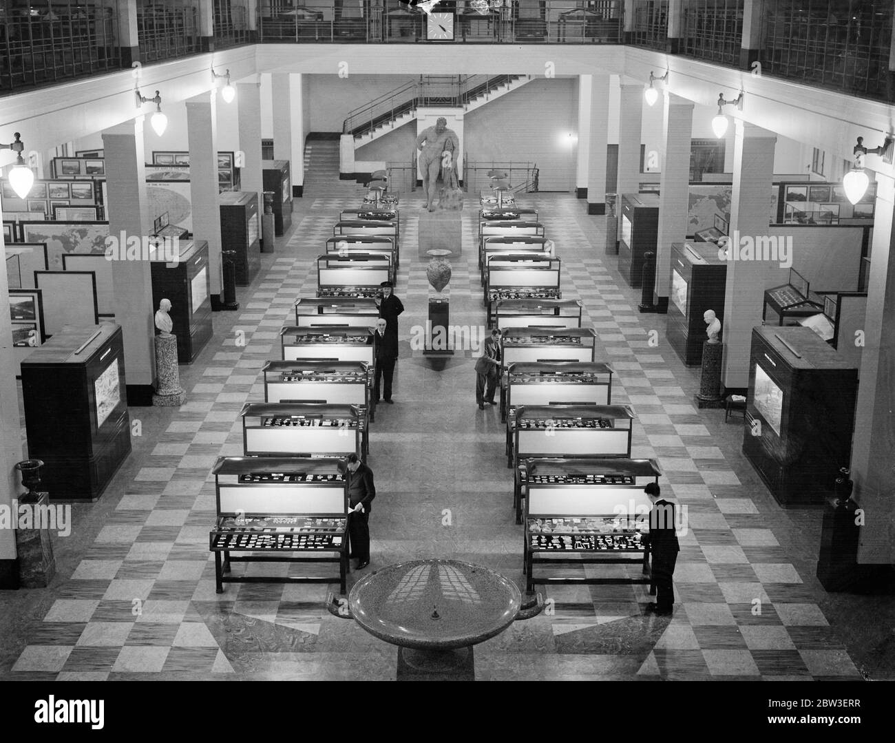 View of the hall of the Geological Survey and Museum ( Geological Museum ) at South Kensington . 15 January 1935 Stock Photohttps://www.alamy.com/image-license-details/?v=1https://www.alamy.com/view-of-the-hall-of-the-geological-survey-and-museum-geological-museum-at-south-kensington-15-january-1935-image359651259.html
RM2BW3ERR–View of the hall of the Geological Survey and Museum ( Geological Museum ) at South Kensington . 15 January 1935
 Geological Survey of Canada (Commission geologique du Canada) is pictured in Ottawa Stock Photohttps://www.alamy.com/image-license-details/?v=1https://www.alamy.com/stock-photo-geological-survey-of-canada-commission-geologique-du-canada-is-pictured-48206058.html
RMCPBY8X–Geological Survey of Canada (Commission geologique du Canada) is pictured in Ottawa
 Julian Bukits of the British Geological Survey in Edinburgh looks over a chart, after the largest earthquake to hit Britain for 10 years struck large parts of England and Wales. *The quake, which measured 4.8 on the Richter scale, hit at 12.54am and the aftershock, which measured 2.7, struck at 4.32am. Both tremors had their epicentres right under the city of Birmingham. Stock Photohttps://www.alamy.com/image-license-details/?v=1https://www.alamy.com/stock-photo-julian-bukits-of-the-british-geological-survey-in-edinburgh-looks-106992329.html
RMG61WPH–Julian Bukits of the British Geological Survey in Edinburgh looks over a chart, after the largest earthquake to hit Britain for 10 years struck large parts of England and Wales. *The quake, which measured 4.8 on the Richter scale, hit at 12.54am and the aftershock, which measured 2.7, struck at 4.32am. Both tremors had their epicentres right under the city of Birmingham.
 John Wesley Powell's Colorado River expedition climbing out of the Grand Canyon, Arizona, circa 1870. Hand-colored woodcut Stock Photohttps://www.alamy.com/image-license-details/?v=1https://www.alamy.com/stock-photo-john-wesley-powells-colorado-river-expedition-climbing-out-of-the-29918206.html
RMBMJTYA–John Wesley Powell's Colorado River expedition climbing out of the Grand Canyon, Arizona, circa 1870. Hand-colored woodcut
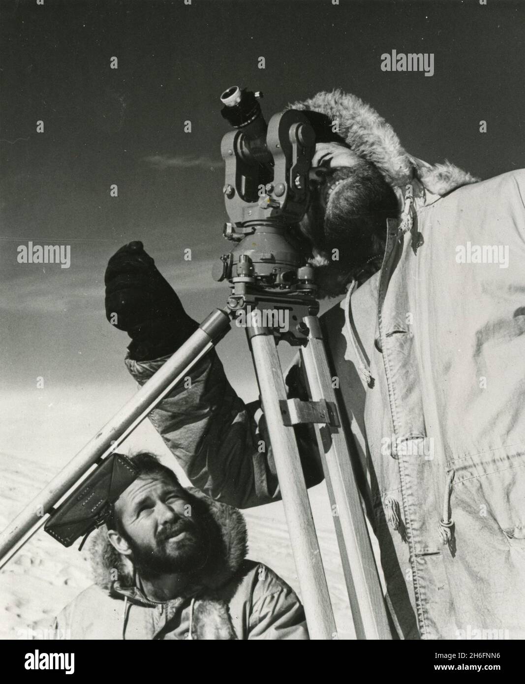 Topographic engineers of the US Geological Survey George Staeffler and Leslie Robinson using a theodolite to map Antarctica, Ross Sea 1962 Stock Photohttps://www.alamy.com/image-license-details/?v=1https://www.alamy.com/topographic-engineers-of-the-us-geological-survey-george-staeffler-and-leslie-robinson-using-a-theodolite-to-map-antarctica-ross-sea-1962-image451503842.html
RM2H6FNN6–Topographic engineers of the US Geological Survey George Staeffler and Leslie Robinson using a theodolite to map Antarctica, Ross Sea 1962
 US Geological Survey Gagging Station next to Alameda Creek Trail in Union City, California Stock Photohttps://www.alamy.com/image-license-details/?v=1https://www.alamy.com/us-geological-survey-gagging-station-next-to-alameda-creek-trail-in-union-city-california-image349884456.html
RM2B96H5C–US Geological Survey Gagging Station next to Alameda Creek Trail in Union City, California
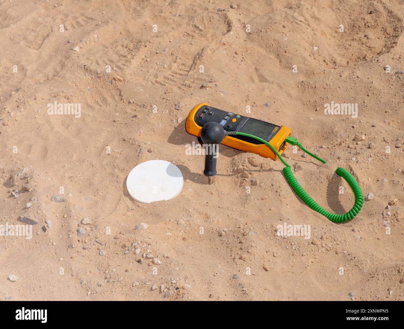 Geological survey tool placed on sandy ground, representing the meticulous process of exploration and analysis. Ideal for themes related to geology, scientific research, and outdoor fieldwork. Stock Photohttps://www.alamy.com/image-license-details/?v=1https://www.alamy.com/geological-survey-tool-placed-on-sandy-ground-representing-the-meticulous-process-of-exploration-and-analysis-ideal-for-themes-related-to-geology-scientific-research-and-outdoor-fieldwork-image615837297.html
RF2XNWPN5–Geological survey tool placed on sandy ground, representing the meticulous process of exploration and analysis. Ideal for themes related to geology, scientific research, and outdoor fieldwork.
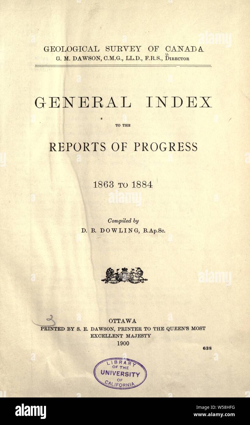 General index to the Reports of progress, 1863 to 1884 : Geological Survey of Canada Stock Photohttps://www.alamy.com/image-license-details/?v=1https://www.alamy.com/general-index-to-the-reports-of-progress-1863-to-1884-geological-survey-of-canada-image261418180.html
RMW58HFG–General index to the Reports of progress, 1863 to 1884 : Geological Survey of Canada
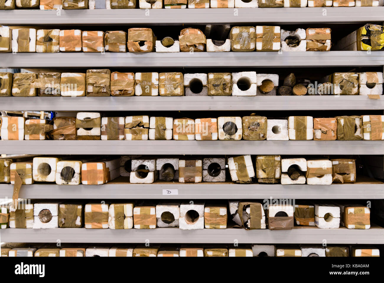 Rock core samples at the Geological Survey of Northern Ireland. Stock Photohttps://www.alamy.com/image-license-details/?v=1https://www.alamy.com/stock-image-rock-core-samples-at-the-geological-survey-of-northern-ireland-161874348.html
RFKBA0AM–Rock core samples at the Geological Survey of Northern Ireland.
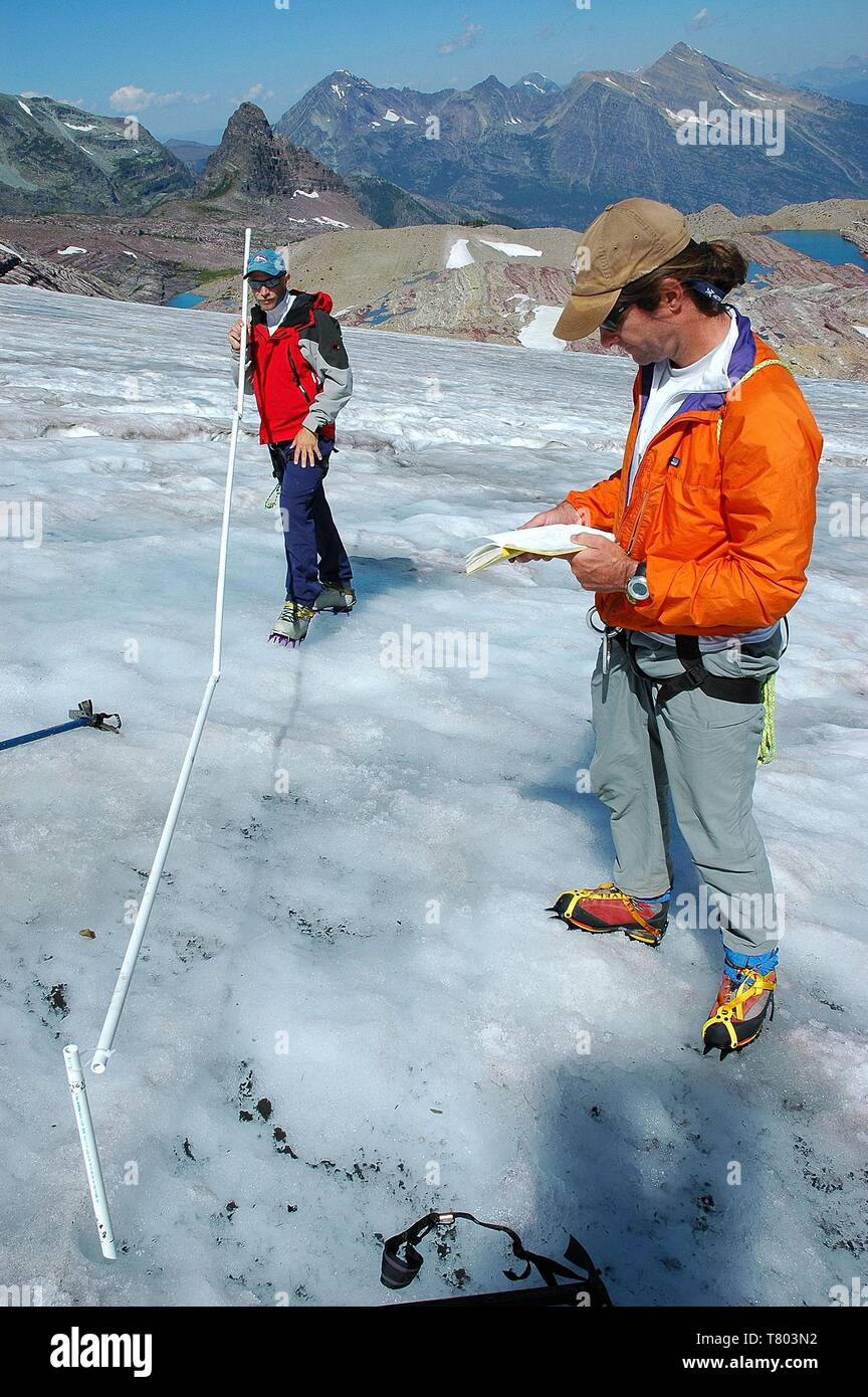 Glacier Research Stock Photohttps://www.alamy.com/image-license-details/?v=1https://www.alamy.com/glacier-research-image245865342.html
RMT803N2–Glacier Research
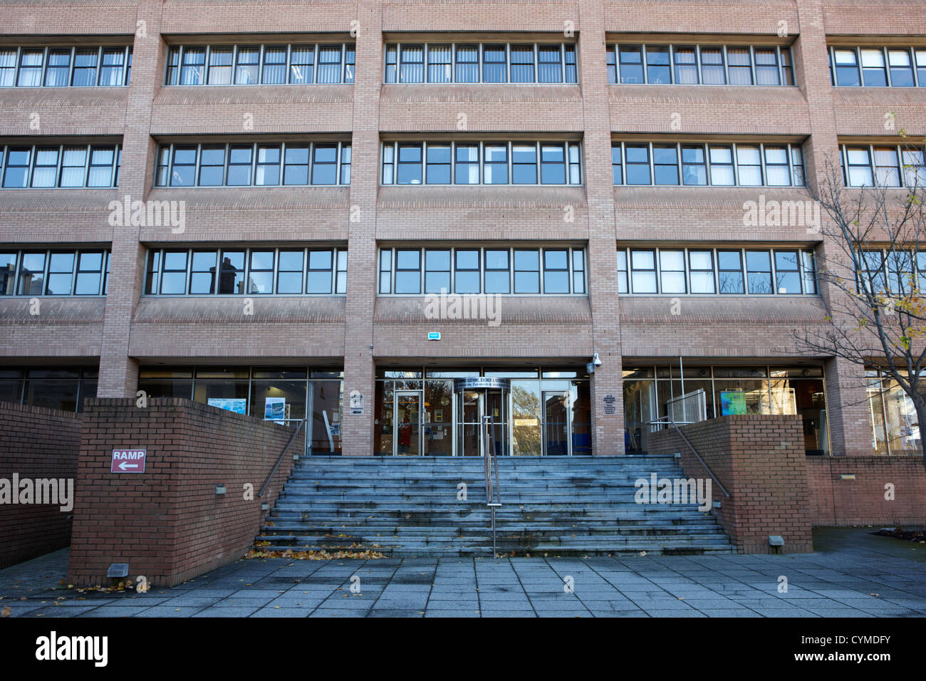 the geological survey of ireland dublin republic of ireland Stock Photohttps://www.alamy.com/image-license-details/?v=1https://www.alamy.com/stock-photo-the-geological-survey-of-ireland-dublin-republic-of-ireland-51466127.html
RMCYMDFY–the geological survey of ireland dublin republic of ireland
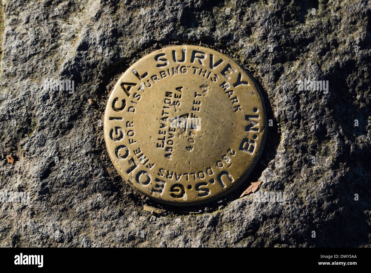 US Geological Survey Marker. Hawaii Volcanoes National Park, Big Island, Hawaii, USA. Stock Photohttps://www.alamy.com/image-license-details/?v=1https://www.alamy.com/us-geological-survey-marker-hawaii-volcanoes-national-park-big-island-image67594418.html
RMDWY5AA–US Geological Survey Marker. Hawaii Volcanoes National Park, Big Island, Hawaii, USA.
 First pile Geological Survey, First pile, 28-03-1988, Whizgle Dutch News: Historic Images Tailored for the Future. Explore The Netherlands past with modern perspectives through Dutch agency imagery. Bridging yesterday's events with tomorrow's insights. Embark on a timeless journey with stories that shape our future. Stock Photohttps://www.alamy.com/image-license-details/?v=1https://www.alamy.com/first-pile-geological-survey-first-pile-28-03-1988-whizgle-dutch-news-historic-images-tailored-for-the-future-explore-the-netherlands-past-with-modern-perspectives-through-dutch-agency-imagery-bridging-yesterdays-events-with-tomorrows-insights-embark-on-a-timeless-journey-with-stories-that-shape-our-future-image616523946.html
RM2XR12GA–First pile Geological Survey, First pile, 28-03-1988, Whizgle Dutch News: Historic Images Tailored for the Future. Explore The Netherlands past with modern perspectives through Dutch agency imagery. Bridging yesterday's events with tomorrow's insights. Embark on a timeless journey with stories that shape our future.
 Hand writing what is a geological survey on grey background Stock Photohttps://www.alamy.com/image-license-details/?v=1https://www.alamy.com/stock-photo-hand-writing-what-is-a-geological-survey-on-grey-background-100705653.html
RFFRRF2D–Hand writing what is a geological survey on grey background
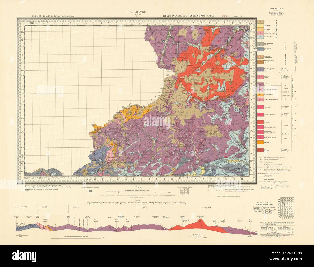 The Cheviot geological survey sheet 5 Northumberland Hills Alwinton 1951 map Stock Photohttps://www.alamy.com/image-license-details/?v=1https://www.alamy.com/the-cheviot-geological-survey-sheet-5-northumberland-hills-alwinton-1951-map-image556921268.html
RF2RA1XN8–The Cheviot geological survey sheet 5 Northumberland Hills Alwinton 1951 map
 classical revival style stone facade of the geological survey and museum, with inscription giving title and 1933 Stock Photohttps://www.alamy.com/image-license-details/?v=1https://www.alamy.com/stock-photo-classical-revival-style-stone-facade-of-the-geological-survey-and-25792621.html
RMBDXXN1–classical revival style stone facade of the geological survey and museum, with inscription giving title and 1933
 The frontage of the Geological Survey and Museum, showing the entrance with pedestrians passing by. Stock Photohttps://www.alamy.com/image-license-details/?v=1https://www.alamy.com/the-frontage-of-the-geological-survey-and-museum-showing-the-entrance-with-pedestrians-passing-by-image389141911.html
RF2DH2XDB–The frontage of the Geological Survey and Museum, showing the entrance with pedestrians passing by.
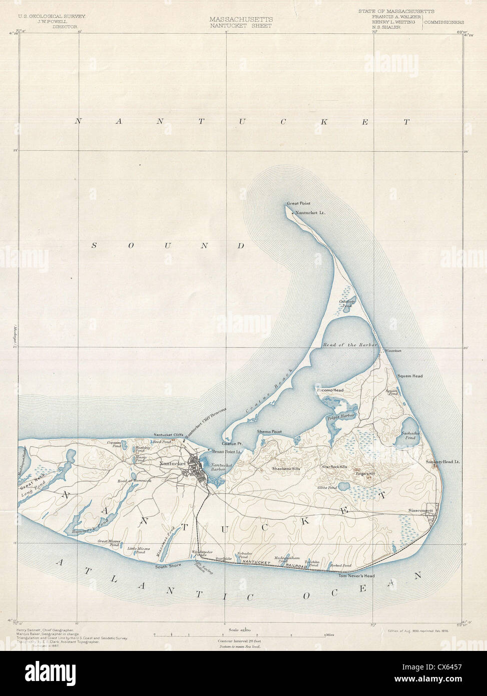 1898 U.S. Geological Survey Map of Nantucket, Massachusetts Stock Photohttps://www.alamy.com/image-license-details/?v=1https://www.alamy.com/stock-photo-1898-us-geological-survey-map-of-nantucket-massachusetts-50536787.html
RMCX6457–1898 U.S. Geological Survey Map of Nantucket, Massachusetts
 The headquarters of the U.S. Geological Survey in Reston, Virginia. Stock Photohttps://www.alamy.com/image-license-details/?v=1https://www.alamy.com/the-headquarters-of-the-us-geological-survey-in-reston-virginia-image66371095.html
RMDRYD07–The headquarters of the U.S. Geological Survey in Reston, Virginia.
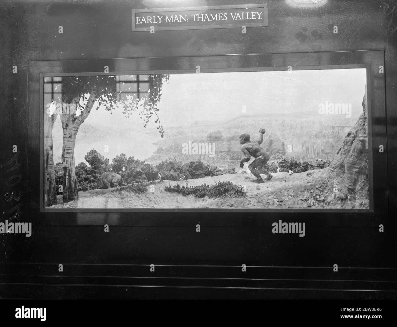 Display at the Geological Survey and Museum ( Geological Museum ) , South Kensington . Display of the first man in the Thames Valley hunting wild bear . 15 January 1935 Stock Photohttps://www.alamy.com/image-license-details/?v=1https://www.alamy.com/display-at-the-geological-survey-and-museum-geological-museum-south-kensington-display-of-the-first-man-in-the-thames-valley-hunting-wild-bear-15-january-1935-image359651242.html
RM2BW3ER6–Display at the Geological Survey and Museum ( Geological Museum ) , South Kensington . Display of the first man in the Thames Valley hunting wild bear . 15 January 1935
 Geological Survey of Canada (Commission geologique du Canada) is pictured in Ottawa Stock Photohttps://www.alamy.com/image-license-details/?v=1https://www.alamy.com/stock-photo-geological-survey-of-canada-commission-geologique-du-canada-is-pictured-48206076.html
RMCPBY9G–Geological Survey of Canada (Commission geologique du Canada) is pictured in Ottawa
 United States Geological Survey boat dwarfed by the mountains around Prince William Sound, Alaska, USA Stock Photohttps://www.alamy.com/image-license-details/?v=1https://www.alamy.com/united-states-geological-survey-boat-dwarfed-by-the-mountains-around-prince-william-sound-alaska-usa-image559704125.html
RF2REGM91–United States Geological Survey boat dwarfed by the mountains around Prince William Sound, Alaska, USA
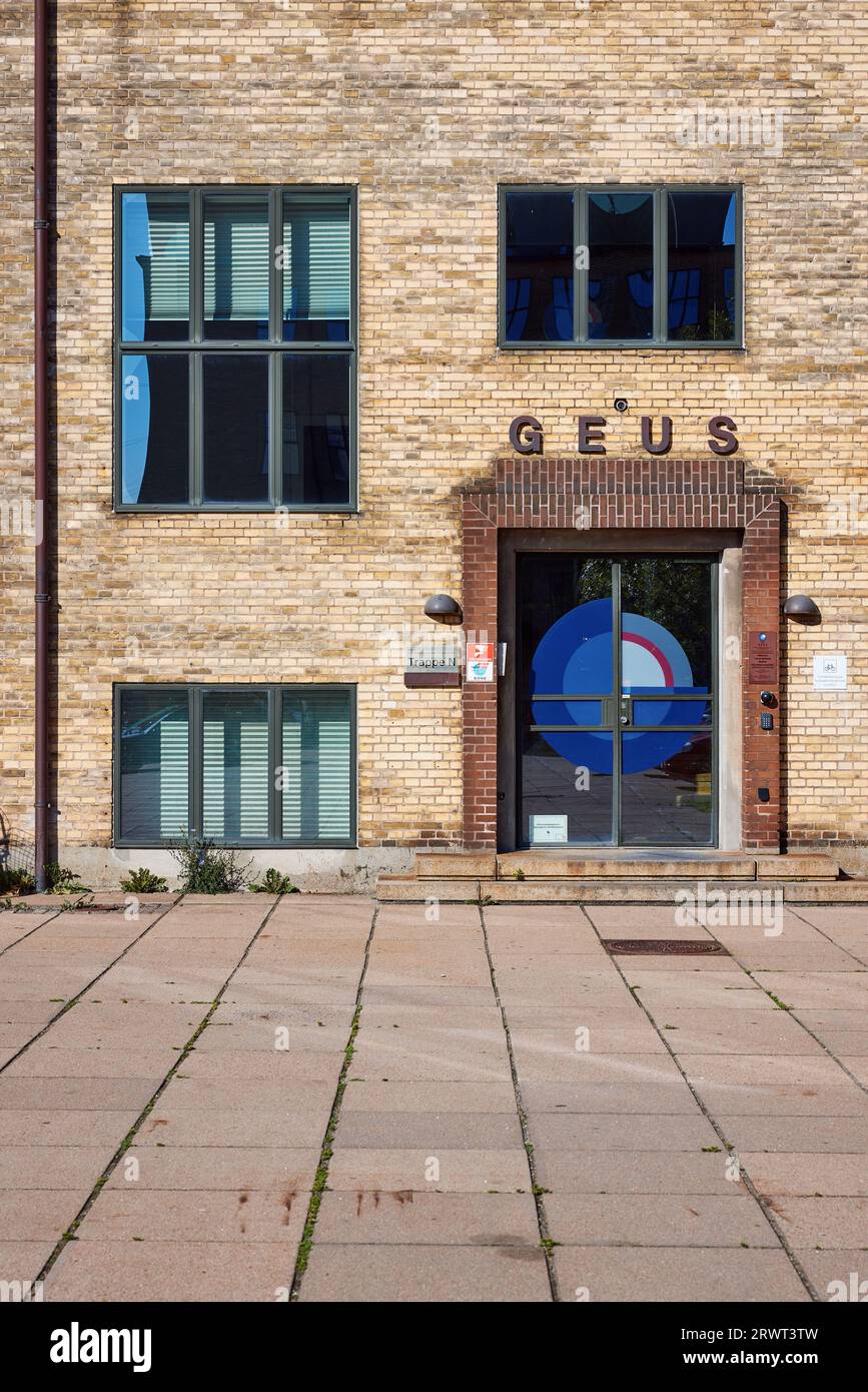 GEUS, Geological Survey of Denmark and Greenland (De Nationale Geologiske Undersøgelser for Danmark og Grønland), Copenhagen, Denmark Stock Photohttps://www.alamy.com/image-license-details/?v=1https://www.alamy.com/geus-geological-survey-of-denmark-and-greenland-de-nationale-geologiske-undersgelser-for-danmark-og-grnland-copenhagen-denmark-image566628073.html
RM2RWT3TW–GEUS, Geological Survey of Denmark and Greenland (De Nationale Geologiske Undersøgelser for Danmark og Grønland), Copenhagen, Denmark
 Bad Lands - Alkaline and Clay Butte. Black Hills, Colorado. USA. 1907 The United Sttes Geological Survey established the fact that no where else on earth are so many geological formations exposed as along the border of the Black Hills. Here are indications of successive upheavels and eruptions, until a recent period, and is the cause of the peculiar springs, caves, mines and fossils. Stock Photohttps://www.alamy.com/image-license-details/?v=1https://www.alamy.com/bad-lands-alkaline-and-clay-butte-black-hills-colorado-usa-1907-the-united-sttes-geological-survey-established-the-fact-that-no-where-else-on-earth-are-so-many-geological-formations-exposed-as-along-the-border-of-the-black-hills-here-are-indications-of-successive-upheavels-and-eruptions-until-a-recent-period-and-is-the-cause-of-the-peculiar-springs-caves-mines-and-fossils-image624387489.html
RF2Y7R8H5–Bad Lands - Alkaline and Clay Butte. Black Hills, Colorado. USA. 1907 The United Sttes Geological Survey established the fact that no where else on earth are so many geological formations exposed as along the border of the Black Hills. Here are indications of successive upheavels and eruptions, until a recent period, and is the cause of the peculiar springs, caves, mines and fossils.
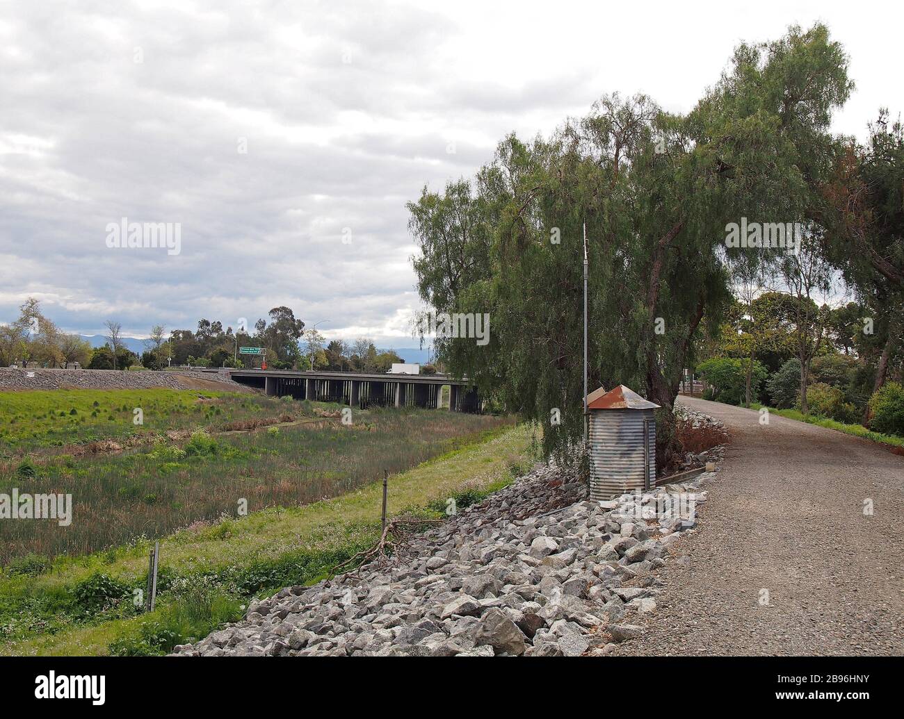 US Geological Survey Gagging Station next to Alameda Creek Trail in Union City, California Stock Photohttps://www.alamy.com/image-license-details/?v=1https://www.alamy.com/us-geological-survey-gagging-station-next-to-alameda-creek-trail-in-union-city-california-image349884919.html
RM2B96HNY–US Geological Survey Gagging Station next to Alameda Creek Trail in Union City, California
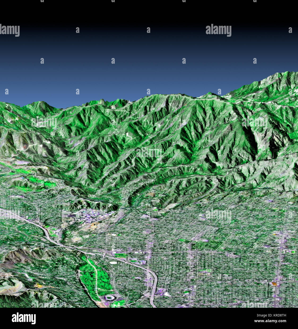 This perspective view shows the western part of the city of Pasadena, California, looking north towards the San Gabriel Mountains. Portions of the cities of Altadena and La Canada, Flintridge are also shown. The image was created from three datasets: the Shuttle Radar Topography Mission (SRTM) supplied the elevation data; Landsat data from November 11, 1986 provided the land surface color (not the sky) and U.S. Geological Survey digital aerial photography provides the image detail. The Rose Bowl, surrounded by a golf course, is the circular feature at the bottom center of the image. The Jet Pr Stock Photohttps://www.alamy.com/image-license-details/?v=1https://www.alamy.com/stock-image-this-perspective-view-shows-the-western-part-of-the-city-of-pasadena-169322737.html
RMKRD8TH–This perspective view shows the western part of the city of Pasadena, California, looking north towards the San Gabriel Mountains. Portions of the cities of Altadena and La Canada, Flintridge are also shown. The image was created from three datasets: the Shuttle Radar Topography Mission (SRTM) supplied the elevation data; Landsat data from November 11, 1986 provided the land surface color (not the sky) and U.S. Geological Survey digital aerial photography provides the image detail. The Rose Bowl, surrounded by a golf course, is the circular feature at the bottom center of the image. The Jet Pr
 Descriptive catalogue of a collection of the economic minerals of Canada : Geological Survey of Canada Stock Photohttps://www.alamy.com/image-license-details/?v=1https://www.alamy.com/descriptive-catalogue-of-a-collection-of-the-economic-minerals-of-canada-geological-survey-of-canada-image261416495.html
RMW58FBB–Descriptive catalogue of a collection of the economic minerals of Canada : Geological Survey of Canada
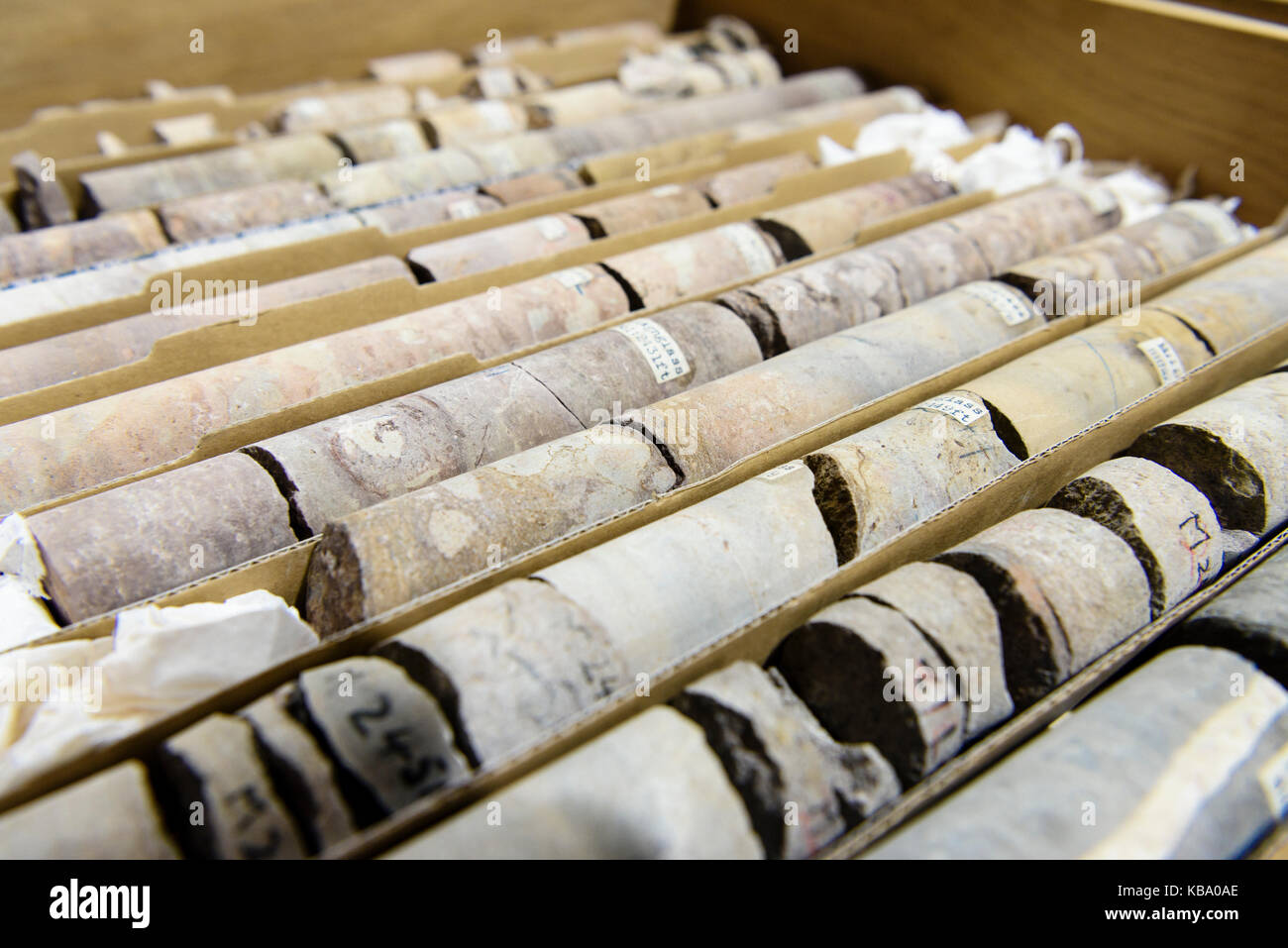 Rock core samples at the Geological Survey of Northern Ireland. Stock Photohttps://www.alamy.com/image-license-details/?v=1https://www.alamy.com/stock-image-rock-core-samples-at-the-geological-survey-of-northern-ireland-161874342.html
RFKBA0AE–Rock core samples at the Geological Survey of Northern Ireland.
 Glacier Research Stock Photohttps://www.alamy.com/image-license-details/?v=1https://www.alamy.com/glacier-research-image245865344.html
RMT803N4–Glacier Research
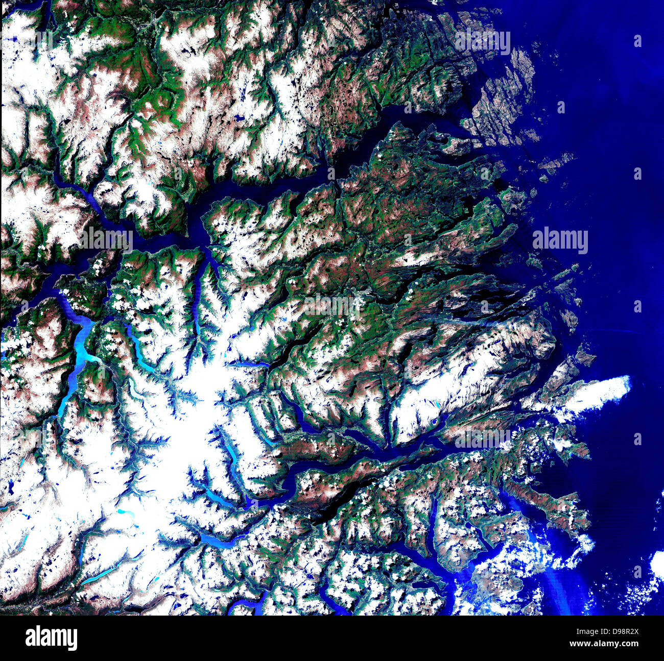 Satellite view of the Norwegian fjords: Sogn og Fjordane, west coast of Norway. US Geological Survey. Science Stock Photohttps://www.alamy.com/image-license-details/?v=1https://www.alamy.com/stock-photo-satellite-view-of-the-norwegian-fjords-sogn-og-fjordane-west-coast-57356738.html
RMD98R2X–Satellite view of the Norwegian fjords: Sogn og Fjordane, west coast of Norway. US Geological Survey. Science
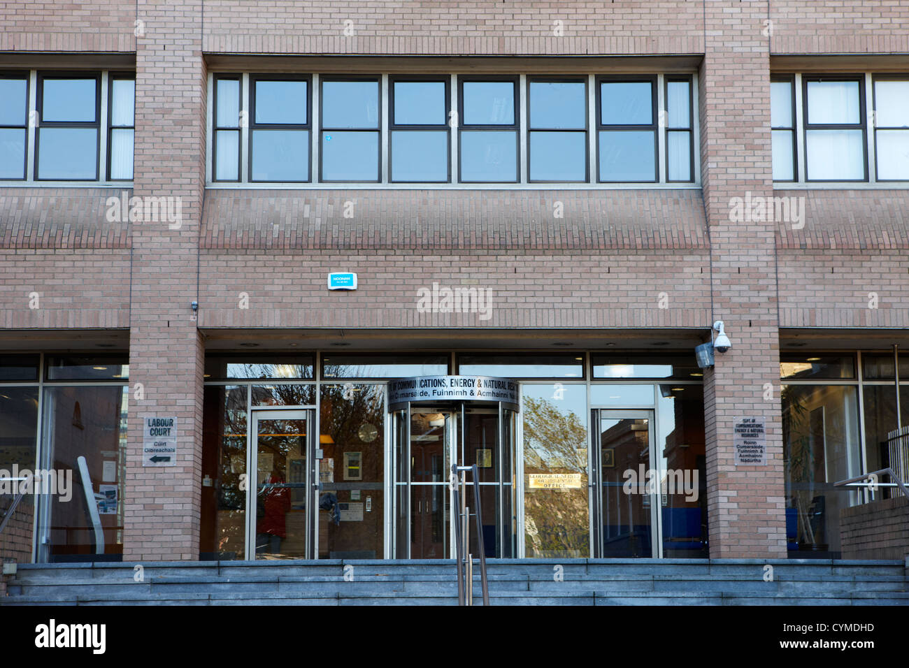 department of communications energy and natural resouces as well as the geological survey of ireland dublin republic of ireland Stock Photohttps://www.alamy.com/image-license-details/?v=1https://www.alamy.com/stock-photo-department-of-communications-energy-and-natural-resouces-as-well-as-51466169.html
RMCYMDHD–department of communications energy and natural resouces as well as the geological survey of ireland dublin republic of ireland
 National Geological Survey presentation, Haarlem, The Netherlands, 05-10-1996, Whizgle News from the Past, Tailored for the Future. Explore historical narratives, Dutch The Netherlands agency image with a modern perspective, bridging the gap between yesterday's events and tomorrow's insights. A timeless journey shaping the stories that shape our future Stock Photohttps://www.alamy.com/image-license-details/?v=1https://www.alamy.com/national-geological-survey-presentation-haarlem-the-netherlands-05-10-1996-whizgle-news-from-the-past-tailored-for-the-future-explore-historical-narratives-dutch-the-netherlands-agency-image-with-a-modern-perspective-bridging-the-gap-between-yesterdays-events-and-tomorrows-insights-a-timeless-journey-shaping-the-stories-that-shape-our-future-image576413070.html
RM2TDNTN2–National Geological Survey presentation, Haarlem, The Netherlands, 05-10-1996, Whizgle News from the Past, Tailored for the Future. Explore historical narratives, Dutch The Netherlands agency image with a modern perspective, bridging the gap between yesterday's events and tomorrow's insights. A timeless journey shaping the stories that shape our future
 Geological survey word cloud concept Stock Photohttps://www.alamy.com/image-license-details/?v=1https://www.alamy.com/stock-photo-geological-survey-word-cloud-concept-100759459.html
RFFRWYM3–Geological survey word cloud concept
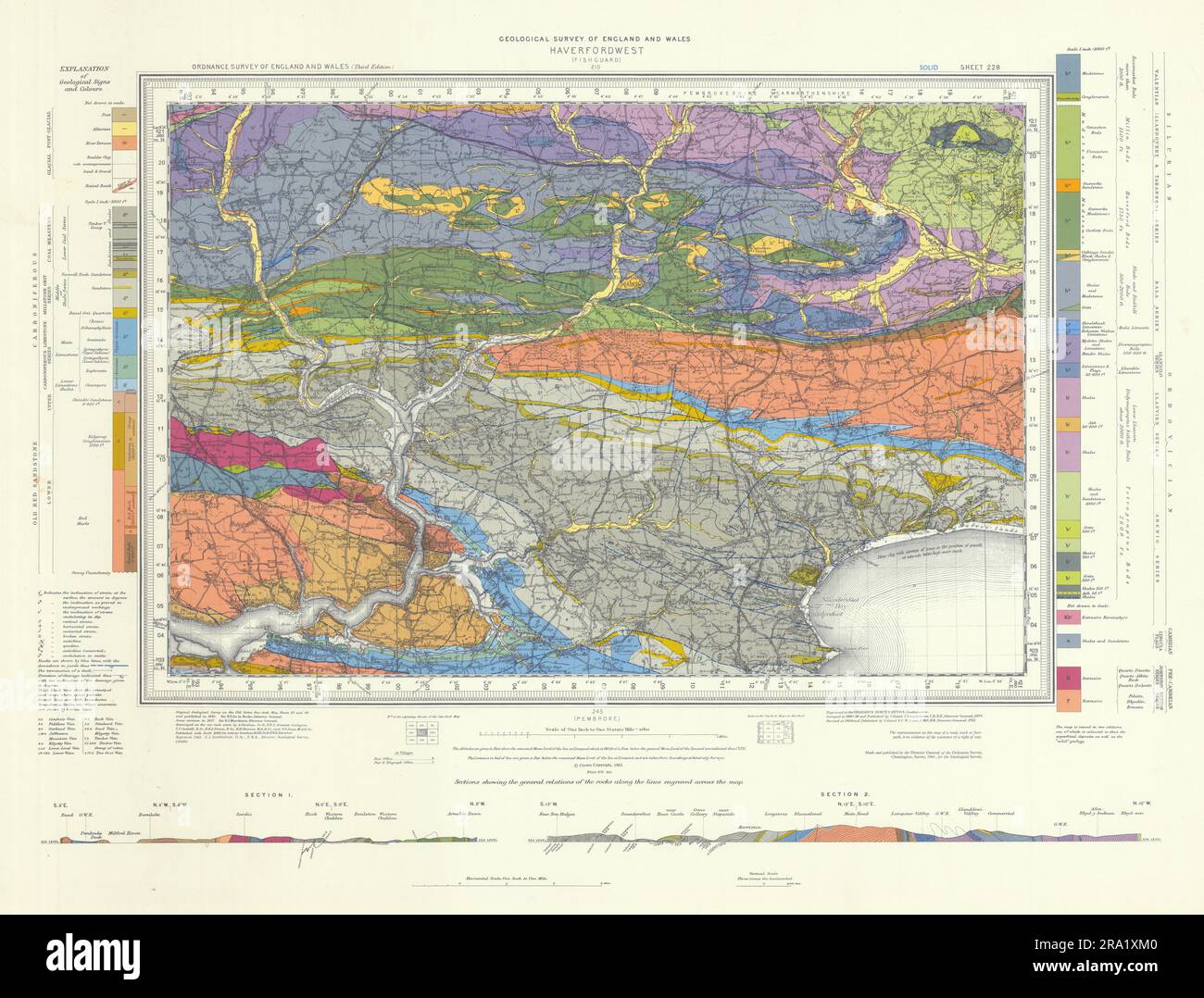 Haverfordwest geological survey sheet 228. Pembroke Dock. Daugleddau 1963 map Stock Photohttps://www.alamy.com/image-license-details/?v=1https://www.alamy.com/haverfordwest-geological-survey-sheet-228-pembroke-dock-daugleddau-1963-map-image556921232.html
RF2RA1XM0–Haverfordwest geological survey sheet 228. Pembroke Dock. Daugleddau 1963 map
 Geological Survey, Dept. Interior. Washington, D.C., Mar. 13. E.A. Shuster working with the erocartograph constructing topographies from airplane pictures ca. 1937 Stock Photohttps://www.alamy.com/image-license-details/?v=1https://www.alamy.com/geological-survey-dept-interior-washington-dc-mar-13-ea-shuster-working-with-the-erocartograph-constructing-topographies-from-airplane-pictures-ca-1937-image331551464.html
RM2A7BD7M–Geological Survey, Dept. Interior. Washington, D.C., Mar. 13. E.A. Shuster working with the erocartograph constructing topographies from airplane pictures ca. 1937
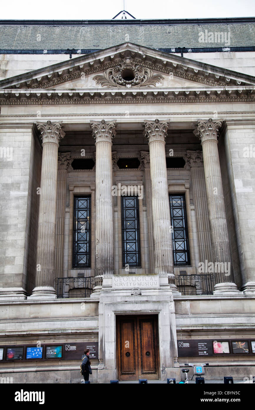 Geological Survey and Museum on Exhibition Rd SW7 - London Stock Photohttps://www.alamy.com/image-license-details/?v=1https://www.alamy.com/stock-photo-geological-survey-and-museum-on-exhibition-rd-sw7-london-41791272.html
RMCBYN5C–Geological Survey and Museum on Exhibition Rd SW7 - London
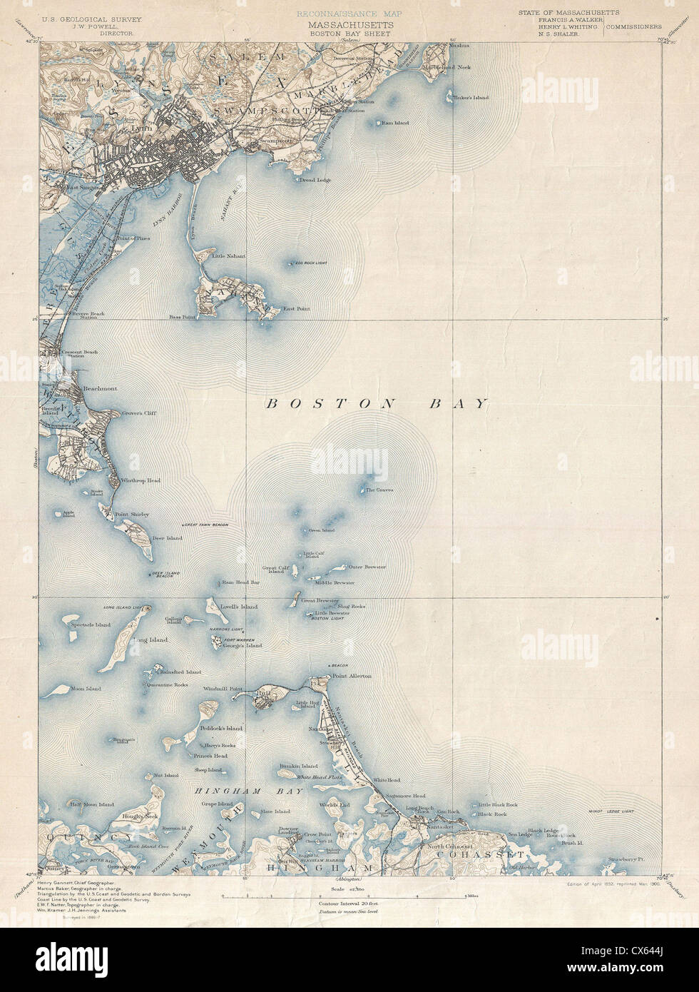 1900 U.S. Geological Survey of Boston Bay, Massachusetts Stock Photohttps://www.alamy.com/image-license-details/?v=1https://www.alamy.com/stock-photo-1900-us-geological-survey-of-boston-bay-massachusetts-50536770.html
RMCX644J–1900 U.S. Geological Survey of Boston Bay, Massachusetts
 The headquarters of the U.S. Geological Survey in Reston, Virginia. Stock Photohttps://www.alamy.com/image-license-details/?v=1https://www.alamy.com/the-headquarters-of-the-us-geological-survey-in-reston-virginia-image66371201.html
RMDRYD41–The headquarters of the U.S. Geological Survey in Reston, Virginia.
 Display at the Geological Survey and Museum ( Geological Museum ) , South Kensington . Display of the first man in the Thames Valley hunting wild bear . 15 January 1935 Stock Photohttps://www.alamy.com/image-license-details/?v=1https://www.alamy.com/display-at-the-geological-survey-and-museum-geological-museum-south-kensington-display-of-the-first-man-in-the-thames-valley-hunting-wild-bear-15-january-1935-image359651252.html
RM2BW3ERG–Display at the Geological Survey and Museum ( Geological Museum ) , South Kensington . Display of the first man in the Thames Valley hunting wild bear . 15 January 1935
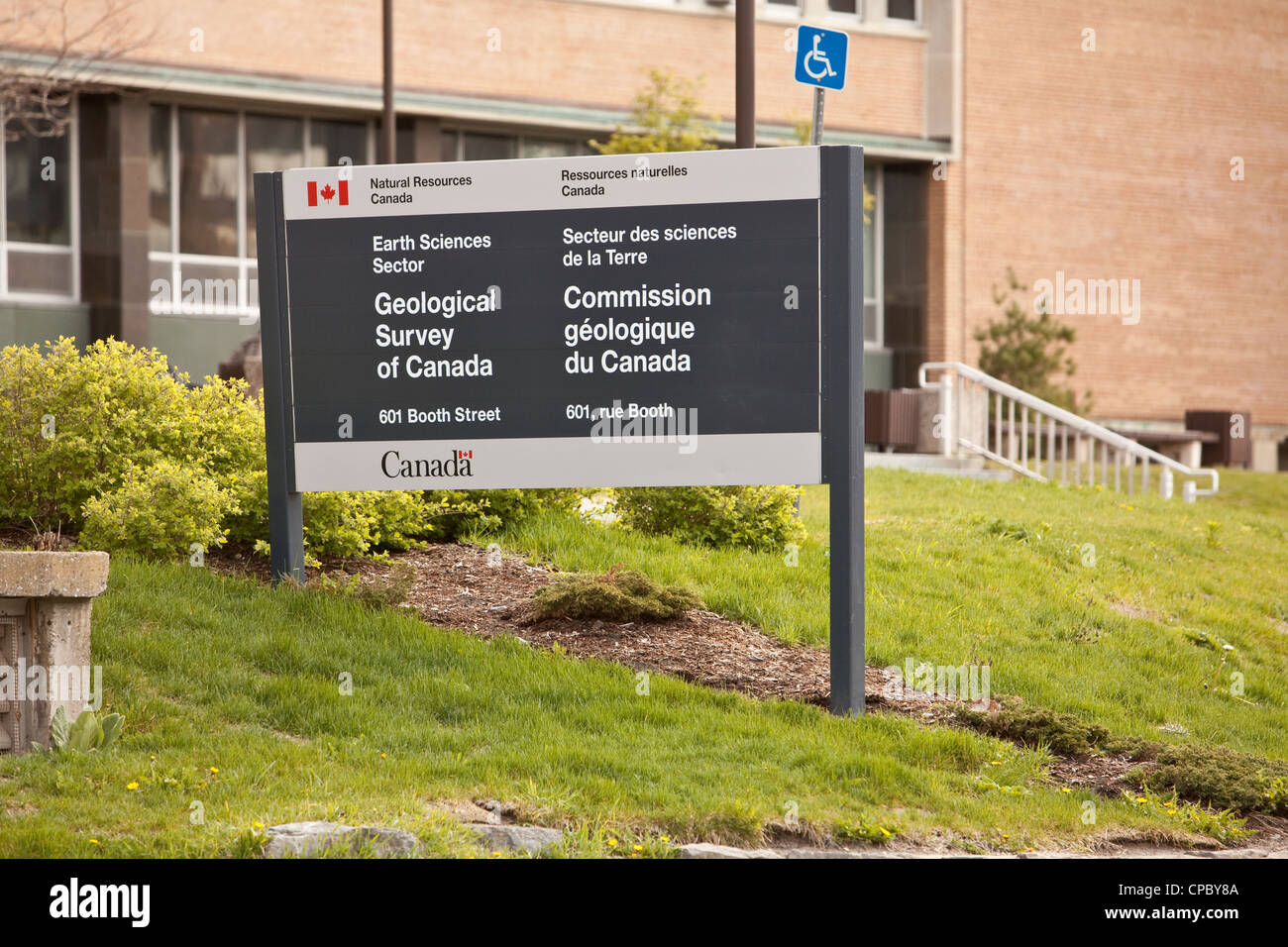 Geological Survey of Canada (Commission geologique du Canada) is pictured in Ottawa Stock Photohttps://www.alamy.com/image-license-details/?v=1https://www.alamy.com/stock-photo-geological-survey-of-canada-commission-geologique-du-canada-is-pictured-48206042.html
RMCPBY8A–Geological Survey of Canada (Commission geologique du Canada) is pictured in Ottawa
 Photograph of Guangzhou Tang Lang Street by William Henry Jackson (1843-1942) an American painter, Civil War veteran, geological survey photographer and an explorer famous for his images of the American West. Dated 19th Century Stock Photohttps://www.alamy.com/image-license-details/?v=1https://www.alamy.com/photograph-of-guangzhou-tang-lang-street-by-william-henry-jackson-1843-1942-an-american-painter-civil-war-veteran-geological-survey-photographer-and-an-explorer-famous-for-his-images-of-the-american-west-dated-19th-century-image330686443.html
RM2A601X3–Photograph of Guangzhou Tang Lang Street by William Henry Jackson (1843-1942) an American painter, Civil War veteran, geological survey photographer and an explorer famous for his images of the American West. Dated 19th Century
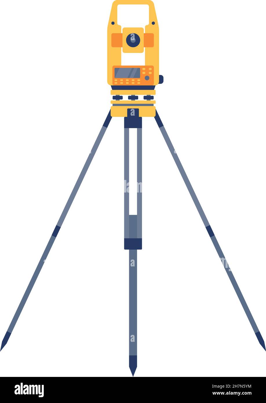 Tacheometer,Theodolite on Tripod, Geological Survey, Engineering Equipment for Measurement and Research Flat Style Vector Illustration Stock Vectorhttps://www.alamy.com/image-license-details/?v=1https://www.alamy.com/tacheometertheodolite-on-tripod-geological-survey-engineering-equipment-for-measurement-and-research-flat-style-vector-illustration-image452237848.html
RF2H7N5YM–Tacheometer,Theodolite on Tripod, Geological Survey, Engineering Equipment for Measurement and Research Flat Style Vector Illustration
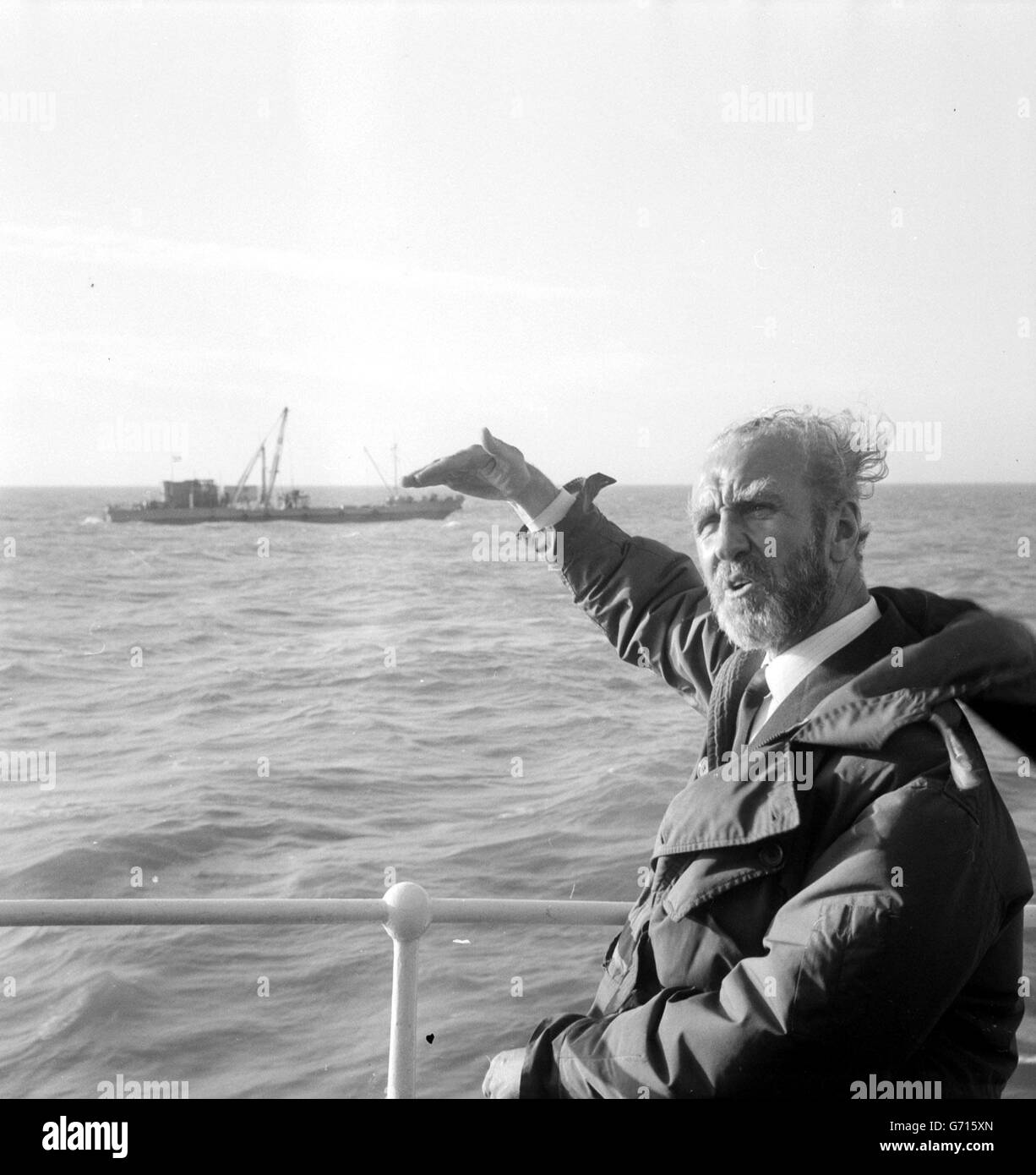 Wind blown Mr Ernest Marples, Minister of Transport, stands at the rail of the Trinity House vessel Patricia during his mid-Channel visit to view the ships making the first borings for the geological survey for the proposed 160 million Channel Tunnel. In the background is the survey ship Cauville, one of the vessels taking part in the operation. Mr Marples and his French counterpart, Marc Jacquet, spent five hours on a blustery sea. Later, Mr Marples said that in his view the tunnel was ' a certainty'. Stock Photohttps://www.alamy.com/image-license-details/?v=1https://www.alamy.com/stock-photo-wind-blown-mr-ernest-marples-minister-of-transport-stands-at-the-rail-107591421.html
RMG715XN–Wind blown Mr Ernest Marples, Minister of Transport, stands at the rail of the Trinity House vessel Patricia during his mid-Channel visit to view the ships making the first borings for the geological survey for the proposed 160 million Channel Tunnel. In the background is the survey ship Cauville, one of the vessels taking part in the operation. Mr Marples and his French counterpart, Marc Jacquet, spent five hours on a blustery sea. Later, Mr Marples said that in his view the tunnel was ' a certainty'.
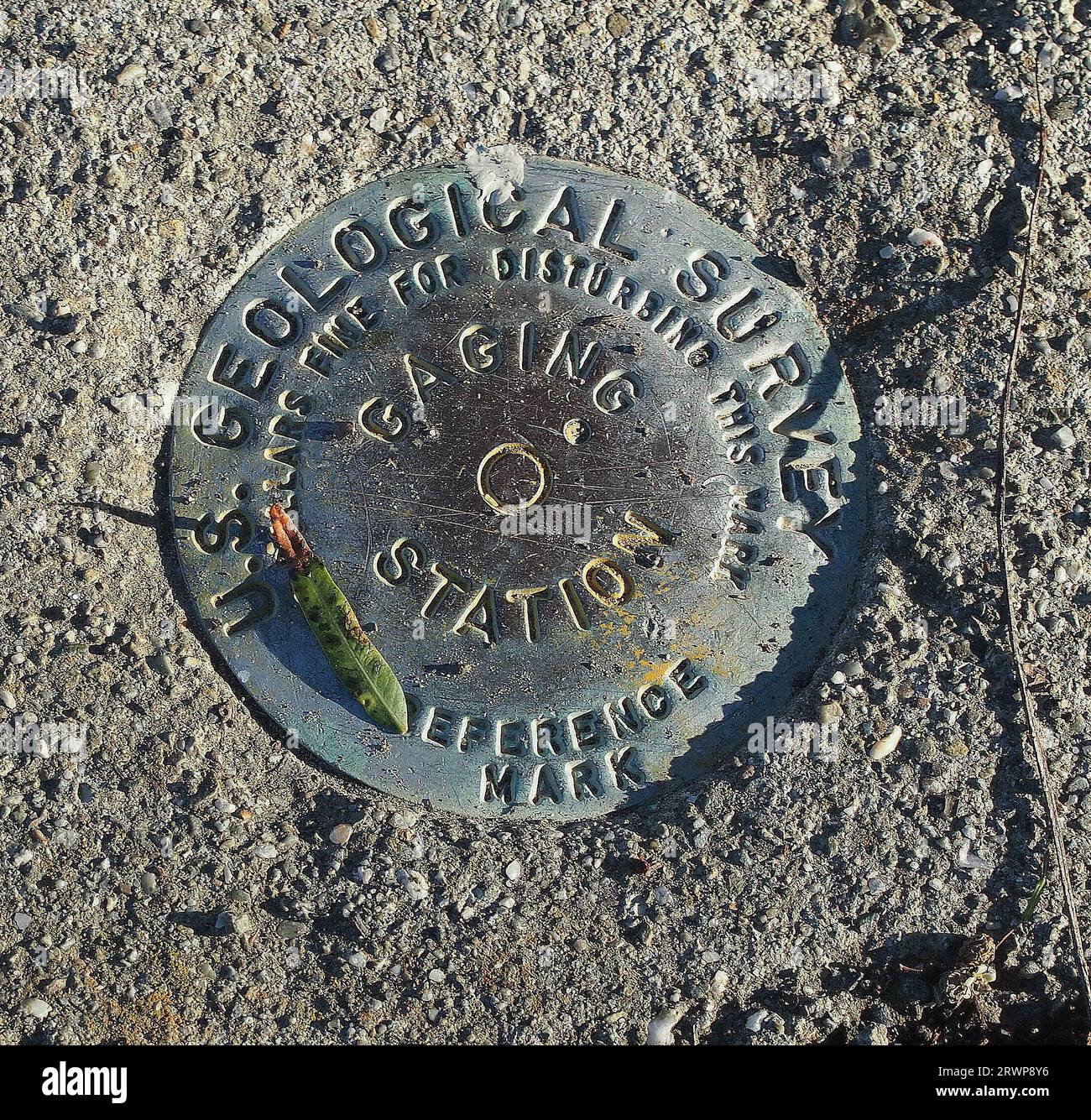 US Geological Survey gaging station reference mark along the Alameda Creek in Union City, California Stock Photohttps://www.alamy.com/image-license-details/?v=1https://www.alamy.com/us-geological-survey-gaging-station-reference-mark-along-the-alameda-creek-in-union-city-california-image566588154.html
RM2RWP8Y6–US Geological Survey gaging station reference mark along the Alameda Creek in Union City, California
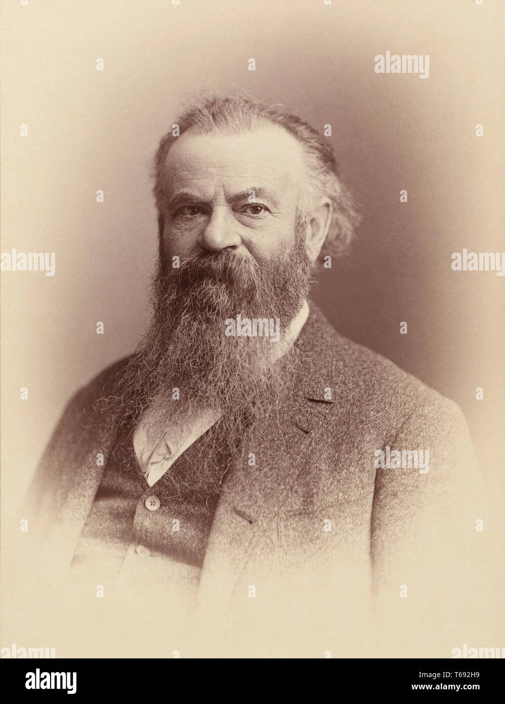 John Wesley Powell (1834-1902), U.S. soldier, geologist and explorer of the American West. Stock Photohttps://www.alamy.com/image-license-details/?v=1https://www.alamy.com/john-wesley-powell-1834-1902-us-soldier-geologist-and-explorer-of-the-american-west-image244832709.html
RMT692H9–John Wesley Powell (1834-1902), U.S. soldier, geologist and explorer of the American West.
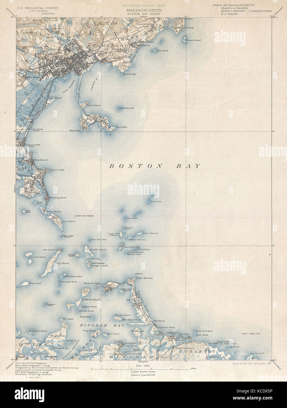 1900, U.S. Geological Survey of Boston Bay, Massachusetts Stock Photohttps://www.alamy.com/image-license-details/?v=1https://www.alamy.com/stock-image-1900-us-geological-survey-of-boston-bay-massachusetts-162575106.html
RMKCDX5P–1900, U.S. Geological Survey of Boston Bay, Massachusetts
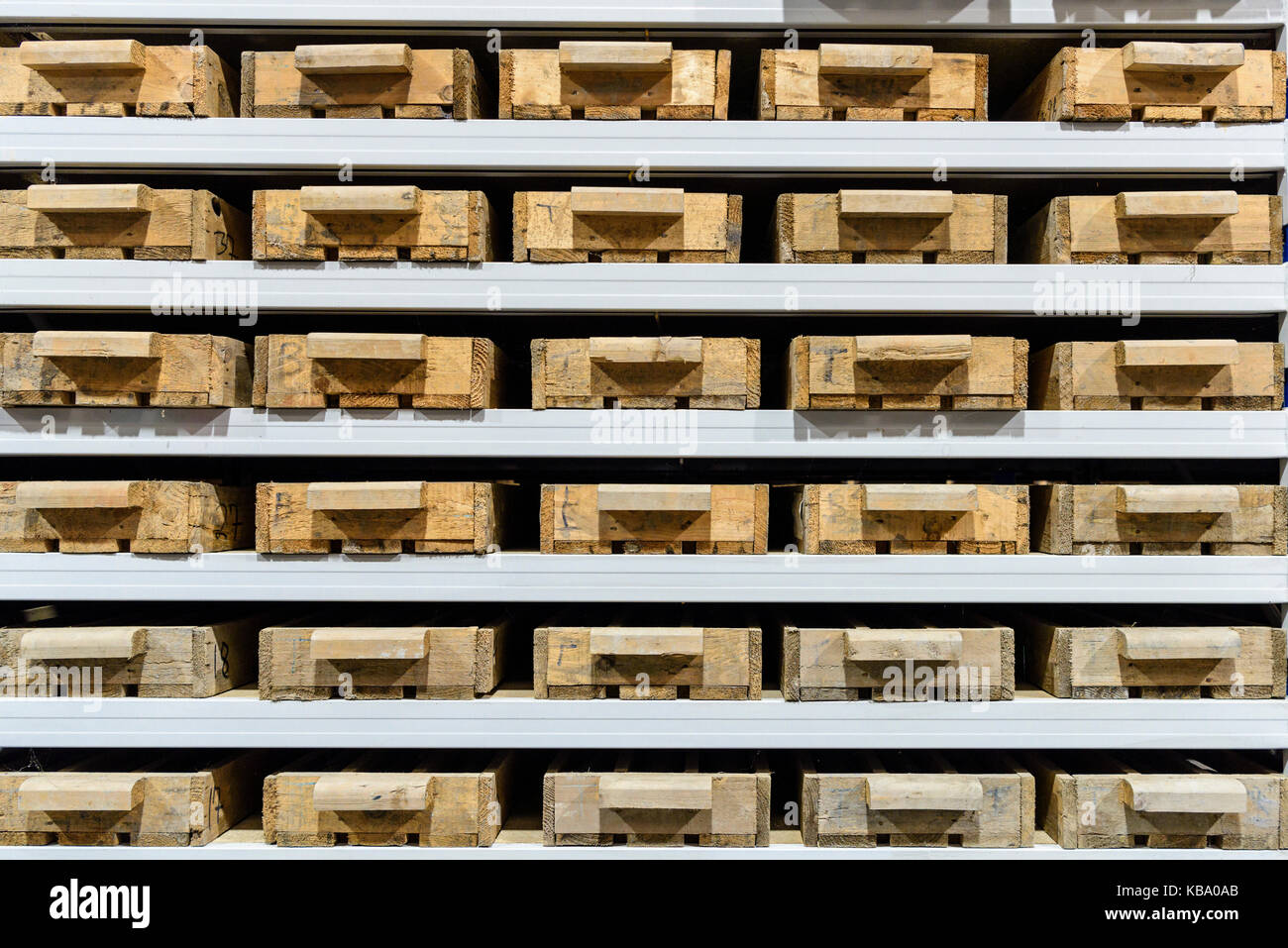 Rock core samples at the Geological Survey of Northern Ireland. Stock Photohttps://www.alamy.com/image-license-details/?v=1https://www.alamy.com/stock-image-rock-core-samples-at-the-geological-survey-of-northern-ireland-161874339.html
RFKBA0AB–Rock core samples at the Geological Survey of Northern Ireland.
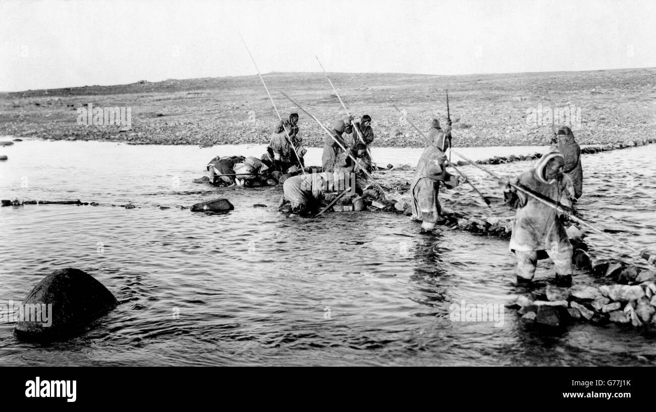 Inuit killing salmon with spears, Canada. Photo by Canadian Geological Survey, between 1910-1925 Stock Photohttps://www.alamy.com/image-license-details/?v=1https://www.alamy.com/stock-photo-inuit-killing-salmon-with-spears-canada-photo-by-canadian-geological-107732623.html
RMG77J1K–Inuit killing salmon with spears, Canada. Photo by Canadian Geological Survey, between 1910-1925
 Lardner Vanuxem (1792-1848) American geologist born in Philadelphia, Pennsylvania, he studied geology in Paris. Appointed to the first Geological Survey of New York in 1836. Engraving, 1896. Stock Photohttps://www.alamy.com/image-license-details/?v=1https://www.alamy.com/stock-photo-lardner-vanuxem-1792-1848-american-geologist-born-in-philadelphia-57287037.html
RMD95J5H–Lardner Vanuxem (1792-1848) American geologist born in Philadelphia, Pennsylvania, he studied geology in Paris. Appointed to the first Geological Survey of New York in 1836. Engraving, 1896.
 Name sign in the entrance of the Geological Survey of India in the New Market Area of Taltala, Kolkata (Calcutta), capital of West Bengal, India Stock Photohttps://www.alamy.com/image-license-details/?v=1https://www.alamy.com/name-sign-in-the-entrance-of-the-geological-survey-of-india-in-the-new-market-area-of-taltala-kolkata-calcutta-capital-of-west-bengal-india-image547055724.html
RM2PP0F4C–Name sign in the entrance of the Geological Survey of India in the New Market Area of Taltala, Kolkata (Calcutta), capital of West Bengal, India
 Mr Sandstra, Geological Survey, Spaarne, Persons, Haarlem, Spaarne, The Netherlands, 19-07-1988, Whizgle Dutch News: Historic Images Tailored for the Future. Explore The Netherlands past with modern perspectives through Dutch agency imagery. Bridging yesterday's events with tomorrow's insights. Embark on a timeless journey with stories that shape our future. Stock Photohttps://www.alamy.com/image-license-details/?v=1https://www.alamy.com/mr-sandstra-geological-survey-spaarne-persons-haarlem-spaarne-the-netherlands-19-07-1988-whizgle-dutch-news-historic-images-tailored-for-the-future-explore-the-netherlands-past-with-modern-perspectives-through-dutch-agency-imagery-bridging-yesterdays-events-with-tomorrows-insights-embark-on-a-timeless-journey-with-stories-that-shape-our-future-image616590102.html
RM2XR42Y2–Mr Sandstra, Geological Survey, Spaarne, Persons, Haarlem, Spaarne, The Netherlands, 19-07-1988, Whizgle Dutch News: Historic Images Tailored for the Future. Explore The Netherlands past with modern perspectives through Dutch agency imagery. Bridging yesterday's events with tomorrow's insights. Embark on a timeless journey with stories that shape our future.
 Geological survey word cloud concept Stock Photohttps://www.alamy.com/image-license-details/?v=1https://www.alamy.com/stock-photo-geological-survey-word-cloud-concept-100701550.html
RFFRR9RX–Geological survey word cloud concept
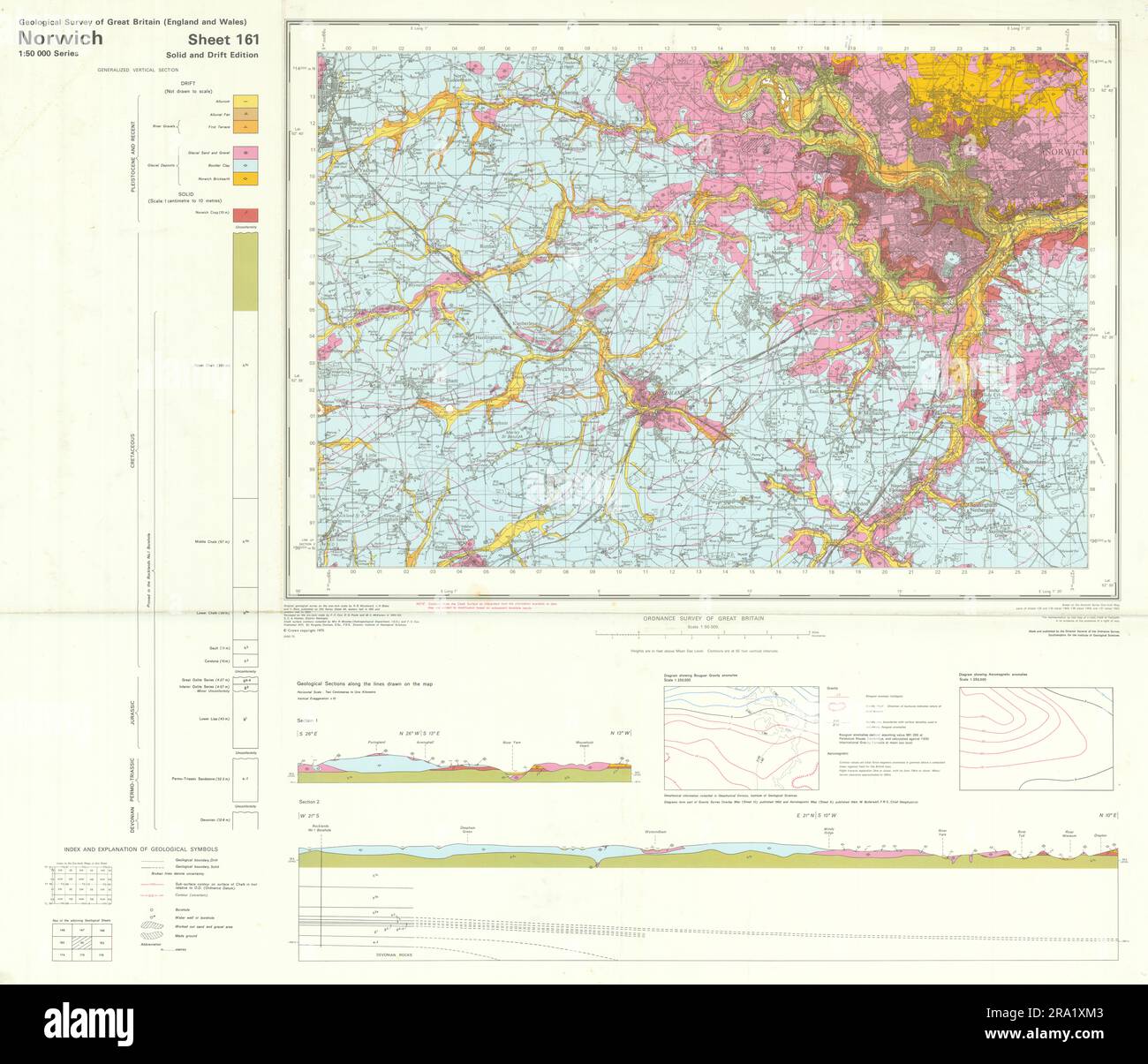 Norwich. Vintage geological survey map. Sheet 161. Norfolk Wymondham 1975 Stock Photohttps://www.alamy.com/image-license-details/?v=1https://www.alamy.com/norwich-vintage-geological-survey-map-sheet-161-norfolk-wymondham-1975-image556921235.html
RF2RA1XM3–Norwich. Vintage geological survey map. Sheet 161. Norfolk Wymondham 1975
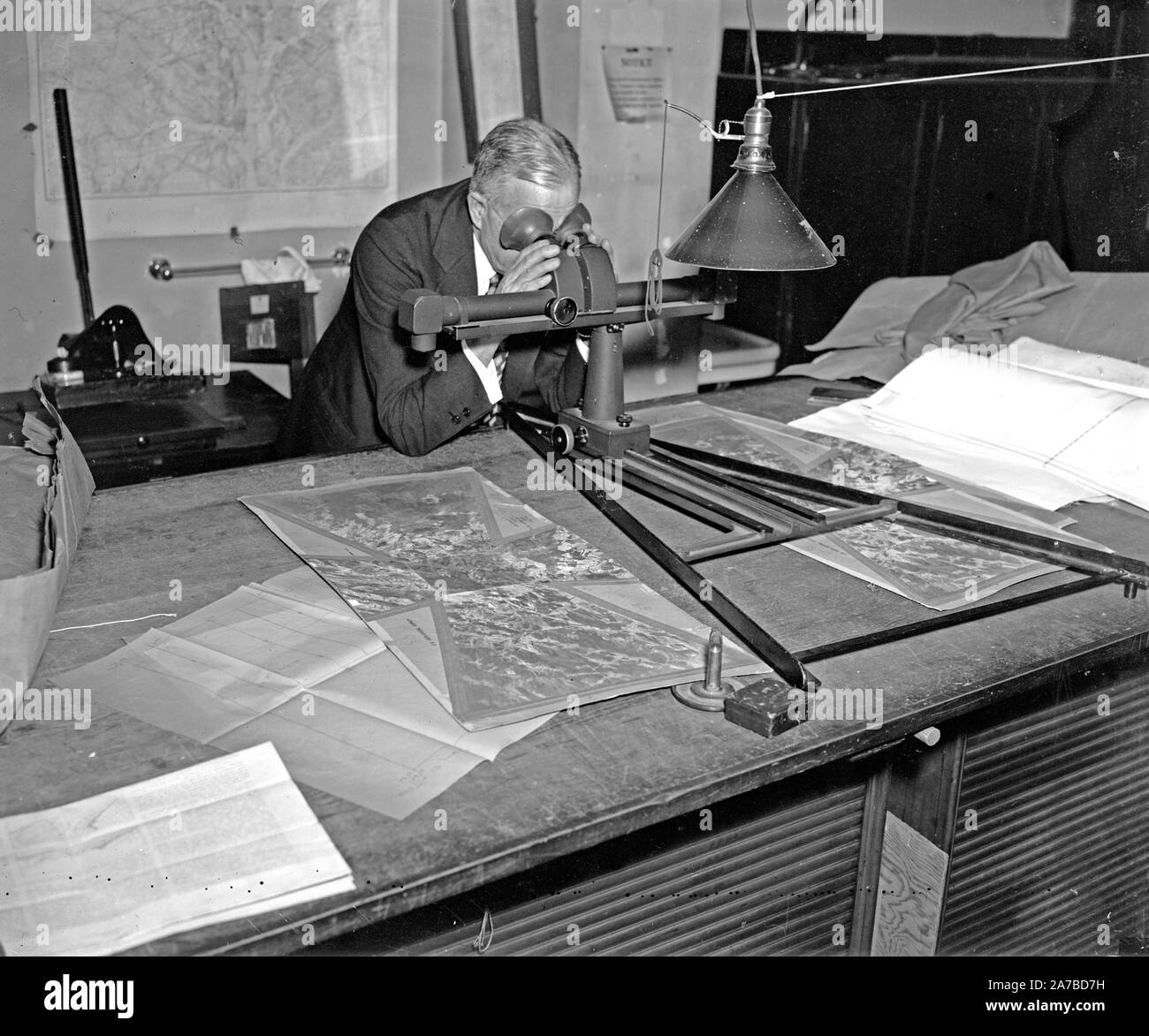 Geological Survey. Washington, D.C., March 13. Albert Pike using a stereoscope on a pair of photographs to bring out the relief and locate objects for a map ca. 1937 Stock Photohttps://www.alamy.com/image-license-details/?v=1https://www.alamy.com/geological-survey-washington-dc-march-13-albert-pike-using-a-stereoscope-on-a-pair-of-photographs-to-bring-out-the-relief-and-locate-objects-for-a-map-ca-1937-image331551461.html
RM2A7BD7H–Geological Survey. Washington, D.C., March 13. Albert Pike using a stereoscope on a pair of photographs to bring out the relief and locate objects for a map ca. 1937
 USGS limnologist deploying a multi-parameter water column profiler in Payette Lake in west-central Idaho. Stock Photohttps://www.alamy.com/image-license-details/?v=1https://www.alamy.com/stock-photo-usgs-limnologist-deploying-a-multi-parameter-water-column-profiler-56156178.html
RFD7A3NP–USGS limnologist deploying a multi-parameter water column profiler in Payette Lake in west-central Idaho.
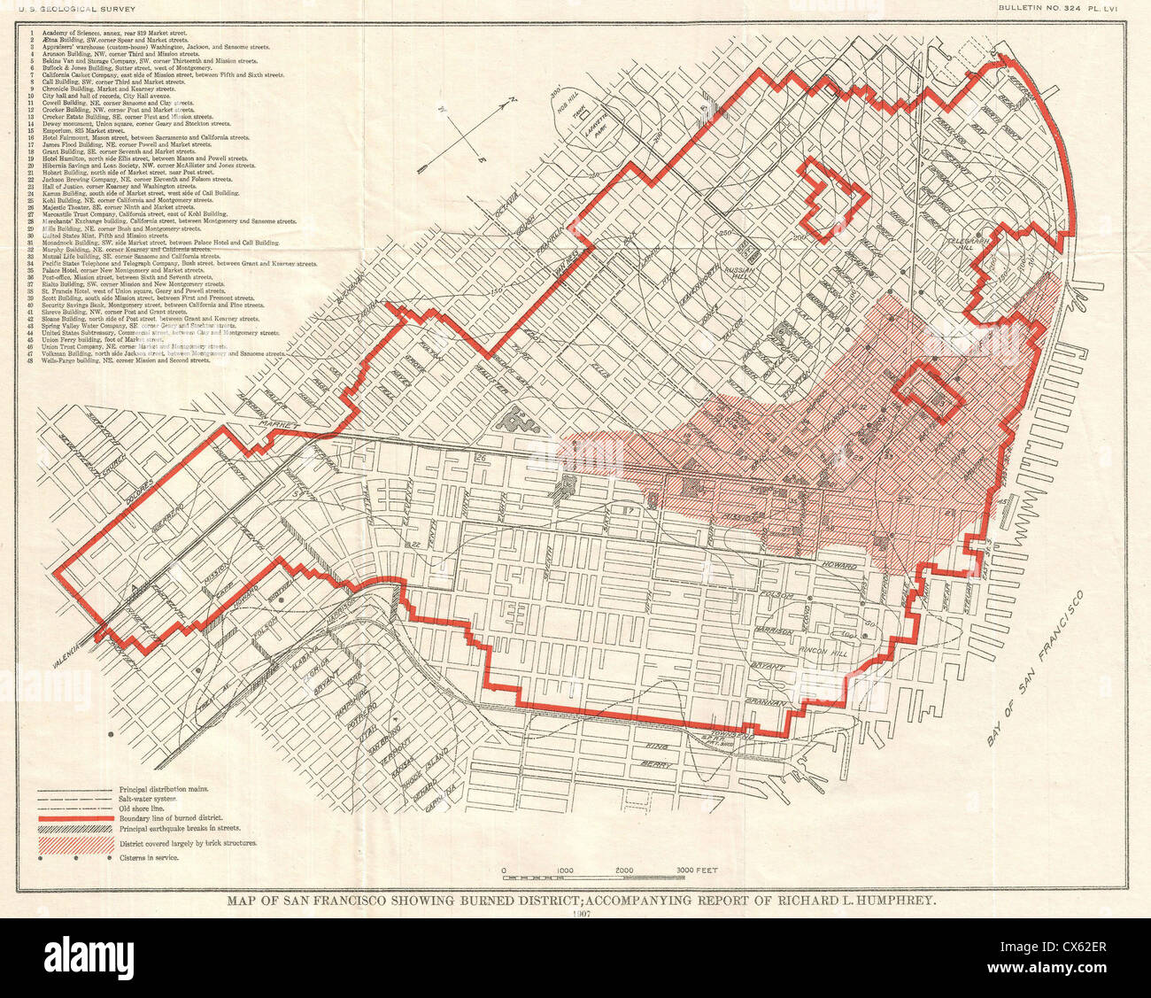 1907 Geological Survey Map of San Francisco after 1906 Earthquake Stock Photohttps://www.alamy.com/image-license-details/?v=1https://www.alamy.com/stock-photo-1907-geological-survey-map-of-san-francisco-after-1906-earthquake-50535487.html
RMCX62ER–1907 Geological Survey Map of San Francisco after 1906 Earthquake
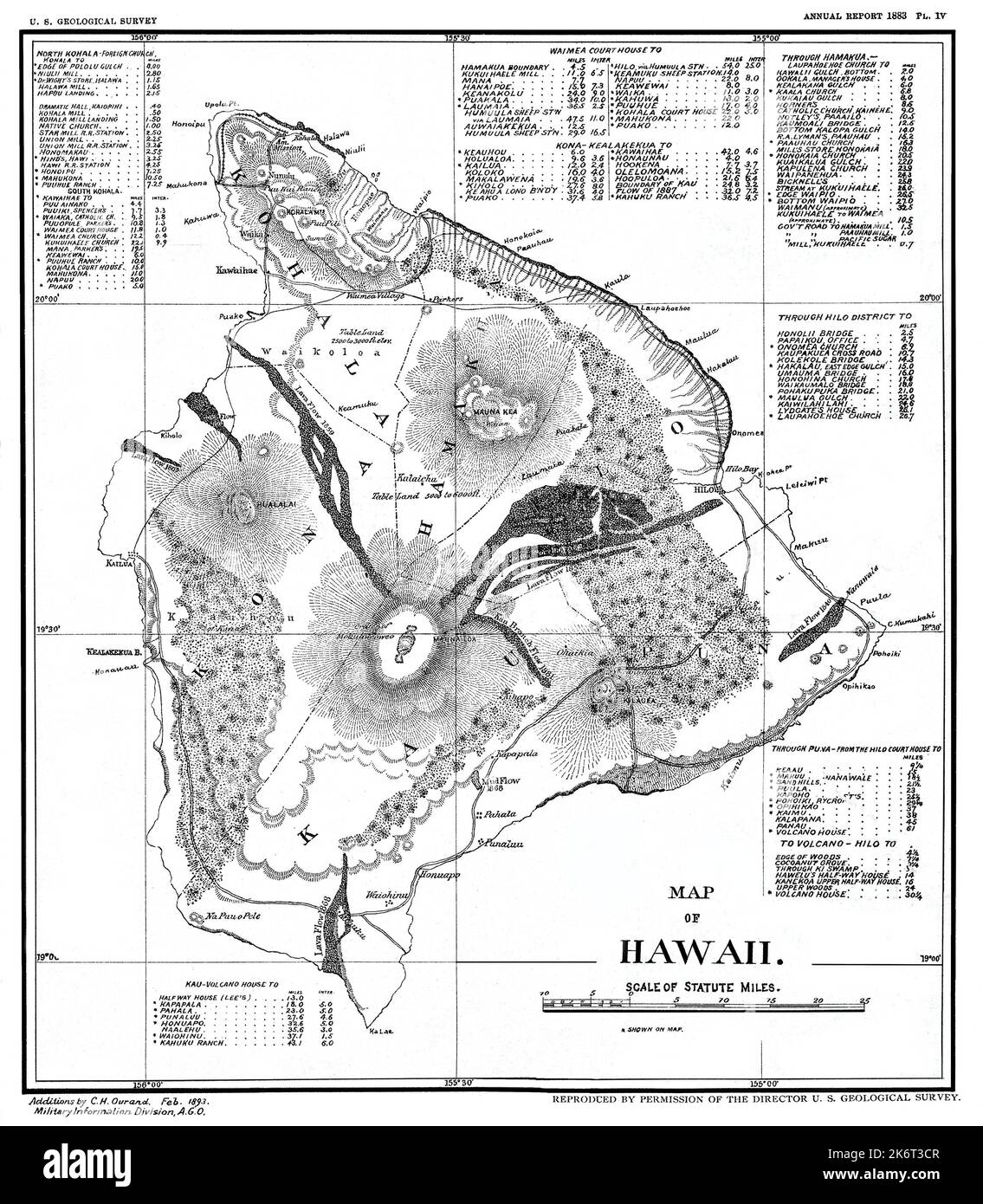 Restored reproduction of map of the island of Hawaii for 1893 U. S. Geological Survey. Shows lava flows between 1803 -1882. Includes several distance tables. Stock Photohttps://www.alamy.com/image-license-details/?v=1https://www.alamy.com/restored-reproduction-of-map-of-the-island-of-hawaii-for-1893-u-s-geological-survey-shows-lava-flows-between-1803-1882-includes-several-distance-tables-image486107799.html
RM2K6T3CR–Restored reproduction of map of the island of Hawaii for 1893 U. S. Geological Survey. Shows lava flows between 1803 -1882. Includes several distance tables.
 A Report on the Geological Survey of Connecticut Stock Photohttps://www.alamy.com/image-license-details/?v=1https://www.alamy.com/stock-photo-a-report-on-the-geological-survey-of-connecticut-140833272.html
RMJ53E7M–A Report on the Geological Survey of Connecticut
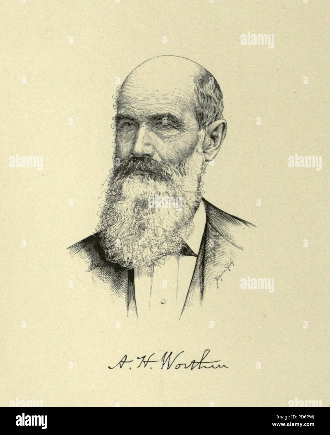 Amos Henry Worthen - Geological Survey Illinois. Stock Photohttps://www.alamy.com/image-license-details/?v=1https://www.alamy.com/amos-henry-worthen-geological-survey-illinois-image214664622.html
RMPD6PWJ–Amos Henry Worthen - Geological Survey Illinois.
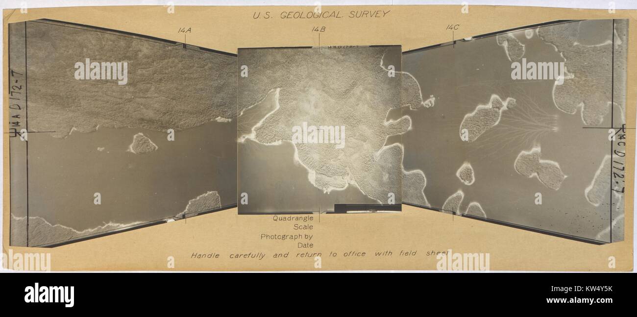 Department of the Interior geological survey showing Prince of Wales Island, Alaska, 1957. Stock Photohttps://www.alamy.com/image-license-details/?v=1https://www.alamy.com/stock-photo-department-of-the-interior-geological-survey-showing-prince-of-wales-170368847.html
RMKW4Y5K–Department of the Interior geological survey showing Prince of Wales Island, Alaska, 1957.
RF2H7N5KB–Theodolite on tripod. Geological survey, engineering vector flat style icon. Geodetic equipment. Geology research illustration, sign
 British Geological Survey (BGS) seismologist Davie Galloway views a seismogram of the Manchester Earthquake as recorded on the BGS seismograph network. Stock Photohttps://www.alamy.com/image-license-details/?v=1https://www.alamy.com/stock-photo-british-geological-survey-bgs-seismologist-davie-galloway-views-a-109588351.html
RMGA851K–British Geological Survey (BGS) seismologist Davie Galloway views a seismogram of the Manchester Earthquake as recorded on the BGS seismograph network.
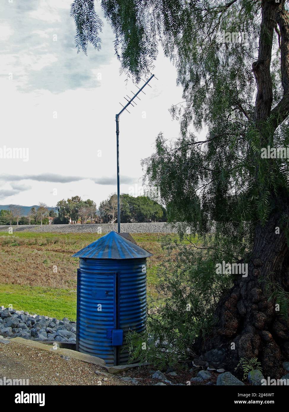 US Geological Survey water Gagging Station next to Alameda Creek Trail in Union City, California Stock Photohttps://www.alamy.com/image-license-details/?v=1https://www.alamy.com/us-geological-survey-water-gagging-station-next-to-alameda-creek-trail-in-union-city-california-image475836980.html
RM2JJ46WT–US Geological Survey water Gagging Station next to Alameda Creek Trail in Union City, California
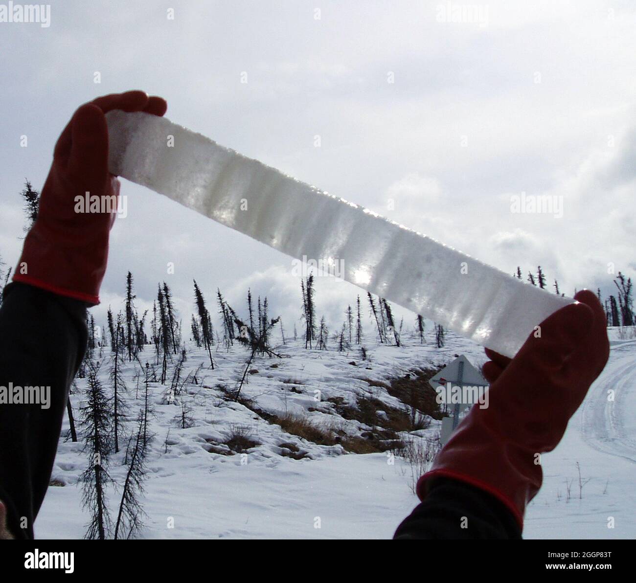 A surveyor for the US Geological Survey holds an ice core of aufeis from West Twin Creek, Alaska. Stock Photohttps://www.alamy.com/image-license-details/?v=1https://www.alamy.com/a-surveyor-for-the-us-geological-survey-holds-an-ice-core-of-aufeis-from-west-twin-creek-alaska-image440583020.html
RM2GGP83T–A surveyor for the US Geological Survey holds an ice core of aufeis from West Twin Creek, Alaska.
 1919, U.S. Geological Survey Map of Nantucket, Massachusetts Stock Photohttps://www.alamy.com/image-license-details/?v=1https://www.alamy.com/stock-image-1919-us-geological-survey-map-of-nantucket-massachusetts-162575138.html
RMKCDX6X–1919, U.S. Geological Survey Map of Nantucket, Massachusetts
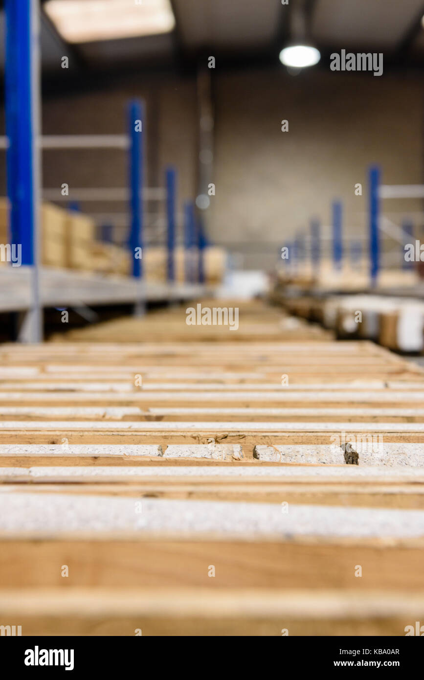 Rock core samples at the Geological Survey of Northern Ireland. Stock Photohttps://www.alamy.com/image-license-details/?v=1https://www.alamy.com/stock-image-rock-core-samples-at-the-geological-survey-of-northern-ireland-161874351.html
RFKBA0AR–Rock core samples at the Geological Survey of Northern Ireland.
 PALM SPRINGS, CA - MARCH 24, 2017: US Geological Survey Gaging Station in Tahquitz Canyon, Palm Springs, California. Stock Photohttps://www.alamy.com/image-license-details/?v=1https://www.alamy.com/stock-photo-palm-springs-ca-march-24-2017-us-geological-survey-gaging-station-139639833.html
RFJ3540W–PALM SPRINGS, CA - MARCH 24, 2017: US Geological Survey Gaging Station in Tahquitz Canyon, Palm Springs, California.
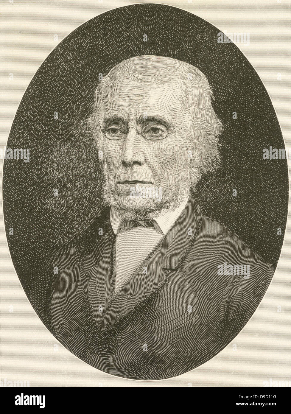 Timoth Abbott Conrad (1803-1877) American Naturalist, geologist, and malacologist (study of Molluscs). A New York State Geologist: paleontologist on the New York Geological Survey 1838-1841. Stock Photohttps://www.alamy.com/image-license-details/?v=1https://www.alamy.com/stock-photo-timoth-abbott-conrad-1803-1877-american-naturalist-geologist-and-malacologist-57449212.html
RMD9D11G–Timoth Abbott Conrad (1803-1877) American Naturalist, geologist, and malacologist (study of Molluscs). A New York State Geologist: paleontologist on the New York Geological Survey 1838-1841.
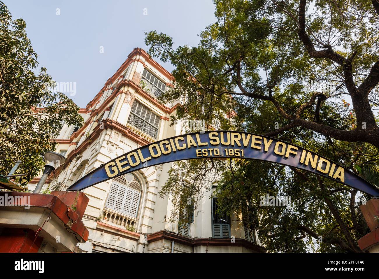 Name sign in the entrance of the Geological Survey of India in the New Market Area of Taltala, Kolkata (Calcutta), capital of West Bengal, India Stock Photohttps://www.alamy.com/image-license-details/?v=1https://www.alamy.com/name-sign-in-the-entrance-of-the-geological-survey-of-india-in-the-new-market-area-of-taltala-kolkata-calcutta-capital-of-west-bengal-india-image547055720.html
RM2PP0F48–Name sign in the entrance of the Geological Survey of India in the New Market Area of Taltala, Kolkata (Calcutta), capital of West Bengal, India
 Mr Sandstra, Geological Survey, Spaarne, Persons, Haarlem, Spaarne, The Netherlands, 19-07-1988, Whizgle News from the Past, Tailored for the Future. Explore historical narratives, Dutch The Netherlands agency image with a modern perspective, bridging the gap between yesterday's events and tomorrow's insights. A timeless journey shaping the stories that shape our future Stock Photohttps://www.alamy.com/image-license-details/?v=1https://www.alamy.com/mr-sandstra-geological-survey-spaarne-persons-haarlem-spaarne-the-netherlands-19-07-1988-whizgle-news-from-the-past-tailored-for-the-future-explore-historical-narratives-dutch-the-netherlands-agency-image-with-a-modern-perspective-bridging-the-gap-between-yesterdays-events-and-tomorrows-insights-a-timeless-journey-shaping-the-stories-that-shape-our-future-image576397429.html
RM2TDN4PD–Mr Sandstra, Geological Survey, Spaarne, Persons, Haarlem, Spaarne, The Netherlands, 19-07-1988, Whizgle News from the Past, Tailored for the Future. Explore historical narratives, Dutch The Netherlands agency image with a modern perspective, bridging the gap between yesterday's events and tomorrow's insights. A timeless journey shaping the stories that shape our future
 Geological survey word cloud concept Stock Photohttps://www.alamy.com/image-license-details/?v=1https://www.alamy.com/stock-photo-geological-survey-word-cloud-concept-100756149.html
RFFRWRDW–Geological survey word cloud concept
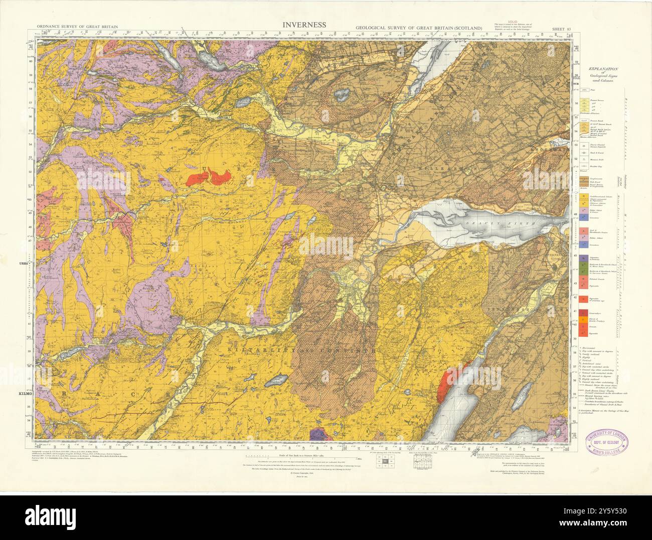 Inverness. Geological Survey of Scotland sheet 83. Dingwall 1964 old map Stock Photohttps://www.alamy.com/image-license-details/?v=1https://www.alamy.com/inverness-geological-survey-of-scotland-sheet-83-dingwall-1964-old-map-image623243236.html
RF2Y5Y530–Inverness. Geological Survey of Scotland sheet 83. Dingwall 1964 old map
