Quick filters:
Greater london map Stock Photos and Images
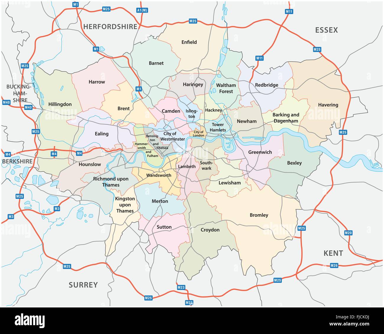 greater london road and administrative map Stock Vectorhttps://www.alamy.com/image-license-details/?v=1https://www.alamy.com/stock-photo-greater-london-road-and-administrative-map-97394350.html
RFFJCKDJ–greater london road and administrative map
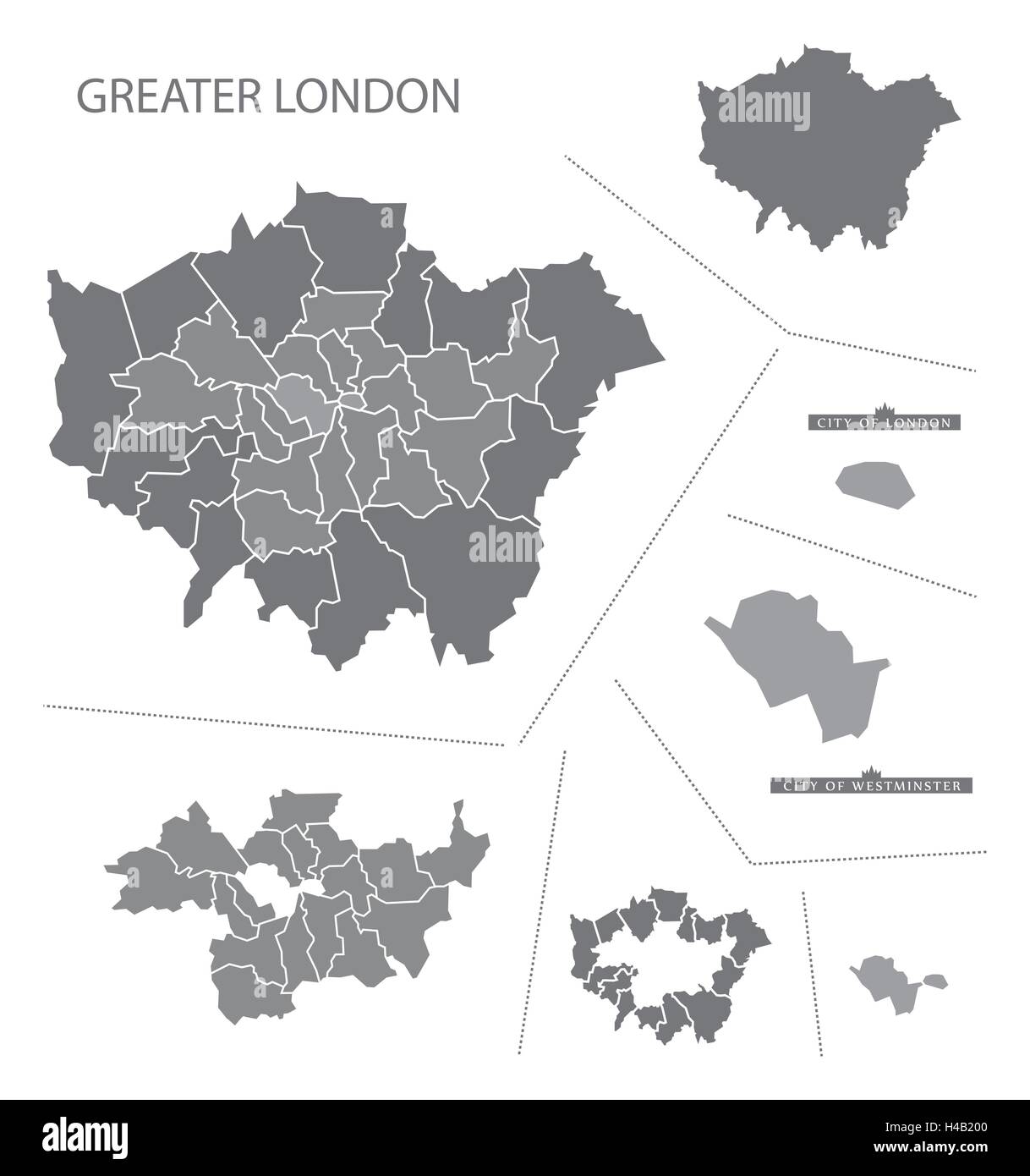 Grey county map of England, Greater London Stock Vectorhttps://www.alamy.com/image-license-details/?v=1https://www.alamy.com/stock-photo-grey-county-map-of-england-greater-london-123174240.html
RFH4B200–Grey county map of England, Greater London
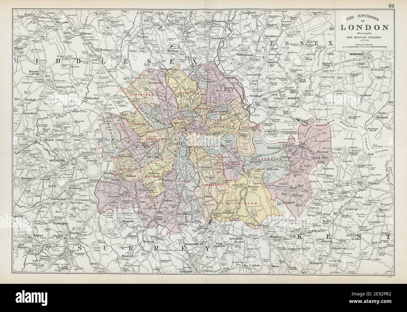 GREATER LONDON ENVIRONS. Showing new Municipal Boroughs. BACON 1906 old map Stock Photohttps://www.alamy.com/image-license-details/?v=1https://www.alamy.com/greater-london-environs-showing-new-municipal-boroughs-bacon-1906-old-map-image401432166.html
RF2E92PR2–GREATER LONDON ENVIRONS. Showing new Municipal Boroughs. BACON 1906 old map
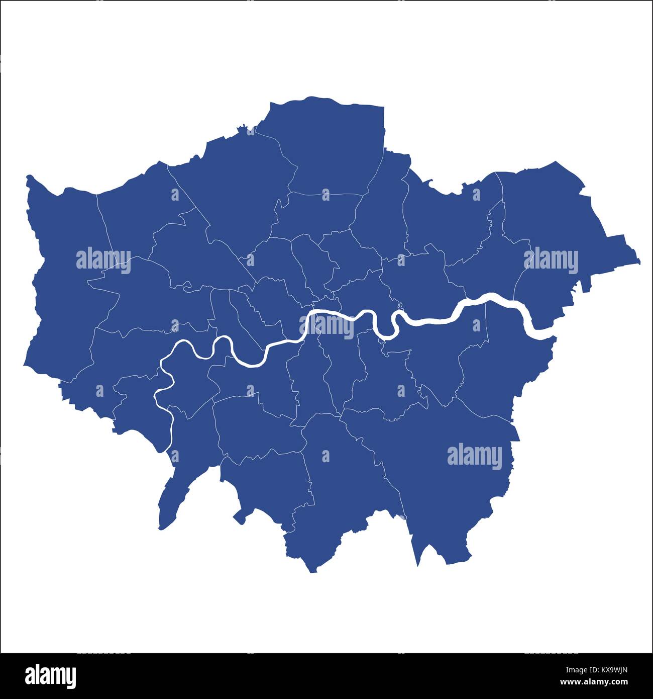 Greater London map showing all boroughs Stock Vectorhttps://www.alamy.com/image-license-details/?v=1https://www.alamy.com/stock-photo-greater-london-map-showing-all-boroughs-171092061.html
RFKX9WJN–Greater London map showing all boroughs
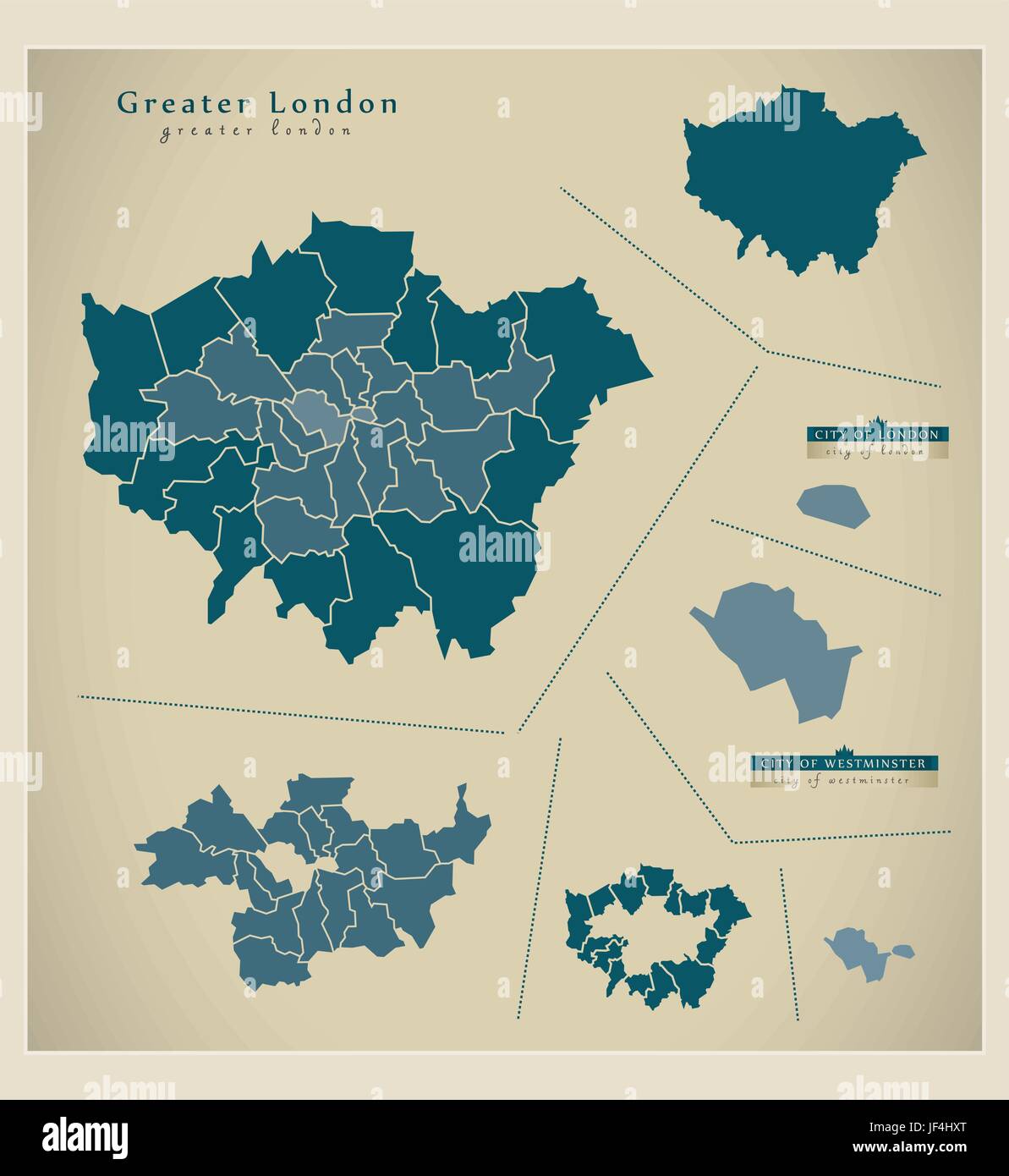 modern map - greater london uk Stock Vectorhttps://www.alamy.com/image-license-details/?v=1https://www.alamy.com/stock-photo-modern-map-greater-london-uk-147004672.html
RFJF4HXT–modern map - greater london uk
 Map of Greater London. Black and outline maps. EPS Vector File. Stock Vectorhttps://www.alamy.com/image-license-details/?v=1https://www.alamy.com/map-of-greater-london-black-and-outline-maps-eps-vector-file-image360646419.html
RF2BXMT57–Map of Greater London. Black and outline maps. EPS Vector File.
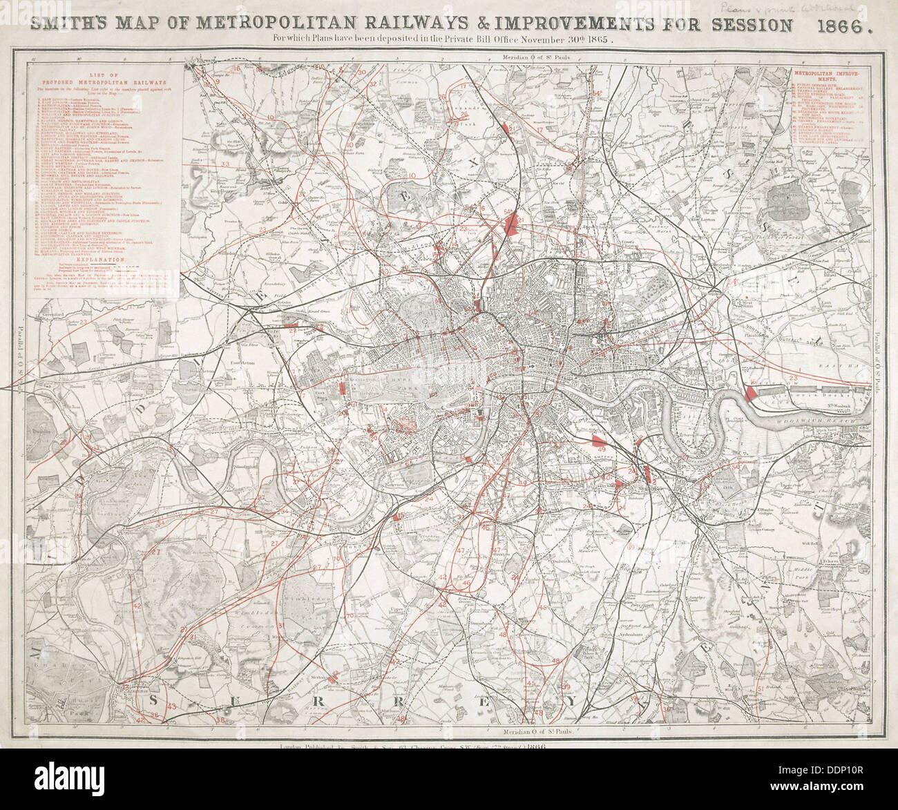 Map of Greater London showing the Metropolitan Railways and improvements in 1866. Artist: Anon Stock Photohttps://www.alamy.com/image-license-details/?v=1https://www.alamy.com/map-of-greater-london-showing-the-metropolitan-railways-and-improvements-image60105383.html
RMDDP10R–Map of Greater London showing the Metropolitan Railways and improvements in 1866. Artist: Anon
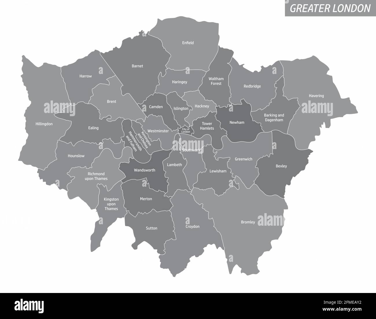 The Greater London administrative map with labels isolated on white background Stock Vectorhttps://www.alamy.com/image-license-details/?v=1https://www.alamy.com/the-greater-london-administrative-map-with-labels-isolated-on-white-background-image425657878.html
RF2FMEAY2–The Greater London administrative map with labels isolated on white background
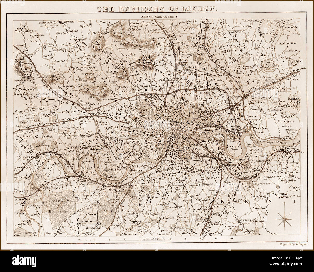 1840s Victorian Map of Greater London Stock Photohttps://www.alamy.com/image-license-details/?v=1https://www.alamy.com/stock-photo-1840s-victorian-map-of-greater-london-58664113.html
RFDBCAJW–1840s Victorian Map of Greater London
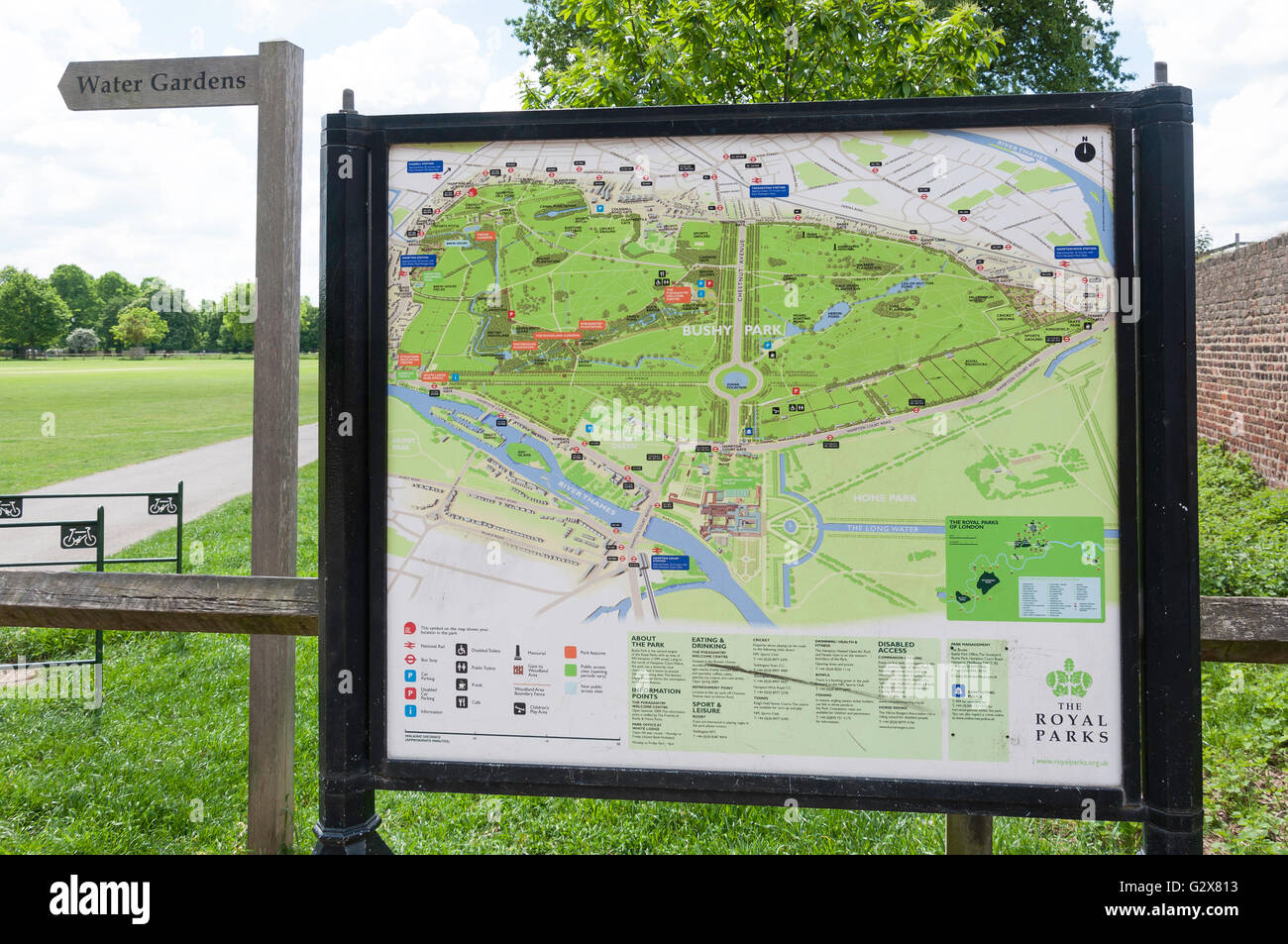 Bushy Park map at Hampton Hill Newgate, Hampton Hill, Borough of Richmond upon Thames, Greater London, England, United Kingdom Stock Photohttps://www.alamy.com/image-license-details/?v=1https://www.alamy.com/stock-photo-bushy-park-map-at-hampton-hill-newgate-hampton-hill-borough-of-richmond-105068575.html
RMG2X813–Bushy Park map at Hampton Hill Newgate, Hampton Hill, Borough of Richmond upon Thames, Greater London, England, United Kingdom
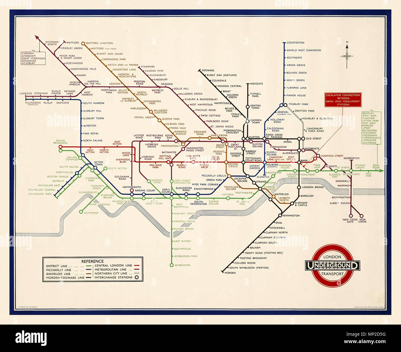 VINTAGE 1930’s LONDON UNDERGROUND TUBE MAP by H C BECK lithograph in colour 1935, printed by Waterlow & Sons Limited, London, Harry Beck's London Underground Tube map has become a design classic. Original 1933 Tube map recognised across the world, the Tube map was originally the brainchild of Underground electrical draughtsman, Harry Beck, who produced this imaginative and beautifully simple design. Stock Photohttps://www.alamy.com/image-license-details/?v=1https://www.alamy.com/vintage-1930s-london-underground-tube-map-by-h-c-beck-lithograph-in-colour-1935-printed-by-waterlow-sons-limited-london-harry-becks-london-underground-tube-map-has-become-a-design-classic-original-1933-tube-map-recognised-across-the-world-the-tube-map-was-originally-the-brainchild-of-underground-electrical-draughtsman-harry-beck-who-produced-this-imaginative-and-beautifully-simple-design-image185680364.html
RMMP2D5G–VINTAGE 1930’s LONDON UNDERGROUND TUBE MAP by H C BECK lithograph in colour 1935, printed by Waterlow & Sons Limited, London, Harry Beck's London Underground Tube map has become a design classic. Original 1933 Tube map recognised across the world, the Tube map was originally the brainchild of Underground electrical draughtsman, Harry Beck, who produced this imaginative and beautifully simple design.
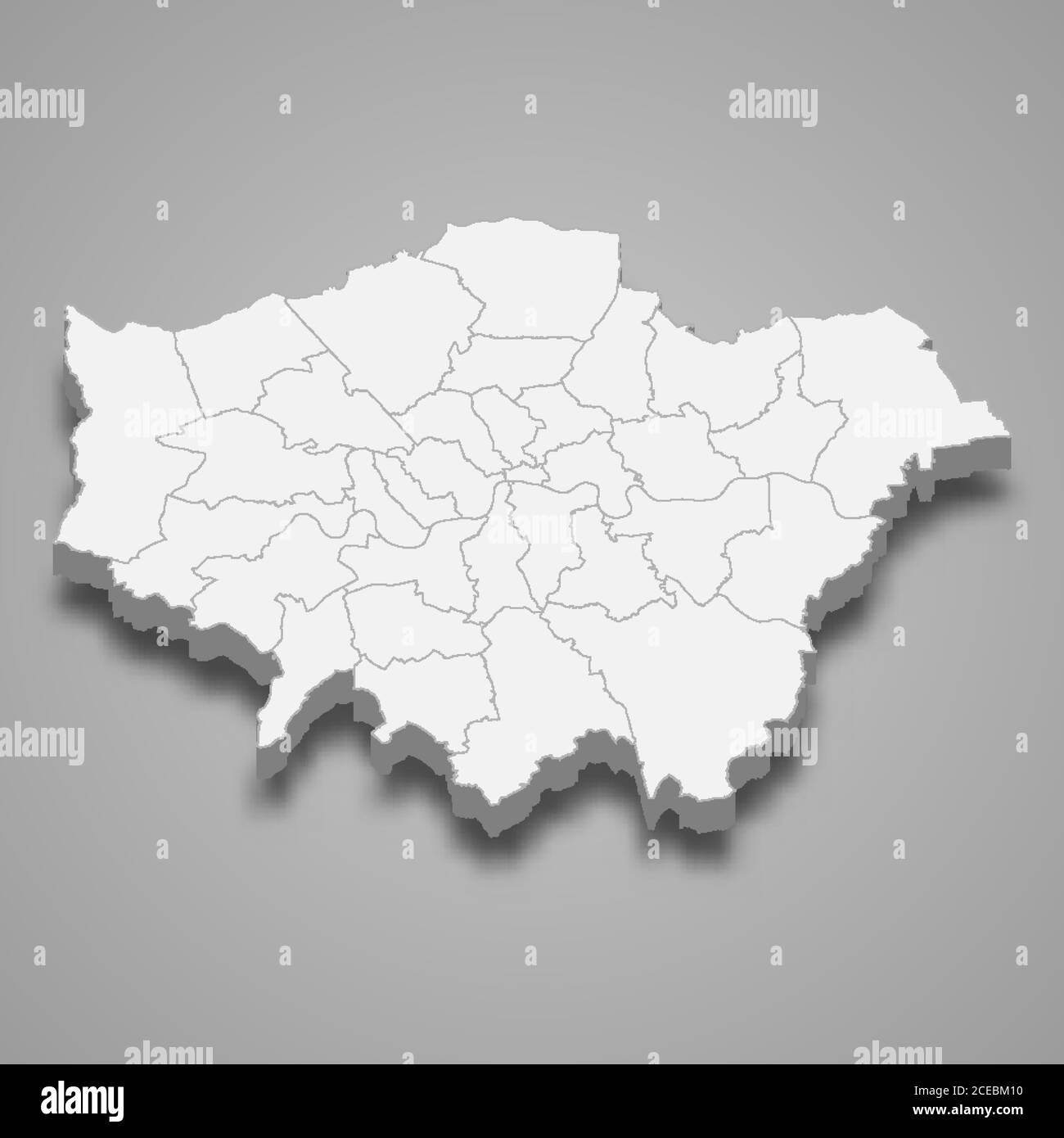 3d map of Greater London is a ceremonial county of England Stock Vectorhttps://www.alamy.com/image-license-details/?v=1https://www.alamy.com/3d-map-of-greater-london-is-a-ceremonial-county-of-england-image370280092.html
RF2CEBM10–3d map of Greater London is a ceremonial county of England
 Map of greater London showing areas built at different dates. Color lithograph Stock Photohttps://www.alamy.com/image-license-details/?v=1https://www.alamy.com/map-of-greater-london-showing-areas-built-at-different-dates-color-lithograph-image247355029.html
RMTABYT5–Map of greater London showing areas built at different dates. Color lithograph
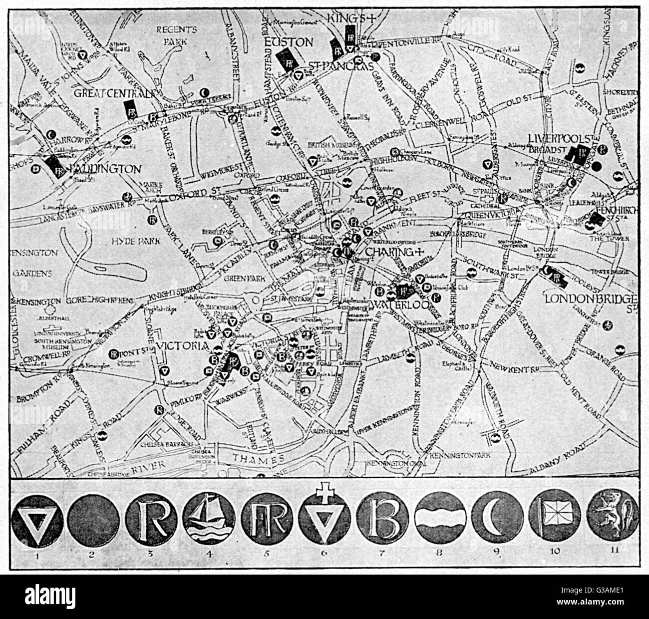 Map of YMCA shelters around London during WW1 Stock Photohttps://www.alamy.com/image-license-details/?v=1https://www.alamy.com/stock-photo-map-of-ymca-shelters-around-london-during-ww1-105341769.html
RMG3AME1–Map of YMCA shelters around London during WW1
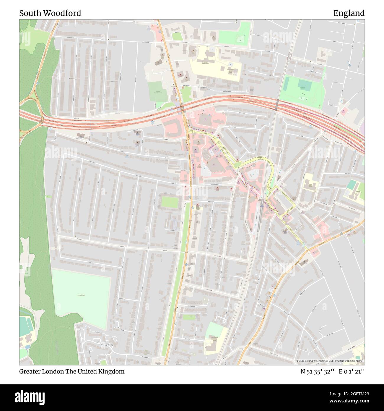 South Woodford, Greater London, United Kingdom, England, N 51 35' 32'', E 0 1' 21'', map, Timeless Map published in 2021. Travelers, explorers and adventurers like Florence Nightingale, David Livingstone, Ernest Shackleton, Lewis and Clark and Sherlock Holmes relied on maps to plan travels to the world's most remote corners, Timeless Maps is mapping most locations on the globe, showing the achievement of great dreams Stock Photohttps://www.alamy.com/image-license-details/?v=1https://www.alamy.com/south-woodford-greater-london-united-kingdom-england-n-51-35-32-e-0-1-21-map-timeless-map-published-in-2021-travelers-explorers-and-adventurers-like-florence-nightingale-david-livingstone-ernest-shackleton-lewis-and-clark-and-sherlock-holmes-relied-on-maps-to-plan-travels-to-the-worlds-most-remote-corners-timeless-maps-is-mapping-most-locations-on-the-globe-showing-the-achievement-of-great-dreams-image439406971.html
RM2GETM23–South Woodford, Greater London, United Kingdom, England, N 51 35' 32'', E 0 1' 21'', map, Timeless Map published in 2021. Travelers, explorers and adventurers like Florence Nightingale, David Livingstone, Ernest Shackleton, Lewis and Clark and Sherlock Holmes relied on maps to plan travels to the world's most remote corners, Timeless Maps is mapping most locations on the globe, showing the achievement of great dreams
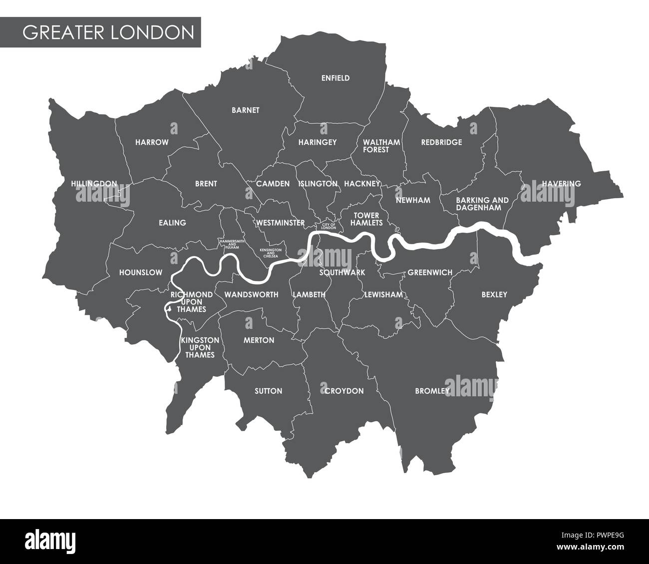 Vector Greater London administrative map detailed plan of the city, districts and neighborhoods Stock Vectorhttps://www.alamy.com/image-license-details/?v=1https://www.alamy.com/vector-greater-london-administrative-map-detailed-plan-of-the-city-districts-and-neighborhoods-image222385004.html
RFPWPE9G–Vector Greater London administrative map detailed plan of the city, districts and neighborhoods
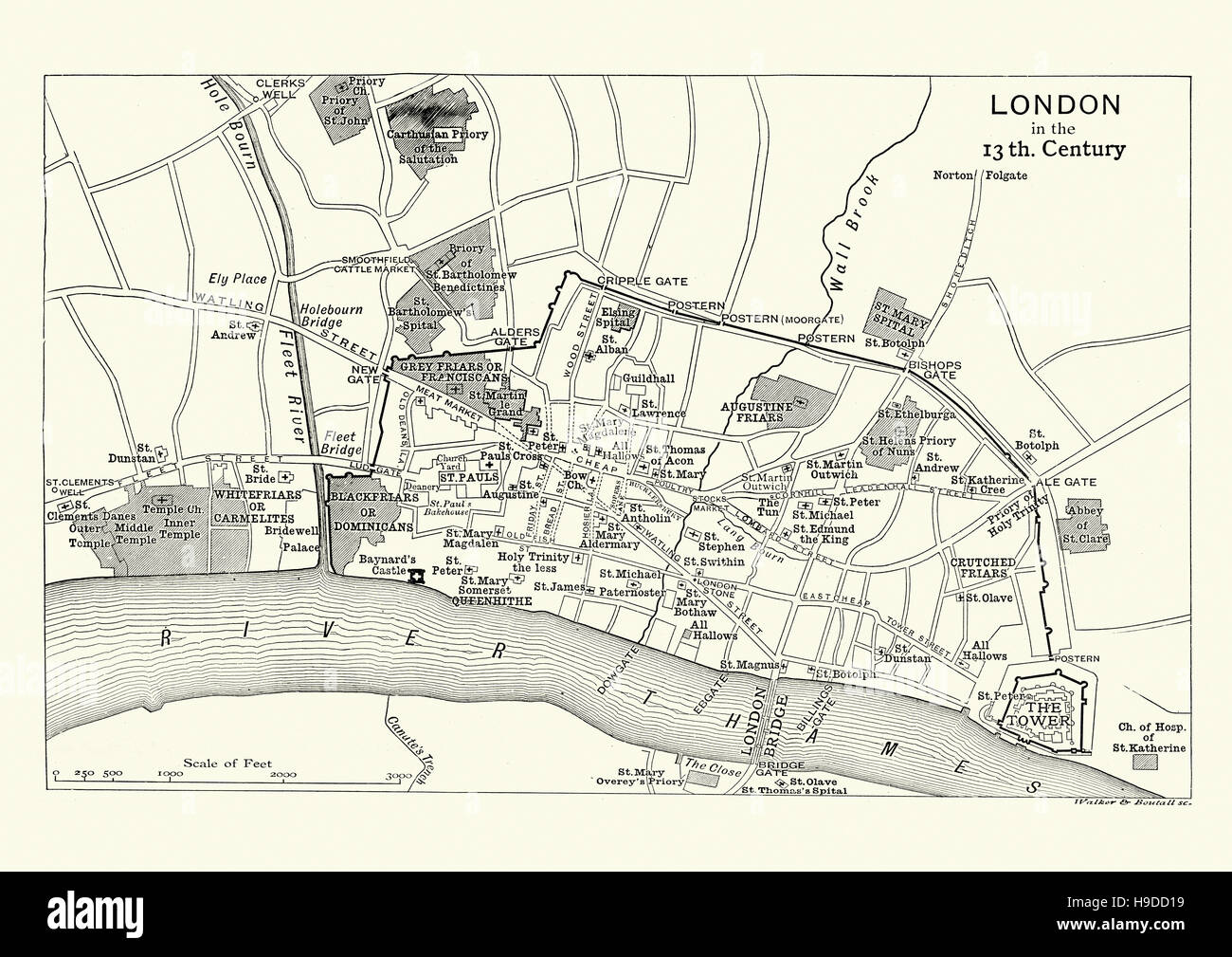 Map of London in the 13th Century Stock Photohttps://www.alamy.com/image-license-details/?v=1https://www.alamy.com/stock-photo-map-of-london-in-the-13th-century-126300085.html
RMH9DD19–Map of London in the 13th Century
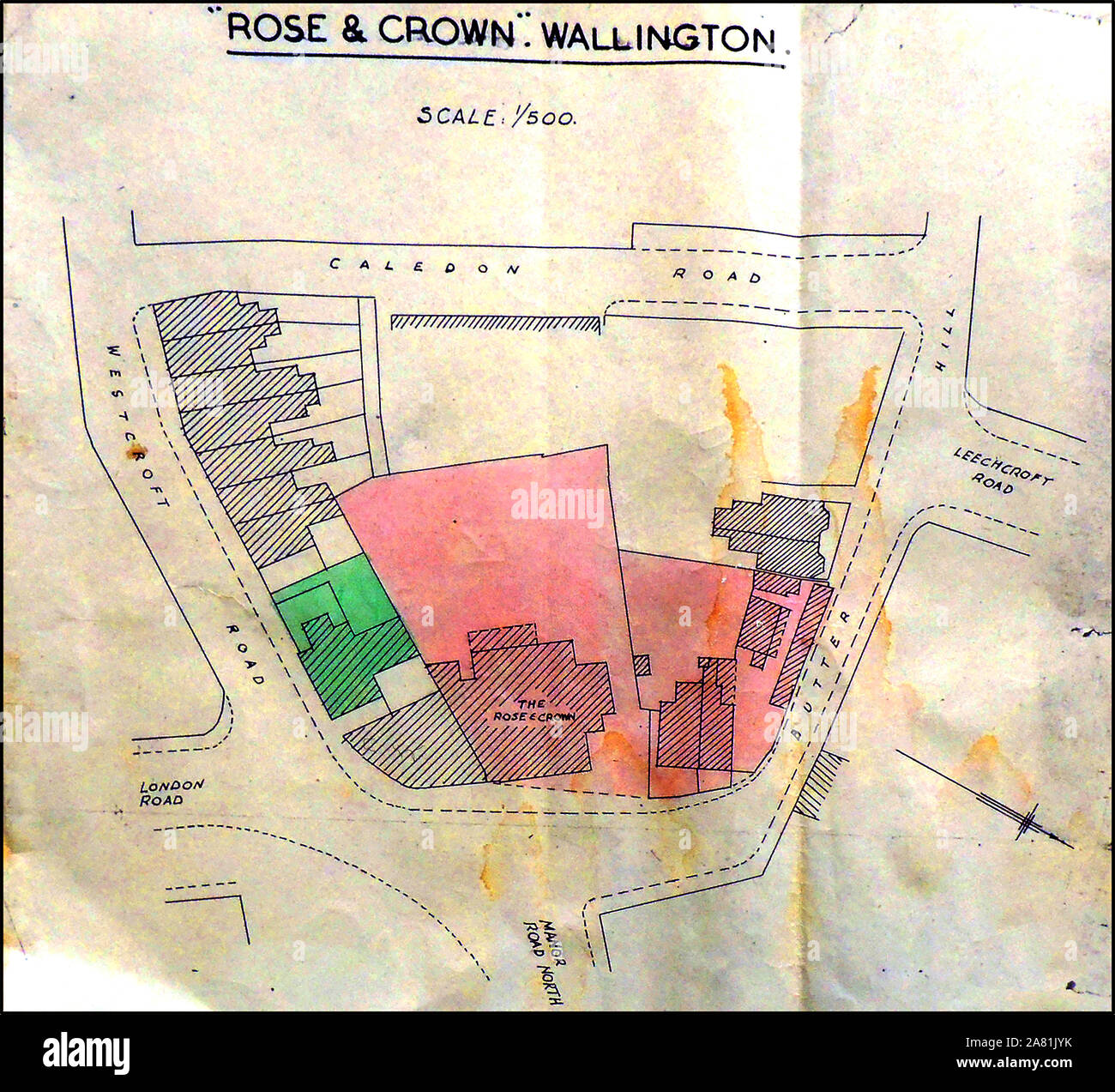 An early location plan map of The Rose & Crown, Wallington Corner, Wallington, Greater London Stock Photohttps://www.alamy.com/image-license-details/?v=1https://www.alamy.com/an-early-location-plan-map-of-the-rose-crown-wallington-corner-wallington-greater-london-image331951079.html
RM2A81JYK–An early location plan map of The Rose & Crown, Wallington Corner, Wallington, Greater London
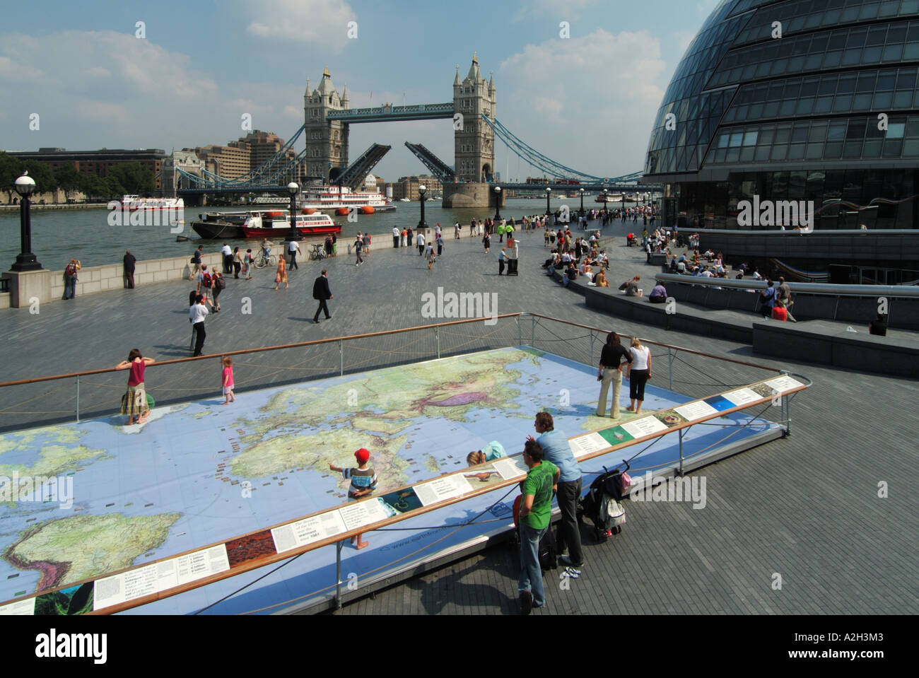 Riverside walkways at Greater London Authority City Hall by River Thames & Tower Bridge with world map display representation for kids to study Stock Photohttps://www.alamy.com/image-license-details/?v=1https://www.alamy.com/riverside-walkways-at-greater-london-authority-city-hall-by-river-image6012802.html
RMA2H3M3–Riverside walkways at Greater London Authority City Hall by River Thames & Tower Bridge with world map display representation for kids to study
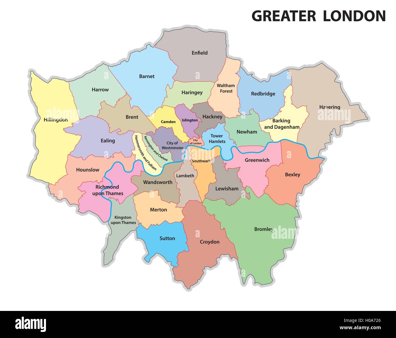 greater london administrative map Stock Vectorhttps://www.alamy.com/image-license-details/?v=1https://www.alamy.com/stock-photo-greater-london-administrative-map-120697646.html
RFH0A726–greater london administrative map
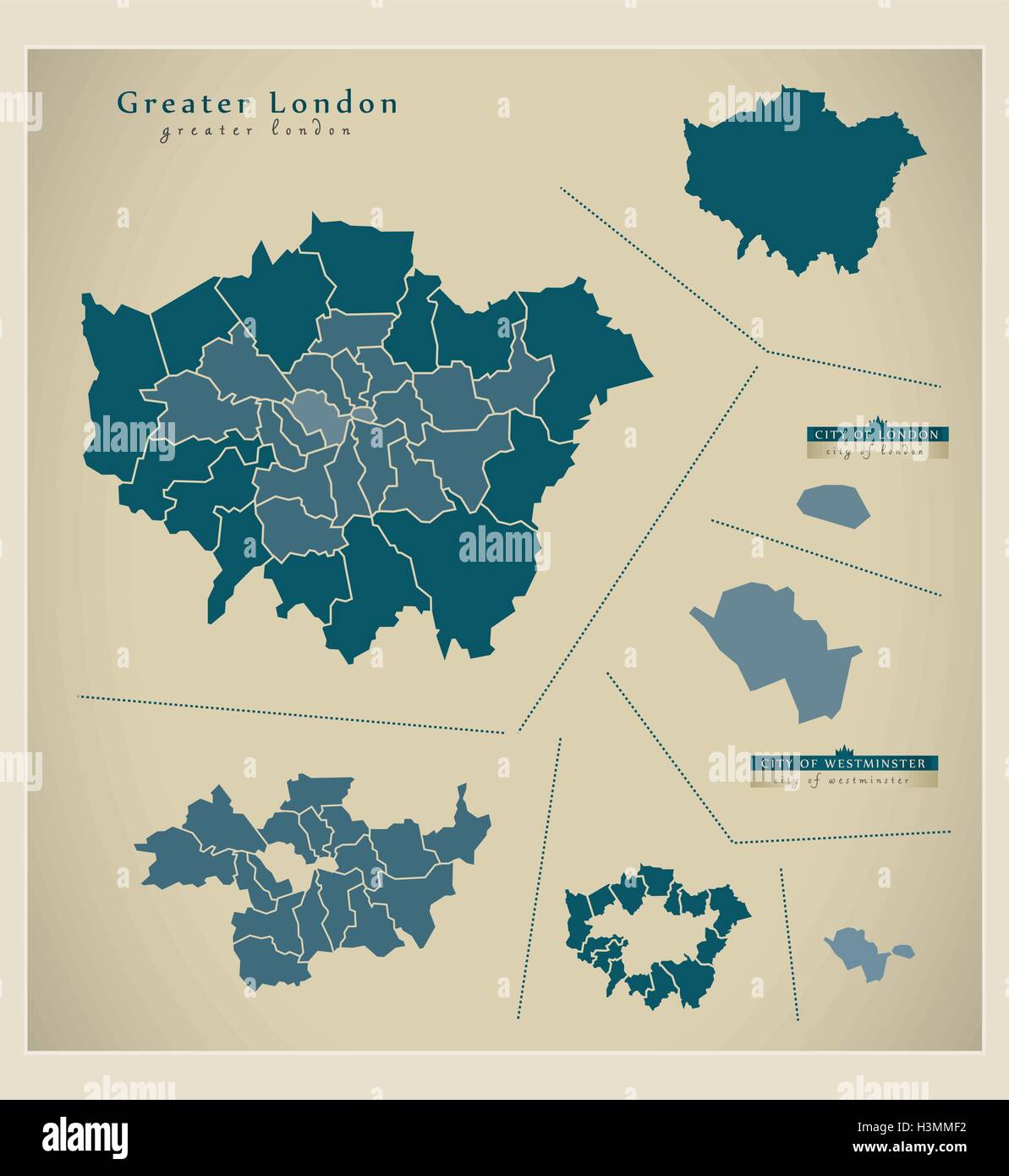 Modern Map - Greater London UK Stock Vectorhttps://www.alamy.com/image-license-details/?v=1https://www.alamy.com/stock-photo-modern-map-greater-london-uk-122771686.html
RFH3MMF2–Modern Map - Greater London UK
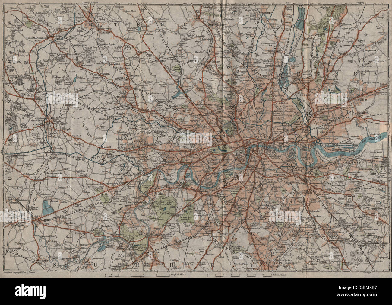 GREATER LONDON. Vintage map plan. Railways roads, 1919 Stock Photohttps://www.alamy.com/image-license-details/?v=1https://www.alamy.com/stock-photo-greater-london-vintage-map-plan-railways-roads-1919-110483163.html
RFGBMXB7–GREATER LONDON. Vintage map plan. Railways roads, 1919
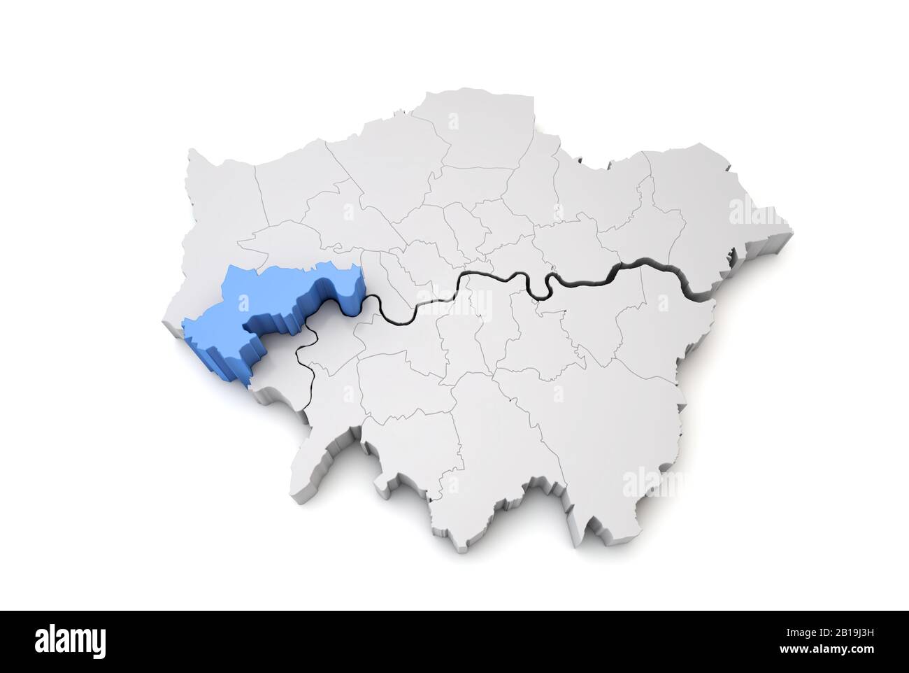 Greater London map showing Hounslow borough in blue. 3D Rendering Stock Photohttps://www.alamy.com/image-license-details/?v=1https://www.alamy.com/greater-london-map-showing-hounslow-borough-in-blue-3d-rendering-image345033797.html
RF2B19J3H–Greater London map showing Hounslow borough in blue. 3D Rendering
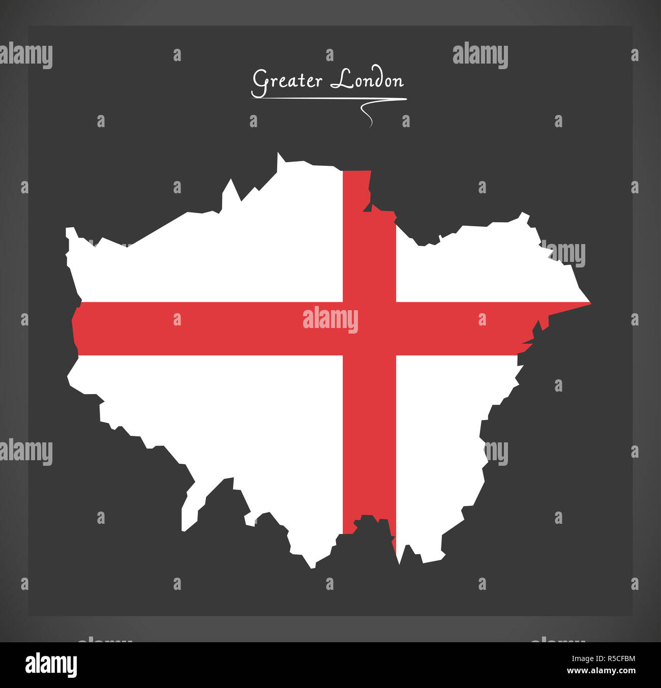 Greater London map with flag of England illustration Stock Photohttps://www.alamy.com/image-license-details/?v=1https://www.alamy.com/greater-london-map-with-flag-of-england-illustration-image227083576.html
RFR5CFBM–Greater London map with flag of England illustration
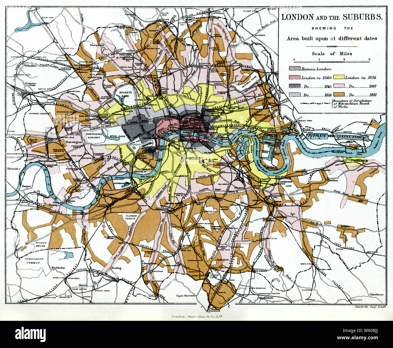 London and the Suburbs, c1903. Stock Photohttps://www.alamy.com/image-license-details/?v=1https://www.alamy.com/london-and-the-suburbs-c1903-image261852602.html
RMW60BJJ–London and the Suburbs, c1903.
 A macro closeup of a page in a printed road map atlas showing the capital city of London in England Stock Photohttps://www.alamy.com/image-license-details/?v=1https://www.alamy.com/a-macro-closeup-of-a-page-in-a-printed-road-map-atlas-showing-the-capital-city-of-london-in-england-image434265329.html
RM2G6EDT1–A macro closeup of a page in a printed road map atlas showing the capital city of London in England
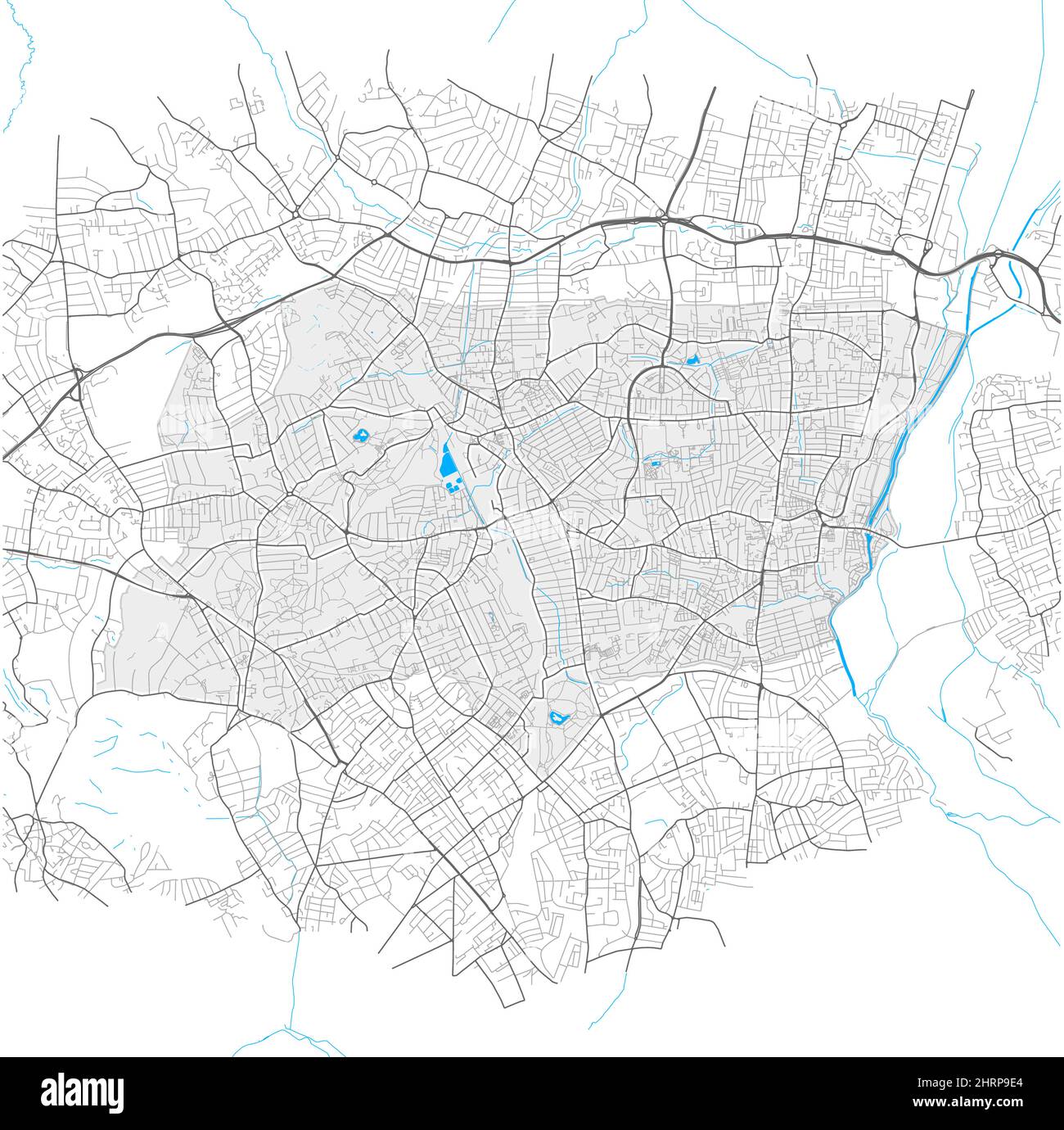 Haringey, Greater London, United Kingdom, high detail vector map with city boundaries and editable paths. White outlines for main roads. Many smaller Stock Vectorhttps://www.alamy.com/image-license-details/?v=1https://www.alamy.com/haringey-greater-london-united-kingdom-high-detail-vector-map-with-city-boundaries-and-editable-paths-white-outlines-for-main-roads-many-smaller-image462097052.html
RF2HRP9E4–Haringey, Greater London, United Kingdom, high detail vector map with city boundaries and editable paths. White outlines for main roads. Many smaller
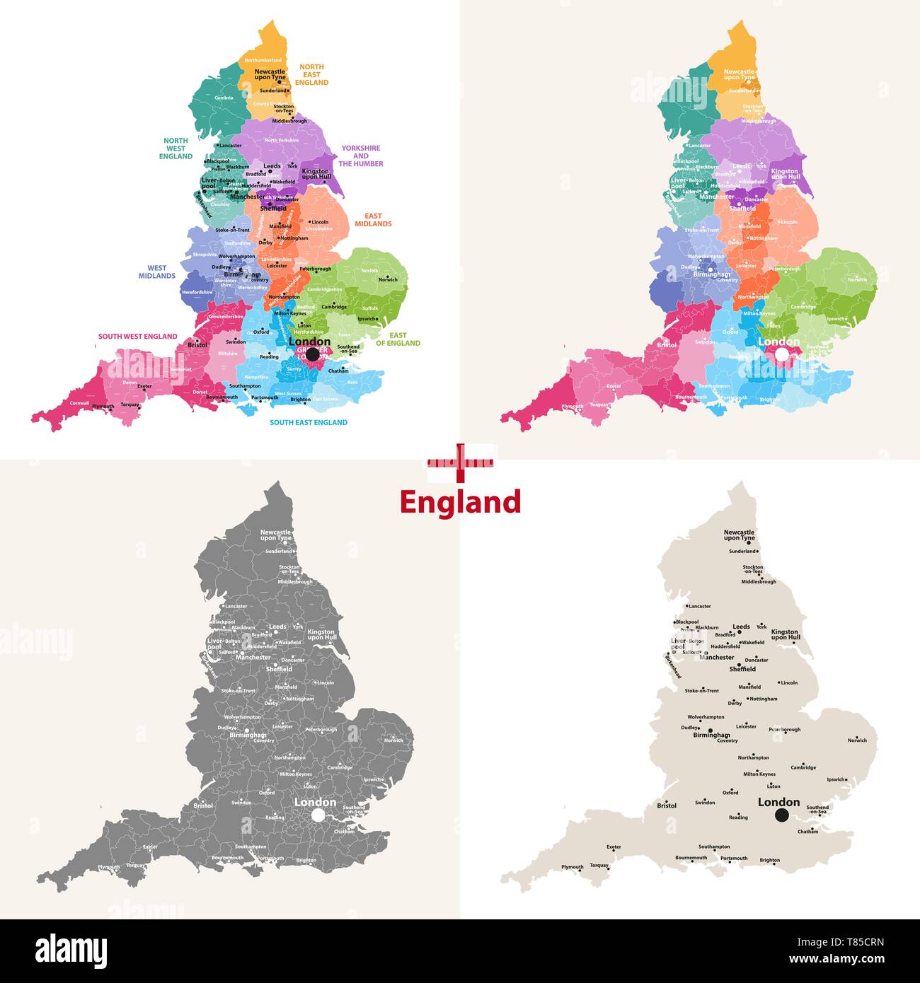 England ceremonial counties vector map Stock Vectorhttps://www.alamy.com/image-license-details/?v=1https://www.alamy.com/england-ceremonial-counties-vector-map-image245982233.html
RFT85CRN–England ceremonial counties vector map
 Couple reading map, Victoria Station, Victoria, Westminster, City of Westminster, Greater London, England, United Kingdom Stock Photohttps://www.alamy.com/image-license-details/?v=1https://www.alamy.com/stock-photo-couple-reading-map-victoria-station-victoria-westminster-city-of-westminster-38012076.html
RMC5RGP4–Couple reading map, Victoria Station, Victoria, Westminster, City of Westminster, Greater London, England, United Kingdom
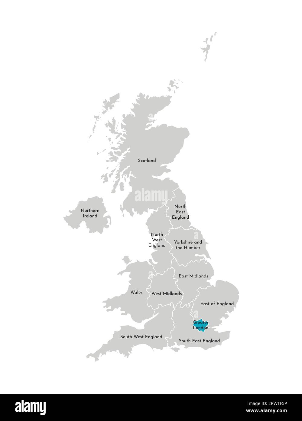 Vector isolated illustration of simplified administrative map of the United Kingdom (UK). Blue shape of Greater London. Borders and names of the regio Stock Vectorhttps://www.alamy.com/image-license-details/?v=1https://www.alamy.com/vector-isolated-illustration-of-simplified-administrative-map-of-the-united-kingdom-uk-blue-shape-of-greater-london-borders-and-names-of-the-regio-image566636946.html
RF2RWTF5P–Vector isolated illustration of simplified administrative map of the United Kingdom (UK). Blue shape of Greater London. Borders and names of the regio
 Ralph Rookwood , Head Planning for the new scheme, explains to Desmond Plummer, Leader of the Greater London Council, left, the draft plan for the redevelopment of the Covent Garden area. They were attending a press conference in London to mark the opening of a public exhibition of the draft plan which includes far reaching ideas for changing the face of the area when Covent Garden market moves from its present site to Nine Elms, South London in 1972. Stock Photohttps://www.alamy.com/image-license-details/?v=1https://www.alamy.com/stock-photo-ralph-rookwood-head-planning-for-the-new-scheme-explains-to-desmond-110215661.html
RMGB8N5H–Ralph Rookwood , Head Planning for the new scheme, explains to Desmond Plummer, Leader of the Greater London Council, left, the draft plan for the redevelopment of the Covent Garden area. They were attending a press conference in London to mark the opening of a public exhibition of the draft plan which includes far reaching ideas for changing the face of the area when Covent Garden market moves from its present site to Nine Elms, South London in 1972.
 A to Z London UK Stock Photohttps://www.alamy.com/image-license-details/?v=1https://www.alamy.com/stock-photo-a-to-z-london-uk-13623990.html
RMAEAP7K–A to Z London UK
 London, Greater London, England, July 17 2021: Location maps in Kensington Gardens and The Albert Memorial in memory of Prince Albert. Stock Photohttps://www.alamy.com/image-license-details/?v=1https://www.alamy.com/london-greater-london-england-july-17-2021-location-maps-in-kensington-gardens-and-the-albert-memorial-in-memory-of-prince-albert-image436196862.html
RF2G9JDFA–London, Greater London, England, July 17 2021: Location maps in Kensington Gardens and The Albert Memorial in memory of Prince Albert.
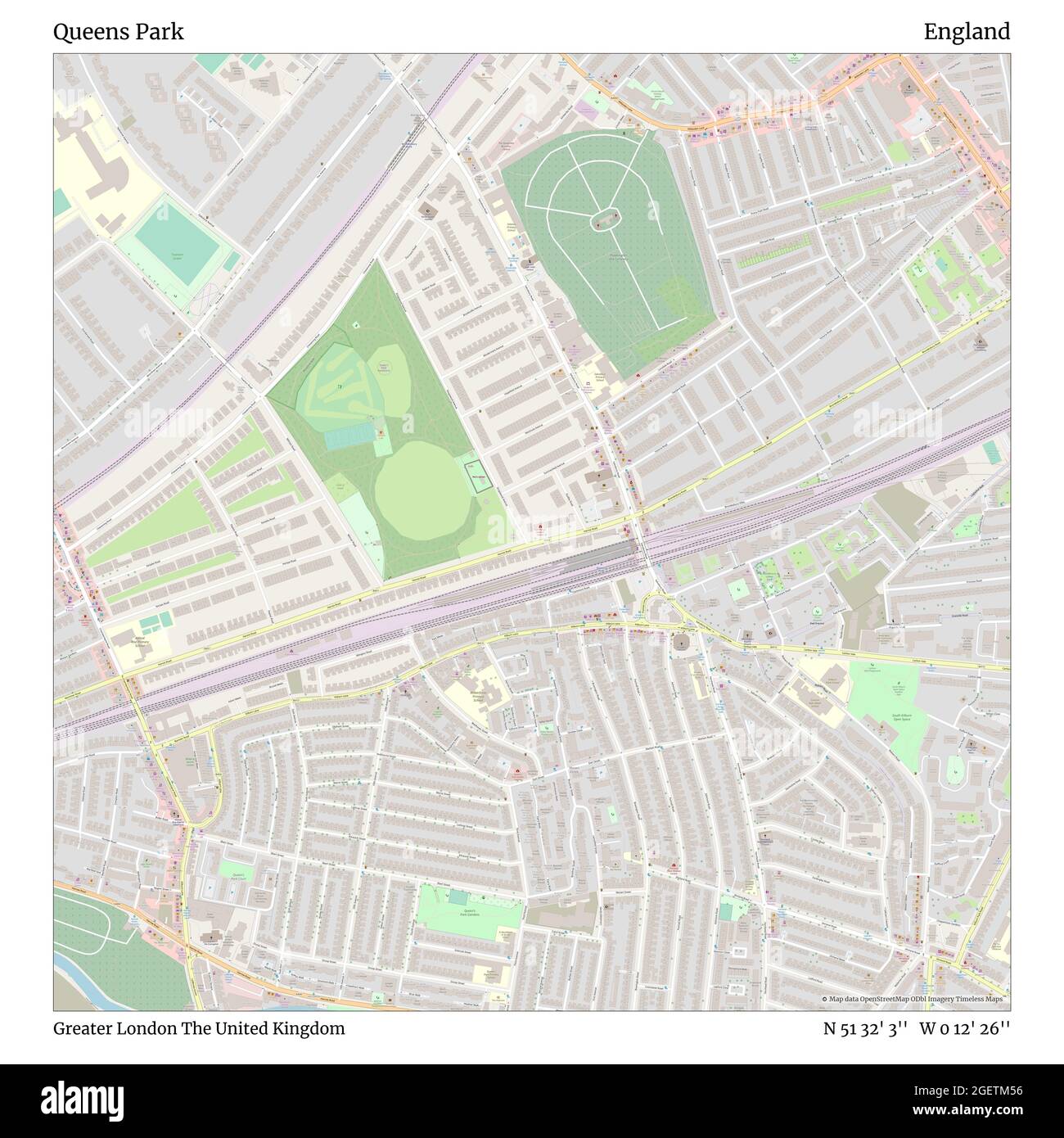 Queens Park, Greater London, United Kingdom, England, N 51 32' 3'', W 0 12' 26'', map, Timeless Map published in 2021. Travelers, explorers and adventurers like Florence Nightingale, David Livingstone, Ernest Shackleton, Lewis and Clark and Sherlock Holmes relied on maps to plan travels to the world's most remote corners, Timeless Maps is mapping most locations on the globe, showing the achievement of great dreams Stock Photohttps://www.alamy.com/image-license-details/?v=1https://www.alamy.com/queens-park-greater-london-united-kingdom-england-n-51-32-3-w-0-12-26-map-timeless-map-published-in-2021-travelers-explorers-and-adventurers-like-florence-nightingale-david-livingstone-ernest-shackleton-lewis-and-clark-and-sherlock-holmes-relied-on-maps-to-plan-travels-to-the-worlds-most-remote-corners-timeless-maps-is-mapping-most-locations-on-the-globe-showing-the-achievement-of-great-dreams-image439407058.html
RM2GETM56–Queens Park, Greater London, United Kingdom, England, N 51 32' 3'', W 0 12' 26'', map, Timeless Map published in 2021. Travelers, explorers and adventurers like Florence Nightingale, David Livingstone, Ernest Shackleton, Lewis and Clark and Sherlock Holmes relied on maps to plan travels to the world's most remote corners, Timeless Maps is mapping most locations on the globe, showing the achievement of great dreams
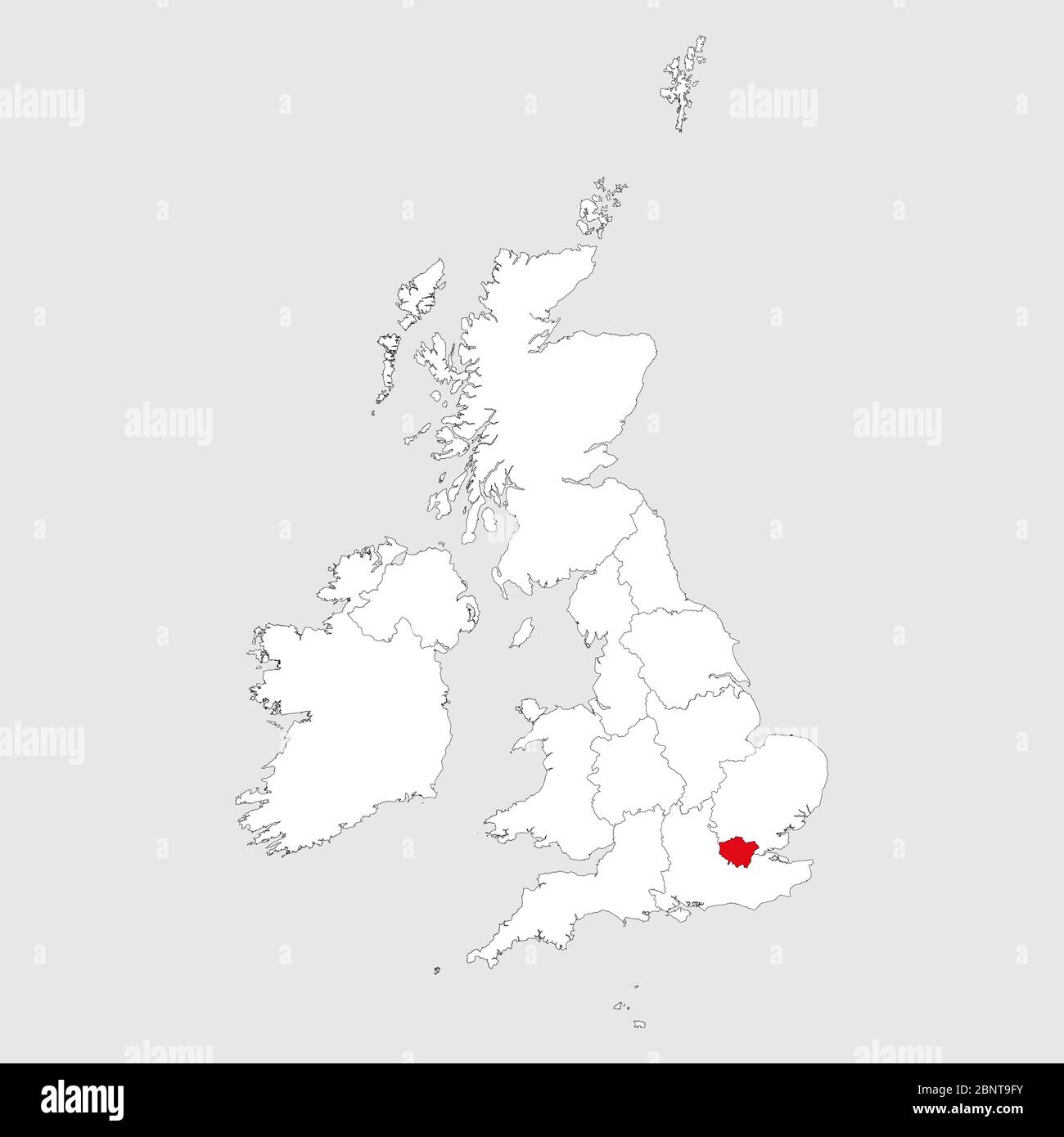 Greater London map highlighted on united kingdom map. Light gray background. Perfect for Business concepts, backgrounds, backdrop, chart, label, stick Stock Vectorhttps://www.alamy.com/image-license-details/?v=1https://www.alamy.com/greater-london-map-highlighted-on-united-kingdom-map-light-gray-background-perfect-for-business-concepts-backgrounds-backdrop-chart-label-stick-image357649487.html
RF2BNT9FY–Greater London map highlighted on united kingdom map. Light gray background. Perfect for Business concepts, backgrounds, backdrop, chart, label, stick
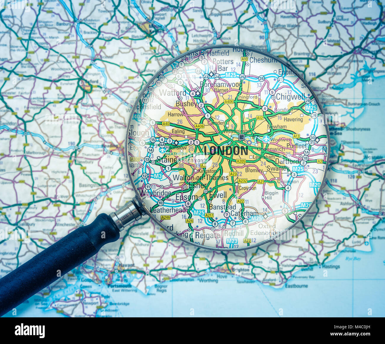 London Map With Magnifying Glass Stock Photohttps://www.alamy.com/image-license-details/?v=1https://www.alamy.com/stock-photo-london-map-with-magnifying-glass-174826249.html
RMM4C0JH–London Map With Magnifying Glass
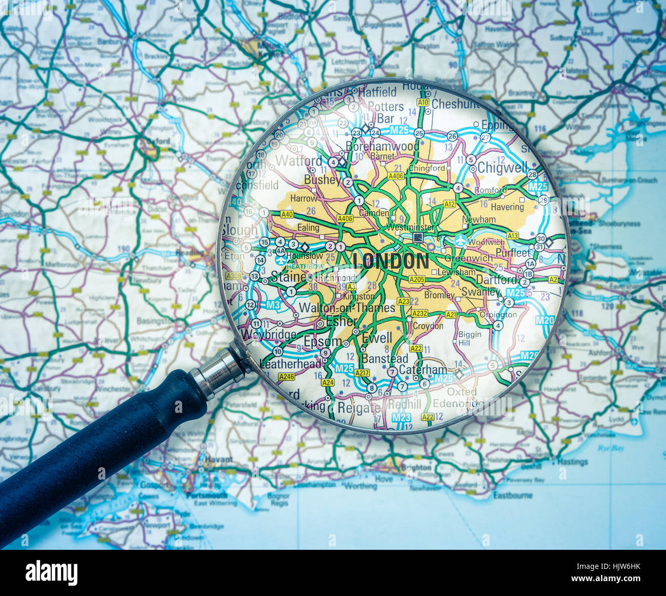 A Magnifying Glass Over A Road Map Of London, England Stock Photohttps://www.alamy.com/image-license-details/?v=1https://www.alamy.com/stock-photo-a-magnifying-glass-over-a-road-map-of-london-england-132090383.html
RFHJW6HK–A Magnifying Glass Over A Road Map Of London, England
 Riverside walkways at Greater London Authority City Hall by River Thames & Tower Bridge with world map representation display for kids to study Stock Photohttps://www.alamy.com/image-license-details/?v=1https://www.alamy.com/riverside-walkways-at-greater-london-authority-city-hall-by-river-image7107563.html
RFA9TNJC–Riverside walkways at Greater London Authority City Hall by River Thames & Tower Bridge with world map representation display for kids to study
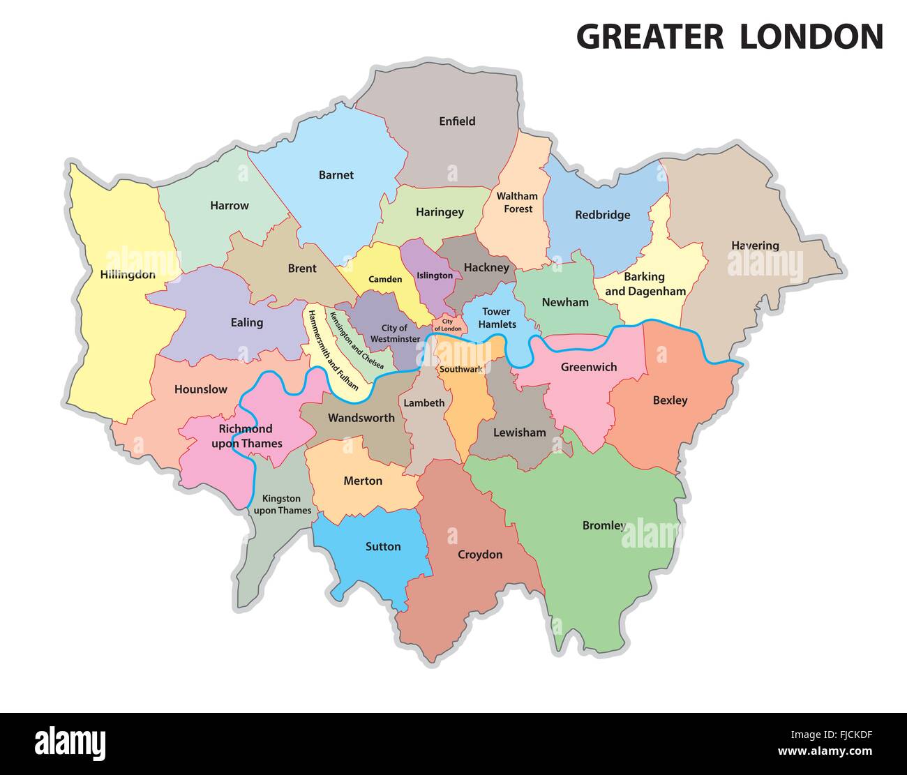 greater london administrative map Stock Vectorhttps://www.alamy.com/image-license-details/?v=1https://www.alamy.com/stock-photo-greater-london-administrative-map-97394347.html
RFFJCKDF–greater london administrative map
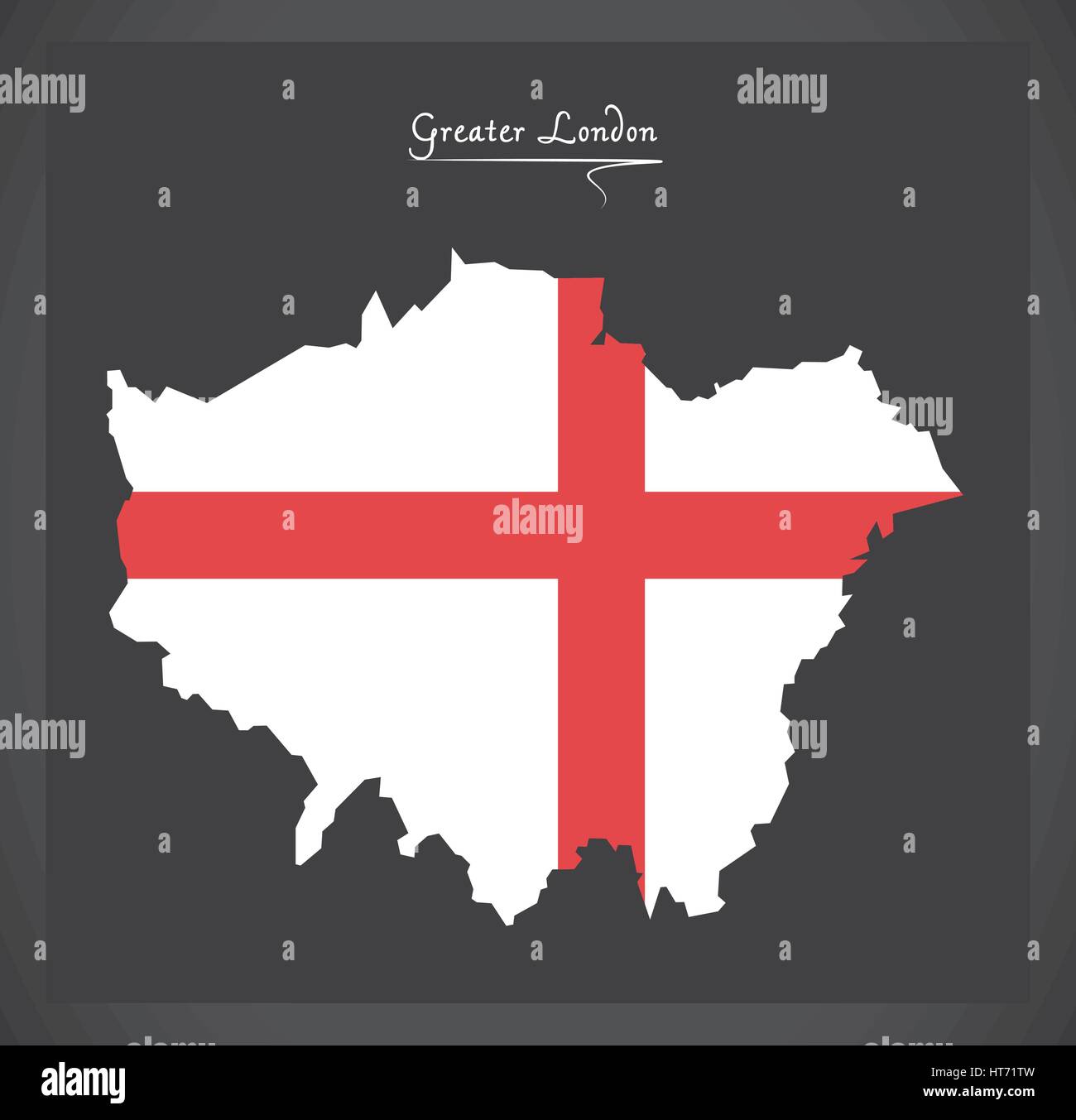 Greater London map with flag of England illustration Stock Vectorhttps://www.alamy.com/image-license-details/?v=1https://www.alamy.com/stock-photo-greater-london-map-with-flag-of-england-illustration-135379465.html
RFHT71TW–Greater London map with flag of England illustration
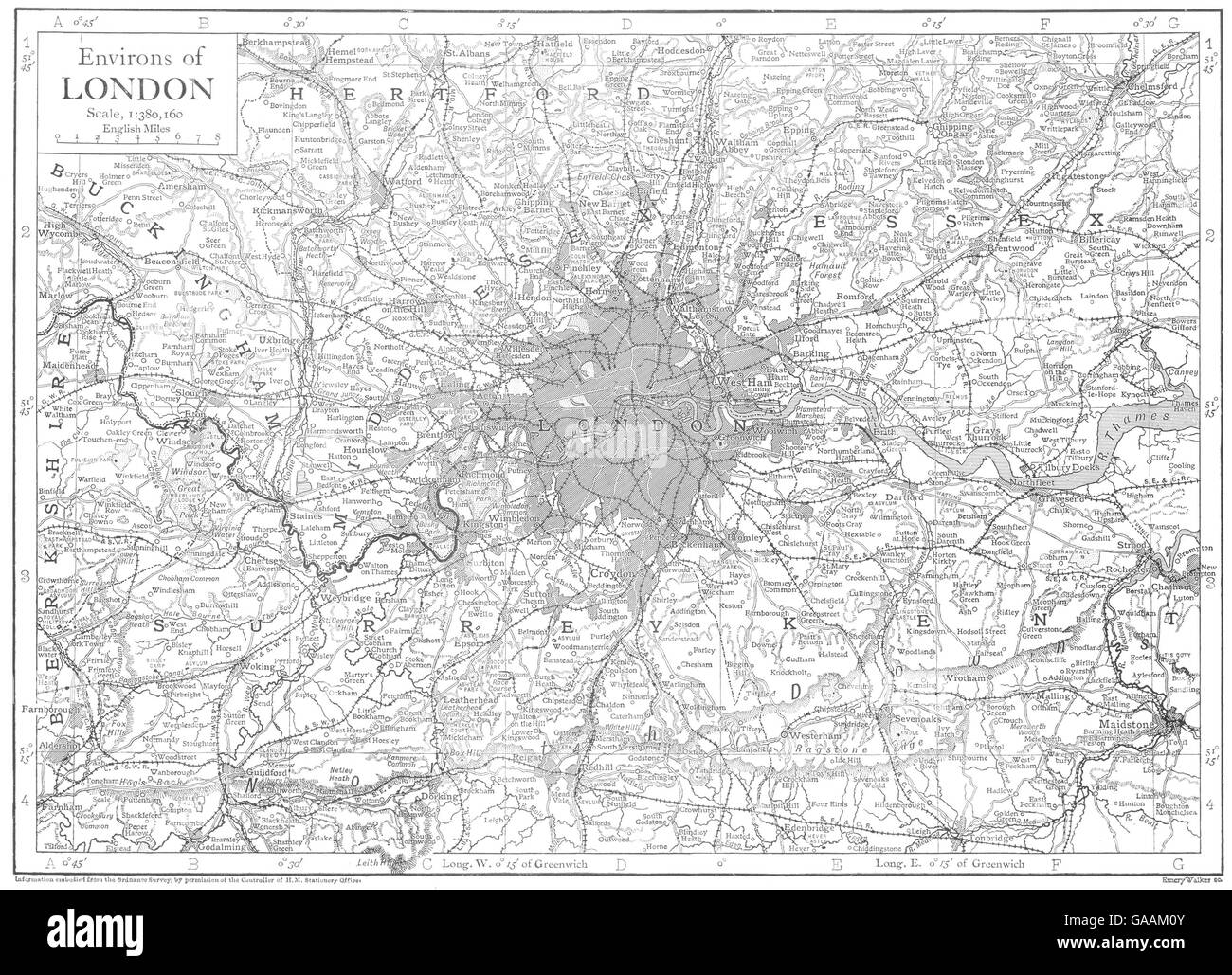 LONDON: Environs of London; Greater London, Homes counties, 1910 antique map Stock Photohttps://www.alamy.com/image-license-details/?v=1https://www.alamy.com/stock-photo-london-environs-of-london-greater-london-homes-counties-1910-antique-109643995.html
RFGAAM0Y–LONDON: Environs of London; Greater London, Homes counties, 1910 antique map
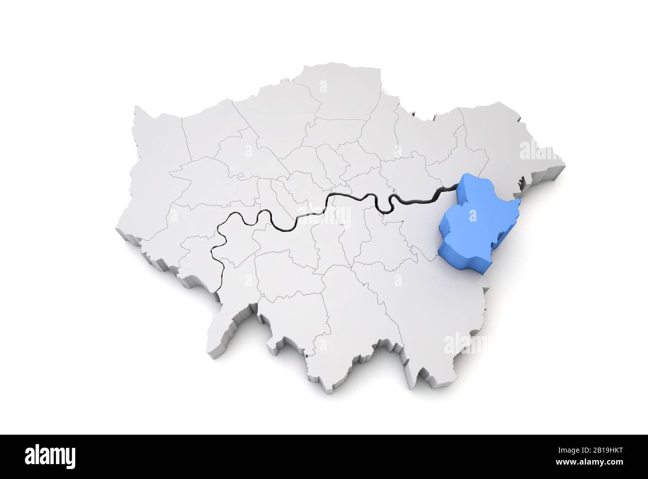 Greater London map showing Bexley borough in blue. 3D Rendering Stock Photohttps://www.alamy.com/image-license-details/?v=1https://www.alamy.com/greater-london-map-showing-bexley-borough-in-blue-3d-rendering-image345033468.html
RF2B19HKT–Greater London map showing Bexley borough in blue. 3D Rendering
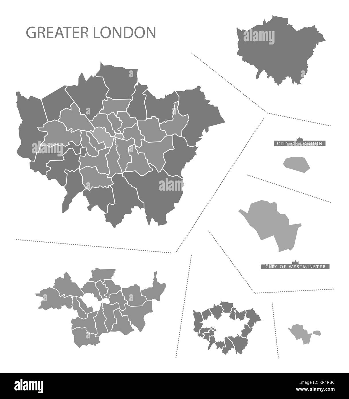 Greater London England Map grey Stock Photohttps://www.alamy.com/image-license-details/?v=1https://www.alamy.com/stock-image-greater-london-england-map-grey-169136560.html
RFKR4RBC–Greater London England Map grey
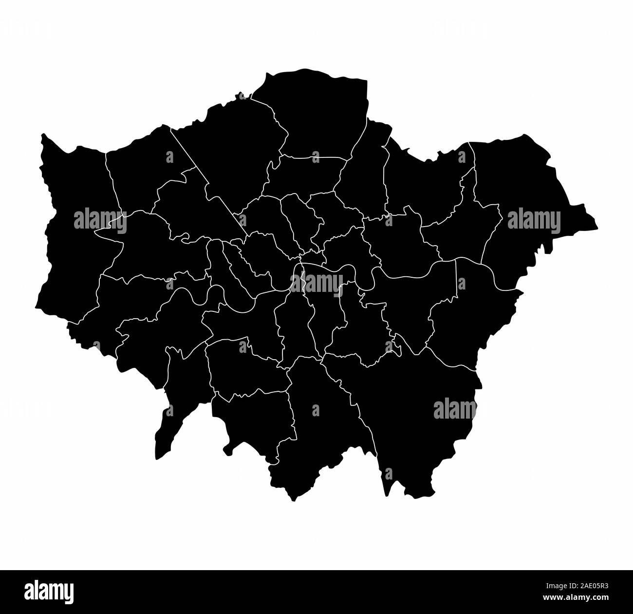 Greater London silhouette map Stock Vectorhttps://www.alamy.com/image-license-details/?v=1https://www.alamy.com/greater-london-silhouette-map-image335606743.html
RF2AE05R3–Greater London silhouette map
 Closeup of a page in a printed road map atlas with a man's hand holding a magnifying glass showing an enlargement of London in England Stock Photohttps://www.alamy.com/image-license-details/?v=1https://www.alamy.com/closeup-of-a-page-in-a-printed-road-map-atlas-with-a-mans-hand-holding-a-magnifying-glass-showing-an-enlargement-of-london-in-england-image434265320.html
RM2G6EDRM–Closeup of a page in a printed road map atlas with a man's hand holding a magnifying glass showing an enlargement of London in England
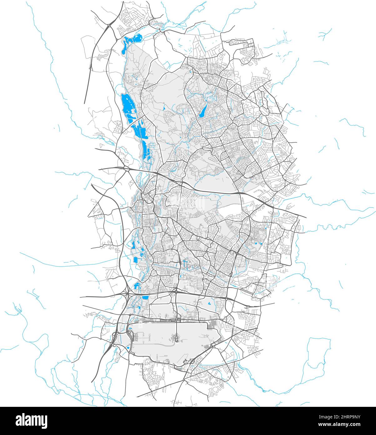 Hillingdon, Greater London, United Kingdom, high detail vector map with city boundaries and editable paths. White outlines for main roads. Many smalle Stock Vectorhttps://www.alamy.com/image-license-details/?v=1https://www.alamy.com/hillingdon-greater-london-united-kingdom-high-detail-vector-map-with-city-boundaries-and-editable-paths-white-outlines-for-main-roads-many-smalle-image462097271.html
RF2HRP9NY–Hillingdon, Greater London, United Kingdom, high detail vector map with city boundaries and editable paths. White outlines for main roads. Many smalle
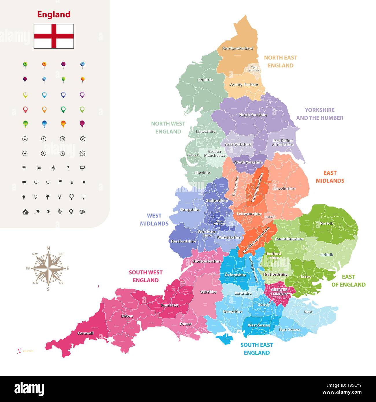 England ceremonial counties vector map Stock Vectorhttps://www.alamy.com/image-license-details/?v=1https://www.alamy.com/england-ceremonial-counties-vector-map-image245982351.html
RFT85CYY–England ceremonial counties vector map
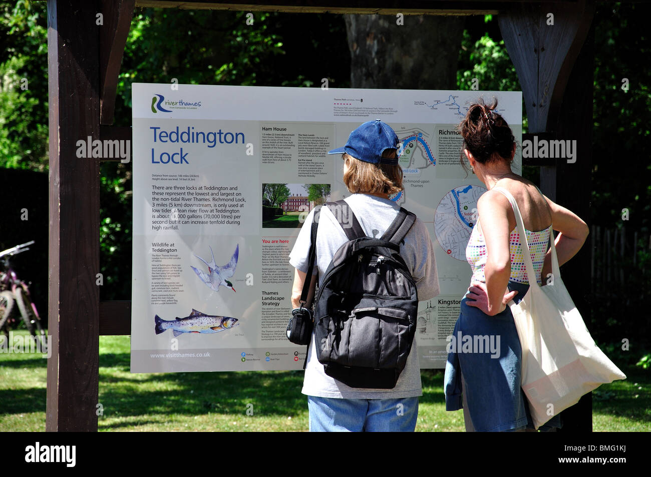 Women looking at area map, Teddington Lock, London Borough of Richmond upon Thames, Greater London, England, United Kingdom Stock Photohttps://www.alamy.com/image-license-details/?v=1https://www.alamy.com/stock-photo-women-looking-at-area-map-teddington-lock-london-borough-of-richmond-29856054.html
RMBMG1KJ–Women looking at area map, Teddington Lock, London Borough of Richmond upon Thames, Greater London, England, United Kingdom
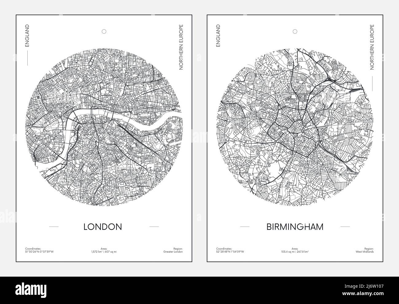 Travel poster, urban street plan city map London and Birmingham, vector illustration Stock Vectorhttps://www.alamy.com/image-license-details/?v=1https://www.alamy.com/travel-poster-urban-street-plan-city-map-london-and-birmingham-vector-illustration-image468917463.html
RF2J6W107–Travel poster, urban street plan city map London and Birmingham, vector illustration
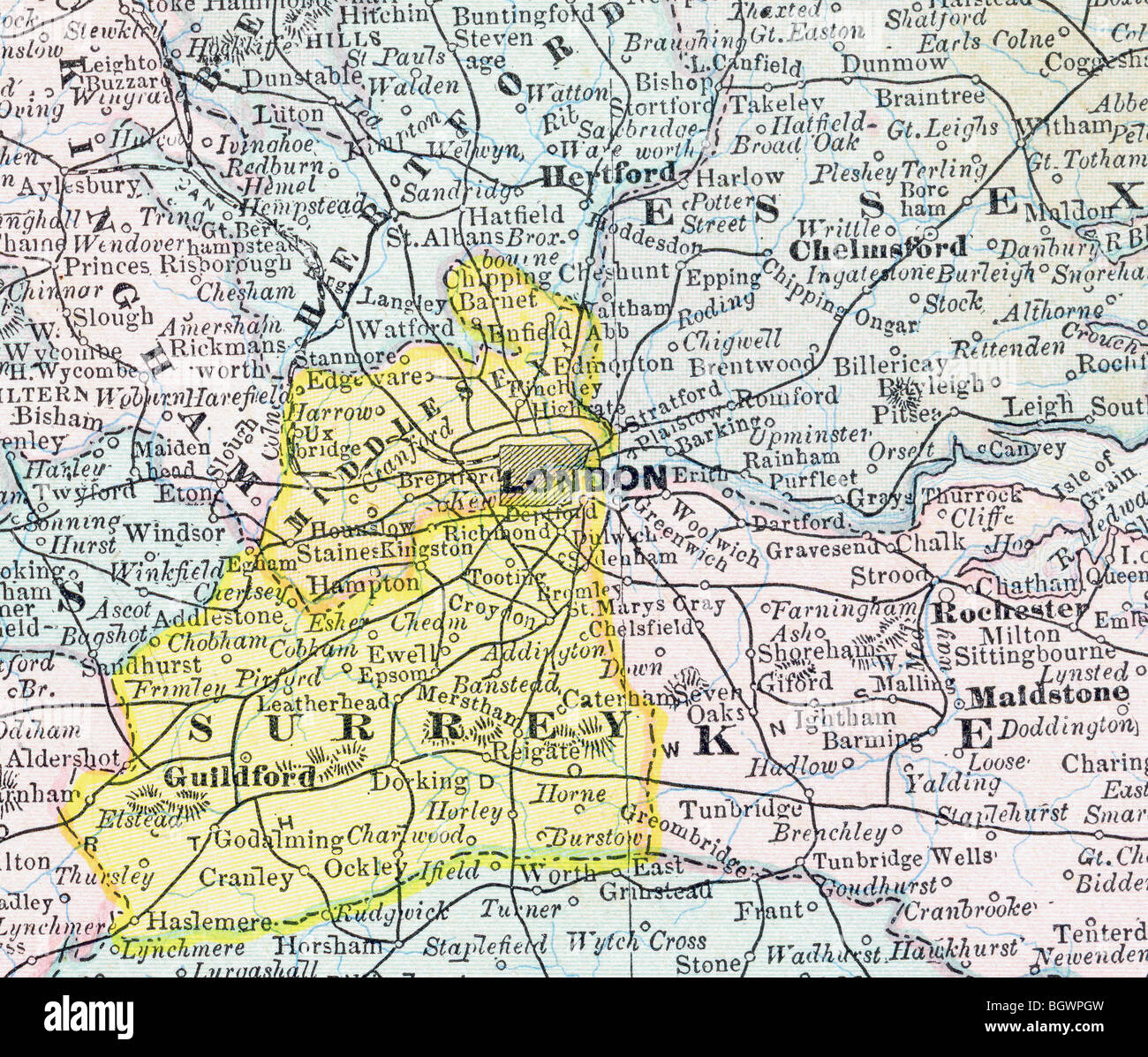 Old map of Greater London from original geography textbook, 1884 Stock Photohttps://www.alamy.com/image-license-details/?v=1https://www.alamy.com/stock-photo-old-map-of-greater-london-from-original-geography-textbook-1884-27611385.html
RMBGWPGW–Old map of Greater London from original geography textbook, 1884
 Closeup overhead shot of a dome magnifying glass over a Greater London road atlas map, with London itself in the centre, enlarged for a closer view. Stock Photohttps://www.alamy.com/image-license-details/?v=1https://www.alamy.com/closeup-overhead-shot-of-a-dome-magnifying-glass-over-a-greater-london-road-atlas-map-with-london-itself-in-the-centre-enlarged-for-a-closer-view-image368261506.html
RM2CB3N8J–Closeup overhead shot of a dome magnifying glass over a Greater London road atlas map, with London itself in the centre, enlarged for a closer view.
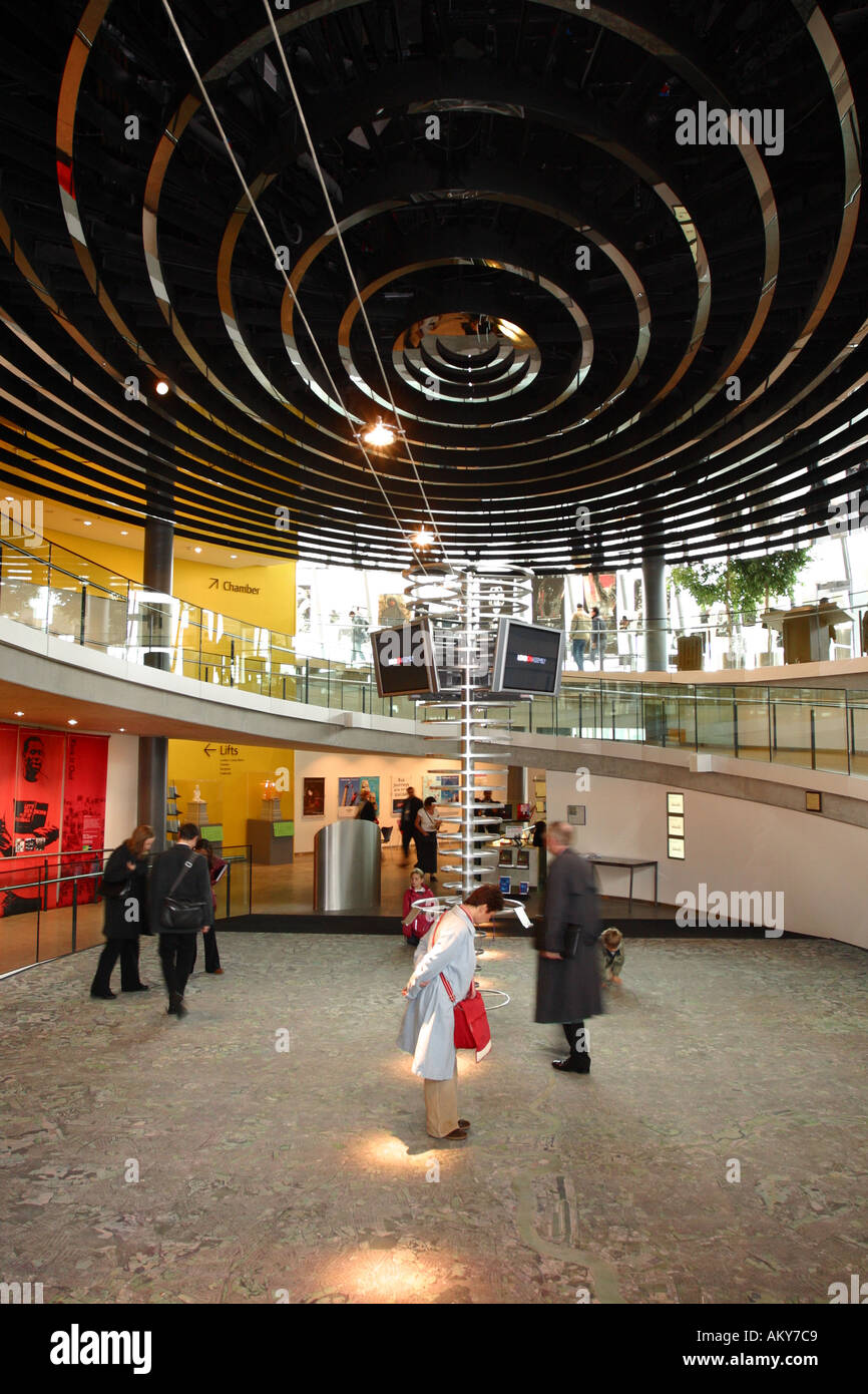 London City Hall basement has a huge aerial map of London for visitors to view Stock Photohttps://www.alamy.com/image-license-details/?v=1https://www.alamy.com/london-city-hall-basement-has-a-huge-aerial-map-of-london-for-visitors-image2815944.html
RMAKY7C9–London City Hall basement has a huge aerial map of London for visitors to view
 Goresbrook, Greater London, United Kingdom, England, N 51 32' 9'', E 0 8' 8'', map, Timeless Map published in 2021. Travelers, explorers and adventurers like Florence Nightingale, David Livingstone, Ernest Shackleton, Lewis and Clark and Sherlock Holmes relied on maps to plan travels to the world's most remote corners, Timeless Maps is mapping most locations on the globe, showing the achievement of great dreams Stock Photohttps://www.alamy.com/image-license-details/?v=1https://www.alamy.com/goresbrook-greater-london-united-kingdom-england-n-51-32-9-e-0-8-8-map-timeless-map-published-in-2021-travelers-explorers-and-adventurers-like-florence-nightingale-david-livingstone-ernest-shackleton-lewis-and-clark-and-sherlock-holmes-relied-on-maps-to-plan-travels-to-the-worlds-most-remote-corners-timeless-maps-is-mapping-most-locations-on-the-globe-showing-the-achievement-of-great-dreams-image439414441.html
RM2GEW1GW–Goresbrook, Greater London, United Kingdom, England, N 51 32' 9'', E 0 8' 8'', map, Timeless Map published in 2021. Travelers, explorers and adventurers like Florence Nightingale, David Livingstone, Ernest Shackleton, Lewis and Clark and Sherlock Holmes relied on maps to plan travels to the world's most remote corners, Timeless Maps is mapping most locations on the globe, showing the achievement of great dreams
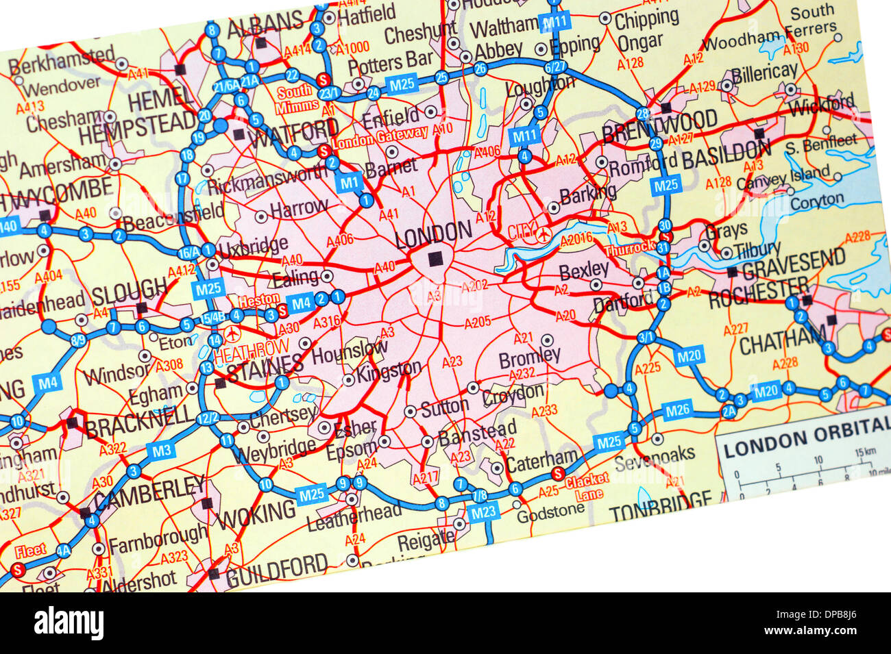 A traditional paper map (maps) of England showing the M25 orbital route & London areas Stock Photohttps://www.alamy.com/image-license-details/?v=1https://www.alamy.com/a-traditional-paper-map-maps-of-england-showing-the-m25-orbital-route-image65401790.html
RMDPB8J6–A traditional paper map (maps) of England showing the M25 orbital route & London areas
 Three young men sitting on a seat looking at their smart phones while waiting for a train at Kingston station Surrey, Greater London England UK Stock Photohttps://www.alamy.com/image-license-details/?v=1https://www.alamy.com/three-young-men-sitting-on-a-seat-looking-at-their-smart-phones-while-waiting-for-a-train-at-kingston-station-surrey-greater-london-england-uk-image334980937.html
RM2ACYKGW–Three young men sitting on a seat looking at their smart phones while waiting for a train at Kingston station Surrey, Greater London England UK
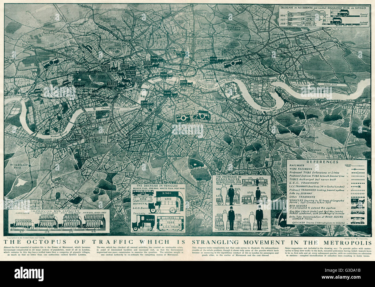 Proposed extensions of transport links into London 1919 Stock Photohttps://www.alamy.com/image-license-details/?v=1https://www.alamy.com/stock-photo-proposed-extensions-of-transport-links-into-london-1919-105399431.html
RMG3DA1B–Proposed extensions of transport links into London 1919
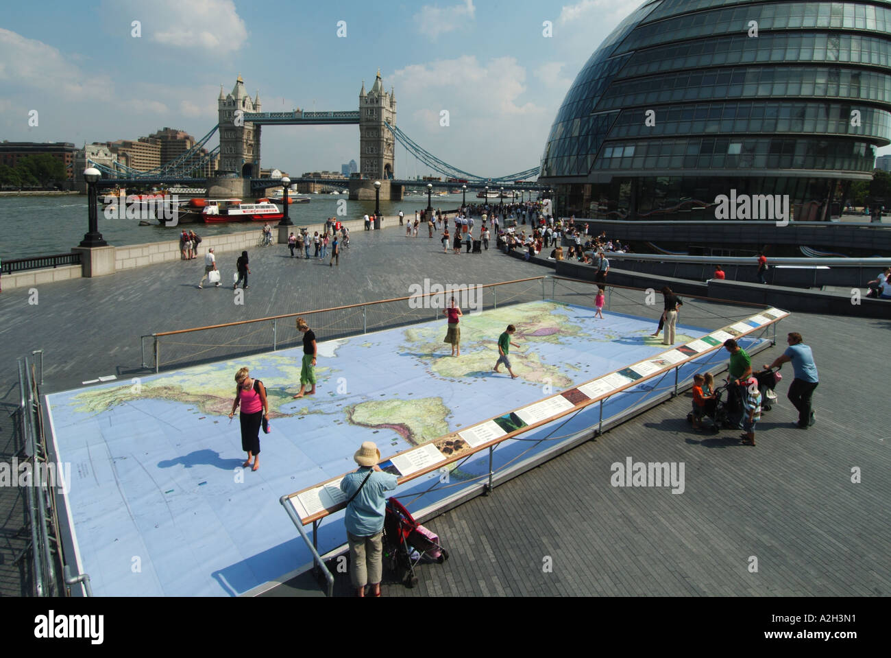 Riverside walkways at Greater London Authority City Hall by River Thames & Tower Bridge with world map representation display for kids to study Stock Photohttps://www.alamy.com/image-license-details/?v=1https://www.alamy.com/riverside-walkways-at-greater-london-authority-city-hall-by-river-image6012816.html
RFA2H3N1–Riverside walkways at Greater London Authority City Hall by River Thames & Tower Bridge with world map representation display for kids to study
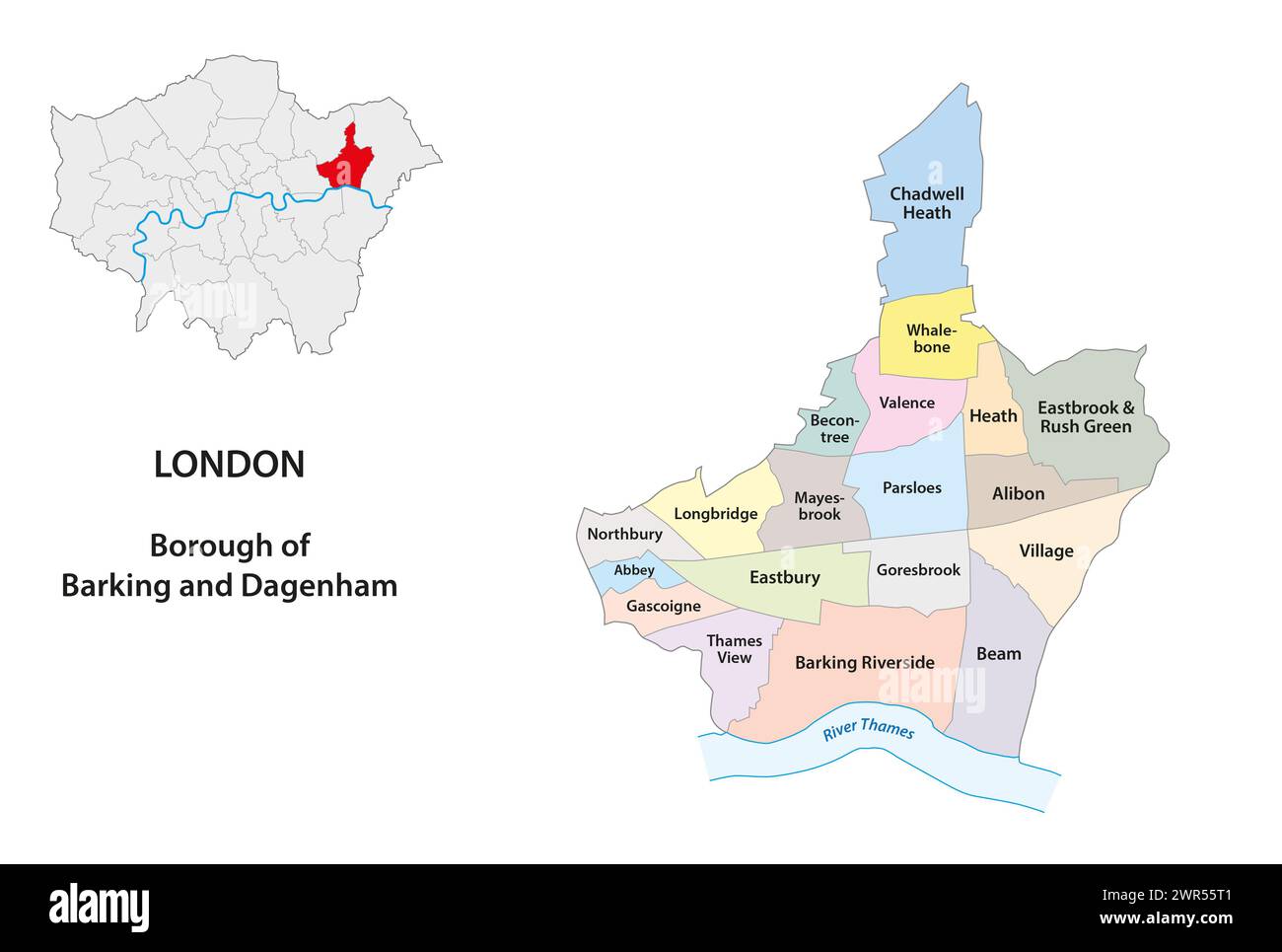 Vector map Borough of Barking and Dagenham, London, UK Stock Photohttps://www.alamy.com/image-license-details/?v=1https://www.alamy.com/vector-map-borough-of-barking-and-dagenham-london-uk-image599403953.html
RF2WR55T1–Vector map Borough of Barking and Dagenham, London, UK
 Greater London map England UK with English national flag illustration Stock Vectorhttps://www.alamy.com/image-license-details/?v=1https://www.alamy.com/greater-london-map-england-uk-with-english-national-flag-illustration-image151921035.html
RFJR4GR7–Greater London map England UK with English national flag illustration
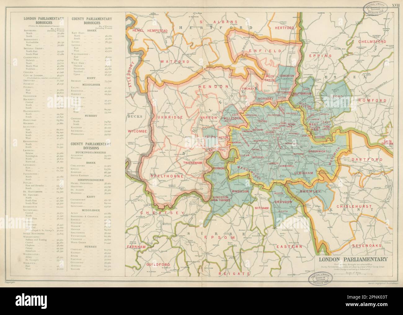 GREATER LONDON PARLIAMENTARY Boroughs Constituencies # electors. BACON 1934 map Stock Photohttps://www.alamy.com/image-license-details/?v=1https://www.alamy.com/greater-london-parliamentary-boroughs-constituencies-electors-bacon-1934-map-image546846380.html
RF2PNK03T–GREATER LONDON PARLIAMENTARY Boroughs Constituencies # electors. BACON 1934 map
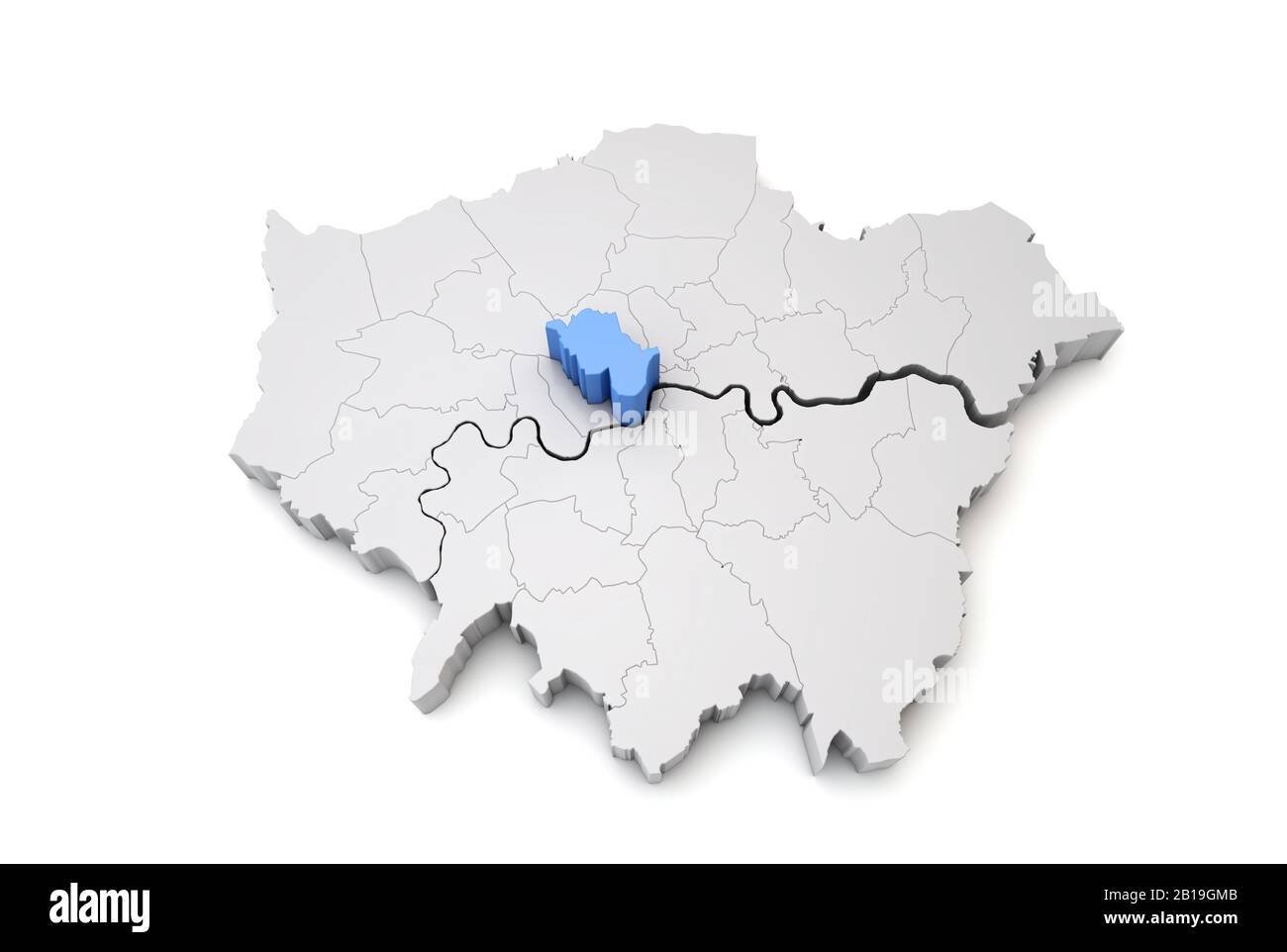 Greater London map showing Westminster borough in blue. 3D Rendering Stock Photohttps://www.alamy.com/image-license-details/?v=1https://www.alamy.com/greater-london-map-showing-westminster-borough-in-blue-3d-rendering-image345032699.html
RF2B19GMB–Greater London map showing Westminster borough in blue. 3D Rendering
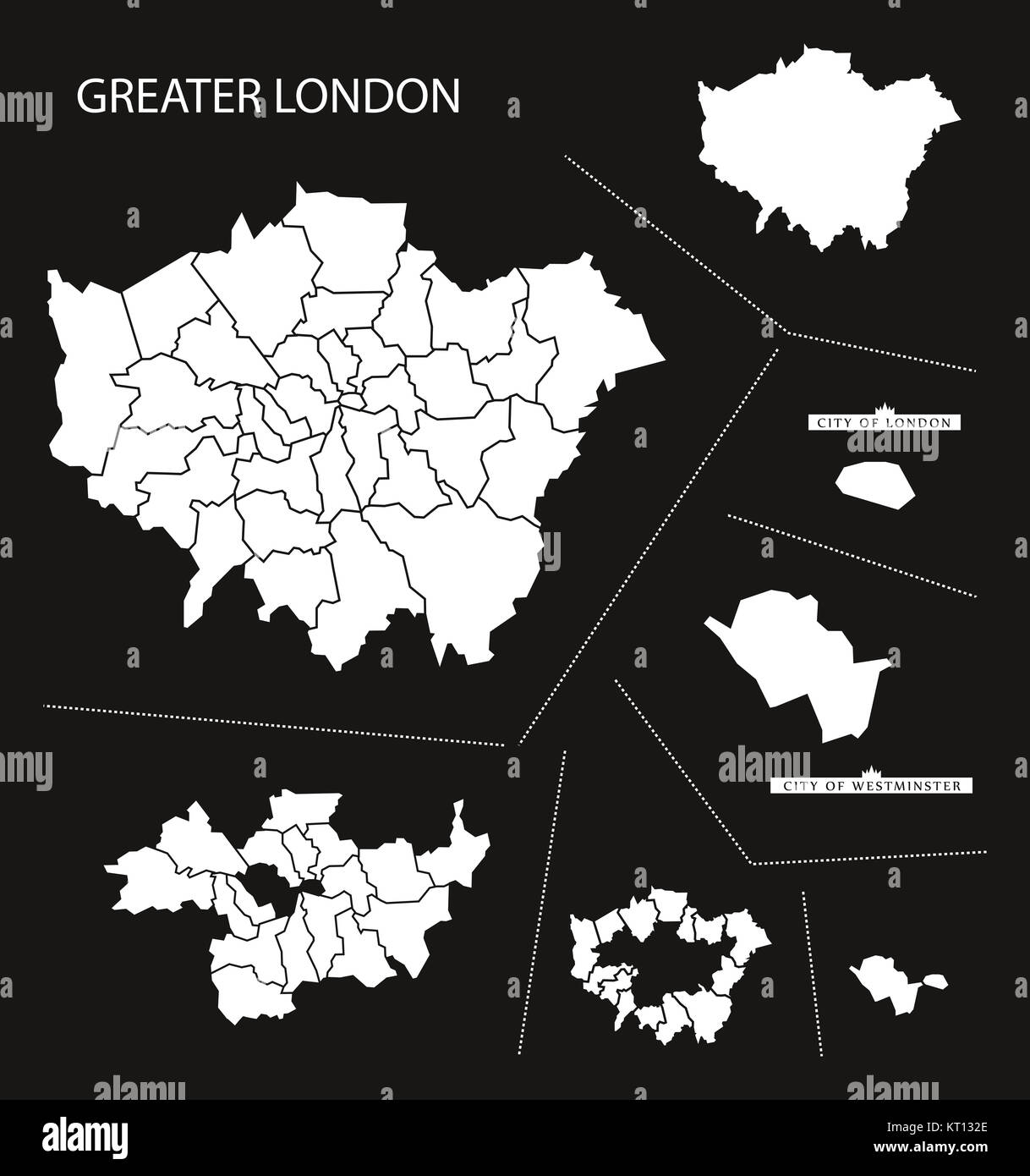 Greater London England Map black inverted Stock Photohttps://www.alamy.com/image-license-details/?v=1https://www.alamy.com/stock-image-greater-london-england-map-black-inverted-169669430.html
RFKT132E–Greater London England Map black inverted
 Inspector P. Candy, left, and Chief Superindendent John Bidgood, both from Plymouth, check with control points in the street from the 'urgent communications room' set up at Scotland Yard to ensure the smooth operation of traffic arrangements made for the State Opening of Parliament. Stock Photohttps://www.alamy.com/image-license-details/?v=1https://www.alamy.com/stock-photo-inspector-p-candy-left-and-chief-superindendent-john-bidgood-both-106236220.html
RMG4RDAM–Inspector P. Candy, left, and Chief Superindendent John Bidgood, both from Plymouth, check with control points in the street from the 'urgent communications room' set up at Scotland Yard to ensure the smooth operation of traffic arrangements made for the State Opening of Parliament.
 Closeup of a page in a printed road map atlas with a man's hand holding a pencil pointing at the city of London in England. Concept: map reading Stock Photohttps://www.alamy.com/image-license-details/?v=1https://www.alamy.com/closeup-of-a-page-in-a-printed-road-map-atlas-with-a-mans-hand-holding-a-pencil-pointing-at-the-city-of-london-in-england-concept-map-reading-image434265343.html
RM2G6EDTF–Closeup of a page in a printed road map atlas with a man's hand holding a pencil pointing at the city of London in England. Concept: map reading
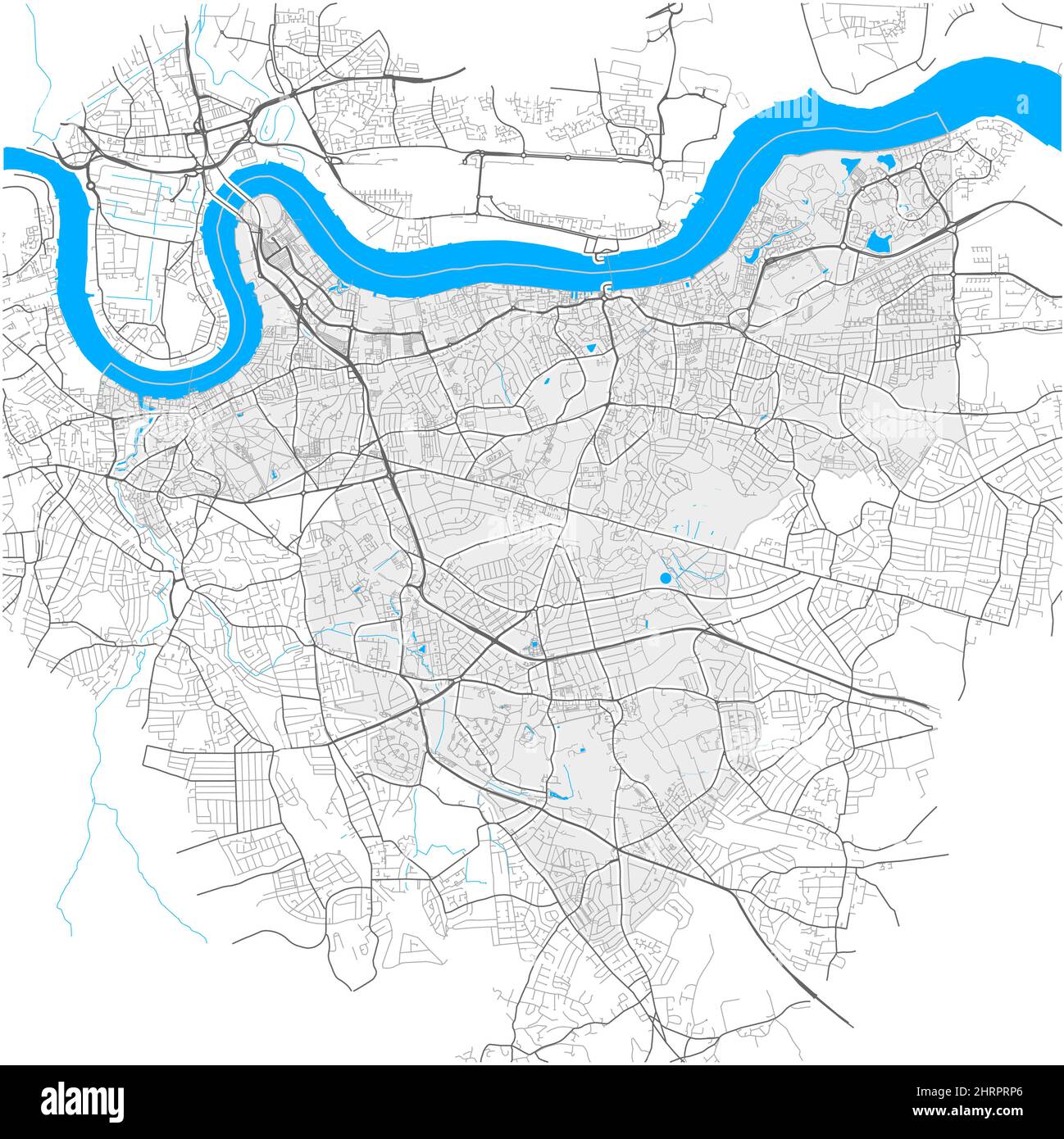 Greenwich, Greater London, United Kingdom, high detail vector map with city boundaries and editable paths. White outlines for main roads. Many smaller Stock Vectorhttps://www.alamy.com/image-license-details/?v=1https://www.alamy.com/greenwich-greater-london-united-kingdom-high-detail-vector-map-with-city-boundaries-and-editable-paths-white-outlines-for-main-roads-many-smaller-image462108254.html
RF2HRPRP6–Greenwich, Greater London, United Kingdom, high detail vector map with city boundaries and editable paths. White outlines for main roads. Many smaller
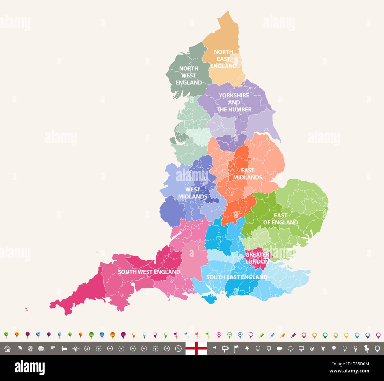 England ceremonial counties vector map Stock Vectorhttps://www.alamy.com/image-license-details/?v=1https://www.alamy.com/england-ceremonial-counties-vector-map-image245982372.html
RFT85D0M–England ceremonial counties vector map
 People looking at map of park, Hyde Park, City of Westminster, London, Greater London, England, United Kingdom Stock Photohttps://www.alamy.com/image-license-details/?v=1https://www.alamy.com/stock-photo-people-looking-at-map-of-park-hyde-park-city-of-westminster-london-55798253.html
RMD6NR6N–People looking at map of park, Hyde Park, City of Westminster, London, Greater London, England, United Kingdom
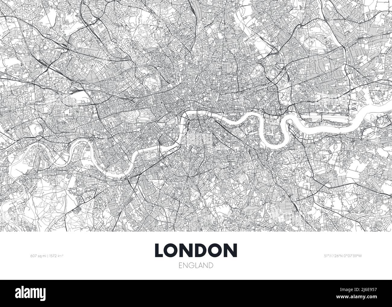 City map London England, travel poster detailed urban street plan, vector illustration Stock Vectorhttps://www.alamy.com/image-license-details/?v=1https://www.alamy.com/city-map-london-england-travel-poster-detailed-urban-street-plan-vector-illustration-image468682403.html
RF2J6E957–City map London England, travel poster detailed urban street plan, vector illustration
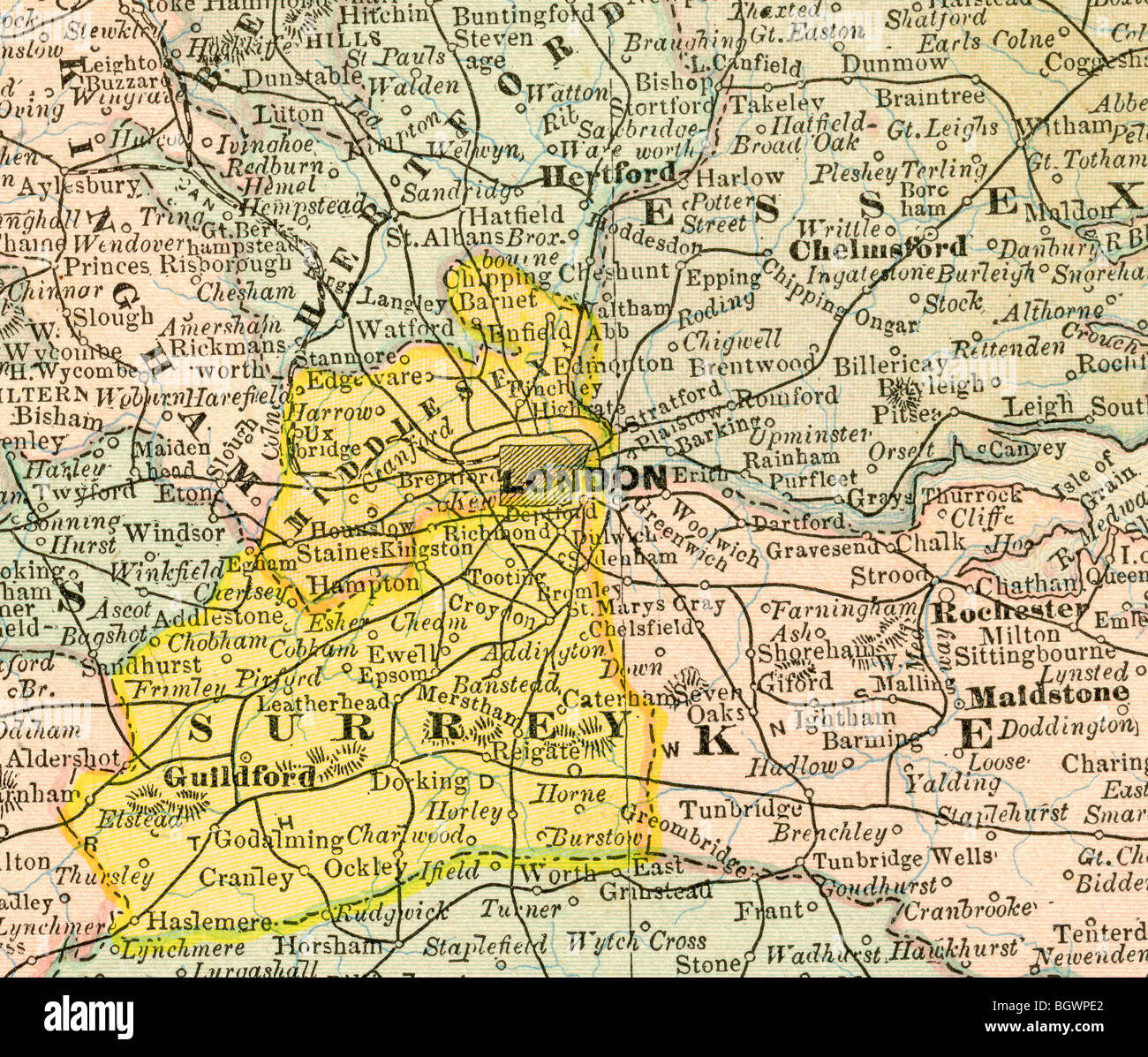 Old map of Greater London from original geography textbook, 1884 Stock Photohttps://www.alamy.com/image-license-details/?v=1https://www.alamy.com/stock-photo-old-map-of-greater-london-from-original-geography-textbook-1884-27611306.html
RMBGWPE2–Old map of Greater London from original geography textbook, 1884
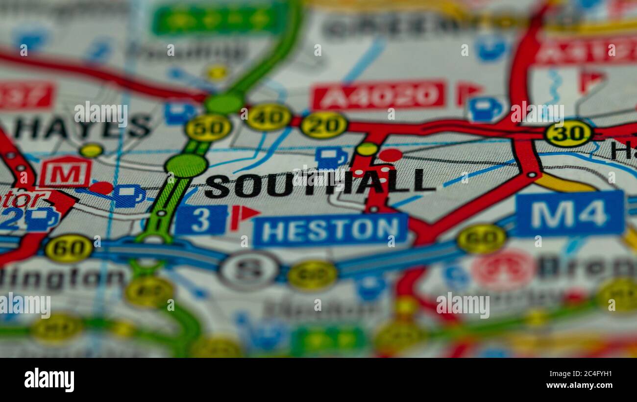 West London on a Map Stock Photohttps://www.alamy.com/image-license-details/?v=1https://www.alamy.com/west-london-on-a-map-image364227277.html
RF2C4FYH1–West London on a Map
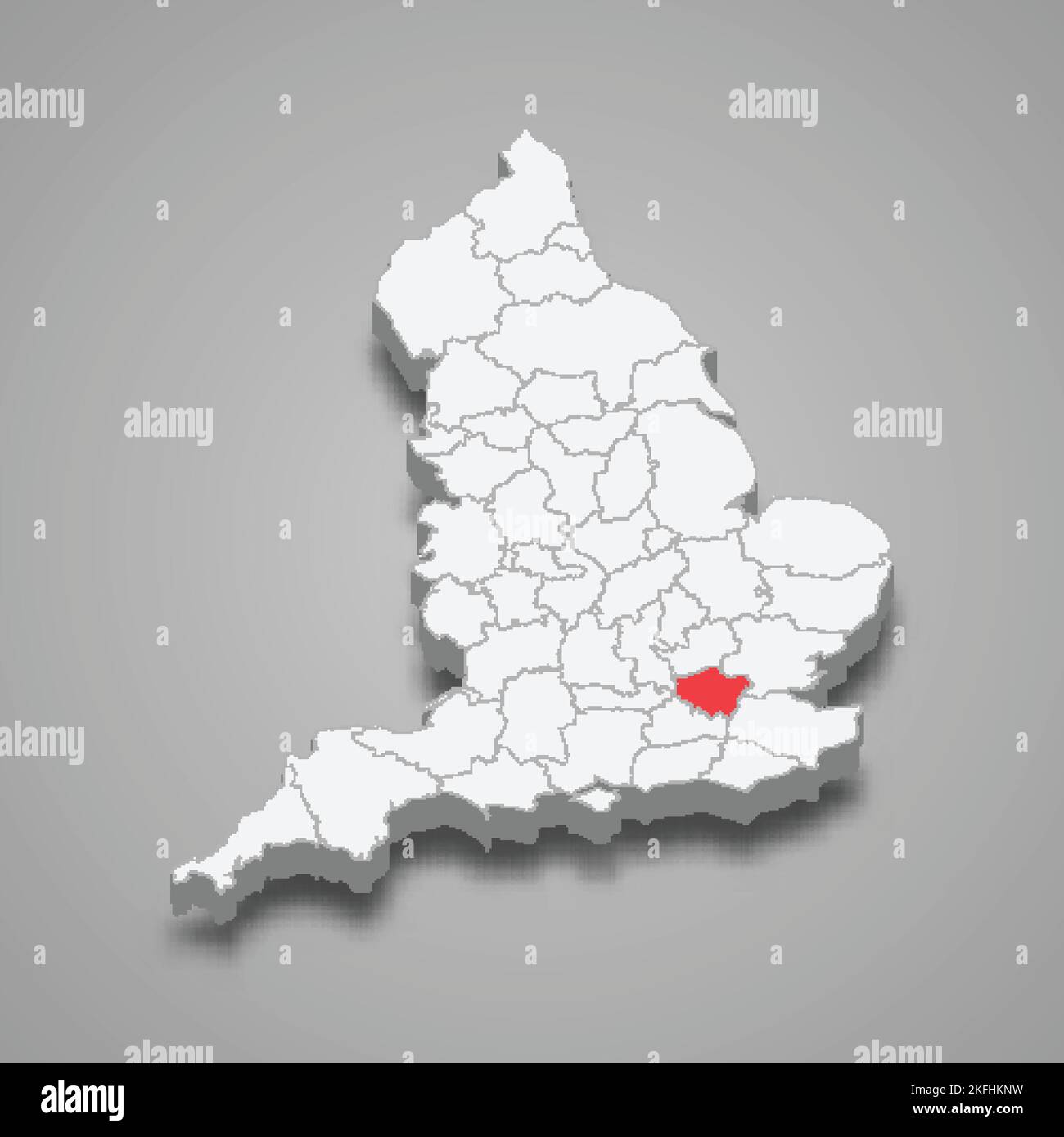 Greater London county location within England 3d isometric map Stock Vectorhttps://www.alamy.com/image-license-details/?v=1https://www.alamy.com/greater-london-county-location-within-england-3d-isometric-map-image491498837.html
RF2KFHKNW–Greater London county location within England 3d isometric map
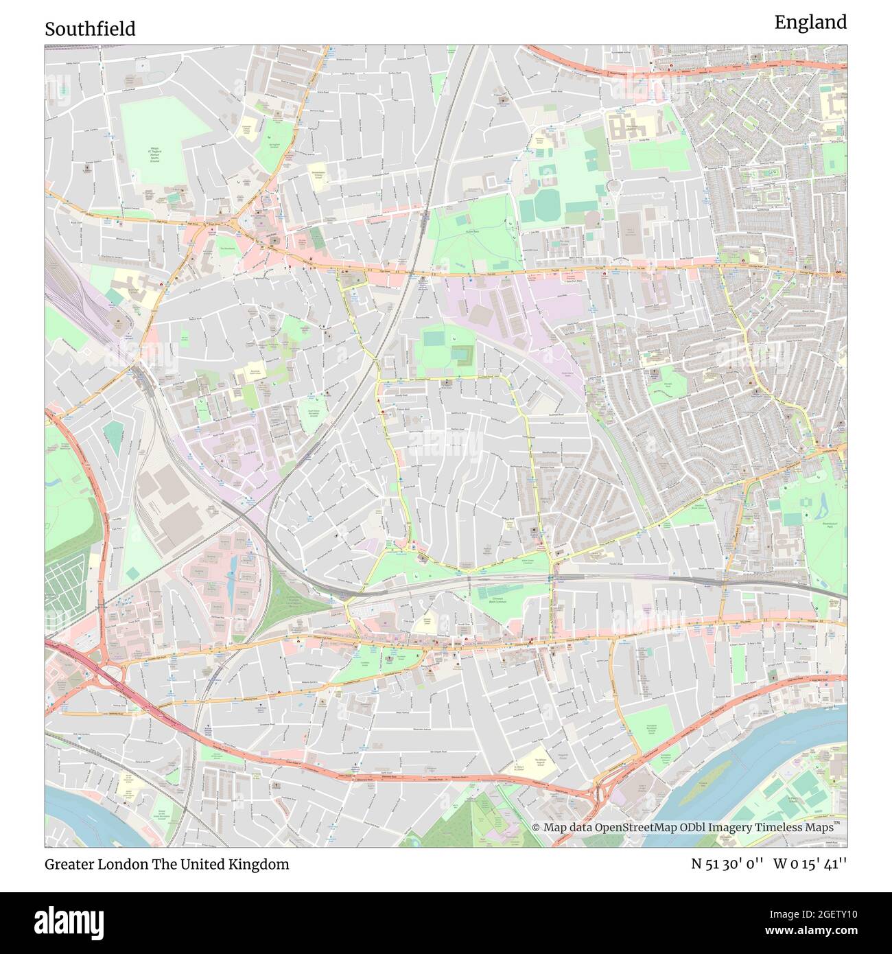 Southfield, Greater London, United Kingdom, England, N 51 30' 0'', W 0 15' 41'', map, Timeless Map published in 2021. Travelers, explorers and adventurers like Florence Nightingale, David Livingstone, Ernest Shackleton, Lewis and Clark and Sherlock Holmes relied on maps to plan travels to the world's most remote corners, Timeless Maps is mapping most locations on the globe, showing the achievement of great dreams Stock Photohttps://www.alamy.com/image-license-details/?v=1https://www.alamy.com/southfield-greater-london-united-kingdom-england-n-51-30-0-w-0-15-41-map-timeless-map-published-in-2021-travelers-explorers-and-adventurers-like-florence-nightingale-david-livingstone-ernest-shackleton-lewis-and-clark-and-sherlock-holmes-relied-on-maps-to-plan-travels-to-the-worlds-most-remote-corners-timeless-maps-is-mapping-most-locations-on-the-globe-showing-the-achievement-of-great-dreams-image439412428.html
RM2GETY10–Southfield, Greater London, United Kingdom, England, N 51 30' 0'', W 0 15' 41'', map, Timeless Map published in 2021. Travelers, explorers and adventurers like Florence Nightingale, David Livingstone, Ernest Shackleton, Lewis and Clark and Sherlock Holmes relied on maps to plan travels to the world's most remote corners, Timeless Maps is mapping most locations on the globe, showing the achievement of great dreams
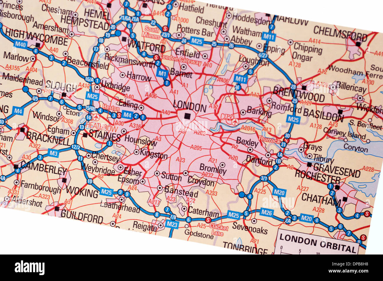 A traditional paper map (maps) of England showing the M25 orbital route & London areas Stock Photohttps://www.alamy.com/image-license-details/?v=1https://www.alamy.com/a-traditional-paper-map-maps-of-england-showing-the-m25-orbital-route-image65401764.html
RMDPB8H8–A traditional paper map (maps) of England showing the M25 orbital route & London areas
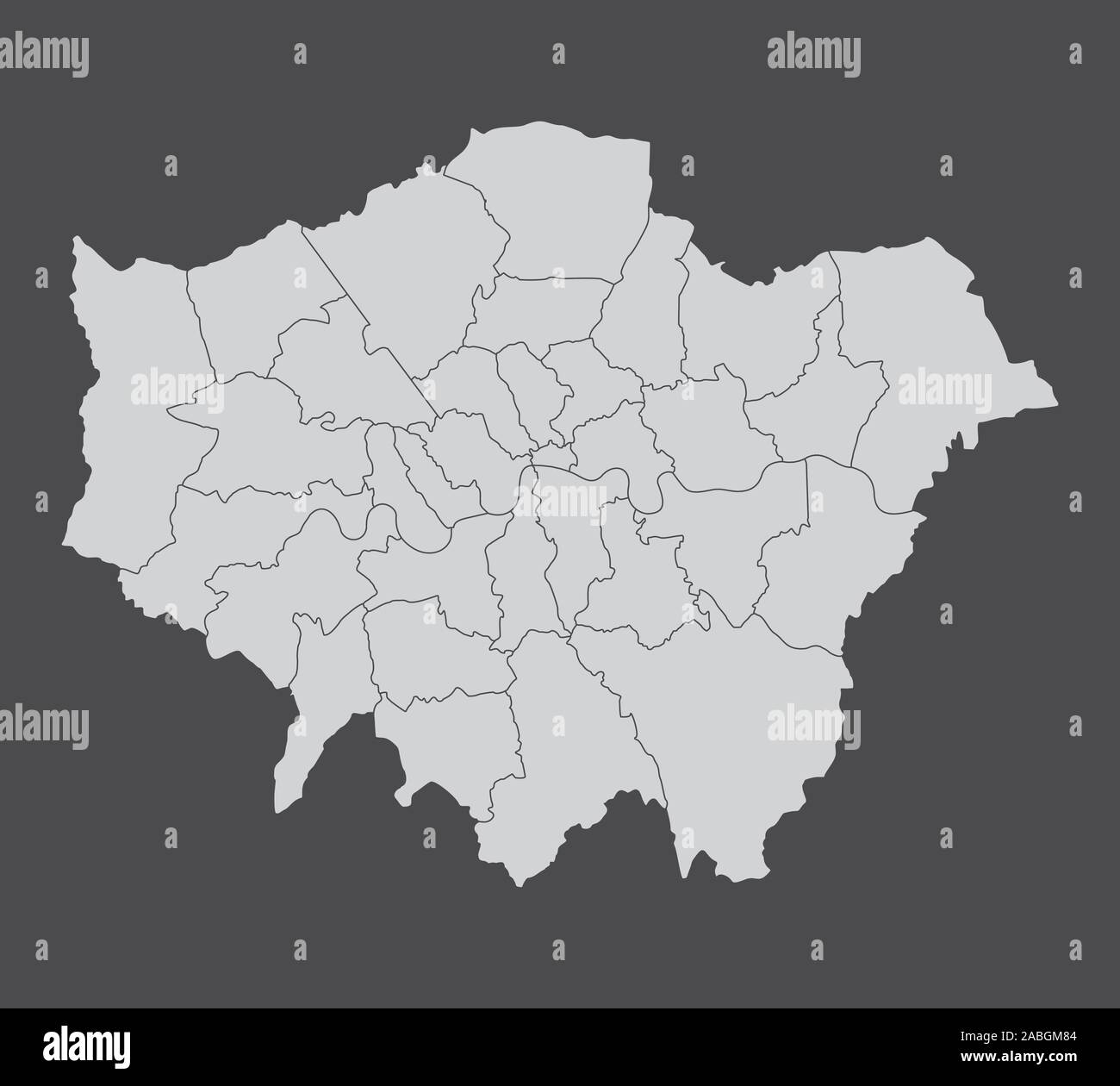 London regions map Stock Vectorhttps://www.alamy.com/image-license-details/?v=1https://www.alamy.com/london-regions-map-image334125348.html
RF2ABGM84–London regions map
 1593 plan Westminster map cartographic river Thames London Greater capital city England English Britain British UK United Kingdo Stock Photohttps://www.alamy.com/image-license-details/?v=1https://www.alamy.com/stock-photo-1593-plan-westminster-map-cartographic-river-thames-london-greater-15266557.html
RFAMHARX–1593 plan Westminster map cartographic river Thames London Greater capital city England English Britain British UK United Kingdo
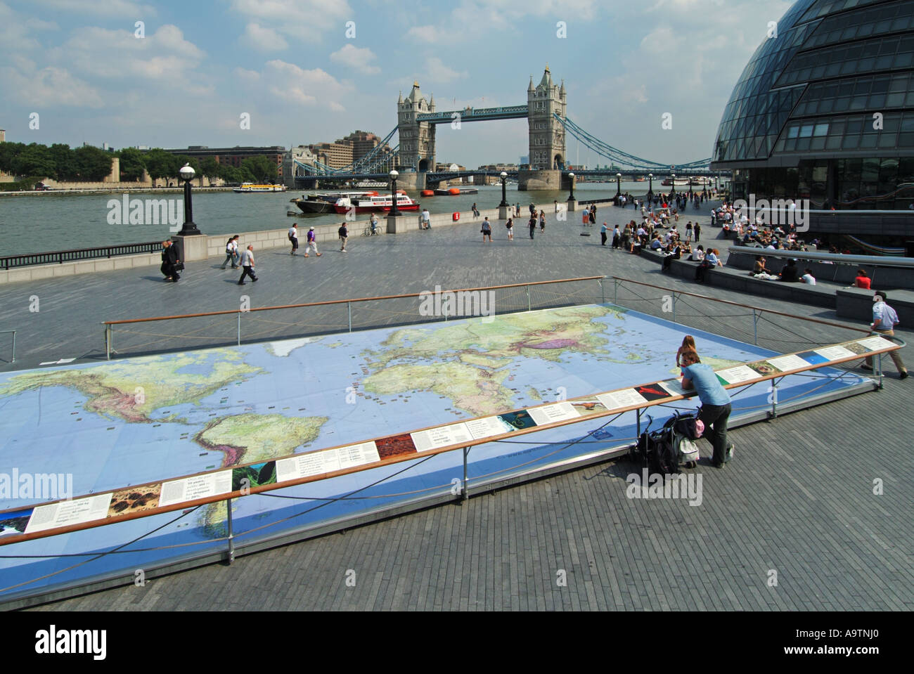 Riverside walkways at Greater London Authority City Hall by River Thames & Tower Bridge with world map representation display for kids to study Stock Photohttps://www.alamy.com/image-license-details/?v=1https://www.alamy.com/riverside-walkways-at-greater-london-authority-city-hall-by-river-image7107551.html
RMA9TNJ0–Riverside walkways at Greater London Authority City Hall by River Thames & Tower Bridge with world map representation display for kids to study
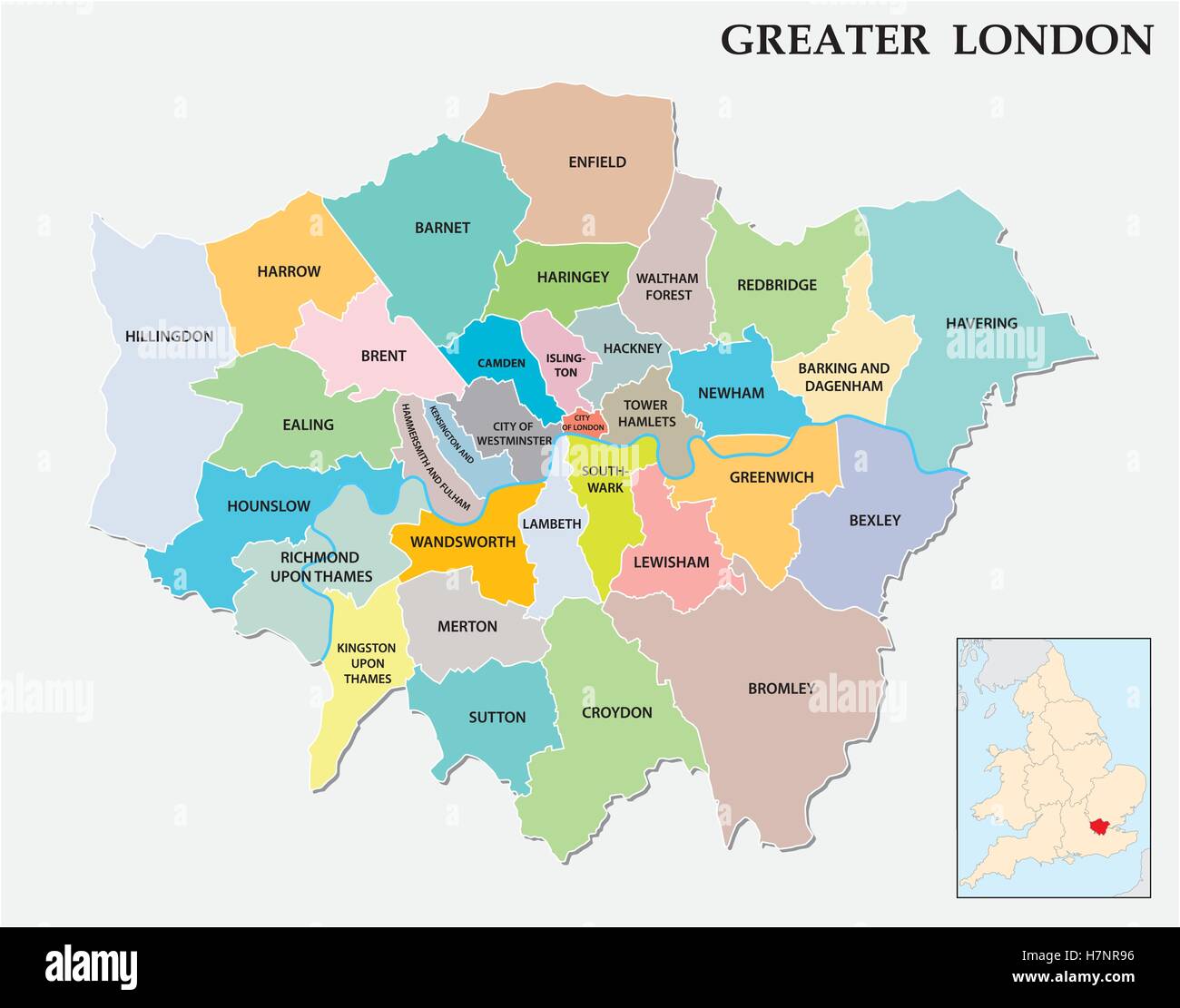 greater london administrative and political map Stock Vectorhttps://www.alamy.com/image-license-details/?v=1https://www.alamy.com/stock-photo-greater-london-administrative-and-political-map-125254450.html
RFH7NR96–greater london administrative and political map
 West Midlands - East Midlands - East of England - Greater London Map UK illustration Stock Vectorhttps://www.alamy.com/image-license-details/?v=1https://www.alamy.com/stock-photo-west-midlands-east-midlands-east-of-england-greater-london-map-uk-138589249.html
RFJ1D801–West Midlands - East Midlands - East of England - Greater London Map UK illustration
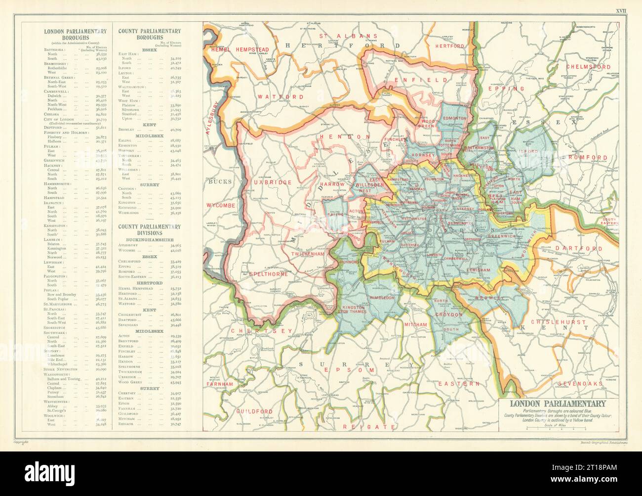 GREATER LONDON PARLIAMENTARY. Constituencies Boroughs # electors. BACON 1919 map Stock Photohttps://www.alamy.com/image-license-details/?v=1https://www.alamy.com/greater-london-parliamentary-constituencies-boroughs-electors-bacon-1919-map-image568749964.html
RF2T18PAM–GREATER LONDON PARLIAMENTARY. Constituencies Boroughs # electors. BACON 1919 map
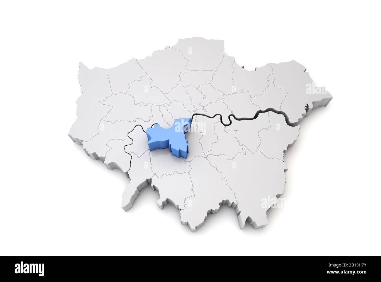 Greater London map showing Wandsworth borough in blue. 3D Rendering Stock Photohttps://www.alamy.com/image-license-details/?v=1https://www.alamy.com/greater-london-map-showing-wandsworth-borough-in-blue-3d-rendering-image345033135.html
RF2B19H7Y–Greater London map showing Wandsworth borough in blue. 3D Rendering
 Modern Map - Greater London UK England Illustration Stock Photohttps://www.alamy.com/image-license-details/?v=1https://www.alamy.com/stock-image-modern-map-greater-london-uk-england-illustration-169596790.html
RFKRWPC6–Modern Map - Greater London UK England Illustration
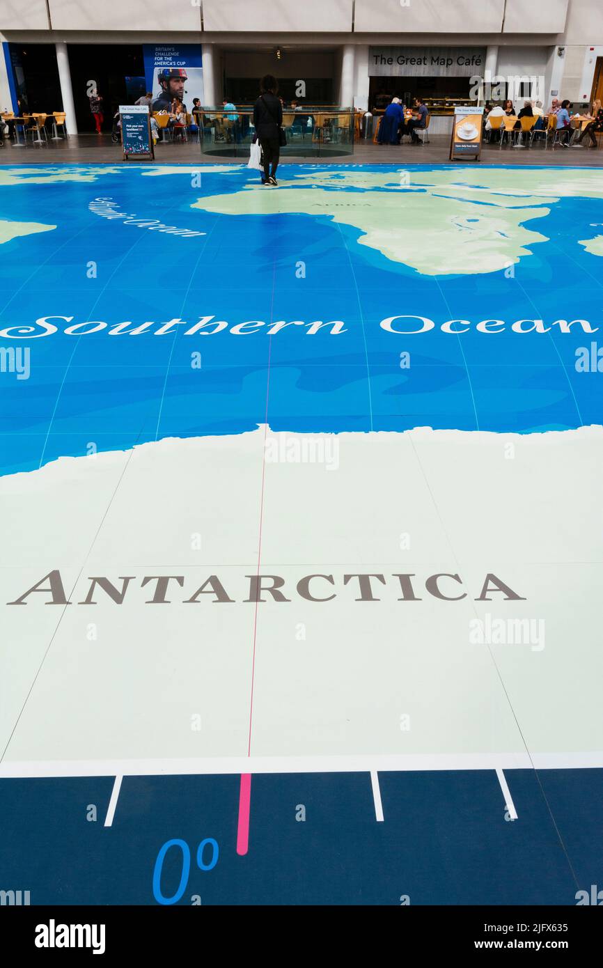 The great map in the courtyard. The National Maritime Museum, NMM, is a maritime museum in Greenwich, London. It is part of Royal Museums Greenwich, a Stock Photohttps://www.alamy.com/image-license-details/?v=1https://www.alamy.com/the-great-map-in-the-courtyard-the-national-maritime-museum-nmm-is-a-maritime-museum-in-greenwich-london-it-is-part-of-royal-museums-greenwich-a-image474475321.html
RM2JFX635–The great map in the courtyard. The National Maritime Museum, NMM, is a maritime museum in Greenwich, London. It is part of Royal Museums Greenwich, a
 A macro closeup of a page in a printed road map atlas showing the town city of in England Stock Photohttps://www.alamy.com/image-license-details/?v=1https://www.alamy.com/a-macro-closeup-of-a-page-in-a-printed-road-map-atlas-showing-the-town-city-of-in-england-image434265333.html
RM2G6EDT5–A macro closeup of a page in a printed road map atlas showing the town city of in England
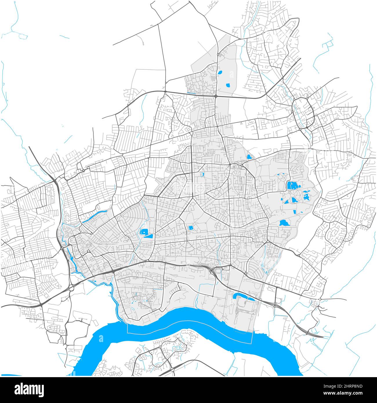 Barking and Dagenham, Greater London, United Kingdom, high detail vector map with city boundaries and editable paths. White outlines for main roads. M Stock Vectorhttps://www.alamy.com/image-license-details/?v=1https://www.alamy.com/barking-and-dagenham-greater-london-united-kingdom-high-detail-vector-map-with-city-boundaries-and-editable-paths-white-outlines-for-main-roads-m-image462096473.html
RF2HRP8ND–Barking and Dagenham, Greater London, United Kingdom, high detail vector map with city boundaries and editable paths. White outlines for main roads. M
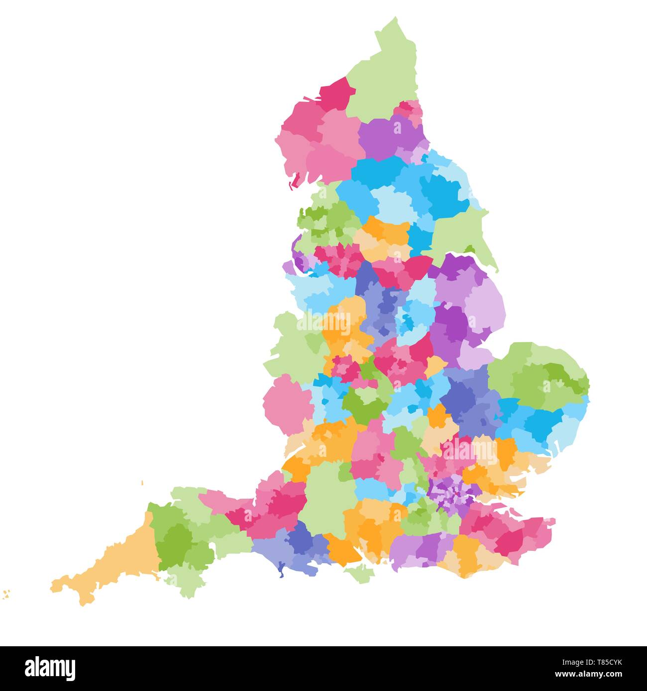 England ceremonial counties vector map Stock Vectorhttps://www.alamy.com/image-license-details/?v=1https://www.alamy.com/england-ceremonial-counties-vector-map-image245982343.html
RFT85CYK–England ceremonial counties vector map
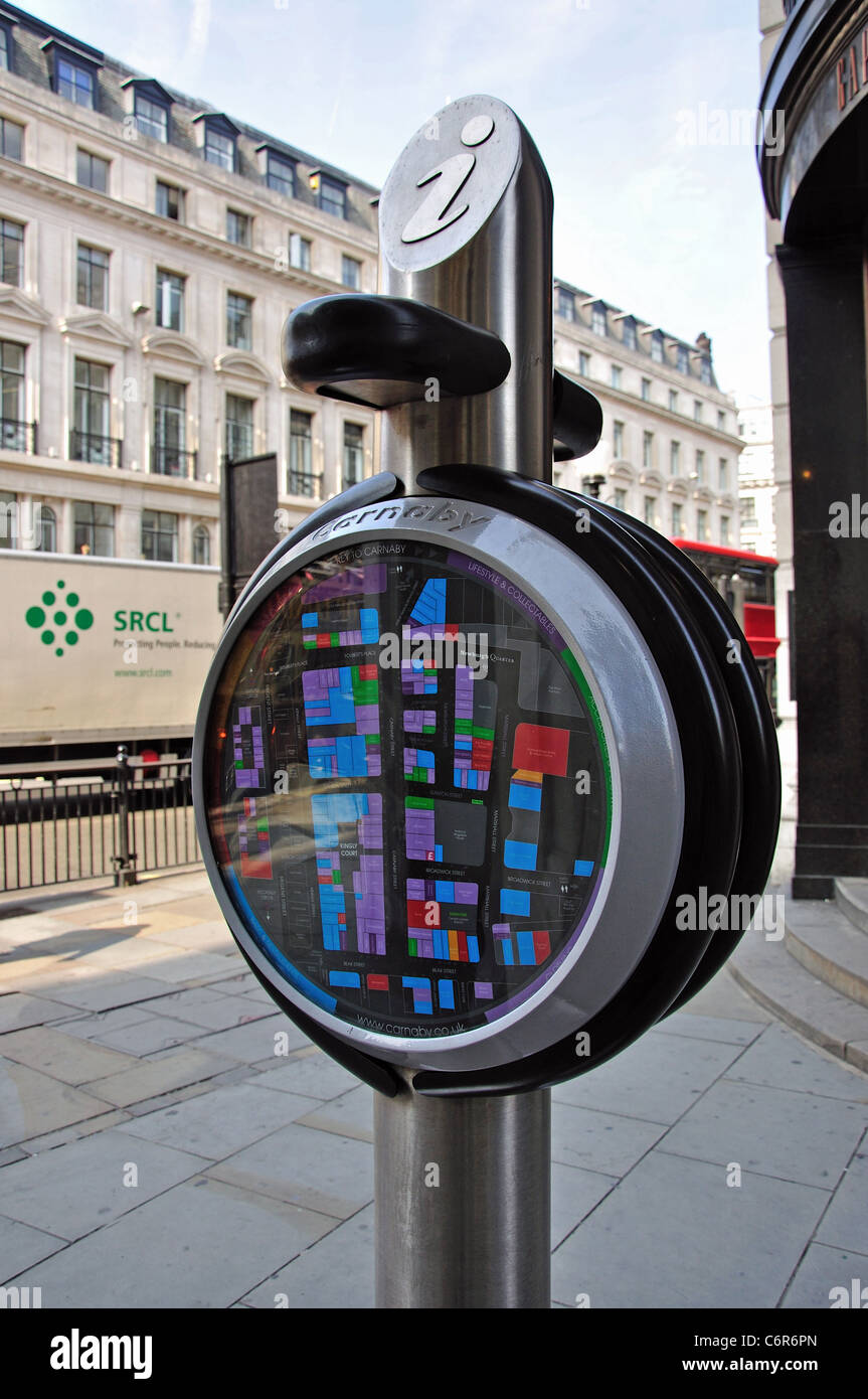 Carnaby Street info. map, Regent Street, Soho, West End, City of Westminster, London, Greater London, England, United Kingdom Stock Photohttps://www.alamy.com/image-license-details/?v=1https://www.alamy.com/stock-photo-carnaby-street-info-map-regent-street-soho-west-end-city-of-westminster-38618909.html
RMC6R6PN–Carnaby Street info. map, Regent Street, Soho, West End, City of Westminster, London, Greater London, England, United Kingdom
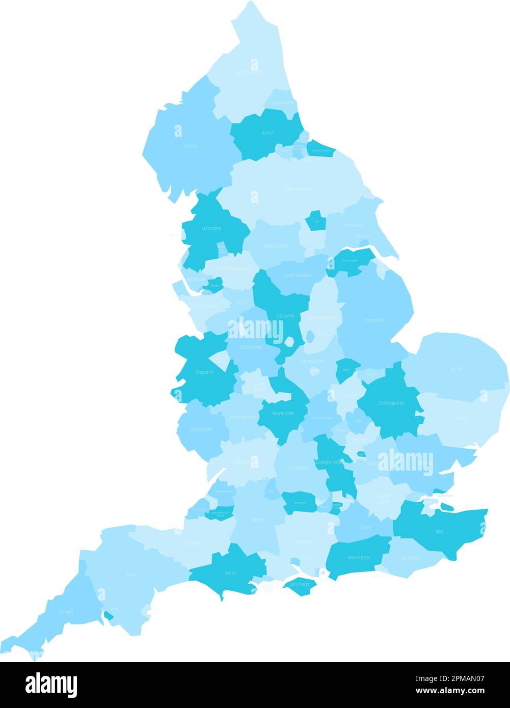 England administrative divisions map. Metropolitan and non-metropolitan counties and unitary authorities. Blue vector map with labels. Stock Vectorhttps://www.alamy.com/image-license-details/?v=1https://www.alamy.com/england-administrative-divisions-map-metropolitan-and-non-metropolitan-counties-and-unitary-authorities-blue-vector-map-with-labels-image546050519.html
RF2PMAN07–England administrative divisions map. Metropolitan and non-metropolitan counties and unitary authorities. Blue vector map with labels.
 Fairburn's Plan of the Proposed Wet-Docks and Cut, from New Gravel Lane to Blackwall, Print made by John Fairburn, active 19th century, British, Published by John Fairburn, active 19th century, British, 1796, Etching and line engraving, hand-colored on moderately thick, slightly textured, brown wove paper, Sheet: 10 3/8 x 16 inches (26.3 x 40.6 cm), architectural subject, canals, city, cityscape, docking plan, docks, map, plans, river, scale, ships, England, Europe, Greater London, London, Thames, United Kingdom Stock Photohttps://www.alamy.com/image-license-details/?v=1https://www.alamy.com/fairburns-plan-of-the-proposed-wet-docks-and-cut-from-new-gravel-lane-to-blackwall-print-made-by-john-fairburn-active-19th-century-british-published-by-john-fairburn-active-19th-century-british-1796-etching-and-line-engraving-hand-colored-on-moderately-thick-slightly-textured-brown-wove-paper-sheet-10-38-x-16-inches-263-x-406-cm-architectural-subject-canals-city-cityscape-docking-plan-docks-map-plans-river-scale-ships-england-europe-greater-london-london-thames-united-kingdom-image389762196.html
RM2DJ35JC–Fairburn's Plan of the Proposed Wet-Docks and Cut, from New Gravel Lane to Blackwall, Print made by John Fairburn, active 19th century, British, Published by John Fairburn, active 19th century, British, 1796, Etching and line engraving, hand-colored on moderately thick, slightly textured, brown wove paper, Sheet: 10 3/8 x 16 inches (26.3 x 40.6 cm), architectural subject, canals, city, cityscape, docking plan, docks, map, plans, river, scale, ships, England, Europe, Greater London, London, Thames, United Kingdom
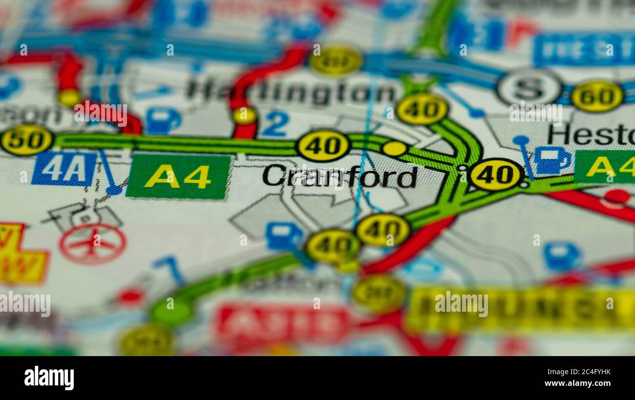 West London on a Map Stock Photohttps://www.alamy.com/image-license-details/?v=1https://www.alamy.com/west-london-on-a-map-image364227295.html
RF2C4FYHK–West London on a Map
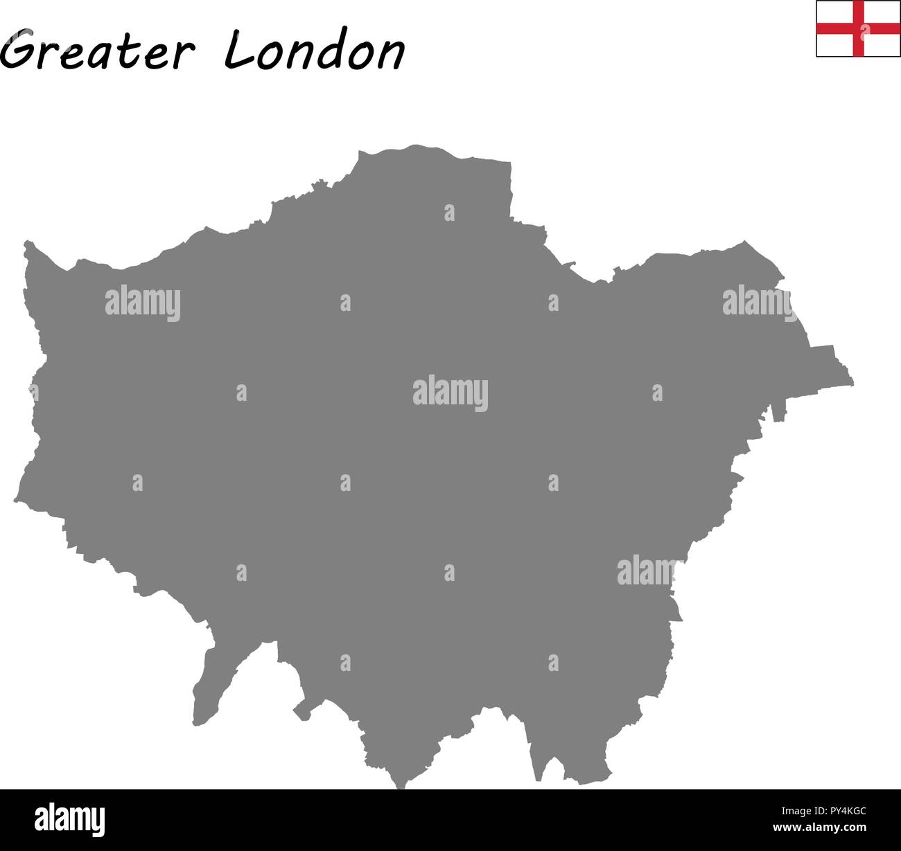 High Quality map is a ceremonial county of England. Greater London Stock Vectorhttps://www.alamy.com/image-license-details/?v=1https://www.alamy.com/high-quality-map-is-a-ceremonial-county-of-england-greater-london-image223223292.html
RFPY4KGC–High Quality map is a ceremonial county of England. Greater London
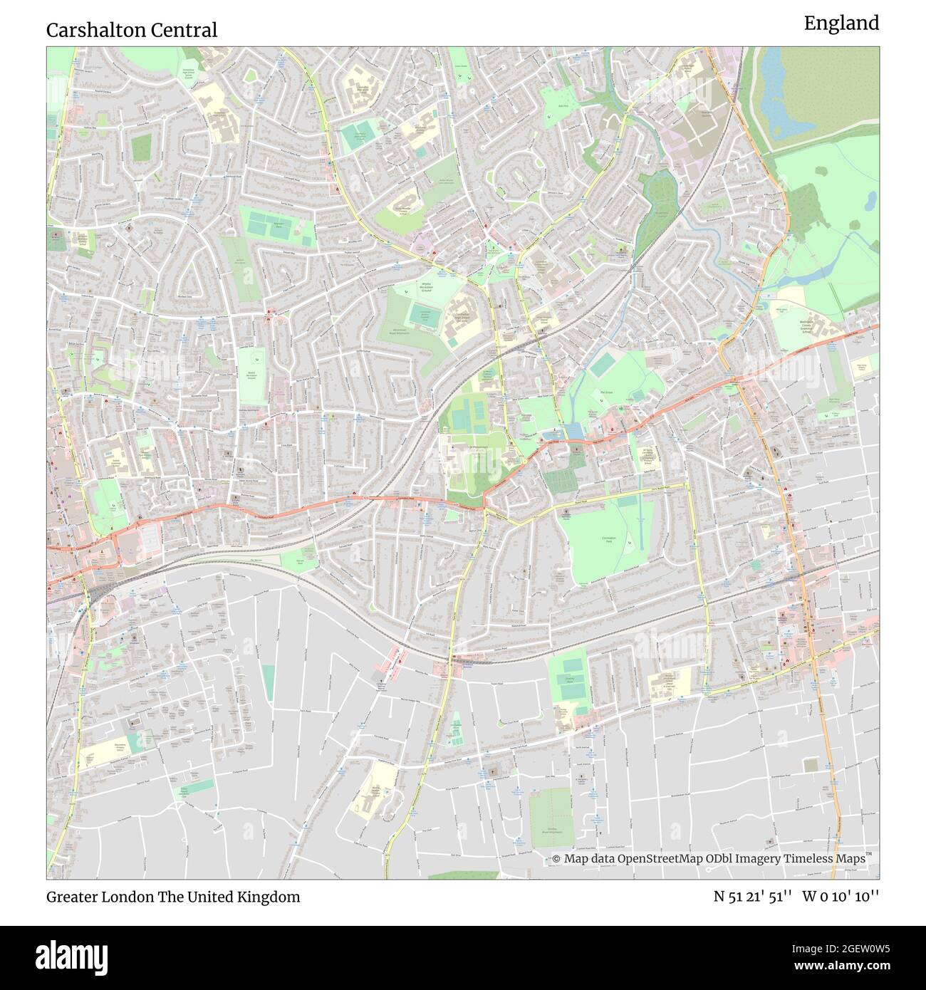 Carshalton Central, Greater London, United Kingdom, England, N 51 21' 51'', W 0 10' 10'', map, Timeless Map published in 2021. Travelers, explorers and adventurers like Florence Nightingale, David Livingstone, Ernest Shackleton, Lewis and Clark and Sherlock Holmes relied on maps to plan travels to the world's most remote corners, Timeless Maps is mapping most locations on the globe, showing the achievement of great dreams Stock Photohttps://www.alamy.com/image-license-details/?v=1https://www.alamy.com/carshalton-central-greater-london-united-kingdom-england-n-51-21-51-w-0-10-10-map-timeless-map-published-in-2021-travelers-explorers-and-adventurers-like-florence-nightingale-david-livingstone-ernest-shackleton-lewis-and-clark-and-sherlock-holmes-relied-on-maps-to-plan-travels-to-the-worlds-most-remote-corners-timeless-maps-is-mapping-most-locations-on-the-globe-showing-the-achievement-of-great-dreams-image439413889.html
RM2GEW0W5–Carshalton Central, Greater London, United Kingdom, England, N 51 21' 51'', W 0 10' 10'', map, Timeless Map published in 2021. Travelers, explorers and adventurers like Florence Nightingale, David Livingstone, Ernest Shackleton, Lewis and Clark and Sherlock Holmes relied on maps to plan travels to the world's most remote corners, Timeless Maps is mapping most locations on the globe, showing the achievement of great dreams
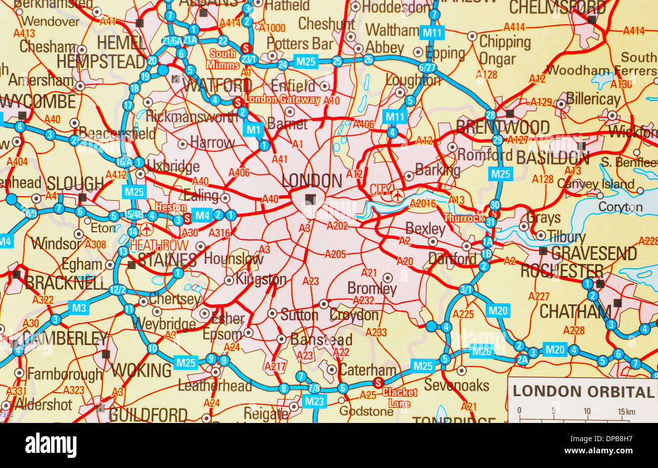 A traditional paper map (maps) of England showing the M25 orbital route & London areas Stock Photohttps://www.alamy.com/image-license-details/?v=1https://www.alamy.com/a-traditional-paper-map-maps-of-england-showing-the-m25-orbital-route-image65401763.html
RMDPB8H7–A traditional paper map (maps) of England showing the M25 orbital route & London areas
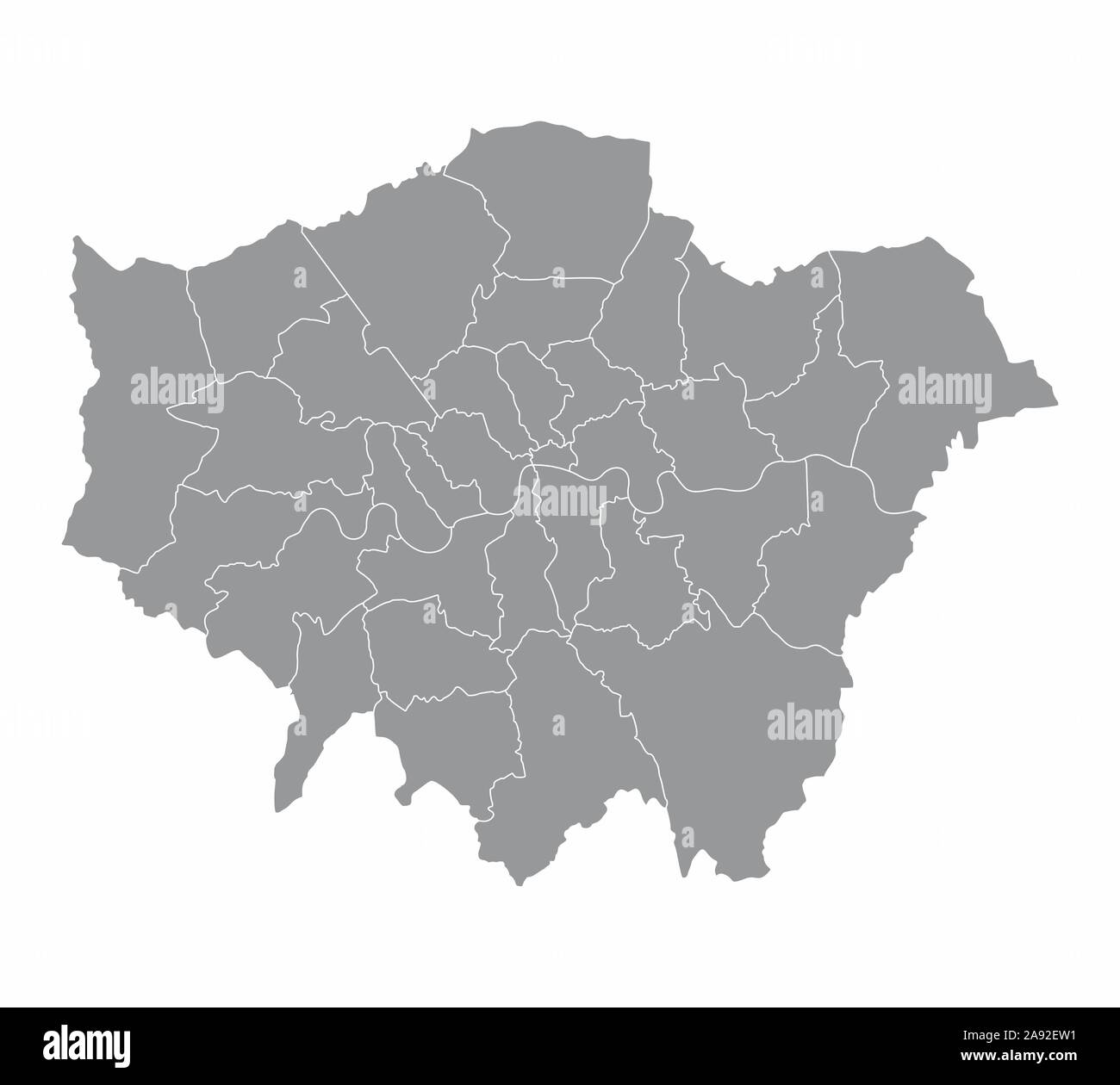 London regions map Stock Vectorhttps://www.alamy.com/image-license-details/?v=1https://www.alamy.com/london-regions-map-image332584477.html
RF2A92EW1–London regions map
 Model cars on a route map of Greater London Stock Photohttps://www.alamy.com/image-license-details/?v=1https://www.alamy.com/stock-photo-model-cars-on-a-route-map-of-greater-london-49777037.html
RFCTYF39–Model cars on a route map of Greater London
 London trainee Taxicab driver parked and sitting on small motorbike studying map on clipboard in preparation for his knowledge test England UK Stock Photohttps://www.alamy.com/image-license-details/?v=1https://www.alamy.com/london-trainee-taxicab-driver-parked-and-sitting-on-small-motorbike-image3935813.html
RFA8BX46–London trainee Taxicab driver parked and sitting on small motorbike studying map on clipboard in preparation for his knowledge test England UK
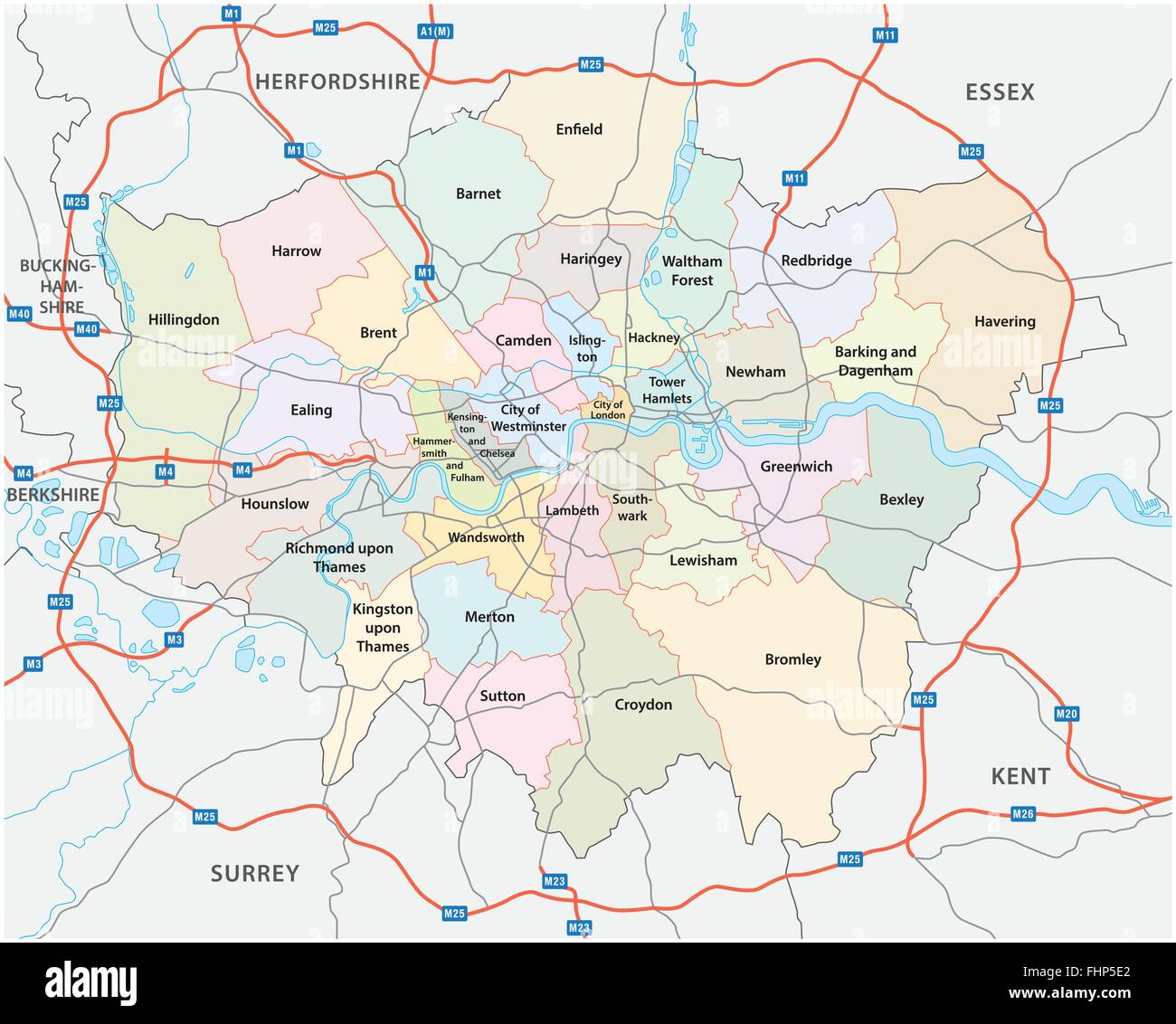 greater london road and administrative map Stock Vectorhttps://www.alamy.com/image-license-details/?v=1https://www.alamy.com/stock-photo-greater-london-road-and-administrative-map-96988250.html
RFFHP5E2–greater london road and administrative map
 Greater London map with Social Distancing stayathome tag Stock Vectorhttps://www.alamy.com/image-license-details/?v=1https://www.alamy.com/greater-london-map-with-social-distancing-stayathome-tag-image352691342.html
RF2BDPDBA–Greater London map with Social Distancing stayathome tag
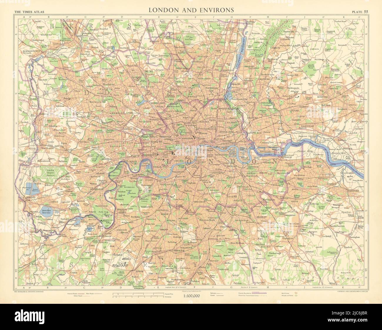 Greater London. Railways canals electricity transmission lines. TIMES 1955 map Stock Photohttps://www.alamy.com/image-license-details/?v=1https://www.alamy.com/greater-london-railways-canals-electricity-transmission-lines-times-1955-map-image472201963.html
RF2JC6JBR–Greater London. Railways canals electricity transmission lines. TIMES 1955 map
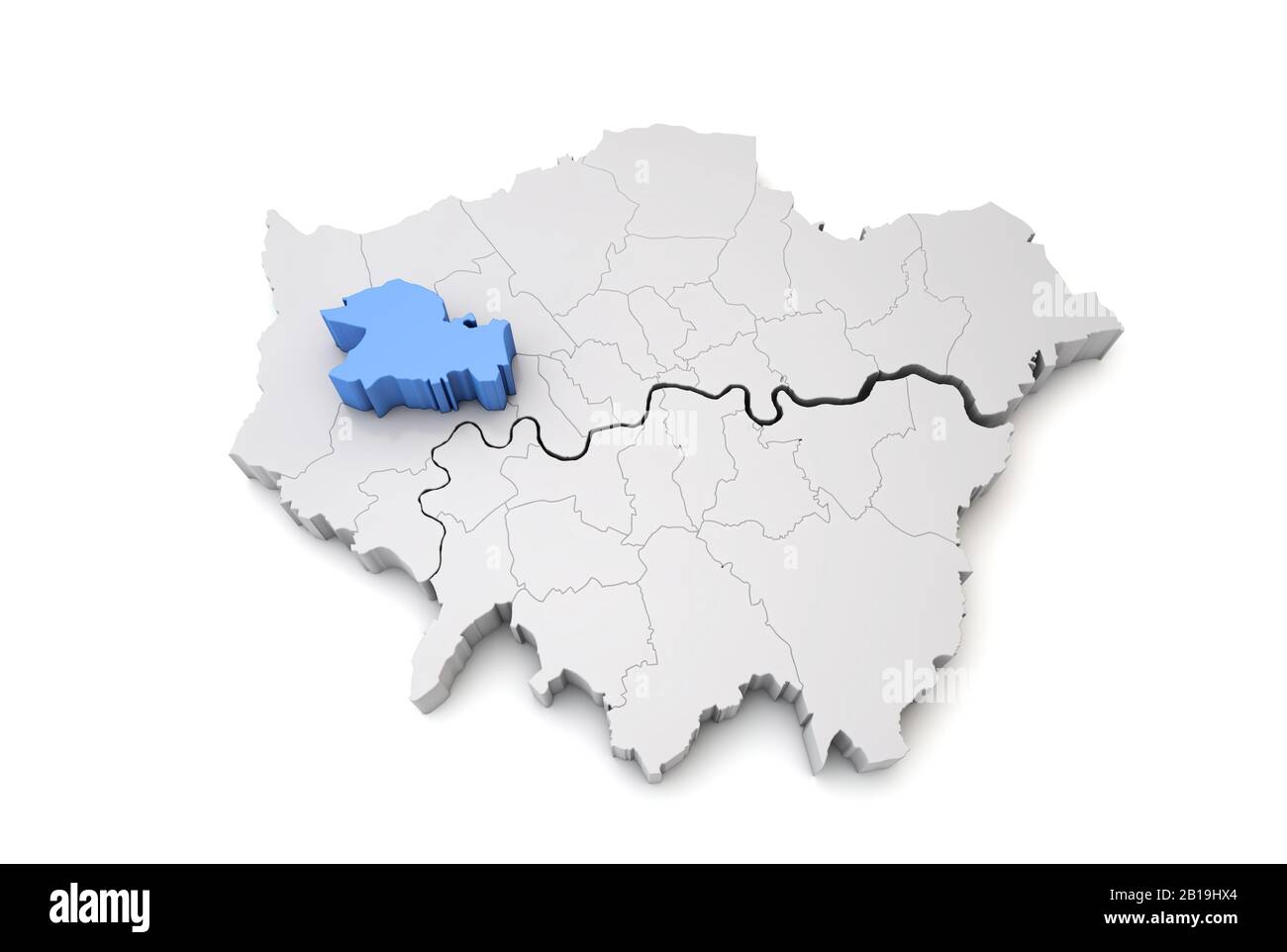 Greater London map showing Ealing borough in blue. 3D Rendering Stock Photohttps://www.alamy.com/image-license-details/?v=1https://www.alamy.com/greater-london-map-showing-ealing-borough-in-blue-3d-rendering-image345033644.html
RF2B19HX4–Greater London map showing Ealing borough in blue. 3D Rendering
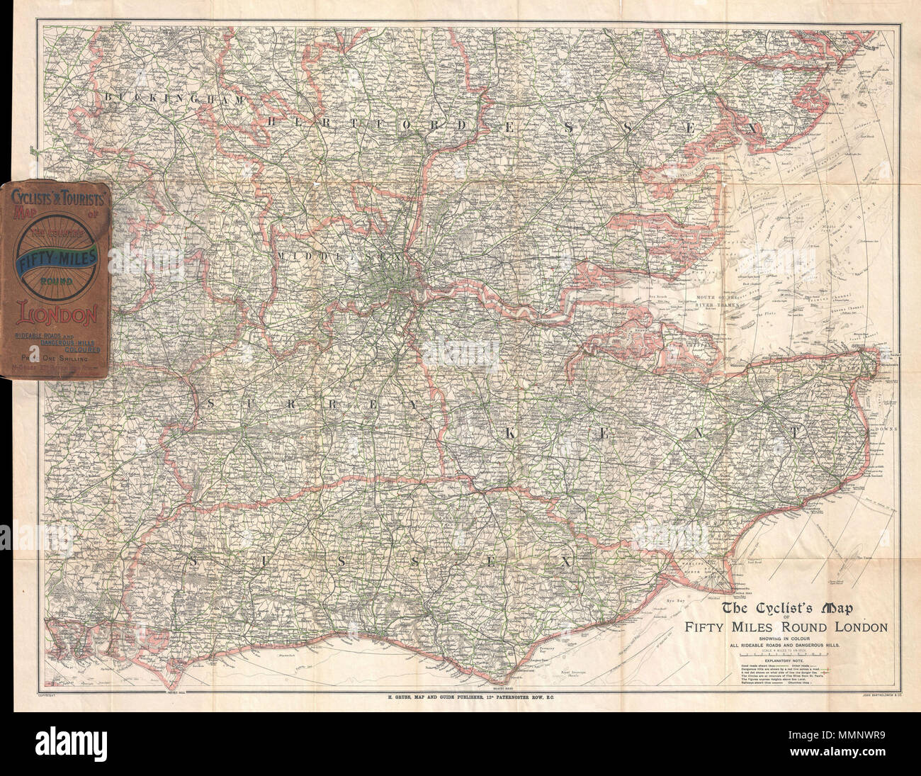 . English: This is J. Bartholomew's c. 1895 cyclist's may of 50 miles around London. Covers the greater London area from Ricester in the northwest eastwards and southwards as far as the coast. Includes the counties of Buckingham, Hertford, Essex, Middlesex, Surrey, Kent, and Sussex. By the end of the 19th century bicycling in London (and vicinity) had evolved beyond recreation to become a practical way to get from place to place. Cyclist's maps, like this one, began appearing around 1870 and continued to be published well into modern times. Map shows town, rivers, forests, parks, roads and al Stock Photohttps://www.alamy.com/image-license-details/?v=1https://www.alamy.com/english-this-is-j-bartholomews-c-1895-cyclists-may-of-50-miles-around-london-covers-the-greater-london-area-from-ricester-in-the-northwest-eastwards-and-southwards-as-far-as-the-coast-includes-the-counties-of-buckingham-hertford-essex-middlesex-surrey-kent-and-sussex-by-the-end-of-the-19th-century-bicycling-in-london-and-vicinity-had-evolved-beyond-recreation-to-become-a-practical-way-to-get-from-place-to-place-cyclists-maps-like-this-one-began-appearing-around-1870-and-continued-to-be-published-well-into-modern-times-map-shows-town-rivers-forests-parks-roads-and-al-image184878045.html
RMMMNWR9–. English: This is J. Bartholomew's c. 1895 cyclist's may of 50 miles around London. Covers the greater London area from Ricester in the northwest eastwards and southwards as far as the coast. Includes the counties of Buckingham, Hertford, Essex, Middlesex, Surrey, Kent, and Sussex. By the end of the 19th century bicycling in London (and vicinity) had evolved beyond recreation to become a practical way to get from place to place. Cyclist's maps, like this one, began appearing around 1870 and continued to be published well into modern times. Map shows town, rivers, forests, parks, roads and al