Guatemala map Black & White Stock Photos
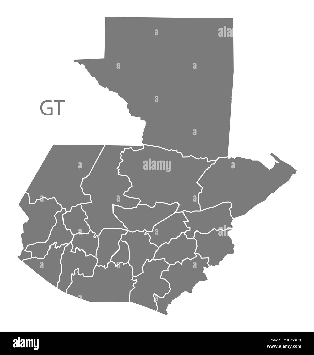 Guatemala departments Map grey Stock Photohttps://www.alamy.com/image-license-details/?v=1https://www.alamy.com/stock-image-guatemala-departments-map-grey-169140545.html
RFKR50DN–Guatemala departments Map grey
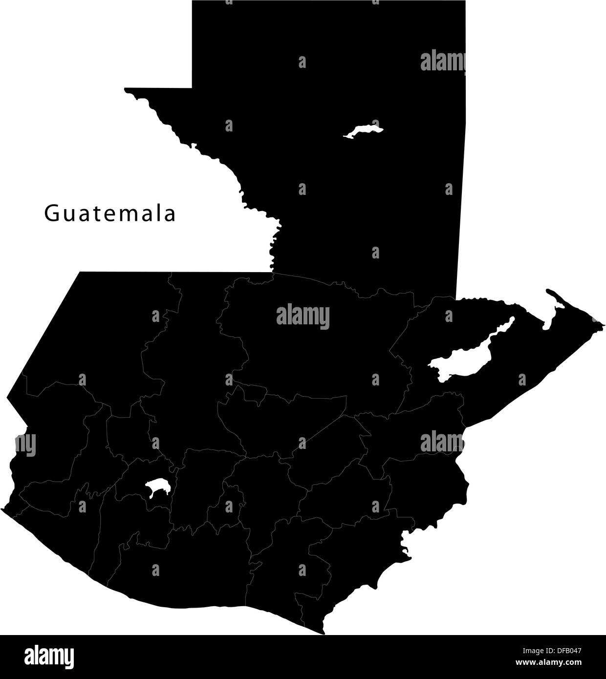 Black Guatemala map Stock Photohttps://www.alamy.com/image-license-details/?v=1https://www.alamy.com/black-guatemala-map-image61092535.html
RFDFB047–Black Guatemala map
 Guatemala Map Vector Illustration - Silhouette, Outline, Guatemala Travel and Tourism Map Stock Vectorhttps://www.alamy.com/image-license-details/?v=1https://www.alamy.com/guatemala-map-vector-illustration-silhouette-outline-guatemala-travel-and-tourism-map-image611778469.html
RF2XF8WK1–Guatemala Map Vector Illustration - Silhouette, Outline, Guatemala Travel and Tourism Map
 Guatemala map. Blank vector map of the Country. Borders of Guatemala for your infographic. Vector illustration. Stock Vectorhttps://www.alamy.com/image-license-details/?v=1https://www.alamy.com/guatemala-map-blank-vector-map-of-the-country-borders-of-guatemala-for-your-infographic-vector-illustration-image565176199.html
RF2RRE007–Guatemala map. Blank vector map of the Country. Borders of Guatemala for your infographic. Vector illustration.
 Guatemala shopping bar code isolated on white background. Stock Photohttps://www.alamy.com/image-license-details/?v=1https://www.alamy.com/guatemala-shopping-bar-code-isolated-on-white-background-image62486266.html
RMDHJDTA–Guatemala shopping bar code isolated on white background.
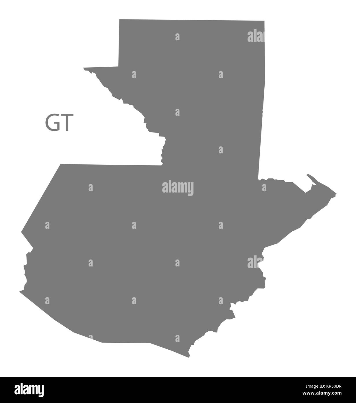 Guatemala Map grey Stock Photohttps://www.alamy.com/image-license-details/?v=1https://www.alamy.com/stock-image-guatemala-map-grey-169140547.html
RFKR50DR–Guatemala Map grey
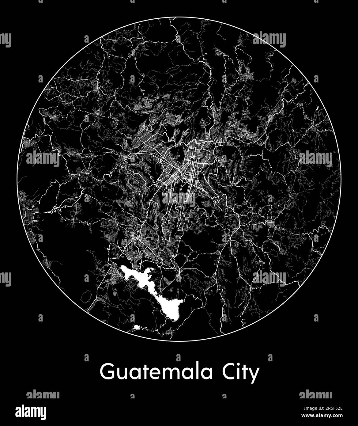 City Map Guatemala City Guatemala North America vector illustration Stock Vectorhttps://www.alamy.com/image-license-details/?v=1https://www.alamy.com/city-map-guatemala-city-guatemala-north-america-vector-illustration-image554138326.html
RF2R5F52E–City Map Guatemala City Guatemala North America vector illustration
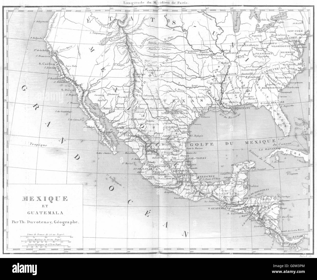 MEXICO: Amerique: Mexique et Guatemala, 1875 antique map Stock Photohttps://www.alamy.com/image-license-details/?v=1https://www.alamy.com/stock-photo-mexico-amerique-mexique-et-guatemala-1875-antique-map-103813996.html
RFG0W3PM–MEXICO: Amerique: Mexique et Guatemala, 1875 antique map
RF2YE6XEN–guatemala map icon illustration design
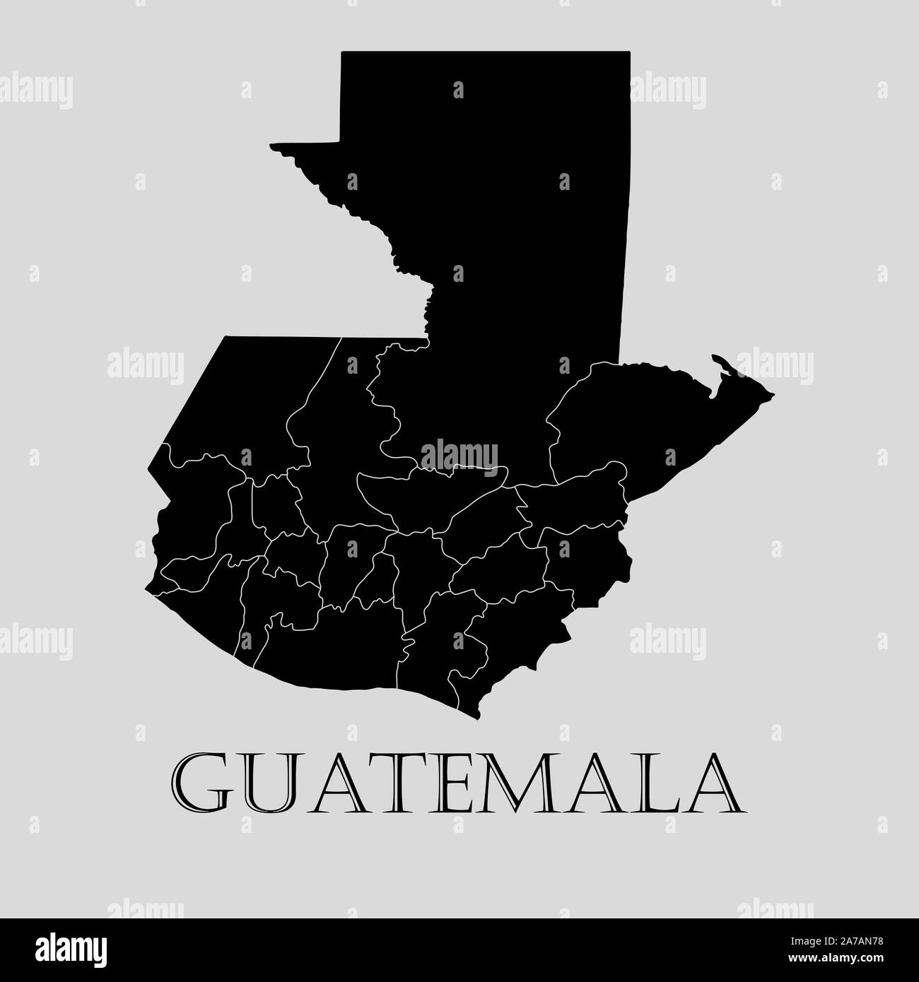 Black Guatemala map on light grey background. Black Guatemala map - vector illustration. Stock Vectorhttps://www.alamy.com/image-license-details/?v=1https://www.alamy.com/black-guatemala-map-on-light-grey-background-black-guatemala-map-vector-illustration-image331535772.html
RF2A7AN78–Black Guatemala map on light grey background. Black Guatemala map - vector illustration.
 Guatemala Map Outline Silhouette Stock Vectorhttps://www.alamy.com/image-license-details/?v=1https://www.alamy.com/guatemala-map-outline-silhouette-image549114687.html
RF2PWA9AR–Guatemala Map Outline Silhouette
 Guatemala Map. Guatemalan Country Map. Chapín Black and White National Nation Outline Geography Border Boundary Shape Territory Vector Illustration EP Stock Vectorhttps://www.alamy.com/image-license-details/?v=1https://www.alamy.com/guatemala-map-guatemalan-country-map-chapn-black-and-white-national-nation-outline-geography-border-boundary-shape-territory-vector-illustration-ep-image477283982.html
RF2JME4GE–Guatemala Map. Guatemalan Country Map. Chapín Black and White National Nation Outline Geography Border Boundary Shape Territory Vector Illustration EP
 Guatemala high detailed vector representation of country silhouette in solid black on white background. For educational, decorative, or informational use showcasing the national outline. Stock Vectorhttps://www.alamy.com/image-license-details/?v=1https://www.alamy.com/guatemala-high-detailed-vector-representation-of-country-silhouette-in-solid-black-on-white-background-for-educational-decorative-or-informational-use-showcasing-the-national-outline-image636779868.html
RF2YYYR64–Guatemala high detailed vector representation of country silhouette in solid black on white background. For educational, decorative, or informational use showcasing the national outline.
RF2S08H4X–Pixelated world map icons in 8-bit style, featuring over 190 countries. Perfect for digital art, educational projects, and themed designs.
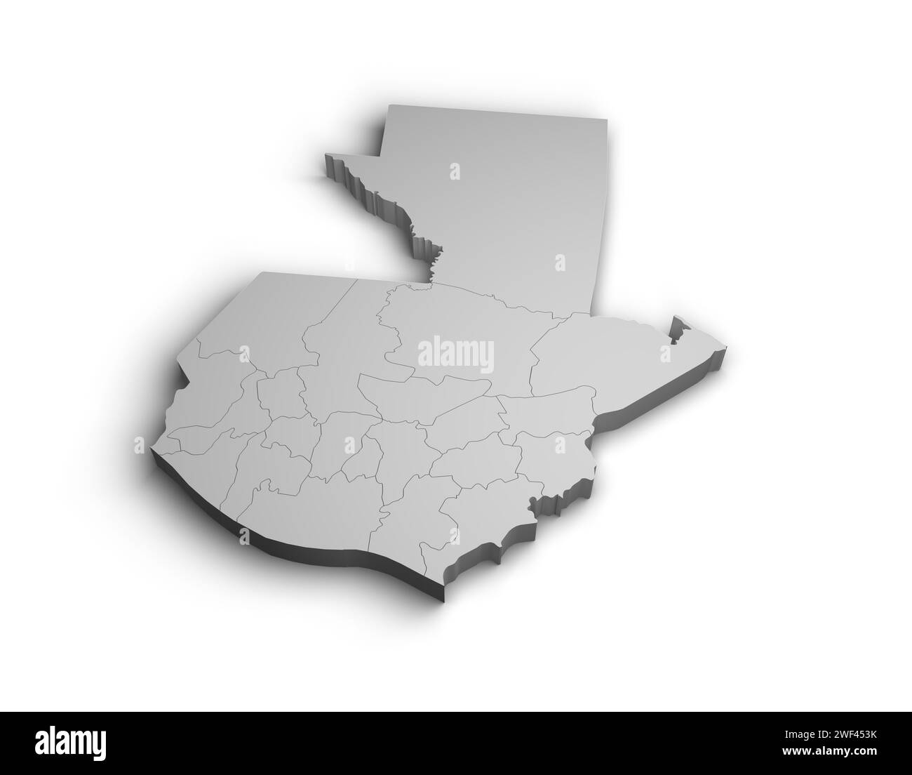 3d Guatemala map illustration white background isolate Stock Photohttps://www.alamy.com/image-license-details/?v=1https://www.alamy.com/3d-guatemala-map-illustration-white-background-isolate-image594464183.html
RF2WF453K–3d Guatemala map illustration white background isolate
RF2TAGJNK–Guatemala map silhouette from black square pixels. Vector illustration.
 Map of Guatemala with shadows Stock Photohttps://www.alamy.com/image-license-details/?v=1https://www.alamy.com/map-of-guatemala-with-shadows-image640921318.html
RF2S6MDK2–Map of Guatemala with shadows
 map of guatemala with shadow Stock Photohttps://www.alamy.com/image-license-details/?v=1https://www.alamy.com/stock-photo-map-of-guatemala-with-shadow-91553107.html
RFF8XGWR–map of guatemala with shadow
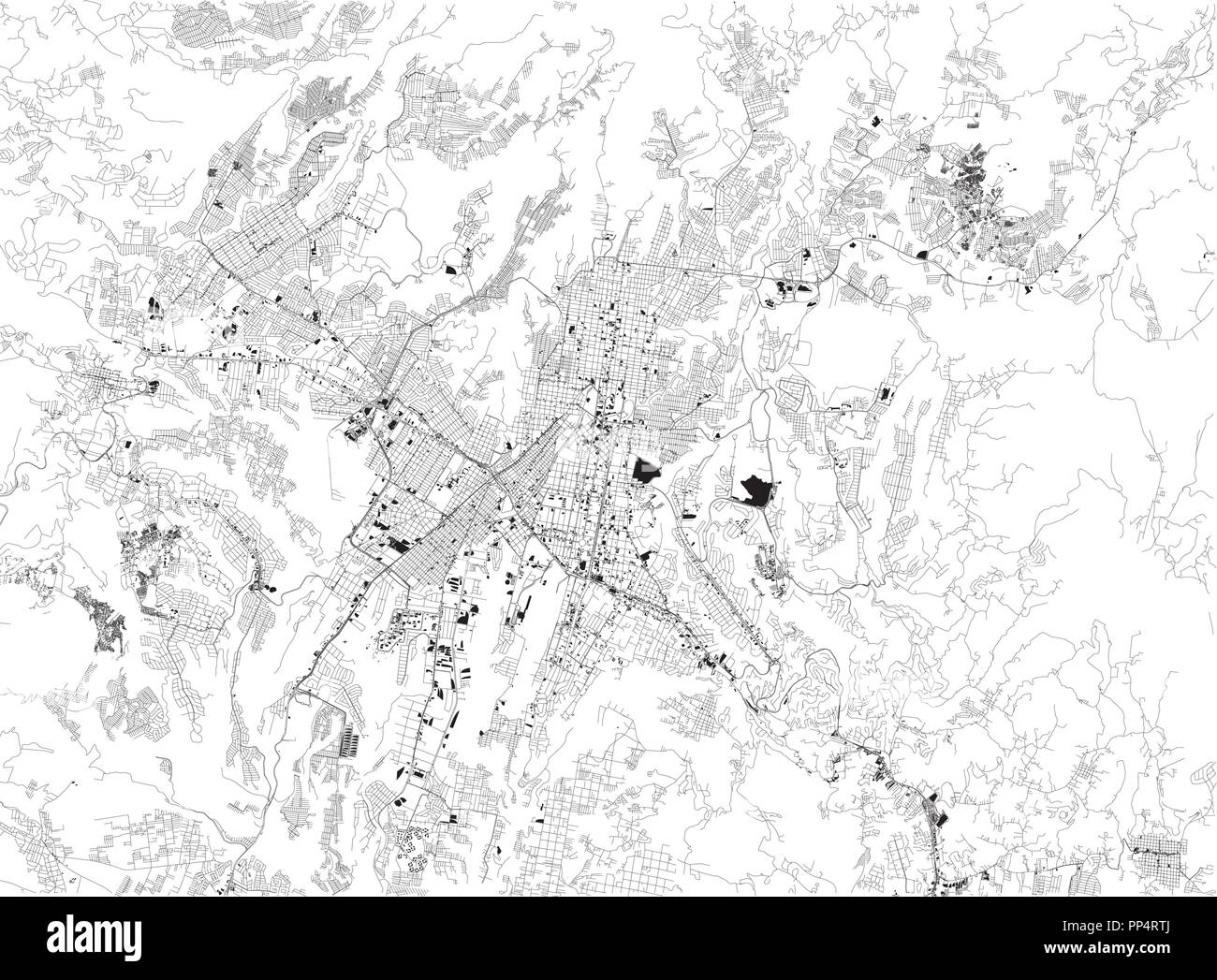 Map of Guatemala City, satellite view, black and white map. Street directory and city map. Guatemala Stock Vectorhttps://www.alamy.com/image-license-details/?v=1https://www.alamy.com/map-of-guatemala-city-satellite-view-black-and-white-map-street-directory-and-city-map-guatemala-image220153378.html
RFPP4RTJ–Map of Guatemala City, satellite view, black and white map. Street directory and city map. Guatemala
 A contour map of Guatemala. Vector graphic illustration on a transparent background with black country's borders Stock Vectorhttps://www.alamy.com/image-license-details/?v=1https://www.alamy.com/a-contour-map-of-guatemala-vector-graphic-illustration-on-a-transparent-background-with-black-countrys-borders-image631456267.html
RF2YK98WF–A contour map of Guatemala. Vector graphic illustration on a transparent background with black country's borders
RF2M6F1GG–Guatemala Map Silhouette Pixelated generative pattern illustration
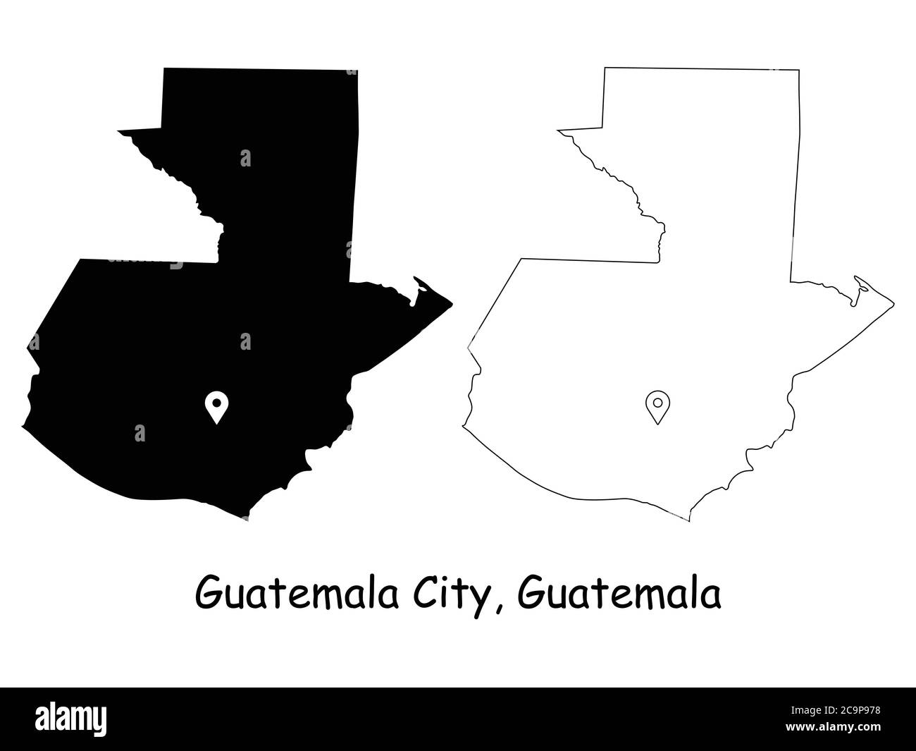 Guatemala City Guatemala. Detailed Country Map with Location Pin on Capital City. Black silhouette and outline maps isolated on white background. EPS Stock Vectorhttps://www.alamy.com/image-license-details/?v=1https://www.alamy.com/guatemala-city-guatemala-detailed-country-map-with-location-pin-on-capital-city-black-silhouette-and-outline-maps-isolated-on-white-background-eps-image367439836.html
RF2C9P978–Guatemala City Guatemala. Detailed Country Map with Location Pin on Capital City. Black silhouette and outline maps isolated on white background. EPS
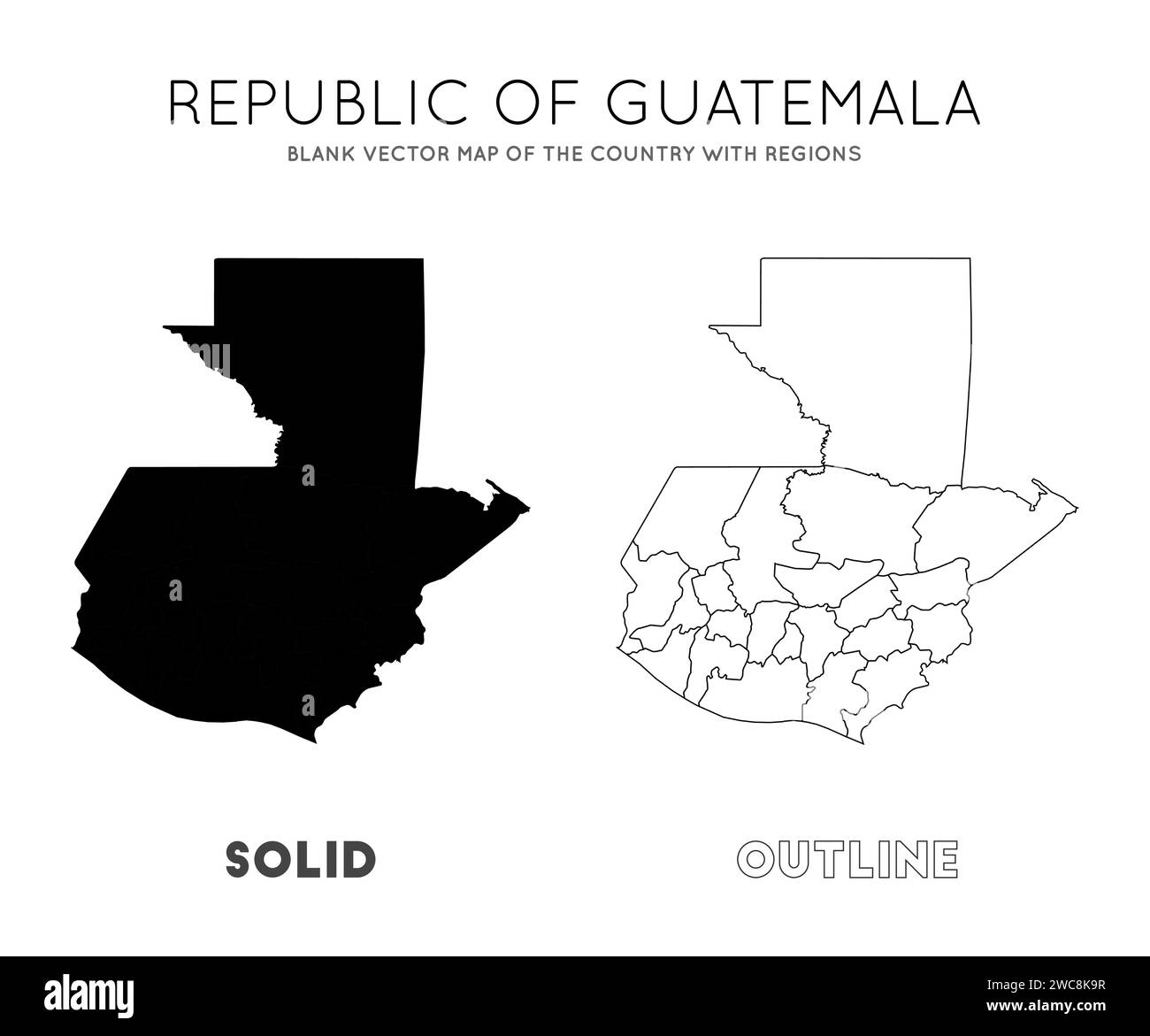 Guatemala map. Blank vector map of the country with regions. Borders of Guatemala for your infographic. Vector illustration. Stock Vectorhttps://www.alamy.com/image-license-details/?v=1https://www.alamy.com/guatemala-map-blank-vector-map-of-the-country-with-regions-borders-of-guatemala-for-your-infographic-vector-illustration-image592719171.html
RF2WC8K9R–Guatemala map. Blank vector map of the country with regions. Borders of Guatemala for your infographic. Vector illustration.
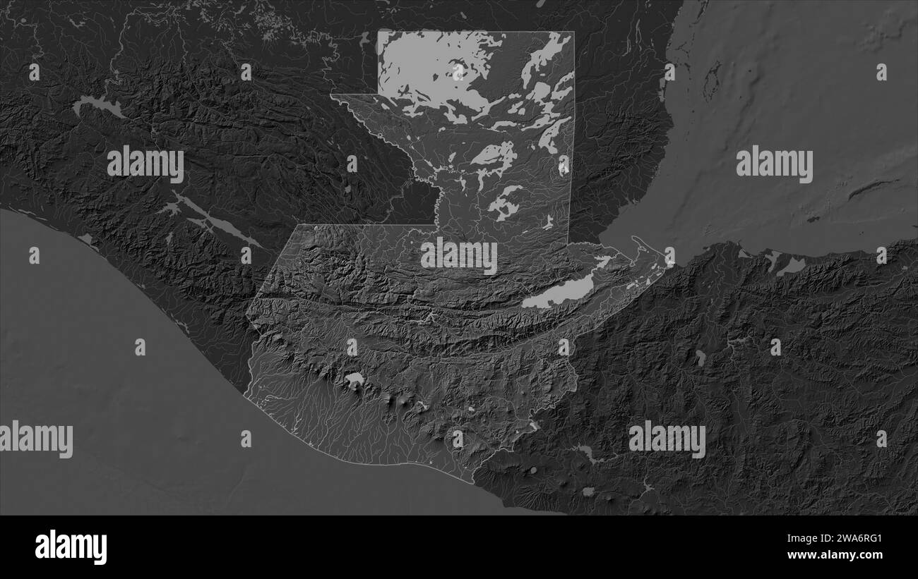 Guatemala highlighted on a Bilevel elevation map with lakes and rivers Stock Photohttps://www.alamy.com/image-license-details/?v=1https://www.alamy.com/guatemala-highlighted-on-a-bilevel-elevation-map-with-lakes-and-rivers-image591449265.html
RF2WA6RG1–Guatemala highlighted on a Bilevel elevation map with lakes and rivers
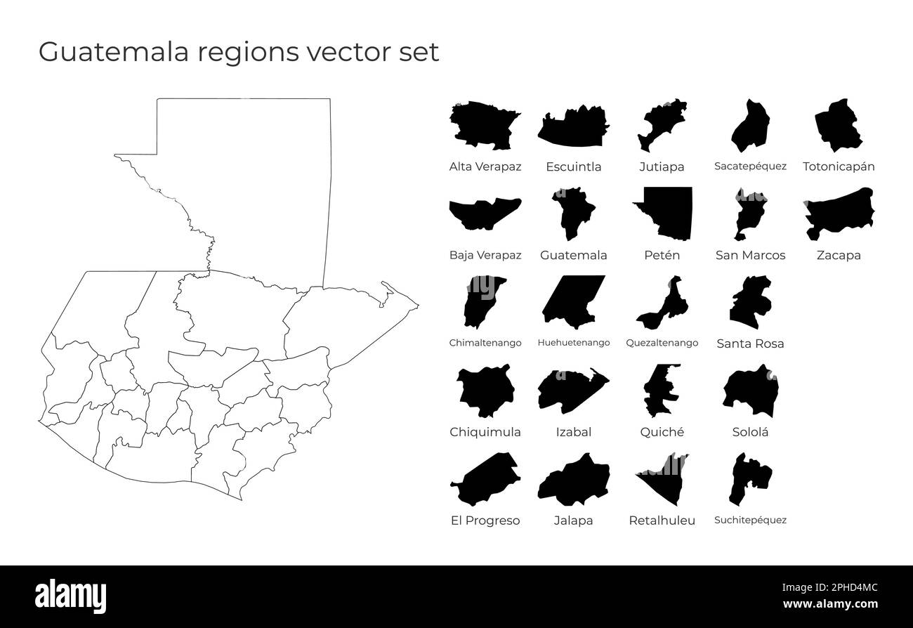 Guatemala map with shapes of regions. Blank vector map of the country with regions. Borders of the country for your infographic. Vector illustration. Stock Vectorhttps://www.alamy.com/image-license-details/?v=1https://www.alamy.com/guatemala-map-with-shapes-of-regions-blank-vector-map-of-the-country-with-regions-borders-of-the-country-for-your-infographic-vector-illustration-image544259644.html
RF2PHD4MC–Guatemala map with shapes of regions. Blank vector map of the country with regions. Borders of the country for your infographic. Vector illustration.
 Line map of Guatemala vector stock illustration design template. Editable stroke. Vector eps 10. Stock Vectorhttps://www.alamy.com/image-license-details/?v=1https://www.alamy.com/line-map-of-guatemala-vector-stock-illustration-design-template-editable-stroke-vector-eps-10-image442895418.html
RF2GMFHHE–Line map of Guatemala vector stock illustration design template. Editable stroke. Vector eps 10.
 Guatemala map. Map of Guatemala in dotted style. Borders of the country filled with rectangles for your design. Vector illustration. Stock Vectorhttps://www.alamy.com/image-license-details/?v=1https://www.alamy.com/guatemala-map-map-of-guatemala-in-dotted-style-borders-of-the-country-filled-with-rectangles-for-your-design-vector-illustration-image514888581.html
RF2MWK5HW–Guatemala map. Map of Guatemala in dotted style. Borders of the country filled with rectangles for your design. Vector illustration.
RF2YE6XK6–guatemala map icon illustration design
 Guatemala outdoor stamp. Round sticker with map of country with topographic isolines. Vector illustration. Stock Vectorhttps://www.alamy.com/image-license-details/?v=1https://www.alamy.com/guatemala-outdoor-stamp-round-sticker-with-map-of-country-with-topographic-isolines-vector-illustration-image563636876.html
RF2RMYTGC–Guatemala outdoor stamp. Round sticker with map of country with topographic isolines. Vector illustration.
 america guatemala flag south map atlas map of the world travel graphic black Stock Photohttps://www.alamy.com/image-license-details/?v=1https://www.alamy.com/stock-photo-america-guatemala-flag-south-map-atlas-map-of-the-world-travel-graphic-141589058.html
RFJ69X82–america guatemala flag south map atlas map of the world travel graphic black
RF2N8FCTC–Guatemala icon. Round logo with country map and title. Stylish Guatemala badge with map. Vector illustration.
 Guatemala set of three maps - solid map, outline map and map highlighting administrative divisions. Three distinct maps illustrate various representations of a geographical area. Stock Vectorhttps://www.alamy.com/image-license-details/?v=1https://www.alamy.com/guatemala-set-of-three-maps-solid-map-outline-map-and-map-highlighting-administrative-divisions-three-distinct-maps-illustrate-various-representations-of-a-geographical-area-image637675442.html
RF2S1CHEX–Guatemala set of three maps - solid map, outline map and map highlighting administrative divisions. Three distinct maps illustrate various representations of a geographical area.
 Stencil map of Guatemala. Simple and minimal transparent map of Guatemala. Black rectangle with cut shape of the country. Stock Vectorhttps://www.alamy.com/image-license-details/?v=1https://www.alamy.com/stencil-map-of-guatemala-simple-and-minimal-transparent-map-of-guatemala-black-rectangle-with-cut-shape-of-the-country-image551777280.html
RF2R1KHFC–Stencil map of Guatemala. Simple and minimal transparent map of Guatemala. Black rectangle with cut shape of the country.
 white map of guatemala on black shadow Stock Photohttps://www.alamy.com/image-license-details/?v=1https://www.alamy.com/stock-photo-white-map-of-guatemala-on-black-shadow-25100936.html
RFBCRCE0–white map of guatemala on black shadow
 Guatemala - communication network map of country. Guatemala trendy geometric design on dark background. Stock Vectorhttps://www.alamy.com/image-license-details/?v=1https://www.alamy.com/guatemala-communication-network-map-of-country-guatemala-trendy-geometric-design-on-dark-background-image556783483.html
RF2R9RK0B–Guatemala - communication network map of country. Guatemala trendy geometric design on dark background.
 Guatemala map silhouette from black pattern mosaic structure of squares. Vector illustration. Stock Vectorhttps://www.alamy.com/image-license-details/?v=1https://www.alamy.com/guatemala-map-silhouette-from-black-pattern-mosaic-structure-of-squares-vector-illustration-image574453961.html
RF2TAGHTW–Guatemala map silhouette from black pattern mosaic structure of squares. Vector illustration.
 Vintage map of Guatemala. Grunge sunburst around the country. Black Guatemala shape with sun rays on white background. Vector illustration. Stock Vectorhttps://www.alamy.com/image-license-details/?v=1https://www.alamy.com/vintage-map-of-guatemala-grunge-sunburst-around-the-country-black-guatemala-shape-with-sun-rays-on-white-background-vector-illustration-image513101265.html
RF2MPNNW5–Vintage map of Guatemala. Grunge sunburst around the country. Black Guatemala shape with sun rays on white background. Vector illustration.
 Map of Guatemala with shadows Stock Photohttps://www.alamy.com/image-license-details/?v=1https://www.alamy.com/map-of-guatemala-with-shadows-image634536617.html
RF2YT9HX1–Map of Guatemala with shadows
RF2M49XP6–Guatemala icon. Country map on dark background. Stylish Guatemala map with country name. Vector illustration.
RF2M6F1YD–Guatemala Map Silhouette Pixelated generative pattern illustration
 Simple white Guatemala map on gray background, vector, illustration, eps 10 file Stock Vectorhttps://www.alamy.com/image-license-details/?v=1https://www.alamy.com/simple-white-guatemala-map-on-gray-background-vector-illustration-eps-10-file-image474410238.html
RF2JFR72P–Simple white Guatemala map on gray background, vector, illustration, eps 10 file
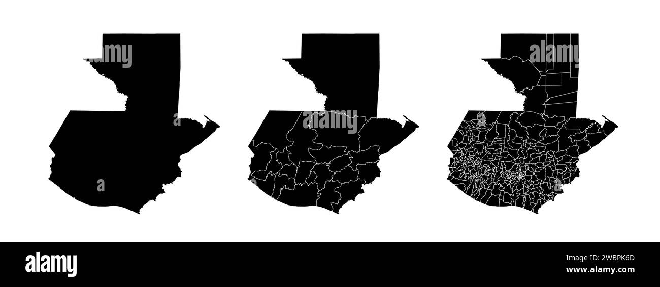 Set of state maps of Guatemala with regions and municipalities division. Department borders, isolated vector maps on white background. Stock Vectorhttps://www.alamy.com/image-license-details/?v=1https://www.alamy.com/set-of-state-maps-of-guatemala-with-regions-and-municipalities-division-department-borders-isolated-vector-maps-on-white-background-image592411749.html
RF2WBPK6D–Set of state maps of Guatemala with regions and municipalities division. Department borders, isolated vector maps on white background.
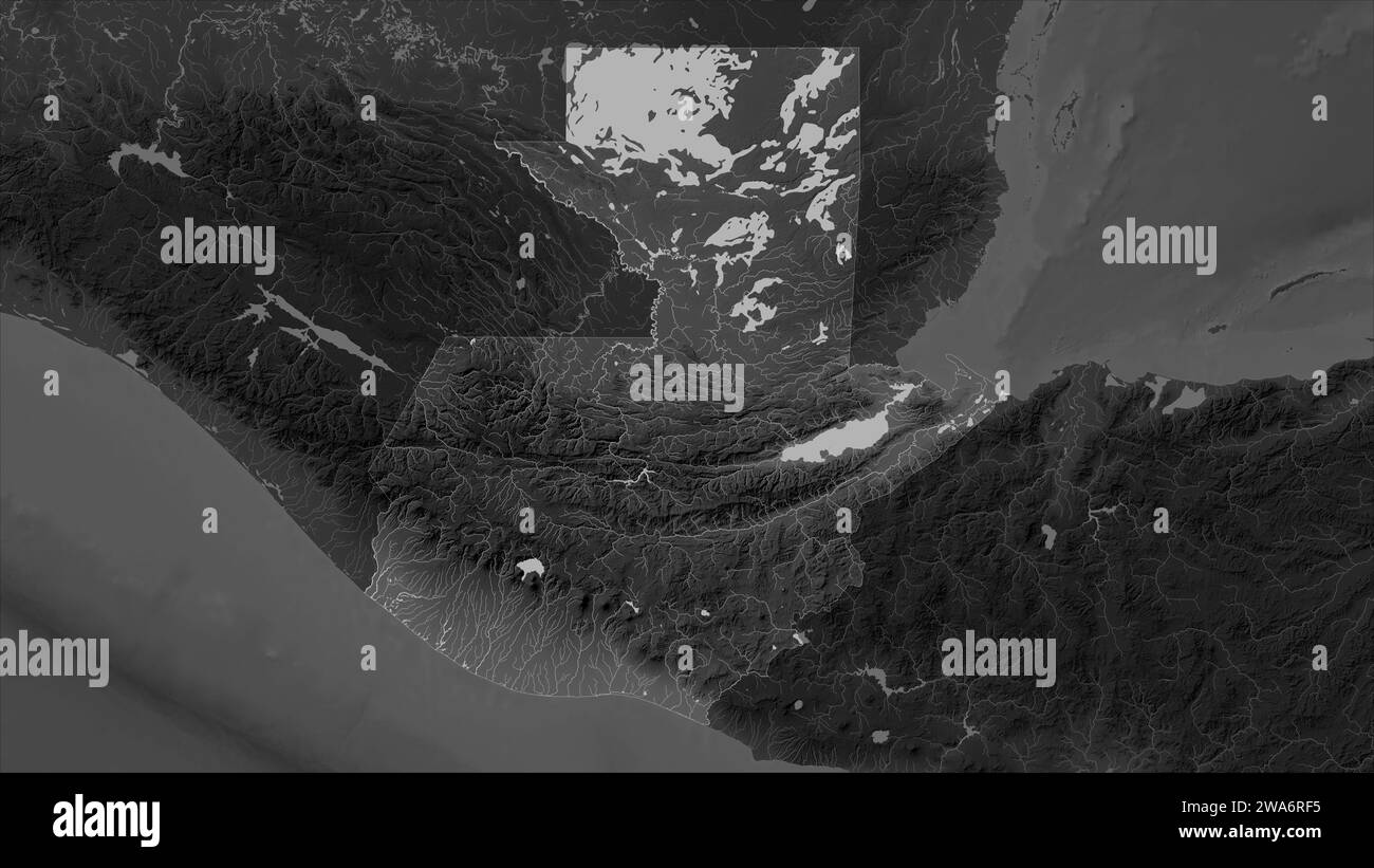 Guatemala highlighted on a Grayscale elevation map with lakes and rivers Stock Photohttps://www.alamy.com/image-license-details/?v=1https://www.alamy.com/guatemala-highlighted-on-a-grayscale-elevation-map-with-lakes-and-rivers-image591449241.html
RF2WA6RF5–Guatemala highlighted on a Grayscale elevation map with lakes and rivers
 Guatemala City City Name (Guatemala, North America) with black white city map illustration vector Stock Vectorhttps://www.alamy.com/image-license-details/?v=1https://www.alamy.com/guatemala-city-city-name-guatemala-north-america-with-black-white-city-map-illustration-vector-image569792848.html
RF2T308GG–Guatemala City City Name (Guatemala, North America) with black white city map illustration vector
 High detailed isolated map - Guatemala Stock Vectorhttps://www.alamy.com/image-license-details/?v=1https://www.alamy.com/high-detailed-isolated-map-guatemala-image546411106.html
RF2PMY4XA–High detailed isolated map - Guatemala
 Guatemala america central vector map. Guatemala silhouette isolated map Stock Vectorhttps://www.alamy.com/image-license-details/?v=1https://www.alamy.com/guatemala-america-central-vector-map-guatemala-silhouette-isolated-map-image597290344.html
RF2WKMWX0–Guatemala america central vector map. Guatemala silhouette isolated map
RF2YE6XEK–guatemala map icon illustration design
RF2RWG0FJ–Vector isolated illustration icon with black line silhouette of simplified map of Guatemala.
 Guatemala 3D Map Silhouette Stock Vectorhttps://www.alamy.com/image-license-details/?v=1https://www.alamy.com/guatemala-3d-map-silhouette-image549108448.html
RF2PWA1C0–Guatemala 3D Map Silhouette
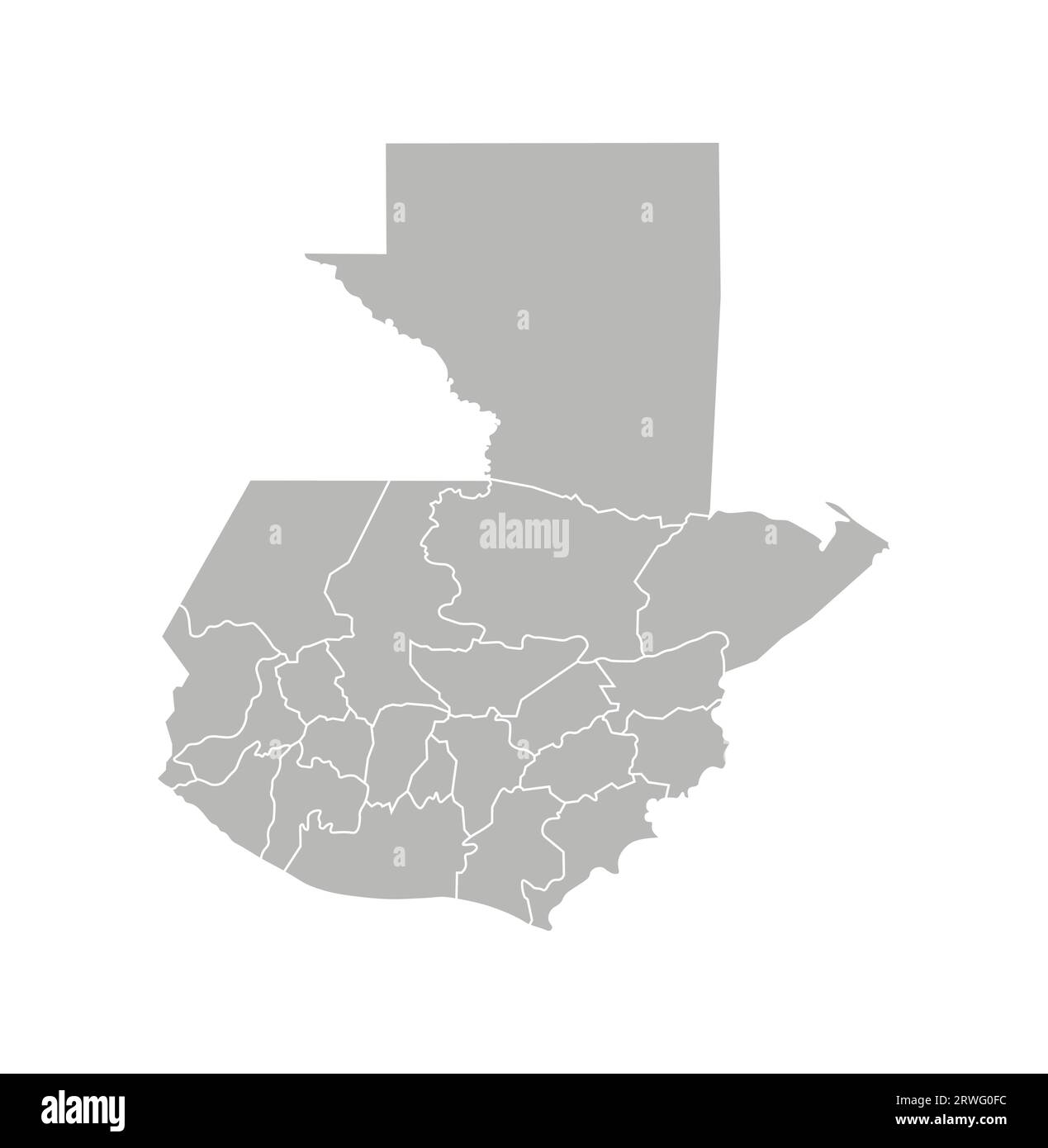 Vector isolated illustration of simplified administrative map of Guatemala. Borders of the departments (regions). Grey silhouettes. White outline. Stock Vectorhttps://www.alamy.com/image-license-details/?v=1https://www.alamy.com/vector-isolated-illustration-of-simplified-administrative-map-of-guatemala-borders-of-the-departments-regions-grey-silhouettes-white-outline-image566449840.html
RF2RWG0FC–Vector isolated illustration of simplified administrative map of Guatemala. Borders of the departments (regions). Grey silhouettes. White outline.
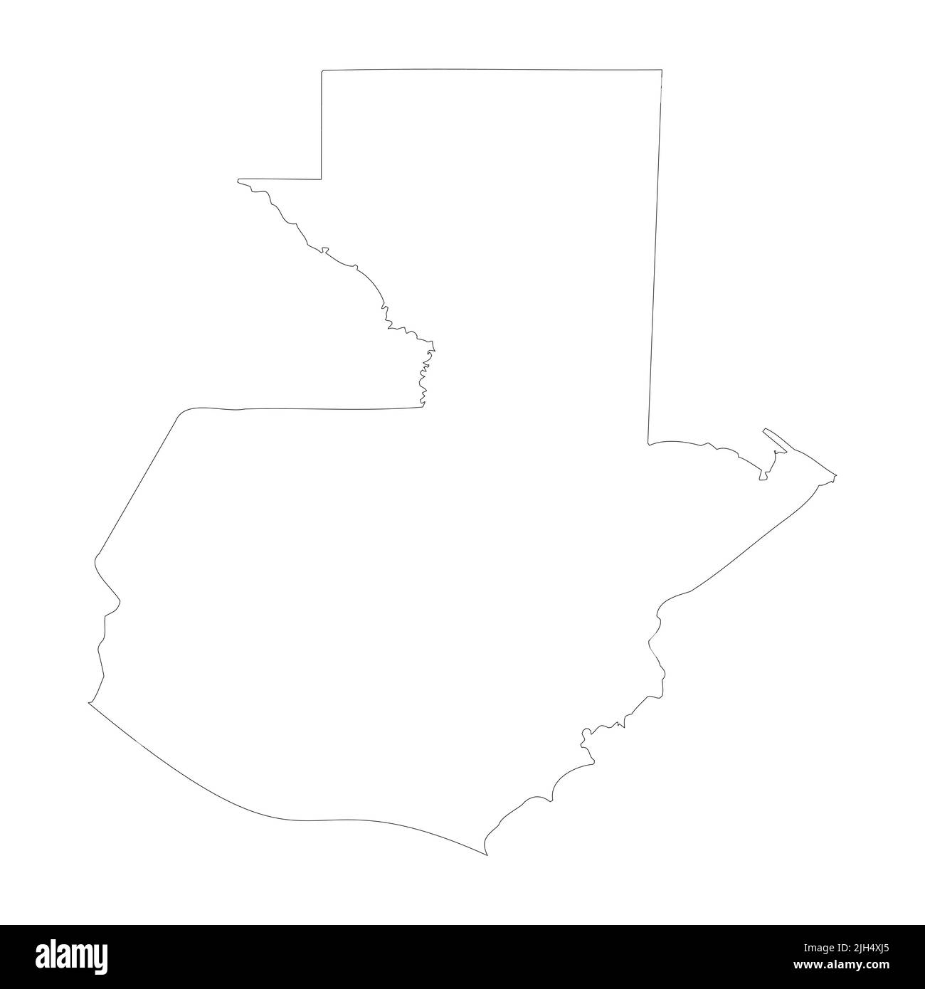 Guatemala vector country map outline Stock Vectorhttps://www.alamy.com/image-license-details/?v=1https://www.alamy.com/guatemala-vector-country-map-outline-image475237789.html
RF2JH4XJ5–Guatemala vector country map outline
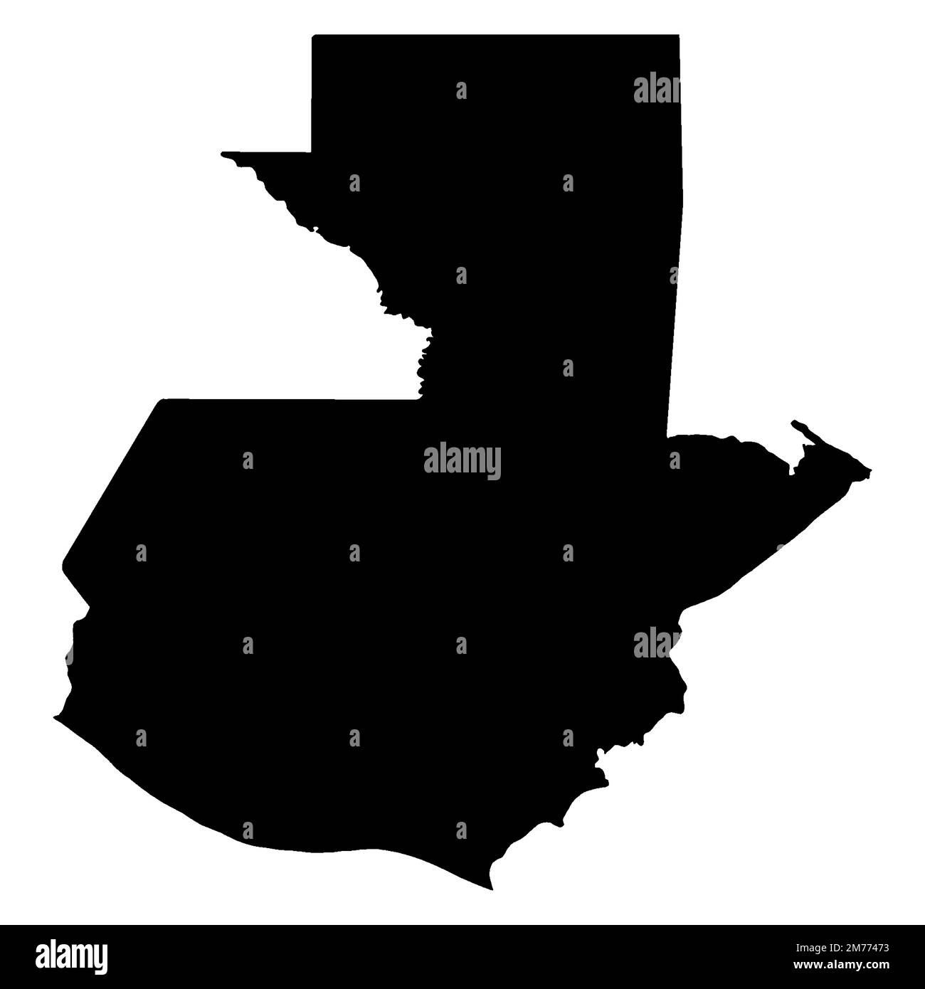 Outline blank silhouette map of the South American country of Guatemala Stock Photohttps://www.alamy.com/image-license-details/?v=1https://www.alamy.com/outline-blank-silhouette-map-of-the-south-american-country-of-guatemala-image503560263.html
RF2M77473–Outline blank silhouette map of the South American country of Guatemala
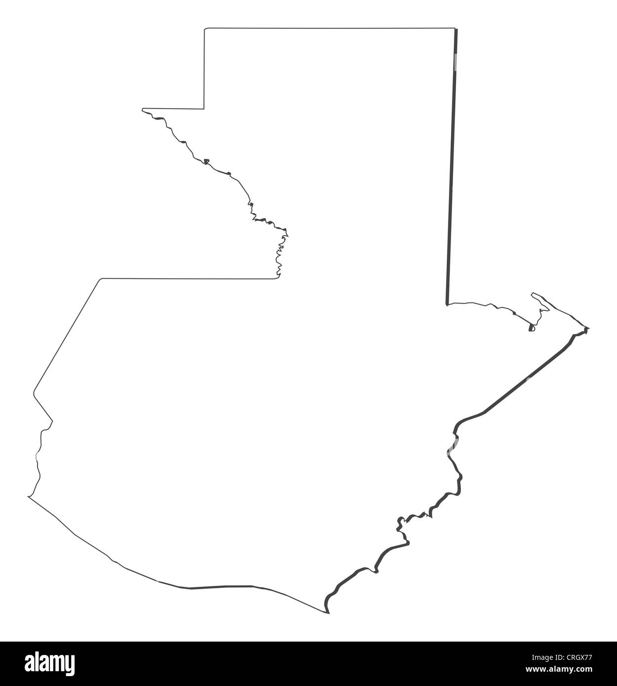 Political map of Guatemala with the several departments. Stock Photohttps://www.alamy.com/image-license-details/?v=1https://www.alamy.com/stock-photo-political-map-of-guatemala-with-the-several-departments-48929643.html
RFCRGX77–Political map of Guatemala with the several departments.
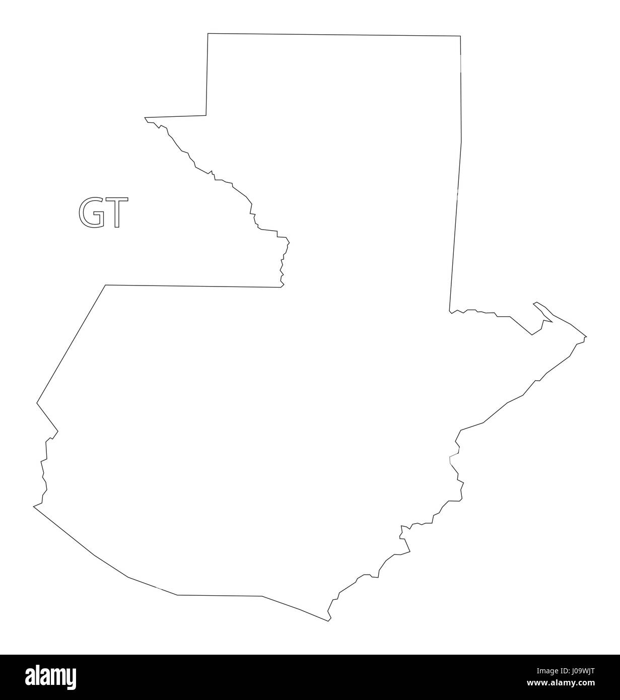 Guatemala outline silhouette map illustration Stock Vectorhttps://www.alamy.com/image-license-details/?v=1https://www.alamy.com/stock-photo-guatemala-outline-silhouette-map-illustration-137900640.html
RFJ09WJT–Guatemala outline silhouette map illustration
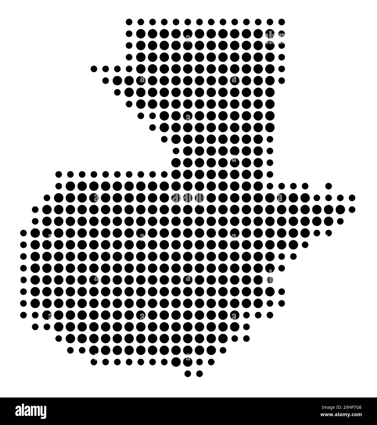 Abstract map of Guatemala showing the area of the country with a pattern of black circles Stock Vectorhttps://www.alamy.com/image-license-details/?v=1https://www.alamy.com/abstract-map-of-guatemala-showing-the-area-of-the-country-with-a-pattern-of-black-circles-image613300918.html
RF2XHP7G6–Abstract map of Guatemala showing the area of the country with a pattern of black circles
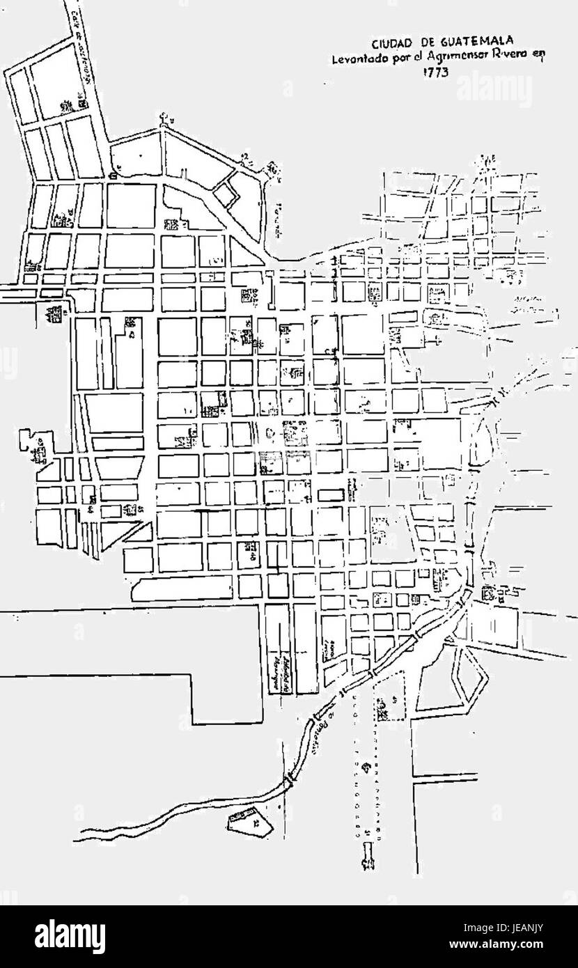 Antigua Guatemala location map Stock Photohttps://www.alamy.com/image-license-details/?v=1https://www.alamy.com/stock-photo-antigua-guatemala-location-map-146524643.html
RMJEANJY–Antigua Guatemala location map
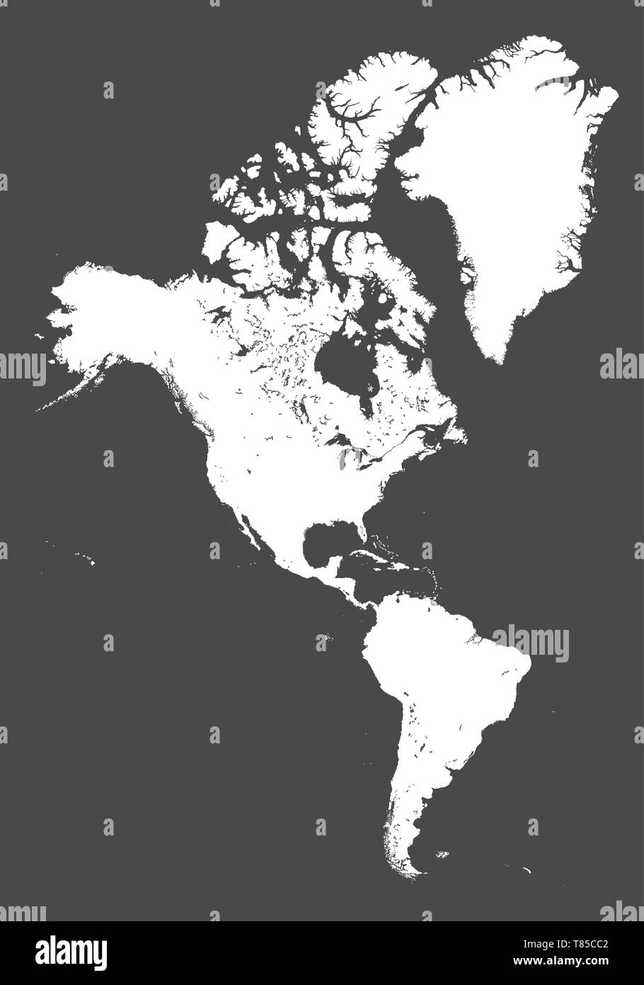 vector high detailed political map of America continent Stock Vectorhttps://www.alamy.com/image-license-details/?v=1https://www.alamy.com/vector-high-detailed-political-map-of-america-continent-image245981906.html
RFT85CC2–vector high detailed political map of America continent
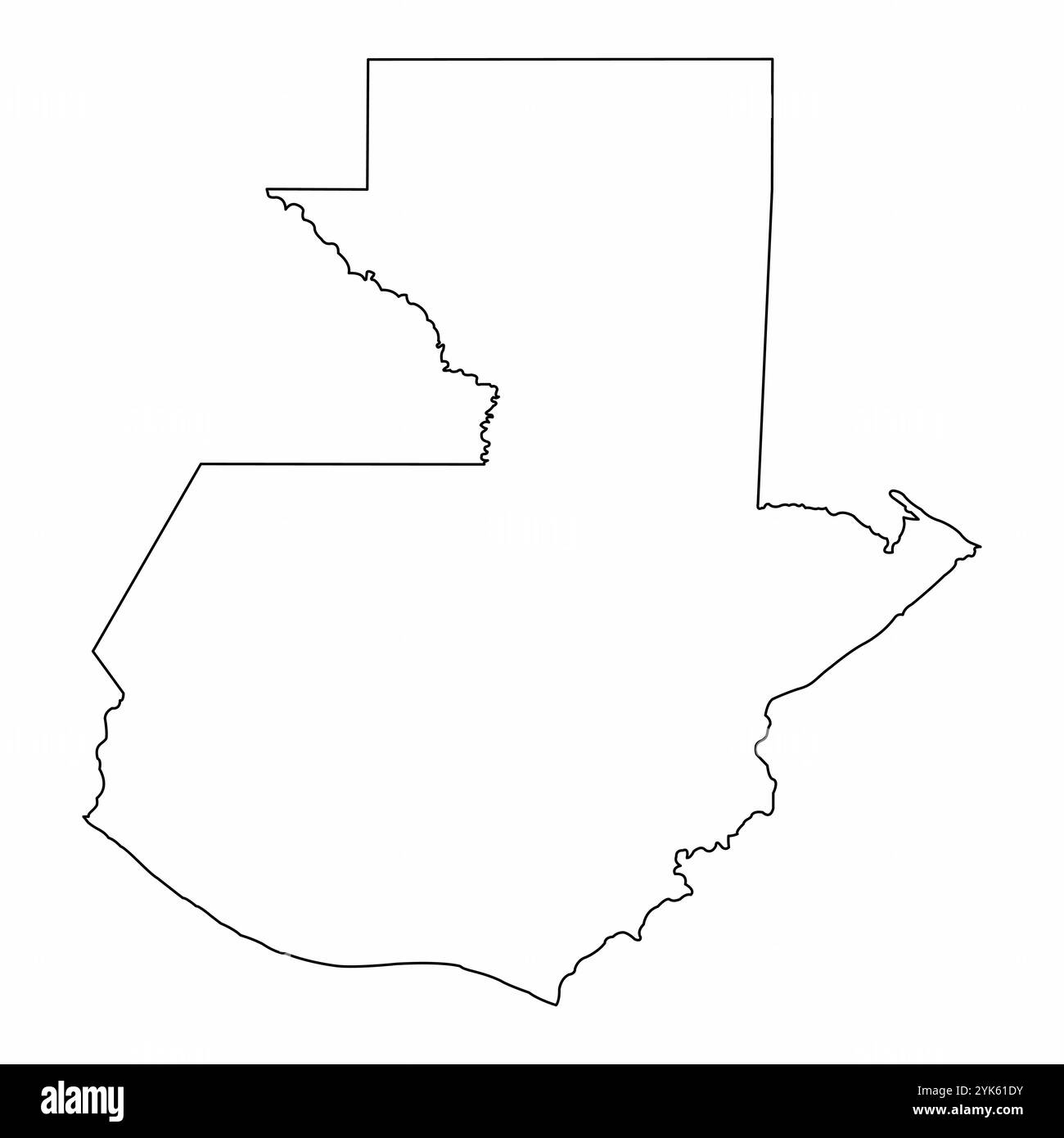 Guatemala outline map isolated on white background Stock Vectorhttps://www.alamy.com/image-license-details/?v=1https://www.alamy.com/guatemala-outline-map-isolated-on-white-background-image631384599.html
RF2YK61DY–Guatemala outline map isolated on white background
RF2M6F2FN–Guatemala Map Silhouette Pixelated generative pattern illustration
 Guatemala dark silhouette map isolated on white background Stock Vectorhttps://www.alamy.com/image-license-details/?v=1https://www.alamy.com/guatemala-dark-silhouette-map-isolated-on-white-background-image264945660.html
RFWB18W0–Guatemala dark silhouette map isolated on white background
RF2PHD1E9–Guatemala regions icons. Black round logos with country regions maps and titles. Vector illustration.
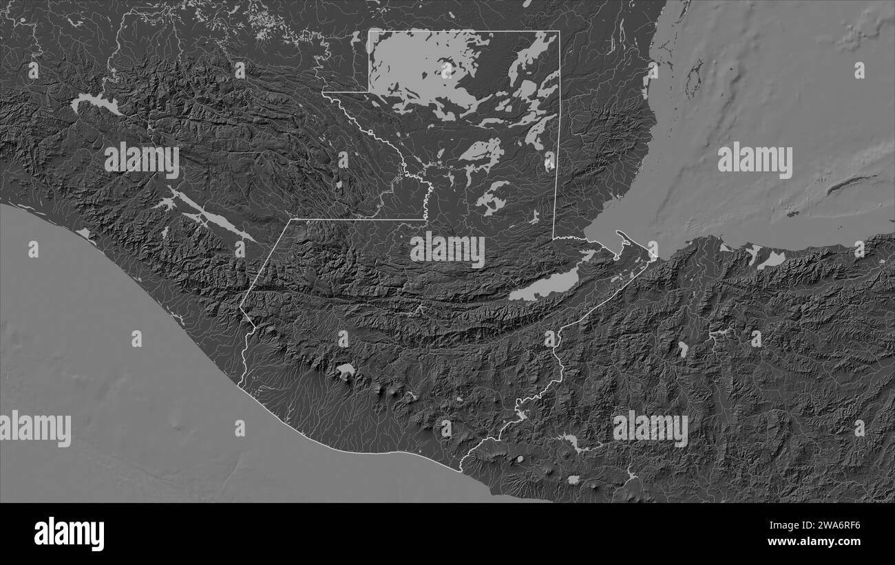 Guatemala outlined on a Bilevel elevation map with lakes and rivers Stock Photohttps://www.alamy.com/image-license-details/?v=1https://www.alamy.com/guatemala-outlined-on-a-bilevel-elevation-map-with-lakes-and-rivers-image591449242.html
RF2WA6RF6–Guatemala outlined on a Bilevel elevation map with lakes and rivers
 Map of guatemala vector illustration symbol design Stock Vectorhttps://www.alamy.com/image-license-details/?v=1https://www.alamy.com/map-of-guatemala-vector-illustration-symbol-design-image602863120.html
RF2X0PP1M–Map of guatemala vector illustration symbol design
 Map with dot - Guatemala . Template for your design Stock Vectorhttps://www.alamy.com/image-license-details/?v=1https://www.alamy.com/map-with-dot-guatemala-template-for-your-design-image246456541.html
RFT8Y1R9–Map with dot - Guatemala . Template for your design
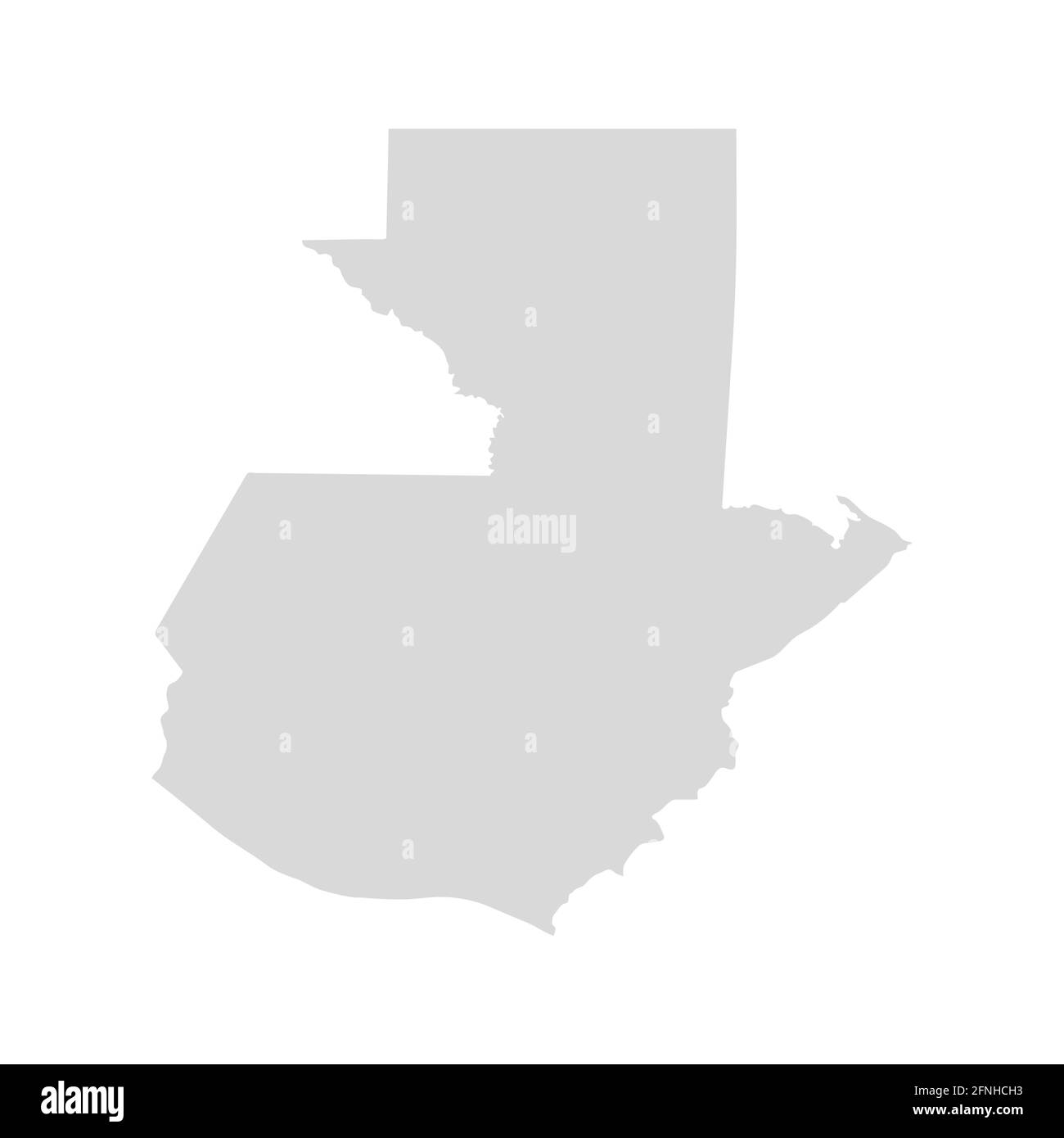 Guatemala america central vector map. Guatemala silhouette isolated map Stock Vectorhttps://www.alamy.com/image-license-details/?v=1https://www.alamy.com/guatemala-america-central-vector-map-guatemala-silhouette-isolated-map-image426339679.html
RF2FNHCH3–Guatemala america central vector map. Guatemala silhouette isolated map
RF2YE6XEF–guatemala map icon illustration design
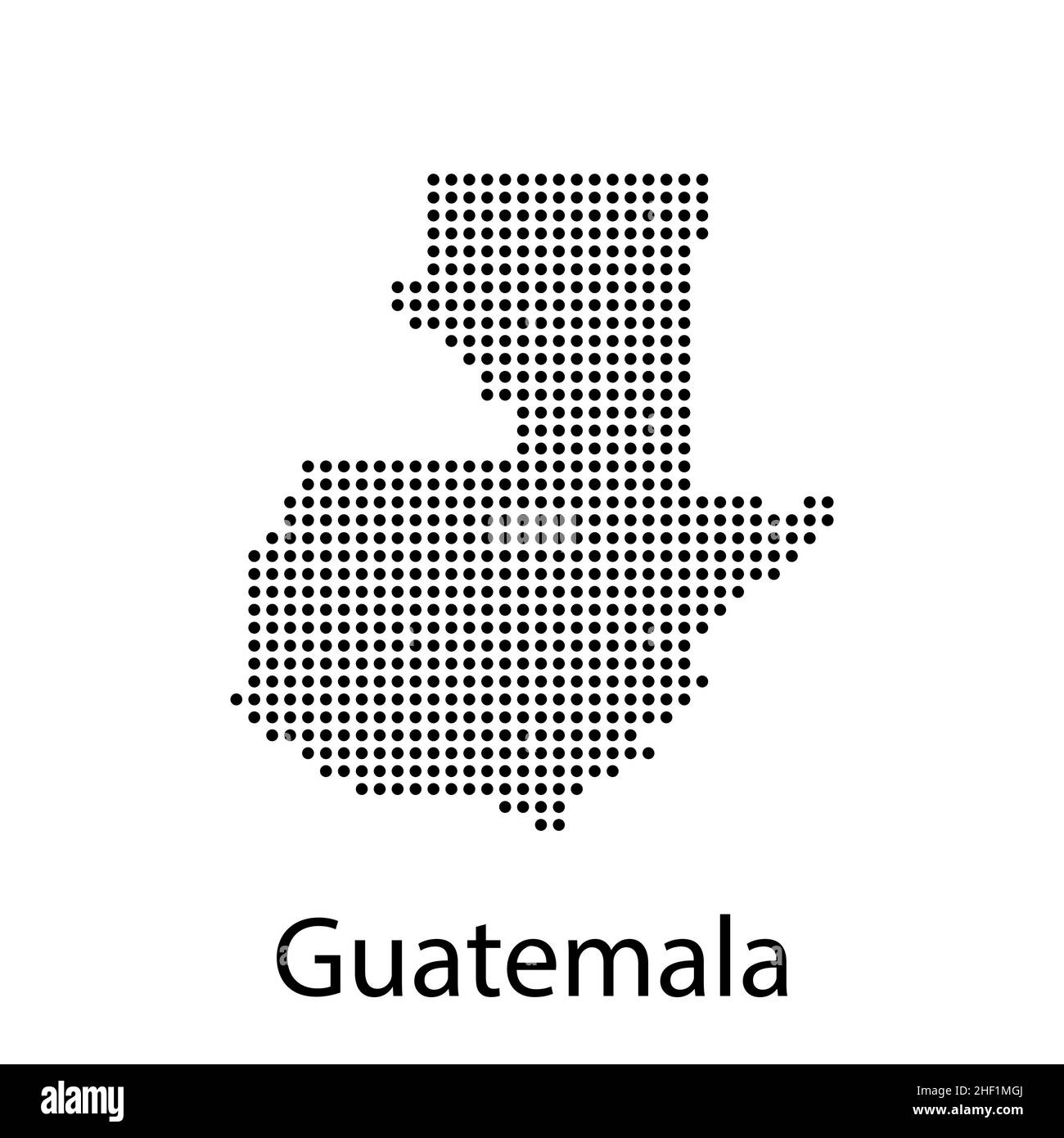 Vector map of guatemala vector illustration Stock Vectorhttps://www.alamy.com/image-license-details/?v=1https://www.alamy.com/vector-map-of-guatemala-vector-illustration-image456727506.html
RF2HF1MGJ–Vector map of guatemala vector illustration
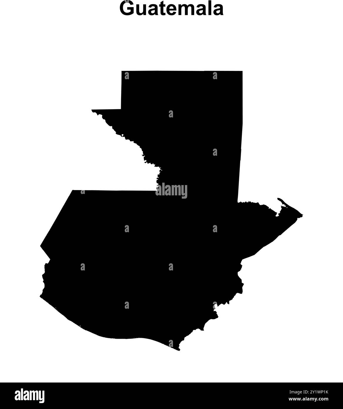 Guatemala blank outline map design Stock Vectorhttps://www.alamy.com/image-license-details/?v=1https://www.alamy.com/guatemala-blank-outline-map-design-image620753999.html
RF2Y1WP1K–Guatemala blank outline map design
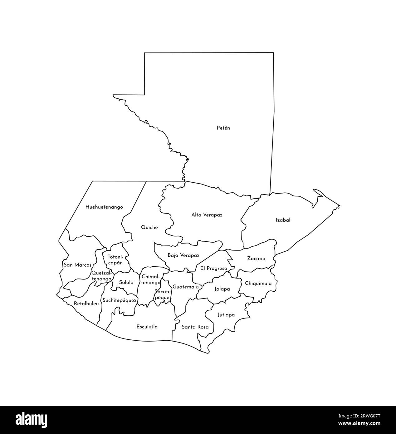 Vector isolated illustration of simplified administrative map of Guatemala. Borders and names of the departments (regions). Black line silhouettes. Stock Vectorhttps://www.alamy.com/image-license-details/?v=1https://www.alamy.com/vector-isolated-illustration-of-simplified-administrative-map-of-guatemala-borders-and-names-of-the-departments-regions-black-line-silhouettes-image566449628.html
RF2RWG07T–Vector isolated illustration of simplified administrative map of Guatemala. Borders and names of the departments (regions). Black line silhouettes.
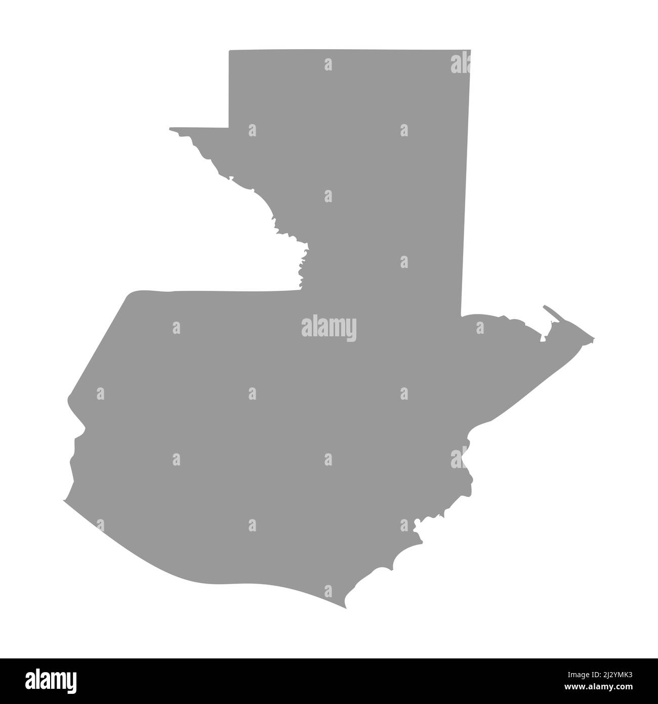 Guatemala vector country map silhouette Stock Vectorhttps://www.alamy.com/image-license-details/?v=1https://www.alamy.com/guatemala-vector-country-map-silhouette-image466518167.html
RF2J2YMK3–Guatemala vector country map silhouette
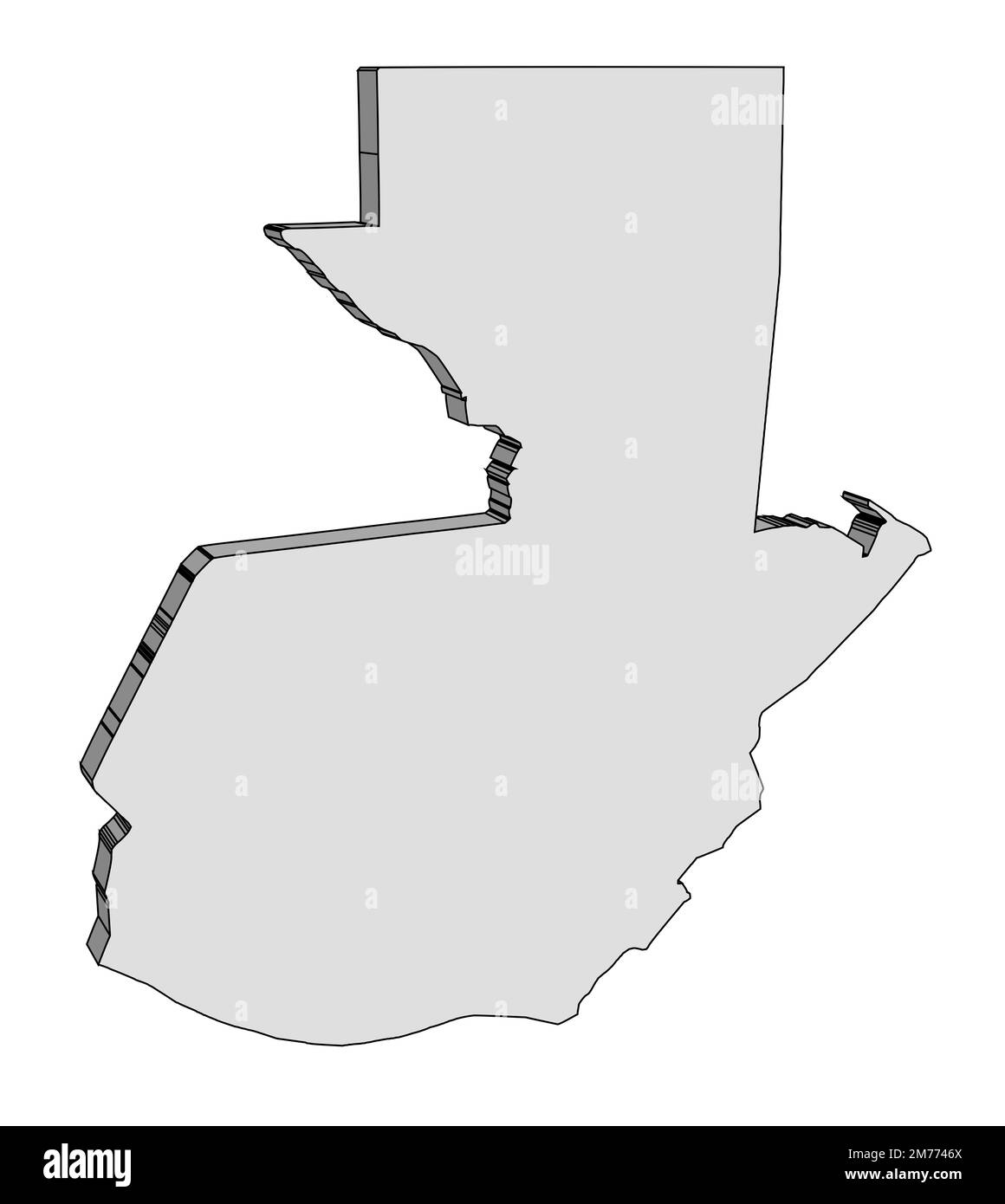 Outline blank silhouette 3D map of the South American country of Guatemala Stock Photohttps://www.alamy.com/image-license-details/?v=1https://www.alamy.com/outline-blank-silhouette-3d-map-of-the-south-american-country-of-guatemala-image503560258.html
RF2M7746X–Outline blank silhouette 3D map of the South American country of Guatemala
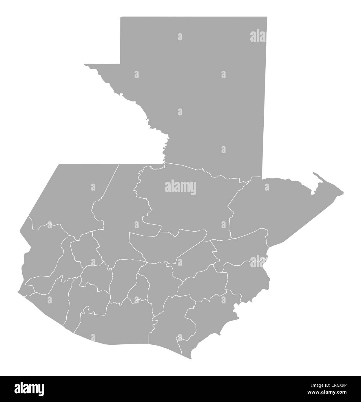 Political map of Guatemala with the several departments. Stock Photohttps://www.alamy.com/image-license-details/?v=1https://www.alamy.com/stock-photo-political-map-of-guatemala-with-the-several-departments-48929714.html
RFCRGX9P–Political map of Guatemala with the several departments.
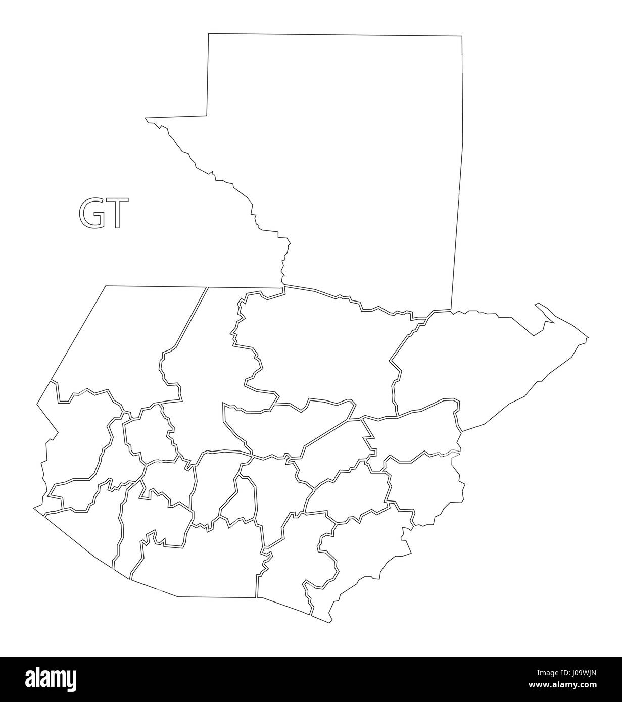 Guatemala outline silhouette map illustration with departments Stock Vectorhttps://www.alamy.com/image-license-details/?v=1https://www.alamy.com/stock-photo-guatemala-outline-silhouette-map-illustration-with-departments-137900637.html
RFJ09WJN–Guatemala outline silhouette map illustration with departments
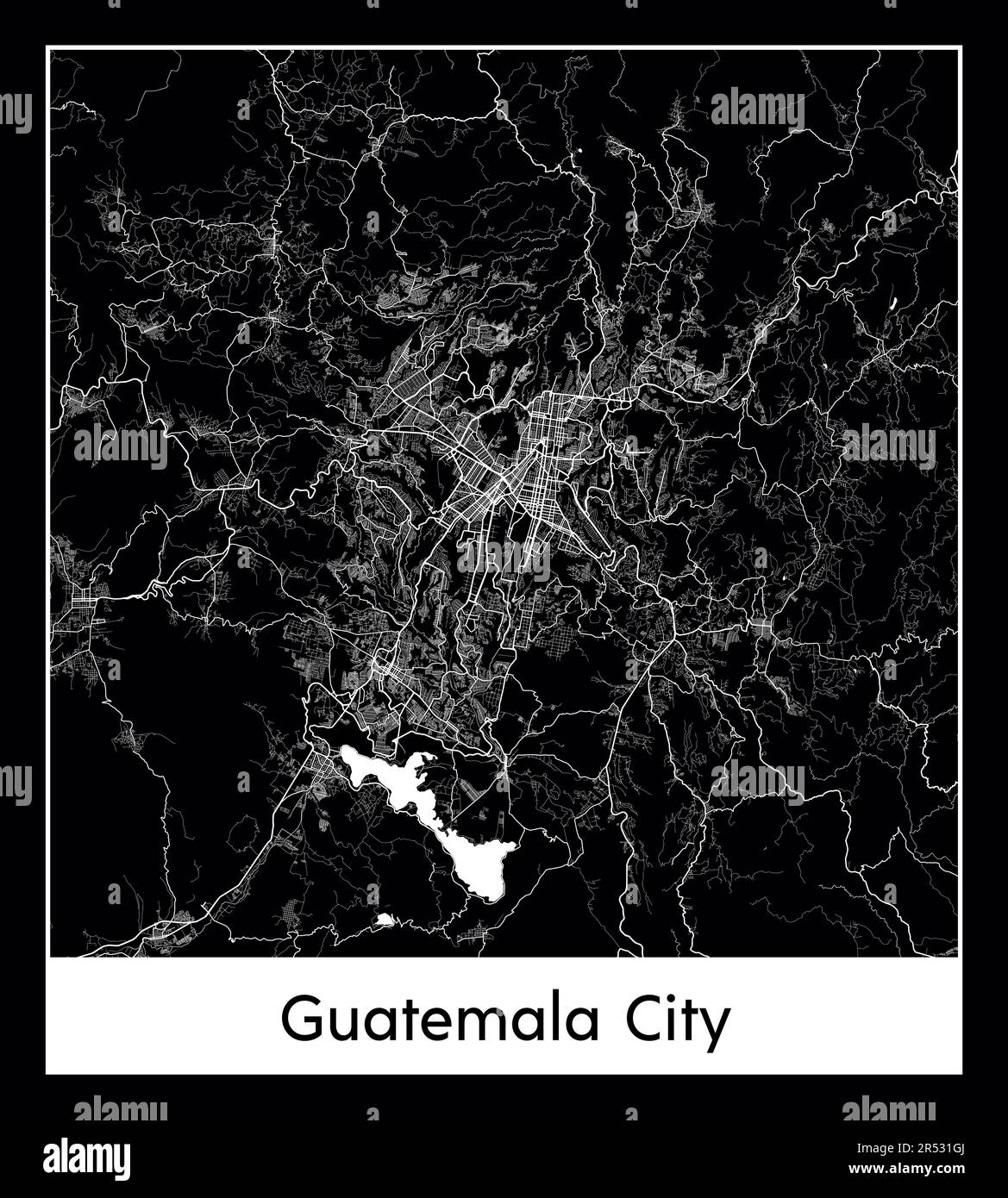 Minimal city map of Guatemala City (Guatemala North America) Stock Vectorhttps://www.alamy.com/image-license-details/?v=1https://www.alamy.com/minimal-city-map-of-guatemala-city-guatemala-north-america-image553872162.html
RF2R531GJ–Minimal city map of Guatemala City (Guatemala North America)
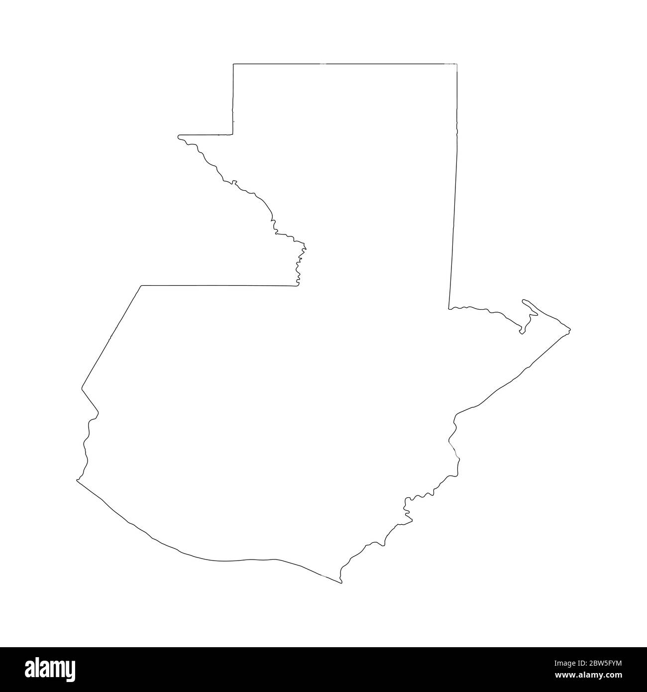 Vector map Guatemala. Country and capital. Isolated vector Illustration. Outline. EPS 10 Illustration. Stock Vectorhttps://www.alamy.com/image-license-details/?v=1https://www.alamy.com/vector-map-guatemala-country-and-capital-isolated-vector-illustration-outline-eps-10-illustration-image359696056.html
RF2BW5FYM–Vector map Guatemala. Country and capital. Isolated vector Illustration. Outline. EPS 10 Illustration.
 Mexico, country, dotted map on white background. Vector illustration. Stock Vectorhttps://www.alamy.com/image-license-details/?v=1https://www.alamy.com/mexico-country-dotted-map-on-white-background-vector-illustration-image379316685.html
RF2D13A8D–Mexico, country, dotted map on white background. Vector illustration.
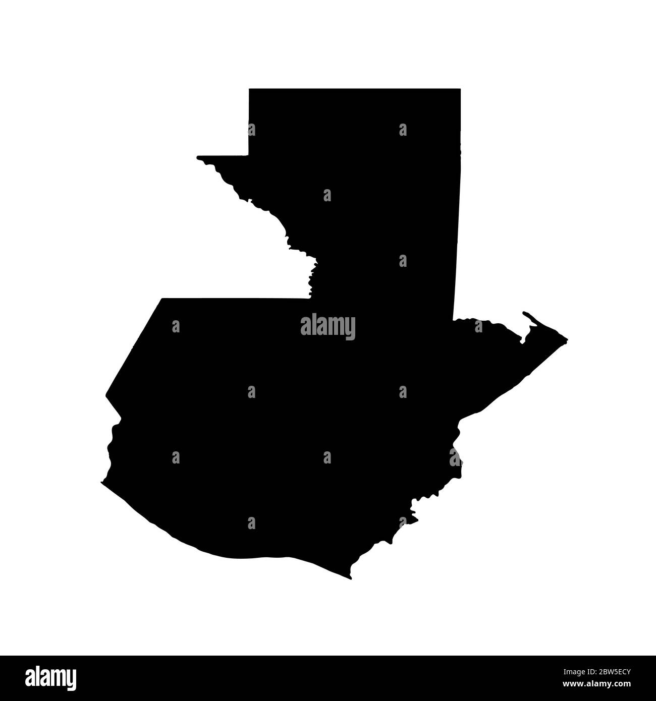 Vector map Guatemala. Isolated vector Illustration. Black on White background. EPS 10 Illustration. Stock Vectorhttps://www.alamy.com/image-license-details/?v=1https://www.alamy.com/vector-map-guatemala-isolated-vector-illustration-black-on-white-background-eps-10-illustration-image359694859.html
RF2BW5ECY–Vector map Guatemala. Isolated vector Illustration. Black on White background. EPS 10 Illustration.
RF2M6F2AY–Guatemala Map Silhouette Pixelated generative pattern illustration
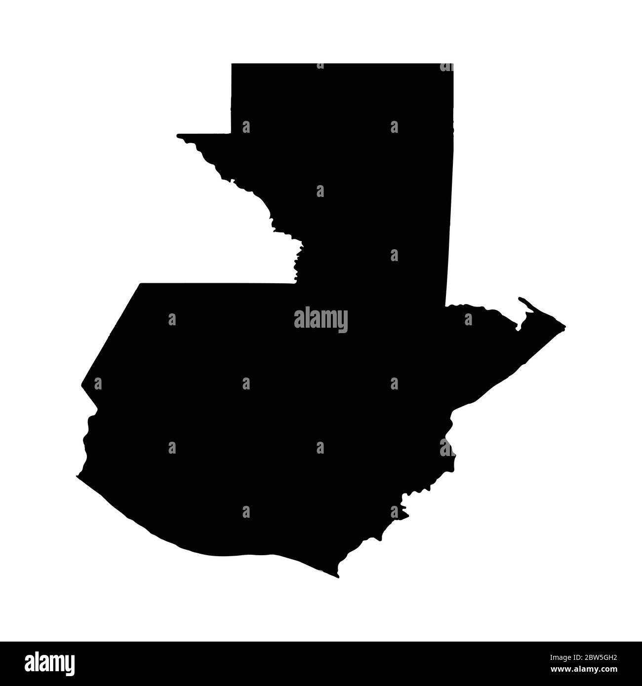 Vector map Guatemala. Country and capital. Isolated vector Illustration. Black on White background. EPS 10 Illustration. Stock Vectorhttps://www.alamy.com/image-license-details/?v=1https://www.alamy.com/vector-map-guatemala-country-and-capital-isolated-vector-illustration-black-on-white-background-eps-10-illustration-image359696542.html
RF2BW5GH2–Vector map Guatemala. Country and capital. Isolated vector Illustration. Black on White background. EPS 10 Illustration.
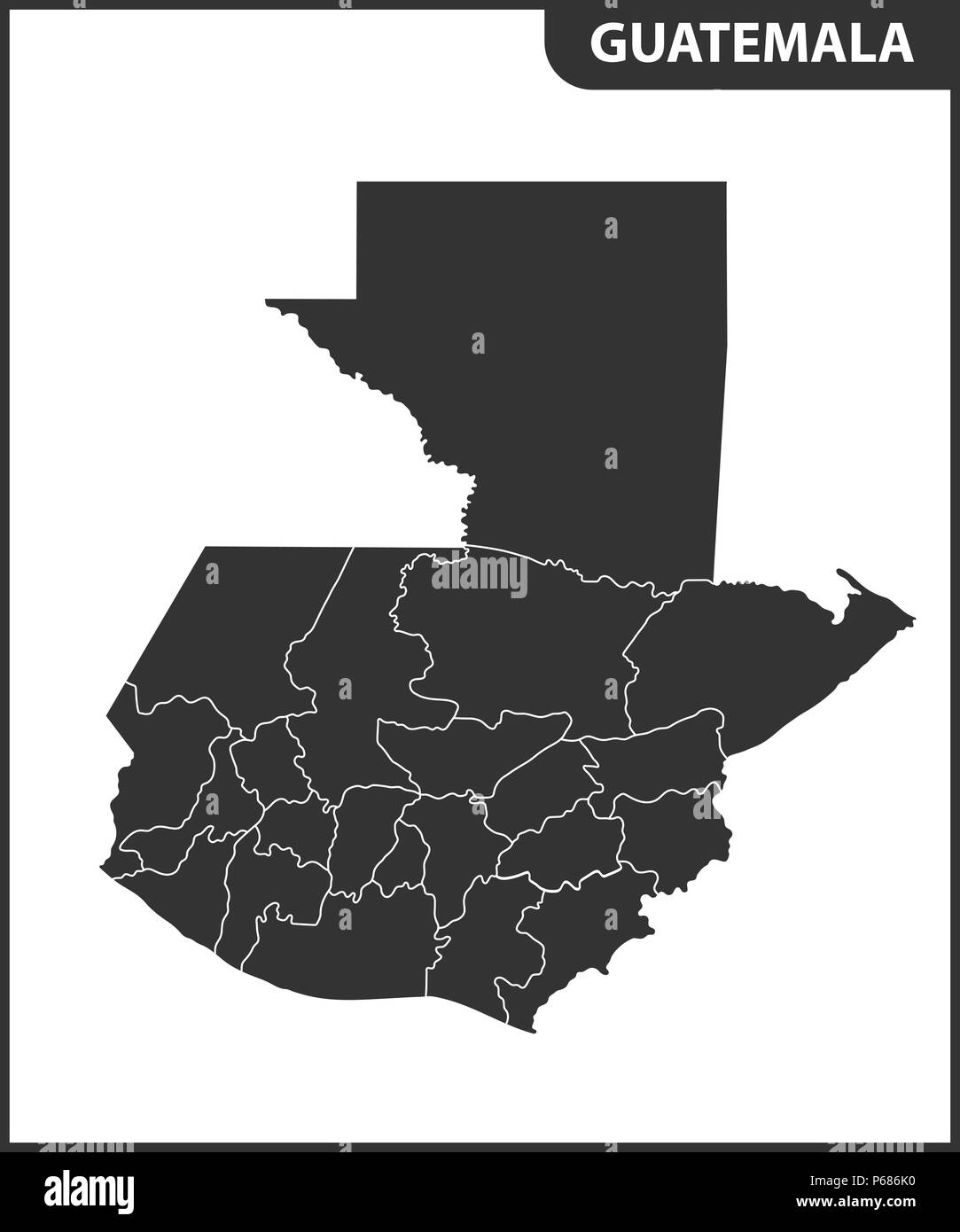 The detailed map of Guatemala with regions. Administrative division. Stock Vectorhttps://www.alamy.com/image-license-details/?v=1https://www.alamy.com/the-detailed-map-of-guatemala-with-regions-administrative-division-image210393204.html
RFP686K0–The detailed map of Guatemala with regions. Administrative division.
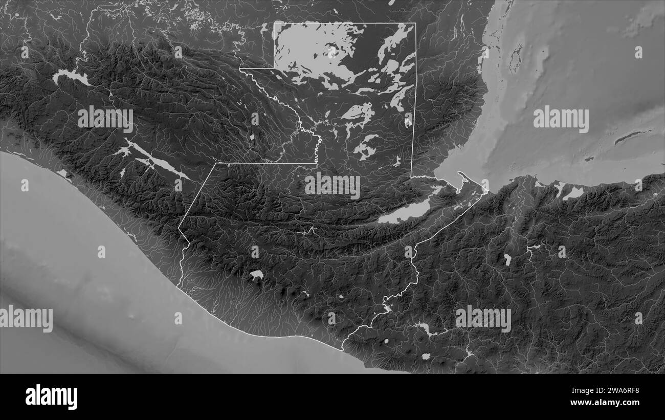 Guatemala outlined on a Grayscale elevation map with lakes and rivers Stock Photohttps://www.alamy.com/image-license-details/?v=1https://www.alamy.com/guatemala-outlined-on-a-grayscale-elevation-map-with-lakes-and-rivers-image591449244.html
RF2WA6RF8–Guatemala outlined on a Grayscale elevation map with lakes and rivers
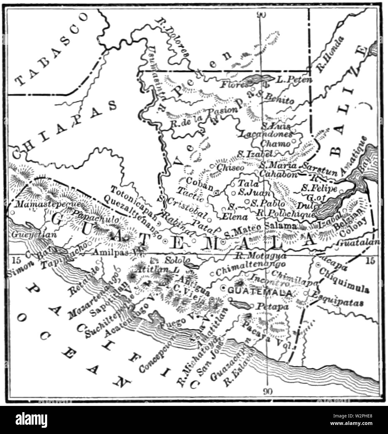 AGTM D356 Border map of Chiapas and Guatemala Stock Photohttps://www.alamy.com/image-license-details/?v=1https://www.alamy.com/agtm-d356-border-map-of-chiapas-and-guatemala-image259881504.html
RMW2PHE8–AGTM D356 Border map of Chiapas and Guatemala
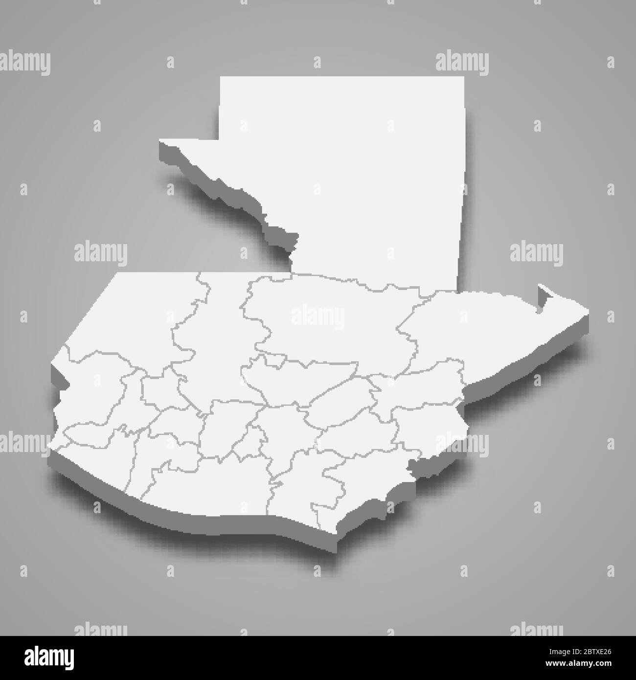 3d map of Guatemala with borders of regions Stock Vectorhttps://www.alamy.com/image-license-details/?v=1https://www.alamy.com/3d-map-of-guatemala-with-borders-of-regions-image359540894.html
RF2BTXE26–3d map of Guatemala with borders of regions
RF2FWMR94–North America vector map. Usa canada mexico world map icon, american continent
RF2YE6XF0–central america map icon illustration design
RF2HJY10X–Pixel map of Guatemala. The dotted map is on white background. Vector illustration
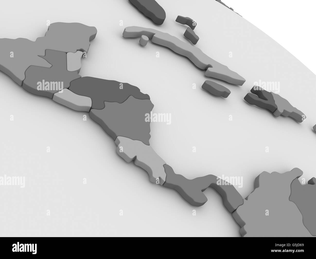 Map of Central America on grey model of Earth. 3D illustration Stock Photohttps://www.alamy.com/image-license-details/?v=1https://www.alamy.com/stock-photo-map-of-central-america-on-grey-model-of-earth-3d-illustration-106740993.html
RFG5JD69–Map of Central America on grey model of Earth. 3D illustration
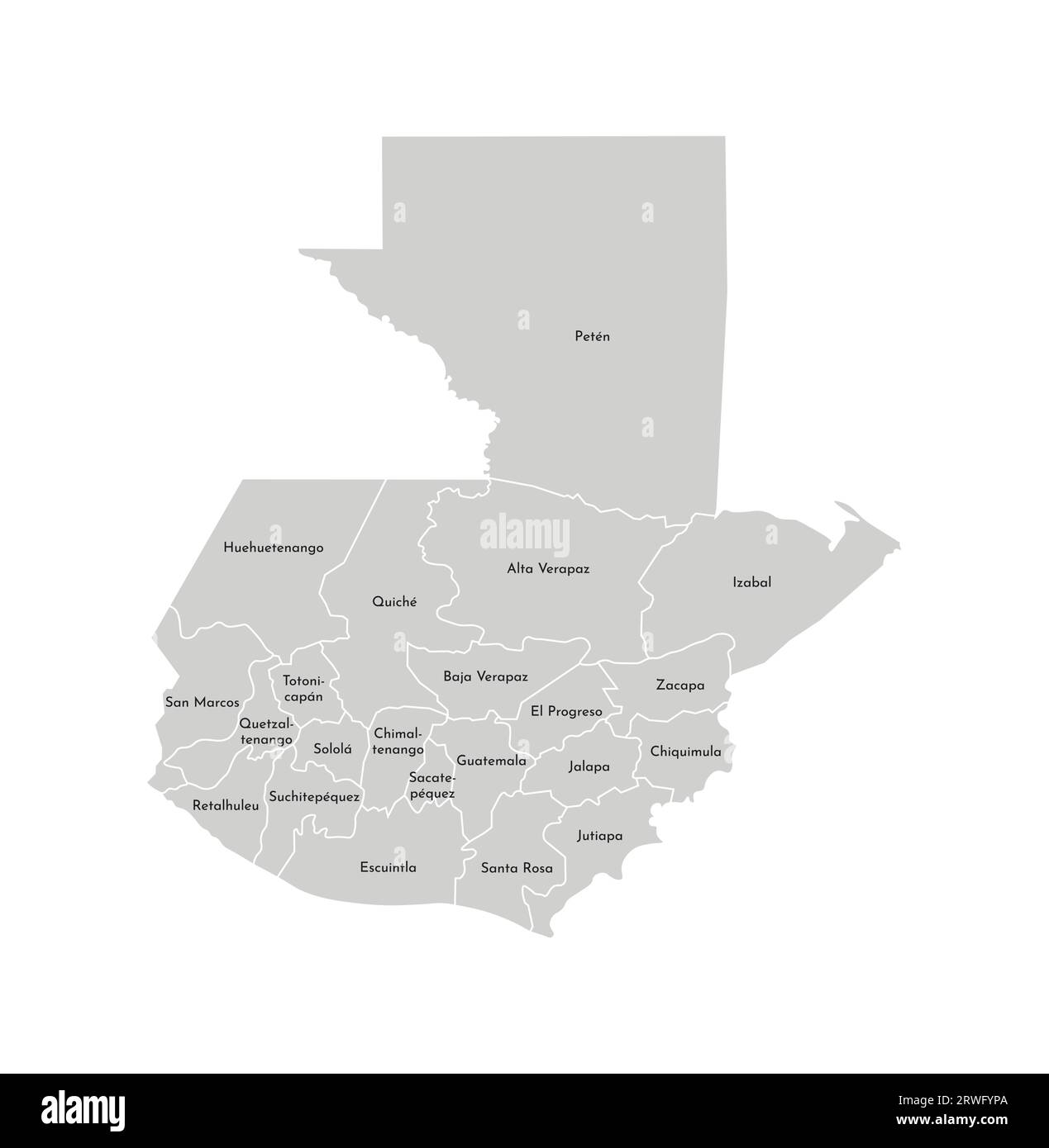 Vector isolated illustration of simplified administrative map of Guatemala. Borders and names of the departments (regions). Grey silhouettes. White ou Stock Vectorhttps://www.alamy.com/image-license-details/?v=1https://www.alamy.com/vector-isolated-illustration-of-simplified-administrative-map-of-guatemala-borders-and-names-of-the-departments-regions-grey-silhouettes-white-ou-image566449250.html
RF2RWFYPA–Vector isolated illustration of simplified administrative map of Guatemala. Borders and names of the departments (regions). Grey silhouettes. White ou
RF2WTYYHC–Guatemala country simplified map. Thick black outline contour. Simple vector icon
 Outline blank silhouette map of the South American country of Guatemala Stock Photohttps://www.alamy.com/image-license-details/?v=1https://www.alamy.com/outline-blank-silhouette-map-of-the-south-american-country-of-guatemala-image503560261.html
RF2M77471–Outline blank silhouette map of the South American country of Guatemala
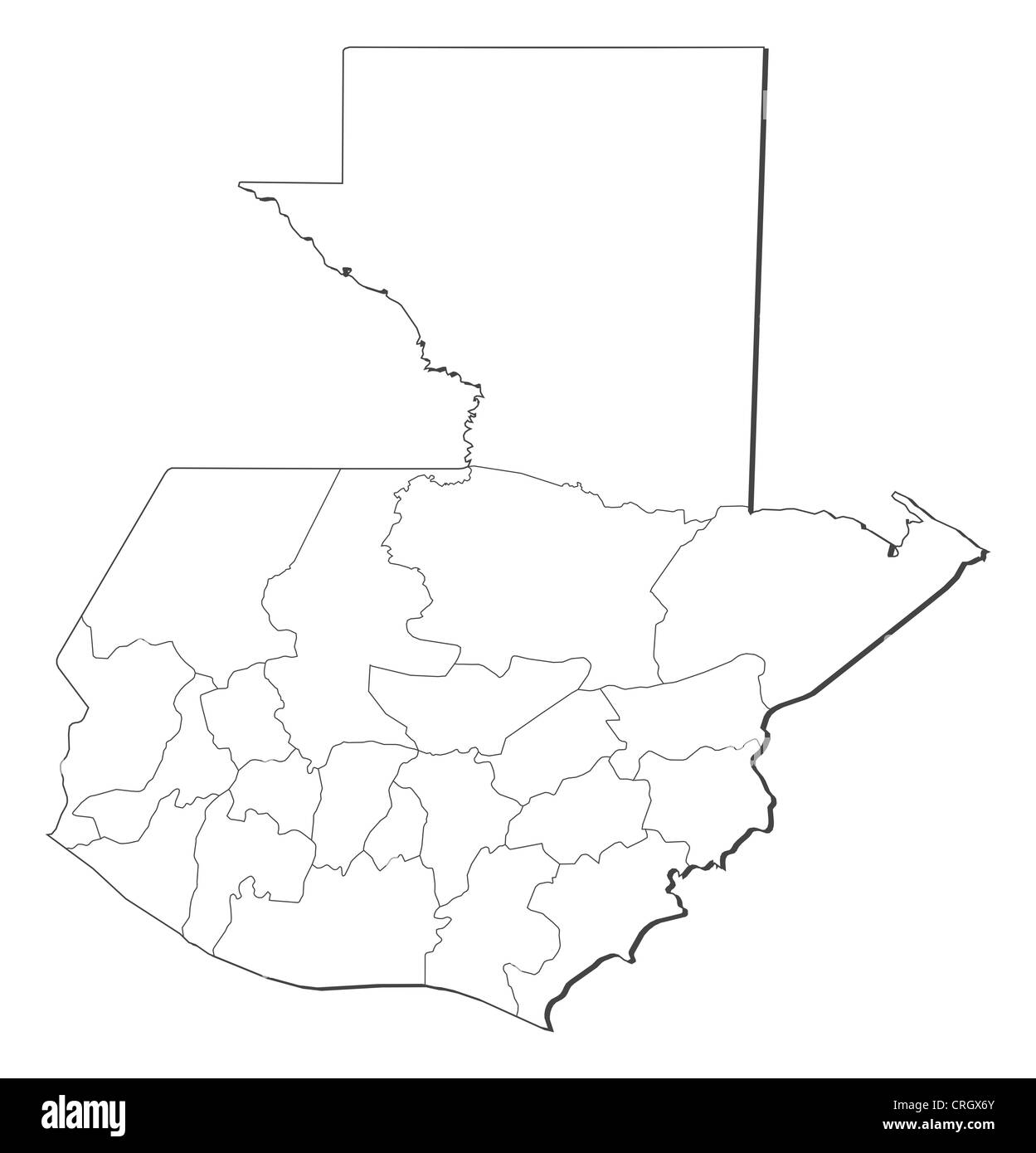 Political map of Guatemala with the several departments. Stock Photohttps://www.alamy.com/image-license-details/?v=1https://www.alamy.com/stock-photo-political-map-of-guatemala-with-the-several-departments-48929635.html
RFCRGX6Y–Political map of Guatemala with the several departments.
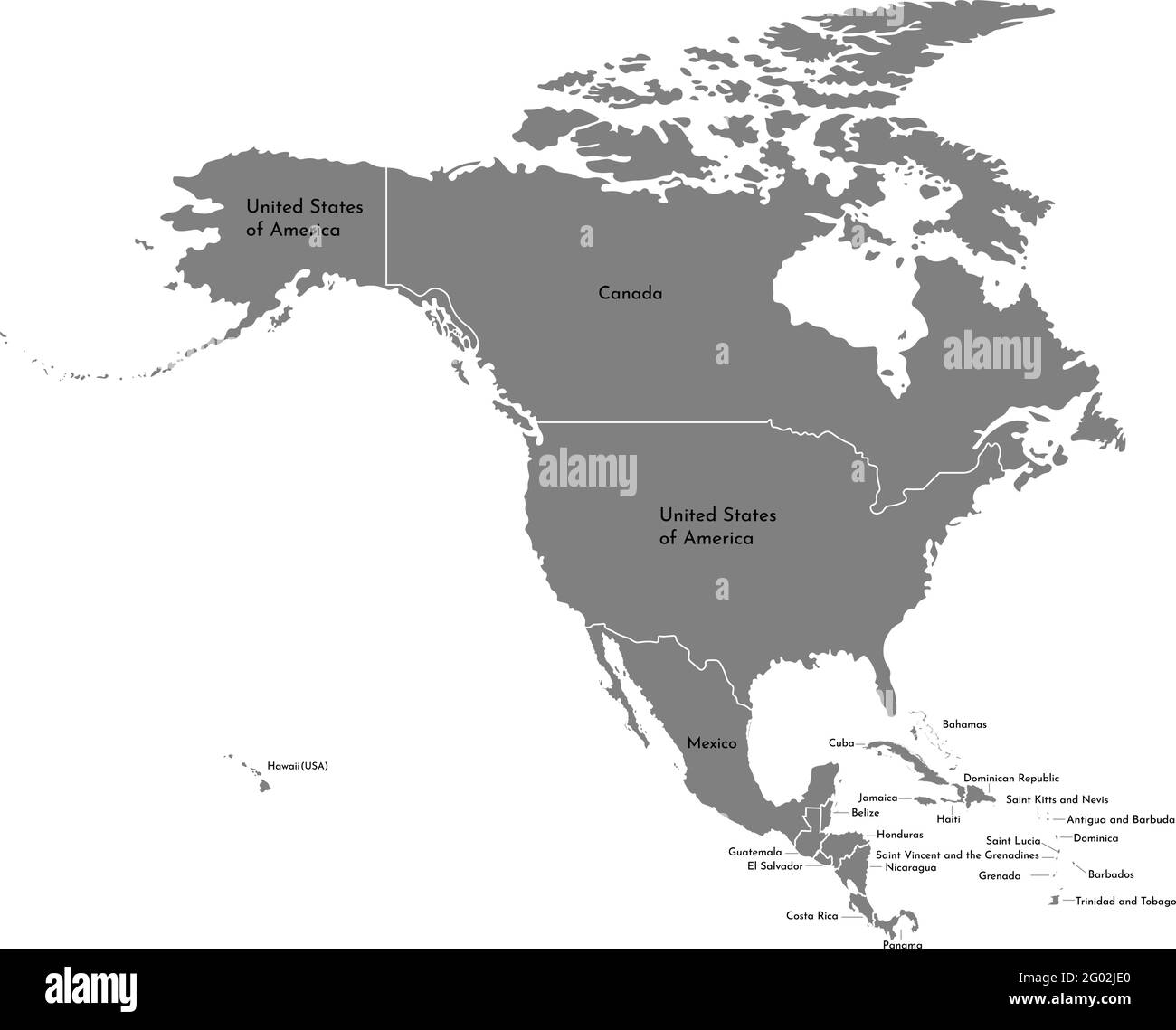 Vector illustration with simplified map of North American continent with states border (countries: USA, Mexico, Bahamas, Canada, Costa Rica, Cuba and Stock Vectorhttps://www.alamy.com/image-license-details/?v=1https://www.alamy.com/vector-illustration-with-simplified-map-of-north-american-continent-with-states-border-countries-usa-mexico-bahamas-canada-costa-rica-cuba-and-image430317608.html
RF2G02JE0–Vector illustration with simplified map of North American continent with states border (countries: USA, Mexico, Bahamas, Canada, Costa Rica, Cuba and
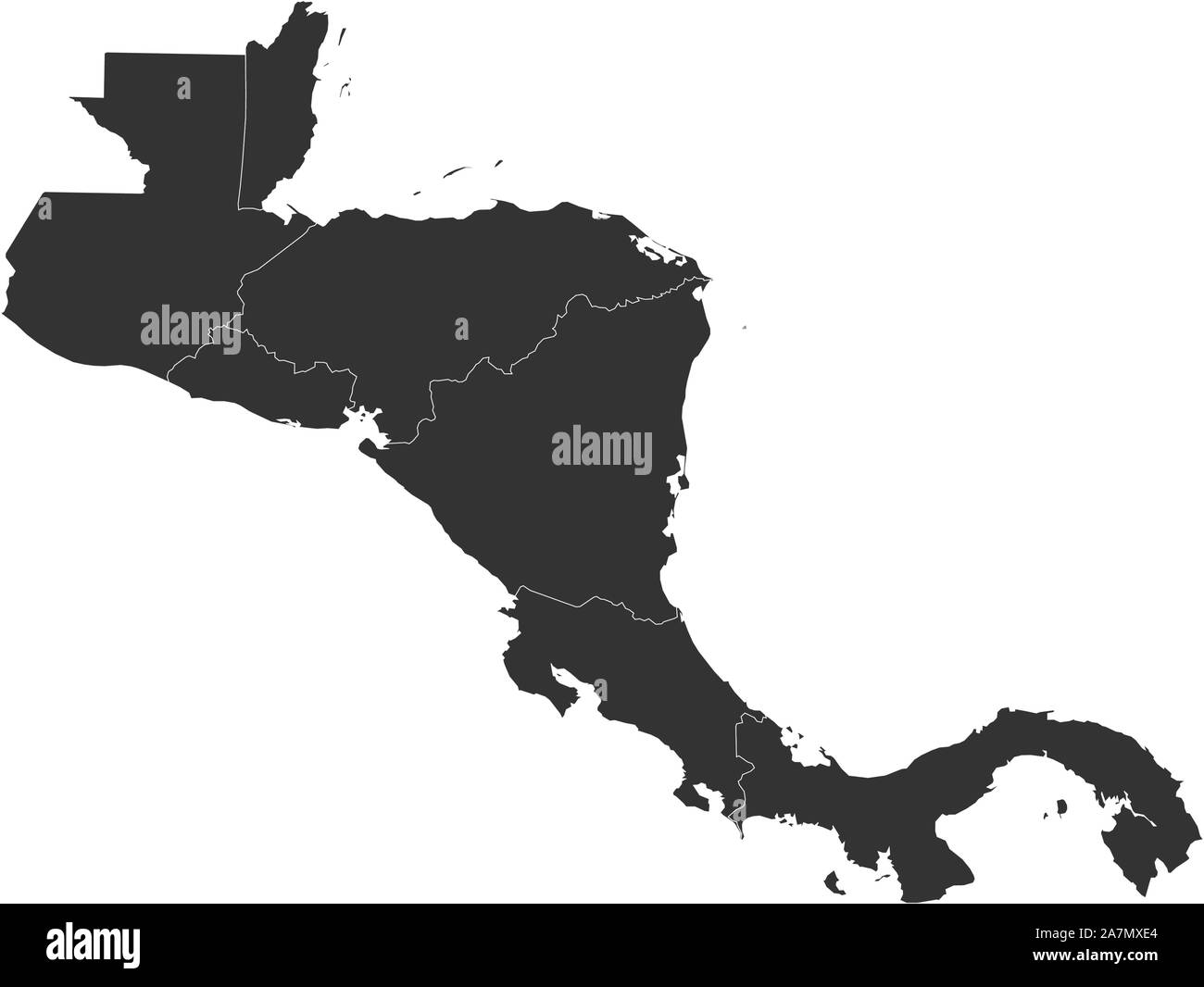 Geographical central american countries map with boundaries vector illustration Stock Vectorhttps://www.alamy.com/image-license-details/?v=1https://www.alamy.com/geographical-central-american-countries-map-with-boundaries-vector-illustration-image331759404.html
RF2A7MXE4–Geographical central american countries map with boundaries vector illustration
 Guatemala map vector illustration, scribble sketch Guatemala Stock Vectorhttps://www.alamy.com/image-license-details/?v=1https://www.alamy.com/stock-image-guatemala-map-vector-illustration-scribble-sketch-guatemala-162842996.html
RFKCX3W8–Guatemala map vector illustration, scribble sketch Guatemala
 East Timor-Guinea Bissau 3D White Maps Stock Photohttps://www.alamy.com/image-license-details/?v=1https://www.alamy.com/stock-photo-east-timor-guinea-bissau-3d-white-maps-26650847.html
RFBFA1BY–East Timor-Guinea Bissau 3D White Maps
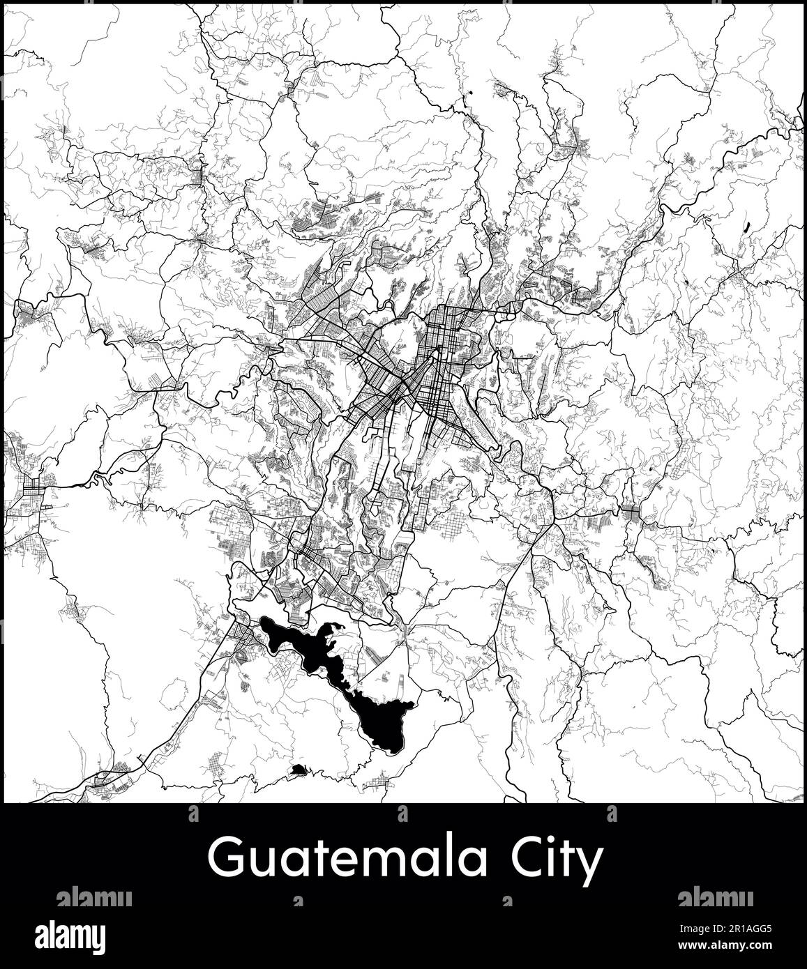 City Map North America Guatemala Guatemala City vector illustration Stock Vectorhttps://www.alamy.com/image-license-details/?v=1https://www.alamy.com/city-map-north-america-guatemala-guatemala-city-vector-illustration-image551578949.html
RF2R1AGG5–City Map North America Guatemala Guatemala City vector illustration
RF2M6F2B6–Guatemala Map Silhouette Pixelated generative pattern illustration
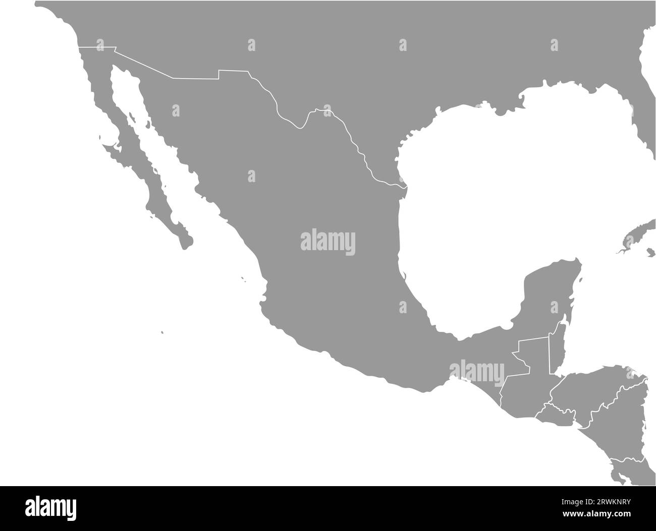 Vector illustration. Simplified geographical grey map of Mexico and nearest countries (USA, Belize, Guatemala, Honduras, Nicaragua, El Salvador, Cos Stock Vectorhttps://www.alamy.com/image-license-details/?v=1https://www.alamy.com/vector-illustration-simplified-geographical-grey-map-of-mexico-and-nearest-countries-usa-belize-guatemala-honduras-nicaragua-el-salvador-cos-image566532399.html
RF2RWKNRY–Vector illustration. Simplified geographical grey map of Mexico and nearest countries (USA, Belize, Guatemala, Honduras, Nicaragua, El Salvador, Cos
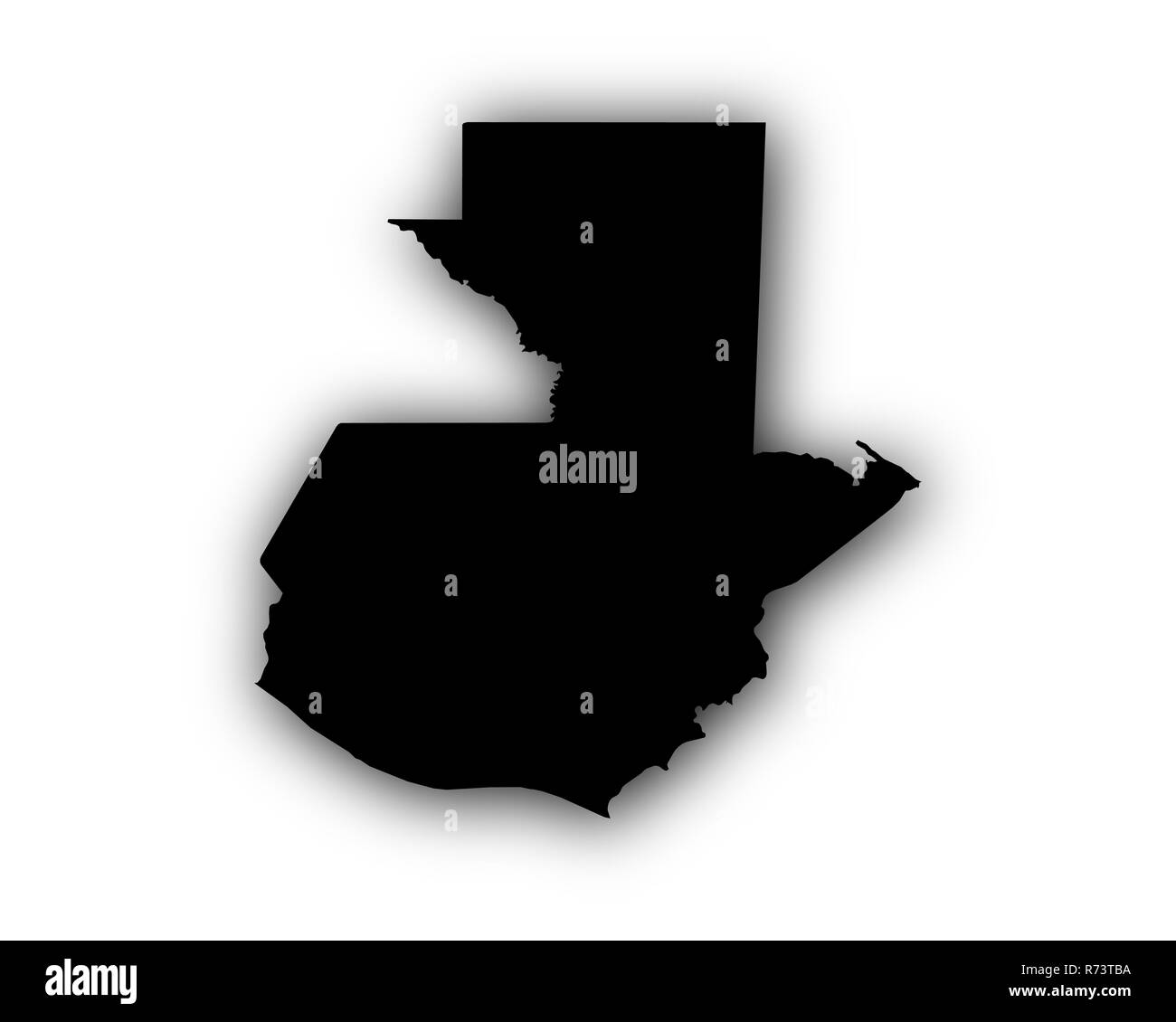 Stock Photohttps://www.alamy.com/image-license-details/?v=1https://www.alamy.com/-image228122366.html
RFR73TBA–
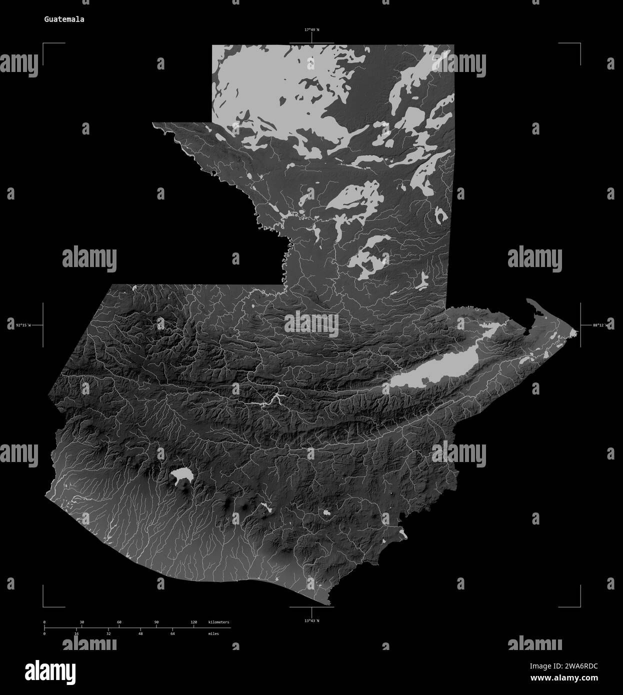 Shape of a Grayscale elevation map with lakes and rivers of the Guatemala, with distance scale and map border coordinates, isolated on black Stock Photohttps://www.alamy.com/image-license-details/?v=1https://www.alamy.com/shape-of-a-grayscale-elevation-map-with-lakes-and-rivers-of-the-guatemala-with-distance-scale-and-map-border-coordinates-isolated-on-black-image591449192.html
RF2WA6RDC–Shape of a Grayscale elevation map with lakes and rivers of the Guatemala, with distance scale and map border coordinates, isolated on black