Quick filters:
La valle map Stock Photos and Images
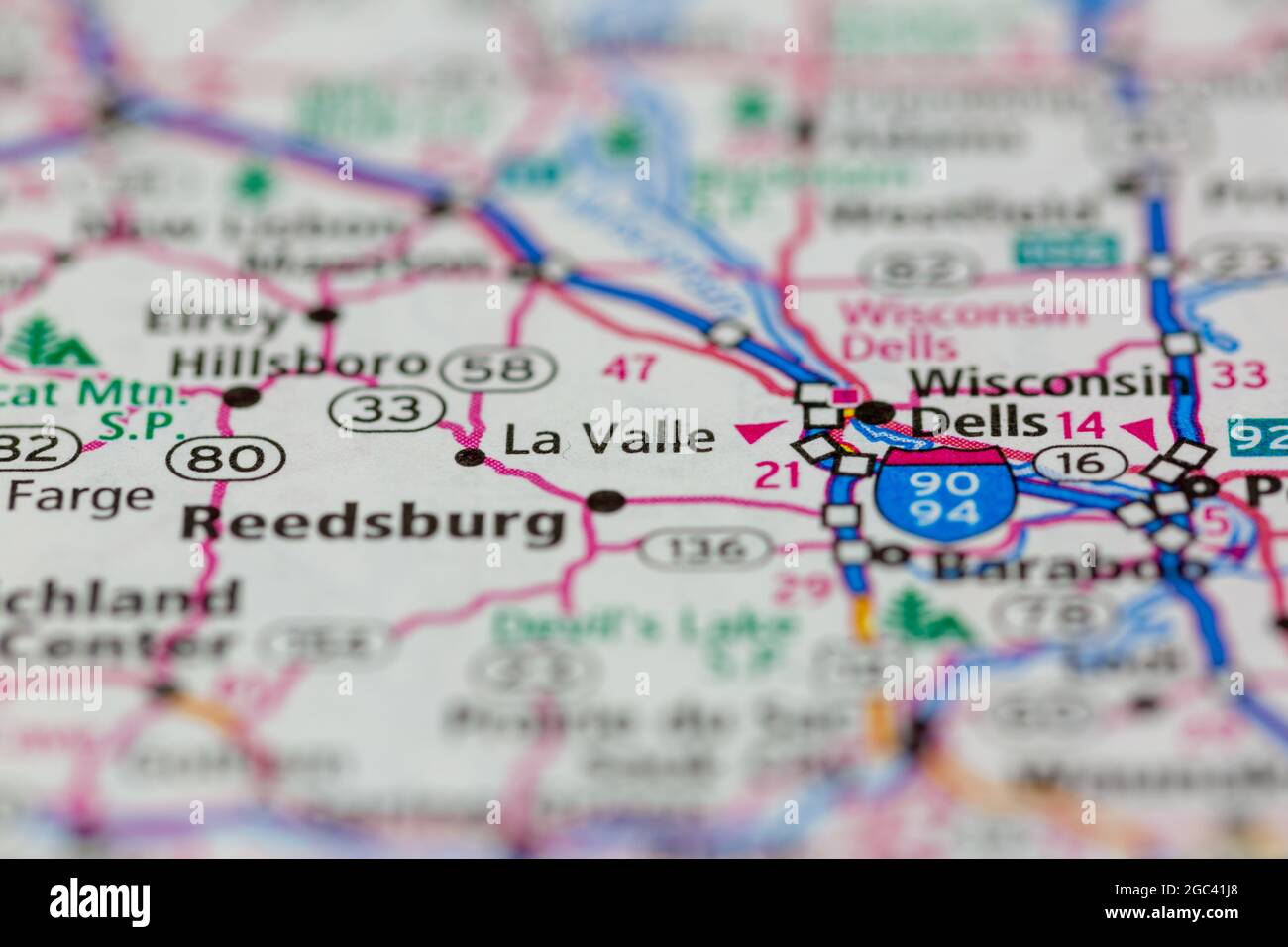 La Valle Wisconsin USA shown on a road map or Geography map Stock Photohttps://www.alamy.com/image-license-details/?v=1https://www.alamy.com/la-valle-wisconsin-usa-shown-on-a-road-map-or-geography-map-image437724176.html
RM2GC41J8–La Valle Wisconsin USA shown on a road map or Geography map
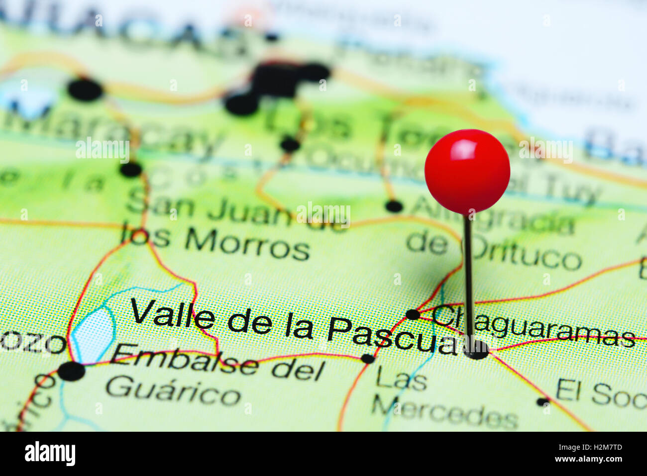 Valle de la Pascua pinned on a map of Venezuela Stock Photohttps://www.alamy.com/image-license-details/?v=1https://www.alamy.com/stock-photo-valle-de-la-pascua-pinned-on-a-map-of-venezuela-122147101.html
RFH2M7TD–Valle de la Pascua pinned on a map of Venezuela
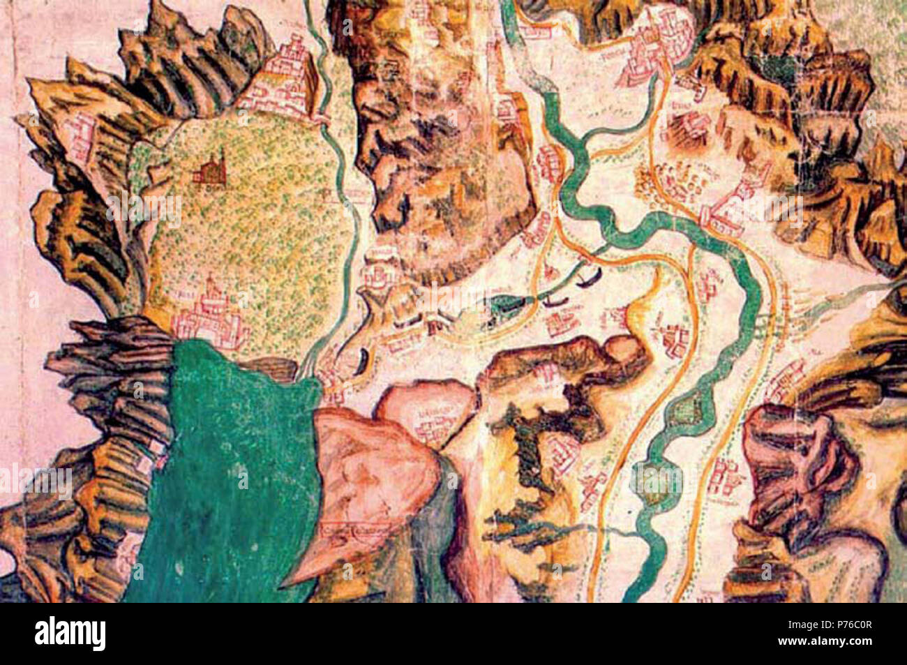 English: Galeas for Montes - Map of the route taken by the fleet through the valley of Loppio, by the Adige river to the Lake Garda Vèneto: Galeas per Montes - Mappa del percorso compiuto dalla flotta attraverso la valle di Loppio dal fiume Adige al lago di Garda Vèneto: Galeas per Montes - Mapa del percorso fato da la flota venesiana atraverso la vale de Lopio, dal fime Adexe al lago de Garda . Unknown date 12 Mappa galeas colori Stock Photohttps://www.alamy.com/image-license-details/?v=1https://www.alamy.com/english-galeas-for-montes-map-of-the-route-taken-by-the-fleet-through-the-valley-of-loppio-by-the-adige-river-to-the-lake-garda-vneto-galeas-per-montes-mappa-del-percorso-compiuto-dalla-flotta-attraverso-la-valle-di-loppio-dal-fiume-adige-al-lago-di-garda-vneto-galeas-per-montes-mapa-del-percorso-fato-da-la-flota-venesiana-atraverso-la-vale-de-lopio-dal-fime-adexe-al-lago-de-garda-unknown-date-12-mappa-galeas-colori-image210968151.html
RMP76C0R–English: Galeas for Montes - Map of the route taken by the fleet through the valley of Loppio, by the Adige river to the Lake Garda Vèneto: Galeas per Montes - Mappa del percorso compiuto dalla flotta attraverso la valle di Loppio dal fiume Adige al lago di Garda Vèneto: Galeas per Montes - Mapa del percorso fato da la flota venesiana atraverso la vale de Lopio, dal fime Adexe al lago de Garda . Unknown date 12 Mappa galeas colori
 Museo del Bicentenario - La Casa Rosada por Della Valle Stock Photohttps://www.alamy.com/image-license-details/?v=1https://www.alamy.com/stock-photo-museo-del-bicentenario-la-casa-rosada-por-della-valle-147605139.html
RMJG3YT3–Museo del Bicentenario - La Casa Rosada por Della Valle
 A map showing high-altitude vineyards in the Museo de la Vid y el Vino or Museum of the Vine and the Wine in Cafayate, Argentina. The Calchaqui Valle Stock Photohttps://www.alamy.com/image-license-details/?v=1https://www.alamy.com/a-map-showing-high-altitude-vineyards-in-the-museo-de-la-vid-y-el-vino-or-museum-of-the-vine-and-the-wine-in-cafayate-argentina-the-calchaqui-valle-image626098370.html
RM2YAH6T2–A map showing high-altitude vineyards in the Museo de la Vid y el Vino or Museum of the Vine and the Wine in Cafayate, Argentina. The Calchaqui Valle
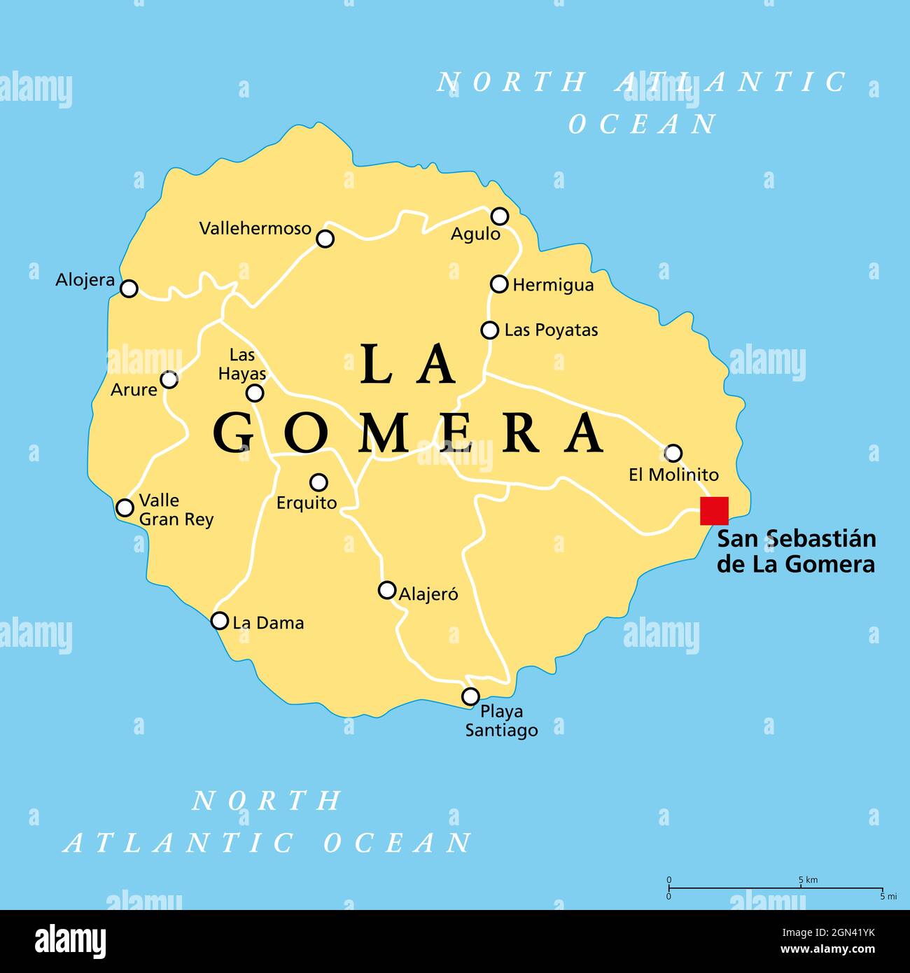 La Gomera island, political map, with capital San Sebastian de La Gomera. One of the Canary Islands, an archipelago and autonomous community of Spain. Stock Photohttps://www.alamy.com/image-license-details/?v=1https://www.alamy.com/la-gomera-island-political-map-with-capital-san-sebastian-de-la-gomera-one-of-the-canary-islands-an-archipelago-and-autonomous-community-of-spain-image443256343.html
RF2GN41YK–La Gomera island, political map, with capital San Sebastian de La Gomera. One of the Canary Islands, an archipelago and autonomous community of Spain.
 Fosso la Valle, IT, Italy, Tuscany, N 42 46' 0'', N 10 52' 59'', map, Cartascapes Map published in 2024. Explore Cartascapes, a map revealing Earth's diverse landscapes, cultures, and ecosystems. Journey through time and space, discovering the interconnectedness of our planet's past, present, and future. Stock Photohttps://www.alamy.com/image-license-details/?v=1https://www.alamy.com/fosso-la-valle-it-italy-tuscany-n-42-46-0-n-10-52-59-map-cartascapes-map-published-in-2024-explore-cartascapes-a-map-revealing-earths-diverse-landscapes-cultures-and-ecosystems-journey-through-time-and-space-discovering-the-interconnectedness-of-our-planets-past-present-and-future-image614512700.html
RM2XKND64–Fosso la Valle, IT, Italy, Tuscany, N 42 46' 0'', N 10 52' 59'', map, Cartascapes Map published in 2024. Explore Cartascapes, a map revealing Earth's diverse landscapes, cultures, and ecosystems. Journey through time and space, discovering the interconnectedness of our planet's past, present, and future.
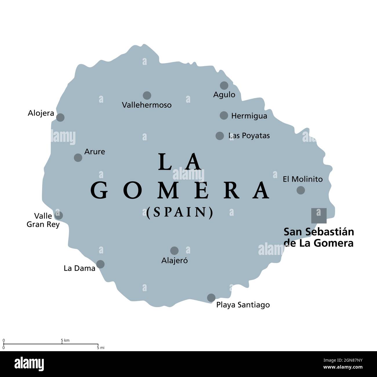 La Gomera island, gray political map with capital San Sebastian de La Gomera. Part of Canary Islands, an archipelago and autonomous community of Spain Stock Photohttps://www.alamy.com/image-license-details/?v=1https://www.alamy.com/la-gomera-island-gray-political-map-with-capital-san-sebastian-de-la-gomera-part-of-canary-islands-an-archipelago-and-autonomous-community-of-spain-image443348695.html
RF2GN87NY–La Gomera island, gray political map with capital San Sebastian de La Gomera. Part of Canary Islands, an archipelago and autonomous community of Spain
 Printable street map of Valle de La Pascua, Venezuela. Map template for business use. Stock Vectorhttps://www.alamy.com/image-license-details/?v=1https://www.alamy.com/printable-street-map-of-valle-de-la-pascua-venezuela-map-template-for-business-use-image333125085.html
RF2A9Y4CD–Printable street map of Valle de La Pascua, Venezuela. Map template for business use.
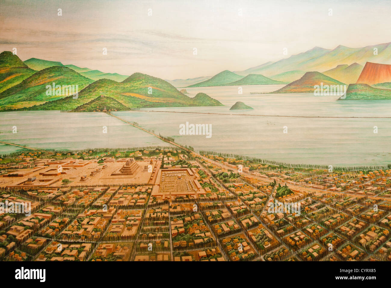 Section of 'Plano de Mexico Tenochtitlan - el valle y los lagos en el siglo XV' by Luis Covarrubias (1963) Stock Photohttps://www.alamy.com/image-license-details/?v=1https://www.alamy.com/stock-photo-section-of-plano-de-mexico-tenochtitlan-el-valle-y-los-lagos-en-el-51541957.html
RMCYRX85–Section of 'Plano de Mexico Tenochtitlan - el valle y los lagos en el siglo XV' by Luis Covarrubias (1963)
![CARTA, Toppograffica Dimonstratiua, della Valle di Stura, Cominciando dal Luogo Sopra il Colle detto La Madellena sino a Demonte Author Nigri 76.34. Place of publication: [Turin?], Date of publication: [around 1715?] Item type: 1 map Medium: ink and watercolour Dimensions: 84.9 x 45.8 cm Former owner: George III, King of Great Britain, 1738-1820 Stock Photo CARTA, Toppograffica Dimonstratiua, della Valle di Stura, Cominciando dal Luogo Sopra il Colle detto La Madellena sino a Demonte Author Nigri 76.34. Place of publication: [Turin?], Date of publication: [around 1715?] Item type: 1 map Medium: ink and watercolour Dimensions: 84.9 x 45.8 cm Former owner: George III, King of Great Britain, 1738-1820 Stock Photo](https://c8.alamy.com/comp/2E9FHBD/carta-toppograffica-dimonstratiua-della-valle-di-stura-cominciando-dal-luogo-sopra-il-colle-detto-la-madellena-sino-a-demonte-author-nigri-7634-place-of-publication-turin-date-of-publication-around-1715-item-type-1-map-medium-ink-and-watercolour-dimensions-849-x-458-cm-former-owner-george-iii-king-of-great-britain-1738-1820-2E9FHBD.jpg) CARTA, Toppograffica Dimonstratiua, della Valle di Stura, Cominciando dal Luogo Sopra il Colle detto La Madellena sino a Demonte Author Nigri 76.34. Place of publication: [Turin?], Date of publication: [around 1715?] Item type: 1 map Medium: ink and watercolour Dimensions: 84.9 x 45.8 cm Former owner: George III, King of Great Britain, 1738-1820 Stock Photohttps://www.alamy.com/image-license-details/?v=1https://www.alamy.com/carta-toppograffica-dimonstratiua-della-valle-di-stura-cominciando-dal-luogo-sopra-il-colle-detto-la-madellena-sino-a-demonte-author-nigri-7634-place-of-publication-turin-date-of-publication-around-1715-item-type-1-map-medium-ink-and-watercolour-dimensions-849-x-458-cm-former-owner-george-iii-king-of-great-britain-1738-1820-image401713297.html
CARTA, Toppograffica Dimonstratiua, della Valle di Stura, Cominciando dal Luogo Sopra il Colle detto La Madellena sino a Demonte Author Nigri 76.34. Place of publication: [Turin?], Date of publication: [around 1715?] Item type: 1 map Medium: ink and watercolour Dimensions: 84.9 x 45.8 cm Former owner: George III, King of Great Britain, 1738-1820 Stock Photohttps://www.alamy.com/image-license-details/?v=1https://www.alamy.com/carta-toppograffica-dimonstratiua-della-valle-di-stura-cominciando-dal-luogo-sopra-il-colle-detto-la-madellena-sino-a-demonte-author-nigri-7634-place-of-publication-turin-date-of-publication-around-1715-item-type-1-map-medium-ink-and-watercolour-dimensions-849-x-458-cm-former-owner-george-iii-king-of-great-britain-1738-1820-image401713297.htmlRM2E9FHBD–CARTA, Toppograffica Dimonstratiua, della Valle di Stura, Cominciando dal Luogo Sopra il Colle detto La Madellena sino a Demonte Author Nigri 76.34. Place of publication: [Turin?], Date of publication: [around 1715?] Item type: 1 map Medium: ink and watercolour Dimensions: 84.9 x 45.8 cm Former owner: George III, King of Great Britain, 1738-1820
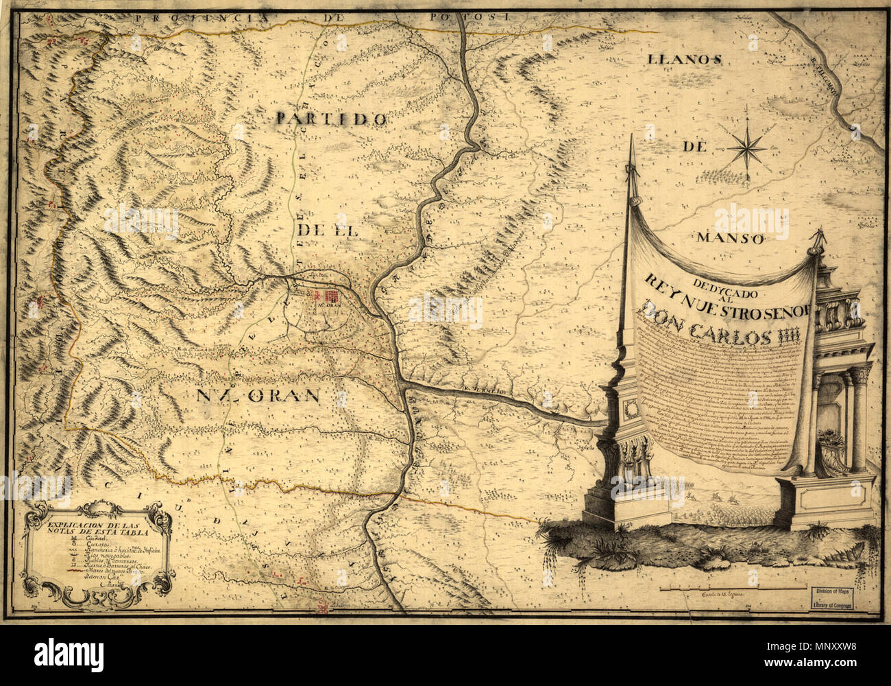 Русский: Топографическая карта долины де Сента Français : Carte topographique de la vallée de Centa English: Topographic Map of De Centa Valley 中文: De Centa谷地形图 Português: Mapa topográfico do Vale de Centa العربية: خريطة طوبوغرافية لوادي دي سانتا Español: Mapa topográfico del Valle de Centa . Русский: На этой точной и искусно выполненной испанской картеконца XVIII века изображена территория города Оран на крайнем севере Аргентины. Целью издания данной карты была попытка привлечь потенциальных переселенцев в этот регион. Карта была составлена по приказу Рамона Гарсия де Леон-и-Писарро, губерна Stock Photohttps://www.alamy.com/image-license-details/?v=1https://www.alamy.com/franais-carte-topographique-de-la-valle-de-centa-english-topographic-map-of-de-centa-valley-de-centa-portugus-mapa-topogrfico-do-vale-de-centa-espaol-mapa-topogrfico-del-valle-de-centa-xviii-image185603300.html
RMMNXXW8–Русский: Топографическая карта долины де Сента Français : Carte topographique de la vallée de Centa English: Topographic Map of De Centa Valley 中文: De Centa谷地形图 Português: Mapa topográfico do Vale de Centa العربية: خريطة طوبوغرافية لوادي دي سانتا Español: Mapa topográfico del Valle de Centa . Русский: На этой точной и искусно выполненной испанской картеконца XVIII века изображена территория города Оран на крайнем севере Аргентины. Целью издания данной карты была попытка привлечь потенциальных переселенцев в этот регион. Карта была составлена по приказу Рамона Гарсия де Леон-и-Писарро, губерна
 MAPA DE PUEBLO IZTILAPAXIC-ANTEQUERA-VALLE DE GU. Location: ACADEMIA DE LA HISTORIA-COLECCION, MADRID, SPAIN. Stock Photohttps://www.alamy.com/image-license-details/?v=1https://www.alamy.com/mapa-de-pueblo-iztilapaxic-antequera-valle-de-gu-location-academia-de-la-historia-coleccion-madrid-spain-image209131102.html
RMP46MRX–MAPA DE PUEBLO IZTILAPAXIC-ANTEQUERA-VALLE DE GU. Location: ACADEMIA DE LA HISTORIA-COLECCION, MADRID, SPAIN.
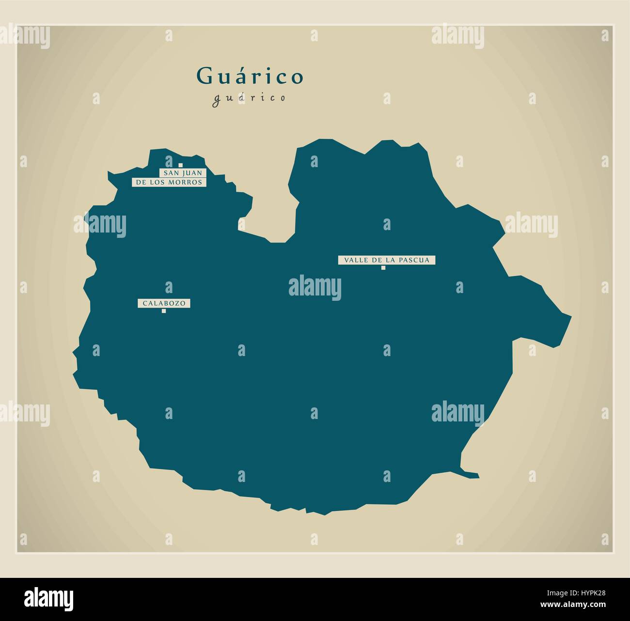 Modern Map - Guarico VE Stock Vectorhttps://www.alamy.com/image-license-details/?v=1https://www.alamy.com/stock-photo-modern-map-guarico-ve-137566192.html
RFHYPK28–Modern Map - Guarico VE
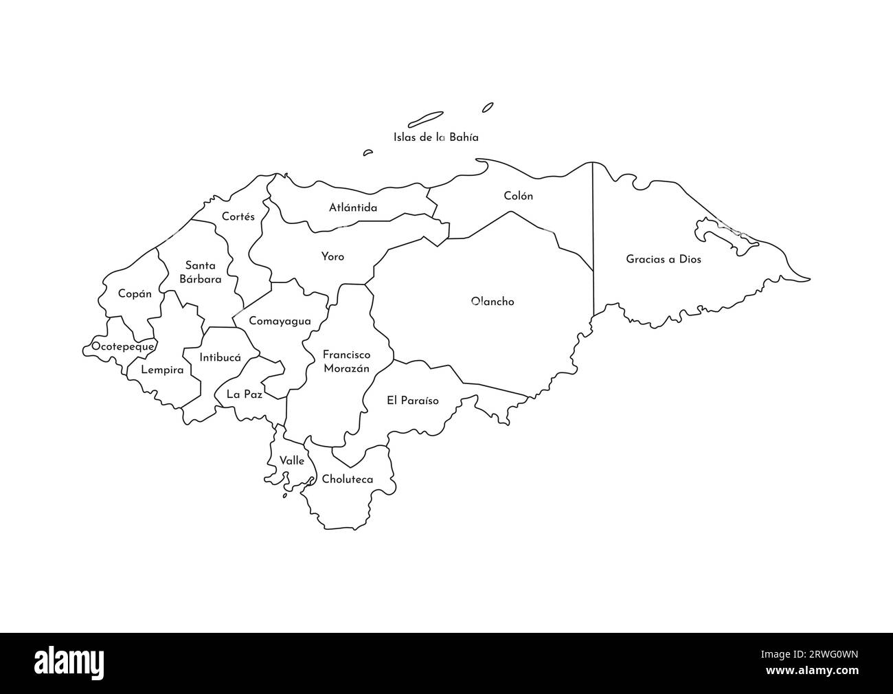 Vector isolated illustration of simplified administrative map of Honduras. Borders and names of the departments (regions). Black line silhouettes. Stock Vectorhttps://www.alamy.com/image-license-details/?v=1https://www.alamy.com/vector-isolated-illustration-of-simplified-administrative-map-of-honduras-borders-and-names-of-the-departments-regions-black-line-silhouettes-image566450129.html
RF2RWG0WN–Vector isolated illustration of simplified administrative map of Honduras. Borders and names of the departments (regions). Black line silhouettes.
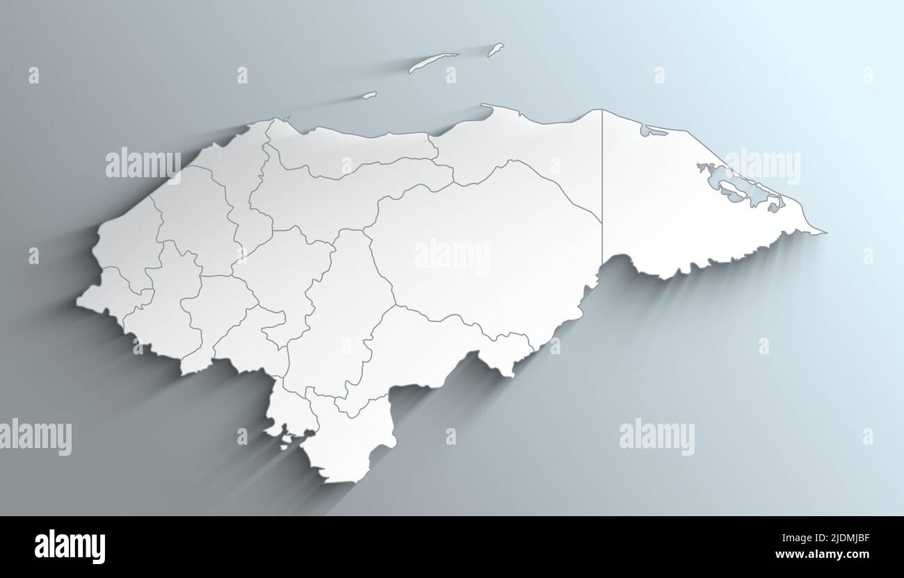 Geographical Map of Honduras with Departments with Counties with Regions with Shadows Stock Photohttps://www.alamy.com/image-license-details/?v=1https://www.alamy.com/geographical-map-of-honduras-with-departments-with-counties-with-regions-with-shadows-image473123939.html
RF2JDMJBF–Geographical Map of Honduras with Departments with Counties with Regions with Shadows
 La Rioja, province of Argentina. Open Street Map Stock Photohttps://www.alamy.com/image-license-details/?v=1https://www.alamy.com/la-rioja-province-of-argentina-open-street-map-image482080991.html
RF2K08K67–La Rioja, province of Argentina. Open Street Map
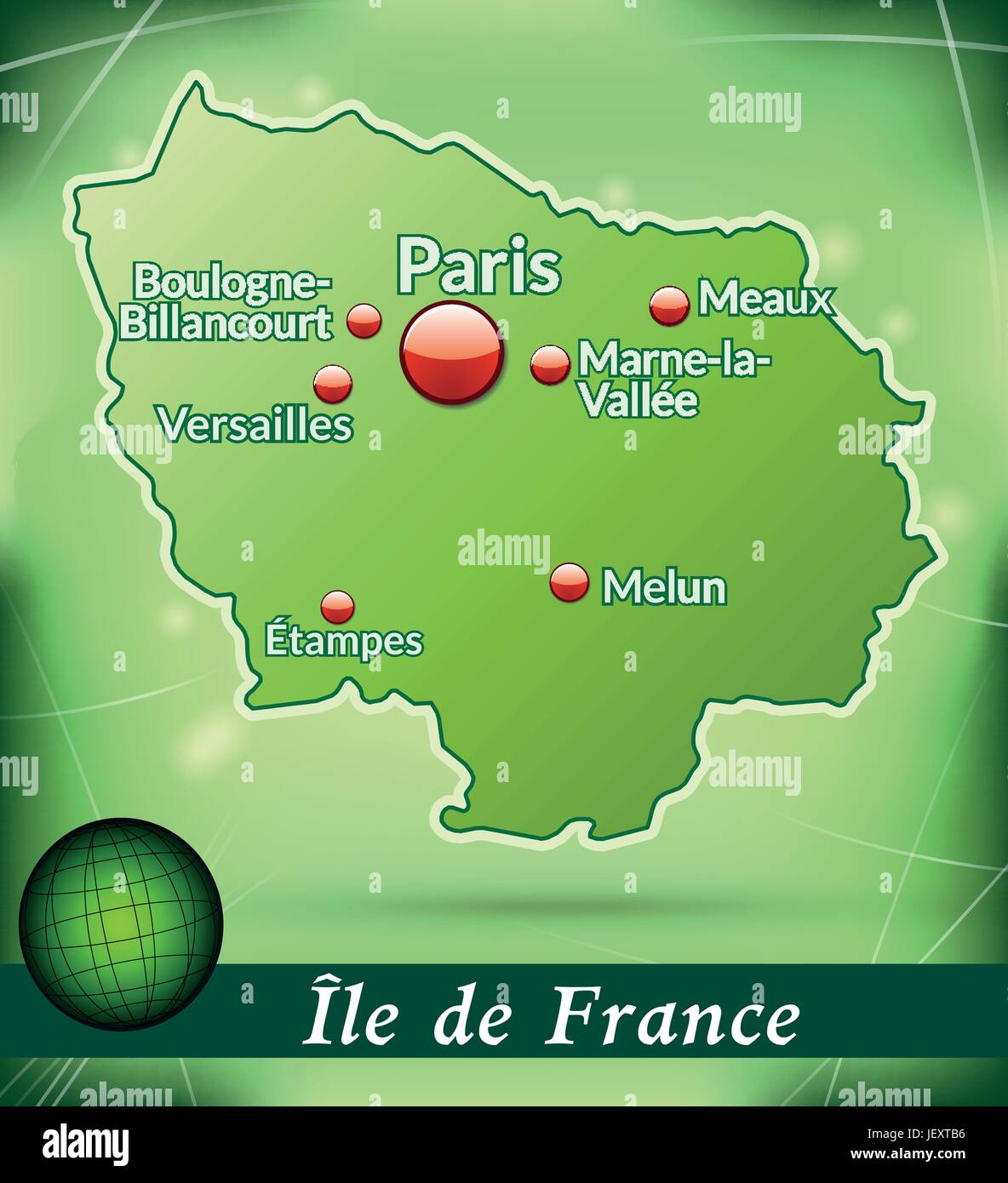
 island map of le-de-france abstract background in violet Stock Vectorhttps://www.alamy.com/image-license-details/?v=1https://www.alamy.com/stock-photo-island-map-of-le-de-france-abstract-background-in-violet-146900734.html
RFJEYWAP–island map of le-de-france abstract background in violet
 WI La Valle 20100716 TM Restoration Stock Photohttps://www.alamy.com/image-license-details/?v=1https://www.alamy.com/wi-la-valle-20100716-tm-restoration-image335905486.html
RM2AEDPTE–WI La Valle 20100716 TM Restoration
 La Valle Wisconsin USA shown on a road map or Geography map Stock Photohttps://www.alamy.com/image-license-details/?v=1https://www.alamy.com/la-valle-wisconsin-usa-shown-on-a-road-map-or-geography-map-image437723254.html
RM2GC40DA–La Valle Wisconsin USA shown on a road map or Geography map
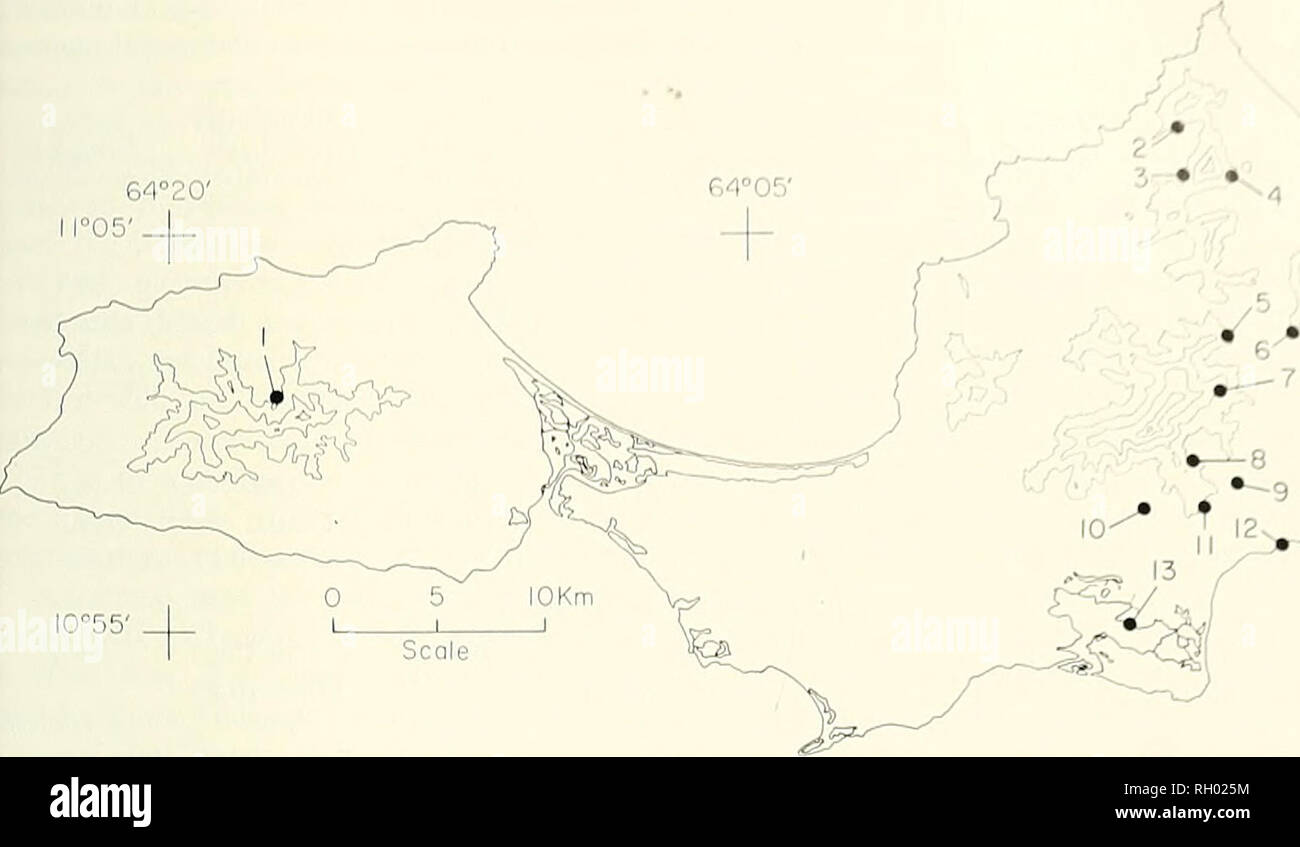 . Bulletin. Science; Natural history; Natural history. 1974 HATS I-ROM MARGARITA ISLAND. VENEZU 64°20 ll°05' J . IO°55' Figure I. Map showing localities mentioned in text: 1, San Francisco de Macanao: 2. Cerro Tragaplata; 3, La Estancia; 4, Paraguachi; 5, Salamanca: 6, Cerro Matasiete: 7. La Asuncion; 8, Guatamare; 9, La Aguada; 10, Hacienda Ochenta; 11, El Valle: 12. Porlamar: 13, Laguna Marites. The 200 meter contours also are indicated. and to Susan Payne for preparation of illus- trations and typing the manuscript. We are in- debted to the following institutions and persons for the loan of Stock Photohttps://www.alamy.com/image-license-details/?v=1https://www.alamy.com/bulletin-science-natural-history-natural-history-1974-hats-i-rom-margarita-island-venezu-6420-ll05-j-io55-figure-i-map-showing-localities-mentioned-in-text-1-san-francisco-de-macanao-2-cerro-tragaplata-3-la-estancia-4-paraguachi-5-salamanca-6-cerro-matasiete-7-la-asuncion-8-guatamare-9-la-aguada-10-hacienda-ochenta-11-el-valle-12-porlamar-13-laguna-marites-the-200-meter-contours-also-are-indicated-and-to-susan-payne-for-preparation-of-illus-trations-and-typing-the-manuscript-we-are-in-debted-to-the-following-institutions-and-persons-for-the-loan-of-image234185664.html
RMRH025M–. Bulletin. Science; Natural history; Natural history. 1974 HATS I-ROM MARGARITA ISLAND. VENEZU 64°20 ll°05' J . IO°55' Figure I. Map showing localities mentioned in text: 1, San Francisco de Macanao: 2. Cerro Tragaplata; 3, La Estancia; 4, Paraguachi; 5, Salamanca: 6, Cerro Matasiete: 7. La Asuncion; 8, Guatamare; 9, La Aguada; 10, Hacienda Ochenta; 11, El Valle: 12. Porlamar: 13, Laguna Marites. The 200 meter contours also are indicated. and to Susan Payne for preparation of illus- trations and typing the manuscript. We are in- debted to the following institutions and persons for the loan of
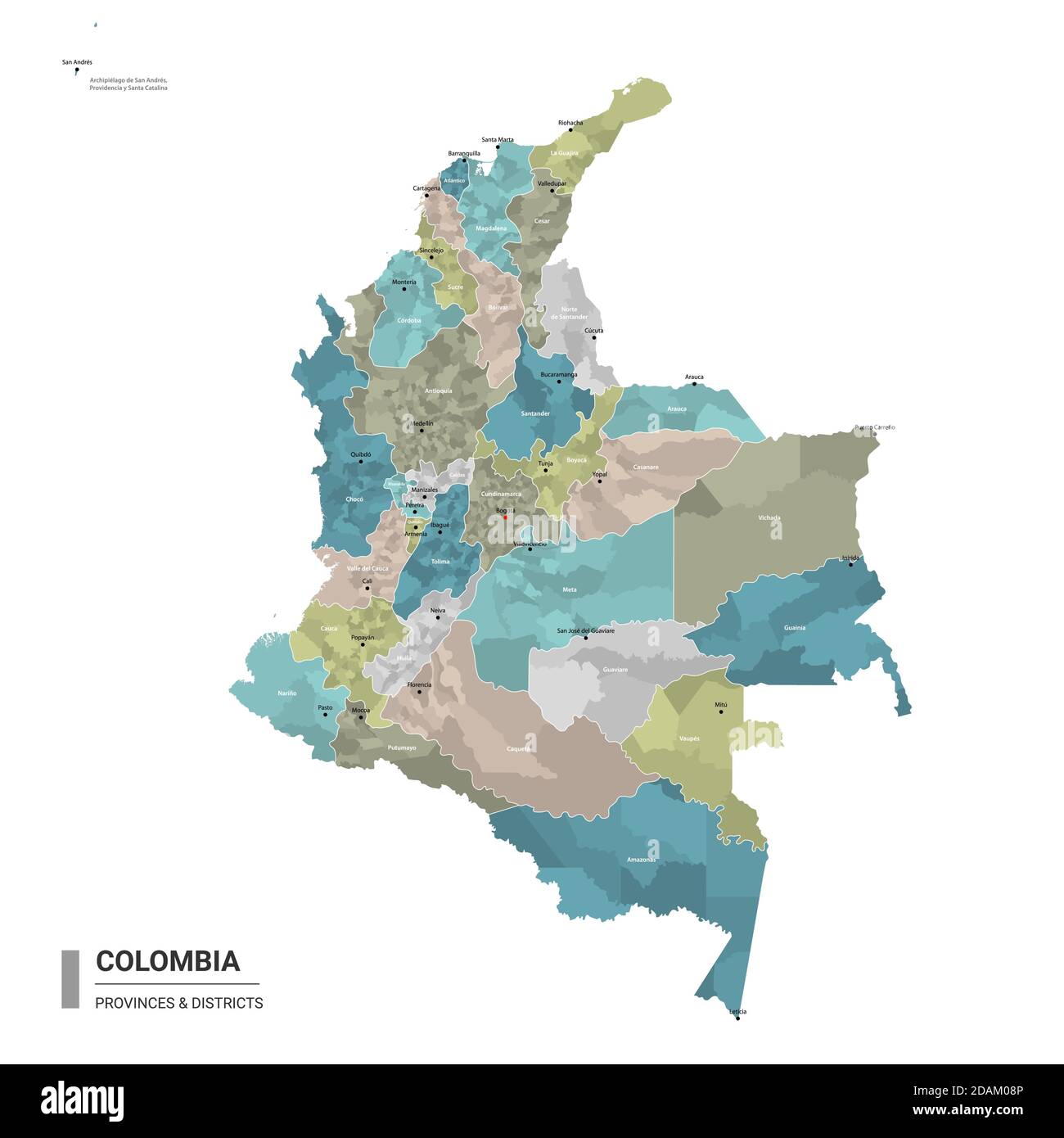 Colombia higt detailed map with subdivisions. Administrative map of Colombia with districts and cities name, colored by states and administrative dist Stock Vectorhttps://www.alamy.com/image-license-details/?v=1https://www.alamy.com/colombia-higt-detailed-map-with-subdivisions-administrative-map-of-colombia-with-districts-and-cities-name-colored-by-states-and-administrative-dist-image385213942.html
RF2DAM08P–Colombia higt detailed map with subdivisions. Administrative map of Colombia with districts and cities name, colored by states and administrative dist
 Museo del Bicentenario - La Casa Rosada por Della Valle (2) Stock Photohttps://www.alamy.com/image-license-details/?v=1https://www.alamy.com/stock-photo-museo-del-bicentenario-la-casa-rosada-por-della-valle-2-147605140.html
RMJG3YT4–Museo del Bicentenario - La Casa Rosada por Della Valle (2)
 Denombrement de la valle de barcelonnette 1763 Stock Photohttps://www.alamy.com/image-license-details/?v=1https://www.alamy.com/stock-photo-denombrement-de-la-valle-de-barcelonnette-1763-142496742.html
RMJ7R81A–Denombrement de la valle de barcelonnette 1763
 La Singla, Valle d'Aosta, IT, Italy, Aosta Valley, N 45 56' 44'', N 7 28' 18'', map, Cartascapes Map published in 2024. Explore Cartascapes, a map revealing Earth's diverse landscapes, cultures, and ecosystems. Journey through time and space, discovering the interconnectedness of our planet's past, present, and future. Stock Photohttps://www.alamy.com/image-license-details/?v=1https://www.alamy.com/la-singla-valle-daosta-it-italy-aosta-valley-n-45-56-44-n-7-28-18-map-cartascapes-map-published-in-2024-explore-cartascapes-a-map-revealing-earths-diverse-landscapes-cultures-and-ecosystems-journey-through-time-and-space-discovering-the-interconnectedness-of-our-planets-past-present-and-future-image614492294.html
RM2XKMF5A–La Singla, Valle d'Aosta, IT, Italy, Aosta Valley, N 45 56' 44'', N 7 28' 18'', map, Cartascapes Map published in 2024. Explore Cartascapes, a map revealing Earth's diverse landscapes, cultures, and ecosystems. Journey through time and space, discovering the interconnectedness of our planet's past, present, and future.
![La Veneta Laguna antica e moderna novamente delineata e distinta nelle sue Isole, Valle e Canali quali si trovano al presente, unitamente al confronto della stessa Laguna, qual era ne'tempi della Fondazione di Vene Author Viero, Teodoro 78.61. Place of publication: [Venice?] Publisher: Appo. Teodoro Viero, Date of publication: 1799. Item type: 1 map Medium: copperplate engraving Dimensions: 42 x 61 Former owner: George III, King of Great Britain, 1738-1820 Stock Photo La Veneta Laguna antica e moderna novamente delineata e distinta nelle sue Isole, Valle e Canali quali si trovano al presente, unitamente al confronto della stessa Laguna, qual era ne'tempi della Fondazione di Vene Author Viero, Teodoro 78.61. Place of publication: [Venice?] Publisher: Appo. Teodoro Viero, Date of publication: 1799. Item type: 1 map Medium: copperplate engraving Dimensions: 42 x 61 Former owner: George III, King of Great Britain, 1738-1820 Stock Photo](https://c8.alamy.com/comp/2E9FJW6/la-veneta-laguna-antica-e-moderna-novamente-delineata-e-distinta-nelle-sue-isole-valle-e-canali-quali-si-trovano-al-presente-unitamente-al-confronto-della-stessa-laguna-qual-era-netempi-della-fondazione-di-vene-author-viero-teodoro-7861-place-of-publication-venice-publisher-appo-teodoro-viero-date-of-publication-1799-item-type-1-map-medium-copperplate-engraving-dimensions-42-x-61-former-owner-george-iii-king-of-great-britain-1738-1820-2E9FJW6.jpg) La Veneta Laguna antica e moderna novamente delineata e distinta nelle sue Isole, Valle e Canali quali si trovano al presente, unitamente al confronto della stessa Laguna, qual era ne'tempi della Fondazione di Vene Author Viero, Teodoro 78.61. Place of publication: [Venice?] Publisher: Appo. Teodoro Viero, Date of publication: 1799. Item type: 1 map Medium: copperplate engraving Dimensions: 42 x 61 Former owner: George III, King of Great Britain, 1738-1820 Stock Photohttps://www.alamy.com/image-license-details/?v=1https://www.alamy.com/la-veneta-laguna-antica-e-moderna-novamente-delineata-e-distinta-nelle-sue-isole-valle-e-canali-quali-si-trovano-al-presente-unitamente-al-confronto-della-stessa-laguna-qual-era-netempi-della-fondazione-di-vene-author-viero-teodoro-7861-place-of-publication-venice-publisher-appo-teodoro-viero-date-of-publication-1799-item-type-1-map-medium-copperplate-engraving-dimensions-42-x-61-former-owner-george-iii-king-of-great-britain-1738-1820-image401714466.html
La Veneta Laguna antica e moderna novamente delineata e distinta nelle sue Isole, Valle e Canali quali si trovano al presente, unitamente al confronto della stessa Laguna, qual era ne'tempi della Fondazione di Vene Author Viero, Teodoro 78.61. Place of publication: [Venice?] Publisher: Appo. Teodoro Viero, Date of publication: 1799. Item type: 1 map Medium: copperplate engraving Dimensions: 42 x 61 Former owner: George III, King of Great Britain, 1738-1820 Stock Photohttps://www.alamy.com/image-license-details/?v=1https://www.alamy.com/la-veneta-laguna-antica-e-moderna-novamente-delineata-e-distinta-nelle-sue-isole-valle-e-canali-quali-si-trovano-al-presente-unitamente-al-confronto-della-stessa-laguna-qual-era-netempi-della-fondazione-di-vene-author-viero-teodoro-7861-place-of-publication-venice-publisher-appo-teodoro-viero-date-of-publication-1799-item-type-1-map-medium-copperplate-engraving-dimensions-42-x-61-former-owner-george-iii-king-of-great-britain-1738-1820-image401714466.htmlRM2E9FJW6–La Veneta Laguna antica e moderna novamente delineata e distinta nelle sue Isole, Valle e Canali quali si trovano al presente, unitamente al confronto della stessa Laguna, qual era ne'tempi della Fondazione di Vene Author Viero, Teodoro 78.61. Place of publication: [Venice?] Publisher: Appo. Teodoro Viero, Date of publication: 1799. Item type: 1 map Medium: copperplate engraving Dimensions: 42 x 61 Former owner: George III, King of Great Britain, 1738-1820
 AMERICA DEL SUR. PERU. SIGLO XVIII. PLANO DE LA RADA DE ARICA. Situado en la costa del Perú, a 18,29 grados de latitud Austral y Plano de la villa de Arica, vista general, con el poblado de San Miguel de Sapa, Rada de Arica, Valle de Arica y otros detalles situados en un plano o mapa del año 1879 que pasó a pertenecer a Chile. Grabado francés del año 1716. Biblioteca de Cataluña. Barcelona. Stock Photohttps://www.alamy.com/image-license-details/?v=1https://www.alamy.com/america-del-sur-peru-siglo-xviii-plano-de-la-rada-de-arica-situado-en-la-costa-del-per-a-1829-grados-de-latitud-austral-y-plano-de-la-villa-de-arica-vista-general-con-el-poblado-de-san-miguel-de-sapa-rada-de-arica-valle-de-arica-y-otros-detalles-situados-en-un-plano-o-mapa-del-ao-1879-que-pas-a-pertenecer-a-chile-grabado-francs-del-ao-1716-biblioteca-de-catalua-barcelona-image209661861.html
RMP52WRH–AMERICA DEL SUR. PERU. SIGLO XVIII. PLANO DE LA RADA DE ARICA. Situado en la costa del Perú, a 18,29 grados de latitud Austral y Plano de la villa de Arica, vista general, con el poblado de San Miguel de Sapa, Rada de Arica, Valle de Arica y otros detalles situados en un plano o mapa del año 1879 que pasó a pertenecer a Chile. Grabado francés del año 1716. Biblioteca de Cataluña. Barcelona.
 Vector isolated illustration of simplified administrative map of Honduras. Borders of the departments (regions). Colorful blue khaki silhouettes. Stock Vectorhttps://www.alamy.com/image-license-details/?v=1https://www.alamy.com/vector-isolated-illustration-of-simplified-administrative-map-of-honduras-borders-of-the-departments-regions-colorful-blue-khaki-silhouettes-image566450117.html
RF2RWG0W9–Vector isolated illustration of simplified administrative map of Honduras. Borders of the departments (regions). Colorful blue khaki silhouettes.
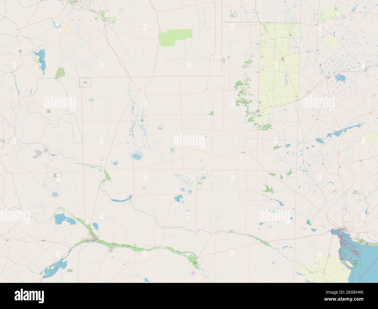 La Pampa, province of Argentina. Open Street Map Stock Photohttps://www.alamy.com/image-license-details/?v=1https://www.alamy.com/la-pampa-province-of-argentina-open-street-map-image482079379.html
RF2K08H4K–La Pampa, province of Argentina. Open Street Map
 island map of le-de-france abstract background in blue Stock Vectorhttps://www.alamy.com/image-license-details/?v=1https://www.alamy.com/stock-photo-island-map-of-le-de-france-abstract-background-in-blue-146877657.html
RFJEXRXH–island map of le-de-france abstract background in blue
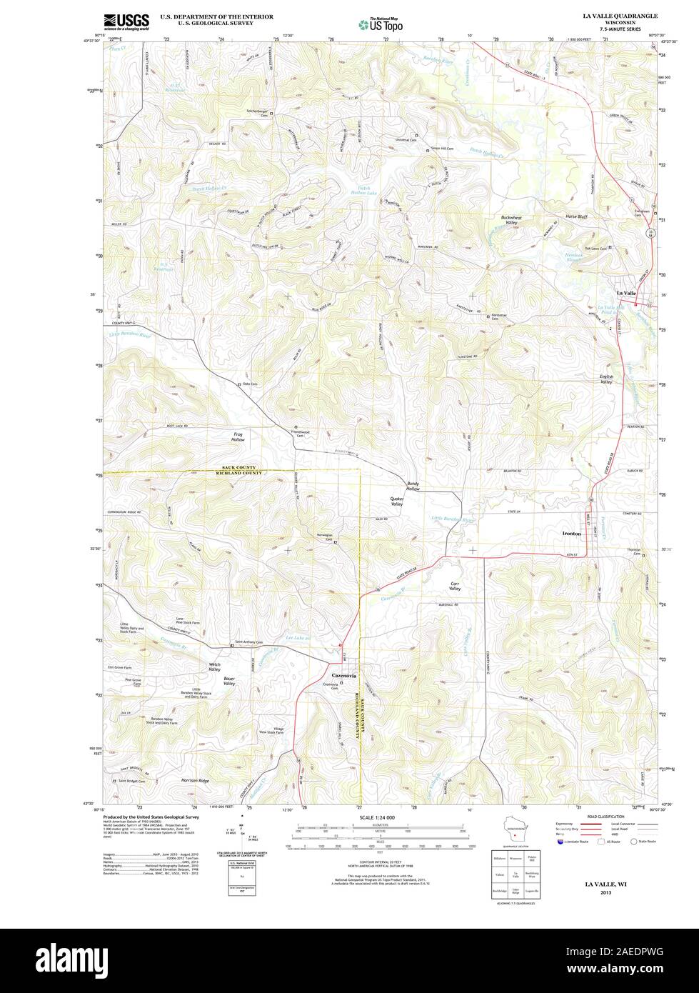 WI La Valle 20130612 TM Restoration Stock Photohttps://www.alamy.com/image-license-details/?v=1https://www.alamy.com/wi-la-valle-20130612-tm-restoration-image335905516.html
RM2AEDPWG–WI La Valle 20130612 TM Restoration
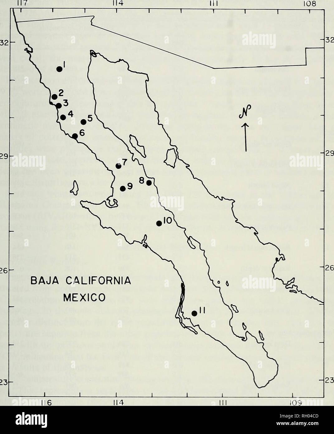 . Bulletin. Science; Natural history; Natural history. ECOLOGY OF BAJA CALIFORNIA DIPODOMYS 61 -32 29 -29. 26 BAJA CALIFORNIA MEXICO 23- Fig. 1. Map of the 11 localities in Baja California, Mexico, where kangaroo rats {Dipodomys igilis) used in this study were collected. Numeral identifications, code names, nearest weather station [from Hastings and Humphrey, 1969), elevations, latitudes, and longitudes are: 1) TRINIDAD Valle de la Trinidad, 900 m, 31°10'30"N, 115°46'30'W; 2) ESCOAGIL Las Escobas, 24 m, 30°20'30", 115°53'30"; 3) SOCORRO El Socorro, 10 m, 30°20'00", 115°49'0 Stock Photohttps://www.alamy.com/image-license-details/?v=1https://www.alamy.com/bulletin-science-natural-history-natural-history-ecology-of-baja-california-dipodomys-61-32-29-29-26-baja-california-mexico-23-fig-1-map-of-the-11-localities-in-baja-california-mexico-where-kangaroo-rats-dipodomys-igilis-used-in-this-study-were-collected-numeral-identifications-code-names-nearest-weather-station-from-hastings-and-humphrey-1969-elevations-latitudes-and-longitudes-are-1-trinidad-valle-de-la-trinidad-900-m-311030quotn-1154630w-2-escoagil-las-escobas-24-m-302030quot-1155330quot-3-socorro-el-socorro-10-m-302000quot-115490-image234187421.html
RMRH04CD–. Bulletin. Science; Natural history; Natural history. ECOLOGY OF BAJA CALIFORNIA DIPODOMYS 61 -32 29 -29. 26 BAJA CALIFORNIA MEXICO 23- Fig. 1. Map of the 11 localities in Baja California, Mexico, where kangaroo rats {Dipodomys igilis) used in this study were collected. Numeral identifications, code names, nearest weather station [from Hastings and Humphrey, 1969), elevations, latitudes, and longitudes are: 1) TRINIDAD Valle de la Trinidad, 900 m, 31°10'30"N, 115°46'30'W; 2) ESCOAGIL Las Escobas, 24 m, 30°20'30", 115°53'30"; 3) SOCORRO El Socorro, 10 m, 30°20'00", 115°49'0
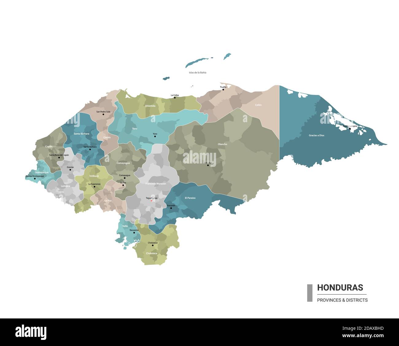 Honduras higt detailed map with subdivisions. Administrative map of Honduras with districts and cities name, colored by states and administrative dist Stock Vectorhttps://www.alamy.com/image-license-details/?v=1https://www.alamy.com/honduras-higt-detailed-map-with-subdivisions-administrative-map-of-honduras-with-districts-and-cities-name-colored-by-states-and-administrative-dist-image385354521.html
RF2DAXBHD–Honduras higt detailed map with subdivisions. Administrative map of Honduras with districts and cities name, colored by states and administrative dist
 Valle di Tempe verso la Macedonia Pomardi Simone 1820 Stock Photohttps://www.alamy.com/image-license-details/?v=1https://www.alamy.com/stock-photo-valle-di-tempe-verso-la-macedonia-pomardi-simone-1820-140717597.html
RMJ4X6MD–Valle di Tempe verso la Macedonia Pomardi Simone 1820
 La Magdeleine, Valle d'Aosta, IT, Italy, Aosta Valley, N 45 48' 35'', N 7 37' 7'', map, Cartascapes Map published in 2024. Explore Cartascapes, a map revealing Earth's diverse landscapes, cultures, and ecosystems. Journey through time and space, discovering the interconnectedness of our planet's past, present, and future. Stock Photohttps://www.alamy.com/image-license-details/?v=1https://www.alamy.com/la-magdeleine-valle-daosta-it-italy-aosta-valley-n-45-48-35-n-7-37-7-map-cartascapes-map-published-in-2024-explore-cartascapes-a-map-revealing-earths-diverse-landscapes-cultures-and-ecosystems-journey-through-time-and-space-discovering-the-interconnectedness-of-our-planets-past-present-and-future-image614543605.html
RM2XKPTHW–La Magdeleine, Valle d'Aosta, IT, Italy, Aosta Valley, N 45 48' 35'', N 7 37' 7'', map, Cartascapes Map published in 2024. Explore Cartascapes, a map revealing Earth's diverse landscapes, cultures, and ecosystems. Journey through time and space, discovering the interconnectedness of our planet's past, present, and future.
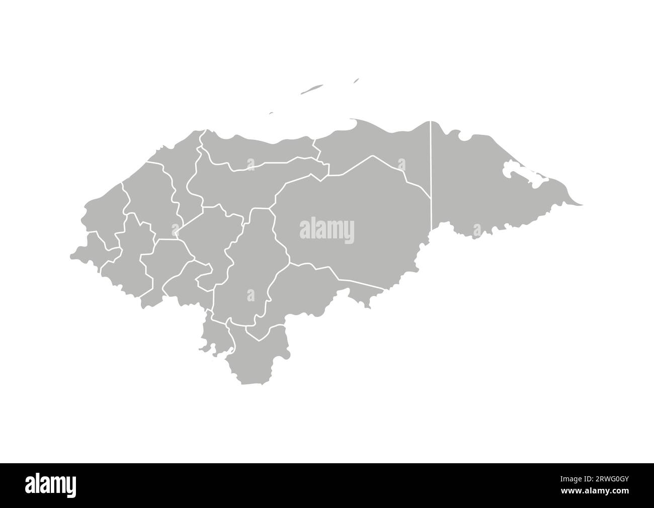 Vector isolated illustration of simplified administrative map of Honduras. Borders of the departments (regions). Grey silhouettes. White outline. Stock Vectorhttps://www.alamy.com/image-license-details/?v=1https://www.alamy.com/vector-isolated-illustration-of-simplified-administrative-map-of-honduras-borders-of-the-departments-regions-grey-silhouettes-white-outline-image566449883.html
RF2RWG0GY–Vector isolated illustration of simplified administrative map of Honduras. Borders of the departments (regions). Grey silhouettes. White outline.
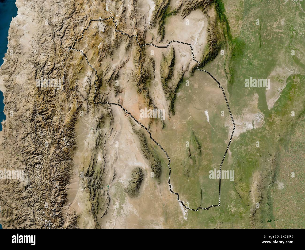 La Rioja, province of Argentina. Low resolution satellite map Stock Photohttps://www.alamy.com/image-license-details/?v=1https://www.alamy.com/la-rioja-province-of-argentina-low-resolution-satellite-map-image482080681.html
RF2K08JR5–La Rioja, province of Argentina. Low resolution satellite map
 card, atlas, map of the world, map, model, design, project, concept, plan, Stock Vectorhttps://www.alamy.com/image-license-details/?v=1https://www.alamy.com/stock-photo-card-atlas-map-of-the-world-map-model-design-project-concept-plan-146878010.html
RFJEXTB6–card, atlas, map of the world, map, model, design, project, concept, plan,
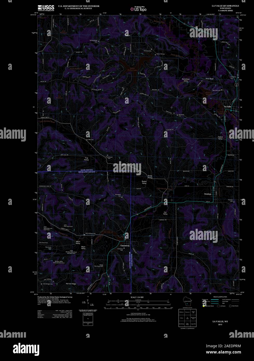 WI La Valle 20130612 TM Inverted Restoration Stock Photohttps://www.alamy.com/image-license-details/?v=1https://www.alamy.com/wi-la-valle-20130612-tm-inverted-restoration-image335905464.html
RM2AEDPRM–WI La Valle 20130612 TM Inverted Restoration
 . Compositae newsletter. Compositae. 22 Comp. Newsl. 47. 2009. Fig. 2. Map of Iberian Peninsula: geographic distribution ofS. hisitcmiciis (+). References Amaral Franco, J. do 1984. Nova Flora de Portugal, vol. II. Sociedade Astoria, Lisboa. Blanca, G., Guirado, J. & A. T. Romero Garcla 1988. Palinologia de plantas endemicas del sureste de la Peninsula Iberica. In: Civis Llovera, J. & M. F. Valle Hernandez (eds.), Actas de Palinologia: 23-28. Universidad de Salamanca, Salamanca. Blanca, G., Salinas, M. J., Diaz de la Guardia, C. & A. T. Romero Garcia 1991. Estudios palinologicos en Stock Photohttps://www.alamy.com/image-license-details/?v=1https://www.alamy.com/compositae-newsletter-compositae-22-comp-newsl-47-2009-fig-2-map-of-iberian-peninsula-geographic-distribution-ofs-hisitcmiciis-references-amaral-franco-j-do-1984-nova-flora-de-portugal-vol-ii-sociedade-astoria-lisboa-blanca-g-guirado-j-amp-a-t-romero-garcla-1988-palinologia-de-plantas-endemicas-del-sureste-de-la-peninsula-iberica-in-civis-llovera-j-amp-m-f-valle-hernandez-eds-actas-de-palinologia-23-28-universidad-de-salamanca-salamanca-blanca-g-salinas-m-j-diaz-de-la-guardia-c-amp-a-t-romero-garcia-1991-estudios-palinologicos-en-image232643550.html
RMREDR66–. Compositae newsletter. Compositae. 22 Comp. Newsl. 47. 2009. Fig. 2. Map of Iberian Peninsula: geographic distribution ofS. hisitcmiciis (+). References Amaral Franco, J. do 1984. Nova Flora de Portugal, vol. II. Sociedade Astoria, Lisboa. Blanca, G., Guirado, J. & A. T. Romero Garcla 1988. Palinologia de plantas endemicas del sureste de la Peninsula Iberica. In: Civis Llovera, J. & M. F. Valle Hernandez (eds.), Actas de Palinologia: 23-28. Universidad de Salamanca, Salamanca. Blanca, G., Salinas, M. J., Diaz de la Guardia, C. & A. T. Romero Garcia 1991. Estudios palinologicos en
 Ayala La familia del Valle a los pies de la Virgen de Loreto Stock Photohttps://www.alamy.com/image-license-details/?v=1https://www.alamy.com/stock-photo-ayala-la-familia-del-valle-a-los-pies-de-la-virgen-de-loreto-142510735.html
RMJ7RWW3–Ayala La familia del Valle a los pies de la Virgen de Loreto
 La Salle, Valle d'Aosta, IT, Italy, Aosta Valley, N 45 44' 41'', N 7 4' 22'', map, Cartascapes Map published in 2024. Explore Cartascapes, a map revealing Earth's diverse landscapes, cultures, and ecosystems. Journey through time and space, discovering the interconnectedness of our planet's past, present, and future. Stock Photohttps://www.alamy.com/image-license-details/?v=1https://www.alamy.com/la-salle-valle-daosta-it-italy-aosta-valley-n-45-44-41-n-7-4-22-map-cartascapes-map-published-in-2024-explore-cartascapes-a-map-revealing-earths-diverse-landscapes-cultures-and-ecosystems-journey-through-time-and-space-discovering-the-interconnectedness-of-our-planets-past-present-and-future-image614565961.html
RM2XKRW49–La Salle, Valle d'Aosta, IT, Italy, Aosta Valley, N 45 44' 41'', N 7 4' 22'', map, Cartascapes Map published in 2024. Explore Cartascapes, a map revealing Earth's diverse landscapes, cultures, and ecosystems. Journey through time and space, discovering the interconnectedness of our planet's past, present, and future.
 Vector isolated illustration of simplified administrative map of Honduras. Borders and names of the departments (regions). Colorful blue khaki silhoue Stock Vectorhttps://www.alamy.com/image-license-details/?v=1https://www.alamy.com/vector-isolated-illustration-of-simplified-administrative-map-of-honduras-borders-and-names-of-the-departments-regions-colorful-blue-khaki-silhoue-image566449967.html
RF2RWG0KY–Vector isolated illustration of simplified administrative map of Honduras. Borders and names of the departments (regions). Colorful blue khaki silhoue
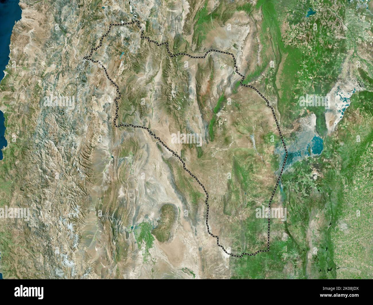 La Rioja, province of Argentina. High resolution satellite map Stock Photohttps://www.alamy.com/image-license-details/?v=1https://www.alamy.com/la-rioja-province-of-argentina-high-resolution-satellite-map-image482080422.html
RF2K08JDX–La Rioja, province of Argentina. High resolution satellite map
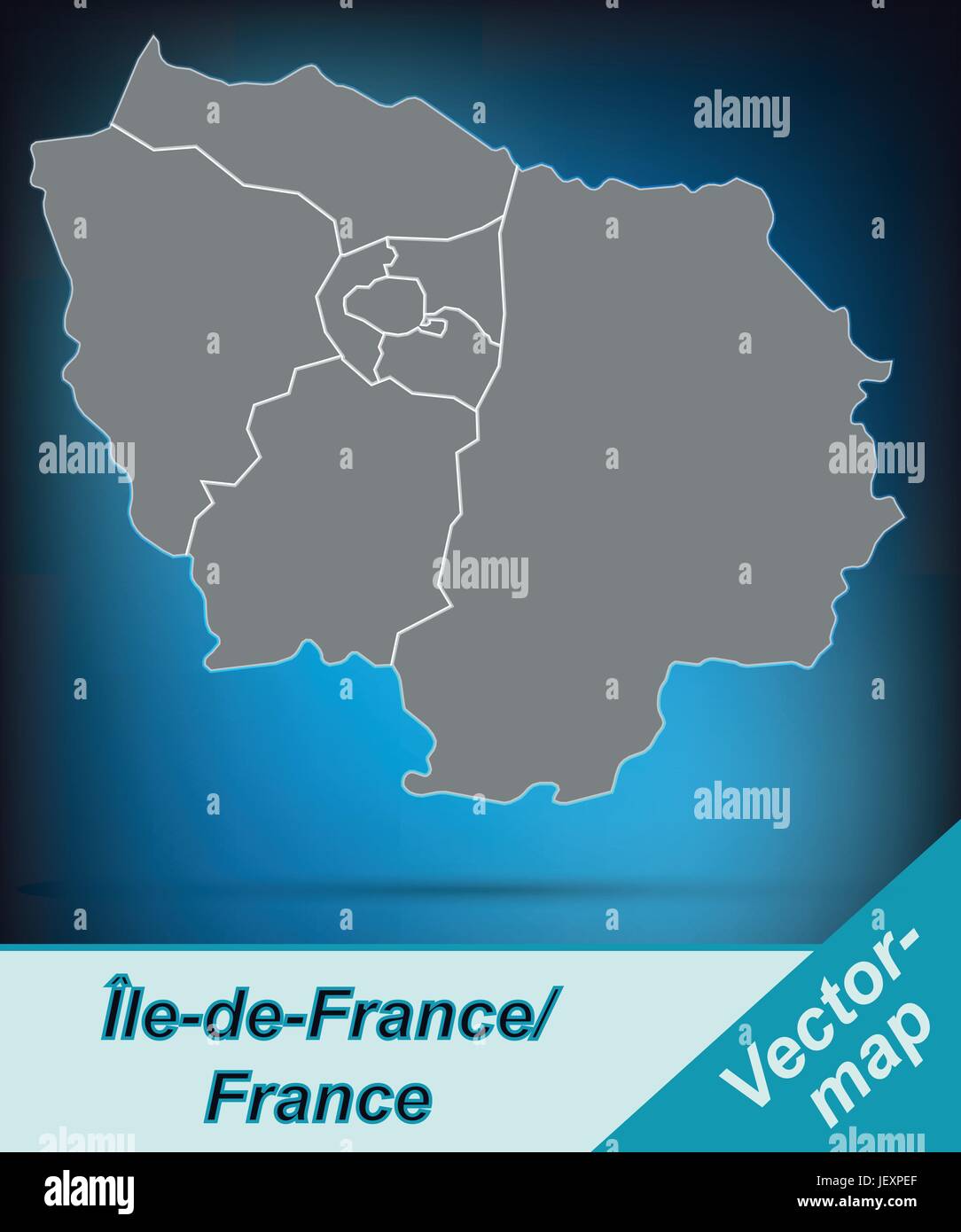 border map of le-de-france with borders in bright gray Stock Vectorhttps://www.alamy.com/image-license-details/?v=1https://www.alamy.com/stock-photo-border-map-of-le-de-france-with-borders-in-bright-gray-146876535.html
RFJEXPEF–border map of le-de-france with borders in bright gray
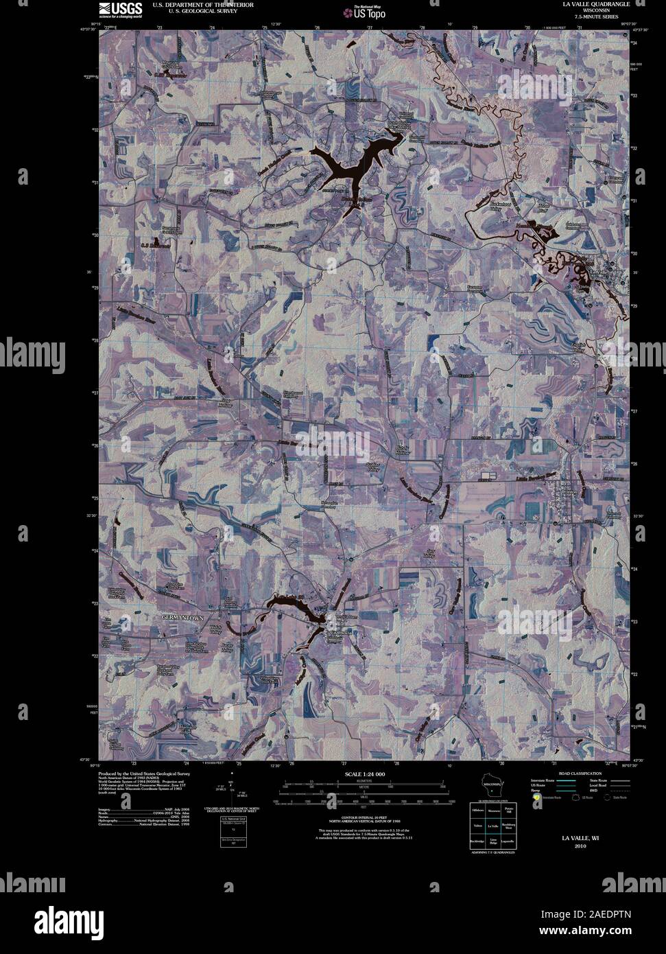 WI La Valle 20100716 TM Inverted Restoration Stock Photohttps://www.alamy.com/image-license-details/?v=1https://www.alamy.com/wi-la-valle-20100716-tm-inverted-restoration-image335905493.html
RM2AEDPTN–WI La Valle 20100716 TM Inverted Restoration
 La Valle Seriana p081 Stock Photohttps://www.alamy.com/image-license-details/?v=1https://www.alamy.com/stock-image-la-valle-seriana-p081-160533693.html
RMK94XA5–La Valle Seriana p081
 La Cloutra, Valle d'Aosta, IT, Italy, Aosta Valley, N 45 42' 7'', N 7 12' 51'', map, Cartascapes Map published in 2024. Explore Cartascapes, a map revealing Earth's diverse landscapes, cultures, and ecosystems. Journey through time and space, discovering the interconnectedness of our planet's past, present, and future. Stock Photohttps://www.alamy.com/image-license-details/?v=1https://www.alamy.com/la-cloutra-valle-daosta-it-italy-aosta-valley-n-45-42-7-n-7-12-51-map-cartascapes-map-published-in-2024-explore-cartascapes-a-map-revealing-earths-diverse-landscapes-cultures-and-ecosystems-journey-through-time-and-space-discovering-the-interconnectedness-of-our-planets-past-present-and-future-image614469427.html
RM2XKKE0K–La Cloutra, Valle d'Aosta, IT, Italy, Aosta Valley, N 45 42' 7'', N 7 12' 51'', map, Cartascapes Map published in 2024. Explore Cartascapes, a map revealing Earth's diverse landscapes, cultures, and ecosystems. Journey through time and space, discovering the interconnectedness of our planet's past, present, and future.
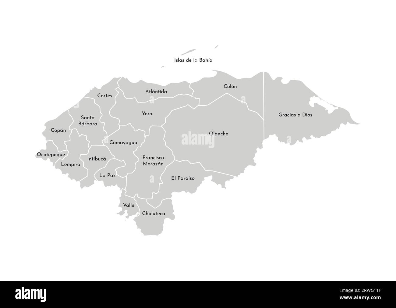 Vector isolated illustration of simplified administrative map of Honduras. Borders and names of the departments (regions). Grey silhouettes. White out Stock Vectorhttps://www.alamy.com/image-license-details/?v=1https://www.alamy.com/vector-isolated-illustration-of-simplified-administrative-map-of-honduras-borders-and-names-of-the-departments-regions-grey-silhouettes-white-out-image566450235.html
RF2RWG11F–Vector isolated illustration of simplified administrative map of Honduras. Borders and names of the departments (regions). Grey silhouettes. White out
 La Pampa, province of Argentina. High resolution satellite map Stock Photohttps://www.alamy.com/image-license-details/?v=1https://www.alamy.com/la-pampa-province-of-argentina-high-resolution-satellite-map-image482079097.html
RF2K08GPH–La Pampa, province of Argentina. High resolution satellite map
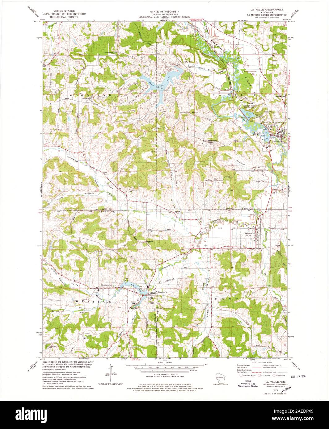 WI La Valle 800386 1975 24000 Restoration Stock Photohttps://www.alamy.com/image-license-details/?v=1https://www.alamy.com/wi-la-valle-800386-1975-24000-restoration-image335905537.html
RM2AEDPX9–WI La Valle 800386 1975 24000 Restoration
 La Valle Seriana p043 Leffe Stock Photohttps://www.alamy.com/image-license-details/?v=1https://www.alamy.com/stock-image-la-valle-seriana-p043-leffe-160533700.html
RMK94XAC–La Valle Seriana p043 Leffe
 La Valle, Provincia di Pistoia, IT, Italy, Tuscany, N 44 0' 29'', N 10 44' 54'', map, Cartascapes Map published in 2024. Explore Cartascapes, a map revealing Earth's diverse landscapes, cultures, and ecosystems. Journey through time and space, discovering the interconnectedness of our planet's past, present, and future. Stock Photohttps://www.alamy.com/image-license-details/?v=1https://www.alamy.com/la-valle-provincia-di-pistoia-it-italy-tuscany-n-44-0-29-n-10-44-54-map-cartascapes-map-published-in-2024-explore-cartascapes-a-map-revealing-earths-diverse-landscapes-cultures-and-ecosystems-journey-through-time-and-space-discovering-the-interconnectedness-of-our-planets-past-present-and-future-image614544622.html
RM2XKPWX6–La Valle, Provincia di Pistoia, IT, Italy, Tuscany, N 44 0' 29'', N 10 44' 54'', map, Cartascapes Map published in 2024. Explore Cartascapes, a map revealing Earth's diverse landscapes, cultures, and ecosystems. Journey through time and space, discovering the interconnectedness of our planet's past, present, and future.
 La Pampa, province of Argentina. Low resolution satellite map Stock Photohttps://www.alamy.com/image-license-details/?v=1https://www.alamy.com/la-pampa-province-of-argentina-low-resolution-satellite-map-image482079272.html
RF2K08H0T–La Pampa, province of Argentina. Low resolution satellite map
 WI La Valle 800386 1975 24000 Inverted Restoration Stock Photohttps://www.alamy.com/image-license-details/?v=1https://www.alamy.com/wi-la-valle-800386-1975-24000-inverted-restoration-image335905495.html
RM2AEDPTR–WI La Valle 800386 1975 24000 Inverted Restoration
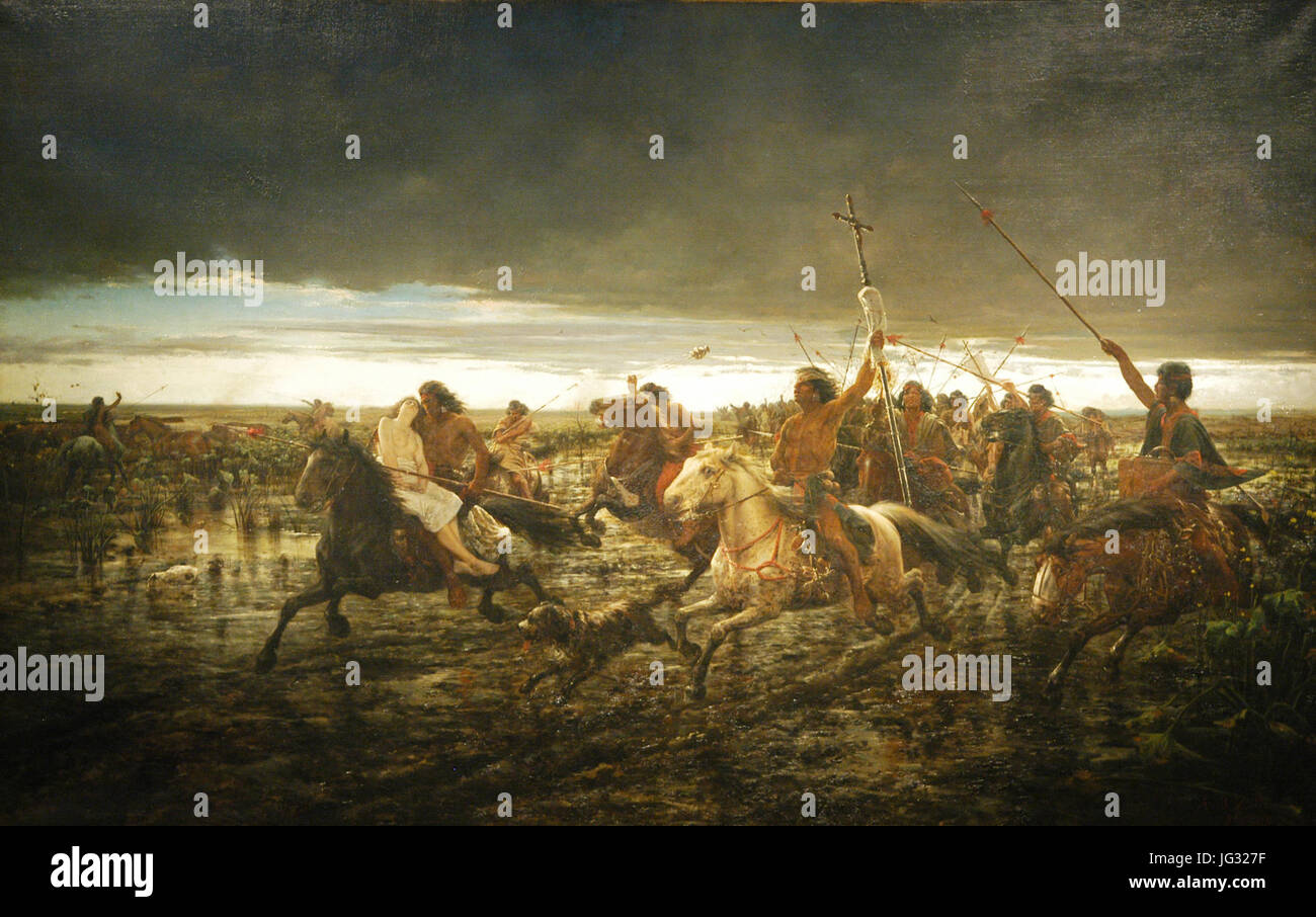 La vuelta del malón - Ángel della Valle Stock Photohttps://www.alamy.com/image-license-details/?v=1https://www.alamy.com/stock-photo-la-vuelta-del-maln-ngel-della-valle-147585075.html
RMJG327F–La vuelta del malón - Ángel della Valle
 La Saxe, Valle d'Aosta, IT, Italy, Aosta Valley, N 45 47' 59'', N 6 58' 0'', map, Cartascapes Map published in 2024. Explore Cartascapes, a map revealing Earth's diverse landscapes, cultures, and ecosystems. Journey through time and space, discovering the interconnectedness of our planet's past, present, and future. Stock Photohttps://www.alamy.com/image-license-details/?v=1https://www.alamy.com/la-saxe-valle-daosta-it-italy-aosta-valley-n-45-47-59-n-6-58-0-map-cartascapes-map-published-in-2024-explore-cartascapes-a-map-revealing-earths-diverse-landscapes-cultures-and-ecosystems-journey-through-time-and-space-discovering-the-interconnectedness-of-our-planets-past-present-and-future-image614447973.html
RM2XKJEJD–La Saxe, Valle d'Aosta, IT, Italy, Aosta Valley, N 45 47' 59'', N 6 58' 0'', map, Cartascapes Map published in 2024. Explore Cartascapes, a map revealing Earth's diverse landscapes, cultures, and ecosystems. Journey through time and space, discovering the interconnectedness of our planet's past, present, and future.
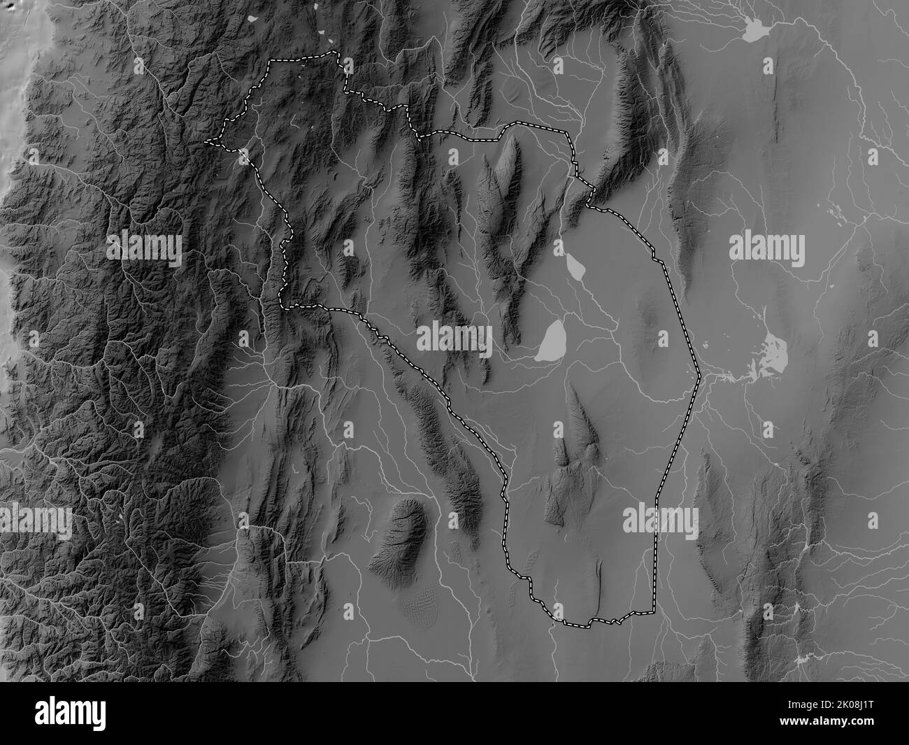 La Rioja, province of Argentina. Grayscale elevation map with lakes and rivers Stock Photohttps://www.alamy.com/image-license-details/?v=1https://www.alamy.com/la-rioja-province-of-argentina-grayscale-elevation-map-with-lakes-and-rivers-image482080084.html
RF2K08J1T–La Rioja, province of Argentina. Grayscale elevation map with lakes and rivers
 La Valle Seriana p009 Veduta di Bergamo Stock Photohttps://www.alamy.com/image-license-details/?v=1https://www.alamy.com/stock-image-la-valle-seriana-p009-veduta-di-bergamo-160533103.html
RMK94WH3–La Valle Seriana p009 Veduta di Bergamo
 La Place, Valle d'Aosta, IT, Italy, Aosta Valley, N 45 37' 13'', N 7 39' 40'', map, Cartascapes Map published in 2024. Explore Cartascapes, a map revealing Earth's diverse landscapes, cultures, and ecosystems. Journey through time and space, discovering the interconnectedness of our planet's past, present, and future. Stock Photohttps://www.alamy.com/image-license-details/?v=1https://www.alamy.com/la-place-valle-daosta-it-italy-aosta-valley-n-45-37-13-n-7-39-40-map-cartascapes-map-published-in-2024-explore-cartascapes-a-map-revealing-earths-diverse-landscapes-cultures-and-ecosystems-journey-through-time-and-space-discovering-the-interconnectedness-of-our-planets-past-present-and-future-image614547572.html
RM2XKR1KG–La Place, Valle d'Aosta, IT, Italy, Aosta Valley, N 45 37' 13'', N 7 39' 40'', map, Cartascapes Map published in 2024. Explore Cartascapes, a map revealing Earth's diverse landscapes, cultures, and ecosystems. Journey through time and space, discovering the interconnectedness of our planet's past, present, and future.
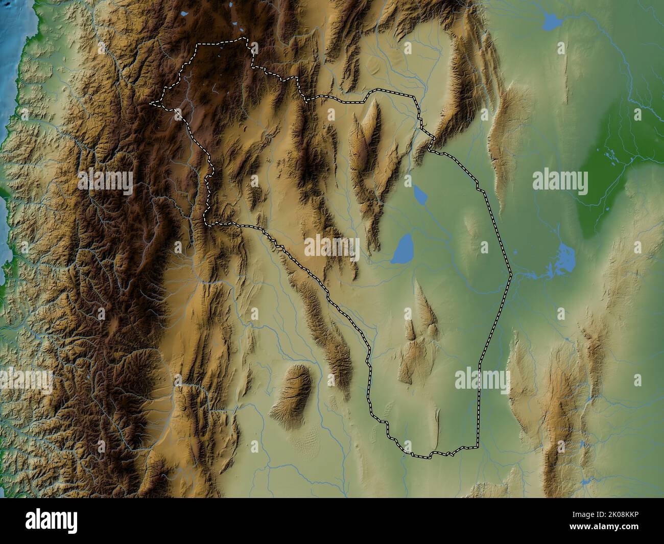 La Rioja, province of Argentina. Colored elevation map with lakes and rivers Stock Photohttps://www.alamy.com/image-license-details/?v=1https://www.alamy.com/la-rioja-province-of-argentina-colored-elevation-map-with-lakes-and-rivers-image482081370.html
RF2K08KKP–La Rioja, province of Argentina. Colored elevation map with lakes and rivers
 La Valle Seriana p063 Ponte di Nossa Stock Photohttps://www.alamy.com/image-license-details/?v=1https://www.alamy.com/stock-image-la-valle-seriana-p063-ponte-di-nossa-160533410.html
RMK94X02–La Valle Seriana p063 Ponte di Nossa
 La Valle, Provincia di Perugia, IT, Italy, Umbria, N 42 53' 43'', N 12 46' 33'', map, Cartascapes Map published in 2024. Explore Cartascapes, a map revealing Earth's diverse landscapes, cultures, and ecosystems. Journey through time and space, discovering the interconnectedness of our planet's past, present, and future. Stock Photohttps://www.alamy.com/image-license-details/?v=1https://www.alamy.com/la-valle-provincia-di-perugia-it-italy-umbria-n-42-53-43-n-12-46-33-map-cartascapes-map-published-in-2024-explore-cartascapes-a-map-revealing-earths-diverse-landscapes-cultures-and-ecosystems-journey-through-time-and-space-discovering-the-interconnectedness-of-our-planets-past-present-and-future-image614538881.html
RM2XKPJH5–La Valle, Provincia di Perugia, IT, Italy, Umbria, N 42 53' 43'', N 12 46' 33'', map, Cartascapes Map published in 2024. Explore Cartascapes, a map revealing Earth's diverse landscapes, cultures, and ecosystems. Journey through time and space, discovering the interconnectedness of our planet's past, present, and future.
 La Rioja, province of Argentina. Bilevel elevation map with lakes and rivers Stock Photohttps://www.alamy.com/image-license-details/?v=1https://www.alamy.com/la-rioja-province-of-argentina-bilevel-elevation-map-with-lakes-and-rivers-image482079965.html
RF2K08HWH–La Rioja, province of Argentina. Bilevel elevation map with lakes and rivers
 Nesles-la-Valle (95), église Saint-Symphorien, plan Stock Photohttps://www.alamy.com/image-license-details/?v=1https://www.alamy.com/stock-photo-nesles-la-valle-95-glise-saint-symphorien-plan-147607465.html
RMJG42R5–Nesles-la-Valle (95), église Saint-Symphorien, plan
 La Cretaz, Valle d'Aosta, IT, Italy, Aosta Valley, N 45 44' 42'', N 7 20' 48'', map, Cartascapes Map published in 2024. Explore Cartascapes, a map revealing Earth's diverse landscapes, cultures, and ecosystems. Journey through time and space, discovering the interconnectedness of our planet's past, present, and future. Stock Photohttps://www.alamy.com/image-license-details/?v=1https://www.alamy.com/la-cretaz-valle-daosta-it-italy-aosta-valley-n-45-44-42-n-7-20-48-map-cartascapes-map-published-in-2024-explore-cartascapes-a-map-revealing-earths-diverse-landscapes-cultures-and-ecosystems-journey-through-time-and-space-discovering-the-interconnectedness-of-our-planets-past-present-and-future-image614476056.html
RM2XKKPDC–La Cretaz, Valle d'Aosta, IT, Italy, Aosta Valley, N 45 44' 42'', N 7 20' 48'', map, Cartascapes Map published in 2024. Explore Cartascapes, a map revealing Earth's diverse landscapes, cultures, and ecosystems. Journey through time and space, discovering the interconnectedness of our planet's past, present, and future.
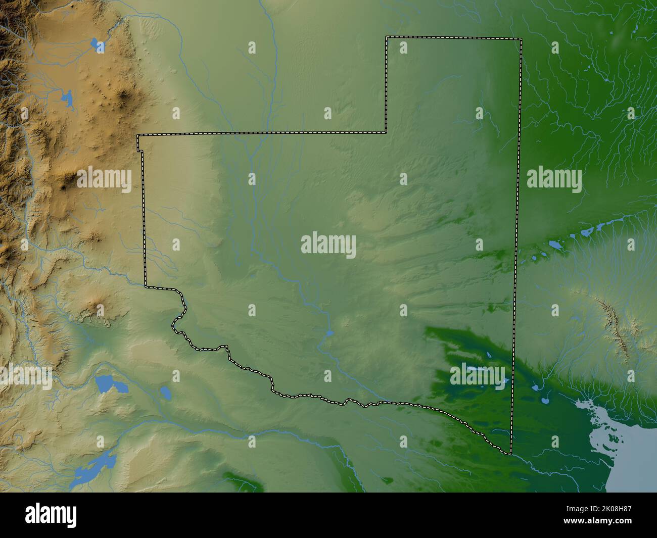 La Pampa, province of Argentina. Colored elevation map with lakes and rivers Stock Photohttps://www.alamy.com/image-license-details/?v=1https://www.alamy.com/la-pampa-province-of-argentina-colored-elevation-map-with-lakes-and-rivers-image482079479.html
RF2K08H87–La Pampa, province of Argentina. Colored elevation map with lakes and rivers
 La vuelta del malón - Ángel Della Valle 02 Stock Photohttps://www.alamy.com/image-license-details/?v=1https://www.alamy.com/stock-photo-la-vuelta-del-maln-ngel-della-valle-02-147585077.html
RMJG327H–La vuelta del malón - Ángel Della Valle 02
 La Thuile, Valle d'Aosta, IT, Italy, Aosta Valley, N 45 42' 49'', N 6 57' 3'', map, Cartascapes Map published in 2024. Explore Cartascapes, a map revealing Earth's diverse landscapes, cultures, and ecosystems. Journey through time and space, discovering the interconnectedness of our planet's past, present, and future. Stock Photohttps://www.alamy.com/image-license-details/?v=1https://www.alamy.com/la-thuile-valle-daosta-it-italy-aosta-valley-n-45-42-49-n-6-57-3-map-cartascapes-map-published-in-2024-explore-cartascapes-a-map-revealing-earths-diverse-landscapes-cultures-and-ecosystems-journey-through-time-and-space-discovering-the-interconnectedness-of-our-planets-past-present-and-future-image614475854.html
RM2XKKP66–La Thuile, Valle d'Aosta, IT, Italy, Aosta Valley, N 45 42' 49'', N 6 57' 3'', map, Cartascapes Map published in 2024. Explore Cartascapes, a map revealing Earth's diverse landscapes, cultures, and ecosystems. Journey through time and space, discovering the interconnectedness of our planet's past, present, and future.
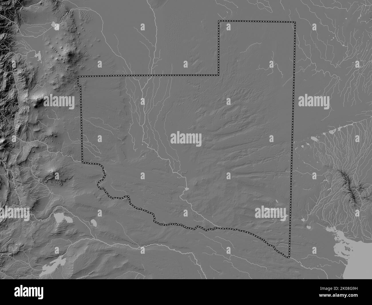 La Pampa, province of Argentina. Bilevel elevation map with lakes and rivers Stock Photohttps://www.alamy.com/image-license-details/?v=1https://www.alamy.com/la-pampa-province-of-argentina-bilevel-elevation-map-with-lakes-and-rivers-image482078733.html
RF2K08G9H–La Pampa, province of Argentina. Bilevel elevation map with lakes and rivers
 La vuelta del malón - Ángel Della Valle 28frag29 Stock Photohttps://www.alamy.com/image-license-details/?v=1https://www.alamy.com/stock-photo-la-vuelta-del-maln-ngel-della-valle-28frag29-147585076.html
RMJG327G–La vuelta del malón - Ángel Della Valle 28frag29
 Torrent-La Cerise, Valle d'Aosta, IT, Italy, Aosta Valley, N 45 49' 31'', N 7 18' 10'', map, Cartascapes Map published in 2024. Explore Cartascapes, a map revealing Earth's diverse landscapes, cultures, and ecosystems. Journey through time and space, discovering the interconnectedness of our planet's past, present, and future. Stock Photohttps://www.alamy.com/image-license-details/?v=1https://www.alamy.com/torrent-la-cerise-valle-daosta-it-italy-aosta-valley-n-45-49-31-n-7-18-10-map-cartascapes-map-published-in-2024-explore-cartascapes-a-map-revealing-earths-diverse-landscapes-cultures-and-ecosystems-journey-through-time-and-space-discovering-the-interconnectedness-of-our-planets-past-present-and-future-image614490314.html
RM2XKMCJJ–Torrent-La Cerise, Valle d'Aosta, IT, Italy, Aosta Valley, N 45 49' 31'', N 7 18' 10'', map, Cartascapes Map published in 2024. Explore Cartascapes, a map revealing Earth's diverse landscapes, cultures, and ecosystems. Journey through time and space, discovering the interconnectedness of our planet's past, present, and future.
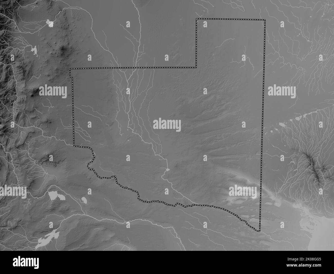 La Pampa, province of Argentina. Grayscale elevation map with lakes and rivers Stock Photohttps://www.alamy.com/image-license-details/?v=1https://www.alamy.com/la-pampa-province-of-argentina-grayscale-elevation-map-with-lakes-and-rivers-image482078917.html
RF2K08GG5–La Pampa, province of Argentina. Grayscale elevation map with lakes and rivers
 La vuelta del malón (boceto) - Ángel della Valle Stock Photohttps://www.alamy.com/image-license-details/?v=1https://www.alamy.com/stock-photo-la-vuelta-del-maln-boceto-ngel-della-valle-147585074.html
RMJG327E–La vuelta del malón (boceto) - Ángel della Valle
 La Valle, Provincia di Ravenna, IT, Italy, Emilia-Romagna, N 44 8' 59'', N 11 37' 0'', map, Cartascapes Map published in 2024. Explore Cartascapes, a map revealing Earth's diverse landscapes, cultures, and ecosystems. Journey through time and space, discovering the interconnectedness of our planet's past, present, and future. Stock Photohttps://www.alamy.com/image-license-details/?v=1https://www.alamy.com/la-valle-provincia-di-ravenna-it-italy-emilia-romagna-n-44-8-59-n-11-37-0-map-cartascapes-map-published-in-2024-explore-cartascapes-a-map-revealing-earths-diverse-landscapes-cultures-and-ecosystems-journey-through-time-and-space-discovering-the-interconnectedness-of-our-planets-past-present-and-future-image614519321.html
RM2XKNNJH–La Valle, Provincia di Ravenna, IT, Italy, Emilia-Romagna, N 44 8' 59'', N 11 37' 0'', map, Cartascapes Map published in 2024. Explore Cartascapes, a map revealing Earth's diverse landscapes, cultures, and ecosystems. Journey through time and space, discovering the interconnectedness of our planet's past, present, and future.
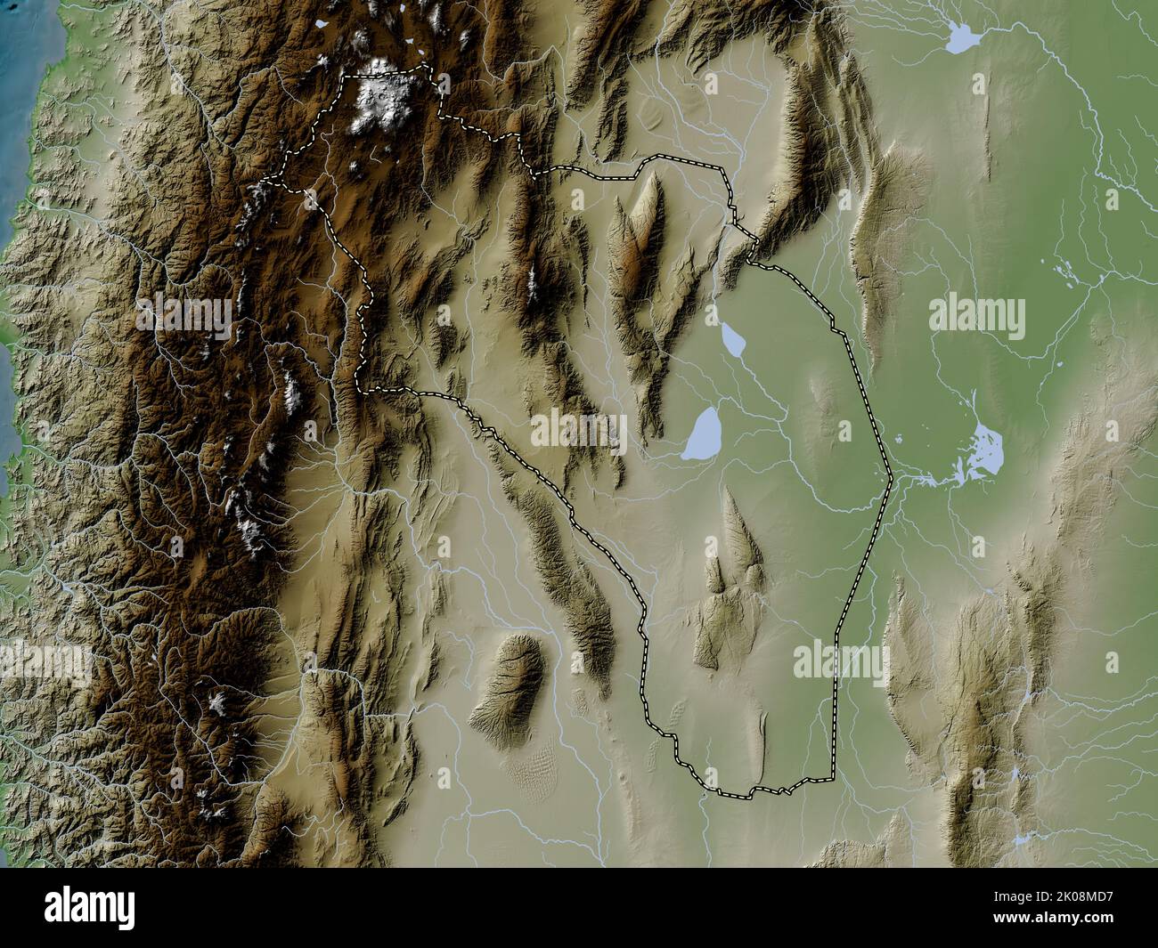 La Rioja, province of Argentina. Elevation map colored in wiki style with lakes and rivers Stock Photohttps://www.alamy.com/image-license-details/?v=1https://www.alamy.com/la-rioja-province-of-argentina-elevation-map-colored-in-wiki-style-with-lakes-and-rivers-image482081971.html
RF2K08MD7–La Rioja, province of Argentina. Elevation map colored in wiki style with lakes and rivers
 Messina chiesa di Santa Maria della Valle detta la Badiazza Stock Photohttps://www.alamy.com/image-license-details/?v=1https://www.alamy.com/stock-image-messina-chiesa-di-santa-maria-della-valle-detta-la-badiazza-160766250.html
RMK9FEYP–Messina chiesa di Santa Maria della Valle detta la Badiazza
 La Cretaz-Roisan, Valle d'Aosta, IT, Italy, Aosta Valley, N 45 47' 2'', N 7 18' 47'', map, Cartascapes Map published in 2024. Explore Cartascapes, a map revealing Earth's diverse landscapes, cultures, and ecosystems. Journey through time and space, discovering the interconnectedness of our planet's past, present, and future. Stock Photohttps://www.alamy.com/image-license-details/?v=1https://www.alamy.com/la-cretaz-roisan-valle-daosta-it-italy-aosta-valley-n-45-47-2-n-7-18-47-map-cartascapes-map-published-in-2024-explore-cartascapes-a-map-revealing-earths-diverse-landscapes-cultures-and-ecosystems-journey-through-time-and-space-discovering-the-interconnectedness-of-our-planets-past-present-and-future-image614510271.html
RM2XKNA3B–La Cretaz-Roisan, Valle d'Aosta, IT, Italy, Aosta Valley, N 45 47' 2'', N 7 18' 47'', map, Cartascapes Map published in 2024. Explore Cartascapes, a map revealing Earth's diverse landscapes, cultures, and ecosystems. Journey through time and space, discovering the interconnectedness of our planet's past, present, and future.
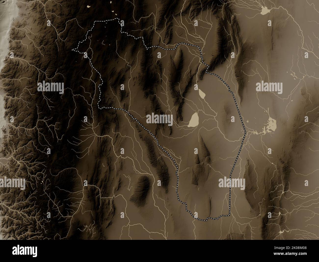 La Rioja, province of Argentina. Elevation map colored in sepia tones with lakes and rivers Stock Photohttps://www.alamy.com/image-license-details/?v=1https://www.alamy.com/la-rioja-province-of-argentina-elevation-map-colored-in-sepia-tones-with-lakes-and-rivers-image482081608.html
RF2K08M08–La Rioja, province of Argentina. Elevation map colored in sepia tones with lakes and rivers
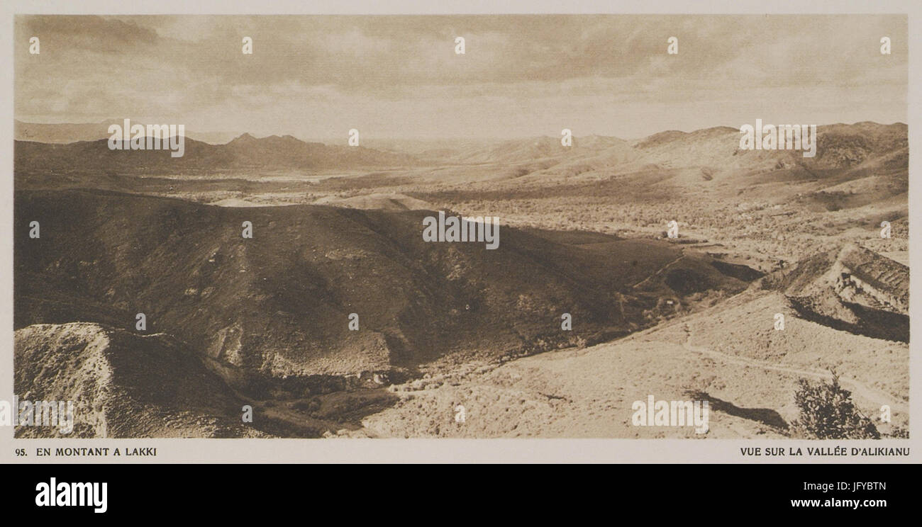 En montant à Lakki Vue sur la vallé d'Alikianu - Baud-bovy Daniel Boissonnas Frédéric - 1919 Stock Photohttps://www.alamy.com/image-license-details/?v=1https://www.alamy.com/stock-photo-en-montant-lakki-vue-sur-la-vall-dalikianu-baud-bovy-daniel-boissonnas-147504805.html
RMJFYBTN–En montant à Lakki Vue sur la vallé d'Alikianu - Baud-bovy Daniel Boissonnas Frédéric - 1919
 La Valle, Provincia di Parma, IT, Italy, Emilia-Romagna, N 44 46' 59'', N 9 55' 59'', map, Cartascapes Map published in 2024. Explore Cartascapes, a map revealing Earth's diverse landscapes, cultures, and ecosystems. Journey through time and space, discovering the interconnectedness of our planet's past, present, and future. Stock Photohttps://www.alamy.com/image-license-details/?v=1https://www.alamy.com/la-valle-provincia-di-parma-it-italy-emilia-romagna-n-44-46-59-n-9-55-59-map-cartascapes-map-published-in-2024-explore-cartascapes-a-map-revealing-earths-diverse-landscapes-cultures-and-ecosystems-journey-through-time-and-space-discovering-the-interconnectedness-of-our-planets-past-present-and-future-image614458304.html
RM2XKJYRC–La Valle, Provincia di Parma, IT, Italy, Emilia-Romagna, N 44 46' 59'', N 9 55' 59'', map, Cartascapes Map published in 2024. Explore Cartascapes, a map revealing Earth's diverse landscapes, cultures, and ecosystems. Journey through time and space, discovering the interconnectedness of our planet's past, present, and future.
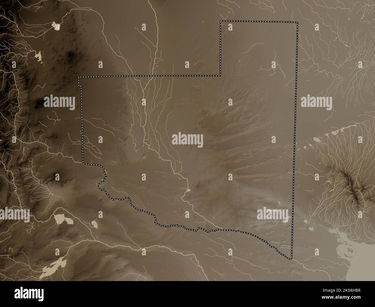 La Pampa, province of Argentina. Elevation map colored in sepia tones with lakes and rivers Stock Photohttps://www.alamy.com/image-license-details/?v=1https://www.alamy.com/la-pampa-province-of-argentina-elevation-map-colored-in-sepia-tones-with-lakes-and-rivers-image482079579.html
RF2K08HBR–La Pampa, province of Argentina. Elevation map colored in sepia tones with lakes and rivers
 Alejandra Valle Stock Photohttps://www.alamy.com/image-license-details/?v=1https://www.alamy.com/alejandra-valle-image155588857.html
RMK13K4W–Alejandra Valle
 Gressoney-La-Trinite, Valle d'Aosta, IT, Italy, Aosta Valley, N 45 49' 46'', N 7 49' 23'', map, Cartascapes Map published in 2024. Explore Cartascapes, a map revealing Earth's diverse landscapes, cultures, and ecosystems. Journey through time and space, discovering the interconnectedness of our planet's past, present, and future. Stock Photohttps://www.alamy.com/image-license-details/?v=1https://www.alamy.com/gressoney-la-trinite-valle-daosta-it-italy-aosta-valley-n-45-49-46-n-7-49-23-map-cartascapes-map-published-in-2024-explore-cartascapes-a-map-revealing-earths-diverse-landscapes-cultures-and-ecosystems-journey-through-time-and-space-discovering-the-interconnectedness-of-our-planets-past-present-and-future-image614508865.html
RM2XKN895–Gressoney-La-Trinite, Valle d'Aosta, IT, Italy, Aosta Valley, N 45 49' 46'', N 7 49' 23'', map, Cartascapes Map published in 2024. Explore Cartascapes, a map revealing Earth's diverse landscapes, cultures, and ecosystems. Journey through time and space, discovering the interconnectedness of our planet's past, present, and future.
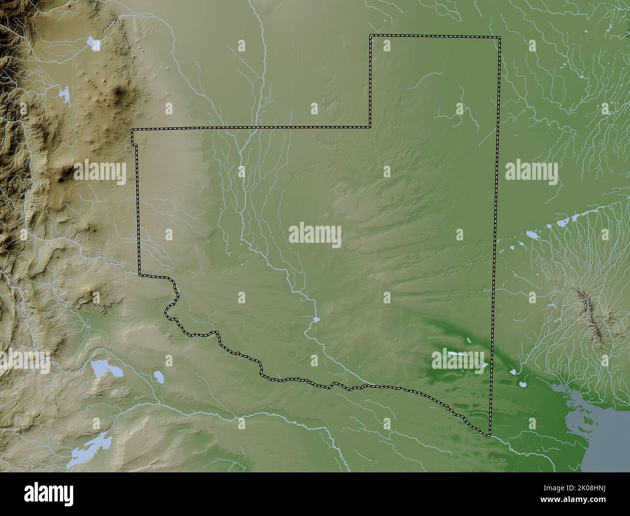 La Pampa, province of Argentina. Elevation map colored in wiki style with lakes and rivers Stock Photohttps://www.alamy.com/image-license-details/?v=1https://www.alamy.com/la-pampa-province-of-argentina-elevation-map-colored-in-wiki-style-with-lakes-and-rivers-image482079854.html
RF2K08HNJ–La Pampa, province of Argentina. Elevation map colored in wiki style with lakes and rivers
 La Crotta di Vigneron, Valle d'Aosta, IT, Italy, Aosta Valley, N 45 44' 36'', N 7 33' 9'', map, Cartascapes Map published in 2024. Explore Cartascapes, a map revealing Earth's diverse landscapes, cultures, and ecosystems. Journey through time and space, discovering the interconnectedness of our planet's past, present, and future. Stock Photohttps://www.alamy.com/image-license-details/?v=1https://www.alamy.com/la-crotta-di-vigneron-valle-daosta-it-italy-aosta-valley-n-45-44-36-n-7-33-9-map-cartascapes-map-published-in-2024-explore-cartascapes-a-map-revealing-earths-diverse-landscapes-cultures-and-ecosystems-journey-through-time-and-space-discovering-the-interconnectedness-of-our-planets-past-present-and-future-image614473126.html
RM2XKKJMP–La Crotta di Vigneron, Valle d'Aosta, IT, Italy, Aosta Valley, N 45 44' 36'', N 7 33' 9'', map, Cartascapes Map published in 2024. Explore Cartascapes, a map revealing Earth's diverse landscapes, cultures, and ecosystems. Journey through time and space, discovering the interconnectedness of our planet's past, present, and future.
 La Rioja, province of Argentina. Open Street Map. Locations of major cities of the region. Corner auxiliary location maps Stock Photohttps://www.alamy.com/image-license-details/?v=1https://www.alamy.com/la-rioja-province-of-argentina-open-street-map-locations-of-major-cities-of-the-region-corner-auxiliary-location-maps-image482080965.html
RF2K08K59–La Rioja, province of Argentina. Open Street Map. Locations of major cities of the region. Corner auxiliary location maps
 Mont de la Tza, Valle d'Aosta, IT, Italy, Aosta Valley, N 45 46' 31'', N 7 13' 29'', map, Cartascapes Map published in 2024. Explore Cartascapes, a map revealing Earth's diverse landscapes, cultures, and ecosystems. Journey through time and space, discovering the interconnectedness of our planet's past, present, and future. Stock Photohttps://www.alamy.com/image-license-details/?v=1https://www.alamy.com/mont-de-la-tza-valle-daosta-it-italy-aosta-valley-n-45-46-31-n-7-13-29-map-cartascapes-map-published-in-2024-explore-cartascapes-a-map-revealing-earths-diverse-landscapes-cultures-and-ecosystems-journey-through-time-and-space-discovering-the-interconnectedness-of-our-planets-past-present-and-future-image614539116.html
RM2XKPJWG–Mont de la Tza, Valle d'Aosta, IT, Italy, Aosta Valley, N 45 46' 31'', N 7 13' 29'', map, Cartascapes Map published in 2024. Explore Cartascapes, a map revealing Earth's diverse landscapes, cultures, and ecosystems. Journey through time and space, discovering the interconnectedness of our planet's past, present, and future.
 La Pampa, province of Argentina. Open Street Map. Locations of major cities of the region. Corner auxiliary location maps Stock Photohttps://www.alamy.com/image-license-details/?v=1https://www.alamy.com/la-pampa-province-of-argentina-open-street-map-locations-of-major-cities-of-the-region-corner-auxiliary-location-maps-image482079386.html
RF2K08H4X–La Pampa, province of Argentina. Open Street Map. Locations of major cities of the region. Corner auxiliary location maps
 La Valle, Provincia di Reggio Emilia, IT, Italy, Emilia-Romagna, N 44 45' 18'', N 10 41' 15'', map, Cartascapes Map published in 2024. Explore Cartascapes, a map revealing Earth's diverse landscapes, cultures, and ecosystems. Journey through time and space, discovering the interconnectedness of our planet's past, present, and future. Stock Photohttps://www.alamy.com/image-license-details/?v=1https://www.alamy.com/la-valle-provincia-di-reggio-emilia-it-italy-emilia-romagna-n-44-45-18-n-10-41-15-map-cartascapes-map-published-in-2024-explore-cartascapes-a-map-revealing-earths-diverse-landscapes-cultures-and-ecosystems-journey-through-time-and-space-discovering-the-interconnectedness-of-our-planets-past-present-and-future-image614487877.html
RM2XKM9FH–La Valle, Provincia di Reggio Emilia, IT, Italy, Emilia-Romagna, N 44 45' 18'', N 10 41' 15'', map, Cartascapes Map published in 2024. Explore Cartascapes, a map revealing Earth's diverse landscapes, cultures, and ecosystems. Journey through time and space, discovering the interconnectedness of our planet's past, present, and future.
 La Rioja, province of Argentina. Open Street Map. Locations and names of major cities of the region. Corner auxiliary location maps Stock Photohttps://www.alamy.com/image-license-details/?v=1https://www.alamy.com/la-rioja-province-of-argentina-open-street-map-locations-and-names-of-major-cities-of-the-region-corner-auxiliary-location-maps-image482081096.html
RF2K08KA0–La Rioja, province of Argentina. Open Street Map. Locations and names of major cities of the region. Corner auxiliary location maps
 La Valle, Provincia di Reggio Emilia, IT, Italy, Emilia-Romagna, N 44 24' 15'', N 10 36' 38'', map, Cartascapes Map published in 2024. Explore Cartascapes, a map revealing Earth's diverse landscapes, cultures, and ecosystems. Journey through time and space, discovering the interconnectedness of our planet's past, present, and future. Stock Photohttps://www.alamy.com/image-license-details/?v=1https://www.alamy.com/la-valle-provincia-di-reggio-emilia-it-italy-emilia-romagna-n-44-24-15-n-10-36-38-map-cartascapes-map-published-in-2024-explore-cartascapes-a-map-revealing-earths-diverse-landscapes-cultures-and-ecosystems-journey-through-time-and-space-discovering-the-interconnectedness-of-our-planets-past-present-and-future-image614562785.html
RM2XKRN2W–La Valle, Provincia di Reggio Emilia, IT, Italy, Emilia-Romagna, N 44 24' 15'', N 10 36' 38'', map, Cartascapes Map published in 2024. Explore Cartascapes, a map revealing Earth's diverse landscapes, cultures, and ecosystems. Journey through time and space, discovering the interconnectedness of our planet's past, present, and future.
 La Rioja, province of Argentina. Low resolution satellite map. Locations of major cities of the region. Corner auxiliary location maps Stock Photohttps://www.alamy.com/image-license-details/?v=1https://www.alamy.com/la-rioja-province-of-argentina-low-resolution-satellite-map-locations-of-major-cities-of-the-region-corner-auxiliary-location-maps-image482080683.html
RF2K08JR7–La Rioja, province of Argentina. Low resolution satellite map. Locations of major cities of the region. Corner auxiliary location maps
 Ristorante Pizzeria La Valle, Provincia di Brescia, IT, Italy, Lombardy, N 45 35' 5'', N 10 16' 47'', map, Cartascapes Map published in 2024. Explore Cartascapes, a map revealing Earth's diverse landscapes, cultures, and ecosystems. Journey through time and space, discovering the interconnectedness of our planet's past, present, and future. Stock Photohttps://www.alamy.com/image-license-details/?v=1https://www.alamy.com/ristorante-pizzeria-la-valle-provincia-di-brescia-it-italy-lombardy-n-45-35-5-n-10-16-47-map-cartascapes-map-published-in-2024-explore-cartascapes-a-map-revealing-earths-diverse-landscapes-cultures-and-ecosystems-journey-through-time-and-space-discovering-the-interconnectedness-of-our-planets-past-present-and-future-image614443647.html
RM2XKJ93Y–Ristorante Pizzeria La Valle, Provincia di Brescia, IT, Italy, Lombardy, N 45 35' 5'', N 10 16' 47'', map, Cartascapes Map published in 2024. Explore Cartascapes, a map revealing Earth's diverse landscapes, cultures, and ecosystems. Journey through time and space, discovering the interconnectedness of our planet's past, present, and future.
 La Rioja, province of Argentina. High resolution satellite map. Locations of major cities of the region. Corner auxiliary location maps Stock Photohttps://www.alamy.com/image-license-details/?v=1https://www.alamy.com/la-rioja-province-of-argentina-high-resolution-satellite-map-locations-of-major-cities-of-the-region-corner-auxiliary-location-maps-image482080277.html
RF2K08J8N–La Rioja, province of Argentina. High resolution satellite map. Locations of major cities of the region. Corner auxiliary location maps
 Museo La Valle dei Mulini, Provincia di Salerno, IT, Italy, Campania, N 40 38' 28'', N 14 35' 51'', map, Cartascapes Map published in 2024. Explore Cartascapes, a map revealing Earth's diverse landscapes, cultures, and ecosystems. Journey through time and space, discovering the interconnectedness of our planet's past, present, and future. Stock Photohttps://www.alamy.com/image-license-details/?v=1https://www.alamy.com/museo-la-valle-dei-mulini-provincia-di-salerno-it-italy-campania-n-40-38-28-n-14-35-51-map-cartascapes-map-published-in-2024-explore-cartascapes-a-map-revealing-earths-diverse-landscapes-cultures-and-ecosystems-journey-through-time-and-space-discovering-the-interconnectedness-of-our-planets-past-present-and-future-image614455663.html
RM2XKJTD3–Museo La Valle dei Mulini, Provincia di Salerno, IT, Italy, Campania, N 40 38' 28'', N 14 35' 51'', map, Cartascapes Map published in 2024. Explore Cartascapes, a map revealing Earth's diverse landscapes, cultures, and ecosystems. Journey through time and space, discovering the interconnectedness of our planet's past, present, and future.
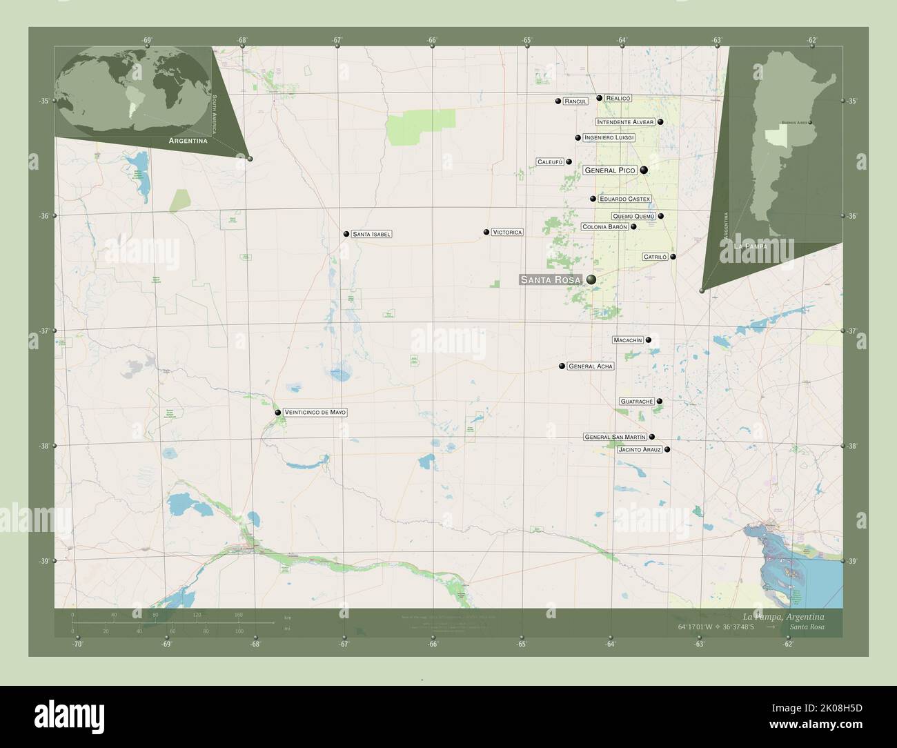 La Pampa, province of Argentina. Open Street Map. Locations and names of major cities of the region. Corner auxiliary location maps Stock Photohttps://www.alamy.com/image-license-details/?v=1https://www.alamy.com/la-pampa-province-of-argentina-open-street-map-locations-and-names-of-major-cities-of-the-region-corner-auxiliary-location-maps-image482079401.html
RF2K08H5D–La Pampa, province of Argentina. Open Street Map. Locations and names of major cities of the region. Corner auxiliary location maps
 Via De La Valle, San Diego County, US, United States, California, N 32 58' 59'', S 117 14' 35'', map, Cartascapes Map published in 2024. Explore Cartascapes, a map revealing Earth's diverse landscapes, cultures, and ecosystems. Journey through time and space, discovering the interconnectedness of our planet's past, present, and future. Stock Photohttps://www.alamy.com/image-license-details/?v=1https://www.alamy.com/via-de-la-valle-san-diego-county-us-united-states-california-n-32-58-59-s-117-14-35-map-cartascapes-map-published-in-2024-explore-cartascapes-a-map-revealing-earths-diverse-landscapes-cultures-and-ecosystems-journey-through-time-and-space-discovering-the-interconnectedness-of-our-planets-past-present-and-future-image621407569.html
RM2Y2YFKD–Via De La Valle, San Diego County, US, United States, California, N 32 58' 59'', S 117 14' 35'', map, Cartascapes Map published in 2024. Explore Cartascapes, a map revealing Earth's diverse landscapes, cultures, and ecosystems. Journey through time and space, discovering the interconnectedness of our planet's past, present, and future.
 La Pampa, province of Argentina. High resolution satellite map. Locations of major cities of the region. Corner auxiliary location maps Stock Photohttps://www.alamy.com/image-license-details/?v=1https://www.alamy.com/la-pampa-province-of-argentina-high-resolution-satellite-map-locations-of-major-cities-of-the-region-corner-auxiliary-location-maps-image482079010.html
RF2K08GKE–La Pampa, province of Argentina. High resolution satellite map. Locations of major cities of the region. Corner auxiliary location maps
 La Valle, , IT, Italy, Abruzzo, N 42 10' 59'', N 14 10' 0'', map, Cartascapes Map published in 2024. Explore Cartascapes, a map revealing Earth's diverse landscapes, cultures, and ecosystems. Journey through time and space, discovering the interconnectedness of our planet's past, present, and future. Stock Photohttps://www.alamy.com/image-license-details/?v=1https://www.alamy.com/la-valle-it-italy-abruzzo-n-42-10-59-n-14-10-0-map-cartascapes-map-published-in-2024-explore-cartascapes-a-map-revealing-earths-diverse-landscapes-cultures-and-ecosystems-journey-through-time-and-space-discovering-the-interconnectedness-of-our-planets-past-present-and-future-image614484365.html
RM2XKM525–La Valle, , IT, Italy, Abruzzo, N 42 10' 59'', N 14 10' 0'', map, Cartascapes Map published in 2024. Explore Cartascapes, a map revealing Earth's diverse landscapes, cultures, and ecosystems. Journey through time and space, discovering the interconnectedness of our planet's past, present, and future.