Quick filters:
Land survey marker Stock Photos and Images
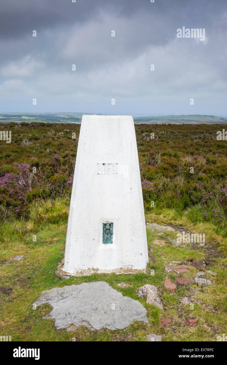 A Ordnance Survey Monument a permanent trigonometrical land survey marker on Beacon Hill Danby North Yorkshire Stock Photohttps://www.alamy.com/image-license-details/?v=1https://www.alamy.com/stock-photo-a-ordnance-survey-monument-a-permanent-trigonometrical-land-survey-84994852.html
RMEX7RPC–A Ordnance Survey Monument a permanent trigonometrical land survey marker on Beacon Hill Danby North Yorkshire
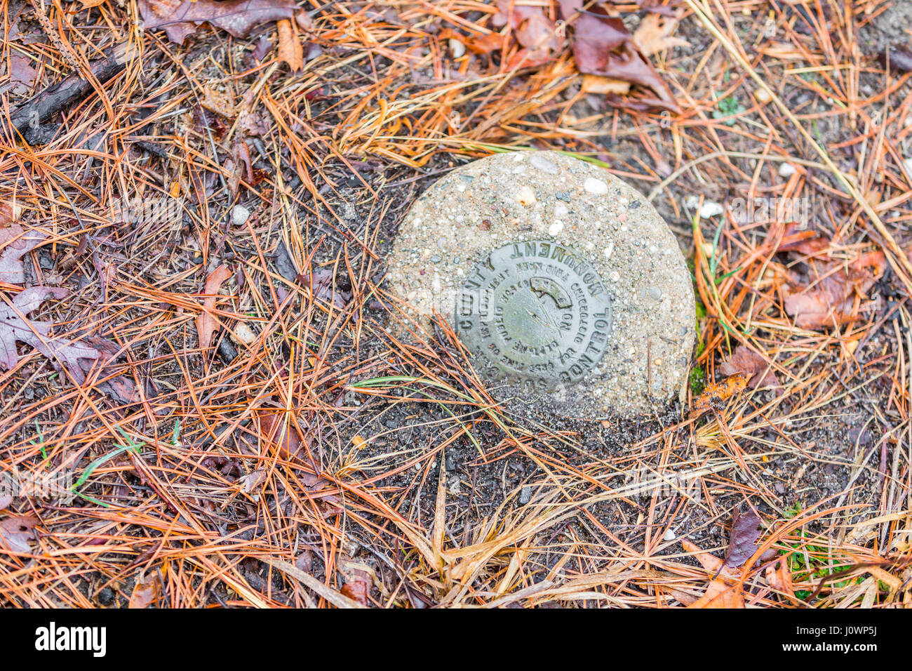 in ground survey marker in Hampton Bays, NY Stock Photohttps://www.alamy.com/image-license-details/?v=1https://www.alamy.com/stock-photo-in-ground-survey-marker-in-hampton-bays-ny-138249150.html
RFJ0WP5J–in ground survey marker in Hampton Bays, NY
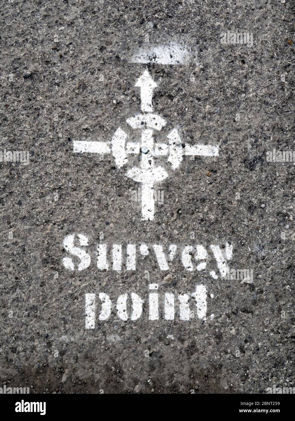 Land survey point on a tarmac pavement marked with a metal stud and a white stenciled marker so that it may be easily found Stock Photohttps://www.alamy.com/image-license-details/?v=1https://www.alamy.com/land-survey-point-on-a-tarmac-pavement-marked-with-a-metal-stud-and-a-white-stenciled-marker-so-that-it-may-be-easily-found-image357643701.html
RM2BNT259–Land survey point on a tarmac pavement marked with a metal stud and a white stenciled marker so that it may be easily found
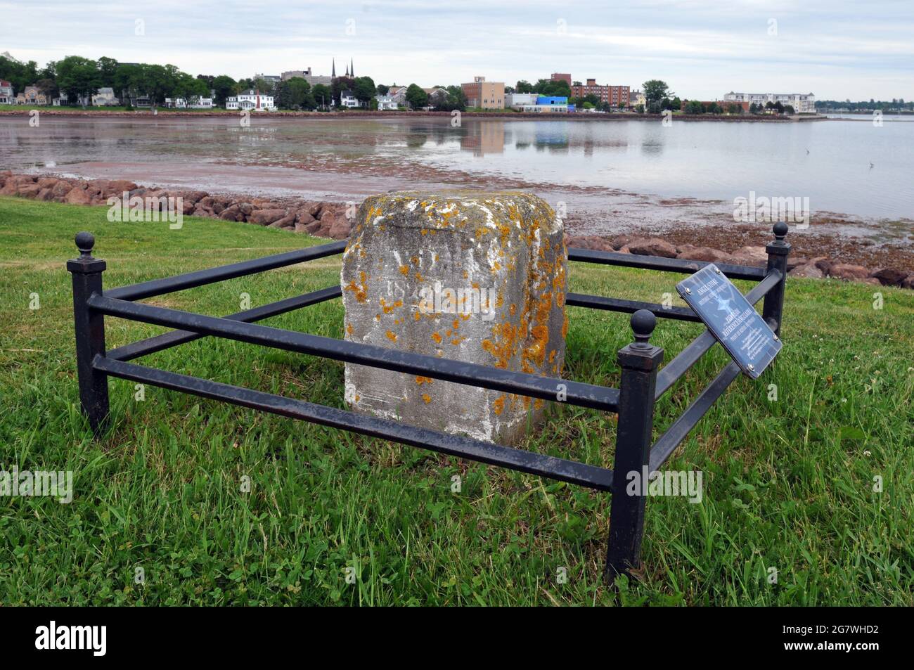 An historic angle stone in Charlottetown's Victoria Park, used by 19th-century land surveyors. Stock Photohttps://www.alamy.com/image-license-details/?v=1https://www.alamy.com/an-historic-angle-stone-in-charlottetowns-victoria-park-used-by-19th-century-land-surveyors-image435124286.html
RF2G7WHD2–An historic angle stone in Charlottetown's Victoria Park, used by 19th-century land surveyors.
 Miami, Florida, United States - March 16, 2024: Survey marker on the waters of the Everglades. Stock Photohttps://www.alamy.com/image-license-details/?v=1https://www.alamy.com/miami-florida-united-states-march-16-2024-survey-marker-on-the-waters-of-the-everglades-image602896793.html
RF2X0T909–Miami, Florida, United States - March 16, 2024: Survey marker on the waters of the Everglades.
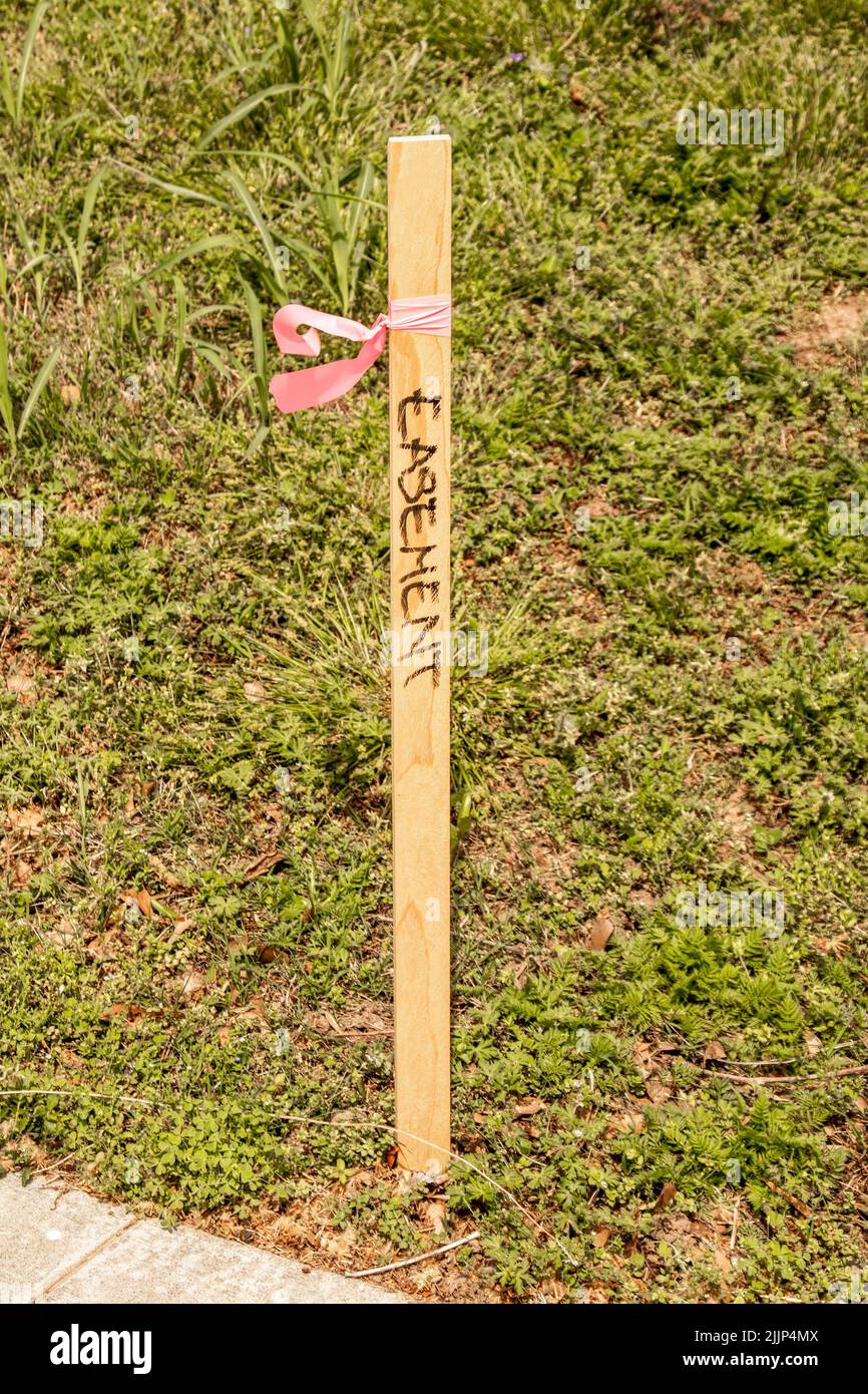 Survey stake with blowing pink ribbon and the word easement written on it Stock Photohttps://www.alamy.com/image-license-details/?v=1https://www.alamy.com/survey-stake-with-blowing-pink-ribbon-and-the-word-easement-written-on-it-image476230410.html
RF2JJP4MX–Survey stake with blowing pink ribbon and the word easement written on it
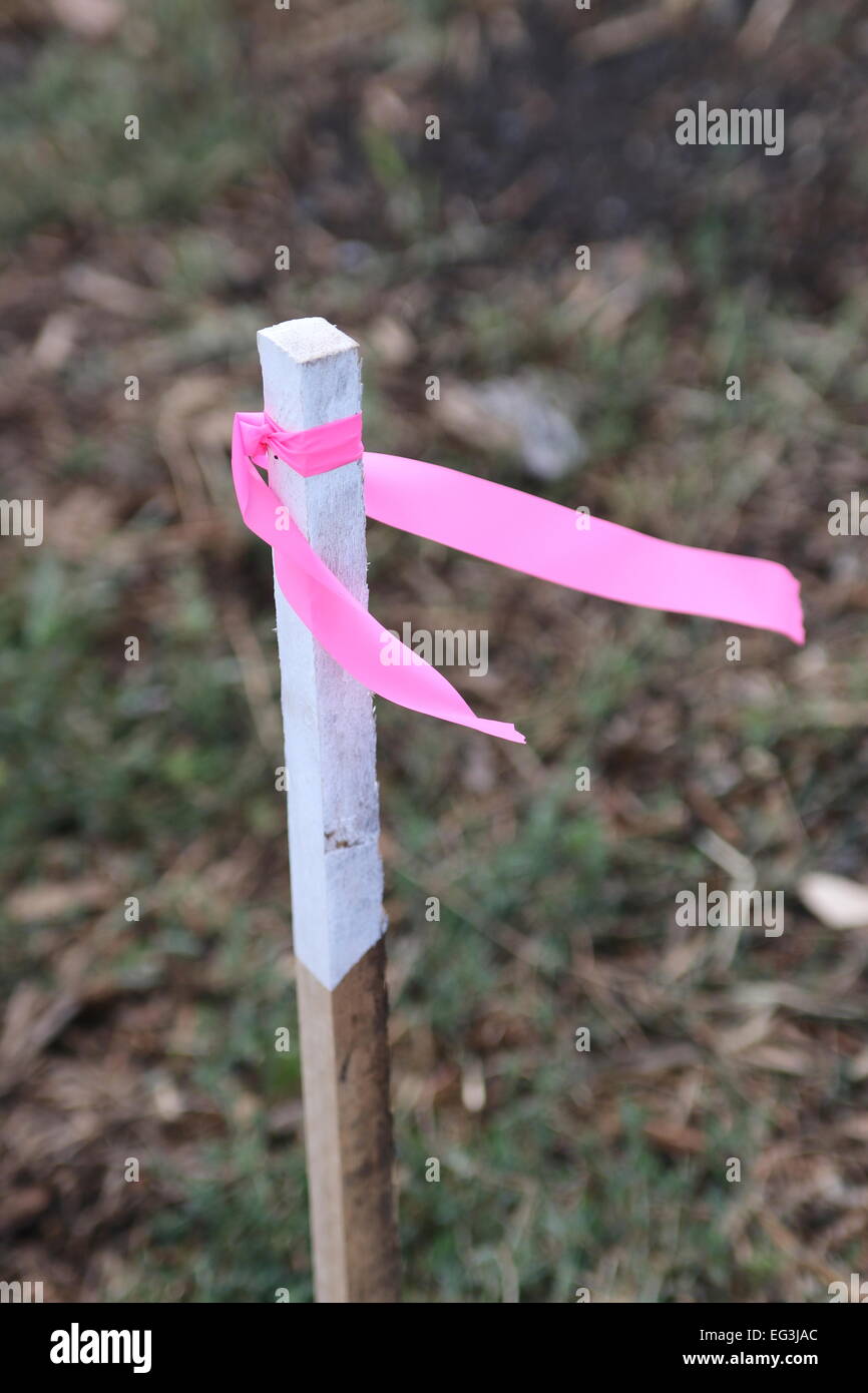 Surveyor's Stake are normally used to mark lines at construction project Stock Photohttps://www.alamy.com/image-license-details/?v=1https://www.alamy.com/stock-photo-surveyors-stake-are-normally-used-to-mark-lines-at-construction-project-78756228.html
RMEG3JAC–Surveyor's Stake are normally used to mark lines at construction project
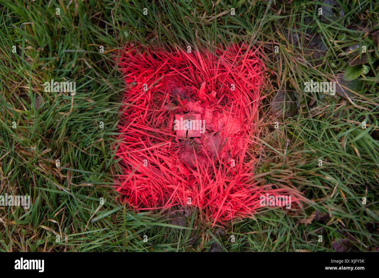 Geodetic survey mark, ground marker. Stock Photohttps://www.alamy.com/image-license-details/?v=1https://www.alamy.com/stock-image-geodetic-survey-mark-ground-marker-166307727.html
RFKJFY5K–Geodetic survey mark, ground marker.
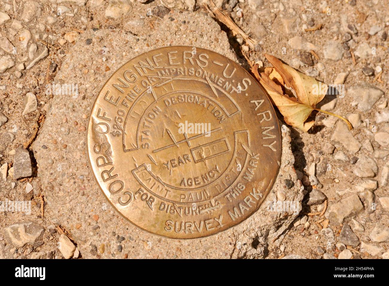 Brass metal disc US Army Corps of Engineers survey marker, Wildcat Mountain State Park, Ontario, Wisconsin, USA Stock Photohttps://www.alamy.com/image-license-details/?v=1https://www.alamy.com/brass-metal-disc-us-army-corps-of-engineers-survey-marker-wildcat-mountain-state-park-ontario-wisconsin-usa-image450648390.html
RM2H54PHA–Brass metal disc US Army Corps of Engineers survey marker, Wildcat Mountain State Park, Ontario, Wisconsin, USA
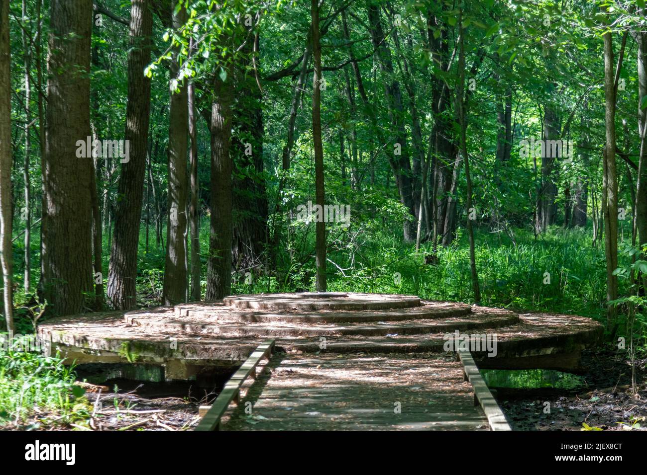 Leslie, Michigan - One of the two meridian and baseline markers in Meridian-Baseline State Park, which are the basis for all land surveys in the state Stock Photohttps://www.alamy.com/image-license-details/?v=1https://www.alamy.com/leslie-michigan-one-of-the-two-meridian-and-baseline-markers-in-meridian-baseline-state-park-which-are-the-basis-for-all-land-surveys-in-the-state-image473862504.html
RM2JEX8CT–Leslie, Michigan - One of the two meridian and baseline markers in Meridian-Baseline State Park, which are the basis for all land surveys in the state
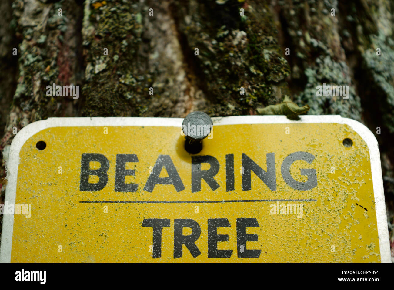 Land Survey Bearing Tree Marker Stock Photohttps://www.alamy.com/image-license-details/?v=1https://www.alamy.com/stock-photo-land-survey-bearing-tree-marker-134223912.html
RFHPABY4–Land Survey Bearing Tree Marker
 Boundary marker on the side of a road with copy space Stock Photohttps://www.alamy.com/image-license-details/?v=1https://www.alamy.com/boundary-marker-on-the-side-of-a-road-with-copy-space-image628343436.html
RF2YE7ED0–Boundary marker on the side of a road with copy space
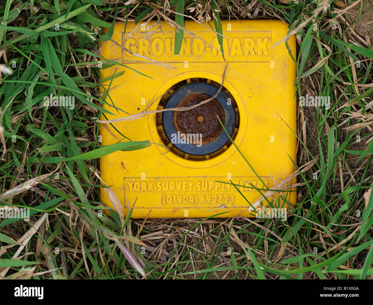 YELLOW GROUND MARK SURVEY POINT IN FIELD IN HAPPISBURGH NORFOLK ENGLAND UK Stock Photohttps://www.alamy.com/image-license-details/?v=1https://www.alamy.com/stock-photo-yellow-ground-mark-survey-point-in-field-in-happisburgh-norfolk-england-18396234.html
RFB1X0GA–YELLOW GROUND MARK SURVEY POINT IN FIELD IN HAPPISBURGH NORFOLK ENGLAND UK
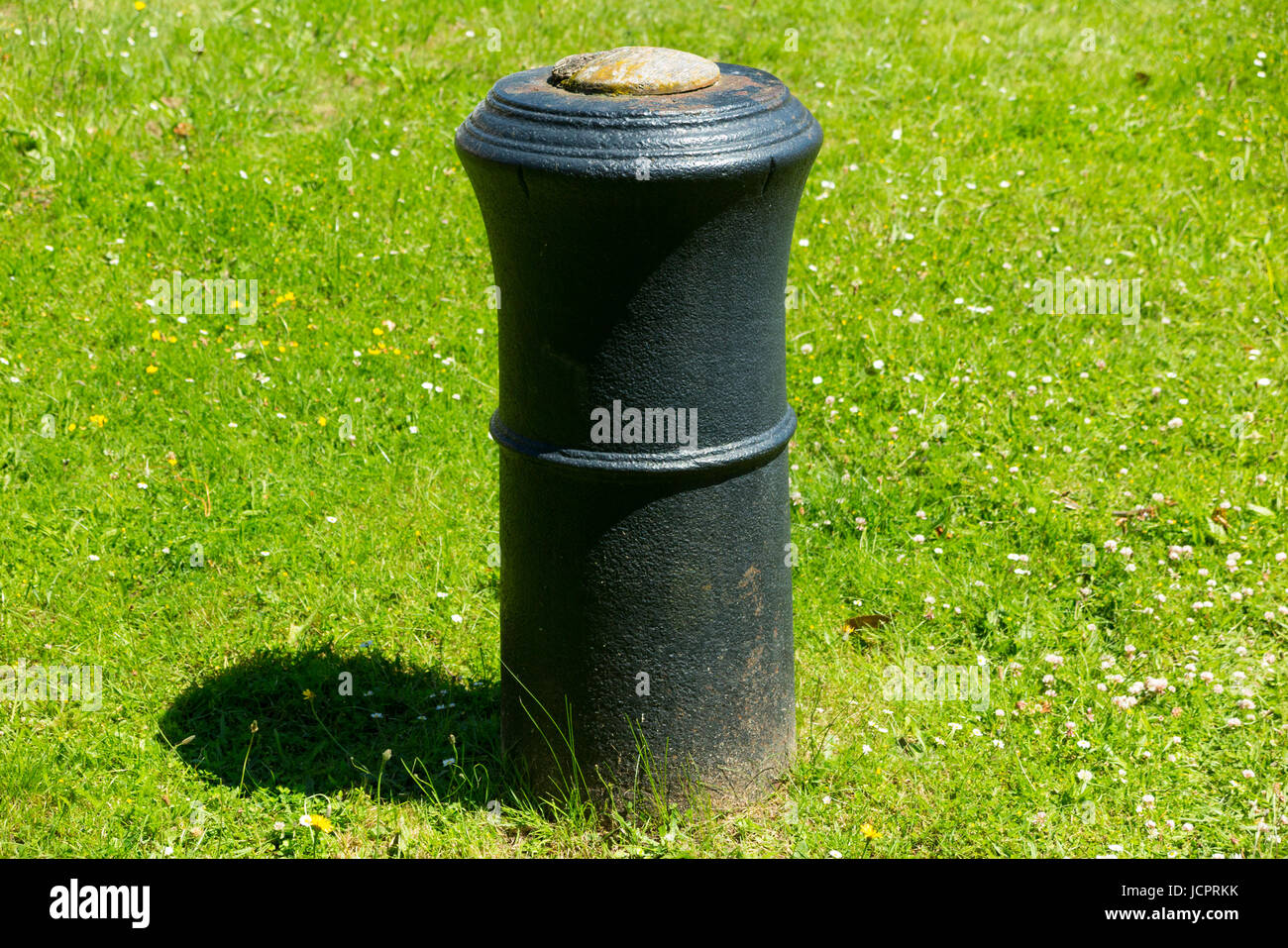 The barrel of a cannon, buried upright & projecting into the air in Roy Grove, Hampton. Major Gen. Roy used the line for Ordnance Survey triangulation Stock Photohttps://www.alamy.com/image-license-details/?v=1https://www.alamy.com/stock-photo-the-barrel-of-a-cannon-buried-upright-projecting-into-the-air-in-roy-145560343.html
RMJCPRKK–The barrel of a cannon, buried upright & projecting into the air in Roy Grove, Hampton. Major Gen. Roy used the line for Ordnance Survey triangulation
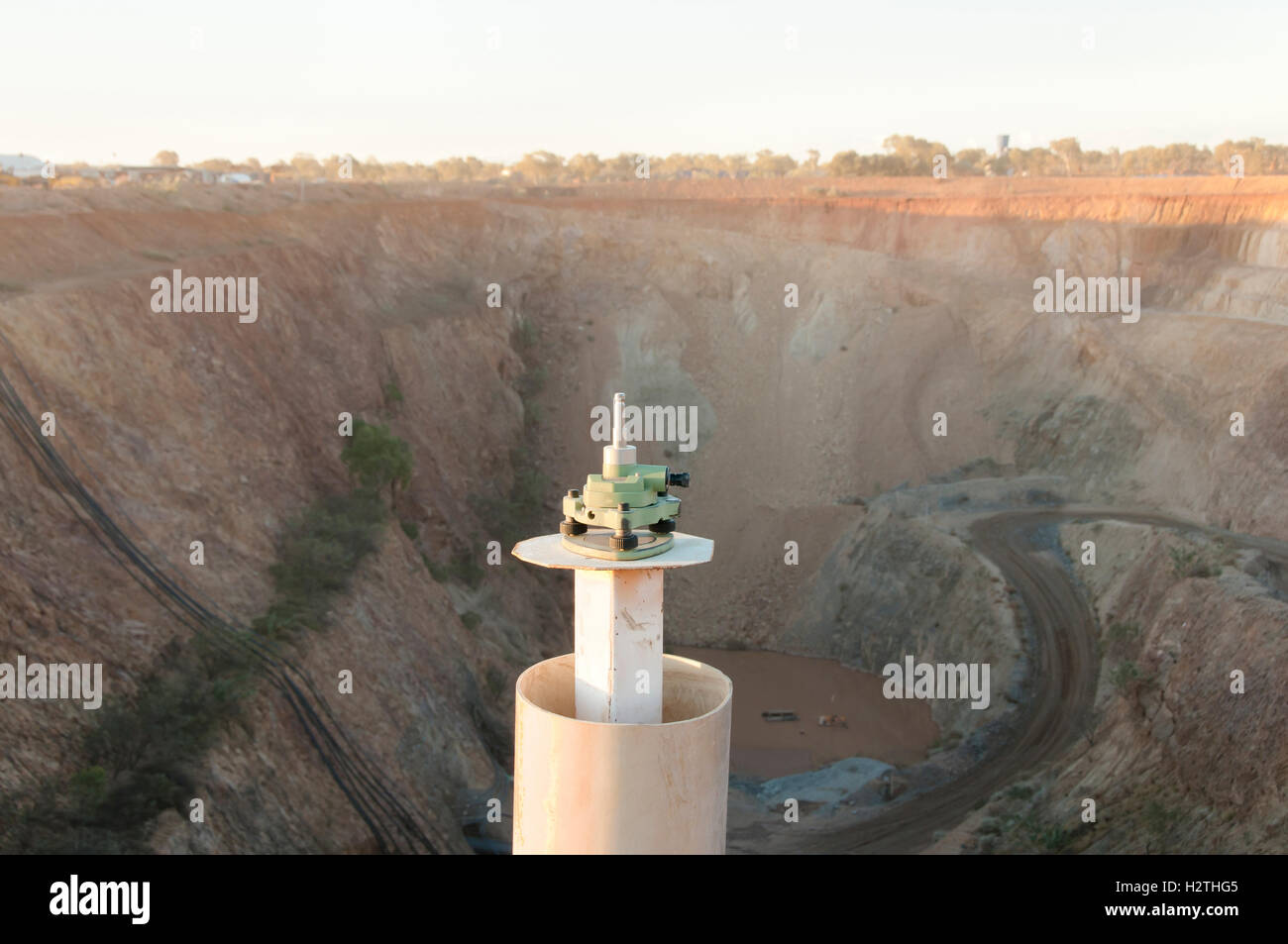 Survey Marker Instrument Stock Photohttps://www.alamy.com/image-license-details/?v=1https://www.alamy.com/stock-photo-survey-marker-instrument-122242517.html
RFH2THG5–Survey Marker Instrument
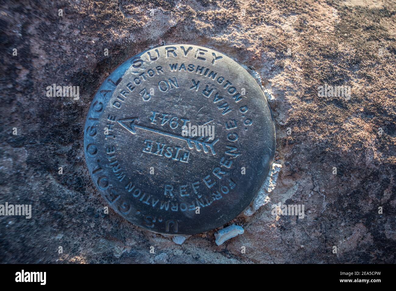 A US Geological survey marker from 1941 in Berryessa snow mountain national monument in Yolo County, California. Stock Photohttps://www.alamy.com/image-license-details/?v=1https://www.alamy.com/a-us-geological-survey-marker-from-1941-in-berryessa-snow-mountain-national-monument-in-yolo-county-california-image402104833.html
RM2EA5CPW–A US Geological survey marker from 1941 in Berryessa snow mountain national monument in Yolo County, California.
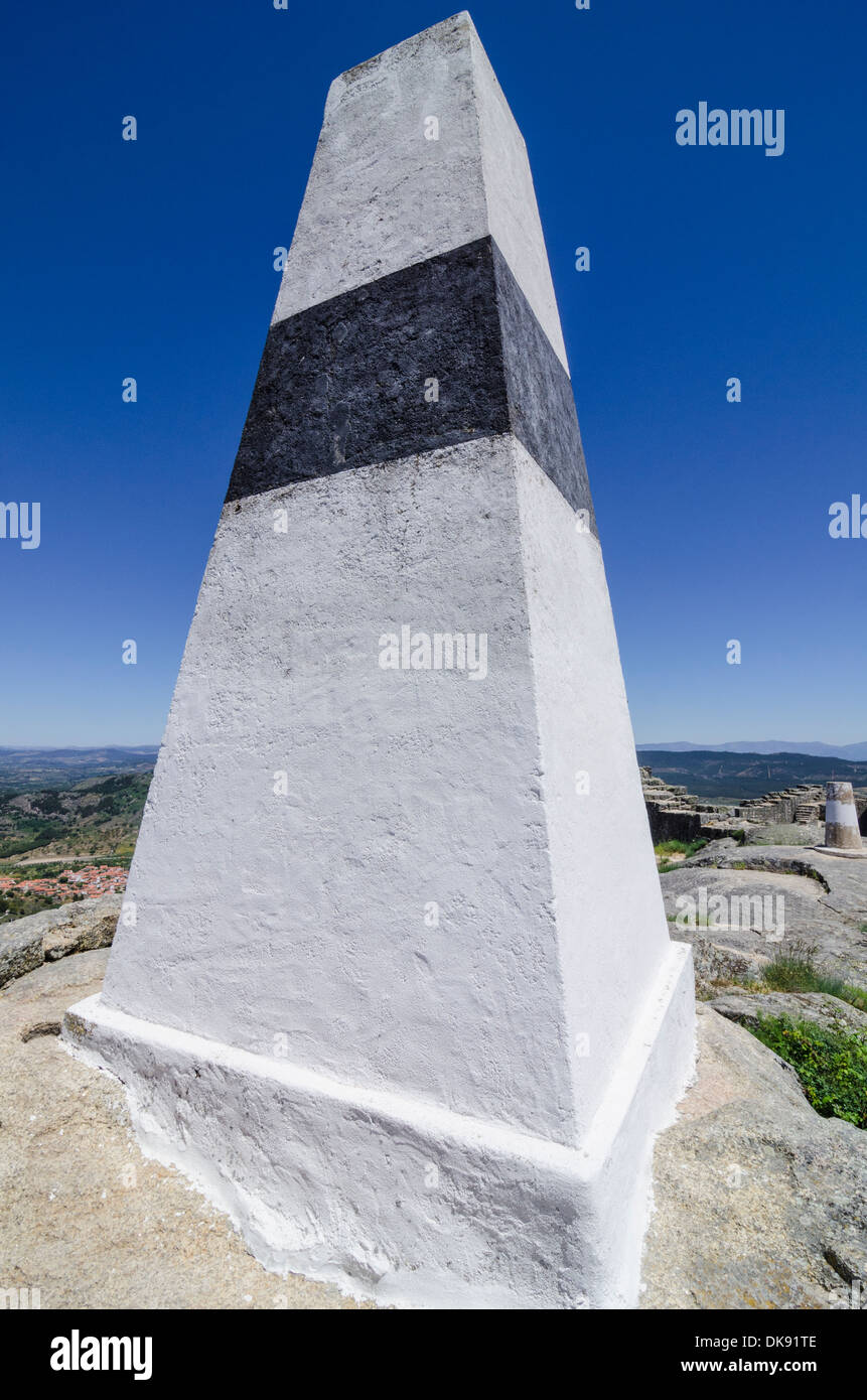 Hill top Geodetic Survey Monument, Monsanto, Portugal Stock Photohttps://www.alamy.com/image-license-details/?v=1https://www.alamy.com/hill-top-geodetic-survey-monument-monsanto-portugal-image63508606.html
RMDK91TE–Hill top Geodetic Survey Monument, Monsanto, Portugal
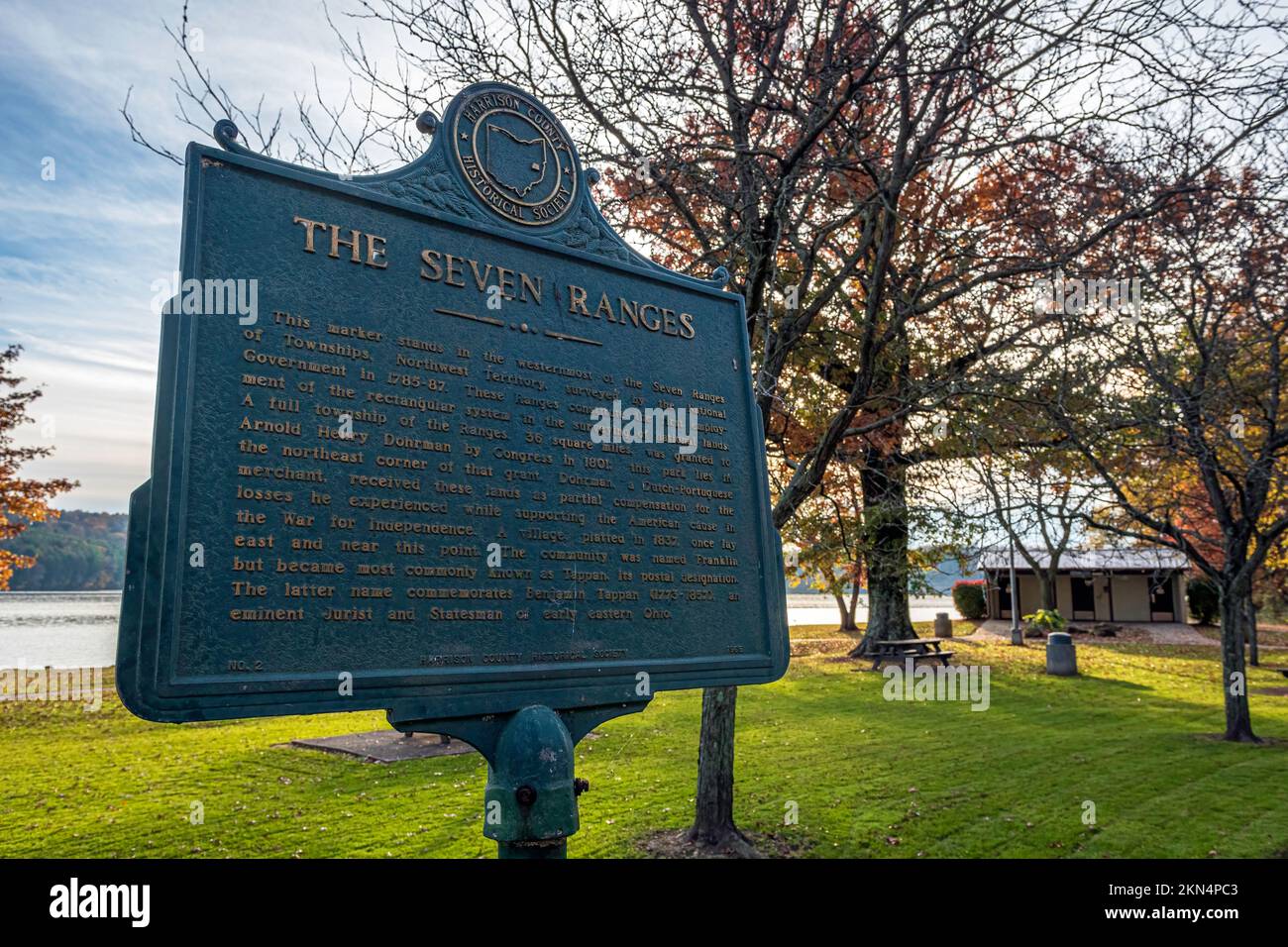 Scio, Ohio, USA- Oct. 24, 2022: Historical marker for westernmost point of The Seven Ranges, the first land surveyed in Ohio following the 1763 Treat Stock Photohttps://www.alamy.com/image-license-details/?v=1https://www.alamy.com/scio-ohio-usa-oct-24-2022-historical-marker-for-westernmost-point-of-the-seven-ranges-the-first-land-surveyed-in-ohio-following-the-1763-treat-image494903475.html
RF2KN4PC3–Scio, Ohio, USA- Oct. 24, 2022: Historical marker for westernmost point of The Seven Ranges, the first land surveyed in Ohio following the 1763 Treat
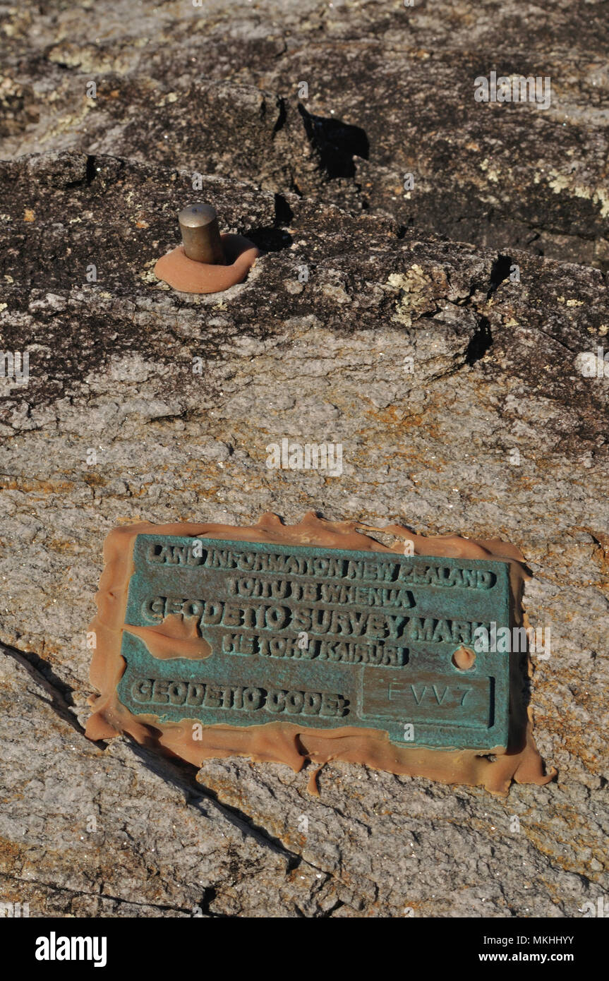 A geodetic survey mark helps to monitor movement of the landmass near Charleston, South Island, New Zealand Stock Photohttps://www.alamy.com/image-license-details/?v=1https://www.alamy.com/a-geodetic-survey-mark-helps-to-monitor-movement-of-the-landmass-near-charleston-south-island-new-zealand-image184169439.html
RFMKHHYY–A geodetic survey mark helps to monitor movement of the landmass near Charleston, South Island, New Zealand
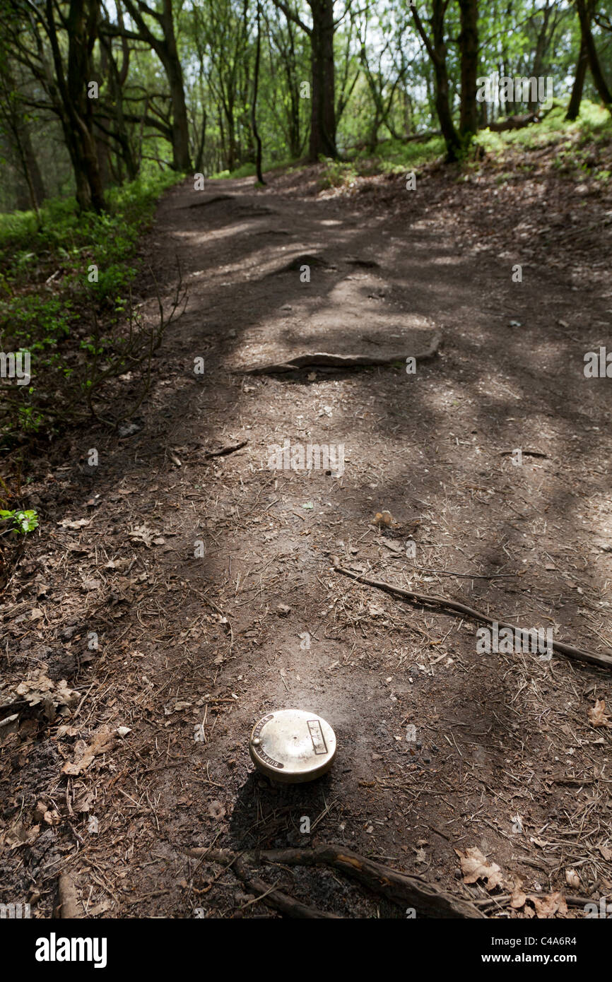 survey marker on forest footpath Stock Photohttps://www.alamy.com/image-license-details/?v=1https://www.alamy.com/stock-photo-survey-marker-on-forest-footpath-37104232.html
RMC4A6R4–survey marker on forest footpath
 Department of Interior Survey Marker. Stock Photohttps://www.alamy.com/image-license-details/?v=1https://www.alamy.com/stock-photo-department-of-interior-survey-marker-78804670.html
RFEG5T4E–Department of Interior Survey Marker.
 A Maltese boundary marker with the initials of the land owner topped by a crown in Siggiewi, Malta Stock Photohttps://www.alamy.com/image-license-details/?v=1https://www.alamy.com/stock-photo-a-maltese-boundary-marker-with-the-initials-of-the-land-owner-topped-85811741.html
RMEYH1N1–A Maltese boundary marker with the initials of the land owner topped by a crown in Siggiewi, Malta
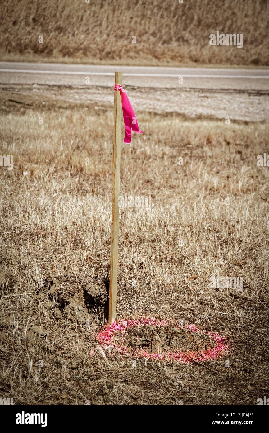 Wooden survey marker with pink plastic ribbon and pink circle spray-painted on ground for utility workers Stock Photohttps://www.alamy.com/image-license-details/?v=1https://www.alamy.com/wooden-survey-marker-with-pink-plastic-ribbon-and-pink-circle-spray-painted-on-ground-for-utility-workers-image476235052.html
RF2JJPAJM–Wooden survey marker with pink plastic ribbon and pink circle spray-painted on ground for utility workers
 blue surveyor's stake and flag marks the spot Stock Photohttps://www.alamy.com/image-license-details/?v=1https://www.alamy.com/blue-surveyors-stake-and-flag-marks-the-spot-image366438011.html
RF2C84KBR–blue surveyor's stake and flag marks the spot
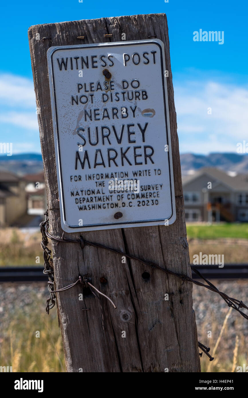 Survey Marker in Arvada Colorado Stock Photohttps://www.alamy.com/image-license-details/?v=1https://www.alamy.com/stock-photo-survey-marker-in-arvada-colorado-123255889.html
RMH4EP41–Survey Marker in Arvada Colorado
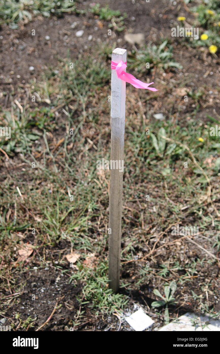 Surveyor's Stake are normally used to mark lines at construction project Stock Photohttps://www.alamy.com/image-license-details/?v=1https://www.alamy.com/stock-photo-surveyors-stake-are-normally-used-to-mark-lines-at-construction-project-78756204.html
RMEG3J9G–Surveyor's Stake are normally used to mark lines at construction project
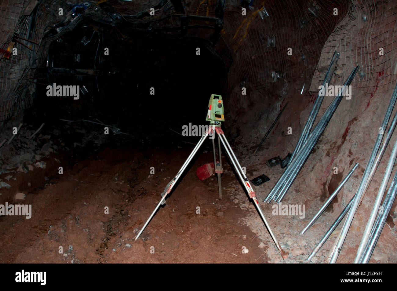 Survey Marker Instrument Stock Photohttps://www.alamy.com/image-license-details/?v=1https://www.alamy.com/stock-photo-survey-marker-instrument-138359021.html
RFJ12P9H–Survey Marker Instrument
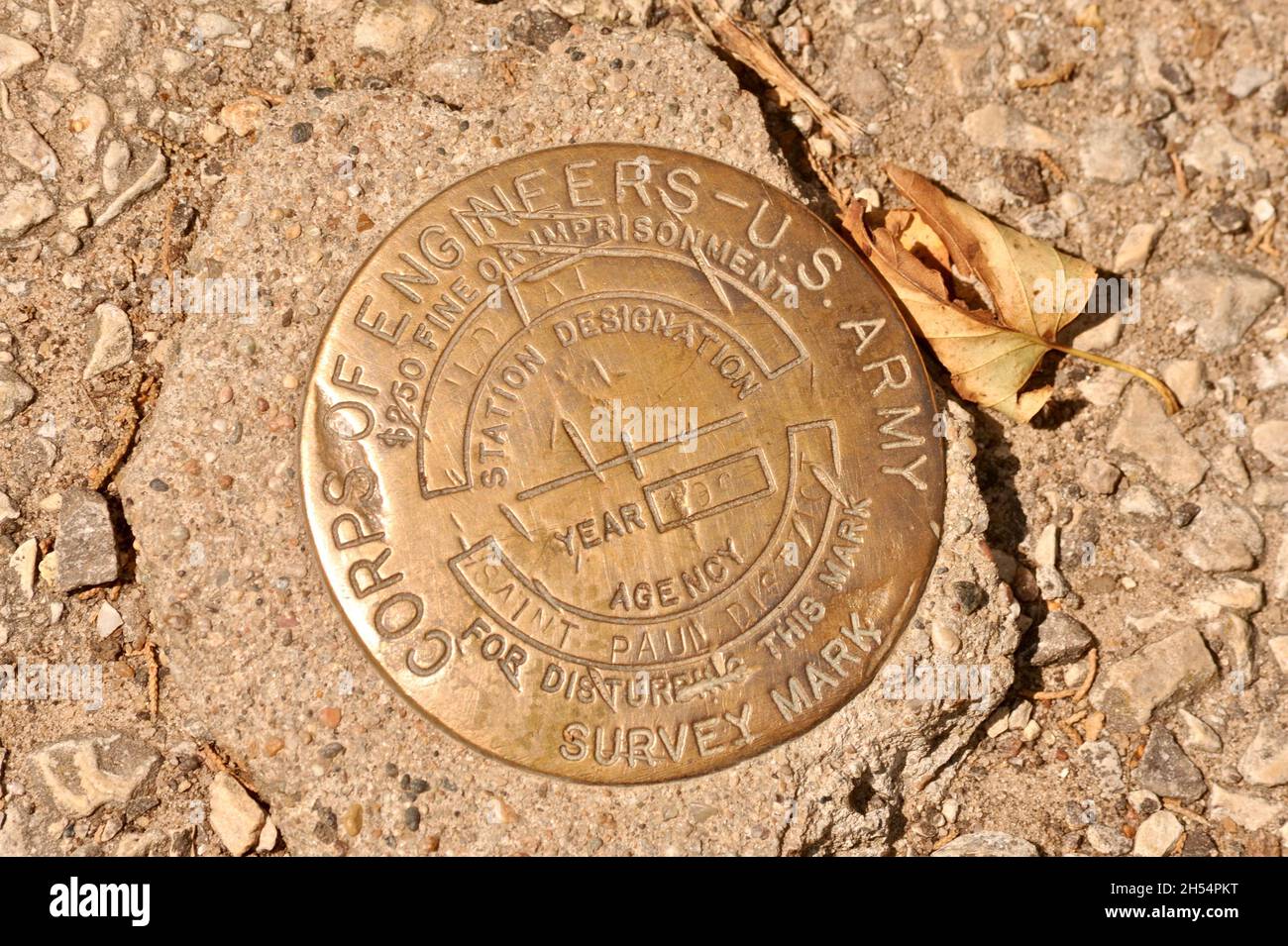 Brass metal disc US Army Corps of Engineers survey marker, Wildcat Mountain State Park, Ontario, Wisconsin, USA Stock Photohttps://www.alamy.com/image-license-details/?v=1https://www.alamy.com/brass-metal-disc-us-army-corps-of-engineers-survey-marker-wildcat-mountain-state-park-ontario-wisconsin-usa-image450648460.html
RM2H54PKT–Brass metal disc US Army Corps of Engineers survey marker, Wildcat Mountain State Park, Ontario, Wisconsin, USA
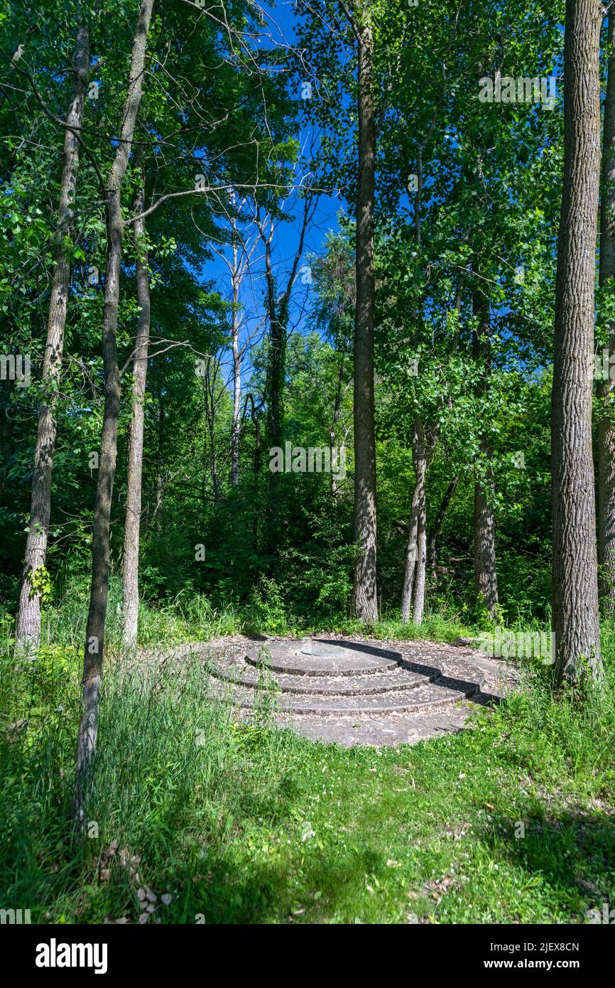 Leslie, Michigan - One of the two meridian and baseline markers in Meridian-Baseline State Park, which are the basis for all land surveys in the state Stock Photohttps://www.alamy.com/image-license-details/?v=1https://www.alamy.com/leslie-michigan-one-of-the-two-meridian-and-baseline-markers-in-meridian-baseline-state-park-which-are-the-basis-for-all-land-surveys-in-the-state-image473862501.html
RM2JEX8CN–Leslie, Michigan - One of the two meridian and baseline markers in Meridian-Baseline State Park, which are the basis for all land surveys in the state
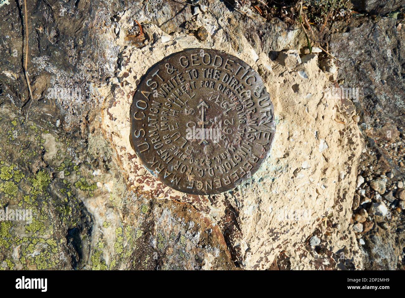 The metal, circular Geodetic survey marker. On the Osgood trail to Blue Hill mountain summit, part of the Blue Hill Heritage Trust in Maine. Stock Photohttps://www.alamy.com/image-license-details/?v=1https://www.alamy.com/the-metal-circular-geodetic-survey-marker-on-the-osgood-trail-to-blue-hill-mountain-summit-part-of-the-blue-hill-heritage-trust-in-maine-image392210597.html
RM2DP2MH9–The metal, circular Geodetic survey marker. On the Osgood trail to Blue Hill mountain summit, part of the Blue Hill Heritage Trust in Maine.
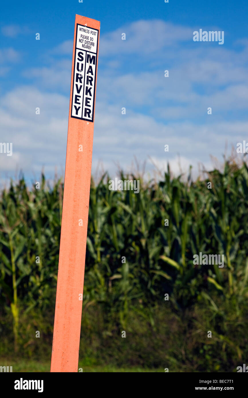 Survey marker in the field Stock Photohttps://www.alamy.com/image-license-details/?v=1https://www.alamy.com/stock-photo-survey-marker-in-the-field-26085137.html
RFBEC7T1–Survey marker in the field
 Vintage Russian government survey marker (benchmark disk) in the wall of building Stock Photohttps://www.alamy.com/image-license-details/?v=1https://www.alamy.com/vintage-russian-government-survey-marker-benchmark-disk-in-the-wall-of-building-image627524212.html
RF2YCX5F0–Vintage Russian government survey marker (benchmark disk) in the wall of building
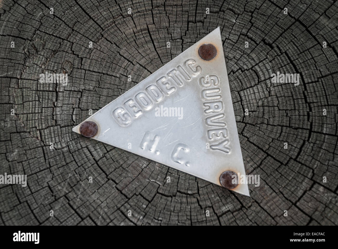 A metal geodetic survey sign is nailed to a tree trunk in North Carolina Stock Photohttps://www.alamy.com/image-license-details/?v=1https://www.alamy.com/stock-photo-a-metal-geodetic-survey-sign-is-nailed-to-a-tree-trunk-in-north-carolina-75263508.html
RFEACFAC–A metal geodetic survey sign is nailed to a tree trunk in North Carolina
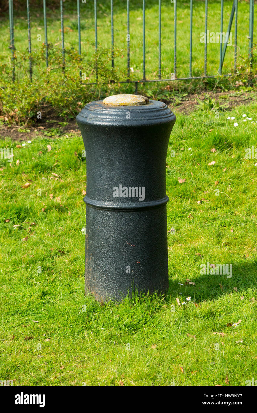 The barrel of a cannon, buried upright & projecting into the air in Roy Grove, Hampton. Major Gen. Roy used the line for Ordnance Survey triangulation Stock Photohttps://www.alamy.com/image-license-details/?v=1https://www.alamy.com/stock-photo-the-barrel-of-a-cannon-buried-upright-projecting-into-the-air-in-roy-136053771.html
RMHW9NY7–The barrel of a cannon, buried upright & projecting into the air in Roy Grove, Hampton. Major Gen. Roy used the line for Ordnance Survey triangulation
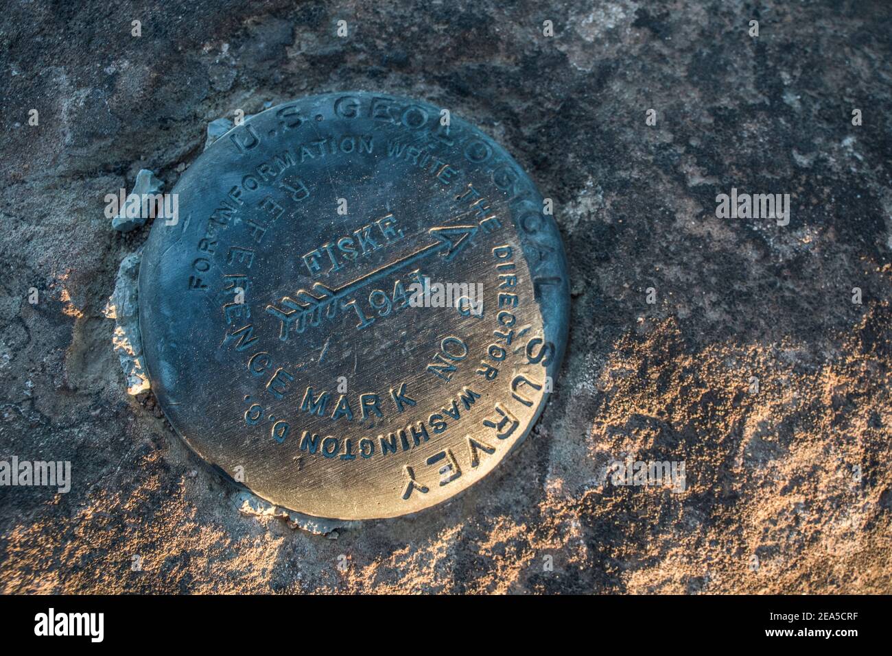 A US Geological survey marker from 1941 in Berryessa snow mountain national monument in Yolo County, California. Stock Photohttps://www.alamy.com/image-license-details/?v=1https://www.alamy.com/a-us-geological-survey-marker-from-1941-in-berryessa-snow-mountain-national-monument-in-yolo-county-california-image402104851.html
RM2EA5CRF–A US Geological survey marker from 1941 in Berryessa snow mountain national monument in Yolo County, California.
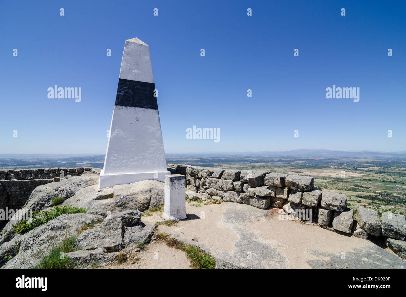 Hill top Geodetic Survey Monument, Monsanto, Portugal Stock Photohttps://www.alamy.com/image-license-details/?v=1https://www.alamy.com/hill-top-geodetic-survey-monument-monsanto-portugal-image63508726.html
RMDK920P–Hill top Geodetic Survey Monument, Monsanto, Portugal
RF2XK8MBR–House symbol with location pin icon on cubical soil land geology cross section with green grass, ground ecology isolated on blue sky. real estate sale
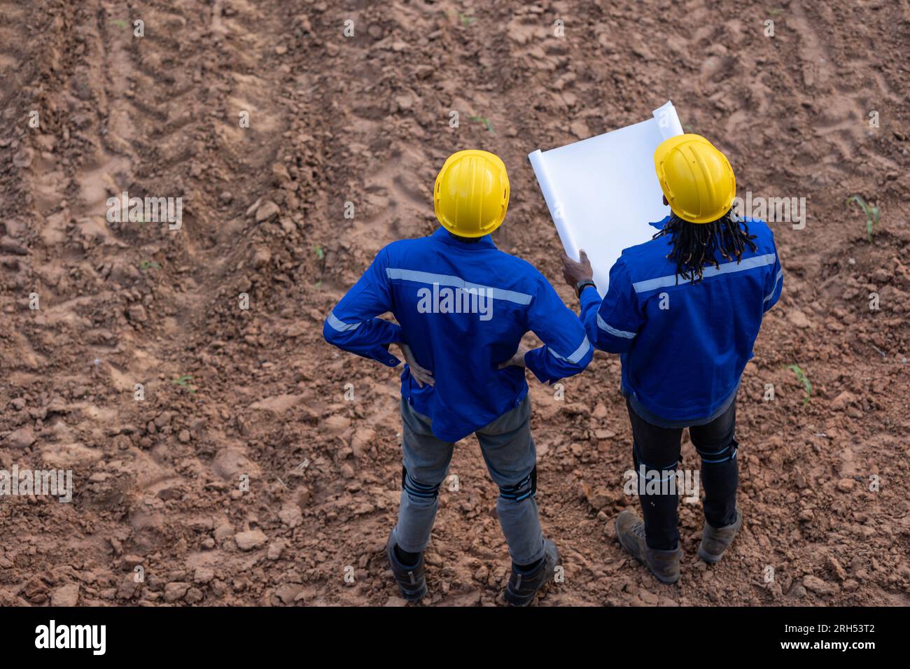 Land surveyor team standing working together at construction field consult study looking building location with floor plan Stock Photohttps://www.alamy.com/image-license-details/?v=1https://www.alamy.com/land-surveyor-team-standing-working-together-at-construction-field-consult-study-looking-building-location-with-floor-plan-image561293714.html
RF2RH53T2–Land surveyor team standing working together at construction field consult study looking building location with floor plan
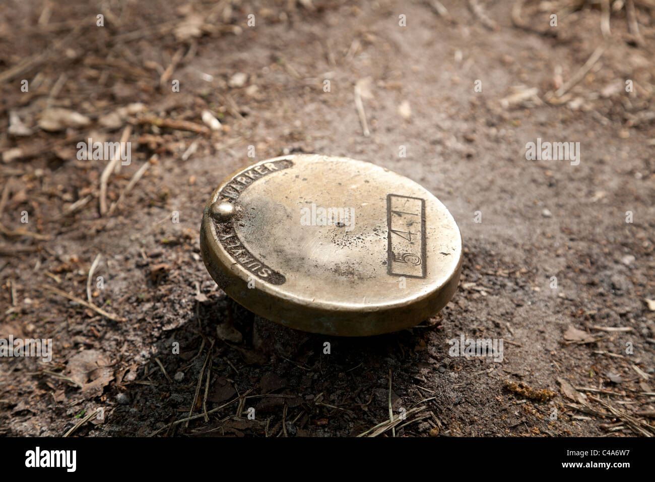 survey marker on forest footpath Stock Photohttps://www.alamy.com/image-license-details/?v=1https://www.alamy.com/stock-photo-survey-marker-on-forest-footpath-37104291.html
RMC4A6W7–survey marker on forest footpath
 General Land Office Survey marker embedded in a natural rock of Yakutania Point near Skagway, Alaska Stock Photohttps://www.alamy.com/image-license-details/?v=1https://www.alamy.com/general-land-office-survey-marker-embedded-in-a-natural-rock-of-yakutania-point-near-skagway-alaska-image608253630.html
RF2X9G9KX–General Land Office Survey marker embedded in a natural rock of Yakutania Point near Skagway, Alaska
 A Maltese boundary marker with the initials of the land owner topped by a crown in Siggiewi, Malta Stock Photohttps://www.alamy.com/image-license-details/?v=1https://www.alamy.com/stock-photo-a-maltese-boundary-marker-with-the-initials-of-the-land-owner-topped-85811746.html
RMEYH1N6–A Maltese boundary marker with the initials of the land owner topped by a crown in Siggiewi, Malta
 Red land survey mark in the field. Vivid colors. Stock Photohttps://www.alamy.com/image-license-details/?v=1https://www.alamy.com/stock-photo-red-land-survey-mark-in-the-field-vivid-colors-177601816.html
RFM8XCX0–Red land survey mark in the field. Vivid colors.
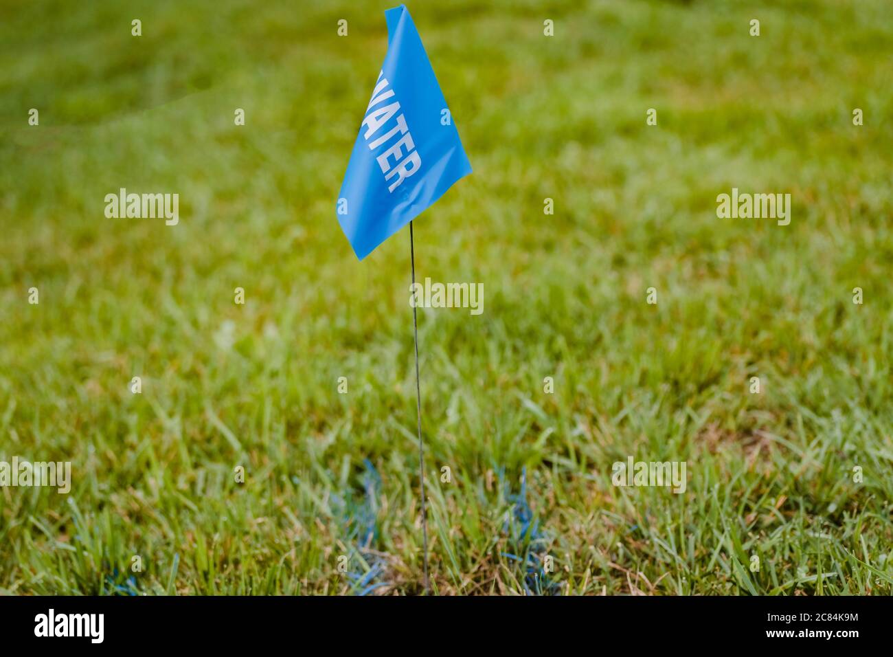 blue surveyor's stake and flag marks the spot Stock Photohttps://www.alamy.com/image-license-details/?v=1https://www.alamy.com/blue-surveyors-stake-and-flag-marks-the-spot-image366437952.html
RF2C84K9M–blue surveyor's stake and flag marks the spot
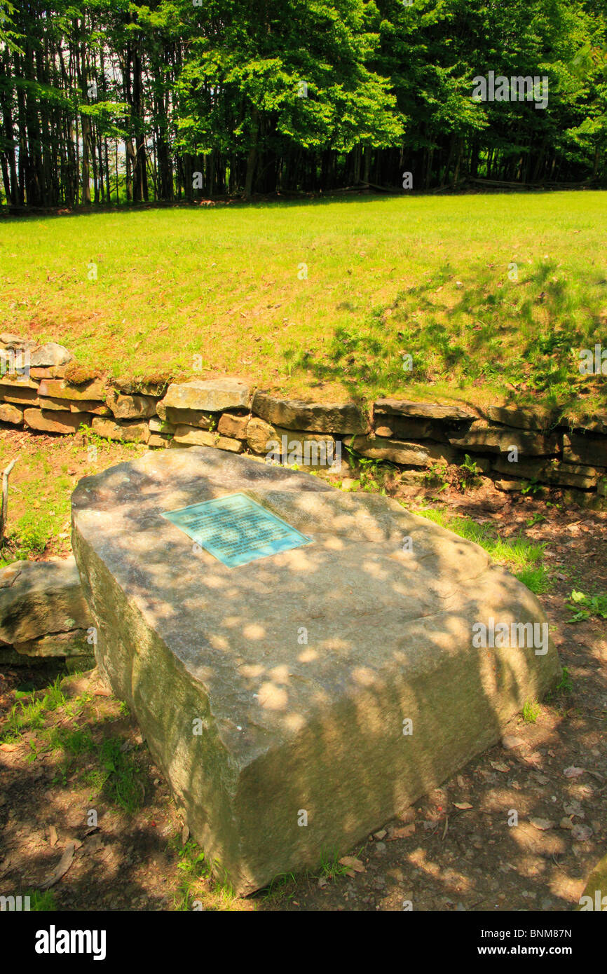 Fairfax Stone State Park, Thomas, West Virginia, USA Stock Photohttps://www.alamy.com/image-license-details/?v=1https://www.alamy.com/stock-photo-fairfax-stone-state-park-thomas-west-virginia-usa-30563673.html
RMBNM87N–Fairfax Stone State Park, Thomas, West Virginia, USA
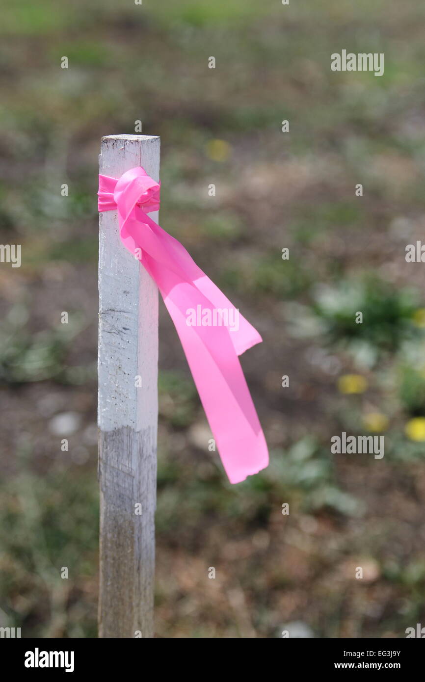 Surveyor's Stake are normally used to mark lines at construction project Stock Photohttps://www.alamy.com/image-license-details/?v=1https://www.alamy.com/stock-photo-surveyors-stake-are-normally-used-to-mark-lines-at-construction-project-78756215.html
RMEG3J9Y–Surveyor's Stake are normally used to mark lines at construction project
 Survey Marker Instrument Stock Photohttps://www.alamy.com/image-license-details/?v=1https://www.alamy.com/stock-photo-survey-marker-instrument-138358699.html
RFJ12NX3–Survey Marker Instrument
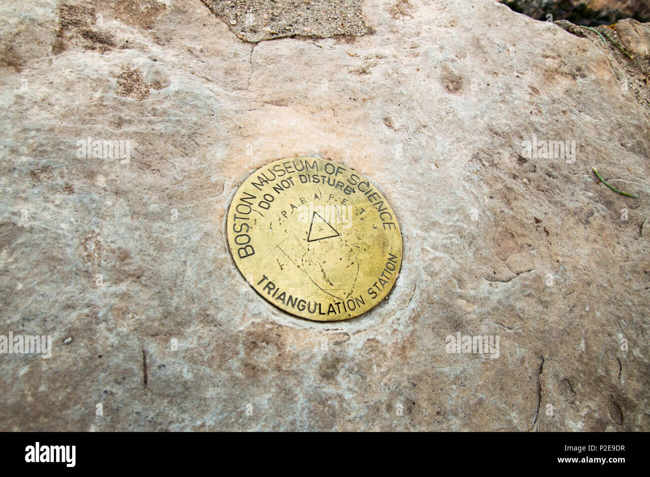 A Boston Museum of Science triangulation marker at the Grand Canyon. Stock Photohttps://www.alamy.com/image-license-details/?v=1https://www.alamy.com/a-boston-museum-of-science-triangulation-marker-at-the-grand-canyon-image208068499.html
RFP2E9DR–A Boston Museum of Science triangulation marker at the Grand Canyon.
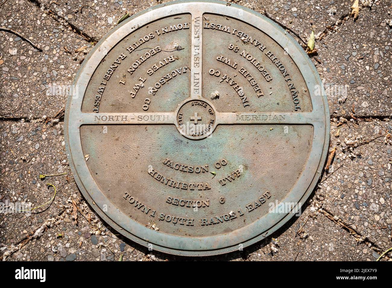 Leslie, Michigan - One of the two meridian and baseline markers in Meridian-Baseline State Park, which are the basis for all land surveys in the state Stock Photohttps://www.alamy.com/image-license-details/?v=1https://www.alamy.com/leslie-michigan-one-of-the-two-meridian-and-baseline-markers-in-meridian-baseline-state-park-which-are-the-basis-for-all-land-surveys-in-the-state-image473862125.html
RM2JEX7Y9–Leslie, Michigan - One of the two meridian and baseline markers in Meridian-Baseline State Park, which are the basis for all land surveys in the state
 The Ellicott Stone, also called Ellicott’s Stone, is pictured in a glass case at the History Museum of Mobile, Nov. 21, 2021, in Mobile, Alabama. Stock Photohttps://www.alamy.com/image-license-details/?v=1https://www.alamy.com/the-ellicott-stone-also-called-ellicotts-stone-is-pictured-in-a-glass-case-at-the-history-museum-of-mobile-nov-21-2021-in-mobile-alabama-image452197705.html
RM2H7KAP1–The Ellicott Stone, also called Ellicott’s Stone, is pictured in a glass case at the History Museum of Mobile, Nov. 21, 2021, in Mobile, Alabama.
 Closeup of wooden stake in ground with orange tape and Property Corner marked on it near construction barrier made of heavy black plastic Stock Photohttps://www.alamy.com/image-license-details/?v=1https://www.alamy.com/closeup-of-wooden-stake-in-ground-with-orange-tape-and-property-corner-marked-on-it-near-construction-barrier-made-of-heavy-black-plastic-image468883785.html
RF2J6RE1D–Closeup of wooden stake in ground with orange tape and Property Corner marked on it near construction barrier made of heavy black plastic
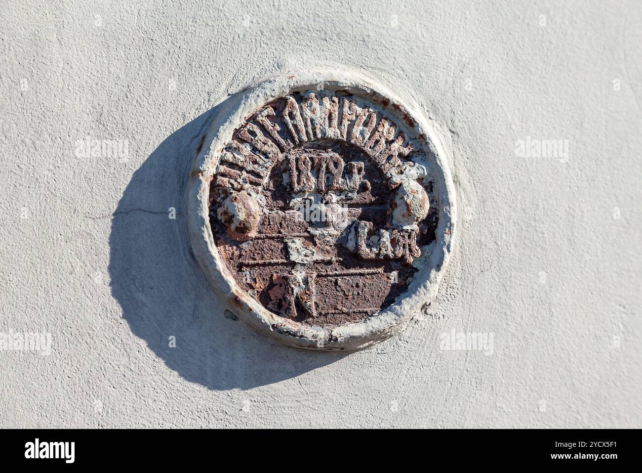 Vintage Russian government survey marker (benchmark disk) in the wall of building Stock Photohttps://www.alamy.com/image-license-details/?v=1https://www.alamy.com/vintage-russian-government-survey-marker-benchmark-disk-in-the-wall-of-building-image627524213.html
RF2YCX5F1–Vintage Russian government survey marker (benchmark disk) in the wall of building
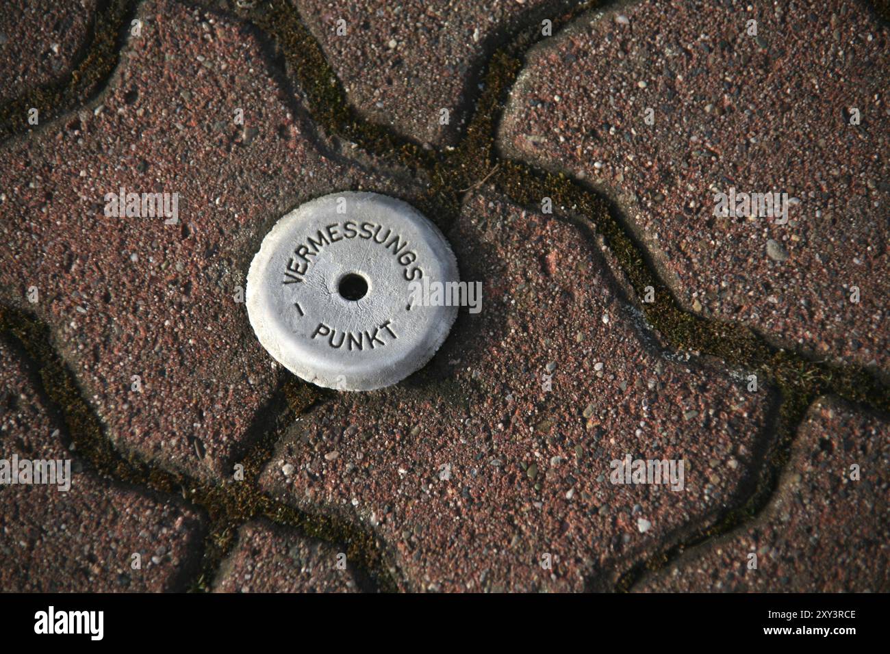 Survey point Stock Photohttps://www.alamy.com/image-license-details/?v=1https://www.alamy.com/survey-point-image619042830.html
RM2XY3RCE–Survey point
 The barrel of a cannon, buried upright & projecting into the air in Roy Grove, Hampton. Major Gen. Roy used the line for Ordnance Survey triangulation Stock Photohttps://www.alamy.com/image-license-details/?v=1https://www.alamy.com/stock-photo-the-barrel-of-a-cannon-buried-upright-projecting-into-the-air-in-roy-136053756.html
RMHW9NXM–The barrel of a cannon, buried upright & projecting into the air in Roy Grove, Hampton. Major Gen. Roy used the line for Ordnance Survey triangulation
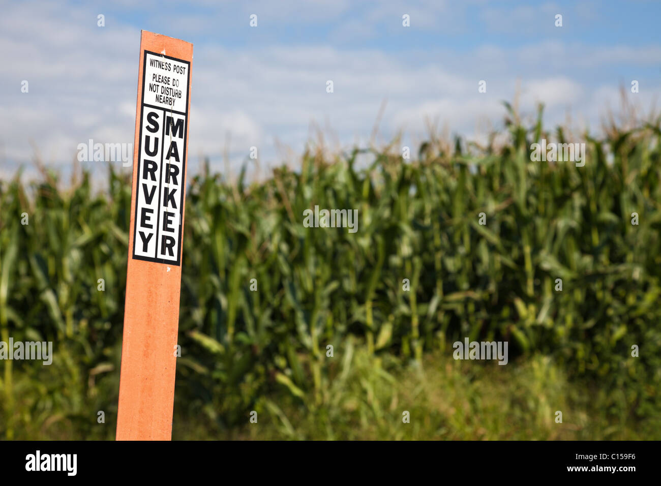 Survey marker Stock Photohttps://www.alamy.com/image-license-details/?v=1https://www.alamy.com/stock-photo-survey-marker-35152634.html
RFC159F6–Survey marker
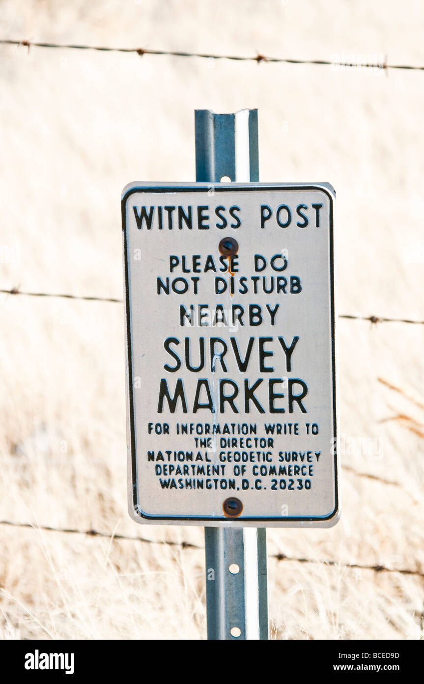 A survey Marker Witness post. Stock Photohttps://www.alamy.com/image-license-details/?v=1https://www.alamy.com/stock-photo-a-survey-marker-witness-post-24904025.html
RMBCED9D–A survey Marker Witness post.
 Geodetic survey marker at Mount John, Canterbury, New Zealand. Lake Tekapo visible on the left. Stock Photohttps://www.alamy.com/image-license-details/?v=1https://www.alamy.com/geodetic-survey-marker-at-mount-john-canterbury-new-zealand-lake-tekapo-visible-on-the-left-image402761856.html
RF2EB7AT0–Geodetic survey marker at Mount John, Canterbury, New Zealand. Lake Tekapo visible on the left.
 Land surveyor team standing working together at construction field consult study looking building location with floor plan Stock Photohttps://www.alamy.com/image-license-details/?v=1https://www.alamy.com/land-surveyor-team-standing-working-together-at-construction-field-consult-study-looking-building-location-with-floor-plan-image561293694.html
RF2RH53RA–Land surveyor team standing working together at construction field consult study looking building location with floor plan
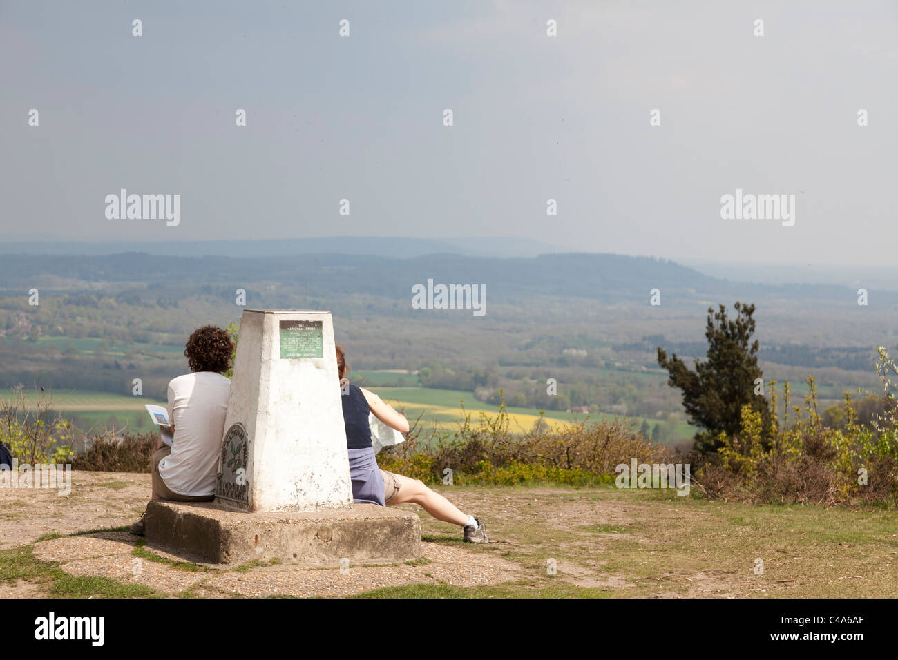 Two people sat on Ordanance survey marker stone on Gibbet Hill at Hindhead Stock Photohttps://www.alamy.com/image-license-details/?v=1https://www.alamy.com/stock-photo-two-people-sat-on-ordanance-survey-marker-stone-on-gibbet-hill-at-37103879.html
RMC4A6AF–Two people sat on Ordanance survey marker stone on Gibbet Hill at Hindhead
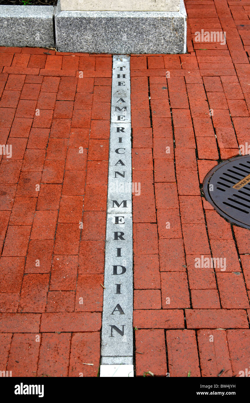 Marker of the American Meridian on the campus of the George Washington University, Washington, D.C., USA Stock Photohttps://www.alamy.com/image-license-details/?v=1https://www.alamy.com/stock-photo-marker-of-the-american-meridian-on-the-campus-of-the-george-washington-32679461.html
RMBW4JYH–Marker of the American Meridian on the campus of the George Washington University, Washington, D.C., USA
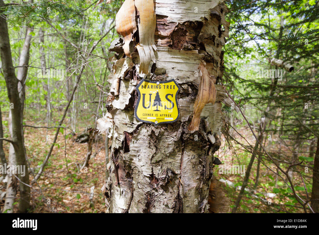 US National Forest boundary bearing tree marker in the Stark Falls Brook drainage of Kinsman Notch in Woodstock, New Hampshire Stock Photohttps://www.alamy.com/image-license-details/?v=1https://www.alamy.com/us-national-forest-boundary-bearing-tree-marker-in-the-stark-falls-image69750259.html
RME1DB4K–US National Forest boundary bearing tree marker in the Stark Falls Brook drainage of Kinsman Notch in Woodstock, New Hampshire
 Local Cadastre Map And Location Pins. Search And Survey Stock Photohttps://www.alamy.com/image-license-details/?v=1https://www.alamy.com/local-cadastre-map-and-location-pins-search-and-survey-image467998798.html
RF2J5B56P–Local Cadastre Map And Location Pins. Search And Survey
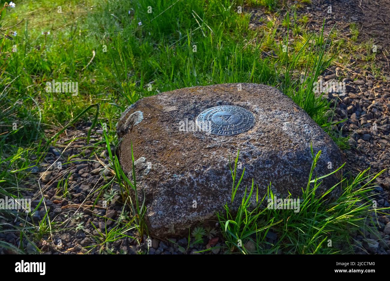 AREGON, USA - MAY 02, 2018: - Geodetic survey triangulation among green hills, Aregon, USA Stock Photohttps://www.alamy.com/image-license-details/?v=1https://www.alamy.com/aregon-usa-may-02-2018-geodetic-survey-triangulation-among-green-hills-aregon-usa-image472325280.html
RF2JCC7M0–AREGON, USA - MAY 02, 2018: - Geodetic survey triangulation among green hills, Aregon, USA
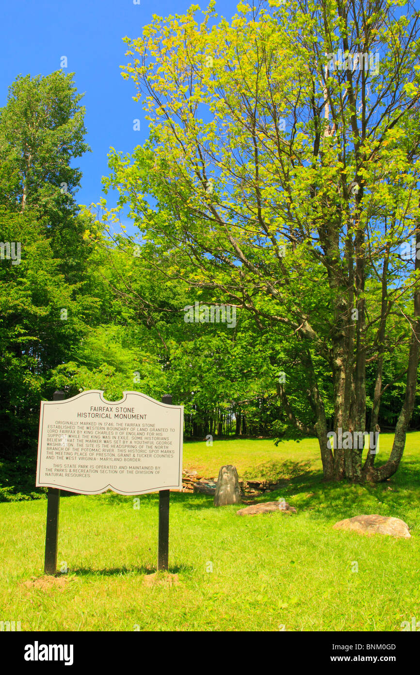 Fairfax Stone State Park, Thomas, West Virginia, USA Stock Photohttps://www.alamy.com/image-license-details/?v=1https://www.alamy.com/stock-photo-fairfax-stone-state-park-thomas-west-virginia-usa-30557645.html
RMBNM0GD–Fairfax Stone State Park, Thomas, West Virginia, USA
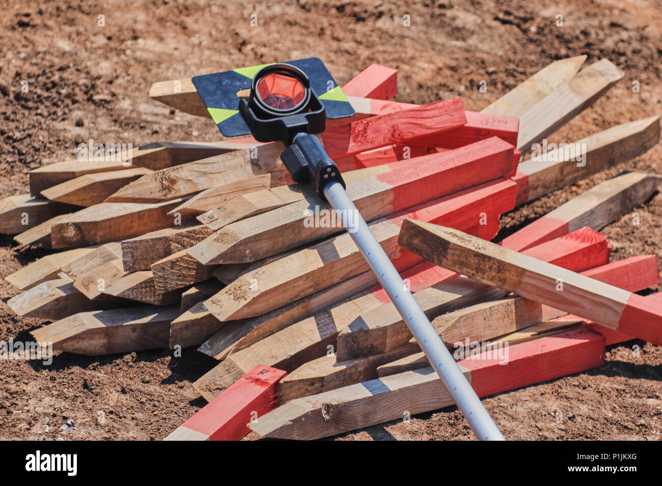 Geodesic prism over pile of red painted wooden survey pegs Stock Photohttps://www.alamy.com/image-license-details/?v=1https://www.alamy.com/geodesic-prism-over-pile-of-red-painted-wooden-survey-pegs-image207549848.html
RFP1JKXG–Geodesic prism over pile of red painted wooden survey pegs
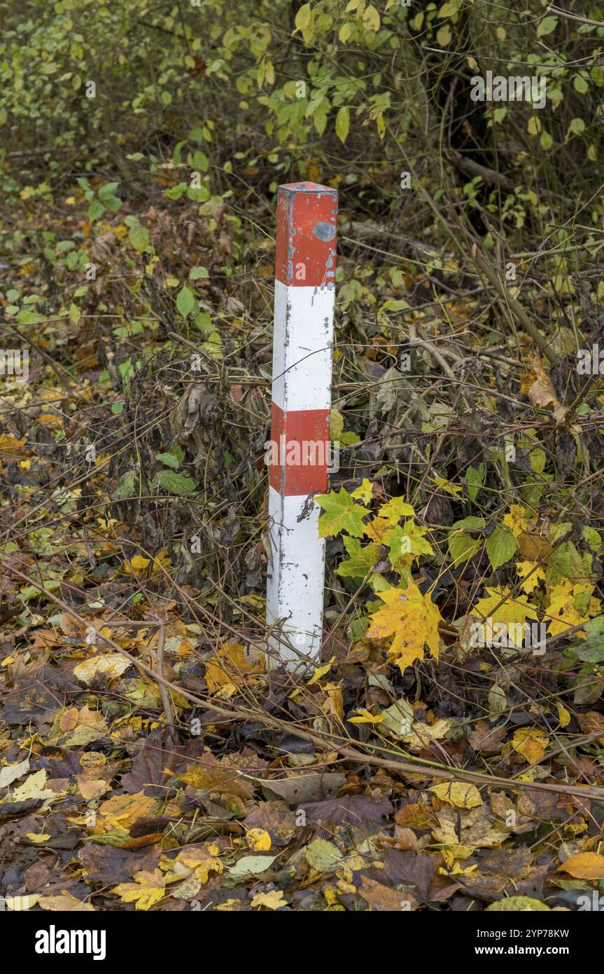 Red and white striped boundary post marking land property in autumn forest Stock Photohttps://www.alamy.com/image-license-details/?v=1https://www.alamy.com/red-and-white-striped-boundary-post-marking-land-property-in-autumn-forest-image633256173.html
RF2YP78KW–Red and white striped boundary post marking land property in autumn forest
 Local Cadastre Map And Location Pins Stock Photohttps://www.alamy.com/image-license-details/?v=1https://www.alamy.com/local-cadastre-map-and-location-pins-image483559955.html
RF2K2M1JB–Local Cadastre Map And Location Pins
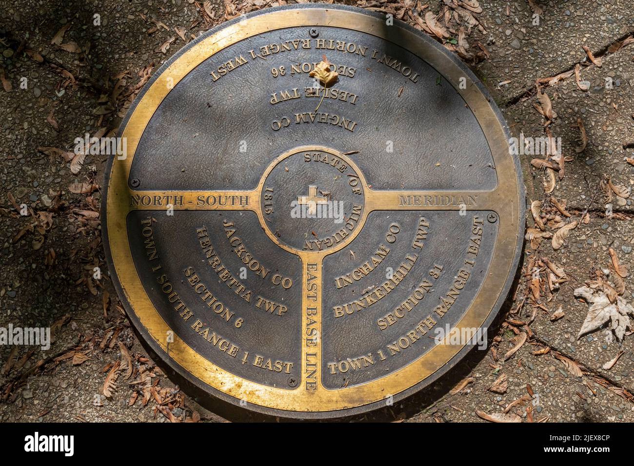 Leslie, Michigan - One of the two meridian and baseline markers in Meridian-Baseline State Park, which are the basis for all land surveys in the state Stock Photohttps://www.alamy.com/image-license-details/?v=1https://www.alamy.com/leslie-michigan-one-of-the-two-meridian-and-baseline-markers-in-meridian-baseline-state-park-which-are-the-basis-for-all-land-surveys-in-the-state-image473862502.html
RM2JEX8CP–Leslie, Michigan - One of the two meridian and baseline markers in Meridian-Baseline State Park, which are the basis for all land surveys in the state
 The Ellicott Stone, also called Ellicott’s Stone, is pictured in a glass case at the History Museum of Mobile, Nov. 21, 2021, in Mobile, Alabama. Stock Photohttps://www.alamy.com/image-license-details/?v=1https://www.alamy.com/the-ellicott-stone-also-called-ellicotts-stone-is-pictured-in-a-glass-case-at-the-history-museum-of-mobile-nov-21-2021-in-mobile-alabama-image452197712.html
RM2H7KAP8–The Ellicott Stone, also called Ellicott’s Stone, is pictured in a glass case at the History Museum of Mobile, Nov. 21, 2021, in Mobile, Alabama.
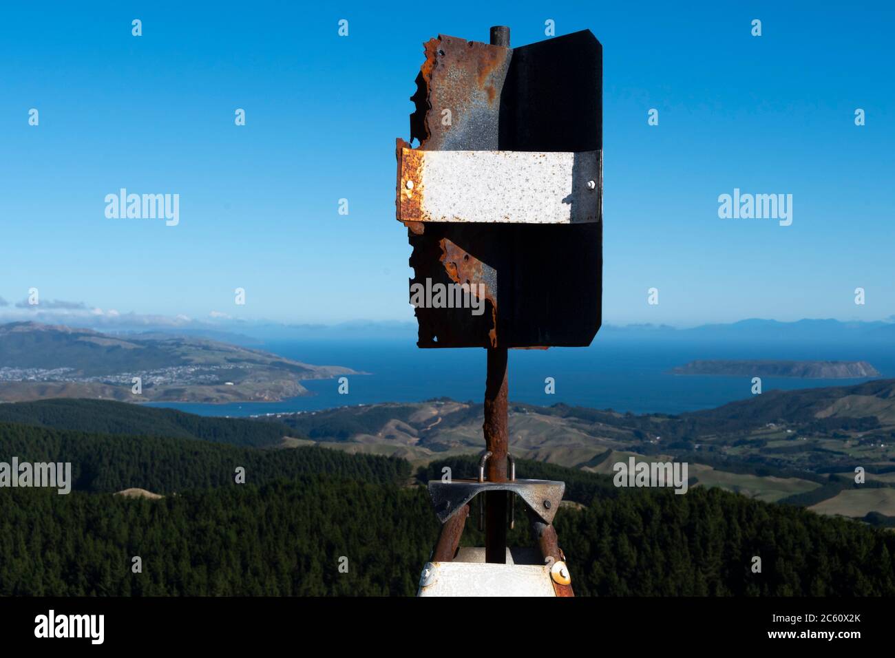 Trig Station, Survey marker on hill top, 'Diggins' Porirua Harbour entrance and Cook Strait, from above Pukerua Bay, Wellington, North Island, New Zea Stock Photohttps://www.alamy.com/image-license-details/?v=1https://www.alamy.com/trig-station-survey-marker-on-hill-top-diggins-porirua-harbour-entrance-and-cook-strait-from-above-pukerua-bay-wellington-north-island-new-zea-image365126123.html
RF2C60X2K–Trig Station, Survey marker on hill top, 'Diggins' Porirua Harbour entrance and Cook Strait, from above Pukerua Bay, Wellington, North Island, New Zea
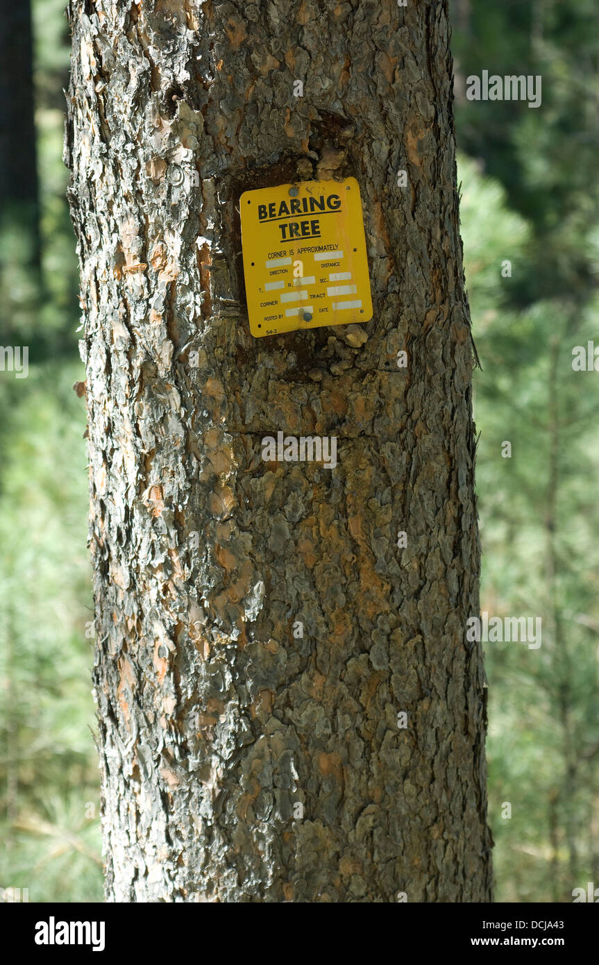 Bearing tree used in land survey, Black Hills, South Dakota. Digital photograph Stock Photohttps://www.alamy.com/image-license-details/?v=1https://www.alamy.com/stock-photo-bearing-tree-used-in-land-survey-black-hills-south-dakota-digital-59410067.html
RMDCJA43–Bearing tree used in land survey, Black Hills, South Dakota. Digital photograph
 A survey monument for the Allegheny Portage Railroad National Park Stock Photohttps://www.alamy.com/image-license-details/?v=1https://www.alamy.com/a-survey-monument-for-the-allegheny-portage-railroad-national-park-image416671163.html
RF2F5W08Y–A survey monument for the Allegheny Portage Railroad National Park
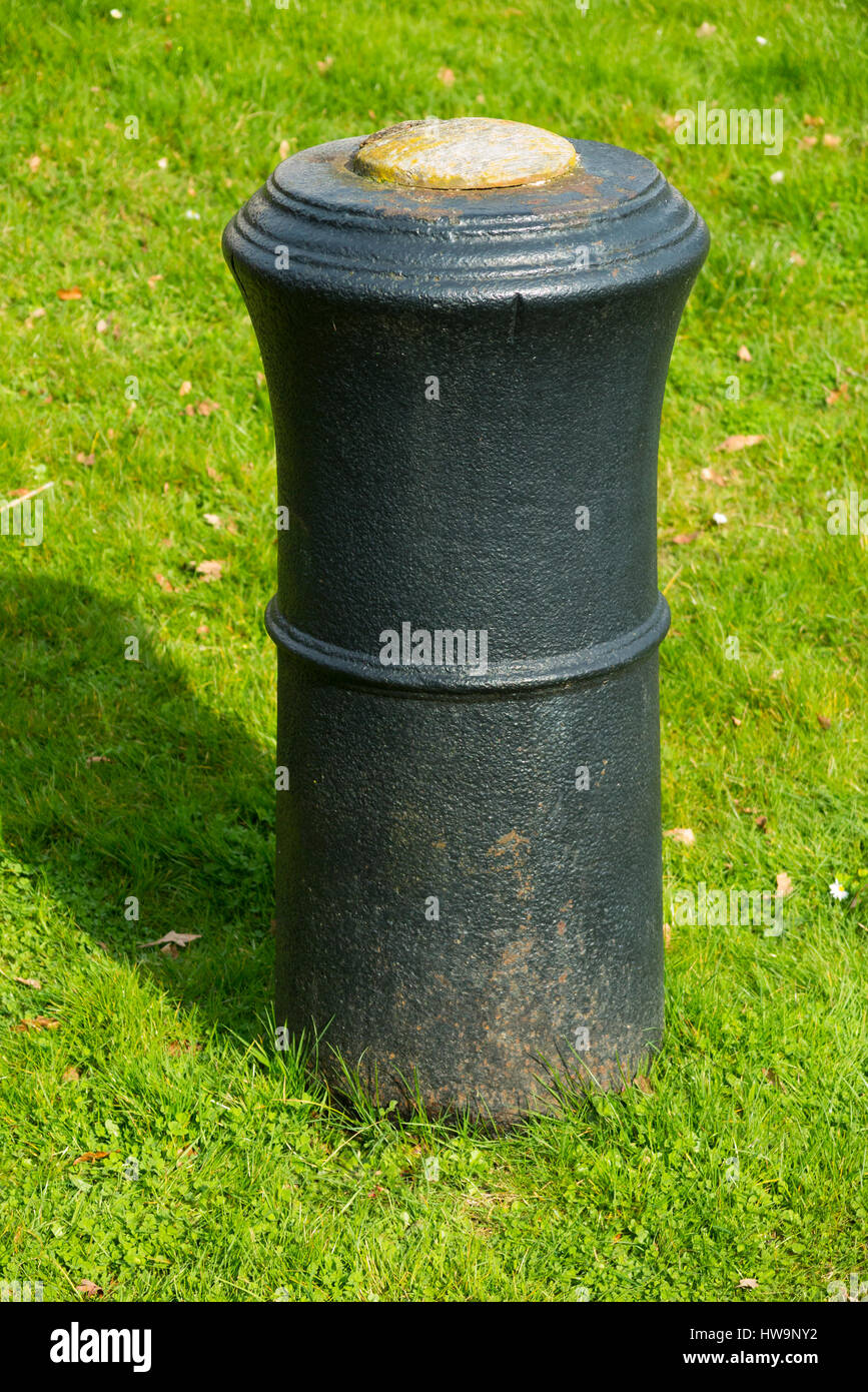 The barrel of a cannon, buried upright & projecting into the air in Roy Grove, Hampton. Major Gen. Roy used the line for Ordnance Survey triangulation Stock Photohttps://www.alamy.com/image-license-details/?v=1https://www.alamy.com/stock-photo-the-barrel-of-a-cannon-buried-upright-projecting-into-the-air-in-roy-136053766.html
RMHW9NY2–The barrel of a cannon, buried upright & projecting into the air in Roy Grove, Hampton. Major Gen. Roy used the line for Ordnance Survey triangulation
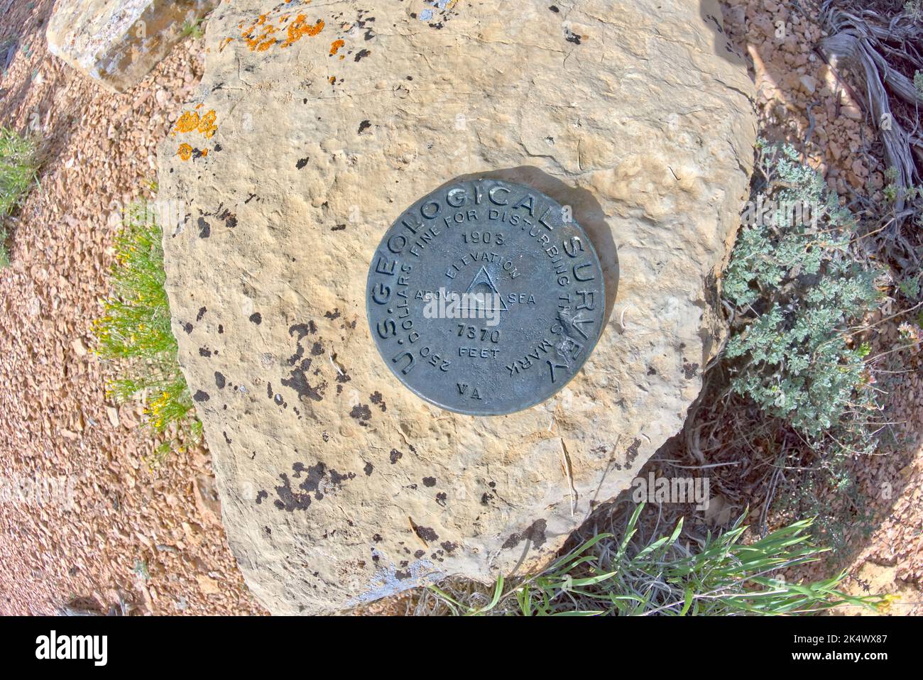 Survey Marker at Pinal Point Grand Canyon AZ Stock Photohttps://www.alamy.com/image-license-details/?v=1https://www.alamy.com/survey-marker-at-pinal-point-grand-canyon-az-image484918343.html
RF2K4WX87–Survey Marker at Pinal Point Grand Canyon AZ
 Triangular Station above Hope Saddle Lookout near Nelson, New Zealand Stock Photohttps://www.alamy.com/image-license-details/?v=1https://www.alamy.com/triangular-station-above-hope-saddle-lookout-near-nelson-new-zealand-image229933927.html
RFRA2B1Y–Triangular Station above Hope Saddle Lookout near Nelson, New Zealand
 Conceptual caption Time For Review, Concept meaning formal assessment of something with intention instituting change Selling Land Ownership, Investing Stock Photohttps://www.alamy.com/image-license-details/?v=1https://www.alamy.com/conceptual-caption-time-for-review-concept-meaning-formal-assessment-of-something-with-intention-instituting-change-selling-land-ownership-investing-image460895249.html
RF2HNRGGH–Conceptual caption Time For Review, Concept meaning formal assessment of something with intention instituting change Selling Land Ownership, Investing
 Land surveyor team standing working together at construction field consult study looking building location with floor plan Stock Photohttps://www.alamy.com/image-license-details/?v=1https://www.alamy.com/land-surveyor-team-standing-working-together-at-construction-field-consult-study-looking-building-location-with-floor-plan-image561293718.html
RF2RH53T6–Land surveyor team standing working together at construction field consult study looking building location with floor plan
 Cairo, Egypt, May 20 2023: Land leveling equipment, Levelling is a branch of surveying, the object of which is to establish or verify or measure the h Stock Photohttps://www.alamy.com/image-license-details/?v=1https://www.alamy.com/cairo-egypt-may-20-2023-land-leveling-equipment-levelling-is-a-branch-of-surveying-the-object-of-which-is-to-establish-or-verify-or-measure-the-h-image553588862.html
RF2R4J46P–Cairo, Egypt, May 20 2023: Land leveling equipment, Levelling is a branch of surveying, the object of which is to establish or verify or measure the h
 green land area aerial view management location by GPS position system. Property development technology. Stock Photohttps://www.alamy.com/image-license-details/?v=1https://www.alamy.com/green-land-area-aerial-view-management-location-by-gps-position-system-property-development-technology-image602059451.html
RF2WYE4Y7–green land area aerial view management location by GPS position system. Property development technology.
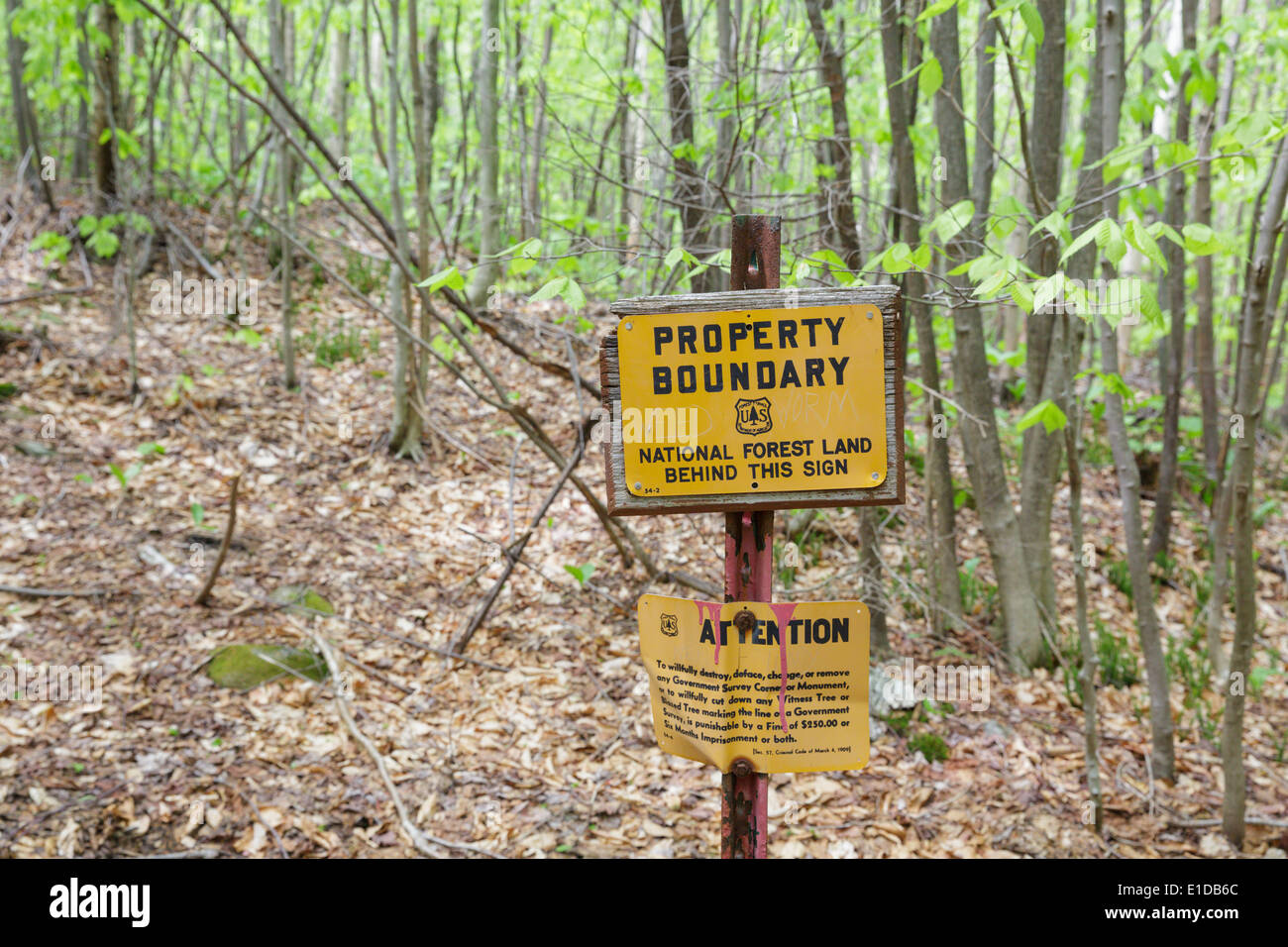 US National Forest boundary bearing tree marker in the Stark Falls Brook drainage of Kinsman Notch in Woodstock, New Hampshire Stock Photohttps://www.alamy.com/image-license-details/?v=1https://www.alamy.com/us-national-forest-boundary-bearing-tree-marker-in-the-stark-falls-image69750308.html
RME1DB6C–US National Forest boundary bearing tree marker in the Stark Falls Brook drainage of Kinsman Notch in Woodstock, New Hampshire
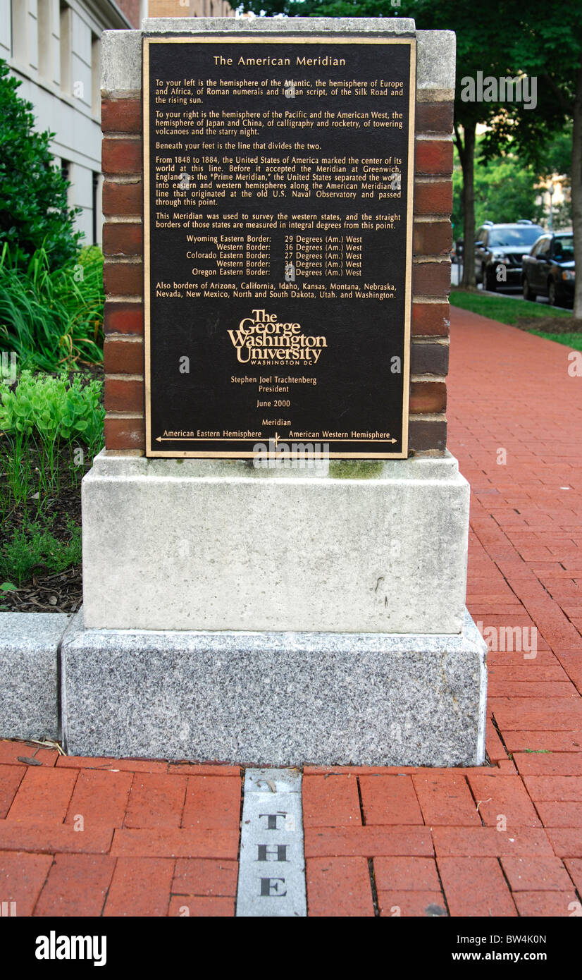 Marker of the American Meridian on the campus of the George Washington University, Washington, D.C., USA Stock Photohttps://www.alamy.com/image-license-details/?v=1https://www.alamy.com/stock-photo-marker-of-the-american-meridian-on-the-campus-of-the-george-washington-32679493.html
RMBW4K0N–Marker of the American Meridian on the campus of the George Washington University, Washington, D.C., USA
 AREGON, USA - MAY 02, 2018: - Geodetic survey triangulation among green hills, Aregon, USA Stock Photohttps://www.alamy.com/image-license-details/?v=1https://www.alamy.com/aregon-usa-may-02-2018-geodetic-survey-triangulation-among-green-hills-aregon-usa-image472325287.html
RF2JCC7M7–AREGON, USA - MAY 02, 2018: - Geodetic survey triangulation among green hills, Aregon, USA
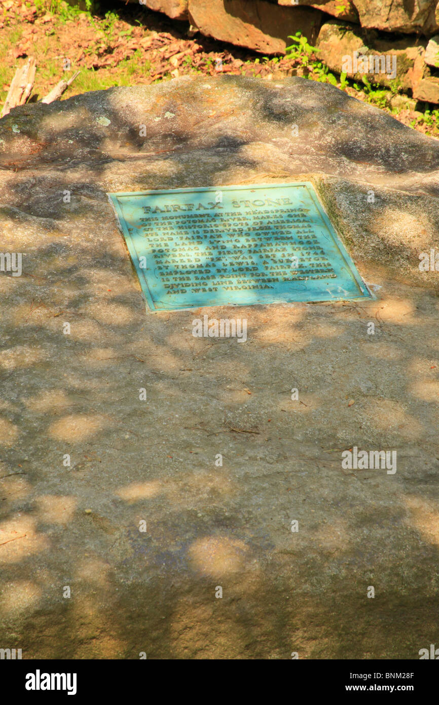 Fairfax Stone State Park, Thomas, West Virginia, USA Stock Photohttps://www.alamy.com/image-license-details/?v=1https://www.alamy.com/stock-photo-fairfax-stone-state-park-thomas-west-virginia-usa-30558991.html
RMBNM28F–Fairfax Stone State Park, Thomas, West Virginia, USA
RF2RYRPDJ–Home searching, choose the best location, house survey, real estate buying or property investment concepts. Location icon with five stars review in ma
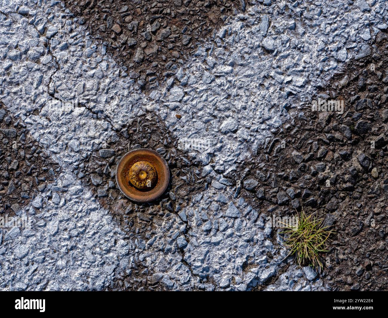 A metal survey marker is embedded in asphalt between intersecting white lines Stock Photohttps://www.alamy.com/image-license-details/?v=1https://www.alamy.com/a-metal-survey-marker-is-embedded-in-asphalt-between-intersecting-white-lines-image634985516.html
RF2YW22E4–A metal survey marker is embedded in asphalt between intersecting white lines
 Vintage Russian government survey marker (benchmark disk) in the wall of building Stock Photohttps://www.alamy.com/image-license-details/?v=1https://www.alamy.com/vintage-russian-government-survey-marker-benchmark-disk-in-the-wall-of-building-image627524300.html
RF2YCX5J4–Vintage Russian government survey marker (benchmark disk) in the wall of building
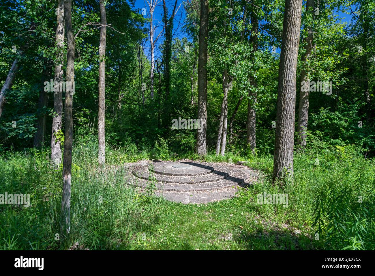 Leslie, Michigan - One of the two meridian and baseline markers in Meridian-Baseline State Park, which are the basis for all land surveys in the state Stock Photohttps://www.alamy.com/image-license-details/?v=1https://www.alamy.com/leslie-michigan-one-of-the-two-meridian-and-baseline-markers-in-meridian-baseline-state-park-which-are-the-basis-for-all-land-surveys-in-the-state-image473862506.html
RM2JEX8CX–Leslie, Michigan - One of the two meridian and baseline markers in Meridian-Baseline State Park, which are the basis for all land surveys in the state
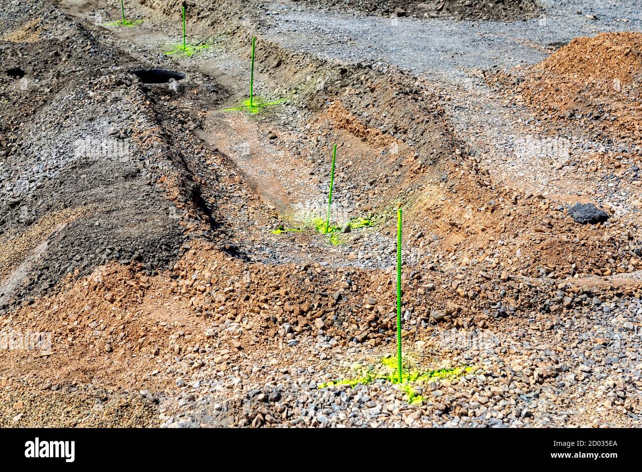 Metal survey peg with with yellow paint on construction site. Stock Photohttps://www.alamy.com/image-license-details/?v=1https://www.alamy.com/metal-survey-peg-with-with-yellow-paint-on-construction-site-image378698274.html
RF2D035EA–Metal survey peg with with yellow paint on construction site.
 War Department stones in Lincoln City, type of Ordnance Survey, Marker, broad arrow pointing upwards, mark the boundaries of land owned, by the W D. Stock Photohttps://www.alamy.com/image-license-details/?v=1https://www.alamy.com/war-department-stones-in-lincoln-city-type-of-ordnance-survey-marker-broad-arrow-pointing-upwards-mark-the-boundaries-of-land-owned-by-the-w-d-image390682703.html
RF2DKH3NK–War Department stones in Lincoln City, type of Ordnance Survey, Marker, broad arrow pointing upwards, mark the boundaries of land owned, by the W D.
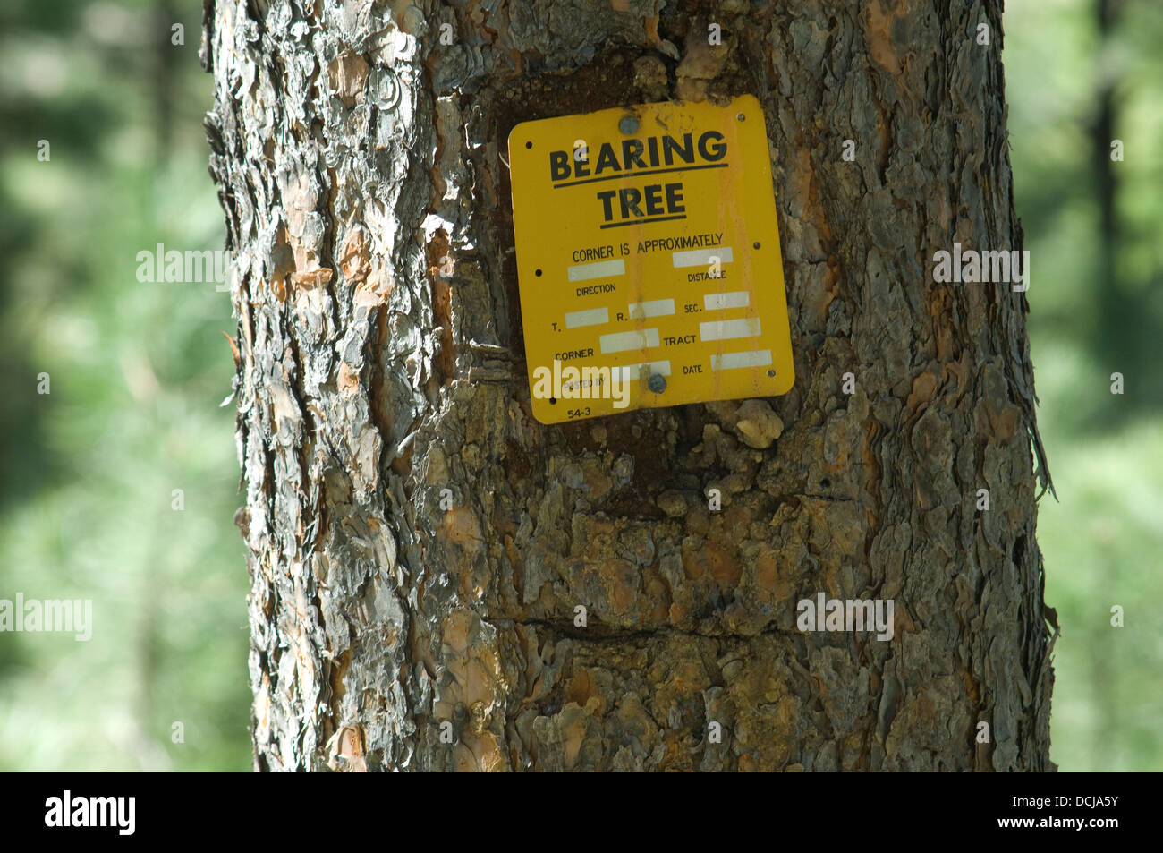 Bearing tree used in land survey, Black Hills, South Dakota. Digital photograph Stock Photohttps://www.alamy.com/image-license-details/?v=1https://www.alamy.com/stock-photo-bearing-tree-used-in-land-survey-black-hills-south-dakota-digital-59410119.html
RMDCJA5Y–Bearing tree used in land survey, Black Hills, South Dakota. Digital photograph
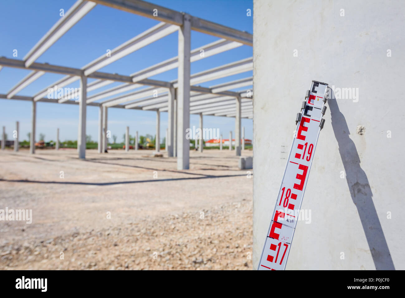 Telescopic leveling lath is helping surveyor, geodesist to measure position, depth at building site. Stock Photohttps://www.alamy.com/image-license-details/?v=1https://www.alamy.com/telescopic-leveling-lath-is-helping-surveyor-geodesist-to-measure-position-depth-at-building-site-image206929380.html
RFP0JCF0–Telescopic leveling lath is helping surveyor, geodesist to measure position, depth at building site.
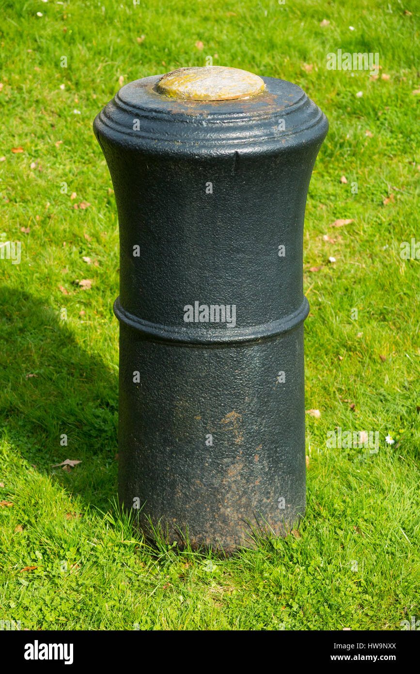 The barrel of a cannon, buried upright & projecting into the air in Roy Grove, Hampton. Major Gen. Roy used the line for Ordnance Survey triangulation Stock Photohttps://www.alamy.com/image-license-details/?v=1https://www.alamy.com/stock-photo-the-barrel-of-a-cannon-buried-upright-projecting-into-the-air-in-roy-136053762.html
RMHW9NXX–The barrel of a cannon, buried upright & projecting into the air in Roy Grove, Hampton. Major Gen. Roy used the line for Ordnance Survey triangulation
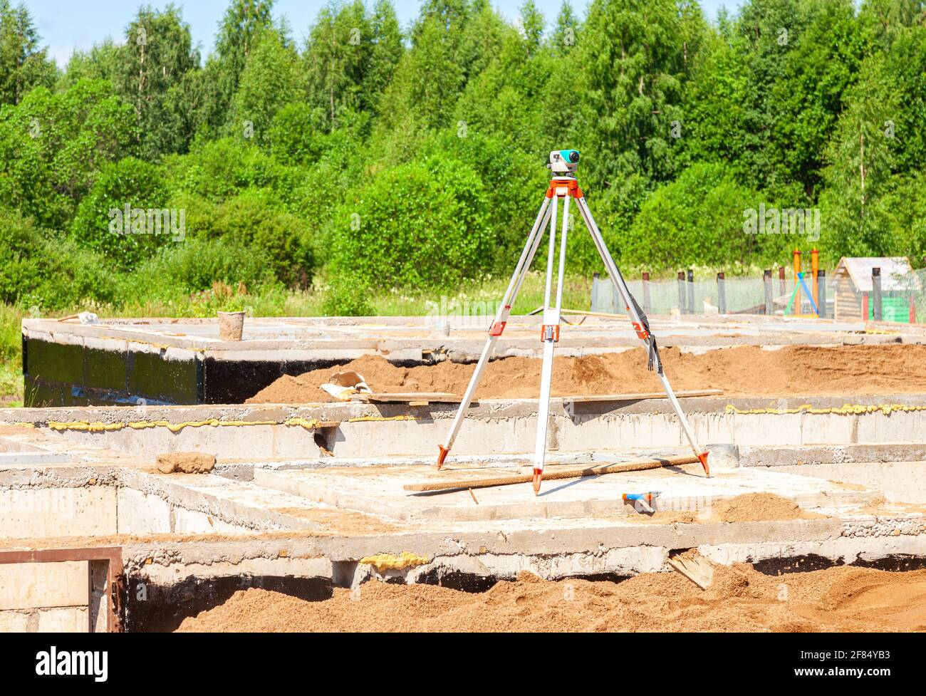 Geodetic equipment optical level mounted on tripod at the construction site. Surveyors ensure precise measurements Stock Photohttps://www.alamy.com/image-license-details/?v=1https://www.alamy.com/geodetic-equipment-optical-level-mounted-on-tripod-at-the-construction-site-surveyors-ensure-precise-measurements-image418075367.html
RF2F84YB3–Geodetic equipment optical level mounted on tripod at the construction site. Surveyors ensure precise measurements
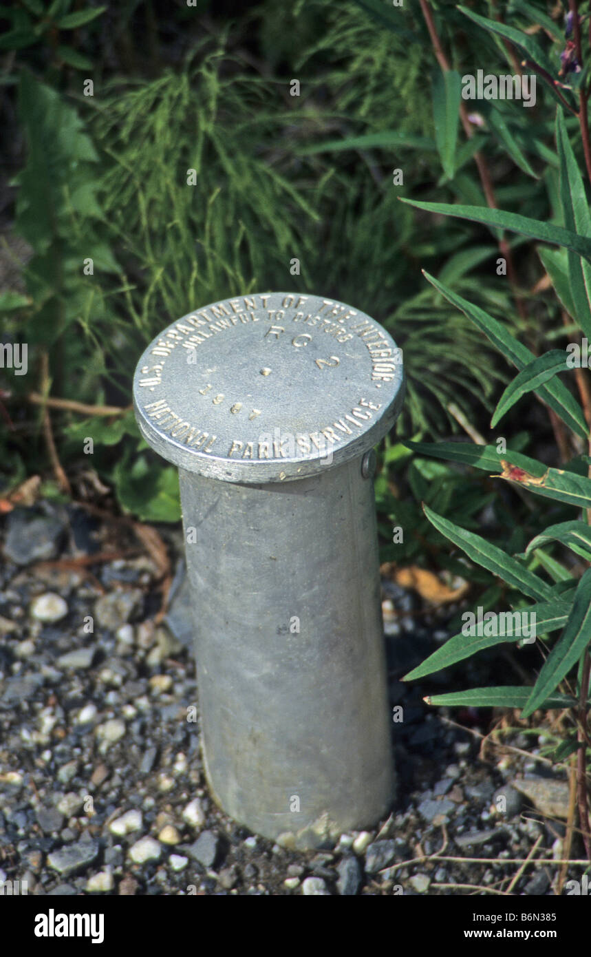 Survey marker post marks location in US national park. Stock Photohttps://www.alamy.com/image-license-details/?v=1https://www.alamy.com/stock-photo-survey-marker-post-marks-location-in-us-national-park-21361877.html
RFB6N385–Survey marker post marks location in US national park.
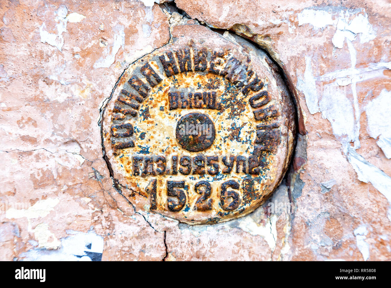 Vintage Russian government survey marker (benchmark disk) in the wall of building Stock Photohttps://www.alamy.com/image-license-details/?v=1https://www.alamy.com/vintage-russian-government-survey-marker-benchmark-disk-in-the-wall-of-building-image237987912.html
RFRR5808–Vintage Russian government survey marker (benchmark disk) in the wall of building
 survey transit and marker with color Stock Photohttps://www.alamy.com/image-license-details/?v=1https://www.alamy.com/survey-transit-and-marker-with-color-image2801402.html
RMAKREFB–survey transit and marker with color
 Cairo, Egypt, May 20 2023: Land leveling equipment, Levelling is a branch of surveying, the object of which is to establish or verify or measure the h Stock Photohttps://www.alamy.com/image-license-details/?v=1https://www.alamy.com/cairo-egypt-may-20-2023-land-leveling-equipment-levelling-is-a-branch-of-surveying-the-object-of-which-is-to-establish-or-verify-or-measure-the-h-image553588919.html
RF2R4J48R–Cairo, Egypt, May 20 2023: Land leveling equipment, Levelling is a branch of surveying, the object of which is to establish or verify or measure the h
 Vintage Russian government survey marker (benchmark disk) in the wall of building Stock Photohttps://www.alamy.com/image-license-details/?v=1https://www.alamy.com/stock-image-vintage-russian-government-survey-marker-benchmark-disk-in-the-wall-163162633.html
RFKDCKGW–Vintage Russian government survey marker (benchmark disk) in the wall of building
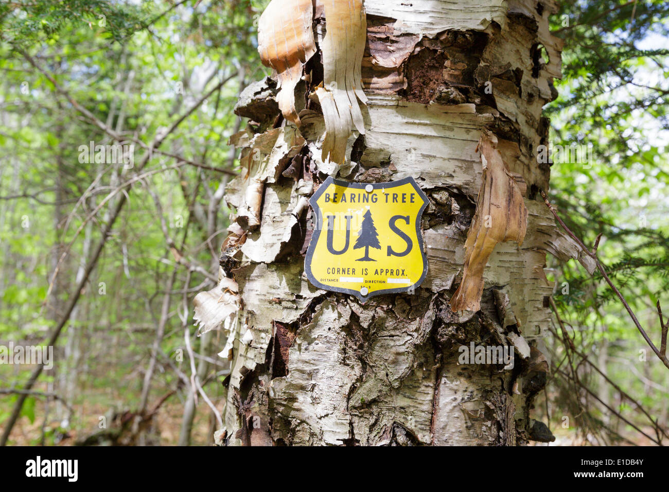 US National Forest boundary bearing tree marker in the Stark Falls Brook drainage of Kinsman Notch in Woodstock, New Hampshire Stock Photohttps://www.alamy.com/image-license-details/?v=1https://www.alamy.com/us-national-forest-boundary-bearing-tree-marker-in-the-stark-falls-image69750267.html
RME1DB4Y–US National Forest boundary bearing tree marker in the Stark Falls Brook drainage of Kinsman Notch in Woodstock, New Hampshire
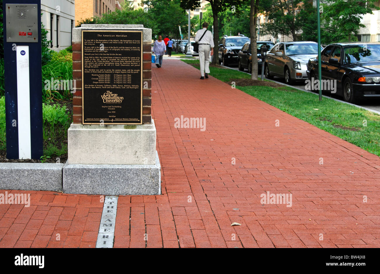 Marker of the American Meridian on the campus of the George Washington University, Washington, D.C., USA Stock Photohttps://www.alamy.com/image-license-details/?v=1https://www.alamy.com/stock-photo-marker-of-the-american-meridian-on-the-campus-of-the-george-washington-32679424.html
RMBW4JX8–Marker of the American Meridian on the campus of the George Washington University, Washington, D.C., USA
 AREGON, USA - MAY 02, 2018: - Geodetic survey triangulation among green hills, Aregon, USA Stock Photohttps://www.alamy.com/image-license-details/?v=1https://www.alamy.com/aregon-usa-may-02-2018-geodetic-survey-triangulation-among-green-hills-aregon-usa-image472325277.html
RF2JCC7KW–AREGON, USA - MAY 02, 2018: - Geodetic survey triangulation among green hills, Aregon, USA