Quick filters:
Londonderry maps Stock Photos and Images
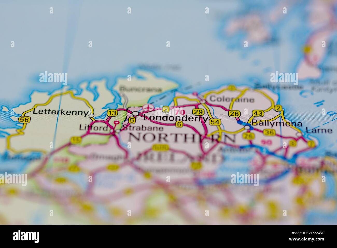 Londonderry Shown on a Geography map or road map Stock Photohttps://www.alamy.com/image-license-details/?v=1https://www.alamy.com/londonderry-shown-on-a-geography-map-or-road-map-image416236507.html
RM2F555WF–Londonderry Shown on a Geography map or road map
 #231 Londonderry to Dunfanaghy. Letterkenny Donegal. TAYLOR/SKINNER 1778 map Stock Photohttps://www.alamy.com/image-license-details/?v=1https://www.alamy.com/231-londonderry-to-dunfanaghy-letterkenny-donegal-taylorskinner-1778-map-image538941271.html
RF2P8PW2F–#231 Londonderry to Dunfanaghy. Letterkenny Donegal. TAYLOR/SKINNER 1778 map
 Londonderry, Canada, Nova Scotia, N 45 29' 0'', W 63 35' 55'', map, Timeless Map published in 2021. Travelers, explorers and adventurers like Florence Nightingale, David Livingstone, Ernest Shackleton, Lewis and Clark and Sherlock Holmes relied on maps to plan travels to the world's most remote corners, Timeless Maps is mapping most locations on the globe, showing the achievement of great dreams Stock Photohttps://www.alamy.com/image-license-details/?v=1https://www.alamy.com/londonderry-canada-nova-scotia-n-45-29-0-w-63-35-55-map-timeless-map-published-in-2021-travelers-explorers-and-adventurers-like-florence-nightingale-david-livingstone-ernest-shackleton-lewis-and-clark-and-sherlock-holmes-relied-on-maps-to-plan-travels-to-the-worlds-most-remote-corners-timeless-maps-is-mapping-most-locations-on-the-globe-showing-the-achievement-of-great-dreams-image457871832.html
RM2HGWT5C–Londonderry, Canada, Nova Scotia, N 45 29' 0'', W 63 35' 55'', map, Timeless Map published in 2021. Travelers, explorers and adventurers like Florence Nightingale, David Livingstone, Ernest Shackleton, Lewis and Clark and Sherlock Holmes relied on maps to plan travels to the world's most remote corners, Timeless Maps is mapping most locations on the globe, showing the achievement of great dreams
 Map Trace The plat of the Cittie of Londonderrie as it stands built and fortyfied from book of traces from Phillips' surveys and maps - illustrating Londonderry and the London Companies, 1622, Stock Photohttps://www.alamy.com/image-license-details/?v=1https://www.alamy.com/map-trace-the-plat-of-the-cittie-of-londonderrie-as-it-stands-built-and-fortyfied-from-book-of-traces-from-phillips-surveys-and-maps-illustrating-londonderry-and-the-london-companies-1622-image601457708.html
RM2WXENCC–Map Trace The plat of the Cittie of Londonderrie as it stands built and fortyfied from book of traces from Phillips' surveys and maps - illustrating Londonderry and the London Companies, 1622,
 A 17th century plan of the Siege of Derry in 1689, the first major event in the Williamite War in Ireland. The siege was preceded by an attempt against the town by Jacobite forces on 7 December 1688 that was foiled when 13 apprentices shut the gates. The second attempt began on 18 April 1689 when King James II appeared before the walls with an Irish army led by Jacobite and French officers. The town was summoned to surrender but refused. The besiegers tried to storm the walls, but failed and resorted to starving Derry. They raised the siege and left when supply ships broke through to the town Stock Photohttps://www.alamy.com/image-license-details/?v=1https://www.alamy.com/a-17th-century-plan-of-the-siege-of-derry-in-1689-the-first-major-event-in-the-williamite-war-in-ireland-the-siege-was-preceded-by-an-attempt-against-the-town-by-jacobite-forces-on-7-december-1688-that-was-foiled-when-13-apprentices-shut-the-gates-the-second-attempt-began-on-18-april-1689-when-king-james-ii-appeared-before-the-walls-with-an-irish-army-led-by-jacobite-and-french-officers-the-town-was-summoned-to-surrender-but-refused-the-besiegers-tried-to-storm-the-walls-but-failed-and-resorted-to-starving-derry-they-raised-the-siege-and-left-when-supply-ships-broke-through-to-the-town-image560409114.html
RM2RFMRF6–A 17th century plan of the Siege of Derry in 1689, the first major event in the Williamite War in Ireland. The siege was preceded by an attempt against the town by Jacobite forces on 7 December 1688 that was foiled when 13 apprentices shut the gates. The second attempt began on 18 April 1689 when King James II appeared before the walls with an Irish army led by Jacobite and French officers. The town was summoned to surrender but refused. The besiegers tried to storm the walls, but failed and resorted to starving Derry. They raised the siege and left when supply ships broke through to the town
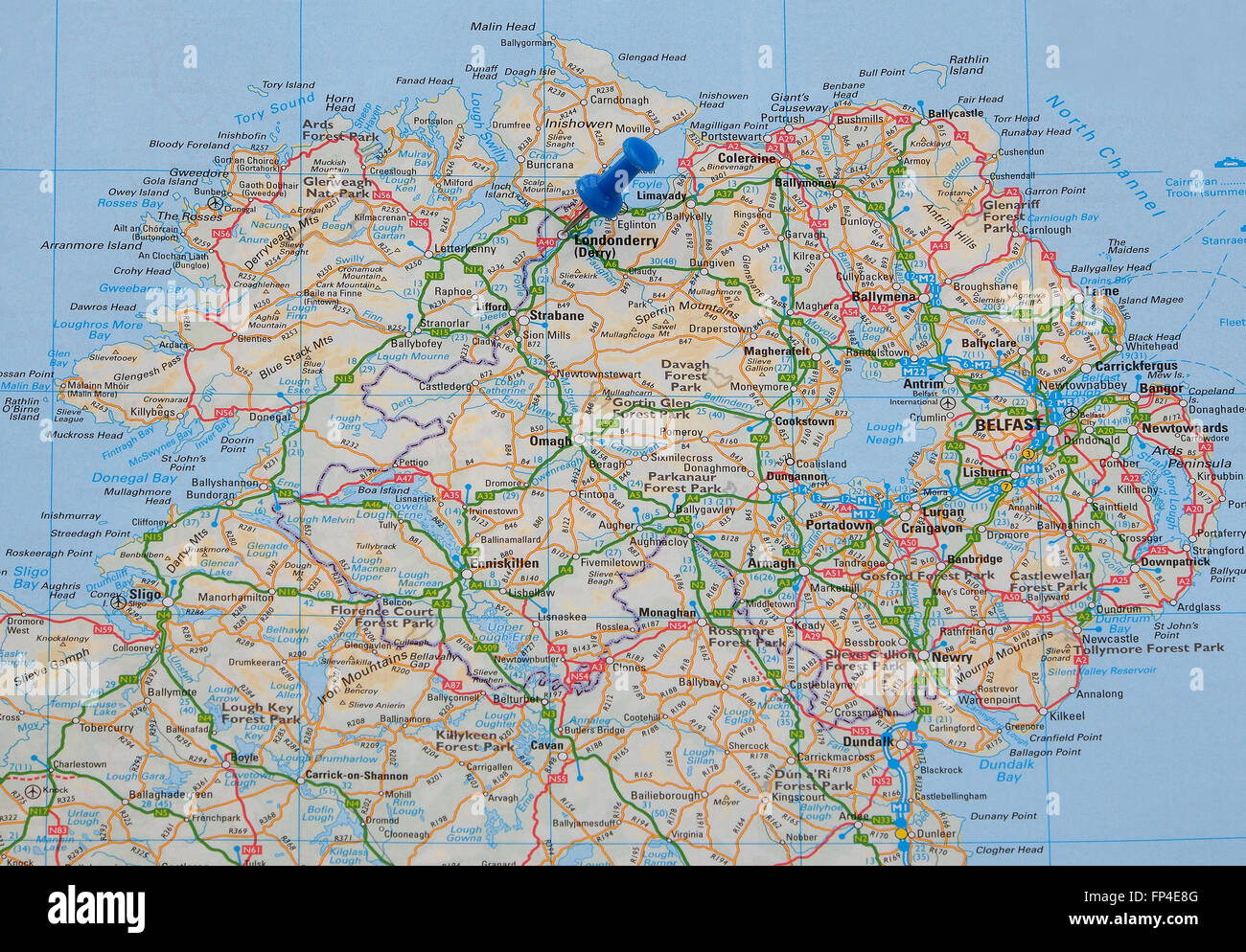 Road map of Northern Ireland, with a map pin indicating Londonderry (Derry). Stock Photohttps://www.alamy.com/image-license-details/?v=1https://www.alamy.com/stock-photo-road-map-of-northern-ireland-with-a-map-pin-indicating-londonderry-99673296.html
RMFP4E8G–Road map of Northern Ireland, with a map pin indicating Londonderry (Derry).
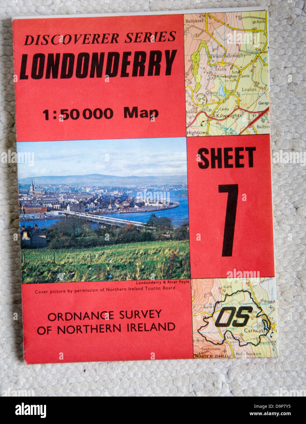 Discoverer series 1:50,000 ordnance survey map of Londonderry, Northern Ireland sheet 7 Stock Photohttps://www.alamy.com/image-license-details/?v=1https://www.alamy.com/stock-photo-discoverer-series-150000-ordnance-survey-map-of-londonderry-northern-57652201.html
RMD9P7Y5–Discoverer series 1:50,000 ordnance survey map of Londonderry, Northern Ireland sheet 7
 A view of Londonderry. A colored north-east view of the city of Londonderry. c. 1680. Source: Maps K.Top.54.33.a. Language: English. Author: PHILLIPS, THOMAS. Stock Photohttps://www.alamy.com/image-license-details/?v=1https://www.alamy.com/a-view-of-londonderry-a-colored-north-east-view-of-the-city-of-londonderry-c-1680-source-maps-ktop5433a-language-english-author-phillips-thomas-image227130707.html
RMR5EKEY–A view of Londonderry. A colored north-east view of the city of Londonderry. c. 1680. Source: Maps K.Top.54.33.a. Language: English. Author: PHILLIPS, THOMAS.
 Map of the siege of Londonderry, 1689, 1689 print Map of the siege of Londonderry by the army of Jacobus II, April 18 to July 28, 1689. The map includes a separate text sheet with the legend. Northern Netherlands paper etching / engraving siege, position war. maps of cities Londonderry Stock Photohttps://www.alamy.com/image-license-details/?v=1https://www.alamy.com/map-of-the-siege-of-londonderry-1689-1689-print-map-of-the-siege-of-londonderry-by-the-army-of-jacobus-ii-april-18-to-july-28-1689-the-map-includes-a-separate-text-sheet-with-the-legend-northern-netherlands-paper-etching-engraving-siege-position-war-maps-of-cities-londonderry-image595213589.html
RM2WGA905–Map of the siege of Londonderry, 1689, 1689 print Map of the siege of Londonderry by the army of Jacobus II, April 18 to July 28, 1689. The map includes a separate text sheet with the legend. Northern Netherlands paper etching / engraving siege, position war. maps of cities Londonderry
 27-year-old Miss Ruth Russell , a blue eyed blonde of London, only woman member of the Court of the Guild of Air Pilots and Navigators, has begun a new career at the Londonderry House headquarters of the Aeronautical Federation. And expert in cartography and air pilotage, Miss Russell will be responsible for the 'briefing' of private flyers on international flying regulations, air routes, landing and refuelling facilities, weather and customs. A prewar student of geography at London University, Miss Russell became a Met officer with the WAAF , before transferring to the A.T.A. as a ferry pilot Stock Photohttps://www.alamy.com/image-license-details/?v=1https://www.alamy.com/27-year-old-miss-ruth-russell-a-blue-eyed-blonde-of-london-only-woman-member-of-the-court-of-the-guild-of-air-pilots-and-navigators-has-begun-a-new-career-at-the-londonderry-house-headquarters-of-the-aeronautical-federation-and-expert-in-cartography-and-air-pilotage-miss-russell-will-be-responsible-for-the-briefing-of-private-flyers-on-international-flying-regulations-air-routes-landing-and-refuelling-facilities-weather-and-customs-a-prewar-student-of-geography-at-london-university-miss-russell-became-a-met-officer-with-the-waaf-before-transferring-to-the-ata-as-a-ferry-pilot-image623312465.html
RM2Y629BD–27-year-old Miss Ruth Russell , a blue eyed blonde of London, only woman member of the Court of the Guild of Air Pilots and Navigators, has begun a new career at the Londonderry House headquarters of the Aeronautical Federation. And expert in cartography and air pilotage, Miss Russell will be responsible for the 'briefing' of private flyers on international flying regulations, air routes, landing and refuelling facilities, weather and customs. A prewar student of geography at London University, Miss Russell became a Met officer with the WAAF , before transferring to the A.T.A. as a ferry pilot
![Image from page 881 of 'Report on the Geology of the County of Londonderry, and of parts of Tyrone and Fermanagh. [With maps and plates.]' . Stock Photo Image from page 881 of 'Report on the Geology of the County of Londonderry, and of parts of Tyrone and Fermanagh. [With maps and plates.]' . Stock Photo](https://c8.alamy.com/comp/PGEK19/image-from-page-881-of-report-on-the-geology-of-the-county-of-londonderry-and-of-parts-of-tyrone-and-fermanagh-with-maps-and-plates-PGEK19.jpg) Image from page 881 of 'Report on the Geology of the County of Londonderry, and of parts of Tyrone and Fermanagh. [With maps and plates.]' . Stock Photohttps://www.alamy.com/image-license-details/?v=1https://www.alamy.com/image-from-page-881-of-report-on-the-geology-of-the-county-of-londonderry-and-of-parts-of-tyrone-and-fermanagh-with-maps-and-plates-image216681173.html
Image from page 881 of 'Report on the Geology of the County of Londonderry, and of parts of Tyrone and Fermanagh. [With maps and plates.]' . Stock Photohttps://www.alamy.com/image-license-details/?v=1https://www.alamy.com/image-from-page-881-of-report-on-the-geology-of-the-county-of-londonderry-and-of-parts-of-tyrone-and-fermanagh-with-maps-and-plates-image216681173.htmlRMPGEK19–Image from page 881 of 'Report on the Geology of the County of Londonderry, and of parts of Tyrone and Fermanagh. [With maps and plates.]' .
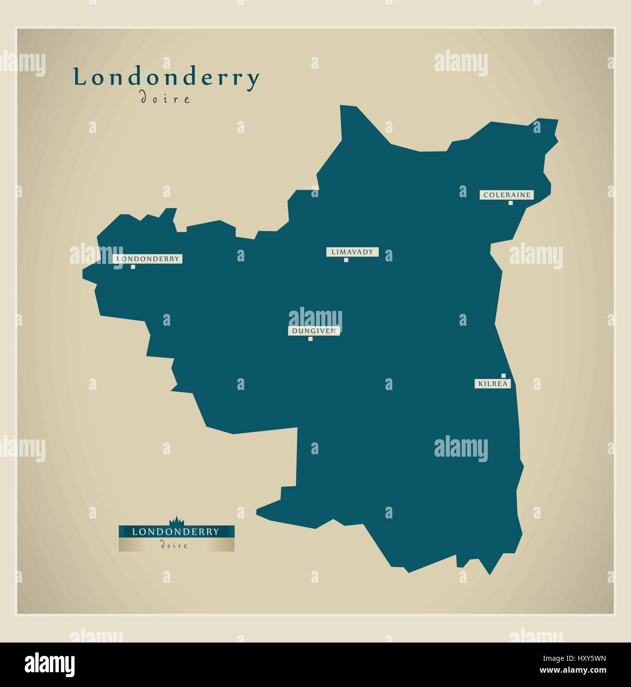 Modern Map - Londonderry UK Stock Vectorhttps://www.alamy.com/image-license-details/?v=1https://www.alamy.com/stock-photo-modern-map-londonderry-uk-137050977.html
RFHXY5WN–Modern Map - Londonderry UK
 Map of the Skinners' Company land in County Londonderry, dated 31830480530 o Stock Photohttps://www.alamy.com/image-license-details/?v=1https://www.alamy.com/stock-photo-map-of-the-skinners-company-land-in-county-londonderry-dated-31830480530-147097522.html
RMJF8TAX–Map of the Skinners' Company land in County Londonderry, dated 31830480530 o
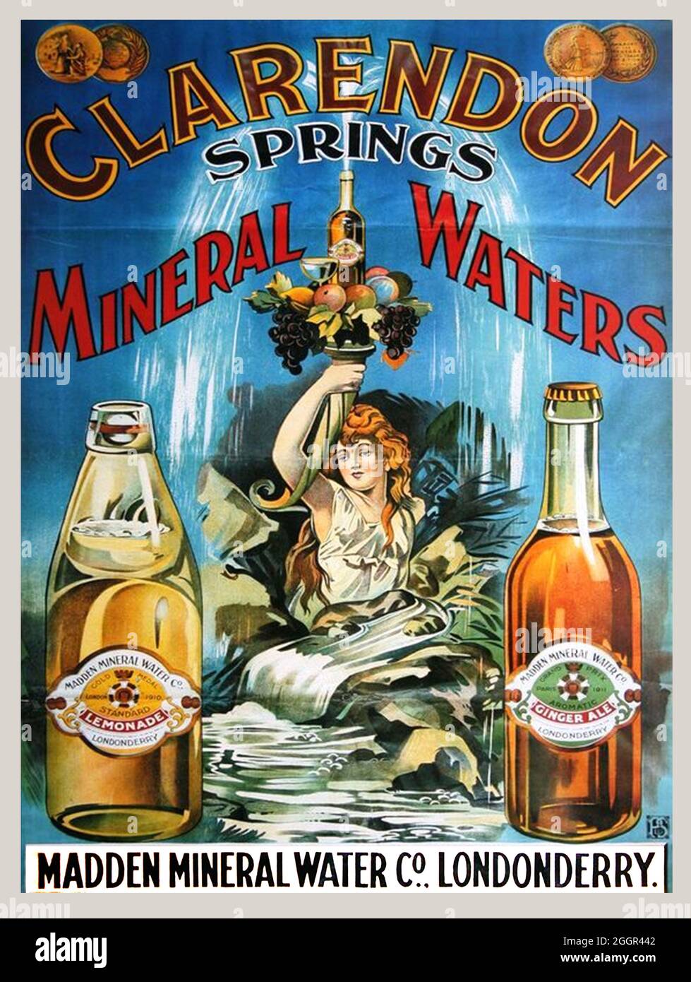 Click On Vintage Irish mineral water poster - Clarendon Springs, Londonderry, 1910s Stock Photohttps://www.alamy.com/image-license-details/?v=1https://www.alamy.com/click-on-vintage-irish-mineral-water-poster-clarendon-springs-londonderry-1910s-image440601842.html
RF2GGR442–Click On Vintage Irish mineral water poster - Clarendon Springs, Londonderry, 1910s
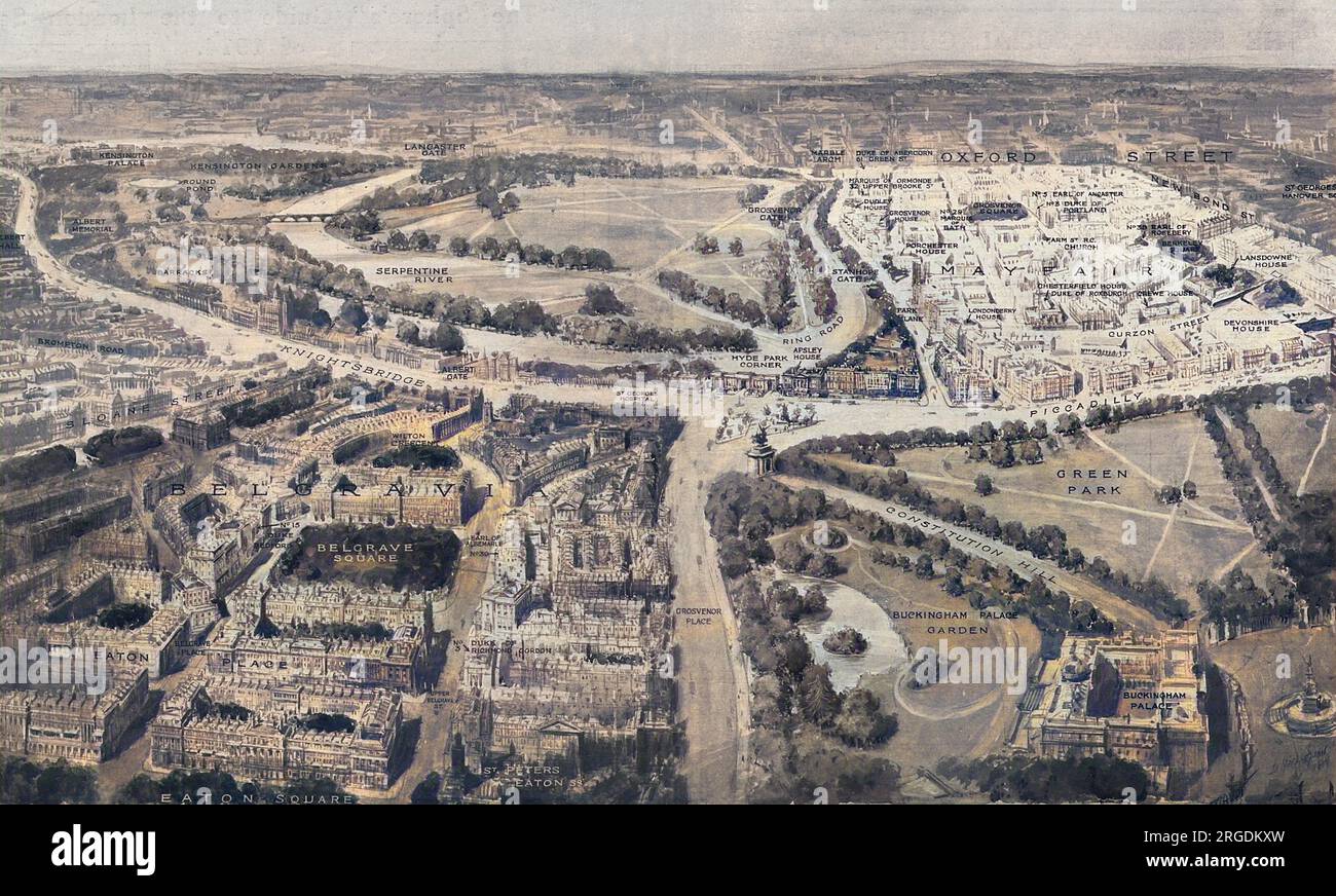 An aerial view of the two prestigious, social areas of London - Mayfair and Belgravia. In the foreground is Belgravia with its eastern frontier running down from Grosvenor Place and fronting the wall of the Buckingham Palace garden. Its western boundary is held to be Sloane Street. A number of the chief residences are shown including the homes of the Dukes of Richmond & Gordon, Bedford and the Earl of Albermarle in the Belgrave Square area. The frontiers of Mayfair are defined as Park Lane to the west and Piccadillly to the south and the map shows some of the famous mansions of the area in Stock Photohttps://www.alamy.com/image-license-details/?v=1https://www.alamy.com/an-aerial-view-of-the-two-prestigious-social-areas-of-london-mayfair-and-belgravia-in-the-foreground-is-belgravia-with-its-eastern-frontier-running-down-from-grosvenor-place-and-fronting-the-wall-of-the-buckingham-palace-garden-its-western-boundary-is-held-to-be-sloane-street-a-number-of-the-chief-residences-are-shown-including-the-homes-of-the-dukes-of-richmond-gordon-bedford-and-the-earl-of-albermarle-in-the-belgrave-square-area-the-frontiers-of-mayfair-are-defined-as-park-lane-to-the-west-and-piccadillly-to-the-south-and-the-map-shows-some-of-the-famous-mansions-of-the-area-in-image560867297.html
RM2RGDKXW–An aerial view of the two prestigious, social areas of London - Mayfair and Belgravia. In the foreground is Belgravia with its eastern frontier running down from Grosvenor Place and fronting the wall of the Buckingham Palace garden. Its western boundary is held to be Sloane Street. A number of the chief residences are shown including the homes of the Dukes of Richmond & Gordon, Bedford and the Earl of Albermarle in the Belgrave Square area. The frontiers of Mayfair are defined as Park Lane to the west and Piccadillly to the south and the map shows some of the famous mansions of the area in
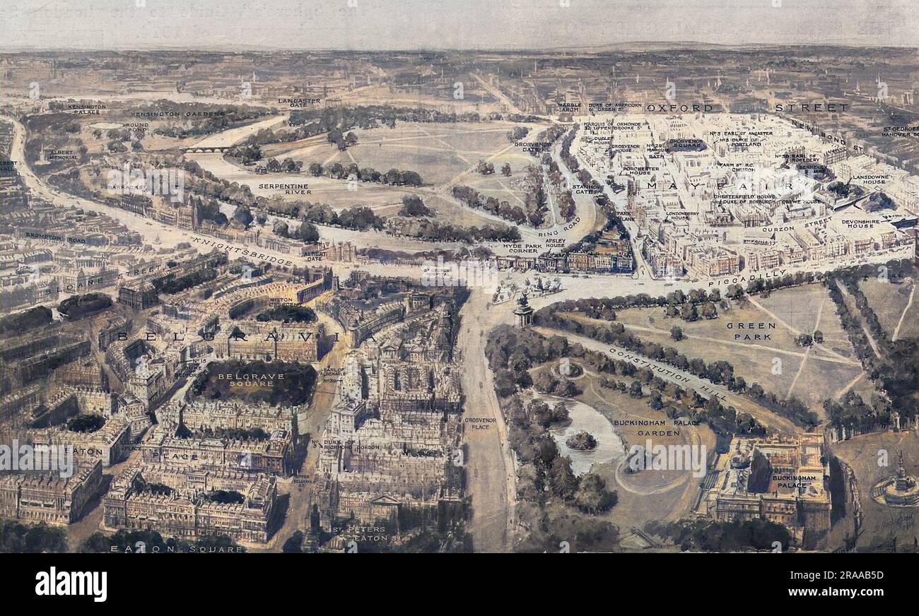 An aerial view of the two prestigious, social areas of London - Mayfair and Belgravia. In the foreground is Belgravia with its eastern frontier running down from Grosvenor Place and fronting the wall of the Buckingham Palace garden. Its western boundary is held to be Sloane Street. A number of the chief residences are shown including the homes of the Dukes of Richmond & Gordon, Bedford and the Earl of Albermarle in the Belgrave Square area. The frontiers of Mayfair are defined as Park Lane to the west and Piccadillly to the south and the map shows some of the famous mansions of the area in Stock Photohttps://www.alamy.com/image-license-details/?v=1https://www.alamy.com/an-aerial-view-of-the-two-prestigious-social-areas-of-london-mayfair-and-belgravia-in-the-foreground-is-belgravia-with-its-eastern-frontier-running-down-from-grosvenor-place-and-fronting-the-wall-of-the-buckingham-palace-garden-its-western-boundary-is-held-to-be-sloane-street-a-number-of-the-chief-residences-are-shown-including-the-homes-of-the-dukes-of-richmond-gordon-bedford-and-the-earl-of-albermarle-in-the-belgrave-square-area-the-frontiers-of-mayfair-are-defined-as-park-lane-to-the-west-and-piccadillly-to-the-south-and-the-map-shows-some-of-the-famous-mansions-of-the-area-in-image557106633.html
RM2RAAB5D–An aerial view of the two prestigious, social areas of London - Mayfair and Belgravia. In the foreground is Belgravia with its eastern frontier running down from Grosvenor Place and fronting the wall of the Buckingham Palace garden. Its western boundary is held to be Sloane Street. A number of the chief residences are shown including the homes of the Dukes of Richmond & Gordon, Bedford and the Earl of Albermarle in the Belgrave Square area. The frontiers of Mayfair are defined as Park Lane to the west and Piccadillly to the south and the map shows some of the famous mansions of the area in
 Birds-eye view of the Social London, 1914 Stock Photohttps://www.alamy.com/image-license-details/?v=1https://www.alamy.com/birds-eye-view-of-the-social-london-1914-image501426950.html
RM2M3NY5A–Birds-eye view of the Social London, 1914
 Londonderry, region of Northern Ireland. Open Street Map. Corner auxiliary location maps Stock Photohttps://www.alamy.com/image-license-details/?v=1https://www.alamy.com/londonderry-region-of-northern-ireland-open-street-map-corner-auxiliary-location-maps-image545933204.html
RF2PM5BAC–Londonderry, region of Northern Ireland. Open Street Map. Corner auxiliary location maps
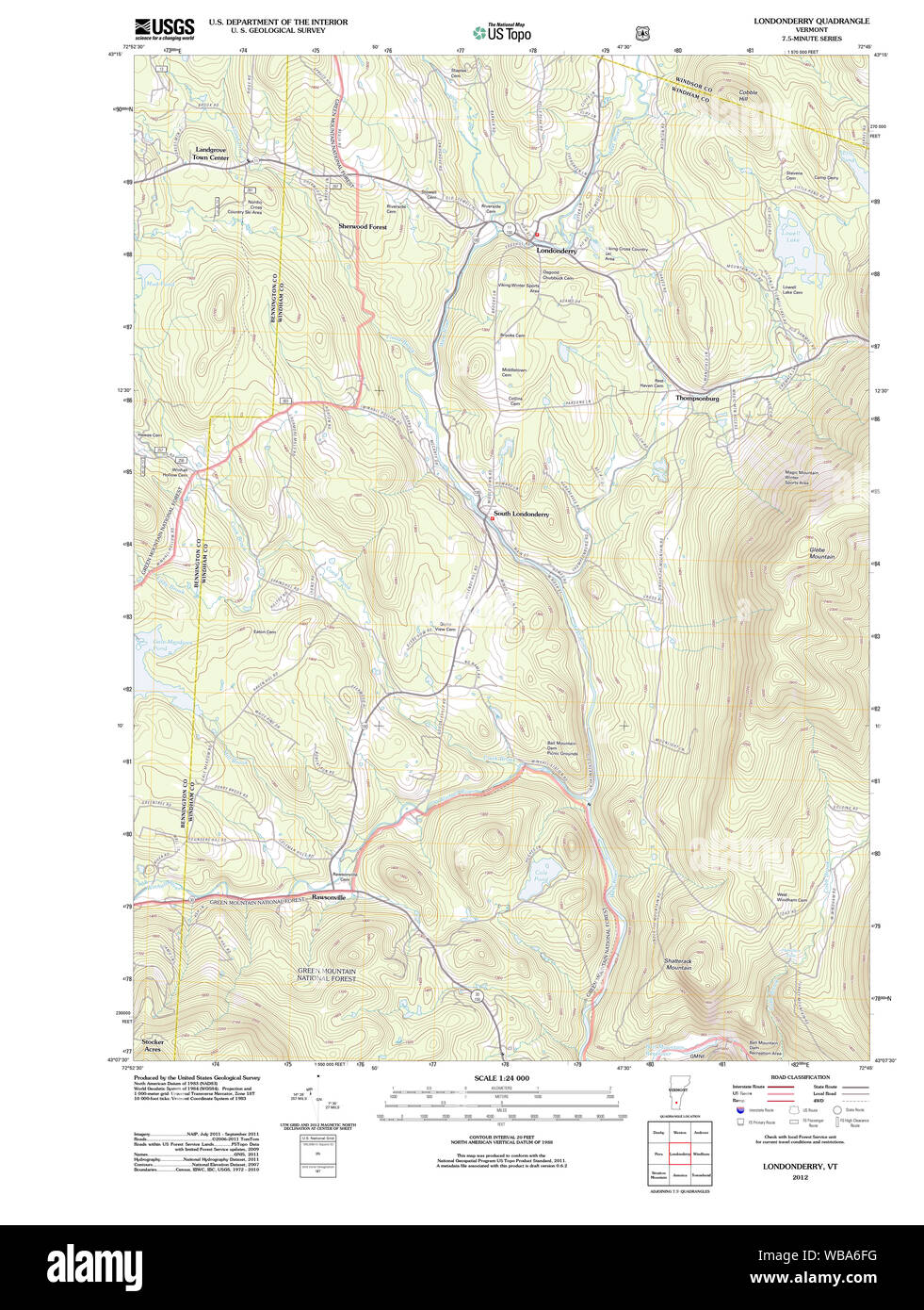 USGS Topo Map Vermont VT Londonderry 20120517 TM Restoration Stock Photohttps://www.alamy.com/image-license-details/?v=1https://www.alamy.com/usgs-topo-map-vermont-vt-londonderry-20120517-tm-restoration-image265141396.html
RMWBA6FG–USGS Topo Map Vermont VT Londonderry 20120517 TM Restoration
 #227 to Londonderry. Donegal Ballybofey Stranorlar. TAYLOR/SKINNER 1778 map Stock Photohttps://www.alamy.com/image-license-details/?v=1https://www.alamy.com/227-to-londonderry-donegal-ballybofey-stranorlar-taylorskinner-1778-map-image538941240.html
RF2P8PW1C–#227 to Londonderry. Donegal Ballybofey Stranorlar. TAYLOR/SKINNER 1778 map
 Londonderry, Canada, New Brunswick, N 45 34' 59'', W 65 23' 57'', map, Timeless Map published in 2021. Travelers, explorers and adventurers like Florence Nightingale, David Livingstone, Ernest Shackleton, Lewis and Clark and Sherlock Holmes relied on maps to plan travels to the world's most remote corners, Timeless Maps is mapping most locations on the globe, showing the achievement of great dreams Stock Photohttps://www.alamy.com/image-license-details/?v=1https://www.alamy.com/londonderry-canada-new-brunswick-n-45-34-59-w-65-23-57-map-timeless-map-published-in-2021-travelers-explorers-and-adventurers-like-florence-nightingale-david-livingstone-ernest-shackleton-lewis-and-clark-and-sherlock-holmes-relied-on-maps-to-plan-travels-to-the-worlds-most-remote-corners-timeless-maps-is-mapping-most-locations-on-the-globe-showing-the-achievement-of-great-dreams-image457871838.html
RM2HGWT5J–Londonderry, Canada, New Brunswick, N 45 34' 59'', W 65 23' 57'', map, Timeless Map published in 2021. Travelers, explorers and adventurers like Florence Nightingale, David Livingstone, Ernest Shackleton, Lewis and Clark and Sherlock Holmes relied on maps to plan travels to the world's most remote corners, Timeless Maps is mapping most locations on the globe, showing the achievement of great dreams
 USGS TOPO Map Ohio OH Londonderry 20100722 TM Restoration Stock Photohttps://www.alamy.com/image-license-details/?v=1https://www.alamy.com/usgs-topo-map-ohio-oh-londonderry-20100722-tm-restoration-image336388255.html
RM2AF7PJ7–USGS TOPO Map Ohio OH Londonderry 20100722 TM Restoration
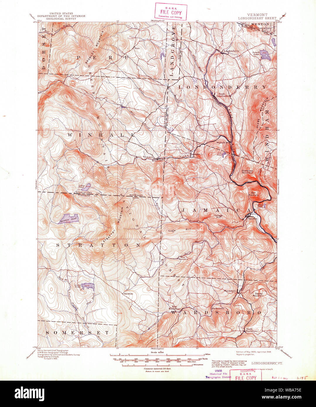 USGS Topo Map Vermont VT Londonderry 338037 1899 62500 Restoration Stock Photohttps://www.alamy.com/image-license-details/?v=1https://www.alamy.com/usgs-topo-map-vermont-vt-londonderry-338037-1899-62500-restoration-image265141898.html
RMWBA75E–USGS Topo Map Vermont VT Londonderry 338037 1899 62500 Restoration
![Londonderry. Insurance Plan of Londonderry ... [By] C.E. Goad . London, 1899.. Source: Maps.145.b.4.(4), 8. Language: English. Stock Photo Londonderry. Insurance Plan of Londonderry ... [By] C.E. Goad . London, 1899.. Source: Maps.145.b.4.(4), 8. Language: English. Stock Photo](https://c8.alamy.com/comp/RC5C4A/londonderry-insurance-plan-of-londonderry-by-ce-goad-london-1899-source-maps145b44-8-language-english-RC5C4A.jpg) Londonderry. Insurance Plan of Londonderry ... [By] C.E. Goad . London, 1899.. Source: Maps.145.b.4.(4), 8. Language: English. Stock Photohttps://www.alamy.com/image-license-details/?v=1https://www.alamy.com/londonderry-insurance-plan-of-londonderry-by-ce-goad-london-1899-source-maps145b44-8-language-english-image231229946.html
Londonderry. Insurance Plan of Londonderry ... [By] C.E. Goad . London, 1899.. Source: Maps.145.b.4.(4), 8. Language: English. Stock Photohttps://www.alamy.com/image-license-details/?v=1https://www.alamy.com/londonderry-insurance-plan-of-londonderry-by-ce-goad-london-1899-source-maps145b44-8-language-english-image231229946.htmlRMRC5C4A–Londonderry. Insurance Plan of Londonderry ... [By] C.E. Goad . London, 1899.. Source: Maps.145.b.4.(4), 8. Language: English.
 A true survey of The Earl of Donagals barronie of Enish Owen containing the two adjacent harbours of Lough Foile and Lough Suillie ye Isle of Inche Culmore and Londonderry , Donegal Ireland : County, Maps, Early works to 1800, Derry Northern Ireland, Maps, Early works to 1800 Norman B. Leventhal Map Center Collection Stock Photohttps://www.alamy.com/image-license-details/?v=1https://www.alamy.com/a-true-survey-of-the-earl-of-donagals-barronie-of-enish-owen-containing-the-two-adjacent-harbours-of-lough-foile-and-lough-suillie-ye-isle-of-inche-culmore-and-londonderry-donegal-ireland-county-maps-early-works-to-1800-derry-northern-ireland-maps-early-works-to-1800-norman-b-leventhal-map-center-collection-image499935263.html
RM2M1A0ER–A true survey of The Earl of Donagals barronie of Enish Owen containing the two adjacent harbours of Lough Foile and Lough Suillie ye Isle of Inche Culmore and Londonderry , Donegal Ireland : County, Maps, Early works to 1800, Derry Northern Ireland, Maps, Early works to 1800 Norman B. Leventhal Map Center Collection
![Image from page 206 of 'Report on the Geology of the County of Londonderry, and of parts of Tyrone and Fermanagh. [With maps and plates.]' . Stock Photo Image from page 206 of 'Report on the Geology of the County of Londonderry, and of parts of Tyrone and Fermanagh. [With maps and plates.]' . Stock Photo](https://c8.alamy.com/comp/PF37CM/image-from-page-206-of-report-on-the-geology-of-the-county-of-londonderry-and-of-parts-of-tyrone-and-fermanagh-with-maps-and-plates-PF37CM.jpg) Image from page 206 of 'Report on the Geology of the County of Londonderry, and of parts of Tyrone and Fermanagh. [With maps and plates.]' . Stock Photohttps://www.alamy.com/image-license-details/?v=1https://www.alamy.com/image-from-page-206-of-report-on-the-geology-of-the-county-of-londonderry-and-of-parts-of-tyrone-and-fermanagh-with-maps-and-plates-image215815956.html
Image from page 206 of 'Report on the Geology of the County of Londonderry, and of parts of Tyrone and Fermanagh. [With maps and plates.]' . Stock Photohttps://www.alamy.com/image-license-details/?v=1https://www.alamy.com/image-from-page-206-of-report-on-the-geology-of-the-county-of-londonderry-and-of-parts-of-tyrone-and-fermanagh-with-maps-and-plates-image215815956.htmlRMPF37CM–Image from page 206 of 'Report on the Geology of the County of Londonderry, and of parts of Tyrone and Fermanagh. [With maps and plates.]' .
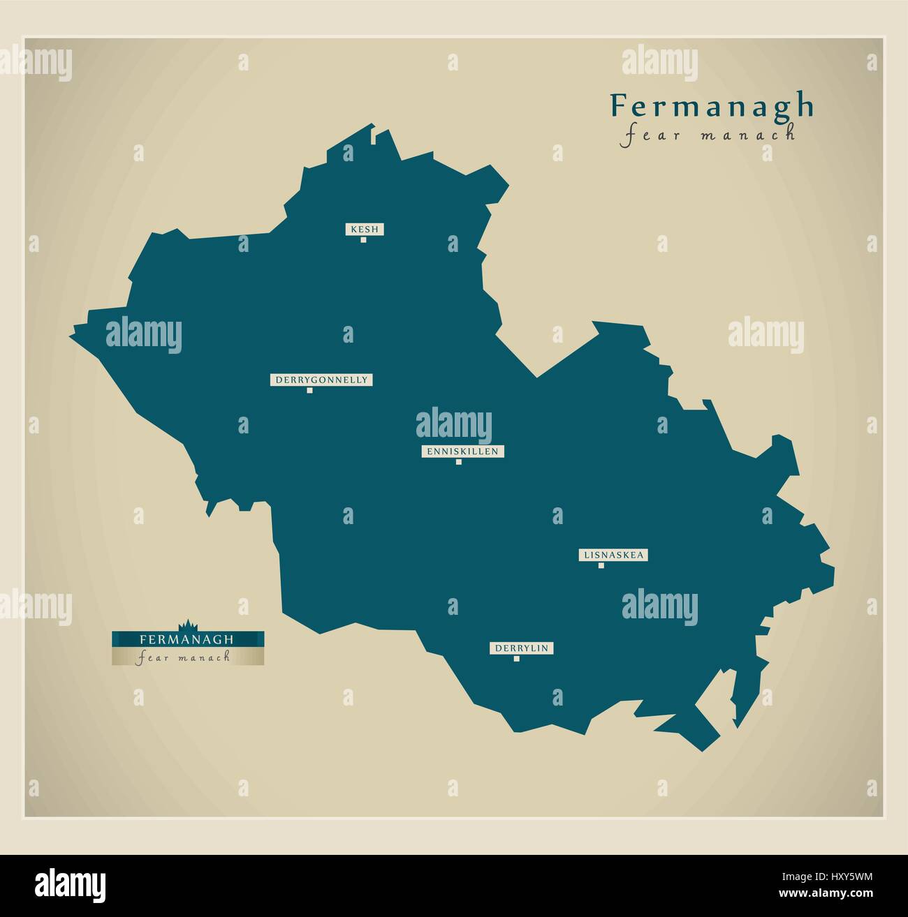 Modern Map - Fermanagh UK Stock Vectorhttps://www.alamy.com/image-license-details/?v=1https://www.alamy.com/stock-photo-modern-map-fermanagh-uk-137050976.html
RFHXY5WM–Modern Map - Fermanagh UK
 Full shot of 1853 map of the Skinners' Company Estate, 31396600023 o Stock Photohttps://www.alamy.com/image-license-details/?v=1https://www.alamy.com/stock-photo-full-shot-of-1853-map-of-the-skinners-company-estate-31396600023-o-147097520.html
RMJF8TAT–Full shot of 1853 map of the Skinners' Company Estate, 31396600023 o
 Londonderry, region of Northern Ireland. Solid color shape. Corner auxiliary location maps Stock Photohttps://www.alamy.com/image-license-details/?v=1https://www.alamy.com/londonderry-region-of-northern-ireland-solid-color-shape-corner-auxiliary-location-maps-image545933192.html
RF2PM5BA0–Londonderry, region of Northern Ireland. Solid color shape. Corner auxiliary location maps
 #31 Dublin to Londonderry by Cookstown. Dungiven Tyrone. TAYLOR/SKINNER 1778 map Stock Photohttps://www.alamy.com/image-license-details/?v=1https://www.alamy.com/31-dublin-to-londonderry-by-cookstown-dungiven-tyrone-taylorskinner-1778-map-image538930644.html
RF2P8PBF0–#31 Dublin to Londonderry by Cookstown. Dungiven Tyrone. TAYLOR/SKINNER 1778 map
 Londonderry, Coolgardie, Australia, Western Australia, S 31 4' 26'', E 121 7' 22'', map, Timeless Map published in 2021. Travelers, explorers and adventurers like Florence Nightingale, David Livingstone, Ernest Shackleton, Lewis and Clark and Sherlock Holmes relied on maps to plan travels to the world's most remote corners, Timeless Maps is mapping most locations on the globe, showing the achievement of great dreams Stock Photohttps://www.alamy.com/image-license-details/?v=1https://www.alamy.com/londonderry-coolgardie-australia-western-australia-s-31-4-26-e-121-7-22-map-timeless-map-published-in-2021-travelers-explorers-and-adventurers-like-florence-nightingale-david-livingstone-ernest-shackleton-lewis-and-clark-and-sherlock-holmes-relied-on-maps-to-plan-travels-to-the-worlds-most-remote-corners-timeless-maps-is-mapping-most-locations-on-the-globe-showing-the-achievement-of-great-dreams-image457799381.html
RM2HGPFNW–Londonderry, Coolgardie, Australia, Western Australia, S 31 4' 26'', E 121 7' 22'', map, Timeless Map published in 2021. Travelers, explorers and adventurers like Florence Nightingale, David Livingstone, Ernest Shackleton, Lewis and Clark and Sherlock Holmes relied on maps to plan travels to the world's most remote corners, Timeless Maps is mapping most locations on the globe, showing the achievement of great dreams
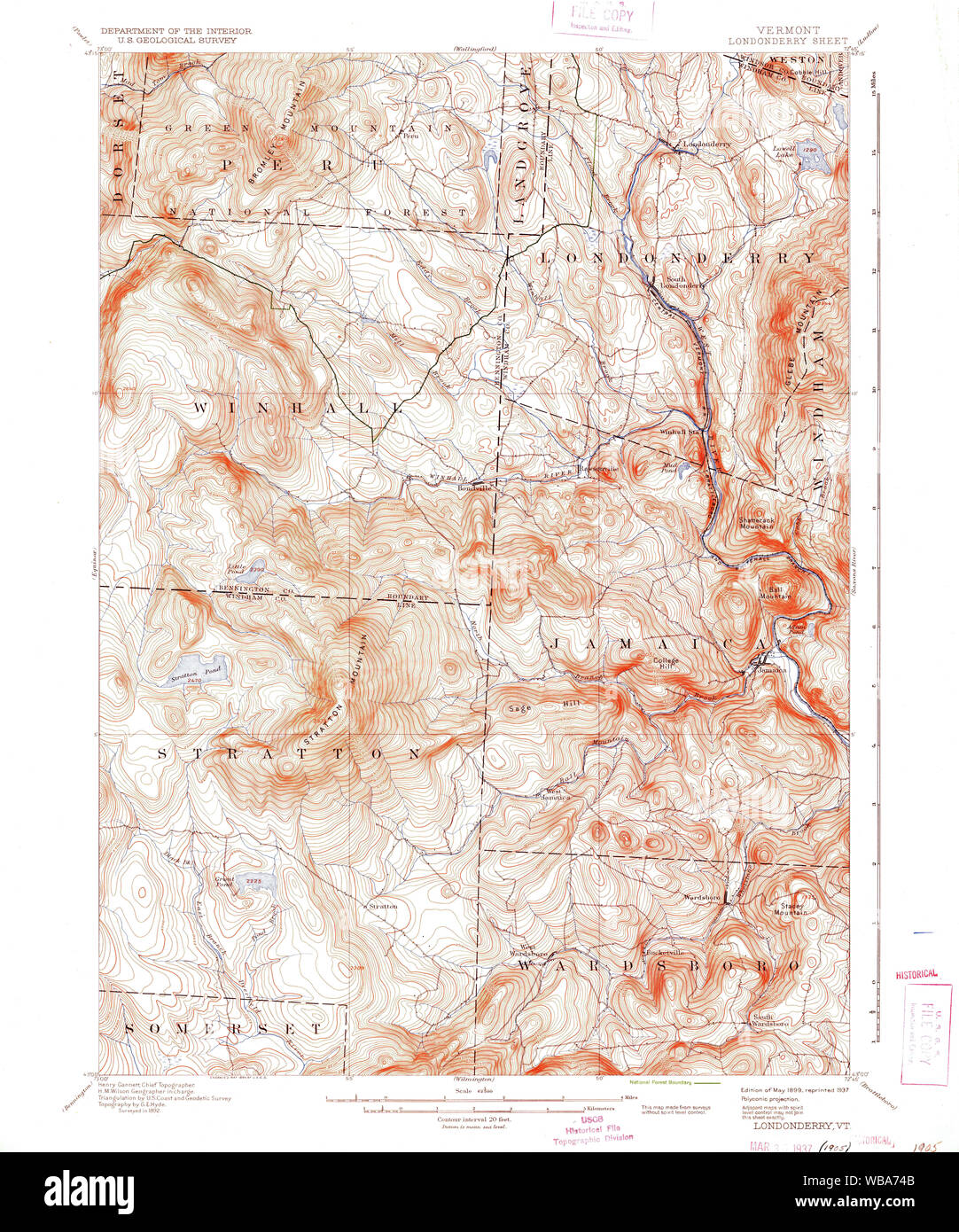 USGS Topo Map Vermont VT Londonderry 338035 1899 62500 Restoration Stock Photohttps://www.alamy.com/image-license-details/?v=1https://www.alamy.com/usgs-topo-map-vermont-vt-londonderry-338035-1899-62500-restoration-image265141867.html
RMWBA74B–USGS Topo Map Vermont VT Londonderry 338035 1899 62500 Restoration
![Insurance Plan of Londonderry. Insurance Plan of Londonderry ... [By] C.E. Goad . London, 1899. Source: Maps.145.b.4.(4), sheet 8. Stock Photo Insurance Plan of Londonderry. Insurance Plan of Londonderry ... [By] C.E. Goad . London, 1899. Source: Maps.145.b.4.(4), sheet 8. Stock Photo](https://c8.alamy.com/comp/R5EW83/insurance-plan-of-londonderry-insurance-plan-of-londonderry-by-ce-goad-london-1899-source-maps145b44-sheet-8-R5EW83.jpg) Insurance Plan of Londonderry. Insurance Plan of Londonderry ... [By] C.E. Goad . London, 1899. Source: Maps.145.b.4.(4), sheet 8. Stock Photohttps://www.alamy.com/image-license-details/?v=1https://www.alamy.com/insurance-plan-of-londonderry-insurance-plan-of-londonderry-by-ce-goad-london-1899-source-maps145b44-sheet-8-image227135219.html
Insurance Plan of Londonderry. Insurance Plan of Londonderry ... [By] C.E. Goad . London, 1899. Source: Maps.145.b.4.(4), sheet 8. Stock Photohttps://www.alamy.com/image-license-details/?v=1https://www.alamy.com/insurance-plan-of-londonderry-insurance-plan-of-londonderry-by-ce-goad-london-1899-source-maps145b44-sheet-8-image227135219.htmlRMR5EW83–Insurance Plan of Londonderry. Insurance Plan of Londonderry ... [By] C.E. Goad . London, 1899. Source: Maps.145.b.4.(4), sheet 8.
 Map of the siege of Londonderry, 1689, 1689 print Map of the siege of Londonderry by the army of Jacobus II, April 18 to July 28, 1689. Under the map a magazine is stuck with the legends A-Z and 1-38 in three columns in Dutch, French and English. print maker: Northern Netherlandspublisher: London paper etching / letterpress printing siege, position war. maps of cities Londonderry Stock Photohttps://www.alamy.com/image-license-details/?v=1https://www.alamy.com/map-of-the-siege-of-londonderry-1689-1689-print-map-of-the-siege-of-londonderry-by-the-army-of-jacobus-ii-april-18-to-july-28-1689-under-the-map-a-magazine-is-stuck-with-the-legends-a-z-and-1-38-in-three-columns-in-dutch-french-and-english-print-maker-northern-netherlandspublisher-london-paper-etching-letterpress-printing-siege-position-war-maps-of-cities-londonderry-image595202410.html
RM2WG9PMX–Map of the siege of Londonderry, 1689, 1689 print Map of the siege of Londonderry by the army of Jacobus II, April 18 to July 28, 1689. Under the map a magazine is stuck with the legends A-Z and 1-38 in three columns in Dutch, French and English. print maker: Northern Netherlandspublisher: London paper etching / letterpress printing siege, position war. maps of cities Londonderry
![Image from page 131 of 'Report on the Geology of the County of Londonderry, and of parts of Tyrone and Fermanagh. [With maps and plates.]' . Stock Photo Image from page 131 of 'Report on the Geology of the County of Londonderry, and of parts of Tyrone and Fermanagh. [With maps and plates.]' . Stock Photo](https://c8.alamy.com/comp/PF352W/image-from-page-131-of-report-on-the-geology-of-the-county-of-londonderry-and-of-parts-of-tyrone-and-fermanagh-with-maps-and-plates-PF352W.jpg) Image from page 131 of 'Report on the Geology of the County of Londonderry, and of parts of Tyrone and Fermanagh. [With maps and plates.]' . Stock Photohttps://www.alamy.com/image-license-details/?v=1https://www.alamy.com/image-from-page-131-of-report-on-the-geology-of-the-county-of-londonderry-and-of-parts-of-tyrone-and-fermanagh-with-maps-and-plates-image215814113.html
Image from page 131 of 'Report on the Geology of the County of Londonderry, and of parts of Tyrone and Fermanagh. [With maps and plates.]' . Stock Photohttps://www.alamy.com/image-license-details/?v=1https://www.alamy.com/image-from-page-131-of-report-on-the-geology-of-the-county-of-londonderry-and-of-parts-of-tyrone-and-fermanagh-with-maps-and-plates-image215814113.htmlRMPF352W–Image from page 131 of 'Report on the Geology of the County of Londonderry, and of parts of Tyrone and Fermanagh. [With maps and plates.]' .
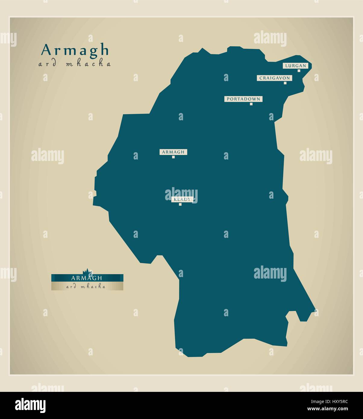 Modern Map - Armagh UK Stock Vectorhttps://www.alamy.com/image-license-details/?v=1https://www.alamy.com/stock-photo-modern-map-armagh-uk-137050912.html
RFHXY5RC–Modern Map - Armagh UK
 Map title and description 32088408181 o Stock Photohttps://www.alamy.com/image-license-details/?v=1https://www.alamy.com/stock-photo-map-title-and-description-32088408181-o-147097506.html
RMJF8TAA–Map title and description 32088408181 o
 Londonderry, region of Northern Ireland. Low resolution satellite map. Corner auxiliary location maps Stock Photohttps://www.alamy.com/image-license-details/?v=1https://www.alamy.com/londonderry-region-of-northern-ireland-low-resolution-satellite-map-corner-auxiliary-location-maps-image545933102.html
RF2PM5B6P–Londonderry, region of Northern Ireland. Low resolution satellite map. Corner auxiliary location maps
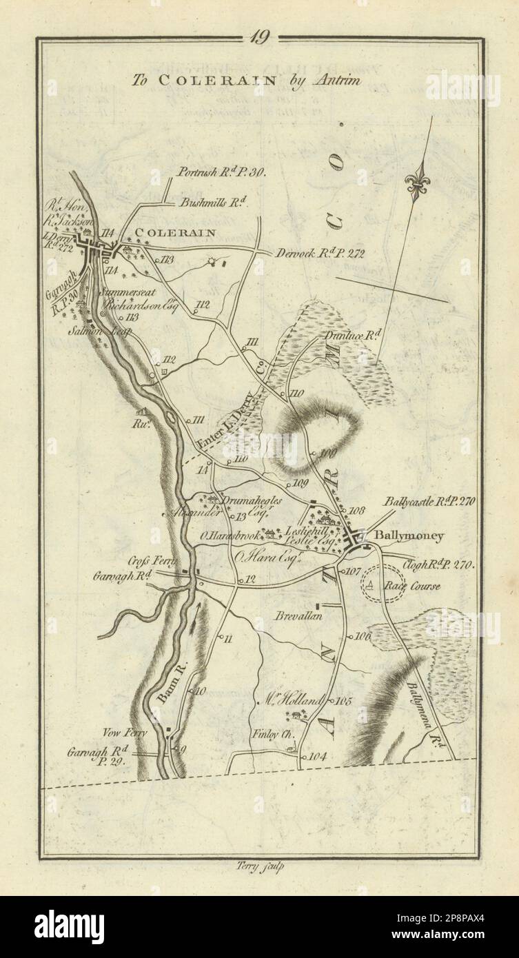 #19 Dublin to Coleraine. Ballymoney Londonderry. TAYLOR/SKINNER 1778 old map Stock Photohttps://www.alamy.com/image-license-details/?v=1https://www.alamy.com/19-dublin-to-coleraine-ballymoney-londonderry-taylorskinner-1778-old-map-image538930172.html
RF2P8PAX4–#19 Dublin to Coleraine. Ballymoney Londonderry. TAYLOR/SKINNER 1778 old map
 Londonderry Station, Canada, Nova Scotia, N 45 27' 34'', W 63 34' 17'', map, Timeless Map published in 2021. Travelers, explorers and adventurers like Florence Nightingale, David Livingstone, Ernest Shackleton, Lewis and Clark and Sherlock Holmes relied on maps to plan travels to the world's most remote corners, Timeless Maps is mapping most locations on the globe, showing the achievement of great dreams Stock Photohttps://www.alamy.com/image-license-details/?v=1https://www.alamy.com/londonderry-station-canada-nova-scotia-n-45-27-34-w-63-34-17-map-timeless-map-published-in-2021-travelers-explorers-and-adventurers-like-florence-nightingale-david-livingstone-ernest-shackleton-lewis-and-clark-and-sherlock-holmes-relied-on-maps-to-plan-travels-to-the-worlds-most-remote-corners-timeless-maps-is-mapping-most-locations-on-the-globe-showing-the-achievement-of-great-dreams-image457871857.html
RM2HGWT69–Londonderry Station, Canada, Nova Scotia, N 45 27' 34'', W 63 34' 17'', map, Timeless Map published in 2021. Travelers, explorers and adventurers like Florence Nightingale, David Livingstone, Ernest Shackleton, Lewis and Clark and Sherlock Holmes relied on maps to plan travels to the world's most remote corners, Timeless Maps is mapping most locations on the globe, showing the achievement of great dreams
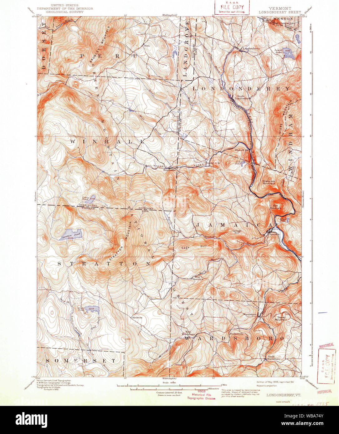 USGS Topo Map Vermont VT Londonderry 338036 1899 62500 Restoration Stock Photohttps://www.alamy.com/image-license-details/?v=1https://www.alamy.com/usgs-topo-map-vermont-vt-londonderry-338036-1899-62500-restoration-image265141883.html
RMWBA74Y–USGS Topo Map Vermont VT Londonderry 338036 1899 62500 Restoration
 Londonderry. A coloured north-east view of the city of Londonde. circa 1680. Source: Maps.K.Top.54.33.a,. Author: PHILLIPS, THOMAS. Stock Photohttps://www.alamy.com/image-license-details/?v=1https://www.alamy.com/londonderry-a-coloured-north-east-view-of-the-city-of-londonde-circa-1680-source-mapsktop5433a-author-phillips-thomas-image227000894.html
RMR58NXP–Londonderry. A coloured north-east view of the city of Londonde. circa 1680. Source: Maps.K.Top.54.33.a,. Author: PHILLIPS, THOMAS.
 Map of the Siege of Londonderry, 1689, Anonymous, 1689 print Map of the unsuccessful siege of Londonderry by the army of Jacobus II, 28 April-10 August 1689. On the left, the legends A-Z and 1-43 in three columns in Dutch, French and English. On the right a description of the events between April 29 and August 10, 1689. print maker: Northern Netherlandspublisher: Amsterdam paper etching / letterpress printing siege, position war. maps of cities Londonderry Stock Photohttps://www.alamy.com/image-license-details/?v=1https://www.alamy.com/map-of-the-siege-of-londonderry-1689-anonymous-1689-print-map-of-the-unsuccessful-siege-of-londonderry-by-the-army-of-jacobus-ii-28-april-10-august-1689-on-the-left-the-legends-a-z-and-1-43-in-three-columns-in-dutch-french-and-english-on-the-right-a-description-of-the-events-between-april-29-and-august-10-1689-print-maker-northern-netherlandspublisher-amsterdam-paper-etching-letterpress-printing-siege-position-war-maps-of-cities-londonderry-image593249023.html
RM2WD4R53–Map of the Siege of Londonderry, 1689, Anonymous, 1689 print Map of the unsuccessful siege of Londonderry by the army of Jacobus II, 28 April-10 August 1689. On the left, the legends A-Z and 1-43 in three columns in Dutch, French and English. On the right a description of the events between April 29 and August 10, 1689. print maker: Northern Netherlandspublisher: Amsterdam paper etching / letterpress printing siege, position war. maps of cities Londonderry
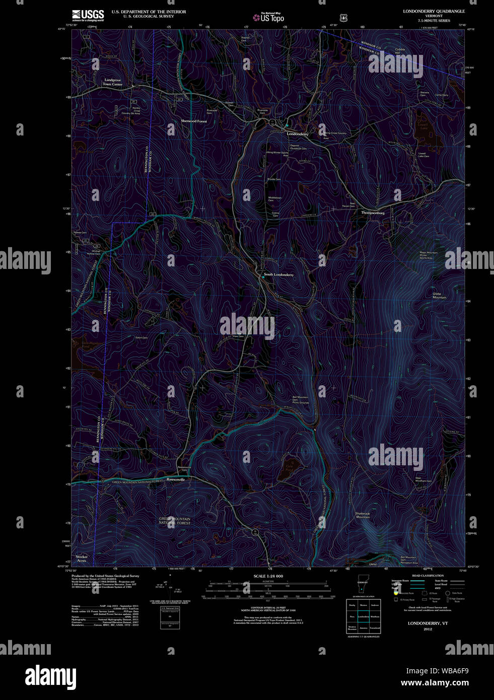 USGS Topo Map Vermont VT Londonderry 20120517 TM Inverted Restoration Stock Photohttps://www.alamy.com/image-license-details/?v=1https://www.alamy.com/usgs-topo-map-vermont-vt-londonderry-20120517-tm-inverted-restoration-image265141389.html
RMWBA6F9–USGS Topo Map Vermont VT Londonderry 20120517 TM Inverted Restoration
![Image from page 175 of 'Report on the Geology of the County of Londonderry, and of parts of Tyrone and Fermanagh. [With maps and plates.]' . Stock Photo Image from page 175 of 'Report on the Geology of the County of Londonderry, and of parts of Tyrone and Fermanagh. [With maps and plates.]' . Stock Photo](https://c8.alamy.com/comp/PNFD4P/image-from-page-175-of-report-on-the-geology-of-the-county-of-londonderry-and-of-parts-of-tyrone-and-fermanagh-with-maps-and-plates-PNFD4P.jpg) Image from page 175 of 'Report on the Geology of the County of Londonderry, and of parts of Tyrone and Fermanagh. [With maps and plates.]' . Stock Photohttps://www.alamy.com/image-license-details/?v=1https://www.alamy.com/image-from-page-175-of-report-on-the-geology-of-the-county-of-londonderry-and-of-parts-of-tyrone-and-fermanagh-with-maps-and-plates-image219771798.html
Image from page 175 of 'Report on the Geology of the County of Londonderry, and of parts of Tyrone and Fermanagh. [With maps and plates.]' . Stock Photohttps://www.alamy.com/image-license-details/?v=1https://www.alamy.com/image-from-page-175-of-report-on-the-geology-of-the-county-of-londonderry-and-of-parts-of-tyrone-and-fermanagh-with-maps-and-plates-image219771798.htmlRMPNFD4P–Image from page 175 of 'Report on the Geology of the County of Londonderry, and of parts of Tyrone and Fermanagh. [With maps and plates.]' .
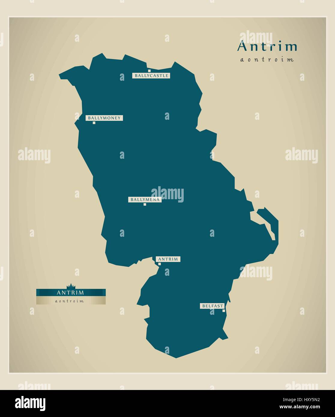 Modern Map - Antrim UK Stock Vectorhttps://www.alamy.com/image-license-details/?v=1https://www.alamy.com/stock-photo-modern-map-antrim-uk-137050846.html
RFHXY5N2–Modern Map - Antrim UK
 Top right section of map, 1853 32058172012 o Stock Photohttps://www.alamy.com/image-license-details/?v=1https://www.alamy.com/stock-photo-top-right-section-of-map-1853-32058172012-o-147097510.html
RMJF8TAE–Top right section of map, 1853 32058172012 o
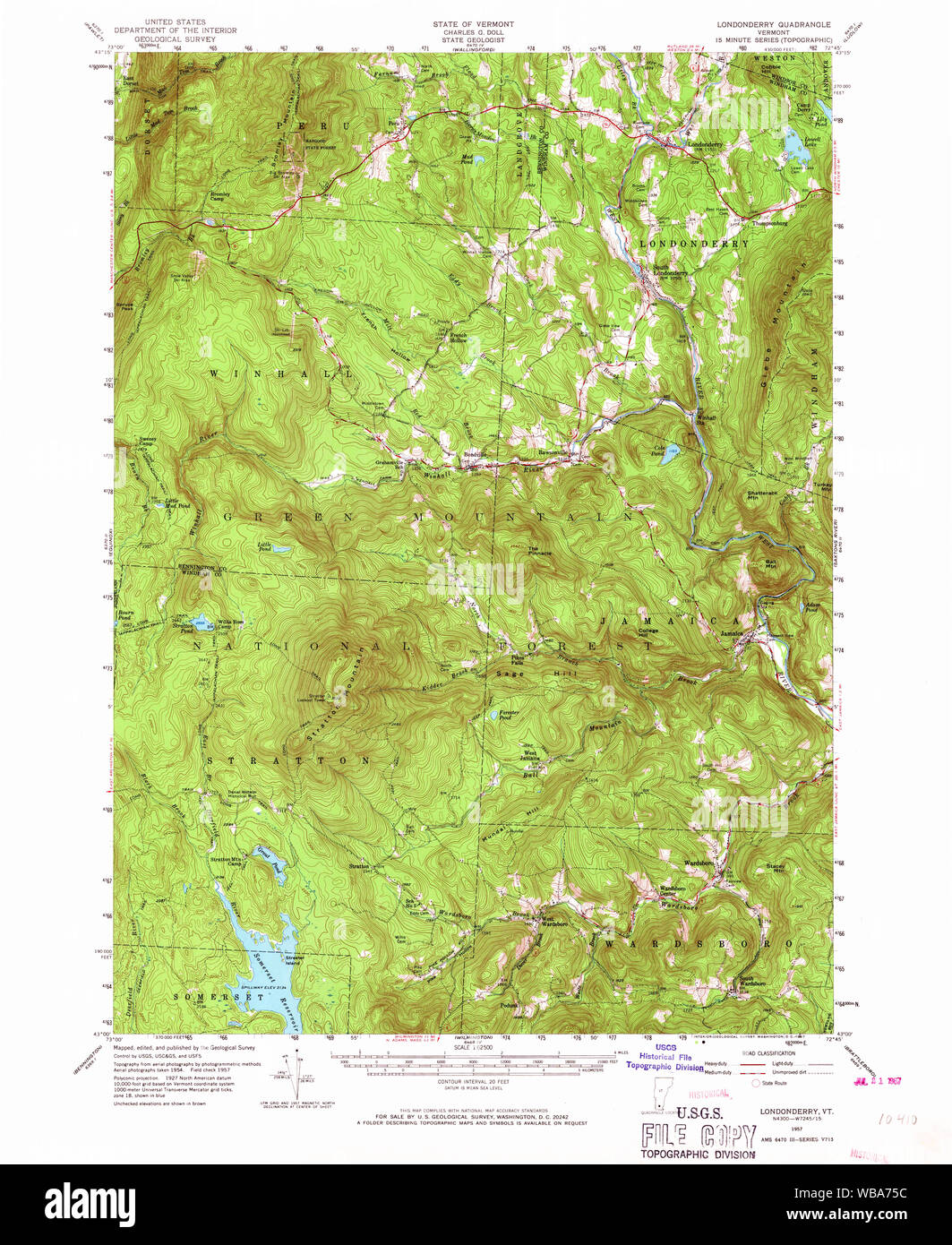 USGS Topo Map Vermont VT Londonderry 338038 1957 62500 Restoration Stock Photohttps://www.alamy.com/image-license-details/?v=1https://www.alamy.com/usgs-topo-map-vermont-vt-londonderry-338038-1957-62500-restoration-image265141896.html
RMWBA75C–USGS Topo Map Vermont VT Londonderry 338038 1957 62500 Restoration
![Image taken from page 217 of '[Our own country. Descriptive, historical, pictorial.]' Image taken from page 217 of '[Our own country Stock Photo Image taken from page 217 of '[Our own country. Descriptive, historical, pictorial.]' Image taken from page 217 of '[Our own country Stock Photo](https://c8.alamy.com/comp/HK64JP/image-taken-from-page-217-of-our-own-country-descriptive-historical-HK64JP.jpg) Image taken from page 217 of '[Our own country. Descriptive, historical, pictorial.]' Image taken from page 217 of '[Our own country Stock Photohttps://www.alamy.com/image-license-details/?v=1https://www.alamy.com/stock-photo-image-taken-from-page-217-of-our-own-country-descriptive-historical-132286414.html
Image taken from page 217 of '[Our own country. Descriptive, historical, pictorial.]' Image taken from page 217 of '[Our own country Stock Photohttps://www.alamy.com/image-license-details/?v=1https://www.alamy.com/stock-photo-image-taken-from-page-217-of-our-own-country-descriptive-historical-132286414.htmlRMHK64JP–Image taken from page 217 of '[Our own country. Descriptive, historical, pictorial.]' Image taken from page 217 of '[Our own country
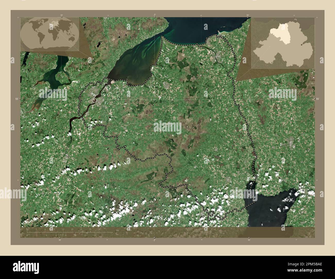 Londonderry, region of Northern Ireland. High resolution satellite map. Corner auxiliary location maps Stock Photohttps://www.alamy.com/image-license-details/?v=1https://www.alamy.com/londonderry-region-of-northern-ireland-high-resolution-satellite-map-corner-auxiliary-location-maps-image545933206.html
RF2PM5BAE–Londonderry, region of Northern Ireland. High resolution satellite map. Corner auxiliary location maps
 #272 Londonderry to Coleraine/Glenarm. Bushmills Dervock TAYLOR/SKINNER 1778 map Stock Photohttps://www.alamy.com/image-license-details/?v=1https://www.alamy.com/272-londonderry-to-coleraineglenarm-bushmills-dervock-taylorskinner-1778-map-image538942893.html
RF2P8PY4D–#272 Londonderry to Coleraine/Glenarm. Bushmills Dervock TAYLOR/SKINNER 1778 map
 Londonderry, Penrith Municipality, Australia, New South Wales, S 33 38' 47'', E 150 44' 6'', map, Timeless Map published in 2021. Travelers, explorers and adventurers like Florence Nightingale, David Livingstone, Ernest Shackleton, Lewis and Clark and Sherlock Holmes relied on maps to plan travels to the world's most remote corners, Timeless Maps is mapping most locations on the globe, showing the achievement of great dreams Stock Photohttps://www.alamy.com/image-license-details/?v=1https://www.alamy.com/londonderry-penrith-municipality-australia-new-south-wales-s-33-38-47-e-150-44-6-map-timeless-map-published-in-2021-travelers-explorers-and-adventurers-like-florence-nightingale-david-livingstone-ernest-shackleton-lewis-and-clark-and-sherlock-holmes-relied-on-maps-to-plan-travels-to-the-worlds-most-remote-corners-timeless-maps-is-mapping-most-locations-on-the-globe-showing-the-achievement-of-great-dreams-image457820444.html
RM2HGREJ4–Londonderry, Penrith Municipality, Australia, New South Wales, S 33 38' 47'', E 150 44' 6'', map, Timeless Map published in 2021. Travelers, explorers and adventurers like Florence Nightingale, David Livingstone, Ernest Shackleton, Lewis and Clark and Sherlock Holmes relied on maps to plan travels to the world's most remote corners, Timeless Maps is mapping most locations on the globe, showing the achievement of great dreams
 Kilmore (or Culmore) Fort in the foreground; ships on the water to the left and in the middle ground; the River Foyle stretching to the horizon; mountains in the distance. A PROSPECT OF KILMORE FORT and the River up to LONDON DERRY. c. 1700. Pen and black ink with watercolour over pencil. Source: Maps K.Top.52.45. Language: English. Stock Photohttps://www.alamy.com/image-license-details/?v=1https://www.alamy.com/kilmore-or-culmore-fort-in-the-foreground-ships-on-the-water-to-the-left-and-in-the-middle-ground-the-river-foyle-stretching-to-the-horizon-mountains-in-the-distance-a-prospect-of-kilmore-fort-and-the-river-up-to-london-derry-c-1700-pen-and-black-ink-with-watercolour-over-pencil-source-maps-ktop5245-language-english-image227090541.html
RMR5CT8D–Kilmore (or Culmore) Fort in the foreground; ships on the water to the left and in the middle ground; the River Foyle stretching to the horizon; mountains in the distance. A PROSPECT OF KILMORE FORT and the River up to LONDON DERRY. c. 1700. Pen and black ink with watercolour over pencil. Source: Maps K.Top.52.45. Language: English.
 A true survey of The Earl of Donagals barronie of Enish Owen containing the two adjacent harbours of Lough Foile and Lough Suillie ye Isle of Inche Culmore and Londonderry. Relief shown pictorially. Imprint derived from Sarah Tyacke's London Map Sellers, 1660-1720, entry number 174. Sutton Nichols sculp. Insets: Londonderry; The true groundplat of the Citty of Londonderry. Cataloging, conservation, and digitization made possible in part by The National Endowment for the Humanities: Exploring the human endeavor. Part of composite portfolio atlas with title 'Collection of old maps.'.. Collection Stock Photohttps://www.alamy.com/image-license-details/?v=1https://www.alamy.com/a-true-survey-of-the-earl-of-donagals-barronie-of-enish-owen-containing-the-two-adjacent-harbours-of-lough-foile-and-lough-suillie-ye-isle-of-inche-culmore-and-londonderry-relief-shown-pictorially-imprint-derived-from-sarah-tyackes-london-map-sellers-1660-1720-entry-number-174-sutton-nichols-sculp-insets-londonderry-the-true-groundplat-of-the-citty-of-londonderry-cataloging-conservation-and-digitization-made-possible-in-part-by-the-national-endowment-for-the-humanities-exploring-the-human-endeavor-part-of-composite-portfolio-atlas-with-title-collection-of-old-maps-collection-image502719810.html
RM2M5TT6X–A true survey of The Earl of Donagals barronie of Enish Owen containing the two adjacent harbours of Lough Foile and Lough Suillie ye Isle of Inche Culmore and Londonderry. Relief shown pictorially. Imprint derived from Sarah Tyacke's London Map Sellers, 1660-1720, entry number 174. Sutton Nichols sculp. Insets: Londonderry; The true groundplat of the Citty of Londonderry. Cataloging, conservation, and digitization made possible in part by The National Endowment for the Humanities: Exploring the human endeavor. Part of composite portfolio atlas with title 'Collection of old maps.'.. Collection
![Image from page 141 of 'Report on the Geology of the County of Londonderry, and of parts of Tyrone and Fermanagh. [With maps and plates.]' . Stock Photo Image from page 141 of 'Report on the Geology of the County of Londonderry, and of parts of Tyrone and Fermanagh. [With maps and plates.]' . Stock Photo](https://c8.alamy.com/comp/PNFANC/image-from-page-141-of-report-on-the-geology-of-the-county-of-londonderry-and-of-parts-of-tyrone-and-fermanagh-with-maps-and-plates-PNFANC.jpg) Image from page 141 of 'Report on the Geology of the County of Londonderry, and of parts of Tyrone and Fermanagh. [With maps and plates.]' . Stock Photohttps://www.alamy.com/image-license-details/?v=1https://www.alamy.com/image-from-page-141-of-report-on-the-geology-of-the-county-of-londonderry-and-of-parts-of-tyrone-and-fermanagh-with-maps-and-plates-image219769912.html
Image from page 141 of 'Report on the Geology of the County of Londonderry, and of parts of Tyrone and Fermanagh. [With maps and plates.]' . Stock Photohttps://www.alamy.com/image-license-details/?v=1https://www.alamy.com/image-from-page-141-of-report-on-the-geology-of-the-county-of-londonderry-and-of-parts-of-tyrone-and-fermanagh-with-maps-and-plates-image219769912.htmlRMPNFANC–Image from page 141 of 'Report on the Geology of the County of Londonderry, and of parts of Tyrone and Fermanagh. [With maps and plates.]' .
 Modern Map - Northern Ireland with counties UK Stock Vectorhttps://www.alamy.com/image-license-details/?v=1https://www.alamy.com/stock-photo-modern-map-northern-ireland-with-counties-uk-137050988.html
RFHXY5X4–Modern Map - Northern Ireland with counties UK
 USGS Topo Map Vermont VT Londonderry 338040 1957 62500 Restoration Stock Photohttps://www.alamy.com/image-license-details/?v=1https://www.alamy.com/usgs-topo-map-vermont-vt-londonderry-338040-1957-62500-restoration-image265141924.html
RMWBA76C–USGS Topo Map Vermont VT Londonderry 338040 1957 62500 Restoration
 Londonderry, region of Northern Ireland. Grayscale elevation map with lakes and rivers. Corner auxiliary location maps Stock Photohttps://www.alamy.com/image-license-details/?v=1https://www.alamy.com/londonderry-region-of-northern-ireland-grayscale-elevation-map-with-lakes-and-rivers-corner-auxiliary-location-maps-image545932932.html
RF2PM5B0M–Londonderry, region of Northern Ireland. Grayscale elevation map with lakes and rivers. Corner auxiliary location maps
 #226 Sligo to Ballyshannon & Londonderry. Sligo Donegal. TAYLOR/SKINNER 1778 map Stock Photohttps://www.alamy.com/image-license-details/?v=1https://www.alamy.com/226-sligo-to-ballyshannon-londonderry-sligo-donegal-taylorskinner-1778-map-image538941242.html
RF2P8PW1E–#226 Sligo to Ballyshannon & Londonderry. Sligo Donegal. TAYLOR/SKINNER 1778 map
 Londonderry, Derry City and Strabane, United Kingdom, Northern Ireland, N 54 59' 53'', W 7 18' 33'', map, Timeless Map published in 2021. Travelers, explorers and adventurers like Florence Nightingale, David Livingstone, Ernest Shackleton, Lewis and Clark and Sherlock Holmes relied on maps to plan travels to the world's most remote corners, Timeless Maps is mapping most locations on the globe, showing the achievement of great dreams Stock Photohttps://www.alamy.com/image-license-details/?v=1https://www.alamy.com/londonderry-derry-city-and-strabane-united-kingdom-northern-ireland-n-54-59-53-w-7-18-33-map-timeless-map-published-in-2021-travelers-explorers-and-adventurers-like-florence-nightingale-david-livingstone-ernest-shackleton-lewis-and-clark-and-sherlock-holmes-relied-on-maps-to-plan-travels-to-the-worlds-most-remote-corners-timeless-maps-is-mapping-most-locations-on-the-globe-showing-the-achievement-of-great-dreams-image439392212.html
RM2GET170–Londonderry, Derry City and Strabane, United Kingdom, Northern Ireland, N 54 59' 53'', W 7 18' 33'', map, Timeless Map published in 2021. Travelers, explorers and adventurers like Florence Nightingale, David Livingstone, Ernest Shackleton, Lewis and Clark and Sherlock Holmes relied on maps to plan travels to the world's most remote corners, Timeless Maps is mapping most locations on the globe, showing the achievement of great dreams
![Image from page 185 of 'Report on the Geology of the County of Londonderry, and of parts of Tyrone and Fermanagh. [With maps and plates.]' . Stock Photo Image from page 185 of 'Report on the Geology of the County of Londonderry, and of parts of Tyrone and Fermanagh. [With maps and plates.]' . Stock Photo](https://c8.alamy.com/comp/PNFDRP/image-from-page-185-of-report-on-the-geology-of-the-county-of-londonderry-and-of-parts-of-tyrone-and-fermanagh-with-maps-and-plates-PNFDRP.jpg) Image from page 185 of 'Report on the Geology of the County of Londonderry, and of parts of Tyrone and Fermanagh. [With maps and plates.]' . Stock Photohttps://www.alamy.com/image-license-details/?v=1https://www.alamy.com/image-from-page-185-of-report-on-the-geology-of-the-county-of-londonderry-and-of-parts-of-tyrone-and-fermanagh-with-maps-and-plates-image219772330.html
Image from page 185 of 'Report on the Geology of the County of Londonderry, and of parts of Tyrone and Fermanagh. [With maps and plates.]' . Stock Photohttps://www.alamy.com/image-license-details/?v=1https://www.alamy.com/image-from-page-185-of-report-on-the-geology-of-the-county-of-londonderry-and-of-parts-of-tyrone-and-fermanagh-with-maps-and-plates-image219772330.htmlRMPNFDRP–Image from page 185 of 'Report on the Geology of the County of Londonderry, and of parts of Tyrone and Fermanagh. [With maps and plates.]' .
 Modern Map - Northern Ireland UK Stock Vectorhttps://www.alamy.com/image-license-details/?v=1https://www.alamy.com/stock-photo-modern-map-northern-ireland-uk-137051017.html
RFHXY5Y5–Modern Map - Northern Ireland UK
 USGS Topo Map Vermont VT Londonderry 338029 1894 62500 Restoration Stock Photohttps://www.alamy.com/image-license-details/?v=1https://www.alamy.com/usgs-topo-map-vermont-vt-londonderry-338029-1894-62500-restoration-image265141640.html
RMWBA6T8–USGS Topo Map Vermont VT Londonderry 338029 1894 62500 Restoration
 Londonderry, region of Northern Ireland. Bilevel elevation map with lakes and rivers. Corner auxiliary location maps Stock Photohttps://www.alamy.com/image-license-details/?v=1https://www.alamy.com/londonderry-region-of-northern-ireland-bilevel-elevation-map-with-lakes-and-rivers-corner-auxiliary-location-maps-image545932795.html
RF2PM5ARR–Londonderry, region of Northern Ireland. Bilevel elevation map with lakes and rivers. Corner auxiliary location maps
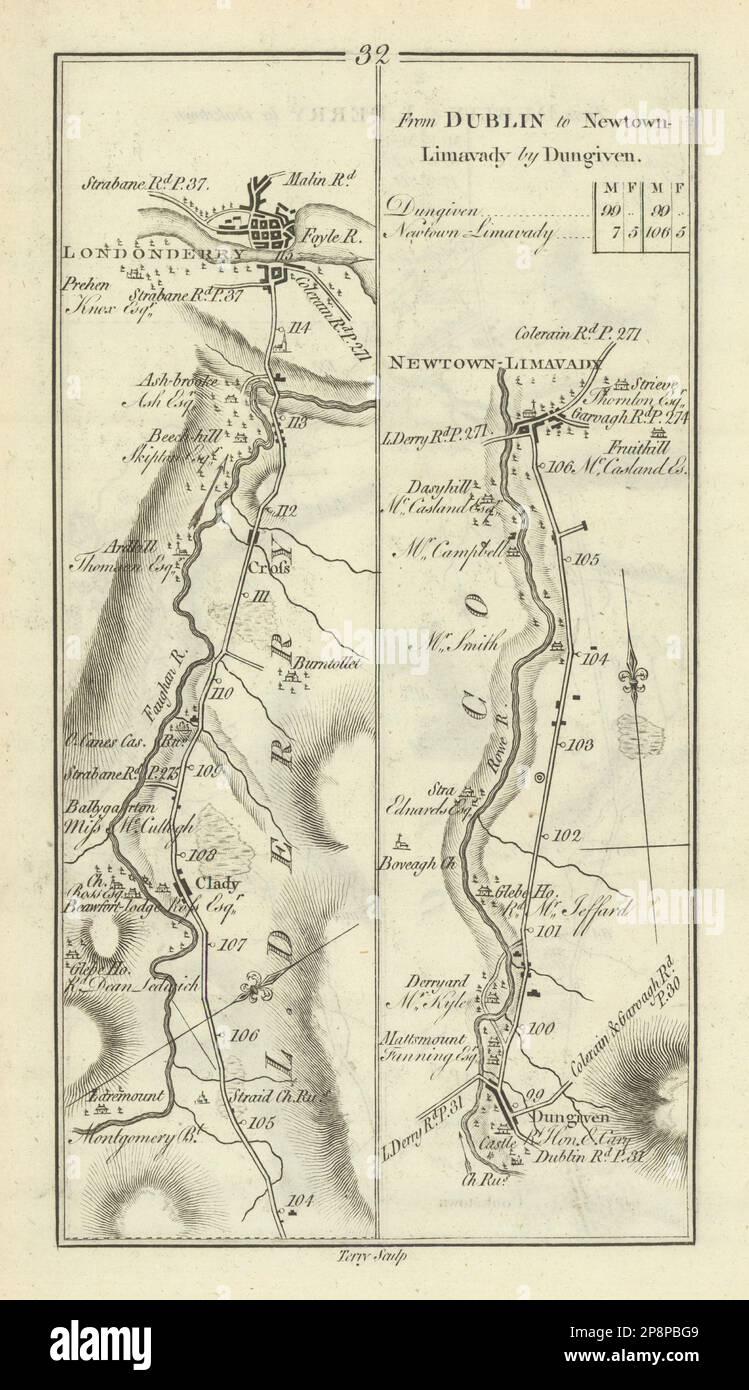 #32 Dublin to Londonderry & Limavady by Dungiven. Clady. TAYLOR/SKINNER 1778 map Stock Photohttps://www.alamy.com/image-license-details/?v=1https://www.alamy.com/32-dublin-to-londonderry-limavady-by-dungiven-clady-taylorskinner-1778-map-image538930681.html
RF2P8PBG9–#32 Dublin to Londonderry & Limavady by Dungiven. Clady. TAYLOR/SKINNER 1778 map
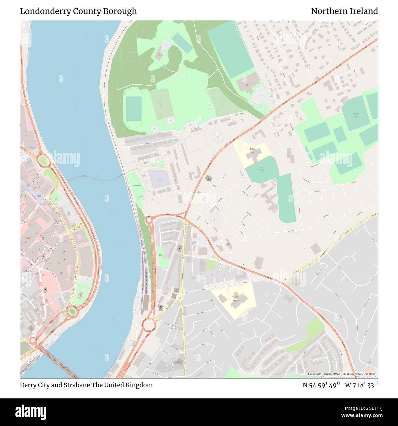 Londonderry County Borough, Derry City and Strabane, United Kingdom, Northern Ireland, N 54 59' 49'', W 7 18' 33'', map, Timeless Map published in 2021. Travelers, explorers and adventurers like Florence Nightingale, David Livingstone, Ernest Shackleton, Lewis and Clark and Sherlock Holmes relied on maps to plan travels to the world's most remote corners, Timeless Maps is mapping most locations on the globe, showing the achievement of great dreams Stock Photohttps://www.alamy.com/image-license-details/?v=1https://www.alamy.com/londonderry-county-borough-derry-city-and-strabane-united-kingdom-northern-ireland-n-54-59-49-w-7-18-33-map-timeless-map-published-in-2021-travelers-explorers-and-adventurers-like-florence-nightingale-david-livingstone-ernest-shackleton-lewis-and-clark-and-sherlock-holmes-relied-on-maps-to-plan-travels-to-the-worlds-most-remote-corners-timeless-maps-is-mapping-most-locations-on-the-globe-showing-the-achievement-of-great-dreams-image439392230.html
RM2GET17J–Londonderry County Borough, Derry City and Strabane, United Kingdom, Northern Ireland, N 54 59' 49'', W 7 18' 33'', map, Timeless Map published in 2021. Travelers, explorers and adventurers like Florence Nightingale, David Livingstone, Ernest Shackleton, Lewis and Clark and Sherlock Holmes relied on maps to plan travels to the world's most remote corners, Timeless Maps is mapping most locations on the globe, showing the achievement of great dreams
![Image from page 128 of 'Report on the Geology of the County of Londonderry, and of parts of Tyrone and Fermanagh. [With maps and plates.]' . Stock Photo Image from page 128 of 'Report on the Geology of the County of Londonderry, and of parts of Tyrone and Fermanagh. [With maps and plates.]' . Stock Photo](https://c8.alamy.com/comp/PNF9P5/image-from-page-128-of-report-on-the-geology-of-the-county-of-londonderry-and-of-parts-of-tyrone-and-fermanagh-with-maps-and-plates-PNF9P5.jpg) Image from page 128 of 'Report on the Geology of the County of Londonderry, and of parts of Tyrone and Fermanagh. [With maps and plates.]' . Stock Photohttps://www.alamy.com/image-license-details/?v=1https://www.alamy.com/image-from-page-128-of-report-on-the-geology-of-the-county-of-londonderry-and-of-parts-of-tyrone-and-fermanagh-with-maps-and-plates-image219769149.html
Image from page 128 of 'Report on the Geology of the County of Londonderry, and of parts of Tyrone and Fermanagh. [With maps and plates.]' . Stock Photohttps://www.alamy.com/image-license-details/?v=1https://www.alamy.com/image-from-page-128-of-report-on-the-geology-of-the-county-of-londonderry-and-of-parts-of-tyrone-and-fermanagh-with-maps-and-plates-image219769149.htmlRMPNF9P5–Image from page 128 of 'Report on the Geology of the County of Londonderry, and of parts of Tyrone and Fermanagh. [With maps and plates.]' .
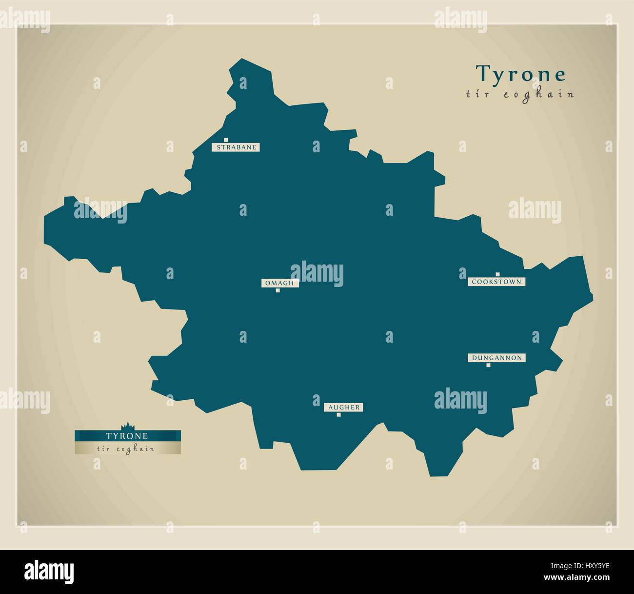 Modern Map - Tyrone UK Stock Vectorhttps://www.alamy.com/image-license-details/?v=1https://www.alamy.com/stock-photo-modern-map-tyrone-uk-137051026.html
RFHXY5YE–Modern Map - Tyrone UK
 USGS Topo Map Vermont VT Londonderry 338030 1899 62500 Restoration Stock Photohttps://www.alamy.com/image-license-details/?v=1https://www.alamy.com/usgs-topo-map-vermont-vt-londonderry-338030-1899-62500-restoration-image265141695.html
RMWBA6X7–USGS Topo Map Vermont VT Londonderry 338030 1899 62500 Restoration
 Londonderry, region of Northern Ireland. Colored elevation map with lakes and rivers. Corner auxiliary location maps Stock Photohttps://www.alamy.com/image-license-details/?v=1https://www.alamy.com/londonderry-region-of-northern-ireland-colored-elevation-map-with-lakes-and-rivers-corner-auxiliary-location-maps-image545933160.html
RF2PM5B8T–Londonderry, region of Northern Ireland. Colored elevation map with lakes and rivers. Corner auxiliary location maps
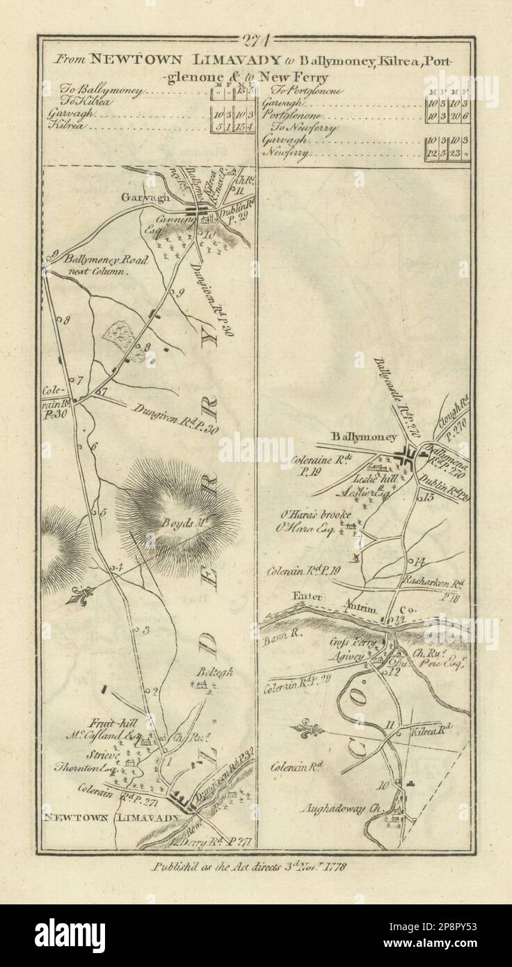 #274 Newtown Limavady to Ballymoney. Garvagh Londonderry TAYLOR/SKINNER 1778 map Stock Photohttps://www.alamy.com/image-license-details/?v=1https://www.alamy.com/274-newtown-limavady-to-ballymoney-garvagh-londonderry-taylorskinner-1778-map-image538942911.html
RF2P8PY53–#274 Newtown Limavady to Ballymoney. Garvagh Londonderry TAYLOR/SKINNER 1778 map
 Londonderry Creek, , NZ, New Zealand, Otago, S 44 49' 42'', N 168 39' 36'', map, Cartascapes Map published in 2024. Explore Cartascapes, a map revealing Earth's diverse landscapes, cultures, and ecosystems. Journey through time and space, discovering the interconnectedness of our planet's past, present, and future. Stock Photohttps://www.alamy.com/image-license-details/?v=1https://www.alamy.com/londonderry-creek-nz-new-zealand-otago-s-44-49-42-n-168-39-36-map-cartascapes-map-published-in-2024-explore-cartascapes-a-map-revealing-earths-diverse-landscapes-cultures-and-ecosystems-journey-through-time-and-space-discovering-the-interconnectedness-of-our-planets-past-present-and-future-image634045337.html
RM2YRF789–Londonderry Creek, , NZ, New Zealand, Otago, S 44 49' 42'', N 168 39' 36'', map, Cartascapes Map published in 2024. Explore Cartascapes, a map revealing Earth's diverse landscapes, cultures, and ecosystems. Journey through time and space, discovering the interconnectedness of our planet's past, present, and future.
![Image from page 134 of 'Report on the Geology of the County of Londonderry, and of parts of Tyrone and Fermanagh. [With maps and plates.]' . Stock Photo Image from page 134 of 'Report on the Geology of the County of Londonderry, and of parts of Tyrone and Fermanagh. [With maps and plates.]' . Stock Photo](https://c8.alamy.com/comp/PNFA61/image-from-page-134-of-report-on-the-geology-of-the-county-of-londonderry-and-of-parts-of-tyrone-and-fermanagh-with-maps-and-plates-PNFA61.jpg) Image from page 134 of 'Report on the Geology of the County of Londonderry, and of parts of Tyrone and Fermanagh. [With maps and plates.]' . Stock Photohttps://www.alamy.com/image-license-details/?v=1https://www.alamy.com/image-from-page-134-of-report-on-the-geology-of-the-county-of-londonderry-and-of-parts-of-tyrone-and-fermanagh-with-maps-and-plates-image219769481.html
Image from page 134 of 'Report on the Geology of the County of Londonderry, and of parts of Tyrone and Fermanagh. [With maps and plates.]' . Stock Photohttps://www.alamy.com/image-license-details/?v=1https://www.alamy.com/image-from-page-134-of-report-on-the-geology-of-the-county-of-londonderry-and-of-parts-of-tyrone-and-fermanagh-with-maps-and-plates-image219769481.htmlRMPNFA61–Image from page 134 of 'Report on the Geology of the County of Londonderry, and of parts of Tyrone and Fermanagh. [With maps and plates.]' .
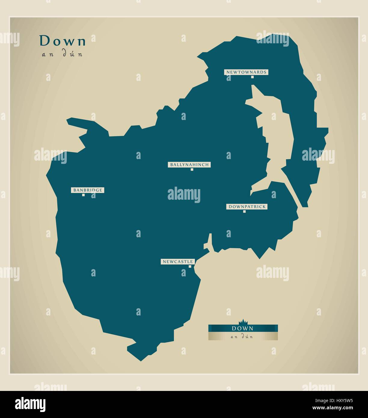 Modern Map - Down UK Stock Vectorhttps://www.alamy.com/image-license-details/?v=1https://www.alamy.com/stock-photo-modern-map-down-uk-137050961.html
RFHXY5W5–Modern Map - Down UK
 USGS Topo Map Vermont VT Londonderry 338033 1899 62500 Restoration Stock Photohttps://www.alamy.com/image-license-details/?v=1https://www.alamy.com/usgs-topo-map-vermont-vt-londonderry-338033-1899-62500-restoration-image265141781.html
RMWBA719–USGS Topo Map Vermont VT Londonderry 338033 1899 62500 Restoration
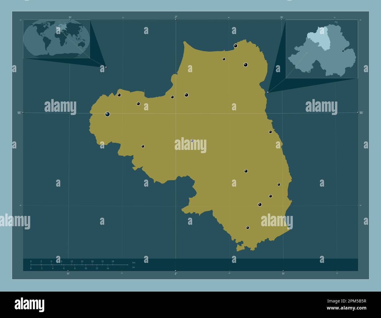 Londonderry, region of Northern Ireland. Solid color shape. Locations of major cities of the region. Corner auxiliary location maps Stock Photohttps://www.alamy.com/image-license-details/?v=1https://www.alamy.com/londonderry-region-of-northern-ireland-solid-color-shape-locations-of-major-cities-of-the-region-corner-auxiliary-location-maps-image545933075.html
RF2PM5B5R–Londonderry, region of Northern Ireland. Solid color shape. Locations of major cities of the region. Corner auxiliary location maps
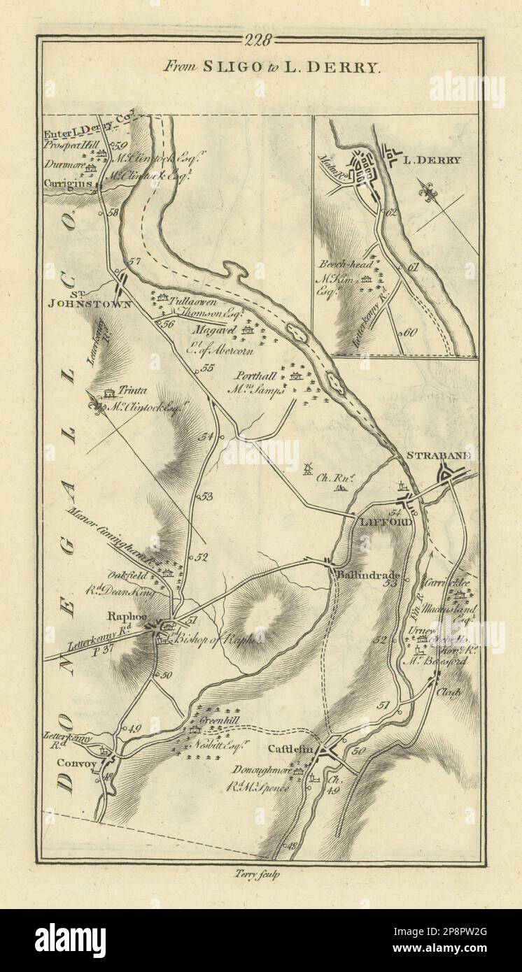 #228 Sligo to Londonderry. Strabane Lifford Convoy. TAYLOR/SKINNER 1778 map Stock Photohttps://www.alamy.com/image-license-details/?v=1https://www.alamy.com/228-sligo-to-londonderry-strabane-lifford-convoy-taylorskinner-1778-map-image538941272.html
RF2P8PW2G–#228 Sligo to Londonderry. Strabane Lifford Convoy. TAYLOR/SKINNER 1778 map
 Londonderry Terrace, , NZ, New Zealand, Otago, S 44 50' 18'', N 168 40' 12'', map, Cartascapes Map published in 2024. Explore Cartascapes, a map revealing Earth's diverse landscapes, cultures, and ecosystems. Journey through time and space, discovering the interconnectedness of our planet's past, present, and future. Stock Photohttps://www.alamy.com/image-license-details/?v=1https://www.alamy.com/londonderry-terrace-nz-new-zealand-otago-s-44-50-18-n-168-40-12-map-cartascapes-map-published-in-2024-explore-cartascapes-a-map-revealing-earths-diverse-landscapes-cultures-and-ecosystems-journey-through-time-and-space-discovering-the-interconnectedness-of-our-planets-past-present-and-future-image634037145.html
RM2YRETRN–Londonderry Terrace, , NZ, New Zealand, Otago, S 44 50' 18'', N 168 40' 12'', map, Cartascapes Map published in 2024. Explore Cartascapes, a map revealing Earth's diverse landscapes, cultures, and ecosystems. Journey through time and space, discovering the interconnectedness of our planet's past, present, and future.
![Image from page 675 of 'Report on the Geology of the County of Londonderry, and of parts of Tyrone and Fermanagh. [With maps and plates.]' . Stock Photo Image from page 675 of 'Report on the Geology of the County of Londonderry, and of parts of Tyrone and Fermanagh. [With maps and plates.]' . Stock Photo](https://c8.alamy.com/comp/PNGYAW/image-from-page-675-of-report-on-the-geology-of-the-county-of-londonderry-and-of-parts-of-tyrone-and-fermanagh-with-maps-and-plates-PNGYAW.jpg) Image from page 675 of 'Report on the Geology of the County of Londonderry, and of parts of Tyrone and Fermanagh. [With maps and plates.]' . Stock Photohttps://www.alamy.com/image-license-details/?v=1https://www.alamy.com/image-from-page-675-of-report-on-the-geology-of-the-county-of-londonderry-and-of-parts-of-tyrone-and-fermanagh-with-maps-and-plates-image219804897.html
Image from page 675 of 'Report on the Geology of the County of Londonderry, and of parts of Tyrone and Fermanagh. [With maps and plates.]' . Stock Photohttps://www.alamy.com/image-license-details/?v=1https://www.alamy.com/image-from-page-675-of-report-on-the-geology-of-the-county-of-londonderry-and-of-parts-of-tyrone-and-fermanagh-with-maps-and-plates-image219804897.htmlRMPNGYAW–Image from page 675 of 'Report on the Geology of the County of Londonderry, and of parts of Tyrone and Fermanagh. [With maps and plates.]' .
 USGS Topo Map Vermont VT Londonderry 338039 1957 62500 Restoration Stock Photohttps://www.alamy.com/image-license-details/?v=1https://www.alamy.com/usgs-topo-map-vermont-vt-londonderry-338039-1957-62500-restoration-image265141907.html
RMWBA75R–USGS Topo Map Vermont VT Londonderry 338039 1957 62500 Restoration
 Londonderry, region of Northern Ireland. Open Street Map. Locations of major cities of the region. Corner auxiliary location maps Stock Photohttps://www.alamy.com/image-license-details/?v=1https://www.alamy.com/londonderry-region-of-northern-ireland-open-street-map-locations-of-major-cities-of-the-region-corner-auxiliary-location-maps-image545933110.html
RF2PM5B72–Londonderry, region of Northern Ireland. Open Street Map. Locations of major cities of the region. Corner auxiliary location maps
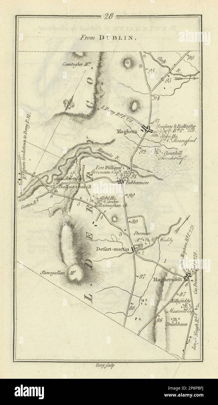 #28 Maghera Desertmartin Magherafelt Londonderry. TAYLOR/SKINNER 1778 old map Stock Photohttps://www.alamy.com/image-license-details/?v=1https://www.alamy.com/28-maghera-desertmartin-magherafelt-londonderry-taylorskinner-1778-old-map-image538930662.html
RF2P8PBFJ–#28 Maghera Desertmartin Magherafelt Londonderry. TAYLOR/SKINNER 1778 old map
 Londonderry, Ross County, US, United States, Ohio, N 39 16' 0'', S 82 47' 25'', map, Cartascapes Map published in 2024. Explore Cartascapes, a map revealing Earth's diverse landscapes, cultures, and ecosystems. Journey through time and space, discovering the interconnectedness of our planet's past, present, and future. Stock Photohttps://www.alamy.com/image-license-details/?v=1https://www.alamy.com/londonderry-ross-county-us-united-states-ohio-n-39-16-0-s-82-47-25-map-cartascapes-map-published-in-2024-explore-cartascapes-a-map-revealing-earths-diverse-landscapes-cultures-and-ecosystems-journey-through-time-and-space-discovering-the-interconnectedness-of-our-planets-past-present-and-future-image620651798.html
RM2Y1N3KJ–Londonderry, Ross County, US, United States, Ohio, N 39 16' 0'', S 82 47' 25'', map, Cartascapes Map published in 2024. Explore Cartascapes, a map revealing Earth's diverse landscapes, cultures, and ecosystems. Journey through time and space, discovering the interconnectedness of our planet's past, present, and future.
![Image from page 144 of 'Report on the Geology of the County of Londonderry, and of parts of Tyrone and Fermanagh. [With maps and plates.]' . Stock Photo Image from page 144 of 'Report on the Geology of the County of Londonderry, and of parts of Tyrone and Fermanagh. [With maps and plates.]' . Stock Photo](https://c8.alamy.com/comp/PNG4GG/image-from-page-144-of-report-on-the-geology-of-the-county-of-londonderry-and-of-parts-of-tyrone-and-fermanagh-with-maps-and-plates-PNG4GG.jpg) Image from page 144 of 'Report on the Geology of the County of Londonderry, and of parts of Tyrone and Fermanagh. [With maps and plates.]' . Stock Photohttps://www.alamy.com/image-license-details/?v=1https://www.alamy.com/image-from-page-144-of-report-on-the-geology-of-the-county-of-londonderry-and-of-parts-of-tyrone-and-fermanagh-with-maps-and-plates-image219787024.html
Image from page 144 of 'Report on the Geology of the County of Londonderry, and of parts of Tyrone and Fermanagh. [With maps and plates.]' . Stock Photohttps://www.alamy.com/image-license-details/?v=1https://www.alamy.com/image-from-page-144-of-report-on-the-geology-of-the-county-of-londonderry-and-of-parts-of-tyrone-and-fermanagh-with-maps-and-plates-image219787024.htmlRMPNG4GG–Image from page 144 of 'Report on the Geology of the County of Londonderry, and of parts of Tyrone and Fermanagh. [With maps and plates.]' .
 USGS Topo Map Vermont VT Londonderry 338031 1899 62500 Restoration Stock Photohttps://www.alamy.com/image-license-details/?v=1https://www.alamy.com/usgs-topo-map-vermont-vt-londonderry-338031-1899-62500-restoration-image265141736.html
RMWBA6YM–USGS Topo Map Vermont VT Londonderry 338031 1899 62500 Restoration
 Londonderry, region of Northern Ireland. Elevation map colored in wiki style with lakes and rivers. Corner auxiliary location maps Stock Photohttps://www.alamy.com/image-license-details/?v=1https://www.alamy.com/londonderry-region-of-northern-ireland-elevation-map-colored-in-wiki-style-with-lakes-and-rivers-corner-auxiliary-location-maps-image545933370.html
RF2PM5BGA–Londonderry, region of Northern Ireland. Elevation map colored in wiki style with lakes and rivers. Corner auxiliary location maps
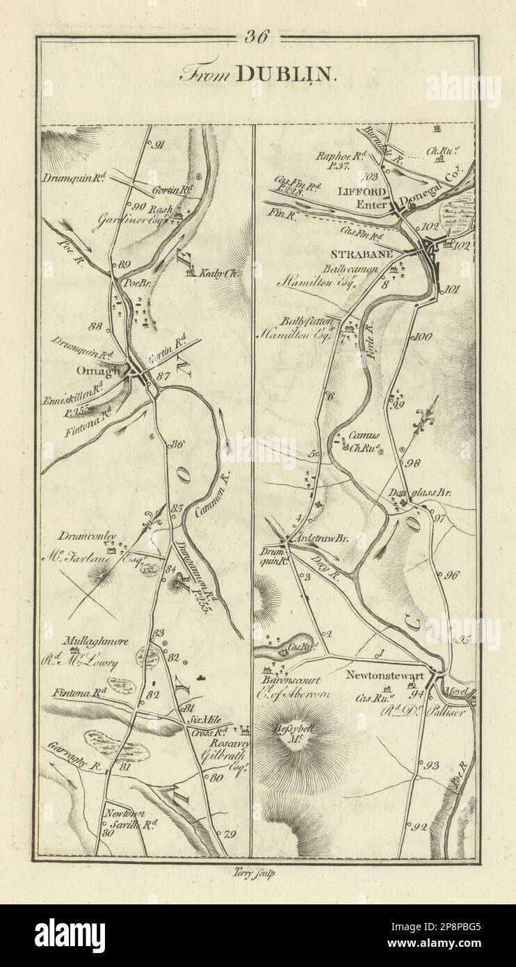 #36 Dublin to Londonderry. Lifford Strabane Omagh Tyrone TAYLOR/SKINNER 1778 map Stock Photohttps://www.alamy.com/image-license-details/?v=1https://www.alamy.com/36-dublin-to-londonderry-lifford-strabane-omagh-tyrone-taylorskinner-1778-map-image538930677.html
RF2P8PBG5–#36 Dublin to Londonderry. Lifford Strabane Omagh Tyrone TAYLOR/SKINNER 1778 map
 Londonderry, Guernsey County, US, United States, Ohio, N 40 9' 17'', S 81 18' 1'', map, Cartascapes Map published in 2024. Explore Cartascapes, a map revealing Earth's diverse landscapes, cultures, and ecosystems. Journey through time and space, discovering the interconnectedness of our planet's past, present, and future. Stock Photohttps://www.alamy.com/image-license-details/?v=1https://www.alamy.com/londonderry-guernsey-county-us-united-states-ohio-n-40-9-17-s-81-18-1-map-cartascapes-map-published-in-2024-explore-cartascapes-a-map-revealing-earths-diverse-landscapes-cultures-and-ecosystems-journey-through-time-and-space-discovering-the-interconnectedness-of-our-planets-past-present-and-future-image620867811.html
RM2Y22Y6B–Londonderry, Guernsey County, US, United States, Ohio, N 40 9' 17'', S 81 18' 1'', map, Cartascapes Map published in 2024. Explore Cartascapes, a map revealing Earth's diverse landscapes, cultures, and ecosystems. Journey through time and space, discovering the interconnectedness of our planet's past, present, and future.
![Image from page 186 of 'Report on the Geology of the County of Londonderry, and of parts of Tyrone and Fermanagh. [With maps and plates.]' . Stock Photo Image from page 186 of 'Report on the Geology of the County of Londonderry, and of parts of Tyrone and Fermanagh. [With maps and plates.]' . Stock Photo](https://c8.alamy.com/comp/PNFDWM/image-from-page-186-of-report-on-the-geology-of-the-county-of-londonderry-and-of-parts-of-tyrone-and-fermanagh-with-maps-and-plates-PNFDWM.jpg) Image from page 186 of 'Report on the Geology of the County of Londonderry, and of parts of Tyrone and Fermanagh. [With maps and plates.]' . Stock Photohttps://www.alamy.com/image-license-details/?v=1https://www.alamy.com/image-from-page-186-of-report-on-the-geology-of-the-county-of-londonderry-and-of-parts-of-tyrone-and-fermanagh-with-maps-and-plates-image219772384.html
Image from page 186 of 'Report on the Geology of the County of Londonderry, and of parts of Tyrone and Fermanagh. [With maps and plates.]' . Stock Photohttps://www.alamy.com/image-license-details/?v=1https://www.alamy.com/image-from-page-186-of-report-on-the-geology-of-the-county-of-londonderry-and-of-parts-of-tyrone-and-fermanagh-with-maps-and-plates-image219772384.htmlRMPNFDWM–Image from page 186 of 'Report on the Geology of the County of Londonderry, and of parts of Tyrone and Fermanagh. [With maps and plates.]' .
 USGS Topo Map Vermont VT Londonderry 338032 1899 62500 Restoration Stock Photohttps://www.alamy.com/image-license-details/?v=1https://www.alamy.com/usgs-topo-map-vermont-vt-londonderry-338032-1899-62500-restoration-image265141777.html
RMWBA715–USGS Topo Map Vermont VT Londonderry 338032 1899 62500 Restoration
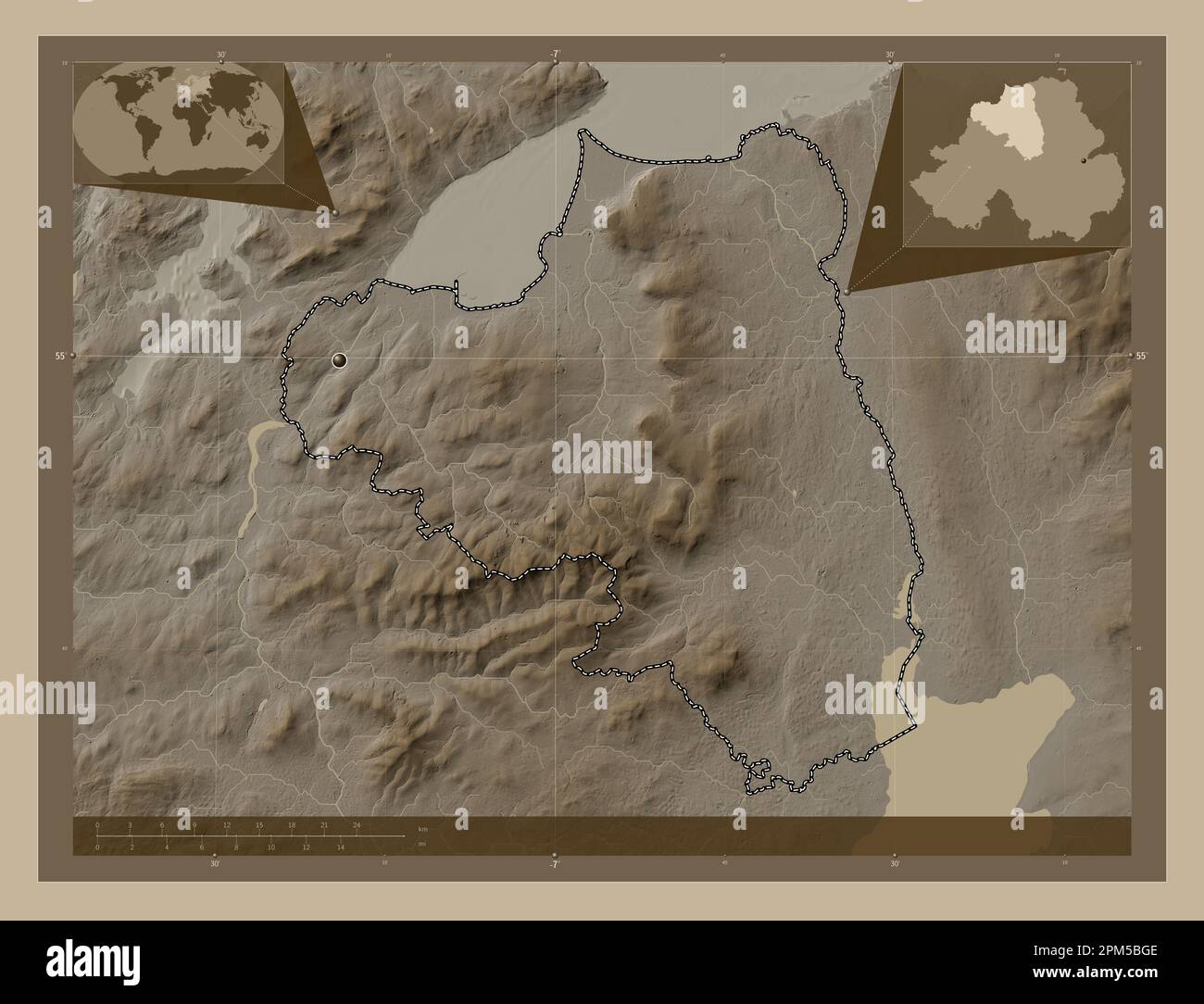 Londonderry, region of Northern Ireland. Elevation map colored in sepia tones with lakes and rivers. Corner auxiliary location maps Stock Photohttps://www.alamy.com/image-license-details/?v=1https://www.alamy.com/londonderry-region-of-northern-ireland-elevation-map-colored-in-sepia-tones-with-lakes-and-rivers-corner-auxiliary-location-maps-image545933374.html
RF2PM5BGE–Londonderry, region of Northern Ireland. Elevation map colored in sepia tones with lakes and rivers. Corner auxiliary location maps
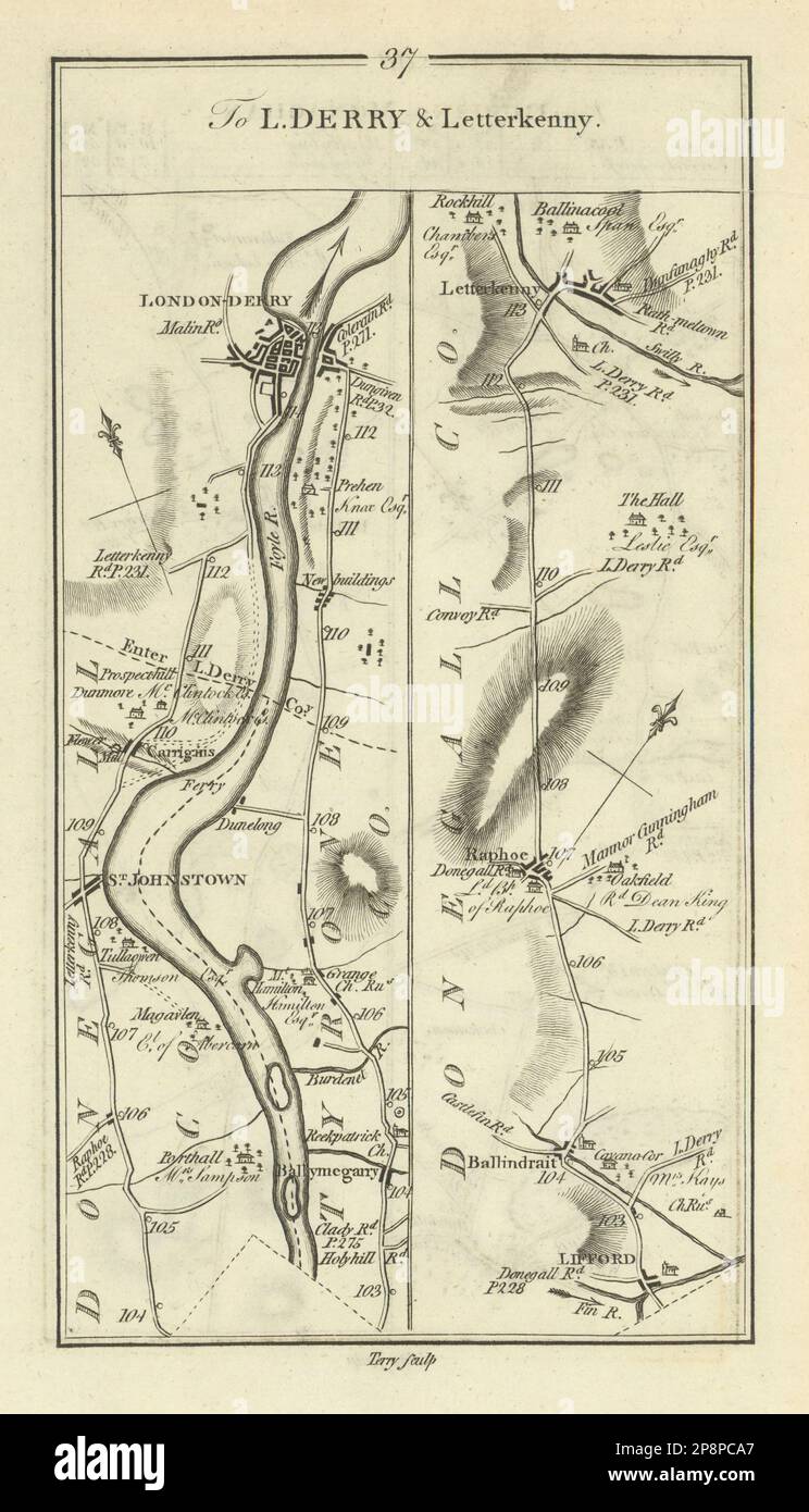 #37 To Londonderry & Letterkenny. Raphoe Lifford. TAYLOR/SKINNER 1778 old map Stock Photohttps://www.alamy.com/image-license-details/?v=1https://www.alamy.com/37-to-londonderry-letterkenny-raphoe-lifford-taylorskinner-1778-old-map-image538931295.html
RF2P8PCA7–#37 To Londonderry & Letterkenny. Raphoe Lifford. TAYLOR/SKINNER 1778 old map
 Londonderry, Rockingham County, US, United States, New Hampshire, N 42 51' 54'', S 71 22' 26'', map, Cartascapes Map published in 2024. Explore Cartascapes, a map revealing Earth's diverse landscapes, cultures, and ecosystems. Journey through time and space, discovering the interconnectedness of our planet's past, present, and future. Stock Photohttps://www.alamy.com/image-license-details/?v=1https://www.alamy.com/londonderry-rockingham-county-us-united-states-new-hampshire-n-42-51-54-s-71-22-26-map-cartascapes-map-published-in-2024-explore-cartascapes-a-map-revealing-earths-diverse-landscapes-cultures-and-ecosystems-journey-through-time-and-space-discovering-the-interconnectedness-of-our-planets-past-present-and-future-image620796339.html
RM2Y1YM1R–Londonderry, Rockingham County, US, United States, New Hampshire, N 42 51' 54'', S 71 22' 26'', map, Cartascapes Map published in 2024. Explore Cartascapes, a map revealing Earth's diverse landscapes, cultures, and ecosystems. Journey through time and space, discovering the interconnectedness of our planet's past, present, and future.
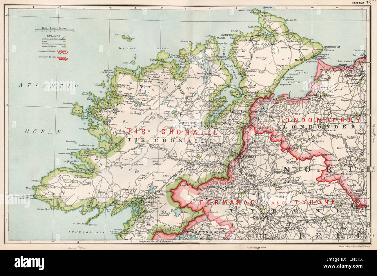 ULSTER: Ireland; Tir Chonaill Londonderry Tyrone. Constituencies. BACON 1936 map Stock Photohttps://www.alamy.com/image-license-details/?v=1https://www.alamy.com/stock-photo-ulster-ireland-tir-chonaill-londonderry-tyrone-constituencies-bacon-93893182.html
RFFCN5KX–ULSTER: Ireland; Tir Chonaill Londonderry Tyrone. Constituencies. BACON 1936 map
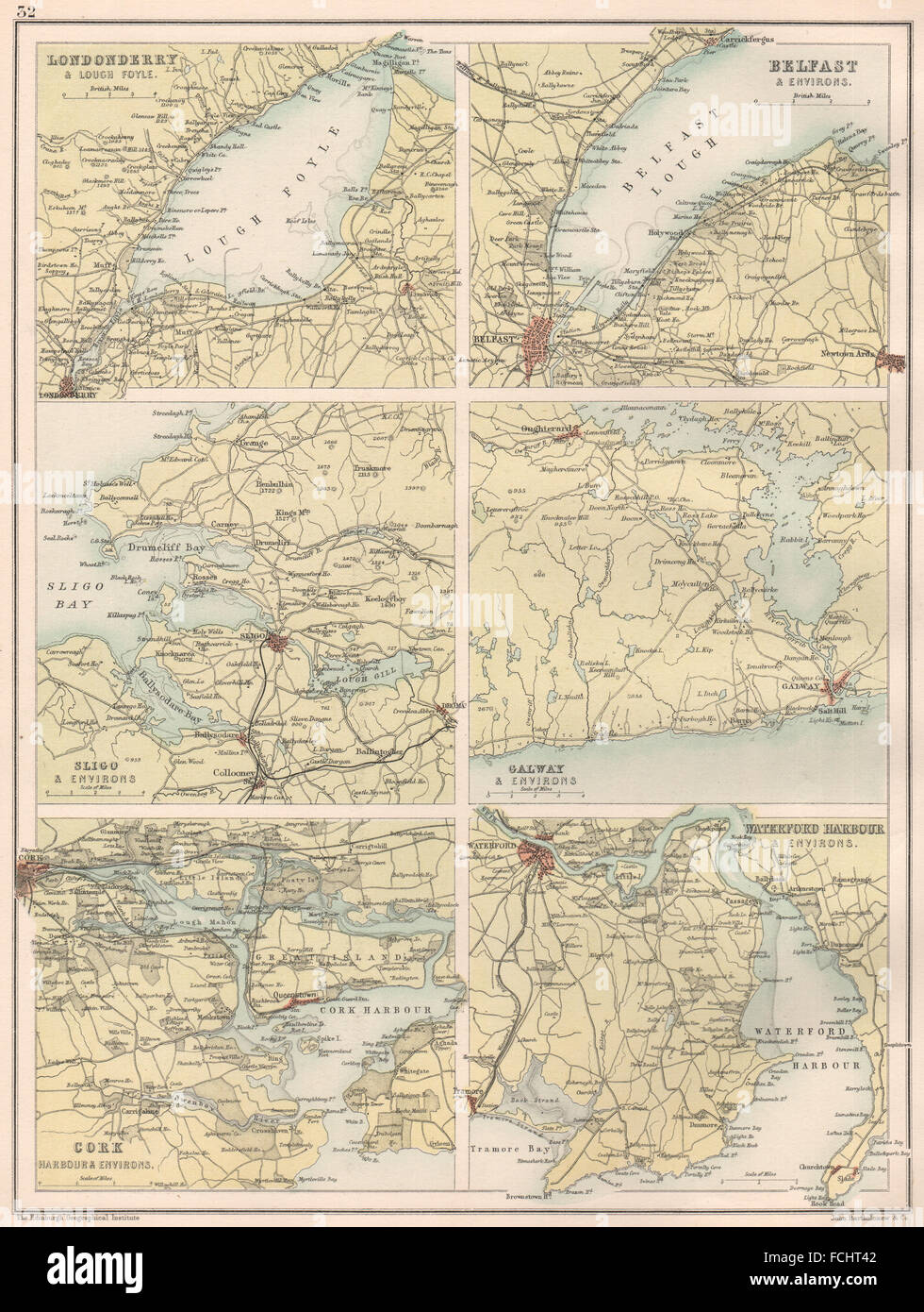 IRISH TOWNS & HARBOURS: Londonderry Belfast Sligo Galway Cork Waterford 1891 map Stock Photohttps://www.alamy.com/image-license-details/?v=1https://www.alamy.com/stock-photo-irish-towns-harbours-londonderry-belfast-sligo-galway-cork-waterford-93819826.html
RFFCHT42–IRISH TOWNS & HARBOURS: Londonderry Belfast Sligo Galway Cork Waterford 1891 map
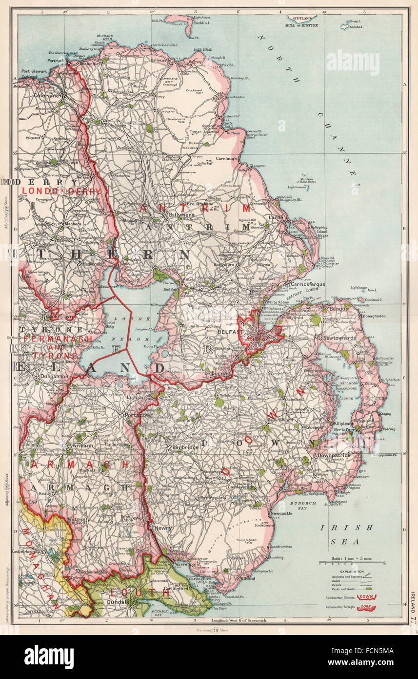 ULSTER:N Ireland.Antrim Armagh Belfast Londonderry.Constituencies.BACON 1936 map Stock Photohttps://www.alamy.com/image-license-details/?v=1https://www.alamy.com/stock-photo-ulstern-irelandantrim-armagh-belfast-londonderryconstituenciesbacon-93893194.html
RFFCN5MA–ULSTER:N Ireland.Antrim Armagh Belfast Londonderry.Constituencies.BACON 1936 map
 NORTHERN IRELAND. Ulster. Antrim Armagh Tyrone Londonderry. BARTHOLOMEW 1944 map Stock Photohttps://www.alamy.com/image-license-details/?v=1https://www.alamy.com/stock-photo-northern-ireland-ulster-antrim-armagh-tyrone-londonderry-bartholomew-123161391.html
RFH4ADH3–NORTHERN IRELAND. Ulster. Antrim Armagh Tyrone Londonderry. BARTHOLOMEW 1944 map
![Image from page 143 of 'Report on the Geology of the County of Londonderry, and of parts of Tyrone and Fermanagh. [With maps and plates.]' . Stock Photo Image from page 143 of 'Report on the Geology of the County of Londonderry, and of parts of Tyrone and Fermanagh. [With maps and plates.]' . Stock Photo](https://c8.alamy.com/comp/PNFAXP/image-from-page-143-of-report-on-the-geology-of-the-county-of-londonderry-and-of-parts-of-tyrone-and-fermanagh-with-maps-and-plates-PNFAXP.jpg) Image from page 143 of 'Report on the Geology of the County of Londonderry, and of parts of Tyrone and Fermanagh. [With maps and plates.]' . Stock Photohttps://www.alamy.com/image-license-details/?v=1https://www.alamy.com/image-from-page-143-of-report-on-the-geology-of-the-county-of-londonderry-and-of-parts-of-tyrone-and-fermanagh-with-maps-and-plates-image219770062.html
Image from page 143 of 'Report on the Geology of the County of Londonderry, and of parts of Tyrone and Fermanagh. [With maps and plates.]' . Stock Photohttps://www.alamy.com/image-license-details/?v=1https://www.alamy.com/image-from-page-143-of-report-on-the-geology-of-the-county-of-londonderry-and-of-parts-of-tyrone-and-fermanagh-with-maps-and-plates-image219770062.htmlRMPNFAXP–Image from page 143 of 'Report on the Geology of the County of Londonderry, and of parts of Tyrone and Fermanagh. [With maps and plates.]' .
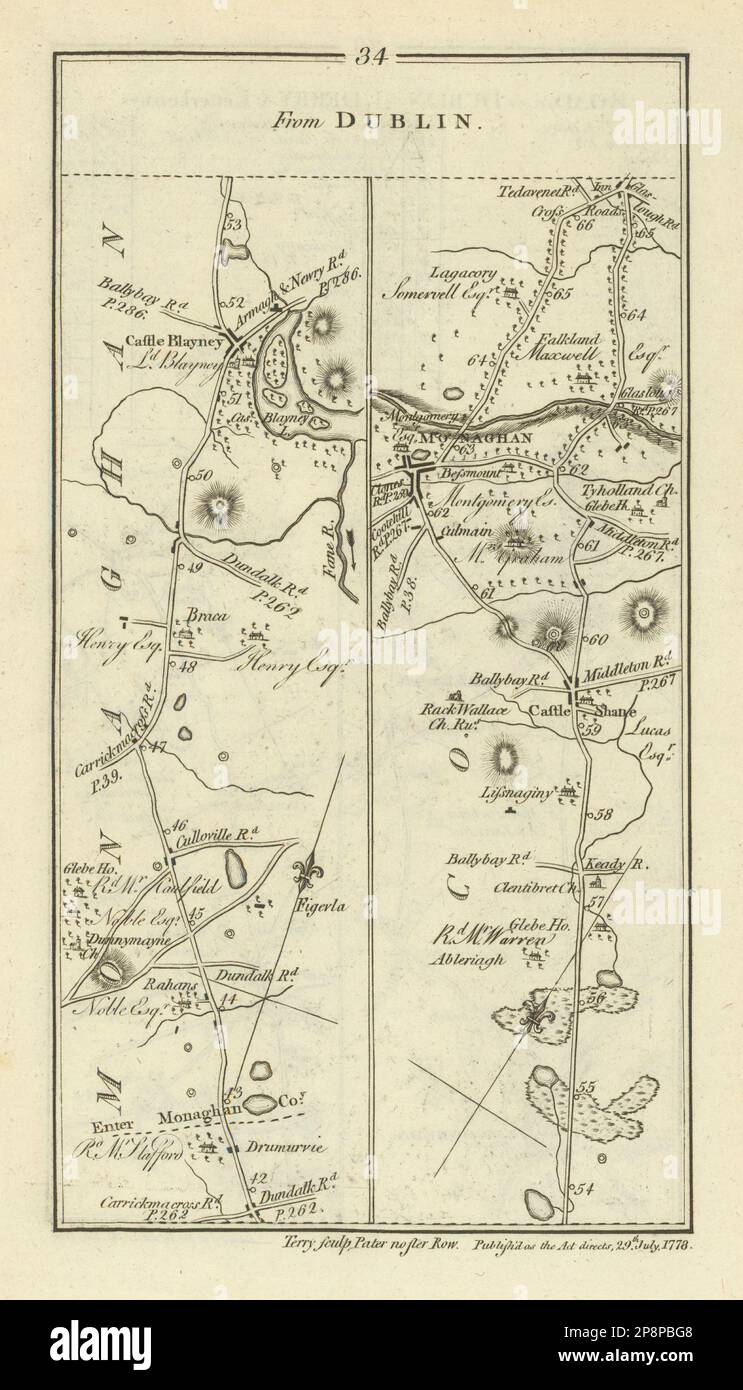 #34 Dublin to Derry. Castleblayney Monaghan Castleshane. TAYLOR/SKINNER 1778 map Stock Photohttps://www.alamy.com/image-license-details/?v=1https://www.alamy.com/34-dublin-to-derry-castleblayney-monaghan-castleshane-taylorskinner-1778-map-image538930680.html
RF2P8PBG8–#34 Dublin to Derry. Castleblayney Monaghan Castleshane. TAYLOR/SKINNER 1778 map
 USGS Topo Map Vermont VT Londonderry 338034 1899 62500 Restoration Stock Photohttps://www.alamy.com/image-license-details/?v=1https://www.alamy.com/usgs-topo-map-vermont-vt-londonderry-338034-1899-62500-restoration-image265141828.html
RMWBA730–USGS Topo Map Vermont VT Londonderry 338034 1899 62500 Restoration