Quick filters:
Map of bartlett Stock Photos and Images
 Image 1 of Sanborn Fire Insurance Map from Bartlett, Carroll County, New Hampshire. Jul 1897. 2 Sheet(s), America, street map with a Nineteenth Century compass Stock Photohttps://www.alamy.com/image-license-details/?v=1https://www.alamy.com/image-1-of-sanborn-fire-insurance-map-from-bartlett-carroll-county-new-hampshire-jul-1897-2-sheets-america-street-map-with-a-nineteenth-century-compass-image344685409.html
RM2B0NNN5–Image 1 of Sanborn Fire Insurance Map from Bartlett, Carroll County, New Hampshire. Jul 1897. 2 Sheet(s), America, street map with a Nineteenth Century compass
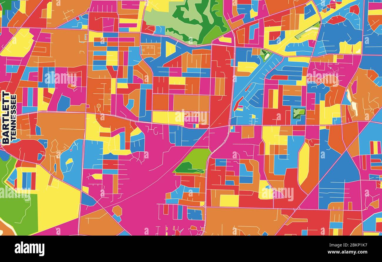 Colorful vector map of Bartlett, Tennessee, USA. Art Map template for selfprinting wall art in landscape format. Stock Vectorhttps://www.alamy.com/image-license-details/?v=1https://www.alamy.com/colorful-vector-map-of-bartlett-tennessee-usa-art-map-template-for-selfprinting-wall-art-in-landscape-format-image356370091.html
RF2BKP1K7–Colorful vector map of Bartlett, Tennessee, USA. Art Map template for selfprinting wall art in landscape format.
 Bartlett New Hampshire USA shown on a Geography map or Road map Stock Photohttps://www.alamy.com/image-license-details/?v=1https://www.alamy.com/bartlett-new-hampshire-usa-shown-on-a-geography-map-or-road-map-image428906055.html
RM2FWPA1B–Bartlett New Hampshire USA shown on a Geography map or Road map
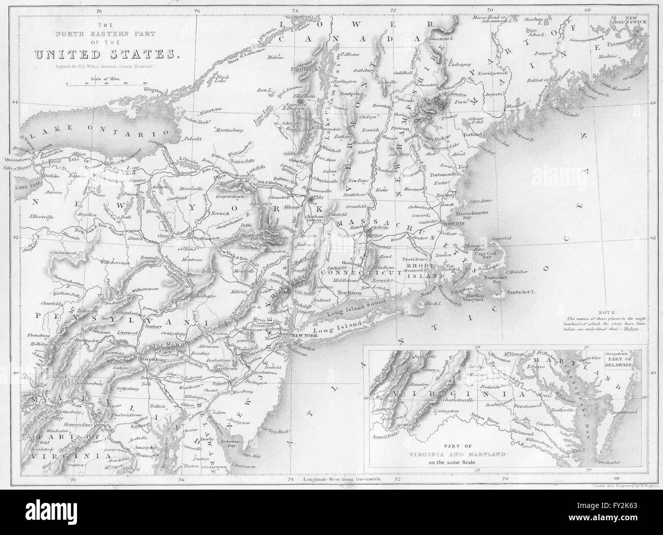 Map of the North-Eastern Part of the United States, USA. WH BARTLETT, 1840 Stock Photohttps://www.alamy.com/image-license-details/?v=1https://www.alamy.com/stock-photo-map-of-the-north-eastern-part-of-the-united-states-usa-wh-bartlett-102706523.html
RFFY2K63–Map of the North-Eastern Part of the United States, USA. WH BARTLETT, 1840
 Bartlett Reserve, , AU, Australia, South Australia, S 34 47' 4'', N 138 42' 41'', map, Cartascapes Map published in 2024. Explore Cartascapes, a map revealing Earth's diverse landscapes, cultures, and ecosystems. Journey through time and space, discovering the interconnectedness of our planet's past, present, and future. Stock Photohttps://www.alamy.com/image-license-details/?v=1https://www.alamy.com/bartlett-reserve-au-australia-south-australia-s-34-47-4-n-138-42-41-map-cartascapes-map-published-in-2024-explore-cartascapes-a-map-revealing-earths-diverse-landscapes-cultures-and-ecosystems-journey-through-time-and-space-discovering-the-interconnectedness-of-our-planets-past-present-and-future-image625765790.html
RM2YA22J6–Bartlett Reserve, , AU, Australia, South Australia, S 34 47' 4'', N 138 42' 41'', map, Cartascapes Map published in 2024. Explore Cartascapes, a map revealing Earth's diverse landscapes, cultures, and ecosystems. Journey through time and space, discovering the interconnectedness of our planet's past, present, and future.
 Sanborn Fire Insurance Map from Bartlett, Bell and Williamson Counties, Texas. Stock Photohttps://www.alamy.com/image-license-details/?v=1https://www.alamy.com/sanborn-fire-insurance-map-from-bartlett-bell-and-williamson-counties-texas-image456297445.html
RM2HEA419–Sanborn Fire Insurance Map from Bartlett, Bell and Williamson Counties, Texas.
 Arctic voyages of Captain Bartlett at Hawthorne Cottage in in Brigus, Newfoundland & Labrador, Canada Stock Photohttps://www.alamy.com/image-license-details/?v=1https://www.alamy.com/arctic-voyages-of-captain-bartlett-at-hawthorne-cottage-in-in-brigus-newfoundland-labrador-canada-image619938937.html
RF2Y0GJC9–Arctic voyages of Captain Bartlett at Hawthorne Cottage in in Brigus, Newfoundland & Labrador, Canada
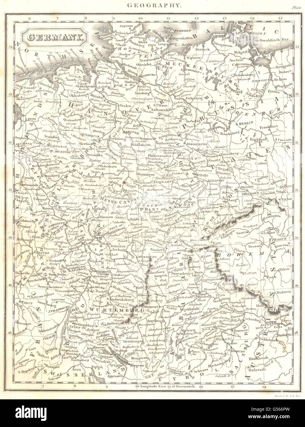 GERMANY: Map. (Oxford Encyclopaedia), 1830 Stock Photohttps://www.alamy.com/image-license-details/?v=1https://www.alamy.com/stock-photo-germany-map-oxford-encyclopaedia-1830-106472545.html
RFG566PW–GERMANY: Map. (Oxford Encyclopaedia), 1830
 . English: Detail from copy of an Ulsster map by Richard Bartlett of O'Neill inauguration at Tulach Og. The king is seated on a mound during an inauguration ceremony that includes the single shoe ritual. Copy from Dartmouth Collection, National Maritime Museum, Greenwich. 1602. Copy from map by Richard Bartlett 937 O'Neill inauguration Richard Bartlett Stock Photohttps://www.alamy.com/image-license-details/?v=1https://www.alamy.com/english-detail-from-copy-of-an-ulsster-map-by-richard-bartlett-of-oneill-inauguration-at-tulach-og-the-king-is-seated-on-a-mound-during-an-inauguration-ceremony-that-includes-the-single-shoe-ritual-copy-from-dartmouth-collection-national-maritime-museum-greenwich-1602-copy-from-map-by-richard-bartlett-937-oneill-inauguration-richard-bartlett-image185882129.html
RMMPBJFD–. English: Detail from copy of an Ulsster map by Richard Bartlett of O'Neill inauguration at Tulach Og. The king is seated on a mound during an inauguration ceremony that includes the single shoe ritual. Copy from Dartmouth Collection, National Maritime Museum, Greenwich. 1602. Copy from map by Richard Bartlett 937 O'Neill inauguration Richard Bartlett
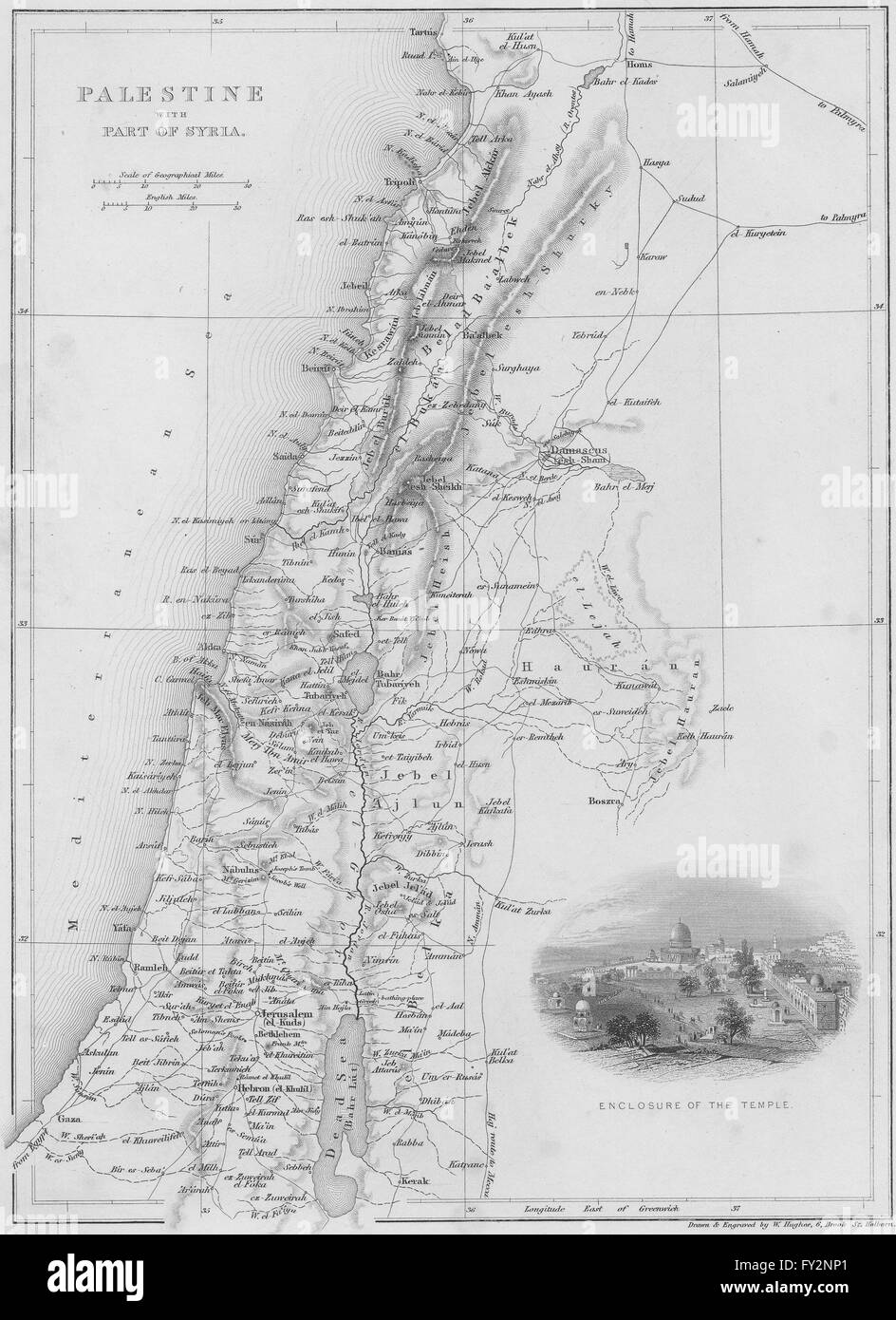 ISRAEL: Map of Palestine with Syria, 1847 Stock Photohttps://www.alamy.com/image-license-details/?v=1https://www.alamy.com/stock-photo-israel-map-of-palestine-with-syria-1847-102708537.html
RFFY2NP1–ISRAEL: Map of Palestine with Syria, 1847
 Map of Palestine - Bartlett Newman & Bartlett, Published in Oxford, 1816 Stock Photohttps://www.alamy.com/image-license-details/?v=1https://www.alamy.com/map-of-palestine-bartlett-newman-bartlett-published-in-oxford-1816-image625897103.html
RM2YA823Y–Map of Palestine - Bartlett Newman & Bartlett, Published in Oxford, 1816
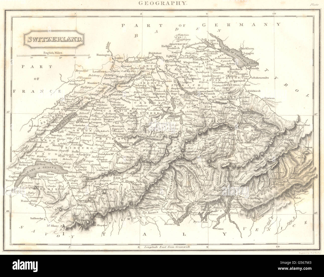 SWITZERLAND: Switzerland. (Oxford Encyclopaedia), 1830 antique map Stock Photohttps://www.alamy.com/image-license-details/?v=1https://www.alamy.com/stock-photo-switzerland-switzerland-oxford-encyclopaedia-1830-antique-map-106473251.html
RFG567M3–SWITZERLAND: Switzerland. (Oxford Encyclopaedia), 1830 antique map
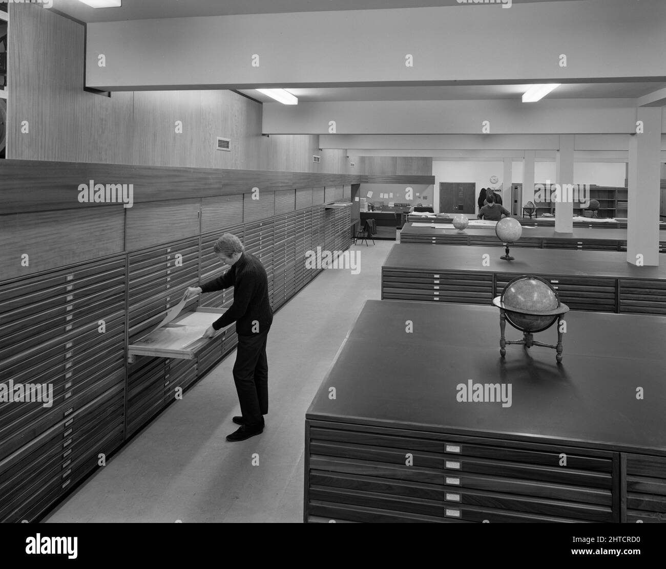 University of Nottingham, Sir Clive Grainger Building, University Park, Nottingham, Nottinghamshire, 01/11/1967. The map room in a new building for the Faculty of Law and Social Sciences at the University of Nottingham, with a man looking into a drawer in a plans chest. This university building was designed by the architects Bartlett and Gray of Nottingham and was built by the Nottingham district team of Laing's Construction Company for the University of Nottingham, with work starting in the autumn of 1965. In an article published in February 1968 in their monthly newsletter 'Team Spirit', Lai Stock Photohttps://www.alamy.com/image-license-details/?v=1https://www.alamy.com/university-of-nottingham-sir-clive-grainger-building-university-park-nottingham-nottinghamshire-01111967-the-map-room-in-a-new-building-for-the-faculty-of-law-and-social-sciences-at-the-university-of-nottingham-with-a-man-looking-into-a-drawer-in-a-plans-chest-this-university-building-was-designed-by-the-architects-bartlett-and-gray-of-nottingham-and-was-built-by-the-nottingham-district-team-of-laings-construction-company-for-the-university-of-nottingham-with-work-starting-in-the-autumn-of-1965-in-an-article-published-in-february-1968-in-their-monthly-newsletter-team-spirit-lai-image462503132.html
RM2HTCRD0–University of Nottingham, Sir Clive Grainger Building, University Park, Nottingham, Nottinghamshire, 01/11/1967. The map room in a new building for the Faculty of Law and Social Sciences at the University of Nottingham, with a man looking into a drawer in a plans chest. This university building was designed by the architects Bartlett and Gray of Nottingham and was built by the Nottingham district team of Laing's Construction Company for the University of Nottingham, with work starting in the autumn of 1965. In an article published in February 1968 in their monthly newsletter 'Team Spirit', Lai
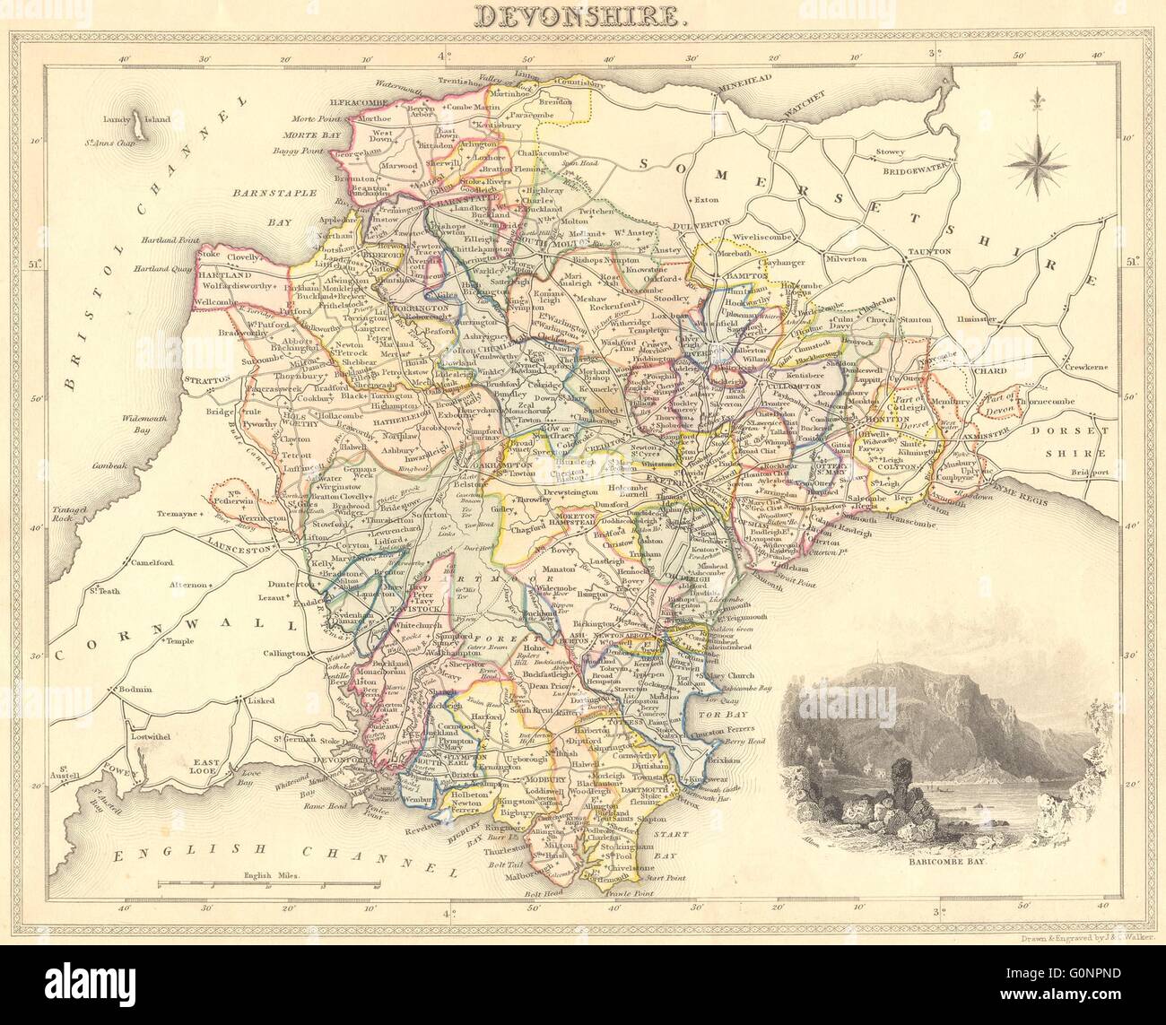 DEVON: Devonshire, 1829 antique map Stock Photohttps://www.alamy.com/image-license-details/?v=1https://www.alamy.com/stock-photo-devon-devonshire-1829-antique-map-103741049.html
RFG0NPND–DEVON: Devonshire, 1829 antique map
 Fannie Ratchford 1970 101 0569 Stock Photohttps://www.alamy.com/image-license-details/?v=1https://www.alamy.com/fannie-ratchford-1970-101-0569-image68753554.html
RMDYRYT2–Fannie Ratchford 1970 101 0569
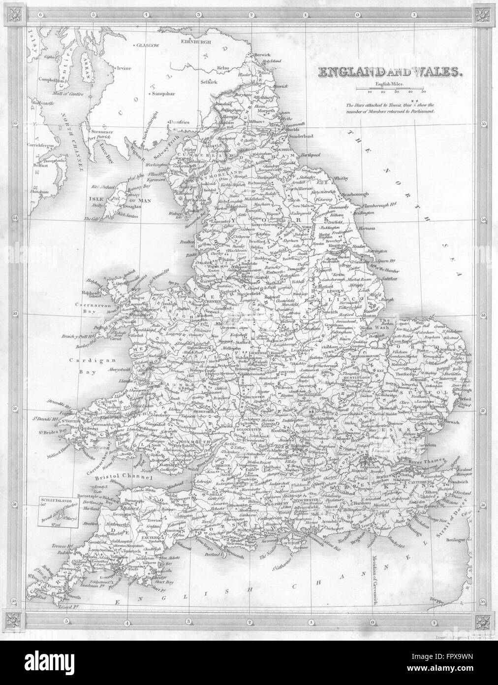 UK: England Wales: Kelly, 1841 antique map Stock Photohttps://www.alamy.com/image-license-details/?v=1https://www.alamy.com/stock-photo-uk-england-wales-kelly-1841-antique-map-100152801.html
RFFPX9WN–UK: England Wales: Kelly, 1841 antique map
 PSM V70 D391 Commodore bartlett relief map of the caribbean Stock Photohttps://www.alamy.com/image-license-details/?v=1https://www.alamy.com/psm-v70-d391-commodore-bartlett-relief-map-of-the-caribbean-image260014222.html
RMW30JP6–PSM V70 D391 Commodore bartlett relief map of the caribbean
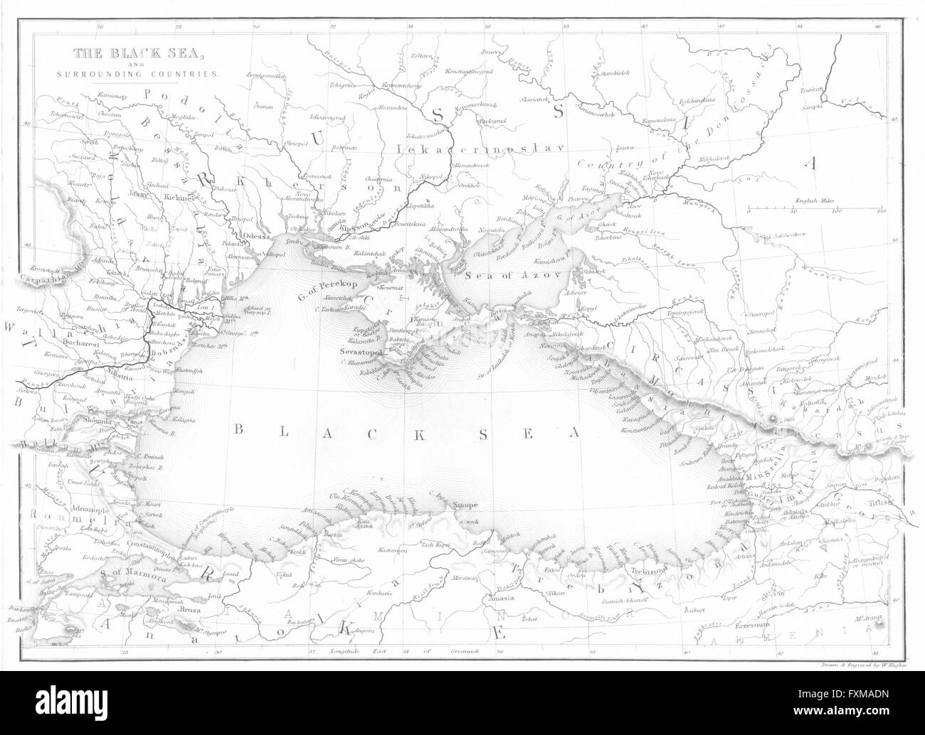 BLACK SEA: countries: BALKANS: Beattie map 'The, 1840 Stock Photohttps://www.alamy.com/image-license-details/?v=1https://www.alamy.com/stock-photo-black-sea-countries-balkans-beattie-map-the-1840-102480161.html
RFFXMADN–BLACK SEA: countries: BALKANS: Beattie map 'The, 1840
 MOVIE POSTER, DEAD WEIGHT, 2012 Stock Photohttps://www.alamy.com/image-license-details/?v=1https://www.alamy.com/movie-poster-dead-weight-2012-image476055065.html
RM2JJE52H–MOVIE POSTER, DEAD WEIGHT, 2012
 Image 2 of Sanborn Fire Insurance Map from Bartlett, Carroll County, New Hampshire. Jul 1897. 2 Sheet(s), America, street map with a Nineteenth Century compass Stock Photohttps://www.alamy.com/image-license-details/?v=1https://www.alamy.com/image-2-of-sanborn-fire-insurance-map-from-bartlett-carroll-county-new-hampshire-jul-1897-2-sheets-america-street-map-with-a-nineteenth-century-compass-image344685411.html
RM2B0NNN7–Image 2 of Sanborn Fire Insurance Map from Bartlett, Carroll County, New Hampshire. Jul 1897. 2 Sheet(s), America, street map with a Nineteenth Century compass
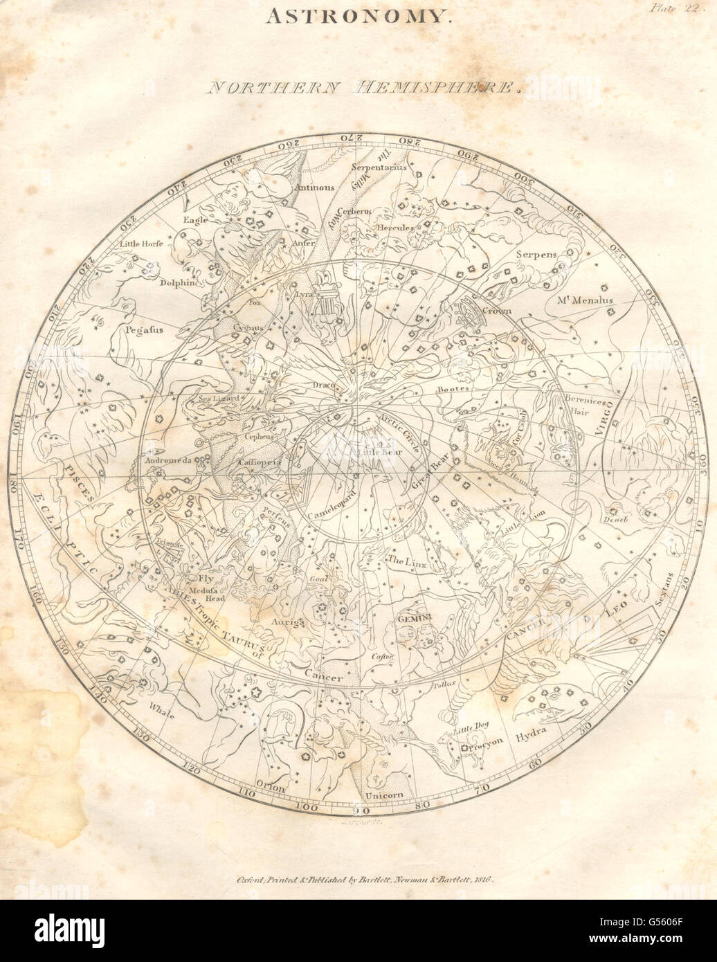 STAR MAP: Astronomy; Northern Hemisphere. (Oxford Encyclopaedia), print 1830 Stock Photohttps://www.alamy.com/image-license-details/?v=1https://www.alamy.com/stock-photo-star-map-astronomy-northern-hemisphere-oxford-encyclopaedia-print-106467383.html
RFG5606F–STAR MAP: Astronomy; Northern Hemisphere. (Oxford Encyclopaedia), print 1830
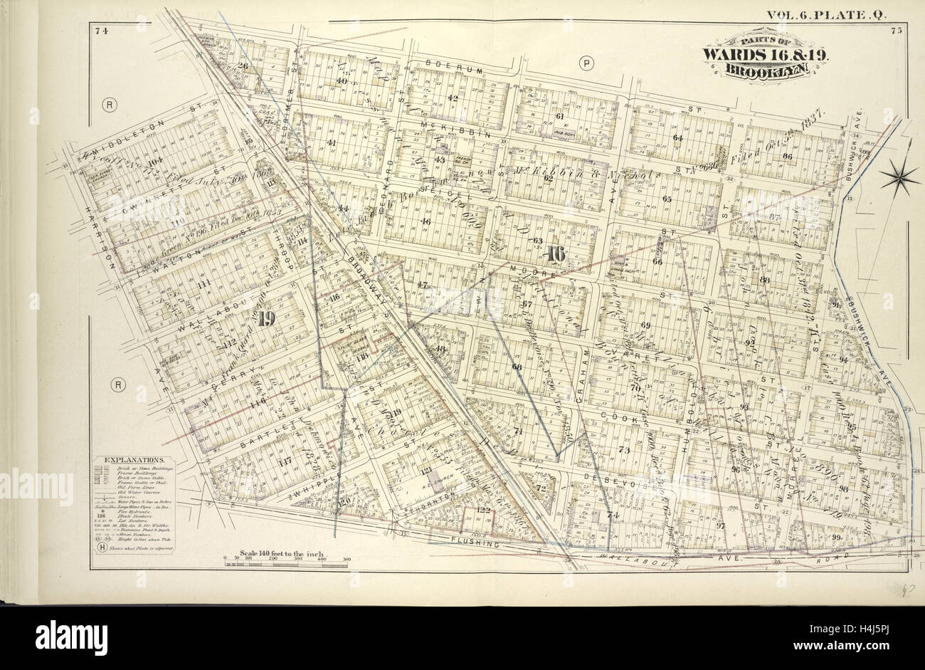 Vol. 6. Plate, Q. Map bound by Boerum St., Bushwick Ave., Flushing Ave., Harrison Ave., Middleton St., Broadway Stock Photohttps://www.alamy.com/image-license-details/?v=1https://www.alamy.com/stock-photo-vol-6-plate-q-map-bound-by-boerum-st-bushwick-ave-flushing-ave-harrison-123330890.html
RMH4J5PJ–Vol. 6. Plate, Q. Map bound by Boerum St., Bushwick Ave., Flushing Ave., Harrison Ave., Middleton St., Broadway
 Bartlett joke Stock Photohttps://www.alamy.com/image-license-details/?v=1https://www.alamy.com/stock-photo-bartlett-joke-139553171.html
RMJ315DR–Bartlett joke
 Bartlett Dam, , AU, Australia, South Australia, S 33 8' 28'', N 139 43' 38'', map, Cartascapes Map published in 2024. Explore Cartascapes, a map revealing Earth's diverse landscapes, cultures, and ecosystems. Journey through time and space, discovering the interconnectedness of our planet's past, present, and future. Stock Photohttps://www.alamy.com/image-license-details/?v=1https://www.alamy.com/bartlett-dam-au-australia-south-australia-s-33-8-28-n-139-43-38-map-cartascapes-map-published-in-2024-explore-cartascapes-a-map-revealing-earths-diverse-landscapes-cultures-and-ecosystems-journey-through-time-and-space-discovering-the-interconnectedness-of-our-planets-past-present-and-future-image625400866.html
RM2Y9DD56–Bartlett Dam, , AU, Australia, South Australia, S 33 8' 28'', N 139 43' 38'', map, Cartascapes Map published in 2024. Explore Cartascapes, a map revealing Earth's diverse landscapes, cultures, and ecosystems. Journey through time and space, discovering the interconnectedness of our planet's past, present, and future.
 Sanborn Fire Insurance Map from Bartlett, Carroll County, New Hampshire. Stock Photohttps://www.alamy.com/image-license-details/?v=1https://www.alamy.com/sanborn-fire-insurance-map-from-bartlett-carroll-county-new-hampshire-image456297466.html
RM2HEA422–Sanborn Fire Insurance Map from Bartlett, Carroll County, New Hampshire.
 A stereograph of a USGS employee employee identified as L.A. Bartlett mounted on horseback, 1870. Image courtesy USGS. Stock Photohttps://www.alamy.com/image-license-details/?v=1https://www.alamy.com/stock-image-a-stereograph-of-a-usgs-employee-employee-identified-as-la-bartlett-166818171.html
RMKKB67R–A stereograph of a USGS employee employee identified as L.A. Bartlett mounted on horseback, 1870. Image courtesy USGS.
 Aurora Woolen Mills, Torry & Bartlett Bro's.' Cartographic. Atlases, Maps. 1866. Lionel Pincus and Princess Firyal Map Division. Erie County (N.Y.) Stock Photohttps://www.alamy.com/image-license-details/?v=1https://www.alamy.com/aurora-woolen-mills-torry-bartlett-bros-cartographic-atlases-maps-1866-lionel-pincus-and-princess-firyal-map-division-erie-county-ny-image484370420.html
RM2K40YBG–Aurora Woolen Mills, Torry & Bartlett Bro's.' Cartographic. Atlases, Maps. 1866. Lionel Pincus and Princess Firyal Map Division. Erie County (N.Y.)
 . English: Detail from copy of an Ulsster map by Richard Bartlett of O'Neill inauguration at Tulach Og. The king is seated on a mound during an inauguration ceremony that includes the single shoe ritual. Copy from Dartmouth Collection, National Maritime Museum, Greenwich. 1602. Copy from map by Richard Bartlett 937 O'Neill inauguration Richard Bartlett detail cropped Stock Photohttps://www.alamy.com/image-license-details/?v=1https://www.alamy.com/english-detail-from-copy-of-an-ulsster-map-by-richard-bartlett-of-oneill-inauguration-at-tulach-og-the-king-is-seated-on-a-mound-during-an-inauguration-ceremony-that-includes-the-single-shoe-ritual-copy-from-dartmouth-collection-national-maritime-museum-greenwich-1602-copy-from-map-by-richard-bartlett-937-oneill-inauguration-richard-bartlett-detail-cropped-image185882130.html
RMMPBJFE–. English: Detail from copy of an Ulsster map by Richard Bartlett of O'Neill inauguration at Tulach Og. The king is seated on a mound during an inauguration ceremony that includes the single shoe ritual. Copy from Dartmouth Collection, National Maritime Museum, Greenwich. 1602. Copy from map by Richard Bartlett 937 O'Neill inauguration Richard Bartlett detail cropped
 OSLO (2021), directed by BARTLETT SHER. Credit: DREAMWORKS SKG / Album Stock Photohttps://www.alamy.com/image-license-details/?v=1https://www.alamy.com/oslo-2021-directed-by-bartlett-sher-credit-dreamworks-skg-album-image439872008.html
RM2GFHW6G–OSLO (2021), directed by BARTLETT SHER. Credit: DREAMWORKS SKG / Album
 USGS Topo Map Oregon Bartlett Mountain 20110831 TM Restoration Stock Photohttps://www.alamy.com/image-license-details/?v=1https://www.alamy.com/usgs-topo-map-oregon-bartlett-mountain-20110831-tm-restoration-image263671808.html
RMW8Y828–USGS Topo Map Oregon Bartlett Mountain 20110831 TM Restoration
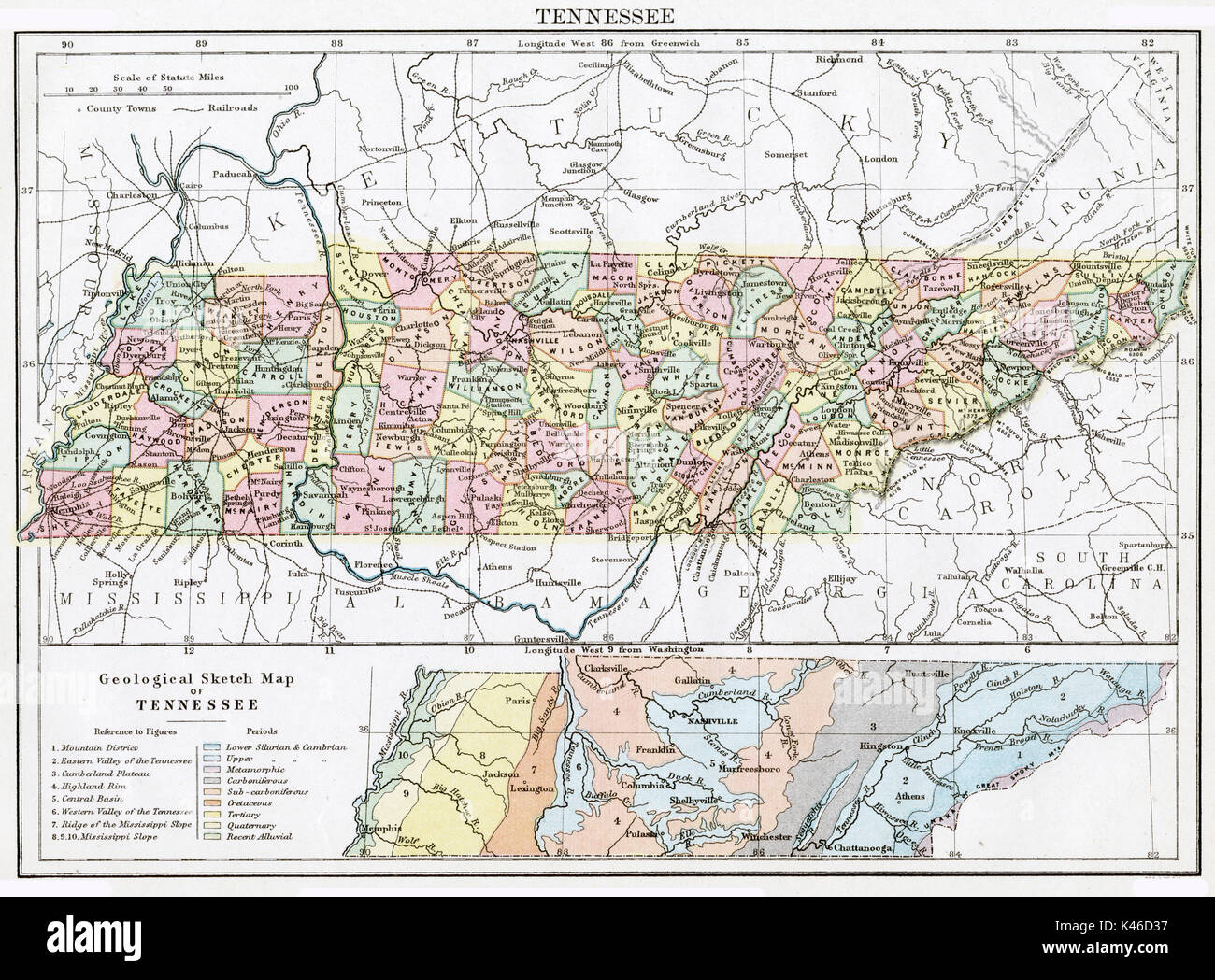 Antique map, circa 1875, of Tennessee Stock Photohttps://www.alamy.com/image-license-details/?v=1https://www.alamy.com/antique-map-circa-1875-of-tennessee-image157493931.html
RMK46D37–Antique map, circa 1875, of Tennessee
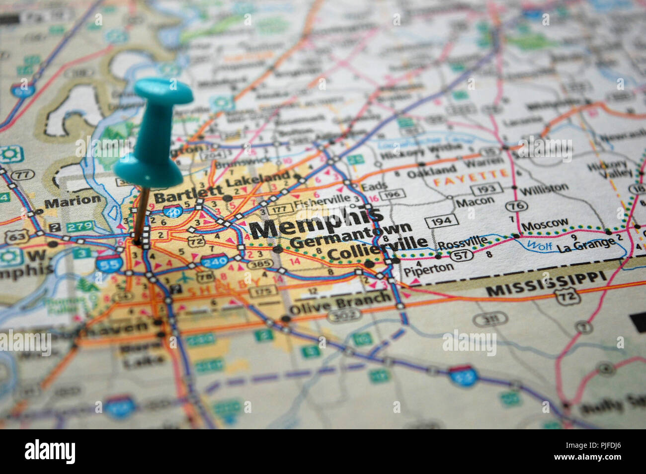 A map of Memphis, Tennessee marked with a push pin. Stock Photohttps://www.alamy.com/image-license-details/?v=1https://www.alamy.com/a-map-of-memphis-tennessee-marked-with-a-push-pin-image217928206.html
RFPJFDJ6–A map of Memphis, Tennessee marked with a push pin.
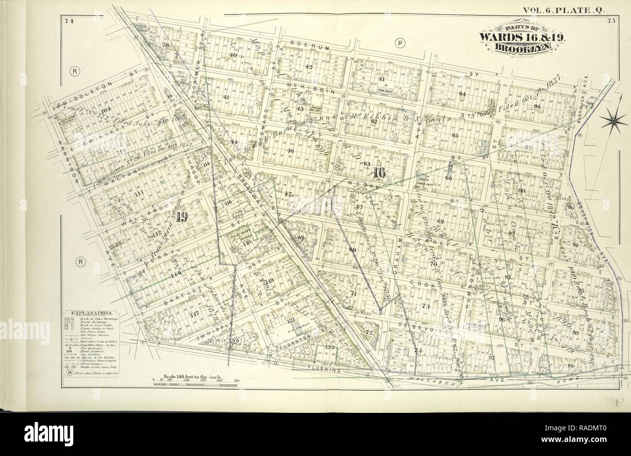 Vol. 6. Plate, Q. Map bound by Boerum St., Bushwick Ave., Flushing Ave., Harrison Ave., Middleton St., Broadway reimagined Stock Photohttps://www.alamy.com/image-license-details/?v=1https://www.alamy.com/vol-6-plate-q-map-bound-by-boerum-st-bushwick-ave-flushing-ave-harrison-ave-middleton-st-broadway-reimagined-image230183072.html
RFRADMT0–Vol. 6. Plate, Q. Map bound by Boerum St., Bushwick Ave., Flushing Ave., Harrison Ave., Middleton St., Broadway reimagined
 US-IL(1891) p228 CHICAGO, HIBBARD, SPENCER & BARTLETT COMPANY Stock Photohttps://www.alamy.com/image-license-details/?v=1https://www.alamy.com/stock-photo-us-il1891-p228-chicago-hibbard-spencer-bartlett-company-73666976.html
RME7RPYC–US-IL(1891) p228 CHICAGO, HIBBARD, SPENCER & BARTLETT COMPANY
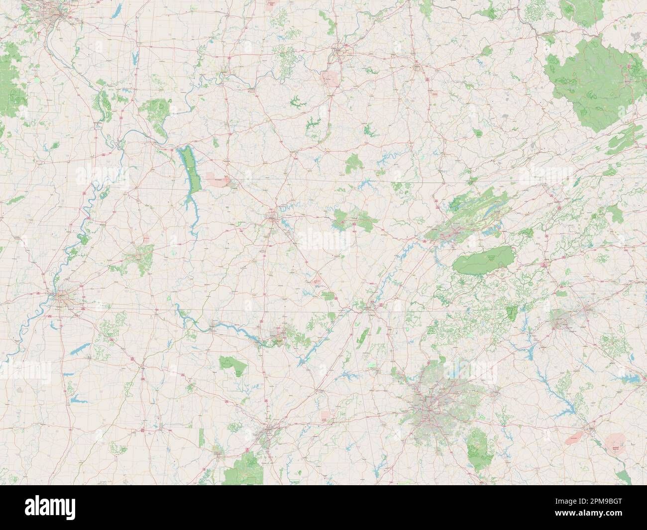 Tennessee, state of United States of America. Open Street Map Stock Photohttps://www.alamy.com/image-license-details/?v=1https://www.alamy.com/tennessee-state-of-united-states-of-america-open-street-map-image546021192.html
RF2PM9BGT–Tennessee, state of United States of America. Open Street Map
 A picture of New York in 1850 : with a short account of places in its vicinity : designed as a guide to citizens and strangers ; with numerous engravings, and a map of the city . sive use of apprentices. Eighteen hundred youngmechanics avail themselves of the facilities of this valuableinstitution. ethnolo&ical society, Formed in 1842, for the purpose of inquiring into An-tiquities, History, Languages, Geography, &c. Albert Gallatin, President; Edward Robinson, HenryR. Schoolcraft, Vice-Presidents ; John R. Bartlett, Corres-ponding Secretary ; A. W. Bradford, Recording Secretaryand Treasurer. Stock Photohttps://www.alamy.com/image-license-details/?v=1https://www.alamy.com/a-picture-of-new-york-in-1850-with-a-short-account-of-places-in-its-vicinity-designed-as-a-guide-to-citizens-and-strangers-with-numerous-engravings-and-a-map-of-the-city-sive-use-of-apprentices-eighteen-hundred-youngmechanics-avail-themselves-of-the-facilities-of-this-valuableinstitution-ethnoloical-society-formed-in-1842-for-the-purpose-of-inquiring-into-an-tiquities-history-languages-geography-c-albert-gallatin-president-edward-robinson-henryr-schoolcraft-vice-presidents-john-r-bartlett-corres-ponding-secretary-a-w-bradford-recording-secretaryand-treasurer-image338374376.html
RM2AJE7Y4–A picture of New York in 1850 : with a short account of places in its vicinity : designed as a guide to citizens and strangers ; with numerous engravings, and a map of the city . sive use of apprentices. Eighteen hundred youngmechanics avail themselves of the facilities of this valuableinstitution. ethnolo&ical society, Formed in 1842, for the purpose of inquiring into An-tiquities, History, Languages, Geography, &c. Albert Gallatin, President; Edward Robinson, HenryR. Schoolcraft, Vice-Presidents ; John R. Bartlett, Corres-ponding Secretary ; A. W. Bradford, Recording Secretaryand Treasurer.
 Tennessee cities list Stock Photohttps://www.alamy.com/image-license-details/?v=1https://www.alamy.com/tennessee-cities-list-image245847599.html
RFT7Y93B–Tennessee cities list
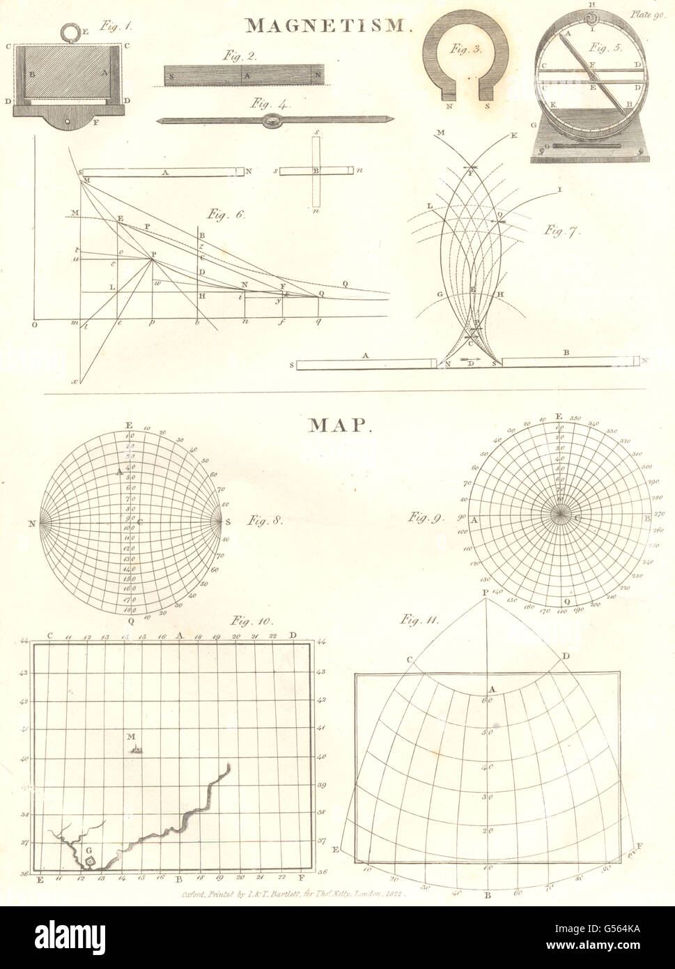 SCIENCE: Magnetism; Map diagrams. (Oxford Encyclopaedia), antique print 1830 Stock Photohttps://www.alamy.com/image-license-details/?v=1https://www.alamy.com/stock-photo-science-magnetism-map-diagrams-oxford-encyclopaedia-antique-print-106470878.html
RFG564KA–SCIENCE: Magnetism; Map diagrams. (Oxford Encyclopaedia), antique print 1830
 Adelaide Bartlett Stock Photohttps://www.alamy.com/image-license-details/?v=1https://www.alamy.com/stock-photo-adelaide-bartlett-139539242.html
RMJ30FMA–Adelaide Bartlett
 Bartlett, Baca County, US, United States, Colorado, N 37 26' 0'', S 102 8' 38'', map, Cartascapes Map published in 2024. Explore Cartascapes, a map revealing Earth's diverse landscapes, cultures, and ecosystems. Journey through time and space, discovering the interconnectedness of our planet's past, present, and future. Stock Photohttps://www.alamy.com/image-license-details/?v=1https://www.alamy.com/bartlett-baca-county-us-united-states-colorado-n-37-26-0-s-102-8-38-map-cartascapes-map-published-in-2024-explore-cartascapes-a-map-revealing-earths-diverse-landscapes-cultures-and-ecosystems-journey-through-time-and-space-discovering-the-interconnectedness-of-our-planets-past-present-and-future-image621219890.html
RM2Y2K08J–Bartlett, Baca County, US, United States, Colorado, N 37 26' 0'', S 102 8' 38'', map, Cartascapes Map published in 2024. Explore Cartascapes, a map revealing Earth's diverse landscapes, cultures, and ecosystems. Journey through time and space, discovering the interconnectedness of our planet's past, present, and future.
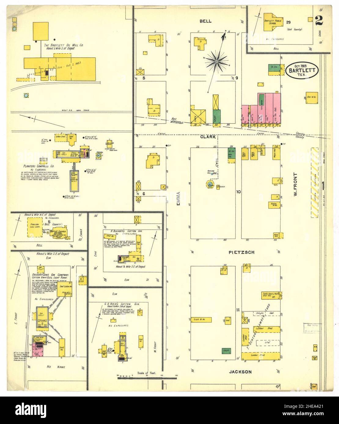 Sanborn Fire Insurance Map from Bartlett, Bell and Williamson Counties, Texas. Stock Photohttps://www.alamy.com/image-license-details/?v=1https://www.alamy.com/sanborn-fire-insurance-map-from-bartlett-bell-and-williamson-counties-texas-image456297465.html
RM2HEA421–Sanborn Fire Insurance Map from Bartlett, Bell and Williamson Counties, Texas.
 Croton Village Village; Franklin Township; Bartlett Hollow Village; Franklin Business Directory. Cartographic. Atlases, Maps. 1869. Lionel Pincus and Princess Firyal Map Division. Delaware County (N.Y.) Stock Photohttps://www.alamy.com/image-license-details/?v=1https://www.alamy.com/croton-village-village-franklin-township-bartlett-hollow-village-franklin-business-directory-cartographic-atlases-maps-1869-lionel-pincus-and-princess-firyal-map-division-delaware-county-ny-image484371145.html
RM2K4109D–Croton Village Village; Franklin Township; Bartlett Hollow Village; Franklin Business Directory. Cartographic. Atlases, Maps. 1869. Lionel Pincus and Princess Firyal Map Division. Delaware County (N.Y.)
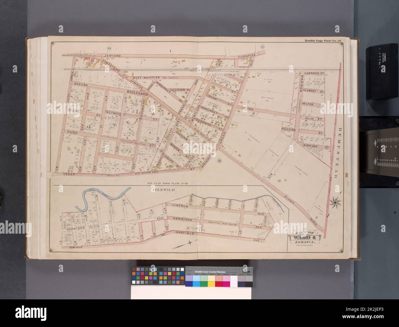 Cartographic, Maps. 1901. Lionel Pincus and Princess Firyal Map Division. Queens (New York, N.Y.) Queens, V. 1, Double Page Plate No. 16; Part of Jamaica, Ward 4; Map bounded by Jericho Tpk., boundary line of the City of New York, Hempstead and Jamaica Plank Rd., Cedar St., 1st St.; Mill Creek, Bartlett Pl., Garfield Ave., 11th St. Stock Photohttps://www.alamy.com/image-license-details/?v=1https://www.alamy.com/cartographic-maps-1901-lionel-pincus-and-princess-firyal-map-division-queens-new-york-ny-queens-v-1-double-page-plate-no-16-part-of-jamaica-ward-4-map-bounded-by-jericho-tpk-boundary-line-of-the-city-of-new-york-hempstead-and-jamaica-plank-rd-cedar-st-1st-st-mill-creek-bartlett-pl-garfield-ave-11th-st-image483526347.html
RM2K2JEP3–Cartographic, Maps. 1901. Lionel Pincus and Princess Firyal Map Division. Queens (New York, N.Y.) Queens, V. 1, Double Page Plate No. 16; Part of Jamaica, Ward 4; Map bounded by Jericho Tpk., boundary line of the City of New York, Hempstead and Jamaica Plank Rd., Cedar St., 1st St.; Mill Creek, Bartlett Pl., Garfield Ave., 11th St.
 USGS Topo Map Oregon Bartlett Mountain 20110831 TM Inverted Restoration Stock Photohttps://www.alamy.com/image-license-details/?v=1https://www.alamy.com/usgs-topo-map-oregon-bartlett-mountain-20110831-tm-inverted-restoration-image263671810.html
RMW8Y82A–USGS Topo Map Oregon Bartlett Mountain 20110831 TM Inverted Restoration
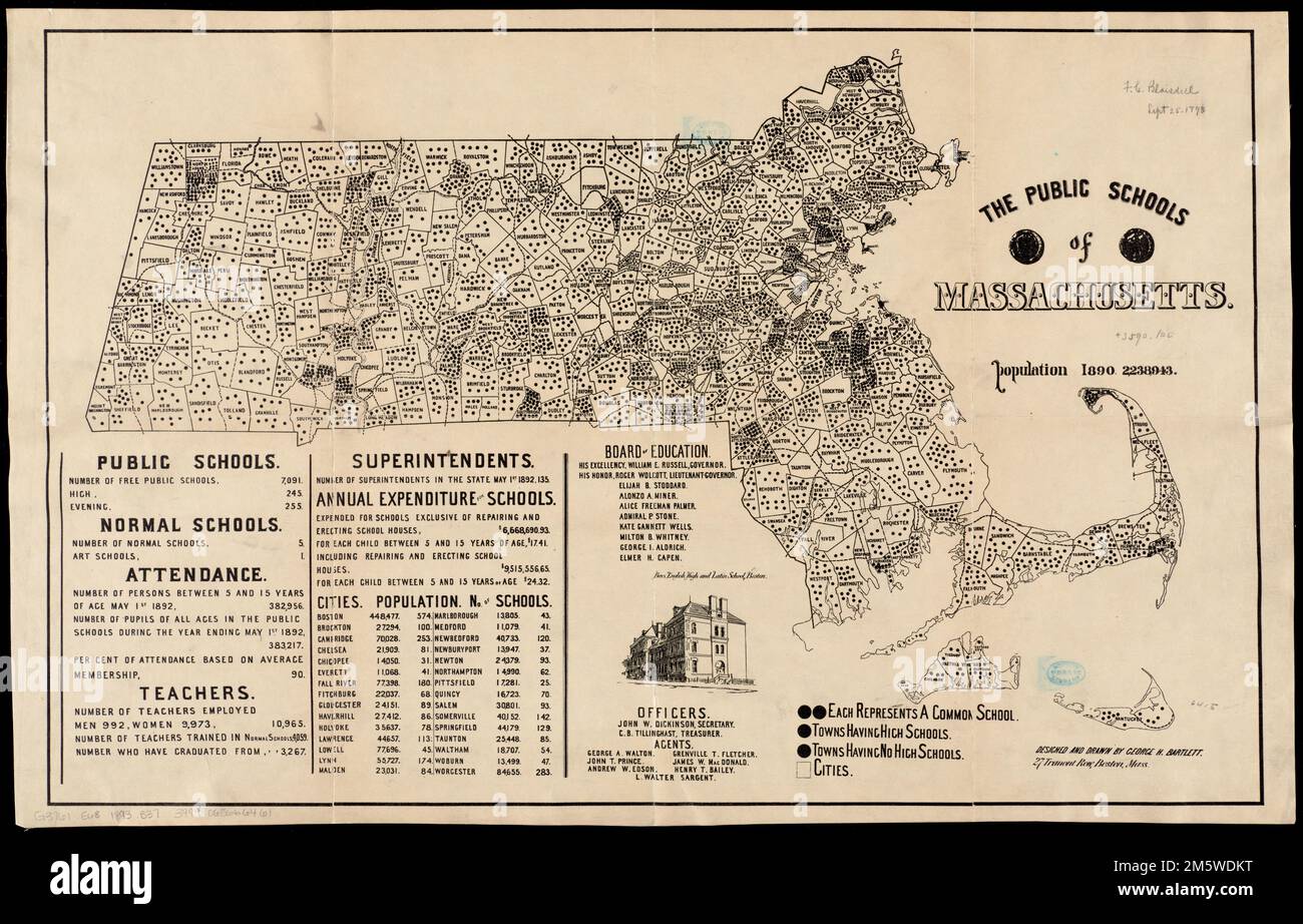 The public schools of Massachusetts. Includes statistical tables, list of members and officers of the Board of Education, and ill. of Boys English High and Latin School, Boston.. Massachusetts has historically been a leader in providing free education for children since the late 18th century. After the American Revolutionary War, public education at the elementary level was open to both male and female children, and geography was consistently part of the curriculum. George Bartlett, an artist and school principal, produced this map illustrating the number of public schools by town throughout t Stock Photohttps://www.alamy.com/image-license-details/?v=1https://www.alamy.com/the-public-schools-of-massachusetts-includes-statistical-tables-list-of-members-and-officers-of-the-board-of-education-and-ill-of-boys-english-high-and-latin-school-boston-massachusetts-has-historically-been-a-leader-in-providing-free-education-for-children-since-the-late-18th-century-after-the-american-revolutionary-war-public-education-at-the-elementary-level-was-open-to-both-male-and-female-children-and-geography-was-consistently-part-of-the-curriculum-george-bartlett-an-artist-and-school-principal-produced-this-map-illustrating-the-number-of-public-schools-by-town-throughout-t-image502733500.html
RM2M5WDKT–The public schools of Massachusetts. Includes statistical tables, list of members and officers of the Board of Education, and ill. of Boys English High and Latin School, Boston.. Massachusetts has historically been a leader in providing free education for children since the late 18th century. After the American Revolutionary War, public education at the elementary level was open to both male and female children, and geography was consistently part of the curriculum. George Bartlett, an artist and school principal, produced this map illustrating the number of public schools by town throughout t
 USGS Topo Map Oregon Bartlett Mtn 278945 1977 24000 Restoration Stock Photohttps://www.alamy.com/image-license-details/?v=1https://www.alamy.com/usgs-topo-map-oregon-bartlett-mtn-278945-1977-24000-restoration-image263672011.html
RMW8Y89F–USGS Topo Map Oregon Bartlett Mtn 278945 1977 24000 Restoration
 Vol. 6. Plate, Q. Map bound by Boerum St., Bushwick Ave., Flushing Ave., Harrison Ave., Middleton St., Broadway reimagined Stock Photohttps://www.alamy.com/image-license-details/?v=1https://www.alamy.com/vol-6-plate-q-map-bound-by-boerum-st-bushwick-ave-flushing-ave-harrison-ave-middleton-st-broadway-reimagined-image230353849.html
RFRANEK5–Vol. 6. Plate, Q. Map bound by Boerum St., Bushwick Ave., Flushing Ave., Harrison Ave., Middleton St., Broadway reimagined
 US-IL(1891) p228 CHICAGO, HIBBARD, SPENCER & BARTLETT COMPANY Stock Photohttps://www.alamy.com/image-license-details/?v=1https://www.alamy.com/stock-photo-us-il1891-p228-chicago-hibbard-spencer-bartlett-company-74953842.html
RME9XCAX–US-IL(1891) p228 CHICAGO, HIBBARD, SPENCER & BARTLETT COMPANY
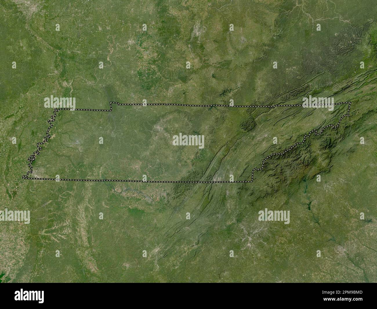 Tennessee, state of United States of America. Low resolution satellite map Stock Photohttps://www.alamy.com/image-license-details/?v=1https://www.alamy.com/tennessee-state-of-united-states-of-america-low-resolution-satellite-map-image546021293.html
RF2PM9BMD–Tennessee, state of United States of America. Low resolution satellite map
 Review of reviews and world's work . h map Leading Articles of the Month— The Conservation of Common Sense 476 Austria-Hungary and Universal Suffrage 477 The Chinese-Portugal Dispute Ovei Macao.. 478 Canadian Reciprocity 479 Canadas Plan of Averting the Yellow Peril . 4so Criticisms ot Englands Foreign Secretarj 4S1 Reforms in the Congo. 482 What Should Be Done Wiih Liberia : 483 Arizonas Outlook in the FainiK of States 484 Caroline Bartlett Crane . 485 Flie Loyalist City ot Si. Join. Japanese Painters of To-Daj 4ss Superstition of Old Age 490 Monkeys Talk?. 492 re Leschetizky, Pianist and Ped Stock Photohttps://www.alamy.com/image-license-details/?v=1https://www.alamy.com/review-of-reviews-and-worlds-work-h-map-leading-articles-of-the-month-the-conservation-of-common-sense-476-austria-hungary-and-universal-suffrage-477-the-chinese-portugal-dispute-ovei-macao-478-canadian-reciprocity-479-canadas-plan-of-averting-the-yellow-peril-4so-criticisms-ot-englands-foreign-secretarj-4s1-reforms-in-the-congo-482-what-should-be-done-wiih-liberia-483-arizonas-outlook-in-the-fainik-of-states-484-caroline-bartlett-crane-485-flie-loyalist-city-ot-si-join-japanese-painters-of-to-daj-4ss-superstition-of-old-age-490-monkeys-talk-492-re-leschetizky-pianist-and-ped-image339147358.html
RM2AKNDWJ–Review of reviews and world's work . h map Leading Articles of the Month— The Conservation of Common Sense 476 Austria-Hungary and Universal Suffrage 477 The Chinese-Portugal Dispute Ovei Macao.. 478 Canadian Reciprocity 479 Canadas Plan of Averting the Yellow Peril . 4so Criticisms ot Englands Foreign Secretarj 4S1 Reforms in the Congo. 482 What Should Be Done Wiih Liberia : 483 Arizonas Outlook in the FainiK of States 484 Caroline Bartlett Crane . 485 Flie Loyalist City ot Si. Join. Japanese Painters of To-Daj 4ss Superstition of Old Age 490 Monkeys Talk?. 492 re Leschetizky, Pianist and Ped
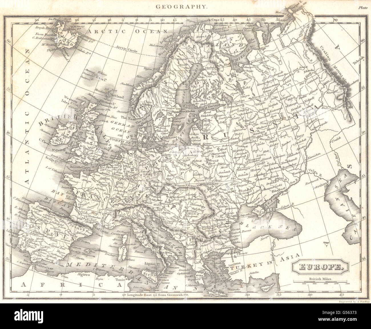 EUROPE: Showing Austrian States, Prussia, Russia etc, 1830 antique map Stock Photohttps://www.alamy.com/image-license-details/?v=1https://www.alamy.com/stock-photo-europe-showing-austrian-states-prussia-russia-etc-1830-antique-map-106469751.html
RFG56373–EUROPE: Showing Austrian States, Prussia, Russia etc, 1830 antique map
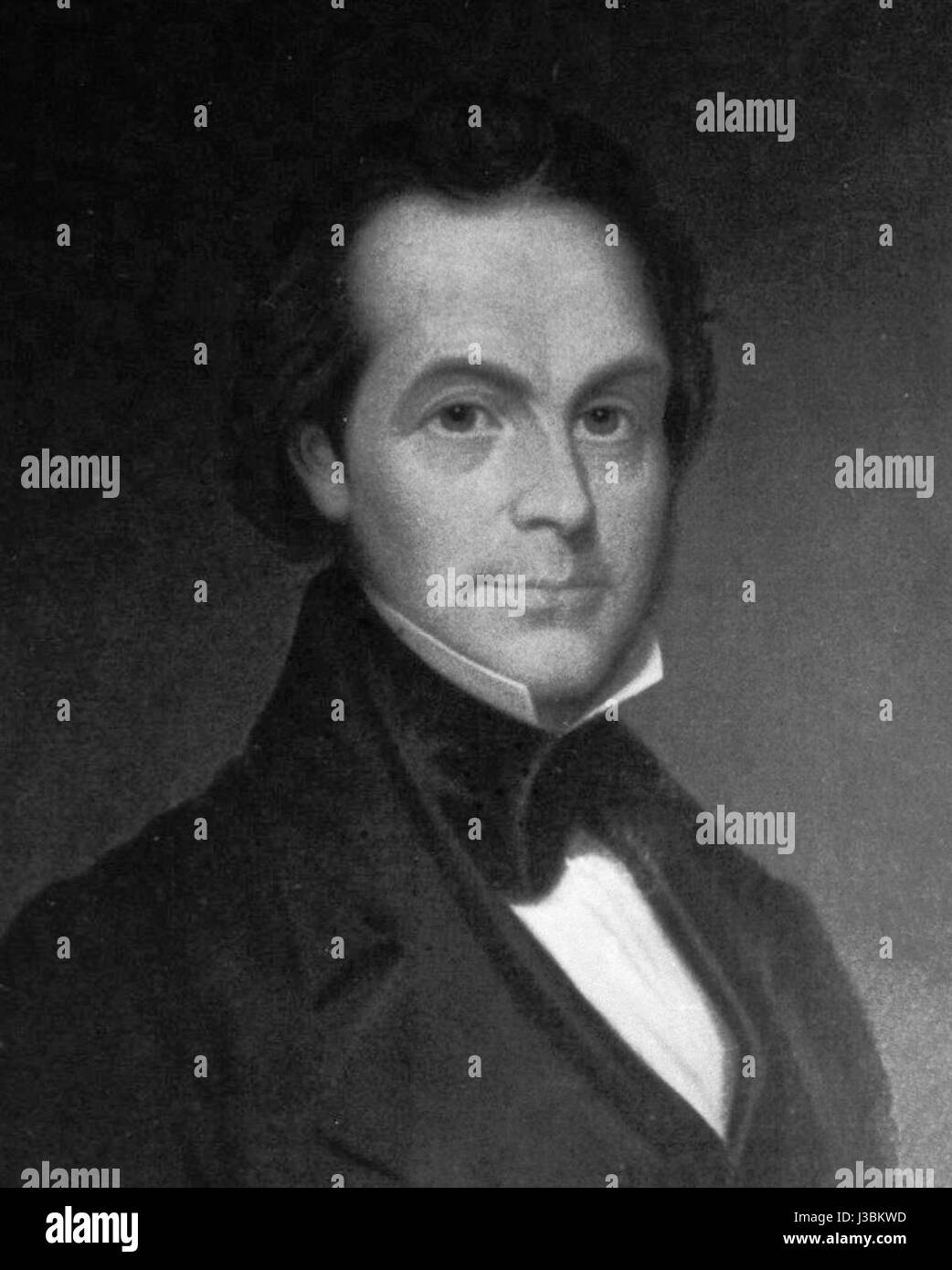 Elisha Bartlett Stock Photohttps://www.alamy.com/image-license-details/?v=1https://www.alamy.com/stock-photo-elisha-bartlett-139783993.html
RMJ3BKWD–Elisha Bartlett
 Bartlett, Cook County, US, United States, Illinois, N 41 59' 42'', S 88 11' 8'', map, Cartascapes Map published in 2024. Explore Cartascapes, a map revealing Earth's diverse landscapes, cultures, and ecosystems. Journey through time and space, discovering the interconnectedness of our planet's past, present, and future. Stock Photohttps://www.alamy.com/image-license-details/?v=1https://www.alamy.com/bartlett-cook-county-us-united-states-illinois-n-41-59-42-s-88-11-8-map-cartascapes-map-published-in-2024-explore-cartascapes-a-map-revealing-earths-diverse-landscapes-cultures-and-ecosystems-journey-through-time-and-space-discovering-the-interconnectedness-of-our-planets-past-present-and-future-image621377592.html
RM2Y2X5CT–Bartlett, Cook County, US, United States, Illinois, N 41 59' 42'', S 88 11' 8'', map, Cartascapes Map published in 2024. Explore Cartascapes, a map revealing Earth's diverse landscapes, cultures, and ecosystems. Journey through time and space, discovering the interconnectedness of our planet's past, present, and future.
 Sanborn Fire Insurance Map from Bartlett, Bell and Williamson Counties, Texas. Stock Photohttps://www.alamy.com/image-license-details/?v=1https://www.alamy.com/sanborn-fire-insurance-map-from-bartlett-bell-and-williamson-counties-texas-image456297444.html
RM2HEA418–Sanborn Fire Insurance Map from Bartlett, Bell and Williamson Counties, Texas.
 John Russell Bartlett Stock Photohttps://www.alamy.com/image-license-details/?v=1https://www.alamy.com/stock-photo-john-russell-bartlett-140057686.html
RMJ3T506–John Russell Bartlett
 Abraham Dee Bartlett Stock Photohttps://www.alamy.com/image-license-details/?v=1https://www.alamy.com/stock-photo-abraham-dee-bartlett-139480122.html
RMJ2WT8X–Abraham Dee Bartlett
 Cartographic, Maps. 1880. Lionel Pincus and Princess Firyal Map Division. Brooklyn (New York, N.Y.), Real property , New York (State) , New York Vol. 6. Plate, Q. Map bound by Boerum St., Bushwick Ave., Flushing Ave., Harrison Ave., Middleton St., Broadway; Including Mc Kibbin St., Gwinnett St., Seigel St., Walton St., Moore St., Gerry St., Varet St., Bartlett St., Cook St., WhipPLe St., Thornton St., De Bevoise St., Throop Ave., Lorimer St., Leonard St., Ewen St., Graham Ave., Humboldt St., Morrell St. Stock Photohttps://www.alamy.com/image-license-details/?v=1https://www.alamy.com/cartographic-maps-1880-lionel-pincus-and-princess-firyal-map-division-brooklyn-new-york-ny-real-property-new-york-state-new-york-vol-6-plate-q-map-bound-by-boerum-st-bushwick-ave-flushing-ave-harrison-ave-middleton-st-broadway-including-mc-kibbin-st-gwinnett-st-seigel-st-walton-st-moore-st-gerry-st-varet-st-bartlett-st-cook-st-whipple-st-thornton-st-de-bevoise-st-throop-ave-lorimer-st-leonard-st-ewen-st-graham-ave-humboldt-st-morrell-st-image483739459.html
RM2K306H7–Cartographic, Maps. 1880. Lionel Pincus and Princess Firyal Map Division. Brooklyn (New York, N.Y.), Real property , New York (State) , New York Vol. 6. Plate, Q. Map bound by Boerum St., Bushwick Ave., Flushing Ave., Harrison Ave., Middleton St., Broadway; Including Mc Kibbin St., Gwinnett St., Seigel St., Walton St., Moore St., Gerry St., Varet St., Bartlett St., Cook St., WhipPLe St., Thornton St., De Bevoise St., Throop Ave., Lorimer St., Leonard St., Ewen St., Graham Ave., Humboldt St., Morrell St.
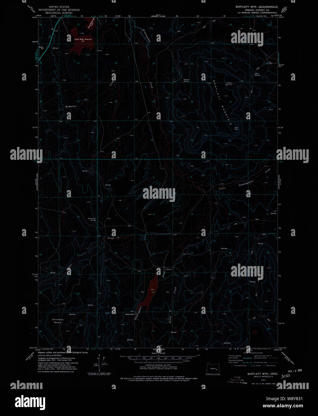 USGS Topo Map Oregon Bartlett Mtn 278945 1977 24000 Inverted Restoration Stock Photohttps://www.alamy.com/image-license-details/?v=1https://www.alamy.com/usgs-topo-map-oregon-bartlett-mtn-278945-1977-24000-inverted-restoration-image263671829.html
RMW8Y831–USGS Topo Map Oregon Bartlett Mtn 278945 1977 24000 Inverted Restoration
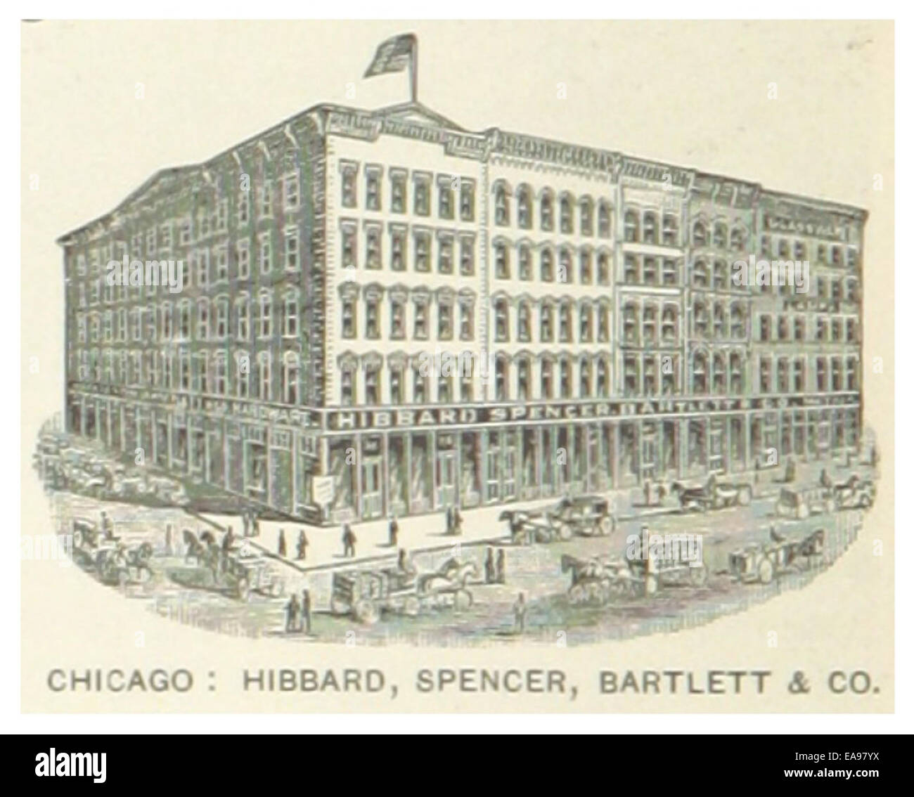 US-IL(1891) p228 CHICAGO, HIBBARD, SPENCER & BARTLETT COMPANY Stock Photohttps://www.alamy.com/image-license-details/?v=1https://www.alamy.com/stock-photo-us-il1891-p228-chicago-hibbard-spencer-bartlett-company-75191870.html
RMEA97YX–US-IL(1891) p228 CHICAGO, HIBBARD, SPENCER & BARTLETT COMPANY
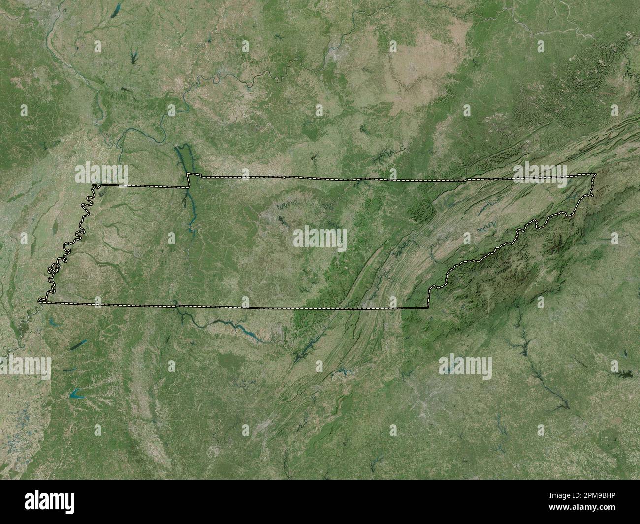 Tennessee, state of United States of America. High resolution satellite map Stock Photohttps://www.alamy.com/image-license-details/?v=1https://www.alamy.com/tennessee-state-of-united-states-of-america-high-resolution-satellite-map-image546021218.html
RF2PM9BHP–Tennessee, state of United States of America. High resolution satellite map
 . History of Mecklenburg County and the city of Charlotte : from 1740 to 1903. Davidson 69 Henry Bartlett Williams 71 W. K. Phifer 72 General Hugh Waddell 74 General Joseph Graham 76 David Parks 78 Lieutenant F. C. Davidson 81 W. F. Davidson 82 Map of Vicinity of Jacksons Birthplace 84 Old Wilson Place 86 Alexander Rock House 86 Extracts from Copy Books in use in Mecklenburg County Schools in 1850 88 Note Given in 1767 90 Bill for Teaching, 1822 90 Sale Notice, 1838 92 Contract, 1767 94 Confederate Currency, 1864 96 North Carolina Currency, 1866 100 Itemized Bill for Learning, 1798 102 United Stock Photohttps://www.alamy.com/image-license-details/?v=1https://www.alamy.com/history-of-mecklenburg-county-and-the-city-of-charlotte-from-1740-to-1903-davidson-69-henry-bartlett-williams-71-w-k-phifer-72-general-hugh-waddell-74-general-joseph-graham-76-david-parks-78-lieutenant-f-c-davidson-81-w-f-davidson-82-map-of-vicinity-of-jacksons-birthplace-84-old-wilson-place-86-alexander-rock-house-86-extracts-from-copy-books-in-use-in-mecklenburg-county-schools-in-1850-88-note-given-in-1767-90-bill-for-teaching-1822-90-sale-notice-1838-92-contract-1767-94-confederate-currency-1864-96-north-carolina-currency-1866-100-itemized-bill-for-learning-1798-102-united-image336965550.html
RM2AG62YX–. History of Mecklenburg County and the city of Charlotte : from 1740 to 1903. Davidson 69 Henry Bartlett Williams 71 W. K. Phifer 72 General Hugh Waddell 74 General Joseph Graham 76 David Parks 78 Lieutenant F. C. Davidson 81 W. F. Davidson 82 Map of Vicinity of Jacksons Birthplace 84 Old Wilson Place 86 Alexander Rock House 86 Extracts from Copy Books in use in Mecklenburg County Schools in 1850 88 Note Given in 1767 90 Bill for Teaching, 1822 90 Sale Notice, 1838 92 Contract, 1767 94 Confederate Currency, 1864 96 North Carolina Currency, 1866 100 Itemized Bill for Learning, 1798 102 United
 Maine USGS Historical Map Bartlett Island 20110909 TM Restoration Stock Photohttps://www.alamy.com/image-license-details/?v=1https://www.alamy.com/maine-usgs-historical-map-bartlett-island-20110909-tm-restoration-image260872344.html
RMW4BN9C–Maine USGS Historical Map Bartlett Island 20110909 TM Restoration
 USGS TOPO Map Colorado CO Bartlett 20100921 TM Restoration Stock Photohttps://www.alamy.com/image-license-details/?v=1https://www.alamy.com/usgs-topo-map-colorado-co-bartlett-20100921-tm-restoration-image243787595.html
RMT4HDFR–USGS TOPO Map Colorado CO Bartlett 20100921 TM Restoration
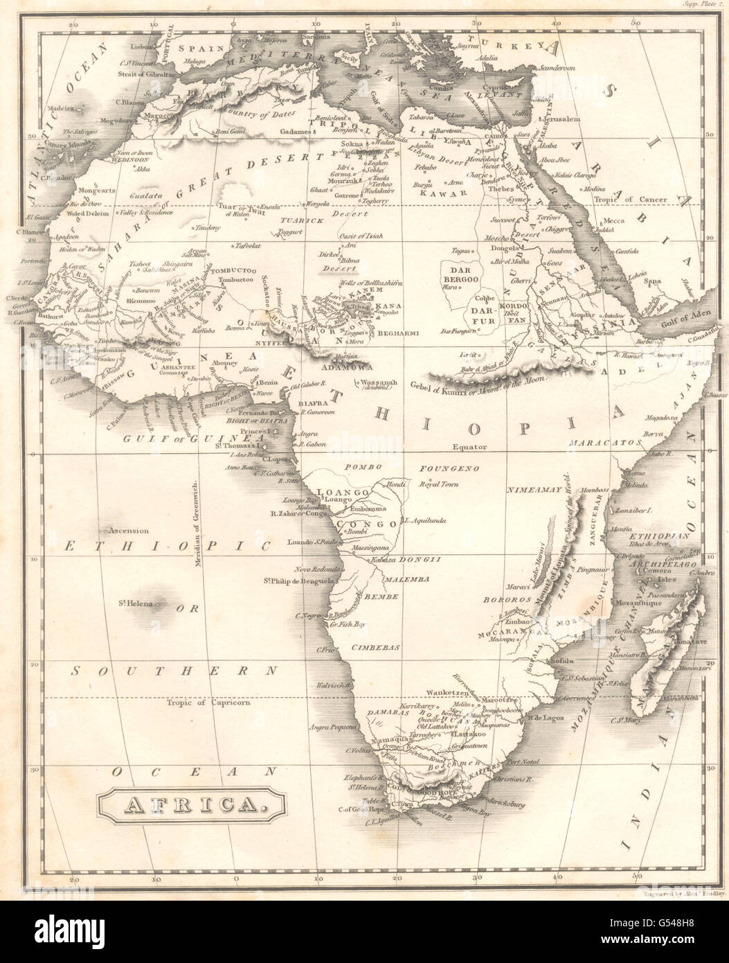 AFRICA: Early 19C map. Shows tribes & fictitious Mountains of Kong., 1830 Stock Photohttps://www.alamy.com/image-license-details/?v=1https://www.alamy.com/stock-photo-africa-early-19c-map-shows-tribes-fictitious-mountains-of-kong-1830-106430052.html
RFG548H8–AFRICA: Early 19C map. Shows tribes & fictitious Mountains of Kong., 1830
 USGS TOPO Map Texas TX Bartlett 20121220 TM Restoration Stock Photohttps://www.alamy.com/image-license-details/?v=1https://www.alamy.com/usgs-topo-map-texas-tx-bartlett-20121220-tm-restoration-image332310034.html
RM2A8J0RE–USGS TOPO Map Texas TX Bartlett 20121220 TM Restoration
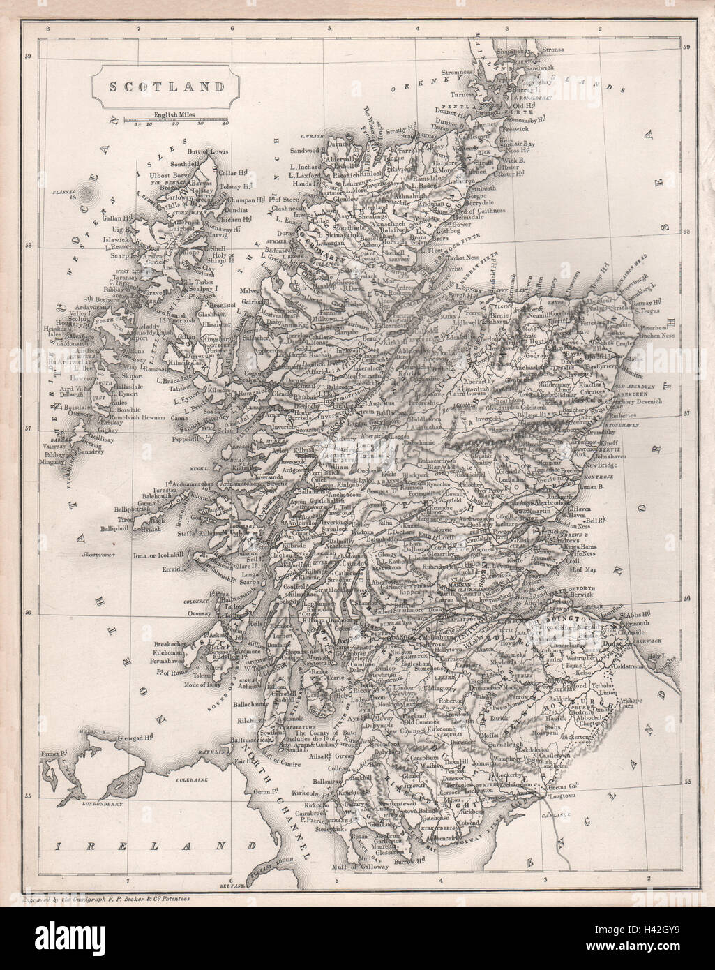 Scotland showing railways & counties by F.P. BECKER c1840 old antique map Stock Photohttps://www.alamy.com/image-license-details/?v=1https://www.alamy.com/stock-photo-scotland-showing-railways-counties-by-fp-becker-c1840-old-antique-122988413.html
RFH42GY9–Scotland showing railways & counties by F.P. BECKER c1840 old antique map
 Bartlett, Williamson County, US, United States, Texas, N 30 47' 41'', S 97 25' 32'', map, Cartascapes Map published in 2024. Explore Cartascapes, a map revealing Earth's diverse landscapes, cultures, and ecosystems. Journey through time and space, discovering the interconnectedness of our planet's past, present, and future. Stock Photohttps://www.alamy.com/image-license-details/?v=1https://www.alamy.com/bartlett-williamson-county-us-united-states-texas-n-30-47-41-s-97-25-32-map-cartascapes-map-published-in-2024-explore-cartascapes-a-map-revealing-earths-diverse-landscapes-cultures-and-ecosystems-journey-through-time-and-space-discovering-the-interconnectedness-of-our-planets-past-present-and-future-image621263930.html
RM2Y2N0DE–Bartlett, Williamson County, US, United States, Texas, N 30 47' 41'', S 97 25' 32'', map, Cartascapes Map published in 2024. Explore Cartascapes, a map revealing Earth's diverse landscapes, cultures, and ecosystems. Journey through time and space, discovering the interconnectedness of our planet's past, present, and future.
 Sanborn Fire Insurance Map from Bartlett, Bell and Williamson Counties, Texas. Stock Photohttps://www.alamy.com/image-license-details/?v=1https://www.alamy.com/sanborn-fire-insurance-map-from-bartlett-bell-and-williamson-counties-texas-image456297455.html
RM2HEA41K–Sanborn Fire Insurance Map from Bartlett, Bell and Williamson Counties, Texas.
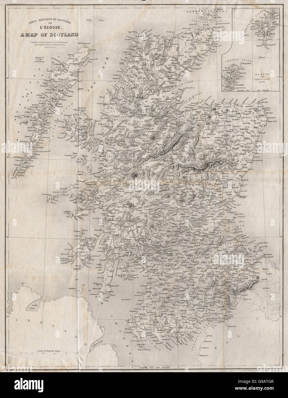 Carte Physique et Routière de l'Ecosse. A map of Scotland. STARLING, 1838 Stock Photohttps://www.alamy.com/image-license-details/?v=1https://www.alamy.com/stock-photo-carte-physique-et-routire-de-lecosse-a-map-of-scotland-starling-1838-109032919.html
RFG9ATGR–Carte Physique et Routière de l'Ecosse. A map of Scotland. STARLING, 1838
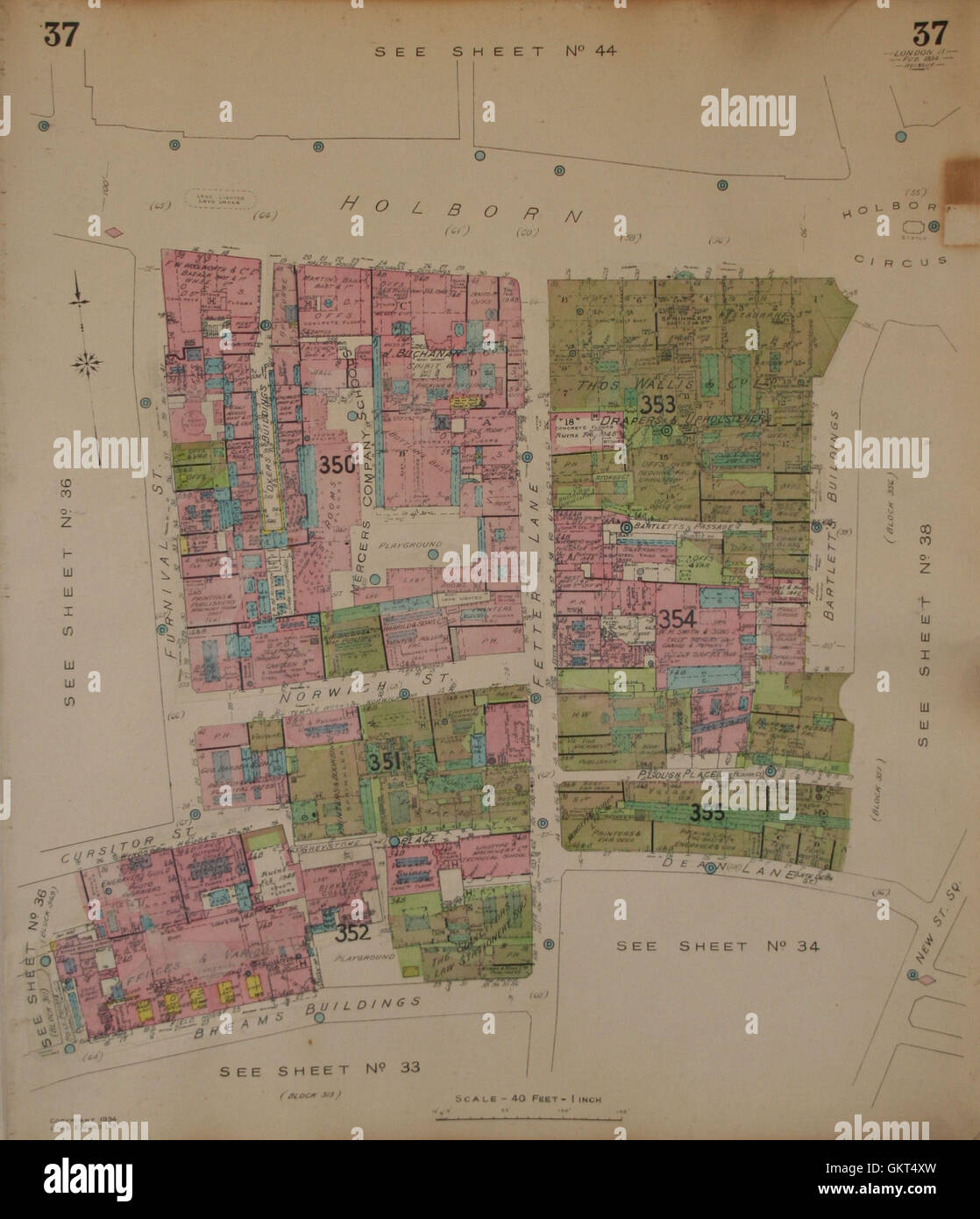 GOAD MAP:EC1 EC4:Holborn Circus Fetter Ln Norwich St Furnival Breams Bldgs 1934 Stock Photohttps://www.alamy.com/image-license-details/?v=1https://www.alamy.com/stock-photo-goad-mapec1-ec4holborn-circus-fetter-ln-norwich-st-furnival-breams-115471409.html
RFGKT4XW–GOAD MAP:EC1 EC4:Holborn Circus Fetter Ln Norwich St Furnival Breams Bldgs 1934
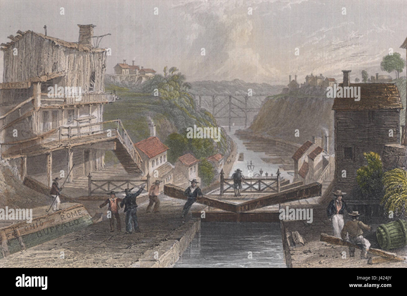 Lockport bartlett color Stock Photohttps://www.alamy.com/image-license-details/?v=1https://www.alamy.com/stock-photo-lockport-bartlett-color-140189139.html
RMJ424JY–Lockport bartlett color
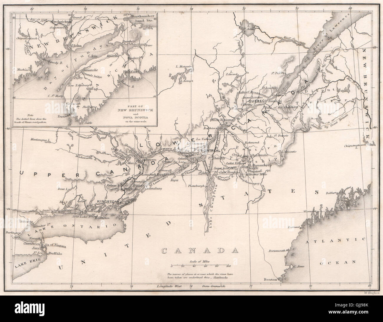 CANADA. Ontario Quebec New Brunswick & Nova Scotia. BARTLETT, 1842 antique map Stock Photohttps://www.alamy.com/image-license-details/?v=1https://www.alamy.com/stock-photo-canada-ontario-quebec-new-brunswick-nova-scotia-bartlett-1842-antique-114728451.html
RFGJJ98K–CANADA. Ontario Quebec New Brunswick & Nova Scotia. BARTLETT, 1842 antique map
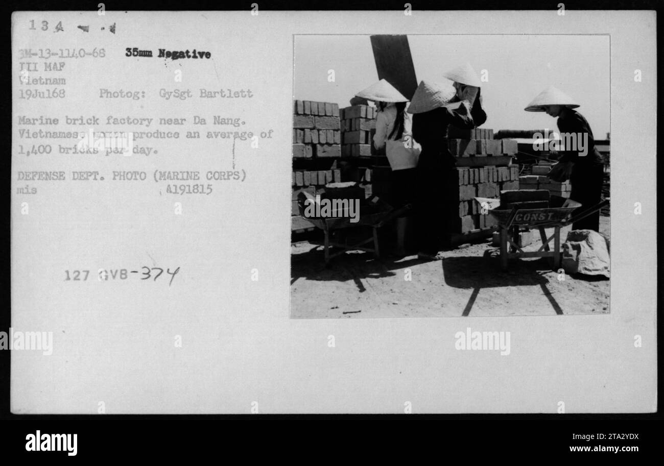 A group of Vietnamese women working at a Marine brick factory near Da Nang during the Vietnam War. They are seen producing an average of 1,400 bricks per day. This image captures a glimpse of the civilian life and involvement in war-related activities in Vietnam. Stock Photohttps://www.alamy.com/image-license-details/?v=1https://www.alamy.com/a-group-of-vietnamese-women-working-at-a-marine-brick-factory-near-da-nang-during-the-vietnam-war-they-are-seen-producing-an-average-of-1400-bricks-per-day-this-image-captures-a-glimpse-of-the-civilian-life-and-involvement-in-war-related-activities-in-vietnam-image574154166.html
RM2TA2YDX–A group of Vietnamese women working at a Marine brick factory near Da Nang during the Vietnam War. They are seen producing an average of 1,400 bricks per day. This image captures a glimpse of the civilian life and involvement in war-related activities in Vietnam.
 IBERIA: Spain & Portugal. (Oxford Encyclopaedia), 1830 antique map Stock Photohttps://www.alamy.com/image-license-details/?v=1https://www.alamy.com/stock-photo-iberia-spain-portugal-oxford-encyclopaedia-1830-antique-map-106472809.html
RFG56749–IBERIA: Spain & Portugal. (Oxford Encyclopaedia), 1830 antique map
![52 of 'Switzerland. Illustrated in a series of views taken expressly for this work by W. H. Bartlett. [With a map.]' Stock Photo 52 of 'Switzerland. Illustrated in a series of views taken expressly for this work by W. H. Bartlett. [With a map.]' Stock Photo](https://c8.alamy.com/comp/FFKPP6/52-of-switzerland-illustrated-in-a-series-of-views-taken-expressly-FFKPP6.jpg) 52 of 'Switzerland. Illustrated in a series of views taken expressly for this work by W. H. Bartlett. [With a map.]' Stock Photohttps://www.alamy.com/image-license-details/?v=1https://www.alamy.com/stock-photo-52-of-switzerland-illustrated-in-a-series-of-views-taken-expressly-95706638.html
52 of 'Switzerland. Illustrated in a series of views taken expressly for this work by W. H. Bartlett. [With a map.]' Stock Photohttps://www.alamy.com/image-license-details/?v=1https://www.alamy.com/stock-photo-52-of-switzerland-illustrated-in-a-series-of-views-taken-expressly-95706638.htmlRMFFKPP6–52 of 'Switzerland. Illustrated in a series of views taken expressly for this work by W. H. Bartlett. [With a map.]'
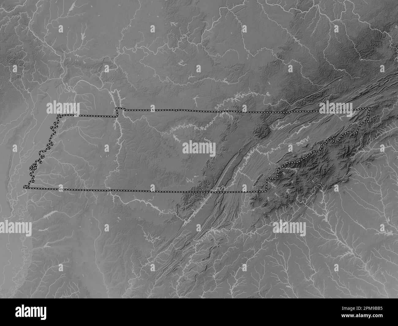 Tennessee, state of United States of America. Grayscale elevation map with lakes and rivers Stock Photohttps://www.alamy.com/image-license-details/?v=1https://www.alamy.com/tennessee-state-of-united-states-of-america-grayscale-elevation-map-with-lakes-and-rivers-image546021033.html
RF2PM9BB5–Tennessee, state of United States of America. Grayscale elevation map with lakes and rivers
 . Personal narrative of explorations and incidents in Texas, New Mexico, California, Sonora, and Chihuahua : connected with the United States and Mexican Boundary Commission, during the years 1850, '51, '52, and '53 . PERSONAL NARRATIVE EXPLORATIONS AND INCIDENTS TEXAS, NEW MEXICO, CALIFORNIA, SONORA,AND CHIHUAHUA, CONNECTED WITH THE UNITED STATES AND MEXICAN BOUNDARY COMMISSIONDURING THE TEARS 1850, 51, 52, AND 53. BY JOHN RUSSELL BARTLETT, UNITED STATES COMMISSIONER DURING THAT PERIOD. WITH MAP AND ILLUSTRATIONS,TWO VOLUMES COMPLETE IN ONE. NEW YORK : D. APPLETON & COMPANY, 346 & 348 BKOADWA Stock Photohttps://www.alamy.com/image-license-details/?v=1https://www.alamy.com/personal-narrative-of-explorations-and-incidents-in-texas-new-mexico-california-sonora-and-chihuahua-connected-with-the-united-states-and-mexican-boundary-commission-during-the-years-1850-51-52-and-53-personal-narrative-explorations-and-incidents-texas-new-mexico-california-sonoraand-chihuahua-connected-with-the-united-states-and-mexican-boundary-commissionduring-the-tears-1850-51-52-and-53-by-john-russell-bartlett-united-states-commissioner-during-that-period-with-map-and-illustrationstwo-volumes-complete-in-one-new-york-d-appleton-company-346-348-bkoadwa-image369729126.html
RM2CDEH7J–. Personal narrative of explorations and incidents in Texas, New Mexico, California, Sonora, and Chihuahua : connected with the United States and Mexican Boundary Commission, during the years 1850, '51, '52, and '53 . PERSONAL NARRATIVE EXPLORATIONS AND INCIDENTS TEXAS, NEW MEXICO, CALIFORNIA, SONORA,AND CHIHUAHUA, CONNECTED WITH THE UNITED STATES AND MEXICAN BOUNDARY COMMISSIONDURING THE TEARS 1850, 51, 52, AND 53. BY JOHN RUSSELL BARTLETT, UNITED STATES COMMISSIONER DURING THAT PERIOD. WITH MAP AND ILLUSTRATIONS,TWO VOLUMES COMPLETE IN ONE. NEW YORK : D. APPLETON & COMPANY, 346 & 348 BKOADWA
 USGS TOPO Map Texas TX Bartlett 20100517 TM Restoration Stock Photohttps://www.alamy.com/image-license-details/?v=1https://www.alamy.com/usgs-topo-map-texas-tx-bartlett-20100517-tm-restoration-image332310104.html
RM2A8J0X0–USGS TOPO Map Texas TX Bartlett 20100517 TM Restoration
 Bartlett, Labette County, US, United States, Kansas, N 37 3' 17'', S 95 12' 38'', map, Cartascapes Map published in 2024. Explore Cartascapes, a map revealing Earth's diverse landscapes, cultures, and ecosystems. Journey through time and space, discovering the interconnectedness of our planet's past, present, and future. Stock Photohttps://www.alamy.com/image-license-details/?v=1https://www.alamy.com/bartlett-labette-county-us-united-states-kansas-n-37-3-17-s-95-12-38-map-cartascapes-map-published-in-2024-explore-cartascapes-a-map-revealing-earths-diverse-landscapes-cultures-and-ecosystems-journey-through-time-and-space-discovering-the-interconnectedness-of-our-planets-past-present-and-future-image621428263.html
RM2Y30E2F–Bartlett, Labette County, US, United States, Kansas, N 37 3' 17'', S 95 12' 38'', map, Cartascapes Map published in 2024. Explore Cartascapes, a map revealing Earth's diverse landscapes, cultures, and ecosystems. Journey through time and space, discovering the interconnectedness of our planet's past, present, and future.
 Sanborn Fire Insurance Map from Bartlett, Bell and Williamson Counties, Texas. Stock Photohttps://www.alamy.com/image-license-details/?v=1https://www.alamy.com/sanborn-fire-insurance-map-from-bartlett-bell-and-williamson-counties-texas-image456297438.html
RM2HEA412–Sanborn Fire Insurance Map from Bartlett, Bell and Williamson Counties, Texas.
 Jessie Bartlett Davis Stock Photohttps://www.alamy.com/image-license-details/?v=1https://www.alamy.com/stock-photo-jessie-bartlett-davis-140061759.html
RMJ3TA5K–Jessie Bartlett Davis
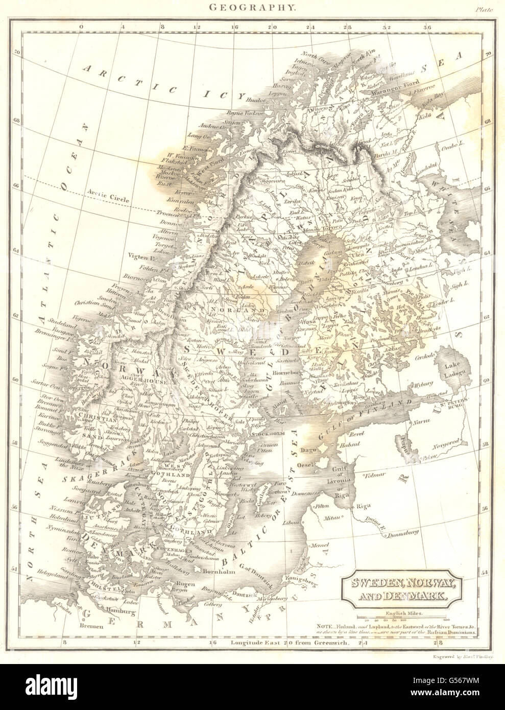 SCANDINAVIA: Sweden Norway Denmark Finland. (Oxford Encyclopaedia), 1830 map Stock Photohttps://www.alamy.com/image-license-details/?v=1https://www.alamy.com/stock-photo-scandinavia-sweden-norway-denmark-finland-oxford-encyclopaedia-1830-106473408.html
RFG567WM–SCANDINAVIA: Sweden Norway Denmark Finland. (Oxford Encyclopaedia), 1830 map
![62 of 'Switzerland. Illustrated in a series of views taken expressly for this work by W. H. Bartlett. [With a map.]' Stock Photo 62 of 'Switzerland. Illustrated in a series of views taken expressly for this work by W. H. Bartlett. [With a map.]' Stock Photo](https://c8.alamy.com/comp/FFKPPA/62-of-switzerland-illustrated-in-a-series-of-views-taken-expressly-FFKPPA.jpg) 62 of 'Switzerland. Illustrated in a series of views taken expressly for this work by W. H. Bartlett. [With a map.]' Stock Photohttps://www.alamy.com/image-license-details/?v=1https://www.alamy.com/stock-photo-62-of-switzerland-illustrated-in-a-series-of-views-taken-expressly-95706642.html
62 of 'Switzerland. Illustrated in a series of views taken expressly for this work by W. H. Bartlett. [With a map.]' Stock Photohttps://www.alamy.com/image-license-details/?v=1https://www.alamy.com/stock-photo-62-of-switzerland-illustrated-in-a-series-of-views-taken-expressly-95706642.htmlRMFFKPPA–62 of 'Switzerland. Illustrated in a series of views taken expressly for this work by W. H. Bartlett. [With a map.]'
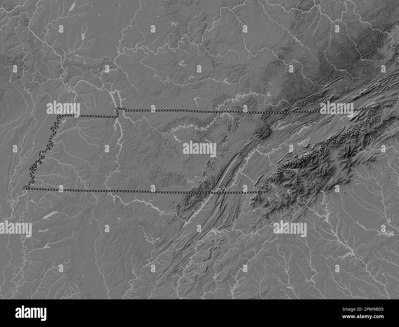 Tennessee, state of United States of America. Bilevel elevation map with lakes and rivers Stock Photohttps://www.alamy.com/image-license-details/?v=1https://www.alamy.com/tennessee-state-of-united-states-of-america-bilevel-elevation-map-with-lakes-and-rivers-image546021089.html
RF2PM9BD5–Tennessee, state of United States of America. Bilevel elevation map with lakes and rivers
 . The last voyage of the Karluk, flagship of Vilhjalmar Stefansson's Canadian Arctic expedition of 1913-16. ALMAR StbFANSSON 8 The leaders and tbe scientific staff before the departure from nome 10 Stbfansson and his party leaving the Kabluk 36 Hauling the dredge ...... 48 Making soundings 52 The supplies on the big floe .... 56 Pages from Captain Bartletts diart . 92 Plan of Shipwreck Camp 98 Captain Bartletts oopt of the RubIitIt of Omar Khaytam 102 The ice-pack 106 Letter from the doctors party to Captain Bartlett 128 MuGFi 142 Shipwreck Camp 144 Another view of Shipwreck Camp . . 148 Map o Stock Photohttps://www.alamy.com/image-license-details/?v=1https://www.alamy.com/the-last-voyage-of-the-karluk-flagship-of-vilhjalmar-stefanssons-canadian-arctic-expedition-of-1913-16-almar-stbfansson-8-the-leaders-and-tbe-scientific-staff-before-the-departure-from-nome-10-stbfansson-and-his-party-leaving-the-kabluk-36-hauling-the-dredge-48-making-soundings-52-the-supplies-on-the-big-floe-56-pages-from-captain-bartletts-diart-92-plan-of-shipwreck-camp-98-captain-bartletts-oopt-of-the-rubiitit-of-omar-khaytam-102-the-ice-pack-106-letter-from-the-doctors-party-to-captain-bartlett-128-mugfi-142-shipwreck-camp-144-another-view-of-shipwreck-camp-148-map-o-image370325698.html
RM2CEDP5P–. The last voyage of the Karluk, flagship of Vilhjalmar Stefansson's Canadian Arctic expedition of 1913-16. ALMAR StbFANSSON 8 The leaders and tbe scientific staff before the departure from nome 10 Stbfansson and his party leaving the Kabluk 36 Hauling the dredge ...... 48 Making soundings 52 The supplies on the big floe .... 56 Pages from Captain Bartletts diart . 92 Plan of Shipwreck Camp 98 Captain Bartletts oopt of the RubIitIt of Omar Khaytam 102 The ice-pack 106 Letter from the doctors party to Captain Bartlett 128 MuGFi 142 Shipwreck Camp 144 Another view of Shipwreck Camp . . 148 Map o
 USGS TOPO Map Nebraska NE Bartlett 20111114 TM Restoration Stock Photohttps://www.alamy.com/image-license-details/?v=1https://www.alamy.com/usgs-topo-map-nebraska-ne-bartlett-20111114-tm-restoration-image333598308.html
RM2AAMM18–USGS TOPO Map Nebraska NE Bartlett 20111114 TM Restoration
 Bartlett, Shelby County, US, United States, Tennessee, N 35 12' 16'', S 89 52' 26'', map, Cartascapes Map published in 2024. Explore Cartascapes, a map revealing Earth's diverse landscapes, cultures, and ecosystems. Journey through time and space, discovering the interconnectedness of our planet's past, present, and future. Stock Photohttps://www.alamy.com/image-license-details/?v=1https://www.alamy.com/bartlett-shelby-county-us-united-states-tennessee-n-35-12-16-s-89-52-26-map-cartascapes-map-published-in-2024-explore-cartascapes-a-map-revealing-earths-diverse-landscapes-cultures-and-ecosystems-journey-through-time-and-space-discovering-the-interconnectedness-of-our-planets-past-present-and-future-image621423065.html
RM2Y307CW–Bartlett, Shelby County, US, United States, Tennessee, N 35 12' 16'', S 89 52' 26'', map, Cartascapes Map published in 2024. Explore Cartascapes, a map revealing Earth's diverse landscapes, cultures, and ecosystems. Journey through time and space, discovering the interconnectedness of our planet's past, present, and future.
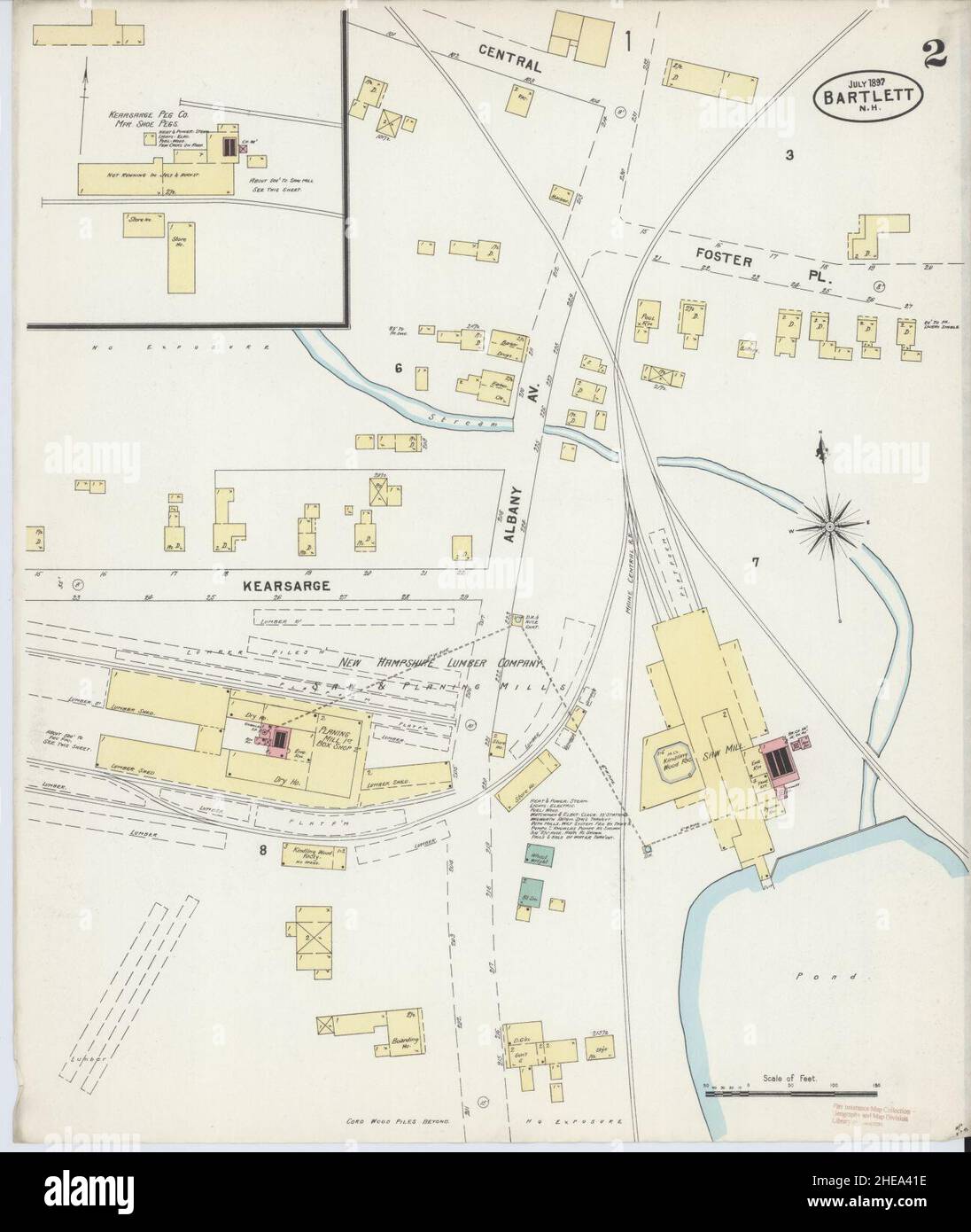 Sanborn Fire Insurance Map from Bartlett, Carroll County, New Hampshire. Stock Photohttps://www.alamy.com/image-license-details/?v=1https://www.alamy.com/sanborn-fire-insurance-map-from-bartlett-carroll-county-new-hampshire-image456297450.html
RM2HEA41E–Sanborn Fire Insurance Map from Bartlett, Carroll County, New Hampshire.
 Ellis Ashmead Bartlett Stock Photohttps://www.alamy.com/image-license-details/?v=1https://www.alamy.com/stock-photo-ellis-ashmead-bartlett-139787771.html
RMJ3BTMB–Ellis Ashmead Bartlett
 KINGDOM OF THE LOW COUNTRIES: Belgium Netherlands Luxembourg, 1830 antique map Stock Photohttps://www.alamy.com/image-license-details/?v=1https://www.alamy.com/stock-photo-kingdom-of-the-low-countries-belgium-netherlands-luxembourg-1830-antique-106472463.html
RFG566KY–KINGDOM OF THE LOW COUNTRIES: Belgium Netherlands Luxembourg, 1830 antique map
![18 of 'Switzerland. Illustrated in a series of views taken expressly for this work by W. H. Bartlett. [With a map.]' Stock Photo 18 of 'Switzerland. Illustrated in a series of views taken expressly for this work by W. H. Bartlett. [With a map.]' Stock Photo](https://c8.alamy.com/comp/FFKPPY/18-of-switzerland-illustrated-in-a-series-of-views-taken-expressly-FFKPPY.jpg) 18 of 'Switzerland. Illustrated in a series of views taken expressly for this work by W. H. Bartlett. [With a map.]' Stock Photohttps://www.alamy.com/image-license-details/?v=1https://www.alamy.com/stock-photo-18-of-switzerland-illustrated-in-a-series-of-views-taken-expressly-95706659.html
18 of 'Switzerland. Illustrated in a series of views taken expressly for this work by W. H. Bartlett. [With a map.]' Stock Photohttps://www.alamy.com/image-license-details/?v=1https://www.alamy.com/stock-photo-18-of-switzerland-illustrated-in-a-series-of-views-taken-expressly-95706659.htmlRMFFKPPY–18 of 'Switzerland. Illustrated in a series of views taken expressly for this work by W. H. Bartlett. [With a map.]'
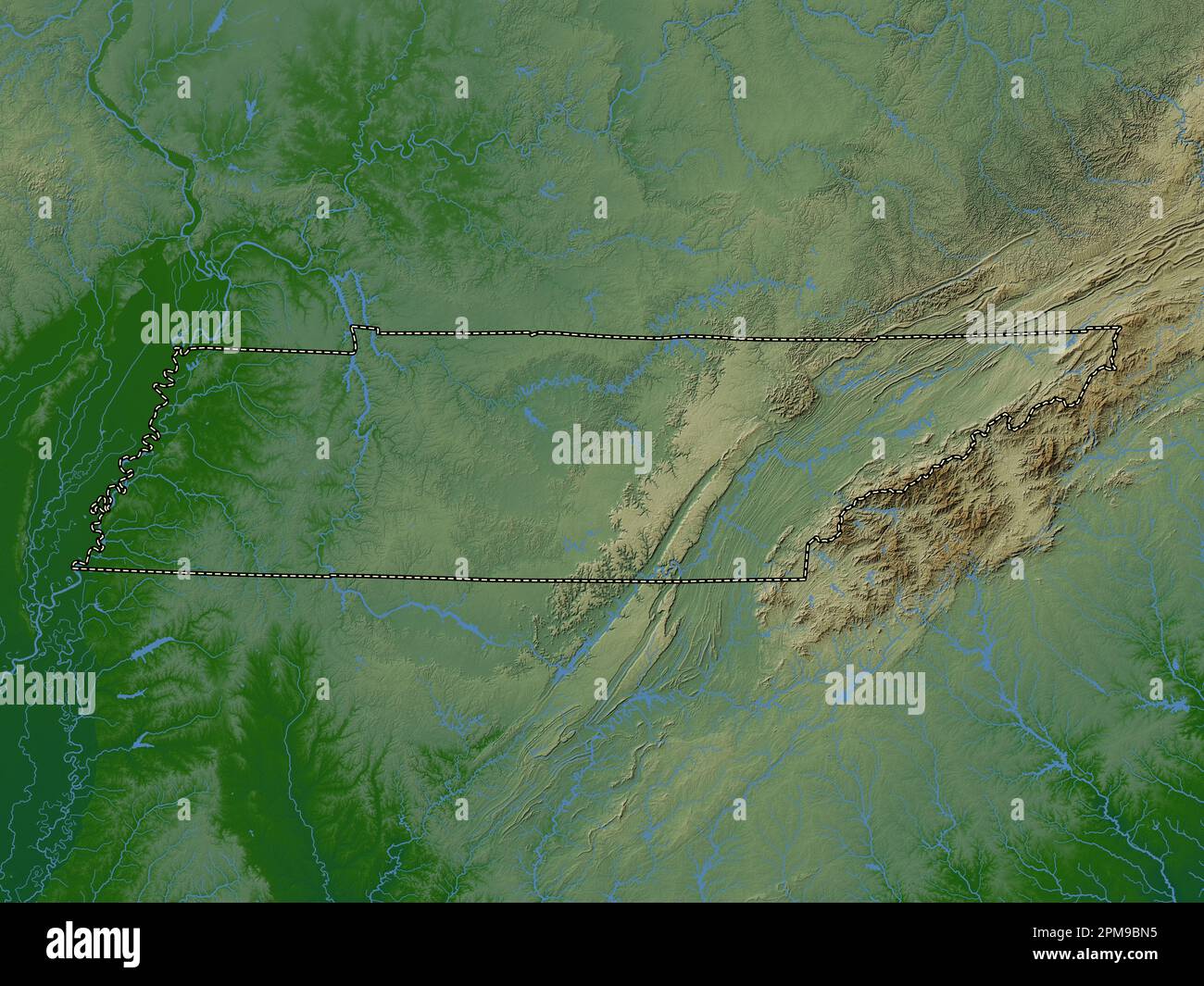 Tennessee, state of United States of America. Colored elevation map with lakes and rivers Stock Photohttps://www.alamy.com/image-license-details/?v=1https://www.alamy.com/tennessee-state-of-united-states-of-america-colored-elevation-map-with-lakes-and-rivers-image546021313.html
RF2PM9BN5–Tennessee, state of United States of America. Colored elevation map with lakes and rivers
 . P.J. Hannifan & Co.'s new commercial railroad and county map of New Yort State and gazetteer .. . V.rnTi,oii£xl/-C» A. BAMDEMER & CO., Successors to OConnoe & Co. -DEALERS IN CUT STONE FOR BUILDINGS. Fine Monumental Work in Granitea Specialty. 14 Canal Street, ROCHESTER, N. Y. JORaEXV THOMSE1V, Practical Horse Shoer SPECIALTY OF GENTLEMENS ROAD AND DRIVING HORSES And General Blacksmithing and Jobbing1. Wagons and SleighsManufactured. Repairing of all Kinds Neatly and Promptly Done on Short Notice. 9 Bartlett St., ROCHESTER, N. Y. /N. E. MASKINS, PAINTING AND PAPER HANGING. Hardwood Finishing Stock Photohttps://www.alamy.com/image-license-details/?v=1https://www.alamy.com/pj-hannifan-cos-new-commercial-railroad-and-county-map-of-new-yort-state-and-gazetteer-vrntioiixl-c-a-bamdemer-co-successors-to-oconnoe-co-dealers-in-cut-stone-for-buildings-fine-monumental-work-in-granitea-specialty-14-canal-street-rochester-n-y-joraexv-thomse1v-practical-horse-shoer-specialty-of-gentlemens-road-and-driving-horses-and-general-blacksmithing-and-jobbing1-wagons-and-sleighsmanufactured-repairing-of-all-kinds-neatly-and-promptly-done-on-short-notice-9-bartlett-st-rochester-n-y-n-e-maskins-painting-and-paper-hanging-hardwood-finishing-image375771024.html
RM2CR9RNM–. P.J. Hannifan & Co.'s new commercial railroad and county map of New Yort State and gazetteer .. . V.rnTi,oii£xl/-C» A. BAMDEMER & CO., Successors to OConnoe & Co. -DEALERS IN CUT STONE FOR BUILDINGS. Fine Monumental Work in Granitea Specialty. 14 Canal Street, ROCHESTER, N. Y. JORaEXV THOMSE1V, Practical Horse Shoer SPECIALTY OF GENTLEMENS ROAD AND DRIVING HORSES And General Blacksmithing and Jobbing1. Wagons and SleighsManufactured. Repairing of all Kinds Neatly and Promptly Done on Short Notice. 9 Bartlett St., ROCHESTER, N. Y. /N. E. MASKINS, PAINTING AND PAPER HANGING. Hardwood Finishing
 USGS TOPO Map Missouri MO Bartlett 20111216 TM Restoration Stock Photohttps://www.alamy.com/image-license-details/?v=1https://www.alamy.com/usgs-topo-map-missouri-mo-bartlett-20111216-tm-restoration-image333161880.html
RM2AA0RAG–USGS TOPO Map Missouri MO Bartlett 20111216 TM Restoration
 Bartlett, Cook County, US, United States, Illinois, N 41 59' 42'', S 88 11' 8'', map, Cartascapes Map published in 2024. Explore Cartascapes, a map revealing Earth's diverse landscapes, cultures, and ecosystems. Journey through time and space, discovering the interconnectedness of our planet's past, present, and future. Stock Photohttps://www.alamy.com/image-license-details/?v=1https://www.alamy.com/bartlett-cook-county-us-united-states-illinois-n-41-59-42-s-88-11-8-map-cartascapes-map-published-in-2024-explore-cartascapes-a-map-revealing-earths-diverse-landscapes-cultures-and-ecosystems-journey-through-time-and-space-discovering-the-interconnectedness-of-our-planets-past-present-and-future-image621300074.html
RM2Y2PJGA–Bartlett, Cook County, US, United States, Illinois, N 41 59' 42'', S 88 11' 8'', map, Cartascapes Map published in 2024. Explore Cartascapes, a map revealing Earth's diverse landscapes, cultures, and ecosystems. Journey through time and space, discovering the interconnectedness of our planet's past, present, and future.
 Sanborn Fire Insurance Map from Bartlett, Bell and Williamson Counties, Texas. Stock Photohttps://www.alamy.com/image-license-details/?v=1https://www.alamy.com/sanborn-fire-insurance-map-from-bartlett-bell-and-williamson-counties-texas-image456297435.html
RM2HEA40Y–Sanborn Fire Insurance Map from Bartlett, Bell and Williamson Counties, Texas.
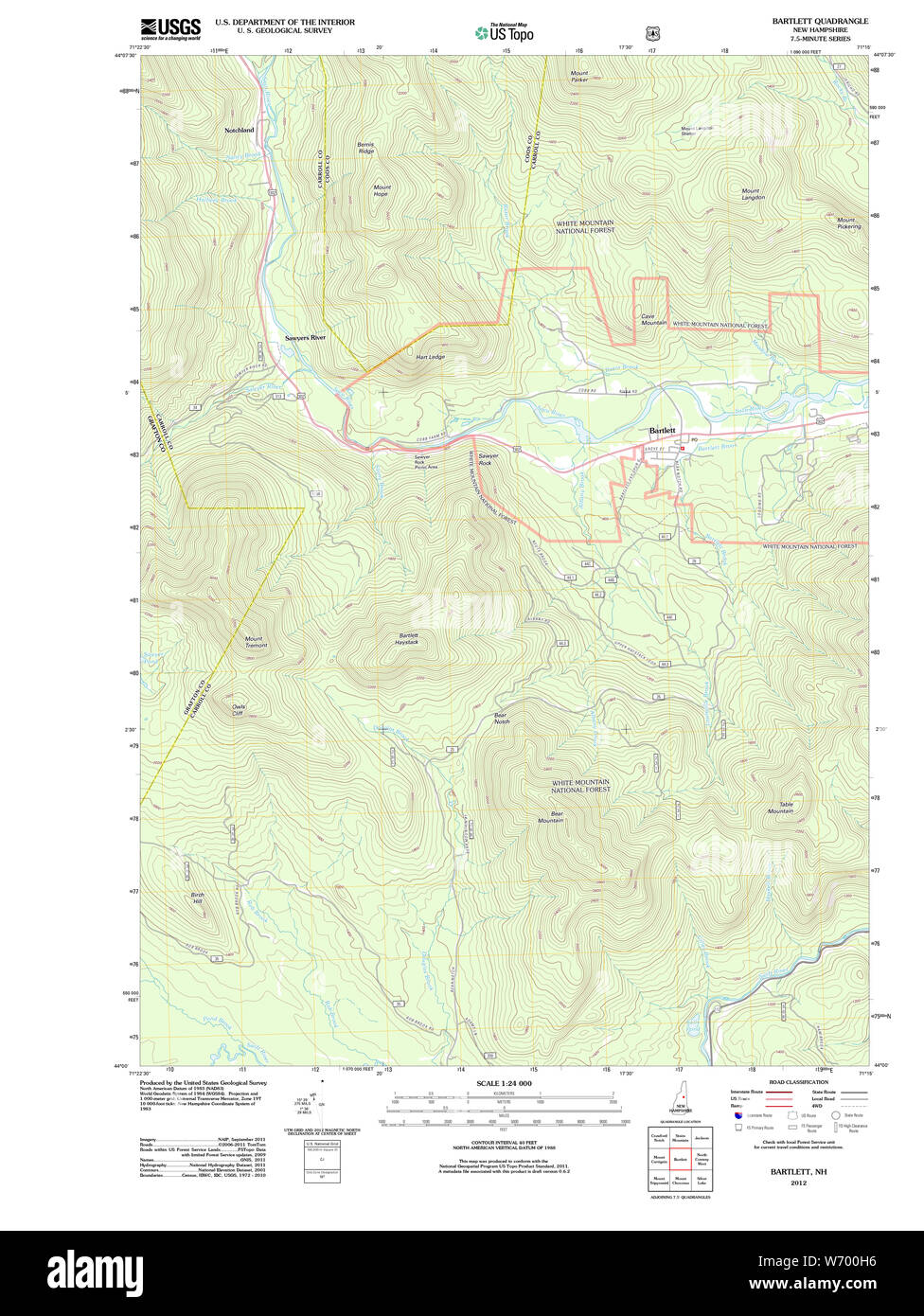 USGS TOPO Map New Hampshire NH Bartlett 20120615 TM Restoration Stock Photohttps://www.alamy.com/image-license-details/?v=1https://www.alamy.com/usgs-topo-map-new-hampshire-nh-bartlett-20120615-tm-restoration-image262458594.html
RMW700H6–USGS TOPO Map New Hampshire NH Bartlett 20120615 TM Restoration
 Maine USGS Historical Map Bartlett Island 104897 1981 24000 Restoration Stock Photohttps://www.alamy.com/image-license-details/?v=1https://www.alamy.com/maine-usgs-historical-map-bartlett-island-104897-1981-24000-restoration-image260872351.html
RMW4BN9K–Maine USGS Historical Map Bartlett Island 104897 1981 24000 Restoration
 Charles Bartlett Andrews Stock Photohttps://www.alamy.com/image-license-details/?v=1https://www.alamy.com/stock-photo-charles-bartlett-andrews-139538901.html
RMJ30F85–Charles Bartlett Andrews
 Maine USGS Historical Map King And Bartlett Mountain 20110909 TM Restoration Stock Photohttps://www.alamy.com/image-license-details/?v=1https://www.alamy.com/maine-usgs-historical-map-king-and-bartlett-mountain-20110909-tm-restoration-image260983624.html
RMW4GR7M–Maine USGS Historical Map King And Bartlett Mountain 20110909 TM Restoration