Quick filters:
Map of hornell new york Stock Photos and Images
 Hornell New York USA Shown on a Geography map or road map Stock Photohttps://www.alamy.com/image-license-details/?v=1https://www.alamy.com/hornell-new-york-usa-shown-on-a-geography-map-or-road-map-image429052355.html
RM2FX10JB–Hornell New York USA Shown on a Geography map or road map
 Image 5 of Sanborn Fire Insurance Map from Hornell, Steuben County, New York. Aug 1888. 13 Sheet(s), America, street map with a Nineteenth Century compass Stock Photohttps://www.alamy.com/image-license-details/?v=1https://www.alamy.com/image-5-of-sanborn-fire-insurance-map-from-hornell-steuben-county-new-york-aug-1888-13-sheets-america-street-map-with-a-nineteenth-century-compass-image344689443.html
RM2B0NXW7–Image 5 of Sanborn Fire Insurance Map from Hornell, Steuben County, New York. Aug 1888. 13 Sheet(s), America, street map with a Nineteenth Century compass
 Hornell, Steuben County, US, United States, New York, N 42 19' 40'', S 77 39' 39'', map, Cartascapes Map published in 2024. Explore Cartascapes, a map revealing Earth's diverse landscapes, cultures, and ecosystems. Journey through time and space, discovering the interconnectedness of our planet's past, present, and future. Stock Photohttps://www.alamy.com/image-license-details/?v=1https://www.alamy.com/hornell-steuben-county-us-united-states-new-york-n-42-19-40-s-77-39-39-map-cartascapes-map-published-in-2024-explore-cartascapes-a-map-revealing-earths-diverse-landscapes-cultures-and-ecosystems-journey-through-time-and-space-discovering-the-interconnectedness-of-our-planets-past-present-and-future-image621260957.html
RM2Y2MTK9–Hornell, Steuben County, US, United States, New York, N 42 19' 40'', S 77 39' 39'', map, Cartascapes Map published in 2024. Explore Cartascapes, a map revealing Earth's diverse landscapes, cultures, and ecosystems. Journey through time and space, discovering the interconnectedness of our planet's past, present, and future.
 Hornell pinned on a map of New York state, USA Stock Photohttps://www.alamy.com/image-license-details/?v=1https://www.alamy.com/stock-photo-hornell-pinned-on-a-map-of-new-york-state-usa-125396684.html
RFH808N0–Hornell pinned on a map of New York state, USA
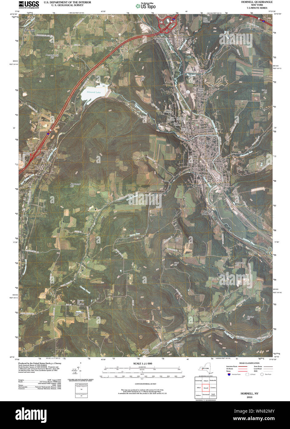 New York NY Hornell 20100317 TM Restoration Stock Photohttps://www.alamy.com/image-license-details/?v=1https://www.alamy.com/new-york-ny-hornell-20100317-tm-restoration-image271241067.html
RMWN82MY–New York NY Hornell 20100317 TM Restoration
 New York NY Hornell 139717 1918 62500 Restoration Stock Photohttps://www.alamy.com/image-license-details/?v=1https://www.alamy.com/new-york-ny-hornell-139717-1918-62500-restoration-image271240718.html
RMWN828E–New York NY Hornell 139717 1918 62500 Restoration
 Image 10 of Sanborn Fire Insurance Map from Hornell, Steuben County, New York. Aug 1888. 13 Sheet(s), America, street map with a Nineteenth Century compass Stock Photohttps://www.alamy.com/image-license-details/?v=1https://www.alamy.com/image-10-of-sanborn-fire-insurance-map-from-hornell-steuben-county-new-york-aug-1888-13-sheets-america-street-map-with-a-nineteenth-century-compass-image344689453.html
RM2B0NXWH–Image 10 of Sanborn Fire Insurance Map from Hornell, Steuben County, New York. Aug 1888. 13 Sheet(s), America, street map with a Nineteenth Century compass
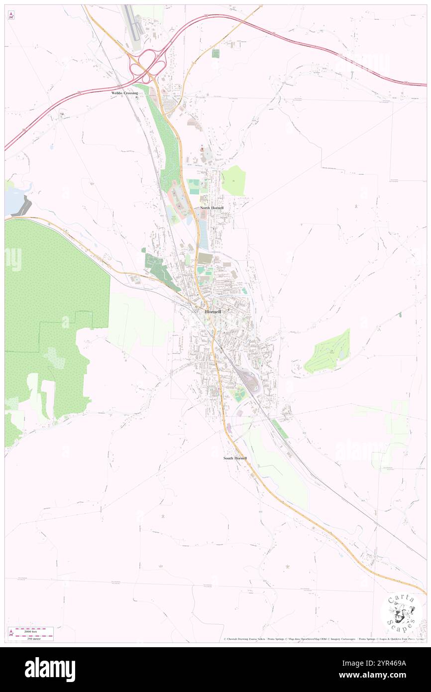 City of Hornell, Steuben County, US, United States, New York, N 42 19' 32'', S 77 39' 37'', map, Cartascapes Map published in 2024. Explore Cartascapes, a map revealing Earth's diverse landscapes, cultures, and ecosystems. Journey through time and space, discovering the interconnectedness of our planet's past, present, and future. Stock Photohttps://www.alamy.com/image-license-details/?v=1https://www.alamy.com/city-of-hornell-steuben-county-us-united-states-new-york-n-42-19-32-s-77-39-37-map-cartascapes-map-published-in-2024-explore-cartascapes-a-map-revealing-earths-diverse-landscapes-cultures-and-ecosystems-journey-through-time-and-space-discovering-the-interconnectedness-of-our-planets-past-present-and-future-image633803110.html
RM2YR469A–City of Hornell, Steuben County, US, United States, New York, N 42 19' 32'', S 77 39' 37'', map, Cartascapes Map published in 2024. Explore Cartascapes, a map revealing Earth's diverse landscapes, cultures, and ecosystems. Journey through time and space, discovering the interconnectedness of our planet's past, present, and future.
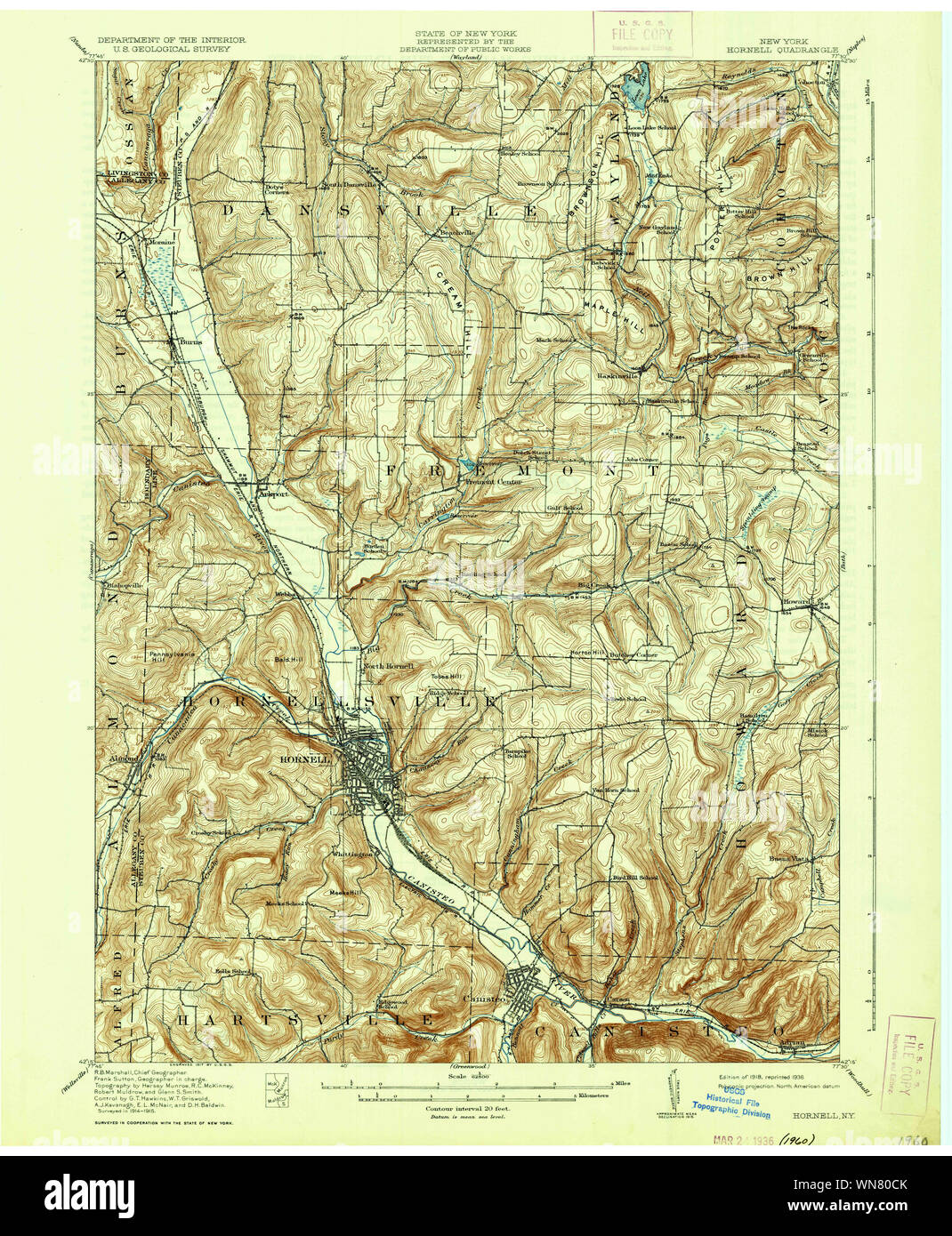 New York NY Hornell 129779 1918 62500 Restoration Stock Photohttps://www.alamy.com/image-license-details/?v=1https://www.alamy.com/new-york-ny-hornell-129779-1918-62500-restoration-image271239267.html
RMWN80CK–New York NY Hornell 129779 1918 62500 Restoration
 Image 3 of Sanborn Fire Insurance Map from Hornell, Steuben County, New York. Aug 1888. 13 Sheet(s), America, street map with a Nineteenth Century compass Stock Photohttps://www.alamy.com/image-license-details/?v=1https://www.alamy.com/image-3-of-sanborn-fire-insurance-map-from-hornell-steuben-county-new-york-aug-1888-13-sheets-america-street-map-with-a-nineteenth-century-compass-image344689437.html
RM2B0NXW1–Image 3 of Sanborn Fire Insurance Map from Hornell, Steuben County, New York. Aug 1888. 13 Sheet(s), America, street map with a Nineteenth Century compass
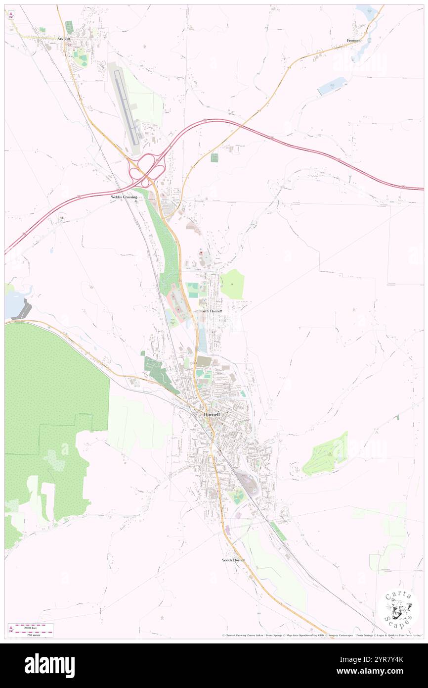 City of Hornell, Steuben County, US, United States, New York, N 42 19' 32'', S 77 39' 37'', map, Cartascapes Map published in 2024. Explore Cartascapes, a map revealing Earth's diverse landscapes, cultures, and ecosystems. Journey through time and space, discovering the interconnectedness of our planet's past, present, and future. Stock Photohttps://www.alamy.com/image-license-details/?v=1https://www.alamy.com/city-of-hornell-steuben-county-us-united-states-new-york-n-42-19-32-s-77-39-37-map-cartascapes-map-published-in-2024-explore-cartascapes-a-map-revealing-earths-diverse-landscapes-cultures-and-ecosystems-journey-through-time-and-space-discovering-the-interconnectedness-of-our-planets-past-present-and-future-image633885299.html
RM2YR7Y4K–City of Hornell, Steuben County, US, United States, New York, N 42 19' 32'', S 77 39' 37'', map, Cartascapes Map published in 2024. Explore Cartascapes, a map revealing Earth's diverse landscapes, cultures, and ecosystems. Journey through time and space, discovering the interconnectedness of our planet's past, present, and future.
 New York NY Hornell 129775 1915 62500 Restoration Stock Photohttps://www.alamy.com/image-license-details/?v=1https://www.alamy.com/new-york-ny-hornell-129775-1915-62500-restoration-image271238191.html
RMWN7Y27–New York NY Hornell 129775 1915 62500 Restoration
 Image 12 of Sanborn Fire Insurance Map from Hornell, Steuben County, New York. Aug 1888. 13 Sheet(s), America, street map with a Nineteenth Century compass Stock Photohttps://www.alamy.com/image-license-details/?v=1https://www.alamy.com/image-12-of-sanborn-fire-insurance-map-from-hornell-steuben-county-new-york-aug-1888-13-sheets-america-street-map-with-a-nineteenth-century-compass-image344689457.html
RM2B0NXWN–Image 12 of Sanborn Fire Insurance Map from Hornell, Steuben County, New York. Aug 1888. 13 Sheet(s), America, street map with a Nineteenth Century compass
 South Hornell, Steuben County, US, United States, New York, N 42 18' 7'', S 77 39' 20'', map, Cartascapes Map published in 2024. Explore Cartascapes, a map revealing Earth's diverse landscapes, cultures, and ecosystems. Journey through time and space, discovering the interconnectedness of our planet's past, present, and future. Stock Photohttps://www.alamy.com/image-license-details/?v=1https://www.alamy.com/south-hornell-steuben-county-us-united-states-new-york-n-42-18-7-s-77-39-20-map-cartascapes-map-published-in-2024-explore-cartascapes-a-map-revealing-earths-diverse-landscapes-cultures-and-ecosystems-journey-through-time-and-space-discovering-the-interconnectedness-of-our-planets-past-present-and-future-image620738440.html
RM2Y1W260–South Hornell, Steuben County, US, United States, New York, N 42 18' 7'', S 77 39' 20'', map, Cartascapes Map published in 2024. Explore Cartascapes, a map revealing Earth's diverse landscapes, cultures, and ecosystems. Journey through time and space, discovering the interconnectedness of our planet's past, present, and future.
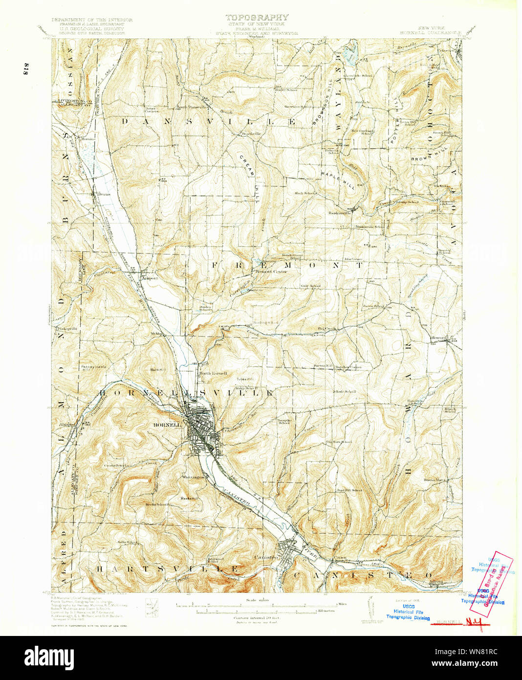 New York NY Hornell 139716 1918 62500 Restoration Stock Photohttps://www.alamy.com/image-license-details/?v=1https://www.alamy.com/new-york-ny-hornell-139716-1918-62500-restoration-image271240352.html
RMWN81RC–New York NY Hornell 139716 1918 62500 Restoration
 Image 8 of Sanborn Fire Insurance Map from Hornell, Steuben County, New York. Aug 1888. 13 Sheet(s), America, street map with a Nineteenth Century compass Stock Photohttps://www.alamy.com/image-license-details/?v=1https://www.alamy.com/image-8-of-sanborn-fire-insurance-map-from-hornell-steuben-county-new-york-aug-1888-13-sheets-america-street-map-with-a-nineteenth-century-compass-image344689448.html
RM2B0NXWC–Image 8 of Sanborn Fire Insurance Map from Hornell, Steuben County, New York. Aug 1888. 13 Sheet(s), America, street map with a Nineteenth Century compass
 North Hornell, Steuben County, US, United States, New York, N 42 20' 46'', S 77 39' 40'', map, Cartascapes Map published in 2024. Explore Cartascapes, a map revealing Earth's diverse landscapes, cultures, and ecosystems. Journey through time and space, discovering the interconnectedness of our planet's past, present, and future. Stock Photohttps://www.alamy.com/image-license-details/?v=1https://www.alamy.com/north-hornell-steuben-county-us-united-states-new-york-n-42-20-46-s-77-39-40-map-cartascapes-map-published-in-2024-explore-cartascapes-a-map-revealing-earths-diverse-landscapes-cultures-and-ecosystems-journey-through-time-and-space-discovering-the-interconnectedness-of-our-planets-past-present-and-future-image620812024.html
RM2Y20C20–North Hornell, Steuben County, US, United States, New York, N 42 20' 46'', S 77 39' 40'', map, Cartascapes Map published in 2024. Explore Cartascapes, a map revealing Earth's diverse landscapes, cultures, and ecosystems. Journey through time and space, discovering the interconnectedness of our planet's past, present, and future.
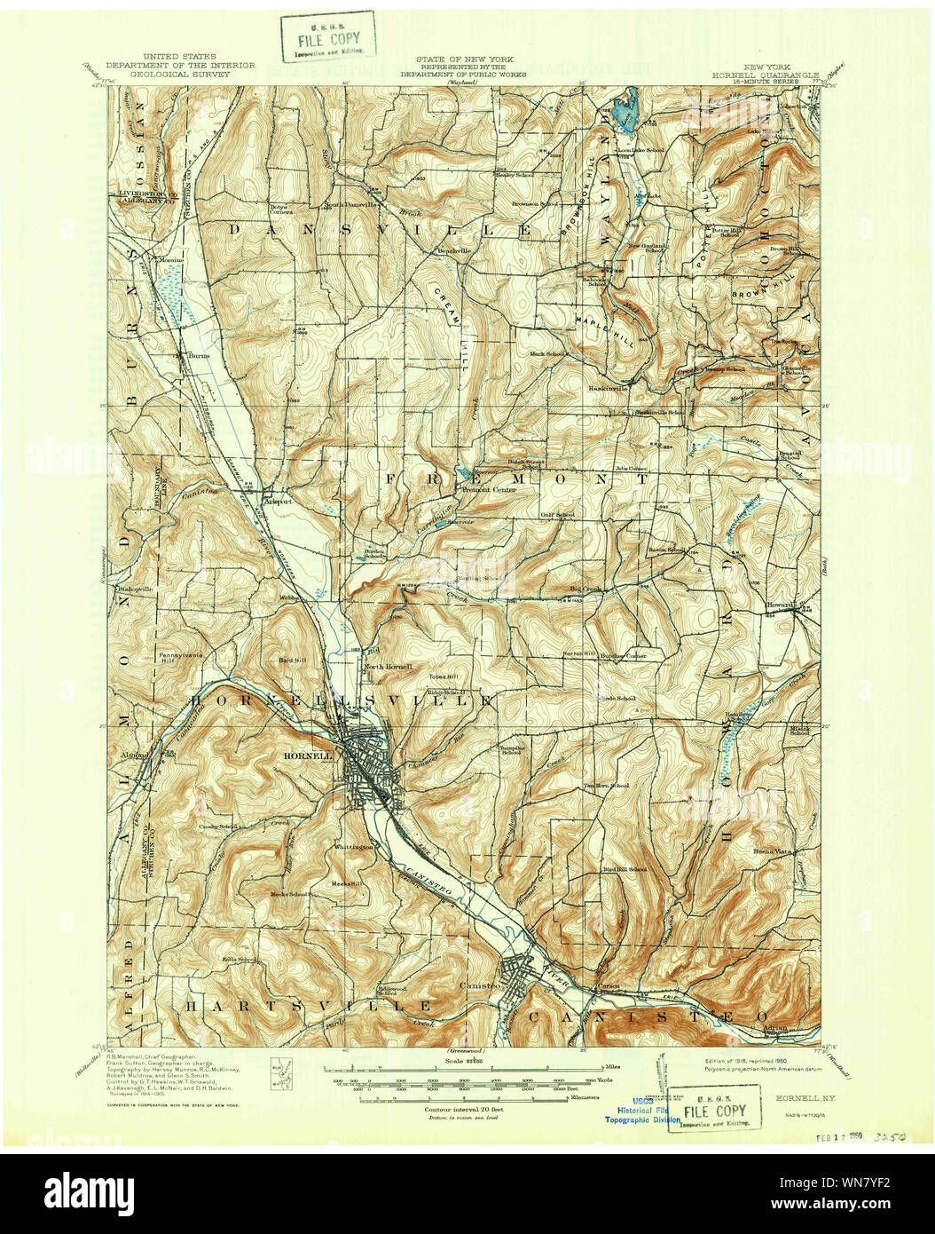 New York NY Hornell 129777 1918 62500 Restoration Stock Photohttps://www.alamy.com/image-license-details/?v=1https://www.alamy.com/new-york-ny-hornell-129777-1918-62500-restoration-image271238550.html
RMWN7YF2–New York NY Hornell 129777 1918 62500 Restoration
 Image 7 of Sanborn Fire Insurance Map from Hornell, Steuben County, New York. Aug 1888. 13 Sheet(s), America, street map with a Nineteenth Century compass Stock Photohttps://www.alamy.com/image-license-details/?v=1https://www.alamy.com/image-7-of-sanborn-fire-insurance-map-from-hornell-steuben-county-new-york-aug-1888-13-sheets-america-street-map-with-a-nineteenth-century-compass-image344689446.html
RM2B0NXWA–Image 7 of Sanborn Fire Insurance Map from Hornell, Steuben County, New York. Aug 1888. 13 Sheet(s), America, street map with a Nineteenth Century compass
 Village of North Hornell, Steuben County, US, United States, New York, N 42 20' 43'', S 77 39' 38'', map, Cartascapes Map published in 2024. Explore Cartascapes, a map revealing Earth's diverse landscapes, cultures, and ecosystems. Journey through time and space, discovering the interconnectedness of our planet's past, present, and future. Stock Photohttps://www.alamy.com/image-license-details/?v=1https://www.alamy.com/village-of-north-hornell-steuben-county-us-united-states-new-york-n-42-20-43-s-77-39-38-map-cartascapes-map-published-in-2024-explore-cartascapes-a-map-revealing-earths-diverse-landscapes-cultures-and-ecosystems-journey-through-time-and-space-discovering-the-interconnectedness-of-our-planets-past-present-and-future-image633877063.html
RM2YR7GJF–Village of North Hornell, Steuben County, US, United States, New York, N 42 20' 43'', S 77 39' 38'', map, Cartascapes Map published in 2024. Explore Cartascapes, a map revealing Earth's diverse landscapes, cultures, and ecosystems. Journey through time and space, discovering the interconnectedness of our planet's past, present, and future.
 New York NY Hornell 129778 1918 62500 Restoration Stock Photohttps://www.alamy.com/image-license-details/?v=1https://www.alamy.com/new-york-ny-hornell-129778-1918-62500-restoration-image271238899.html
RMWN7YYF–New York NY Hornell 129778 1918 62500 Restoration
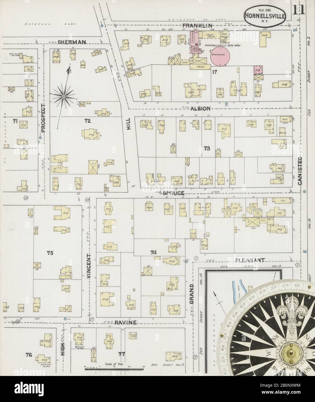 Image 11 of Sanborn Fire Insurance Map from Hornell, Steuben County, New York. Aug 1888. 13 Sheet(s), America, street map with a Nineteenth Century compass Stock Photohttps://www.alamy.com/image-license-details/?v=1https://www.alamy.com/image-11-of-sanborn-fire-insurance-map-from-hornell-steuben-county-new-york-aug-1888-13-sheets-america-street-map-with-a-nineteenth-century-compass-image344689456.html
RM2B0NXWM–Image 11 of Sanborn Fire Insurance Map from Hornell, Steuben County, New York. Aug 1888. 13 Sheet(s), America, street map with a Nineteenth Century compass
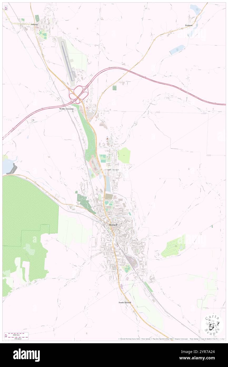 Village of North Hornell, Steuben County, US, United States, New York, N 42 20' 43'', S 77 39' 38'', map, Cartascapes Map published in 2024. Explore Cartascapes, a map revealing Earth's diverse landscapes, cultures, and ecosystems. Journey through time and space, discovering the interconnectedness of our planet's past, present, and future. Stock Photohttps://www.alamy.com/image-license-details/?v=1https://www.alamy.com/village-of-north-hornell-steuben-county-us-united-states-new-york-n-42-20-43-s-77-39-38-map-cartascapes-map-published-in-2024-explore-cartascapes-a-map-revealing-earths-diverse-landscapes-cultures-and-ecosystems-journey-through-time-and-space-discovering-the-interconnectedness-of-our-planets-past-present-and-future-image633871900.html
RM2YR7A24–Village of North Hornell, Steuben County, US, United States, New York, N 42 20' 43'', S 77 39' 38'', map, Cartascapes Map published in 2024. Explore Cartascapes, a map revealing Earth's diverse landscapes, cultures, and ecosystems. Journey through time and space, discovering the interconnectedness of our planet's past, present, and future.
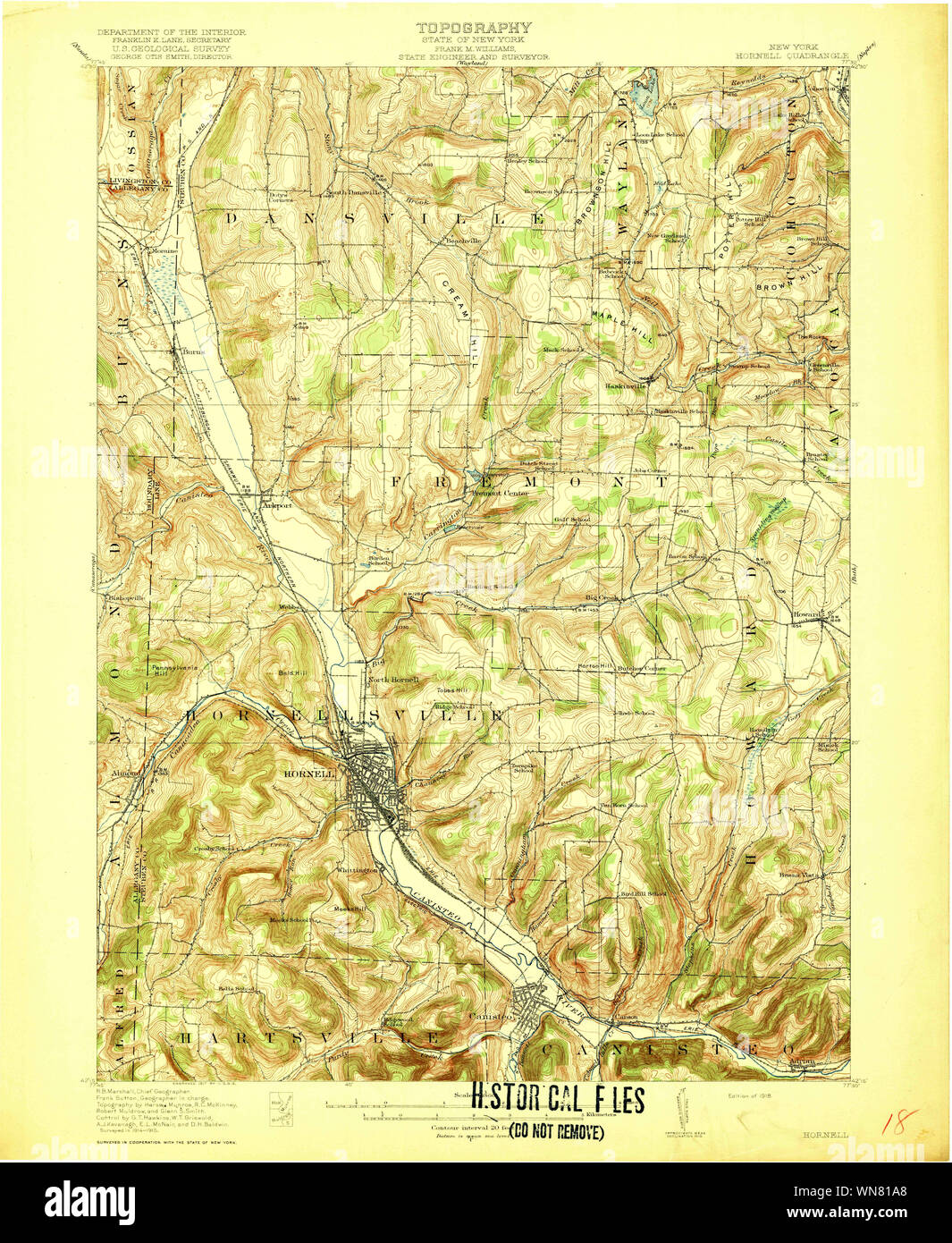 New York NY Hornell 139714 1918 62500 Restoration Stock Photohttps://www.alamy.com/image-license-details/?v=1https://www.alamy.com/new-york-ny-hornell-139714-1918-62500-restoration-image271239984.html
RMWN81A8–New York NY Hornell 139714 1918 62500 Restoration
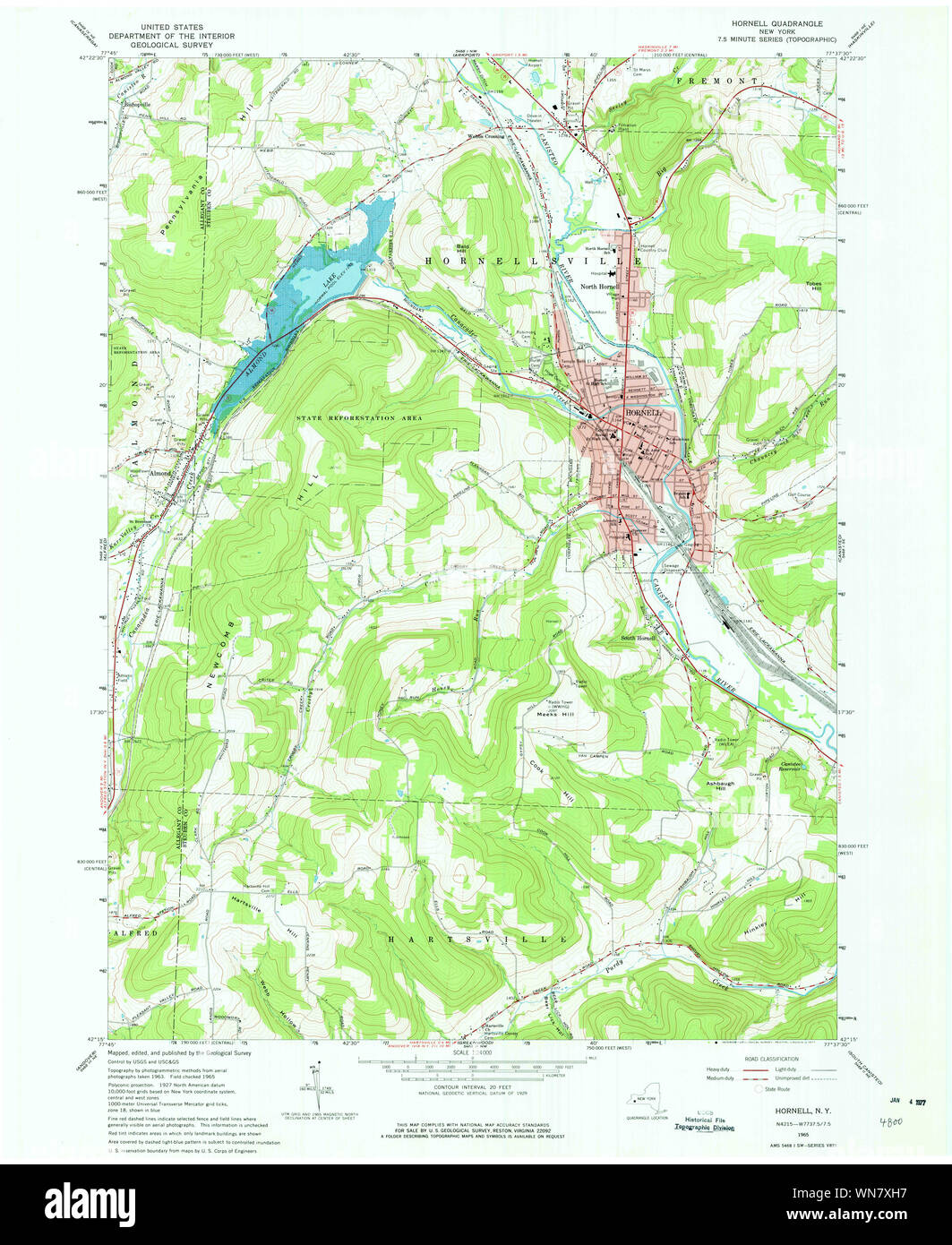 New York NY Hornell 129772 1965 24000 Restoration Stock Photohttps://www.alamy.com/image-license-details/?v=1https://www.alamy.com/new-york-ny-hornell-129772-1965-24000-restoration-image271237827.html
RMWN7XH7–New York NY Hornell 129772 1965 24000 Restoration
 Image 13 of Sanborn Fire Insurance Map from Hornell, Steuben County, New York. Aug 1888. 13 Sheet(s), America, street map with a Nineteenth Century compass Stock Photohttps://www.alamy.com/image-license-details/?v=1https://www.alamy.com/image-13-of-sanborn-fire-insurance-map-from-hornell-steuben-county-new-york-aug-1888-13-sheets-america-street-map-with-a-nineteenth-century-compass-image344689459.html
RM2B0NXWR–Image 13 of Sanborn Fire Insurance Map from Hornell, Steuben County, New York. Aug 1888. 13 Sheet(s), America, street map with a Nineteenth Century compass
 Hornell Mobile Home Park - Edgeview Estates, Steuben County, US, United States, New York, N 42 18' 35'', S 77 38' 37'', map, Cartascapes Map published in 2024. Explore Cartascapes, a map revealing Earth's diverse landscapes, cultures, and ecosystems. Journey through time and space, discovering the interconnectedness of our planet's past, present, and future. Stock Photohttps://www.alamy.com/image-license-details/?v=1https://www.alamy.com/hornell-mobile-home-park-edgeview-estates-steuben-county-us-united-states-new-york-n-42-18-35-s-77-38-37-map-cartascapes-map-published-in-2024-explore-cartascapes-a-map-revealing-earths-diverse-landscapes-cultures-and-ecosystems-journey-through-time-and-space-discovering-the-interconnectedness-of-our-planets-past-present-and-future-image620855564.html
RM2Y22BH0–Hornell Mobile Home Park - Edgeview Estates, Steuben County, US, United States, New York, N 42 18' 35'', S 77 38' 37'', map, Cartascapes Map published in 2024. Explore Cartascapes, a map revealing Earth's diverse landscapes, cultures, and ecosystems. Journey through time and space, discovering the interconnectedness of our planet's past, present, and future.
 New York NY Hornell 129771 1978 24000 Restoration Stock Photohttps://www.alamy.com/image-license-details/?v=1https://www.alamy.com/new-york-ny-hornell-129771-1978-24000-restoration-image271237475.html
RMWN7X4K–New York NY Hornell 129771 1978 24000 Restoration
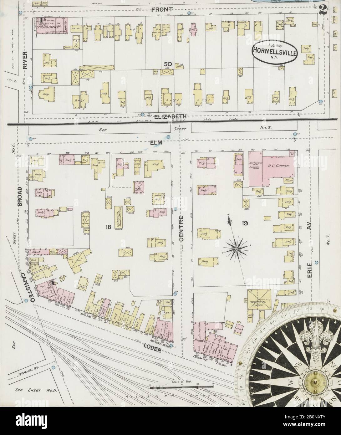 Image 2 of Sanborn Fire Insurance Map from Hornell, Steuben County, New York. Aug 1888. 13 Sheet(s), America, street map with a Nineteenth Century compass Stock Photohttps://www.alamy.com/image-license-details/?v=1https://www.alamy.com/image-2-of-sanborn-fire-insurance-map-from-hornell-steuben-county-new-york-aug-1888-13-sheets-america-street-map-with-a-nineteenth-century-compass-image344689435.html
RM2B0NXTY–Image 2 of Sanborn Fire Insurance Map from Hornell, Steuben County, New York. Aug 1888. 13 Sheet(s), America, street map with a Nineteenth Century compass
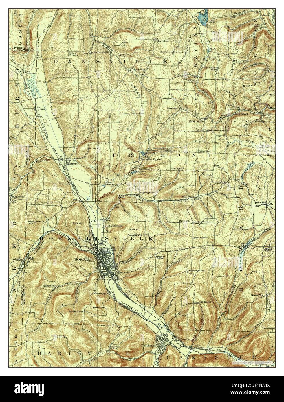 Hornell, New York, map 1918, 1:62500, United States of America by Timeless Maps, data U.S. Geological Survey Stock Photohttps://www.alamy.com/image-license-details/?v=1https://www.alamy.com/hornell-new-york-map-1918-162500-united-states-of-america-by-timeless-maps-data-us-geological-survey-image414132458.html
RM2F1NA4X–Hornell, New York, map 1918, 1:62500, United States of America by Timeless Maps, data U.S. Geological Survey
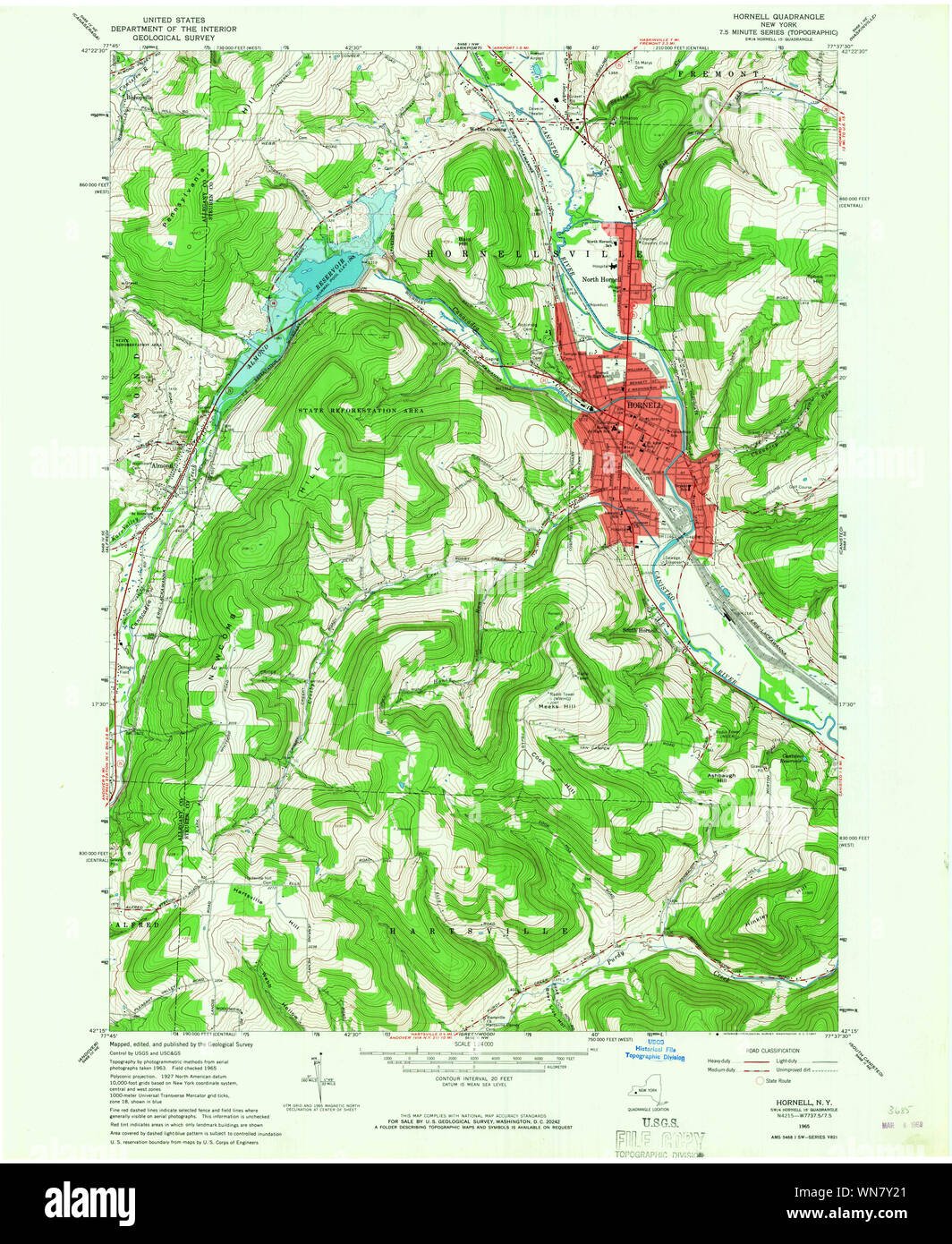 New York NY Hornell 129773 1965 24000 Restoration Stock Photohttps://www.alamy.com/image-license-details/?v=1https://www.alamy.com/new-york-ny-hornell-129773-1965-24000-restoration-image271238185.html
RMWN7Y21–New York NY Hornell 129773 1965 24000 Restoration
 Image 6 of Sanborn Fire Insurance Map from Hornell, Steuben County, New York. Aug 1888. 13 Sheet(s), America, street map with a Nineteenth Century compass Stock Photohttps://www.alamy.com/image-license-details/?v=1https://www.alamy.com/image-6-of-sanborn-fire-insurance-map-from-hornell-steuben-county-new-york-aug-1888-13-sheets-america-street-map-with-a-nineteenth-century-compass-image344689445.html
RM2B0NXW9–Image 6 of Sanborn Fire Insurance Map from Hornell, Steuben County, New York. Aug 1888. 13 Sheet(s), America, street map with a Nineteenth Century compass
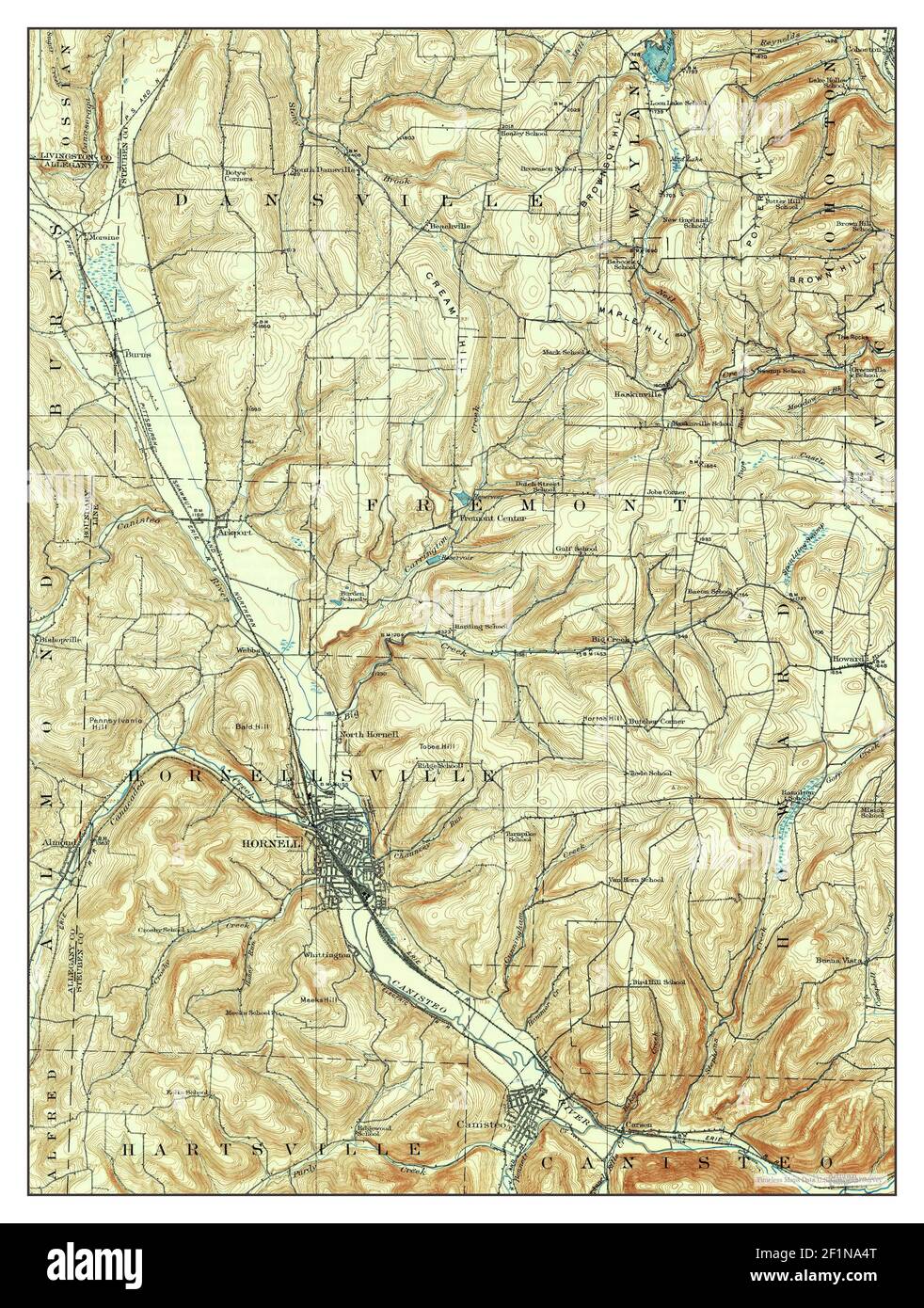 Hornell, New York, map 1918, 1:62500, United States of America by Timeless Maps, data U.S. Geological Survey Stock Photohttps://www.alamy.com/image-license-details/?v=1https://www.alamy.com/hornell-new-york-map-1918-162500-united-states-of-america-by-timeless-maps-data-us-geological-survey-image414132456.html
RM2F1NA4T–Hornell, New York, map 1918, 1:62500, United States of America by Timeless Maps, data U.S. Geological Survey
 New York NY Hornell 137267 1986 100000 Restoration Stock Photohttps://www.alamy.com/image-license-details/?v=1https://www.alamy.com/new-york-ny-hornell-137267-1986-100000-restoration-image271239607.html
RMWN80TR–New York NY Hornell 137267 1986 100000 Restoration
 Image 1 of Sanborn Fire Insurance Map from Hornell, Steuben County, New York. Aug 1888. 13 Sheet(s), America, street map with a Nineteenth Century compass Stock Photohttps://www.alamy.com/image-license-details/?v=1https://www.alamy.com/image-1-of-sanborn-fire-insurance-map-from-hornell-steuben-county-new-york-aug-1888-13-sheets-america-street-map-with-a-nineteenth-century-compass-image344689433.html
RM2B0NXTW–Image 1 of Sanborn Fire Insurance Map from Hornell, Steuben County, New York. Aug 1888. 13 Sheet(s), America, street map with a Nineteenth Century compass
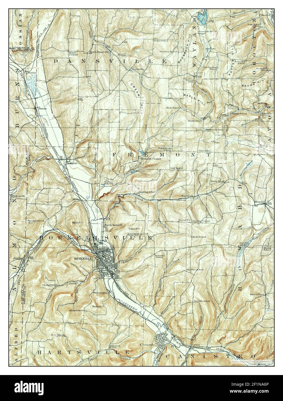 Hornell, New York, map 1915, 1:62500, United States of America by Timeless Maps, data U.S. Geological Survey Stock Photohttps://www.alamy.com/image-license-details/?v=1https://www.alamy.com/hornell-new-york-map-1915-162500-united-states-of-america-by-timeless-maps-data-us-geological-survey-image414132510.html
RM2F1NA6P–Hornell, New York, map 1915, 1:62500, United States of America by Timeless Maps, data U.S. Geological Survey
 New York NY Hornell 137265 1986 100000 Restoration Stock Photohttps://www.alamy.com/image-license-details/?v=1https://www.alamy.com/new-york-ny-hornell-137265-1986-100000-restoration-image271239242.html
RMWN80BP–New York NY Hornell 137265 1986 100000 Restoration
 New York NY Hornell 20100317 TM Inverted Restoration Stock Photohttps://www.alamy.com/image-license-details/?v=1https://www.alamy.com/new-york-ny-hornell-20100317-tm-inverted-restoration-image271240744.html
RMWN829C–New York NY Hornell 20100317 TM Inverted Restoration
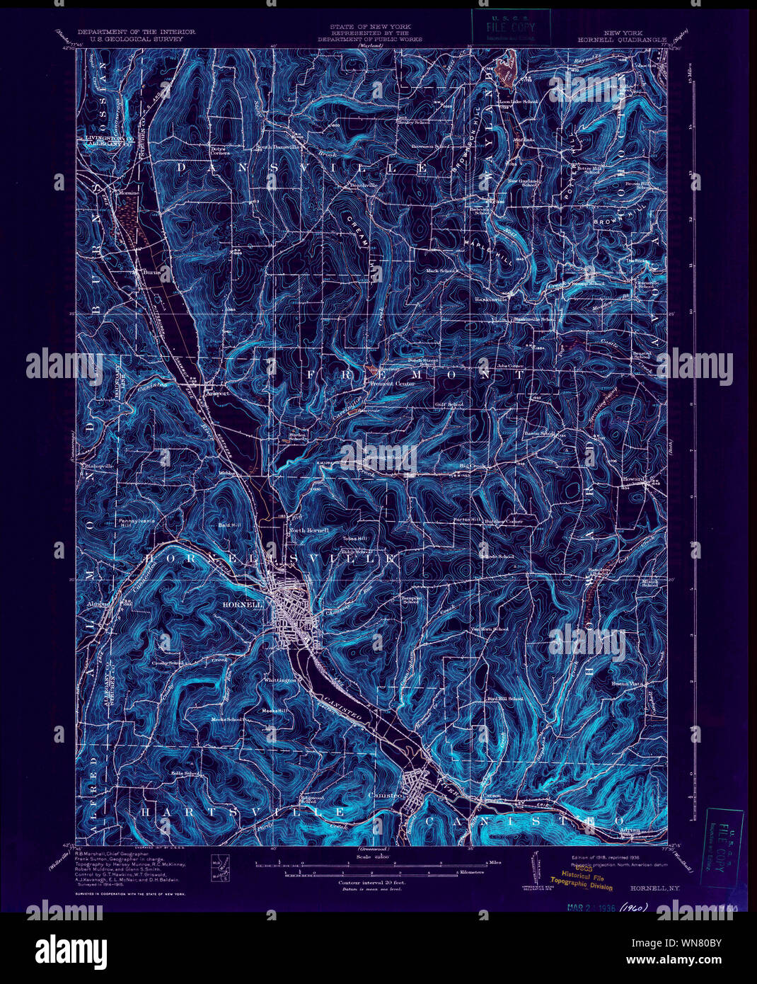 New York NY Hornell 129779 1918 62500 Inverted Restoration Stock Photohttps://www.alamy.com/image-license-details/?v=1https://www.alamy.com/new-york-ny-hornell-129779-1918-62500-inverted-restoration-image271239247.html
RMWN80BY–New York NY Hornell 129779 1918 62500 Inverted Restoration
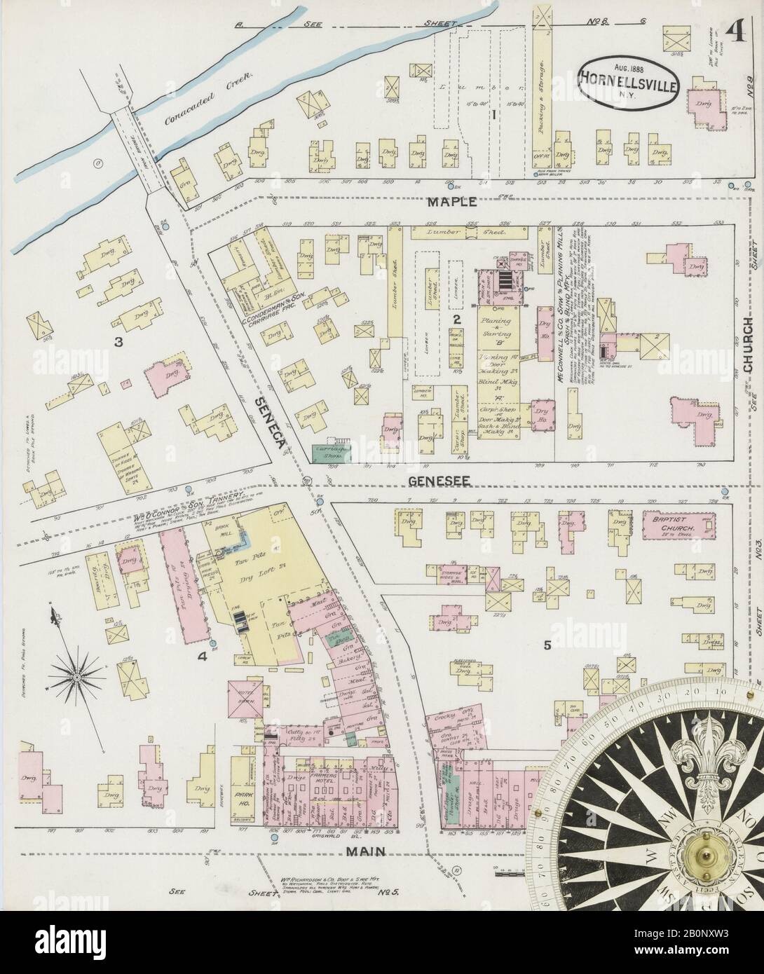 Image 4 of Sanborn Fire Insurance Map from Hornell, Steuben County, New York. Aug 1888. 13 Sheet(s), America, street map with a Nineteenth Century compass Stock Photohttps://www.alamy.com/image-license-details/?v=1https://www.alamy.com/image-4-of-sanborn-fire-insurance-map-from-hornell-steuben-county-new-york-aug-1888-13-sheets-america-street-map-with-a-nineteenth-century-compass-image344689439.html
RM2B0NXW3–Image 4 of Sanborn Fire Insurance Map from Hornell, Steuben County, New York. Aug 1888. 13 Sheet(s), America, street map with a Nineteenth Century compass
 Hornell, New York, map 1918, 1:62500, United States of America by Timeless Maps, data U.S. Geological Survey Stock Photohttps://www.alamy.com/image-license-details/?v=1https://www.alamy.com/hornell-new-york-map-1918-162500-united-states-of-america-by-timeless-maps-data-us-geological-survey-image414132509.html
RM2F1NA6N–Hornell, New York, map 1918, 1:62500, United States of America by Timeless Maps, data U.S. Geological Survey
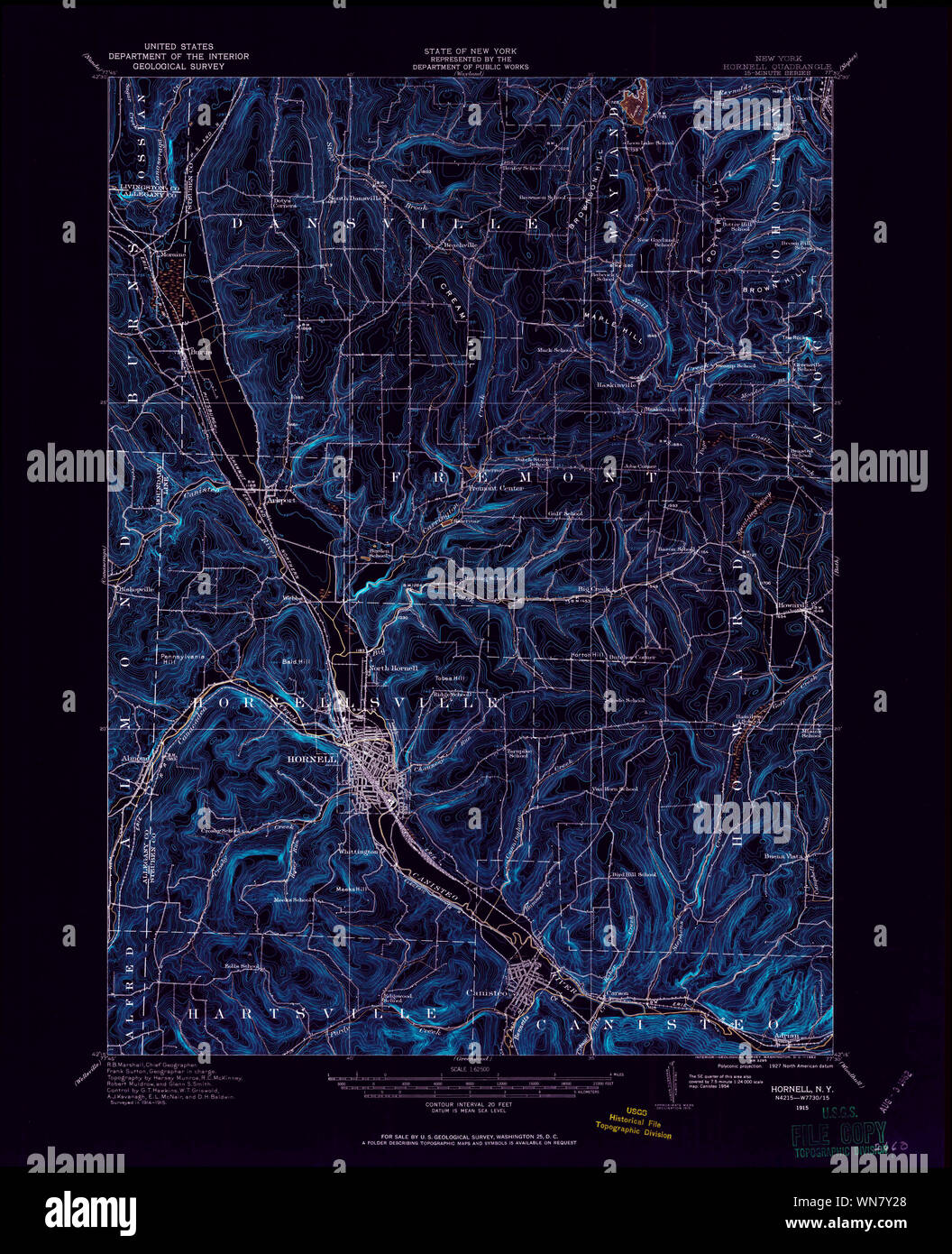 New York NY Hornell 129775 1915 62500 Inverted Restoration Stock Photohttps://www.alamy.com/image-license-details/?v=1https://www.alamy.com/new-york-ny-hornell-129775-1915-62500-inverted-restoration-image271238192.html
RMWN7Y28–New York NY Hornell 129775 1915 62500 Inverted Restoration
 Image 9 of Sanborn Fire Insurance Map from Hornell, Steuben County, New York. Aug 1888. 13 Sheet(s), America, street map with a Nineteenth Century compass Stock Photohttps://www.alamy.com/image-license-details/?v=1https://www.alamy.com/image-9-of-sanborn-fire-insurance-map-from-hornell-steuben-county-new-york-aug-1888-13-sheets-america-street-map-with-a-nineteenth-century-compass-image344689451.html
RM2B0NXWF–Image 9 of Sanborn Fire Insurance Map from Hornell, Steuben County, New York. Aug 1888. 13 Sheet(s), America, street map with a Nineteenth Century compass
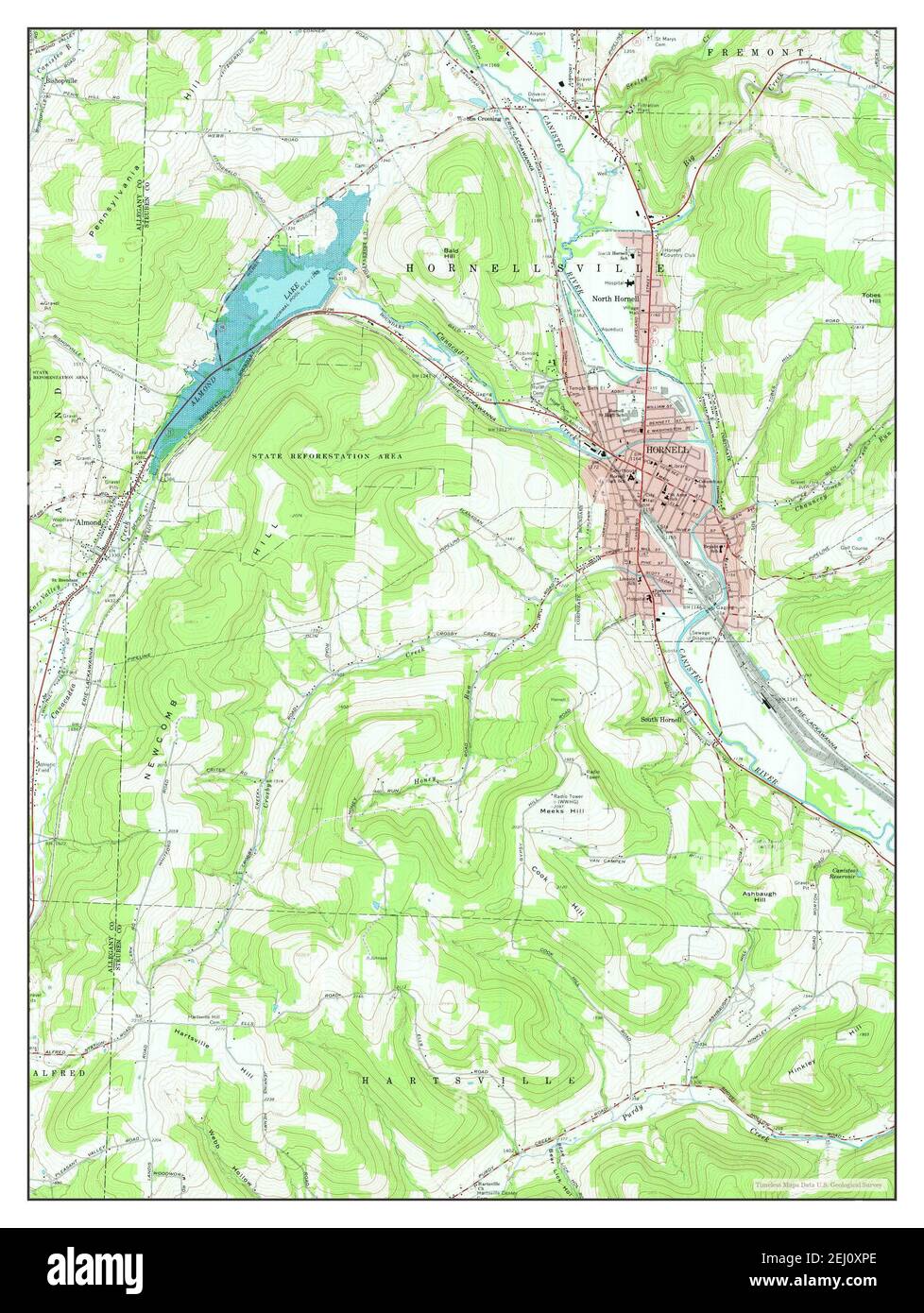 Hornell, New York, map 1965, 1:24000, United States of America by Timeless Maps, data U.S. Geological Survey Stock Photohttps://www.alamy.com/image-license-details/?v=1https://www.alamy.com/hornell-new-york-map-1965-124000-united-states-of-america-by-timeless-maps-data-us-geological-survey-image406923286.html
RM2EJ0XPE–Hornell, New York, map 1965, 1:24000, United States of America by Timeless Maps, data U.S. Geological Survey
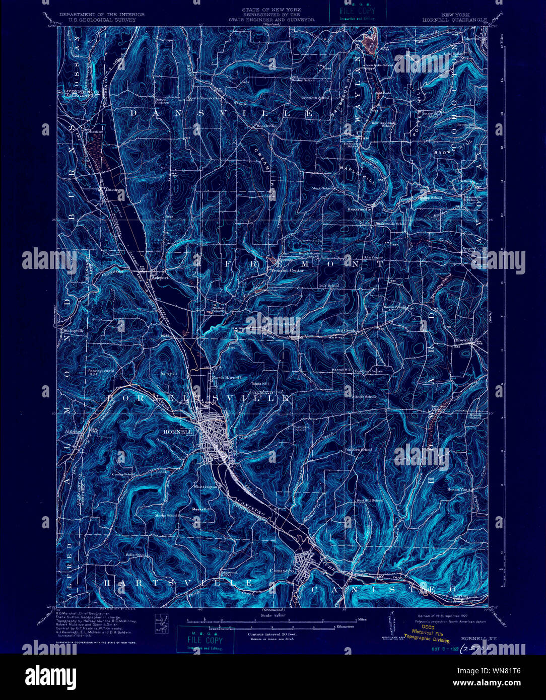 New York NY Hornell 139717 1918 62500 Inverted Restoration Stock Photohttps://www.alamy.com/image-license-details/?v=1https://www.alamy.com/new-york-ny-hornell-139717-1918-62500-inverted-restoration-image271240374.html
RMWN81T6–New York NY Hornell 139717 1918 62500 Inverted Restoration
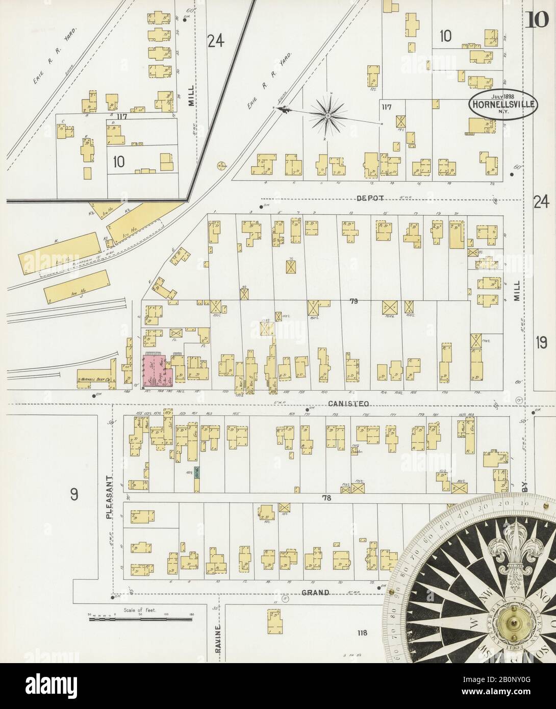 Image 10 of Sanborn Fire Insurance Map from Hornell, Steuben County, New York. Jul 1898. 24 Sheet(s). Includes Arkport, America, street map with a Nineteenth Century compass Stock Photohttps://www.alamy.com/image-license-details/?v=1https://www.alamy.com/image-10-of-sanborn-fire-insurance-map-from-hornell-steuben-county-new-york-jul-1898-24-sheets-includes-arkport-america-street-map-with-a-nineteenth-century-compass-image344689536.html
RM2B0NY0G–Image 10 of Sanborn Fire Insurance Map from Hornell, Steuben County, New York. Jul 1898. 24 Sheet(s). Includes Arkport, America, street map with a Nineteenth Century compass
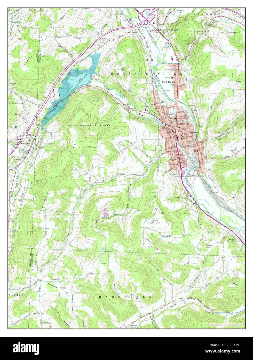 Hornell, New York, map 1978, 1:24000, United States of America by Timeless Maps, data U.S. Geological Survey Stock Photohttps://www.alamy.com/image-license-details/?v=1https://www.alamy.com/hornell-new-york-map-1978-124000-united-states-of-america-by-timeless-maps-data-us-geological-survey-image406923284.html
RM2EJ0XPC–Hornell, New York, map 1978, 1:24000, United States of America by Timeless Maps, data U.S. Geological Survey
 New York NY Hornell 139716 1918 62500 Inverted Restoration Stock Photohttps://www.alamy.com/image-license-details/?v=1https://www.alamy.com/new-york-ny-hornell-139716-1918-62500-inverted-restoration-image271240357.html
RMWN81RH–New York NY Hornell 139716 1918 62500 Inverted Restoration
 Image 20 of Sanborn Fire Insurance Map from Hornell, Steuben County, New York. Jul 1898. 24 Sheet(s). Includes Arkport, America, street map with a Nineteenth Century compass Stock Photohttps://www.alamy.com/image-license-details/?v=1https://www.alamy.com/image-20-of-sanborn-fire-insurance-map-from-hornell-steuben-county-new-york-jul-1898-24-sheets-includes-arkport-america-street-map-with-a-nineteenth-century-compass-image344689558.html
RM2B0NY1A–Image 20 of Sanborn Fire Insurance Map from Hornell, Steuben County, New York. Jul 1898. 24 Sheet(s). Includes Arkport, America, street map with a Nineteenth Century compass
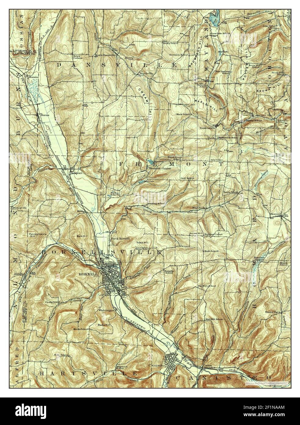 Hornell, New York, map 1918, 1:62500, United States of America by Timeless Maps, data U.S. Geological Survey Stock Photohttps://www.alamy.com/image-license-details/?v=1https://www.alamy.com/hornell-new-york-map-1918-162500-united-states-of-america-by-timeless-maps-data-us-geological-survey-image414132620.html
RM2F1NAAM–Hornell, New York, map 1918, 1:62500, United States of America by Timeless Maps, data U.S. Geological Survey
 New York NY Hornell 129777 1918 62500 Inverted Restoration Stock Photohttps://www.alamy.com/image-license-details/?v=1https://www.alamy.com/new-york-ny-hornell-129777-1918-62500-inverted-restoration-image271238554.html
RMWN7YF6–New York NY Hornell 129777 1918 62500 Inverted Restoration
 Image 11 of Sanborn Fire Insurance Map from Hornell, Steuben County, New York. Jul 1898. 24 Sheet(s). Includes Arkport, America, street map with a Nineteenth Century compass Stock Photohttps://www.alamy.com/image-license-details/?v=1https://www.alamy.com/image-11-of-sanborn-fire-insurance-map-from-hornell-steuben-county-new-york-jul-1898-24-sheets-includes-arkport-america-street-map-with-a-nineteenth-century-compass-image344689539.html
RM2B0NY0K–Image 11 of Sanborn Fire Insurance Map from Hornell, Steuben County, New York. Jul 1898. 24 Sheet(s). Includes Arkport, America, street map with a Nineteenth Century compass
 Hornell, New York, map 1918, 1:62500, United States of America by Timeless Maps, data U.S. Geological Survey Stock Photohttps://www.alamy.com/image-license-details/?v=1https://www.alamy.com/hornell-new-york-map-1918-162500-united-states-of-america-by-timeless-maps-data-us-geological-survey-image414132549.html
RM2F1NA85–Hornell, New York, map 1918, 1:62500, United States of America by Timeless Maps, data U.S. Geological Survey
 New York NY Hornell 129778 1918 62500 Inverted Restoration Stock Photohttps://www.alamy.com/image-license-details/?v=1https://www.alamy.com/new-york-ny-hornell-129778-1918-62500-inverted-restoration-image271238893.html
RMWN7YY9–New York NY Hornell 129778 1918 62500 Inverted Restoration
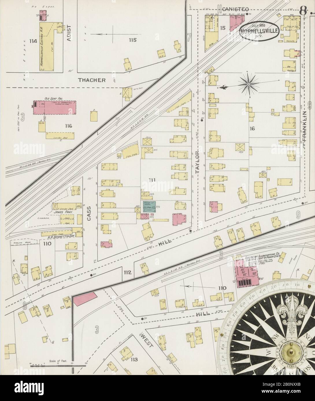 Image 8 of Sanborn Fire Insurance Map from Hornell, Steuben County, New York. Jul 1893. 21 Sheet(s). Includes Arkport, America, street map with a Nineteenth Century compass Stock Photohttps://www.alamy.com/image-license-details/?v=1https://www.alamy.com/image-8-of-sanborn-fire-insurance-map-from-hornell-steuben-county-new-york-jul-1893-21-sheets-includes-arkport-america-street-map-with-a-nineteenth-century-compass-image344689475.html
RM2B0NXXB–Image 8 of Sanborn Fire Insurance Map from Hornell, Steuben County, New York. Jul 1893. 21 Sheet(s). Includes Arkport, America, street map with a Nineteenth Century compass
 Hornell, New York, map 1986, 1:100000, United States of America by Timeless Maps, data U.S. Geological Survey Stock Photohttps://www.alamy.com/image-license-details/?v=1https://www.alamy.com/hornell-new-york-map-1986-1100000-united-states-of-america-by-timeless-maps-data-us-geological-survey-image406923288.html
RM2EJ0XPG–Hornell, New York, map 1986, 1:100000, United States of America by Timeless Maps, data U.S. Geological Survey
 New York NY Hornell 139714 1918 62500 Inverted Restoration Stock Photohttps://www.alamy.com/image-license-details/?v=1https://www.alamy.com/new-york-ny-hornell-139714-1918-62500-inverted-restoration-image271239993.html
RMWN81AH–New York NY Hornell 139714 1918 62500 Inverted Restoration
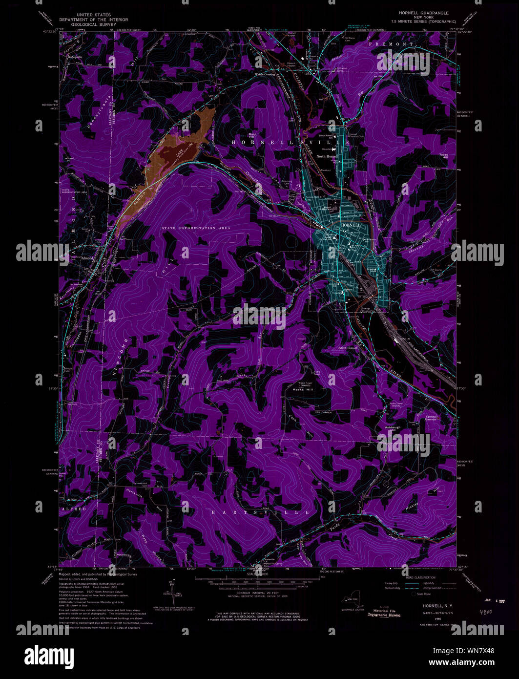 New York NY Hornell 129772 1965 24000 Inverted Restoration Stock Photohttps://www.alamy.com/image-license-details/?v=1https://www.alamy.com/new-york-ny-hornell-129772-1965-24000-inverted-restoration-image271237464.html
RMWN7X48–New York NY Hornell 129772 1965 24000 Inverted Restoration
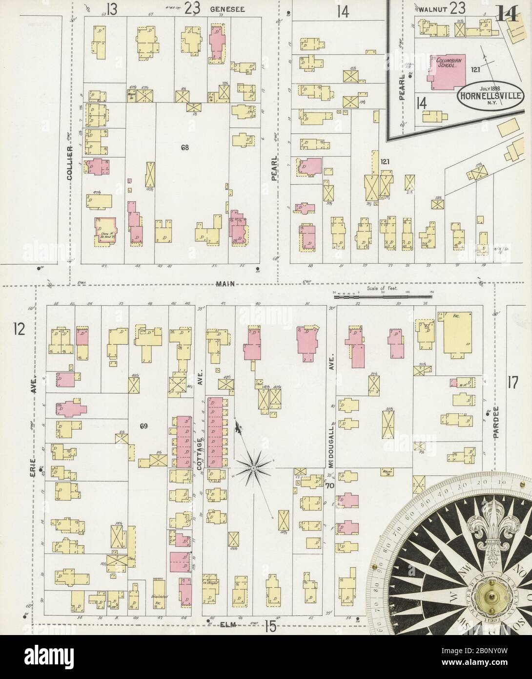 Image 14 of Sanborn Fire Insurance Map from Hornell, Steuben County, New York. Jul 1898. 24 Sheet(s). Includes Arkport, America, street map with a Nineteenth Century compass Stock Photohttps://www.alamy.com/image-license-details/?v=1https://www.alamy.com/image-14-of-sanborn-fire-insurance-map-from-hornell-steuben-county-new-york-jul-1898-24-sheets-includes-arkport-america-street-map-with-a-nineteenth-century-compass-image344689545.html
RM2B0NY0W–Image 14 of Sanborn Fire Insurance Map from Hornell, Steuben County, New York. Jul 1898. 24 Sheet(s). Includes Arkport, America, street map with a Nineteenth Century compass
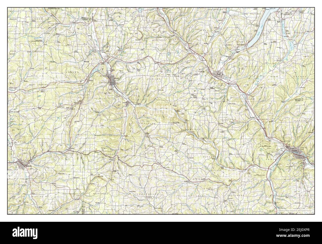 Hornell, New York, map 1986, 1:100000, United States of America by Timeless Maps, data U.S. Geological Survey Stock Photohttps://www.alamy.com/image-license-details/?v=1https://www.alamy.com/hornell-new-york-map-1986-1100000-united-states-of-america-by-timeless-maps-data-us-geological-survey-image406923295.html
RM2EJ0XPR–Hornell, New York, map 1986, 1:100000, United States of America by Timeless Maps, data U.S. Geological Survey
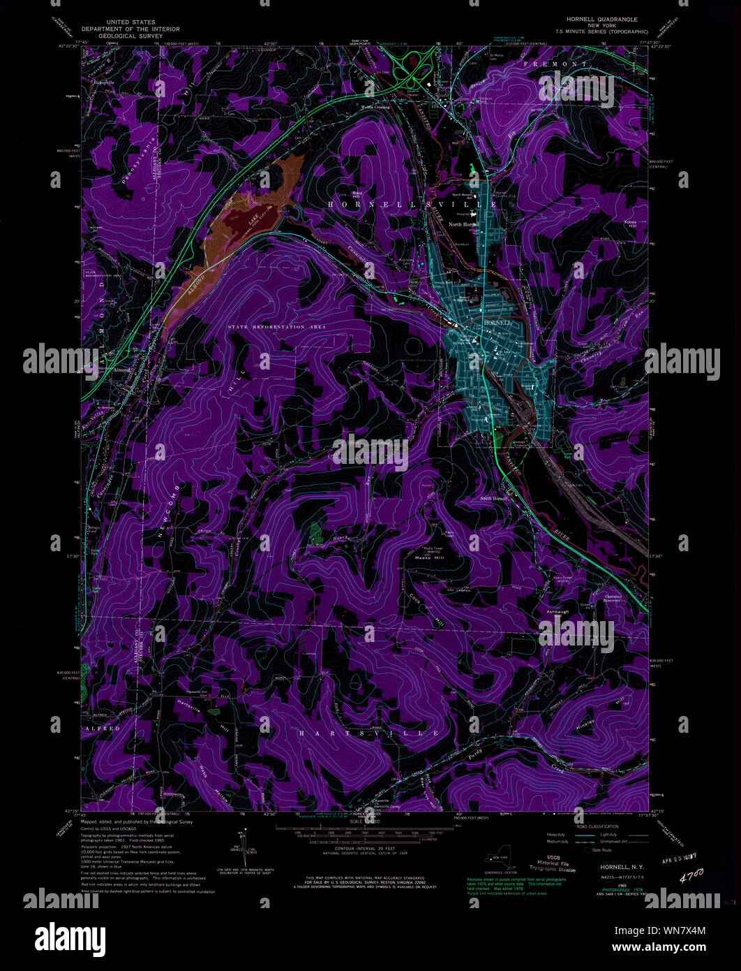 New York NY Hornell 129771 1978 24000 Inverted Restoration Stock Photohttps://www.alamy.com/image-license-details/?v=1https://www.alamy.com/new-york-ny-hornell-129771-1978-24000-inverted-restoration-image271237476.html
RMWN7X4M–New York NY Hornell 129771 1978 24000 Inverted Restoration
 Image 21 of Sanborn Fire Insurance Map from Hornell, Steuben County, New York. Jul 1898. 24 Sheet(s). Includes Arkport, America, street map with a Nineteenth Century compass Stock Photohttps://www.alamy.com/image-license-details/?v=1https://www.alamy.com/image-21-of-sanborn-fire-insurance-map-from-hornell-steuben-county-new-york-jul-1898-24-sheets-includes-arkport-america-street-map-with-a-nineteenth-century-compass-image344689561.html
RM2B0NY1D–Image 21 of Sanborn Fire Insurance Map from Hornell, Steuben County, New York. Jul 1898. 24 Sheet(s). Includes Arkport, America, street map with a Nineteenth Century compass
 Hornell, New York, map 1965, 1:24000, United States of America by Timeless Maps, data U.S. Geological Survey Stock Photohttps://www.alamy.com/image-license-details/?v=1https://www.alamy.com/hornell-new-york-map-1965-124000-united-states-of-america-by-timeless-maps-data-us-geological-survey-image406923290.html
RM2EJ0XPJ–Hornell, New York, map 1965, 1:24000, United States of America by Timeless Maps, data U.S. Geological Survey
 New York NY Hornell 137265 1986 100000 Inverted Restoration Stock Photohttps://www.alamy.com/image-license-details/?v=1https://www.alamy.com/new-york-ny-hornell-137265-1986-100000-inverted-restoration-image271239260.html
RMWN80CC–New York NY Hornell 137265 1986 100000 Inverted Restoration
 Image 9 of Sanborn Fire Insurance Map from Hornell, Steuben County, New York. Jul 1898. 24 Sheet(s). Includes Arkport, America, street map with a Nineteenth Century compass Stock Photohttps://www.alamy.com/image-license-details/?v=1https://www.alamy.com/image-9-of-sanborn-fire-insurance-map-from-hornell-steuben-county-new-york-jul-1898-24-sheets-includes-arkport-america-street-map-with-a-nineteenth-century-compass-image344689533.html
RM2B0NY0D–Image 9 of Sanborn Fire Insurance Map from Hornell, Steuben County, New York. Jul 1898. 24 Sheet(s). Includes Arkport, America, street map with a Nineteenth Century compass
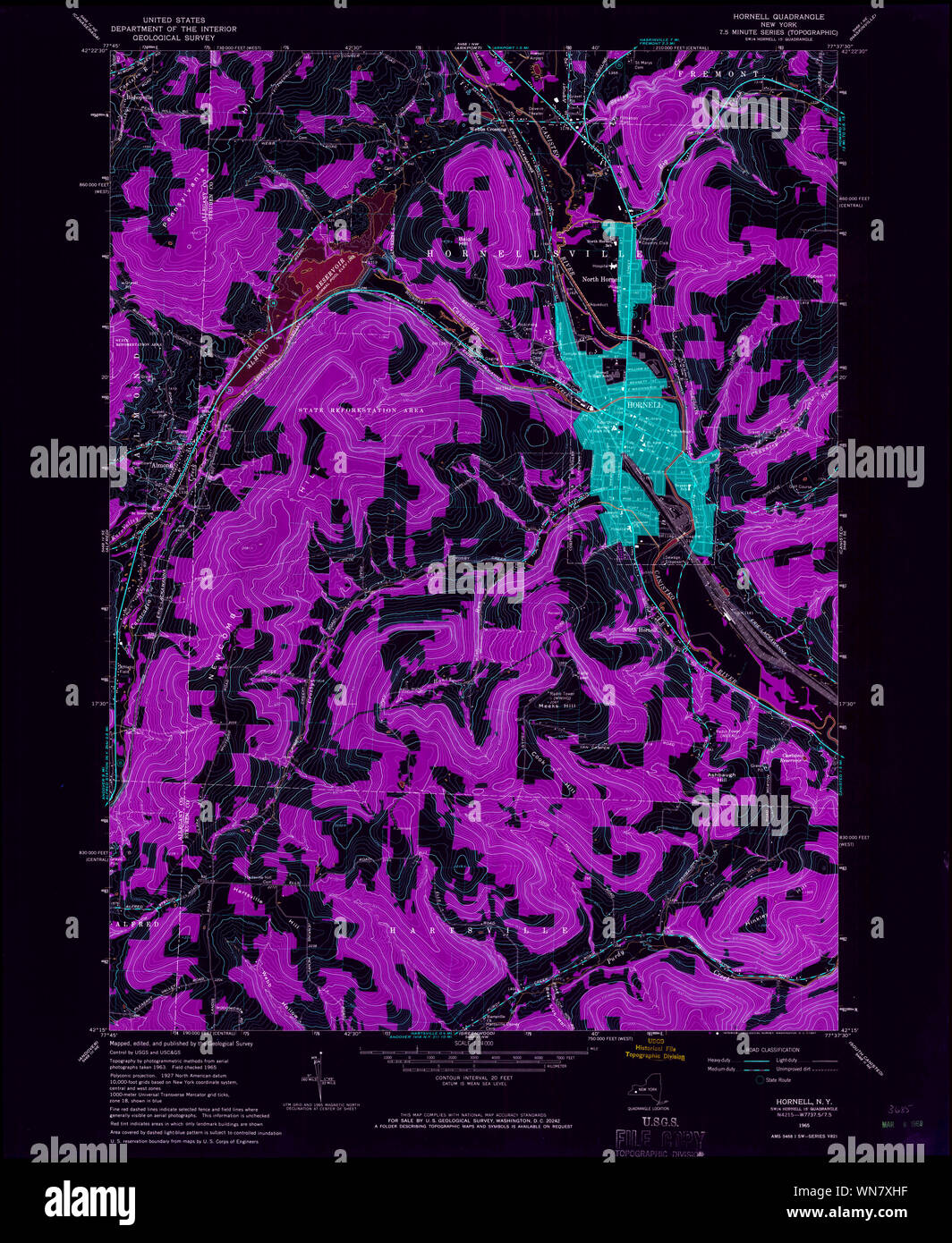 New York NY Hornell 129773 1965 24000 Inverted Restoration Stock Photohttps://www.alamy.com/image-license-details/?v=1https://www.alamy.com/new-york-ny-hornell-129773-1965-24000-inverted-restoration-image271237835.html
RMWN7XHF–New York NY Hornell 129773 1965 24000 Inverted Restoration
 Image 15 of Sanborn Fire Insurance Map from Hornell, Steuben County, New York. Jul 1898. 24 Sheet(s). Includes Arkport, America, street map with a Nineteenth Century compass Stock Photohttps://www.alamy.com/image-license-details/?v=1https://www.alamy.com/image-15-of-sanborn-fire-insurance-map-from-hornell-steuben-county-new-york-jul-1898-24-sheets-includes-arkport-america-street-map-with-a-nineteenth-century-compass-image344689547.html
RM2B0NY0Y–Image 15 of Sanborn Fire Insurance Map from Hornell, Steuben County, New York. Jul 1898. 24 Sheet(s). Includes Arkport, America, street map with a Nineteenth Century compass
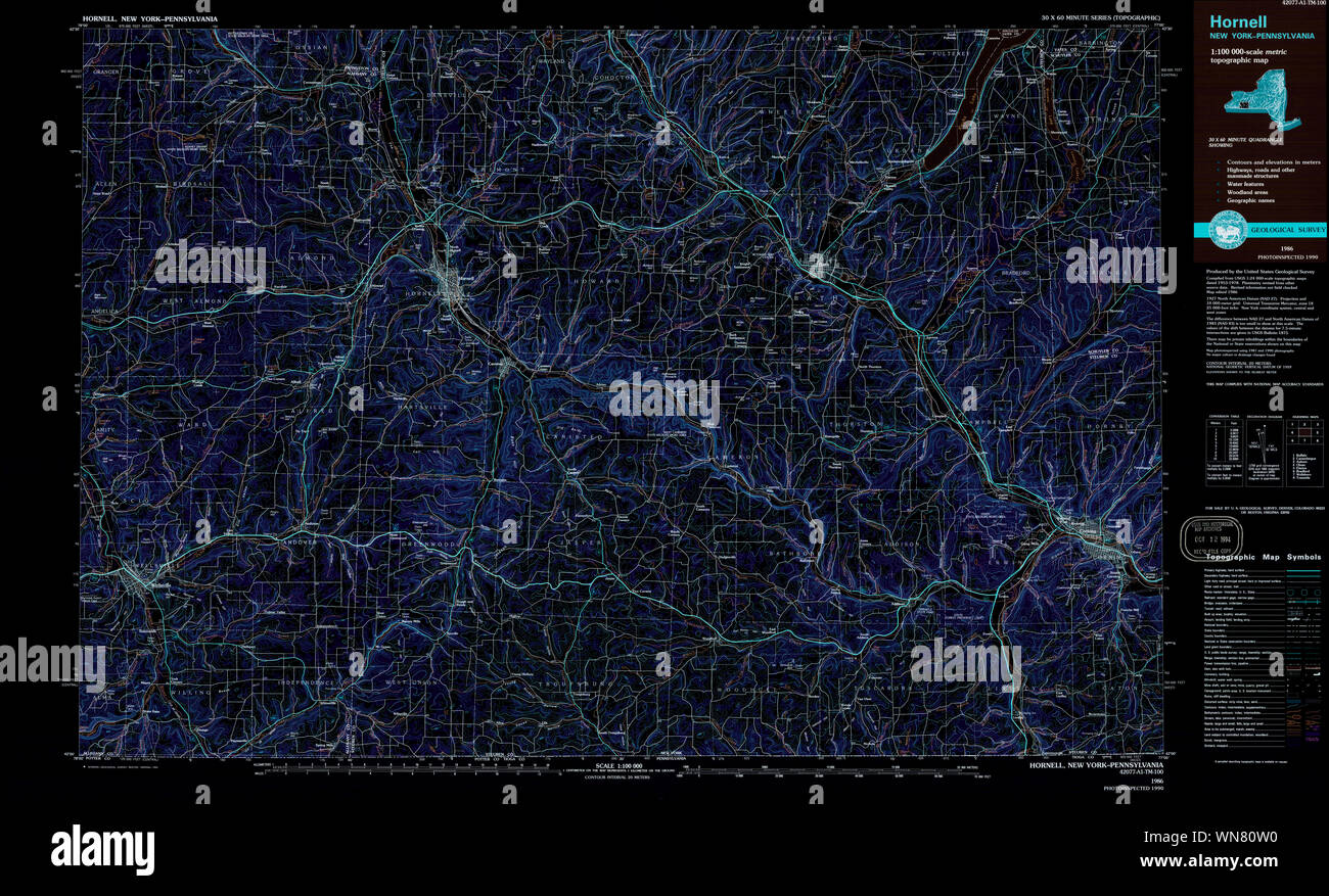 New York NY Hornell 137267 1986 100000 Inverted Restoration Stock Photohttps://www.alamy.com/image-license-details/?v=1https://www.alamy.com/new-york-ny-hornell-137267-1986-100000-inverted-restoration-image271239612.html
RMWN80W0–New York NY Hornell 137267 1986 100000 Inverted Restoration
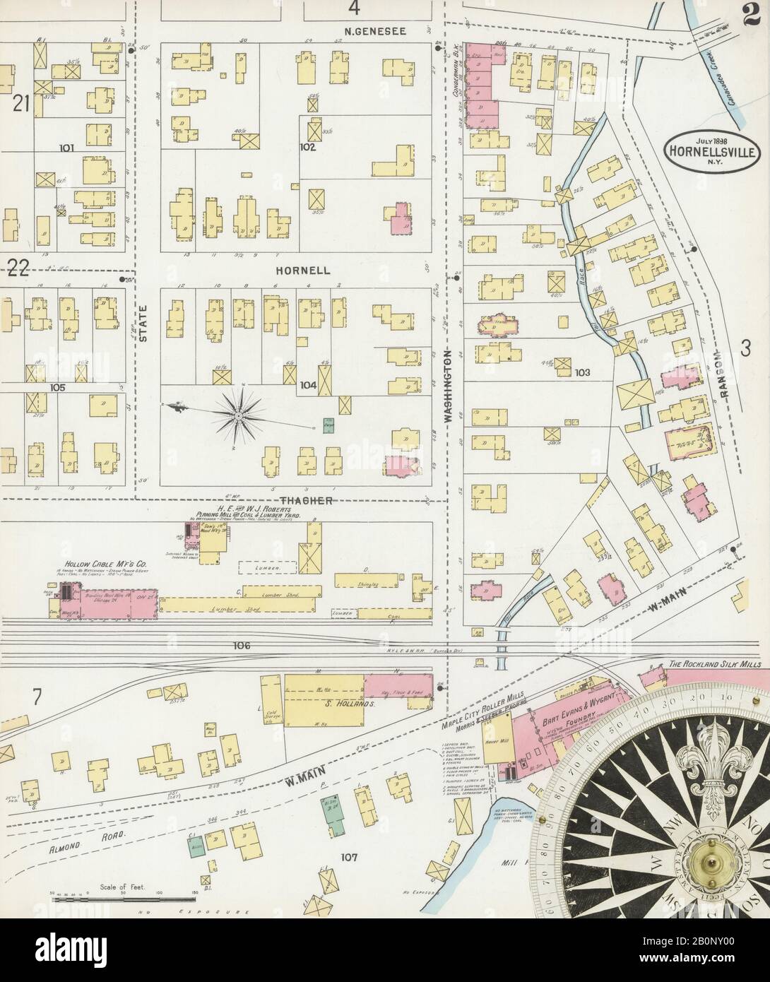 Image 2 of Sanborn Fire Insurance Map from Hornell, Steuben County, New York. Jul 1898. 24 Sheet(s). Includes Arkport, America, street map with a Nineteenth Century compass Stock Photohttps://www.alamy.com/image-license-details/?v=1https://www.alamy.com/image-2-of-sanborn-fire-insurance-map-from-hornell-steuben-county-new-york-jul-1898-24-sheets-includes-arkport-america-street-map-with-a-nineteenth-century-compass-image344689520.html
RM2B0NY00–Image 2 of Sanborn Fire Insurance Map from Hornell, Steuben County, New York. Jul 1898. 24 Sheet(s). Includes Arkport, America, street map with a Nineteenth Century compass
 Image 12 of Sanborn Fire Insurance Map from Hornell, Steuben County, New York. Jul 1893. 21 Sheet(s). Includes Arkport, America, street map with a Nineteenth Century compass Stock Photohttps://www.alamy.com/image-license-details/?v=1https://www.alamy.com/image-12-of-sanborn-fire-insurance-map-from-hornell-steuben-county-new-york-jul-1893-21-sheets-includes-arkport-america-street-map-with-a-nineteenth-century-compass-image344689483.html
RM2B0NXXK–Image 12 of Sanborn Fire Insurance Map from Hornell, Steuben County, New York. Jul 1893. 21 Sheet(s). Includes Arkport, America, street map with a Nineteenth Century compass
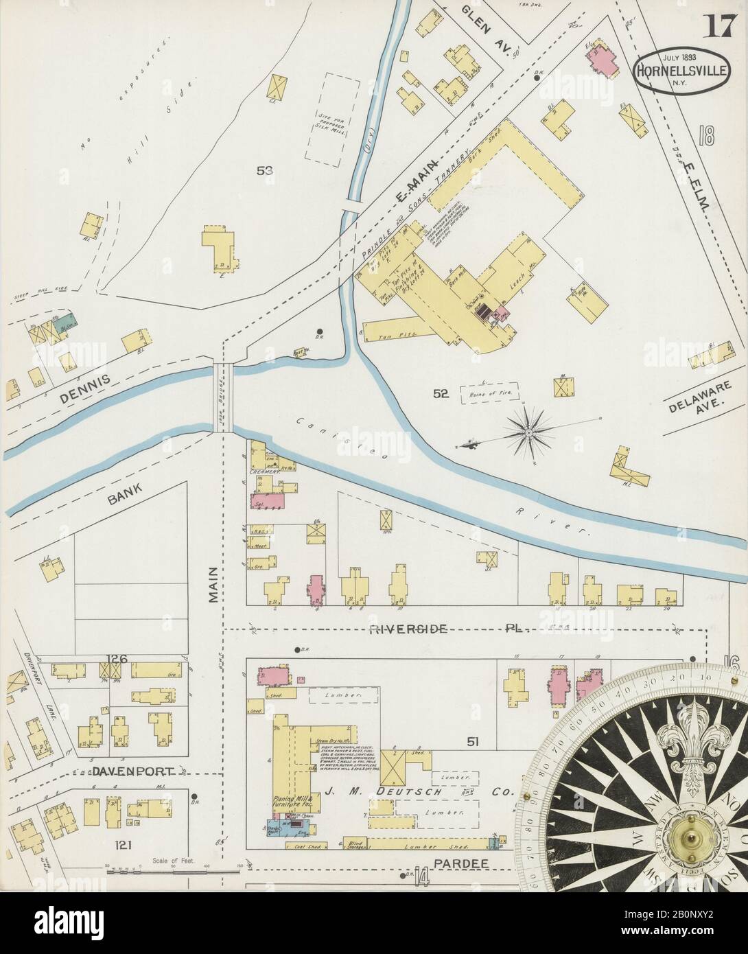 Image 17 of Sanborn Fire Insurance Map from Hornell, Steuben County, New York. Jul 1893. 21 Sheet(s). Includes Arkport, America, street map with a Nineteenth Century compass Stock Photohttps://www.alamy.com/image-license-details/?v=1https://www.alamy.com/image-17-of-sanborn-fire-insurance-map-from-hornell-steuben-county-new-york-jul-1893-21-sheets-includes-arkport-america-street-map-with-a-nineteenth-century-compass-image344689494.html
RM2B0NXY2–Image 17 of Sanborn Fire Insurance Map from Hornell, Steuben County, New York. Jul 1893. 21 Sheet(s). Includes Arkport, America, street map with a Nineteenth Century compass
 Image 17 of Sanborn Fire Insurance Map from Hornell, Steuben County, New York. Jul 1898. 24 Sheet(s). Includes Arkport, America, street map with a Nineteenth Century compass Stock Photohttps://www.alamy.com/image-license-details/?v=1https://www.alamy.com/image-17-of-sanborn-fire-insurance-map-from-hornell-steuben-county-new-york-jul-1898-24-sheets-includes-arkport-america-street-map-with-a-nineteenth-century-compass-image344689552.html
RM2B0NY14–Image 17 of Sanborn Fire Insurance Map from Hornell, Steuben County, New York. Jul 1898. 24 Sheet(s). Includes Arkport, America, street map with a Nineteenth Century compass
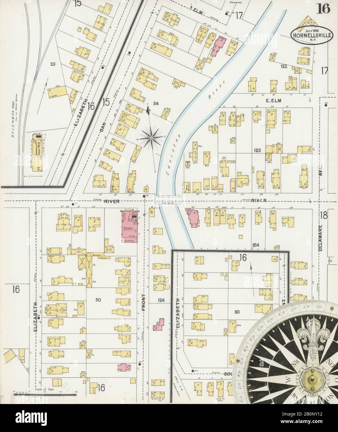 Image 16 of Sanborn Fire Insurance Map from Hornell, Steuben County, New York. Jul 1898. 24 Sheet(s). Includes Arkport, America, street map with a Nineteenth Century compass Stock Photohttps://www.alamy.com/image-license-details/?v=1https://www.alamy.com/image-16-of-sanborn-fire-insurance-map-from-hornell-steuben-county-new-york-jul-1898-24-sheets-includes-arkport-america-street-map-with-a-nineteenth-century-compass-image344689550.html
RM2B0NY12–Image 16 of Sanborn Fire Insurance Map from Hornell, Steuben County, New York. Jul 1898. 24 Sheet(s). Includes Arkport, America, street map with a Nineteenth Century compass
 Image 13 of Sanborn Fire Insurance Map from Hornell, Steuben County, New York. Jul 1893. 21 Sheet(s). Includes Arkport, America, street map with a Nineteenth Century compass Stock Photohttps://www.alamy.com/image-license-details/?v=1https://www.alamy.com/image-13-of-sanborn-fire-insurance-map-from-hornell-steuben-county-new-york-jul-1893-21-sheets-includes-arkport-america-street-map-with-a-nineteenth-century-compass-image344689486.html
RM2B0NXXP–Image 13 of Sanborn Fire Insurance Map from Hornell, Steuben County, New York. Jul 1893. 21 Sheet(s). Includes Arkport, America, street map with a Nineteenth Century compass
 Image 22 of Sanborn Fire Insurance Map from Hornell, Steuben County, New York. Jul 1898. 24 Sheet(s). Includes Arkport, America, street map with a Nineteenth Century compass Stock Photohttps://www.alamy.com/image-license-details/?v=1https://www.alamy.com/image-22-of-sanborn-fire-insurance-map-from-hornell-steuben-county-new-york-jul-1898-24-sheets-includes-arkport-america-street-map-with-a-nineteenth-century-compass-image344689562.html
RM2B0NY1E–Image 22 of Sanborn Fire Insurance Map from Hornell, Steuben County, New York. Jul 1898. 24 Sheet(s). Includes Arkport, America, street map with a Nineteenth Century compass
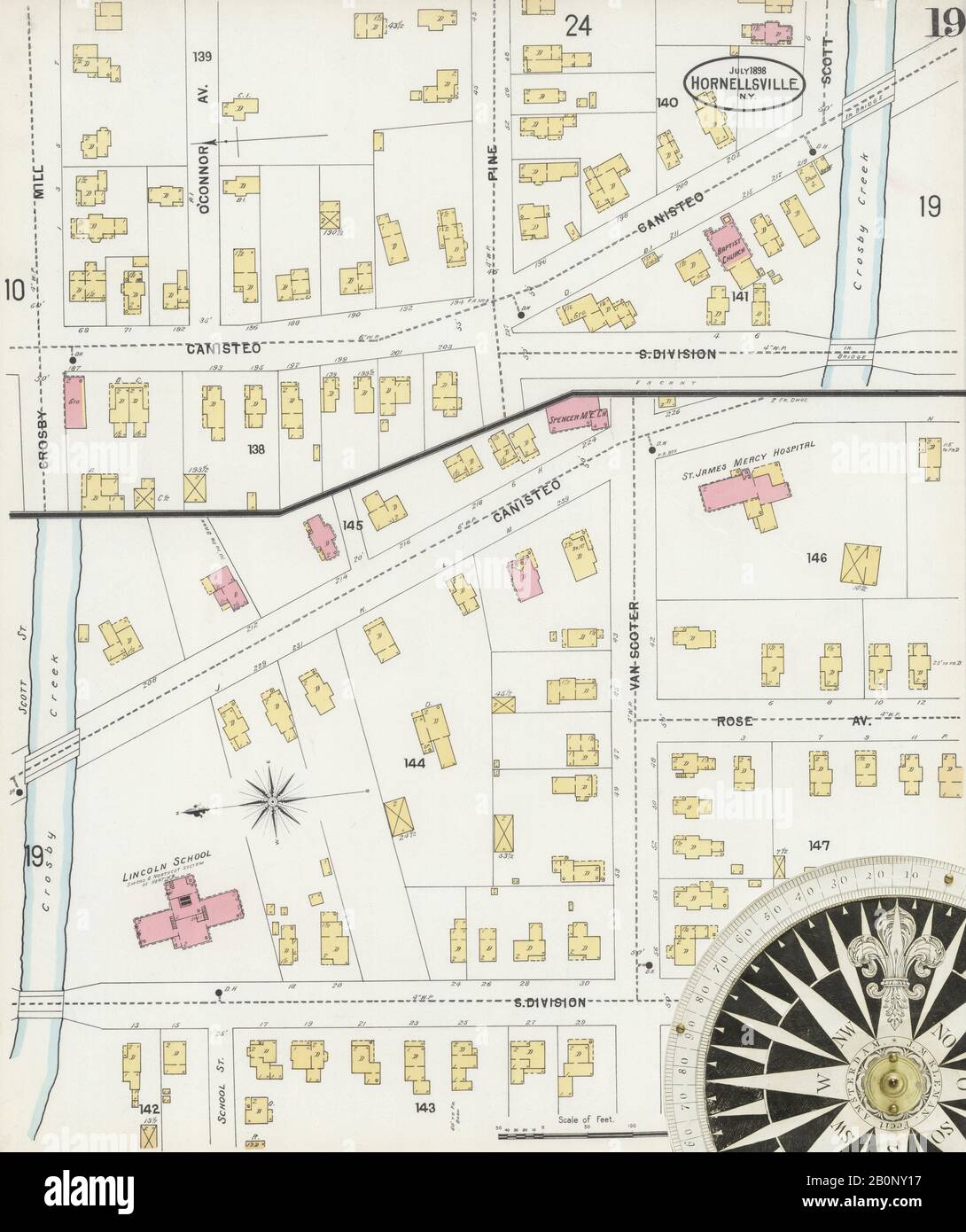 Image 19 of Sanborn Fire Insurance Map from Hornell, Steuben County, New York. Jul 1898. 24 Sheet(s). Includes Arkport, America, street map with a Nineteenth Century compass Stock Photohttps://www.alamy.com/image-license-details/?v=1https://www.alamy.com/image-19-of-sanborn-fire-insurance-map-from-hornell-steuben-county-new-york-jul-1898-24-sheets-includes-arkport-america-street-map-with-a-nineteenth-century-compass-image344689555.html
RM2B0NY17–Image 19 of Sanborn Fire Insurance Map from Hornell, Steuben County, New York. Jul 1898. 24 Sheet(s). Includes Arkport, America, street map with a Nineteenth Century compass
 Image 2 of Sanborn Fire Insurance Map from Hornell, Steuben County, New York. Jul 1893. 21 Sheet(s). Includes Arkport, America, street map with a Nineteenth Century compass Stock Photohttps://www.alamy.com/image-license-details/?v=1https://www.alamy.com/image-2-of-sanborn-fire-insurance-map-from-hornell-steuben-county-new-york-jul-1893-21-sheets-includes-arkport-america-street-map-with-a-nineteenth-century-compass-image344689463.html
RM2B0NXWY–Image 2 of Sanborn Fire Insurance Map from Hornell, Steuben County, New York. Jul 1893. 21 Sheet(s). Includes Arkport, America, street map with a Nineteenth Century compass
 Image 13 of Sanborn Fire Insurance Map from Hornell, Steuben County, New York. Jul 1898. 24 Sheet(s). Includes Arkport, America, street map with a Nineteenth Century compass Stock Photohttps://www.alamy.com/image-license-details/?v=1https://www.alamy.com/image-13-of-sanborn-fire-insurance-map-from-hornell-steuben-county-new-york-jul-1898-24-sheets-includes-arkport-america-street-map-with-a-nineteenth-century-compass-image344689542.html
RM2B0NY0P–Image 13 of Sanborn Fire Insurance Map from Hornell, Steuben County, New York. Jul 1898. 24 Sheet(s). Includes Arkport, America, street map with a Nineteenth Century compass
 Image 10 of Sanborn Fire Insurance Map from Hornell, Steuben County, New York. Jul 1893. 21 Sheet(s). Includes Arkport, America, street map with a Nineteenth Century compass Stock Photohttps://www.alamy.com/image-license-details/?v=1https://www.alamy.com/image-10-of-sanborn-fire-insurance-map-from-hornell-steuben-county-new-york-jul-1893-21-sheets-includes-arkport-america-street-map-with-a-nineteenth-century-compass-image344689479.html
RM2B0NXXF–Image 10 of Sanborn Fire Insurance Map from Hornell, Steuben County, New York. Jul 1893. 21 Sheet(s). Includes Arkport, America, street map with a Nineteenth Century compass
 Image 3 of Sanborn Fire Insurance Map from Hornell, Steuben County, New York. Jul 1898. 24 Sheet(s). Includes Arkport, America, street map with a Nineteenth Century compass Stock Photohttps://www.alamy.com/image-license-details/?v=1https://www.alamy.com/image-3-of-sanborn-fire-insurance-map-from-hornell-steuben-county-new-york-jul-1898-24-sheets-includes-arkport-america-street-map-with-a-nineteenth-century-compass-image344689521.html
RM2B0NY01–Image 3 of Sanborn Fire Insurance Map from Hornell, Steuben County, New York. Jul 1898. 24 Sheet(s). Includes Arkport, America, street map with a Nineteenth Century compass
 Image 7 of Sanborn Fire Insurance Map from Hornell, Steuben County, New York. Jul 1898. 24 Sheet(s). Includes Arkport, America, street map with a Nineteenth Century compass Stock Photohttps://www.alamy.com/image-license-details/?v=1https://www.alamy.com/image-7-of-sanborn-fire-insurance-map-from-hornell-steuben-county-new-york-jul-1898-24-sheets-includes-arkport-america-street-map-with-a-nineteenth-century-compass-image344689530.html
RM2B0NY0A–Image 7 of Sanborn Fire Insurance Map from Hornell, Steuben County, New York. Jul 1898. 24 Sheet(s). Includes Arkport, America, street map with a Nineteenth Century compass
 Image 8 of Sanborn Fire Insurance Map from Hornell, Steuben County, New York. Jul 1898. 24 Sheet(s). Includes Arkport, America, street map with a Nineteenth Century compass Stock Photohttps://www.alamy.com/image-license-details/?v=1https://www.alamy.com/image-8-of-sanborn-fire-insurance-map-from-hornell-steuben-county-new-york-jul-1898-24-sheets-includes-arkport-america-street-map-with-a-nineteenth-century-compass-image344689532.html
RM2B0NY0C–Image 8 of Sanborn Fire Insurance Map from Hornell, Steuben County, New York. Jul 1898. 24 Sheet(s). Includes Arkport, America, street map with a Nineteenth Century compass
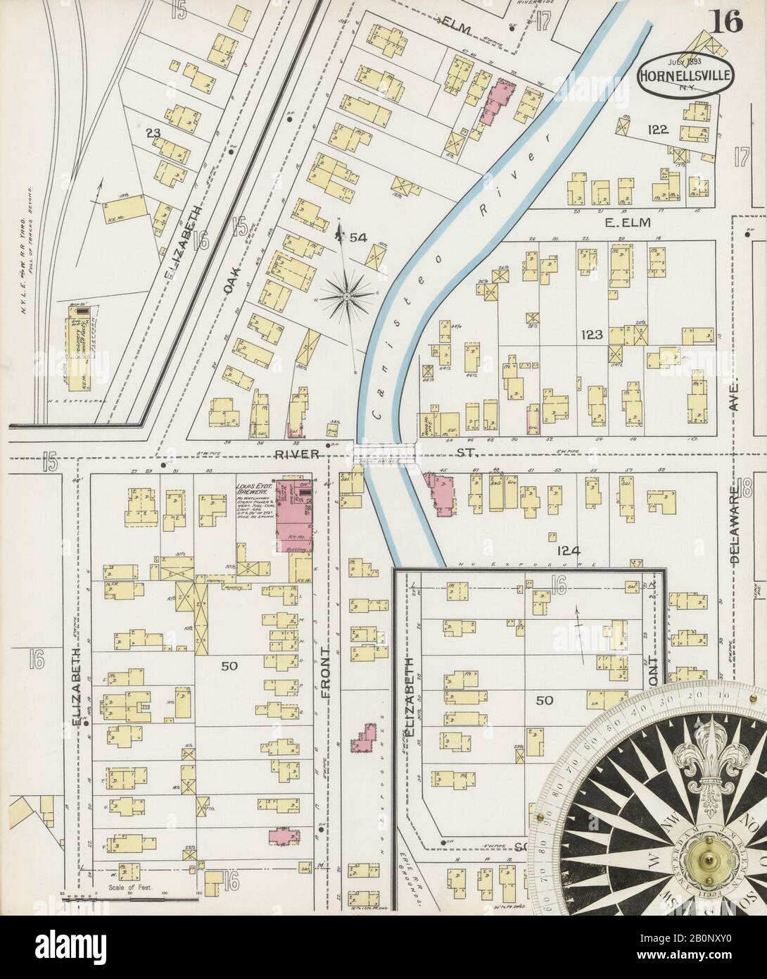 Image 16 of Sanborn Fire Insurance Map from Hornell, Steuben County, New York. Jul 1893. 21 Sheet(s). Includes Arkport, America, street map with a Nineteenth Century compass Stock Photohttps://www.alamy.com/image-license-details/?v=1https://www.alamy.com/image-16-of-sanborn-fire-insurance-map-from-hornell-steuben-county-new-york-jul-1893-21-sheets-includes-arkport-america-street-map-with-a-nineteenth-century-compass-image344689492.html
RM2B0NXY0–Image 16 of Sanborn Fire Insurance Map from Hornell, Steuben County, New York. Jul 1893. 21 Sheet(s). Includes Arkport, America, street map with a Nineteenth Century compass
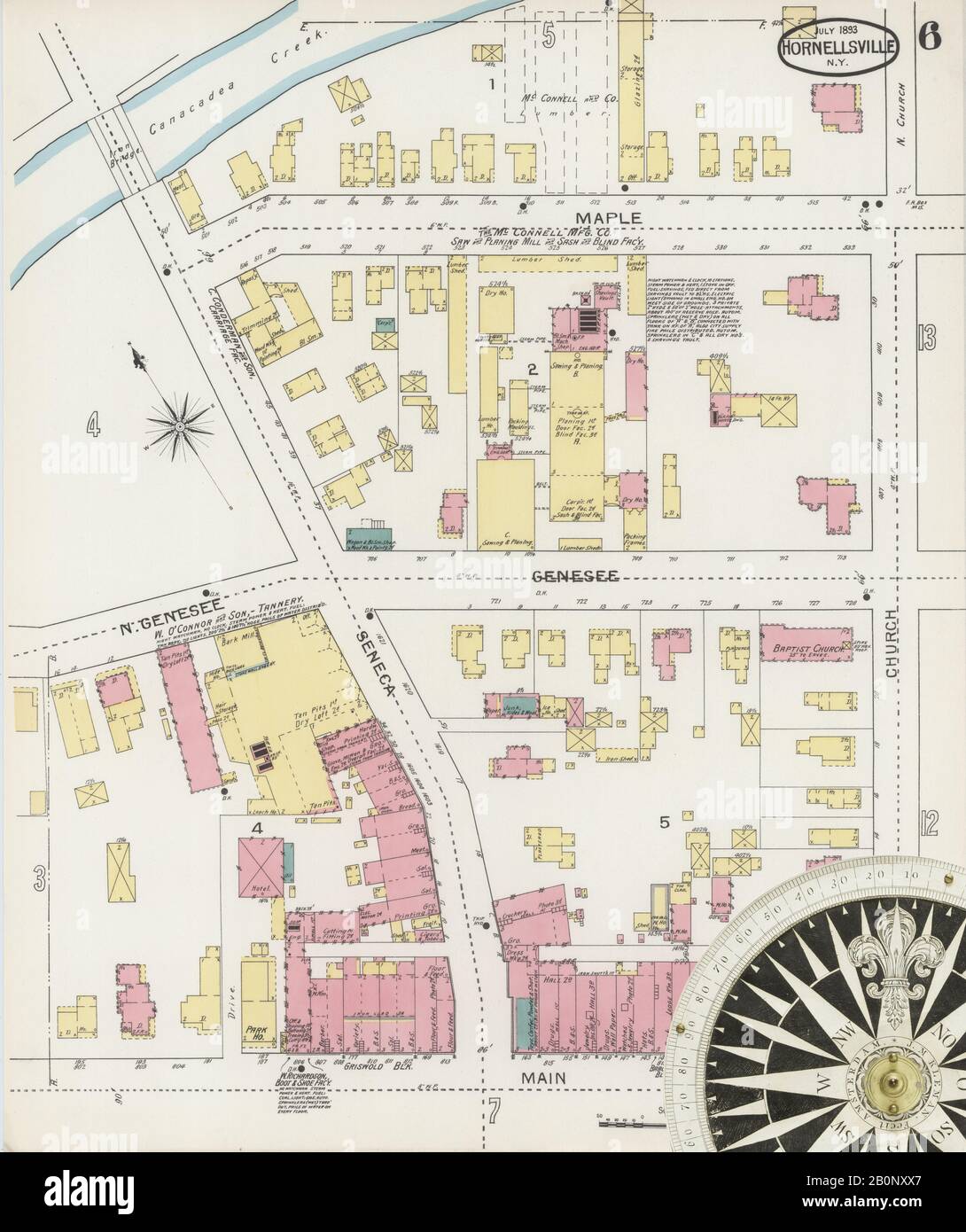 Image 6 of Sanborn Fire Insurance Map from Hornell, Steuben County, New York. Jul 1893. 21 Sheet(s). Includes Arkport, America, street map with a Nineteenth Century compass Stock Photohttps://www.alamy.com/image-license-details/?v=1https://www.alamy.com/image-6-of-sanborn-fire-insurance-map-from-hornell-steuben-county-new-york-jul-1893-21-sheets-includes-arkport-america-street-map-with-a-nineteenth-century-compass-image344689471.html
RM2B0NXX7–Image 6 of Sanborn Fire Insurance Map from Hornell, Steuben County, New York. Jul 1893. 21 Sheet(s). Includes Arkport, America, street map with a Nineteenth Century compass
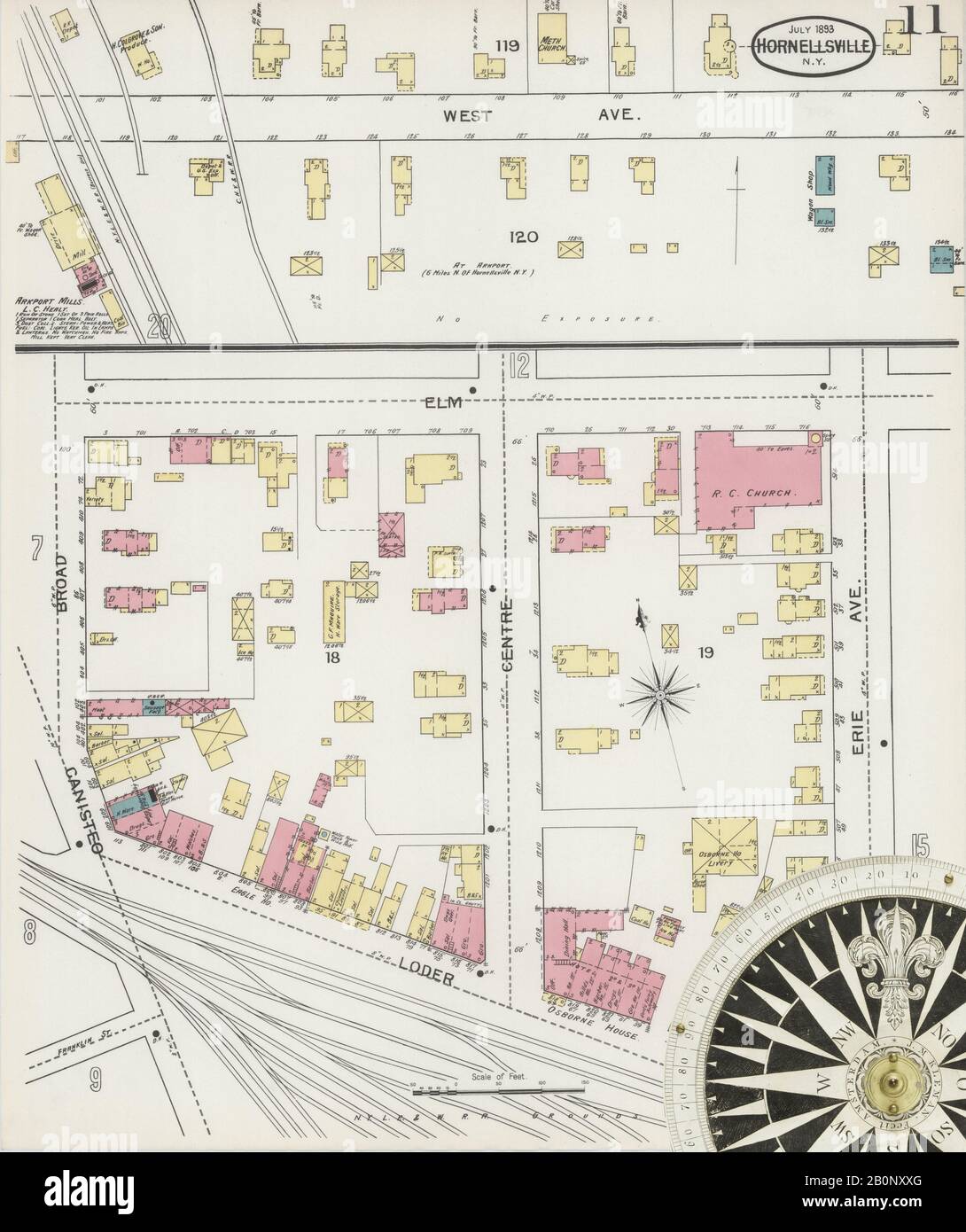 Image 11 of Sanborn Fire Insurance Map from Hornell, Steuben County, New York. Jul 1893. 21 Sheet(s). Includes Arkport, America, street map with a Nineteenth Century compass Stock Photohttps://www.alamy.com/image-license-details/?v=1https://www.alamy.com/image-11-of-sanborn-fire-insurance-map-from-hornell-steuben-county-new-york-jul-1893-21-sheets-includes-arkport-america-street-map-with-a-nineteenth-century-compass-image344689480.html
RM2B0NXXG–Image 11 of Sanborn Fire Insurance Map from Hornell, Steuben County, New York. Jul 1893. 21 Sheet(s). Includes Arkport, America, street map with a Nineteenth Century compass
 Image 23 of Sanborn Fire Insurance Map from Hornell, Steuben County, New York. Jul 1898. 24 Sheet(s). Includes Arkport, America, street map with a Nineteenth Century compass Stock Photohttps://www.alamy.com/image-license-details/?v=1https://www.alamy.com/image-23-of-sanborn-fire-insurance-map-from-hornell-steuben-county-new-york-jul-1898-24-sheets-includes-arkport-america-street-map-with-a-nineteenth-century-compass-image344689566.html
RM2B0NY1J–Image 23 of Sanborn Fire Insurance Map from Hornell, Steuben County, New York. Jul 1898. 24 Sheet(s). Includes Arkport, America, street map with a Nineteenth Century compass
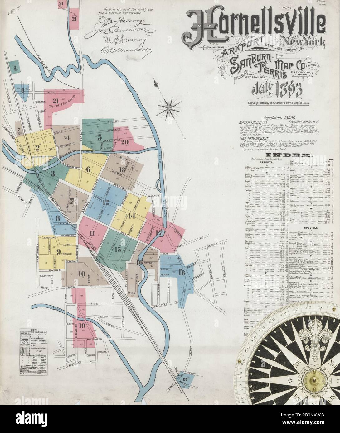 Image 1 of Sanborn Fire Insurance Map from Hornell, Steuben County, New York. Jul 1893. 21 Sheet(s). Includes Arkport, America, street map with a Nineteenth Century compass Stock Photohttps://www.alamy.com/image-license-details/?v=1https://www.alamy.com/image-1-of-sanborn-fire-insurance-map-from-hornell-steuben-county-new-york-jul-1893-21-sheets-includes-arkport-america-street-map-with-a-nineteenth-century-compass-image344689461.html
RM2B0NXWW–Image 1 of Sanborn Fire Insurance Map from Hornell, Steuben County, New York. Jul 1893. 21 Sheet(s). Includes Arkport, America, street map with a Nineteenth Century compass
 Image 15 of Sanborn Fire Insurance Map from Hornell, Steuben County, New York. Jul 1893. 21 Sheet(s). Includes Arkport, America, street map with a Nineteenth Century compass Stock Photohttps://www.alamy.com/image-license-details/?v=1https://www.alamy.com/image-15-of-sanborn-fire-insurance-map-from-hornell-steuben-county-new-york-jul-1893-21-sheets-includes-arkport-america-street-map-with-a-nineteenth-century-compass-image344689489.html
RM2B0NXXW–Image 15 of Sanborn Fire Insurance Map from Hornell, Steuben County, New York. Jul 1893. 21 Sheet(s). Includes Arkport, America, street map with a Nineteenth Century compass
 Image 5 of Sanborn Fire Insurance Map from Hornell, Steuben County, New York. Jul 1898. 24 Sheet(s). Includes Arkport, America, street map with a Nineteenth Century compass Stock Photohttps://www.alamy.com/image-license-details/?v=1https://www.alamy.com/image-5-of-sanborn-fire-insurance-map-from-hornell-steuben-county-new-york-jul-1898-24-sheets-includes-arkport-america-street-map-with-a-nineteenth-century-compass-image344689525.html
RM2B0NY05–Image 5 of Sanborn Fire Insurance Map from Hornell, Steuben County, New York. Jul 1898. 24 Sheet(s). Includes Arkport, America, street map with a Nineteenth Century compass
 Image 14 of Sanborn Fire Insurance Map from Hornell, Steuben County, New York. Jul 1893. 21 Sheet(s). Includes Arkport, America, street map with a Nineteenth Century compass Stock Photohttps://www.alamy.com/image-license-details/?v=1https://www.alamy.com/image-14-of-sanborn-fire-insurance-map-from-hornell-steuben-county-new-york-jul-1893-21-sheets-includes-arkport-america-street-map-with-a-nineteenth-century-compass-image344689487.html
RM2B0NXXR–Image 14 of Sanborn Fire Insurance Map from Hornell, Steuben County, New York. Jul 1893. 21 Sheet(s). Includes Arkport, America, street map with a Nineteenth Century compass
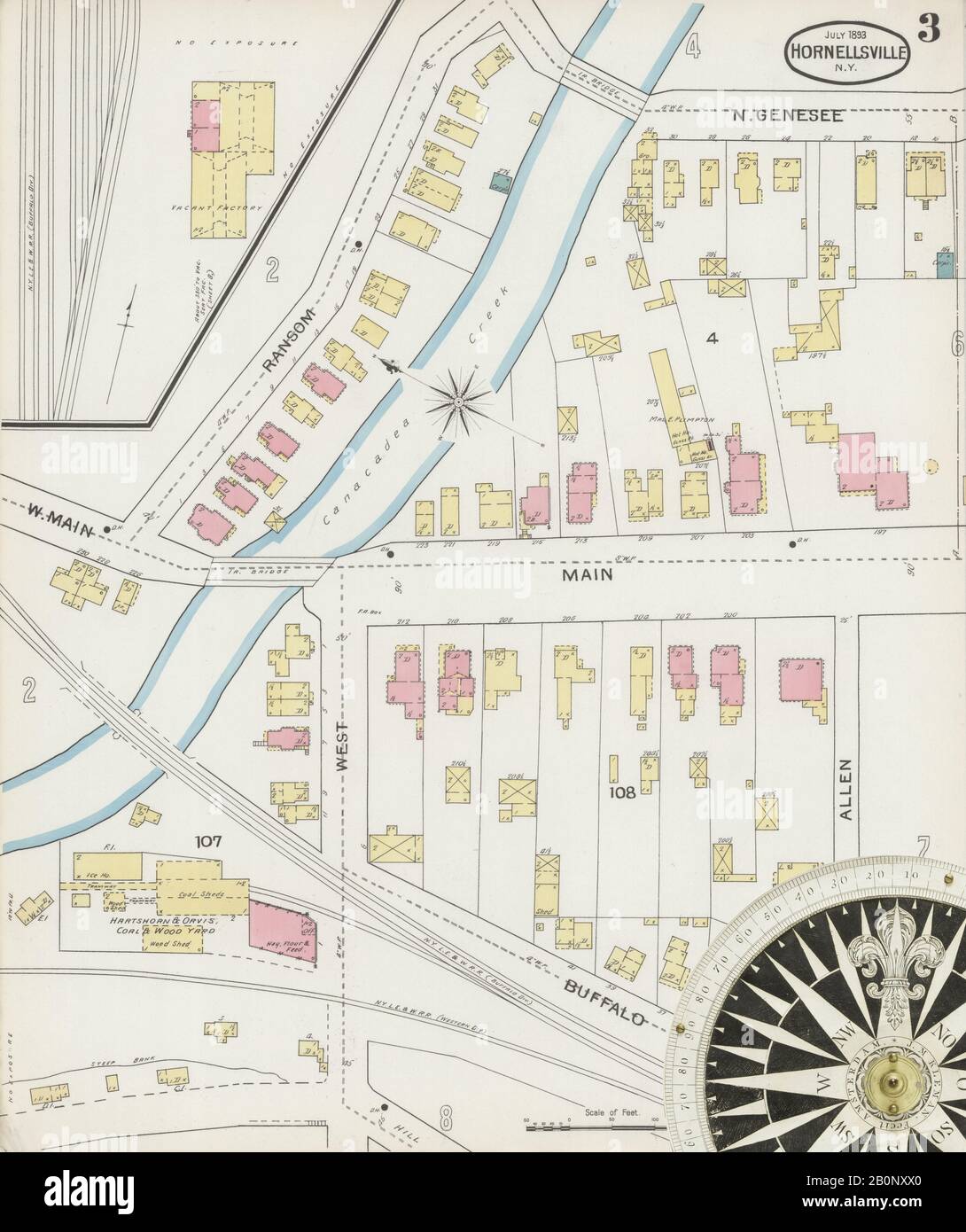 Image 3 of Sanborn Fire Insurance Map from Hornell, Steuben County, New York. Jul 1893. 21 Sheet(s). Includes Arkport, America, street map with a Nineteenth Century compass Stock Photohttps://www.alamy.com/image-license-details/?v=1https://www.alamy.com/image-3-of-sanborn-fire-insurance-map-from-hornell-steuben-county-new-york-jul-1893-21-sheets-includes-arkport-america-street-map-with-a-nineteenth-century-compass-image344689464.html
RM2B0NXX0–Image 3 of Sanborn Fire Insurance Map from Hornell, Steuben County, New York. Jul 1893. 21 Sheet(s). Includes Arkport, America, street map with a Nineteenth Century compass
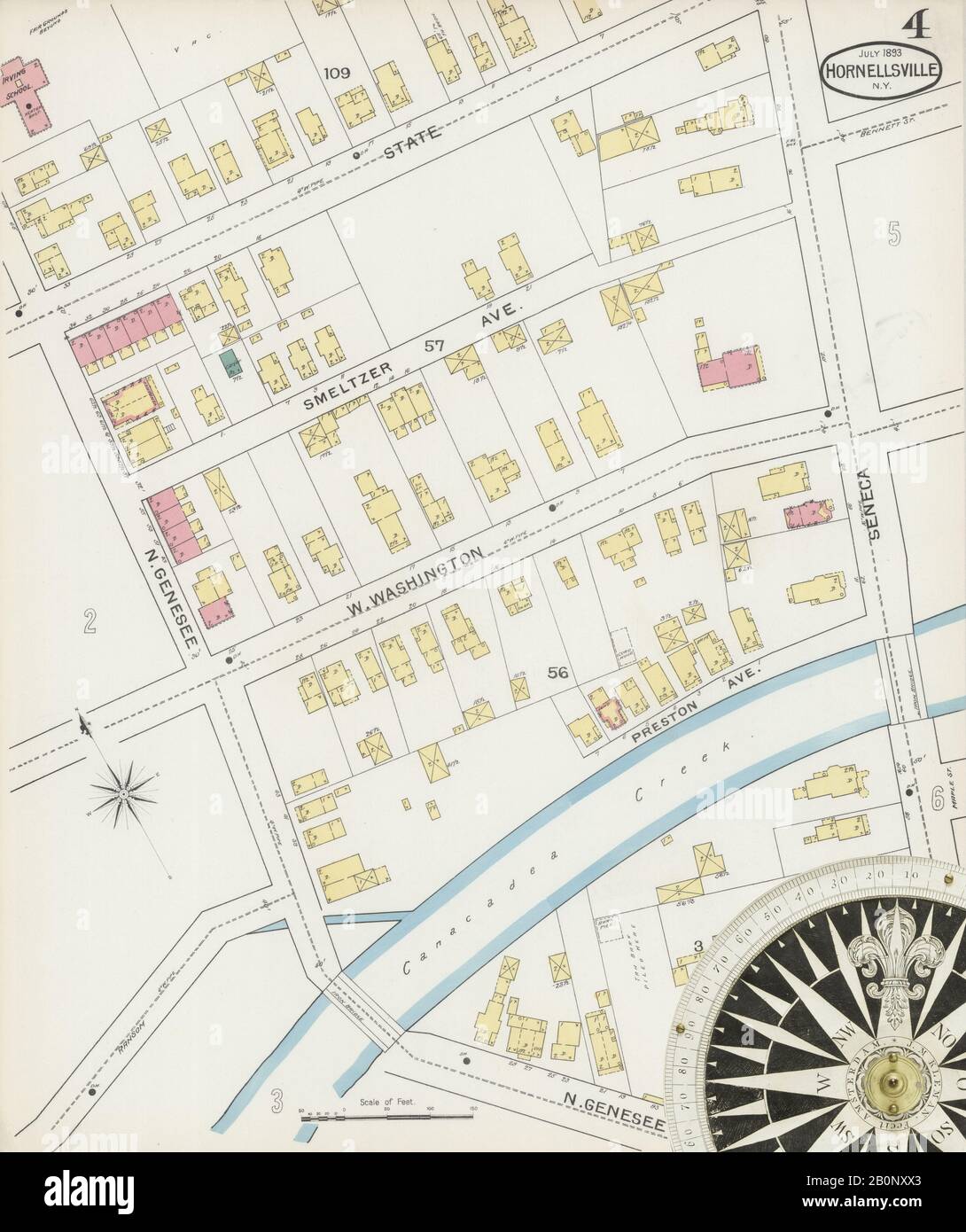 Image 4 of Sanborn Fire Insurance Map from Hornell, Steuben County, New York. Jul 1893. 21 Sheet(s). Includes Arkport, America, street map with a Nineteenth Century compass Stock Photohttps://www.alamy.com/image-license-details/?v=1https://www.alamy.com/image-4-of-sanborn-fire-insurance-map-from-hornell-steuben-county-new-york-jul-1893-21-sheets-includes-arkport-america-street-map-with-a-nineteenth-century-compass-image344689467.html
RM2B0NXX3–Image 4 of Sanborn Fire Insurance Map from Hornell, Steuben County, New York. Jul 1893. 21 Sheet(s). Includes Arkport, America, street map with a Nineteenth Century compass
 Image 21 of Sanborn Fire Insurance Map from Hornell, Steuben County, New York. Jul 1893. 21 Sheet(s). Includes Arkport, America, street map with a Nineteenth Century compass Stock Photohttps://www.alamy.com/image-license-details/?v=1https://www.alamy.com/image-21-of-sanborn-fire-insurance-map-from-hornell-steuben-county-new-york-jul-1893-21-sheets-includes-arkport-america-street-map-with-a-nineteenth-century-compass-image344689504.html
RM2B0NXYC–Image 21 of Sanborn Fire Insurance Map from Hornell, Steuben County, New York. Jul 1893. 21 Sheet(s). Includes Arkport, America, street map with a Nineteenth Century compass
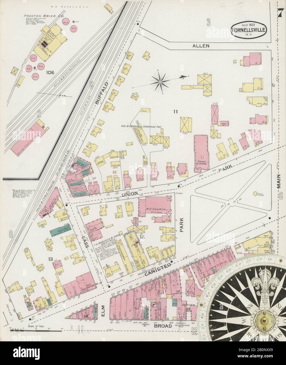 Image 7 of Sanborn Fire Insurance Map from Hornell, Steuben County, New York. Jul 1893. 21 Sheet(s). Includes Arkport, America, street map with a Nineteenth Century compass Stock Photohttps://www.alamy.com/image-license-details/?v=1https://www.alamy.com/image-7-of-sanborn-fire-insurance-map-from-hornell-steuben-county-new-york-jul-1893-21-sheets-includes-arkport-america-street-map-with-a-nineteenth-century-compass-image344689473.html
RM2B0NXX9–Image 7 of Sanborn Fire Insurance Map from Hornell, Steuben County, New York. Jul 1893. 21 Sheet(s). Includes Arkport, America, street map with a Nineteenth Century compass
 Image 12 of Sanborn Fire Insurance Map from Hornell, Steuben County, New York. Jul 1898. 24 Sheet(s). Includes Arkport, America, street map with a Nineteenth Century compass Stock Photohttps://www.alamy.com/image-license-details/?v=1https://www.alamy.com/image-12-of-sanborn-fire-insurance-map-from-hornell-steuben-county-new-york-jul-1898-24-sheets-includes-arkport-america-street-map-with-a-nineteenth-century-compass-image344689541.html
RM2B0NY0N–Image 12 of Sanborn Fire Insurance Map from Hornell, Steuben County, New York. Jul 1898. 24 Sheet(s). Includes Arkport, America, street map with a Nineteenth Century compass
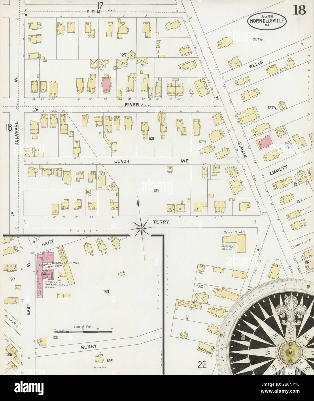 Image 18 of Sanborn Fire Insurance Map from Hornell, Steuben County, New York. Jul 1898. 24 Sheet(s). Includes Arkport, America, street map with a Nineteenth Century compass Stock Photohttps://www.alamy.com/image-license-details/?v=1https://www.alamy.com/image-18-of-sanborn-fire-insurance-map-from-hornell-steuben-county-new-york-jul-1898-24-sheets-includes-arkport-america-street-map-with-a-nineteenth-century-compass-image344689554.html
RM2B0NY16–Image 18 of Sanborn Fire Insurance Map from Hornell, Steuben County, New York. Jul 1898. 24 Sheet(s). Includes Arkport, America, street map with a Nineteenth Century compass
 Image 6 of Sanborn Fire Insurance Map from Hornell, Steuben County, New York. Jul 1898. 24 Sheet(s). Includes Arkport, America, street map with a Nineteenth Century compass Stock Photohttps://www.alamy.com/image-license-details/?v=1https://www.alamy.com/image-6-of-sanborn-fire-insurance-map-from-hornell-steuben-county-new-york-jul-1898-24-sheets-includes-arkport-america-street-map-with-a-nineteenth-century-compass-image344689527.html
RM2B0NY07–Image 6 of Sanborn Fire Insurance Map from Hornell, Steuben County, New York. Jul 1898. 24 Sheet(s). Includes Arkport, America, street map with a Nineteenth Century compass
 Image 19 of Sanborn Fire Insurance Map from Hornell, Steuben County, New York. Jul 1893. 21 Sheet(s). Includes Arkport, America, street map with a Nineteenth Century compass Stock Photohttps://www.alamy.com/image-license-details/?v=1https://www.alamy.com/image-19-of-sanborn-fire-insurance-map-from-hornell-steuben-county-new-york-jul-1893-21-sheets-includes-arkport-america-street-map-with-a-nineteenth-century-compass-image344689498.html
RM2B0NXY6–Image 19 of Sanborn Fire Insurance Map from Hornell, Steuben County, New York. Jul 1893. 21 Sheet(s). Includes Arkport, America, street map with a Nineteenth Century compass
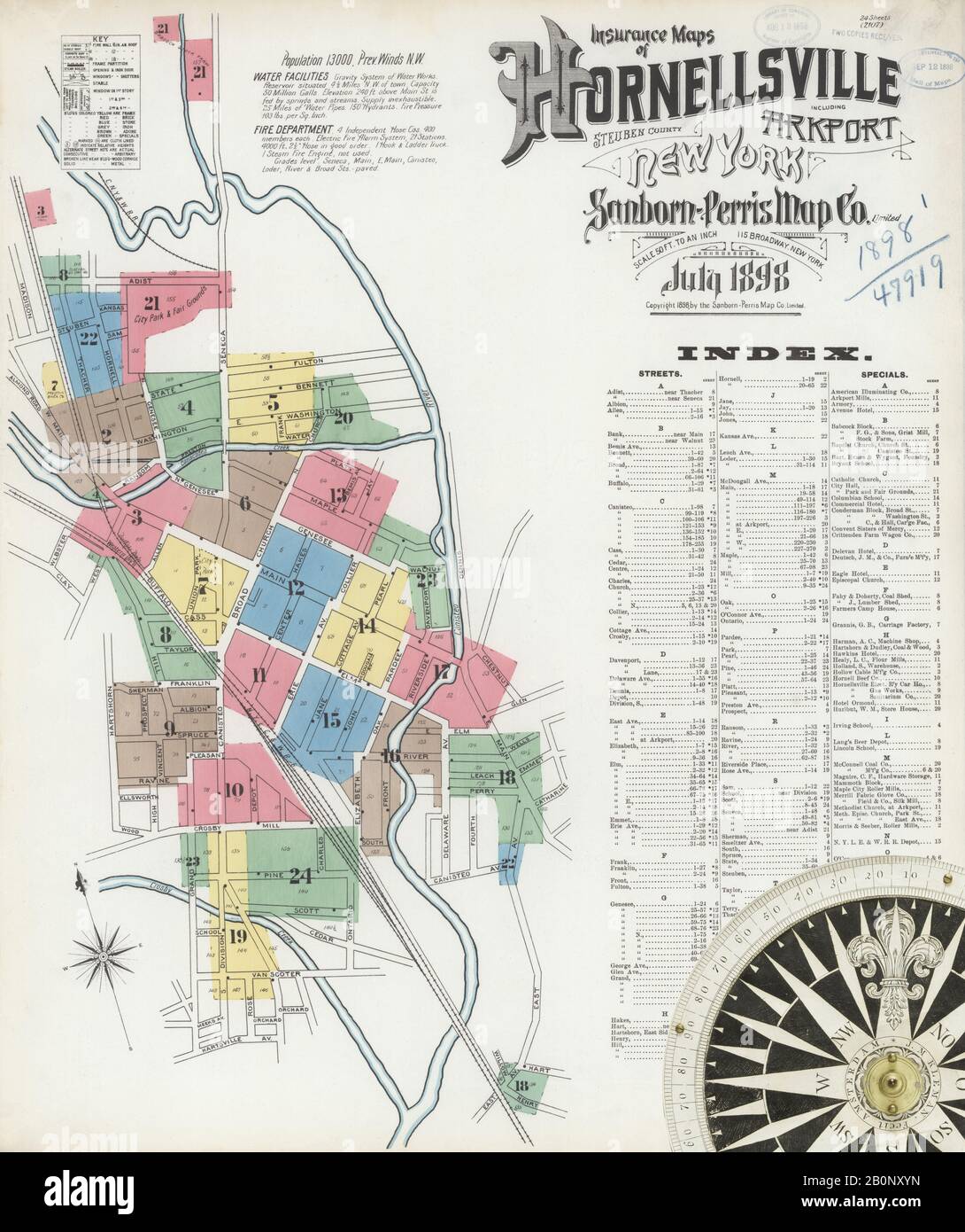 Image 1 of Sanborn Fire Insurance Map from Hornell, Steuben County, New York. Jul 1898. 24 Sheet(s). Includes Arkport, America, street map with a Nineteenth Century compass Stock Photohttps://www.alamy.com/image-license-details/?v=1https://www.alamy.com/image-1-of-sanborn-fire-insurance-map-from-hornell-steuben-county-new-york-jul-1898-24-sheets-includes-arkport-america-street-map-with-a-nineteenth-century-compass-image344689513.html
RM2B0NXYN–Image 1 of Sanborn Fire Insurance Map from Hornell, Steuben County, New York. Jul 1898. 24 Sheet(s). Includes Arkport, America, street map with a Nineteenth Century compass
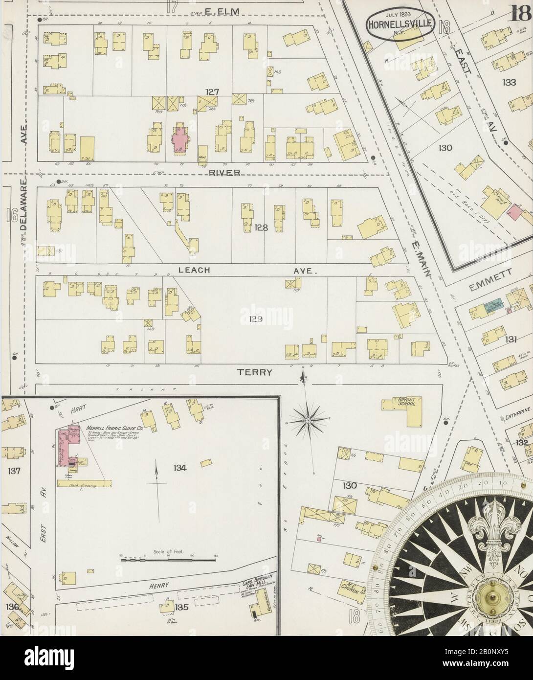 Image 18 of Sanborn Fire Insurance Map from Hornell, Steuben County, New York. Jul 1893. 21 Sheet(s). Includes Arkport, America, street map with a Nineteenth Century compass Stock Photohttps://www.alamy.com/image-license-details/?v=1https://www.alamy.com/image-18-of-sanborn-fire-insurance-map-from-hornell-steuben-county-new-york-jul-1893-21-sheets-includes-arkport-america-street-map-with-a-nineteenth-century-compass-image344689497.html
RM2B0NXY5–Image 18 of Sanborn Fire Insurance Map from Hornell, Steuben County, New York. Jul 1893. 21 Sheet(s). Includes Arkport, America, street map with a Nineteenth Century compass