Quick filters:
Map of kanab Stock Photos and Images
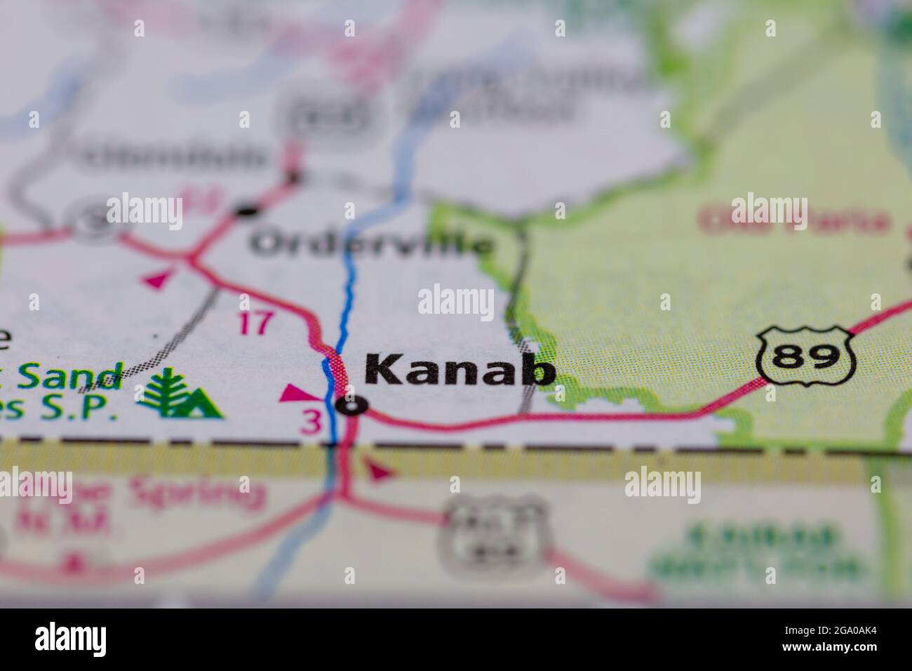 Kanab Utah USA shown on a road map or Geography map Stock Photohttps://www.alamy.com/image-license-details/?v=1https://www.alamy.com/kanab-utah-usa-shown-on-a-road-map-or-geography-map-image436414136.html
RM2GA0AK4–Kanab Utah USA shown on a road map or Geography map
 Map of areas covered by Albert Tissandier in Utah and Arizona. United States. Drawing by Albert Tissandier. Voyage of Exploration in Utah and Arizona, Kanab and the Kaibab Plateau in 1885. Le Tour du Monde 1886 Stock Photohttps://www.alamy.com/image-license-details/?v=1https://www.alamy.com/map-of-areas-covered-by-albert-tissandier-in-utah-and-arizona-united-states-drawing-by-albert-tissandier-voyage-of-exploration-in-utah-and-arizona-kanab-and-the-kaibab-plateau-in-1885-le-tour-du-monde-1886-image606413762.html
RM2X6GEXA–Map of areas covered by Albert Tissandier in Utah and Arizona. United States. Drawing by Albert Tissandier. Voyage of Exploration in Utah and Arizona, Kanab and the Kaibab Plateau in 1885. Le Tour du Monde 1886
 vintage map of grand canyon national park and surr Stock Photohttps://www.alamy.com/image-license-details/?v=1https://www.alamy.com/stock-photo-vintage-map-of-grand-canyon-national-park-and-surr-147267626.html
RMJFGHA2–vintage map of grand canyon national park and surr
 Mist in Kanab Canyon, Utah Stock Photohttps://www.alamy.com/image-license-details/?v=1https://www.alamy.com/stock-image-mist-in-kanab-canyon-utah-162189990.html
RMKBTAYJ–Mist in Kanab Canyon, Utah
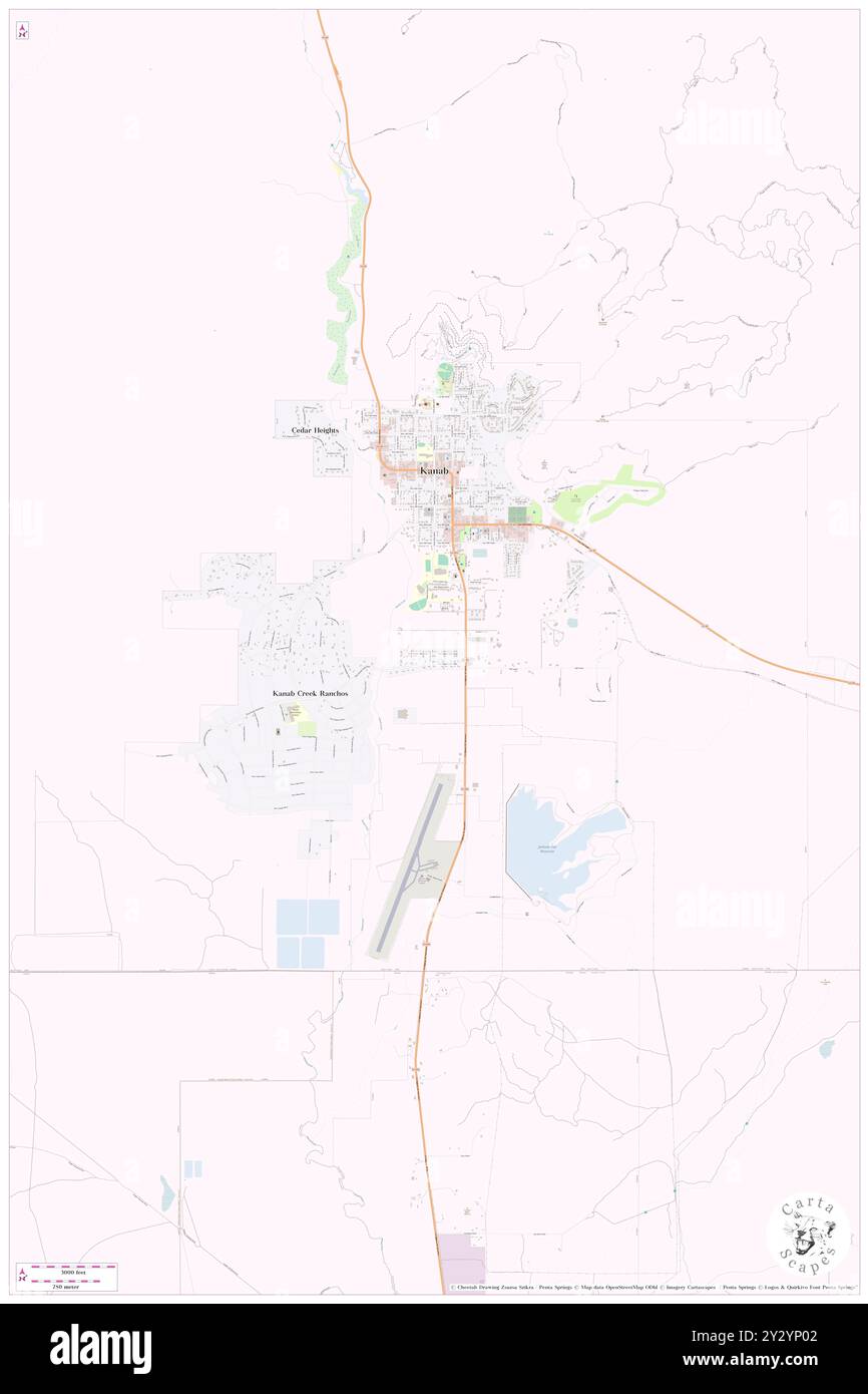 Kanab, Kane County, US, United States, Utah, N 37 2' 50'', S 112 31' 34'', map, Cartascapes Map published in 2024. Explore Cartascapes, a map revealing Earth's diverse landscapes, cultures, and ecosystems. Journey through time and space, discovering the interconnectedness of our planet's past, present, and future. Stock Photohttps://www.alamy.com/image-license-details/?v=1https://www.alamy.com/kanab-kane-county-us-united-states-utah-n-37-2-50-s-112-31-34-map-cartascapes-map-published-in-2024-explore-cartascapes-a-map-revealing-earths-diverse-landscapes-cultures-and-ecosystems-journey-through-time-and-space-discovering-the-interconnectedness-of-our-planets-past-present-and-future-image621412514.html
RM2Y2YP02–Kanab, Kane County, US, United States, Utah, N 37 2' 50'', S 112 31' 34'', map, Cartascapes Map published in 2024. Explore Cartascapes, a map revealing Earth's diverse landscapes, cultures, and ecosystems. Journey through time and space, discovering the interconnectedness of our planet's past, present, and future.
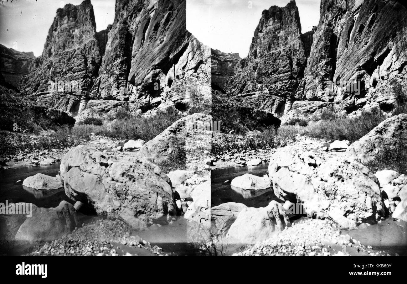 Stereograph of Kanab Canyon as seen from downstream near Pinnacle, Arizona. Image courtesy USGS. 1875. Stock Photohttps://www.alamy.com/image-license-details/?v=1https://www.alamy.com/stock-image-stereograph-of-kanab-canyon-as-seen-from-downstream-near-pinnacle-166817979.html
RMKKB60Y–Stereograph of Kanab Canyon as seen from downstream near Pinnacle, Arizona. Image courtesy USGS. 1875.
 Thomas Moran Mist in Kanab Canyon, Utah Stock Photohttps://www.alamy.com/image-license-details/?v=1https://www.alamy.com/stock-image-thomas-moran-mist-in-kanab-canyon-utah-162205229.html
RMKBW2BW–Thomas Moran Mist in Kanab Canyon, Utah
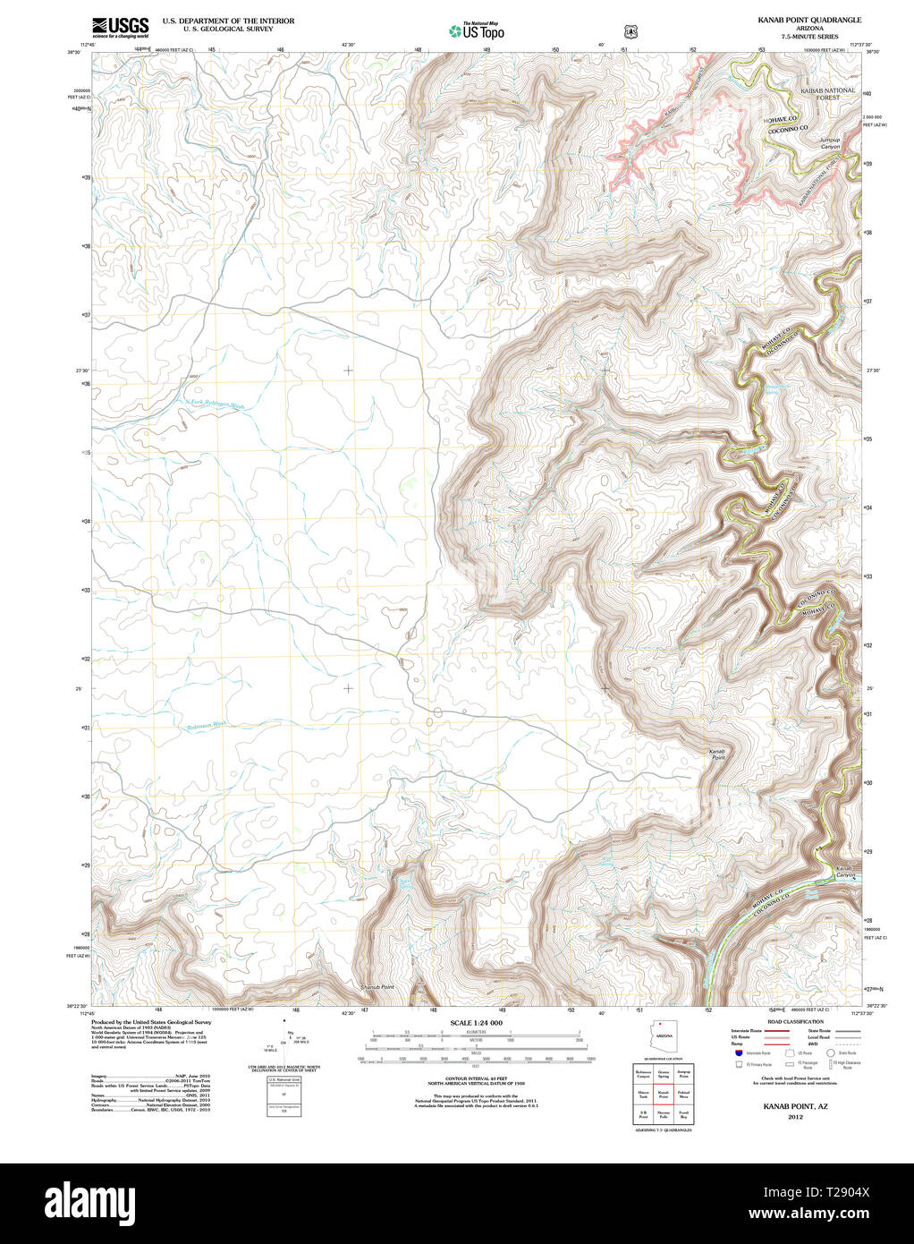 USGS TOPO Map Arizona AZ Kanab Point 20120518 TM Restoration Stock Photohttps://www.alamy.com/image-license-details/?v=1https://www.alamy.com/usgs-topo-map-arizona-az-kanab-point-20120518-tm-restoration-image242372170.html
RMT2904X–USGS TOPO Map Arizona AZ Kanab Point 20120518 TM Restoration
 . Bulletin of the Museum of Comparative Zoology at Harvard College. Zoology. Antelope fi Valley. : O s 10M Figure 11. Sketch map of the Pipe spring district, showing the Sevier-Toroweap fault. Weak lower Triassic strata, dotted; Triassic and Shinarump cliffs, hachured. Constructed from Dutton's map and original field notes. displacement along the line of fault, but merely to the fact that the eastern portions, being lifted higher than the western, became subject to different conditions of denudation" (a, p. 51). Near Pipe spring, not only have the cliffs of the eastern (Kanab) block reced Stock Photohttps://www.alamy.com/image-license-details/?v=1https://www.alamy.com/bulletin-of-the-museum-of-comparative-zoology-at-harvard-college-zoology-antelope-fi-valley-o-s-10m-figure-11-sketch-map-of-the-pipe-spring-district-showing-the-sevier-toroweap-fault-weak-lower-triassic-strata-dotted-triassic-and-shinarump-cliffs-hachured-constructed-from-duttons-map-and-original-field-notes-displacement-along-the-line-of-fault-but-merely-to-the-fact-that-the-eastern-portions-being-lifted-higher-than-the-western-became-subject-to-different-conditions-of-denudationquot-a-p-51-near-pipe-spring-not-only-have-the-cliffs-of-the-eastern-kanab-block-reced-image233918048.html
RMRGFTT0–. Bulletin of the Museum of Comparative Zoology at Harvard College. Zoology. Antelope fi Valley. : O s 10M Figure 11. Sketch map of the Pipe spring district, showing the Sevier-Toroweap fault. Weak lower Triassic strata, dotted; Triassic and Shinarump cliffs, hachured. Constructed from Dutton's map and original field notes. displacement along the line of fault, but merely to the fact that the eastern portions, being lifted higher than the western, became subject to different conditions of denudation" (a, p. 51). Near Pipe spring, not only have the cliffs of the eastern (Kanab) block reced
 Kane County, State of Utah (U.S. county, United States of America, USA, U.S., US) map vector illustration, scribble sketch Kane map Stock Vectorhttps://www.alamy.com/image-license-details/?v=1https://www.alamy.com/kane-county-state-of-utah-us-county-united-states-of-america-usa-us-us-map-vector-illustration-scribble-sketch-kane-map-image430915175.html
RF2G11TKK–Kane County, State of Utah (U.S. county, United States of America, USA, U.S., US) map vector illustration, scribble sketch Kane map
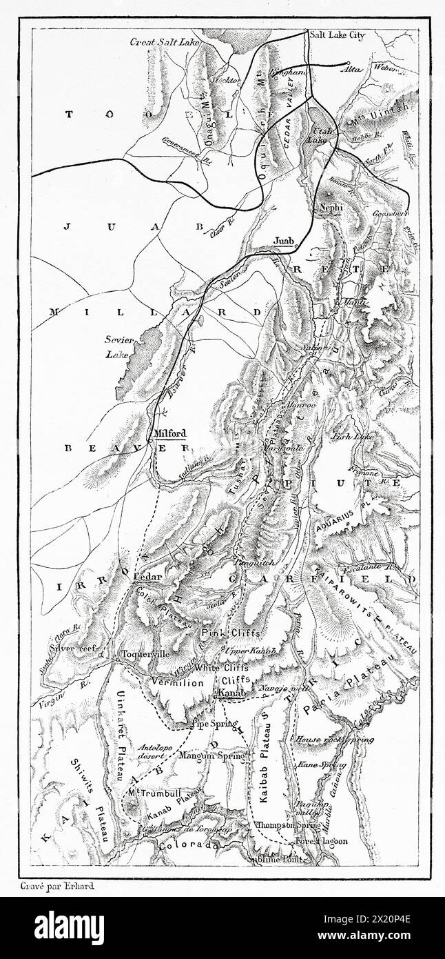 Map of areas covered by Albert Tissandier in Utah and Arizona. United States. Drawing by Albert Tissandier. Voyage of Exploration in Utah and Arizona, Kanab and the Kaibab Plateau in 1885. Le Tour du Monde 1886 Stock Photohttps://www.alamy.com/image-license-details/?v=1https://www.alamy.com/map-of-areas-covered-by-albert-tissandier-in-utah-and-arizona-united-states-drawing-by-albert-tissandier-voyage-of-exploration-in-utah-and-arizona-kanab-and-the-kaibab-plateau-in-1885-le-tour-du-monde-1886-image603609566.html
RM2X20P4E–Map of areas covered by Albert Tissandier in Utah and Arizona. United States. Drawing by Albert Tissandier. Voyage of Exploration in Utah and Arizona, Kanab and the Kaibab Plateau in 1885. Le Tour du Monde 1886
 vintage map of grand canyon national park and surr Stock Photohttps://www.alamy.com/image-license-details/?v=1https://www.alamy.com/stock-photo-vintage-map-of-grand-canyon-national-park-and-surr-147267688.html
RMJFGHC8–vintage map of grand canyon national park and surr
 Kanab, Kane County, US, United States, Utah, N 37 2' 50'', S 112 31' 34'', map, Cartascapes Map published in 2024. Explore Cartascapes, a map revealing Earth's diverse landscapes, cultures, and ecosystems. Journey through time and space, discovering the interconnectedness of our planet's past, present, and future. Stock Photohttps://www.alamy.com/image-license-details/?v=1https://www.alamy.com/kanab-kane-county-us-united-states-utah-n-37-2-50-s-112-31-34-map-cartascapes-map-published-in-2024-explore-cartascapes-a-map-revealing-earths-diverse-landscapes-cultures-and-ecosystems-journey-through-time-and-space-discovering-the-interconnectedness-of-our-planets-past-present-and-future-image620838623.html
RM2Y21HYY–Kanab, Kane County, US, United States, Utah, N 37 2' 50'', S 112 31' 34'', map, Cartascapes Map published in 2024. Explore Cartascapes, a map revealing Earth's diverse landscapes, cultures, and ecosystems. Journey through time and space, discovering the interconnectedness of our planet's past, present, and future.
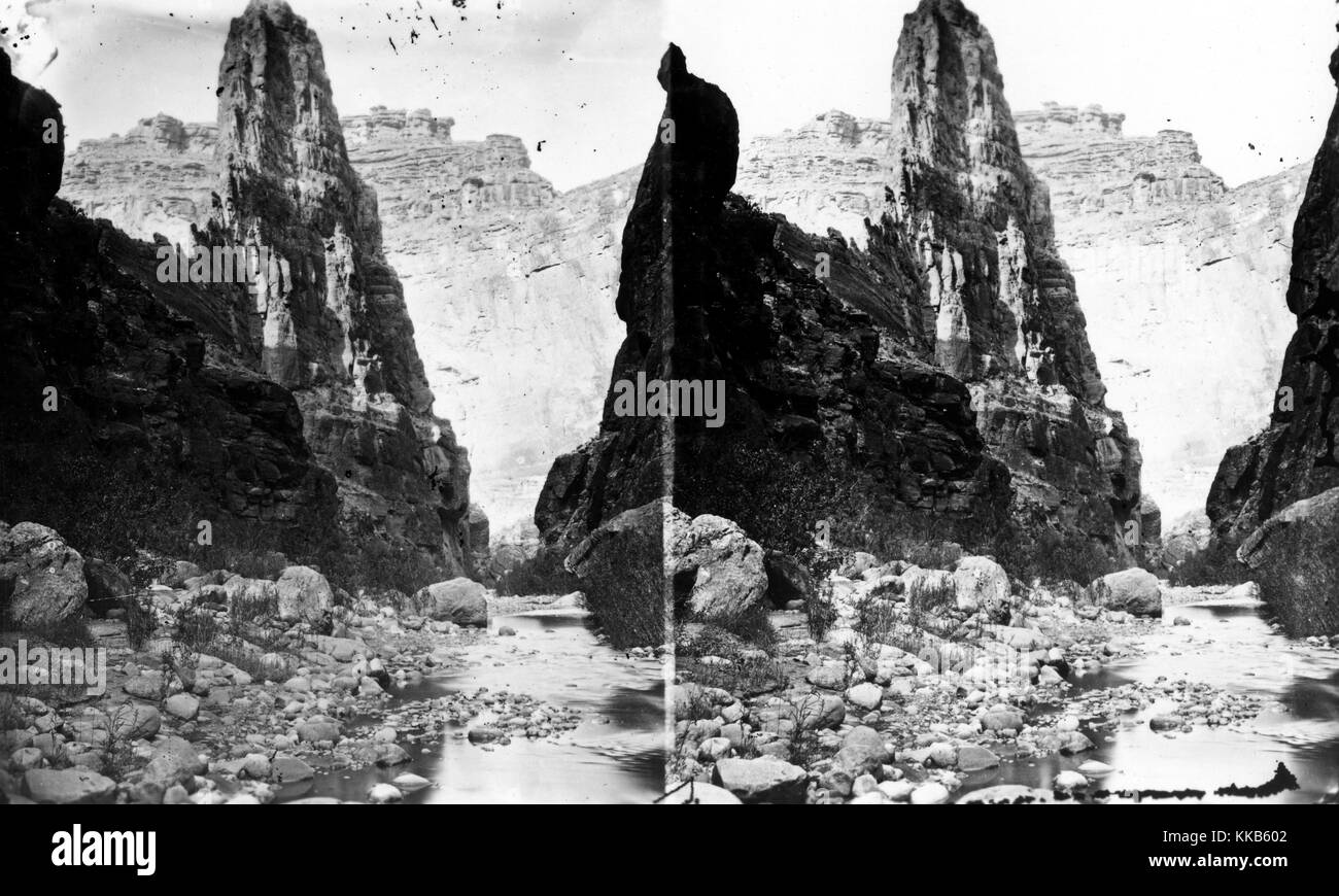 Stereograph of The Pinnacle in Kanab Canyon, Arizona. Image courtesy USGS. 1875. Stock Photohttps://www.alamy.com/image-license-details/?v=1https://www.alamy.com/stock-image-stereograph-of-the-pinnacle-in-kanab-canyon-arizona-image-courtesy-166817954.html
RMKKB602–Stereograph of The Pinnacle in Kanab Canyon, Arizona. Image courtesy USGS. 1875.
 Thomas Moran Mist in Kanab Canyon, Utah Stock Photohttps://www.alamy.com/image-license-details/?v=1https://www.alamy.com/stock-image-thomas-moran-mist-in-kanab-canyon-utah-162231535.html
RMKBX7YB–Thomas Moran Mist in Kanab Canyon, Utah
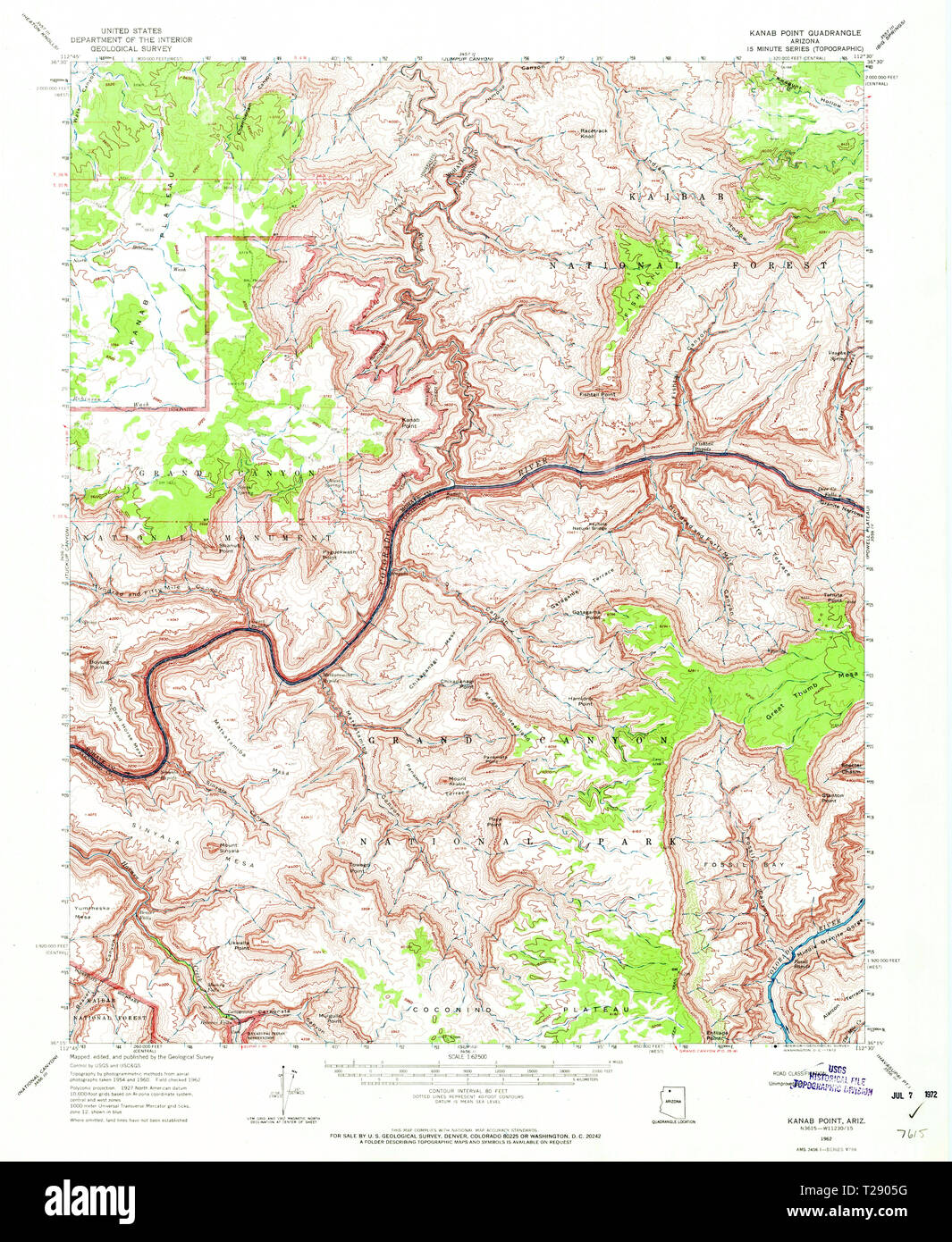 USGS TOPO Map Arizona AZ Kanab Point 314712 1962 62500 Restoration Stock Photohttps://www.alamy.com/image-license-details/?v=1https://www.alamy.com/usgs-topo-map-arizona-az-kanab-point-314712-1962-62500-restoration-image242372188.html
RMT2905G–USGS TOPO Map Arizona AZ Kanab Point 314712 1962 62500 Restoration
 . Bulletin of the Museum of Comparative Zoology at Harvard College. Zoology; Zoology. DAVIS: THE PLATEAU PROVINCE OF UTAH AND ARIZONA.. Figure 1. Route map. The numbers alongside of the broken line showing the route followed indicate the dates in July (14-31) and August (I to 5), 1902, when certain points were passed. The abbreviations are as follows: — A, Grand View Hotel ; B, Bright Angel Hotel. These two points, south of the canyon, were visited in the summer of 1901. Fa, Fre- donia; G, St. George; Kb, Kanab; Pn, Panguitch; P. S., Pipe spring; R, Ranch; T, Toquerville.. Please note that the Stock Photohttps://www.alamy.com/image-license-details/?v=1https://www.alamy.com/bulletin-of-the-museum-of-comparative-zoology-at-harvard-college-zoology-zoology-davis-the-plateau-province-of-utah-and-arizona-figure-1-route-map-the-numbers-alongside-of-the-broken-line-showing-the-route-followed-indicate-the-dates-in-july-14-31-and-august-i-to-5-1902-when-certain-points-were-passed-the-abbreviations-are-as-follows-a-grand-view-hotel-b-bright-angel-hotel-these-two-points-south-of-the-canyon-were-visited-in-the-summer-of-1901-fa-fre-donia-g-st-george-kb-kanab-pn-panguitch-p-s-pipe-spring-r-ranch-t-toquerville-please-note-that-the-image233935003.html
RMRGGJDF–. Bulletin of the Museum of Comparative Zoology at Harvard College. Zoology; Zoology. DAVIS: THE PLATEAU PROVINCE OF UTAH AND ARIZONA.. Figure 1. Route map. The numbers alongside of the broken line showing the route followed indicate the dates in July (14-31) and August (I to 5), 1902, when certain points were passed. The abbreviations are as follows: — A, Grand View Hotel ; B, Bright Angel Hotel. These two points, south of the canyon, were visited in the summer of 1901. Fa, Fre- donia; G, St. George; Kb, Kanab; Pn, Panguitch; P. S., Pipe spring; R, Ranch; T, Toquerville.. Please note that the
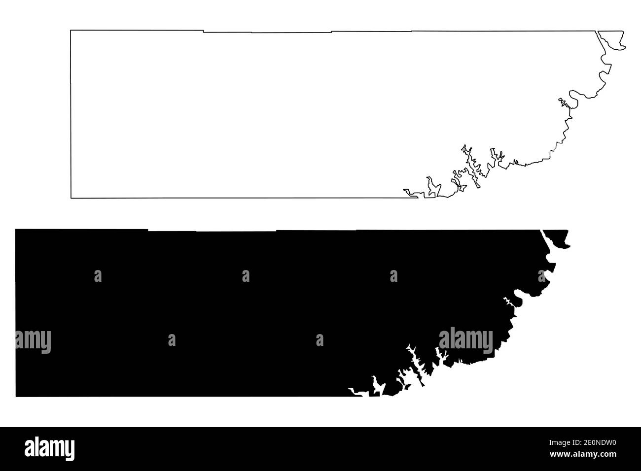 Kane County, State of Utah (U.S. county, United States of America, USA, U.S., US) map vector illustration, scribble sketch Kane map Stock Vectorhttps://www.alamy.com/image-license-details/?v=1https://www.alamy.com/kane-county-state-of-utah-us-county-united-states-of-america-usa-us-us-map-vector-illustration-scribble-sketch-kane-map-image396310348.html
RF2E0NDW0–Kane County, State of Utah (U.S. county, United States of America, USA, U.S., US) map vector illustration, scribble sketch Kane map
 City of Kanab, Kane County, US, United States, Utah, N 37 1' 36'', S 112 30' 17'', map, Cartascapes Map published in 2024. Explore Cartascapes, a map revealing Earth's diverse landscapes, cultures, and ecosystems. Journey through time and space, discovering the interconnectedness of our planet's past, present, and future. Stock Photohttps://www.alamy.com/image-license-details/?v=1https://www.alamy.com/city-of-kanab-kane-county-us-united-states-utah-n-37-1-36-s-112-30-17-map-cartascapes-map-published-in-2024-explore-cartascapes-a-map-revealing-earths-diverse-landscapes-cultures-and-ecosystems-journey-through-time-and-space-discovering-the-interconnectedness-of-our-planets-past-present-and-future-image633840047.html
RM2YR5WCF–City of Kanab, Kane County, US, United States, Utah, N 37 1' 36'', S 112 30' 17'', map, Cartascapes Map published in 2024. Explore Cartascapes, a map revealing Earth's diverse landscapes, cultures, and ecosystems. Journey through time and space, discovering the interconnectedness of our planet's past, present, and future.
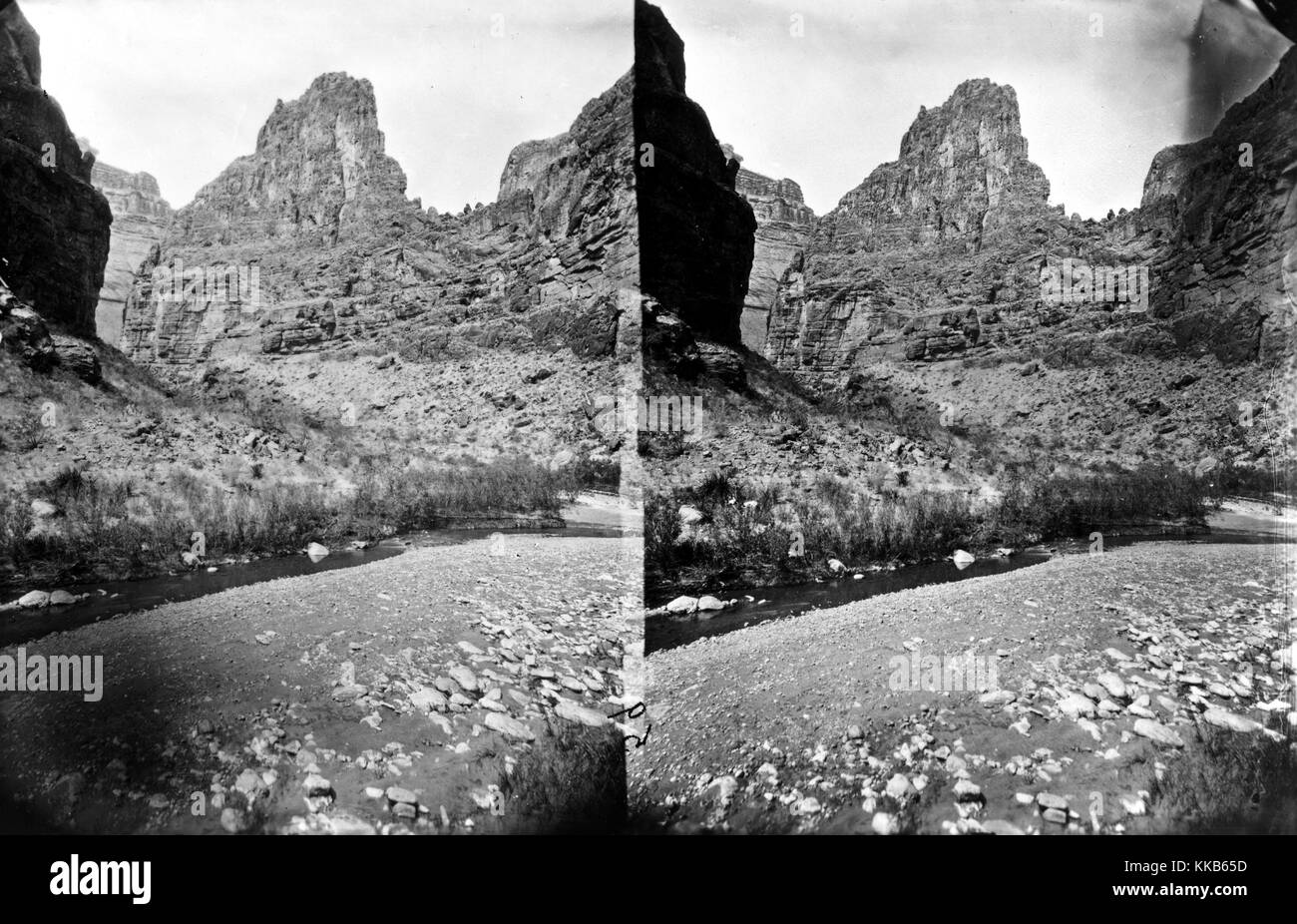 A stereograph of Kanab Canyon near Pinnacle, Arizona, 1875. Image courtesy USGS. Stock Photohttps://www.alamy.com/image-license-details/?v=1https://www.alamy.com/stock-image-a-stereograph-of-kanab-canyon-near-pinnacle-arizona-1875-image-courtesy-166818105.html
RMKKB65D–A stereograph of Kanab Canyon near Pinnacle, Arizona, 1875. Image courtesy USGS.
 USGS TOPO Map Arizona AZ Kanab Point 20120518 TM Inverted Restoration Stock Photohttps://www.alamy.com/image-license-details/?v=1https://www.alamy.com/usgs-topo-map-arizona-az-kanab-point-20120518-tm-inverted-restoration-image242372168.html
RMT2904T–USGS TOPO Map Arizona AZ Kanab Point 20120518 TM Inverted Restoration
 . Brigham Young University science bulletin. Biology -- Periodicals. BRIGHAM YOUNG UNIVERSITY SCIENCE BULLETIN UTAH OUTLINE MAP. Fig. 10. Pimis ediilis Engem. Representative Specimens: Beaver Co., Beaver, S.5. Hutch- ings 8444, May 2, 1938 (NY): Carbon Co., Price, R. Hardv s.n.. May 20, 1937 (UT); Duchesne Co., Red Crecl<, J. Brotherson 480, July 20, 1965 (BRY): Emery Co., Emery,/. Tidestrom 1422, July 8, 1908 (US): Garfield Co.. Aquarius Plateau, Vickerv 615, May 19, 1956 (UT):Grand Co., Arches N.M.. K.S. Erdman 188, July 26, 1960 (BRY): Kane Co., Kanab, Knudscn 39, December 29, 1950 BRY) Stock Photohttps://www.alamy.com/image-license-details/?v=1https://www.alamy.com/brigham-young-university-science-bulletin-biology-periodicals-brigham-young-university-science-bulletin-utah-outline-map-fig-10-pimis-ediilis-engem-representative-specimens-beaver-co-beaver-s5-hutch-ings-8444-may-2-1938-ny-carbon-co-price-r-hardv-sn-may-20-1937-ut-duchesne-co-red-crecllt-j-brotherson-480-july-20-1965-bry-emery-co-emery-tidestrom-1422-july-8-1908-us-garfield-co-aquarius-plateau-vickerv-615-may-19-1956-utgrand-co-arches-nm-ks-erdman-188-july-26-1960-bry-kane-co-kanab-knudscn-39-december-29-1950-bry-image234284699.html
RMRH4GEK–. Brigham Young University science bulletin. Biology -- Periodicals. BRIGHAM YOUNG UNIVERSITY SCIENCE BULLETIN UTAH OUTLINE MAP. Fig. 10. Pimis ediilis Engem. Representative Specimens: Beaver Co., Beaver, S.5. Hutch- ings 8444, May 2, 1938 (NY): Carbon Co., Price, R. Hardv s.n.. May 20, 1937 (UT); Duchesne Co., Red Crecl<, J. Brotherson 480, July 20, 1965 (BRY): Emery Co., Emery,/. Tidestrom 1422, July 8, 1908 (US): Garfield Co.. Aquarius Plateau, Vickerv 615, May 19, 1956 (UT):Grand Co., Arches N.M.. K.S. Erdman 188, July 26, 1960 (BRY): Kane Co., Kanab, Knudscn 39, December 29, 1950 BRY)
 Kane County, State of Utah (U.S. county, United States of America, USA, U.S., US) map vector illustration, scribble sketch Kane map Stock Vectorhttps://www.alamy.com/image-license-details/?v=1https://www.alamy.com/kane-county-state-of-utah-us-county-united-states-of-america-usa-us-us-map-vector-illustration-scribble-sketch-kane-map-image417623828.html
RF2F7CBCM–Kane County, State of Utah (U.S. county, United States of America, USA, U.S., US) map vector illustration, scribble sketch Kane map
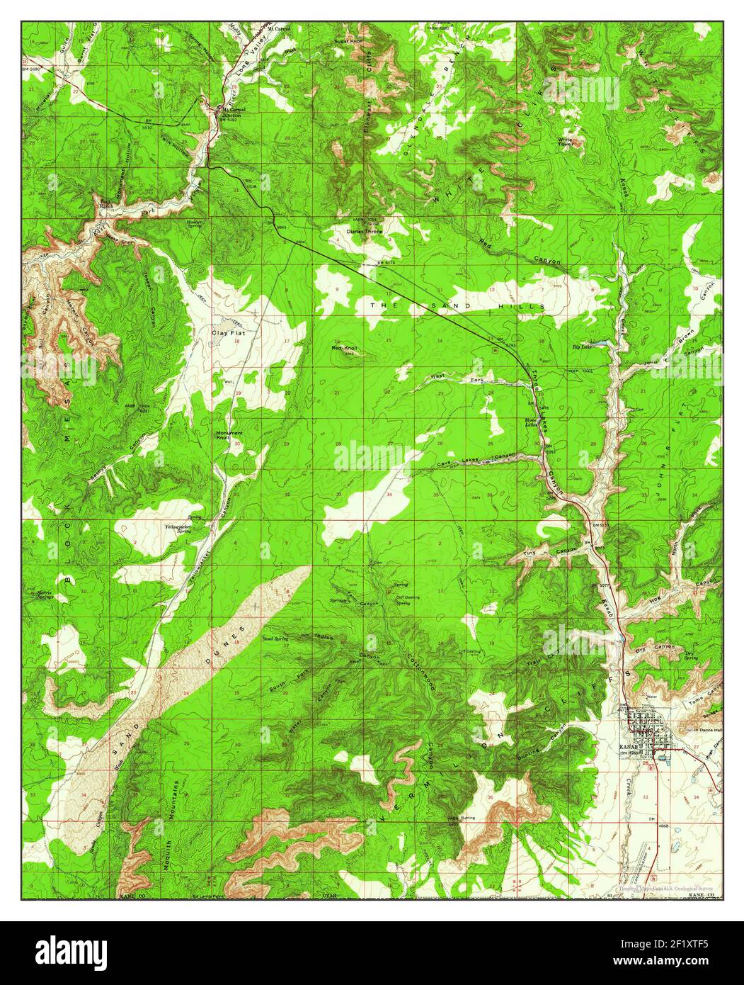 Kanab, Utah, map 1957, 1:62500, United States of America by Timeless Maps, data U.S. Geological Survey Stock Photohttps://www.alamy.com/image-license-details/?v=1https://www.alamy.com/kanab-utah-map-1957-162500-united-states-of-america-by-timeless-maps-data-us-geological-survey-image414253481.html
RM2F1XTF5–Kanab, Utah, map 1957, 1:62500, United States of America by Timeless Maps, data U.S. Geological Survey
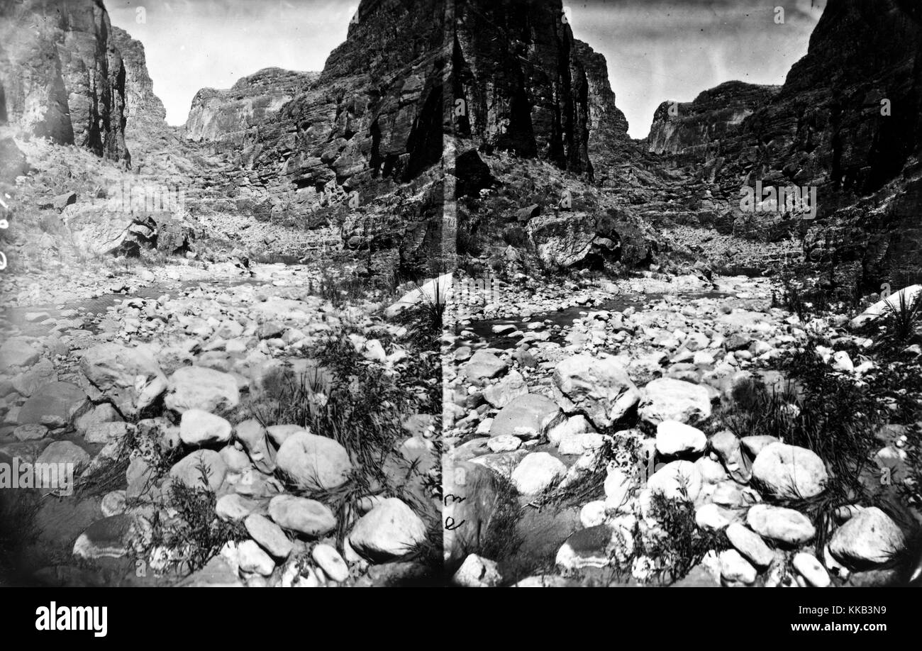 Stereograph of the rocky landscape of Kanab Canyon, Arizona or Utah. Image courtesy USGS. 1875. Stock Photohttps://www.alamy.com/image-license-details/?v=1https://www.alamy.com/stock-image-stereograph-of-the-rocky-landscape-of-kanab-canyon-arizona-or-utah-166816197.html
RMKKB3N9–Stereograph of the rocky landscape of Kanab Canyon, Arizona or Utah. Image courtesy USGS. 1875.
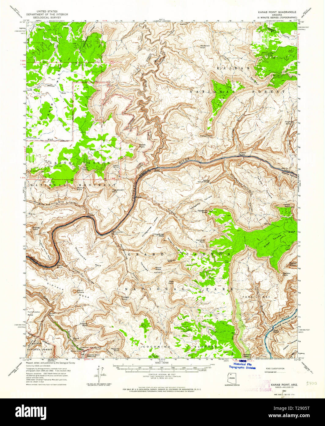 USGS TOPO Map Arizona AZ Kanab Point 314713 1962 62500 Restoration Stock Photohttps://www.alamy.com/image-license-details/?v=1https://www.alamy.com/usgs-topo-map-arizona-az-kanab-point-314713-1962-62500-restoration-image242372196.html
RMT2905T–USGS TOPO Map Arizona AZ Kanab Point 314713 1962 62500 Restoration
 Kane County, State of Utah (U.S. county, United States of America, USA, U.S., US) map vector illustration, scribble sketch Kane map Stock Vectorhttps://www.alamy.com/image-license-details/?v=1https://www.alamy.com/kane-county-state-of-utah-us-county-united-states-of-america-usa-us-us-map-vector-illustration-scribble-sketch-kane-map-image628677987.html
RF2YEPN57–Kane County, State of Utah (U.S. county, United States of America, USA, U.S., US) map vector illustration, scribble sketch Kane map
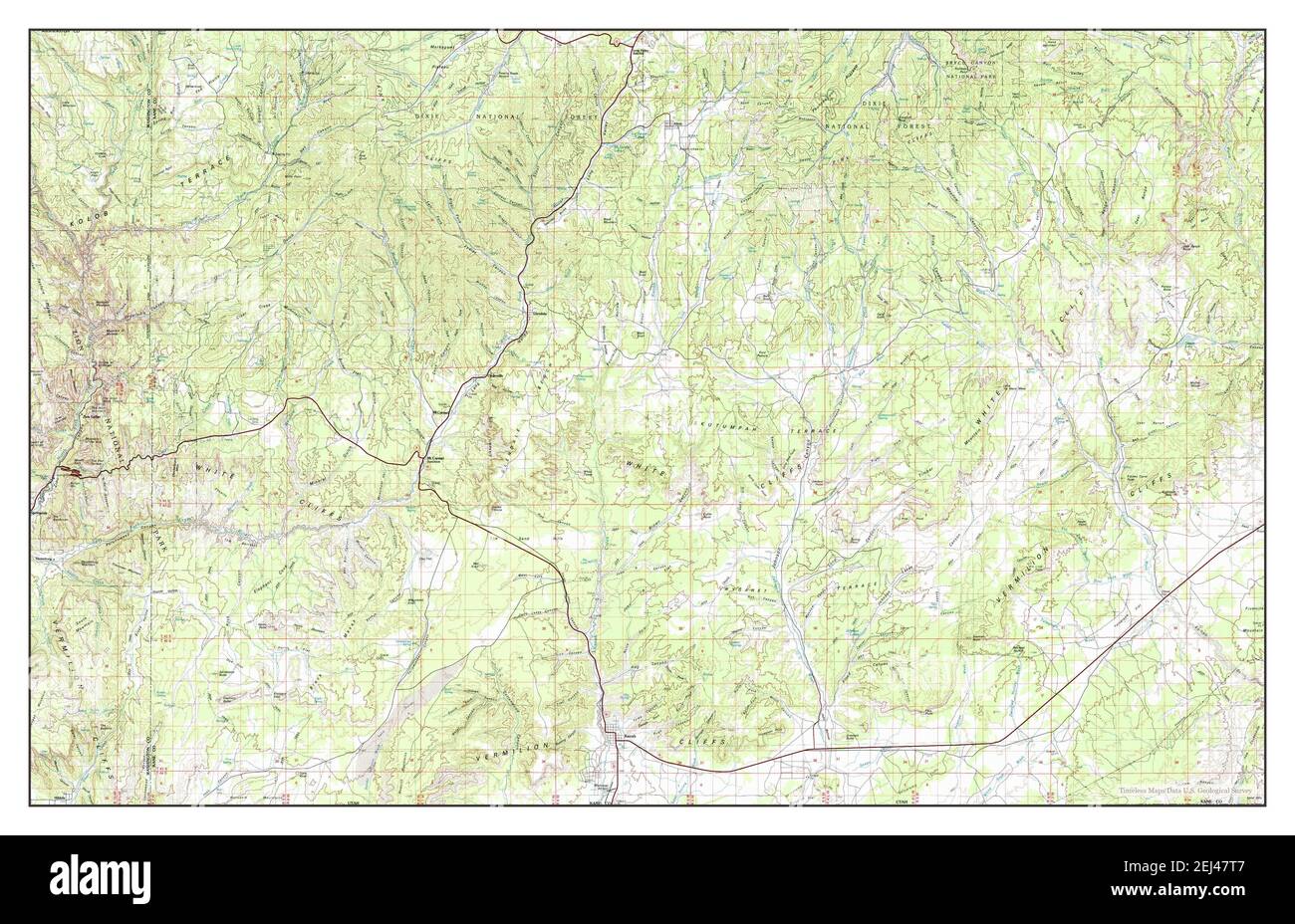 Kanab, Utah, map 1980, 1:100000, United States of America by Timeless Maps, data U.S. Geological Survey Stock Photohttps://www.alamy.com/image-license-details/?v=1https://www.alamy.com/kanab-utah-map-1980-1100000-united-states-of-america-by-timeless-maps-data-us-geological-survey-image406996247.html
RM2EJ47T7–Kanab, Utah, map 1980, 1:100000, United States of America by Timeless Maps, data U.S. Geological Survey
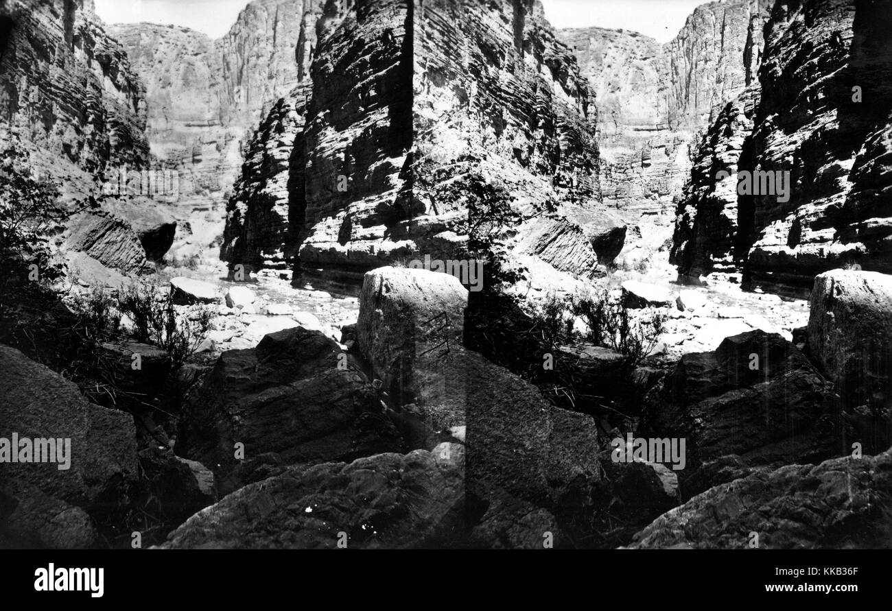 Stereograph of the tall walls of a canyon through which the Kanab Creek runs. Image courtesy USGS. 1875. Stock Photohttps://www.alamy.com/image-license-details/?v=1https://www.alamy.com/stock-image-stereograph-of-the-tall-walls-of-a-canyon-through-which-the-kanab-166815783.html
RMKKB36F–Stereograph of the tall walls of a canyon through which the Kanab Creek runs. Image courtesy USGS. 1875.
 USGS TOPO Map Arizona AZ Kanab Point 311943 1988 24000 Restoration Stock Photohttps://www.alamy.com/image-license-details/?v=1https://www.alamy.com/usgs-topo-map-arizona-az-kanab-point-311943-1988-24000-restoration-image242372183.html
RMT2905B–USGS TOPO Map Arizona AZ Kanab Point 311943 1988 24000 Restoration
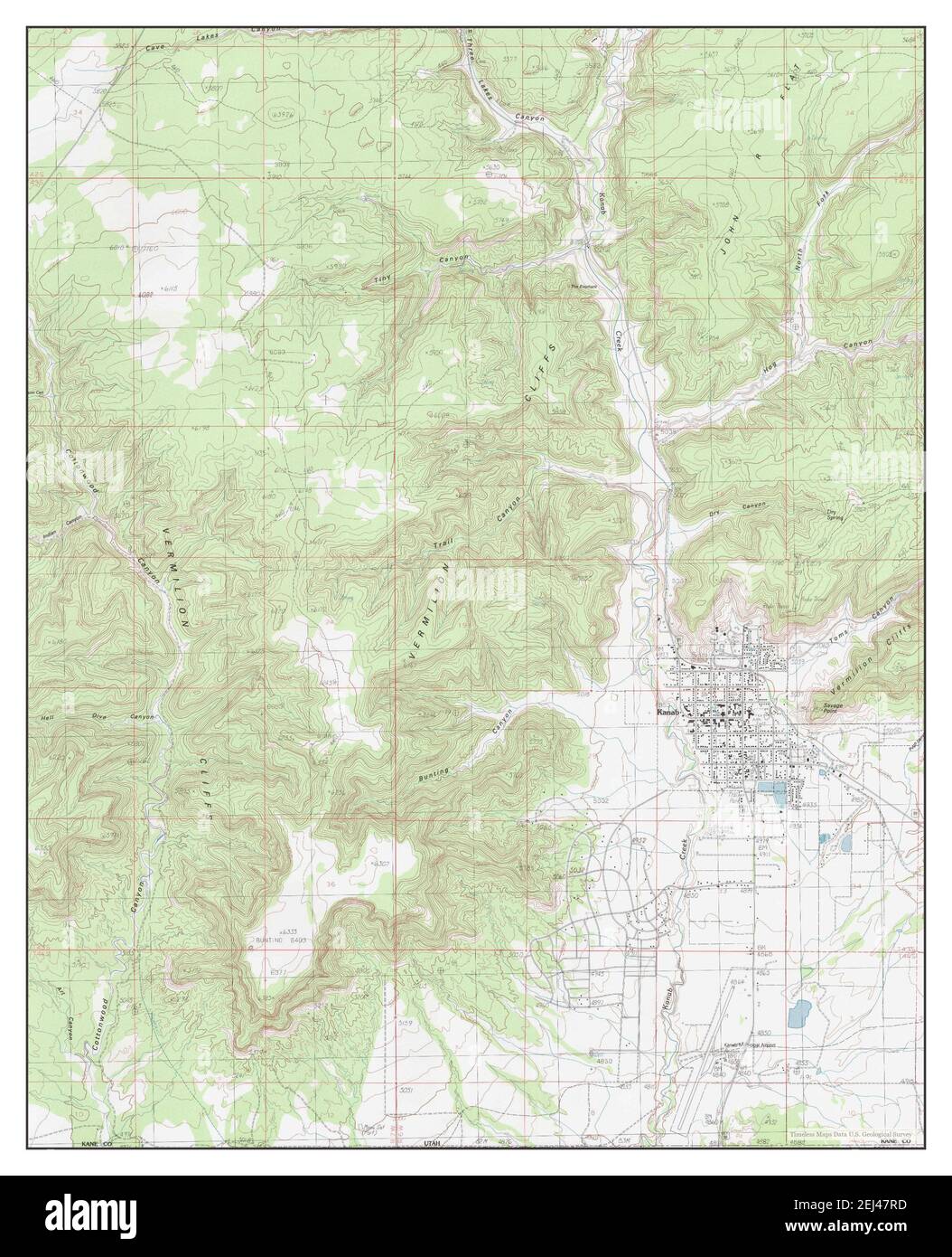 Kanab, Utah, map 1985, 1:24000, United States of America by Timeless Maps, data U.S. Geological Survey Stock Photohttps://www.alamy.com/image-license-details/?v=1https://www.alamy.com/kanab-utah-map-1985-124000-united-states-of-america-by-timeless-maps-data-us-geological-survey-image406996225.html
RM2EJ47RD–Kanab, Utah, map 1985, 1:24000, United States of America by Timeless Maps, data U.S. Geological Survey
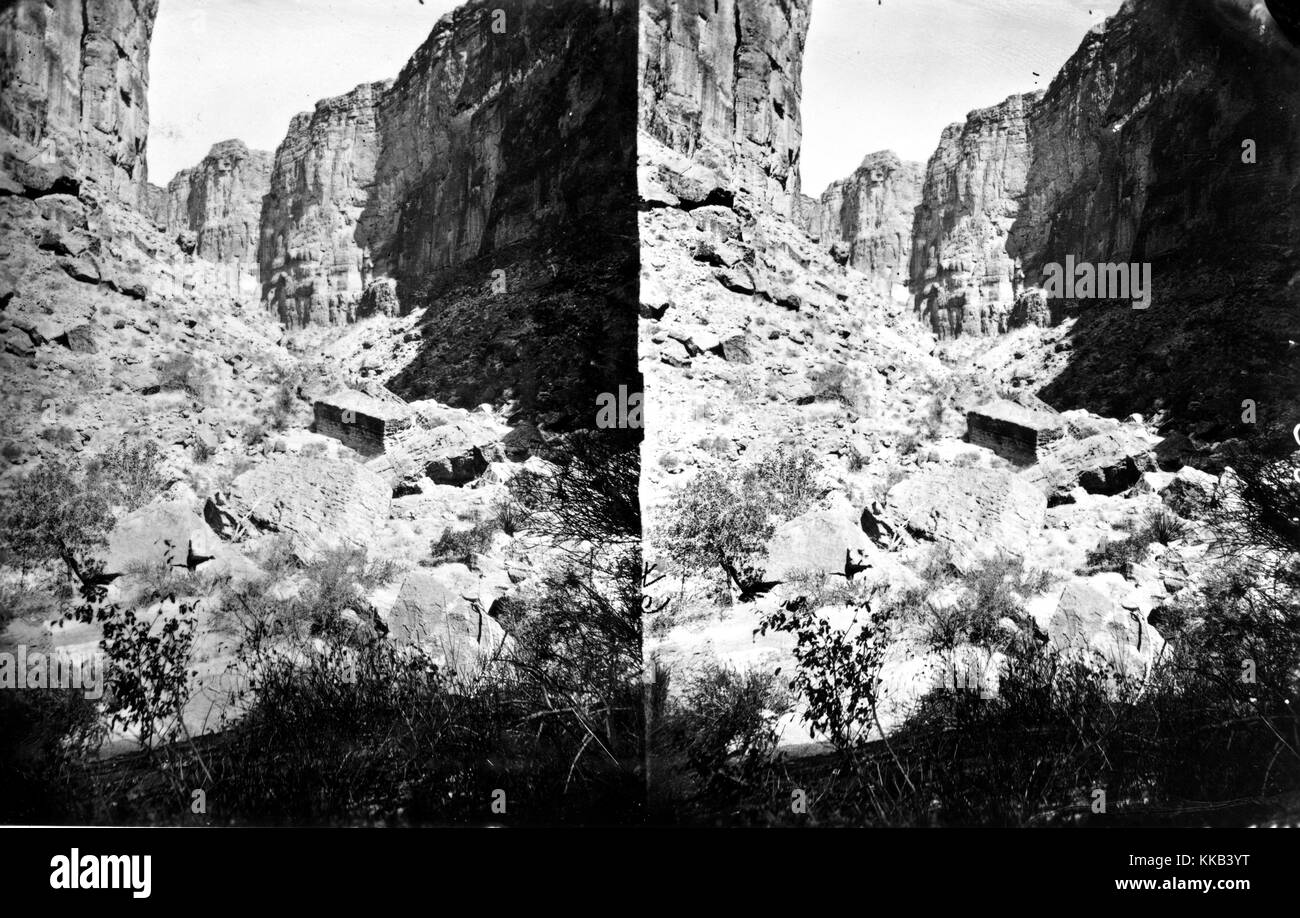 Stereograph of the rocky landscape from within Kanab Canyon, Arizona or Utah. Image courtesy USGS. 1875. Stock Photohttps://www.alamy.com/image-license-details/?v=1https://www.alamy.com/stock-image-stereograph-of-the-rocky-landscape-from-within-kanab-canyon-arizona-166816380.html
RMKKB3YT–Stereograph of the rocky landscape from within Kanab Canyon, Arizona or Utah. Image courtesy USGS. 1875.
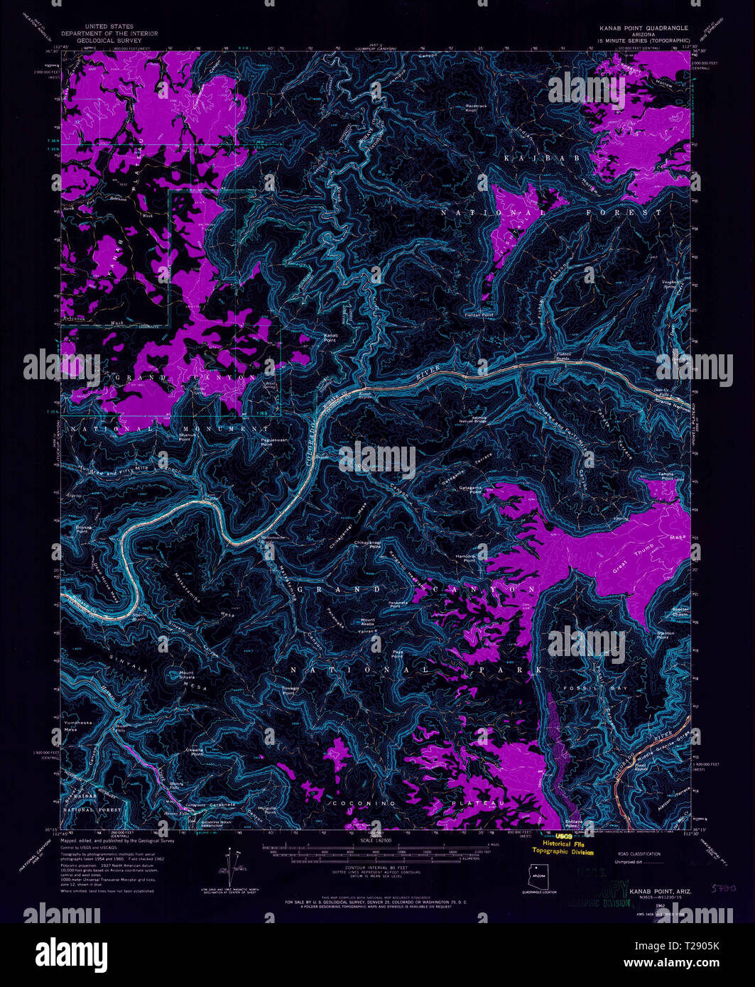 USGS TOPO Map Arizona AZ Kanab Point 314713 1962 62500 Inverted Restoration Stock Photohttps://www.alamy.com/image-license-details/?v=1https://www.alamy.com/usgs-topo-map-arizona-az-kanab-point-314713-1962-62500-inverted-restoration-image242372191.html
RMT2905K–USGS TOPO Map Arizona AZ Kanab Point 314713 1962 62500 Inverted Restoration
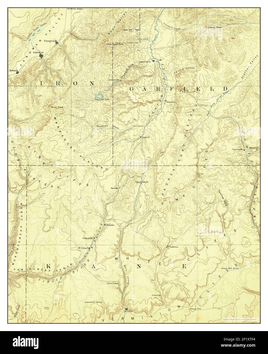 Kanab, Utah, map 1886, 1:250000, United States of America by Timeless Maps, data U.S. Geological Survey Stock Photohttps://www.alamy.com/image-license-details/?v=1https://www.alamy.com/kanab-utah-map-1886-1250000-united-states-of-america-by-timeless-maps-data-us-geological-survey-image414253480.html
RM2F1XTF4–Kanab, Utah, map 1886, 1:250000, United States of America by Timeless Maps, data U.S. Geological Survey
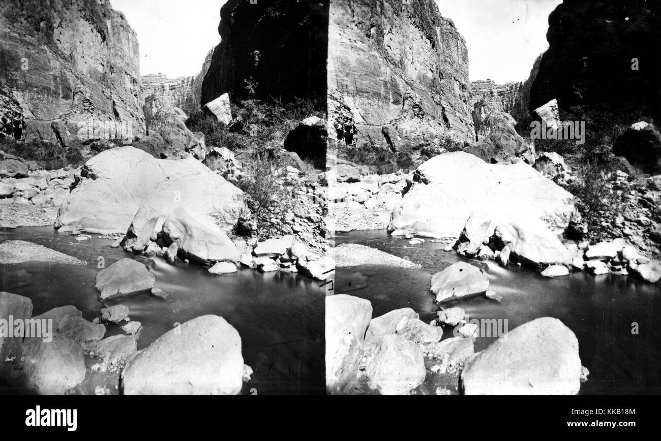 Stereograph of water flowing through the rocky floor of Kanab Canyon, in Arizona or Utah. Image courtesy USGS. 1875. Stock Photohttps://www.alamy.com/image-license-details/?v=1https://www.alamy.com/stock-image-stereograph-of-water-flowing-through-the-rocky-floor-of-kanab-canyon-166814276.html
RMKKB18M–Stereograph of water flowing through the rocky floor of Kanab Canyon, in Arizona or Utah. Image courtesy USGS. 1875.
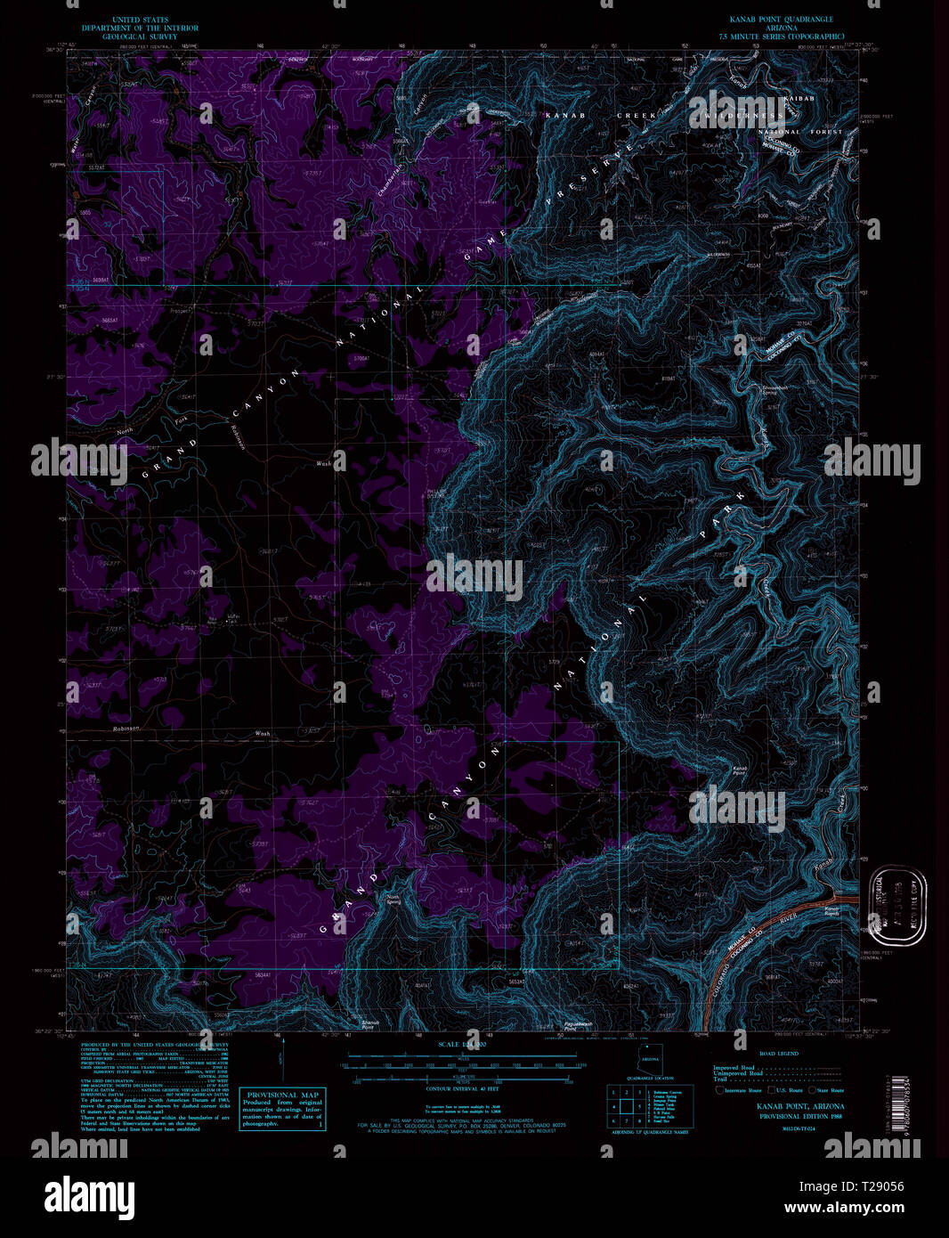 USGS TOPO Map Arizona AZ Kanab Point 311943 1988 24000 Inverted Restoration Stock Photohttps://www.alamy.com/image-license-details/?v=1https://www.alamy.com/usgs-topo-map-arizona-az-kanab-point-311943-1988-24000-inverted-restoration-image242372178.html
RMT29056–USGS TOPO Map Arizona AZ Kanab Point 311943 1988 24000 Inverted Restoration
 Kanab, Utah, map 1886, 1:250000, United States of America by Timeless Maps, data U.S. Geological Survey Stock Photohttps://www.alamy.com/image-license-details/?v=1https://www.alamy.com/kanab-utah-map-1886-1250000-united-states-of-america-by-timeless-maps-data-us-geological-survey-image414253479.html
RM2F1XTF3–Kanab, Utah, map 1886, 1:250000, United States of America by Timeless Maps, data U.S. Geological Survey
 USGS TOPO Map Arizona AZ Kanab Point 314712 1962 62500 Inverted Restoration Stock Photohttps://www.alamy.com/image-license-details/?v=1https://www.alamy.com/usgs-topo-map-arizona-az-kanab-point-314712-1962-62500-inverted-restoration-image242372181.html
RMT29059–USGS TOPO Map Arizona AZ Kanab Point 314712 1962 62500 Inverted Restoration
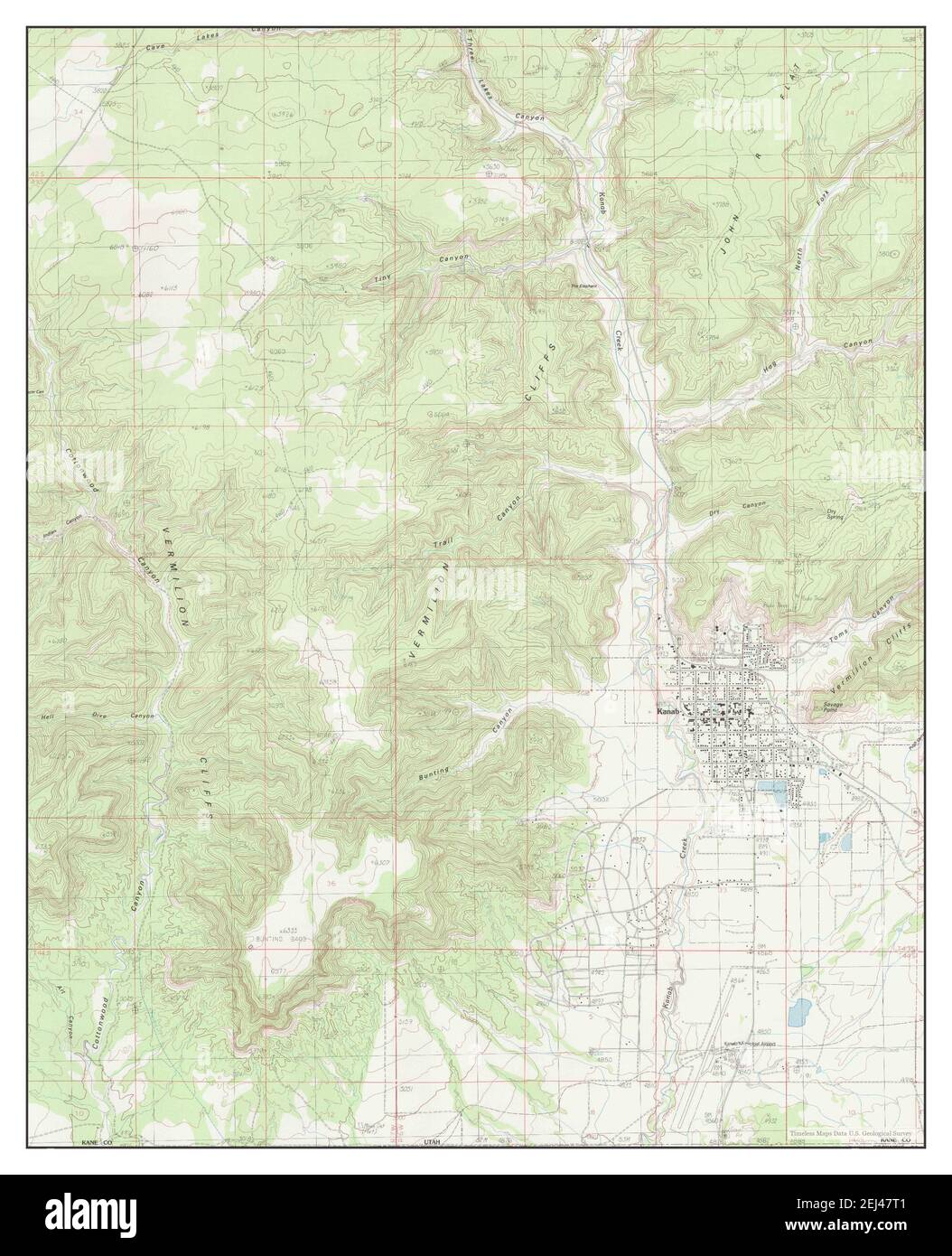 Kanab, Utah, map 1985, 1:24000, United States of America by Timeless Maps, data U.S. Geological Survey Stock Photohttps://www.alamy.com/image-license-details/?v=1https://www.alamy.com/kanab-utah-map-1985-124000-united-states-of-america-by-timeless-maps-data-us-geological-survey-image406996241.html
RM2EJ47T1–Kanab, Utah, map 1985, 1:24000, United States of America by Timeless Maps, data U.S. Geological Survey
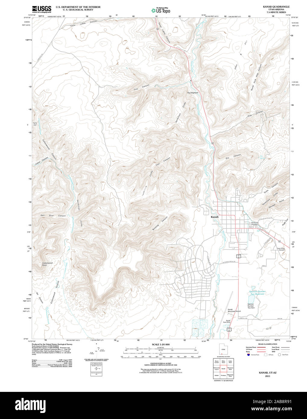 UT Kanab 20110614 TM Restoration Stock Photohttps://www.alamy.com/image-license-details/?v=1https://www.alamy.com/ut-kanab-20110614-tm-restoration-image333952109.html
RM2AB8R91–UT Kanab 20110614 TM Restoration
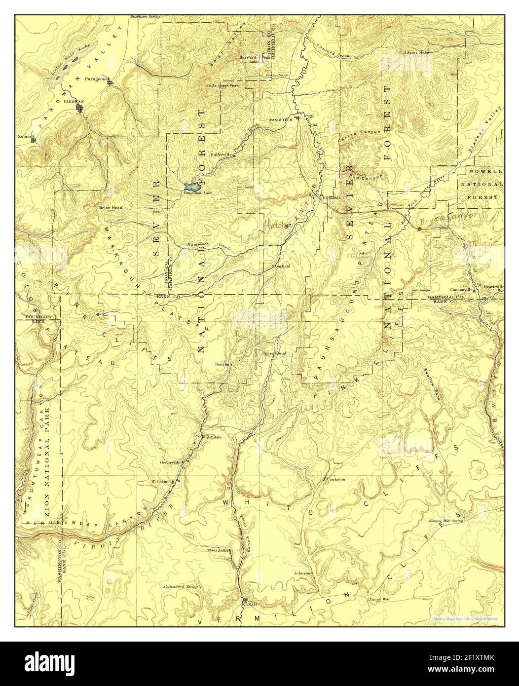 Kanab, Utah, map 1886, 1:250000, United States of America by Timeless Maps, data U.S. Geological Survey Stock Photohttps://www.alamy.com/image-license-details/?v=1https://www.alamy.com/kanab-utah-map-1886-1250000-united-states-of-america-by-timeless-maps-data-us-geological-survey-image414253635.html
RM2F1XTMK–Kanab, Utah, map 1886, 1:250000, United States of America by Timeless Maps, data U.S. Geological Survey
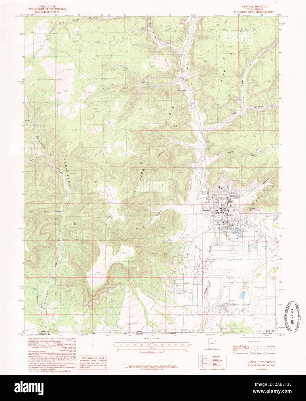 UT Kanab 250098 1985 24000 Restoration Stock Photohttps://www.alamy.com/image-license-details/?v=1https://www.alamy.com/ut-kanab-250098-1985-24000-restoration-image333952738.html
RM2AB8T3E–UT Kanab 250098 1985 24000 Restoration
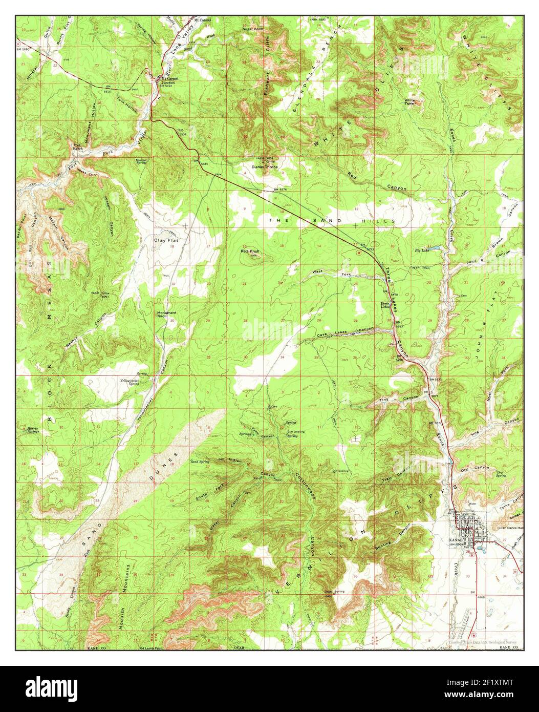 Kanab, Utah, map 1957, 1:62500, United States of America by Timeless Maps, data U.S. Geological Survey Stock Photohttps://www.alamy.com/image-license-details/?v=1https://www.alamy.com/kanab-utah-map-1957-162500-united-states-of-america-by-timeless-maps-data-us-geological-survey-image414253640.html
RM2F1XTMT–Kanab, Utah, map 1957, 1:62500, United States of America by Timeless Maps, data U.S. Geological Survey
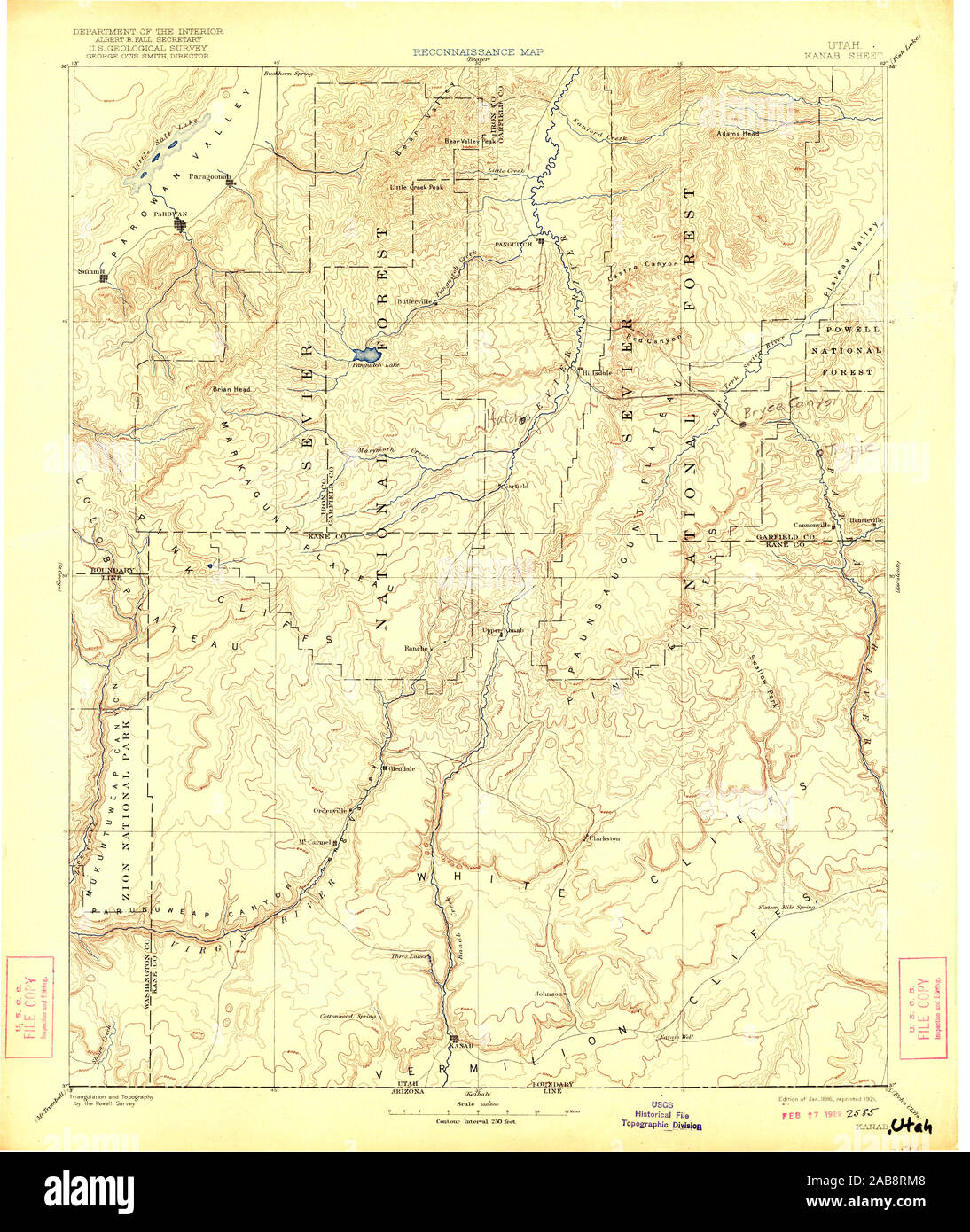 UT Kanab 250084 1886 250000 Restoration Stock Photohttps://www.alamy.com/image-license-details/?v=1https://www.alamy.com/ut-kanab-250084-1886-250000-restoration-image333952424.html
RM2AB8RM8–UT Kanab 250084 1886 250000 Restoration
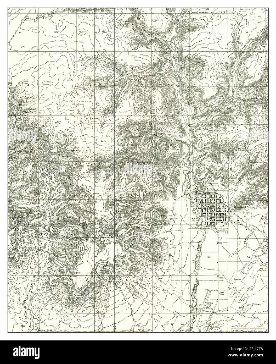 Kanab SE, Utah, map 1954, 1:24000, United States of America by Timeless Maps, data U.S. Geological Survey Stock Photohttps://www.alamy.com/image-license-details/?v=1https://www.alamy.com/kanab-se-utah-map-1954-124000-united-states-of-america-by-timeless-maps-data-us-geological-survey-image406996248.html
RM2EJ47T8–Kanab SE, Utah, map 1954, 1:24000, United States of America by Timeless Maps, data U.S. Geological Survey
 UT Kanab 250082 1886 250000 Restoration Stock Photohttps://www.alamy.com/image-license-details/?v=1https://www.alamy.com/ut-kanab-250082-1886-250000-restoration-image333952258.html
RM2AB8REA–UT Kanab 250082 1886 250000 Restoration
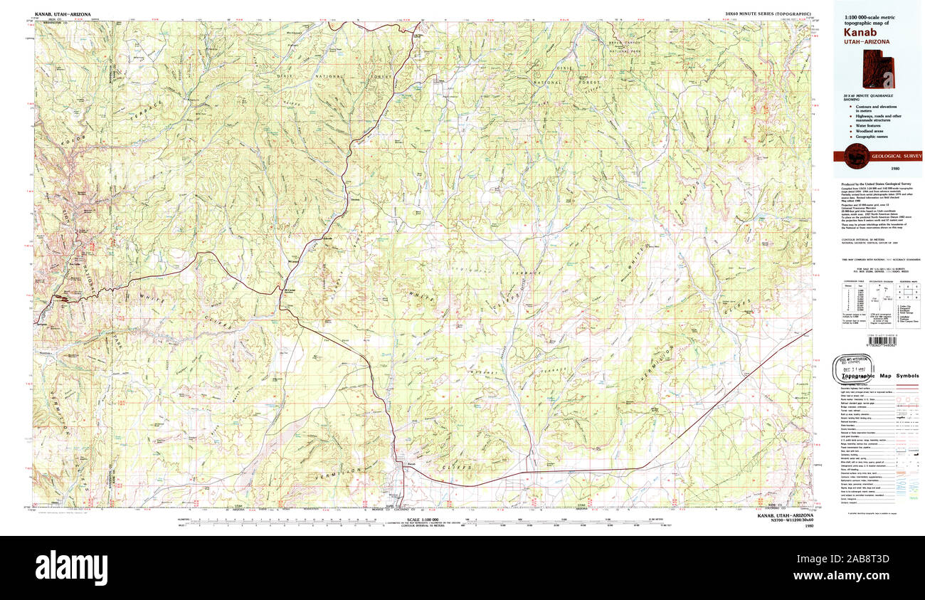 UT Kanab 250095 1980 100000 Restoration Stock Photohttps://www.alamy.com/image-license-details/?v=1https://www.alamy.com/ut-kanab-250095-1980-100000-restoration-image333952737.html
RM2AB8T3D–UT Kanab 250095 1980 100000 Restoration
 UT Kanab 241730 1886 250000 Restoration Stock Photohttps://www.alamy.com/image-license-details/?v=1https://www.alamy.com/ut-kanab-241730-1886-250000-restoration-image333952094.html
RM2AB8R8E–UT Kanab 241730 1886 250000 Restoration
 UT Kanab 250083 1886 250000 Restoration Stock Photohttps://www.alamy.com/image-license-details/?v=1https://www.alamy.com/ut-kanab-250083-1886-250000-restoration-image333952288.html
RM2AB8RFC–UT Kanab 250083 1886 250000 Restoration
 UT Kanab 250094 1957 62500 Restoration Stock Photohttps://www.alamy.com/image-license-details/?v=1https://www.alamy.com/ut-kanab-250094-1957-62500-restoration-image333952431.html
RM2AB8RMF–UT Kanab 250094 1957 62500 Restoration
 UT Kanab 250097 1985 24000 Restoration Stock Photohttps://www.alamy.com/image-license-details/?v=1https://www.alamy.com/ut-kanab-250097-1985-24000-restoration-image333952430.html
RM2AB8RME–UT Kanab 250097 1985 24000 Restoration
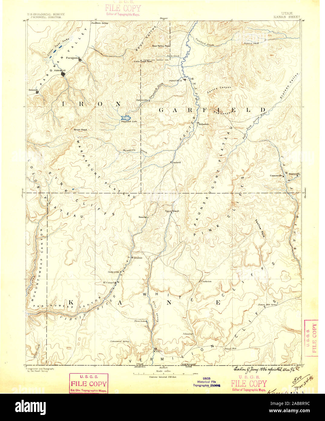 UT Kanab 250081 1886 250000 Restoration Stock Photohttps://www.alamy.com/image-license-details/?v=1https://www.alamy.com/ut-kanab-250081-1886-250000-restoration-image333952120.html
RM2AB8R9C–UT Kanab 250081 1886 250000 Restoration
 UT Kanab 20110614 TM Inverted Restoration Stock Photohttps://www.alamy.com/image-license-details/?v=1https://www.alamy.com/ut-kanab-20110614-tm-inverted-restoration-image333951920.html
RM2AB8R28–UT Kanab 20110614 TM Inverted Restoration
 UT Kanab 241731 1957 62500 Restoration Stock Photohttps://www.alamy.com/image-license-details/?v=1https://www.alamy.com/ut-kanab-241731-1957-62500-restoration-image333952085.html
RM2AB8R85–UT Kanab 241731 1957 62500 Restoration
 UT Kanab 250083 1886 250000 Inverted Restoration Stock Photohttps://www.alamy.com/image-license-details/?v=1https://www.alamy.com/ut-kanab-250083-1886-250000-inverted-restoration-image333952257.html
RM2AB8RE9–UT Kanab 250083 1886 250000 Inverted Restoration
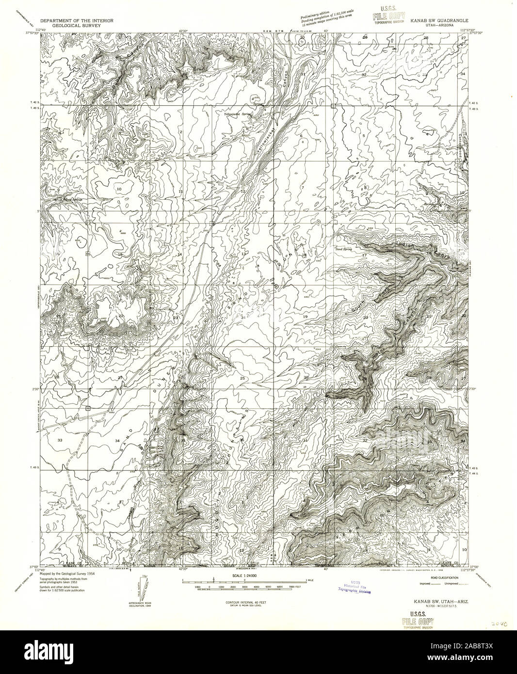 UT Kanab SW 250080 1954 24000 Restoration Stock Photohttps://www.alamy.com/image-license-details/?v=1https://www.alamy.com/ut-kanab-sw-250080-1954-24000-restoration-image333952750.html
RM2AB8T3X–UT Kanab SW 250080 1954 24000 Restoration
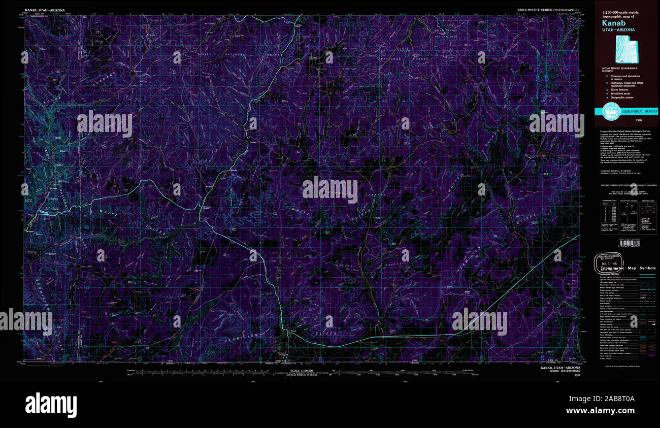 UT Kanab 250095 1980 100000 Inverted Restoration Stock Photohttps://www.alamy.com/image-license-details/?v=1https://www.alamy.com/ut-kanab-250095-1980-100000-inverted-restoration-image333952650.html
RM2AB8T0A–UT Kanab 250095 1980 100000 Inverted Restoration
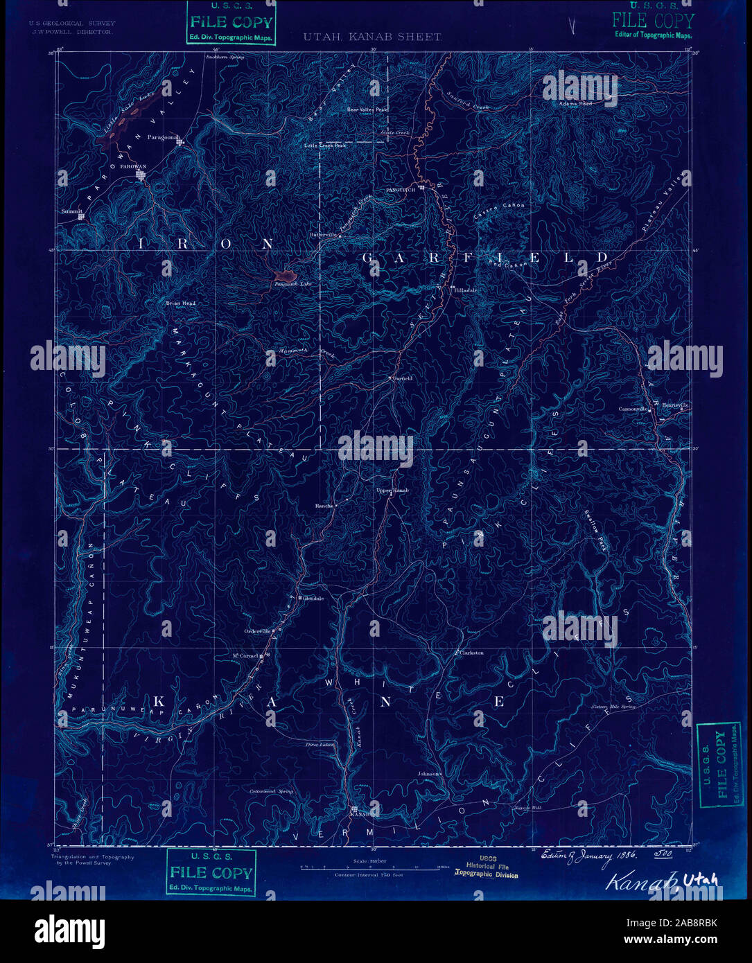 UT Kanab 241730 1886 250000 Inverted Restoration Stock Photohttps://www.alamy.com/image-license-details/?v=1https://www.alamy.com/ut-kanab-241730-1886-250000-inverted-restoration-image333952183.html
RM2AB8RBK–UT Kanab 241730 1886 250000 Inverted Restoration
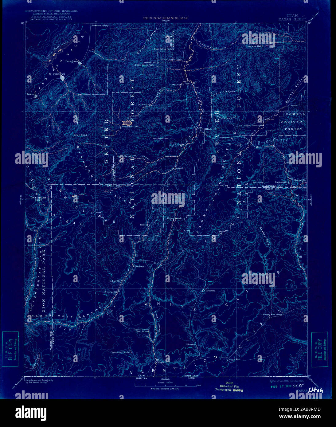 UT Kanab 250084 1886 250000 Inverted Restoration Stock Photohttps://www.alamy.com/image-license-details/?v=1https://www.alamy.com/ut-kanab-250084-1886-250000-inverted-restoration-image333952429.html
RM2AB8RMD–UT Kanab 250084 1886 250000 Inverted Restoration
 UT Kanab 250081 1886 250000 Inverted Restoration Stock Photohttps://www.alamy.com/image-license-details/?v=1https://www.alamy.com/ut-kanab-250081-1886-250000-inverted-restoration-image333952101.html
RM2AB8R8N–UT Kanab 250081 1886 250000 Inverted Restoration
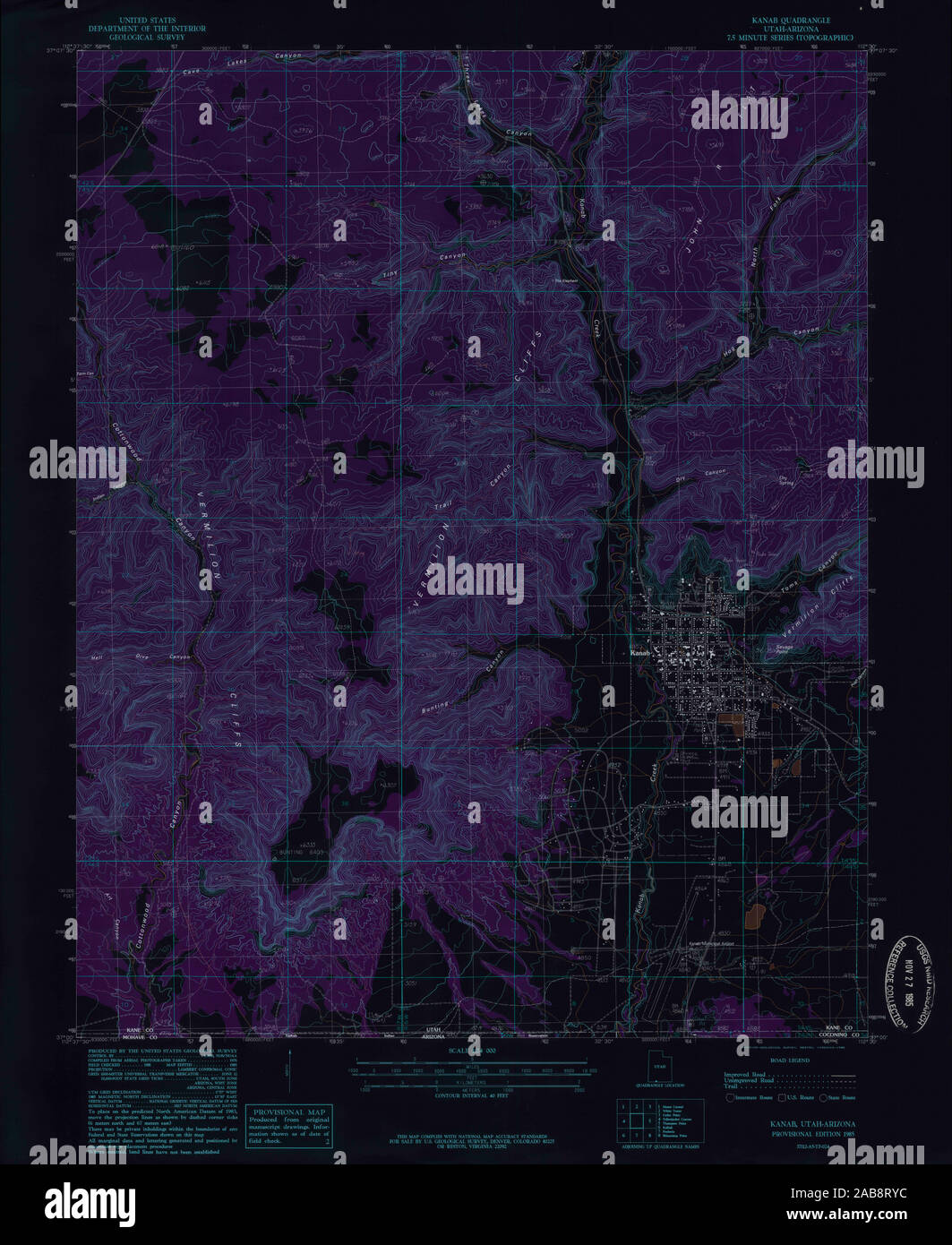 UT Kanab 250098 1985 24000 Inverted Restoration Stock Photohttps://www.alamy.com/image-license-details/?v=1https://www.alamy.com/ut-kanab-250098-1985-24000-inverted-restoration-image333952624.html
RM2AB8RYC–UT Kanab 250098 1985 24000 Inverted Restoration
 UT Kanab 241731 1957 62500 Inverted Restoration Stock Photohttps://www.alamy.com/image-license-details/?v=1https://www.alamy.com/ut-kanab-241731-1957-62500-inverted-restoration-image333952093.html
RM2AB8R8D–UT Kanab 241731 1957 62500 Inverted Restoration
 UT Kanab SE 250079 1954 24000 Restoration Stock Photohttps://www.alamy.com/image-license-details/?v=1https://www.alamy.com/ut-kanab-se-250079-1954-24000-restoration-image333952889.html
RM2AB8T8W–UT Kanab SE 250079 1954 24000 Restoration
 UT Kanab 250094 1957 62500 Inverted Restoration Stock Photohttps://www.alamy.com/image-license-details/?v=1https://www.alamy.com/ut-kanab-250094-1957-62500-inverted-restoration-image333952441.html
RM2AB8RMW–UT Kanab 250094 1957 62500 Inverted Restoration
 UT Kanab 250097 1985 24000 Inverted Restoration Stock Photohttps://www.alamy.com/image-license-details/?v=1https://www.alamy.com/ut-kanab-250097-1985-24000-inverted-restoration-image333952697.html
RM2AB8T21–UT Kanab 250097 1985 24000 Inverted Restoration
 UT Kanab 250082 1886 250000 Inverted Restoration Stock Photohttps://www.alamy.com/image-license-details/?v=1https://www.alamy.com/ut-kanab-250082-1886-250000-inverted-restoration-image333952256.html
RM2AB8RE8–UT Kanab 250082 1886 250000 Inverted Restoration
