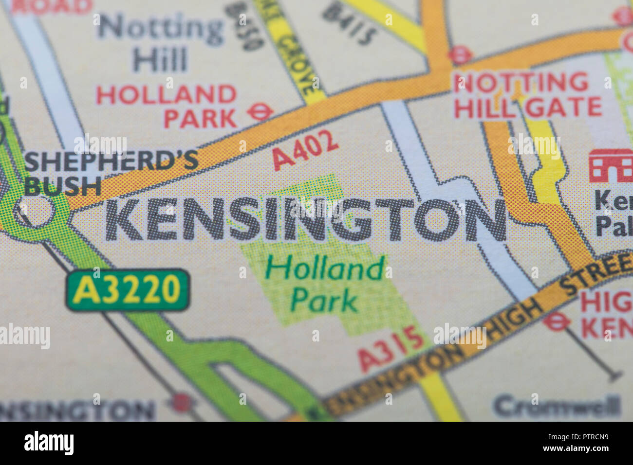
Quick filters:
Map of kensington Stock Photos and Images
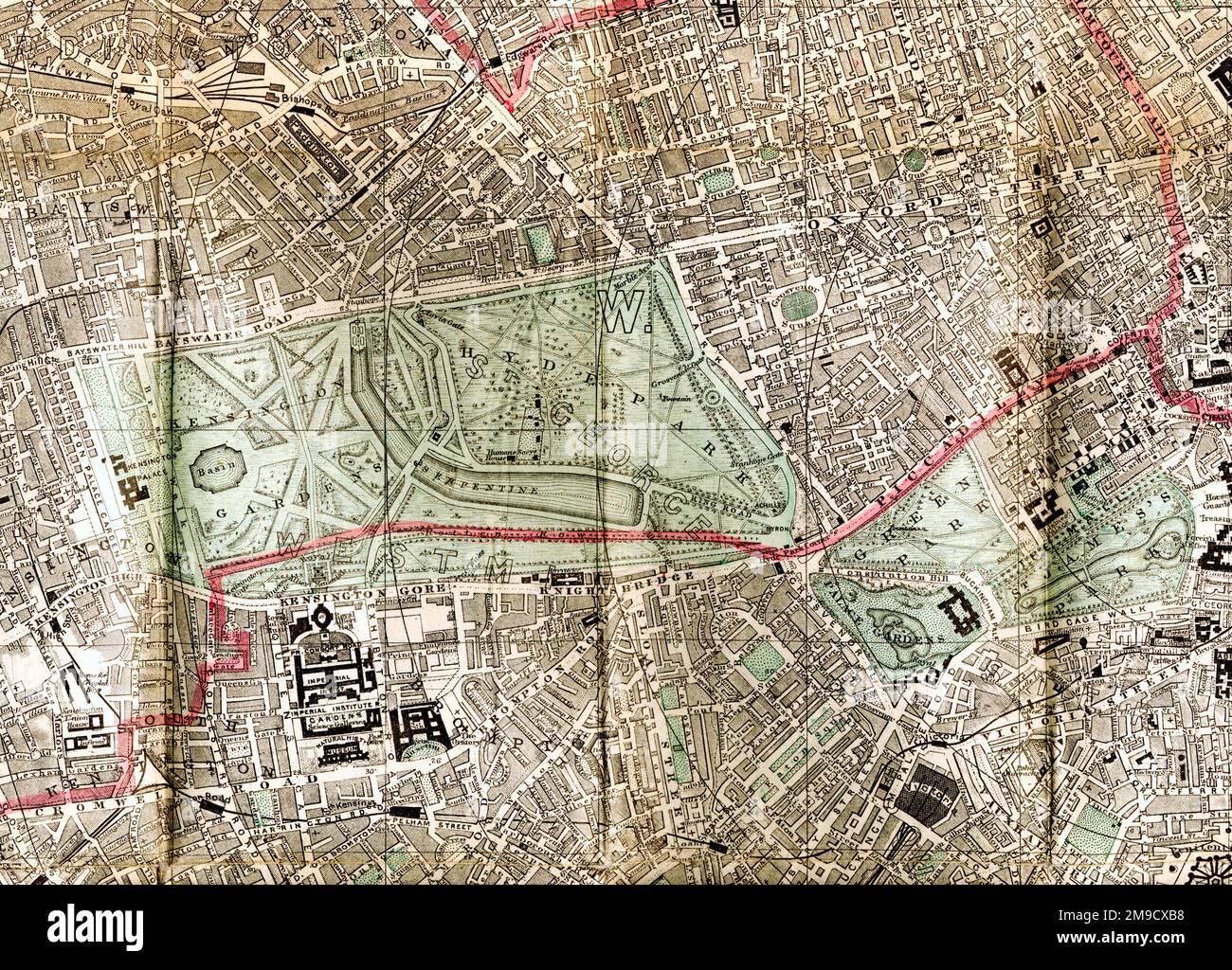 19th century Map of Kensington, Hyde Park , Museums, London (Extract) Stock Photohttps://www.alamy.com/image-license-details/?v=1https://www.alamy.com/19th-century-map-of-kensington-hyde-park-museums-london-extract-image504916700.html
RM2M9CXB8–19th century Map of Kensington, Hyde Park , Museums, London (Extract)
 Map of Kensington in Town of Berlin. 1893 Stock Photohttps://www.alamy.com/image-license-details/?v=1https://www.alamy.com/map-of-kensington-in-town-of-berlin-1893-image184432285.html
RMMM1H79–Map of Kensington in Town of Berlin. 1893
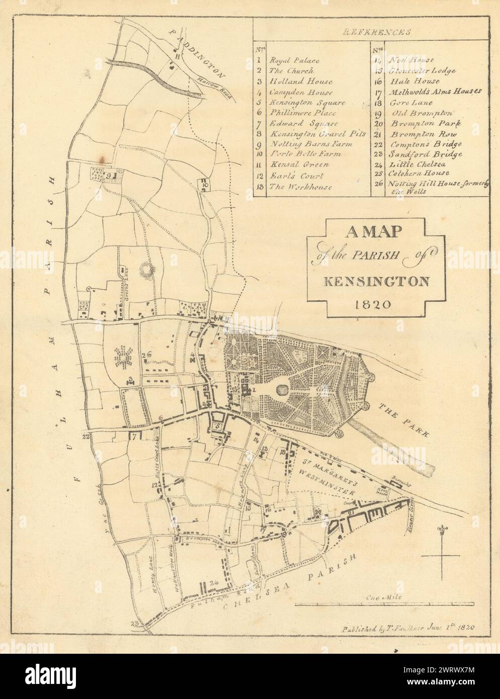 A Map of the Parish of Kensington 1820, London by Thomas Faulkner 1820 old Stock Photohttps://www.alamy.com/image-license-details/?v=1https://www.alamy.com/a-map-of-the-parish-of-kensington-1820-london-by-thomas-faulkner-1820-old-image599859000.html
RF2WRWX7M–A Map of the Parish of Kensington 1820, London by Thomas Faulkner 1820 old
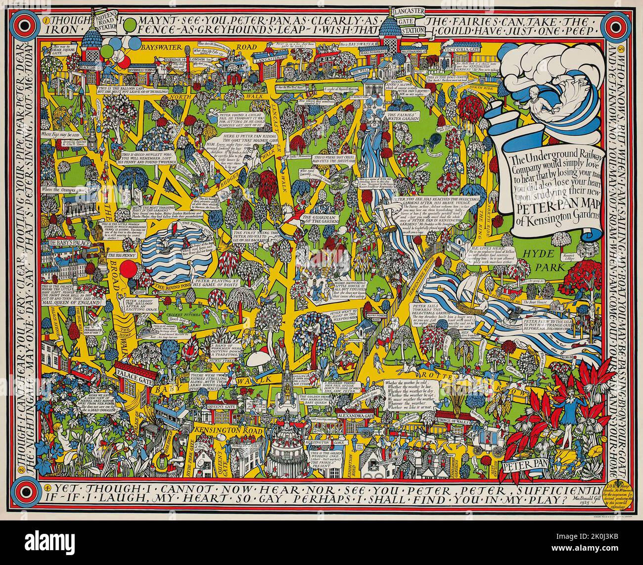 PETER PAN MAP OF KENSINGTON GARDENS, Gill MacDonald 1923 Stock Photohttps://www.alamy.com/image-license-details/?v=1https://www.alamy.com/peter-pan-map-of-kensington-gardens-gill-macdonald-1923-image482288335.html
RM2K0J3KB–PETER PAN MAP OF KENSINGTON GARDENS, Gill MacDonald 1923
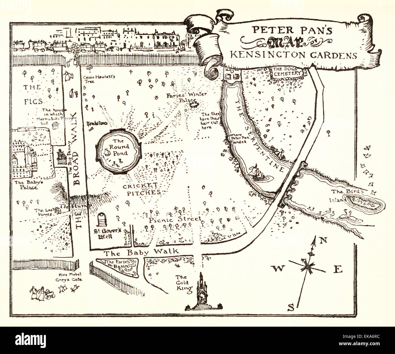 Peter Pan's Map of Kensington Gardens - Illustration by Arthur Rackham (1867-1939) from ‘Peter Pan in Kensington Gardens' by J.M. Barrie (1860-1937). See description Stock Photohttps://www.alamy.com/image-license-details/?v=1https://www.alamy.com/stock-photo-peter-pans-map-of-kensington-gardens-illustration-by-arthur-rackham-80744816.html
RMEKA6RC–Peter Pan's Map of Kensington Gardens - Illustration by Arthur Rackham (1867-1939) from ‘Peter Pan in Kensington Gardens' by J.M. Barrie (1860-1937). See description
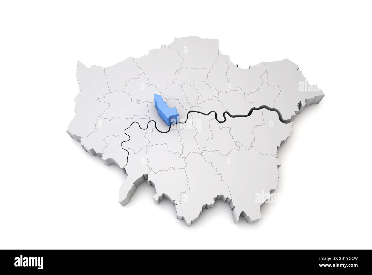 Greater London map showing Kensington and Chealsea borough in blue. 3D Rendering Stock Photohttps://www.alamy.com/image-license-details/?v=1https://www.alamy.com/greater-london-map-showing-kensington-and-chealsea-borough-in-blue-3d-rendering-image345032489.html
RF2B19GCW–Greater London map showing Kensington and Chealsea borough in blue. 3D Rendering
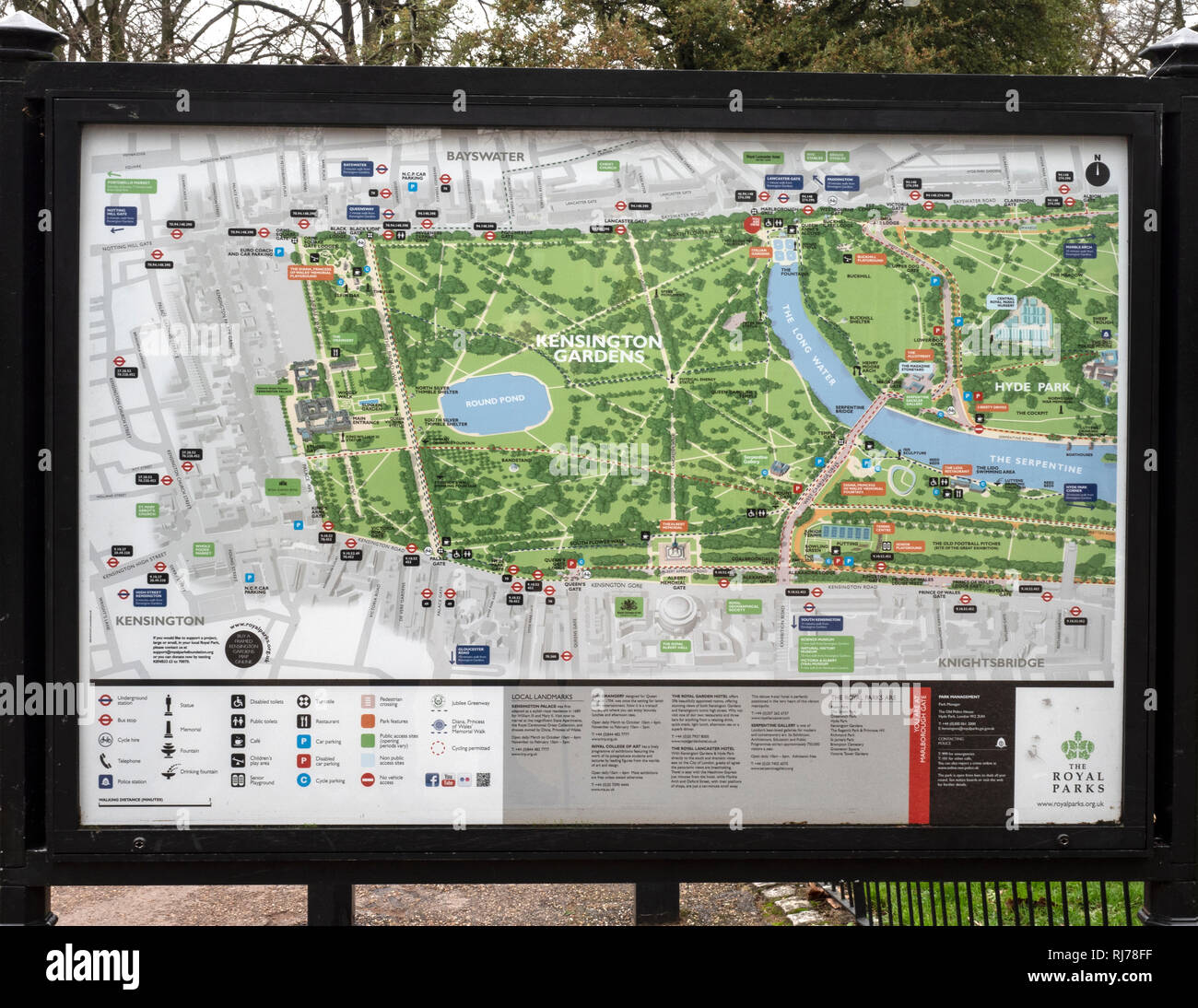 Map and information board at Kensington Gardens, Kensington, London, England, UK Stock Photohttps://www.alamy.com/image-license-details/?v=1https://www.alamy.com/map-and-information-board-at-kensington-gardens-kensington-london-england-uk-image234958963.html
RFRJ78FF–Map and information board at Kensington Gardens, Kensington, London, England, UK
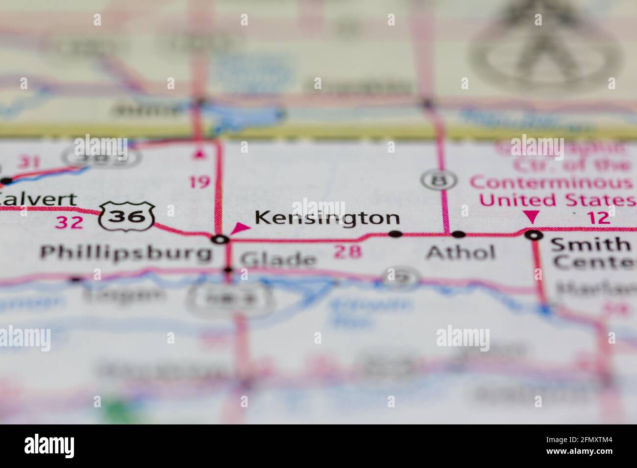 Kensington Kansas USA shown on a Geography map or Road Map Stock Photohttps://www.alamy.com/image-license-details/?v=1https://www.alamy.com/kensington-kansas-usa-shown-on-a-geography-map-or-road-map-image425932084.html
RM2FMXTM4–Kensington Kansas USA shown on a Geography map or Road Map
 259 StateLibQld 1 262852 Estate map of Kensington, Toowong, Brisbane, Queensland, 1874 Stock Photohttps://www.alamy.com/image-license-details/?v=1https://www.alamy.com/259-statelibqld-1-262852-estate-map-of-kensington-toowong-brisbane-queensland-1874-image215090386.html
RMPDX5YE–259 StateLibQld 1 262852 Estate map of Kensington, Toowong, Brisbane, Queensland, 1874
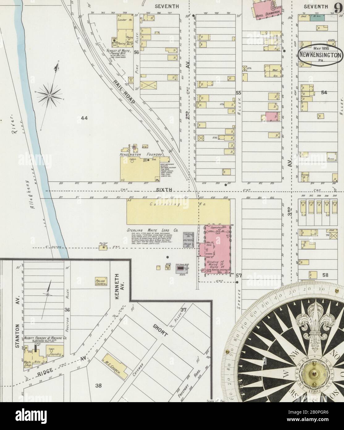 Image 9 of Sanborn Fire Insurance Map from New Kensington, Westmoreland County, Pennsylvania. May 1895. 10 Sheet(s). Includes Parnassus, America, street map with a Nineteenth Century compass Stock Photohttps://www.alamy.com/image-license-details/?v=1https://www.alamy.com/image-9-of-sanborn-fire-insurance-map-from-new-kensington-westmoreland-county-pennsylvania-may-1895-10-sheets-includes-parnassus-america-street-map-with-a-nineteenth-century-compass-image344703498.html
RM2B0PGR6–Image 9 of Sanborn Fire Insurance Map from New Kensington, Westmoreland County, Pennsylvania. May 1895. 10 Sheet(s). Includes Parnassus, America, street map with a Nineteenth Century compass
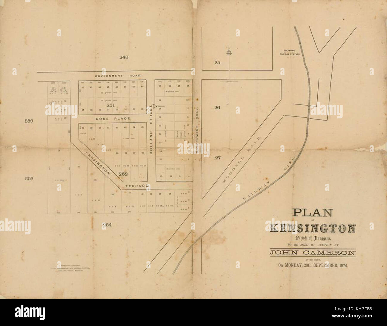 1 262852 Estate map of Kensington, Toowong, Brisbane, Queensland, 1874 Stock Photohttps://www.alamy.com/image-license-details/?v=1https://www.alamy.com/stock-image-1-262852-estate-map-of-kensington-toowong-brisbane-queensland-1874-165703415.html
RMKHGCB3–1 262852 Estate map of Kensington, Toowong, Brisbane, Queensland, 1874
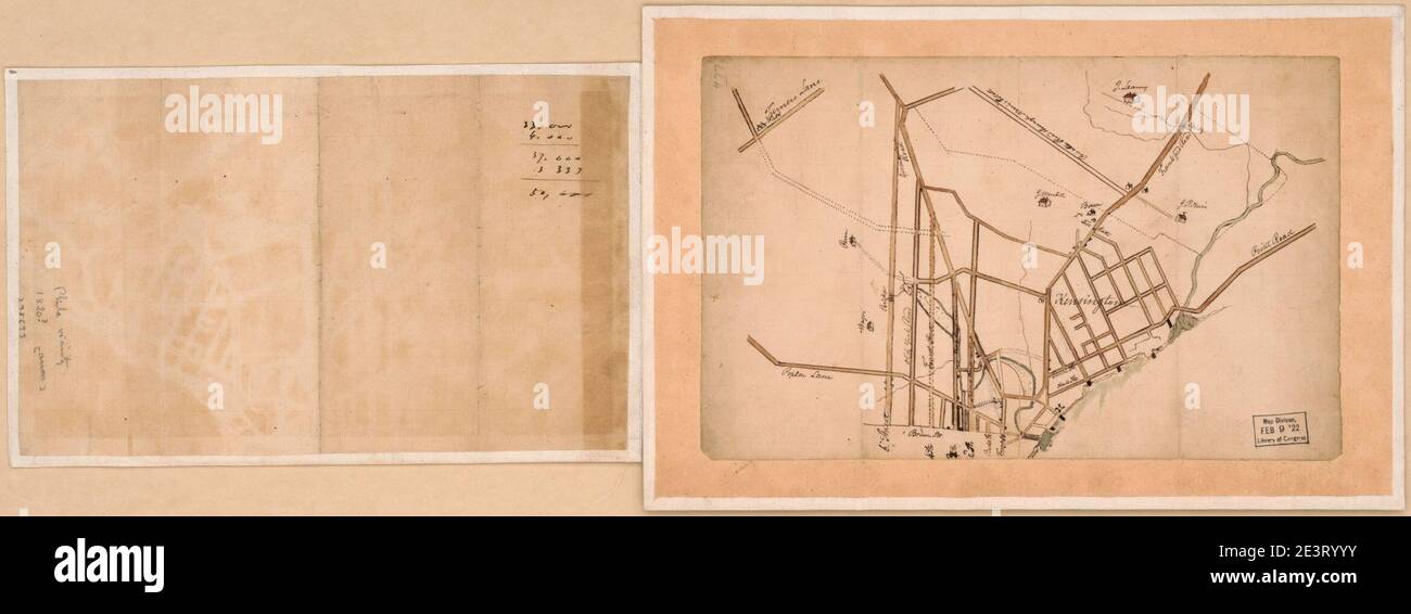 Manuscript map of Kensington in Philadelphia. Stock Photohttps://www.alamy.com/image-license-details/?v=1https://www.alamy.com/manuscript-map-of-kensington-in-philadelphia-image398209279.html
RM2E3RYYY–Manuscript map of Kensington in Philadelphia.
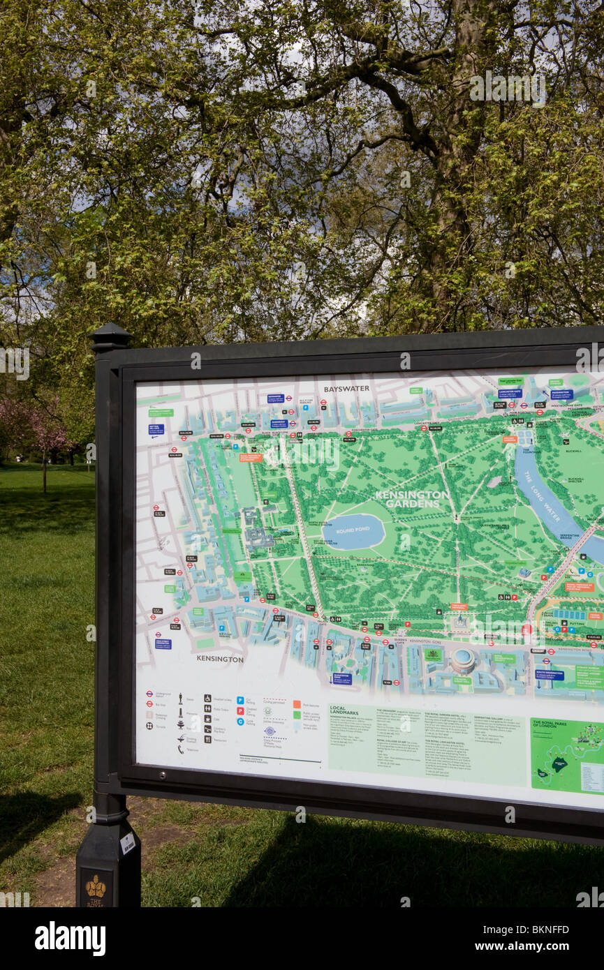 A map of Kensington Gardens and Hyde Park in the park, London, 2010 Stock Photohttps://www.alamy.com/image-license-details/?v=1https://www.alamy.com/stock-photo-a-map-of-kensington-gardens-and-hyde-park-in-the-park-london-2010-29362017.html
RMBKNFFD–A map of Kensington Gardens and Hyde Park in the park, London, 2010
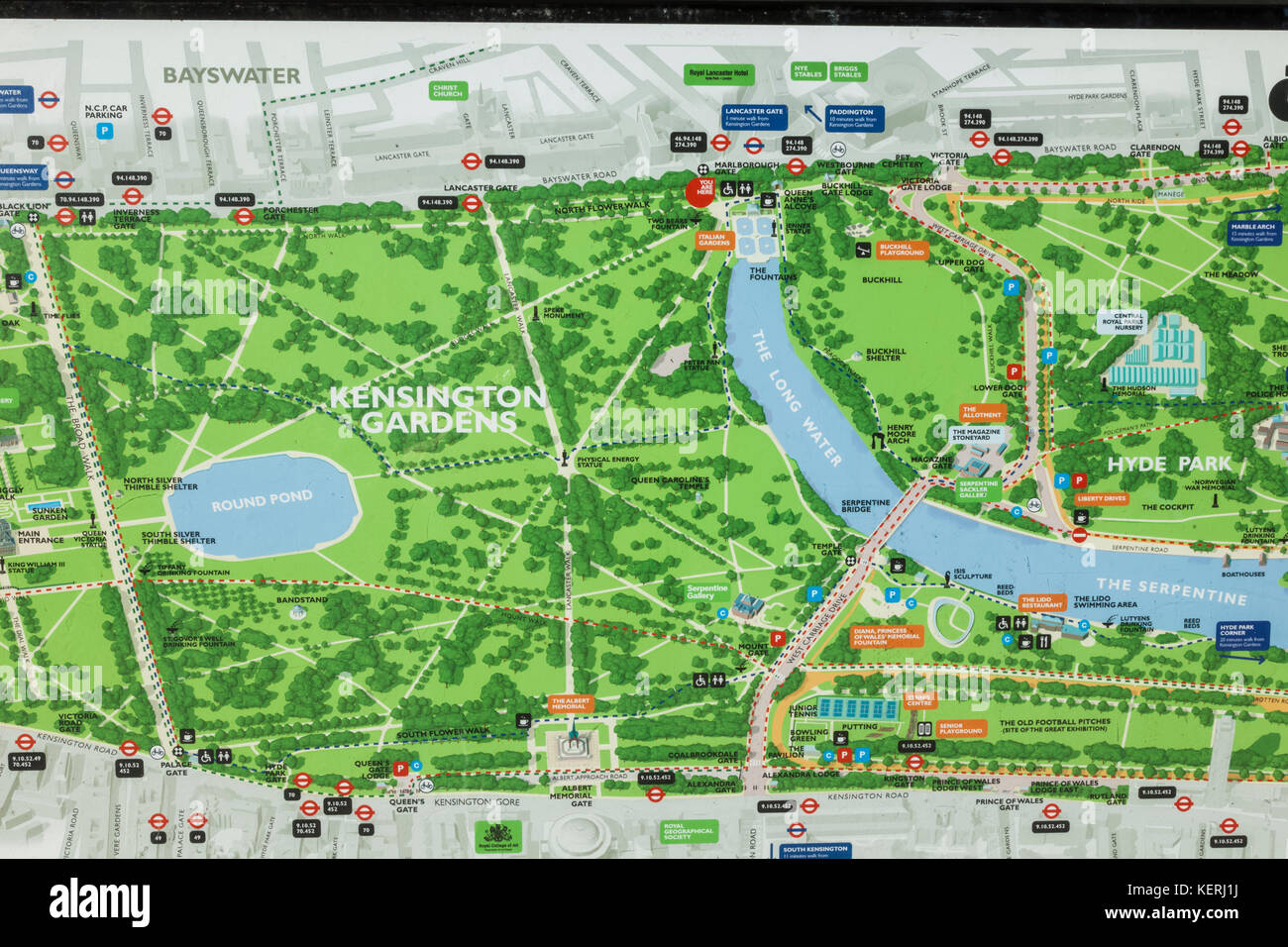 England, London, Kensington, Kensington Gardens, Map Stock Photohttps://www.alamy.com/image-license-details/?v=1https://www.alamy.com/stock-image-england-london-kensington-kensington-gardens-map-164017550.html
RMKERJ1J–England, London, Kensington, Kensington Gardens, Map
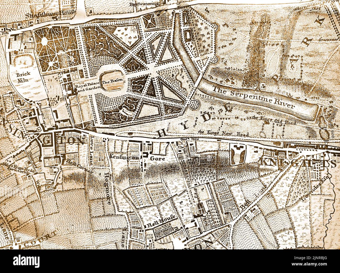 A 1746 map of part of London, England centred on the Hyde Park area Stock Photohttps://www.alamy.com/image-license-details/?v=1https://www.alamy.com/a-1746-map-of-part-of-london-england-centred-on-the-hyde-park-area-image478101752.html
RM2JNRBJG–A 1746 map of part of London, England centred on the Hyde Park area
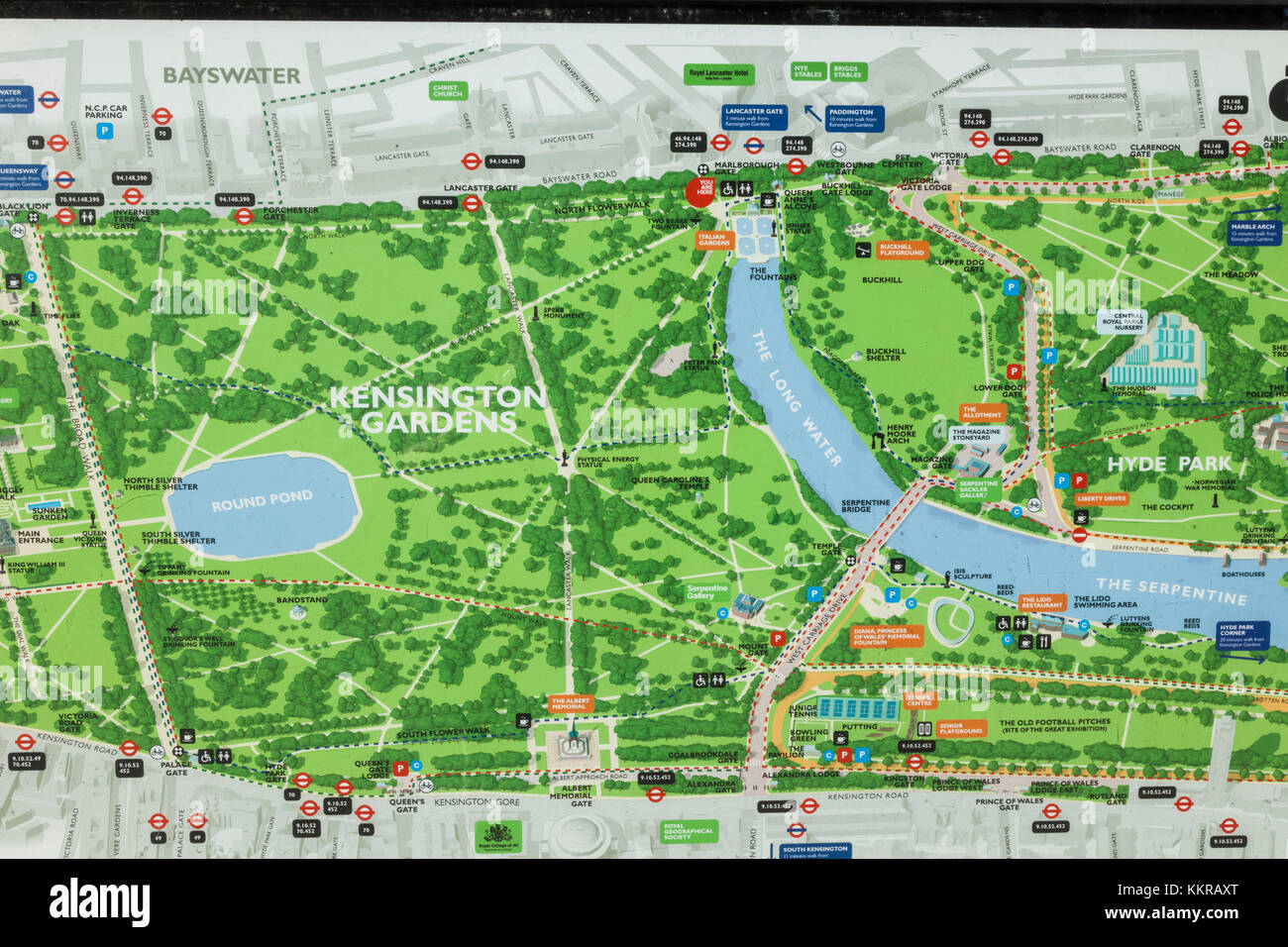 England, London, Kensington, Kensington Gardens, Map Stock Photohttps://www.alamy.com/image-license-details/?v=1https://www.alamy.com/stock-image-england-london-kensington-kensington-gardens-map-167085264.html
RMKKRAXT–England, London, Kensington, Kensington Gardens, Map
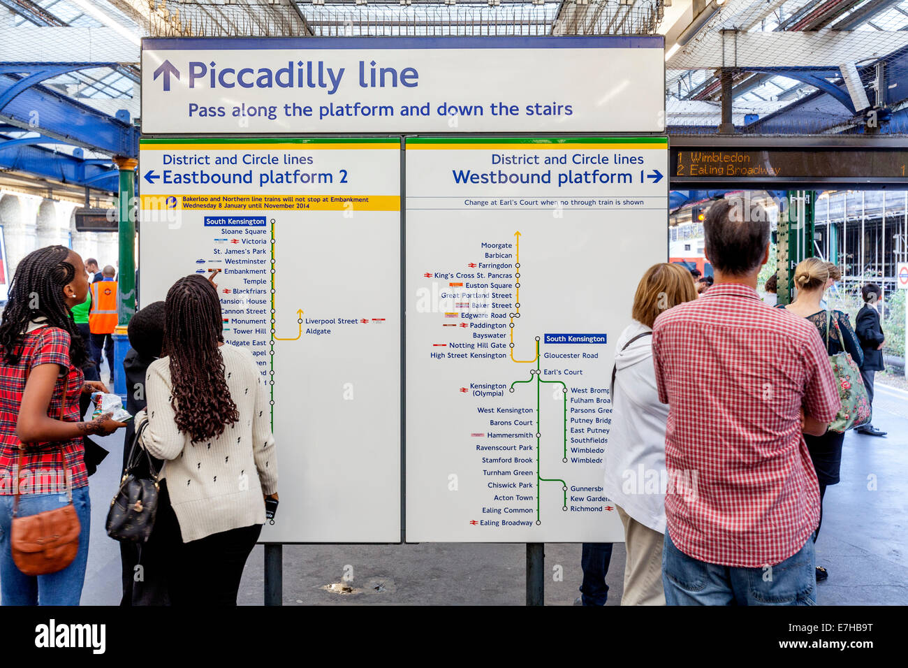 People Reading A London Underground Map, South Kensington Station, London, England Stock Photohttps://www.alamy.com/image-license-details/?v=1https://www.alamy.com/stock-photo-people-reading-a-london-underground-map-south-kensington-station-london-73526148.html
RME7HB9T–People Reading A London Underground Map, South Kensington Station, London, England
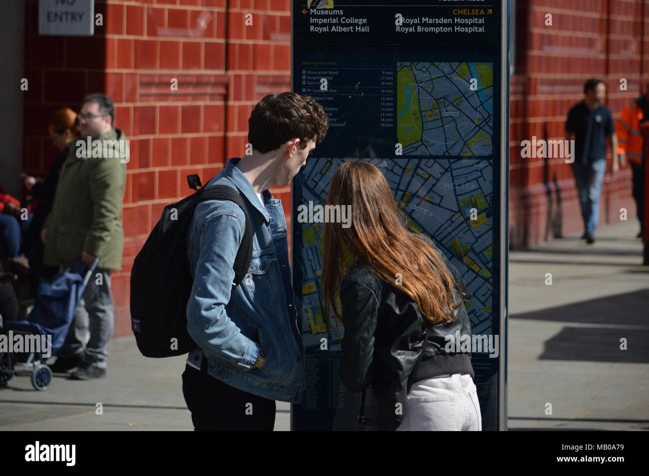 A couple looking for directions on a map outside South Kensington tube station, London Stock Photohttps://www.alamy.com/image-license-details/?v=1https://www.alamy.com/a-couple-looking-for-directions-on-a-map-outside-south-kensington-tube-station-london-image178872941.html
RMMB0A79–A couple looking for directions on a map outside South Kensington tube station, London
 Kensington, Bundaberg, AU, Australia, Queensland, S 24 55' 1'', N 152 19' 5'', map, Cartascapes Map published in 2024. Explore Cartascapes, a map revealing Earth's diverse landscapes, cultures, and ecosystems. Journey through time and space, discovering the interconnectedness of our planet's past, present, and future. Stock Photohttps://www.alamy.com/image-license-details/?v=1https://www.alamy.com/kensington-bundaberg-au-australia-queensland-s-24-55-1-n-152-19-5-map-cartascapes-map-published-in-2024-explore-cartascapes-a-map-revealing-earths-diverse-landscapes-cultures-and-ecosystems-journey-through-time-and-space-discovering-the-interconnectedness-of-our-planets-past-present-and-future-image625721694.html
RM2YA02BA–Kensington, Bundaberg, AU, Australia, Queensland, S 24 55' 1'', N 152 19' 5'', map, Cartascapes Map published in 2024. Explore Cartascapes, a map revealing Earth's diverse landscapes, cultures, and ecosystems. Journey through time and space, discovering the interconnectedness of our planet's past, present, and future.
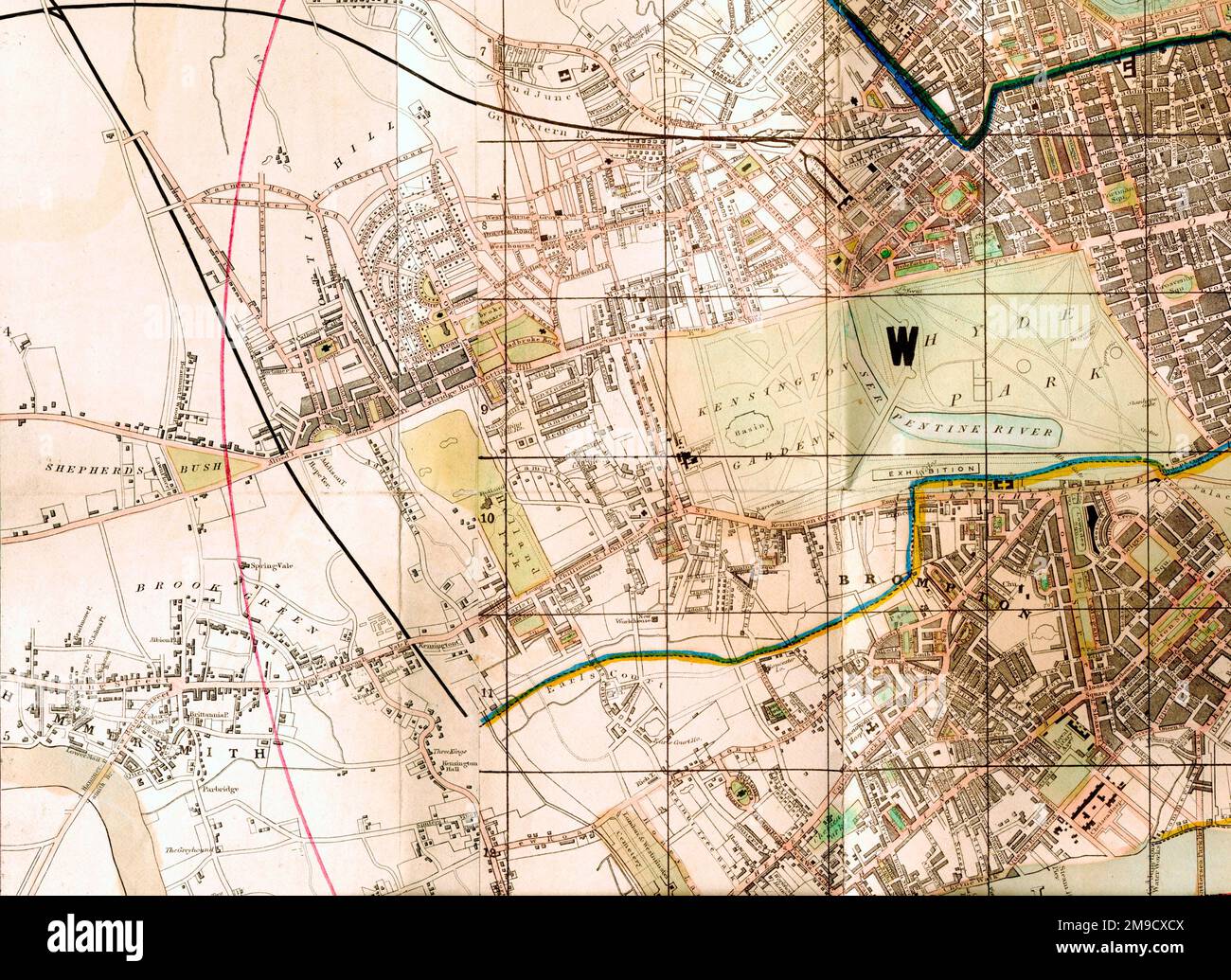 Holland Park, Kensington Gardens, Hyde Park, Exhibition Site, London (Extract) Stock Photohttps://www.alamy.com/image-license-details/?v=1https://www.alamy.com/holland-park-kensington-gardens-hyde-park-exhibition-site-london-extract-image504916746.html
RM2M9CXCX–Holland Park, Kensington Gardens, Hyde Park, Exhibition Site, London (Extract)
 Anemometer, in the The Kings Gallery of Kensington Palace, London. UK. Stock Photohttps://www.alamy.com/image-license-details/?v=1https://www.alamy.com/stock-photo-anemometer-in-the-the-kings-gallery-of-kensington-palace-london-uk-53389447.html
RMD2T2NY–Anemometer, in the The Kings Gallery of Kensington Palace, London. UK.
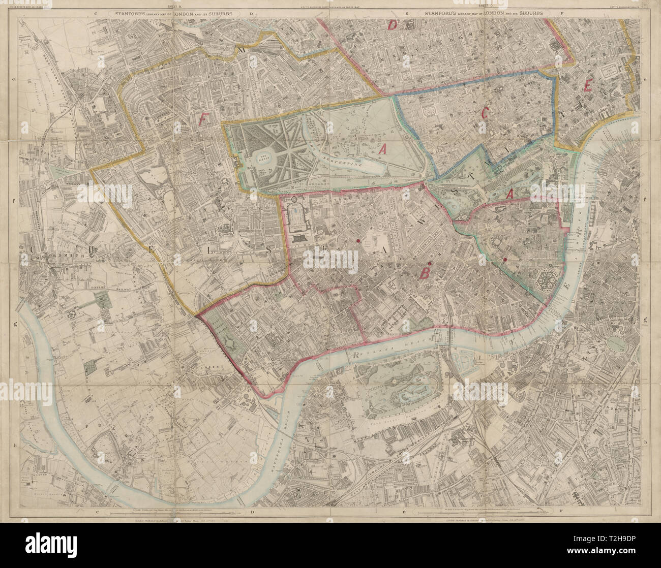 Stanford's Library map of London. Kensington Chelsea West End Battersea 1877 Stock Photohttps://www.alamy.com/image-license-details/?v=1https://www.alamy.com/stanfords-library-map-of-london-kensington-chelsea-west-end-battersea-1877-image242555090.html
RFT2H9DP–Stanford's Library map of London. Kensington Chelsea West End Battersea 1877
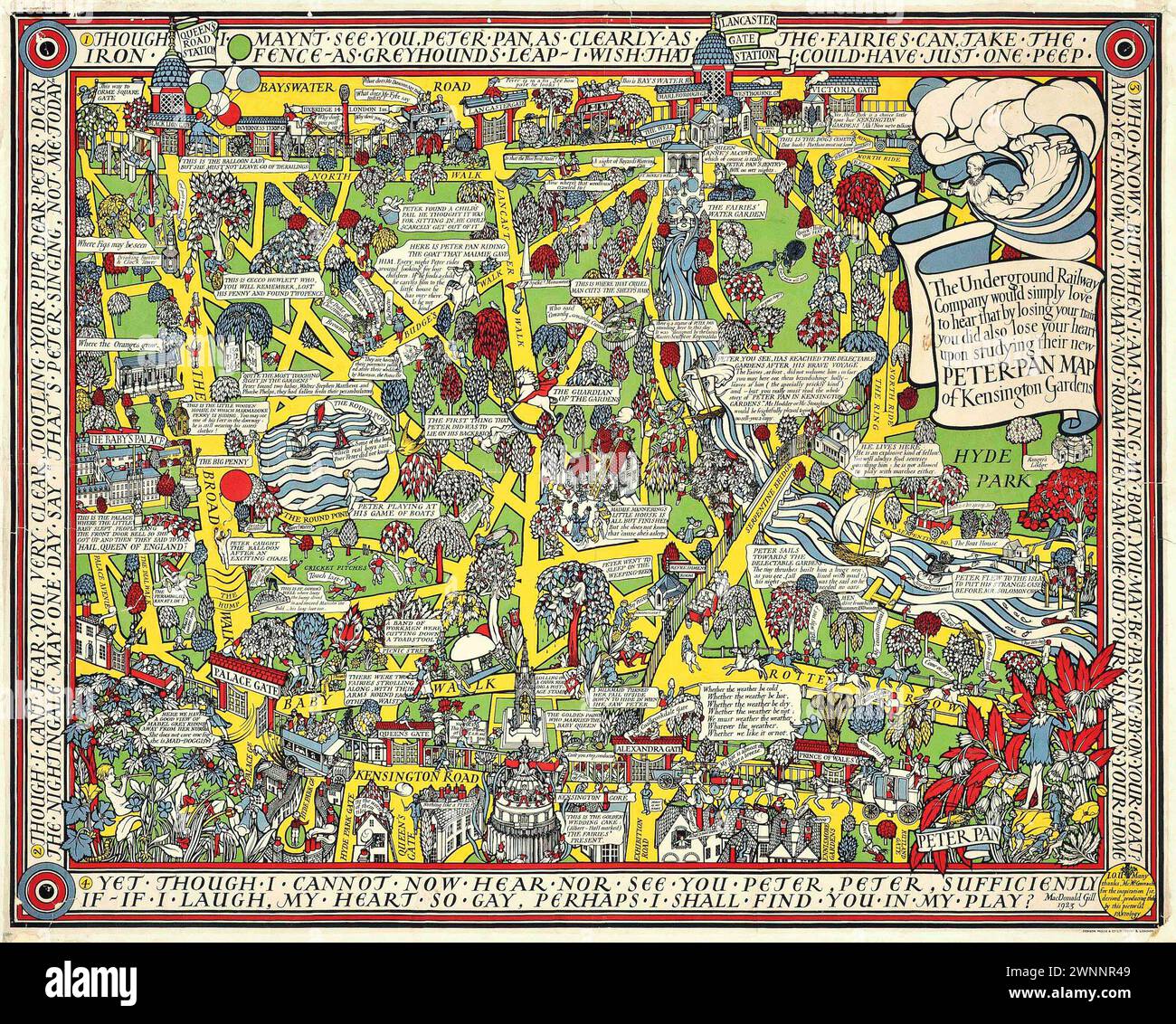 Vintage Illustrated Specialised Map. Peter Pan Map of South Kensington, by MacDonald Gill lithograph in colours, 1923, printed by Dobson, Molle & Co. Ltd., London, Stock Photohttps://www.alamy.com/image-license-details/?v=1https://www.alamy.com/vintage-illustrated-specialised-map-peter-pan-map-of-south-kensington-by-macdonald-gill-lithograph-in-colours-1923-printed-by-dobson-molle-co-ltd-london-image598539433.html
RM2WNNR49–Vintage Illustrated Specialised Map. Peter Pan Map of South Kensington, by MacDonald Gill lithograph in colours, 1923, printed by Dobson, Molle & Co. Ltd., London,
 A map of Kensington. History and antiquities of Kensington, interspersed with biographical anecdotes ... and a descriptive catalogue of the collection of pictures in the palace, from a survey by B. West, etc. London : T. Egerton, etc., 1820. Source: 10350.g.8, opposite page 1. Language: English. Stock Photohttps://www.alamy.com/image-license-details/?v=1https://www.alamy.com/a-map-of-kensington-history-and-antiquities-of-kensington-interspersed-with-biographical-anecdotes-and-a-descriptive-catalogue-of-the-collection-of-pictures-in-the-palace-from-a-survey-by-b-west-etc-london-t-egerton-etc-1820-source-10350g8-opposite-page-1-language-english-image226995983.html
RMR58FKB–A map of Kensington. History and antiquities of Kensington, interspersed with biographical anecdotes ... and a descriptive catalogue of the collection of pictures in the palace, from a survey by B. West, etc. London : T. Egerton, etc., 1820. Source: 10350.g.8, opposite page 1. Language: English.
 London, Greater London, England, July 17 2021: Location maps in Kensington Gardens and The Albert Memorial in memory of Prince Albert. Stock Photohttps://www.alamy.com/image-license-details/?v=1https://www.alamy.com/london-greater-london-england-july-17-2021-location-maps-in-kensington-gardens-and-the-albert-memorial-in-memory-of-prince-albert-image436196862.html
RF2G9JDFA–London, Greater London, England, July 17 2021: Location maps in Kensington Gardens and The Albert Memorial in memory of Prince Albert.
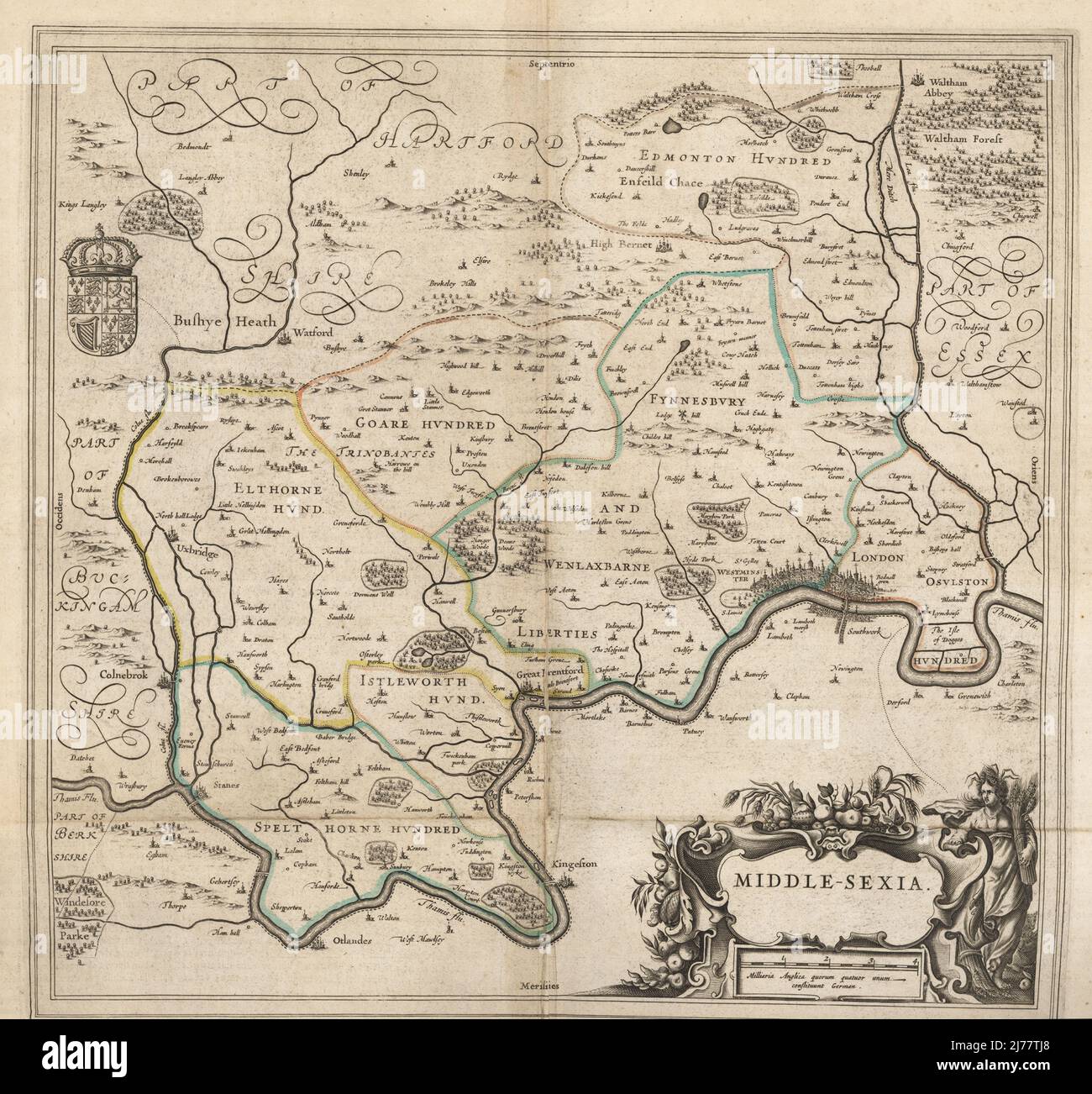 Map of the city of London and county of Middlesex, circa 1600. London shown as clutch of churches, surrounded by parishes Kensington, Chelsey, St. Gylles, Lambeth, Southwork, Hampton Court, on the River Thames, Hyde Park and Marybon Park. With title Middle-Sexia in cartouche and coat of arms. Handcoloured copperplate engraving by Johannes Blaeu from Geographiae Volumen Quintum quo Angliae, county atlas of England and Wales, Amsterdam, 1662. Stock Photohttps://www.alamy.com/image-license-details/?v=1https://www.alamy.com/map-of-the-city-of-london-and-county-of-middlesex-circa-1600-london-shown-as-clutch-of-churches-surrounded-by-parishes-kensington-chelsey-st-gylles-lambeth-southwork-hampton-court-on-the-river-thames-hyde-park-and-marybon-park-with-title-middle-sexia-in-cartouche-and-coat-of-arms-handcoloured-copperplate-engraving-by-johannes-blaeu-from-geographiae-volumen-quintum-quo-angliae-county-atlas-of-england-and-wales-amsterdam-1662-image469155520.html
RM2J77TJ8–Map of the city of London and county of Middlesex, circa 1600. London shown as clutch of churches, surrounded by parishes Kensington, Chelsey, St. Gylles, Lambeth, Southwork, Hampton Court, on the River Thames, Hyde Park and Marybon Park. With title Middle-Sexia in cartouche and coat of arms. Handcoloured copperplate engraving by Johannes Blaeu from Geographiae Volumen Quintum quo Angliae, county atlas of England and Wales, Amsterdam, 1662.
 Kensington Connecticut USA Shown on a geography map or road map Stock Photohttps://www.alamy.com/image-license-details/?v=1https://www.alamy.com/kensington-connecticut-usa-shown-on-a-geography-map-or-road-map-image424971877.html
RM2FKB3Y1–Kensington Connecticut USA Shown on a geography map or road map
 Hyde Park and Kensington Gardens, environs, during the 1890s, vintage engraving. Old engraved illustration of map of the Hyde Park and Kensington Gardens in London. Stock Vectorhttps://www.alamy.com/image-license-details/?v=1https://www.alamy.com/stock-photo-hyde-park-and-kensington-gardens-environs-during-the-1890s-vintage-84430539.html
RFEWA40B–Hyde Park and Kensington Gardens, environs, during the 1890s, vintage engraving. Old engraved illustration of map of the Hyde Park and Kensington Gardens in London.
 Image 2 of Sanborn Fire Insurance Map from New Kensington, Westmoreland County, Pennsylvania. May 1895. 10 Sheet(s). Includes Parnassus, America, street map with a Nineteenth Century compass Stock Photohttps://www.alamy.com/image-license-details/?v=1https://www.alamy.com/image-2-of-sanborn-fire-insurance-map-from-new-kensington-westmoreland-county-pennsylvania-may-1895-10-sheets-includes-parnassus-america-street-map-with-a-nineteenth-century-compass-image344703484.html
RM2B0PGPM–Image 2 of Sanborn Fire Insurance Map from New Kensington, Westmoreland County, Pennsylvania. May 1895. 10 Sheet(s). Includes Parnassus, America, street map with a Nineteenth Century compass
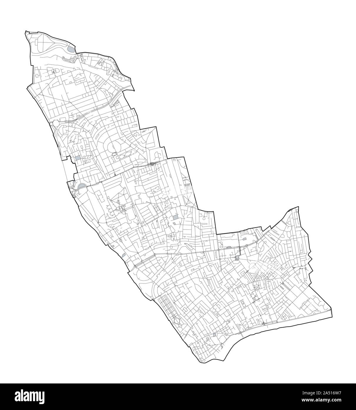 Satellite view of the London boroughs, map and streets of Kensington and Chelsea borough. England Stock Vectorhttps://www.alamy.com/image-license-details/?v=1https://www.alamy.com/satellite-view-of-the-london-boroughs-map-and-streets-of-kensington-and-chelsea-borough-england-image330097635.html
RF2A516W7–Satellite view of the London boroughs, map and streets of Kensington and Chelsea borough. England
 Nov. 23, 1955 - State Apartments at Kensington Palace to be Re-Opened To The Public: The State apartments at Kensington Palace are to be re-opened to the Public on Thursday Nov. 29th. Since they were last opened to the Public the apartments have undergone many changes - and have been extensively re-decorated. Much of Queen Mary's furniture will be shown. Photo shows The Unique Map painted by Richard operated by a Wind vane on the roof - in King William's Gallery. Stock Photohttps://www.alamy.com/image-license-details/?v=1https://www.alamy.com/nov-23-1955-state-apartments-at-kensington-palace-to-be-re-opened-image69296492.html
RME0MMAM–Nov. 23, 1955 - State Apartments at Kensington Palace to be Re-Opened To The Public: The State apartments at Kensington Palace are to be re-opened to the Public on Thursday Nov. 29th. Since they were last opened to the Public the apartments have undergone many changes - and have been extensively re-decorated. Much of Queen Mary's furniture will be shown. Photo shows The Unique Map painted by Richard operated by a Wind vane on the roof - in King William's Gallery.
 The marble wind dial in King William's Gallery at Kensington Palace, London. Stock Photohttps://www.alamy.com/image-license-details/?v=1https://www.alamy.com/stock-photo-the-marble-wind-dial-in-king-williams-gallery-at-kensington-palace-106927905.html
RMG5XYHN–The marble wind dial in King William's Gallery at Kensington Palace, London.
 19th century view of Philadelphia. Stock Photohttps://www.alamy.com/image-license-details/?v=1https://www.alamy.com/stock-image-19th-century-view-of-philadelphia-168009985.html
RFKN9ECH–19th century view of Philadelphia.
 South Kensington underground station Stock Photohttps://www.alamy.com/image-license-details/?v=1https://www.alamy.com/south-kensington-underground-station-image311132485.html
RMS258JD–South Kensington underground station
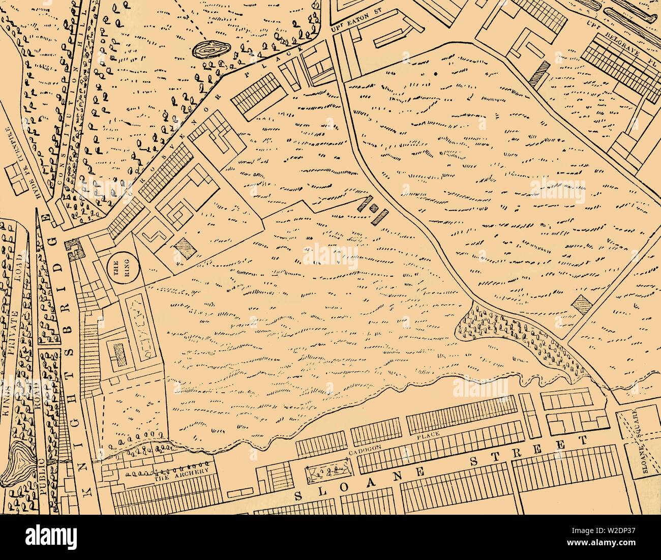 'Map of Belgravia, 1814', (c1876). Creator: Unknown. Stock Photohttps://www.alamy.com/image-license-details/?v=1https://www.alamy.com/map-of-belgravia-1814-c1876-creator-unknown-image259687547.html
RMW2DP37–'Map of Belgravia, 1814', (c1876). Creator: Unknown.
 London- January 2023: Shops on Portobello Road in Notting Hill, west London- landmark road with street market Stock Photohttps://www.alamy.com/image-license-details/?v=1https://www.alamy.com/london-january-2023-shops-on-portobello-road-in-notting-hill-west-london-landmark-road-with-street-market-image544480312.html
RF2PHR65C–London- January 2023: Shops on Portobello Road in Notting Hill, west London- landmark road with street market
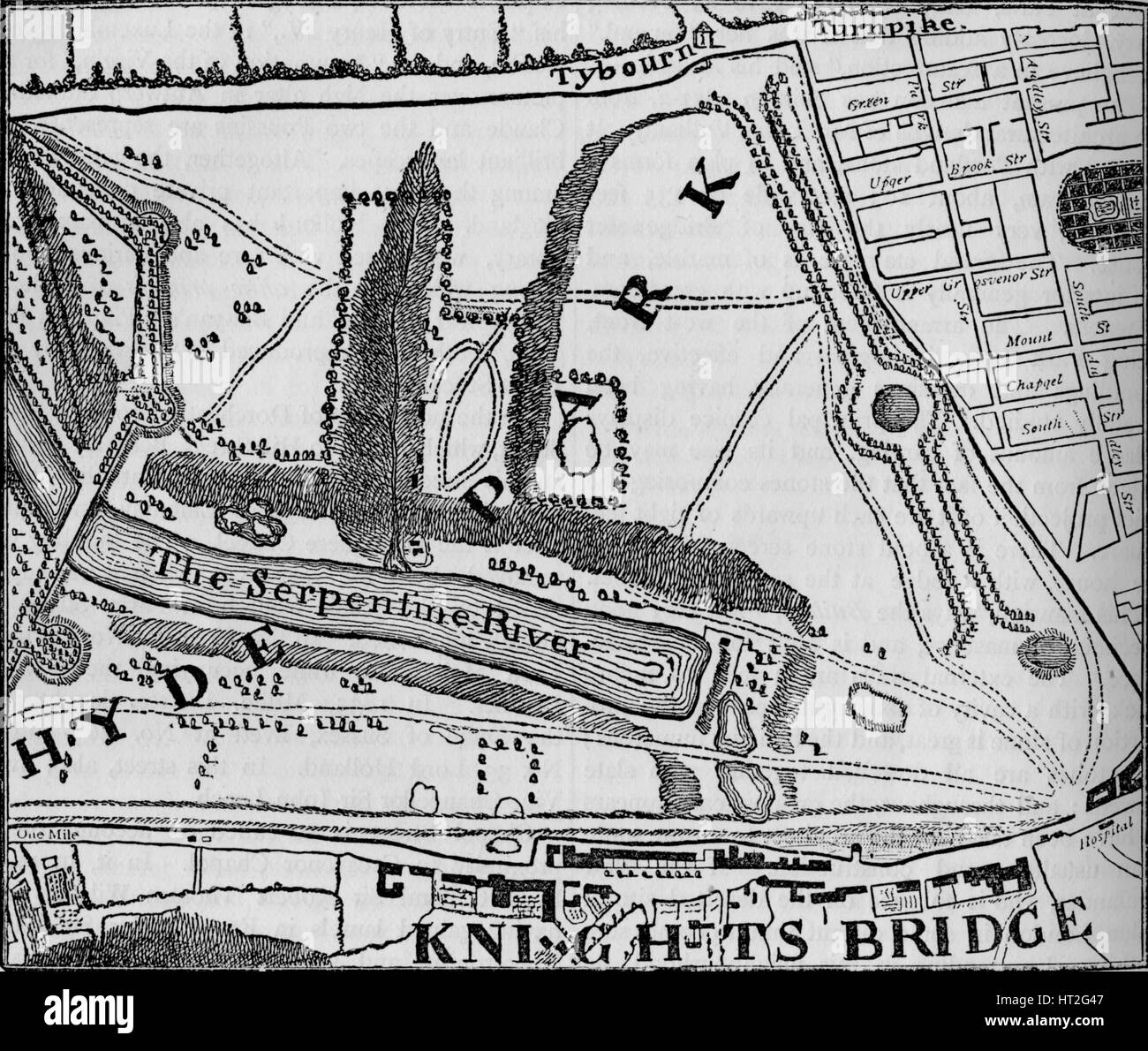 Map of Hyde Park, London, 1748 (1878). Artist: John Pine. Stock Photohttps://www.alamy.com/image-license-details/?v=1https://www.alamy.com/stock-photo-map-of-hyde-park-london-1748-1878-artist-john-pine-135280887.html
RMHT2G47–Map of Hyde Park, London, 1748 (1878). Artist: John Pine.
 Kensington, Barcaldine, AU, Australia, Queensland, S 22 30' 22'', N 144 10' 57'', map, Cartascapes Map published in 2024. Explore Cartascapes, a map revealing Earth's diverse landscapes, cultures, and ecosystems. Journey through time and space, discovering the interconnectedness of our planet's past, present, and future. Stock Photohttps://www.alamy.com/image-license-details/?v=1https://www.alamy.com/kensington-barcaldine-au-australia-queensland-s-22-30-22-n-144-10-57-map-cartascapes-map-published-in-2024-explore-cartascapes-a-map-revealing-earths-diverse-landscapes-cultures-and-ecosystems-journey-through-time-and-space-discovering-the-interconnectedness-of-our-planets-past-present-and-future-image625799656.html
RM2YA3HRM–Kensington, Barcaldine, AU, Australia, Queensland, S 22 30' 22'', N 144 10' 57'', map, Cartascapes Map published in 2024. Explore Cartascapes, a map revealing Earth's diverse landscapes, cultures, and ecosystems. Journey through time and space, discovering the interconnectedness of our planet's past, present, and future.
![Buffalo, V. 1, Double Page Plate No.14 [Map bounded by Russell St., Kensington Ave., Delaware Ave.] 1915 Stock Photo Buffalo, V. 1, Double Page Plate No.14 [Map bounded by Russell St., Kensington Ave., Delaware Ave.] 1915 Stock Photo](https://c8.alamy.com/comp/2YP976N/buffalo-v-1-double-page-plate-no14-map-bounded-by-russell-st-kensington-ave-delaware-ave-1915-2YP976N.jpg) Buffalo, V. 1, Double Page Plate No.14 [Map bounded by Russell St., Kensington Ave., Delaware Ave.] 1915 Stock Photohttps://www.alamy.com/image-license-details/?v=1https://www.alamy.com/buffalo-v-1-double-page-plate-no14-map-bounded-by-russell-st-kensington-ave-delaware-ave-1915-image633298925.html
Buffalo, V. 1, Double Page Plate No.14 [Map bounded by Russell St., Kensington Ave., Delaware Ave.] 1915 Stock Photohttps://www.alamy.com/image-license-details/?v=1https://www.alamy.com/buffalo-v-1-double-page-plate-no14-map-bounded-by-russell-st-kensington-ave-delaware-ave-1915-image633298925.htmlRM2YP976N–Buffalo, V. 1, Double Page Plate No.14 [Map bounded by Russell St., Kensington Ave., Delaware Ave.] 1915
 Anemometer, in the The Kings Gallery of Kensington Palace, London. UK. Stock Photohttps://www.alamy.com/image-license-details/?v=1https://www.alamy.com/stock-photo-anemometer-in-the-the-kings-gallery-of-kensington-palace-london-uk-53389467.html
RMD2T2PK–Anemometer, in the The Kings Gallery of Kensington Palace, London. UK.
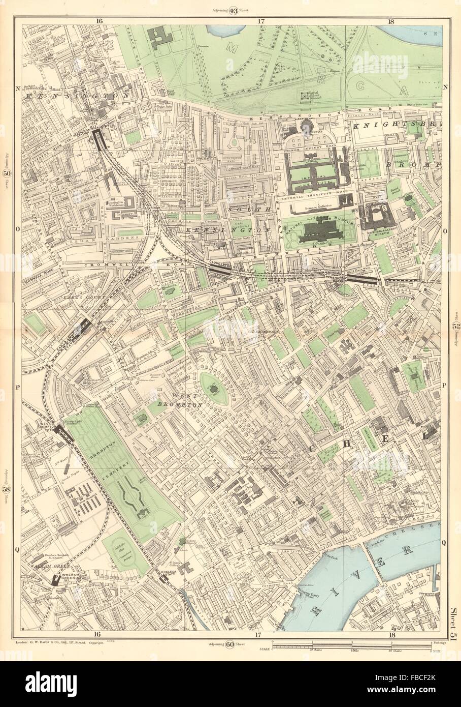 SOUTH KENSINGTON West Brompton Chelsea Earls Court Fulham Broadway, 1903 map Stock Photohttps://www.alamy.com/image-license-details/?v=1https://www.alamy.com/stock-photo-south-kensington-west-brompton-chelsea-earls-court-fulham-broadway-93088315.html
RFFBCF2K–SOUTH KENSINGTON West Brompton Chelsea Earls Court Fulham Broadway, 1903 map
 Sign at the entrance to Kensington Gardens, London Stock Photohttps://www.alamy.com/image-license-details/?v=1https://www.alamy.com/stock-photo-sign-at-the-entrance-to-kensington-gardens-london-39848550.html
RMC8R76E–Sign at the entrance to Kensington Gardens, London
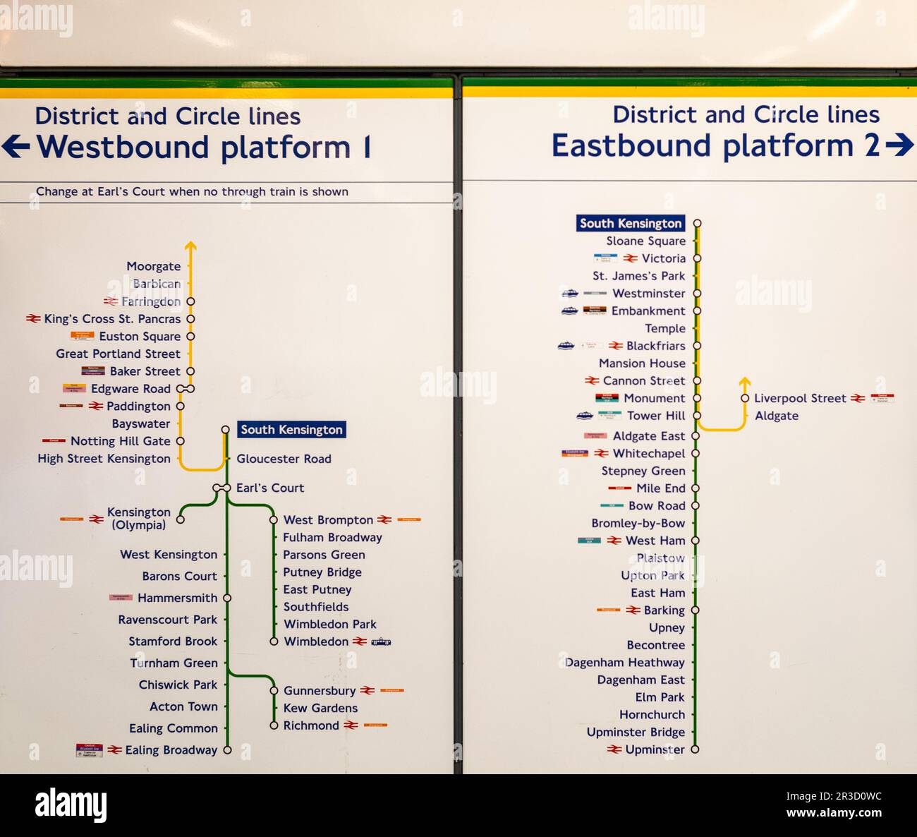 A line direction sign at South Kensington tube station in London, displaying the District and Circle lines. Designed by Edward Johnston and inspired b Stock Photohttps://www.alamy.com/image-license-details/?v=1https://www.alamy.com/a-line-direction-sign-at-south-kensington-tube-station-in-london-displaying-the-district-and-circle-lines-designed-by-edward-johnston-and-inspired-b-image552861832.html
RF2R3D0WC–A line direction sign at South Kensington tube station in London, displaying the District and Circle lines. Designed by Edward Johnston and inspired b
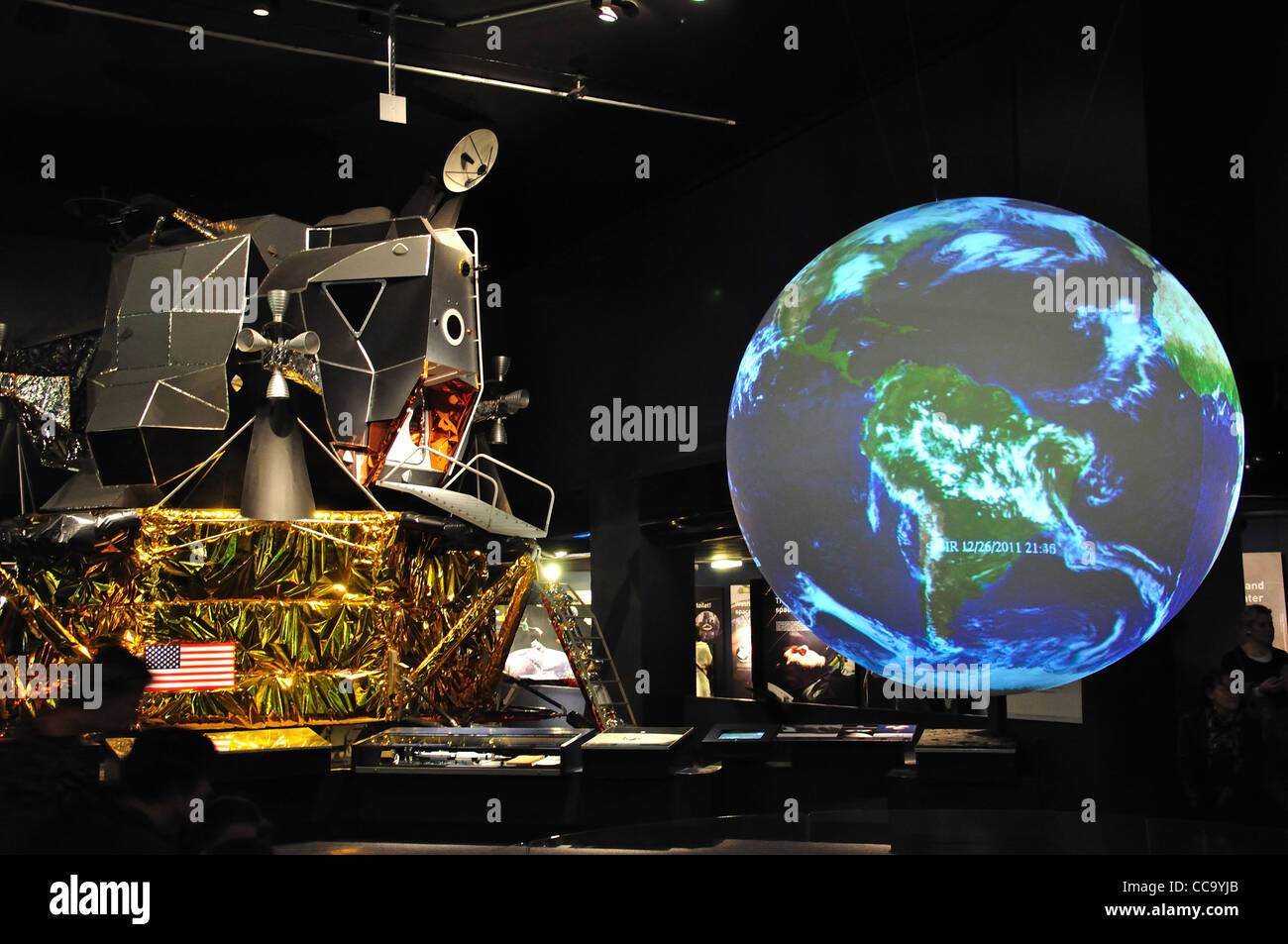 US. moon landing capsule and earth globe at The Science Museum, Kensington, Greater London, England, United Kingdo Stock Photohttps://www.alamy.com/image-license-details/?v=1https://www.alamy.com/stock-photo-us-moon-landing-capsule-and-earth-globe-at-the-science-museum-kensington-42015859.html
RMCC9YJB–US. moon landing capsule and earth globe at The Science Museum, Kensington, Greater London, England, United Kingdo
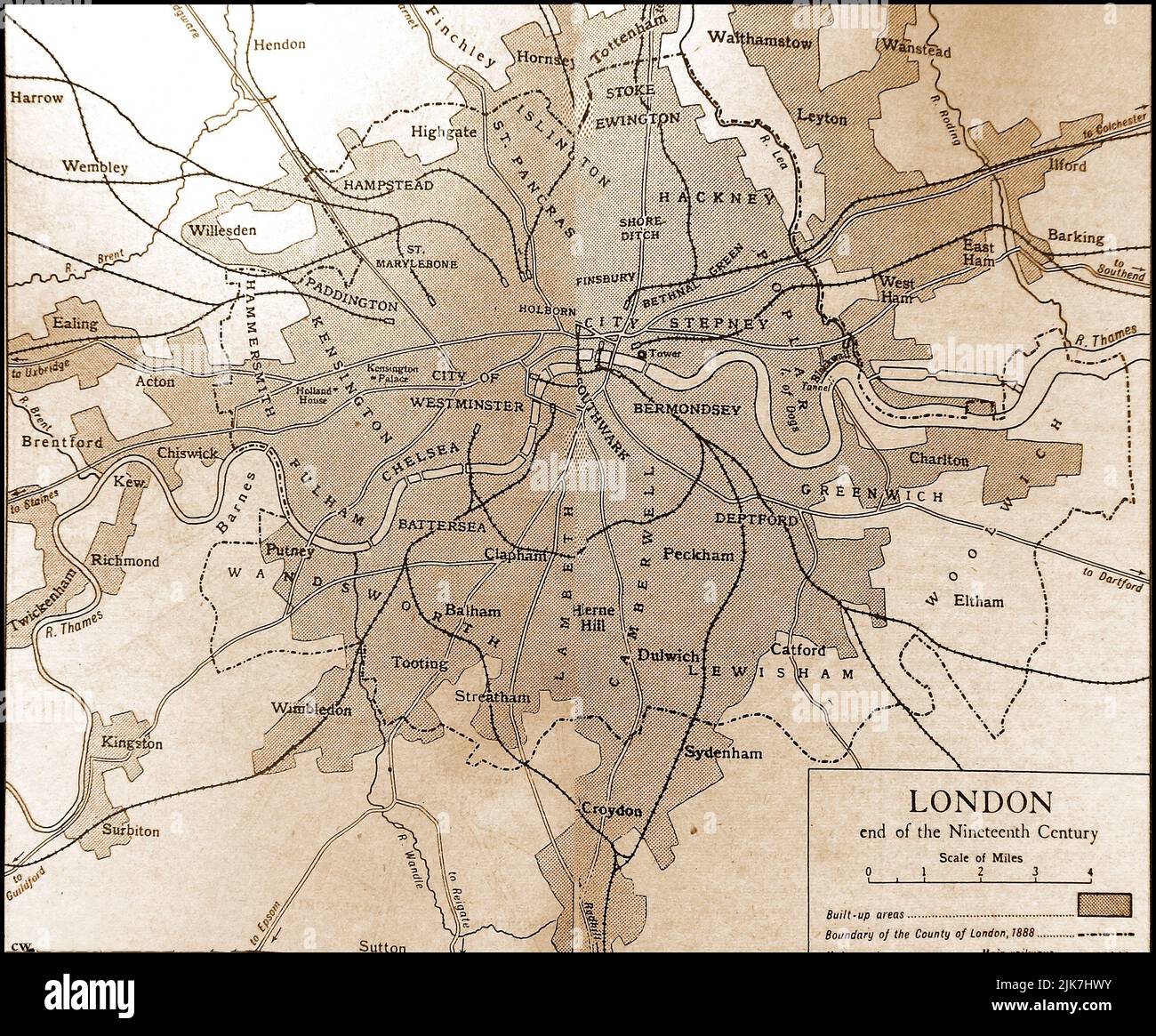 An old map showing the City of London at the end of the 1800s Stock Photohttps://www.alamy.com/image-license-details/?v=1https://www.alamy.com/an-old-map-showing-the-city-of-london-at-the-end-of-the-1800s-image476526119.html
RM2JK7HWY–An old map showing the City of London at the end of the 1800s
 Geography map or Road map Stock Photohttps://www.alamy.com/image-license-details/?v=1https://www.alamy.com/geography-map-or-road-map-image432331833.html
RM2G3ABJH–Geography map or Road map
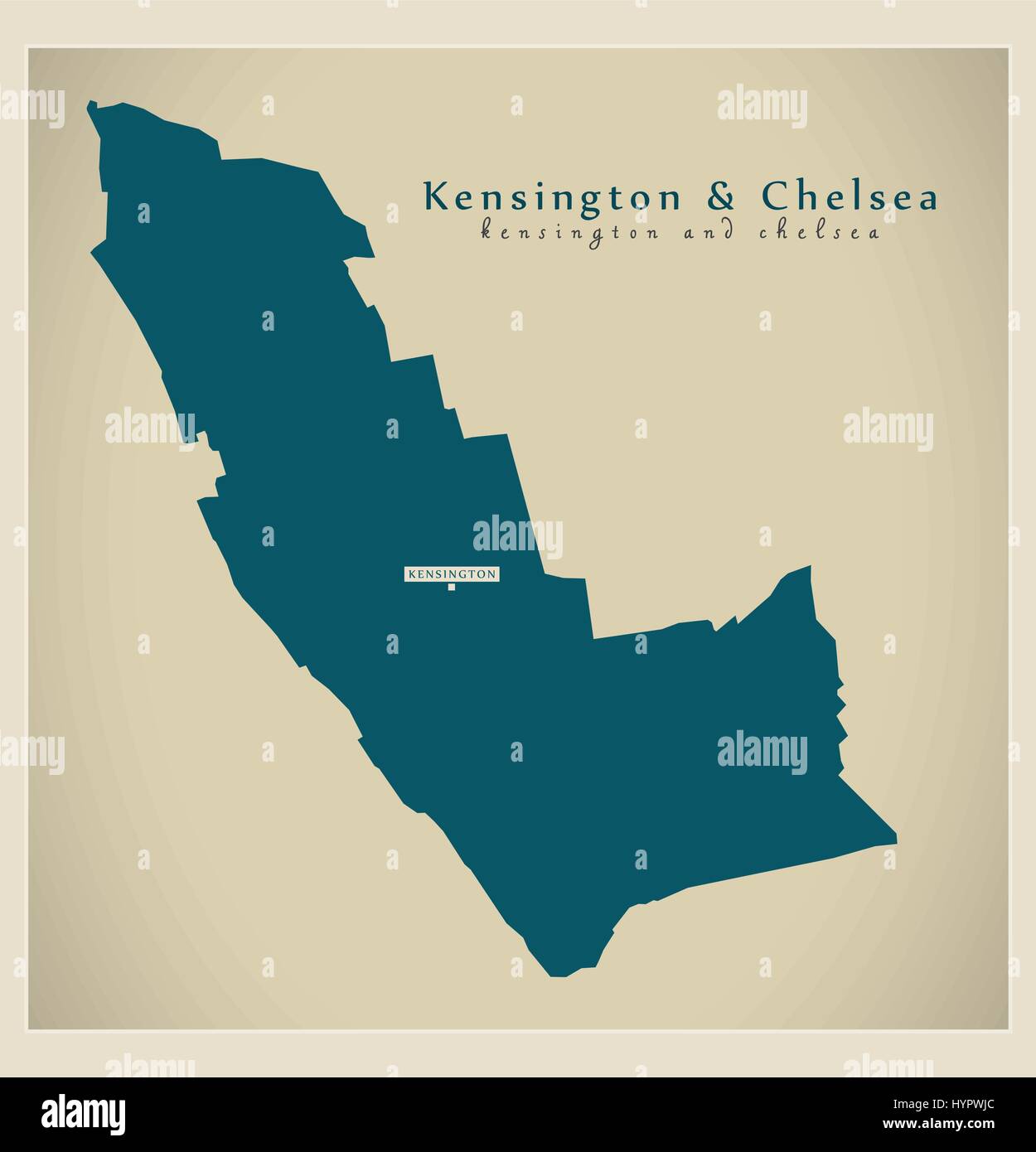 Modern Map - Kensington and Chelsea borough Greater London UK England Stock Vectorhttps://www.alamy.com/image-license-details/?v=1https://www.alamy.com/stock-photo-modern-map-kensington-and-chelsea-borough-greater-london-uk-england-137571348.html
RFHYPWJC–Modern Map - Kensington and Chelsea borough Greater London UK England
 Image 6 of Sanborn Fire Insurance Map from New Kensington, Westmoreland County, Pennsylvania. May 1895. 10 Sheet(s). Includes Parnassus, America, street map with a Nineteenth Century compass Stock Photohttps://www.alamy.com/image-license-details/?v=1https://www.alamy.com/image-6-of-sanborn-fire-insurance-map-from-new-kensington-westmoreland-county-pennsylvania-may-1895-10-sheets-includes-parnassus-america-street-map-with-a-nineteenth-century-compass-image344703492.html
RM2B0PGR0–Image 6 of Sanborn Fire Insurance Map from New Kensington, Westmoreland County, Pennsylvania. May 1895. 10 Sheet(s). Includes Parnassus, America, street map with a Nineteenth Century compass
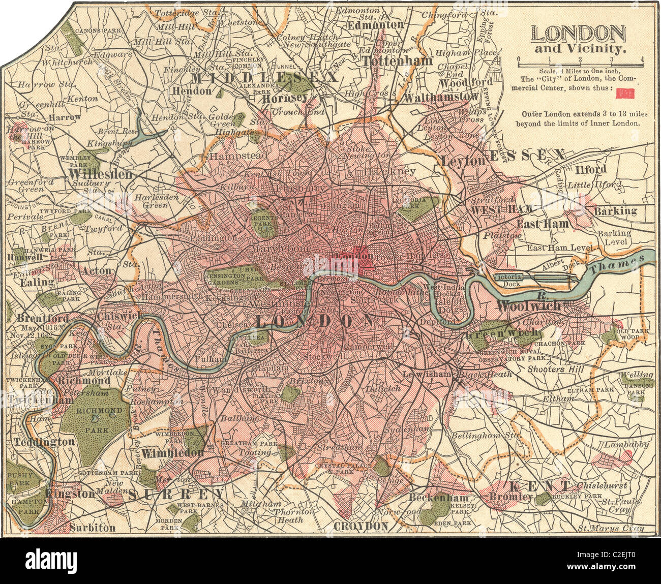 Map of London Stock Photohttps://www.alamy.com/image-license-details/?v=1https://www.alamy.com/stock-photo-map-of-london-35972160.html
RMC2EJT0–Map of London
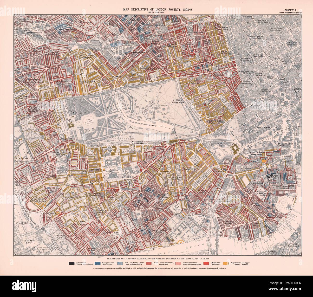 Printed Map Descriptive of London Poverty 1898-1899. Sheet 7. Inner Western District. Covering: Pimlico, Westminster, Brompton, Chelsea, Mayfair, Marylebone, Paddington, Bayswater, Notting Hill, Kensington, Knightsbridge, Pimlico and Belgravia. Stock Photohttps://www.alamy.com/image-license-details/?v=1https://www.alamy.com/printed-map-descriptive-of-london-poverty-1898-1899-sheet-7-inner-western-district-covering-pimlico-westminster-brompton-chelsea-mayfair-marylebone-paddington-bayswater-notting-hill-kensington-knightsbridge-pimlico-and-belgravia-image601457702.html
RM2WXENC6–Printed Map Descriptive of London Poverty 1898-1899. Sheet 7. Inner Western District. Covering: Pimlico, Westminster, Brompton, Chelsea, Mayfair, Marylebone, Paddington, Bayswater, Notting Hill, Kensington, Knightsbridge, Pimlico and Belgravia.
 A detail view of an old map of London on the wall in the 4th operations room of the former Brompton Road tube station, a disused station on the Piccadilly line between South Kensington and Knightsbridge which is owned by the Ministry of Defence and which has been put on the property market. Stock Photohttps://www.alamy.com/image-license-details/?v=1https://www.alamy.com/stock-photo-a-detail-view-of-an-old-map-of-london-on-the-wall-in-the-4th-operations-107171365.html
RMG6A24N–A detail view of an old map of London on the wall in the 4th operations room of the former Brompton Road tube station, a disused station on the Piccadilly line between South Kensington and Knightsbridge which is owned by the Ministry of Defence and which has been put on the property market.
 London The royal Park map panel info Stock Photohttps://www.alamy.com/image-license-details/?v=1https://www.alamy.com/stock-photo-london-the-royal-park-map-panel-info-127200516.html
RMHAXDFG–London The royal Park map panel info
 The Map House, Beauchamp Place, Knightsbridge, London, UK - famous Shop for Maps and Prints, Beauchamp Place, Knightsbridge, London, UK Stock Photohttps://www.alamy.com/image-license-details/?v=1https://www.alamy.com/the-map-house-beauchamp-place-knightsbridge-london-uk-famous-shop-for-maps-and-prints-beauchamp-place-knightsbridge-london-uk-image568403325.html
RM2T0N06N–The Map House, Beauchamp Place, Knightsbridge, London, UK - famous Shop for Maps and Prints, Beauchamp Place, Knightsbridge, London, UK
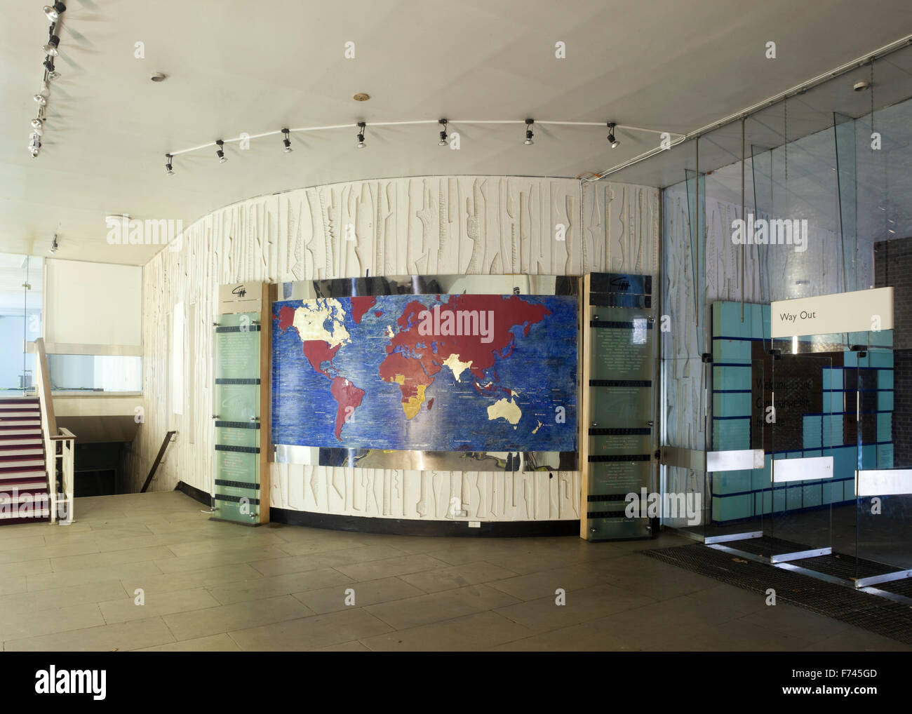 World map on curved wall in Commonwealth Institute to be converted into the new Design Museum, Kensington, London, UK Stock Photohttps://www.alamy.com/image-license-details/?v=1https://www.alamy.com/stock-photo-world-map-on-curved-wall-in-commonwealth-institute-to-be-converted-90446621.html
RMF745GD–World map on curved wall in Commonwealth Institute to be converted into the new Design Museum, Kensington, London, UK
 Map of the city of London and county of Middlesex, circa 1600. London shown as clutch of churches, surrounded by parishes Kensington, Chelsey, St. Gylles, Lambeth, Southwork, Hampton Court, on the River Thames, Hyde Park and Marybon Park. With title Middle-Sexia in cartouche and coat of arms. Handcoloured copperplate engraving by Johannes Blaeu from Geographiae Volumen Quintum quo Angliae, county atlas of England and Wales, Amsterdam, 1662. Stock Photohttps://www.alamy.com/image-license-details/?v=1https://www.alamy.com/map-of-the-city-of-london-and-county-of-middlesex-circa-1600-london-shown-as-clutch-of-churches-surrounded-by-parishes-kensington-chelsey-st-gylles-lambeth-southwork-hampton-court-on-the-river-thames-hyde-park-and-marybon-park-with-title-middle-sexia-in-cartouche-and-coat-of-arms-handcoloured-copperplate-engraving-by-johannes-blaeu-from-geographiae-volumen-quintum-quo-angliae-county-atlas-of-england-and-wales-amsterdam-1662-image571815065.html
RM2T68BXH–Map of the city of London and county of Middlesex, circa 1600. London shown as clutch of churches, surrounded by parishes Kensington, Chelsey, St. Gylles, Lambeth, Southwork, Hampton Court, on the River Thames, Hyde Park and Marybon Park. With title Middle-Sexia in cartouche and coat of arms. Handcoloured copperplate engraving by Johannes Blaeu from Geographiae Volumen Quintum quo Angliae, county atlas of England and Wales, Amsterdam, 1662.
 Map of London 1841 showing The Kensington Hippodrome Stock Photohttps://www.alamy.com/image-license-details/?v=1https://www.alamy.com/map-of-london-1841-showing-the-kensington-hippodrome-image537972001.html
RM2P76MNN–Map of London 1841 showing The Kensington Hippodrome
 Kensington Park, , AU, Australia, Tasmania, S 42 47' 23'', N 147 3' 0'', map, Cartascapes Map published in 2024. Explore Cartascapes, a map revealing Earth's diverse landscapes, cultures, and ecosystems. Journey through time and space, discovering the interconnectedness of our planet's past, present, and future. Stock Photohttps://www.alamy.com/image-license-details/?v=1https://www.alamy.com/kensington-park-au-australia-tasmania-s-42-47-23-n-147-3-0-map-cartascapes-map-published-in-2024-explore-cartascapes-a-map-revealing-earths-diverse-landscapes-cultures-and-ecosystems-journey-through-time-and-space-discovering-the-interconnectedness-of-our-planets-past-present-and-future-image625769346.html
RM2YA2756–Kensington Park, , AU, Australia, Tasmania, S 42 47' 23'', N 147 3' 0'', map, Cartascapes Map published in 2024. Explore Cartascapes, a map revealing Earth's diverse landscapes, cultures, and ecosystems. Journey through time and space, discovering the interconnectedness of our planet's past, present, and future.
![Staten Island, V. 1, Plate No. 73 [Map bounded by Reid Ave., Mc. Clean Ave., Kensington, Pearsall] 1917 Stock Photo Staten Island, V. 1, Plate No. 73 [Map bounded by Reid Ave., Mc. Clean Ave., Kensington, Pearsall] 1917 Stock Photo](https://c8.alamy.com/comp/2YT5F35/staten-island-v-1-plate-no-73-map-bounded-by-reid-ave-mc-clean-ave-kensington-pearsall-1917-2YT5F35.jpg) Staten Island, V. 1, Plate No. 73 [Map bounded by Reid Ave., Mc. Clean Ave., Kensington, Pearsall] 1917 Stock Photohttps://www.alamy.com/image-license-details/?v=1https://www.alamy.com/staten-island-v-1-plate-no-73-map-bounded-by-reid-ave-mc-clean-ave-kensington-pearsall-1917-image634446601.html
Staten Island, V. 1, Plate No. 73 [Map bounded by Reid Ave., Mc. Clean Ave., Kensington, Pearsall] 1917 Stock Photohttps://www.alamy.com/image-license-details/?v=1https://www.alamy.com/staten-island-v-1-plate-no-73-map-bounded-by-reid-ave-mc-clean-ave-kensington-pearsall-1917-image634446601.htmlRM2YT5F35–Staten Island, V. 1, Plate No. 73 [Map bounded by Reid Ave., Mc. Clean Ave., Kensington, Pearsall] 1917
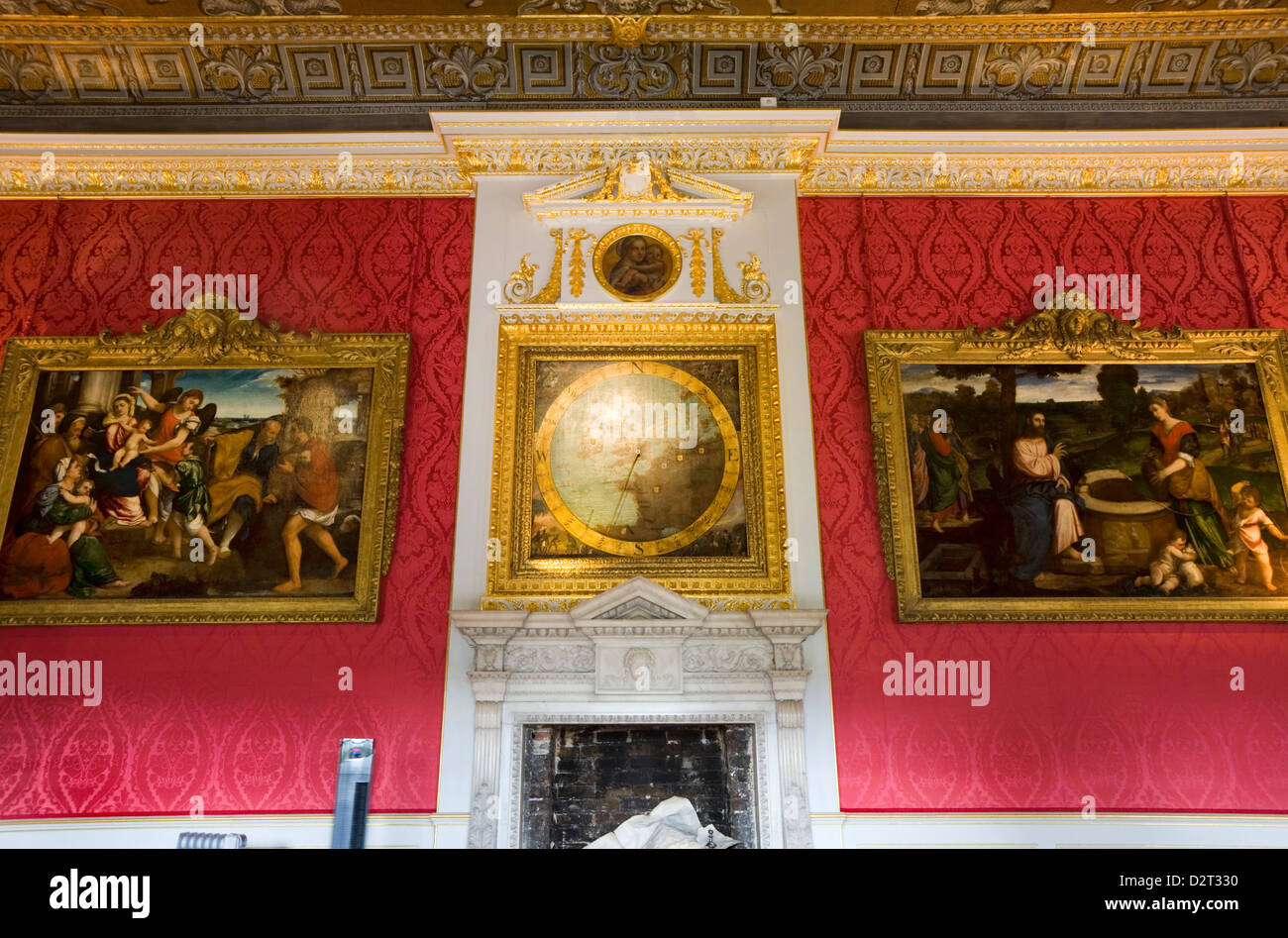 Wall, with chimney piece, paintings and anemometer, in the The Kings Gallery of Kensington Palace, London. UK. Stock Photohttps://www.alamy.com/image-license-details/?v=1https://www.alamy.com/stock-photo-wall-with-chimney-piece-paintings-and-anemometer-in-the-the-kings-53389700.html
RMD2T330–Wall, with chimney piece, paintings and anemometer, in the The Kings Gallery of Kensington Palace, London. UK.
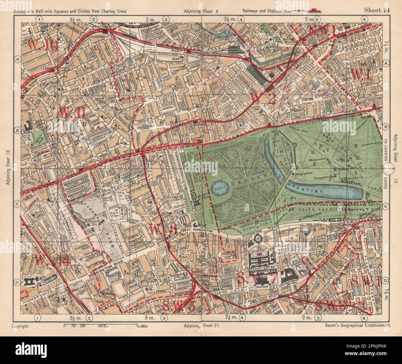 W LONDON. Paddington South Kensington Bayswater Notting Hill. BACON 1925 map Stock Photohttps://www.alamy.com/image-license-details/?v=1https://www.alamy.com/w-london-paddington-south-kensington-bayswater-notting-hill-bacon-1925-map-image546842175.html
RF2PNJPNK–W LONDON. Paddington South Kensington Bayswater Notting Hill. BACON 1925 map
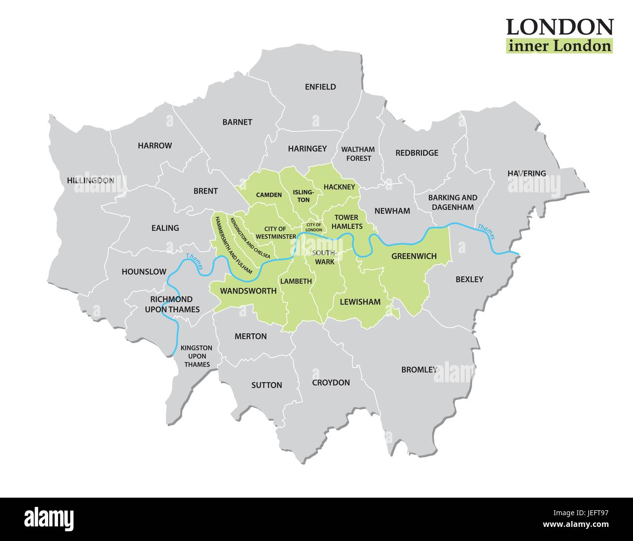 Administrative and political map of London, Statutory definition Stock Vectorhttps://www.alamy.com/image-license-details/?v=1https://www.alamy.com/stock-photo-administrative-and-political-map-of-london-statutory-definition-146636483.html
RFJEFT97–Administrative and political map of London, Statutory definition
 High Street Kensington highlighted on a map of London produced by Quickmap. Stock Photohttps://www.alamy.com/image-license-details/?v=1https://www.alamy.com/stock-photo-high-street-kensington-highlighted-on-a-map-of-london-produced-by-18098406.html
RMB1CCKJ–High Street Kensington highlighted on a map of London produced by Quickmap.
 Estate sign and map next to Trellick Tower, North Kensington, London, UK Stock Photohttps://www.alamy.com/image-license-details/?v=1https://www.alamy.com/stock-photo-estate-sign-and-map-next-to-trellick-tower-north-kensington-london-94196413.html
RMFD70DH–Estate sign and map next to Trellick Tower, North Kensington, London, UK
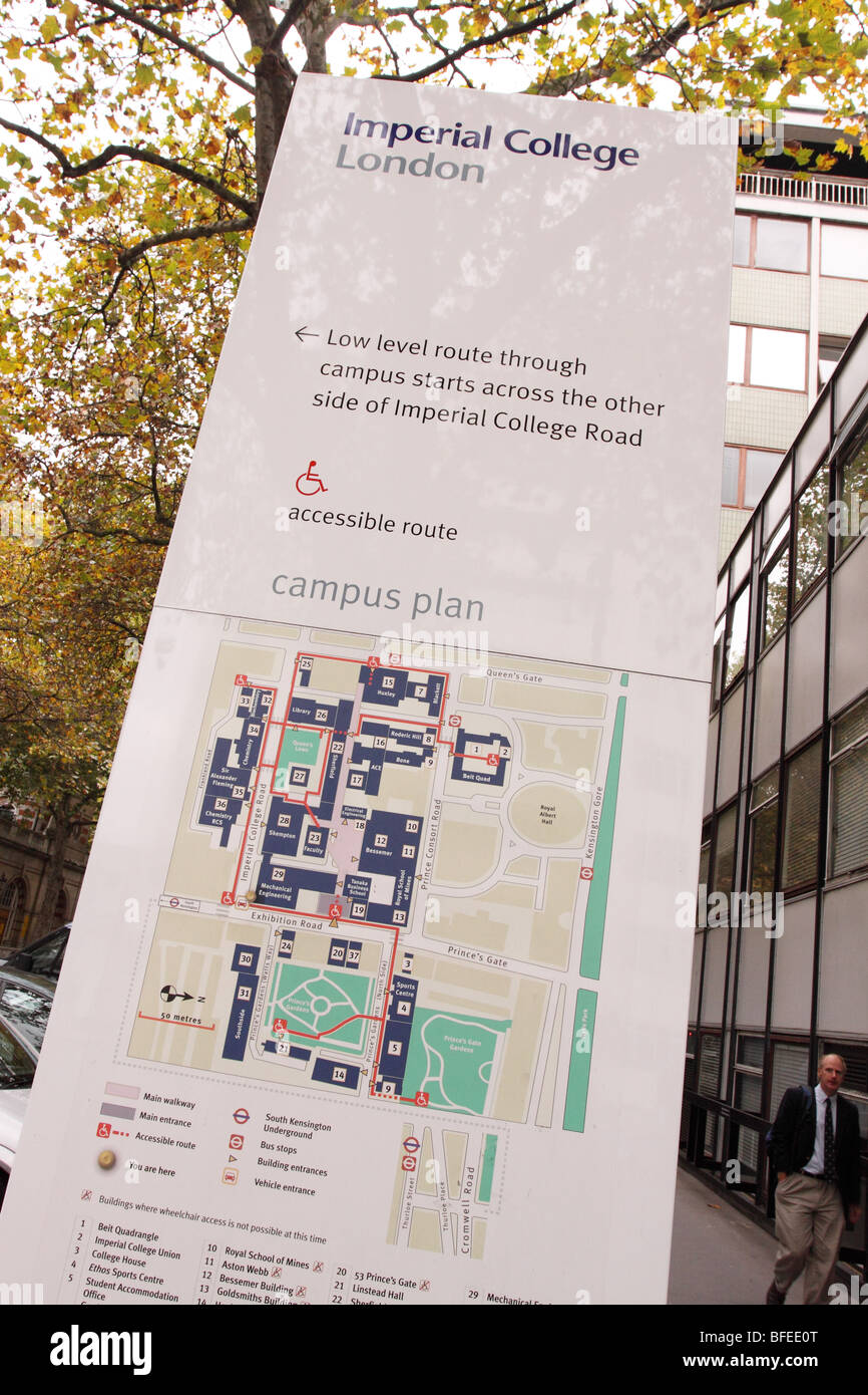 London Imperial College London map of the campus site map plan in South Kensington Stock Photohttps://www.alamy.com/image-license-details/?v=1https://www.alamy.com/stock-photo-london-imperial-college-london-map-of-the-campus-site-map-plan-in-26748536.html
RMBFEE0T–London Imperial College London map of the campus site map plan in South Kensington
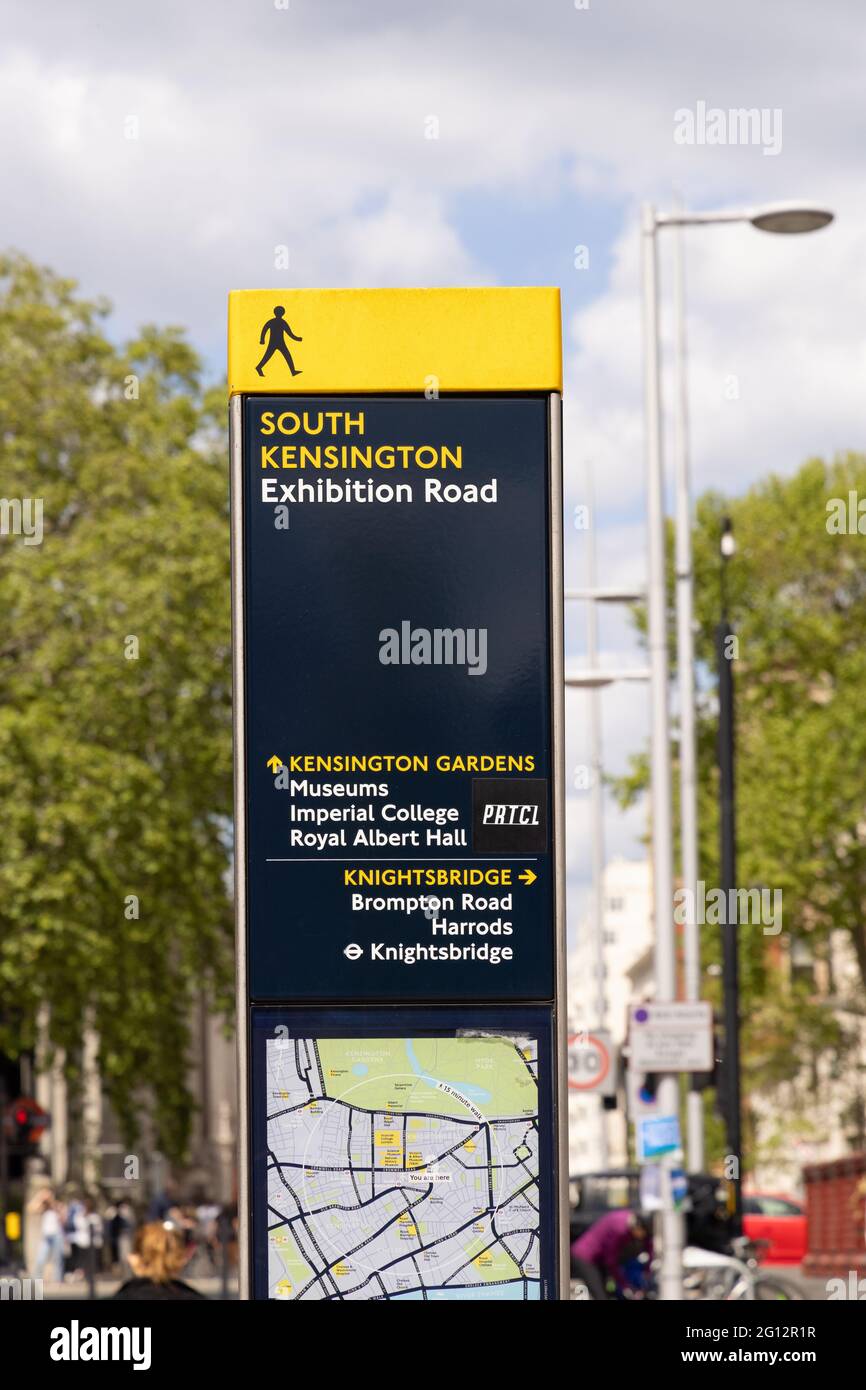 South Kensington Exhibition road sign and map, London city centre, South Kensington London UK Stock Photohttps://www.alamy.com/image-license-details/?v=1https://www.alamy.com/south-kensington-exhibition-road-sign-and-map-london-city-centre-south-kensington-london-uk-image430935843.html
RM2G12R1R–South Kensington Exhibition road sign and map, London city centre, South Kensington London UK
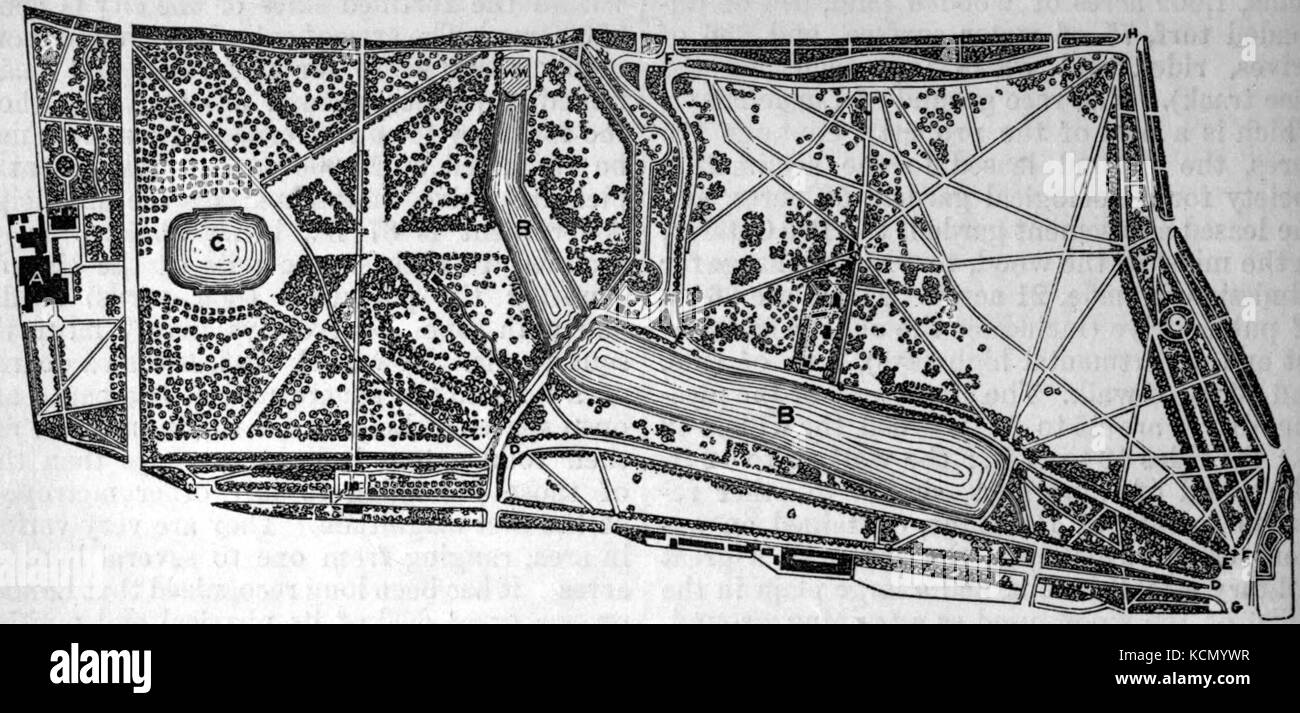 AmCyc Park Map of Hyde Park and Kensington Gardens Stock Photohttps://www.alamy.com/image-license-details/?v=1https://www.alamy.com/stock-image-amcyc-park-map-of-hyde-park-and-kensington-gardens-162730115.html
RMKCMYWR–AmCyc Park Map of Hyde Park and Kensington Gardens
 Image 7 of Sanborn Fire Insurance Map from New Kensington, Westmoreland County, Pennsylvania. May 1895. 10 Sheet(s). Includes Parnassus, America, street map with a Nineteenth Century compass Stock Photohttps://www.alamy.com/image-license-details/?v=1https://www.alamy.com/image-7-of-sanborn-fire-insurance-map-from-new-kensington-westmoreland-county-pennsylvania-may-1895-10-sheets-includes-parnassus-america-street-map-with-a-nineteenth-century-compass-image344703494.html
RM2B0PGR2–Image 7 of Sanborn Fire Insurance Map from New Kensington, Westmoreland County, Pennsylvania. May 1895. 10 Sheet(s). Includes Parnassus, America, street map with a Nineteenth Century compass
![A Plan of the Academy at Norlands, near Kensington Gravel Pits, Two Miles from London on the Oxford Road. Conducted by Thomas Marquois Professor of Artillery and Fortifications . Author Roberts, Henry 30.11.1. Date of publication: [1761-1765] Item type: 1 map Medium: copperplate engraving Dimensions: 50.3 x 32.3 cm Former owner: George III, King of Great Britain, 1738-1820 Stock Photo A Plan of the Academy at Norlands, near Kensington Gravel Pits, Two Miles from London on the Oxford Road. Conducted by Thomas Marquois Professor of Artillery and Fortifications . Author Roberts, Henry 30.11.1. Date of publication: [1761-1765] Item type: 1 map Medium: copperplate engraving Dimensions: 50.3 x 32.3 cm Former owner: George III, King of Great Britain, 1738-1820 Stock Photo](https://c8.alamy.com/comp/2E9HK8T/a-plan-of-the-academy-at-norlands-near-kensington-gravel-pits-two-miles-from-london-on-the-oxford-road-conducted-by-thomas-marquois-professor-of-artillery-and-fortifications-author-roberts-henry-30111-date-of-publication-1761-1765-item-type-1-map-medium-copperplate-engraving-dimensions-503-x-323-cm-former-owner-george-iii-king-of-great-britain-1738-1820-2E9HK8T.jpg) A Plan of the Academy at Norlands, near Kensington Gravel Pits, Two Miles from London on the Oxford Road. Conducted by Thomas Marquois Professor of Artillery and Fortifications . Author Roberts, Henry 30.11.1. Date of publication: [1761-1765] Item type: 1 map Medium: copperplate engraving Dimensions: 50.3 x 32.3 cm Former owner: George III, King of Great Britain, 1738-1820 Stock Photohttps://www.alamy.com/image-license-details/?v=1https://www.alamy.com/a-plan-of-the-academy-at-norlands-near-kensington-gravel-pits-two-miles-from-london-on-the-oxford-road-conducted-by-thomas-marquois-professor-of-artillery-and-fortifications-author-roberts-henry-30111-date-of-publication-1761-1765-item-type-1-map-medium-copperplate-engraving-dimensions-503-x-323-cm-former-owner-george-iii-king-of-great-britain-1738-1820-image401758696.html
A Plan of the Academy at Norlands, near Kensington Gravel Pits, Two Miles from London on the Oxford Road. Conducted by Thomas Marquois Professor of Artillery and Fortifications . Author Roberts, Henry 30.11.1. Date of publication: [1761-1765] Item type: 1 map Medium: copperplate engraving Dimensions: 50.3 x 32.3 cm Former owner: George III, King of Great Britain, 1738-1820 Stock Photohttps://www.alamy.com/image-license-details/?v=1https://www.alamy.com/a-plan-of-the-academy-at-norlands-near-kensington-gravel-pits-two-miles-from-london-on-the-oxford-road-conducted-by-thomas-marquois-professor-of-artillery-and-fortifications-author-roberts-henry-30111-date-of-publication-1761-1765-item-type-1-map-medium-copperplate-engraving-dimensions-503-x-323-cm-former-owner-george-iii-king-of-great-britain-1738-1820-image401758696.htmlRM2E9HK8T–A Plan of the Academy at Norlands, near Kensington Gravel Pits, Two Miles from London on the Oxford Road. Conducted by Thomas Marquois Professor of Artillery and Fortifications . Author Roberts, Henry 30.11.1. Date of publication: [1761-1765] Item type: 1 map Medium: copperplate engraving Dimensions: 50.3 x 32.3 cm Former owner: George III, King of Great Britain, 1738-1820
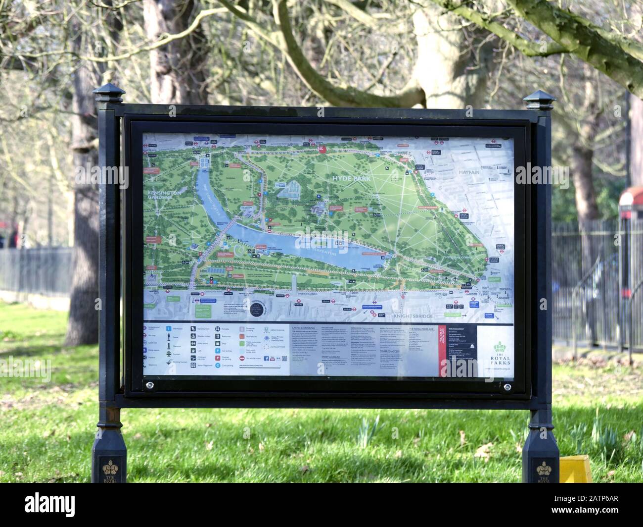 Map of Hyde Park and Kensington Gardens at the Marble Arch entrance to the park. Stock Photohttps://www.alamy.com/image-license-details/?v=1https://www.alamy.com/map-of-hyde-park-and-kensington-gardens-at-the-marble-arch-entrance-to-the-park-image342236687.html
RM2ATP6AR–Map of Hyde Park and Kensington Gardens at the Marble Arch entrance to the park.
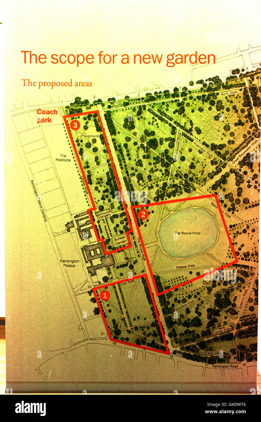 DIANA MEMORIAL GARDEN MAP Stock Photohttps://www.alamy.com/image-license-details/?v=1https://www.alamy.com/stock-photo-diana-memorial-garden-map-106026486.html
RMG4DWT6–DIANA MEMORIAL GARDEN MAP
 A party of British schoolteachers who will shortly leave to teach in South African classrooms on an exchange basis with other African teachers who will come here, this morning attended a conference on the project at the Imperial Institute, South Kensington. The Right Honourable George Tomlinson, Minister of Education, opened the conference and the assembly was addressed by Mr G Heaton Nicholls, High Commissioner of South Africa. Picture shows: Mr Nichols indicates on a map places where the British teachers will serve. Left to right are Miss M. McQuarrie and M.G.J. McDonald from Glasgow, who wi Stock Photohttps://www.alamy.com/image-license-details/?v=1https://www.alamy.com/a-party-of-british-schoolteachers-who-will-shortly-leave-to-teach-in-south-african-classrooms-on-an-exchange-basis-with-other-african-teachers-who-will-come-here-this-morning-attended-a-conference-on-the-project-at-the-imperial-institute-south-kensington-the-right-honourable-george-tomlinson-minister-of-education-opened-the-conference-and-the-assembly-was-addressed-by-mr-g-heaton-nicholls-high-commissioner-of-south-africa-picture-shows-mr-nichols-indicates-on-a-map-places-where-the-british-teachers-will-serve-left-to-right-are-miss-m-mcquarrie-and-mgj-mcdonald-from-glasgow-who-wi-image623312955.html
RM2Y62A0Y–A party of British schoolteachers who will shortly leave to teach in South African classrooms on an exchange basis with other African teachers who will come here, this morning attended a conference on the project at the Imperial Institute, South Kensington. The Right Honourable George Tomlinson, Minister of Education, opened the conference and the assembly was addressed by Mr G Heaton Nicholls, High Commissioner of South Africa. Picture shows: Mr Nichols indicates on a map places where the British teachers will serve. Left to right are Miss M. McQuarrie and M.G.J. McDonald from Glasgow, who wi
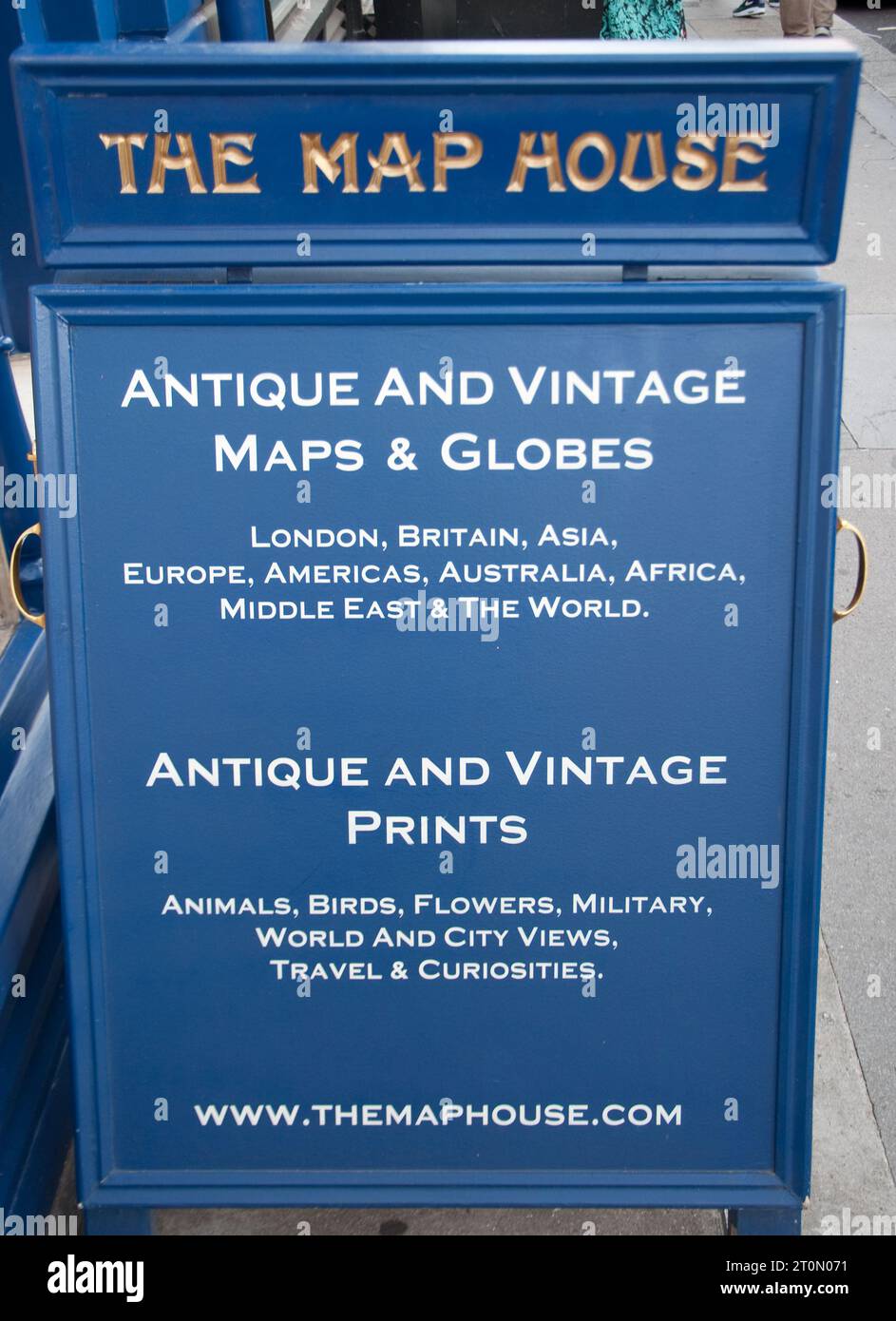 The Map House, Beauchamp Place, Knightsbridge, London, UK - famous Shop for Maps and Prints, Beauchamp Place, Knightsbridge, London, UK Stock Photohttps://www.alamy.com/image-license-details/?v=1https://www.alamy.com/the-map-house-beauchamp-place-knightsbridge-london-uk-famous-shop-for-maps-and-prints-beauchamp-place-knightsbridge-london-uk-image568403333.html
RM2T0N071–The Map House, Beauchamp Place, Knightsbridge, London, UK - famous Shop for Maps and Prints, Beauchamp Place, Knightsbridge, London, UK
 A pair of tourists looking at a map of Hyde Park, London Stock Photohttps://www.alamy.com/image-license-details/?v=1https://www.alamy.com/a-pair-of-tourists-looking-at-a-map-of-hyde-park-london-image178873027.html
RMMB0AAB–A pair of tourists looking at a map of Hyde Park, London
 Cyclyst examining a map on a public notice board in Hyde Park, London, England. Stock Photohttps://www.alamy.com/image-license-details/?v=1https://www.alamy.com/stock-photo-cyclyst-examining-a-map-on-a-public-notice-board-in-hyde-park-london-36386310.html
RMC35F32–Cyclyst examining a map on a public notice board in Hyde Park, London, England.
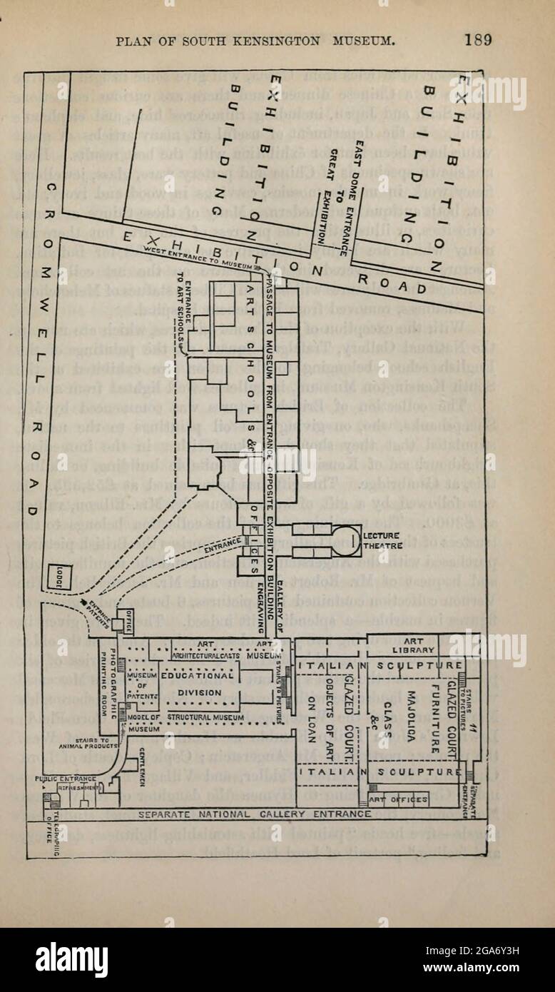 Plan of South Kensington Museum From the book ' London and its environs : a practical guide to the metropolis and its vicinity, illustrated by maps, plans and views ' by Adam and Charles Black Published in Edinburgh by A. & C. Black 1862 Stock Photohttps://www.alamy.com/image-license-details/?v=1https://www.alamy.com/plan-of-south-kensington-museum-from-the-book-london-and-its-environs-a-practical-guide-to-the-metropolis-and-its-vicinity-illustrated-by-maps-plans-and-views-by-adam-and-charles-black-published-in-edinburgh-by-a-c-black-1862-image436558741.html
RM2GA6Y3H–Plan of South Kensington Museum From the book ' London and its environs : a practical guide to the metropolis and its vicinity, illustrated by maps, plans and views ' by Adam and Charles Black Published in Edinburgh by A. & C. Black 1862
 Kensington, Bundaberg, AU, Australia, Queensland, S 24 55' 1'', N 152 19' 5'', map, Cartascapes Map published in 2024. Explore Cartascapes, a map revealing Earth's diverse landscapes, cultures, and ecosystems. Journey through time and space, discovering the interconnectedness of our planet's past, present, and future. Stock Photohttps://www.alamy.com/image-license-details/?v=1https://www.alamy.com/kensington-bundaberg-au-australia-queensland-s-24-55-1-n-152-19-5-map-cartascapes-map-published-in-2024-explore-cartascapes-a-map-revealing-earths-diverse-landscapes-cultures-and-ecosystems-journey-through-time-and-space-discovering-the-interconnectedness-of-our-planets-past-present-and-future-image625761578.html
RM2YA1W7P–Kensington, Bundaberg, AU, Australia, Queensland, S 24 55' 1'', N 152 19' 5'', map, Cartascapes Map published in 2024. Explore Cartascapes, a map revealing Earth's diverse landscapes, cultures, and ecosystems. Journey through time and space, discovering the interconnectedness of our planet's past, present, and future.
![Staten Island, V. 1, Plate No. 72 [Map bounded by Mc. Clean Ave., Sand, Quincy Ave., Pearsal, Kensington] 1917 Stock Photo Staten Island, V. 1, Plate No. 72 [Map bounded by Mc. Clean Ave., Sand, Quincy Ave., Pearsal, Kensington] 1917 Stock Photo](https://c8.alamy.com/comp/2YRCC3H/staten-island-v-1-plate-no-72-map-bounded-by-mc-clean-ave-sand-quincy-ave-pearsal-kensington-1917-2YRCC3H.jpg) Staten Island, V. 1, Plate No. 72 [Map bounded by Mc. Clean Ave., Sand, Quincy Ave., Pearsal, Kensington] 1917 Stock Photohttps://www.alamy.com/image-license-details/?v=1https://www.alamy.com/staten-island-v-1-plate-no-72-map-bounded-by-mc-clean-ave-sand-quincy-ave-pearsal-kensington-1917-image633983269.html
Staten Island, V. 1, Plate No. 72 [Map bounded by Mc. Clean Ave., Sand, Quincy Ave., Pearsal, Kensington] 1917 Stock Photohttps://www.alamy.com/image-license-details/?v=1https://www.alamy.com/staten-island-v-1-plate-no-72-map-bounded-by-mc-clean-ave-sand-quincy-ave-pearsal-kensington-1917-image633983269.htmlRM2YRCC3H–Staten Island, V. 1, Plate No. 72 [Map bounded by Mc. Clean Ave., Sand, Quincy Ave., Pearsal, Kensington] 1917
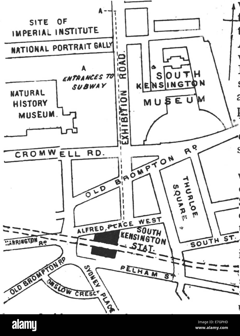 DISTRICT(1888) p134 - South Kensington (map) Stock Photohttps://www.alamy.com/image-license-details/?v=1https://www.alamy.com/stock-photo-district1888-p134-south-kensington-map-73513033.html
RME7GPHD–DISTRICT(1888) p134 - South Kensington (map)
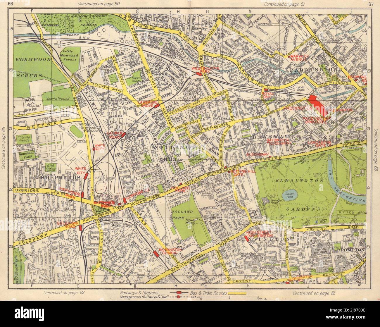 W LONDON. Notting Hill Paddington Bayswater Shepherd's Bush Kensington 1948 map Stock Photohttps://www.alamy.com/image-license-details/?v=1https://www.alamy.com/w-london-notting-hill-paddington-bayswater-shepherds-bush-kensington-1948-map-image469751114.html
RF2J8709E–W LONDON. Notting Hill Paddington Bayswater Shepherd's Bush Kensington 1948 map
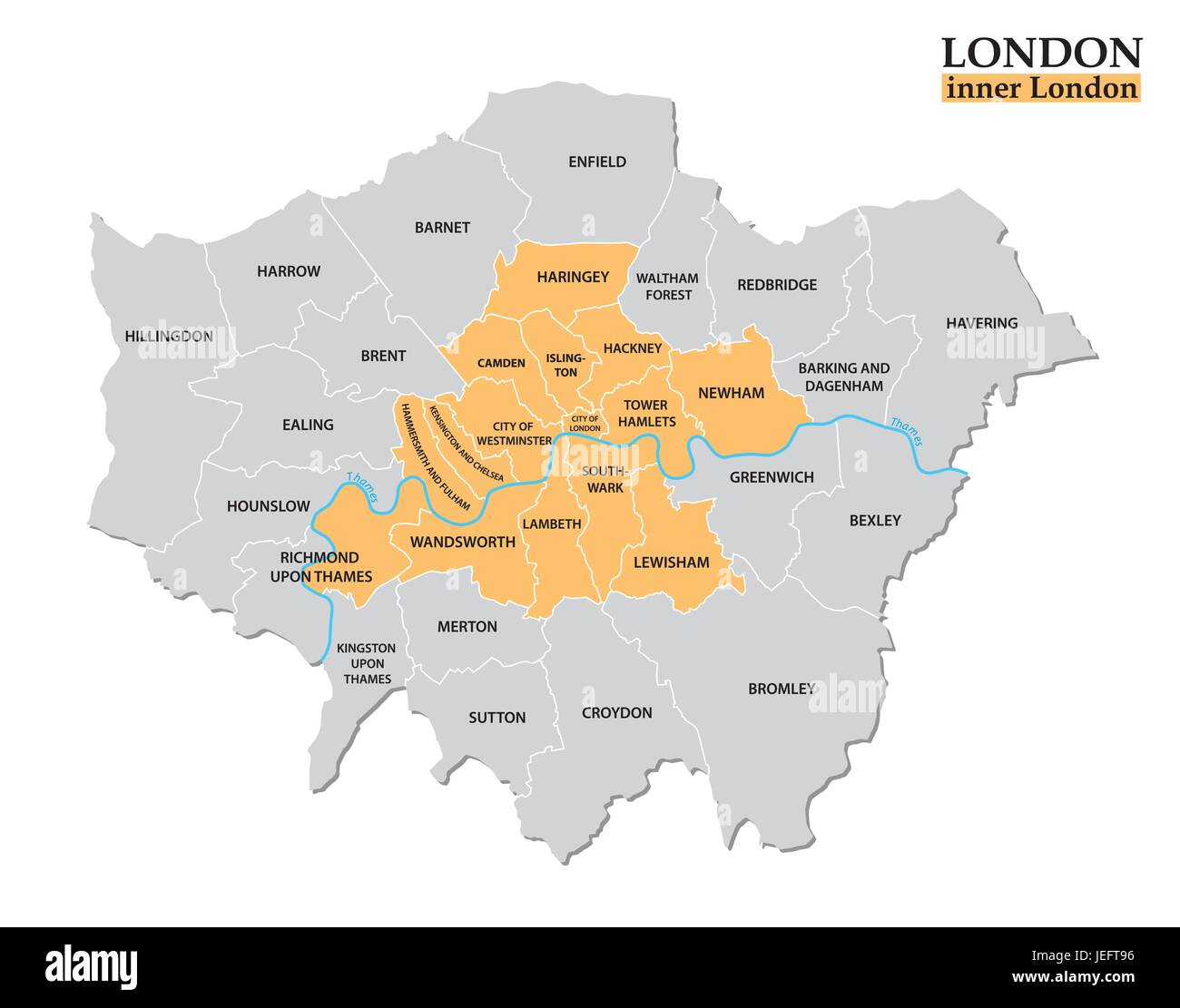 Administrative and political map of London, Statistical definition Stock Vectorhttps://www.alamy.com/image-license-details/?v=1https://www.alamy.com/stock-photo-administrative-and-political-map-of-london-statistical-definition-146636482.html
RFJEFT96–Administrative and political map of London, Statistical definition
 Rackham Arthur - Peter Pan in Kensington Gardens - Solomon Caw Reads a Map Stock Photohttps://www.alamy.com/image-license-details/?v=1https://www.alamy.com/rackham-arthur-peter-pan-in-kensington-gardens-solomon-caw-reads-a-map-image187103417.html
RFMTB88W–Rackham Arthur - Peter Pan in Kensington Gardens - Solomon Caw Reads a Map
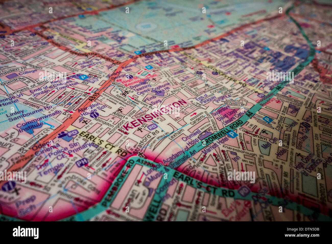 Map of London Stock Photohttps://www.alamy.com/image-license-details/?v=1https://www.alamy.com/map-of-london-image66848135.html
RMDTN5DB–Map of London
 Cromwell Road in the Royal Borough of Kensington & Chelsea London , England , UK Stock Photohttps://www.alamy.com/image-license-details/?v=1https://www.alamy.com/cromwell-road-in-the-royal-borough-of-kensington-chelsea-london-england-uk-image610741553.html
RM2XDHK29–Cromwell Road in the Royal Borough of Kensington & Chelsea London , England , UK
 122 AmCyc Park - Map of Hyde Park and Kensington Gardens Stock Photohttps://www.alamy.com/image-license-details/?v=1https://www.alamy.com/122-amcyc-park-map-of-hyde-park-and-kensington-gardens-image212510255.html
RMP9MJYY–122 AmCyc Park - Map of Hyde Park and Kensington Gardens
 DISTRICT(1888) p134 South Kensington (map) Stock Photohttps://www.alamy.com/image-license-details/?v=1https://www.alamy.com/district1888-p134-south-kensington-map-image154601682.html
RMJYEM0J–DISTRICT(1888) p134 South Kensington (map)
 Image 3 of Sanborn Fire Insurance Map from New Kensington, Westmoreland County, Pennsylvania. May 1895. 10 Sheet(s). Includes Parnassus, America, street map with a Nineteenth Century compass Stock Photohttps://www.alamy.com/image-license-details/?v=1https://www.alamy.com/image-3-of-sanborn-fire-insurance-map-from-new-kensington-westmoreland-county-pennsylvania-may-1895-10-sheets-includes-parnassus-america-street-map-with-a-nineteenth-century-compass-image344703486.html
RM2B0PGPP–Image 3 of Sanborn Fire Insurance Map from New Kensington, Westmoreland County, Pennsylvania. May 1895. 10 Sheet(s). Includes Parnassus, America, street map with a Nineteenth Century compass
![A Plan of the Palace Gardens and TOWN of KENSINGTON. Author Deharme, L. F. 28.10.b. Place of publication: [London] Publisher: Printed for Rob.t Sayer, No. 53 in Fleet Street., Date of publication: [1766-1794 c.] Item type: 1 map Medium: copperplate engraving Dimensions: 27.6 x 48.4 cm Former owner: George III, King of Great Britain, 1738-1820 Stock Photo A Plan of the Palace Gardens and TOWN of KENSINGTON. Author Deharme, L. F. 28.10.b. Place of publication: [London] Publisher: Printed for Rob.t Sayer, No. 53 in Fleet Street., Date of publication: [1766-1794 c.] Item type: 1 map Medium: copperplate engraving Dimensions: 27.6 x 48.4 cm Former owner: George III, King of Great Britain, 1738-1820 Stock Photo](https://c8.alamy.com/comp/2E9HJ0F/a-plan-of-the-palace-gardens-and-town-of-kensington-author-deharme-l-f-2810b-place-of-publication-london-publisher-printed-for-robt-sayer-no-53-in-fleet-street-date-of-publication-1766-1794-c-item-type-1-map-medium-copperplate-engraving-dimensions-276-x-484-cm-former-owner-george-iii-king-of-great-britain-1738-1820-2E9HJ0F.jpg) A Plan of the Palace Gardens and TOWN of KENSINGTON. Author Deharme, L. F. 28.10.b. Place of publication: [London] Publisher: Printed for Rob.t Sayer, No. 53 in Fleet Street., Date of publication: [1766-1794 c.] Item type: 1 map Medium: copperplate engraving Dimensions: 27.6 x 48.4 cm Former owner: George III, King of Great Britain, 1738-1820 Stock Photohttps://www.alamy.com/image-license-details/?v=1https://www.alamy.com/a-plan-of-the-palace-gardens-and-town-of-kensington-author-deharme-l-f-2810b-place-of-publication-london-publisher-printed-for-robt-sayer-no-53-in-fleet-street-date-of-publication-1766-1794-c-item-type-1-map-medium-copperplate-engraving-dimensions-276-x-484-cm-former-owner-george-iii-king-of-great-britain-1738-1820-image401757679.html
A Plan of the Palace Gardens and TOWN of KENSINGTON. Author Deharme, L. F. 28.10.b. Place of publication: [London] Publisher: Printed for Rob.t Sayer, No. 53 in Fleet Street., Date of publication: [1766-1794 c.] Item type: 1 map Medium: copperplate engraving Dimensions: 27.6 x 48.4 cm Former owner: George III, King of Great Britain, 1738-1820 Stock Photohttps://www.alamy.com/image-license-details/?v=1https://www.alamy.com/a-plan-of-the-palace-gardens-and-town-of-kensington-author-deharme-l-f-2810b-place-of-publication-london-publisher-printed-for-robt-sayer-no-53-in-fleet-street-date-of-publication-1766-1794-c-item-type-1-map-medium-copperplate-engraving-dimensions-276-x-484-cm-former-owner-george-iii-king-of-great-britain-1738-1820-image401757679.htmlRM2E9HJ0F–A Plan of the Palace Gardens and TOWN of KENSINGTON. Author Deharme, L. F. 28.10.b. Place of publication: [London] Publisher: Printed for Rob.t Sayer, No. 53 in Fleet Street., Date of publication: [1766-1794 c.] Item type: 1 map Medium: copperplate engraving Dimensions: 27.6 x 48.4 cm Former owner: George III, King of Great Britain, 1738-1820
 Smiling young friends with map standing on street Stock Photohttps://www.alamy.com/image-license-details/?v=1https://www.alamy.com/smiling-young-friends-with-map-standing-on-street-image483754411.html
RF2K30WK7–Smiling young friends with map standing on street
 Seats below an underground map on a London tube train. Stock Photohttps://www.alamy.com/image-license-details/?v=1https://www.alamy.com/stock-photo-seats-below-an-underground-map-on-a-london-tube-train-43565147.html
RMCETFP3–Seats below an underground map on a London tube train.
 South Kensington Tube Station in South Kensington, London, England, UK Stock Photohttps://www.alamy.com/image-license-details/?v=1https://www.alamy.com/stock-photo-south-kensington-tube-station-in-south-kensington-london-england-uk-103658656.html
RMG0J1JT–South Kensington Tube Station in South Kensington, London, England, UK
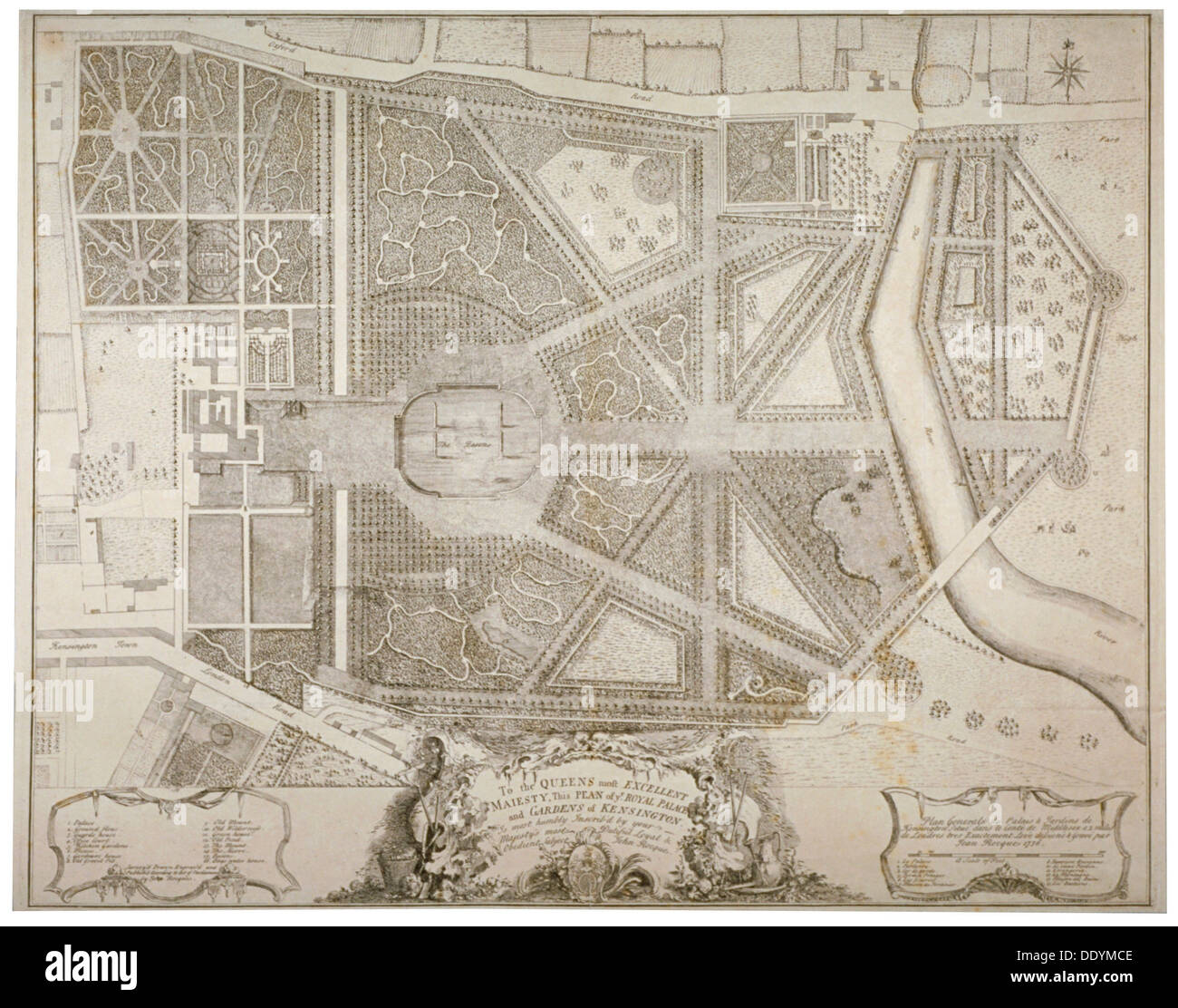 Plan of Kensington Palace and gardens, London, 1736. Artist: John Rocque Stock Photohttps://www.alamy.com/image-license-details/?v=1https://www.alamy.com/plan-of-kensington-palace-and-gardens-london-1736-artist-john-rocque-image60230366.html
RMDDYMCE–Plan of Kensington Palace and gardens, London, 1736. Artist: John Rocque
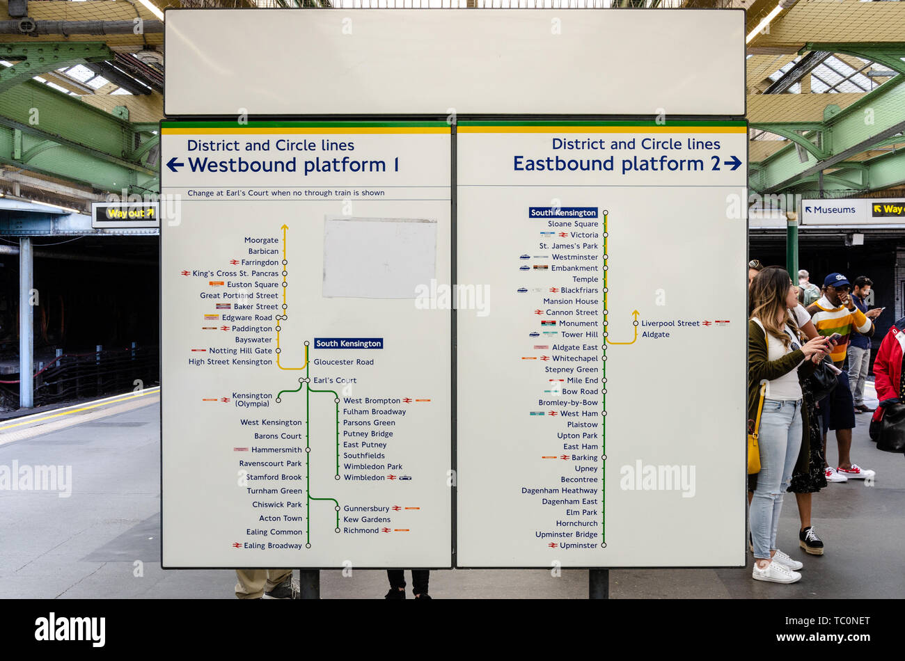 Information boards on the platform at South Kensington London Underground Station with maps of the routes for trains leaving the station. Stock Photohttps://www.alamy.com/image-license-details/?v=1https://www.alamy.com/information-boards-on-the-platform-at-south-kensington-london-underground-station-with-maps-of-the-routes-for-trains-leaving-the-station-image248337904.html
RMTC0NET–Information boards on the platform at South Kensington London Underground Station with maps of the routes for trains leaving the station.
 A volunteer is seen beside a large Underground map during a workshop at the Fuse Arts festival in kensington Gardens, London. Stock Photohttps://www.alamy.com/image-license-details/?v=1https://www.alamy.com/stock-photo-a-volunteer-is-seen-beside-a-large-underground-map-during-a-workshop-111063453.html
RMGCKAFW–A volunteer is seen beside a large Underground map during a workshop at the Fuse Arts festival in kensington Gardens, London.
 south kensington, London. Stock Photohttps://www.alamy.com/image-license-details/?v=1https://www.alamy.com/south-kensington-london-image330278658.html
RM2A59DPA–south kensington, London.
 Kensington, Toowoomba, AU, Australia, Queensland, S 27 26' 10'', N 151 53' 6'', map, Cartascapes Map published in 2024. Explore Cartascapes, a map revealing Earth's diverse landscapes, cultures, and ecosystems. Journey through time and space, discovering the interconnectedness of our planet's past, present, and future. Stock Photohttps://www.alamy.com/image-license-details/?v=1https://www.alamy.com/kensington-toowoomba-au-australia-queensland-s-27-26-10-n-151-53-6-map-cartascapes-map-published-in-2024-explore-cartascapes-a-map-revealing-earths-diverse-landscapes-cultures-and-ecosystems-journey-through-time-and-space-discovering-the-interconnectedness-of-our-planets-past-present-and-future-image625744155.html
RM2YA131F–Kensington, Toowoomba, AU, Australia, Queensland, S 27 26' 10'', N 151 53' 6'', map, Cartascapes Map published in 2024. Explore Cartascapes, a map revealing Earth's diverse landscapes, cultures, and ecosystems. Journey through time and space, discovering the interconnectedness of our planet's past, present, and future.
![Queens V. 4, Plate No. 101 [Map bounded by Mott Ave., Kensington Gardens, Bayswater Ave., Jamaica Bay] 1884 - 1936 Stock Photo Queens V. 4, Plate No. 101 [Map bounded by Mott Ave., Kensington Gardens, Bayswater Ave., Jamaica Bay] 1884 - 1936 Stock Photo](https://c8.alamy.com/comp/2YR00FA/queens-v-4-plate-no-101-map-bounded-by-mott-ave-kensington-gardens-bayswater-ave-jamaica-bay-1884-1936-2YR00FA.jpg) Queens V. 4, Plate No. 101 [Map bounded by Mott Ave., Kensington Gardens, Bayswater Ave., Jamaica Bay] 1884 - 1936 Stock Photohttps://www.alamy.com/image-license-details/?v=1https://www.alamy.com/queens-v-4-plate-no-101-map-bounded-by-mott-ave-kensington-gardens-bayswater-ave-jamaica-bay-1884-1936-image633710766.html
Queens V. 4, Plate No. 101 [Map bounded by Mott Ave., Kensington Gardens, Bayswater Ave., Jamaica Bay] 1884 - 1936 Stock Photohttps://www.alamy.com/image-license-details/?v=1https://www.alamy.com/queens-v-4-plate-no-101-map-bounded-by-mott-ave-kensington-gardens-bayswater-ave-jamaica-bay-1884-1936-image633710766.htmlRM2YR00FA–Queens V. 4, Plate No. 101 [Map bounded by Mott Ave., Kensington Gardens, Bayswater Ave., Jamaica Bay] 1884 - 1936
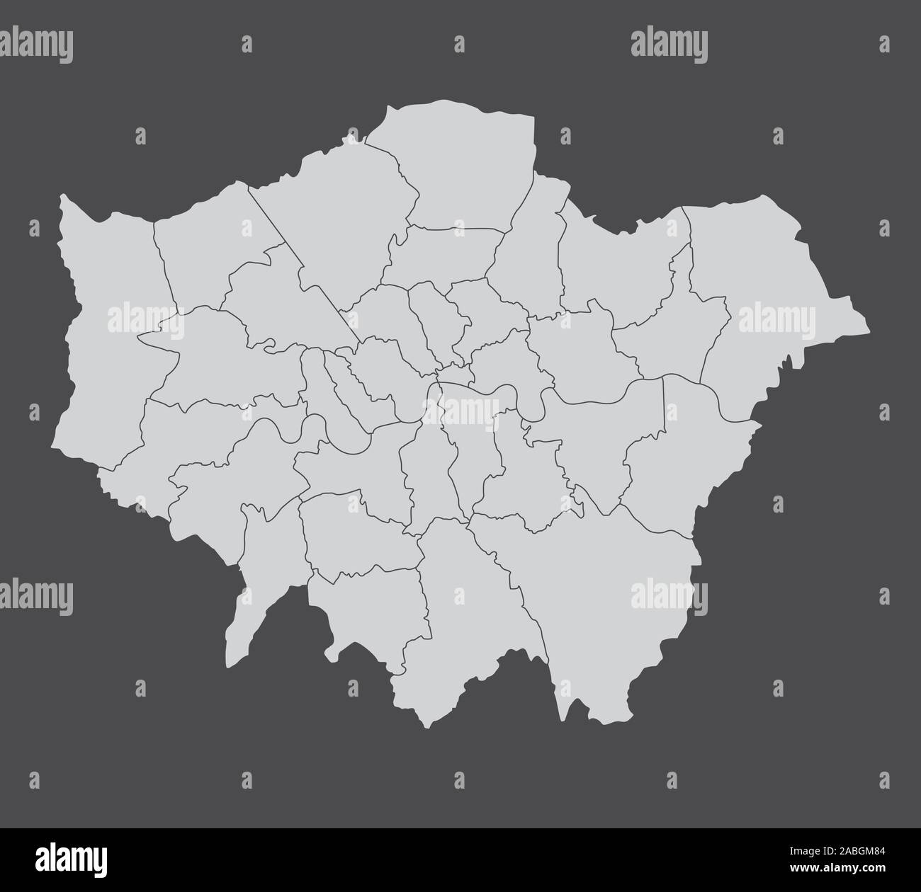 London regions map Stock Vectorhttps://www.alamy.com/image-license-details/?v=1https://www.alamy.com/london-regions-map-image334125348.html
RF2ABGM84–London regions map
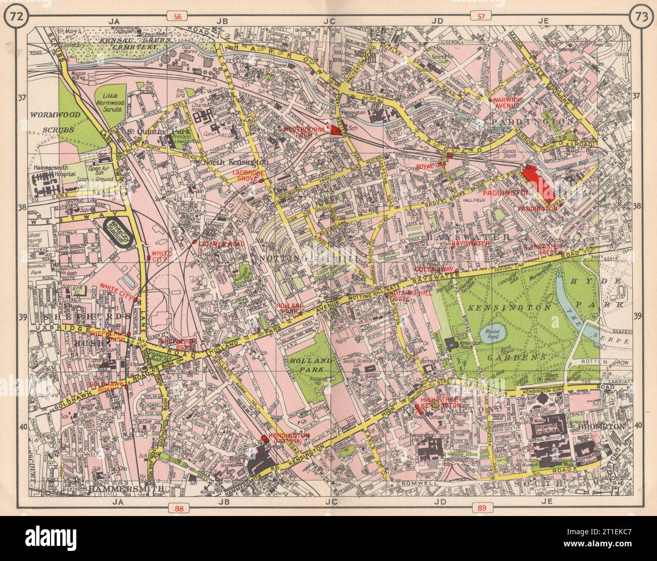 W LONDON. Notting Hill Paddington Bayswater Shepherd's Bush Kensington 1953 map Stock Photohttps://www.alamy.com/image-license-details/?v=1https://www.alamy.com/w-london-notting-hill-paddington-bayswater-shepherds-bush-kensington-1953-map-image568879367.html
RF2T1EKC7–W LONDON. Notting Hill Paddington Bayswater Shepherd's Bush Kensington 1953 map
