Quick filters:
Map of messina Stock Photos and Images
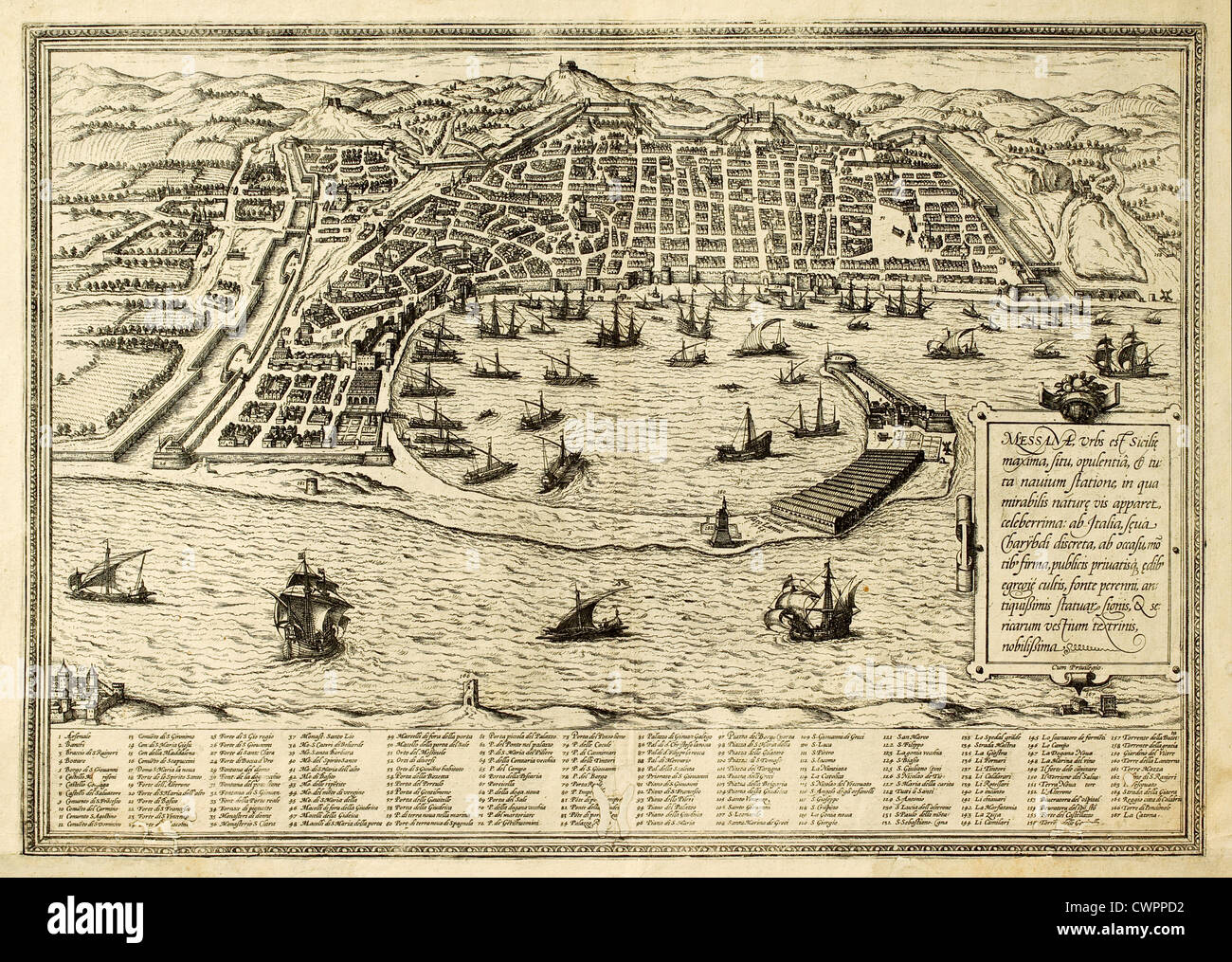 map of Messina, Sicily Stock Photohttps://www.alamy.com/image-license-details/?v=1https://www.alamy.com/stock-photo-map-of-messina-sicily-50287694.html
RFCWPPD2–map of Messina, Sicily
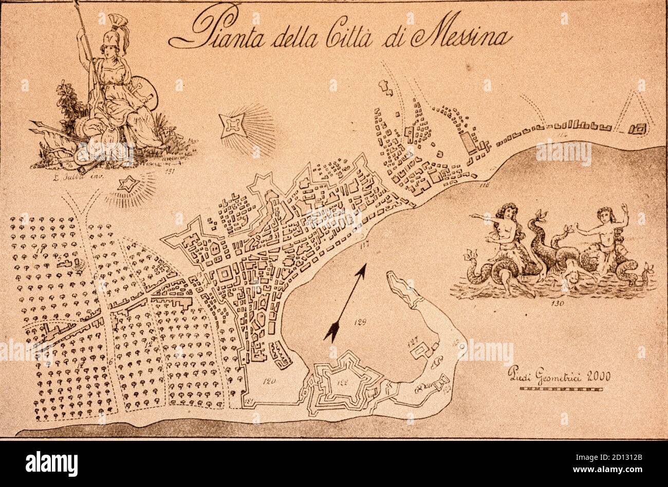 Ancient Map of Messina - Italy Sicily Stock Photohttps://www.alamy.com/image-license-details/?v=1https://www.alamy.com/ancient-map-of-messina-italy-sicily-image379309459.html
RM2D1312B–Ancient Map of Messina - Italy Sicily
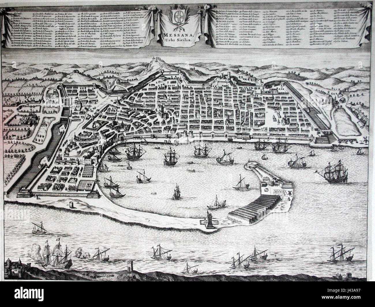 Map of Messina 1 Stock Photohttps://www.alamy.com/image-license-details/?v=1https://www.alamy.com/stock-photo-map-of-messina-1-140215523.html
RMJ43A97–Map of Messina 1
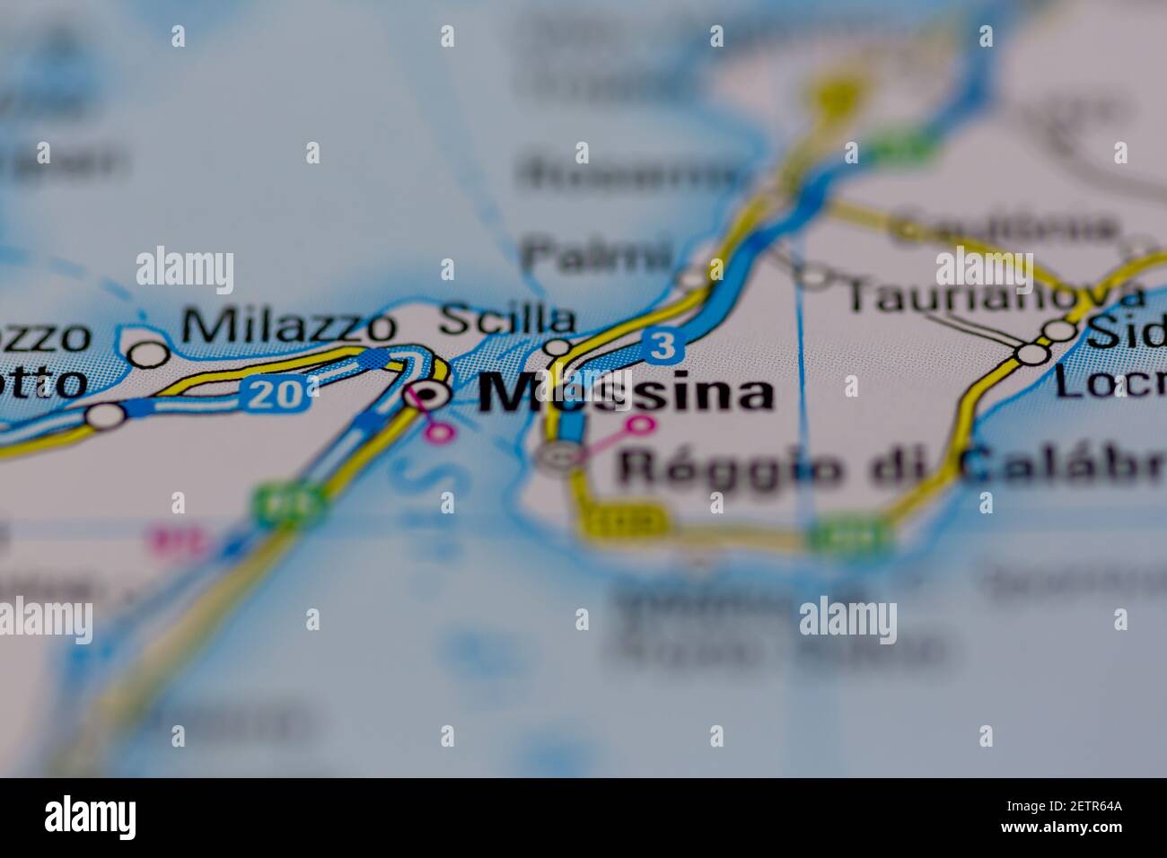 Messina Shown on a road map or Geography map and atlas Stock Photohttps://www.alamy.com/image-license-details/?v=1https://www.alamy.com/messina-shown-on-a-road-map-or-geography-map-and-atlas-image411099930.html
RM2ETR64A–Messina Shown on a road map or Geography map and atlas
 Messina blank detailed outline map set Stock Vectorhttps://www.alamy.com/image-license-details/?v=1https://www.alamy.com/messina-blank-detailed-outline-map-set-image177775482.html
RFM96ACA–Messina blank detailed outline map set
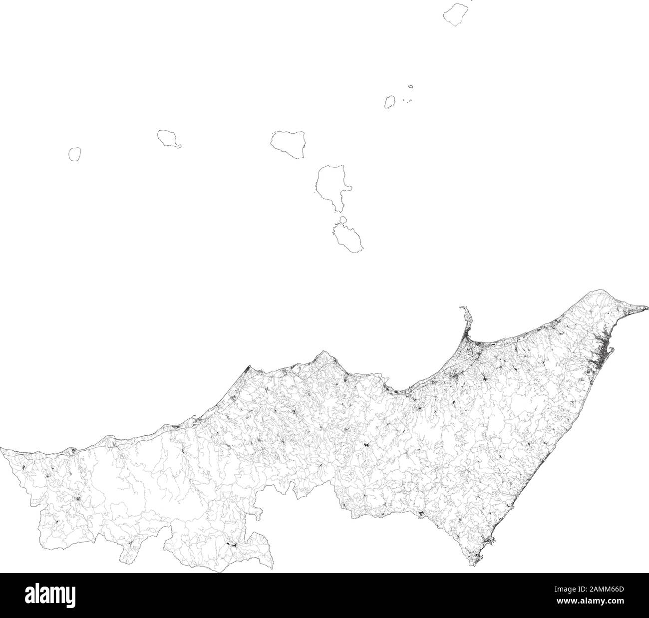 Satellite map of Province of Messina towns and roads, buildings and connecting roads of surrounding areas. Sicily region, Italy. Sicilia. Map roads Stock Vectorhttps://www.alamy.com/image-license-details/?v=1https://www.alamy.com/satellite-map-of-province-of-messina-towns-and-roads-buildings-and-connecting-roads-of-surrounding-areas-sicily-region-italy-sicilia-map-roads-image339734037.html
RF2AMM66D–Satellite map of Province of Messina towns and roads, buildings and connecting roads of surrounding areas. Sicily region, Italy. Sicilia. Map roads
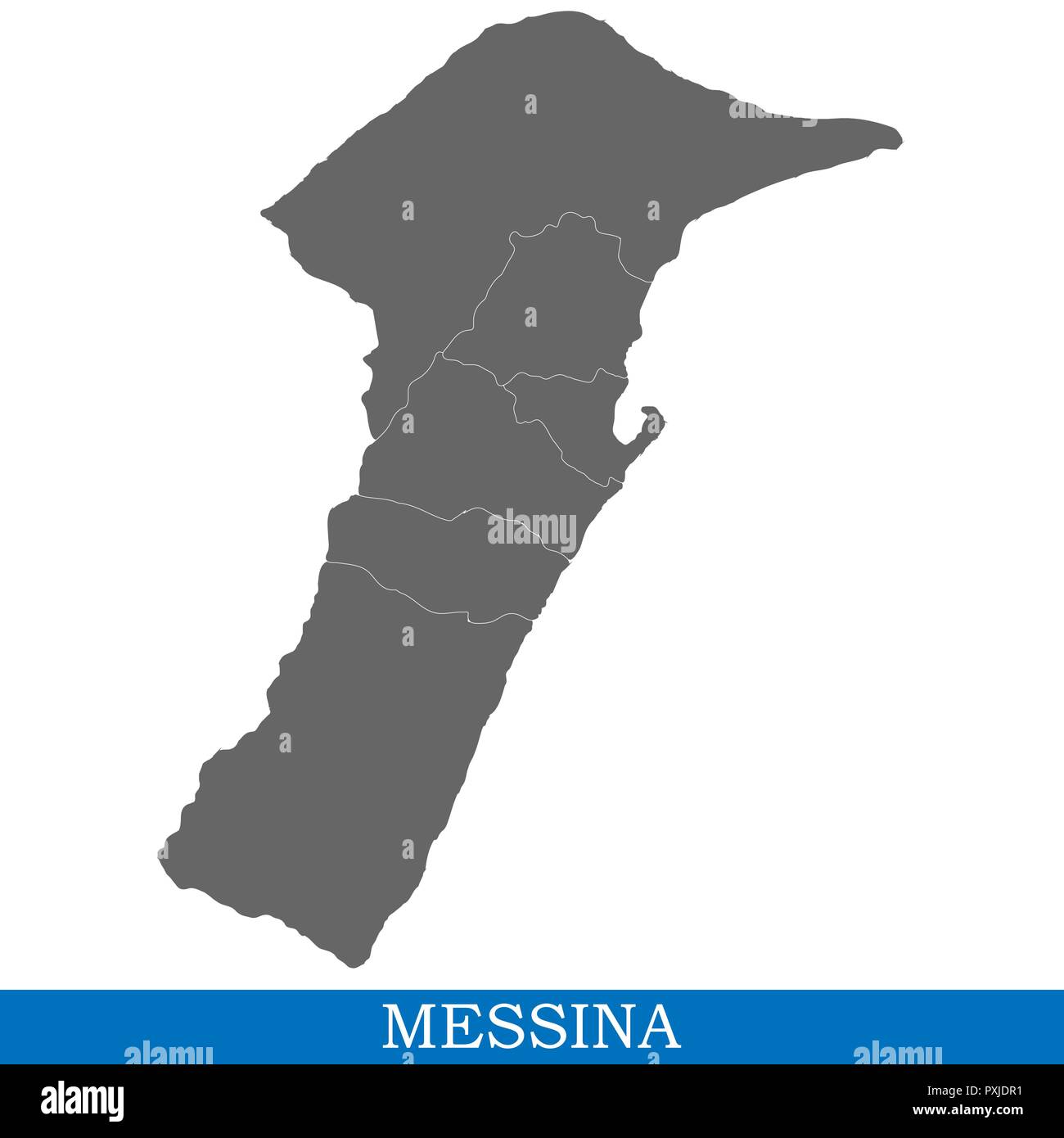 High Quality map of Messina is a city of Italy, with borders of districts Stock Vectorhttps://www.alamy.com/image-license-details/?v=1https://www.alamy.com/high-quality-map-of-messina-is-a-city-of-italy-with-borders-of-districts-image222911445.html
RFPXJDR1–High Quality map of Messina is a city of Italy, with borders of districts
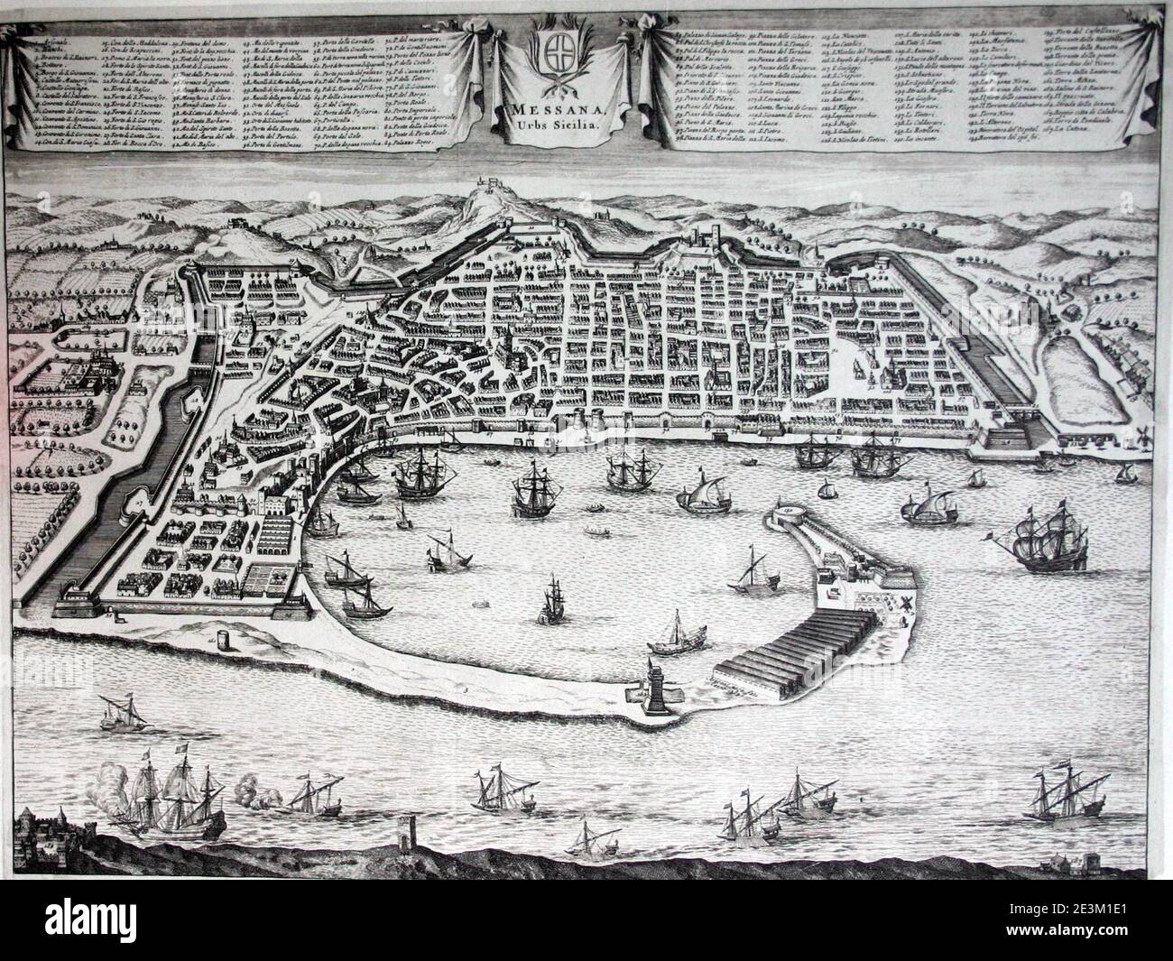 Map of Messina 1. Stock Photohttps://www.alamy.com/image-license-details/?v=1https://www.alamy.com/map-of-messina-1-image398122649.html
RM2E3M1E1–Map of Messina 1.
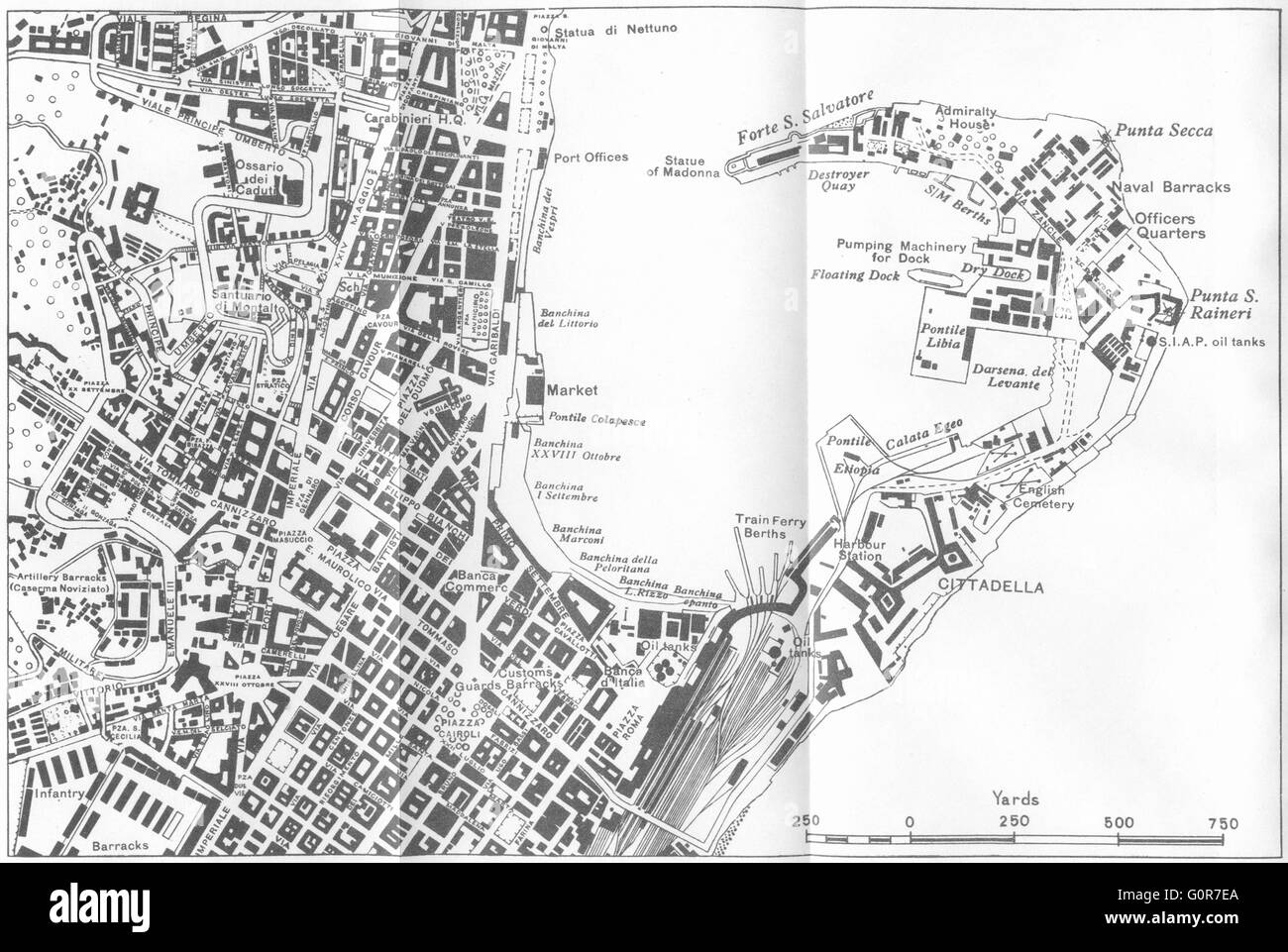 ITALY: Messina, 1945 vintage map Stock Photohttps://www.alamy.com/image-license-details/?v=1https://www.alamy.com/stock-photo-italy-messina-1945-vintage-map-103772994.html
RFG0R7EA–ITALY: Messina, 1945 vintage map
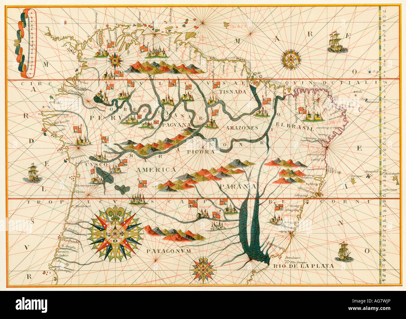 Map of America from the Spanish atlas executed at Messina by Joan Martines 1582. Color lithograph Stock Photohttps://www.alamy.com/image-license-details/?v=1https://www.alamy.com/stock-photo-map-of-america-from-the-spanish-atlas-executed-at-messina-by-joan-14123757.html
RMAG7WJP–Map of America from the Spanish atlas executed at Messina by Joan Martines 1582. Color lithograph
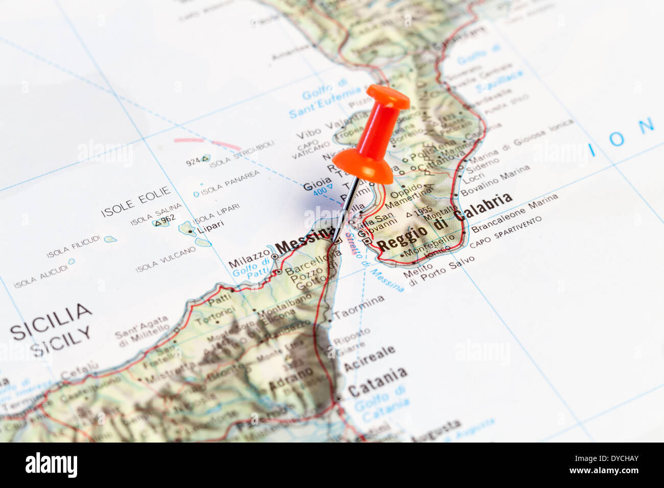 Red map pin pointing on map to the city of Messina. Stock Photohttps://www.alamy.com/image-license-details/?v=1https://www.alamy.com/red-map-pin-pointing-on-map-to-the-city-of-messina-image68503875.html
RMDYCHAY–Red map pin pointing on map to the city of Messina.
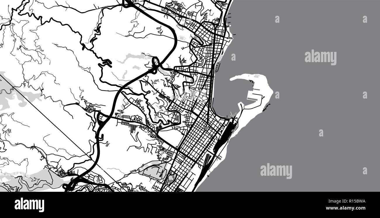 Urban vector city map of Messina, Italy Stock Vectorhttps://www.alamy.com/image-license-details/?v=1https://www.alamy.com/urban-vector-city-map-of-messina-italy-image224468534.html
RFR15BWA–Urban vector city map of Messina, Italy
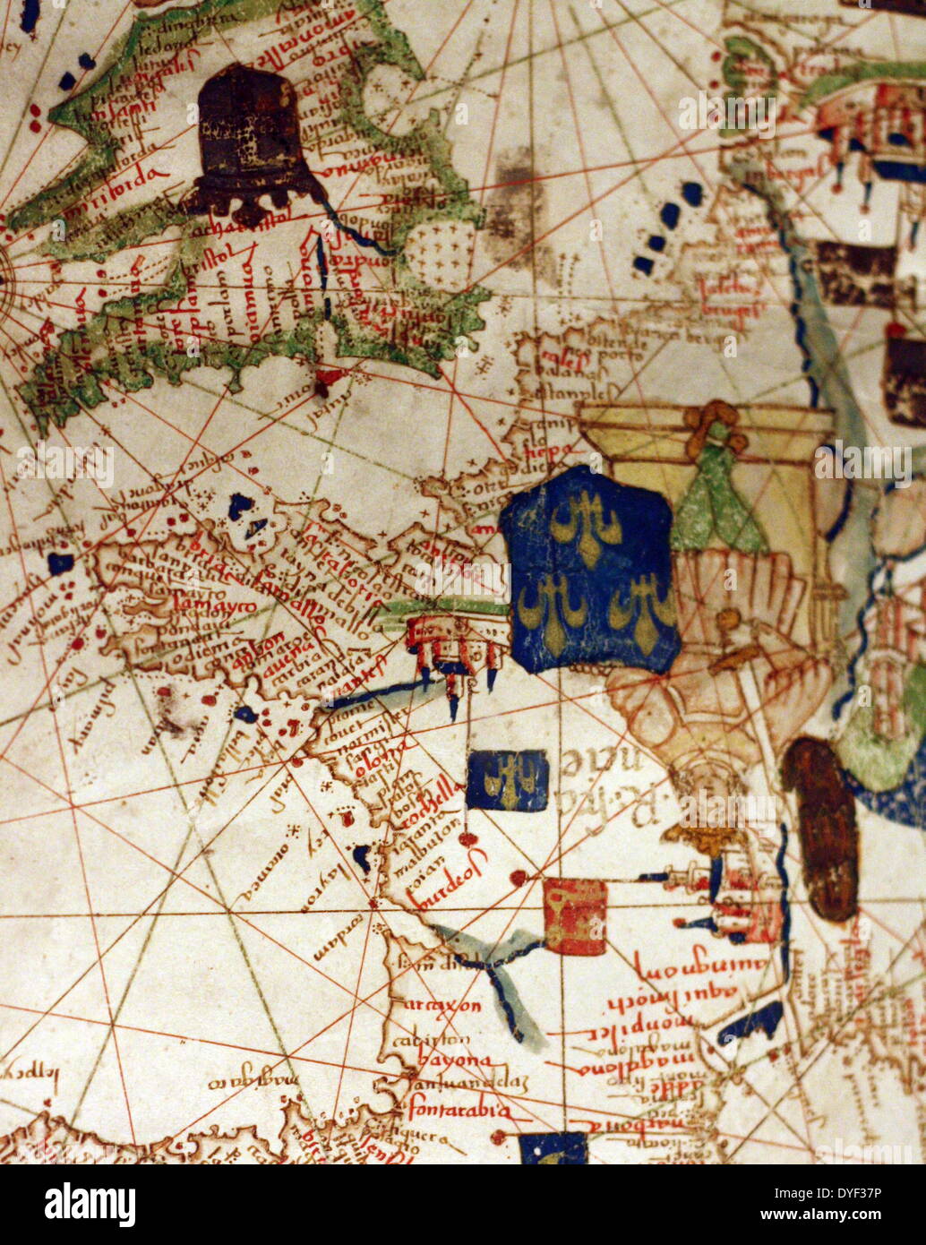 Detail from an illustrated navigational map of Europe, from 1528. Made by Jacopo Russo. In Messina, Sicily. Stock Photohttps://www.alamy.com/image-license-details/?v=1https://www.alamy.com/detail-from-an-illustrated-navigational-map-of-europe-from-1528-made-image68558666.html
RMDYF37P–Detail from an illustrated navigational map of Europe, from 1528. Made by Jacopo Russo. In Messina, Sicily.
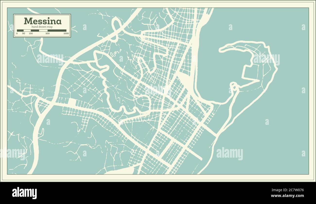 Messina Italy City Map in Retro Style. Outline Map. Vector Illustration. Stock Vectorhttps://www.alamy.com/image-license-details/?v=1https://www.alamy.com/messina-italy-city-map-in-retro-style-outline-map-vector-illustration-image366269322.html
RF2C7W076–Messina Italy City Map in Retro Style. Outline Map. Vector Illustration.
 Malvagna, Messina, IT, Italy, Sicily, N 37 55' 6'', N 15 3' 22'', map, Cartascapes Map published in 2024. Explore Cartascapes, a map revealing Earth's diverse landscapes, cultures, and ecosystems. Journey through time and space, discovering the interconnectedness of our planet's past, present, and future. Stock Photohttps://www.alamy.com/image-license-details/?v=1https://www.alamy.com/malvagna-messina-it-italy-sicily-n-37-55-6-n-15-3-22-map-cartascapes-map-published-in-2024-explore-cartascapes-a-map-revealing-earths-diverse-landscapes-cultures-and-ecosystems-journey-through-time-and-space-discovering-the-interconnectedness-of-our-planets-past-present-and-future-image614431921.html
RM2XKHP55–Malvagna, Messina, IT, Italy, Sicily, N 37 55' 6'', N 15 3' 22'', map, Cartascapes Map published in 2024. Explore Cartascapes, a map revealing Earth's diverse landscapes, cultures, and ecosystems. Journey through time and space, discovering the interconnectedness of our planet's past, present, and future.
 Messina pinned on a map of Italy Stock Photohttps://www.alamy.com/image-license-details/?v=1https://www.alamy.com/stock-photo-messina-pinned-on-a-map-of-italy-125192021.html
RFH7JYKH–Messina pinned on a map of Italy
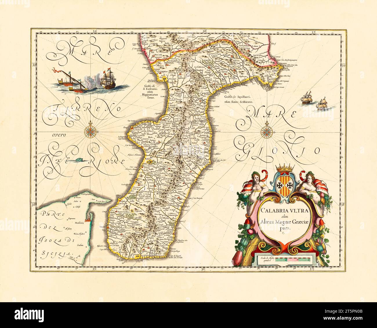 Old map of Southern Calabria, Italy. By Blaeu, publ. ca. 1640 Stock Photohttps://www.alamy.com/image-license-details/?v=1https://www.alamy.com/old-map-of-southern-calabria-italy-by-blaeu-publ-ca-1640-image571514843.html
RF2T5PN0B–Old map of Southern Calabria, Italy. By Blaeu, publ. ca. 1640
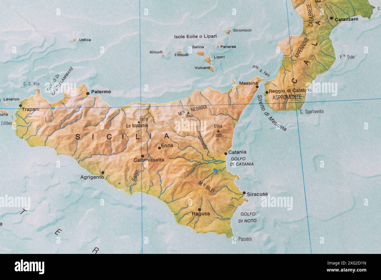 Map of Sicily and Calabria with the Strait of Messina Stock Photohttps://www.alamy.com/image-license-details/?v=1https://www.alamy.com/map-of-sicily-and-calabria-with-the-strait-of-messina-image612251521.html
RM2XG2D1N–Map of Sicily and Calabria with the Strait of Messina
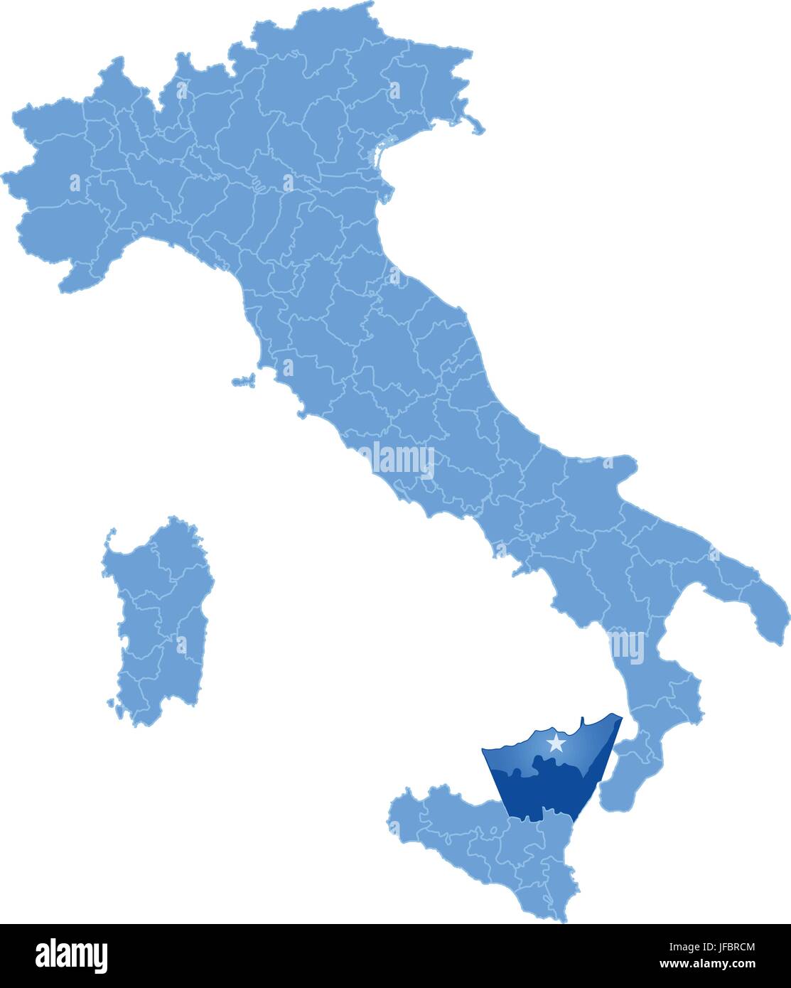 Map of Italy, Messina Stock Vectorhttps://www.alamy.com/image-license-details/?v=1https://www.alamy.com/stock-photo-map-of-italy-messina-147162644.html
RFJFBRCM–Map of Italy, Messina
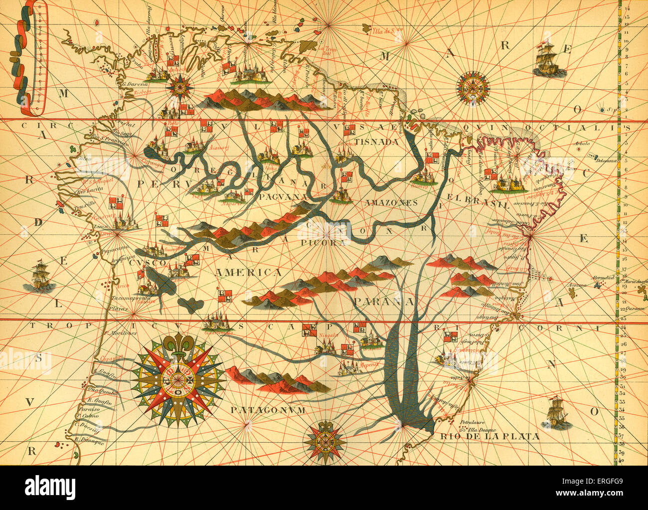 Map of South America - from reduced reproduction of map in Spanish atlas by Joan Martinès at Messina, 1582. Stock Photohttps://www.alamy.com/image-license-details/?v=1https://www.alamy.com/stock-photo-map-of-south-america-from-reduced-reproduction-of-map-in-spanish-atlas-83342009.html
RMERGFG9–Map of South America - from reduced reproduction of map in Spanish atlas by Joan Martinès at Messina, 1582.
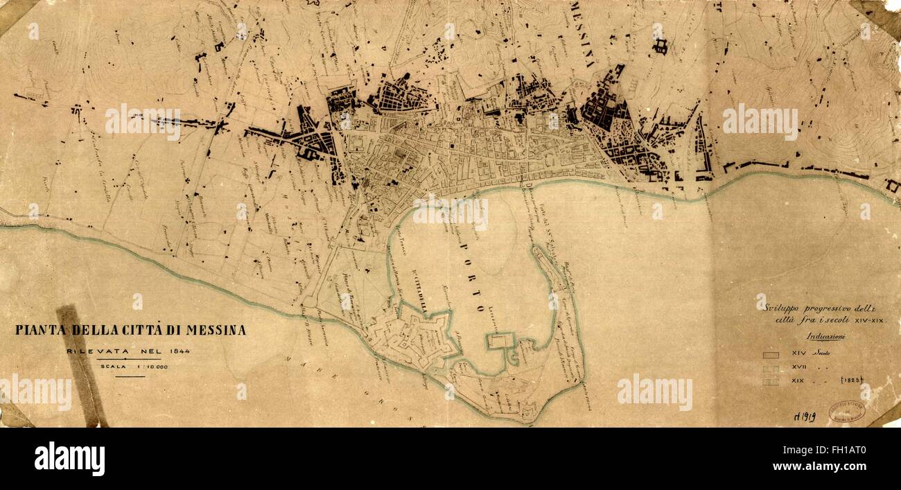 View of the Messina map Sicily 1844 Stock Photohttps://www.alamy.com/image-license-details/?v=1https://www.alamy.com/stock-photo-view-of-the-messina-map-sicily-1844-96531456.html
RMFH1AT0–View of the Messina map Sicily 1844
 Map of Messina 6 Stock Photohttps://www.alamy.com/image-license-details/?v=1https://www.alamy.com/stock-photo-map-of-messina-6-140190790.html
RMJ426NX–Map of Messina 6
 Black and white urban map of messina Stock Photohttps://www.alamy.com/image-license-details/?v=1https://www.alamy.com/black-and-white-urban-map-of-messina-image480358546.html
RF2JWE66A–Black and white urban map of messina
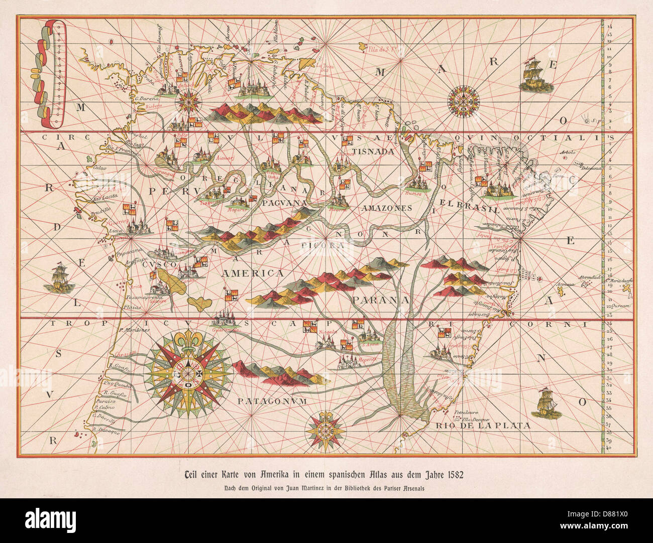 MAP/S AMERICA 1582 Stock Photohttps://www.alamy.com/image-license-details/?v=1https://www.alamy.com/stock-photo-maps-america-1582-56725480.html
RMD881X0–MAP/S AMERICA 1582
 Italy and Sicily, Relief Map Stock Photohttps://www.alamy.com/image-license-details/?v=1https://www.alamy.com/stock-photo-italy-and-sicily-relief-map-71609317.html
RME4E2BH–Italy and Sicily, Relief Map
 Map of South America. Reduced facsimile of a map from the Spanish Atlas published in Messina 1582. Stock Photohttps://www.alamy.com/image-license-details/?v=1https://www.alamy.com/stock-photo-map-of-south-america-reduced-facsimile-of-a-map-from-the-spanish-atlas-24372491.html
RMBBJ7A3–Map of South America. Reduced facsimile of a map from the Spanish Atlas published in Messina 1582.
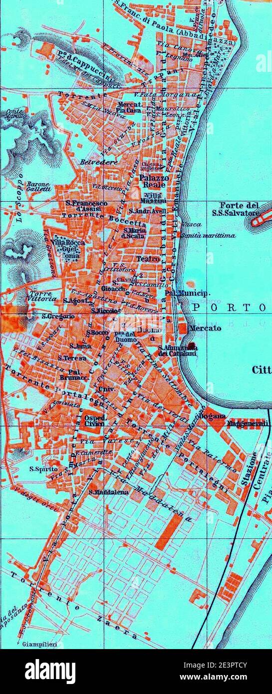 Map of Messina 5. Stock Photohttps://www.alamy.com/image-license-details/?v=1https://www.alamy.com/map-of-messina-5-image398184555.html
RM2E3PTCY–Map of Messina 5.
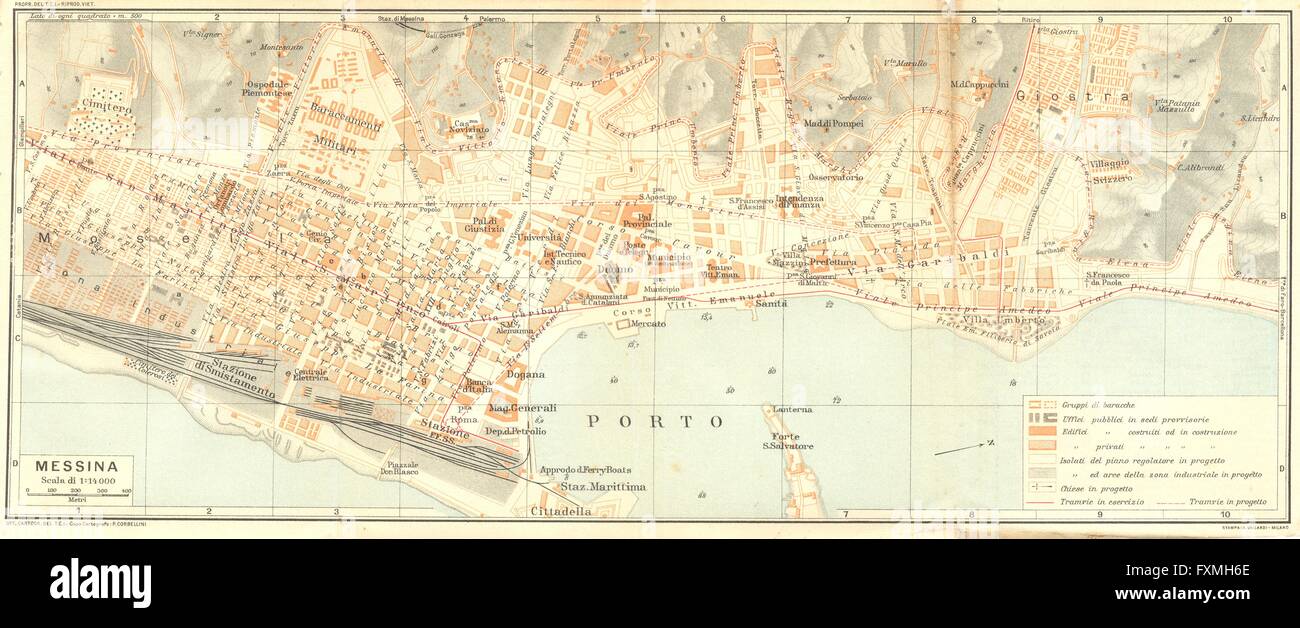 ITALY: Messina, 1925 vintage map Stock Photohttps://www.alamy.com/image-license-details/?v=1https://www.alamy.com/stock-photo-italy-messina-1925-vintage-map-102485446.html
RFFXMH6E–ITALY: Messina, 1925 vintage map
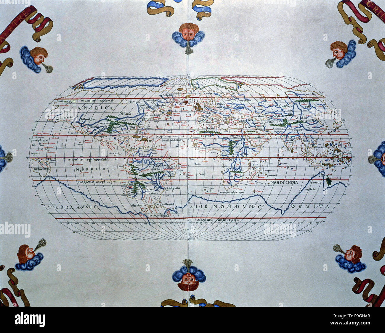 Atlas of Joan Martines, Messina, 1582. World map of the lands known in the 16th century. Stock Photohttps://www.alamy.com/image-license-details/?v=1https://www.alamy.com/atlas-of-joan-martines-messina-1582-world-map-of-the-lands-known-in-the-16th-century-image212421183.html
RMP9GHAR–Atlas of Joan Martines, Messina, 1582. World map of the lands known in the 16th century.
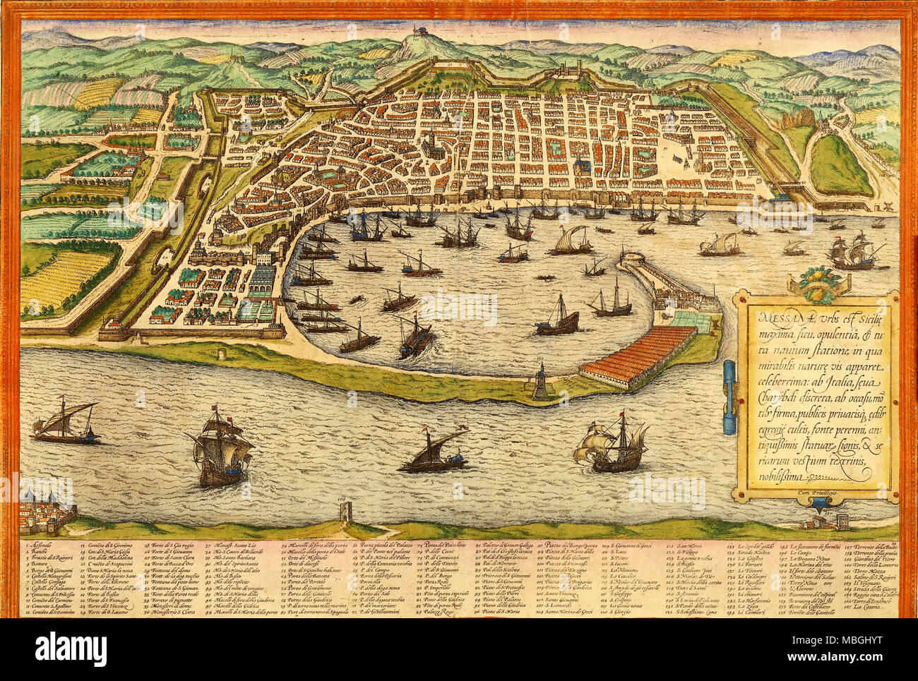 Messina, Italy Stock Photohttps://www.alamy.com/image-license-details/?v=1https://www.alamy.com/messina-italy-image179230236.html
RMMBGHYT–Messina, Italy
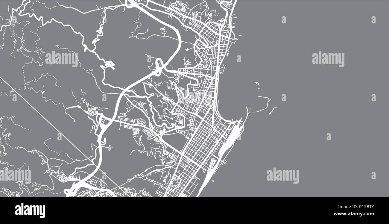 Urban vector city map of Messina, Italy Stock Vectorhttps://www.alamy.com/image-license-details/?v=1https://www.alamy.com/urban-vector-city-map-of-messina-italy-image224468523.html
RFR15BTY–Urban vector city map of Messina, Italy
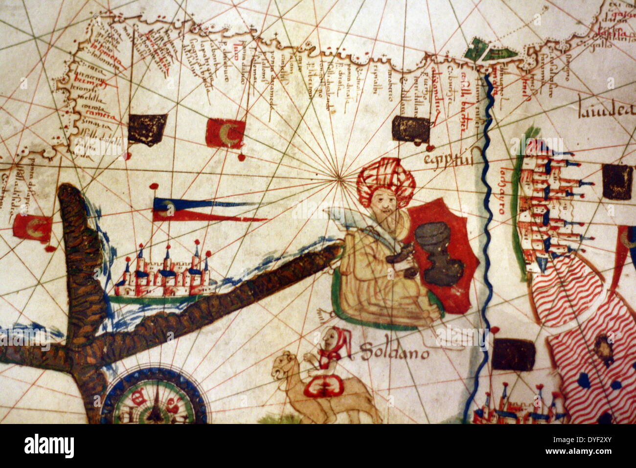 Detail from an illustrated navigational map of Europe, from 1528. Made by Jacopo Russo. In Messina, Sicily. Stock Photohttps://www.alamy.com/image-license-details/?v=1https://www.alamy.com/detail-from-an-illustrated-navigational-map-of-europe-from-1528-made-image68558419.html
RMDYF2XY–Detail from an illustrated navigational map of Europe, from 1528. Made by Jacopo Russo. In Messina, Sicily.
 Messina Italy City Map in Retro Style. Outline Map. Vector Illustration. Stock Vectorhttps://www.alamy.com/image-license-details/?v=1https://www.alamy.com/messina-italy-city-map-in-retro-style-outline-map-vector-illustration-image207050361.html
RFP0RXRN–Messina Italy City Map in Retro Style. Outline Map. Vector Illustration.
 Mazzeo, Messina, IT, Italy, Sicily, N 37 52' 20'', N 15 18' 7'', map, Cartascapes Map published in 2024. Explore Cartascapes, a map revealing Earth's diverse landscapes, cultures, and ecosystems. Journey through time and space, discovering the interconnectedness of our planet's past, present, and future. Stock Photohttps://www.alamy.com/image-license-details/?v=1https://www.alamy.com/mazzeo-messina-it-italy-sicily-n-37-52-20-n-15-18-7-map-cartascapes-map-published-in-2024-explore-cartascapes-a-map-revealing-earths-diverse-landscapes-cultures-and-ecosystems-journey-through-time-and-space-discovering-the-interconnectedness-of-our-planets-past-present-and-future-image614457126.html
RM2XKJX9A–Mazzeo, Messina, IT, Italy, Sicily, N 37 52' 20'', N 15 18' 7'', map, Cartascapes Map published in 2024. Explore Cartascapes, a map revealing Earth's diverse landscapes, cultures, and ecosystems. Journey through time and space, discovering the interconnectedness of our planet's past, present, and future.
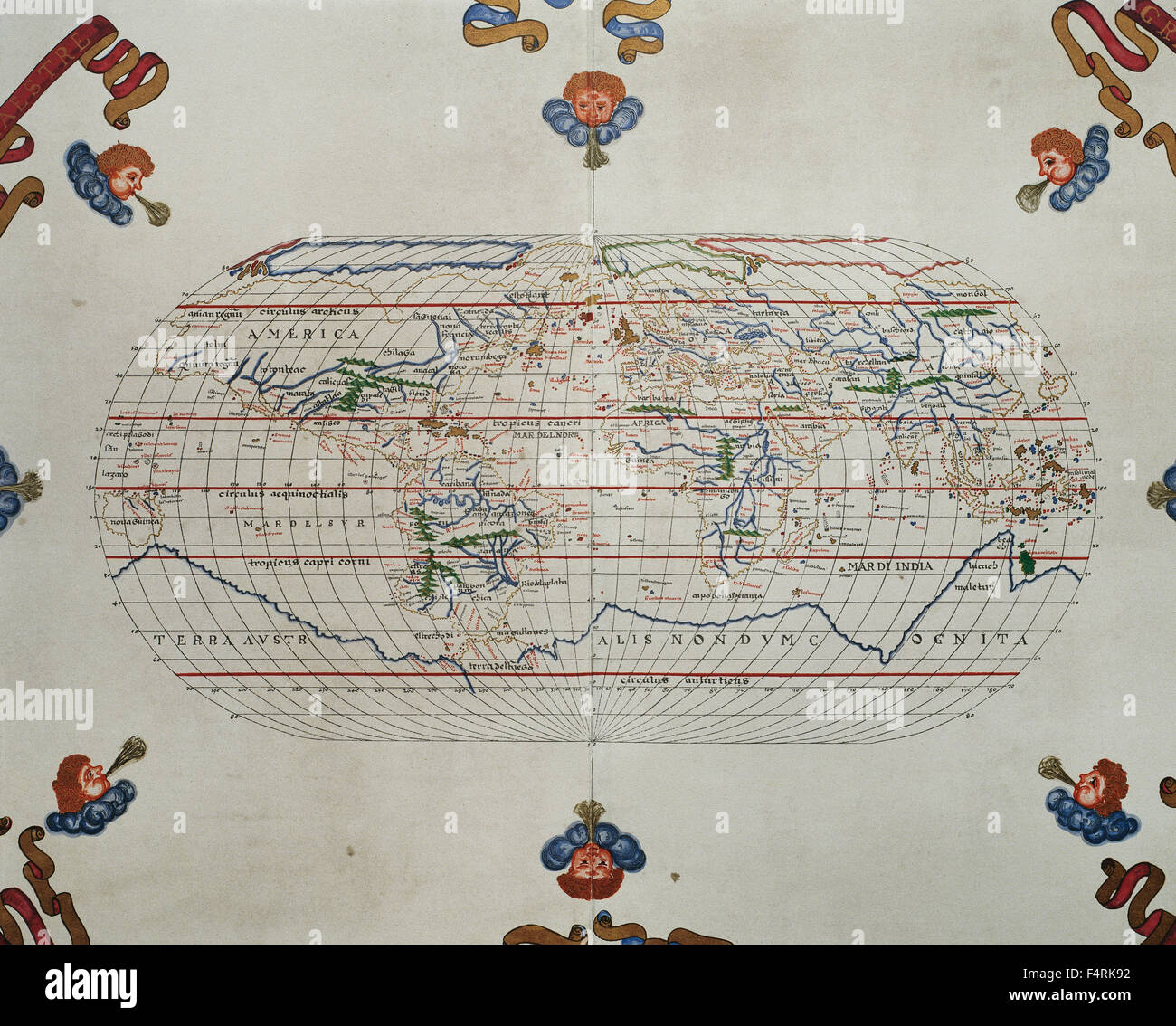 Portolan atlas of the world by Joan Martines (1556-1590). Messina, 1587. National Library. Madrid. Spain. Stock Photohttps://www.alamy.com/image-license-details/?v=1https://www.alamy.com/stock-photo-portolan-atlas-of-the-world-by-joan-martines-1556-1590-messina-1587-89030510.html
RMF4RK92–Portolan atlas of the world by Joan Martines (1556-1590). Messina, 1587. National Library. Madrid. Spain.
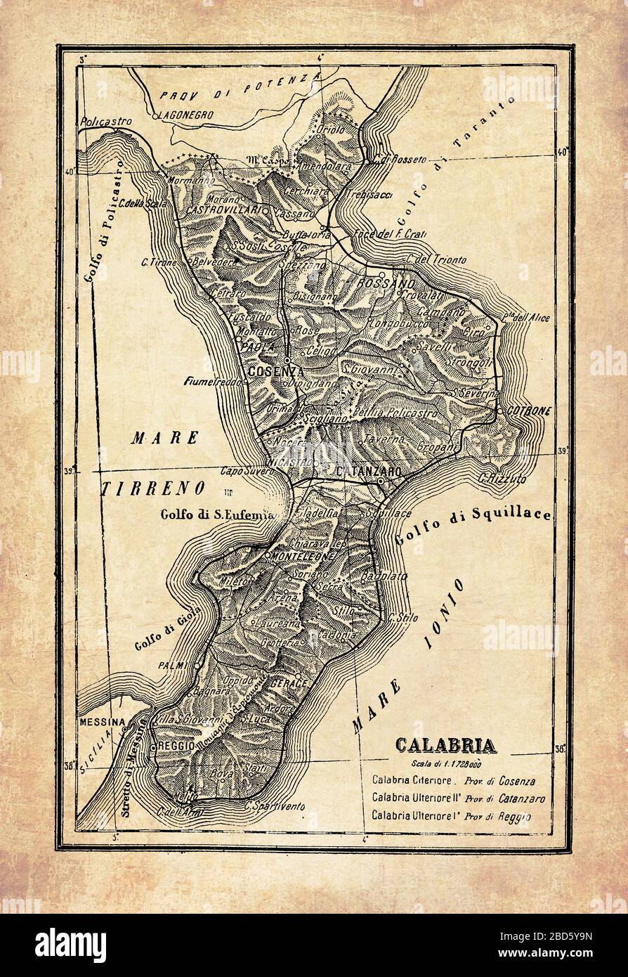 Ancient map of Calabria region in Southern Italy surrounded by Jonian and Tyrrhenian seas separated from Sicily by the Strait of Messina, with geographical Italian names and descriptions Stock Photohttps://www.alamy.com/image-license-details/?v=1https://www.alamy.com/ancient-map-of-calabria-region-in-southern-italy-surrounded-by-jonian-and-tyrrhenian-seas-separated-from-sicily-by-the-strait-of-messina-with-geographical-italian-names-and-descriptions-image352329089.html
RF2BD5Y9N–Ancient map of Calabria region in Southern Italy surrounded by Jonian and Tyrrhenian seas separated from Sicily by the Strait of Messina, with geographical Italian names and descriptions
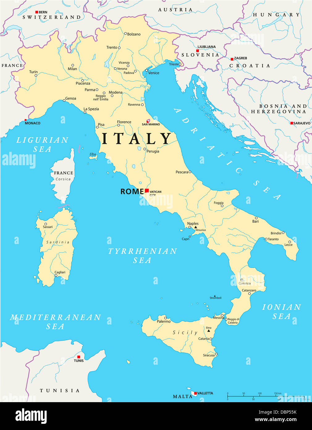 Italy Political Map Stock Photohttps://www.alamy.com/image-license-details/?v=1https://www.alamy.com/stock-photo-italy-political-map-58879343.html
RFDBP55K–Italy Political Map
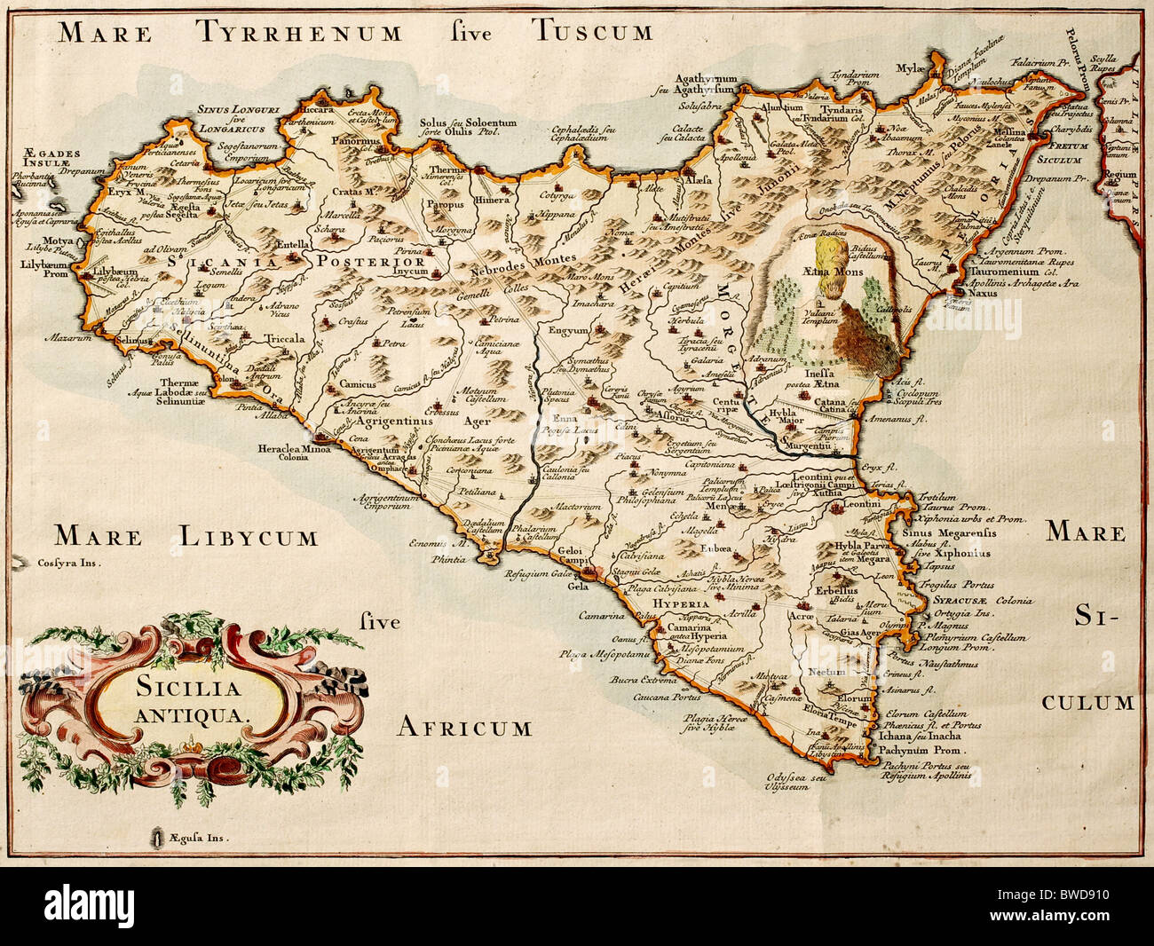 Old map of Sicily, may be dated to the 18th century Stock Photohttps://www.alamy.com/image-license-details/?v=1https://www.alamy.com/stock-photo-old-map-of-sicily-may-be-dated-to-the-18th-century-32869228.html
RFBWD910–Old map of Sicily, may be dated to the 18th century
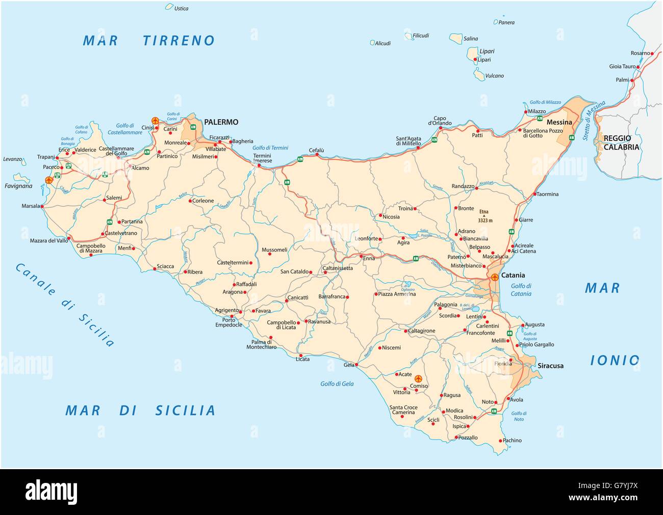 detailed vector road map of Iceland sicily, italy Stock Vectorhttps://www.alamy.com/image-license-details/?v=1https://www.alamy.com/stock-photo-detailed-vector-road-map-of-iceland-sicily-italy-108171838.html
RFG7YJ7X–detailed vector road map of Iceland sicily, italy
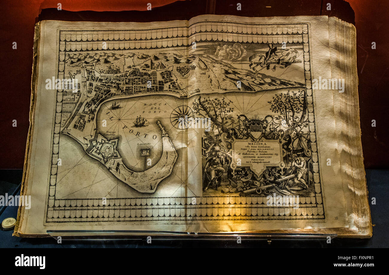 Italy Liguria Genoa Galata Museo Del Mare - First - Genoa and the war in mediterranean sea - Vincenzo Maria Coronelli - Theater of the city and main port - in this image Represents Map of Messina 1696 Book in Print Stock Photohttps://www.alamy.com/image-license-details/?v=1https://www.alamy.com/stock-photo-italy-liguria-genoa-galata-museo-del-mare-first-genoa-and-the-war-102511781.html
RMFXNPR1–Italy Liguria Genoa Galata Museo Del Mare - First - Genoa and the war in mediterranean sea - Vincenzo Maria Coronelli - Theater of the city and main port - in this image Represents Map of Messina 1696 Book in Print
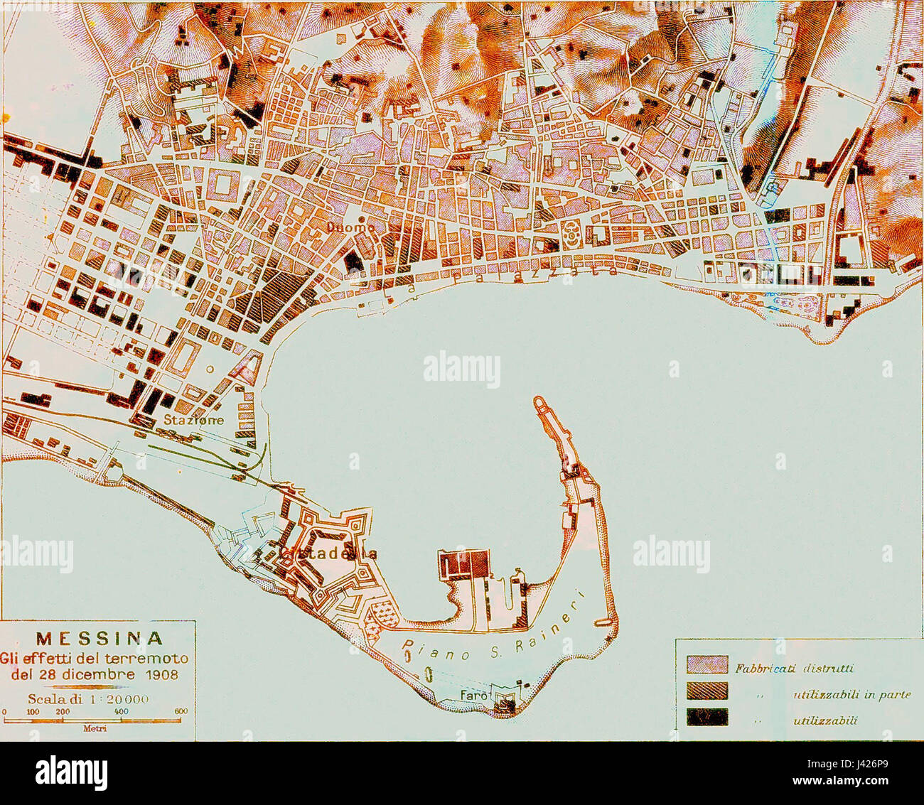 Map of Messina 7 Stock Photohttps://www.alamy.com/image-license-details/?v=1https://www.alamy.com/stock-photo-map-of-messina-7-140190801.html
RMJ426P9–Map of Messina 7
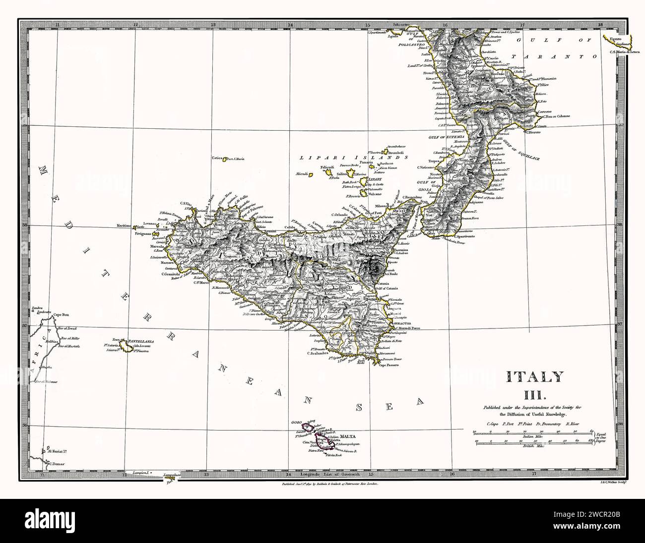 Sicily Italy Map 1844. This is a digitally enhanced, restored reproduction of a beautifully detailed antique map of Sicily and Calabria showing many geographical details The map was published in 1844. This is one of a series of maps published by the Society for the Diffusion of Useful Knowledge, a British organization. Stock Photohttps://www.alamy.com/image-license-details/?v=1https://www.alamy.com/sicily-italy-map-1844-this-is-a-digitally-enhanced-restored-reproduction-of-a-beautifully-detailed-antique-map-of-sicily-and-calabria-showing-many-geographical-details-the-map-was-published-in-1844-this-is-one-of-a-series-of-maps-published-by-the-society-for-the-diffusion-of-useful-knowledge-a-british-organization-image593034859.html
RM2WCR20B–Sicily Italy Map 1844. This is a digitally enhanced, restored reproduction of a beautifully detailed antique map of Sicily and Calabria showing many geographical details The map was published in 1844. This is one of a series of maps published by the Society for the Diffusion of Useful Knowledge, a British organization.
 Vintage Illustrated Map, The island or kingdom of Sicily, adorned with the principal cities, and lastly destroyed. (Messina, Milazzo, Palermo, Catania, Trapano) . by F. de Wit. 1680 Stock Photohttps://www.alamy.com/image-license-details/?v=1https://www.alamy.com/vintage-illustrated-map-the-island-or-kingdom-of-sicily-adorned-with-the-principal-cities-and-lastly-destroyed-messina-milazzo-palermo-catania-trapano-by-f-de-wit-1680-image618076778.html
RM2XWFR6J–Vintage Illustrated Map, The island or kingdom of Sicily, adorned with the principal cities, and lastly destroyed. (Messina, Milazzo, Palermo, Catania, Trapano) . by F. de Wit. 1680
 Map of Europe and coasts of the North of Africa. Nautical letter (Portulan) by Joan Martines. Messina, Sicily, 1587. Stock Photohttps://www.alamy.com/image-license-details/?v=1https://www.alamy.com/map-of-europe-and-coasts-of-the-north-of-africa-nautical-letter-portulan-image158190017.html
RMK5A4YD–Map of Europe and coasts of the North of Africa. Nautical letter (Portulan) by Joan Martines. Messina, Sicily, 1587.
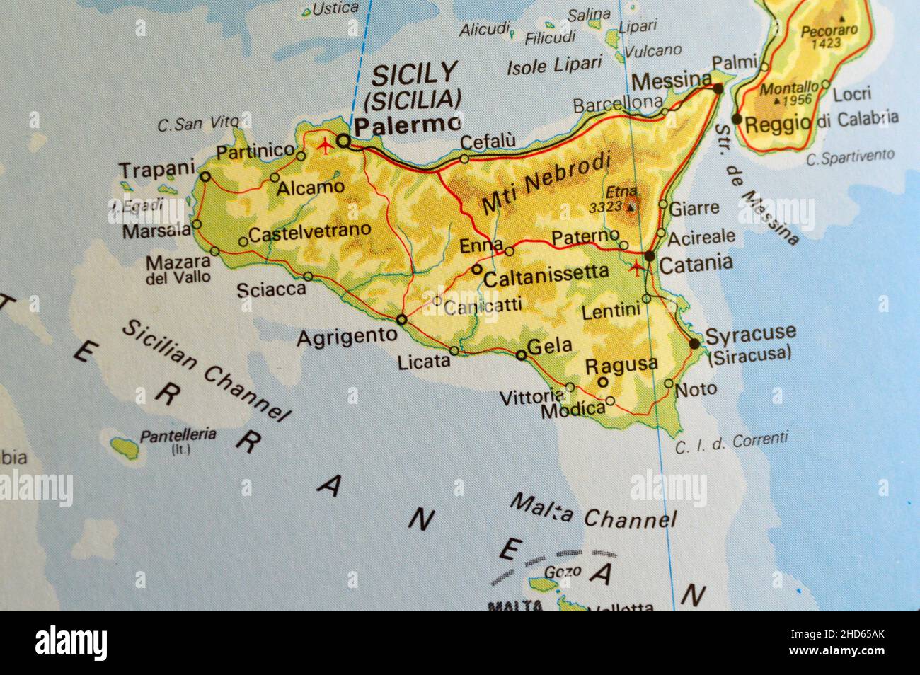 A map of Sicily showing the major towns Stock Photohttps://www.alamy.com/image-license-details/?v=1https://www.alamy.com/a-map-of-sicily-showing-the-major-towns-image455596027.html
RF2HD65AK–A map of Sicily showing the major towns
 Map of Messina 3. Stock Photohttps://www.alamy.com/image-license-details/?v=1https://www.alamy.com/map-of-messina-3-image398184553.html
RM2E3PTCW–Map of Messina 3.
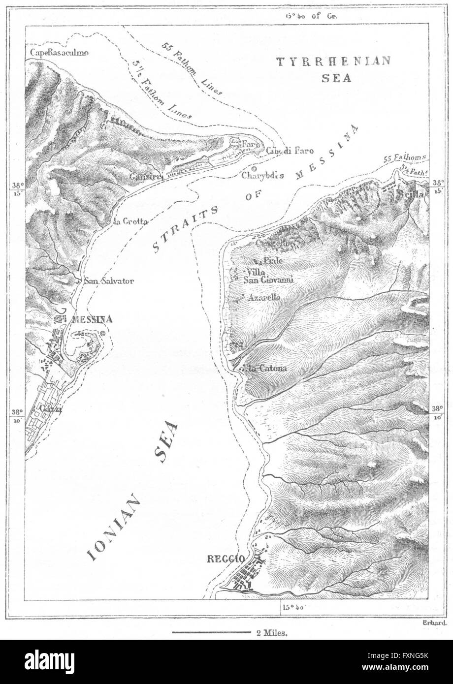 ITALY: Strait of Messina, sketch map, c1885 Stock Photohttps://www.alamy.com/image-license-details/?v=1https://www.alamy.com/stock-photo-italy-strait-of-messina-sketch-map-c1885-102506591.html
RFFXNG5K–ITALY: Strait of Messina, sketch map, c1885
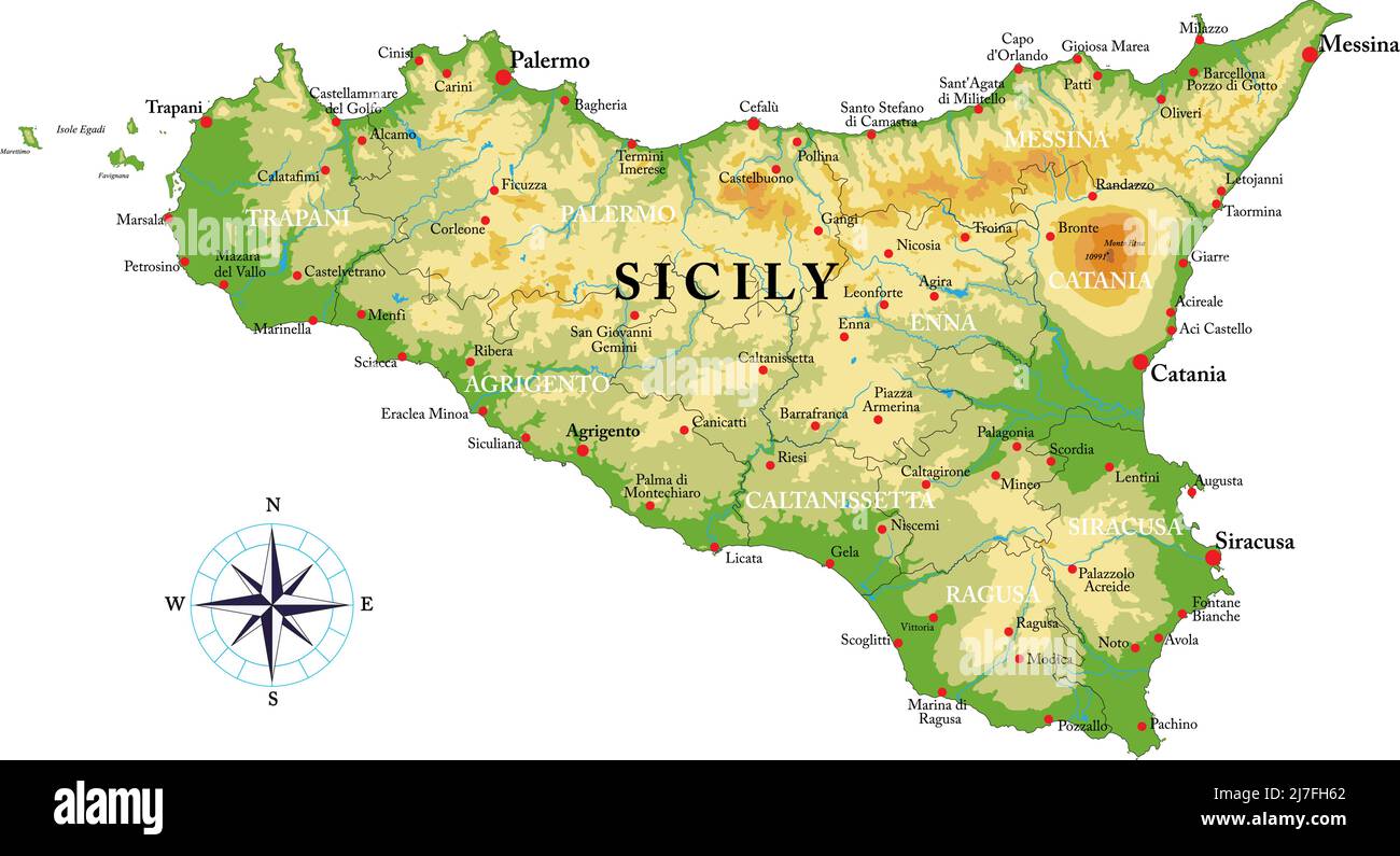 Highly detailed physical map of Sicily in vector format,with all the relief forms,regions and big cities. Stock Vectorhttps://www.alamy.com/image-license-details/?v=1https://www.alamy.com/highly-detailed-physical-map-of-sicily-in-vector-formatwith-all-the-relief-formsregions-and-big-cities-image469325306.html
RF2J7FH62–Highly detailed physical map of Sicily in vector format,with all the relief forms,regions and big cities.
 Symbol Map of the Province Messina (Italy) showing the state with black, crossing lines like Mikado Sticks or a spider web Stock Vectorhttps://www.alamy.com/image-license-details/?v=1https://www.alamy.com/symbol-map-of-the-province-messina-italy-showing-the-state-with-black-crossing-lines-like-mikado-sticks-or-a-spider-web-image616045501.html
RF2XP7891–Symbol Map of the Province Messina (Italy) showing the state with black, crossing lines like Mikado Sticks or a spider web
 Urban vector city map of Messina, Italy Stock Vectorhttps://www.alamy.com/image-license-details/?v=1https://www.alamy.com/urban-vector-city-map-of-messina-italy-image224468529.html
RFR15BW5–Urban vector city map of Messina, Italy
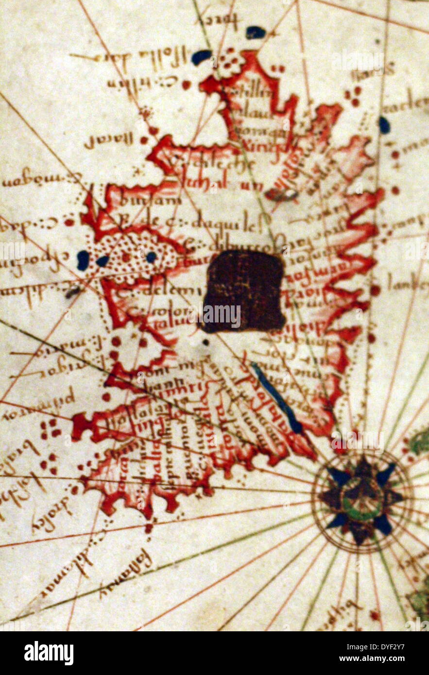 Detail from an illustrated navigational map of Europe, from 1528. Made by Jacopo Russo. In Messina, Sicily. Stock Photohttps://www.alamy.com/image-license-details/?v=1https://www.alamy.com/detail-from-an-illustrated-navigational-map-of-europe-from-1528-made-image68558427.html
RMDYF2Y7–Detail from an illustrated navigational map of Europe, from 1528. Made by Jacopo Russo. In Messina, Sicily.
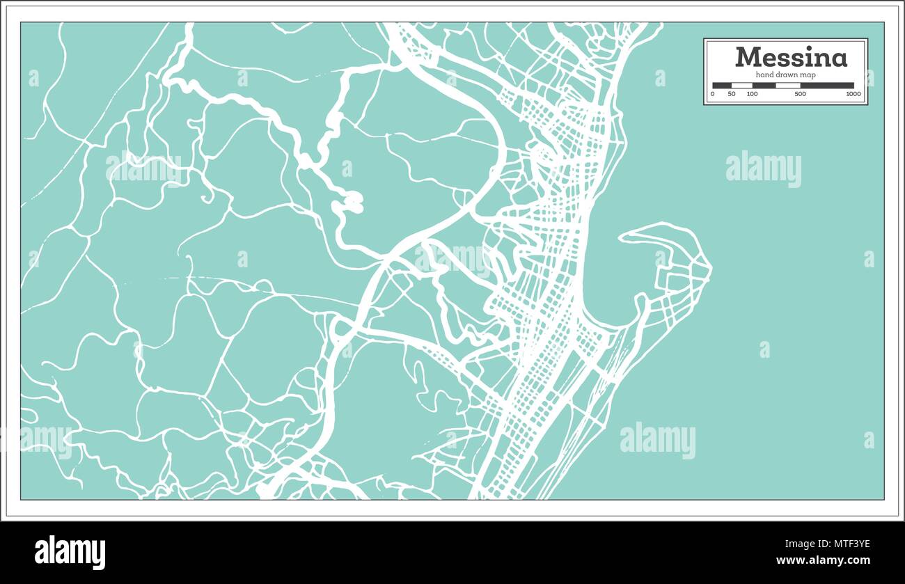 Messina Italy City Map in Retro Style. Outline Map. Vector Illustration. Stock Vectorhttps://www.alamy.com/image-license-details/?v=1https://www.alamy.com/messina-italy-city-map-in-retro-style-outline-map-vector-illustration-image187187826.html
RFMTF3YE–Messina Italy City Map in Retro Style. Outline Map. Vector Illustration.
 Itala, Messina, IT, Italy, Sicily, N 38 3' 5'', N 15 26' 13'', map, Cartascapes Map published in 2024. Explore Cartascapes, a map revealing Earth's diverse landscapes, cultures, and ecosystems. Journey through time and space, discovering the interconnectedness of our planet's past, present, and future. Stock Photohttps://www.alamy.com/image-license-details/?v=1https://www.alamy.com/itala-messina-it-italy-sicily-n-38-3-5-n-15-26-13-map-cartascapes-map-published-in-2024-explore-cartascapes-a-map-revealing-earths-diverse-landscapes-cultures-and-ecosystems-journey-through-time-and-space-discovering-the-interconnectedness-of-our-planets-past-present-and-future-image614467867.html
RM2XKKC0Y–Itala, Messina, IT, Italy, Sicily, N 38 3' 5'', N 15 26' 13'', map, Cartascapes Map published in 2024. Explore Cartascapes, a map revealing Earth's diverse landscapes, cultures, and ecosystems. Journey through time and space, discovering the interconnectedness of our planet's past, present, and future.
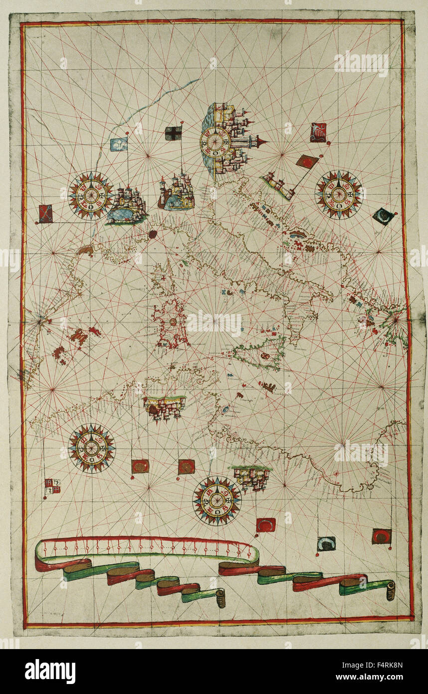 Portolan atlas of the world by Joan Martines (1556-1590). Messina, 1587. Western Mediterranean. National Library. Madrid. Spain. Stock Photohttps://www.alamy.com/image-license-details/?v=1https://www.alamy.com/stock-photo-portolan-atlas-of-the-world-by-joan-martines-1556-1590-messina-1587-89030501.html
RMF4RK8N–Portolan atlas of the world by Joan Martines (1556-1590). Messina, 1587. Western Mediterranean. National Library. Madrid. Spain.
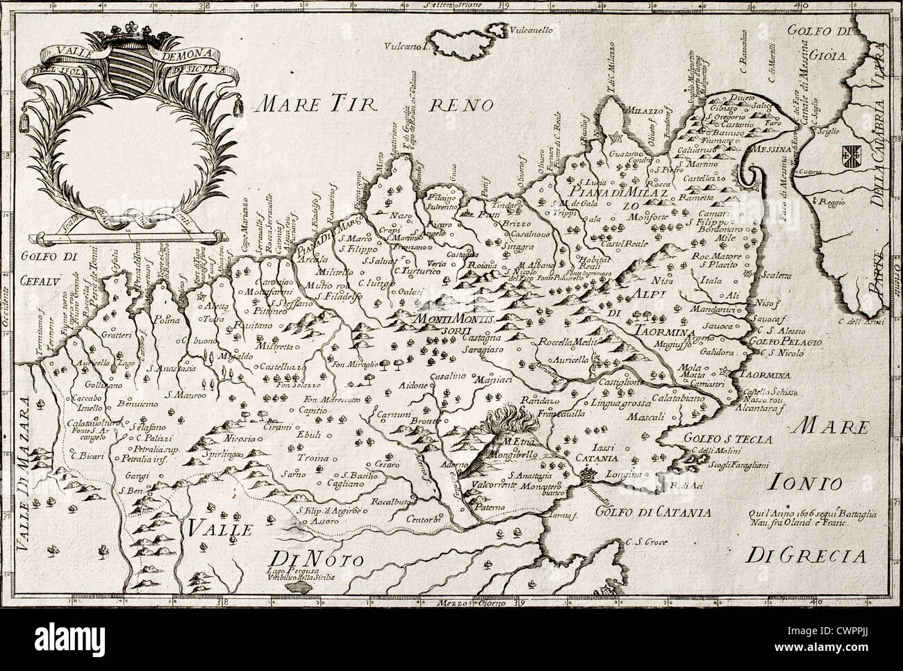 map of North-East Sicily Stock Photohttps://www.alamy.com/image-license-details/?v=1https://www.alamy.com/stock-photo-map-of-north-east-sicily-50287850.html
RFCWPPJJ–map of North-East Sicily
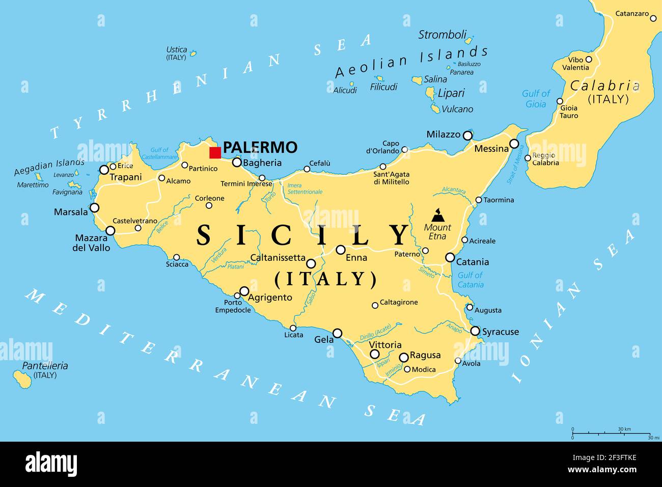 Sicily, autonomous region of Italy, political map, with capital Palermo, Aeolian and Aegadian Islands, volcano Etna, and important cities. Stock Photohttps://www.alamy.com/image-license-details/?v=1https://www.alamy.com/sicily-autonomous-region-of-italy-political-map-with-capital-palermo-aeolian-and-aegadian-islands-volcano-etna-and-important-cities-image415241442.html
RF2F3FTKE–Sicily, autonomous region of Italy, political map, with capital Palermo, Aeolian and Aegadian Islands, volcano Etna, and important cities.
 Old map of Sicily divided into its three main valleys. By Cassini, publ. in 1792 Stock Photohttps://www.alamy.com/image-license-details/?v=1https://www.alamy.com/old-map-of-sicily-divided-into-its-three-main-valleys-by-cassini-publ-in-1792-image571515491.html
RF2T5PNRF–Old map of Sicily divided into its three main valleys. By Cassini, publ. in 1792
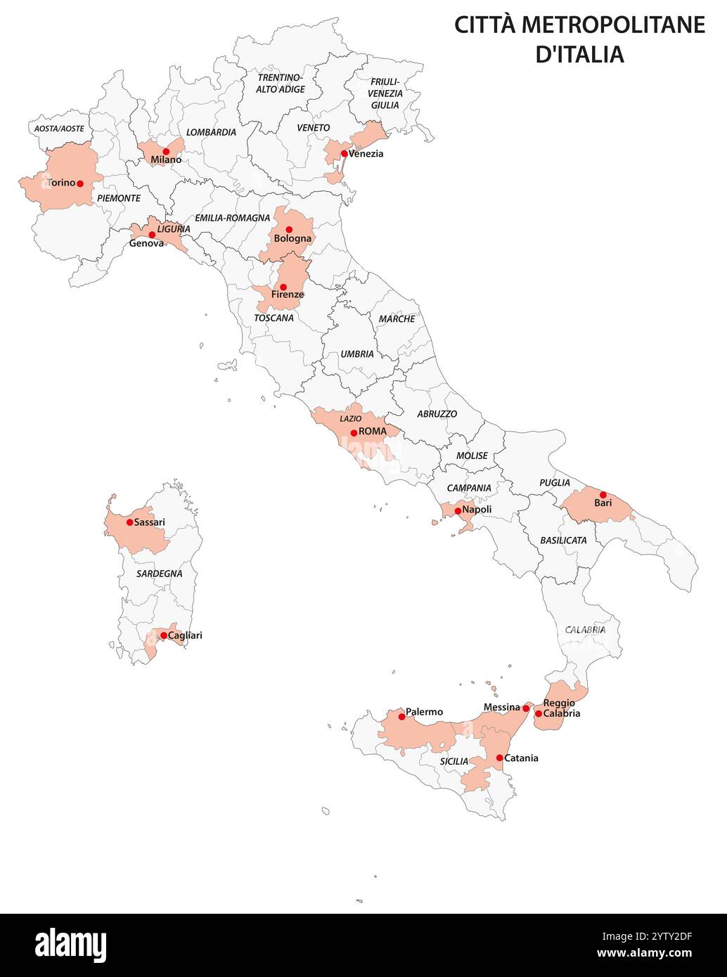 Administrative map of the Italian metropolitan cities Stock Photohttps://www.alamy.com/image-license-details/?v=1https://www.alamy.com/administrative-map-of-the-italian-metropolitan-cities-image634919643.html
RF2YTY2DF–Administrative map of the Italian metropolitan cities
 1795 Delamarche Atlas Map - Italy Stock Photohttps://www.alamy.com/image-license-details/?v=1https://www.alamy.com/stock-photo-1795-delamarche-atlas-map-italy-175260464.html
RFM53PE8–1795 Delamarche Atlas Map - Italy
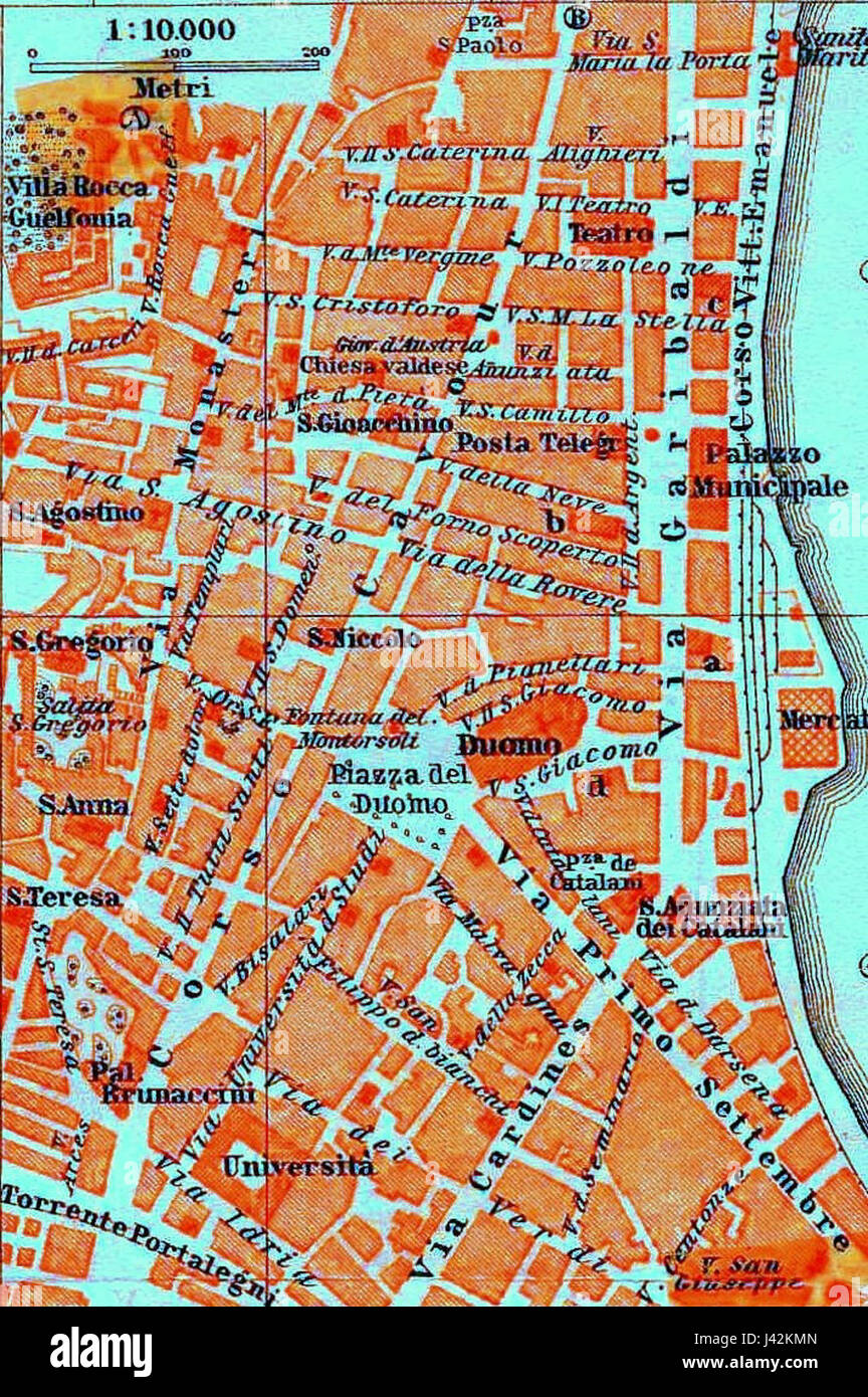 Map of Messina 3 Stock Photohttps://www.alamy.com/image-license-details/?v=1https://www.alamy.com/stock-photo-map-of-messina-3-140200949.html
RMJ42KMN–Map of Messina 3
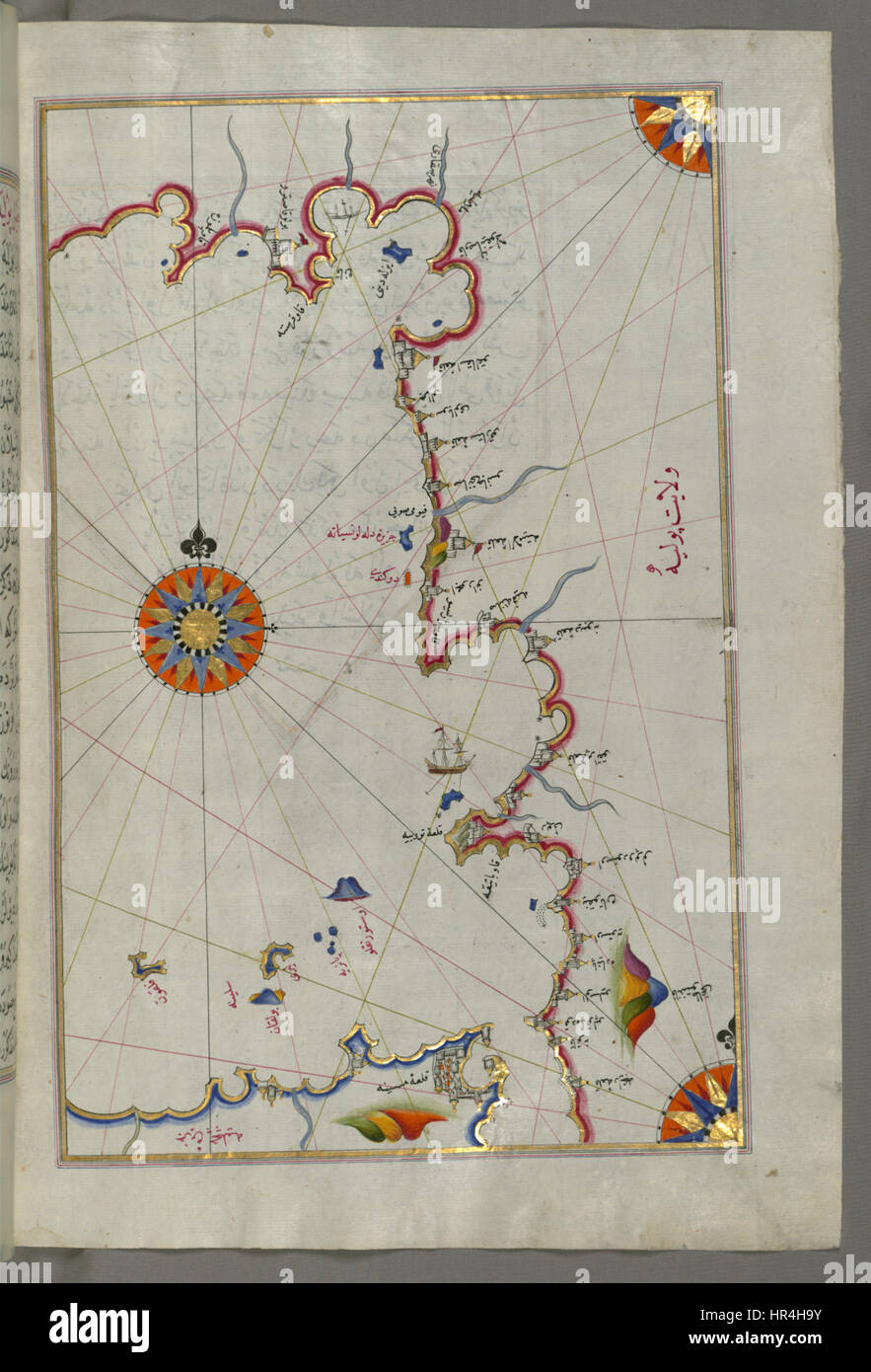 Piri Reis - Map of the Straits of Messina and the Western Italian Coast - Walters W658236B - Full Page Stock Photohttps://www.alamy.com/image-license-details/?v=1https://www.alamy.com/stock-photo-piri-reis-map-of-the-straits-of-messina-and-the-western-italian-coast-134711079.html
RMHR4H9Y–Piri Reis - Map of the Straits of Messina and the Western Italian Coast - Walters W658236B - Full Page
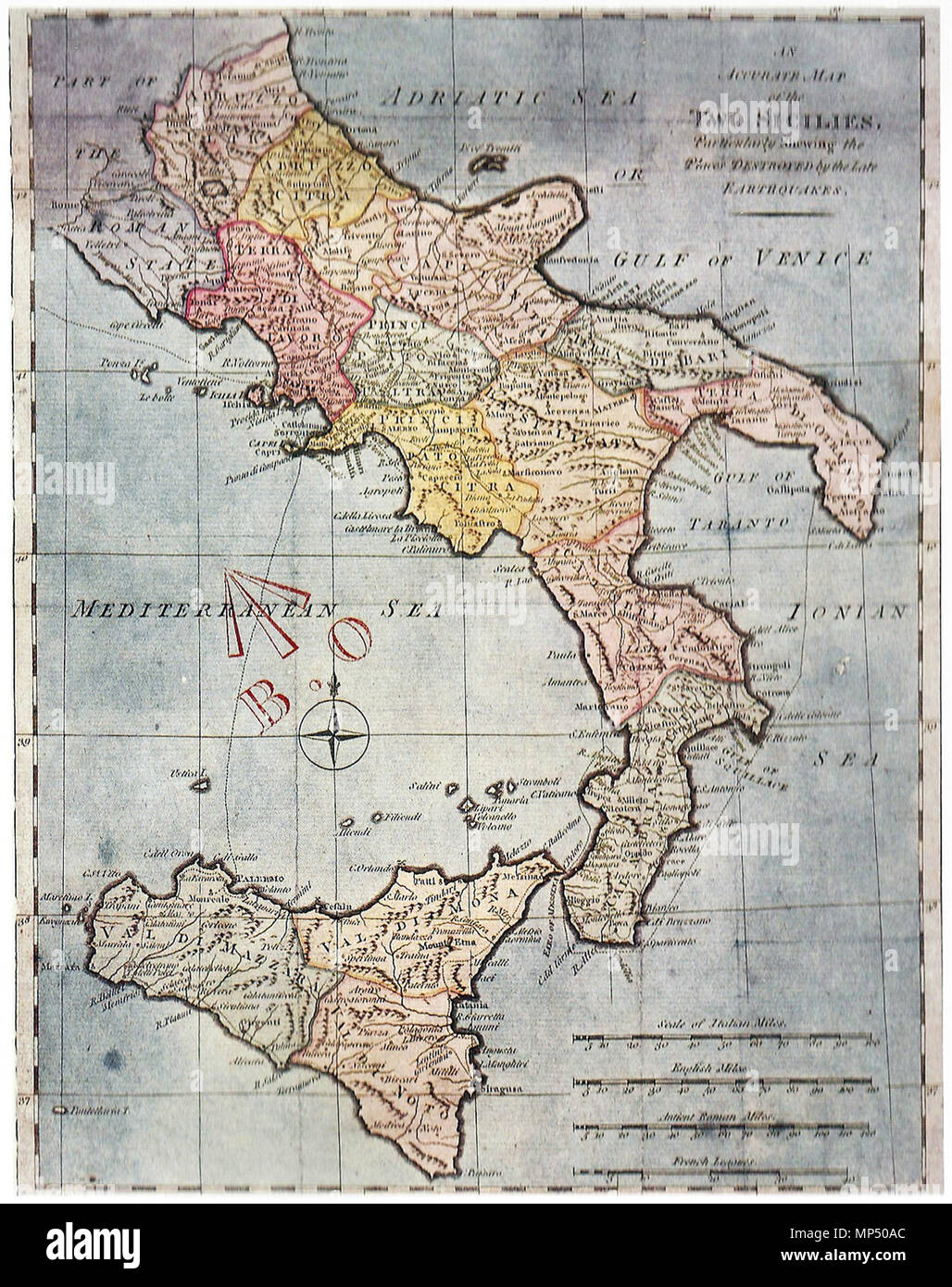 . English: 'An accurate map of the (Kingdom of) Two Sicilies, particularly showing the places destroyed by the late erthquakes' (Messina, 1783) . 1783. Unknown 1209 Two Sicilies 1783 Stock Photohttps://www.alamy.com/image-license-details/?v=1https://www.alamy.com/english-an-accurate-map-of-the-kingdom-of-two-sicilies-particularly-showing-the-places-destroyed-by-the-late-erthquakes-messina-1783-1783-unknown-1209-two-sicilies-1783-image185736164.html
RMMP50AC–. English: 'An accurate map of the (Kingdom of) Two Sicilies, particularly showing the places destroyed by the late erthquakes' (Messina, 1783) . 1783. Unknown 1209 Two Sicilies 1783
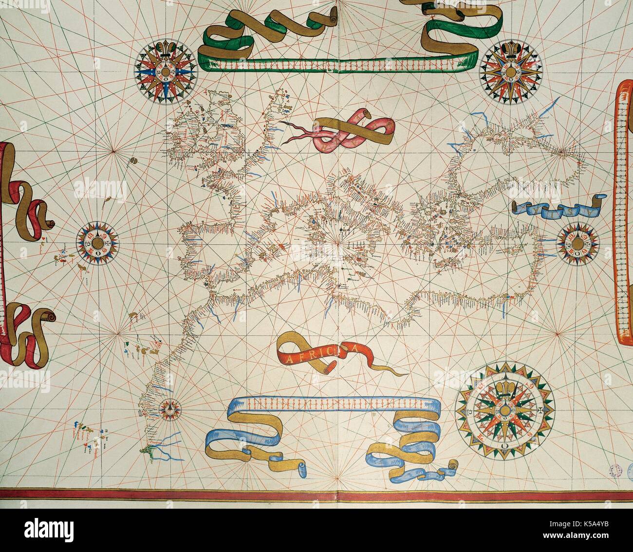 Map of Southern Europe, coast of the North of Africa and Canary Islands. Nautical letter by Joan Martines. Messina, Sicily, 1587. Stock Photohttps://www.alamy.com/image-license-details/?v=1https://www.alamy.com/map-of-southern-europe-coast-of-the-north-of-africa-and-canary-islands-image158190015.html
RMK5A4YB–Map of Southern Europe, coast of the North of Africa and Canary Islands. Nautical letter by Joan Martines. Messina, Sicily, 1587.
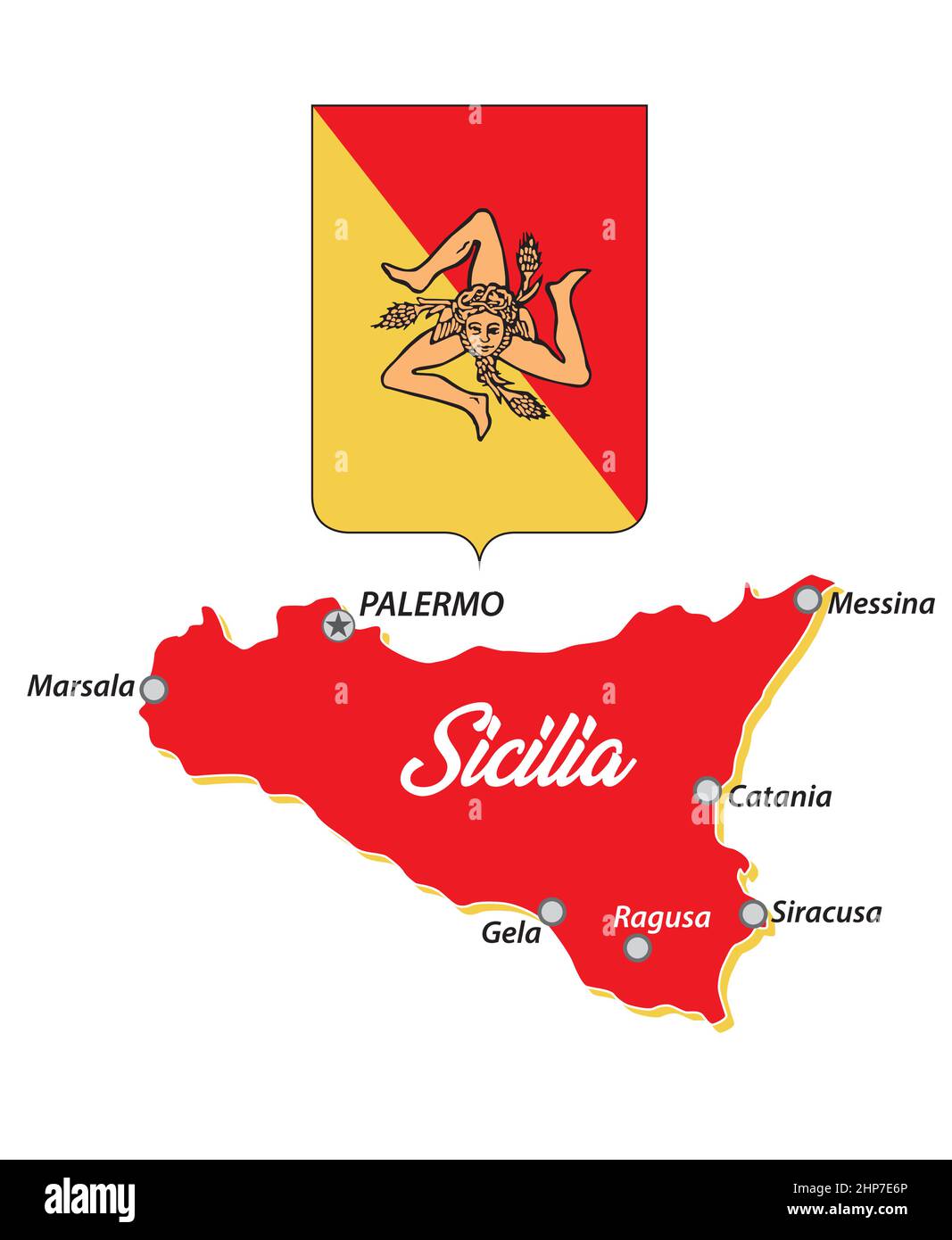 small sicily outline map with coat of arms, italy Stock Vectorhttps://www.alamy.com/image-license-details/?v=1https://www.alamy.com/small-sicily-outline-map-with-coat-of-arms-italy-image461156830.html
RF2HP7E6P–small sicily outline map with coat of arms, italy
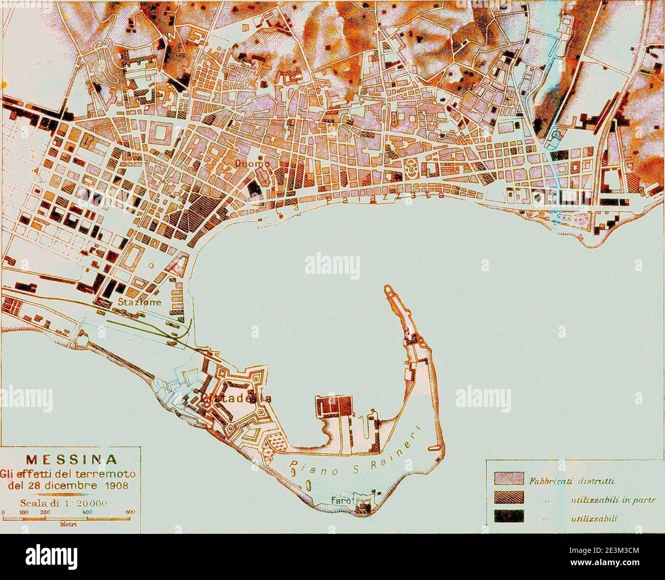 Map of Messina 7. Stock Photohttps://www.alamy.com/image-license-details/?v=1https://www.alamy.com/map-of-messina-7-image398124180.html
RM2E3M3CM–Map of Messina 7.
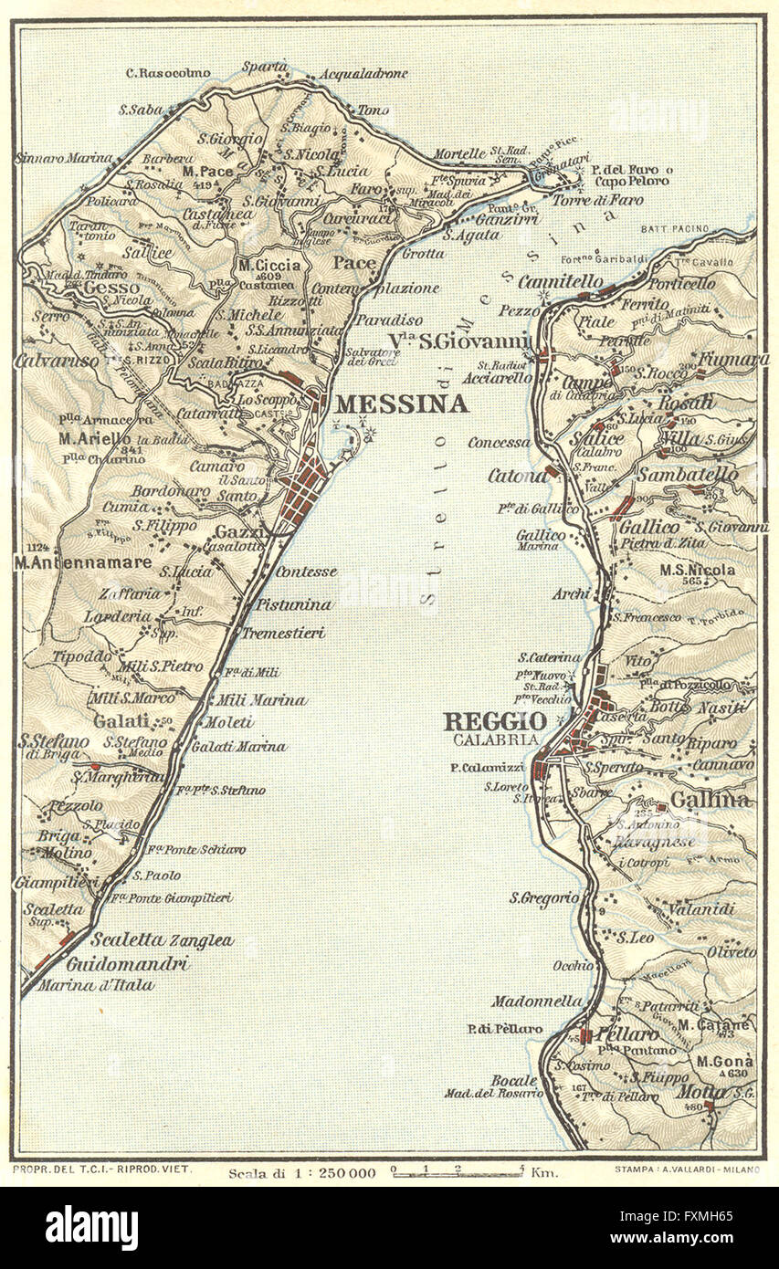 ITALY: Straits of Messina Reggio Calabria, 1925 vintage map Stock Photohttps://www.alamy.com/image-license-details/?v=1https://www.alamy.com/stock-photo-italy-straits-of-messina-reggio-calabria-1925-vintage-map-102485437.html
RFFXMH65–ITALY: Straits of Messina Reggio Calabria, 1925 vintage map
 Close up to a Messina city with a green pin needle into South Africa country political map Stock Photohttps://www.alamy.com/image-license-details/?v=1https://www.alamy.com/close-up-to-a-messina-city-with-a-green-pin-needle-into-south-africa-country-political-map-image613780445.html
RF2XJG365–Close up to a Messina city with a green pin needle into South Africa country political map
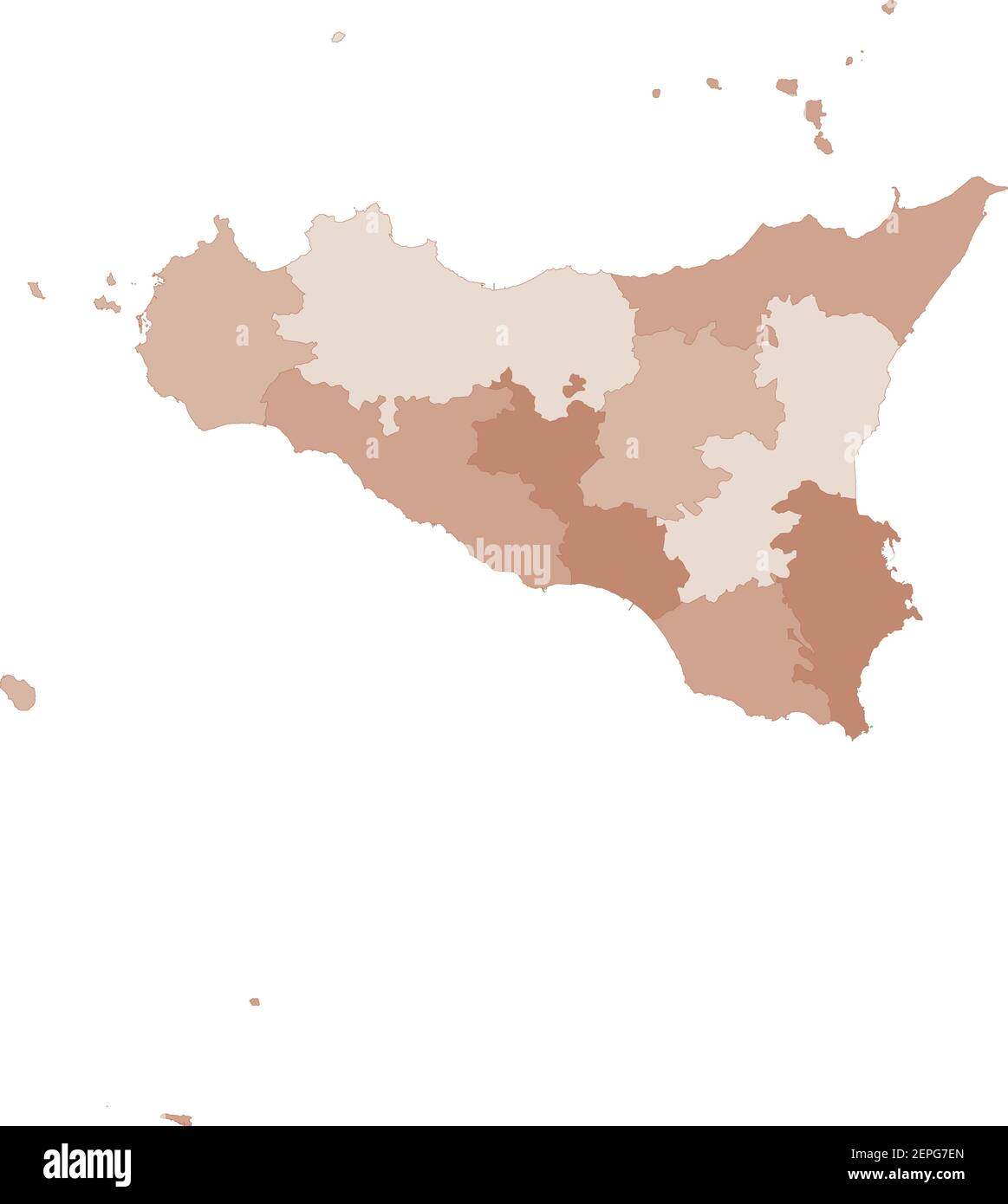 Sicily map, division by provinces and municipalities. Closed and perfectly editable polygons, polygon fill and color paths editable at will. Levels. P Stock Vectorhttps://www.alamy.com/image-license-details/?v=1https://www.alamy.com/sicily-map-division-by-provinces-and-municipalities-closed-and-perfectly-editable-polygons-polygon-fill-and-color-paths-editable-at-will-levels-p-image409718029.html
RF2EPG7EN–Sicily map, division by provinces and municipalities. Closed and perfectly editable polygons, polygon fill and color paths editable at will. Levels. P
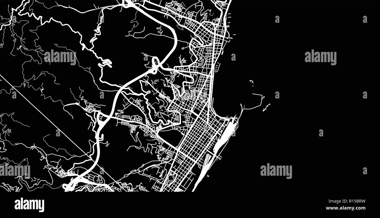 Urban vector city map of Messina, Italy Stock Vectorhttps://www.alamy.com/image-license-details/?v=1https://www.alamy.com/urban-vector-city-map-of-messina-italy-image224468493.html
RFR15BRW–Urban vector city map of Messina, Italy
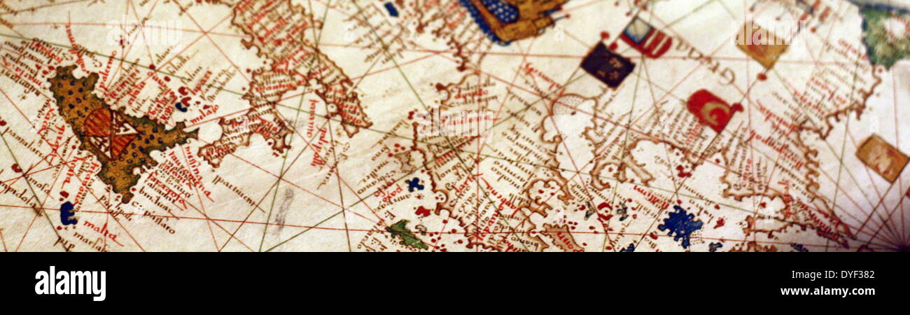 Detail from an illustrated navigational map of Europe, from 1528. Made by Jacopo Russo. In Messina, Sicily. Stock Photohttps://www.alamy.com/image-license-details/?v=1https://www.alamy.com/detail-from-an-illustrated-navigational-map-of-europe-from-1528-made-image68558674.html
RMDYF382–Detail from an illustrated navigational map of Europe, from 1528. Made by Jacopo Russo. In Messina, Sicily.
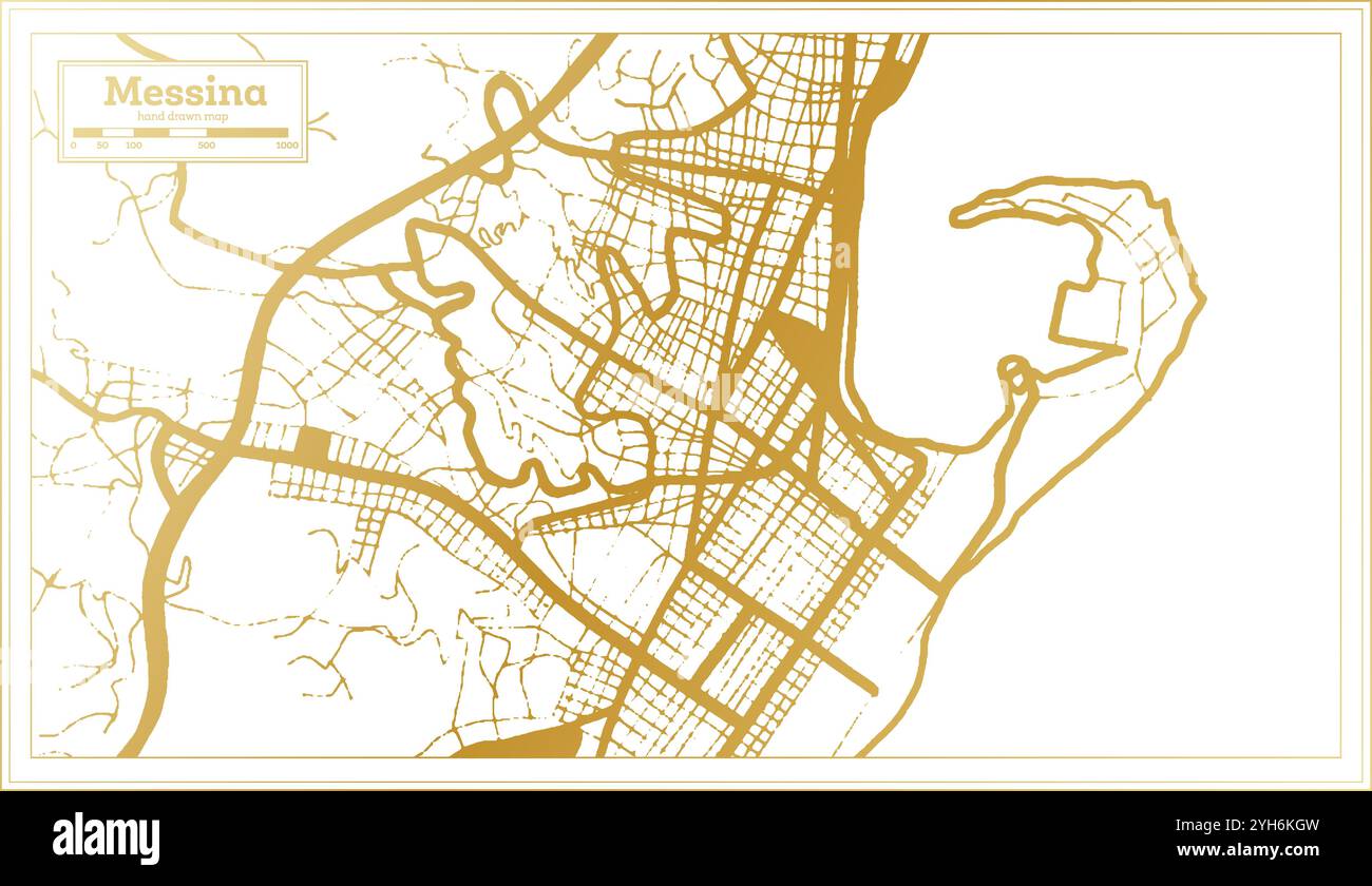 Messina Italy City Map in golden Colors in Retro Style. Outline Map. Vector Illustration. Stock Vectorhttps://www.alamy.com/image-license-details/?v=1https://www.alamy.com/messina-italy-city-map-in-golden-colors-in-retro-style-outline-map-vector-illustration-image630169481.html
RF2YH6KGW–Messina Italy City Map in golden Colors in Retro Style. Outline Map. Vector Illustration.
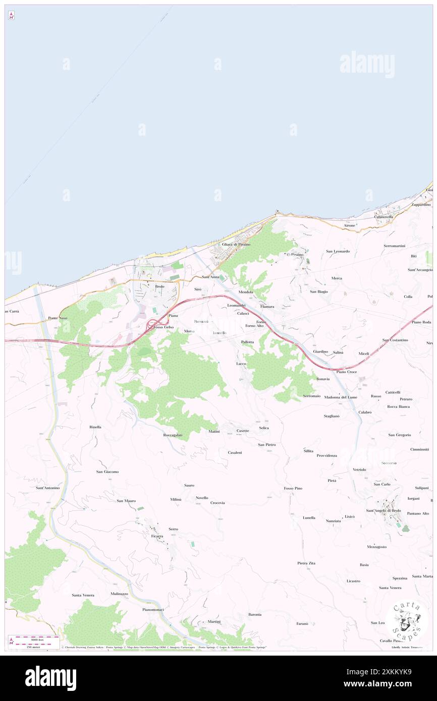 Iannello, Messina, IT, Italy, Sicily, N 38 8' 51'', N 14 50' 36'', map, Cartascapes Map published in 2024. Explore Cartascapes, a map revealing Earth's diverse landscapes, cultures, and ecosystems. Journey through time and space, discovering the interconnectedness of our planet's past, present, and future. Stock Photohttps://www.alamy.com/image-license-details/?v=1https://www.alamy.com/iannello-messina-it-italy-sicily-n-38-8-51-n-14-50-36-map-cartascapes-map-published-in-2024-explore-cartascapes-a-map-revealing-earths-diverse-landscapes-cultures-and-ecosystems-journey-through-time-and-space-discovering-the-interconnectedness-of-our-planets-past-present-and-future-image614480141.html
RM2XKKYK9–Iannello, Messina, IT, Italy, Sicily, N 38 8' 51'', N 14 50' 36'', map, Cartascapes Map published in 2024. Explore Cartascapes, a map revealing Earth's diverse landscapes, cultures, and ecosystems. Journey through time and space, discovering the interconnectedness of our planet's past, present, and future.
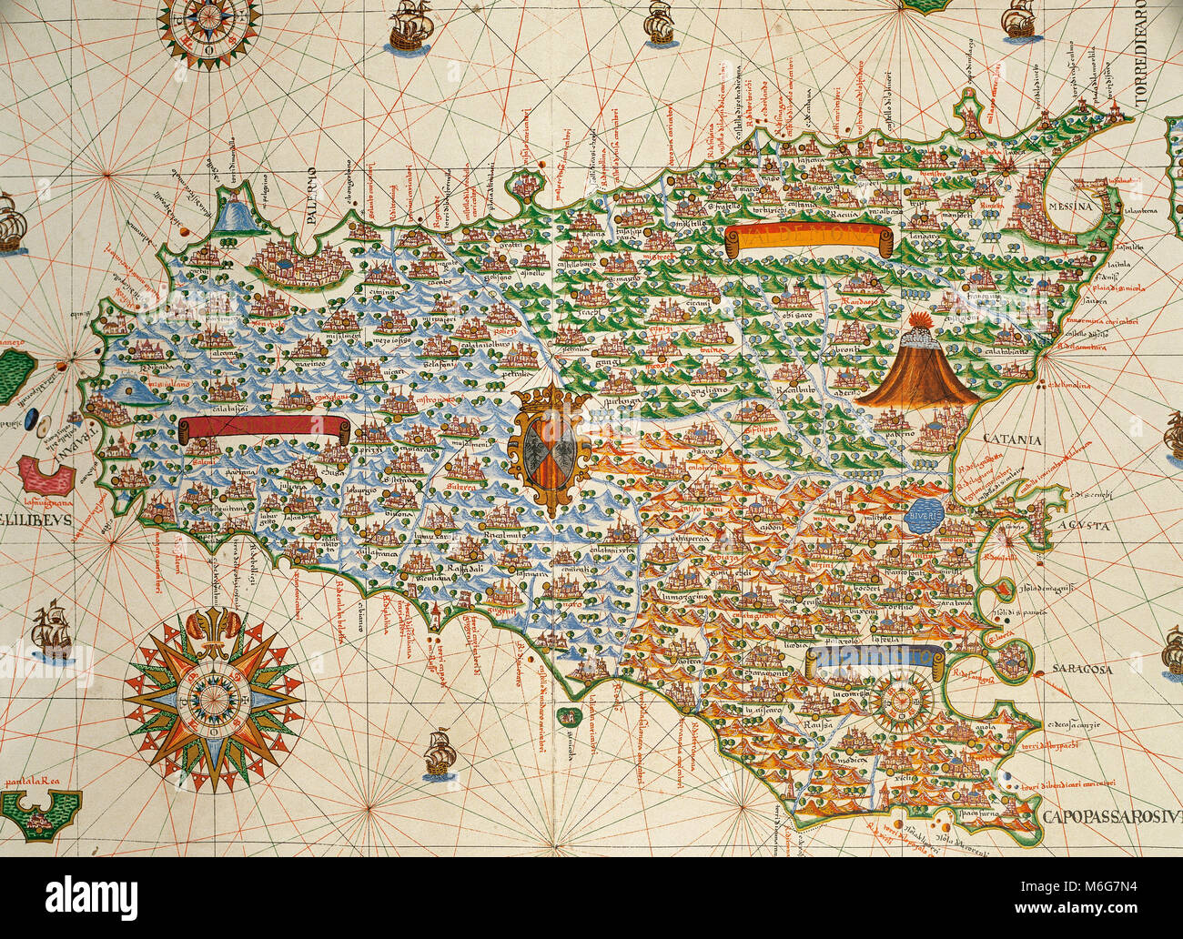 Island of Sicily. Portolan chart by Joan Martines, Spanish cartographer of the Majorcan cartographic school (16th century). Manuscript of 19 double-folio maps. Messina, Sicily, 1587. National Library, Madrid, Spain. Stock Photohttps://www.alamy.com/image-license-details/?v=1https://www.alamy.com/stock-photo-island-of-sicily-portolan-chart-by-joan-martines-spanish-cartographer-176148928.html
RMM6G7N4–Island of Sicily. Portolan chart by Joan Martines, Spanish cartographer of the Majorcan cartographic school (16th century). Manuscript of 19 double-folio maps. Messina, Sicily, 1587. National Library, Madrid, Spain.
 Capuchins province of Messina, Sicily Stock Photohttps://www.alamy.com/image-license-details/?v=1https://www.alamy.com/stock-photo-capuchins-province-of-messina-sicily-50287703.html
RFCWPPDB–Capuchins province of Messina, Sicily
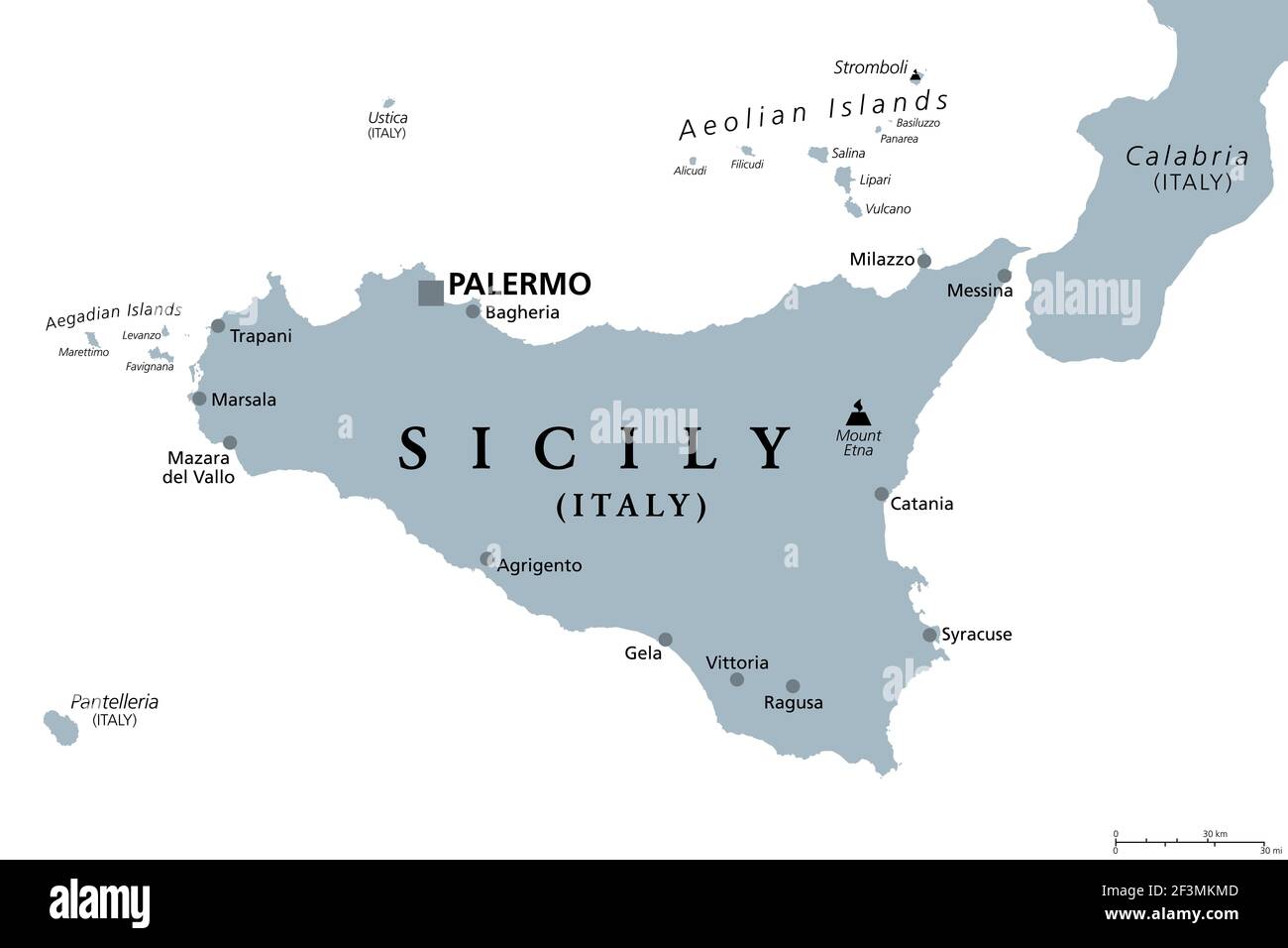 Sicily, autonomous region of Italy, gray political map, with capital Palermo, Aeolian and Aegadian Islands, volcano Etna and important cities. Stock Photohttps://www.alamy.com/image-license-details/?v=1https://www.alamy.com/sicily-autonomous-region-of-italy-gray-political-map-with-capital-palermo-aeolian-and-aegadian-islands-volcano-etna-and-important-cities-image415347309.html
RF2F3MKMD–Sicily, autonomous region of Italy, gray political map, with capital Palermo, Aeolian and Aegadian Islands, volcano Etna and important cities.
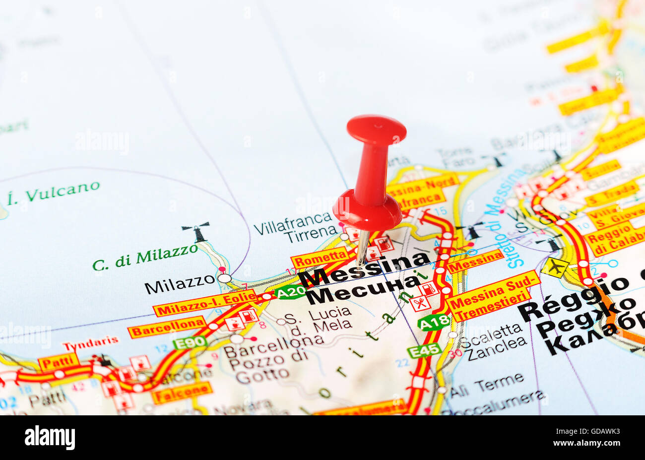 Close up of Messina , Italy map with red pin - Travel concept Stock Photohttps://www.alamy.com/image-license-details/?v=1https://www.alamy.com/stock-photo-close-up-of-messina-italy-map-with-red-pin-travel-concept-111492391.html
RFGDAWK3–Close up of Messina , Italy map with red pin - Travel concept
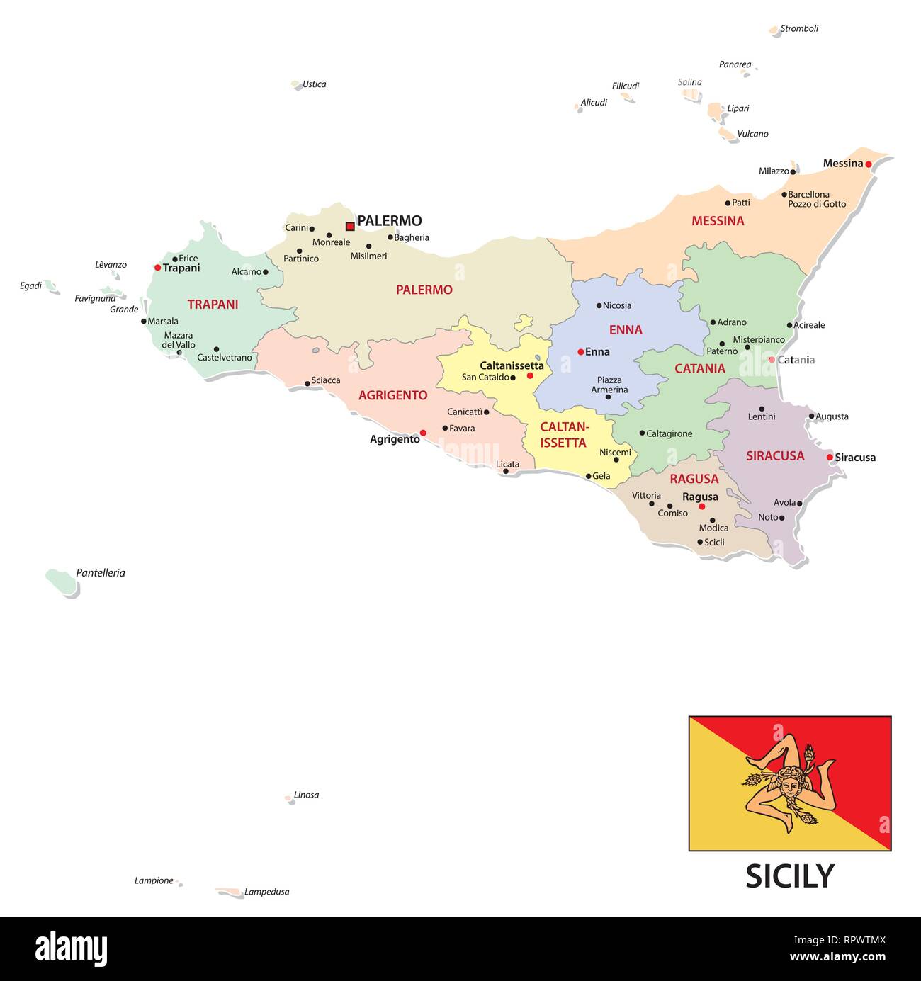 sicily administrative and political map with flag Stock Vectorhttps://www.alamy.com/image-license-details/?v=1https://www.alamy.com/sicily-administrative-and-political-map-with-flag-image237825418.html
RFRPWTMX–sicily administrative and political map with flag
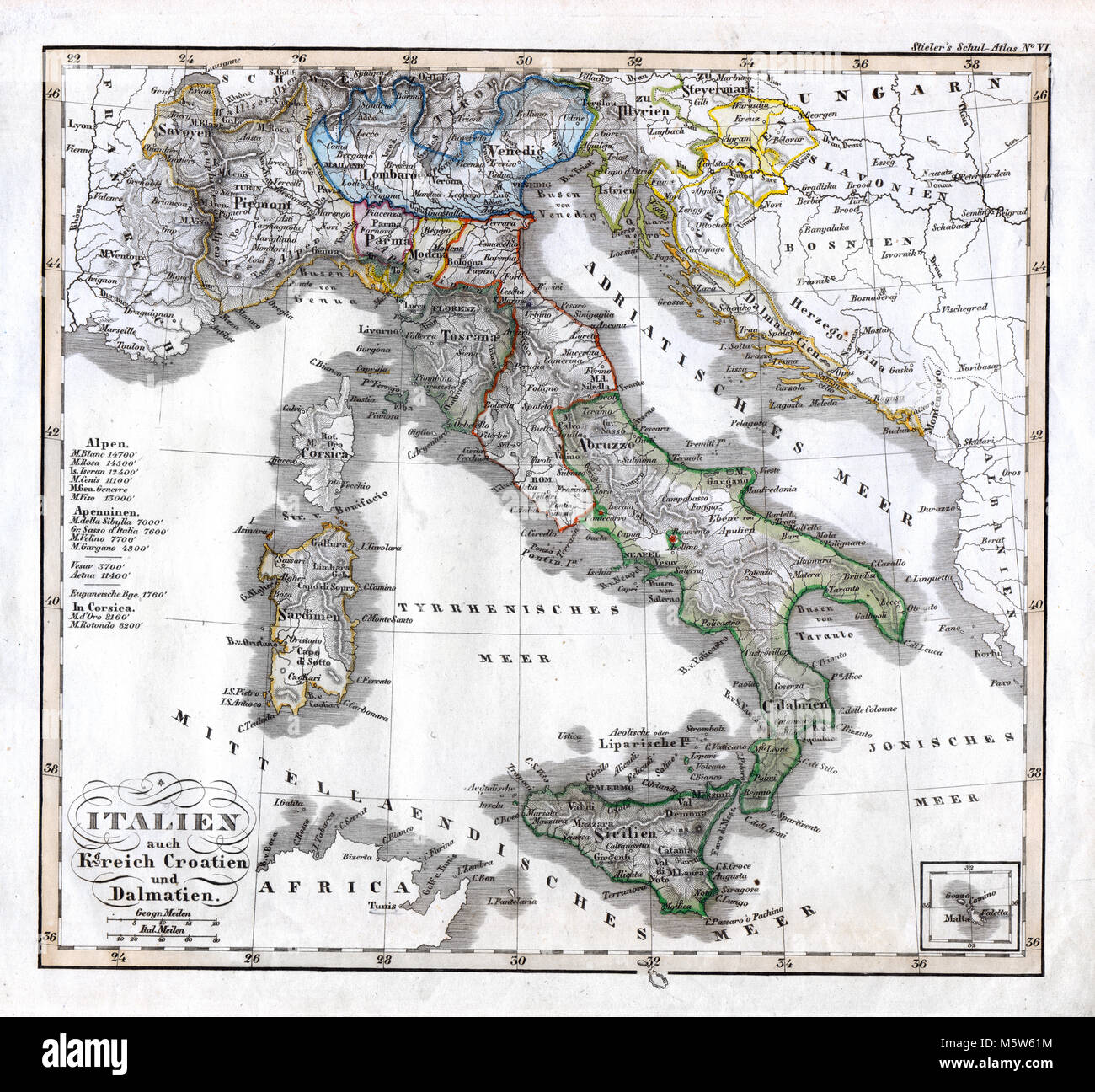 1844 Stieler Map - Italy Croatia Dalmatia Naples Vatican Sardinia Stock Photohttps://www.alamy.com/image-license-details/?v=1https://www.alamy.com/stock-photo-1844-stieler-map-italy-croatia-dalmatia-naples-vatican-sardinia-175730512.html
RFM5W61M–1844 Stieler Map - Italy Croatia Dalmatia Naples Vatican Sardinia
 Map of Messina 5 Stock Photohttps://www.alamy.com/image-license-details/?v=1https://www.alamy.com/stock-photo-map-of-messina-5-140200939.html
RMJ42KMB–Map of Messina 5
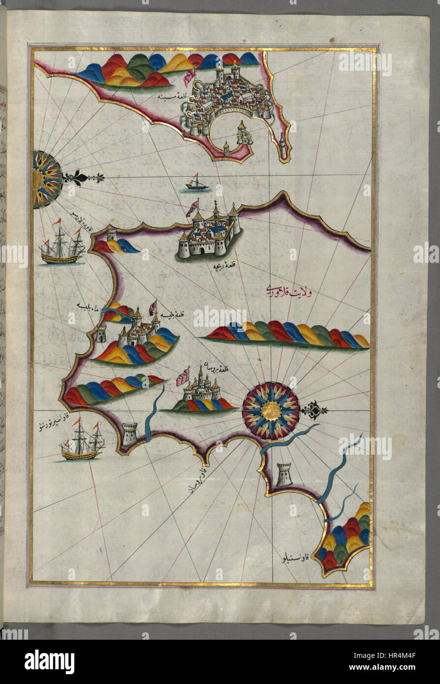 Piri Reis - Map of the Southern Part of the Calabrian Peninsula and the Straits of Messina - Walters W658213B - Full Page Stock Photohttps://www.alamy.com/image-license-details/?v=1https://www.alamy.com/stock-photo-piri-reis-map-of-the-southern-part-of-the-calabrian-peninsula-and-134713279.html
RMHR4M4F–Piri Reis - Map of the Southern Part of the Calabrian Peninsula and the Straits of Messina - Walters W658213B - Full Page
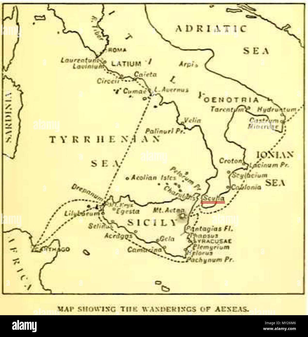 . English: A map of the wanderings of Aeneas, showing the positions of Charybdis and Scylla (underlined in red), from an edition of The Aeneid of Virgil, Book III, edited by Philip Sandford, London: Blackie & Son. 1900 . 1900. This file is lacking author information. 505 Strait of Messina Stock Photohttps://www.alamy.com/image-license-details/?v=1https://www.alamy.com/english-a-map-of-the-wanderings-of-aeneas-showing-the-positions-of-charybdis-and-scylla-underlined-in-red-from-an-edition-of-the-aeneid-of-virgil-book-iii-edited-by-philip-sandford-london-blackie-son-1900-1900-this-file-is-lacking-author-information-505-strait-of-messina-image188748566.html
RMMY26M6–. English: A map of the wanderings of Aeneas, showing the positions of Charybdis and Scylla (underlined in red), from an edition of The Aeneid of Virgil, Book III, edited by Philip Sandford, London: Blackie & Son. 1900 . 1900. This file is lacking author information. 505 Strait of Messina
 Map of Western Mediterran Sea. European coast from Cartagena (Spain) until the southof Naples. Corsica and Sardinia islands. North African coast. Portulan atlas by Joan Martines,. Messina (Sicily), 1587. Stock Photohttps://www.alamy.com/image-license-details/?v=1https://www.alamy.com/map-of-western-mediterran-sea-european-coast-from-cartagena-spain-image158190029.html
RMK5A4YW–Map of Western Mediterran Sea. European coast from Cartagena (Spain) until the southof Naples. Corsica and Sardinia islands. North African coast. Portulan atlas by Joan Martines,. Messina (Sicily), 1587.
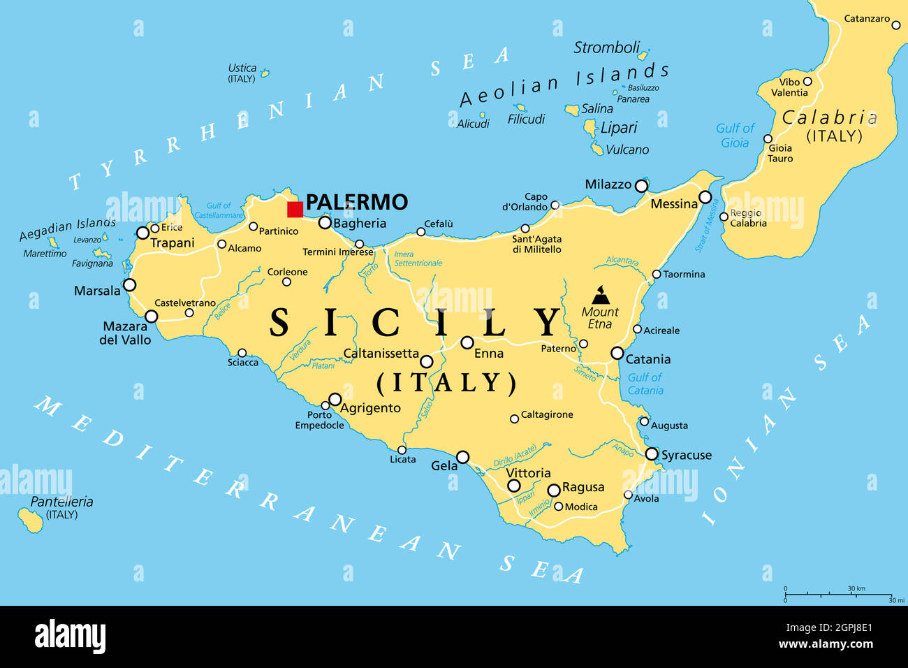 Sicily, autonomous region of Italy, political map Stock Vectorhttps://www.alamy.com/image-license-details/?v=1https://www.alamy.com/sicily-autonomous-region-of-italy-political-map-image444183433.html
RF2GPJ8E1–Sicily, autonomous region of Italy, political map
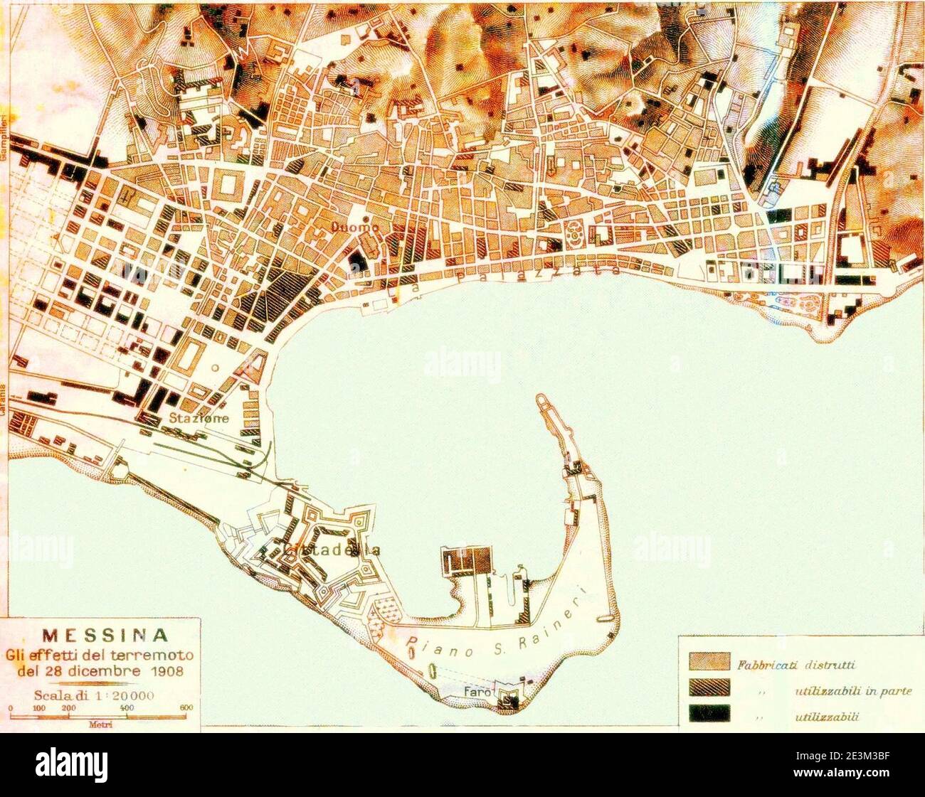 Map of Messina 6. Stock Photohttps://www.alamy.com/image-license-details/?v=1https://www.alamy.com/map-of-messina-6-image398124147.html
RM2E3M3BF–Map of Messina 6.
 ITALY: Venice; Naples; Messina; Rome; Palermo, 1905 antique map Stock Photohttps://www.alamy.com/image-license-details/?v=1https://www.alamy.com/stock-photo-italy-venice-naples-messina-rome-palermo-1905-antique-map-94688812.html
RFFE1CF8–ITALY: Venice; Naples; Messina; Rome; Palermo, 1905 antique map
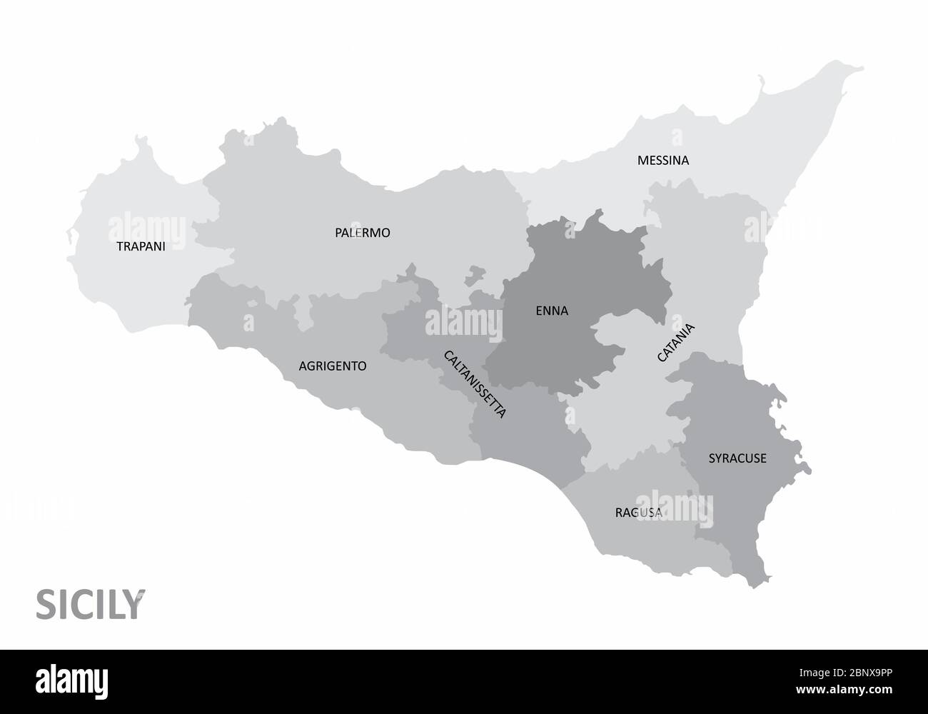 Sicily region map Stock Vectorhttps://www.alamy.com/image-license-details/?v=1https://www.alamy.com/sicily-region-map-image357693582.html
RF2BNX9PP–Sicily region map
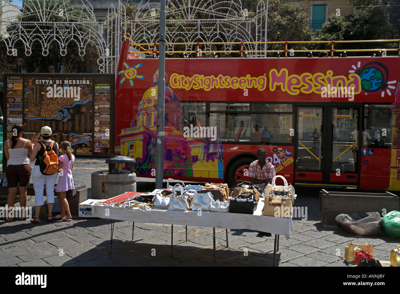 Tourists Tour Bus Hawker Piazza Duomo Messina Sicily Italy Stock Photohttps://www.alamy.com/image-license-details/?v=1https://www.alamy.com/stock-photo-tourists-tour-bus-hawker-piazza-duomo-messina-sicily-italy-15570158.html
RMANNJBY–Tourists Tour Bus Hawker Piazza Duomo Messina Sicily Italy
 Urban vector city map of Messina, Italy Stock Vectorhttps://www.alamy.com/image-license-details/?v=1https://www.alamy.com/urban-vector-city-map-of-messina-italy-image224468526.html
RFR15BW2–Urban vector city map of Messina, Italy
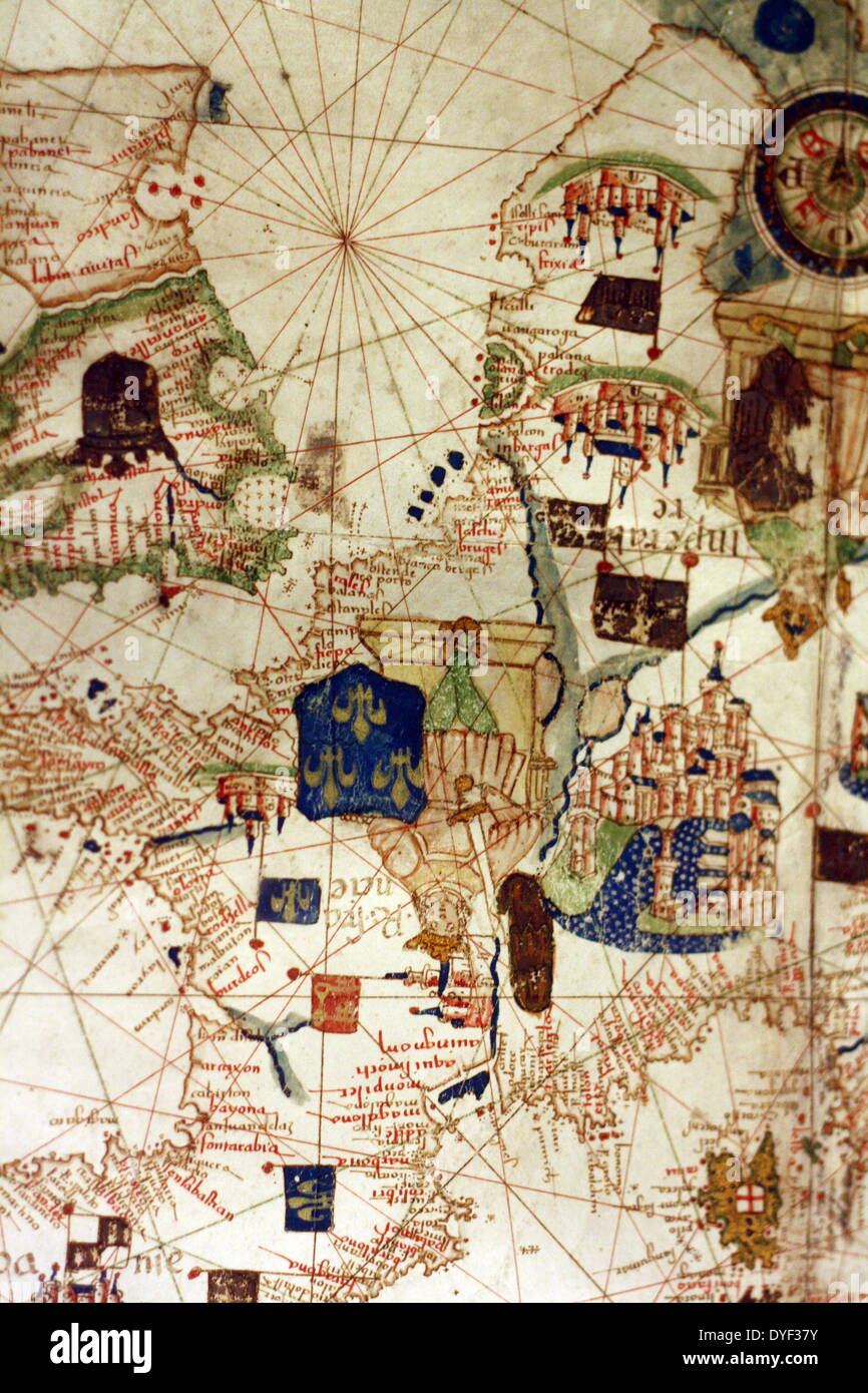 Detail from an illustrated navigational map of Europe, from 1528. Made by Jacopo Russo. In Messina, Sicily. Stock Photohttps://www.alamy.com/image-license-details/?v=1https://www.alamy.com/detail-from-an-illustrated-navigational-map-of-europe-from-1528-made-image68558671.html
RMDYF37Y–Detail from an illustrated navigational map of Europe, from 1528. Made by Jacopo Russo. In Messina, Sicily.
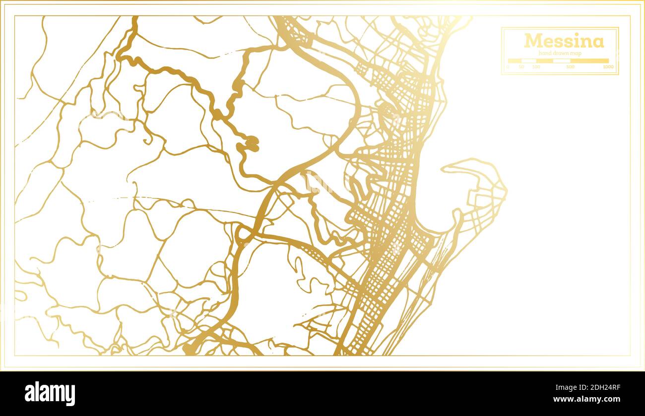 Messina Italy City Map in Retro Style in Golden Color. Outline Map. Vector Illustration. Stock Vectorhttps://www.alamy.com/image-license-details/?v=1https://www.alamy.com/messina-italy-city-map-in-retro-style-in-golden-color-outline-map-vector-illustration-image389124947.html
RF2DH24RF–Messina Italy City Map in Retro Style in Golden Color. Outline Map. Vector Illustration.
 Ali, Messina, IT, Italy, Sicily, N 38 1' 36'', N 15 25' 8'', map, Cartascapes Map published in 2024. Explore Cartascapes, a map revealing Earth's diverse landscapes, cultures, and ecosystems. Journey through time and space, discovering the interconnectedness of our planet's past, present, and future. Stock Photohttps://www.alamy.com/image-license-details/?v=1https://www.alamy.com/ali-messina-it-italy-sicily-n-38-1-36-n-15-25-8-map-cartascapes-map-published-in-2024-explore-cartascapes-a-map-revealing-earths-diverse-landscapes-cultures-and-ecosystems-journey-through-time-and-space-discovering-the-interconnectedness-of-our-planets-past-present-and-future-image614451759.html
RM2XKJKDK–Ali, Messina, IT, Italy, Sicily, N 38 1' 36'', N 15 25' 8'', map, Cartascapes Map published in 2024. Explore Cartascapes, a map revealing Earth's diverse landscapes, cultures, and ecosystems. Journey through time and space, discovering the interconnectedness of our planet's past, present, and future.
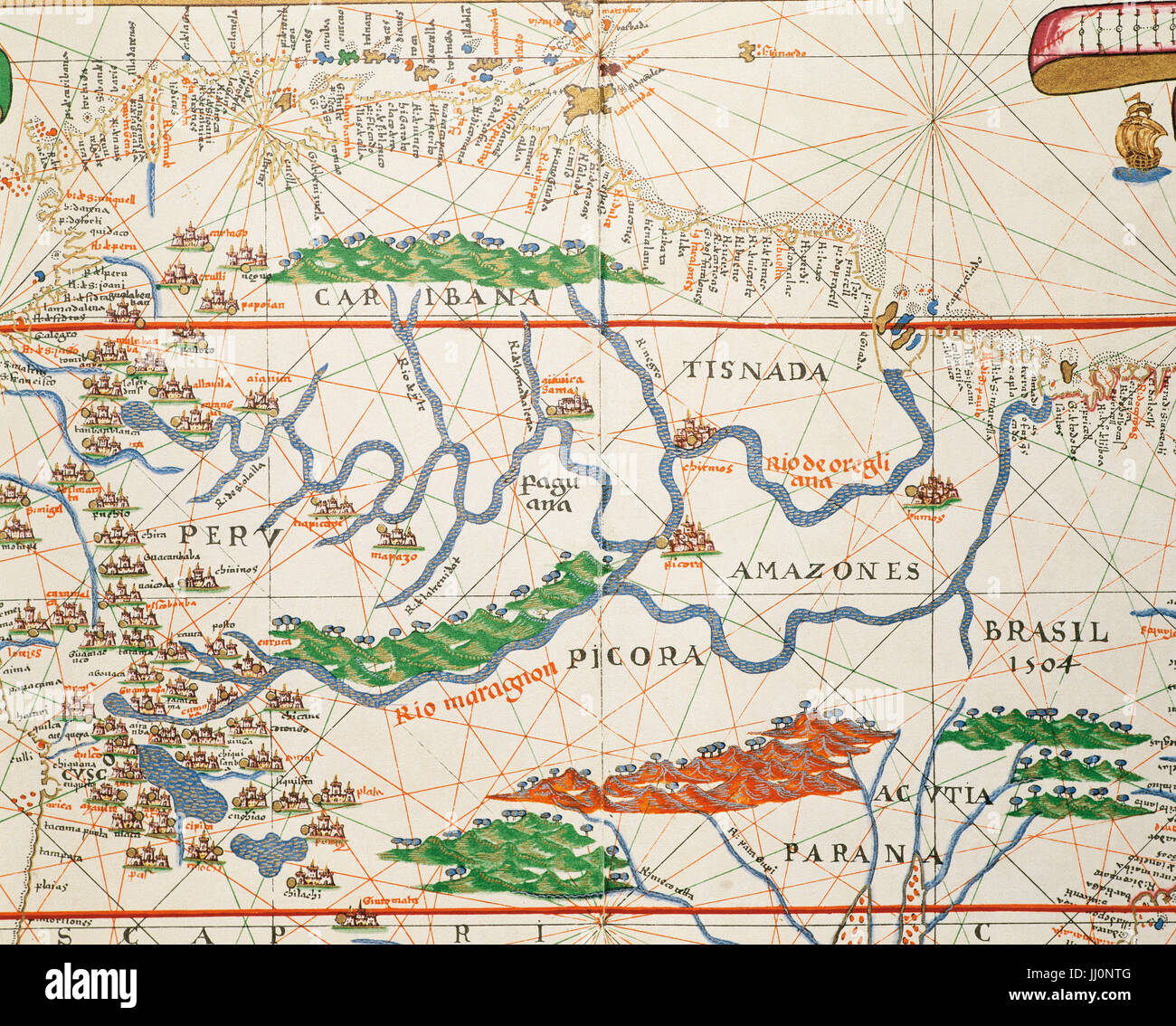 Portolan atlas of the world by Joan Martines (1556-1590). Messina, 1587. Amazon basin and two mouths. National Library. Madrid. Spain. Stock Photohttps://www.alamy.com/image-license-details/?v=1https://www.alamy.com/stock-photo-portolan-atlas-of-the-world-by-joan-martines-1556-1590-messina-1587-148763904.html
RMJJ0NTG–Portolan atlas of the world by Joan Martines (1556-1590). Messina, 1587. Amazon basin and two mouths. National Library. Madrid. Spain.
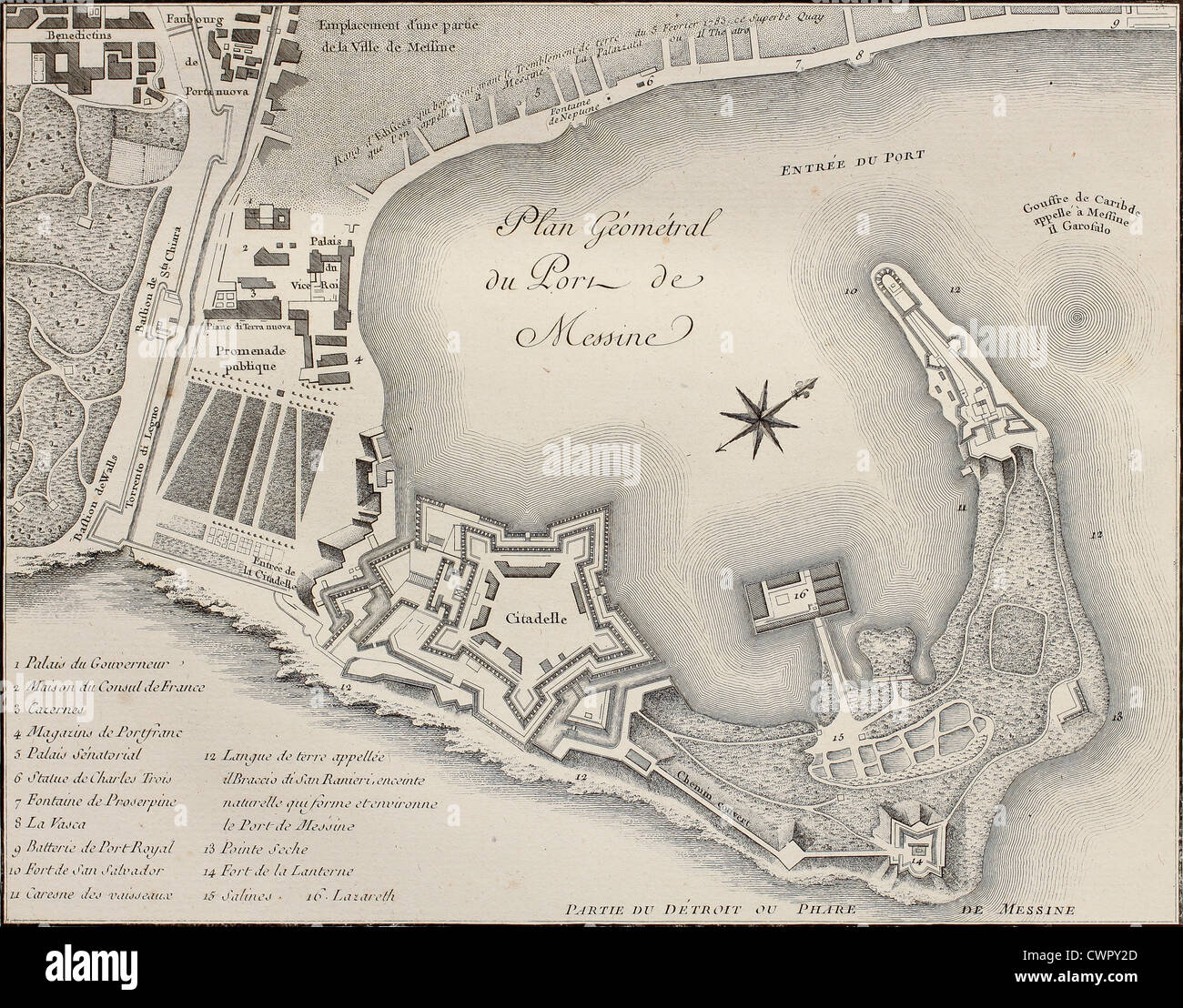 Port of Messina plan, Italy Stock Photohttps://www.alamy.com/image-license-details/?v=1https://www.alamy.com/stock-photo-port-of-messina-plan-italy-50291317.html
RFCWPY2D–Port of Messina plan, Italy
RF2YXA9F2–island of sicily map icon illustration design
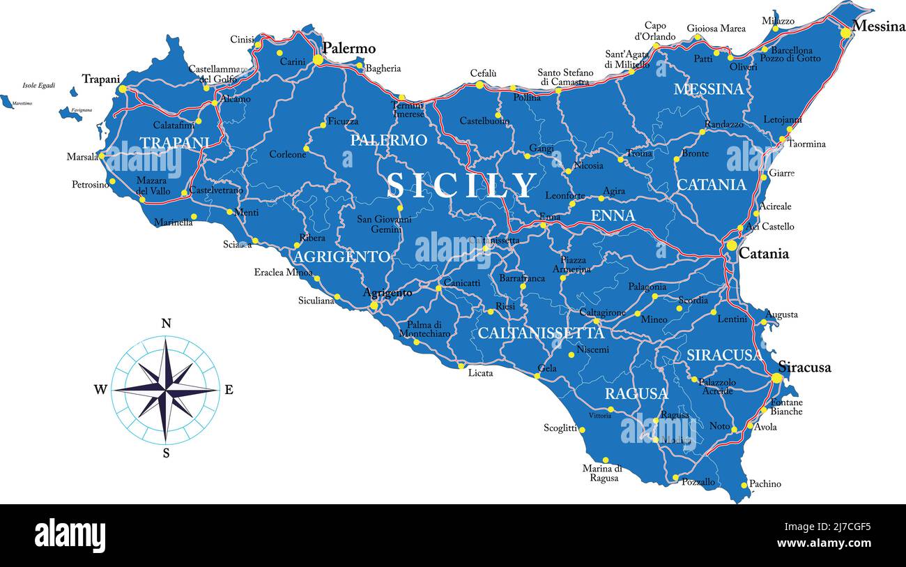 Highly detailed vector map of Sicily with administrative regions, main cities and roads. Stock Vectorhttps://www.alamy.com/image-license-details/?v=1https://www.alamy.com/highly-detailed-vector-map-of-sicily-with-administrative-regions-main-cities-and-roads-image469258921.html
RF2J7CGF5–Highly detailed vector map of Sicily with administrative regions, main cities and roads.
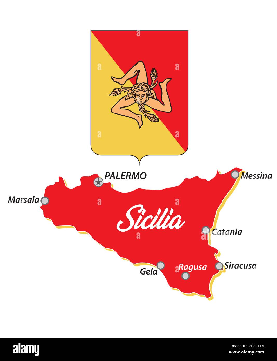 small Sicily outline map of sicily with coat of arms, italy Stock Vectorhttps://www.alamy.com/image-license-details/?v=1https://www.alamy.com/small-sicily-outline-map-of-sicily-with-coat-of-arms-italy-image452450218.html
RF2H82TTA–small Sicily outline map of sicily with coat of arms, italy
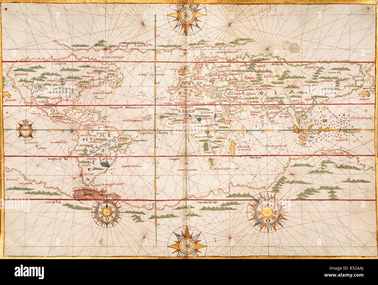 Map of the world. Portolano. Italy; 1578. Source: Harley 3450, No. 1. Language: Italian. Author: Martines, Joan, of Messina. Stock Photohttps://www.alamy.com/image-license-details/?v=1https://www.alamy.com/map-of-the-world-portolano-italy-1578-source-harley-3450-no-1-language-italian-author-martines-joan-of-messina-image226860106.html
RMR52AAJ–Map of the world. Portolano. Italy; 1578. Source: Harley 3450, No. 1. Language: Italian. Author: Martines, Joan, of Messina.
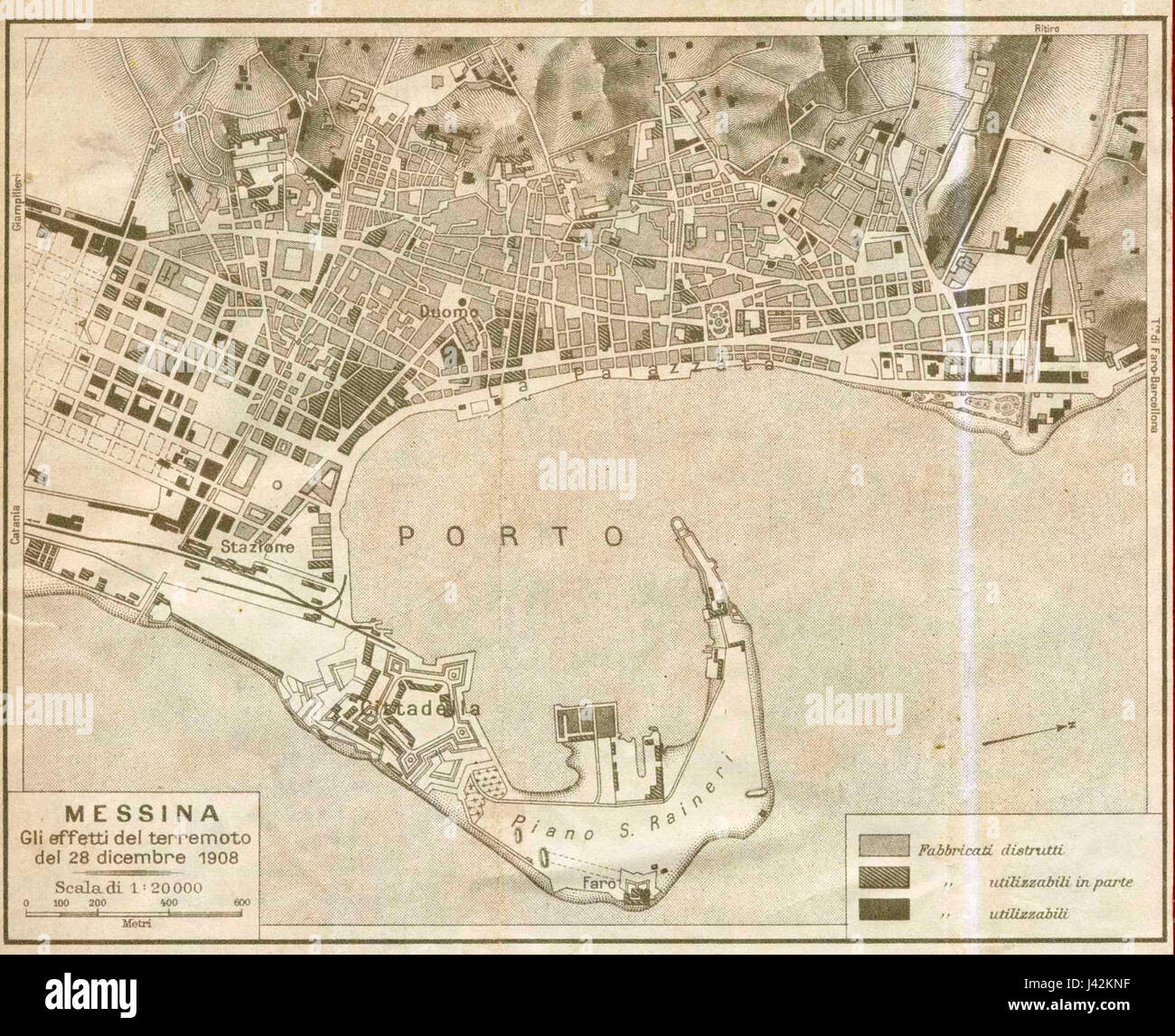 Map of Messina 4 Stock Photohttps://www.alamy.com/image-license-details/?v=1https://www.alamy.com/stock-photo-map-of-messina-4-140200971.html
RMJ42KNF–Map of Messina 4
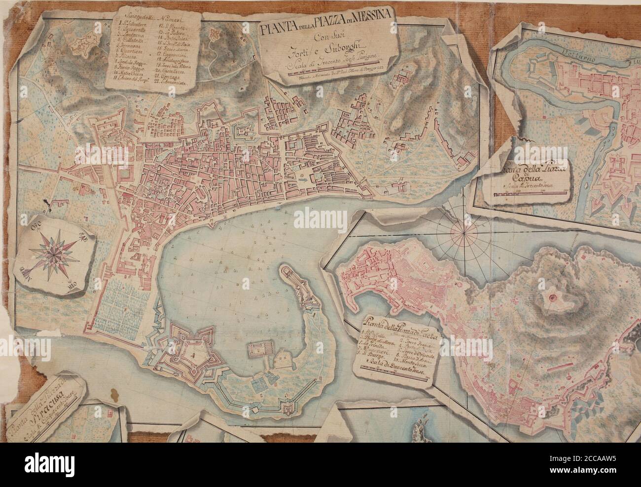 Pianta della Piazza di Messina. Museum: Biblioteca Nazionale, Napoli. Author: Giovanni Ottone di Berger. Stock Photohttps://www.alamy.com/image-license-details/?v=1https://www.alamy.com/pianta-della-piazza-di-messina-museum-biblioteca-nazionale-napoli-author-giovanni-ottone-di-berger-image369021665.html
RM2CCAAW5–Pianta della Piazza di Messina. Museum: Biblioteca Nazionale, Napoli. Author: Giovanni Ottone di Berger.
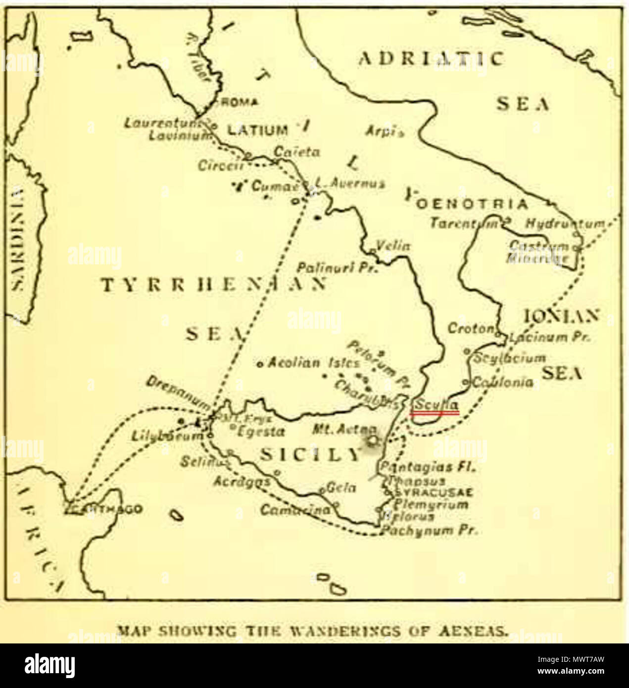 . English: A map of the wanderings of Aeneas, showing the positions of Charybdis and Scylla (underlined in red), from an edition of The Aeneid of Virgil, Book III, edited by Philip Sandford, London: Blackie & Son. 1900 . 1900. This file is lacking author information. 578 Strait of Messina Stock Photohttps://www.alamy.com/image-license-details/?v=1https://www.alamy.com/english-a-map-of-the-wanderings-of-aeneas-showing-the-positions-of-charybdis-and-scylla-underlined-in-red-from-an-edition-of-the-aeneid-of-virgil-book-iii-edited-by-philip-sandford-london-blackie-son-1900-1900-this-file-is-lacking-author-information-578-strait-of-messina-image188002721.html
RMMWT7AW–. English: A map of the wanderings of Aeneas, showing the positions of Charybdis and Scylla (underlined in red), from an edition of The Aeneid of Virgil, Book III, edited by Philip Sandford, London: Blackie & Son. 1900 . 1900. This file is lacking author information. 578 Strait of Messina