Quick filters:
Map of montreal Stock Photos and Images
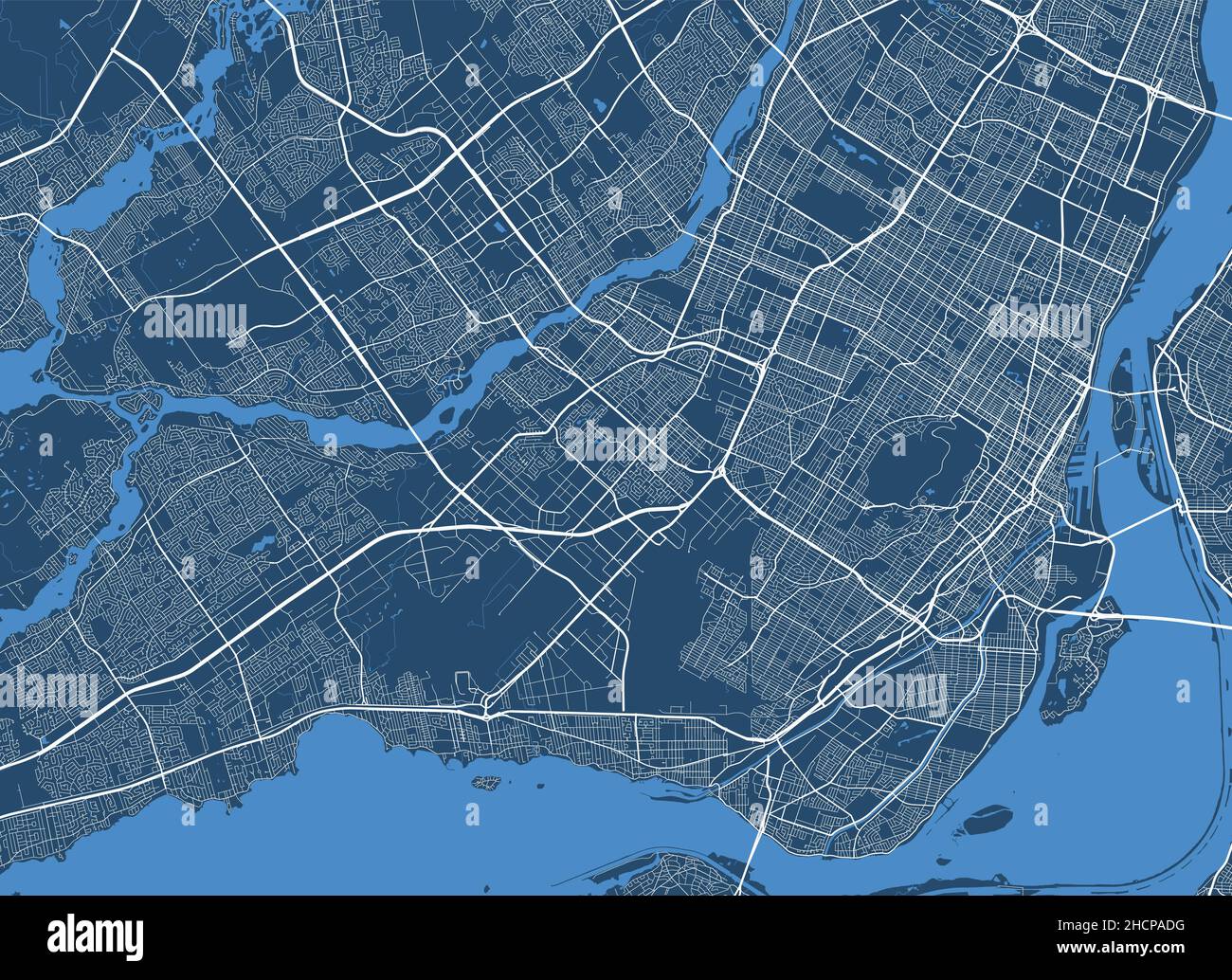 Detailed map poster of Montreal city administrative area. Cityscape panorama. Decorative graphic tourist map of Montreal territory. Royalty free vecto Stock Vectorhttps://www.alamy.com/image-license-details/?v=1https://www.alamy.com/detailed-map-poster-of-montreal-city-administrative-area-cityscape-panorama-decorative-graphic-tourist-map-of-montreal-territory-royalty-free-vecto-image455336604.html
RF2HCPADG–Detailed map poster of Montreal city administrative area. Cityscape panorama. Decorative graphic tourist map of Montreal territory. Royalty free vecto
 Close-up of a red pushpin on a map of Montreal, Canada Stock Photohttps://www.alamy.com/image-license-details/?v=1https://www.alamy.com/stock-photo-close-up-of-a-red-pushpin-on-a-map-of-montreal-canada-84888544.html
RFEX305M–Close-up of a red pushpin on a map of Montreal, Canada
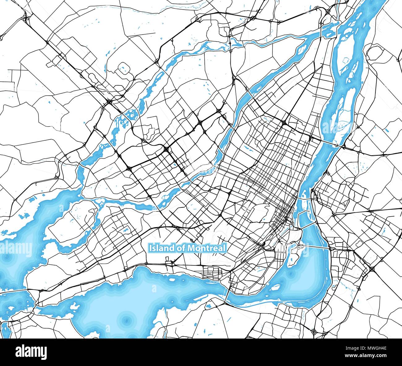 Map of the island of Montreal, Canada with the largest highways, roads and surrounding islands and islets Stock Vectorhttps://www.alamy.com/image-license-details/?v=1https://www.alamy.com/map-of-the-island-of-montreal-canada-with-the-largest-highways-roads-and-surrounding-islands-and-islets-image187834766.html
RFMWGH4E–Map of the island of Montreal, Canada with the largest highways, roads and surrounding islands and islets
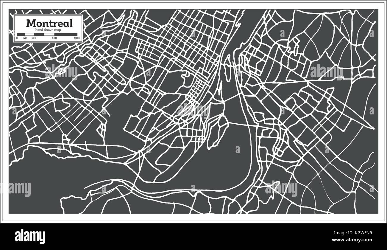 Montreal Canada Map in Retro Style. Vector Illustration. Stock Vectorhttps://www.alamy.com/image-license-details/?v=1https://www.alamy.com/stock-image-montreal-canada-map-in-retro-style-vector-illustration-165288965.html
RFKGWFN9–Montreal Canada Map in Retro Style. Vector Illustration.
 vector illustrations of Canadian cities Toronto, Montreal, Vancouver and Ottawa skylines Stock Vectorhttps://www.alamy.com/image-license-details/?v=1https://www.alamy.com/vector-illustrations-of-canadian-cities-toronto-montreal-vancouver-and-ottawa-skylines-image245929098.html
RFT83122–vector illustrations of Canadian cities Toronto, Montreal, Vancouver and Ottawa skylines
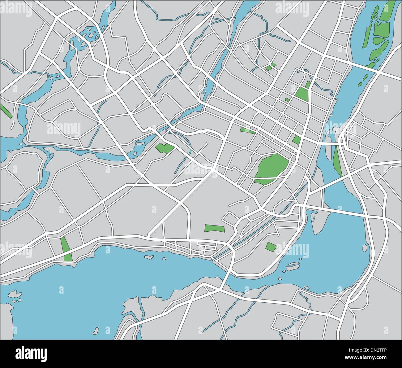 Montreal Stock Vectorhttps://www.alamy.com/image-license-details/?v=1https://www.alamy.com/montreal-image64602042.html
RFDN2TFP–Montreal
 Montreal, CA - 11 May 2017: Couple looking at the map of Montreal together Stock Photohttps://www.alamy.com/image-license-details/?v=1https://www.alamy.com/stock-photo-montreal-ca-11-may-2017-couple-looking-at-the-map-of-montreal-together-140388539.html
RMJ4B70B–Montreal, CA - 11 May 2017: Couple looking at the map of Montreal together
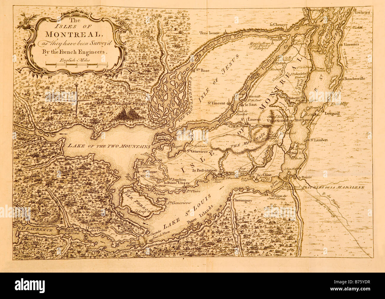 A map printed in London England circa 1761 showing Montreal and the surrounding areas in Canada. Stock Photohttps://www.alamy.com/image-license-details/?v=1https://www.alamy.com/stock-photo-a-map-printed-in-london-england-circa-1761-showing-montreal-and-the-21644275.html
RMB75YDR–A map printed in London England circa 1761 showing Montreal and the surrounding areas in Canada.
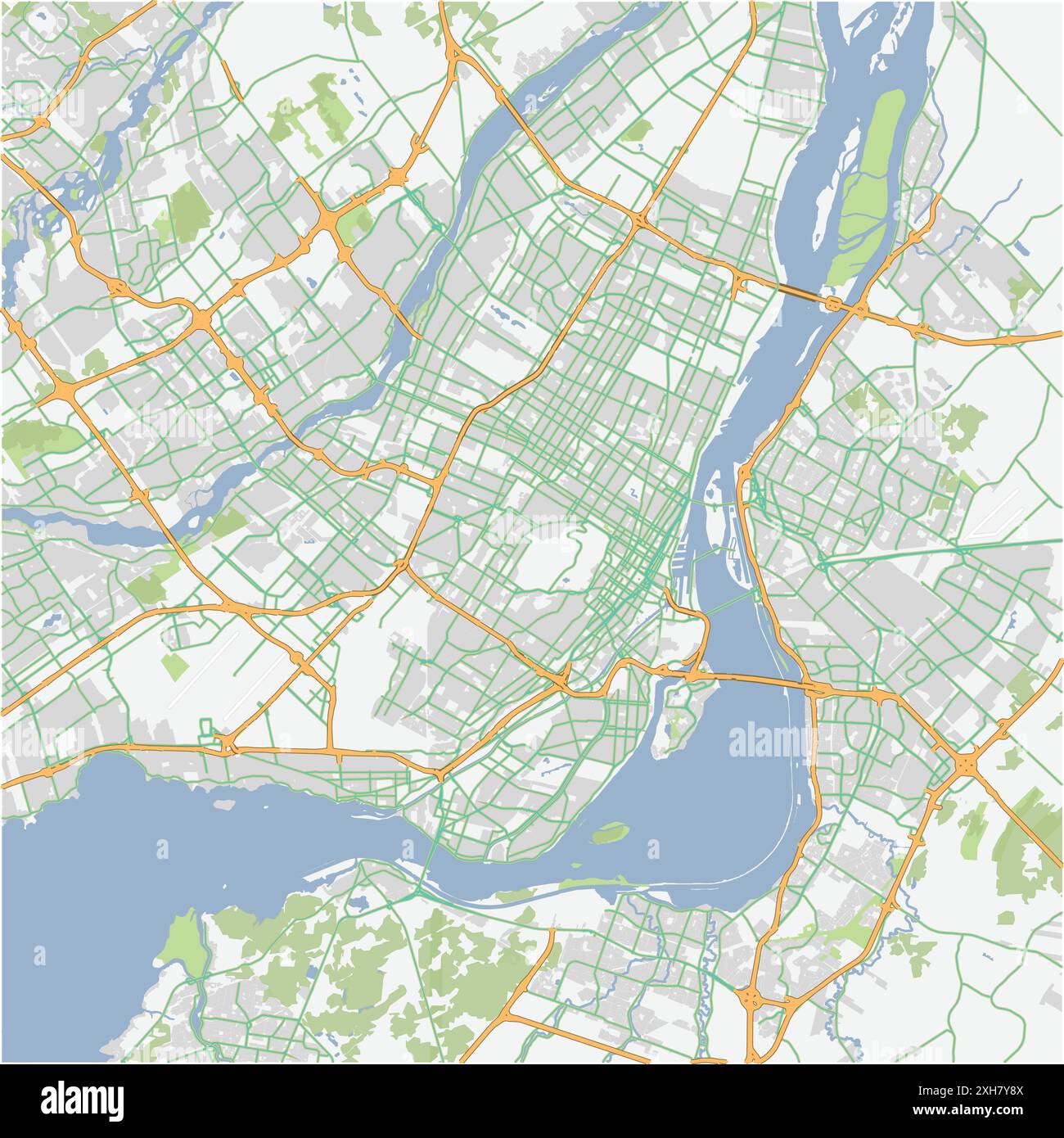 Road map of Montreal in Canada. Contains layered vector with roads water, parks, etc. Stock Vectorhttps://www.alamy.com/image-license-details/?v=1https://www.alamy.com/road-map-of-montreal-in-canada-contains-layered-vector-with-roads-water-parks-etc-image612987114.html
RF2XH7Y8X–Road map of Montreal in Canada. Contains layered vector with roads water, parks, etc.
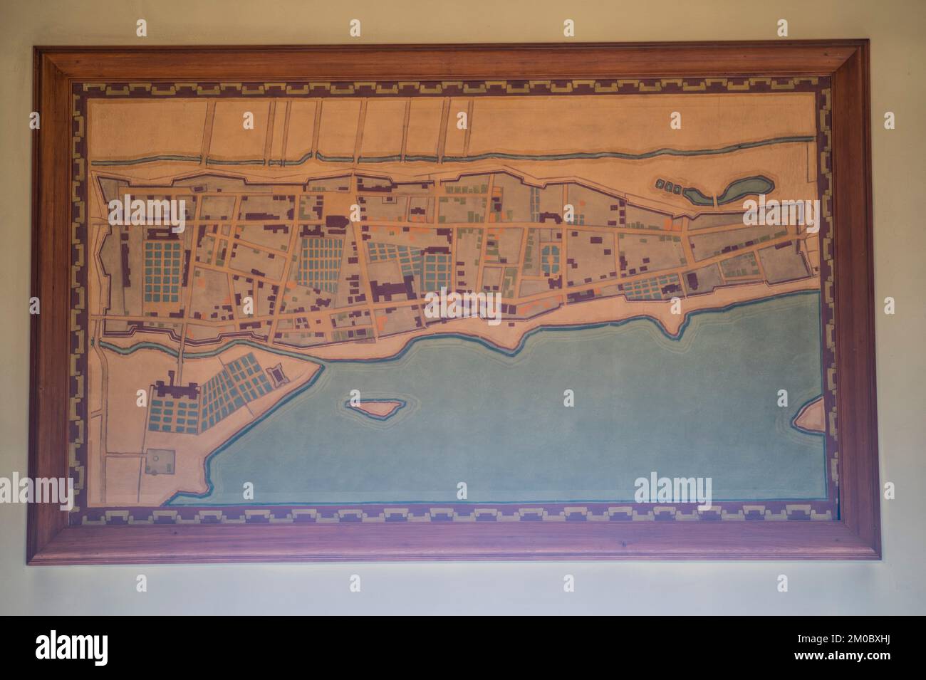 Map of Montreal from 1645 to 1672 in the Chalet du Mont-Royal in Montreal, Quebec, Canada Stock Photohttps://www.alamy.com/image-license-details/?v=1https://www.alamy.com/map-of-montreal-from-1645-to-1672-in-the-chalet-du-mont-royal-in-montreal-quebec-canada-image499363022.html
RF2M0BXHJ–Map of Montreal from 1645 to 1672 in the Chalet du Mont-Royal in Montreal, Quebec, Canada
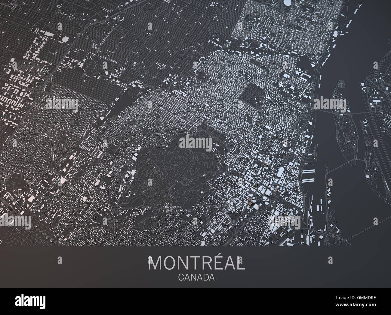 Map of Montreal, satellite view, city, Quebec, Canada. 3d rendering Stock Photohttps://www.alamy.com/image-license-details/?v=1https://www.alamy.com/stock-photo-map-of-montreal-satellite-view-city-quebec-canada-3d-rendering-116005218.html
RFGMMDRE–Map of Montreal, satellite view, city, Quebec, Canada. 3d rendering
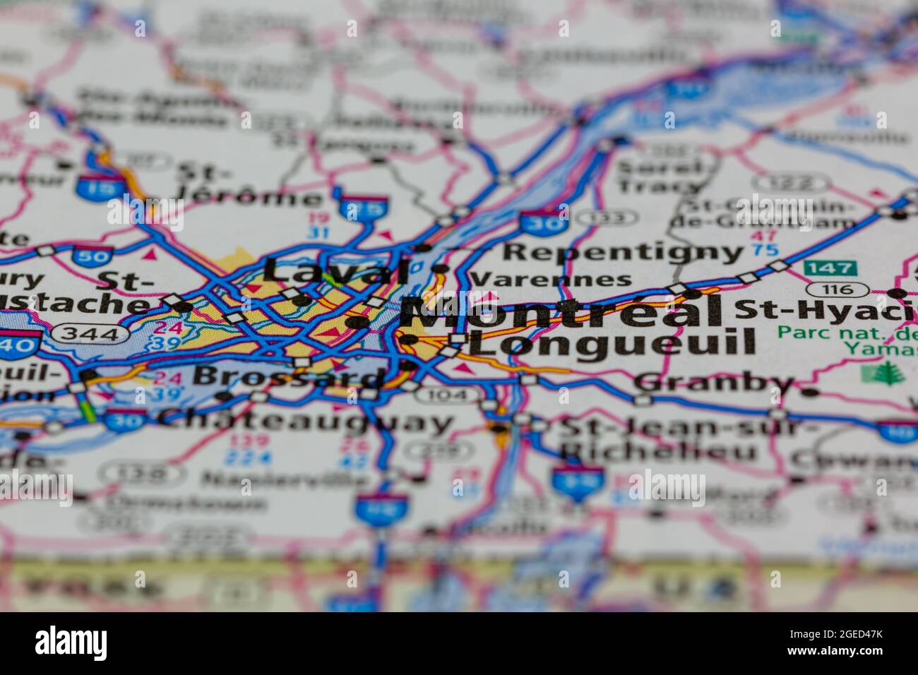 Montreal Quebec Canada shown on a road map or Geography map Stock Photohttps://www.alamy.com/image-license-details/?v=1https://www.alamy.com/montreal-quebec-canada-shown-on-a-road-map-or-geography-map-image439153111.html
RM2GED47K–Montreal Quebec Canada shown on a road map or Geography map
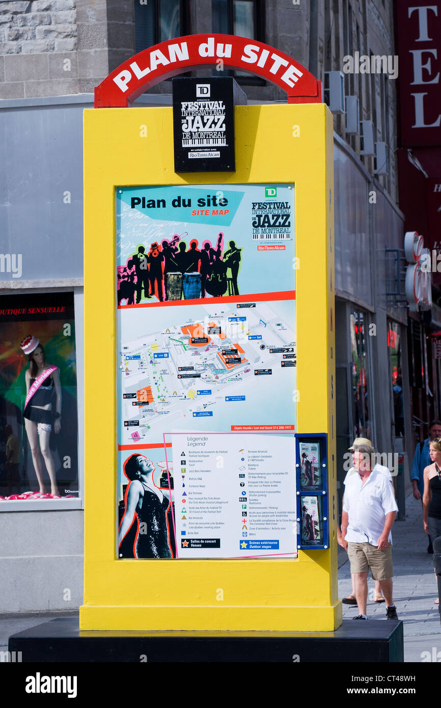 Site map for the Montreal Jazz festival. Stock Photohttps://www.alamy.com/image-license-details/?v=1https://www.alamy.com/stock-photo-site-map-for-the-montreal-jazz-festival-49267277.html
RMCT48WH–Site map for the Montreal Jazz festival.
 Map of Montreal city on phone screen close-up top view with copy space Stock Photohttps://www.alamy.com/image-license-details/?v=1https://www.alamy.com/map-of-montreal-city-on-phone-screen-close-up-top-view-with-copy-space-image339675975.html
RF2AMHG4R–Map of Montreal city on phone screen close-up top view with copy space
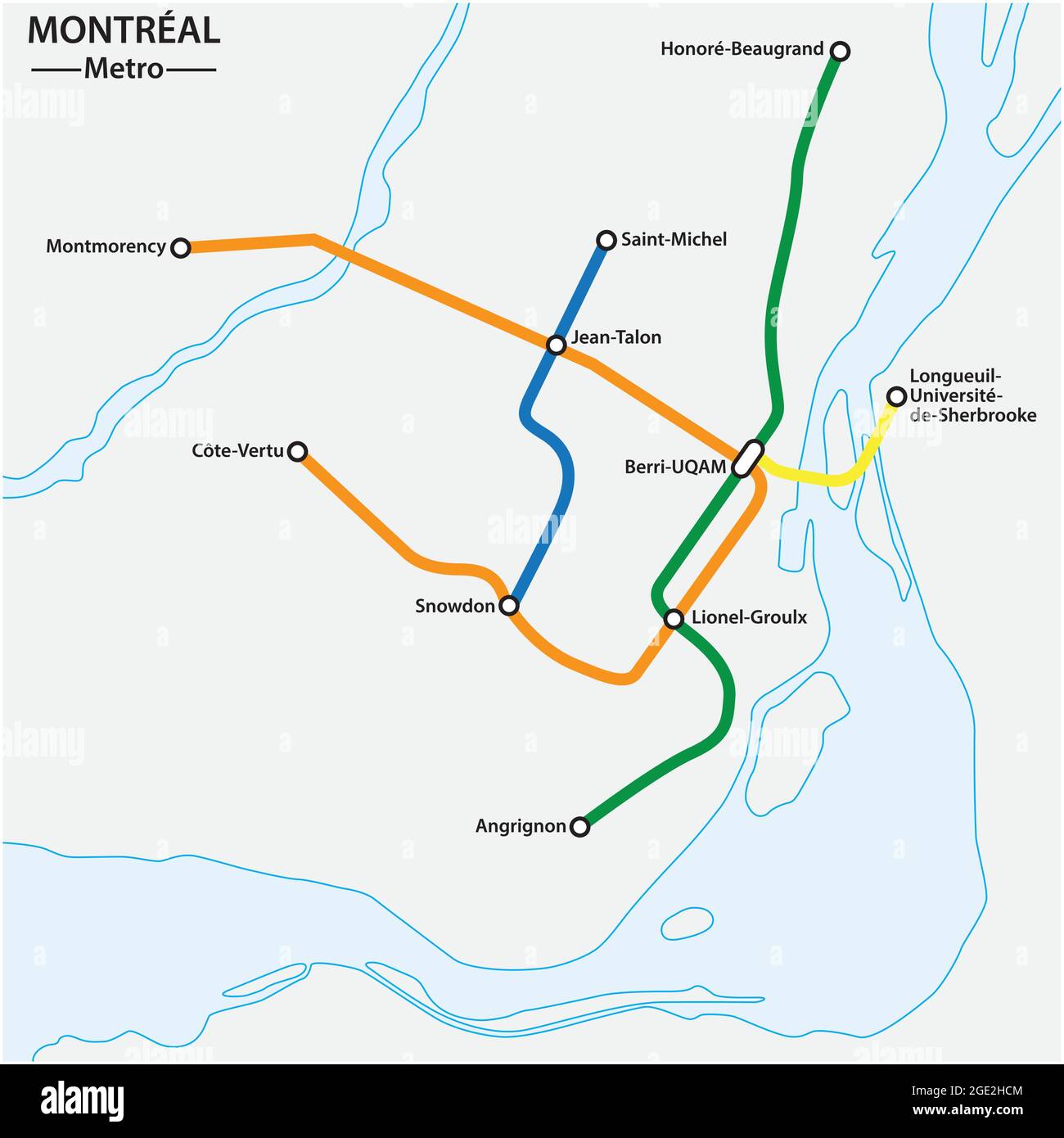 abstract metro map of the Canadian city of Montreal Stock Vectorhttps://www.alamy.com/image-license-details/?v=1https://www.alamy.com/abstract-metro-map-of-the-canadian-city-of-montreal-image438921972.html
RF2GE2HCM–abstract metro map of the Canadian city of Montreal
 Tourist looking at Montreal map on Sherbrooke street montreal Stock Photohttps://www.alamy.com/image-license-details/?v=1https://www.alamy.com/stock-photo-tourist-looking-at-montreal-map-on-sherbrooke-street-montreal-20493754.html
RMB59FYP–Tourist looking at Montreal map on Sherbrooke street montreal
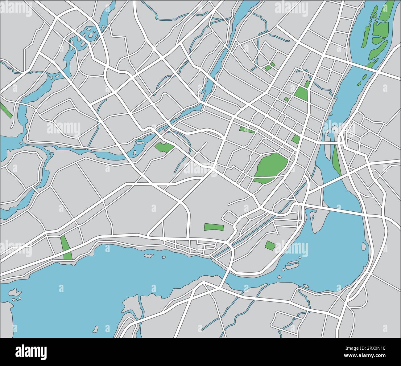 Layered vector illustration map of Montreal. Stock Vectorhttps://www.alamy.com/image-license-details/?v=1https://www.alamy.com/layered-vector-illustration-map-of-montreal-image566729338.html
RF2RX0N1E–Layered vector illustration map of Montreal.
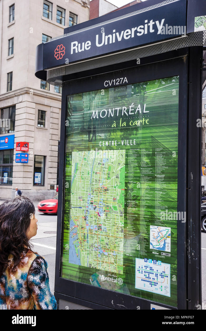 Montreal Canada,Quebec Province,Rue University,campus,Asian woman,street map,information kiosk,Canada070704117 Stock Photohttps://www.alamy.com/image-license-details/?v=1https://www.alamy.com/montreal-canadaquebec-provincerue-universitycampusasian-womanstreet-mapinformation-kioskcanada070704117-image186055415.html
RMMPKFG7–Montreal Canada,Quebec Province,Rue University,campus,Asian woman,street map,information kiosk,Canada070704117
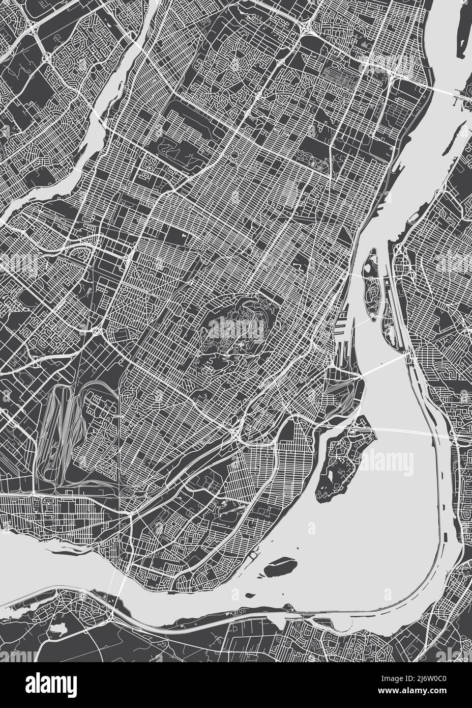 City map Montreal, monochrome detailed plan, vector illustration Stock Vectorhttps://www.alamy.com/image-license-details/?v=1https://www.alamy.com/city-map-montreal-monochrome-detailed-plan-vector-illustration-image468917008.html
RF2J6W0C0–City map Montreal, monochrome detailed plan, vector illustration
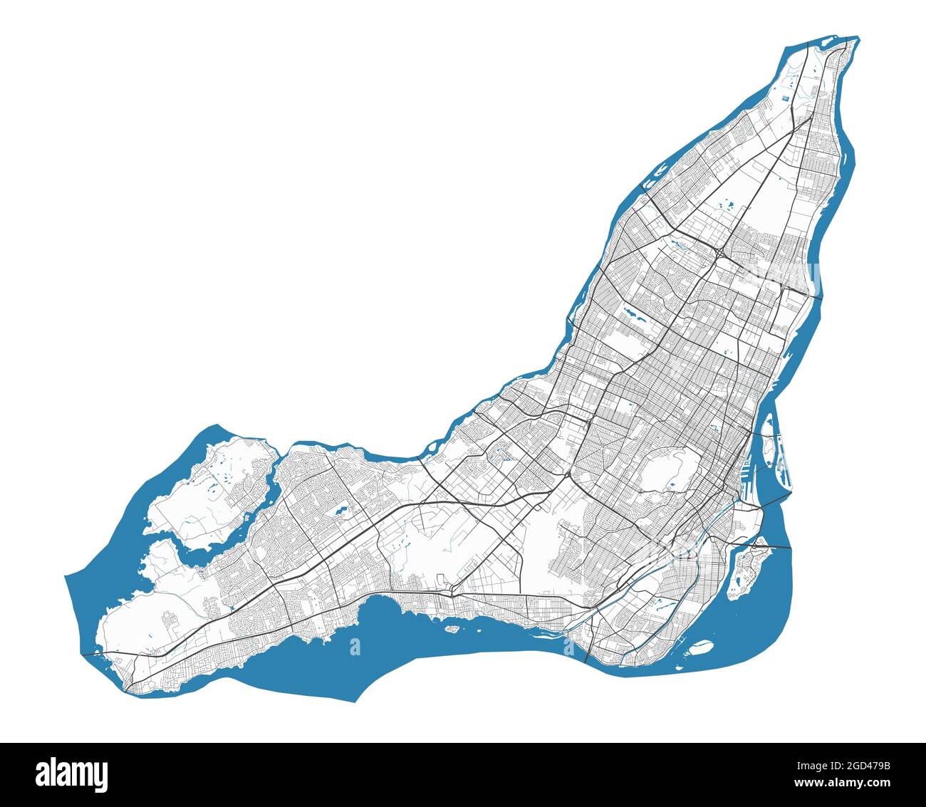 Montreal map. Detailed map of Montreal city administrative area. Cityscape panorama. Royalty free vector illustration. Outline map with highways, stre Stock Vectorhttps://www.alamy.com/image-license-details/?v=1https://www.alamy.com/montreal-map-detailed-map-of-montreal-city-administrative-area-cityscape-panorama-royalty-free-vector-illustration-outline-map-with-highways-stre-image438343287.html
RF2GD479B–Montreal map. Detailed map of Montreal city administrative area. Cityscape panorama. Royalty free vector illustration. Outline map with highways, stre
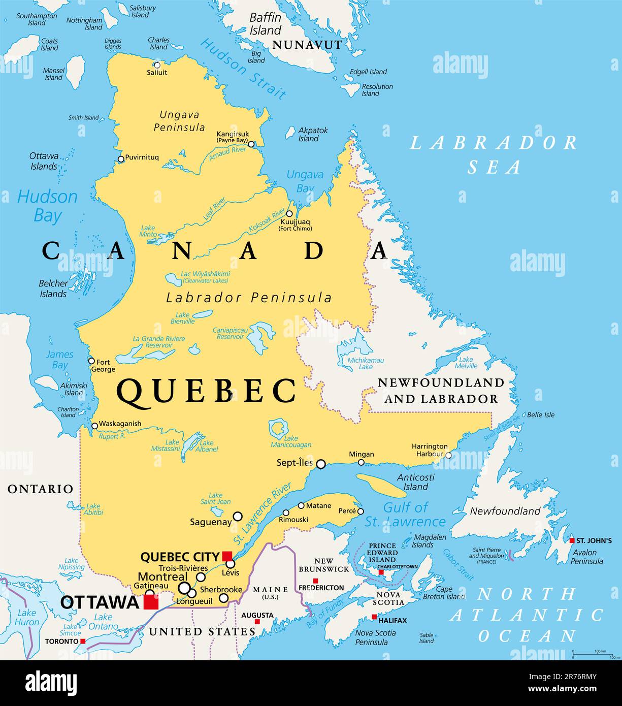 Quebec, largest province in the eastern part of Canada, political map. Largest province, located in Central Canada, with capital Quebec City. Stock Photohttps://www.alamy.com/image-license-details/?v=1https://www.alamy.com/quebec-largest-province-in-the-eastern-part-of-canada-political-map-largest-province-located-in-central-canada-with-capital-quebec-city-image555184699.html
RF2R76RMY–Quebec, largest province in the eastern part of Canada, political map. Largest province, located in Central Canada, with capital Quebec City.
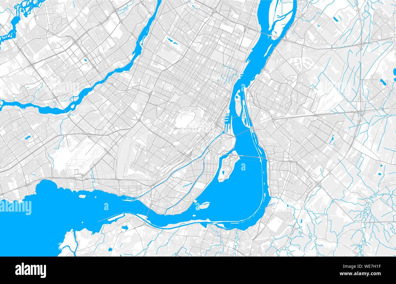 Rich detailed vector area map of Montreal, Quebec, Canada. Map template for home decor. Stock Vectorhttps://www.alamy.com/image-license-details/?v=1https://www.alamy.com/rich-detailed-vector-area-map-of-montreal-quebec-canada-map-template-for-home-decor-image266927739.html
RFWE7H1F–Rich detailed vector area map of Montreal, Quebec, Canada. Map template for home decor.
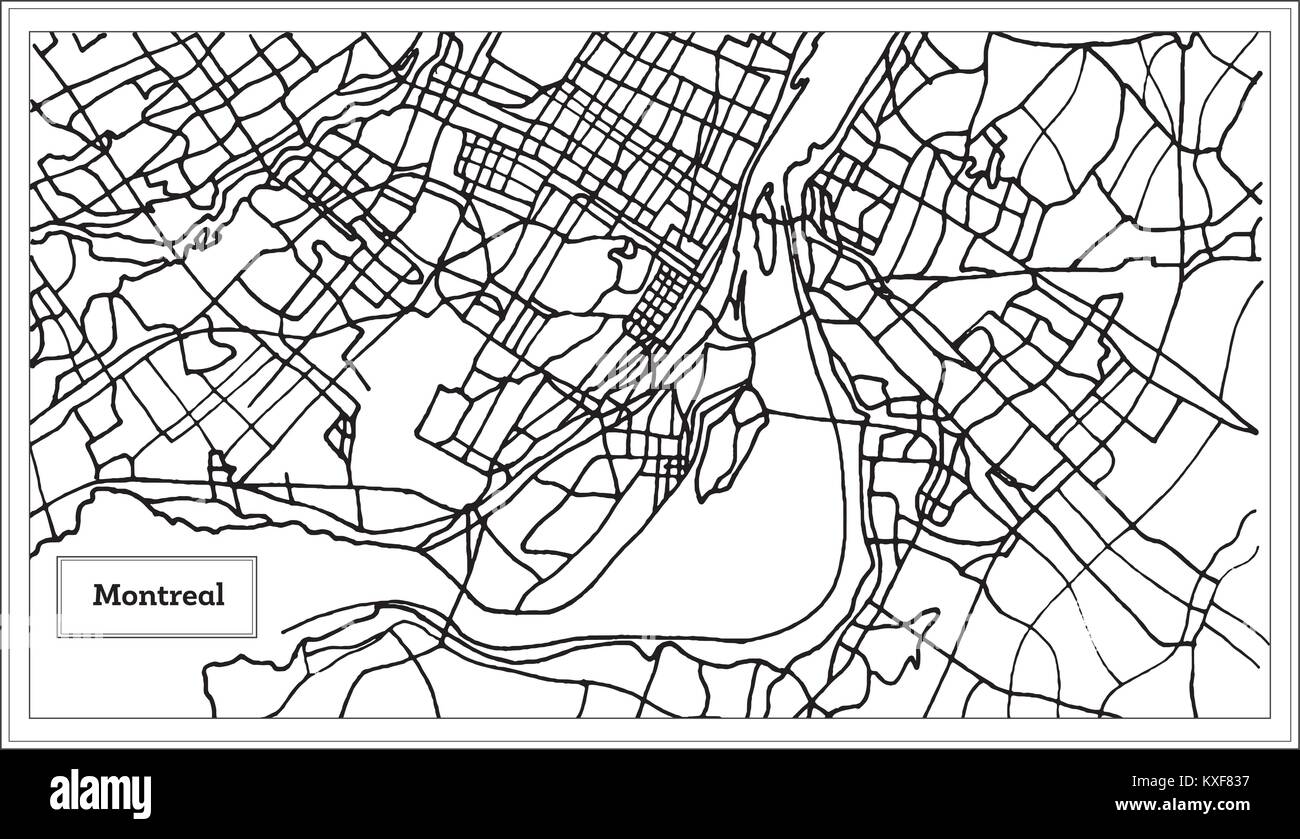 Montreal Canada City Map in Black and White Color. Vector Illustration. Outline Map. Stock Vectorhttps://www.alamy.com/image-license-details/?v=1https://www.alamy.com/stock-photo-montreal-canada-city-map-in-black-and-white-color-vector-illustration-171210011.html
RFKXF837–Montreal Canada City Map in Black and White Color. Vector Illustration. Outline Map.
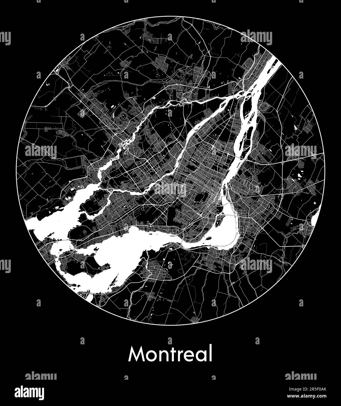 City Map Montreal Canada North America vector illustration Stock Vectorhttps://www.alamy.com/image-license-details/?v=1https://www.alamy.com/city-map-montreal-canada-north-america-vector-illustration-image554134635.html
RF2R5F0AK–City Map Montreal Canada North America vector illustration
 Senior tourist couple consulting a map while sitting on a bench in Old Town, Montreal, QC, Canada Stock Photohttps://www.alamy.com/image-license-details/?v=1https://www.alamy.com/senior-tourist-couple-consulting-a-map-while-sitting-on-a-bench-in-old-town-montreal-qc-canada-image220151854.html
RMPP4NX6–Senior tourist couple consulting a map while sitting on a bench in Old Town, Montreal, QC, Canada
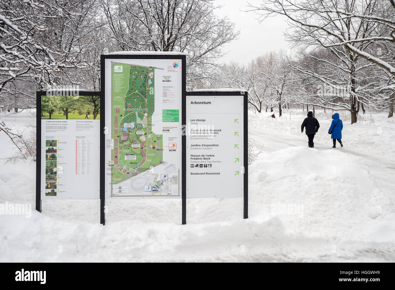 Montreal, CA - 4 January 2017: Snowy landscape and map of the Botanical Garden Stock Photohttps://www.alamy.com/image-license-details/?v=1https://www.alamy.com/stock-photo-montreal-ca-4-january-2017-snowy-landscape-and-map-of-the-botanical-130678389.html
RMHGGWH9–Montreal, CA - 4 January 2017: Snowy landscape and map of the Botanical Garden
 A map of Montreal's Quartier des Spectacles (entertainment district) painted on anaircon unit Stock Photohttps://www.alamy.com/image-license-details/?v=1https://www.alamy.com/a-map-of-montreals-quartier-des-spectacles-entertainment-district-painted-on-anaircon-unit-image184130452.html
RMMKFT7G–A map of Montreal's Quartier des Spectacles (entertainment district) painted on anaircon unit
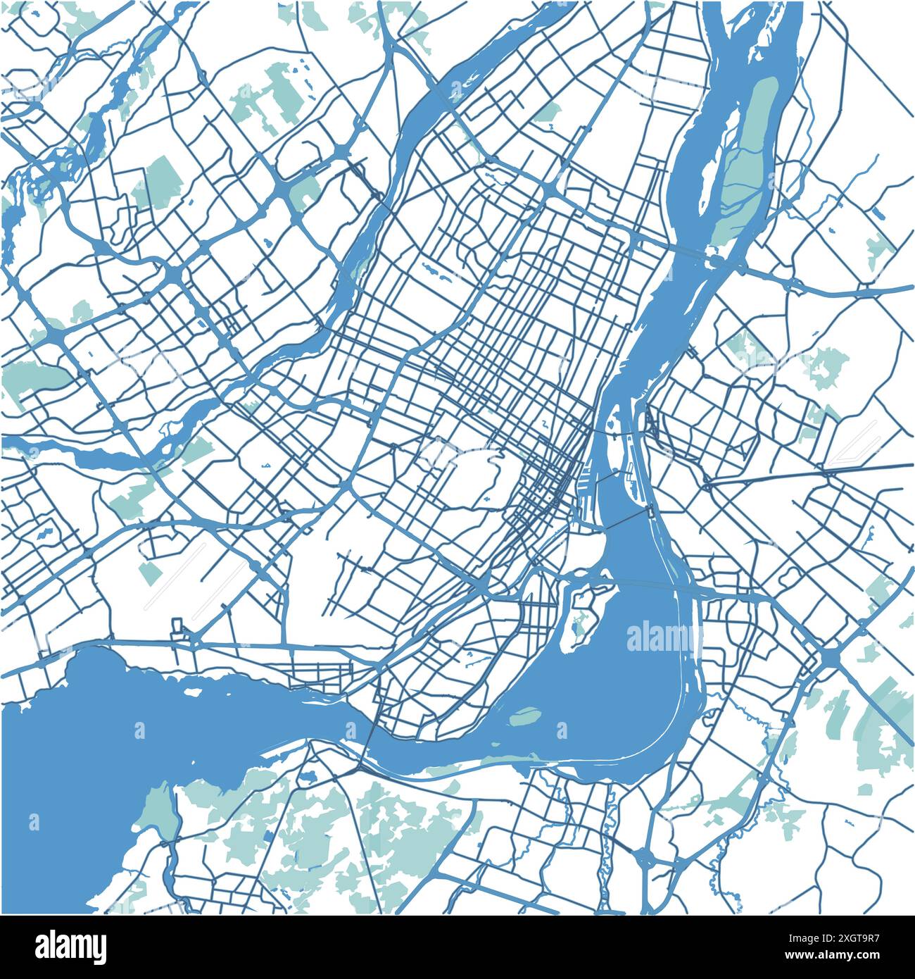 Map of Montreal in Canada in blue. Contains layered vector with roads water, parks, etc. Stock Vectorhttps://www.alamy.com/image-license-details/?v=1https://www.alamy.com/map-of-montreal-in-canada-in-blue-contains-layered-vector-with-roads-water-parks-etc-image612731931.html
RF2XGT9R7–Map of Montreal in Canada in blue. Contains layered vector with roads water, parks, etc.
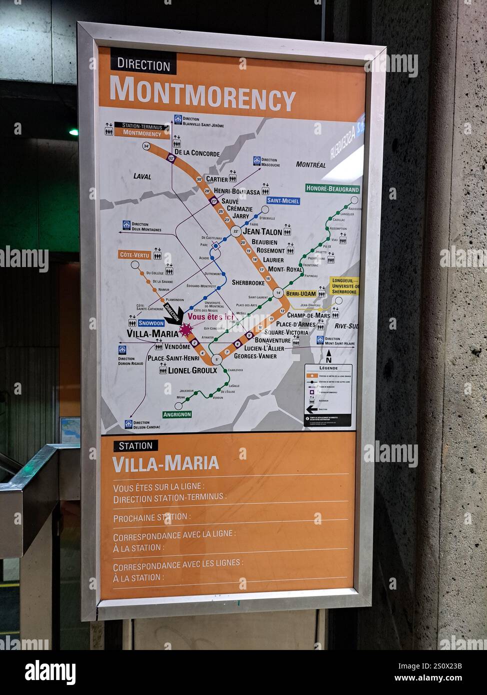 Map of the orange line at Villa-Maria Metro Station in Montreal, Quebec, Canada Stock Photohttps://www.alamy.com/image-license-details/?v=1https://www.alamy.com/map-of-the-orange-line-at-villa-maria-metro-station-in-montreal-quebec-canada-image637356031.html
RF2S0X23B–Map of the orange line at Villa-Maria Metro Station in Montreal, Quebec, Canada
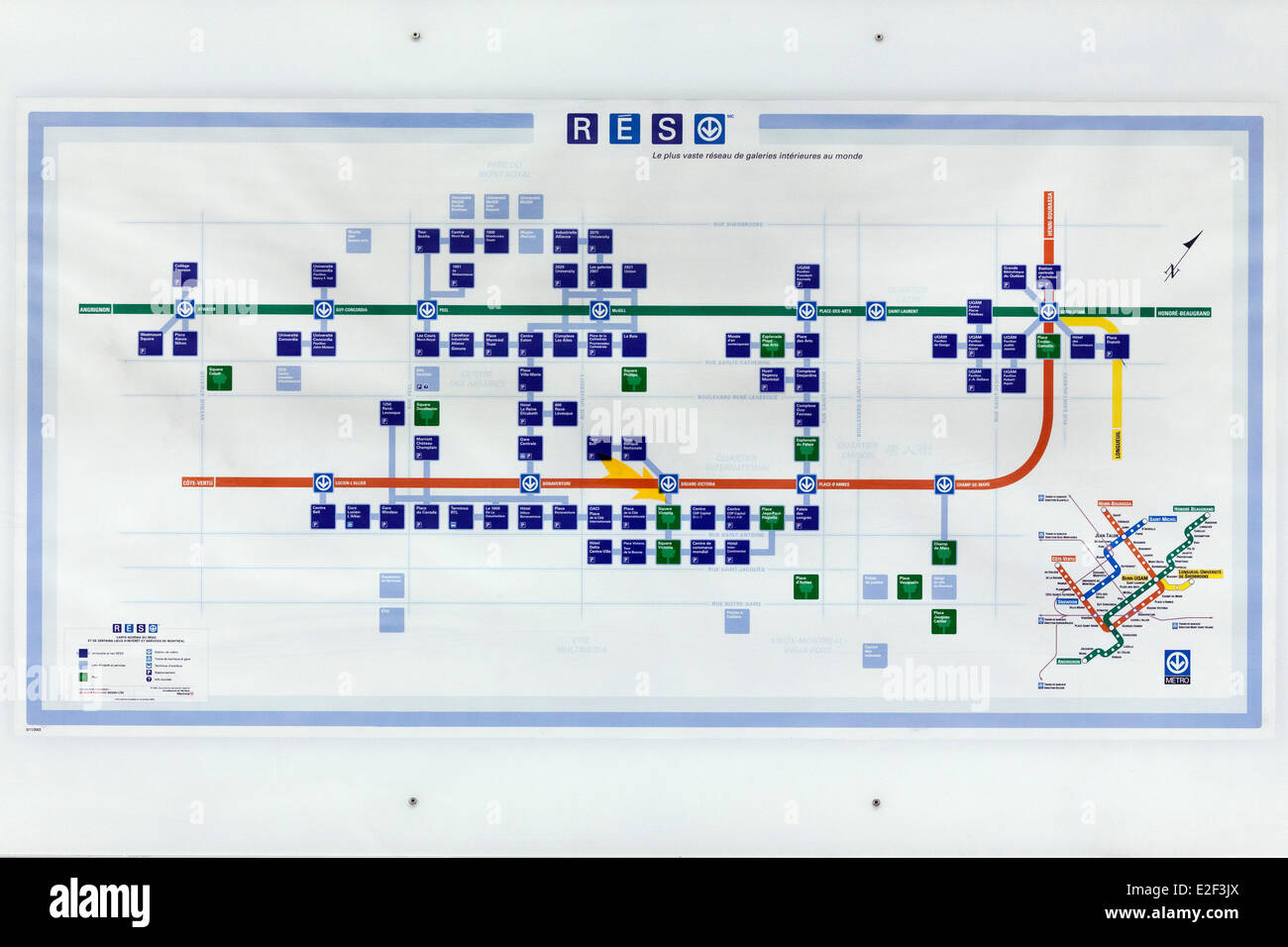 Canada, Quebec province, Montreal, the Underground City, the network map Stock Photohttps://www.alamy.com/image-license-details/?v=1https://www.alamy.com/stock-photo-canada-quebec-province-montreal-the-underground-city-the-network-map-70402946.html
RME2F3JX–Canada, Quebec province, Montreal, the Underground City, the network map
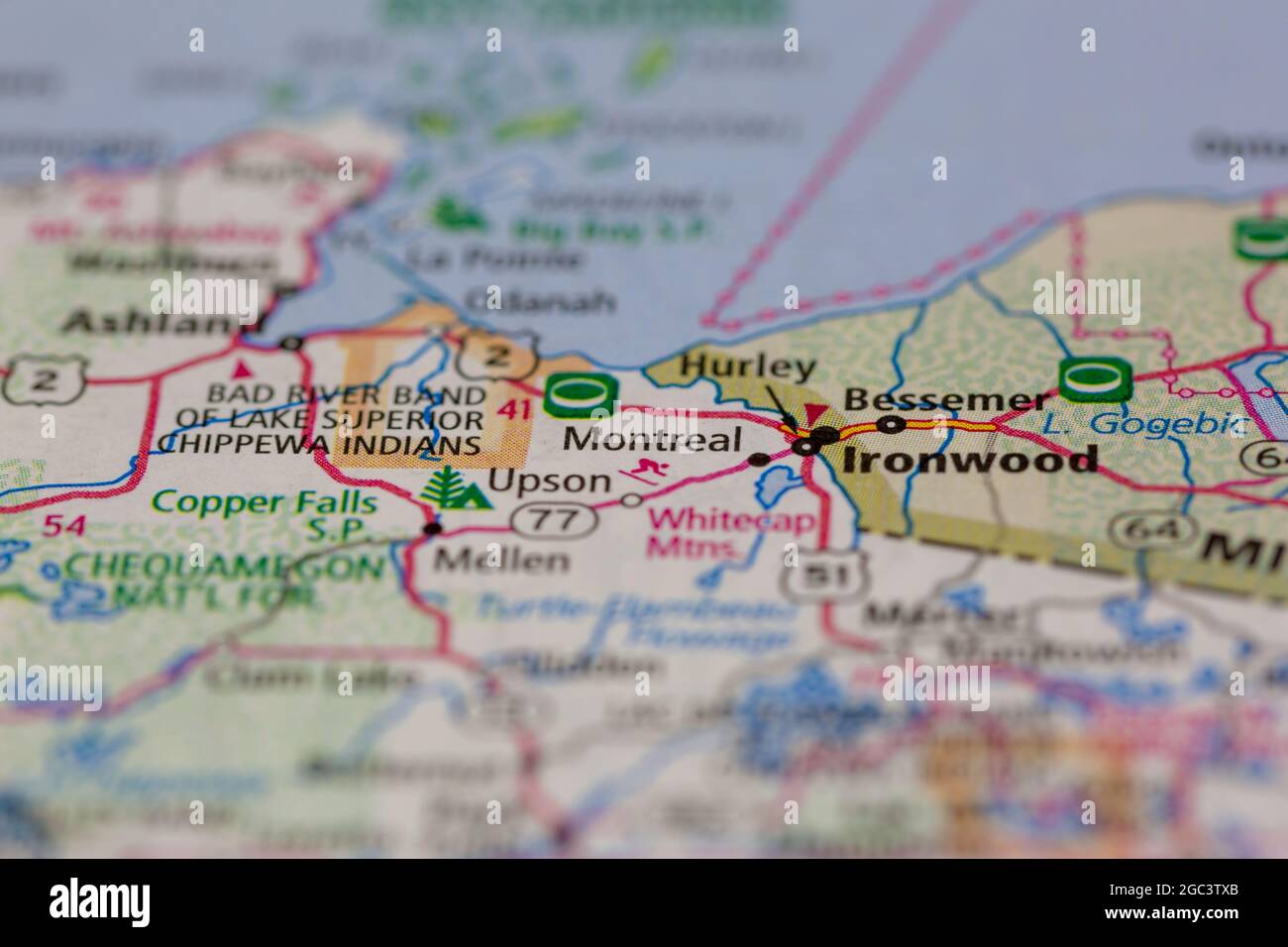 Montreal Wisconsin USA shown on a road map or Geography map Stock Photohttps://www.alamy.com/image-license-details/?v=1https://www.alamy.com/montreal-wisconsin-usa-shown-on-a-road-map-or-geography-map-image437720483.html
RM2GC3TXB–Montreal Wisconsin USA shown on a road map or Geography map
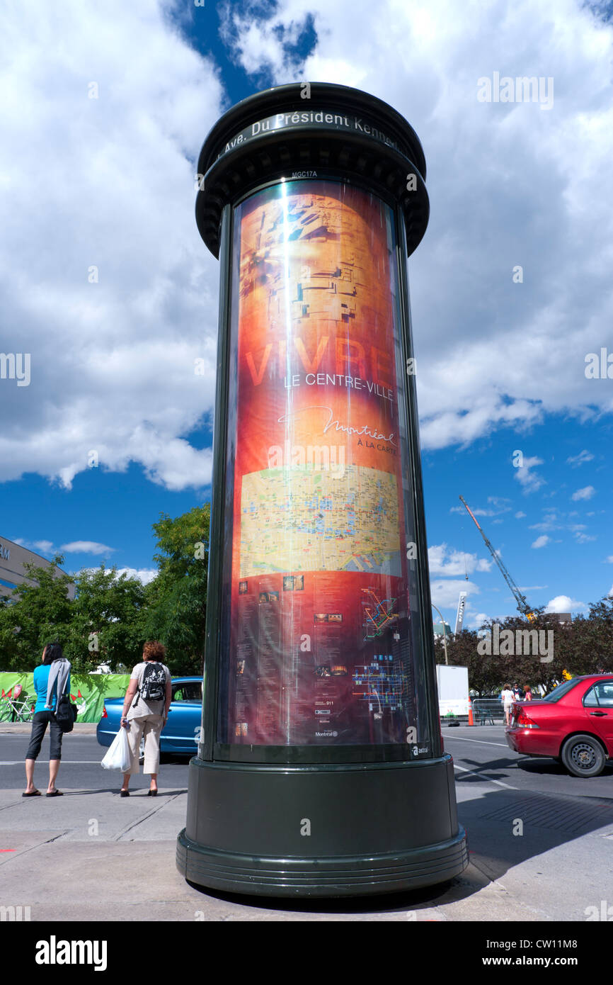 Map of downtown Montreal on a Morris column. Stock Photohttps://www.alamy.com/image-license-details/?v=1https://www.alamy.com/stock-photo-map-of-downtown-montreal-on-a-morris-column-49810440.html
RMCW11M8–Map of downtown Montreal on a Morris column.
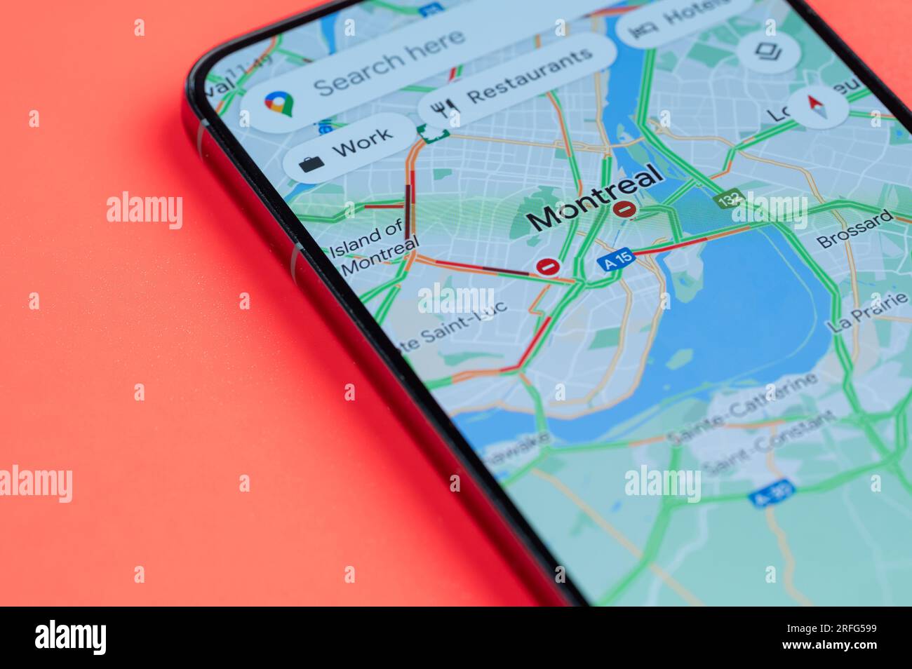 New York, USA - July 21, 2023: Car traffic on Montreal google maps on smartphone screen close up view with red background Stock Photohttps://www.alamy.com/image-license-details/?v=1https://www.alamy.com/new-york-usa-july-21-2023-car-traffic-on-montreal-google-maps-on-smartphone-screen-close-up-view-with-red-background-image560307029.html
RF2RFG599–New York, USA - July 21, 2023: Car traffic on Montreal google maps on smartphone screen close up view with red background
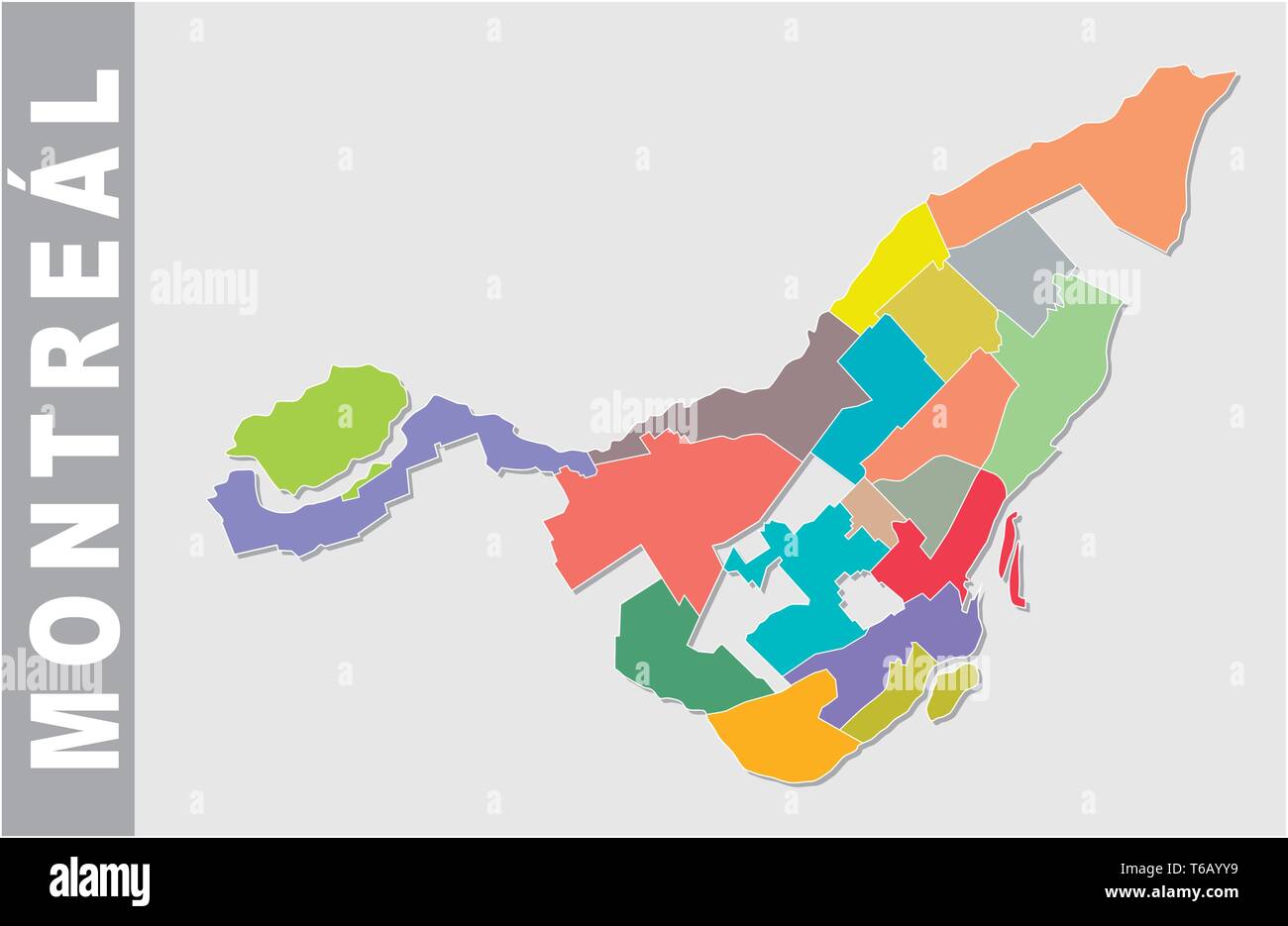 Colorful Montreal administrative and political map Stock Vectorhttps://www.alamy.com/image-license-details/?v=1https://www.alamy.com/colorful-montreal-administrative-and-political-map-image244874541.html
RFT6AYY9–Colorful Montreal administrative and political map
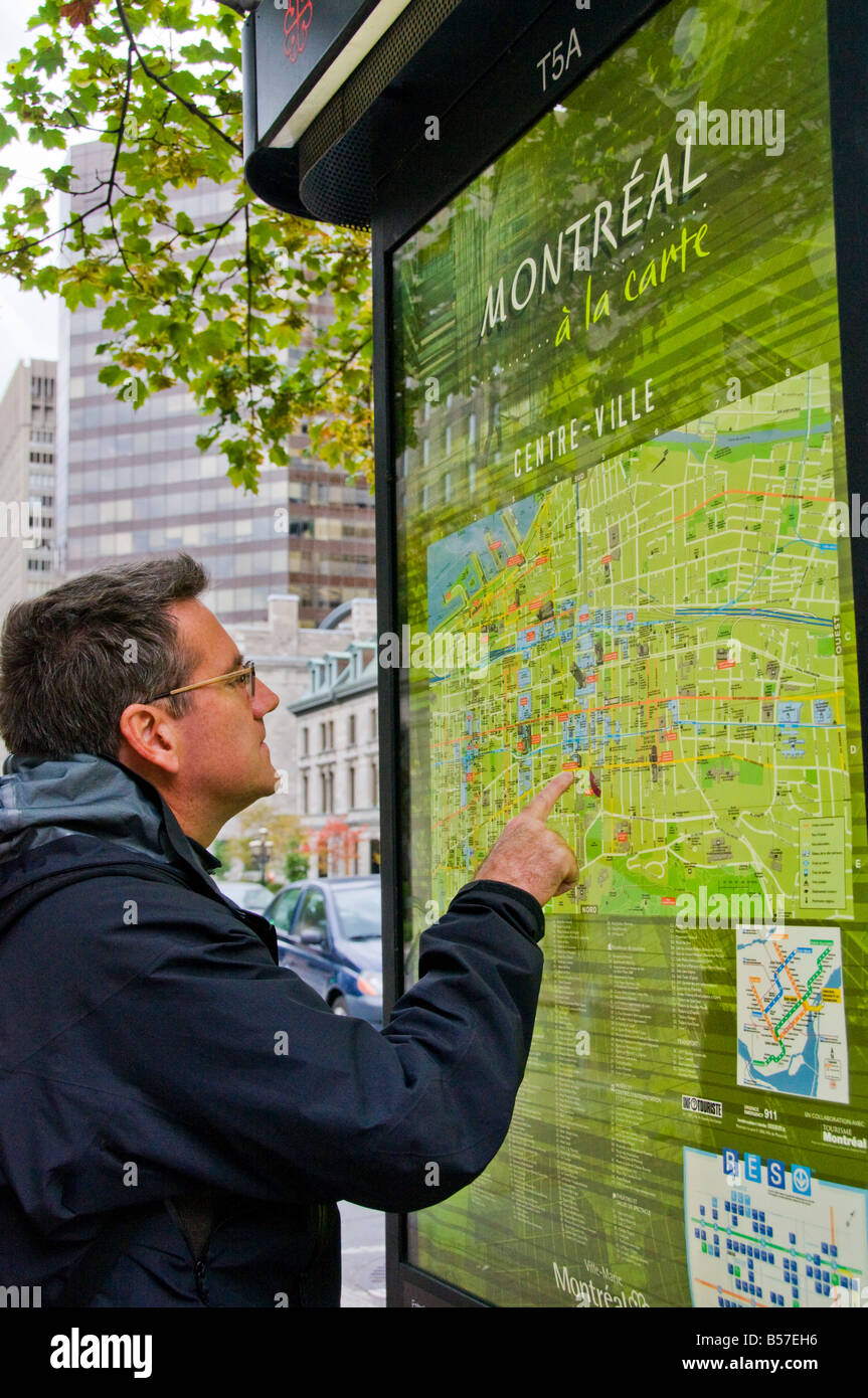 Visitor looking at Montreal street map Stock Photohttps://www.alamy.com/image-license-details/?v=1https://www.alamy.com/stock-photo-visitor-looking-at-montreal-street-map-20448770.html
RMB57EH6–Visitor looking at Montreal street map
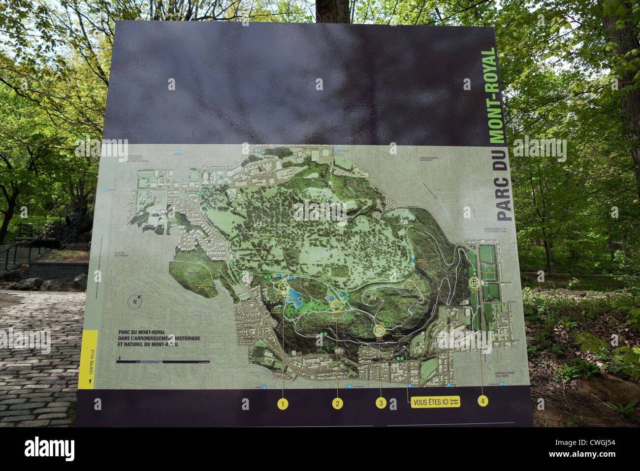 An information panel with a map of the park at Parc du Mont Royal in Montreal Quebec Canada KATHY DEWITT Stock Photohttps://www.alamy.com/image-license-details/?v=1https://www.alamy.com/stock-photo-an-information-panel-with-a-map-of-the-park-at-parc-du-mont-royal-50152624.html
RMCWGJ54–An information panel with a map of the park at Parc du Mont Royal in Montreal Quebec Canada KATHY DEWITT
 Montreal Canada,Quebec Province,Montreal Canada,Quebec Province,Boulevard Rene Levesque,smiling women,street map,planning,Canada070708013 Stock Photohttps://www.alamy.com/image-license-details/?v=1https://www.alamy.com/montreal-canadaquebec-provincemontreal-canadaquebec-provinceboulevard-rene-levesquesmiling-womenstreet-mapplanningcanada070708013-image186063831.html
RMMPKX8R–Montreal Canada,Quebec Province,Montreal Canada,Quebec Province,Boulevard Rene Levesque,smiling women,street map,planning,Canada070708013
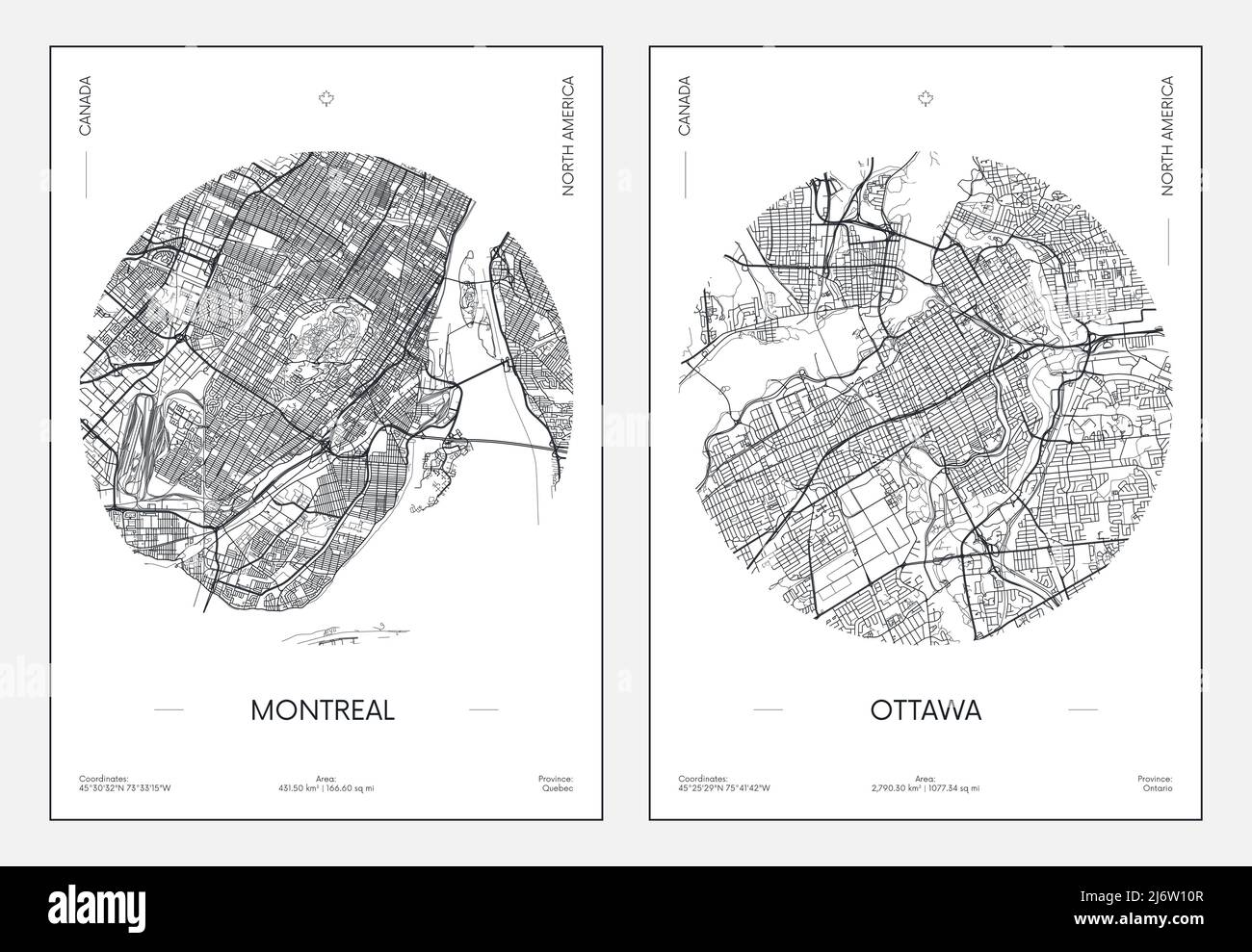 Travel poster, urban street plan city map Montreal and Ottawa, vector illustration Stock Vectorhttps://www.alamy.com/image-license-details/?v=1https://www.alamy.com/travel-poster-urban-street-plan-city-map-montreal-and-ottawa-vector-illustration-image468917479.html
RF2J6W10R–Travel poster, urban street plan city map Montreal and Ottawa, vector illustration
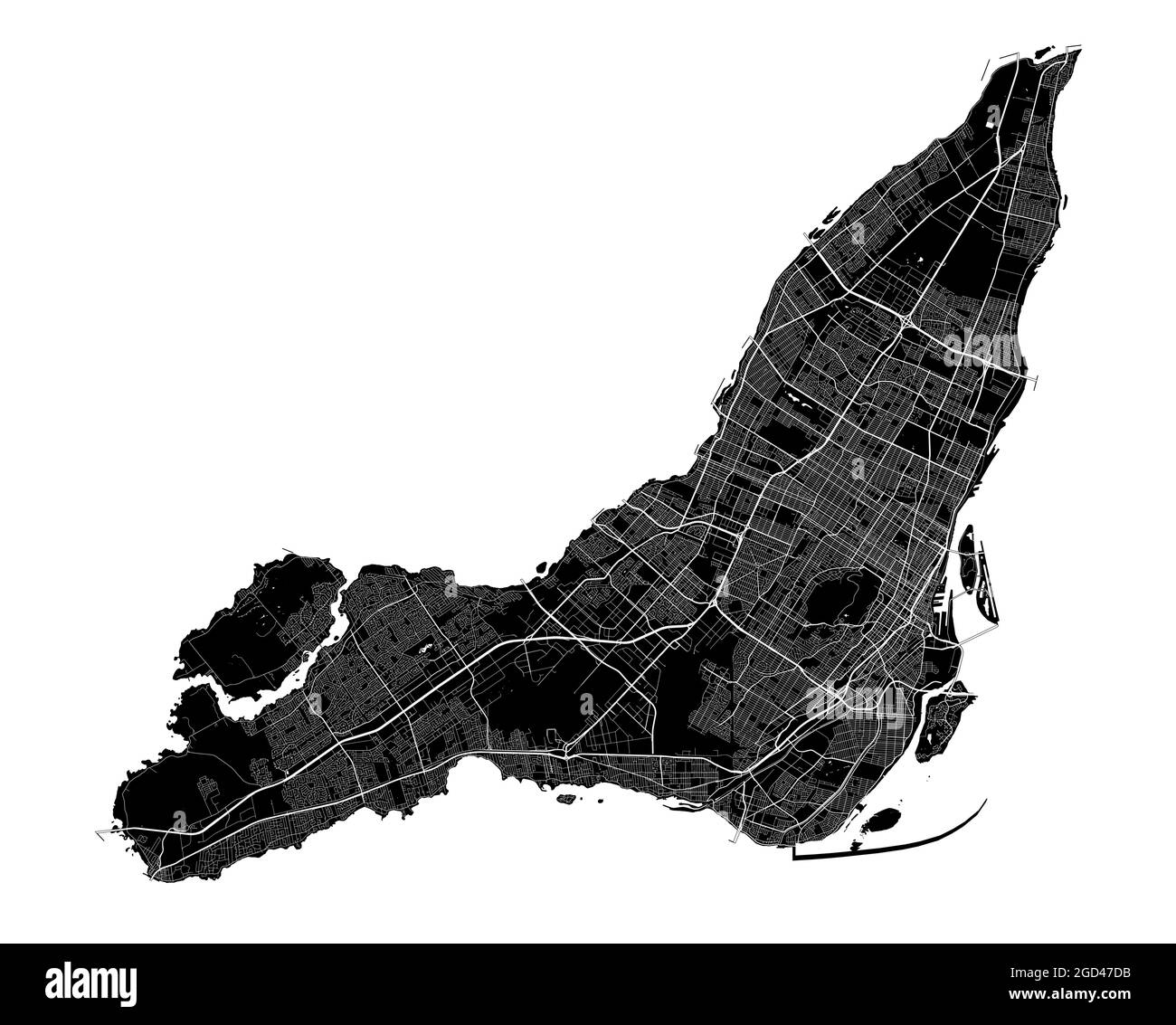 Montreal map. Detailed vector map of Montreal city administrative area. Cityscape poster metropolitan aria view. Black land with white streets, roads Stock Vectorhttps://www.alamy.com/image-license-details/?v=1https://www.alamy.com/montreal-map-detailed-vector-map-of-montreal-city-administrative-area-cityscape-poster-metropolitan-aria-view-black-land-with-white-streets-roads-image438343399.html
RF2GD47DB–Montreal map. Detailed vector map of Montreal city administrative area. Cityscape poster metropolitan aria view. Black land with white streets, roads
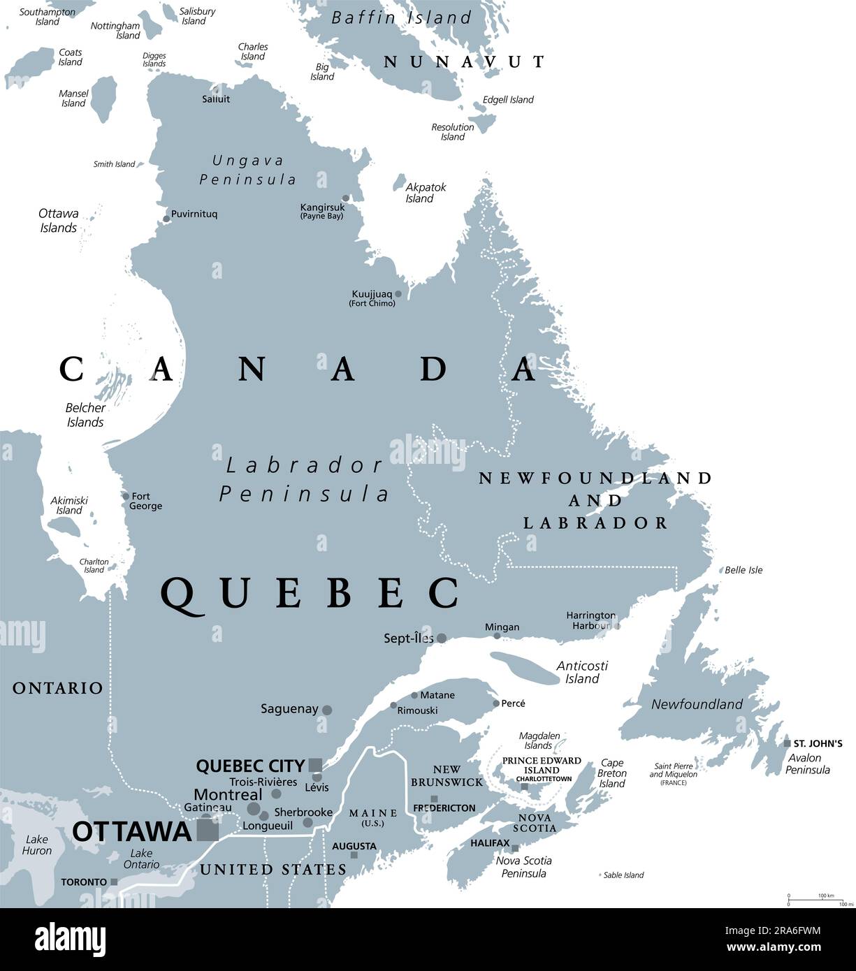 Quebec, largest province in the eastern part of Canada, gray political map. Largest province, located in Central Canada, with capital Quebec City. Stock Photohttps://www.alamy.com/image-license-details/?v=1https://www.alamy.com/quebec-largest-province-in-the-eastern-part-of-canada-gray-political-map-largest-province-located-in-central-canada-with-capital-quebec-city-image557022528.html
RF2RA6FWM–Quebec, largest province in the eastern part of Canada, gray political map. Largest province, located in Central Canada, with capital Quebec City.
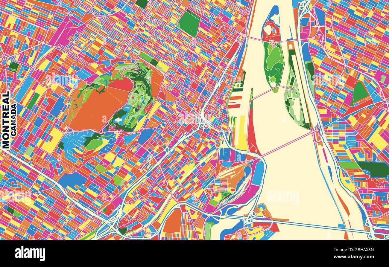 Colorful vector map of Montreal, Quebec, Canada. Art Map template for selfprinting wall art in landscape format. Stock Vectorhttps://www.alamy.com/image-license-details/?v=1https://www.alamy.com/colorful-vector-map-of-montreal-quebec-canada-art-map-template-for-selfprinting-wall-art-in-landscape-format-image354896661.html
RF2BHAX8N–Colorful vector map of Montreal, Quebec, Canada. Art Map template for selfprinting wall art in landscape format.
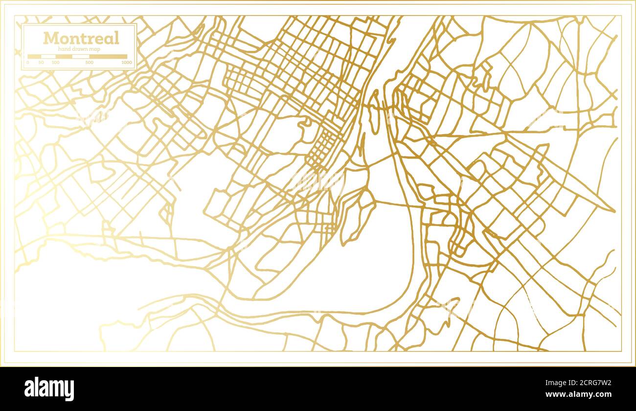 Montreal Canada City Map in Retro Style in Golden Color. Outline Map. Vector Illustration. Stock Vectorhttps://www.alamy.com/image-license-details/?v=1https://www.alamy.com/montreal-canada-city-map-in-retro-style-in-golden-color-outline-map-vector-illustration-image375912238.html
RF2CRG7W2–Montreal Canada City Map in Retro Style in Golden Color. Outline Map. Vector Illustration.
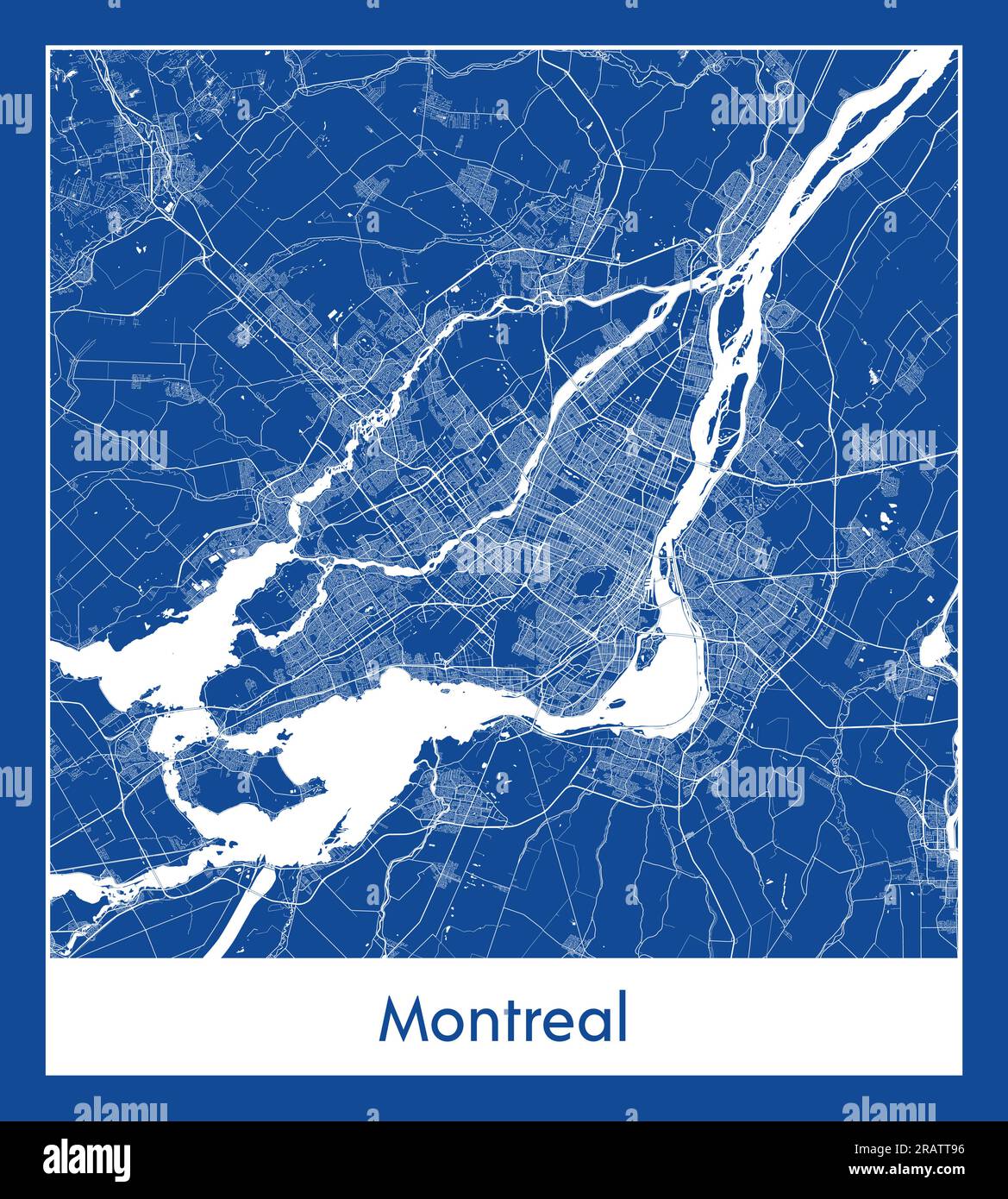 Montreal Canada North America City map blue print vector illustration Stock Vectorhttps://www.alamy.com/image-license-details/?v=1https://www.alamy.com/montreal-canada-north-america-city-map-blue-print-vector-illustration-image557424258.html
RF2RATT96–Montreal Canada North America City map blue print vector illustration
 Senior tourist couple consulting a map while sitting on a bench in Old Town, Montreal, QC, Canada Stock Photohttps://www.alamy.com/image-license-details/?v=1https://www.alamy.com/senior-tourist-couple-consulting-a-map-while-sitting-on-a-bench-in-old-town-montreal-qc-canada-image220151859.html
RMPP4NXB–Senior tourist couple consulting a map while sitting on a bench in Old Town, Montreal, QC, Canada
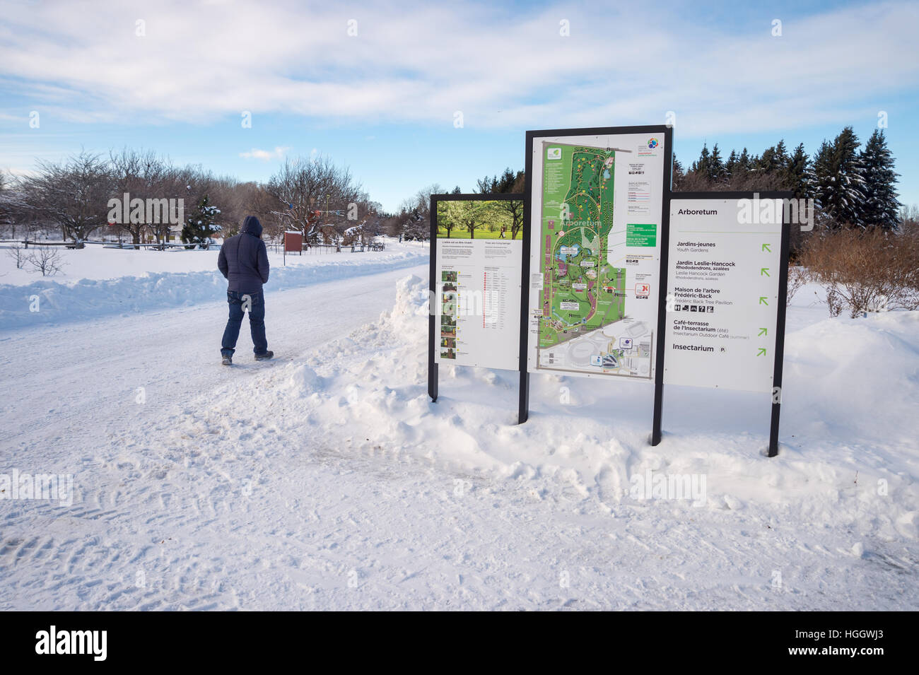 Montreal, CA - 5 January 2017: Snowy landscape and map of the Botanical Garden Stock Photohttps://www.alamy.com/image-license-details/?v=1https://www.alamy.com/stock-photo-montreal-ca-5-january-2017-snowy-landscape-and-map-of-the-botanical-130678411.html
RMHGGWJ3–Montreal, CA - 5 January 2017: Snowy landscape and map of the Botanical Garden
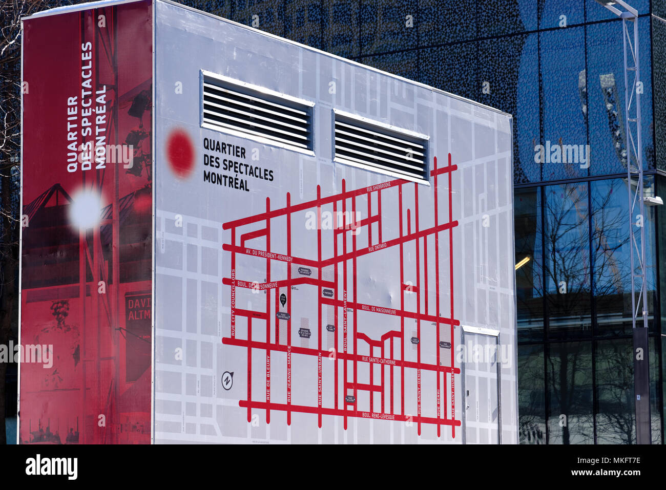 A map of Montreal's Quartier des Spectacles (entertainment district) painted on anaircon unit Stock Photohttps://www.alamy.com/image-license-details/?v=1https://www.alamy.com/a-map-of-montreals-quartier-des-spectacles-entertainment-district-painted-on-anaircon-unit-image184130450.html
RMMKFT7E–A map of Montreal's Quartier des Spectacles (entertainment district) painted on anaircon unit
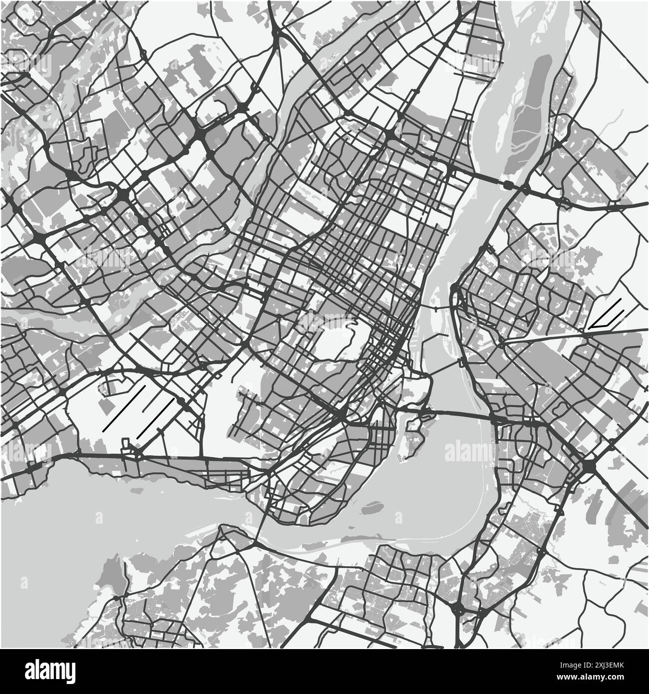 Map of Montreal in Canada in grayscale. Contains layered vector with roads water, parks, etc. Stock Vectorhttps://www.alamy.com/image-license-details/?v=1https://www.alamy.com/map-of-montreal-in-canada-in-grayscale-contains-layered-vector-with-roads-water-parks-etc-image613504099.html
RF2XJ3EMK–Map of Montreal in Canada in grayscale. Contains layered vector with roads water, parks, etc.
 Metro map inside Peel Metro station in Montreal, Quebec, Canada Stock Photohttps://www.alamy.com/image-license-details/?v=1https://www.alamy.com/metro-map-inside-peel-metro-station-in-montreal-quebec-canada-image637356014.html
RF2S0X22P–Metro map inside Peel Metro station in Montreal, Quebec, Canada
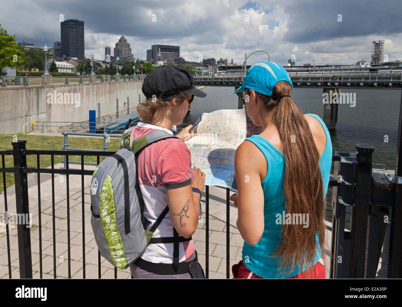 Canada, Quebec Province, Montreal, Old Montreal, Old Port, young tourists looking at a city map Stock Photohttps://www.alamy.com/image-license-details/?v=1https://www.alamy.com/stock-photo-canada-quebec-province-montreal-old-montreal-old-port-young-tourists-70292678.html
RME2A30P–Canada, Quebec Province, Montreal, Old Montreal, Old Port, young tourists looking at a city map
 Montreal Lake Saskatchewan Canada Shown on a road map or Geography map Stock Photohttps://www.alamy.com/image-license-details/?v=1https://www.alamy.com/montreal-lake-saskatchewan-canada-shown-on-a-road-map-or-geography-map-image438946982.html
RM2GE3N9X–Montreal Lake Saskatchewan Canada Shown on a road map or Geography map
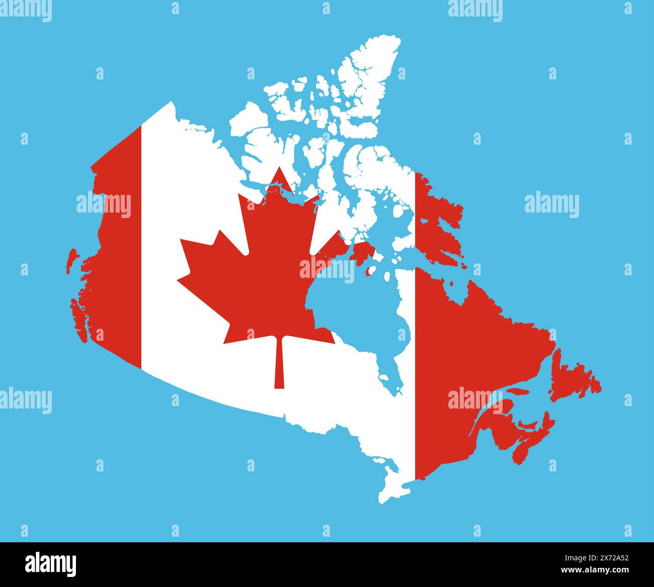 Canada map in national flag colors. Map illustration of one of the most powerful country in the world. Stock Photohttps://www.alamy.com/image-license-details/?v=1https://www.alamy.com/canada-map-in-national-flag-colors-map-illustration-of-one-of-the-most-powerful-country-in-the-world-image606717358.html
RF2X72A52–Canada map in national flag colors. Map illustration of one of the most powerful country in the world.
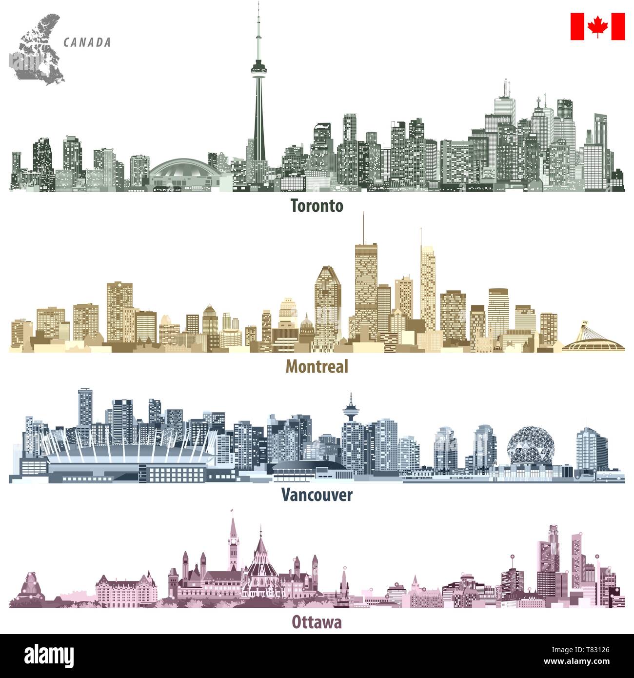 vector illustrations of Canadian cities Toronto, Montreal, Vancouver and Ottawa skylines Stock Vectorhttps://www.alamy.com/image-license-details/?v=1https://www.alamy.com/vector-illustrations-of-canadian-cities-toronto-montreal-vancouver-and-ottawa-skylines-image245929102.html
RFT83126–vector illustrations of Canadian cities Toronto, Montreal, Vancouver and Ottawa skylines
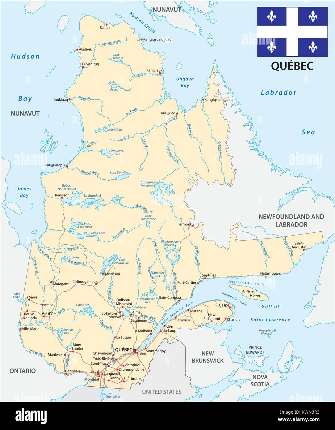 Province quebec road vector map with flag Stock Vectorhttps://www.alamy.com/image-license-details/?v=1https://www.alamy.com/stock-photo-province-quebec-road-vector-map-with-flag-170723703.html
RFKWN3R3–Province quebec road vector map with flag
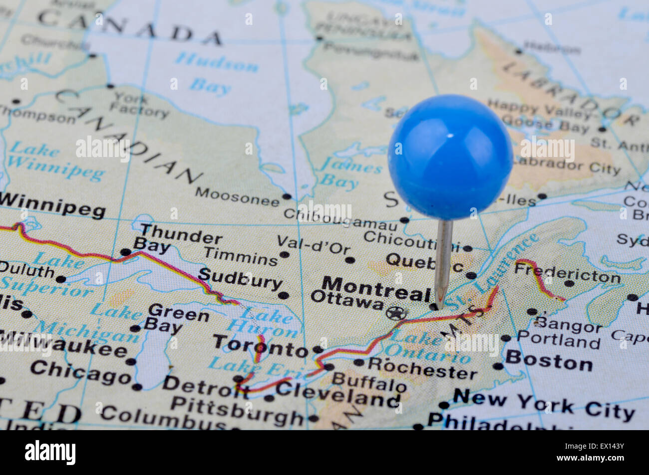 Macro shot of a map showing the city of Montreal Canada Stock Photohttps://www.alamy.com/image-license-details/?v=1https://www.alamy.com/stock-photo-macro-shot-of-a-map-showing-the-city-of-montreal-canada-84847727.html
RFEX143Y–Macro shot of a map showing the city of Montreal Canada
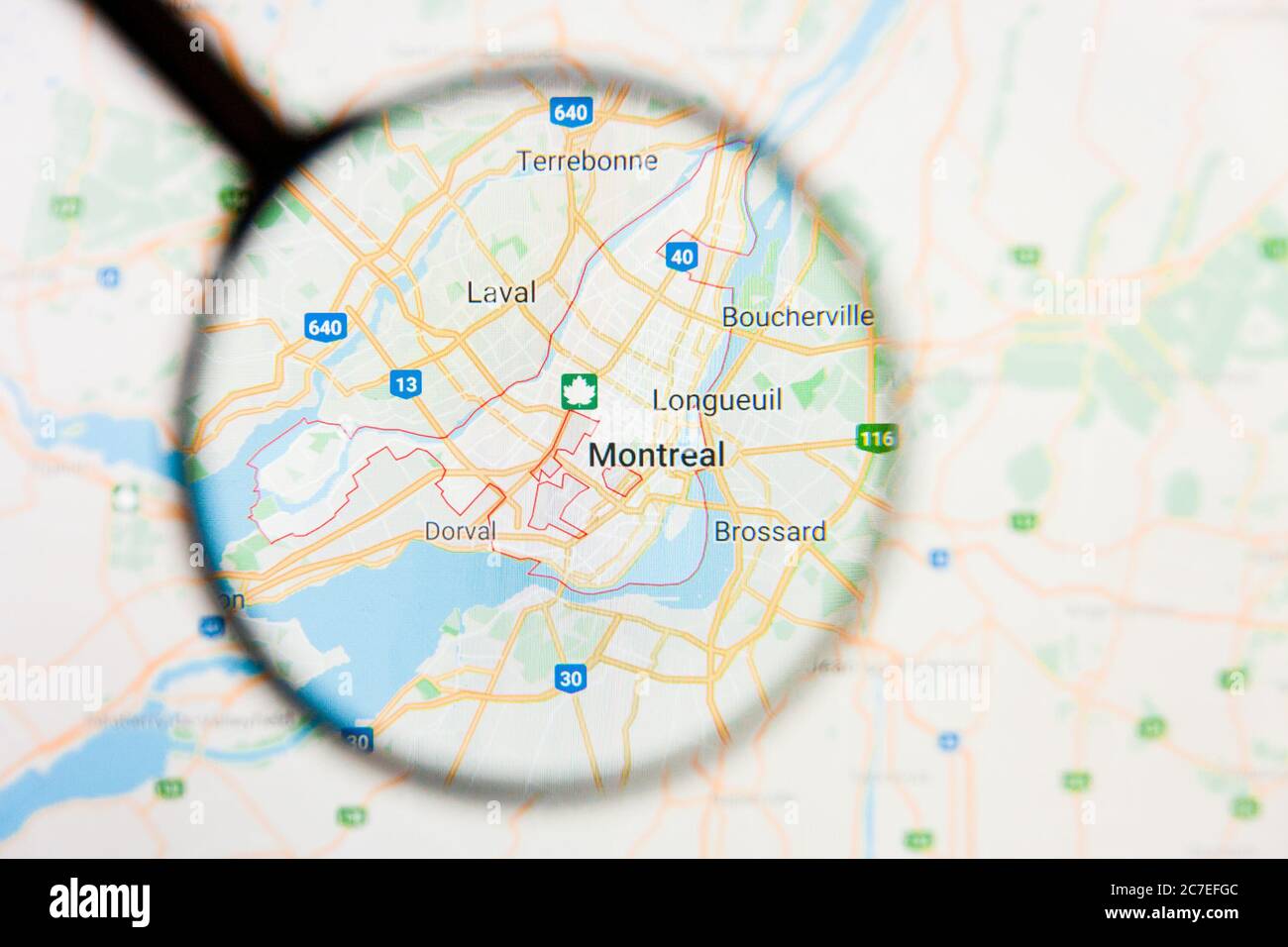 Montreal, Canada city visualization illustrative concept on display screen through magnifying glass Stock Photohttps://www.alamy.com/image-license-details/?v=1https://www.alamy.com/montreal-canada-city-visualization-illustrative-concept-on-display-screen-through-magnifying-glass-image366039868.html
RF2C7EFGC–Montreal, Canada city visualization illustrative concept on display screen through magnifying glass
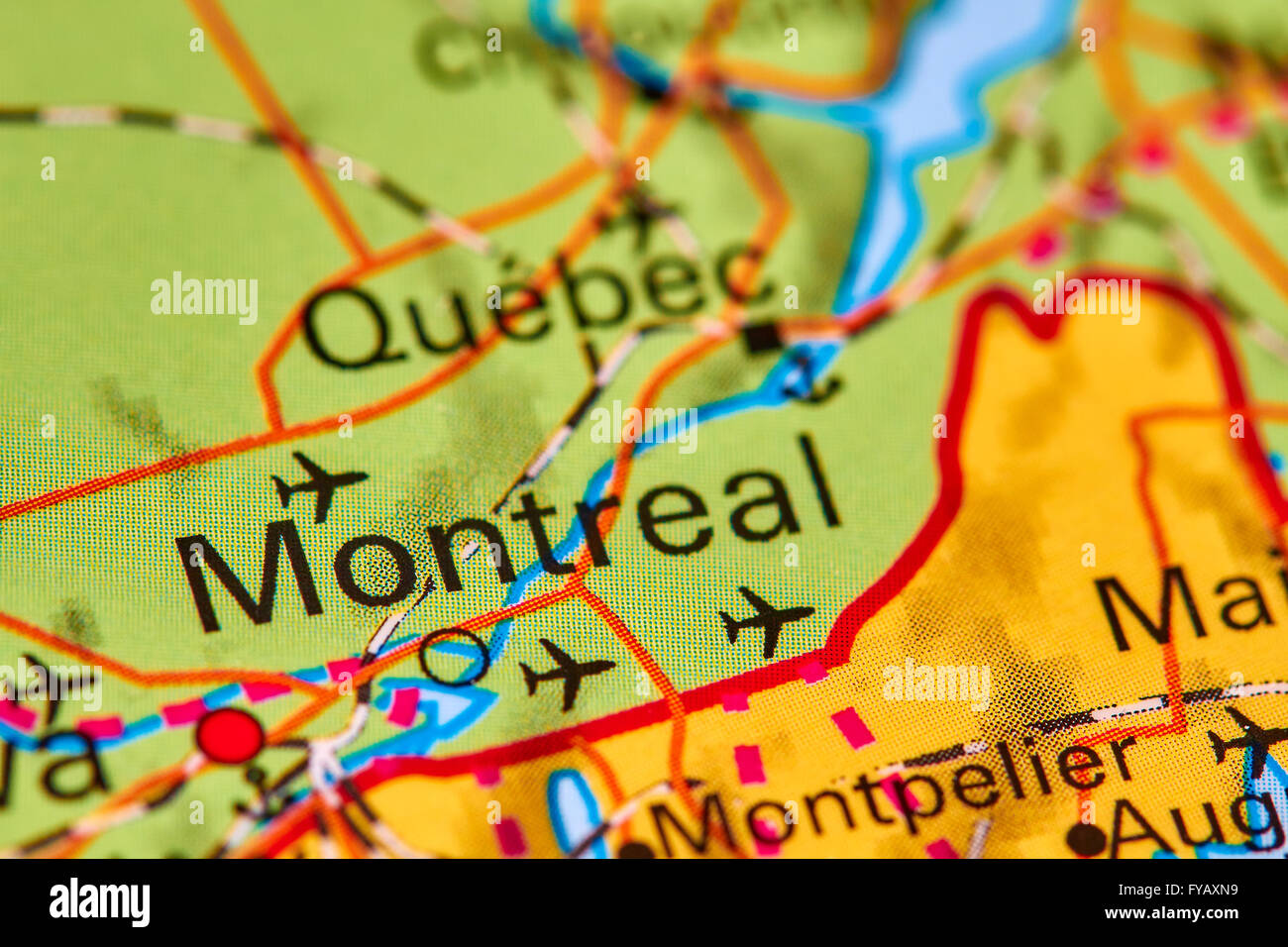 Montreal, City in Canada on the World Map Stock Photohttps://www.alamy.com/image-license-details/?v=1https://www.alamy.com/stock-photo-montreal-city-in-canada-on-the-world-map-102888053.html
RFFYAXN9–Montreal, City in Canada on the World Map
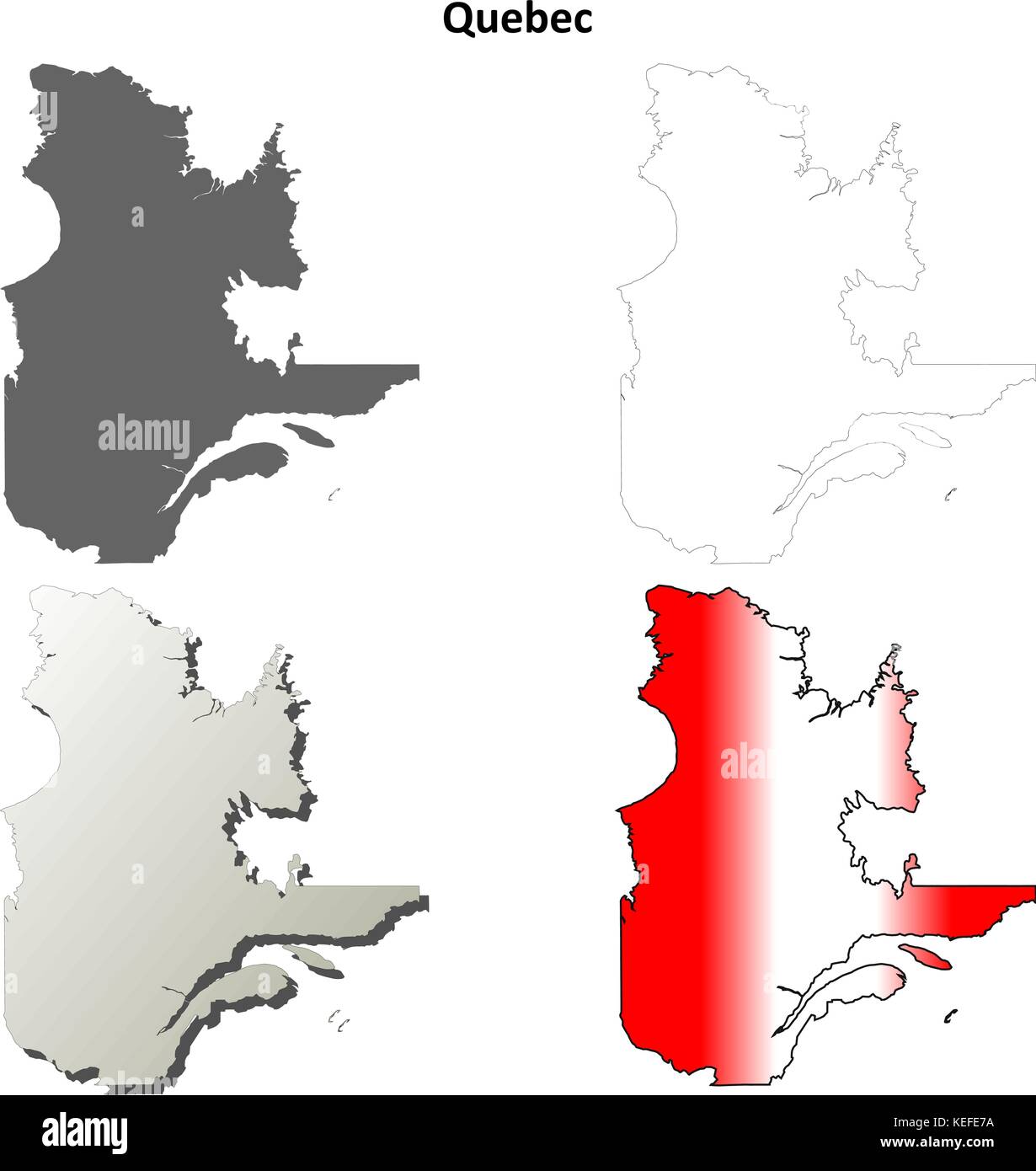 Quebec blank outline map set Stock Vectorhttps://www.alamy.com/image-license-details/?v=1https://www.alamy.com/stock-image-quebec-blank-outline-map-set-163838958.html
RFKEFE7A–Quebec blank outline map set
 Dark black Montreal city area horizontal vector background map, streets and water cartography illustration. Widescreen proportion, digital flat design Stock Vectorhttps://www.alamy.com/image-license-details/?v=1https://www.alamy.com/dark-black-montreal-city-area-horizontal-vector-background-map-streets-and-water-cartography-illustration-widescreen-proportion-digital-flat-design-image446365238.html
RF2GX5KBJ–Dark black Montreal city area horizontal vector background map, streets and water cartography illustration. Widescreen proportion, digital flat design
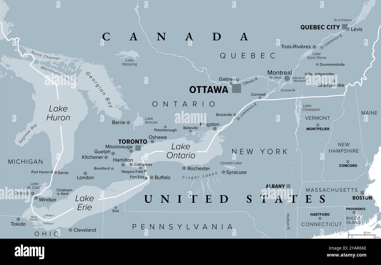 Quebec City Windsor Corridor, gray political map. Most densely populated and heavily industrialized region of Canada. Stock Photohttps://www.alamy.com/image-license-details/?v=1https://www.alamy.com/quebec-city-windsor-corridor-gray-political-map-most-densely-populated-and-heavily-industrialized-region-of-canada-image626229590.html
RF2YAR66E–Quebec City Windsor Corridor, gray political map. Most densely populated and heavily industrialized region of Canada.
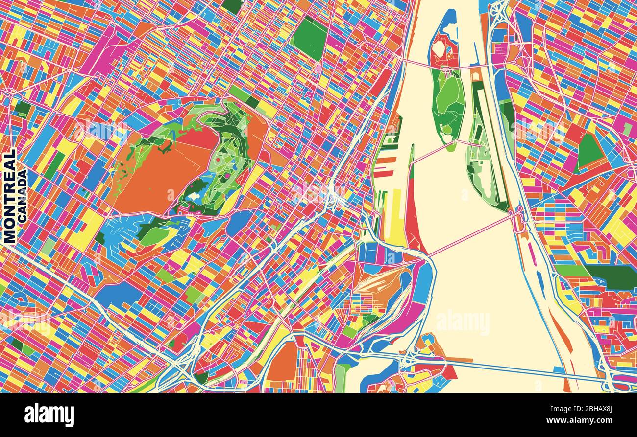 Colorful vector map of Montreal, Quebec, Canada. Art Map template for selfprinting wall art in landscape format. Stock Vectorhttps://www.alamy.com/image-license-details/?v=1https://www.alamy.com/colorful-vector-map-of-montreal-quebec-canada-art-map-template-for-selfprinting-wall-art-in-landscape-format-image354896658.html
RF2BHAX8J–Colorful vector map of Montreal, Quebec, Canada. Art Map template for selfprinting wall art in landscape format.
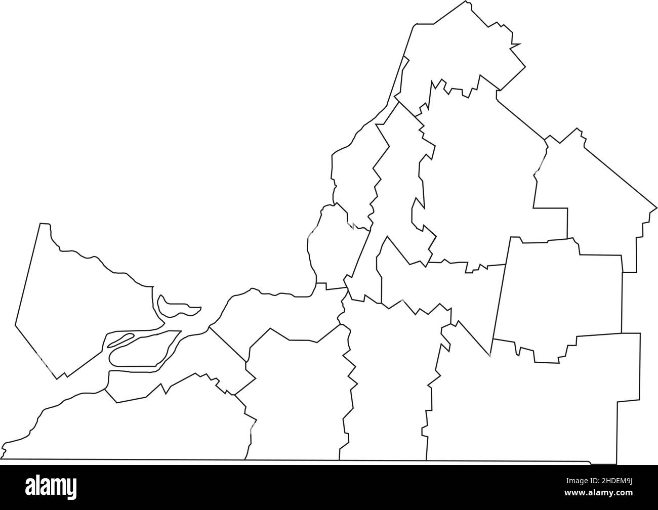 White flat blank vector administrative map of MONTÉRÉGIE, QUEBEC, CANADA with black border lines of its municipalities Stock Vectorhttps://www.alamy.com/image-license-details/?v=1https://www.alamy.com/white-flat-blank-vector-administrative-map-of-montrgie-quebec-canada-with-black-border-lines-of-its-municipalities-image455783374.html
RF2HDEM9J–White flat blank vector administrative map of MONTÉRÉGIE, QUEBEC, CANADA with black border lines of its municipalities
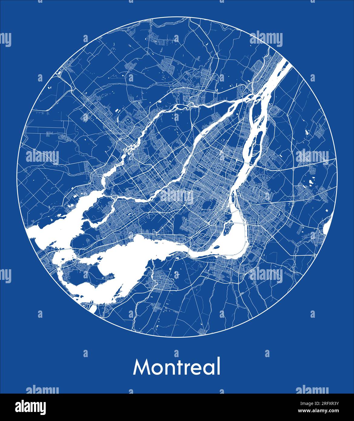 City Map Montreal Canada North America blue print round Circle vector illustration Stock Vectorhttps://www.alamy.com/image-license-details/?v=1https://www.alamy.com/city-map-montreal-canada-north-america-blue-print-round-circle-vector-illustration-image560540511.html
RF2RFXR3Y–City Map Montreal Canada North America blue print round Circle vector illustration
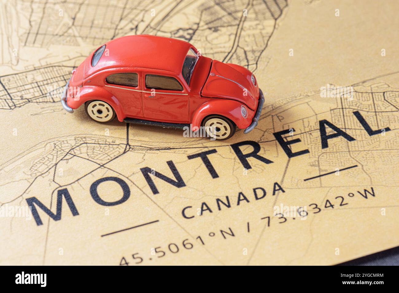 Red toy car drove into Montreal, Canada Stock Photohttps://www.alamy.com/image-license-details/?v=1https://www.alamy.com/red-toy-car-drove-into-montreal-canada-image629687512.html
RF2YGCMRM–Red toy car drove into Montreal, Canada
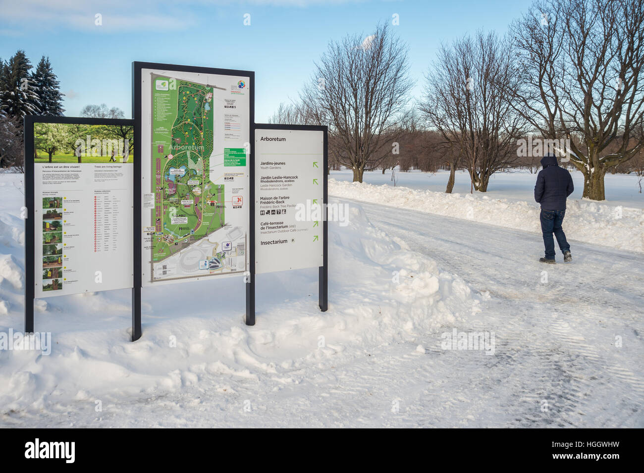 Montreal, CA - 5 January 2017: Snowy landscape and map of the Botanical Garden Stock Photohttps://www.alamy.com/image-license-details/?v=1https://www.alamy.com/stock-photo-montreal-ca-5-january-2017-snowy-landscape-and-map-of-the-botanical-130678405.html
RMHGGWHW–Montreal, CA - 5 January 2017: Snowy landscape and map of the Botanical Garden
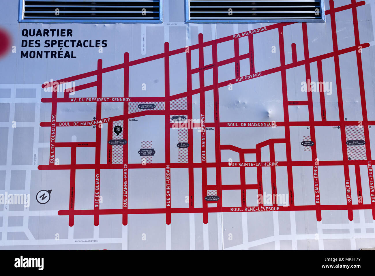 A map of Montreal's Quartier des Spectacles (entertainment district) painted on anaircon unit Stock Photohttps://www.alamy.com/image-license-details/?v=1https://www.alamy.com/a-map-of-montreals-quartier-des-spectacles-entertainment-district-painted-on-anaircon-unit-image184130463.html
RMMKFT7Y–A map of Montreal's Quartier des Spectacles (entertainment district) painted on anaircon unit
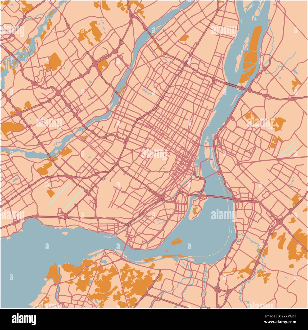 Map of Montreal in Canada in a sandy theme. Contains layered vector with roads water, parks, etc. Stock Vectorhttps://www.alamy.com/image-license-details/?v=1https://www.alamy.com/map-of-montreal-in-canada-in-a-sandy-theme-contains-layered-vector-with-roads-water-parks-etc-image624466193.html
RF2Y7XW01–Map of Montreal in Canada in a sandy theme. Contains layered vector with roads water, parks, etc.
 Olympic Park site plan in Montreal, Quebec, Canada Stock Photohttps://www.alamy.com/image-license-details/?v=1https://www.alamy.com/olympic-park-site-plan-in-montreal-quebec-canada-image499362611.html
RF2M0BX2Y–Olympic Park site plan in Montreal, Quebec, Canada
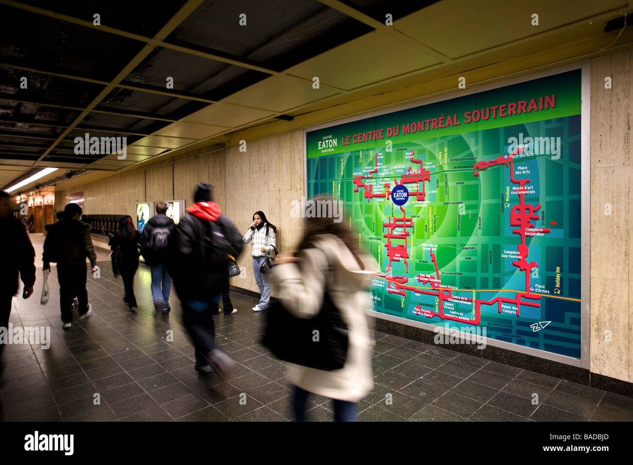 Canada, Quebec Province, Montreal, subway corridor and the underground city map Stock Photohttps://www.alamy.com/image-license-details/?v=1https://www.alamy.com/stock-photo-canada-quebec-province-montreal-subway-corridor-and-the-underground-23651445.html
RMBADBJD–Canada, Quebec Province, Montreal, subway corridor and the underground city map
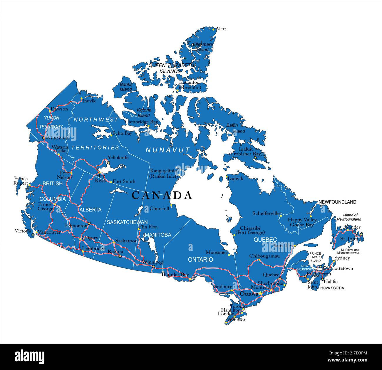 Highly detailed vector map of Canada with administrative regions, main cities and roads. Stock Vectorhttps://www.alamy.com/image-license-details/?v=1https://www.alamy.com/highly-detailed-vector-map-of-canada-with-administrative-regions-main-cities-and-roads-image469270892.html
RF2J7D3PM–Highly detailed vector map of Canada with administrative regions, main cities and roads.
 Canada map in national flag colors. Map illustration of one of the most powerful country in the world. Stock Photohttps://www.alamy.com/image-license-details/?v=1https://www.alamy.com/canada-map-in-national-flag-colors-map-illustration-of-one-of-the-most-powerful-country-in-the-world-image606717448.html
RF2X72A88–Canada map in national flag colors. Map illustration of one of the most powerful country in the world.
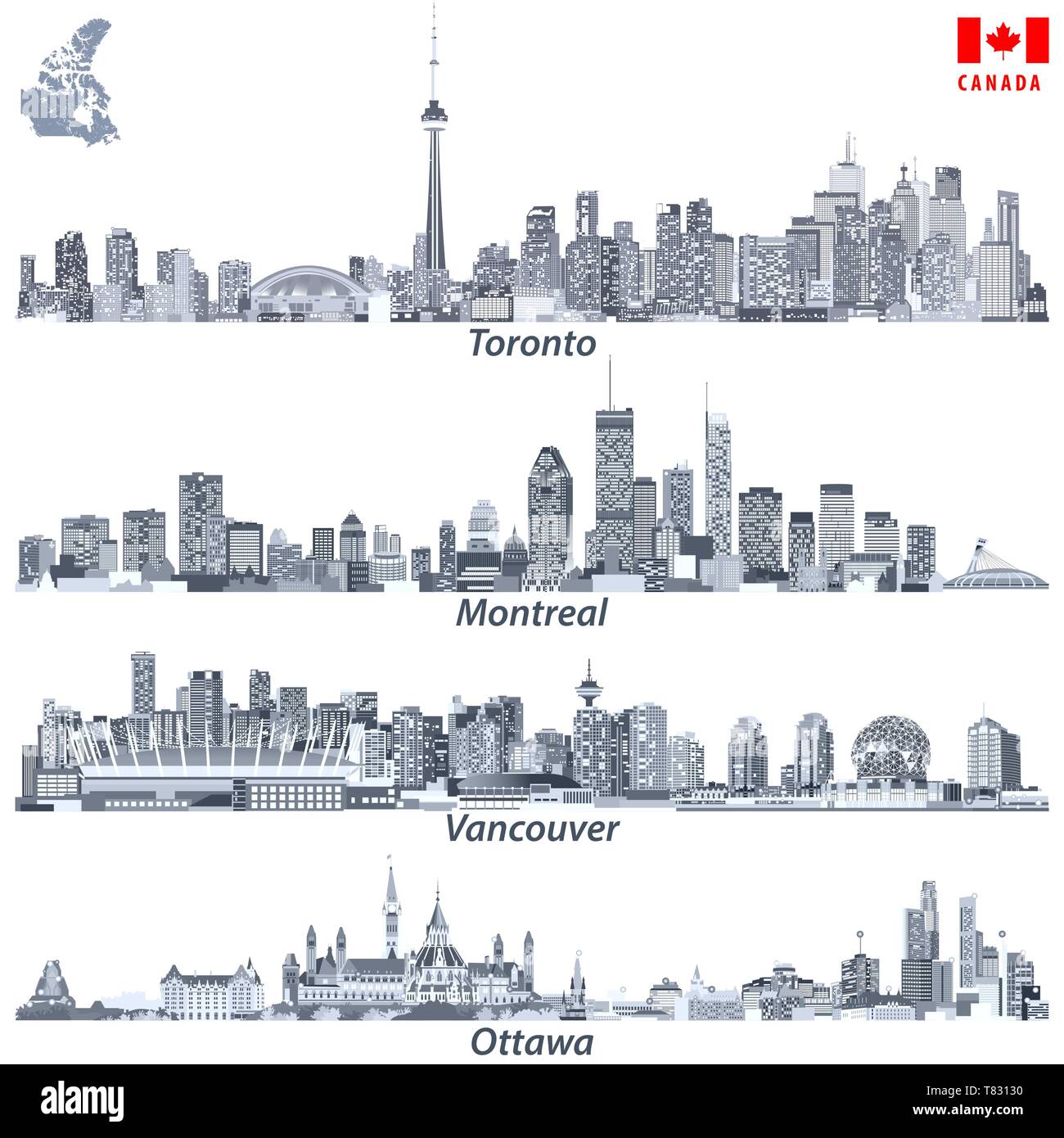 vector illustrations of Canadian cities Toronto, Montreal, Vancouver and Ottawa skylines Stock Vectorhttps://www.alamy.com/image-license-details/?v=1https://www.alamy.com/vector-illustrations-of-canadian-cities-toronto-montreal-vancouver-and-ottawa-skylines-image245929124.html
RFT83130–vector illustrations of Canadian cities Toronto, Montreal, Vancouver and Ottawa skylines
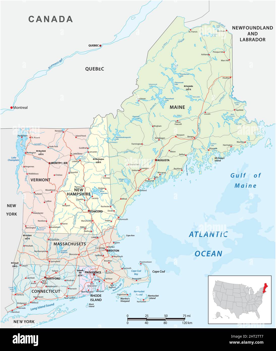 vector road map of the six new england states, united states Stock Vectorhttps://www.alamy.com/image-license-details/?v=1https://www.alamy.com/vector-road-map-of-the-six-new-england-states-united-states-image462284711.html
RF2HT2TT7–vector road map of the six new england states, united states
 Looking in on Montreal Canada with map of North America in the background Stock Photohttps://www.alamy.com/image-license-details/?v=1https://www.alamy.com/stock-photo-looking-in-on-montreal-canada-with-map-of-north-america-in-the-background-79934897.html
RFEJ19NN–Looking in on Montreal Canada with map of North America in the background
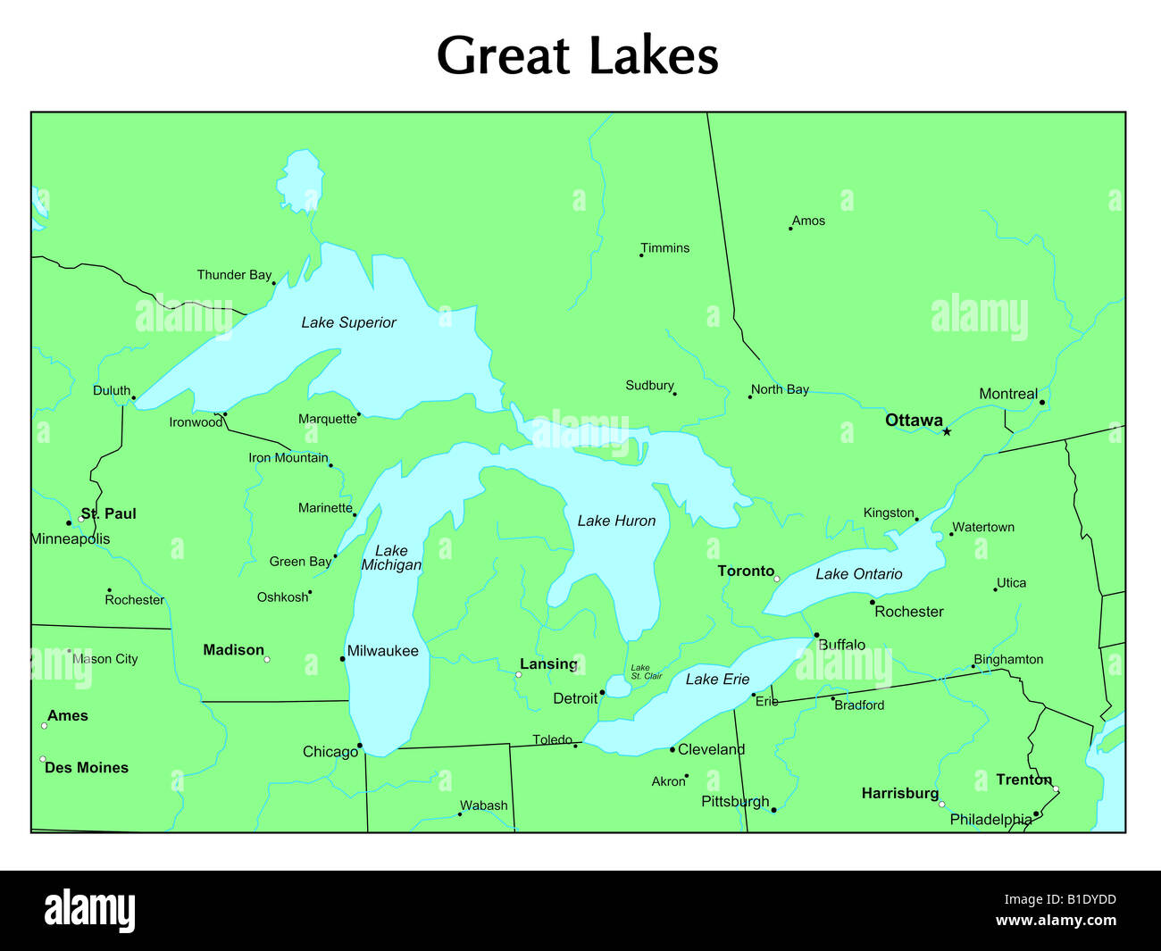 Great Lakes map Stock Photohttps://www.alamy.com/image-license-details/?v=1https://www.alamy.com/stock-photo-great-lakes-map-18131945.html
RFB1DYDD–Great Lakes map
 Compass on a map pointing at Canada and planning a travel destination Stock Photohttps://www.alamy.com/image-license-details/?v=1https://www.alamy.com/stock-photo-compass-on-a-map-pointing-at-canada-and-planning-a-travel-destination-72186214.html
RFE5CA72–Compass on a map pointing at Canada and planning a travel destination
 map and flag of canada Stock Photohttps://www.alamy.com/image-license-details/?v=1https://www.alamy.com/stock-photo-map-and-flag-of-canada-18879549.html
RFB2M11H–map and flag of canada
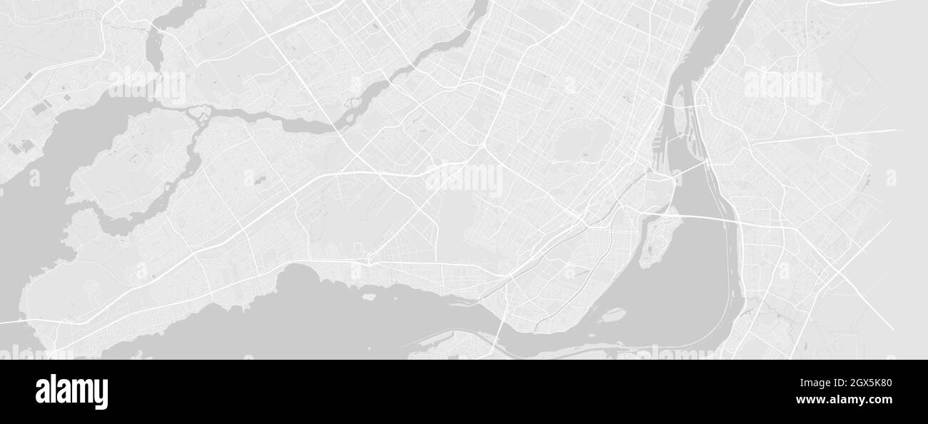 White and light grey Montreal city area vector horizontal background map, streets and water cartography illustration. Widescreen proportion, digital f Stock Vectorhttps://www.alamy.com/image-license-details/?v=1https://www.alamy.com/white-and-light-grey-montreal-city-area-vector-horizontal-background-map-streets-and-water-cartography-illustration-widescreen-proportion-digital-f-image446365136.html
RF2GX5K80–White and light grey Montreal city area vector horizontal background map, streets and water cartography illustration. Widescreen proportion, digital f
 New England region of the United States of America, political map. Maine, Vermont, New Hampshire, Massachusetts, Rhode Island and Connecticut. Stock Photohttps://www.alamy.com/image-license-details/?v=1https://www.alamy.com/new-england-region-of-the-united-states-of-america-political-map-maine-vermont-new-hampshire-massachusetts-rhode-island-and-connecticut-image378656647.html
RF2D018BK–New England region of the United States of America, political map. Maine, Vermont, New Hampshire, Massachusetts, Rhode Island and Connecticut.
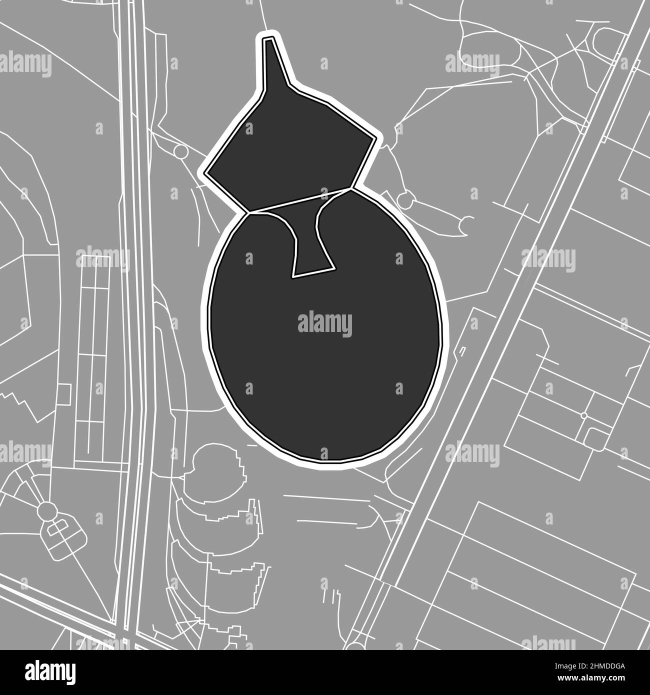 Montreal, Baseball MLB Stadium, outline vector map. The baseball statium map was drawn with white areas and lines for main roads, side roads. Stock Vectorhttps://www.alamy.com/image-license-details/?v=1https://www.alamy.com/montreal-baseball-mlb-stadium-outline-vector-map-the-baseball-statium-map-was-drawn-with-white-areas-and-lines-for-main-roads-side-roads-image460058714.html
RF2HMDDGA–Montreal, Baseball MLB Stadium, outline vector map. The baseball statium map was drawn with white areas and lines for main roads, side roads.
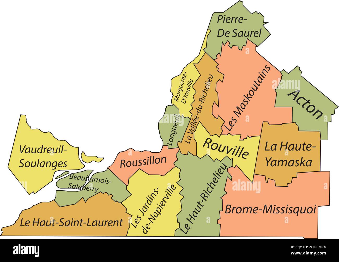 Pastel flat vector administrative map of MONTÉRÉGIE, QUEBEC, CANADA with black border lines and name tags of its municipalities Stock Vectorhttps://www.alamy.com/image-license-details/?v=1https://www.alamy.com/pastel-flat-vector-administrative-map-of-montrgie-quebec-canada-with-black-border-lines-and-name-tags-of-its-municipalities-image455783304.html
RF2HDEM74–Pastel flat vector administrative map of MONTÉRÉGIE, QUEBEC, CANADA with black border lines and name tags of its municipalities
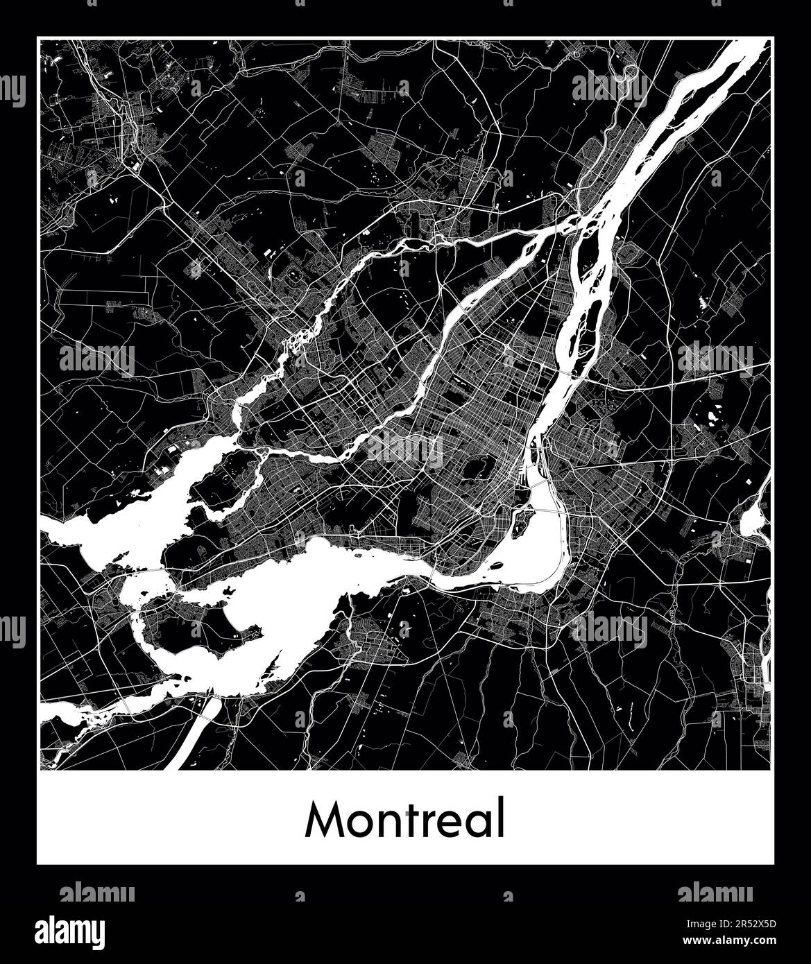 Minimal city map of Montreal (Canada North America) Stock Vectorhttps://www.alamy.com/image-license-details/?v=1https://www.alamy.com/minimal-city-map-of-montreal-canada-north-america-image553869497.html
RF2R52X5D–Minimal city map of Montreal (Canada North America)
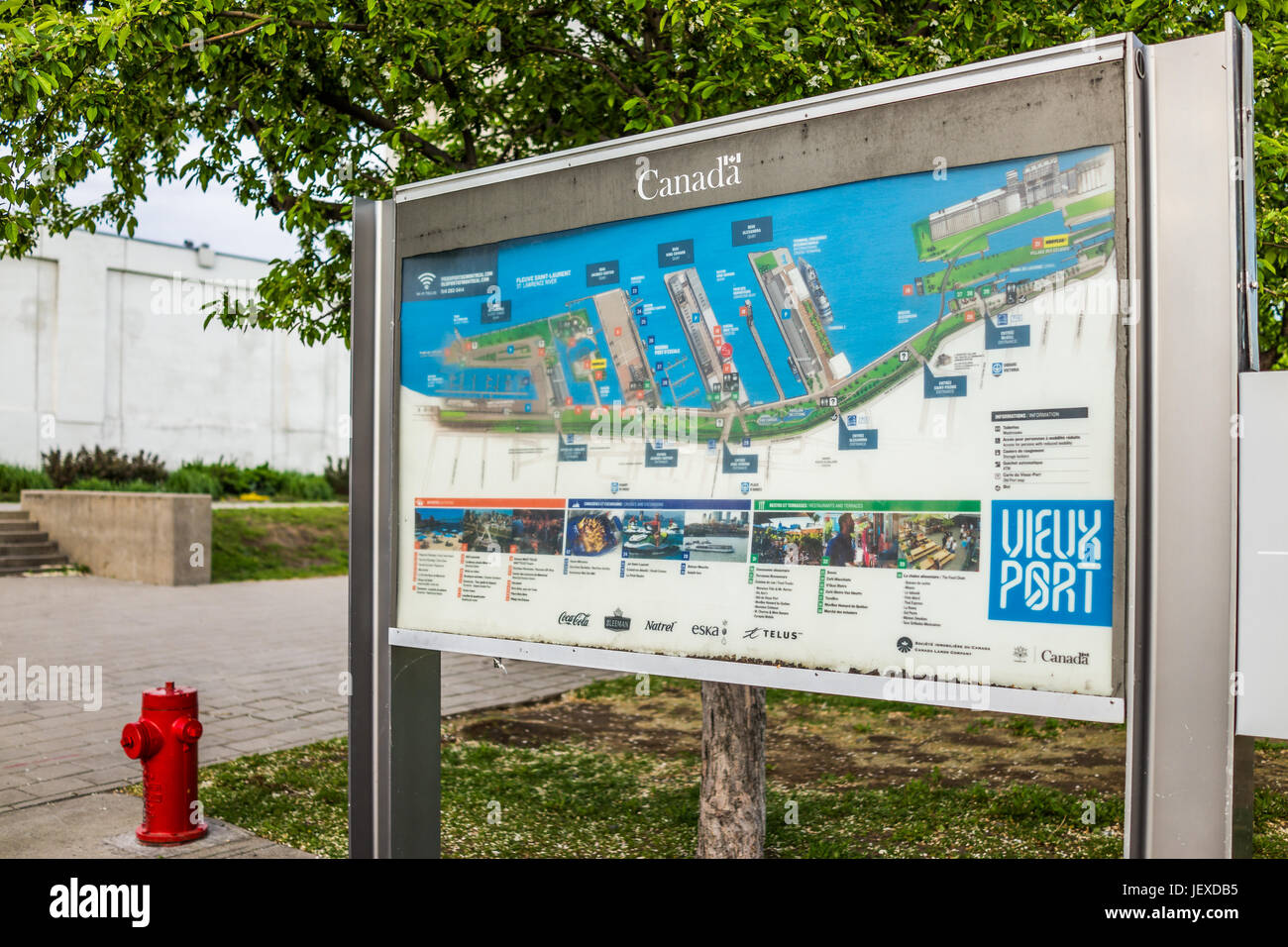 Montreal, Canada - May 27, 2017: Closeup of map of old port area in city in Quebec region Stock Photohttps://www.alamy.com/image-license-details/?v=1https://www.alamy.com/stock-photo-montreal-canada-may-27-2017-closeup-of-map-of-old-port-area-in-city-146869385.html
RFJEXDB5–Montreal, Canada - May 27, 2017: Closeup of map of old port area in city in Quebec region
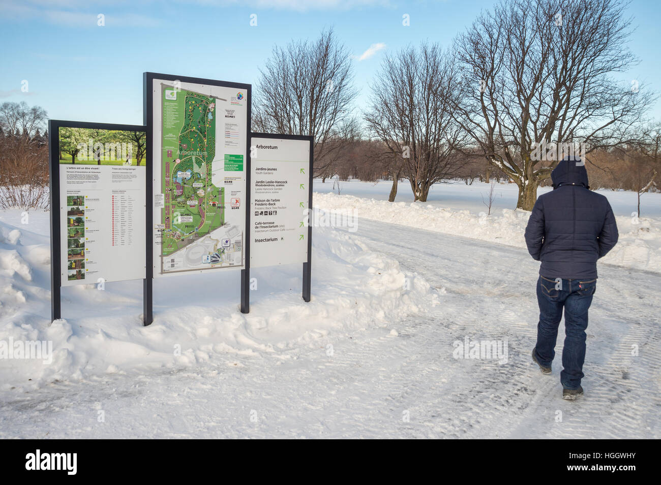 Montreal, CA - 5 January 2017: Snowy landscape and map of the Botanical Garden Stock Photohttps://www.alamy.com/image-license-details/?v=1https://www.alamy.com/stock-photo-montreal-ca-5-january-2017-snowy-landscape-and-map-of-the-botanical-130678407.html
RMHGGWHY–Montreal, CA - 5 January 2017: Snowy landscape and map of the Botanical Garden
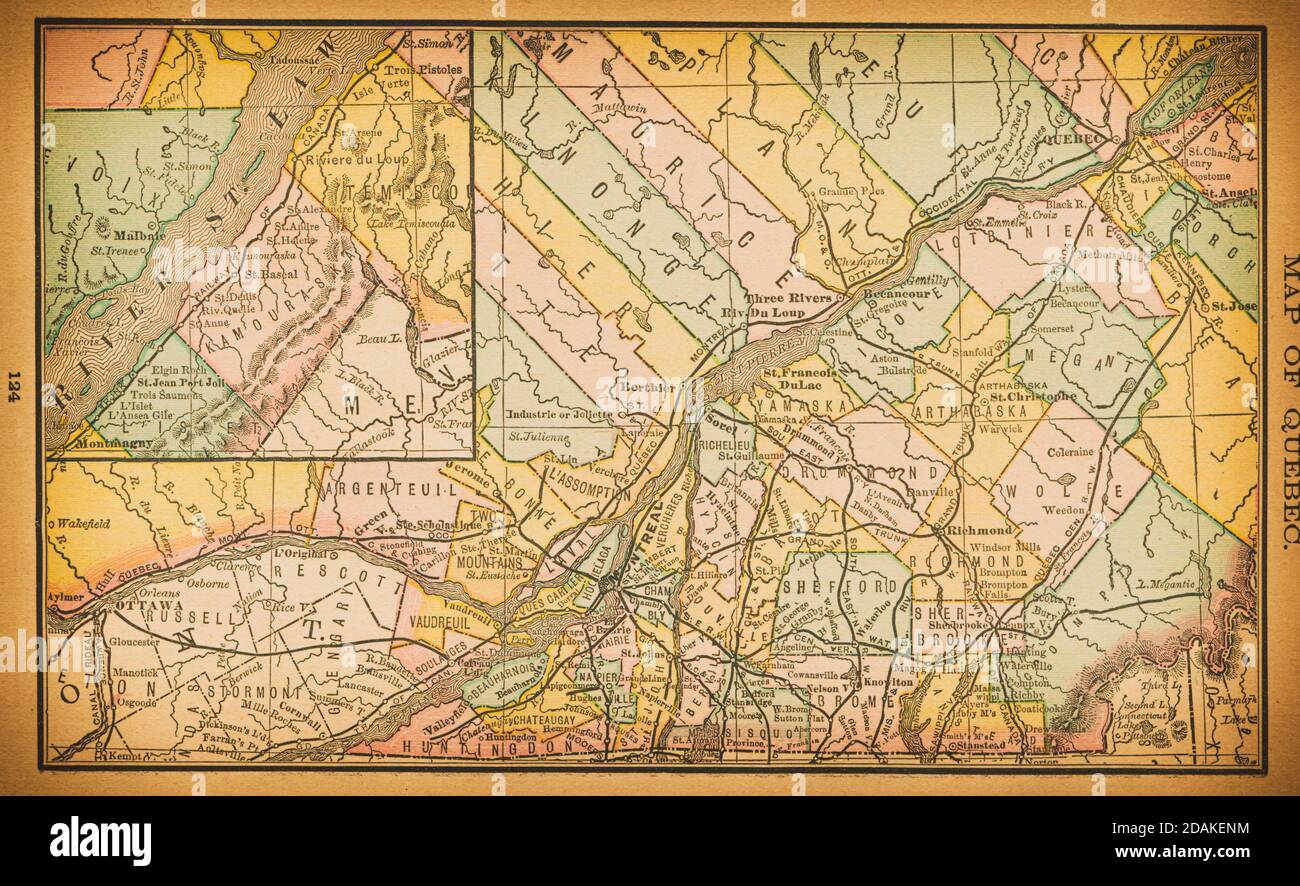 19th century map of Quebec. Published in New Dollar Atlas of the United States and Dominion of Canada. (Rand McNally & Co's, Chicago, 1884). Stock Photohttps://www.alamy.com/image-license-details/?v=1https://www.alamy.com/19th-century-map-of-quebec-published-in-new-dollar-atlas-of-the-united-states-and-dominion-of-canada-rand-mcnally-cos-chicago-1884-image385203328.html
RF2DAKENM–19th century map of Quebec. Published in New Dollar Atlas of the United States and Dominion of Canada. (Rand McNally & Co's, Chicago, 1884).
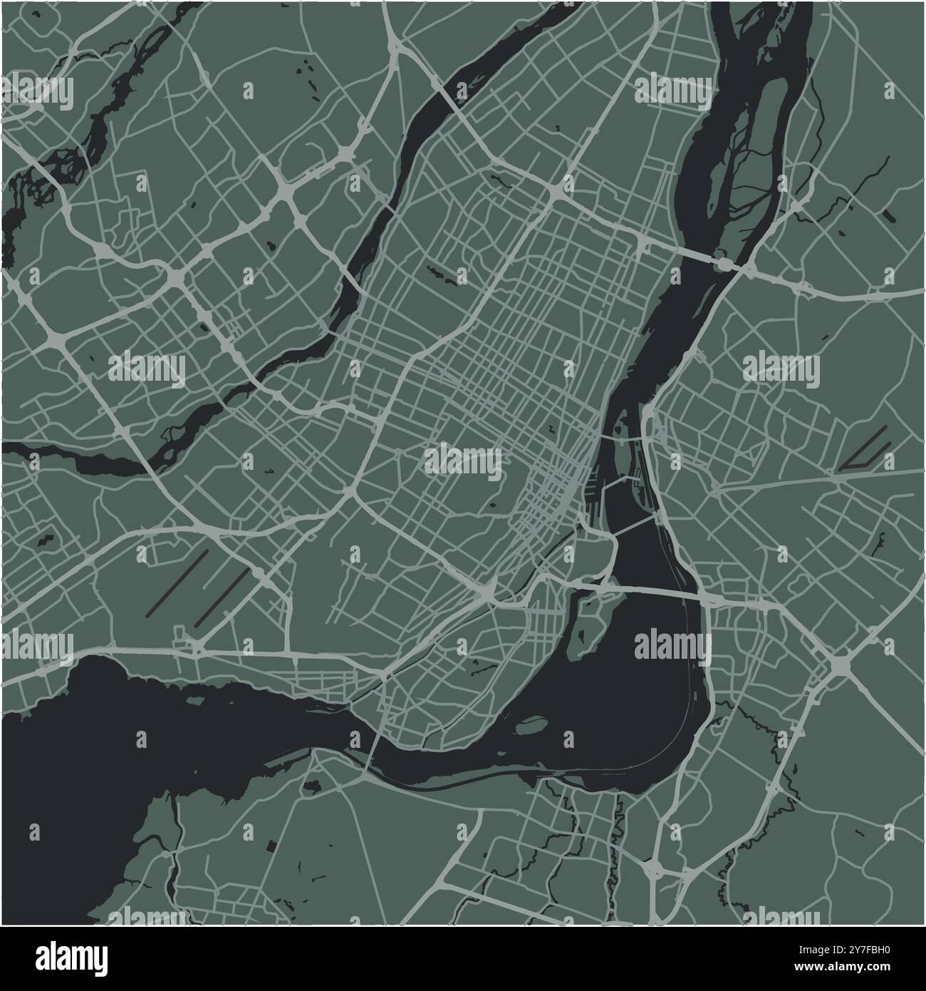 Map of Montreal in Canada in a smooth dark style. Contains layered vector with roads water, parks, etc. Stock Vectorhttps://www.alamy.com/image-license-details/?v=1https://www.alamy.com/map-of-montreal-in-canada-in-a-smooth-dark-style-contains-layered-vector-with-roads-water-parks-etc-image624214220.html
RF2Y7FBH0–Map of Montreal in Canada in a smooth dark style. Contains layered vector with roads water, parks, etc.
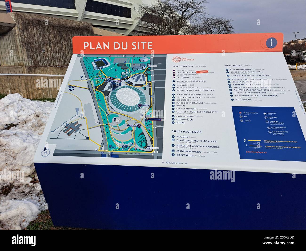 Olympic Park site plan in Montreal, Quebec, Canada Stock Photohttps://www.alamy.com/image-license-details/?v=1https://www.alamy.com/olympic-park-site-plan-in-montreal-quebec-canada-image637356313.html
RF2S0X2DD–Olympic Park site plan in Montreal, Quebec, Canada
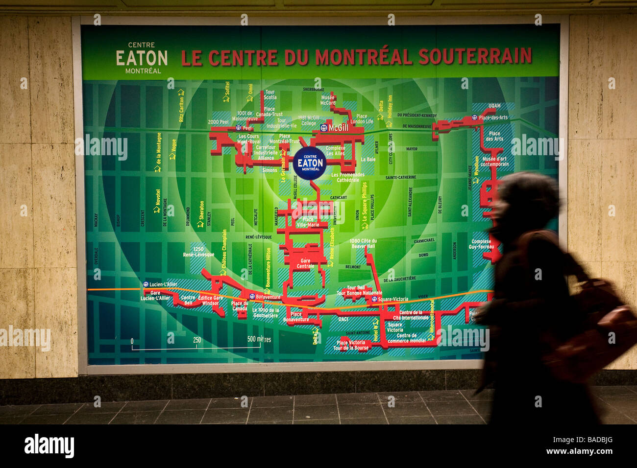 Canada, Quebec Province, Montreal, subway corridor and the underground city map Stock Photohttps://www.alamy.com/image-license-details/?v=1https://www.alamy.com/stock-photo-canada-quebec-province-montreal-subway-corridor-and-the-underground-23651448.html
RMBADBJG–Canada, Quebec Province, Montreal, subway corridor and the underground city map
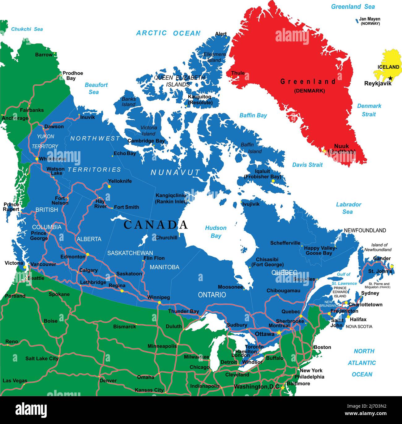 Highly detailed vector map of Canada with administrative regions, main cities and roads. Stock Vectorhttps://www.alamy.com/image-license-details/?v=1https://www.alamy.com/highly-detailed-vector-map-of-canada-with-administrative-regions-main-cities-and-roads-image469270846.html
RF2J7D3N2–Highly detailed vector map of Canada with administrative regions, main cities and roads.
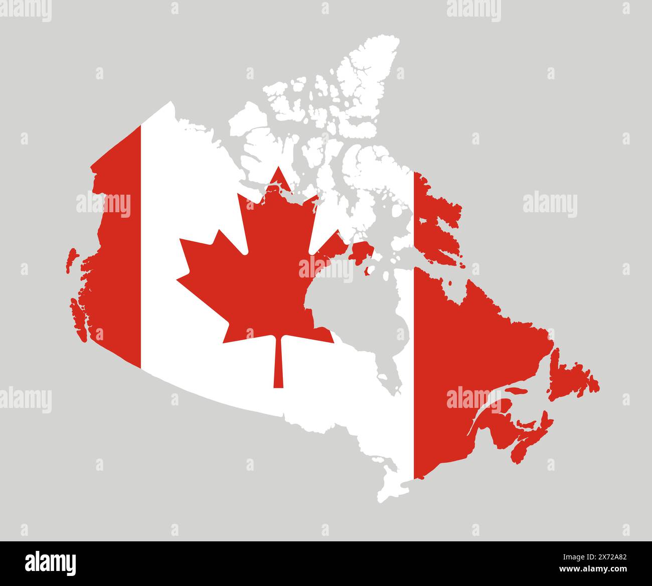 Canada map in national flag colors. Map illustration of one of the most powerful country in the world. Stock Photohttps://www.alamy.com/image-license-details/?v=1https://www.alamy.com/canada-map-in-national-flag-colors-map-illustration-of-one-of-the-most-powerful-country-in-the-world-image606717442.html
RF2X72A82–Canada map in national flag colors. Map illustration of one of the most powerful country in the world.
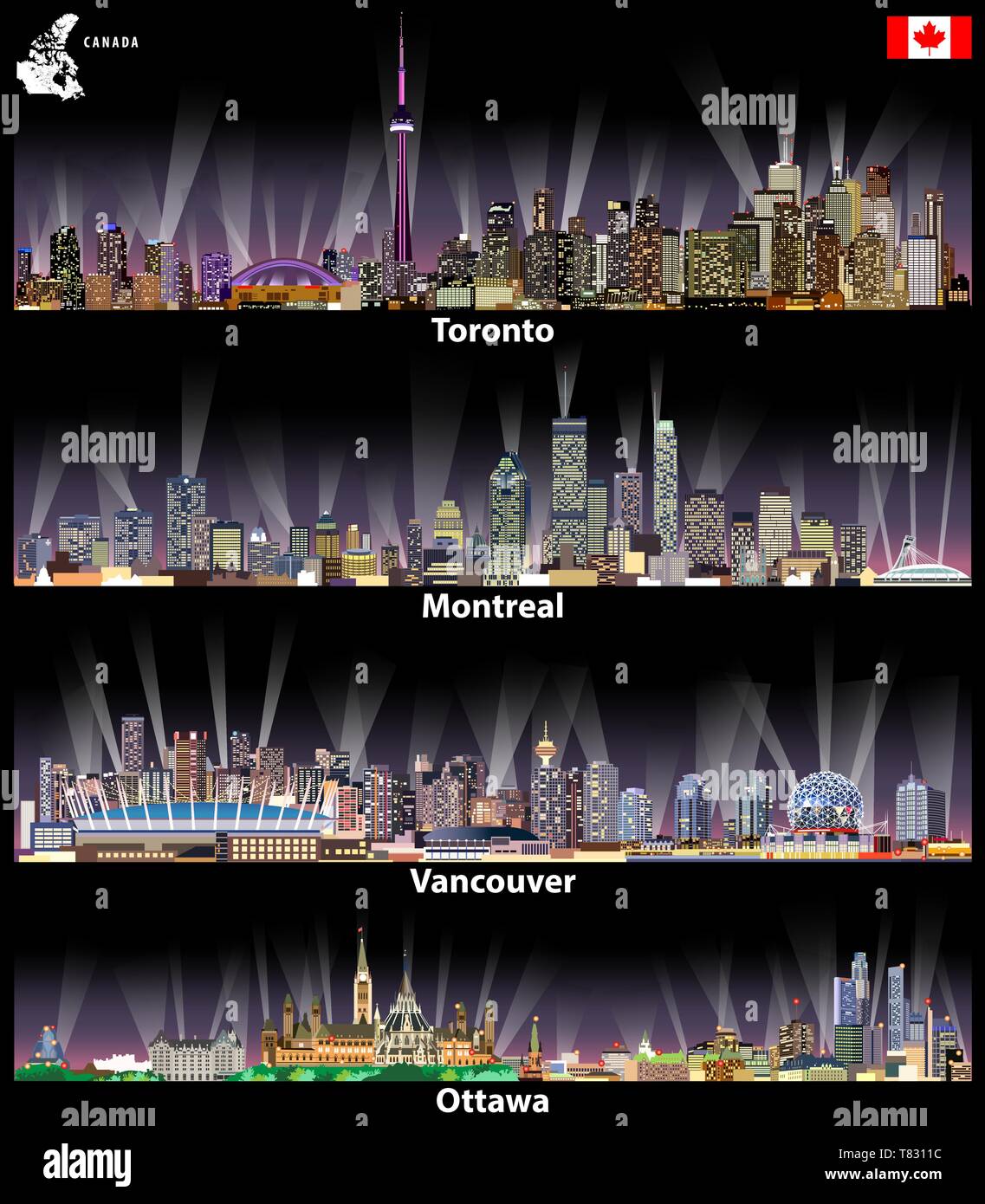 vector illustrations of Canadian cities Toronto, Montreal, Vancouver and Ottawa skylines Stock Vectorhttps://www.alamy.com/image-license-details/?v=1https://www.alamy.com/vector-illustrations-of-canadian-cities-toronto-montreal-vancouver-and-ottawa-skylines-image245929080.html
RFT8311C–vector illustrations of Canadian cities Toronto, Montreal, Vancouver and Ottawa skylines
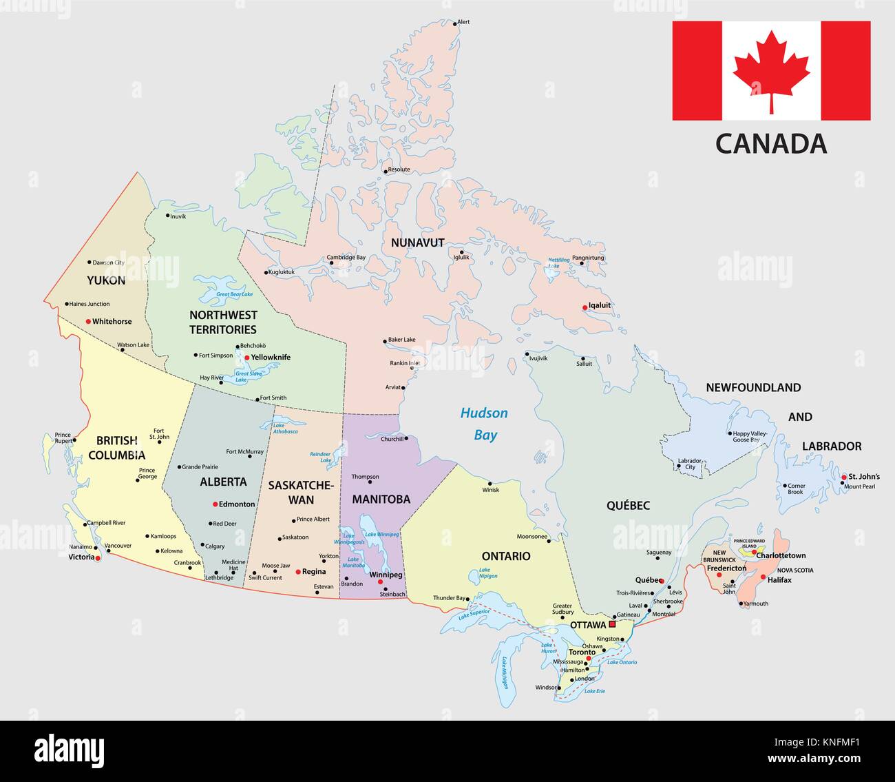 canada administrative and political map with flag Stock Vectorhttps://www.alamy.com/image-license-details/?v=1https://www.alamy.com/stock-image-canada-administrative-and-political-map-with-flag-168146469.html
RFKNFMF1–canada administrative and political map with flag
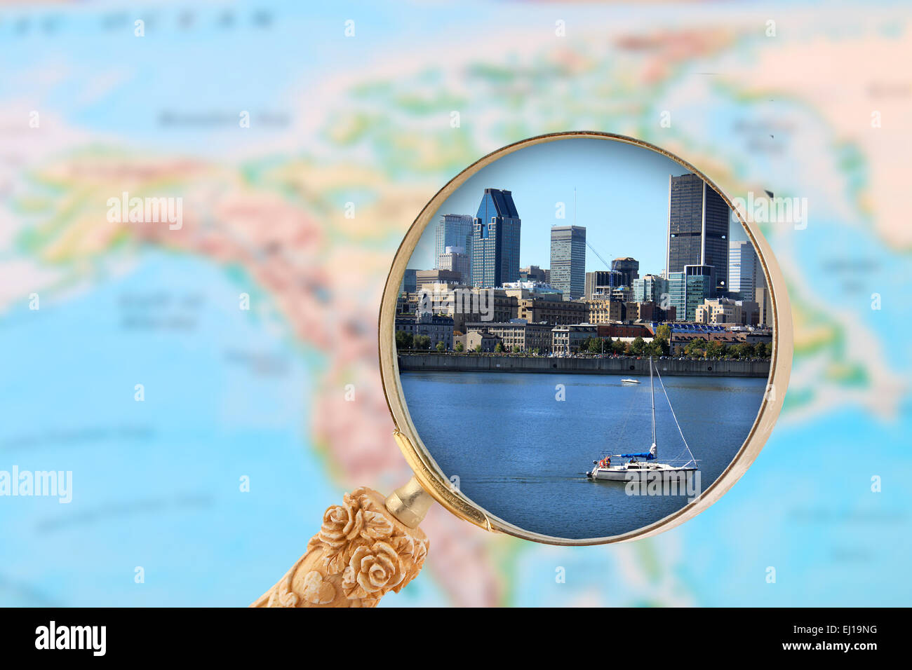 Looking in on Montreal Canada with map of North America in the background Stock Photohttps://www.alamy.com/image-license-details/?v=1https://www.alamy.com/stock-photo-looking-in-on-montreal-canada-with-map-of-north-america-in-the-background-79934892.html
RFEJ19NG–Looking in on Montreal Canada with map of North America in the background
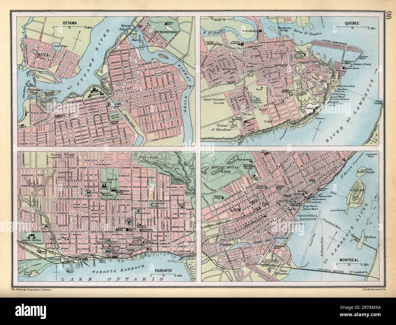 Vintage illustration Old Map of Ottawa, Quebec, Toronto and Montreal, Canada, 1890s, 19th Century Stock Photohttps://www.alamy.com/image-license-details/?v=1https://www.alamy.com/vintage-illustration-old-map-of-ottawa-quebec-toronto-and-montreal-canada-1890s-19th-century-image565674966.html
RM2RT8M5A–Vintage illustration Old Map of Ottawa, Quebec, Toronto and Montreal, Canada, 1890s, 19th Century
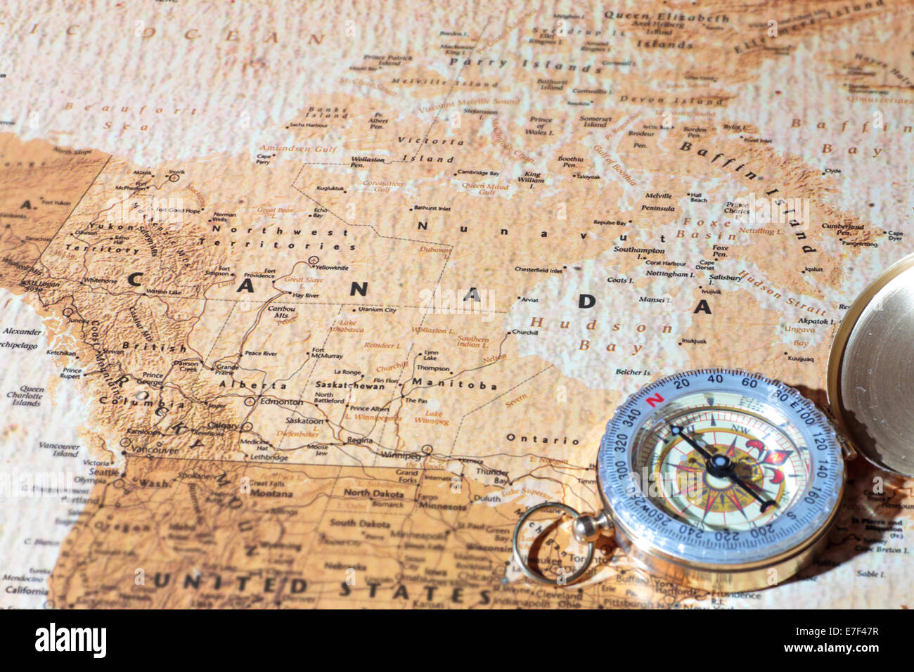 Compass on a map pointing at Canada, planning a travel destination Stock Photohttps://www.alamy.com/image-license-details/?v=1https://www.alamy.com/stock-photo-compass-on-a-map-pointing-at-canada-planning-a-travel-destination-73476699.html
RFE7F47R–Compass on a map pointing at Canada, planning a travel destination
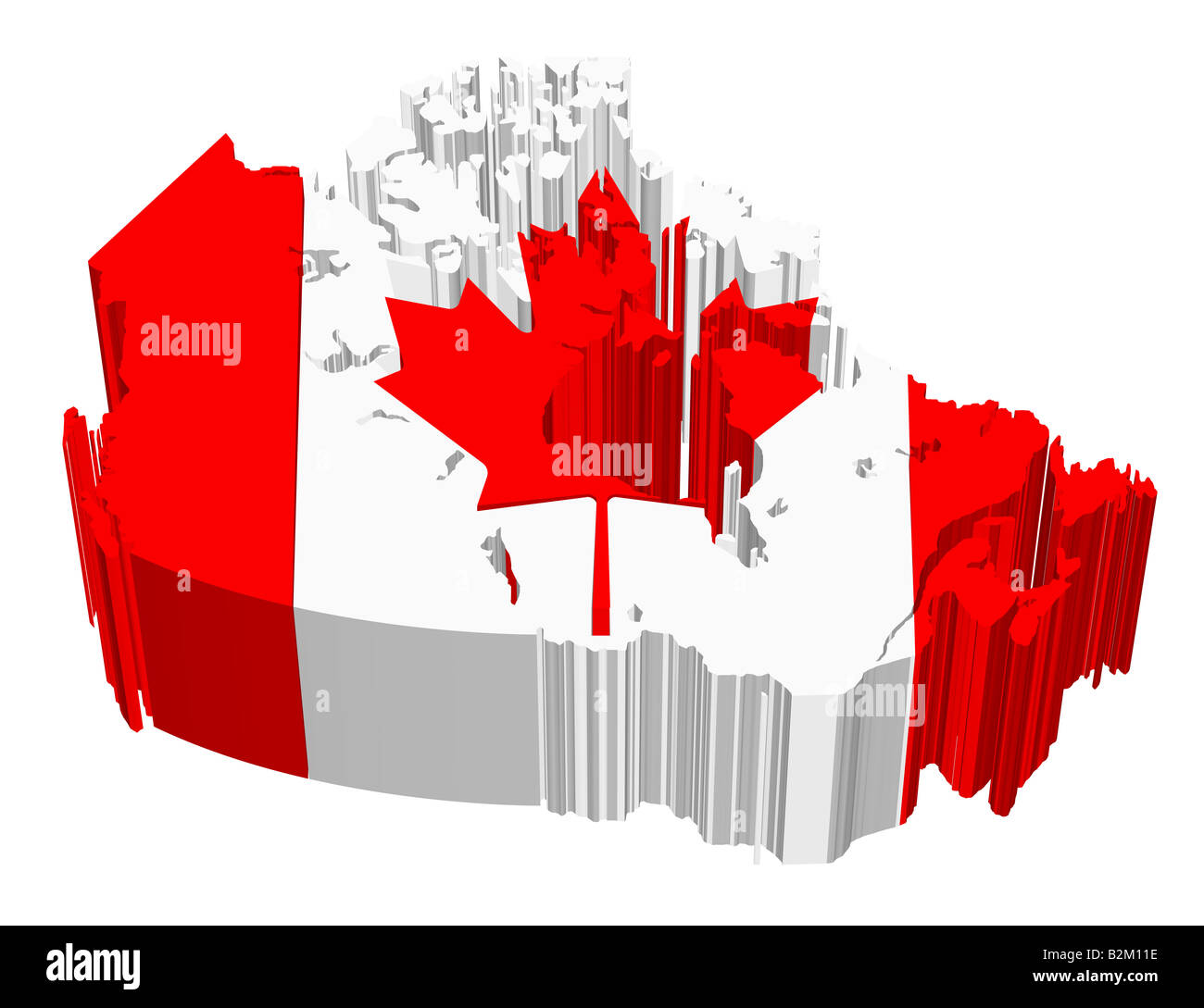 map and flag of canada Stock Photohttps://www.alamy.com/image-license-details/?v=1https://www.alamy.com/stock-photo-map-and-flag-of-canada-18879546.html
RFB2M11E–map and flag of canada
 Dark blue Montreal City area vector background map, streets and water cartography illustration. Widescreen proportion, digital flat design streetmap. Stock Vectorhttps://www.alamy.com/image-license-details/?v=1https://www.alamy.com/dark-blue-montreal-city-area-vector-background-map-streets-and-water-cartography-illustration-widescreen-proportion-digital-flat-design-streetmap-image438343189.html
RF2GD475W–Dark blue Montreal City area vector background map, streets and water cartography illustration. Widescreen proportion, digital flat design streetmap.
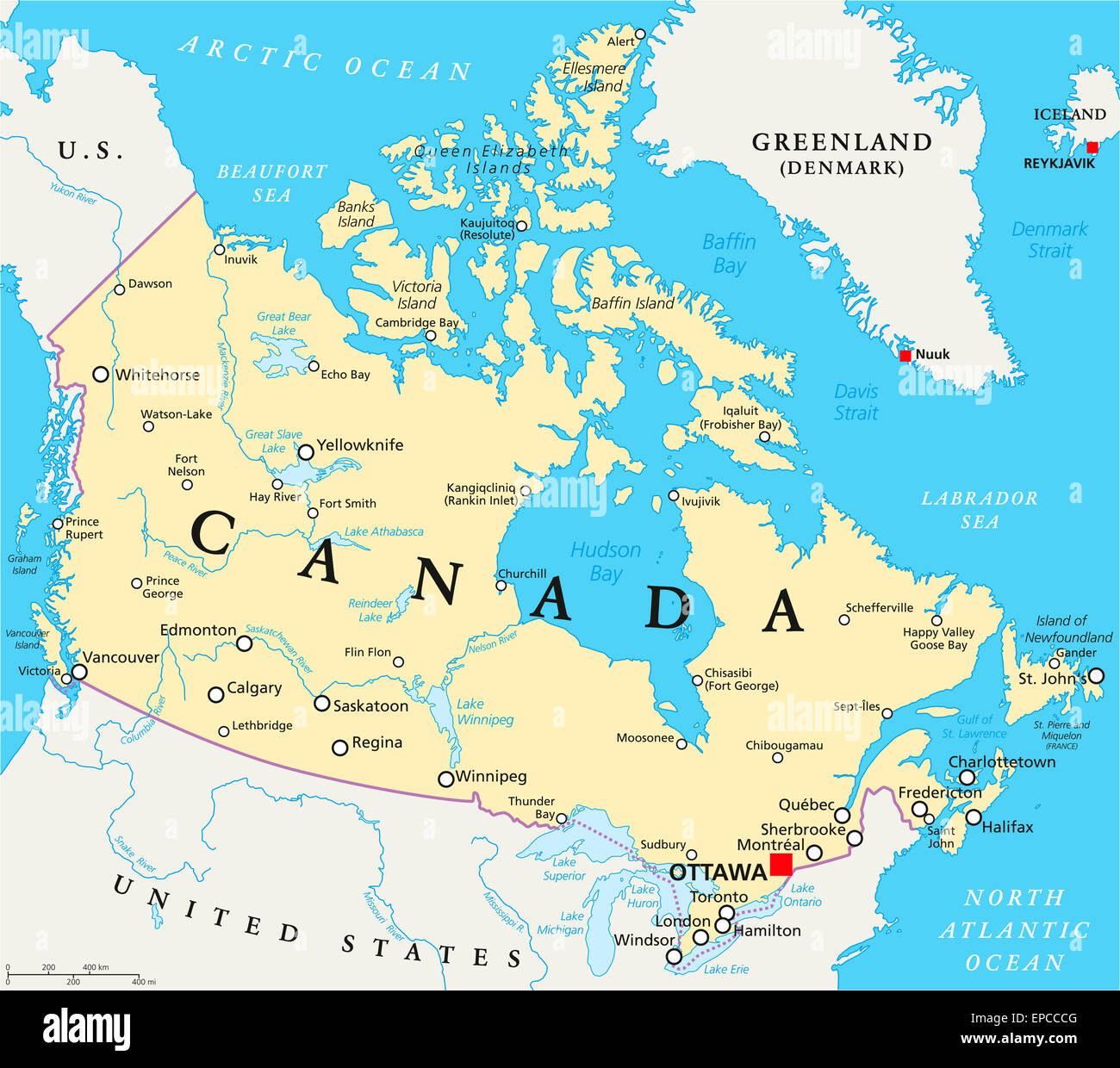 Canada Political Map with capital Ottawa, national borders, important cities, rivers and lakes. English labeling and scaling. Stock Photohttps://www.alamy.com/image-license-details/?v=1https://www.alamy.com/stock-photo-canada-political-map-with-capital-ottawa-national-borders-important-82637088.html
RFEPCCCG–Canada Political Map with capital Ottawa, national borders, important cities, rivers and lakes. English labeling and scaling.
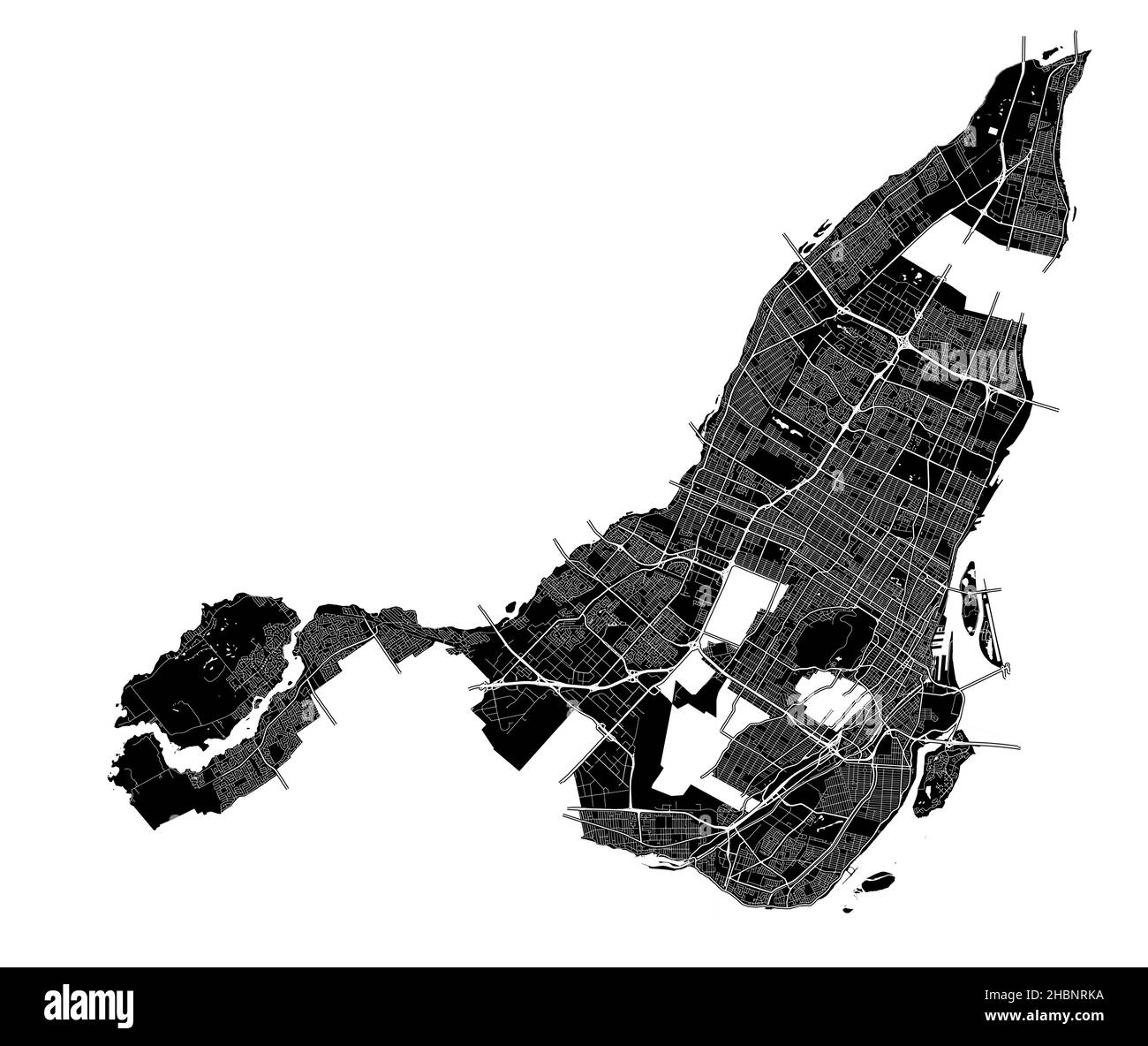 Montreal, Canada, high resolution vector map with city boundaries, and editable paths. The city map was drawn with white areas and lines for main road Stock Vectorhttps://www.alamy.com/image-license-details/?v=1https://www.alamy.com/montreal-canada-high-resolution-vector-map-with-city-boundaries-and-editable-paths-the-city-map-was-drawn-with-white-areas-and-lines-for-main-road-image454710350.html
RF2HBNRKA–Montreal, Canada, high resolution vector map with city boundaries, and editable paths. The city map was drawn with white areas and lines for main road
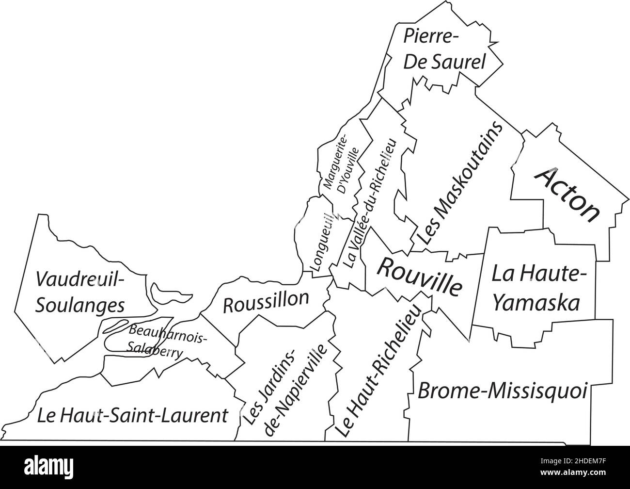 White flat vector administrative map of MONTÉRÉGIE, QUEBEC, CANADA with black border lines and name tags of its municipalities Stock Vectorhttps://www.alamy.com/image-license-details/?v=1https://www.alamy.com/white-flat-vector-administrative-map-of-montrgie-quebec-canada-with-black-border-lines-and-name-tags-of-its-municipalities-image455783315.html
RF2HDEM7F–White flat vector administrative map of MONTÉRÉGIE, QUEBEC, CANADA with black border lines and name tags of its municipalities
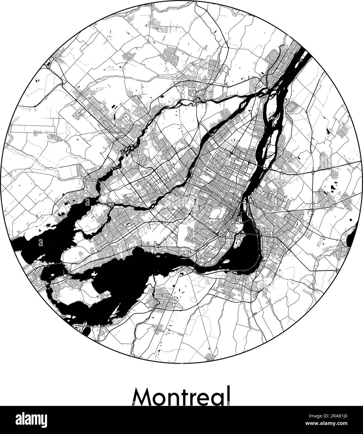 City Map Montreal Canada North America vector illustration black white Stock Vectorhttps://www.alamy.com/image-license-details/?v=1https://www.alamy.com/city-map-montreal-canada-north-america-vector-illustration-black-white-image557055240.html
RF2RA81J0–City Map Montreal Canada North America vector illustration black white