Map of st augustine beach Stock Photos and Images
(21)See map of st augustine beach stock video clipsQuick filters:
Map of st augustine beach Stock Photos and Images
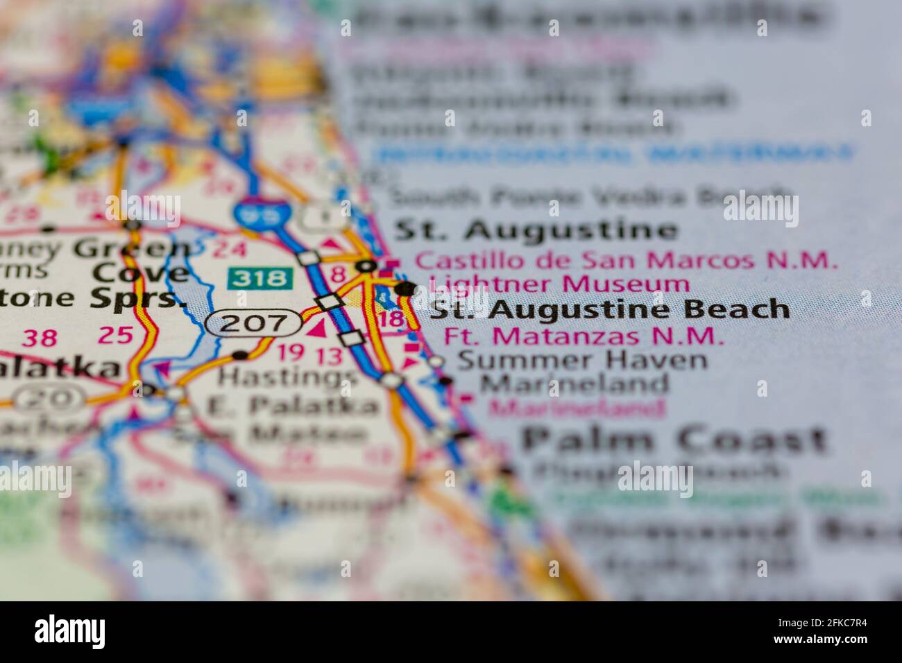 St Augustine Beach Florida USA Shown on a geography map or road map Stock Photohttps://www.alamy.com/image-license-details/?v=1https://www.alamy.com/st-augustine-beach-florida-usa-shown-on-a-geography-map-or-road-map-image424996856.html
RM2FKC7R4–St Augustine Beach Florida USA Shown on a geography map or road map
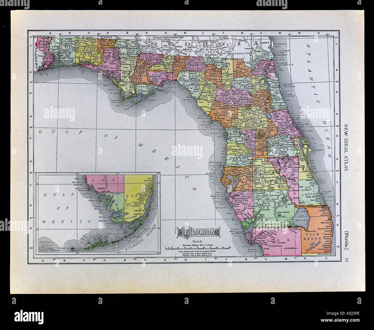 1911 McNally Map - Florida - Miami Tampa Orlando Tallahassee Jacksonville St. Augustine Stock Photohttps://www.alamy.com/image-license-details/?v=1https://www.alamy.com/stock-image-1911-mcnally-map-florida-miami-tampa-orlando-tallahassee-jacksonville-163898182.html
RFKEJ5PE–1911 McNally Map - Florida - Miami Tampa Orlando Tallahassee Jacksonville St. Augustine
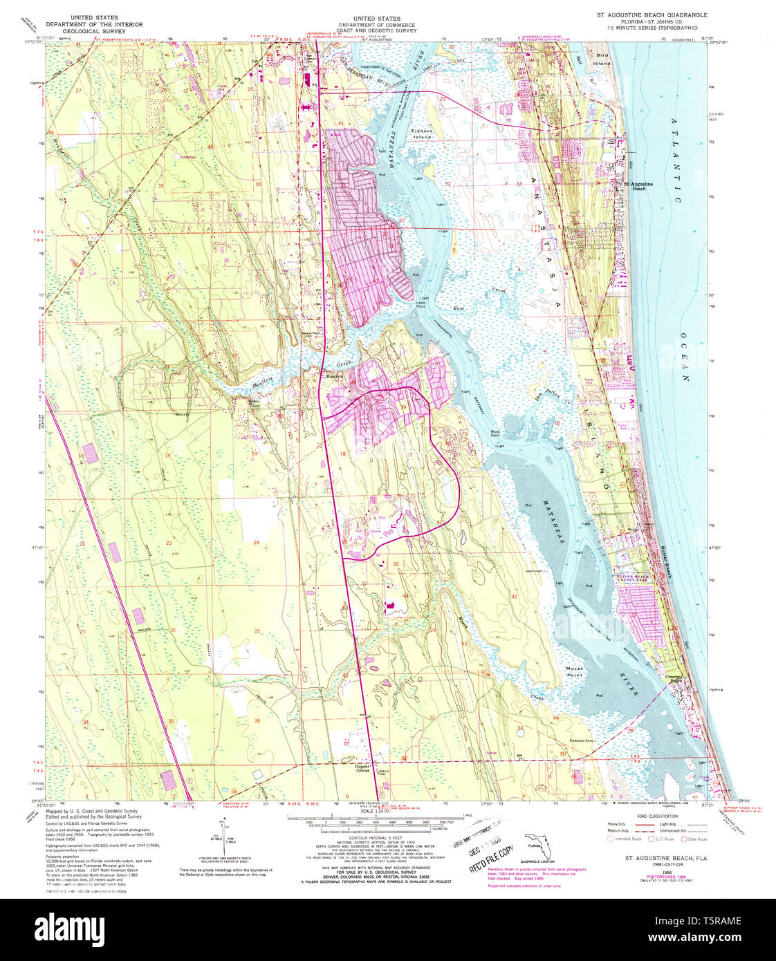 USGS TOPO Map Florida FL St Augustine Beach 348619 1956 24000 Restoration Stock Photohttps://www.alamy.com/image-license-details/?v=1https://www.alamy.com/usgs-topo-map-florida-fl-st-augustine-beach-348619-1956-24000-restoration-image244531742.html
RMT5RAME–USGS TOPO Map Florida FL St Augustine Beach 348619 1956 24000 Restoration
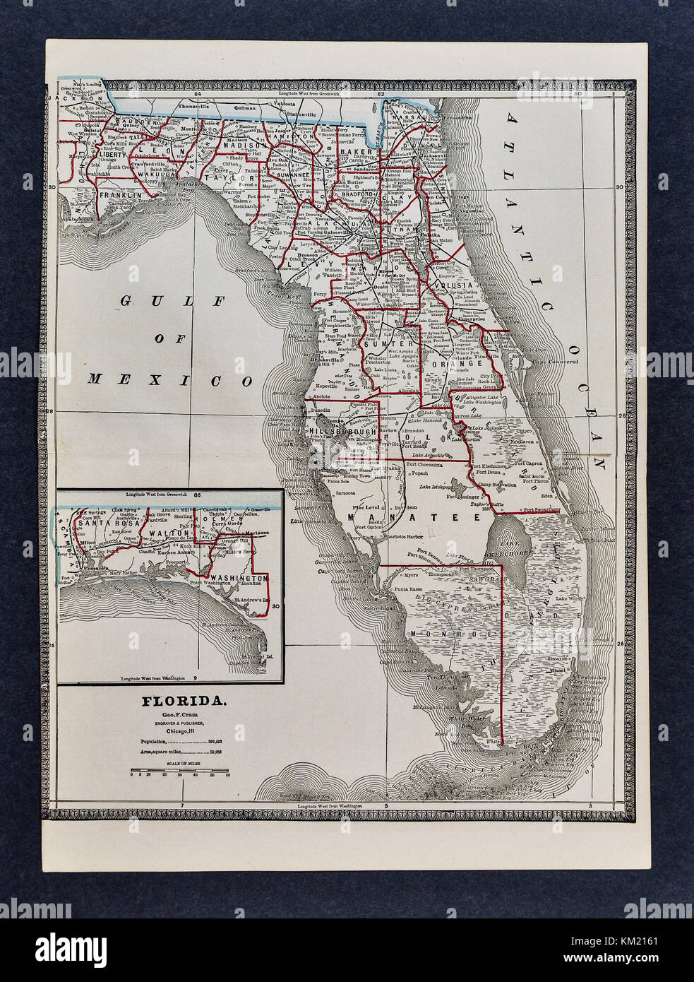 George Cram Antique Map from 1866 Atlas for Attorneys and Bankers: United States - Florida - Tallahassee Miami Tampa St. Augustine Jacksonville Orlando Stock Photohttps://www.alamy.com/image-license-details/?v=1https://www.alamy.com/stock-image-george-cram-antique-map-from-1866-atlas-for-attorneys-and-bankers-167231289.html
RFKM2161–George Cram Antique Map from 1866 Atlas for Attorneys and Bankers: United States - Florida - Tallahassee Miami Tampa St. Augustine Jacksonville Orlando
 St. Augustine, Florida. January 26 , 2019 . Directory Map Sign at Old Town in Florida's Historic Coast. Stock Photohttps://www.alamy.com/image-license-details/?v=1https://www.alamy.com/st-augustine-florida-january-26-2019-directory-map-sign-at-old-town-in-floridas-historic-coast-image244387210.html
RFT5GPAJ–St. Augustine, Florida. January 26 , 2019 . Directory Map Sign at Old Town in Florida's Historic Coast.
![A map of the coast of South Carolina and Georgia, from Charlestown to St. Augustine. Coast of South Carolina, Georgia and Florida from Charleston to St. Augustine. [Place of production not identified] : [producer not identified], [about 1770.]. Manuscript and pen and ink with watercolour. Source: Maps K.Top.122.66. Language: English. Stock Photo A map of the coast of South Carolina and Georgia, from Charlestown to St. Augustine. Coast of South Carolina, Georgia and Florida from Charleston to St. Augustine. [Place of production not identified] : [producer not identified], [about 1770.]. Manuscript and pen and ink with watercolour. Source: Maps K.Top.122.66. Language: English. Stock Photo](https://c8.alamy.com/comp/R555KM/a-map-of-the-coast-of-south-carolina-and-georgia-from-charlestown-to-st-augustine-coast-of-south-carolina-georgia-and-florida-from-charleston-to-st-augustine-place-of-production-not-identified-producer-not-identified-about-1770-manuscript-and-pen-and-ink-with-watercolour-source-maps-ktop12266-language-english-R555KM.jpg) A map of the coast of South Carolina and Georgia, from Charlestown to St. Augustine. Coast of South Carolina, Georgia and Florida from Charleston to St. Augustine. [Place of production not identified] : [producer not identified], [about 1770.]. Manuscript and pen and ink with watercolour. Source: Maps K.Top.122.66. Language: English. Stock Photohttps://www.alamy.com/image-license-details/?v=1https://www.alamy.com/a-map-of-the-coast-of-south-carolina-and-georgia-from-charlestown-to-st-augustine-coast-of-south-carolina-georgia-and-florida-from-charleston-to-st-augustine-place-of-production-not-identified-producer-not-identified-about-1770-manuscript-and-pen-and-ink-with-watercolour-source-maps-ktop12266-language-english-image226922296.html
A map of the coast of South Carolina and Georgia, from Charlestown to St. Augustine. Coast of South Carolina, Georgia and Florida from Charleston to St. Augustine. [Place of production not identified] : [producer not identified], [about 1770.]. Manuscript and pen and ink with watercolour. Source: Maps K.Top.122.66. Language: English. Stock Photohttps://www.alamy.com/image-license-details/?v=1https://www.alamy.com/a-map-of-the-coast-of-south-carolina-and-georgia-from-charlestown-to-st-augustine-coast-of-south-carolina-georgia-and-florida-from-charleston-to-st-augustine-place-of-production-not-identified-producer-not-identified-about-1770-manuscript-and-pen-and-ink-with-watercolour-source-maps-ktop12266-language-english-image226922296.htmlRMR555KM–A map of the coast of South Carolina and Georgia, from Charlestown to St. Augustine. Coast of South Carolina, Georgia and Florida from Charleston to St. Augustine. [Place of production not identified] : [producer not identified], [about 1770.]. Manuscript and pen and ink with watercolour. Source: Maps K.Top.122.66. Language: English.
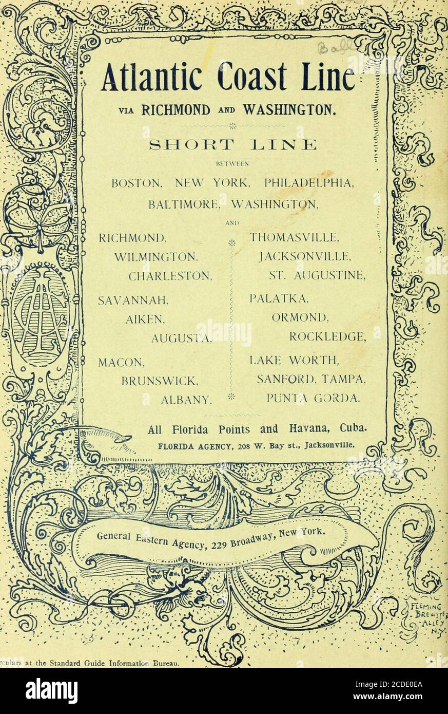 . The standard guide . / and the fsmous Orange Groves, Pineapple Plantations, Cocoanut Groves and Vegetable Farms of the country tributary to INDIAN RIVER, LAKE WORTH and BISCAYNE BAY are reached from Jacksonville via the FLORIDA EAST COAST RAILWAY. Railw^ay For copy of beautiful new book, best map of Florida and otherinformation, address J. R. PARROTT, JOSEPH RICHARD50N, Vice-President. Qenl Pass. Agent, St. Augustine. Circulars also at the Standard Guide Information Bureaus, St. Augus:ine and Palm Beach. ?:>- .... Circulars at the Standard Guide Information Bureau. Stock Photohttps://www.alamy.com/image-license-details/?v=1https://www.alamy.com/the-standard-guide-and-the-fsmous-orange-groves-pineapple-plantations-cocoanut-groves-and-vegetable-farms-of-the-country-tributary-to-indian-river-lake-worth-and-biscayne-bay-are-reached-from-jacksonville-via-the-florida-east-coast-railway-railway-for-copy-of-beautiful-new-book-best-map-of-florida-and-otherinformation-address-j-r-parrott-joseph-richard50n-vice-president-qenl-pass-agent-st-augustine-circulars-also-at-the-standard-guide-information-bureaus-st-augusine-and-palm-beach-gt-circulars-at-the-standard-guide-information-bureau-image369715986.html
RM2CDE0EA–. The standard guide . / and the fsmous Orange Groves, Pineapple Plantations, Cocoanut Groves and Vegetable Farms of the country tributary to INDIAN RIVER, LAKE WORTH and BISCAYNE BAY are reached from Jacksonville via the FLORIDA EAST COAST RAILWAY. Railw^ay For copy of beautiful new book, best map of Florida and otherinformation, address J. R. PARROTT, JOSEPH RICHARD50N, Vice-President. Qenl Pass. Agent, St. Augustine. Circulars also at the Standard Guide Information Bureaus, St. Augus:ine and Palm Beach. ?:>- .... Circulars at the Standard Guide Information Bureau.
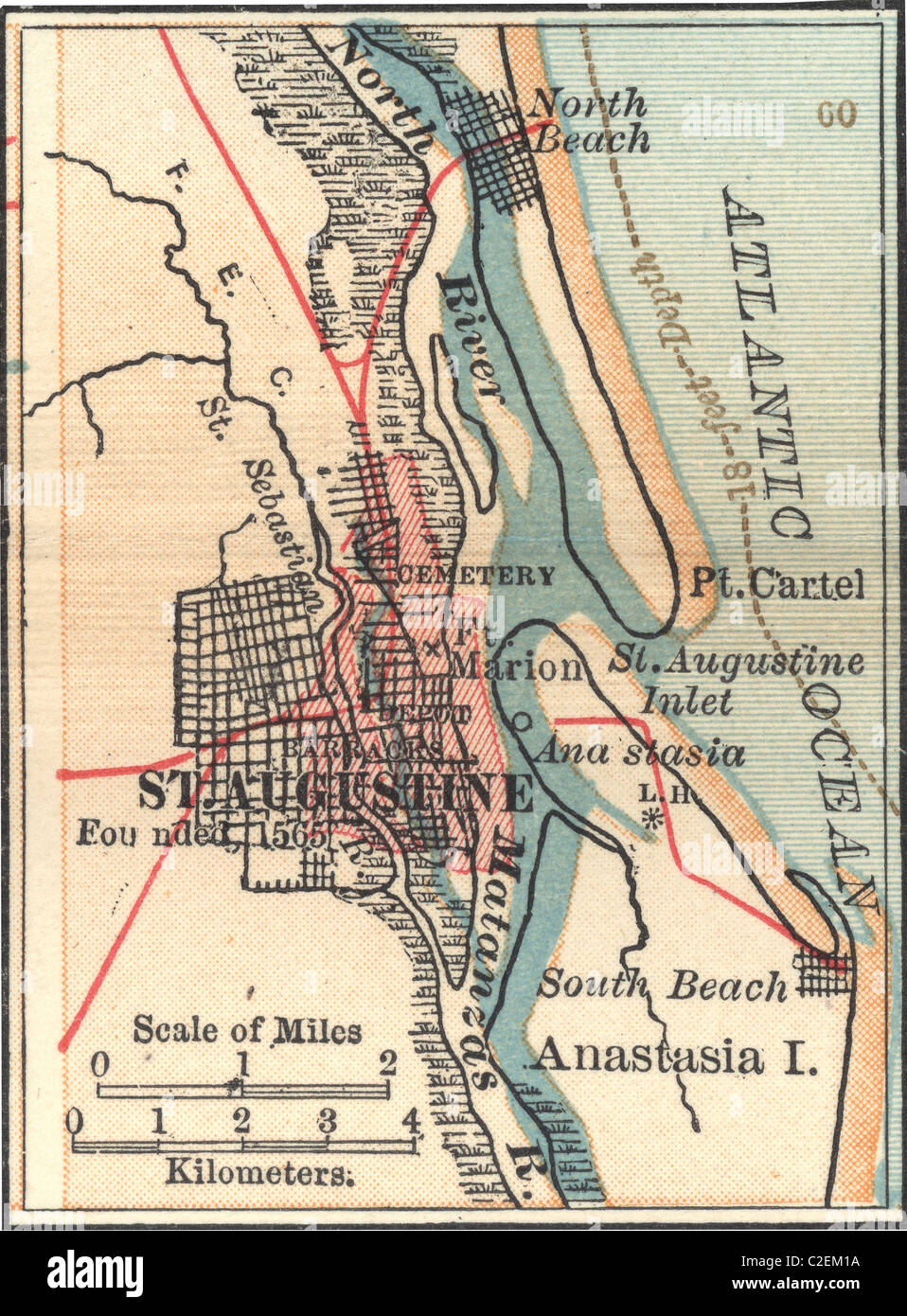 Map of St. Augustine, Florida Stock Photohttps://www.alamy.com/image-license-details/?v=1https://www.alamy.com/stock-photo-map-of-st-augustine-florida-35973094.html
RMC2EM1A–Map of St. Augustine, Florida
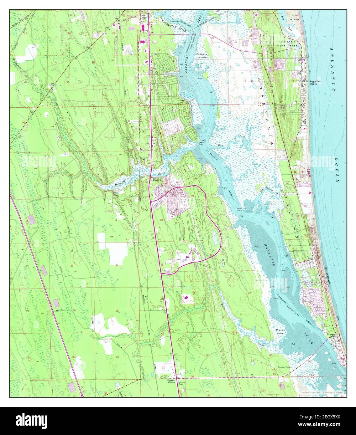 St Augustine Beach, Florida, map 1956, 1:24000, United States of America by Timeless Maps, data U.S. Geological Survey Stock Photohttps://www.alamy.com/image-license-details/?v=1https://www.alamy.com/st-augustine-beach-florida-map-1956-124000-united-states-of-america-by-timeless-maps-data-us-geological-survey-image406248360.html
RM2EGX5X0–St Augustine Beach, Florida, map 1956, 1:24000, United States of America by Timeless Maps, data U.S. Geological Survey
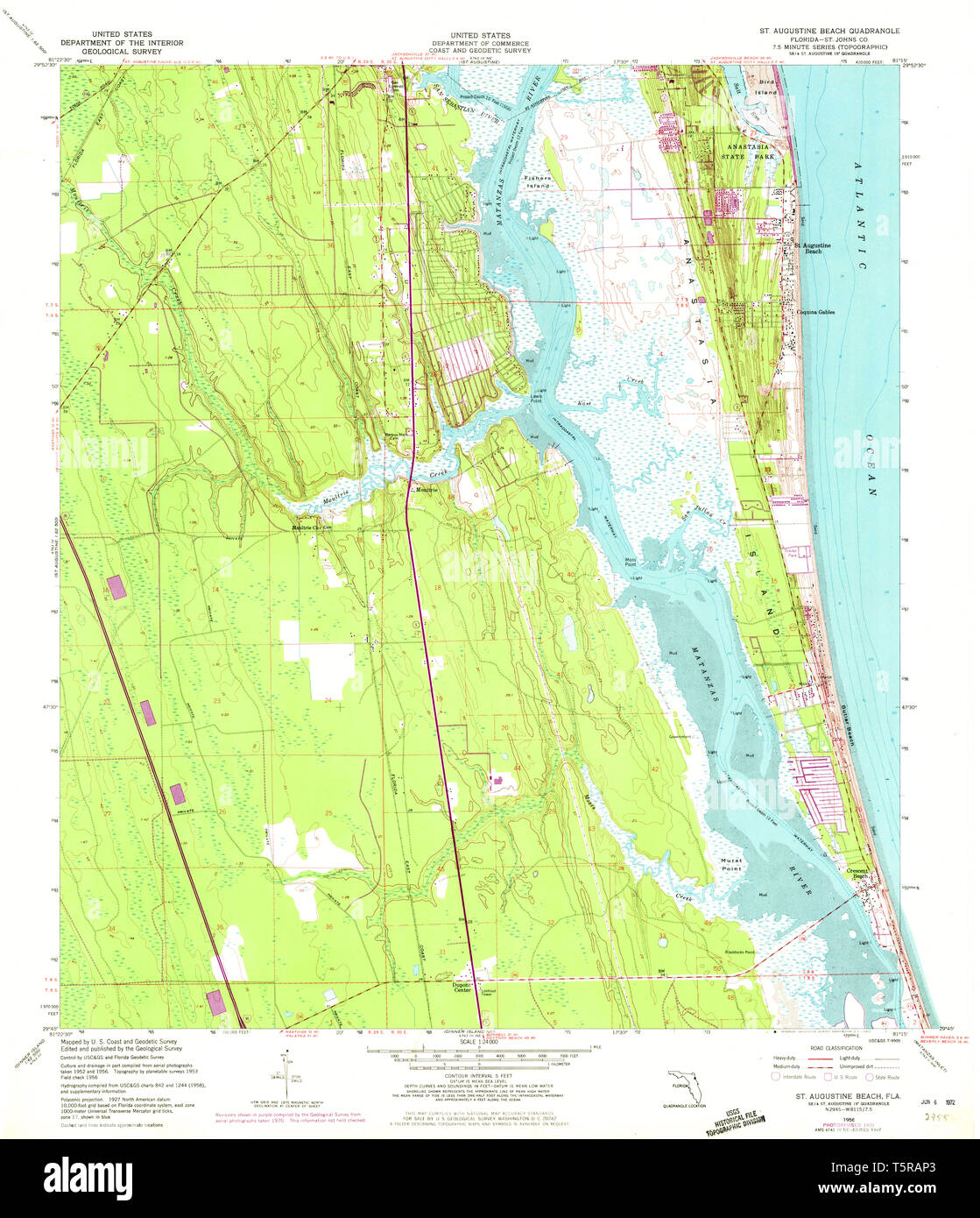 USGS TOPO Map Florida FL St Augustine Beach 348690 1956 24000 Restoration Stock Photohttps://www.alamy.com/image-license-details/?v=1https://www.alamy.com/usgs-topo-map-florida-fl-st-augustine-beach-348690-1956-24000-restoration-image244531787.html
RMT5RAP3–USGS TOPO Map Florida FL St Augustine Beach 348690 1956 24000 Restoration
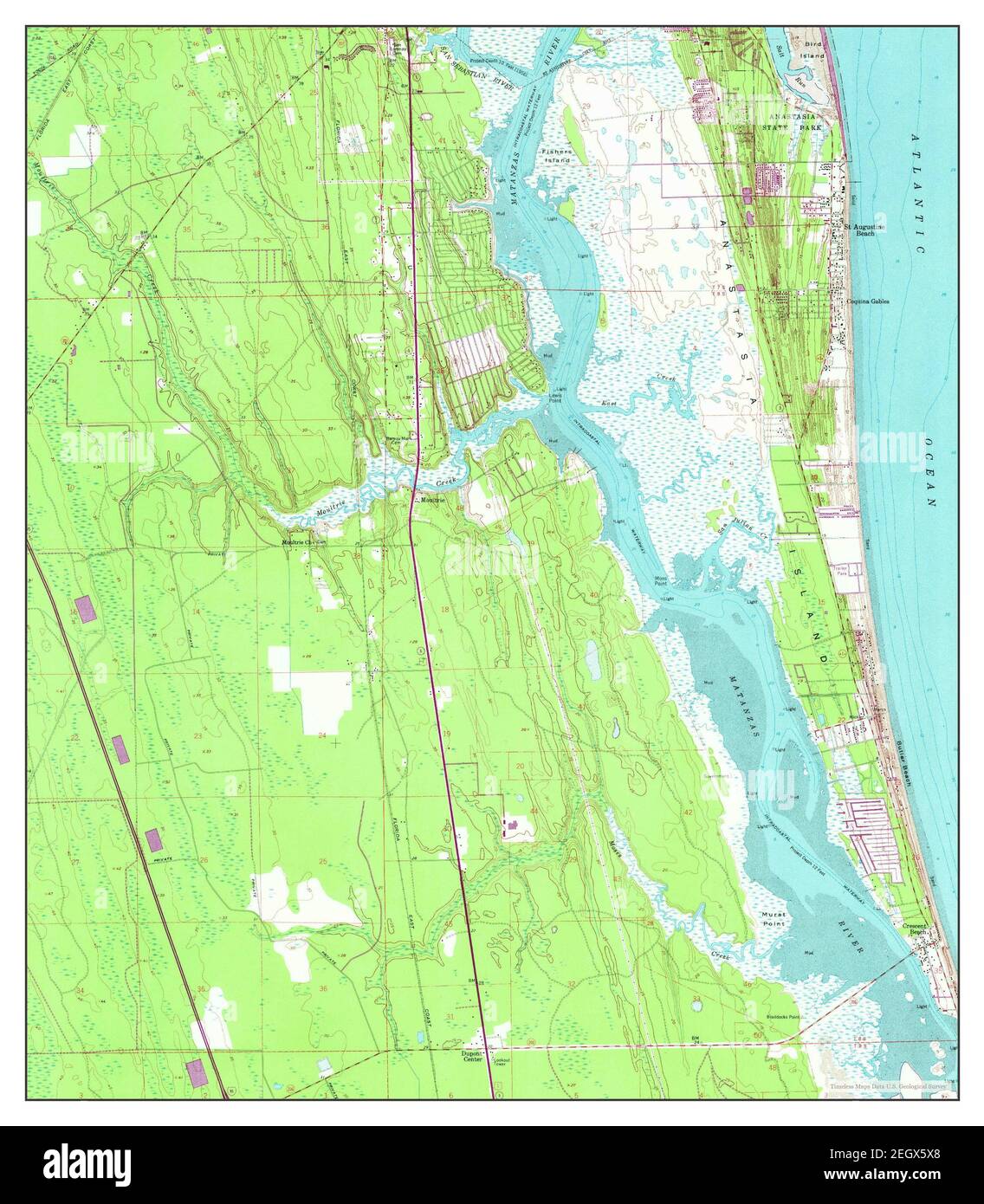 St Augustine Beach, Florida, map 1956, 1:24000, United States of America by Timeless Maps, data U.S. Geological Survey Stock Photohttps://www.alamy.com/image-license-details/?v=1https://www.alamy.com/st-augustine-beach-florida-map-1956-124000-united-states-of-america-by-timeless-maps-data-us-geological-survey-image406248368.html
RM2EGX5X8–St Augustine Beach, Florida, map 1956, 1:24000, United States of America by Timeless Maps, data U.S. Geological Survey
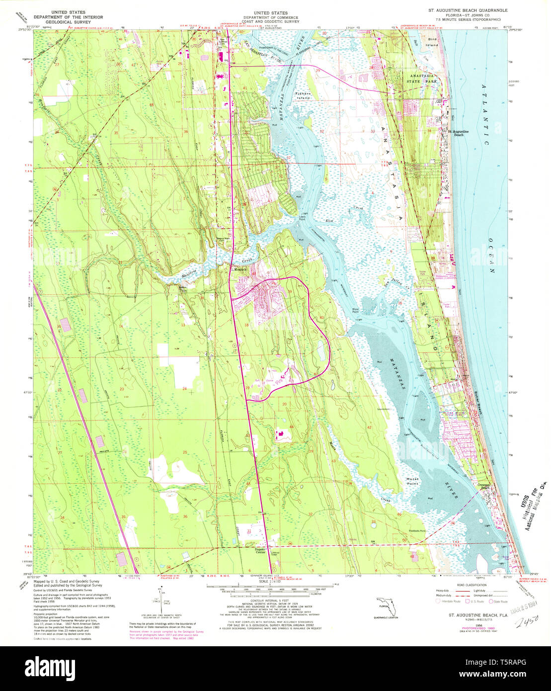 USGS TOPO Map Florida FL St Augustine Beach 348691 1956 24000 Restoration Stock Photohttps://www.alamy.com/image-license-details/?v=1https://www.alamy.com/usgs-topo-map-florida-fl-st-augustine-beach-348691-1956-24000-restoration-image244531800.html
RMT5RAPG–USGS TOPO Map Florida FL St Augustine Beach 348691 1956 24000 Restoration
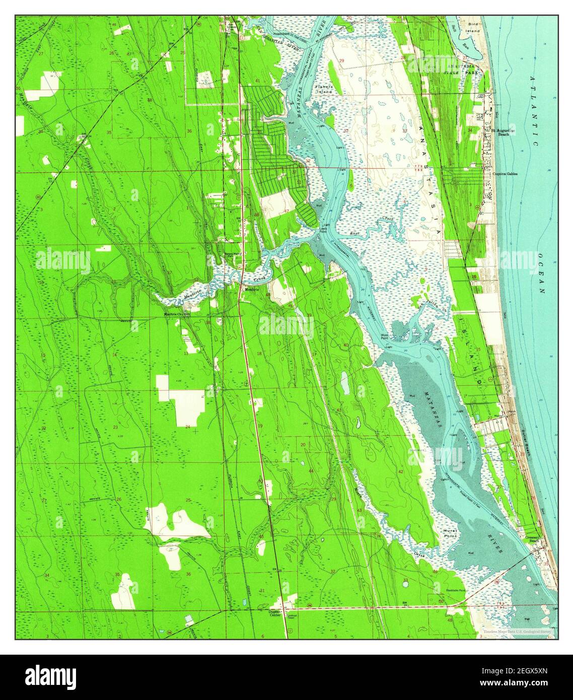 St Augustine Beach, Florida, map 1956, 1:24000, United States of America by Timeless Maps, data U.S. Geological Survey Stock Photohttps://www.alamy.com/image-license-details/?v=1https://www.alamy.com/st-augustine-beach-florida-map-1956-124000-united-states-of-america-by-timeless-maps-data-us-geological-survey-image406248381.html
RM2EGX5XN–St Augustine Beach, Florida, map 1956, 1:24000, United States of America by Timeless Maps, data U.S. Geological Survey
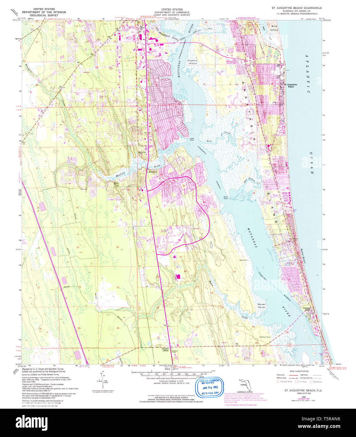 USGS TOPO Map Florida FL St Augustine Beach 348620 1956 24000 Restoration Stock Photohttps://www.alamy.com/image-license-details/?v=1https://www.alamy.com/usgs-topo-map-florida-fl-st-augustine-beach-348620-1956-24000-restoration-image244531762.html
RMT5RAN6–USGS TOPO Map Florida FL St Augustine Beach 348620 1956 24000 Restoration
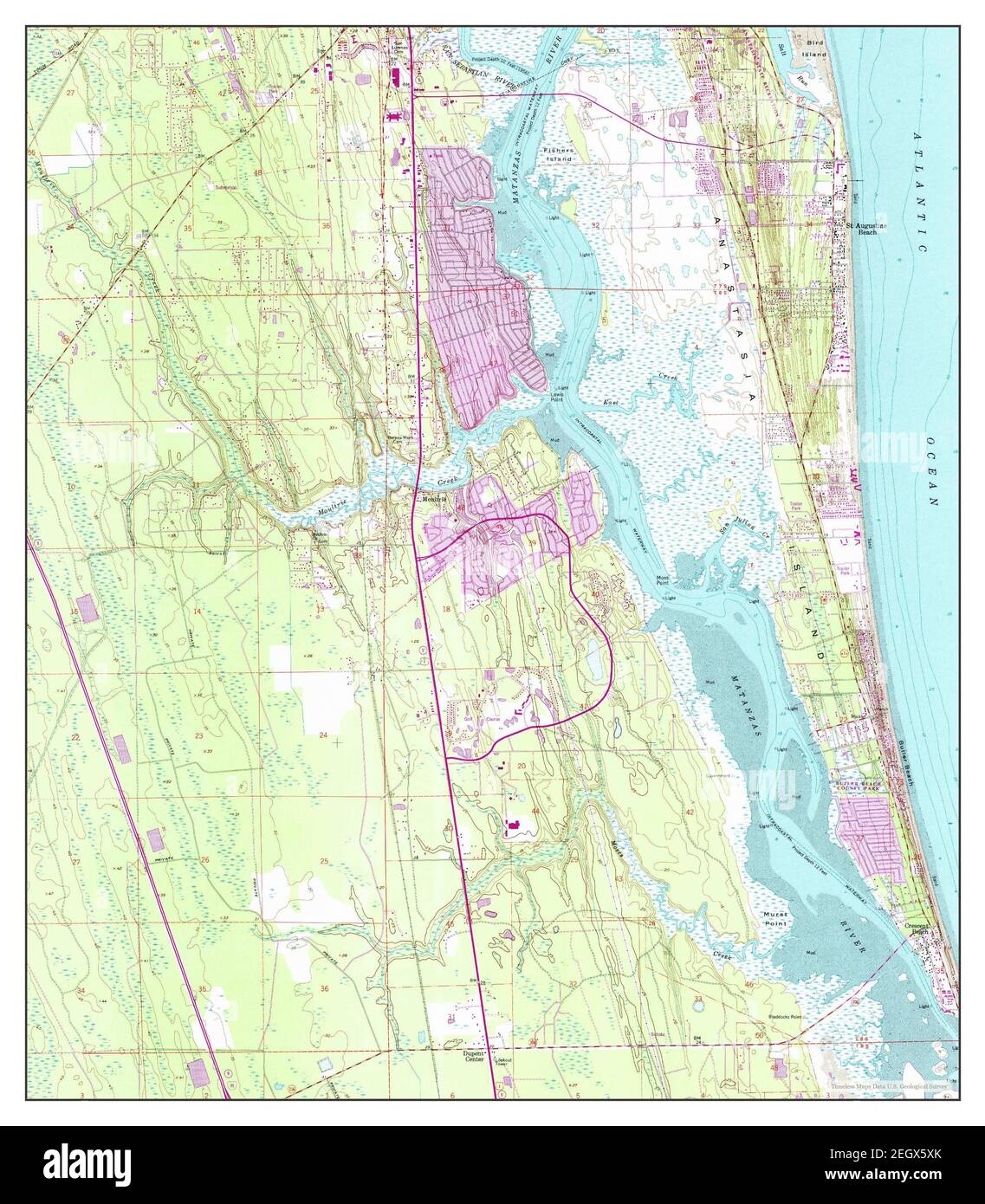 St Augustine Beach, Florida, map 1956, 1:24000, United States of America by Timeless Maps, data U.S. Geological Survey Stock Photohttps://www.alamy.com/image-license-details/?v=1https://www.alamy.com/st-augustine-beach-florida-map-1956-124000-united-states-of-america-by-timeless-maps-data-us-geological-survey-image406248379.html
RM2EGX5XK–St Augustine Beach, Florida, map 1956, 1:24000, United States of America by Timeless Maps, data U.S. Geological Survey
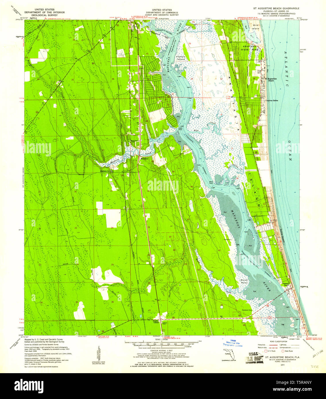 USGS TOPO Map Florida FL St Augustine Beach 348689 1956 24000 Restoration Stock Photohttps://www.alamy.com/image-license-details/?v=1https://www.alamy.com/usgs-topo-map-florida-fl-st-augustine-beach-348689-1956-24000-restoration-image244531783.html
RMT5RANY–USGS TOPO Map Florida FL St Augustine Beach 348689 1956 24000 Restoration
 USGS TOPO Map Florida FL St Augustine Beach 348691 1956 24000 Inverted Restoration Stock Photohttps://www.alamy.com/image-license-details/?v=1https://www.alamy.com/usgs-topo-map-florida-fl-st-augustine-beach-348691-1956-24000-inverted-restoration-image244531788.html
RMT5RAP4–USGS TOPO Map Florida FL St Augustine Beach 348691 1956 24000 Inverted Restoration
 USGS TOPO Map Florida FL St Augustine Beach 348620 1956 24000 Inverted Restoration Stock Photohttps://www.alamy.com/image-license-details/?v=1https://www.alamy.com/usgs-topo-map-florida-fl-st-augustine-beach-348620-1956-24000-inverted-restoration-image244531752.html
RMT5RAMT–USGS TOPO Map Florida FL St Augustine Beach 348620 1956 24000 Inverted Restoration
 USGS TOPO Map Florida FL St Augustine Beach 348689 1956 24000 Inverted Restoration Stock Photohttps://www.alamy.com/image-license-details/?v=1https://www.alamy.com/usgs-topo-map-florida-fl-st-augustine-beach-348689-1956-24000-inverted-restoration-image244531763.html
RMT5RAN7–USGS TOPO Map Florida FL St Augustine Beach 348689 1956 24000 Inverted Restoration
 USGS TOPO Map Florida FL St Augustine Beach 348619 1956 24000 Inverted Restoration Stock Photohttps://www.alamy.com/image-license-details/?v=1https://www.alamy.com/usgs-topo-map-florida-fl-st-augustine-beach-348619-1956-24000-inverted-restoration-image244531741.html
RMT5RAMD–USGS TOPO Map Florida FL St Augustine Beach 348619 1956 24000 Inverted Restoration
 USGS TOPO Map Florida FL St Augustine Beach 348690 1956 24000 Inverted Restoration Stock Photohttps://www.alamy.com/image-license-details/?v=1https://www.alamy.com/usgs-topo-map-florida-fl-st-augustine-beach-348690-1956-24000-inverted-restoration-image244531773.html
RMT5RANH–USGS TOPO Map Florida FL St Augustine Beach 348690 1956 24000 Inverted Restoration