Quick filters:
Map of syria Stock Photos and Images
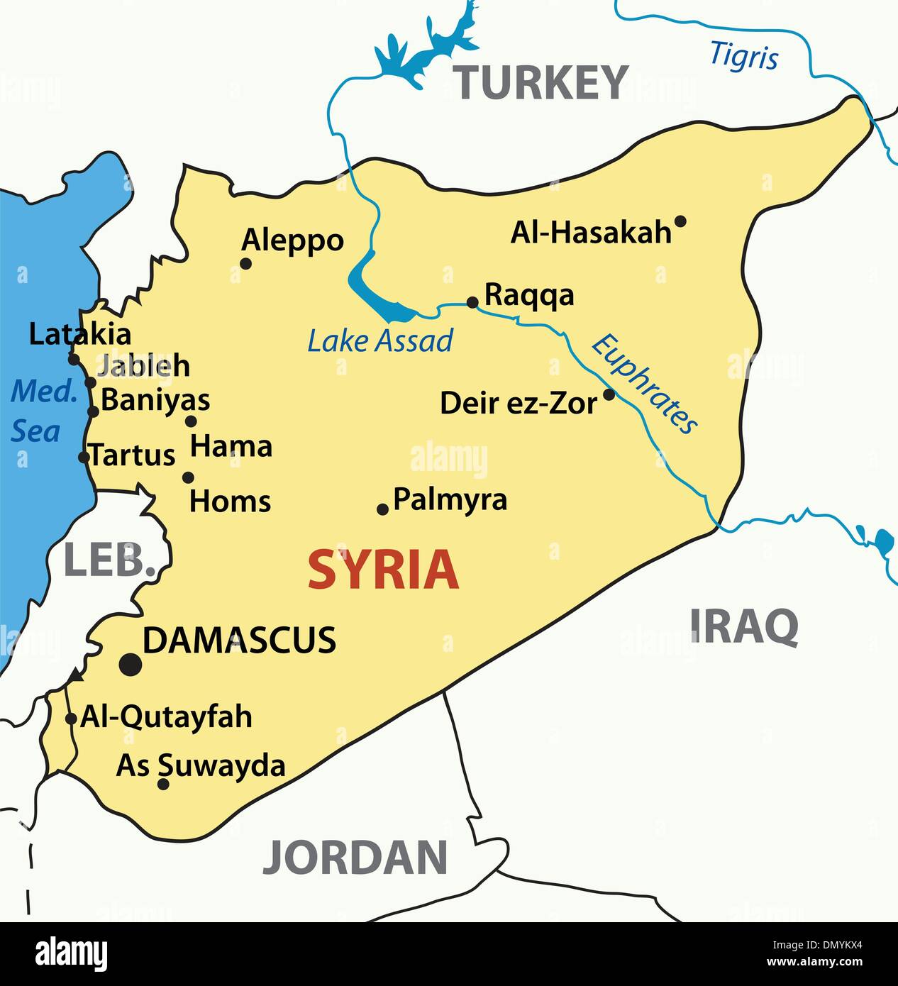 vector illustration - map of syria Stock Vectorhttps://www.alamy.com/image-license-details/?v=1https://www.alamy.com/vector-illustration-map-of-syria-image64532556.html
RFDMYKX4–vector illustration - map of syria
 Syria, Map of Syria, Taf. 6, to p. 220, Histoire universelle depuis le commencement du monde jusqu'à présent, traduite de l'anglois. T. 15. Amsterdam, Leipzig: chez Arkstée et Merkus, MDCCLX Stock Photohttps://www.alamy.com/image-license-details/?v=1https://www.alamy.com/syria-map-of-syria-taf-6-to-p-220-histoire-universelle-depuis-le-commencement-du-monde-jusqu-prsent-traduite-de-langlois-t-15-amsterdam-leipzig-chez-arkste-et-merkus-mdcclx-image328755954.html
RM2A2T3G2–Syria, Map of Syria, Taf. 6, to p. 220, Histoire universelle depuis le commencement du monde jusqu'à présent, traduite de l'anglois. T. 15. Amsterdam, Leipzig: chez Arkstée et Merkus, MDCCLX
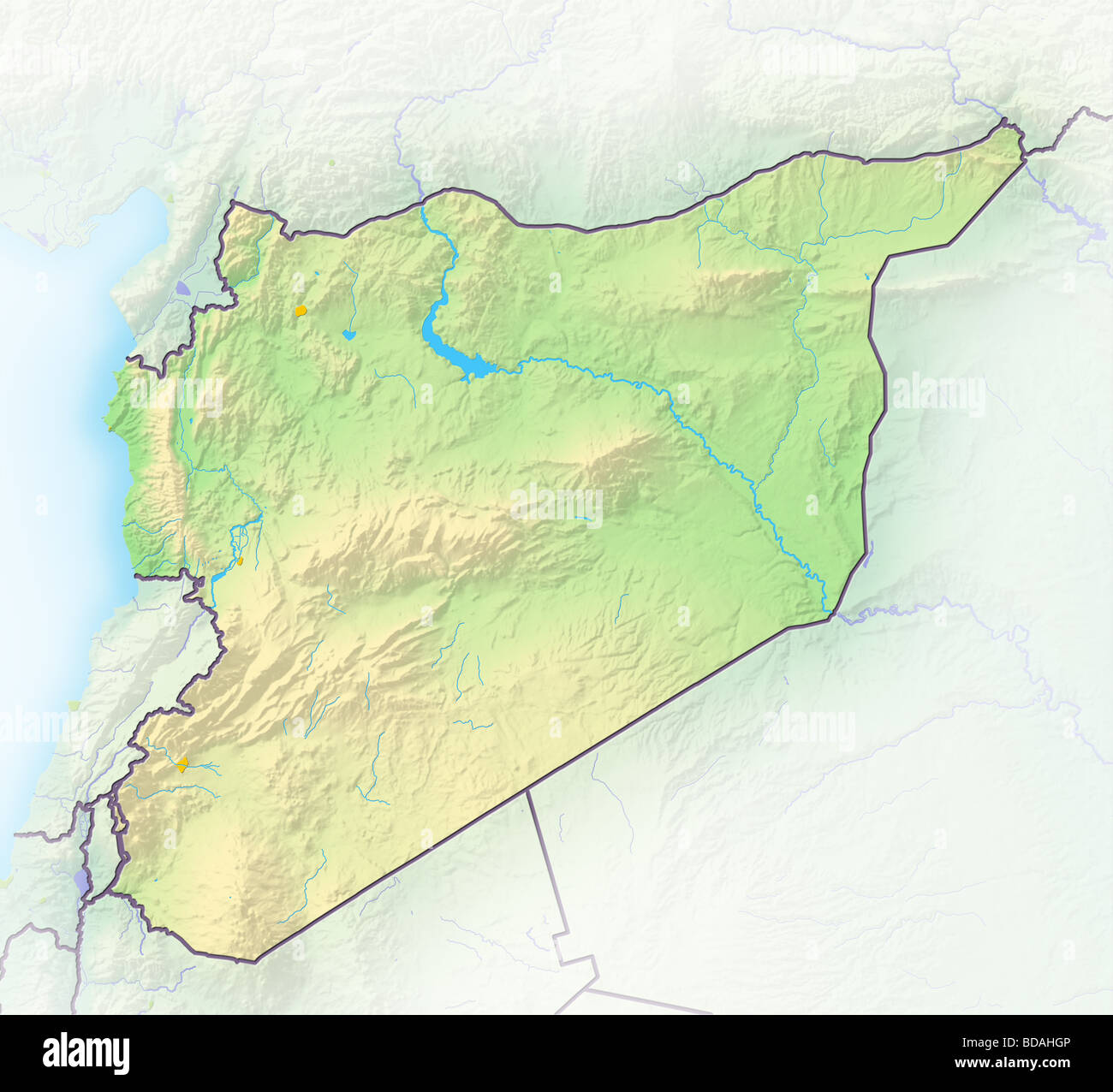 Syria, shaded relief map. Stock Photohttps://www.alamy.com/image-license-details/?v=1https://www.alamy.com/stock-photo-syria-shaded-relief-map-25434214.html
RFBDAHGP–Syria, shaded relief map.
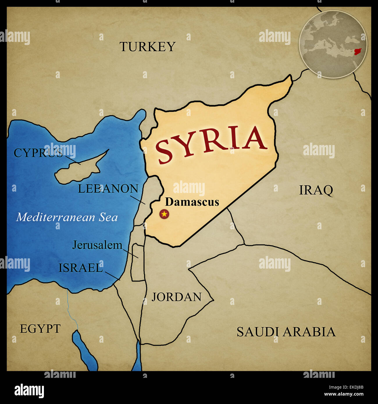 Syria map and bordering countries with capital Damascus marked. With location in the middle east. Stock Photohttps://www.alamy.com/image-license-details/?v=1https://www.alamy.com/stock-photo-syria-map-and-bordering-countries-with-capital-damascus-marked-with-80819659.html
RFEKDJ8B–Syria map and bordering countries with capital Damascus marked. With location in the middle east.
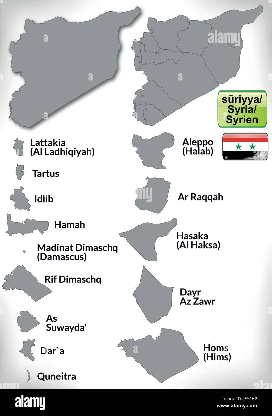 map of syria with borders in gray Stock Vectorhttps://www.alamy.com/image-license-details/?v=1https://www.alamy.com/stock-photo-map-of-syria-with-borders-in-gray-146884466.html
RFJEY4HP–map of syria with borders in gray
 Map of Syria showing the Dominions of David and Solomon Stock Photohttps://www.alamy.com/image-license-details/?v=1https://www.alamy.com/stock-photo-map-of-syria-showing-the-dominions-of-david-and-solomon-97173473.html
RMFJ2HN5–Map of Syria showing the Dominions of David and Solomon
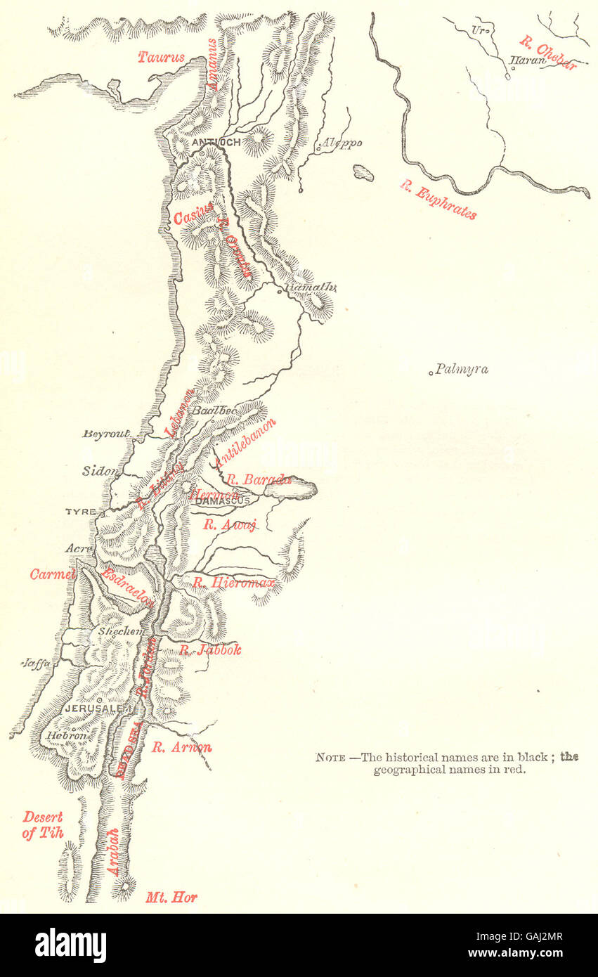 SYRIA: Sketch-Map of Syria, 1883 Stock Photohttps://www.alamy.com/image-license-details/?v=1https://www.alamy.com/stock-photo-syria-sketch-map-of-syria-1883-109806055.html
RFGAJ2MR–SYRIA: Sketch-Map of Syria, 1883
 Old green map of Syria in textured green paper, isolated on white background. Stock Photohttps://www.alamy.com/image-license-details/?v=1https://www.alamy.com/stock-photo-old-green-map-of-syria-in-textured-green-paper-isolated-on-white-background-48611524.html
RMCR2CDT–Old green map of Syria in textured green paper, isolated on white background.
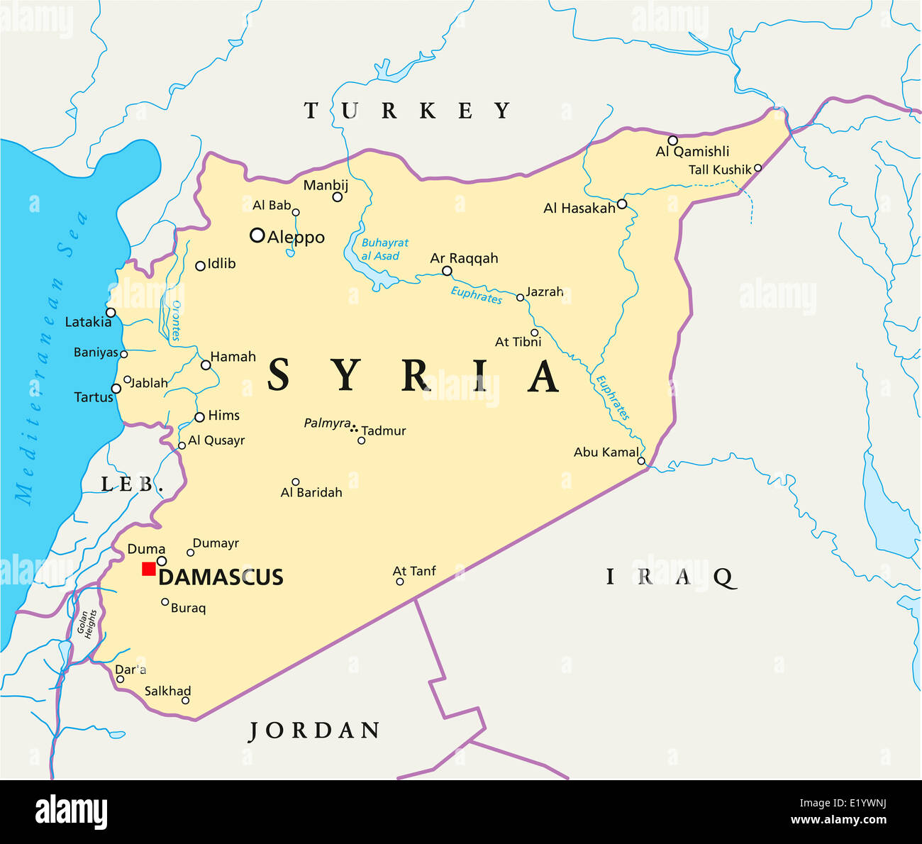 Syria Political Map - Political map of Syria with capital Damascus, national borders, most important cities, rivers and lakes. Stock Photohttps://www.alamy.com/image-license-details/?v=1https://www.alamy.com/stock-photo-syria-political-map-political-map-of-syria-with-capital-damascus-national-70069038.html
RFE1YWNJ–Syria Political Map - Political map of Syria with capital Damascus, national borders, most important cities, rivers and lakes.
 White world map, map of Syria and flag Stock Photohttps://www.alamy.com/image-license-details/?v=1https://www.alamy.com/stock-photo-white-world-map-map-of-syria-and-flag-86068705.html
RFF00NE9–White world map, map of Syria and flag
 Close up of map of Syria Stock Photohttps://www.alamy.com/image-license-details/?v=1https://www.alamy.com/stock-photo-close-up-of-map-of-syria-73844870.html
RME83WTP–Close up of map of Syria
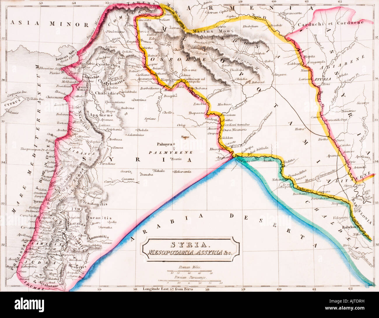 Map of Syria, Mesopotamia and Assyria. Stock Photohttps://www.alamy.com/image-license-details/?v=1https://www.alamy.com/stock-photo-map-of-syria-mesopotamia-and-assyria-14806564.html
RMAJTDRH–Map of Syria, Mesopotamia and Assyria.
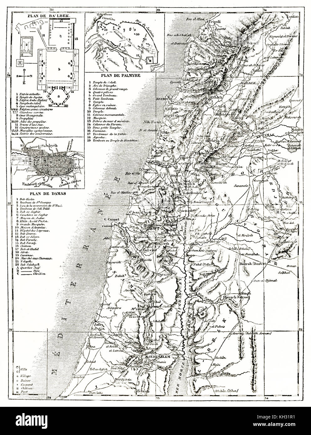 Old map of Syria with insert maps. By unidentified author, publ. on le Tour du Monde, Paris, 1863 Stock Photohttps://www.alamy.com/image-license-details/?v=1https://www.alamy.com/stock-image-old-map-of-syria-with-insert-maps-by-unidentified-author-publ-on-le-165409749.html
RFKH31R1–Old map of Syria with insert maps. By unidentified author, publ. on le Tour du Monde, Paris, 1863
 Vector creative digital neon flat line art abstract simple map of Syria with green, mint, turquoise striped texture on dark blue background. Education Stock Vectorhttps://www.alamy.com/image-license-details/?v=1https://www.alamy.com/vector-creative-digital-neon-flat-line-art-abstract-simple-map-of-syria-with-green-mint-turquoise-striped-texture-on-dark-blue-background-education-image502370111.html
RF2M58X5K–Vector creative digital neon flat line art abstract simple map of Syria with green, mint, turquoise striped texture on dark blue background. Education
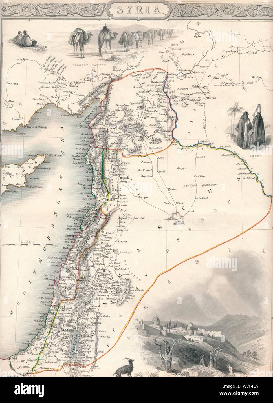 Map of Syria, 1851. Artist: John Tallis. Stock Photohttps://www.alamy.com/image-license-details/?v=1https://www.alamy.com/map-of-syria-1851-artist-john-tallis-image262791003.html
RMW7F4GY–Map of Syria, 1851. Artist: John Tallis.
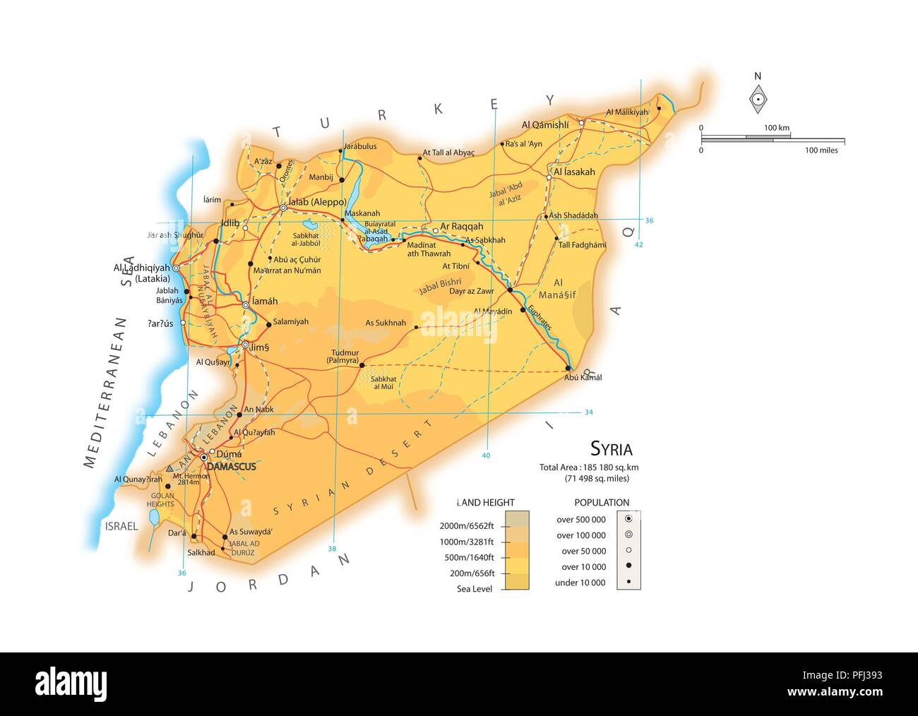 Map of Syria Stock Photohttps://www.alamy.com/image-license-details/?v=1https://www.alamy.com/map-of-syria-image216141999.html
RMPFJ393–Map of Syria
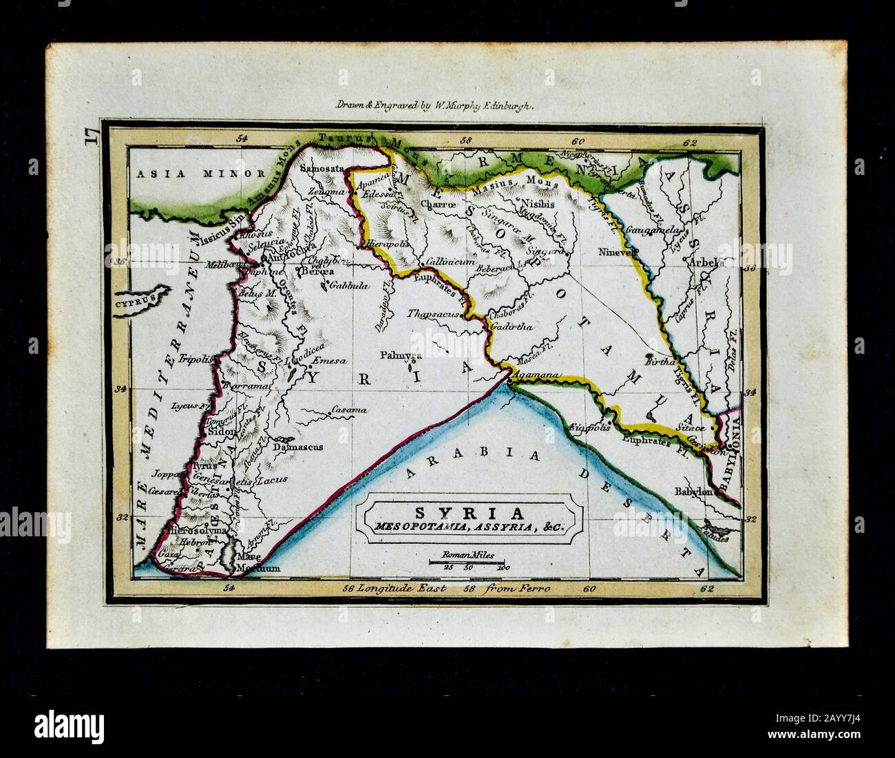 1832 Murphy Map Ancient Syria Mesopotamia Assyria Babylon Iran Iraq Stock Photohttps://www.alamy.com/image-license-details/?v=1https://www.alamy.com/1832-murphy-map-ancient-syria-mesopotamia-assyria-babylon-iran-iraq-image344191404.html
RM2AYY7J4–1832 Murphy Map Ancient Syria Mesopotamia Assyria Babylon Iran Iraq
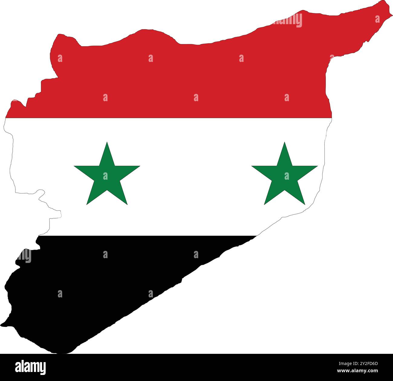 Syria Flag in Map, Syria Map with Flag, Map of Syria, Map with Flag, Nation Flag Syria Stock Vectorhttps://www.alamy.com/image-license-details/?v=1https://www.alamy.com/syria-flag-in-map-syria-map-with-flag-map-of-syria-map-with-flag-nation-flag-syria-image621142213.html
RF2Y2FD6D–Syria Flag in Map, Syria Map with Flag, Map of Syria, Map with Flag, Nation Flag Syria
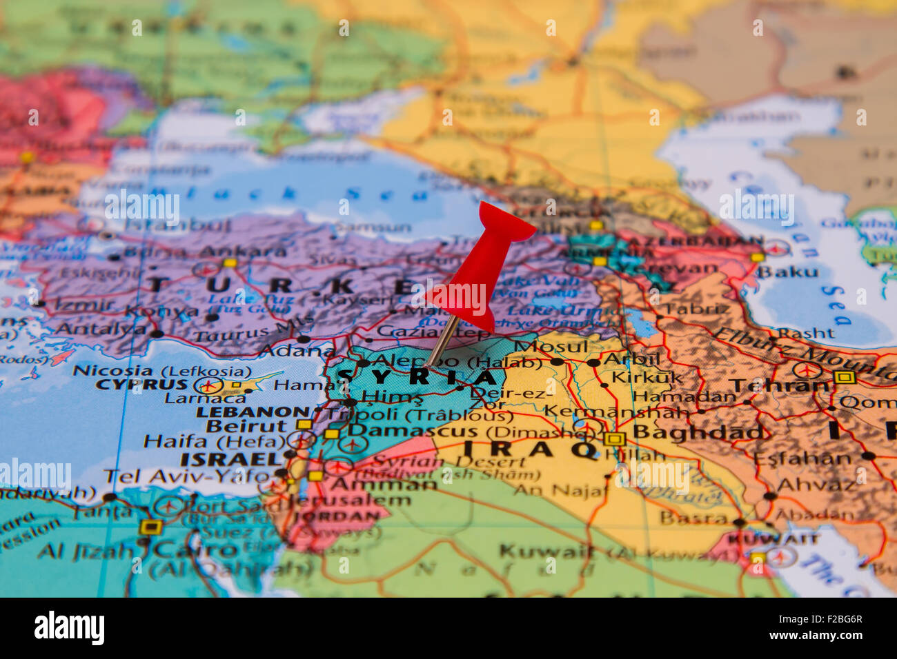 Map of Syria with a red pushpin stuck Stock Photohttps://www.alamy.com/image-license-details/?v=1https://www.alamy.com/stock-photo-map-of-syria-with-a-red-pushpin-stuck-87535359.html
RFF2BG6R–Map of Syria with a red pushpin stuck
 Relief map of Syria with shaded relief. Stock Photohttps://www.alamy.com/image-license-details/?v=1https://www.alamy.com/stock-photo-relief-map-of-syria-with-shaded-relief-112676279.html
RFGF8RMR–Relief map of Syria with shaded relief.
 Map of Syria, 1837, 19th century engraving Stock Photohttps://www.alamy.com/image-license-details/?v=1https://www.alamy.com/stock-photo-map-of-syria-1837-19th-century-engraving-77457431.html
RMEE0DMR–Map of Syria, 1837, 19th century engraving
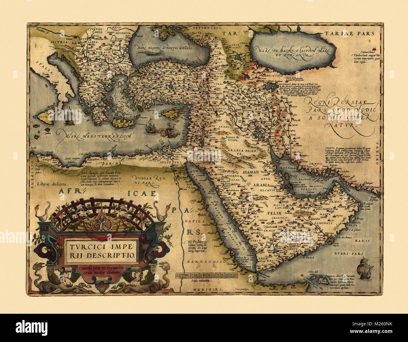 Historical map of the Middle East circa 1600. Stock Photohttps://www.alamy.com/image-license-details/?v=1https://www.alamy.com/stock-photo-historical-map-of-the-middle-east-circa-1600-173465311.html
RFM260NK–Historical map of the Middle East circa 1600.
 Merry Christmas illustration theme with map of Syria Stock Vectorhttps://www.alamy.com/image-license-details/?v=1https://www.alamy.com/stock-photo-merry-christmas-illustration-theme-with-map-of-syria-125875664.html
RFH8P3KC–Merry Christmas illustration theme with map of Syria
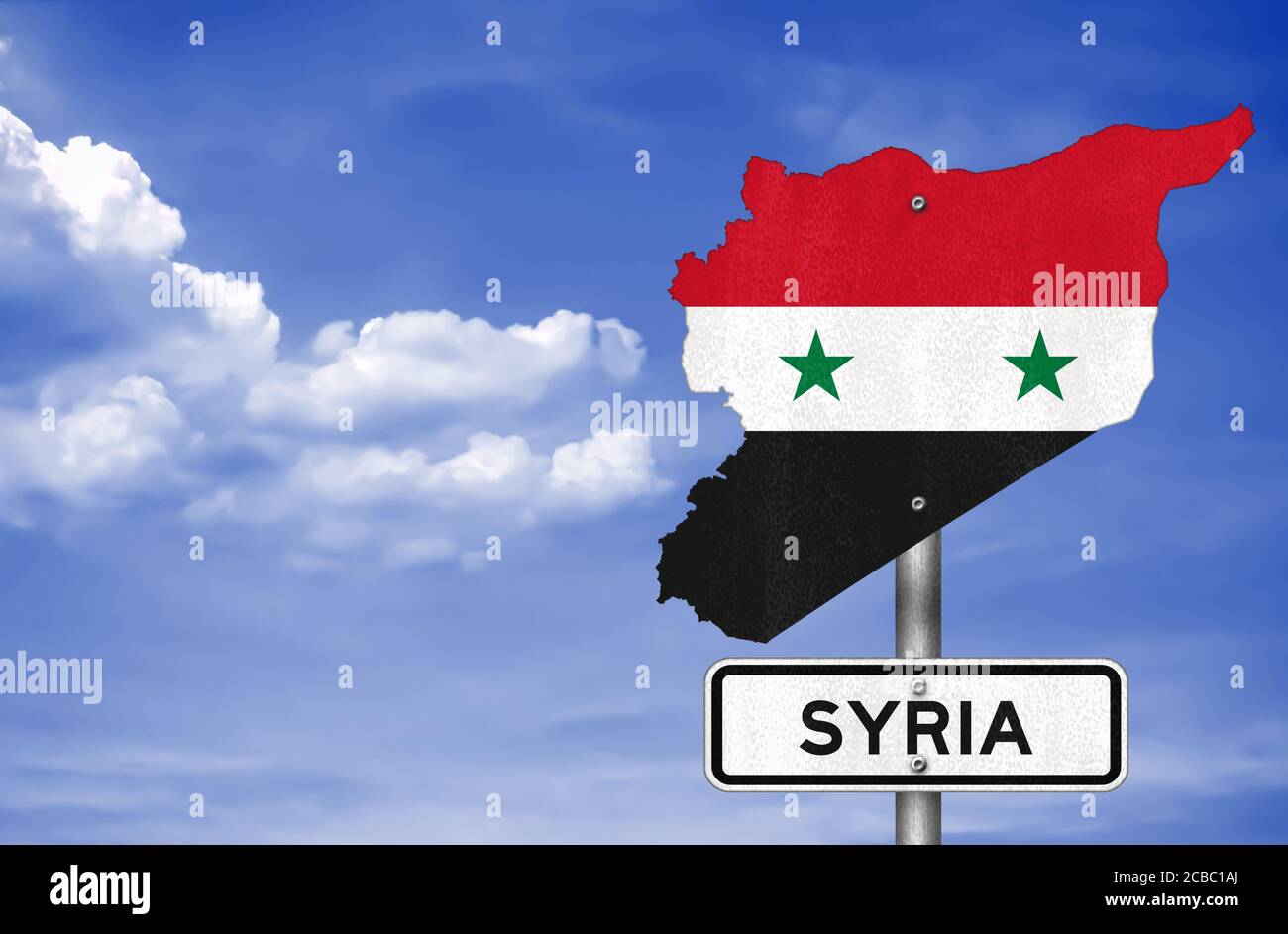 map of Syria Stock Photohttps://www.alamy.com/image-license-details/?v=1https://www.alamy.com/map-of-syria-image368443450.html
RF2CBC1AJ–map of Syria
 Hama pinned on a map of Syria Stock Photohttps://www.alamy.com/image-license-details/?v=1https://www.alamy.com/stock-photo-hama-pinned-on-a-map-of-syria-121288719.html
RFH194YY–Hama pinned on a map of Syria
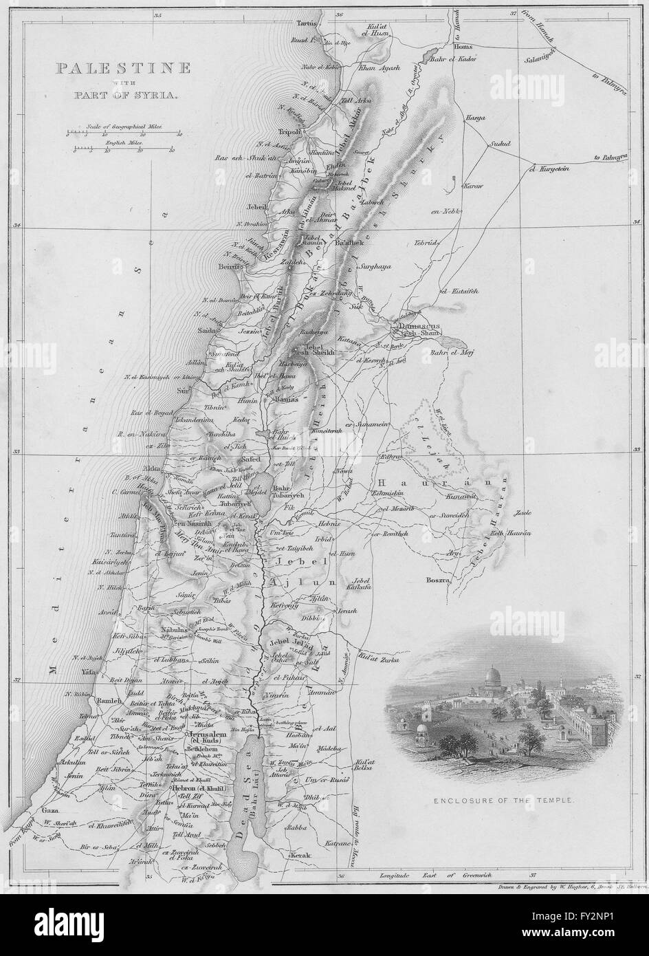 ISRAEL: Map of Palestine with Syria, 1847 Stock Photohttps://www.alamy.com/image-license-details/?v=1https://www.alamy.com/stock-photo-israel-map-of-palestine-with-syria-1847-102708537.html
RFFY2NP1–ISRAEL: Map of Palestine with Syria, 1847
 New York, USA - July 6, 2023: Contour of Syria country boarder on world apple map ipad close up view Stock Photohttps://www.alamy.com/image-license-details/?v=1https://www.alamy.com/new-york-usa-july-6-2023-contour-of-syria-country-boarder-on-world-apple-map-ipad-close-up-view-image558483061.html
RF2RCH2RH–New York, USA - July 6, 2023: Contour of Syria country boarder on world apple map ipad close up view
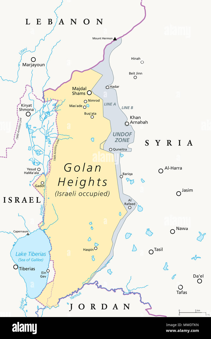 Golan Heights. political map with borders, important places, rivers and Lake Tiberias. A region in the Levant. Stock Photohttps://www.alamy.com/image-license-details/?v=1https://www.alamy.com/golan-heights-political-map-with-borders-important-places-rivers-and-lake-tiberias-a-region-in-the-levant-image184701545.html
RFMMDTKN–Golan Heights. political map with borders, important places, rivers and Lake Tiberias. A region in the Levant.
 Map of Syria and borders, physical map Middle East, Arabian Peninsula, map with reliefs and mountains and Mediterranean Sea on parchment. Hand drawn Stock Photohttps://www.alamy.com/image-license-details/?v=1https://www.alamy.com/map-of-syria-and-borders-physical-map-middle-east-arabian-peninsula-map-with-reliefs-and-mountains-and-mediterranean-sea-on-parchment-hand-drawn-image183379743.html
RFMJ9JMF–Map of Syria and borders, physical map Middle East, Arabian Peninsula, map with reliefs and mountains and Mediterranean Sea on parchment. Hand drawn
RFT2BRJF–Vector illustration of abstract halftone map of Syria made of square pixels with Syrian national flag colors for your design
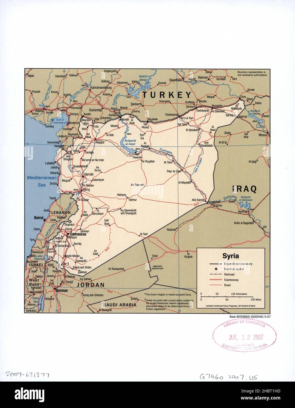 Map of Syria ca. 2007 Stock Photohttps://www.alamy.com/image-license-details/?v=1https://www.alamy.com/map-of-syria-ca-2007-image454758905.html
RM2HBT1HD–Map of Syria ca. 2007
 map of Syria and its flag Stock Photohttps://www.alamy.com/image-license-details/?v=1https://www.alamy.com/stock-image-map-of-syria-and-its-flag-168563524.html
RFKP6MDT–map of Syria and its flag
 Vector creative digital neon flat map of Syria with violet, purple, pink striped texture on black background. Educational banner, poster about Syria Stock Vectorhttps://www.alamy.com/image-license-details/?v=1https://www.alamy.com/vector-creative-digital-neon-flat-map-of-syria-with-violet-purple-pink-striped-texture-on-black-background-educational-banner-poster-about-syria-image501993669.html
RF2M4KP19–Vector creative digital neon flat map of Syria with violet, purple, pink striped texture on black background. Educational banner, poster about Syria
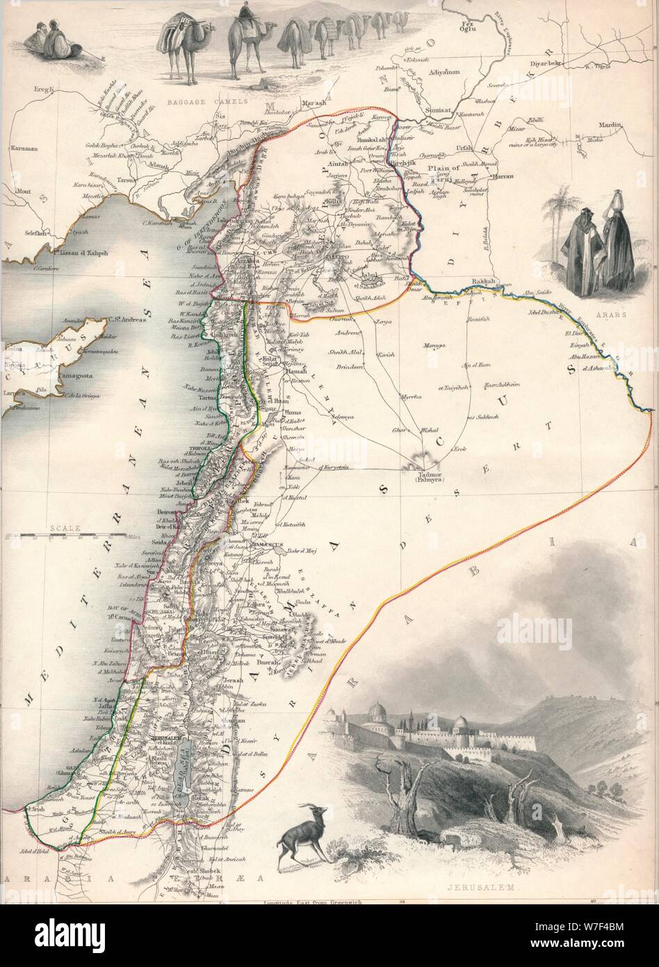 Map of Syria, 1851. Artist: John Tallis. Stock Photohttps://www.alamy.com/image-license-details/?v=1https://www.alamy.com/map-of-syria-1851-artist-john-tallis-image262790856.html
RMW7F4BM–Map of Syria, 1851. Artist: John Tallis.
 Beautiful woodcut pages from the 1493 Nuremberg Chronicle, which is an enyclodpedia of world events, mythology and christian history. This extra-ordinary work was one of the earliest books ever printed and the first to successfully integrate text and images. These pages show latin text and an engraving of the town of Damascus in Syria Stock Photohttps://www.alamy.com/image-license-details/?v=1https://www.alamy.com/beautiful-woodcut-pages-from-the-1493-nuremberg-chronicle-which-is-an-enyclodpedia-of-world-events-mythology-and-christian-history-this-extra-ordinary-work-was-one-of-the-earliest-books-ever-printed-and-the-first-to-successfully-integrate-text-and-images-these-pages-show-latin-text-and-an-engraving-of-the-town-of-damascus-in-syria-image598932143.html
RM2WPBM1K–Beautiful woodcut pages from the 1493 Nuremberg Chronicle, which is an enyclodpedia of world events, mythology and christian history. This extra-ordinary work was one of the earliest books ever printed and the first to successfully integrate text and images. These pages show latin text and an engraving of the town of Damascus in Syria
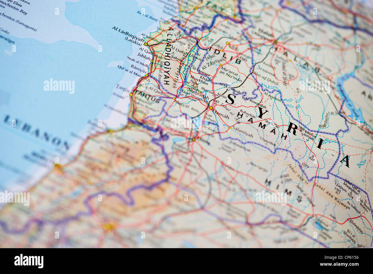 Map of Syria Stock Photohttps://www.alamy.com/image-license-details/?v=1https://www.alamy.com/stock-photo-map-of-syria-48075810.html
RMCP6156–Map of Syria
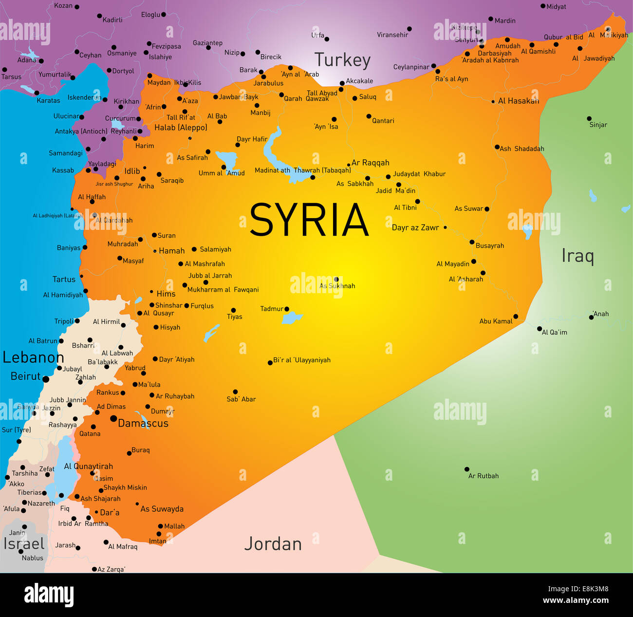 Syria map Stock Photohttps://www.alamy.com/image-license-details/?v=1https://www.alamy.com/stock-photo-syria-map-74178728.html
RFE8K3M8–Syria map
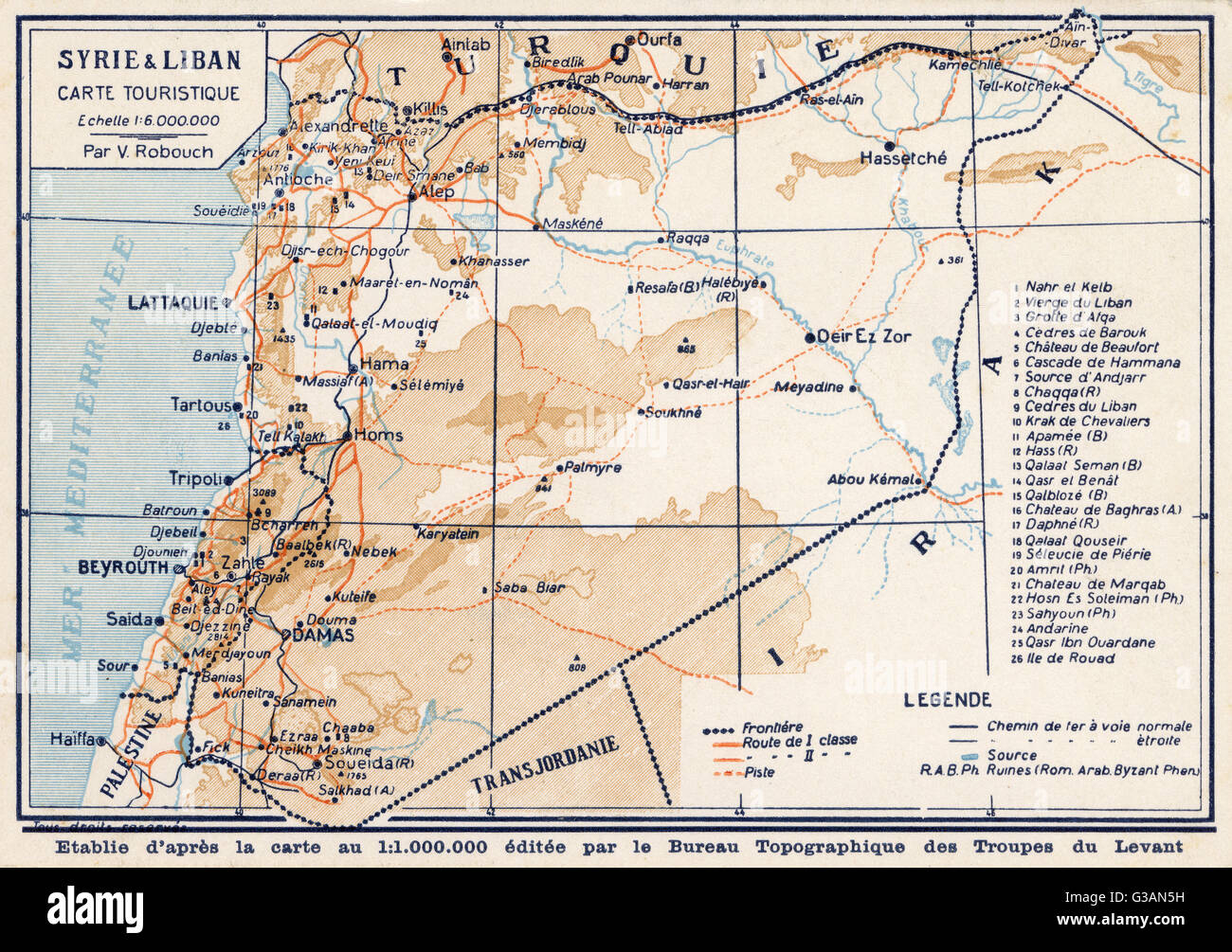 Syria and Lebanon - Tourist Map Stock Photohttps://www.alamy.com/image-license-details/?v=1https://www.alamy.com/stock-photo-syria-and-lebanon-tourist-map-105342317.html
RMG3AN5H–Syria and Lebanon - Tourist Map
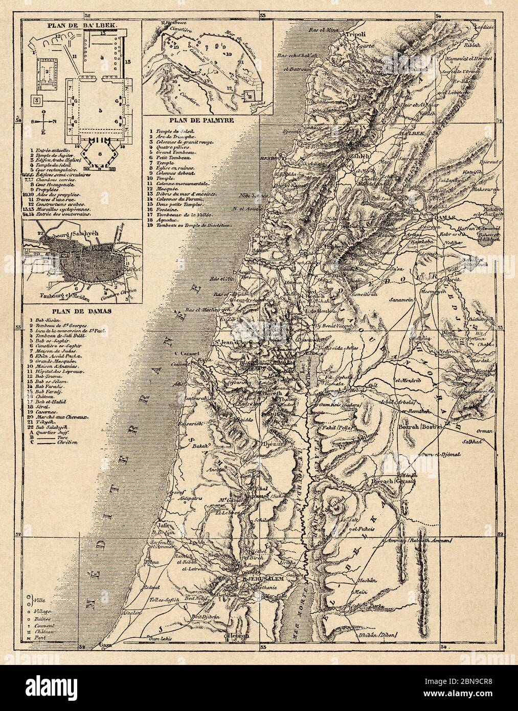 Old map of Syria, Syrian Arab Republic. Middle East, Old 19th century engraved illustration, Le Tour du Monde 1863 Stock Photohttps://www.alamy.com/image-license-details/?v=1https://www.alamy.com/old-map-of-syria-syrian-arab-republic-middle-east-old-19th-century-engraved-illustration-le-tour-du-monde-1863-image357322764.html
RM2BN9CR8–Old map of Syria, Syrian Arab Republic. Middle East, Old 19th century engraved illustration, Le Tour du Monde 1863
 Map of Syria, Syrian Arab Republic, is a country in Western Asia, 19th century engraving Stock Photohttps://www.alamy.com/image-license-details/?v=1https://www.alamy.com/stock-photo-map-of-syria-syrian-arab-republic-is-a-country-in-western-asia-19th-77459066.html
RMEE0FR6–Map of Syria, Syrian Arab Republic, is a country in Western Asia, 19th century engraving
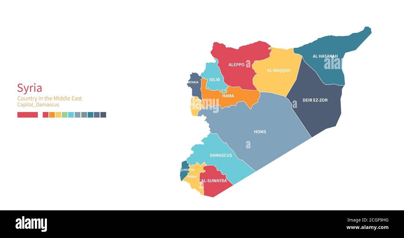 Syria map. Colorful detailed vector map of the Middle East country. Stock Vectorhttps://www.alamy.com/image-license-details/?v=1https://www.alamy.com/syria-map-colorful-detailed-vector-map-of-the-middle-east-country-image371589052.html
RF2CGF9HG–Syria map. Colorful detailed vector map of the Middle East country.
 Merry Christmas illustration theme with map of Syria Stock Vectorhttps://www.alamy.com/image-license-details/?v=1https://www.alamy.com/stock-photo-merry-christmas-illustration-theme-with-map-of-syria-125875662.html
RFH8P3KA–Merry Christmas illustration theme with map of Syria
 Syria map with flag - outline of a state with a national flag Stock Vectorhttps://www.alamy.com/image-license-details/?v=1https://www.alamy.com/syria-map-with-flag-outline-of-a-state-with-a-national-flag-image459035194.html
RF2HJPT22–Syria map with flag - outline of a state with a national flag
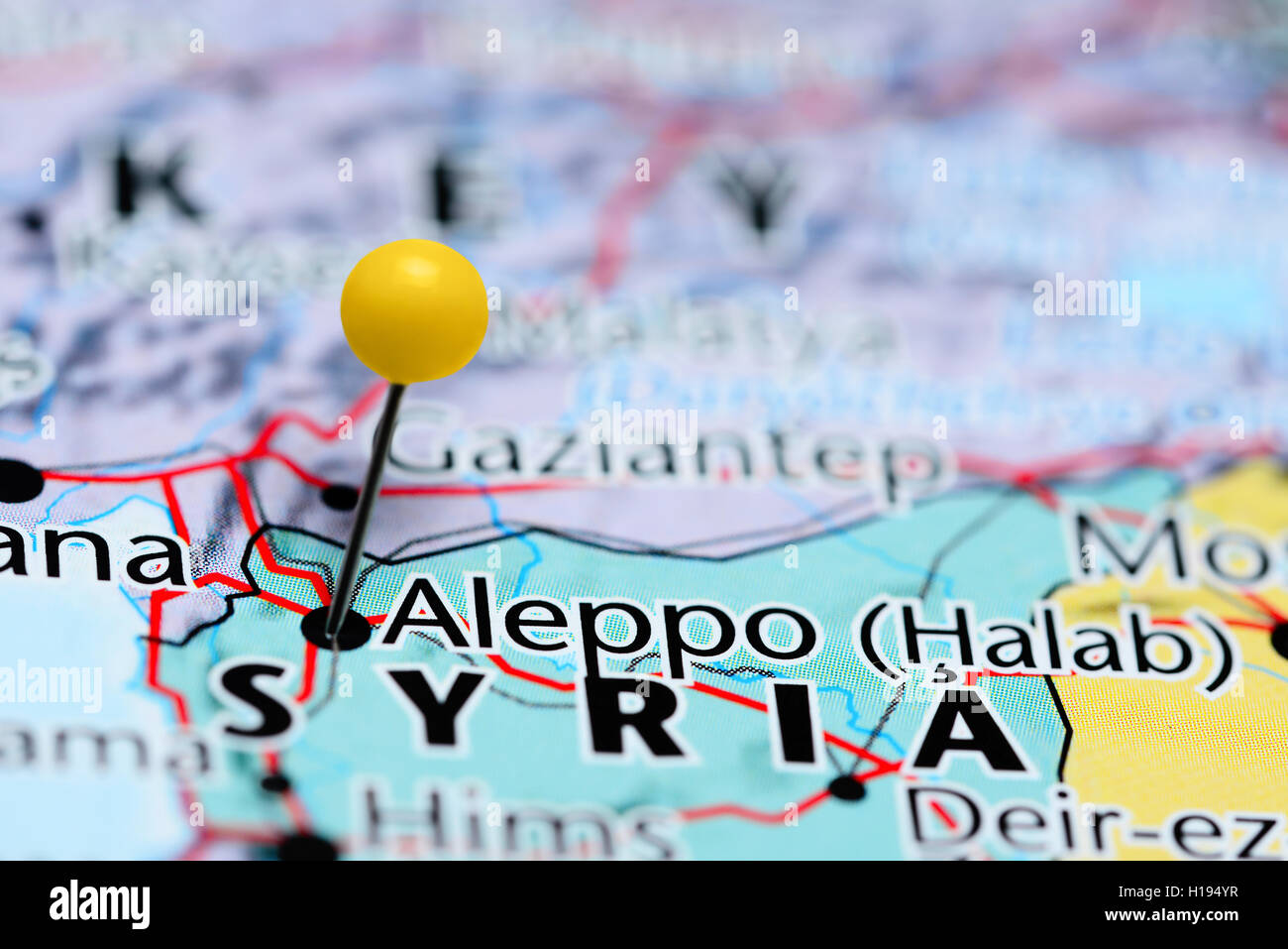 Aleppo pinned on a map of Syria Stock Photohttps://www.alamy.com/image-license-details/?v=1https://www.alamy.com/stock-photo-aleppo-pinned-on-a-map-of-syria-121288715.html
RFH194YR–Aleppo pinned on a map of Syria
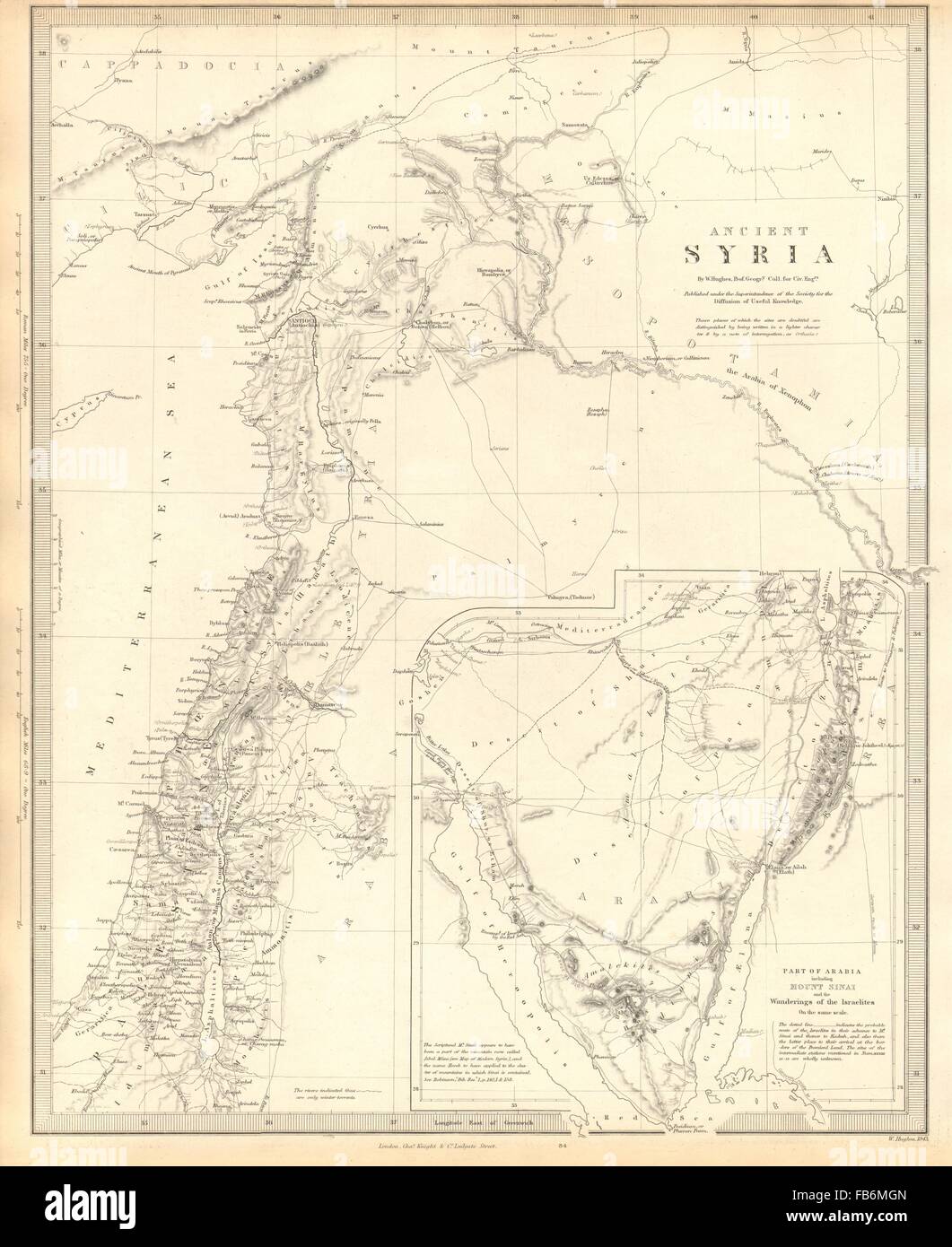 ANCIENT SYRIA: Levant; Sinai:wanderings of the Israelites. SDUK, 1848 old map Stock Photohttps://www.alamy.com/image-license-details/?v=1https://www.alamy.com/stock-photo-ancient-syria-levant-sinaiwanderings-of-the-israelites-sduk-1848-old-92960917.html
RFFB6MGN–ANCIENT SYRIA: Levant; Sinai:wanderings of the Israelites. SDUK, 1848 old map
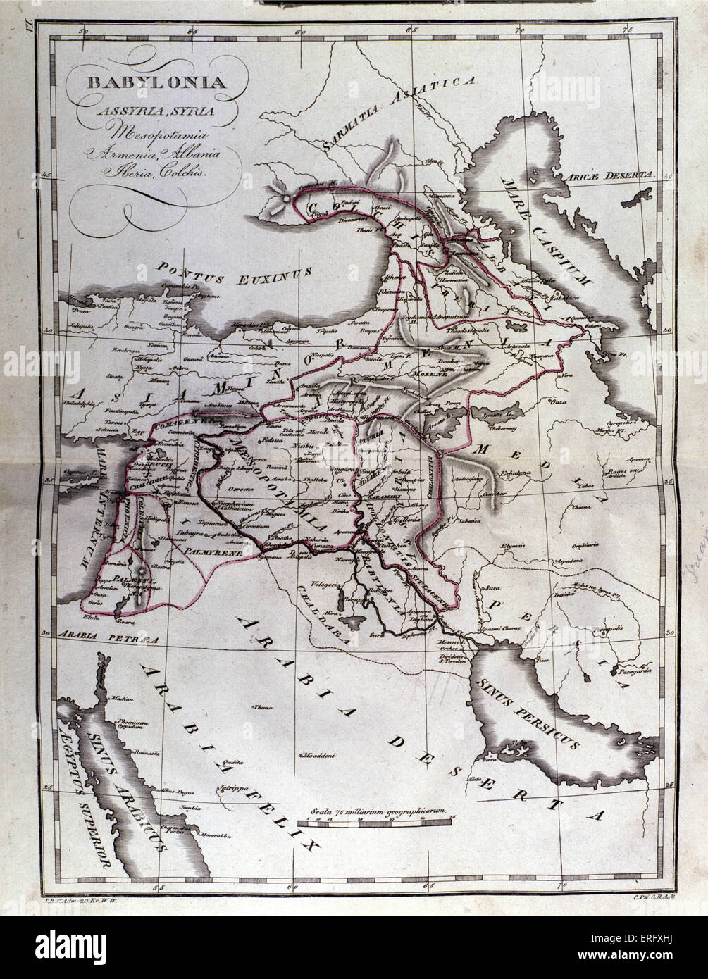 Map of Mesopotamia, Babylon, Syria and Assyria from late 18th century. Stock Photohttps://www.alamy.com/image-license-details/?v=1https://www.alamy.com/stock-photo-map-of-mesopotamia-babylon-syria-and-assyria-from-late-18th-century-83328718.html
RMERFXHJ–Map of Mesopotamia, Babylon, Syria and Assyria from late 18th century.
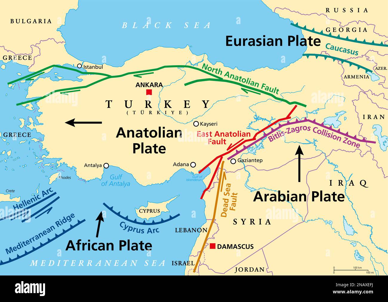 Anatolian Plate tectonics map. Most of the country of Turkey is located on this continental tectonic plate. Stock Photohttps://www.alamy.com/image-license-details/?v=1https://www.alamy.com/anatolian-plate-tectonics-map-most-of-the-country-of-turkey-is-located-on-this-continental-tectonic-plate-image523039766.html
RF2NAXEFJ–Anatolian Plate tectonics map. Most of the country of Turkey is located on this continental tectonic plate.
 Map of Syria and borders, physical map Middle East, Arabian Peninsula, map with reliefs and mountains and Mediterranean Sea on parchment. Hand drawn Stock Photohttps://www.alamy.com/image-license-details/?v=1https://www.alamy.com/map-of-syria-and-borders-physical-map-middle-east-arabian-peninsula-map-with-reliefs-and-mountains-and-mediterranean-sea-on-parchment-hand-drawn-image183348540.html
RFMJ86X4–Map of Syria and borders, physical map Middle East, Arabian Peninsula, map with reliefs and mountains and Mediterranean Sea on parchment. Hand drawn
 Vector illustration of abstract radial dotted halftone map of Syria and wavy ribbon with Syrian national flag colors for your design Stock Vectorhttps://www.alamy.com/image-license-details/?v=1https://www.alamy.com/vector-illustration-of-abstract-radial-dotted-halftone-map-of-syria-and-wavy-ribbon-with-syrian-national-flag-colors-for-your-design-image242434459.html
RFT2BRHF–Vector illustration of abstract radial dotted halftone map of Syria and wavy ribbon with Syrian national flag colors for your design
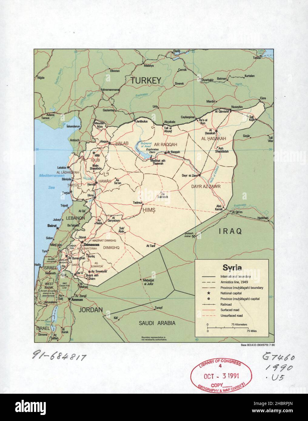 Map of Syria ca. 1990 Stock Photohttps://www.alamy.com/image-license-details/?v=1https://www.alamy.com/map-of-syria-ca-1990-image454753453.html
RM2HBRPJN–Map of Syria ca. 1990
 map of Syria on fire Stock Photohttps://www.alamy.com/image-license-details/?v=1https://www.alamy.com/stock-image-map-of-syria-on-fire-168563520.html
RFKP6MDM–map of Syria on fire
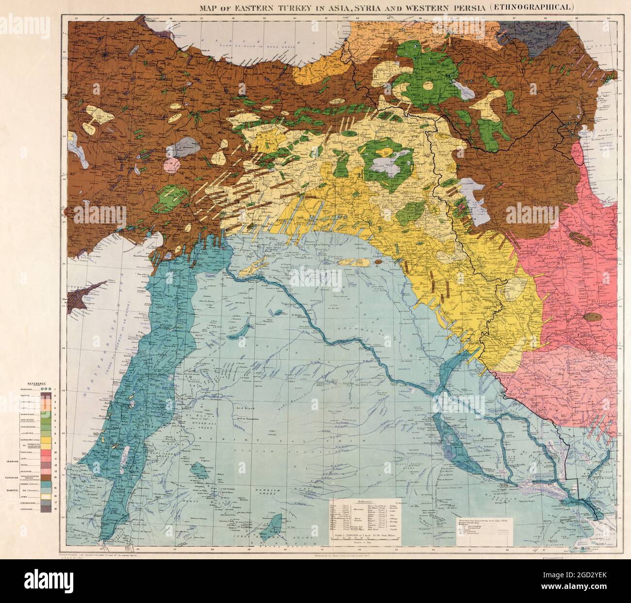 Maunsell's map, Pre-World War I British Ethnographical Map of eastern Turkey in Asia, Syria and western Persia, 1910 Stock Photohttps://www.alamy.com/image-license-details/?v=1https://www.alamy.com/maunsells-map-pre-world-war-i-british-ethnographical-map-of-eastern-turkey-in-asia-syria-and-western-persia-1910-image438315211.html
RM2GD2YEK–Maunsell's map, Pre-World War I British Ethnographical Map of eastern Turkey in Asia, Syria and western Persia, 1910
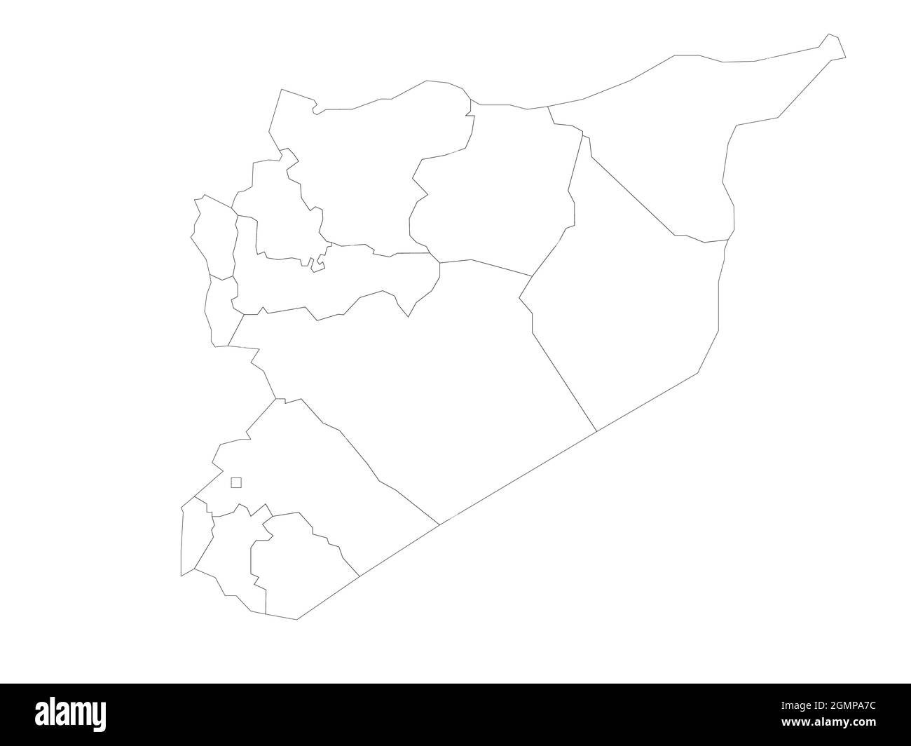 Political map of Syria. Administrative divisions - governorates. Simple flat blank vector map Stock Vectorhttps://www.alamy.com/image-license-details/?v=1https://www.alamy.com/political-map-of-syria-administrative-divisions-governorates-simple-flat-blank-vector-map-image443043312.html
RF2GMPA7C–Political map of Syria. Administrative divisions - governorates. Simple flat blank vector map
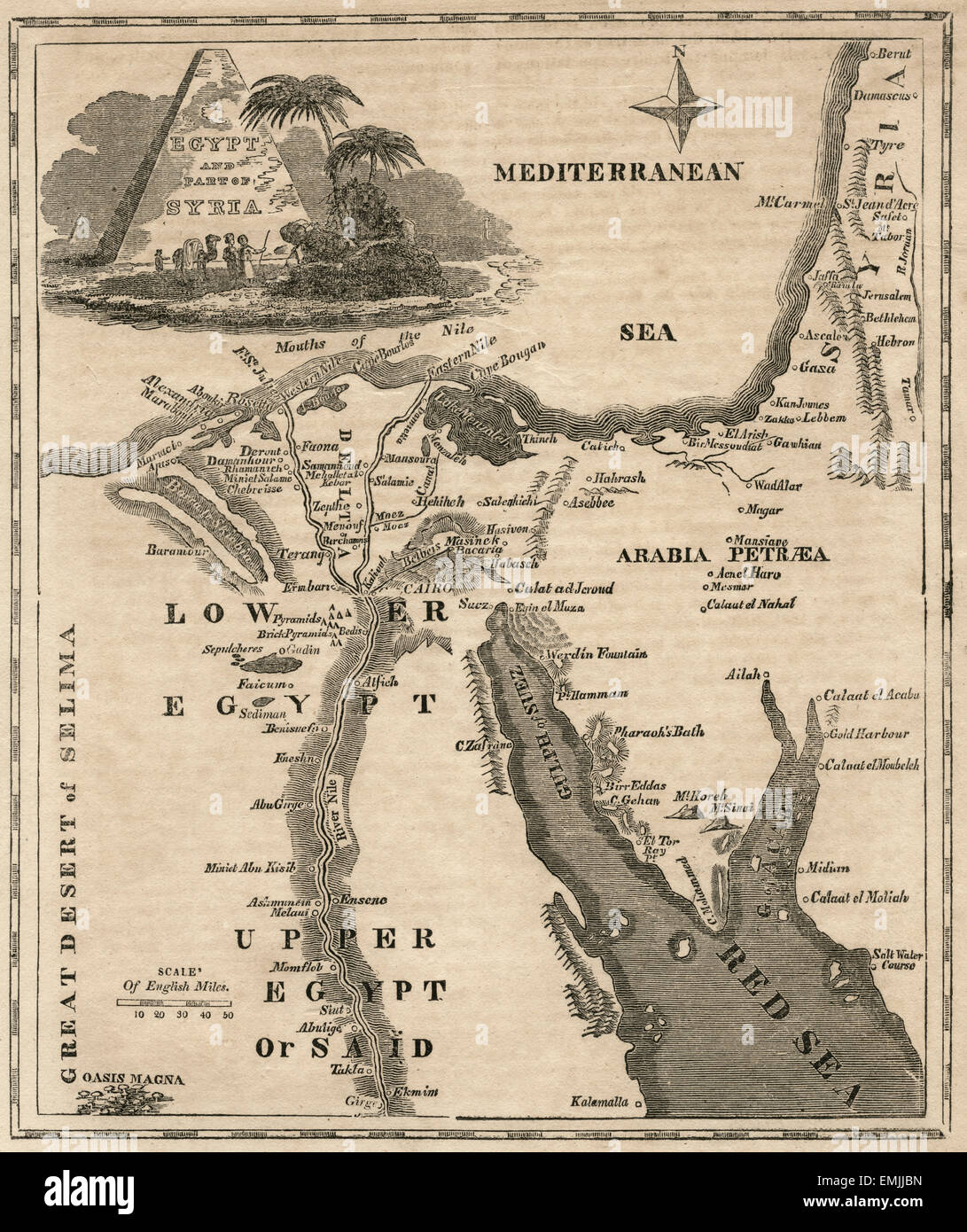 Egypt and Parts of Syria, Map, circa 1850 Stock Photohttps://www.alamy.com/image-license-details/?v=1https://www.alamy.com/stock-photo-egypt-and-parts-of-syria-map-circa-1850-81544169.html
RMEMJJBN–Egypt and Parts of Syria, Map, circa 1850
 1851 Henry Warren Map of Syria Stock Photohttps://www.alamy.com/image-license-details/?v=1https://www.alamy.com/stock-image-1851-henry-warren-map-of-syria-162206475.html
RMKBW40B–1851 Henry Warren Map of Syria
 Map of Syria, after the death of Alexander the Great. Artist: J Blundell Stock Photohttps://www.alamy.com/image-license-details/?v=1https://www.alamy.com/map-of-syria-after-the-death-of-alexander-the-great-artist-j-blundell-image262759715.html
RMW7DMKF–Map of Syria, after the death of Alexander the Great. Artist: J Blundell
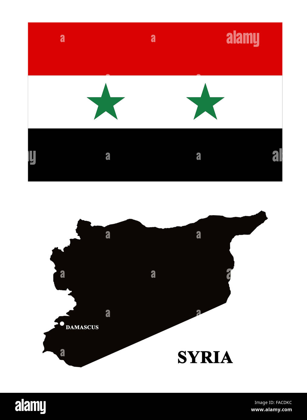 map of Syria and its flag isolated on the white Stock Photohttps://www.alamy.com/image-license-details/?v=1https://www.alamy.com/stock-photo-map-of-syria-and-its-flag-isolated-on-the-white-92472560.html
RFFACDKC–map of Syria and its flag isolated on the white
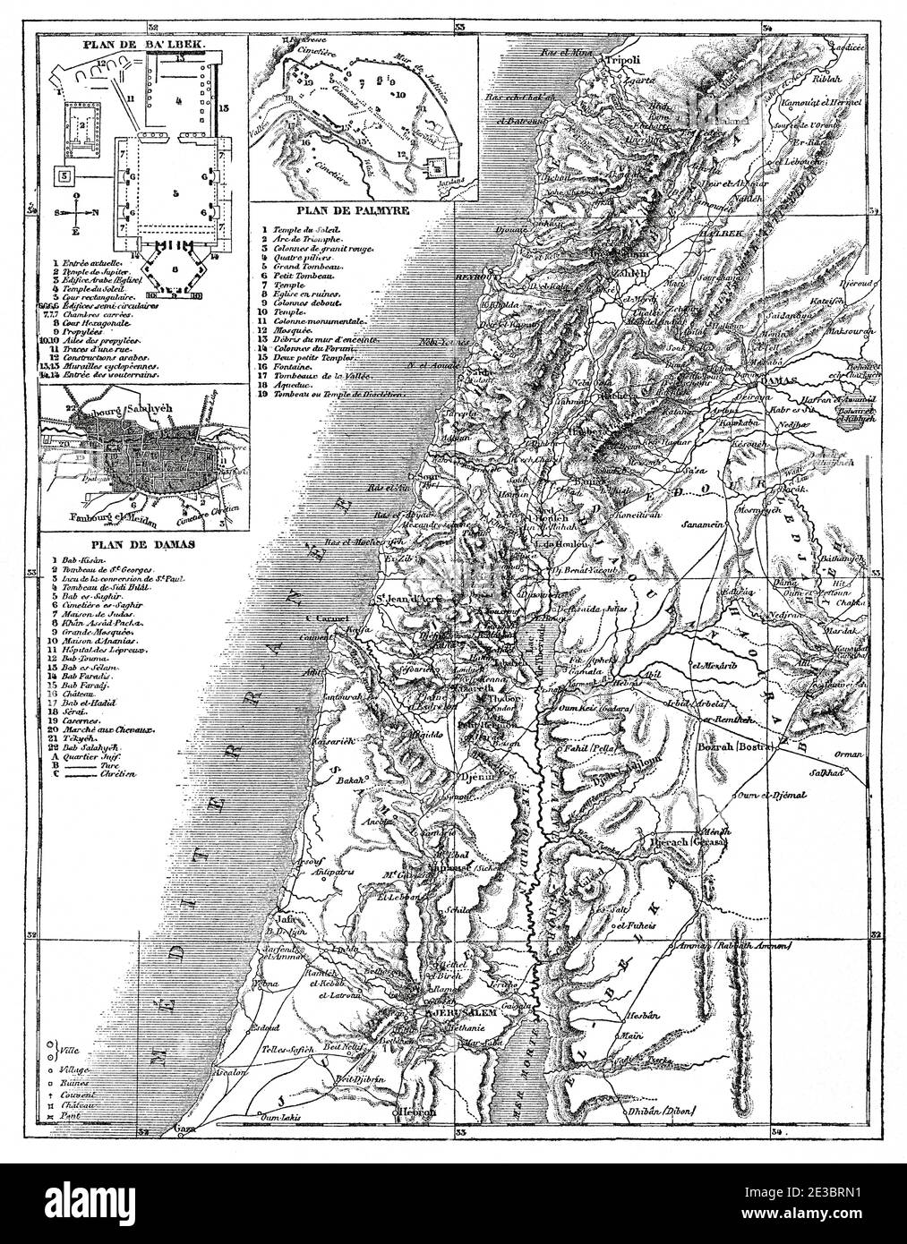 Old map of Syria, Syrian Arab Republic. Middle East, Old 19th century engraved illustration, Le Tour du Monde 1863 Stock Photohttps://www.alamy.com/image-license-details/?v=1https://www.alamy.com/old-map-of-syria-syrian-arab-republic-middle-east-old-19th-century-engraved-illustration-le-tour-du-monde-1863-image397942525.html
RM2E3BRN1–Old map of Syria, Syrian Arab Republic. Middle East, Old 19th century engraved illustration, Le Tour du Monde 1863
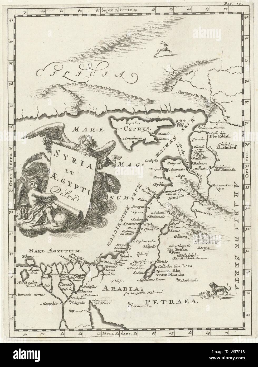 Map of Syria and Egypt Syria and Aegypti Delta (title on object), print top right: Pag: 73, maps of separate countries or regions, Syria, Egypt, Jan Luyken, 1692, paper, etching, h 275 mm × w 207 mm Stock Photohttps://www.alamy.com/image-license-details/?v=1https://www.alamy.com/map-of-syria-and-egypt-syria-and-aegypti-delta-title-on-object-print-top-right-pag-73-maps-of-separate-countries-or-regions-syria-egypt-jan-luyken-1692-paper-etching-h-275-mm-w-207-mm-image261399751.html
RMW57P1B–Map of Syria and Egypt Syria and Aegypti Delta (title on object), print top right: Pag: 73, maps of separate countries or regions, Syria, Egypt, Jan Luyken, 1692, paper, etching, h 275 mm × w 207 mm
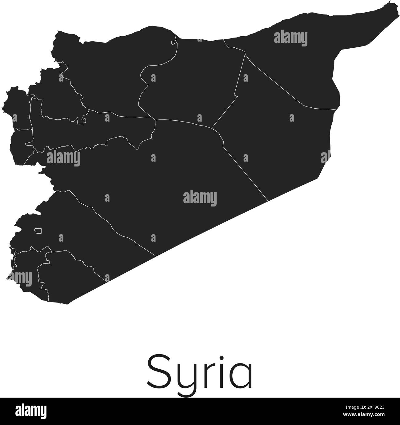 Syria Map Vector Illustration - Silhouette, Outline, Syria Travel and Tourism Map Stock Vectorhttps://www.alamy.com/image-license-details/?v=1https://www.alamy.com/syria-map-vector-illustration-silhouette-outline-syria-travel-and-tourism-map-image611789755.html
RF2XF9C23–Syria Map Vector Illustration - Silhouette, Outline, Syria Travel and Tourism Map
 Merry Christmas illustration theme with map of Syria Stock Vectorhttps://www.alamy.com/image-license-details/?v=1https://www.alamy.com/stock-photo-merry-christmas-illustration-theme-with-map-of-syria-126444431.html
RFH9M14F–Merry Christmas illustration theme with map of Syria
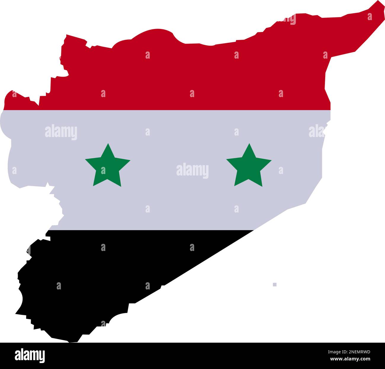 Syria Map with High detailed. Map of Syria filled with national flag symbols Syrian provinces. Syrian Map with Red white and blck three color and star Stock Vectorhttps://www.alamy.com/image-license-details/?v=1https://www.alamy.com/syria-map-with-high-detailed-map-of-syria-filled-with-national-flag-symbols-syrian-provinces-syrian-map-with-red-white-and-blck-three-color-and-star-image525374009.html
RF2NEMRWD–Syria Map with High detailed. Map of Syria filled with national flag symbols Syrian provinces. Syrian Map with Red white and blck three color and star
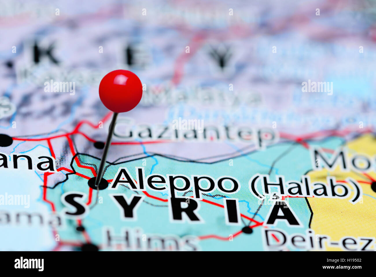 Aleppo pinned on a map of Syria Stock Photohttps://www.alamy.com/image-license-details/?v=1https://www.alamy.com/stock-photo-aleppo-pinned-on-a-map-of-syria-121288722.html
RFH19502–Aleppo pinned on a map of Syria
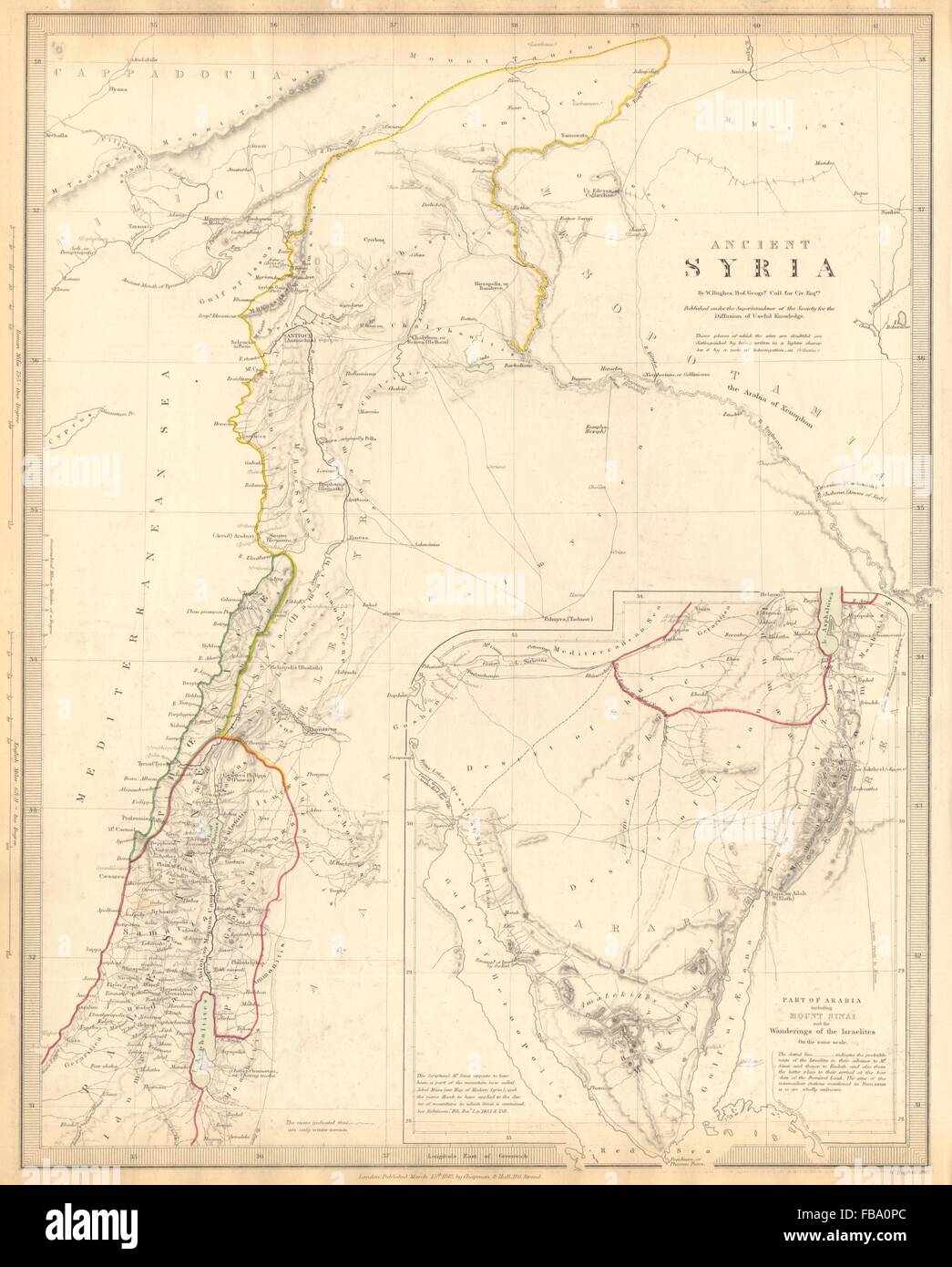 ANCIENT SYRIA. Levant; Sinai.wanderings of the Israelites. SDUK, 1844 old map Stock Photohttps://www.alamy.com/image-license-details/?v=1https://www.alamy.com/stock-photo-ancient-syria-levant-sinaiwanderings-of-the-israelites-sduk-1844-old-93033204.html
RFFBA0PC–ANCIENT SYRIA. Levant; Sinai.wanderings of the Israelites. SDUK, 1844 old map
 Abstract dotted black and white halftone effect vector map of Syria. Country map digital dotted design vector illustration. Stock Vectorhttps://www.alamy.com/image-license-details/?v=1https://www.alamy.com/abstract-dotted-black-and-white-halftone-effect-vector-map-of-syria-country-map-digital-dotted-design-vector-illustration-image452222444.html
RF2H7ME9G–Abstract dotted black and white halftone effect vector map of Syria. Country map digital dotted design vector illustration.
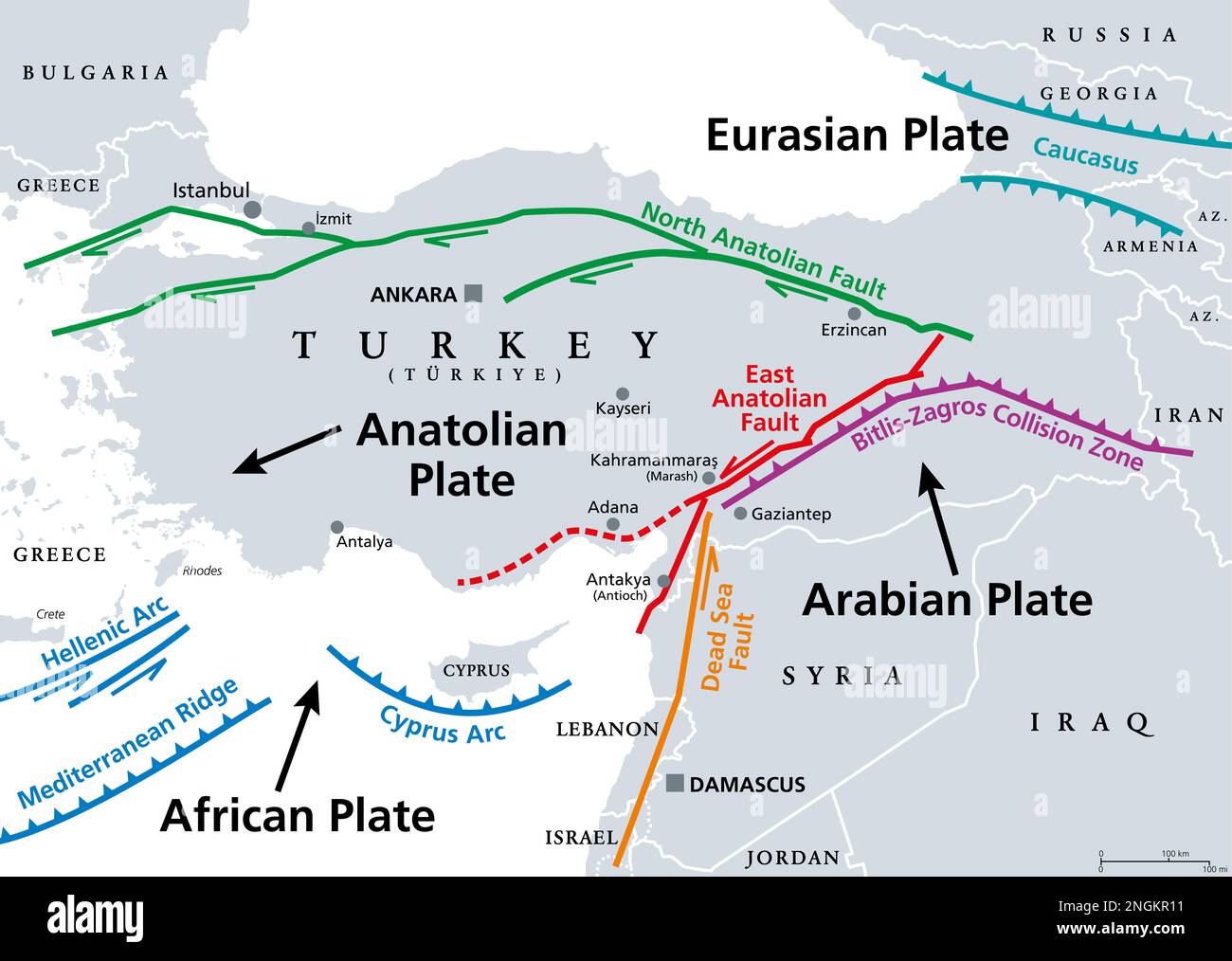 Anatolian Plate tectonics, gray map. Most of the country of Turkey is located on the Anatolian continental tectonic plate. Stock Photohttps://www.alamy.com/image-license-details/?v=1https://www.alamy.com/anatolian-plate-tectonics-gray-map-most-of-the-country-of-turkey-is-located-on-the-anatolian-continental-tectonic-plate-image526580685.html
RF2NGKR11–Anatolian Plate tectonics, gray map. Most of the country of Turkey is located on the Anatolian continental tectonic plate.
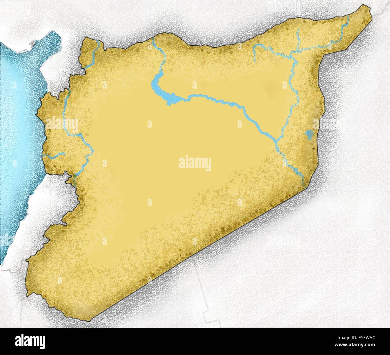 Hand-drawn map of Syria and neighboring countries Stock Photohttps://www.alamy.com/image-license-details/?v=1https://www.alamy.com/stock-photo-hand-drawn-map-of-syria-and-neighboring-countries-85764404.html
RFEYEWAC–Hand-drawn map of Syria and neighboring countries
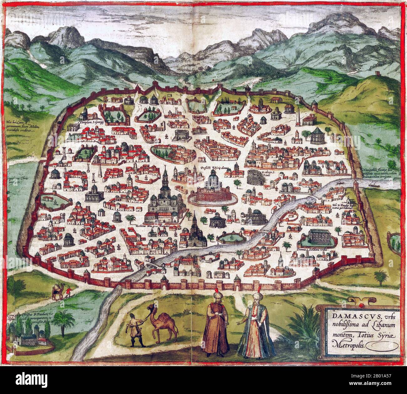 Syria: Map of Medieval Damascus, by Georg Braun (1541 - 10 March 1622) and Frans Hogenburg (1535-1590), 1588. Georg Braun was a German topo-geographer. From 1572 to 1617 he edited the Civitates orbis terrarum, which contains 546 prospects, bird's-eye views, and maps of cities from all around the world. The six-volume work was inspired by Sebastian Münster's Cosmographia. The Braun publication set new standards in cartography for over 100 years. Frans Hogenberg created the tables for volumes I through IV, and Simon van den Neuwel created those for volumes V and VI. Stock Photohttps://www.alamy.com/image-license-details/?v=1https://www.alamy.com/syria-map-of-medieval-damascus-by-georg-braun-1541-10-march-1622-and-frans-hogenburg-1535-1590-1588-georg-braun-was-a-german-topo-geographer-from-1572-to-1617-he-edited-the-civitates-orbis-terrarum-which-contains-546-prospects-birds-eye-views-and-maps-of-cities-from-all-around-the-world-the-six-volume-work-was-inspired-by-sebastian-mnsters-cosmographia-the-braun-publication-set-new-standards-in-cartography-for-over-100-years-frans-hogenberg-created-the-tables-for-volumes-i-through-iv-and-simon-van-den-neuwel-created-those-for-volumes-v-and-vi-image344237299.html
RM2B01A57–Syria: Map of Medieval Damascus, by Georg Braun (1541 - 10 March 1622) and Frans Hogenburg (1535-1590), 1588. Georg Braun was a German topo-geographer. From 1572 to 1617 he edited the Civitates orbis terrarum, which contains 546 prospects, bird's-eye views, and maps of cities from all around the world. The six-volume work was inspired by Sebastian Münster's Cosmographia. The Braun publication set new standards in cartography for over 100 years. Frans Hogenberg created the tables for volumes I through IV, and Simon van den Neuwel created those for volumes V and VI.
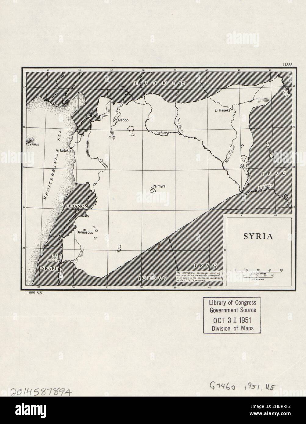 Map of Syria ca. 1951 Stock Photohttps://www.alamy.com/image-license-details/?v=1https://www.alamy.com/map-of-syria-ca-1951-image454754134.html
RM2HBRRF2–Map of Syria ca. 1951
 map of Syria covered by its flag Stock Photohttps://www.alamy.com/image-license-details/?v=1https://www.alamy.com/map-of-syria-covered-by-its-flag-image226243215.html
RFR427ER–map of Syria covered by its flag
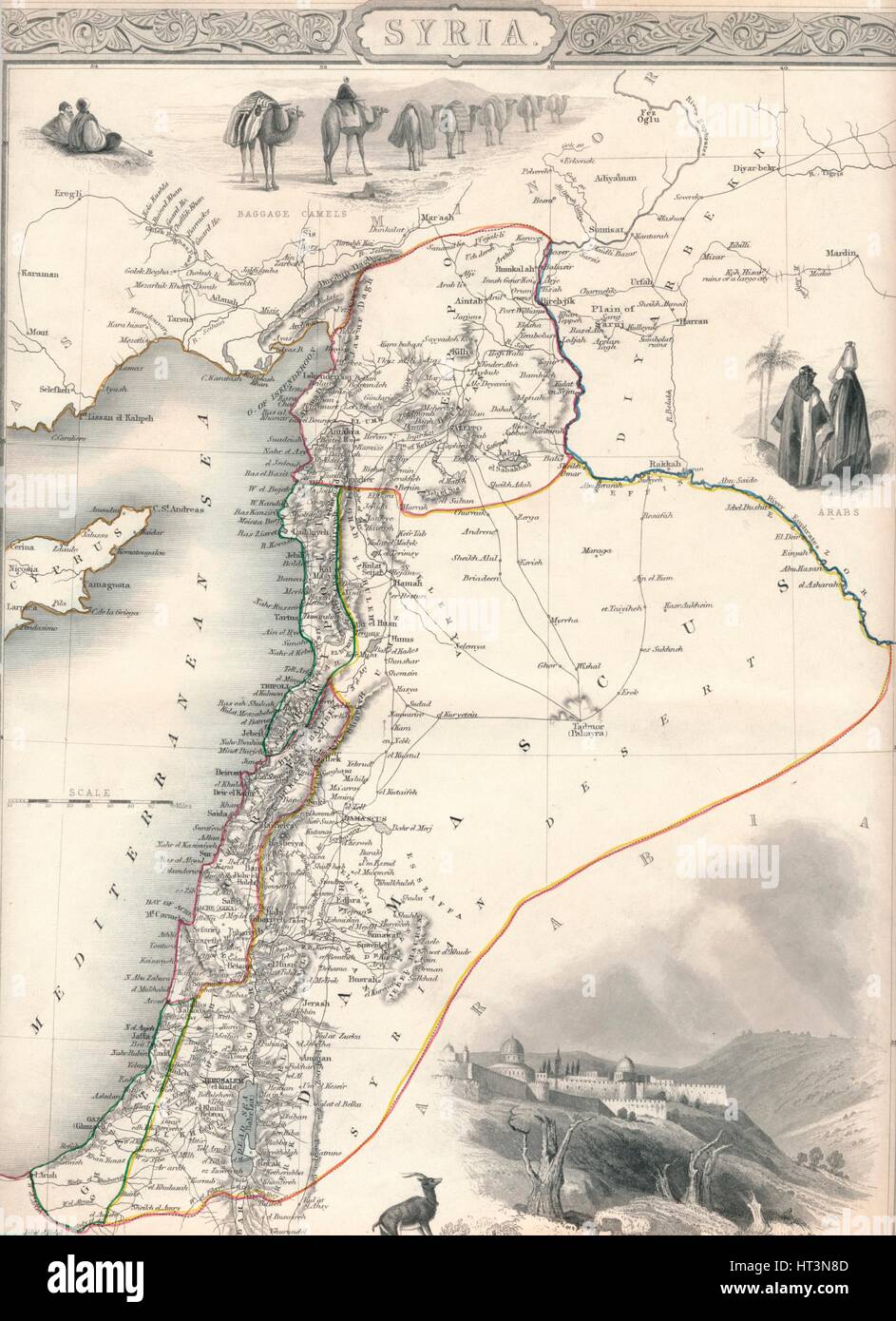 Map of Syria, 1851. Artist: John Tallis. Stock Photohttps://www.alamy.com/image-license-details/?v=1https://www.alamy.com/stock-photo-map-of-syria-1851-artist-john-tallis-135306877.html
RMHT3N8D–Map of Syria, 1851. Artist: John Tallis.
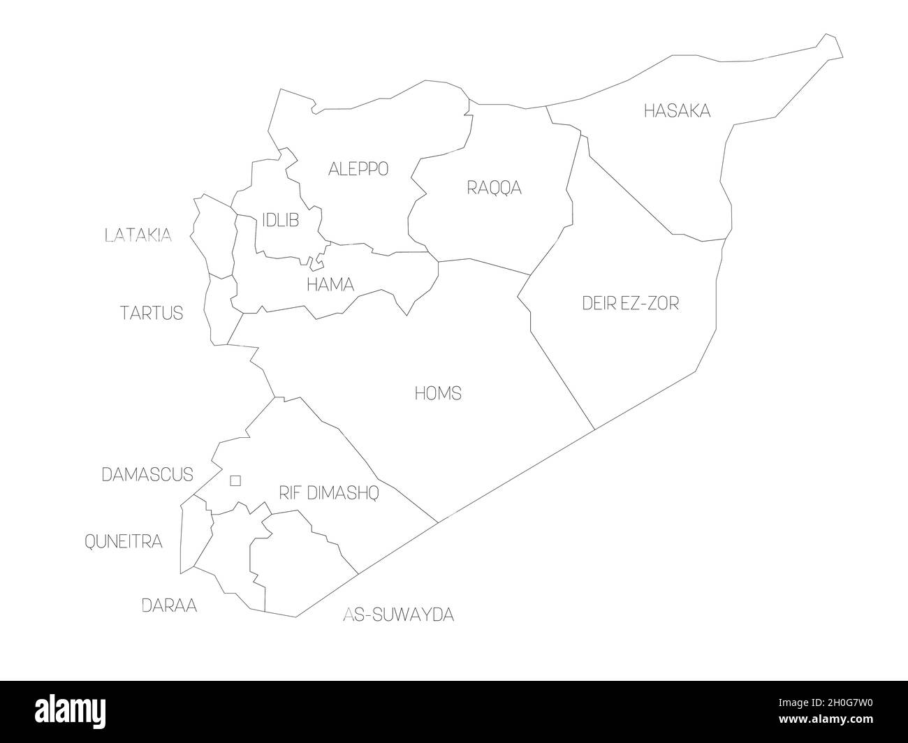 Political map of Syria. Administrative divisions - governorates. Simple flat vector map with labels. Stock Vectorhttps://www.alamy.com/image-license-details/?v=1https://www.alamy.com/political-map-of-syria-administrative-divisions-governorates-simple-flat-vector-map-with-labels-image447826988.html
RF2H0G7W0–Political map of Syria. Administrative divisions - governorates. Simple flat vector map with labels.
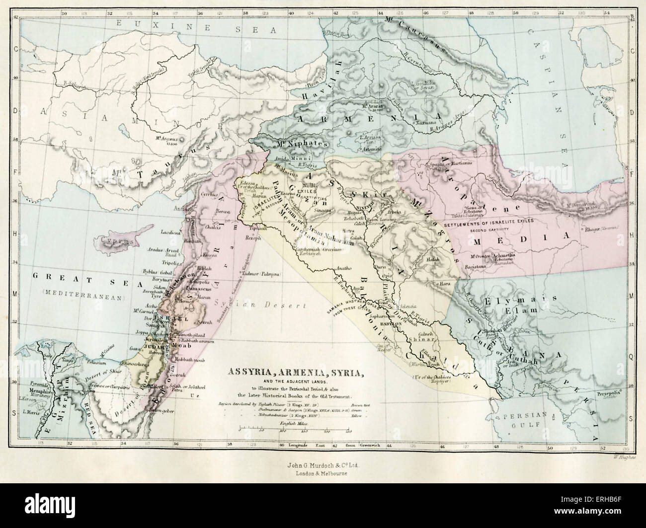 Map of Assyria, Armenia, Syria and the adjacent lands. 19th century map representing the Patriarchal period and the later Stock Photohttps://www.alamy.com/image-license-details/?v=1https://www.alamy.com/stock-photo-map-of-assyria-armenia-syria-and-the-adjacent-lands-19th-century-map-83360551.html
RMERHB6F–Map of Assyria, Armenia, Syria and the adjacent lands. 19th century map representing the Patriarchal period and the later
 1851 Henry Warren Map of Syria (cropped) Stock Photohttps://www.alamy.com/image-license-details/?v=1https://www.alamy.com/stock-image-1851-henry-warren-map-of-syria-cropped-162155401.html
RMKBPPT9–1851 Henry Warren Map of Syria (cropped)
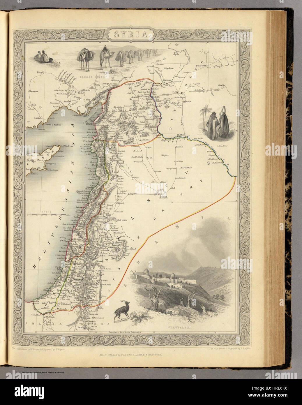 1851 Henry Warren Map of Syria Stock Photohttps://www.alamy.com/image-license-details/?v=1https://www.alamy.com/stock-photo-1851-henry-warren-map-of-syria-134922234.html
RMHRE6K6–1851 Henry Warren Map of Syria
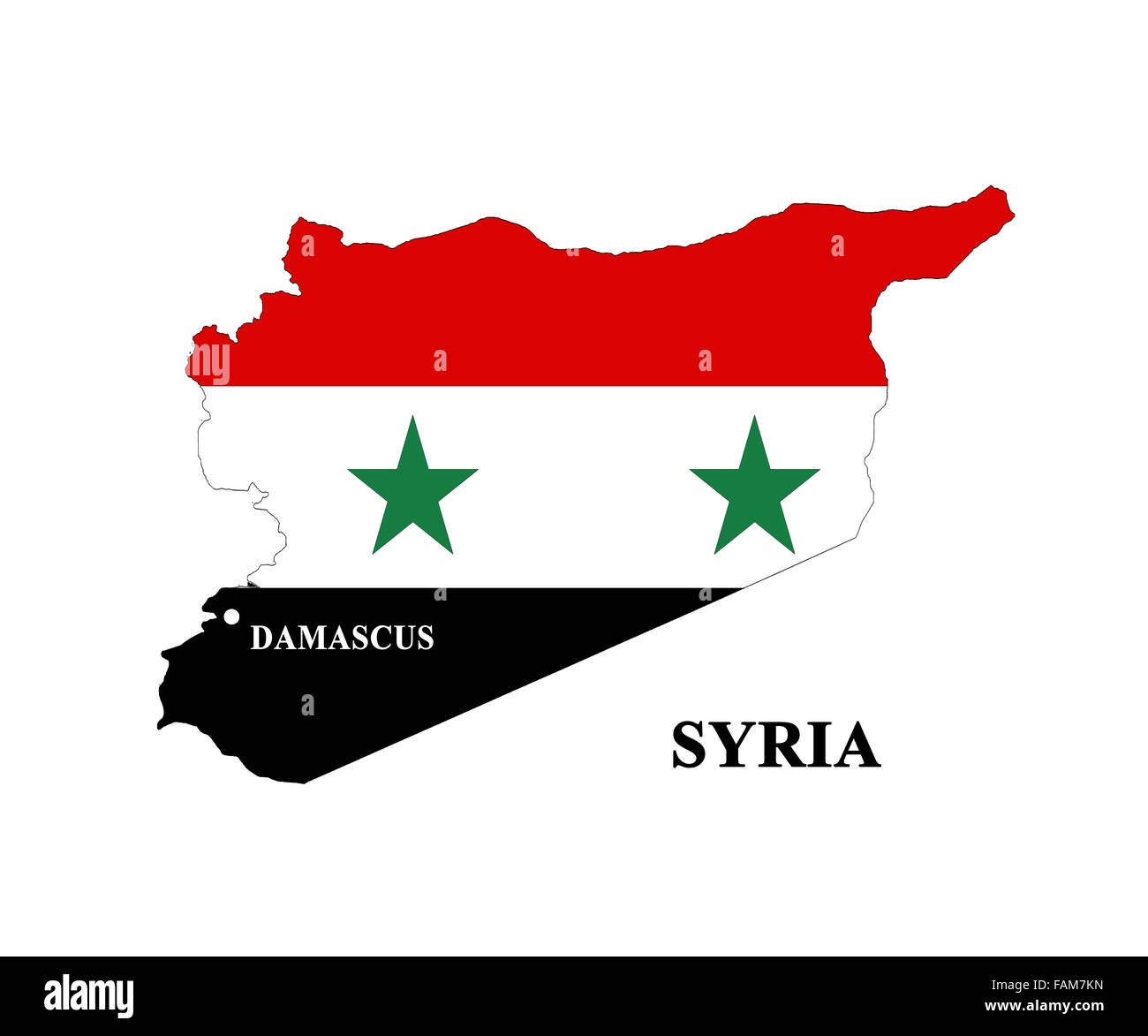 map of Syria covered by its flag isolated on the white Stock Photohttps://www.alamy.com/image-license-details/?v=1https://www.alamy.com/stock-photo-map-of-syria-covered-by-its-flag-isolated-on-the-white-92643481.html
RFFAM7KN–map of Syria covered by its flag isolated on the white
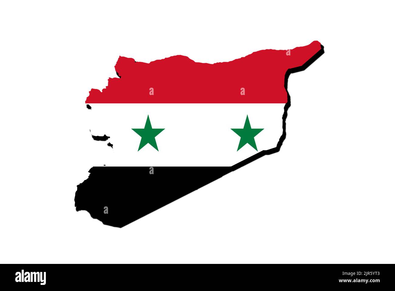 Silhouette of the map of Syria with its flag Stock Photohttps://www.alamy.com/image-license-details/?v=1https://www.alamy.com/silhouette-of-the-map-of-syria-with-its-flag-image478948627.html
RF2JR5YT3–Silhouette of the map of Syria with its flag
 1771, Bonne Map of Turkey, Syria and Iraq, Rigobert Bonne 1727 – 1794 Stock Photohttps://www.alamy.com/image-license-details/?v=1https://www.alamy.com/stock-image-1771-bonne-map-of-turkey-syria-and-iraq-rigobert-bonne-1727-1794-162567822.html
RMKCDGWJ–1771, Bonne Map of Turkey, Syria and Iraq, Rigobert Bonne 1727 – 1794
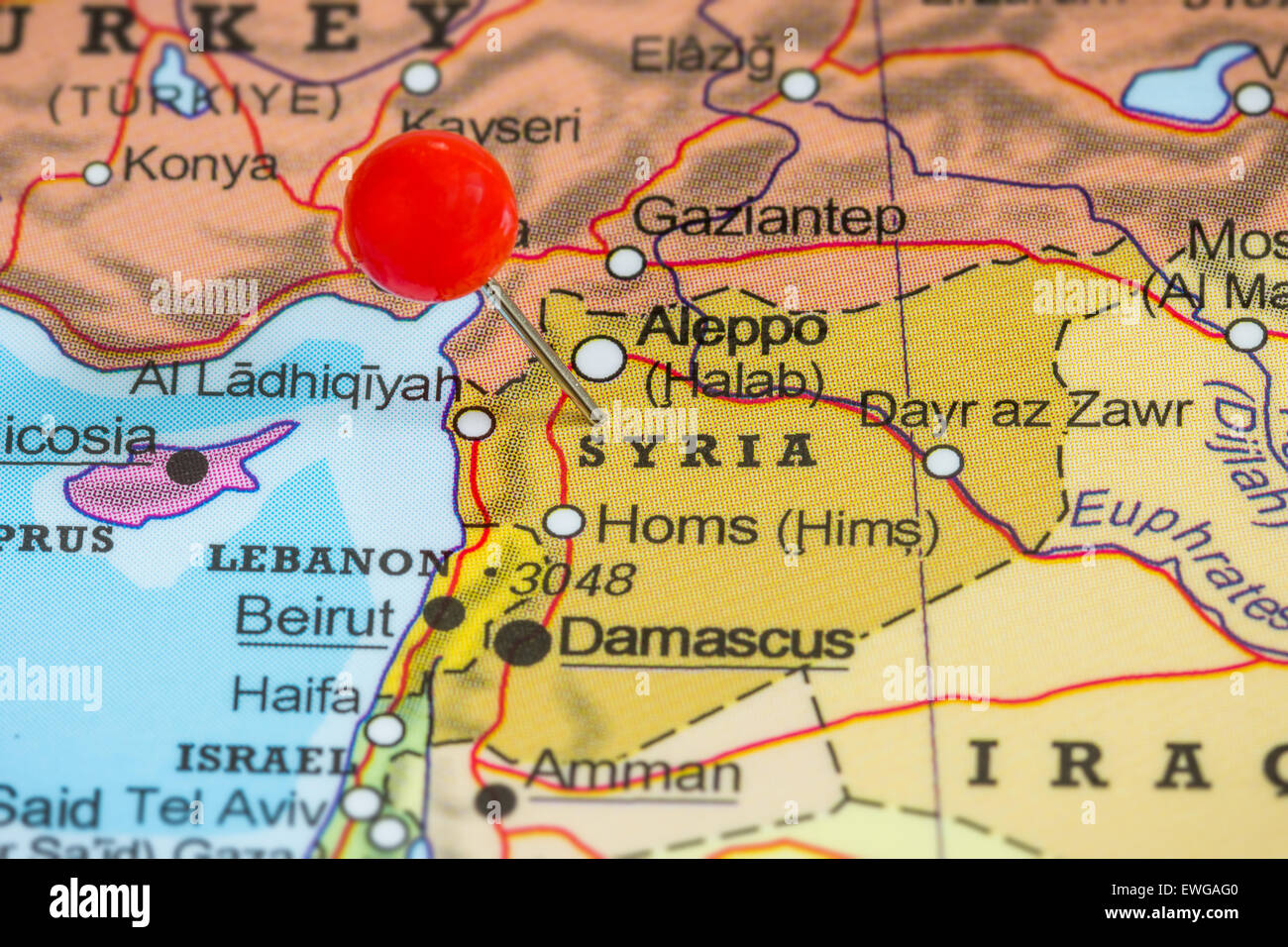 Close-up of a red pushpin on a map of Syria Stock Photohttps://www.alamy.com/image-license-details/?v=1https://www.alamy.com/stock-photo-close-up-of-a-red-pushpin-on-a-map-of-syria-84567392.html
RFEWGAG0–Close-up of a red pushpin on a map of Syria
 Happy New Year illustration theme with map of Syria Stock Vectorhttps://www.alamy.com/image-license-details/?v=1https://www.alamy.com/stock-photo-happy-new-year-illustration-theme-with-map-of-syria-127671244.html
RFHBKWY8–Happy New Year illustration theme with map of Syria
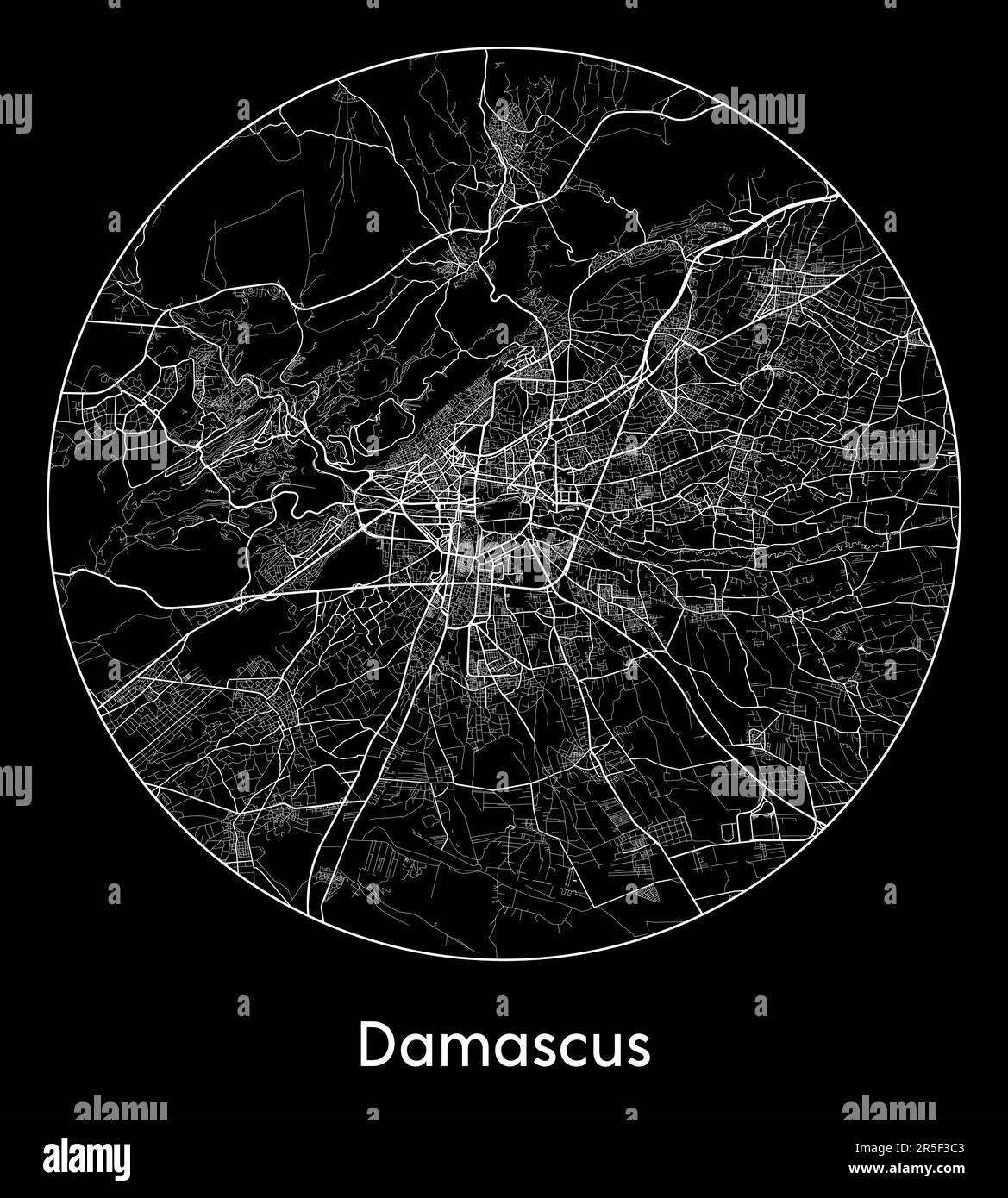
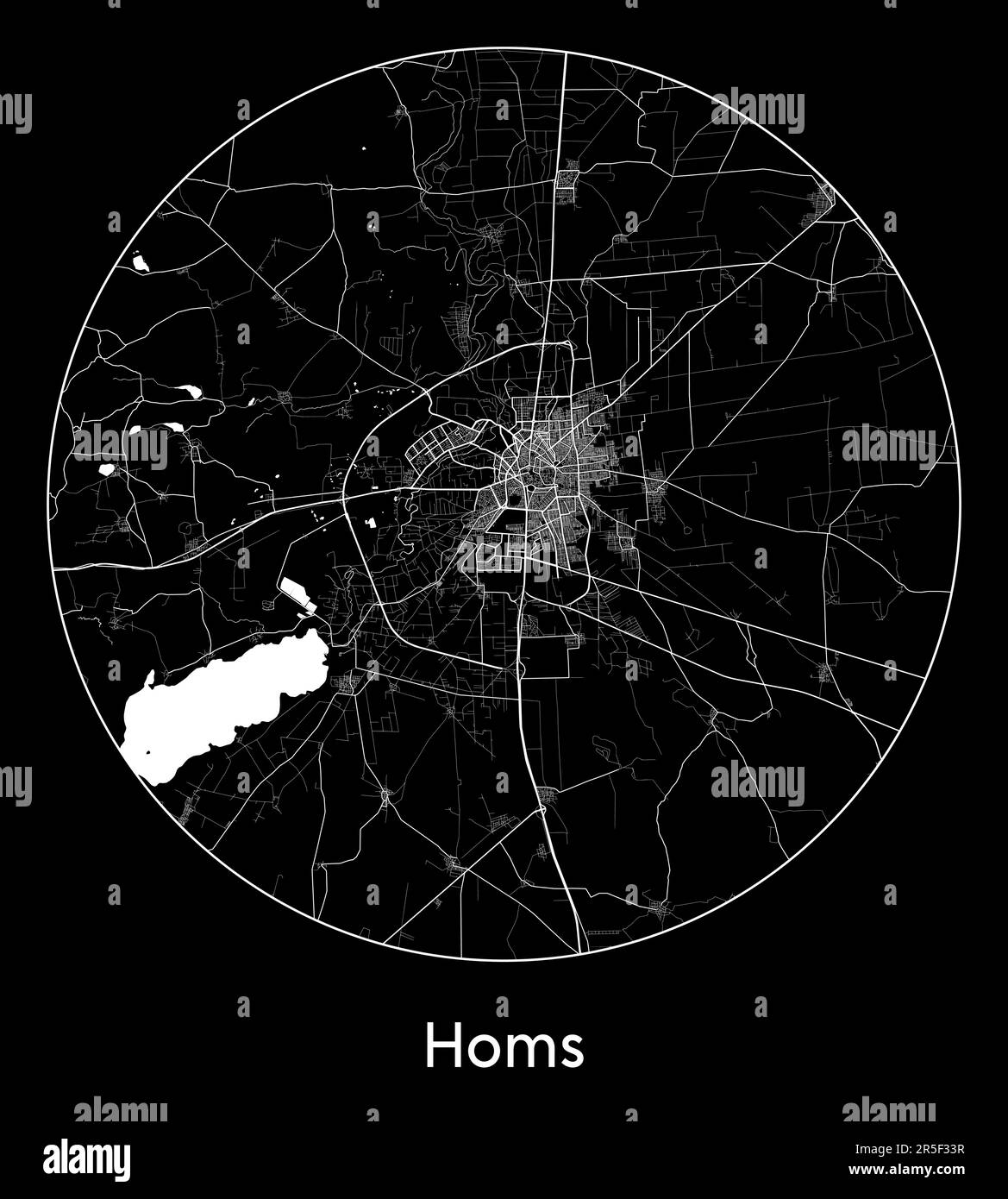 City Map Homs Syria Asia vector illustration Stock Vectorhttps://www.alamy.com/image-license-details/?v=1https://www.alamy.com/city-map-homs-syria-asia-vector-illustration-image554136795.html
RF2R5F33R–City Map Homs Syria Asia vector illustration
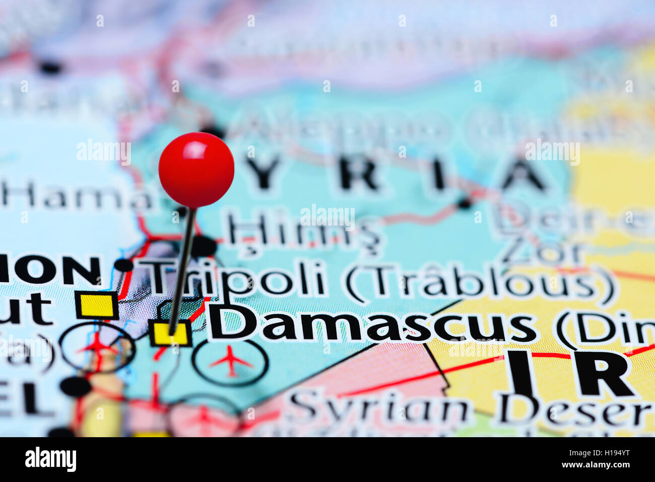 Damascus pinned on a map of Syria Stock Photohttps://www.alamy.com/image-license-details/?v=1https://www.alamy.com/stock-photo-damascus-pinned-on-a-map-of-syria-121288716.html
RFH194YT–Damascus pinned on a map of Syria
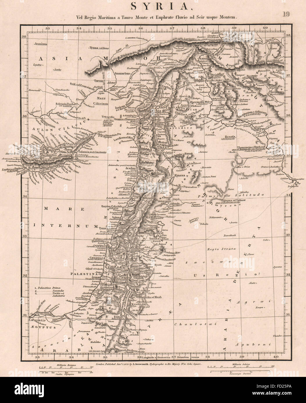 ANCIENT SYRIA: Levant. Cyprus Palaestina Jordan Judaea. ARROWSMITH, 1828 map Stock Photohttps://www.alamy.com/image-license-details/?v=1https://www.alamy.com/stock-photo-ancient-syria-levant-cyprus-palaestina-jordan-judaea-arrowsmith-1828-94090818.html
RFFD25PA–ANCIENT SYRIA: Levant. Cyprus Palaestina Jordan Judaea. ARROWSMITH, 1828 map
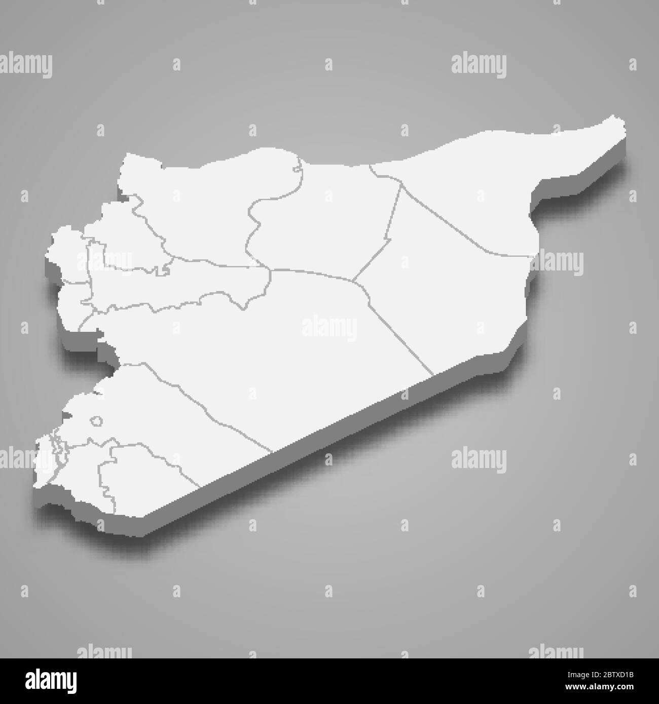 3d map of Syria with borders of regions Stock Vectorhttps://www.alamy.com/image-license-details/?v=1https://www.alamy.com/3d-map-of-syria-with-borders-of-regions-image359540087.html
RF2BTXD1B–3d map of Syria with borders of regions
 Old vintage paper textured map of Syria Country - Vector illustration Stock Vectorhttps://www.alamy.com/image-license-details/?v=1https://www.alamy.com/old-vintage-paper-textured-map-of-syria-country-vector-illustration-image475144133.html
RF2JH0K59–Old vintage paper textured map of Syria Country - Vector illustration
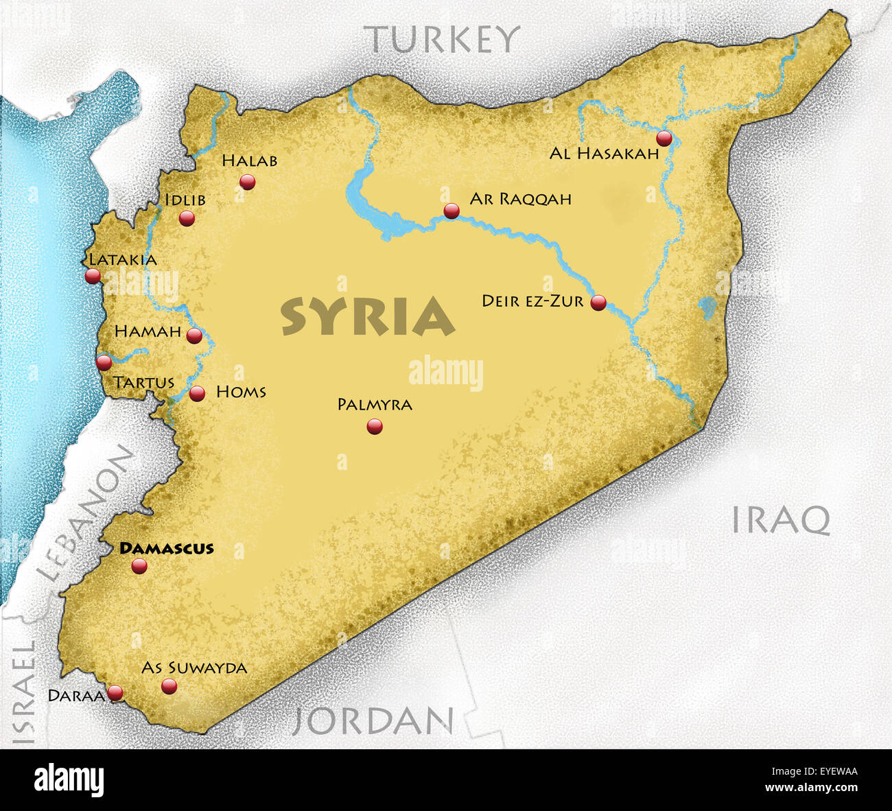 Hand-drawn map of Syria and neighboring countries Stock Photohttps://www.alamy.com/image-license-details/?v=1https://www.alamy.com/stock-photo-hand-drawn-map-of-syria-and-neighboring-countries-85764402.html
RFEYEWAA–Hand-drawn map of Syria and neighboring countries
 Outline map of Syria with the national flag superimposed over the country. 3D graphics casting a shadow on the white background Stock Photohttps://www.alamy.com/image-license-details/?v=1https://www.alamy.com/outline-map-of-syria-with-the-national-flag-superimposed-over-the-country-3d-graphics-casting-a-shadow-on-the-white-background-image433285196.html
RF2G4WRK8–Outline map of Syria with the national flag superimposed over the country. 3D graphics casting a shadow on the white background
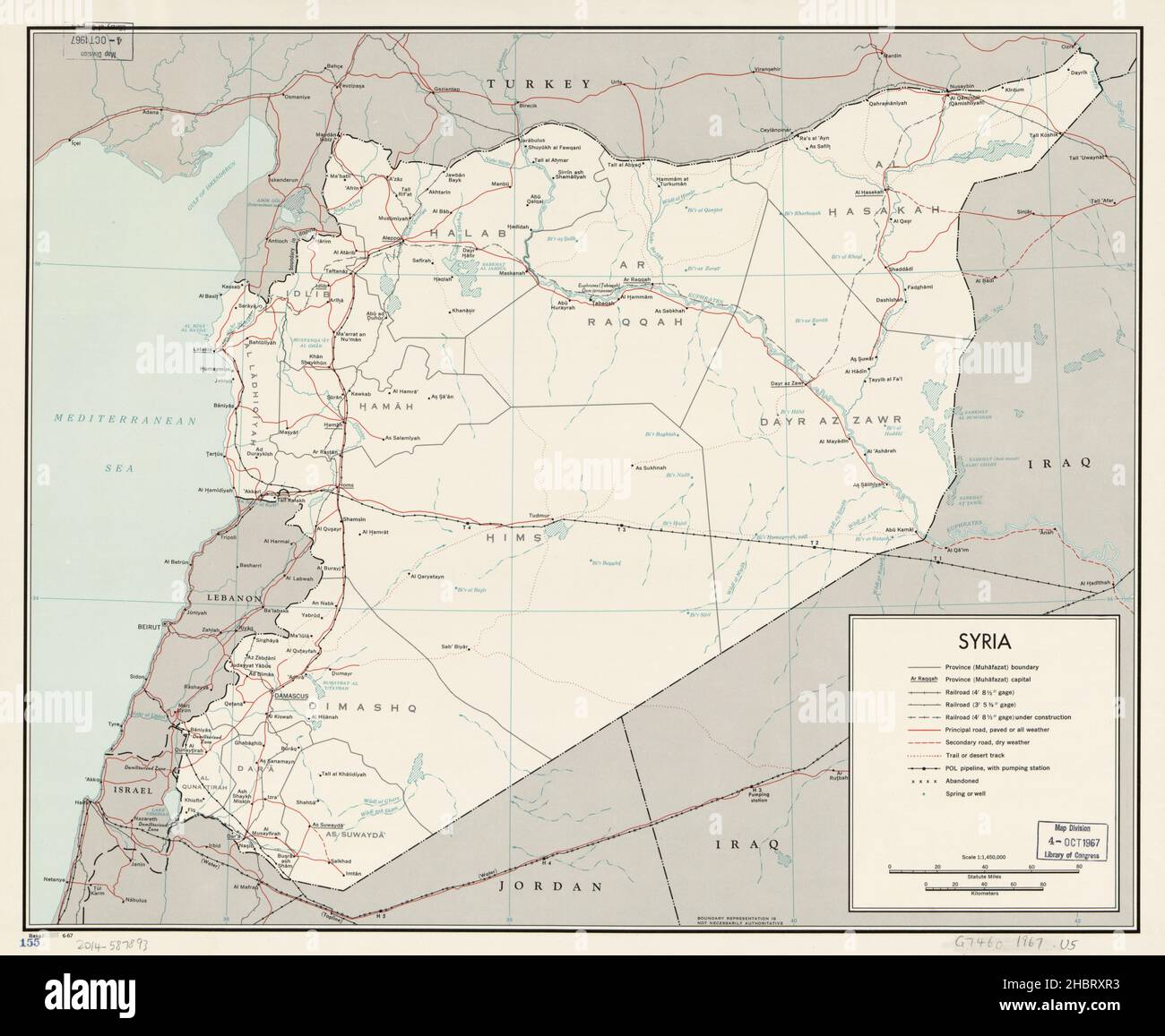 Map of Syria ca. 1967 Stock Photohttps://www.alamy.com/image-license-details/?v=1https://www.alamy.com/map-of-syria-ca-1967-image454756711.html
RM2HBRXR3–Map of Syria ca. 1967
 Neon map of syria red color vector illustration image flat style Stock Vectorhttps://www.alamy.com/image-license-details/?v=1https://www.alamy.com/neon-map-of-syria-red-color-vector-illustration-image-flat-style-image547584212.html
RF2PPTH70–Neon map of syria red color vector illustration image flat style
 Map of Syria, 1851. Artist: John Tallis. Stock Photohttps://www.alamy.com/image-license-details/?v=1https://www.alamy.com/stock-photo-map-of-syria-1851-artist-john-tallis-135306776.html
RMHT3N4T–Map of Syria, 1851. Artist: John Tallis.
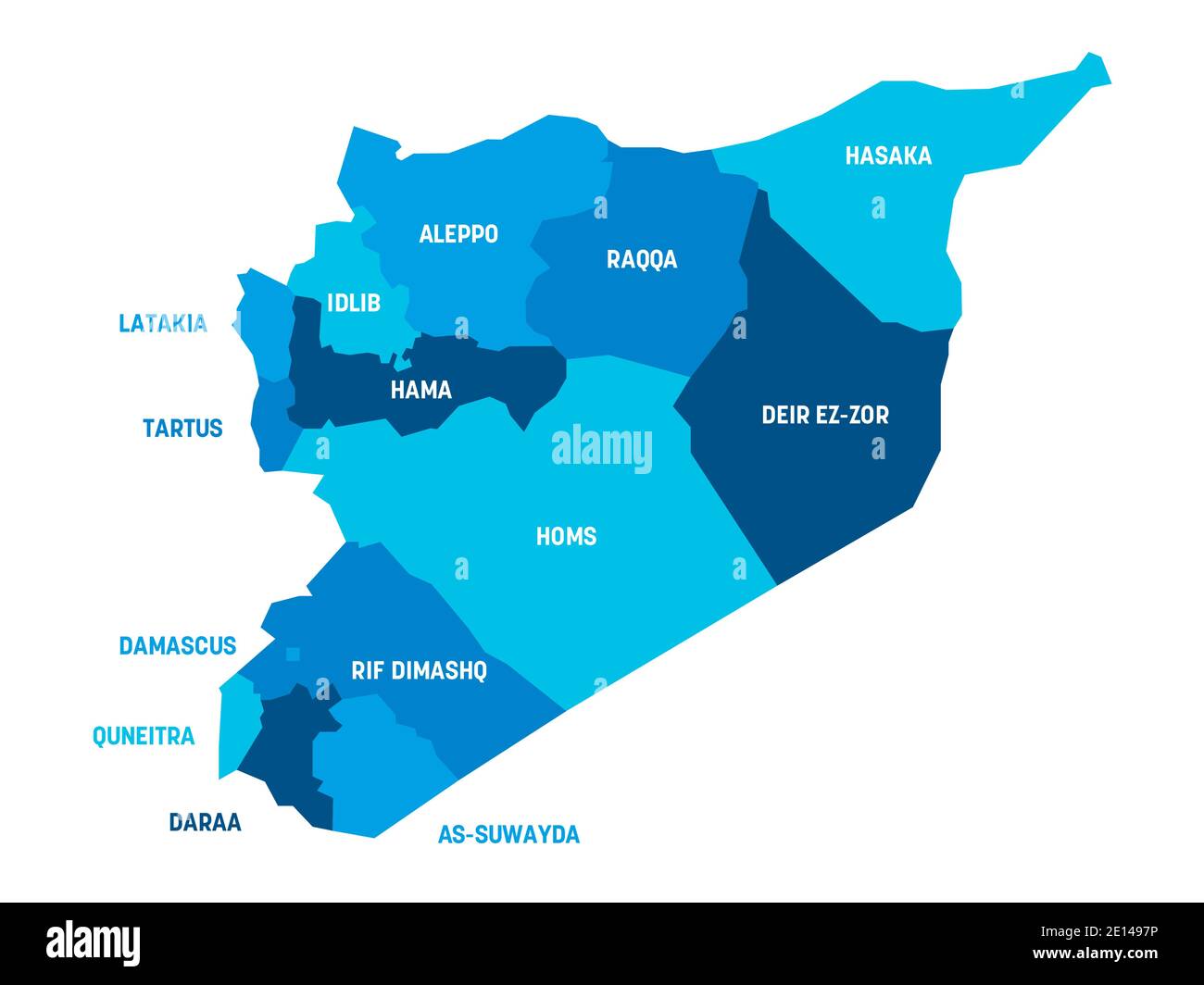 Blue political map of Syria. Administrative divisions - governorates. Simple flat vector map with labels. Stock Vectorhttps://www.alamy.com/image-license-details/?v=1https://www.alamy.com/blue-political-map-of-syria-administrative-divisions-governorates-simple-flat-vector-map-with-labels-image396548202.html
RF2E1497P–Blue political map of Syria. Administrative divisions - governorates. Simple flat vector map with labels.
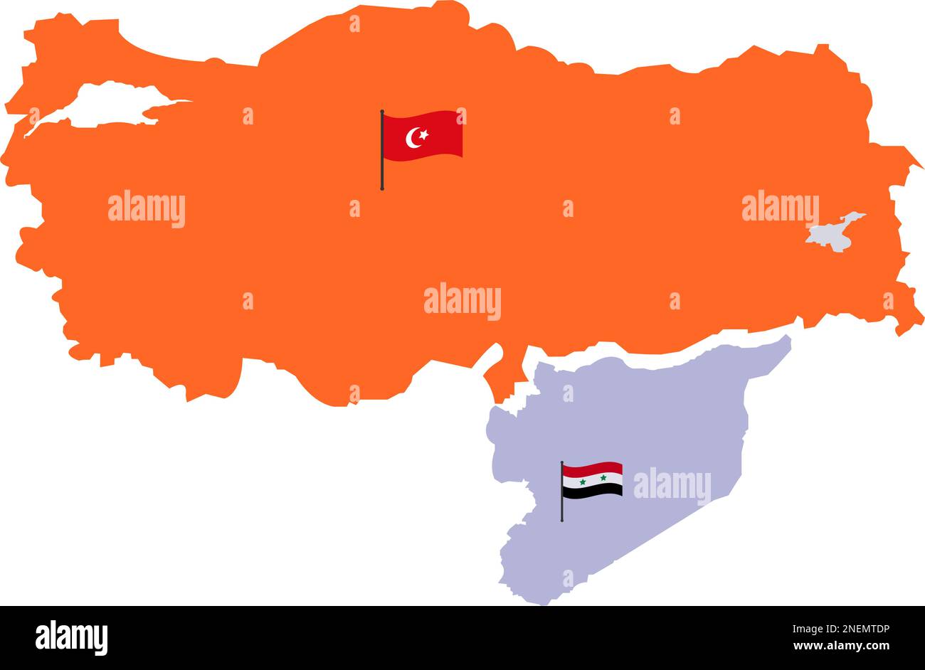 Turkey Map and Syria Map with High detailed. Map of Turkey filled with Orange color. Syrian Map with Red white and black three color and star. Turkish Stock Vectorhttps://www.alamy.com/image-license-details/?v=1https://www.alamy.com/turkey-map-and-syria-map-with-high-detailed-map-of-turkey-filled-with-orange-color-syrian-map-with-red-white-and-black-three-color-and-star-turkish-image525374466.html
RF2NEMTDP–Turkey Map and Syria Map with High detailed. Map of Turkey filled with Orange color. Syrian Map with Red white and black three color and star. Turkish
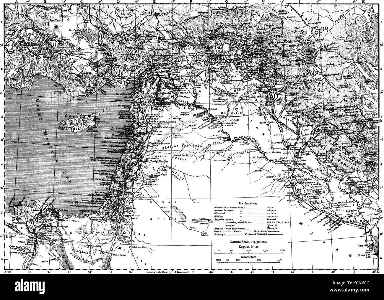 Encyclopaedia Biblica map of Syria, Mesopotamia, Babylonia, and Assyria Stock Photohttps://www.alamy.com/image-license-details/?v=1https://www.alamy.com/stock-image-encyclopaedia-biblica-map-of-syria-mesopotamia-babylonia-and-assyria-162734892.html
RMKCN60C–Encyclopaedia Biblica map of Syria, Mesopotamia, Babylonia, and Assyria
![Physical and political map of Syria. [Adobe Illustrator (.ai); 3507x2480]. Stock Photo Physical and political map of Syria. [Adobe Illustrator (.ai); 3507x2480]. Stock Photo](https://c8.alamy.com/comp/2NEBDC4/physical-and-political-map-of-syria-adobe-illustrator-ai-3507x2480-2NEBDC4.jpg) Physical and political map of Syria. [Adobe Illustrator (.ai); 3507x2480]. Stock Photohttps://www.alamy.com/image-license-details/?v=1https://www.alamy.com/physical-and-political-map-of-syria-adobe-illustrator-ai-3507x2480-image525168228.html
Physical and political map of Syria. [Adobe Illustrator (.ai); 3507x2480]. Stock Photohttps://www.alamy.com/image-license-details/?v=1https://www.alamy.com/physical-and-political-map-of-syria-adobe-illustrator-ai-3507x2480-image525168228.htmlRM2NEBDC4–Physical and political map of Syria. [Adobe Illustrator (.ai); 3507x2480].
 map of Syria on fire. Syria is in a war Stock Photohttps://www.alamy.com/image-license-details/?v=1https://www.alamy.com/stock-photo-map-of-syria-on-fire-syria-is-in-a-war-92802402.html
RFFAYEBE–map of Syria on fire. Syria is in a war
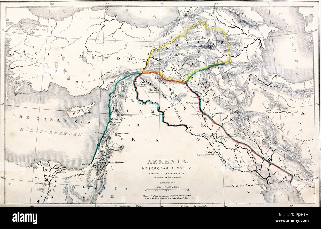 Map of Armenia, Mesopotamia, Syria and the Adjacent Countries in the time of the Patriarchs Stock Photohttps://www.alamy.com/image-license-details/?v=1https://www.alamy.com/stock-photo-map-of-armenia-mesopotamia-syria-and-the-adjacent-countries-in-the-97172928.html
RMFJ2H1M–Map of Armenia, Mesopotamia, Syria and the Adjacent Countries in the time of the Patriarchs
 19 1851 Henry Warren Map of Syria Stock Photohttps://www.alamy.com/image-license-details/?v=1https://www.alamy.com/19-1851-henry-warren-map-of-syria-image212544664.html
RMP9P6TT–19 1851 Henry Warren Map of Syria
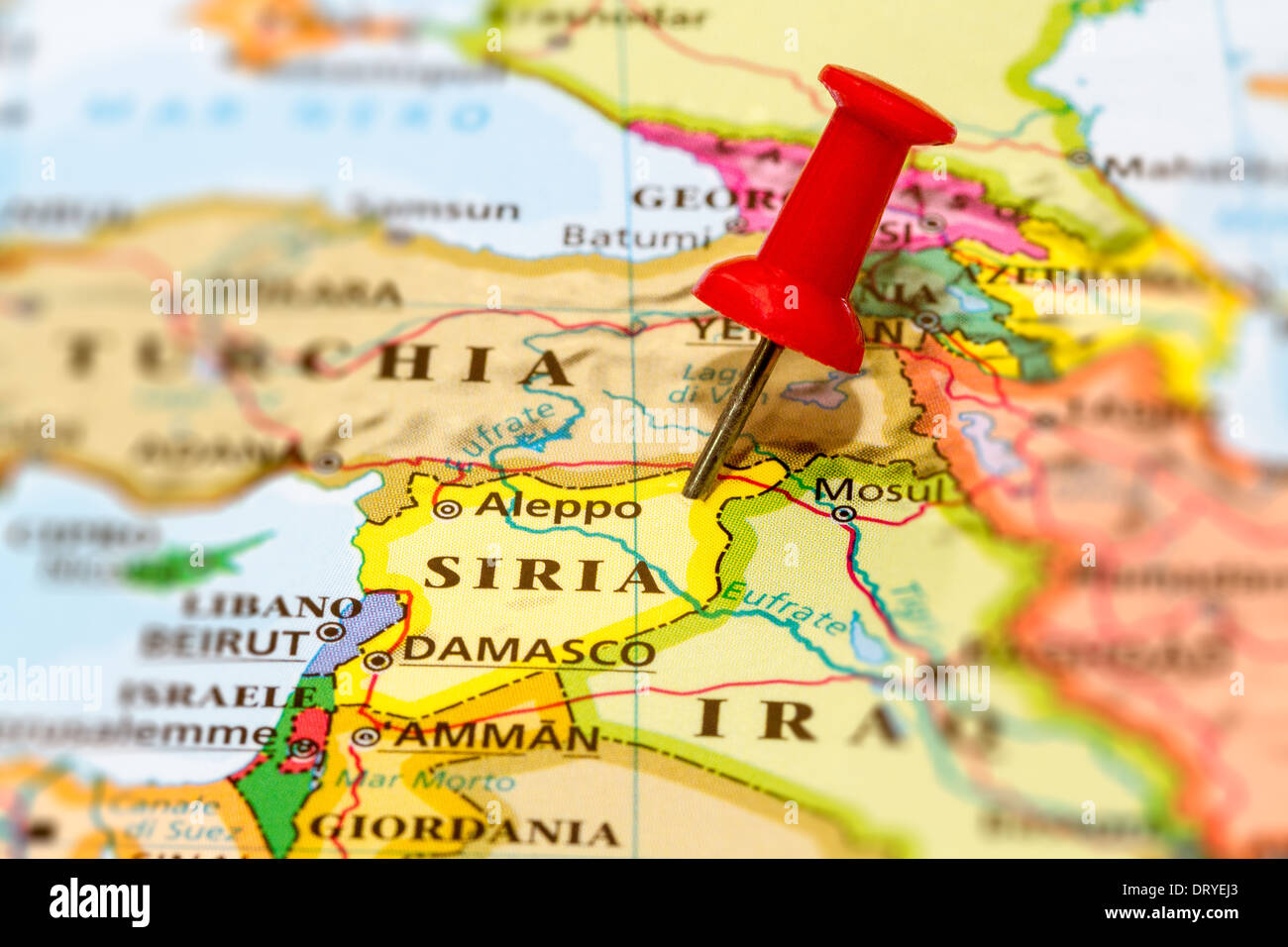 Map of Syria with a white pushpin stuck Stock Photohttps://www.alamy.com/image-license-details/?v=1https://www.alamy.com/map-of-syria-with-a-white-pushpin-stuck-image66372379.html
RMDRYEJ3–Map of Syria with a white pushpin stuck
