Quick filters:
Map of trenton Stock Photos and Images
 Map of Trenton, NJ and vicinity during the American Revolution Stock Photohttps://www.alamy.com/image-license-details/?v=1https://www.alamy.com/map-of-trenton-nj-and-vicinity-during-the-american-revolution-image430991605.html
RM2G15A59–Map of Trenton, NJ and vicinity during the American Revolution
 Map of Trenton and Vicinity. 1890 Stock Photohttps://www.alamy.com/image-license-details/?v=1https://www.alamy.com/map-of-trenton-and-vicinity-1890-image184439938.html
RMMM1Y0J–Map of Trenton and Vicinity. 1890
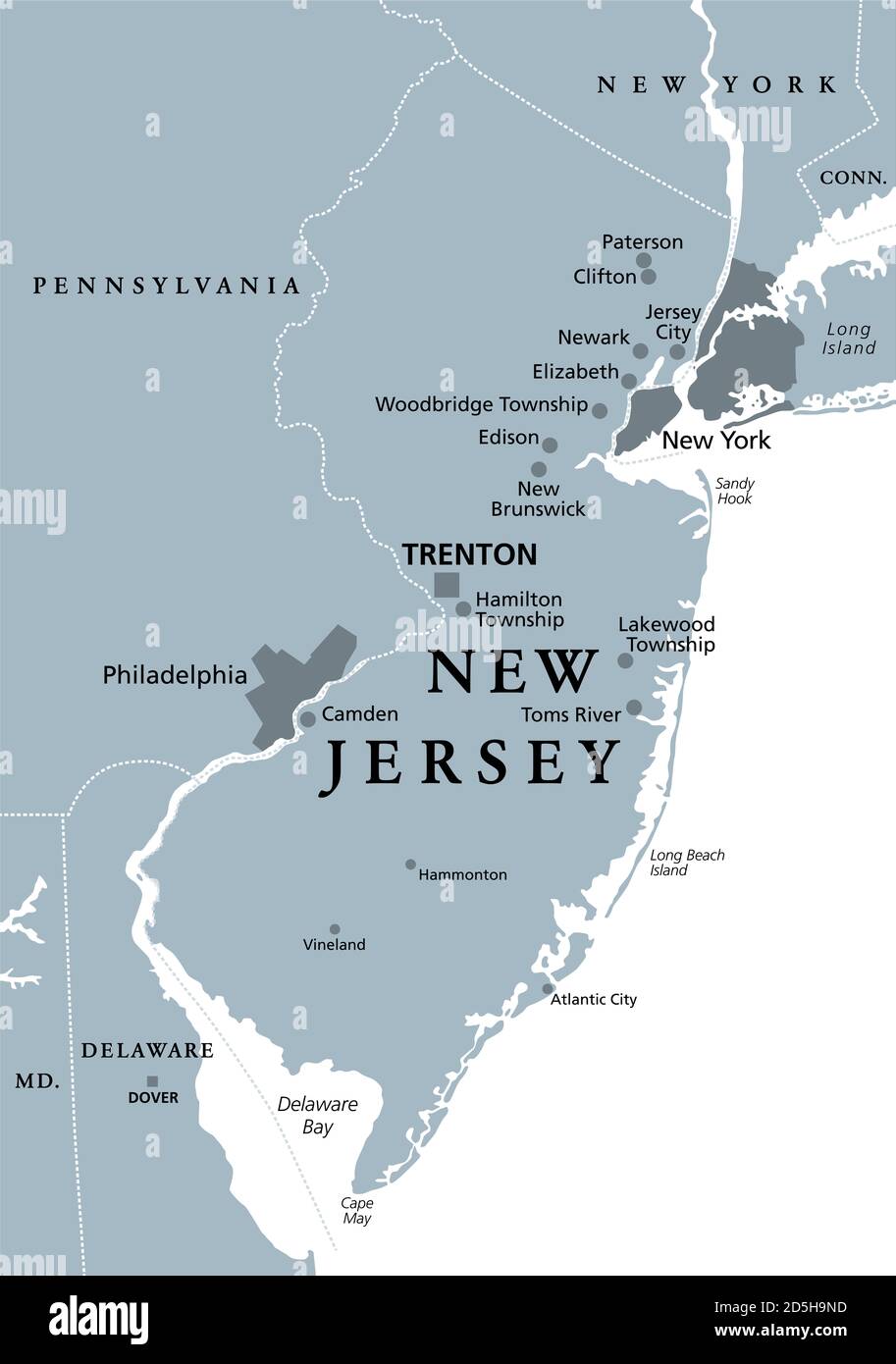 New Jersey, NJ, gray political map with capital Trenton. State in the Mid-Atlantic region of the Northeastern United States of America. Stock Photohttps://www.alamy.com/image-license-details/?v=1https://www.alamy.com/new-jersey-nj-gray-political-map-with-capital-trenton-state-in-the-mid-atlantic-region-of-the-northeastern-united-states-of-america-image382082217.html
RF2D5H9ND–New Jersey, NJ, gray political map with capital Trenton. State in the Mid-Atlantic region of the Northeastern United States of America.
 Image 20 of Sanborn Fire Insurance Map from Trenton, Mercer County, New Jersey. 1890. 47 Sheet(s). Double-paged plates numbered 1-42. Bound, America, street map with a Nineteenth Century compass Stock Photohttps://www.alamy.com/image-license-details/?v=1https://www.alamy.com/image-20-of-sanborn-fire-insurance-map-from-trenton-mercer-county-new-jersey-1890-47-sheets-double-paged-plates-numbered-1-42-bound-america-street-map-with-a-nineteenth-century-compass-image344706699.html
RM2B0PMWF–Image 20 of Sanborn Fire Insurance Map from Trenton, Mercer County, New Jersey. 1890. 47 Sheet(s). Double-paged plates numbered 1-42. Bound, America, street map with a Nineteenth Century compass
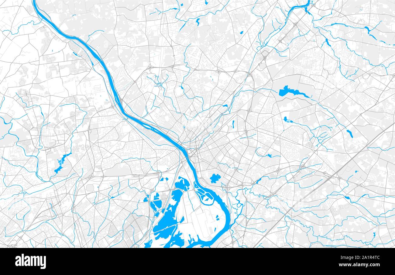 Rich detailed vector area map of Trenton, New Jersey, USA. Map template for home decor. Stock Vectorhttps://www.alamy.com/image-license-details/?v=1https://www.alamy.com/rich-detailed-vector-area-map-of-trenton-new-jersey-usa-map-template-for-home-decor-image328120364.html
RF2A1R4TC–Rich detailed vector area map of Trenton, New Jersey, USA. Map template for home decor.
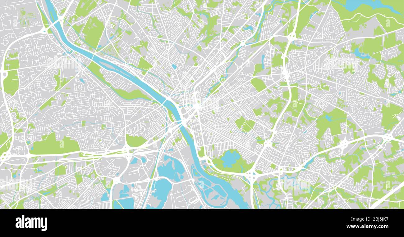 Urban vector city map of Trenton, USA. New Jersey state capital Stock Vectorhttps://www.alamy.com/image-license-details/?v=1https://www.alamy.com/urban-vector-city-map-of-trenton-usa-new-jersey-state-capital-image355395579.html
RF2BJ5JK7–Urban vector city map of Trenton, USA. New Jersey state capital
 Trenton pinned on a map of USA Stock Photohttps://www.alamy.com/image-license-details/?v=1https://www.alamy.com/stock-photo-trenton-pinned-on-a-map-of-usa-84985943.html
RFEX7CC7–Trenton pinned on a map of USA
 Trenton Ontario Canada shown on a road map or Geography map Stock Photohttps://www.alamy.com/image-license-details/?v=1https://www.alamy.com/trenton-ontario-canada-shown-on-a-road-map-or-geography-map-image439103907.html
RM2GEAWEB–Trenton Ontario Canada shown on a road map or Geography map
![New Jersey, Double Page Sheet No. 8 [Map of Trenton] 1884 - 1889 Stock Photo New Jersey, Double Page Sheet No. 8 [Map of Trenton] 1884 - 1889 Stock Photo](https://c8.alamy.com/comp/2YP2PB4/new-jersey-double-page-sheet-no-8-map-of-trenton-1884-1889-2YP2PB4.jpg) New Jersey, Double Page Sheet No. 8 [Map of Trenton] 1884 - 1889 Stock Photohttps://www.alamy.com/image-license-details/?v=1https://www.alamy.com/new-jersey-double-page-sheet-no-8-map-of-trenton-1884-1889-image633157144.html
New Jersey, Double Page Sheet No. 8 [Map of Trenton] 1884 - 1889 Stock Photohttps://www.alamy.com/image-license-details/?v=1https://www.alamy.com/new-jersey-double-page-sheet-no-8-map-of-trenton-1884-1889-image633157144.htmlRM2YP2PB4–New Jersey, Double Page Sheet No. 8 [Map of Trenton] 1884 - 1889
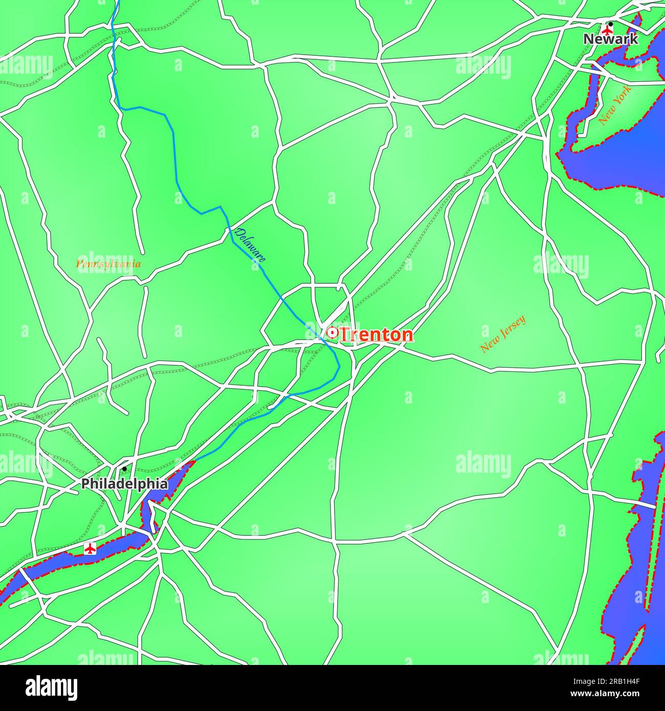 Map of Trenton City in United States of America Stock Photohttps://www.alamy.com/image-license-details/?v=1https://www.alamy.com/map-of-trenton-city-in-united-states-of-america-image557528399.html
RF2RB1H4F–Map of Trenton City in United States of America
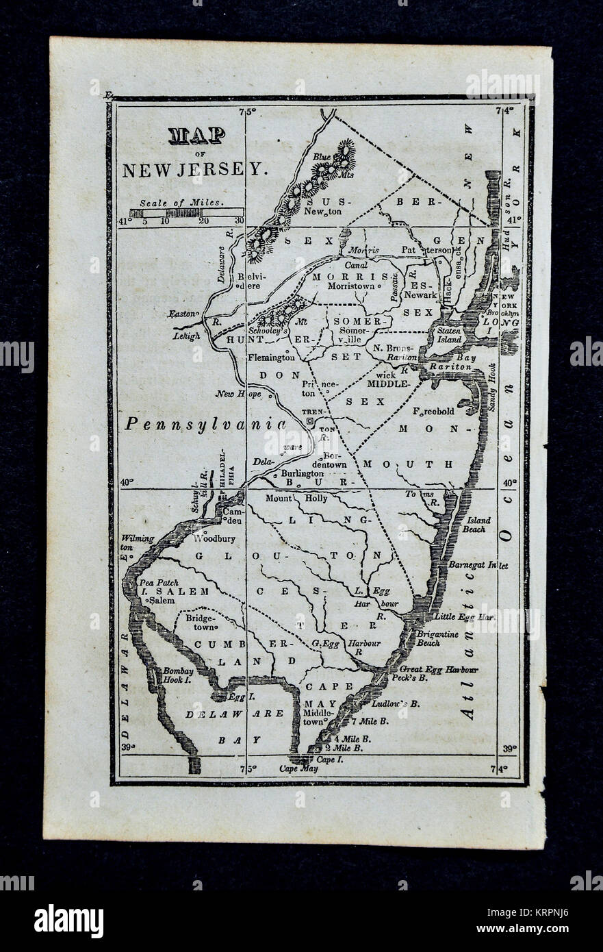 1830 Nathan Hale Map - New Jersey - Trenton Princeton Newark New Brunswick - United States Stock Photohttps://www.alamy.com/image-license-details/?v=1https://www.alamy.com/stock-image-1830-nathan-hale-map-new-jersey-trenton-princeton-newark-new-brunswick-169530318.html
RFKRPNJ6–1830 Nathan Hale Map - New Jersey - Trenton Princeton Newark New Brunswick - United States
 Trenton Bore, , AU, Australia, Queensland, S 19 15' 0'', N 142 20' 59'', map, Cartascapes Map published in 2024. Explore Cartascapes, a map revealing Earth's diverse landscapes, cultures, and ecosystems. Journey through time and space, discovering the interconnectedness of our planet's past, present, and future. Stock Photohttps://www.alamy.com/image-license-details/?v=1https://www.alamy.com/trenton-bore-au-australia-queensland-s-19-15-0-n-142-20-59-map-cartascapes-map-published-in-2024-explore-cartascapes-a-map-revealing-earths-diverse-landscapes-cultures-and-ecosystems-journey-through-time-and-space-discovering-the-interconnectedness-of-our-planets-past-present-and-future-image625461378.html
RM2Y9G6AA–Trenton Bore, , AU, Australia, Queensland, S 19 15' 0'', N 142 20' 59'', map, Cartascapes Map published in 2024. Explore Cartascapes, a map revealing Earth's diverse landscapes, cultures, and ecosystems. Journey through time and space, discovering the interconnectedness of our planet's past, present, and future.
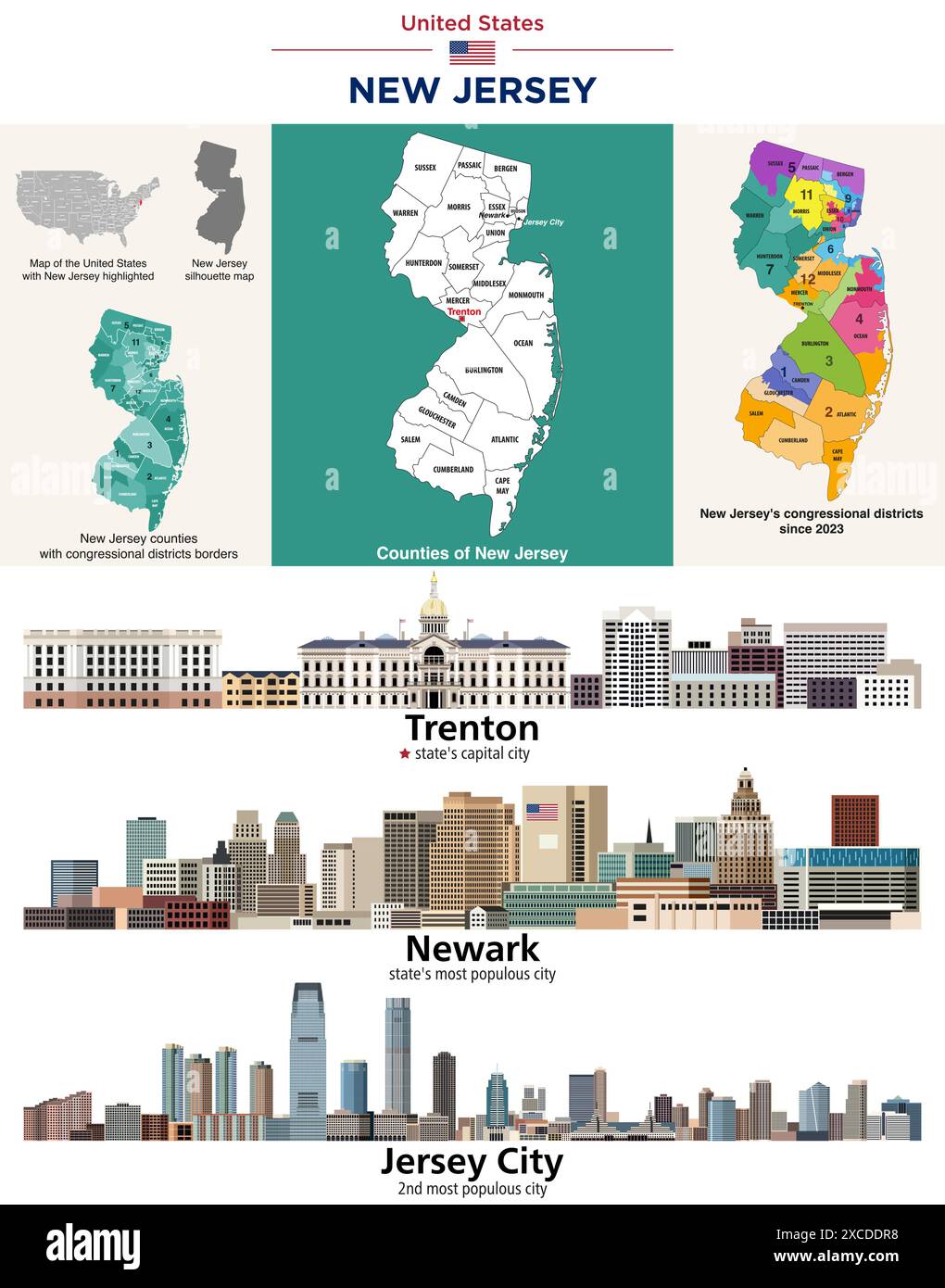 New Jersey counties map and congressional districts since 2023 map. Trenton (state's capital city), Newark and Jersey City (state's most populous citi Stock Vectorhttps://www.alamy.com/image-license-details/?v=1https://www.alamy.com/new-jersey-counties-map-and-congressional-districts-since-2023-map-trenton-states-capital-city-newark-and-jersey-city-states-most-populous-citi-image610034972.html
RF2XCDDR8–New Jersey counties map and congressional districts since 2023 map. Trenton (state's capital city), Newark and Jersey City (state's most populous citi
 A map of Trenton, New Jersey marked with a push pin. Stock Photohttps://www.alamy.com/image-license-details/?v=1https://www.alamy.com/a-map-of-trenton-new-jersey-marked-with-a-push-pin-image245773881.html
RFT7RY2H–A map of Trenton, New Jersey marked with a push pin.
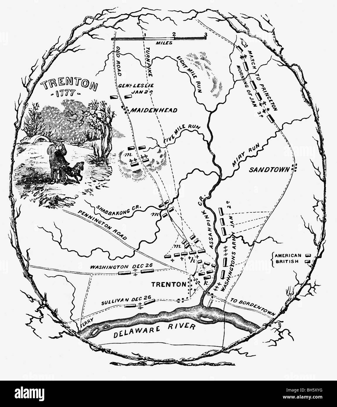 The map shows the battlefield plans for confrontations that took place 1776–1777 at Trenton between British and American troops. Stock Photohttps://www.alamy.com/image-license-details/?v=1https://www.alamy.com/stock-photo-the-map-shows-the-battlefield-plans-for-confrontations-that-took-place-27790436.html
RFBH5XYG–The map shows the battlefield plans for confrontations that took place 1776–1777 at Trenton between British and American troops.
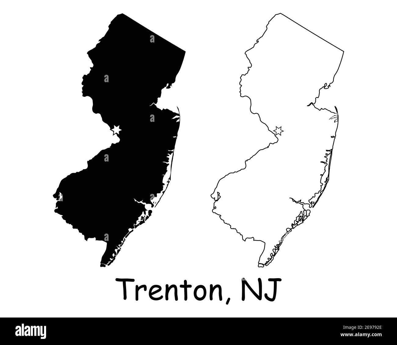 New Jersey NJ state Map USA with Capital City Star at Trenton. Black silhouette and outline isolated on a white background. EPS Vector Stock Vectorhttps://www.alamy.com/image-license-details/?v=1https://www.alamy.com/new-jersey-nj-state-map-usa-with-capital-city-star-at-trenton-black-silhouette-and-outline-isolated-on-a-white-background-eps-vector-image401531158.html
RF2E9792E–New Jersey NJ state Map USA with Capital City Star at Trenton. Black silhouette and outline isolated on a white background. EPS Vector
 Sanborn Fire Insurance Map from Trenton, Grundy County, Missouri. Stock Photohttps://www.alamy.com/image-license-details/?v=1https://www.alamy.com/sanborn-fire-insurance-map-from-trenton-grundy-county-missouri-image456500842.html
RM2HEKBDE–Sanborn Fire Insurance Map from Trenton, Grundy County, Missouri.
 New Jersey, Double Page Sheet No. 8 Map of Trenton Cartographic. Atlases, Maps. 1884 - 1889. Lionel Pincus and Princess Firyal Map Division. New Jersey, Geology , New Jersey Stock Photohttps://www.alamy.com/image-license-details/?v=1https://www.alamy.com/new-jersey-double-page-sheet-no-8-map-of-trenton-cartographic-atlases-maps-1884-1889-lionel-pincus-and-princess-firyal-map-division-new-jersey-geology-new-jersey-image484293521.html
RM2K3WD95–New Jersey, Double Page Sheet No. 8 Map of Trenton Cartographic. Atlases, Maps. 1884 - 1889. Lionel Pincus and Princess Firyal Map Division. New Jersey, Geology , New Jersey
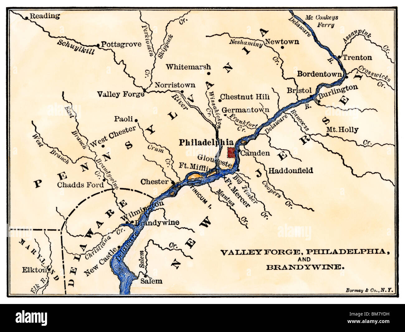 Map of the Philadelphia area, Valley Forge, and the Brandywine. Hand-colored woodcut Stock Photohttps://www.alamy.com/image-license-details/?v=1https://www.alamy.com/stock-photo-map-of-the-philadelphia-area-valley-forge-and-the-brandywine-hand-29678701.html
RMBM7YDH–Map of the Philadelphia area, Valley Forge, and the Brandywine. Hand-colored woodcut
 A Map of the Trenton and New-Brunswick Turnpike-road, early 1800s Stock Photohttps://www.alamy.com/image-license-details/?v=1https://www.alamy.com/a-map-of-the-trenton-and-new-brunswick-turnpike-road-early-1800s-image418080406.html
RM2F855R2–A Map of the Trenton and New-Brunswick Turnpike-road, early 1800s
 New Jersey Interstate road sign map Stock Photohttps://www.alamy.com/image-license-details/?v=1https://www.alamy.com/new-jersey-interstate-road-sign-map-image367793130.html
RF2CAABTX–New Jersey Interstate road sign map
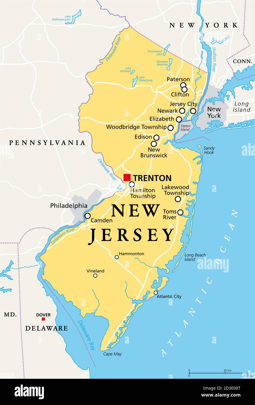 New Jersey, NJ, political map with capital Trenton. State in the Mid-Atlantic region of northeastern United States of America. The Garden State. Stock Photohttps://www.alamy.com/image-license-details/?v=1https://www.alamy.com/new-jersey-nj-political-map-with-capital-trenton-state-in-the-mid-atlantic-region-of-northeastern-united-states-of-america-the-garden-state-image380779416.html
RF2D3E00T–New Jersey, NJ, political map with capital Trenton. State in the Mid-Atlantic region of northeastern United States of America. The Garden State.
 Image 19 of Sanborn Fire Insurance Map from Trenton, Mercer County, New Jersey. 1890. 47 Sheet(s). Double-paged plates numbered 1-42. Bound, America, street map with a Nineteenth Century compass Stock Photohttps://www.alamy.com/image-license-details/?v=1https://www.alamy.com/image-19-of-sanborn-fire-insurance-map-from-trenton-mercer-county-new-jersey-1890-47-sheets-double-paged-plates-numbered-1-42-bound-america-street-map-with-a-nineteenth-century-compass-image344706698.html
RM2B0PMWE–Image 19 of Sanborn Fire Insurance Map from Trenton, Mercer County, New Jersey. 1890. 47 Sheet(s). Double-paged plates numbered 1-42. Bound, America, street map with a Nineteenth Century compass
 Colorful vector map of Trenton, New Jersey, USA. Art Map template for selfprinting wall art in landscape format. Stock Vectorhttps://www.alamy.com/image-license-details/?v=1https://www.alamy.com/colorful-vector-map-of-trenton-new-jersey-usa-art-map-template-for-selfprinting-wall-art-in-landscape-format-image356370286.html
RF2BKP1X6–Colorful vector map of Trenton, New Jersey, USA. Art Map template for selfprinting wall art in landscape format.
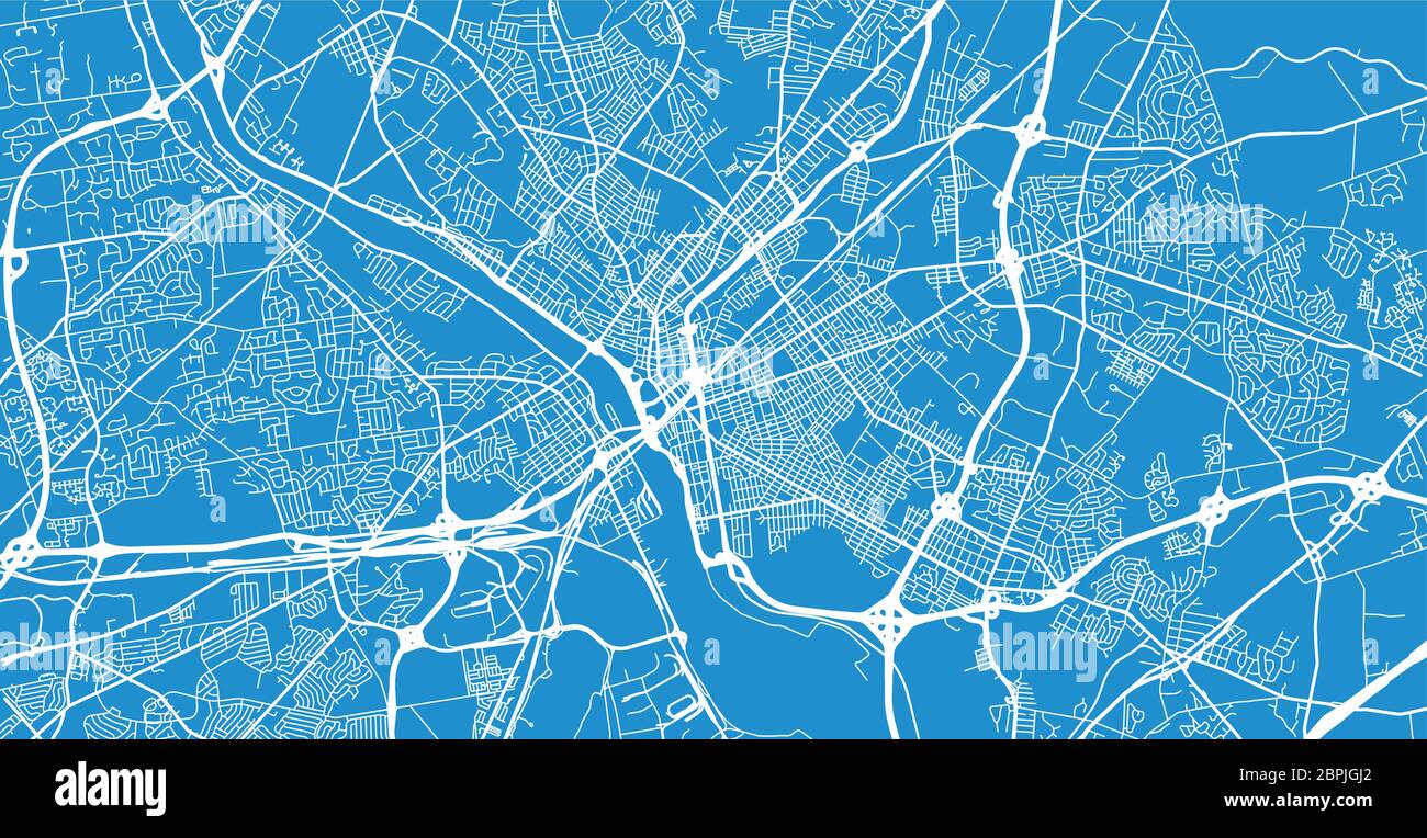 Urban vector city map of Trenton, USA. New Jersey state capital Stock Vectorhttps://www.alamy.com/image-license-details/?v=1https://www.alamy.com/urban-vector-city-map-of-trenton-usa-new-jersey-state-capital-image358137978.html
RF2BPJGJ2–Urban vector city map of Trenton, USA. New Jersey state capital
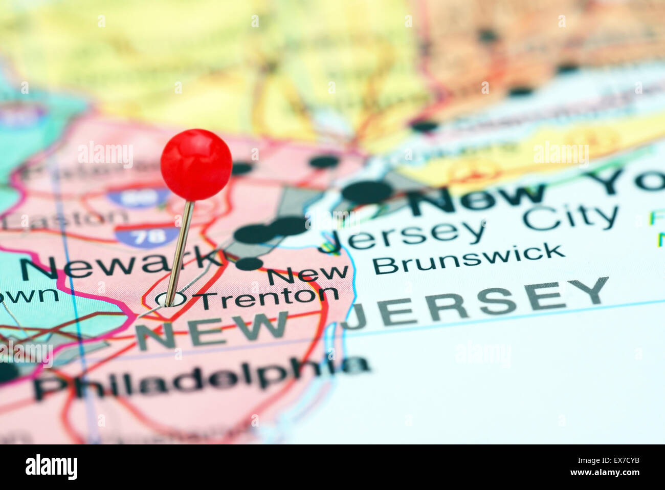 Trenton pinned on a map of USA Stock Photohttps://www.alamy.com/image-license-details/?v=1https://www.alamy.com/stock-photo-trenton-pinned-on-a-map-of-usa-84986367.html
RFEX7CYB–Trenton pinned on a map of USA
 Trenton Ohio USA shown on a Geography map or Road map Stock Photohttps://www.alamy.com/image-license-details/?v=1https://www.alamy.com/trenton-ohio-usa-shown-on-a-geography-map-or-road-map-image432332001.html
RM2G3ABTH–Trenton Ohio USA shown on a Geography map or Road map
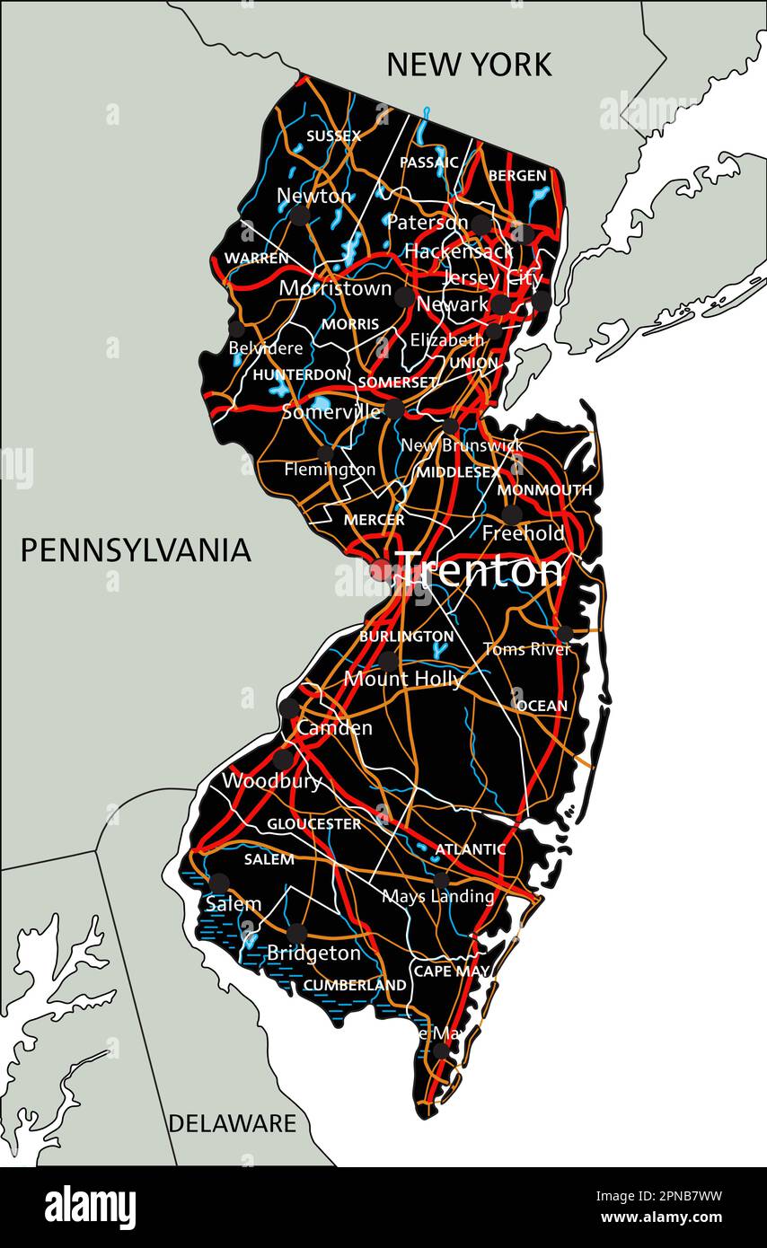 High detailed New Jersey road map with labeling. Stock Vectorhttps://www.alamy.com/image-license-details/?v=1https://www.alamy.com/high-detailed-new-jersey-road-map-with-labeling-image546676869.html
RF2PNB7WW–High detailed New Jersey road map with labeling.
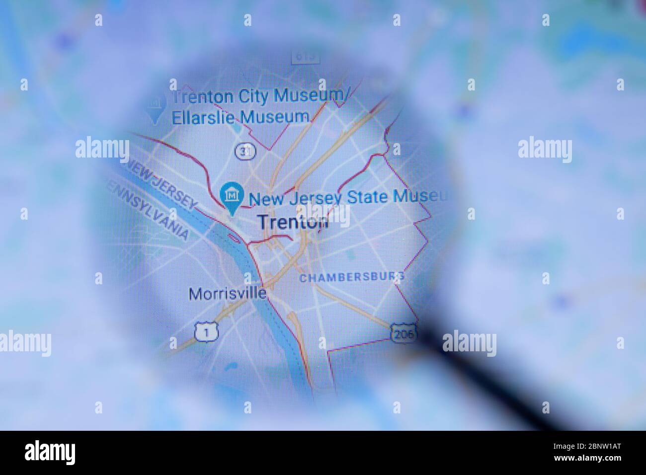 Los Angeles, California, USA - 1 May 2020: Trenton City Town name with location on map close up, Illustrative Editorial Stock Photohttps://www.alamy.com/image-license-details/?v=1https://www.alamy.com/los-angeles-california-usa-1-may-2020-trenton-city-town-name-with-location-on-map-close-up-illustrative-editorial-image357665024.html
RF2BNW1AT–Los Angeles, California, USA - 1 May 2020: Trenton City Town name with location on map close up, Illustrative Editorial
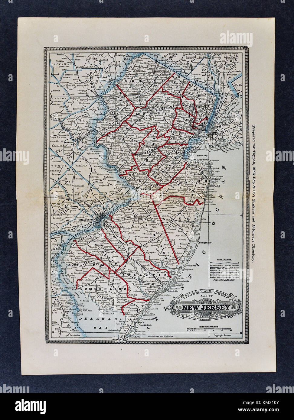 George Cram Antique Map from 1866 Atlas for Attorneys and Bankers: United States - New Jersey - Trenton Princeton Newark Atlantic City Stock Photohttps://www.alamy.com/image-license-details/?v=1https://www.alamy.com/stock-image-george-cram-antique-map-from-1866-atlas-for-attorneys-and-bankers-167231147.html
RFKM210Y–George Cram Antique Map from 1866 Atlas for Attorneys and Bankers: United States - New Jersey - Trenton Princeton Newark Atlantic City
 Trenton, Fannin County, US, United States, Texas, N 33 25' 50'', S 96 20' 18'', map, Cartascapes Map published in 2024. Explore Cartascapes, a map revealing Earth's diverse landscapes, cultures, and ecosystems. Journey through time and space, discovering the interconnectedness of our planet's past, present, and future. Stock Photohttps://www.alamy.com/image-license-details/?v=1https://www.alamy.com/trenton-fannin-county-us-united-states-texas-n-33-25-50-s-96-20-18-map-cartascapes-map-published-in-2024-explore-cartascapes-a-map-revealing-earths-diverse-landscapes-cultures-and-ecosystems-journey-through-time-and-space-discovering-the-interconnectedness-of-our-planets-past-present-and-future-image621435759.html
RM2Y30RJ7–Trenton, Fannin County, US, United States, Texas, N 33 25' 50'', S 96 20' 18'', map, Cartascapes Map published in 2024. Explore Cartascapes, a map revealing Earth's diverse landscapes, cultures, and ecosystems. Journey through time and space, discovering the interconnectedness of our planet's past, present, and future.
 map of new jersey Stock Photohttps://www.alamy.com/image-license-details/?v=1https://www.alamy.com/stock-photo-map-of-new-jersey-117655262.html
RFGRBJDJ–map of new jersey
![Essex County, V. 3, Double Page Plate No. 4 [Map bounded by Lyons Ave., Trenton St., Madison Ave., Virginia St.] 1906 by A.H. Mueller (Publisher) Stock Photo Essex County, V. 3, Double Page Plate No. 4 [Map bounded by Lyons Ave., Trenton St., Madison Ave., Virginia St.] 1906 by A.H. Mueller (Publisher) Stock Photo](https://c8.alamy.com/comp/2YP2N1K/essex-county-v-3-double-page-plate-no-4-map-bounded-by-lyons-ave-trenton-st-madison-ave-virginia-st-1906-by-ah-mueller-publisher-2YP2N1K.jpg) Essex County, V. 3, Double Page Plate No. 4 [Map bounded by Lyons Ave., Trenton St., Madison Ave., Virginia St.] 1906 by A.H. Mueller (Publisher) Stock Photohttps://www.alamy.com/image-license-details/?v=1https://www.alamy.com/essex-county-v-3-double-page-plate-no-4-map-bounded-by-lyons-ave-trenton-st-madison-ave-virginia-st-1906-by-ah-mueller-publisher-image633156095.html
Essex County, V. 3, Double Page Plate No. 4 [Map bounded by Lyons Ave., Trenton St., Madison Ave., Virginia St.] 1906 by A.H. Mueller (Publisher) Stock Photohttps://www.alamy.com/image-license-details/?v=1https://www.alamy.com/essex-county-v-3-double-page-plate-no-4-map-bounded-by-lyons-ave-trenton-st-madison-ave-virginia-st-1906-by-ah-mueller-publisher-image633156095.htmlRM2YP2N1K–Essex County, V. 3, Double Page Plate No. 4 [Map bounded by Lyons Ave., Trenton St., Madison Ave., Virginia St.] 1906 by A.H. Mueller (Publisher)
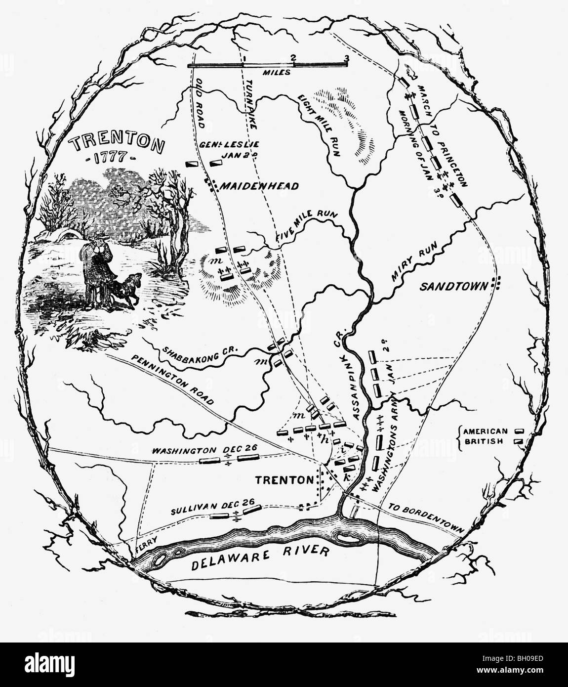 The map shows the battlefield plans for the Battle of Trenton that took place 1776–1777 between British and American troops. Stock Photohttps://www.alamy.com/image-license-details/?v=1https://www.alamy.com/stock-photo-the-map-shows-the-battlefield-plans-for-the-battle-of-trenton-that-27666981.html
RFBH09ED–The map shows the battlefield plans for the Battle of Trenton that took place 1776–1777 between British and American troops.
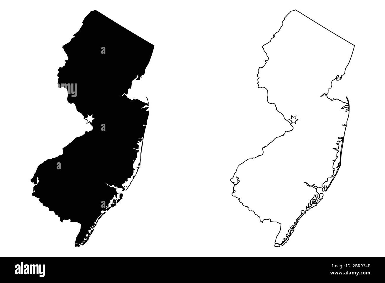 New Jersey NJ state Map USA with Capital City Star at Trenton. Black silhouette and outline isolated on a white background. EPS Vector Stock Vectorhttps://www.alamy.com/image-license-details/?v=1https://www.alamy.com/new-jersey-nj-state-map-usa-with-capital-city-star-at-trenton-black-silhouette-and-outline-isolated-on-a-white-background-eps-vector-image358851830.html
RF2BRR34P–New Jersey NJ state Map USA with Capital City Star at Trenton. Black silhouette and outline isolated on a white background. EPS Vector
 Sanborn Fire Insurance Map from Trenton, Gibson County, Tennessee. Stock Photohttps://www.alamy.com/image-license-details/?v=1https://www.alamy.com/sanborn-fire-insurance-map-from-trenton-gibson-county-tennessee-image456500794.html
RM2HEKBBP–Sanborn Fire Insurance Map from Trenton, Gibson County, Tennessee.
 New Jersey map - Interstate road sign Stock Photohttps://www.alamy.com/image-license-details/?v=1https://www.alamy.com/new-jersey-map-interstate-road-sign-image507042471.html
RF2MCWNRK–New Jersey map - Interstate road sign
 A highly detailed old map of New Jersey produced in 1847 Stock Photohttps://www.alamy.com/image-license-details/?v=1https://www.alamy.com/a-highly-detailed-old-map-of-new-jersey-produced-in-1847-image335130452.html
RF2AD6E8M–A highly detailed old map of New Jersey produced in 1847
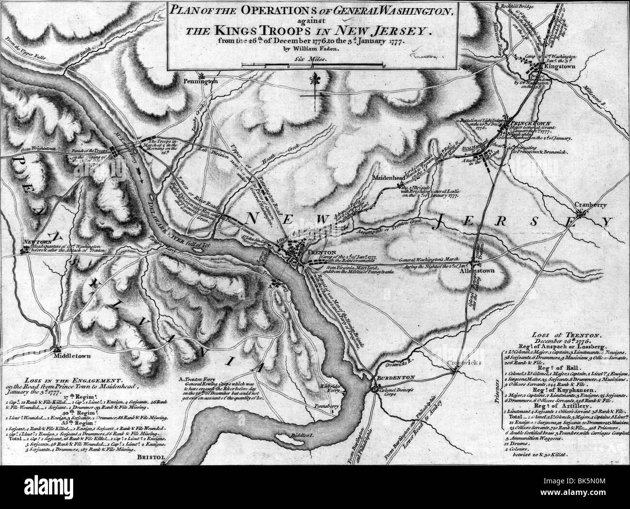 Map of operations of General Washington, against the Kings troops in New Jersey, from the December 26, 1776 to January 3rd, 1777 Stock Photohttps://www.alamy.com/image-license-details/?v=1https://www.alamy.com/stock-photo-map-of-operations-of-general-washington-against-the-kings-troops-in-29015076.html
RMBK5N0M–Map of operations of General Washington, against the Kings troops in New Jersey, from the December 26, 1776 to January 3rd, 1777
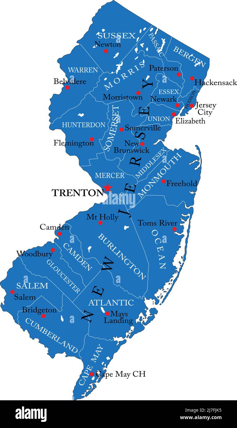 Detailed map of New Jersey state,in vector format,with county borders and major cities. Stock Vectorhttps://www.alamy.com/image-license-details/?v=1https://www.alamy.com/detailed-map-of-new-jersey-statein-vector-formatwith-county-borders-and-major-cities-image469326457.html
RF2J7FJK5–Detailed map of New Jersey state,in vector format,with county borders and major cities.
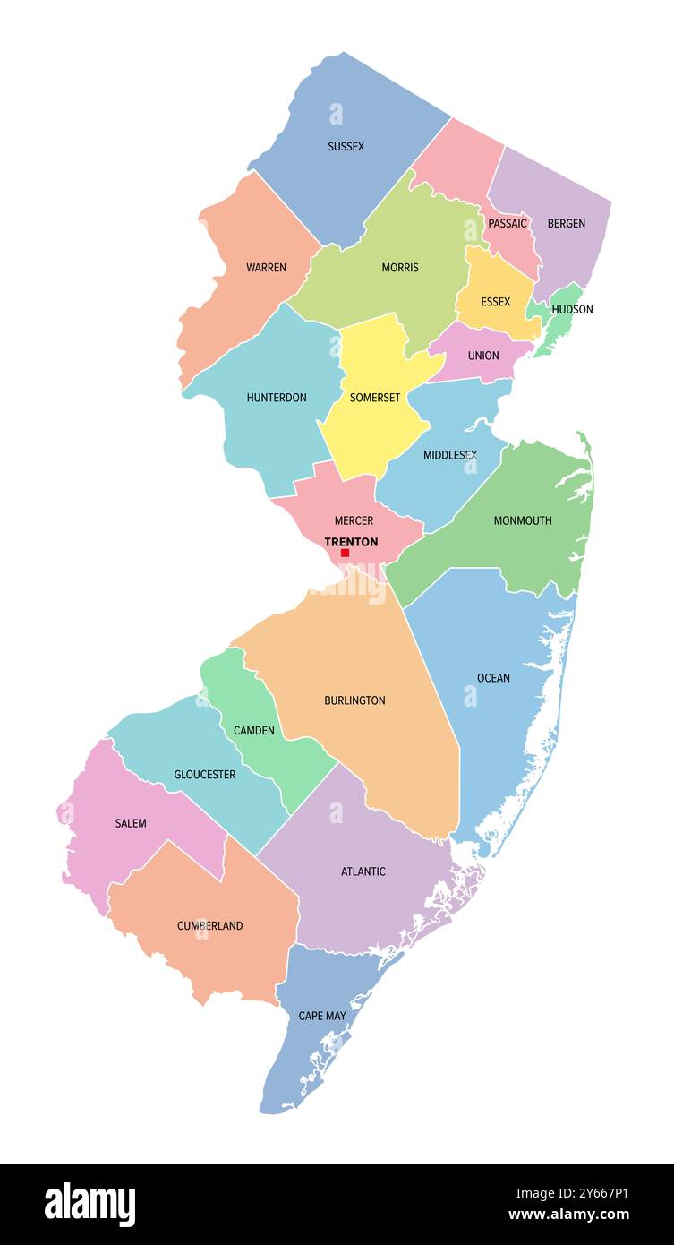 New Jersey, U.S. state, subdivided into 21 counties, multi colored political map with capital Trenton, borders and county names. Stock Photohttps://www.alamy.com/image-license-details/?v=1https://www.alamy.com/new-jersey-us-state-subdivided-into-21-counties-multi-colored-political-map-with-capital-trenton-borders-and-county-names-image623399001.html
RF2Y667P1–New Jersey, U.S. state, subdivided into 21 counties, multi colored political map with capital Trenton, borders and county names.
 Image 1 of Sanborn Fire Insurance Map from Trenton, Mercer County, New Jersey. 1890. 47 Sheet(s). Double-paged plates numbered 1-42. Bound, America, street map with a Nineteenth Century compass Stock Photohttps://www.alamy.com/image-license-details/?v=1https://www.alamy.com/image-1-of-sanborn-fire-insurance-map-from-trenton-mercer-county-new-jersey-1890-47-sheets-double-paged-plates-numbered-1-42-bound-america-street-map-with-a-nineteenth-century-compass-image344706648.html
RM2B0PMRM–Image 1 of Sanborn Fire Insurance Map from Trenton, Mercer County, New Jersey. 1890. 47 Sheet(s). Double-paged plates numbered 1-42. Bound, America, street map with a Nineteenth Century compass
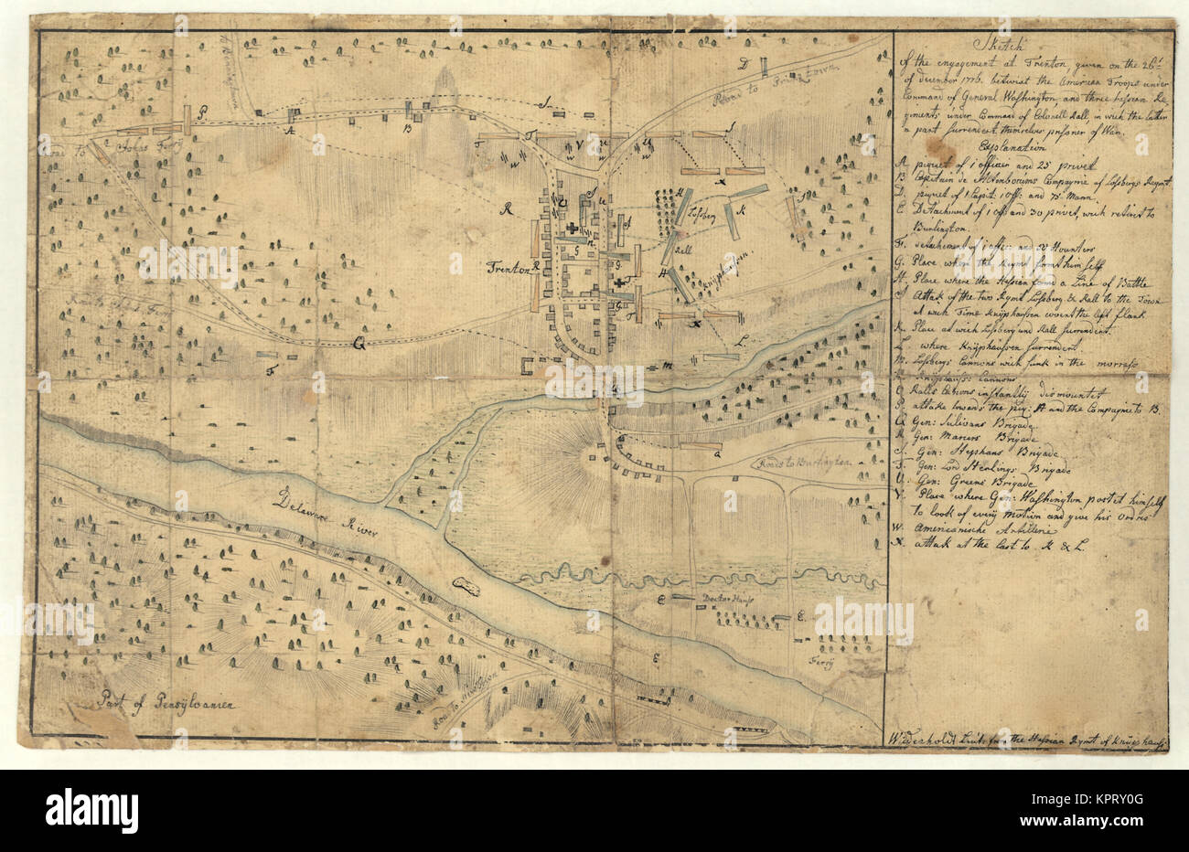 Sketch of the engagement at Trenton Stock Photohttps://www.alamy.com/image-license-details/?v=1https://www.alamy.com/stock-image-sketch-of-the-engagement-at-trenton-168941824.html
RMKPRY0G–Sketch of the engagement at Trenton
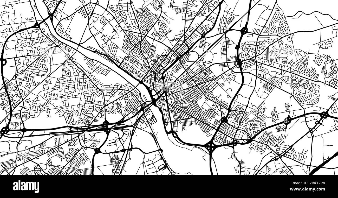 Urban vector city map of Trenton, USA. New Jersey state capital Stock Vectorhttps://www.alamy.com/image-license-details/?v=1https://www.alamy.com/urban-vector-city-map-of-trenton-usa-new-jersey-state-capital-image356414892.html
RF2BKT2R8–Urban vector city map of Trenton, USA. New Jersey state capital
 Trenton pinned on a map of USA Stock Photohttps://www.alamy.com/image-license-details/?v=1https://www.alamy.com/stock-photo-trenton-pinned-on-a-map-of-usa-84986719.html
RFEX7DBY–Trenton pinned on a map of USA
 Trenton Nebraska USA Shown on a Geography map or Road map Stock Photohttps://www.alamy.com/image-license-details/?v=1https://www.alamy.com/trenton-nebraska-usa-shown-on-a-geography-map-or-road-map-image426514047.html
RM2FNWB0F–Trenton Nebraska USA Shown on a Geography map or Road map
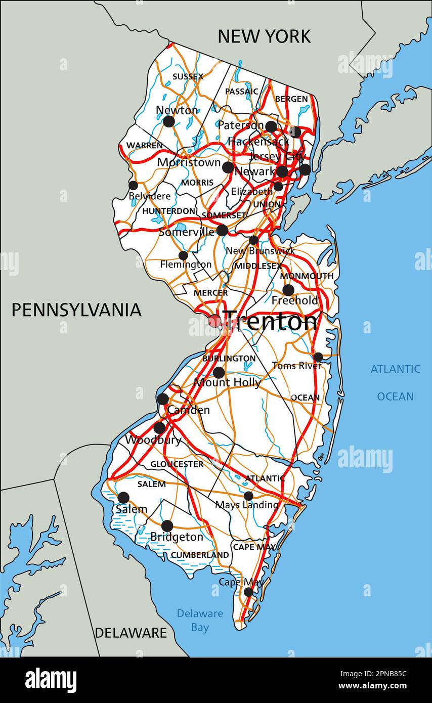 High detailed New Jersey road map with labeling. Stock Vectorhttps://www.alamy.com/image-license-details/?v=1https://www.alamy.com/high-detailed-new-jersey-road-map-with-labeling-image546677080.html
RF2PNB85C–High detailed New Jersey road map with labeling.
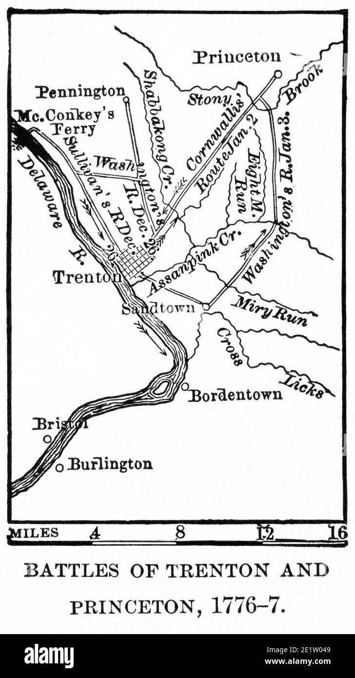 Battles of Trenton and Princeton, 1776-7, Map Illustration, Ridpath's History of the World, Volume III, by John Clark Ridpath, LL. D., Merrill & Baker Publishers, New York, 1897 Stock Photohttps://www.alamy.com/image-license-details/?v=1https://www.alamy.com/battles-of-trenton-and-princeton-1776-7-map-illustration-ridpaths-history-of-the-world-volume-iii-by-john-clark-ridpath-ll-d-merrill-baker-publishers-new-york-1897-image397002041.html
RM2E1W049–Battles of Trenton and Princeton, 1776-7, Map Illustration, Ridpath's History of the World, Volume III, by John Clark Ridpath, LL. D., Merrill & Baker Publishers, New York, 1897
 New Jersey - Interstate road sign Stock Photohttps://www.alamy.com/image-license-details/?v=1https://www.alamy.com/new-jersey-interstate-road-sign-image563900722.html
RF2RNBW3E–New Jersey - Interstate road sign
 Trenton Hill, Cue, AU, Australia, Western Australia, S 27 28' 28'', N 117 50' 5'', map, Cartascapes Map published in 2024. Explore Cartascapes, a map revealing Earth's diverse landscapes, cultures, and ecosystems. Journey through time and space, discovering the interconnectedness of our planet's past, present, and future. Stock Photohttps://www.alamy.com/image-license-details/?v=1https://www.alamy.com/trenton-hill-cue-au-australia-western-australia-s-27-28-28-n-117-50-5-map-cartascapes-map-published-in-2024-explore-cartascapes-a-map-revealing-earths-diverse-landscapes-cultures-and-ecosystems-journey-through-time-and-space-discovering-the-interconnectedness-of-our-planets-past-present-and-future-image625617380.html
RM2Y9R99T–Trenton Hill, Cue, AU, Australia, Western Australia, S 27 28' 28'', N 117 50' 5'', map, Cartascapes Map published in 2024. Explore Cartascapes, a map revealing Earth's diverse landscapes, cultures, and ecosystems. Journey through time and space, discovering the interconnectedness of our planet's past, present, and future.
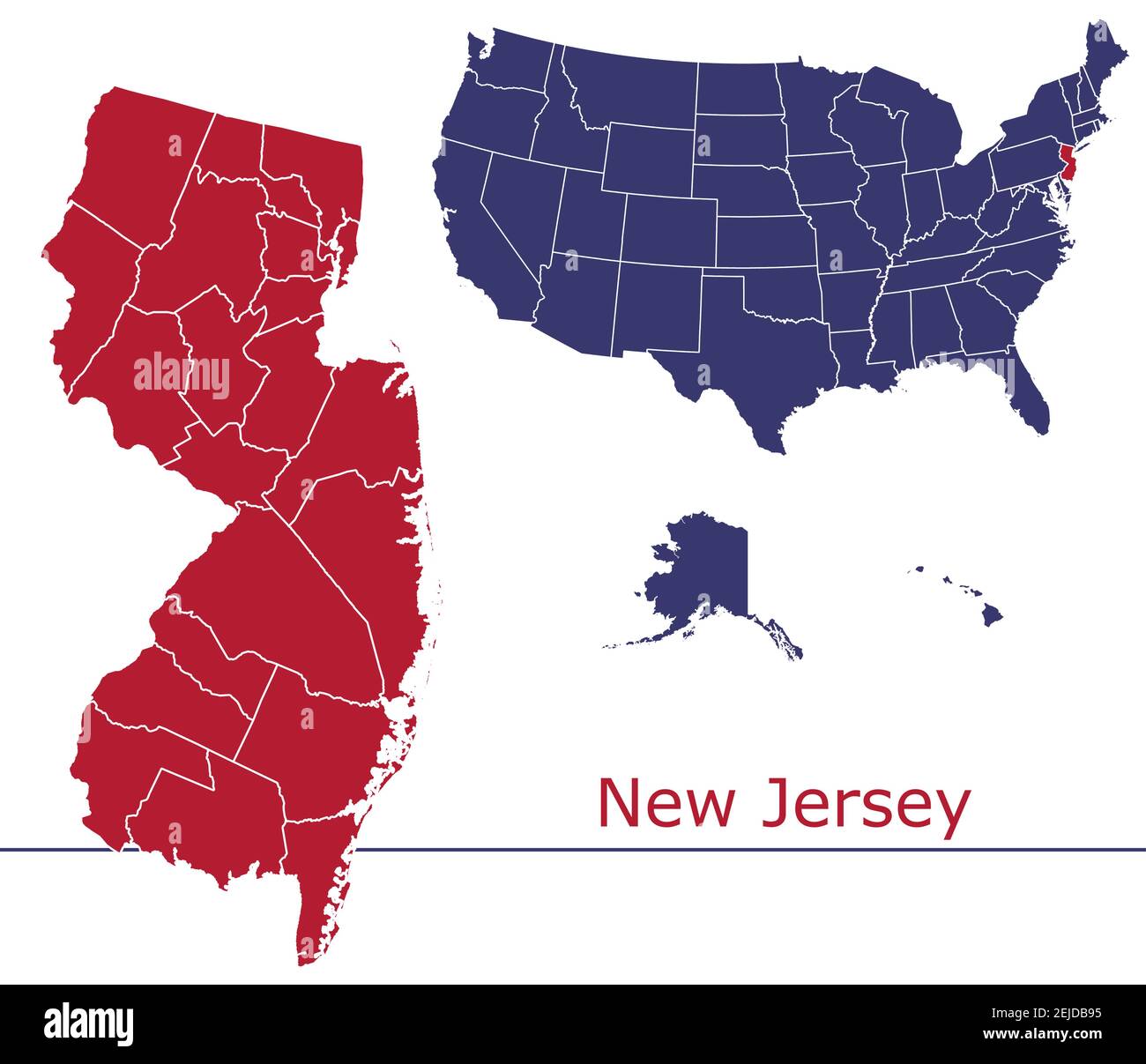 New Jersey counties vector map outline with USA map colors national flag Stock Vectorhttps://www.alamy.com/image-license-details/?v=1https://www.alamy.com/new-jersey-counties-vector-map-outline-with-usa-map-colors-national-flag-image407196529.html
RF2EJDB95–New Jersey counties vector map outline with USA map colors national flag
 Map of the comprehensive plan as filed in the offices of the secretaries of state at Albany, New York, and Trenton, New Jersey; in compliance with chapter 43, laws of New York, 1922, chapter 9, laws of New Jersey, 1922, and the resolution of Congress (public resolution no. 66-67th Congress) approving of the plan and authorizing and empowering the Port of New York Authority to effectuate the same 1922 by Port of New York Authority Stock Photohttps://www.alamy.com/image-license-details/?v=1https://www.alamy.com/map-of-the-comprehensive-plan-as-filed-in-the-offices-of-the-secretaries-of-state-at-albany-new-york-and-trenton-new-jersey-in-compliance-with-chapter-43-laws-of-new-york-1922-chapter-9-laws-of-new-jersey-1922-and-the-resolution-of-congress-public-resolution-no-66-67th-congress-approving-of-the-plan-and-authorizing-and-empowering-the-port-of-new-york-authority-to-effectuate-the-same-1922-by-port-of-new-york-authority-image633414832.html
RM2YPEF28–Map of the comprehensive plan as filed in the offices of the secretaries of state at Albany, New York, and Trenton, New Jersey; in compliance with chapter 43, laws of New York, 1922, chapter 9, laws of New Jersey, 1922, and the resolution of Congress (public resolution no. 66-67th Congress) approving of the plan and authorizing and empowering the Port of New York Authority to effectuate the same 1922 by Port of New York Authority
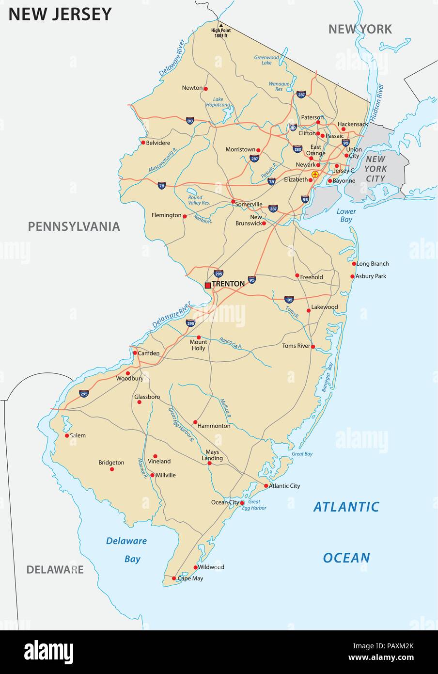 new jersey vector road map Stock Vectorhttps://www.alamy.com/image-license-details/?v=1https://www.alamy.com/new-jersey-vector-road-map-image213257483.html
RFPAXM2K–new jersey vector road map
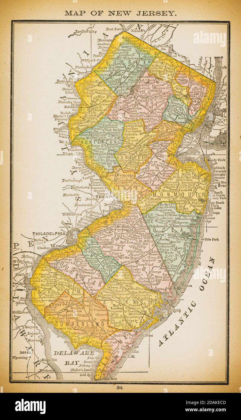 19th century map of New Jersey. Published in New Dollar Atlas of the United States and Dominion of Canada. (Rand McNally & Co's, Chicago, 1884). Stock Photohttps://www.alamy.com/image-license-details/?v=1https://www.alamy.com/19th-century-map-of-new-jersey-published-in-new-dollar-atlas-of-the-united-states-and-dominion-of-canada-rand-mcnally-cos-chicago-1884-image385203069.html
RF2DAKECD–19th century map of New Jersey. Published in New Dollar Atlas of the United States and Dominion of Canada. (Rand McNally & Co's, Chicago, 1884).
 Sanborn Fire Insurance Map from Trenton, Clinton County, Illinois. Stock Photohttps://www.alamy.com/image-license-details/?v=1https://www.alamy.com/sanborn-fire-insurance-map-from-trenton-clinton-county-illinois-image456500787.html
RM2HEKBBF–Sanborn Fire Insurance Map from Trenton, Clinton County, Illinois.
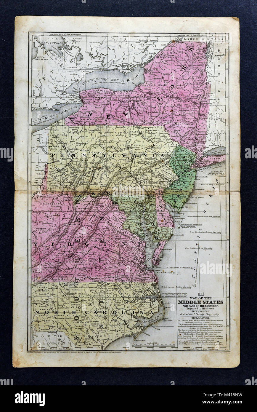 1839 Mitchell Map - Mid-Atlantic States - New York Pennsylvania New Jersey Maryland Delaware Virginia North Carolina Washington DC - United States Stock Photohttps://www.alamy.com/image-license-details/?v=1https://www.alamy.com/stock-photo-1839-mitchell-map-mid-atlantic-states-new-york-pennsylvania-new-jersey-174591141.html
RFM418NW–1839 Mitchell Map - Mid-Atlantic States - New York Pennsylvania New Jersey Maryland Delaware Virginia North Carolina Washington DC - United States
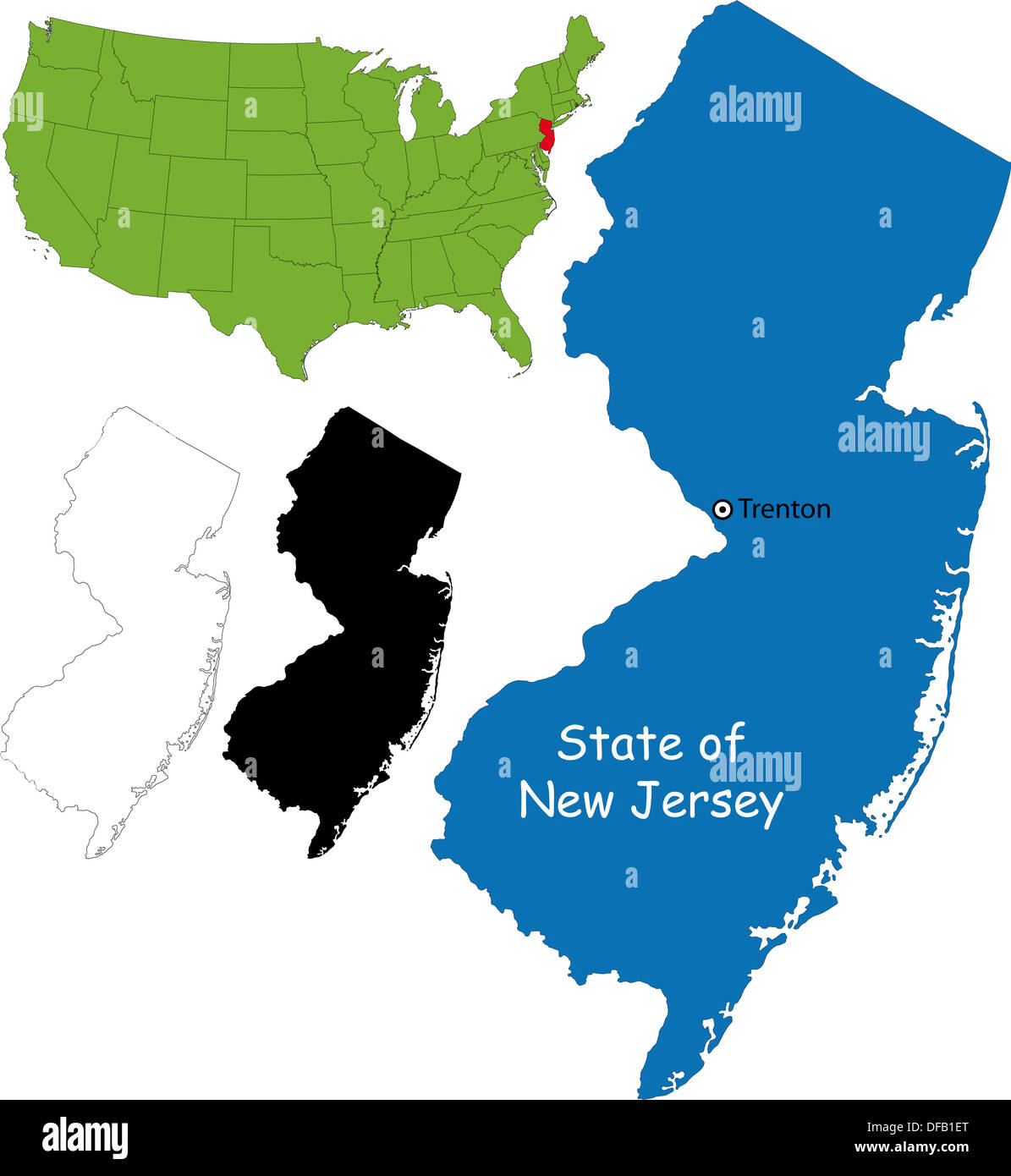 New jersey map Stock Photohttps://www.alamy.com/image-license-details/?v=1https://www.alamy.com/new-jersey-map-image61093616.html
RFDFB1ET–New jersey map
 Map of the state of New Jersey - USA Stock Photohttps://www.alamy.com/image-license-details/?v=1https://www.alamy.com/stock-photo-map-of-the-state-of-new-jersey-usa-53606790.html
RFD36006–Map of the state of New Jersey - USA
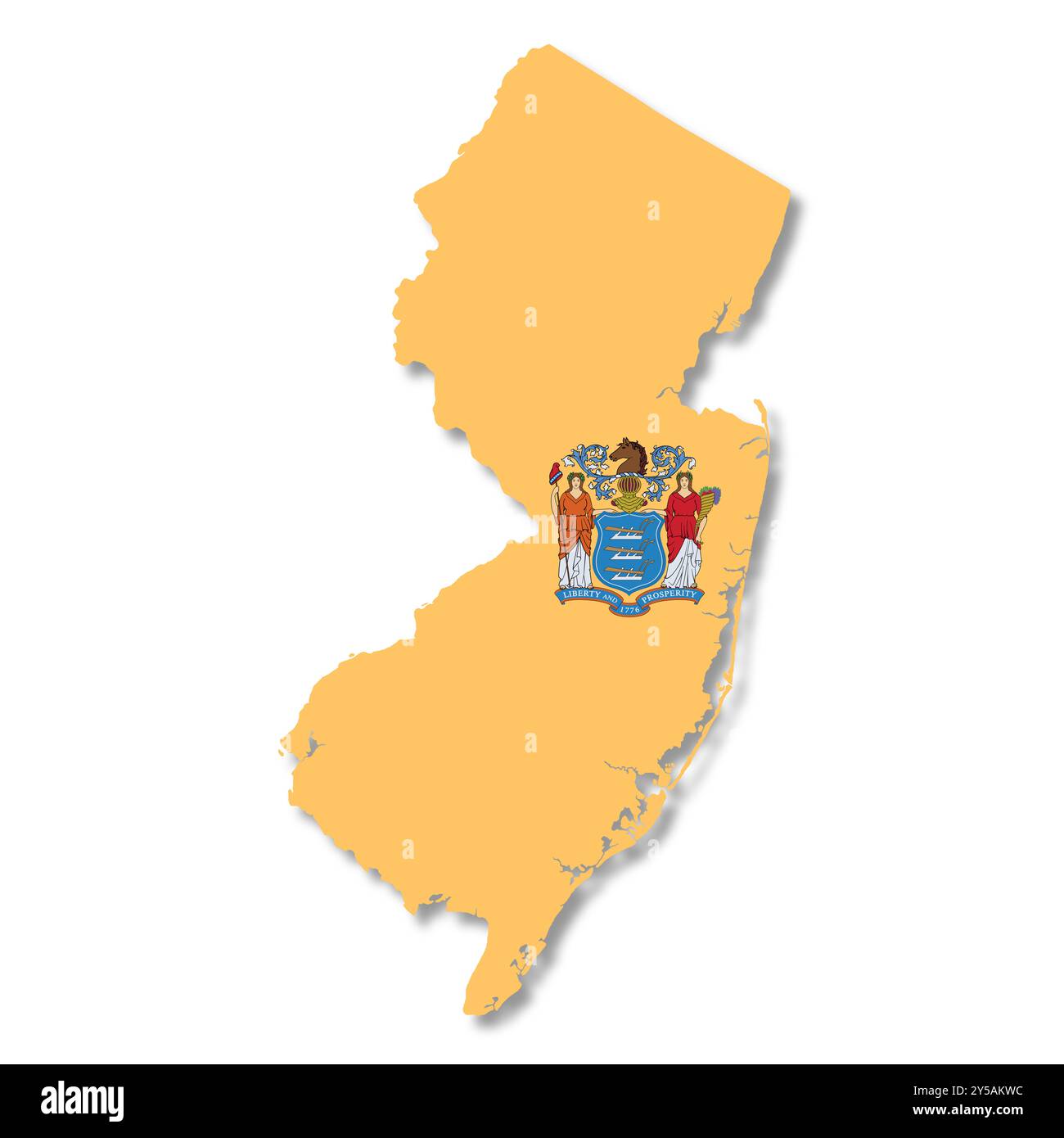 New Jersey State Flag Map Stock Photohttps://www.alamy.com/image-license-details/?v=1https://www.alamy.com/new-jersey-state-flag-map-image622881656.html
RF2Y5AKWC–New Jersey State Flag Map
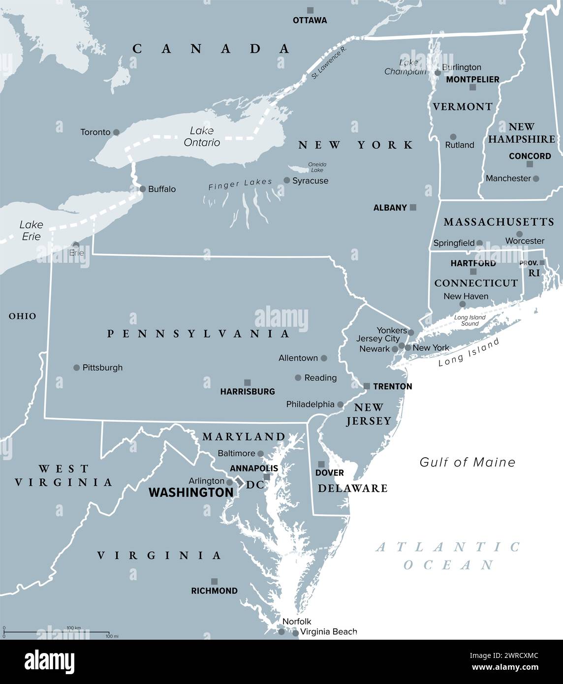 Mid-Atlantic region of the United States, gray political map. The overlap between the Northeastern and Southeastern states. Stock Photohttps://www.alamy.com/image-license-details/?v=1https://www.alamy.com/mid-atlantic-region-of-the-united-states-gray-political-map-the-overlap-between-the-northeastern-and-southeastern-states-image599573980.html
RF2WRCXMC–Mid-Atlantic region of the United States, gray political map. The overlap between the Northeastern and Southeastern states.
 Image 13 of Sanborn Fire Insurance Map from Trenton, Mercer County, New Jersey. 1890. 47 Sheet(s). Double-paged plates numbered 1-42. Bound, America, street map with a Nineteenth Century compass Stock Photohttps://www.alamy.com/image-license-details/?v=1https://www.alamy.com/image-13-of-sanborn-fire-insurance-map-from-trenton-mercer-county-new-jersey-1890-47-sheets-double-paged-plates-numbered-1-42-bound-america-street-map-with-a-nineteenth-century-compass-image344706685.html
RM2B0PMW1–Image 13 of Sanborn Fire Insurance Map from Trenton, Mercer County, New Jersey. 1890. 47 Sheet(s). Double-paged plates numbered 1-42. Bound, America, street map with a Nineteenth Century compass
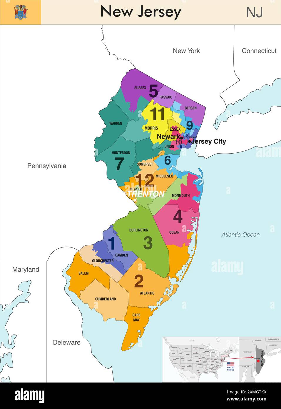 New Jersey state map with counties borders and colored congressional districts boundaries due to The 2020 United States census and which is valid sinc Stock Vectorhttps://www.alamy.com/image-license-details/?v=1https://www.alamy.com/new-jersey-state-map-with-counties-borders-and-colored-congressional-districts-boundaries-due-to-the-2020-united-states-census-and-which-is-valid-sinc-image615026606.html
RF2XMGTKX–New Jersey state map with counties borders and colored congressional districts boundaries due to The 2020 United States census and which is valid sinc
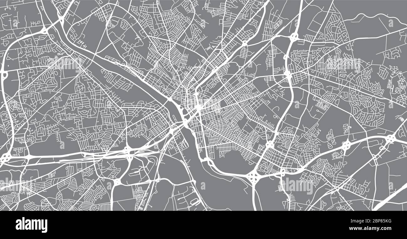 Urban vector city map of Trenton, USA. New Jersey state capital Stock Vectorhttps://www.alamy.com/image-license-details/?v=1https://www.alamy.com/urban-vector-city-map-of-trenton-usa-new-jersey-state-capital-image357909876.html
RF2BP85KG–Urban vector city map of Trenton, USA. New Jersey state capital
 Trenton pinned on a map of USA Stock Photohttps://www.alamy.com/image-license-details/?v=1https://www.alamy.com/stock-photo-trenton-pinned-on-a-map-of-usa-84987417.html
RFEX7E8W–Trenton pinned on a map of USA
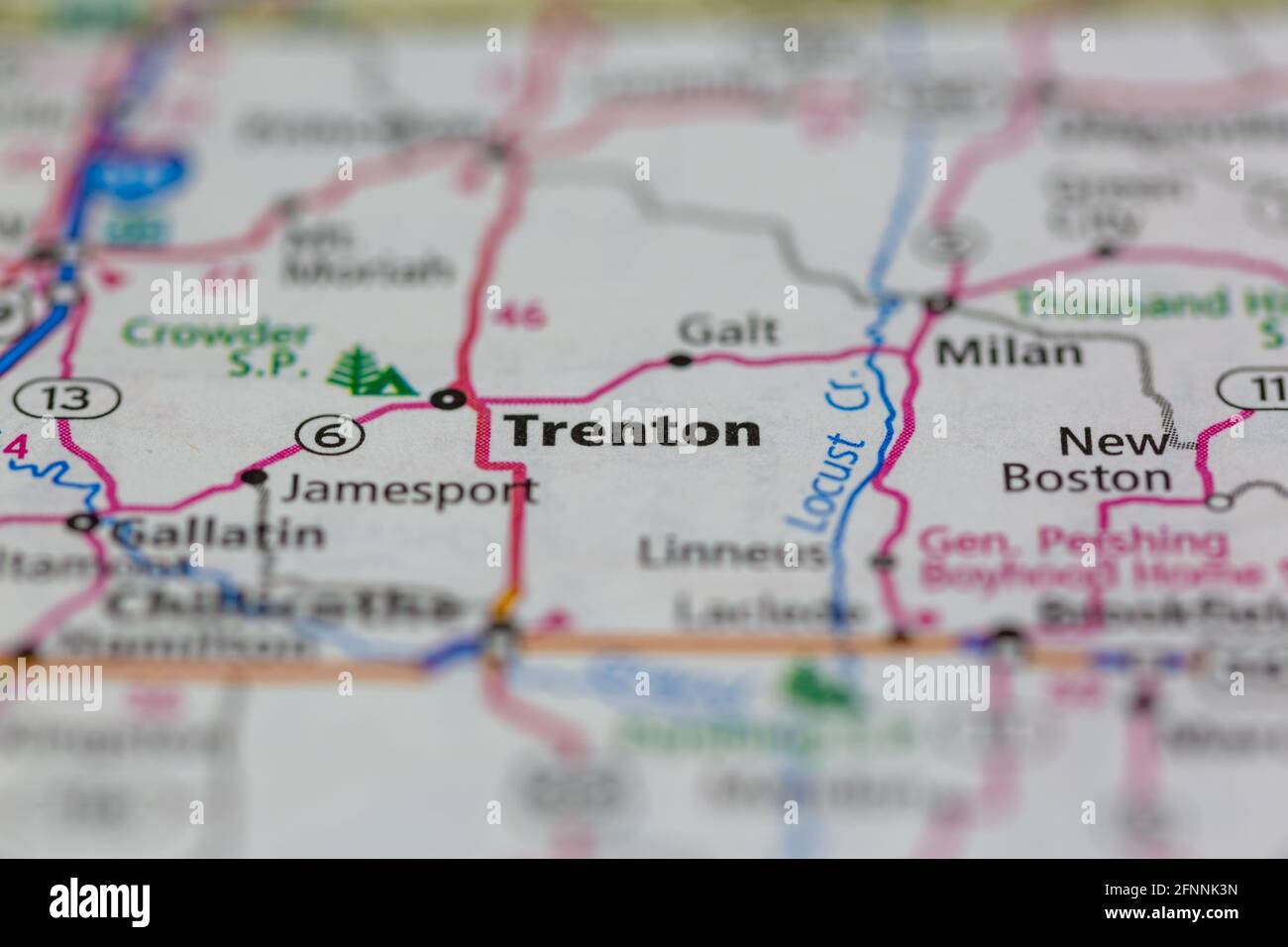 Trenton Missouri USA shown on a Geography map or road map Stock Photohttps://www.alamy.com/image-license-details/?v=1https://www.alamy.com/trenton-missouri-usa-shown-on-a-geography-map-or-road-map-image426432601.html
RM2FNNK3N–Trenton Missouri USA shown on a Geography map or road map
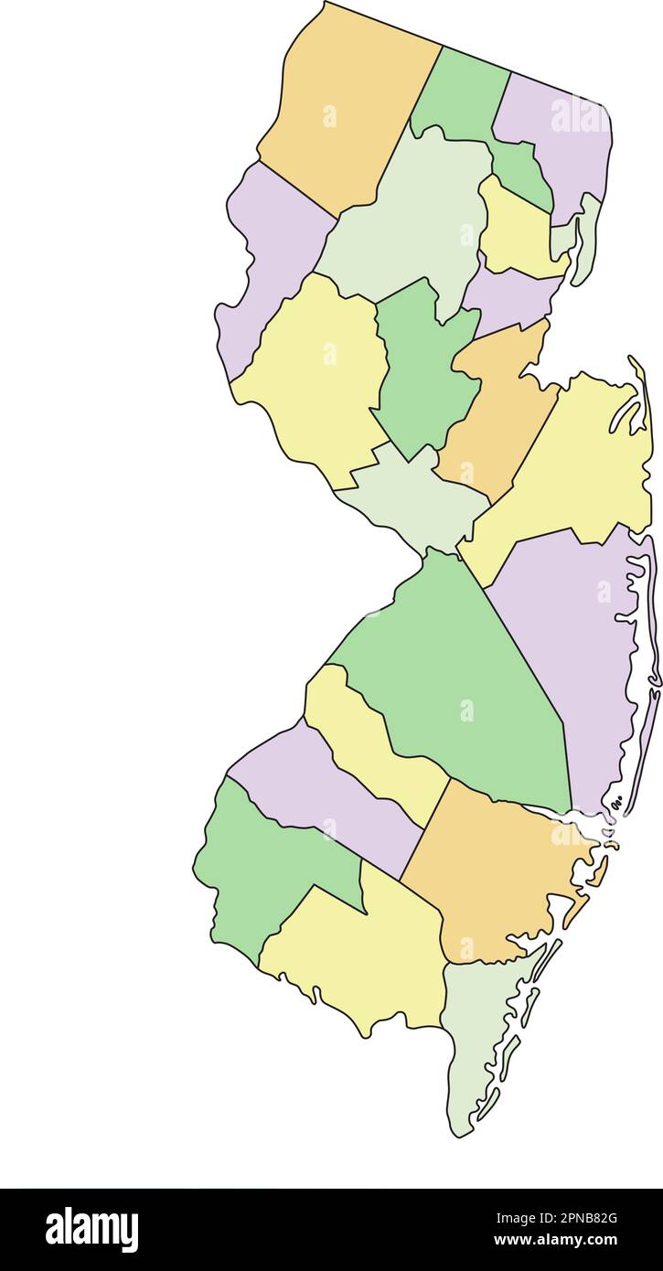 New Jersey - Highly detailed editable political map. Stock Vectorhttps://www.alamy.com/image-license-details/?v=1https://www.alamy.com/new-jersey-highly-detailed-editable-political-map-image546677000.html
RF2PNB82G–New Jersey - Highly detailed editable political map.
 3 of 50 states of the United States, divided into counties with territory nicknames, Detailed vector New Jersey Map with name and date admitted to the Stock Vectorhttps://www.alamy.com/image-license-details/?v=1https://www.alamy.com/3-of-50-states-of-the-united-states-divided-into-counties-with-territory-nicknames-detailed-vector-new-jersey-map-with-name-and-date-admitted-to-the-image469088844.html
RF2J74RH0–3 of 50 states of the United States, divided into counties with territory nicknames, Detailed vector New Jersey Map with name and date admitted to the
 New Jersey road sign map Stock Photohttps://www.alamy.com/image-license-details/?v=1https://www.alamy.com/new-jersey-road-sign-map-image367796428.html
RF2CAAG2M–New Jersey road sign map
 Trenton, Gilchrist County, US, United States, Florida, N 29 36' 47'', S 82 49' 3'', map, Cartascapes Map published in 2024. Explore Cartascapes, a map revealing Earth's diverse landscapes, cultures, and ecosystems. Journey through time and space, discovering the interconnectedness of our planet's past, present, and future. Stock Photohttps://www.alamy.com/image-license-details/?v=1https://www.alamy.com/trenton-gilchrist-county-us-united-states-florida-n-29-36-47-s-82-49-3-map-cartascapes-map-published-in-2024-explore-cartascapes-a-map-revealing-earths-diverse-landscapes-cultures-and-ecosystems-journey-through-time-and-space-discovering-the-interconnectedness-of-our-planets-past-present-and-future-image621147432.html
RM2Y2FKTT–Trenton, Gilchrist County, US, United States, Florida, N 29 36' 47'', S 82 49' 3'', map, Cartascapes Map published in 2024. Explore Cartascapes, a map revealing Earth's diverse landscapes, cultures, and ecosystems. Journey through time and space, discovering the interconnectedness of our planet's past, present, and future.
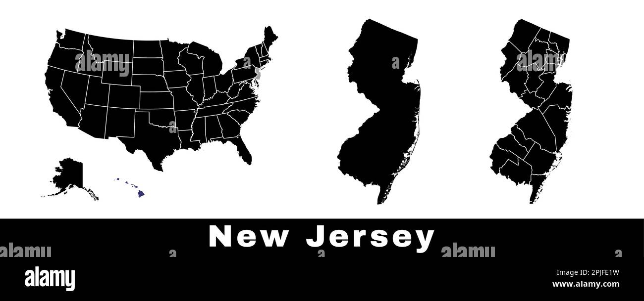 New Jersey state map, USA. Set of New Jersey maps with outline border, counties and US states map. Black and white color vector illustration. Stock Vectorhttps://www.alamy.com/image-license-details/?v=1https://www.alamy.com/new-jersey-state-map-usa-set-of-new-jersey-maps-with-outline-border-counties-and-us-states-map-black-and-white-color-vector-illustration-image544925525.html
RF2PJFE1W–New Jersey state map, USA. Set of New Jersey maps with outline border, counties and US states map. Black and white color vector illustration.
 Part of New Jersey : embracing Trenton & Princeton to exhibit the operations of the American & British Armies, Jany. 1st, 2nd, & 3rd, 1777 with Genl. Washington's previous movements against the Hessians under Coll. Rahl at Trenton, Decr. 25th & 26th 1776 1859 Stock Photohttps://www.alamy.com/image-license-details/?v=1https://www.alamy.com/part-of-new-jersey-embracing-trenton-princeton-to-exhibit-the-operations-of-the-american-british-armies-jany-1st-2nd-3rd-1777-with-genl-washingtons-previous-movements-against-the-hessians-under-coll-rahl-at-trenton-decr-25th-26th-1776-1859-image633421663.html
RM2YPERP7–Part of New Jersey : embracing Trenton & Princeton to exhibit the operations of the American & British Armies, Jany. 1st, 2nd, & 3rd, 1777 with Genl. Washington's previous movements against the Hessians under Coll. Rahl at Trenton, Decr. 25th & 26th 1776 1859
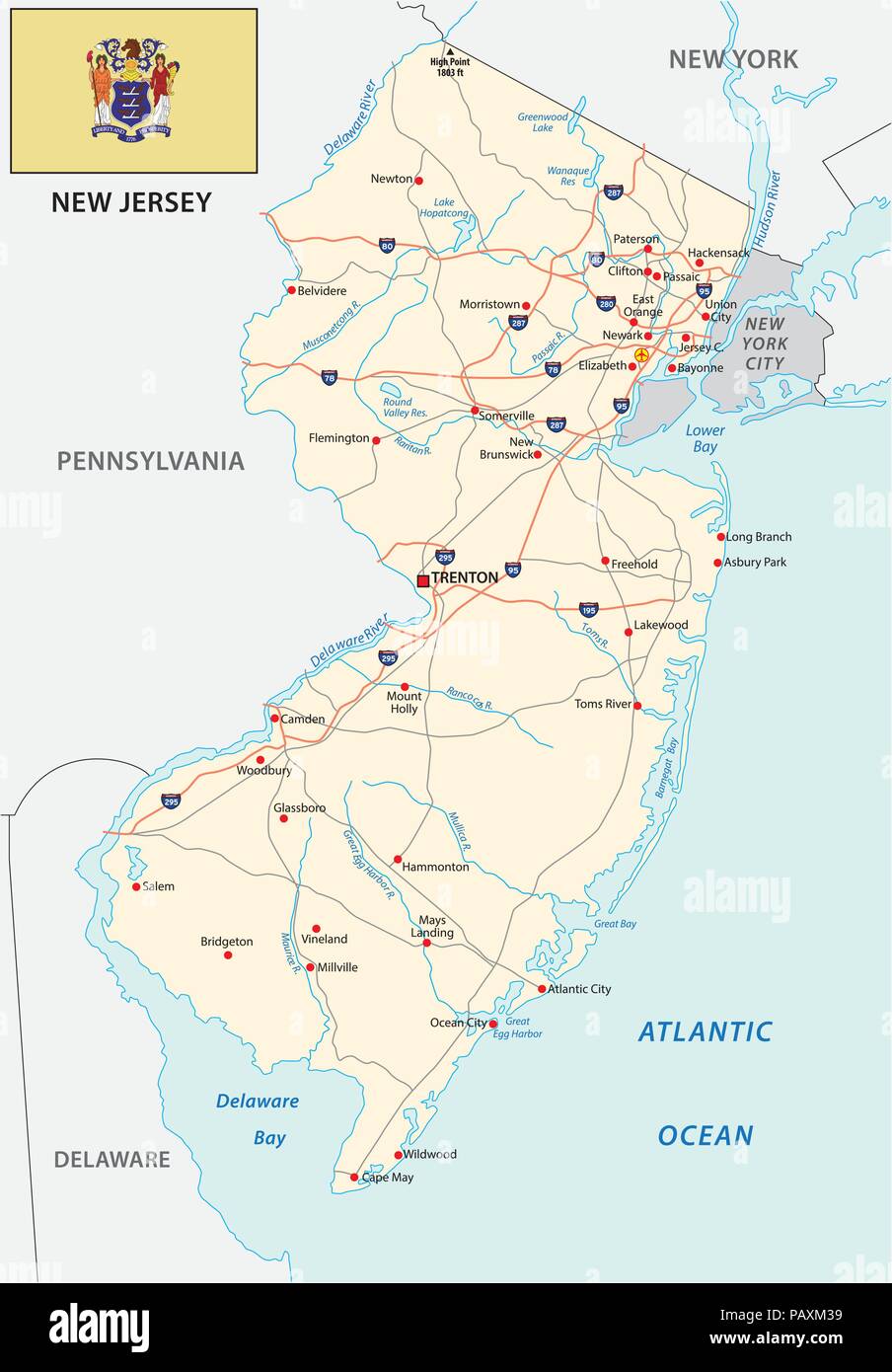 new jersey road map with flag Stock Vectorhttps://www.alamy.com/image-license-details/?v=1https://www.alamy.com/new-jersey-road-map-with-flag-image213257501.html
RFPAXM39–new jersey road map with flag
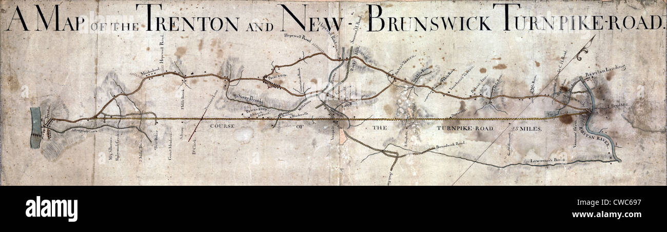 A Map of the Trenton and New Brunswick Turnpike-road. ca. 1800 Stock Photohttps://www.alamy.com/image-license-details/?v=1https://www.alamy.com/stock-photo-a-map-of-the-trenton-and-new-brunswick-turnpike-road-ca-1800-50055523.html
RMCWC697–A Map of the Trenton and New Brunswick Turnpike-road. ca. 1800
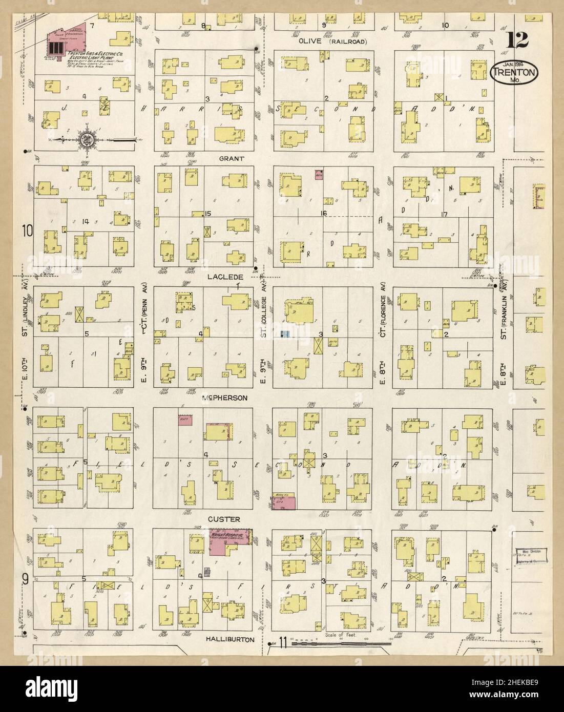 Sanborn Fire Insurance Map from Trenton, Grundy County, Missouri. Stock Photohttps://www.alamy.com/image-license-details/?v=1https://www.alamy.com/sanborn-fire-insurance-map-from-trenton-grundy-county-missouri-image456500865.html
RM2HEKBE9–Sanborn Fire Insurance Map from Trenton, Grundy County, Missouri.
 129 A Map of the Trenton and New-Brunswick Turnpike-road. LOC 73691816 Stock Photohttps://www.alamy.com/image-license-details/?v=1https://www.alamy.com/129-a-map-of-the-trenton-and-new-brunswick-turnpike-road-loc-73691816-image206725431.html
RMP094B3–129 A Map of the Trenton and New-Brunswick Turnpike-road. LOC 73691816
 Map of New Jersey Stock Photohttps://www.alamy.com/image-license-details/?v=1https://www.alamy.com/map-of-new-jersey-image384430045.html
RF2D9C8CD–Map of New Jersey
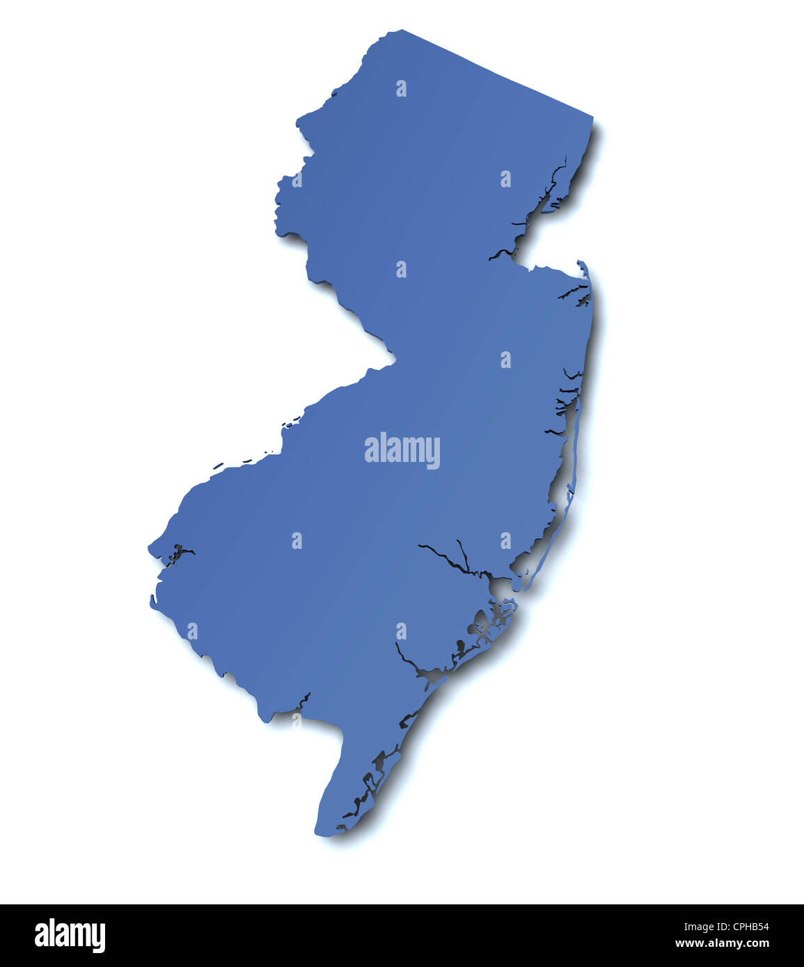 3d rendered map of the state of New Jersey - USA Stock Photohttps://www.alamy.com/image-license-details/?v=1https://www.alamy.com/stock-photo-3d-rendered-map-of-the-state-of-new-jersey-usa-48325120.html
RFCPHB54–3d rendered map of the state of New Jersey - USA
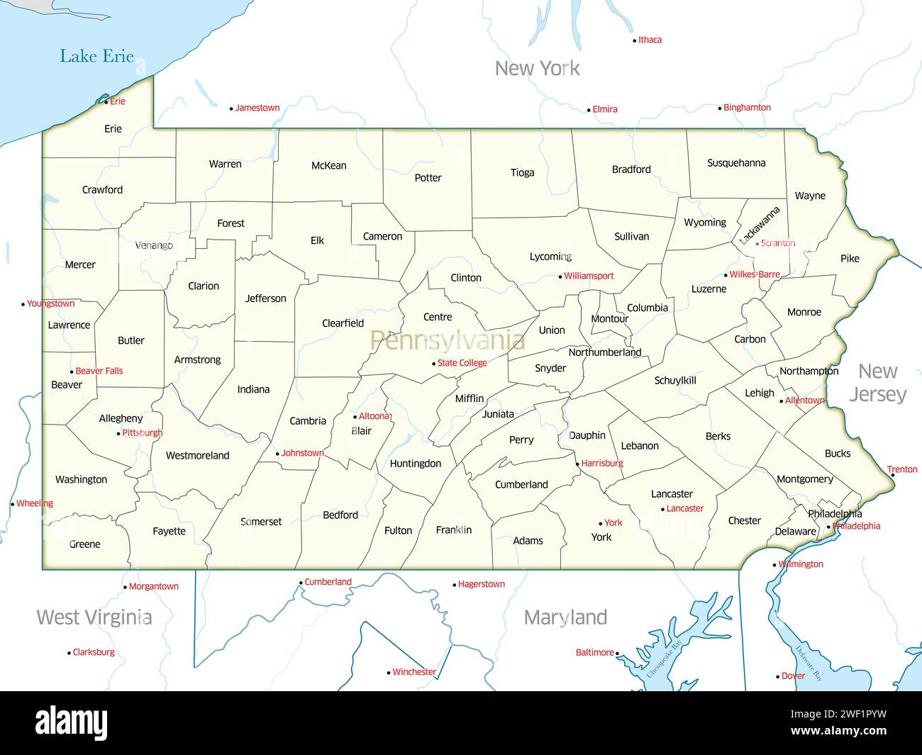 Political map showing the counties of the state of Pennsylvania Stock Photohttps://www.alamy.com/image-license-details/?v=1https://www.alamy.com/political-map-showing-the-counties-of-the-state-of-pennsylvania-image594412333.html
RF2WF1PYW–Political map showing the counties of the state of Pennsylvania
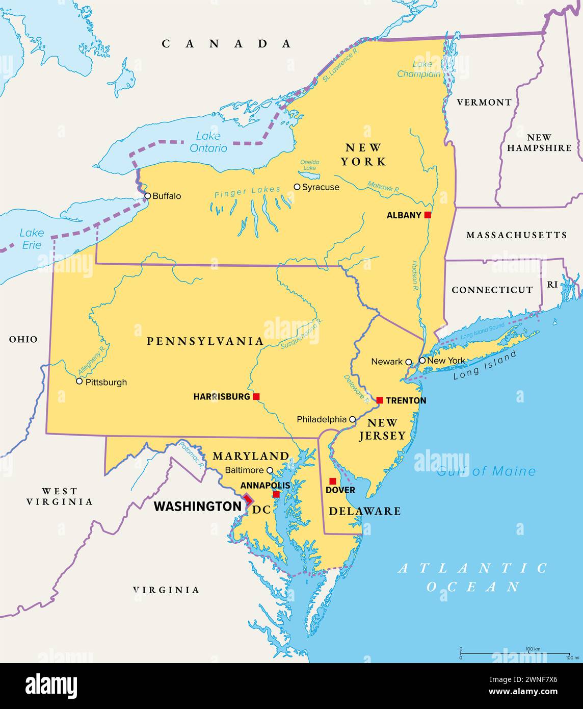 Mid-Atlantic region of the United States, political map. Located in the overlap between Northeastern and Southeastern states. Stock Photohttps://www.alamy.com/image-license-details/?v=1https://www.alamy.com/mid-atlantic-region-of-the-united-states-political-map-located-in-the-overlap-between-northeastern-and-southeastern-states-image598395790.html
RF2WNF7X6–Mid-Atlantic region of the United States, political map. Located in the overlap between Northeastern and Southeastern states.
 Image 25 of Sanborn Fire Insurance Map from Trenton, Mercer County, New Jersey. 1890. 47 Sheet(s). Double-paged plates numbered 1-42. Bound, America, street map with a Nineteenth Century compass Stock Photohttps://www.alamy.com/image-license-details/?v=1https://www.alamy.com/image-25-of-sanborn-fire-insurance-map-from-trenton-mercer-county-new-jersey-1890-47-sheets-double-paged-plates-numbered-1-42-bound-america-street-map-with-a-nineteenth-century-compass-image344706712.html
RM2B0PMX0–Image 25 of Sanborn Fire Insurance Map from Trenton, Mercer County, New Jersey. 1890. 47 Sheet(s). Double-paged plates numbered 1-42. Bound, America, street map with a Nineteenth Century compass
 New Jersey line art map Stock Vectorhttps://www.alamy.com/image-license-details/?v=1https://www.alamy.com/new-jersey-line-art-map-image178872420.html
RFMB09GM–New Jersey line art map
 Urban vector city map of Trenton, USA. New Jersey state capital Stock Vectorhttps://www.alamy.com/image-license-details/?v=1https://www.alamy.com/urban-vector-city-map-of-trenton-usa-new-jersey-state-capital-image356244785.html
RF2BKG9T1–Urban vector city map of Trenton, USA. New Jersey state capital
 Trenton pinned on a map of Missouri, USA Stock Photohttps://www.alamy.com/image-license-details/?v=1https://www.alamy.com/stock-photo-trenton-pinned-on-a-map-of-missouri-usa-127351685.html
RFHB5AAD–Trenton pinned on a map of Missouri, USA
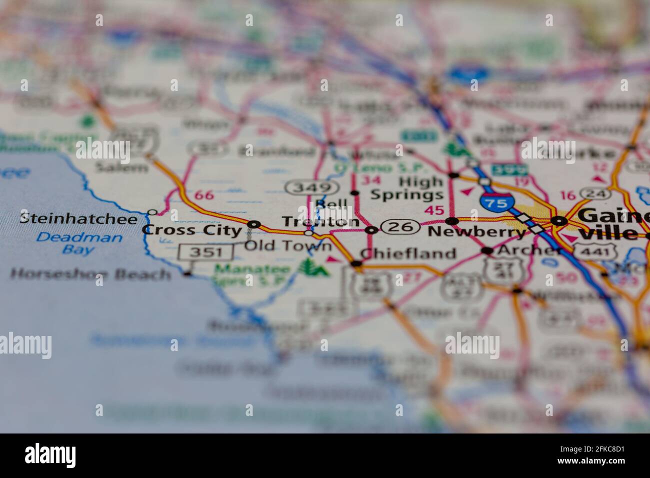 Trenton Florida USA Shown on a geography map or road map Stock Photohttps://www.alamy.com/image-license-details/?v=1https://www.alamy.com/trenton-florida-usa-shown-on-a-geography-map-or-road-map-image424997357.html
RM2FKC8D1–Trenton Florida USA Shown on a geography map or road map
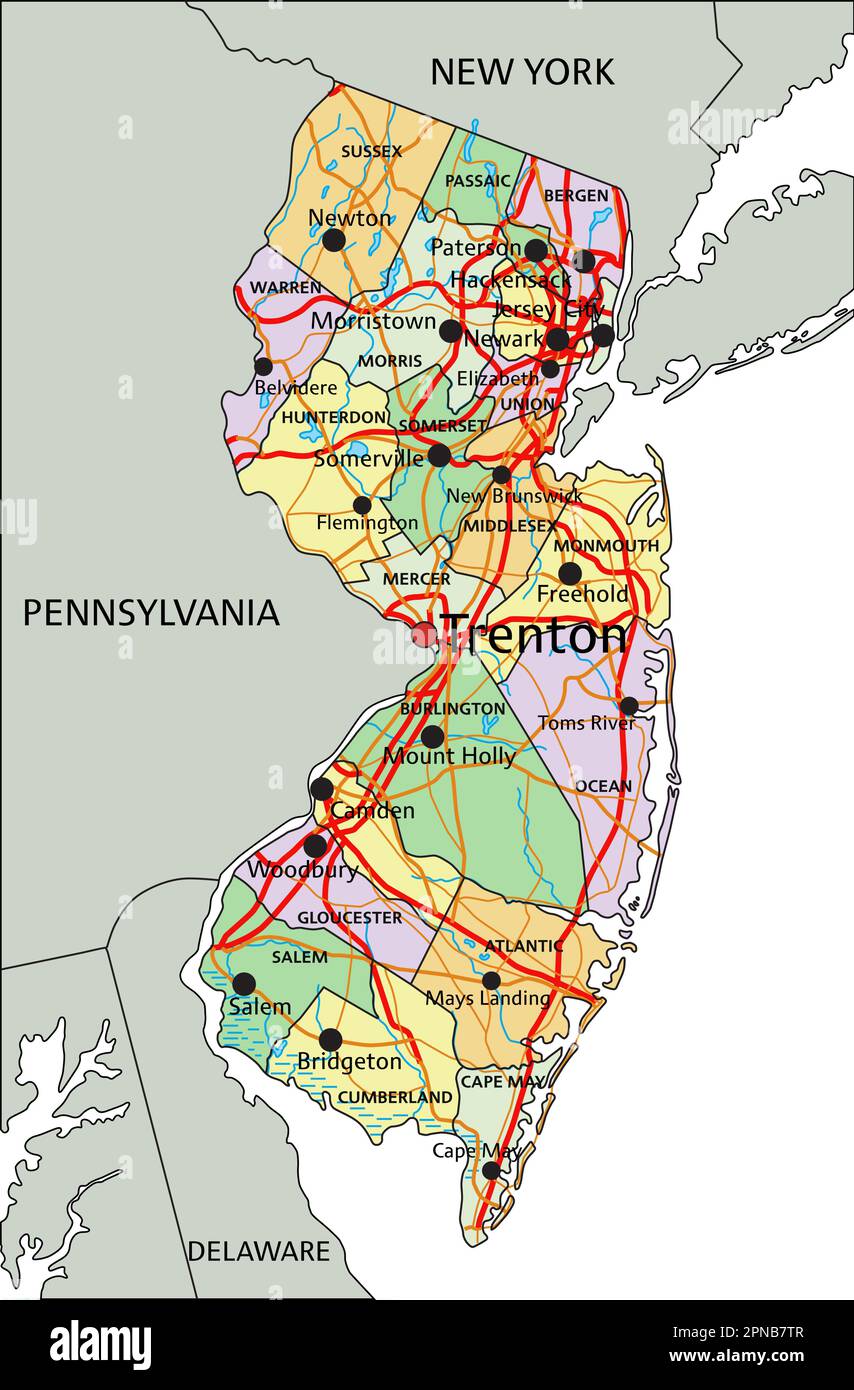 New Jersey - Highly detailed editable political map with labeling. Stock Vectorhttps://www.alamy.com/image-license-details/?v=1https://www.alamy.com/new-jersey-highly-detailed-editable-political-map-with-labeling-image546676839.html
RF2PNB7TR–New Jersey - Highly detailed editable political map with labeling.
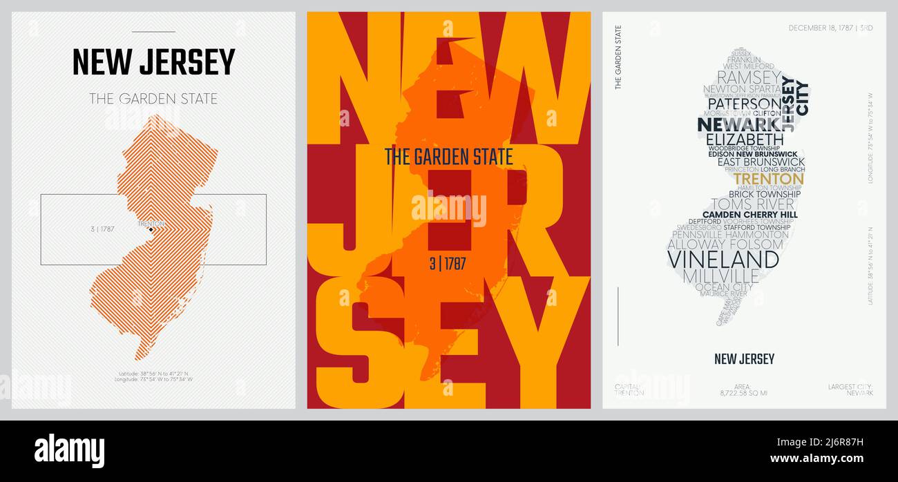 3 of 50 sets, US State Posters with name and Information in 3 Design Styles, Detailed vector art print New Jersey map Stock Vectorhttps://www.alamy.com/image-license-details/?v=1https://www.alamy.com/3-of-50-sets-us-state-posters-with-name-and-information-in-3-design-styles-detailed-vector-art-print-new-jersey-map-image468879253.html
RF2J6R87H–3 of 50 sets, US State Posters with name and Information in 3 Design Styles, Detailed vector art print New Jersey map
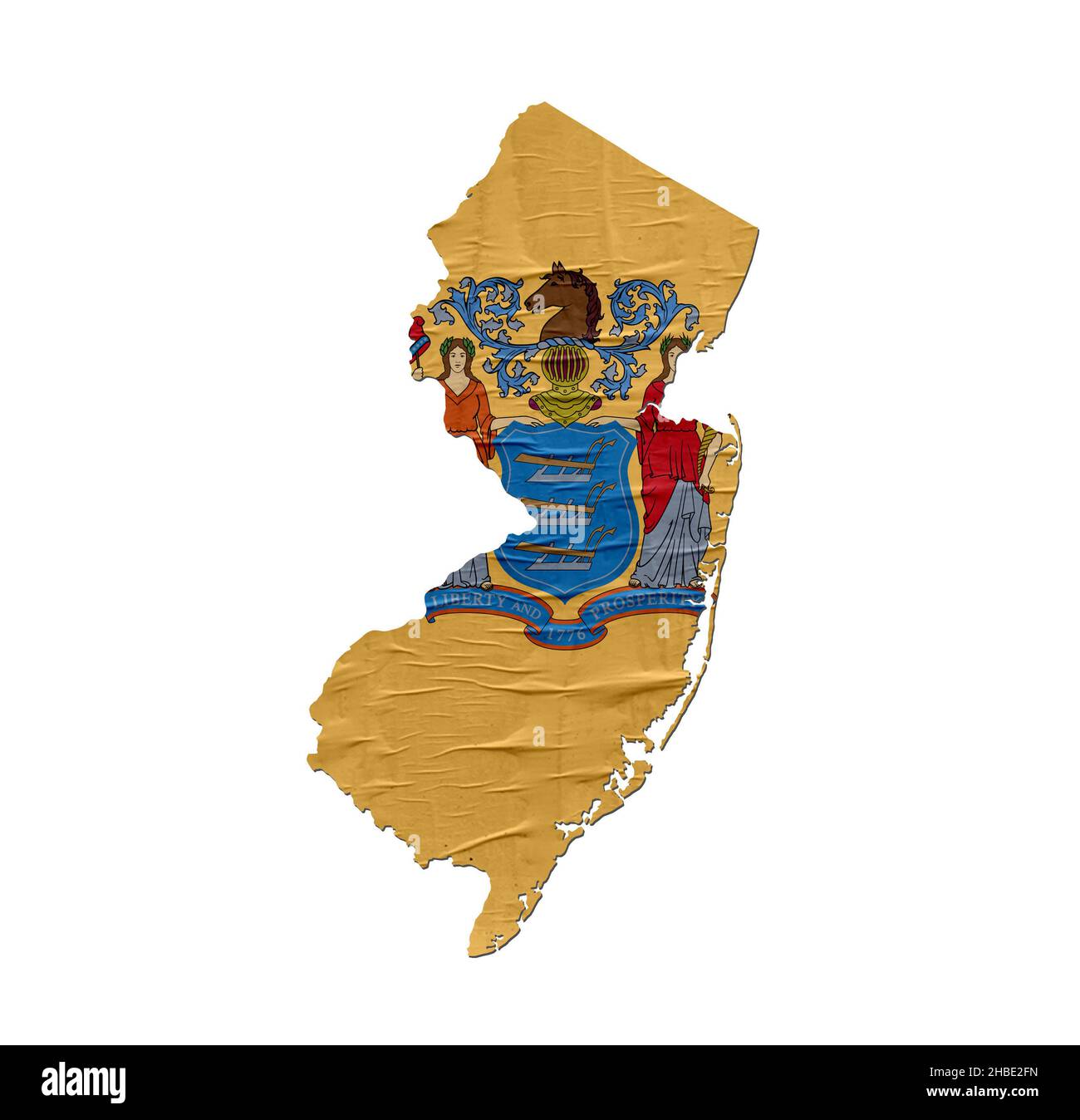 US State New Jersey map with flag on old paper design Stock Photohttps://www.alamy.com/image-license-details/?v=1https://www.alamy.com/us-state-new-jersey-map-with-flag-on-old-paper-design-image454540121.html
RF2HBE2FN–US State New Jersey map with flag on old paper design
 Trenton, Gilchrist County, US, United States, Florida, N 29 36' 47'', S 82 49' 3'', map, Cartascapes Map published in 2024. Explore Cartascapes, a map revealing Earth's diverse landscapes, cultures, and ecosystems. Journey through time and space, discovering the interconnectedness of our planet's past, present, and future. Stock Photohttps://www.alamy.com/image-license-details/?v=1https://www.alamy.com/trenton-gilchrist-county-us-united-states-florida-n-29-36-47-s-82-49-3-map-cartascapes-map-published-in-2024-explore-cartascapes-a-map-revealing-earths-diverse-landscapes-cultures-and-ecosystems-journey-through-time-and-space-discovering-the-interconnectedness-of-our-planets-past-present-and-future-image621411019.html
RM2Y2YM2K–Trenton, Gilchrist County, US, United States, Florida, N 29 36' 47'', S 82 49' 3'', map, Cartascapes Map published in 2024. Explore Cartascapes, a map revealing Earth's diverse landscapes, cultures, and ecosystems. Journey through time and space, discovering the interconnectedness of our planet's past, present, and future.
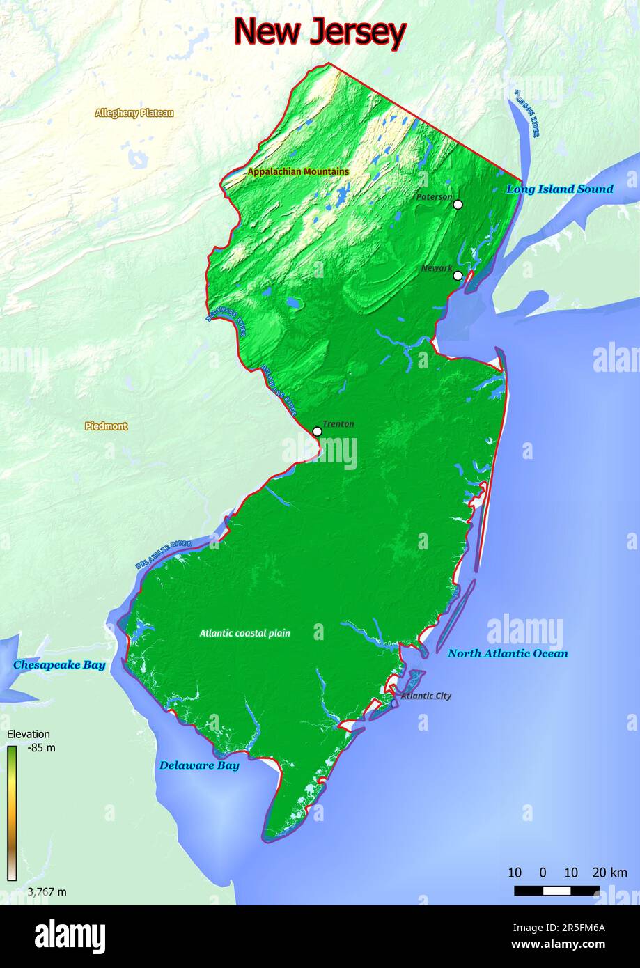 Physical map of New Jersey with mountains, plains, bridges, rivers, lakes, mountains, cities Stock Photohttps://www.alamy.com/image-license-details/?v=1https://www.alamy.com/physical-map-of-new-jersey-with-mountains-plains-bridges-rivers-lakes-mountains-cities-image554150194.html
RF2R5FM6A–Physical map of New Jersey with mountains, plains, bridges, rivers, lakes, mountains, cities
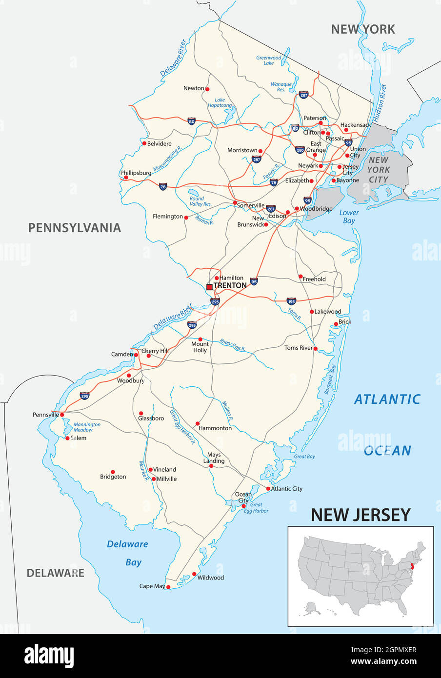 road map of the US American State of new jersey Stock Vectorhttps://www.alamy.com/image-license-details/?v=1https://www.alamy.com/road-map-of-the-us-american-state-of-new-jersey-image444241471.html
RF2GPMXER–road map of the US American State of new jersey
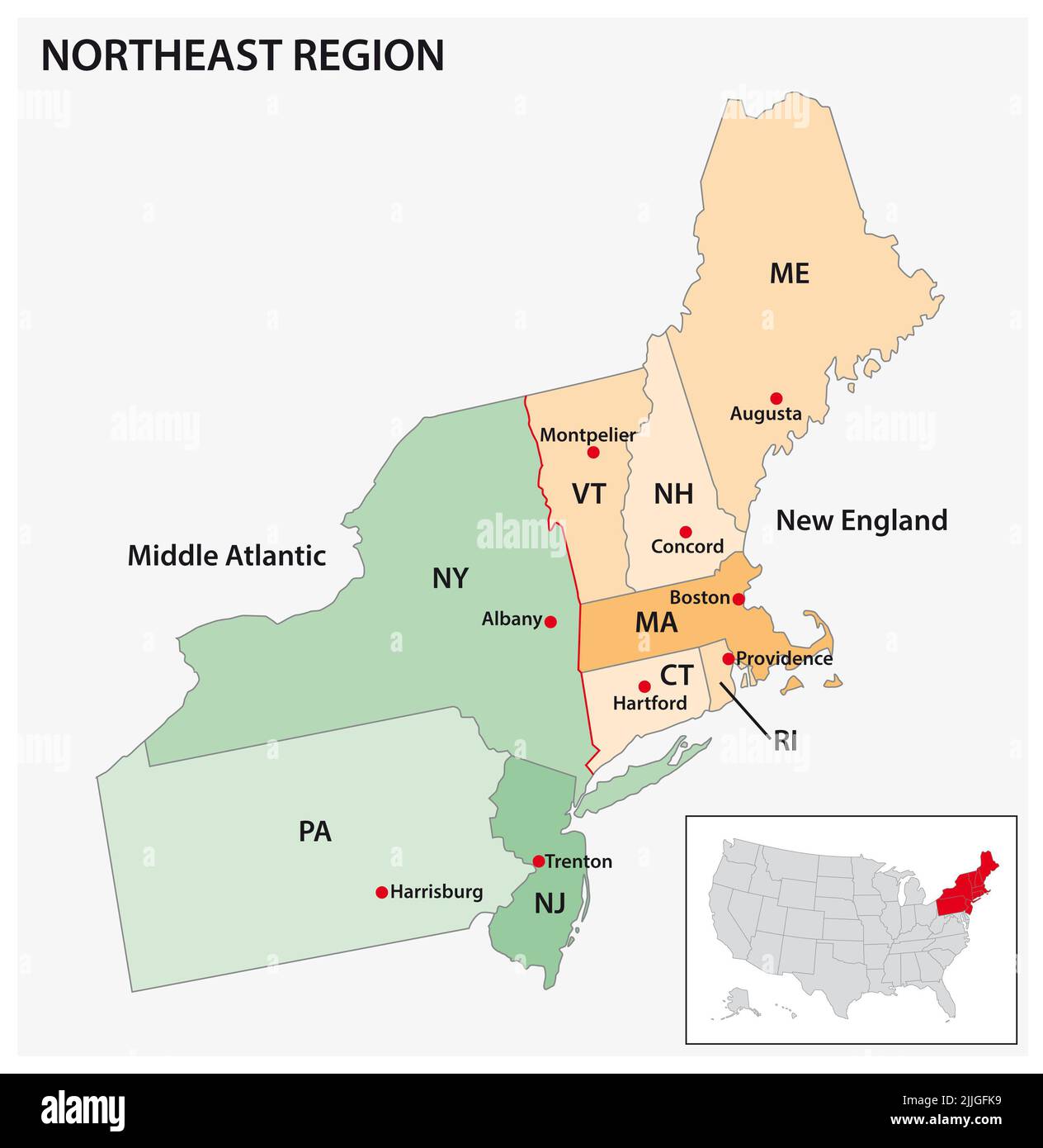 Administrative vector map of the US Census Region Northeast Stock Photohttps://www.alamy.com/image-license-details/?v=1https://www.alamy.com/administrative-vector-map-of-the-us-census-region-northeast-image476107277.html
RF2JJGFK9–Administrative vector map of the US Census Region Northeast
 New Jersey, state of USA - white vector 3D map of country area. Stock Vectorhttps://www.alamy.com/image-license-details/?v=1https://www.alamy.com/new-jersey-state-of-usa-white-vector-3d-map-of-country-area-image491159039.html
RF2KF26A7–New Jersey, state of USA - white vector 3D map of country area.
 Sanborn Fire Insurance Map from Trenton, Wayne County, Michigan. Stock Photohttps://www.alamy.com/image-license-details/?v=1https://www.alamy.com/sanborn-fire-insurance-map-from-trenton-wayne-county-michigan-image456501035.html
RM2HEKBMB–Sanborn Fire Insurance Map from Trenton, Wayne County, Michigan.
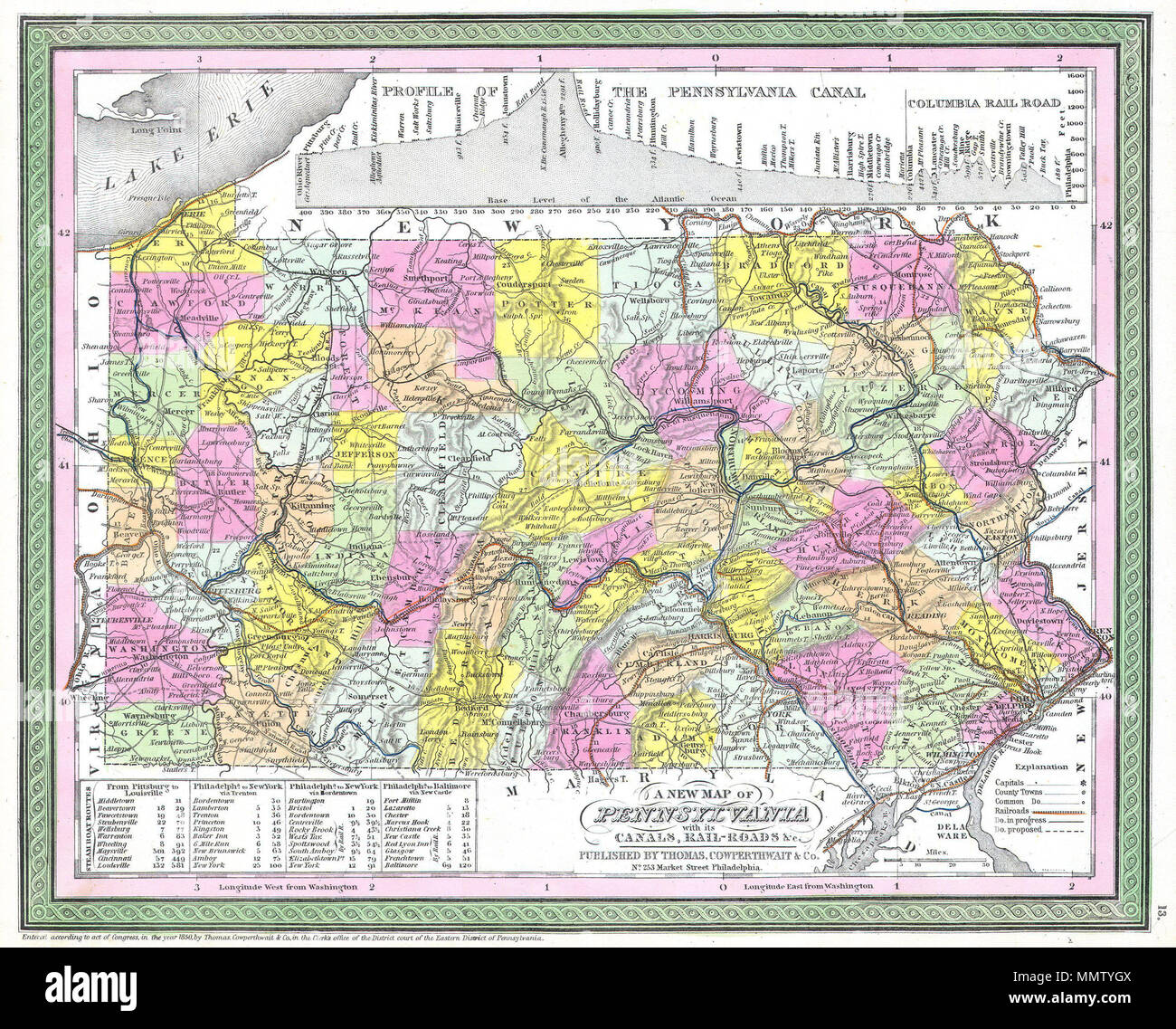 . English: This hand colored map is a copper plate engraving, dating to 1850 by the legendary American Mapmaker S.A. Mitchell, the elder. It represents Pennsylvania. Contains notes on steamboat stops and routes between Pittsburg and Louisville, Philadelphia and New York both via Trenton and via Bordentown, and from Philadelphia to Baltimore via New Castle. Upper portion of the map is dedicated to a profile of the Pennsylvania Canal and the Columbia Railroad. This historically important map is extremely rare as it existed only in the 1850 edition of the Mitchell’s Universal Atlas. A New Map o Stock Photohttps://www.alamy.com/image-license-details/?v=1https://www.alamy.com/english-this-hand-colored-map-is-a-copper-plate-engraving-dating-to-1850-by-the-legendary-american-mapmaker-sa-mitchell-the-elder-it-represents-pennsylvania-contains-notes-on-steamboat-stops-and-routes-between-pittsburg-and-louisville-philadelphia-and-new-york-both-via-trenton-and-via-bordentown-and-from-philadelphia-to-baltimore-via-new-castle-upper-portion-of-the-map-is-dedicated-to-a-profile-of-the-pennsylvania-canal-and-the-columbia-railroad-this-historically-important-map-is-extremely-rare-as-it-existed-only-in-the-1850-edition-of-the-mitchells-universal-atlas-a-new-map-o-image184945290.html
RMMMTYGX–. English: This hand colored map is a copper plate engraving, dating to 1850 by the legendary American Mapmaker S.A. Mitchell, the elder. It represents Pennsylvania. Contains notes on steamboat stops and routes between Pittsburg and Louisville, Philadelphia and New York both via Trenton and via Bordentown, and from Philadelphia to Baltimore via New Castle. Upper portion of the map is dedicated to a profile of the Pennsylvania Canal and the Columbia Railroad. This historically important map is extremely rare as it existed only in the 1850 edition of the Mitchell’s Universal Atlas. A New Map o
 Map of state with political demographic information and biggest cities Stock Photohttps://www.alamy.com/image-license-details/?v=1https://www.alamy.com/map-of-state-with-political-demographic-information-and-biggest-cities-image384430041.html
RF2D9C8C9–Map of state with political demographic information and biggest cities
 U.S. states - map of New Jersey against an American flag. Rivers and lakes are shown on the map. American Flag and State Map can be used separately an Stock Vectorhttps://www.alamy.com/image-license-details/?v=1https://www.alamy.com/us-states-map-of-new-jersey-against-an-american-flag-rivers-and-lakes-are-shown-on-the-map-american-flag-and-state-map-can-be-used-separately-an-image490061862.html
RF2KD86WA–U.S. states - map of New Jersey against an American flag. Rivers and lakes are shown on the map. American Flag and State Map can be used separately an
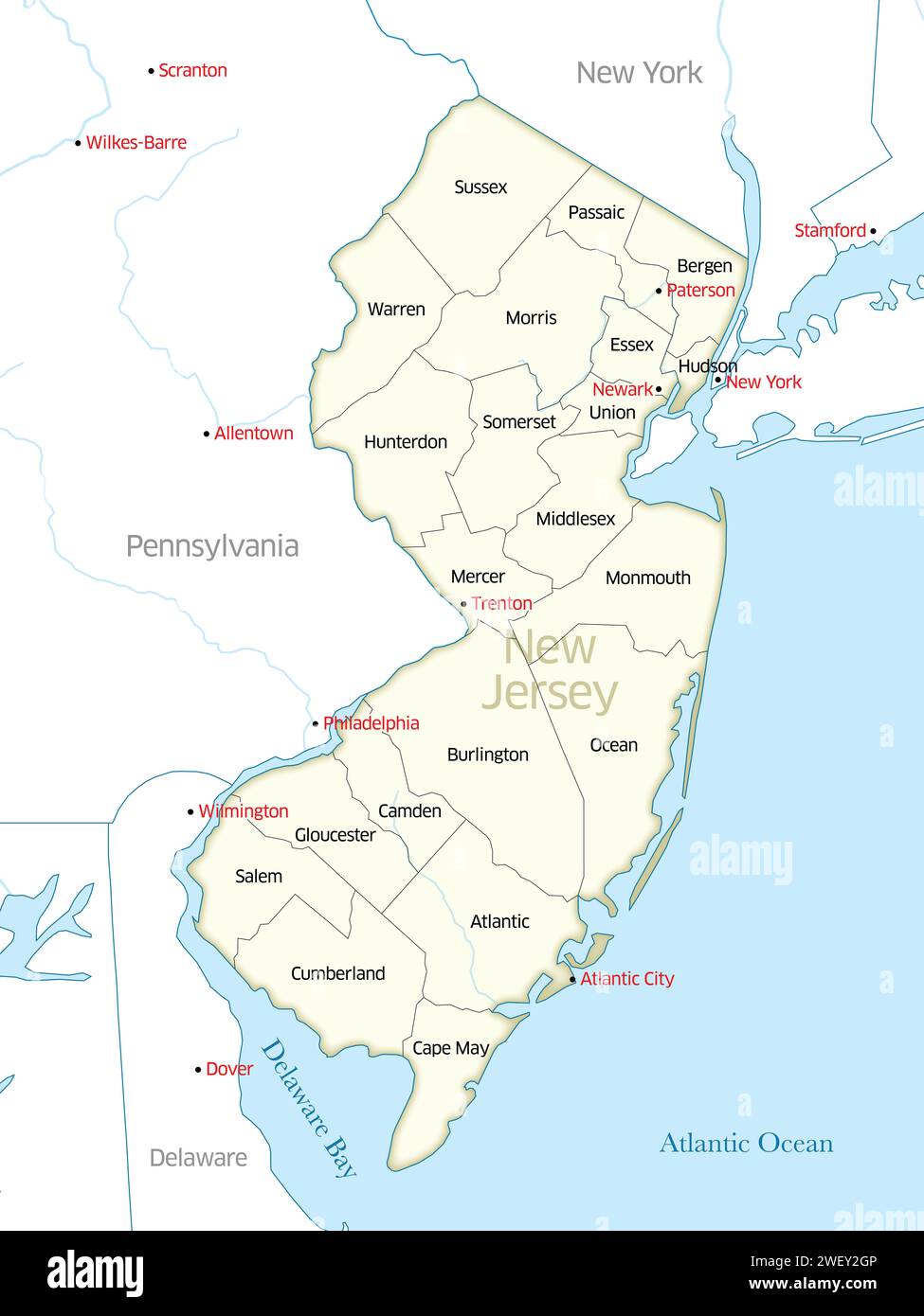 Map showing the borders of the various counties that make up the state of New Jersey. Stock Photohttps://www.alamy.com/image-license-details/?v=1https://www.alamy.com/map-showing-the-borders-of-the-various-counties-that-make-up-the-state-of-new-jersey-image594352438.html
RF2WEY2GP–Map showing the borders of the various counties that make up the state of New Jersey.
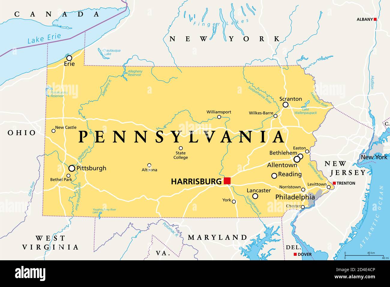 Pennsylvania, PA, political map. Officially the Commonwealth of Pennsylvania. State in the northeastern United States of America. Capital Harrisburg. Stock Photohttps://www.alamy.com/image-license-details/?v=1https://www.alamy.com/pennsylvania-pa-political-map-officially-the-commonwealth-of-pennsylvania-state-in-the-northeastern-united-states-of-america-capital-harrisburg-image381397542.html
RF2D4E4CP–Pennsylvania, PA, political map. Officially the Commonwealth of Pennsylvania. State in the northeastern United States of America. Capital Harrisburg.
 Image 34 of Sanborn Fire Insurance Map from Trenton, Mercer County, New Jersey. 1890. 47 Sheet(s). Double-paged plates numbered 1-42. Bound, America, street map with a Nineteenth Century compass Stock Photohttps://www.alamy.com/image-license-details/?v=1https://www.alamy.com/image-34-of-sanborn-fire-insurance-map-from-trenton-mercer-county-new-jersey-1890-47-sheets-double-paged-plates-numbered-1-42-bound-america-street-map-with-a-nineteenth-century-compass-image344706731.html
RM2B0PMXK–Image 34 of Sanborn Fire Insurance Map from Trenton, Mercer County, New Jersey. 1890. 47 Sheet(s). Double-paged plates numbered 1-42. Bound, America, street map with a Nineteenth Century compass
