Quick filters:
Nicaragua map Stock Photos and Images
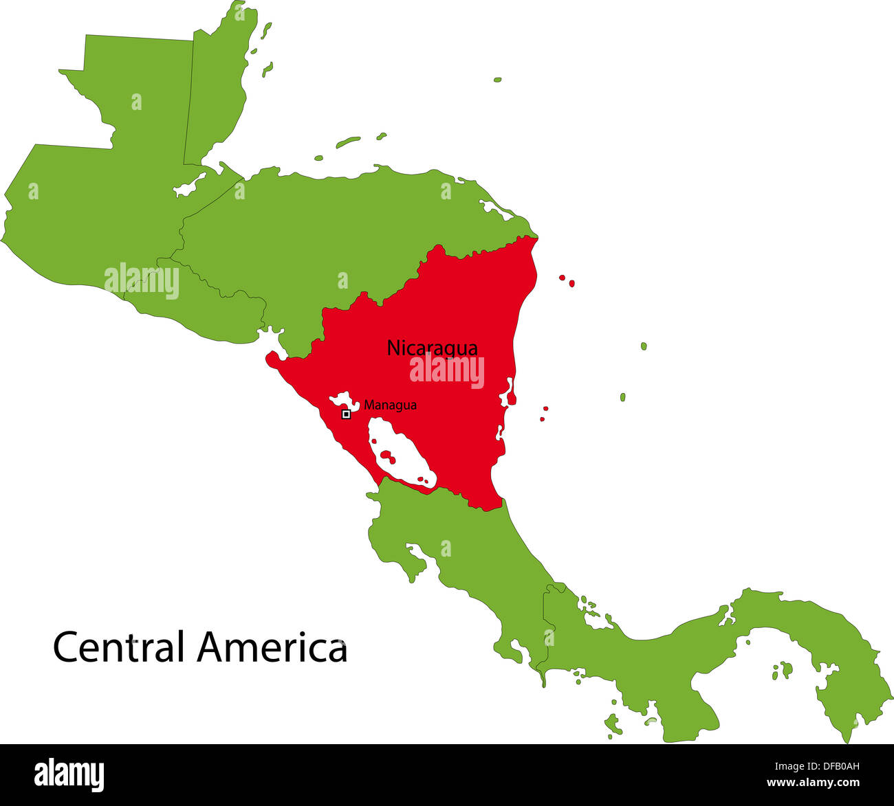 Nicaragua map Stock Photohttps://www.alamy.com/image-license-details/?v=1https://www.alamy.com/nicaragua-map-image61092713.html
RFDFB0AH–Nicaragua map
 Nicaragua political map with capital Managua, national borders and neighbors. Republic and country in Central America isthmus. Stock Photohttps://www.alamy.com/image-license-details/?v=1https://www.alamy.com/stock-photo-nicaragua-political-map-with-capital-managua-national-borders-and-135331159.html
RFHT4T7K–Nicaragua political map with capital Managua, national borders and neighbors. Republic and country in Central America isthmus.
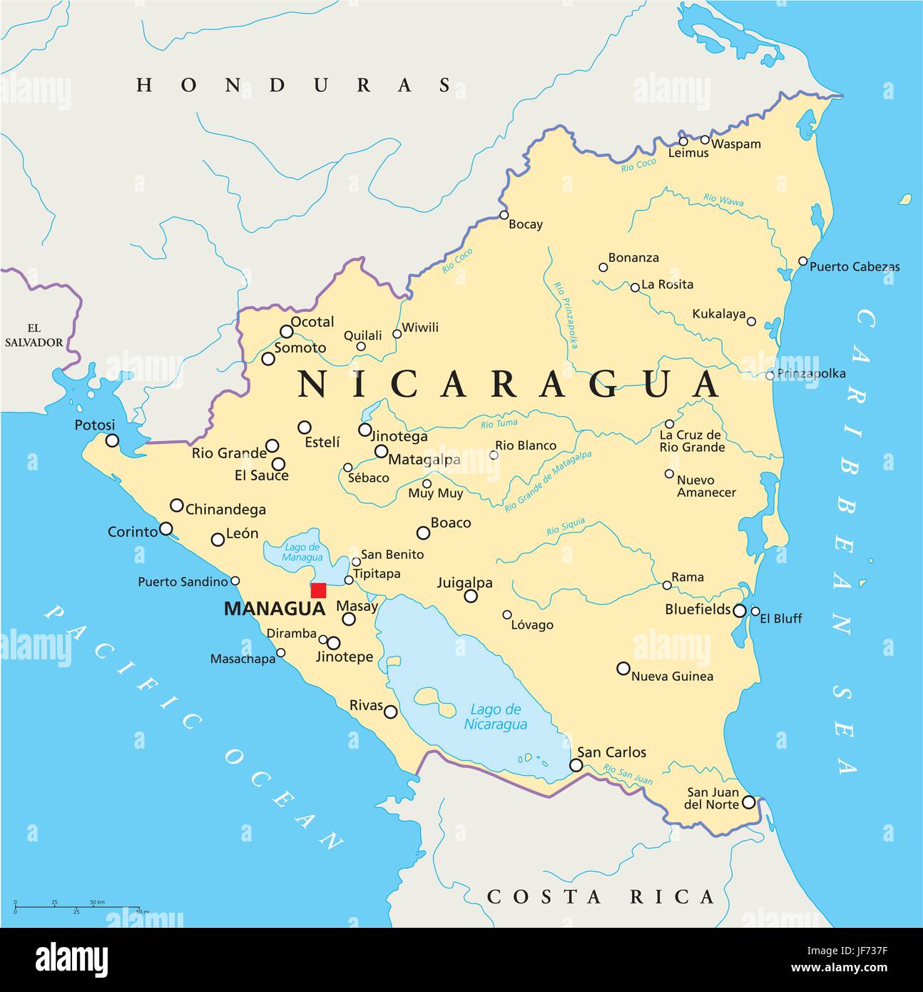 travel, map, nicaragua, atlas, map of the world, travel, america, central Stock Vectorhttps://www.alamy.com/image-license-details/?v=1https://www.alamy.com/stock-photo-travel-map-nicaragua-atlas-map-of-the-world-travel-america-central-147059011.html
RFJF737F–travel, map, nicaragua, atlas, map of the world, travel, america, central
 Government map of Nicaragua : from the latest surveys ordered by President Patricio Rivas and General William Walker, 1856 Stock Photohttps://www.alamy.com/image-license-details/?v=1https://www.alamy.com/stock-photo-government-map-of-nicaragua-from-the-latest-surveys-ordered-by-president-52804465.html
RMD1WCHN–Government map of Nicaragua : from the latest surveys ordered by President Patricio Rivas and General William Walker, 1856
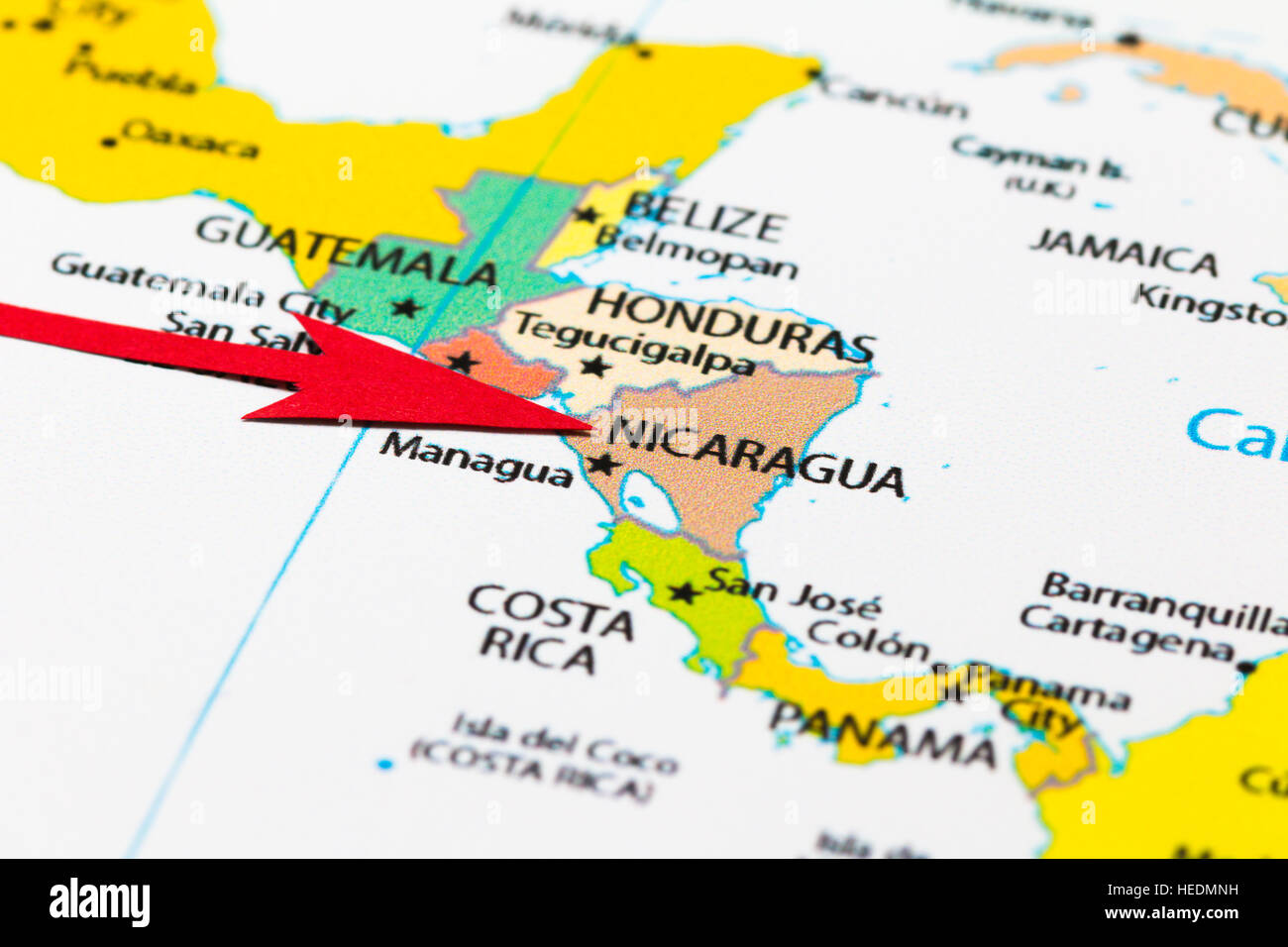 Red arrow pointing Nicaragua on the map of south (central) America continent Stock Photohttps://www.alamy.com/image-license-details/?v=1https://www.alamy.com/stock-photo-red-arrow-pointing-nicaragua-on-the-map-of-south-central-america-continent-129379421.html
RMHEDMNH–Red arrow pointing Nicaragua on the map of south (central) America continent
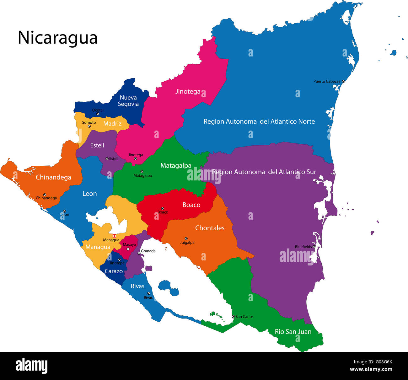 Nicaragua map Stock Photohttps://www.alamy.com/image-license-details/?v=1https://www.alamy.com/stock-photo-nicaragua-map-103450555.html
RMG08G6K–Nicaragua map
 Nicaragua map in gradient green, isolated on white background. Stock Photohttps://www.alamy.com/image-license-details/?v=1https://www.alamy.com/stock-photo-nicaragua-map-in-gradient-green-isolated-on-white-background-29687964.html
RMBM8B8C–Nicaragua map in gradient green, isolated on white background.
 Nicaragua map dotted on white background vector isolated. Illustration for technology design or infographics. Isolated on white background. Stock Vectorhttps://www.alamy.com/image-license-details/?v=1https://www.alamy.com/nicaragua-map-dotted-on-white-background-vector-isolated-illustration-for-technology-design-or-infographics-isolated-on-white-background-image352662200.html
RF2BDN46G–Nicaragua map dotted on white background vector isolated. Illustration for technology design or infographics. Isolated on white background.
 Nicaragua map shape with waving flag background. Alpha channel outline of country. Stock Photohttps://www.alamy.com/image-license-details/?v=1https://www.alamy.com/nicaragua-map-shape-with-waving-flag-background-alpha-channel-outline-of-country-image484767776.html
RF2K4K26T–Nicaragua map shape with waving flag background. Alpha channel outline of country.
 The detailed map of Nicaragua with regions or states and cities, capital. Administrative division. Stock Vectorhttps://www.alamy.com/image-license-details/?v=1https://www.alamy.com/the-detailed-map-of-nicaragua-with-regions-or-states-and-cities-capital-administrative-division-image210393256.html
RFP686MT–The detailed map of Nicaragua with regions or states and cities, capital. Administrative division.
 Nicaragua map flag in abstract ocean illustration Stock Photohttps://www.alamy.com/image-license-details/?v=1https://www.alamy.com/stock-photo-nicaragua-map-flag-in-abstract-ocean-illustration-55008817.html
RFD5DT8H–Nicaragua map flag in abstract ocean illustration
 Nicaragua Map Vector Illustration - Silhouette, Outline, Nicaragua Travel and Tourism Map Stock Vectorhttps://www.alamy.com/image-license-details/?v=1https://www.alamy.com/nicaragua-map-vector-illustration-silhouette-outline-nicaragua-travel-and-tourism-map-image611778639.html
RF2XF8WW3–Nicaragua Map Vector Illustration - Silhouette, Outline, Nicaragua Travel and Tourism Map
 Nicaragua map vector illustration. Global economy. Famous country. Central America. America. Stock Vectorhttps://www.alamy.com/image-license-details/?v=1https://www.alamy.com/nicaragua-map-vector-illustration-global-economy-famous-country-central-america-america-image501249052.html
RF2M3DT7T–Nicaragua map vector illustration. Global economy. Famous country. Central America. America.
 Map of Lake Nicaragua Stock Photohttps://www.alamy.com/image-license-details/?v=1https://www.alamy.com/stock-photo-map-of-lake-nicaragua-35955693.html
RMC2DWRW–Map of Lake Nicaragua
 Nicaragua map Stock Photohttps://www.alamy.com/image-license-details/?v=1https://www.alamy.com/stock-photo-nicaragua-map-16526248.html
RFAWB7XH–Nicaragua map
 Nicaragua Map and Flag Stock Vectorhttps://www.alamy.com/image-license-details/?v=1https://www.alamy.com/nicaragua-map-and-flag-image553662018.html
RF2R4NDFE–Nicaragua Map and Flag
 Nicaragua, shaded relief map. Stock Photohttps://www.alamy.com/image-license-details/?v=1https://www.alamy.com/stock-photo-nicaragua-shaded-relief-map-25432594.html
RFBDAFEX–Nicaragua, shaded relief map.
 Nicaragua 3d golden map Stock Photohttps://www.alamy.com/image-license-details/?v=1https://www.alamy.com/stock-photo-nicaragua-3d-golden-map-26658872.html
RFBFABJG–Nicaragua 3d golden map
 Roasted brown coffee beans background with the shape of the word Nicaragua and the country geographical map outline. Image isola Stock Photohttps://www.alamy.com/image-license-details/?v=1https://www.alamy.com/stock-photo-roasted-brown-coffee-beans-background-with-the-shape-of-the-word-nicaragua-90668311.html
RFF7E89Y–Roasted brown coffee beans background with the shape of the word Nicaragua and the country geographical map outline. Image isola
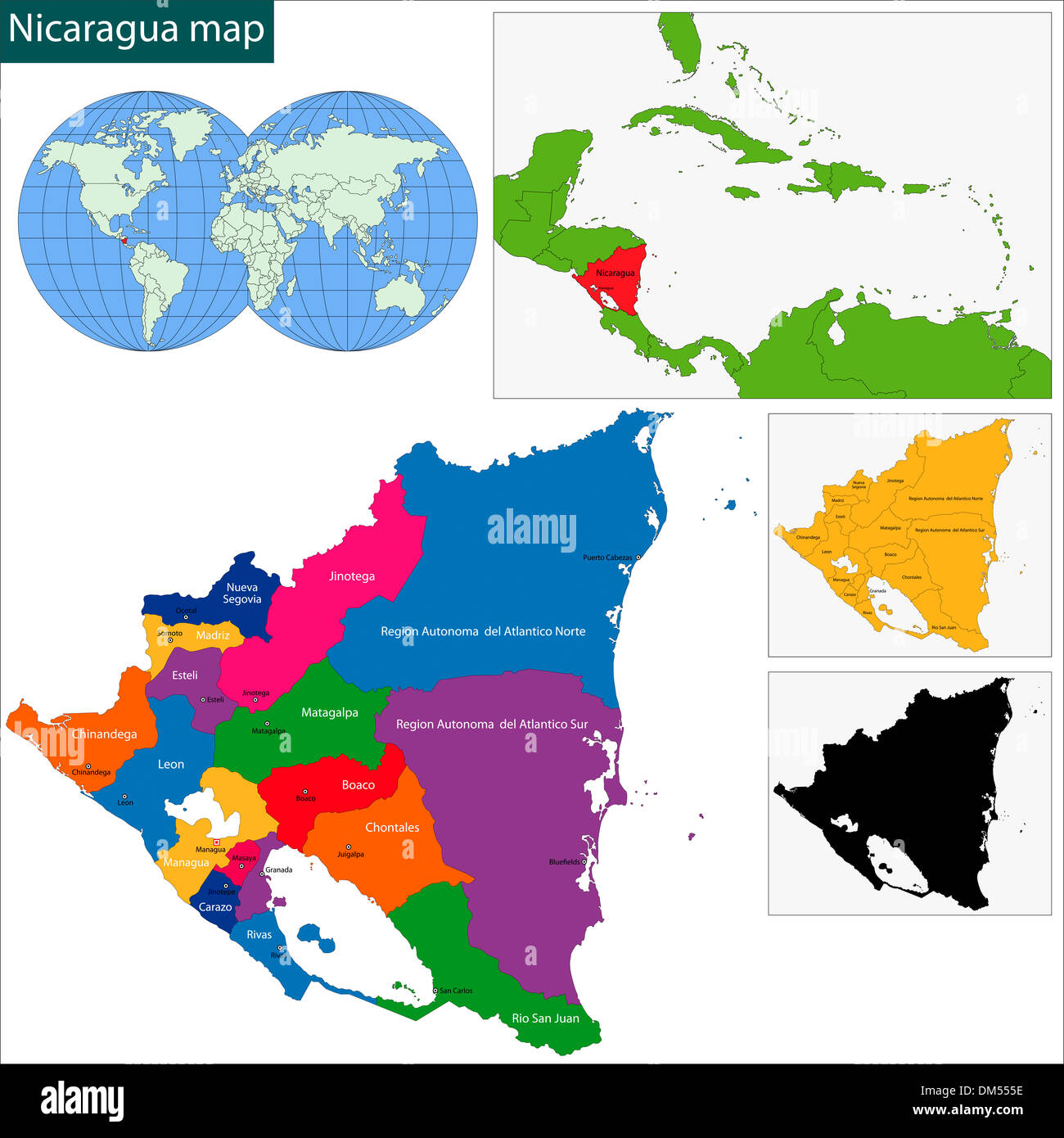 Nicaragua map Stock Photohttps://www.alamy.com/image-license-details/?v=1https://www.alamy.com/nicaragua-map-image64038058.html
RFDM555E–Nicaragua map
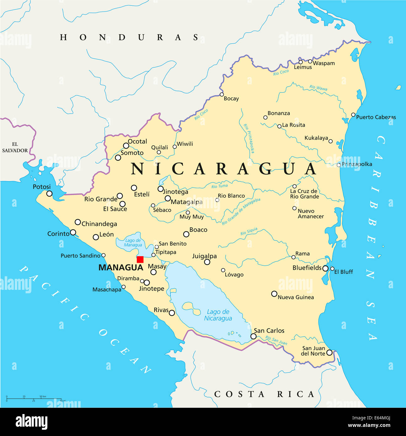 Nicaragua Political Map Stock Photohttps://www.alamy.com/image-license-details/?v=1https://www.alamy.com/stock-photo-nicaragua-political-map-72633362.html
RFE64MGJ–Nicaragua Political Map
 Nicaragua map with drawn lines and blue watercolor illustration Stock Photohttps://www.alamy.com/image-license-details/?v=1https://www.alamy.com/nicaragua-map-with-drawn-lines-and-blue-watercolor-illustration-image483460996.html
RF2K2FFC4–Nicaragua map with drawn lines and blue watercolor illustration
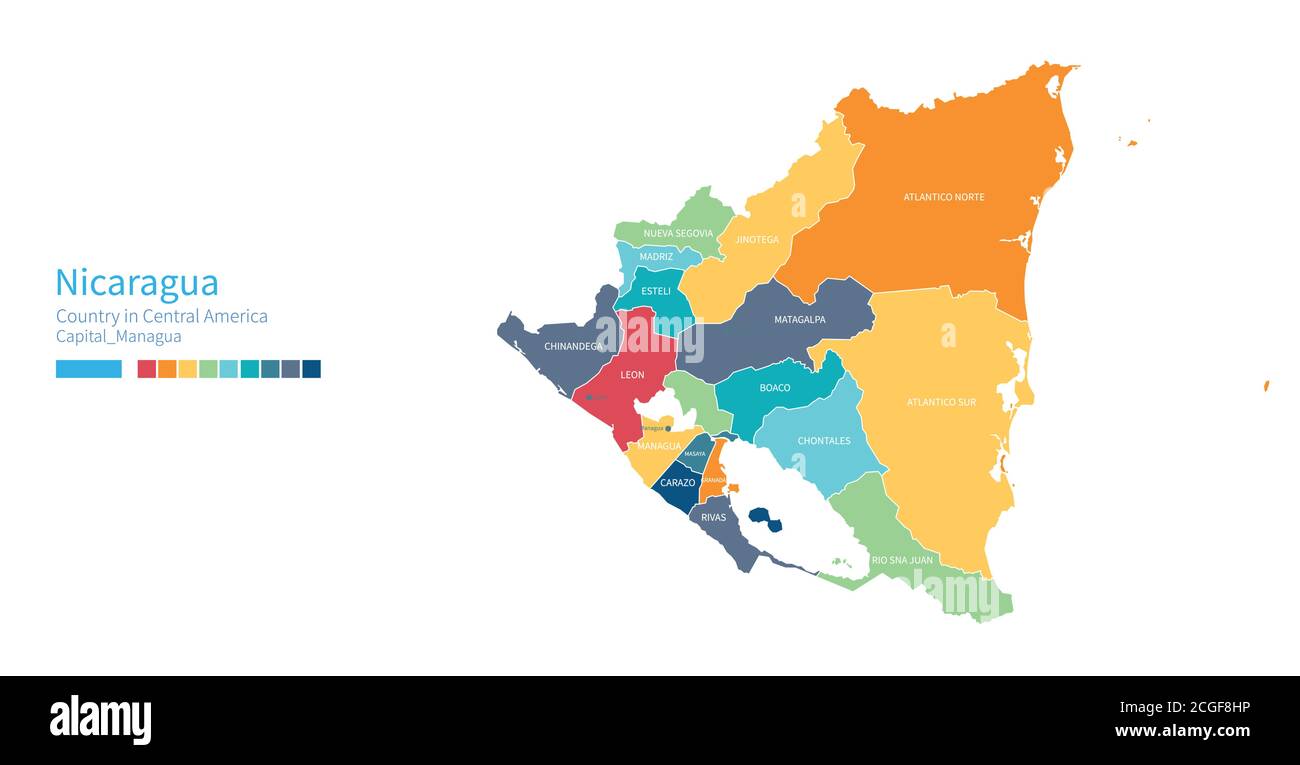 Nicaragua map. Colorful detailed vector map of the Central america, Caribbean country. Stock Vectorhttps://www.alamy.com/image-license-details/?v=1https://www.alamy.com/nicaragua-map-colorful-detailed-vector-map-of-the-central-america-caribbean-country-image371588274.html
RF2CGF8HP–Nicaragua map. Colorful detailed vector map of the Central america, Caribbean country.
 An illustration of Nicaragua map made of green leaves on a white background Stock Photohttps://www.alamy.com/image-license-details/?v=1https://www.alamy.com/an-illustration-of-nicaragua-map-made-of-green-leaves-on-a-white-background-image562311769.html
RF2RJREB5–An illustration of Nicaragua map made of green leaves on a white background
RF2YC1DBN–nicaragua map icon illustration design
 Nicaragua map button in responsive flat web design map button isolated with clipping path. Stock Photohttps://www.alamy.com/image-license-details/?v=1https://www.alamy.com/nicaragua-map-button-in-responsive-flat-web-design-map-button-isolated-image68148031.html
RMDXTBE7–Nicaragua map button in responsive flat web design map button isolated with clipping path.
 Jinotepe pinned on a map of Nicaragua Stock Photohttps://www.alamy.com/image-license-details/?v=1https://www.alamy.com/stock-photo-jinotepe-pinned-on-a-map-of-nicaragua-118399207.html
RFGTHFB3–Jinotepe pinned on a map of Nicaragua
 Isthmus of Nicaragua. Mexico City. Craters of the Turrialba 1898 old map Stock Photohttps://www.alamy.com/image-license-details/?v=1https://www.alamy.com/isthmus-of-nicaragua-mexico-city-craters-of-the-turrialba-1898-old-map-image538762194.html
RF2P8EMJX–Isthmus of Nicaragua. Mexico City. Craters of the Turrialba 1898 old map
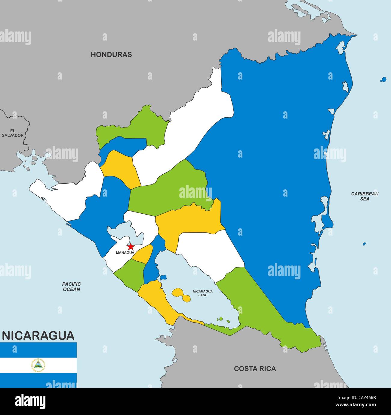 nicaragua map Stock Photohttps://www.alamy.com/image-license-details/?v=1https://www.alamy.com/nicaragua-map-image343685395.html
RM2AY466B–nicaragua map
 Nicaragua map flag in abstract ocean illustration Stock Photohttps://www.alamy.com/image-license-details/?v=1https://www.alamy.com/stock-photo-nicaragua-map-flag-in-abstract-ocean-illustration-56378443.html
RFD7M77R–Nicaragua map flag in abstract ocean illustration
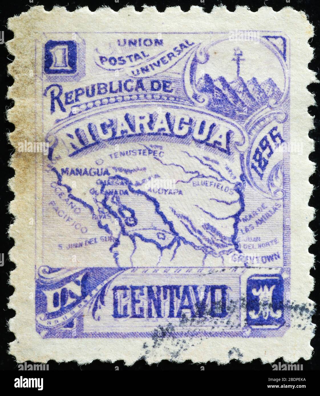 Vintage postage stamp of Nicaragua with its map Stock Photohttps://www.alamy.com/image-license-details/?v=1https://www.alamy.com/vintage-postage-stamp-of-nicaragua-with-its-map-image352692350.html
RF2BDPEKA–Vintage postage stamp of Nicaragua with its map
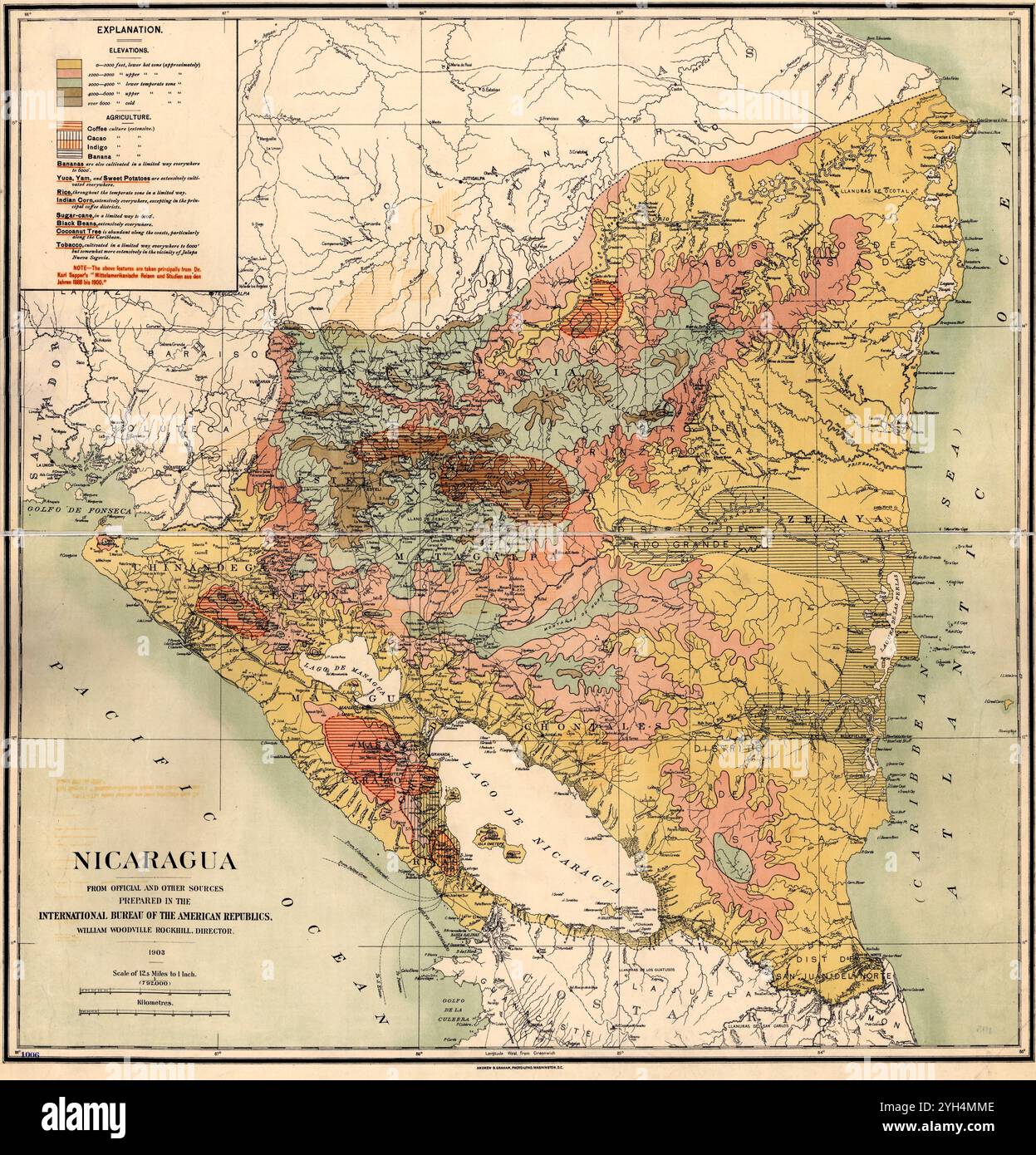 Vintage Geographic map of Nicaragua, 1903 Stock Photohttps://www.alamy.com/image-license-details/?v=1https://www.alamy.com/vintage-geographic-map-of-nicaragua-1903-image630126462.html
RM2YH4MME–Vintage Geographic map of Nicaragua, 1903
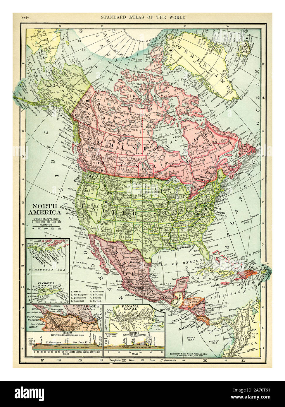 Vintage 1906 map of North America. Countries included on this map are: Canada, Greenland, United States, Mexico, Guatemala, Honduras, Nicaragua, Costa Rica, Cuba and Haiti. C. S. Hammond map printed and published 1906. Stock Photohttps://www.alamy.com/image-license-details/?v=1https://www.alamy.com/vintage-1906-map-of-north-america-countries-included-on-this-map-are-canada-greenland-united-states-mexico-guatemala-honduras-nicaragua-costa-rica-cuba-and-haiti-c-s-hammond-map-printed-and-published-1906-image331318569.html
RM2A70T61–Vintage 1906 map of North America. Countries included on this map are: Canada, Greenland, United States, Mexico, Guatemala, Honduras, Nicaragua, Costa Rica, Cuba and Haiti. C. S. Hammond map printed and published 1906.
 Map showing the Nicaraguan Canal, a proposed shipping route through Nicaragua via Lake Nicaragua in the first decade of the 20th century, which would have connected the Atlantic and the Pacific Oceans. The plan never went ahead after the building of the Panama canal. From The Business Encyclopaedia and Legal Adviser, published 1907. Stock Photohttps://www.alamy.com/image-license-details/?v=1https://www.alamy.com/map-showing-the-nicaraguan-canal-a-proposed-shipping-route-through-nicaragua-via-lake-nicaragua-in-the-first-decade-of-the-20th-century-which-would-have-connected-the-atlantic-and-the-pacific-oceans-the-plan-never-went-ahead-after-the-building-of-the-panama-canal-from-the-business-encyclopaedia-and-legal-adviser-published-1907-image364809235.html
RM2C5EDW7–Map showing the Nicaraguan Canal, a proposed shipping route through Nicaragua via Lake Nicaragua in the first decade of the 20th century, which would have connected the Atlantic and the Pacific Oceans. The plan never went ahead after the building of the Panama canal. From The Business Encyclopaedia and Legal Adviser, published 1907.
 Nicaragua Map. Nicaraguan Country Map. Black and White National Nation Outline Geography Border Boundary Shape Territory Vector Illustration EPS Clipa Stock Vectorhttps://www.alamy.com/image-license-details/?v=1https://www.alamy.com/nicaragua-map-nicaraguan-country-map-black-and-white-national-nation-outline-geography-border-boundary-shape-territory-vector-illustration-eps-clipa-image477285814.html
RF2JME6WX–Nicaragua Map. Nicaraguan Country Map. Black and White National Nation Outline Geography Border Boundary Shape Territory Vector Illustration EPS Clipa
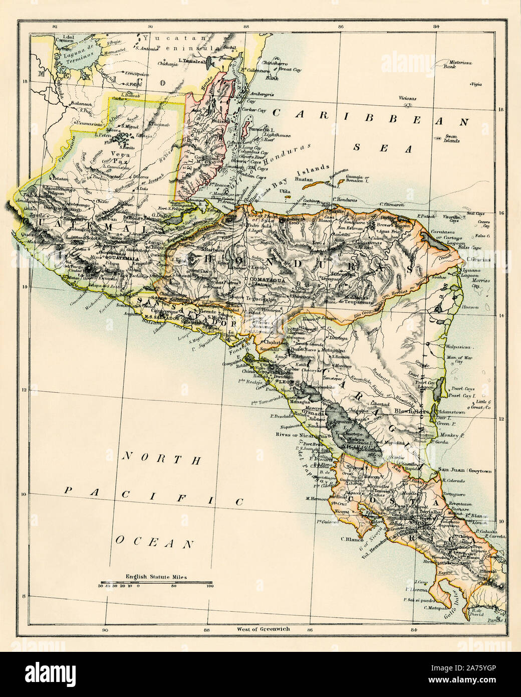 Map of Belize, Guatemala, Honduras, El Salvador, Nicaragua, and Costa Rica, 1870s. Color lithograph Stock Photohttps://www.alamy.com/image-license-details/?v=1https://www.alamy.com/map-of-belize-guatemala-honduras-el-salvador-nicaragua-and-costa-rica-1870s-color-lithograph-image331430982.html
RM2A75YGP–Map of Belize, Guatemala, Honduras, El Salvador, Nicaragua, and Costa Rica, 1870s. Color lithograph
 Nicaragua 3d silver map Stock Photohttps://www.alamy.com/image-license-details/?v=1https://www.alamy.com/stock-photo-nicaragua-3d-silver-map-26048254.html
RFBEAGPP–Nicaragua 3d silver map
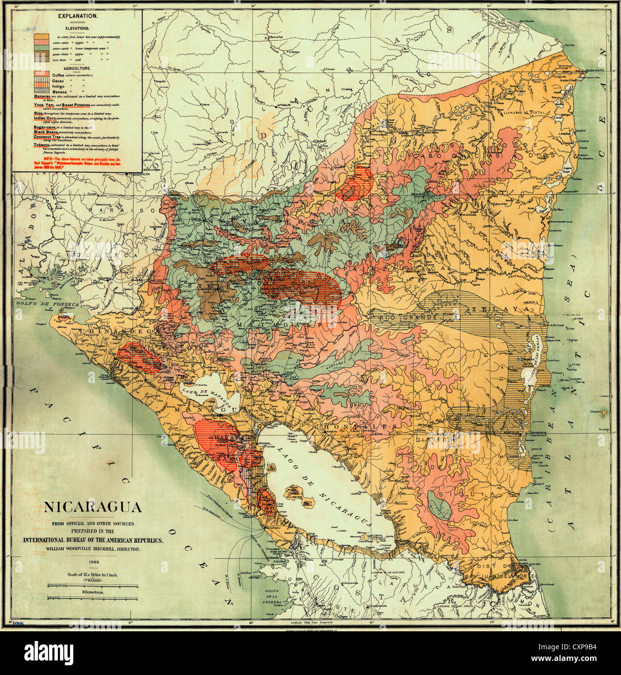 Map of Nicaragua 1903 Stock Photohttps://www.alamy.com/image-license-details/?v=1https://www.alamy.com/stock-photo-map-of-nicaragua-1903-50892104.html
RMCXP9B4–Map of Nicaragua 1903
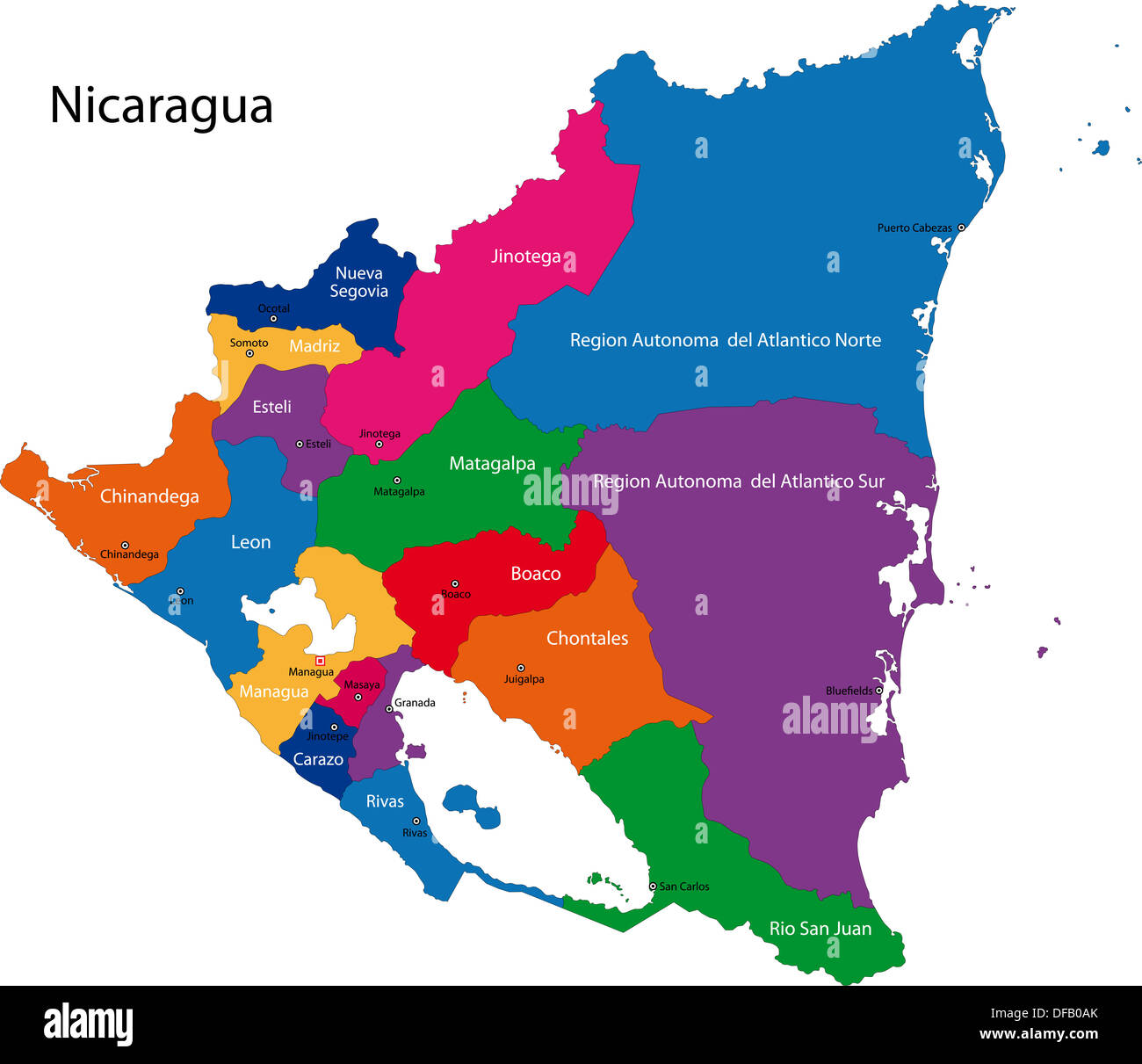 Nicaragua map Stock Photohttps://www.alamy.com/image-license-details/?v=1https://www.alamy.com/nicaragua-map-image61092715.html
RFDFB0AK–Nicaragua map
 Nicaragua vector maps with administrative regions, municipalities, departments, borders Stock Vectorhttps://www.alamy.com/image-license-details/?v=1https://www.alamy.com/nicaragua-vector-maps-with-administrative-regions-municipalities-departments-borders-image358964715.html
RF2BT074B–Nicaragua vector maps with administrative regions, municipalities, departments, borders
 Map of Nicaragua on dark slate Stock Photohttps://www.alamy.com/image-license-details/?v=1https://www.alamy.com/map-of-nicaragua-on-dark-slate-image402531367.html
RF2EATTT7–Map of Nicaragua on dark slate
 Nicaragua map. National map of the world. Gray colored countries map series. Stock Vectorhttps://www.alamy.com/image-license-details/?v=1https://www.alamy.com/nicaragua-map-national-map-of-the-world-gray-colored-countries-map-series-image371105836.html
RF2CFN97T–Nicaragua map. National map of the world. Gray colored countries map series.
 A19th century map of the planned Nicaragua Canal of which construction was underway - Un mapa del siglo XIX del Canal de Nicaragua planificado cuya construcción estaba en marcha Stock Photohttps://www.alamy.com/image-license-details/?v=1https://www.alamy.com/a19th-century-map-of-the-planned-nicaragua-canal-of-which-construction-was-underway-un-mapa-del-siglo-xix-del-canal-de-nicaragua-planificado-cuya-construccin-estaba-en-marcha-image624620305.html
RM2Y85WG1–A19th century map of the planned Nicaragua Canal of which construction was underway - Un mapa del siglo XIX del Canal de Nicaragua planificado cuya construcción estaba en marcha
RF2YC1DDN–nicaragua map icon illustration design
 Textured map of Nicaragua map with brown rock or stone texture, isolated on white background with clipping path. Stock Photohttps://www.alamy.com/image-license-details/?v=1https://www.alamy.com/stock-photo-textured-map-of-nicaragua-map-with-brown-rock-or-stone-texture-isolated-49745524.html
RMCTX2WT–Textured map of Nicaragua map with brown rock or stone texture, isolated on white background with clipping path.
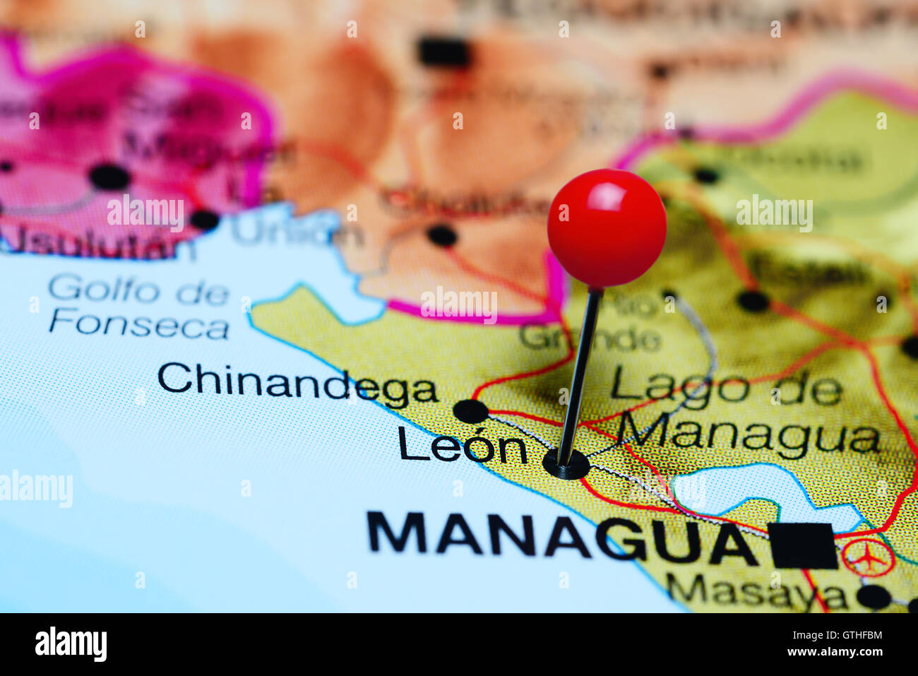 Leon pinned on a map of Nicaragua Stock Photohttps://www.alamy.com/image-license-details/?v=1https://www.alamy.com/stock-photo-leon-pinned-on-a-map-of-nicaragua-118399224.html
RFGTHFBM–Leon pinned on a map of Nicaragua
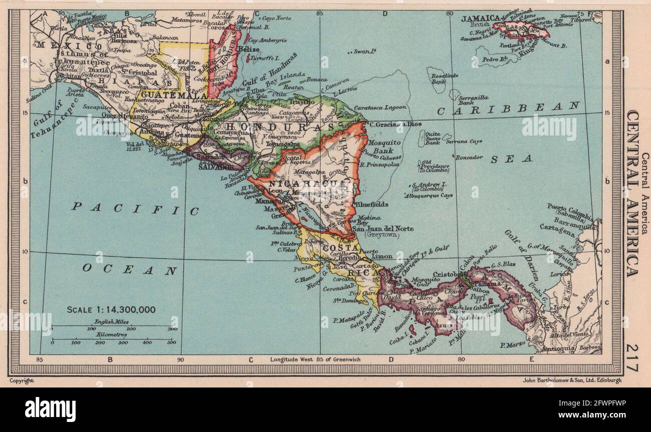 Central America. Honduras Panama Costa Rica Nicaragua. BARTHOLOMEW 1949 map Stock Photohttps://www.alamy.com/image-license-details/?v=1https://www.alamy.com/central-america-honduras-panama-costa-rica-nicaragua-bartholomew-1949-map-image428910658.html
RF2FWPFWP–Central America. Honduras Panama Costa Rica Nicaragua. BARTHOLOMEW 1949 map
 nicaragua map Stock Photohttps://www.alamy.com/image-license-details/?v=1https://www.alamy.com/nicaragua-map-image343685394.html
RM2AY466A–nicaragua map
 Nicaragua map flag with reflection illustration Stock Photohttps://www.alamy.com/image-license-details/?v=1https://www.alamy.com/stock-photo-nicaragua-map-flag-with-reflection-illustration-97403666.html
RFFJD3AA–Nicaragua map flag with reflection illustration
 Nicaragua sign, vintage grunge imprint with flag on white Stock Vectorhttps://www.alamy.com/image-license-details/?v=1https://www.alamy.com/nicaragua-sign-vintage-grunge-imprint-with-flag-on-white-image363173725.html
RF2C2RYP5–Nicaragua sign, vintage grunge imprint with flag on white
 Vintage Government Map of Nicaragua 1856 Stock Photohttps://www.alamy.com/image-license-details/?v=1https://www.alamy.com/vintage-government-map-of-nicaragua-1856-image630126365.html
RM2YH4MH1–Vintage Government Map of Nicaragua 1856
 Nicaragua departments map Stock Vectorhttps://www.alamy.com/image-license-details/?v=1https://www.alamy.com/nicaragua-departments-map-image382344089.html
RF2D617P1–Nicaragua departments map
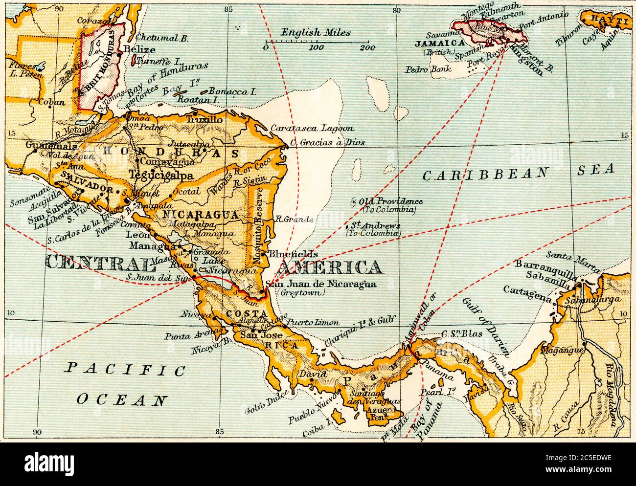 Map showing the Nicaraguan Canal, a proposed shipping route through Nicaragua via Lake Nicaragua in the first decade of the 20th century, which would have connected the Atlantic and the Pacific Oceans. The plan never went ahead after the building of the Panama canal. From The Business Encyclopaedia and Legal Adviser, published 1907. Stock Photohttps://www.alamy.com/image-license-details/?v=1https://www.alamy.com/map-showing-the-nicaraguan-canal-a-proposed-shipping-route-through-nicaragua-via-lake-nicaragua-in-the-first-decade-of-the-20th-century-which-would-have-connected-the-atlantic-and-the-pacific-oceans-the-plan-never-went-ahead-after-the-building-of-the-panama-canal-from-the-business-encyclopaedia-and-legal-adviser-published-1907-image364809242.html
RM2C5EDWE–Map showing the Nicaraguan Canal, a proposed shipping route through Nicaragua via Lake Nicaragua in the first decade of the 20th century, which would have connected the Atlantic and the Pacific Oceans. The plan never went ahead after the building of the Panama canal. From The Business Encyclopaedia and Legal Adviser, published 1907.
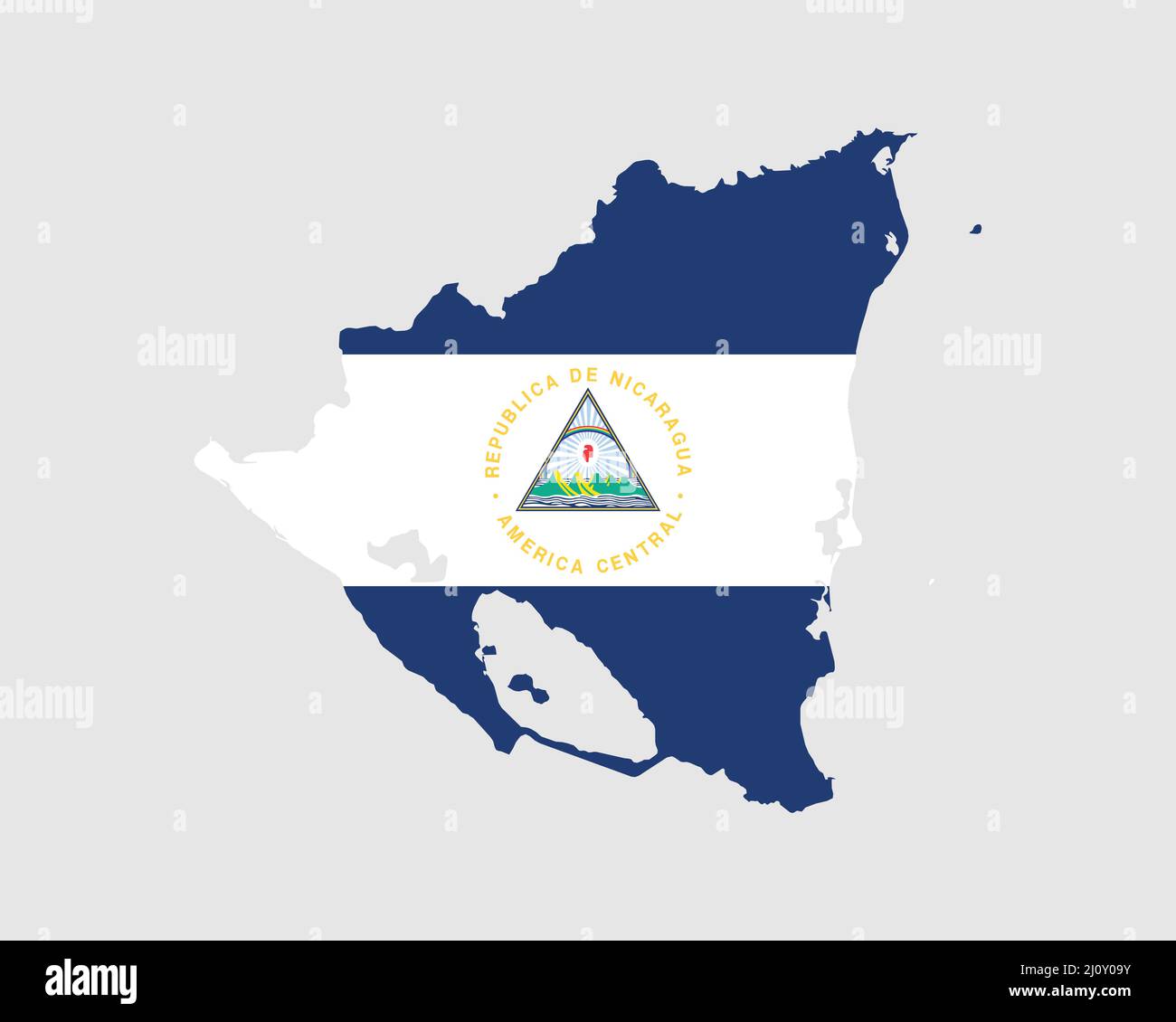 Nicaragua Flag Map. Map of the Republic of Nicaragua with the Nicaraguan country banner. Vector Illustration. Stock Vectorhttps://www.alamy.com/image-license-details/?v=1https://www.alamy.com/nicaragua-flag-map-map-of-the-republic-of-nicaragua-with-the-nicaraguan-country-banner-vector-illustration-image465272919.html
RF2J0Y09Y–Nicaragua Flag Map. Map of the Republic of Nicaragua with the Nicaraguan country banner. Vector Illustration.
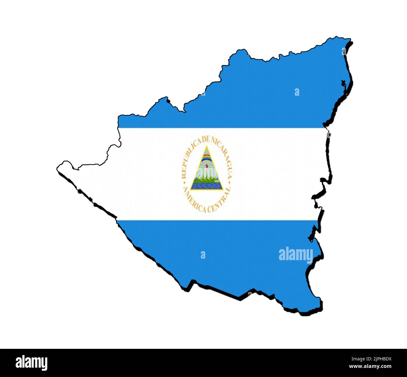 Silhouette of the map of Nicaragua with its flag Stock Photohttps://www.alamy.com/image-license-details/?v=1https://www.alamy.com/silhouette-of-the-map-of-nicaragua-with-its-flag-image478584566.html
RF2JPHBDX–Silhouette of the map of Nicaragua with its flag
 Nicaragua 3d map with national color Stock Photohttps://www.alamy.com/image-license-details/?v=1https://www.alamy.com/stock-photo-nicaragua-3d-map-with-national-color-26528360.html
RFBF4D5C–Nicaragua 3d map with national color
 Map of Nicaragua 1903 Stock Photohttps://www.alamy.com/image-license-details/?v=1https://www.alamy.com/map-of-nicaragua-1903-image60712636.html
RMDENKGC–Map of Nicaragua 1903
 Black Nicaragua map Stock Photohttps://www.alamy.com/image-license-details/?v=1https://www.alamy.com/black-nicaragua-map-image61092735.html
RFDFB0BB–Black Nicaragua map
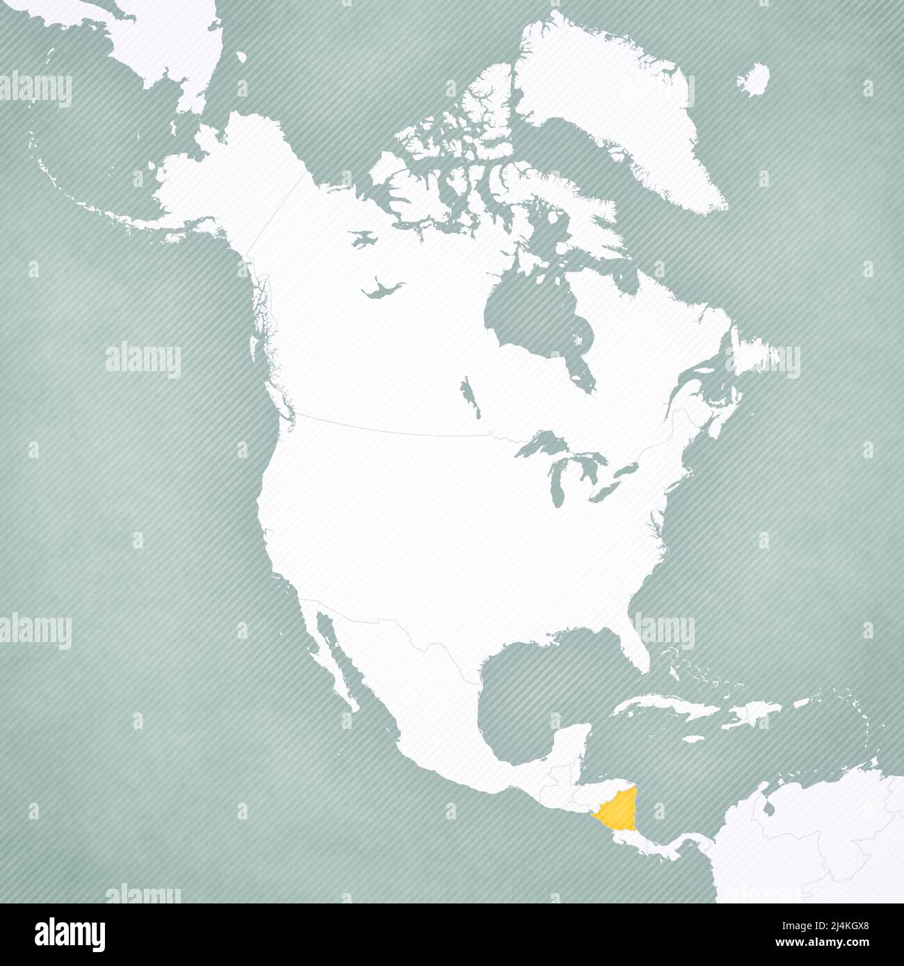 Nicaragua on the map of North America with softly striped vintage background. Stock Photohttps://www.alamy.com/image-license-details/?v=1https://www.alamy.com/nicaragua-on-the-map-of-north-america-with-softly-striped-vintage-background-image467568928.html
RF2J4KGX8–Nicaragua on the map of North America with softly striped vintage background.
 Nicaragua Map grey Stock Photohttps://www.alamy.com/image-license-details/?v=1https://www.alamy.com/stock-image-nicaragua-map-grey-169140446.html
RFKR50A6–Nicaragua Map grey
 Close-up of a red pushpin in a map of Managua, Nicaragua. Stock Photohttps://www.alamy.com/image-license-details/?v=1https://www.alamy.com/stock-photo-close-up-of-a-red-pushpin-in-a-map-of-managua-nicaragua-98558481.html
RFFM9M9N–Close-up of a red pushpin in a map of Managua, Nicaragua.
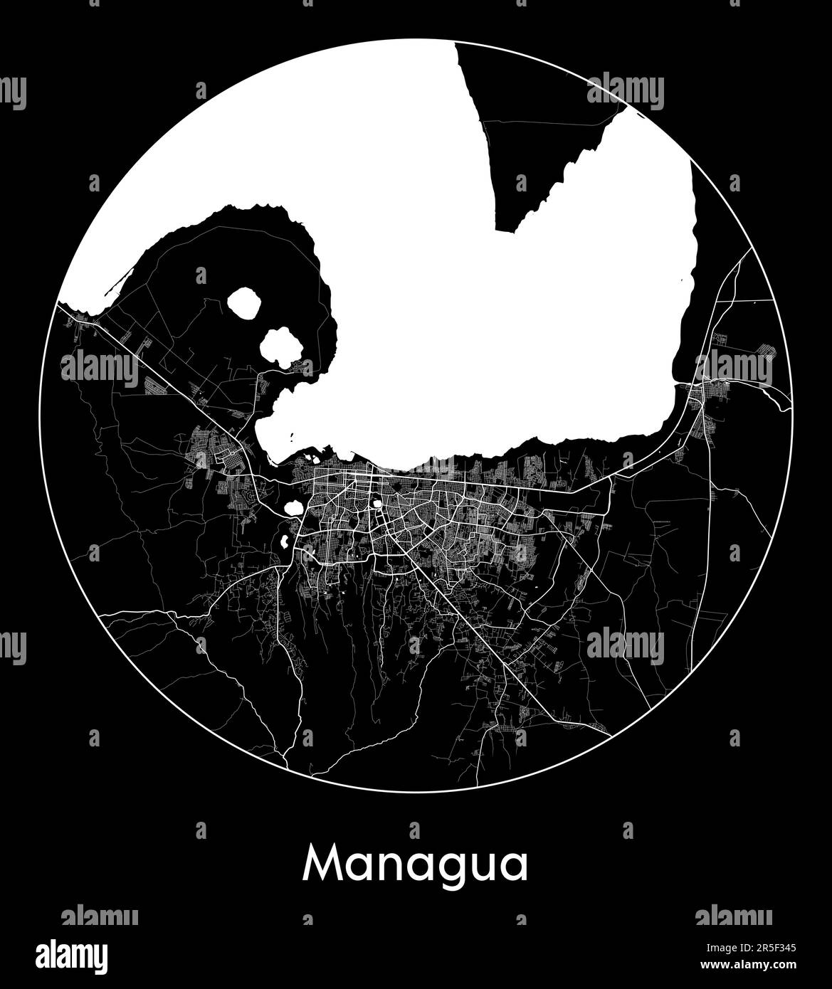 City Map Managua Nicaragua North America vector illustration Stock Vectorhttps://www.alamy.com/image-license-details/?v=1https://www.alamy.com/city-map-managua-nicaragua-north-america-vector-illustration-image554136805.html
RF2R5F345–City Map Managua Nicaragua North America vector illustration
RF2YC1DCP–nicaragua map icon illustration design
 Textured map of Nicaragua map with brown rock or stone texture, isolated on white background with clipping path. Stock Photohttps://www.alamy.com/image-license-details/?v=1https://www.alamy.com/stock-photo-textured-map-of-nicaragua-map-with-brown-rock-or-stone-texture-isolated-49473619.html
RMCTDM2Y–Textured map of Nicaragua map with brown rock or stone texture, isolated on white background with clipping path.
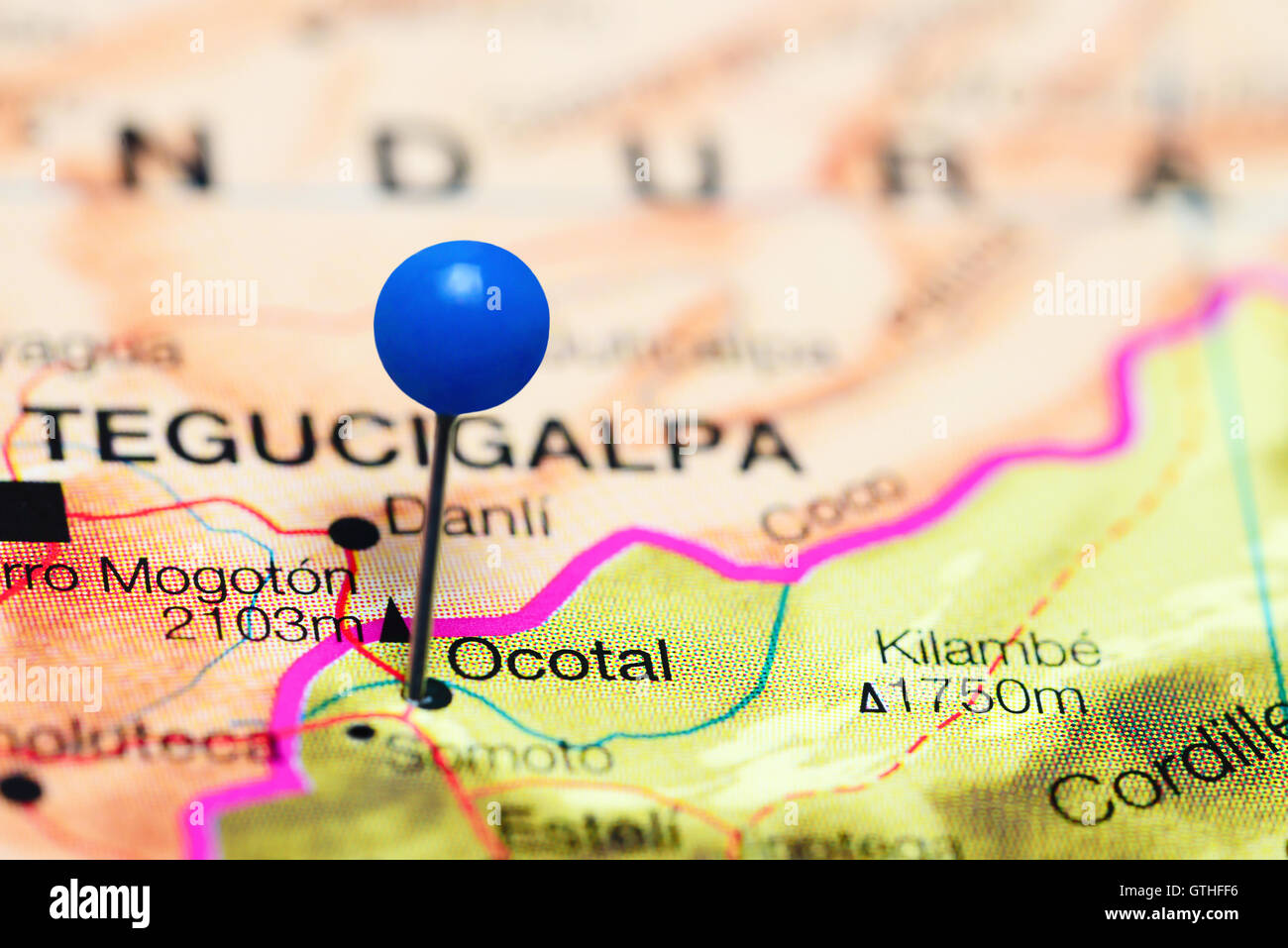 Ocotal pinned on a map of Nicaragua Stock Photohttps://www.alamy.com/image-license-details/?v=1https://www.alamy.com/stock-photo-ocotal-pinned-on-a-map-of-nicaragua-118399322.html
RFGTHFF6–Ocotal pinned on a map of Nicaragua
 Nicaragua red map button isolated on white background. Stock Photohttps://www.alamy.com/image-license-details/?v=1https://www.alamy.com/stock-photo-nicaragua-red-map-button-isolated-on-white-background-34443349.html
RMC010RH–Nicaragua red map button isolated on white background.
![[Panama and Nicaragua canals/transit routes]. Central America 1907 old map Stock Photo [Panama and Nicaragua canals/transit routes]. Central America 1907 old map Stock Photo](https://c8.alamy.com/comp/2P8RHG0/panama-and-nicaragua-canalstransit-routes-central-america-1907-old-map-2P8RHG0.jpg) [Panama and Nicaragua canals/transit routes]. Central America 1907 old map Stock Photohttps://www.alamy.com/image-license-details/?v=1https://www.alamy.com/panama-and-nicaragua-canalstransit-routes-central-america-1907-old-map-image538957328.html
[Panama and Nicaragua canals/transit routes]. Central America 1907 old map Stock Photohttps://www.alamy.com/image-license-details/?v=1https://www.alamy.com/panama-and-nicaragua-canalstransit-routes-central-america-1907-old-map-image538957328.htmlRF2P8RHG0–[Panama and Nicaragua canals/transit routes]. Central America 1907 old map
 Nicaragua Map Stock Photohttps://www.alamy.com/image-license-details/?v=1https://www.alamy.com/stock-photo-nicaragua-map-103278622.html
RMG00MX6–Nicaragua Map
 Nicaragua map flag with containers illustration Stock Photohttps://www.alamy.com/image-license-details/?v=1https://www.alamy.com/stock-photo-nicaragua-map-flag-with-containers-illustration-74158240.html
RFE8J5GG–Nicaragua map flag with containers illustration
RF2N30WBC–nicaragua map vector logo icon symbol
 Gray Nicaragua map on light grey background. Gray Nicaragua map - vector illustration. Stock Vectorhttps://www.alamy.com/image-license-details/?v=1https://www.alamy.com/gray-nicaragua-map-on-light-grey-background-gray-nicaragua-map-vector-illustration-image331536626.html
RF2A7AP9P–Gray Nicaragua map on light grey background. Gray Nicaragua map - vector illustration.
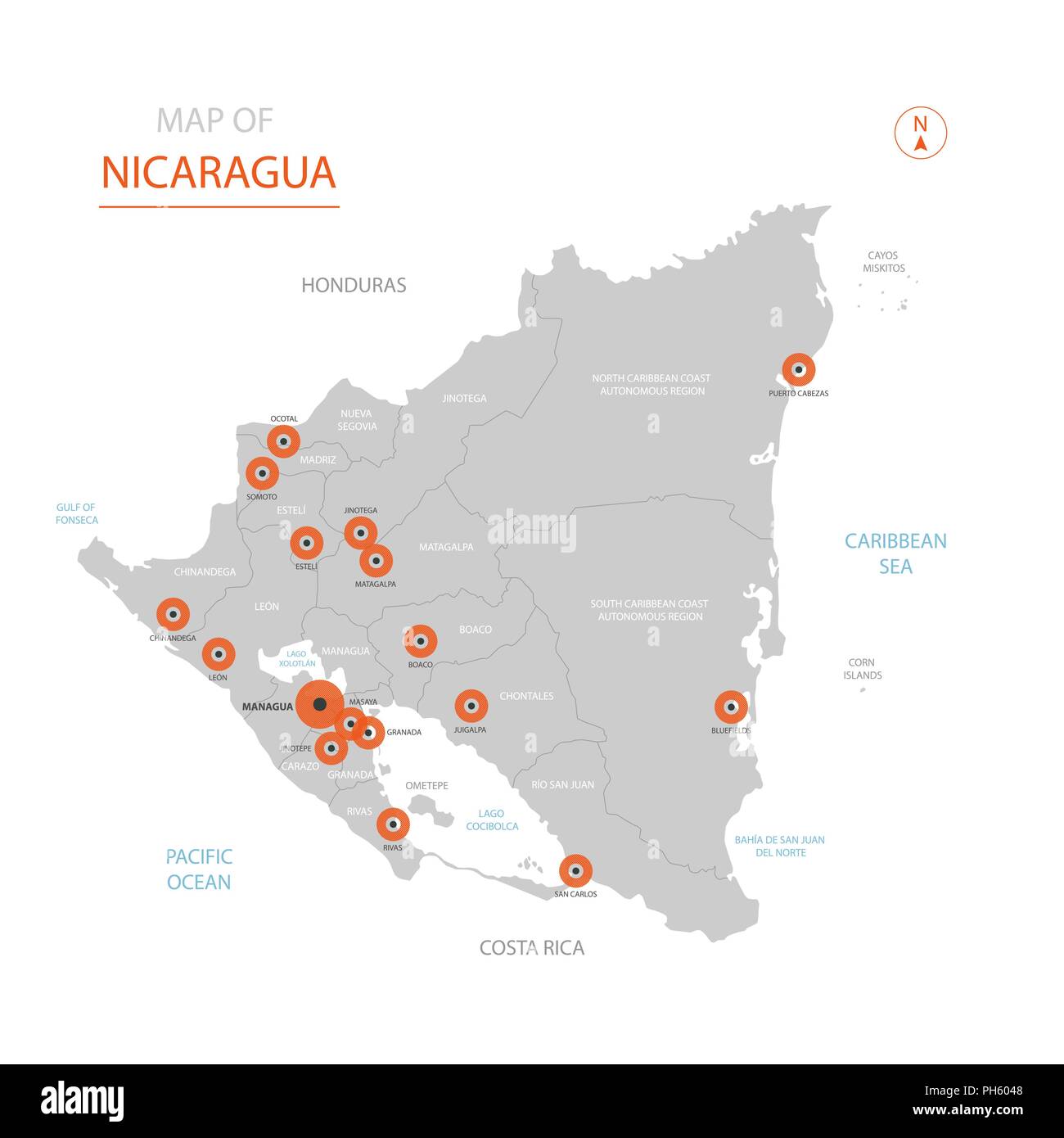 Stylized vector Nicaragua map showing big cities, capital Managua, administrative divisions. Stock Vectorhttps://www.alamy.com/image-license-details/?v=1https://www.alamy.com/stylized-vector-nicaragua-map-showing-big-cities-capital-managua-administrative-divisions-image217105400.html
RFPH6048–Stylized vector Nicaragua map showing big cities, capital Managua, administrative divisions.
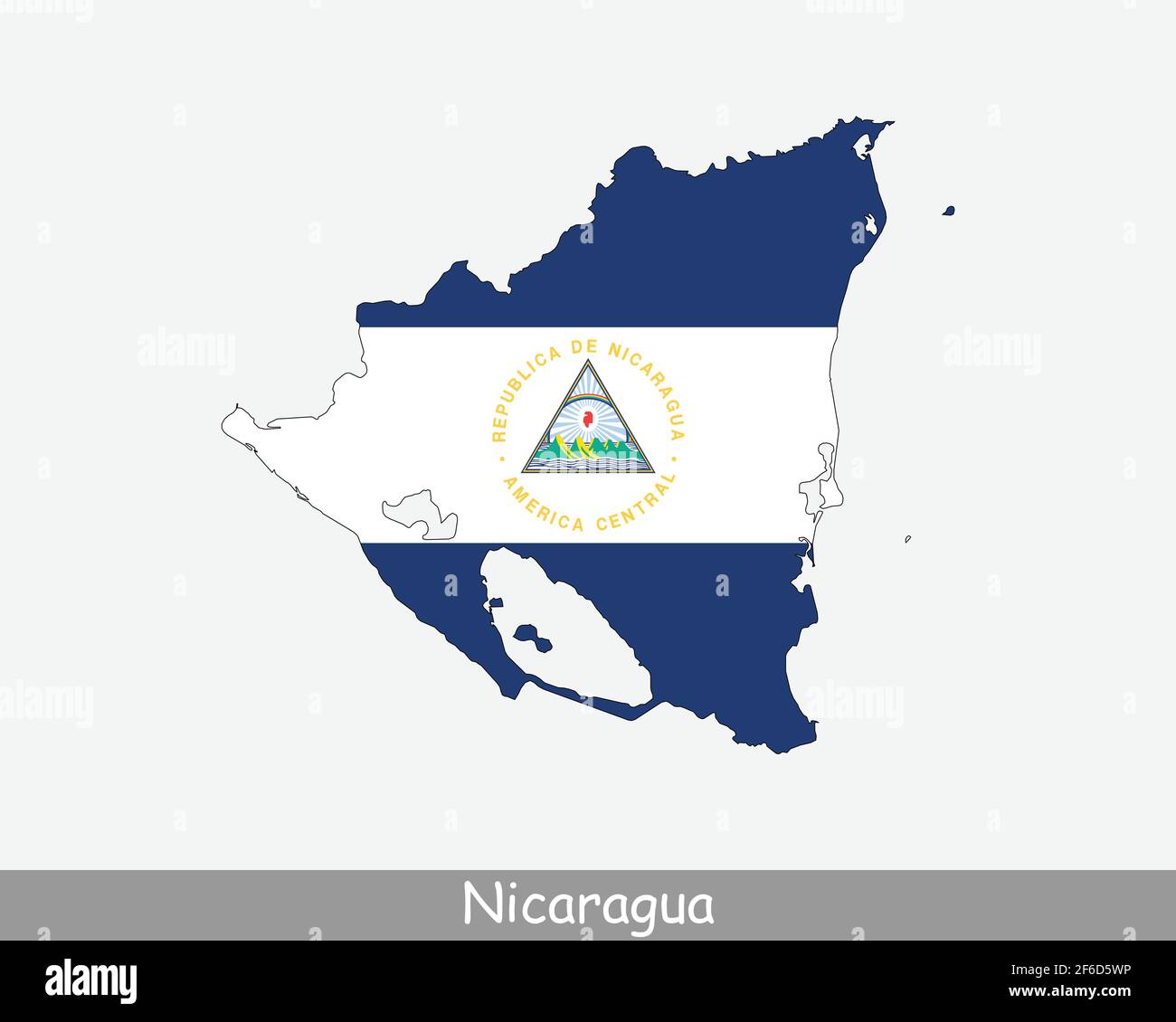 Nicaragua Flag Map. Map of the Republic of Nicaragua with the Nicaraguan national flag isolated on white background. Vector Illustration. Stock Vectorhttps://www.alamy.com/image-license-details/?v=1https://www.alamy.com/nicaragua-flag-map-map-of-the-republic-of-nicaragua-with-the-nicaraguan-national-flag-isolated-on-white-background-vector-illustration-image417026786.html
RF2F6D5WP–Nicaragua Flag Map. Map of the Republic of Nicaragua with the Nicaraguan national flag isolated on white background. Vector Illustration.
 Nicaragua map located on a world map with flag and map pointer or pin. Infographic map. Vector illustration isolated on white Stock Vectorhttps://www.alamy.com/image-license-details/?v=1https://www.alamy.com/nicaragua-map-located-on-a-world-map-with-flag-and-map-pointer-or-pin-infographic-map-vector-illustration-isolated-on-white-image239185616.html
RFRW3RKC–Nicaragua map located on a world map with flag and map pointer or pin. Infographic map. Vector illustration isolated on white
 Nicaragua 3d golden map isolated in white Stock Photohttps://www.alamy.com/image-license-details/?v=1https://www.alamy.com/stock-photo-nicaragua-3d-golden-map-isolated-in-white-23254963.html
RFB9R9XB–Nicaragua 3d golden map isolated in white
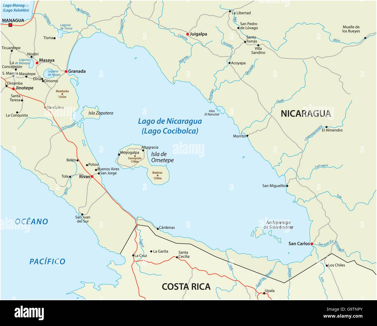 vector map of Central America Nicaragua lake Stock Vectorhttps://www.alamy.com/image-license-details/?v=1https://www.alamy.com/stock-photo-vector-map-of-central-america-nicaragua-lake-109338067.html
RFG9TNPY–vector map of Central America Nicaragua lake
 Green Nicaragua map Stock Photohttps://www.alamy.com/image-license-details/?v=1https://www.alamy.com/green-nicaragua-map-image61092721.html
RFDFB0AW–Green Nicaragua map
 Nicaragua on an ocher retro map of Central America on old vintage paper. Stock Photohttps://www.alamy.com/image-license-details/?v=1https://www.alamy.com/nicaragua-on-an-ocher-retro-map-of-central-america-on-old-vintage-paper-image610837858.html
RF2XDP1WP–Nicaragua on an ocher retro map of Central America on old vintage paper.
 Nicaragua 3D map. Stylized neon isometric vector Map in green colors on the dark blue background Stock Vectorhttps://www.alamy.com/image-license-details/?v=1https://www.alamy.com/nicaragua-3d-map-stylized-neon-isometric-vector-map-in-green-colors-on-the-dark-blue-background-image505302976.html
RF2MA2F2T–Nicaragua 3D map. Stylized neon isometric vector Map in green colors on the dark blue background
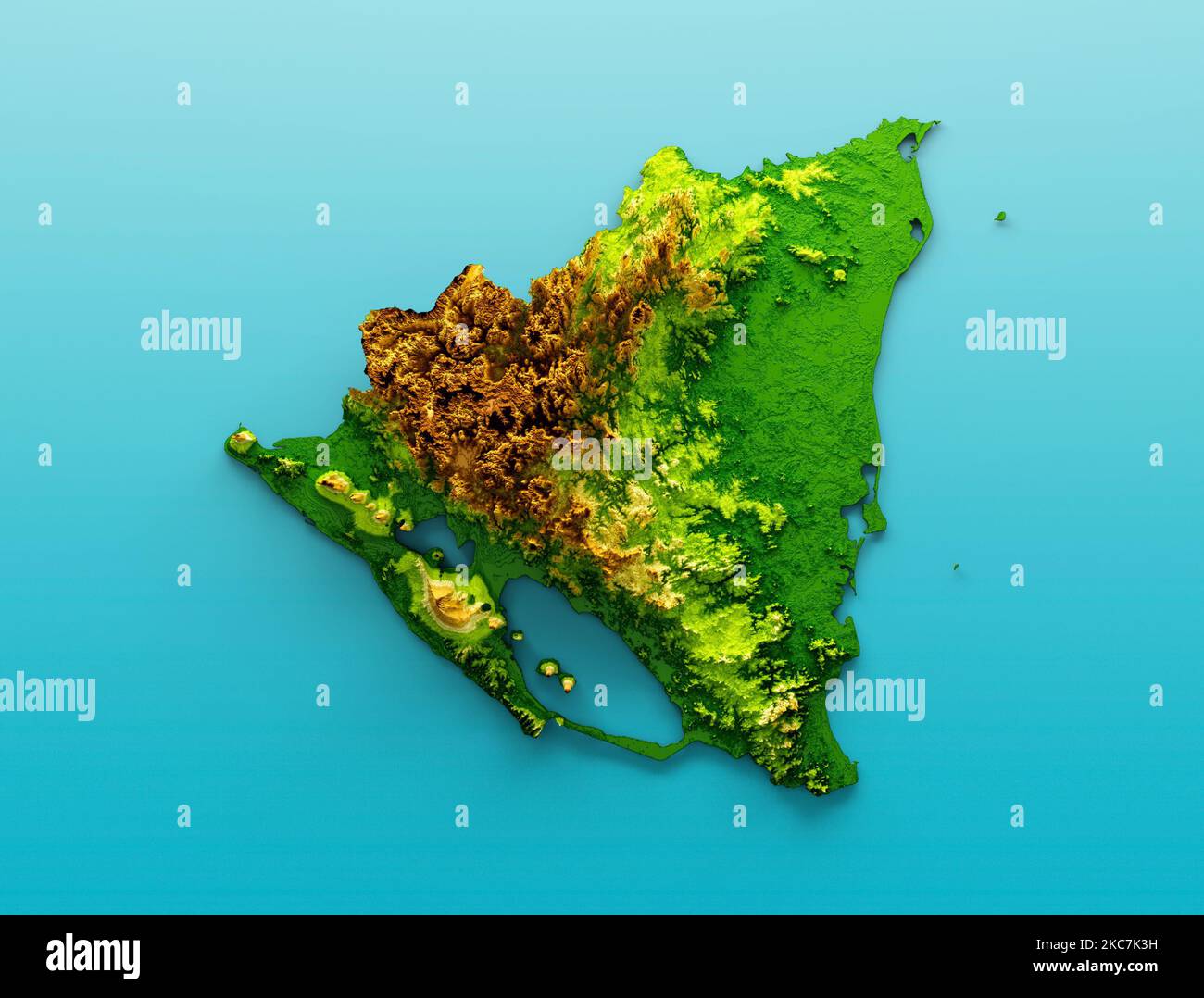 The topographic Nicaragua map 3d illustration against a blue background Stock Photohttps://www.alamy.com/image-license-details/?v=1https://www.alamy.com/the-topographic-nicaragua-map-3d-illustration-against-a-blue-background-image489434837.html
RF2KC7K3H–The topographic Nicaragua map 3d illustration against a blue background
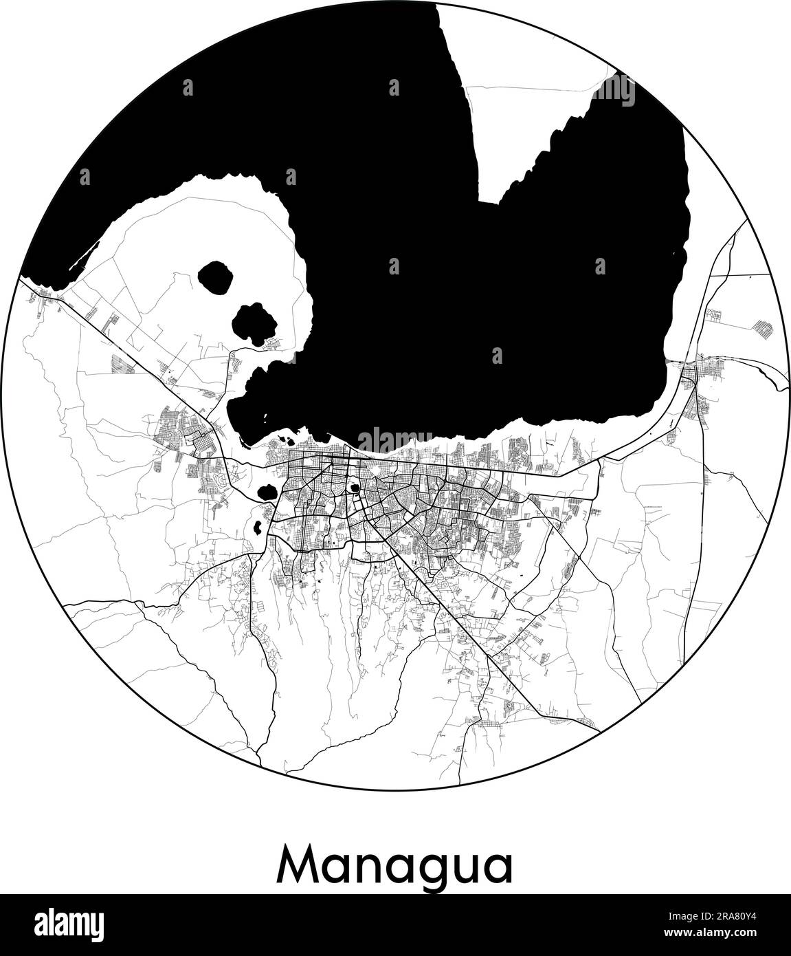 City Map Managua Nicaragua North America vector illustration black white Stock Vectorhttps://www.alamy.com/image-license-details/?v=1https://www.alamy.com/city-map-managua-nicaragua-north-america-vector-illustration-black-white-image557054712.html
RF2RA80Y4–City Map Managua Nicaragua North America vector illustration black white
RF2YC1DDE–nicaragua map icon illustration design
 Multi-color, early twentieth-century, political and physical map of Central America, with a key, and inset close-ups to better illustrate the Panama and Nicaragua canals, 1908. Courtesy Internet Archive. () Stock Photohttps://www.alamy.com/image-license-details/?v=1https://www.alamy.com/multi-color-early-twentieth-century-political-and-physical-map-of-central-america-with-a-key-and-inset-close-ups-to-better-illustrate-the-panama-and-nicaragua-canals-1908-courtesy-internet-archive-image215431139.html
RMPEDMH7–Multi-color, early twentieth-century, political and physical map of Central America, with a key, and inset close-ups to better illustrate the Panama and Nicaragua canals, 1908. Courtesy Internet Archive. ()
 Jinotega pinned on a map of Nicaragua Stock Photohttps://www.alamy.com/image-license-details/?v=1https://www.alamy.com/stock-photo-jinotega-pinned-on-a-map-of-nicaragua-118399300.html
RFGTHFEC–Jinotega pinned on a map of Nicaragua
 Nicaragua shopping bar code isolated on white background. Stock Photohttps://www.alamy.com/image-license-details/?v=1https://www.alamy.com/nicaragua-shopping-bar-code-isolated-on-white-background-image62487756.html
RMDHJFNG–Nicaragua shopping bar code isolated on white background.
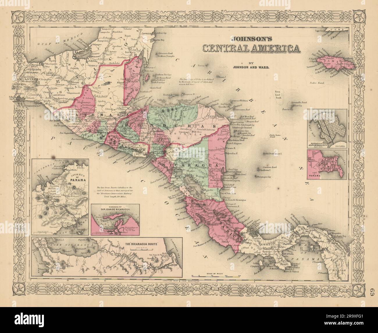 Johnson's Central America. Guatemala Honduras Nicaragua Costa Rica 1866 map Stock Photohttps://www.alamy.com/image-license-details/?v=1https://www.alamy.com/johnsons-central-america-guatemala-honduras-nicaragua-costa-rica-1866-map-image556846641.html
RF2R9XFG1–Johnson's Central America. Guatemala Honduras Nicaragua Costa Rica 1866 map
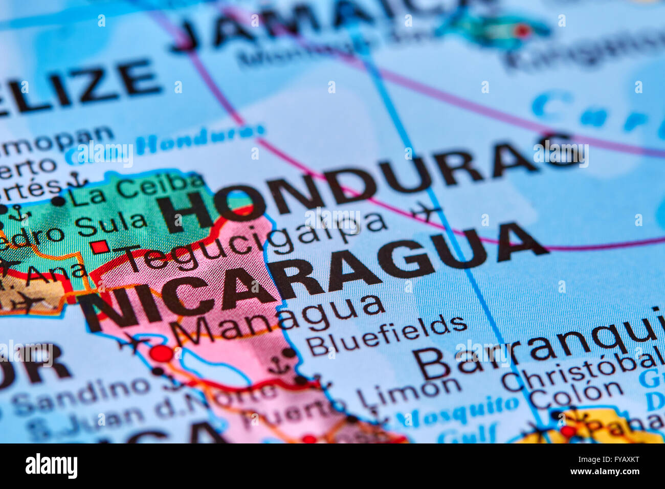 Nicaragua, Country in Central America on the World Map Stock Photohttps://www.alamy.com/image-license-details/?v=1https://www.alamy.com/stock-photo-nicaragua-country-in-central-america-on-the-world-map-102888012.html
RFFYAXKT–Nicaragua, Country in Central America on the World Map
 Nicaragua map flag 3d render with reflection illustration Stock Photohttps://www.alamy.com/image-license-details/?v=1https://www.alamy.com/stock-photo-nicaragua-map-flag-3d-render-with-reflection-illustration-33054166.html
RFBWNMWX–Nicaragua map flag 3d render with reflection illustration
 Nicaragua flag map, three dimensional render, isolated on white Stock Photohttps://www.alamy.com/image-license-details/?v=1https://www.alamy.com/stock-photo-nicaragua-flag-map-three-dimensional-render-isolated-on-white-71183882.html
RFE3PKNE–Nicaragua flag map, three dimensional render, isolated on white
 Black Nicaragua map on light grey background. Black Nicaragua map - vector illustration. Stock Vectorhttps://www.alamy.com/image-license-details/?v=1https://www.alamy.com/black-nicaragua-map-on-light-grey-background-black-nicaragua-map-vector-illustration-image331536651.html
RF2A7APAK–Black Nicaragua map on light grey background. Black Nicaragua map - vector illustration.
 Nicaragua map with cities. Luminous dots - neon lights on dark background. Vector illustration. Stock Vectorhttps://www.alamy.com/image-license-details/?v=1https://www.alamy.com/nicaragua-map-with-cities-luminous-dots-neon-lights-on-dark-background-vector-illustration-image332015056.html
RF2A84GGG–Nicaragua map with cities. Luminous dots - neon lights on dark background. Vector illustration.
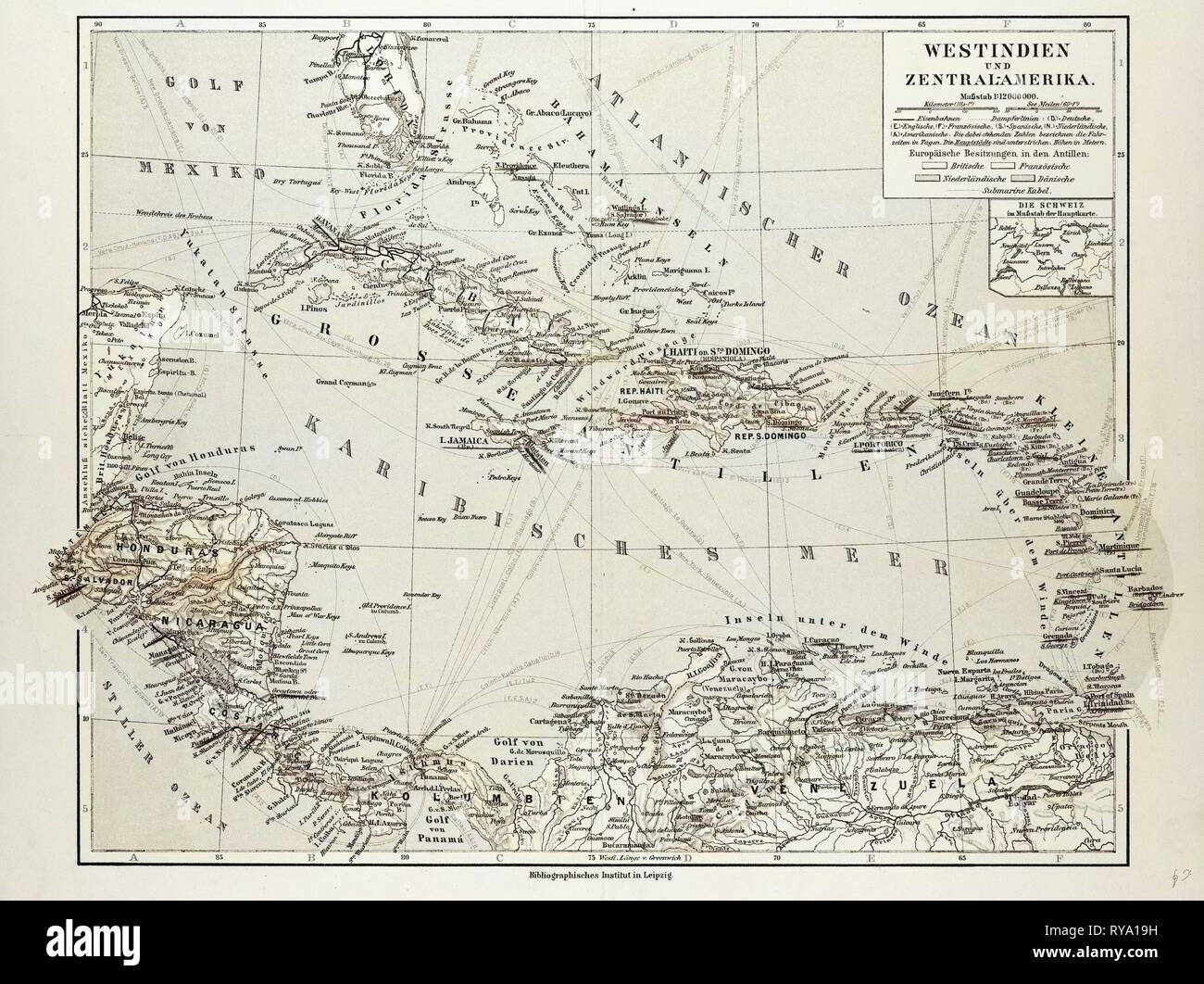 Map of Honduras Nicaragua Costa Rica the Northern Part of Columbia Venezuela Cuba 1899 Stock Photohttps://www.alamy.com/image-license-details/?v=1https://www.alamy.com/map-of-honduras-nicaragua-costa-rica-the-northern-part-of-columbia-venezuela-cuba-1899-image240551069.html
RMRYA19H–Map of Honduras Nicaragua Costa Rica the Northern Part of Columbia Venezuela Cuba 1899
 Nicaragua high detailed vector representation of country silhouette in solid black on white background. For educational, decorative, or informational use showcasing the national outline. Stock Vectorhttps://www.alamy.com/image-license-details/?v=1https://www.alamy.com/nicaragua-high-detailed-vector-representation-of-country-silhouette-in-solid-black-on-white-background-for-educational-decorative-or-informational-use-showcasing-the-national-outline-image636779768.html
RF2YYYR2G–Nicaragua high detailed vector representation of country silhouette in solid black on white background. For educational, decorative, or informational use showcasing the national outline.
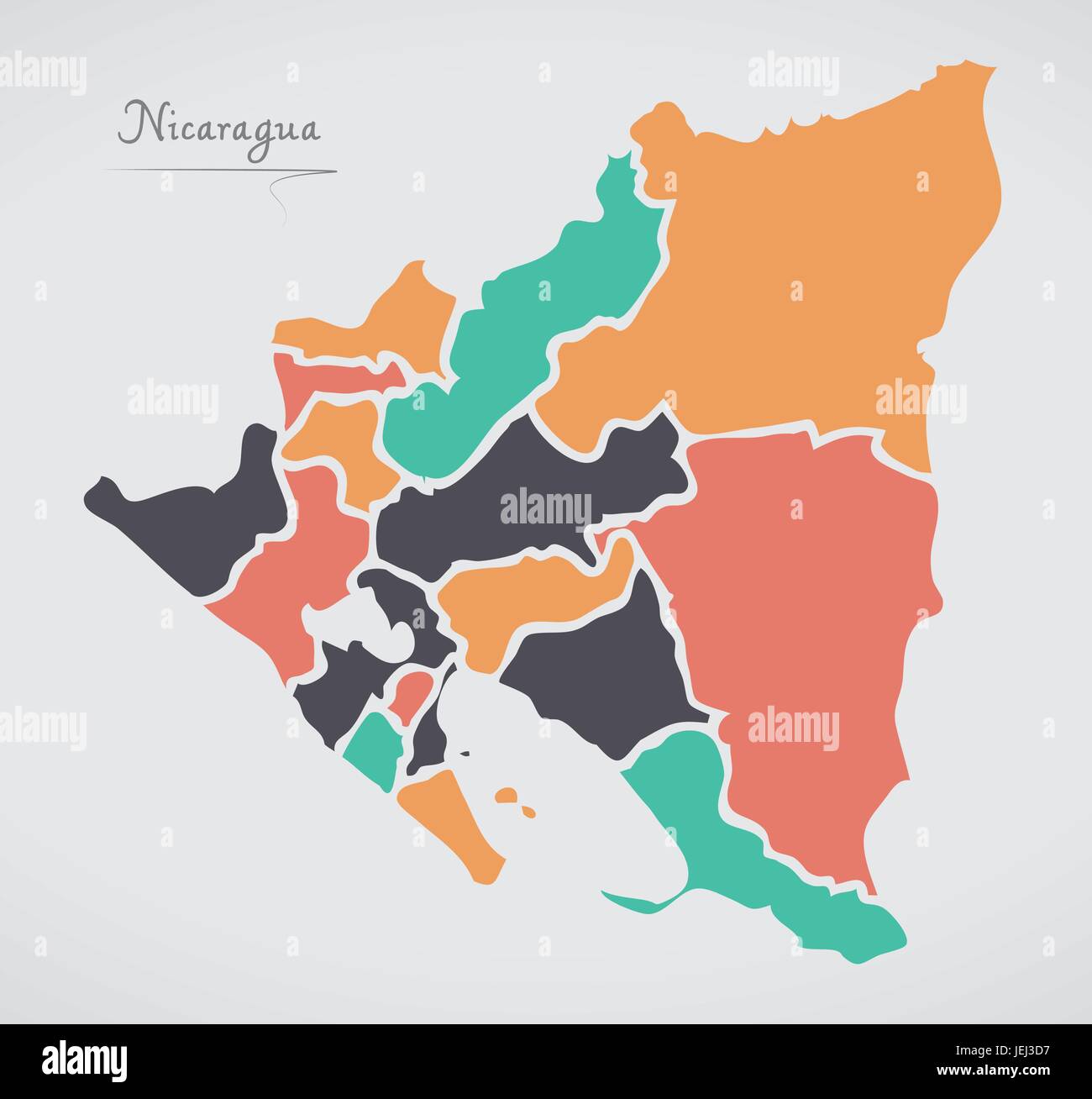 Nicaragua Map with states and modern round shapes Stock Vectorhttps://www.alamy.com/image-license-details/?v=1https://www.alamy.com/stock-photo-nicaragua-map-with-states-and-modern-round-shapes-146685987.html
RFJEJ3D7–Nicaragua Map with states and modern round shapes
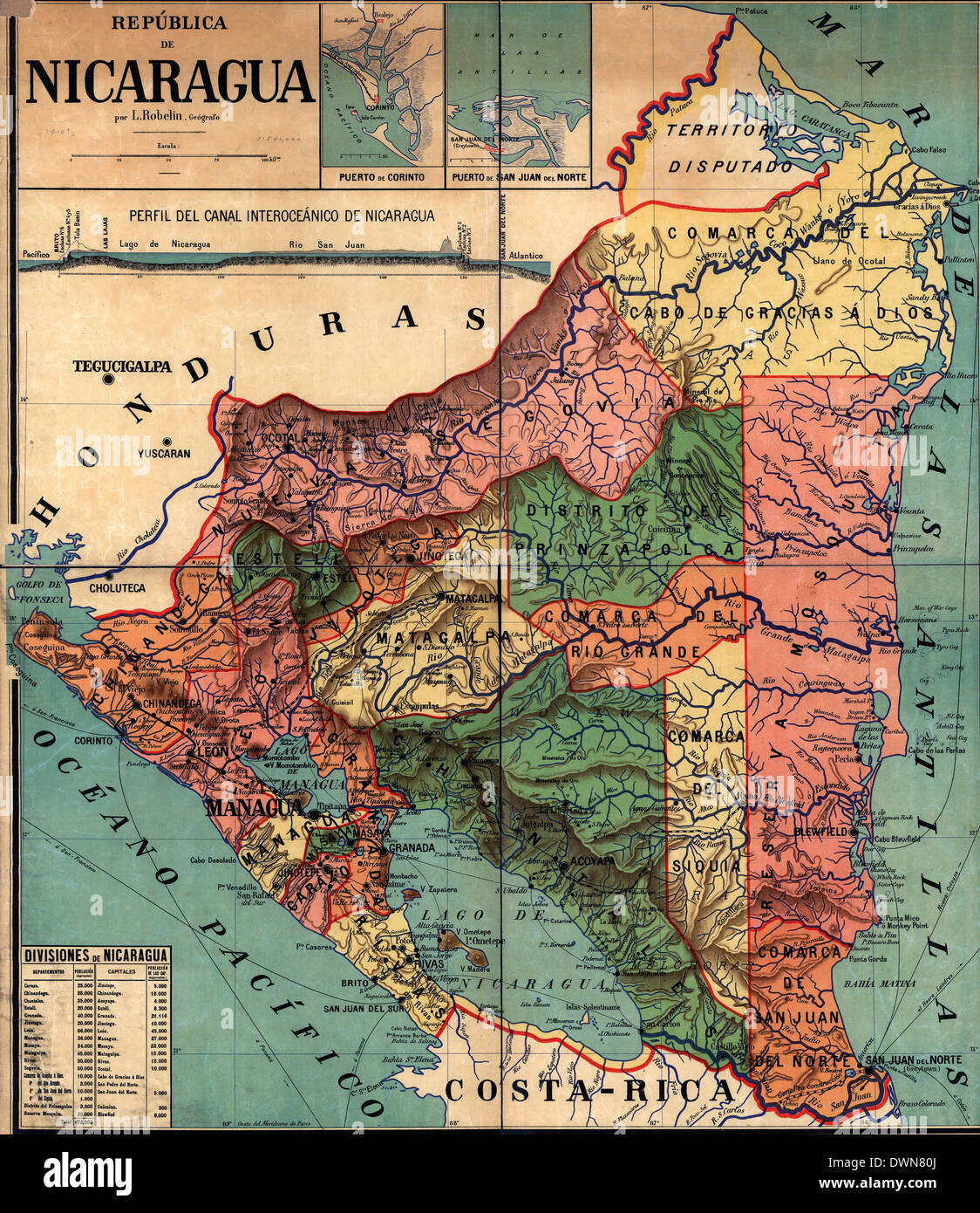 República de Nicaragua, circa 1913 Stock Photohttps://www.alamy.com/image-license-details/?v=1https://www.alamy.com/repblica-de-nicaragua-circa-1913-image67464786.html
RMDWN80J–República de Nicaragua, circa 1913
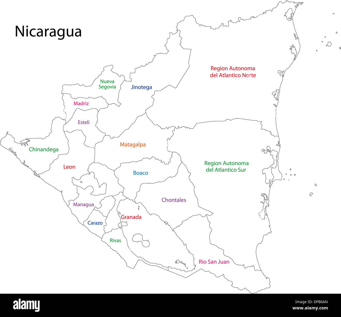 Outline Nicaragua map Stock Photohttps://www.alamy.com/image-license-details/?v=1https://www.alamy.com/outline-nicaragua-map-image61092717.html
RFDFB0AN–Outline Nicaragua map
 Nicaragua on the map of Central America in soft grunge and vintage style, like old paper with watercolor painting. Stock Photohttps://www.alamy.com/image-license-details/?v=1https://www.alamy.com/nicaragua-on-the-map-of-central-america-in-soft-grunge-and-vintage-style-like-old-paper-with-watercolor-painting-image467338126.html
RF2J492FA–Nicaragua on the map of Central America in soft grunge and vintage style, like old paper with watercolor painting.
 Relief map of Nicaragua with shaded relief. Stock Photohttps://www.alamy.com/image-license-details/?v=1https://www.alamy.com/stock-photo-relief-map-of-nicaragua-with-shaded-relief-112676188.html
RFGF8RHG–Relief map of Nicaragua with shaded relief.
 A 3D rendering of a golden Nicaragua map isolated on black background Stock Photohttps://www.alamy.com/image-license-details/?v=1https://www.alamy.com/a-3d-rendering-of-a-golden-nicaragua-map-isolated-on-black-background-image502453893.html
RF2M5CN1W–A 3D rendering of a golden Nicaragua map isolated on black background
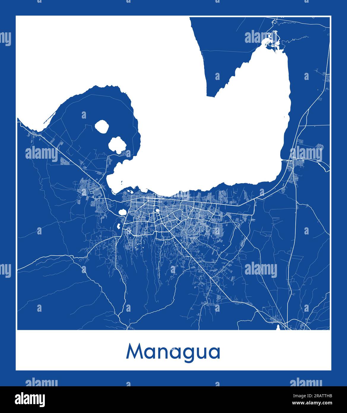 Managua Nicaragua North America City map blue print vector illustration Stock Vectorhttps://www.alamy.com/image-license-details/?v=1https://www.alamy.com/managua-nicaragua-north-america-city-map-blue-print-vector-illustration-image557424487.html
RF2RATTHB–Managua Nicaragua North America City map blue print vector illustration