Quick filters:
Novi sad map Stock Photos and Images
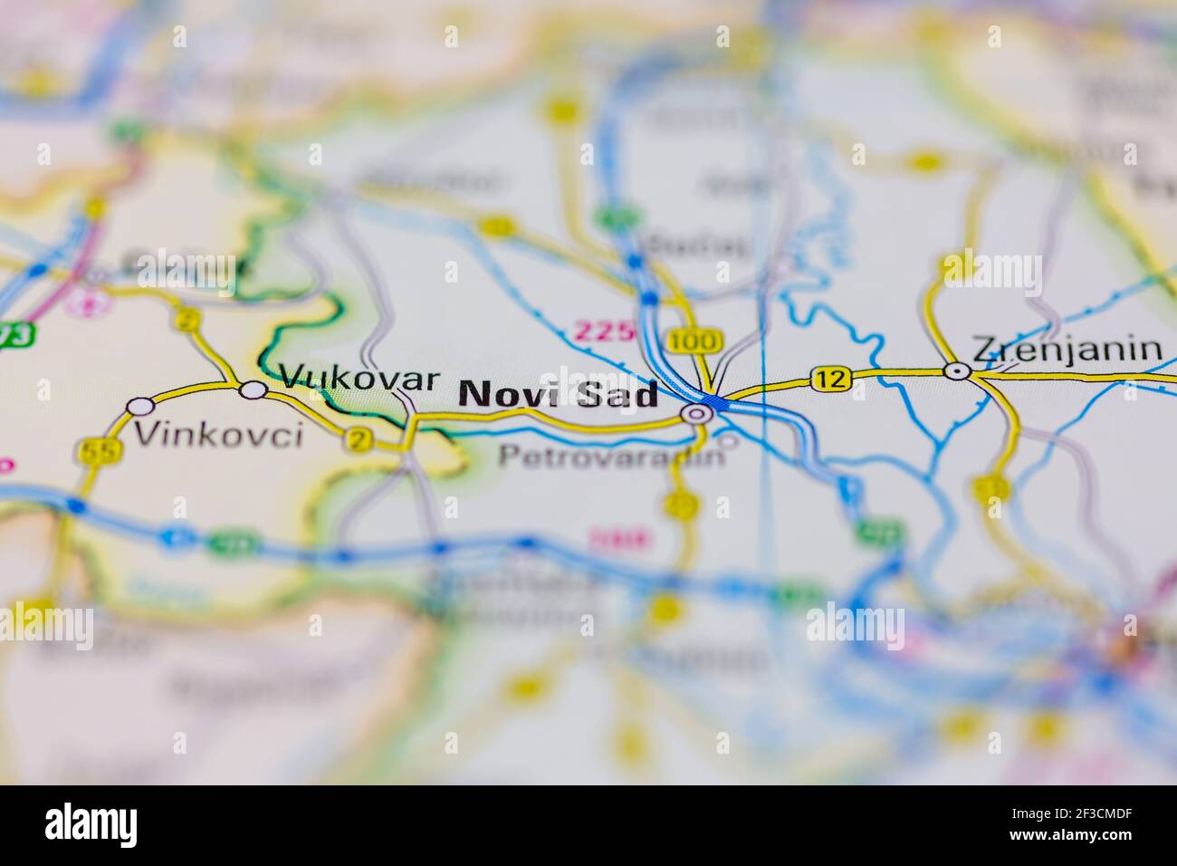 Novi Sad Shown on a geography map or road map Stock Photohttps://www.alamy.com/image-license-details/?v=1https://www.alamy.com/novi-sad-shown-on-a-geography-map-or-road-map-image415172283.html
RM2F3CMDF–Novi Sad Shown on a geography map or road map
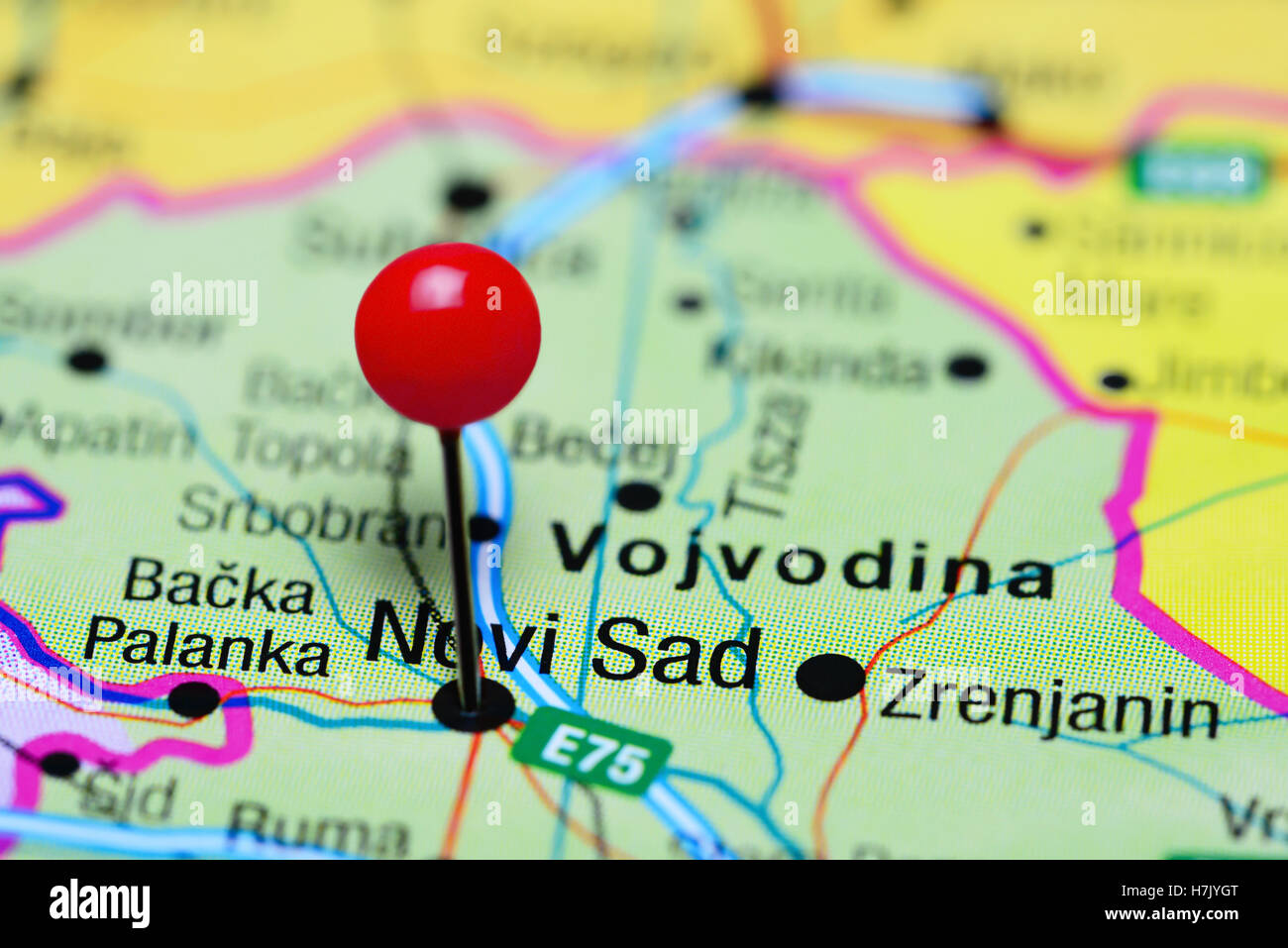 Novi Sad pinned on a map of Serbia Stock Photohttps://www.alamy.com/image-license-details/?v=1https://www.alamy.com/stock-photo-novi-sad-pinned-on-a-map-of-serbia-125191944.html
RFH7JYGT–Novi Sad pinned on a map of Serbia
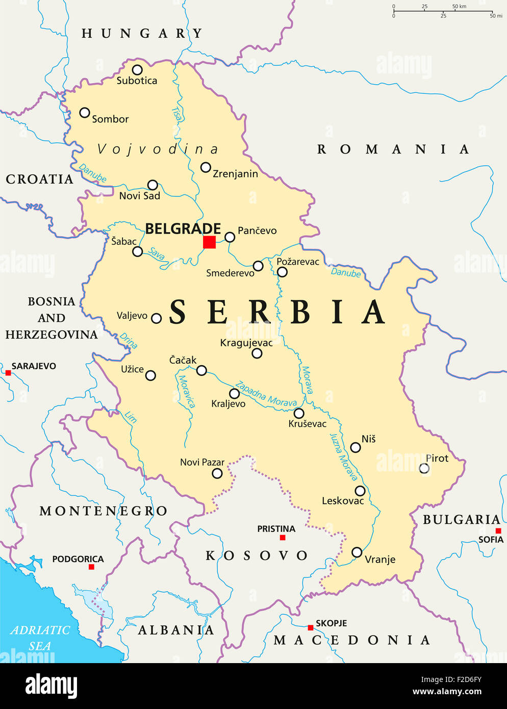 Serbia political map with capital Belgrade, national borders, important cities, rivers and lakes. English labeling and scaling. Stock Photohttps://www.alamy.com/image-license-details/?v=1https://www.alamy.com/stock-photo-serbia-political-map-with-capital-belgrade-national-borders-important-87571679.html
RFF2D6FY–Serbia political map with capital Belgrade, national borders, important cities, rivers and lakes. English labeling and scaling.
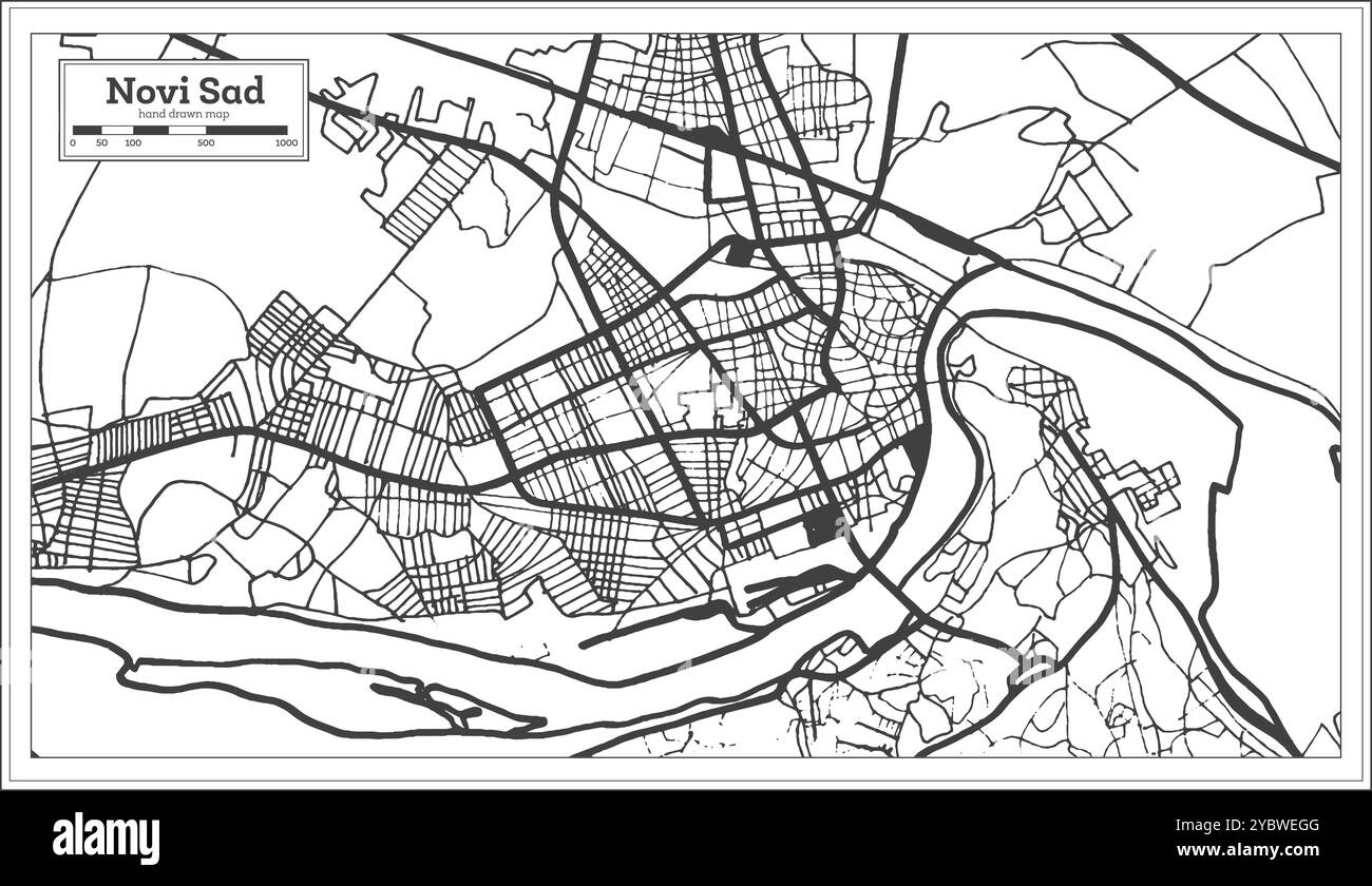 Novi Sad Serbia City Map in Black and White Color in Retro Style. Outline Map. Vector Illustration. Stock Vectorhttps://www.alamy.com/image-license-details/?v=1https://www.alamy.com/novi-sad-serbia-city-map-in-black-and-white-color-in-retro-style-outline-map-vector-illustration-image626894704.html
RF2YBWEGG–Novi Sad Serbia City Map in Black and White Color in Retro Style. Outline Map. Vector Illustration.
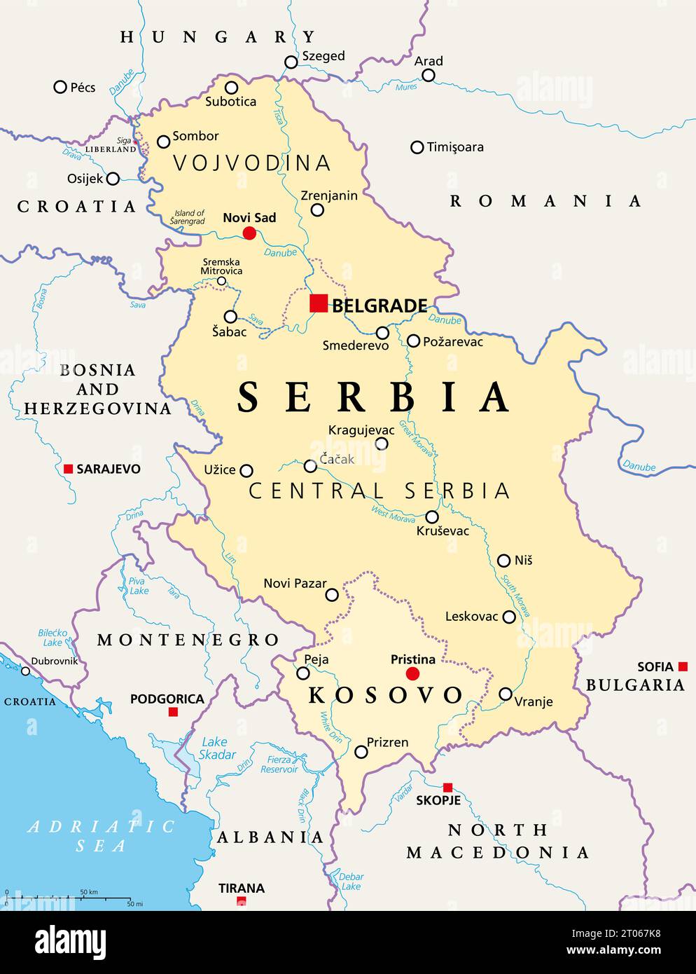 Serbia and Kosovo, landlocked countries in Southeast Europe, political map. Republic of Serbia, with capital Belgrade, and Republic of Kosovo. Stock Photohttps://www.alamy.com/image-license-details/?v=1https://www.alamy.com/serbia-and-kosovo-landlocked-countries-in-southeast-europe-political-map-republic-of-serbia-with-capital-belgrade-and-republic-of-kosovo-image568079884.html
RF2T067K8–Serbia and Kosovo, landlocked countries in Southeast Europe, political map. Republic of Serbia, with capital Belgrade, and Republic of Kosovo.
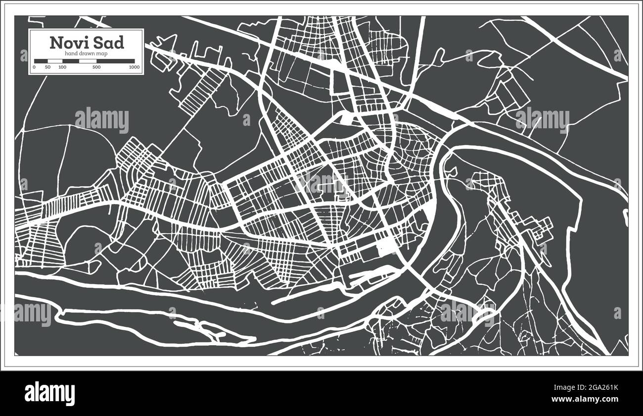 Novi Sad Serbia City Map in Black and White Color in Retro Style. Outline Map. Vector Illustration. Stock Vectorhttps://www.alamy.com/image-license-details/?v=1https://www.alamy.com/novi-sad-serbia-city-map-in-black-and-white-color-in-retro-style-outline-map-vector-illustration-image436454415.html
RF2GA261K–Novi Sad Serbia City Map in Black and White Color in Retro Style. Outline Map. Vector Illustration.
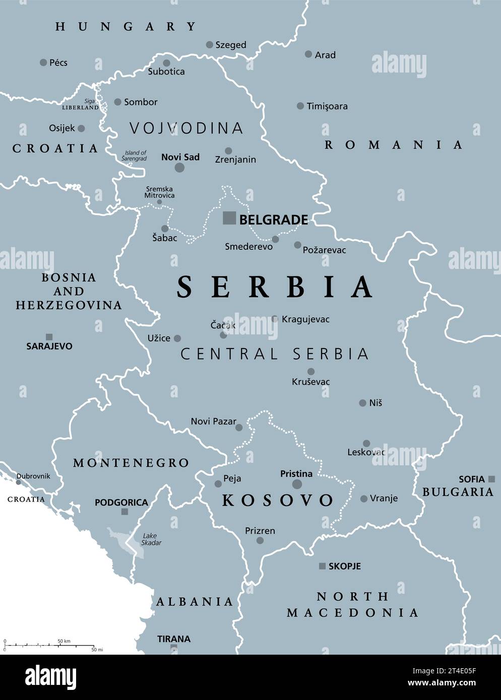 Serbia and Kosovo, landlocked countries in Southeast Europe, gray political map. Republic of Serbia, with capital Belgrade, and Republic of Kosovo. Stock Photohttps://www.alamy.com/image-license-details/?v=1https://www.alamy.com/serbia-and-kosovo-landlocked-countries-in-southeast-europe-gray-political-map-republic-of-serbia-with-capital-belgrade-and-republic-of-kosovo-image570708251.html
RF2T4E05F–Serbia and Kosovo, landlocked countries in Southeast Europe, gray political map. Republic of Serbia, with capital Belgrade, and Republic of Kosovo.
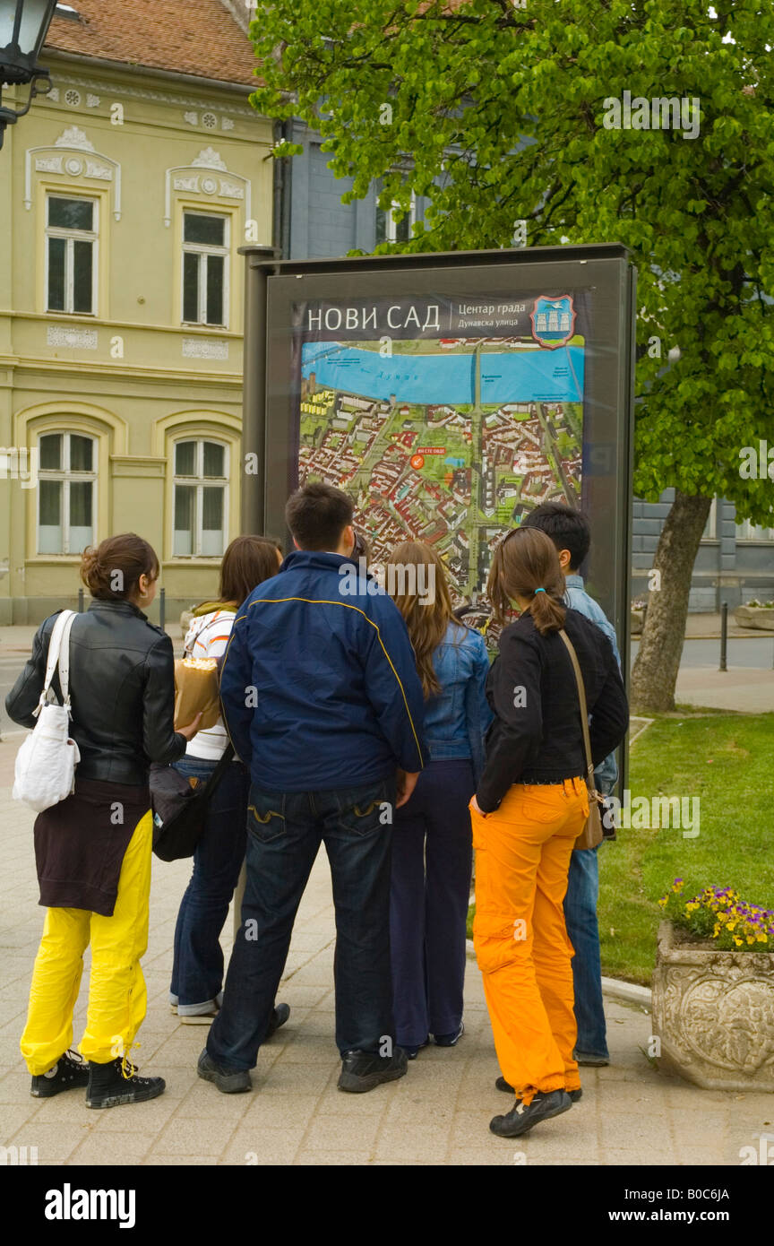 A group of young people looking at the map of Novi Sad Serbia Europe Stock Photohttps://www.alamy.com/image-license-details/?v=1https://www.alamy.com/stock-photo-a-group-of-young-people-looking-at-the-map-of-novi-sad-serbia-europe-17479010.html
RMB0C6JA–A group of young people looking at the map of Novi Sad Serbia Europe
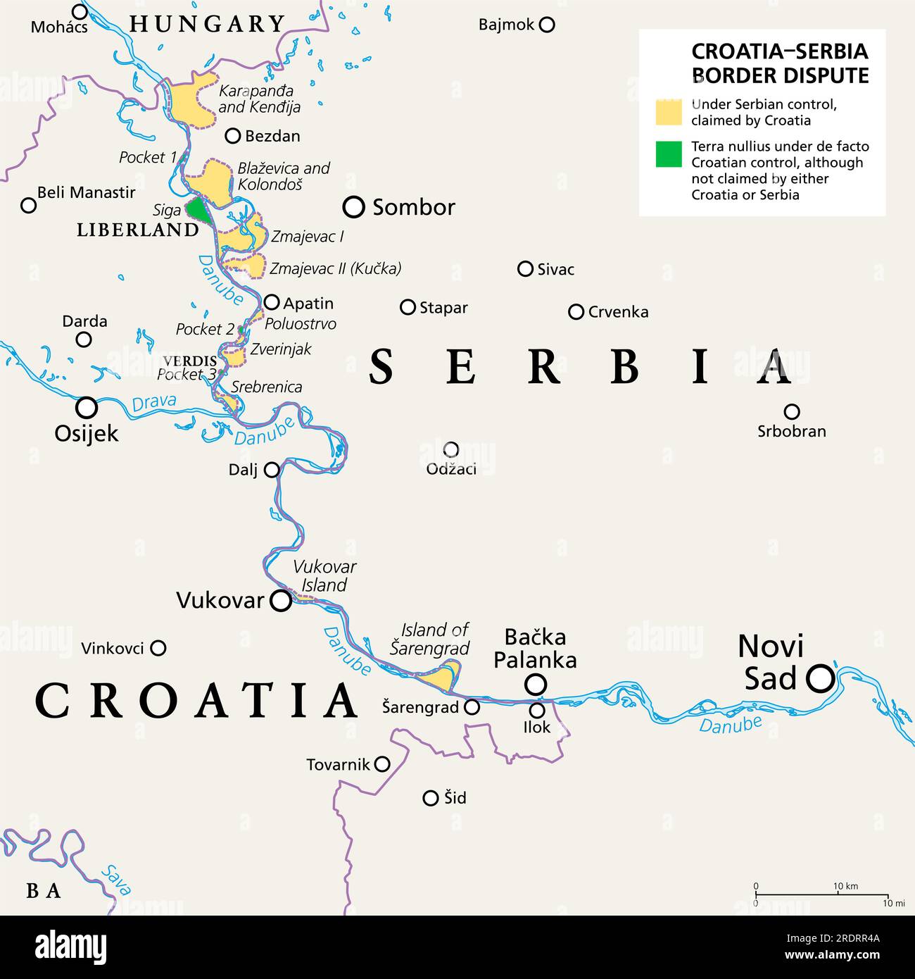 Croatia-Serbia border dispute, political map. Area under Serbian control, claimed by Croatia (yellow). No man's land claimed by Liberland and Verdis. Stock Photohttps://www.alamy.com/image-license-details/?v=1https://www.alamy.com/croatia-serbia-border-dispute-political-map-area-under-serbian-control-claimed-by-croatia-yellow-no-mans-land-claimed-by-liberland-and-verdis-image559245354.html
RF2RDRR4A–Croatia-Serbia border dispute, political map. Area under Serbian control, claimed by Croatia (yellow). No man's land claimed by Liberland and Verdis.
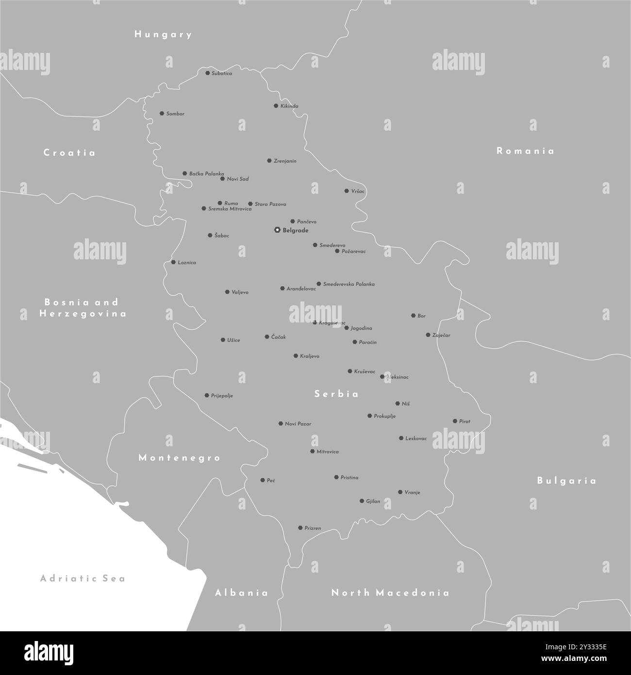 Vector modern illustration. Simplified administrative map of Serbia including Kosovo. Border with nearest states Romania, Bulgaria, Hungary and etc. W Stock Vectorhttps://www.alamy.com/image-license-details/?v=1https://www.alamy.com/vector-modern-illustration-simplified-administrative-map-of-serbia-including-kosovo-border-with-nearest-states-romania-bulgaria-hungary-and-etc-w-image621485578.html
RF2Y3335E–Vector modern illustration. Simplified administrative map of Serbia including Kosovo. Border with nearest states Romania, Bulgaria, Hungary and etc. W
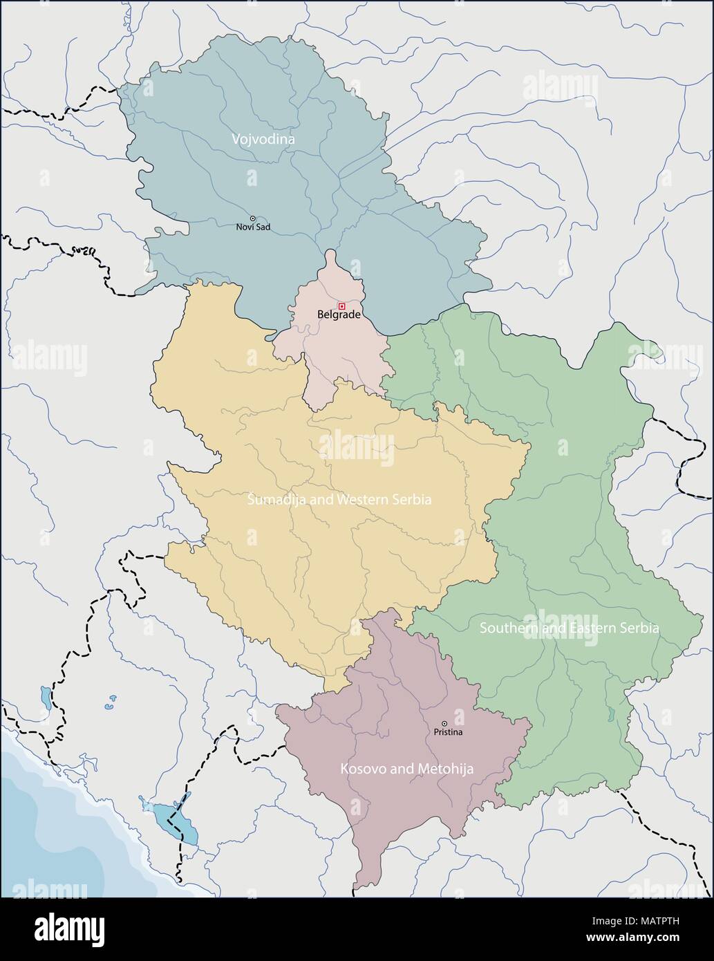 Map of Serbia Stock Vectorhttps://www.alamy.com/image-license-details/?v=1https://www.alamy.com/map-of-serbia-image178795025.html
RFMATPTH–Map of Serbia
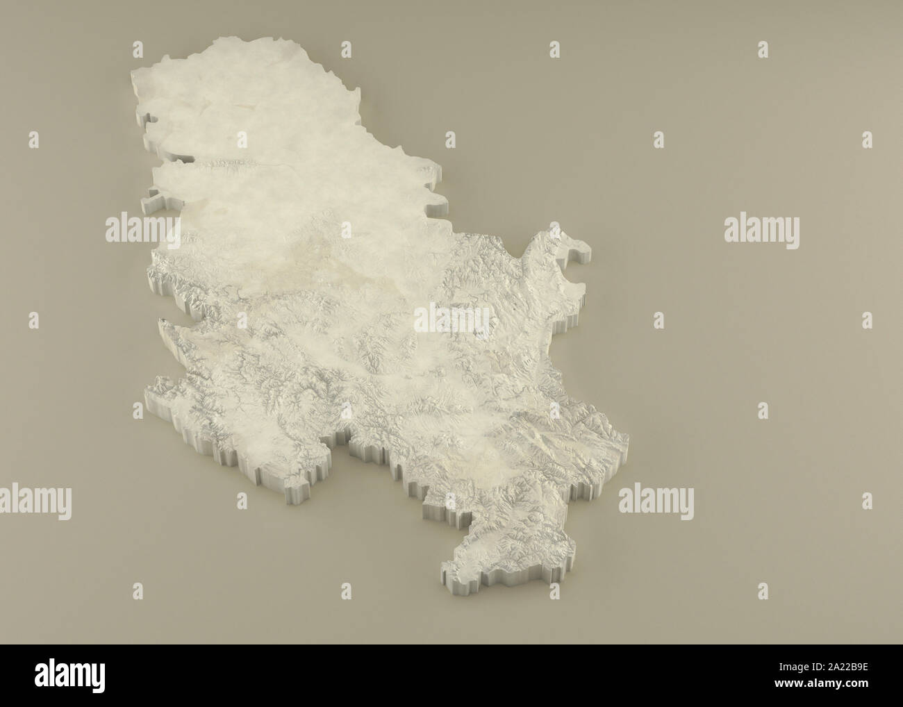 Extruded 3D political Map of Serbia with relief as marble sculpture on a light beige background Stock Photohttps://www.alamy.com/image-license-details/?v=1https://www.alamy.com/extruded-3d-political-map-of-serbia-with-relief-as-marble-sculpture-on-a-light-beige-background-image328279098.html
RF2A22B9E–Extruded 3D political Map of Serbia with relief as marble sculpture on a light beige background
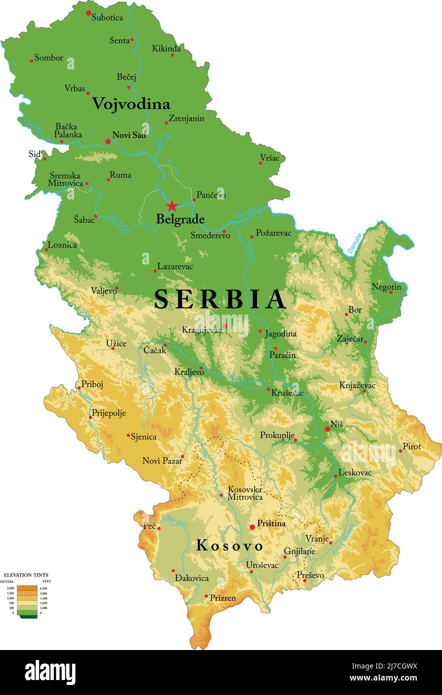 Highly detailed physical map of the Serbia, in vector format,with all the relief forms,regions and big cities. Stock Vectorhttps://www.alamy.com/image-license-details/?v=1https://www.alamy.com/highly-detailed-physical-map-of-the-serbia-in-vector-formatwith-all-the-relief-formsregions-and-big-cities-image469259222.html
RF2J7CGWX–Highly detailed physical map of the Serbia, in vector format,with all the relief forms,regions and big cities.
 Young adult couple travellers with paper map in hands looking at historical attraction. Stock Photohttps://www.alamy.com/image-license-details/?v=1https://www.alamy.com/young-adult-couple-travellers-with-paper-map-in-hands-looking-at-historical-attraction-image561383196.html
RF2RH95YT–Young adult couple travellers with paper map in hands looking at historical attraction.
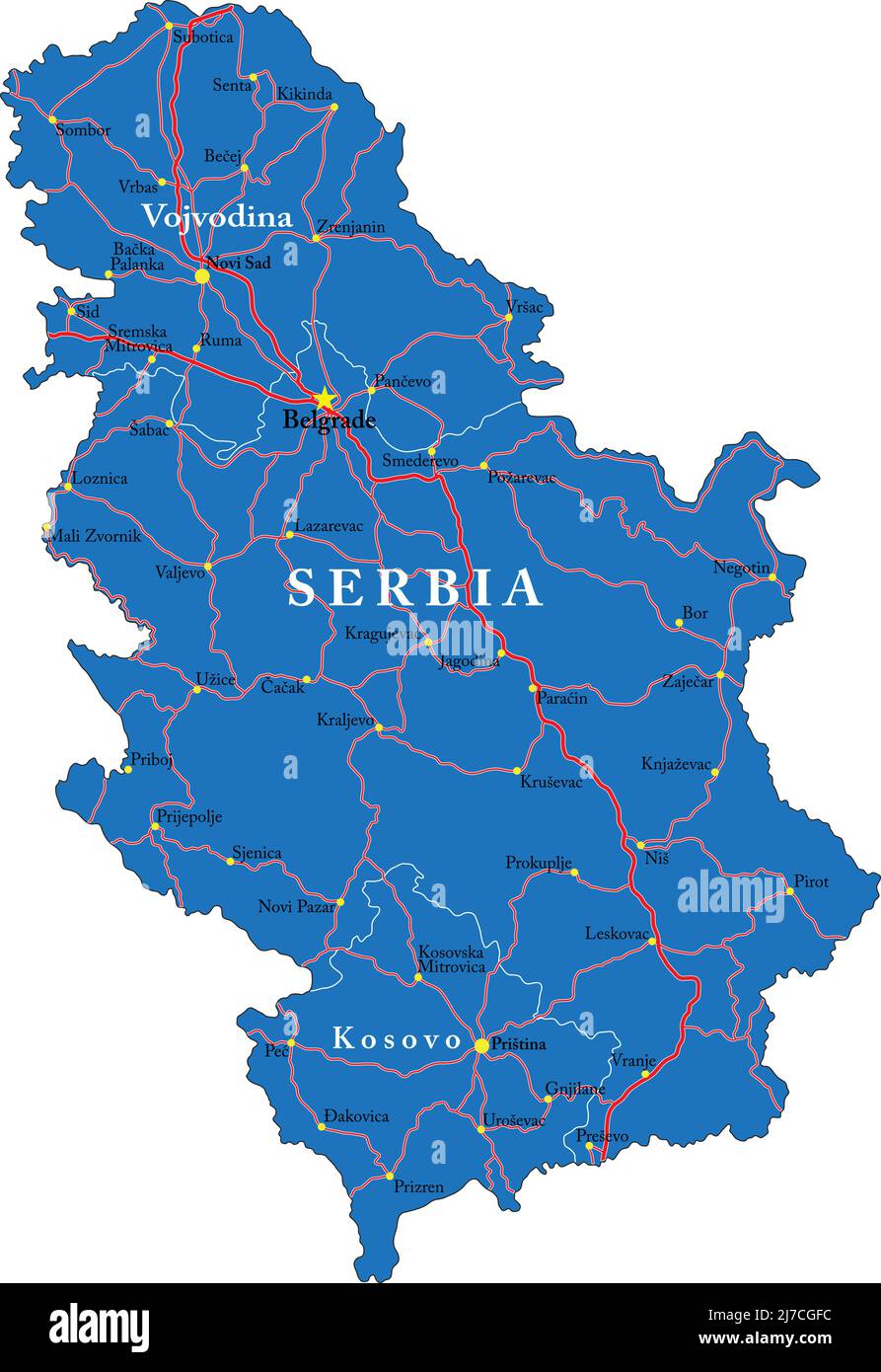 Highly detailed vector map of Serbia with administrative regions,main cities and roads. Stock Vectorhttps://www.alamy.com/image-license-details/?v=1https://www.alamy.com/highly-detailed-vector-map-of-serbia-with-administrative-regionsmain-cities-and-roads-image469258928.html
RF2J7CGFC–Highly detailed vector map of Serbia with administrative regions,main cities and roads.
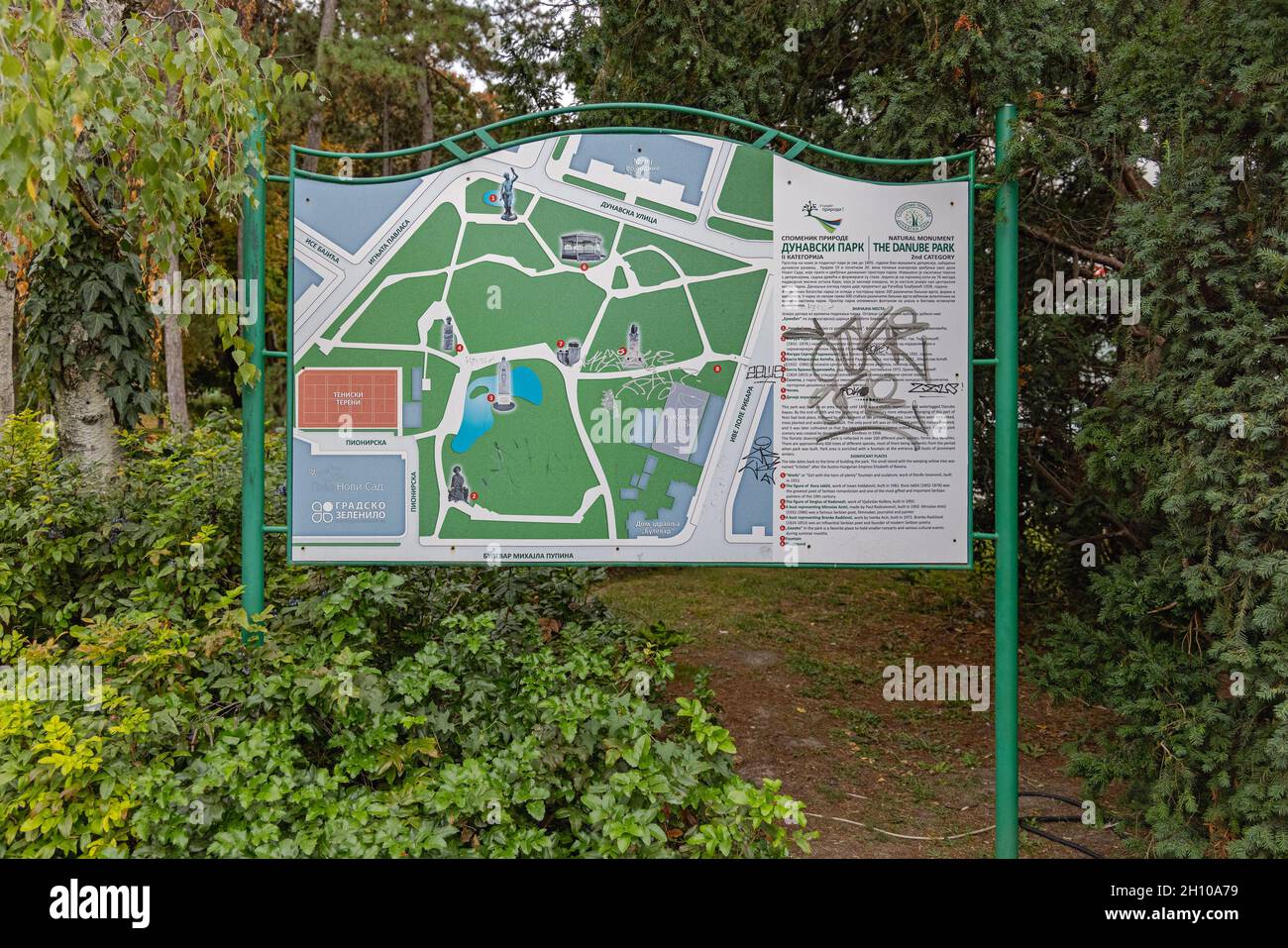 Novi Sad, Serbia - September 21, 2021: Map of Danube Park Natural Monument in Novi Sad. Stock Photohttps://www.alamy.com/image-license-details/?v=1https://www.alamy.com/novi-sad-serbia-september-21-2021-map-of-danube-park-natural-monument-in-novi-sad-image448092269.html
RF2H10A79–Novi Sad, Serbia - September 21, 2021: Map of Danube Park Natural Monument in Novi Sad.
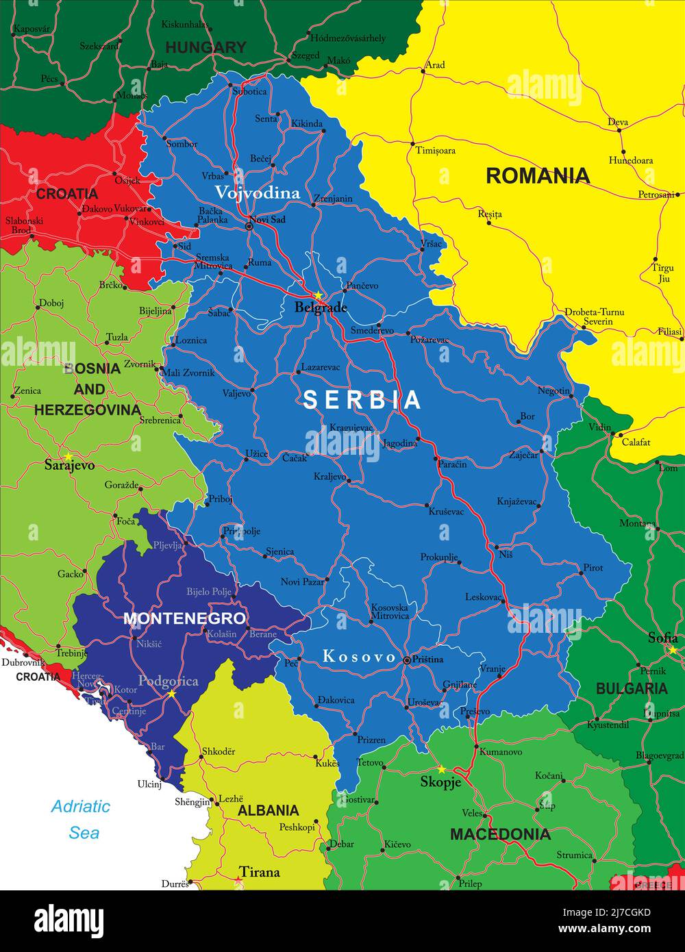 Detailed map of Serbia and Muntenegro.Each file is constructed using multiplelayers including country borders, countynames, main roads and a highly de Stock Vectorhttps://www.alamy.com/image-license-details/?v=1https://www.alamy.com/detailed-map-of-serbia-and-muntenegroeach-file-is-constructed-using-multiplelayers-including-country-borders-countynames-main-roads-and-a-highly-de-image469259041.html
RF2J7CGKD–Detailed map of Serbia and Muntenegro.Each file is constructed using multiplelayers including country borders, countynames, main roads and a highly de
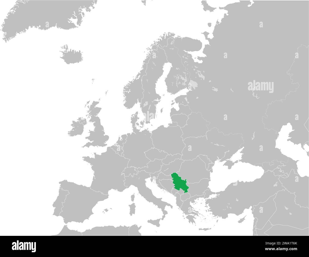
RF2F7JKM9–Novi Sad Old Town Icons in Flat
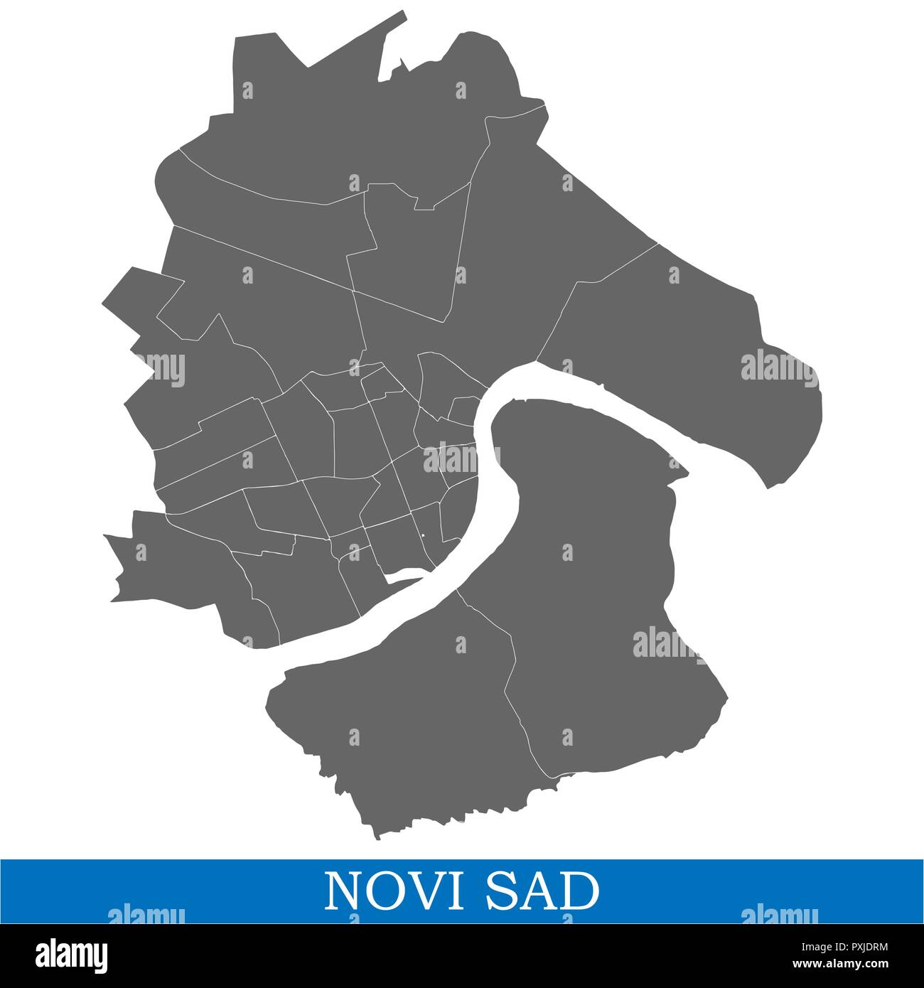 High Quality map of Novi Sad is a city of Serbia, with borders of districts Stock Vectorhttps://www.alamy.com/image-license-details/?v=1https://www.alamy.com/high-quality-map-of-novi-sad-is-a-city-of-serbia-with-borders-of-districts-image222911464.html
RFPXJDRM–High Quality map of Novi Sad is a city of Serbia, with borders of districts
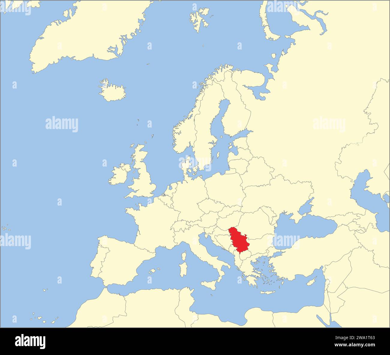 Location map of the REPUBLIC OF SERBIA, EUROPE Stock Vectorhttps://www.alamy.com/image-license-details/?v=1https://www.alamy.com/location-map-of-the-republic-of-serbia-europe-image591340011.html
RF2WA1T63–Location map of the REPUBLIC OF SERBIA, EUROPE
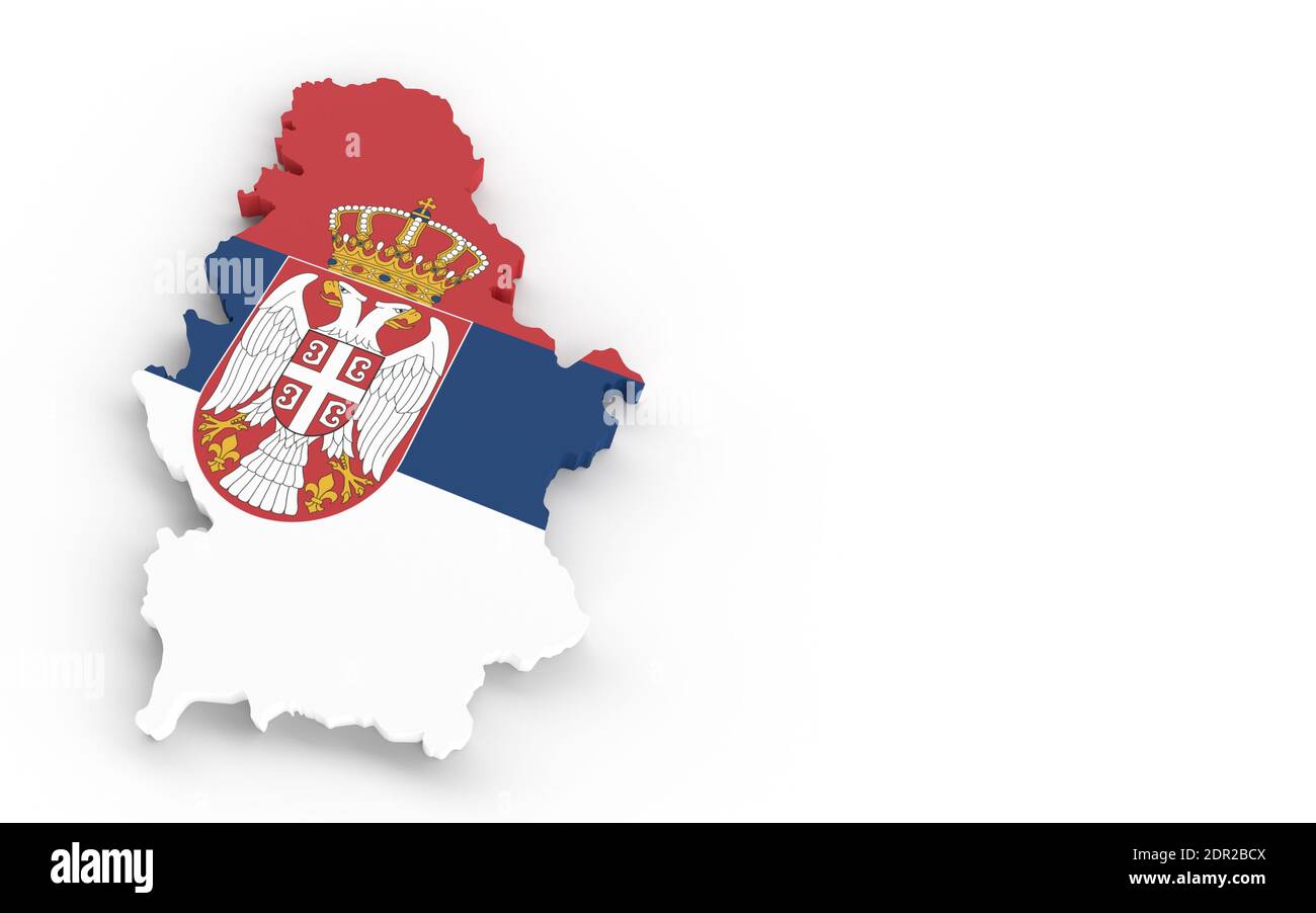 Serbia map with Serbian flag 3D rendering Stock Photohttps://www.alamy.com/image-license-details/?v=1https://www.alamy.com/serbia-map-with-serbian-flag-3d-rendering-image392818074.html
RF2DR2BCX–Serbia map with Serbian flag 3D rendering
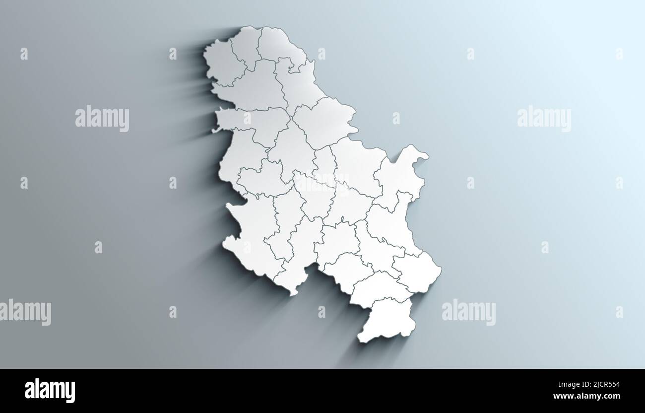 Geographical Map of Serbia with Districts with Regions with Shadows Stock Photohttps://www.alamy.com/image-license-details/?v=1https://www.alamy.com/geographical-map-of-serbia-with-districts-with-regions-with-shadows-image472564768.html
RF2JCR554–Geographical Map of Serbia with Districts with Regions with Shadows
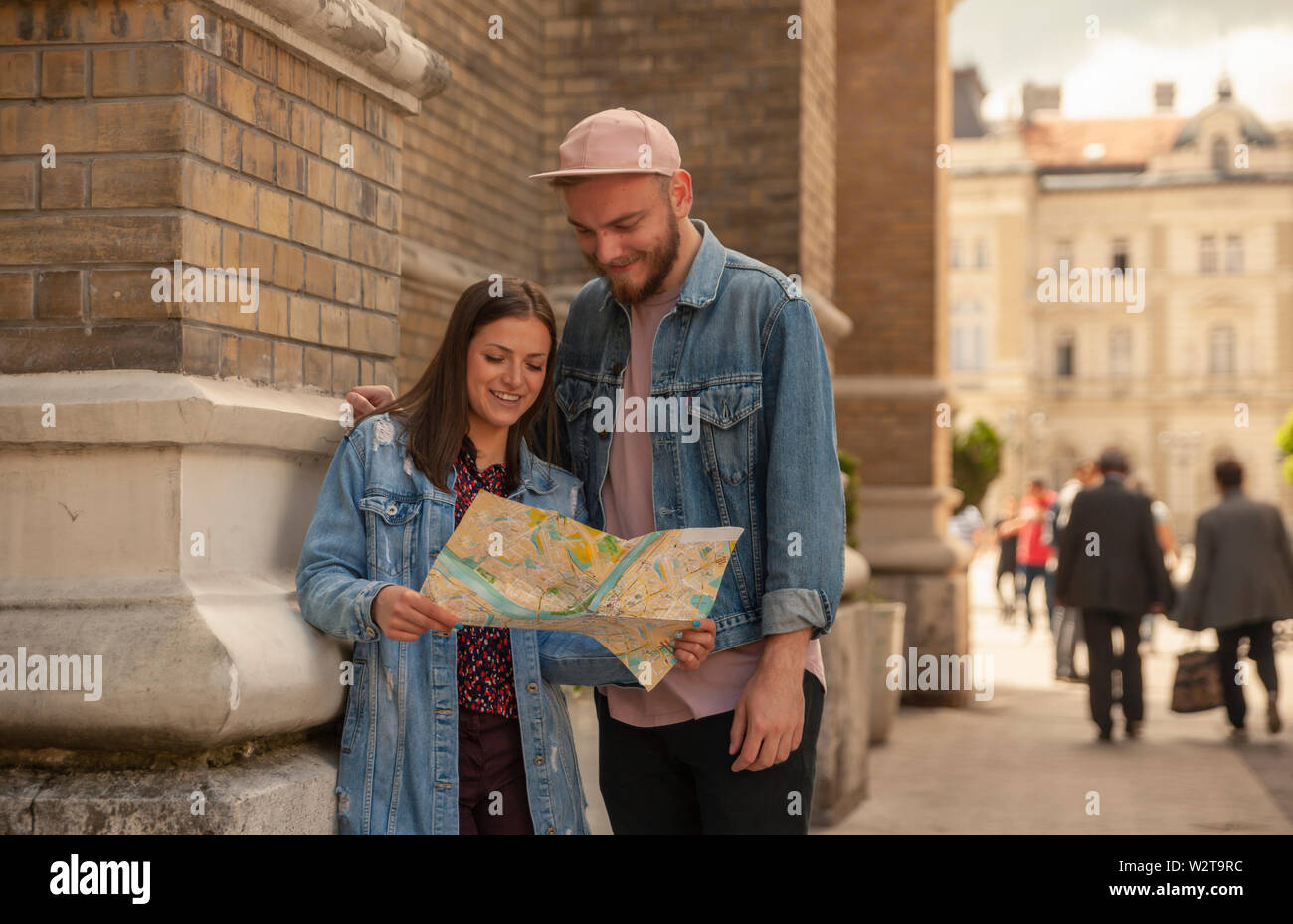 two friends or couple, searching for a place, on a city map. Location Novi Sad, Serbia. Stock Photohttps://www.alamy.com/image-license-details/?v=1https://www.alamy.com/two-friends-or-couple-searching-for-a-place-on-a-city-map-location-novi-sad-serbia-image259919392.html
RFW2T9RC–two friends or couple, searching for a place, on a city map. Location Novi Sad, Serbia.
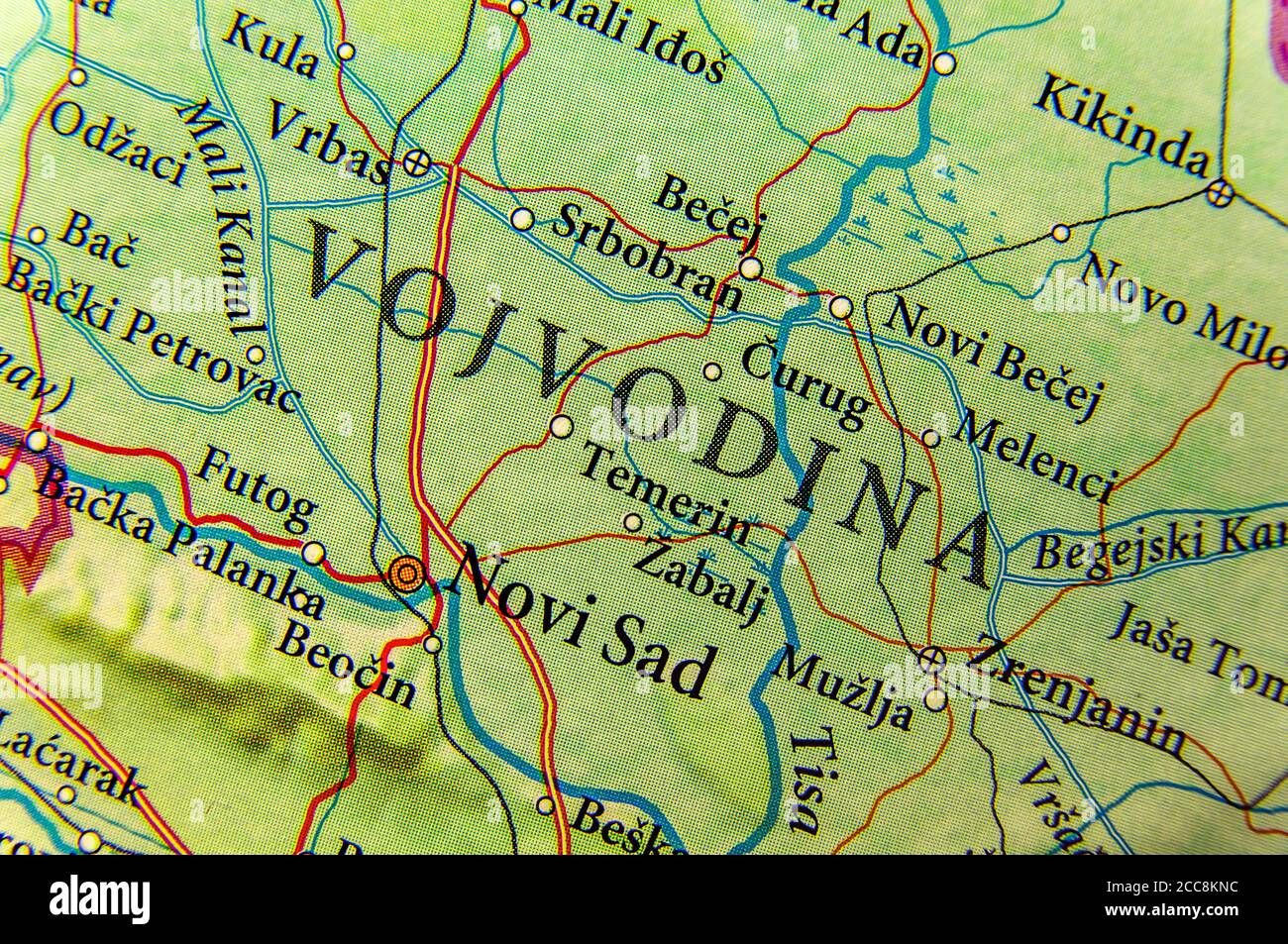 Geographic map of European country Serbia and Vojvodina state autonomy Stock Photohttps://www.alamy.com/image-license-details/?v=1https://www.alamy.com/geographic-map-of-european-country-serbia-and-vojvodina-state-autonomy-image368984712.html
RF2CC8KNC–Geographic map of European country Serbia and Vojvodina state autonomy
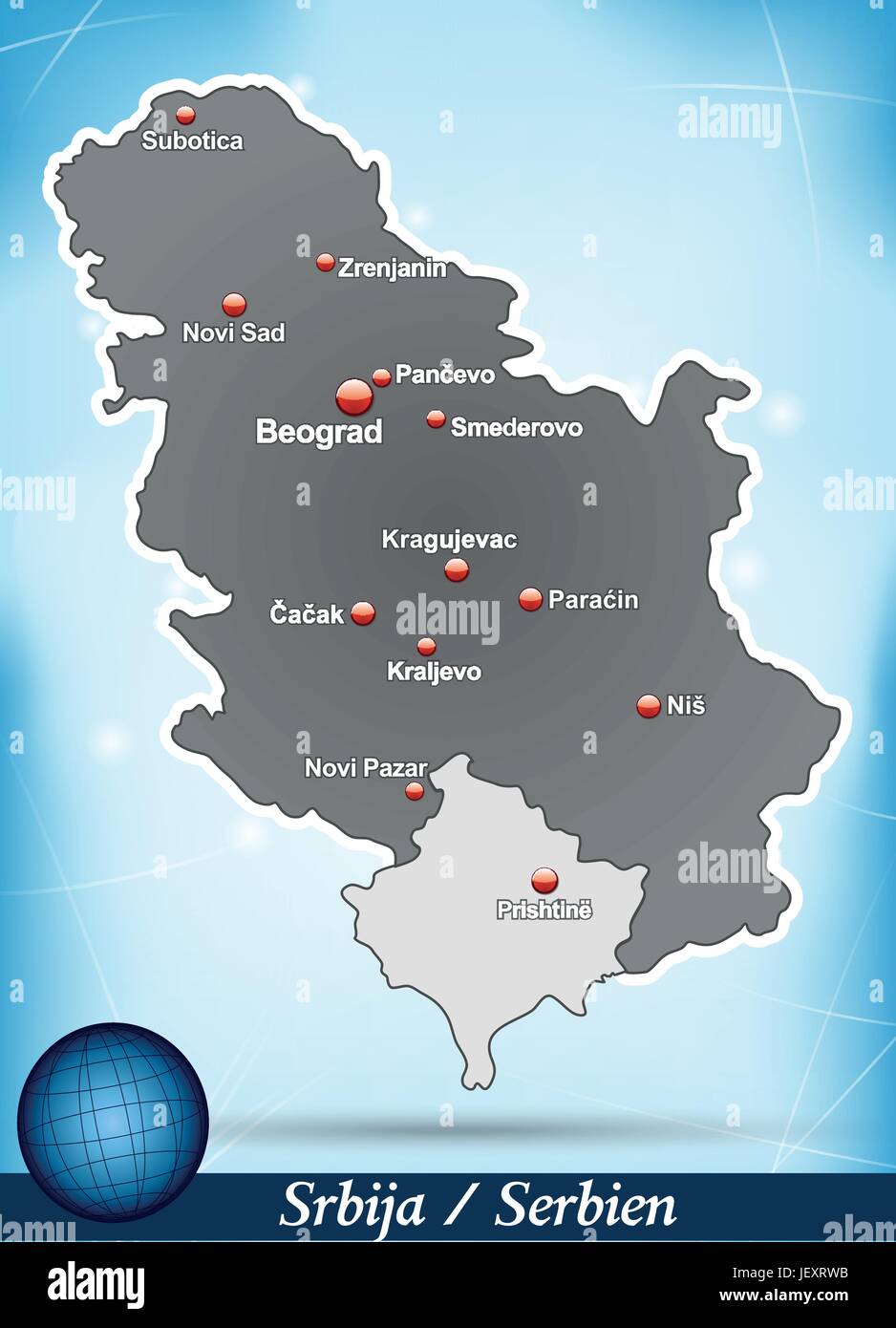 island map of serbia abstract background in blue Stock Vectorhttps://www.alamy.com/image-license-details/?v=1https://www.alamy.com/stock-photo-island-map-of-serbia-abstract-background-in-blue-146877623.html
RFJEXRWB–island map of serbia abstract background in blue
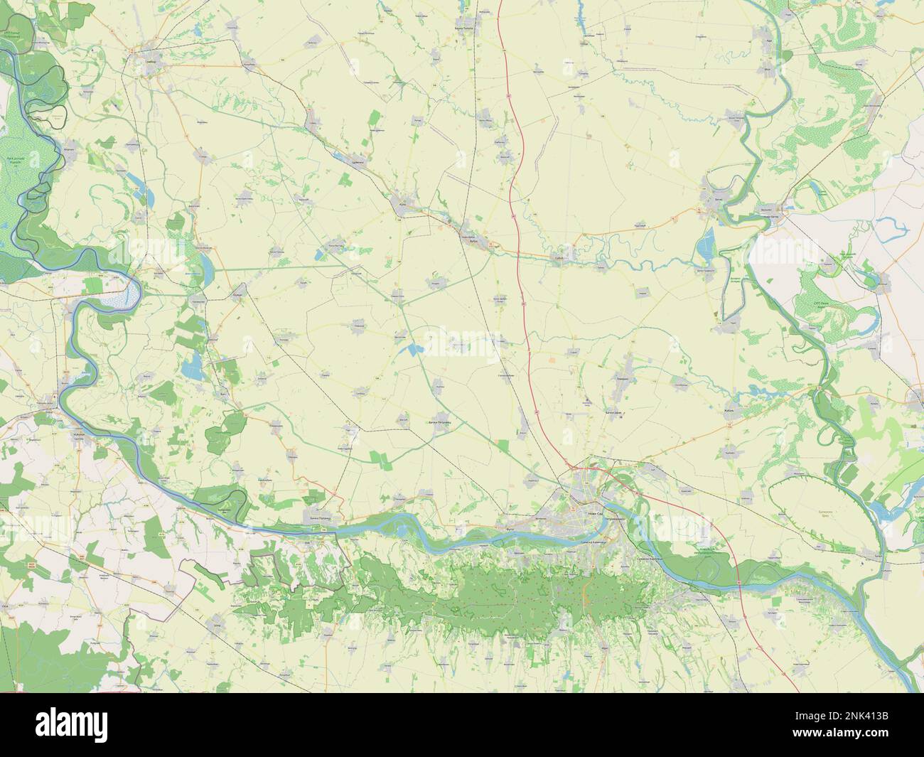 Juzno-Backi, district of Serbia. Open Street Map Stock Photohttps://www.alamy.com/image-license-details/?v=1https://www.alamy.com/juzno-backi-district-of-serbia-open-street-map-image528078191.html
RF2NK413B–Juzno-Backi, district of Serbia. Open Street Map
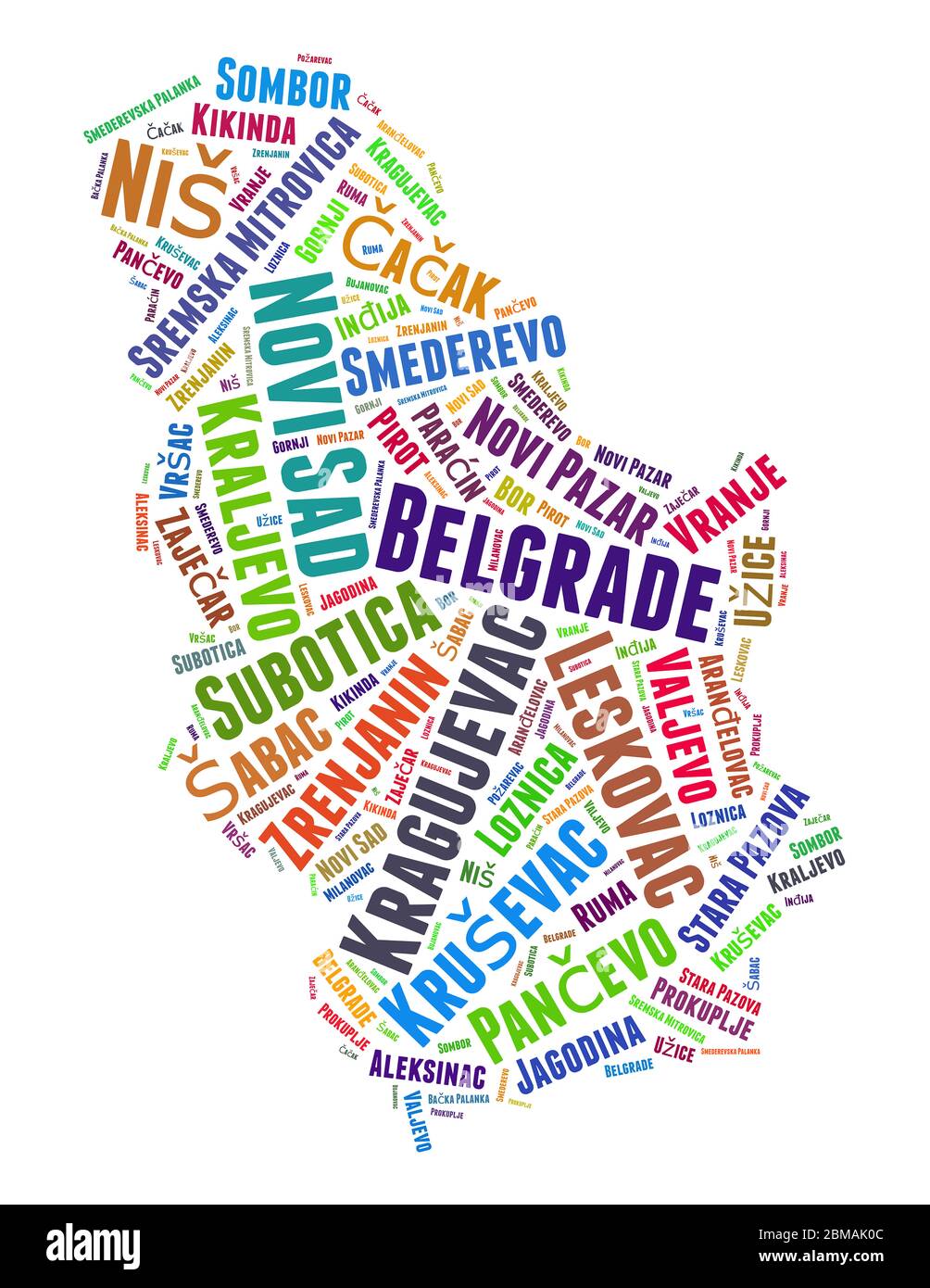 Serbia map and list of cities word cloud concept on white background. Stock Photohttps://www.alamy.com/image-license-details/?v=1https://www.alamy.com/serbia-map-and-list-of-cities-word-cloud-concept-on-white-background-image356734908.html
RF2BMAK0C–Serbia map and list of cities word cloud concept on white background.
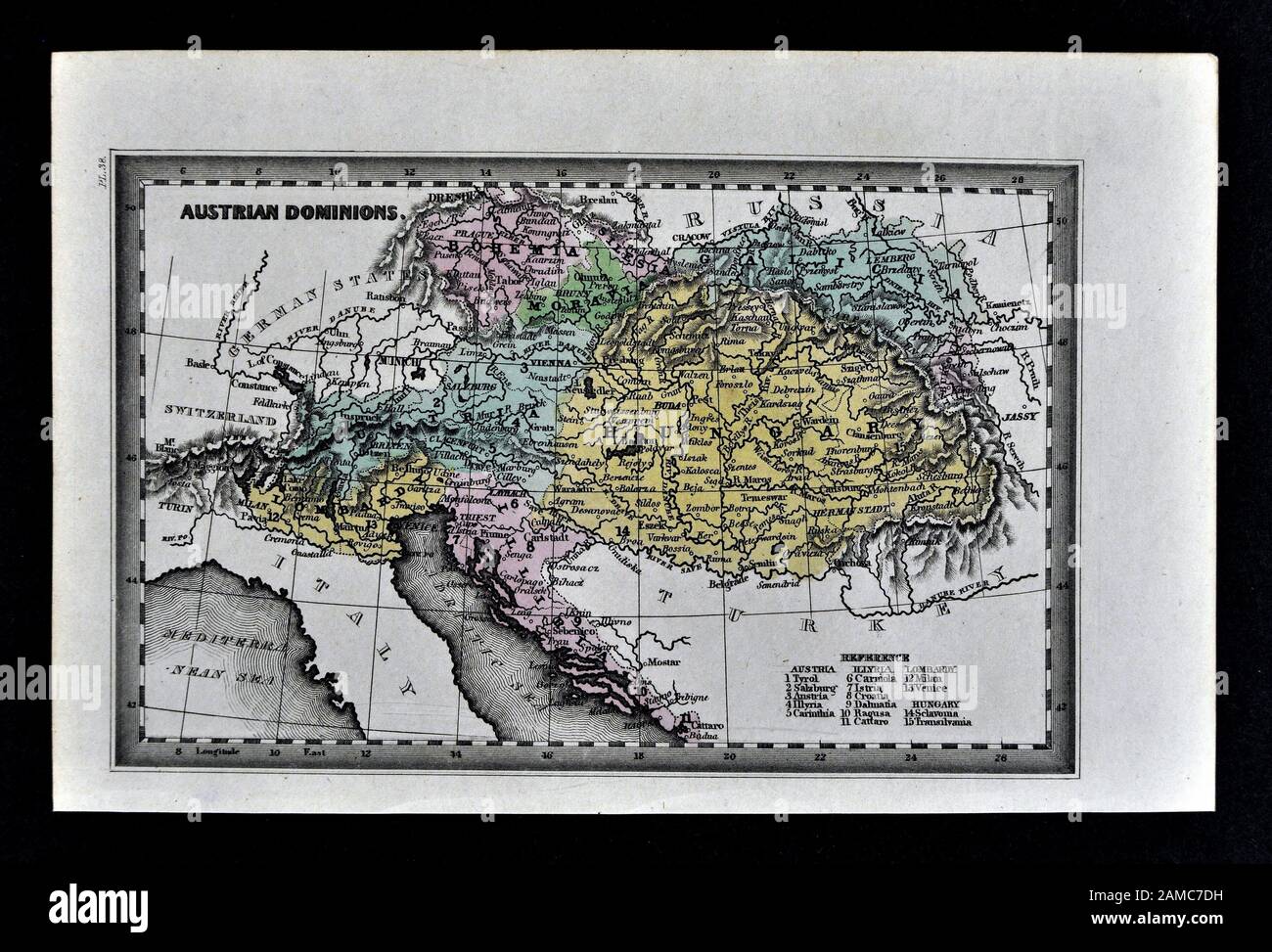 1834 Carey Map of Austria Hungary Empire Vienna Budapest Europe Stock Photohttps://www.alamy.com/image-license-details/?v=1https://www.alamy.com/1834-carey-map-of-austria-hungary-empire-vienna-budapest-europe-image339559405.html
RF2AMC7DH–1834 Carey Map of Austria Hungary Empire Vienna Budapest Europe
 Vector modern illustration. Simplified administrative map of Serbia including Kosovo. Border with nearest states Romania, Bulgaria, Hungary and etc. B Stock Vectorhttps://www.alamy.com/image-license-details/?v=1https://www.alamy.com/vector-modern-illustration-simplified-administrative-map-of-serbia-including-kosovo-border-with-nearest-states-romania-bulgaria-hungary-and-etc-b-image621482730.html
RF2Y32YFP–Vector modern illustration. Simplified administrative map of Serbia including Kosovo. Border with nearest states Romania, Bulgaria, Hungary and etc. B
 Amidst the charm of Novi Sad, a young traveler navigates the city streets, smartphone in hand, exploring its historic landmarks Stock Photohttps://www.alamy.com/image-license-details/?v=1https://www.alamy.com/amidst-the-charm-of-novi-sad-a-young-traveler-navigates-the-city-streets-smartphone-in-hand-exploring-its-historic-landmarks-image597456395.html
RF2WM0DMB–Amidst the charm of Novi Sad, a young traveler navigates the city streets, smartphone in hand, exploring its historic landmarks
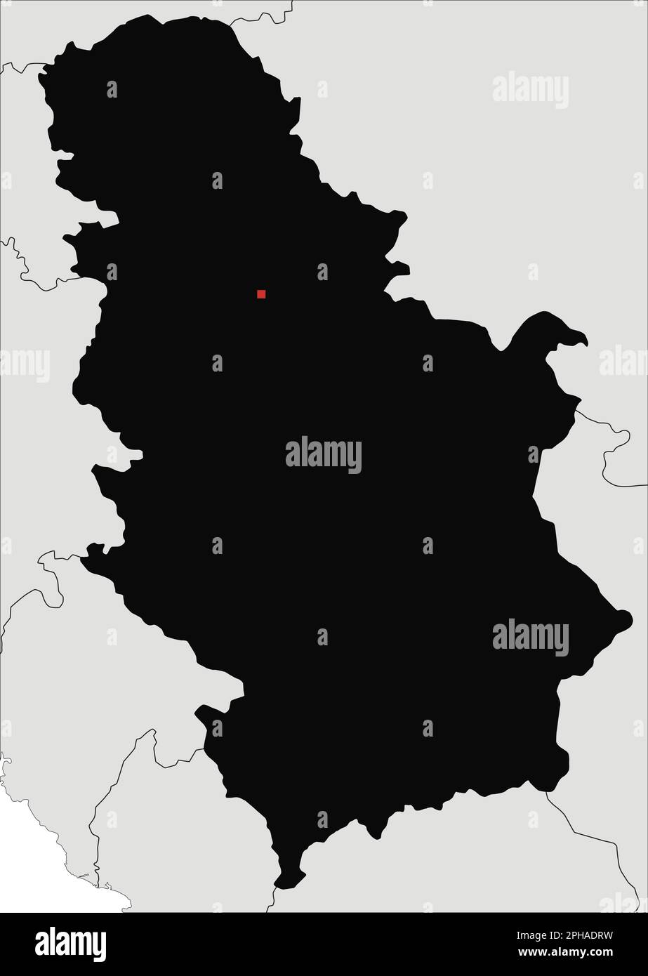 Highly Detailed Serbia Silhouette map. Stock Vectorhttps://www.alamy.com/image-license-details/?v=1https://www.alamy.com/highly-detailed-serbia-silhouette-map-image544200941.html
RF2PHADRW–Highly Detailed Serbia Silhouette map.
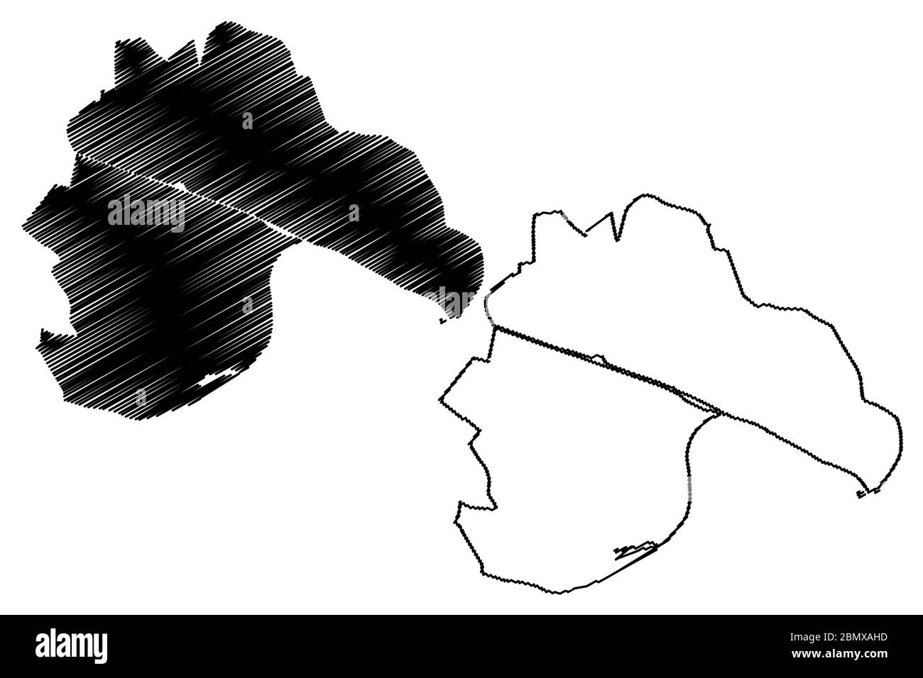 Novi Sad City (Republic of Serbia, Vojvodina) map vector illustration, scribble sketch City of Novi Sad map Stock Vectorhttps://www.alamy.com/image-license-details/?v=1https://www.alamy.com/novi-sad-city-republic-of-serbia-vojvodina-map-vector-illustration-scribble-sketch-city-of-novi-sad-map-image357079561.html
RF2BMXAHD–Novi Sad City (Republic of Serbia, Vojvodina) map vector illustration, scribble sketch City of Novi Sad map
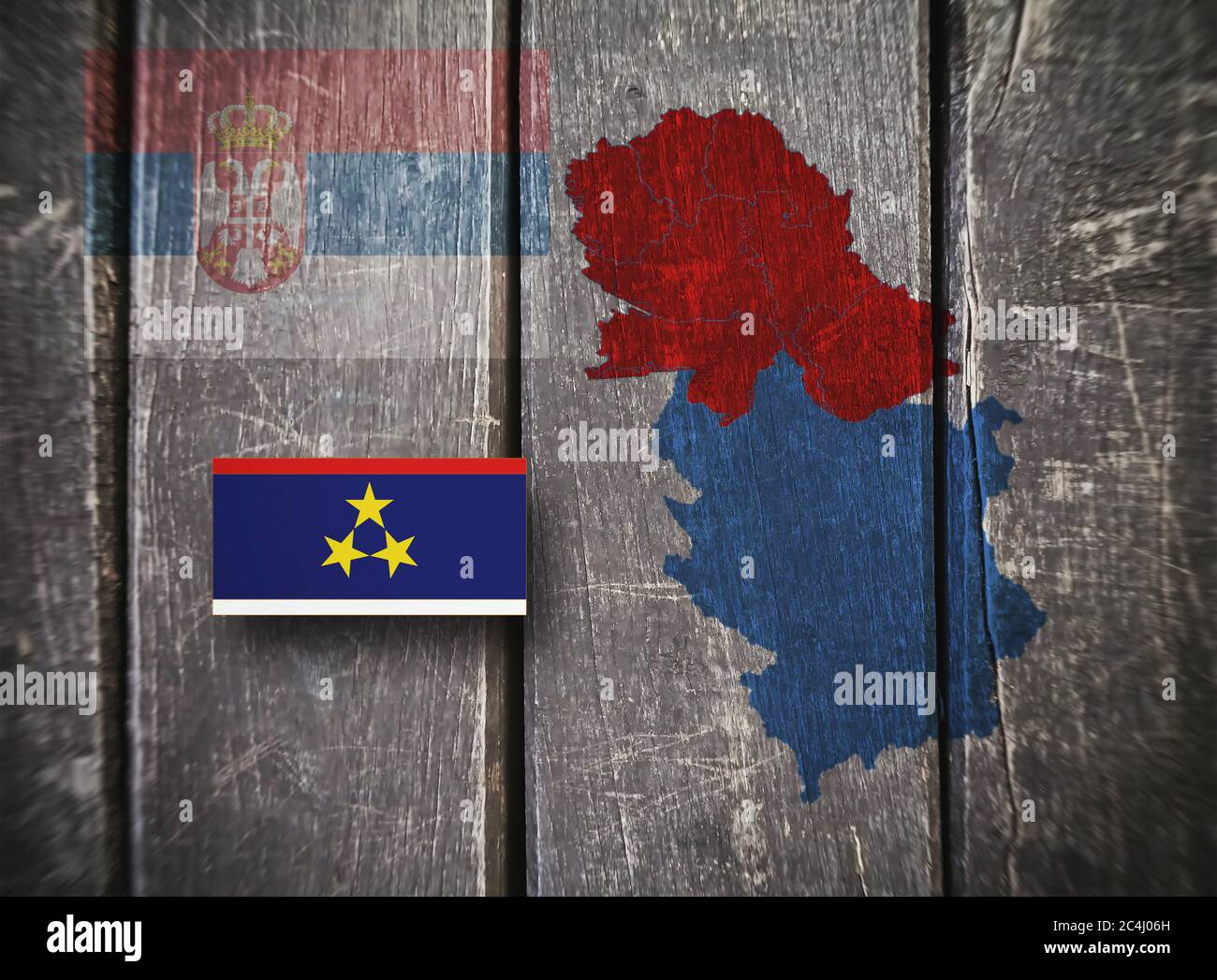 Map and flag of the Autonomous Province of Vojvodina, flag of the Republic of Serbia, on a wooden background, 3D illustration Stock Photohttps://www.alamy.com/image-license-details/?v=1https://www.alamy.com/map-and-flag-of-the-autonomous-province-of-vojvodina-flag-of-the-republic-of-serbia-on-a-wooden-background-3d-illustration-image364271673.html
RF2C4J06H–Map and flag of the Autonomous Province of Vojvodina, flag of the Republic of Serbia, on a wooden background, 3D illustration
 Serbia travel concept map background with planes,tickets. Visit Serbia travel and tourism destination concept. Serbia flag on map. Planes and flights Stock Photohttps://www.alamy.com/image-license-details/?v=1https://www.alamy.com/serbia-travel-concept-map-background-with-planestickets-visit-serbia-travel-and-tourism-destination-concept-serbia-flag-on-map-planes-and-flights-image223387340.html
RFPYC4R8–Serbia travel concept map background with planes,tickets. Visit Serbia travel and tourism destination concept. Serbia flag on map. Planes and flights
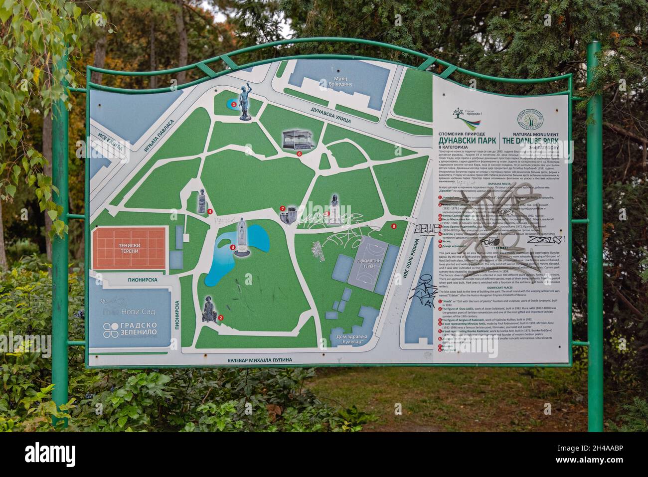 Novi Sad, Serbia - September 21, 2021: Map of Danube Park Natural Monument in Novi Sad. Stock Photohttps://www.alamy.com/image-license-details/?v=1https://www.alamy.com/novi-sad-serbia-september-21-2021-map-of-danube-park-natural-monument-in-novi-sad-image450155882.html
RF2H4AABP–Novi Sad, Serbia - September 21, 2021: Map of Danube Park Natural Monument in Novi Sad.
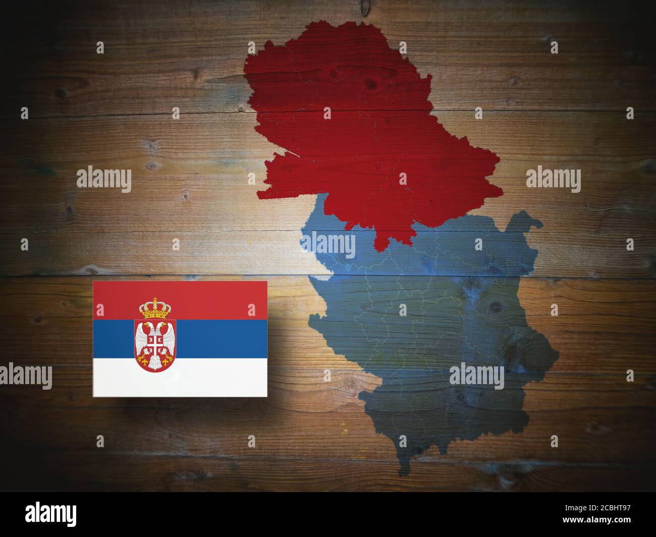 Map of the Republic of Serbia and the Autonomous Province of Vojvodina, flag of the Republic of Serbia, on a wooden background,, 3D illustration Stock Photohttps://www.alamy.com/image-license-details/?v=1https://www.alamy.com/map-of-the-republic-of-serbia-and-the-autonomous-province-of-vojvodina-flag-of-the-republic-of-serbia-on-a-wooden-background-3d-illustration-image368571203.html
RF2CBHT97–Map of the Republic of Serbia and the Autonomous Province of Vojvodina, flag of the Republic of Serbia, on a wooden background,, 3D illustration
 Novi Sad, Serbia - July 26, 2024: Globe World Map and Framed Pictures for Sale at Flea Market Najlon Pijaca Summer Day. Stock Photohttps://www.alamy.com/image-license-details/?v=1https://www.alamy.com/novi-sad-serbia-july-26-2024-globe-world-map-and-framed-pictures-for-sale-at-flea-market-najlon-pijaca-summer-day-image620503932.html
RF2Y1EB2M–Novi Sad, Serbia - July 26, 2024: Globe World Map and Framed Pictures for Sale at Flea Market Najlon Pijaca Summer Day.
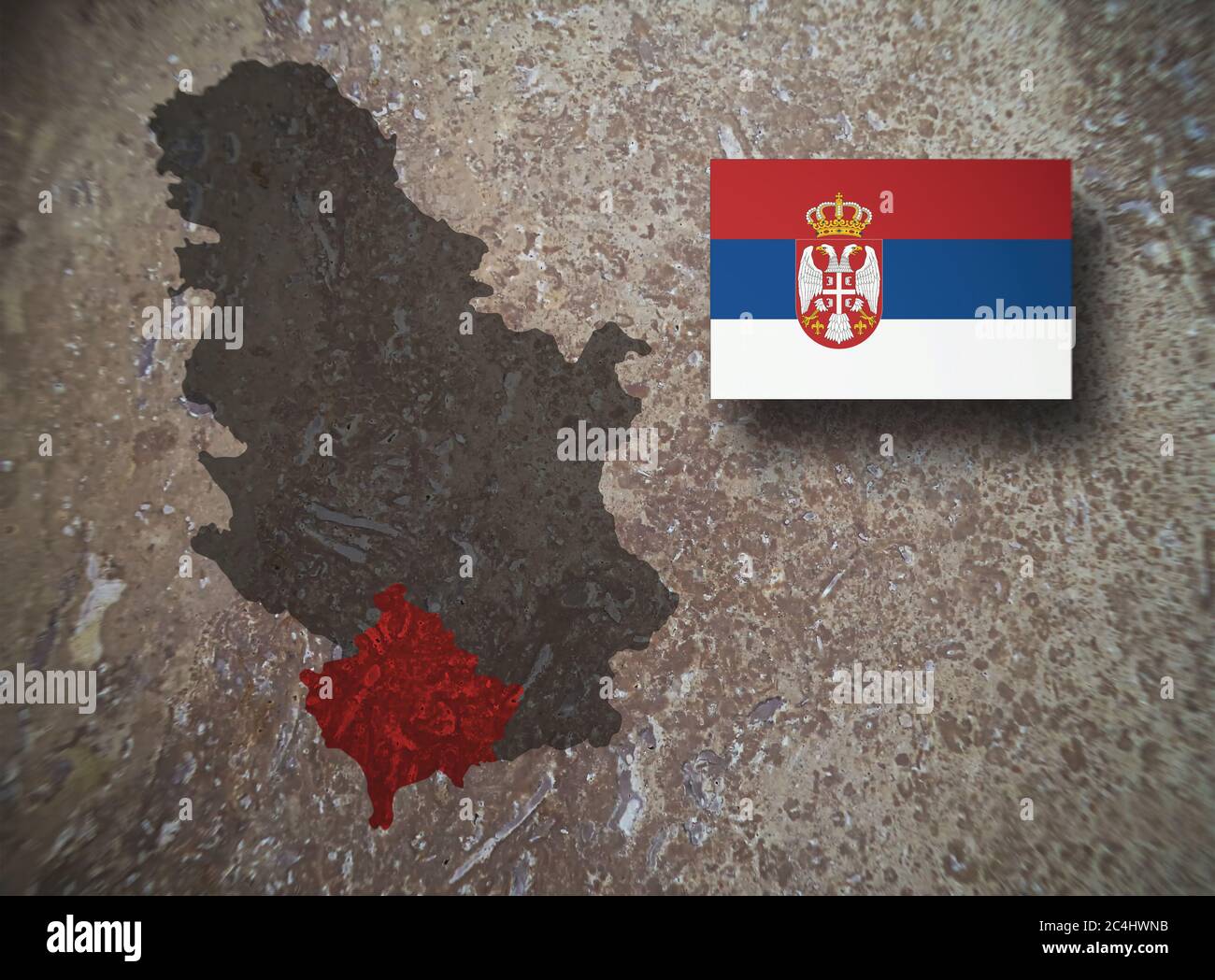 Map of the Republic of Serbia and the Autonomous Province of Kosovo and Metohija, flag of the Republic of Serbia, on a concrete background, 3D illustr Stock Photohttps://www.alamy.com/image-license-details/?v=1https://www.alamy.com/map-of-the-republic-of-serbia-and-the-autonomous-province-of-kosovo-and-metohija-flag-of-the-republic-of-serbia-on-a-concrete-background-3d-illustr-image364269735.html
RF2C4HWNB–Map of the Republic of Serbia and the Autonomous Province of Kosovo and Metohija, flag of the Republic of Serbia, on a concrete background, 3D illustr
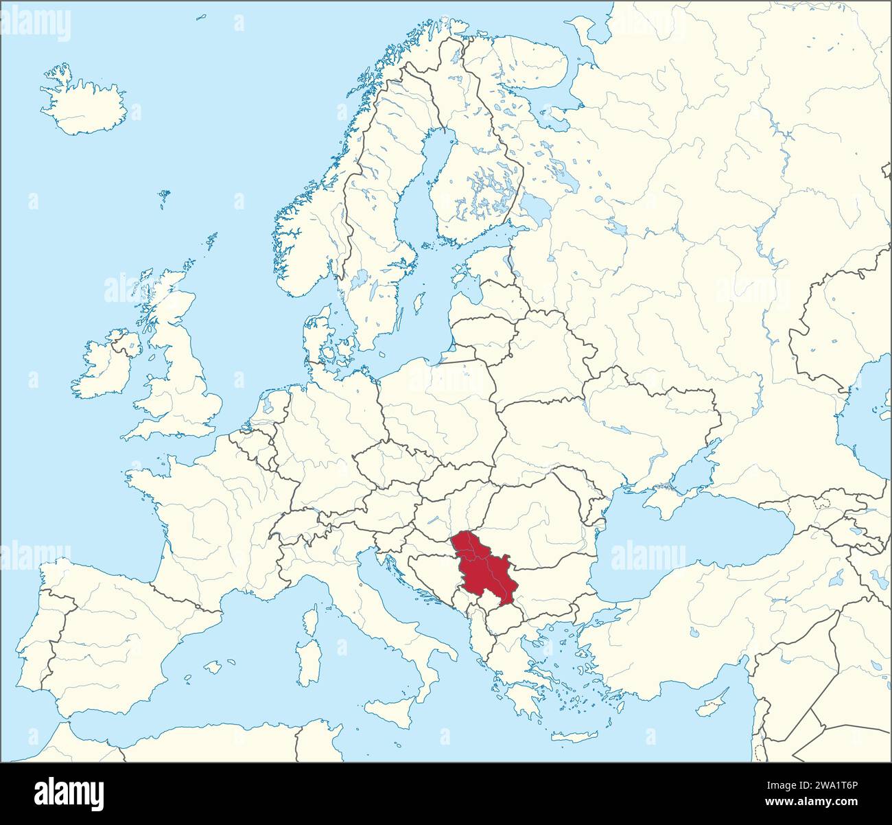 Location map of the REPUBLIC OF SERBIA, EUROPE Stock Vectorhttps://www.alamy.com/image-license-details/?v=1https://www.alamy.com/location-map-of-the-republic-of-serbia-europe-image591340030.html
RF2WA1T6P–Location map of the REPUBLIC OF SERBIA, EUROPE
 Novi Sad, Serbia - May 21, 2022: Company Booth Aldahra From United Arab Emirates at Agriculture Fair Trade Expo. Stock Photohttps://www.alamy.com/image-license-details/?v=1https://www.alamy.com/novi-sad-serbia-may-21-2022-company-booth-aldahra-from-united-arab-emirates-at-agriculture-fair-trade-expo-image472578284.html
RF2JCRPBT–Novi Sad, Serbia - May 21, 2022: Company Booth Aldahra From United Arab Emirates at Agriculture Fair Trade Expo.
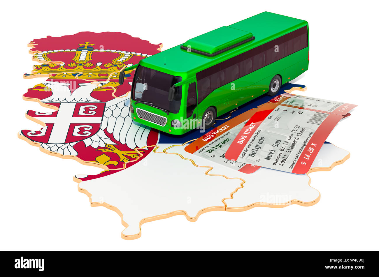 Bus travel in Serbia, concept. 3D rendering isolated on white background Stock Photohttps://www.alamy.com/image-license-details/?v=1https://www.alamy.com/bus-travel-in-serbia-concept-3d-rendering-isolated-on-white-background-image260621386.html
RFW4096J–Bus travel in Serbia, concept. 3D rendering isolated on white background
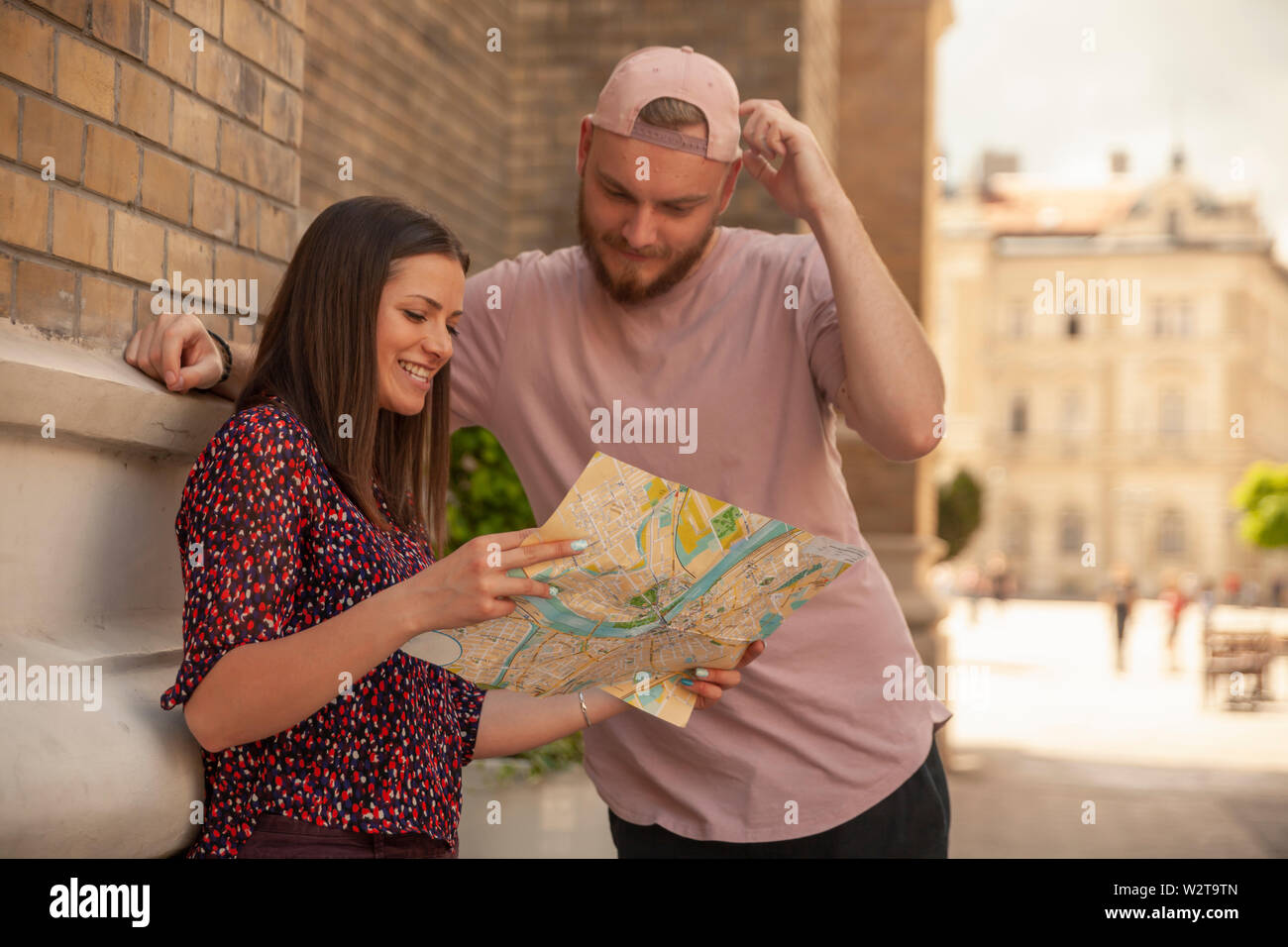 two friends, or couple, looking at a city map, searching for a place. Location Novi Sad, Serbia. Stock Photohttps://www.alamy.com/image-license-details/?v=1https://www.alamy.com/two-friends-or-couple-looking-at-a-city-map-searching-for-a-place-location-novi-sad-serbia-image259919429.html
RFW2T9TN–two friends, or couple, looking at a city map, searching for a place. Location Novi Sad, Serbia.
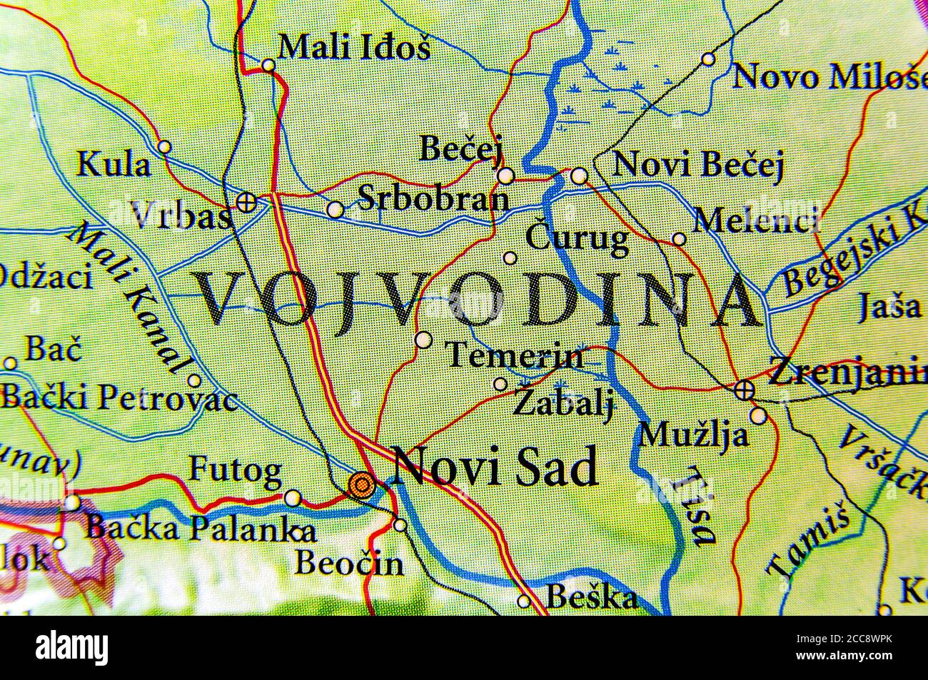 Geographic map of European country Serbia and Vojvodina state autonomy Stock Photohttps://www.alamy.com/image-license-details/?v=1https://www.alamy.com/geographic-map-of-european-country-serbia-and-vojvodina-state-autonomy-image368989451.html
RF2CC8WPK–Geographic map of European country Serbia and Vojvodina state autonomy
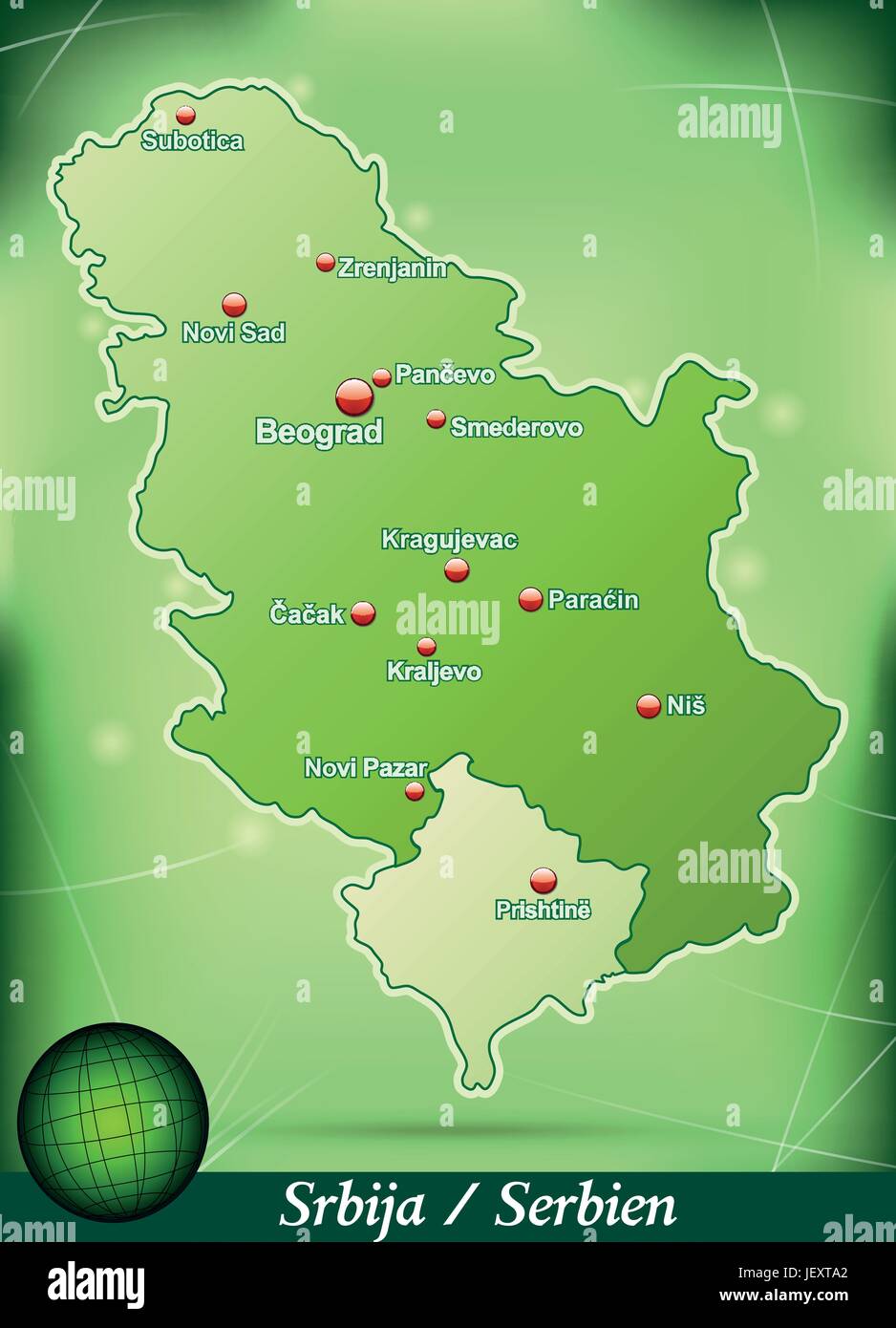 island map of serbia abstract background in green Stock Vectorhttps://www.alamy.com/image-license-details/?v=1https://www.alamy.com/stock-photo-island-map-of-serbia-abstract-background-in-green-146877978.html
RFJEXTA2–island map of serbia abstract background in green
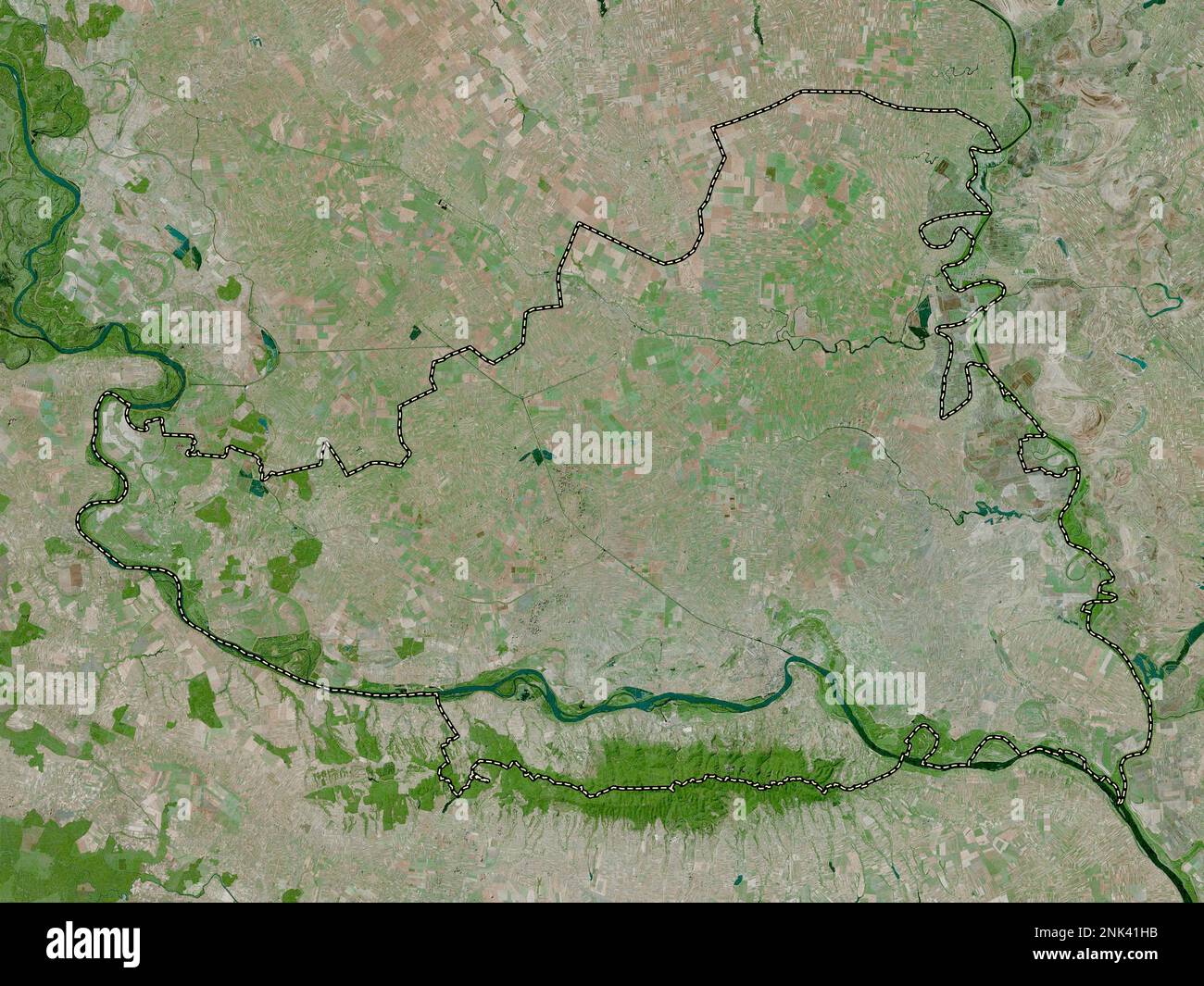 Juzno-Backi, district of Serbia. High resolution satellite map Stock Photohttps://www.alamy.com/image-license-details/?v=1https://www.alamy.com/juzno-backi-district-of-serbia-high-resolution-satellite-map-image528078583.html
RF2NK41HB–Juzno-Backi, district of Serbia. High resolution satellite map
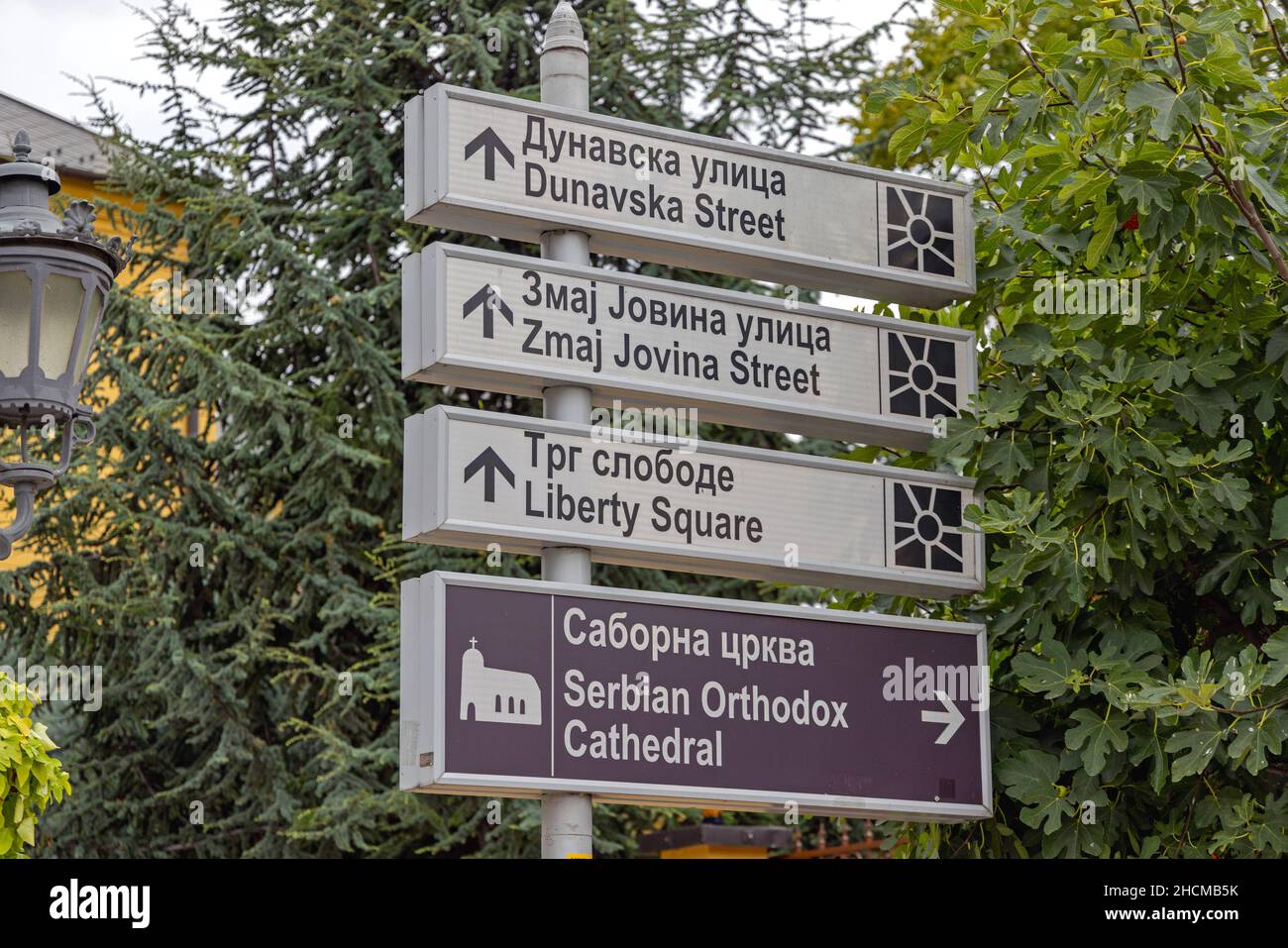 Novi Sad, Serbia - September 21, 2021: Tourist Attraction Directional Arrows Information in City Centre. Stock Photohttps://www.alamy.com/image-license-details/?v=1https://www.alamy.com/novi-sad-serbia-september-21-2021-tourist-attraction-directional-arrows-information-in-city-centre-image455293263.html
RF2HCMB5K–Novi Sad, Serbia - September 21, 2021: Tourist Attraction Directional Arrows Information in City Centre.
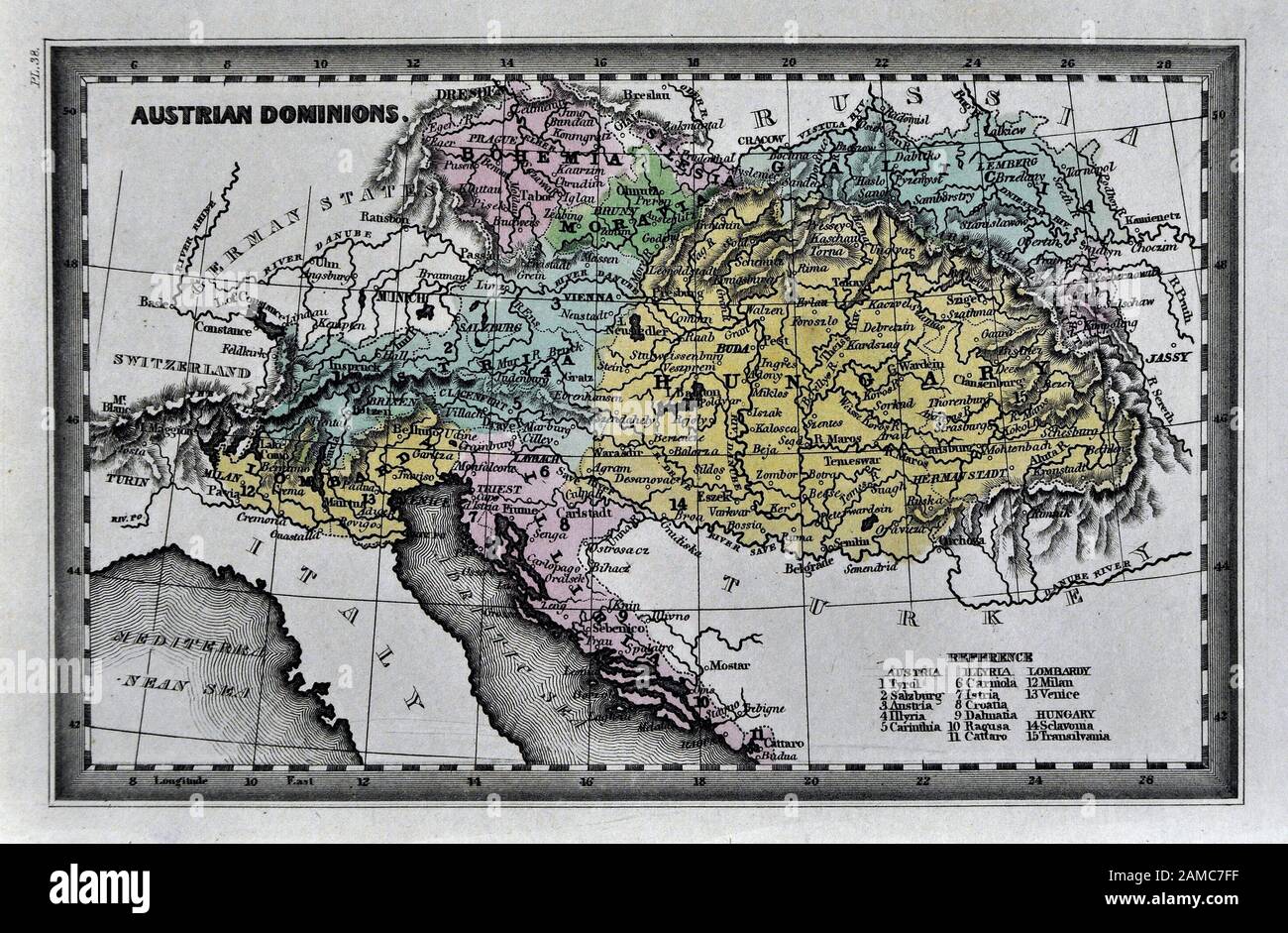 1834 Carey Map of Austria Hungary Empire Vienna Budapest Europe Stock Photohttps://www.alamy.com/image-license-details/?v=1https://www.alamy.com/1834-carey-map-of-austria-hungary-empire-vienna-budapest-europe-image339559459.html
RF2AMC7FF–1834 Carey Map of Austria Hungary Empire Vienna Budapest Europe
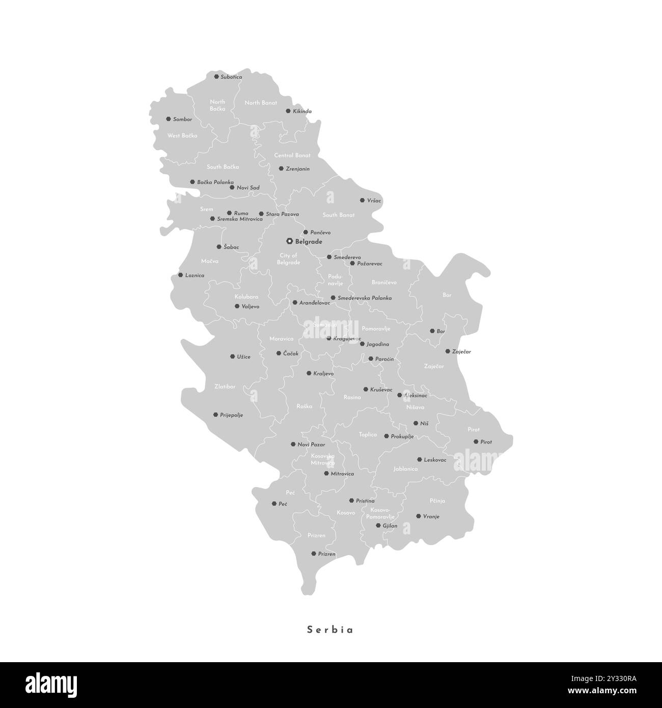 Vector isolated illustration. Simplified administrative map of Serbia including Kosovo in grey color. White background. Names of biggest cities and re Stock Vectorhttps://www.alamy.com/image-license-details/?v=1https://www.alamy.com/vector-isolated-illustration-simplified-administrative-map-of-serbia-including-kosovo-in-grey-color-white-background-names-of-biggest-cities-and-re-image621483726.html
RF2Y330RA–Vector isolated illustration. Simplified administrative map of Serbia including Kosovo in grey color. White background. Names of biggest cities and re
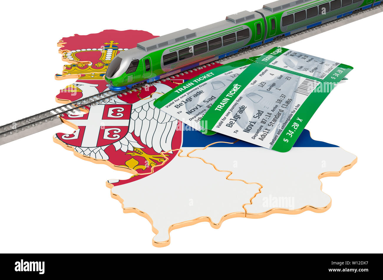 Train travel in Serbia, concept. 3D rendering isolated on white background Stock Photohttps://www.alamy.com/image-license-details/?v=1https://www.alamy.com/train-travel-in-serbia-concept-3d-rendering-isolated-on-white-background-image258825007.html
RFW12DX7–Train travel in Serbia, concept. 3D rendering isolated on white background
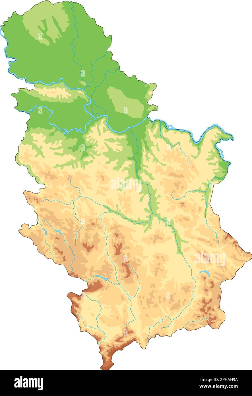 Highly detailed Serbia physical map. Stock Vectorhttps://www.alamy.com/image-license-details/?v=1https://www.alamy.com/highly-detailed-serbia-physical-map-image544203670.html
RF2PHAH9A–Highly detailed Serbia physical map.
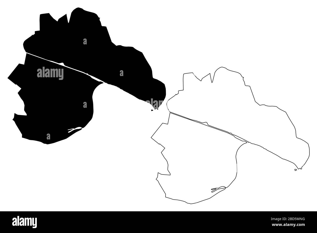 Novi Sad City (Republic of Serbia, Vojvodina) map vector illustration, scribble sketch City of Novi Sad map Stock Vectorhttps://www.alamy.com/image-license-details/?v=1https://www.alamy.com/novi-sad-city-republic-of-serbia-vojvodina-map-vector-illustration-scribble-sketch-city-of-novi-sad-map-image352323932.html
RF2BD5MNG–Novi Sad City (Republic of Serbia, Vojvodina) map vector illustration, scribble sketch City of Novi Sad map
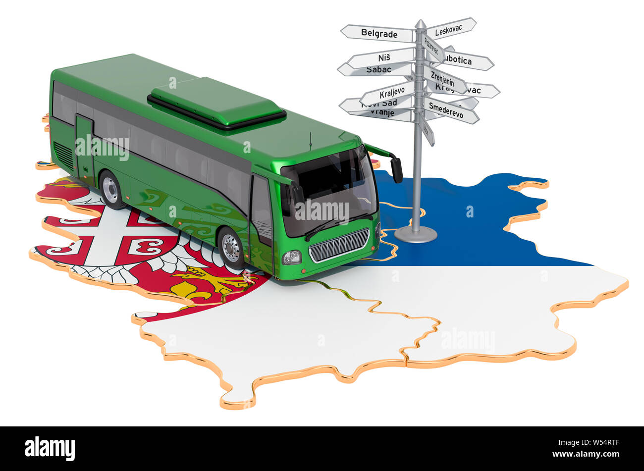 Serbia Bus Tours concept. 3D rendering isolated on white background Stock Photohttps://www.alamy.com/image-license-details/?v=1https://www.alamy.com/serbia-bus-tours-concept-3d-rendering-isolated-on-white-background-image261335327.html
RFW54RTF–Serbia Bus Tours concept. 3D rendering isolated on white background
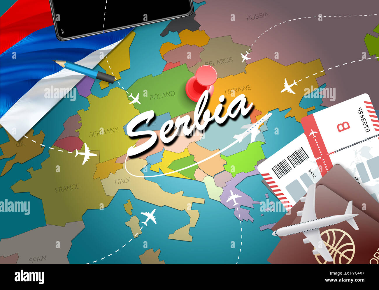 Serbia travel concept map background with planes,tickets. Visit Serbia travel and tourism destination concept. Serbia flag on map. Planes and flights Stock Photohttps://www.alamy.com/image-license-details/?v=1https://www.alamy.com/serbia-travel-concept-map-background-with-planestickets-visit-serbia-travel-and-tourism-destination-concept-serbia-flag-on-map-planes-and-flights-image223387423.html
RFPYC4X7–Serbia travel concept map background with planes,tickets. Visit Serbia travel and tourism destination concept. Serbia flag on map. Planes and flights
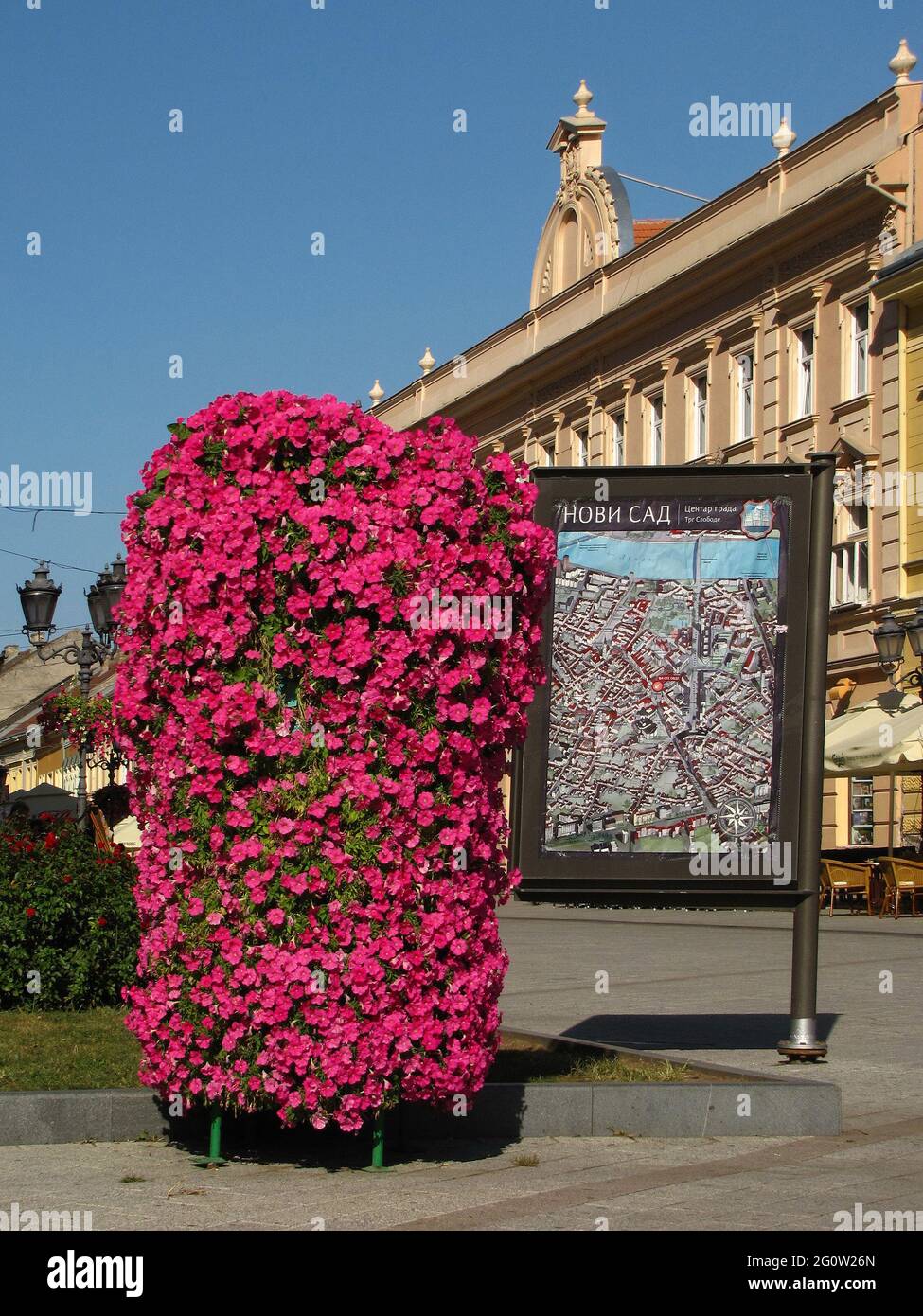 NOVI SAD, SERBIA - Aug 28, 2010: Novi Sad, Serbia, August 28th 2010. - Flowers and city map in the center of the city Novi Sad, Vojvodina, Serbia. Pla Stock Photohttps://www.alamy.com/image-license-details/?v=1https://www.alamy.com/novi-sad-serbia-aug-28-2010-novi-sad-serbia-august-28th-2010-flowers-and-city-map-in-the-center-of-the-city-novi-sad-vojvodina-serbia-pla-image430809757.html
RF2G0W26N–NOVI SAD, SERBIA - Aug 28, 2010: Novi Sad, Serbia, August 28th 2010. - Flowers and city map in the center of the city Novi Sad, Vojvodina, Serbia. Pla
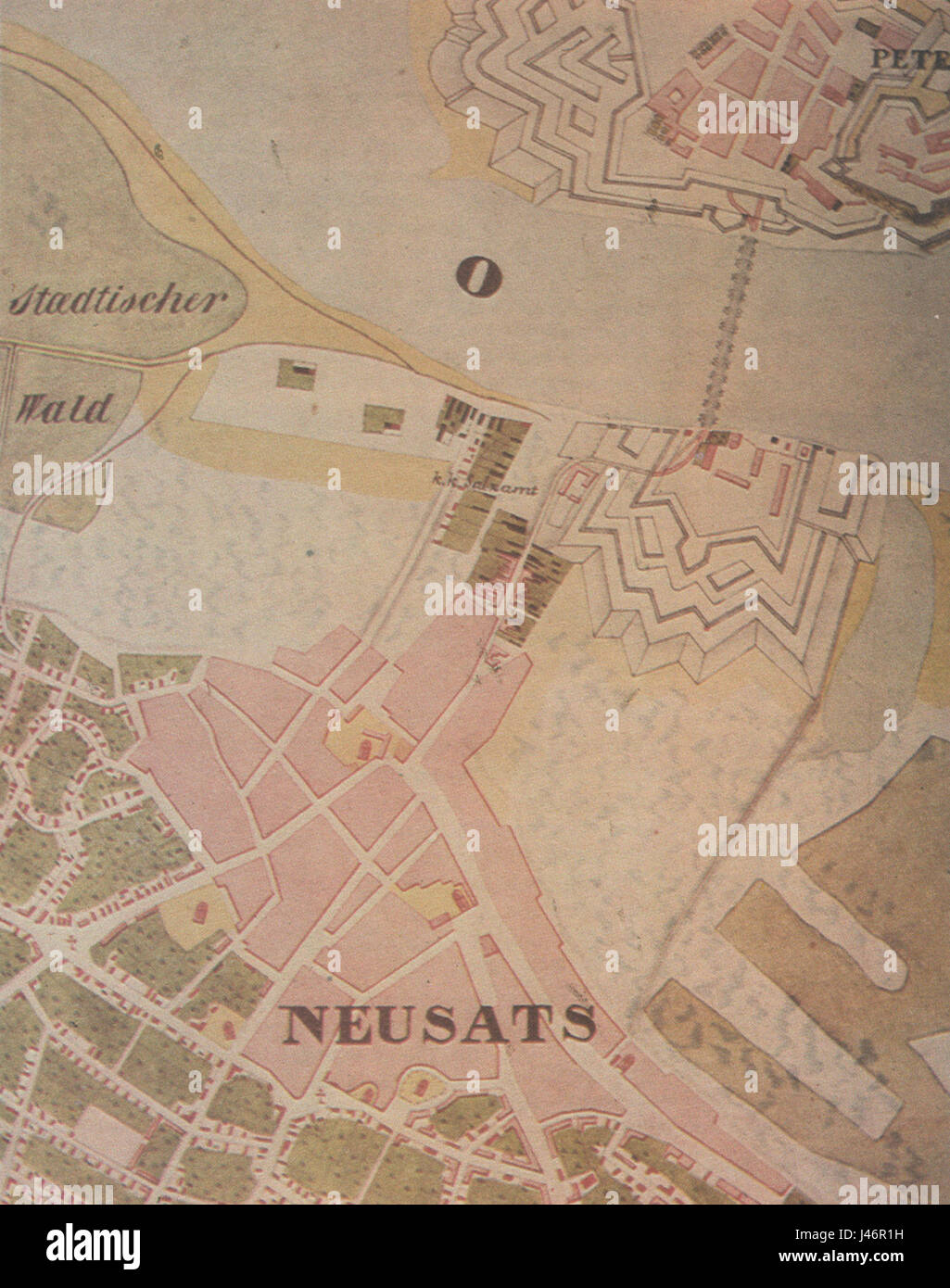 Novi sad map 1845 Stock Photohttps://www.alamy.com/image-license-details/?v=1https://www.alamy.com/stock-photo-novi-sad-map-1845-140291357.html
RMJ46R1H–Novi sad map 1845
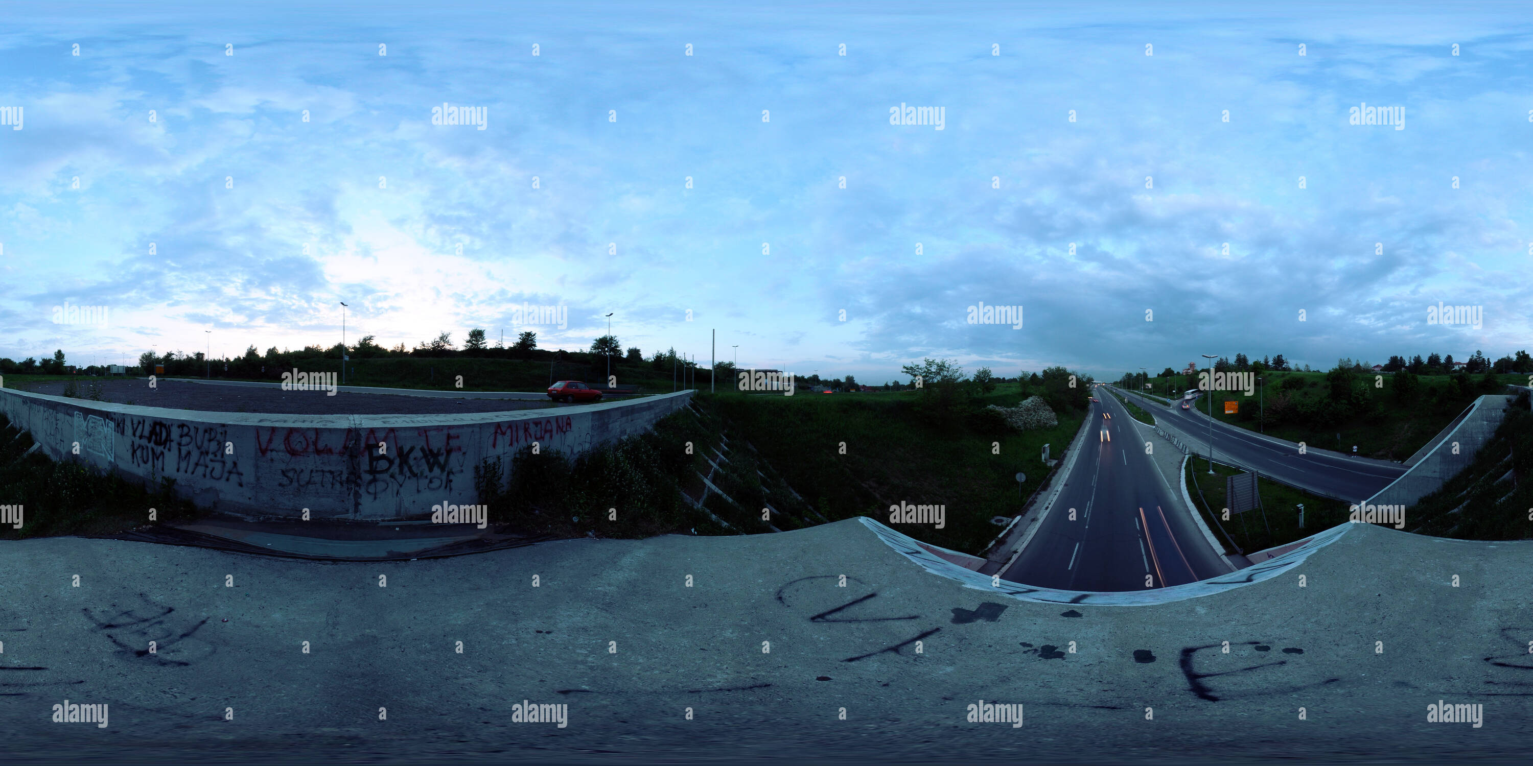 360 degree panoramic view of Novi Sad entering Tunelhttps://www.alamy.com/image-license-details/?v=1https://www.alamy.com/360-degree-panoramic-view-of-novi-sad-entering-tunel-image219138732.html
RF360°PMEHK8–Novi Sad entering Tunel
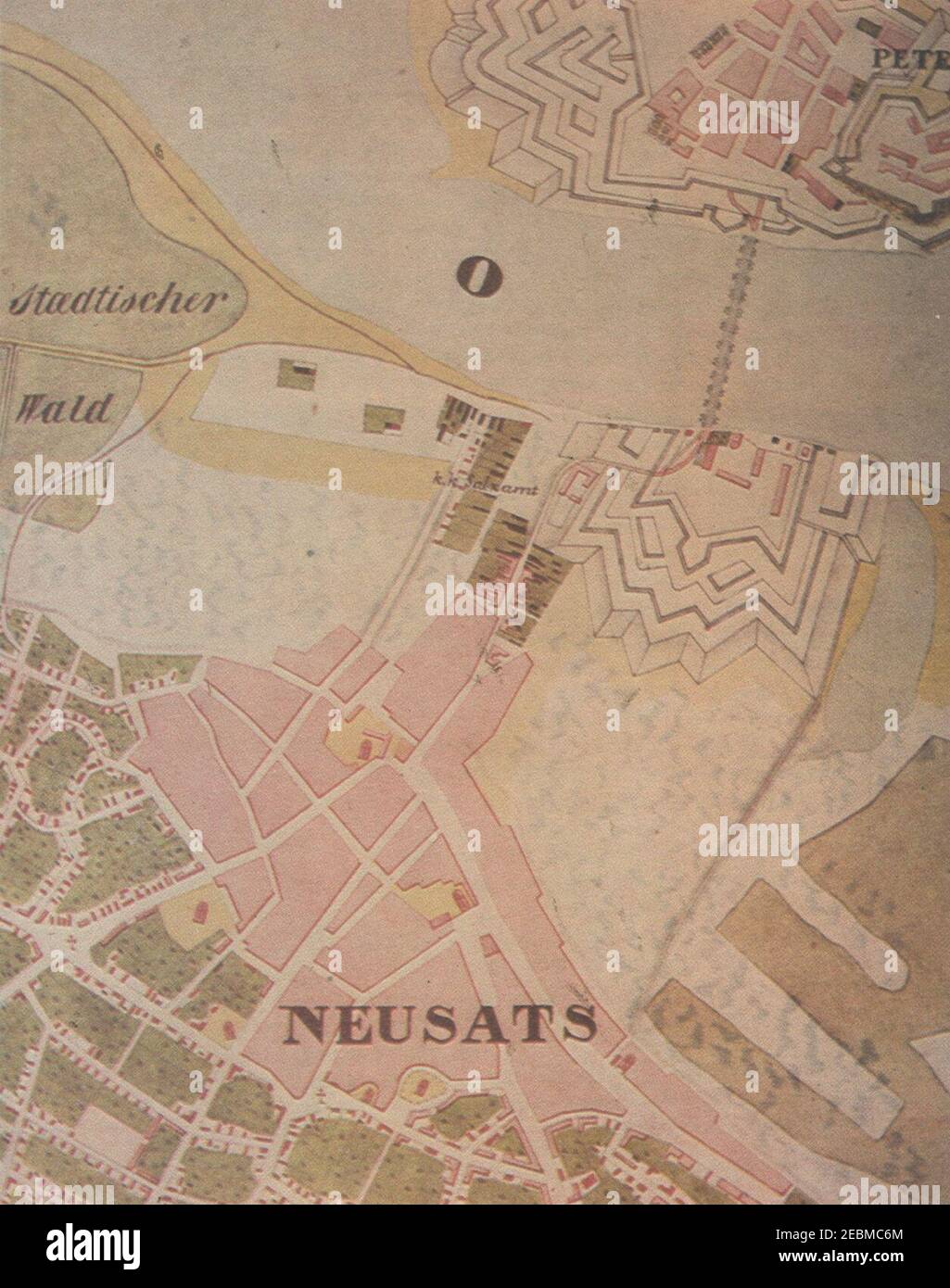 Novi sad map 1845. Stock Photohttps://www.alamy.com/image-license-details/?v=1https://www.alamy.com/novi-sad-map-1845-image403048316.html
RM2EBMC6M–Novi sad map 1845.
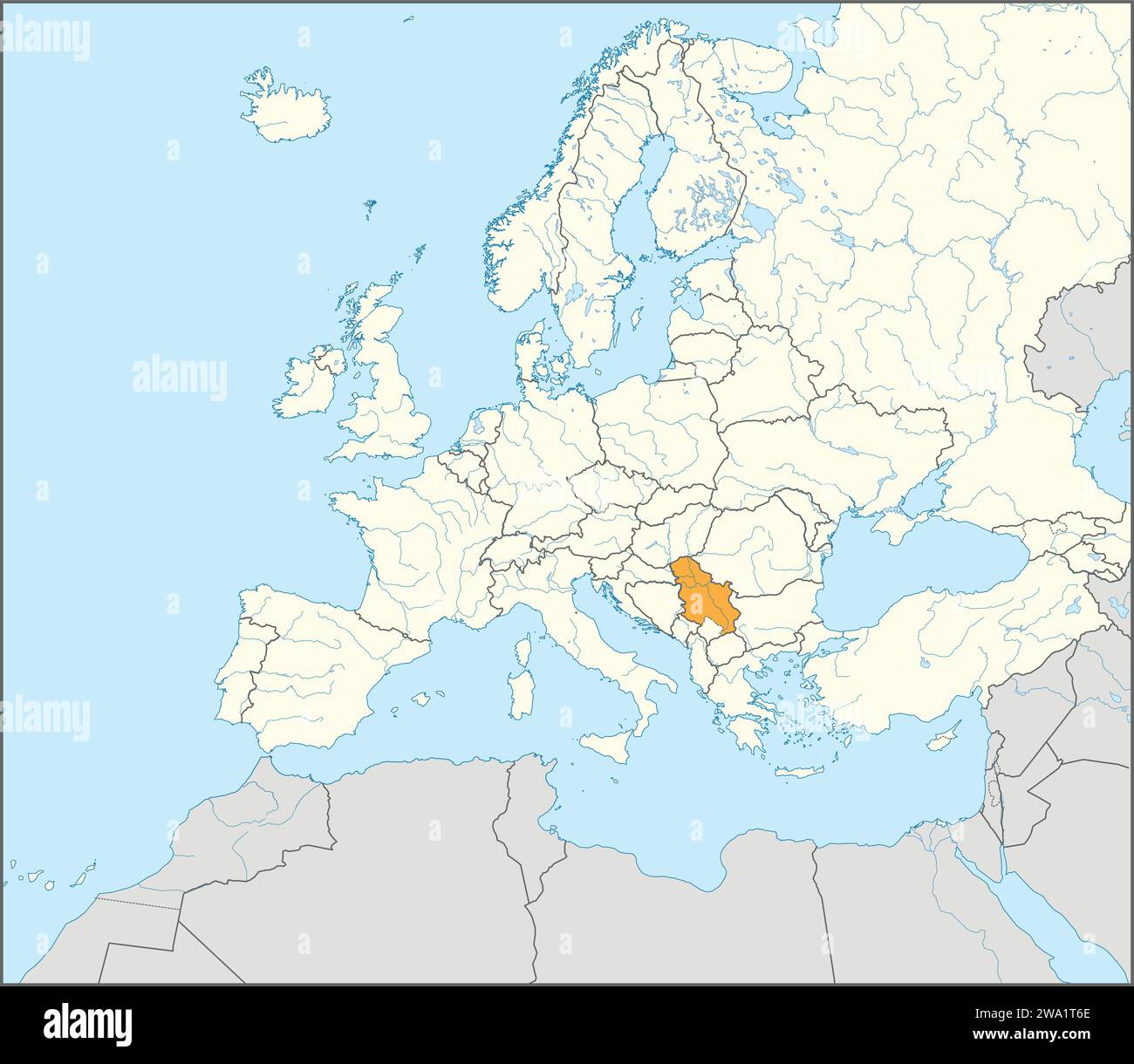 Location map of the REPUBLIC OF SERBIA, EUROPE Stock Vectorhttps://www.alamy.com/image-license-details/?v=1https://www.alamy.com/location-map-of-the-republic-of-serbia-europe-image591340022.html
RF2WA1T6E–Location map of the REPUBLIC OF SERBIA, EUROPE
 3D Illustration of a waving Serbian city flag of Novi Sad Stock Photohttps://www.alamy.com/image-license-details/?v=1https://www.alamy.com/3d-illustration-of-a-waving-serbian-city-flag-of-novi-sad-image590868641.html
RF2W98AYD–3D Illustration of a waving Serbian city flag of Novi Sad
 Parco Novi Sad, Provincia di Modena, IT, Italy, Emilia-Romagna, N 44 39' 4'', N 10 55' 22'', map, Cartascapes Map published in 2024. Explore Cartascapes, a map revealing Earth's diverse landscapes, cultures, and ecosystems. Journey through time and space, discovering the interconnectedness of our planet's past, present, and future. Stock Photohttps://www.alamy.com/image-license-details/?v=1https://www.alamy.com/parco-novi-sad-provincia-di-modena-it-italy-emilia-romagna-n-44-39-4-n-10-55-22-map-cartascapes-map-published-in-2024-explore-cartascapes-a-map-revealing-earths-diverse-landscapes-cultures-and-ecosystems-journey-through-time-and-space-discovering-the-interconnectedness-of-our-planets-past-present-and-future-image614480195.html
RM2XKKYN7–Parco Novi Sad, Provincia di Modena, IT, Italy, Emilia-Romagna, N 44 39' 4'', N 10 55' 22'', map, Cartascapes Map published in 2024. Explore Cartascapes, a map revealing Earth's diverse landscapes, cultures, and ecosystems. Journey through time and space, discovering the interconnectedness of our planet's past, present, and future.
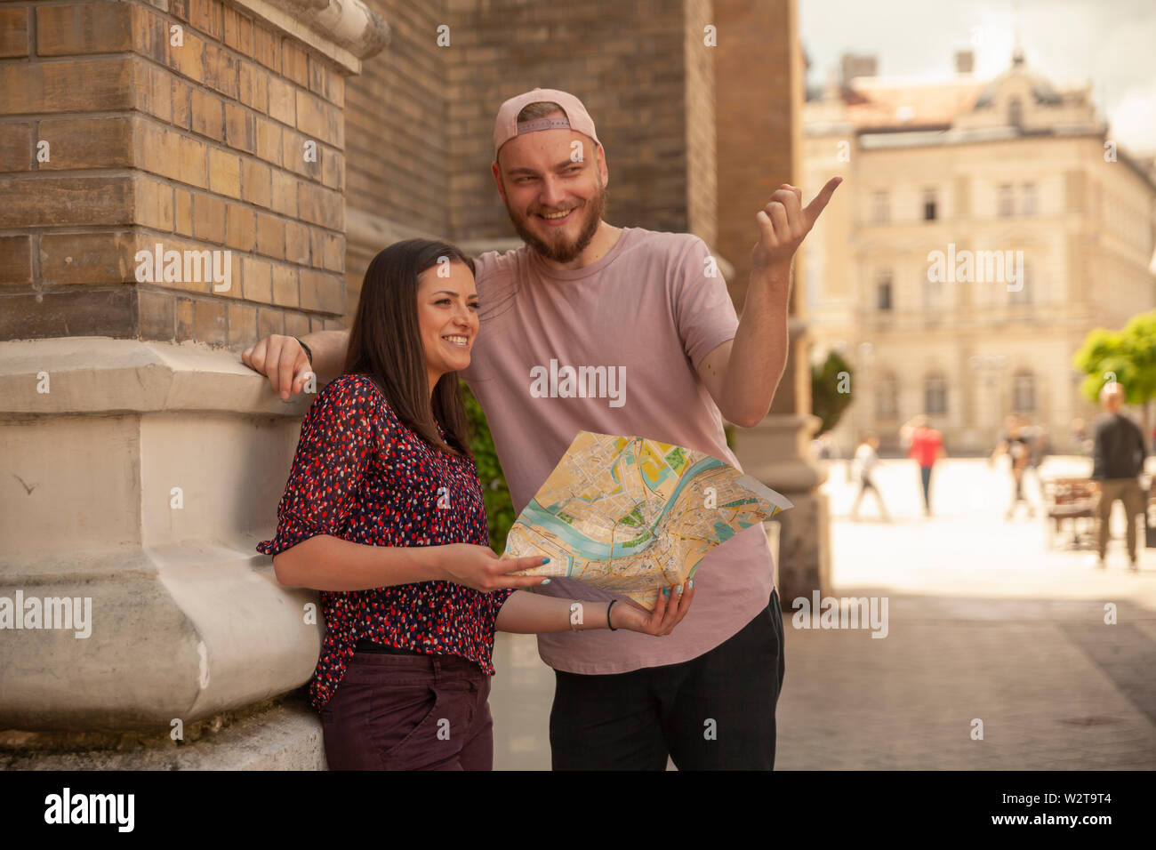 two friends, or couple, looking at a city map while one man is pointing finger. Location Novi Sad, Serbia. Stock Photohttps://www.alamy.com/image-license-details/?v=1https://www.alamy.com/two-friends-or-couple-looking-at-a-city-map-while-one-man-is-pointing-finger-location-novi-sad-serbia-image259919412.html
RFW2T9T4–two friends, or couple, looking at a city map while one man is pointing finger. Location Novi Sad, Serbia.
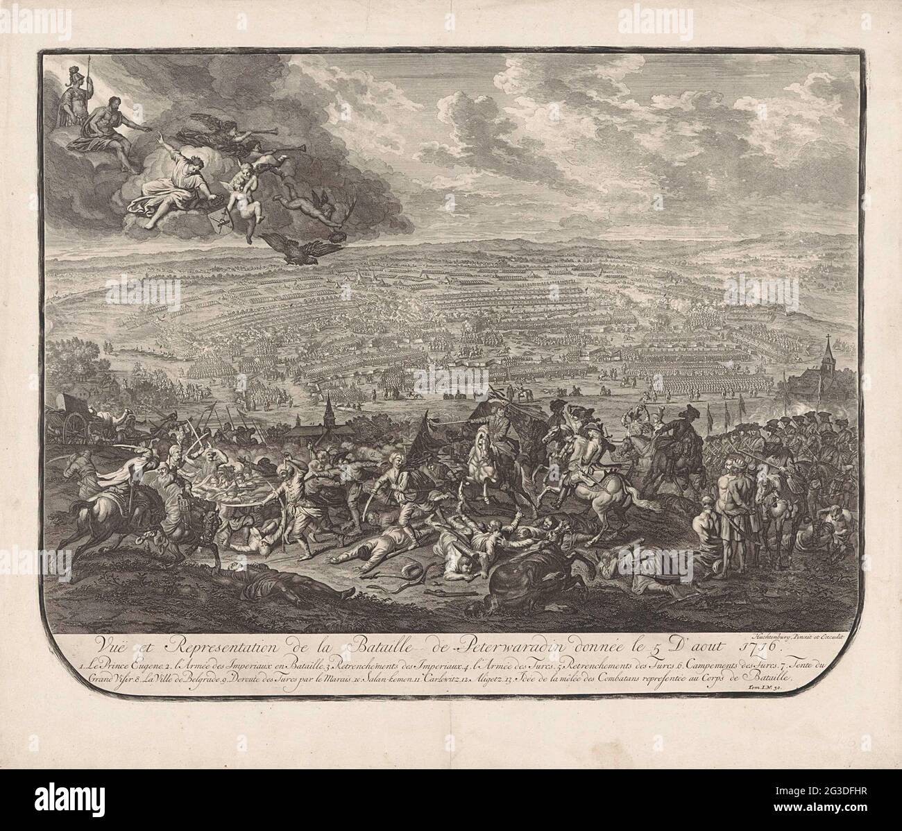 Battle of Petrovaradin, 1716; VUË et Representation de la Bataille de Peterwaradin Donnée Le 5 d'Aout 1716. Map of the Battle of Petrovaradin (the current Novi Sad in Serbia) on the Danube with a victory of the imperial troops under the Prince of Savoy on the Ottomans, 5 August 1716. Central the prince on horseback. Above the war god Mars, the fame and angels in the clouds. At the bottom of the margin a legend in French. Stock Photohttps://www.alamy.com/image-license-details/?v=1https://www.alamy.com/battle-of-petrovaradin-1716-vu-et-representation-de-la-bataille-de-peterwaradin-donne-le-5-daout-1716-map-of-the-battle-of-petrovaradin-the-current-novi-sad-in-serbia-on-the-danube-with-a-victory-of-the-imperial-troops-under-the-prince-of-savoy-on-the-ottomans-5-august-1716-central-the-prince-on-horseback-above-the-war-god-mars-the-fame-and-angels-in-the-clouds-at-the-bottom-of-the-margin-a-legend-in-french-image432400803.html
RM2G3DFHR–Battle of Petrovaradin, 1716; VUË et Representation de la Bataille de Peterwaradin Donnée Le 5 d'Aout 1716. Map of the Battle of Petrovaradin (the current Novi Sad in Serbia) on the Danube with a victory of the imperial troops under the Prince of Savoy on the Ottomans, 5 August 1716. Central the prince on horseback. Above the war god Mars, the fame and angels in the clouds. At the bottom of the margin a legend in French.
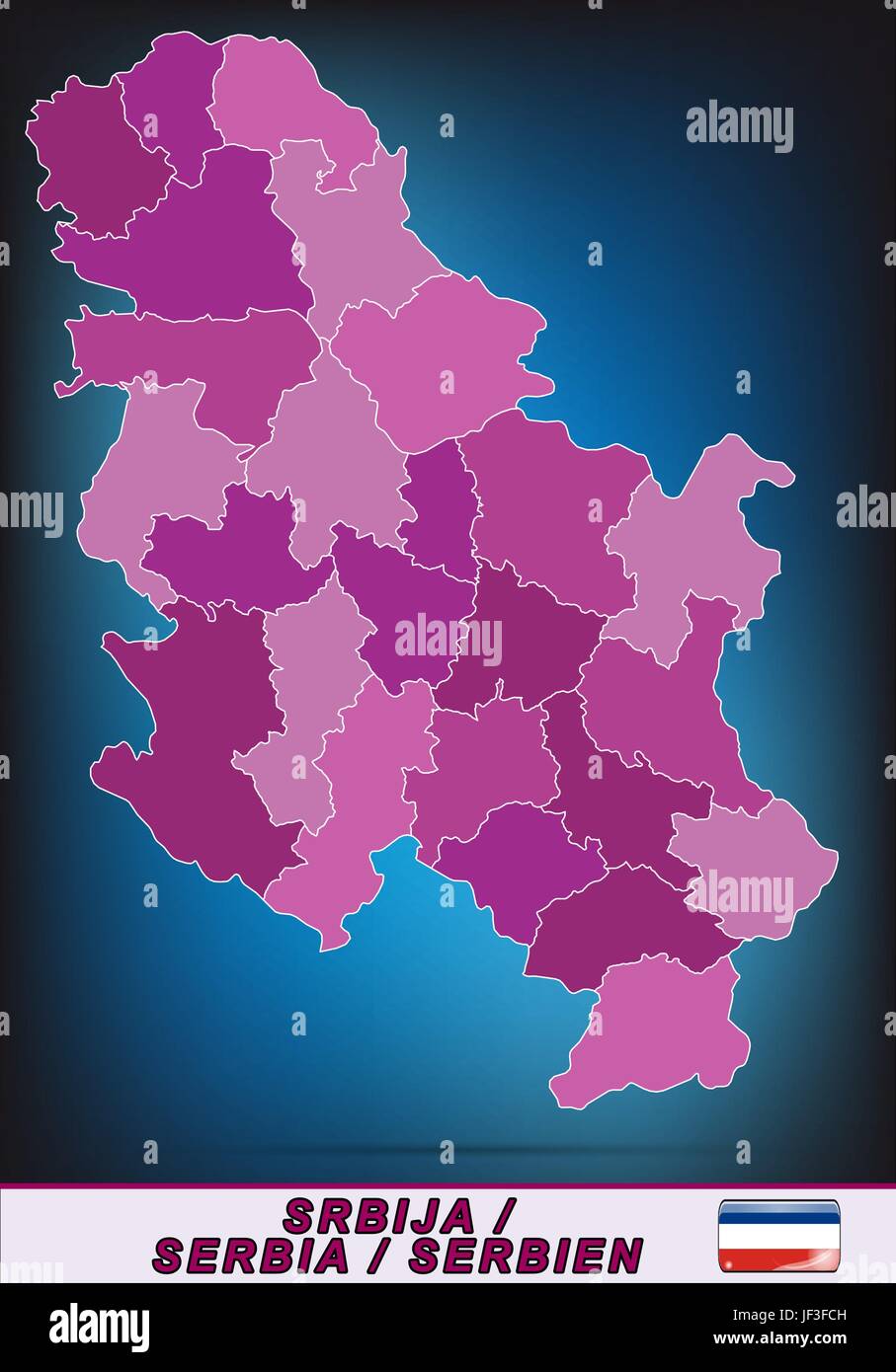 map of serbia Stock Vectorhttps://www.alamy.com/image-license-details/?v=1https://www.alamy.com/stock-photo-map-of-serbia-146980753.html
RFJF3FCH–map of serbia
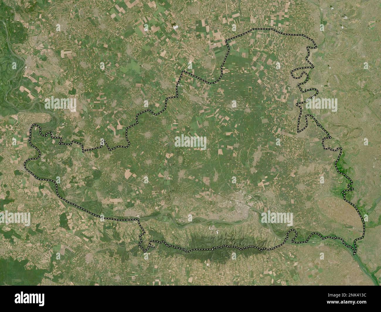 Juzno-Backi, district of Serbia. Low resolution satellite map Stock Photohttps://www.alamy.com/image-license-details/?v=1https://www.alamy.com/juzno-backi-district-of-serbia-low-resolution-satellite-map-image528078192.html
RF2NK413C–Juzno-Backi, district of Serbia. Low resolution satellite map
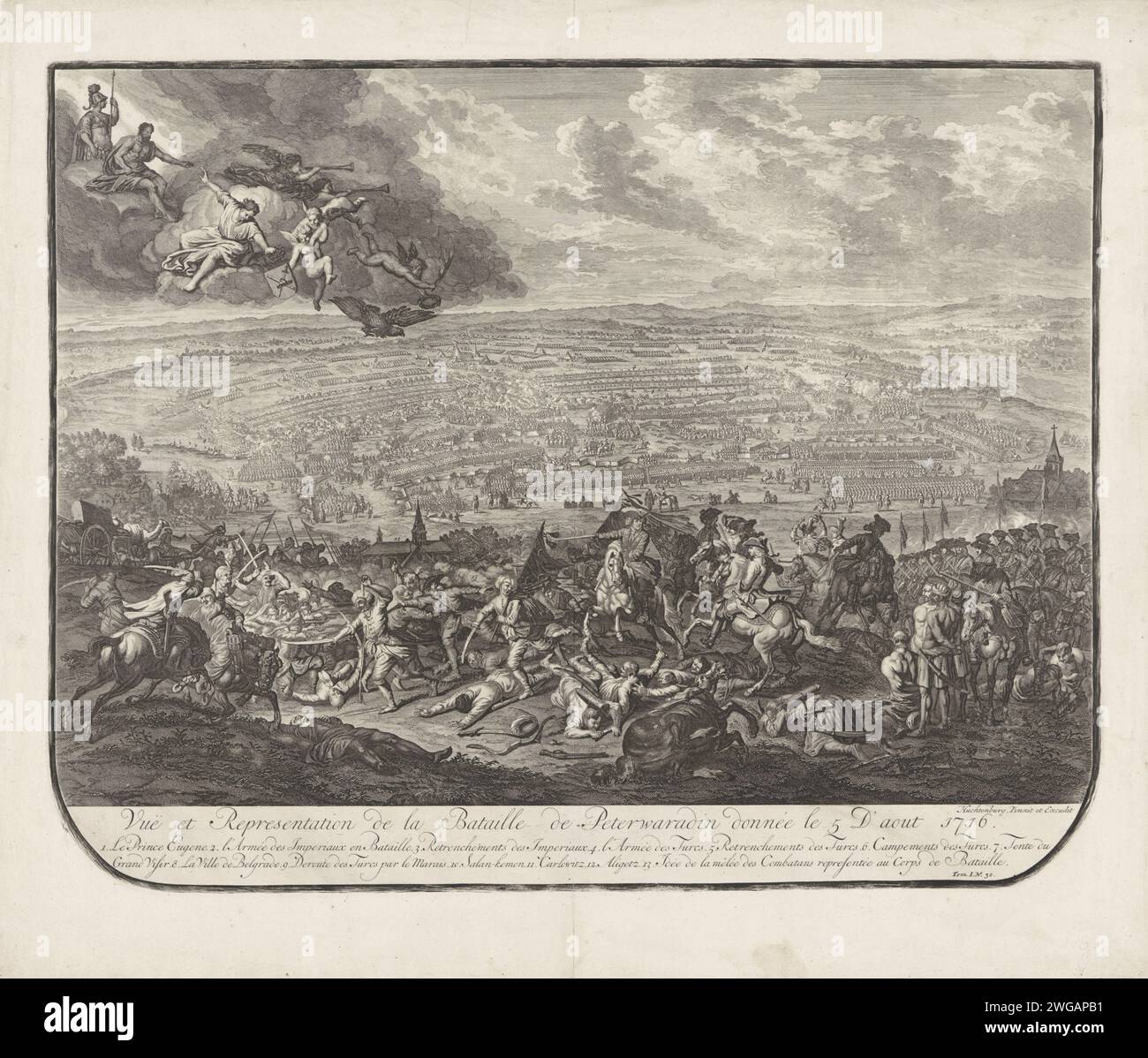 Battle of Petrovaradin, 1716, Jan van Huchtenburg, 1729 print Map of the Battle of Petrovaradin (the current Novi Sad in Serbia) on the Danube with a victory of the imperial troops under the prince of Savoy on the Ottomans, 5 August 1716. Centrally the Prince on horseback. At the top left the war god Mars, De Faam and Engelen in the clouds. At the bottom of the margin a legend in French. publisher: unknownpublisher: The Hague paper etching / engraving battle (+ land forces) Petrovaradin Stock Photohttps://www.alamy.com/image-license-details/?v=1https://www.alamy.com/battle-of-petrovaradin-1716-jan-van-huchtenburg-1729-print-map-of-the-battle-of-petrovaradin-the-current-novi-sad-in-serbia-on-the-danube-with-a-victory-of-the-imperial-troops-under-the-prince-of-savoy-on-the-ottomans-5-august-1716-centrally-the-prince-on-horseback-at-the-top-left-the-war-god-mars-de-faam-and-engelen-in-the-clouds-at-the-bottom-of-the-margin-a-legend-in-french-publisher-unknownpublisher-the-hague-paper-etching-engraving-battle-land-forces-petrovaradin-image595224085.html
RM2WGAPB1–Battle of Petrovaradin, 1716, Jan van Huchtenburg, 1729 print Map of the Battle of Petrovaradin (the current Novi Sad in Serbia) on the Danube with a victory of the imperial troops under the prince of Savoy on the Ottomans, 5 August 1716. Centrally the Prince on horseback. At the top left the war god Mars, De Faam and Engelen in the clouds. At the bottom of the margin a legend in French. publisher: unknownpublisher: The Hague paper etching / engraving battle (+ land forces) Petrovaradin
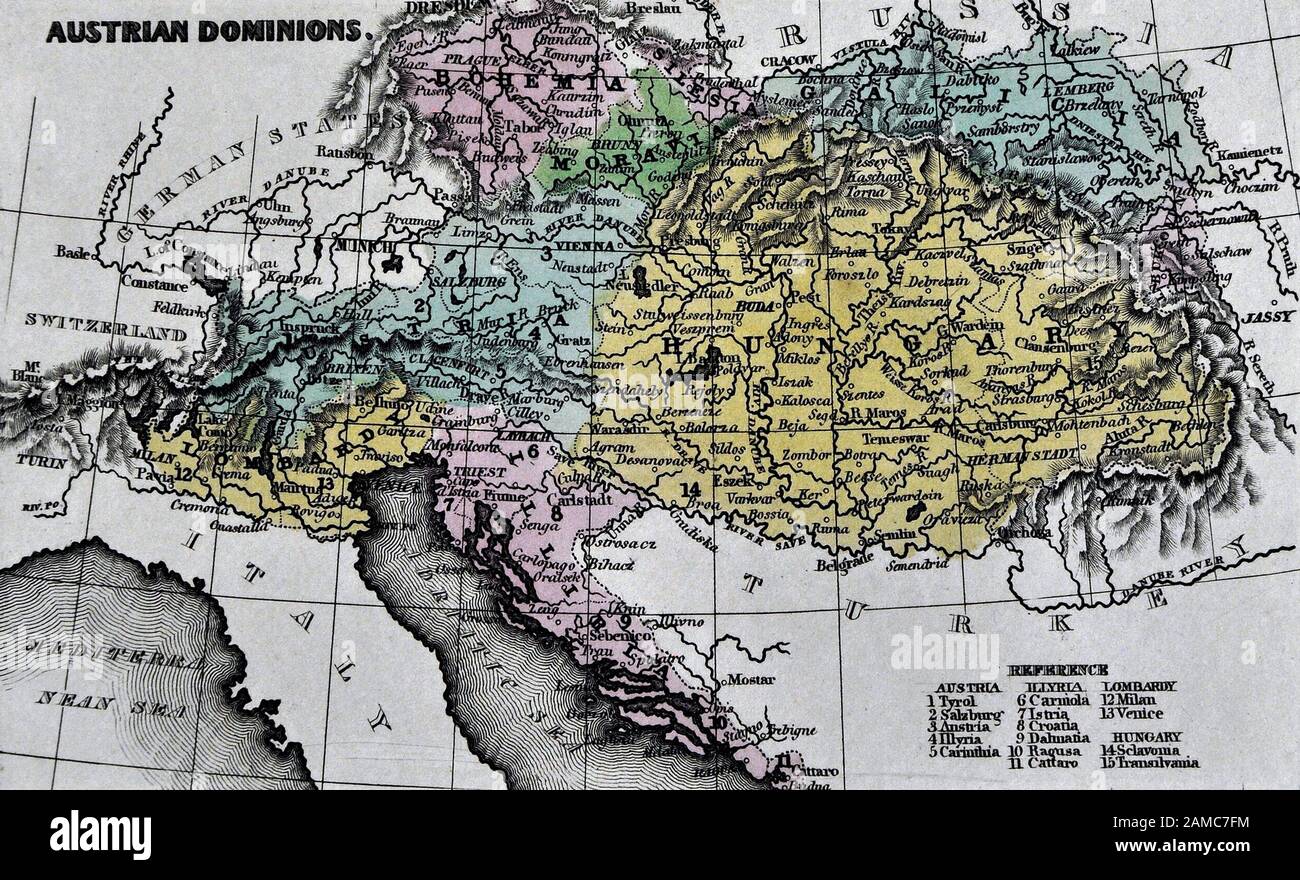 1834 Carey Map of Austria Hungary Empire Vienna Budapest Europe Stock Photohttps://www.alamy.com/image-license-details/?v=1https://www.alamy.com/1834-carey-map-of-austria-hungary-empire-vienna-budapest-europe-image339559464.html
RF2AMC7FM–1834 Carey Map of Austria Hungary Empire Vienna Budapest Europe
 Vector isolated illustration. Simplified administrative map of Serbia including Kosovo in blue colors. White background. Names of biggest cities and r Stock Vectorhttps://www.alamy.com/image-license-details/?v=1https://www.alamy.com/vector-isolated-illustration-simplified-administrative-map-of-serbia-including-kosovo-in-blue-colors-white-background-names-of-biggest-cities-and-r-image621482869.html
RF2Y32YMN–Vector isolated illustration. Simplified administrative map of Serbia including Kosovo in blue colors. White background. Names of biggest cities and r
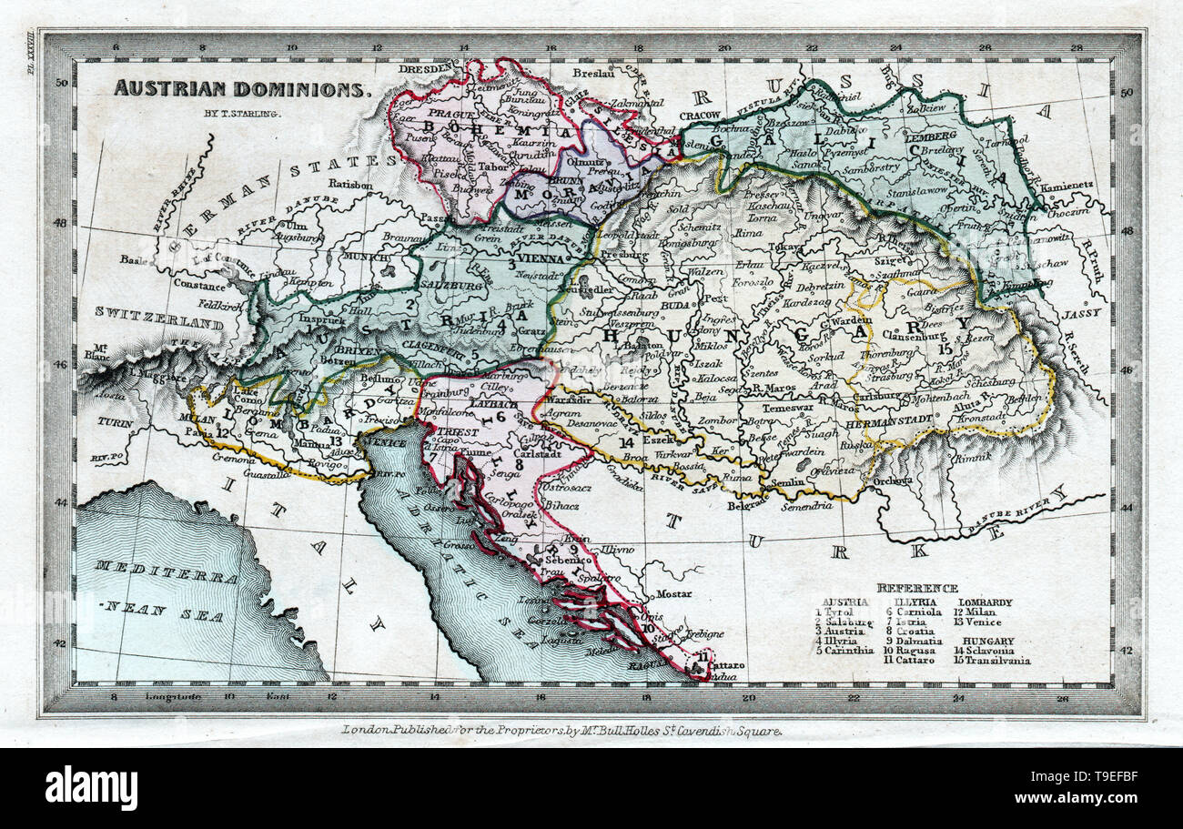 1834 Starling Map of the Austrian Hungary Empire including Bohemia, Croatia and Venice Italy Stock Photohttps://www.alamy.com/image-license-details/?v=1https://www.alamy.com/1834-starling-map-of-the-austrian-hungary-empire-including-bohemia-croatia-and-venice-italy-image246796467.html
RFT9EFBF–1834 Starling Map of the Austrian Hungary Empire including Bohemia, Croatia and Venice Italy
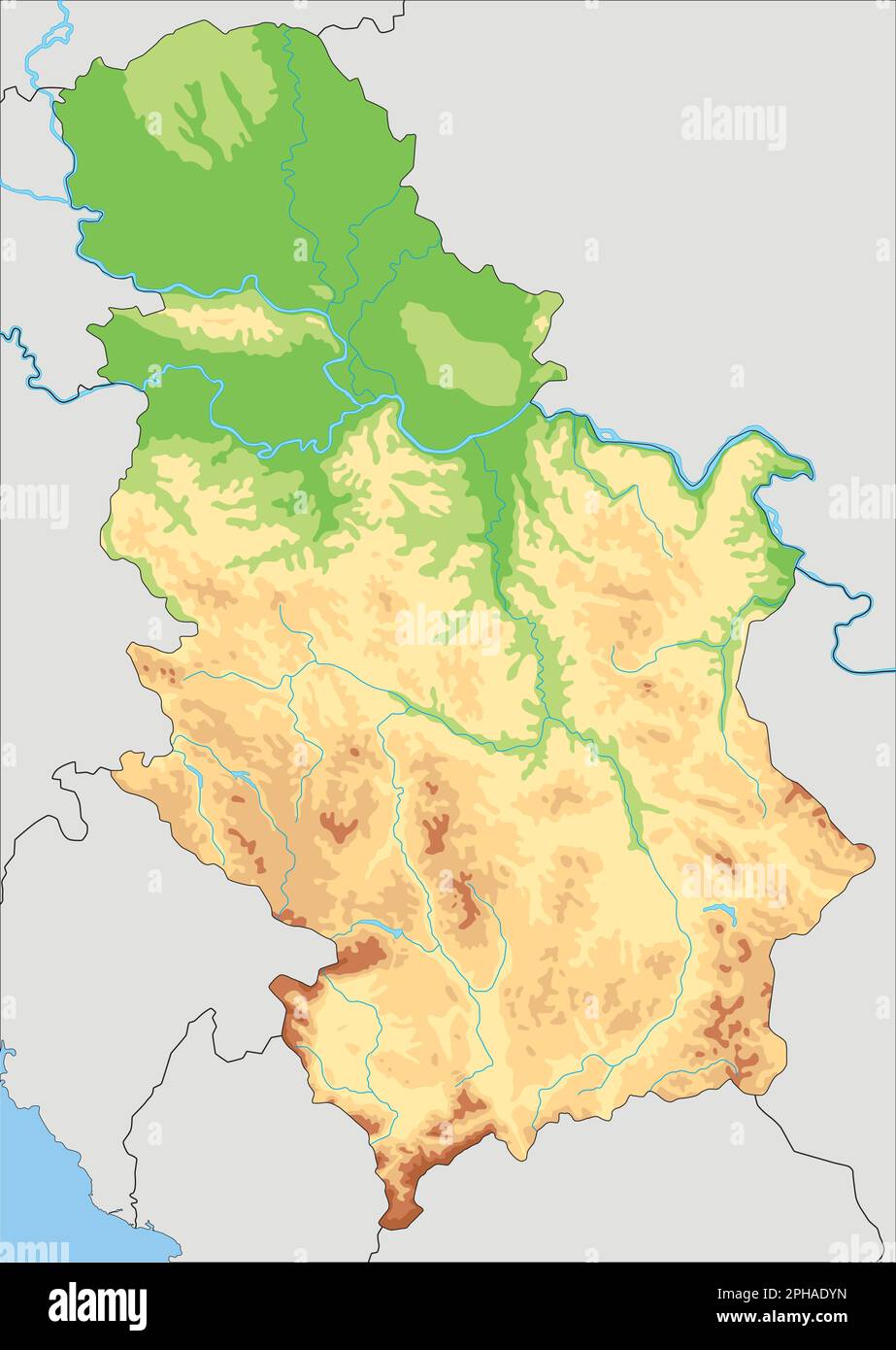 Highly detailed Serbia physical map. Stock Vectorhttps://www.alamy.com/image-license-details/?v=1https://www.alamy.com/highly-detailed-serbia-physical-map-image544201049.html
RF2PHADYN–Highly detailed Serbia physical map.
 Novi Sad City (Republic of Serbia, Vojvodina) map vector illustration, scribble sketch City of Novi Sad map Stock Vectorhttps://www.alamy.com/image-license-details/?v=1https://www.alamy.com/novi-sad-city-republic-of-serbia-vojvodina-map-vector-illustration-scribble-sketch-city-of-novi-sad-map-image360401119.html
RF2BX9K8F–Novi Sad City (Republic of Serbia, Vojvodina) map vector illustration, scribble sketch City of Novi Sad map
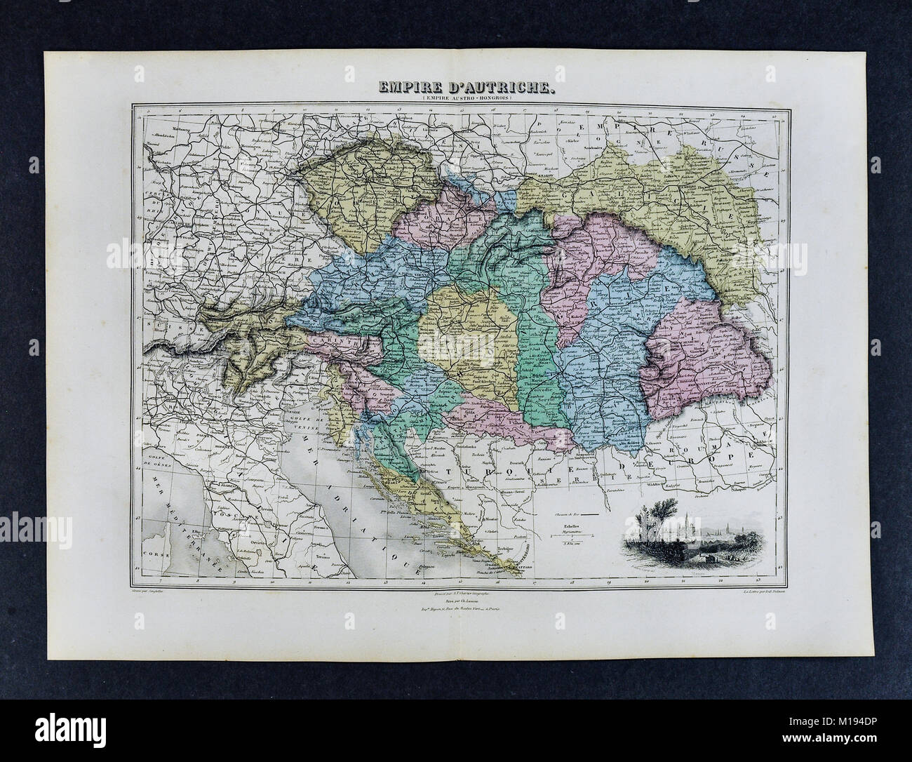 1877 Migeon Map - Austria Hungary Empire - Vienna Budapest Europe Stock Photohttps://www.alamy.com/image-license-details/?v=1https://www.alamy.com/stock-photo-1877-migeon-map-austria-hungary-empire-vienna-budapest-europe-172919426.html
RFM194DP–1877 Migeon Map - Austria Hungary Empire - Vienna Budapest Europe
 Serbia travel concept map background with planes,tickets. Visit Serbia travel and tourism destination concept. Serbia flag on map. Planes and flights Stock Photohttps://www.alamy.com/image-license-details/?v=1https://www.alamy.com/serbia-travel-concept-map-background-with-planestickets-visit-serbia-travel-and-tourism-destination-concept-serbia-flag-on-map-planes-and-flights-image223387351.html
RFPYC4RK–Serbia travel concept map background with planes,tickets. Visit Serbia travel and tourism destination concept. Serbia flag on map. Planes and flights
 Serbia Bus Tours concept. 3D rendering isolated on white background Stock Photohttps://www.alamy.com/image-license-details/?v=1https://www.alamy.com/serbia-bus-tours-concept-3d-rendering-isolated-on-white-background-image261337346.html
RFW54XCJ–Serbia Bus Tours concept. 3D rendering isolated on white background
 Serbia travel concept map background with planes,tickets. Visit Serbia travel and tourism destination concept. Serbia flag on map. Planes and flights Stock Photohttps://www.alamy.com/image-license-details/?v=1https://www.alamy.com/serbia-travel-concept-map-background-with-planestickets-visit-serbia-travel-and-tourism-destination-concept-serbia-flag-on-map-planes-and-flights-image228619632.html
RFR7XEJT–Serbia travel concept map background with planes,tickets. Visit Serbia travel and tourism destination concept. Serbia flag on map. Planes and flights
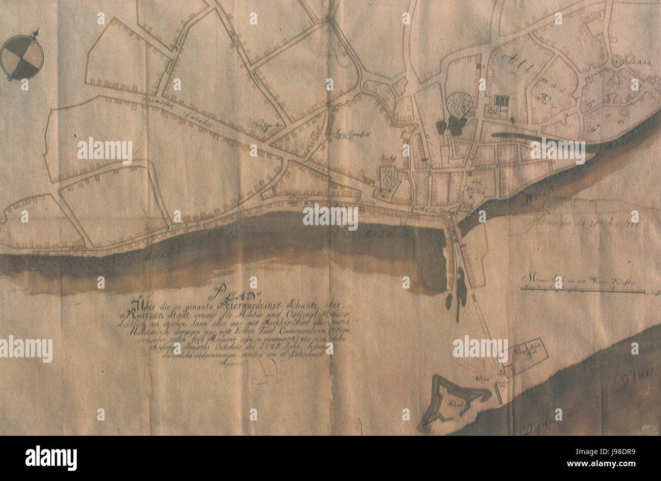 Novi sad map 1745 Stock Photohttps://www.alamy.com/image-license-details/?v=1https://www.alamy.com/stock-photo-novi-sad-map-1745-143401309.html
RMJ98DR9–Novi sad map 1745
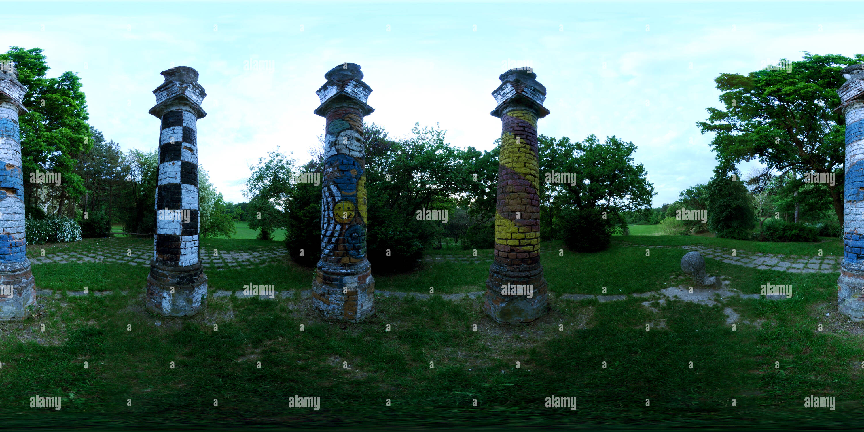 360 degree panoramic view of Novi Sad Kamenica Parkhttps://www.alamy.com/image-license-details/?v=1https://www.alamy.com/360-degree-panoramic-view-of-novi-sad-kamenica-park-image219138741.html
RF360°PMEHKH–Novi Sad Kamenica Park
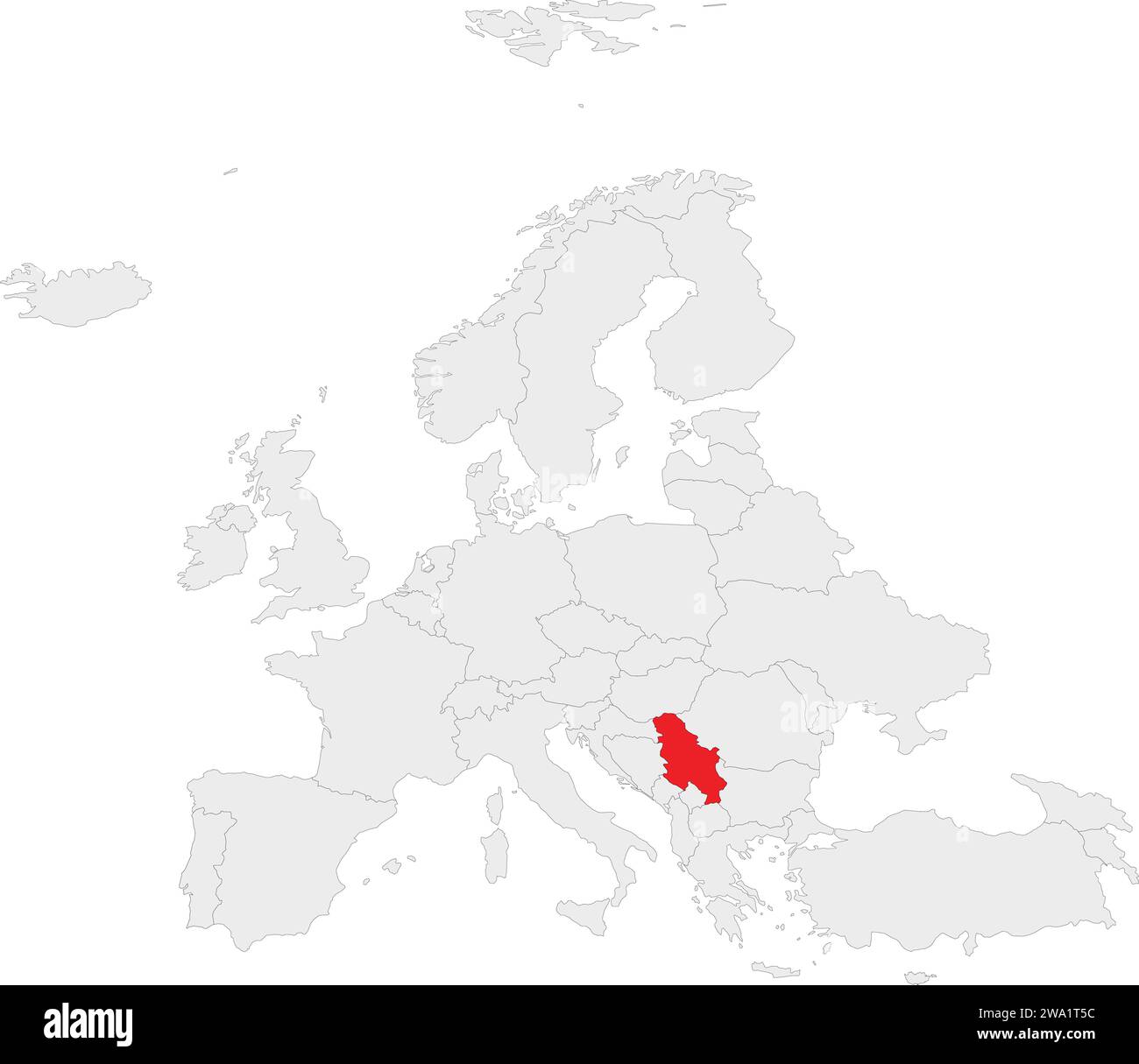 Location map of the REPUBLIC OF SERBIA, EUROPE Stock Vectorhttps://www.alamy.com/image-license-details/?v=1https://www.alamy.com/location-map-of-the-republic-of-serbia-europe-image591339992.html
RF2WA1T5C–Location map of the REPUBLIC OF SERBIA, EUROPE
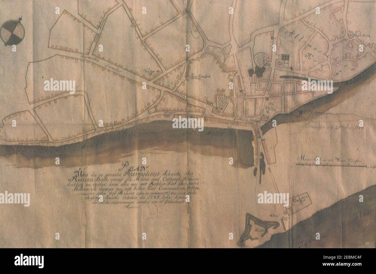 Novi sad map 1745. Stock Photohttps://www.alamy.com/image-license-details/?v=1https://www.alamy.com/novi-sad-map-1745-image403048255.html
RM2EBMC4F–Novi sad map 1745.
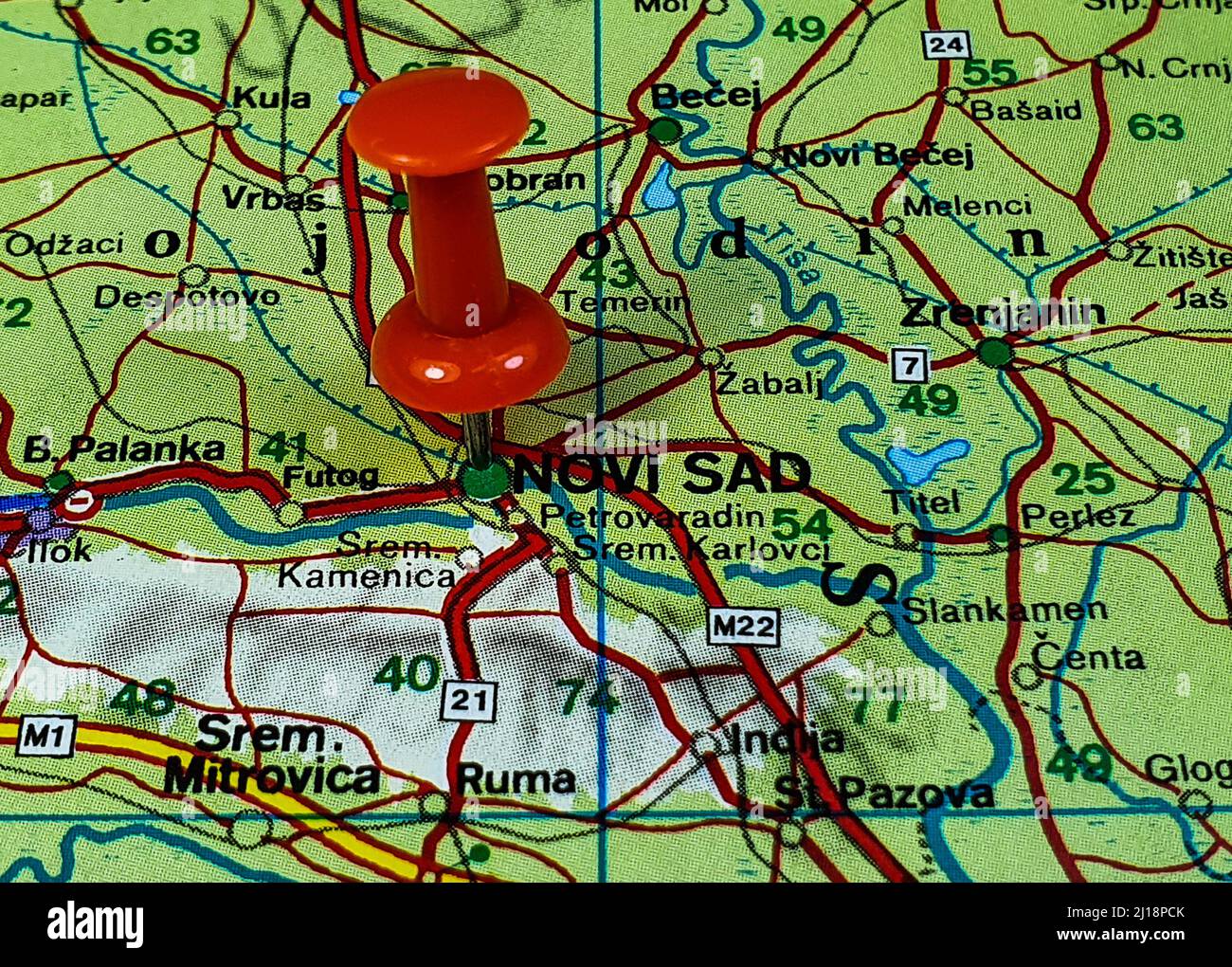 The Close-up shot of a map and a red on Novi Sad city in Serbia Stock Photohttps://www.alamy.com/image-license-details/?v=1https://www.alamy.com/the-close-up-shot-of-a-map-and-a-red-on-novi-sad-city-in-serbia-image465487811.html
RF2J18PCK–The Close-up shot of a map and a red on Novi Sad city in Serbia
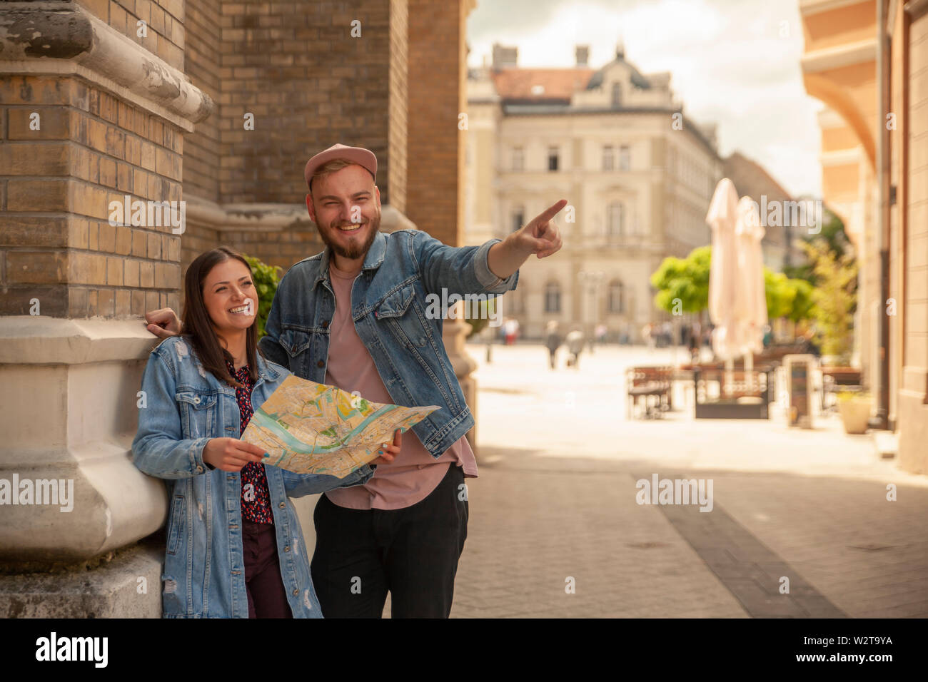 two friends, or couple, looking at a city map while one man is pointing finger. Location Novi Sad, Serbia. Stock Photohttps://www.alamy.com/image-license-details/?v=1https://www.alamy.com/two-friends-or-couple-looking-at-a-city-map-while-one-man-is-pointing-finger-location-novi-sad-serbia-image259919502.html
RFW2T9YA–two friends, or couple, looking at a city map while one man is pointing finger. Location Novi Sad, Serbia.
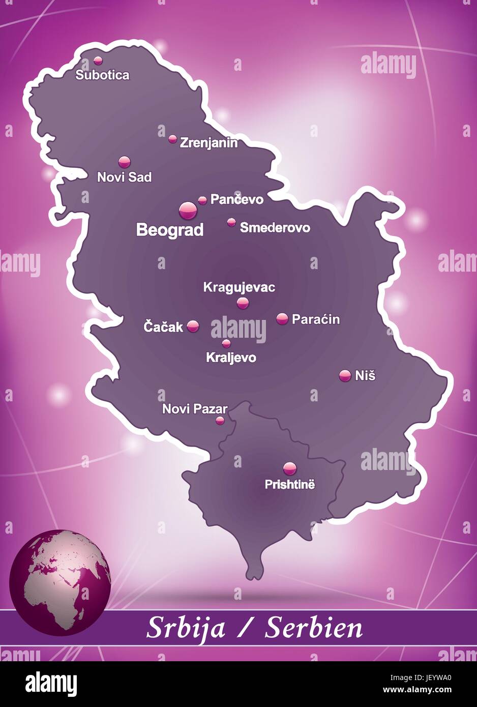 island map of serbia abstract background in violet Stock Vectorhttps://www.alamy.com/image-license-details/?v=1https://www.alamy.com/stock-photo-island-map-of-serbia-abstract-background-in-violet-146900712.html
RFJEYWA0–island map of serbia abstract background in violet
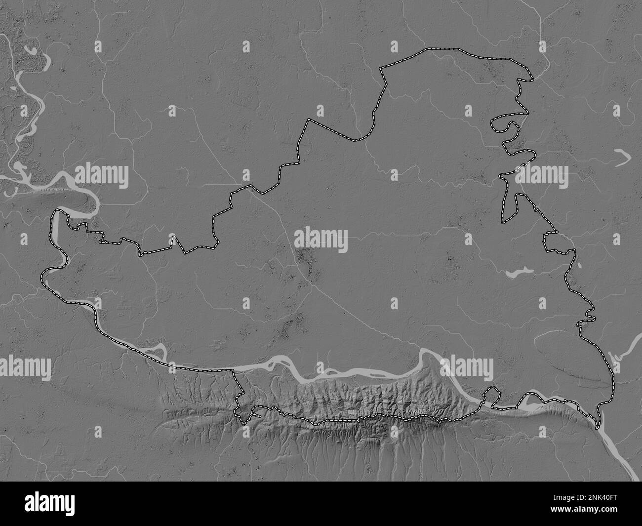 Juzno-Backi, district of Serbia. Bilevel elevation map with lakes and rivers Stock Photohttps://www.alamy.com/image-license-details/?v=1https://www.alamy.com/juzno-backi-district-of-serbia-bilevel-elevation-map-with-lakes-and-rivers-image528077756.html
RF2NK40FT–Juzno-Backi, district of Serbia. Bilevel elevation map with lakes and rivers
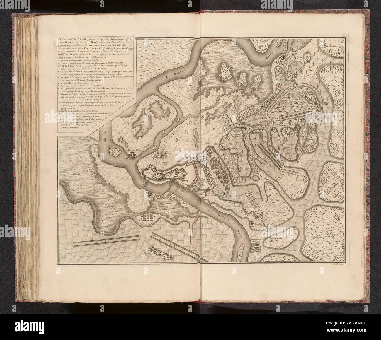 Map of the Battle of Petrovaradin, 1716, 1727 - 1729 Map of the Battle of Petrovaradin (the current Novi Sad in Serbia) on the Danube with a victory of the imperial troops under the Prince of Savoy on the Turks, 5 August 1716. Numbered below: Tom. I. No. 29. At the top left the title and legend on a separate pentagonal plate. Illustration in the first part of: Jean du Mont, War expert description of the battles and sieges, of the three ... Wyd Geschardaarde Krygsoverten ... The Prince Eugoy of Savoye, Den ... Duke of Marlborough, and the Prince of Orange and Nassau -Vriesland, in the 1729 edit Stock Photohttps://www.alamy.com/image-license-details/?v=1https://www.alamy.com/map-of-the-battle-of-petrovaradin-1716-1727-1729-map-of-the-battle-of-petrovaradin-the-current-novi-sad-in-serbia-on-the-danube-with-a-victory-of-the-imperial-troops-under-the-prince-of-savoy-on-the-turks-5-august-1716-numbered-below-tom-i-no-29-at-the-top-left-the-title-and-legend-on-a-separate-pentagonal-plate-illustration-in-the-first-part-of-jean-du-mont-war-expert-description-of-the-battles-and-sieges-of-the-three-wyd-geschardaarde-krygsoverten-the-prince-eugoy-of-savoye-den-duke-of-marlborough-and-the-prince-of-orange-and-nassau-vriesland-in-the-1729-edit-image589647056.html
RM2W78MRC–Map of the Battle of Petrovaradin, 1716, 1727 - 1729 Map of the Battle of Petrovaradin (the current Novi Sad in Serbia) on the Danube with a victory of the imperial troops under the Prince of Savoy on the Turks, 5 August 1716. Numbered below: Tom. I. No. 29. At the top left the title and legend on a separate pentagonal plate. Illustration in the first part of: Jean du Mont, War expert description of the battles and sieges, of the three ... Wyd Geschardaarde Krygsoverten ... The Prince Eugoy of Savoye, Den ... Duke of Marlborough, and the Prince of Orange and Nassau -Vriesland, in the 1729 edit
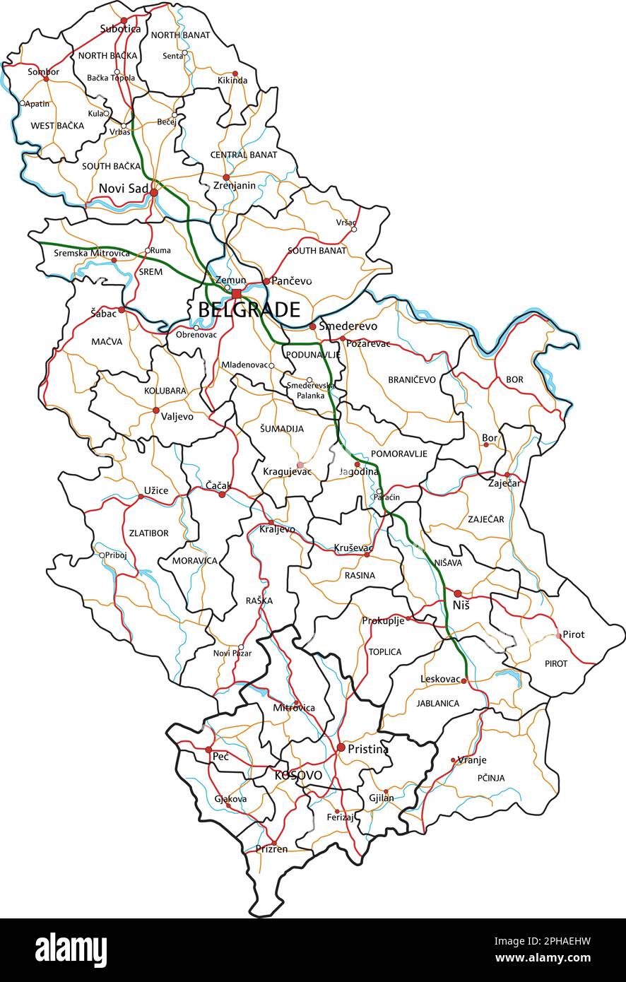 Serbia road and highway map. Vector illustration. Stock Vectorhttps://www.alamy.com/image-license-details/?v=1https://www.alamy.com/serbia-road-and-highway-map-vector-illustration-image544201557.html
RF2PHAEHW–Serbia road and highway map. Vector illustration.
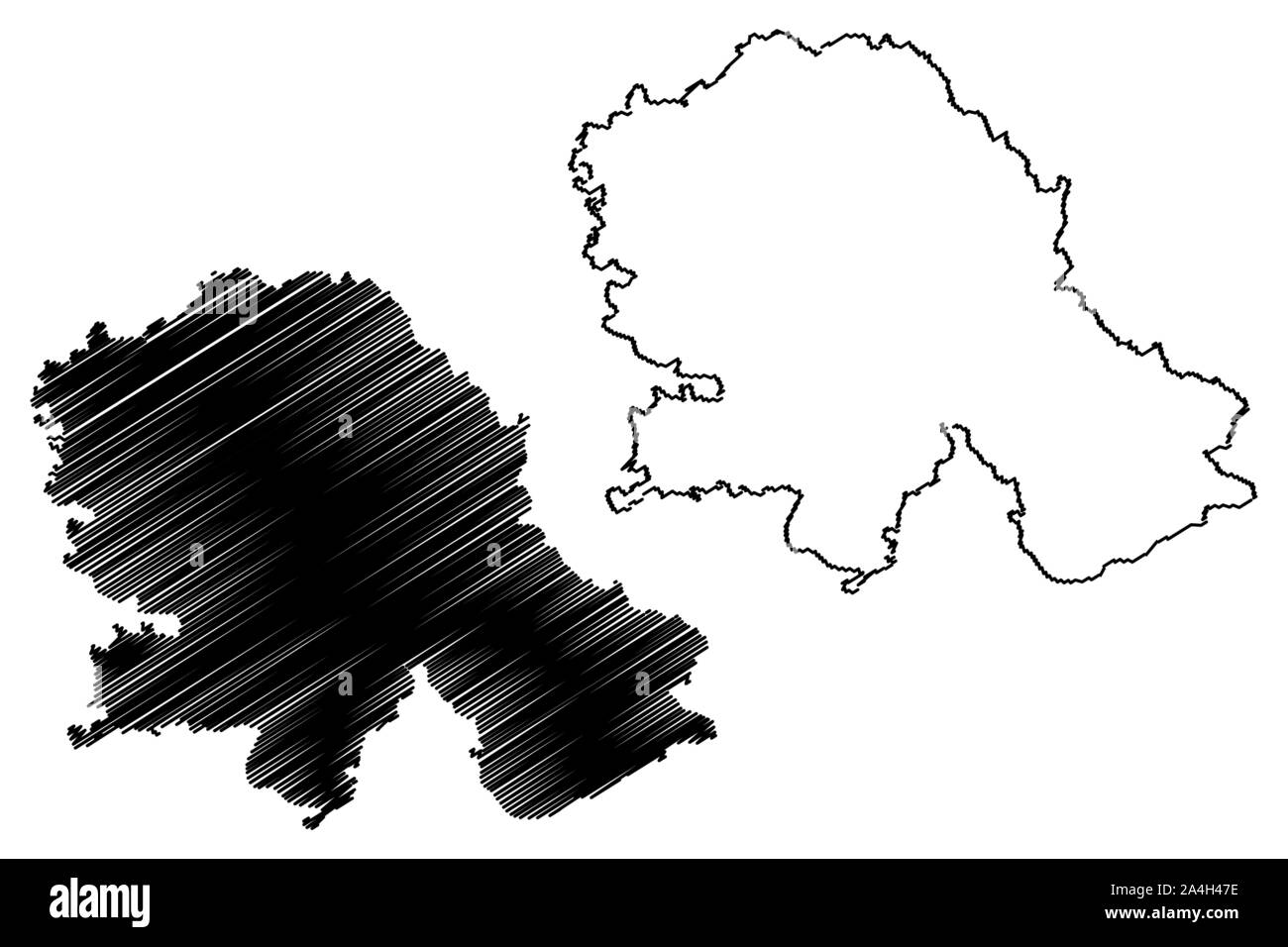 Autonomous Province of Vojvodina (Republic of Serbia) map vector illustration, scribble sketch Vojvodina map Stock Vectorhttps://www.alamy.com/image-license-details/?v=1https://www.alamy.com/autonomous-province-of-vojvodina-republic-of-serbia-map-vector-illustration-scribble-sketch-vojvodina-map-image329832146.html
RF2A4H47E–Autonomous Province of Vojvodina (Republic of Serbia) map vector illustration, scribble sketch Vojvodina map
 Serbia travel concept map background with planes,tickets. Visit Serbia travel and tourism destination concept. Serbia flag on map. Planes and flights Stock Photohttps://www.alamy.com/image-license-details/?v=1https://www.alamy.com/serbia-travel-concept-map-background-with-planestickets-visit-serbia-travel-and-tourism-destination-concept-serbia-flag-on-map-planes-and-flights-image228619604.html
RFR7XEHT–Serbia travel concept map background with planes,tickets. Visit Serbia travel and tourism destination concept. Serbia flag on map. Planes and flights
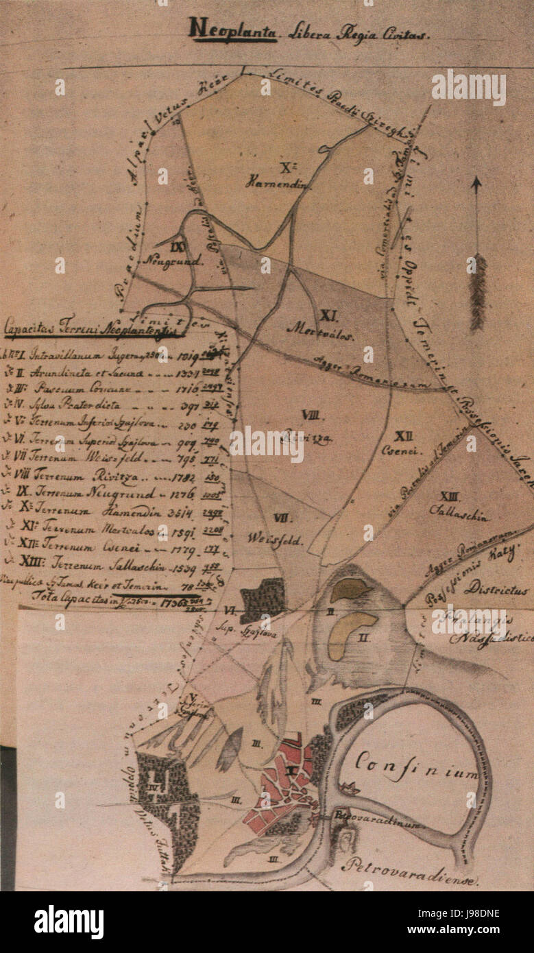 Novi sad map 1805 Stock Photohttps://www.alamy.com/image-license-details/?v=1https://www.alamy.com/stock-photo-novi-sad-map-1805-143401258.html
RMJ98DNE–Novi sad map 1805
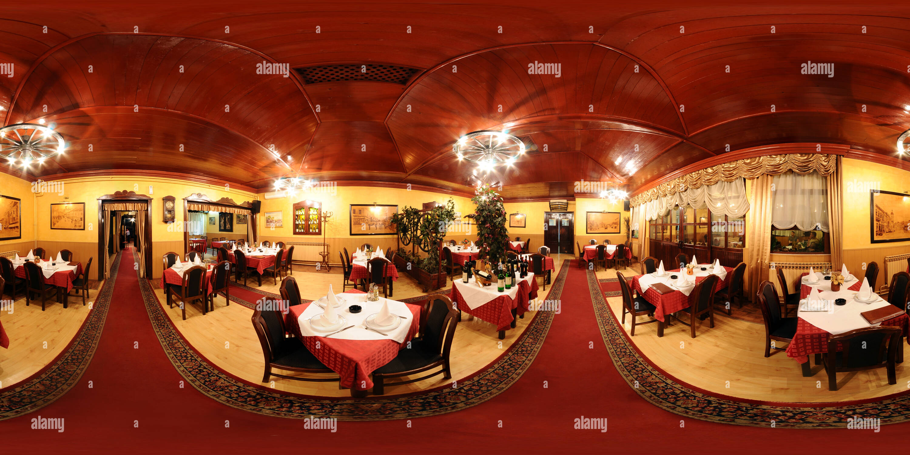 360 degree panoramic view of Novi Sad, Restaurant Stari Fijakerhttps://www.alamy.com/image-license-details/?v=1https://www.alamy.com/360-degree-panoramic-view-of-novi-sad-restaurant-stari-fijaker-image219138734.html
RF360°PMEHKA–Novi Sad, Restaurant Stari Fijaker
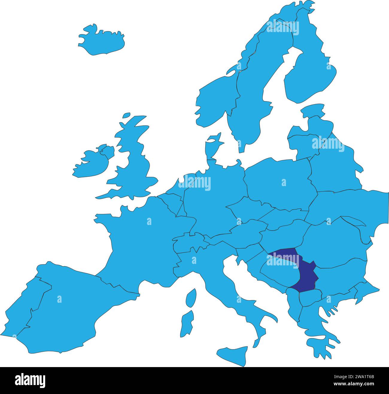 Location map of the REPUBLIC OF SERBIA, EUROPE Stock Vectorhttps://www.alamy.com/image-license-details/?v=1https://www.alamy.com/location-map-of-the-republic-of-serbia-europe-image591340019.html
RF2WA1T6B–Location map of the REPUBLIC OF SERBIA, EUROPE
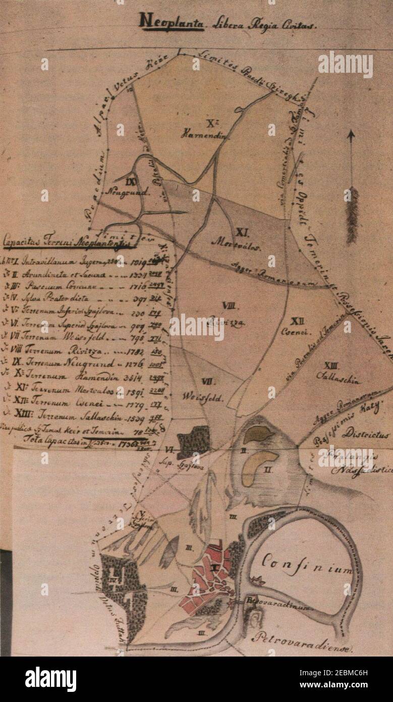 Novi sad map 1805. Stock Photohttps://www.alamy.com/image-license-details/?v=1https://www.alamy.com/novi-sad-map-1805-image403048313.html
RM2EBMC6H–Novi sad map 1805.
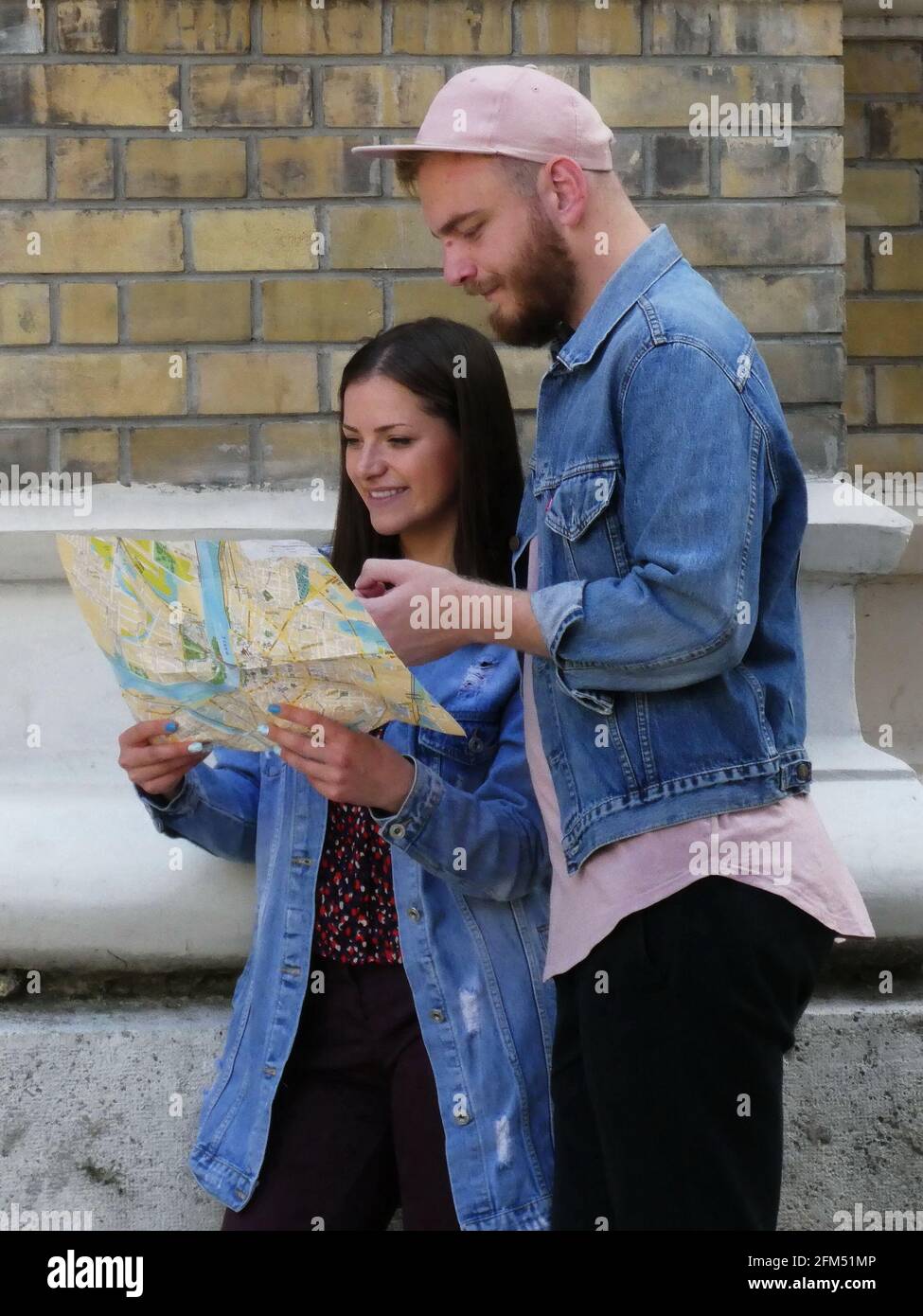 NOVI SAD, SERBIA - May 29, 2019: Novi Sad, Serbia, May 29th 2019. - Two young traveling couple tourists with map in a city finding the location Stock Photohttps://www.alamy.com/image-license-details/?v=1https://www.alamy.com/novi-sad-serbia-may-29-2019-novi-sad-serbia-may-29th-2019-two-young-traveling-couple-tourists-with-map-in-a-city-finding-the-location-image425453078.html
RF2FM51MP–NOVI SAD, SERBIA - May 29, 2019: Novi Sad, Serbia, May 29th 2019. - Two young traveling couple tourists with map in a city finding the location
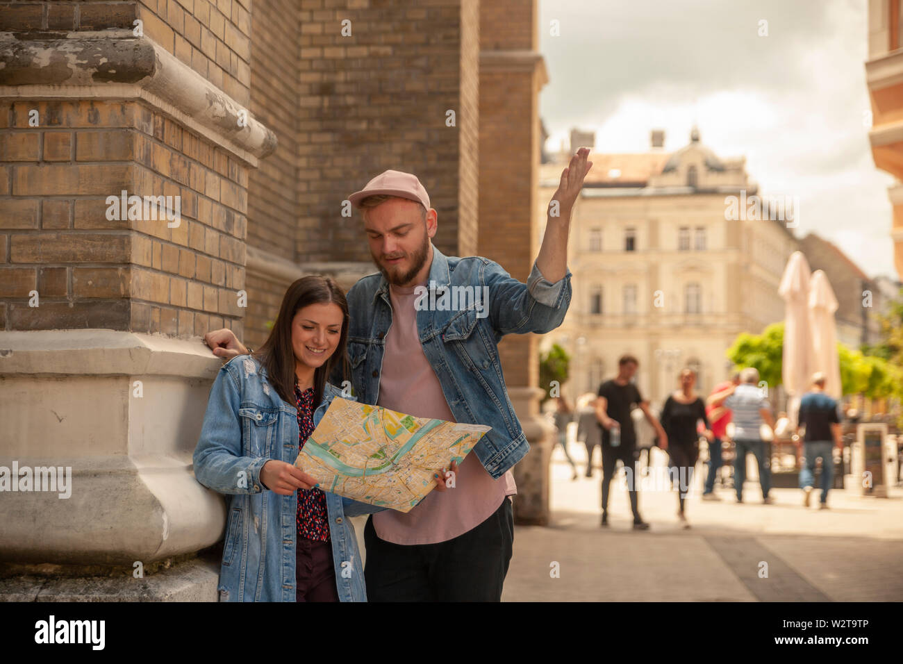 two friends, or couple, discussing while looking at a city map while one man is pointing finger. Location Novi Sad, Serbia. Stock Photohttps://www.alamy.com/image-license-details/?v=1https://www.alamy.com/two-friends-or-couple-discussing-while-looking-at-a-city-map-while-one-man-is-pointing-finger-location-novi-sad-serbia-image259919430.html
RFW2T9TP–two friends, or couple, discussing while looking at a city map while one man is pointing finger. Location Novi Sad, Serbia.
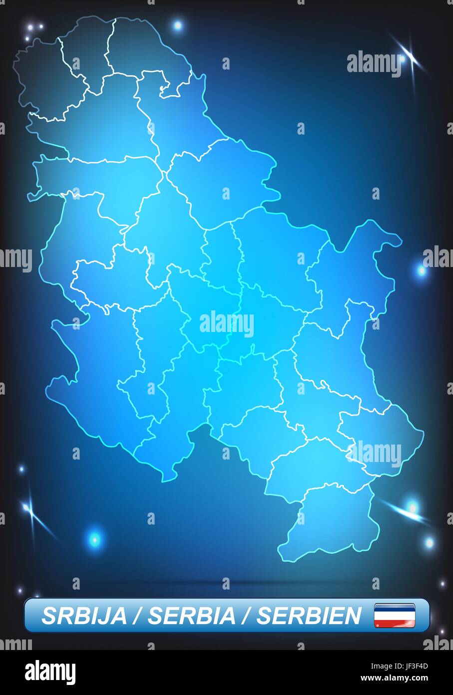 map of serbia Stock Vectorhttps://www.alamy.com/image-license-details/?v=1https://www.alamy.com/stock-photo-map-of-serbia-146980525.html
RFJF3F4D–map of serbia
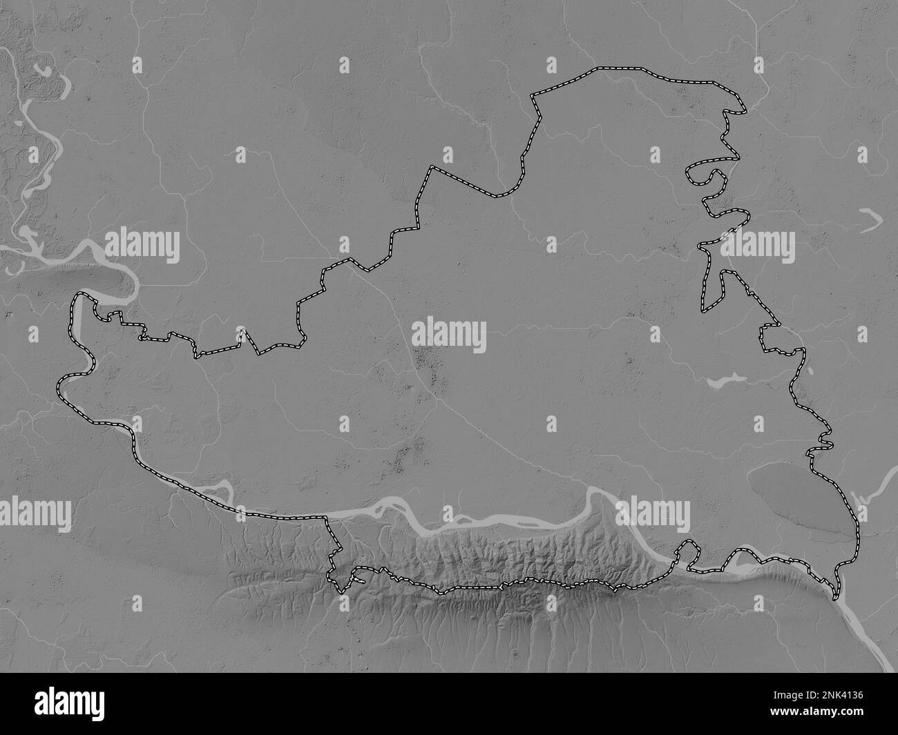 Juzno-Backi, district of Serbia. Grayscale elevation map with lakes and rivers Stock Photohttps://www.alamy.com/image-license-details/?v=1https://www.alamy.com/juzno-backi-district-of-serbia-grayscale-elevation-map-with-lakes-and-rivers-image528078186.html
RF2NK4136–Juzno-Backi, district of Serbia. Grayscale elevation map with lakes and rivers
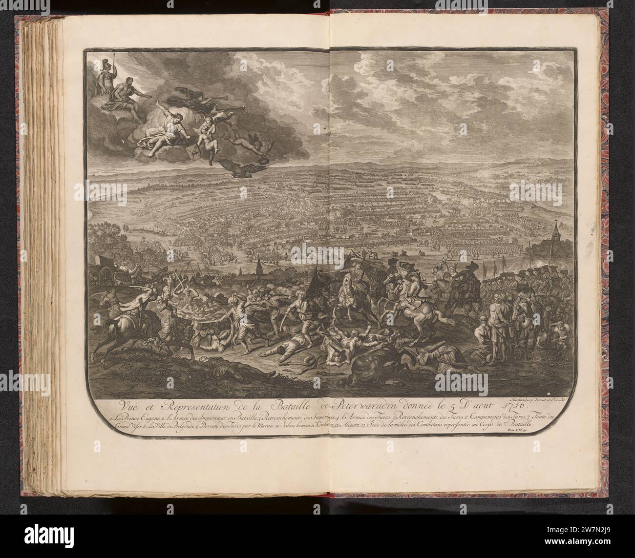 Slag Bij Petrovaradin, 1716, 1727 - 1729 Map of the Battle of Petrovaradin (present -day Novi Sad in Serbia) on the Danube with a victory of the imperial troops under the prince of Savoy on the Turks, August 5, 1716. Centrally the prince on horseback, in the top left of the fame and angels in the Clouds. Numbered at the bottom right: Tom. I. No. 30. Illustration in the first part of: Jean du Mont, War expert description of the battles and sieges, of the three ... Wyd renowned krygsovers ... The Prince Eugenius of Savoye, Den ... Duke of Marlborough, and the Prince of Orange and Nassau-Vrieslan Stock Photohttps://www.alamy.com/image-license-details/?v=1https://www.alamy.com/slag-bij-petrovaradin-1716-1727-1729-map-of-the-battle-of-petrovaradin-present-day-novi-sad-in-serbia-on-the-danube-with-a-victory-of-the-imperial-troops-under-the-prince-of-savoy-on-the-turks-august-5-1716-centrally-the-prince-on-horseback-in-the-top-left-of-the-fame-and-angels-in-the-clouds-numbered-at-the-bottom-right-tom-i-no-30-illustration-in-the-first-part-of-jean-du-mont-war-expert-description-of-the-battles-and-sieges-of-the-three-wyd-renowned-krygsovers-the-prince-eugenius-of-savoye-den-duke-of-marlborough-and-the-prince-of-orange-and-nassau-vrieslan-image589918177.html
RM2W7N2J9–Slag Bij Petrovaradin, 1716, 1727 - 1729 Map of the Battle of Petrovaradin (present -day Novi Sad in Serbia) on the Danube with a victory of the imperial troops under the prince of Savoy on the Turks, August 5, 1716. Centrally the prince on horseback, in the top left of the fame and angels in the Clouds. Numbered at the bottom right: Tom. I. No. 30. Illustration in the first part of: Jean du Mont, War expert description of the battles and sieges, of the three ... Wyd renowned krygsovers ... The Prince Eugenius of Savoye, Den ... Duke of Marlborough, and the Prince of Orange and Nassau-Vrieslan
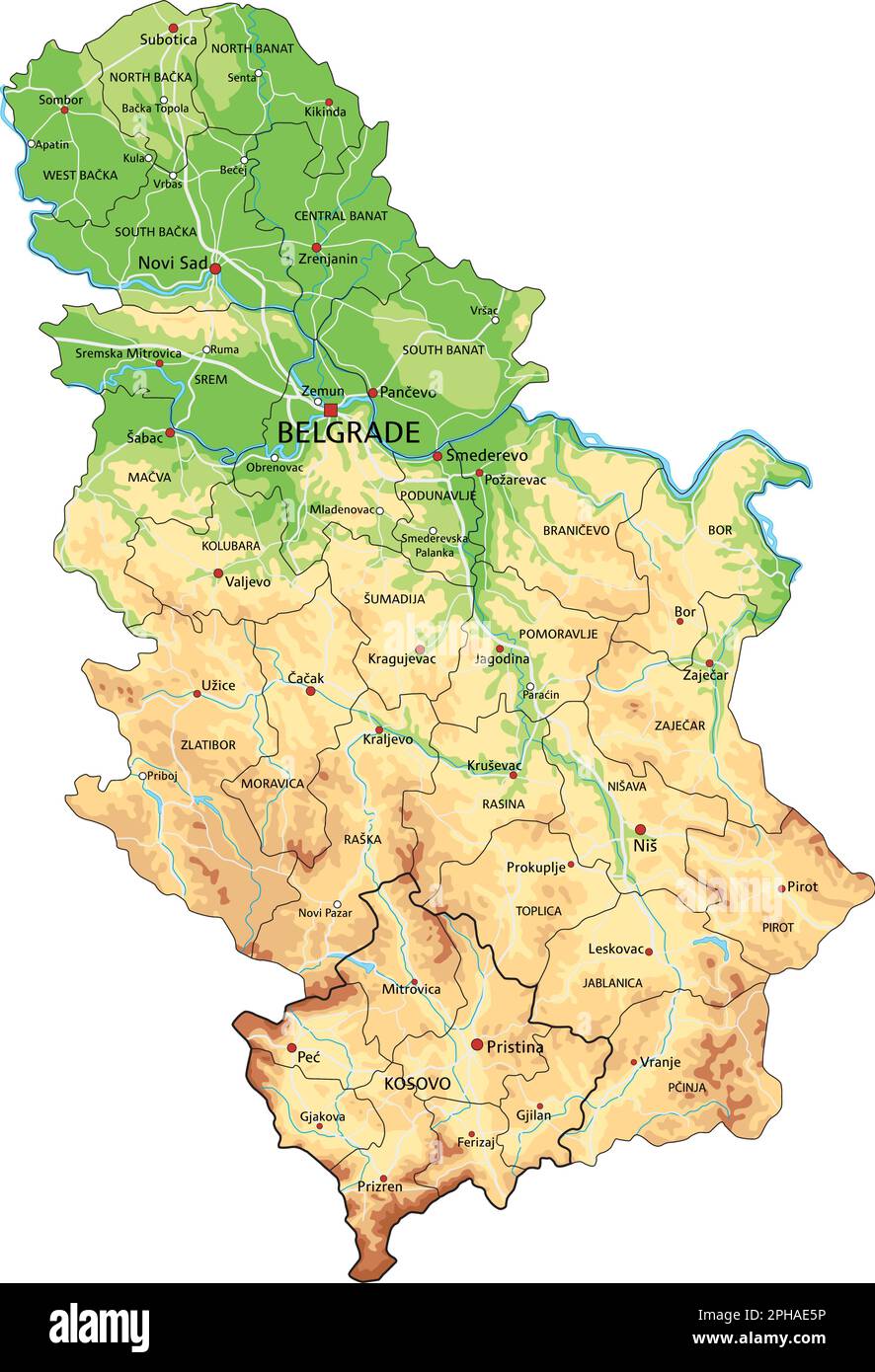 Highly detailed Serbia physical map with labeling. Stock Vectorhttps://www.alamy.com/image-license-details/?v=1https://www.alamy.com/highly-detailed-serbia-physical-map-with-labeling-image544201218.html
RF2PHAE5P–Highly detailed Serbia physical map with labeling.
 Autonomous Province of Vojvodina (Republic of Serbia) map vector illustration, scribble sketch Vojvodina map Stock Vectorhttps://www.alamy.com/image-license-details/?v=1https://www.alamy.com/autonomous-province-of-vojvodina-republic-of-serbia-map-vector-illustration-scribble-sketch-vojvodina-map-image331315983.html
RF2A70MWK–Autonomous Province of Vojvodina (Republic of Serbia) map vector illustration, scribble sketch Vojvodina map
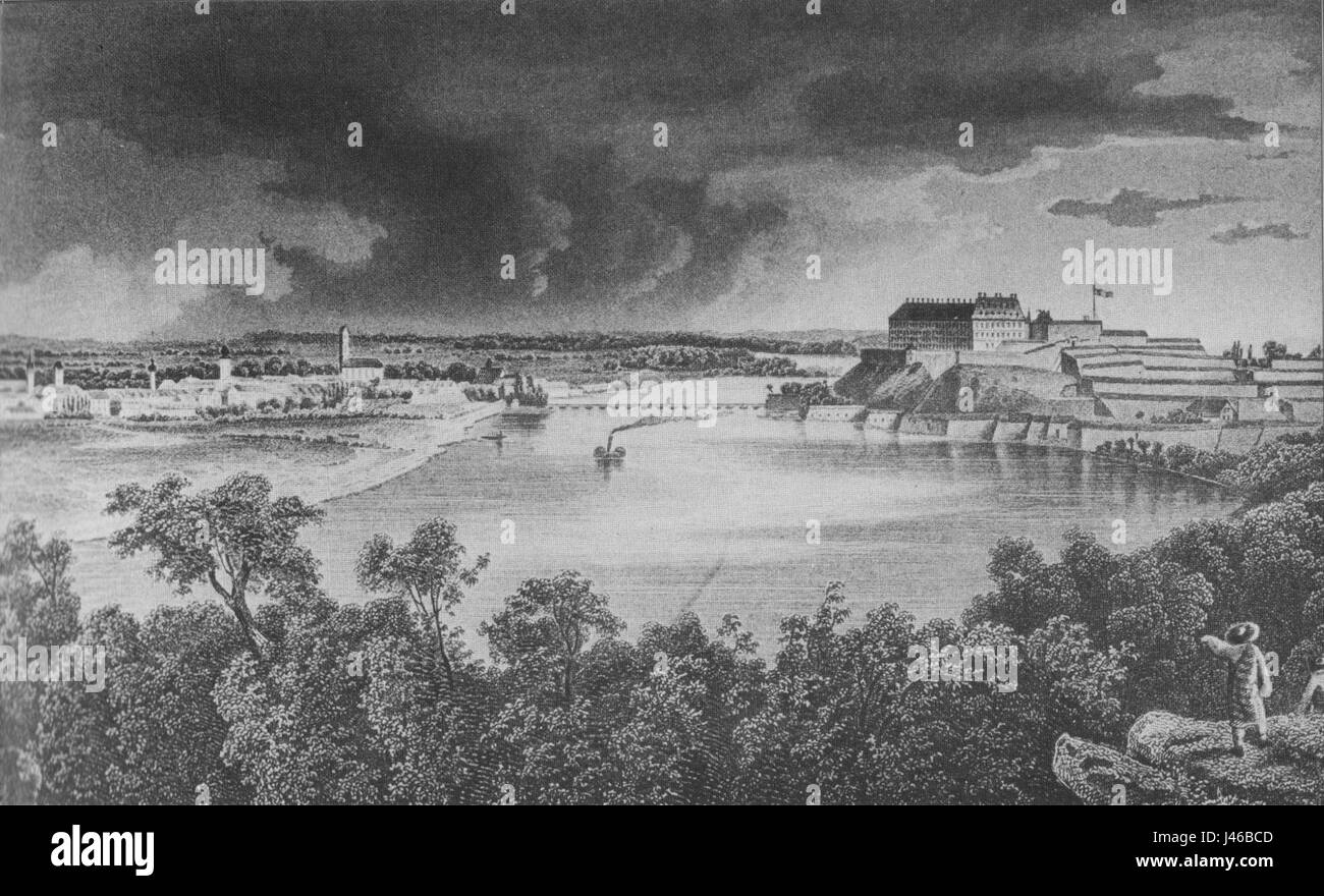 Novi sad 19thcentury02 Stock Photohttps://www.alamy.com/image-license-details/?v=1https://www.alamy.com/stock-photo-novi-sad-19thcentury02-140282253.html
RMJ46BCD–Novi sad 19thcentury02
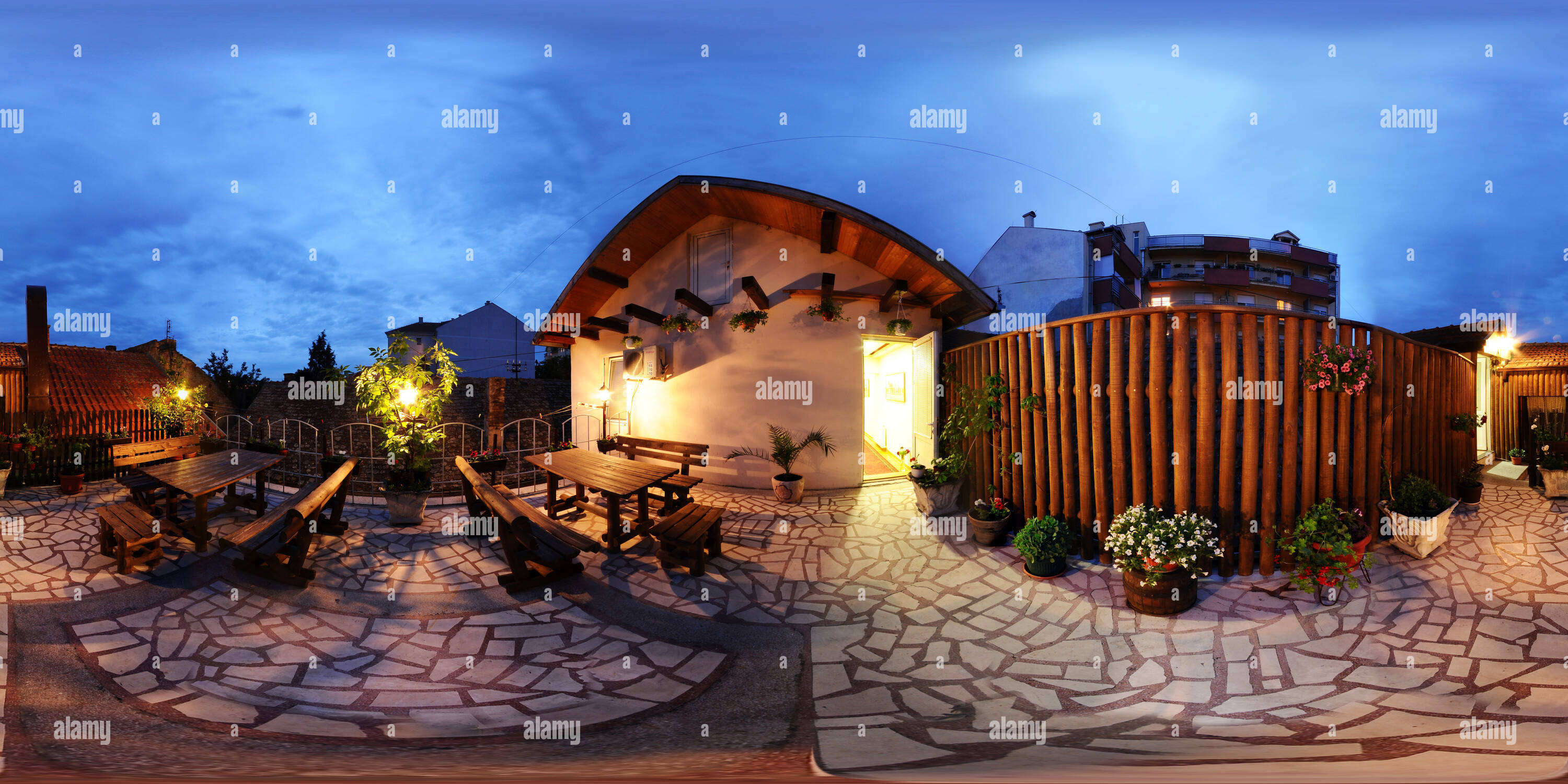 360 degree panoramic view of Novi Sad at night, beautiful terrace in Stari Fijakerhttps://www.alamy.com/image-license-details/?v=1https://www.alamy.com/360-degree-panoramic-view-of-novi-sad-at-night-beautiful-terrace-in-stari-fijaker-image219138739.html
RF360°PMEHKF–Novi Sad at night, beautiful terrace in Stari Fijaker
