Quick filters:
Old map of antwerp Stock Photos and Images
 Map Of Antwerp 1624 Stock Photohttps://www.alamy.com/image-license-details/?v=1https://www.alamy.com/stock-photo-map-of-antwerp-1624-130772833.html
RFHGN629–Map Of Antwerp 1624
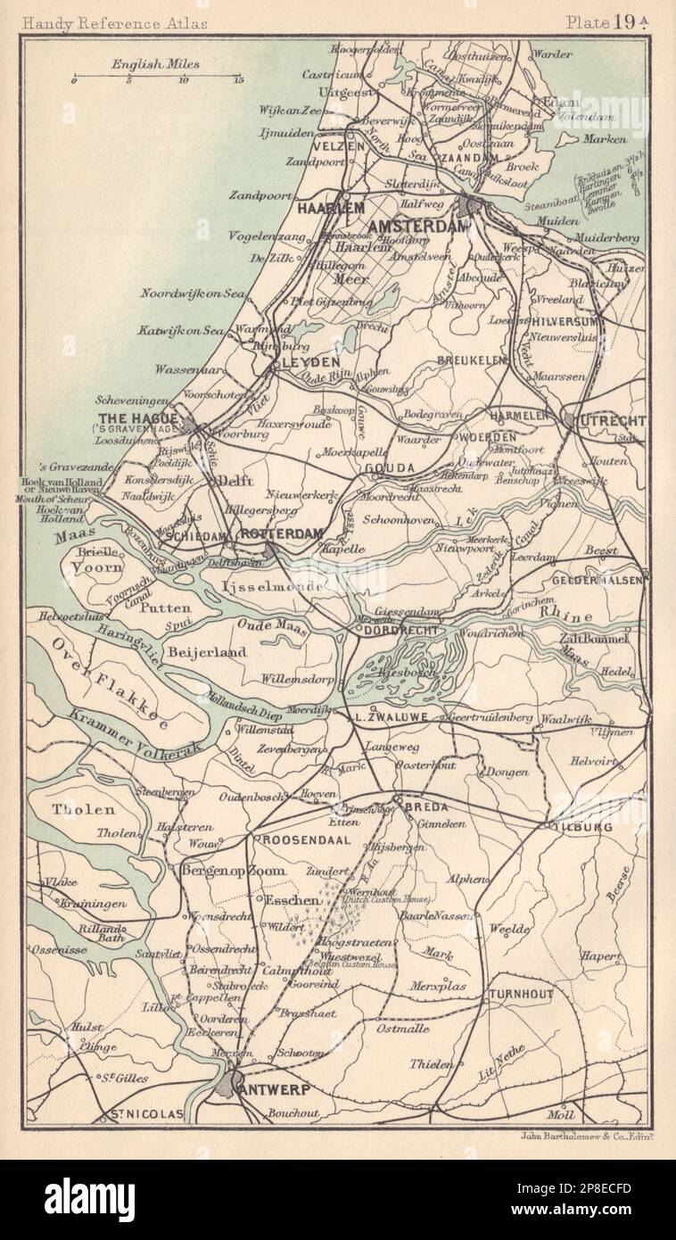 Netherlands. Amsterdam The Hague Rotterdam Antwerp. BARTHOLOMEW 1898 old map Stock Photohttps://www.alamy.com/image-license-details/?v=1https://www.alamy.com/netherlands-amsterdam-the-hague-rotterdam-antwerp-bartholomew-1898-old-map-image538755825.html
RF2P8ECFD–Netherlands. Amsterdam The Hague Rotterdam Antwerp. BARTHOLOMEW 1898 old map
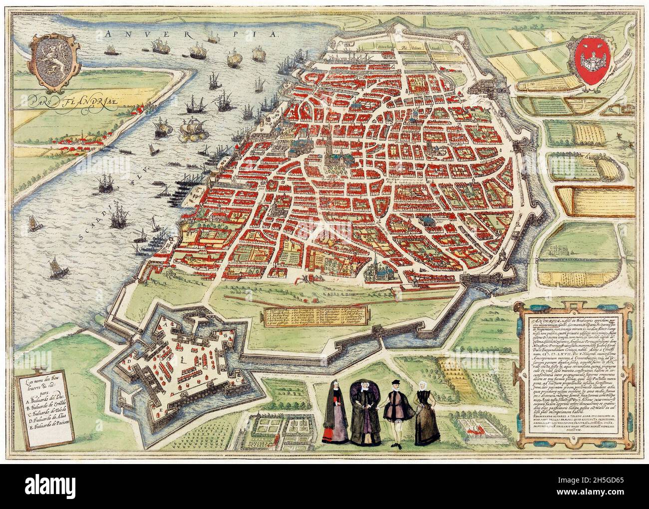 View of Antwerp from Braun and Hogenberg's Civitates Orbis Terrarum (1572-1594) designed by Joris Hoefnagel and edited by Georg Braun. Stock Photohttps://www.alamy.com/image-license-details/?v=1https://www.alamy.com/view-of-antwerp-from-braun-and-hogenbergs-civitates-orbis-terrarum-1572-1594-designed-by-joris-hoefnagel-and-edited-by-georg-braun-image450904445.html
RM2H5GD65–View of Antwerp from Braun and Hogenberg's Civitates Orbis Terrarum (1572-1594) designed by Joris Hoefnagel and edited by Georg Braun.
 Belgian cities. Brussels & Antwerp. Belgium. BARTHOLOMEW 1949 old vintage map Stock Photohttps://www.alamy.com/image-license-details/?v=1https://www.alamy.com/belgian-cities-brussels-antwerp-belgium-bartholomew-1949-old-vintage-map-image428910334.html
RF2FWPFE6–Belgian cities. Brussels & Antwerp. Belgium. BARTHOLOMEW 1949 old vintage map
 Map of Antwerp 1832 Stock Photohttps://www.alamy.com/image-license-details/?v=1https://www.alamy.com/map-of-antwerp-1832-image184253748.html
RMMKNDF0–Map of Antwerp 1832
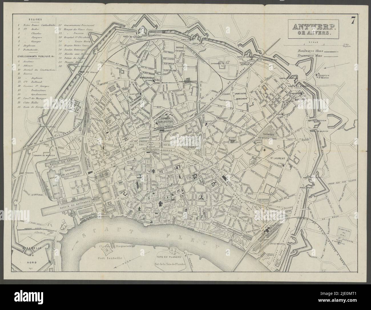 ANTWERP. Antwerpen. Anvers. town city plan 1882 old antique map chart Stock Photohttps://www.alamy.com/image-license-details/?v=1https://www.alamy.com/antwerp-antwerpen-anvers-town-city-plan-1882-old-antique-map-chart-image473301473.html
RF2JE0MT1–ANTWERP. Antwerpen. Anvers. town city plan 1882 old antique map chart
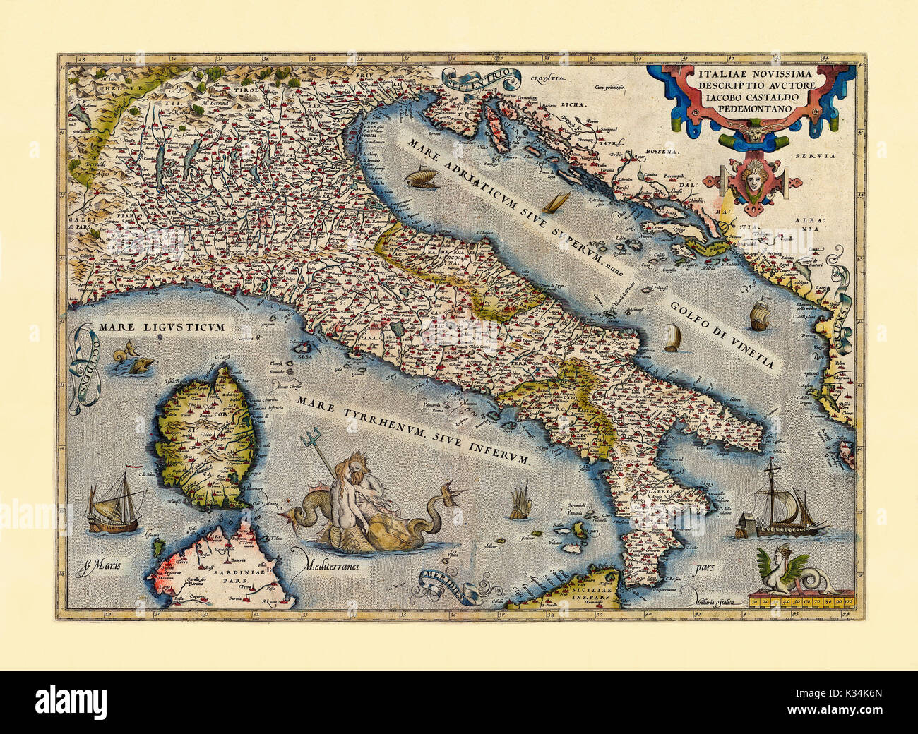 Old map of Italy. Excellent state of preservation realized in ancient style. All the graphic composition is inside a frame. By Ortelius, Theatrum Orbis Terrarum, Antwerp, 1570 Stock Photohttps://www.alamy.com/image-license-details/?v=1https://www.alamy.com/old-map-of-italy-excellent-state-of-preservation-realized-in-ancient-image156840173.html
RFK34K6N–Old map of Italy. Excellent state of preservation realized in ancient style. All the graphic composition is inside a frame. By Ortelius, Theatrum Orbis Terrarum, Antwerp, 1570
![Defences of Antwerp 1914 [Siege of Antwerp]. First World War. 1925 old map Stock Photo Defences of Antwerp 1914 [Siege of Antwerp]. First World War. 1925 old map Stock Photo](https://c8.alamy.com/comp/2R9XKR4/defences-of-antwerp-1914-siege-of-antwerp-first-world-war-1925-old-map-2R9XKR4.jpg) Defences of Antwerp 1914 [Siege of Antwerp]. First World War. 1925 old map Stock Photohttps://www.alamy.com/image-license-details/?v=1https://www.alamy.com/defences-of-antwerp-1914-siege-of-antwerp-first-world-war-1925-old-map-image556849976.html
Defences of Antwerp 1914 [Siege of Antwerp]. First World War. 1925 old map Stock Photohttps://www.alamy.com/image-license-details/?v=1https://www.alamy.com/defences-of-antwerp-1914-siege-of-antwerp-first-world-war-1925-old-map-image556849976.htmlRF2R9XKR4–Defences of Antwerp 1914 [Siege of Antwerp]. First World War. 1925 old map
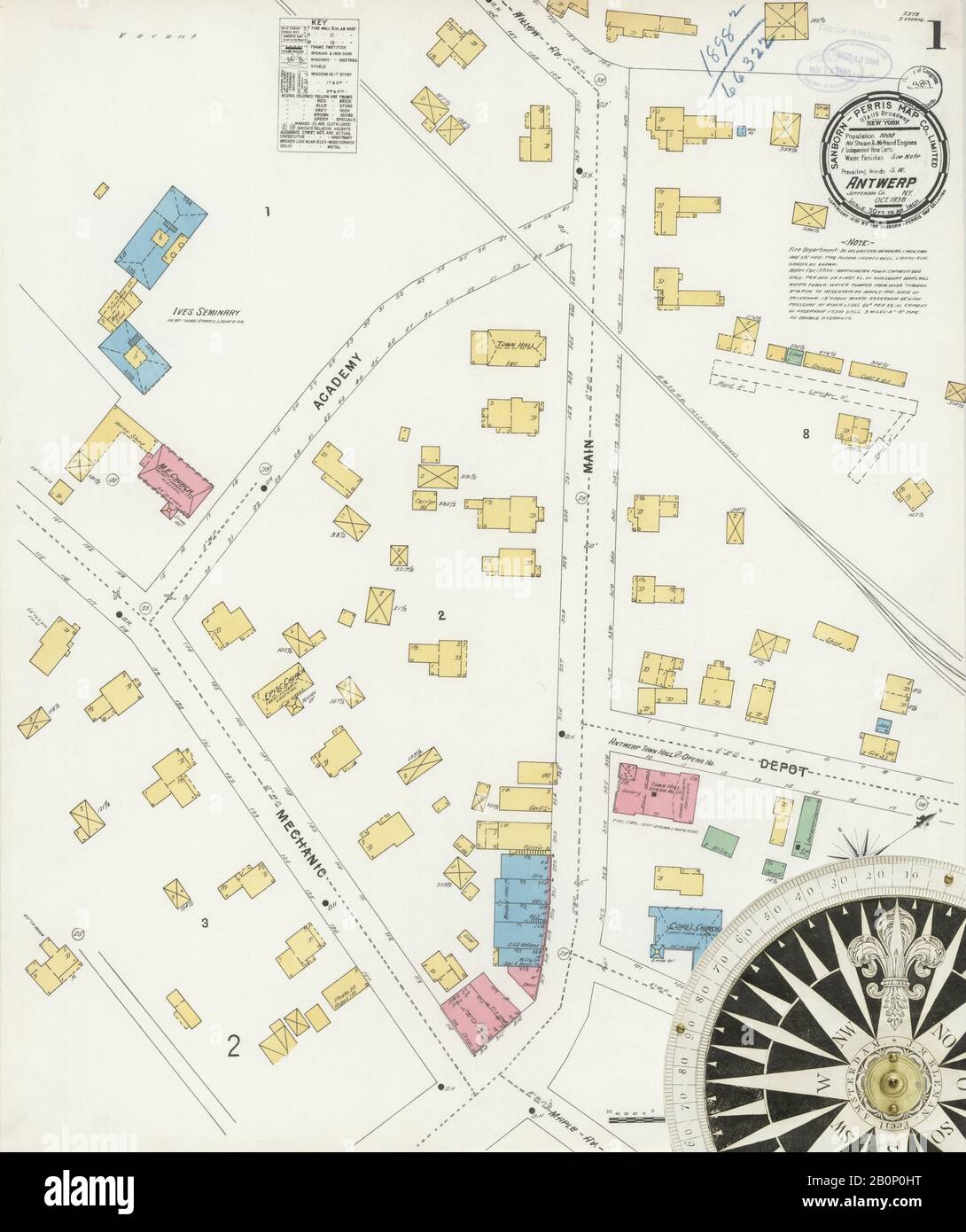 Image 1 of Sanborn Fire Insurance Map from Antwerp, Jefferson County, New York. Oct 1898. 2 Sheet(s), America, street map with a Nineteenth Century compass Stock Photohttps://www.alamy.com/image-license-details/?v=1https://www.alamy.com/image-1-of-sanborn-fire-insurance-map-from-antwerp-jefferson-county-new-york-oct-1898-2-sheets-america-street-map-with-a-nineteenth-century-compass-image344690804.html
RM2B0P0HT–Image 1 of Sanborn Fire Insurance Map from Antwerp, Jefferson County, New York. Oct 1898. 2 Sheet(s), America, street map with a Nineteenth Century compass
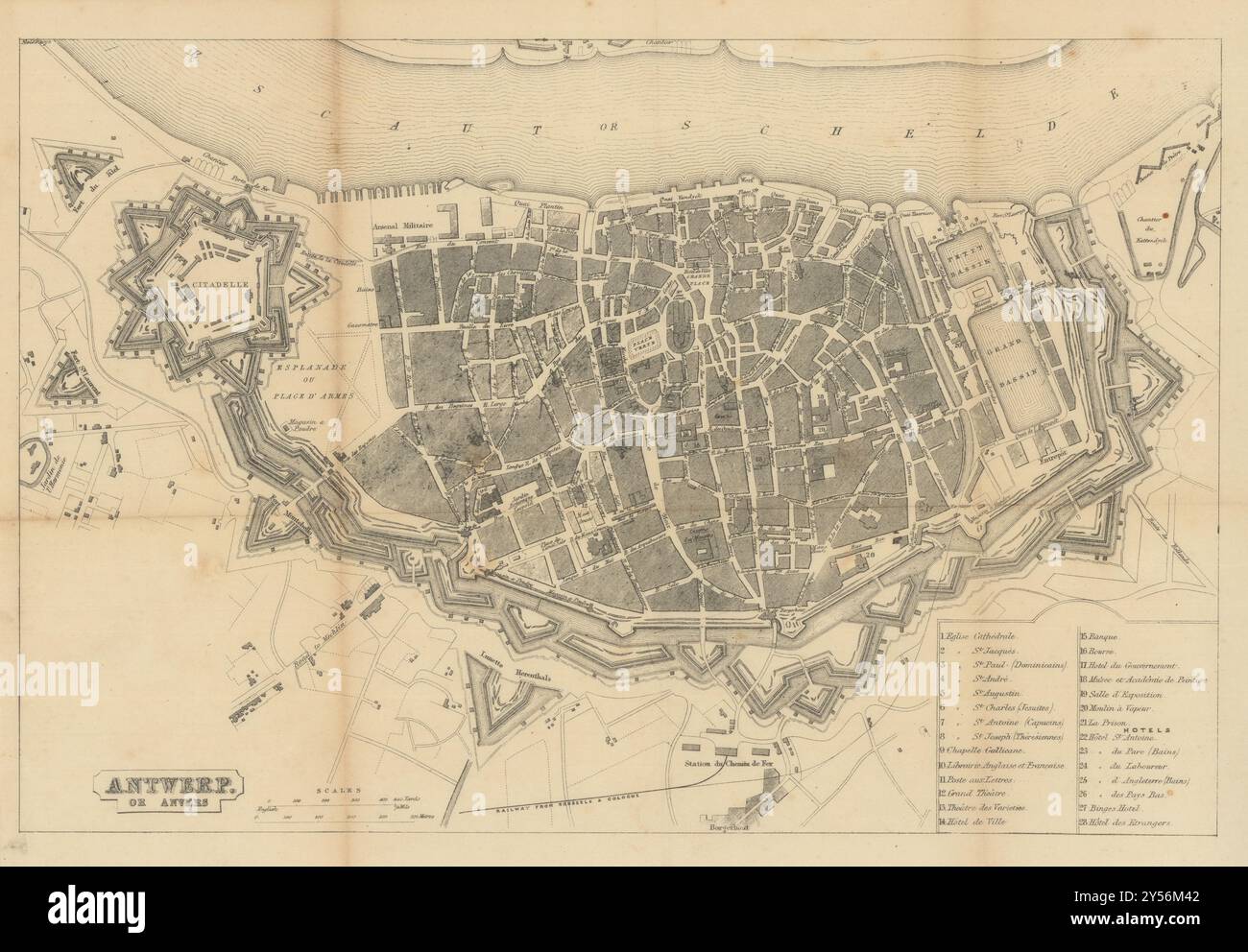 Antwerp or Anvers town city plan. Belgium. BRADSHAW c1853 old antique map Stock Photohttps://www.alamy.com/image-license-details/?v=1https://www.alamy.com/antwerp-or-anvers-town-city-plan-belgium-bradshaw-c1853-old-antique-map-image622794034.html
RF2Y56M42–Antwerp or Anvers town city plan. Belgium. BRADSHAW c1853 old antique map
 A late 19th century map of Belgium and the Netherlands -Une carte de la Belgique et des Pays-Bas de la fin du XIXe siècle -Een kaart van België en Nederland uit de late 19e eeuw - Stock Photohttps://www.alamy.com/image-license-details/?v=1https://www.alamy.com/a-late-19th-century-map-of-belgium-and-the-netherlands-une-carte-de-la-belgique-et-des-pays-bas-de-la-fin-du-xixe-sicle-een-kaart-van-belgi-en-nederland-uit-de-late-19e-eeuw-image624620246.html
RM2Y85WDX–A late 19th century map of Belgium and the Netherlands -Une carte de la Belgique et des Pays-Bas de la fin du XIXe siècle -Een kaart van België en Nederland uit de late 19e eeuw -
 ANTWERP ANTWERPEN ANVERS city town map Schelde forts Lillo SDUK 1844 old Stock Photohttps://www.alamy.com/image-license-details/?v=1https://www.alamy.com/antwerp-antwerpen-anvers-city-town-map-schelde-forts-lillo-sduk-1844-old-image349810355.html
RF2B936JY–ANTWERP ANTWERPEN ANVERS city town map Schelde forts Lillo SDUK 1844 old
 1579 Ortelius Map of Calais and Vermandois, France and Vicinity Stock Photohttps://www.alamy.com/image-license-details/?v=1https://www.alamy.com/stock-photo-1579-ortelius-map-of-calais-and-vermandois-france-and-vicinity-41670883.html
RMCBP7HR–1579 Ortelius Map of Calais and Vermandois, France and Vicinity
 Plan of the immense fortress town of Antwerp, Belgium, where the Belgians prepared for their last heroic stand during WWI. Stock Photohttps://www.alamy.com/image-license-details/?v=1https://www.alamy.com/plan-of-the-immense-fortress-town-of-antwerp-belgium-where-the-belgians-image64896011.html
RMDNG7EK–Plan of the immense fortress town of Antwerp, Belgium, where the Belgians prepared for their last heroic stand during WWI.
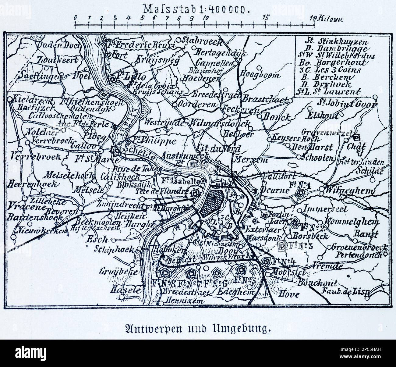 City map of Antwerp and its surroundings,Antwerp, Belgium, Central Europe, illustration 1896 Stock Photohttps://www.alamy.com/image-license-details/?v=1https://www.alamy.com/city-map-of-antwerp-and-its-surroundingsantwerp-belgium-central-europe-illustration-1896-image541020665.html
RM2PC5HAH–City map of Antwerp and its surroundings,Antwerp, Belgium, Central Europe, illustration 1896
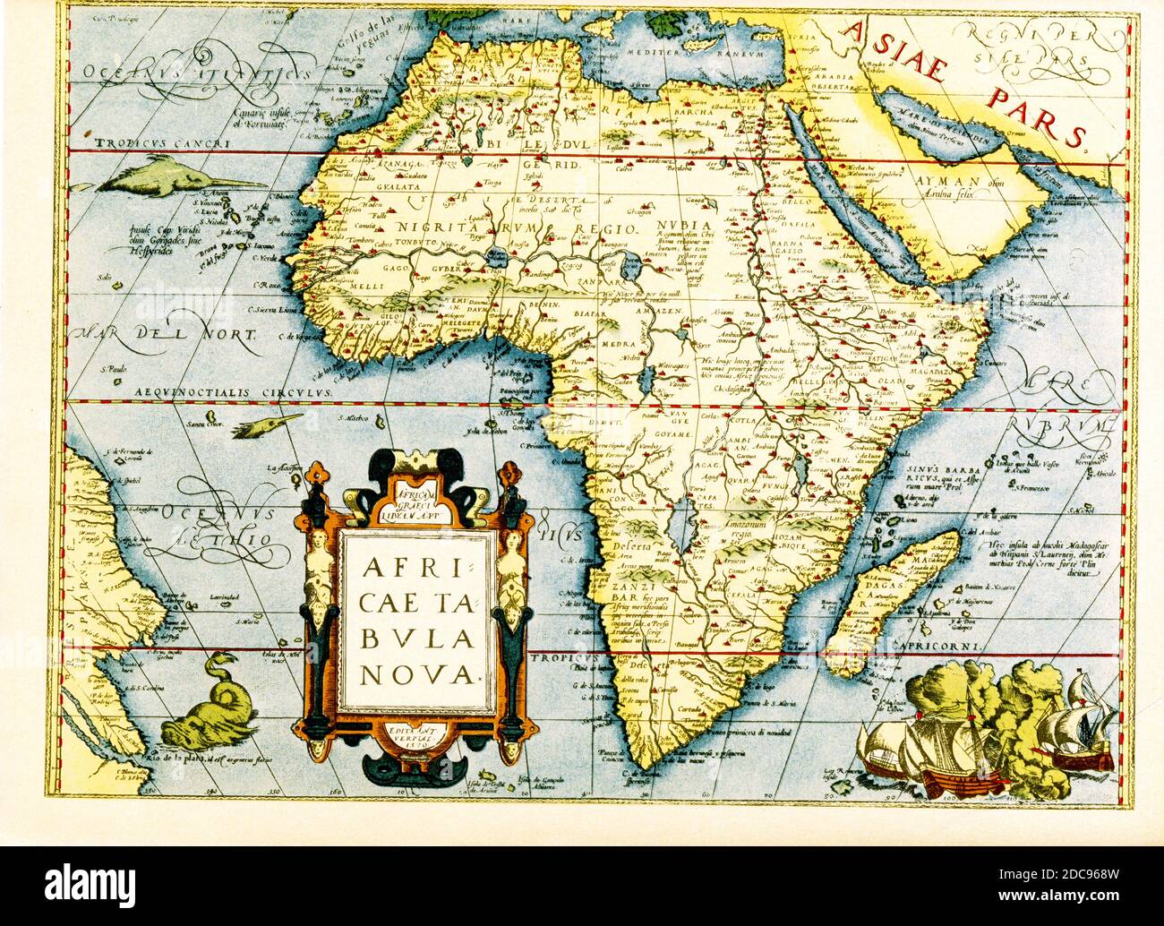 Map of Africa - the inset in lower left titles it: Africa tabula Nova. Below that is the date 1570 and the place Antwerp. The cartographer is Abraham Ortelius, a Dutch cartographer, geographer, and cosmographer, conventionally recognized as the creator of the first modern atlas, the Theatrum Orbis Terrarum. Stock Photohttps://www.alamy.com/image-license-details/?v=1https://www.alamy.com/map-of-africa-the-inset-in-lower-left-titles-it-africa-tabula-nova-below-that-is-the-date-1570-and-the-place-antwerp-the-cartographer-is-abraham-ortelius-a-dutch-cartographer-geographer-and-cosmographer-conventionally-recognized-as-the-creator-of-the-first-modern-atlas-the-theatrum-orbis-terrarum-image386206489.html
RF2DC968W–Map of Africa - the inset in lower left titles it: Africa tabula Nova. Below that is the date 1570 and the place Antwerp. The cartographer is Abraham Ortelius, a Dutch cartographer, geographer, and cosmographer, conventionally recognized as the creator of the first modern atlas, the Theatrum Orbis Terrarum.
 Vintage city plan of Antwerp and area around it from 19th century. Maps are beautifully hand illustrated and engraved showing it at the time. Stock Photohttps://www.alamy.com/image-license-details/?v=1https://www.alamy.com/vintage-city-plan-of-antwerp-and-area-around-it-from-19th-century-maps-are-beautifully-hand-illustrated-and-engraved-showing-it-at-the-time-image471389240.html
RF2JAWHP0–Vintage city plan of Antwerp and area around it from 19th century. Maps are beautifully hand illustrated and engraved showing it at the time.
RME82P58–Engraved illustrations of the Map of Antwerp, Belgium from Iconographic Encyclopedia of Science, Literature and Art, Circa 1851
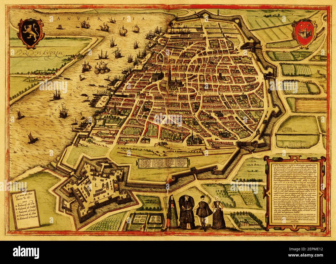 Historic map of the town of Antwerpen, Belgium. Published in the first Latin edition of Braun and Hogenberg's Civitates Orbis Terrarum in 1572. Stock Photohttps://www.alamy.com/image-license-details/?v=1https://www.alamy.com/historic-map-of-the-town-of-antwerpen-belgium-published-in-the-first-latin-edition-of-braun-and-hogenbergs-civitates-orbis-terrarum-in-1572-image409810942.html
RF2EPME12–Historic map of the town of Antwerpen, Belgium. Published in the first Latin edition of Braun and Hogenberg's Civitates Orbis Terrarum in 1572.
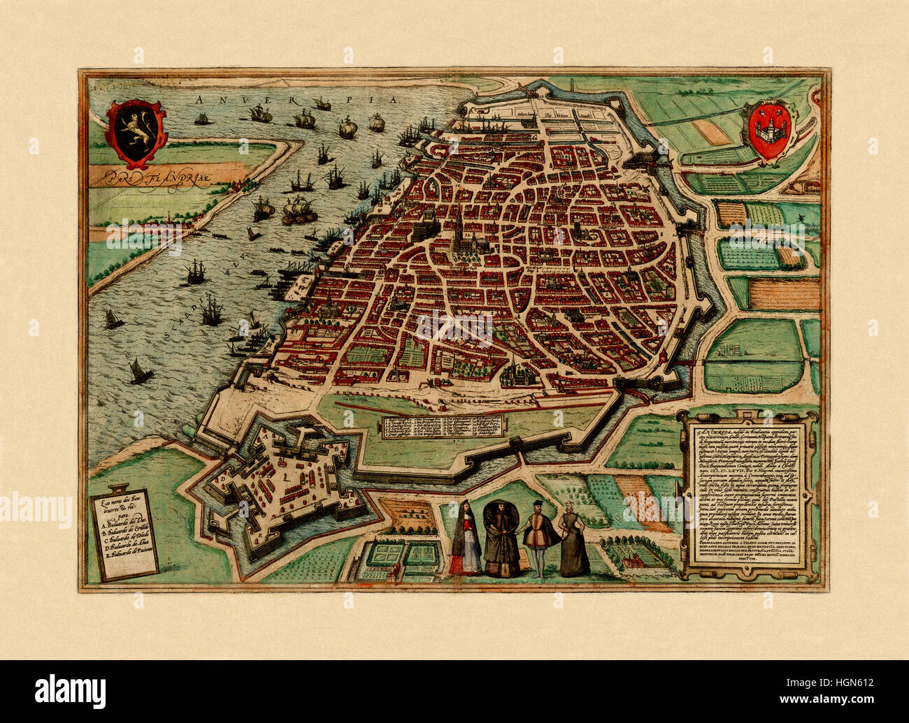 Map Of Antwerp 1560 Stock Photohttps://www.alamy.com/image-license-details/?v=1https://www.alamy.com/stock-photo-map-of-antwerp-1560-130772798.html
RFHGN612–Map Of Antwerp 1560
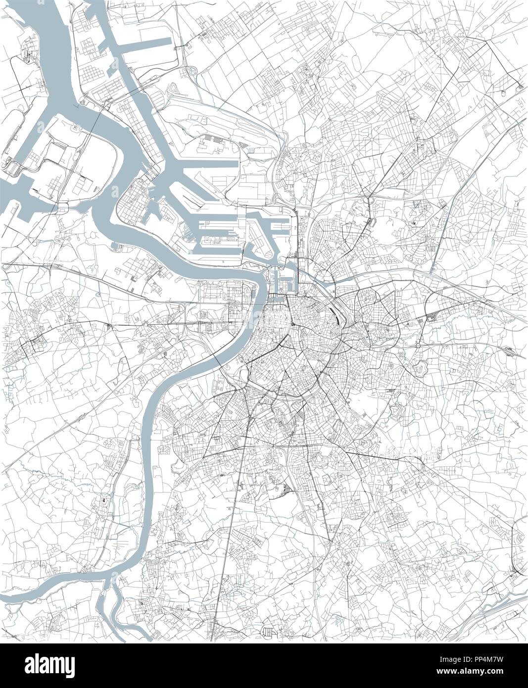 Map of Antwerp, satellite view, black and white map. Street directory and city map. Belgium Stock Vectorhttps://www.alamy.com/image-license-details/?v=1https://www.alamy.com/map-of-antwerp-satellite-view-black-and-white-map-street-directory-and-city-map-belgium-image220150557.html
RFPP4M7W–Map of Antwerp, satellite view, black and white map. Street directory and city map. Belgium
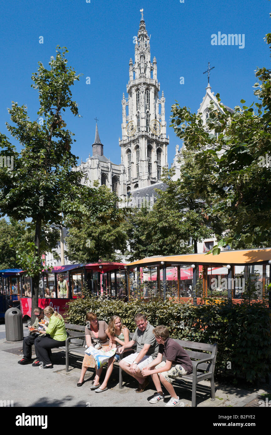 Family on park bench in Groenplaats with Onze Lieve Vrouwekathedraal behind, the centre of the old town, Antwerp, Belgium Stock Photohttps://www.alamy.com/image-license-details/?v=1https://www.alamy.com/stock-photo-family-on-park-bench-in-groenplaats-with-onze-lieve-vrouwekathedraal-18790522.html
RMB2FYE2–Family on park bench in Groenplaats with Onze Lieve Vrouwekathedraal behind, the centre of the old town, Antwerp, Belgium
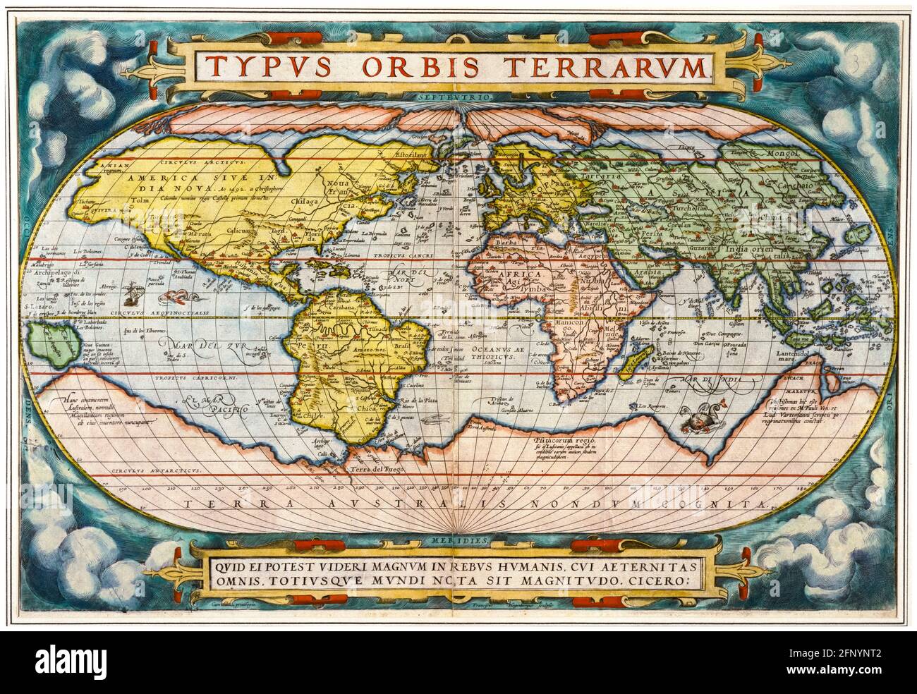 16th Century, Vintage Map of the World from 'Theatrum Orbis Terrarum' (Theater of the Whole World), print by Abraham Ortelius, 1570 Stock Photohttps://www.alamy.com/image-license-details/?v=1https://www.alamy.com/16th-century-vintage-map-of-the-world-from-theatrum-orbis-terrarum-theater-of-the-whole-world-print-by-abraham-ortelius-1570-image426566450.html
RM2FNYNT2–16th Century, Vintage Map of the World from 'Theatrum Orbis Terrarum' (Theater of the Whole World), print by Abraham Ortelius, 1570
 Map of the World, from 'Theatrum Orbis Terrarum' (Theater of the Whole World). Artist: Abraham Ortelius, Engraver: Frans Hogenberg. Antwerp. 1570. Stock Photohttps://www.alamy.com/image-license-details/?v=1https://www.alamy.com/map-of-the-world-from-theatrum-orbis-terrarum-theater-of-the-whole-world-artist-abraham-ortelius-engraver-frans-hogenberg-antwerp-1570-image622963000.html
RM2Y5EBJG–Map of the World, from 'Theatrum Orbis Terrarum' (Theater of the Whole World). Artist: Abraham Ortelius, Engraver: Frans Hogenberg. Antwerp. 1570.
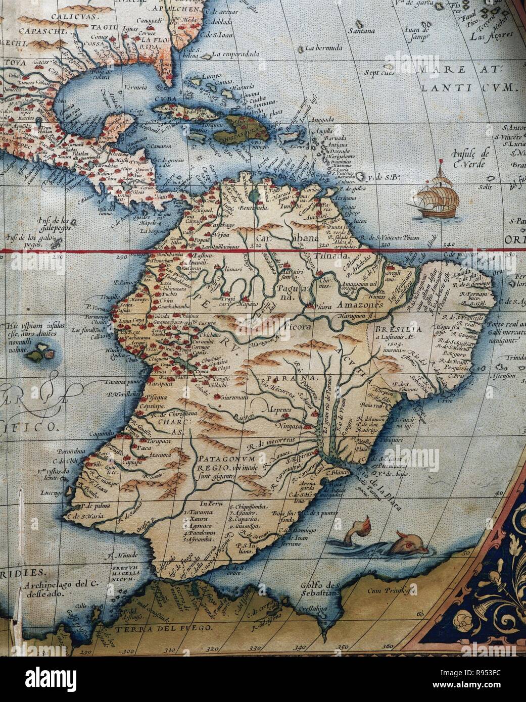 Map of Central and South America. Theatrum Orbis Terrarum by Abraham Ortelius (1527-1598). First Edition. Antwerp, 1574. Stock Photohttps://www.alamy.com/image-license-details/?v=1https://www.alamy.com/map-of-central-and-south-america-theatrum-orbis-terrarum-by-abraham-ortelius-1527-1598-first-edition-antwerp-1574-image229379232.html
RMR953FC–Map of Central and South America. Theatrum Orbis Terrarum by Abraham Ortelius (1527-1598). First Edition. Antwerp, 1574.
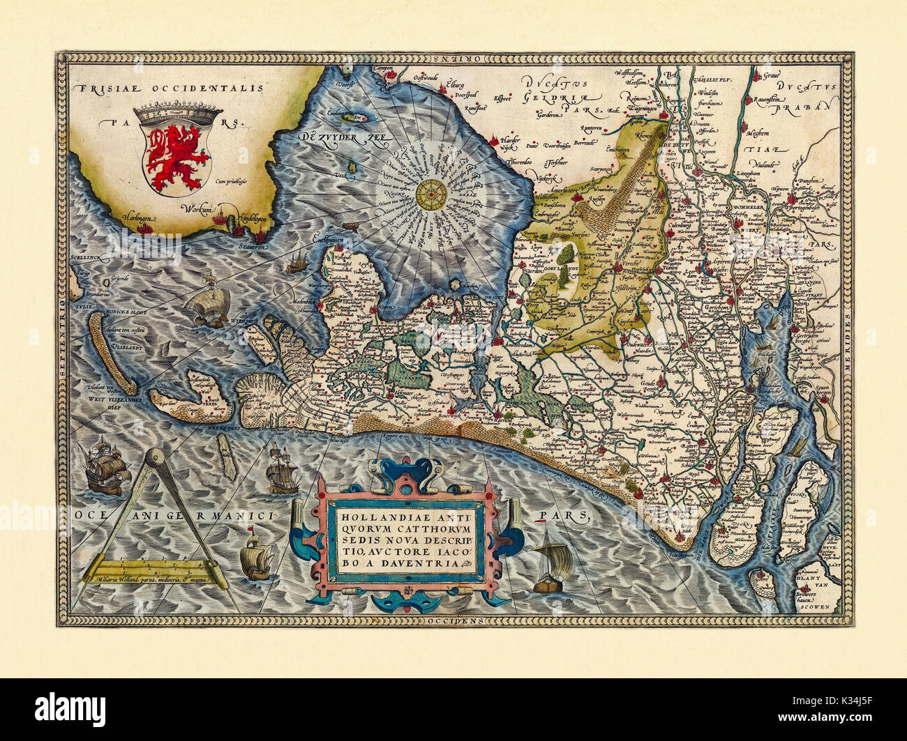 Old map of Netherlands. Excellent state of preservation realized in ancient style. All the graphic composition is inside a frame. By Ortelius, Theatrum Orbis Terrarum, Antwerp, 1570 Stock Photohttps://www.alamy.com/image-license-details/?v=1https://www.alamy.com/old-map-of-netherlands-excellent-state-of-preservation-realized-in-image156839355.html
RFK34J5F–Old map of Netherlands. Excellent state of preservation realized in ancient style. All the graphic composition is inside a frame. By Ortelius, Theatrum Orbis Terrarum, Antwerp, 1570
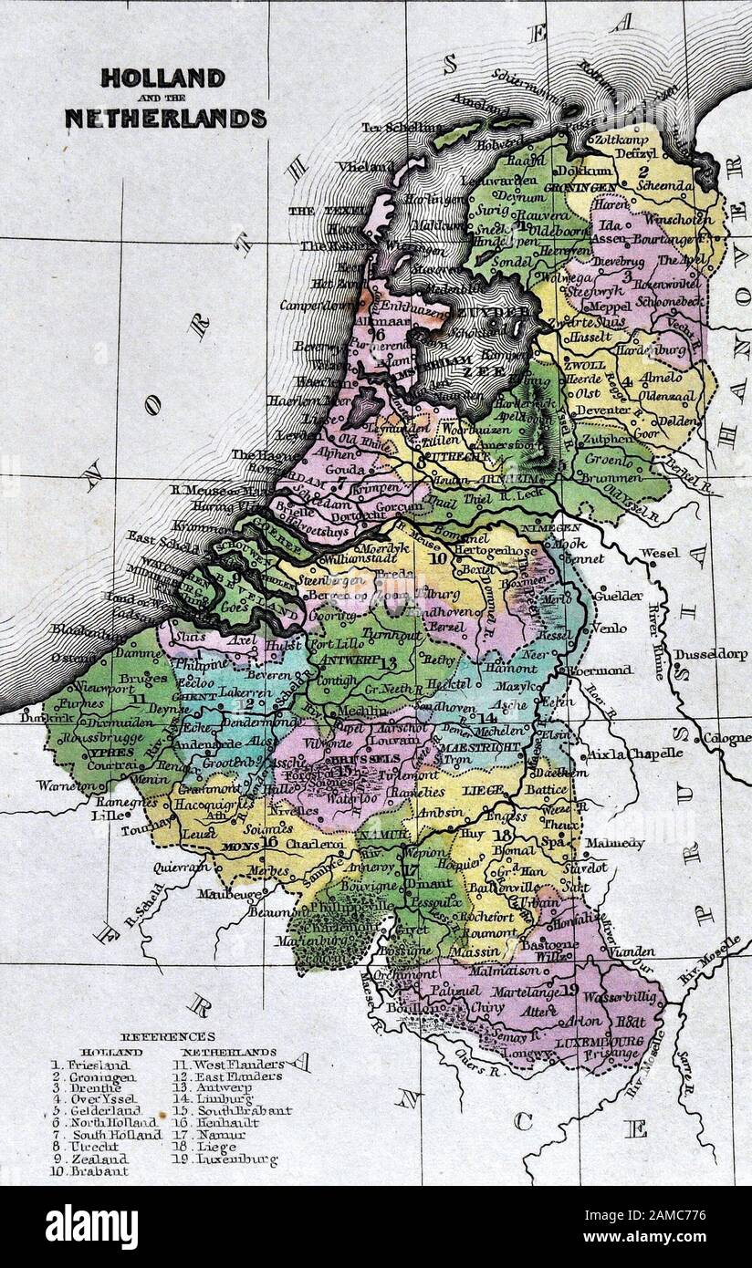 1834 Carey Map of the Netherlands showing Holland, Belgium and Luxembourg Stock Photohttps://www.alamy.com/image-license-details/?v=1https://www.alamy.com/1834-carey-map-of-the-netherlands-showing-holland-belgium-and-luxembourg-image339559226.html
RF2AMC776–1834 Carey Map of the Netherlands showing Holland, Belgium and Luxembourg
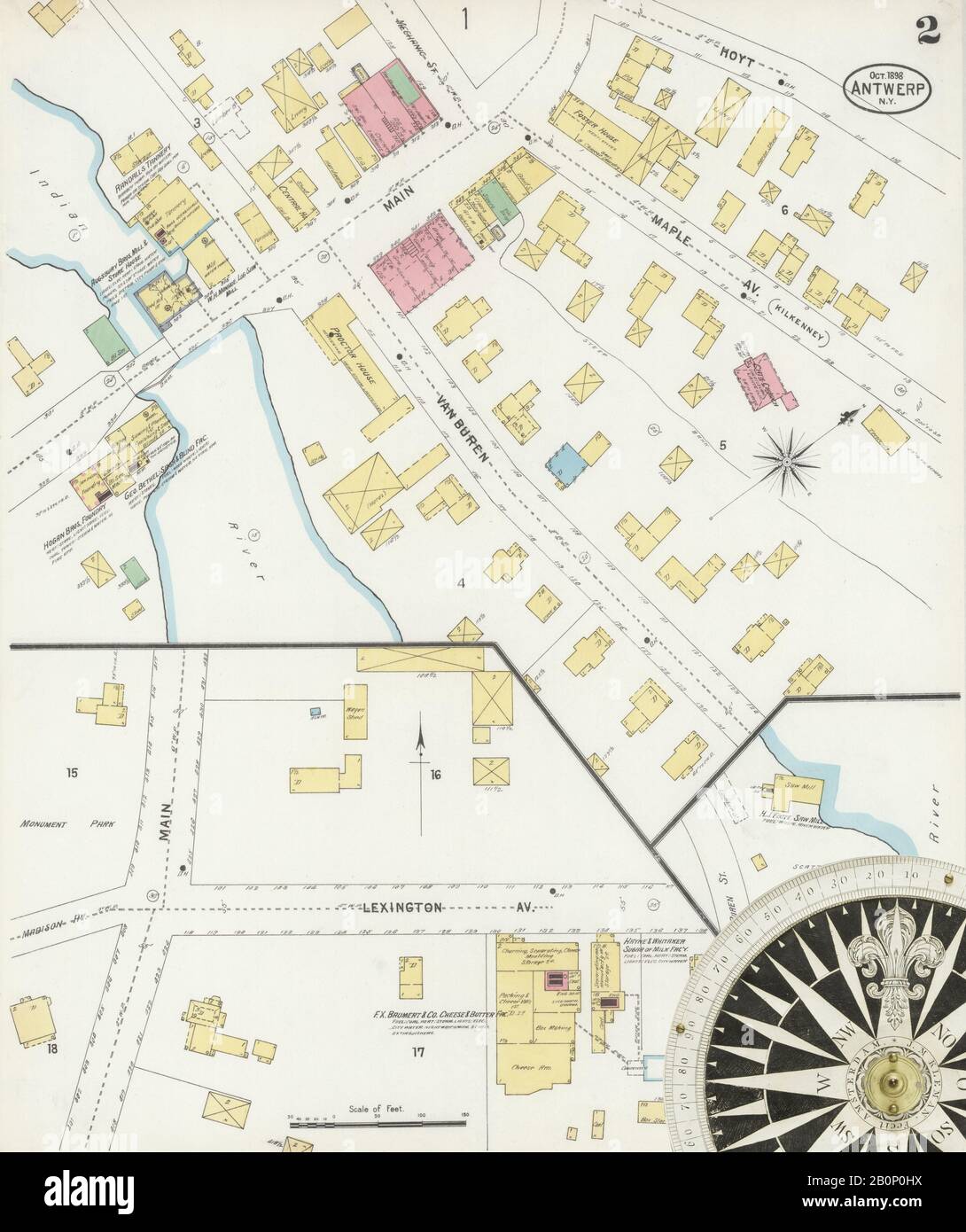 Image 2 of Sanborn Fire Insurance Map from Antwerp, Jefferson County, New York. Oct 1898. 2 Sheet(s), America, street map with a Nineteenth Century compass Stock Photohttps://www.alamy.com/image-license-details/?v=1https://www.alamy.com/image-2-of-sanborn-fire-insurance-map-from-antwerp-jefferson-county-new-york-oct-1898-2-sheets-america-street-map-with-a-nineteenth-century-compass-image344690806.html
RM2B0P0HX–Image 2 of Sanborn Fire Insurance Map from Antwerp, Jefferson County, New York. Oct 1898. 2 Sheet(s), America, street map with a Nineteenth Century compass
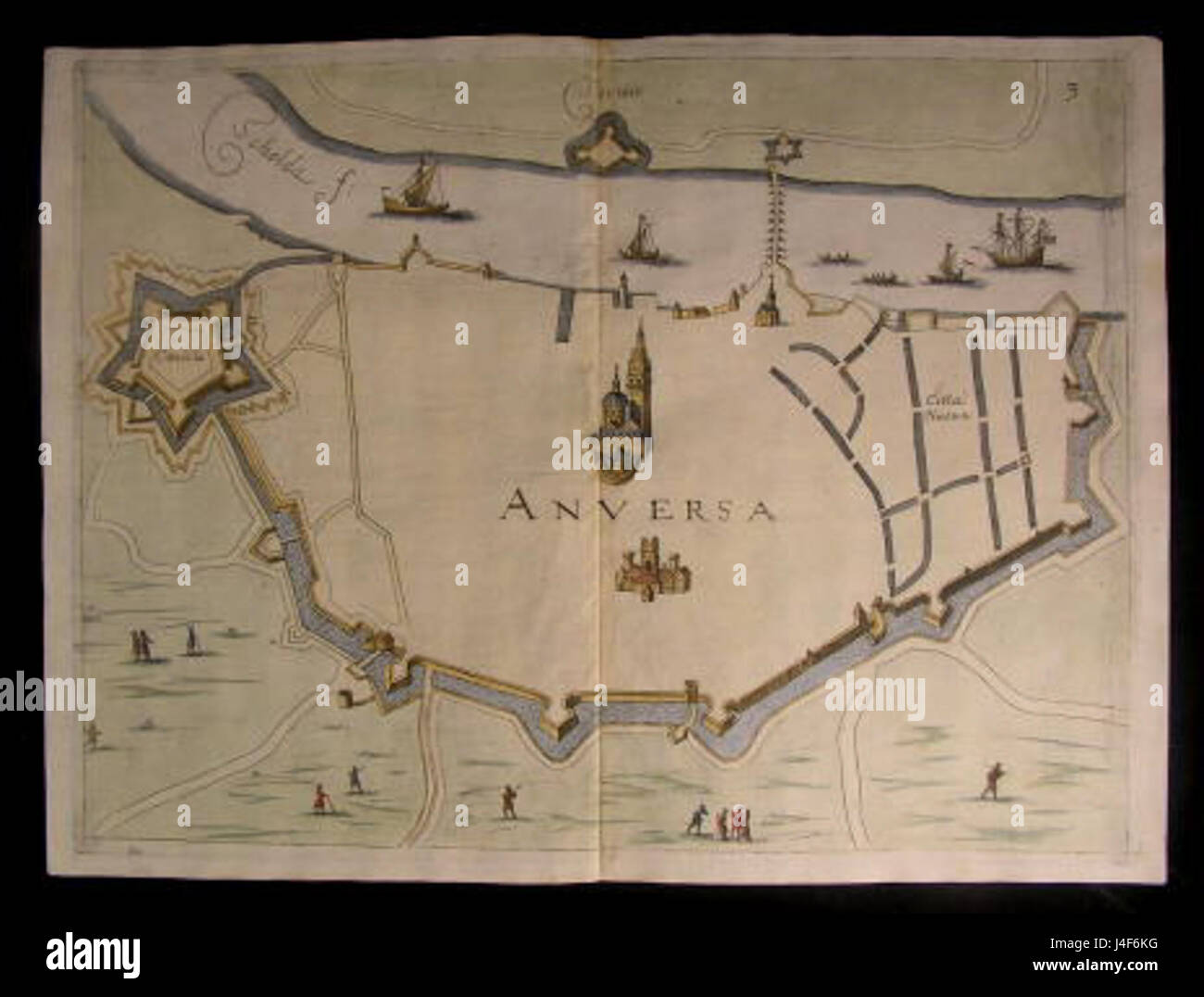 Antwerp Map by Priorato Stock Photohttps://www.alamy.com/image-license-details/?v=1https://www.alamy.com/stock-photo-antwerp-map-by-priorato-140476100.html
RMJ4F6KG–Antwerp Map by Priorato
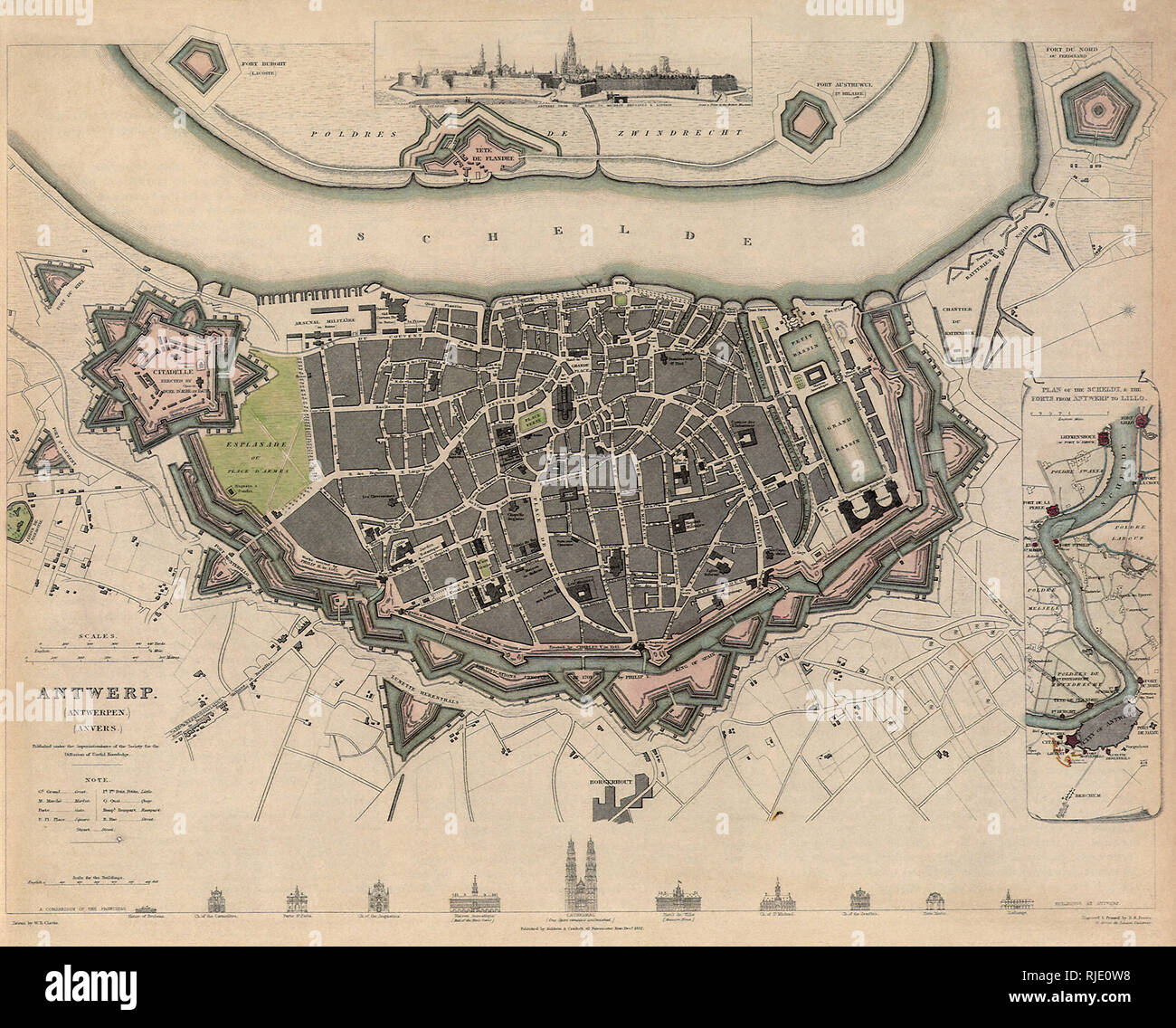 Map of Antwerp. Stock Photohttps://www.alamy.com/image-license-details/?v=1https://www.alamy.com/map-of-antwerp-image235106628.html
RMRJE0W8–Map of Antwerp.
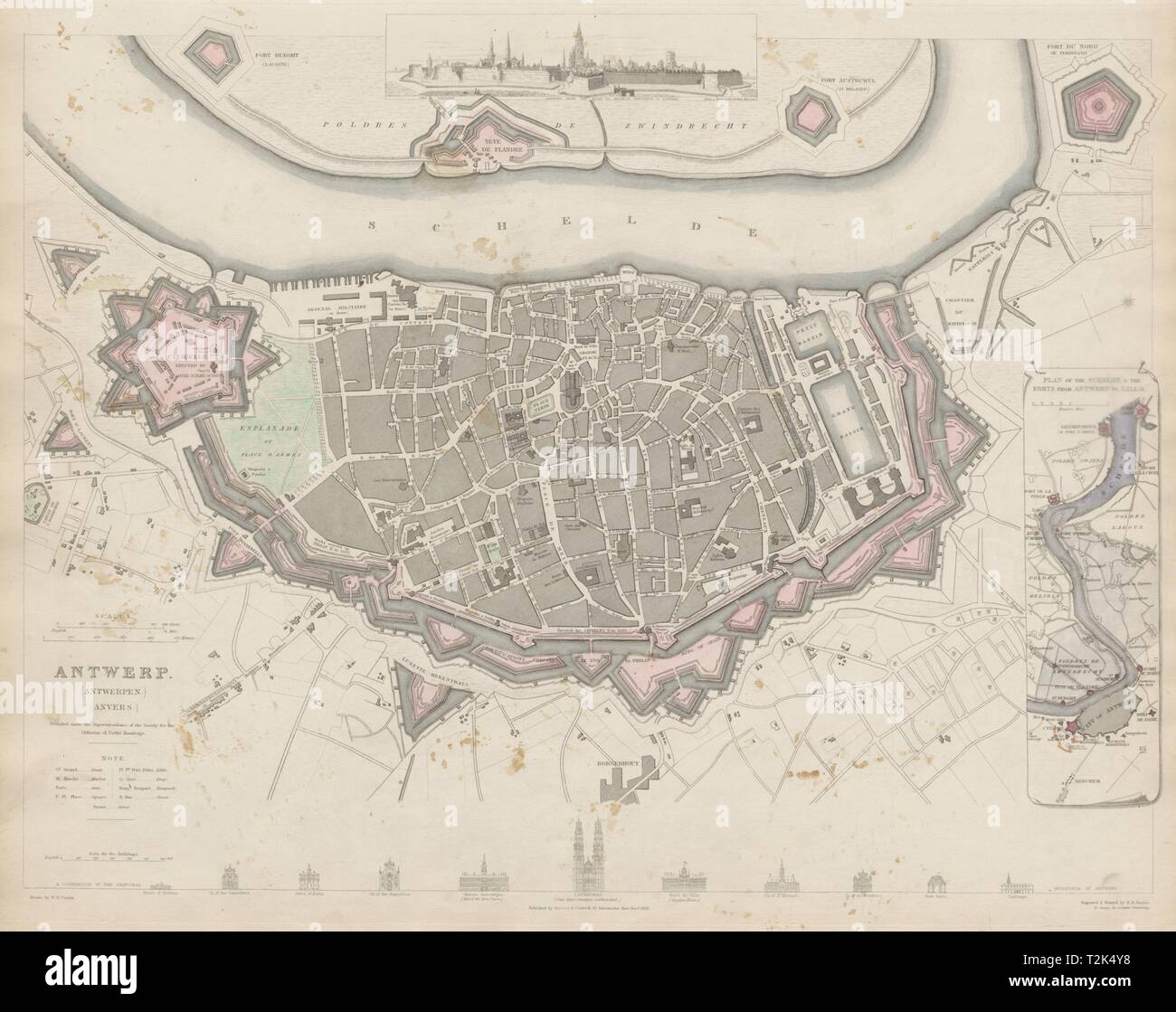 ANTWERP ANTWERPEN ANVERS town city map. Schelde forts Lillo. SDUK 1844 old Stock Photohttps://www.alamy.com/image-license-details/?v=1https://www.alamy.com/antwerp-antwerpen-anvers-town-city-map-schelde-forts-lillo-sduk-1844-old-image242595452.html
RFT2K4Y8–ANTWERP ANTWERPEN ANVERS town city map. Schelde forts Lillo. SDUK 1844 old
 Antwerp, map 1906 Stock Photohttps://www.alamy.com/image-license-details/?v=1https://www.alamy.com/stock-photo-antwerp-map-1906-139554493.html
RMJ31751–Antwerp, map 1906
 ANTWERP Map of the new fortifications. Belgium 1866. Illustrated London News Stock Photohttps://www.alamy.com/image-license-details/?v=1https://www.alamy.com/stock-photo-antwerp-map-of-the-new-fortifications-belgium-1866-illustrated-london-95158313.html
RFFEPRB5–ANTWERP Map of the new fortifications. Belgium 1866. Illustrated London News
 Jerome C%%C3%%B6ler's journey from Nuremberg to Antwerp - C%%C3%%B6ler family album (1560-1632), f.30v - BL Add MS 15217 Stock Photohttps://www.alamy.com/image-license-details/?v=1https://www.alamy.com/stock-photo-jerome-cc3b6lers-journey-from-nuremberg-to-antwerp-cc3b6ler-family-73518727.html
RME7H1TR–Jerome C%%C3%%B6ler's journey from Nuremberg to Antwerp - C%%C3%%B6ler family album (1560-1632), f.30v - BL Add MS 15217
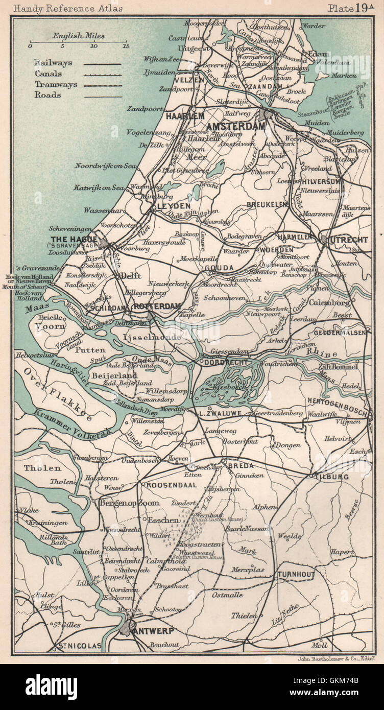 Netherlands. Amsterdam The Hague Rotterdam Antwerp. BARTHOLOMEW, 1904 old map Stock Photohttps://www.alamy.com/image-license-details/?v=1https://www.alamy.com/stock-photo-netherlands-amsterdam-the-hague-rotterdam-antwerp-bartholomew-1904-115385323.html
RFGKM74B–Netherlands. Amsterdam The Hague Rotterdam Antwerp. BARTHOLOMEW, 1904 old map
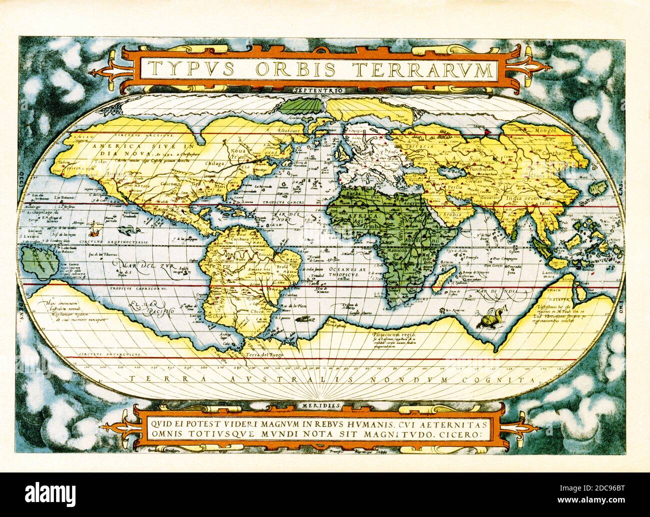 The text at the top of this world map by Abraham Ortelius reads: Typus Orbis Terrarum (Map of the World). The map dates to 1570 and is the first map of the world to appear in a standard atlas and is thus of fundamental importance to the history of cartography. Centered on the Atlantic Ocean, the map covers the entire world from pole to pole. The general presentation of an oval projection derived from earlier maps by Appianus and Bordonius, Cartographically it is derived from the world of Gerard Mercator (1569), Gastaldi (1561) and Gutierrez. The text at the bottom is a quote attributed to the Stock Photohttps://www.alamy.com/image-license-details/?v=1https://www.alamy.com/the-text-at-the-top-of-this-world-map-by-abraham-ortelius-reads-typus-orbis-terrarum-map-of-the-world-the-map-dates-to-1570-and-is-the-first-map-of-the-world-to-appear-in-a-standard-atlas-and-is-thus-of-fundamental-importance-to-the-history-of-cartography-centered-on-the-atlantic-ocean-the-map-covers-the-entire-world-from-pole-to-pole-the-general-presentation-of-an-oval-projection-derived-from-earlier-maps-by-appianus-and-bordonius-cartographically-it-is-derived-from-the-world-of-gerard-mercator-1569-gastaldi-1561-and-gutierrez-the-text-at-the-bottom-is-a-quote-attributed-to-the-image386206572.html
RF2DC96BT–The text at the top of this world map by Abraham Ortelius reads: Typus Orbis Terrarum (Map of the World). The map dates to 1570 and is the first map of the world to appear in a standard atlas and is thus of fundamental importance to the history of cartography. Centered on the Atlantic Ocean, the map covers the entire world from pole to pole. The general presentation of an oval projection derived from earlier maps by Appianus and Bordonius, Cartographically it is derived from the world of Gerard Mercator (1569), Gastaldi (1561) and Gutierrez. The text at the bottom is a quote attributed to the
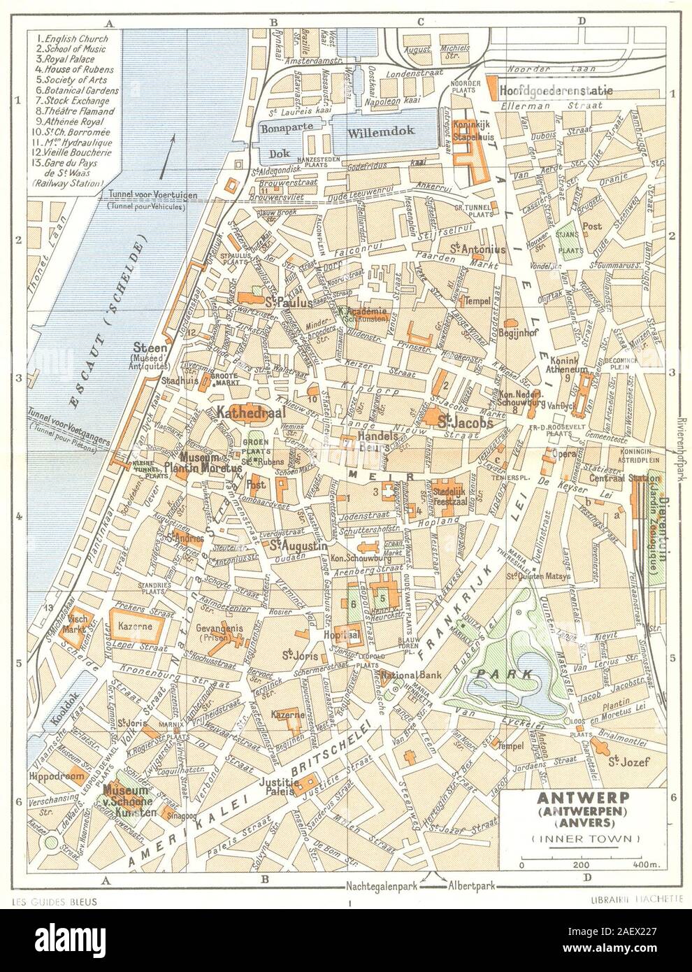 BELGIUM. Antwerp (Antwerpen) (Anvers) (Inner Town) 1950 old vintage map Stock Photohttps://www.alamy.com/image-license-details/?v=1https://www.alamy.com/belgium-antwerp-antwerpen-anvers-inner-town-1950-old-vintage-map-image336174559.html
RF2AEX227–BELGIUM. Antwerp (Antwerpen) (Anvers) (Inner Town) 1950 old vintage map
 Vintage city plan of Antwerp and area around it from 19th century. Maps are beautifully hand illustrated and engraved showing it at the time. Stock Photohttps://www.alamy.com/image-license-details/?v=1https://www.alamy.com/vintage-city-plan-of-antwerp-and-area-around-it-from-19th-century-maps-are-beautifully-hand-illustrated-and-engraved-showing-it-at-the-time-image495066741.html
RF2KNC6K1–Vintage city plan of Antwerp and area around it from 19th century. Maps are beautifully hand illustrated and engraved showing it at the time.
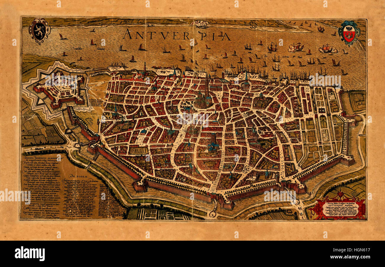 Map Of Antwerp 1574 Stock Photohttps://www.alamy.com/image-license-details/?v=1https://www.alamy.com/stock-photo-map-of-antwerp-1574-130772803.html
RFHGN617–Map Of Antwerp 1574
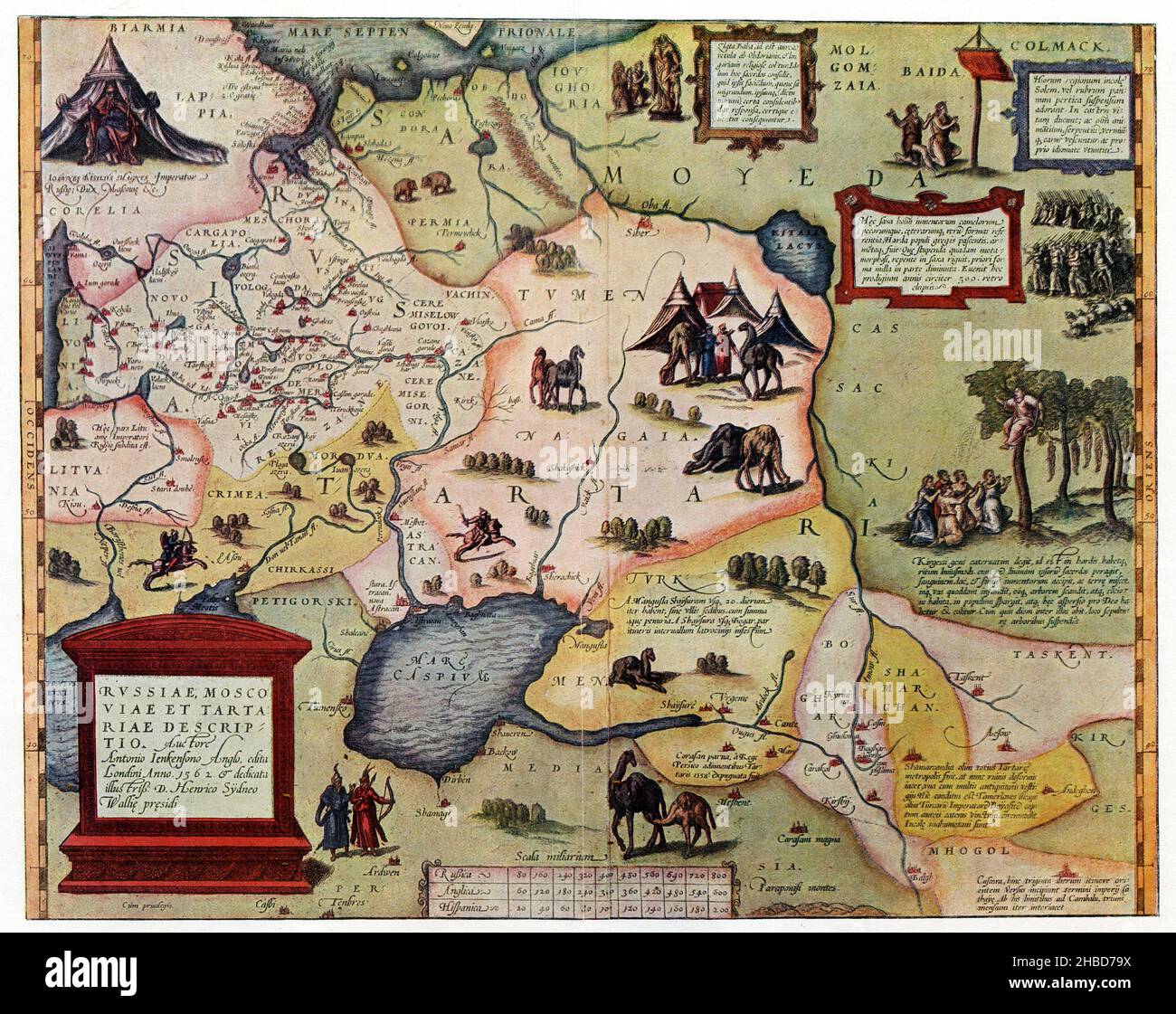 Map of the Russian Empire around the middle of the 16th century. After Abraham Ortelius, Antwerp 1571 , Abraham Ortelius (, ), Karte des russischen Reichs um die Mitte des 16. Jahrhunderts. Nach Abraham Ortelius, Antwerpen 1571 Stock Photohttps://www.alamy.com/image-license-details/?v=1https://www.alamy.com/map-of-the-russian-empire-around-the-middle-of-the-16th-century-after-abraham-ortelius-antwerp-1571-abraham-ortelius-karte-des-russischen-reichs-um-die-mitte-des-16-jahrhunderts-nach-abraham-ortelius-antwerpen-1571-image454521926.html
RM2HBD79X–Map of the Russian Empire around the middle of the 16th century. After Abraham Ortelius, Antwerp 1571 , Abraham Ortelius (, ), Karte des russischen Reichs um die Mitte des 16. Jahrhunderts. Nach Abraham Ortelius, Antwerpen 1571
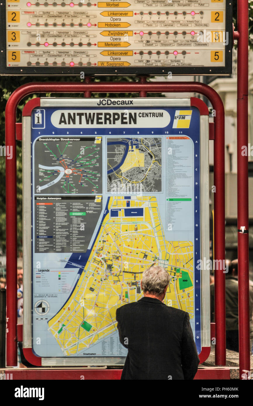 Antwerp, Belgium Stock Photohttps://www.alamy.com/image-license-details/?v=1https://www.alamy.com/antwerp-belgium-image217105859.html
RFPH60MK–Antwerp, Belgium
 Tourists trying to find their way on the Grote Markt square in Antwerp, Belgium Stock Photohttps://www.alamy.com/image-license-details/?v=1https://www.alamy.com/stock-photo-tourists-trying-to-find-their-way-on-the-grote-markt-square-in-antwerp-38098933.html
RMC5YFG5–Tourists trying to find their way on the Grote Markt square in Antwerp, Belgium
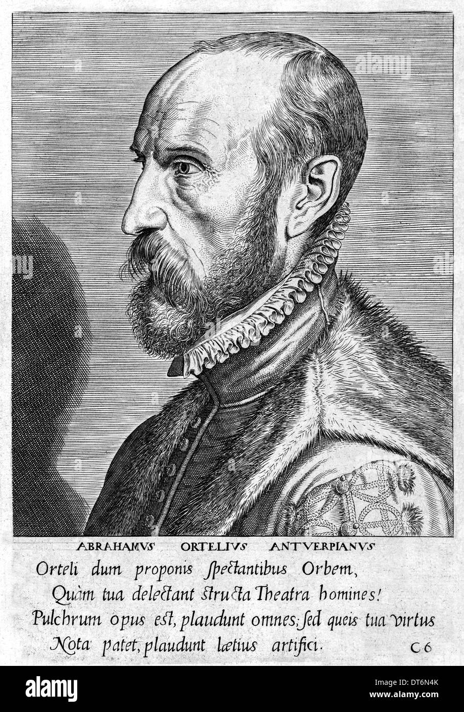 Abraham Ortelius (1527-1598) Flemish cartographer creator of first modern atlas, Theatrum Orbis Terrarum (Theatre of the World). Stock Photohttps://www.alamy.com/image-license-details/?v=1https://www.alamy.com/abraham-ortelius-1527-1598-flemish-cartographer-creator-of-first-modern-image66531155.html
RMDT6N4K–Abraham Ortelius (1527-1598) Flemish cartographer creator of first modern atlas, Theatrum Orbis Terrarum (Theatre of the World).
 Map of the Kingdom of Naples. Theatrum Orbis Terrarum by Abraham Ortelius (1527-1598). First Edition. Antwerp, 1574. Library of Catalonia. Barcelona. Spain. Stock Photohttps://www.alamy.com/image-license-details/?v=1https://www.alamy.com/map-of-the-kingdom-of-naples-theatrum-orbis-terrarum-by-abraham-ortelius-1527-1598-first-edition-antwerp-1574-library-of-catalonia-barcelona-spain-image220196270.html
RMPP6PGE–Map of the Kingdom of Naples. Theatrum Orbis Terrarum by Abraham Ortelius (1527-1598). First Edition. Antwerp, 1574. Library of Catalonia. Barcelona. Spain.
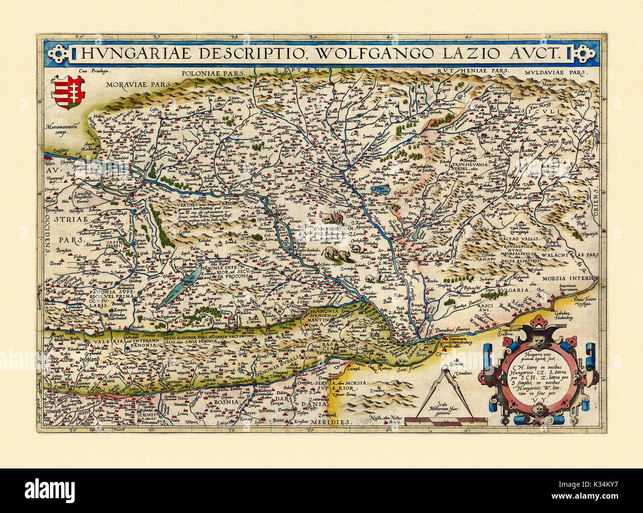 Old map of Hungary. Excellent state of preservation realized in ancient style. All the graphic composition is inside a frame. By Ortelius, Theatrum Orbis Terrarum, Antwerp, 1570 Stock Photohttps://www.alamy.com/image-license-details/?v=1https://www.alamy.com/old-map-of-hungary-excellent-state-of-preservation-realized-in-ancient-image156840747.html
RFK34KY7–Old map of Hungary. Excellent state of preservation realized in ancient style. All the graphic composition is inside a frame. By Ortelius, Theatrum Orbis Terrarum, Antwerp, 1570
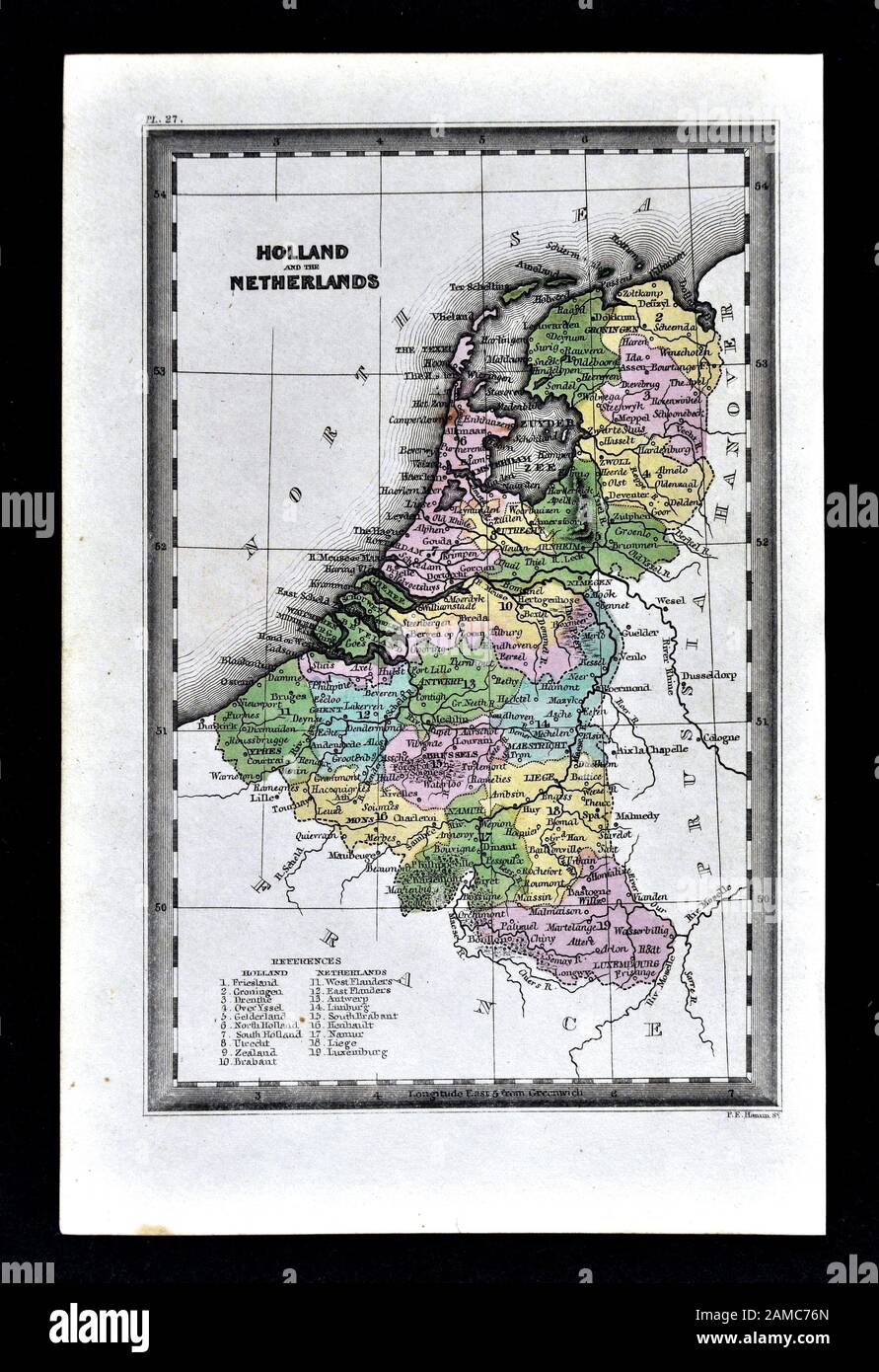 1834 Carey Map of the Netherlands showing Holland, Belgium and Luxembourg Stock Photohttps://www.alamy.com/image-license-details/?v=1https://www.alamy.com/1834-carey-map-of-the-netherlands-showing-holland-belgium-and-luxembourg-image339559213.html
RF2AMC76N–1834 Carey Map of the Netherlands showing Holland, Belgium and Luxembourg
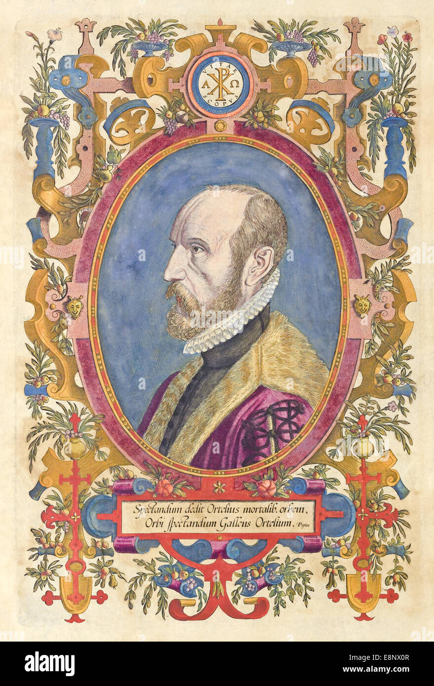 Abraham Ortelius (1527-1598) Flemish cartographer creator of first modern atlas, Theatrum Orbis Terrarum (Theatre of the World). Stock Photohttps://www.alamy.com/image-license-details/?v=1https://www.alamy.com/stock-photo-abraham-ortelius-1527-1598-flemish-cartographer-creator-of-first-modern-74240119.html
RME8NX0R–Abraham Ortelius (1527-1598) Flemish cartographer creator of first modern atlas, Theatrum Orbis Terrarum (Theatre of the World).
 Gezicht op de Kroonenburg en het Oude stadhuis van Antwerpen Above Kroonenburg Antwerp, parts of the fortress and a tower shot by three soldiers with rifles. Under the old hall of Antwerp. In the foreground is a dotted line on the map of the newly built city hall zien. Manufacturer : printmaker Hendrik Causé (listed property) to drawing: Henry Causé (listed property) to painting: Mostaert (listed building) place manufacture: Antwerpen Dating: ca. 1663 - 1699 Physical characteristics: etching and engra material: paper Technique: etching / engra (printing process) Measurements: plate edge: h 320 Stock Photohttps://www.alamy.com/image-license-details/?v=1https://www.alamy.com/gezicht-op-de-kroonenburg-en-het-oude-stadhuis-van-antwerpen-above-kroonenburg-antwerp-parts-of-the-fortress-and-a-tower-shot-by-three-soldiers-with-rifles-under-the-old-hall-of-antwerp-in-the-foreground-is-a-dotted-line-on-the-map-of-the-newly-built-city-hall-zien-manufacturer-printmaker-hendrik-caus-listed-property-to-drawing-henry-caus-listed-property-to-painting-mostaert-listed-building-place-manufacture-antwerpen-dating-ca-1663-1699-physical-characteristics-etching-and-engra-material-paper-technique-etching-engra-printing-process-measurements-plate-edge-h-320-image348392611.html
RM2B6PJ97–Gezicht op de Kroonenburg en het Oude stadhuis van Antwerpen Above Kroonenburg Antwerp, parts of the fortress and a tower shot by three soldiers with rifles. Under the old hall of Antwerp. In the foreground is a dotted line on the map of the newly built city hall zien. Manufacturer : printmaker Hendrik Causé (listed property) to drawing: Henry Causé (listed property) to painting: Mostaert (listed building) place manufacture: Antwerpen Dating: ca. 1663 - 1699 Physical characteristics: etching and engra material: paper Technique: etching / engra (printing process) Measurements: plate edge: h 320
 View of Antwerp from Braun and Hogenberg's Civitates Orbis Terrarum Joris Hoefnagel Stock Photohttps://www.alamy.com/image-license-details/?v=1https://www.alamy.com/view-of-antwerp-from-braun-and-hogenbergs-civitates-orbis-terrarum-joris-hoefnagel-image567741431.html
RM2RYJRYK–View of Antwerp from Braun and Hogenberg's Civitates Orbis Terrarum Joris Hoefnagel
 Rectangular cartouche with garlands, 1601 Half rectangular cartouche with garlands. It is a fragment of a map of the old world. The print is part of an album. Antwerp paper engraving Half rectangular cartouche with garlands. It is a fragment of a map of the old world. The print is part of an album. Antwerp paper engraving Stock Photohttps://www.alamy.com/image-license-details/?v=1https://www.alamy.com/rectangular-cartouche-with-garlands-1601-half-rectangular-cartouche-with-garlands-it-is-a-fragment-of-a-map-of-the-old-world-the-print-is-part-of-an-album-antwerp-paper-engraving-half-rectangular-cartouche-with-garlands-it-is-a-fragment-of-a-map-of-the-old-world-the-print-is-part-of-an-album-antwerp-paper-engraving-image576279237.html
RM2TDFP19–Rectangular cartouche with garlands, 1601 Half rectangular cartouche with garlands. It is a fragment of a map of the old world. The print is part of an album. Antwerp paper engraving Half rectangular cartouche with garlands. It is a fragment of a map of the old world. The print is part of an album. Antwerp paper engraving
 View of Antwerp from Braun and Hogenberg's Civitates Orbis Terrarum (1572–1594) designed by Joris Hoefnagel and edited by Stock Photohttps://www.alamy.com/image-license-details/?v=1https://www.alamy.com/view-of-antwerp-from-braun-and-hogenbergs-civitates-orbis-terrarum-1572ndash1594-designed-by-joris-hoefnagel-and-edited-by-image567735057.html
RM2RYJFT1–View of Antwerp from Braun and Hogenberg's Civitates Orbis Terrarum (1572–1594) designed by Joris Hoefnagel and edited by
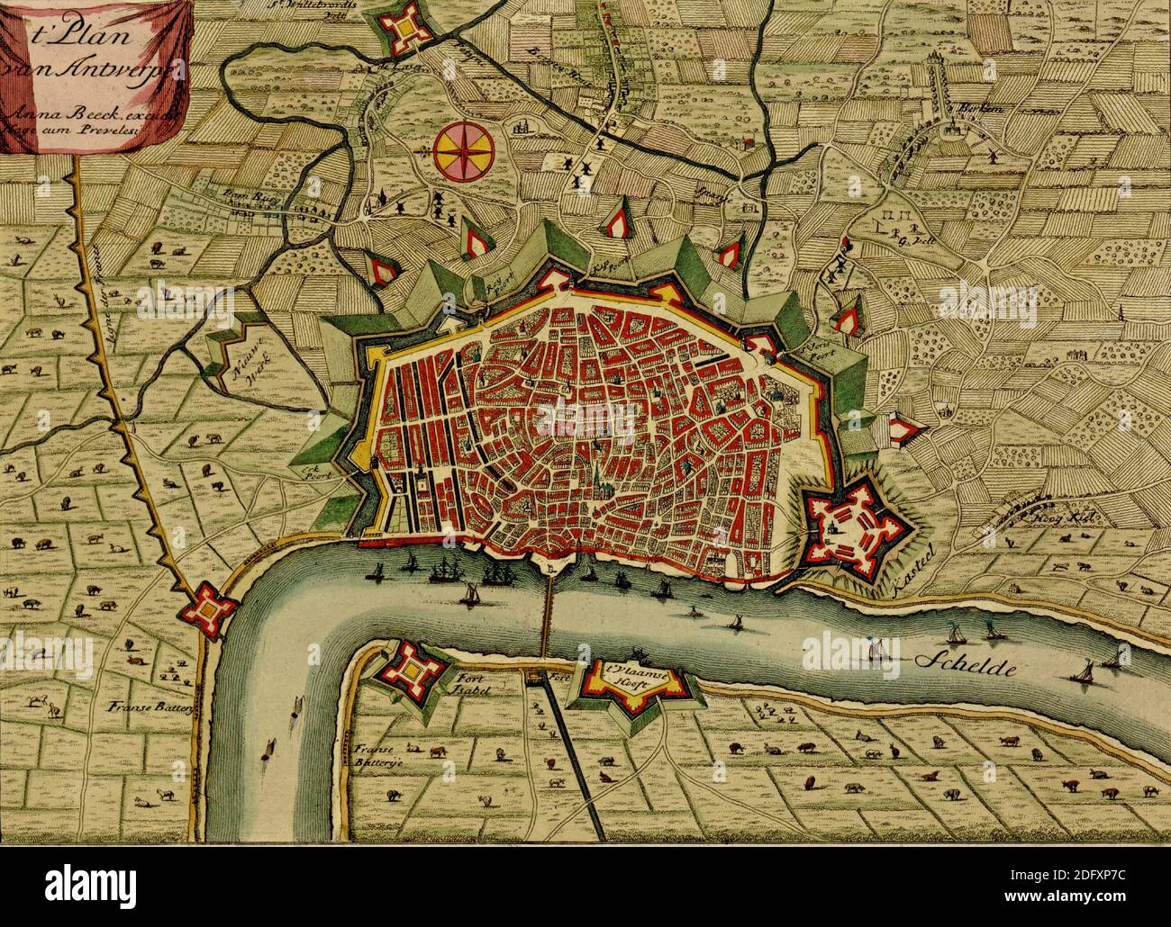 Antique map of Antwerp, Netherlands from the Atlas of fortifications and battles, by Anna Beek and Gaspar Baillieu Originally published in 17th centu Stock Photohttps://www.alamy.com/image-license-details/?v=1https://www.alamy.com/antique-map-of-antwerp-netherlands-from-the-atlas-of-fortifications-and-battles-by-anna-beek-and-gaspar-baillieu-originally-published-in-17th-centu-image388436144.html
RM2DFXP7C–Antique map of Antwerp, Netherlands from the Atlas of fortifications and battles, by Anna Beek and Gaspar Baillieu Originally published in 17th centu
 Memoirs, biographical notes and poems, etc., of the Coeler family - caption: 'Representation of Jerome Coeler's journey from Nuremberg to Antwerp, showing both towns with ships crossing a stretch of water between them' Memoirs, biographical notes and poems, etc, of the Coeler family Stock Photohttps://www.alamy.com/image-license-details/?v=1https://www.alamy.com/stock-photo-memoirs-biographical-notes-and-poems-etc-of-the-coeler-family-caption-85958062.html
RMEYRMAP–Memoirs, biographical notes and poems, etc., of the Coeler family - caption: 'Representation of Jerome Coeler's journey from Nuremberg to Antwerp, showing both towns with ships crossing a stretch of water between them' Memoirs, biographical notes and poems, etc, of the Coeler family
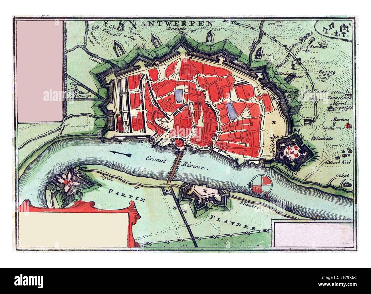 Map of Antwerp, vintage engraving. Stock Photohttps://www.alamy.com/image-license-details/?v=1https://www.alamy.com/map-of-antwerp-vintage-engraving-image417564068.html
RF2F79K6C–Map of Antwerp, vintage engraving.
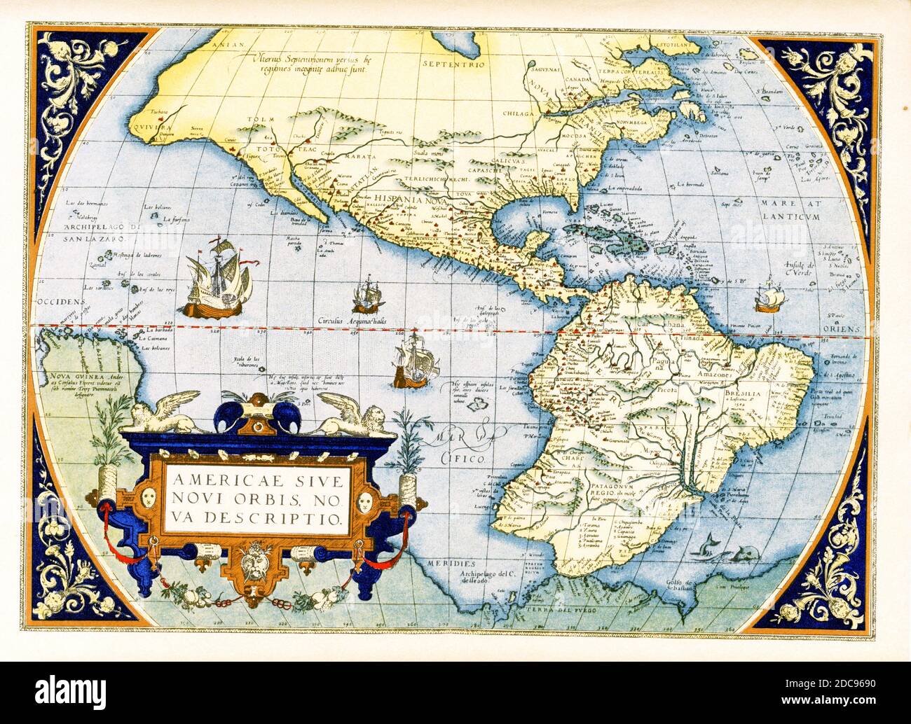 Abraham Ortelius’s map of the Americas — Americae sive Novi Orbis, Nova Descriptio. Originally published in 1570, the first plate of this map was based off of Gerard Mercator’s multi-sheet map of the world from 1569. Engraved by Frans Hogenberg, this became one of the most famous influential maps of the New World and the basis for a great deal of future cartography of the Americas. Abraham Ortelius (1527-1598) was a Dutch cartographer, geographer, and cosmographer, conventionally recognized as the creator of the first modern atlas, the Theatrum Orbis Terrarum. Stock Photohttps://www.alamy.com/image-license-details/?v=1https://www.alamy.com/abraham-orteliuss-map-of-the-americas-americae-sive-novi-orbis-nova-descriptio-originally-published-in-1570-the-first-plate-of-this-map-was-based-off-of-gerard-mercators-multi-sheet-map-of-the-world-from-1569-engraved-by-frans-hogenberg-this-became-one-of-the-most-famous-influential-maps-of-the-new-world-and-the-basis-for-a-great-deal-of-future-cartography-of-the-americas-abraham-ortelius-1527-1598-was-a-dutch-cartographer-geographer-and-cosmographer-conventionally-recognized-as-the-creator-of-the-first-modern-atlas-the-theatrum-orbis-terrarum-image386206492.html
RF2DC9690–Abraham Ortelius’s map of the Americas — Americae sive Novi Orbis, Nova Descriptio. Originally published in 1570, the first plate of this map was based off of Gerard Mercator’s multi-sheet map of the world from 1569. Engraved by Frans Hogenberg, this became one of the most famous influential maps of the New World and the basis for a great deal of future cartography of the Americas. Abraham Ortelius (1527-1598) was a Dutch cartographer, geographer, and cosmographer, conventionally recognized as the creator of the first modern atlas, the Theatrum Orbis Terrarum.
 BELGIUM. Antwerp (Antwerpen) (Anvers) General plan 1950 old vintage map chart Stock Photohttps://www.alamy.com/image-license-details/?v=1https://www.alamy.com/belgium-antwerp-antwerpen-anvers-general-plan-1950-old-vintage-map-chart-image336174577.html
RF2AEX22W–BELGIUM. Antwerp (Antwerpen) (Anvers) General plan 1950 old vintage map chart
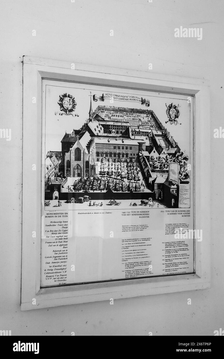 Antwerp, Belgium - October 22, 2023: Vintage map of the Royal Academy of Fine Arts Antwerp, an art academy located in Antwerp, Belgium. It is one of t Stock Photohttps://www.alamy.com/image-license-details/?v=1https://www.alamy.com/antwerp-belgium-october-22-2023-vintage-map-of-the-royal-academy-of-fine-arts-antwerp-an-art-academy-located-in-antwerp-belgium-it-is-one-of-t-image606595102.html
RF2X6TP6P–Antwerp, Belgium - October 22, 2023: Vintage map of the Royal Academy of Fine Arts Antwerp, an art academy located in Antwerp, Belgium. It is one of t
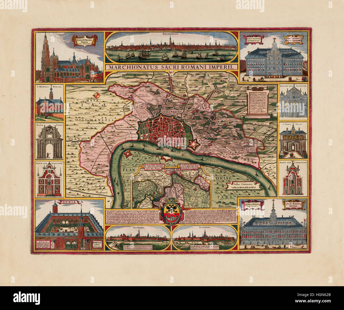 Map Of Antwerp 1675 Stock Photohttps://www.alamy.com/image-license-details/?v=1https://www.alamy.com/stock-photo-map-of-antwerp-1675-130772835.html
RFHGN62B–Map Of Antwerp 1675
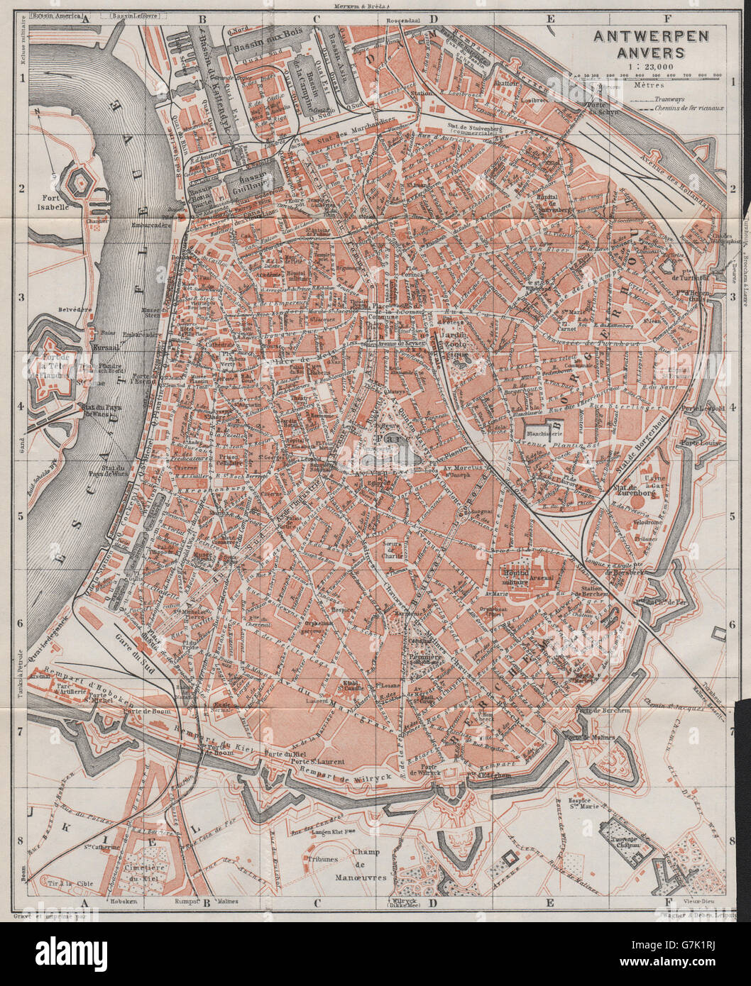 ANTWERP ANTWERPEN ANVERS antique town city plan. Belgium carte, 1910 old map Stock Photohttps://www.alamy.com/image-license-details/?v=1https://www.alamy.com/stock-photo-antwerp-antwerpen-anvers-antique-town-city-plan-belgium-carte-1910-107983334.html
RFG7K1RJ–ANTWERP ANTWERPEN ANVERS antique town city plan. Belgium carte, 1910 old map
 Map of the Russian Empire around the middle of the 16th century. After Abraham Ortelius, Antwerp 1571 , Abraham Ortelius (, ), Karte des russischen Reichs um die Mitte des 16. Jahrhunderts. Nach Abraham Ortelius, Antwerpen 1571 Stock Photohttps://www.alamy.com/image-license-details/?v=1https://www.alamy.com/map-of-the-russian-empire-around-the-middle-of-the-16th-century-after-abraham-ortelius-antwerp-1571-abraham-ortelius-karte-des-russischen-reichs-um-die-mitte-des-16-jahrhunderts-nach-abraham-ortelius-antwerpen-1571-image596645435.html
RM2WJKF9F–Map of the Russian Empire around the middle of the 16th century. After Abraham Ortelius, Antwerp 1571 , Abraham Ortelius (, ), Karte des russischen Reichs um die Mitte des 16. Jahrhunderts. Nach Abraham Ortelius, Antwerpen 1571
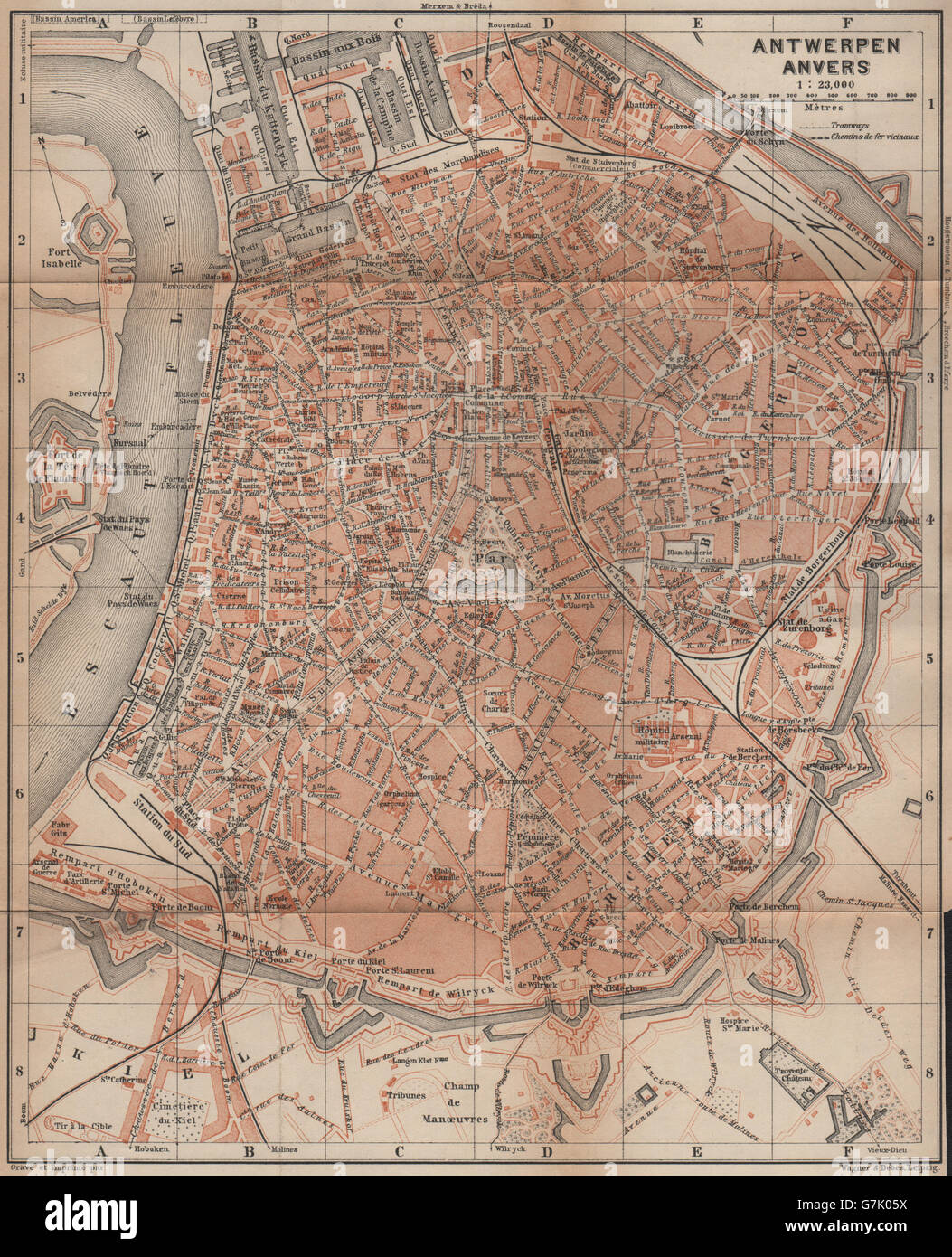 ANTWERP ANTWERPEN ANVERS antique town city plan. Belgium carte, 1905 old map Stock Photohttps://www.alamy.com/image-license-details/?v=1https://www.alamy.com/stock-photo-antwerp-antwerpen-anvers-antique-town-city-plan-belgium-carte-1905-107982054.html
RFG7K05X–ANTWERP ANTWERPEN ANVERS antique town city plan. Belgium carte, 1905 old map
 antwerp on administration map of belgium with flags Stock Photohttps://www.alamy.com/image-license-details/?v=1https://www.alamy.com/stock-photo-antwerp-on-administration-map-of-belgium-with-flags-126777153.html
RFHA75FD–antwerp on administration map of belgium with flags
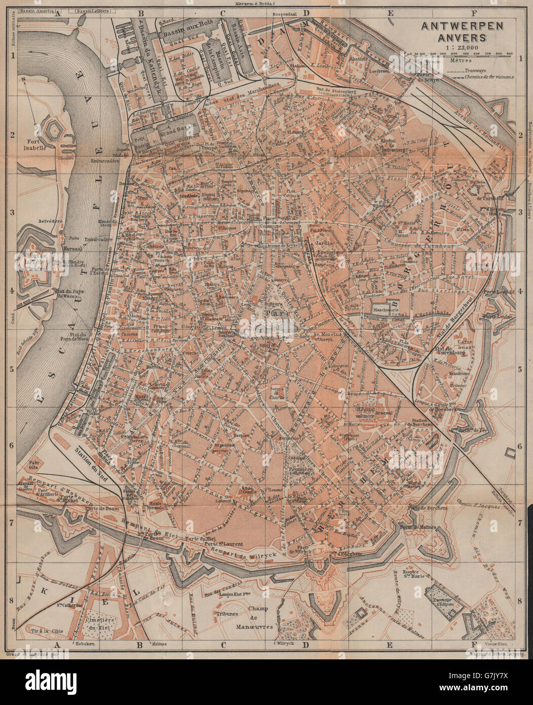 ANTWERP ANTWERPEN ANVERS antique town city plan. Belgium carte, 1901 old map Stock Photohttps://www.alamy.com/image-license-details/?v=1https://www.alamy.com/stock-photo-antwerp-antwerpen-anvers-antique-town-city-plan-belgium-carte-1901-107981326.html
RFG7JY7X–ANTWERP ANTWERPEN ANVERS antique town city plan. Belgium carte, 1901 old map
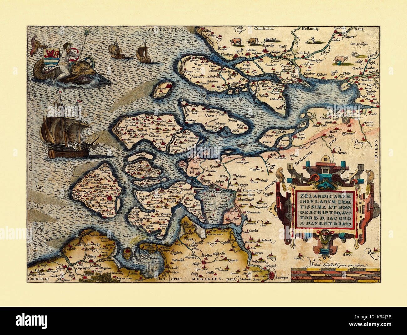 Old map of Netherlands. Excellent state of preservation realized in ancient style. All the graphic composition is inside a frame. By Ortelius, Theatrum Orbis Terrarum, Antwerp, 1570 Stock Photohttps://www.alamy.com/image-license-details/?v=1https://www.alamy.com/old-map-of-netherlands-excellent-state-of-preservation-realized-in-image156839295.html
RFK34J3B–Old map of Netherlands. Excellent state of preservation realized in ancient style. All the graphic composition is inside a frame. By Ortelius, Theatrum Orbis Terrarum, Antwerp, 1570
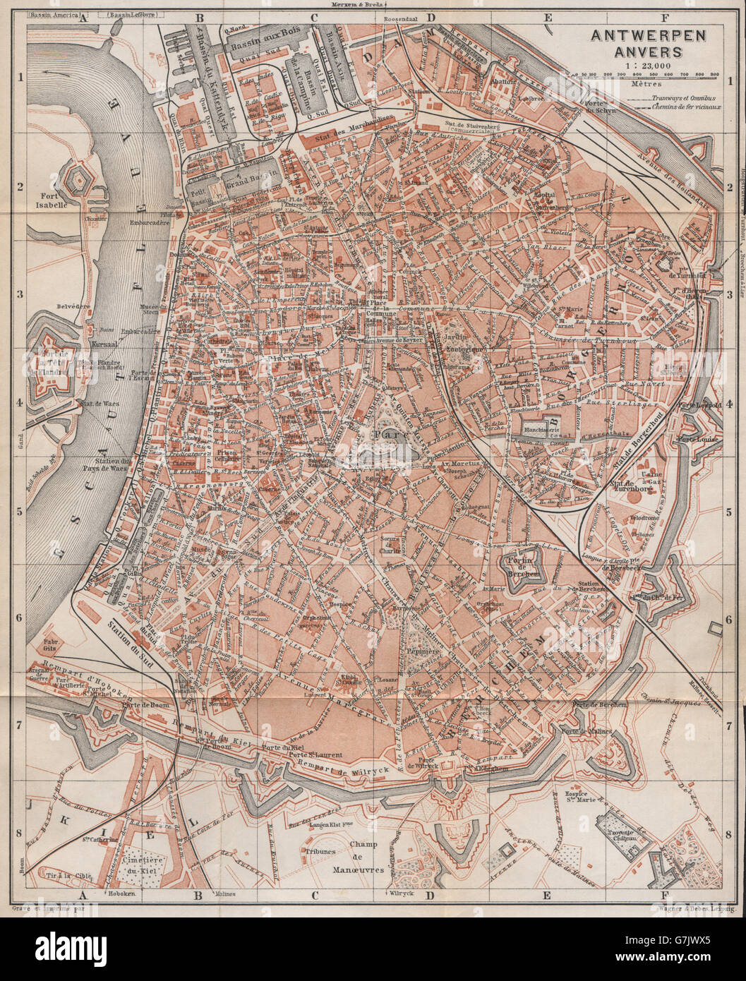 ANTWERP ANTWERPEN ANVERS antique town city plan. Belgium carte, 1897 old map Stock Photohttps://www.alamy.com/image-license-details/?v=1https://www.alamy.com/stock-photo-antwerp-antwerpen-anvers-antique-town-city-plan-belgium-carte-1897-107980269.html
RFG7JWX5–ANTWERP ANTWERPEN ANVERS antique town city plan. Belgium carte, 1897 old map
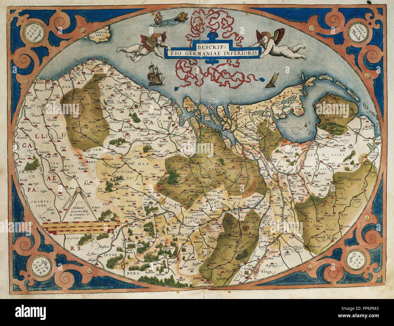 Map of Germany and current Netherlands. Theatrum Orbis Terrarum by Abraham Ortelius (1527-1598). First Edition. Antwerp, 1574. Library of Catalonia. Barcelona. Spain. Stock Photohttps://www.alamy.com/image-license-details/?v=1https://www.alamy.com/map-of-germany-and-current-netherlands-theatrum-orbis-terrarum-by-abraham-ortelius-1527-1598-first-edition-antwerp-1574-library-of-catalonia-barcelona-spain-image220196371.html
RMPP6PM3–Map of Germany and current Netherlands. Theatrum Orbis Terrarum by Abraham Ortelius (1527-1598). First Edition. Antwerp, 1574. Library of Catalonia. Barcelona. Spain.
 BELGIUM & Luxembourg. Antwerp & Waterloo views. TALLIS/RAPKIN c1851 old map Stock Photohttps://www.alamy.com/image-license-details/?v=1https://www.alamy.com/stock-photo-belgium-luxembourg-antwerp-waterloo-views-tallisrapkin-c1851-old-map-139122560.html
RFJ29G6T–BELGIUM & Luxembourg. Antwerp & Waterloo views. TALLIS/RAPKIN c1851 old map
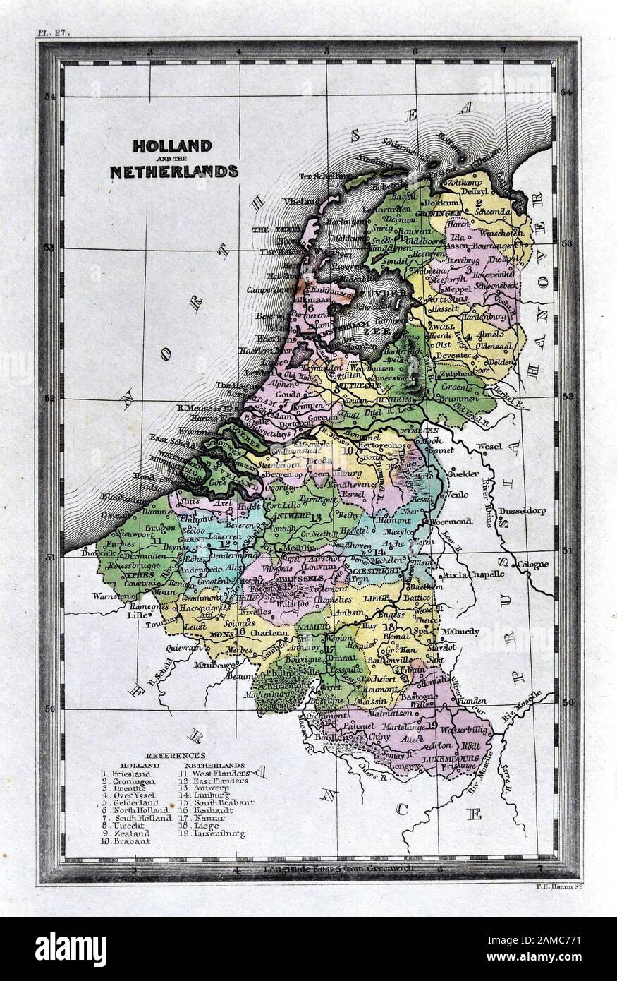 1834 Carey Map of the Netherlands showing Holland, Belgium and Luxembourg Stock Photohttps://www.alamy.com/image-license-details/?v=1https://www.alamy.com/1834-carey-map-of-the-netherlands-showing-holland-belgium-and-luxembourg-image339559221.html
RF2AMC771–1834 Carey Map of the Netherlands showing Holland, Belgium and Luxembourg
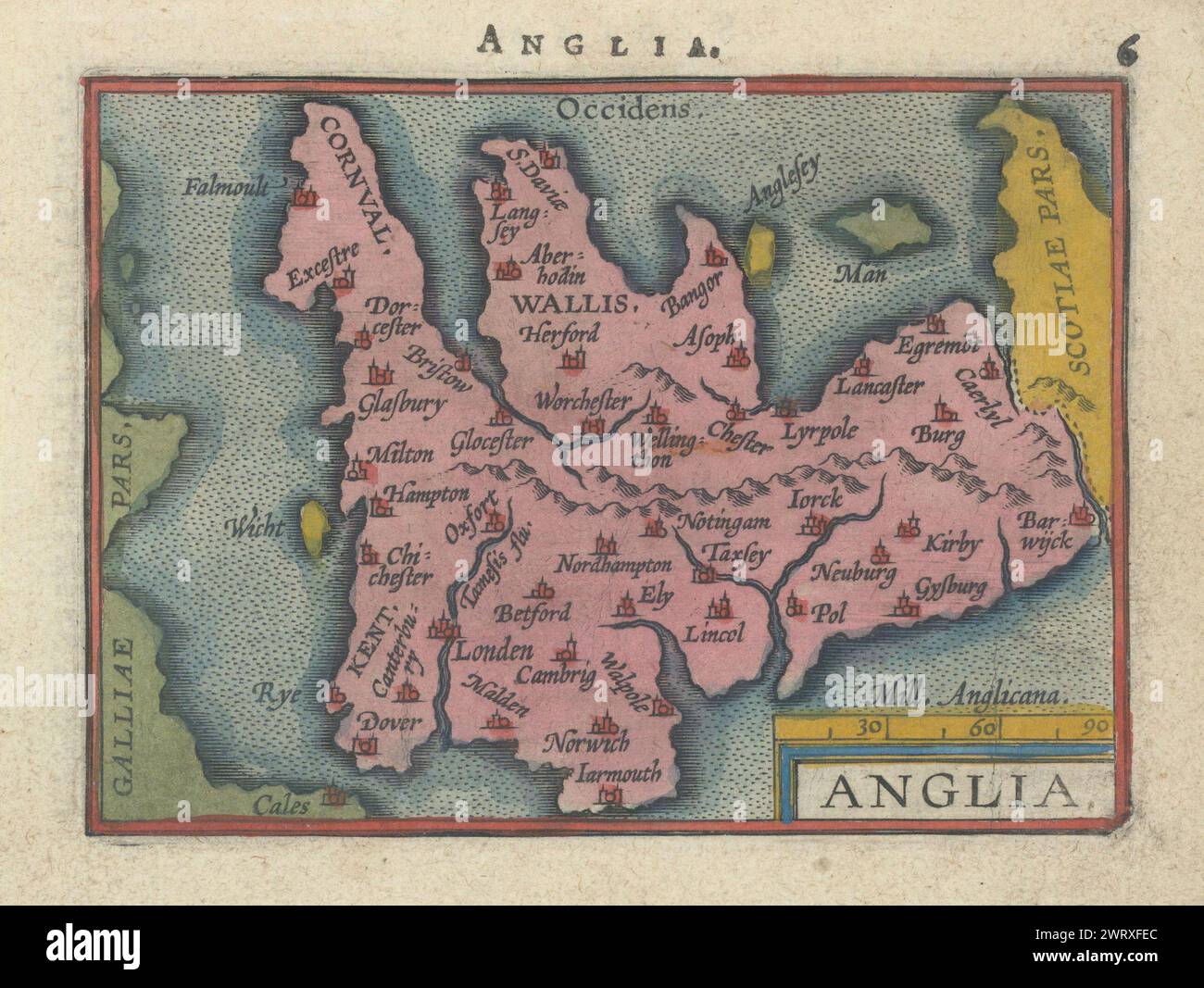 Anglia by Philip Galle. Ortelius miniature. 11x8 cm. England & Wales 1595 map Stock Photohttps://www.alamy.com/image-license-details/?v=1https://www.alamy.com/anglia-by-philip-galle-ortelius-miniature-11x8-cm-england-wales-1595-map-image599872516.html
RF2WRXFEC–Anglia by Philip Galle. Ortelius miniature. 11x8 cm. England & Wales 1595 map
 1877 Migeon Map - Netherlands - Holland Belgium Luxembourg Brussels Amsterdam Stock Photohttps://www.alamy.com/image-license-details/?v=1https://www.alamy.com/stock-photo-1877-migeon-map-netherlands-holland-belgium-luxembourg-brussels-amsterdam-172919438.html
RFM194E6–1877 Migeon Map - Netherlands - Holland Belgium Luxembourg Brussels Amsterdam
 Cartouche with the World Map, 1598 - 1601 Rolwerkcartouche with the world map. In the edge of Psalm 24. The Cartouche is a fragment of a map of the old world. The print is part of an album. Antwerp paper engraving Rolwerkcartouche with the world map. In the edge of Psalm 24. The Cartouche is a fragment of a map of the old world. The print is part of an album. Antwerp paper engraving Stock Photohttps://www.alamy.com/image-license-details/?v=1https://www.alamy.com/cartouche-with-the-world-map-1598-1601-rolwerkcartouche-with-the-world-map-in-the-edge-of-psalm-24-the-cartouche-is-a-fragment-of-a-map-of-the-old-world-the-print-is-part-of-an-album-antwerp-paper-engraving-rolwerkcartouche-with-the-world-map-in-the-edge-of-psalm-24-the-cartouche-is-a-fragment-of-a-map-of-the-old-world-the-print-is-part-of-an-album-antwerp-paper-engraving-image576281740.html
RM2TDFW6M–Cartouche with the World Map, 1598 - 1601 Rolwerkcartouche with the world map. In the edge of Psalm 24. The Cartouche is a fragment of a map of the old world. The print is part of an album. Antwerp paper engraving Rolwerkcartouche with the world map. In the edge of Psalm 24. The Cartouche is a fragment of a map of the old world. The print is part of an album. Antwerp paper engraving
 Persici Sive Sopho Rvm Regni Typvs.The Ortelius map of Persia, Antwerp, 1570 Stock Photohttps://www.alamy.com/image-license-details/?v=1https://www.alamy.com/stock-photo-persici-sive-sopho-rvm-regni-typvsthe-ortelius-map-of-persia-antwerp-134710642.html
RMHR4GPA–Persici Sive Sopho Rvm Regni Typvs.The Ortelius map of Persia, Antwerp, 1570
 Caletensium et Bononiensium/Veromanduorum. Calais/Boulogne. ORTELIUS, c1584 map Stock Photohttps://www.alamy.com/image-license-details/?v=1https://www.alamy.com/stock-photo-caletensium-et-bononiensiumveromanduorum-calaisboulogne-ortelius-c1584-115472098.html
RFGKT5RE–Caletensium et Bononiensium/Veromanduorum. Calais/Boulogne. ORTELIUS, c1584 map
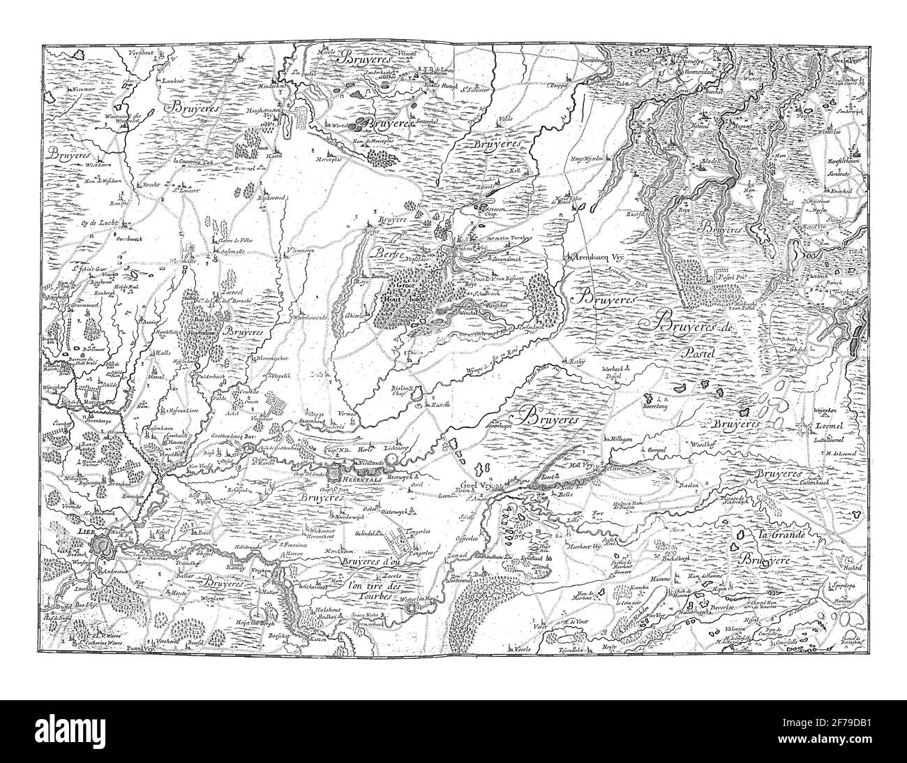 Map of the province of Antwerp, vintage engraving. Stock Photohttps://www.alamy.com/image-license-details/?v=1https://www.alamy.com/map-of-the-province-of-antwerp-vintage-engraving-image417559493.html
RF2F79DB1–Map of the province of Antwerp, vintage engraving.
 Antwerp, Ferraris Stock Photohttps://www.alamy.com/image-license-details/?v=1https://www.alamy.com/stock-photo-antwerp-ferraris-139554796.html
RMJ317FT–Antwerp, Ferraris
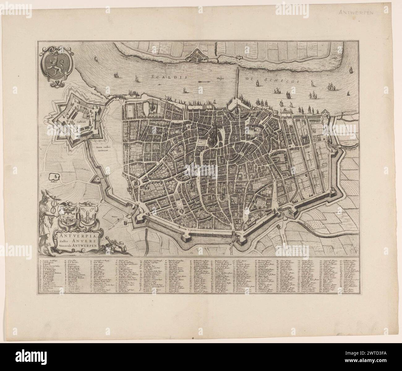 Map of Antwerp Antverpia Gallis Anvers vernacule Antwerp Stock Photohttps://www.alamy.com/image-license-details/?v=1https://www.alamy.com/map-of-antwerp-antverpia-gallis-anvers-vernacule-antwerp-image600192414.html
RM2WTD3FA–Map of Antwerp Antverpia Gallis Anvers vernacule Antwerp
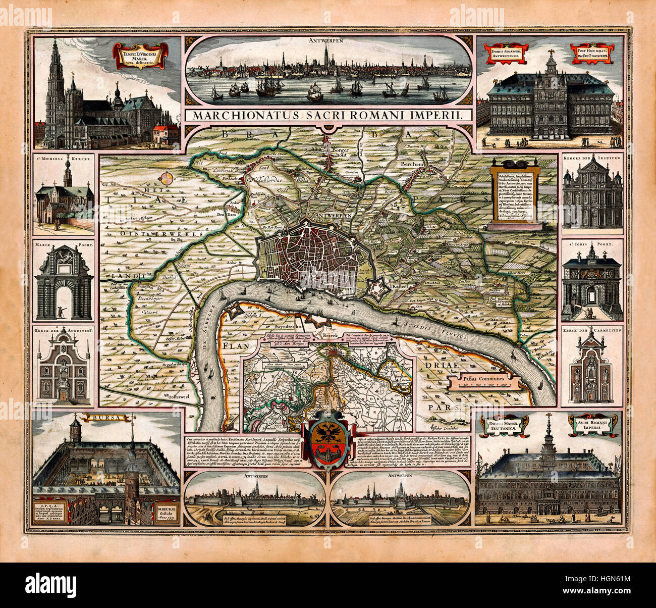 Map Of Antwerp 1624 Stock Photohttps://www.alamy.com/image-license-details/?v=1https://www.alamy.com/stock-photo-map-of-antwerp-1624-130772816.html
RFHGN61M–Map Of Antwerp 1624
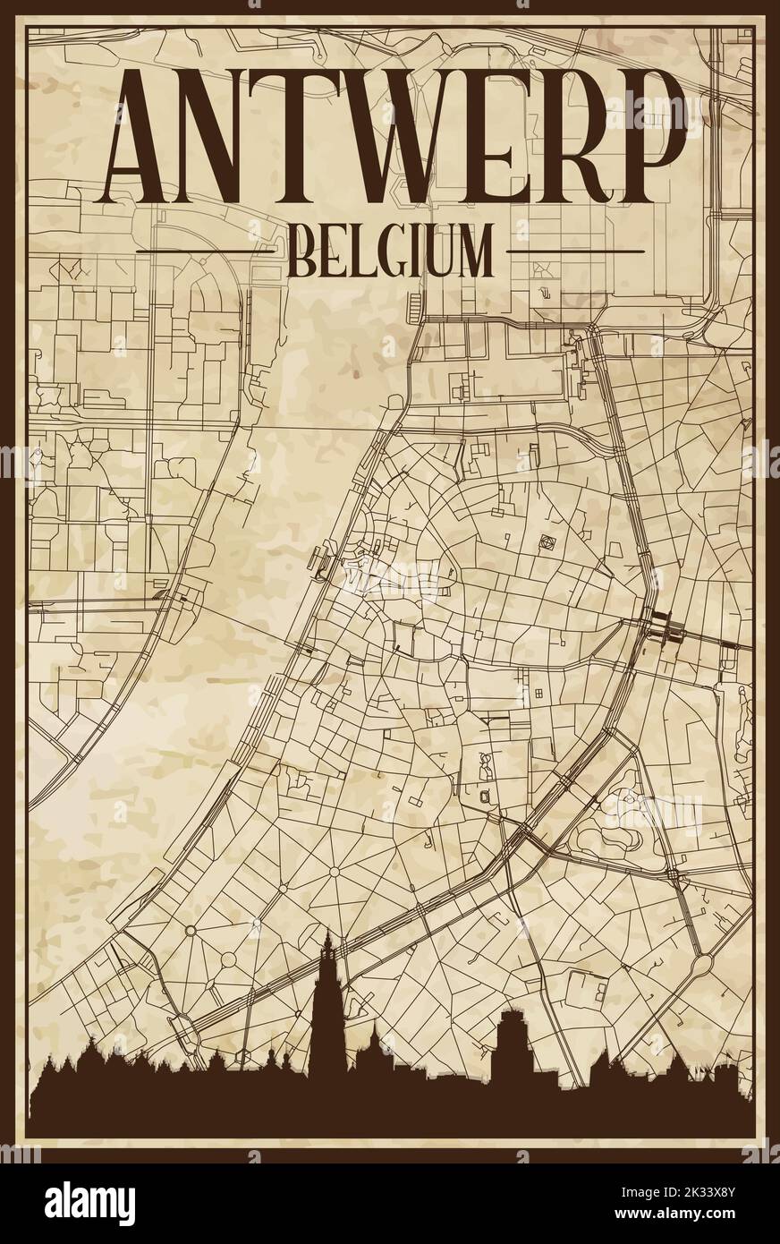 Brown vintage hand-drawn printout streets network map of the downtown ANTWERP, BELGIUM with brown city skyline and lettering Stock Vectorhttps://www.alamy.com/image-license-details/?v=1https://www.alamy.com/brown-vintage-hand-drawn-printout-streets-network-map-of-the-downtown-antwerp-belgium-with-brown-city-skyline-and-lettering-image483820763.html
RF2K33X8Y–Brown vintage hand-drawn printout streets network map of the downtown ANTWERP, BELGIUM with brown city skyline and lettering
 Antwerp Belgian region Belgium retro travel plate sticker, vector. Belgium city tin sign and metal plaque or luggage tag with Belgian heraldic element and tourism sightseeing, map and checkered flag Stock Vectorhttps://www.alamy.com/image-license-details/?v=1https://www.alamy.com/antwerp-belgian-region-belgium-retro-travel-plate-sticker-vector-belgium-city-tin-sign-and-metal-plaque-or-luggage-tag-with-belgian-heraldic-element-and-tourism-sightseeing-map-and-checkered-flag-image622229925.html
RF2Y490H9–Antwerp Belgian region Belgium retro travel plate sticker, vector. Belgium city tin sign and metal plaque or luggage tag with Belgian heraldic element and tourism sightseeing, map and checkered flag
 Zandvliet, Antwerp, Belgium Willem and Johannes Joan Blaeu, 1664 Stock Photohttps://www.alamy.com/image-license-details/?v=1https://www.alamy.com/zandvliet-antwerp-belgium-willem-and-johannes-joan-blaeu-1664-image596374940.html
RM2WJ7690–Zandvliet, Antwerp, Belgium Willem and Johannes Joan Blaeu, 1664
 antwerp on administration map of belgium with flags Stock Photohttps://www.alamy.com/image-license-details/?v=1https://www.alamy.com/stock-photo-antwerp-on-administration-map-of-belgium-with-flags-126777156.html
RFHA75FG–antwerp on administration map of belgium with flags
 Hilton Antwerp Old Town, Provincie Antwerpen, BE, Belgium, Flanders, N 51 13' 10'', N 4 24' 7'', map, Cartascapes Map published in 2024. Explore Cartascapes, a map revealing Earth's diverse landscapes, cultures, and ecosystems. Journey through time and space, discovering the interconnectedness of our planet's past, present, and future. Stock Photohttps://www.alamy.com/image-license-details/?v=1https://www.alamy.com/hilton-antwerp-old-town-provincie-antwerpen-be-belgium-flanders-n-51-13-10-n-4-24-7-map-cartascapes-map-published-in-2024-explore-cartascapes-a-map-revealing-earths-diverse-landscapes-cultures-and-ecosystems-journey-through-time-and-space-discovering-the-interconnectedness-of-our-planets-past-present-and-future-image604537179.html
RM2X3F19F–Hilton Antwerp Old Town, Provincie Antwerpen, BE, Belgium, Flanders, N 51 13' 10'', N 4 24' 7'', map, Cartascapes Map published in 2024. Explore Cartascapes, a map revealing Earth's diverse landscapes, cultures, and ecosystems. Journey through time and space, discovering the interconnectedness of our planet's past, present, and future.
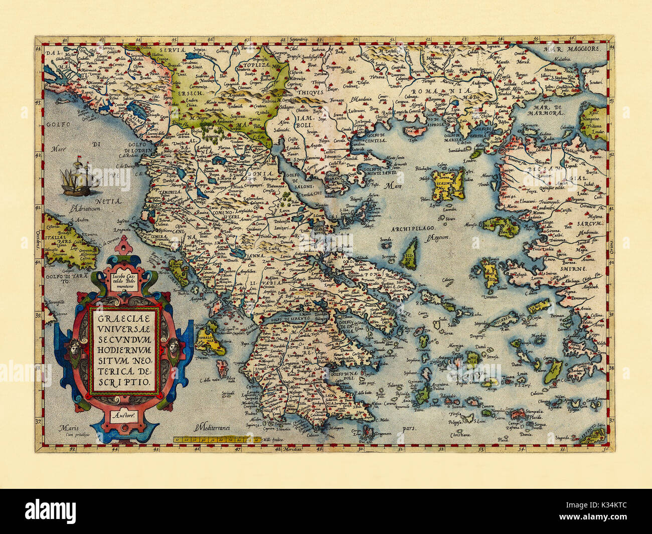 Old map of Greece. Excellent state of preservation realized in ancient style. All the graphic composition is inside a frame. By Ortelius, Theatrum Orbis Terrarum, Antwerp, 1570 Stock Photohttps://www.alamy.com/image-license-details/?v=1https://www.alamy.com/old-map-of-greece-excellent-state-of-preservation-realized-in-ancient-image156840668.html
RFK34KTC–Old map of Greece. Excellent state of preservation realized in ancient style. All the graphic composition is inside a frame. By Ortelius, Theatrum Orbis Terrarum, Antwerp, 1570
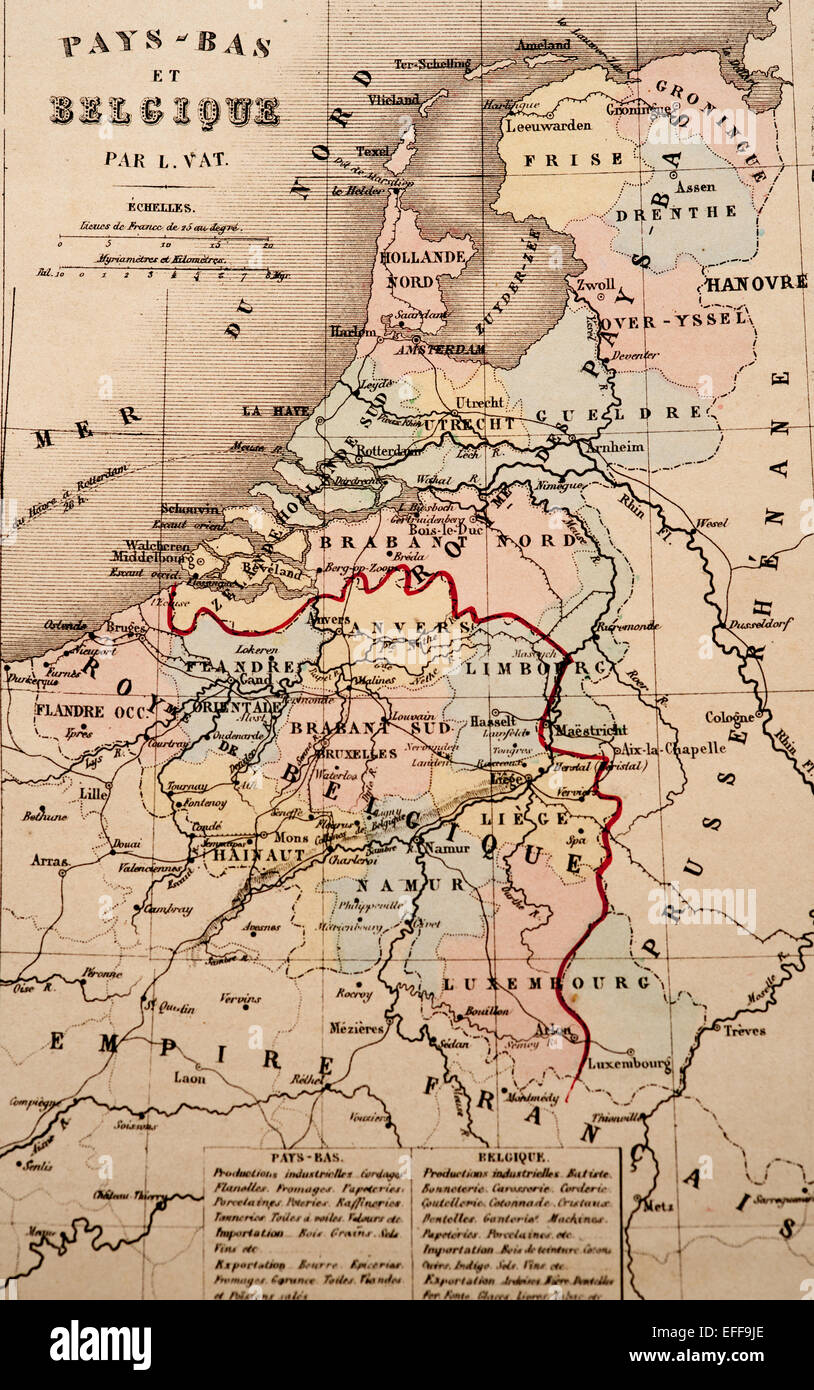 Antique French map of Belgium from Nouvel Atlas Classique c: 1869. Stock Photohttps://www.alamy.com/image-license-details/?v=1https://www.alamy.com/stock-photo-antique-french-map-of-belgium-from-nouvel-atlas-classique-c-1869-78398166.html
RFEFF9JE–Antique French map of Belgium from Nouvel Atlas Classique c: 1869.
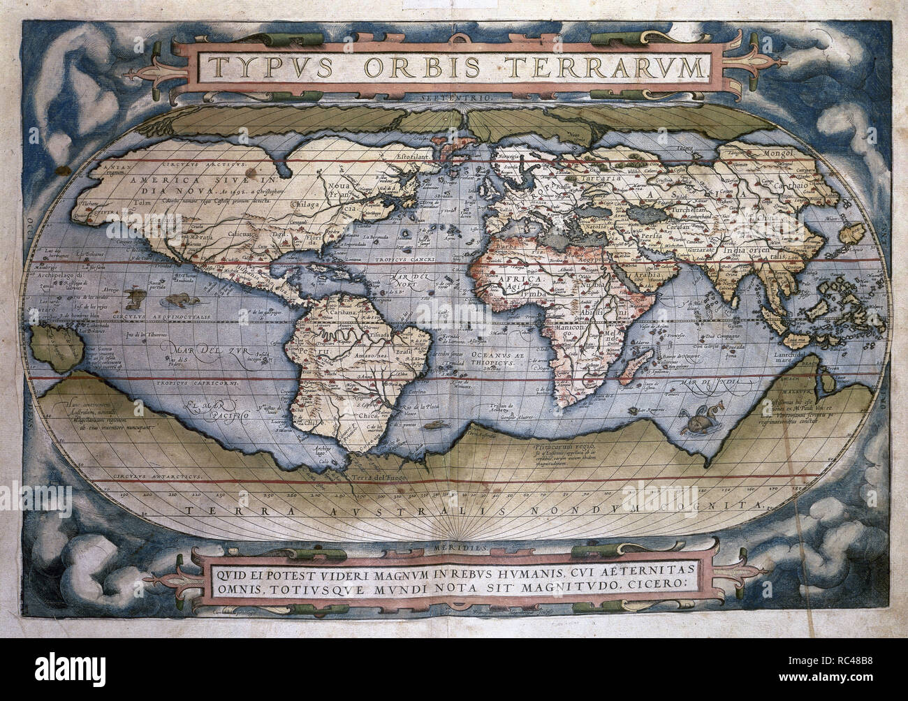 Theatrum Orbis Terrarum (Theatre of the World). Is considered to be the first true modern atlas. Written by Abraham Ortelius and originally printed on May 20, 1570, in Antwerp. World Map. Stock Photohttps://www.alamy.com/image-license-details/?v=1https://www.alamy.com/theatrum-orbis-terrarum-theatre-of-the-world-is-considered-to-be-the-first-true-modern-atlas-written-by-abraham-ortelius-and-originally-printed-on-may-20-1570-in-antwerp-world-map-image231205052.html
RMRC48B8–Theatrum Orbis Terrarum (Theatre of the World). Is considered to be the first true modern atlas. Written by Abraham Ortelius and originally printed on May 20, 1570, in Antwerp. World Map.
 Zandvliet, Antwerp, Belgium Willem and Johannes Joan Blaeu, 1664 *** Zandvliet, Antwerp, Belgium Willem and Johannes Joan Blaeu, 1664 Stock Photohttps://www.alamy.com/image-license-details/?v=1https://www.alamy.com/zandvliet-antwerp-belgium-willem-and-johannes-joan-blaeu-1664-zandvliet-antwerp-belgium-willem-and-johannes-joan-blaeu-1664-image596376080.html
RM2WJ77NM–Zandvliet, Antwerp, Belgium Willem and Johannes Joan Blaeu, 1664 *** Zandvliet, Antwerp, Belgium Willem and Johannes Joan Blaeu, 1664
 Set of grunge rubber stamps with names of Belgium cities, vector illustration Stock Photohttps://www.alamy.com/image-license-details/?v=1https://www.alamy.com/stock-photo-set-of-grunge-rubber-stamps-with-names-of-belgium-cities-vector-illustration-78519419.html
RFEFMT8Y–Set of grunge rubber stamps with names of Belgium cities, vector illustration
RF2JMXG3P–Belgium, Ghent city skyline isolated vector illustration, icons
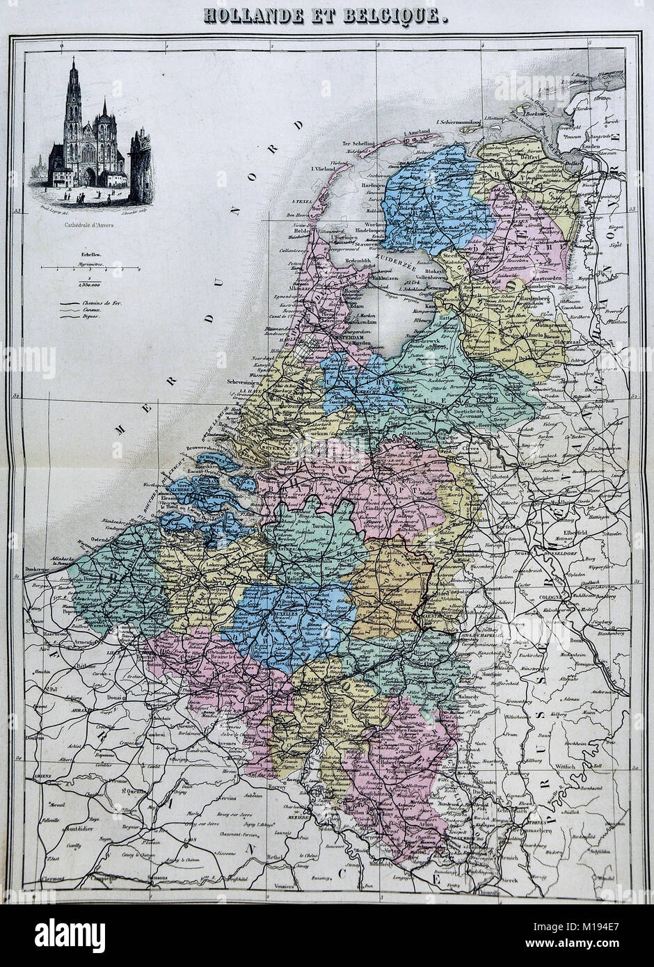 1877 Migeon Map - Netherlands - Holland Belgium Luxembourg Brussels Amsterdam Stock Photohttps://www.alamy.com/image-license-details/?v=1https://www.alamy.com/stock-photo-1877-migeon-map-netherlands-holland-belgium-luxembourg-brussels-amsterdam-172919439.html
RFM194E7–1877 Migeon Map - Netherlands - Holland Belgium Luxembourg Brussels Amsterdam
 Cartouche with Rolwerk, 1601 Cartouche with rolling and in the middle above a ring or crown. The text starts with: Ophiram. The Cartouche is a fragment of a map of the old world. The print is part of an album. Antwerp paper engraving Cartouche with rolling and in the middle above a ring or crown. The text starts with: Ophiram. The Cartouche is a fragment of a map of the old world. The print is part of an album. Antwerp paper engraving Stock Photohttps://www.alamy.com/image-license-details/?v=1https://www.alamy.com/cartouche-with-rolwerk-1601-cartouche-with-rolling-and-in-the-middle-above-a-ring-or-crown-the-text-starts-with-ophiram-the-cartouche-is-a-fragment-of-a-map-of-the-old-world-the-print-is-part-of-an-album-antwerp-paper-engraving-cartouche-with-rolling-and-in-the-middle-above-a-ring-or-crown-the-text-starts-with-ophiram-the-cartouche-is-a-fragment-of-a-map-of-the-old-world-the-print-is-part-of-an-album-antwerp-paper-engraving-image576284095.html
RM2TDG06R–Cartouche with Rolwerk, 1601 Cartouche with rolling and in the middle above a ring or crown. The text starts with: Ophiram. The Cartouche is a fragment of a map of the old world. The print is part of an album. Antwerp paper engraving Cartouche with rolling and in the middle above a ring or crown. The text starts with: Ophiram. The Cartouche is a fragment of a map of the old world. The print is part of an album. Antwerp paper engraving
 Antwerp, map 1906 Stock Photohttps://www.alamy.com/image-license-details/?v=1https://www.alamy.com/stock-photo-antwerp-map-1906-132410235.html
RMHKBPGY–Antwerp, map 1906
RF2C8GT15–Flanders icon vector, filled flat sign, solid pictogram isolated on white, logo illustration. Flanders icon for presentation.
 Map of the province of Antwerp, vintage engraving. Stock Photohttps://www.alamy.com/image-license-details/?v=1https://www.alamy.com/map-of-the-province-of-antwerp-vintage-engraving-image417560120.html
RF2F79E5C–Map of the province of Antwerp, vintage engraving.
 Lionel Antwerp Stock Photohttps://www.alamy.com/image-license-details/?v=1https://www.alamy.com/stock-photo-lionel-antwerp-140195331.html
RMJ42CG3–Lionel Antwerp
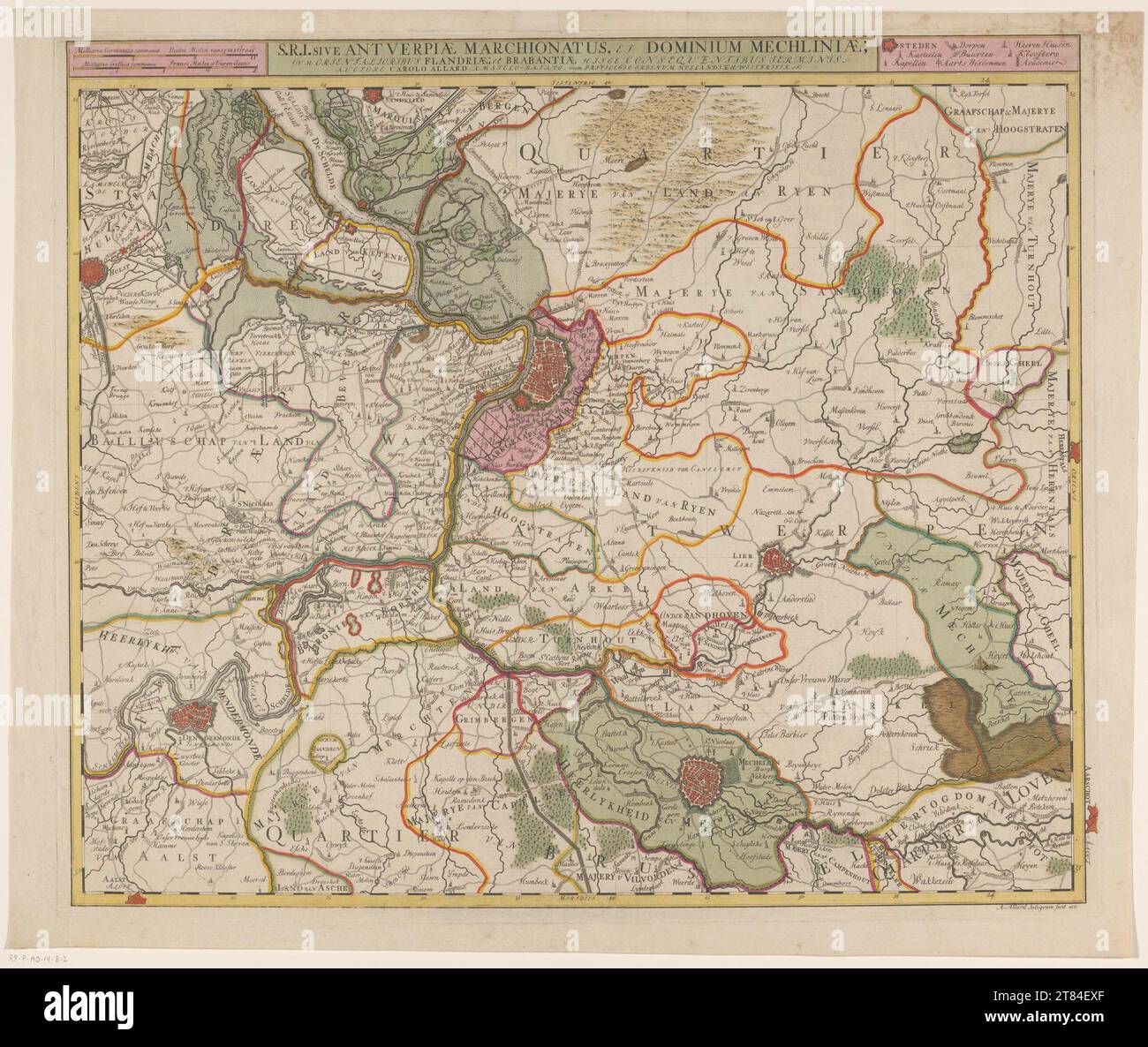 Map of the quarter of Antwerp, part of the Duchy of Brabant SRI Antverpiae Marchionatus. et Dominium Mechliniae Stock Photohttps://www.alamy.com/image-license-details/?v=1https://www.alamy.com/map-of-the-quarter-of-antwerp-part-of-the-duchy-of-brabant-sri-antverpiae-marchionatus-et-dominium-mechliniae-image572958919.html
RM2T84EXF–Map of the quarter of Antwerp, part of the Duchy of Brabant SRI Antverpiae Marchionatus. et Dominium Mechliniae
RF2C7W63K–Flanders icon vector, filled flat sign, solid pictogram isolated on white, logo illustration. Flanders icon for presentation.
RF2C5N5JW–Flanders Simple vector icon. Illustration symbol design template for web mobile UI element. Perfect color modern pictogram on editable stroke. Flanders icons for your business project
 Brussels, Limburg and Antwerp Belgian regions vintage plates and travel stickers, vector. Belgium city tin signs and metal plates or luggage tags with Belgian heraldic elements and tourism sightseeing Stock Vectorhttps://www.alamy.com/image-license-details/?v=1https://www.alamy.com/brussels-limburg-and-antwerp-belgian-regions-vintage-plates-and-travel-stickers-vector-belgium-city-tin-signs-and-metal-plates-or-luggage-tags-with-belgian-heraldic-elements-and-tourism-sightseeing-image443727627.html
RF2GNWF37–Brussels, Limburg and Antwerp Belgian regions vintage plates and travel stickers, vector. Belgium city tin signs and metal plates or luggage tags with Belgian heraldic elements and tourism sightseeing
RF2C90ET3–Antwerpen icon vector, filled flat sign, solid pictogram isolated on white, logo illustration. Antwerpen icon for presentation.
