Quick filters:
Richmond kentucky map Stock Photos and Images
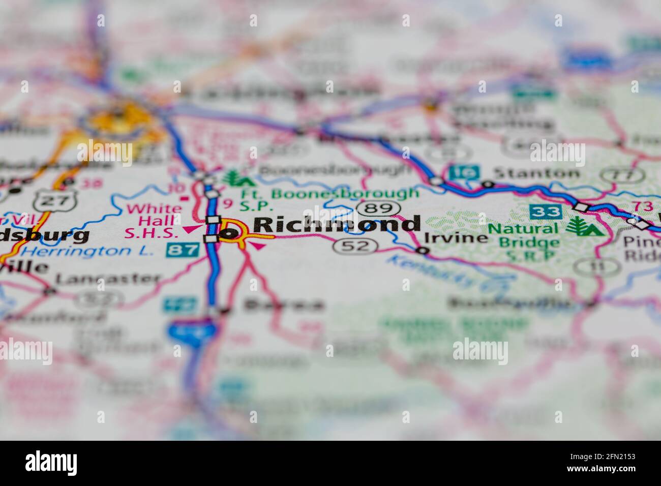 Richmond Kentucky USA shown on a Geography map or road map Stock Photohttps://www.alamy.com/image-license-details/?v=1https://www.alamy.com/richmond-kentucky-usa-shown-on-a-geography-map-or-road-map-image426001439.html
RM2FN2153–Richmond Kentucky USA shown on a Geography map or road map
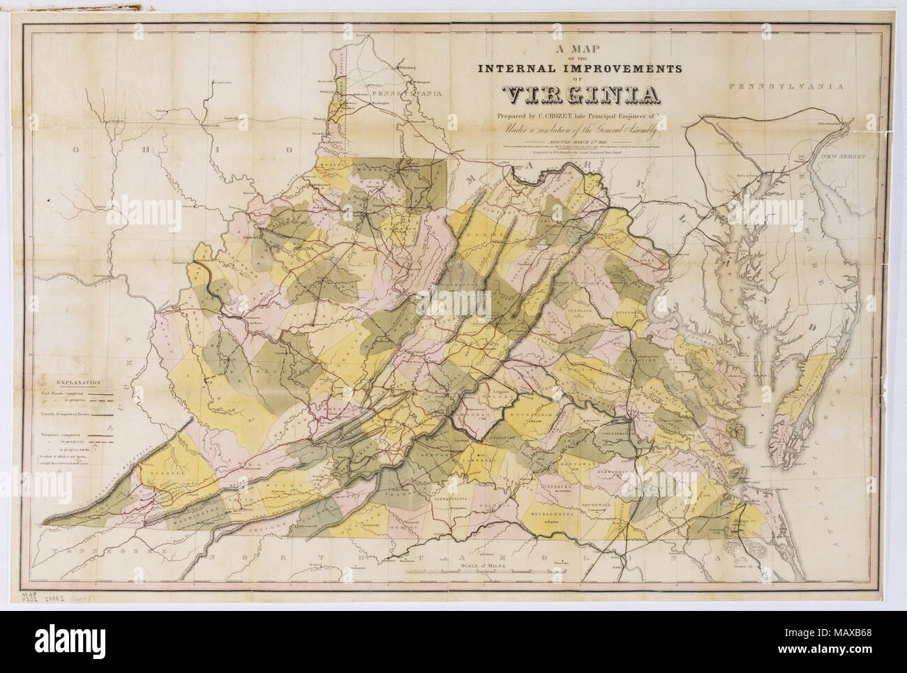 A Map of the Internal Improvements of Virginia, 1848 Stock Photohttps://www.alamy.com/image-license-details/?v=1https://www.alamy.com/a-map-of-the-internal-improvements-of-virginia-1848-image178829792.html
RMMAXB68–A Map of the Internal Improvements of Virginia, 1848
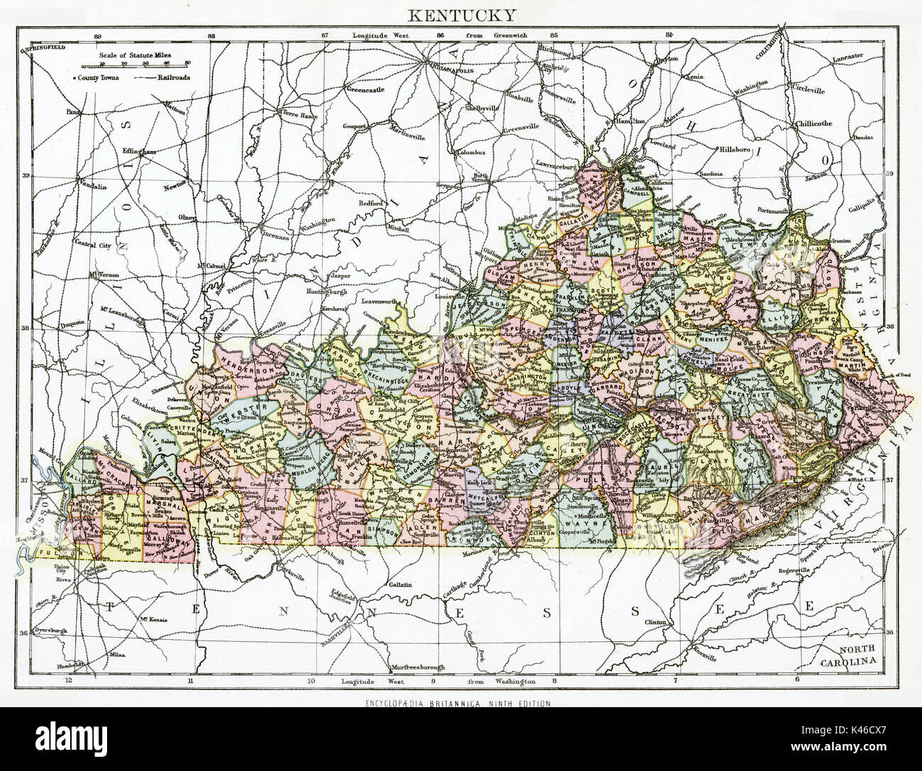 Antique map, circa 1875, of Kentucky Stock Photohttps://www.alamy.com/image-license-details/?v=1https://www.alamy.com/antique-map-circa-1875-of-kentucky-image157493791.html
RMK46CX7–Antique map, circa 1875, of Kentucky
 Kentucky National Guard Recruiter Staff Sgt. Rachel Richmond teaches a map reading class during the Bravo Company Recruit Sustainment Program annual field training exercise at Grant County High School Junior Reserve Officer Training Corp complex in Dry Ridge, Ky. (Photo by Staff Sgt. Michael Oliver, Bravo Company Detachment of the 2/75th Recruiting and Retention Battalion) Stock Photohttps://www.alamy.com/image-license-details/?v=1https://www.alamy.com/stock-photo-kentucky-national-guard-recruiter-staff-sgt-rachel-richmond-teaches-171902047.html
RMKYJPPR–Kentucky National Guard Recruiter Staff Sgt. Rachel Richmond teaches a map reading class during the Bravo Company Recruit Sustainment Program annual field training exercise at Grant County High School Junior Reserve Officer Training Corp complex in Dry Ridge, Ky. (Photo by Staff Sgt. Michael Oliver, Bravo Company Detachment of the 2/75th Recruiting and Retention Battalion)
 Richmond, Madison County, US, United States, Kentucky, N 37 44' 52'', S 84 17' 40'', map, Cartascapes Map published in 2024. Explore Cartascapes, a map revealing Earth's diverse landscapes, cultures, and ecosystems. Journey through time and space, discovering the interconnectedness of our planet's past, present, and future. Stock Photohttps://www.alamy.com/image-license-details/?v=1https://www.alamy.com/richmond-madison-county-us-united-states-kentucky-n-37-44-52-s-84-17-40-map-cartascapes-map-published-in-2024-explore-cartascapes-a-map-revealing-earths-diverse-landscapes-cultures-and-ecosystems-journey-through-time-and-space-discovering-the-interconnectedness-of-our-planets-past-present-and-future-image621246933.html
RM2Y2M6PD–Richmond, Madison County, US, United States, Kentucky, N 37 44' 52'', S 84 17' 40'', map, Cartascapes Map published in 2024. Explore Cartascapes, a map revealing Earth's diverse landscapes, cultures, and ecosystems. Journey through time and space, discovering the interconnectedness of our planet's past, present, and future.
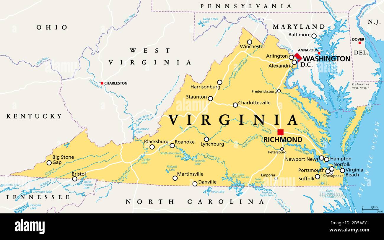 Virginia, VA, political map. Commonwealth of Virginia. State in Southeastern and Mid-Atlantic region of the United States. Capital Richmond. Stock Photohttps://www.alamy.com/image-license-details/?v=1https://www.alamy.com/virginia-va-political-map-commonwealth-of-virginia-state-in-southeastern-and-mid-atlantic-region-of-the-united-states-capital-richmond-image381927925.html
RF2D5A8Y1–Virginia, VA, political map. Commonwealth of Virginia. State in Southeastern and Mid-Atlantic region of the United States. Capital Richmond.
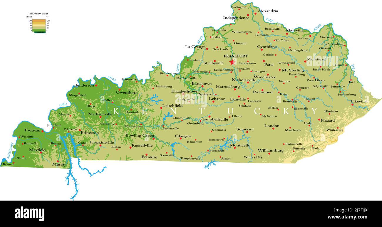 Highly detailed physical map of the Kentucky, in vector format,with all the relief forms,regions and big cities. Stock Vectorhttps://www.alamy.com/image-license-details/?v=1https://www.alamy.com/highly-detailed-physical-map-of-the-kentucky-in-vector-formatwith-all-the-relief-formsregions-and-big-cities-image469326450.html
RF2J7FJJX–Highly detailed physical map of the Kentucky, in vector format,with all the relief forms,regions and big cities.
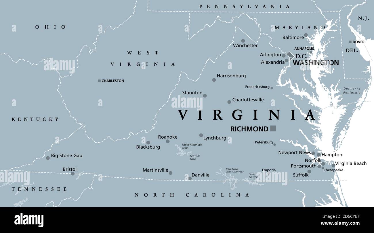 Virginia, VA, gray political map. Commonwealth of Virginia. State in Southeastern and Mid-Atlantic region of United States. Capital Richmond. Stock Photohttps://www.alamy.com/image-license-details/?v=1https://www.alamy.com/virginia-va-gray-political-map-commonwealth-of-virginia-state-in-southeastern-and-mid-atlantic-region-of-united-states-capital-richmond-image382600947.html
RF2D6CYBF–Virginia, VA, gray political map. Commonwealth of Virginia. State in Southeastern and Mid-Atlantic region of United States. Capital Richmond.
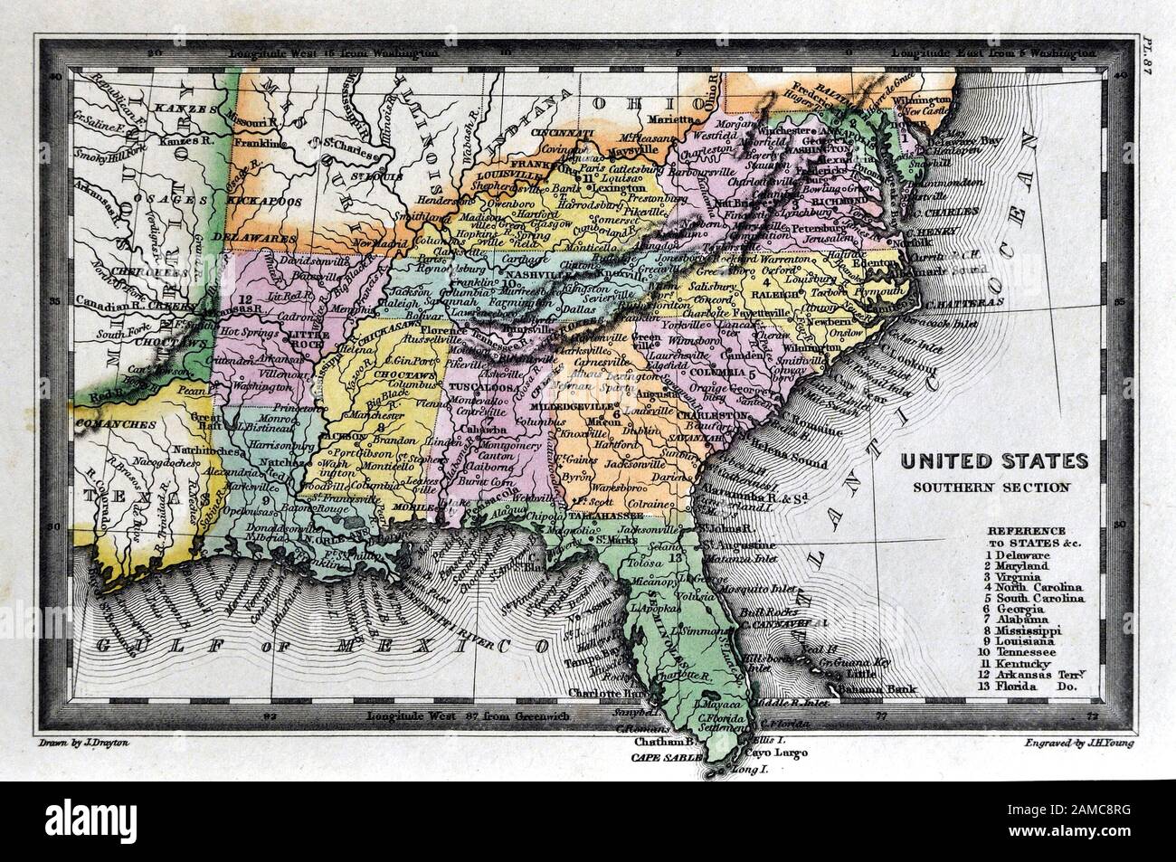 1834 Carey Map United States of America Southern States including Virginia Alabama Georgia Louisiana Mississippi Arkansas Tennessee Kentucky North and South Carolina Stock Photohttps://www.alamy.com/image-license-details/?v=1https://www.alamy.com/1834-carey-map-united-states-of-america-southern-states-including-virginia-alabama-georgia-louisiana-mississippi-arkansas-tennessee-kentucky-north-and-south-carolina-image339560468.html
RF2AMC8RG–1834 Carey Map United States of America Southern States including Virginia Alabama Georgia Louisiana Mississippi Arkansas Tennessee Kentucky North and South Carolina
 The Virginias, political map. Virginia and West Virginia, two states in the Southeastern and Mid-Atlantic regions of the United States. Stock Photohttps://www.alamy.com/image-license-details/?v=1https://www.alamy.com/the-virginias-political-map-virginia-and-west-virginia-two-states-in-the-southeastern-and-mid-atlantic-regions-of-the-united-states-image615225610.html
RF2XMWXF6–The Virginias, political map. Virginia and West Virginia, two states in the Southeastern and Mid-Atlantic regions of the United States.
 0372 Railroad Maps Map of the Richmond and Louisville R R connecting the railroads of Virginia with the railroads of Kentucky on the shortest route east and west of the Mississippi Valley to the Atlantic Ocean Inverted Stock Photohttps://www.alamy.com/image-license-details/?v=1https://www.alamy.com/0372-railroad-maps-map-of-the-richmond-and-louisville-r-r-connecting-the-railroads-of-virginia-with-the-railroads-of-kentucky-on-the-shortest-route-east-and-west-of-the-mississippi-valley-to-the-atlantic-ocean-inverted-image262052206.html
RMW69E7A–0372 Railroad Maps Map of the Richmond and Louisville R R connecting the railroads of Virginia with the railroads of Kentucky on the shortest route east and west of the Mississippi Valley to the Atlantic Ocean Inverted
 The Virginias, gray political map of Virginia with its capital Richmond and of West Virginia with capital Charleston. Stock Photohttps://www.alamy.com/image-license-details/?v=1https://www.alamy.com/the-virginias-gray-political-map-of-virginia-with-its-capital-richmond-and-of-west-virginia-with-capital-charleston-image615607910.html
RF2XNFA4P–The Virginias, gray political map of Virginia with its capital Richmond and of West Virginia with capital Charleston.
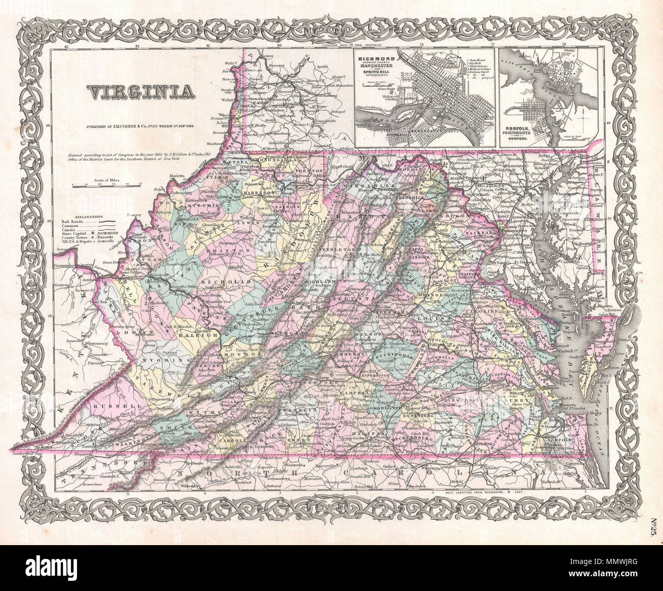 . English: A beautiful 1855 first edition example of Colton's map of Virginia. Covers the entire state as well most of adjacent Maryland and parts of North Carolina, Kentucky and Tennessee. Predates split with West Virginia by seven years. Map is hand colored in pink, green, yellow and blue pastels to identify counties. Identifies towns, cities, railroads, roads and some topographical features. Features maps of Richmond (with Manchester and Spring Hill) and Norfolk (with Portsmouth and Gosport). Names the Cumberland Gap, Chesapeake Bay, Alleghany and Shenandoah Mountains, and the Dismal Swamp Stock Photohttps://www.alamy.com/image-license-details/?v=1https://www.alamy.com/english-a-beautiful-1855-first-edition-example-of-coltons-map-of-virginia-covers-the-entire-state-as-well-most-of-adjacent-maryland-and-parts-of-north-carolina-kentucky-and-tennessee-predates-split-with-west-virginia-by-seven-years-map-is-hand-colored-in-pink-green-yellow-and-blue-pastels-to-identify-counties-identifies-towns-cities-railroads-roads-and-some-topographical-features-features-maps-of-richmond-with-manchester-and-spring-hill-and-norfolk-with-portsmouth-and-gosport-names-the-cumberland-gap-chesapeake-bay-alleghany-and-shenandoah-mountains-and-the-dismal-swamp-image184960372.html
RMMMWJRG–. English: A beautiful 1855 first edition example of Colton's map of Virginia. Covers the entire state as well most of adjacent Maryland and parts of North Carolina, Kentucky and Tennessee. Predates split with West Virginia by seven years. Map is hand colored in pink, green, yellow and blue pastels to identify counties. Identifies towns, cities, railroads, roads and some topographical features. Features maps of Richmond (with Manchester and Spring Hill) and Norfolk (with Portsmouth and Gosport). Names the Cumberland Gap, Chesapeake Bay, Alleghany and Shenandoah Mountains, and the Dismal Swamp
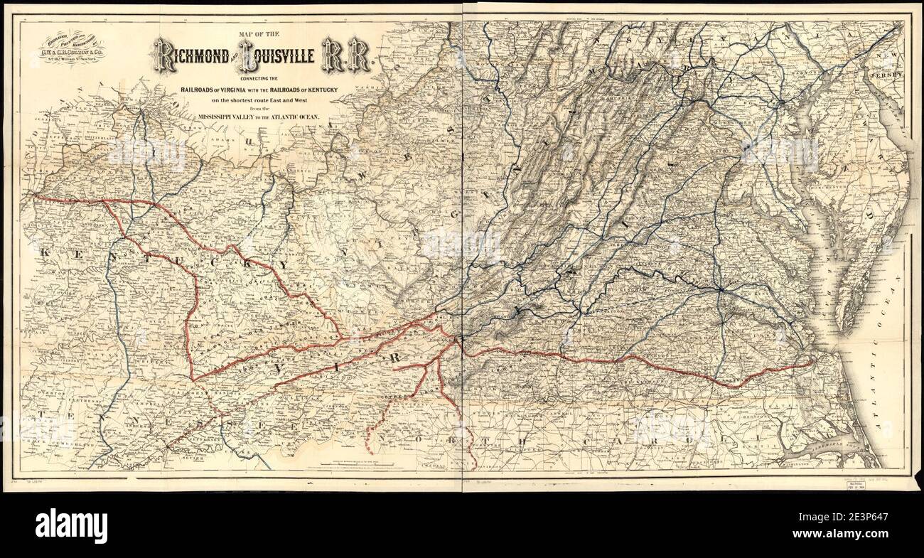 Map of the Richmond and Louisville R.R. connecting the railroads of Virginia with the railroads of Kentucky on the shortest route east and west of the Mississippi Valley to the Atlantic Ocean. Stock Photohttps://www.alamy.com/image-license-details/?v=1https://www.alamy.com/map-of-the-richmond-and-louisville-rr-connecting-the-railroads-of-virginia-with-the-railroads-of-kentucky-on-the-shortest-route-east-and-west-of-the-mississippi-valley-to-the-atlantic-ocean-image398170199.html
RM2E3P647–Map of the Richmond and Louisville R.R. connecting the railroads of Virginia with the railroads of Kentucky on the shortest route east and west of the Mississippi Valley to the Atlantic Ocean.
 Greetings from Richmond vintage rusty metal sign on a white background, vector illustration Stock Vectorhttps://www.alamy.com/image-license-details/?v=1https://www.alamy.com/greetings-from-richmond-vintage-rusty-metal-sign-on-a-white-background-vector-illustration-image549363182.html
RF2PWNJ9J–Greetings from Richmond vintage rusty metal sign on a white background, vector illustration
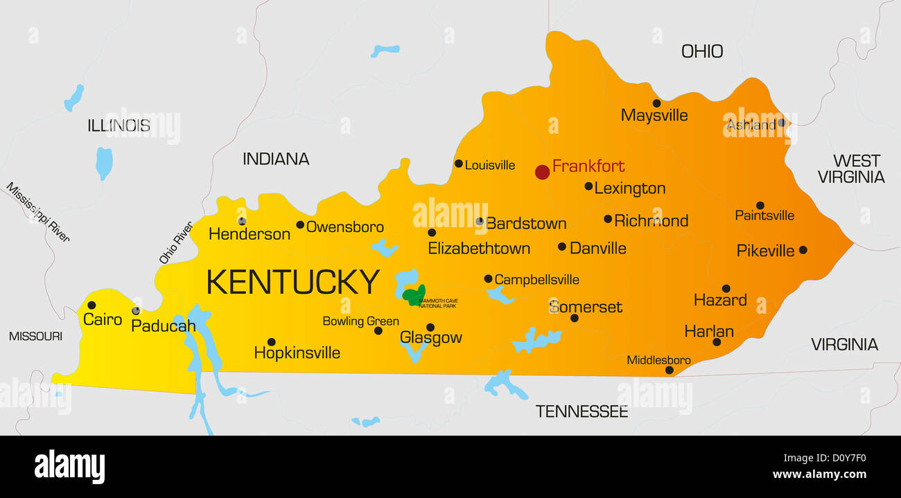 Kentucky Stock Photohttps://www.alamy.com/image-license-details/?v=1https://www.alamy.com/stock-photo-kentucky-52229716.html
RFD0Y7F0–Kentucky
 Kentucky, state of United States of America. Open Street Map Stock Photohttps://www.alamy.com/image-license-details/?v=1https://www.alamy.com/kentucky-state-of-united-states-of-america-open-street-map-image546013448.html
RF2PM91M8–Kentucky, state of United States of America. Open Street Map
 Kentucky state cities list Stock Vectorhttps://www.alamy.com/image-license-details/?v=1https://www.alamy.com/kentucky-state-cities-list-image222758550.html
RFPXBEPE–Kentucky state cities list
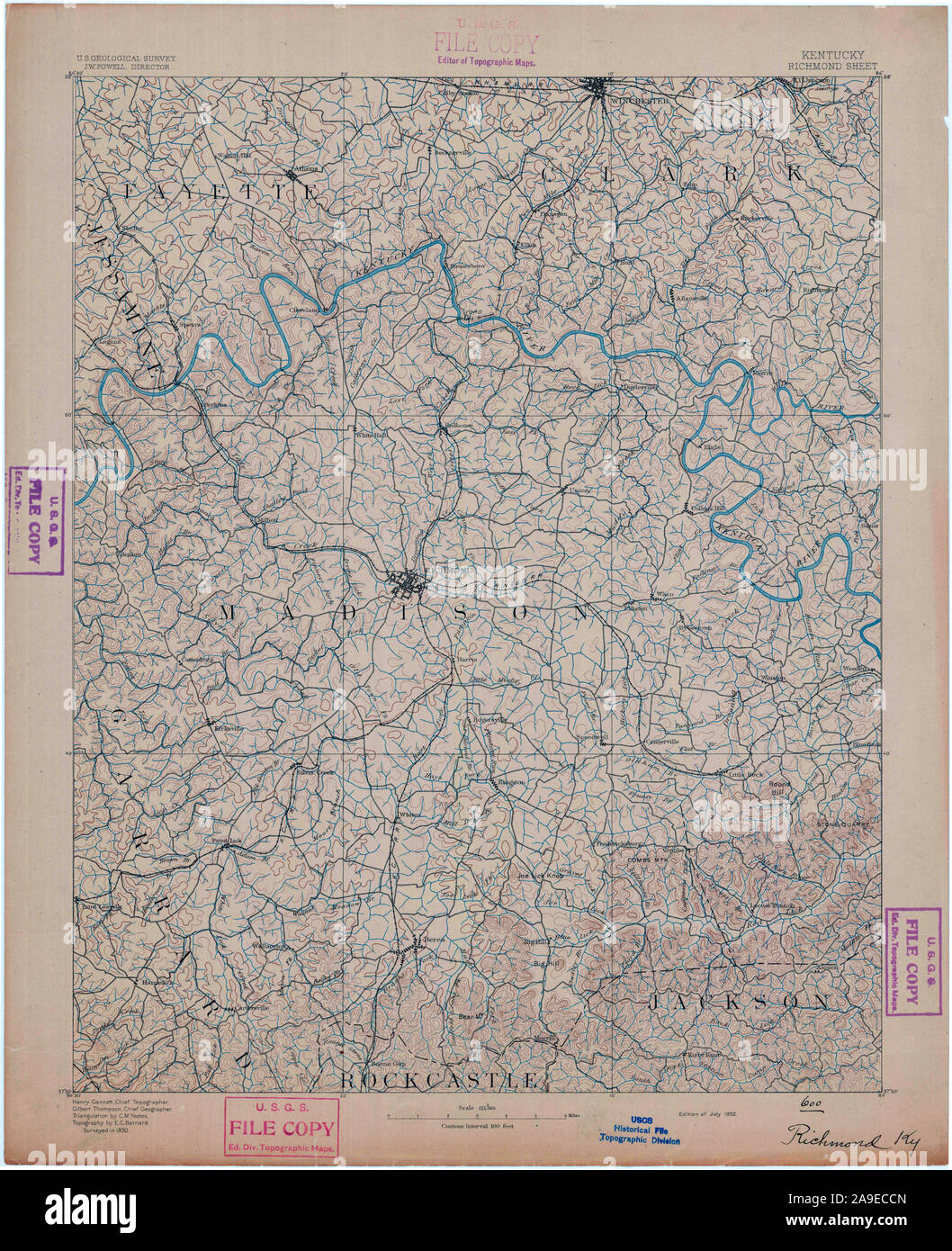 USGS TOPO Map Kentucky KY Richmond 804296 1892 125000 Stock Photohttps://www.alamy.com/image-license-details/?v=1https://www.alamy.com/usgs-topo-map-kentucky-ky-richmond-804296-1892-125000-image332845989.html
RM2A9ECCN–USGS TOPO Map Kentucky KY Richmond 804296 1892 125000
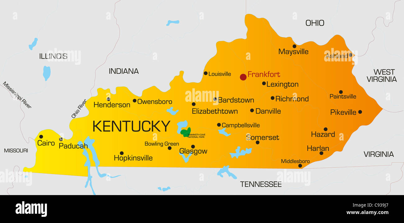 Vector color map of Kentucky state. Usa Stock Photohttps://www.alamy.com/image-license-details/?v=1https://www.alamy.com/stock-photo-vector-color-map-of-kentucky-state-usa-40026063.html
RFC939J7–Vector color map of Kentucky state. Usa
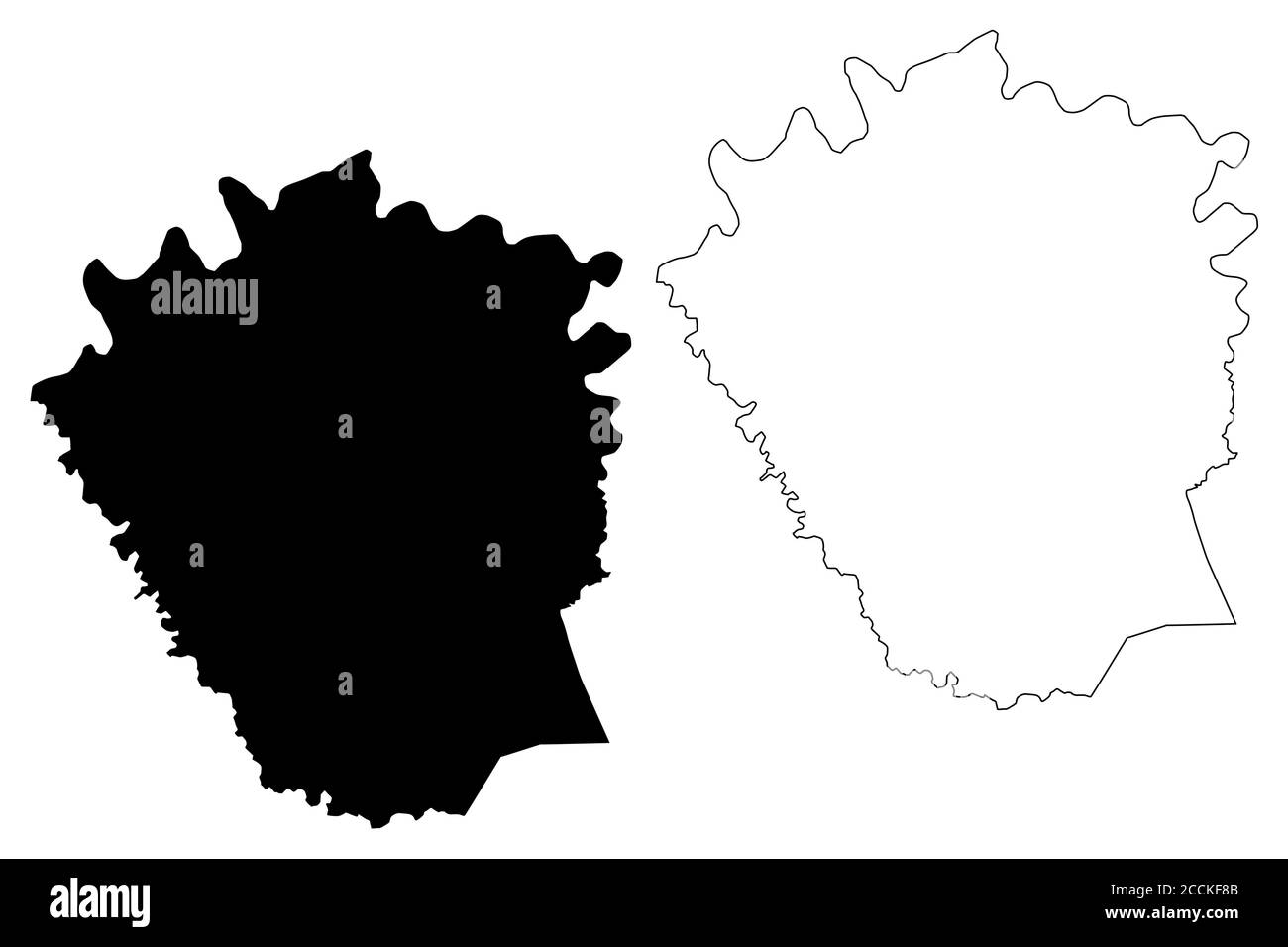 Madison County, Kentucky (U.S. county, United States of America, USA, U.S., US) map vector illustration, scribble sketch Madison map Stock Vectorhttps://www.alamy.com/image-license-details/?v=1https://www.alamy.com/madison-county-kentucky-us-county-united-states-of-america-usa-us-us-map-vector-illustration-scribble-sketch-madison-map-image369222683.html
RF2CCKF8B–Madison County, Kentucky (U.S. county, United States of America, USA, U.S., US) map vector illustration, scribble sketch Madison map
 blue, american, graphic, usa, america, illustration, square, shape, digital, Stock Photohttps://www.alamy.com/image-license-details/?v=1https://www.alamy.com/stock-photo-blue-american-graphic-usa-america-illustration-square-shape-digital-143022402.html
RFJ8K6EX–blue, american, graphic, usa, america, illustration, square, shape, digital,
 Richmond, Madison County, US, United States, Kentucky, N 37 44' 52'', S 84 17' 40'', map, Cartascapes Map published in 2024. Explore Cartascapes, a map revealing Earth's diverse landscapes, cultures, and ecosystems. Journey through time and space, discovering the interconnectedness of our planet's past, present, and future. Stock Photohttps://www.alamy.com/image-license-details/?v=1https://www.alamy.com/richmond-madison-county-us-united-states-kentucky-n-37-44-52-s-84-17-40-map-cartascapes-map-published-in-2024-explore-cartascapes-a-map-revealing-earths-diverse-landscapes-cultures-and-ecosystems-journey-through-time-and-space-discovering-the-interconnectedness-of-our-planets-past-present-and-future-image620699628.html
RM2Y1R8KT–Richmond, Madison County, US, United States, Kentucky, N 37 44' 52'', S 84 17' 40'', map, Cartascapes Map published in 2024. Explore Cartascapes, a map revealing Earth's diverse landscapes, cultures, and ecosystems. Journey through time and space, discovering the interconnectedness of our planet's past, present, and future.
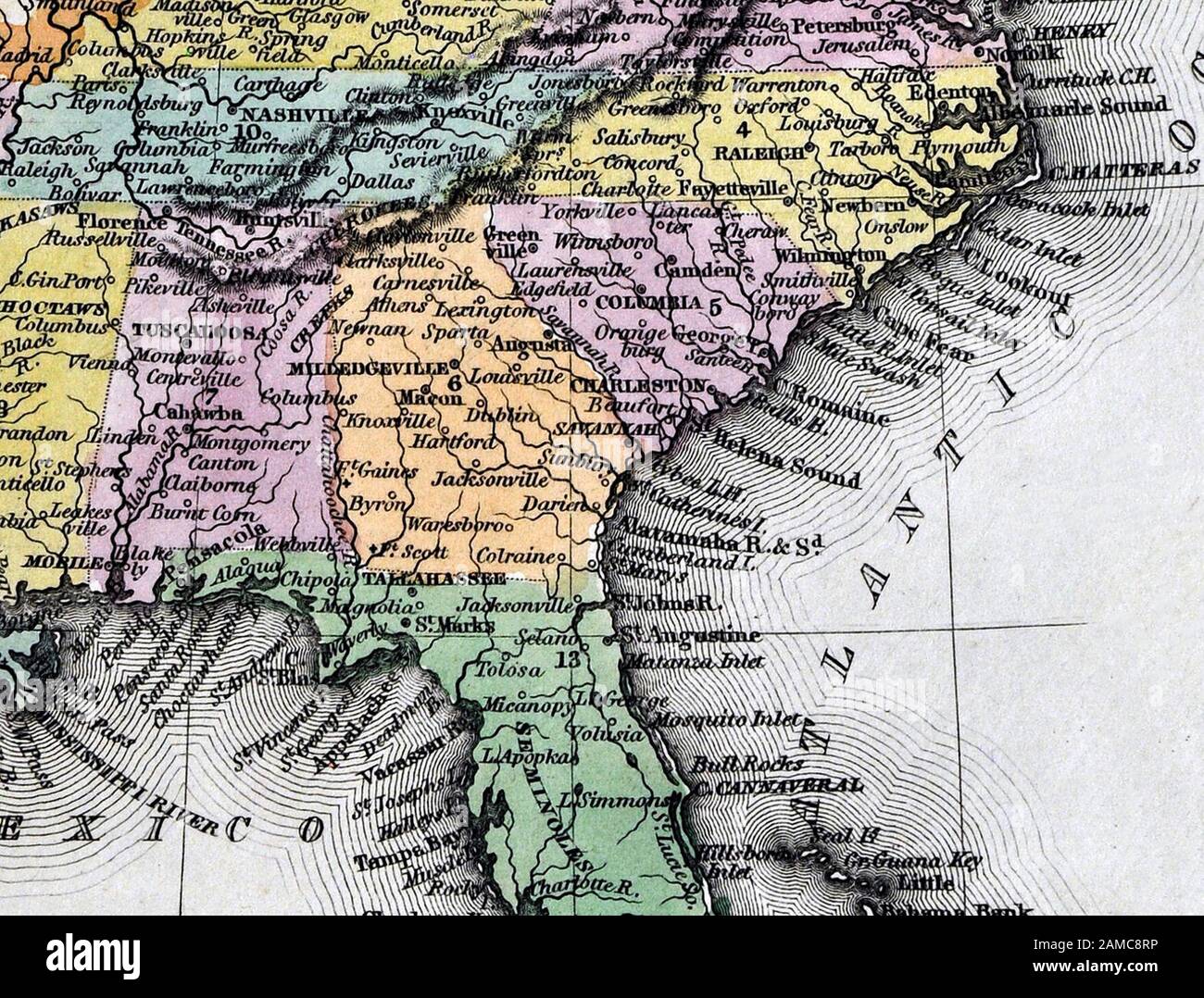 1834 Carey Map United States of America Southern States including Virginia Alabama Georgia Louisiana Mississippi Arkansas Tennessee Kentucky North and South Carolina Stock Photohttps://www.alamy.com/image-license-details/?v=1https://www.alamy.com/1834-carey-map-united-states-of-america-southern-states-including-virginia-alabama-georgia-louisiana-mississippi-arkansas-tennessee-kentucky-north-and-south-carolina-image339560474.html
RF2AMC8RP–1834 Carey Map United States of America Southern States including Virginia Alabama Georgia Louisiana Mississippi Arkansas Tennessee Kentucky North and South Carolina
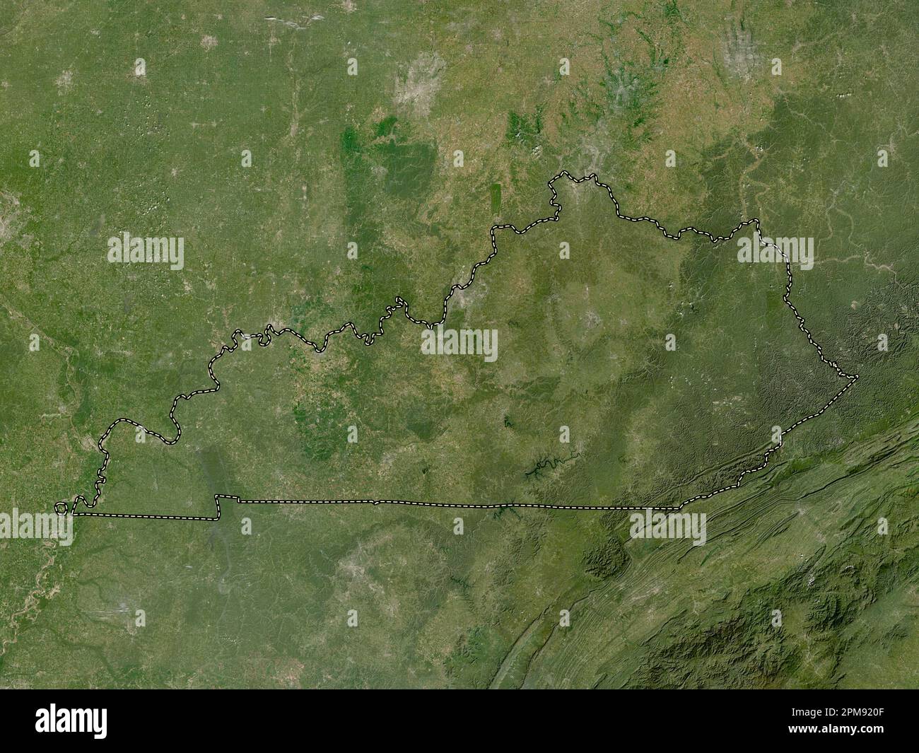 Kentucky, state of United States of America. Low resolution satellite map Stock Photohttps://www.alamy.com/image-license-details/?v=1https://www.alamy.com/kentucky-state-of-united-states-of-america-low-resolution-satellite-map-image546013679.html
RF2PM920F–Kentucky, state of United States of America. Low resolution satellite map
 USGS TOPO Map Kentucky KY Richmond North 20100324 TM Stock Photohttps://www.alamy.com/image-license-details/?v=1https://www.alamy.com/usgs-topo-map-kentucky-ky-richmond-north-20100324-tm-image332846044.html
RM2A9ECEM–USGS TOPO Map Kentucky KY Richmond North 20100324 TM
 Madison County, Kentucky (U.S. county, United States of America, USA, U.S., US) map vector illustration, scribble sketch Madison map Stock Vectorhttps://www.alamy.com/image-license-details/?v=1https://www.alamy.com/madison-county-kentucky-us-county-united-states-of-america-usa-us-us-map-vector-illustration-scribble-sketch-madison-map-image381800494.html
RF2D54EBX–Madison County, Kentucky (U.S. county, United States of America, USA, U.S., US) map vector illustration, scribble sketch Madison map
 Richmond, Kentucky, map 1897, 1:125000, United States of America by Timeless Maps, data U.S. Geological Survey Stock Photohttps://www.alamy.com/image-license-details/?v=1https://www.alamy.com/richmond-kentucky-map-1897-1125000-united-states-of-america-by-timeless-maps-data-us-geological-survey-image414048769.html
RM2F1HFC1–Richmond, Kentucky, map 1897, 1:125000, United States of America by Timeless Maps, data U.S. Geological Survey
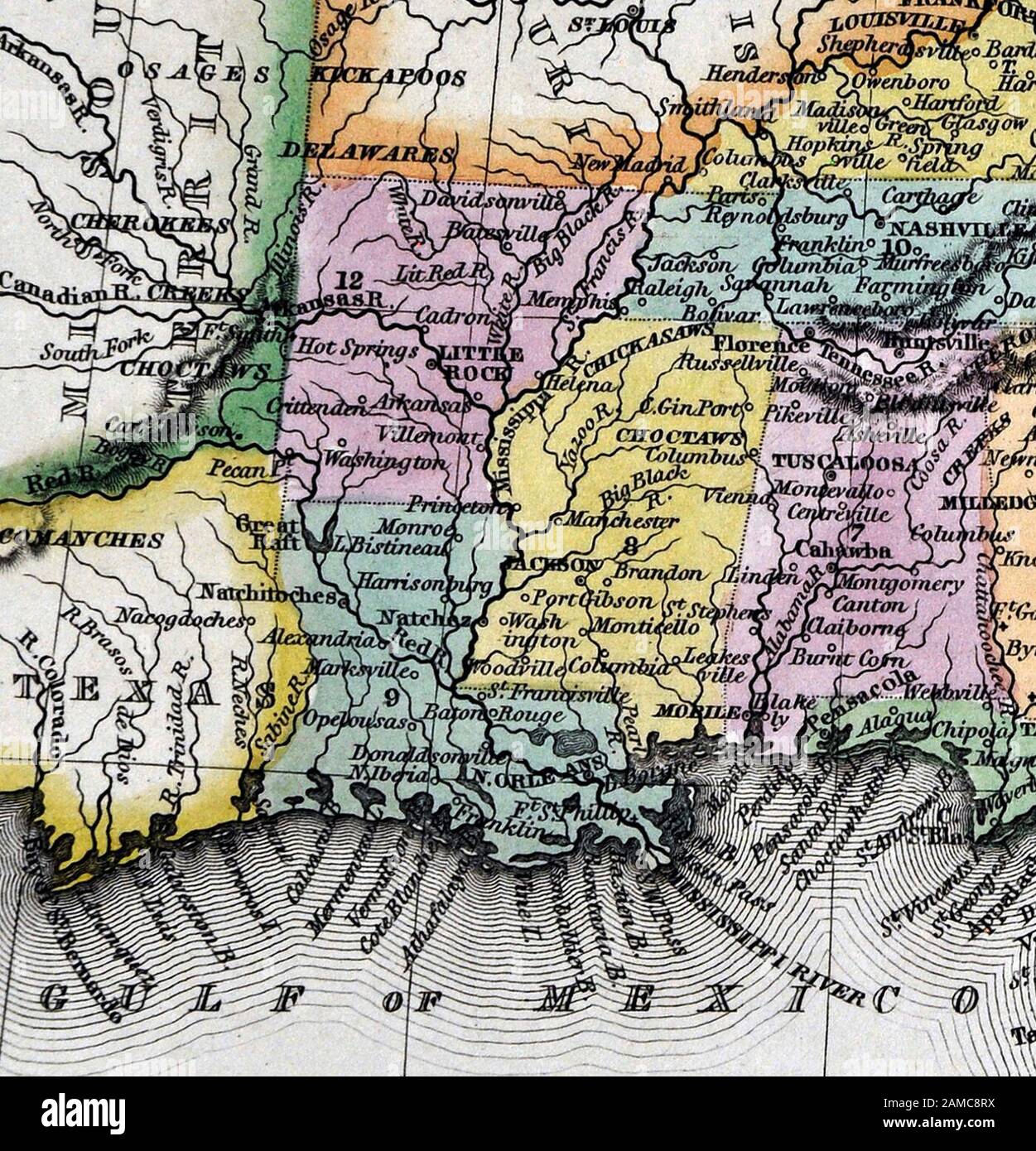 1834 Carey Map United States of America Southern States including Virginia Alabama Georgia Louisiana Mississippi Arkansas Tennessee Kentucky North and South Carolina Stock Photohttps://www.alamy.com/image-license-details/?v=1https://www.alamy.com/1834-carey-map-united-states-of-america-southern-states-including-virginia-alabama-georgia-louisiana-mississippi-arkansas-tennessee-kentucky-north-and-south-carolina-image339560478.html
RF2AMC8RX–1834 Carey Map United States of America Southern States including Virginia Alabama Georgia Louisiana Mississippi Arkansas Tennessee Kentucky North and South Carolina
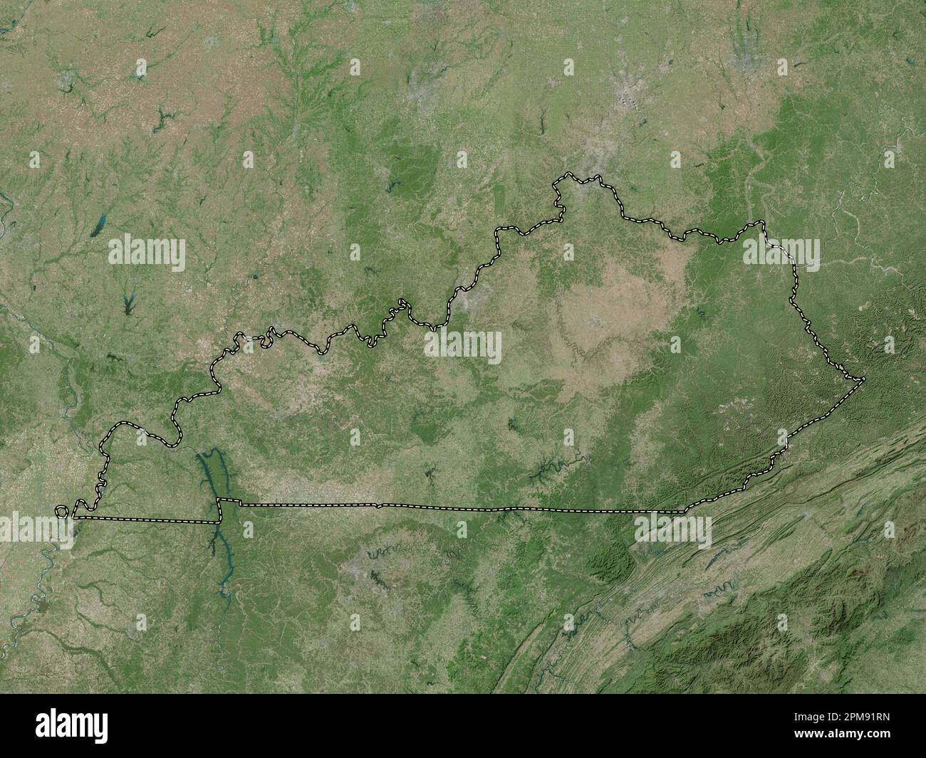 Kentucky, state of United States of America. High resolution satellite map Stock Photohttps://www.alamy.com/image-license-details/?v=1https://www.alamy.com/kentucky-state-of-united-states-of-america-high-resolution-satellite-map-image546013545.html
RF2PM91RN–Kentucky, state of United States of America. High resolution satellite map
 USGS TOPO Map Kentucky KY Richmond 804293 1897 125000 Stock Photohttps://www.alamy.com/image-license-details/?v=1https://www.alamy.com/usgs-topo-map-kentucky-ky-richmond-804293-1897-125000-image332845930.html
RM2A9ECAJ–USGS TOPO Map Kentucky KY Richmond 804293 1897 125000
 Madison County, Kentucky (U.S. county, United States of America, USA, U.S., US) map vector illustration, scribble sketch Madison map Stock Vectorhttps://www.alamy.com/image-license-details/?v=1https://www.alamy.com/madison-county-kentucky-us-county-united-states-of-america-usa-us-us-map-vector-illustration-scribble-sketch-madison-map-image384140231.html
RF2D8Y2NY–Madison County, Kentucky (U.S. county, United States of America, USA, U.S., US) map vector illustration, scribble sketch Madison map
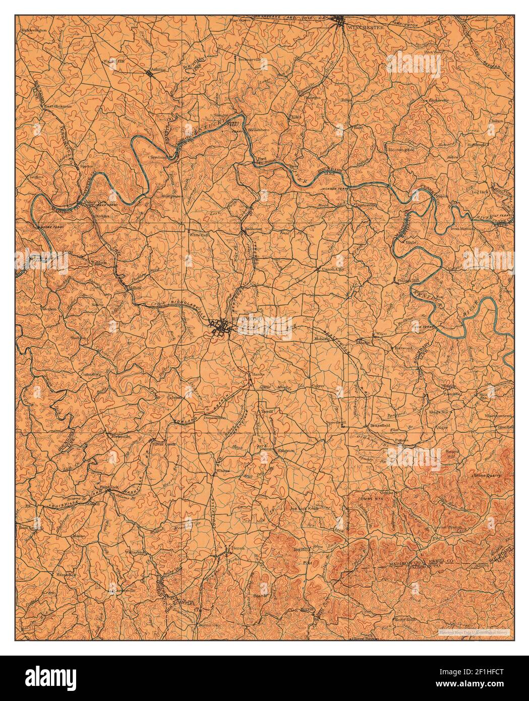 Richmond, Kentucky, map 1897, 1:125000, United States of America by Timeless Maps, data U.S. Geological Survey Stock Photohttps://www.alamy.com/image-license-details/?v=1https://www.alamy.com/richmond-kentucky-map-1897-1125000-united-states-of-america-by-timeless-maps-data-us-geological-survey-image414048792.html
RM2F1HFCT–Richmond, Kentucky, map 1897, 1:125000, United States of America by Timeless Maps, data U.S. Geological Survey
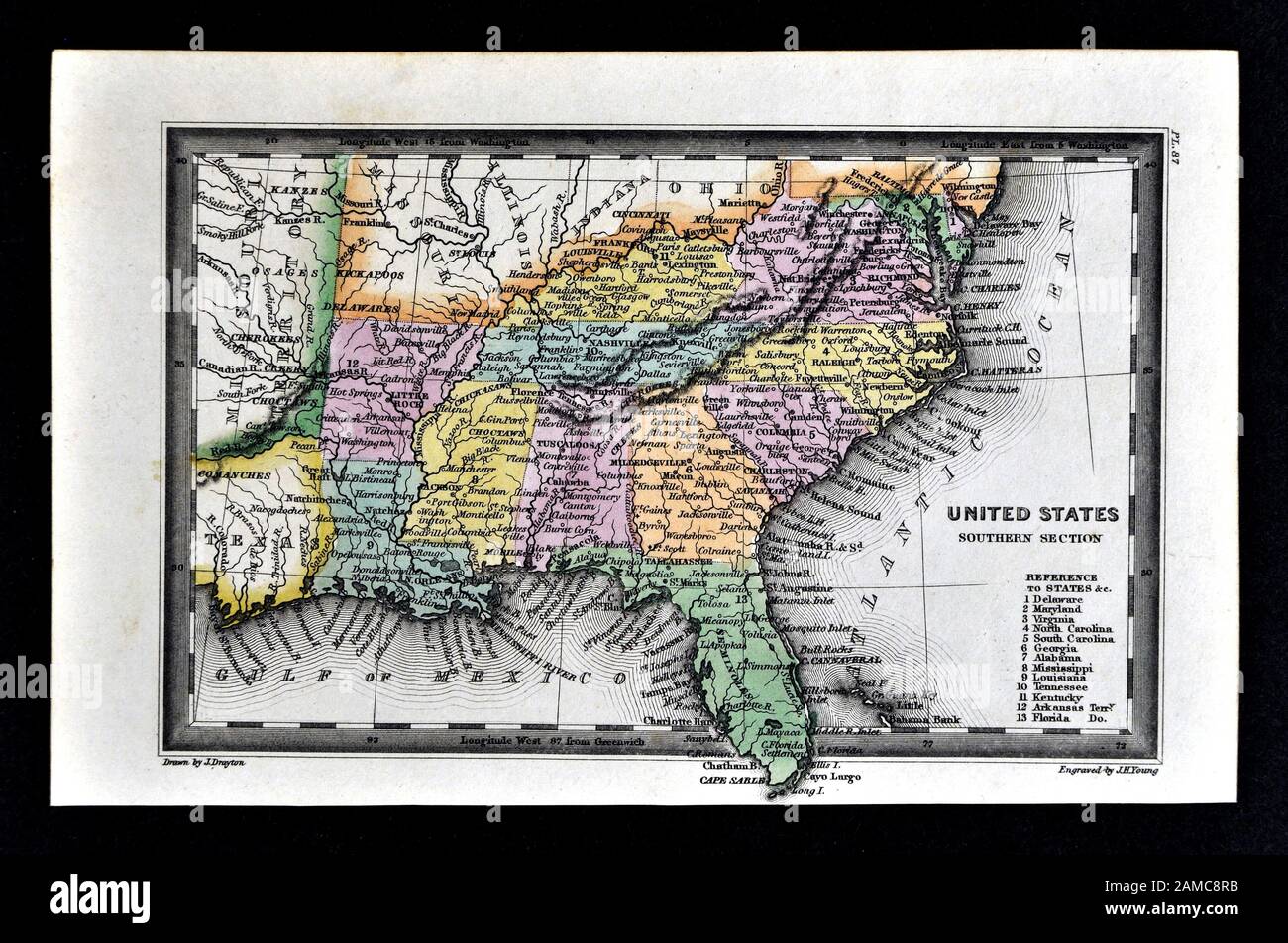 1834 Carey Map United States of America Southern States including Virginia Alabama Georgia Louisiana Mississippi Arkansas Tennessee Kentucky North and South Carolina Stock Photohttps://www.alamy.com/image-license-details/?v=1https://www.alamy.com/1834-carey-map-united-states-of-america-southern-states-including-virginia-alabama-georgia-louisiana-mississippi-arkansas-tennessee-kentucky-north-and-south-carolina-image339560463.html
RF2AMC8RB–1834 Carey Map United States of America Southern States including Virginia Alabama Georgia Louisiana Mississippi Arkansas Tennessee Kentucky North and South Carolina
 Kentucky, state of United States of America. Bilevel elevation map with lakes and rivers Stock Photohttps://www.alamy.com/image-license-details/?v=1https://www.alamy.com/kentucky-state-of-united-states-of-america-bilevel-elevation-map-with-lakes-and-rivers-image546013356.html
RF2PM91H0–Kentucky, state of United States of America. Bilevel elevation map with lakes and rivers
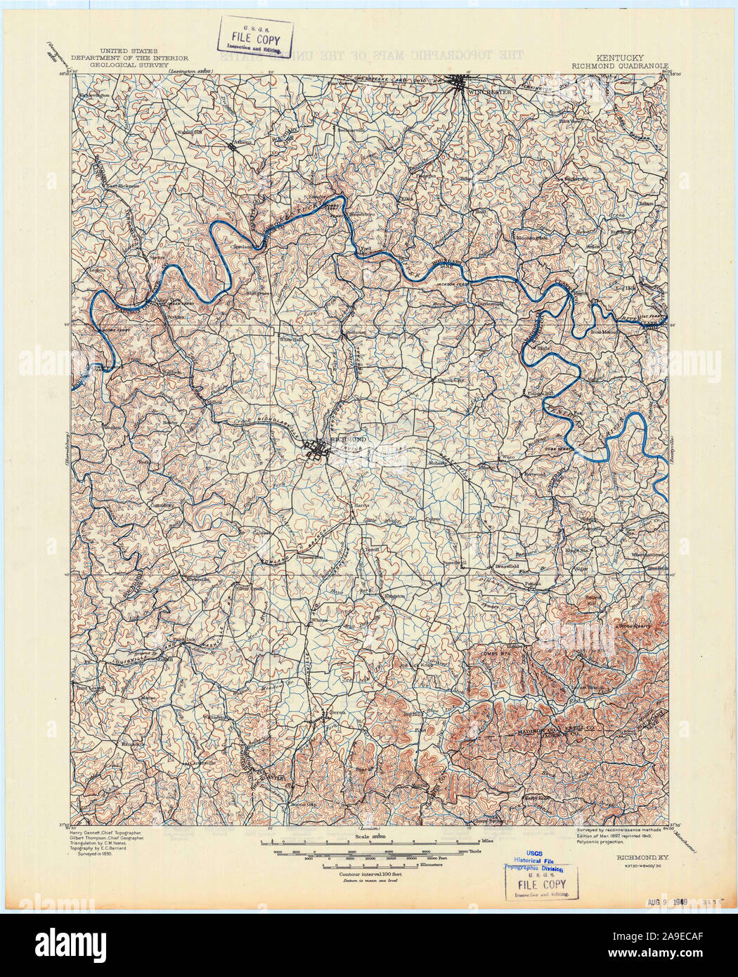 USGS TOPO Map Kentucky KY Richmond 803930 1897 125000 Stock Photohttps://www.alamy.com/image-license-details/?v=1https://www.alamy.com/usgs-topo-map-kentucky-ky-richmond-803930-1897-125000-image332845927.html
RM2A9ECAF–USGS TOPO Map Kentucky KY Richmond 803930 1897 125000
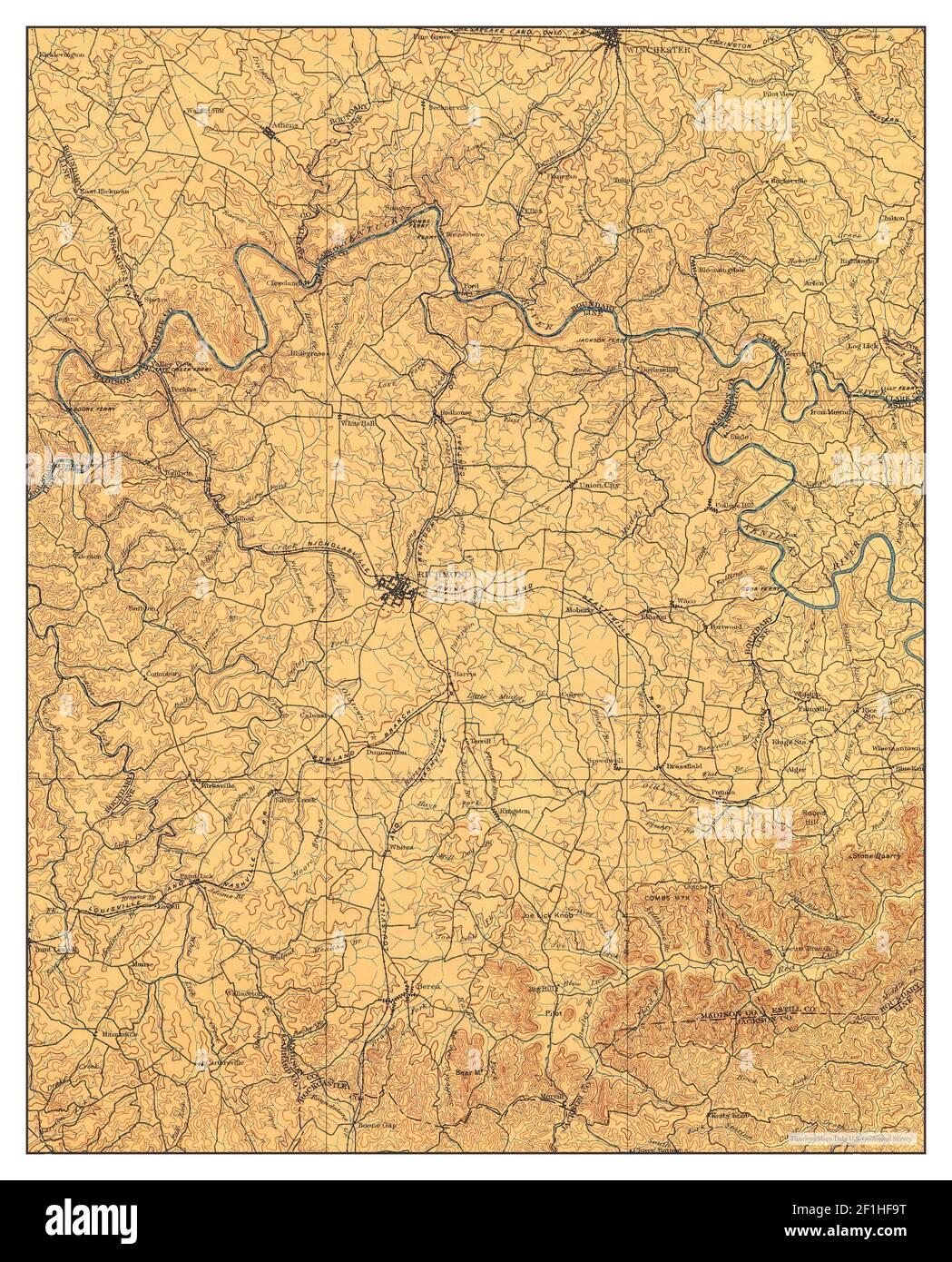 Richmond, Kentucky, map 1897, 1:125000, United States of America by Timeless Maps, data U.S. Geological Survey Stock Photohttps://www.alamy.com/image-license-details/?v=1https://www.alamy.com/richmond-kentucky-map-1897-1125000-united-states-of-america-by-timeless-maps-data-us-geological-survey-image414048708.html
RM2F1HF9T–Richmond, Kentucky, map 1897, 1:125000, United States of America by Timeless Maps, data U.S. Geological Survey
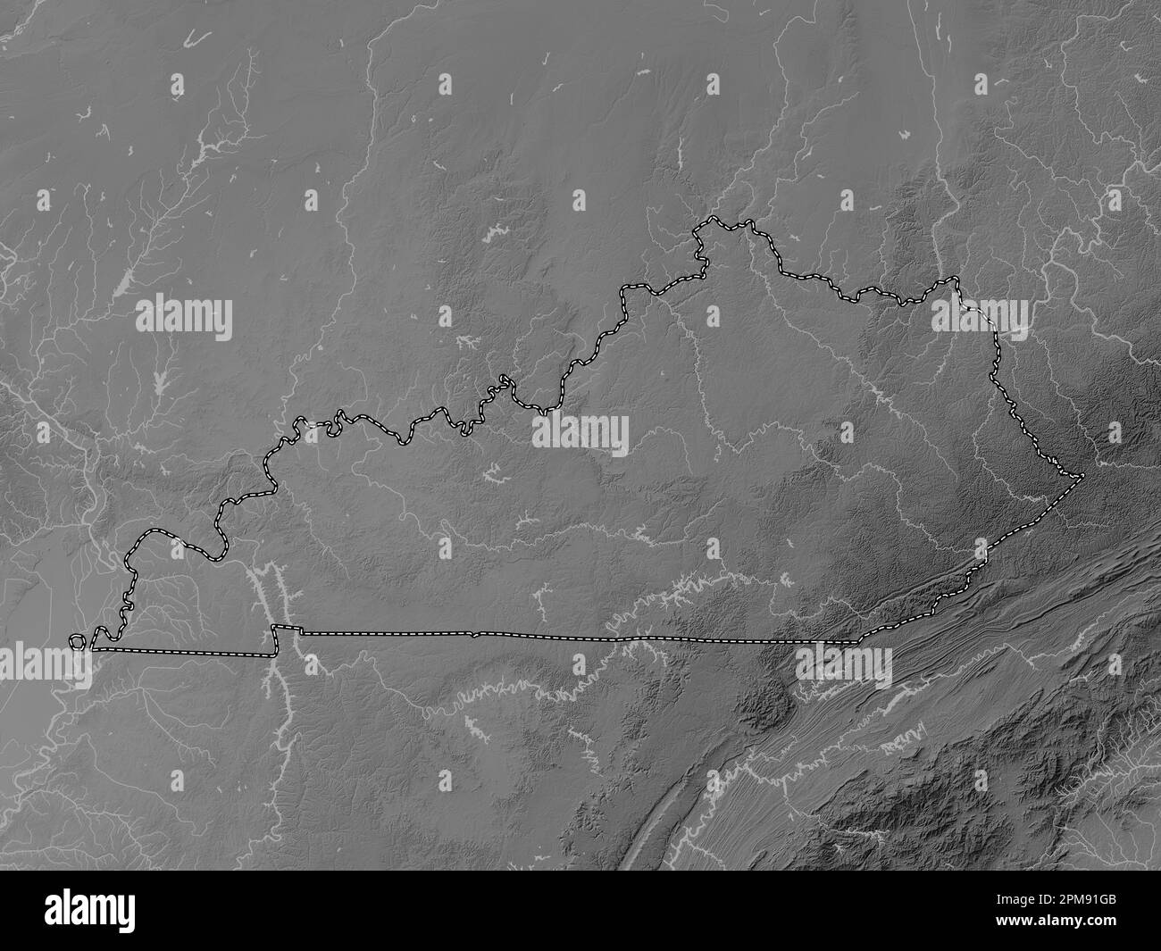 Kentucky, state of United States of America. Grayscale elevation map with lakes and rivers Stock Photohttps://www.alamy.com/image-license-details/?v=1https://www.alamy.com/kentucky-state-of-united-states-of-america-grayscale-elevation-map-with-lakes-and-rivers-image546013339.html
RF2PM91GB–Kentucky, state of United States of America. Grayscale elevation map with lakes and rivers
 USGS TOPO Map Kentucky KY Richmond South 20100324 TM Stock Photohttps://www.alamy.com/image-license-details/?v=1https://www.alamy.com/usgs-topo-map-kentucky-ky-richmond-south-20100324-tm-image332846283.html
RM2A9ECR7–USGS TOPO Map Kentucky KY Richmond South 20100324 TM
 Richmond, Kentucky, map 1897, 1:125000, United States of America by Timeless Maps, data U.S. Geological Survey Stock Photohttps://www.alamy.com/image-license-details/?v=1https://www.alamy.com/richmond-kentucky-map-1897-1125000-united-states-of-america-by-timeless-maps-data-us-geological-survey-image414048773.html
RM2F1HFC5–Richmond, Kentucky, map 1897, 1:125000, United States of America by Timeless Maps, data U.S. Geological Survey
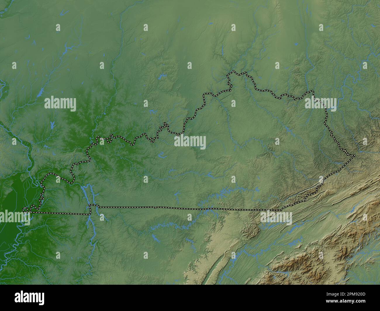 Kentucky, state of United States of America. Colored elevation map with lakes and rivers Stock Photohttps://www.alamy.com/image-license-details/?v=1https://www.alamy.com/kentucky-state-of-united-states-of-america-colored-elevation-map-with-lakes-and-rivers-image546013677.html
RF2PM920D–Kentucky, state of United States of America. Colored elevation map with lakes and rivers
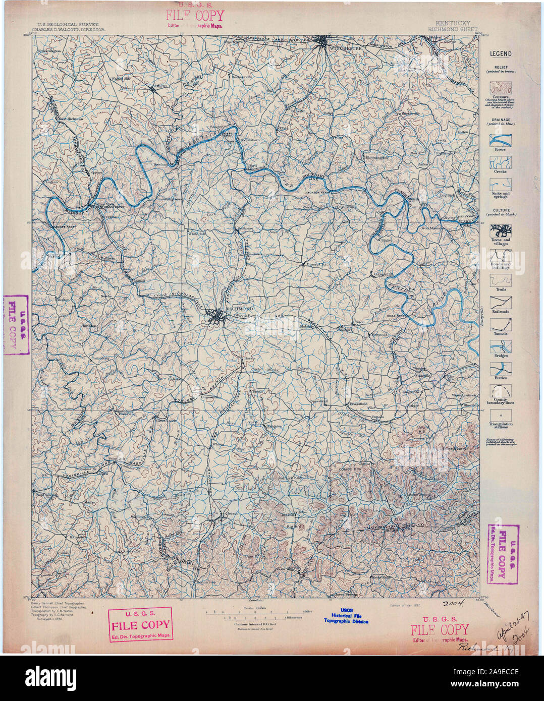 USGS TOPO Map Kentucky KY Richmond 804295 1897 125000 Stock Photohttps://www.alamy.com/image-license-details/?v=1https://www.alamy.com/usgs-topo-map-kentucky-ky-richmond-804295-1897-125000-image332845982.html
RM2A9ECCE–USGS TOPO Map Kentucky KY Richmond 804295 1897 125000
 Richmond, Kentucky, map 1892, 1:125000, United States of America by Timeless Maps, data U.S. Geological Survey Stock Photohttps://www.alamy.com/image-license-details/?v=1https://www.alamy.com/richmond-kentucky-map-1892-1125000-united-states-of-america-by-timeless-maps-data-us-geological-survey-image414048784.html
RM2F1HFCG–Richmond, Kentucky, map 1892, 1:125000, United States of America by Timeless Maps, data U.S. Geological Survey
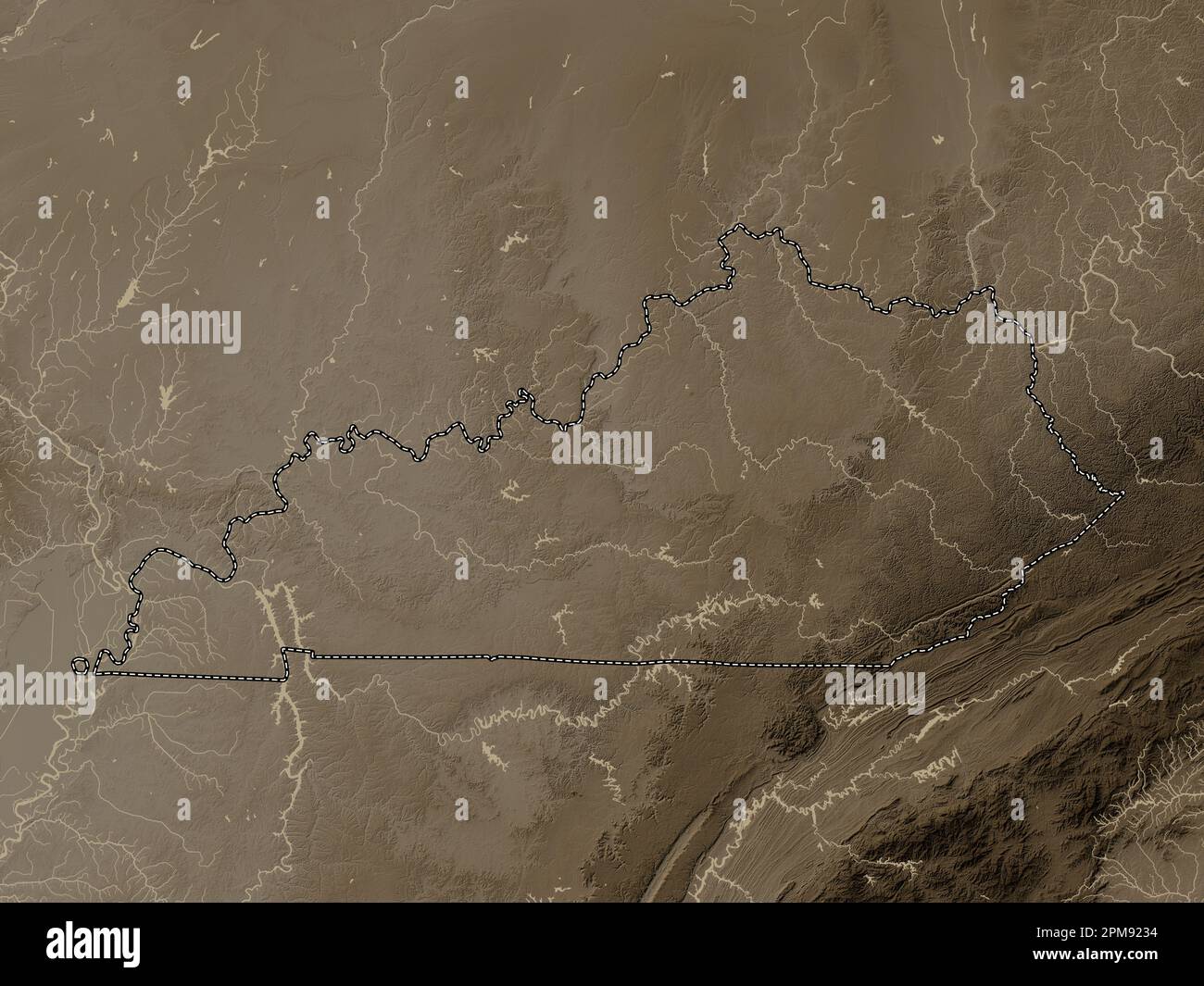 Kentucky, state of United States of America. Elevation map colored in sepia tones with lakes and rivers Stock Photohttps://www.alamy.com/image-license-details/?v=1https://www.alamy.com/kentucky-state-of-united-states-of-america-elevation-map-colored-in-sepia-tones-with-lakes-and-rivers-image546013752.html
RF2PM9234–Kentucky, state of United States of America. Elevation map colored in sepia tones with lakes and rivers
 USGS TOPO Map Kentucky KY Richmond 804294 1897 125000 Stock Photohttps://www.alamy.com/image-license-details/?v=1https://www.alamy.com/usgs-topo-map-kentucky-ky-richmond-804294-1897-125000-image332845903.html
RM2A9EC9K–USGS TOPO Map Kentucky KY Richmond 804294 1897 125000
 Richmond, Kentucky, map 1897, 1:125000, United States of America by Timeless Maps, data U.S. Geological Survey Stock Photohttps://www.alamy.com/image-license-details/?v=1https://www.alamy.com/richmond-kentucky-map-1897-1125000-united-states-of-america-by-timeless-maps-data-us-geological-survey-image414048780.html
RM2F1HFCC–Richmond, Kentucky, map 1897, 1:125000, United States of America by Timeless Maps, data U.S. Geological Survey
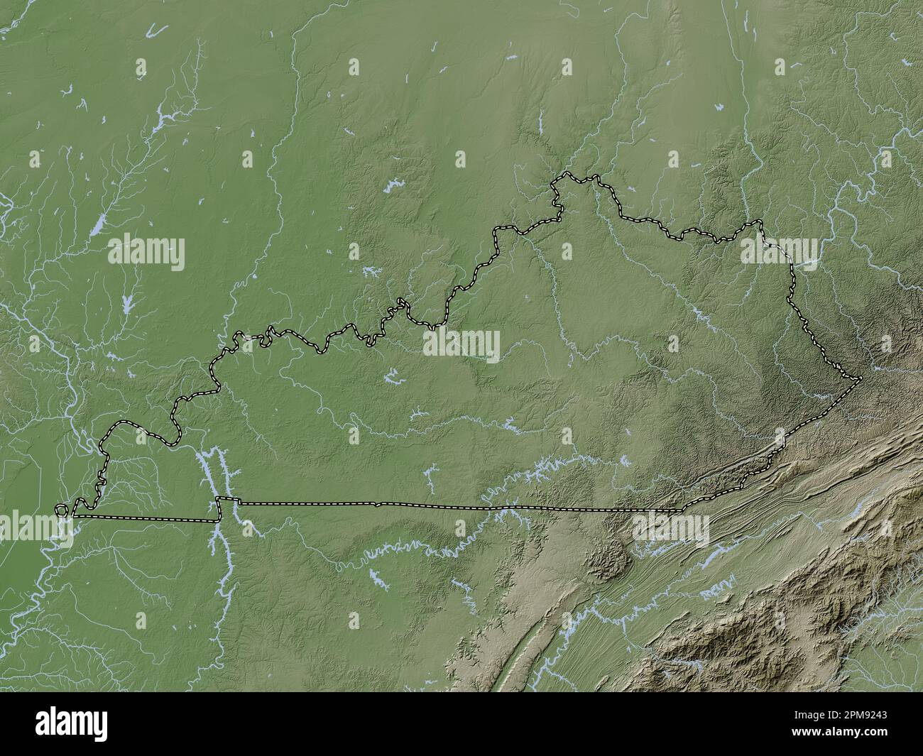 Kentucky, state of United States of America. Elevation map colored in wiki style with lakes and rivers Stock Photohttps://www.alamy.com/image-license-details/?v=1https://www.alamy.com/kentucky-state-of-united-states-of-america-elevation-map-colored-in-wiki-style-with-lakes-and-rivers-image546013779.html
RF2PM9243–Kentucky, state of United States of America. Elevation map colored in wiki style with lakes and rivers
 USGS TOPO Map Kentucky KY Richmond 709616 1897 125000 Stock Photohttps://www.alamy.com/image-license-details/?v=1https://www.alamy.com/usgs-topo-map-kentucky-ky-richmond-709616-1897-125000-image332845874.html
RM2A9EC8J–USGS TOPO Map Kentucky KY Richmond 709616 1897 125000
 New Richmond, Kentucky, map 1953, 1:24000, United States of America by Timeless Maps, data U.S. Geological Survey Stock Photohttps://www.alamy.com/image-license-details/?v=1https://www.alamy.com/new-richmond-kentucky-map-1953-124000-united-states-of-america-by-timeless-maps-data-us-geological-survey-image406542603.html
RM2EHBH6K–New Richmond, Kentucky, map 1953, 1:24000, United States of America by Timeless Maps, data U.S. Geological Survey
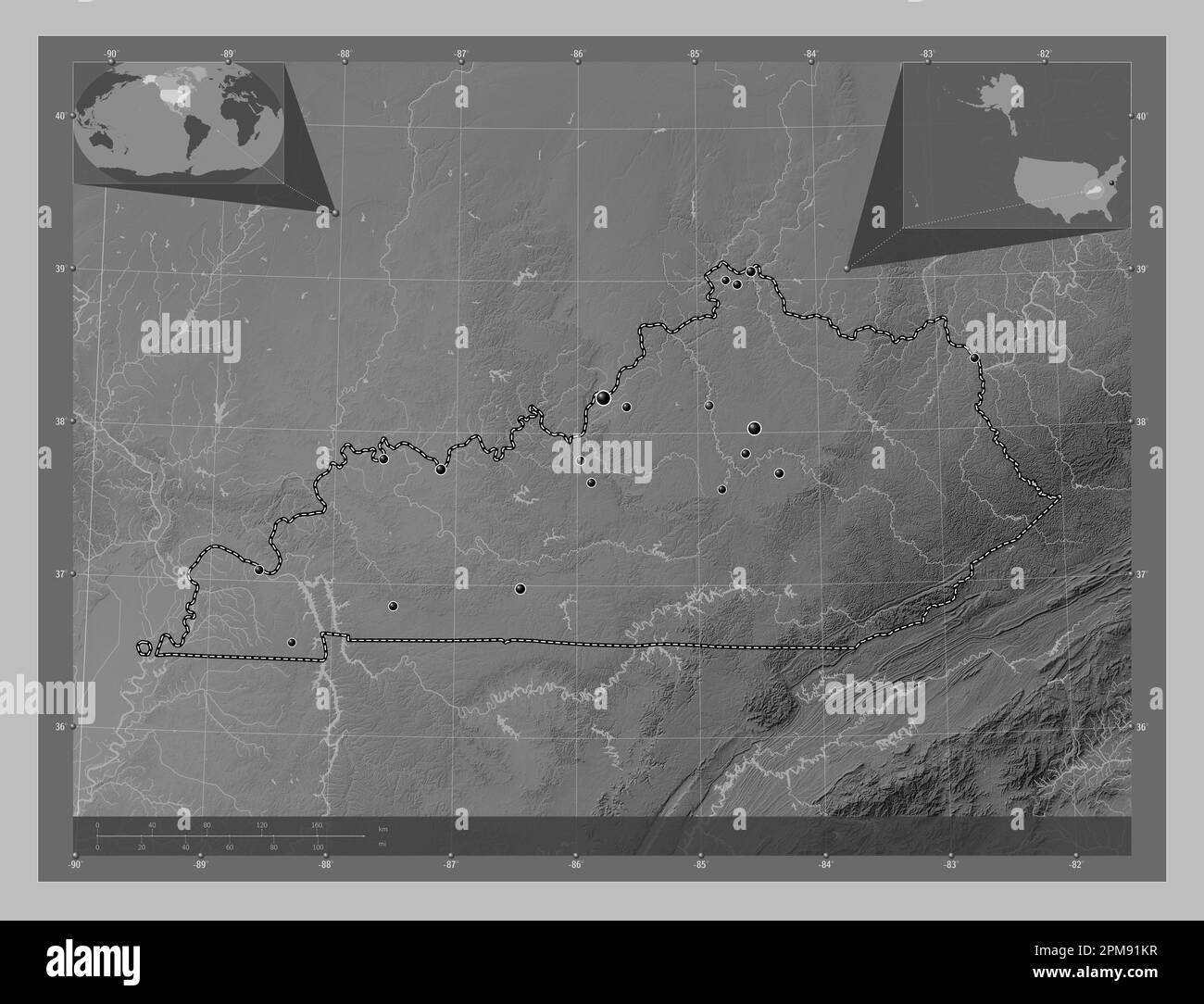 Kentucky, state of United States of America. Grayscale elevation map with lakes and rivers. Locations of major cities of the region. Corner auxiliary Stock Photohttps://www.alamy.com/image-license-details/?v=1https://www.alamy.com/kentucky-state-of-united-states-of-america-grayscale-elevation-map-with-lakes-and-rivers-locations-of-major-cities-of-the-region-corner-auxiliary-image546013435.html
RF2PM91KR–Kentucky, state of United States of America. Grayscale elevation map with lakes and rivers. Locations of major cities of the region. Corner auxiliary
 USGS TOPO Map Kentucky KY Richmond South 709621 1997 24000 Stock Photohttps://www.alamy.com/image-license-details/?v=1https://www.alamy.com/usgs-topo-map-kentucky-ky-richmond-south-709621-1997-24000-image332846322.html
RM2A9ECTJ–USGS TOPO Map Kentucky KY Richmond South 709621 1997 24000
 New Richmond, Kentucky, map 1953, 1:24000, United States of America by Timeless Maps, data U.S. Geological Survey Stock Photohttps://www.alamy.com/image-license-details/?v=1https://www.alamy.com/new-richmond-kentucky-map-1953-124000-united-states-of-america-by-timeless-maps-data-us-geological-survey-image406542629.html
RM2EHBH7H–New Richmond, Kentucky, map 1953, 1:24000, United States of America by Timeless Maps, data U.S. Geological Survey
 Kentucky, state of United States of America. Open Street Map. Locations of major cities of the region. Corner auxiliary location maps Stock Photohttps://www.alamy.com/image-license-details/?v=1https://www.alamy.com/kentucky-state-of-united-states-of-america-open-street-map-locations-of-major-cities-of-the-region-corner-auxiliary-location-maps-image546013554.html
RF2PM91T2–Kentucky, state of United States of America. Open Street Map. Locations of major cities of the region. Corner auxiliary location maps
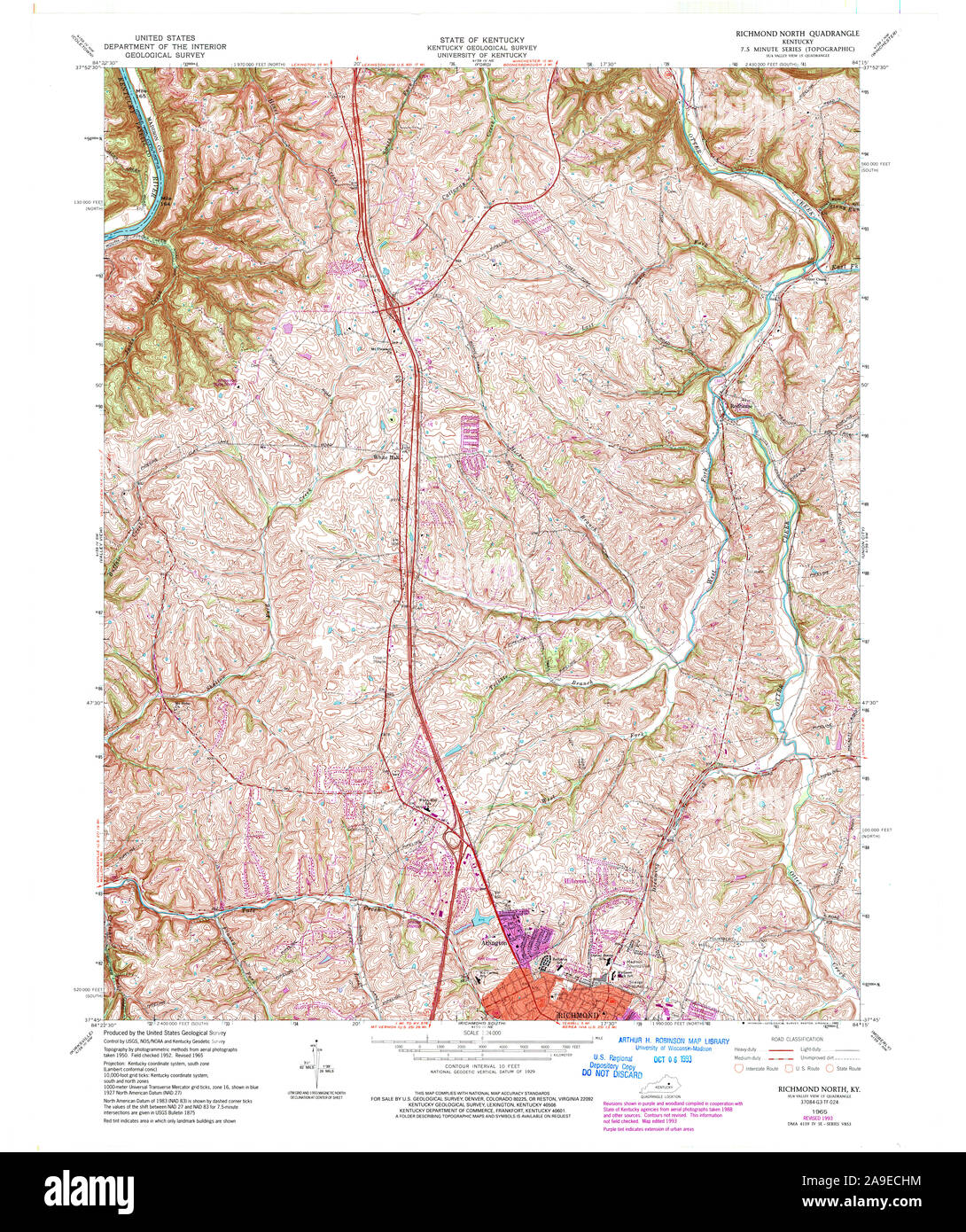 USGS TOPO Map Kentucky KY Richmond North 709617 1965 24000 Stock Photohttps://www.alamy.com/image-license-details/?v=1https://www.alamy.com/usgs-topo-map-kentucky-ky-richmond-north-709617-1965-24000-image332846128.html
RM2A9ECHM–USGS TOPO Map Kentucky KY Richmond North 709617 1965 24000
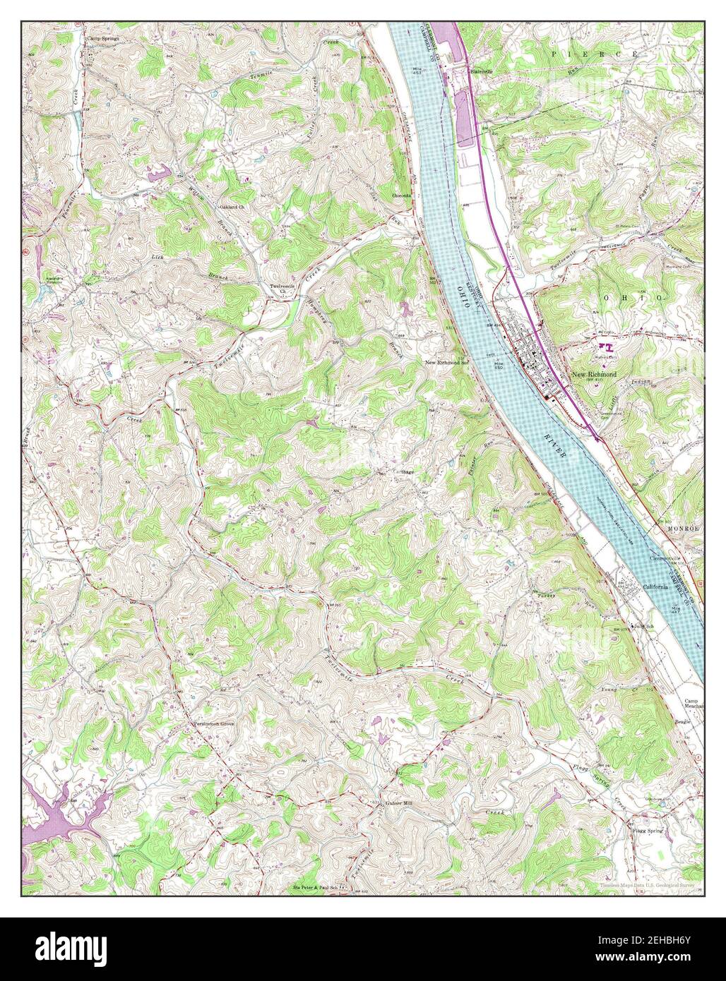 New Richmond, Kentucky, map 1953, 1:24000, United States of America by Timeless Maps, data U.S. Geological Survey Stock Photohttps://www.alamy.com/image-license-details/?v=1https://www.alamy.com/new-richmond-kentucky-map-1953-124000-united-states-of-america-by-timeless-maps-data-us-geological-survey-image406542611.html
RM2EHBH6Y–New Richmond, Kentucky, map 1953, 1:24000, United States of America by Timeless Maps, data U.S. Geological Survey
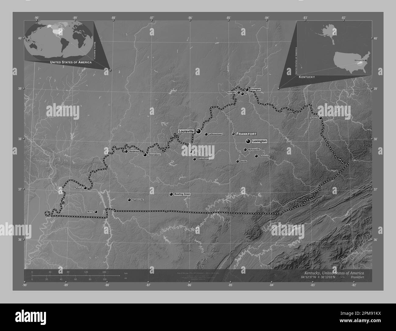 Kentucky, state of United States of America. Grayscale elevation map with lakes and rivers. Locations and names of major cities of the region. Corner Stock Photohttps://www.alamy.com/image-license-details/?v=1https://www.alamy.com/kentucky-state-of-united-states-of-america-grayscale-elevation-map-with-lakes-and-rivers-locations-and-names-of-major-cities-of-the-region-corner-image546013438.html
RF2PM91KX–Kentucky, state of United States of America. Grayscale elevation map with lakes and rivers. Locations and names of major cities of the region. Corner
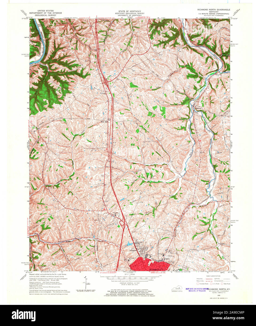 USGS TOPO Map Kentucky KY Richmond North 709619 1965 24000 Stock Photohttps://www.alamy.com/image-license-details/?v=1https://www.alamy.com/usgs-topo-map-kentucky-ky-richmond-north-709619-1965-24000-image332846214.html
RM2A9ECMP–USGS TOPO Map Kentucky KY Richmond North 709619 1965 24000
 Richmond North, Kentucky, map 1965, 1:24000, United States of America by Timeless Maps, data U.S. Geological Survey Stock Photohttps://www.alamy.com/image-license-details/?v=1https://www.alamy.com/richmond-north-kentucky-map-1965-124000-united-states-of-america-by-timeless-maps-data-us-geological-survey-image406548520.html
RM2EHBTP0–Richmond North, Kentucky, map 1965, 1:24000, United States of America by Timeless Maps, data U.S. Geological Survey
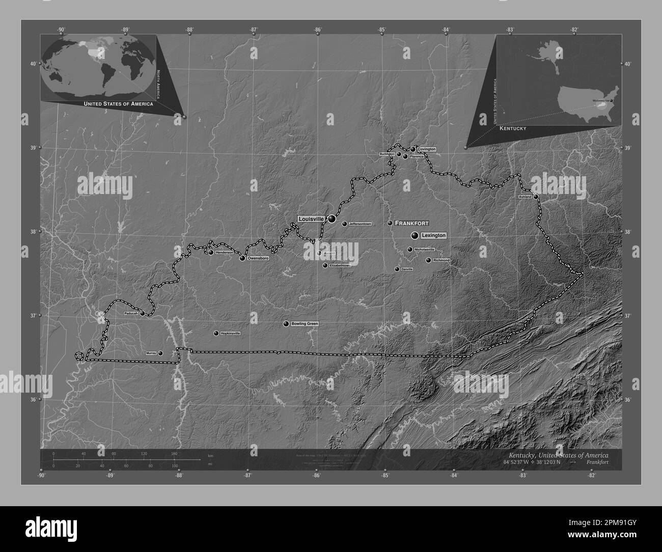 Kentucky, state of United States of America. Bilevel elevation map with lakes and rivers. Locations and names of major cities of the region. Corner au Stock Photohttps://www.alamy.com/image-license-details/?v=1https://www.alamy.com/kentucky-state-of-united-states-of-america-bilevel-elevation-map-with-lakes-and-rivers-locations-and-names-of-major-cities-of-the-region-corner-au-image546013355.html
RF2PM91GY–Kentucky, state of United States of America. Bilevel elevation map with lakes and rivers. Locations and names of major cities of the region. Corner au
 USGS TOPO Map Kentucky KY New Richmond 803827 1953 24000 Stock Photohttps://www.alamy.com/image-license-details/?v=1https://www.alamy.com/usgs-topo-map-kentucky-ky-new-richmond-803827-1953-24000-image332831442.html
RM2A9DNW6–USGS TOPO Map Kentucky KY New Richmond 803827 1953 24000
 Richmond South, Kentucky, map 1965, 1:24000, United States of America by Timeless Maps, data U.S. Geological Survey Stock Photohttps://www.alamy.com/image-license-details/?v=1https://www.alamy.com/richmond-south-kentucky-map-1965-124000-united-states-of-america-by-timeless-maps-data-us-geological-survey-image406548578.html
RM2EHBTT2–Richmond South, Kentucky, map 1965, 1:24000, United States of America by Timeless Maps, data U.S. Geological Survey
 Kentucky, state of United States of America. Elevation map colored in sepia tones with lakes and rivers. Locations and names of major cities of the re Stock Photohttps://www.alamy.com/image-license-details/?v=1https://www.alamy.com/kentucky-state-of-united-states-of-america-elevation-map-colored-in-sepia-tones-with-lakes-and-rivers-locations-and-names-of-major-cities-of-the-re-image546013673.html
RF2PM9209–Kentucky, state of United States of America. Elevation map colored in sepia tones with lakes and rivers. Locations and names of major cities of the re
 USGS TOPO Map Kentucky KY Richmond 804295 1897 125000 Inverted Stock Photohttps://www.alamy.com/image-license-details/?v=1https://www.alamy.com/usgs-topo-map-kentucky-ky-richmond-804295-1897-125000-inverted-image332845937.html
RM2A9ECAW–USGS TOPO Map Kentucky KY Richmond 804295 1897 125000 Inverted
 Richmond South, Kentucky, map 1965, 1:24000, United States of America by Timeless Maps, data U.S. Geological Survey Stock Photohttps://www.alamy.com/image-license-details/?v=1https://www.alamy.com/richmond-south-kentucky-map-1965-124000-united-states-of-america-by-timeless-maps-data-us-geological-survey-image406548562.html
RM2EHBTRE–Richmond South, Kentucky, map 1965, 1:24000, United States of America by Timeless Maps, data U.S. Geological Survey
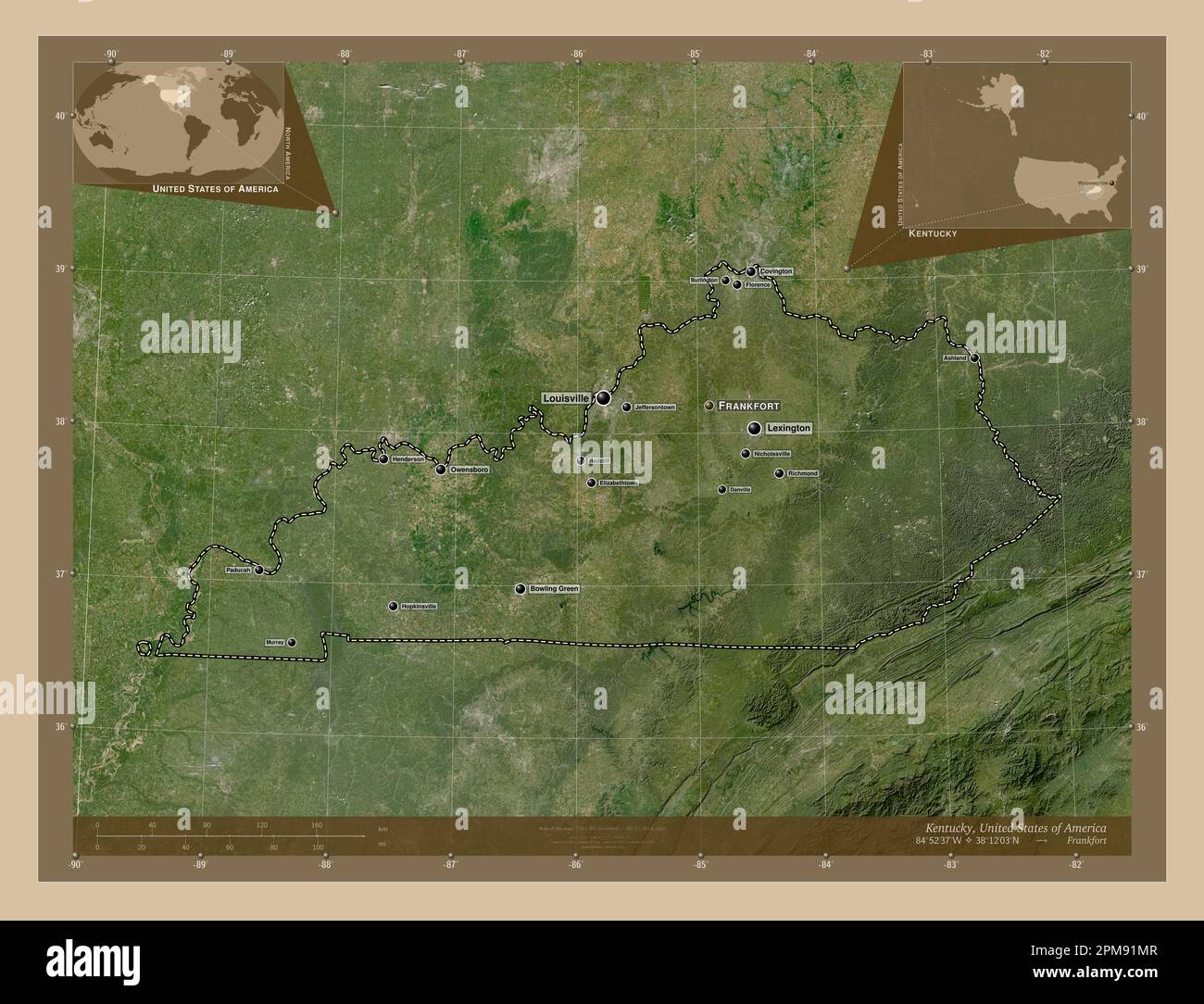 Kentucky, state of United States of America. Low resolution satellite map. Locations and names of major cities of the region. Corner auxiliary locatio Stock Photohttps://www.alamy.com/image-license-details/?v=1https://www.alamy.com/kentucky-state-of-united-states-of-america-low-resolution-satellite-map-locations-and-names-of-major-cities-of-the-region-corner-auxiliary-locatio-image546013463.html
RF2PM91MR–Kentucky, state of United States of America. Low resolution satellite map. Locations and names of major cities of the region. Corner auxiliary locatio
 USGS TOPO Map Kentucky KY New Richmond 709399 1953 24000 Stock Photohttps://www.alamy.com/image-license-details/?v=1https://www.alamy.com/usgs-topo-map-kentucky-ky-new-richmond-709399-1953-24000-image332831346.html
RM2A9DNNP–USGS TOPO Map Kentucky KY New Richmond 709399 1953 24000
 Richmond North, Kentucky, map 1965, 1:24000, United States of America by Timeless Maps, data U.S. Geological Survey Stock Photohttps://www.alamy.com/image-license-details/?v=1https://www.alamy.com/richmond-north-kentucky-map-1965-124000-united-states-of-america-by-timeless-maps-data-us-geological-survey-image406548487.html
RM2EHBTMR–Richmond North, Kentucky, map 1965, 1:24000, United States of America by Timeless Maps, data U.S. Geological Survey
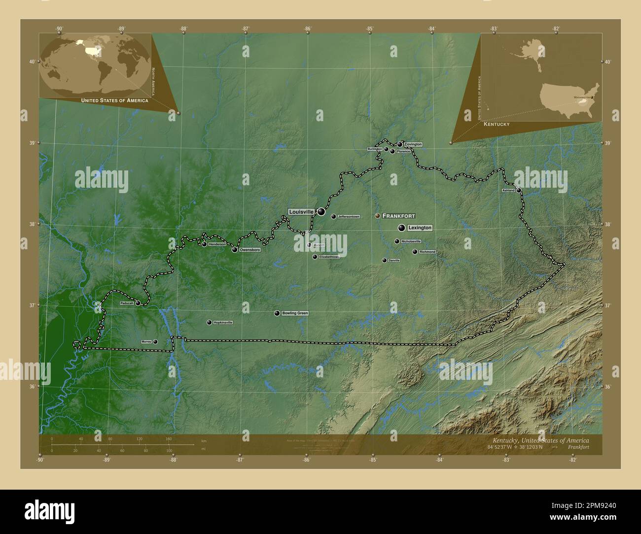 Kentucky, state of United States of America. Colored elevation map with lakes and rivers. Locations and names of major cities of the region. Corner au Stock Photohttps://www.alamy.com/image-license-details/?v=1https://www.alamy.com/kentucky-state-of-united-states-of-america-colored-elevation-map-with-lakes-and-rivers-locations-and-names-of-major-cities-of-the-region-corner-au-image546013776.html
RF2PM9240–Kentucky, state of United States of America. Colored elevation map with lakes and rivers. Locations and names of major cities of the region. Corner au
 USGS TOPO Map Kentucky KY Richmond South 709623 1965 24000 Stock Photohttps://www.alamy.com/image-license-details/?v=1https://www.alamy.com/usgs-topo-map-kentucky-ky-richmond-south-709623-1965-24000-image332846403.html
RM2A9ECYF–USGS TOPO Map Kentucky KY Richmond South 709623 1965 24000
 Richmond North, Kentucky, map 1952, 1:24000, United States of America by Timeless Maps, data U.S. Geological Survey Stock Photohttps://www.alamy.com/image-license-details/?v=1https://www.alamy.com/richmond-north-kentucky-map-1952-124000-united-states-of-america-by-timeless-maps-data-us-geological-survey-image406548582.html
RM2EHBTT6–Richmond North, Kentucky, map 1952, 1:24000, United States of America by Timeless Maps, data U.S. Geological Survey
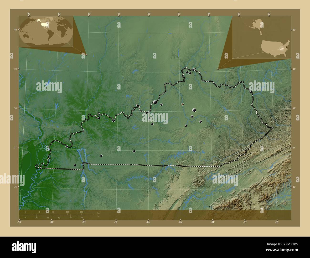 Kentucky, state of United States of America. Colored elevation map with lakes and rivers. Locations of major cities of the region. Corner auxiliary lo Stock Photohttps://www.alamy.com/image-license-details/?v=1https://www.alamy.com/kentucky-state-of-united-states-of-america-colored-elevation-map-with-lakes-and-rivers-locations-of-major-cities-of-the-region-corner-auxiliary-lo-image546013669.html
RF2PM9205–Kentucky, state of United States of America. Colored elevation map with lakes and rivers. Locations of major cities of the region. Corner auxiliary lo
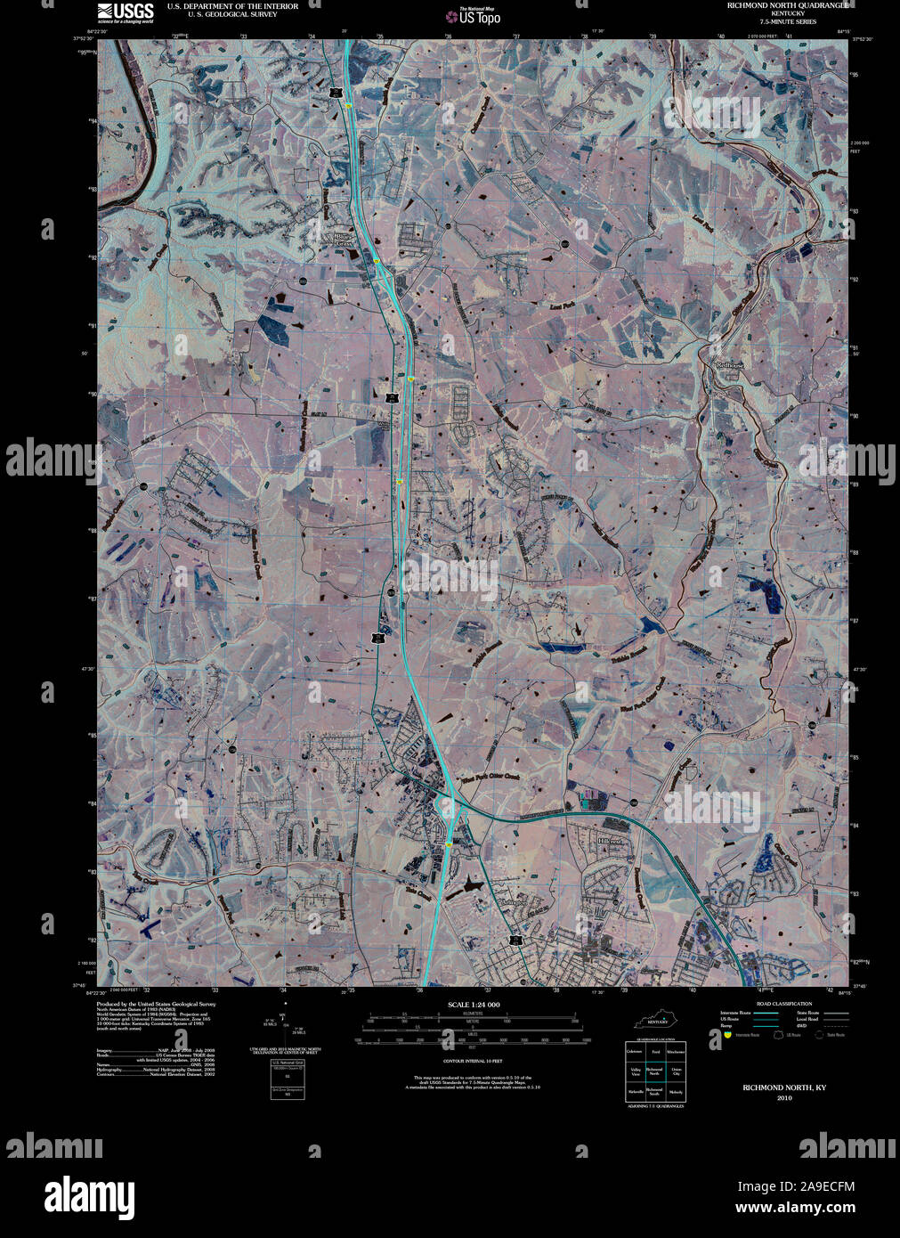 USGS TOPO Map Kentucky KY Richmond North 20100324 TM Inverted Stock Photohttps://www.alamy.com/image-license-details/?v=1https://www.alamy.com/usgs-topo-map-kentucky-ky-richmond-north-20100324-tm-inverted-image332846072.html
RM2A9ECFM–USGS TOPO Map Kentucky KY Richmond North 20100324 TM Inverted
 Richmond North, Kentucky, map 1965, 1:24000, United States of America by Timeless Maps, data U.S. Geological Survey Stock Photohttps://www.alamy.com/image-license-details/?v=1https://www.alamy.com/richmond-north-kentucky-map-1965-124000-united-states-of-america-by-timeless-maps-data-us-geological-survey-image406548466.html
RM2EHBTM2–Richmond North, Kentucky, map 1965, 1:24000, United States of America by Timeless Maps, data U.S. Geological Survey
 Kentucky, state of United States of America. Low resolution satellite map. Locations of major cities of the region. Corner auxiliary location maps Stock Photohttps://www.alamy.com/image-license-details/?v=1https://www.alamy.com/kentucky-state-of-united-states-of-america-low-resolution-satellite-map-locations-of-major-cities-of-the-region-corner-auxiliary-location-maps-image546013526.html
RF2PM91R2–Kentucky, state of United States of America. Low resolution satellite map. Locations of major cities of the region. Corner auxiliary location maps
 USGS TOPO Map Kentucky KY Richmond North 709618 1965 24000 Stock Photohttps://www.alamy.com/image-license-details/?v=1https://www.alamy.com/usgs-topo-map-kentucky-ky-richmond-north-709618-1965-24000-image332846219.html
RM2A9ECMY–USGS TOPO Map Kentucky KY Richmond North 709618 1965 24000
 Richmond South, Kentucky, map 1953, 1:24000, United States of America by Timeless Maps, data U.S. Geological Survey Stock Photohttps://www.alamy.com/image-license-details/?v=1https://www.alamy.com/richmond-south-kentucky-map-1953-124000-united-states-of-america-by-timeless-maps-data-us-geological-survey-image406548503.html
RM2EHBTNB–Richmond South, Kentucky, map 1953, 1:24000, United States of America by Timeless Maps, data U.S. Geological Survey
 Kentucky, state of United States of America. High resolution satellite map. Locations and names of major cities of the region. Corner auxiliary locati Stock Photohttps://www.alamy.com/image-license-details/?v=1https://www.alamy.com/kentucky-state-of-united-states-of-america-high-resolution-satellite-map-locations-and-names-of-major-cities-of-the-region-corner-auxiliary-locati-image546013437.html
RF2PM91KW–Kentucky, state of United States of America. High resolution satellite map. Locations and names of major cities of the region. Corner auxiliary locati
 USGS TOPO Map Kentucky KY Richmond 804293 1897 125000 Inverted Stock Photohttps://www.alamy.com/image-license-details/?v=1https://www.alamy.com/usgs-topo-map-kentucky-ky-richmond-804293-1897-125000-inverted-image332845942.html
RM2A9ECB2–USGS TOPO Map Kentucky KY Richmond 804293 1897 125000 Inverted
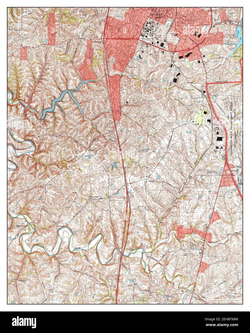 Richmond South, Kentucky, map 1997, 1:24000, United States of America by Timeless Maps, data U.S. Geological Survey Stock Photohttps://www.alamy.com/image-license-details/?v=1https://www.alamy.com/richmond-south-kentucky-map-1997-124000-united-states-of-america-by-timeless-maps-data-us-geological-survey-image406548484.html
RM2EHBTMM–Richmond South, Kentucky, map 1997, 1:24000, United States of America by Timeless Maps, data U.S. Geological Survey
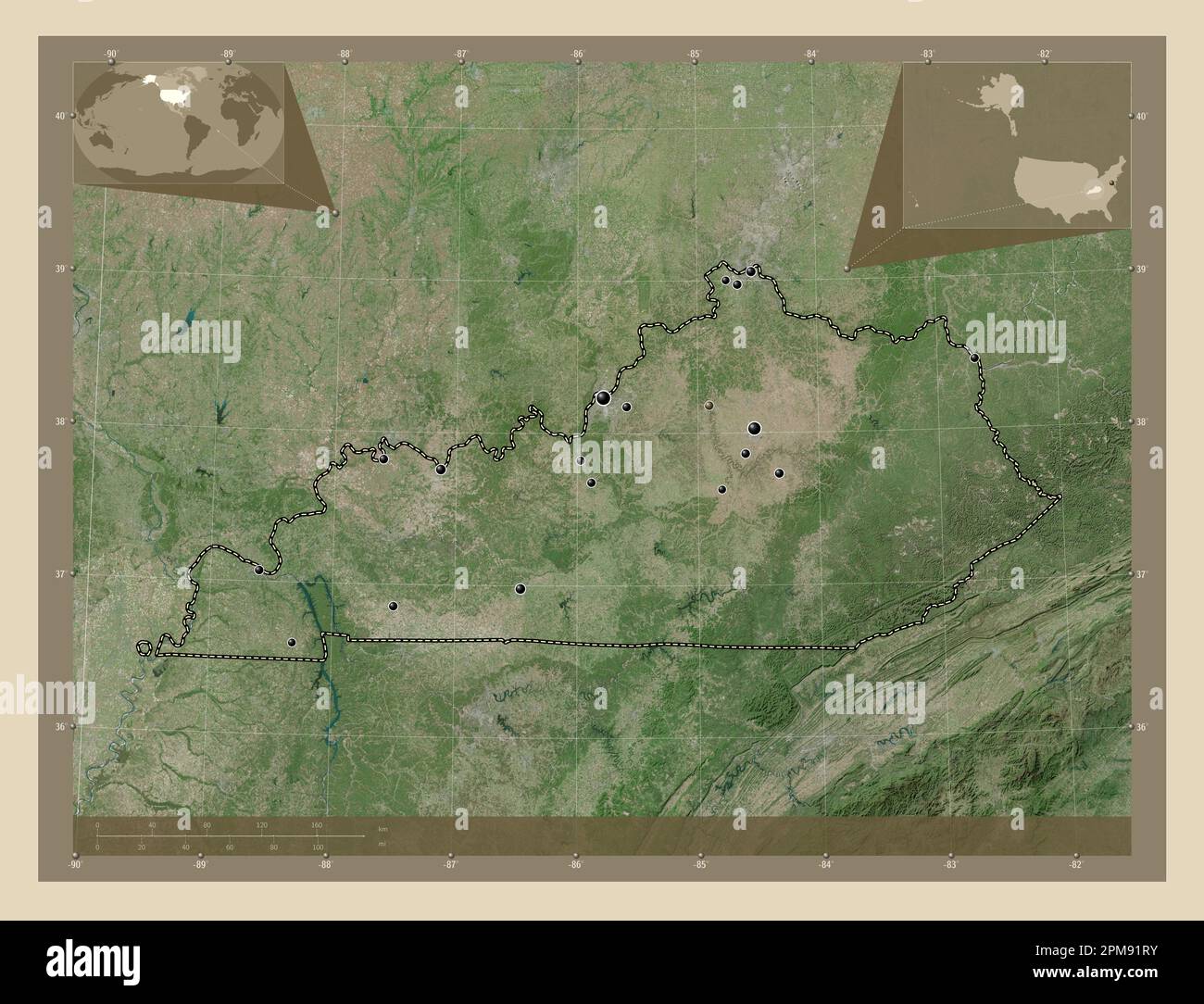 Kentucky, state of United States of America. High resolution satellite map. Locations of major cities of the region. Corner auxiliary location maps Stock Photohttps://www.alamy.com/image-license-details/?v=1https://www.alamy.com/kentucky-state-of-united-states-of-america-high-resolution-satellite-map-locations-of-major-cities-of-the-region-corner-auxiliary-location-maps-image546013551.html
RF2PM91RY–Kentucky, state of United States of America. High resolution satellite map. Locations of major cities of the region. Corner auxiliary location maps
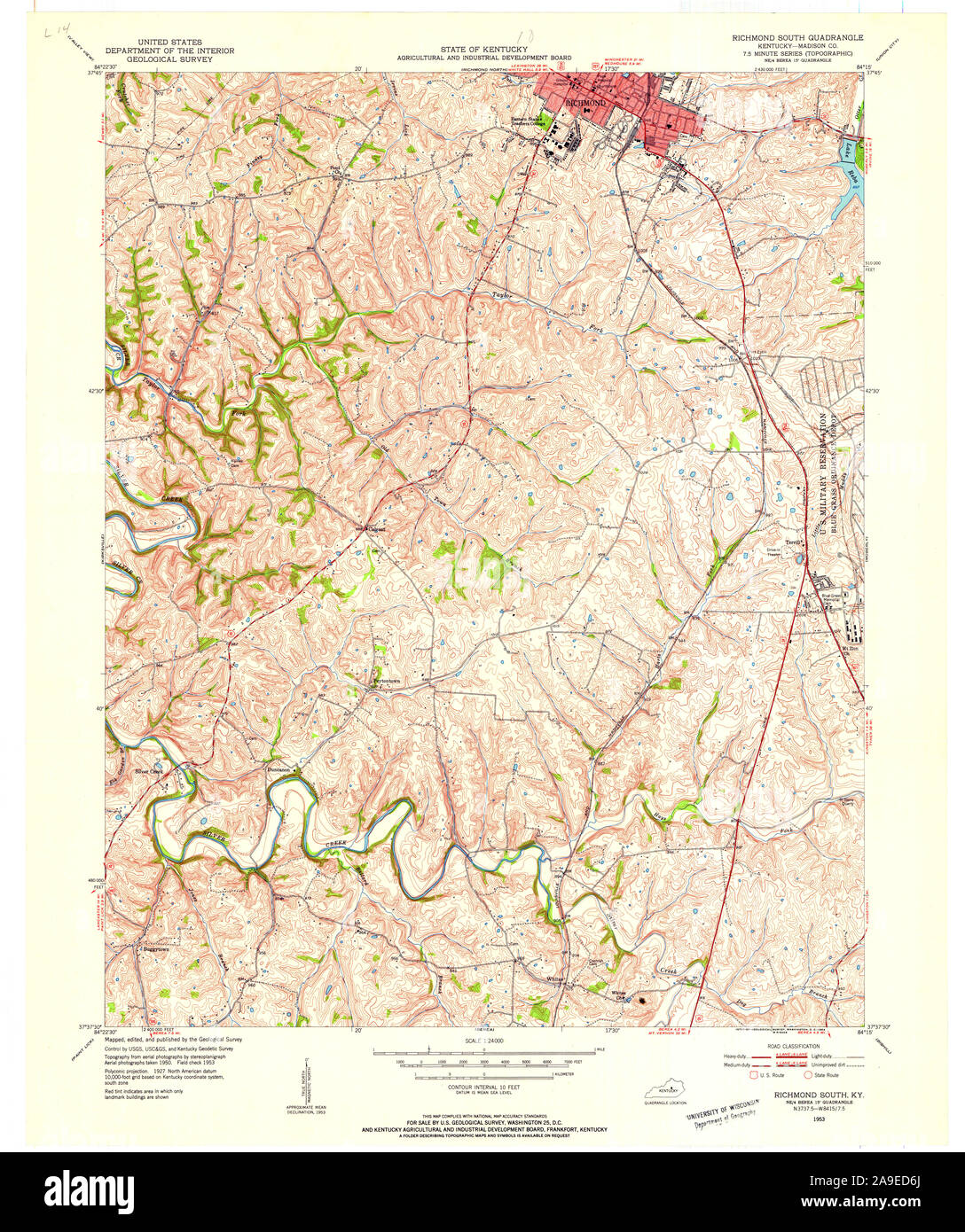 USGS TOPO Map Kentucky KY Richmond South 709625 1953 24000 Stock Photohttps://www.alamy.com/image-license-details/?v=1https://www.alamy.com/usgs-topo-map-kentucky-ky-richmond-south-709625-1953-24000-image332846602.html
RM2A9ED6J–USGS TOPO Map Kentucky KY Richmond South 709625 1953 24000
 Richmond South, Kentucky, map 1965, 1:24000, United States of America by Timeless Maps, data U.S. Geological Survey Stock Photohttps://www.alamy.com/image-license-details/?v=1https://www.alamy.com/richmond-south-kentucky-map-1965-124000-united-states-of-america-by-timeless-maps-data-us-geological-survey-image406548580.html
RM2EHBTT4–Richmond South, Kentucky, map 1965, 1:24000, United States of America by Timeless Maps, data U.S. Geological Survey
 Kentucky, state of United States of America. Open Street Map. Locations and names of major cities of the region. Corner auxiliary location maps Stock Photohttps://www.alamy.com/image-license-details/?v=1https://www.alamy.com/kentucky-state-of-united-states-of-america-open-street-map-locations-and-names-of-major-cities-of-the-region-corner-auxiliary-location-maps-image546013697.html
RF2PM9215–Kentucky, state of United States of America. Open Street Map. Locations and names of major cities of the region. Corner auxiliary location maps
 USGS TOPO Map Kentucky KY Richmond South 709622 1965 24000 Stock Photohttps://www.alamy.com/image-license-details/?v=1https://www.alamy.com/usgs-topo-map-kentucky-ky-richmond-south-709622-1965-24000-image332846321.html
RM2A9ECTH–USGS TOPO Map Kentucky KY Richmond South 709622 1965 24000
 Kentucky, state of United States of America. Bilevel elevation map with lakes and rivers. Locations of major cities of the region. Corner auxiliary lo Stock Photohttps://www.alamy.com/image-license-details/?v=1https://www.alamy.com/kentucky-state-of-united-states-of-america-bilevel-elevation-map-with-lakes-and-rivers-locations-of-major-cities-of-the-region-corner-auxiliary-lo-image546013376.html
RF2PM91HM–Kentucky, state of United States of America. Bilevel elevation map with lakes and rivers. Locations of major cities of the region. Corner auxiliary lo
 USGS TOPO Map Kentucky KY Richmond 803930 1897 125000 Inverted Stock Photohttps://www.alamy.com/image-license-details/?v=1https://www.alamy.com/usgs-topo-map-kentucky-ky-richmond-803930-1897-125000-inverted-image332845931.html
RM2A9ECAK–USGS TOPO Map Kentucky KY Richmond 803930 1897 125000 Inverted
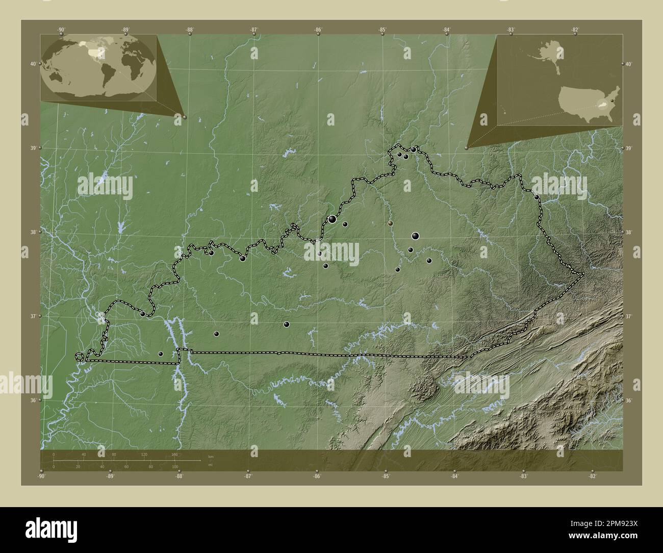 Kentucky, state of United States of America. Elevation map colored in wiki style with lakes and rivers. Locations of major cities of the region. Corne Stock Photohttps://www.alamy.com/image-license-details/?v=1https://www.alamy.com/kentucky-state-of-united-states-of-america-elevation-map-colored-in-wiki-style-with-lakes-and-rivers-locations-of-major-cities-of-the-region-corne-image546013774.html
RF2PM923X–Kentucky, state of United States of America. Elevation map colored in wiki style with lakes and rivers. Locations of major cities of the region. Corne
 USGS TOPO Map Kentucky KY Richmond 709616 1897 125000 Inverted Stock Photohttps://www.alamy.com/image-license-details/?v=1https://www.alamy.com/usgs-topo-map-kentucky-ky-richmond-709616-1897-125000-inverted-image332845827.html
RM2A9EC6Y–USGS TOPO Map Kentucky KY Richmond 709616 1897 125000 Inverted
 Kentucky, state of United States of America. Elevation map colored in wiki style with lakes and rivers. Locations and names of major cities of the reg Stock Photohttps://www.alamy.com/image-license-details/?v=1https://www.alamy.com/kentucky-state-of-united-states-of-america-elevation-map-colored-in-wiki-style-with-lakes-and-rivers-locations-and-names-of-major-cities-of-the-reg-image546013781.html
RF2PM9245–Kentucky, state of United States of America. Elevation map colored in wiki style with lakes and rivers. Locations and names of major cities of the reg
 USGS TOPO Map Kentucky KY Richmond South 709624 1965 24000 Stock Photohttps://www.alamy.com/image-license-details/?v=1https://www.alamy.com/usgs-topo-map-kentucky-ky-richmond-south-709624-1965-24000-image332846487.html
RM2A9ED2F–USGS TOPO Map Kentucky KY Richmond South 709624 1965 24000
 Kentucky, state of United States of America. Elevation map colored in sepia tones with lakes and rivers. Locations of major cities of the region. Corn Stock Photohttps://www.alamy.com/image-license-details/?v=1https://www.alamy.com/kentucky-state-of-united-states-of-america-elevation-map-colored-in-sepia-tones-with-lakes-and-rivers-locations-of-major-cities-of-the-region-corn-image546013768.html
RF2PM923M–Kentucky, state of United States of America. Elevation map colored in sepia tones with lakes and rivers. Locations of major cities of the region. Corn
 USGS TOPO Map Kentucky KY Richmond 804294 1897 125000 Inverted Stock Photohttps://www.alamy.com/image-license-details/?v=1https://www.alamy.com/usgs-topo-map-kentucky-ky-richmond-804294-1897-125000-inverted-image332845938.html
RM2A9ECAX–USGS TOPO Map Kentucky KY Richmond 804294 1897 125000 Inverted
 Kentucky, state of United States of America. Solid color shape Stock Photohttps://www.alamy.com/image-license-details/?v=1https://www.alamy.com/kentucky-state-of-united-states-of-america-solid-color-shape-image546013511.html
RF2PM91PF–Kentucky, state of United States of America. Solid color shape
 USGS TOPO Map Kentucky KY New Richmond 709398 1953 24000 Stock Photohttps://www.alamy.com/image-license-details/?v=1https://www.alamy.com/usgs-topo-map-kentucky-ky-new-richmond-709398-1953-24000-image332831335.html
RM2A9DNNB–USGS TOPO Map Kentucky KY New Richmond 709398 1953 24000
 Kentucky, state of United States of America. Solid color shape. Locations of major cities of the region. Corner auxiliary location maps Stock Photohttps://www.alamy.com/image-license-details/?v=1https://www.alamy.com/kentucky-state-of-united-states-of-america-solid-color-shape-locations-of-major-cities-of-the-region-corner-auxiliary-location-maps-image546013523.html
RF2PM91PY–Kentucky, state of United States of America. Solid color shape. Locations of major cities of the region. Corner auxiliary location maps
 USGS TOPO Map Kentucky KY Richmond North 709620 1952 24000 Stock Photohttps://www.alamy.com/image-license-details/?v=1https://www.alamy.com/usgs-topo-map-kentucky-ky-richmond-north-709620-1952-24000-image332846259.html
RM2A9ECPB–USGS TOPO Map Kentucky KY Richmond North 709620 1952 24000
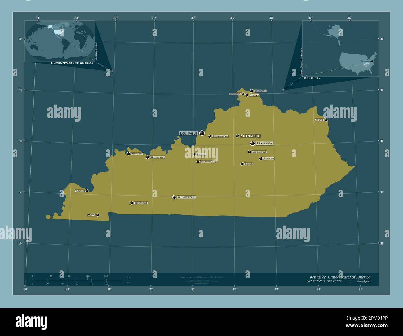 Kentucky, state of United States of America. Solid color shape. Locations and names of major cities of the region. Corner auxiliary location maps Stock Photohttps://www.alamy.com/image-license-details/?v=1https://www.alamy.com/kentucky-state-of-united-states-of-america-solid-color-shape-locations-and-names-of-major-cities-of-the-region-corner-auxiliary-location-maps-image546013518.html
RF2PM91PP–Kentucky, state of United States of America. Solid color shape. Locations and names of major cities of the region. Corner auxiliary location maps
 USGS TOPO Map Kentucky KY Richmond South 20100324 TM Inverted Stock Photohttps://www.alamy.com/image-license-details/?v=1https://www.alamy.com/usgs-topo-map-kentucky-ky-richmond-south-20100324-tm-inverted-image332846279.html
RM2A9ECR3–USGS TOPO Map Kentucky KY Richmond South 20100324 TM Inverted
 USGS TOPO Map Kentucky KY Richmond 804296 1892 125000 Inverted Stock Photohttps://www.alamy.com/image-license-details/?v=1https://www.alamy.com/usgs-topo-map-kentucky-ky-richmond-804296-1892-125000-inverted-image332845980.html
RM2A9ECCC–USGS TOPO Map Kentucky KY Richmond 804296 1892 125000 Inverted
 USGS TOPO Map Kentucky KY Richmond North 709620 1952 24000 Inverted Stock Photohttps://www.alamy.com/image-license-details/?v=1https://www.alamy.com/usgs-topo-map-kentucky-ky-richmond-north-709620-1952-24000-inverted-image332846289.html
RM2A9ECRD–USGS TOPO Map Kentucky KY Richmond North 709620 1952 24000 Inverted