Quick filters:
Silesia maps Stock Photos and Images
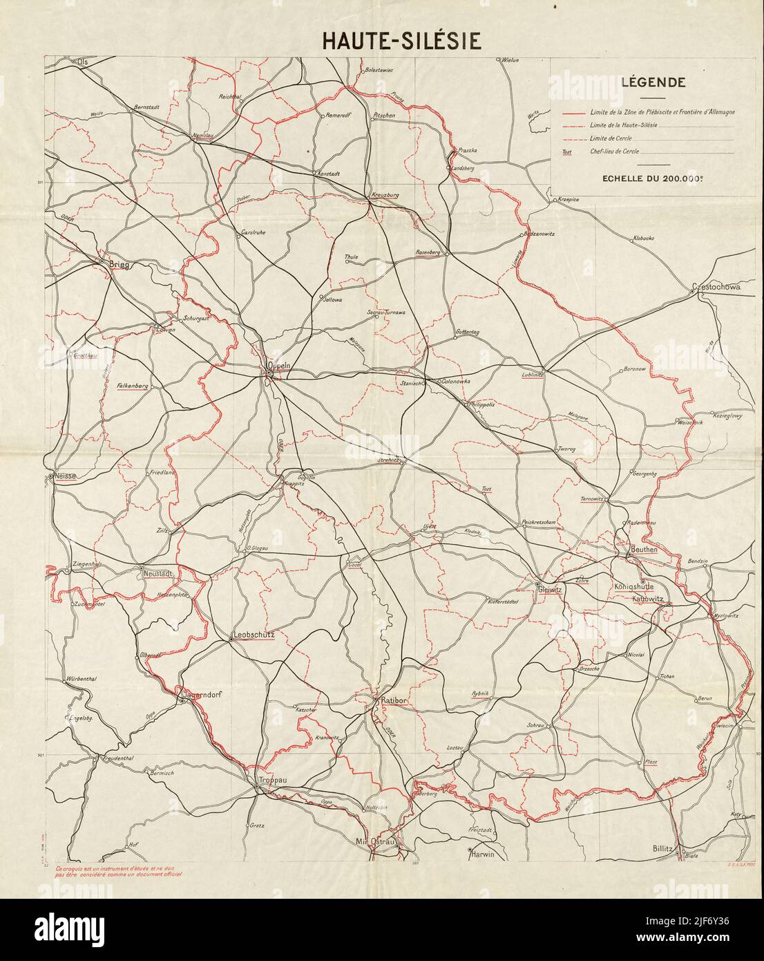 Silesia Map, Silesia Maps, Silesia Print, Silesia Poster, Silesia Plan, Old Silesia Map, Retro Silesia Maps, Vintage Silesia Download, Silesia Art Stock Photohttps://www.alamy.com/image-license-details/?v=1https://www.alamy.com/silesia-map-silesia-maps-silesia-print-silesia-poster-silesia-plan-old-silesia-map-retro-silesia-maps-vintage-silesia-download-silesia-art-image474052746.html
RF2JF6Y36–Silesia Map, Silesia Maps, Silesia Print, Silesia Poster, Silesia Plan, Old Silesia Map, Retro Silesia Maps, Vintage Silesia Download, Silesia Art
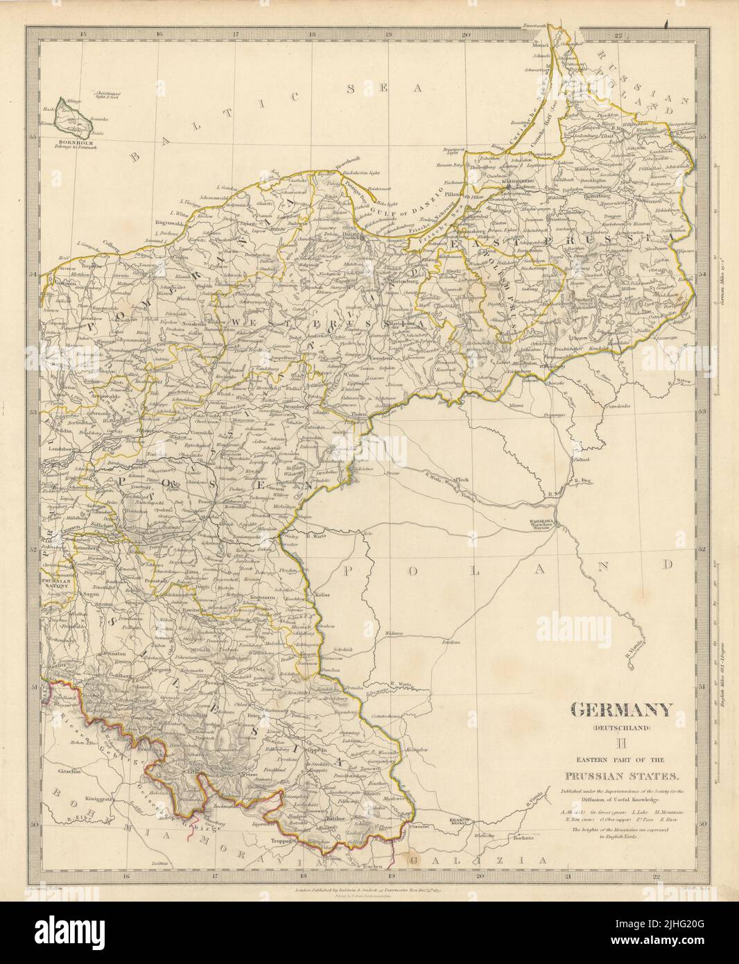 GERMANY DEUTSCHLAND.Eastern Prussian States.Silesia;Pomerania.SDUK 1844 map Stock Photohttps://www.alamy.com/image-license-details/?v=1https://www.alamy.com/germany-deutschlandeastern-prussian-statessilesiapomeraniasduk-1844-map-image475481904.html
RF2JHG20G–GERMANY DEUTSCHLAND.Eastern Prussian States.Silesia;Pomerania.SDUK 1844 map
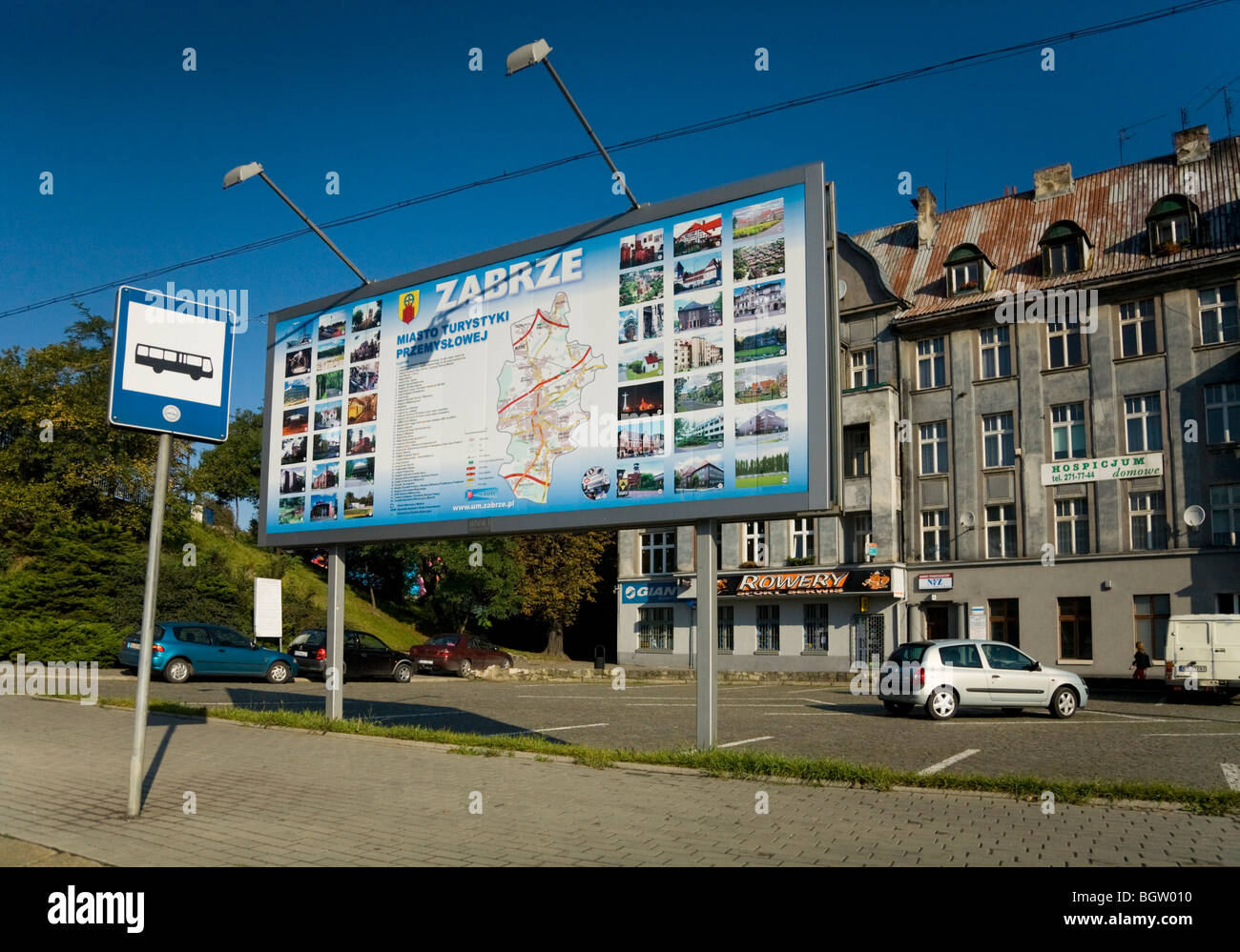 Tourist information sign / map at bus stop on a road / high street in the Polish town of Zabrze. Silesia. Poland. Stock Photohttps://www.alamy.com/image-license-details/?v=1https://www.alamy.com/stock-photo-tourist-information-sign-map-at-bus-stop-on-a-road-high-street-in-27593692.html
RMBGW010–Tourist information sign / map at bus stop on a road / high street in the Polish town of Zabrze. Silesia. Poland.
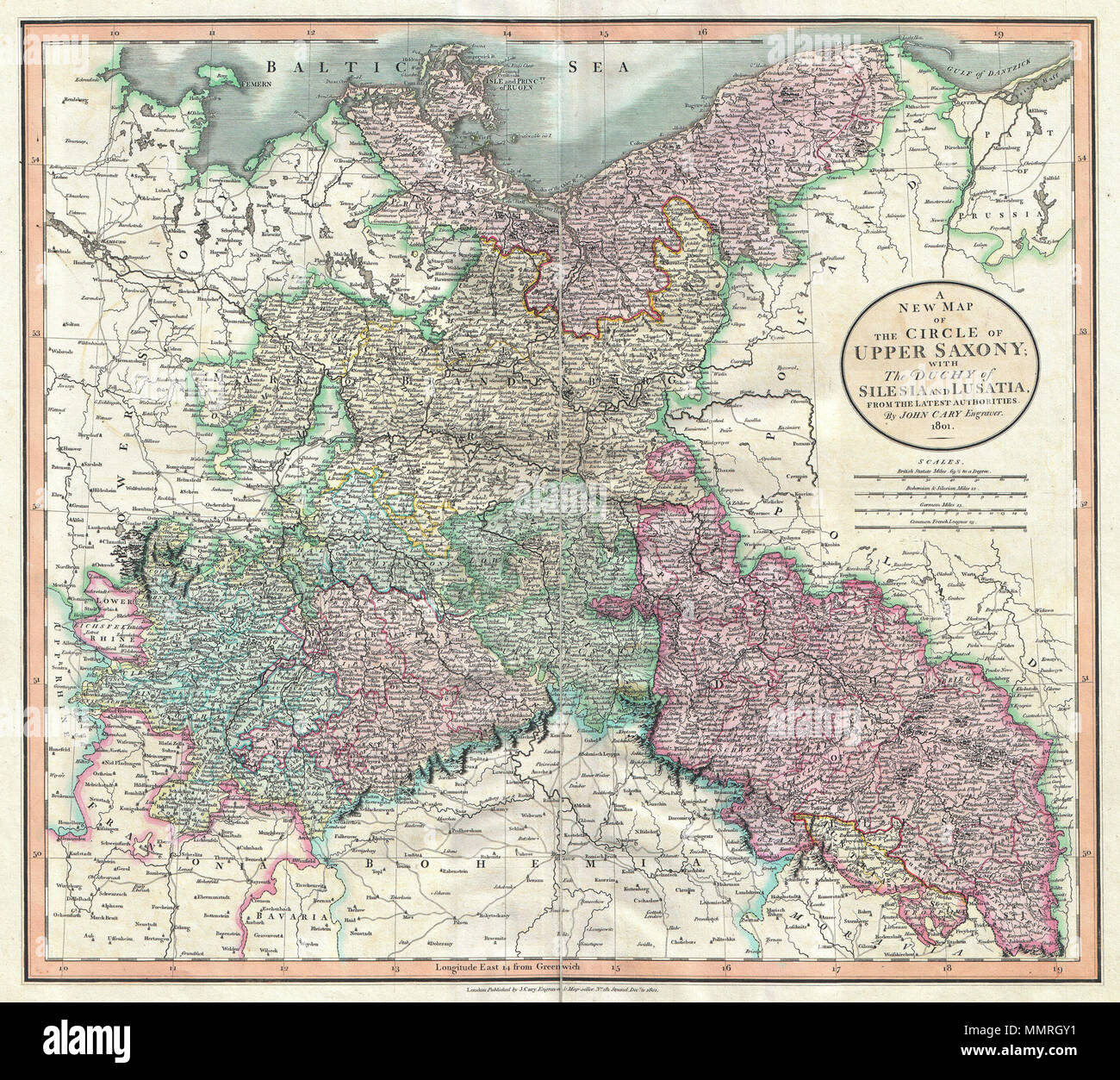 . English: An attractive example of John Cary’s 1801 map of Upper Saxony, Germany. Covers from the Baltic Sea south to Franconia, Bavaria, Bohemia and Moravia. Extends eastward as far as Poland. Includes the Duchy of Silesia, the Duchy of Lusatia, Prussian Pomerania, Electoral Mark of Brandenburg, and the Margraviate of Meissen. Notes the cities of Berlin, Prague, Dresden, and Leipzig among many others. Highly detailed with color coding according to region. Shows forests, cities, palaces, forts, roads and rivers. All in all, one of the most interesting and attractive atlas maps of Upper Saxony Stock Photohttps://www.alamy.com/image-license-details/?v=1https://www.alamy.com/english-an-attractive-example-of-john-carys-1801-map-of-upper-saxony-germany-covers-from-the-baltic-sea-south-to-franconia-bavaria-bohemia-and-moravia-extends-eastward-as-far-as-poland-includes-the-duchy-of-silesia-the-duchy-of-lusatia-prussian-pomerania-electoral-mark-of-brandenburg-and-the-margraviate-of-meissen-notes-the-cities-of-berlin-prague-dresden-and-leipzig-among-many-others-highly-detailed-with-color-coding-according-to-region-shows-forests-cities-palaces-forts-roads-and-rivers-all-in-all-one-of-the-most-interesting-and-attractive-atlas-maps-of-upper-saxony-image184914997.html
RMMMRGY1–. English: An attractive example of John Cary’s 1801 map of Upper Saxony, Germany. Covers from the Baltic Sea south to Franconia, Bavaria, Bohemia and Moravia. Extends eastward as far as Poland. Includes the Duchy of Silesia, the Duchy of Lusatia, Prussian Pomerania, Electoral Mark of Brandenburg, and the Margraviate of Meissen. Notes the cities of Berlin, Prague, Dresden, and Leipzig among many others. Highly detailed with color coding according to region. Shows forests, cities, palaces, forts, roads and rivers. All in all, one of the most interesting and attractive atlas maps of Upper Saxony
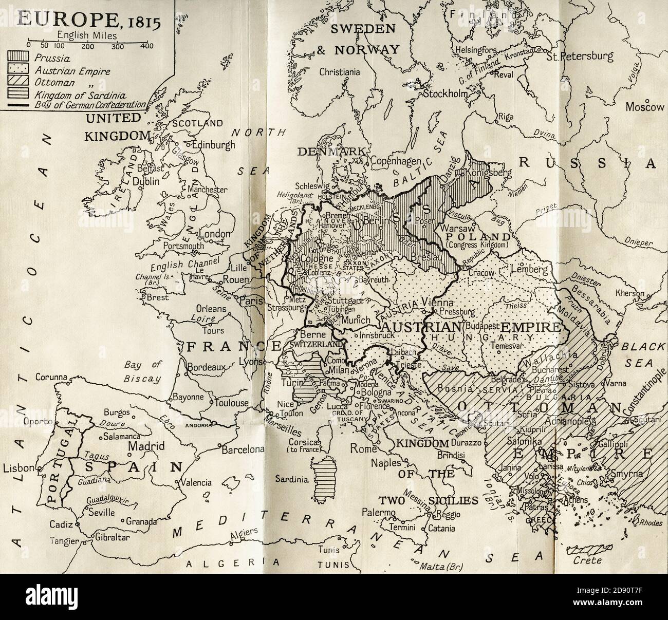 Map of Europe according to the Peace Treaties 1918 - 1924. From The Evolution of Modern Europe, 1453 - 1932, published 1933. Stock Photohttps://www.alamy.com/image-license-details/?v=1https://www.alamy.com/map-of-europe-according-to-the-peace-treaties-1918-1924-from-the-evolution-of-modern-europe-1453-1932-published-1933-image384179027.html
RM2D90T7F–Map of Europe according to the Peace Treaties 1918 - 1924. From The Evolution of Modern Europe, 1453 - 1932, published 1933.
 Man studying the map of Wroclaw Silesia Poland Europe Stock Photohttps://www.alamy.com/image-license-details/?v=1https://www.alamy.com/stock-photo-man-studying-the-map-of-wroclaw-silesia-poland-europe-32118899.html
RMBT73YF–Man studying the map of Wroclaw Silesia Poland Europe
 Jedlina Zdroj, Poland. 1st Oct, 2020. Adolf Hitler's mobile headquarters, railway staff wagon, replica of the Amerika special train, museum exhibition, wagon interior, maps, invasion plan, exhibit. A replica of Adolf Hitler's mobile quarters at the Jedlina Palace in Jedlinka, a part of Jedlina Zdroj in the Walbrzyskie Mountains in Lower Silesia. Credit: Damian Klamka/ZUMA Wire/Alamy Live News Stock Photohttps://www.alamy.com/image-license-details/?v=1https://www.alamy.com/jedlina-zdroj-poland-1st-oct-2020-adolf-hitlers-mobile-headquarters-railway-staff-wagon-replica-of-the-amerika-special-train-museum-exhibition-wagon-interior-maps-invasion-plan-exhibit-a-replica-of-adolf-hitlers-mobile-quarters-at-the-jedlina-palace-in-jedlinka-a-part-of-jedlina-zdroj-in-the-walbrzyskie-mountains-in-lower-silesia-credit-damian-klamkazuma-wirealamy-live-news-image377913610.html
RM2CXRCJJ–Jedlina Zdroj, Poland. 1st Oct, 2020. Adolf Hitler's mobile headquarters, railway staff wagon, replica of the Amerika special train, museum exhibition, wagon interior, maps, invasion plan, exhibit. A replica of Adolf Hitler's mobile quarters at the Jedlina Palace in Jedlinka, a part of Jedlina Zdroj in the Walbrzyskie Mountains in Lower Silesia. Credit: Damian Klamka/ZUMA Wire/Alamy Live News
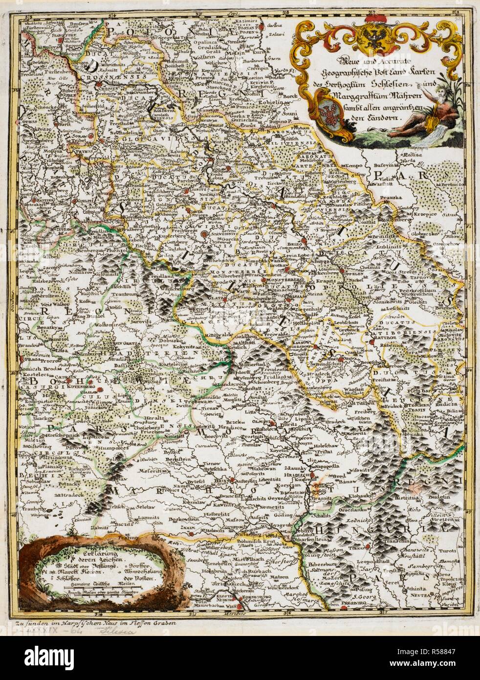 A map of Silesia and Moravia . Geographische Post-Land-Karten des Hertzogtum Schlesien und Marggrafftum Mähren. Source: Maps K.Top.89.64. Language: German. Stock Photohttps://www.alamy.com/image-license-details/?v=1https://www.alamy.com/a-map-of-silesia-and-moravia-geographische-post-land-karten-des-hertzogtum-schlesien-und-marggrafftum-mahren-source-maps-ktop8964-language-german-image226990071.html
RMR58847–A map of Silesia and Moravia . Geographische Post-Land-Karten des Hertzogtum Schlesien und Marggrafftum Mähren. Source: Maps K.Top.89.64. Language: German.
 Silesiae Typus. Slesia. Cartographic. Maps, Atlases. 1603. Lionel Pincus and Princess Firyal Map Division. Geography, Silesia (Poland : Voivodeship) Stock Photohttps://www.alamy.com/image-license-details/?v=1https://www.alamy.com/silesiae-typus-slesia-cartographic-maps-atlases-1603-lionel-pincus-and-princess-firyal-map-division-geography-silesia-poland-voivodeship-image484344197.html
RM2K3YNY1–Silesiae Typus. Slesia. Cartographic. Maps, Atlases. 1603. Lionel Pincus and Princess Firyal Map Division. Geography, Silesia (Poland : Voivodeship)
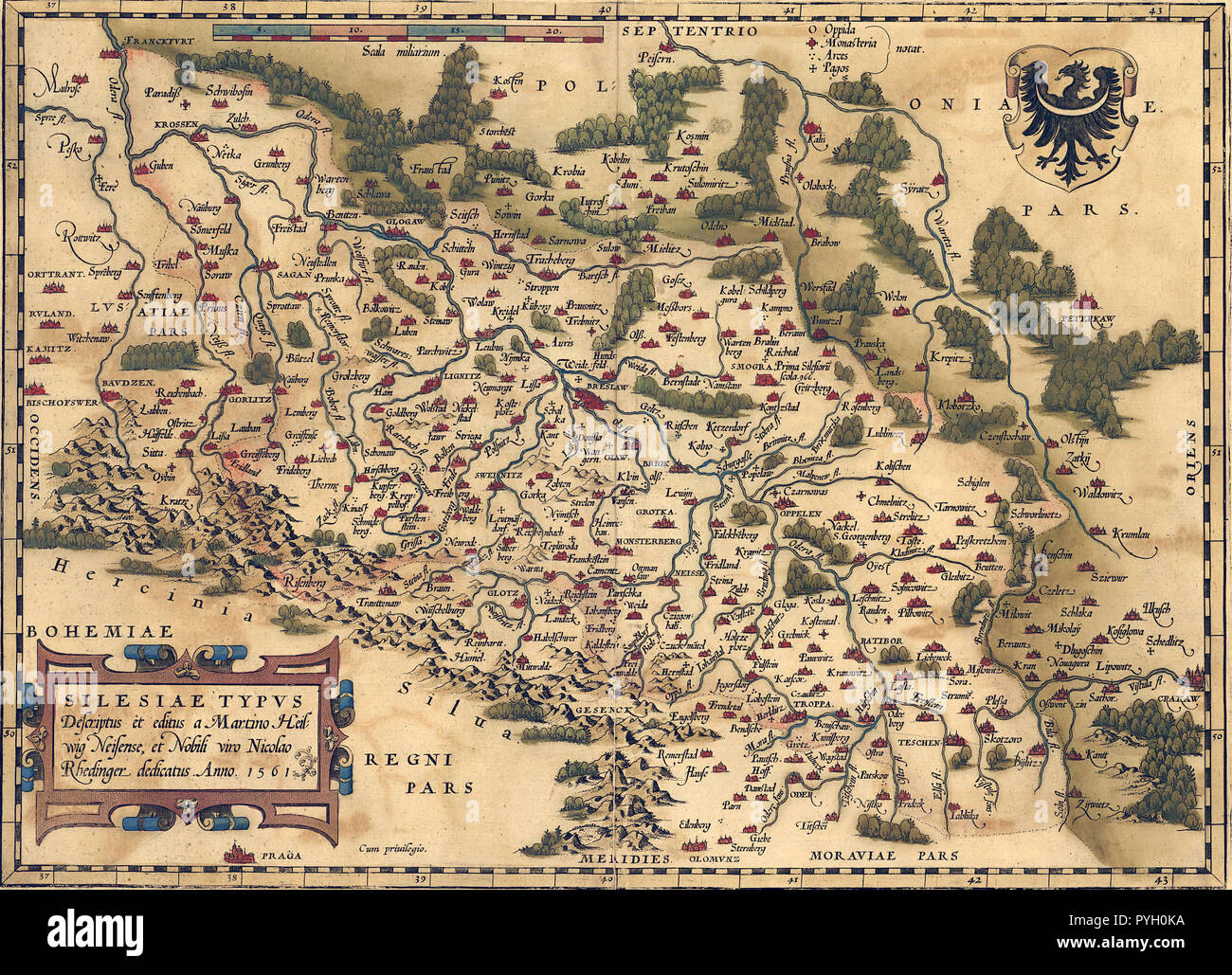 Abraham Ortelius - First World Atlas ca. 1570 - Silesia Stock Photohttps://www.alamy.com/image-license-details/?v=1https://www.alamy.com/abraham-ortelius-first-world-atlas-ca-1570-silesia-image223493854.html
RMPYH0KA–Abraham Ortelius - First World Atlas ca. 1570 - Silesia
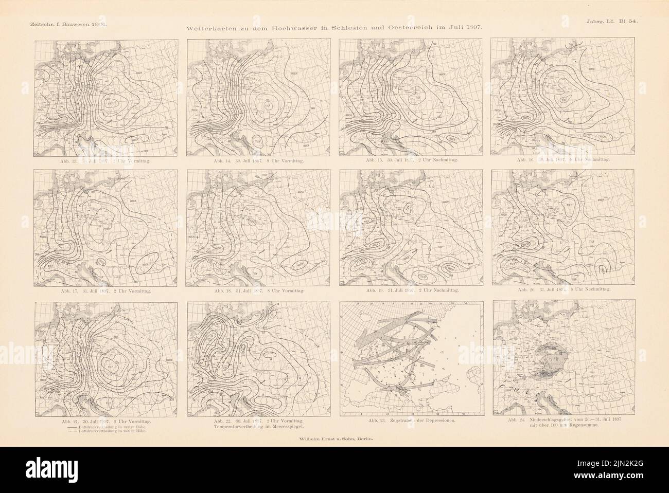 N.N., Weather maps for the flood in Silesia and Austria in July 1897. (From: Atlas to the magazine for Building, ed. Pressure on paper, 29.7 x 44.4 cm (including scan edges) Stock Photohttps://www.alamy.com/image-license-details/?v=1https://www.alamy.com/nn-weather-maps-for-the-flood-in-silesia-and-austria-in-july-1897-from-atlas-to-the-magazine-for-building-ed-pressure-on-paper-297-x-444-cm-including-scan-edges-image477646584.html
RM2JN2K2G–N.N., Weather maps for the flood in Silesia and Austria in July 1897. (From: Atlas to the magazine for Building, ed. Pressure on paper, 29.7 x 44.4 cm (including scan edges)
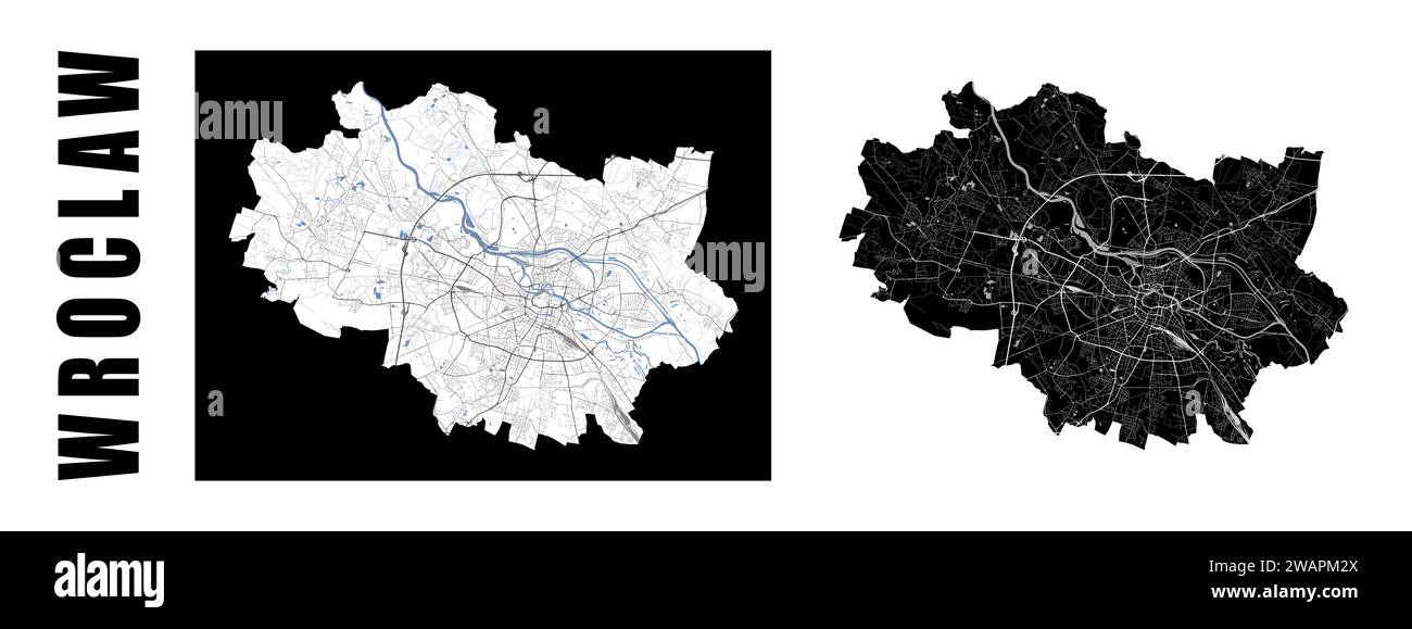 Wroclaw map. Poland city within administrative municipal borders. Set of black and white vector maps. Streets and Oder river, high resolution. Stock Vectorhttps://www.alamy.com/image-license-details/?v=1https://www.alamy.com/wroclaw-map-poland-city-within-administrative-municipal-borders-set-of-black-and-white-vector-maps-streets-and-oder-river-high-resolution-image591797778.html
RF2WAPM2X–Wroclaw map. Poland city within administrative municipal borders. Set of black and white vector maps. Streets and Oder river, high resolution.
 Silesia, Carbon County, US, United States, Montana, N 45 33' 23'', S 108 50' 29'', map, Cartascapes Map published in 2024. Explore Cartascapes, a map revealing Earth's diverse landscapes, cultures, and ecosystems. Journey through time and space, discovering the interconnectedness of our planet's past, present, and future. Stock Photohttps://www.alamy.com/image-license-details/?v=1https://www.alamy.com/silesia-carbon-county-us-united-states-montana-n-45-33-23-s-108-50-29-map-cartascapes-map-published-in-2024-explore-cartascapes-a-map-revealing-earths-diverse-landscapes-cultures-and-ecosystems-journey-through-time-and-space-discovering-the-interconnectedness-of-our-planets-past-present-and-future-image620888808.html
RM2Y23X08–Silesia, Carbon County, US, United States, Montana, N 45 33' 23'', S 108 50' 29'', map, Cartascapes Map published in 2024. Explore Cartascapes, a map revealing Earth's diverse landscapes, cultures, and ecosystems. Journey through time and space, discovering the interconnectedness of our planet's past, present, and future.
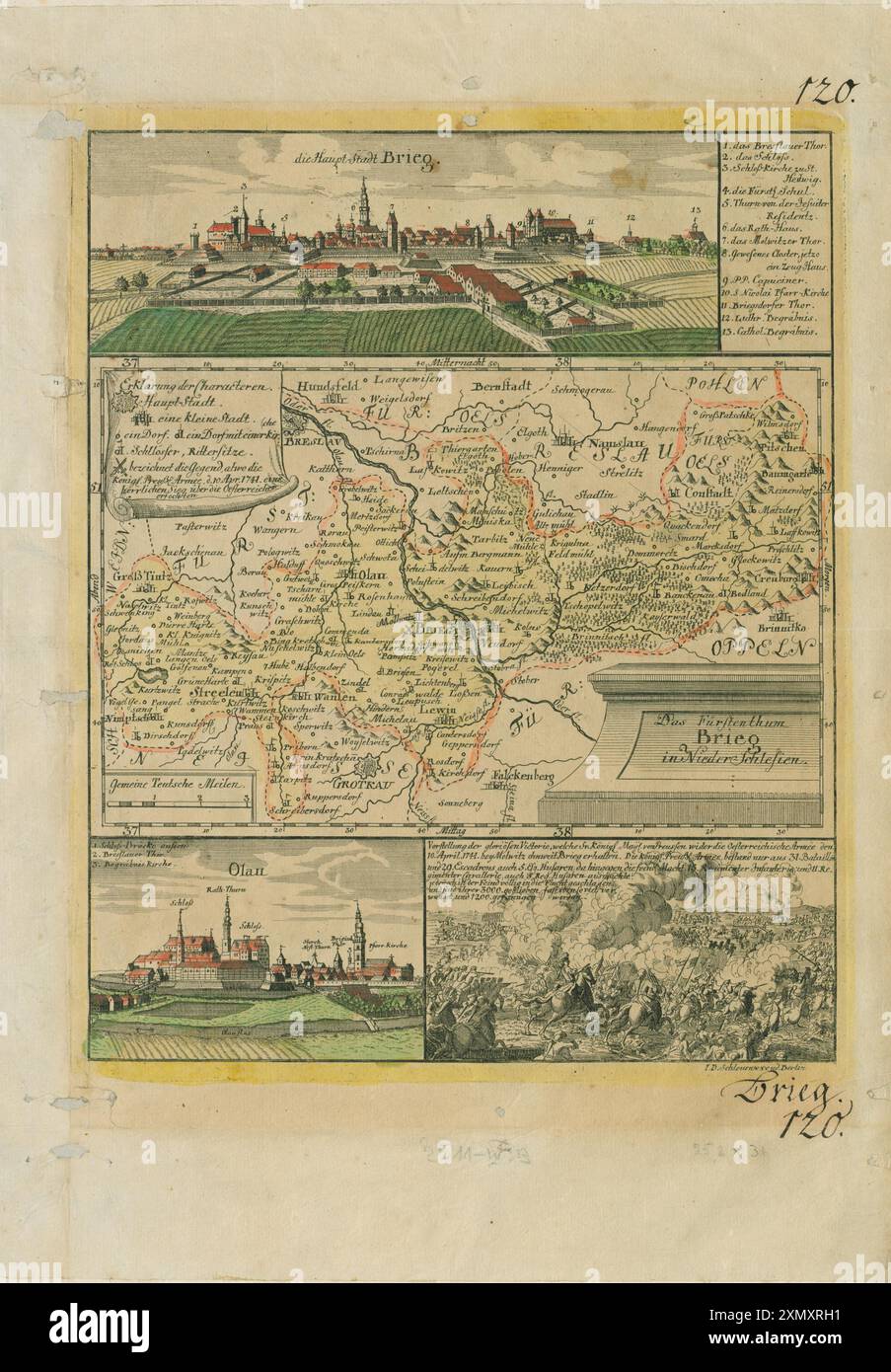 Vintage Pictorial Map. The Principality of Brieg in Lower Silesia. Werner, Friedrich Bernhard circa 1750 Stock Photohttps://www.alamy.com/image-license-details/?v=1https://www.alamy.com/vintage-pictorial-map-the-principality-of-brieg-in-lower-silesia-werner-friedrich-bernhard-circa-1750-image615245261.html
RM2XMXRH1–Vintage Pictorial Map. The Principality of Brieg in Lower Silesia. Werner, Friedrich Bernhard circa 1750
 Foreign military attaches as guests during maneuvers of the Reichswehr Stock Photohttps://www.alamy.com/image-license-details/?v=1https://www.alamy.com/stock-photo-foreign-military-attaches-as-guests-during-maneuvers-of-the-reichswehr-94215939.html
RMFD7WAY–Foreign military attaches as guests during maneuvers of the Reichswehr
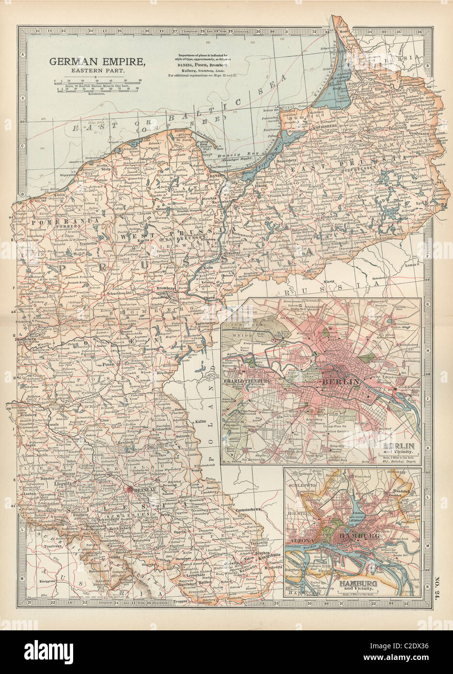 Map of the German Empire with Berlin and Hamburg Stock Photohttps://www.alamy.com/image-license-details/?v=1https://www.alamy.com/stock-photo-map-of-the-german-empire-with-berlin-and-hamburg-35955898.html
RMC2DX36–Map of the German Empire with Berlin and Hamburg
 Wroclaw, Poland. 28th Dec, 2019. Taize maps are prepared for the young pilgrims. Around 13,000 young pilgrims from all over Europe and beyond arrived in Wroclaw in Poland for the annual European Youth Meeting of the ecumenical Taize community. The meeting of prayers and meditation is held under the motto 'Pilgrimage of Trust on Earth' for the 42nd time this year. (Photo by Michael Debets/Pacific Press) Credit: Pacific Press Agency/Alamy Live News Stock Photohttps://www.alamy.com/image-license-details/?v=1https://www.alamy.com/wroclaw-poland-28th-dec-2019-taize-maps-are-prepared-for-the-young-pilgrims-around-13000-young-pilgrims-from-all-over-europe-and-beyond-arrived-in-wroclaw-in-poland-for-the-annual-european-youth-meeting-of-the-ecumenical-taize-community-the-meeting-of-prayers-and-meditation-is-held-under-the-motto-pilgrimage-of-trust-on-earth-for-the-42nd-time-this-year-photo-by-michael-debetspacific-press-credit-pacific-press-agencyalamy-live-news-image337733783.html
RM2AHD2TR–Wroclaw, Poland. 28th Dec, 2019. Taize maps are prepared for the young pilgrims. Around 13,000 young pilgrims from all over Europe and beyond arrived in Wroclaw in Poland for the annual European Youth Meeting of the ecumenical Taize community. The meeting of prayers and meditation is held under the motto 'Pilgrimage of Trust on Earth' for the 42nd time this year. (Photo by Michael Debets/Pacific Press) Credit: Pacific Press Agency/Alamy Live News
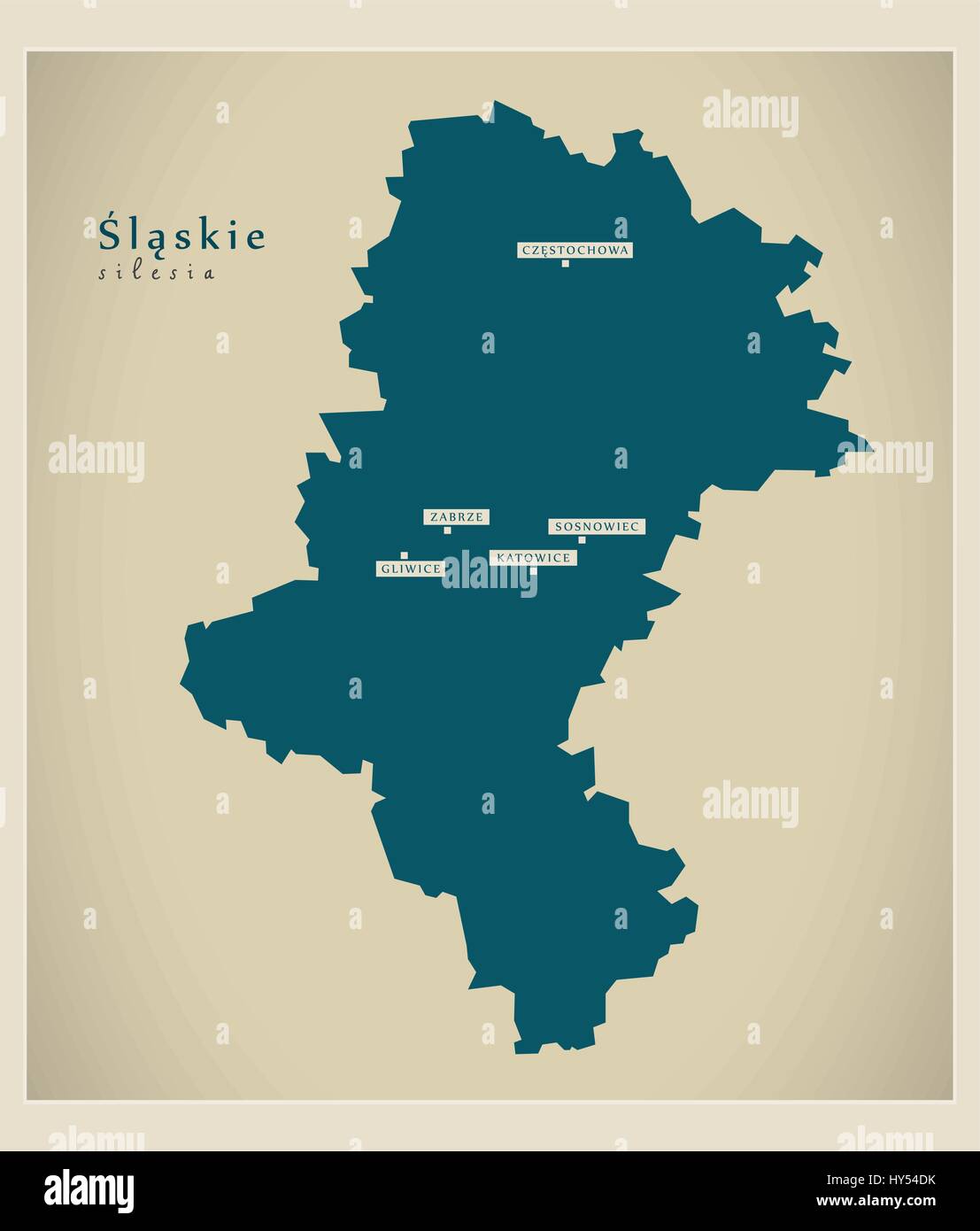 Modern Map - Slaskie PL Stock Vectorhttps://www.alamy.com/image-license-details/?v=1https://www.alamy.com/stock-photo-modern-map-slaskie-pl-137181567.html
RFHY54DK–Modern Map - Slaskie PL
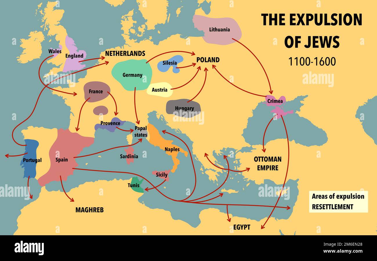 Map showing the expulsion of Jews and their resettlement between 1100 and 1600 Stock Photohttps://www.alamy.com/image-license-details/?v=1https://www.alamy.com/map-showing-the-expulsion-of-jews-and-their-resettlement-between-1100-and-1600-image503112464.html
RF2M6EN28–Map showing the expulsion of Jews and their resettlement between 1100 and 1600
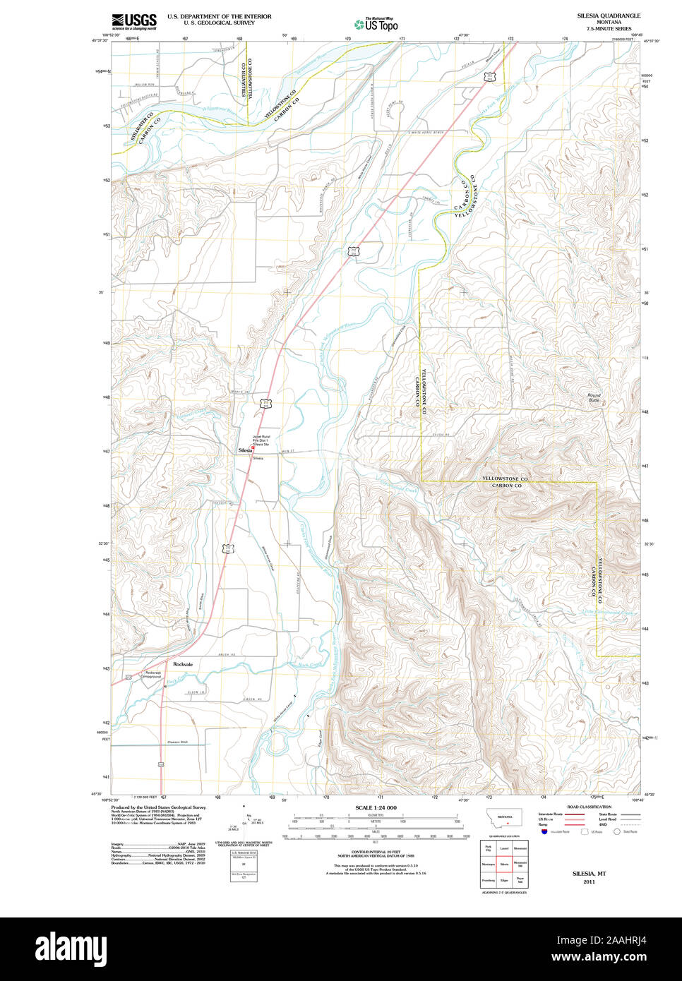 USGS TOPO Map Montana MT Silesia 20110608 TM geo Restoration Stock Photohttps://www.alamy.com/image-license-details/?v=1https://www.alamy.com/usgs-topo-map-montana-mt-silesia-20110608-tm-geo-restoration-image333535276.html
RM2AAHRJ4–USGS TOPO Map Montana MT Silesia 20110608 TM geo Restoration
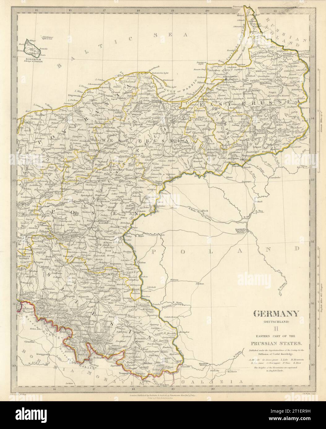 GERMANY DEUTSCHLAND.Eastern Prussian States.Silesia;Pomerania.SDUK 1844 map Stock Photohttps://www.alamy.com/image-license-details/?v=1https://www.alamy.com/germany-deutschlandeastern-prussian-statessilesiapomeraniasduk-1844-map-image568882429.html
RF2T1ER9H–GERMANY DEUTSCHLAND.Eastern Prussian States.Silesia;Pomerania.SDUK 1844 map
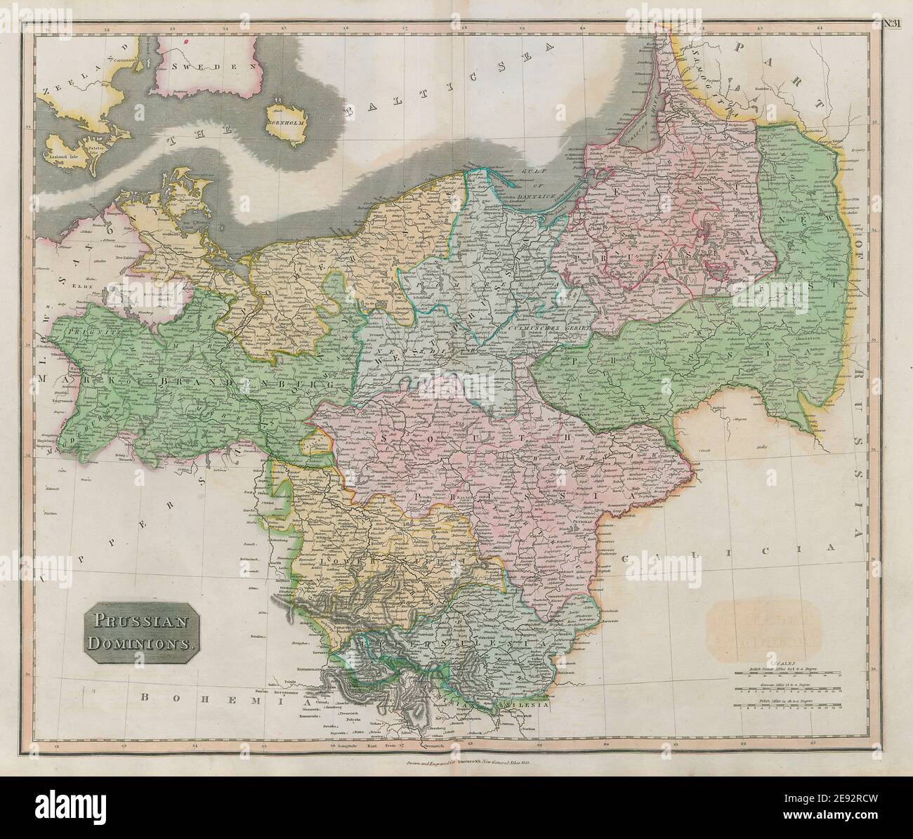 'Prussian dominions'. Poland Brandenburg Pomerania Silesia. THOMSON 1817 map Stock Photohttps://www.alamy.com/image-license-details/?v=1https://www.alamy.com/prussian-dominions-poland-brandenburg-pomerania-silesia-thomson-1817-map-image401432665.html
RF2E92RCW–'Prussian dominions'. Poland Brandenburg Pomerania Silesia. THOMSON 1817 map
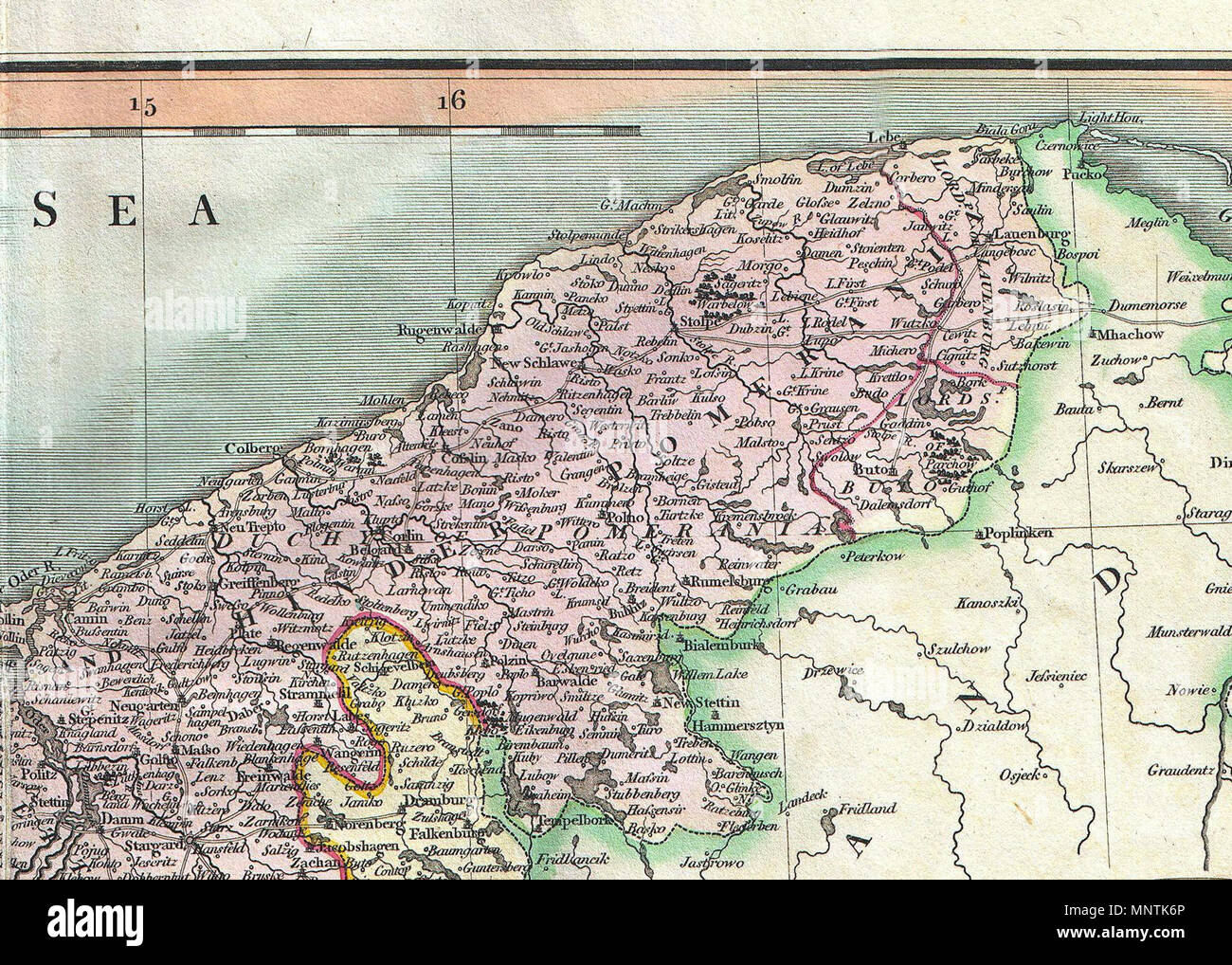 . English: An attractive example of John Cary’s 1801 map of Upper Saxony, Germany. Covers from the Baltic Sea south to Franconia, Bavaria, Bohemia and Moravia. Extends eastward as far as Poland. Includes the Duchy of Silesia, the Duchy of Lusatia, Prussian Pomerania, Electoral Mark of Brandenburg, and the Margraviate of Meissen. Notes the cities of Berlin, Prague, Dresden, and Leipzig among many others. Highly detailed with color coding according to region. Shows forests, cities, palaces, forts, roads and rivers. All in all, one of the most interesting and attractive atlas maps of Upper Saxon Stock Photohttps://www.alamy.com/image-license-details/?v=1https://www.alamy.com/english-an-attractive-example-of-john-carys-1801-map-of-upper-saxony-germany-covers-from-the-baltic-sea-south-to-franconia-bavaria-bohemia-and-moravia-extends-eastward-as-far-as-poland-includes-the-duchy-of-silesia-the-duchy-of-lusatia-prussian-pomerania-electoral-mark-of-brandenburg-and-the-margraviate-of-meissen-notes-the-cities-of-berlin-prague-dresden-and-leipzig-among-many-others-highly-detailed-with-color-coding-according-to-region-shows-forests-cities-palaces-forts-roads-and-rivers-all-in-all-one-of-the-most-interesting-and-attractive-atlas-maps-of-upper-saxon-image185553390.html
RMMNTK6P–. English: An attractive example of John Cary’s 1801 map of Upper Saxony, Germany. Covers from the Baltic Sea south to Franconia, Bavaria, Bohemia and Moravia. Extends eastward as far as Poland. Includes the Duchy of Silesia, the Duchy of Lusatia, Prussian Pomerania, Electoral Mark of Brandenburg, and the Margraviate of Meissen. Notes the cities of Berlin, Prague, Dresden, and Leipzig among many others. Highly detailed with color coding according to region. Shows forests, cities, palaces, forts, roads and rivers. All in all, one of the most interesting and attractive atlas maps of Upper Saxon
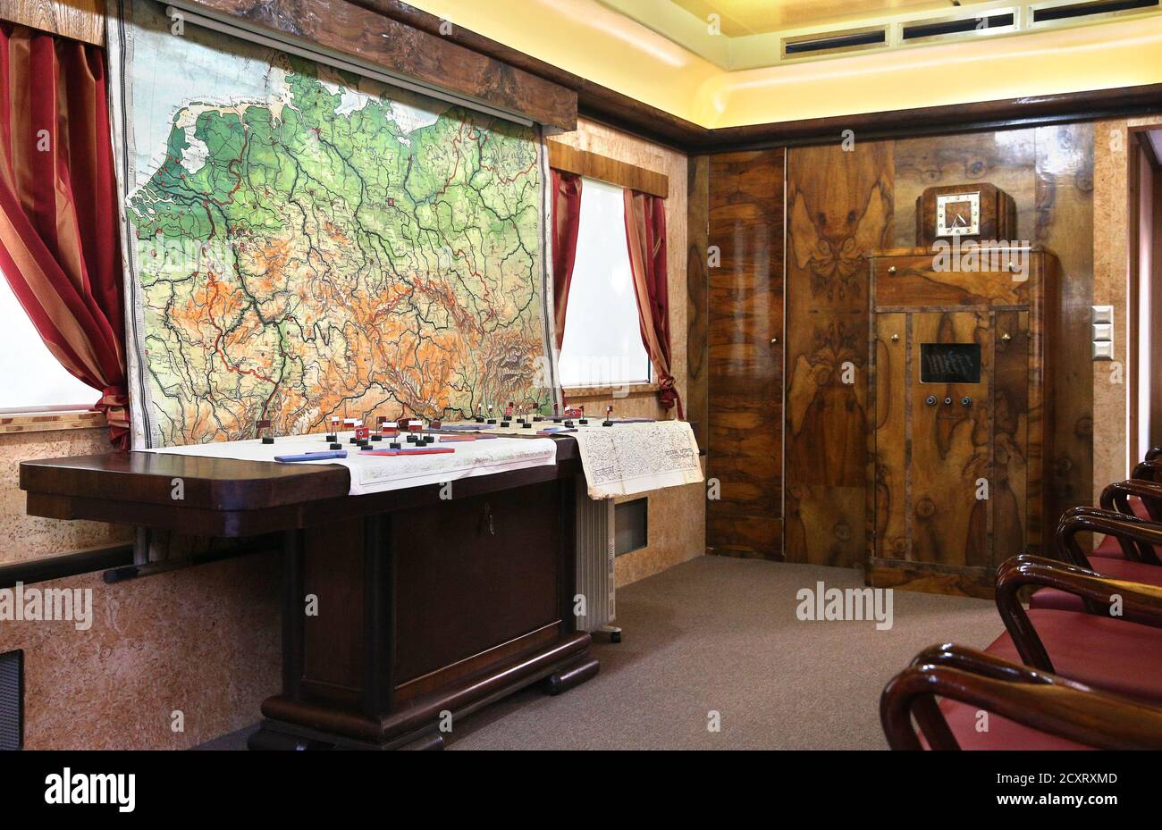 Jedlina Zdroj, Poland. 1st Oct, 2020. Adolf Hitler's mobile headquarters, railway staff wagon, replica of the Amerika special train, museum exhibition, wagon interior, maps, invasion plan, exhibit. A replica of Adolf Hitler's mobile quarters at the Jedlina Palace in Jedlinka, a part of Jedlina Zdroj in the Walbrzyskie Mountains in Lower Silesia. Credit: Damian Klamka/ZUMA Wire/Alamy Live News Stock Photohttps://www.alamy.com/image-license-details/?v=1https://www.alamy.com/jedlina-zdroj-poland-1st-oct-2020-adolf-hitlers-mobile-headquarters-railway-staff-wagon-replica-of-the-amerika-special-train-museum-exhibition-wagon-interior-maps-invasion-plan-exhibit-a-replica-of-adolf-hitlers-mobile-quarters-at-the-jedlina-palace-in-jedlinka-a-part-of-jedlina-zdroj-in-the-walbrzyskie-mountains-in-lower-silesia-credit-damian-klamkazuma-wirealamy-live-news-image377924637.html
RM2CXRXMD–Jedlina Zdroj, Poland. 1st Oct, 2020. Adolf Hitler's mobile headquarters, railway staff wagon, replica of the Amerika special train, museum exhibition, wagon interior, maps, invasion plan, exhibit. A replica of Adolf Hitler's mobile quarters at the Jedlina Palace in Jedlinka, a part of Jedlina Zdroj in the Walbrzyskie Mountains in Lower Silesia. Credit: Damian Klamka/ZUMA Wire/Alamy Live News
 N.N., Weather maps for the flood in Silesia and Austria in July 1897. (From: Atlas to the magazine for Building, ed. Print on paper, 29.5 x 44.3 cm (including scan edges) Stock Photohttps://www.alamy.com/image-license-details/?v=1https://www.alamy.com/nn-weather-maps-for-the-flood-in-silesia-and-austria-in-july-1897-from-atlas-to-the-magazine-for-building-ed-print-on-paper-295-x-443-cm-including-scan-edges-image477646587.html
RM2JN2K2K–N.N., Weather maps for the flood in Silesia and Austria in July 1897. (From: Atlas to the magazine for Building, ed. Print on paper, 29.5 x 44.3 cm (including scan edges)
 Map of the battlefield in Silesia, Bohemen and Saxony, 1866, Carl Friedrich Baur, 1866 print Map of the battlefield in Silesia, Bohemia and Saxony, during the Austrian-Prussian War of 1866. paper maps of separate countries or regions Saxony. Silesia. Bohemia Stock Photohttps://www.alamy.com/image-license-details/?v=1https://www.alamy.com/map-of-the-battlefield-in-silesia-bohemen-and-saxony-1866-carl-friedrich-baur-1866-print-map-of-the-battlefield-in-silesia-bohemia-and-saxony-during-the-austrian-prussian-war-of-1866-paper-maps-of-separate-countries-or-regions-saxony-silesia-bohemia-image594244696.html
RM2WEP54T–Map of the battlefield in Silesia, Bohemen and Saxony, 1866, Carl Friedrich Baur, 1866 print Map of the battlefield in Silesia, Bohemia and Saxony, during the Austrian-Prussian War of 1866. paper maps of separate countries or regions Saxony. Silesia. Bohemia
 Silesia, Prince George's County, US, United States, Maryland, N 38 44' 32'', S 76 59' 55'', map, Cartascapes Map published in 2024. Explore Cartascapes, a map revealing Earth's diverse landscapes, cultures, and ecosystems. Journey through time and space, discovering the interconnectedness of our planet's past, present, and future. Stock Photohttps://www.alamy.com/image-license-details/?v=1https://www.alamy.com/silesia-prince-georges-county-us-united-states-maryland-n-38-44-32-s-76-59-55-map-cartascapes-map-published-in-2024-explore-cartascapes-a-map-revealing-earths-diverse-landscapes-cultures-and-ecosystems-journey-through-time-and-space-discovering-the-interconnectedness-of-our-planets-past-present-and-future-image620657242.html
RM2Y1NAJ2–Silesia, Prince George's County, US, United States, Maryland, N 38 44' 32'', S 76 59' 55'', map, Cartascapes Map published in 2024. Explore Cartascapes, a map revealing Earth's diverse landscapes, cultures, and ecosystems. Journey through time and space, discovering the interconnectedness of our planet's past, present, and future.
 Map of the southwestern part of the German Empire Stock Photohttps://www.alamy.com/image-license-details/?v=1https://www.alamy.com/stock-photo-map-of-the-southwestern-part-of-the-german-empire-35955895.html
RMC2DX33–Map of the southwestern part of the German Empire
 USGS TOPO Map Montana MT Silesia 20110608 TM geo Inverted Restoration Stock Photohttps://www.alamy.com/image-license-details/?v=1https://www.alamy.com/usgs-topo-map-montana-mt-silesia-20110608-tm-geo-inverted-restoration-image333535269.html
RM2AAHRHW–USGS TOPO Map Montana MT Silesia 20110608 TM geo Inverted Restoration
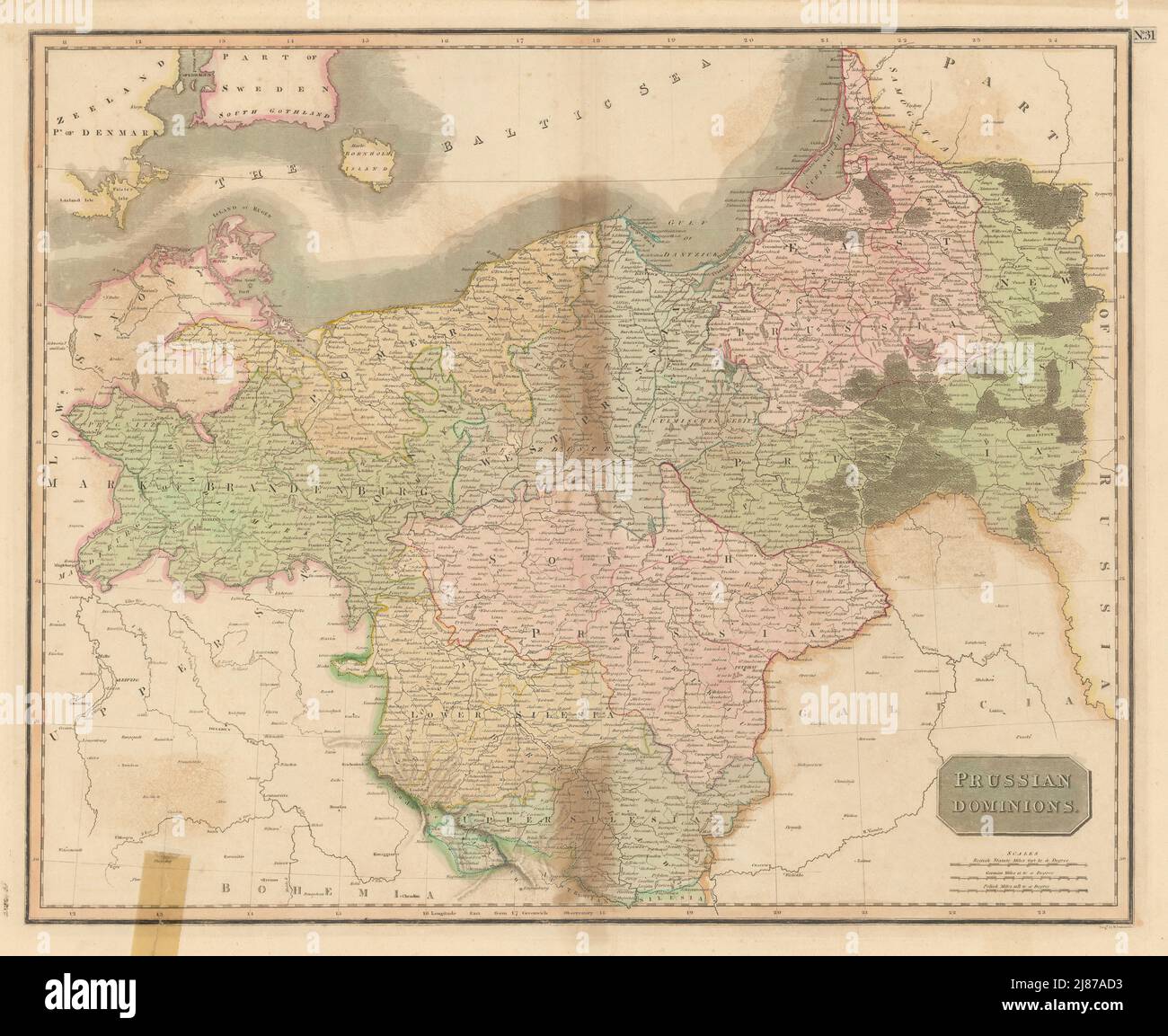 'Prussian dominions'. Poland Brandenburg Silesia Pomerania. THOMSON 1817 map Stock Photohttps://www.alamy.com/image-license-details/?v=1https://www.alamy.com/prussian-dominions-poland-brandenburg-silesia-pomerania-thomson-1817-map-image469759055.html
RF2J87AD3–'Prussian dominions'. Poland Brandenburg Silesia Pomerania. THOMSON 1817 map
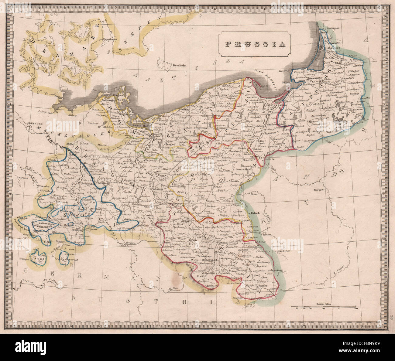 PRUSSIA. Provinces. Pomerania Saxony Silesia Brandenburg. JOHNSON, 1850 map Stock Photohttps://www.alamy.com/image-license-details/?v=1https://www.alamy.com/stock-photo-prussia-provinces-pomerania-saxony-silesia-brandenburg-johnson-1850-93281645.html
RFFBN9K9–PRUSSIA. Provinces. Pomerania Saxony Silesia Brandenburg. JOHNSON, 1850 map
 Jedlina Zdroj, Poland. 1st Oct, 2020. Adolf Hitler's mobile headquarters, railway staff wagon, replica of the Amerika special train, museum exhibition, wagon interior, maps, invasion plan, exhibit. A replica of Adolf Hitler's mobile quarters at the Jedlina Palace in Jedlinka, a part of Jedlina Zdroj in the Walbrzyskie Mountains in Lower Silesia. Credit: Damian Klamka/ZUMA Wire/Alamy Live News Stock Photohttps://www.alamy.com/image-license-details/?v=1https://www.alamy.com/jedlina-zdroj-poland-1st-oct-2020-adolf-hitlers-mobile-headquarters-railway-staff-wagon-replica-of-the-amerika-special-train-museum-exhibition-wagon-interior-maps-invasion-plan-exhibit-a-replica-of-adolf-hitlers-mobile-quarters-at-the-jedlina-palace-in-jedlinka-a-part-of-jedlina-zdroj-in-the-walbrzyskie-mountains-in-lower-silesia-credit-damian-klamkazuma-wirealamy-live-news-image377924139.html
RM2CXRX2K–Jedlina Zdroj, Poland. 1st Oct, 2020. Adolf Hitler's mobile headquarters, railway staff wagon, replica of the Amerika special train, museum exhibition, wagon interior, maps, invasion plan, exhibit. A replica of Adolf Hitler's mobile quarters at the Jedlina Palace in Jedlinka, a part of Jedlina Zdroj in the Walbrzyskie Mountains in Lower Silesia. Credit: Damian Klamka/ZUMA Wire/Alamy Live News
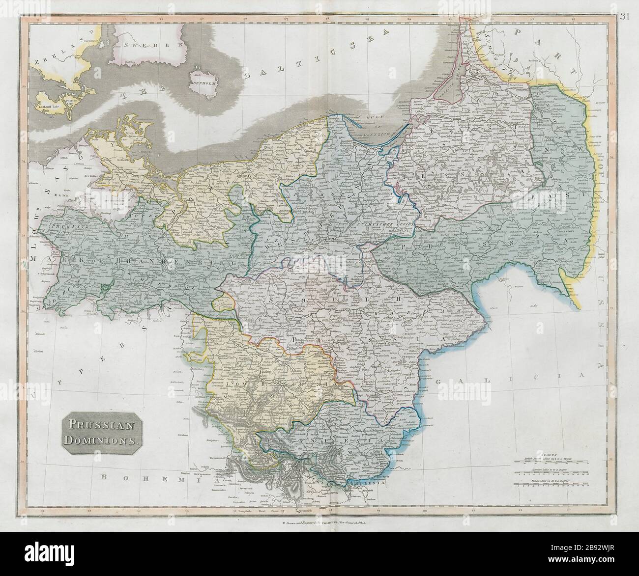 'Prussian dominions'. Poland Brandenburg Silesia Pomerania. THOMSON 1830 map Stock Photohttps://www.alamy.com/image-license-details/?v=1https://www.alamy.com/prussian-dominions-poland-brandenburg-silesia-pomerania-thomson-1830-map-image349803295.html
RF2B92WJR–'Prussian dominions'. Poland Brandenburg Silesia Pomerania. THOMSON 1830 map
 EASTERN GERMANY:Showing states.Prussia Silesia Pomerania Poznan.Poland, 1901 map Stock Photohttps://www.alamy.com/image-license-details/?v=1https://www.alamy.com/stock-photo-eastern-germanyshowing-statesprussia-silesia-pomerania-poznanpoland-93901593.html
RFFCNGC9–EASTERN GERMANY:Showing states.Prussia Silesia Pomerania Poznan.Poland, 1901 map
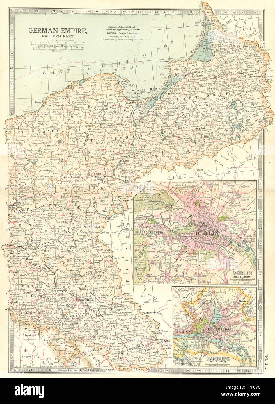 PRUSSIA POLAND POSEN SILESIA: Berlin Hamburg.Shows battlefields/dates, 1903 map Stock Photohttps://www.alamy.com/image-license-details/?v=1https://www.alamy.com/stock-photo-prussia-poland-posen-silesia-berlin-hamburgshows-battlefieldsdates-100057984.html
RFFPP0YC–PRUSSIA POLAND POSEN SILESIA: Berlin Hamburg.Shows battlefields/dates, 1903 map
 Regnum Bohemia, eique annexae provinciae ut Ducatus Silesia marchionatus Moravia, et Lusatia quae sunt terrae haereditariae imperatoris , Czech Republic, Maps, Early works to 1800, Bohemia Czech Republic, Maps, Early works to 1800, Germany, Maps, Early works to 1800, Poland, Maps, Early works to 1800 Norman B. Leventhal Map Center Collection Stock Photohttps://www.alamy.com/image-license-details/?v=1https://www.alamy.com/regnum-bohemia-eique-annexae-provinciae-ut-ducatus-silesia-marchionatus-moravia-et-lusatia-quae-sunt-terrae-haereditariae-imperatoris-czech-republic-maps-early-works-to-1800-bohemia-czech-republic-maps-early-works-to-1800-germany-maps-early-works-to-1800-poland-maps-early-works-to-1800-norman-b-leventhal-map-center-collection-image501435839.html
RM2M3PAER–Regnum Bohemia, eique annexae provinciae ut Ducatus Silesia marchionatus Moravia, et Lusatia quae sunt terrae haereditariae imperatoris , Czech Republic, Maps, Early works to 1800, Bohemia Czech Republic, Maps, Early works to 1800, Germany, Maps, Early works to 1800, Poland, Maps, Early works to 1800 Norman B. Leventhal Map Center Collection
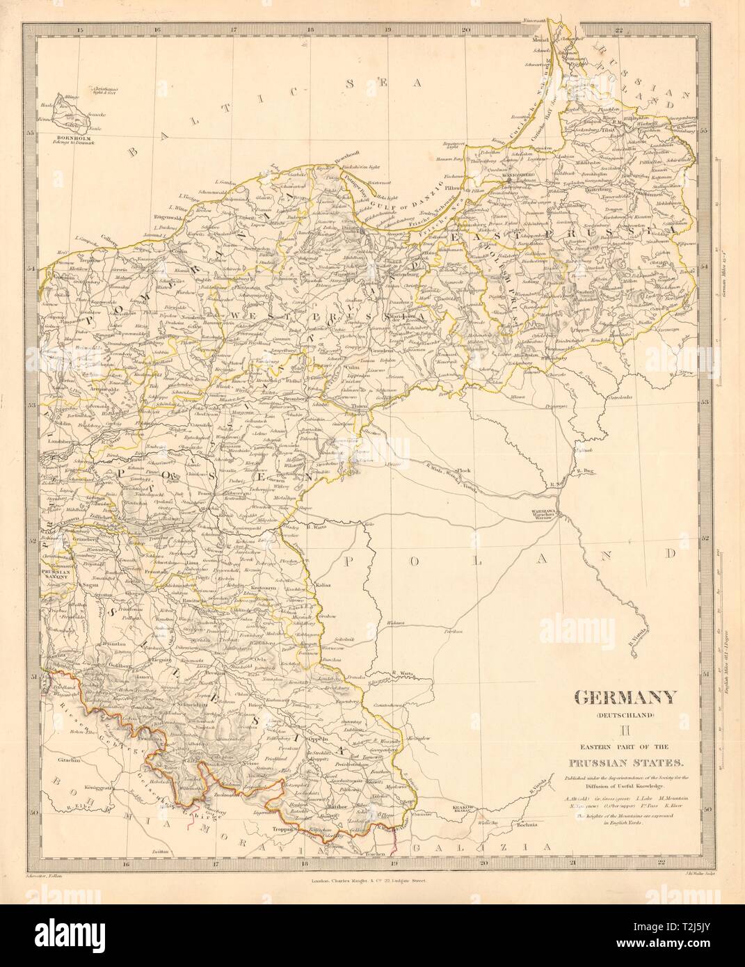 EASTERN GERMANY. Prussian States. Silesia Pomerania Deutschland. SDUK 1845 map Stock Photohttps://www.alamy.com/image-license-details/?v=1https://www.alamy.com/eastern-germany-prussian-states-silesia-pomerania-deutschland-sduk-1845-map-image242574051.html
RFT2J5JY–EASTERN GERMANY. Prussian States. Silesia Pomerania Deutschland. SDUK 1845 map
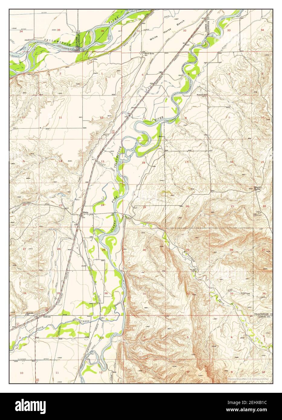 Silesia, Montana, map 1956, 1:24000, United States of America by Timeless Maps, data U.S. Geological Survey Stock Photohttps://www.alamy.com/image-license-details/?v=1https://www.alamy.com/silesia-montana-map-1956-124000-united-states-of-america-by-timeless-maps-data-us-geological-survey-image406867032.html
RM2EHXB1C–Silesia, Montana, map 1956, 1:24000, United States of America by Timeless Maps, data U.S. Geological Survey
 AUSTRIA-HUNGARY: Kunstenland Slavonia Carinthia Styria Silesia &c, 1890 map Stock Photohttps://www.alamy.com/image-license-details/?v=1https://www.alamy.com/stock-photo-austria-hungary-kunstenland-slavonia-carinthia-styria-silesia-c-1890-94008972.html
RFFCXDB8–AUSTRIA-HUNGARY: Kunstenland Slavonia Carinthia Styria Silesia &c, 1890 map
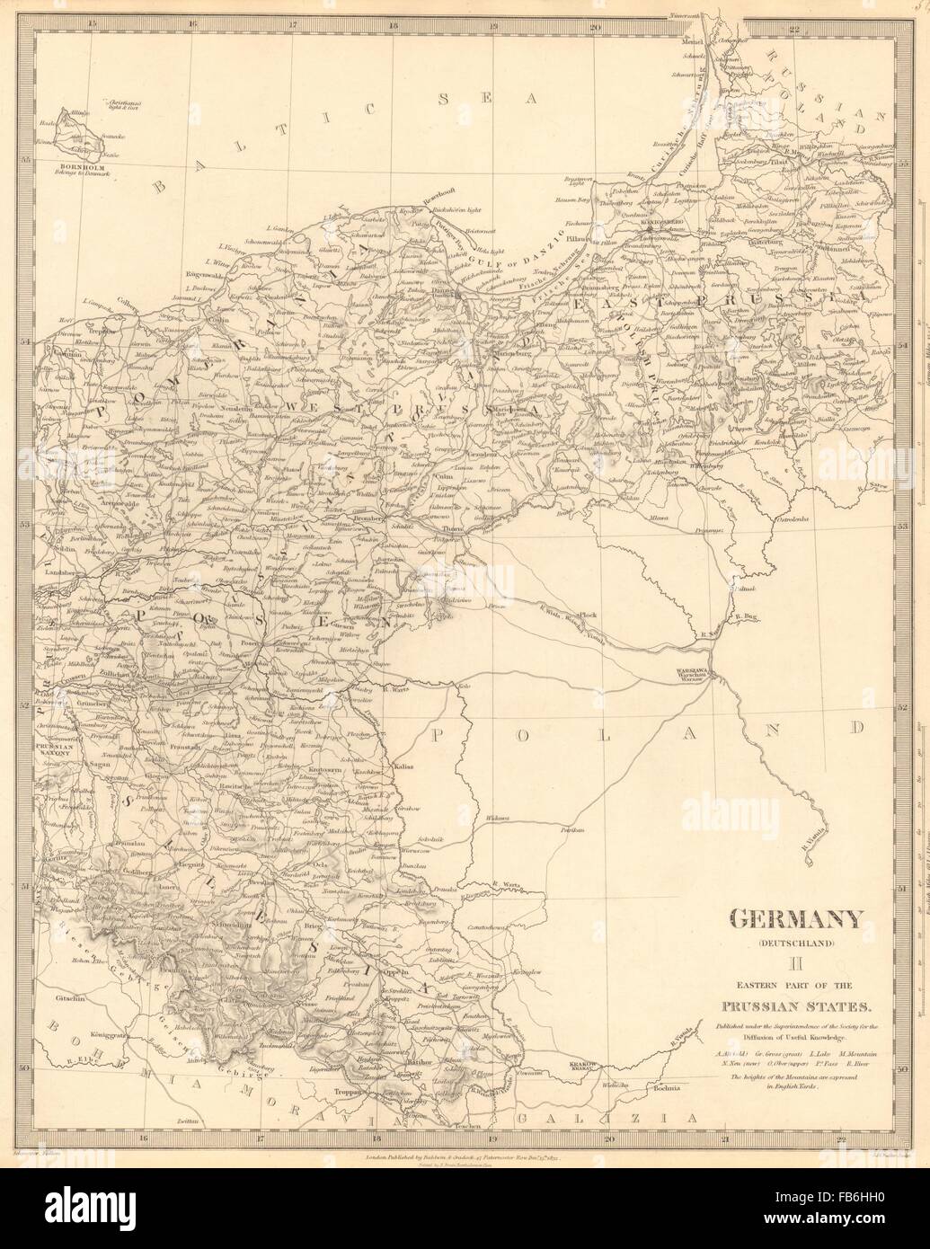 GERMANY DEUTSCHLAND:Eastern Prussian States:Silesia;Pomerania.SDUK, 1848 map Stock Photohttps://www.alamy.com/image-license-details/?v=1https://www.alamy.com/stock-photo-germany-deutschlandeastern-prussian-statessilesiapomeraniasduk-1848-92958572.html
RFFB6HH0–GERMANY DEUTSCHLAND:Eastern Prussian States:Silesia;Pomerania.SDUK, 1848 map
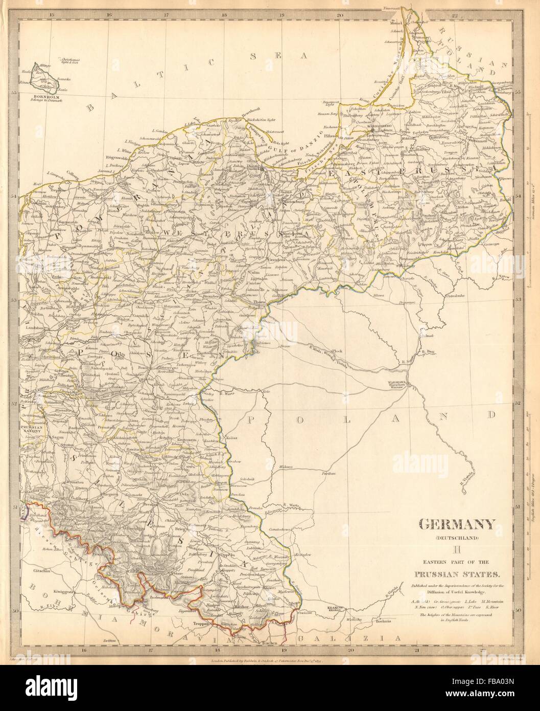 GERMANY DEUTSCHLAND.Eastern Prussian States.Silesia;Pomerania.SDUK, 1844 map Stock Photohttps://www.alamy.com/image-license-details/?v=1https://www.alamy.com/stock-photo-germany-deutschlandeastern-prussian-statessilesiapomeraniasduk-1844-93032681.html
RFFBA03N–GERMANY DEUTSCHLAND.Eastern Prussian States.Silesia;Pomerania.SDUK, 1844 map
 USGS TOPO Map Montana MT Silesia 266684 1956 24000 geo Restoration Stock Photohttps://www.alamy.com/image-license-details/?v=1https://www.alamy.com/usgs-topo-map-montana-mt-silesia-266684-1956-24000-geo-restoration-image333535311.html
RM2AAHRKB–USGS TOPO Map Montana MT Silesia 266684 1956 24000 geo Restoration
 Jedlina Zdroj, Poland. 1st Oct, 2020. Adolf Hitler's mobile headquarters, railway staff wagon, replica of the Amerika special train, museum exhibition, wagon interior, maps, invasion plan, exhibit. A replica of Adolf Hitler's mobile quarters at the Jedlina Palace in Jedlinka, a part of Jedlina Zdroj in the Walbrzyskie Mountains in Lower Silesia. Credit: Damian Klamka/ZUMA Wire/Alamy Live News Stock Photohttps://www.alamy.com/image-license-details/?v=1https://www.alamy.com/jedlina-zdroj-poland-1st-oct-2020-adolf-hitlers-mobile-headquarters-railway-staff-wagon-replica-of-the-amerika-special-train-museum-exhibition-wagon-interior-maps-invasion-plan-exhibit-a-replica-of-adolf-hitlers-mobile-quarters-at-the-jedlina-palace-in-jedlinka-a-part-of-jedlina-zdroj-in-the-walbrzyskie-mountains-in-lower-silesia-credit-damian-klamkazuma-wirealamy-live-news-image377914075.html
RM2CXRD77–Jedlina Zdroj, Poland. 1st Oct, 2020. Adolf Hitler's mobile headquarters, railway staff wagon, replica of the Amerika special train, museum exhibition, wagon interior, maps, invasion plan, exhibit. A replica of Adolf Hitler's mobile quarters at the Jedlina Palace in Jedlinka, a part of Jedlina Zdroj in the Walbrzyskie Mountains in Lower Silesia. Credit: Damian Klamka/ZUMA Wire/Alamy Live News
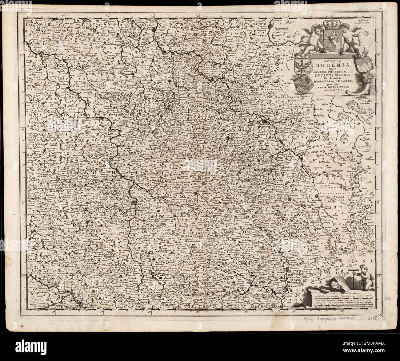 Regnum Bohemia, eique annexae provinciae, ut Ducatus Silesia, marchionatus Moravia, et Lusatia : quae sunt terrae Haereditariae imperatoris , Bohemia Czech Republic, Maps, Early works to 1800, Czech Republic, Maps, Early works to 1800, Germany, Maps, Early works to 1800, Poland, Maps, Early works to 1800 Norman B. Leventhal Map Center Collection Stock Photohttps://www.alamy.com/image-license-details/?v=1https://www.alamy.com/regnum-bohemia-eique-annexae-provinciae-ut-ducatus-silesia-marchionatus-moravia-et-lusatia-quae-sunt-terrae-haereditariae-imperatoris-bohemia-czech-republic-maps-early-works-to-1800-czech-republic-maps-early-works-to-1800-germany-maps-early-works-to-1800-poland-maps-early-works-to-1800-norman-b-leventhal-map-center-collection-image501436010.html
RM2M3PAMX–Regnum Bohemia, eique annexae provinciae, ut Ducatus Silesia, marchionatus Moravia, et Lusatia : quae sunt terrae Haereditariae imperatoris , Bohemia Czech Republic, Maps, Early works to 1800, Czech Republic, Maps, Early works to 1800, Germany, Maps, Early works to 1800, Poland, Maps, Early works to 1800 Norman B. Leventhal Map Center Collection
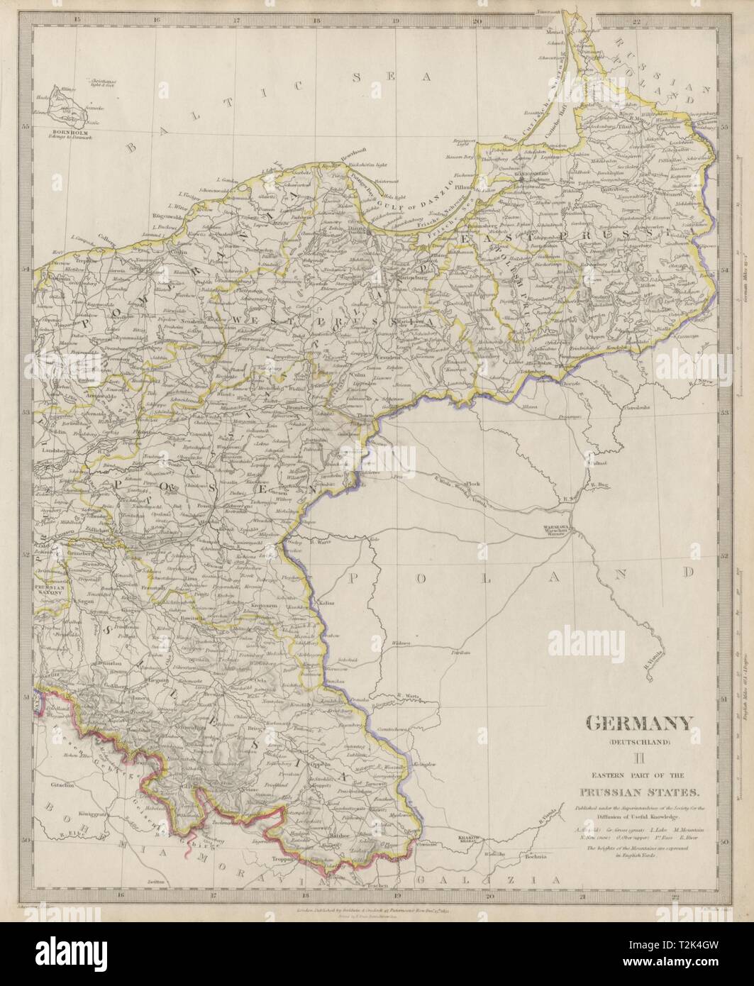 GERMANY DEUTSCHLAND.Eastern Prussian States.Silesia;Pomerania SDUK 1844 map Stock Photohttps://www.alamy.com/image-license-details/?v=1https://www.alamy.com/germany-deutschlandeastern-prussian-statessilesiapomerania-sduk-1844-map-image242595161.html
RFT2K4GW–GERMANY DEUTSCHLAND.Eastern Prussian States.Silesia;Pomerania SDUK 1844 map
 USGS TOPO Map Montana MT Silesia 266684 1956 24000 geo Inverted Restoration Stock Photohttps://www.alamy.com/image-license-details/?v=1https://www.alamy.com/usgs-topo-map-montana-mt-silesia-266684-1956-24000-geo-inverted-restoration-image333535305.html
RM2AAHRK5–USGS TOPO Map Montana MT Silesia 266684 1956 24000 geo Inverted Restoration
 Jedlina Zdroj, Poland. 1st Oct, 2020. Adolf Hitler's mobile headquarters, railway staff wagon, replica of the Amerika special train, museum exhibition, wagon interior, maps, invasion plan, exhibit. A replica of Adolf Hitler's mobile quarters at the Jedlina Palace in Jedlinka, a part of Jedlina Zdroj in the Walbrzyskie Mountains in Lower Silesia. Credit: Damian Klamka/ZUMA Wire/Alamy Live News Stock Photohttps://www.alamy.com/image-license-details/?v=1https://www.alamy.com/jedlina-zdroj-poland-1st-oct-2020-adolf-hitlers-mobile-headquarters-railway-staff-wagon-replica-of-the-amerika-special-train-museum-exhibition-wagon-interior-maps-invasion-plan-exhibit-a-replica-of-adolf-hitlers-mobile-quarters-at-the-jedlina-palace-in-jedlinka-a-part-of-jedlina-zdroj-in-the-walbrzyskie-mountains-in-lower-silesia-credit-damian-klamkazuma-wirealamy-live-news-image377924151.html
RM2CXRX33–Jedlina Zdroj, Poland. 1st Oct, 2020. Adolf Hitler's mobile headquarters, railway staff wagon, replica of the Amerika special train, museum exhibition, wagon interior, maps, invasion plan, exhibit. A replica of Adolf Hitler's mobile quarters at the Jedlina Palace in Jedlinka, a part of Jedlina Zdroj in the Walbrzyskie Mountains in Lower Silesia. Credit: Damian Klamka/ZUMA Wire/Alamy Live News
 Regnum Bohemia, eique annexae provinciae, ut Ducatus Silesia, marchionatus Moravia, et Lusatia : quae sunt terrae Haereditariae imperatoris. Map of the historical Kingdom of Bohemia, in present day Czech Republic, eastern Germany and western Poland. Relief shown pictorially. Illustrated title cartouche. Cataloging, conservation, and digitization made possible in part by The National Endowment for the Humanities: Exploring the human endeavor. Part of composite portfolio atlas with title 'Collection of old maps.'.. Collection of old maps. Collection of old maps, Germany Poland Czech Republic , Stock Photohttps://www.alamy.com/image-license-details/?v=1https://www.alamy.com/regnum-bohemia-eique-annexae-provinciae-ut-ducatus-silesia-marchionatus-moravia-et-lusatia-quae-sunt-terrae-haereditariae-imperatoris-map-of-the-historical-kingdom-of-bohemia-in-present-day-czech-republic-eastern-germany-and-western-poland-relief-shown-pictorially-illustrated-title-cartouche-cataloging-conservation-and-digitization-made-possible-in-part-by-the-national-endowment-for-the-humanities-exploring-the-human-endeavor-part-of-composite-portfolio-atlas-with-title-collection-of-old-maps-collection-of-old-maps-collection-of-old-maps-germany-poland-czech-republic-image502718707.html
RM2M5TPRF–Regnum Bohemia, eique annexae provinciae, ut Ducatus Silesia, marchionatus Moravia, et Lusatia : quae sunt terrae Haereditariae imperatoris. Map of the historical Kingdom of Bohemia, in present day Czech Republic, eastern Germany and western Poland. Relief shown pictorially. Illustrated title cartouche. Cataloging, conservation, and digitization made possible in part by The National Endowment for the Humanities: Exploring the human endeavor. Part of composite portfolio atlas with title 'Collection of old maps.'.. Collection of old maps. Collection of old maps, Germany Poland Czech Republic ,
 Jedlina Zdroj, Poland. 1st Oct, 2020. Adolf Hitler's mobile headquarters, railway staff wagon, replica of the Amerika special train, museum exhibition, wagon interior, maps, invasion plan, exhibit. A replica of Adolf Hitler's mobile quarters at the Jedlina Palace in Jedlinka, a part of Jedlina Zdroj in the Walbrzyskie Mountains in Lower Silesia. Credit: Damian Klamka/ZUMA Wire/Alamy Live News Stock Photohttps://www.alamy.com/image-license-details/?v=1https://www.alamy.com/jedlina-zdroj-poland-1st-oct-2020-adolf-hitlers-mobile-headquarters-railway-staff-wagon-replica-of-the-amerika-special-train-museum-exhibition-wagon-interior-maps-invasion-plan-exhibit-a-replica-of-adolf-hitlers-mobile-quarters-at-the-jedlina-palace-in-jedlinka-a-part-of-jedlina-zdroj-in-the-walbrzyskie-mountains-in-lower-silesia-credit-damian-klamkazuma-wirealamy-live-news-image377924165.html
RM2CXRX3H–Jedlina Zdroj, Poland. 1st Oct, 2020. Adolf Hitler's mobile headquarters, railway staff wagon, replica of the Amerika special train, museum exhibition, wagon interior, maps, invasion plan, exhibit. A replica of Adolf Hitler's mobile quarters at the Jedlina Palace in Jedlinka, a part of Jedlina Zdroj in the Walbrzyskie Mountains in Lower Silesia. Credit: Damian Klamka/ZUMA Wire/Alamy Live News
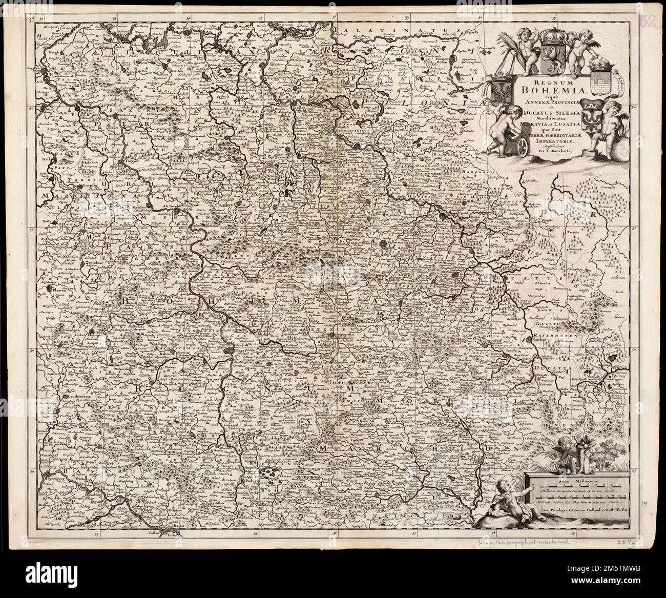 Regnum Bohemia, eique annexae provinciae ut Ducatus Silesia marchionatus Moravia, et Lusatia quae sunt terrae haereditariae imperatoris. Map of the historical Kingdom of Bohemia, in present day Czech Republic, eastern Germany and western Poland. Relief shown pictorially. Illustrated title cartouche. Cataloging, conservation, and digitization made possible in part by The National Endowment for the Humanities: Exploring the human endeavor. Part of composite portfolio atlas with title 'Collection of old maps.'.. Collection of old maps. Collection of old maps, Germany Poland Czech Republic , Bohe Stock Photohttps://www.alamy.com/image-license-details/?v=1https://www.alamy.com/regnum-bohemia-eique-annexae-provinciae-ut-ducatus-silesia-marchionatus-moravia-et-lusatia-quae-sunt-terrae-haereditariae-imperatoris-map-of-the-historical-kingdom-of-bohemia-in-present-day-czech-republic-eastern-germany-and-western-poland-relief-shown-pictorially-illustrated-title-cartouche-cataloging-conservation-and-digitization-made-possible-in-part-by-the-national-endowment-for-the-humanities-exploring-the-human-endeavor-part-of-composite-portfolio-atlas-with-title-collection-of-old-maps-collection-of-old-maps-collection-of-old-maps-germany-poland-czech-republic-bohe-image502717191.html
RM2M5TMWB–Regnum Bohemia, eique annexae provinciae ut Ducatus Silesia marchionatus Moravia, et Lusatia quae sunt terrae haereditariae imperatoris. Map of the historical Kingdom of Bohemia, in present day Czech Republic, eastern Germany and western Poland. Relief shown pictorially. Illustrated title cartouche. Cataloging, conservation, and digitization made possible in part by The National Endowment for the Humanities: Exploring the human endeavor. Part of composite portfolio atlas with title 'Collection of old maps.'.. Collection of old maps. Collection of old maps, Germany Poland Czech Republic , Bohe
 Book illustration: 'War map of Silesia 1741'. Unknown Stock Photohttps://www.alamy.com/image-license-details/?v=1https://www.alamy.com/book-illustration-war-map-of-silesia-1741-unknown-image471109800.html
RM2JACWA0–Book illustration: 'War map of Silesia 1741'. Unknown
 Battle at Landshut in Silesia on August 13 and 14, 1757. Ignaz Salzer (Saltzer), Copper Engraver Stock Photohttps://www.alamy.com/image-license-details/?v=1https://www.alamy.com/battle-at-landshut-in-silesia-on-august-13-and-14-1757-ignaz-salzer-saltzer-copper-engraver-image471110184.html
RM2JACWRM–Battle at Landshut in Silesia on August 13 and 14, 1757. Ignaz Salzer (Saltzer), Copper Engraver