South boston virginia map Stock Photos and Images
(35)See south boston virginia map stock video clipsQuick filters:
South boston virginia map Stock Photos and Images
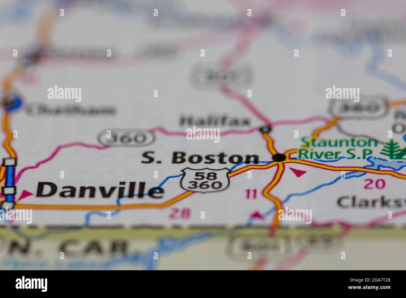 South Boston Virginia shown on a road map or Geography map Stock Photohttps://www.alamy.com/image-license-details/?v=1https://www.alamy.com/south-boston-virginia-shown-on-a-road-map-or-geography-map-image436578304.html
RM2GA7T28–South Boston Virginia shown on a road map or Geography map
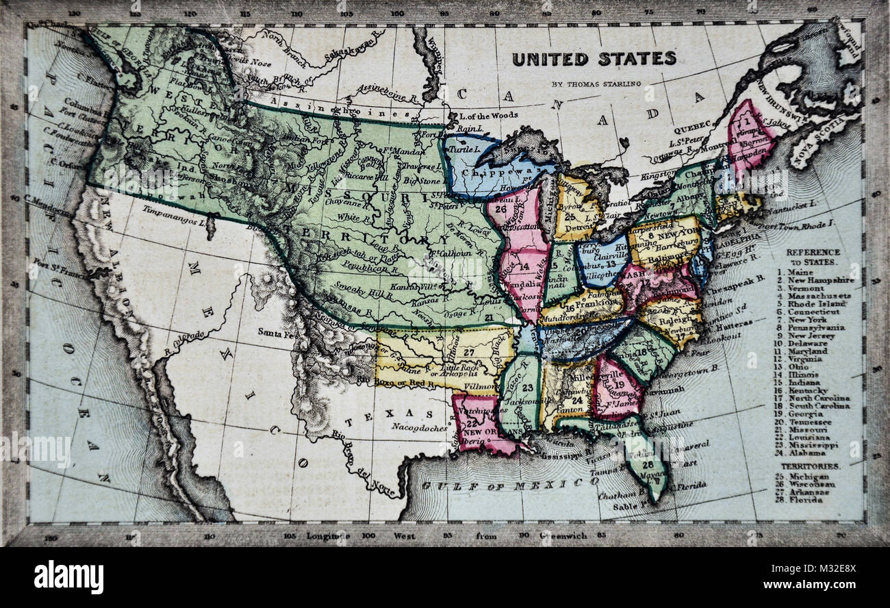 Starling 1834 Map - United States Missouri Territory Stock Photohttps://www.alamy.com/image-license-details/?v=1https://www.alamy.com/stock-photo-starling-1834-map-united-states-missouri-territory-174002778.html
RFM32E8X–Starling 1834 Map - United States Missouri Territory
 South Boston, Halifax County, US, United States, Virginia, N 36 41' 55'', S 78 54' 5'', map, Cartascapes Map published in 2024. Explore Cartascapes, a map revealing Earth's diverse landscapes, cultures, and ecosystems. Journey through time and space, discovering the interconnectedness of our planet's past, present, and future. Stock Photohttps://www.alamy.com/image-license-details/?v=1https://www.alamy.com/south-boston-halifax-county-us-united-states-virginia-n-36-41-55-s-78-54-5-map-cartascapes-map-published-in-2024-explore-cartascapes-a-map-revealing-earths-diverse-landscapes-cultures-and-ecosystems-journey-through-time-and-space-discovering-the-interconnectedness-of-our-planets-past-present-and-future-image620788872.html
RM2Y1YAF4–South Boston, Halifax County, US, United States, Virginia, N 36 41' 55'', S 78 54' 5'', map, Cartascapes Map published in 2024. Explore Cartascapes, a map revealing Earth's diverse landscapes, cultures, and ecosystems. Journey through time and space, discovering the interconnectedness of our planet's past, present, and future.
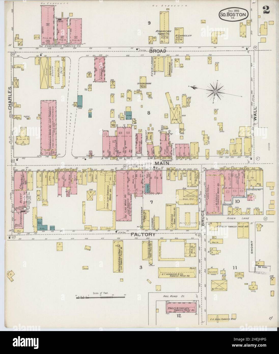 Sanborn Fire Insurance Map from South Boston, Halifax County, Virginia. Stock Photohttps://www.alamy.com/image-license-details/?v=1https://www.alamy.com/sanborn-fire-insurance-map-from-south-boston-halifax-county-virginia-image456483848.html
RM2HEJHPG–Sanborn Fire Insurance Map from South Boston, Halifax County, Virginia.
 Illustrated Richmond; souvenir, guide, and official map, containing elaborate list of Richmond views, with guide to points of interest, hotels, clubs, theatres, etc., and comprehensive historical sketch . White ak Coal (Jo.s Plant, Twelfth and Byrd streetsThe largest coal terminal in the South for supplying the city of Richmond. General Offices : Macdonald, West Virginia. Branches al Richmond, Washington, Cincinnati, Chicago, Detroit,Boston and Newport News. Richmond Office, 903 E. Main Street. Phones 2682 and 4216.. Stock Photohttps://www.alamy.com/image-license-details/?v=1https://www.alamy.com/illustrated-richmond-souvenir-guide-and-official-map-containing-elaborate-list-of-richmond-views-with-guide-to-points-of-interest-hotels-clubs-theatres-etc-and-comprehensive-historical-sketch-white-ak-coal-jos-plant-twelfth-and-byrd-streetsthe-largest-coal-terminal-in-the-south-for-supplying-the-city-of-richmond-general-offices-macdonald-west-virginia-branches-al-richmond-washington-cincinnati-chicago-detroitboston-and-newport-news-richmond-office-903-e-main-street-phones-2682-and-4216-image338229421.html
RM2AJ7K25–Illustrated Richmond; souvenir, guide, and official map, containing elaborate list of Richmond views, with guide to points of interest, hotels, clubs, theatres, etc., and comprehensive historical sketch . White ak Coal (Jo.s Plant, Twelfth and Byrd streetsThe largest coal terminal in the South for supplying the city of Richmond. General Offices : Macdonald, West Virginia. Branches al Richmond, Washington, Cincinnati, Chicago, Detroit,Boston and Newport News. Richmond Office, 903 E. Main Street. Phones 2682 and 4216..
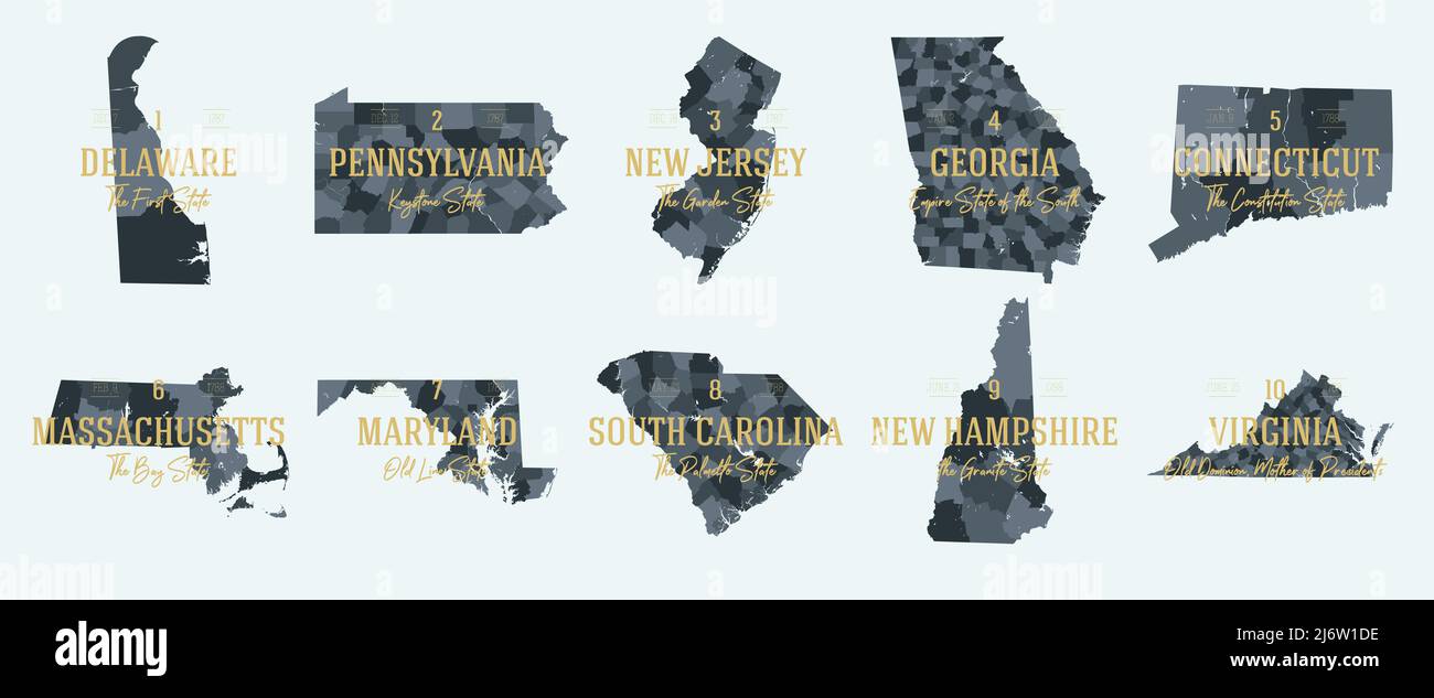 Set 1 of 5 Division United States into counties, political and geographic subdivisions of a states, Highly detailed vector maps with names and territo Stock Vectorhttps://www.alamy.com/image-license-details/?v=1https://www.alamy.com/set-1-of-5-division-united-states-into-counties-political-and-geographic-subdivisions-of-a-states-highly-detailed-vector-maps-with-names-and-territo-image468917834.html
RF2J6W1DE–Set 1 of 5 Division United States into counties, political and geographic subdivisions of a states, Highly detailed vector maps with names and territo
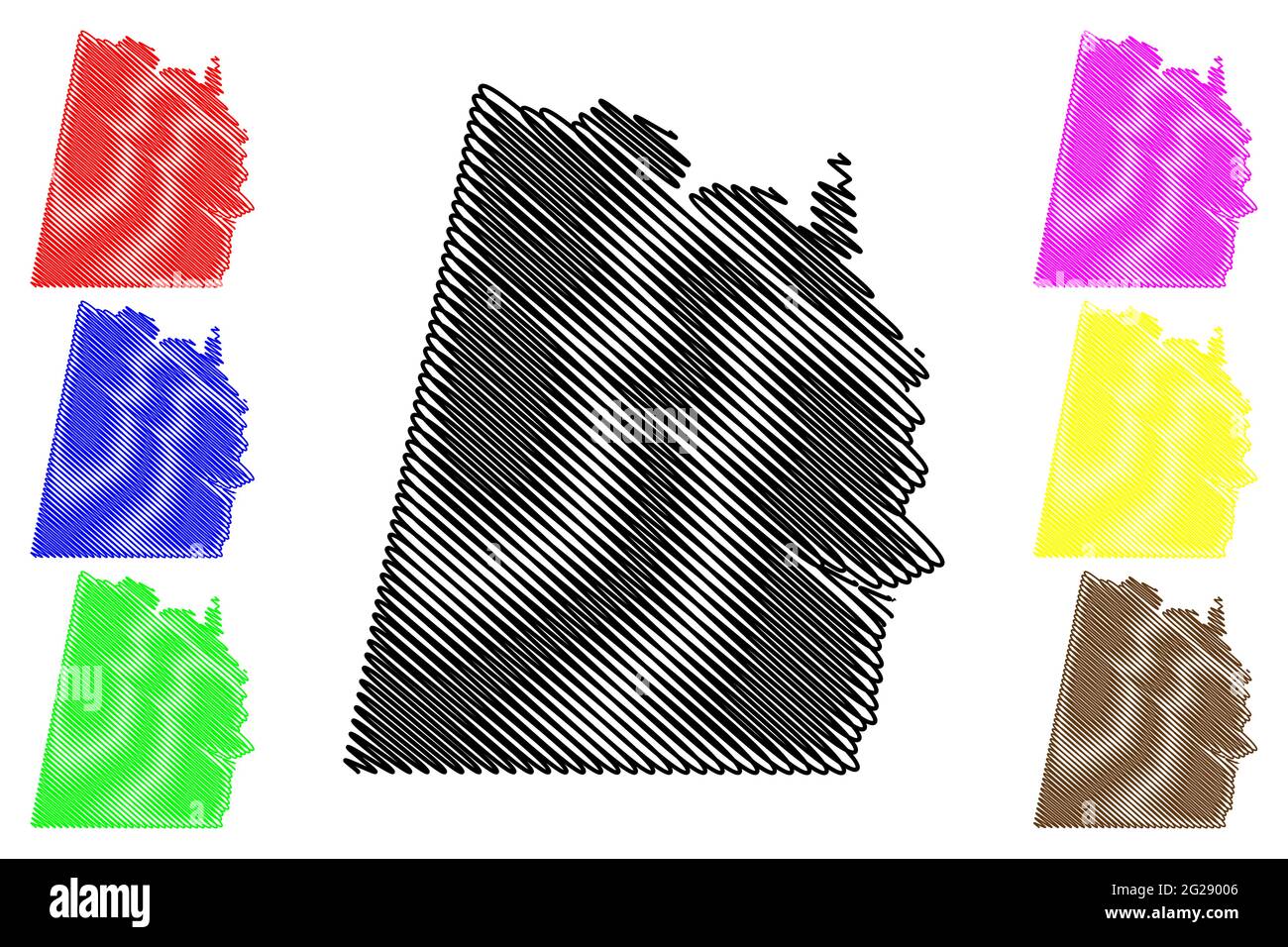 Halifax County, Commonwealth of Virginia (U.S. county, United States of America, USA, U.S., US) map vector illustration, scribble sketch Halifax map Stock Vectorhttps://www.alamy.com/image-license-details/?v=1https://www.alamy.com/halifax-county-commonwealth-of-virginia-us-county-united-states-of-america-usa-us-us-map-vector-illustration-scribble-sketch-halifax-map-image431686086.html
RF2G29006–Halifax County, Commonwealth of Virginia (U.S. county, United States of America, USA, U.S., US) map vector illustration, scribble sketch Halifax map
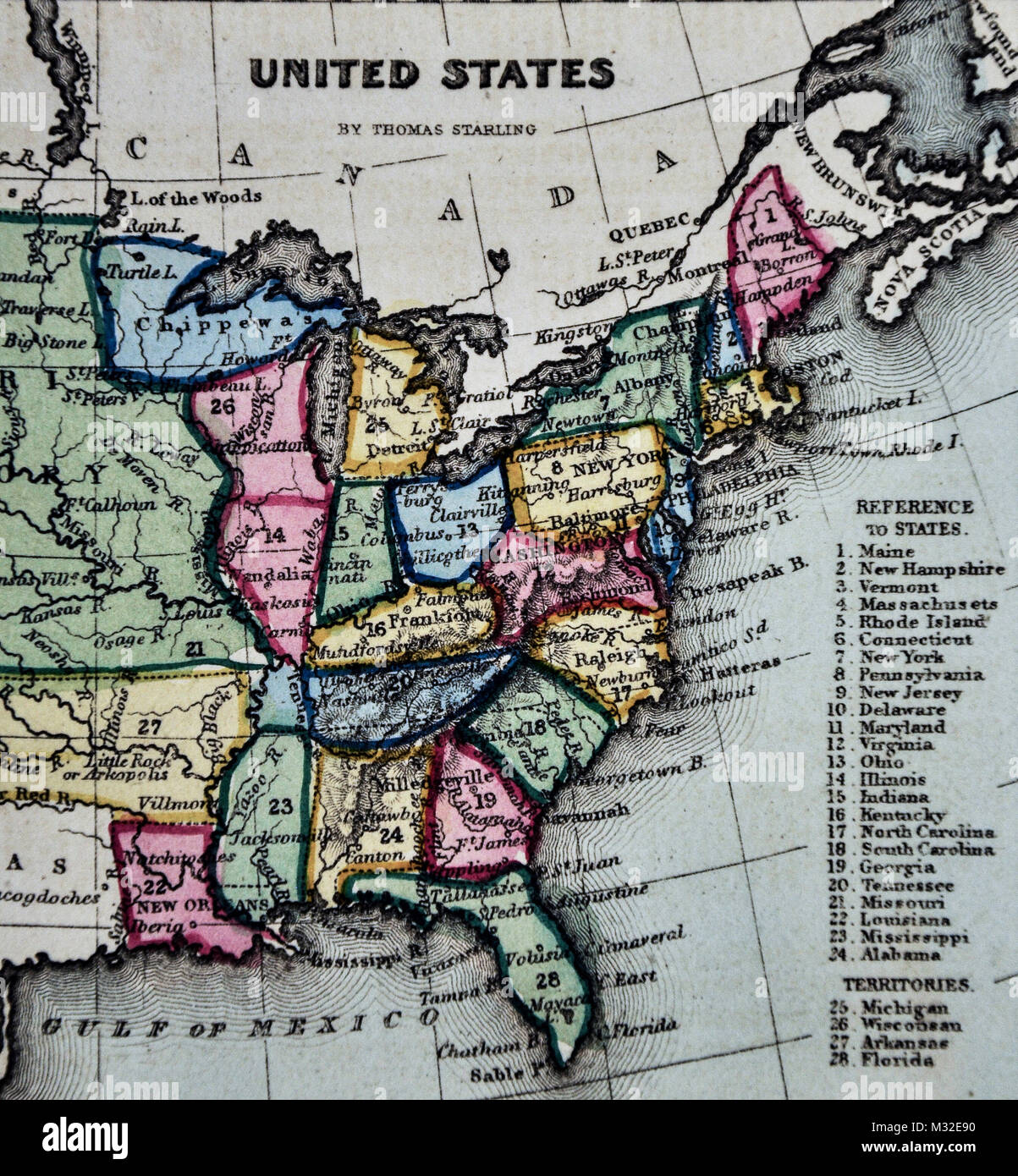 Starling 1834 Map - United States Missouri Territory Stock Photohttps://www.alamy.com/image-license-details/?v=1https://www.alamy.com/stock-photo-starling-1834-map-united-states-missouri-territory-174002780.html
RFM32E90–Starling 1834 Map - United States Missouri Territory
 South Boston, Halifax County, US, United States, Virginia, N 36 41' 55'', S 78 54' 5'', map, Cartascapes Map published in 2024. Explore Cartascapes, a map revealing Earth's diverse landscapes, cultures, and ecosystems. Journey through time and space, discovering the interconnectedness of our planet's past, present, and future. Stock Photohttps://www.alamy.com/image-license-details/?v=1https://www.alamy.com/south-boston-halifax-county-us-united-states-virginia-n-36-41-55-s-78-54-5-map-cartascapes-map-published-in-2024-explore-cartascapes-a-map-revealing-earths-diverse-landscapes-cultures-and-ecosystems-journey-through-time-and-space-discovering-the-interconnectedness-of-our-planets-past-present-and-future-image620683594.html
RM2Y1PG76–South Boston, Halifax County, US, United States, Virginia, N 36 41' 55'', S 78 54' 5'', map, Cartascapes Map published in 2024. Explore Cartascapes, a map revealing Earth's diverse landscapes, cultures, and ecosystems. Journey through time and space, discovering the interconnectedness of our planet's past, present, and future.
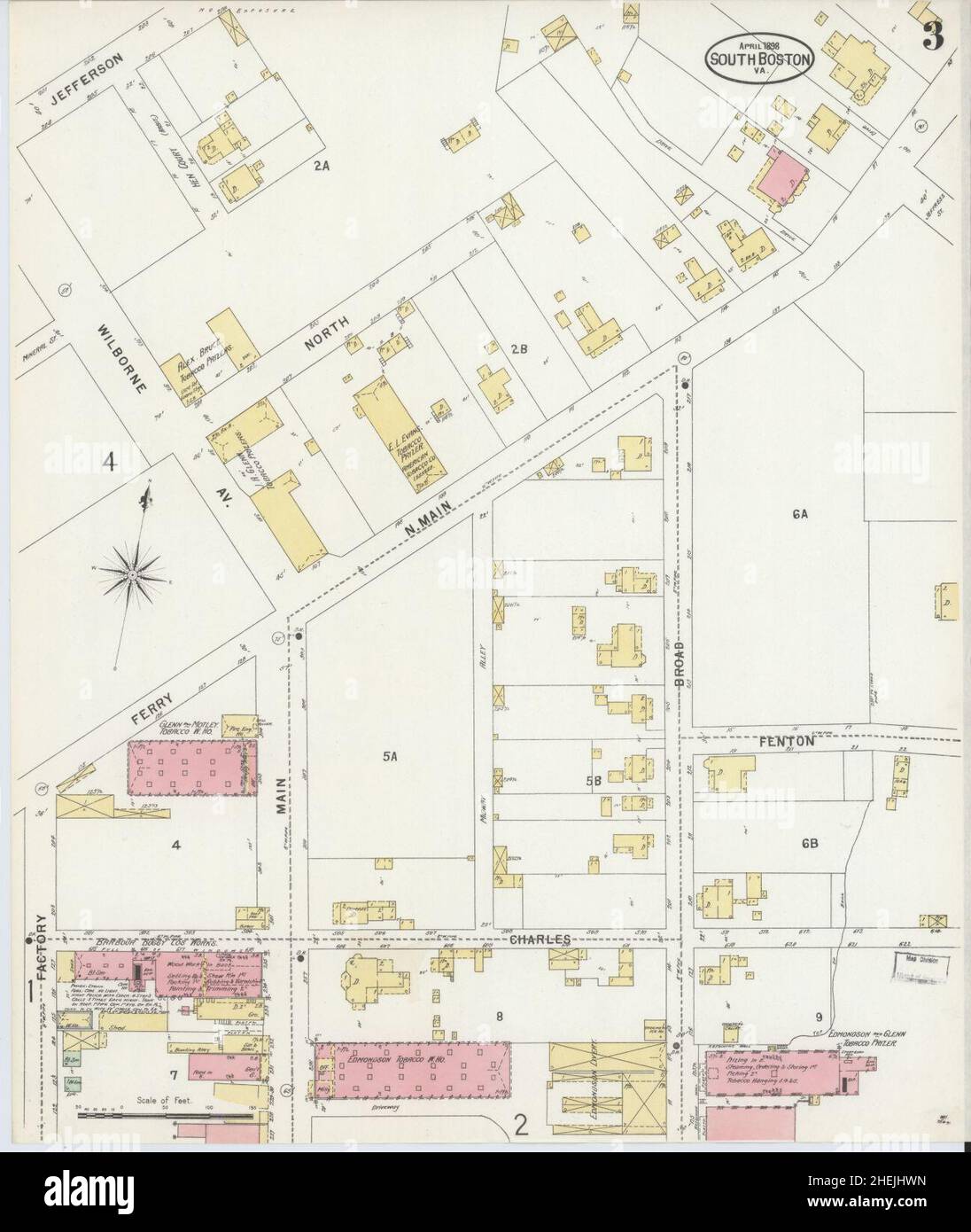 Sanborn Fire Insurance Map from South Boston, Halifax County, Virginia. Stock Photohttps://www.alamy.com/image-license-details/?v=1https://www.alamy.com/sanborn-fire-insurance-map-from-south-boston-halifax-county-virginia-image456483937.html
RM2HEJHWN–Sanborn Fire Insurance Map from South Boston, Halifax County, Virginia.
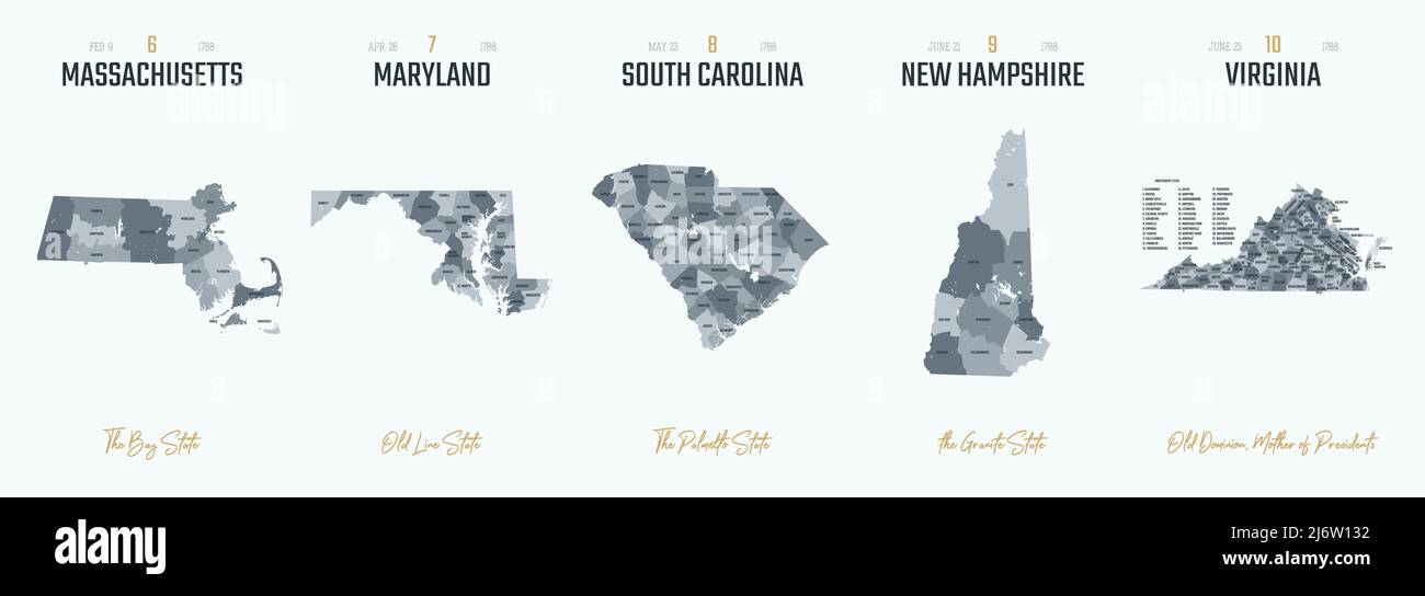 Vector set 2 of 10 Highly detailed silhouettes of US state maps, divided into counties with names and territory nicknames Stock Vectorhttps://www.alamy.com/image-license-details/?v=1https://www.alamy.com/vector-set-2-of-10-highly-detailed-silhouettes-of-us-state-maps-divided-into-counties-with-names-and-territory-nicknames-image468917542.html
RF2J6W132–Vector set 2 of 10 Highly detailed silhouettes of US state maps, divided into counties with names and territory nicknames
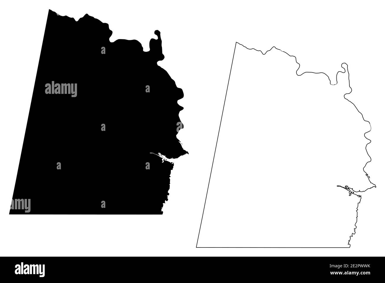 Halifax County, Commonwealth of Virginia (U.S. county, United States of America, USA, U.S., US) map vector illustration, scribble sketch Halifax map Stock Vectorhttps://www.alamy.com/image-license-details/?v=1https://www.alamy.com/halifax-county-commonwealth-of-virginia-us-county-united-states-of-america-usa-us-us-map-vector-illustration-scribble-sketch-halifax-map-image397571039.html
RF2E2PWWK–Halifax County, Commonwealth of Virginia (U.S. county, United States of America, USA, U.S., US) map vector illustration, scribble sketch Halifax map
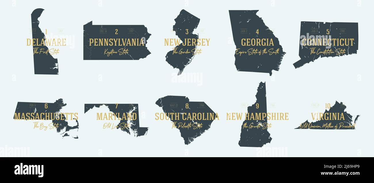 Set 1 of 5 Highly detailed vector silhouettes of USA state maps with names and territory nicknames Stock Vectorhttps://www.alamy.com/image-license-details/?v=1https://www.alamy.com/set-1-of-5-highly-detailed-vector-silhouettes-of-usa-state-maps-with-names-and-territory-nicknames-image468579393.html
RF2J69HP9–Set 1 of 5 Highly detailed vector silhouettes of USA state maps with names and territory nicknames
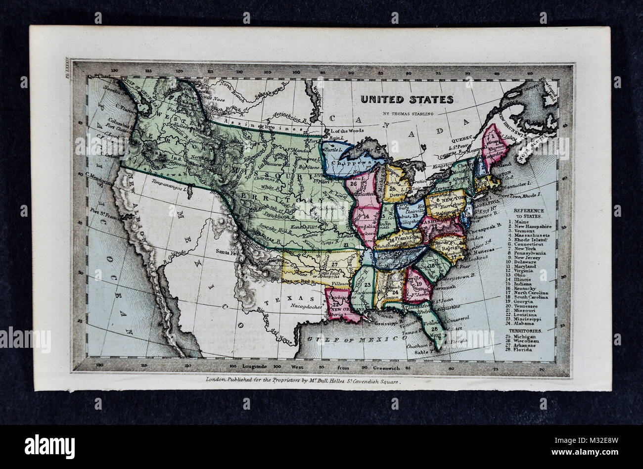 Starling 1834 Map - United States Missouri Territory Stock Photohttps://www.alamy.com/image-license-details/?v=1https://www.alamy.com/stock-photo-starling-1834-map-united-states-missouri-territory-174002777.html
RFM32E8W–Starling 1834 Map - United States Missouri Territory
 Town of South Boston, Halifax County, US, United States, Virginia, N 36 42' 47'', S 78 54' 48'', map, Cartascapes Map published in 2024. Explore Cartascapes, a map revealing Earth's diverse landscapes, cultures, and ecosystems. Journey through time and space, discovering the interconnectedness of our planet's past, present, and future. Stock Photohttps://www.alamy.com/image-license-details/?v=1https://www.alamy.com/town-of-south-boston-halifax-county-us-united-states-virginia-n-36-42-47-s-78-54-48-map-cartascapes-map-published-in-2024-explore-cartascapes-a-map-revealing-earths-diverse-landscapes-cultures-and-ecosystems-journey-through-time-and-space-discovering-the-interconnectedness-of-our-planets-past-present-and-future-image633865934.html
RM2YR72D2–Town of South Boston, Halifax County, US, United States, Virginia, N 36 42' 47'', S 78 54' 48'', map, Cartascapes Map published in 2024. Explore Cartascapes, a map revealing Earth's diverse landscapes, cultures, and ecosystems. Journey through time and space, discovering the interconnectedness of our planet's past, present, and future.
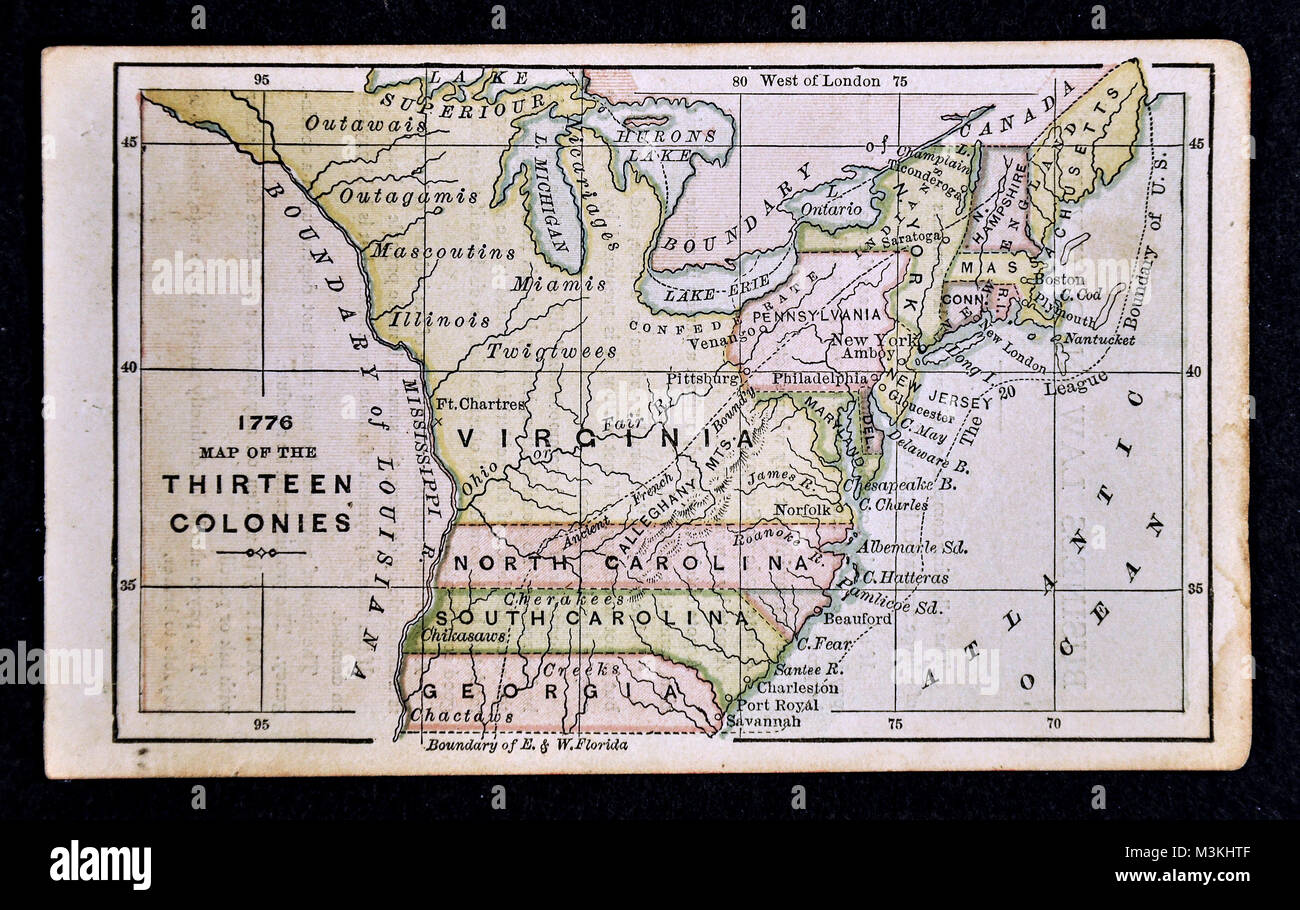 1882 Bradstreet Atlas Map - United States Thirteen Colonies 1776 Stock Photohttps://www.alamy.com/image-license-details/?v=1https://www.alamy.com/stock-photo-1882-bradstreet-atlas-map-united-states-thirteen-colonies-1776-174378751.html
RFM3KHTF–1882 Bradstreet Atlas Map - United States Thirteen Colonies 1776
 Sanborn Fire Insurance Map from South Boston, Halifax County, Virginia. Stock Photohttps://www.alamy.com/image-license-details/?v=1https://www.alamy.com/sanborn-fire-insurance-map-from-south-boston-halifax-county-virginia-image456483928.html
RM2HEJHWC–Sanborn Fire Insurance Map from South Boston, Halifax County, Virginia.
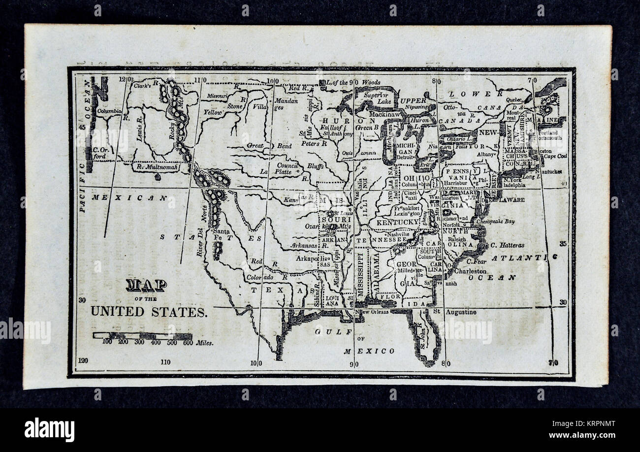 1830 Nathan Hale Map of the United States of America showing 24 States and the Western Missouri Territory Stock Photohttps://www.alamy.com/image-license-details/?v=1https://www.alamy.com/stock-image-1830-nathan-hale-map-of-the-united-states-of-america-showing-24-states-169530392.html
RFKRPNMT–1830 Nathan Hale Map of the United States of America showing 24 States and the Western Missouri Territory
 Halifax County, Commonwealth of Virginia (U.S. county, United States of America, USA, U.S., US) map vector illustration, scribble sketch Halifax map Stock Vectorhttps://www.alamy.com/image-license-details/?v=1https://www.alamy.com/halifax-county-commonwealth-of-virginia-us-county-united-states-of-america-usa-us-us-map-vector-illustration-scribble-sketch-halifax-map-image418148421.html
RF2F888G5–Halifax County, Commonwealth of Virginia (U.S. county, United States of America, USA, U.S., US) map vector illustration, scribble sketch Halifax map
 City of South Boston (historical), Halifax County, US, United States, Virginia, N 36 41' 55'', S 78 54' 5'', map, Cartascapes Map published in 2024. Explore Cartascapes, a map revealing Earth's diverse landscapes, cultures, and ecosystems. Journey through time and space, discovering the interconnectedness of our planet's past, present, and future. Stock Photohttps://www.alamy.com/image-license-details/?v=1https://www.alamy.com/city-of-south-boston-historical-halifax-county-us-united-states-virginia-n-36-41-55-s-78-54-5-map-cartascapes-map-published-in-2024-explore-cartascapes-a-map-revealing-earths-diverse-landscapes-cultures-and-ecosystems-journey-through-time-and-space-discovering-the-interconnectedness-of-our-planets-past-present-and-future-image633866523.html
RM2YR7363–City of South Boston (historical), Halifax County, US, United States, Virginia, N 36 41' 55'', S 78 54' 5'', map, Cartascapes Map published in 2024. Explore Cartascapes, a map revealing Earth's diverse landscapes, cultures, and ecosystems. Journey through time and space, discovering the interconnectedness of our planet's past, present, and future.
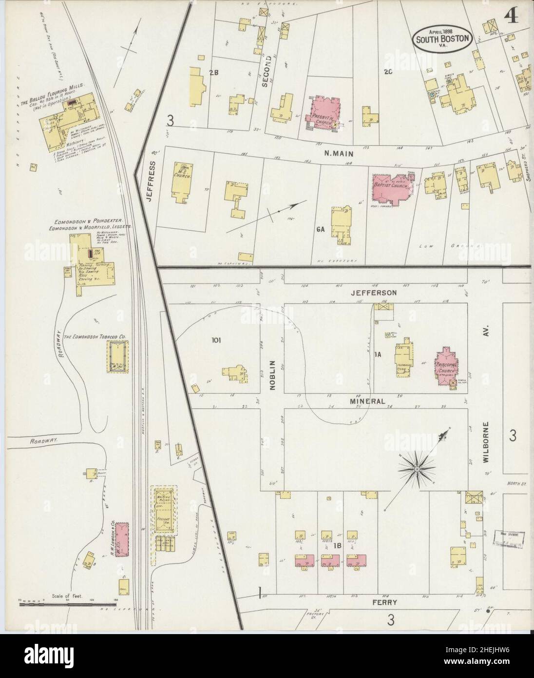 Sanborn Fire Insurance Map from South Boston, Halifax County, Virginia. Stock Photohttps://www.alamy.com/image-license-details/?v=1https://www.alamy.com/sanborn-fire-insurance-map-from-south-boston-halifax-county-virginia-image456483922.html
RM2HEJHW6–Sanborn Fire Insurance Map from South Boston, Halifax County, Virginia.
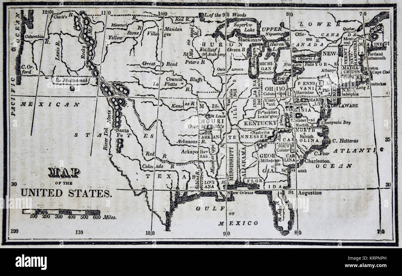 1830 Nathan Hale Map of the United States of America showing 24 States and the Western Missouri Territory Stock Photohttps://www.alamy.com/image-license-details/?v=1https://www.alamy.com/stock-image-1830-nathan-hale-map-of-the-united-states-of-america-showing-24-states-169530441.html
RFKRPNPH–1830 Nathan Hale Map of the United States of America showing 24 States and the Western Missouri Territory
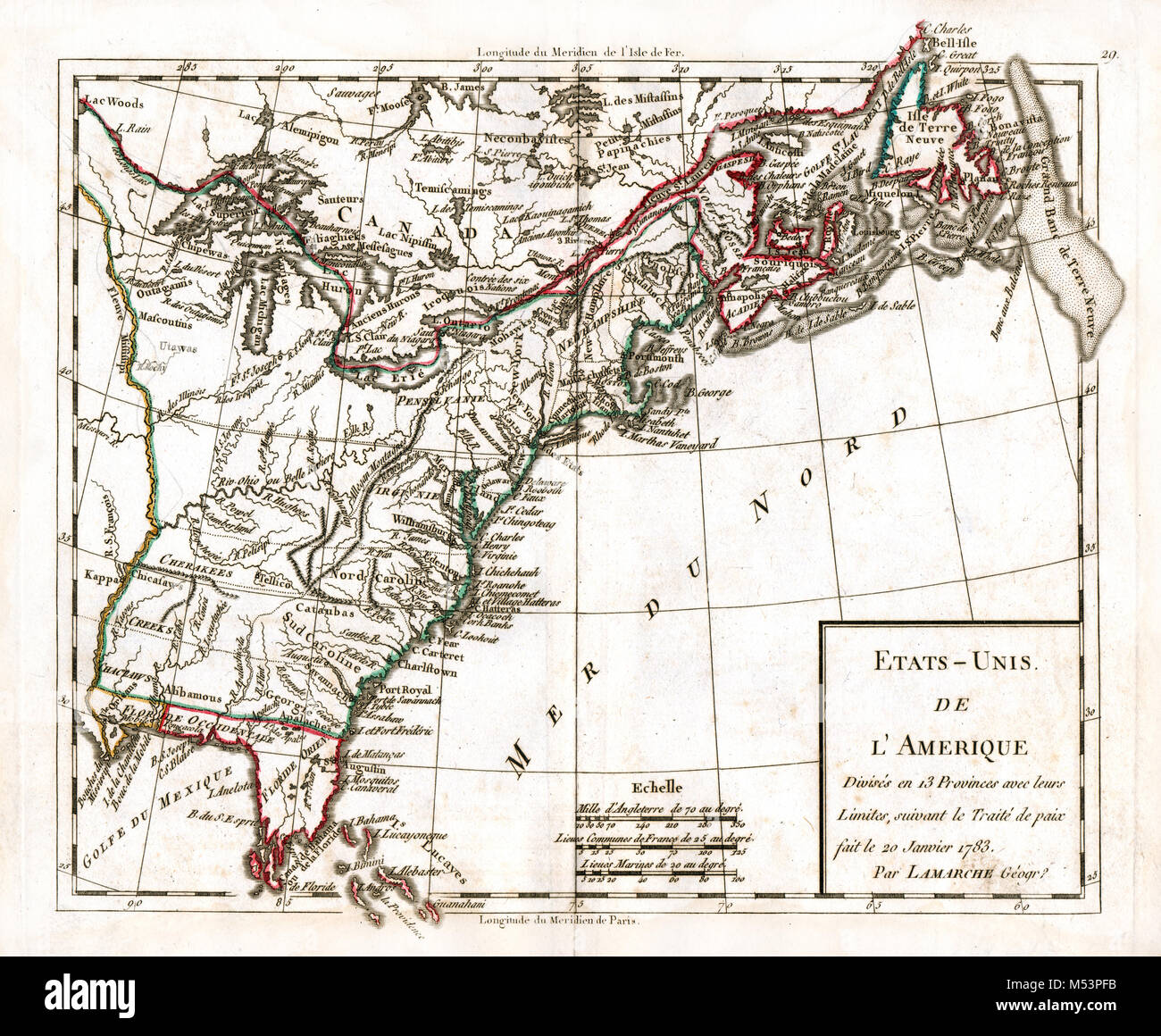 1783 Delamarche Atlas Map - United States of America - Original 13 Colonies 1783 Peace Treaty - American Revolution Stock Photohttps://www.alamy.com/image-license-details/?v=1https://www.alamy.com/stock-photo-1783-delamarche-atlas-map-united-states-of-america-original-13-colonies-175260495.html
RFM53PFB–1783 Delamarche Atlas Map - United States of America - Original 13 Colonies 1783 Peace Treaty - American Revolution
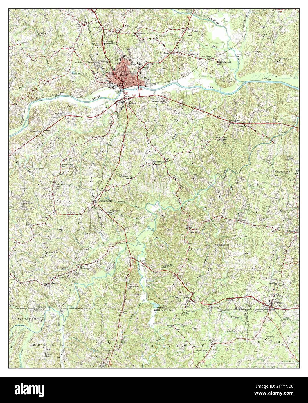 South Boston, Virginia, map 1957, 1:62500, United States of America by Timeless Maps, data U.S. Geological Survey Stock Photohttps://www.alamy.com/image-license-details/?v=1https://www.alamy.com/south-boston-virginia-map-1957-162500-united-states-of-america-by-timeless-maps-data-us-geological-survey-image414272972.html
RM2F1YNB8–South Boston, Virginia, map 1957, 1:62500, United States of America by Timeless Maps, data U.S. Geological Survey
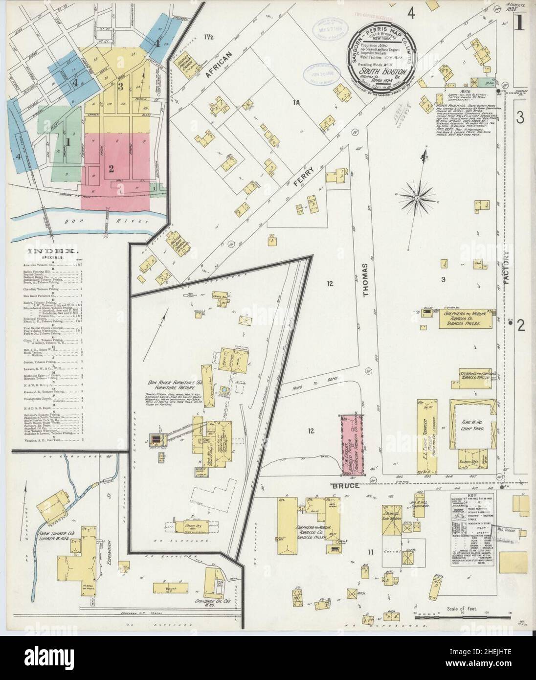 Sanborn Fire Insurance Map from South Boston, Halifax County, Virginia. Stock Photohttps://www.alamy.com/image-license-details/?v=1https://www.alamy.com/sanborn-fire-insurance-map-from-south-boston-halifax-county-virginia-image456483902.html
RM2HEJHTE–Sanborn Fire Insurance Map from South Boston, Halifax County, Virginia.
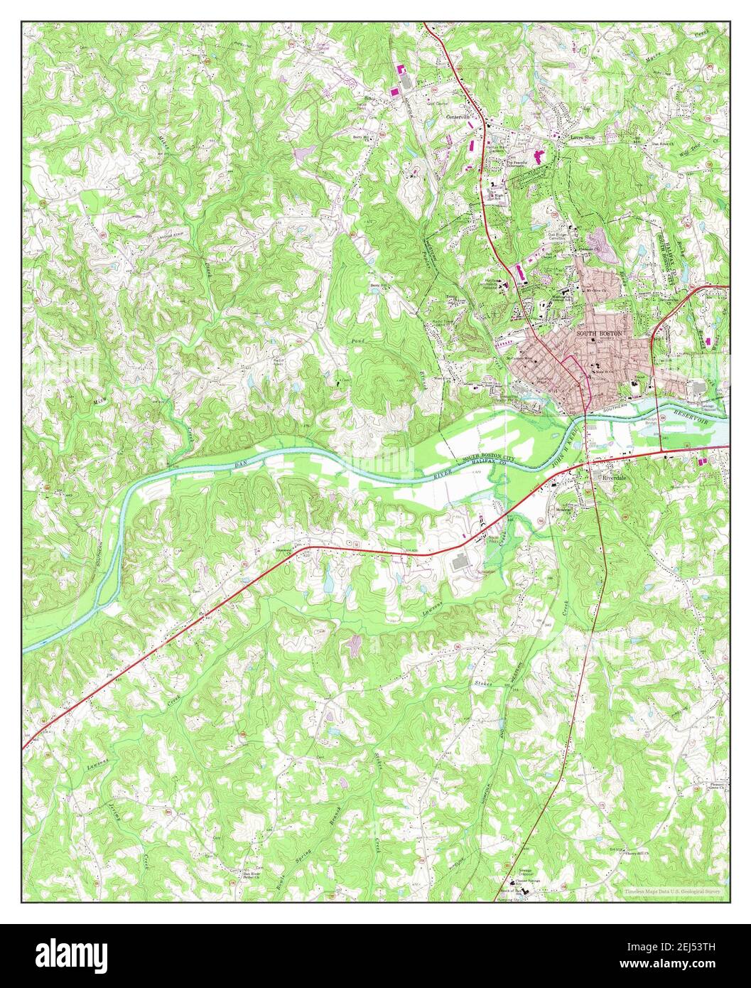 South Boston, Virginia, map 1969, 1:24000, United States of America by Timeless Maps, data U.S. Geological Survey Stock Photohttps://www.alamy.com/image-license-details/?v=1https://www.alamy.com/south-boston-virginia-map-1969-124000-united-states-of-america-by-timeless-maps-data-us-geological-survey-image407015073.html
RM2EJ53TH–South Boston, Virginia, map 1969, 1:24000, United States of America by Timeless Maps, data U.S. Geological Survey
 Sanborn Fire Insurance Map from South Boston, Halifax County, Virginia. Stock Photohttps://www.alamy.com/image-license-details/?v=1https://www.alamy.com/sanborn-fire-insurance-map-from-south-boston-halifax-county-virginia-image456483945.html
RM2HEJHX1–Sanborn Fire Insurance Map from South Boston, Halifax County, Virginia.
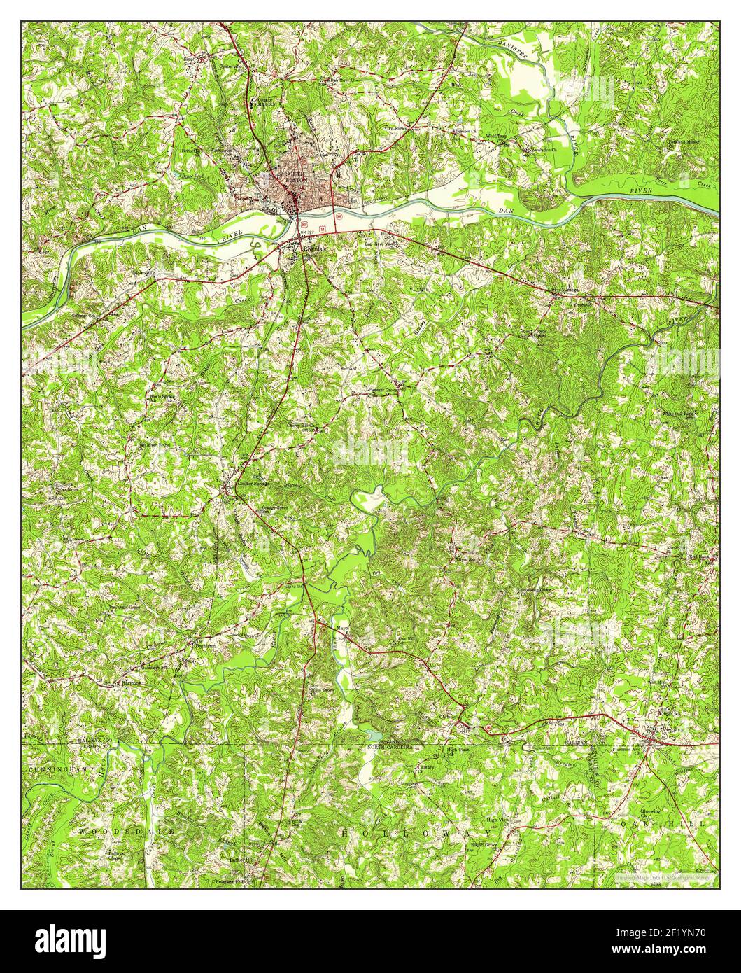 South Boston, Virginia, map 1957, 1:62500, United States of America by Timeless Maps, data U.S. Geological Survey Stock Photohttps://www.alamy.com/image-license-details/?v=1https://www.alamy.com/south-boston-virginia-map-1957-162500-united-states-of-america-by-timeless-maps-data-us-geological-survey-image414272852.html
RM2F1YN70–South Boston, Virginia, map 1957, 1:62500, United States of America by Timeless Maps, data U.S. Geological Survey
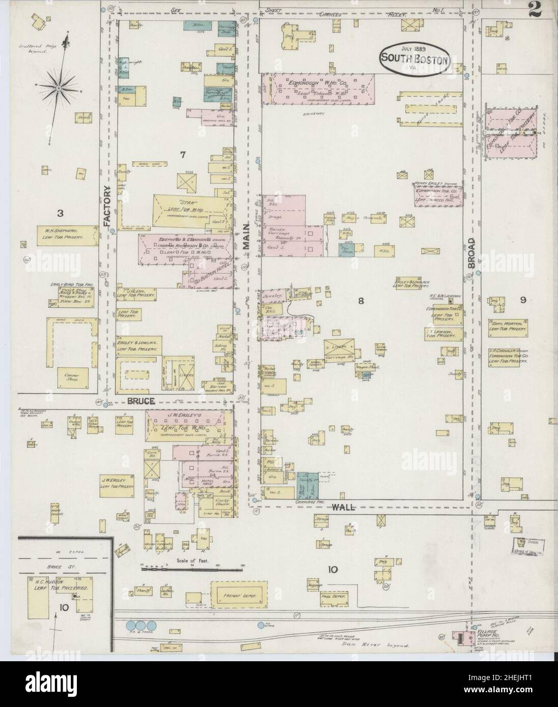 Sanborn Fire Insurance Map from South Boston, Halifax County, Virginia. Stock Photohttps://www.alamy.com/image-license-details/?v=1https://www.alamy.com/sanborn-fire-insurance-map-from-south-boston-halifax-county-virginia-image456483889.html
RM2HEJHT1–Sanborn Fire Insurance Map from South Boston, Halifax County, Virginia.
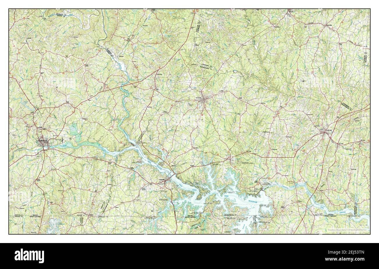 South Boston, Virginia, map 1984, 1:100000, United States of America by Timeless Maps, data U.S. Geological Survey Stock Photohttps://www.alamy.com/image-license-details/?v=1https://www.alamy.com/south-boston-virginia-map-1984-1100000-united-states-of-america-by-timeless-maps-data-us-geological-survey-image407015077.html
RM2EJ53TN–South Boston, Virginia, map 1984, 1:100000, United States of America by Timeless Maps, data U.S. Geological Survey
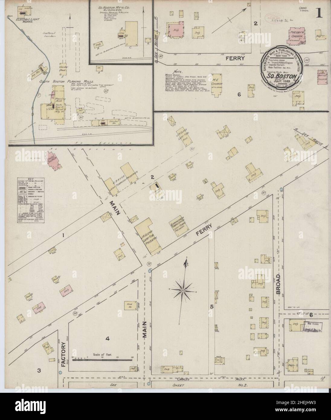 Sanborn Fire Insurance Map from South Boston, Halifax County, Virginia. Stock Photohttps://www.alamy.com/image-license-details/?v=1https://www.alamy.com/sanborn-fire-insurance-map-from-south-boston-halifax-county-virginia-image456483919.html
RM2HEJHW3–Sanborn Fire Insurance Map from South Boston, Halifax County, Virginia.
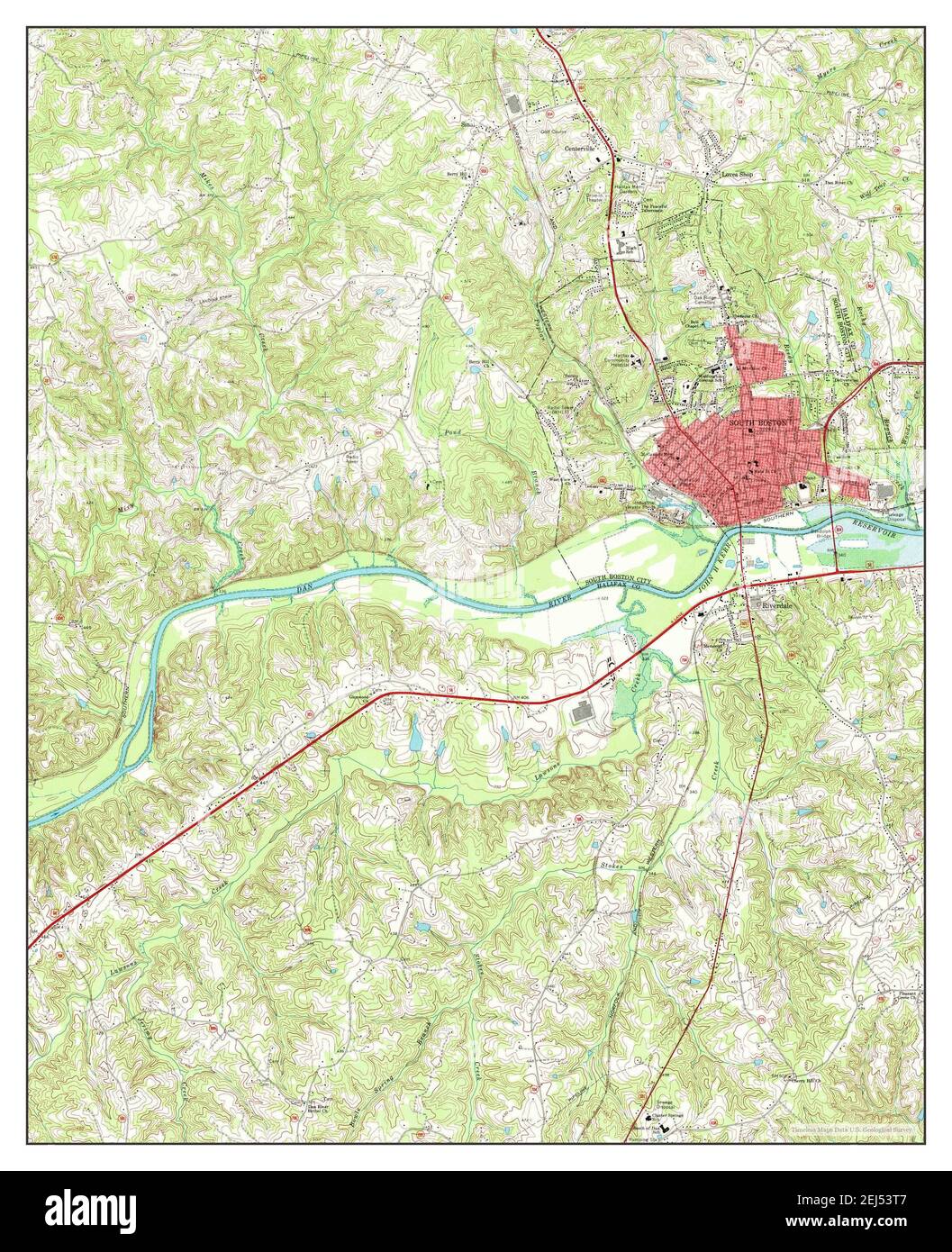 South Boston, Virginia, map 1969, 1:24000, United States of America by Timeless Maps, data U.S. Geological Survey Stock Photohttps://www.alamy.com/image-license-details/?v=1https://www.alamy.com/south-boston-virginia-map-1969-124000-united-states-of-america-by-timeless-maps-data-us-geological-survey-image407015063.html
RM2EJ53T7–South Boston, Virginia, map 1969, 1:24000, United States of America by Timeless Maps, data U.S. Geological Survey
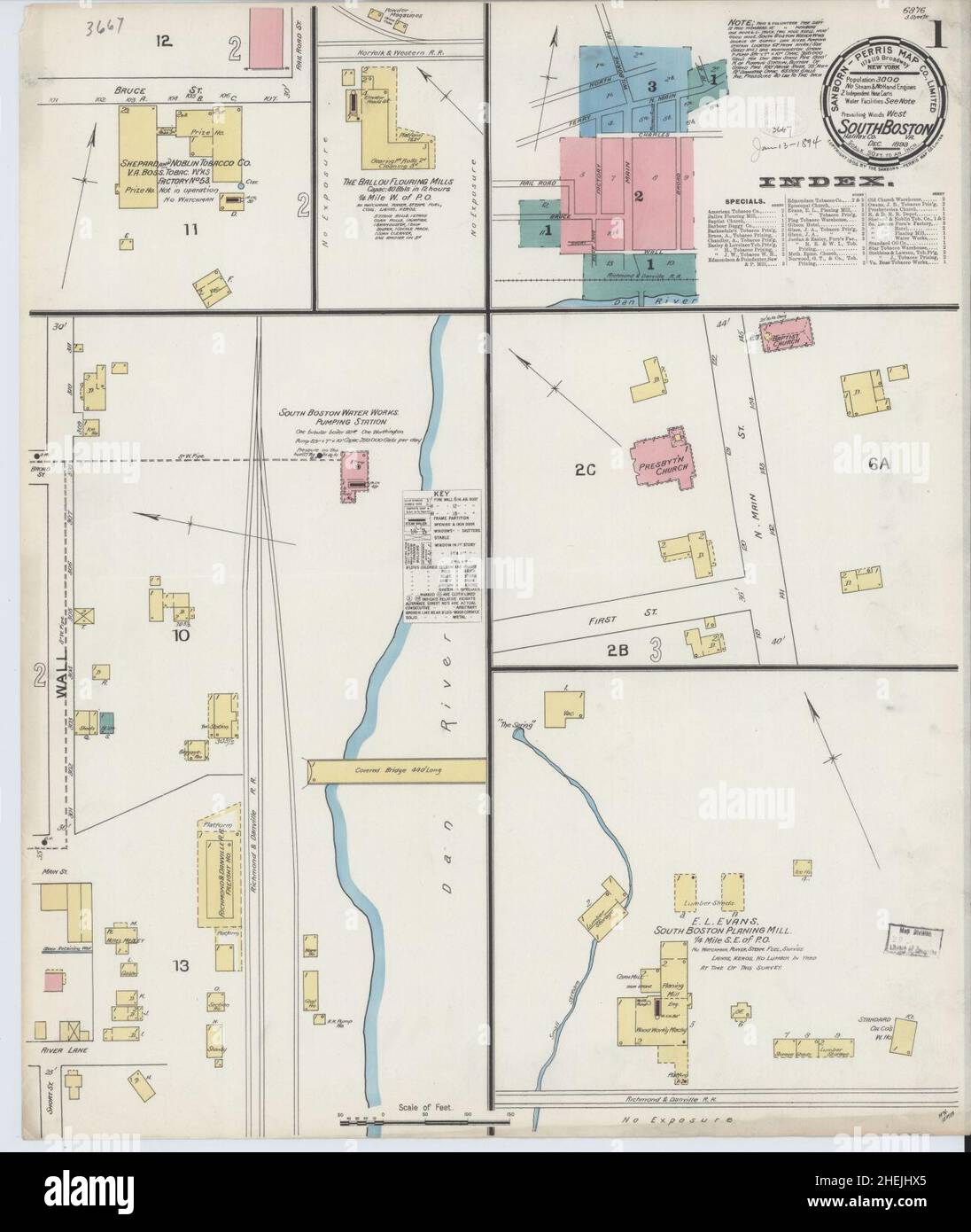 Sanborn Fire Insurance Map from South Boston, Halifax County, Virginia. Stock Photohttps://www.alamy.com/image-license-details/?v=1https://www.alamy.com/sanborn-fire-insurance-map-from-south-boston-halifax-county-virginia-image456483949.html
RM2HEJHX5–Sanborn Fire Insurance Map from South Boston, Halifax County, Virginia.
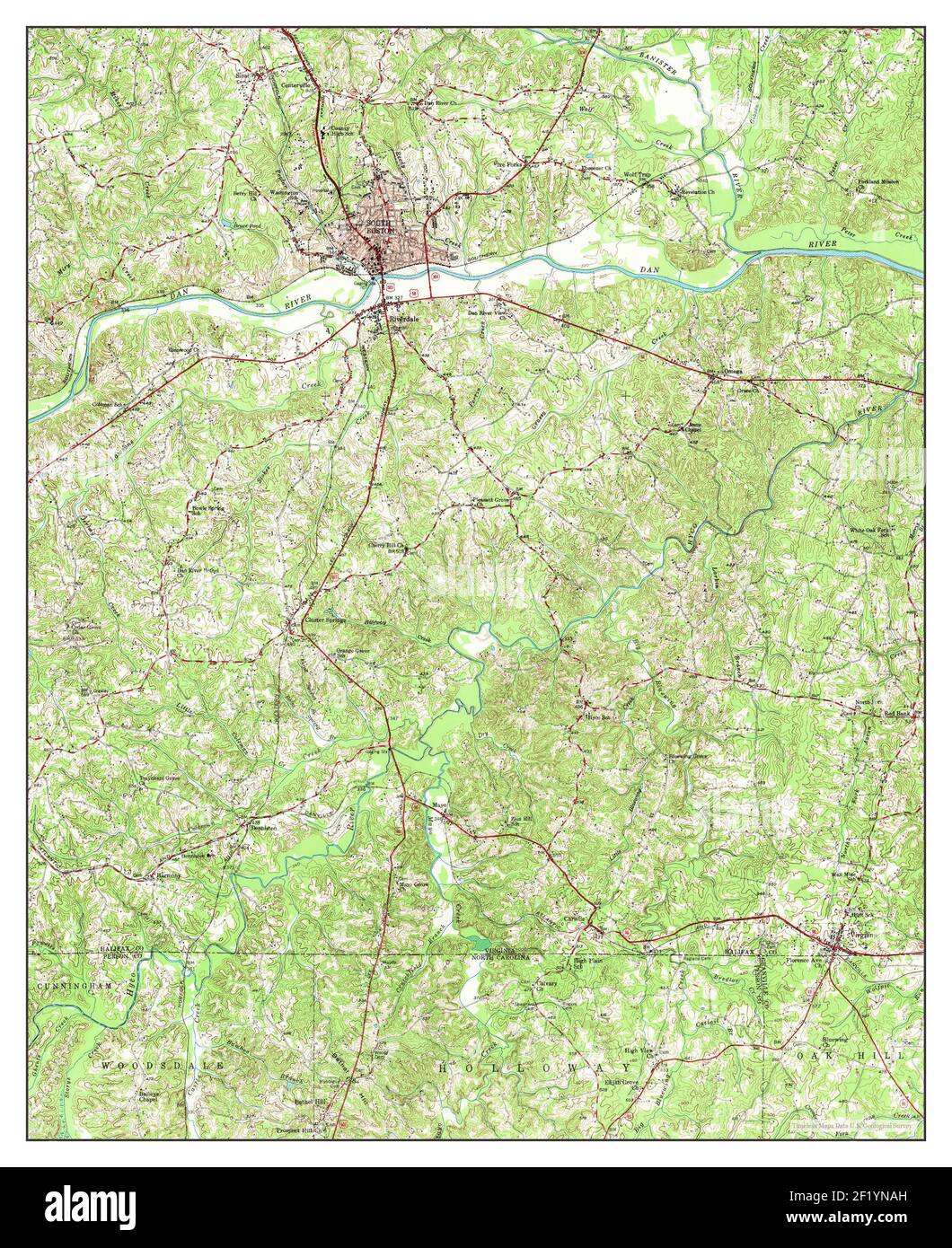 South Boston, Virginia, map 1957, 1:62500, United States of America by Timeless Maps, data U.S. Geological Survey Stock Photohttps://www.alamy.com/image-license-details/?v=1https://www.alamy.com/south-boston-virginia-map-1957-162500-united-states-of-america-by-timeless-maps-data-us-geological-survey-image414272953.html
RM2F1YNAH–South Boston, Virginia, map 1957, 1:62500, United States of America by Timeless Maps, data U.S. Geological Survey
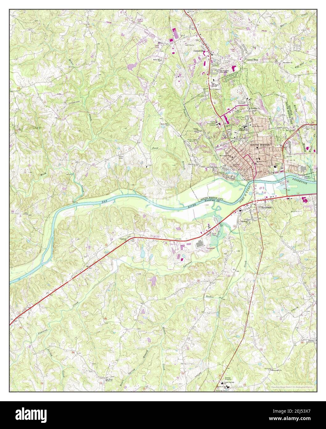 South Boston, Virginia, map 1969, 1:24000, United States of America by Timeless Maps, data U.S. Geological Survey Stock Photohttps://www.alamy.com/image-license-details/?v=1https://www.alamy.com/south-boston-virginia-map-1969-124000-united-states-of-america-by-timeless-maps-data-us-geological-survey-image407015119.html
RM2EJ53X7–South Boston, Virginia, map 1969, 1:24000, United States of America by Timeless Maps, data U.S. Geological Survey