Quick filters:
Spalding map Stock Photos and Images
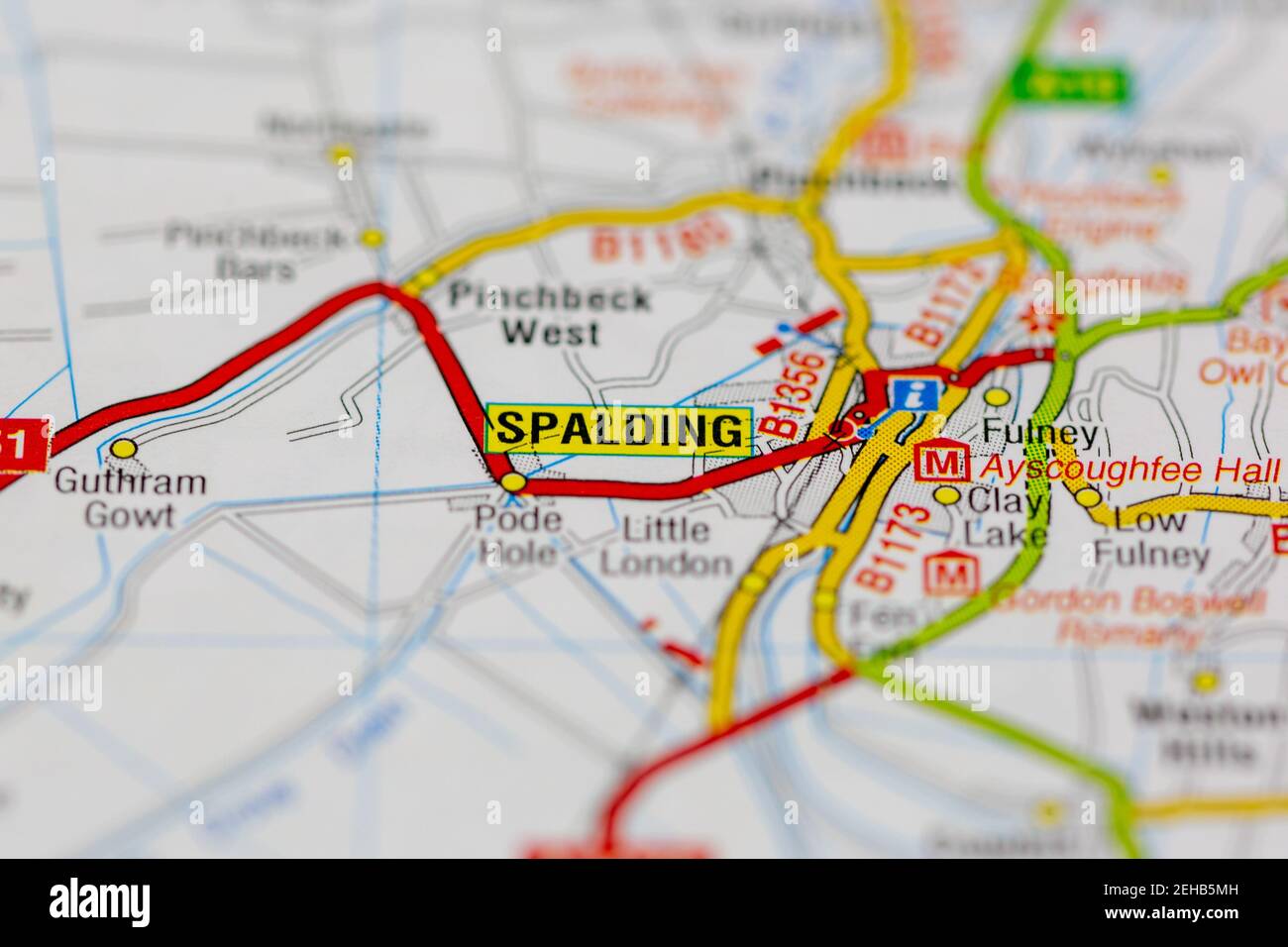 Spalding and surrounding areas shown on a road map or Geography map Stock Photohttps://www.alamy.com/image-license-details/?v=1https://www.alamy.com/spalding-and-surrounding-areas-shown-on-a-road-map-or-geography-map-image406533585.html
RM2EHB5MH–Spalding and surrounding areas shown on a road map or Geography map
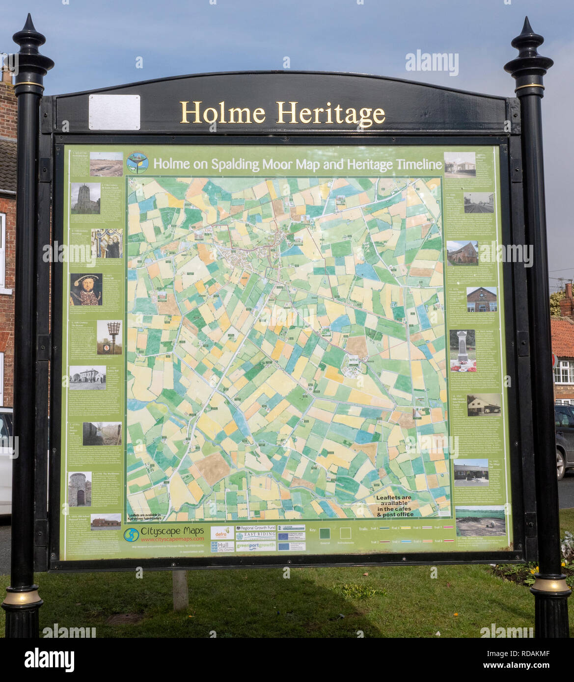 Heritage information map for tourist at Holme on Spalding Moor, Yorkshire, England, UK. Stock Photohttps://www.alamy.com/image-license-details/?v=1https://www.alamy.com/heritage-information-map-for-tourist-at-holme-on-spalding-moor-yorkshire-england-uk-image231960303.html
RFRDAKMF–Heritage information map for tourist at Holme on Spalding Moor, Yorkshire, England, UK.
 Holme on Spalding Moor town map, East Riding of Yorkshire, England, United Kingdom Stock Photohttps://www.alamy.com/image-license-details/?v=1https://www.alamy.com/holme-on-spalding-moor-town-map-east-riding-of-yorkshire-england-united-kingdom-image178427252.html
RMMA81NT–Holme on Spalding Moor town map, East Riding of Yorkshire, England, United Kingdom
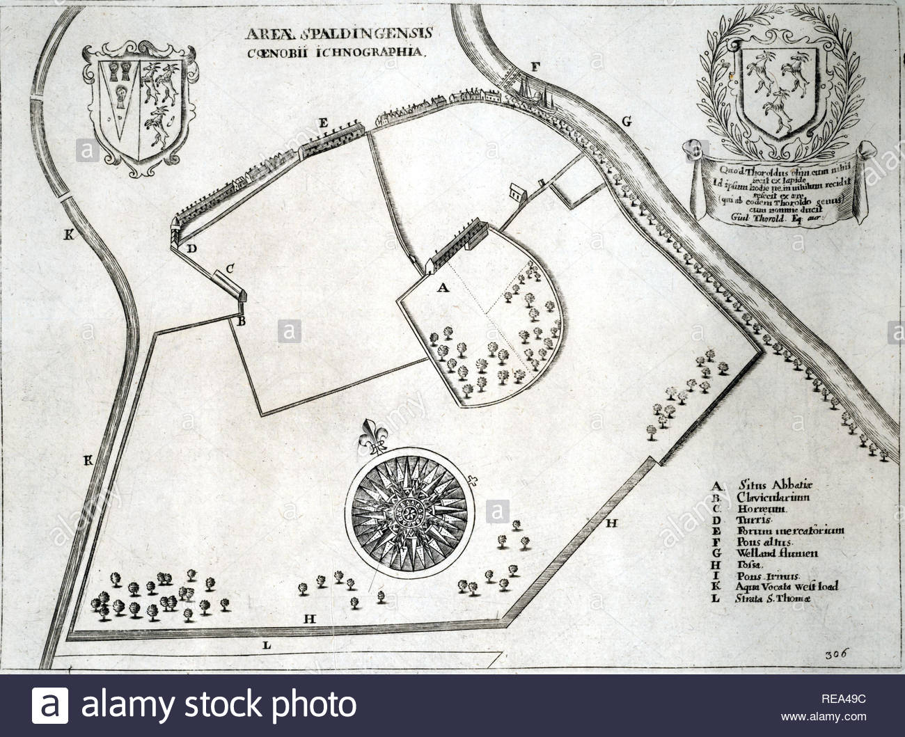 Spalding Abbey, England, was a small Benedictine house in the town of Spalding, Lincolnshire, dedicated to St Mary the Virgin and St Nicholas, etching by Bohemian etcher Wenceslaus Hollar from 1600s Stock Photohttps://www.alamy.com/image-license-details/?v=1https://www.alamy.com/spalding-abbey-england-was-a-small-benedictine-house-in-the-town-of-spalding-lincolnshire-dedicated-to-st-mary-the-virgin-and-st-nicholas-etching-by-bohemian-etcher-wenceslaus-hollar-from-1600s-image232562888.html
RMREA49C–Spalding Abbey, England, was a small Benedictine house in the town of Spalding, Lincolnshire, dedicated to St Mary the Virgin and St Nicholas, etching by Bohemian etcher Wenceslaus Hollar from 1600s
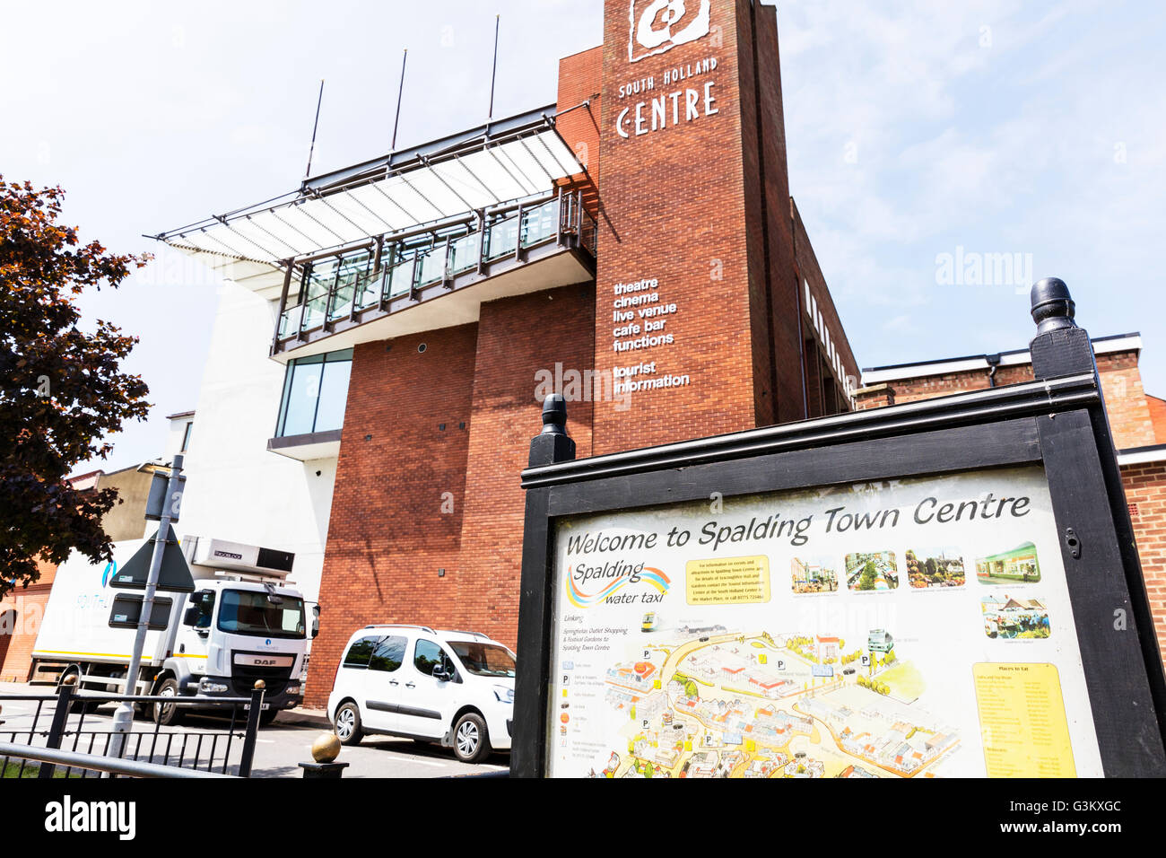 Spalding town centre sign Lincolnshire towns UK center map board Stock Photohttps://www.alamy.com/image-license-details/?v=1https://www.alamy.com/stock-photo-spalding-town-centre-sign-lincolnshire-towns-uk-center-map-board-105544108.html
RMG3KXGC–Spalding town centre sign Lincolnshire towns UK center map board
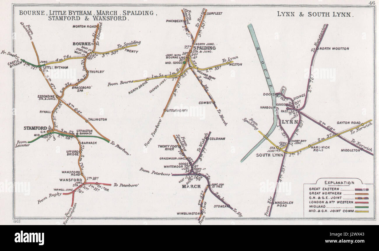 Bourne- Little Bytham- March- Spalding- Stamford & Wansford Lynn & South Lynn RJD 46 Stock Photohttps://www.alamy.com/image-license-details/?v=1https://www.alamy.com/stock-photo-bourne-little-bytham-march-spalding-stamford-wansford-lynn-south-lynn-139481555.html
RMJ2WX43–Bourne- Little Bytham- March- Spalding- Stamford & Wansford Lynn & South Lynn RJD 46
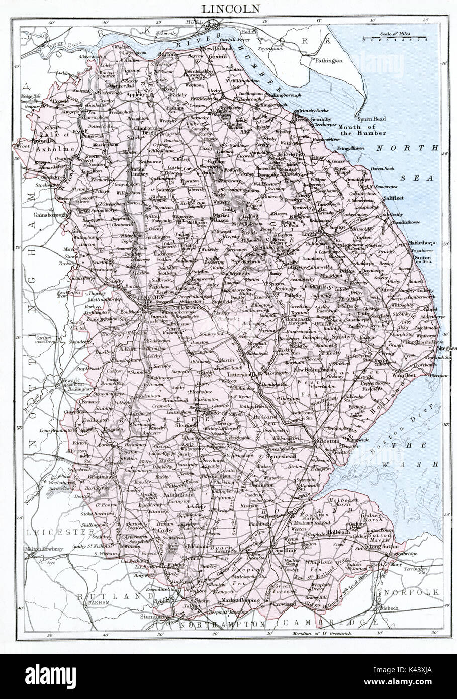 Antique map, circa 1875, of Lincolnshire Stock Photohttps://www.alamy.com/image-license-details/?v=1https://www.alamy.com/antique-map-circa-1875-of-lincolnshire-image157438690.html
RMK43XJA–Antique map, circa 1875, of Lincolnshire
 1896 Spalding League Baseball Advertisement Stock Photohttps://www.alamy.com/image-license-details/?v=1https://www.alamy.com/stock-image-1896-spalding-league-baseball-advertisement-162192569.html
RMKBTE7N–1896 Spalding League Baseball Advertisement
 Spalding Cove, , AU, Australia, South Australia, S 34 46' 0'', N 135 58' 0'', map, Cartascapes Map published in 2024. Explore Cartascapes, a map revealing Earth's diverse landscapes, cultures, and ecosystems. Journey through time and space, discovering the interconnectedness of our planet's past, present, and future. Stock Photohttps://www.alamy.com/image-license-details/?v=1https://www.alamy.com/spalding-cove-au-australia-south-australia-s-34-46-0-n-135-58-0-map-cartascapes-map-published-in-2024-explore-cartascapes-a-map-revealing-earths-diverse-landscapes-cultures-and-ecosystems-journey-through-time-and-space-discovering-the-interconnectedness-of-our-planets-past-present-and-future-image625558929.html
RM2Y9MJP9–Spalding Cove, , AU, Australia, South Australia, S 34 46' 0'', N 135 58' 0'', map, Cartascapes Map published in 2024. Explore Cartascapes, a map revealing Earth's diverse landscapes, cultures, and ecosystems. Journey through time and space, discovering the interconnectedness of our planet's past, present, and future.
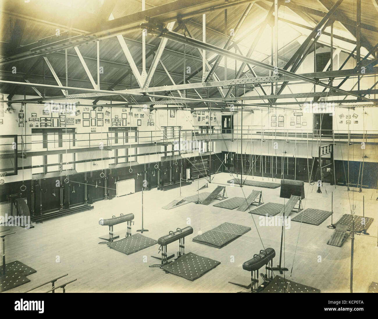 A.G. Spalding Model Gym at the 1904 World's Fair Stock Photohttps://www.alamy.com/image-license-details/?v=1https://www.alamy.com/stock-image-ag-spalding-model-gym-at-the-1904-worlds-fair-162752810.html
RMKCP0TA–A.G. Spalding Model Gym at the 1904 World's Fair
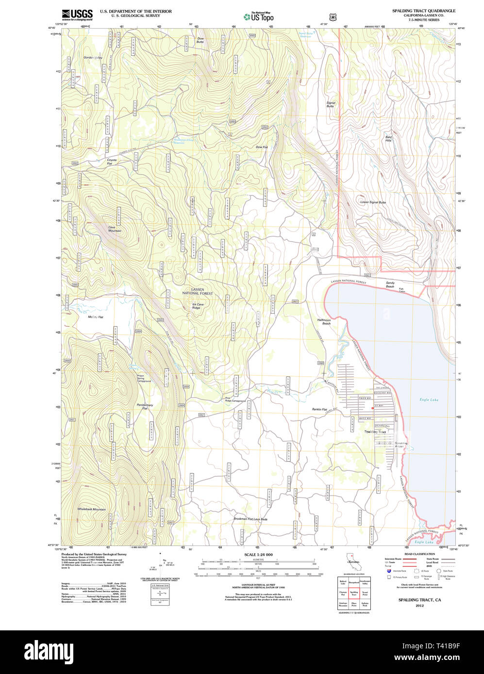 USGS TOPO Map California CA Spalding Tract 20120315 TM Restoration Stock Photohttps://www.alamy.com/image-license-details/?v=1https://www.alamy.com/usgs-topo-map-california-ca-spalding-tract-20120315-tm-restoration-image243434619.html
RMT41B9F–USGS TOPO Map California CA Spalding Tract 20120315 TM Restoration
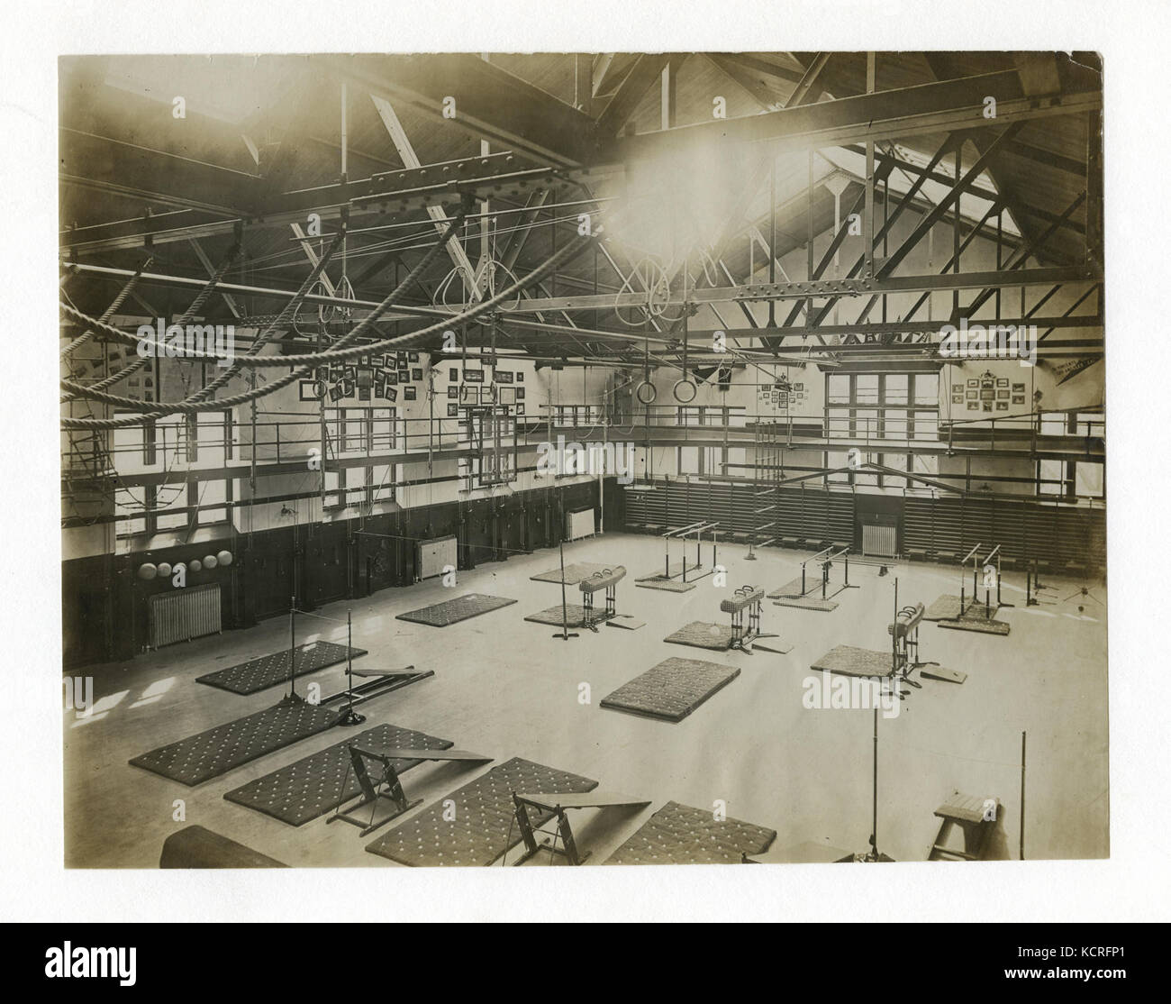 A.G. Spalding and Bros. Model Gymnasium, Physical Culture Exhibit, Louisiana Purchase Exposition. (1904 Olympics). With overhead apparatus drawn up and out of the way Stock Photohttps://www.alamy.com/image-license-details/?v=1https://www.alamy.com/stock-image-ag-spalding-and-bros-model-gymnasium-physical-culture-exhibit-louisiana-162786457.html
RMKCRFP1–A.G. Spalding and Bros. Model Gymnasium, Physical Culture Exhibit, Louisiana Purchase Exposition. (1904 Olympics). With overhead apparatus drawn up and out of the way
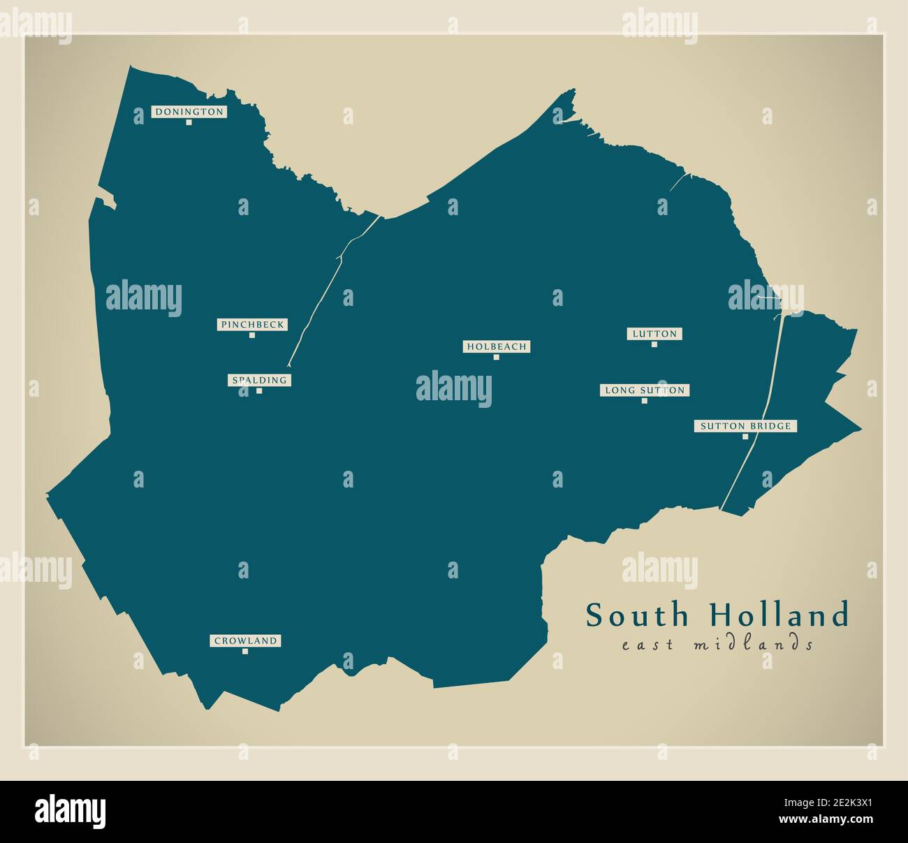 South Holland district map - England UK Stock Vectorhttps://www.alamy.com/image-license-details/?v=1https://www.alamy.com/south-holland-district-map-england-uk-image397487945.html
RF2E2K3X1–South Holland district map - England UK
 Conder Token Lincolnshire Spalding DH6 reverse Stock Photohttps://www.alamy.com/image-license-details/?v=1https://www.alamy.com/conder-token-lincolnshire-spalding-dh6-reverse-image159027257.html
RMK6M8TW–Conder Token Lincolnshire Spalding DH6 reverse
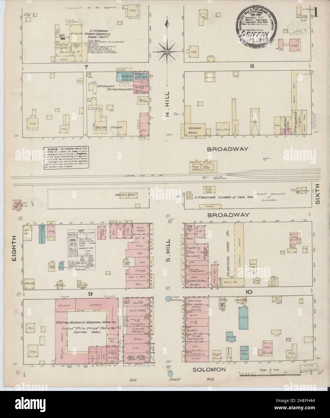 Sanborn Fire Insurance Map from Griffin, Spalding County, Georgia. Stock Photohttps://www.alamy.com/image-license-details/?v=1https://www.alamy.com/sanborn-fire-insurance-map-from-griffin-spalding-county-georgia-image456417476.html
RM2HEFH44–Sanborn Fire Insurance Map from Griffin, Spalding County, Georgia.
![The West View of Croyland Abbey near Spalding, in the County of of Lincoln. Author Buck, Samuel 19.24.d. Place of publication: [London] Publisher: [S. Buck] Date of publication: [1726] Item type: 1 print Medium: etching and engraving Dimensions: platemark 19.3 x 36.8 cm. Former owner: George III, King of Great Britain, 1738-1820 Stock Photo The West View of Croyland Abbey near Spalding, in the County of of Lincoln. Author Buck, Samuel 19.24.d. Place of publication: [London] Publisher: [S. Buck] Date of publication: [1726] Item type: 1 print Medium: etching and engraving Dimensions: platemark 19.3 x 36.8 cm. Former owner: George III, King of Great Britain, 1738-1820 Stock Photo](https://c8.alamy.com/comp/2E9HBK9/the-west-view-of-croyland-abbey-near-spalding-in-the-county-of-of-lincoln-author-buck-samuel-1924d-place-of-publication-london-publisher-s-buck-date-of-publication-1726-item-type-1-print-medium-etching-and-engraving-dimensions-platemark-193-x-368-cm-former-owner-george-iii-king-of-great-britain-1738-1820-2E9HBK9.jpg) The West View of Croyland Abbey near Spalding, in the County of of Lincoln. Author Buck, Samuel 19.24.d. Place of publication: [London] Publisher: [S. Buck] Date of publication: [1726] Item type: 1 print Medium: etching and engraving Dimensions: platemark 19.3 x 36.8 cm. Former owner: George III, King of Great Britain, 1738-1820 Stock Photohttps://www.alamy.com/image-license-details/?v=1https://www.alamy.com/the-west-view-of-croyland-abbey-near-spalding-in-the-county-of-of-lincoln-author-buck-samuel-1924d-place-of-publication-london-publisher-s-buck-date-of-publication-1726-item-type-1-print-medium-etching-and-engraving-dimensions-platemark-193-x-368-cm-former-owner-george-iii-king-of-great-britain-1738-1820-image401752717.html
The West View of Croyland Abbey near Spalding, in the County of of Lincoln. Author Buck, Samuel 19.24.d. Place of publication: [London] Publisher: [S. Buck] Date of publication: [1726] Item type: 1 print Medium: etching and engraving Dimensions: platemark 19.3 x 36.8 cm. Former owner: George III, King of Great Britain, 1738-1820 Stock Photohttps://www.alamy.com/image-license-details/?v=1https://www.alamy.com/the-west-view-of-croyland-abbey-near-spalding-in-the-county-of-of-lincoln-author-buck-samuel-1924d-place-of-publication-london-publisher-s-buck-date-of-publication-1726-item-type-1-print-medium-etching-and-engraving-dimensions-platemark-193-x-368-cm-former-owner-george-iii-king-of-great-britain-1738-1820-image401752717.htmlRM2E9HBK9–The West View of Croyland Abbey near Spalding, in the County of of Lincoln. Author Buck, Samuel 19.24.d. Place of publication: [London] Publisher: [S. Buck] Date of publication: [1726] Item type: 1 print Medium: etching and engraving Dimensions: platemark 19.3 x 36.8 cm. Former owner: George III, King of Great Britain, 1738-1820
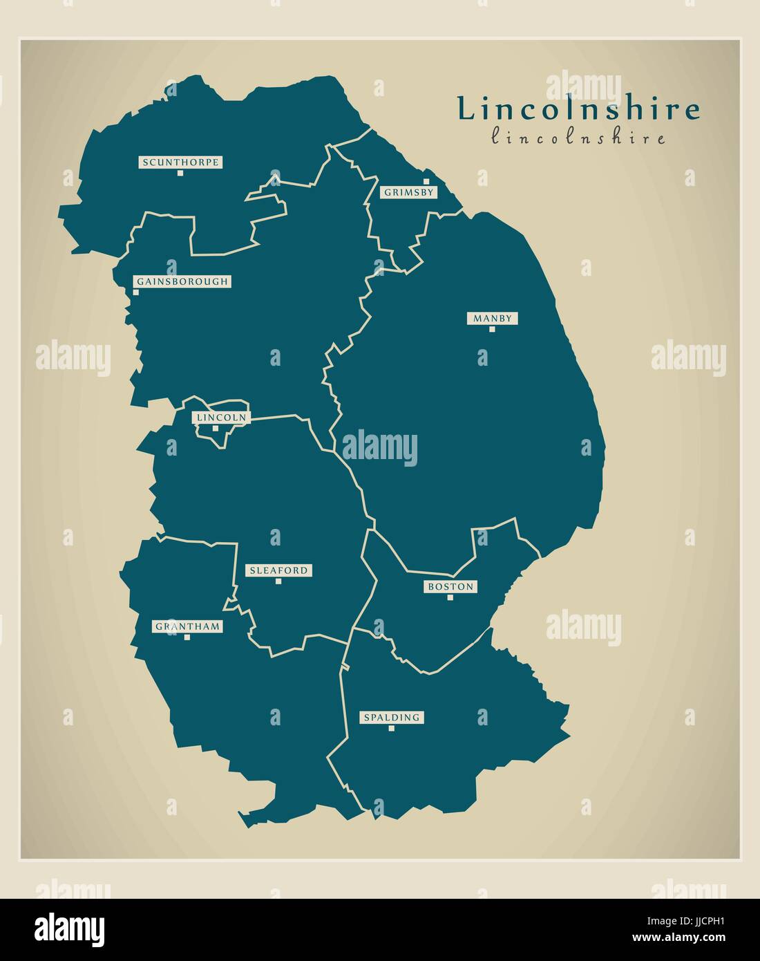 Modern Map - Lincolnshire county with districts UK illustration Stock Vectorhttps://www.alamy.com/image-license-details/?v=1https://www.alamy.com/stock-photo-modern-map-lincolnshire-county-with-districts-uk-illustration-149027901.html
RFJJCPH1–Modern Map - Lincolnshire county with districts UK illustration
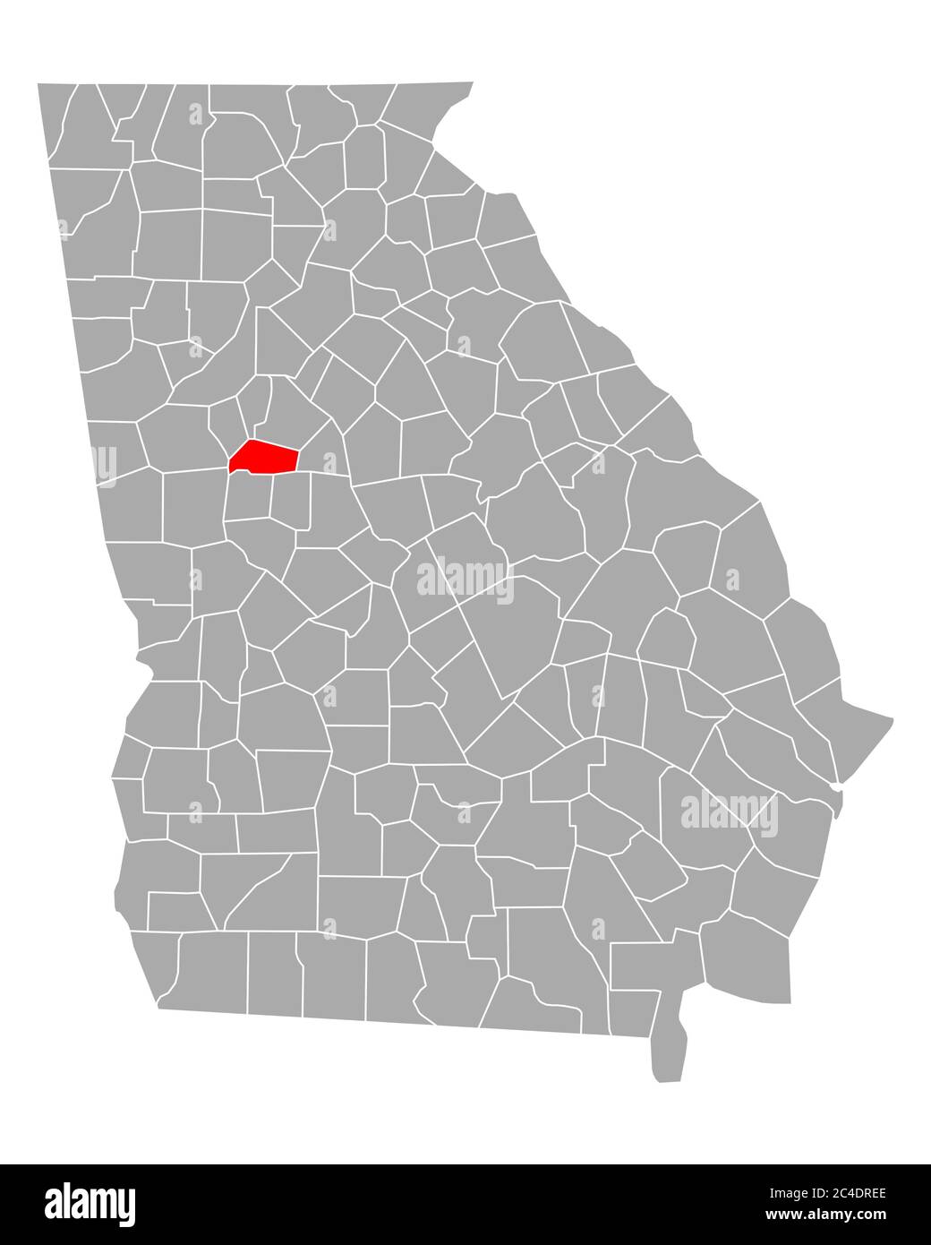 Map of Spalding in Georgia Stock Photohttps://www.alamy.com/image-license-details/?v=1https://www.alamy.com/map-of-spalding-in-georgia-image364180166.html
RF2C4DREE–Map of Spalding in Georgia
 Spalding 34956344410 o Stock Photohttps://www.alamy.com/image-license-details/?v=1https://www.alamy.com/stock-photo-spalding-34956344410-o-147117698.html
RMJF9P3E–Spalding 34956344410 o
 LINCOLNSHIRE FENS: Newark-on-Trent Grantham Sleaford Spalding Notts, 1939 map Stock Photohttps://www.alamy.com/image-license-details/?v=1https://www.alamy.com/stock-photo-lincolnshire-fens-newark-on-trent-grantham-sleaford-spalding-notts-92770103.html
RFFAX15Y–LINCOLNSHIRE FENS: Newark-on-Trent Grantham Sleaford Spalding Notts, 1939 map
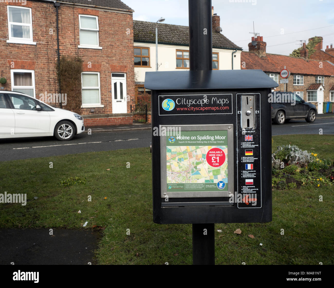
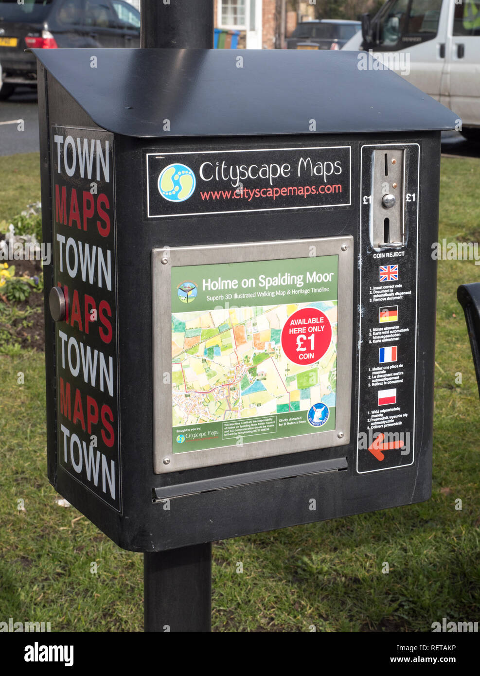 Town plan dispenser (Cityscape Maps) in the town of Holme on Spalding Moor, Yorkshire, England, UK. Stock Photohttps://www.alamy.com/image-license-details/?v=1https://www.alamy.com/town-plan-dispenser-cityscape-maps-in-the-town-of-holme-on-spalding-moor-yorkshire-england-uk-image232875210.html
RFRETAKP–Town plan dispenser (Cityscape Maps) in the town of Holme on Spalding Moor, Yorkshire, England, UK.
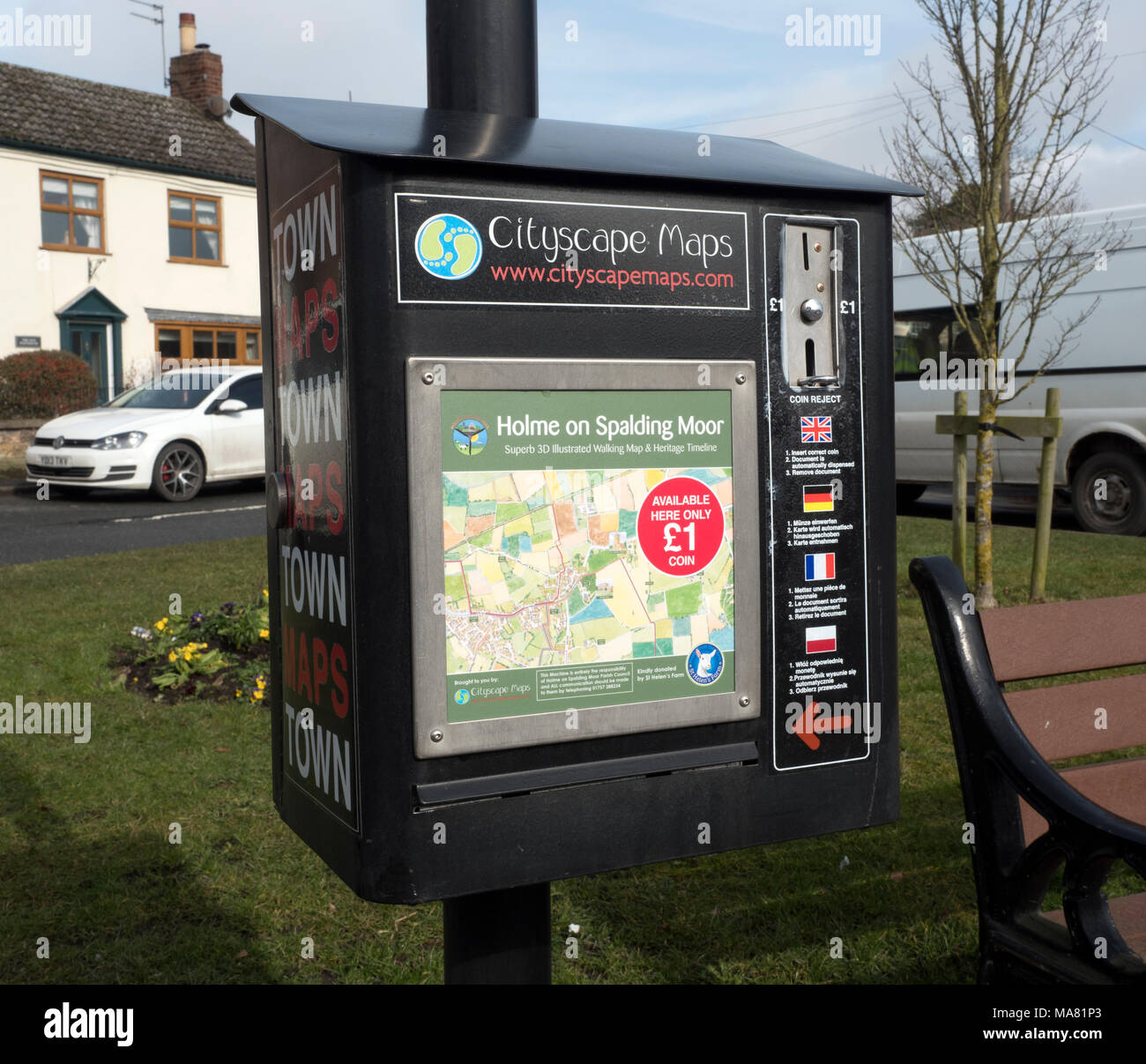 Holme on Spalding Moor town map, East Riding of Yorkshire, England, United Kingdom Stock Photohttps://www.alamy.com/image-license-details/?v=1https://www.alamy.com/holme-on-spalding-moor-town-map-east-riding-of-yorkshire-england-united-kingdom-image178427259.html
RMMA81P3–Holme on Spalding Moor town map, East Riding of Yorkshire, England, United Kingdom
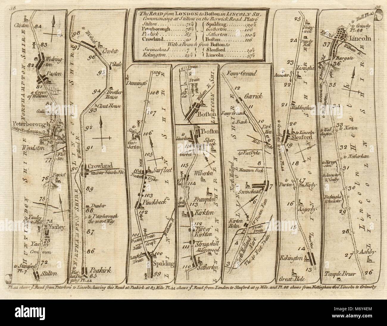 Yaxley Peterborough Spalding Boston Sleaford Lincoln. KITCHIN road map 1767 Stock Photohttps://www.alamy.com/image-license-details/?v=1https://www.alamy.com/stock-photo-yaxley-peterborough-spalding-boston-sleaford-lincoln-kitchin-road-176387868.html
RFM6Y4EM–Yaxley Peterborough Spalding Boston Sleaford Lincoln. KITCHIN road map 1767
 Lincolnshire, administrative county of England - Great Britain. Open Street Map Stock Photohttps://www.alamy.com/image-license-details/?v=1https://www.alamy.com/lincolnshire-administrative-county-of-england-great-britain-open-street-map-image546467416.html
RF2PN1MNC–Lincolnshire, administrative county of England - Great Britain. Open Street Map
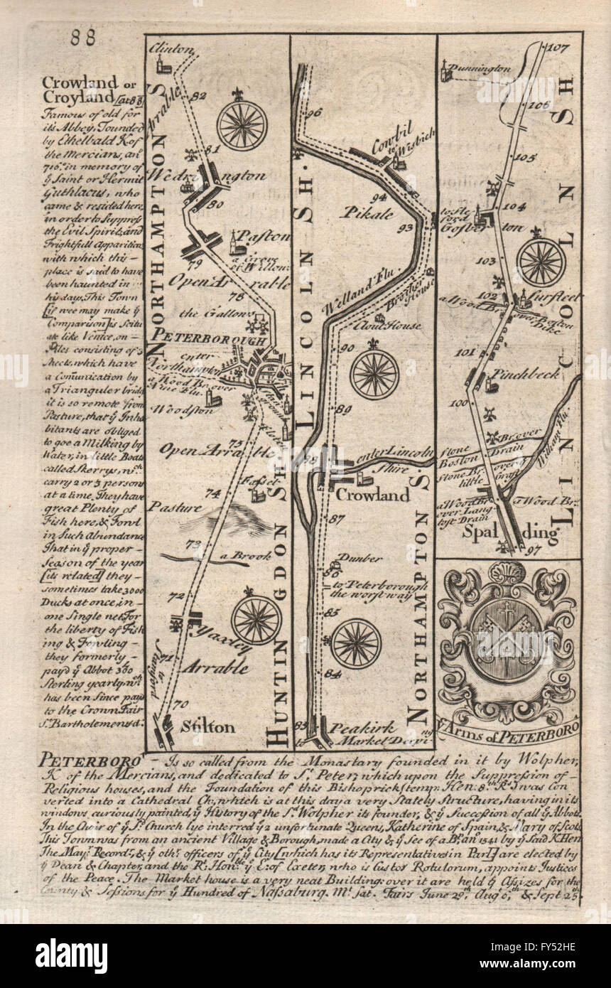 Stilton-Peterborough-Crowland-Spalding-Surfleet road map by OWEN & BOWEN 1753 Stock Photohttps://www.alamy.com/image-license-details/?v=1https://www.alamy.com/stock-photo-stilton-peterborough-crowland-spalding-surfleet-road-map-by-owen-bowen-102759370.html
RFFY52HE–Stilton-Peterborough-Crowland-Spalding-Surfleet road map by OWEN & BOWEN 1753
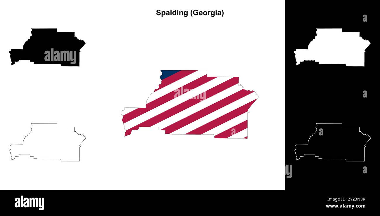 Spalding County (Georgia) outline map set Stock Vectorhttps://www.alamy.com/image-license-details/?v=1https://www.alamy.com/spalding-county-georgia-outline-map-set-image620885155.html
RF2Y23N9R–Spalding County (Georgia) outline map set
 Yaxley Peterborough Spalding Boston Sleaford Lincoln SENEX #36 road map 1719 Stock Photohttps://www.alamy.com/image-license-details/?v=1https://www.alamy.com/stock-photo-yaxley-peterborough-spalding-boston-sleaford-lincoln-senex-36-road-176388042.html
RFM6Y4MX–Yaxley Peterborough Spalding Boston Sleaford Lincoln SENEX #36 road map 1719
 Griffin, Spalding County, US, United States, Georgia, N 33 14' 48'', S 84 15' 50'', map, Cartascapes Map published in 2024. Explore Cartascapes, a map revealing Earth's diverse landscapes, cultures, and ecosystems. Journey through time and space, discovering the interconnectedness of our planet's past, present, and future. Stock Photohttps://www.alamy.com/image-license-details/?v=1https://www.alamy.com/griffin-spalding-county-us-united-states-georgia-n-33-14-48-s-84-15-50-map-cartascapes-map-published-in-2024-explore-cartascapes-a-map-revealing-earths-diverse-landscapes-cultures-and-ecosystems-journey-through-time-and-space-discovering-the-interconnectedness-of-our-planets-past-present-and-future-image621434300.html
RM2Y30NP4–Griffin, Spalding County, US, United States, Georgia, N 33 14' 48'', S 84 15' 50'', map, Cartascapes Map published in 2024. Explore Cartascapes, a map revealing Earth's diverse landscapes, cultures, and ecosystems. Journey through time and space, discovering the interconnectedness of our planet's past, present, and future.
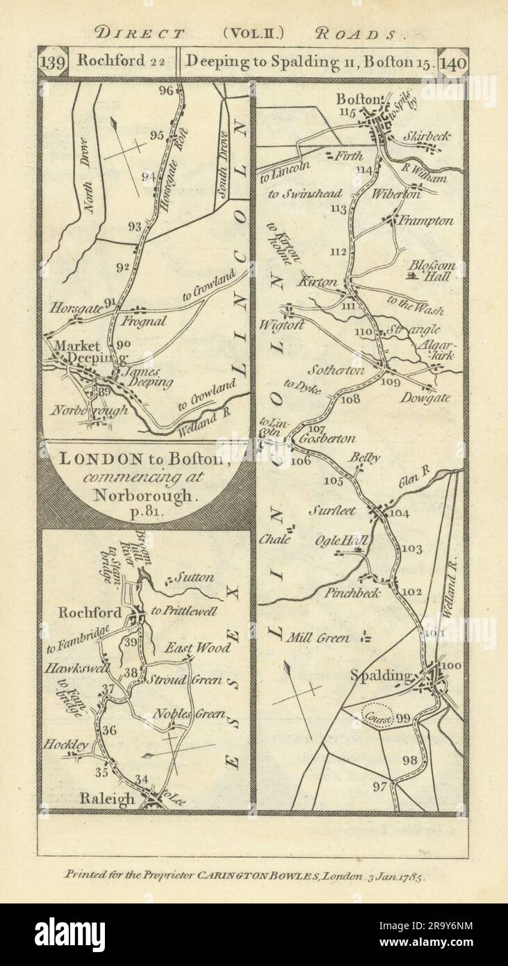 Rayleigh-Rochford. Market Deeping-Boston road strip map PATERSON 1785 old Stock Photohttps://www.alamy.com/image-license-details/?v=1https://www.alamy.com/rayleigh-rochford-market-deeping-boston-road-strip-map-paterson-1785-old-image556861696.html
RF2R9Y6NM–Rayleigh-Rochford. Market Deeping-Boston road strip map PATERSON 1785 old
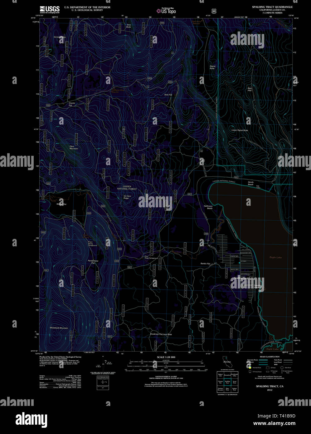 USGS TOPO Map California CA Spalding Tract 20120315 TM Inverted Restoration Stock Photohttps://www.alamy.com/image-license-details/?v=1https://www.alamy.com/usgs-topo-map-california-ca-spalding-tract-20120315-tm-inverted-restoration-image243434617.html
RMT41B9D–USGS TOPO Map California CA Spalding Tract 20120315 TM Inverted Restoration
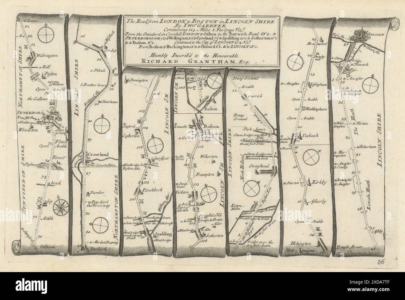 Stilton - Peterborough - Boston - Sleaford-Lincoln GARDNER road map #36 1719 Stock Photohttps://www.alamy.com/image-license-details/?v=1https://www.alamy.com/stilton-peterborough-boston-sleaford-lincoln-gardner-road-map-36-1719-image610579103.html
RF2XDA7TF–Stilton - Peterborough - Boston - Sleaford-Lincoln GARDNER road map #36 1719
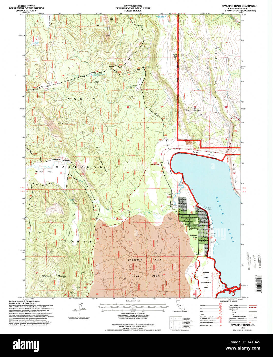 USGS TOPO Map California CA Spalding Tract 295274 1995 24000 Restoration Stock Photohttps://www.alamy.com/image-license-details/?v=1https://www.alamy.com/usgs-topo-map-california-ca-spalding-tract-295274-1995-24000-restoration-image243434637.html
RMT41BA5–USGS TOPO Map California CA Spalding Tract 295274 1995 24000 Restoration
 Conder Token Lincolnshire Spalding DH6 obverse Stock Photohttps://www.alamy.com/image-license-details/?v=1https://www.alamy.com/conder-token-lincolnshire-spalding-dh6-obverse-image159027258.html
RMK6M8TX–Conder Token Lincolnshire Spalding DH6 obverse
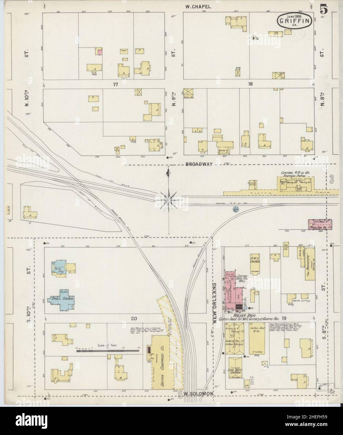 Sanborn Fire Insurance Map from Griffin, Spalding County, Georgia. Stock Photohttps://www.alamy.com/image-license-details/?v=1https://www.alamy.com/sanborn-fire-insurance-map-from-griffin-spalding-county-georgia-image456417509.html
RM2HEFH59–Sanborn Fire Insurance Map from Griffin, Spalding County, Georgia.
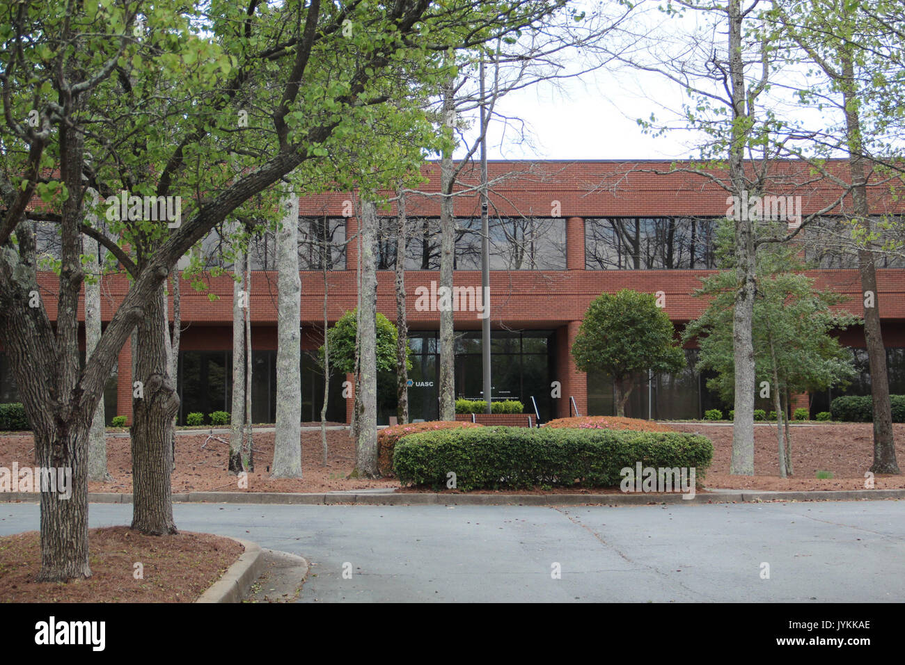 5515 Spalding Drive, Peachtree Corners March 2017 Stock Photohttps://www.alamy.com/image-license-details/?v=1https://www.alamy.com/5515-spalding-drive-peachtree-corners-march-2017-image154710934.html
RMJYKKAE–5515 Spalding Drive, Peachtree Corners March 2017
![The South West View of Croyland Bridge near Spalding in the County of Lincoln. Author Buck, Samuel 19.24.k. Place of publication: [London] Publisher: [S. Buck] Date of publication: [1726] Item type: 1 print Medium: etching and engraving Dimensions: platemark 19.0 x 36.3 cm. Former owner: George III, King of Great Britain, 1738-1820 Stock Photo The South West View of Croyland Bridge near Spalding in the County of Lincoln. Author Buck, Samuel 19.24.k. Place of publication: [London] Publisher: [S. Buck] Date of publication: [1726] Item type: 1 print Medium: etching and engraving Dimensions: platemark 19.0 x 36.3 cm. Former owner: George III, King of Great Britain, 1738-1820 Stock Photo](https://c8.alamy.com/comp/2E9HBK5/the-south-west-view-of-croyland-bridge-near-spalding-in-the-county-of-lincoln-author-buck-samuel-1924k-place-of-publication-london-publisher-s-buck-date-of-publication-1726-item-type-1-print-medium-etching-and-engraving-dimensions-platemark-190-x-363-cm-former-owner-george-iii-king-of-great-britain-1738-1820-2E9HBK5.jpg) The South West View of Croyland Bridge near Spalding in the County of Lincoln. Author Buck, Samuel 19.24.k. Place of publication: [London] Publisher: [S. Buck] Date of publication: [1726] Item type: 1 print Medium: etching and engraving Dimensions: platemark 19.0 x 36.3 cm. Former owner: George III, King of Great Britain, 1738-1820 Stock Photohttps://www.alamy.com/image-license-details/?v=1https://www.alamy.com/the-south-west-view-of-croyland-bridge-near-spalding-in-the-county-of-lincoln-author-buck-samuel-1924k-place-of-publication-london-publisher-s-buck-date-of-publication-1726-item-type-1-print-medium-etching-and-engraving-dimensions-platemark-190-x-363-cm-former-owner-george-iii-king-of-great-britain-1738-1820-image401752713.html
The South West View of Croyland Bridge near Spalding in the County of Lincoln. Author Buck, Samuel 19.24.k. Place of publication: [London] Publisher: [S. Buck] Date of publication: [1726] Item type: 1 print Medium: etching and engraving Dimensions: platemark 19.0 x 36.3 cm. Former owner: George III, King of Great Britain, 1738-1820 Stock Photohttps://www.alamy.com/image-license-details/?v=1https://www.alamy.com/the-south-west-view-of-croyland-bridge-near-spalding-in-the-county-of-lincoln-author-buck-samuel-1924k-place-of-publication-london-publisher-s-buck-date-of-publication-1726-item-type-1-print-medium-etching-and-engraving-dimensions-platemark-190-x-363-cm-former-owner-george-iii-king-of-great-britain-1738-1820-image401752713.htmlRM2E9HBK5–The South West View of Croyland Bridge near Spalding in the County of Lincoln. Author Buck, Samuel 19.24.k. Place of publication: [London] Publisher: [S. Buck] Date of publication: [1726] Item type: 1 print Medium: etching and engraving Dimensions: platemark 19.0 x 36.3 cm. Former owner: George III, King of Great Britain, 1738-1820
 Crowd gathered in front of the U.S. Government Building at the 1904 World's Fair watching a Fourth of July parade Stock Photohttps://www.alamy.com/image-license-details/?v=1https://www.alamy.com/stock-image-crowd-gathered-in-front-of-the-us-government-building-at-the-1904-162753258.html
RMKCP1CA–Crowd gathered in front of the U.S. Government Building at the 1904 World's Fair watching a Fourth of July parade
 Map of Spalding in Georgia Stock Photohttps://www.alamy.com/image-license-details/?v=1https://www.alamy.com/map-of-spalding-in-georgia-image365209580.html
RF2C64MF8–Map of Spalding in Georgia
 Spalding 34956343420 o Stock Photohttps://www.alamy.com/image-license-details/?v=1https://www.alamy.com/stock-photo-spalding-34956343420-o-147117700.html
RMJF9P3G–Spalding 34956343420 o
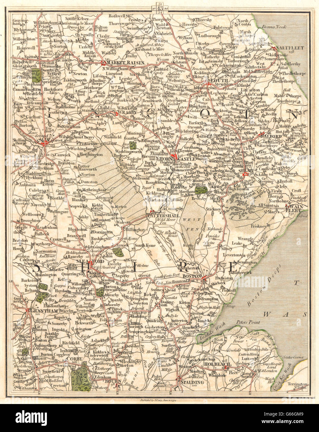 LINCOLNSHIRE:Fens Lincoln Grantham Boston Spalding Louth Sleaford.CARY, 1794 map Stock Photohttps://www.alamy.com/image-license-details/?v=1https://www.alamy.com/stock-photo-lincolnshirefens-lincoln-grantham-boston-spalding-louth-sleafordcary-107094969.html
RFG66GM9–LINCOLNSHIRE:Fens Lincoln Grantham Boston Spalding Louth Sleaford.CARY, 1794 map
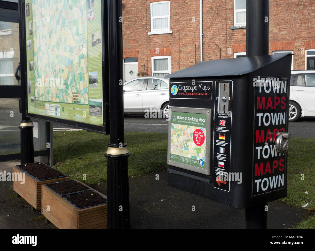 Holme on Spalding Moor town map, East Riding of Yorkshire, England, United Kingdom Stock Photohttps://www.alamy.com/image-license-details/?v=1https://www.alamy.com/holme-on-spalding-moor-town-map-east-riding-of-yorkshire-england-united-kingdom-image178427254.html
RMMA81NX–Holme on Spalding Moor town map, East Riding of Yorkshire, England, United Kingdom
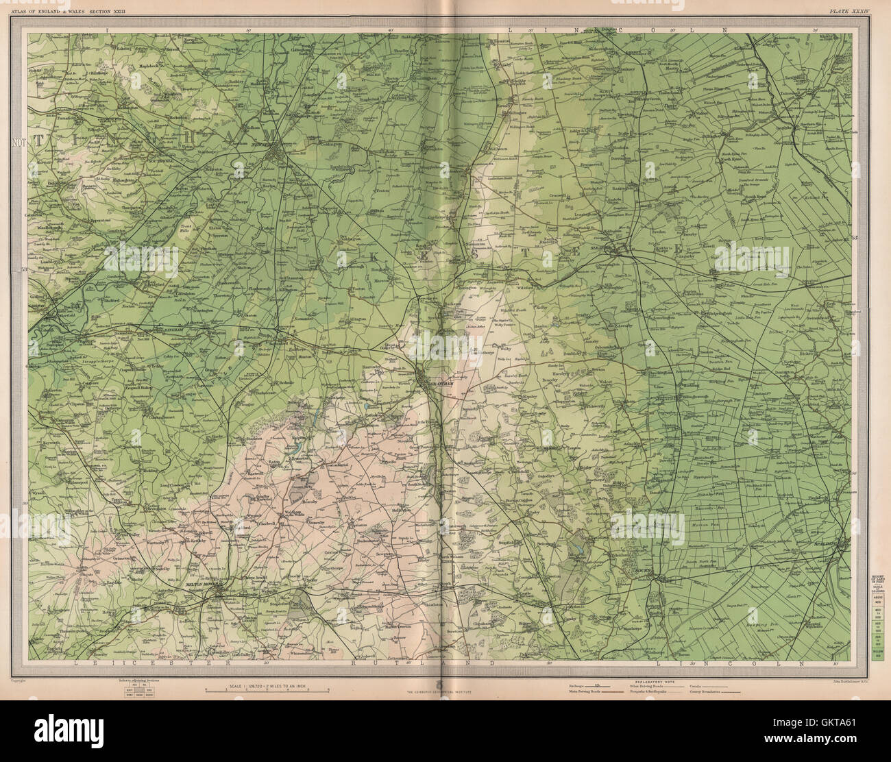 LINCOLNSHIRE FENS. Newark-on-Trent Grantham Sleaford Spalding Notts, 1903 map Stock Photohttps://www.alamy.com/image-license-details/?v=1https://www.alamy.com/stock-photo-lincolnshire-fens-newark-on-trent-grantham-sleaford-spalding-notts-115475529.html
RFGKTA61–LINCOLNSHIRE FENS. Newark-on-Trent Grantham Sleaford Spalding Notts, 1903 map
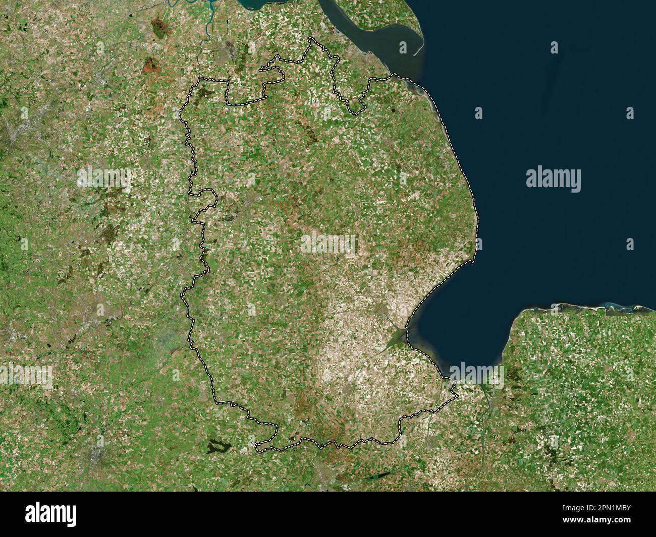 Lincolnshire, administrative county of England - Great Britain. High resolution satellite map Stock Photohttps://www.alamy.com/image-license-details/?v=1https://www.alamy.com/lincolnshire-administrative-county-of-england-great-britain-high-resolution-satellite-map-image546467151.html
RF2PN1MBY–Lincolnshire, administrative county of England - Great Britain. High resolution satellite map
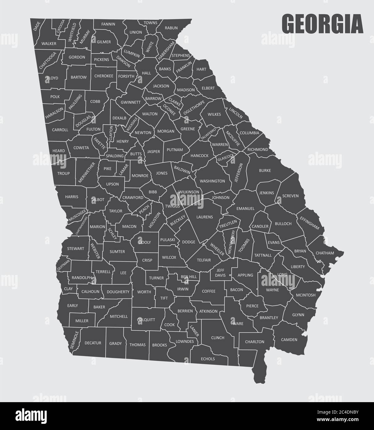 Georgia County Map Stock Vectorhttps://www.alamy.com/image-license-details/?v=1https://www.alamy.com/georgia-county-map-image364178527.html
RF2C4DNBY–Georgia County Map
 . P.J. Hannifan & Co.'s new commercial railroad and county map of New Yort State and gazetteer .. . DECORATING 239 Northampton St., BUFFALO, N. Y. HENRY DEAN,Carpenterand Builder Estimates furnished «9and Jobbing attendedto. HOUSES FOR SALE on easy terms.1540 FILLMORE AVE., BUFFALO, N.Y. B. I. CROOKER, CONTRACTOR AND. BUILDER, Telephone, Seneca 878. Office, 427 Elk Street. BUFFALO, N. Y.CAL. P. SPALDING, Watchmaker and Jeweler. EVERYTHINGREPAIRED ATLOWEST PRICES Stock Photohttps://www.alamy.com/image-license-details/?v=1https://www.alamy.com/pj-hannifan-cos-new-commercial-railroad-and-county-map-of-new-yort-state-and-gazetteer-decorating-239-northampton-st-buffalo-n-y-henry-deancarpenterand-builder-estimates-furnished-9and-jobbing-attendedto-houses-for-sale-on-easy-terms1540-fillmore-ave-buffalo-ny-b-i-crooker-contractor-and-builder-telephone-seneca-878-office-427-elk-street-buffalo-n-ycal-p-spalding-watchmaker-and-jeweler-everythingrepaired-atlowest-prices-image375466760.html
RM2CPRYK4–. P.J. Hannifan & Co.'s new commercial railroad and county map of New Yort State and gazetteer .. . DECORATING 239 Northampton St., BUFFALO, N. Y. HENRY DEAN,Carpenterand Builder Estimates furnished «9and Jobbing attendedto. HOUSES FOR SALE on easy terms.1540 FILLMORE AVE., BUFFALO, N.Y. B. I. CROOKER, CONTRACTOR AND. BUILDER, Telephone, Seneca 878. Office, 427 Elk Street. BUFFALO, N. Y.CAL. P. SPALDING, Watchmaker and Jeweler. EVERYTHINGREPAIRED ATLOWEST PRICES
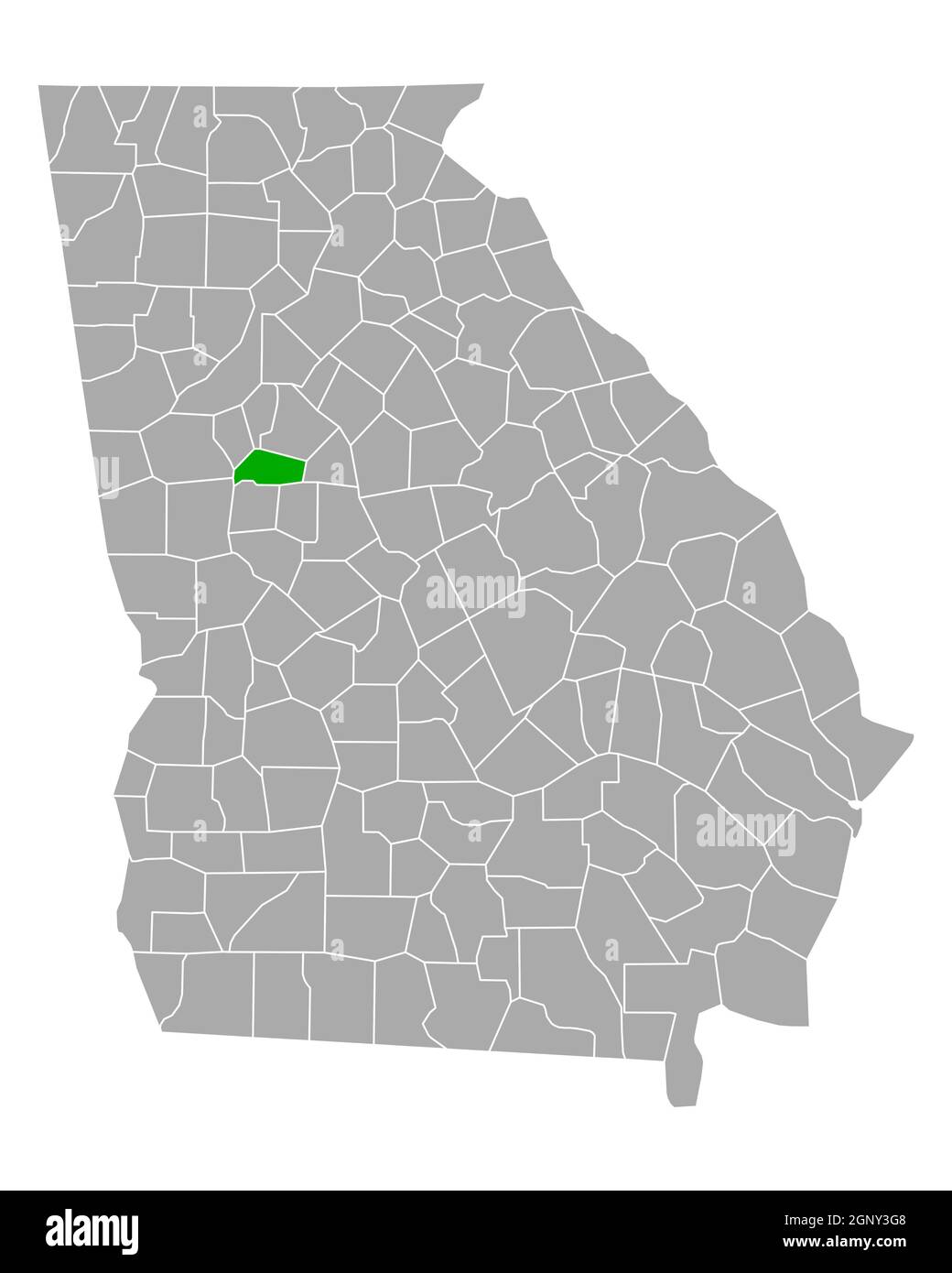 Map of Spalding in Georgia Stock Photohttps://www.alamy.com/image-license-details/?v=1https://www.alamy.com/map-of-spalding-in-georgia-image443762488.html
RF2GNY3G8–Map of Spalding in Georgia
 Spalding, Northern Areas, AU, Australia, South Australia, S 33 29' 52'', N 138 36' 26'', map, Cartascapes Map published in 2024. Explore Cartascapes, a map revealing Earth's diverse landscapes, cultures, and ecosystems. Journey through time and space, discovering the interconnectedness of our planet's past, present, and future. Stock Photohttps://www.alamy.com/image-license-details/?v=1https://www.alamy.com/spalding-northern-areas-au-australia-south-australia-s-33-29-52-n-138-36-26-map-cartascapes-map-published-in-2024-explore-cartascapes-a-map-revealing-earths-diverse-landscapes-cultures-and-ecosystems-journey-through-time-and-space-discovering-the-interconnectedness-of-our-planets-past-present-and-future-image625681718.html
RM2Y9X7BJ–Spalding, Northern Areas, AU, Australia, South Australia, S 33 29' 52'', N 138 36' 26'', map, Cartascapes Map published in 2024. Explore Cartascapes, a map revealing Earth's diverse landscapes, cultures, and ecosystems. Journey through time and space, discovering the interconnectedness of our planet's past, present, and future.
 Spalding County, Georgia (U.S. county, United States of America,USA, U.S., US) map vector illustration, scribble sketch Spalding map Stock Vectorhttps://www.alamy.com/image-license-details/?v=1https://www.alamy.com/spalding-county-georgia-us-county-united-states-of-americausa-us-us-map-vector-illustration-scribble-sketch-spalding-map-image365663989.html
RF2C6WC45–Spalding County, Georgia (U.S. county, United States of America,USA, U.S., US) map vector illustration, scribble sketch Spalding map
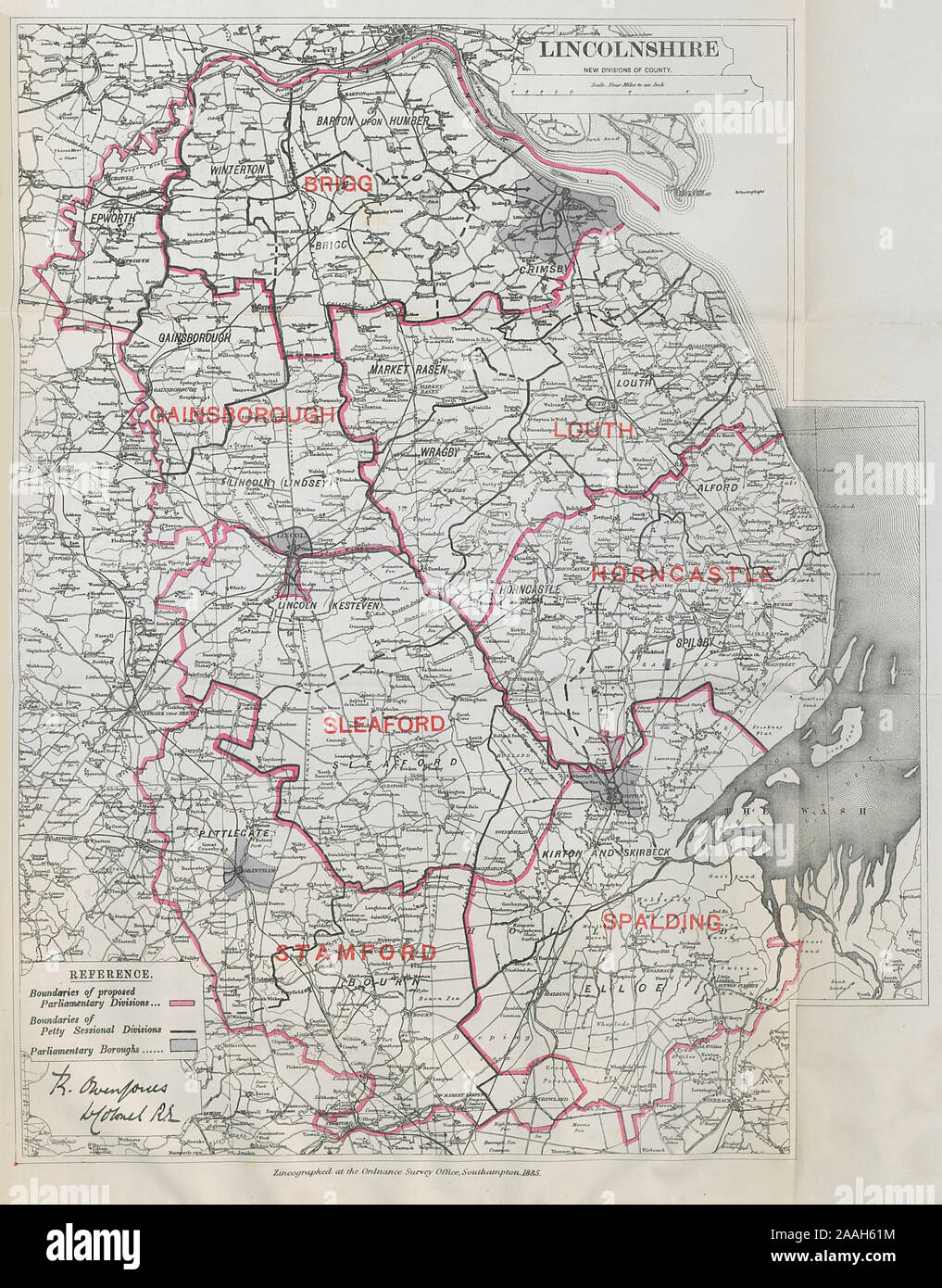 Lincolnshire Parliamentary Divisions. Sleaford. BOUNDARY COMMISSION 1885 map Stock Photohttps://www.alamy.com/image-license-details/?v=1https://www.alamy.com/lincolnshire-parliamentary-divisions-sleaford-boundary-commission-1885-map-image333521488.html
RF2AAH61M–Lincolnshire Parliamentary Divisions. Sleaford. BOUNDARY COMMISSION 1885 map
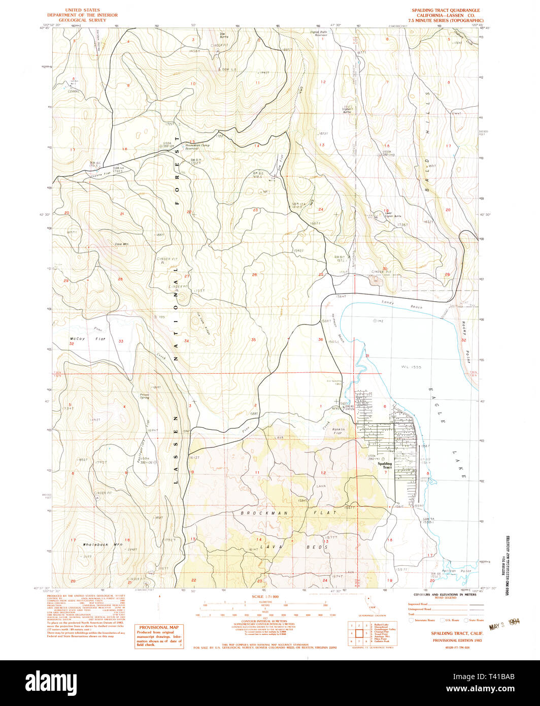 USGS TOPO Map California CA Spalding Tract 300626 1983 24000 Restoration Stock Photohttps://www.alamy.com/image-license-details/?v=1https://www.alamy.com/usgs-topo-map-california-ca-spalding-tract-300626-1983-24000-restoration-image243434643.html
RMT41BAB–USGS TOPO Map California CA Spalding Tract 300626 1983 24000 Restoration
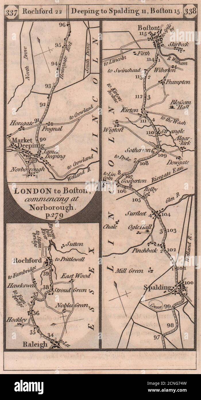 Rayleigh-Rochford. Market Deeping-Boston road strip map PATERSON 1803 old Stock Photohttps://www.alamy.com/image-license-details/?v=1https://www.alamy.com/rayleigh-rochford-market-deeping-boston-road-strip-map-paterson-1803-old-image374682361.html
RF2CNG74W–Rayleigh-Rochford. Market Deeping-Boston road strip map PATERSON 1803 old
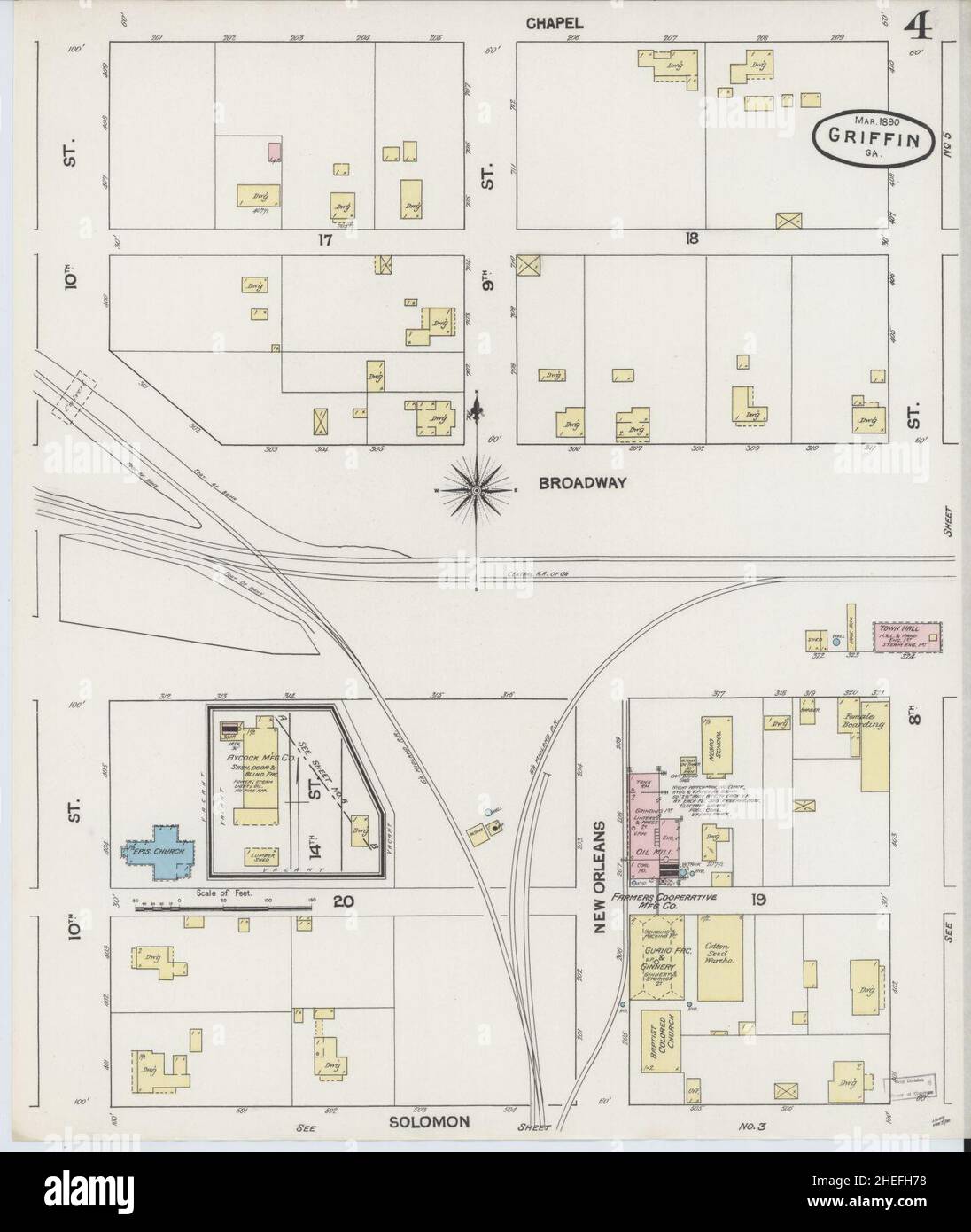 Sanborn Fire Insurance Map from Griffin, Spalding County, Georgia. Stock Photohttps://www.alamy.com/image-license-details/?v=1https://www.alamy.com/sanborn-fire-insurance-map-from-griffin-spalding-county-georgia-image456417564.html
RM2HEFH78–Sanborn Fire Insurance Map from Griffin, Spalding County, Georgia.
 GREAT NORTHERN RAILWAY 3. Loop/Lincolnshire line. Peterborough. WELLER, 1863 map Stock Photohttps://www.alamy.com/image-license-details/?v=1https://www.alamy.com/stock-photo-great-northern-railway-3-looplincolnshire-line-peterborough-weller-115535483.html
RFGKY2K7–GREAT NORTHERN RAILWAY 3. Loop/Lincolnshire line. Peterborough. WELLER, 1863 map
![The South West View of Croyland Abbey near Spalding, in the County of Lincoln. Author Buck, Samuel 19.24.c. Place of publication: [London] Publisher: [S. Buck] Date of publication: [1726] Item type: 1 print Medium: etching and engraving Dimensions: platemark 19.3 x 36.1 cm. Former owner: George III, King of Great Britain, 1738-1820 Stock Photo The South West View of Croyland Abbey near Spalding, in the County of Lincoln. Author Buck, Samuel 19.24.c. Place of publication: [London] Publisher: [S. Buck] Date of publication: [1726] Item type: 1 print Medium: etching and engraving Dimensions: platemark 19.3 x 36.1 cm. Former owner: George III, King of Great Britain, 1738-1820 Stock Photo](https://c8.alamy.com/comp/2E9HBME/the-south-west-view-of-croyland-abbey-near-spalding-in-the-county-of-lincoln-author-buck-samuel-1924c-place-of-publication-london-publisher-s-buck-date-of-publication-1726-item-type-1-print-medium-etching-and-engraving-dimensions-platemark-193-x-361-cm-former-owner-george-iii-king-of-great-britain-1738-1820-2E9HBME.jpg) The South West View of Croyland Abbey near Spalding, in the County of Lincoln. Author Buck, Samuel 19.24.c. Place of publication: [London] Publisher: [S. Buck] Date of publication: [1726] Item type: 1 print Medium: etching and engraving Dimensions: platemark 19.3 x 36.1 cm. Former owner: George III, King of Great Britain, 1738-1820 Stock Photohttps://www.alamy.com/image-license-details/?v=1https://www.alamy.com/the-south-west-view-of-croyland-abbey-near-spalding-in-the-county-of-lincoln-author-buck-samuel-1924c-place-of-publication-london-publisher-s-buck-date-of-publication-1726-item-type-1-print-medium-etching-and-engraving-dimensions-platemark-193-x-361-cm-former-owner-george-iii-king-of-great-britain-1738-1820-image401752750.html
The South West View of Croyland Abbey near Spalding, in the County of Lincoln. Author Buck, Samuel 19.24.c. Place of publication: [London] Publisher: [S. Buck] Date of publication: [1726] Item type: 1 print Medium: etching and engraving Dimensions: platemark 19.3 x 36.1 cm. Former owner: George III, King of Great Britain, 1738-1820 Stock Photohttps://www.alamy.com/image-license-details/?v=1https://www.alamy.com/the-south-west-view-of-croyland-abbey-near-spalding-in-the-county-of-lincoln-author-buck-samuel-1924c-place-of-publication-london-publisher-s-buck-date-of-publication-1726-item-type-1-print-medium-etching-and-engraving-dimensions-platemark-193-x-361-cm-former-owner-george-iii-king-of-great-britain-1738-1820-image401752750.htmlRM2E9HBME–The South West View of Croyland Abbey near Spalding, in the County of Lincoln. Author Buck, Samuel 19.24.c. Place of publication: [London] Publisher: [S. Buck] Date of publication: [1726] Item type: 1 print Medium: etching and engraving Dimensions: platemark 19.3 x 36.1 cm. Former owner: George III, King of Great Britain, 1738-1820
 Flemming of the Missouri Athletic Club winning a relay race at the 1904 Olympics Stock Photohttps://www.alamy.com/image-license-details/?v=1https://www.alamy.com/stock-image-flemming-of-the-missouri-athletic-club-winning-a-relay-race-at-the-162753415.html
RMKCP1HY–Flemming of the Missouri Athletic Club winning a relay race at the 1904 Olympics
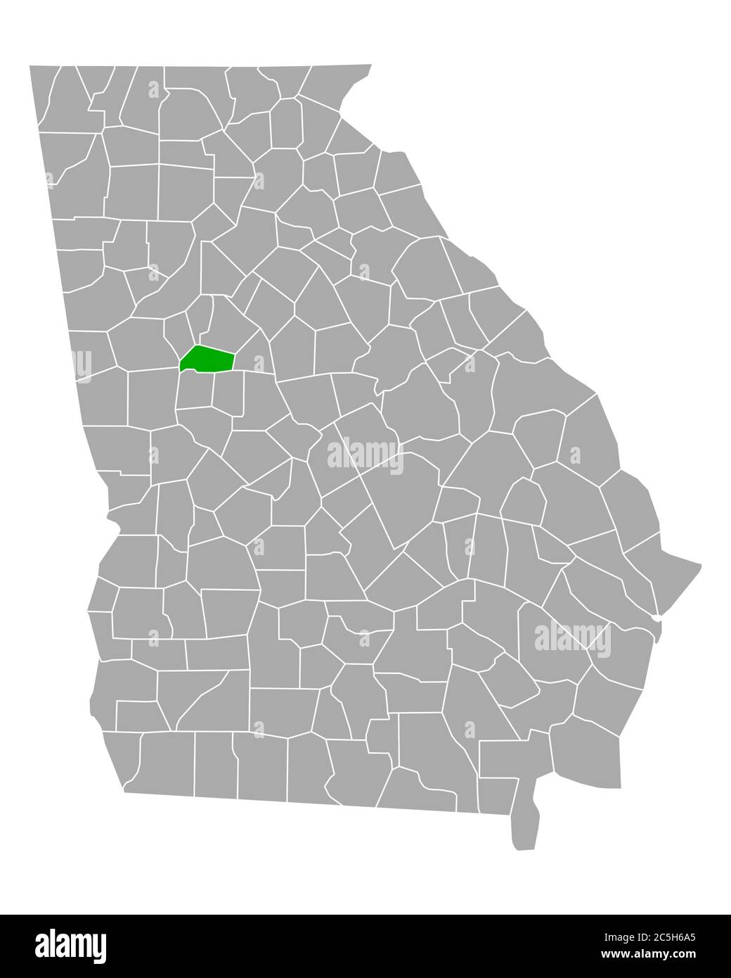 Map of Spalding in Georgia Stock Photohttps://www.alamy.com/image-license-details/?v=1https://www.alamy.com/map-of-spalding-in-georgia-image364869181.html
RF2C5H6A5–Map of Spalding in Georgia
 Albert Spalding 32548269523 o Stock Photohttps://www.alamy.com/image-license-details/?v=1https://www.alamy.com/stock-photo-albert-spalding-32548269523-o-147109123.html
RMJF9B57–Albert Spalding 32548269523 o
 Newcastle-under-Lyme Warrington Ashton/Lyne Wigan Preston. KITCHIN road map 1767 Stock Photohttps://www.alamy.com/image-license-details/?v=1https://www.alamy.com/stock-photo-newcastle-under-lyme-warrington-ashtonlyne-wigan-preston-kitchin-road-176387869.html
RFM6Y4EN–Newcastle-under-Lyme Warrington Ashton/Lyne Wigan Preston. KITCHIN road map 1767
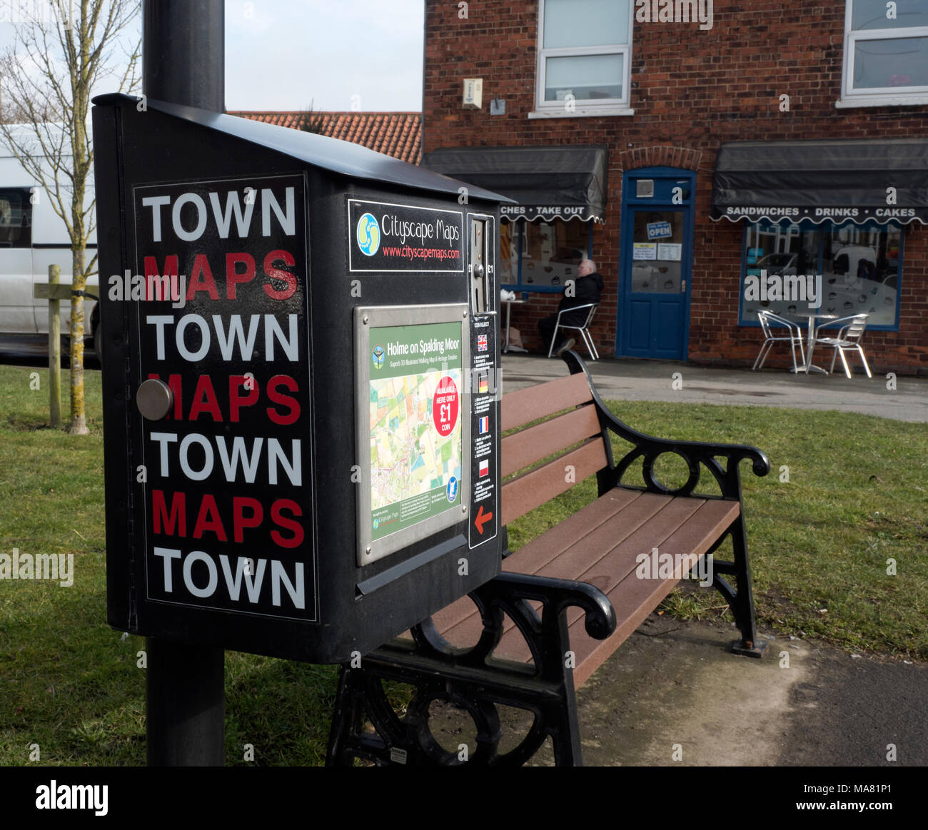 Holme on Spalding Moor town map, East Riding of Yorkshire, England, United Kingdom Stock Photohttps://www.alamy.com/image-license-details/?v=1https://www.alamy.com/holme-on-spalding-moor-town-map-east-riding-of-yorkshire-england-united-kingdom-image178427257.html
RMMA81P1–Holme on Spalding Moor town map, East Riding of Yorkshire, England, United Kingdom
 Lincolnshire, administrative county of England - Great Britain. Low resolution satellite map Stock Photohttps://www.alamy.com/image-license-details/?v=1https://www.alamy.com/lincolnshire-administrative-county-of-england-great-britain-low-resolution-satellite-map-image546467277.html
RF2PN1MGD–Lincolnshire, administrative county of England - Great Britain. Low resolution satellite map
 . The Conservation Atlas of Tropical Forests: the Americas. Trinidad and Tobago. Extensive mangroves are found in Caroni Swamp, Western Trinidad. (Mark Spalding) zone. Map 15.1 shows the forests in Trinidad covering 1683 sq. km (Table 15.3), but the source map is 14 years old and there is no indication of when the data for this map were collected (see Map Legend). No map or information on the extent of the forests on Tobago has been found for this project. An analysis of aerial photographs covering most of the State- owned forest land during the 1978-1980 forest inventory gave the areas of the Stock Photohttps://www.alamy.com/image-license-details/?v=1https://www.alamy.com/the-conservation-atlas-of-tropical-forests-the-americas-trinidad-and-tobago-extensive-mangroves-are-found-in-caroni-swamp-western-trinidad-mark-spalding-zone-map-151-shows-the-forests-in-trinidad-covering-1683-sq-km-table-153-but-the-source-map-is-14-years-old-and-there-is-no-indication-of-when-the-data-for-this-map-were-collected-see-map-legend-no-map-or-information-on-the-extent-of-the-forests-on-tobago-has-been-found-for-this-project-an-analysis-of-aerial-photographs-covering-most-of-the-state-owned-forest-land-during-the-1978-1980-forest-inventory-gave-the-areas-of-the-image232581800.html
RMREB0CT–. The Conservation Atlas of Tropical Forests: the Americas. Trinidad and Tobago. Extensive mangroves are found in Caroni Swamp, Western Trinidad. (Mark Spalding) zone. Map 15.1 shows the forests in Trinidad covering 1683 sq. km (Table 15.3), but the source map is 14 years old and there is no indication of when the data for this map were collected (see Map Legend). No map or information on the extent of the forests on Tobago has been found for this project. An analysis of aerial photographs covering most of the State- owned forest land during the 1978-1980 forest inventory gave the areas of the
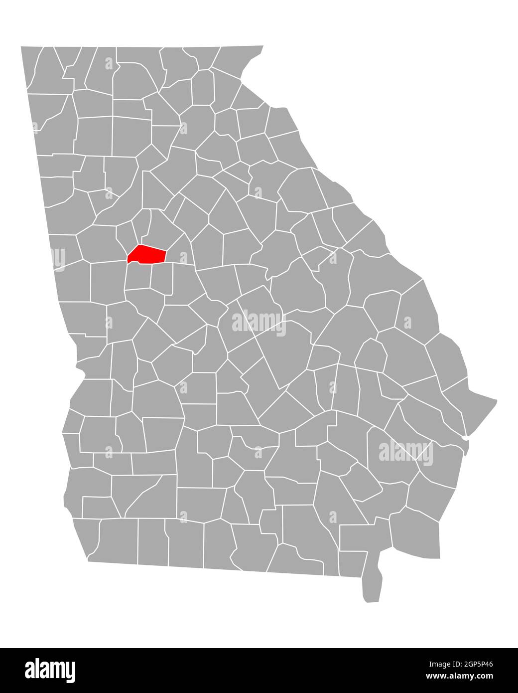 Map of Spalding in Georgia Stock Photohttps://www.alamy.com/image-license-details/?v=1https://www.alamy.com/map-of-spalding-in-georgia-image443908758.html
RF2GP5P46–Map of Spalding in Georgia
 Spalding, Ralls County, US, United States, Missouri, N 39 37' 7'', S 91 31' 35'', map, Cartascapes Map published in 2024. Explore Cartascapes, a map revealing Earth's diverse landscapes, cultures, and ecosystems. Journey through time and space, discovering the interconnectedness of our planet's past, present, and future. Stock Photohttps://www.alamy.com/image-license-details/?v=1https://www.alamy.com/spalding-ralls-county-us-united-states-missouri-n-39-37-7-s-91-31-35-map-cartascapes-map-published-in-2024-explore-cartascapes-a-map-revealing-earths-diverse-landscapes-cultures-and-ecosystems-journey-through-time-and-space-discovering-the-interconnectedness-of-our-planets-past-present-and-future-image621224511.html
RM2Y2K65K–Spalding, Ralls County, US, United States, Missouri, N 39 37' 7'', S 91 31' 35'', map, Cartascapes Map published in 2024. Explore Cartascapes, a map revealing Earth's diverse landscapes, cultures, and ecosystems. Journey through time and space, discovering the interconnectedness of our planet's past, present, and future.
 Spalding County, Georgia (U.S. county, United States of America,USA, U.S., US) map vector illustration, scribble sketch Spalding map Stock Vectorhttps://www.alamy.com/image-license-details/?v=1https://www.alamy.com/spalding-county-georgia-us-county-united-states-of-americausa-us-us-map-vector-illustration-scribble-sketch-spalding-map-image355326759.html
RF2BJ2EWB–Spalding County, Georgia (U.S. county, United States of America,USA, U.S., US) map vector illustration, scribble sketch Spalding map
 USGS TOPO Map California CA Spalding Tract 295274 1995 24000 Inverted Restoration Stock Photohttps://www.alamy.com/image-license-details/?v=1https://www.alamy.com/usgs-topo-map-california-ca-spalding-tract-295274-1995-24000-inverted-restoration-image243434632.html
RMT41BA0–USGS TOPO Map California CA Spalding Tract 295274 1995 24000 Inverted Restoration
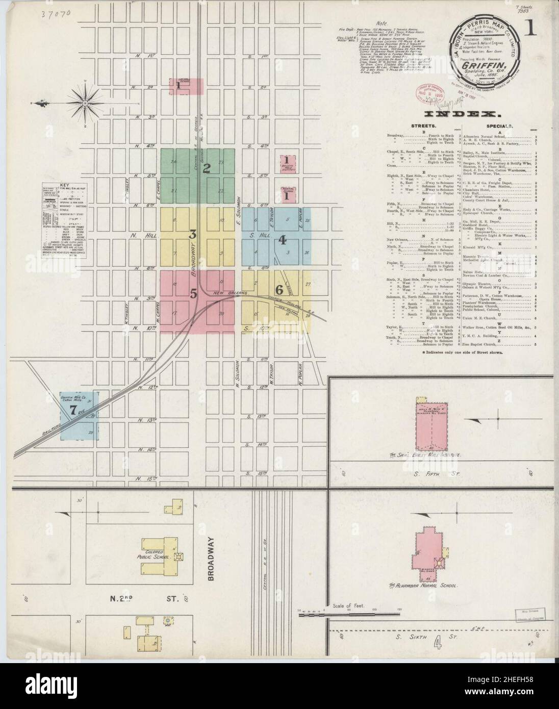 Sanborn Fire Insurance Map from Griffin, Spalding County, Georgia. Stock Photohttps://www.alamy.com/image-license-details/?v=1https://www.alamy.com/sanborn-fire-insurance-map-from-griffin-spalding-county-georgia-image456417508.html
RM2HEFH58–Sanborn Fire Insurance Map from Griffin, Spalding County, Georgia.
![To The Rev.d Maurice Johnson, D.D. Minister of the Parish Church of Spalding. This View of Spalding Church, Lincolnshire, Author Burgess, Hilkiah 19.32. Place of publication: [Fleet] Publisher: Published as the Act directs, July 1.st 1801, by W. , H. Burgess, Fleet near Holbeach Lincolnshire., Date of publication: [1801] Item type: 1 print Medium: etching and engraving Dimensions: platemark 25.6 x 35.5 cm Former owner: George III, King of Great Britain, 1738-1820 Stock Photo To The Rev.d Maurice Johnson, D.D. Minister of the Parish Church of Spalding. This View of Spalding Church, Lincolnshire, Author Burgess, Hilkiah 19.32. Place of publication: [Fleet] Publisher: Published as the Act directs, July 1.st 1801, by W. , H. Burgess, Fleet near Holbeach Lincolnshire., Date of publication: [1801] Item type: 1 print Medium: etching and engraving Dimensions: platemark 25.6 x 35.5 cm Former owner: George III, King of Great Britain, 1738-1820 Stock Photo](https://c8.alamy.com/comp/2E9HC22/to-the-revd-maurice-johnson-dd-minister-of-the-parish-church-of-spalding-this-view-of-spalding-church-lincolnshire-author-burgess-hilkiah-1932-place-of-publication-fleet-publisher-published-as-the-act-directs-july-1st-1801-by-w-h-burgess-fleet-near-holbeach-lincolnshire-date-of-publication-1801-item-type-1-print-medium-etching-and-engraving-dimensions-platemark-256-x-355-cm-former-owner-george-iii-king-of-great-britain-1738-1820-2E9HC22.jpg) To The Rev.d Maurice Johnson, D.D. Minister of the Parish Church of Spalding. This View of Spalding Church, Lincolnshire, Author Burgess, Hilkiah 19.32. Place of publication: [Fleet] Publisher: Published as the Act directs, July 1.st 1801, by W. , H. Burgess, Fleet near Holbeach Lincolnshire., Date of publication: [1801] Item type: 1 print Medium: etching and engraving Dimensions: platemark 25.6 x 35.5 cm Former owner: George III, King of Great Britain, 1738-1820 Stock Photohttps://www.alamy.com/image-license-details/?v=1https://www.alamy.com/to-the-revd-maurice-johnson-dd-minister-of-the-parish-church-of-spalding-this-view-of-spalding-church-lincolnshire-author-burgess-hilkiah-1932-place-of-publication-fleet-publisher-published-as-the-act-directs-july-1st-1801-by-w-h-burgess-fleet-near-holbeach-lincolnshire-date-of-publication-1801-item-type-1-print-medium-etching-and-engraving-dimensions-platemark-256-x-355-cm-former-owner-george-iii-king-of-great-britain-1738-1820-image401753018.html
To The Rev.d Maurice Johnson, D.D. Minister of the Parish Church of Spalding. This View of Spalding Church, Lincolnshire, Author Burgess, Hilkiah 19.32. Place of publication: [Fleet] Publisher: Published as the Act directs, July 1.st 1801, by W. , H. Burgess, Fleet near Holbeach Lincolnshire., Date of publication: [1801] Item type: 1 print Medium: etching and engraving Dimensions: platemark 25.6 x 35.5 cm Former owner: George III, King of Great Britain, 1738-1820 Stock Photohttps://www.alamy.com/image-license-details/?v=1https://www.alamy.com/to-the-revd-maurice-johnson-dd-minister-of-the-parish-church-of-spalding-this-view-of-spalding-church-lincolnshire-author-burgess-hilkiah-1932-place-of-publication-fleet-publisher-published-as-the-act-directs-july-1st-1801-by-w-h-burgess-fleet-near-holbeach-lincolnshire-date-of-publication-1801-item-type-1-print-medium-etching-and-engraving-dimensions-platemark-256-x-355-cm-former-owner-george-iii-king-of-great-britain-1738-1820-image401753018.htmlRM2E9HC22–To The Rev.d Maurice Johnson, D.D. Minister of the Parish Church of Spalding. This View of Spalding Church, Lincolnshire, Author Burgess, Hilkiah 19.32. Place of publication: [Fleet] Publisher: Published as the Act directs, July 1.st 1801, by W. , H. Burgess, Fleet near Holbeach Lincolnshire., Date of publication: [1801] Item type: 1 print Medium: etching and engraving Dimensions: platemark 25.6 x 35.5 cm Former owner: George III, King of Great Britain, 1738-1820
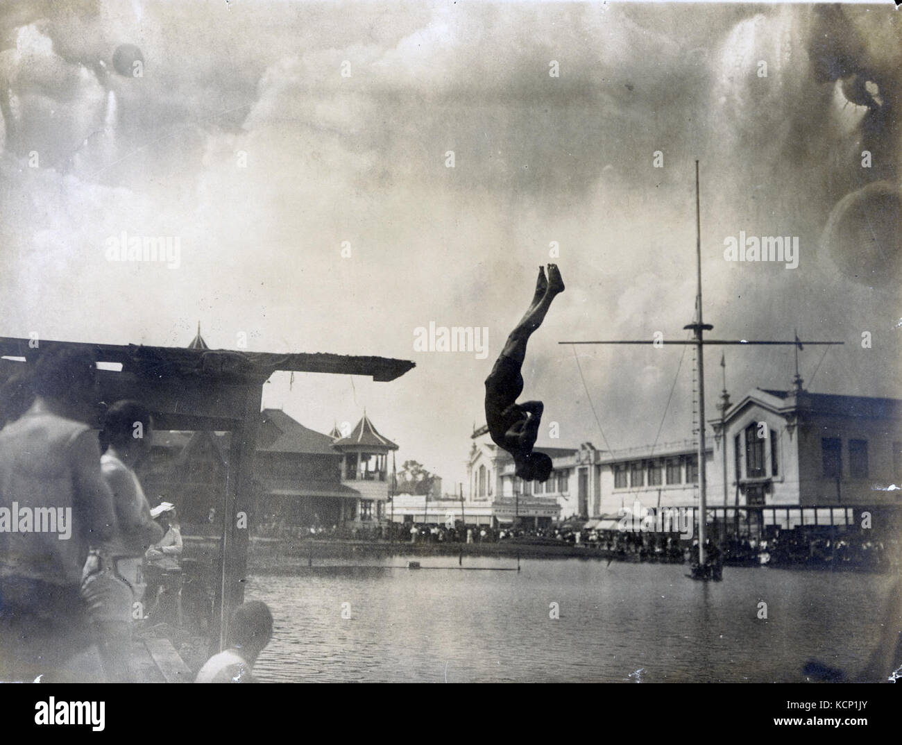 Frank Kehoe (aka Keogh) of the Chicago Athletic Association during the fancy diving competition at the 1904 Olympics Stock Photohttps://www.alamy.com/image-license-details/?v=1https://www.alamy.com/stock-image-frank-kehoe-aka-keogh-of-the-chicago-athletic-association-during-the-162753443.html
RMKCP1JY–Frank Kehoe (aka Keogh) of the Chicago Athletic Association during the fancy diving competition at the 1904 Olympics
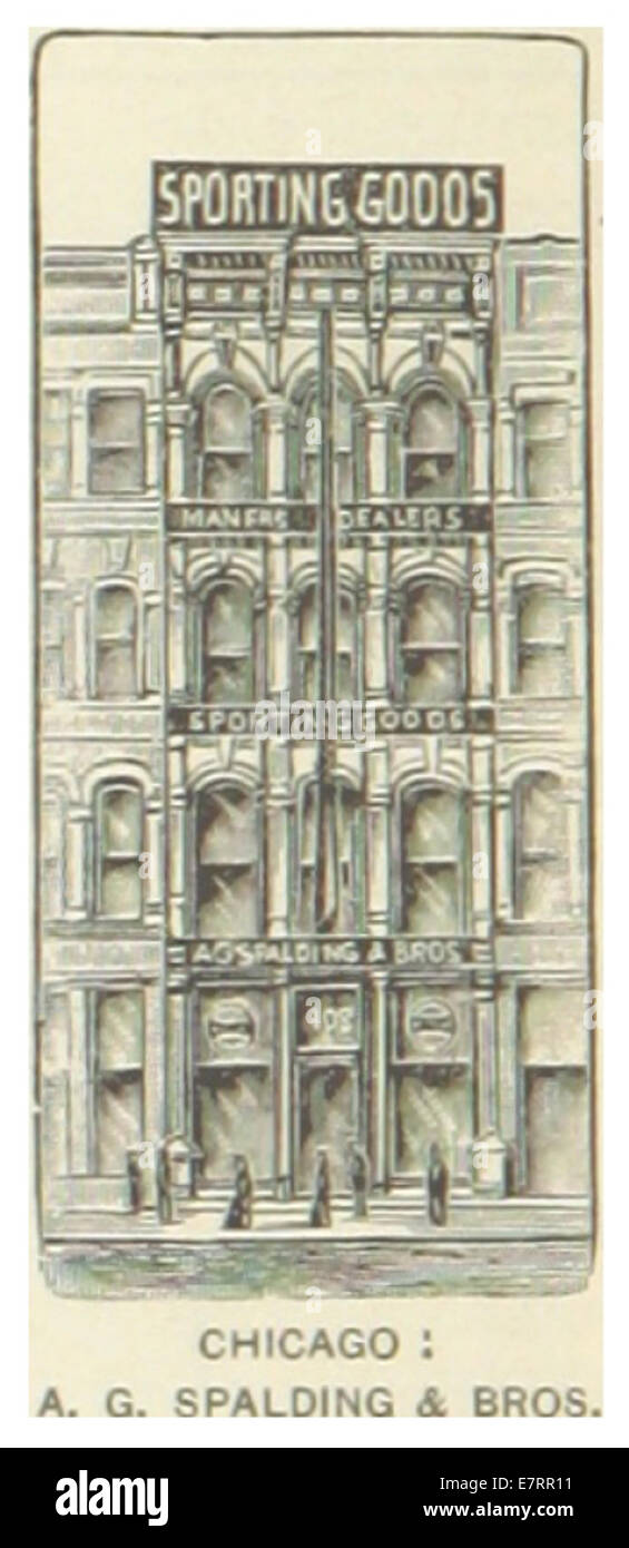 US-IL(1891) p234 CHICAGO, A.G. SPALDING & BROSERTHS COMPANY Stock Photohttps://www.alamy.com/image-license-details/?v=1https://www.alamy.com/stock-photo-us-il1891-p234-chicago-ag-spalding-broserths-company-73667021.html
RME7RR11–US-IL(1891) p234 CHICAGO, A.G. SPALDING & BROSERTHS COMPANY
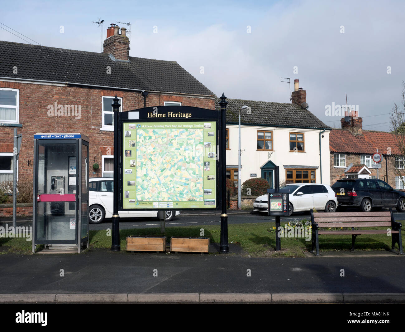 Holme on Spalding Moor town map, East Riding of Yorkshire, England, United Kingdom Stock Photohttps://www.alamy.com/image-license-details/?v=1https://www.alamy.com/holme-on-spalding-moor-town-map-east-riding-of-yorkshire-england-united-kingdom-image178427247.html
RMMA81NK–Holme on Spalding Moor town map, East Riding of Yorkshire, England, United Kingdom
 Lincolnshire, administrative county of England - Great Britain. Grayscale elevation map with lakes and rivers Stock Photohttps://www.alamy.com/image-license-details/?v=1https://www.alamy.com/lincolnshire-administrative-county-of-england-great-britain-grayscale-elevation-map-with-lakes-and-rivers-image546467092.html
RF2PN1M9T–Lincolnshire, administrative county of England - Great Britain. Grayscale elevation map with lakes and rivers
 Map of Spalding in Georgia Stock Photohttps://www.alamy.com/image-license-details/?v=1https://www.alamy.com/map-of-spalding-in-georgia-image443795540.html
RF2GP0HMM–Map of Spalding in Georgia
 Towalaga, Spalding County, US, United States, Georgia, N 33 18' 51'', S 84 12' 16'', map, Cartascapes Map published in 2024. Explore Cartascapes, a map revealing Earth's diverse landscapes, cultures, and ecosystems. Journey through time and space, discovering the interconnectedness of our planet's past, present, and future. Stock Photohttps://www.alamy.com/image-license-details/?v=1https://www.alamy.com/towalaga-spalding-county-us-united-states-georgia-n-33-18-51-s-84-12-16-map-cartascapes-map-published-in-2024-explore-cartascapes-a-map-revealing-earths-diverse-landscapes-cultures-and-ecosystems-journey-through-time-and-space-discovering-the-interconnectedness-of-our-planets-past-present-and-future-image621251379.html
RM2Y2MCD7–Towalaga, Spalding County, US, United States, Georgia, N 33 18' 51'', S 84 12' 16'', map, Cartascapes Map published in 2024. Explore Cartascapes, a map revealing Earth's diverse landscapes, cultures, and ecosystems. Journey through time and space, discovering the interconnectedness of our planet's past, present, and future.
 Spalding County, Georgia (U.S. county, United States of America,USA, U.S., US) map vector illustration, scribble sketch Spalding map Stock Vectorhttps://www.alamy.com/image-license-details/?v=1https://www.alamy.com/spalding-county-georgia-us-county-united-states-of-americausa-us-us-map-vector-illustration-scribble-sketch-spalding-map-image358701918.html
RF2BRG7XP–Spalding County, Georgia (U.S. county, United States of America,USA, U.S., US) map vector illustration, scribble sketch Spalding map
 USGS TOPO Map California CA Spalding Tract 300626 1983 24000 Inverted Restoration Stock Photohttps://www.alamy.com/image-license-details/?v=1https://www.alamy.com/usgs-topo-map-california-ca-spalding-tract-300626-1983-24000-inverted-restoration-image243434641.html
RMT41BA9–USGS TOPO Map California CA Spalding Tract 300626 1983 24000 Inverted Restoration
 Sanborn Fire Insurance Map from Griffin, Spalding County, Georgia. Stock Photohttps://www.alamy.com/image-license-details/?v=1https://www.alamy.com/sanborn-fire-insurance-map-from-griffin-spalding-county-georgia-image456417586.html
RM2HEFH82–Sanborn Fire Insurance Map from Griffin, Spalding County, Georgia.
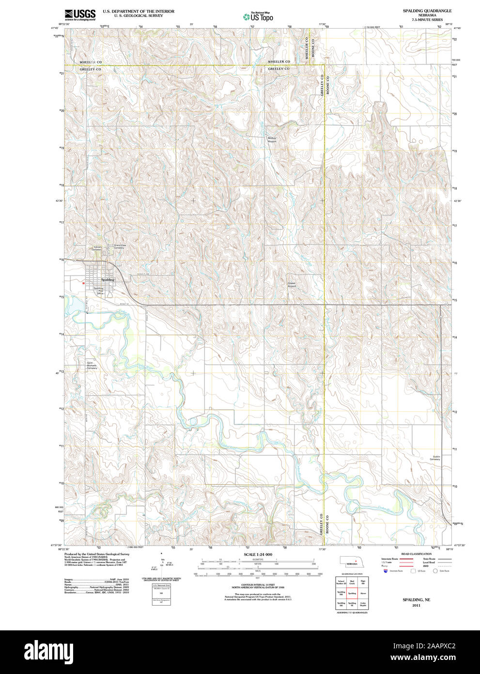 USGS TOPO Map Nebraska NE Spalding 20111114 TM Restoration Stock Photohttps://www.alamy.com/image-license-details/?v=1https://www.alamy.com/usgs-topo-map-nebraska-ne-spalding-20111114-tm-restoration-image333647218.html
RM2AAPXC2–USGS TOPO Map Nebraska NE Spalding 20111114 TM Restoration
![To The Rev.d Maurice Johnson D.D. Patron, and Vicar of Moulton, This View of Moulton Church, near Spalding Lincolnshire., Author Burgess, William 19.50. Place of publication: [Fleet] Publisher: Published as the Act directs, Oct. 1.st 1800, by W. , H. Burgess, Fleet, near Holbeach, Lincolnshire., Date of publication: [1800] Item type: 1 print Medium: etching and engraving Dimensions: platemark 25.1 x 35.7 cm Former owner: George III, King of Great Britain, 1738-1820 Stock Photo To The Rev.d Maurice Johnson D.D. Patron, and Vicar of Moulton, This View of Moulton Church, near Spalding Lincolnshire., Author Burgess, William 19.50. Place of publication: [Fleet] Publisher: Published as the Act directs, Oct. 1.st 1800, by W. , H. Burgess, Fleet, near Holbeach, Lincolnshire., Date of publication: [1800] Item type: 1 print Medium: etching and engraving Dimensions: platemark 25.1 x 35.7 cm Former owner: George III, King of Great Britain, 1738-1820 Stock Photo](https://c8.alamy.com/comp/2E9HCCY/to-the-revd-maurice-johnson-dd-patron-and-vicar-of-moulton-this-view-of-moulton-church-near-spalding-lincolnshire-author-burgess-william-1950-place-of-publication-fleet-publisher-published-as-the-act-directs-oct-1st-1800-by-w-h-burgess-fleet-near-holbeach-lincolnshire-date-of-publication-1800-item-type-1-print-medium-etching-and-engraving-dimensions-platemark-251-x-357-cm-former-owner-george-iii-king-of-great-britain-1738-1820-2E9HCCY.jpg) To The Rev.d Maurice Johnson D.D. Patron, and Vicar of Moulton, This View of Moulton Church, near Spalding Lincolnshire., Author Burgess, William 19.50. Place of publication: [Fleet] Publisher: Published as the Act directs, Oct. 1.st 1800, by W. , H. Burgess, Fleet, near Holbeach, Lincolnshire., Date of publication: [1800] Item type: 1 print Medium: etching and engraving Dimensions: platemark 25.1 x 35.7 cm Former owner: George III, King of Great Britain, 1738-1820 Stock Photohttps://www.alamy.com/image-license-details/?v=1https://www.alamy.com/to-the-revd-maurice-johnson-dd-patron-and-vicar-of-moulton-this-view-of-moulton-church-near-spalding-lincolnshire-author-burgess-william-1950-place-of-publication-fleet-publisher-published-as-the-act-directs-oct-1st-1800-by-w-h-burgess-fleet-near-holbeach-lincolnshire-date-of-publication-1800-item-type-1-print-medium-etching-and-engraving-dimensions-platemark-251-x-357-cm-former-owner-george-iii-king-of-great-britain-1738-1820-image401753323.html
To The Rev.d Maurice Johnson D.D. Patron, and Vicar of Moulton, This View of Moulton Church, near Spalding Lincolnshire., Author Burgess, William 19.50. Place of publication: [Fleet] Publisher: Published as the Act directs, Oct. 1.st 1800, by W. , H. Burgess, Fleet, near Holbeach, Lincolnshire., Date of publication: [1800] Item type: 1 print Medium: etching and engraving Dimensions: platemark 25.1 x 35.7 cm Former owner: George III, King of Great Britain, 1738-1820 Stock Photohttps://www.alamy.com/image-license-details/?v=1https://www.alamy.com/to-the-revd-maurice-johnson-dd-patron-and-vicar-of-moulton-this-view-of-moulton-church-near-spalding-lincolnshire-author-burgess-william-1950-place-of-publication-fleet-publisher-published-as-the-act-directs-oct-1st-1800-by-w-h-burgess-fleet-near-holbeach-lincolnshire-date-of-publication-1800-item-type-1-print-medium-etching-and-engraving-dimensions-platemark-251-x-357-cm-former-owner-george-iii-king-of-great-britain-1738-1820-image401753323.htmlRM2E9HCCY–To The Rev.d Maurice Johnson D.D. Patron, and Vicar of Moulton, This View of Moulton Church, near Spalding Lincolnshire., Author Burgess, William 19.50. Place of publication: [Fleet] Publisher: Published as the Act directs, Oct. 1.st 1800, by W. , H. Burgess, Fleet, near Holbeach, Lincolnshire., Date of publication: [1800] Item type: 1 print Medium: etching and engraving Dimensions: platemark 25.1 x 35.7 cm Former owner: George III, King of Great Britain, 1738-1820
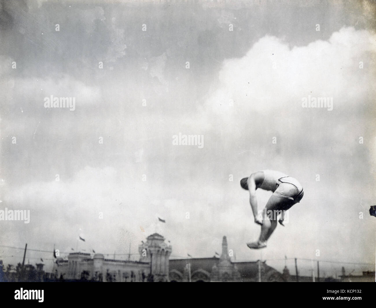 Alfred Braunschweiger of Germany during the Fancy Diving competition at the 1904 Olympics Stock Photohttps://www.alamy.com/image-license-details/?v=1https://www.alamy.com/stock-image-alfred-braunschweiger-of-germany-during-the-fancy-diving-competition-162752998.html
RMKCP132–Alfred Braunschweiger of Germany during the Fancy Diving competition at the 1904 Olympics
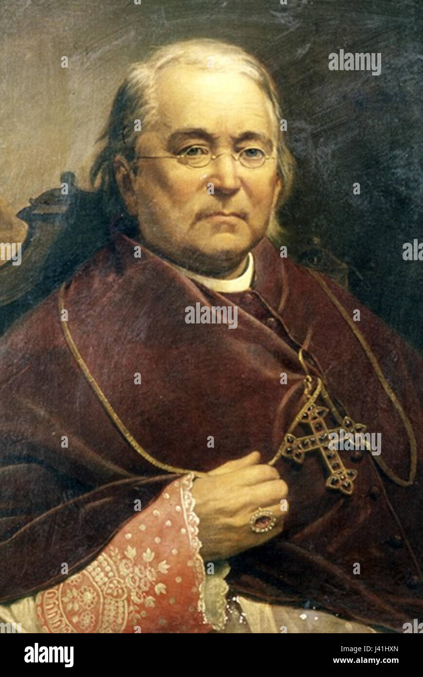 Martin John Spalding Stock Photohttps://www.alamy.com/image-license-details/?v=1https://www.alamy.com/stock-photo-martin-john-spalding-140177597.html
RMJ41HXN–Martin John Spalding
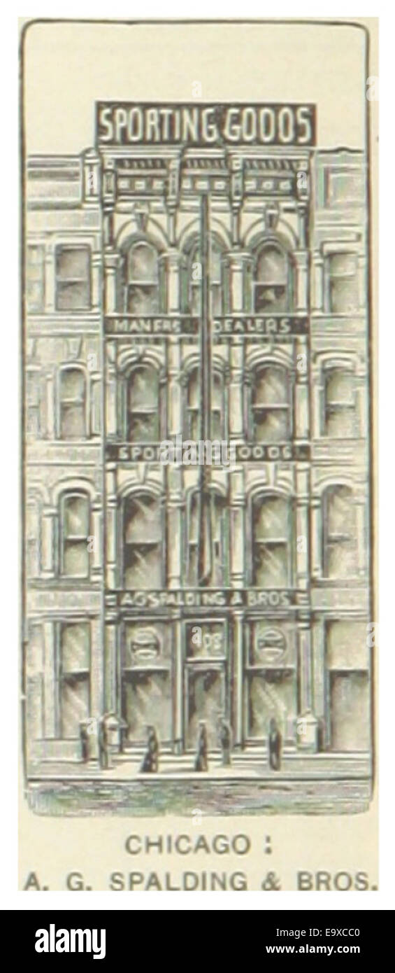 US-IL(1891) p234 CHICAGO, A.G. SPALDING & BROSERTHS COMPANY Stock Photohttps://www.alamy.com/image-license-details/?v=1https://www.alamy.com/stock-photo-us-il1891-p234-chicago-ag-spalding-broserths-company-74953872.html
RME9XCC0–US-IL(1891) p234 CHICAGO, A.G. SPALDING & BROSERTHS COMPANY
 Lincolnshire, administrative county of England - Great Britain. Bilevel elevation map with lakes and rivers Stock Photohttps://www.alamy.com/image-license-details/?v=1https://www.alamy.com/lincolnshire-administrative-county-of-england-great-britain-bilevel-elevation-map-with-lakes-and-rivers-image546466970.html
RF2PN1M5E–Lincolnshire, administrative county of England - Great Britain. Bilevel elevation map with lakes and rivers
 Vaughn, Spalding County, US, United States, Georgia, N 33 16' 51'', S 84 23' 29'', map, Cartascapes Map published in 2024. Explore Cartascapes, a map revealing Earth's diverse landscapes, cultures, and ecosystems. Journey through time and space, discovering the interconnectedness of our planet's past, present, and future. Stock Photohttps://www.alamy.com/image-license-details/?v=1https://www.alamy.com/vaughn-spalding-county-us-united-states-georgia-n-33-16-51-s-84-23-29-map-cartascapes-map-published-in-2024-explore-cartascapes-a-map-revealing-earths-diverse-landscapes-cultures-and-ecosystems-journey-through-time-and-space-discovering-the-interconnectedness-of-our-planets-past-present-and-future-image621310572.html
RM2Y2R3Y8–Vaughn, Spalding County, US, United States, Georgia, N 33 16' 51'', S 84 23' 29'', map, Cartascapes Map published in 2024. Explore Cartascapes, a map revealing Earth's diverse landscapes, cultures, and ecosystems. Journey through time and space, discovering the interconnectedness of our planet's past, present, and future.
 Sanborn Fire Insurance Map from Griffin, Spalding County, Georgia. Stock Photohttps://www.alamy.com/image-license-details/?v=1https://www.alamy.com/sanborn-fire-insurance-map-from-griffin-spalding-county-georgia-image456417548.html
RM2HEFH6M–Sanborn Fire Insurance Map from Griffin, Spalding County, Georgia.
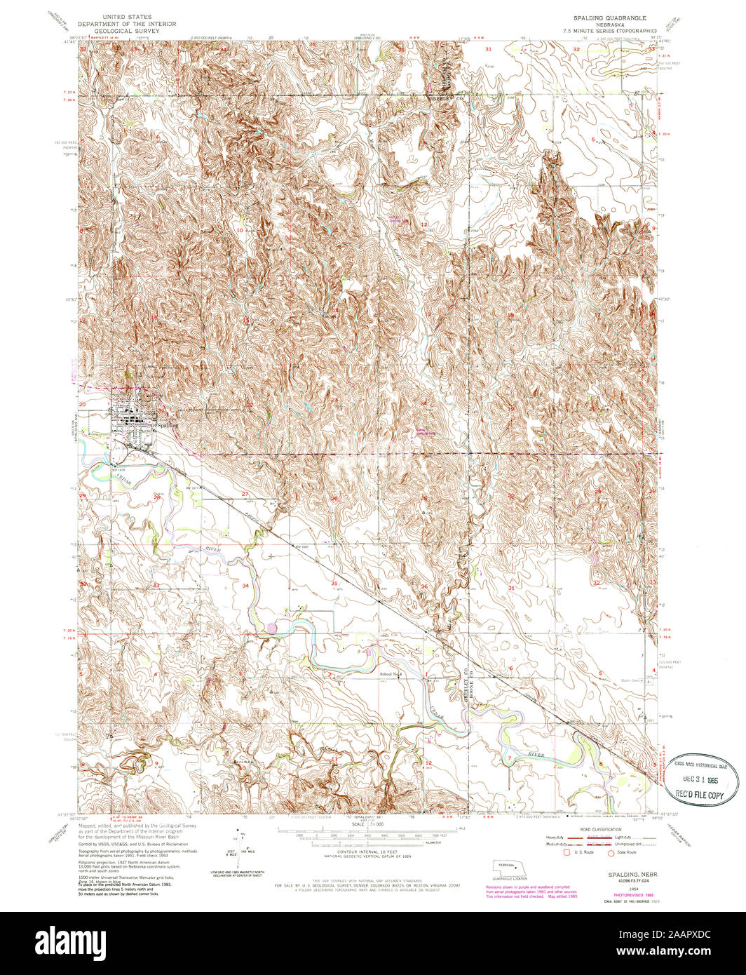 USGS TOPO Map Nebraska NE Spalding 317207 1954 24000 Restoration Stock Photohttps://www.alamy.com/image-license-details/?v=1https://www.alamy.com/usgs-topo-map-nebraska-ne-spalding-317207-1954-24000-restoration-image333647256.html
RM2AAPXDC–USGS TOPO Map Nebraska NE Spalding 317207 1954 24000 Restoration
![To John George Calthrop, of Gosberton, Esq.r. This View of Gosberton Church, near Spalding, Lincolnshire, Is most respectfully Inscribed, by his much obliged and humble Servants, William & Hilkiah Burgess. Author Burgess, Hilkiah 19.43. Place of publication: [Fleet , London] Publisher: Published as the Act directs, April 1, 1802, by W. , H. Burgess, Fleet, near Holbeach, Lincolnshire., Date of publication: [1802] Item type: 1 print Medium: etching and engraving Dimensions: platemark 25.5 x 35.8 cm Former owner: George III, King of Great Britain, 1738-1 Stock Photo To John George Calthrop, of Gosberton, Esq.r. This View of Gosberton Church, near Spalding, Lincolnshire, Is most respectfully Inscribed, by his much obliged and humble Servants, William & Hilkiah Burgess. Author Burgess, Hilkiah 19.43. Place of publication: [Fleet , London] Publisher: Published as the Act directs, April 1, 1802, by W. , H. Burgess, Fleet, near Holbeach, Lincolnshire., Date of publication: [1802] Item type: 1 print Medium: etching and engraving Dimensions: platemark 25.5 x 35.8 cm Former owner: George III, King of Great Britain, 1738-1 Stock Photo](https://c8.alamy.com/comp/2E9HCB6/to-john-george-calthrop-of-gosberton-esqr-this-view-of-gosberton-church-near-spalding-lincolnshire-is-most-respectfully-inscribed-by-his-much-obliged-and-humble-servants-william-hilkiah-burgess-author-burgess-hilkiah-1943-place-of-publication-fleet-london-publisher-published-as-the-act-directs-april-1-1802-by-w-h-burgess-fleet-near-holbeach-lincolnshire-date-of-publication-1802-item-type-1-print-medium-etching-and-engraving-dimensions-platemark-255-x-358-cm-former-owner-george-iii-king-of-great-britain-1738-1-2E9HCB6.jpg) To John George Calthrop, of Gosberton, Esq.r. This View of Gosberton Church, near Spalding, Lincolnshire, Is most respectfully Inscribed, by his much obliged and humble Servants, William & Hilkiah Burgess. Author Burgess, Hilkiah 19.43. Place of publication: [Fleet , London] Publisher: Published as the Act directs, April 1, 1802, by W. , H. Burgess, Fleet, near Holbeach, Lincolnshire., Date of publication: [1802] Item type: 1 print Medium: etching and engraving Dimensions: platemark 25.5 x 35.8 cm Former owner: George III, King of Great Britain, 1738-1 Stock Photohttps://www.alamy.com/image-license-details/?v=1https://www.alamy.com/to-john-george-calthrop-of-gosberton-esqr-this-view-of-gosberton-church-near-spalding-lincolnshire-is-most-respectfully-inscribed-by-his-much-obliged-and-humble-servants-william-hilkiah-burgess-author-burgess-hilkiah-1943-place-of-publication-fleet-london-publisher-published-as-the-act-directs-april-1-1802-by-w-h-burgess-fleet-near-holbeach-lincolnshire-date-of-publication-1802-item-type-1-print-medium-etching-and-engraving-dimensions-platemark-255-x-358-cm-former-owner-george-iii-king-of-great-britain-1738-1-image401753274.html
To John George Calthrop, of Gosberton, Esq.r. This View of Gosberton Church, near Spalding, Lincolnshire, Is most respectfully Inscribed, by his much obliged and humble Servants, William & Hilkiah Burgess. Author Burgess, Hilkiah 19.43. Place of publication: [Fleet , London] Publisher: Published as the Act directs, April 1, 1802, by W. , H. Burgess, Fleet, near Holbeach, Lincolnshire., Date of publication: [1802] Item type: 1 print Medium: etching and engraving Dimensions: platemark 25.5 x 35.8 cm Former owner: George III, King of Great Britain, 1738-1 Stock Photohttps://www.alamy.com/image-license-details/?v=1https://www.alamy.com/to-john-george-calthrop-of-gosberton-esqr-this-view-of-gosberton-church-near-spalding-lincolnshire-is-most-respectfully-inscribed-by-his-much-obliged-and-humble-servants-william-hilkiah-burgess-author-burgess-hilkiah-1943-place-of-publication-fleet-london-publisher-published-as-the-act-directs-april-1-1802-by-w-h-burgess-fleet-near-holbeach-lincolnshire-date-of-publication-1802-item-type-1-print-medium-etching-and-engraving-dimensions-platemark-255-x-358-cm-former-owner-george-iii-king-of-great-britain-1738-1-image401753274.htmlRM2E9HCB6–To John George Calthrop, of Gosberton, Esq.r. This View of Gosberton Church, near Spalding, Lincolnshire, Is most respectfully Inscribed, by his much obliged and humble Servants, William & Hilkiah Burgess. Author Burgess, Hilkiah 19.43. Place of publication: [Fleet , London] Publisher: Published as the Act directs, April 1, 1802, by W. , H. Burgess, Fleet, near Holbeach, Lincolnshire., Date of publication: [1802] Item type: 1 print Medium: etching and engraving Dimensions: platemark 25.5 x 35.8 cm Former owner: George III, King of Great Britain, 1738-1
 Archbishop Martin John Spalding Stock Photohttps://www.alamy.com/image-license-details/?v=1https://www.alamy.com/stock-photo-archbishop-martin-john-spalding-139480644.html
RMJ2WTYG–Archbishop Martin John Spalding
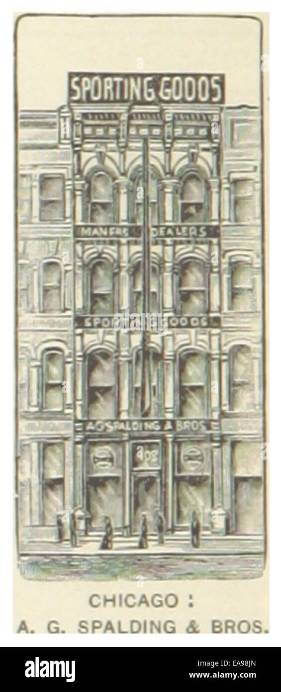 US-IL(1891) p234 CHICAGO, A.G. SPALDING & BROSERTHS COMPANY Stock Photohttps://www.alamy.com/image-license-details/?v=1https://www.alamy.com/stock-photo-us-il1891-p234-chicago-ag-spalding-broserths-company-75192397.html
RMEA98JN–US-IL(1891) p234 CHICAGO, A.G. SPALDING & BROSERTHS COMPANY
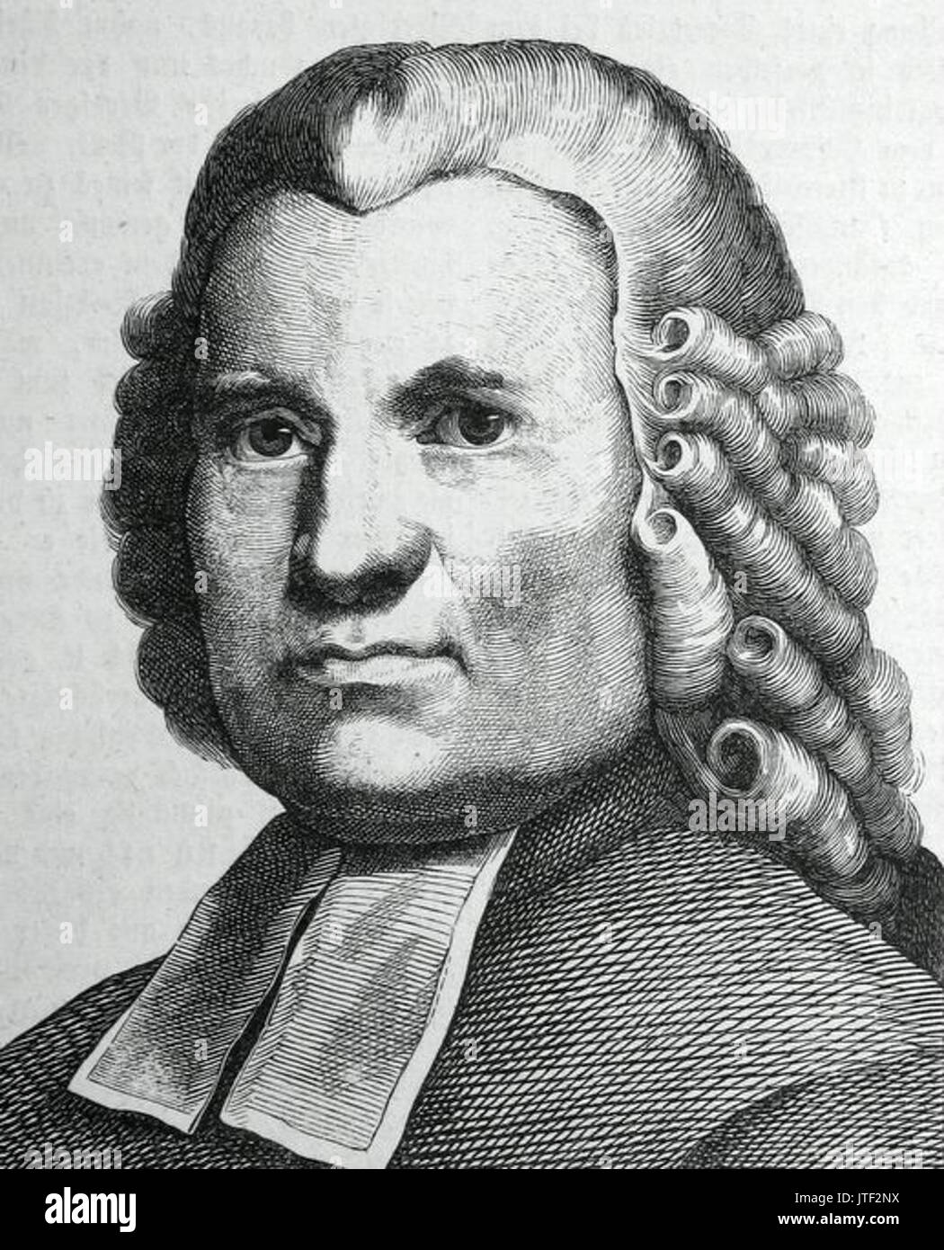 Johann joachim spalding Stock Photohttps://www.alamy.com/image-license-details/?v=1https://www.alamy.com/johann-joachim-spalding-image152766150.html
RMJTF2NX–Johann joachim spalding
 Al Spalding (NYPL b13537024-56248) Stock Photohttps://www.alamy.com/image-license-details/?v=1https://www.alamy.com/stock-photo-al-spalding-nypl-b13537024-56248-139561267.html
RMJ31FPY–Al Spalding (NYPL b13537024-56248)
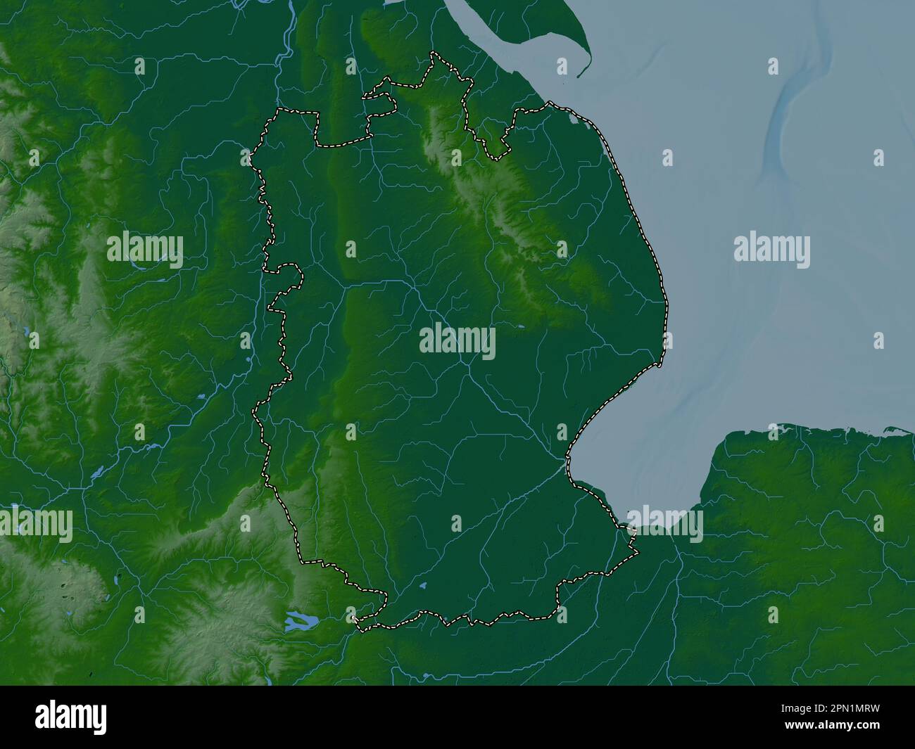 Lincolnshire, administrative county of England - Great Britain. Colored elevation map with lakes and rivers Stock Photohttps://www.alamy.com/image-license-details/?v=1https://www.alamy.com/lincolnshire-administrative-county-of-england-great-britain-colored-elevation-map-with-lakes-and-rivers-image546467485.html
RF2PN1MRW–Lincolnshire, administrative county of England - Great Britain. Colored elevation map with lakes and rivers
 Zetella, Spalding County, US, United States, Georgia, N 33 14' 27'', S 84 22' 55'', map, Cartascapes Map published in 2024. Explore Cartascapes, a map revealing Earth's diverse landscapes, cultures, and ecosystems. Journey through time and space, discovering the interconnectedness of our planet's past, present, and future. Stock Photohttps://www.alamy.com/image-license-details/?v=1https://www.alamy.com/zetella-spalding-county-us-united-states-georgia-n-33-14-27-s-84-22-55-map-cartascapes-map-published-in-2024-explore-cartascapes-a-map-revealing-earths-diverse-landscapes-cultures-and-ecosystems-journey-through-time-and-space-discovering-the-interconnectedness-of-our-planets-past-present-and-future-image621453510.html
RM2Y31J86–Zetella, Spalding County, US, United States, Georgia, N 33 14' 27'', S 84 22' 55'', map, Cartascapes Map published in 2024. Explore Cartascapes, a map revealing Earth's diverse landscapes, cultures, and ecosystems. Journey through time and space, discovering the interconnectedness of our planet's past, present, and future.
 Sanborn Fire Insurance Map from Griffin, Spalding County, Georgia. Stock Photohttps://www.alamy.com/image-license-details/?v=1https://www.alamy.com/sanborn-fire-insurance-map-from-griffin-spalding-county-georgia-image456417483.html
RM2HEFH4B–Sanborn Fire Insurance Map from Griffin, Spalding County, Georgia.
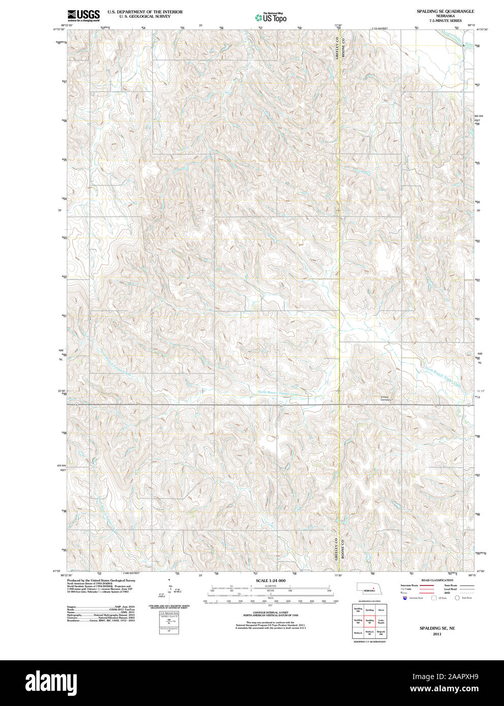 USGS TOPO Map Nebraska NE Spalding SE 20111202 TM Restoration Stock Photohttps://www.alamy.com/image-license-details/?v=1https://www.alamy.com/usgs-topo-map-nebraska-ne-spalding-se-20111202-tm-restoration-image333647365.html
RM2AAPXH9–USGS TOPO Map Nebraska NE Spalding SE 20111202 TM Restoration
 The works of Oliver Goldsmith ... With introductory memoir. By William Spalding Image taken from page 51 of 'The works of Oliver Stock Photohttps://www.alamy.com/image-license-details/?v=1https://www.alamy.com/stock-photo-the-works-of-oliver-goldsmith-with-introductory-memoir-by-william-85923890.html
RMEYP4PA–The works of Oliver Goldsmith ... With introductory memoir. By William Spalding Image taken from page 51 of 'The works of Oliver
 Al Spalding (NYPL b13537024-56252) Stock Photohttps://www.alamy.com/image-license-details/?v=1https://www.alamy.com/stock-photo-al-spalding-nypl-b13537024-56252-139561366.html
RMJ31FXE–Al Spalding (NYPL b13537024-56252)
 South Holland, non metropolitan district of England - Great Britain. Open Street Map Stock Photohttps://www.alamy.com/image-license-details/?v=1https://www.alamy.com/south-holland-non-metropolitan-district-of-england-great-britain-open-street-map-image546504231.html
RF2PN3BM7–South Holland, non metropolitan district of England - Great Britain. Open Street Map
 Spalding Well, Yalgoo, AU, Australia, Western Australia, S 27 14' 43'', N 117 6' 34'', map, Cartascapes Map published in 2024. Explore Cartascapes, a map revealing Earth's diverse landscapes, cultures, and ecosystems. Journey through time and space, discovering the interconnectedness of our planet's past, present, and future. Stock Photohttps://www.alamy.com/image-license-details/?v=1https://www.alamy.com/spalding-well-yalgoo-au-australia-western-australia-s-27-14-43-n-117-6-34-map-cartascapes-map-published-in-2024-explore-cartascapes-a-map-revealing-earths-diverse-landscapes-cultures-and-ecosystems-journey-through-time-and-space-discovering-the-interconnectedness-of-our-planets-past-present-and-future-image625637139.html
RM2Y9T6FF–Spalding Well, Yalgoo, AU, Australia, Western Australia, S 27 14' 43'', N 117 6' 34'', map, Cartascapes Map published in 2024. Explore Cartascapes, a map revealing Earth's diverse landscapes, cultures, and ecosystems. Journey through time and space, discovering the interconnectedness of our planet's past, present, and future.
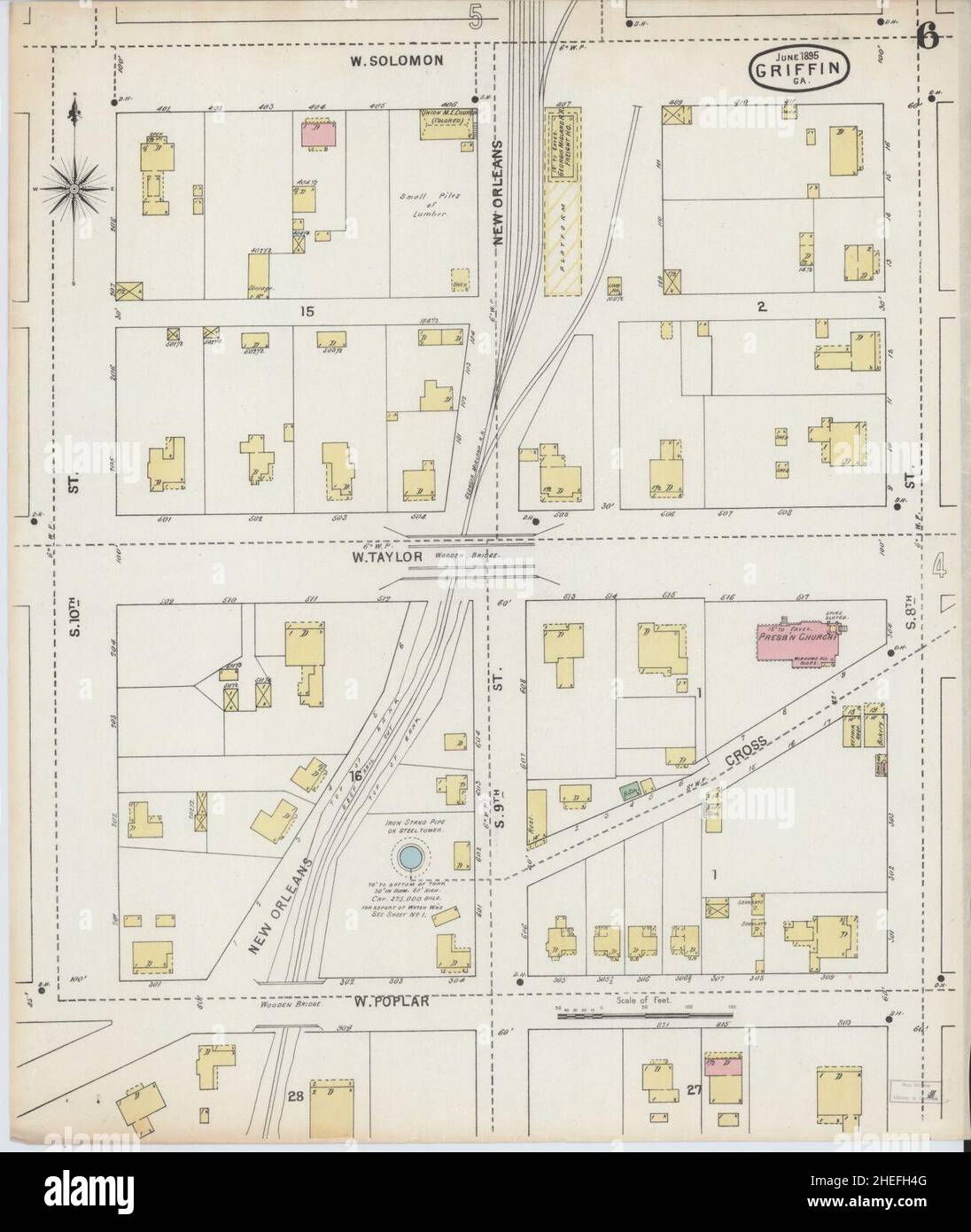 Sanborn Fire Insurance Map from Griffin, Spalding County, Georgia. Stock Photohttps://www.alamy.com/image-license-details/?v=1https://www.alamy.com/sanborn-fire-insurance-map-from-griffin-spalding-county-georgia-image456417488.html
RM2HEFH4G–Sanborn Fire Insurance Map from Griffin, Spalding County, Georgia.
