Turkey aerial Black & White Stock Photos
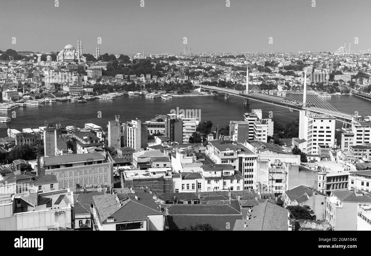 Istanbul, Turkey - July 1, 2016: Aerial Istanbul view with Golden Horn Metro Bridge, black and white photo Stock Photohttps://www.alamy.com/image-license-details/?v=1https://www.alamy.com/istanbul-turkey-july-1-2016-aerial-istanbul-view-with-golden-horn-metro-bridge-black-and-white-photo-image442574410.html
RF2GM104X–Istanbul, Turkey - July 1, 2016: Aerial Istanbul view with Golden Horn Metro Bridge, black and white photo
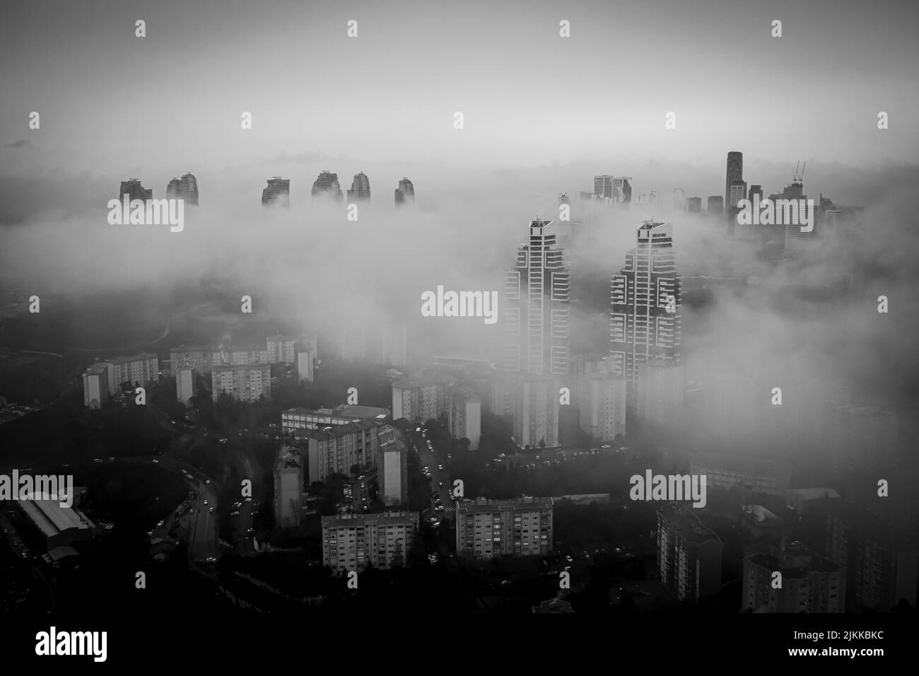 The aerial view of the buildings in Istanbul, Turkey under the fog Stock Photohttps://www.alamy.com/image-license-details/?v=1https://www.alamy.com/the-aerial-view-of-the-buildings-in-istanbul-turkey-under-the-fog-image476784656.html
RF2JKKBKC–The aerial view of the buildings in Istanbul, Turkey under the fog
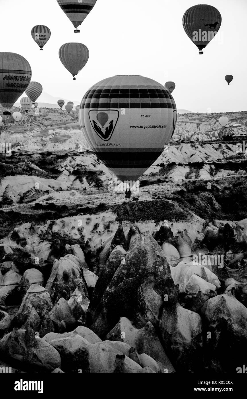 Cappadocia - Turkey - August 2018: Hot air balloon fly at sunrise . Stock Photohttps://www.alamy.com/image-license-details/?v=1https://www.alamy.com/cappadocia-turkey-august-2018-hot-air-balloon-fly-at-sunrise-image223853978.html
RFR05C0X–Cappadocia - Turkey - August 2018: Hot air balloon fly at sunrise .
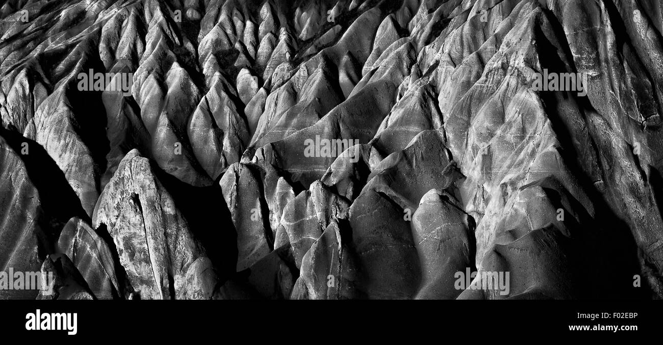 Close-up of Cappadocia, Turkey Stock Photohttps://www.alamy.com/image-license-details/?v=1https://www.alamy.com/stock-photo-close-up-of-cappadocia-turkey-86107050.html
RFF02EBP–Close-up of Cappadocia, Turkey
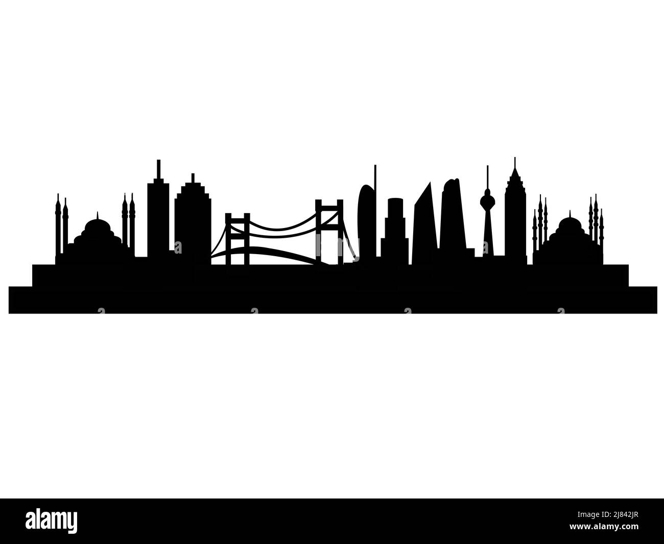 City Skyline Istanbul Turkey Stock Photohttps://www.alamy.com/image-license-details/?v=1https://www.alamy.com/city-skyline-istanbul-turkey-image469687087.html
RF2J842JR–City Skyline Istanbul Turkey
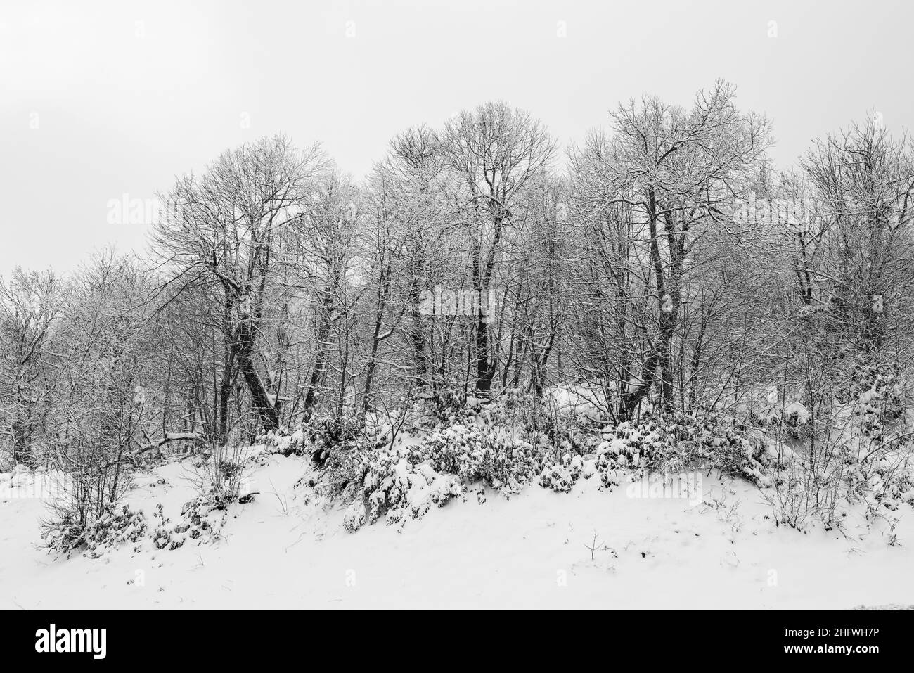 KARTEPE, KOCAELI, TURKEY. Beautiful winter landscape. Winter snowy forest. Stock Photohttps://www.alamy.com/image-license-details/?v=1https://www.alamy.com/kartepe-kocaeli-turkey-beautiful-winter-landscape-winter-snowy-forest-image457251754.html
RF2HFWH7P–KARTEPE, KOCAELI, TURKEY. Beautiful winter landscape. Winter snowy forest.
 Black white contemplating the cityscape a moment of solitude galata tower in ıstanbul, turkey Stock Photohttps://www.alamy.com/image-license-details/?v=1https://www.alamy.com/black-white-contemplating-the-cityscape-a-moment-of-solitude-galata-tower-in-stanbul-turkey-image616929587.html
RF2XRKFYF–Black white contemplating the cityscape a moment of solitude galata tower in ıstanbul, turkey
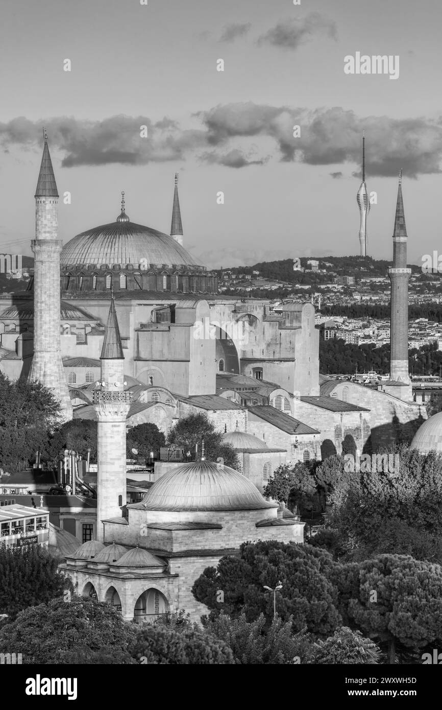 Hagia Sophia, Ayasofya, Istanbul, Turkey Stock Photohttps://www.alamy.com/image-license-details/?v=1https://www.alamy.com/hagia-sophia-ayasofya-istanbul-turkey-image601695849.html
RM2WXWH5D–Hagia Sophia, Ayasofya, Istanbul, Turkey
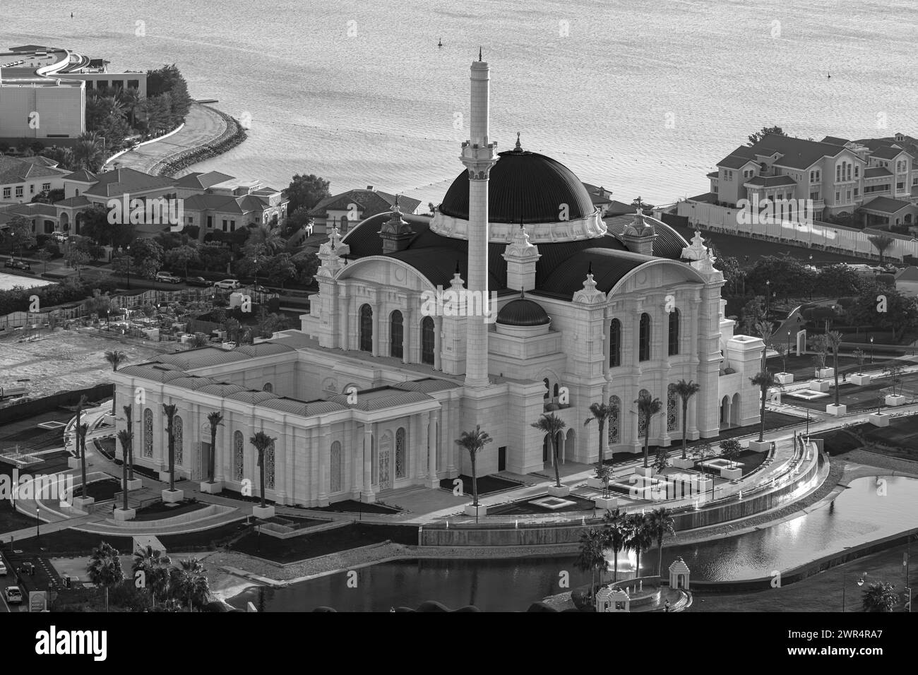 The newly opened Hamad bin Jassim Mosque | The Pearl Island Stock Photohttps://www.alamy.com/image-license-details/?v=1https://www.alamy.com/the-newly-opened-hamad-bin-jassim-mosque-the-pearl-island-image599395727.html
RF2WR4RA7–The newly opened Hamad bin Jassim Mosque | The Pearl Island
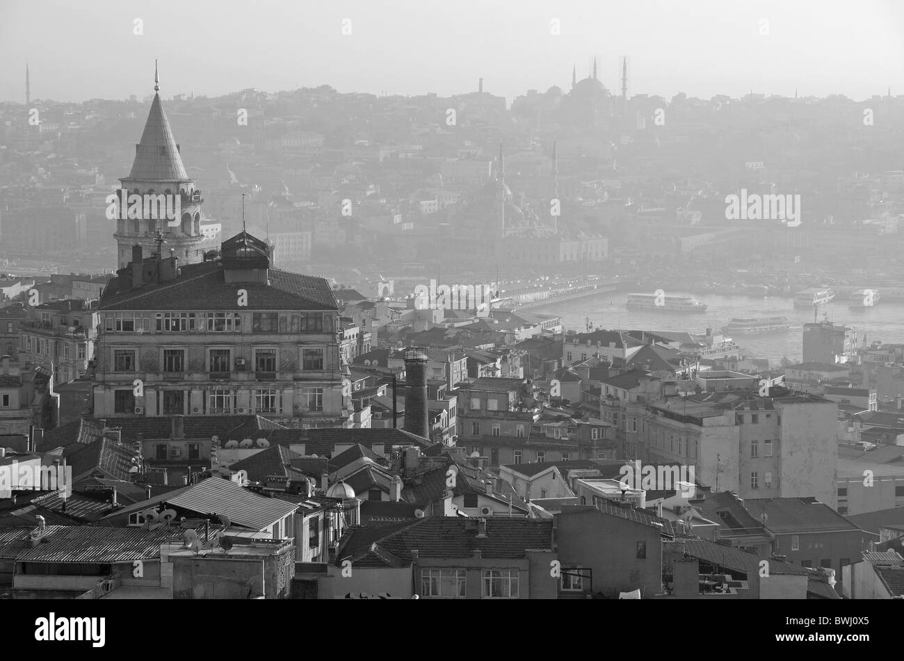 ISTANBUL, TURKEY. A misty winter view over Beyoglu to the Golden Horn and beyond to the bazaar district of the city. 2010. Stock Photohttps://www.alamy.com/image-license-details/?v=1https://www.alamy.com/stock-photo-istanbul-turkey-a-misty-winter-view-over-beyoglu-to-the-golden-horn-32972637.html
RMBWJ0X5–ISTANBUL, TURKEY. A misty winter view over Beyoglu to the Golden Horn and beyond to the bazaar district of the city. 2010.
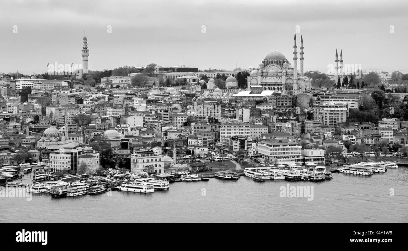 Istanbul aerial view Stock Photohttps://www.alamy.com/image-license-details/?v=1https://www.alamy.com/istanbul-aerial-view-image157946129.html
RFK4Y1W5–Istanbul aerial view
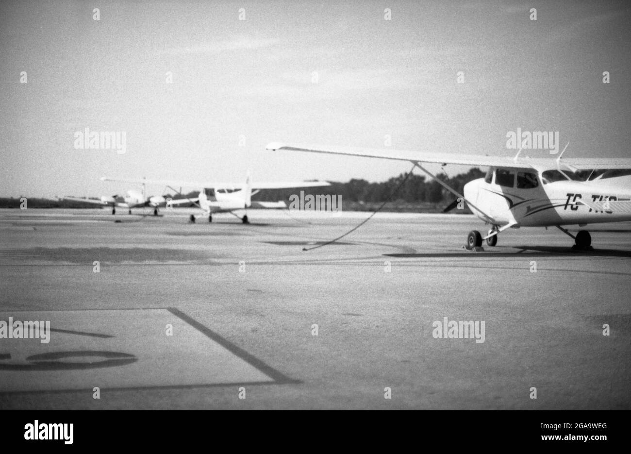 Izmir, Turkey - March 12, 2021: 80 Asa Black and white film scan image of Selcuk airport and three one engined planes on the runway. Selcuk Izmir Turk Stock Photohttps://www.alamy.com/image-license-details/?v=1https://www.alamy.com/izmir-turkey-march-12-2021-80-asa-black-and-white-film-scan-image-of-selcuk-airport-and-three-one-engined-planes-on-the-runway-selcuk-izmir-turk-image436623336.html
RF2GA9WEG–Izmir, Turkey - March 12, 2021: 80 Asa Black and white film scan image of Selcuk airport and three one engined planes on the runway. Selcuk Izmir Turk
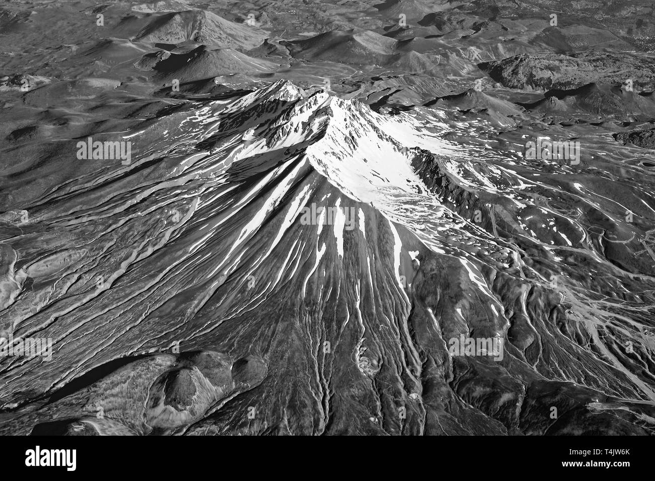 The view from the plane on mount Erciyes, Turkey Central Anatolia region, Kayseri. Black and white. Stock Photohttps://www.alamy.com/image-license-details/?v=1https://www.alamy.com/the-view-from-the-plane-on-mount-erciyes-turkey-central-anatolia-region-kayseri-black-and-white-image243818699.html
RFT4JW6K–The view from the plane on mount Erciyes, Turkey Central Anatolia region, Kayseri. Black and white.
 Istanbul,Turkey : June 30,2024: The famous and most popular Hagia Sophia Grand Mosque, crowded Hagia sophia square, crowded city square Stock Photohttps://www.alamy.com/image-license-details/?v=1https://www.alamy.com/istanbulturkey-june-302024-the-famous-and-most-popular-hagia-sophia-grand-mosque-crowded-hagia-sophia-square-crowded-city-square-image630248669.html
RF2YHA8H1–Istanbul,Turkey : June 30,2024: The famous and most popular Hagia Sophia Grand Mosque, crowded Hagia sophia square, crowded city square
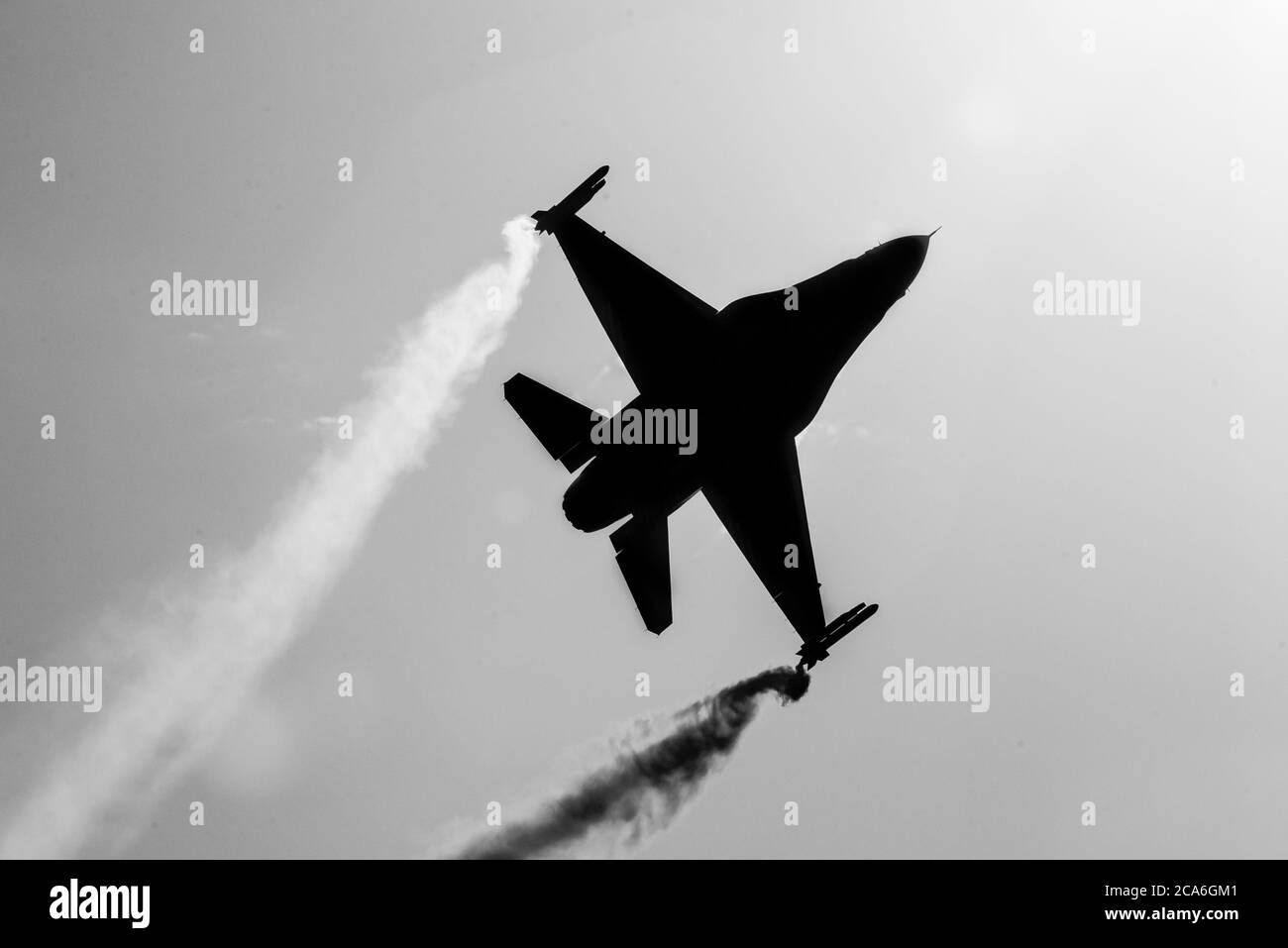 Sivrihisar, Eskisehir / Turkey - 09.15.2018: Soloturk, one of two demo teams of Turkish Air Force, preforming an astonishing display. Stock Photohttps://www.alamy.com/image-license-details/?v=1https://www.alamy.com/sivrihisar-eskisehir-turkey-09152018-soloturk-one-of-two-demo-teams-of-turkish-air-force-preforming-an-astonishing-display-image367709105.html
RM2CA6GM1–Sivrihisar, Eskisehir / Turkey - 09.15.2018: Soloturk, one of two demo teams of Turkish Air Force, preforming an astonishing display.
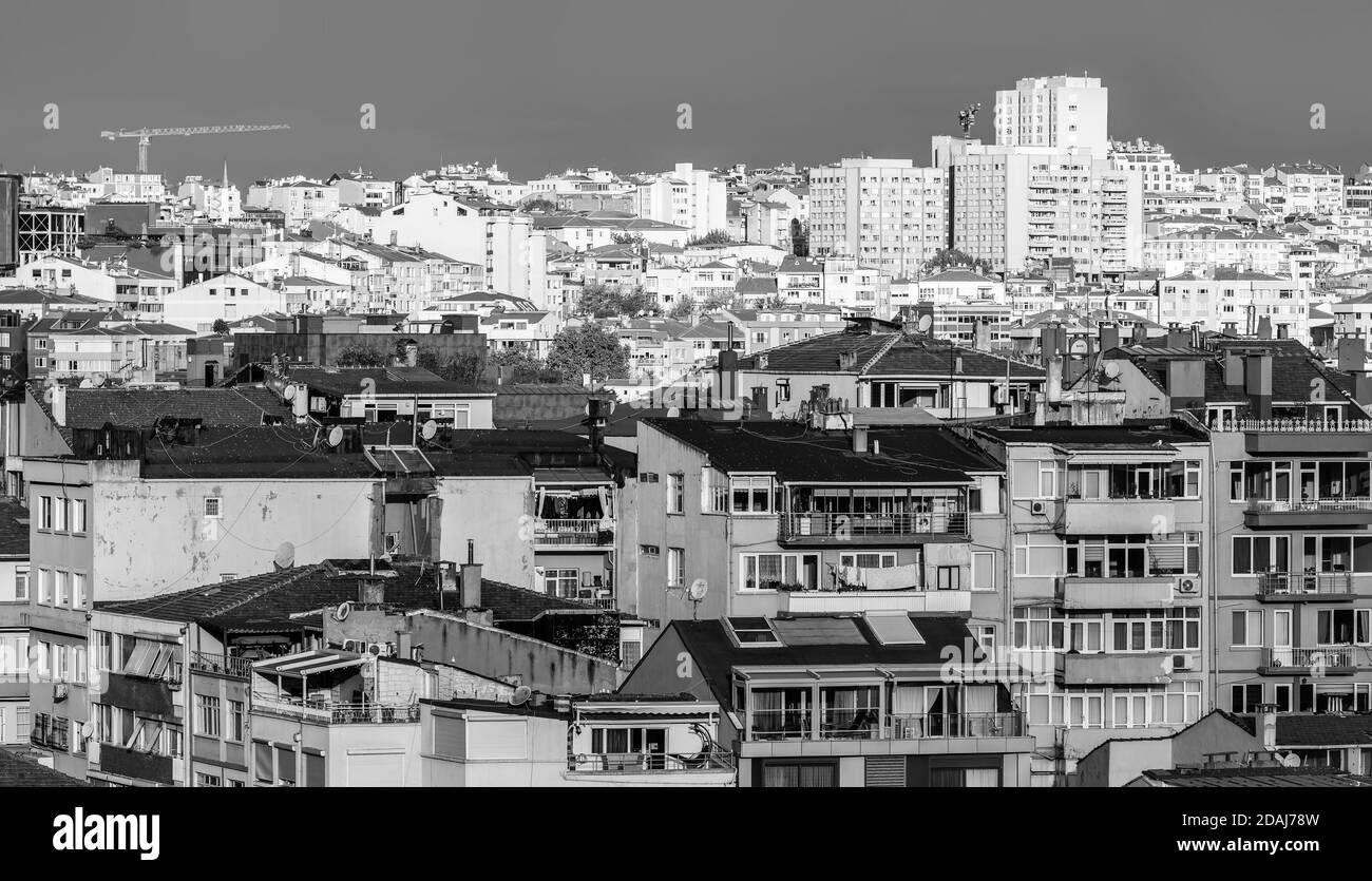 Istanbul, Turkey - Nov 03, 2018: Black and white image of streets, biuldings and roofs of Istanbul. Urban view from the top point Stock Photohttps://www.alamy.com/image-license-details/?v=1https://www.alamy.com/istanbul-turkey-nov-03-2018-black-and-white-image-of-streets-biuldings-and-roofs-of-istanbul-urban-view-from-the-top-point-image385175529.html
RF2DAJ78W–Istanbul, Turkey - Nov 03, 2018: Black and white image of streets, biuldings and roofs of Istanbul. Urban view from the top point
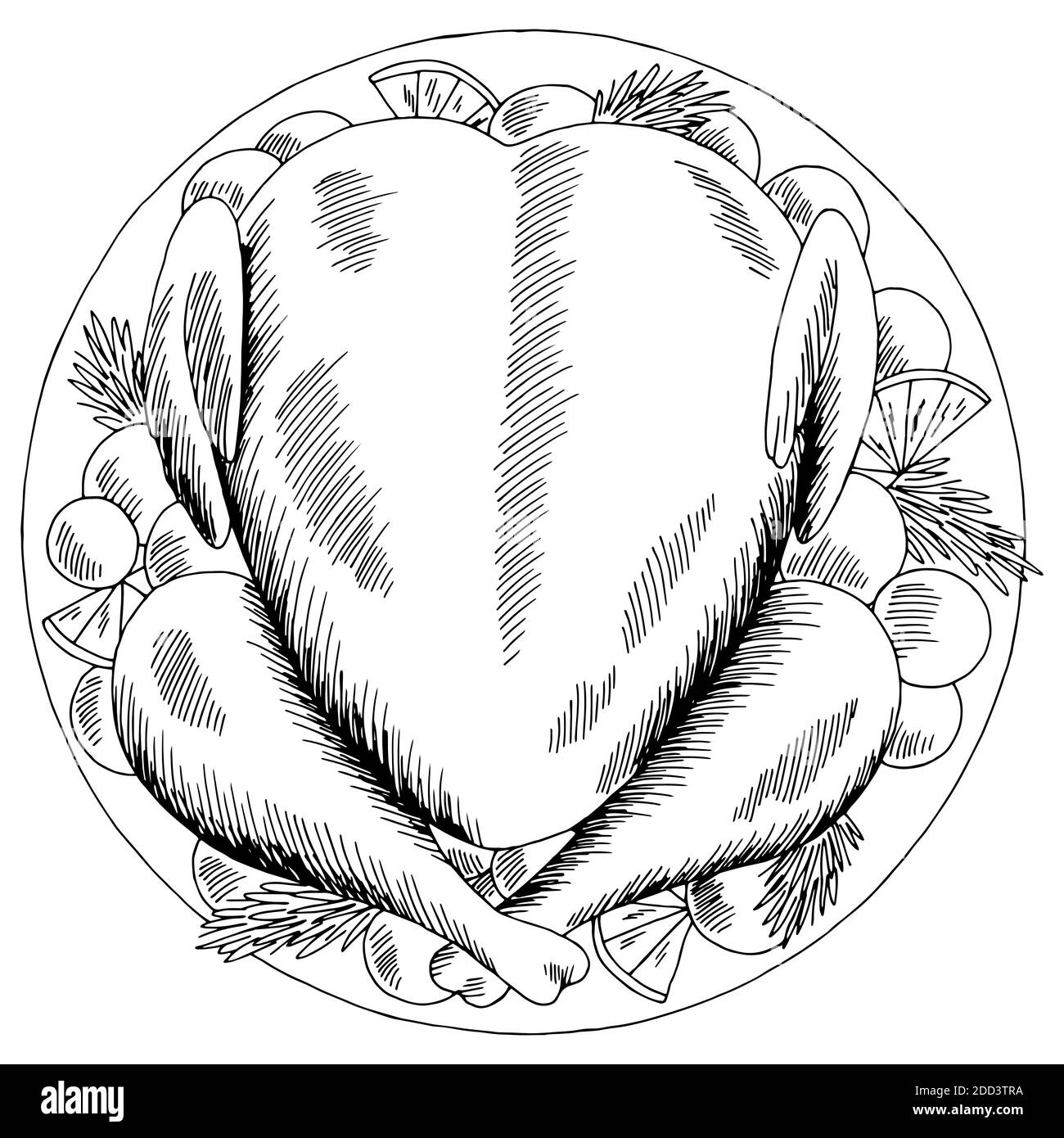 Roasted turkey Thanksgiving Day graphic black white top sketch aerial view isolated illustration vector Stock Vectorhttps://www.alamy.com/image-license-details/?v=1https://www.alamy.com/roasted-turkey-thanksgiving-day-graphic-black-white-top-sketch-aerial-view-isolated-illustration-vector-image386703950.html
RF2DD3TRA–Roasted turkey Thanksgiving Day graphic black white top sketch aerial view isolated illustration vector
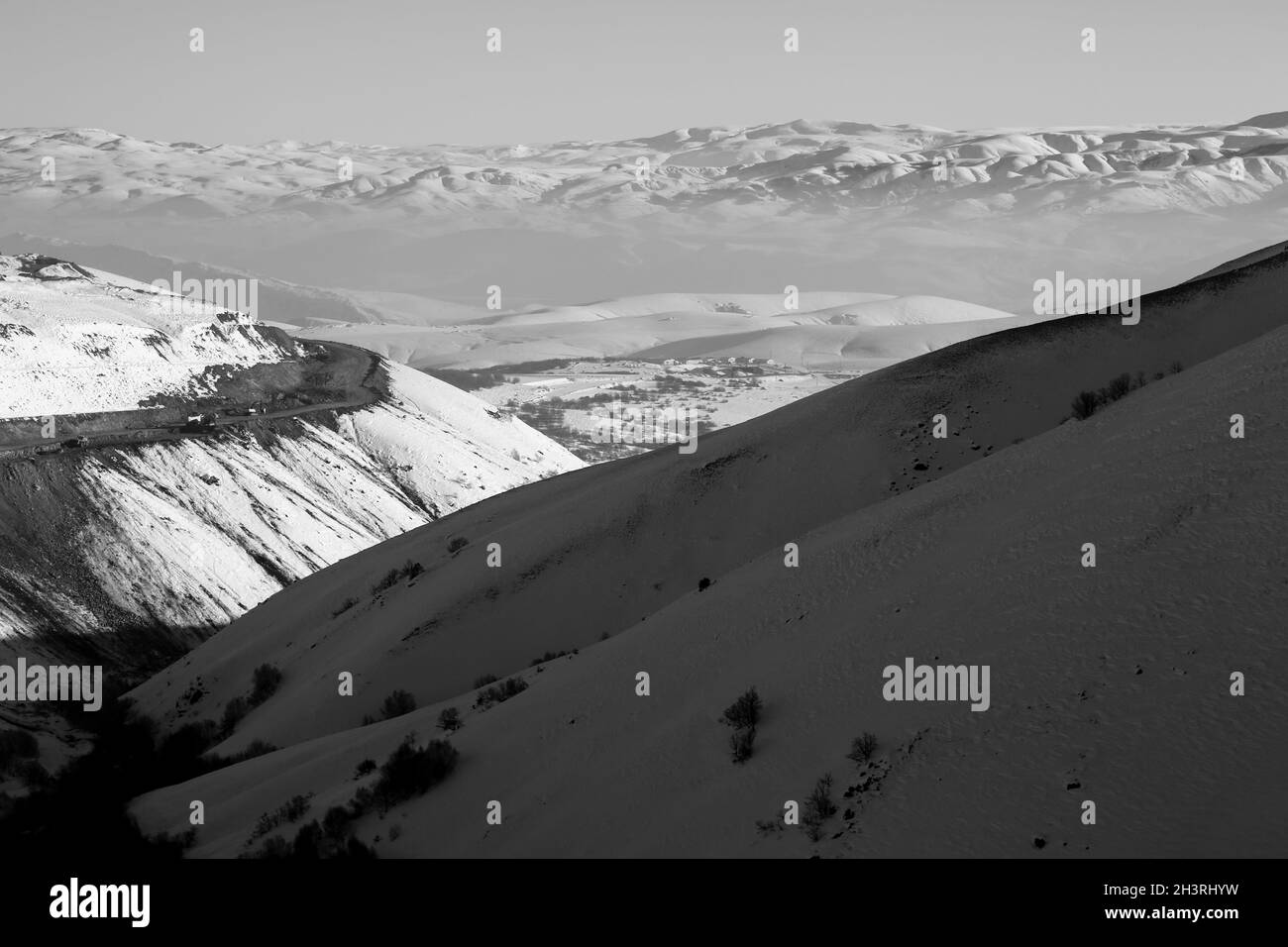 Eastern Anatolia mountain ranges. Black White landscape. Stock Photohttps://www.alamy.com/image-license-details/?v=1https://www.alamy.com/eastern-anatolia-mountain-ranges-black-white-landscape-image449832541.html
RF2H3RHYW–Eastern Anatolia mountain ranges. Black White landscape.
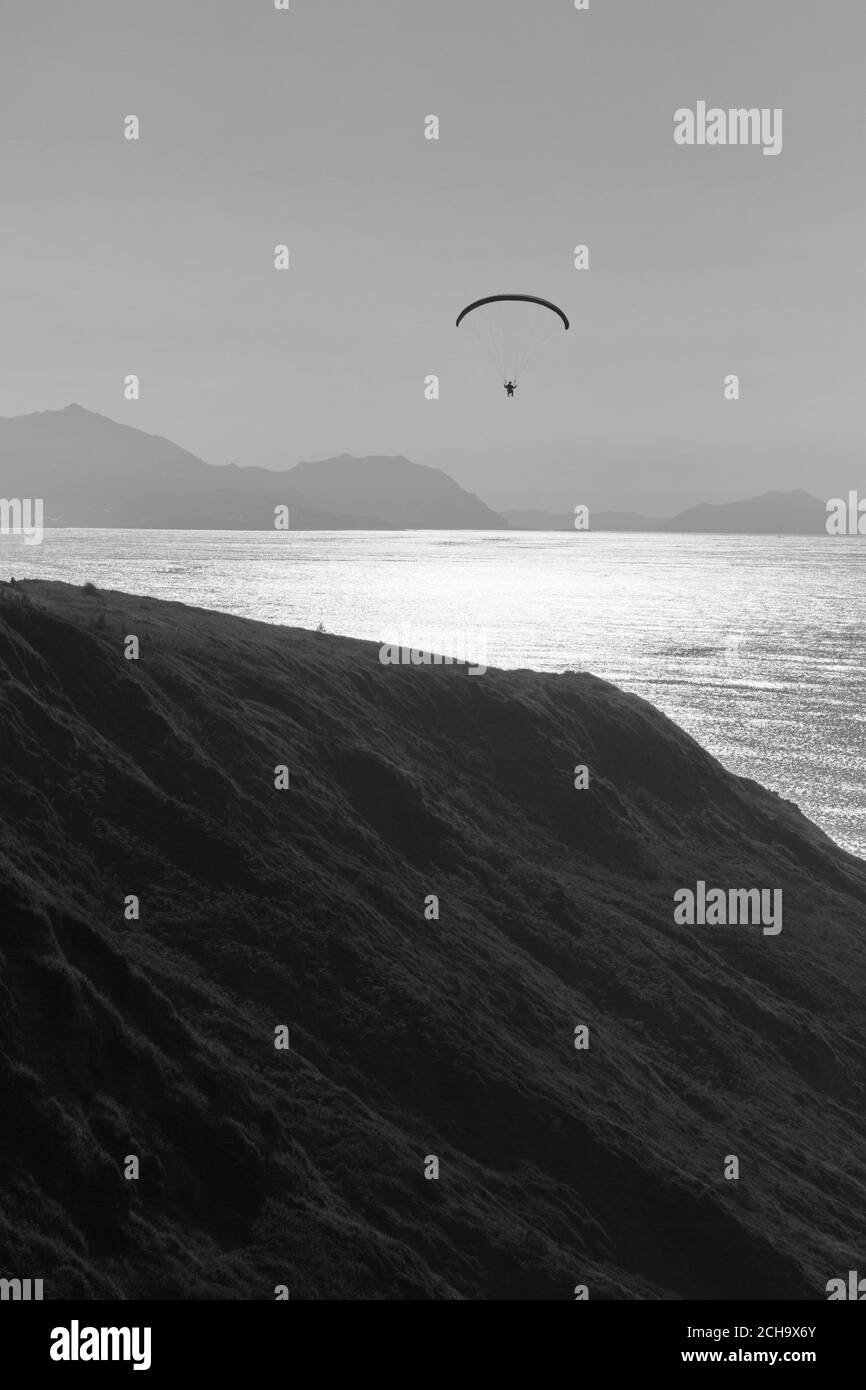 Person practicing paragliding on the cliffs of the coast. Black and white photo. Stock Photohttps://www.alamy.com/image-license-details/?v=1https://www.alamy.com/person-practicing-paragliding-on-the-cliffs-of-the-coast-black-and-white-photo-image372085027.html
RF2CH9X6Y–Person practicing paragliding on the cliffs of the coast. Black and white photo.
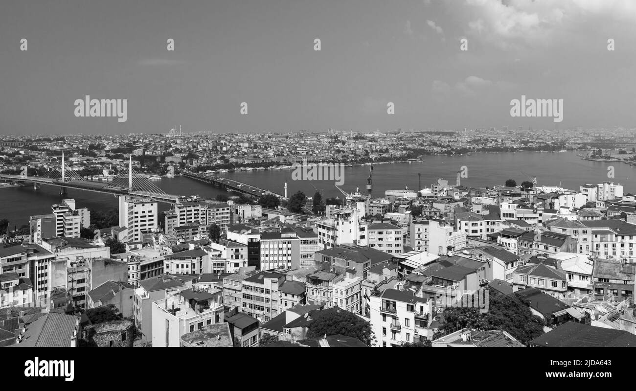 Cityscape of Istanbul, Turkey with Golden Horn, the primary inlet of the Bosphorus Stock Photohttps://www.alamy.com/image-license-details/?v=1https://www.alamy.com/cityscape-of-istanbul-turkey-with-golden-horn-the-primary-inlet-of-the-bosphorus-image472894803.html
RF2JDA643–Cityscape of Istanbul, Turkey with Golden Horn, the primary inlet of the Bosphorus
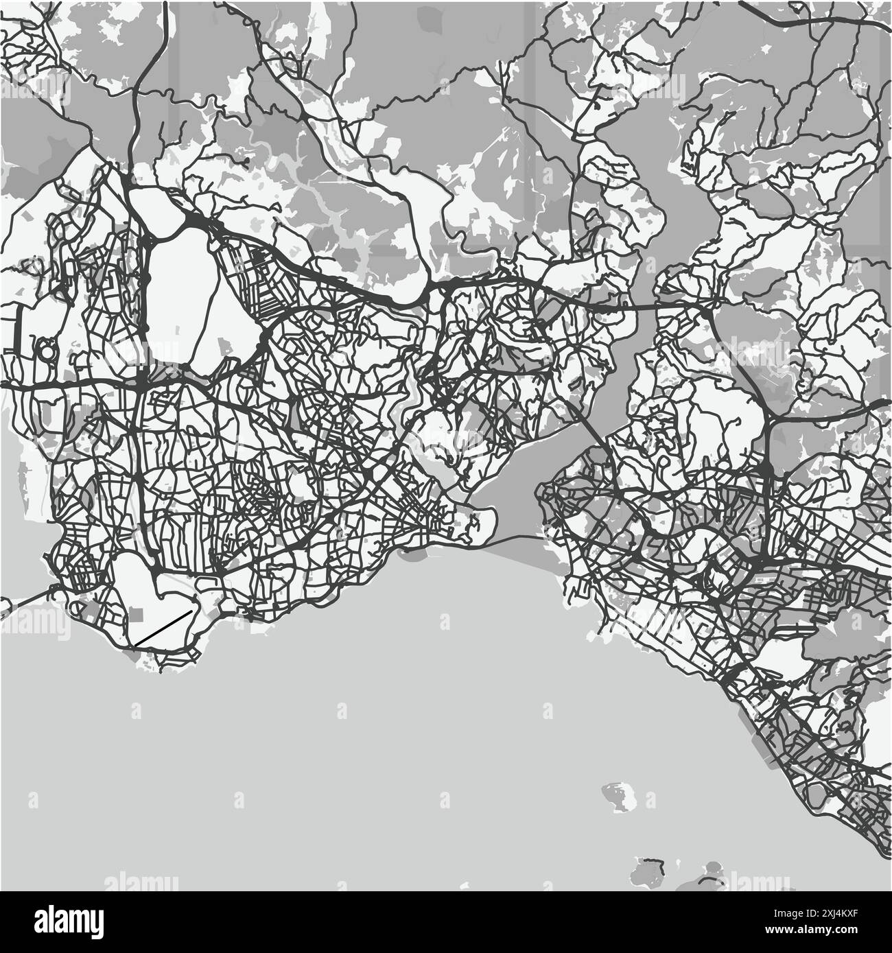 Map of Istanbul in Turkey in grayscale. Contains layered vector with roads water, parks, etc. Stock Vectorhttps://www.alamy.com/image-license-details/?v=1https://www.alamy.com/map-of-istanbul-in-turkey-in-grayscale-contains-layered-vector-with-roads-water-parks-etc-image613530135.html
RF2XJ4KXF–Map of Istanbul in Turkey in grayscale. Contains layered vector with roads water, parks, etc.
 Turkish city Antalya. View from an airplane. Stock Photohttps://www.alamy.com/image-license-details/?v=1https://www.alamy.com/turkish-city-antalya-view-from-an-airplane-image614618305.html
RF2XKX7WN–Turkish city Antalya. View from an airplane.
 Balloons of Cappadoica Stock Photohttps://www.alamy.com/image-license-details/?v=1https://www.alamy.com/balloons-of-cappadoica-image616420578.html
RF2XPTAMJ–Balloons of Cappadoica
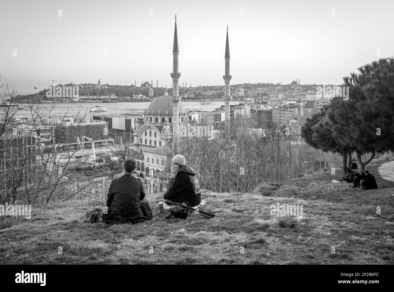 Located in Istanbul's Tophane district was built in the 19th century. People between the more 'Tophane Mosque' is called. Stock Photohttps://www.alamy.com/image-license-details/?v=1https://www.alamy.com/located-in-istanbuls-tophane-district-was-built-in-the-19th-century-people-between-the-more-tophane-mosque-is-called-image414524752.html
RF2F2B6FC–Located in Istanbul's Tophane district was built in the 19th century. People between the more 'Tophane Mosque' is called.
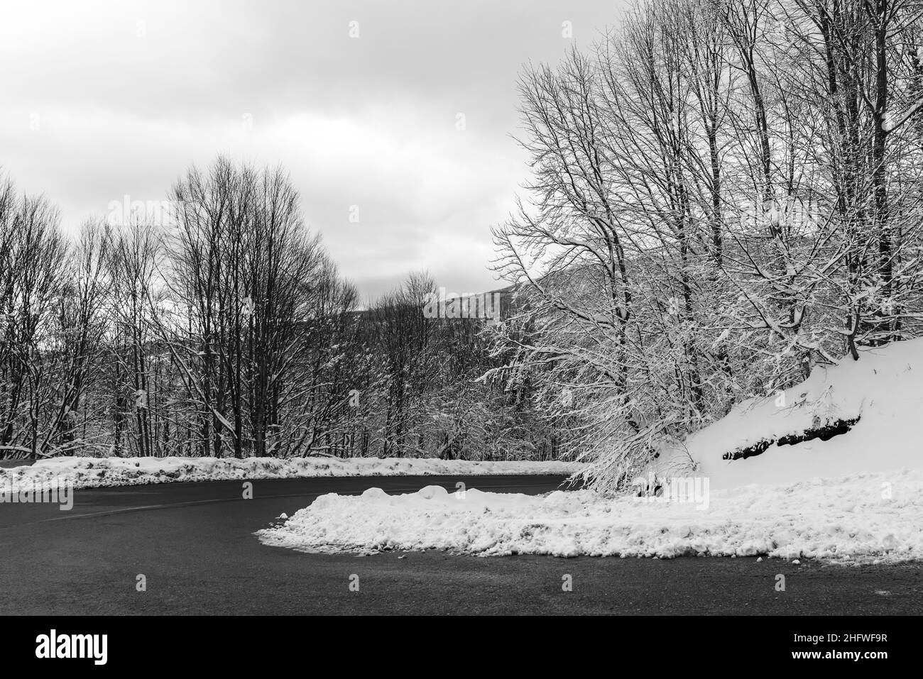 KARTEPE, KOCAELI, TURKEY. Beautiful winter landscape. Winter snowy forest with road. Stock Photohttps://www.alamy.com/image-license-details/?v=1https://www.alamy.com/kartepe-kocaeli-turkey-beautiful-winter-landscape-winter-snowy-forest-with-road-image457250243.html
RF2HFWF9R–KARTEPE, KOCAELI, TURKEY. Beautiful winter landscape. Winter snowy forest with road.
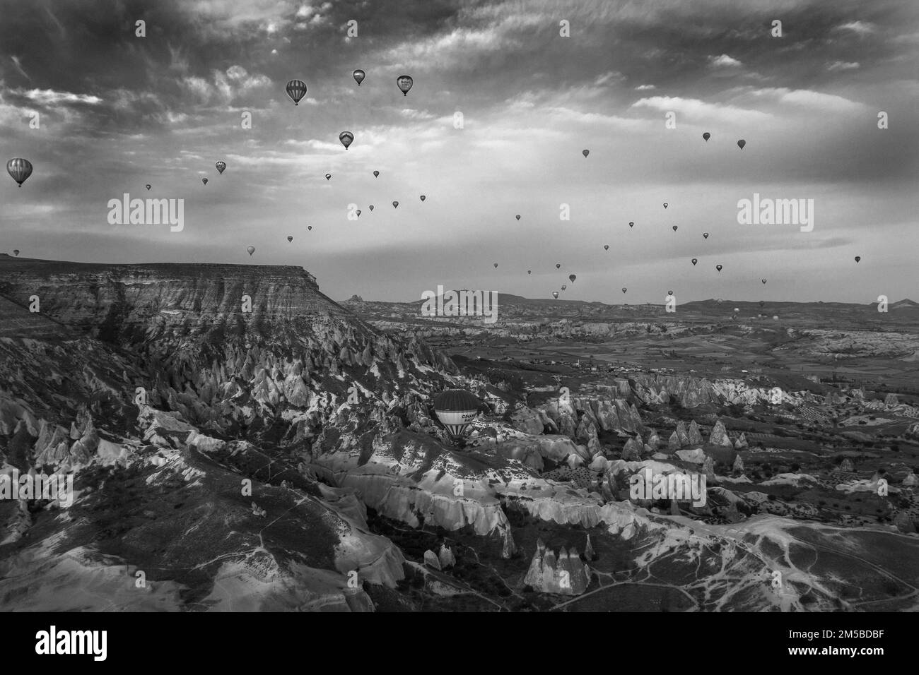 A breathtaking view of the Pasabag Valley in Cappadocia, Turkey, with beautiful nature, with hot-air balloons flying above the valley, in a grayscale Stock Photohttps://www.alamy.com/image-license-details/?v=1https://www.alamy.com/a-breathtaking-view-of-the-pasabag-valley-in-cappadocia-turkey-with-beautiful-nature-with-hot-air-balloons-flying-above-the-valley-in-a-grayscale-image502425939.html
RF2M5BDBF–A breathtaking view of the Pasabag Valley in Cappadocia, Turkey, with beautiful nature, with hot-air balloons flying above the valley, in a grayscale
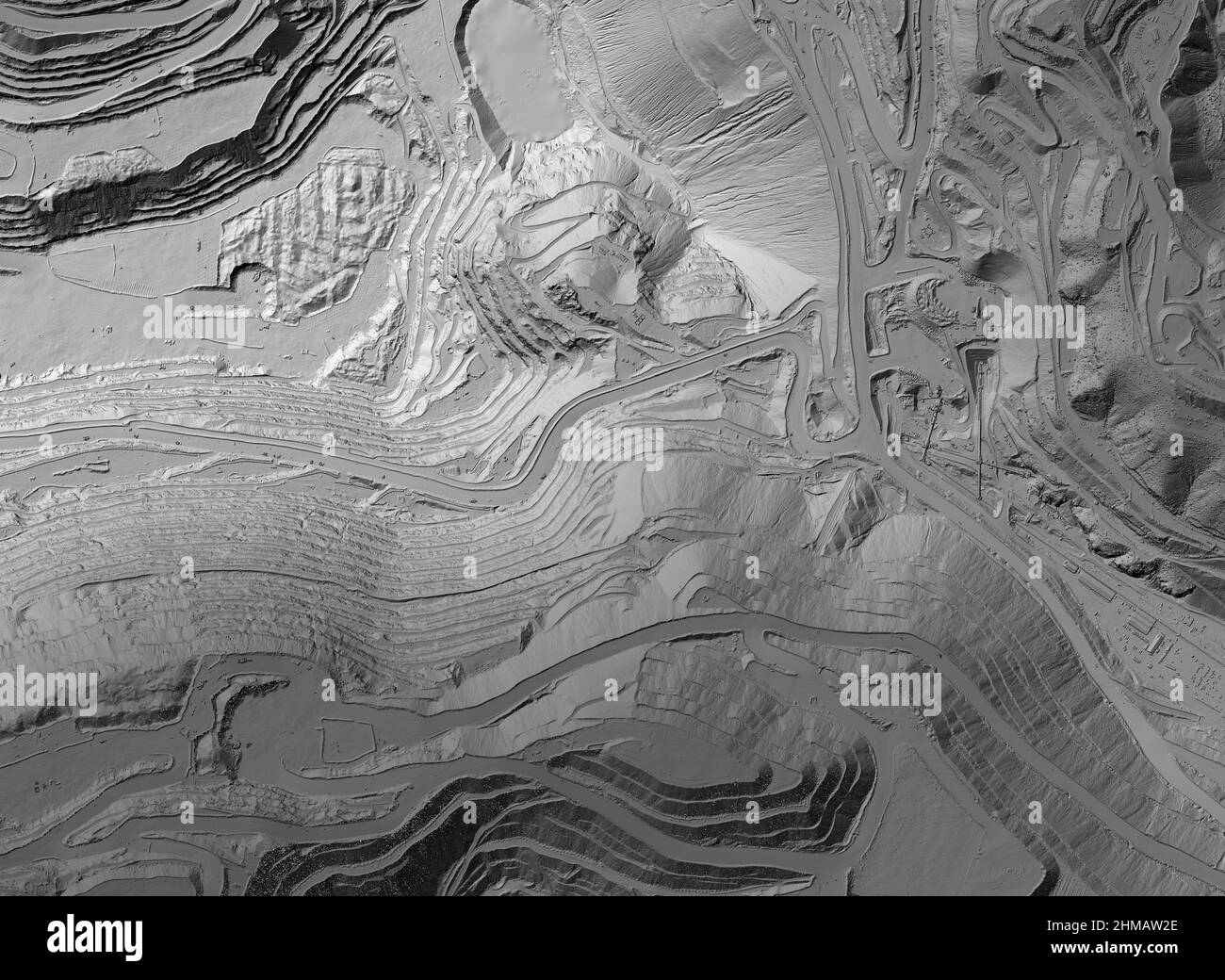 Model of a mine elevation. GIS product made after processing aerial pictures taken from a drone. It shows excavation site with steep rock walls Stock Photohttps://www.alamy.com/image-license-details/?v=1https://www.alamy.com/model-of-a-mine-elevation-gis-product-made-after-processing-aerial-pictures-taken-from-a-drone-it-shows-excavation-site-with-steep-rock-walls-image460001878.html
RF2HMAW2E–Model of a mine elevation. GIS product made after processing aerial pictures taken from a drone. It shows excavation site with steep rock walls
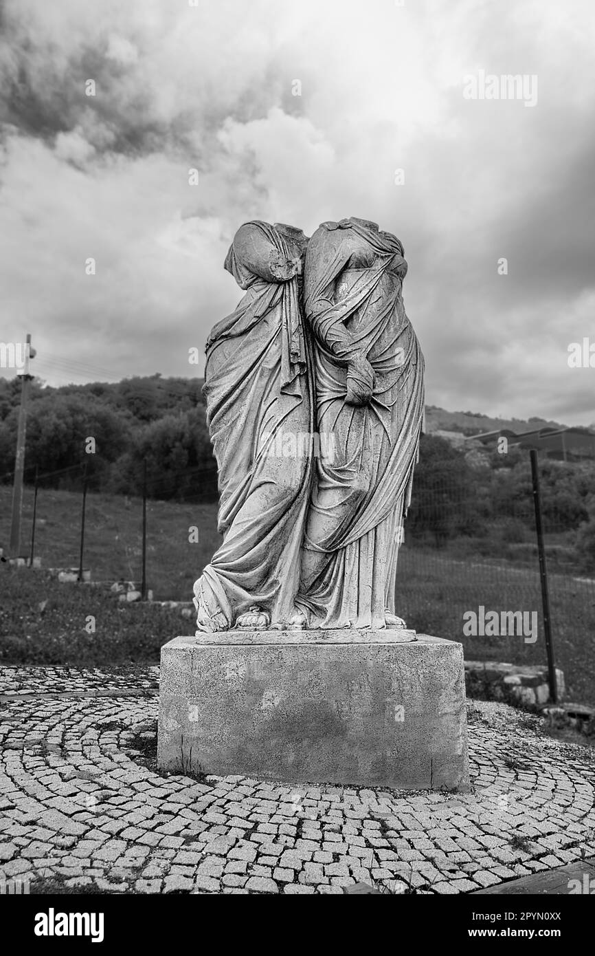 The ancient city of Metropolis in Torbalı, Izmir Stock Photohttps://www.alamy.com/image-license-details/?v=1https://www.alamy.com/the-ancient-city-of-metropolis-in-torbal-izmir-image550578866.html
RF2PYN0XX–The ancient city of Metropolis in Torbalı, Izmir
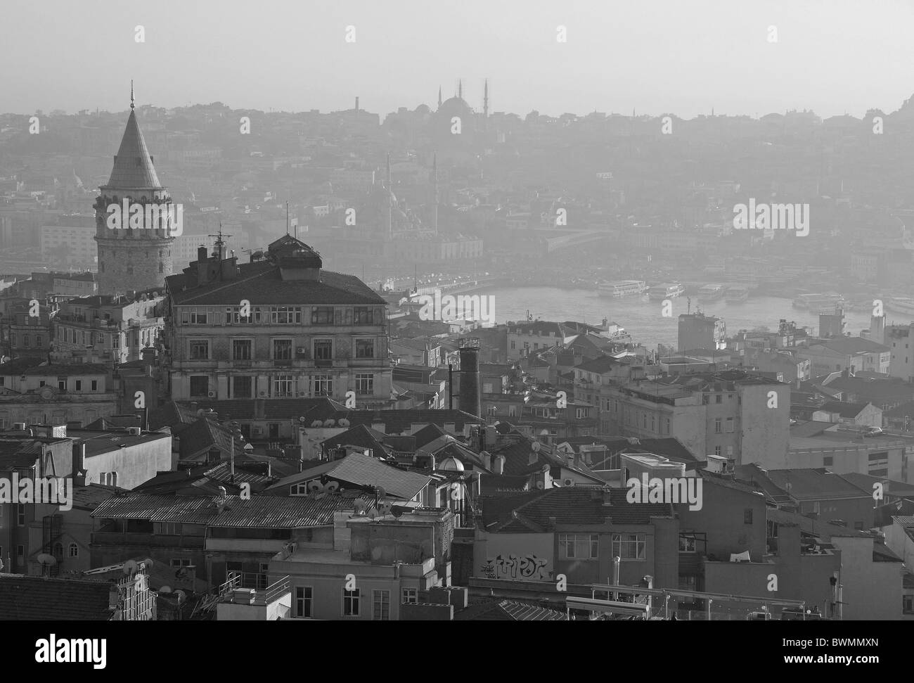 ISTANBUL, TURKEY. A misty winter view over the Galata and Pera districts of Beyoglu to the Golden Horn & bazaar district. 2010. Stock Photohttps://www.alamy.com/image-license-details/?v=1https://www.alamy.com/stock-photo-istanbul-turkey-a-misty-winter-view-over-the-galata-and-pera-districts-33032237.html
RMBWMMXN–ISTANBUL, TURKEY. A misty winter view over the Galata and Pera districts of Beyoglu to the Golden Horn & bazaar district. 2010.
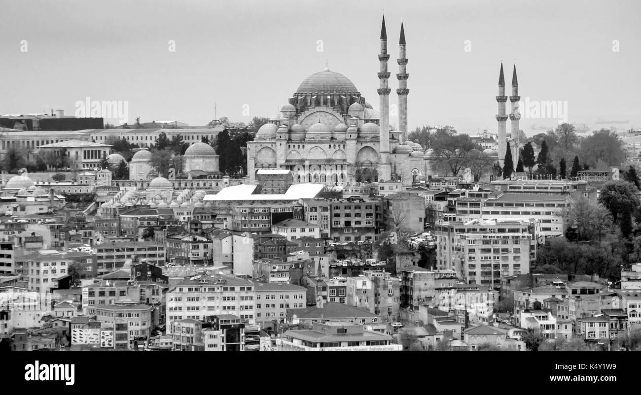 Istanbul aerial view Stock Photohttps://www.alamy.com/image-license-details/?v=1https://www.alamy.com/istanbul-aerial-view-image157946133.html
RFK4Y1W9–Istanbul aerial view
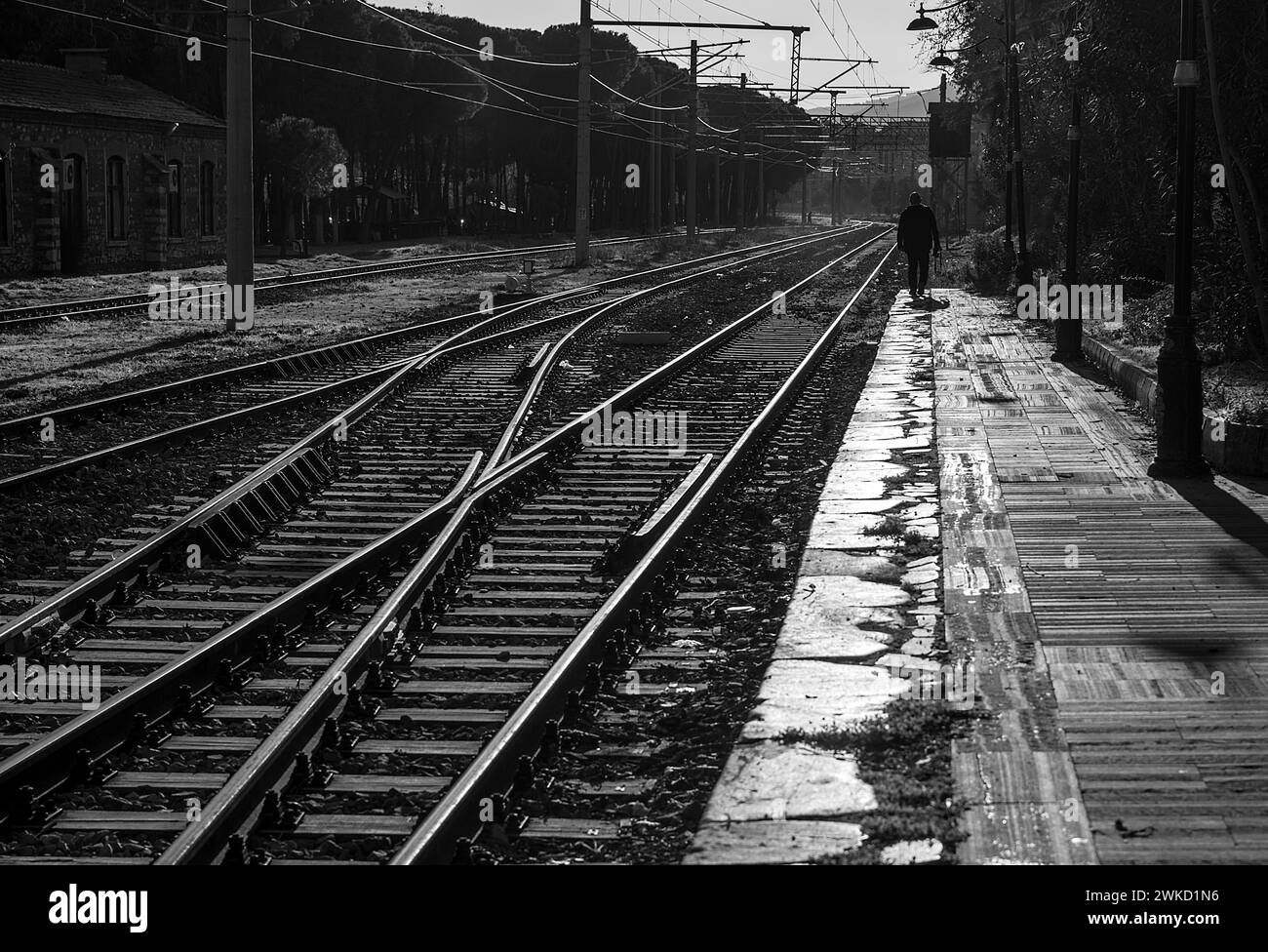 View of the rails at Tire train station Stock Photohttps://www.alamy.com/image-license-details/?v=1https://www.alamy.com/view-of-the-rails-at-tire-train-station-image597117730.html
RF2WKD1N6–View of the rails at Tire train station
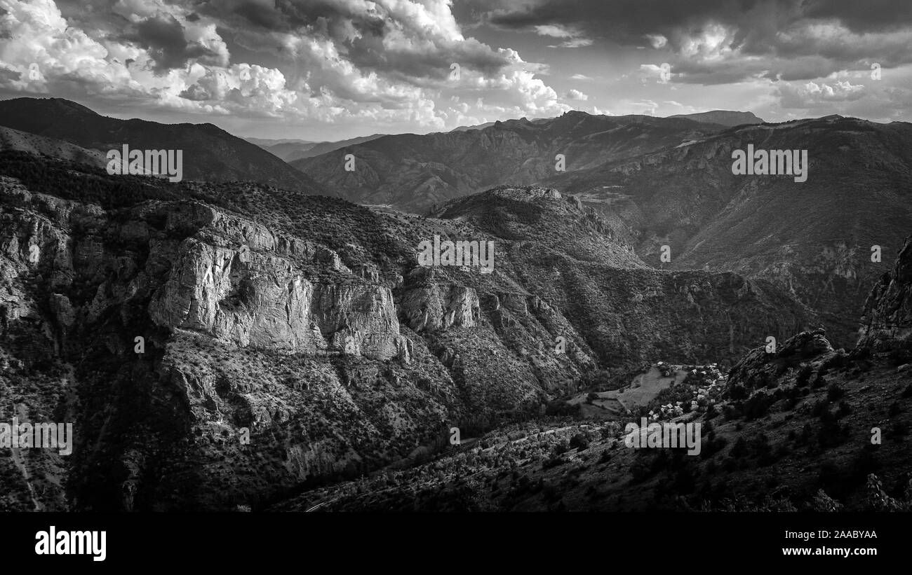 View of the Pontic Mountains near the city of Torul, Gumushane province in the Black Sea region of Turkey Stock Photohttps://www.alamy.com/image-license-details/?v=1https://www.alamy.com/view-of-the-pontic-mountains-near-the-city-of-torul-gumushane-province-in-the-black-sea-region-of-turkey-image333406482.html
RF2AABYAA–View of the Pontic Mountains near the city of Torul, Gumushane province in the Black Sea region of Turkey
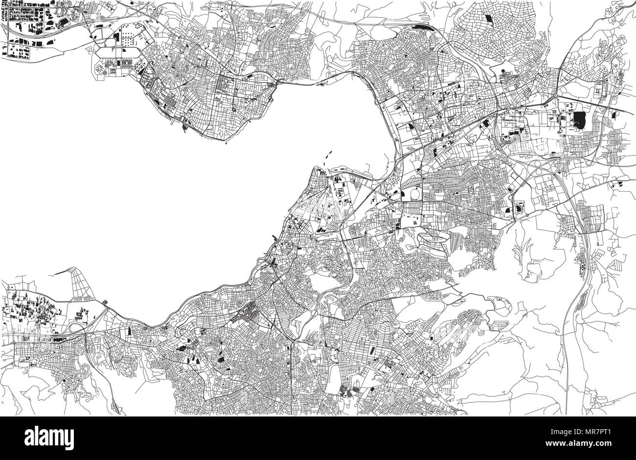 Map of Izmir, Smirne, satellite view, city, Turkey Stock Vectorhttps://www.alamy.com/image-license-details/?v=1https://www.alamy.com/map-of-izmir-smirne-satellite-view-city-turkey-image186412353.html
RFMR7PT1–Map of Izmir, Smirne, satellite view, city, Turkey
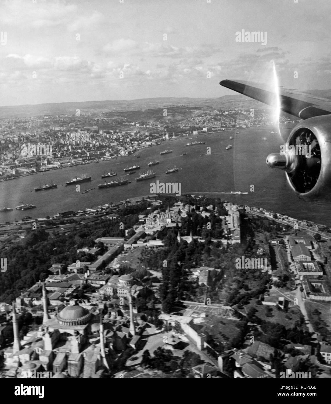 turkey, istanbul, aerial view of punta del serraglio, 1952 Stock Photohttps://www.alamy.com/image-license-details/?v=1https://www.alamy.com/turkey-istanbul-aerial-view-of-punta-del-serraglio-1952-image234063659.html
RMRGPEGB–turkey, istanbul, aerial view of punta del serraglio, 1952
 Bayraktar combat drone sketch. Stock Vectorhttps://www.alamy.com/image-license-details/?v=1https://www.alamy.com/bayraktar-combat-drone-sketch-image543673668.html
RF2PGED8M–Bayraktar combat drone sketch.
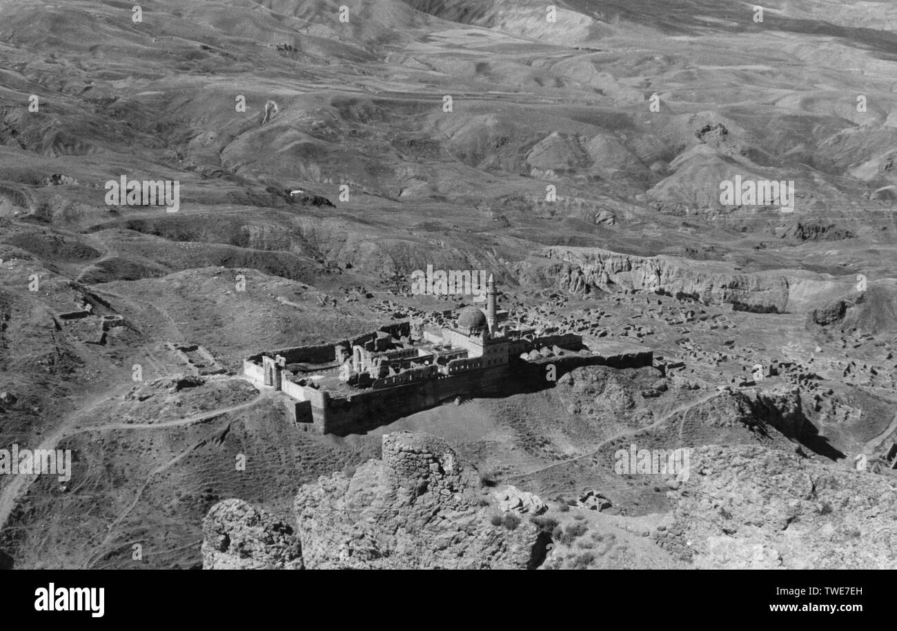 turkey, ararat area, aerial view of the dead city eski dogubayazit, 1961 Stock Photohttps://www.alamy.com/image-license-details/?v=1https://www.alamy.com/turkey-ararat-area-aerial-view-of-the-dead-city-eski-dogubayazit-1961-image256624777.html
RMTWE7EH–turkey, ararat area, aerial view of the dead city eski dogubayazit, 1961
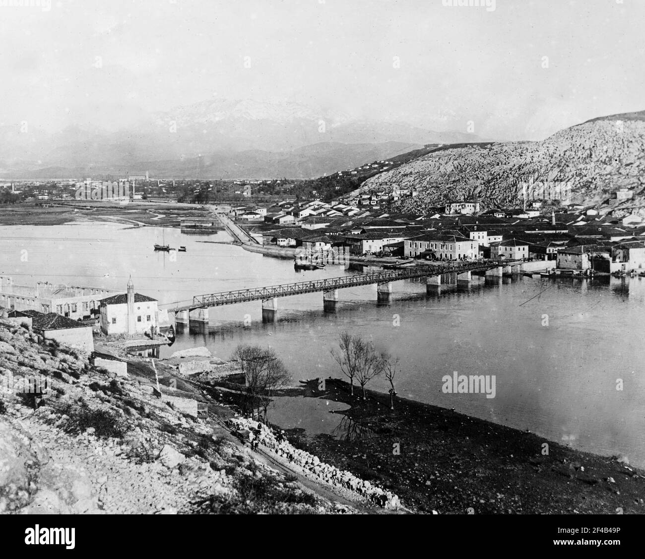 Aerial view of Scutari or the Üsküdar district on the Asian part of Istanbul, Turkey ca. 1910-1915 Stock Photohttps://www.alamy.com/image-license-details/?v=1https://www.alamy.com/aerial-view-of-scutari-or-the-skdar-district-on-the-asian-part-of-istanbul-turkey-ca-1910-1915-image415752338.html
RM2F4B49P–Aerial view of Scutari or the Üsküdar district on the Asian part of Istanbul, Turkey ca. 1910-1915
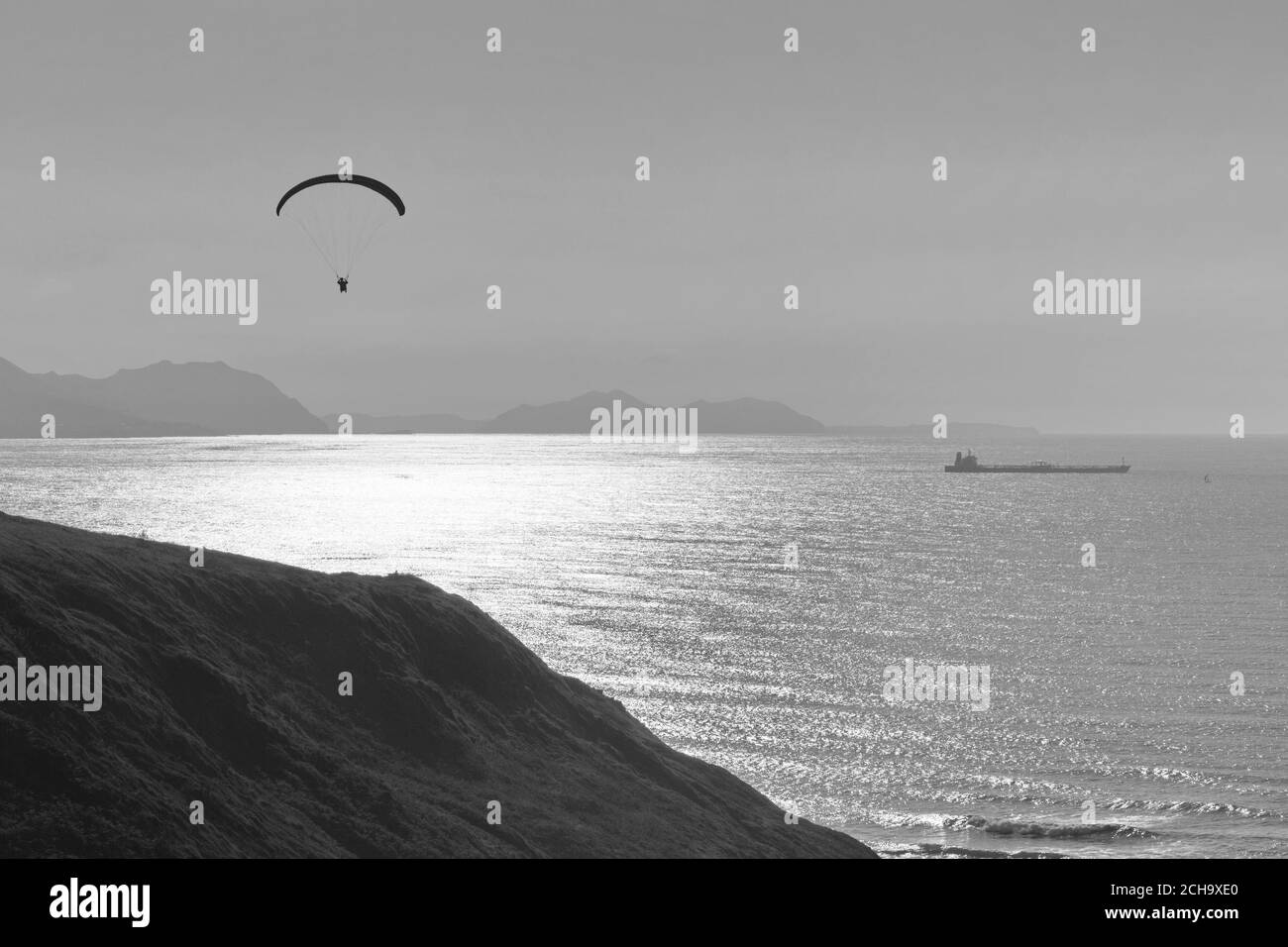 Person practicing paragliding on the cliffs of the coast. Black and white photo. Stock Photohttps://www.alamy.com/image-license-details/?v=1https://www.alamy.com/person-practicing-paragliding-on-the-cliffs-of-the-coast-black-and-white-photo-image372085224.html
RF2CH9XE0–Person practicing paragliding on the cliffs of the coast. Black and white photo.
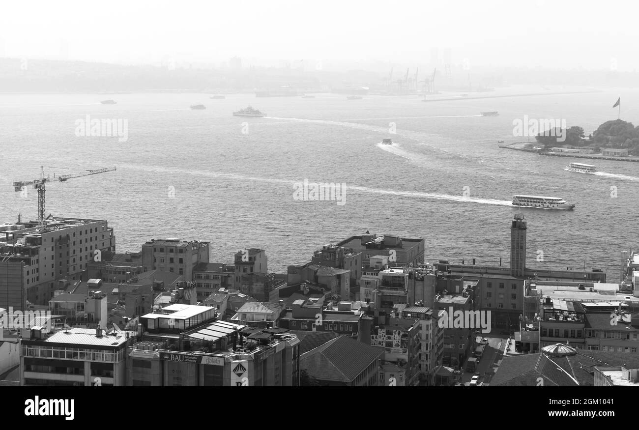 Istanbul, Turkey - July 1, 2016: Cityscape of Istanbul with ships at Bosporus, black and white photo Stock Photohttps://www.alamy.com/image-license-details/?v=1https://www.alamy.com/istanbul-turkey-july-1-2016-cityscape-of-istanbul-with-ships-at-bosporus-black-and-white-photo-image442574385.html
RF2GM1041–Istanbul, Turkey - July 1, 2016: Cityscape of Istanbul with ships at Bosporus, black and white photo
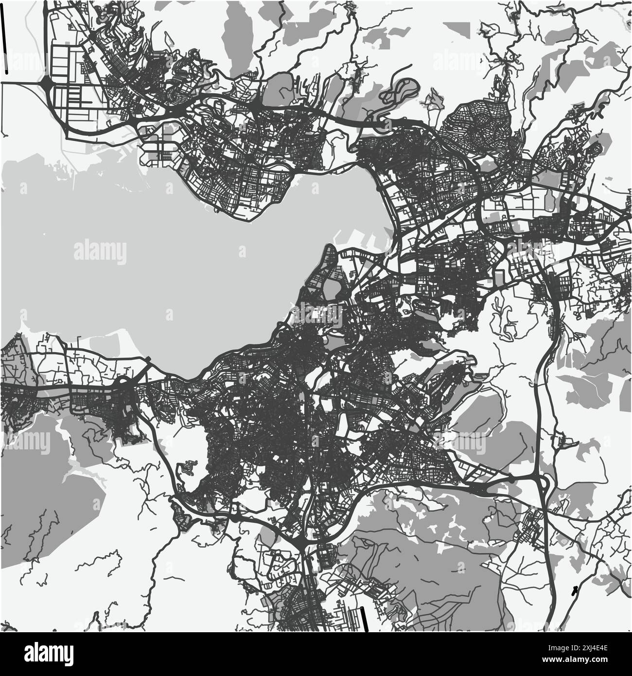 Map of Izmir in Turkey in grayscale. Contains layered vector with roads water, parks, etc. Stock Vectorhttps://www.alamy.com/image-license-details/?v=1https://www.alamy.com/map-of-izmir-in-turkey-in-grayscale-contains-layered-vector-with-roads-water-parks-etc-image613525598.html
RF2XJ4E4E–Map of Izmir in Turkey in grayscale. Contains layered vector with roads water, parks, etc.
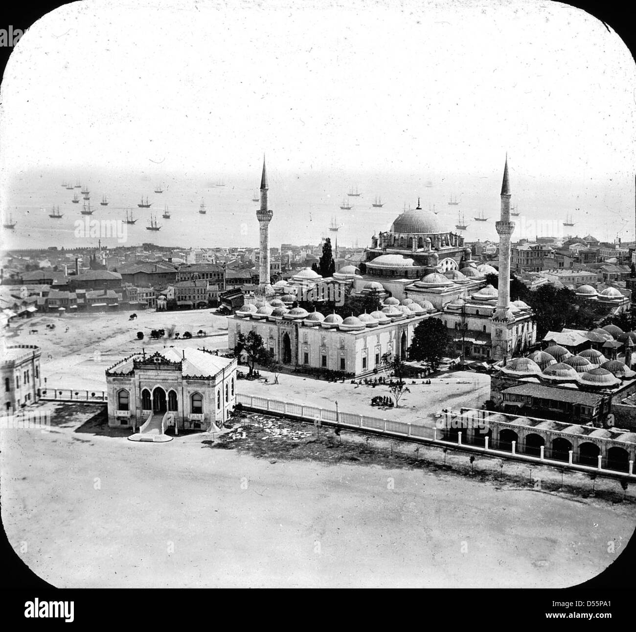 Mosque of Bayezid II, Istanbul, Turkey, 1903. Stock Photohttps://www.alamy.com/image-license-details/?v=1https://www.alamy.com/stock-photo-mosque-of-bayezid-ii-istanbul-turkey-1903-54831673.html
RMD55PA1–Mosque of Bayezid II, Istanbul, Turkey, 1903.
 Balloons of Cappadoica Stock Photohttps://www.alamy.com/image-license-details/?v=1https://www.alamy.com/balloons-of-cappadoica-image616420575.html
RF2XPTAMF–Balloons of Cappadoica
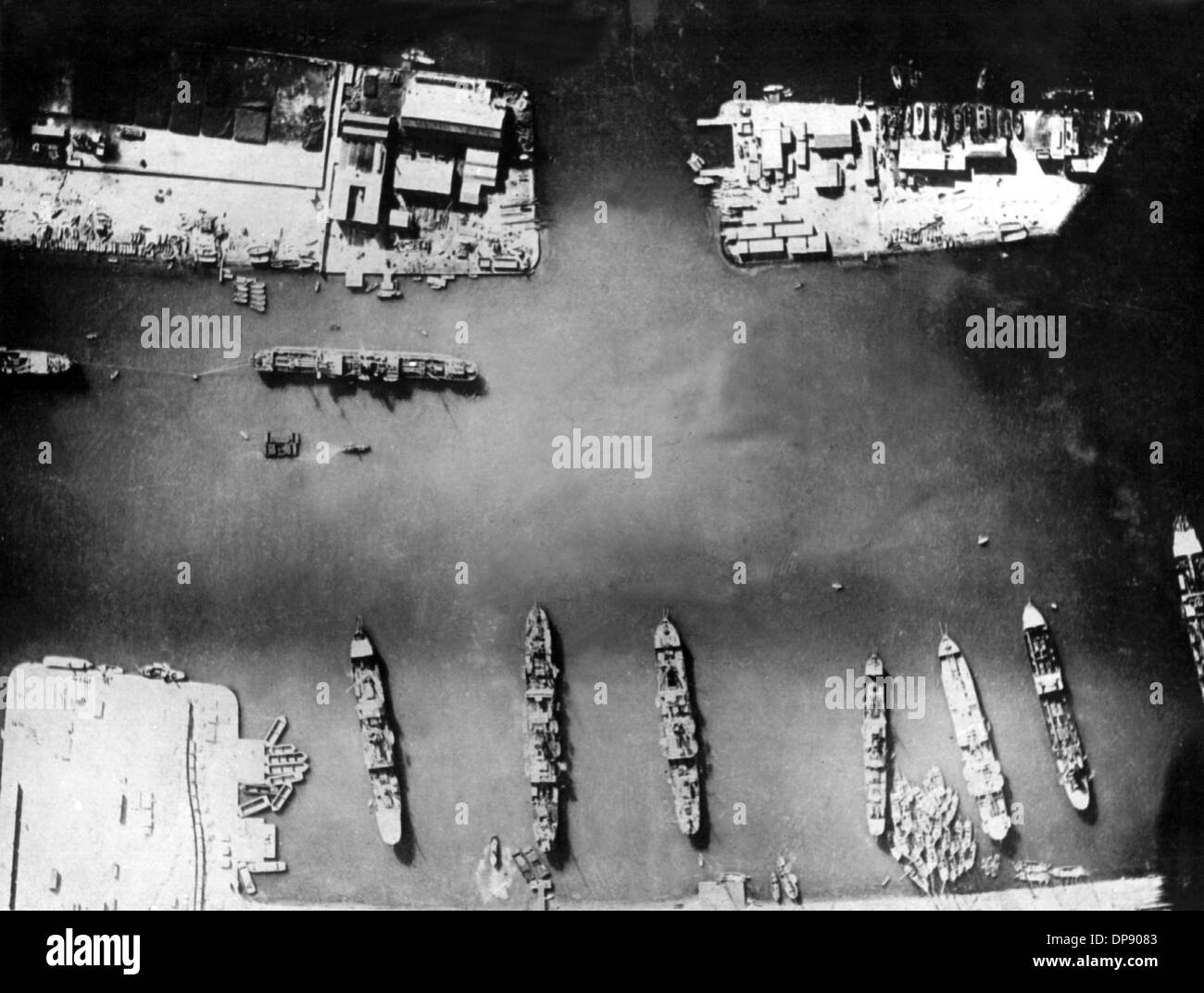 Aerial photograph of the port facilities of PortSaid at the Suez Canal during World War I. Set off by the deadly shots on Austrian heir to the throne Franz Ferdinand by Serbian nationalists on the 28th of June in 1914 in Sarajevo, World War I broke out. During World War I, Germany, Austria, Austria-Hungary as well as later Turkey and Bulgary fought against Britain, France and Russia. The sad end result in 1918 comprised roughly 8.5 million soldiers killed in action, more than 21 million wounded and almost 8 million prisoners of war and missing people. Stock Photohttps://www.alamy.com/image-license-details/?v=1https://www.alamy.com/aerial-photograph-of-the-port-facilities-of-portsaid-at-the-suez-canal-image65351331.html
RMDP9083–Aerial photograph of the port facilities of PortSaid at the Suez Canal during World War I. Set off by the deadly shots on Austrian heir to the throne Franz Ferdinand by Serbian nationalists on the 28th of June in 1914 in Sarajevo, World War I broke out. During World War I, Germany, Austria, Austria-Hungary as well as later Turkey and Bulgary fought against Britain, France and Russia. The sad end result in 1918 comprised roughly 8.5 million soldiers killed in action, more than 21 million wounded and almost 8 million prisoners of war and missing people.
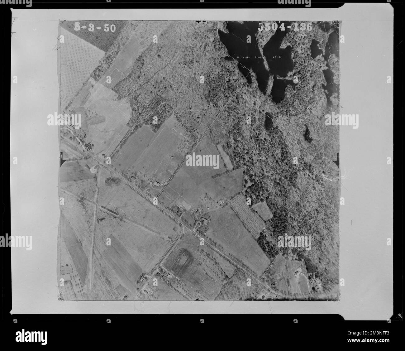 Properties near the intersection of Oak Avenue and Northfield Road and Turkey Hill Road , Land subdivision, Lakes & ponds. Lunenburg Massachusetts 1950 Aerial Mapping Stock Photohttps://www.alamy.com/image-license-details/?v=1https://www.alamy.com/properties-near-the-intersection-of-oak-avenue-and-northfield-road-and-turkey-hill-road-land-subdivision-lakes-ponds-lunenburg-massachusetts-1950-aerial-mapping-image501417815.html
RM2M3NFF3–Properties near the intersection of Oak Avenue and Northfield Road and Turkey Hill Road , Land subdivision, Lakes & ponds. Lunenburg Massachusetts 1950 Aerial Mapping
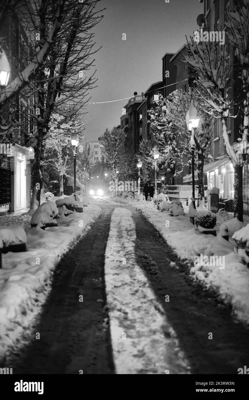 An aerial view of snow covered road surrounded by buildings in Eskisehir Stock Photohttps://www.alamy.com/image-license-details/?v=1https://www.alamy.com/an-aerial-view-of-snow-covered-road-surrounded-by-buildings-in-eskisehir-image484258873.html
RF2K3RW3N–An aerial view of snow covered road surrounded by buildings in Eskisehir
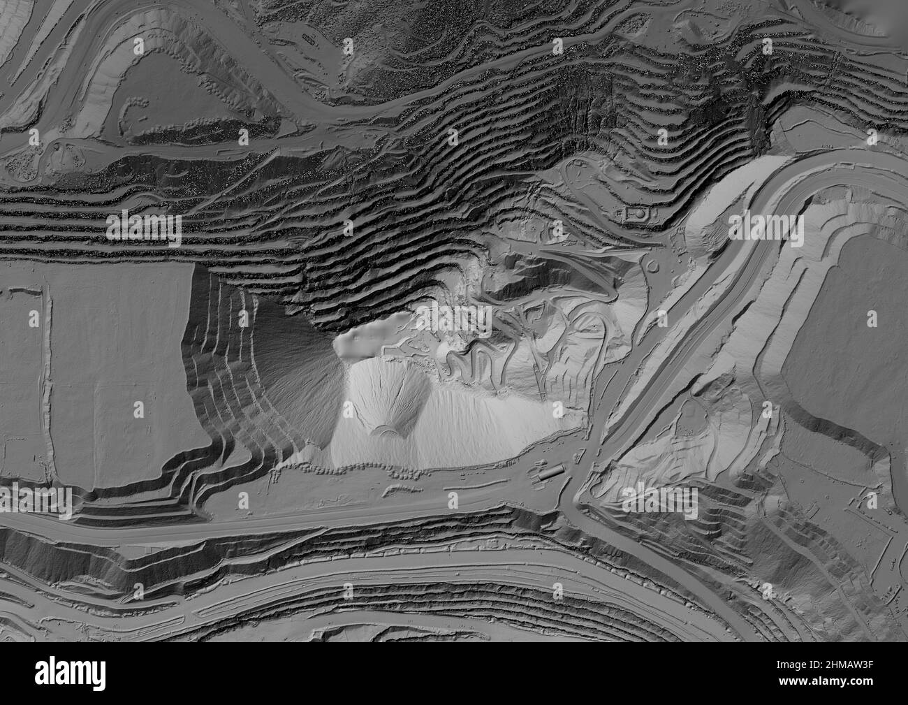 Model of a mine elevation. GIS product made after processing aerial pictures taken from a drone. It shows excavation site with steep rock walls Stock Photohttps://www.alamy.com/image-license-details/?v=1https://www.alamy.com/model-of-a-mine-elevation-gis-product-made-after-processing-aerial-pictures-taken-from-a-drone-it-shows-excavation-site-with-steep-rock-walls-image460001907.html
RF2HMAW3F–Model of a mine elevation. GIS product made after processing aerial pictures taken from a drone. It shows excavation site with steep rock walls
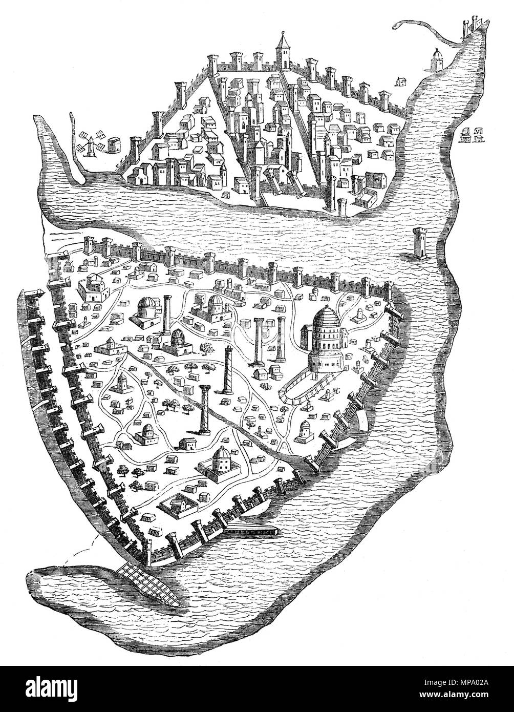 A birds-eye view of Constantinople, the capital city of the Roman/Byzantine Empire. From the mid-5th century to the early 13th century, it was the largest and wealthiest city in Europe. Constantinople was instrumental in the advancement of Christianity during Roman and Byzantine times as the home of the Ecumenical Patriarch of Constantinople and as the guardian of Christendom's holiest relics such as the Crown of Thorns and the True Cross. Stock Photohttps://www.alamy.com/image-license-details/?v=1https://www.alamy.com/a-birds-eye-view-of-constantinople-the-capital-city-of-the-romanbyzantine-empire-from-the-mid-5th-century-to-the-early-13th-century-it-was-the-largest-and-wealthiest-city-in-europe-constantinople-was-instrumental-in-the-advancement-of-christianity-during-roman-and-byzantine-times-as-the-home-of-the-ecumenical-patriarch-of-constantinople-and-as-the-guardian-of-christendoms-holiest-relics-such-as-the-crown-of-thorns-and-the-true-cross-image185845698.html
RMMPA02A–A birds-eye view of Constantinople, the capital city of the Roman/Byzantine Empire. From the mid-5th century to the early 13th century, it was the largest and wealthiest city in Europe. Constantinople was instrumental in the advancement of Christianity during Roman and Byzantine times as the home of the Ecumenical Patriarch of Constantinople and as the guardian of Christendom's holiest relics such as the Crown of Thorns and the True Cross.
 City Skyline Istanbul Turkey Stock Vectorhttps://www.alamy.com/image-license-details/?v=1https://www.alamy.com/city-skyline-istanbul-turkey-image469689078.html
RF2J8455X–City Skyline Istanbul Turkey
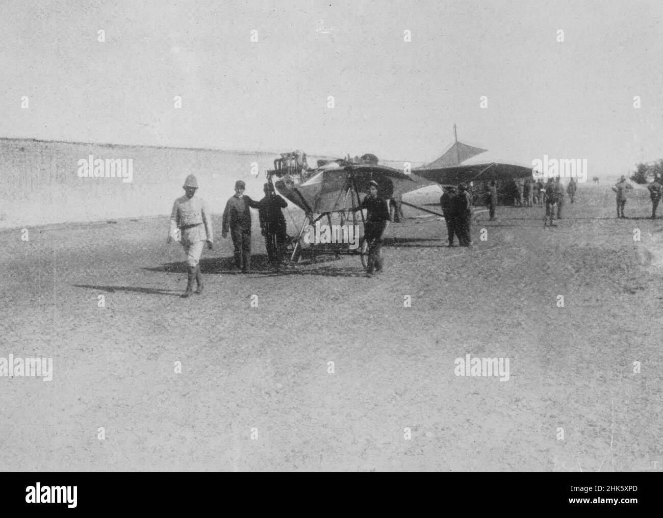 A vintage newspaper photo circa 1912 of an Etrich Taube airplane of the Royal Italian Army in Libya during the Italian Turkish war of 1911 to 1912. The conflict was the first recorded use of military aircraft for bombing including the first aerial reconnaissance mission Stock Photohttps://www.alamy.com/image-license-details/?v=1https://www.alamy.com/a-vintage-newspaper-photo-circa-1912-of-an-etrich-taube-airplane-of-the-royal-italian-army-in-libya-during-the-italian-turkish-war-of-1911-to-1912-the-conflict-was-the-first-recorded-use-of-military-aircraft-for-bombing-including-the-first-aerial-reconnaissance-mission-image459278805.html
RM2HK5XPD–A vintage newspaper photo circa 1912 of an Etrich Taube airplane of the Royal Italian Army in Libya during the Italian Turkish war of 1911 to 1912. The conflict was the first recorded use of military aircraft for bombing including the first aerial reconnaissance mission
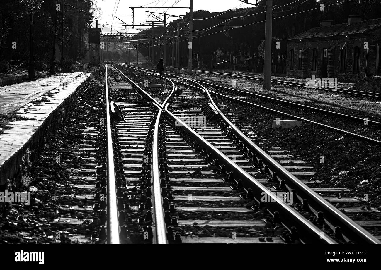 View of the rails at Tire train station Stock Photohttps://www.alamy.com/image-license-details/?v=1https://www.alamy.com/view-of-the-rails-at-tire-train-station-image597117712.html
RF2WKD1MG–View of the rails at Tire train station
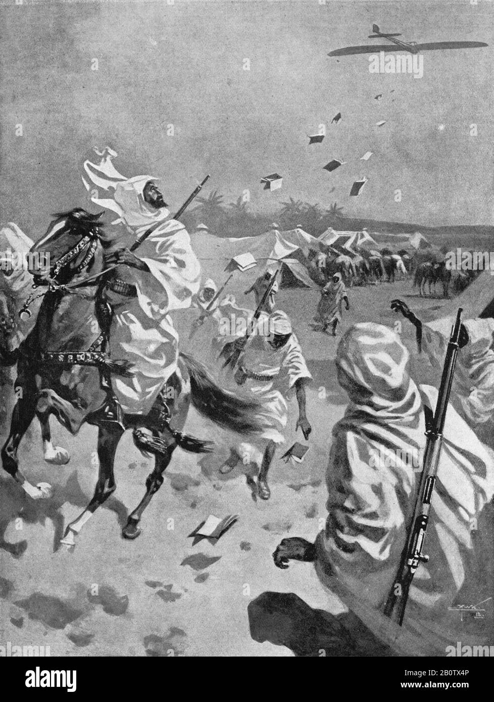 An illustration circa 1912 of an Italian airplane of the Royal Italian Army dropping propaganda leaflets over Arab horsemen in Libya during the Italian Turkish war of 1911 to 1912. A precursor to World War One it established Italian rule over Libya until independence in 1947. The conflict was the first recorded use of aircraft including the first aerial reconnaissance mission, bombing mission using German built Etrich Taube aircraft. The Turks were also the first to shoot down an airplane using rifle fire. Stock Photohttps://www.alamy.com/image-license-details/?v=1https://www.alamy.com/an-illustration-circa-1912-of-an-italian-airplane-of-the-royal-italian-army-dropping-propaganda-leaflets-over-arab-horsemen-in-libya-during-the-italian-turkish-war-of-1911-to-1912-a-precursor-to-world-war-one-it-established-italian-rule-over-libya-until-independence-in-1947-the-conflict-was-the-first-recorded-use-of-aircraft-including-the-first-aerial-reconnaissance-mission-bombing-mission-using-german-built-etrich-taube-aircraft-the-turks-were-also-the-first-to-shoot-down-an-airplane-using-rifle-fire-image344754726.html
RM2B0TX4P–An illustration circa 1912 of an Italian airplane of the Royal Italian Army dropping propaganda leaflets over Arab horsemen in Libya during the Italian Turkish war of 1911 to 1912. A precursor to World War One it established Italian rule over Libya until independence in 1947. The conflict was the first recorded use of aircraft including the first aerial reconnaissance mission, bombing mission using German built Etrich Taube aircraft. The Turks were also the first to shoot down an airplane using rifle fire.
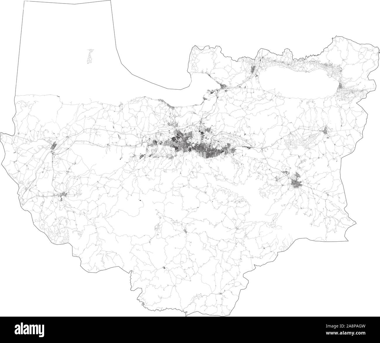 Satellite map of Bursa and buildings, Turkey. Map roads, ring roads and highways, rivers. Transportation map Stock Vectorhttps://www.alamy.com/image-license-details/?v=1https://www.alamy.com/satellite-map-of-bursa-and-buildings-turkey-map-roads-ring-roads-and-highways-rivers-transportation-map-image332405497.html
RF2A8PAGW–Satellite map of Bursa and buildings, Turkey. Map roads, ring roads and highways, rivers. Transportation map
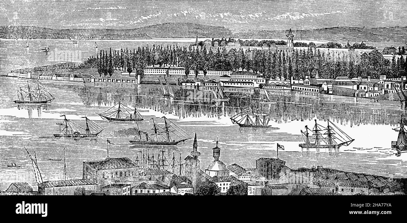 A late 19th Century illustration of Seraglio Point, a promontory separating the Golden Horn and the Sea of Marmara in Istanbul, Turkey. This is where the protective sea chain anchored (from Maiden's Tower, to the east) in order to keep ships from sailing through the Bosporus without paying a toll. Stock Photohttps://www.alamy.com/image-license-details/?v=1https://www.alamy.com/a-late-19th-century-illustration-of-seraglio-point-a-promontory-separating-the-golden-horn-and-the-sea-of-marmara-in-istanbul-turkey-this-is-where-the-protective-sea-chain-anchored-from-maidens-tower-to-the-east-in-order-to-keep-ships-from-sailing-through-the-bosporus-without-paying-a-toll-image453776046.html
RM2HA77YA–A late 19th Century illustration of Seraglio Point, a promontory separating the Golden Horn and the Sea of Marmara in Istanbul, Turkey. This is where the protective sea chain anchored (from Maiden's Tower, to the east) in order to keep ships from sailing through the Bosporus without paying a toll.
RFMKPYJE–Set Of 9 simple editable icons such as swat team, turkey, aerial silks, motorhome, ferret, portland sky, poodle, harley, can be used for mobile, web
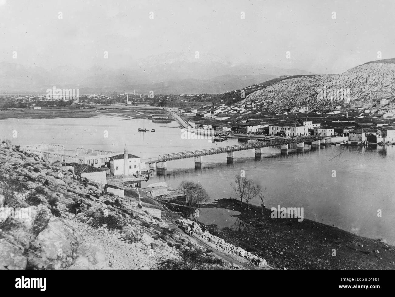 Aerial view of Scutari or the Üsküdar district on the Asian part of Istanbul, Turkey ca. 1910-1915 Stock Photohttps://www.alamy.com/image-license-details/?v=1https://www.alamy.com/aerial-view-of-scutari-or-the-skdar-district-on-the-asian-part-of-istanbul-turkey-ca-1910-1915-image352297457.html
RM2BD4F01–Aerial view of Scutari or the Üsküdar district on the Asian part of Istanbul, Turkey ca. 1910-1915
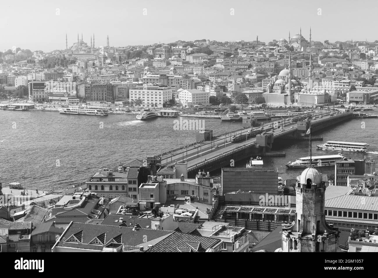 Istanbul, Turkey - July 1, 2016: Istanbul aerial view with bridge over Golden Horn, black and white photo Stock Photohttps://www.alamy.com/image-license-details/?v=1https://www.alamy.com/istanbul-turkey-july-1-2016-istanbul-aerial-view-with-bridge-over-golden-horn-black-and-white-photo-image442574419.html
RF2GM1057–Istanbul, Turkey - July 1, 2016: Istanbul aerial view with bridge over Golden Horn, black and white photo
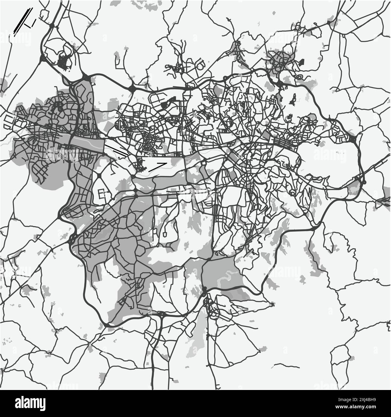 Map of Ankara in Turkey in grayscale. Contains layered vector with roads water, parks, etc. Stock Vectorhttps://www.alamy.com/image-license-details/?v=1https://www.alamy.com/map-of-ankara-in-turkey-in-grayscale-contains-layered-vector-with-roads-water-parks-etc-image613523605.html
RF2XJ4BH9–Map of Ankara in Turkey in grayscale. Contains layered vector with roads water, parks, etc.
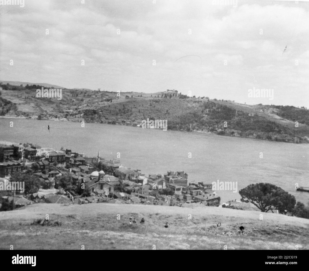 The Bosphorus in Istanbul ca. 1930s-1950s Stock Photohttps://www.alamy.com/image-license-details/?v=1https://www.alamy.com/the-bosphorus-in-istanbul-ca-1930s-1950s-image466185253.html
RM2J2CG19–The Bosphorus in Istanbul ca. 1930s-1950s
 Balloons of Cappadoica Stock Photohttps://www.alamy.com/image-license-details/?v=1https://www.alamy.com/balloons-of-cappadoica-image616420576.html
RF2XPTAMG–Balloons of Cappadoica
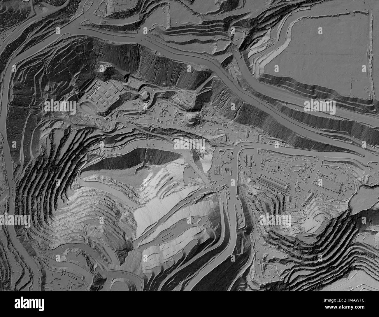 Model of a mine elevation. GIS product made after processing aerial pictures taken from a drone. It shows excavation site with steep rock walls Stock Photohttps://www.alamy.com/image-license-details/?v=1https://www.alamy.com/model-of-a-mine-elevation-gis-product-made-after-processing-aerial-pictures-taken-from-a-drone-it-shows-excavation-site-with-steep-rock-walls-image460001848.html
RF2HMAW1C–Model of a mine elevation. GIS product made after processing aerial pictures taken from a drone. It shows excavation site with steep rock walls
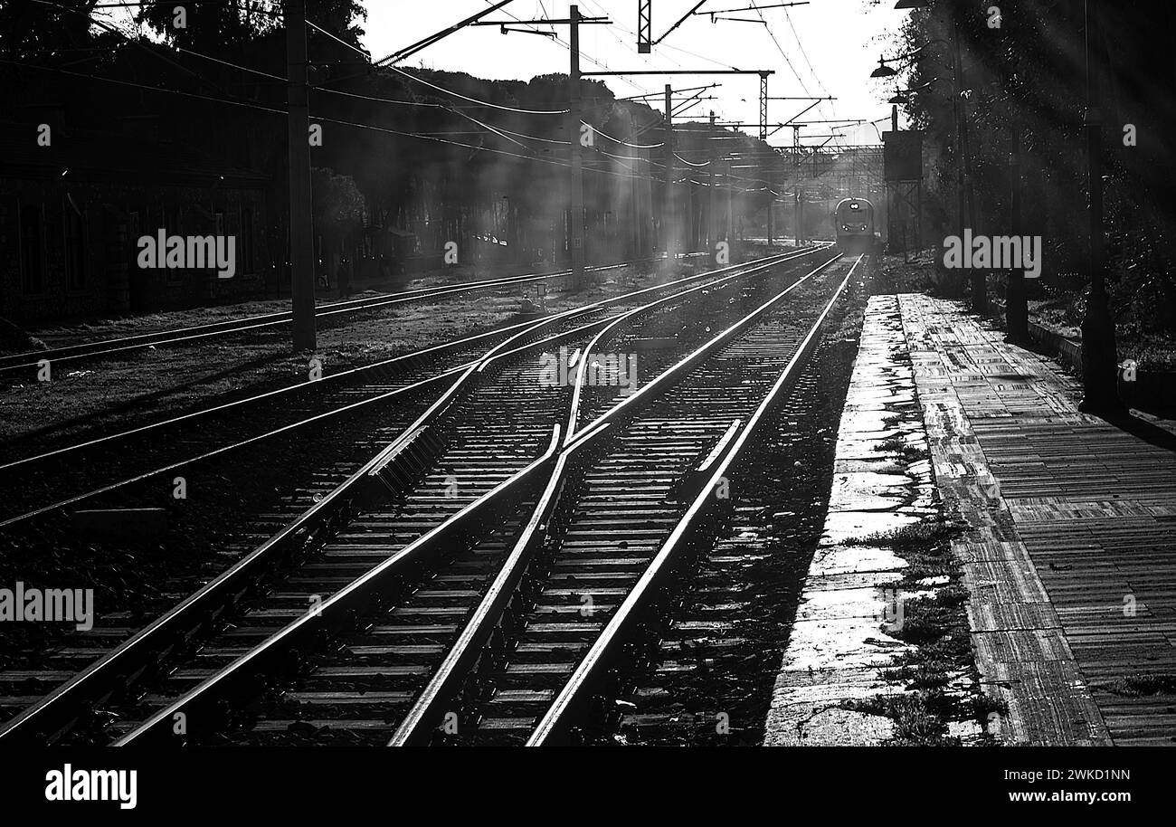 View of the rails at Tire train station Stock Photohttps://www.alamy.com/image-license-details/?v=1https://www.alamy.com/view-of-the-rails-at-tire-train-station-image597117745.html
RF2WKD1NN–View of the rails at Tire train station
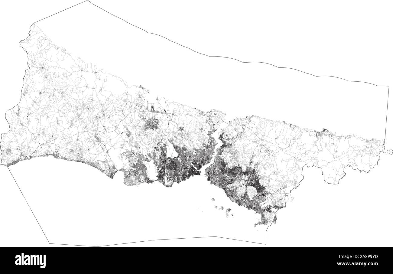 Satellite map of Istanbul and building areas. Turkey. Map roads, ring roads and highways, rivers. Transportation map Stock Vectorhttps://www.alamy.com/image-license-details/?v=1https://www.alamy.com/satellite-map-of-istanbul-and-building-areas-turkey-map-roads-ring-roads-and-highways-rivers-transportation-map-image332405009.html
RF2A8P9YD–Satellite map of Istanbul and building areas. Turkey. Map roads, ring roads and highways, rivers. Transportation map
RFMKPXNG–Set Of 9 simple editable icons such as aerial silks, australian shepherd, detroit sky, turkey, stockholm puerto rico flag, afro, james bond, bucking h
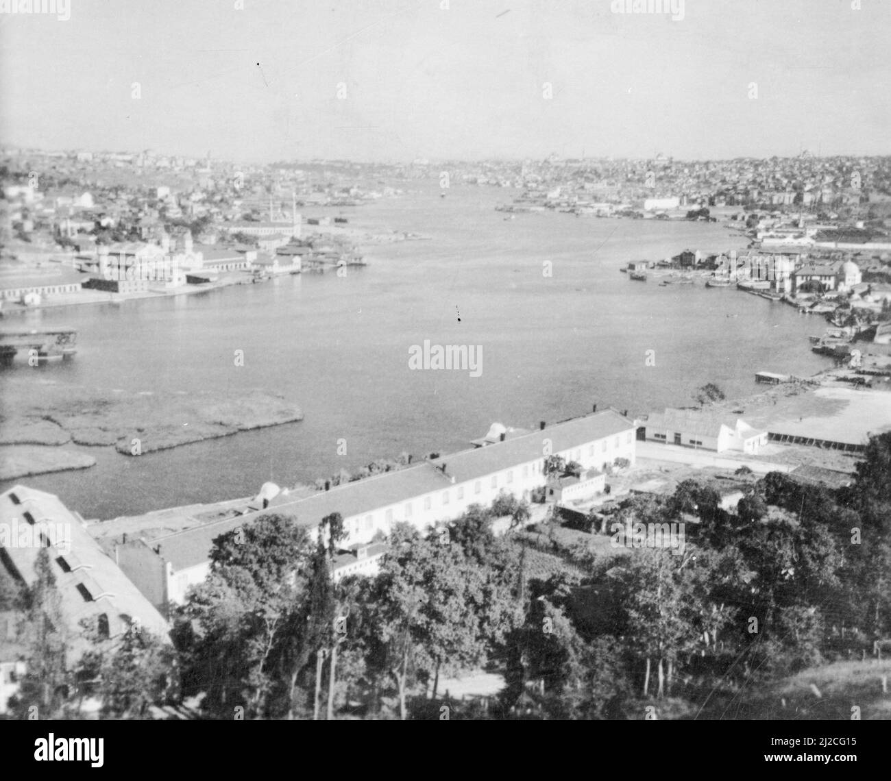 The Golden Horn in Istanbul ca. 1930s-1950s Stock Photohttps://www.alamy.com/image-license-details/?v=1https://www.alamy.com/the-golden-horn-in-istanbul-ca-1930s-1950s-image466185249.html
RM2J2CG15–The Golden Horn in Istanbul ca. 1930s-1950s
 Balloons of Cappadoica Stock Photohttps://www.alamy.com/image-license-details/?v=1https://www.alamy.com/balloons-of-cappadoica-image616420584.html
RF2XPTAMT–Balloons of Cappadoica
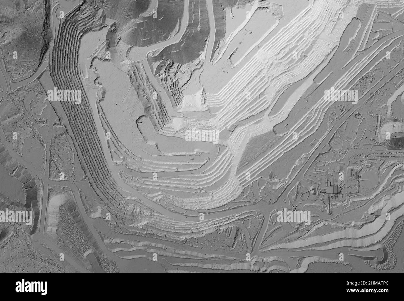 Model of a mine elevation. GIS product made after processing aerial pictures taken from a drone. It shows excavation site with steep rock walls Stock Photohttps://www.alamy.com/image-license-details/?v=1https://www.alamy.com/model-of-a-mine-elevation-gis-product-made-after-processing-aerial-pictures-taken-from-a-drone-it-shows-excavation-site-with-steep-rock-walls-image460001652.html
RF2HMATPC–Model of a mine elevation. GIS product made after processing aerial pictures taken from a drone. It shows excavation site with steep rock walls
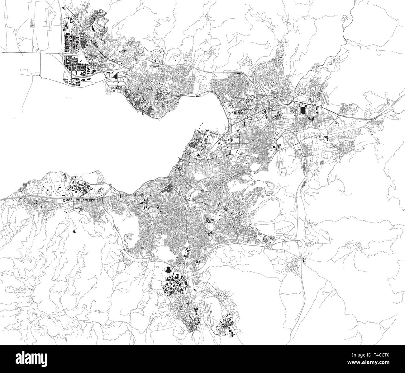 Satellite map of Izmir. It is a metropolitan city the third most populous city in Turkey. Map of streets and buildings of the town center. Asia Stock Vectorhttps://www.alamy.com/image-license-details/?v=1https://www.alamy.com/satellite-map-of-izmir-it-is-a-metropolitan-city-the-third-most-populous-city-in-turkey-map-of-streets-and-buildings-of-the-town-center-asia-image243677280.html
RFT4CCT0–Satellite map of Izmir. It is a metropolitan city the third most populous city in Turkey. Map of streets and buildings of the town center. Asia
 Balloons of Cappadoica Stock Photohttps://www.alamy.com/image-license-details/?v=1https://www.alamy.com/balloons-of-cappadoica-image616420579.html
RF2XPTAMK–Balloons of Cappadoica
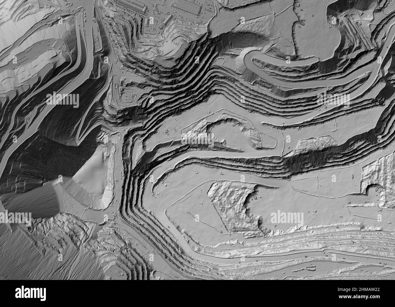 Model of a mine elevation. GIS product made after processing aerial pictures taken from a drone. It shows excavation site with steep rock walls Stock Photohttps://www.alamy.com/image-license-details/?v=1https://www.alamy.com/model-of-a-mine-elevation-gis-product-made-after-processing-aerial-pictures-taken-from-a-drone-it-shows-excavation-site-with-steep-rock-walls-image460001866.html
RF2HMAW22–Model of a mine elevation. GIS product made after processing aerial pictures taken from a drone. It shows excavation site with steep rock walls
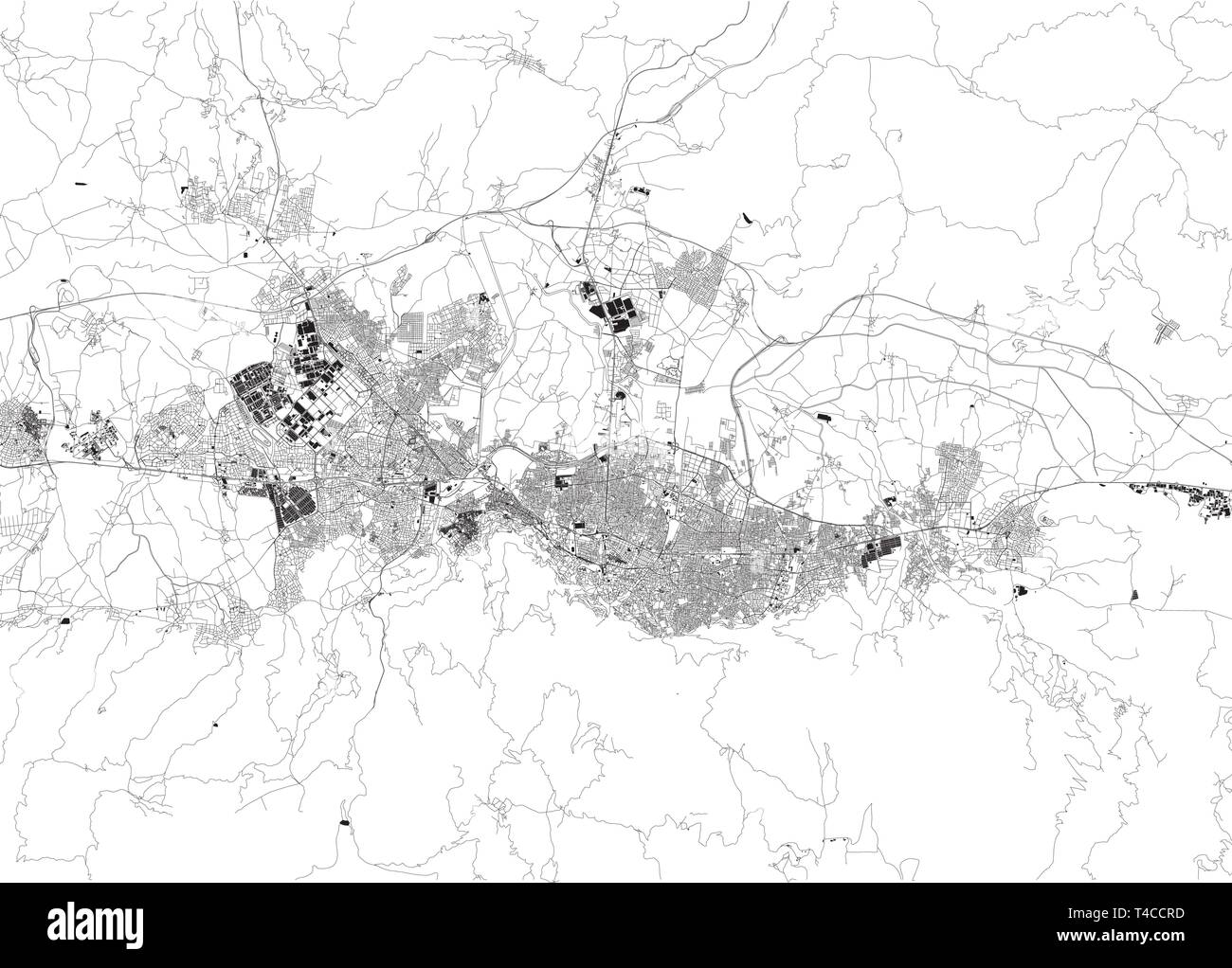 Satellite map of Bursa. It is a large city in Turkey, located in northwestern Anatolia. Map of streets and buildings of the town center. Asia Stock Vectorhttps://www.alamy.com/image-license-details/?v=1https://www.alamy.com/satellite-map-of-bursa-it-is-a-large-city-in-turkey-located-in-northwestern-anatolia-map-of-streets-and-buildings-of-the-town-center-asia-image243677265.html
RFT4CCRD–Satellite map of Bursa. It is a large city in Turkey, located in northwestern Anatolia. Map of streets and buildings of the town center. Asia
 Balloons of Cappadoica Stock Photohttps://www.alamy.com/image-license-details/?v=1https://www.alamy.com/balloons-of-cappadoica-image616420574.html
RF2XPTAME–Balloons of Cappadoica
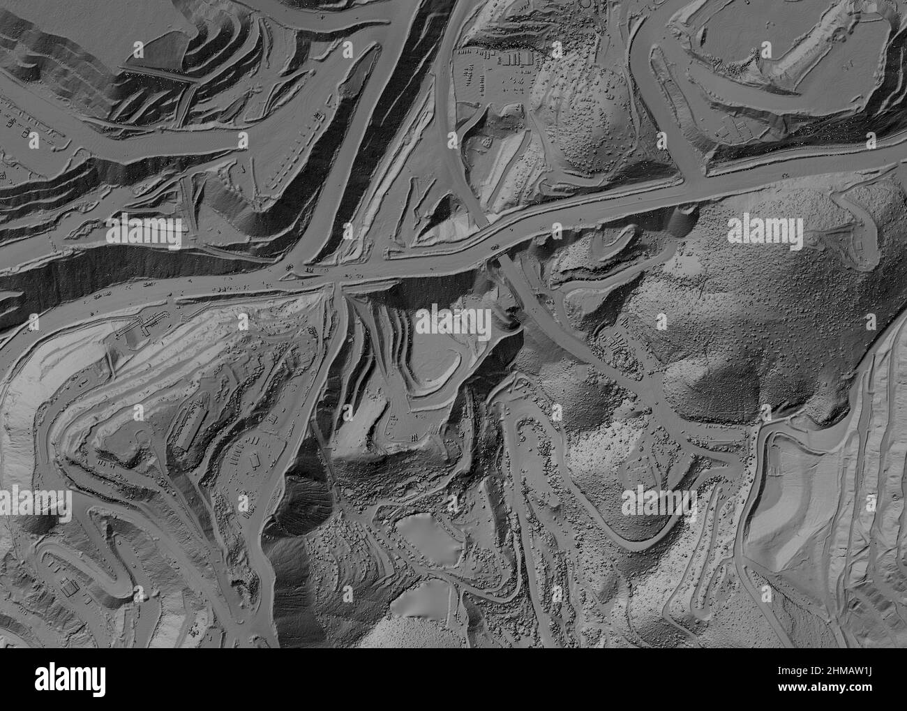 Model of a mine elevation. GIS product made after processing aerial pictures taken from a drone. It shows excavation site with steep rock walls Stock Photohttps://www.alamy.com/image-license-details/?v=1https://www.alamy.com/model-of-a-mine-elevation-gis-product-made-after-processing-aerial-pictures-taken-from-a-drone-it-shows-excavation-site-with-steep-rock-walls-image460001854.html
RF2HMAW1J–Model of a mine elevation. GIS product made after processing aerial pictures taken from a drone. It shows excavation site with steep rock walls
 Balloons of Cappadoica Stock Photohttps://www.alamy.com/image-license-details/?v=1https://www.alamy.com/balloons-of-cappadoica-image616420581.html
RF2XPTAMN–Balloons of Cappadoica
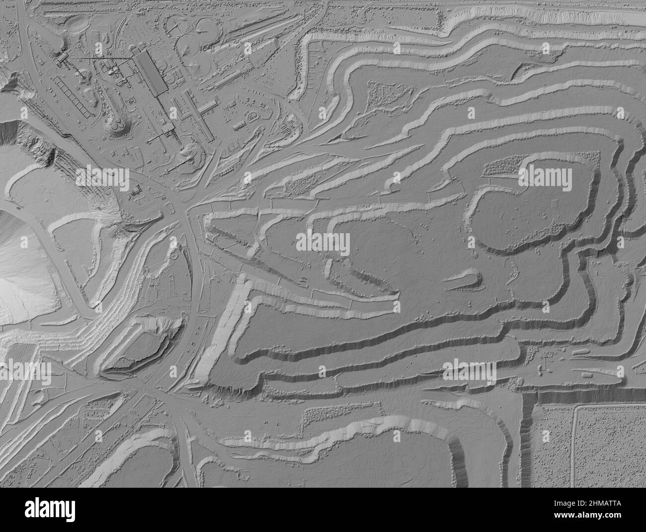 Model of a mine elevation. GIS product made after processing aerial pictures taken from a drone. It shows excavation site with steep rock walls Stock Photohttps://www.alamy.com/image-license-details/?v=1https://www.alamy.com/model-of-a-mine-elevation-gis-product-made-after-processing-aerial-pictures-taken-from-a-drone-it-shows-excavation-site-with-steep-rock-walls-image460001706.html
RF2HMATTA–Model of a mine elevation. GIS product made after processing aerial pictures taken from a drone. It shows excavation site with steep rock walls
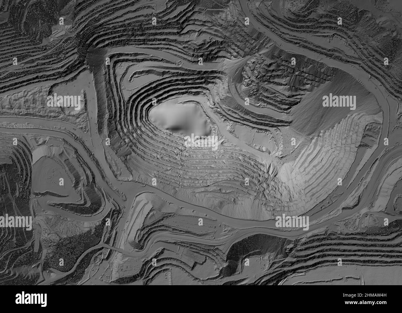 Model of a mine elevation. GIS product made after processing aerial pictures taken from a drone. It shows excavation site with steep rock walls Stock Photohttps://www.alamy.com/image-license-details/?v=1https://www.alamy.com/model-of-a-mine-elevation-gis-product-made-after-processing-aerial-pictures-taken-from-a-drone-it-shows-excavation-site-with-steep-rock-walls-image460001937.html
RF2HMAW4H–Model of a mine elevation. GIS product made after processing aerial pictures taken from a drone. It shows excavation site with steep rock walls
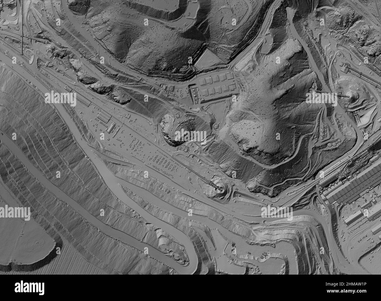 Model of a mine elevation. GIS product made after processing aerial pictures taken from a drone. It shows excavation site with steep rock walls Stock Photohttps://www.alamy.com/image-license-details/?v=1https://www.alamy.com/model-of-a-mine-elevation-gis-product-made-after-processing-aerial-pictures-taken-from-a-drone-it-shows-excavation-site-with-steep-rock-walls-image460001858.html
RF2HMAW1P–Model of a mine elevation. GIS product made after processing aerial pictures taken from a drone. It shows excavation site with steep rock walls
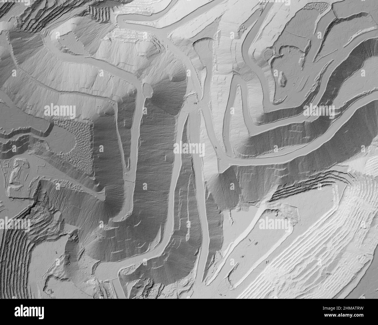 Model of a mine elevation. GIS product made after processing aerial pictures taken from a drone. It shows excavation site with steep rock walls Stock Photohttps://www.alamy.com/image-license-details/?v=1https://www.alamy.com/model-of-a-mine-elevation-gis-product-made-after-processing-aerial-pictures-taken-from-a-drone-it-shows-excavation-site-with-steep-rock-walls-image460001693.html
RF2HMATRW–Model of a mine elevation. GIS product made after processing aerial pictures taken from a drone. It shows excavation site with steep rock walls
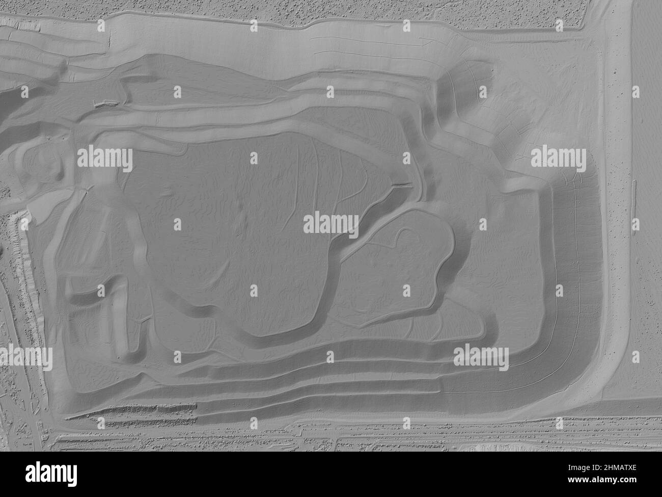 Model of a mine elevation. GIS product made after processing aerial pictures taken from a drone. It shows excavation site with steep rock walls Stock Photohttps://www.alamy.com/image-license-details/?v=1https://www.alamy.com/model-of-a-mine-elevation-gis-product-made-after-processing-aerial-pictures-taken-from-a-drone-it-shows-excavation-site-with-steep-rock-walls-image460001766.html
RF2HMATXE–Model of a mine elevation. GIS product made after processing aerial pictures taken from a drone. It shows excavation site with steep rock walls