Quick filters:
Tyne and wear map Stock Photos and Images
 Tyne and Wear metropolitan county map England UK watercolor in front of a white background Stock Photohttps://www.alamy.com/image-license-details/?v=1https://www.alamy.com/tyne-and-wear-metropolitan-county-map-england-uk-watercolor-in-front-of-a-white-background-image217882657.html
RFPJDBFD–Tyne and Wear metropolitan county map England UK watercolor in front of a white background
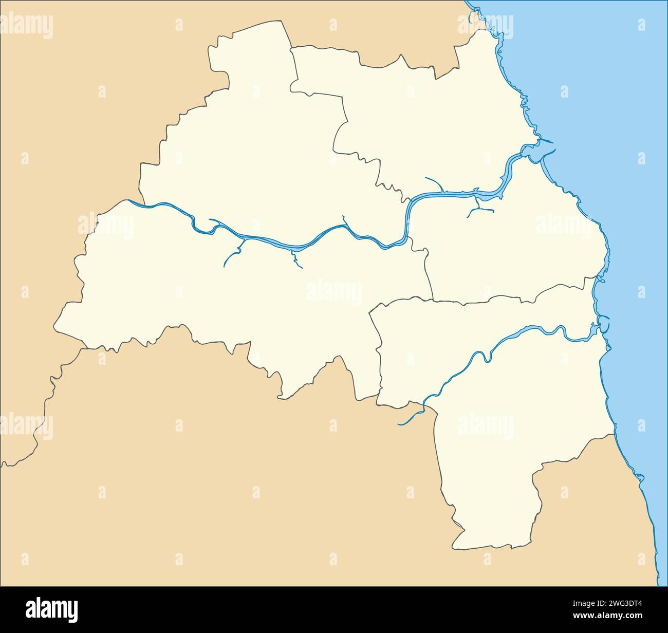 Beige metropolitan boroughs map of TYNE AND WEAR, ENGLAND Stock Vectorhttps://www.alamy.com/image-license-details/?v=1https://www.alamy.com/beige-metropolitan-boroughs-map-of-tyne-and-wear-england-image595063732.html
RF2WG3DT4–Beige metropolitan boroughs map of TYNE AND WEAR, ENGLAND
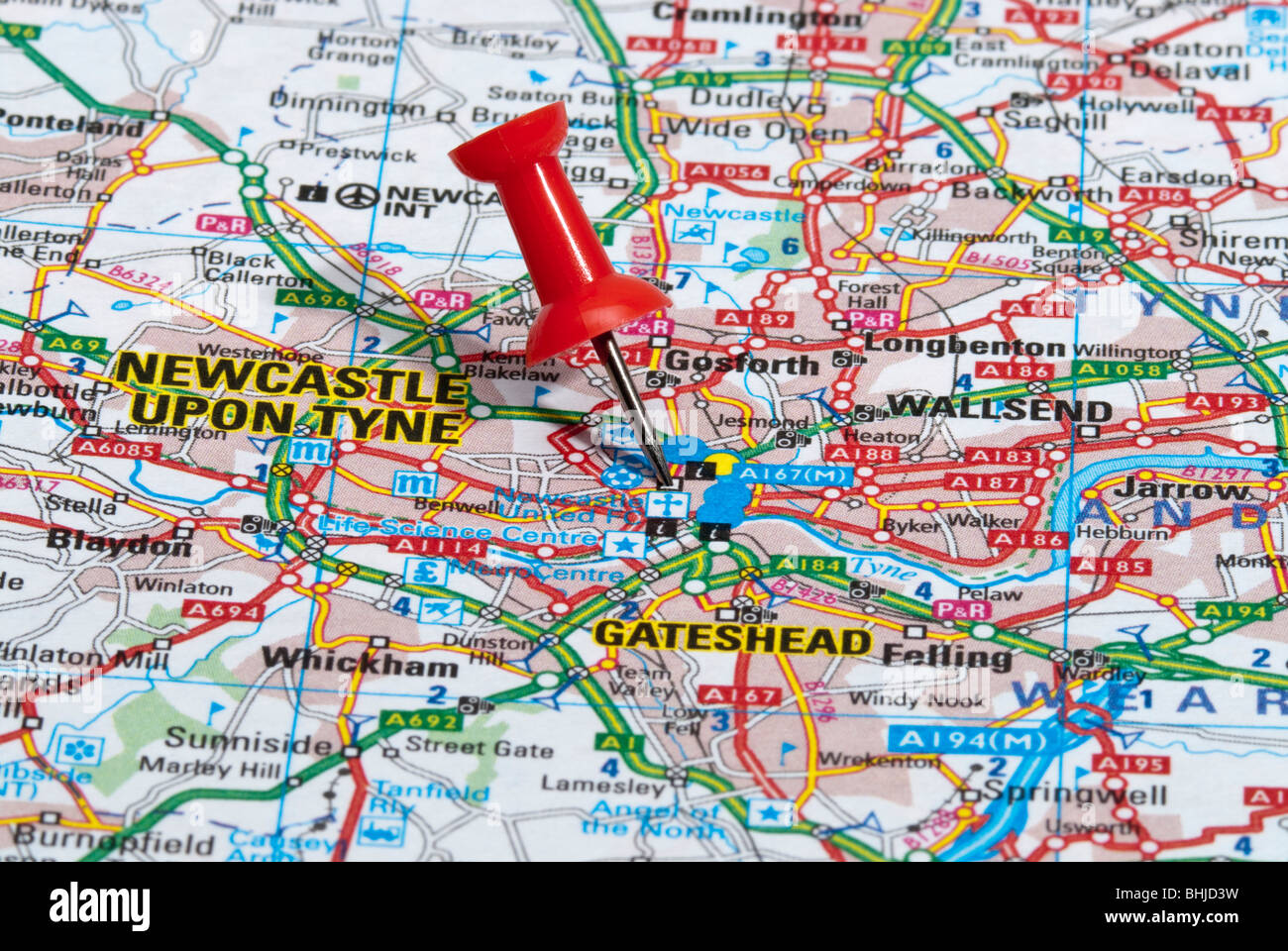 red map pin in road map pointing to city of Newcastle upon Tyne Stock Photohttps://www.alamy.com/image-license-details/?v=1https://www.alamy.com/stock-photo-red-map-pin-in-road-map-pointing-to-city-of-newcastle-upon-tyne-28064957.html
RMBHJD3W–red map pin in road map pointing to city of Newcastle upon Tyne
 A macro closeup of a page in a printed road map atlas showing the city of Newcastle upon Tyne in England Stock Photohttps://www.alamy.com/image-license-details/?v=1https://www.alamy.com/a-macro-closeup-of-a-page-in-a-printed-road-map-atlas-showing-the-city-of-newcastle-upon-tyne-in-england-image434265767.html
RM2G6EEBK–A macro closeup of a page in a printed road map atlas showing the city of Newcastle upon Tyne in England
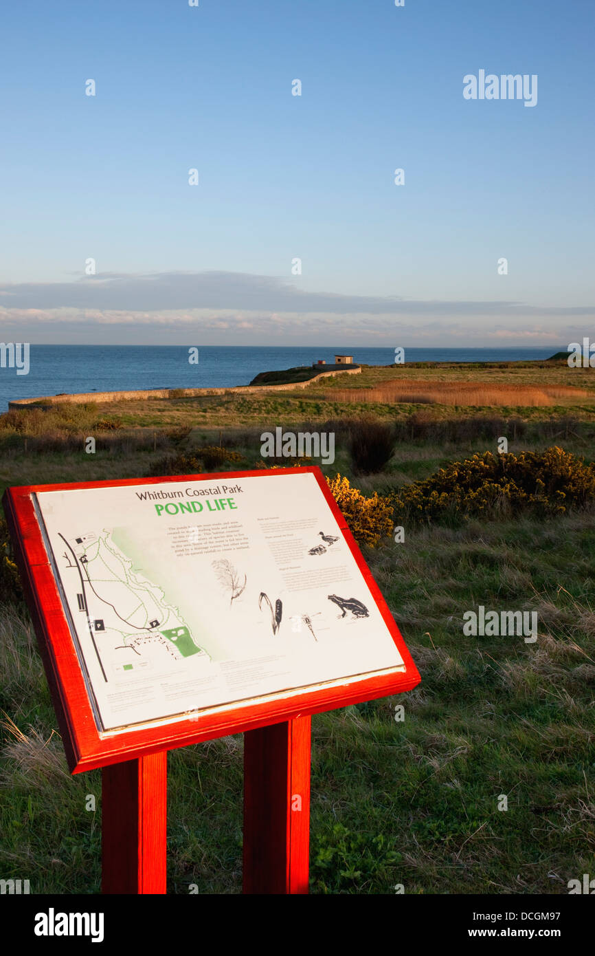 Location Map, South Shields, Tyne And Wear, England Stock Photohttps://www.alamy.com/image-license-details/?v=1https://www.alamy.com/stock-photo-location-map-south-shields-tyne-and-wear-england-59374147.html
RMDCGM97–Location Map, South Shields, Tyne And Wear, England
 Tourist information sign at The Wherry, Atlantic coast; South Shields, Tyne and Wear, England Stock Photohttps://www.alamy.com/image-license-details/?v=1https://www.alamy.com/tourist-information-sign-at-the-wherry-atlantic-coast-south-shields-tyne-and-wear-england-image262225581.html
RFW6HBB9–Tourist information sign at The Wherry, Atlantic coast; South Shields, Tyne and Wear, England
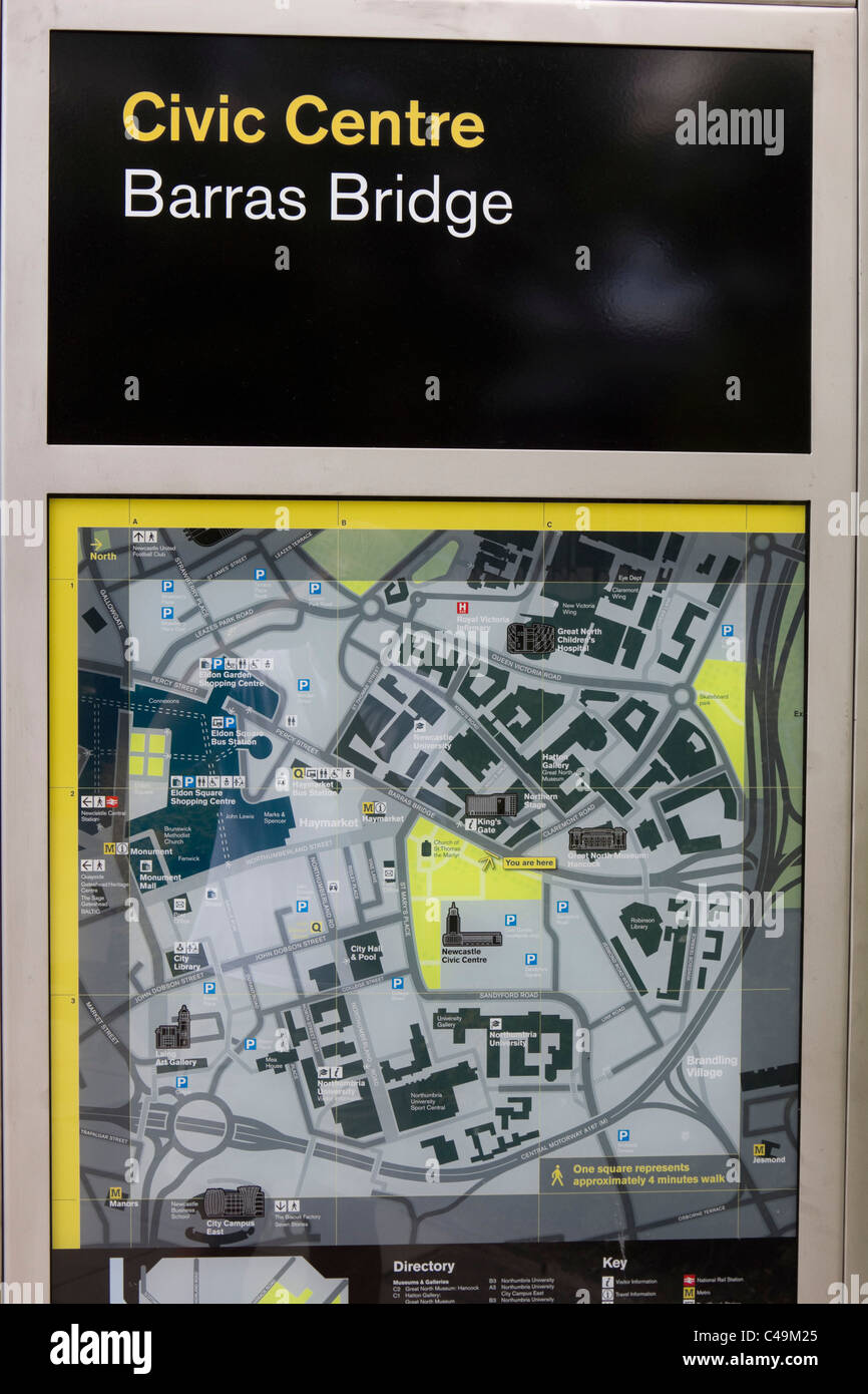 Newcastle city centre attractions Tyne and Wear england Stock Photohttps://www.alamy.com/image-license-details/?v=1https://www.alamy.com/stock-photo-newcastle-city-centre-attractions-tyne-and-wear-england-37092669.html
RMC49M25–Newcastle city centre attractions Tyne and Wear england
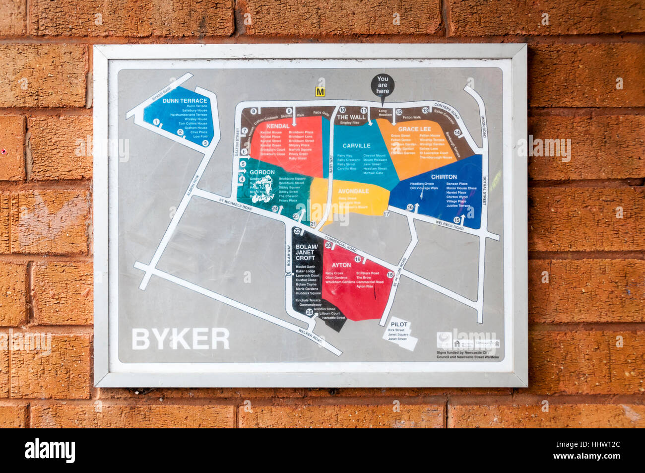 An estate plan on the Byker Wall shows the layout and extent of the Byker housing estate in Newcastle Upon Tyne, UK. Stock Photohttps://www.alamy.com/image-license-details/?v=1https://www.alamy.com/stock-photo-an-estate-plan-on-the-byker-wall-shows-the-layout-and-extent-of-the-131471380.html
RMHHW12C–An estate plan on the Byker Wall shows the layout and extent of the Byker housing estate in Newcastle Upon Tyne, UK.
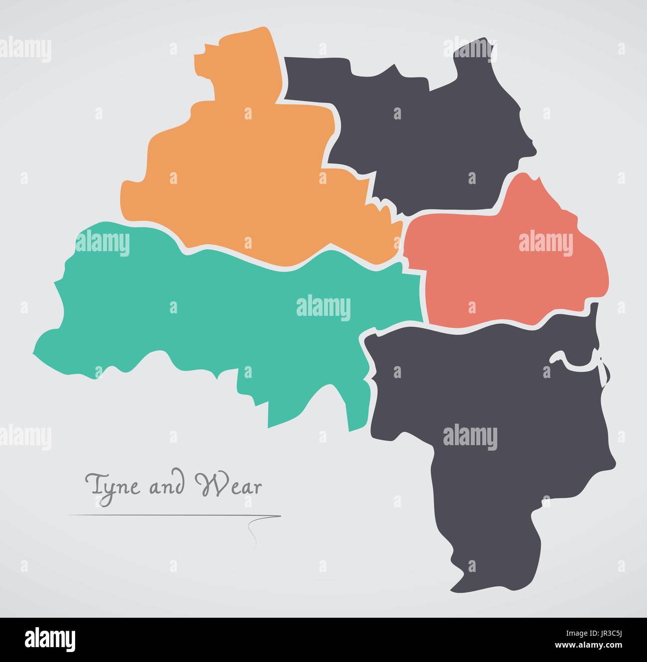 Tyne and Wear England Map with states and modern round shapes Stock Vectorhttps://www.alamy.com/image-license-details/?v=1https://www.alamy.com/tyne-and-wear-england-map-with-states-and-modern-round-shapes-image151895454.html
RFJR3C5J–Tyne and Wear England Map with states and modern round shapes
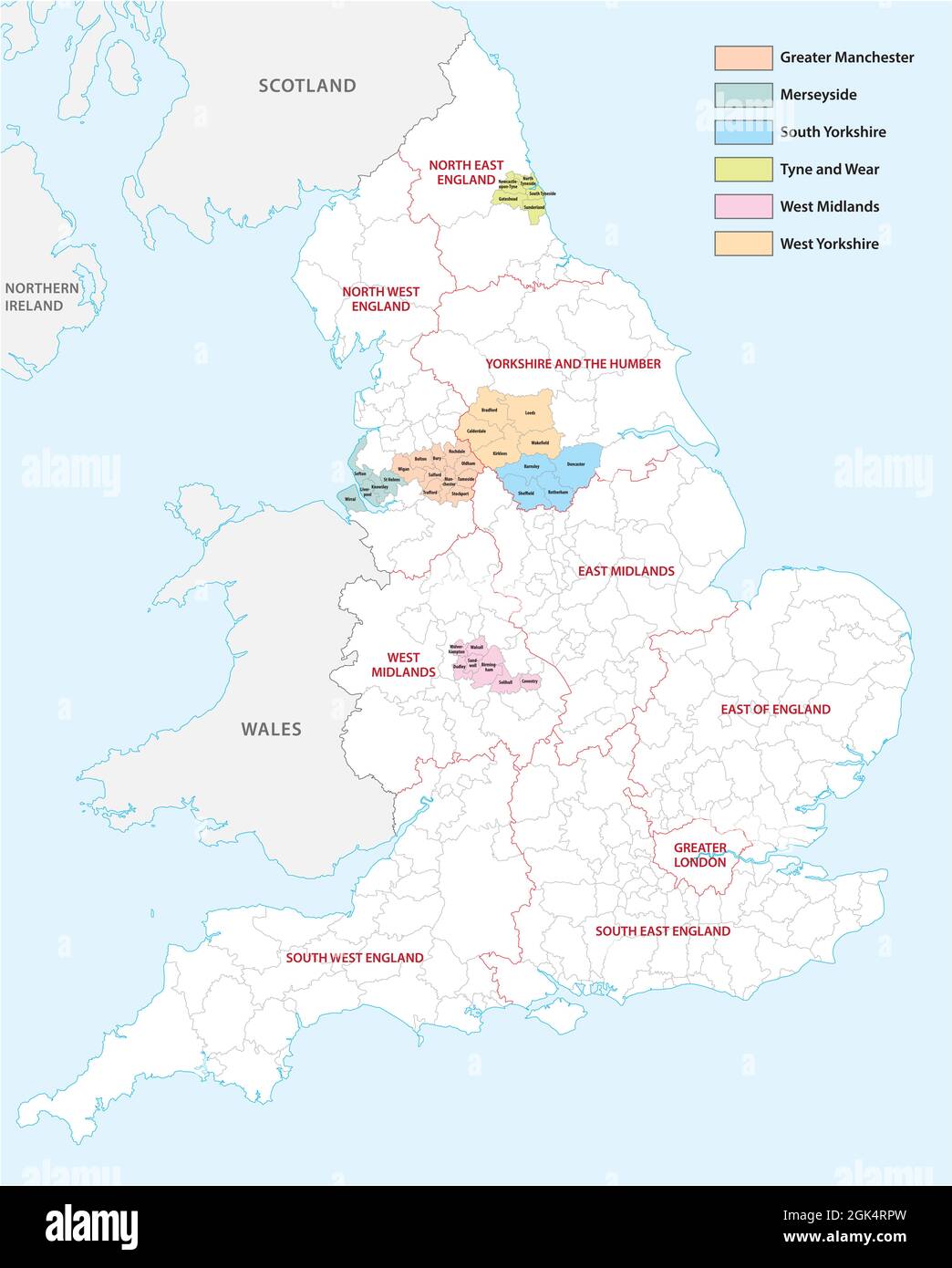 Outline vector map of the six metropolitan counties of England, United Kingdom Stock Vectorhttps://www.alamy.com/image-license-details/?v=1https://www.alamy.com/outline-vector-map-of-the-six-metropolitan-counties-of-england-united-kingdom-image442044145.html
RF2GK4RPW–Outline vector map of the six metropolitan counties of England, United Kingdom
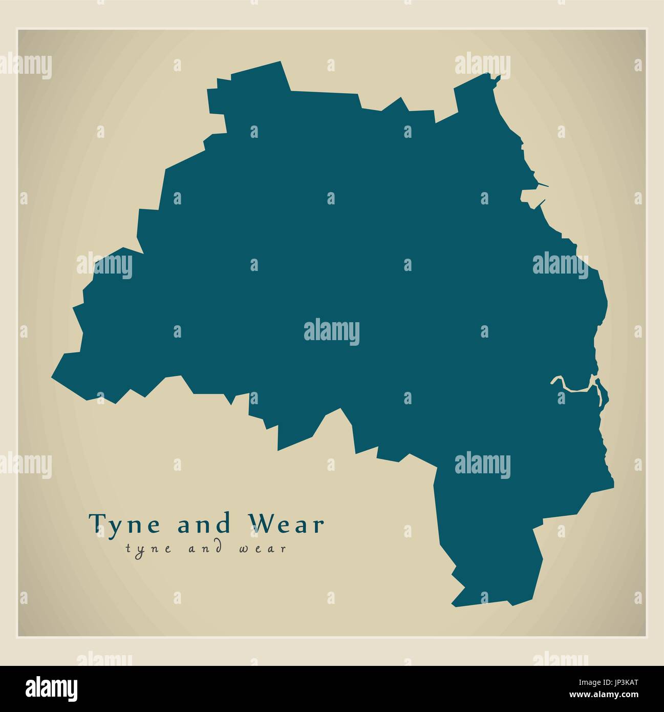 Modern Map - Tyne and Wear Metropolitan County England UK illustration Stock Vectorhttps://www.alamy.com/image-license-details/?v=1https://www.alamy.com/modern-map-tyne-and-wear-metropolitan-county-england-uk-illustration-image151286432.html
RFJP3KAT–Modern Map - Tyne and Wear Metropolitan County England UK illustration
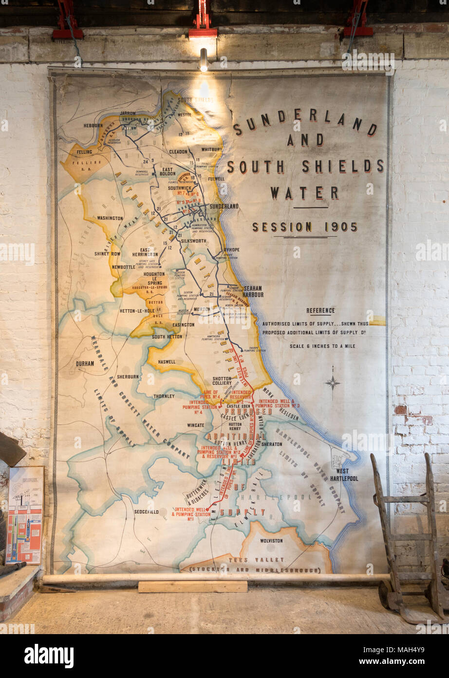 Sunderland and South Shields Water company map from 1905, Ryhope Engines museum, Sunderland, England, UK Stock Photohttps://www.alamy.com/image-license-details/?v=1https://www.alamy.com/sunderland-and-south-shields-water-company-map-from-1905-ryhope-engines-museum-sunderland-england-uk-image178627325.html
RMMAH4Y9–Sunderland and South Shields Water company map from 1905, Ryhope Engines museum, Sunderland, England, UK
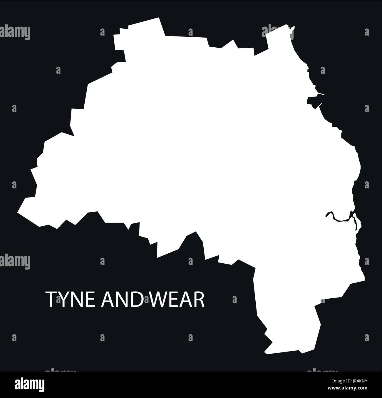 Tyne and Wear England UK map black inverted silhouette illustration Stock Vectorhttps://www.alamy.com/image-license-details/?v=1https://www.alamy.com/tyne-and-wear-england-uk-map-black-inverted-silhouette-illustration-image151923351.html
RFJR4KNY–Tyne and Wear England UK map black inverted silhouette illustration
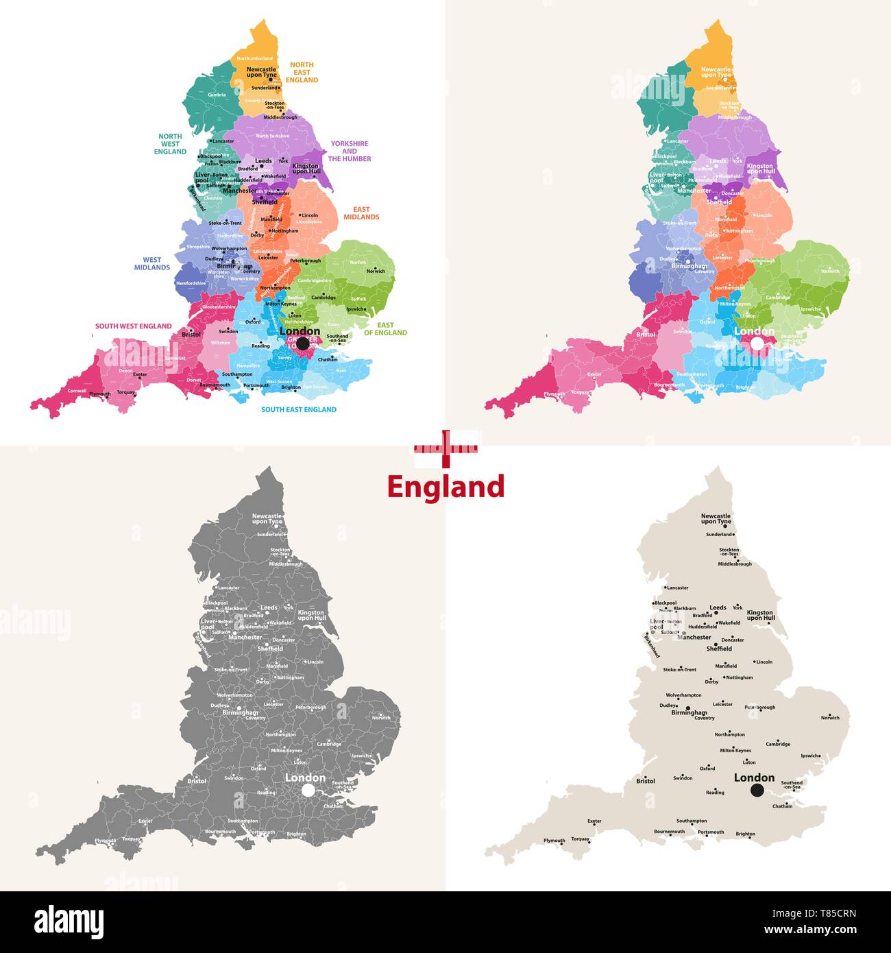 England ceremonial counties vector map Stock Vectorhttps://www.alamy.com/image-license-details/?v=1https://www.alamy.com/england-ceremonial-counties-vector-map-image245982233.html
RFT85CRN–England ceremonial counties vector map
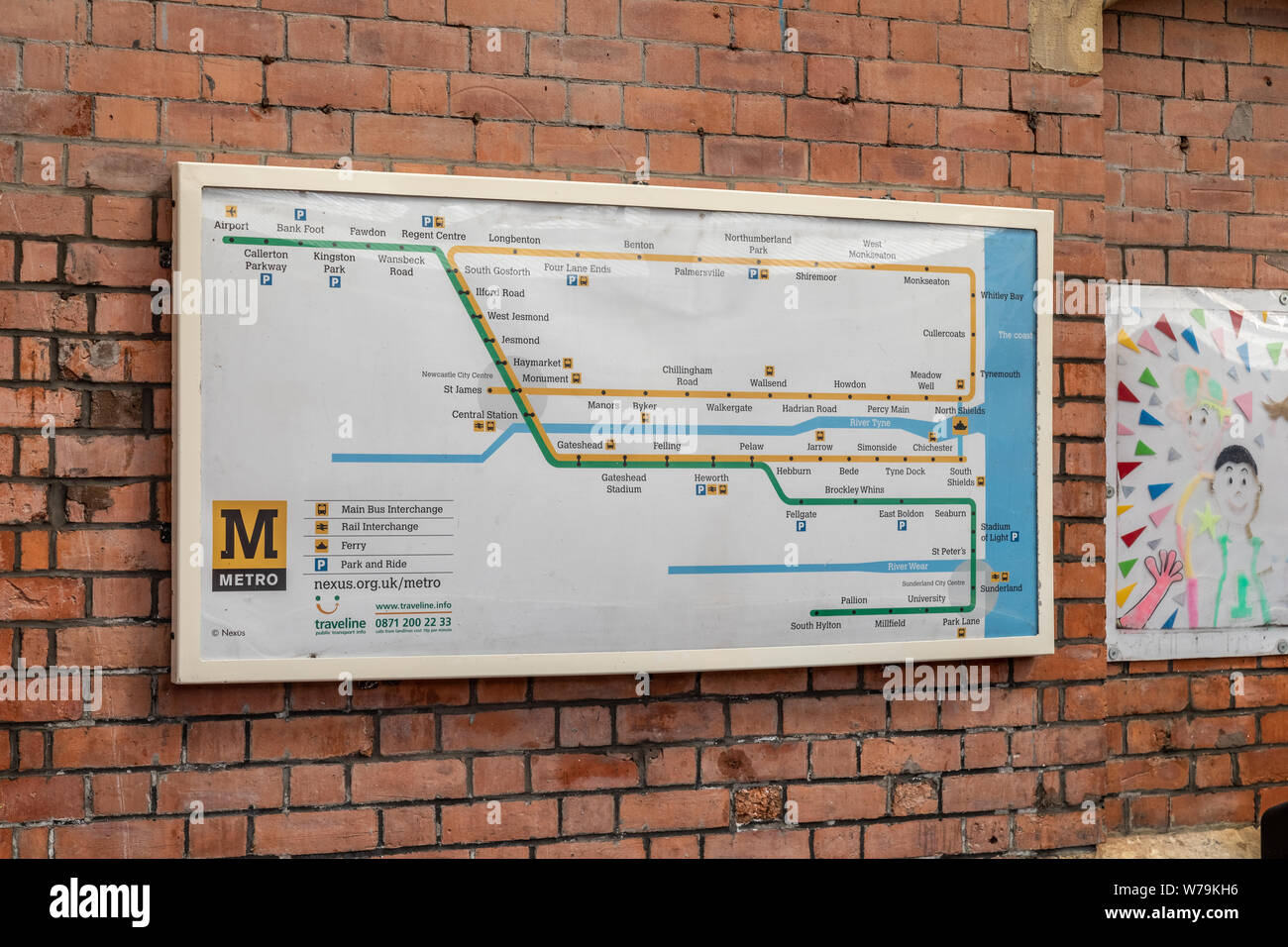 The Tyne & Wear Metro Map on display on the wall at Cullercoats station in Newcastle Stock Photohttps://www.alamy.com/image-license-details/?v=1https://www.alamy.com/the-tyne-wear-metro-map-on-display-on-the-wall-at-cullercoats-station-in-newcastle-image262671058.html
RMW79KH6–The Tyne & Wear Metro Map on display on the wall at Cullercoats station in Newcastle
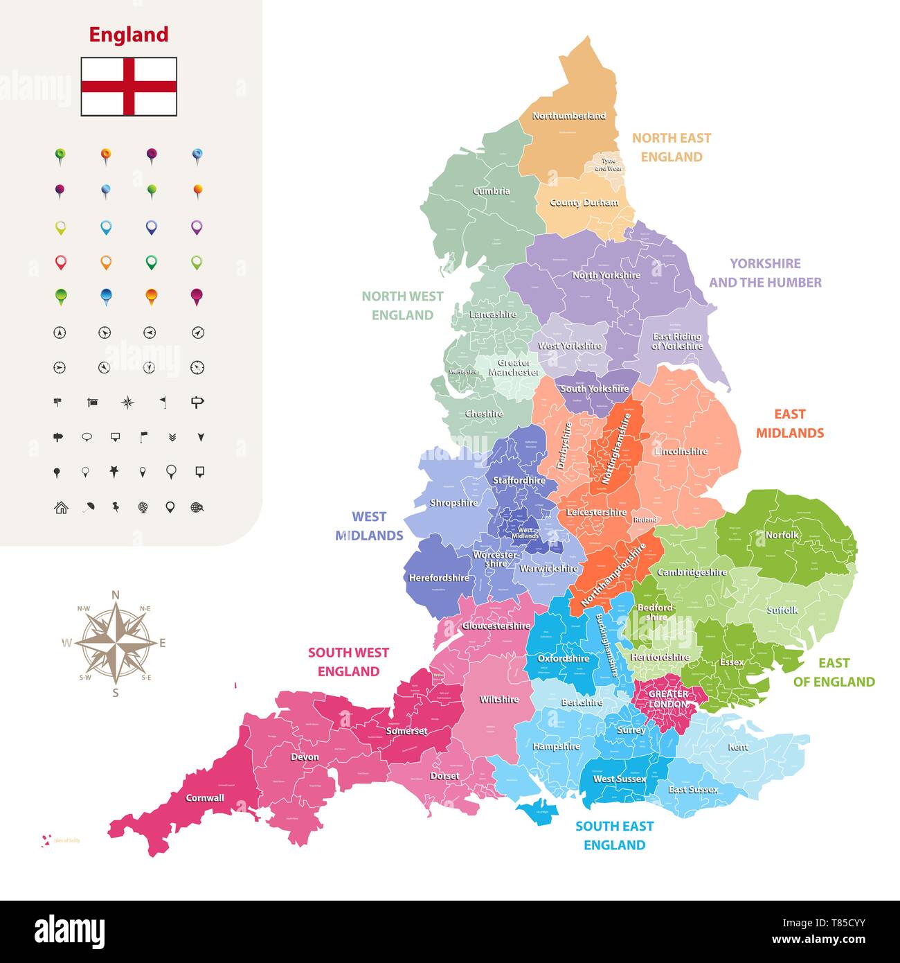 England ceremonial counties vector map Stock Vectorhttps://www.alamy.com/image-license-details/?v=1https://www.alamy.com/england-ceremonial-counties-vector-map-image245982351.html
RFT85CYY–England ceremonial counties vector map
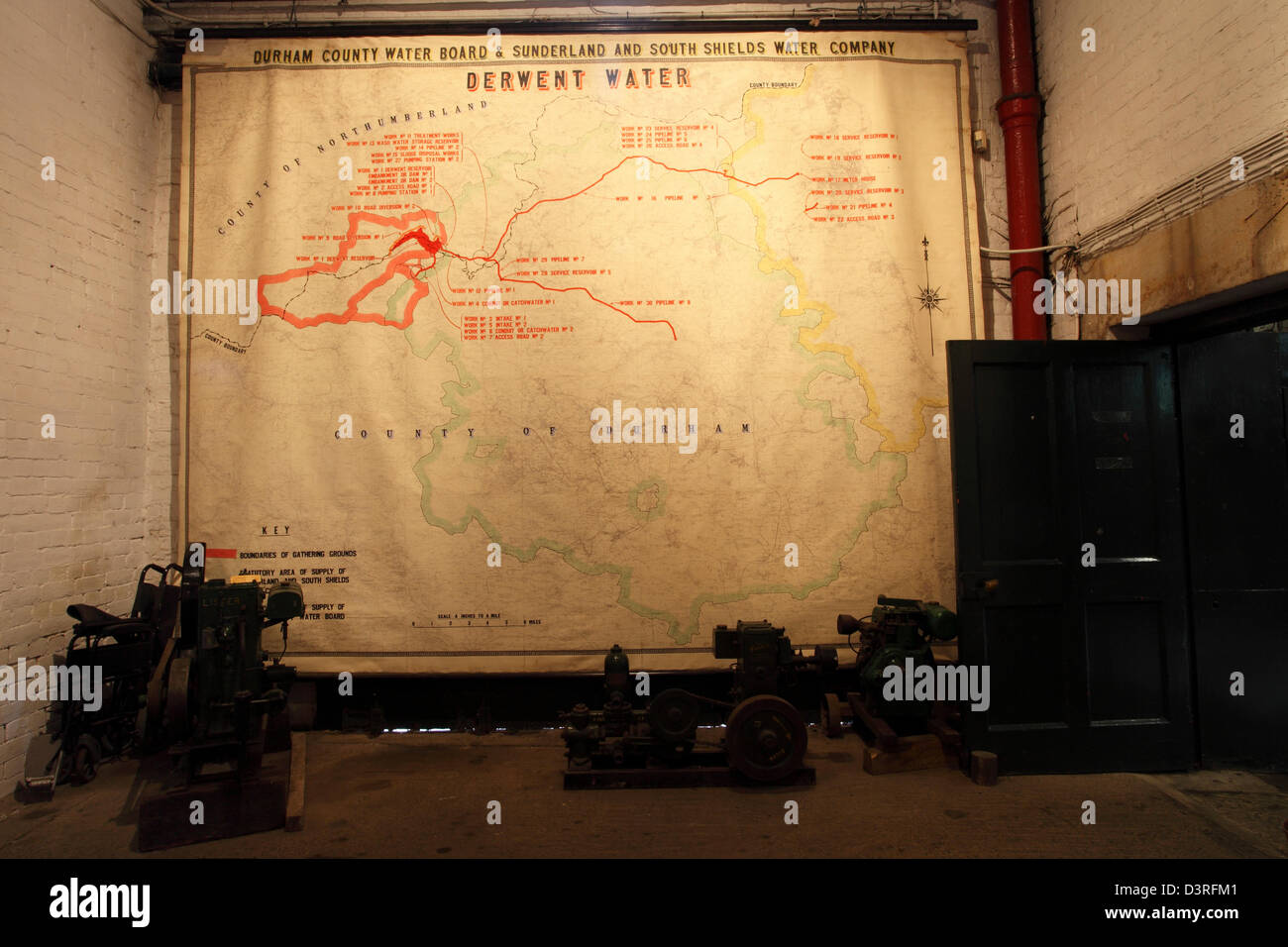 Regional map of waterways in north-east England at Ryhope Pumping Station in Sunderland, England. Stock Photohttps://www.alamy.com/image-license-details/?v=1https://www.alamy.com/stock-photo-regional-map-of-waterways-in-north-east-england-at-ryhope-pumping-53992289.html
RMD3RFM1–Regional map of waterways in north-east England at Ryhope Pumping Station in Sunderland, England.
 St Peter's Monkwearmouth, in Sunderland, one of the oldest churches in Britain dating back to AD674 with a 1300 year history, NE England, UK Stock Photohttps://www.alamy.com/image-license-details/?v=1https://www.alamy.com/st-peters-monkwearmouth-in-sunderland-one-of-the-oldest-churches-in-britain-dating-back-to-ad674-with-a-1300-year-history-ne-england-uk-image597290579.html
RM2WKMX6B–St Peter's Monkwearmouth, in Sunderland, one of the oldest churches in Britain dating back to AD674 with a 1300 year history, NE England, UK
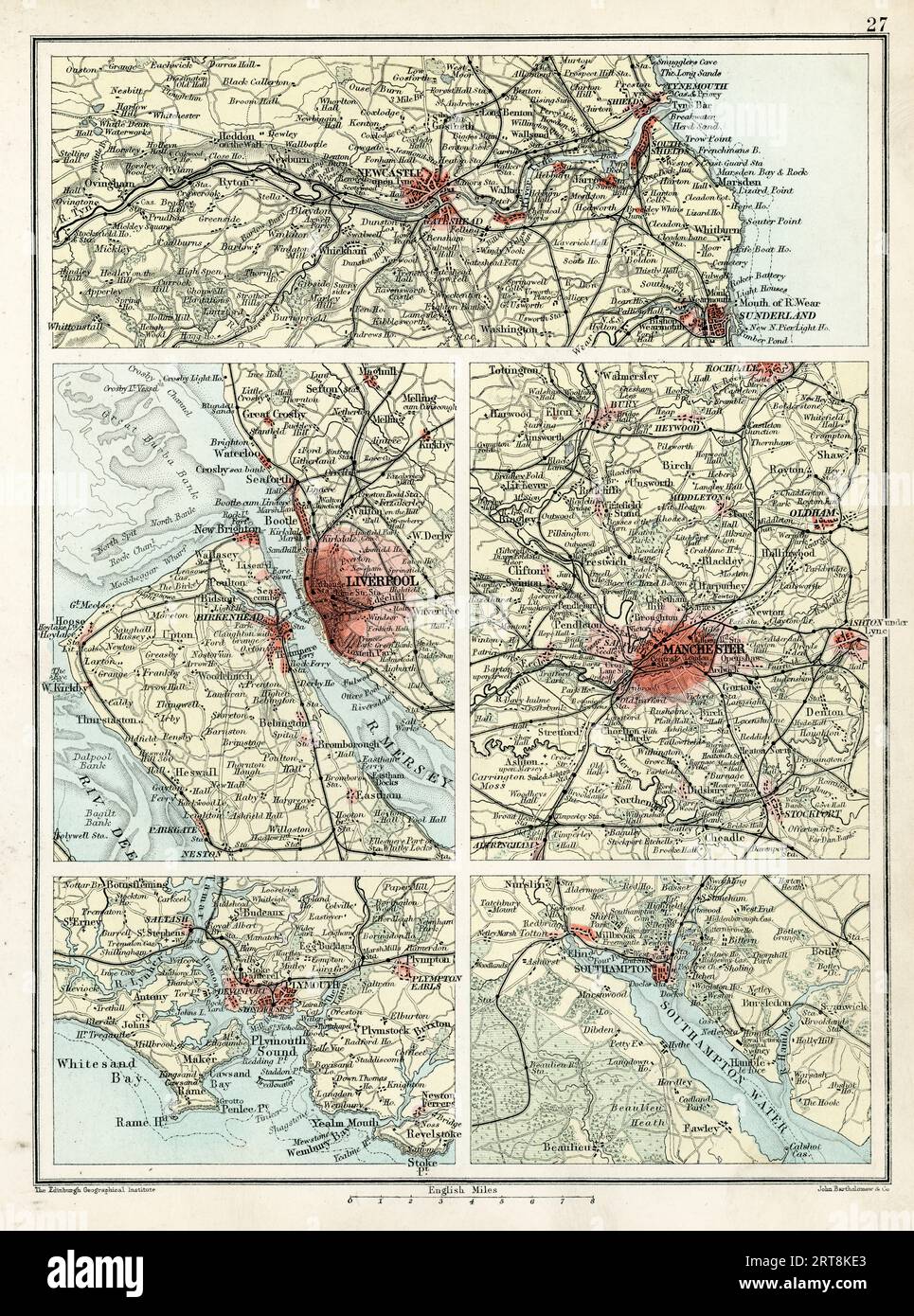 Antique maps Newcastle, Liverpool, Manchester, Plymouth, Southampton, England, 19th Century Stock Photohttps://www.alamy.com/image-license-details/?v=1https://www.alamy.com/antique-maps-newcastle-liverpool-manchester-plymouth-southampton-england-19th-century-image565674427.html
RM2RT8KE3–Antique maps Newcastle, Liverpool, Manchester, Plymouth, Southampton, England, 19th Century
 The Central Window of Thomas Denny's (2006) depiction of Sunderland, past, present and future, Sunderland Minster, Tyne and Wear, UK Stock Photohttps://www.alamy.com/image-license-details/?v=1https://www.alamy.com/the-central-window-of-thomas-dennys-2006-depiction-of-sunderland-past-present-and-future-sunderland-minster-tyne-and-wear-uk-image327943316.html
RM2A1F318–The Central Window of Thomas Denny's (2006) depiction of Sunderland, past, present and future, Sunderland Minster, Tyne and Wear, UK
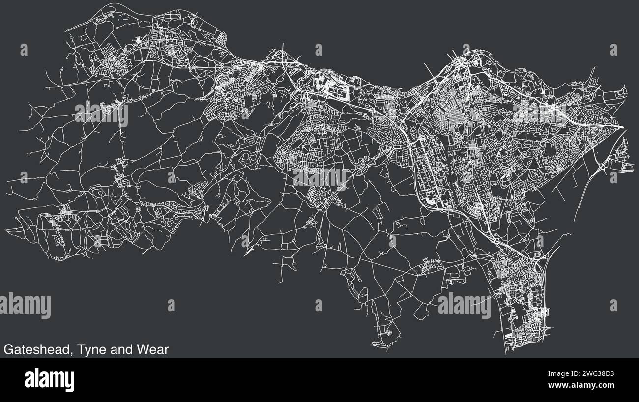 Street roads map of the METROPOLITAN BOROUGH OF GATESHEAD, TYNE AND WEAR Stock Vectorhttps://www.alamy.com/image-license-details/?v=1https://www.alamy.com/street-roads-map-of-the-metropolitan-borough-of-gateshead-tyne-and-wear-image595059503.html
RF2WG38D3–Street roads map of the METROPOLITAN BOROUGH OF GATESHEAD, TYNE AND WEAR
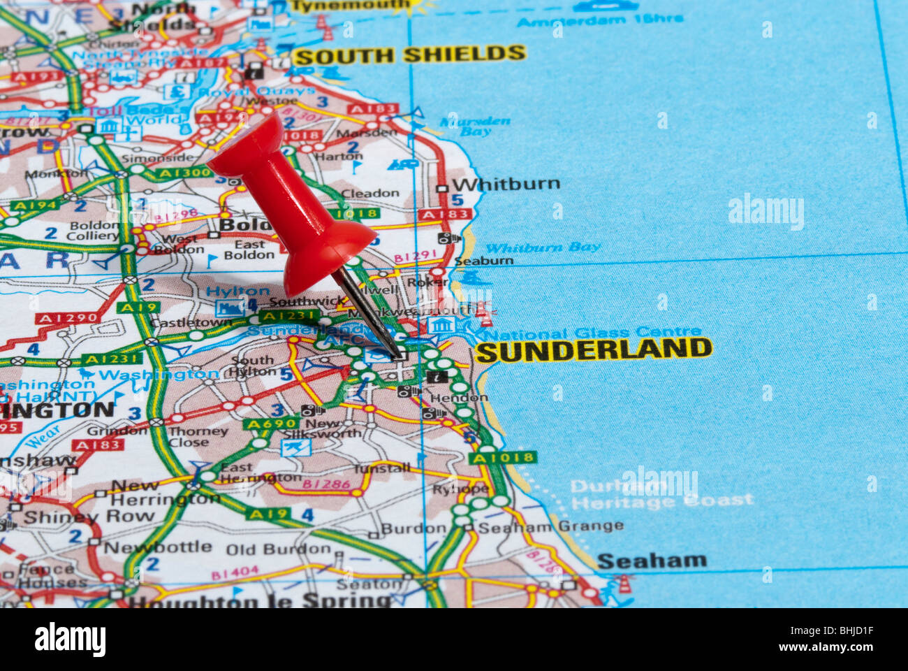 red map pin in road map pointing to city of Sunderland Stock Photohttps://www.alamy.com/image-license-details/?v=1https://www.alamy.com/stock-photo-red-map-pin-in-road-map-pointing-to-city-of-sunderland-28064891.html
RMBHJD1F–red map pin in road map pointing to city of Sunderland
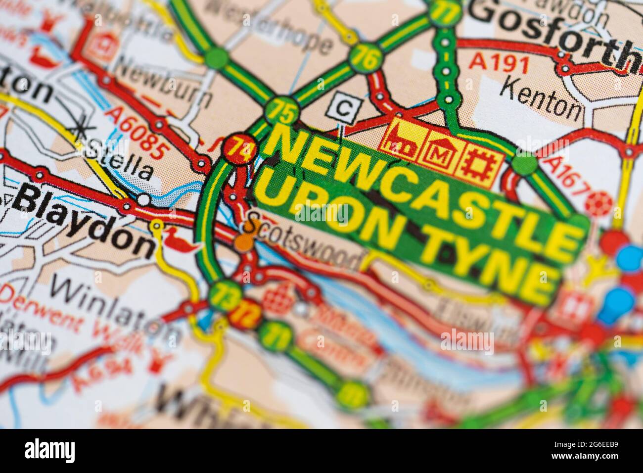 A macro closeup of a page in a printed road map atlas showing the city of Newcastle upon Tyne in England Stock Photohttps://www.alamy.com/image-license-details/?v=1https://www.alamy.com/a-macro-closeup-of-a-page-in-a-printed-road-map-atlas-showing-the-city-of-newcastle-upon-tyne-in-england-image434265757.html
RM2G6EEB9–A macro closeup of a page in a printed road map atlas showing the city of Newcastle upon Tyne in England
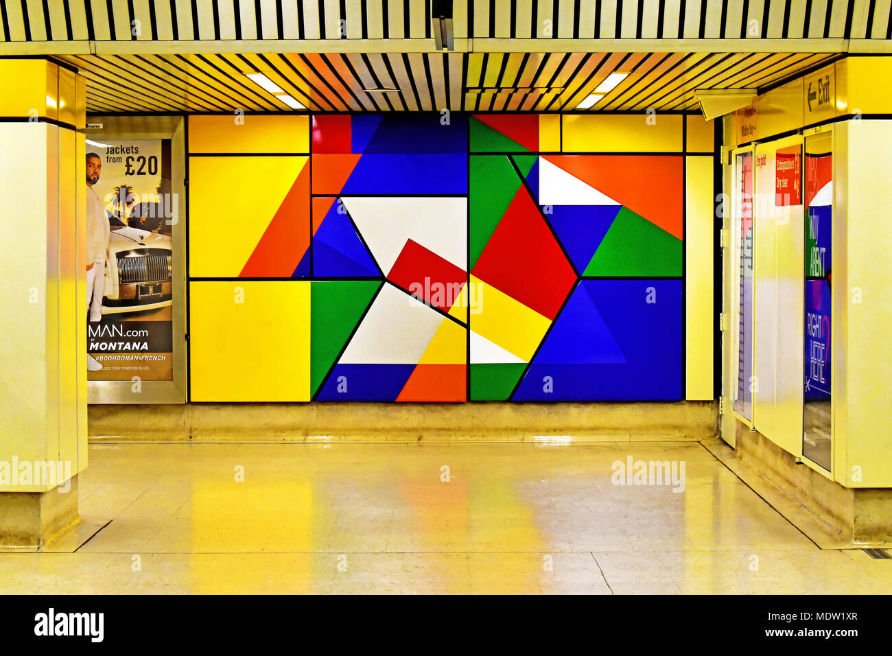 Newcastle Tyne and Wear Metro station exit at Jesmond Stock Photohttps://www.alamy.com/image-license-details/?v=1https://www.alamy.com/newcastle-tyne-and-wear-metro-station-exit-at-jesmond-image180644543.html
RFMDW1XR–Newcastle Tyne and Wear Metro station exit at Jesmond
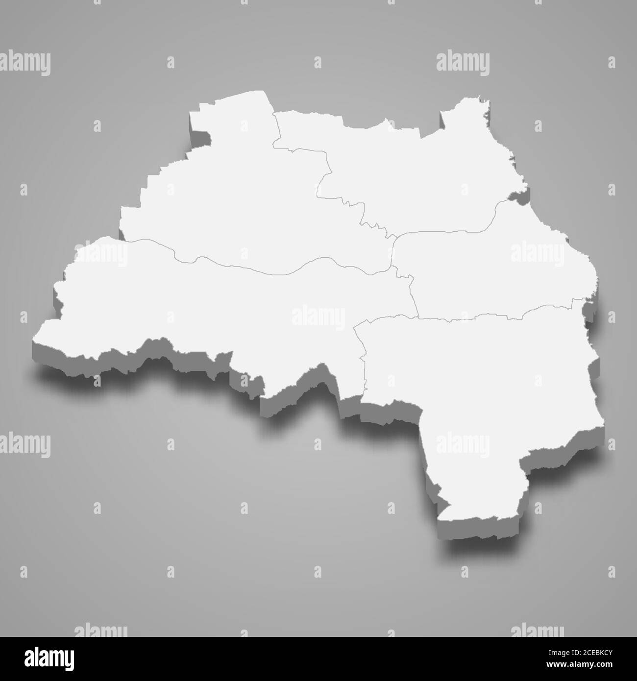 3d map of Tyne and Wear is a ceremonial county of England Stock Vectorhttps://www.alamy.com/image-license-details/?v=1https://www.alamy.com/3d-map-of-tyne-and-wear-is-a-ceremonial-county-of-england-image370279643.html
RF2CEBKCY–3d map of Tyne and Wear is a ceremonial county of England
 Sign in Mowbray Park in Sunderland, North East England Stock Photohttps://www.alamy.com/image-license-details/?v=1https://www.alamy.com/sign-in-mowbray-park-in-sunderland-north-east-england-image60997308.html
RMDF6JK8–Sign in Mowbray Park in Sunderland, North East England
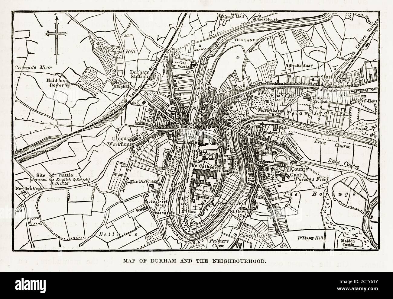 Map of the City of Durham, England Victorian Engraving, 1840 Stock Photohttps://www.alamy.com/image-license-details/?v=1https://www.alamy.com/map-of-the-city-of-durham-england-victorian-engraving-1840-image376766935.html
RM2CTY61Y–Map of the City of Durham, England Victorian Engraving, 1840
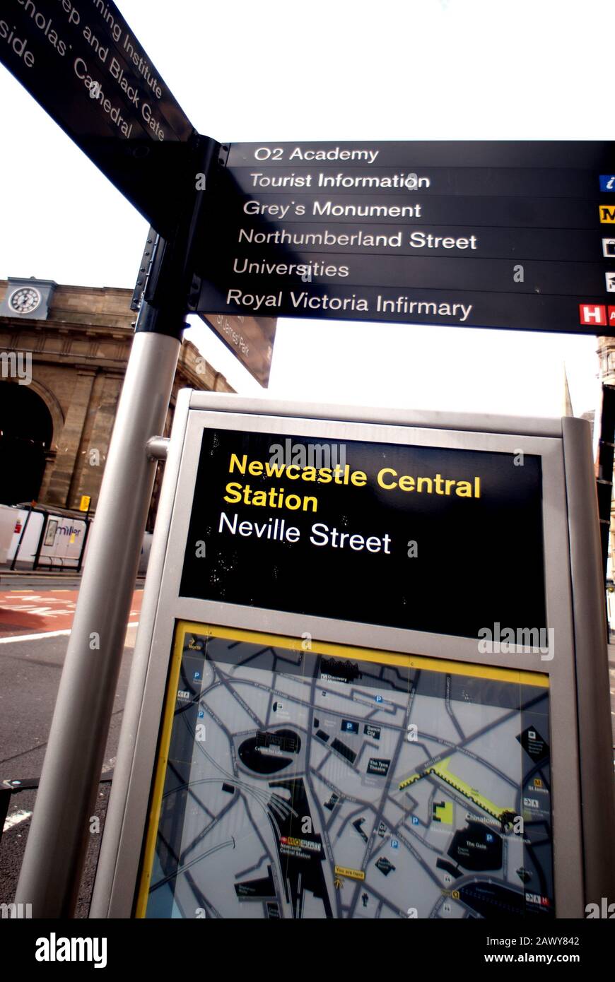 Information sign, Central Sation and Neville Street, Newcastle-upon-Tyne Stock Photohttps://www.alamy.com/image-license-details/?v=1https://www.alamy.com/information-sign-central-sation-and-neville-street-newcastle-upon-tyne-image342962482.html
RF2AWY842–Information sign, Central Sation and Neville Street, Newcastle-upon-Tyne
 Map of the Menai Straits, Carnarvon, Wales Victorian Engraving, 1840 Stock Photohttps://www.alamy.com/image-license-details/?v=1https://www.alamy.com/map-of-the-menai-straits-carnarvon-wales-victorian-engraving-1840-image376767399.html
RM2CTY6JF–Map of the Menai Straits, Carnarvon, Wales Victorian Engraving, 1840
 A Jewish man standing at Cathedral Square looking up at a street map. Stock Photohttps://www.alamy.com/image-license-details/?v=1https://www.alamy.com/stock-photo-a-jewish-man-standing-at-cathedral-square-looking-up-at-a-street-map-43534099.html
RMCER457–A Jewish man standing at Cathedral Square looking up at a street map.
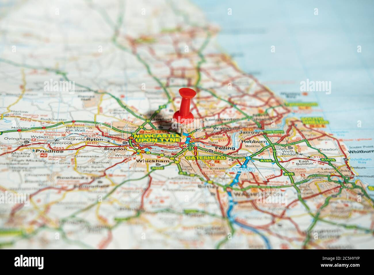 Shallow focus of a red push pin seen located at the centre of a large British city. Stock Photohttps://www.alamy.com/image-license-details/?v=1https://www.alamy.com/shallow-focus-of-a-red-push-pin-seen-located-at-the-centre-of-a-large-british-city-image364886138.html
RF2C5HYYP–Shallow focus of a red push pin seen located at the centre of a large British city.
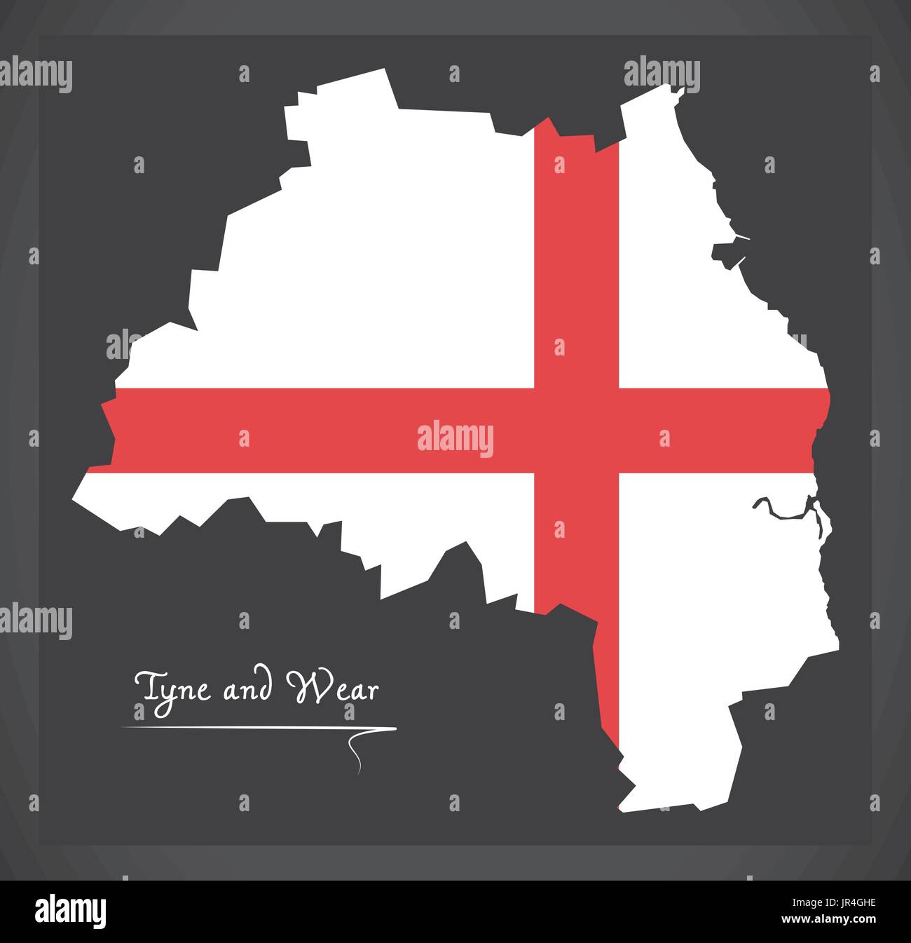 Tyne and Wear map England UK with English national flag illustration Stock Vectorhttps://www.alamy.com/image-license-details/?v=1https://www.alamy.com/tyne-and-wear-map-england-uk-with-english-national-flag-illustration-image151920874.html
RFJR4GHE–Tyne and Wear map England UK with English national flag illustration
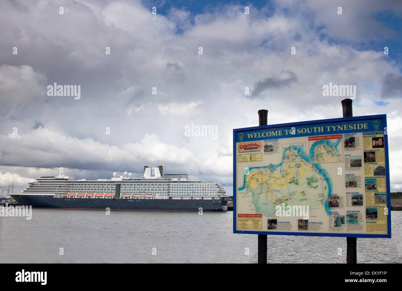 Cruise Ship On The River Tyne; South Shields, Tyne And Wear, England Stock Photohttps://www.alamy.com/image-license-details/?v=1https://www.alamy.com/stock-photo-cruise-ship-on-the-river-tyne-south-shields-tyne-and-wear-england-81124450.html
RMEKYF1P–Cruise Ship On The River Tyne; South Shields, Tyne And Wear, England
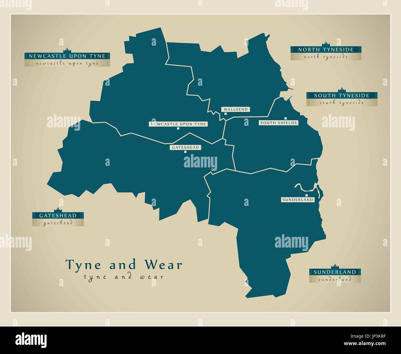 Modern Map - Tyne and Wear metropolitan county England UK illustration Stock Vectorhttps://www.alamy.com/image-license-details/?v=1https://www.alamy.com/modern-map-tyne-and-wear-metropolitan-county-england-uk-illustration-image151286367.html
RFJP3K8F–Modern Map - Tyne and Wear metropolitan county England UK illustration
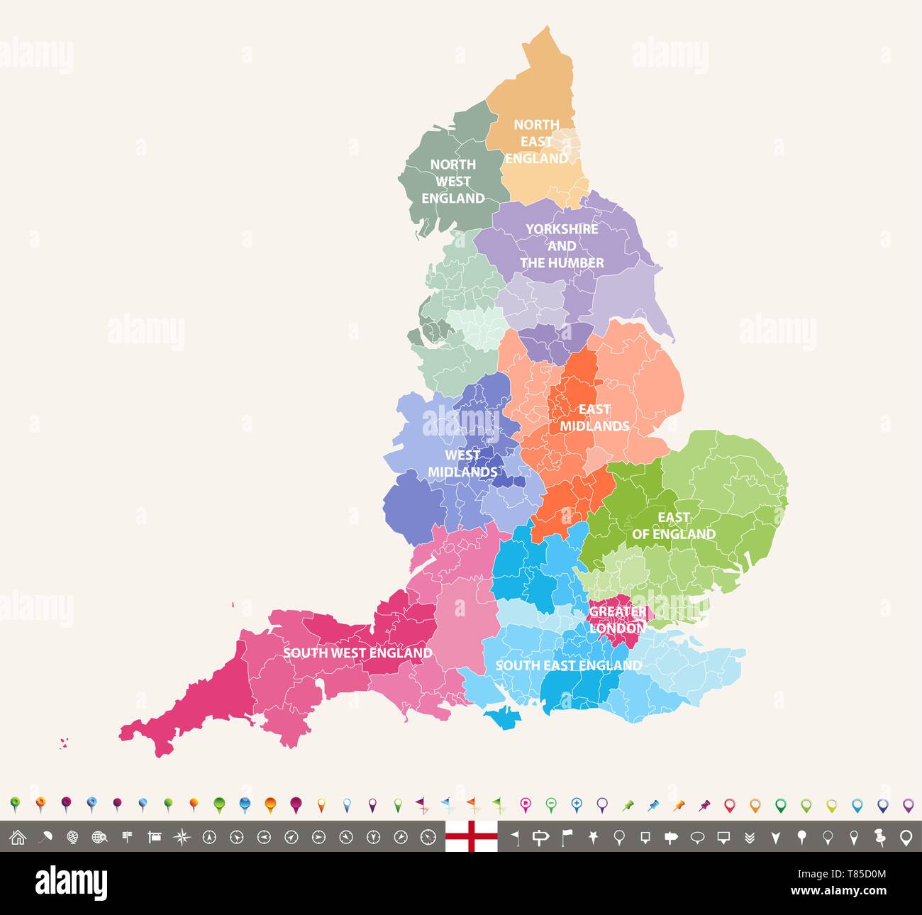 England ceremonial counties vector map Stock Vectorhttps://www.alamy.com/image-license-details/?v=1https://www.alamy.com/england-ceremonial-counties-vector-map-image245982372.html
RFT85D0M–England ceremonial counties vector map
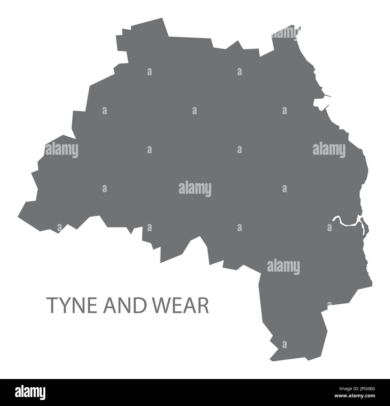 Tyne and Wear metropolitan county map England UK grey illustration silhouette shape Stock Vectorhttps://www.alamy.com/image-license-details/?v=1https://www.alamy.com/tyne-and-wear-metropolitan-county-map-england-uk-grey-illustration-image151577316.html
RFJPGXBG–Tyne and Wear metropolitan county map England UK grey illustration silhouette shape
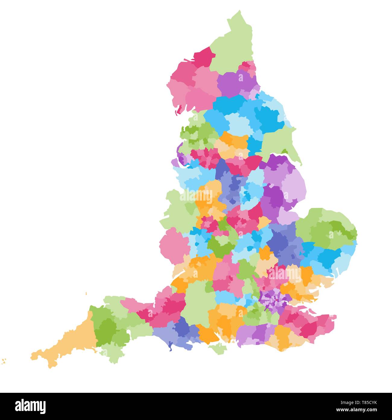 England ceremonial counties vector map Stock Vectorhttps://www.alamy.com/image-license-details/?v=1https://www.alamy.com/england-ceremonial-counties-vector-map-image245982343.html
RFT85CYK–England ceremonial counties vector map
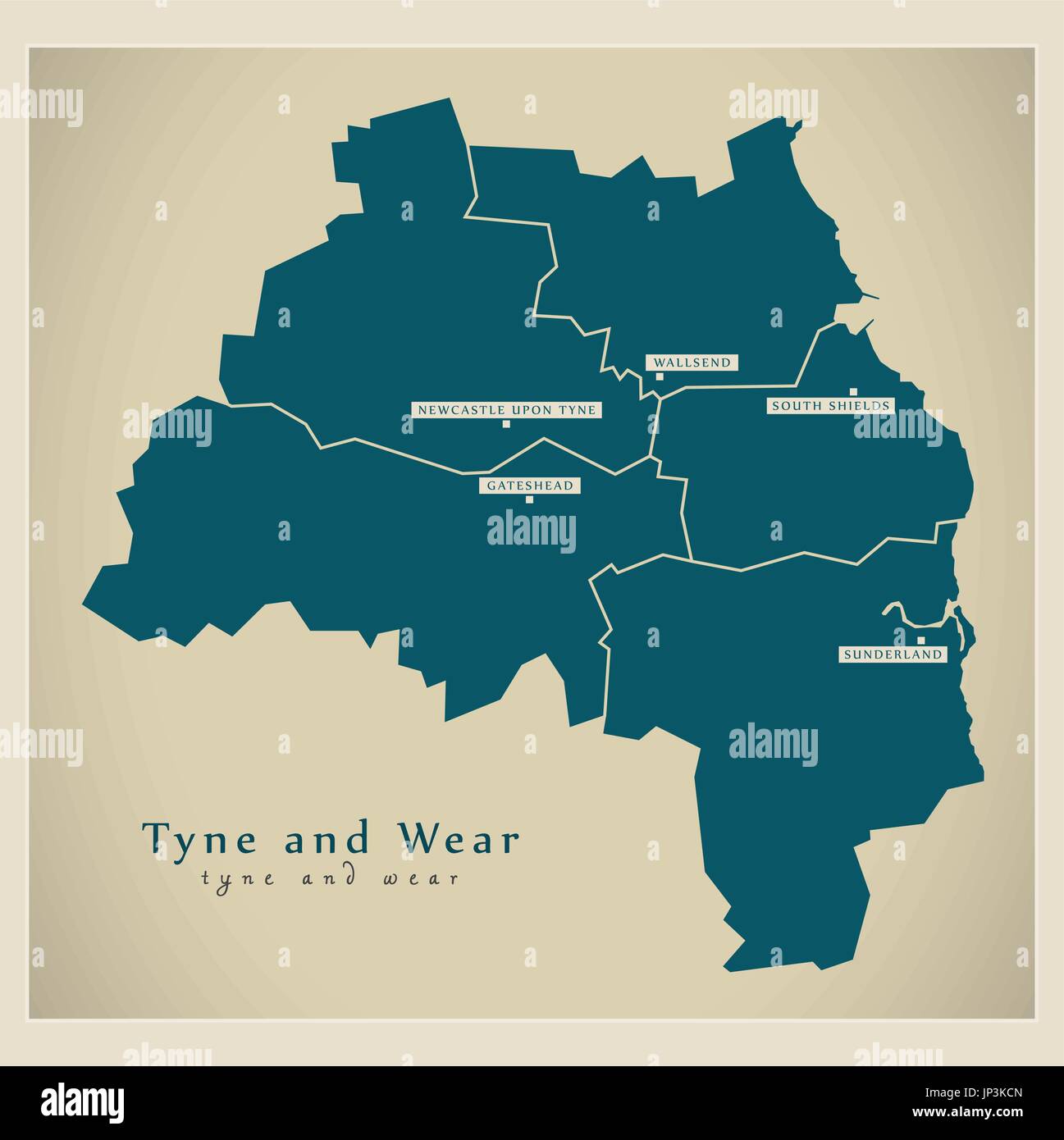 Modern Map - Tyne and Wear Metropolitan County with cities and districts England UK illustration Stock Vectorhttps://www.alamy.com/image-license-details/?v=1https://www.alamy.com/modern-map-tyne-and-wear-metropolitan-county-with-cities-and-districts-image151286485.html
RFJP3KCN–Modern Map - Tyne and Wear Metropolitan County with cities and districts England UK illustration
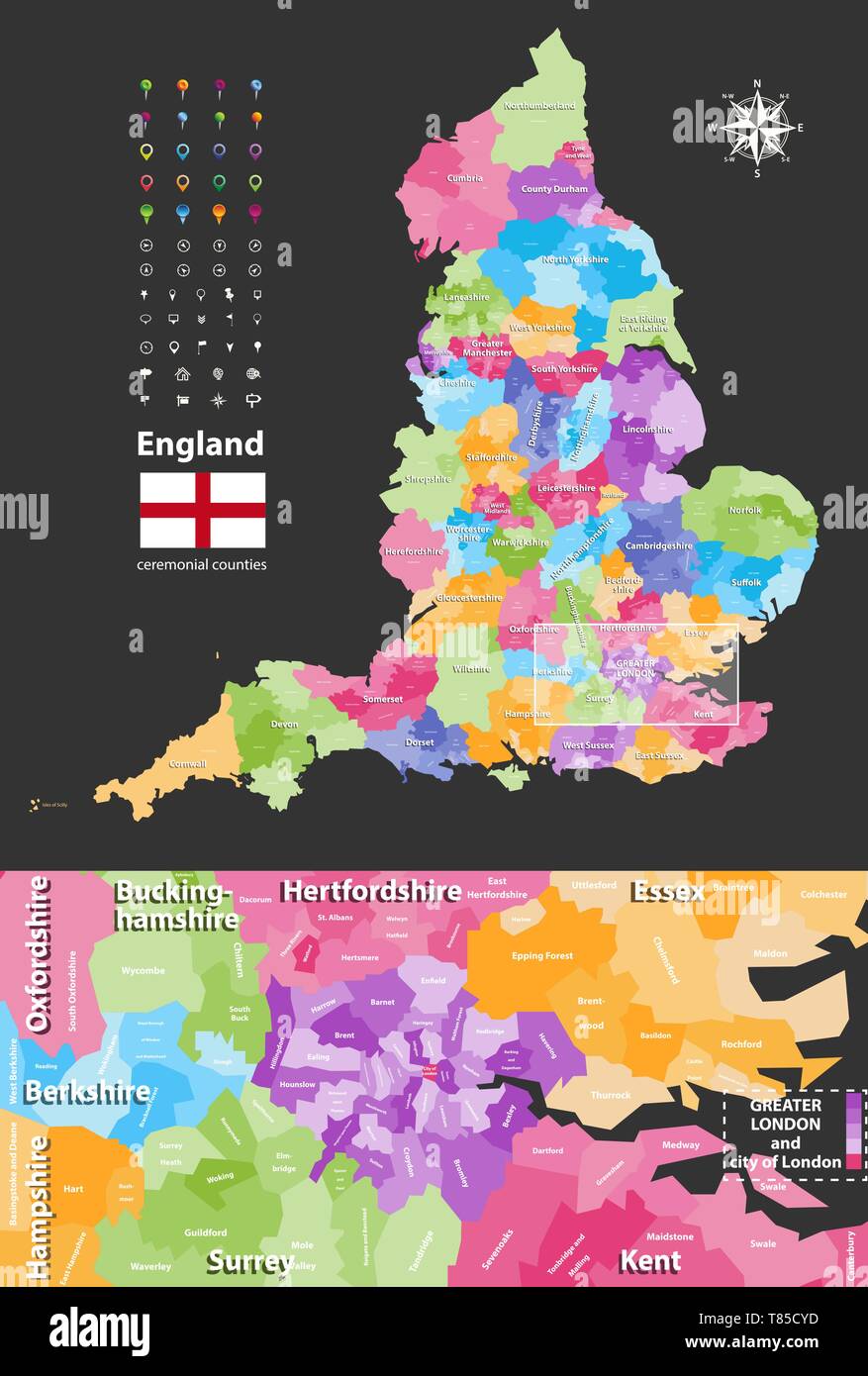 England ceremonial counties vector map Stock Vectorhttps://www.alamy.com/image-license-details/?v=1https://www.alamy.com/england-ceremonial-counties-vector-map-image245982337.html
RFT85CYD–England ceremonial counties vector map
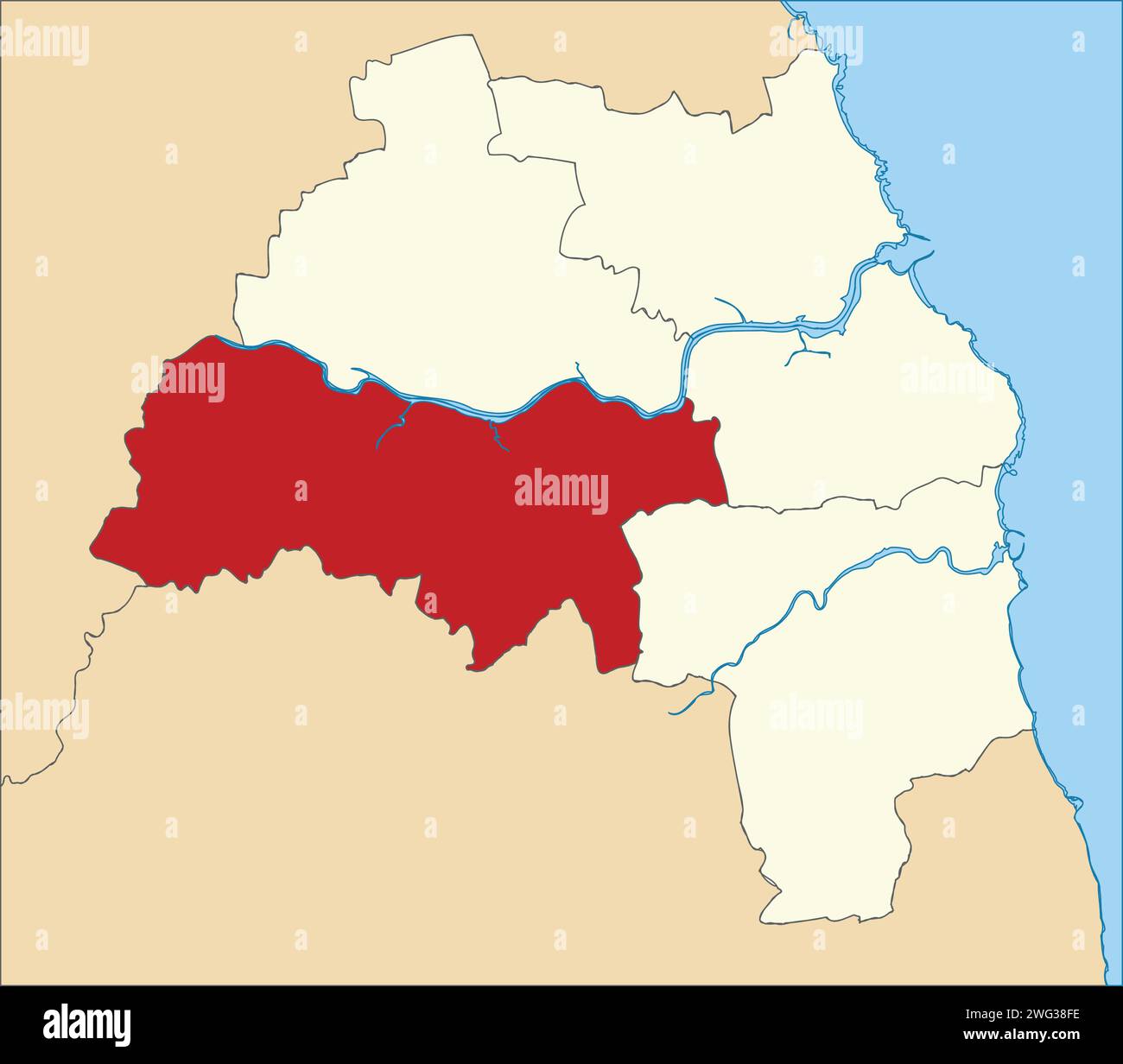 Red location map of the METROPOLITAN BOROUGH OF GATESHEAD, TYNE AND WEAR Stock Vectorhttps://www.alamy.com/image-license-details/?v=1https://www.alamy.com/red-location-map-of-the-metropolitan-borough-of-gateshead-tyne-and-wear-image595059570.html
RF2WG38FE–Red location map of the METROPOLITAN BOROUGH OF GATESHEAD, TYNE AND WEAR
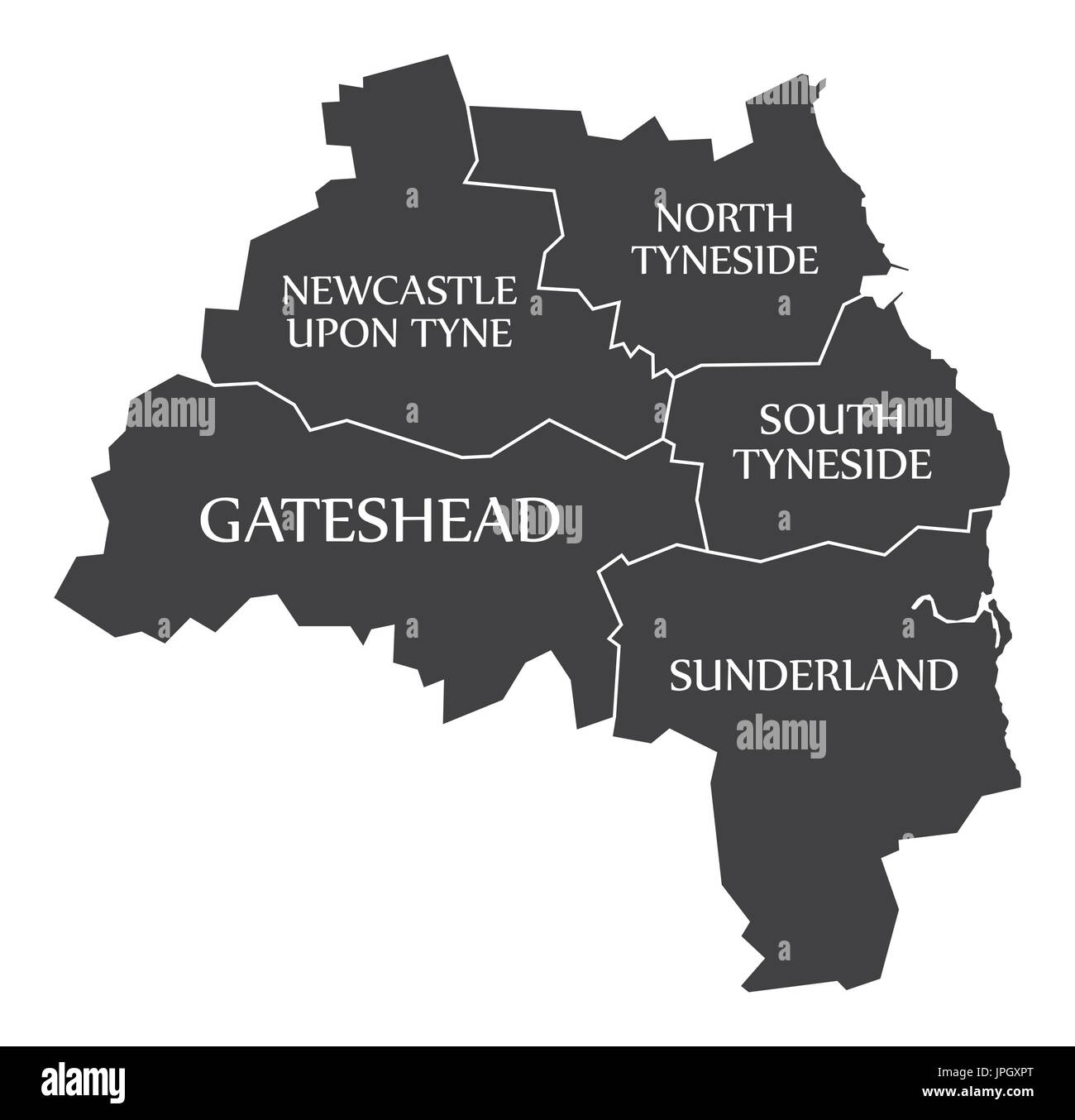 Tyne and Wear metropolitan county England UK black map with white labels illustration Stock Vectorhttps://www.alamy.com/image-license-details/?v=1https://www.alamy.com/tyne-and-wear-metropolitan-county-england-uk-black-map-with-white-image151577632.html
RFJPGXPT–Tyne and Wear metropolitan county England UK black map with white labels illustration
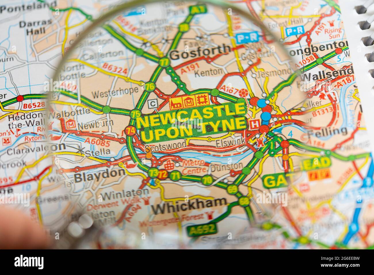 Closeup of a printed road map atlas with a man's hand holding a magnifying glass showing an enlargement of the city of Newcastle upon Tyne in England Stock Photohttps://www.alamy.com/image-license-details/?v=1https://www.alamy.com/closeup-of-a-printed-road-map-atlas-with-a-mans-hand-holding-a-magnifying-glass-showing-an-enlargement-of-the-city-of-newcastle-upon-tyne-in-england-image434265773.html
RM2G6EEBW–Closeup of a printed road map atlas with a man's hand holding a magnifying glass showing an enlargement of the city of Newcastle upon Tyne in England
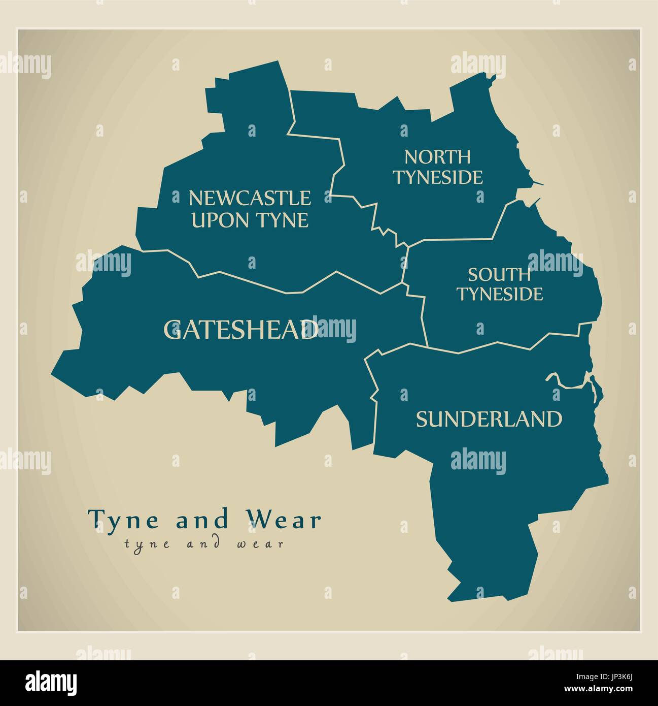 Modern Map - Tyne and Wear Metropolitan County with district captions England UK illustration Stock Vectorhttps://www.alamy.com/image-license-details/?v=1https://www.alamy.com/modern-map-tyne-and-wear-metropolitan-county-with-district-captions-image151286314.html
RFJP3K6J–Modern Map - Tyne and Wear Metropolitan County with district captions England UK illustration
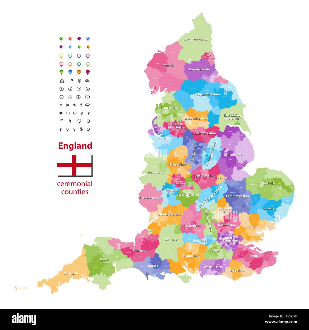 England ceremonial counties vector map Stock Vectorhttps://www.alamy.com/image-license-details/?v=1https://www.alamy.com/england-ceremonial-counties-vector-map-image245982318.html
RFT85CXP–England ceremonial counties vector map
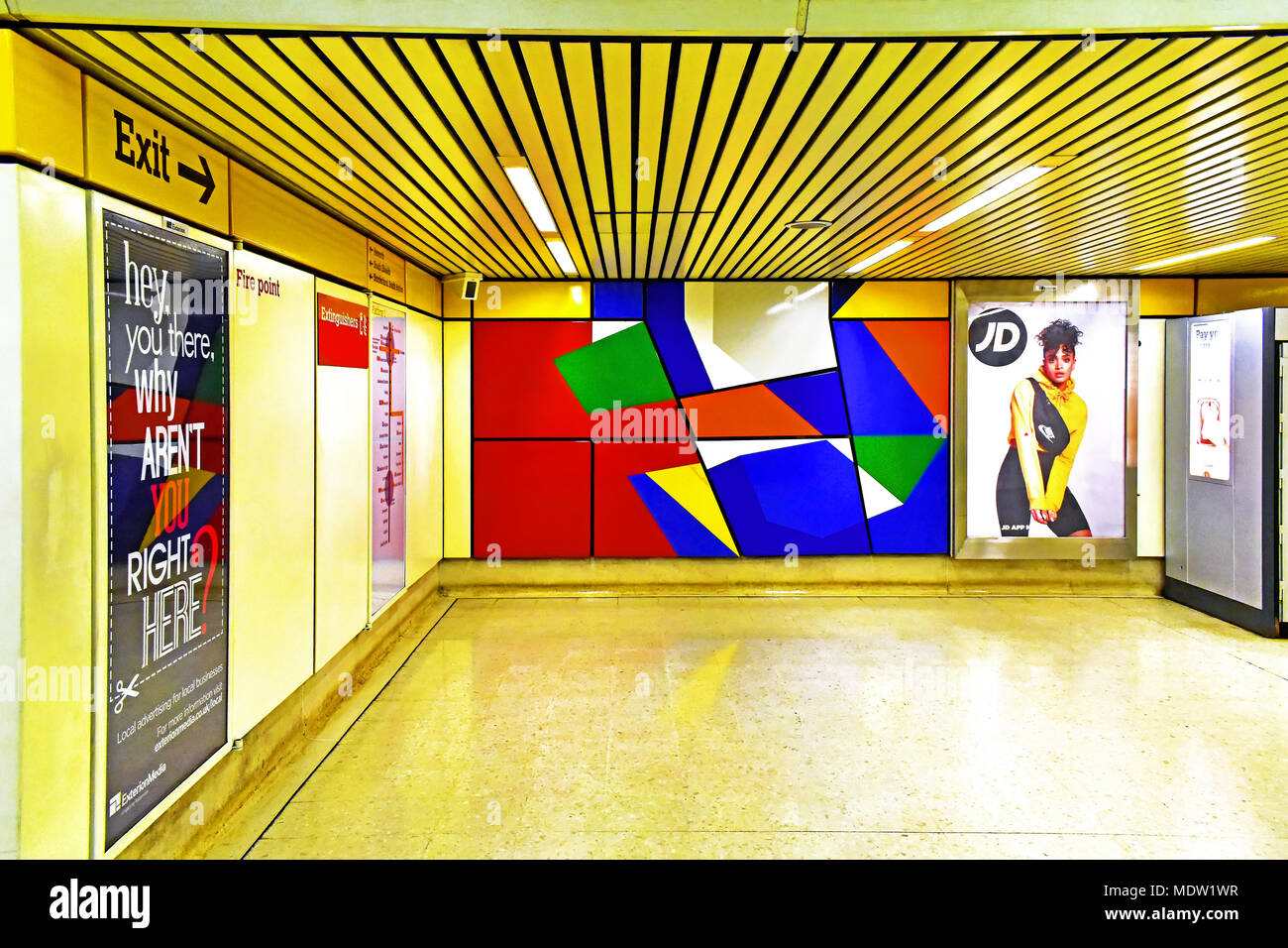 Newcastle Tyne and Wear Metro station exit at Jesmond Stock Photohttps://www.alamy.com/image-license-details/?v=1https://www.alamy.com/newcastle-tyne-and-wear-metro-station-exit-at-jesmond-image180644515.html
RFMDW1WR–Newcastle Tyne and Wear Metro station exit at Jesmond
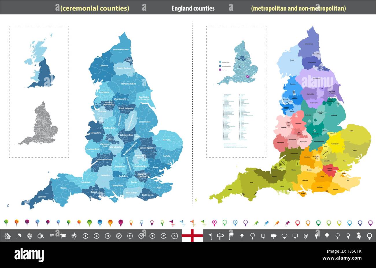 England ceremonial counties vector map Stock Vectorhttps://www.alamy.com/image-license-details/?v=1https://www.alamy.com/england-ceremonial-counties-vector-map-image245982259.html
RFT85CTK–England ceremonial counties vector map
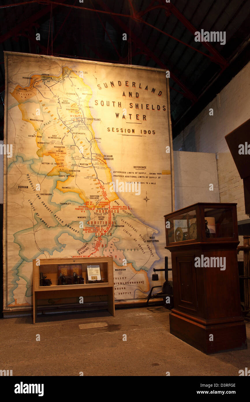 Edwardian map of the North-East of England at Ryhope Pumping Station in Sunderland. Stock Photohttps://www.alamy.com/image-license-details/?v=1https://www.alamy.com/stock-photo-edwardian-map-of-the-north-east-of-england-at-ryhope-pumping-station-53992190.html
RMD3RFGE–Edwardian map of the North-East of England at Ryhope Pumping Station in Sunderland.
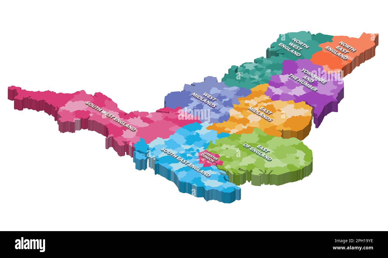 England counties isometric map colored by regions Stock Vectorhttps://www.alamy.com/image-license-details/?v=1https://www.alamy.com/england-counties-isometric-map-colored-by-regions-image544000338.html
RF2PH19YE–England counties isometric map colored by regions
 Information sign, Central Sation and Neville Street, Newcastle-upon-Tyne Stock Photohttps://www.alamy.com/image-license-details/?v=1https://www.alamy.com/information-sign-central-sation-and-neville-street-newcastle-upon-tyne-image342962480.html
RF2AWY840–Information sign, Central Sation and Neville Street, Newcastle-upon-Tyne
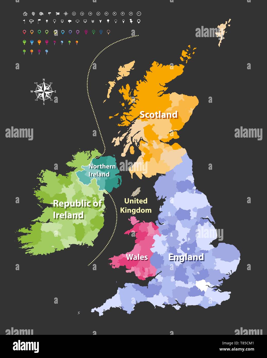 vector high detailed map of British Isles Stock Vectorhttps://www.alamy.com/image-license-details/?v=1https://www.alamy.com/vector-high-detailed-map-of-british-isles-image245982129.html
RFT85CM1–vector high detailed map of British Isles
 Tyne and Wear county location within England 3d isometric map Stock Vectorhttps://www.alamy.com/image-license-details/?v=1https://www.alamy.com/tyne-and-wear-county-location-within-england-3d-isometric-map-image491503705.html
RF2KFHWYN–Tyne and Wear county location within England 3d isometric map
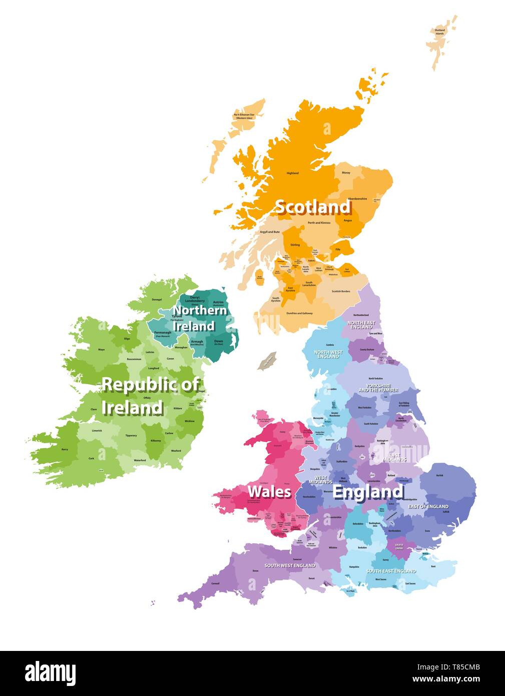 vector high detailed map of British Isles Stock Vectorhttps://www.alamy.com/image-license-details/?v=1https://www.alamy.com/vector-high-detailed-map-of-british-isles-image245982139.html
RFT85CMB–vector high detailed map of British Isles
RFPX5CGB–London, United Kingdom - October 19, 2018: Screenshot of the Tyne and Wear Metro - Map Route Planner mobile app from Mapway Limited icon on an iPhone
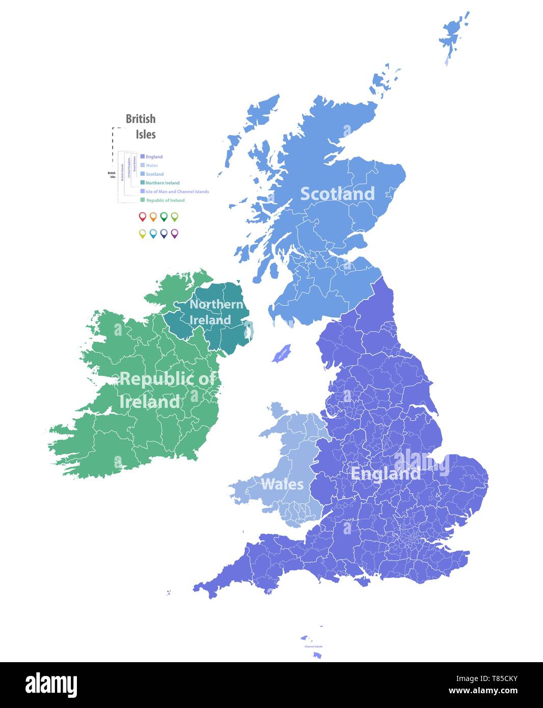 vector high detailed map of British Isles Stock Vectorhttps://www.alamy.com/image-license-details/?v=1https://www.alamy.com/vector-high-detailed-map-of-british-isles-image245982127.html
RFT85CKY–vector high detailed map of British Isles
 Top view of retro flag of Tyne and Wear county with grunge texture no flagpole. Plane design, layout. Flag background Stock Photohttps://www.alamy.com/image-license-details/?v=1https://www.alamy.com/top-view-of-retro-flag-of-tyne-and-wear-county-with-grunge-texture-no-flagpole-plane-design-layout-flag-background-image443634816.html
RF2GNN8MG–Top view of retro flag of Tyne and Wear county with grunge texture no flagpole. Plane design, layout. Flag background
 The Edgware Rd, A5, in Hendon, London, England, U.K Stock Photohttps://www.alamy.com/image-license-details/?v=1https://www.alamy.com/the-edgware-rd-a5-in-hendon-london-england-uk-image439166583.html
RF2GEDNCR–The Edgware Rd, A5, in Hendon, London, England, U.K
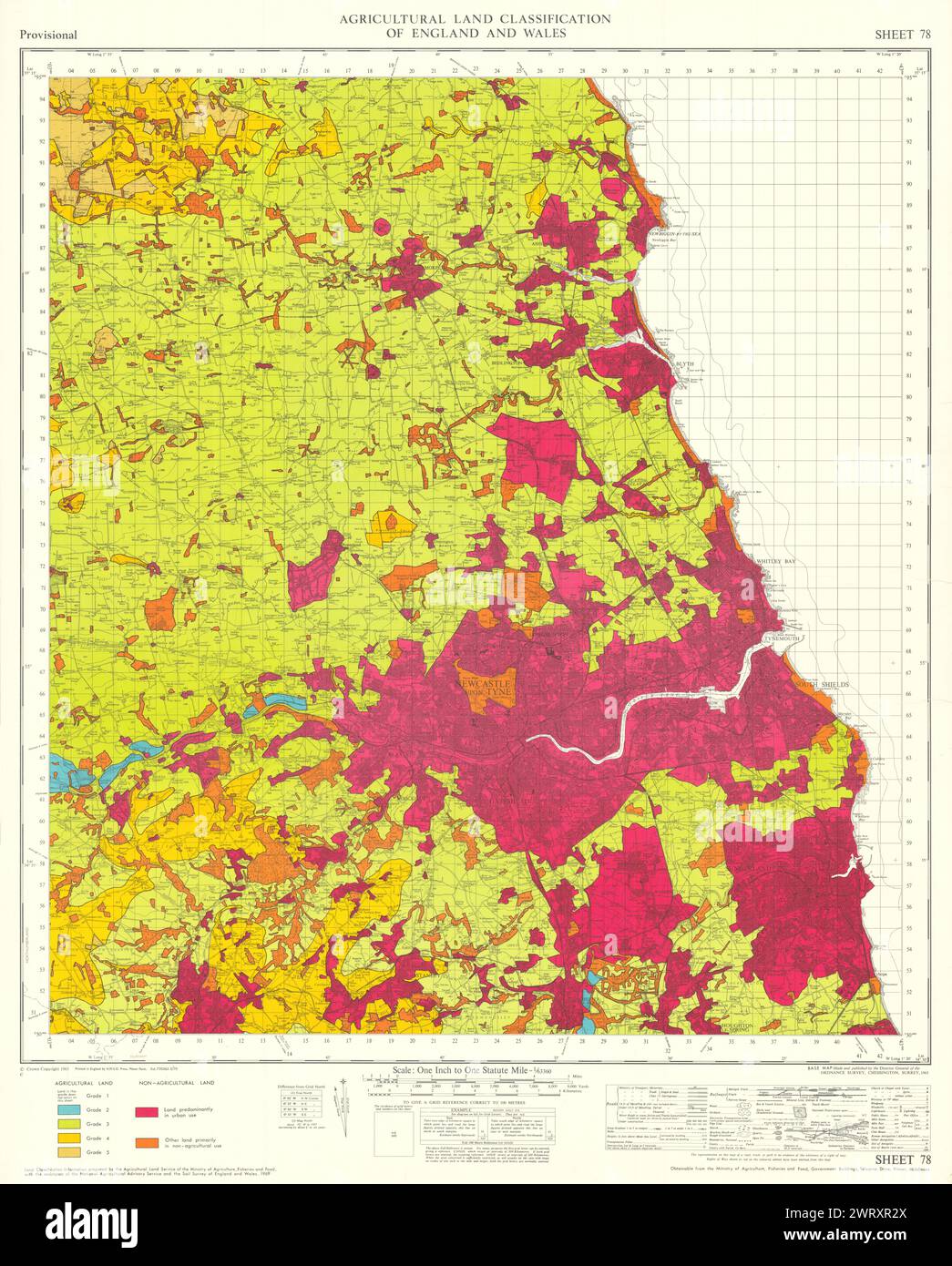 Agricultural Land Classification 78 Tyne & Wear Lowlands Northumberland 1970 map Stock Photohttps://www.alamy.com/image-license-details/?v=1https://www.alamy.com/agricultural-land-classification-78-tyne-wear-lowlands-northumberland-1970-map-image599878466.html
RF2WRXR2X–Agricultural Land Classification 78 Tyne & Wear Lowlands Northumberland 1970 map
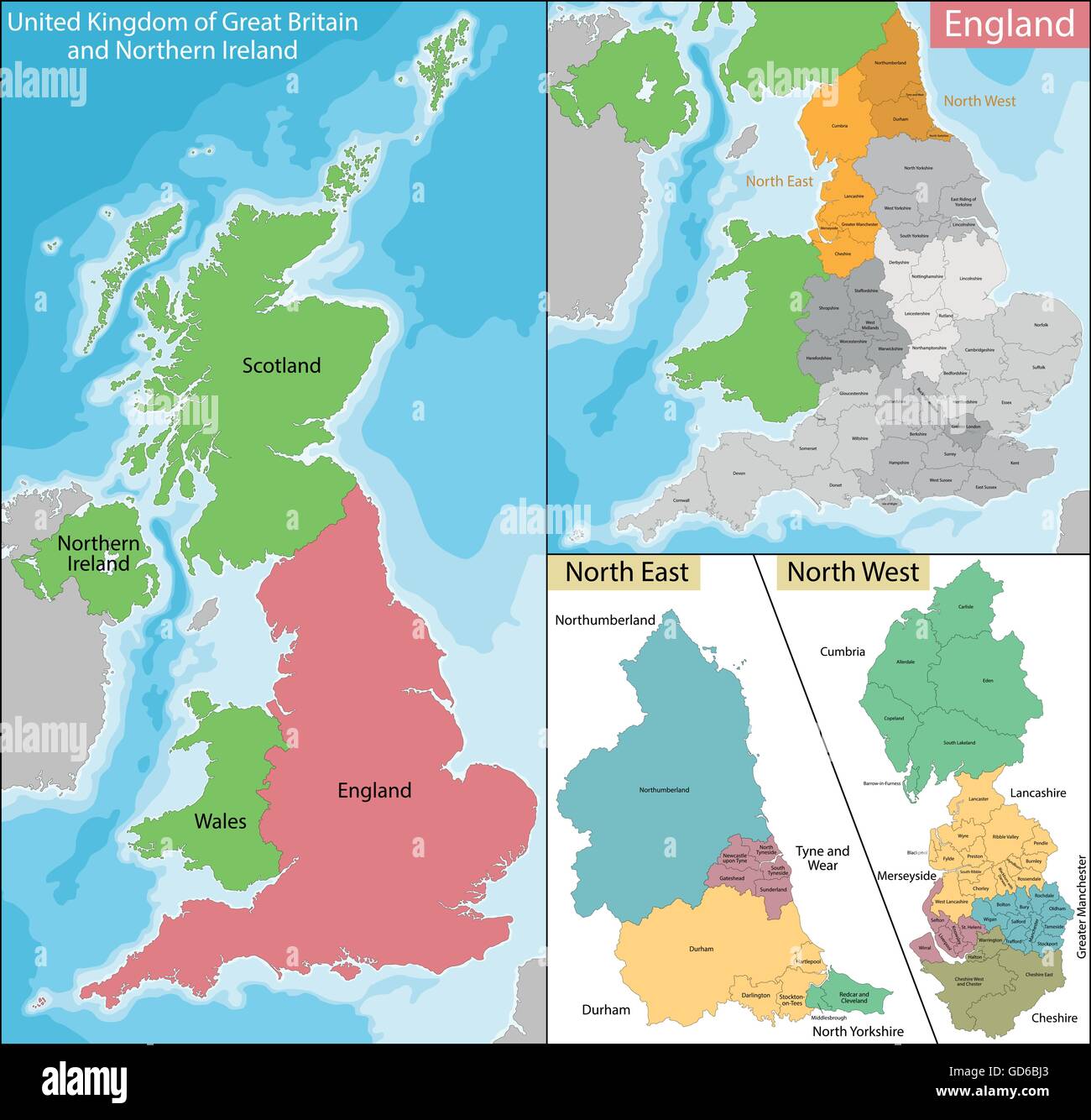 Map of North East and West England Stock Vectorhttps://www.alamy.com/image-license-details/?v=1https://www.alamy.com/stock-photo-map-of-north-east-and-west-england-111393579.html
RFGD6BJ3–Map of North East and West England
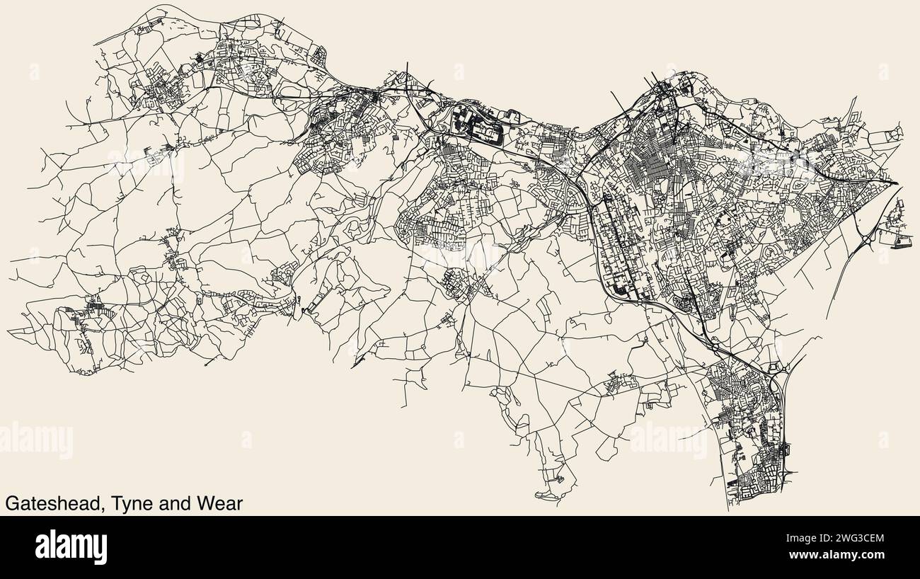 Street roads map of the METROPOLITAN BOROUGH OF GATESHEAD, TYNE AND WEAR Stock Vectorhttps://www.alamy.com/image-license-details/?v=1https://www.alamy.com/street-roads-map-of-the-metropolitan-borough-of-gateshead-tyne-and-wear-image595062684.html
RF2WG3CEM–Street roads map of the METROPOLITAN BOROUGH OF GATESHEAD, TYNE AND WEAR
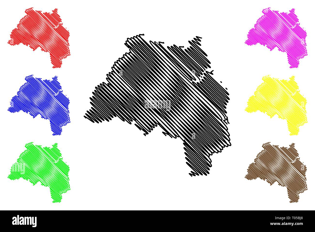 Tyne and Wear (United Kingdom, England, Metropolitan county) map vector illustration, scribble sketch South Tyne and Wear map Stock Vectorhttps://www.alamy.com/image-license-details/?v=1https://www.alamy.com/tyne-and-wear-united-kingdom-england-metropolitan-county-map-vector-illustration-scribble-sketch-south-tyne-and-wear-map-image241064048.html
RFT05BJ8–Tyne and Wear (United Kingdom, England, Metropolitan county) map vector illustration, scribble sketch South Tyne and Wear map
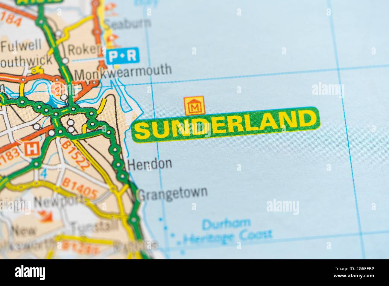 A macro closeup of a page in a printed road map atlas showing the city of Sunderland in England Stock Photohttps://www.alamy.com/image-license-details/?v=1https://www.alamy.com/a-macro-closeup-of-a-page-in-a-printed-road-map-atlas-showing-the-city-of-sunderland-in-england-image434265770.html
RM2G6EEBP–A macro closeup of a page in a printed road map atlas showing the city of Sunderland in England
 NE ENGLAND. Vegetation Basins of rivers Eden, Tees Tyne & Wear. RGS 1904 map Stock Photohttps://www.alamy.com/image-license-details/?v=1https://www.alamy.com/ne-england-vegetation-basins-of-rivers-eden-tees-tyne-wear-rgs-1904-map-image183053134.html
RFMHPP3X–NE ENGLAND. Vegetation Basins of rivers Eden, Tees Tyne & Wear. RGS 1904 map
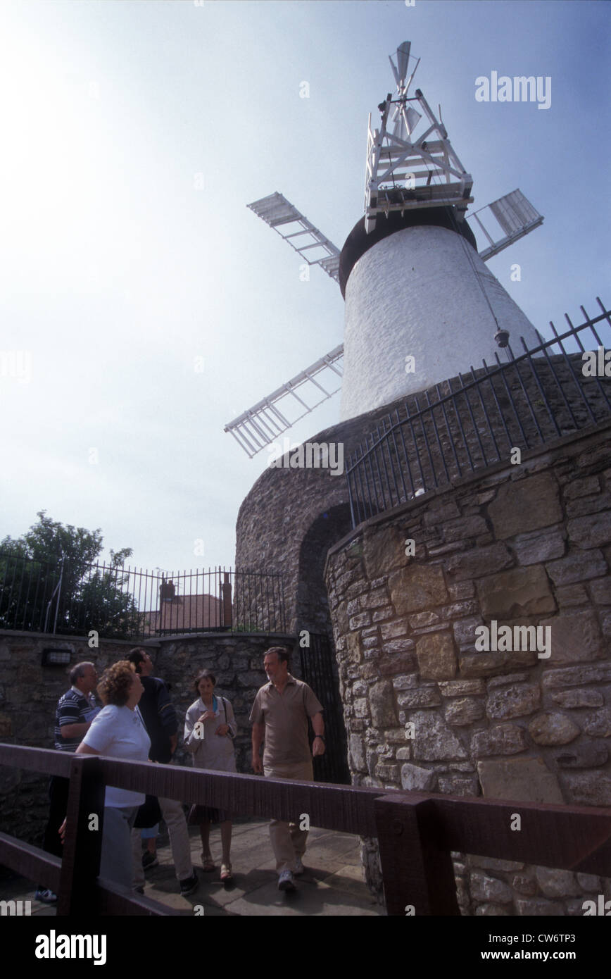 Fulwell Mill Stock Photohttps://www.alamy.com/image-license-details/?v=1https://www.alamy.com/stock-photo-fulwell-mill-49938283.html
RMCW6TP3–Fulwell Mill
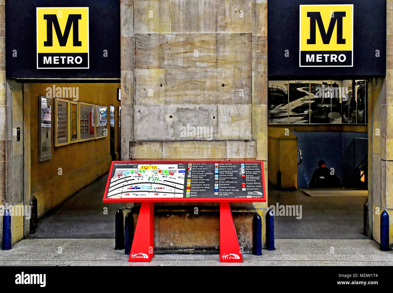 Newcastle Central station and Tyne and Wear Metro guide plan Stock Photohttps://www.alamy.com/image-license-details/?v=1https://www.alamy.com/newcastle-central-station-and-tyne-and-wear-metro-guide-plan-image180644468.html
RFMDW1T4–Newcastle Central station and Tyne and Wear Metro guide plan
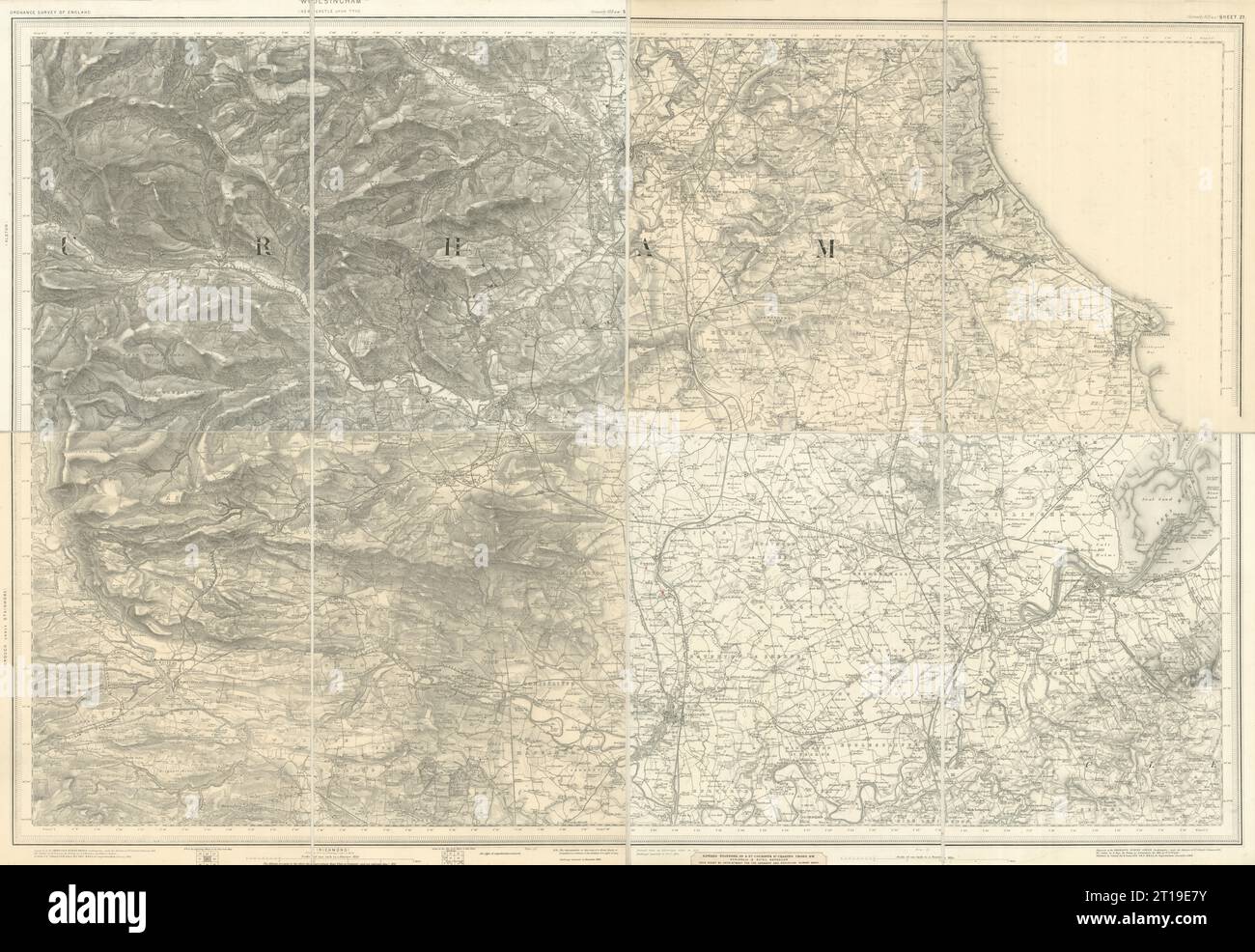 OS #103 Teeside, North Pennines & Durham Coalfield. Middlesborough 1882 map Stock Photohttps://www.alamy.com/image-license-details/?v=1https://www.alamy.com/os-103-teeside-north-pennines-durham-coalfield-middlesborough-1882-map-image568765567.html
RF2T19E7Y–OS #103 Teeside, North Pennines & Durham Coalfield. Middlesborough 1882 map
 Tyne and Wear Metro Pelaw interchange station Stock Photohttps://www.alamy.com/image-license-details/?v=1https://www.alamy.com/stock-image-tyne-and-wear-metro-pelaw-interchange-station-162754746.html
RMKCP39E–Tyne and Wear Metro Pelaw interchange station
RF2JN07YH–United Kingdom, West Yorkshire city skyline isolated vector illustration, icons
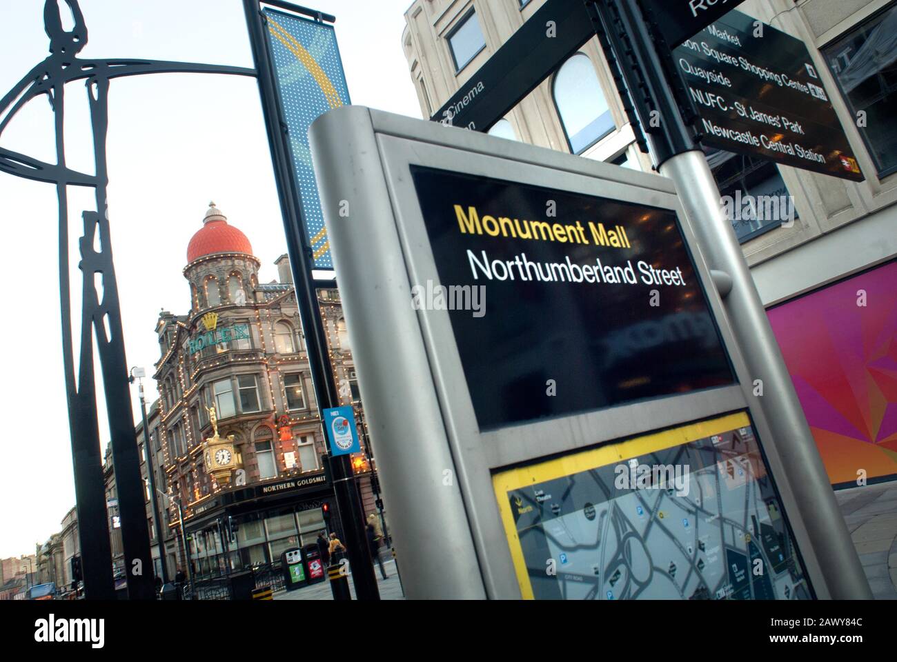 Information sign, Monument Mall and Northumberland Street, Newcastle-upon-Tyne Stock Photohttps://www.alamy.com/image-license-details/?v=1https://www.alamy.com/information-sign-monument-mall-and-northumberland-street-newcastle-upon-tyne-image342962492.html
RF2AWY84C–Information sign, Monument Mall and Northumberland Street, Newcastle-upon-Tyne
 Plan of the COLLIERIES on the RIVERS Tyne and Wear also Blyth, Bedlington and Hartley with the Country 11 Miles round Newcastle Author Gibson, J. 32.44. Place of publication: London Publisher: Published by R. WARD, Jany. 1.st, Date of publication: 1788. Item type: 1 map on 2 sheets Medium: copperplate engraving Dimensions: 62.8 x 97.4 cm Former owner: George III, King of Great Britain, 1738-1820 Stock Photohttps://www.alamy.com/image-license-details/?v=1https://www.alamy.com/plan-of-the-collieries-on-the-rivers-tyne-and-wear-also-blyth-bedlington-and-hartley-with-the-country-11-miles-round-newcastle-author-gibson-j-3244-place-of-publication-london-publisher-published-by-r-ward-jany-1st-date-of-publication-1788-item-type-1-map-on-2-sheets-medium-copperplate-engraving-dimensions-628-x-974-cm-former-owner-george-iii-king-of-great-britain-1738-1820-image401759403.html
RM2E9HM63–Plan of the COLLIERIES on the RIVERS Tyne and Wear also Blyth, Bedlington and Hartley with the Country 11 Miles round Newcastle Author Gibson, J. 32.44. Place of publication: London Publisher: Published by R. WARD, Jany. 1.st, Date of publication: 1788. Item type: 1 map on 2 sheets Medium: copperplate engraving Dimensions: 62.8 x 97.4 cm Former owner: George III, King of Great Britain, 1738-1820
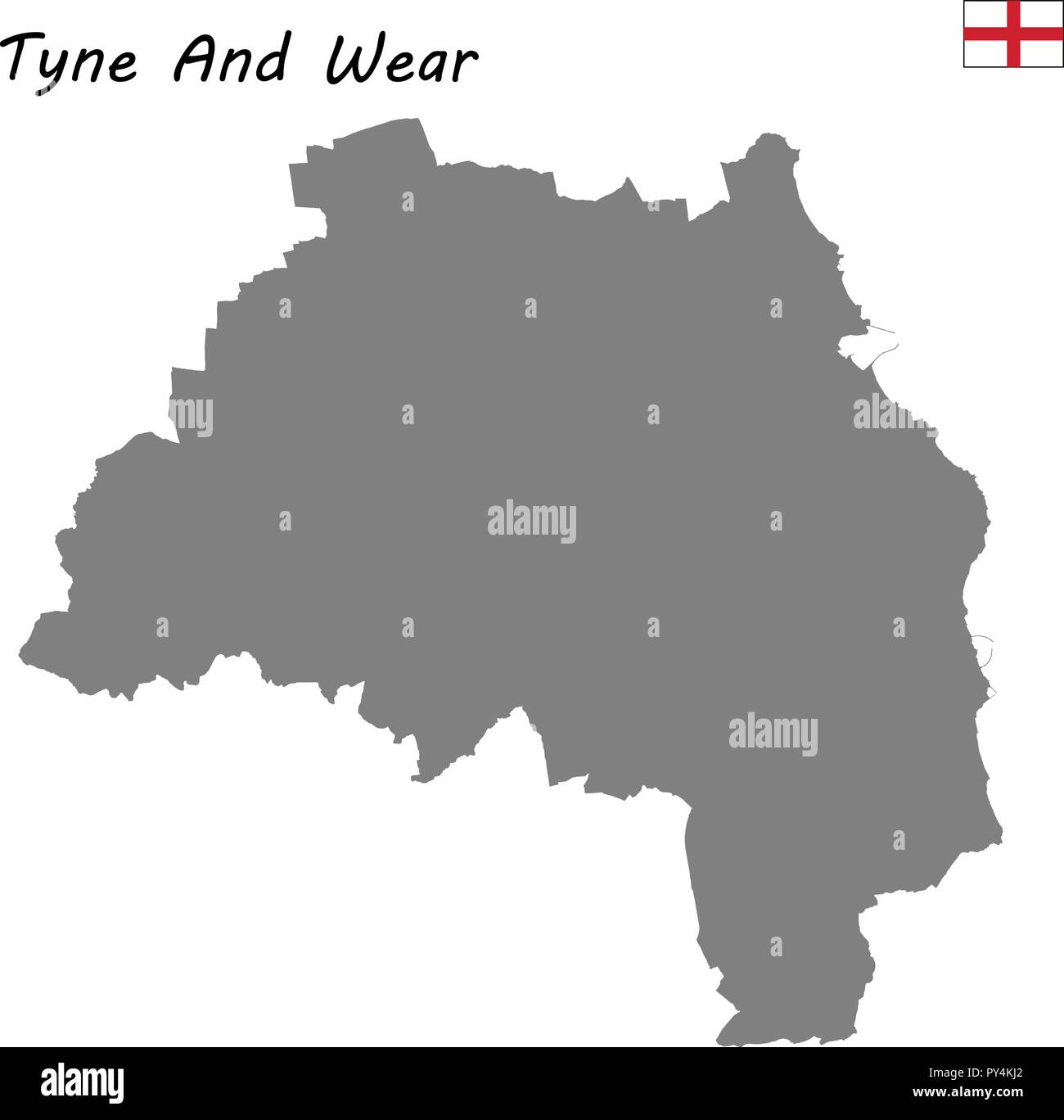 High Quality map is a ceremonial county of England. Tyne and Wear Stock Vectorhttps://www.alamy.com/image-license-details/?v=1https://www.alamy.com/high-quality-map-is-a-ceremonial-county-of-england-tyne-and-wear-image223223338.html
RFPY4KJ2–High Quality map is a ceremonial county of England. Tyne and Wear
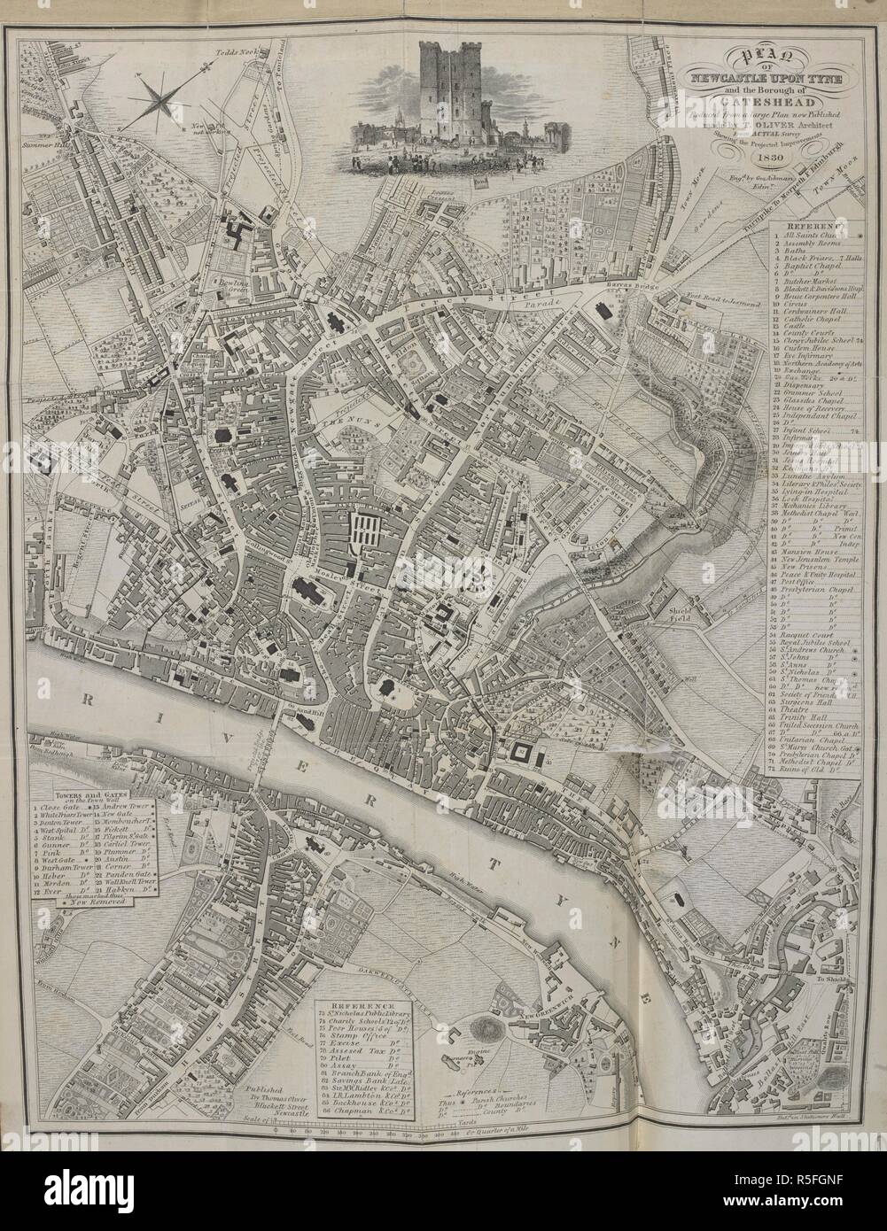 A map of Newcastle upon Tyne. A New Picture of Newcastle-upon-Tyne: or, an historical and descriptive view, etc. Newcastle-upon-Tyne, 1831. Source: 796.b.31, frontispiece. Language: English. Stock Photohttps://www.alamy.com/image-license-details/?v=1https://www.alamy.com/a-map-of-newcastle-upon-tyne-a-new-picture-of-newcastle-upon-tyne-or-an-historical-and-descriptive-view-etc-newcastle-upon-tyne-1831-source-796b31-frontispiece-language-english-image227150491.html
RMR5FGNF–A map of Newcastle upon Tyne. A New Picture of Newcastle-upon-Tyne: or, an historical and descriptive view, etc. Newcastle-upon-Tyne, 1831. Source: 796.b.31, frontispiece. Language: English.
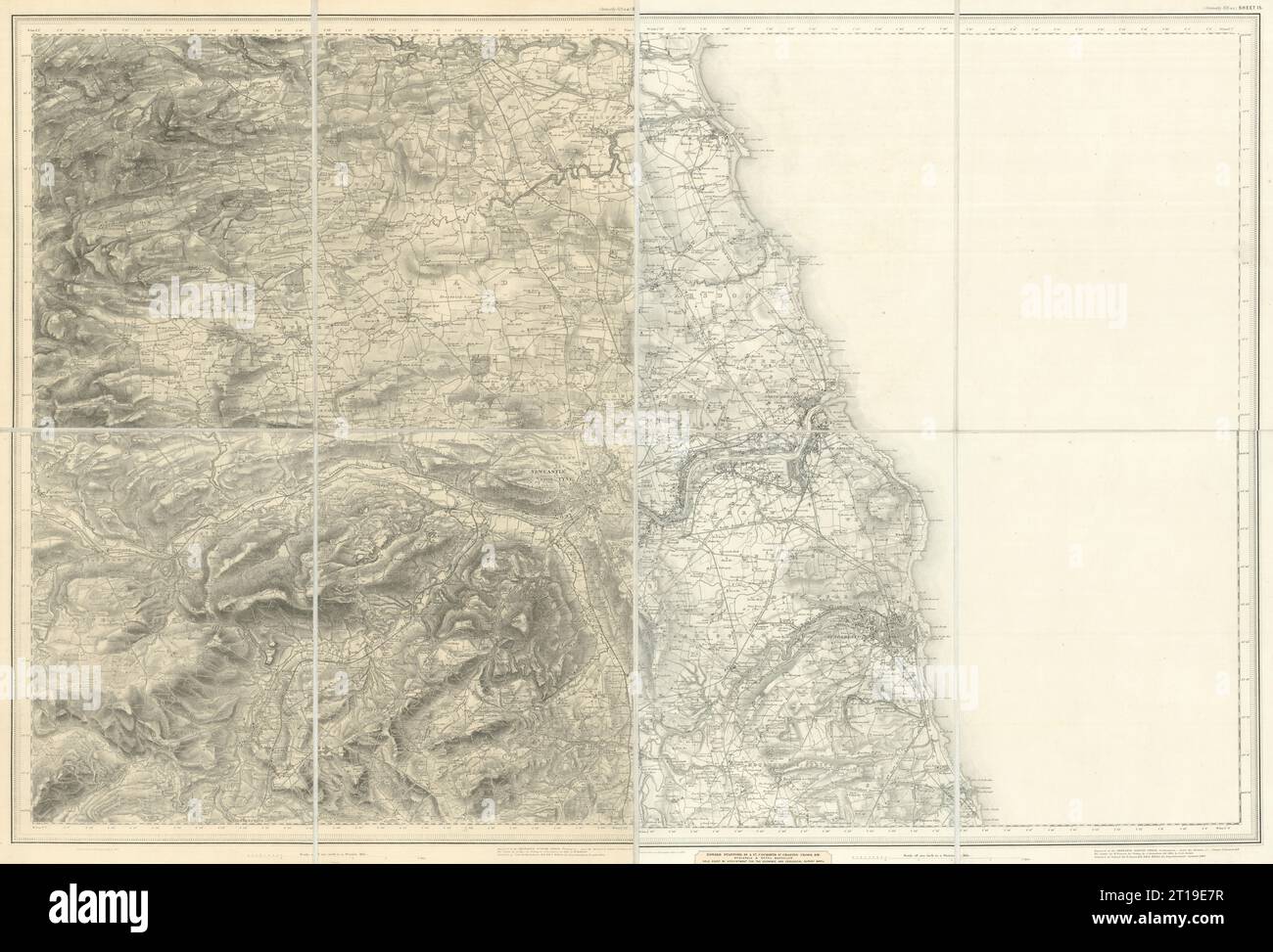 OS #105 Tyneside, Wearside & North Pennines. Newcastle Sunderland 1871 old map Stock Photohttps://www.alamy.com/image-license-details/?v=1https://www.alamy.com/os-105-tyneside-wearside-north-pennines-newcastle-sunderland-1871-old-map-image568765563.html
RF2T19E7R–OS #105 Tyneside, Wearside & North Pennines. Newcastle Sunderland 1871 old map
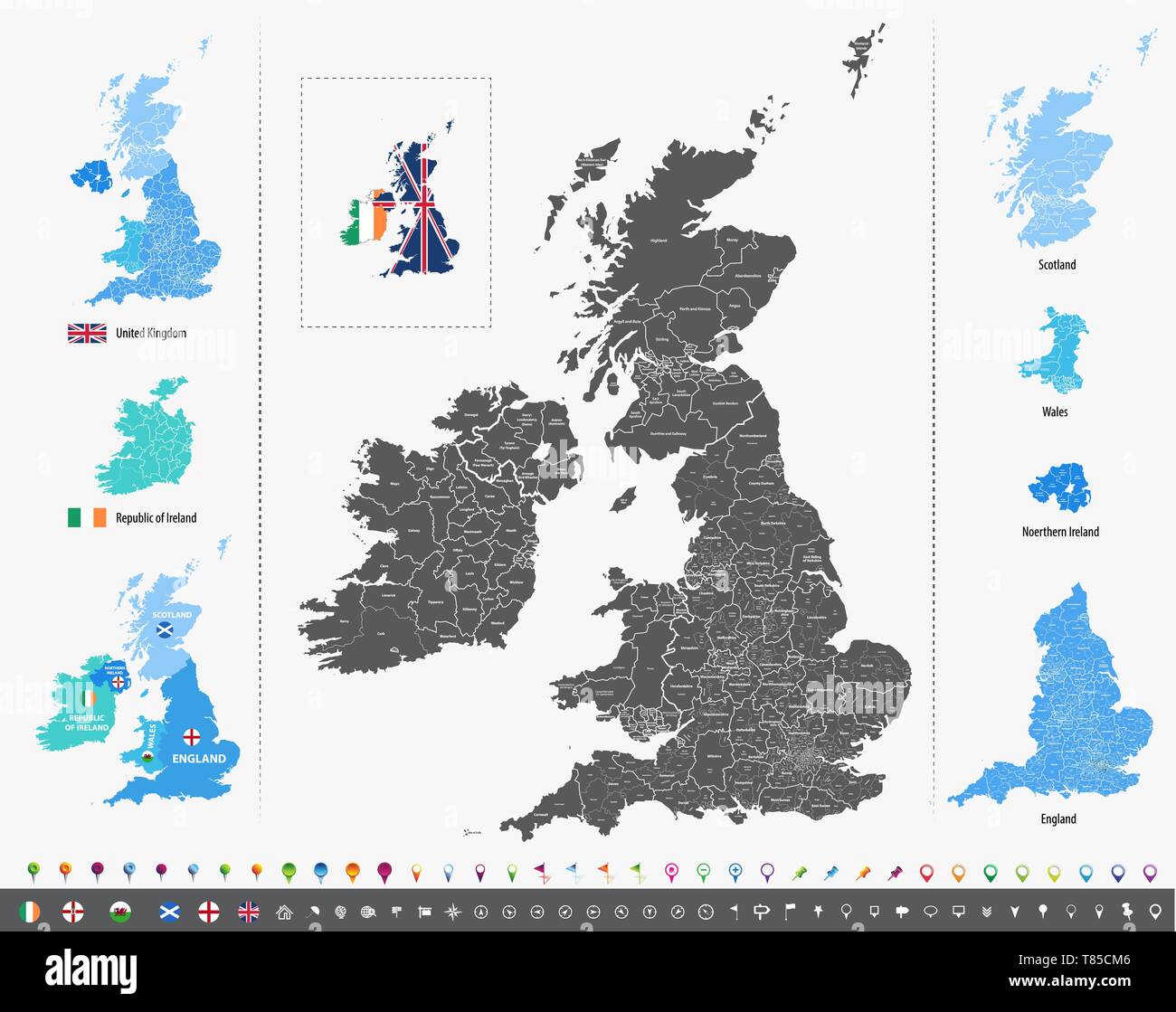 vector high detailed map of British Isles Stock Vectorhttps://www.alamy.com/image-license-details/?v=1https://www.alamy.com/vector-high-detailed-map-of-british-isles-image245982134.html
RFT85CM6–vector high detailed map of British Isles
 Top view of Tyne and Wear county, UK flag. County of united kingdom of great Britain, England. no flagpole. Plane design layout. Flag background Stock Photohttps://www.alamy.com/image-license-details/?v=1https://www.alamy.com/top-view-of-tyne-and-wear-county-uk-flag-county-of-united-kingdom-of-great-britain-england-no-flagpole-plane-design-layout-flag-background-image444196427.html
RF2GPJW23–Top view of Tyne and Wear county, UK flag. County of united kingdom of great Britain, England. no flagpole. Plane design layout. Flag background
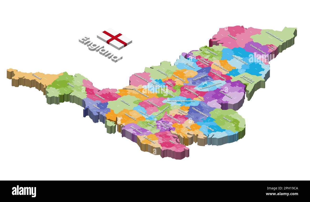 England districts isometric map colored by ceremonial counties Stock Vectorhttps://www.alamy.com/image-license-details/?v=1https://www.alamy.com/england-districts-isometric-map-colored-by-ceremonial-counties-image543999914.html
RF2PH19CA–England districts isometric map colored by ceremonial counties
 A birds-eye view of Hendon Broadway in Brent, London, England, U.K Stock Photohttps://www.alamy.com/image-license-details/?v=1https://www.alamy.com/a-birds-eye-view-of-hendon-broadway-in-brent-london-england-uk-image439166591.html
RF2GEDND3–A birds-eye view of Hendon Broadway in Brent, London, England, U.K
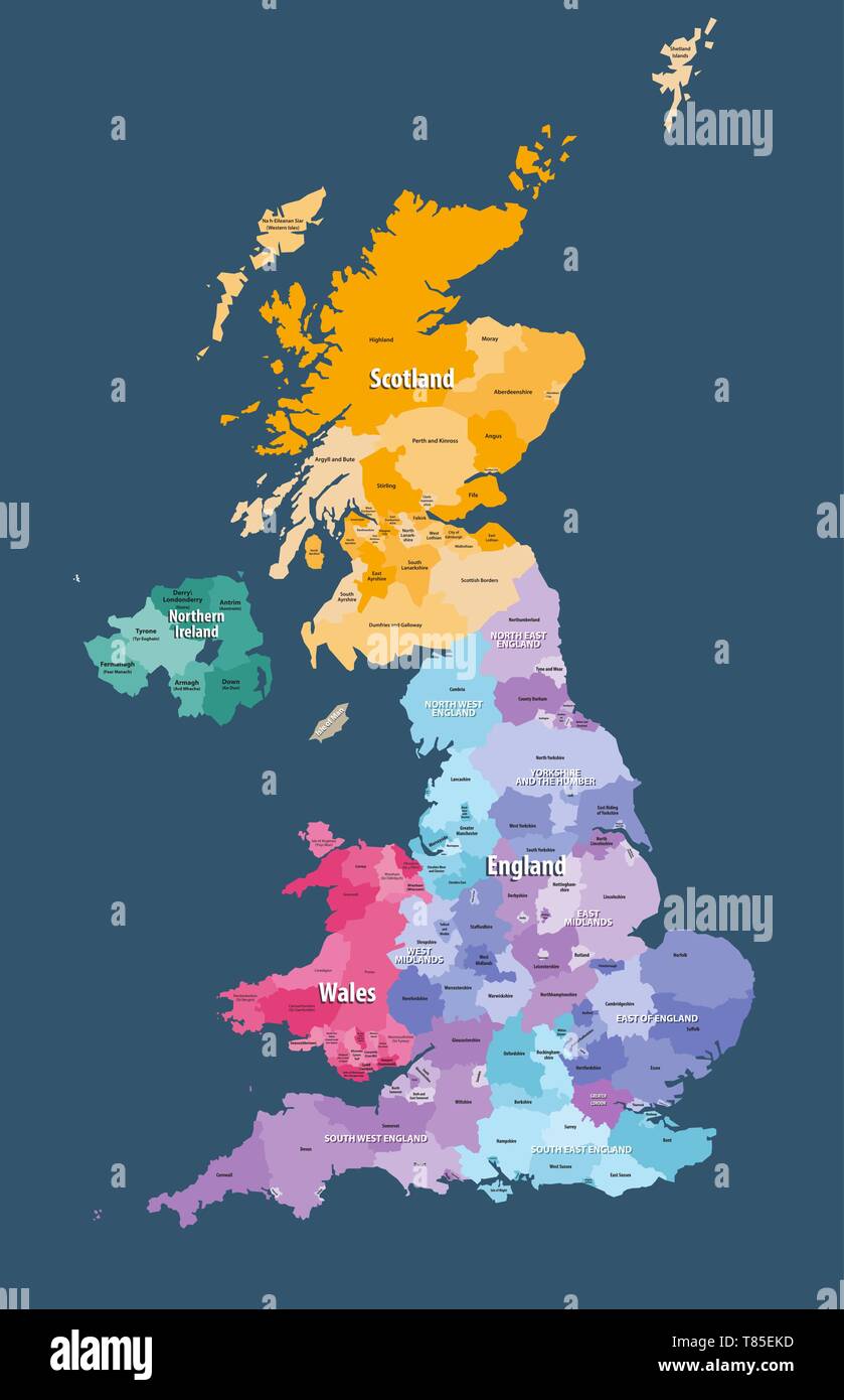 vector map of United Kingdom administrative divisions colored by countries and regions Stock Vectorhttps://www.alamy.com/image-license-details/?v=1https://www.alamy.com/vector-map-of-united-kingdom-administrative-divisions-colored-by-countries-and-regions-image245983681.html
RFT85EKD–vector map of United Kingdom administrative divisions colored by countries and regions
 Street roads map of the METROPOLITAN BOROUGH AND CITY OF SUNDERLAND, TYNE AND WEAR Stock Vectorhttps://www.alamy.com/image-license-details/?v=1https://www.alamy.com/street-roads-map-of-the-metropolitan-borough-and-city-of-sunderland-tyne-and-wear-image595063720.html
RF2WG3DRM–Street roads map of the METROPOLITAN BOROUGH AND CITY OF SUNDERLAND, TYNE AND WEAR
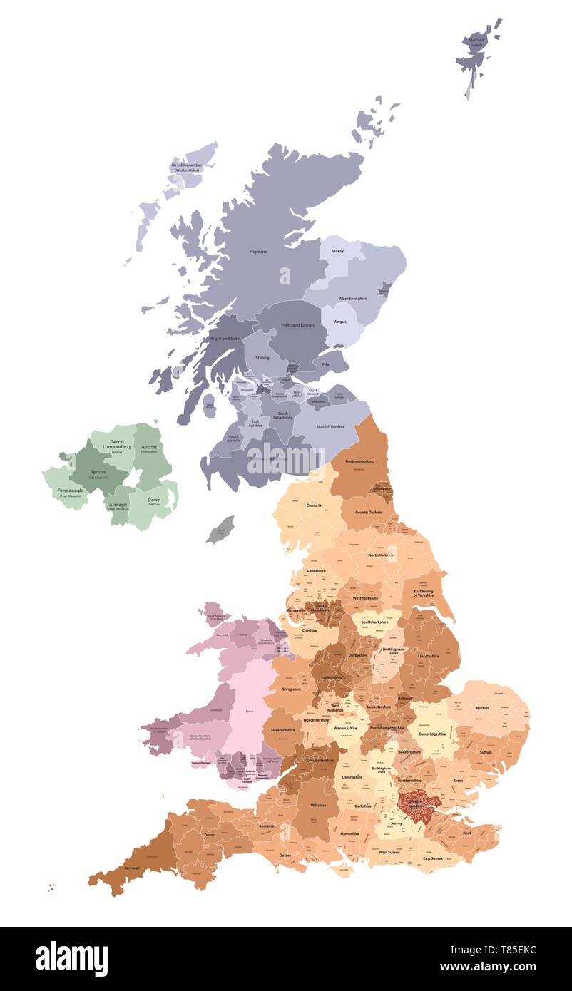 vector map of United Kingdom administrative divisions colored by countries and regions Stock Vectorhttps://www.alamy.com/image-license-details/?v=1https://www.alamy.com/vector-map-of-united-kingdom-administrative-divisions-colored-by-countries-and-regions-image245983680.html
RFT85EKC–vector map of United Kingdom administrative divisions colored by countries and regions
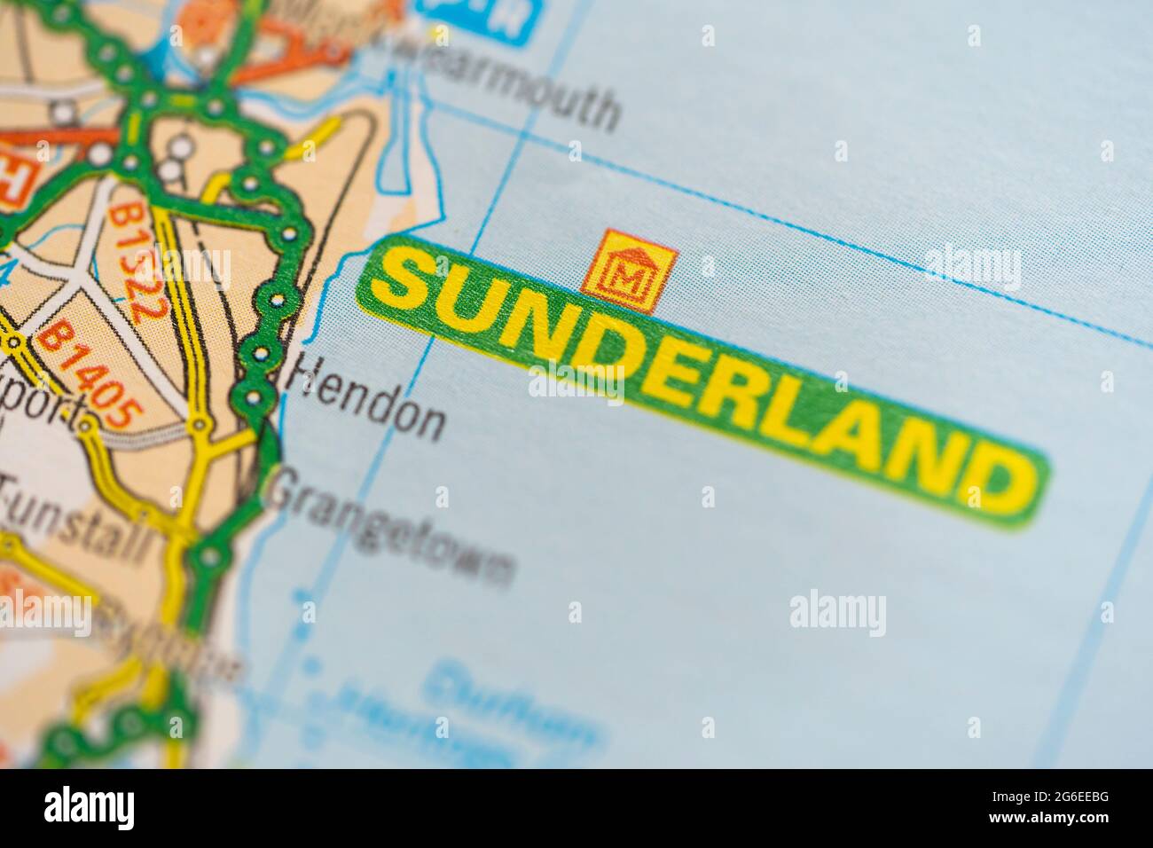 A macro closeup of a page in a printed road map atlas showing the coastal city of Sunderland in England Stock Photohttps://www.alamy.com/image-license-details/?v=1https://www.alamy.com/a-macro-closeup-of-a-page-in-a-printed-road-map-atlas-showing-the-coastal-city-of-sunderland-in-england-image434265764.html
RM2G6EEBG–A macro closeup of a page in a printed road map atlas showing the coastal city of Sunderland in England
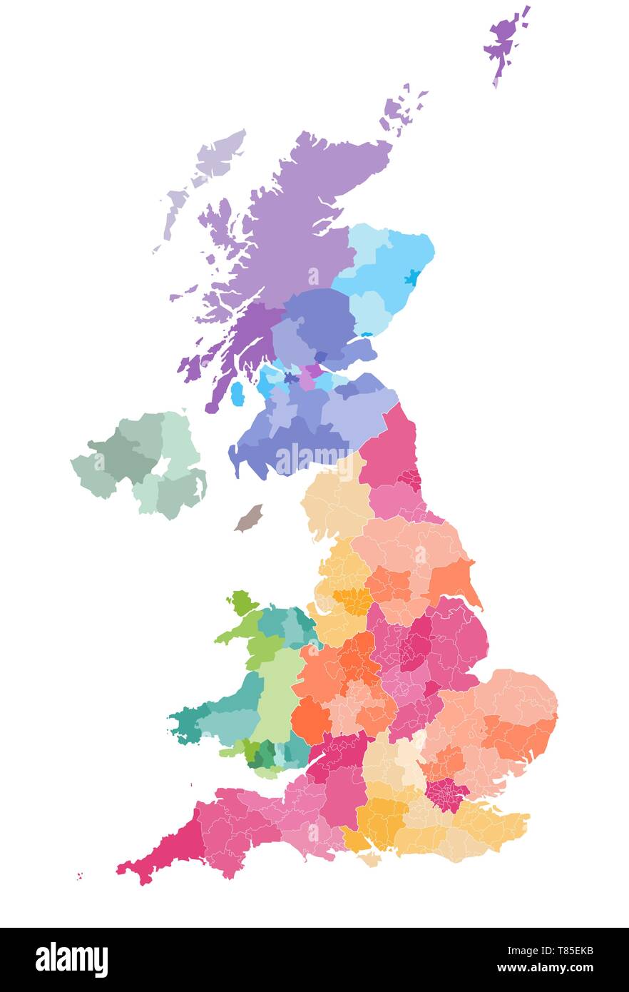 vector map of United Kingdom administrative divisions colored by countries and regions Stock Vectorhttps://www.alamy.com/image-license-details/?v=1https://www.alamy.com/vector-map-of-united-kingdom-administrative-divisions-colored-by-countries-and-regions-image245983679.html
RFT85EKB–vector map of United Kingdom administrative divisions colored by countries and regions
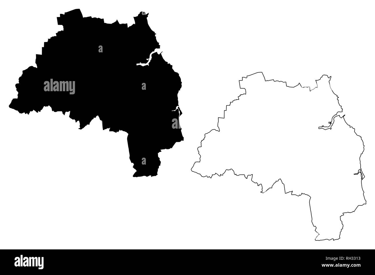 Tyne and Wear (United Kingdom, England, Metropolitan county) map vector illustration, scribble sketch South Tyne and Wear map Stock Vectorhttps://www.alamy.com/image-license-details/?v=1https://www.alamy.com/tyne-and-wear-united-kingdom-england-metropolitan-county-map-vector-illustration-scribble-sketch-south-tyne-and-wear-map-image234252175.html
RFRH3313–Tyne and Wear (United Kingdom, England, Metropolitan county) map vector illustration, scribble sketch South Tyne and Wear map
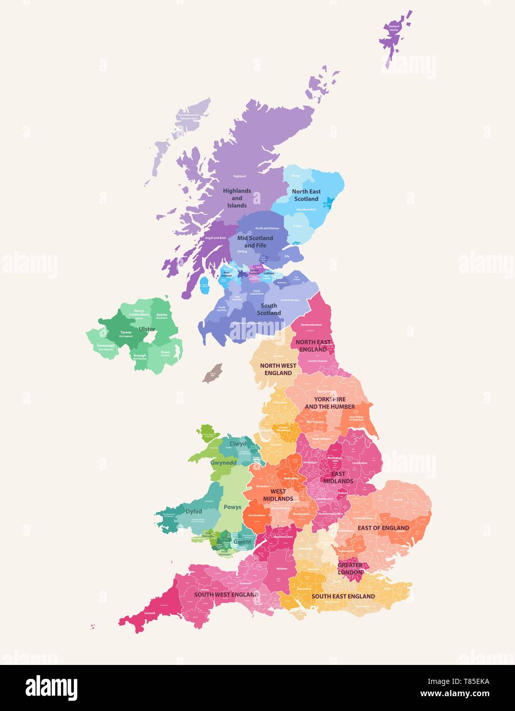 vector map of United Kingdom administrative divisions colored by countries and regions Stock Vectorhttps://www.alamy.com/image-license-details/?v=1https://www.alamy.com/vector-map-of-united-kingdom-administrative-divisions-colored-by-countries-and-regions-image245983678.html
RFT85EKA–vector map of United Kingdom administrative divisions colored by countries and regions
 Fulwell Mill Stock Photohttps://www.alamy.com/image-license-details/?v=1https://www.alamy.com/stock-photo-fulwell-mill-49938805.html
RMCW6WCN–Fulwell Mill
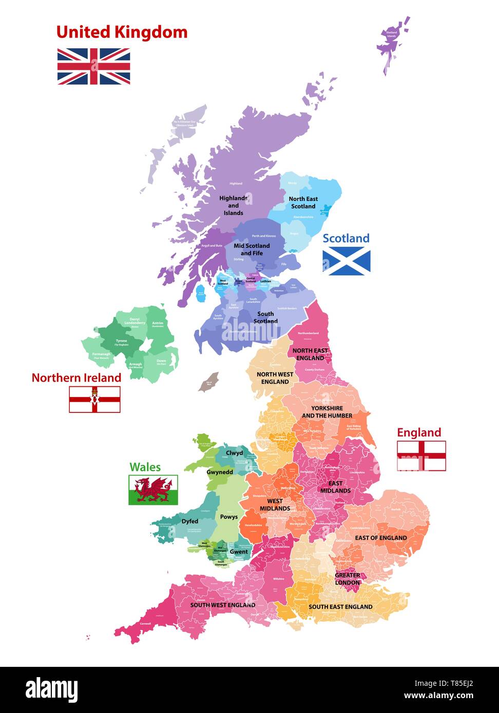 vector map of United Kingdom administrative divisions colored by countries and regions Stock Vectorhttps://www.alamy.com/image-license-details/?v=1https://www.alamy.com/vector-map-of-united-kingdom-administrative-divisions-colored-by-countries-and-regions-image245983642.html
RFT85EJ2–vector map of United Kingdom administrative divisions colored by countries and regions
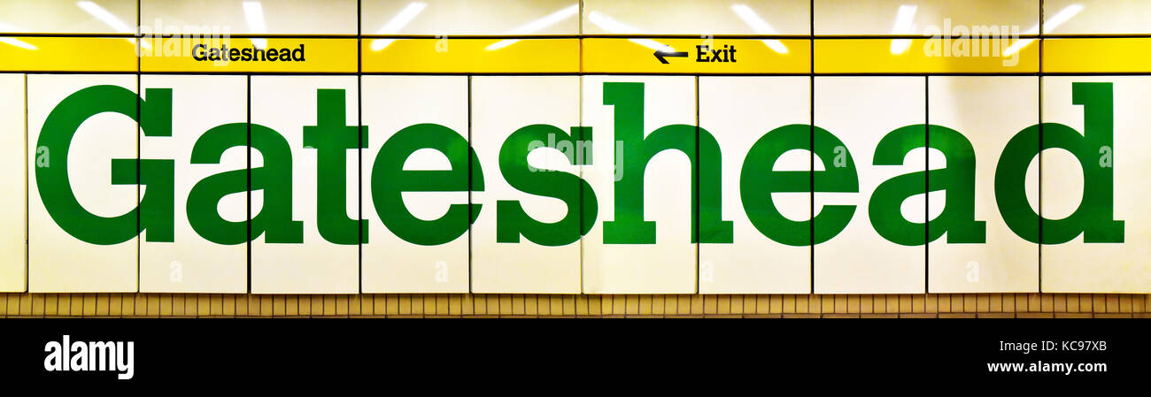 Gateshead Tyne and Wear underground Metro sign Stock Photohttps://www.alamy.com/image-license-details/?v=1https://www.alamy.com/stock-image-gateshead-tyne-and-wear-underground-metro-sign-162472979.html
RMKC97XB–Gateshead Tyne and Wear underground Metro sign
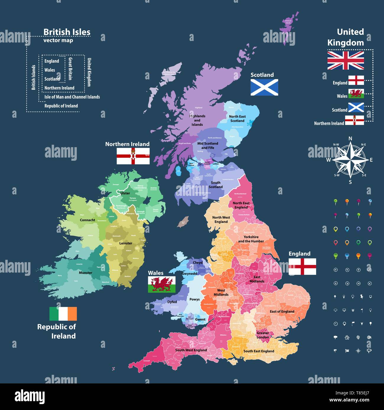 vector map of British Isles administrative divisions colored by countries and regions Stock Vectorhttps://www.alamy.com/image-license-details/?v=1https://www.alamy.com/vector-map-of-british-isles-administrative-divisions-colored-by-countries-and-regions-image245983647.html
RFT85EJ7–vector map of British Isles administrative divisions colored by countries and regions
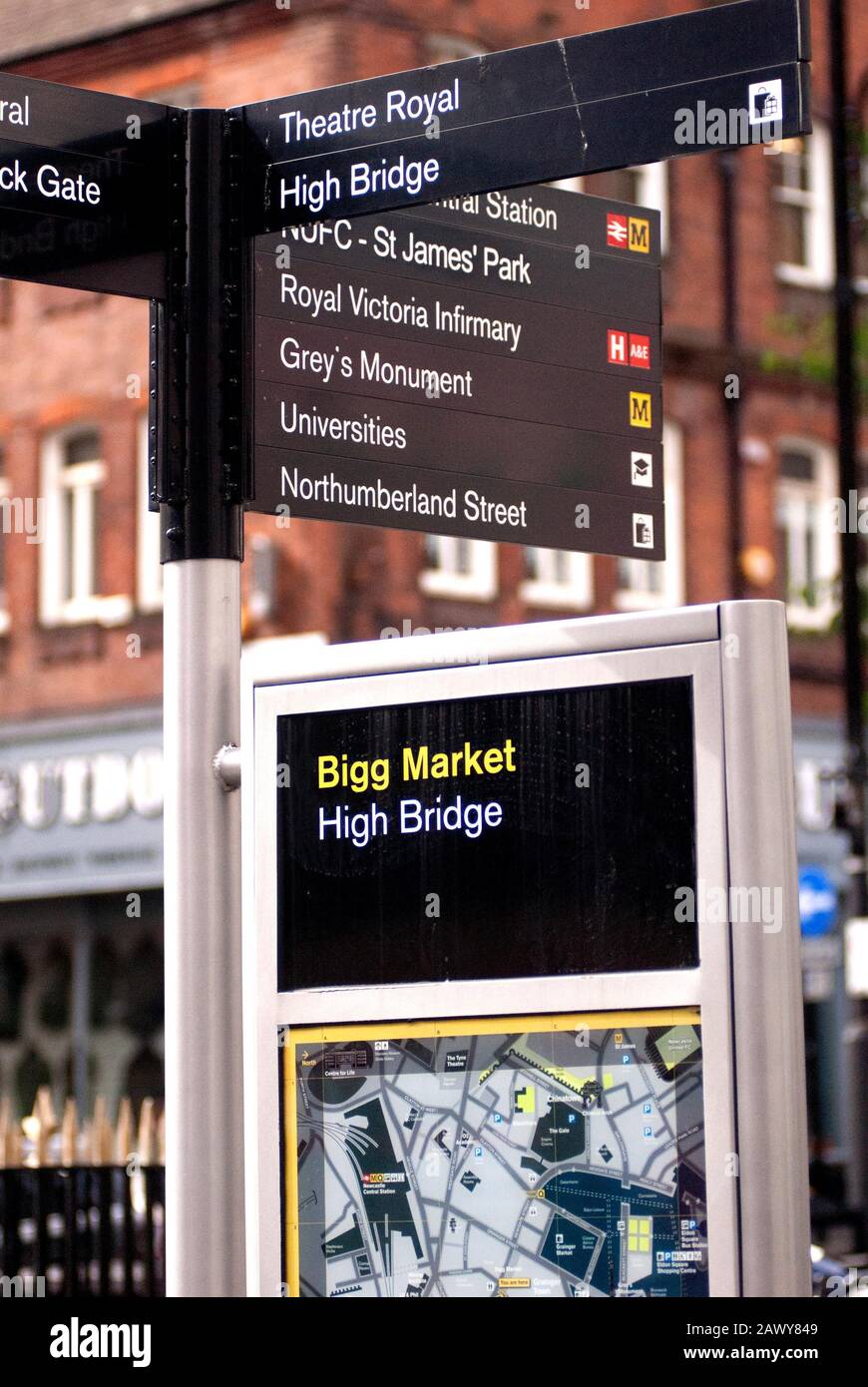 Information sign, Bigg Market and High Bridge,Newcastle-upon-Tyne Stock Photohttps://www.alamy.com/image-license-details/?v=1https://www.alamy.com/information-sign-bigg-market-and-high-bridgenewcastle-upon-tyne-image342962489.html
RF2AWY849–Information sign, Bigg Market and High Bridge,Newcastle-upon-Tyne
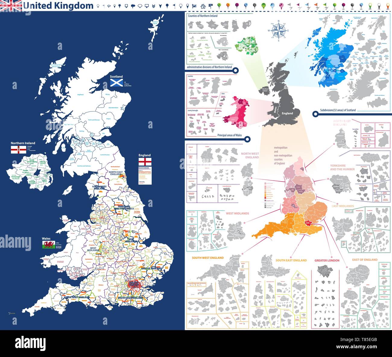 administrative units map of United Kingdom with administrative divisions Stock Vectorhttps://www.alamy.com/image-license-details/?v=1https://www.alamy.com/administrative-units-map-of-united-kingdom-with-administrative-divisions-image245983595.html
RFT85EGB–administrative units map of United Kingdom with administrative divisions
 High Quality map of Tyne and Wear is a county of England, with borders of the districts Stock Vectorhttps://www.alamy.com/image-license-details/?v=1https://www.alamy.com/high-quality-map-of-tyne-and-wear-is-a-county-of-england-with-borders-of-the-districts-image246749679.html
RFT9CBMF–High Quality map of Tyne and Wear is a county of England, with borders of the districts
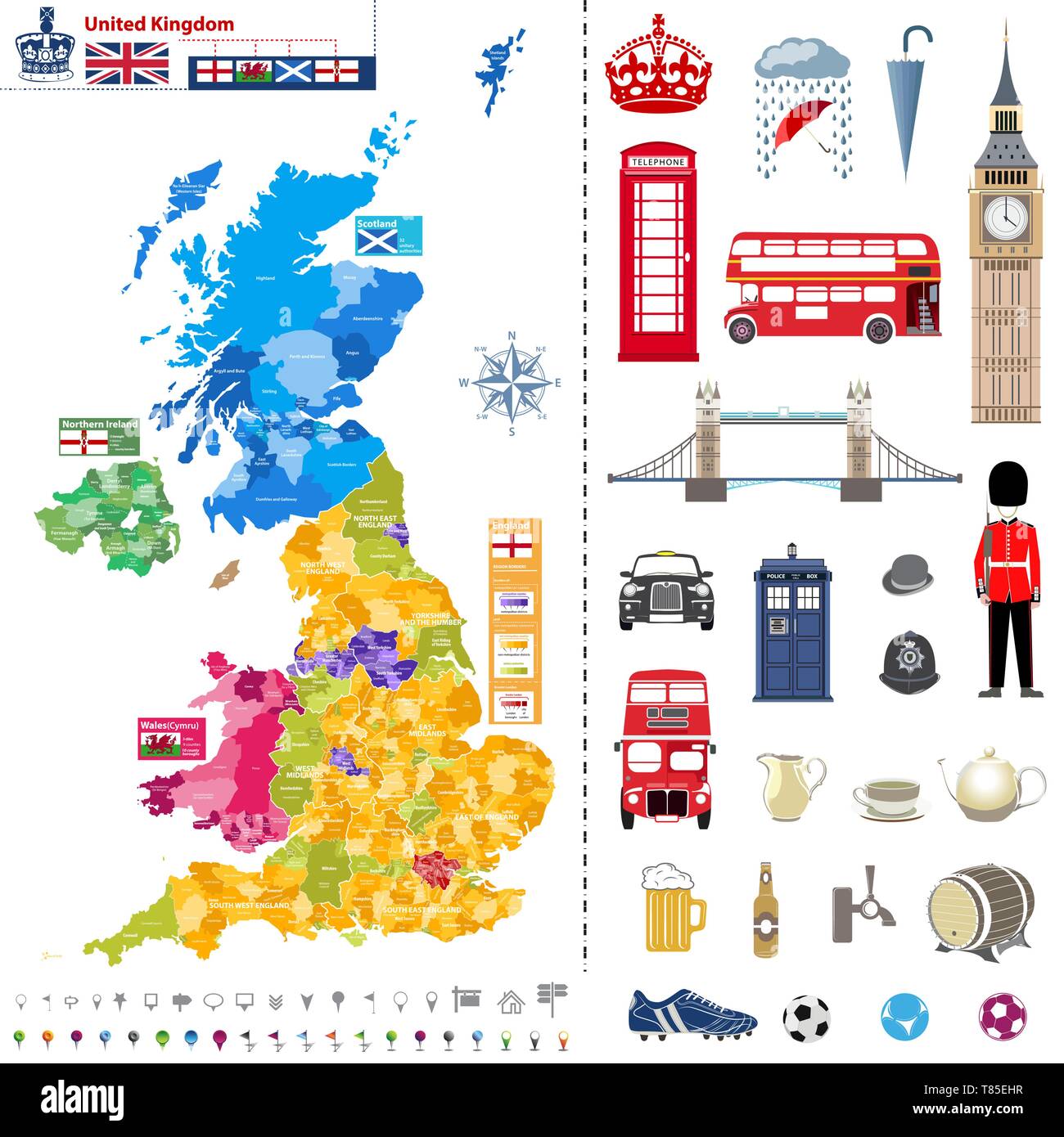 administrative units map of United Kingdom with administrative divisions Stock Vectorhttps://www.alamy.com/image-license-details/?v=1https://www.alamy.com/administrative-units-map-of-united-kingdom-with-administrative-divisions-image245983635.html
RFT85EHR–administrative units map of United Kingdom with administrative divisions
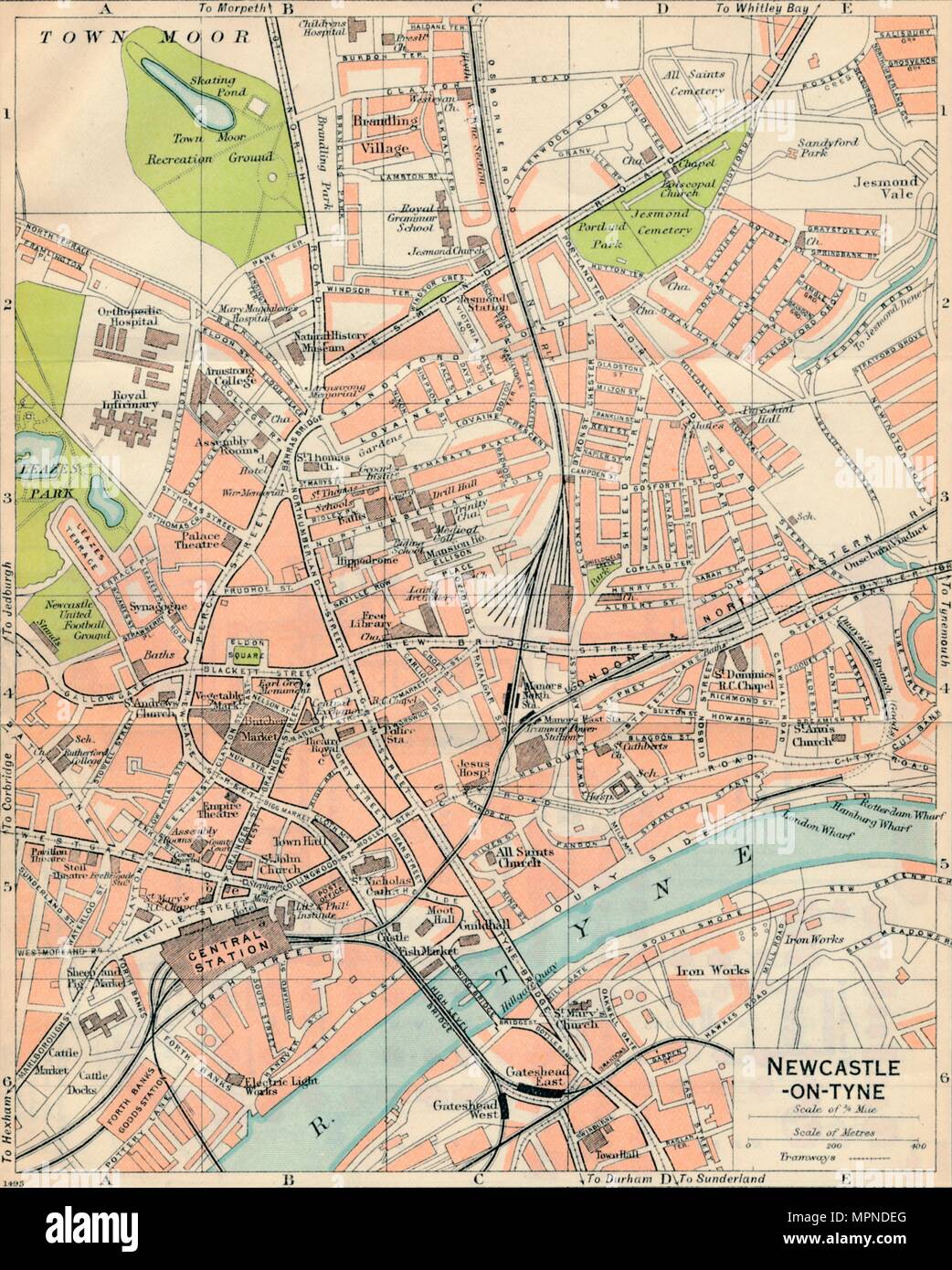 'Newcastle-on-Tyne', c20th Century. Artist: John Bartholomew. Stock Photohttps://www.alamy.com/image-license-details/?v=1https://www.alamy.com/newcastle-on-tyne-c20th-century-artist-john-bartholomew-image186097704.html
RMMPNDEG–'Newcastle-on-Tyne', c20th Century. Artist: John Bartholomew.
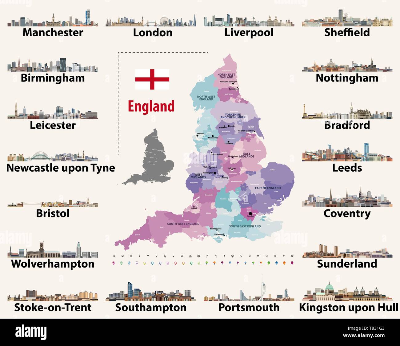 vector set of England largest cities skylines. Map and flag of England Stock Vectorhttps://www.alamy.com/image-license-details/?v=1https://www.alamy.com/vector-set-of-england-largest-cities-skylines-map-and-flag-of-england-image245929491.html
RFT831G3–vector set of England largest cities skylines. Map and flag of England
 flag of county Tyne and Wear, UK at cloudy sky background on sunset, panoramic view. County of united kingdom of great Britain, England. copy space fo Stock Photohttps://www.alamy.com/image-license-details/?v=1https://www.alamy.com/flag-of-county-tyne-and-wear-uk-at-cloudy-sky-background-on-sunset-panoramic-view-county-of-united-kingdom-of-great-britain-england-copy-space-fo-image451768102.html
RF2H6YPR2–flag of county Tyne and Wear, UK at cloudy sky background on sunset, panoramic view. County of united kingdom of great Britain, England. copy space fo
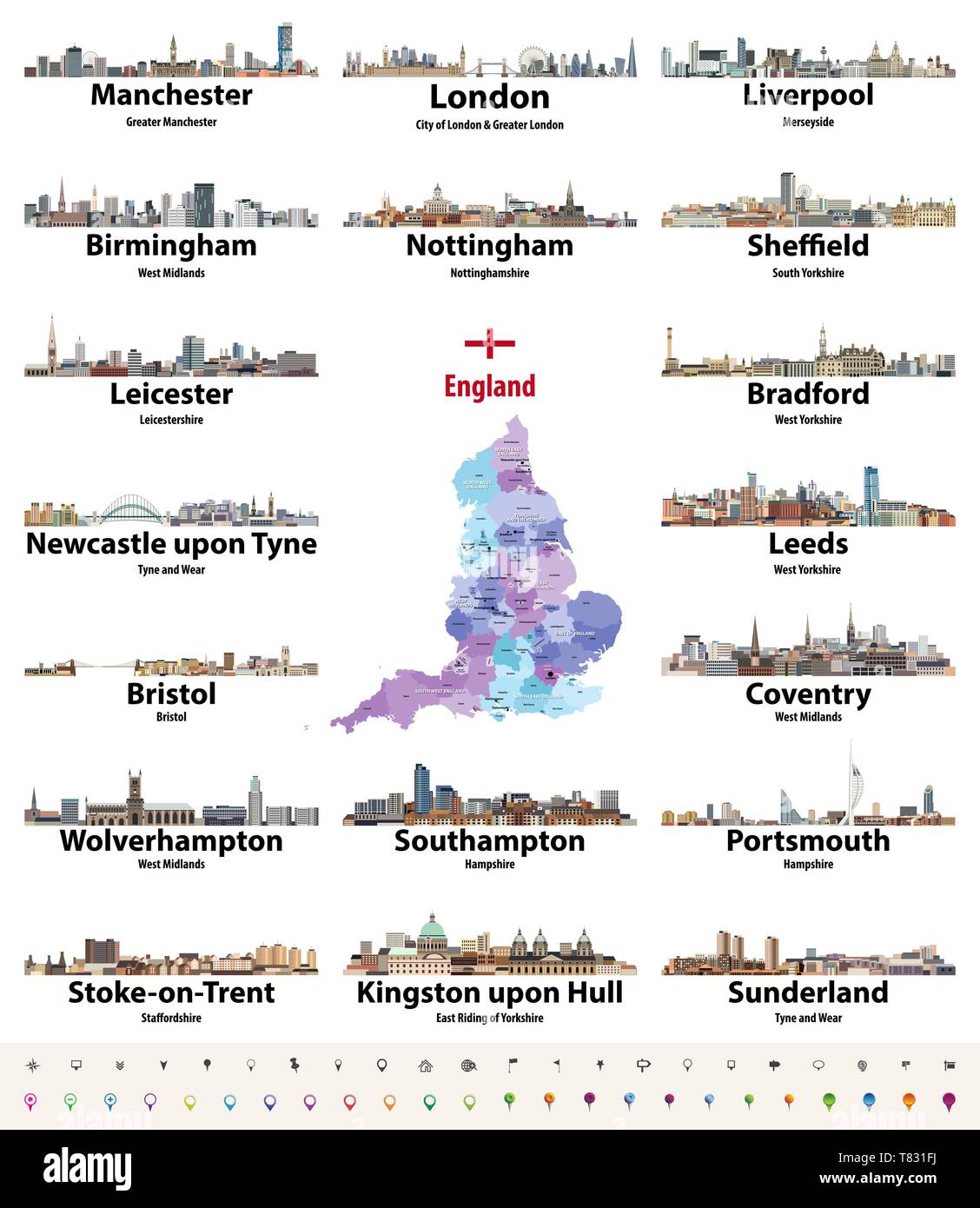 vector set of England largest cities skylines. Map and flag of England Stock Vectorhttps://www.alamy.com/image-license-details/?v=1https://www.alamy.com/vector-set-of-england-largest-cities-skylines-map-and-flag-of-england-image245929478.html
RFT831FJ–vector set of England largest cities skylines. Map and flag of England
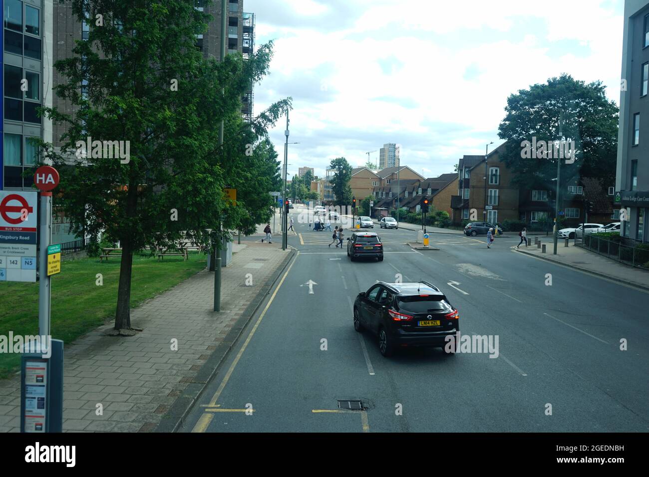 The junction of A5 Edgware Rd, Kingsbury Rd and Rookery Way in Colindale, London, England, U.K Stock Photohttps://www.alamy.com/image-license-details/?v=1https://www.alamy.com/the-junction-of-a5-edgware-rd-kingsbury-rd-and-rookery-way-in-colindale-london-england-uk-image439166549.html
RF2GEDNBH–The junction of A5 Edgware Rd, Kingsbury Rd and Rookery Way in Colindale, London, England, U.K
 Street roads map of the METROPOLITAN BOROUGH OF SOUTH TYNESIDE, TYNE AND WEAR Stock Vectorhttps://www.alamy.com/image-license-details/?v=1https://www.alamy.com/street-roads-map-of-the-metropolitan-borough-of-south-tyneside-tyne-and-wear-image595059642.html
RF2WG38J2–Street roads map of the METROPOLITAN BOROUGH OF SOUTH TYNESIDE, TYNE AND WEAR
 Tyne and Wear, GB, United Kingdom, England, N 54 55' 0'', S 1 34' 0'', map, Cartascapes Map published in 2024. Explore Cartascapes, a map revealing Earth's diverse landscapes, cultures, and ecosystems. Journey through time and space, discovering the interconnectedness of our planet's past, present, and future. Stock Photohttps://www.alamy.com/image-license-details/?v=1https://www.alamy.com/tyne-and-wear-gb-united-kingdom-england-n-54-55-0-s-1-34-0-map-cartascapes-map-published-in-2024-explore-cartascapes-a-map-revealing-earths-diverse-landscapes-cultures-and-ecosystems-journey-through-time-and-space-discovering-the-interconnectedness-of-our-planets-past-present-and-future-image604145995.html
RM2X2W6AK–Tyne and Wear, GB, United Kingdom, England, N 54 55' 0'', S 1 34' 0'', map, Cartascapes Map published in 2024. Explore Cartascapes, a map revealing Earth's diverse landscapes, cultures, and ecosystems. Journey through time and space, discovering the interconnectedness of our planet's past, present, and future.
 Closeup of a page in a printed road map atlas with a man's hand holding a magnifying glass showing an enlargement of the city of Sunderland, England Stock Photohttps://www.alamy.com/image-license-details/?v=1https://www.alamy.com/closeup-of-a-page-in-a-printed-road-map-atlas-with-a-mans-hand-holding-a-magnifying-glass-showing-an-enlargement-of-the-city-of-sunderland-england-image434265777.html
RM2G6EEC1–Closeup of a page in a printed road map atlas with a man's hand holding a magnifying glass showing an enlargement of the city of Sunderland, England
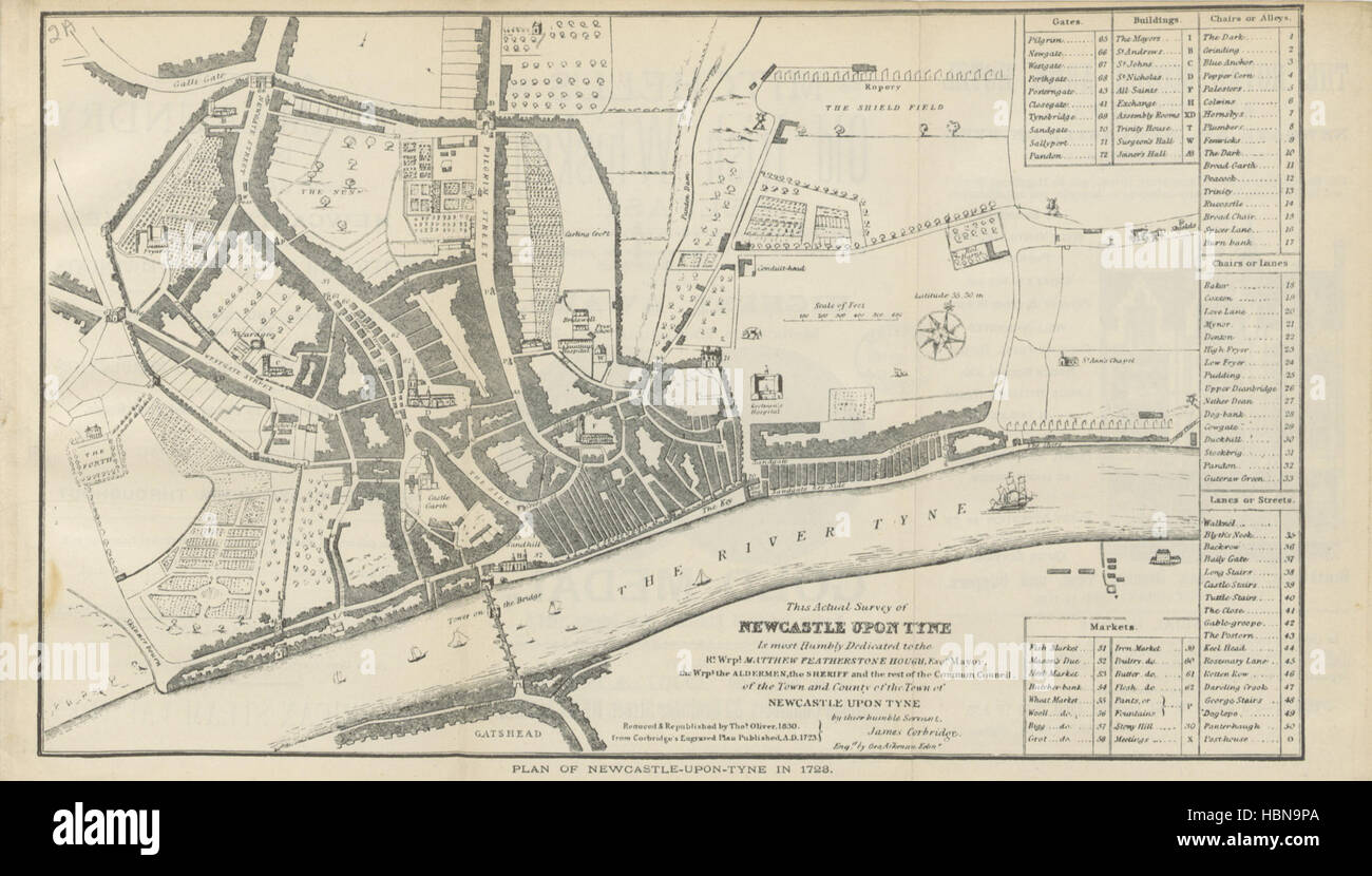 Image taken from page 15 of 'The City of Newcastle-upon-Tyne of to-day. ... With illustrations' Image taken from page 15 of 'The City of Newcastle-upon-Tyne Stock Photohttps://www.alamy.com/image-license-details/?v=1https://www.alamy.com/stock-photo-image-taken-from-page-15-of-the-city-of-newcastle-upon-tyne-of-to-127702466.html
RMHBN9PA–Image taken from page 15 of 'The City of Newcastle-upon-Tyne of to-day. ... With illustrations' Image taken from page 15 of 'The City of Newcastle-upon-Tyne