United states map Cut Out Stock Images
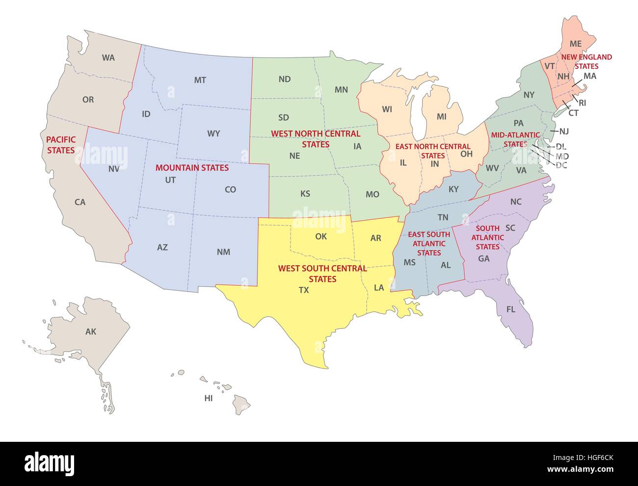 regions of the united states map Stock Vectorhttps://www.alamy.com/image-license-details/?v=1https://www.alamy.com/stock-photo-regions-of-the-united-states-map-130641411.html
RFHGF6CK–regions of the united states map
 United States of America outline map in green isolated on white background Stock Photohttps://www.alamy.com/image-license-details/?v=1https://www.alamy.com/stock-photo-united-states-of-america-outline-map-in-green-isolated-on-white-background-21691385.html
RMB783G9–United States of America outline map in green isolated on white background
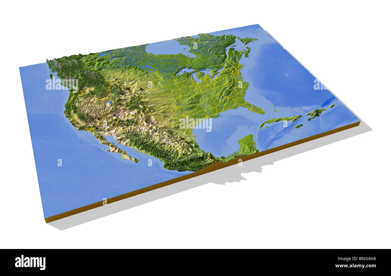 United States, 3D relief map with urban areas, interstate highways and borders. Stock Photohttps://www.alamy.com/image-license-details/?v=1https://www.alamy.com/stock-photo-united-states-3d-relief-map-with-urban-areas-interstate-highways-and-30472992.html
RMBNG4H4–United States, 3D relief map with urban areas, interstate highways and borders.
 Outline map of United States Stock Photohttps://www.alamy.com/image-license-details/?v=1https://www.alamy.com/stock-photo-outline-map-of-united-states-16391087.html
RFATTWJT–Outline map of United States
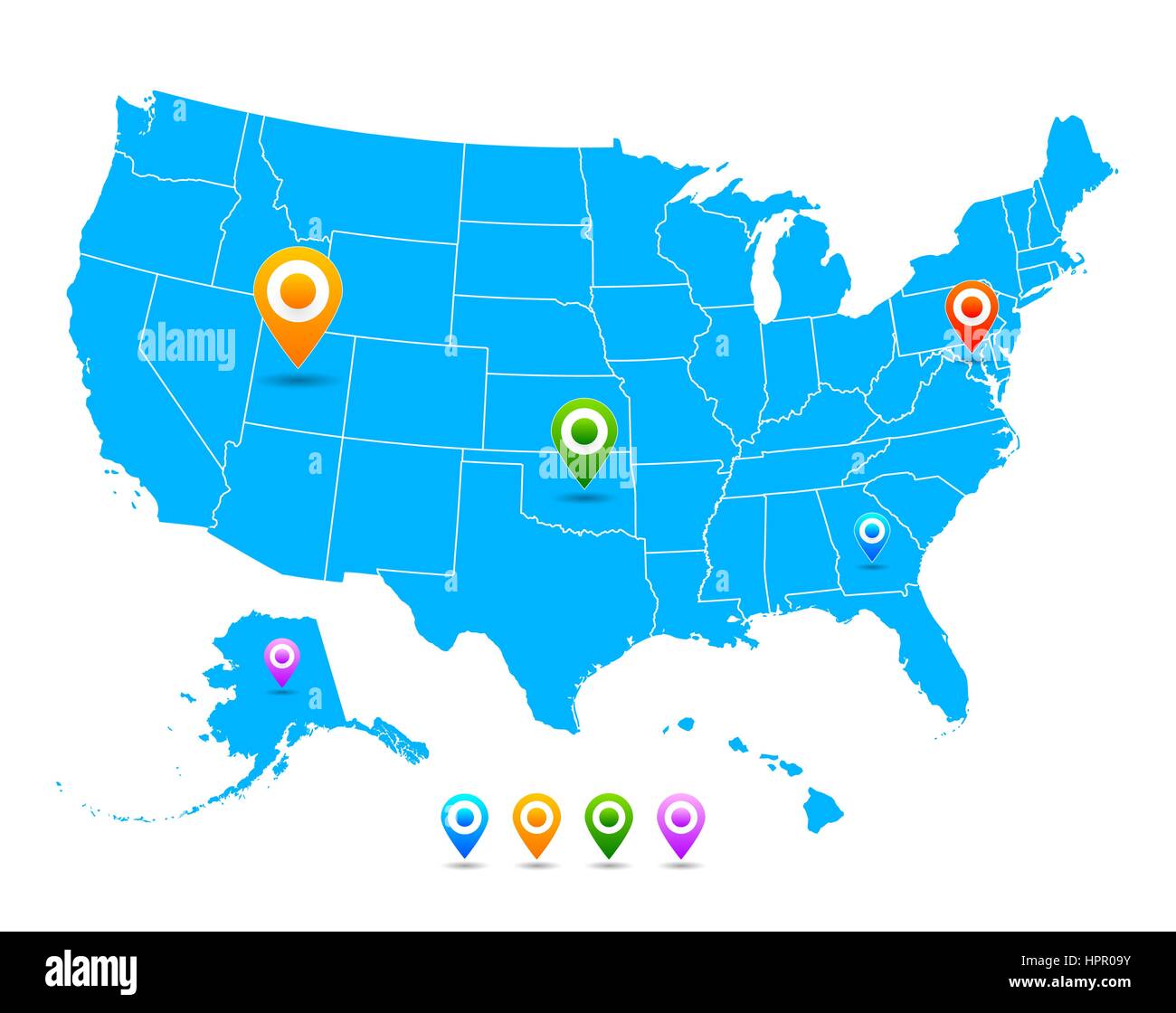 Vector United States (USA) map with pointers isolated Stock Vectorhttps://www.alamy.com/image-license-details/?v=1https://www.alamy.com/stock-photo-vector-united-states-usa-map-with-pointers-isolated-134500183.html
RFHPR09Y–Vector United States (USA) map with pointers isolated
RFTW5NBC–USA United States map icon. map silhouette. Vector illustration isolated on white background.
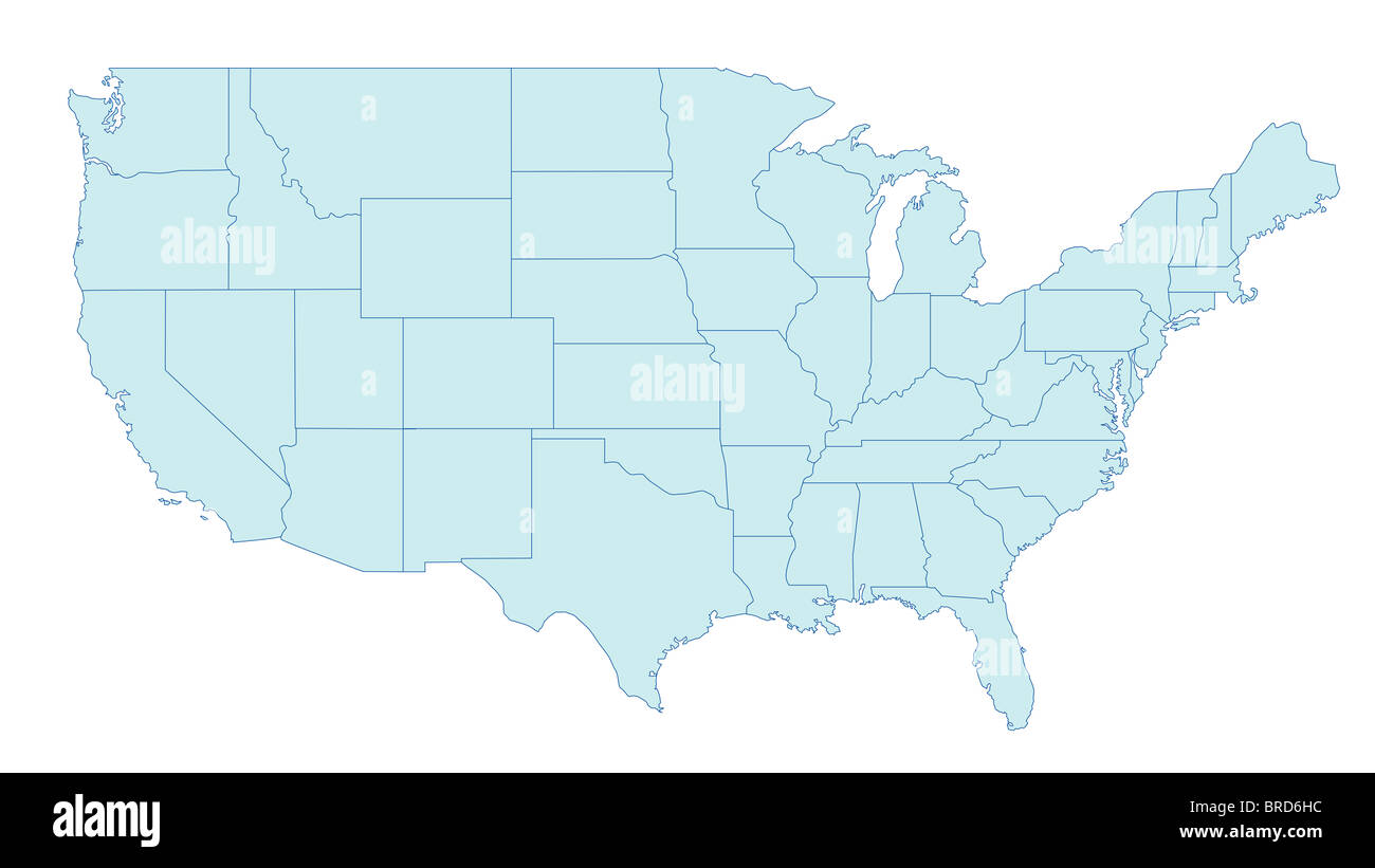 Stylized map of the United States of America showing the differents states. All on white background. Stock Photohttps://www.alamy.com/image-license-details/?v=1https://www.alamy.com/stock-photo-stylized-map-of-the-united-states-of-america-showing-the-differents-31638024.html
RFBRD6HC–Stylized map of the United States of America showing the differents states. All on white background.
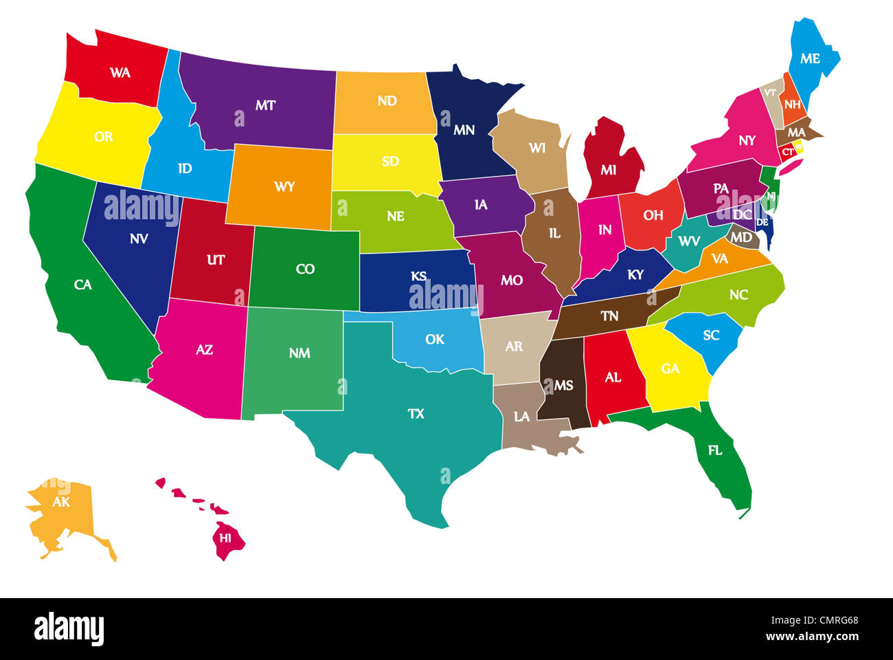 Multicolor Bordering Geographical Map of USA with Bordering Lines and Two-Letter Abbreviations of Every US State. Stock Photohttps://www.alamy.com/image-license-details/?v=1https://www.alamy.com/stock-photo-multicolor-bordering-geographical-map-of-usa-with-bordering-lines-47231472.html
RFCMRG68–Multicolor Bordering Geographical Map of USA with Bordering Lines and Two-Letter Abbreviations of Every US State.
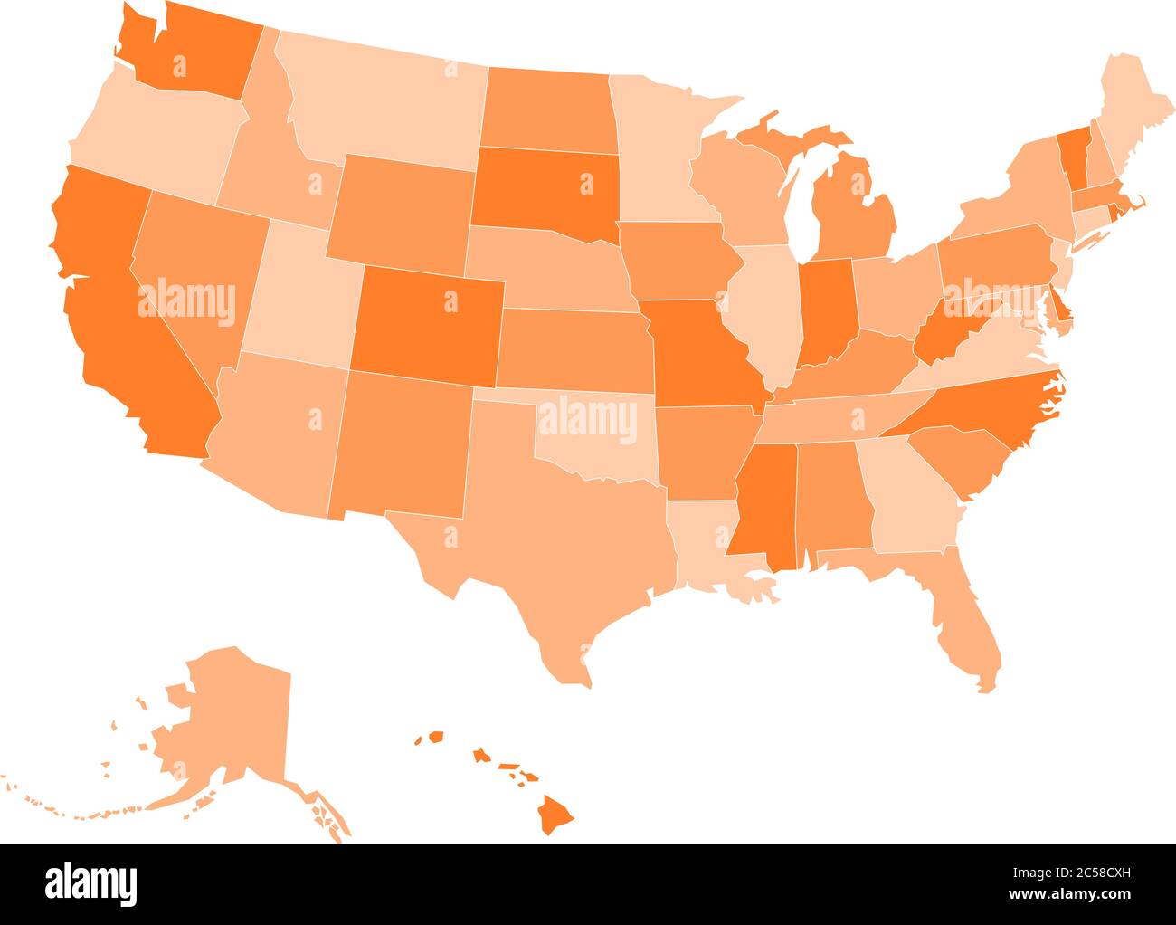 Blank map of United states of America. Vector illustration in orange shades on white background. Stock Vectorhttps://www.alamy.com/image-license-details/?v=1https://www.alamy.com/blank-map-of-united-states-of-america-vector-illustration-in-orange-shades-on-white-background-image364676777.html
RF2C58CXH–Blank map of United states of America. Vector illustration in orange shades on white background.
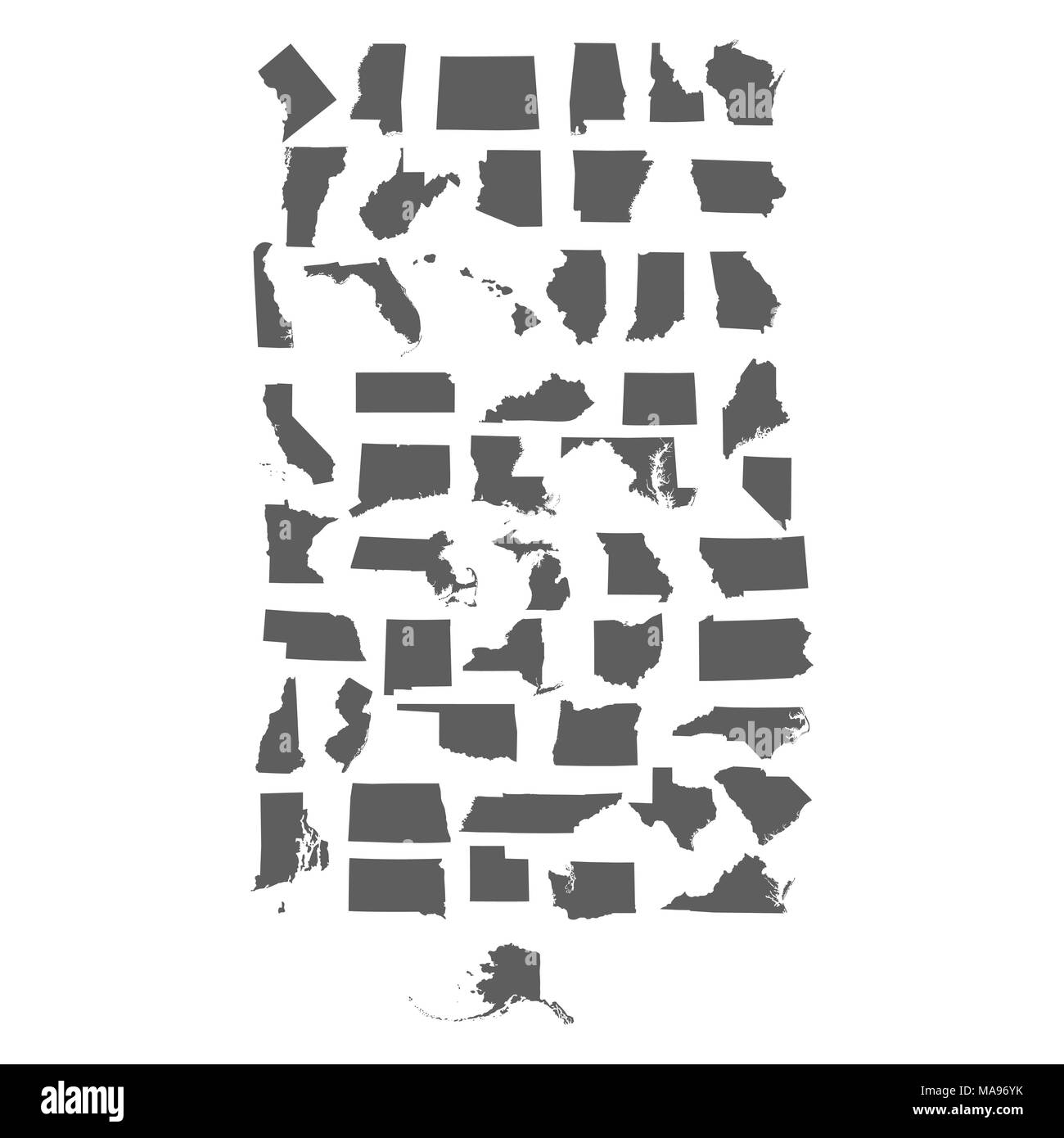 set of US states Stock Vectorhttps://www.alamy.com/image-license-details/?v=1https://www.alamy.com/set-of-us-states-image178453287.html
RFMA96YK–set of US states
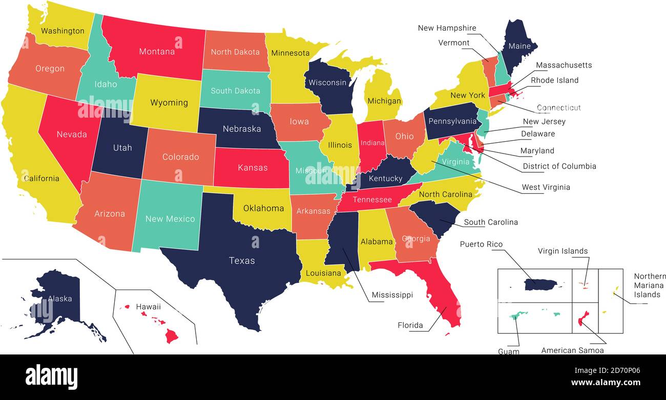 Map of America. United States Political map. US blueprint with the titles of states and regions. All countries are named in the layer panel Stock Vectorhttps://www.alamy.com/image-license-details/?v=1https://www.alamy.com/map-of-america-united-states-political-map-us-blueprint-with-the-titles-of-states-and-regions-all-countries-are-named-in-the-layer-panel-image382947942.html
RF2D70P06–Map of America. United States Political map. US blueprint with the titles of states and regions. All countries are named in the layer panel
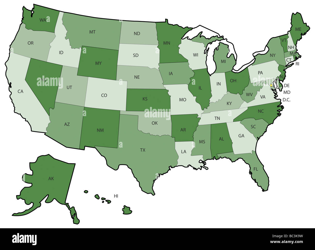 Green US Political Map with states boundaries Stock Photohttps://www.alamy.com/image-license-details/?v=1https://www.alamy.com/stock-photo-green-us-political-map-with-states-boundaries-24667269.html
RFBC3K9W–Green US Political Map with states boundaries
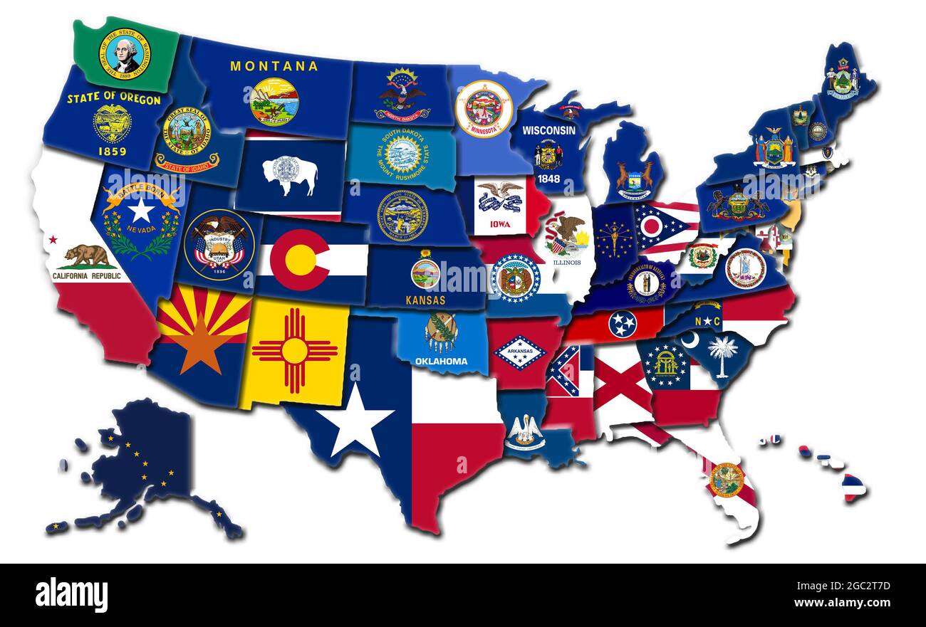 3D map of the United States showing the state flags Stock Photohttps://www.alamy.com/image-license-details/?v=1https://www.alamy.com/3d-map-of-the-united-states-showing-the-state-flags-image437698001.html
RM2GC2T7D–3D map of the United States showing the state flags
 3d USA ecological map Stock Photohttps://www.alamy.com/image-license-details/?v=1https://www.alamy.com/stock-photo-3d-usa-ecological-map-26079893.html
RFBEC14N–3d USA ecological map
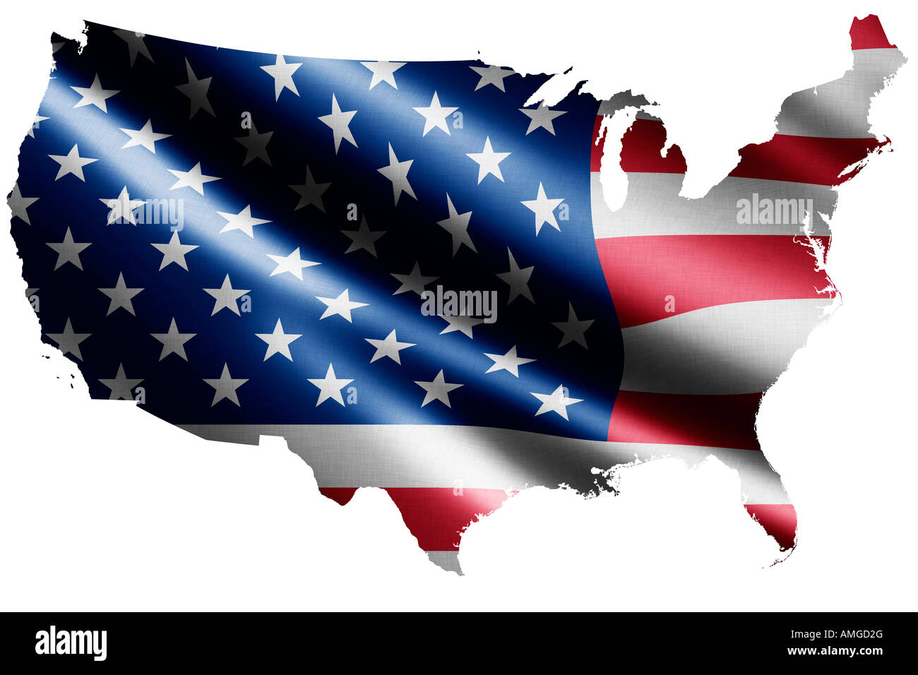 National flag of the United States of America as a map Stock Photohttps://www.alamy.com/image-license-details/?v=1https://www.alamy.com/stock-photo-national-flag-of-the-united-states-of-america-as-a-map-15257895.html
RFAMGD2G–National flag of the United States of America as a map
 United States map cracked, conceptual representation of national crisis Stock Photohttps://www.alamy.com/image-license-details/?v=1https://www.alamy.com/stock-photo-united-states-map-cracked-conceptual-representation-of-national-crisis-55454080.html
RFD6646T–United States map cracked, conceptual representation of national crisis
 silhouette of united states map, on white background Stock Vectorhttps://www.alamy.com/image-license-details/?v=1https://www.alamy.com/silhouette-of-united-states-map-on-white-background-image366953169.html
RF2C904E9–silhouette of united states map, on white background
 Map of United States of America Stock Photohttps://www.alamy.com/image-license-details/?v=1https://www.alamy.com/stock-photo-map-of-united-states-of-america-24177668.html
RFBB9AT4–Map of United States of America
 USA United States of America political map with capital Washington. The U.S. states including Alaska and Hawaii. Stock Photohttps://www.alamy.com/image-license-details/?v=1https://www.alamy.com/stock-photo-usa-united-states-of-america-political-map-with-capital-washington-125593774.html
RFH8983X–USA United States of America political map with capital Washington. The U.S. states including Alaska and Hawaii.
 rough map of the USA country made of many pills isolated on white Stock Photohttps://www.alamy.com/image-license-details/?v=1https://www.alamy.com/stock-photo-rough-map-of-the-usa-country-made-of-many-pills-isolated-on-white-33701589.html
RFBXR6M5–rough map of the USA country made of many pills isolated on white
 United States of America outline map in blue isolated on white background Stock Photohttps://www.alamy.com/image-license-details/?v=1https://www.alamy.com/stock-photo-united-states-of-america-outline-map-in-blue-isolated-on-white-background-21685985.html
RMB77TKD–United States of America outline map in blue isolated on white background
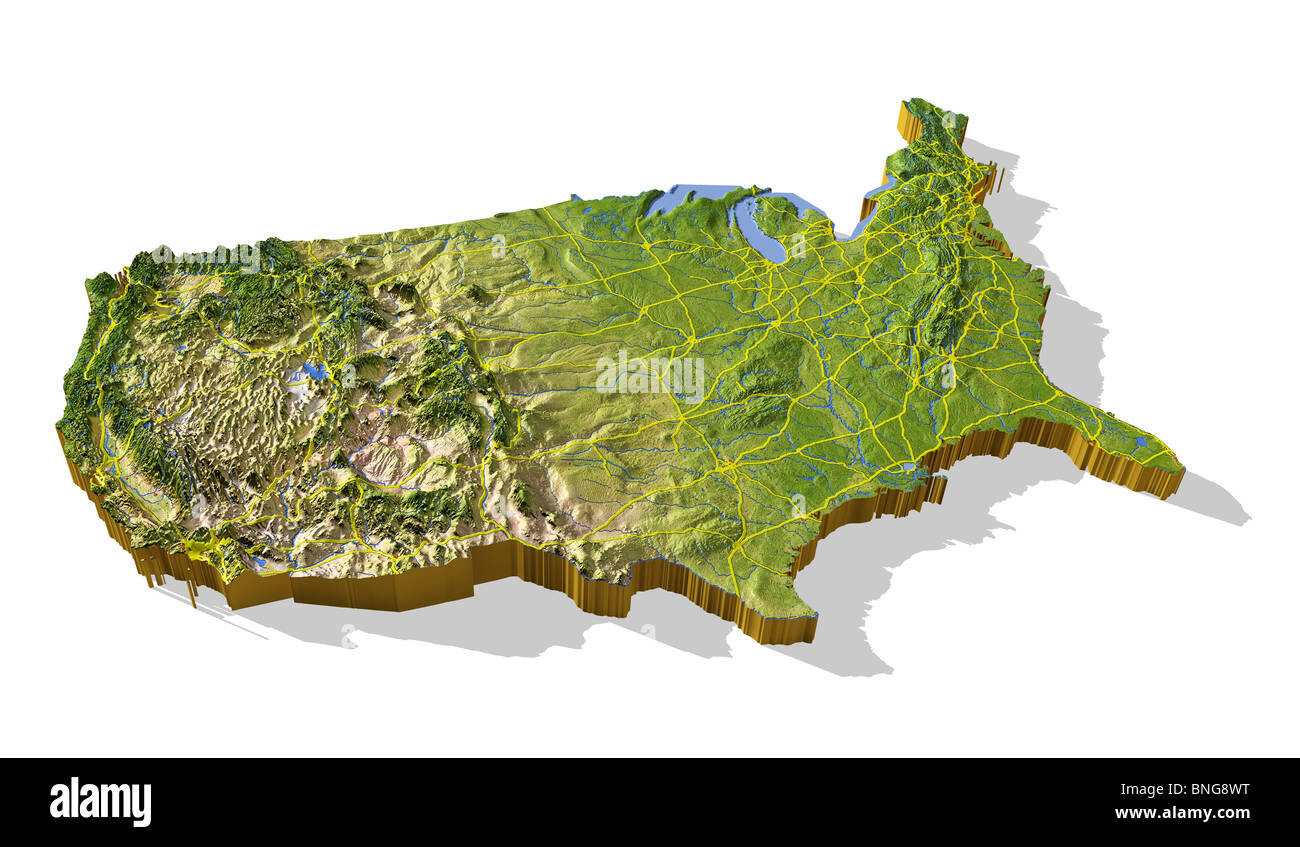 Coterminous United States, 3D relief map cut-out with urban areas and interstate highways. Stock Photohttps://www.alamy.com/image-license-details/?v=1https://www.alamy.com/stock-photo-coterminous-united-states-3d-relief-map-cut-out-with-urban-areas-and-30476372.html
RMBNG8WT–Coterminous United States, 3D relief map cut-out with urban areas and interstate highways.
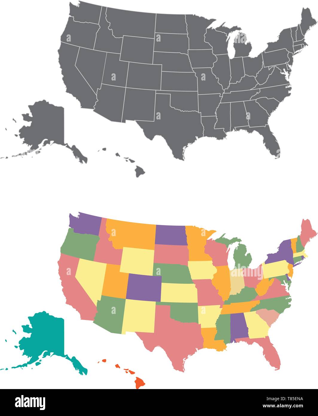 Silhouette and colored united states map Stock Vectorhttps://www.alamy.com/image-license-details/?v=1https://www.alamy.com/silhouette-and-colored-united-states-map-image245983734.html
RFT85ENA–Silhouette and colored united states map
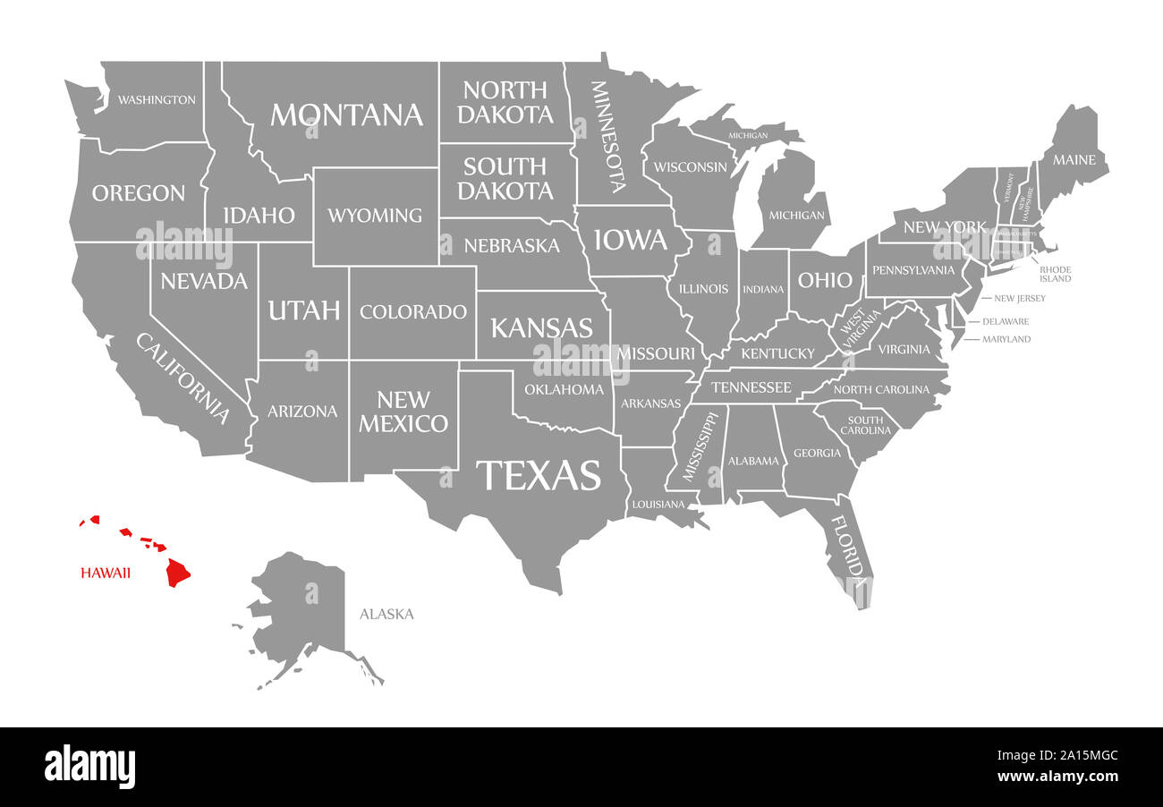 Hawaii red highlighted in map of the United States of America Stock Photohttps://www.alamy.com/image-license-details/?v=1https://www.alamy.com/hawaii-red-highlighted-in-map-of-the-united-states-of-america-image327737548.html
RF2A15MGC–Hawaii red highlighted in map of the United States of America
 United States map vector illustration. Global economy. Famous country. North America. America. U.S.A Stock Vectorhttps://www.alamy.com/image-license-details/?v=1https://www.alamy.com/united-states-map-vector-illustration-global-economy-famous-country-north-america-america-usa-image501249007.html
RF2M3DT67–United States map vector illustration. Global economy. Famous country. North America. America. U.S.A
 Stylized map of the United States of America showing the differents states. All on white background. Stock Photohttps://www.alamy.com/image-license-details/?v=1https://www.alamy.com/stock-photo-stylized-map-of-the-united-states-of-america-showing-the-differents-31638038.html
RFBRD6HX–Stylized map of the United States of America showing the differents states. All on white background.
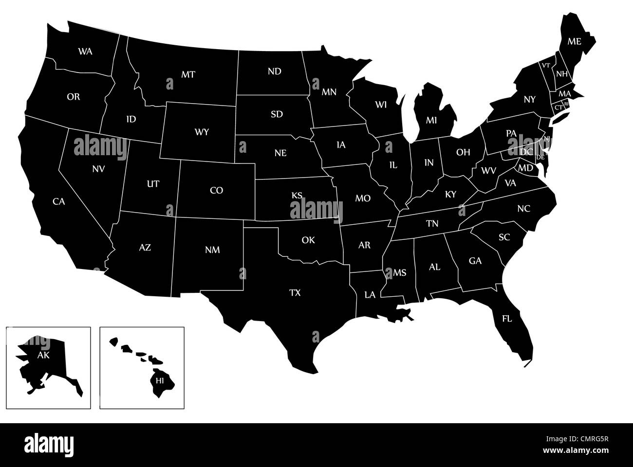 Illustration of map United States - USA. Stock Photohttps://www.alamy.com/image-license-details/?v=1https://www.alamy.com/stock-photo-illustration-of-map-united-states-usa-47231459.html
RFCMRG5R–Illustration of map United States - USA.
 Blank outline map of United States of America. Simplified vector map made of thick black outline on white background. Stock Vectorhttps://www.alamy.com/image-license-details/?v=1https://www.alamy.com/blank-outline-map-of-united-states-of-america-simplified-vector-map-made-of-thick-black-outline-on-white-background-image360279202.html
RF2BX43PA–Blank outline map of United States of America. Simplified vector map made of thick black outline on white background.
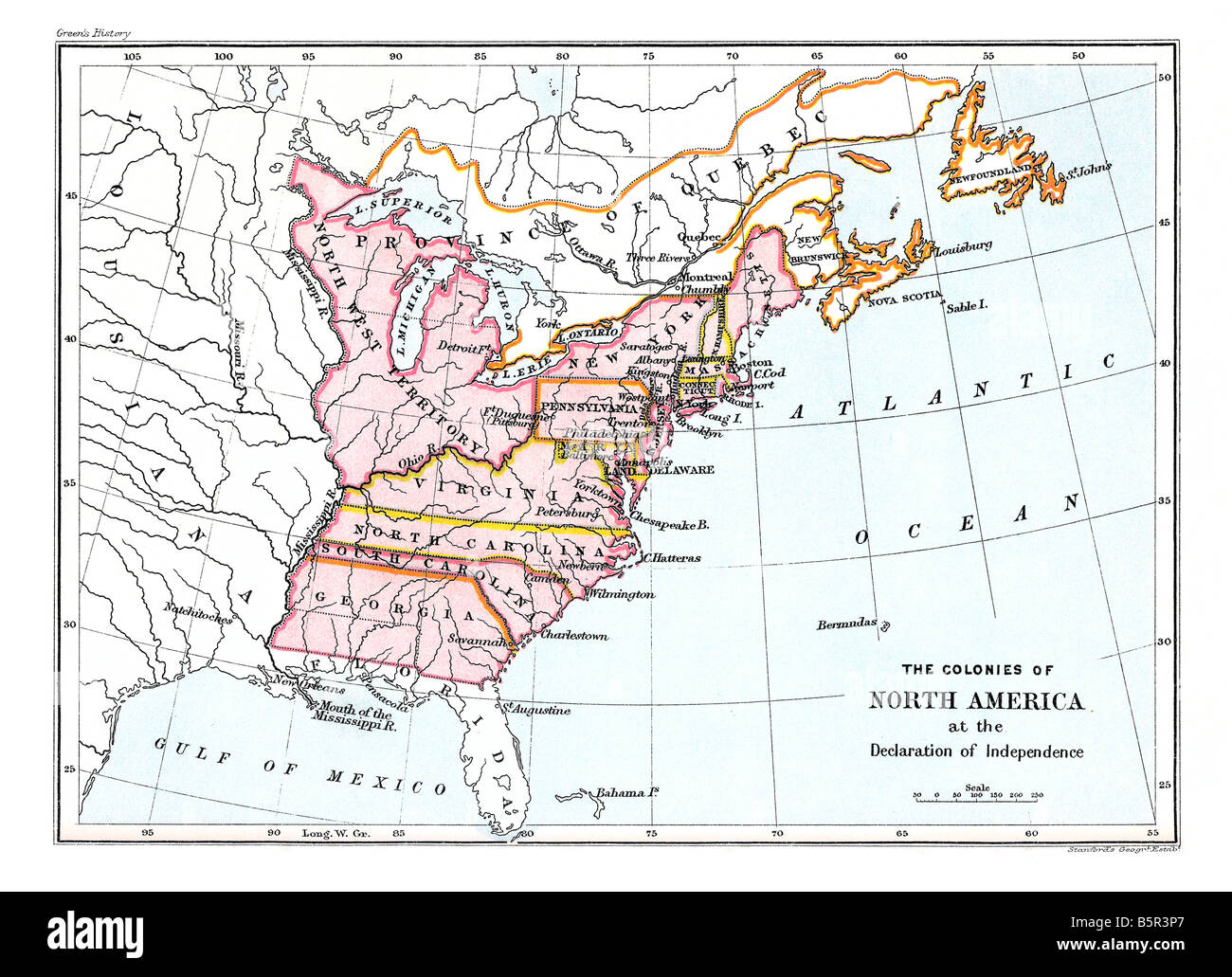 Map of the colonies of North America at the Declaration of Independence Stock Photohttps://www.alamy.com/image-license-details/?v=1https://www.alamy.com/stock-photo-map-of-the-colonies-of-north-america-at-the-declaration-of-independence-20791519.html
RMB5R3P7–Map of the colonies of North America at the Declaration of Independence
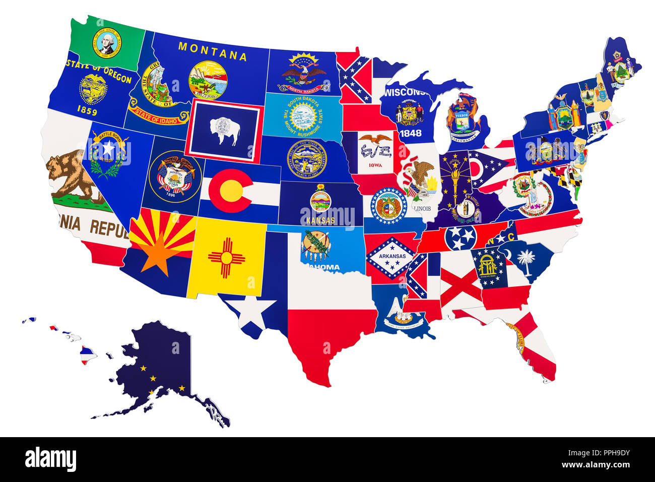 United States of America map with state flags, 3D rendering isolated on white background Stock Photohttps://www.alamy.com/image-license-details/?v=1https://www.alamy.com/united-states-of-america-map-with-state-flags-3d-rendering-isolated-on-white-background-image220427479.html
RFPPH9DY–United States of America map with state flags, 3D rendering isolated on white background
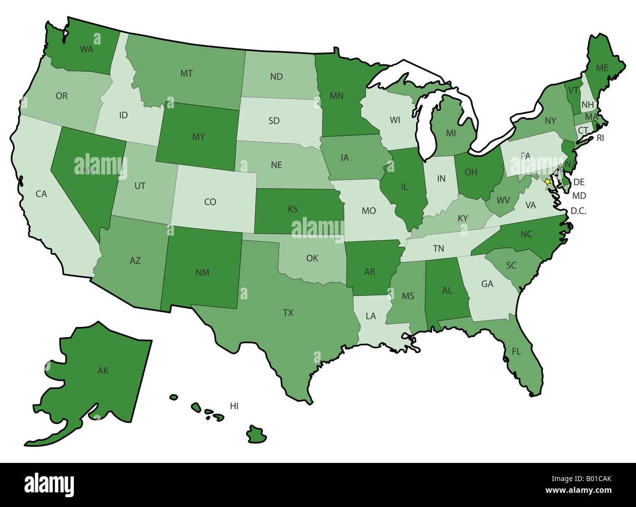 US Political Map with states boundaries Stock Photohttps://www.alamy.com/image-license-details/?v=1https://www.alamy.com/stock-photo-us-political-map-with-states-boundaries-17242027.html
RFB01CAK–US Political Map with states boundaries
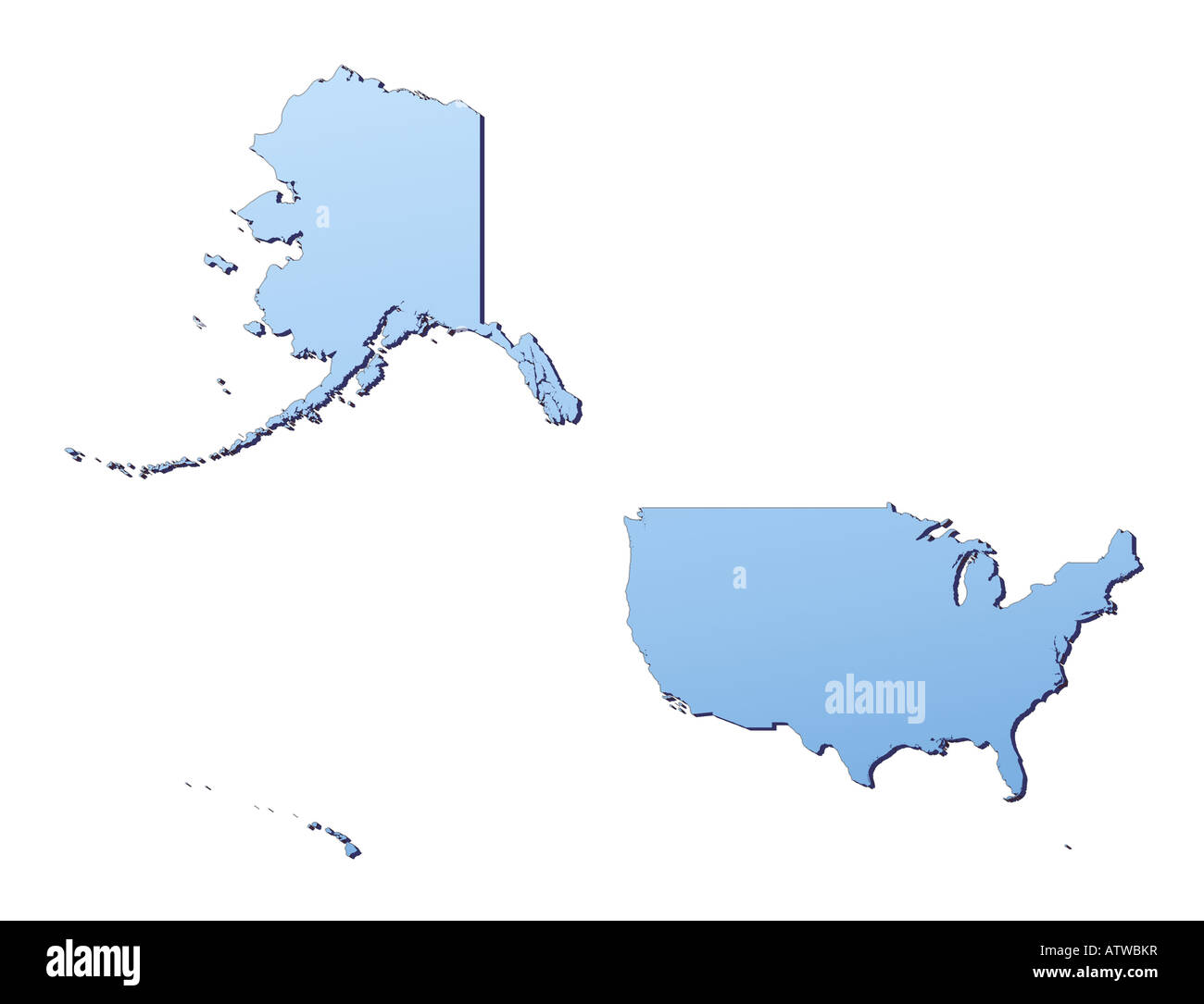 United States map Stock Photohttps://www.alamy.com/image-license-details/?v=1https://www.alamy.com/stock-photo-united-states-map-16395802.html
RFATWBKR–United States map
 USA 3d white map Stock Photohttps://www.alamy.com/image-license-details/?v=1https://www.alamy.com/stock-photo-usa-3d-white-map-26181606.html
RFBEGJWA–USA 3d white map
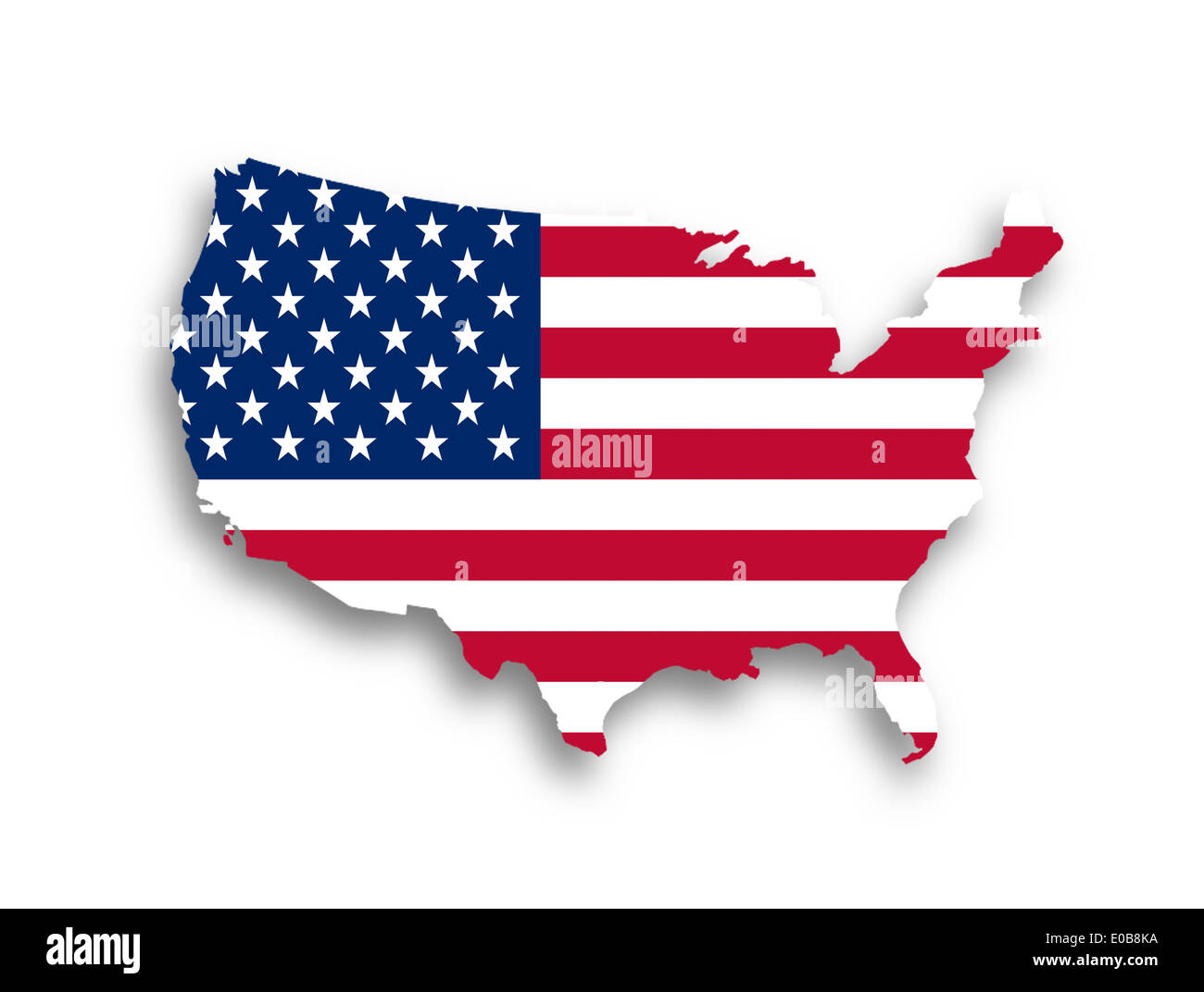 United states map with the flag inside Stock Photohttps://www.alamy.com/image-license-details/?v=1https://www.alamy.com/united-states-map-with-the-flag-inside-image69089758.html
RFE0B8KA–United states map with the flag inside
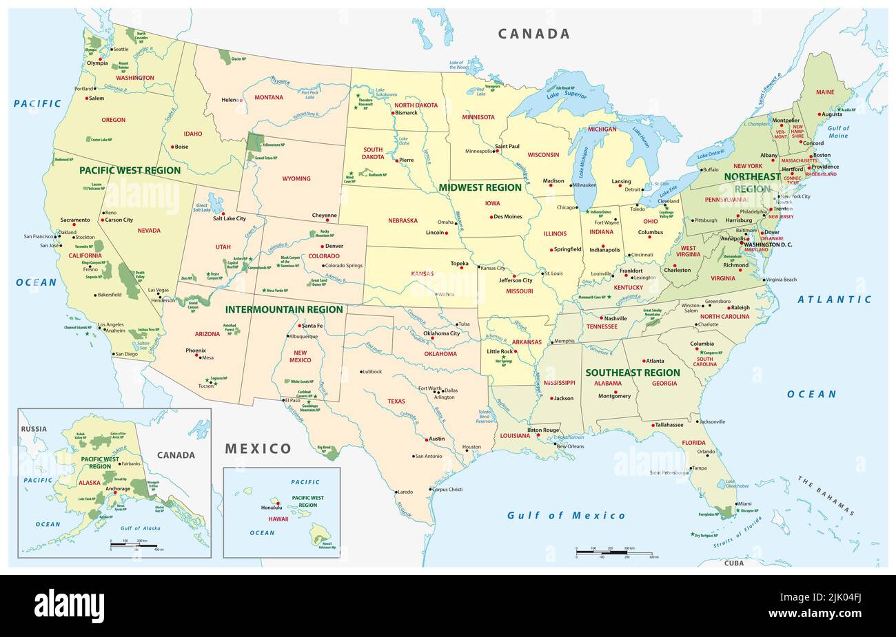 Vector map of national parks, United States Stock Photohttps://www.alamy.com/image-license-details/?v=1https://www.alamy.com/vector-map-of-national-parks-united-states-image476361974.html
RF2JK04FJ–Vector map of national parks, United States
 United States word and country map shaped with corn seeds Stock Photohttps://www.alamy.com/image-license-details/?v=1https://www.alamy.com/stock-photo-united-states-word-and-country-map-shaped-with-corn-seeds-101609224.html
RFFW8KGT–United States word and country map shaped with corn seeds
 Map of United States Stock Photohttps://www.alamy.com/image-license-details/?v=1https://www.alamy.com/stock-photo-map-of-united-states-25392670.html
RFBD8MH2–Map of United States
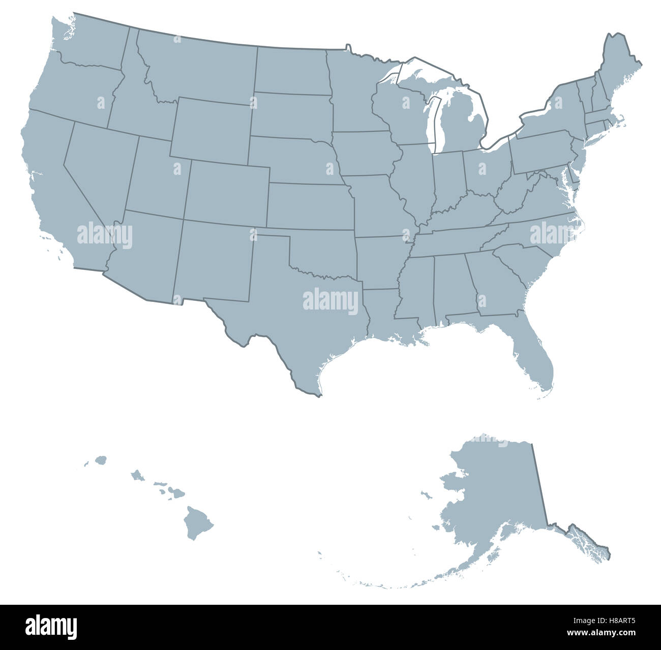 USA United States of America political map. The U.S. states including Alaska and Hawaii with national and international borders. Stock Photohttps://www.alamy.com/image-license-details/?v=1https://www.alamy.com/stock-photo-usa-united-states-of-america-political-map-the-us-states-including-125628053.html
RFH8ART5–USA United States of America political map. The U.S. states including Alaska and Hawaii with national and international borders.
 wisconsin State Map 3d. State 3D rendering set in the United States. Stock Photohttps://www.alamy.com/image-license-details/?v=1https://www.alamy.com/wisconsin-state-map-3d-state-3d-rendering-set-in-the-united-states-image453163526.html
RF2H97AKJ–wisconsin State Map 3d. State 3D rendering set in the United States.
 Home - USA flag in United States map shape - Independence Day USA with motivational text. Good for T-shirts, Happy july 4th. Independence Day USA holi Stock Vectorhttps://www.alamy.com/image-license-details/?v=1https://www.alamy.com/home-usa-flag-in-united-states-map-shape-independence-day-usa-with-motivational-text-good-for-t-shirts-happy-july-4th-independence-day-usa-holi-image417706810.html
RF2F7G58A–Home - USA flag in United States map shape - Independence Day USA with motivational text. Good for T-shirts, Happy july 4th. Independence Day USA holi
 coronavirus in the USA - map of the United States of America with the coronavirus symbol Covid 19 and the inscription 'Coronavirus' (vector graphic de Stock Vectorhttps://www.alamy.com/image-license-details/?v=1https://www.alamy.com/coronavirus-in-the-usa-map-of-the-united-states-of-america-with-the-coronavirus-symbol-covid-19-and-the-inscription-coronavirus-vector-graphic-de-image350254330.html
RF2B9RCY6–coronavirus in the USA - map of the United States of America with the coronavirus symbol Covid 19 and the inscription 'Coronavirus' (vector graphic de
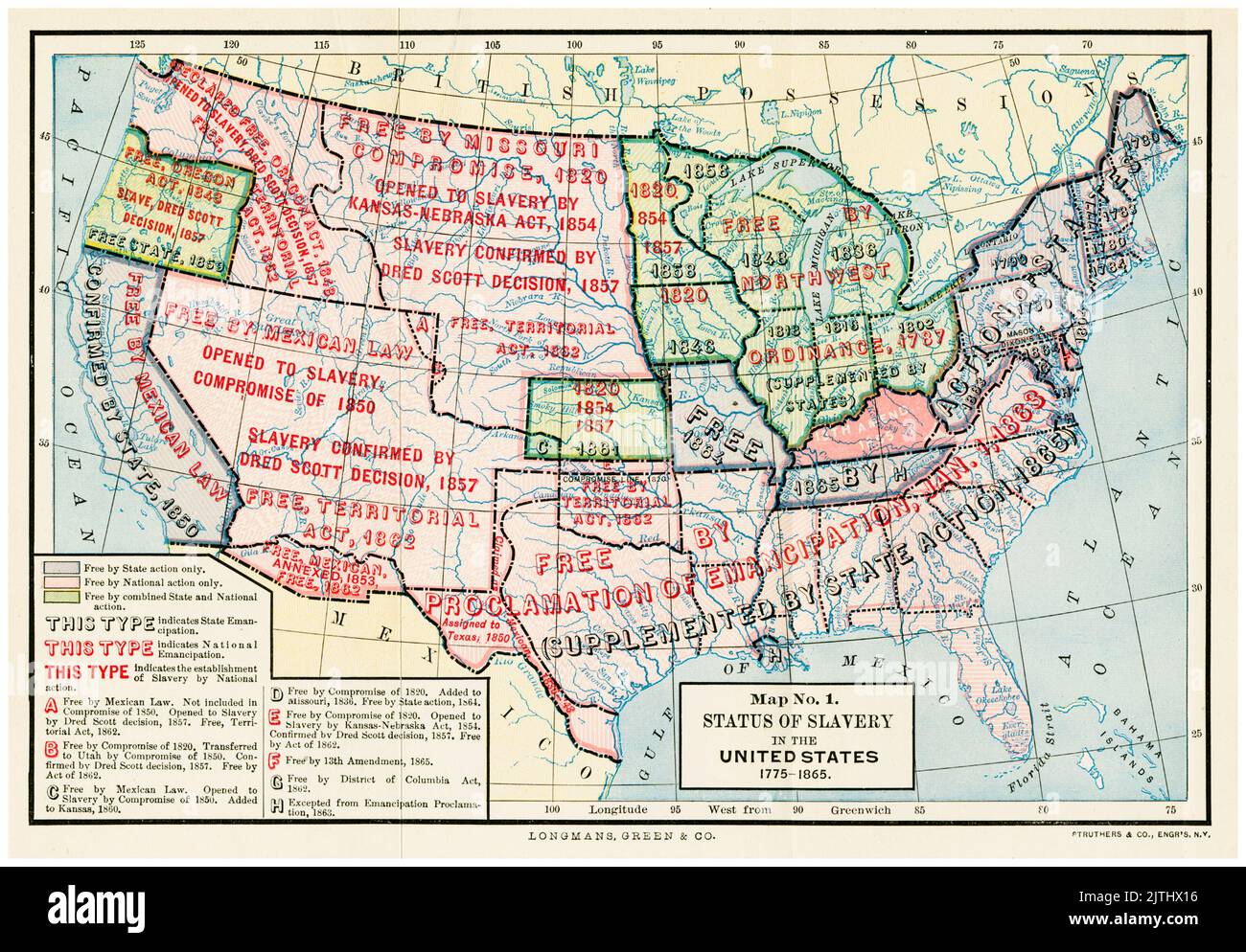 Map showing the legal status of Slavery and the Slave Trade in the United States of America, 1775-1865, illustration by Longmans, Green, and Co., 1893-1894 Stock Photohttps://www.alamy.com/image-license-details/?v=1https://www.alamy.com/map-showing-the-legal-status-of-slavery-and-the-slave-trade-in-the-united-states-of-america-1775-1865-illustration-by-longmans-green-and-co-1893-1894-image479825282.html
RM2JTHX16–Map showing the legal status of Slavery and the Slave Trade in the United States of America, 1775-1865, illustration by Longmans, Green, and Co., 1893-1894
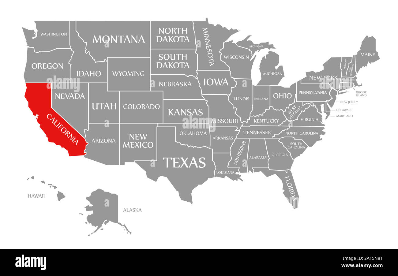 California red highlighted in map of the United States of America Stock Photohttps://www.alamy.com/image-license-details/?v=1https://www.alamy.com/california-red-highlighted-in-map-of-the-united-states-of-america-image327738120.html
RF2A15N8T–California red highlighted in map of the United States of America
 Map of the USA in checkerboard pattern Stock Photohttps://www.alamy.com/image-license-details/?v=1https://www.alamy.com/map-of-the-usa-in-checkerboard-pattern-image402542130.html
RF2EAWAGJ–Map of the USA in checkerboard pattern
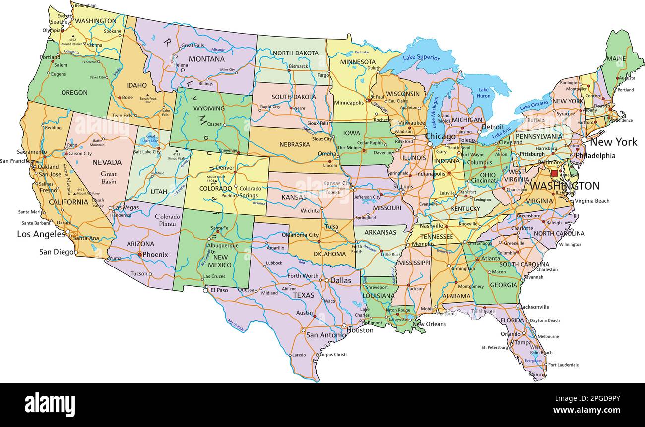 United States of America - Highly detailed editable political map with labeling. Stock Vectorhttps://www.alamy.com/image-license-details/?v=1https://www.alamy.com/united-states-of-america-highly-detailed-editable-political-map-with-labeling-image543648979.html
RF2PGD9PY–United States of America - Highly detailed editable political map with labeling.
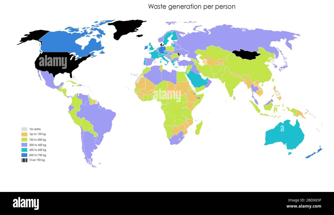 A map showing waste generation per person, in kilograms. Data from 2016. The United States is currently one of the top per capita producers of trash. The World Bank estimates that by 2050 Europeans and North Americans will generate 25% more waste, while trash generation will double in South Asia and triple in sub-Saharan Africa. It is estimated that by the middle of the century, the world will be producing 3.4 billion tons of waste. Stock Photohttps://www.alamy.com/image-license-details/?v=1https://www.alamy.com/a-map-showing-waste-generation-per-person-in-kilograms-data-from-2016-the-united-states-is-currently-one-of-the-top-per-capita-producers-of-trash-the-world-bank-estimates-that-by-2050-europeans-and-north-americans-will-generate-25-more-waste-while-trash-generation-will-double-in-south-asia-and-triple-in-sub-saharan-africa-it-is-estimated-that-by-the-middle-of-the-century-the-world-will-be-producing-34-billion-tons-of-waste-image352773499.html
RM2BDX65F–A map showing waste generation per person, in kilograms. Data from 2016. The United States is currently one of the top per capita producers of trash. The World Bank estimates that by 2050 Europeans and North Americans will generate 25% more waste, while trash generation will double in South Asia and triple in sub-Saharan Africa. It is estimated that by the middle of the century, the world will be producing 3.4 billion tons of waste.
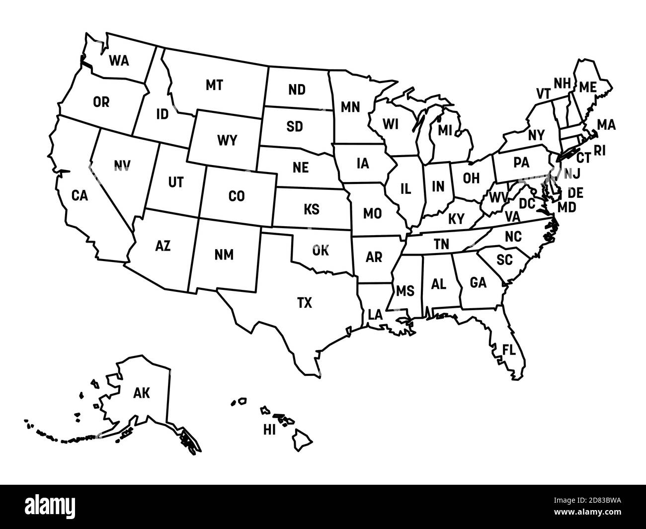 Map of United States of America, USA, with state postal abbreviations. Simple black outline map. Stock Vectorhttps://www.alamy.com/image-license-details/?v=1https://www.alamy.com/map-of-united-states-of-america-usa-with-state-postal-abbreviations-simple-black-outline-map-image383620534.html
RF2D83BWA–Map of United States of America, USA, with state postal abbreviations. Simple black outline map.
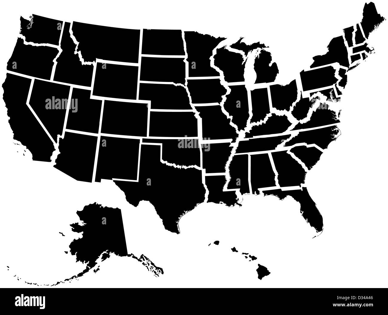 Very detailed map of all fifty states Stock Photohttps://www.alamy.com/image-license-details/?v=1https://www.alamy.com/stock-photo-very-detailed-map-of-all-fifty-states-53570838.html
RFD34A46–Very detailed map of all fifty states
 United States map background. Vector eps10 illustration Stock Vectorhttps://www.alamy.com/image-license-details/?v=1https://www.alamy.com/united-states-map-background-vector-eps10-illustration-image259866905.html
RFW2NXTW–United States map background. Vector eps10 illustration
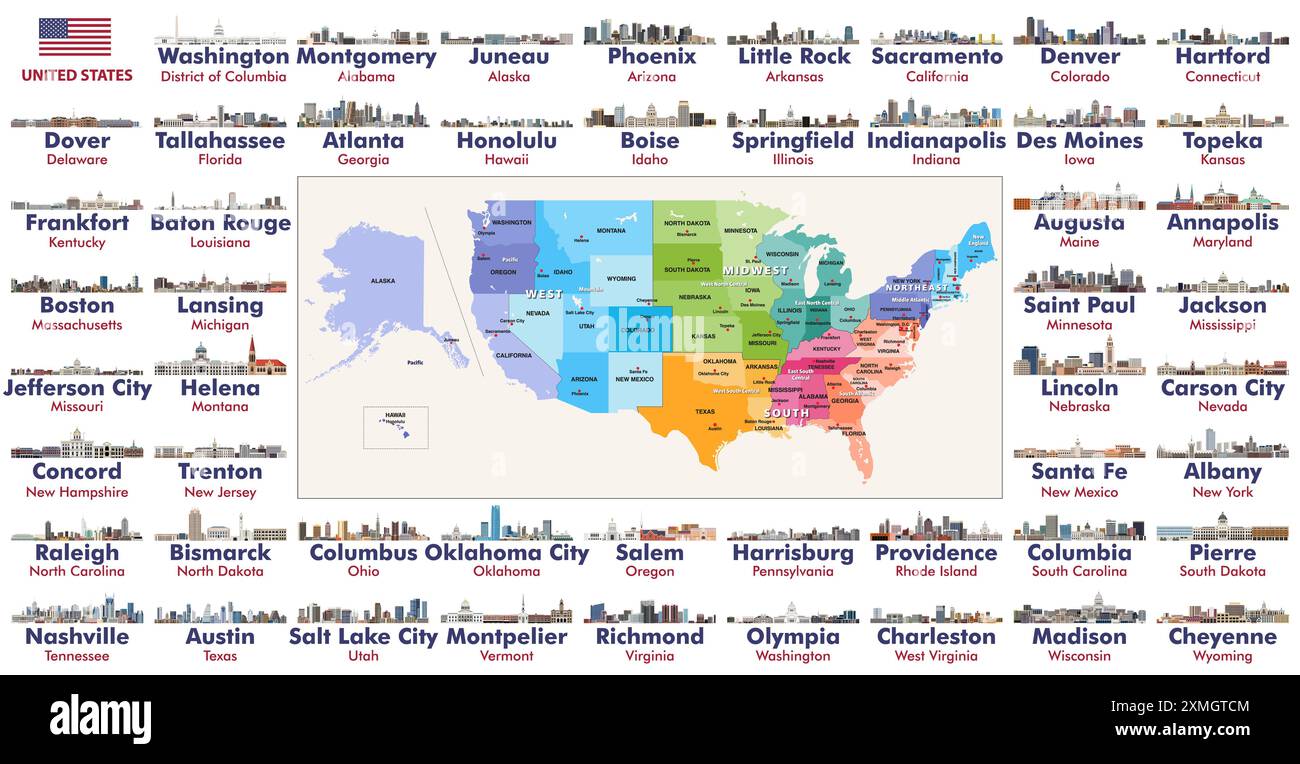 All states capital cities skylines of the United States. Map of the United States with regions, divisions and all state capitals on it. Vector set Stock Vectorhttps://www.alamy.com/image-license-details/?v=1https://www.alamy.com/all-states-capital-cities-skylines-of-the-united-states-map-of-the-united-states-with-regions-divisions-and-all-state-capitals-on-it-vector-set-image615026404.html
RF2XMGTCM–All states capital cities skylines of the United States. Map of the United States with regions, divisions and all state capitals on it. Vector set
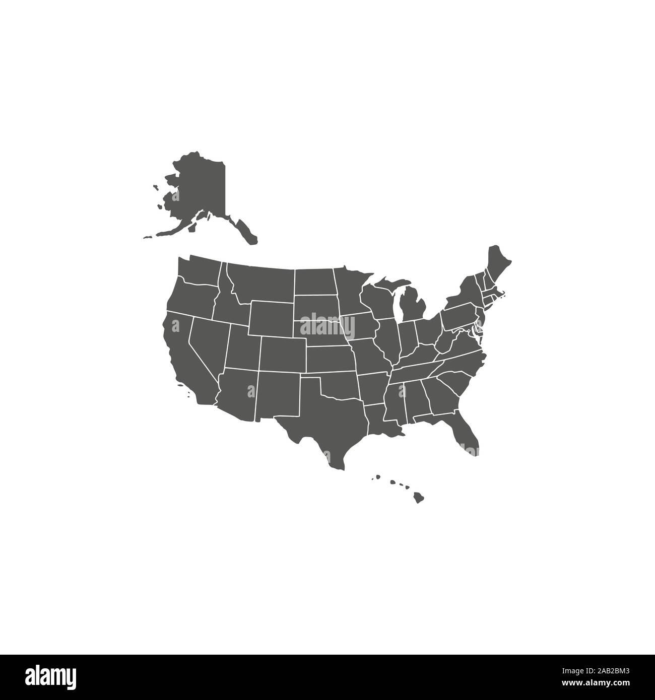 United States Map, states border map. Vector illustration. Stock Vectorhttps://www.alamy.com/image-license-details/?v=1https://www.alamy.com/united-states-map-states-border-map-vector-illustration-image333811299.html
RF2AB2BM3–United States Map, states border map. Vector illustration.
 USA 3d map with national color Stock Photohttps://www.alamy.com/image-license-details/?v=1https://www.alamy.com/stock-photo-usa-3d-map-with-national-color-26528471.html
RFBF4D9B–USA 3d map with national color
 United States Map Stock Photohttps://www.alamy.com/image-license-details/?v=1https://www.alamy.com/stock-photo-united-states-map-103279078.html
RMG00NEE–United States Map
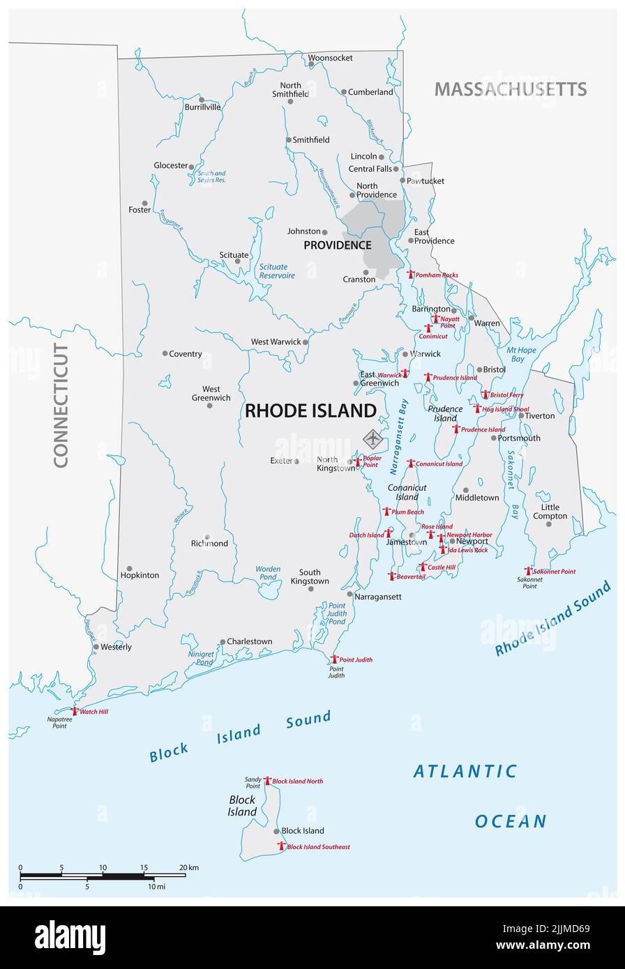 Lighthouse Vector Map of Rhode Island, United States Stock Photohttps://www.alamy.com/image-license-details/?v=1https://www.alamy.com/lighthouse-vector-map-of-rhode-island-united-states-image476193153.html
RF2JJMD69–Lighthouse Vector Map of Rhode Island, United States
![Vintage Travel Poster 'China, the overland route'. Northwest Orient Airlines [United States 1950] (poster) : lithograph, color Poster showing a pagoda and an airplane, above a Northwest Orient Airlines system map. Stock Photo Vintage Travel Poster 'China, the overland route'. Northwest Orient Airlines [United States 1950] (poster) : lithograph, color Poster showing a pagoda and an airplane, above a Northwest Orient Airlines system map. Stock Photo](https://c8.alamy.com/comp/2D852K5/vintage-travel-poster-china-the-overland-route-northwest-orient-airlines-united-states-1950-poster-lithograph-color-poster-showing-a-pagoda-and-an-airplane-above-a-northwest-orient-airlines-system-map-2D852K5.jpg) Vintage Travel Poster 'China, the overland route'. Northwest Orient Airlines [United States 1950] (poster) : lithograph, color Poster showing a pagoda and an airplane, above a Northwest Orient Airlines system map. Stock Photohttps://www.alamy.com/image-license-details/?v=1https://www.alamy.com/vintage-travel-poster-china-the-overland-route-northwest-orient-airlines-united-states-1950-poster-lithograph-color-poster-showing-a-pagoda-and-an-airplane-above-a-northwest-orient-airlines-system-map-image383657209.html
Vintage Travel Poster 'China, the overland route'. Northwest Orient Airlines [United States 1950] (poster) : lithograph, color Poster showing a pagoda and an airplane, above a Northwest Orient Airlines system map. Stock Photohttps://www.alamy.com/image-license-details/?v=1https://www.alamy.com/vintage-travel-poster-china-the-overland-route-northwest-orient-airlines-united-states-1950-poster-lithograph-color-poster-showing-a-pagoda-and-an-airplane-above-a-northwest-orient-airlines-system-map-image383657209.htmlRM2D852K5–Vintage Travel Poster 'China, the overland route'. Northwest Orient Airlines [United States 1950] (poster) : lithograph, color Poster showing a pagoda and an airplane, above a Northwest Orient Airlines system map.
 Map of United States of America Stock Photohttps://www.alamy.com/image-license-details/?v=1https://www.alamy.com/stock-photo-map-of-united-states-of-america-24153060.html
RFBB87D8–Map of United States of America
 United States of America map radial dot pattern. Gray dots going from the center outwards forming the silhouette of USA. Stock Photohttps://www.alamy.com/image-license-details/?v=1https://www.alamy.com/stock-photo-united-states-of-america-map-radial-dot-pattern-gray-dots-going-from-127029106.html
RFHAJJWP–United States of America map radial dot pattern. Gray dots going from the center outwards forming the silhouette of USA.
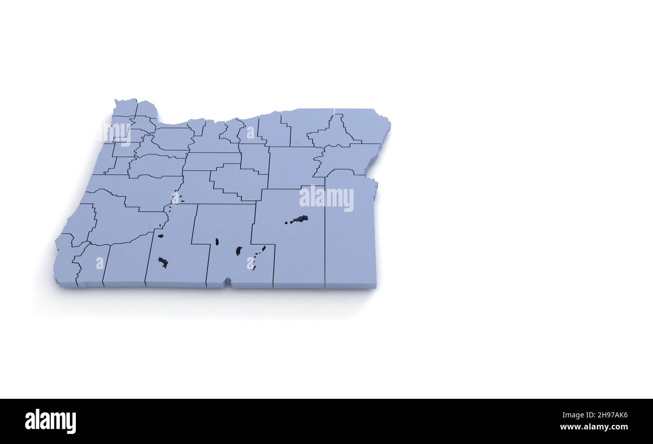 Oregon State Map 3d. State 3D rendering set in the United States. Stock Photohttps://www.alamy.com/image-license-details/?v=1https://www.alamy.com/oregon-state-map-3d-state-3d-rendering-set-in-the-united-states-image453163514.html
RF2H97AK6–Oregon State Map 3d. State 3D rendering set in the United States.
 USA connected dots polygon map. Vector United States map polygonal style. Stock Vectorhttps://www.alamy.com/image-license-details/?v=1https://www.alamy.com/usa-connected-dots-polygon-map-vector-united-states-map-polygonal-style-image448344015.html
RF2H1BRA7–USA connected dots polygon map. Vector United States map polygonal style.
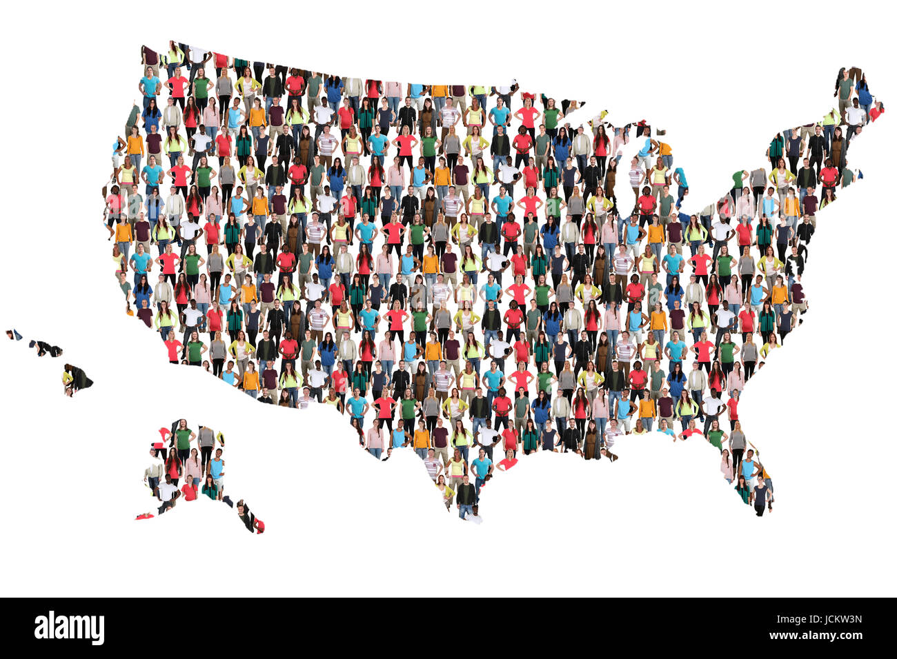 USA United States map multicultural group of people integration immigration diversity isolated Stock Photohttps://www.alamy.com/image-license-details/?v=1https://www.alamy.com/stock-photo-usa-united-states-map-multicultural-group-of-people-integration-immigration-145495609.html
RFJCKW3N–USA United States map multicultural group of people integration immigration diversity isolated
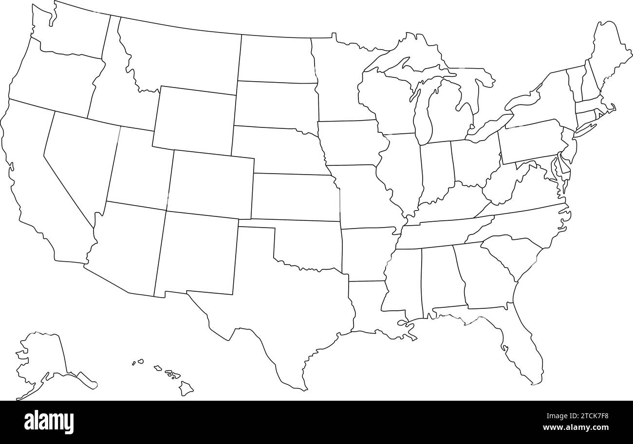 United States map vector isolated on white backdrop Stock Vectorhttps://www.alamy.com/image-license-details/?v=1https://www.alamy.com/united-states-map-vector-isolated-on-white-backdrop-image575741020.html
RF2TCK7F8–United States map vector isolated on white backdrop
 USA word and country map shaped with corn seeds Stock Photohttps://www.alamy.com/image-license-details/?v=1https://www.alamy.com/stock-photo-usa-word-and-country-map-shaped-with-corn-seeds-101609214.html
RFFW8KGE–USA word and country map shaped with corn seeds
 United State map vector dotted, isolated background. Flat grey template for web site pattern, annual report, infographic. USA map concept. US map Stock Vectorhttps://www.alamy.com/image-license-details/?v=1https://www.alamy.com/united-state-map-vector-dotted-isolated-background-flat-grey-template-for-web-site-pattern-annual-report-infographic-usa-map-concept-us-map-image336459954.html
RF2AFB22X–United State map vector dotted, isolated background. Flat grey template for web site pattern, annual report, infographic. USA map concept. US map
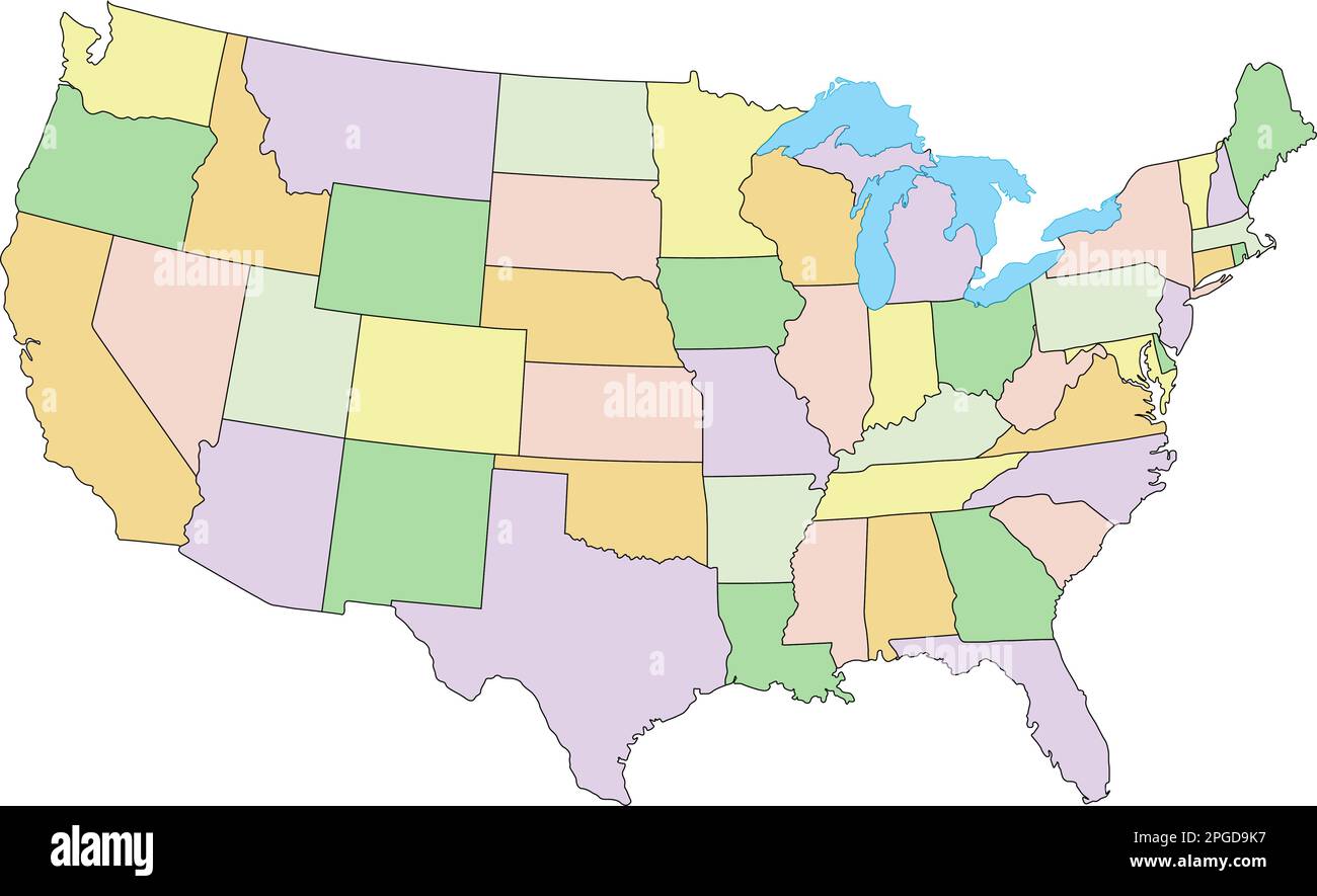 United States of America - Highly detailed editable political map with labeling. Stock Vectorhttps://www.alamy.com/image-license-details/?v=1https://www.alamy.com/united-states-of-america-highly-detailed-editable-political-map-with-labeling-image543648875.html
RF2PGD9K7–United States of America - Highly detailed editable political map with labeling.
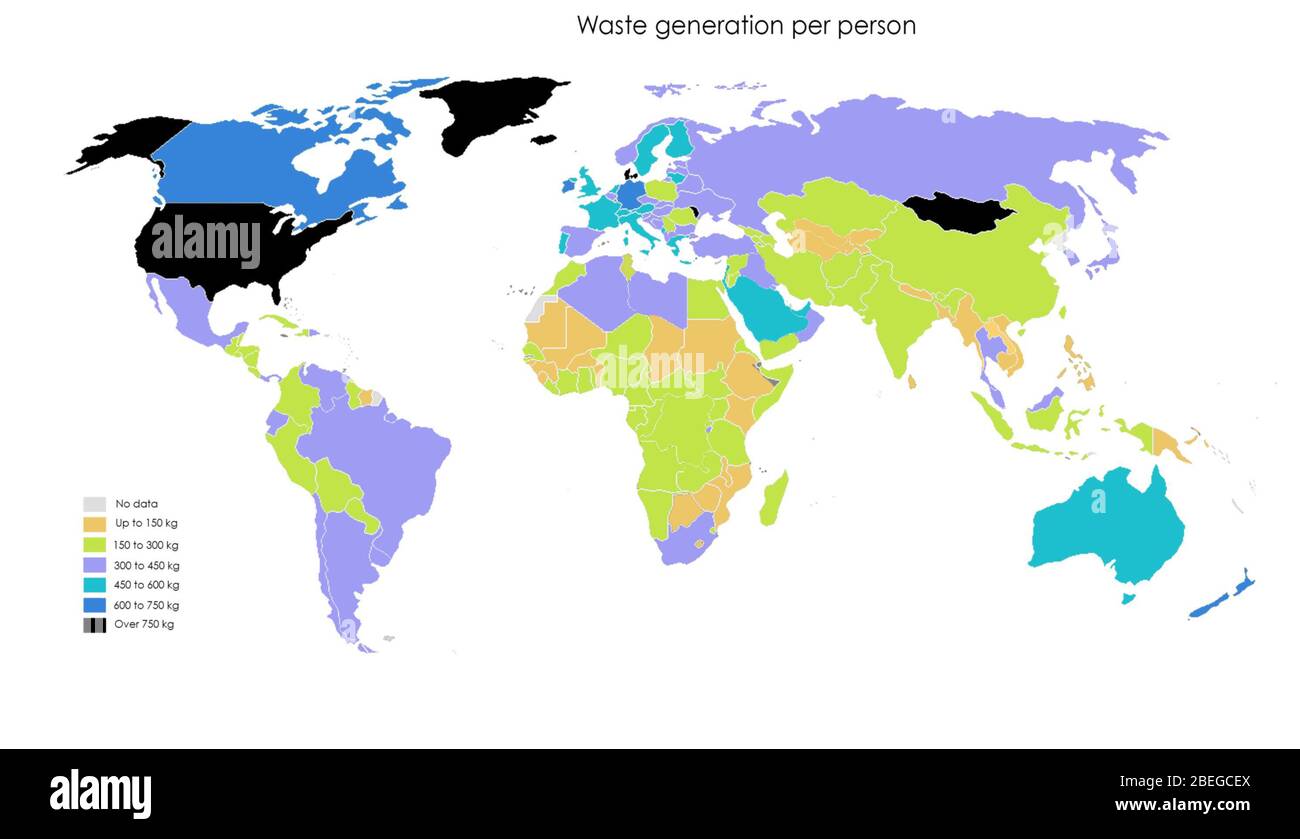 A map showing waste generation per person, in kilograms. Data from 2016. The United States is currently one of the top per capita producers of trash. The World Bank estimates that by 2050 Europeans and North Americans will generate 25% more waste, while trash generation will double in South Asia and triple in sub-Saharan Africa. It is estimated that by the middle of the century, the world will be producing 3.4 billion tons of waste. Stock Photohttps://www.alamy.com/image-license-details/?v=1https://www.alamy.com/a-map-showing-waste-generation-per-person-in-kilograms-data-from-2016-the-united-states-is-currently-one-of-the-top-per-capita-producers-of-trash-the-world-bank-estimates-that-by-2050-europeans-and-north-americans-will-generate-25-more-waste-while-trash-generation-will-double-in-south-asia-and-triple-in-sub-saharan-africa-it-is-estimated-that-by-the-middle-of-the-century-the-world-will-be-producing-34-billion-tons-of-waste-image353173602.html
RM2BEGCEX–A map showing waste generation per person, in kilograms. Data from 2016. The United States is currently one of the top per capita producers of trash. The World Bank estimates that by 2050 Europeans and North Americans will generate 25% more waste, while trash generation will double in South Asia and triple in sub-Saharan Africa. It is estimated that by the middle of the century, the world will be producing 3.4 billion tons of waste.
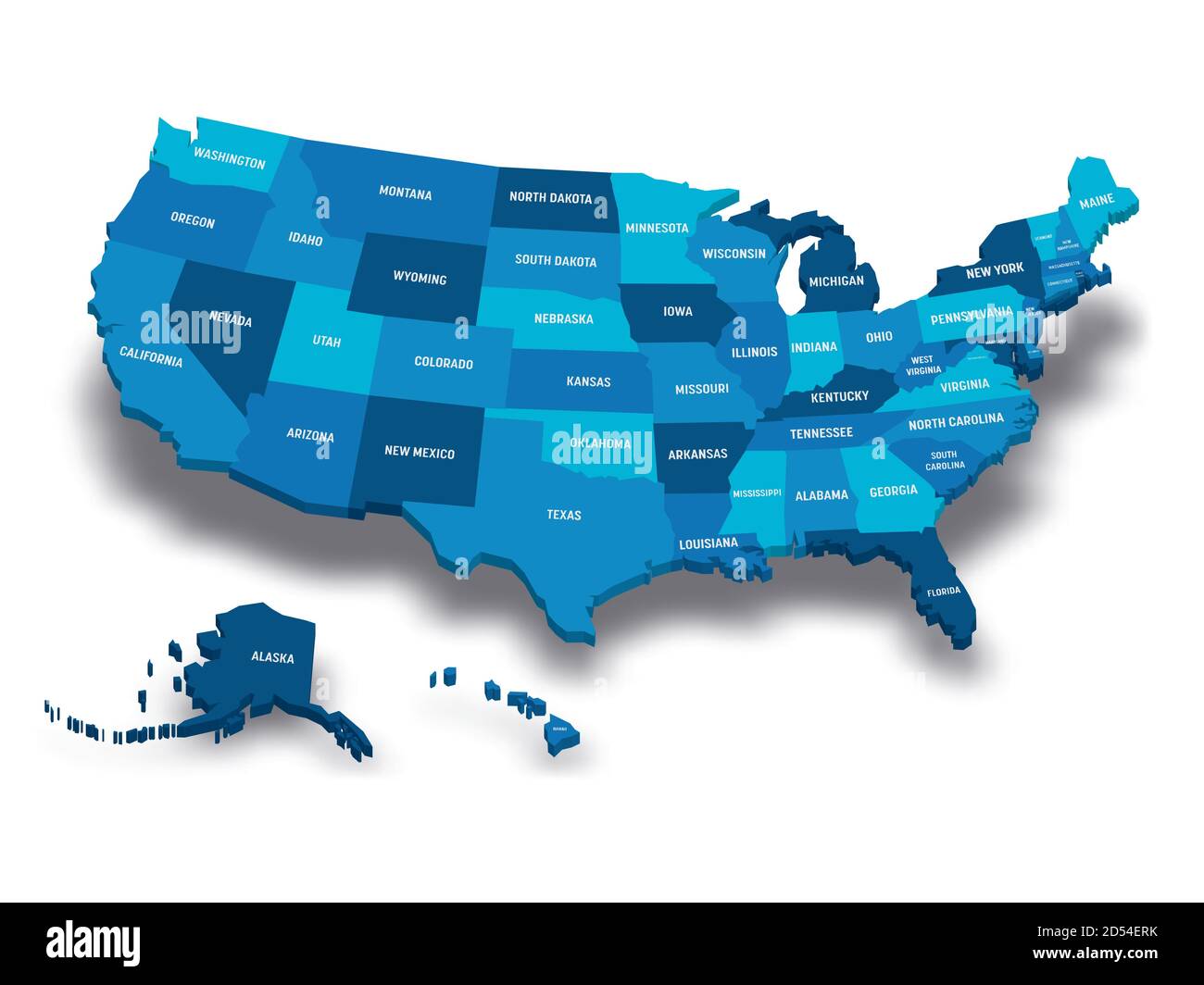 Map of United States of America, USA, with state postal abbreviations. 3D vector map with dropped shadow Stock Vectorhttps://www.alamy.com/image-license-details/?v=1https://www.alamy.com/map-of-united-states-of-america-usa-with-state-postal-abbreviations-3d-vector-map-with-dropped-shadow-image381800823.html
RF2D54ERK–Map of United States of America, USA, with state postal abbreviations. 3D vector map with dropped shadow
 United States of America. Detailed 3D rendering of a shaded relief map with rivers and lakes. Colored by elevation. Created with satellite data. Stock Photohttps://www.alamy.com/image-license-details/?v=1https://www.alamy.com/united-states-of-america-detailed-3d-rendering-of-a-shaded-relief-map-with-rivers-and-lakes-colored-by-elevation-created-with-satellite-data-image546314711.html
RF2PMPNYK–United States of America. Detailed 3D rendering of a shaded relief map with rivers and lakes. Colored by elevation. Created with satellite data.
 United States map background. Vector eps10 illustration Stock Vectorhttps://www.alamy.com/image-license-details/?v=1https://www.alamy.com/united-states-map-background-vector-eps10-illustration-image259866929.html
RFW2NXWN–United States map background. Vector eps10 illustration
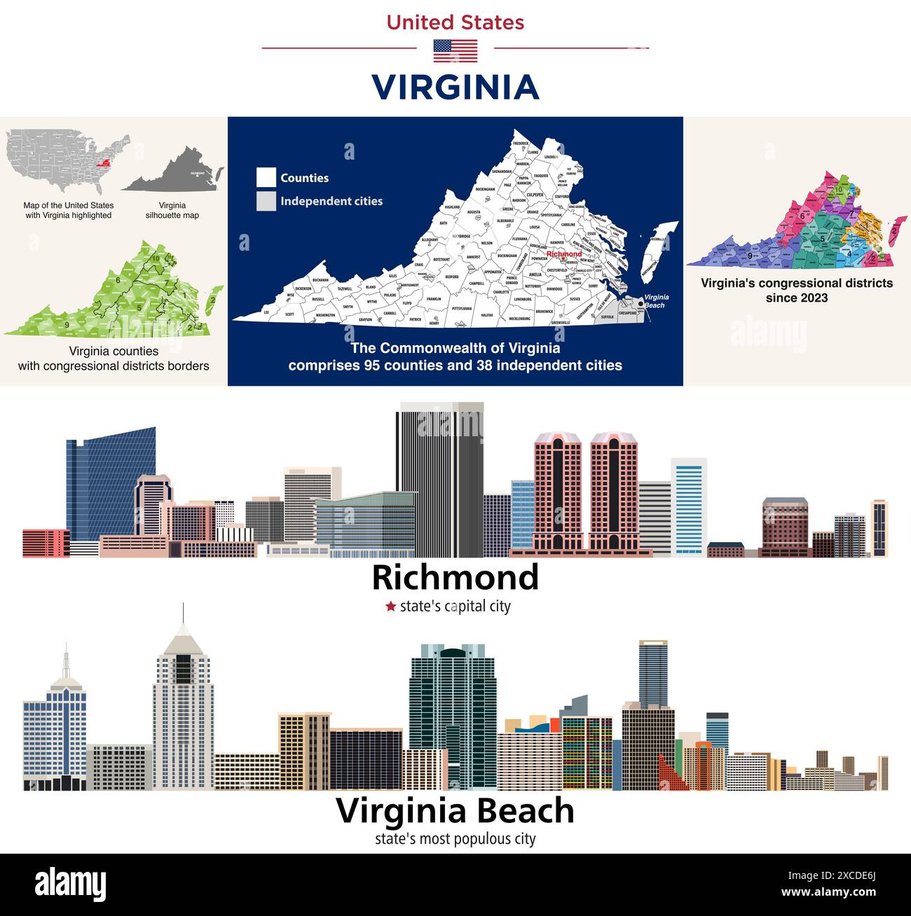 Commonwealth of Virginia counties and independent cities map.Congressional districts since 2023 map. Richmond (state's capital city) and Virginia Beac Stock Vectorhttps://www.alamy.com/image-license-details/?v=1https://www.alamy.com/commonwealth-of-virginia-counties-and-independent-cities-mapcongressional-districts-since-2023-map-richmond-states-capital-city-and-virginia-beac-image610035290.html
RF2XCDE6J–Commonwealth of Virginia counties and independent cities map.Congressional districts since 2023 map. Richmond (state's capital city) and Virginia Beac
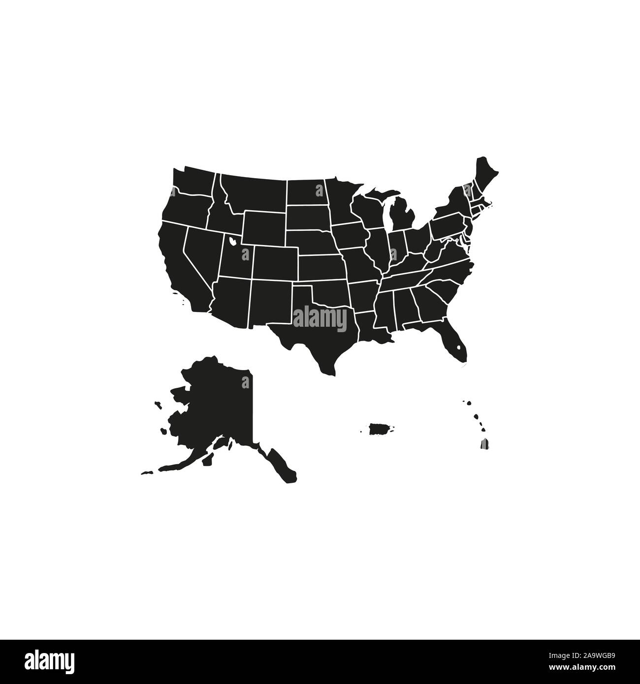 United States Map, states border map. Vector illustration. Stock Vectorhttps://www.alamy.com/image-license-details/?v=1https://www.alamy.com/united-states-map-states-border-map-vector-illustration-image333090557.html
RF2A9WGB9–United States Map, states border map. Vector illustration.
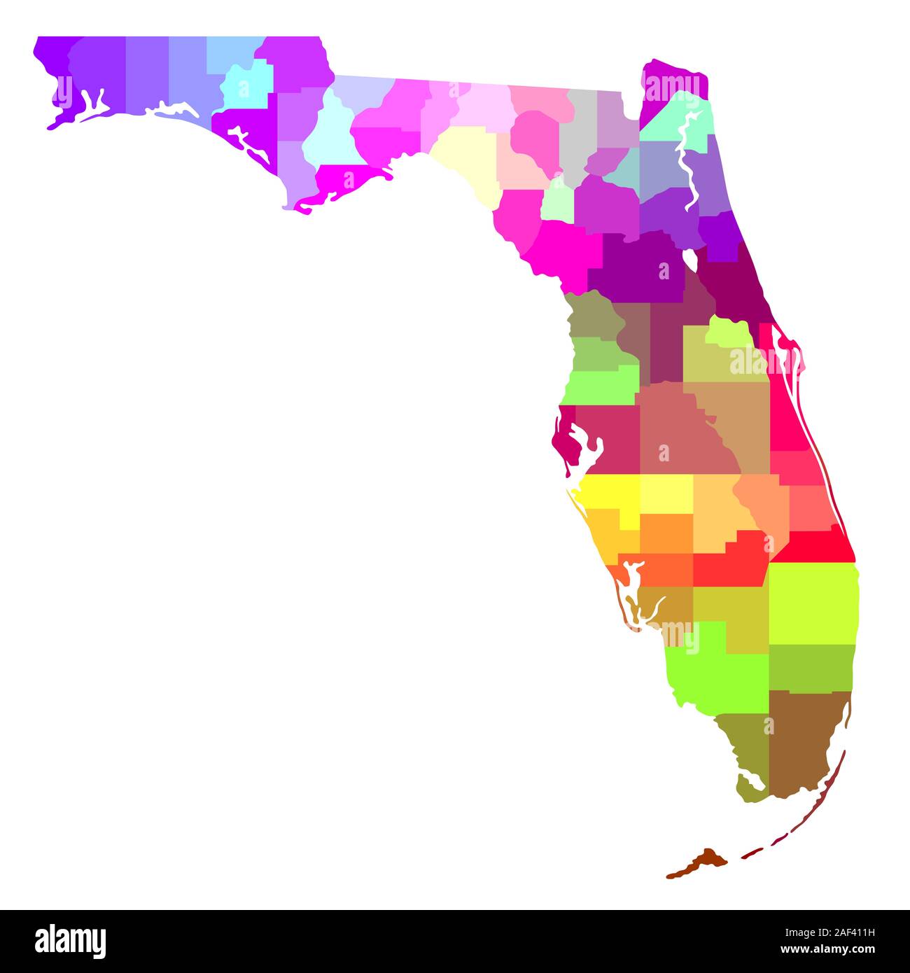 Colorful Map of Florida Stock Photohttps://www.alamy.com/image-license-details/?v=1https://www.alamy.com/colorful-map-of-florida-image336305469.html
RF2AF411H–Colorful Map of Florida
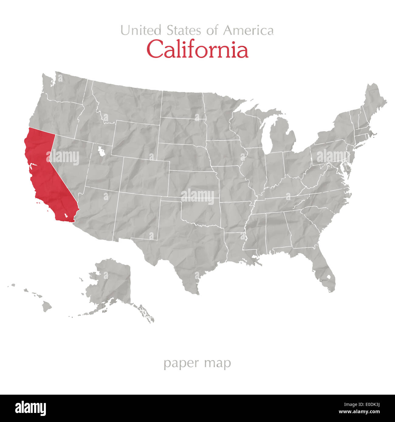 California and United States map outline Stock Photohttps://www.alamy.com/image-license-details/?v=1https://www.alamy.com/california-and-united-states-map-outline-image69141846.html
RFE0DK3J–California and United States map outline
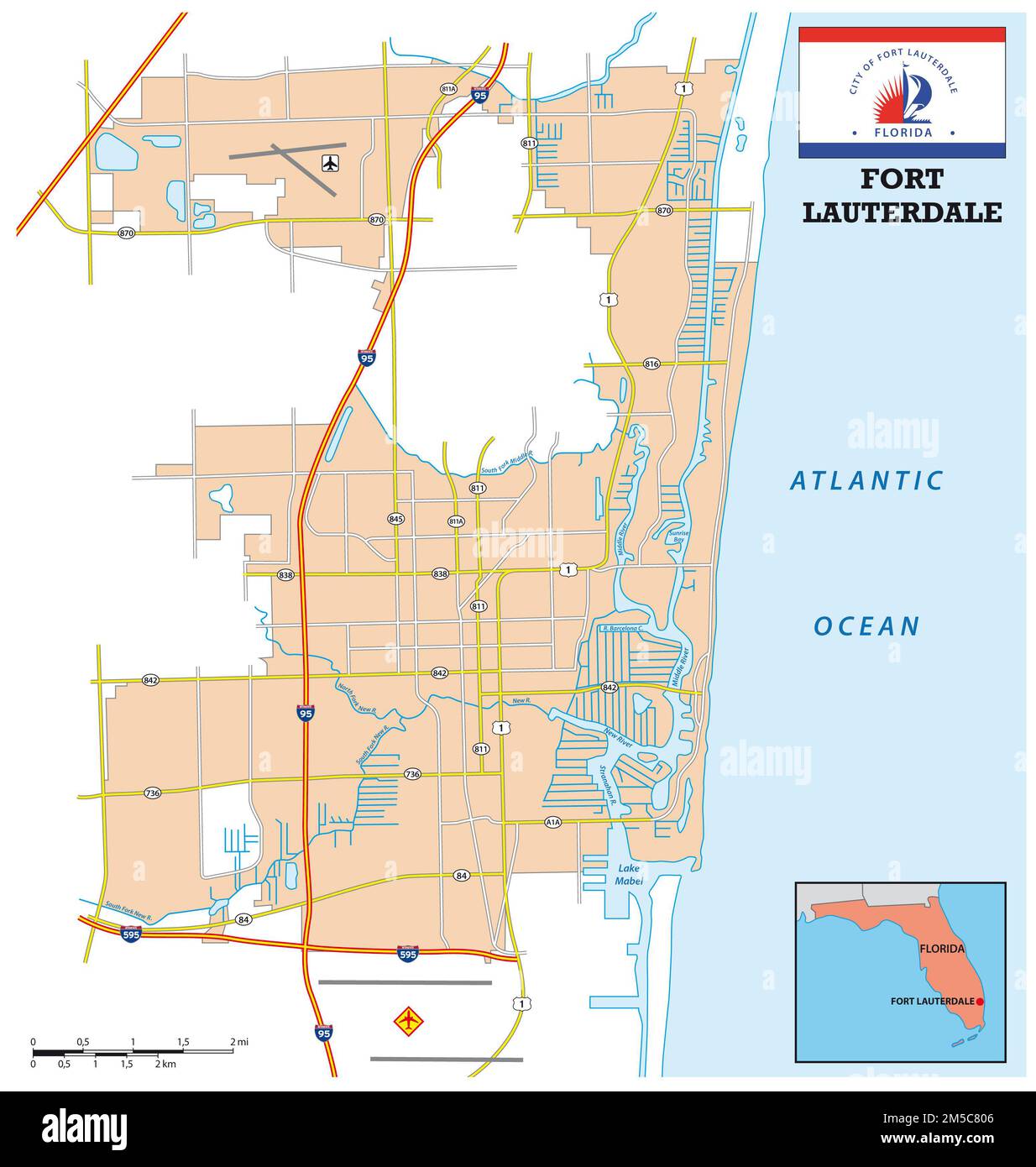 simple street map of the city of Fort Lauderdale, Florida, United States Stock Photohttps://www.alamy.com/image-license-details/?v=1https://www.alamy.com/simple-street-map-of-the-city-of-fort-lauderdale-florida-united-states-image502443654.html
RF2M5C806–simple street map of the city of Fort Lauderdale, Florida, United States
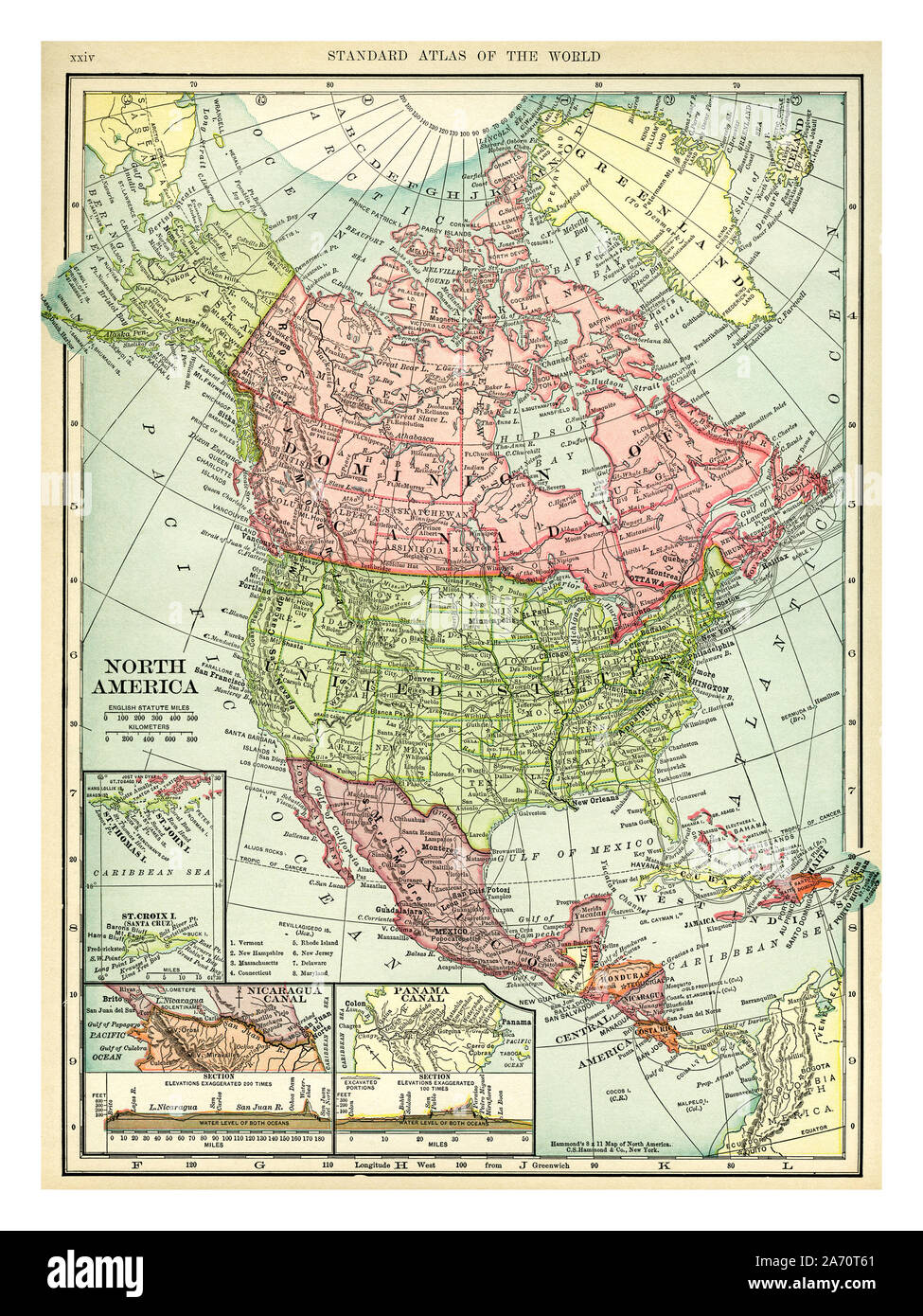 Vintage 1906 map of North America. Countries included on this map are: Canada, Greenland, United States, Mexico, Guatemala, Honduras, Nicaragua, Costa Rica, Cuba and Haiti. C. S. Hammond map printed and published 1906. Stock Photohttps://www.alamy.com/image-license-details/?v=1https://www.alamy.com/vintage-1906-map-of-north-america-countries-included-on-this-map-are-canada-greenland-united-states-mexico-guatemala-honduras-nicaragua-costa-rica-cuba-and-haiti-c-s-hammond-map-printed-and-published-1906-image331318569.html
RM2A70T61–Vintage 1906 map of North America. Countries included on this map are: Canada, Greenland, United States, Mexico, Guatemala, Honduras, Nicaragua, Costa Rica, Cuba and Haiti. C. S. Hammond map printed and published 1906.
 Map of United States of America Stock Photohttps://www.alamy.com/image-license-details/?v=1https://www.alamy.com/stock-photo-map-of-united-states-of-america-24386234.html
RFBBJTTX–Map of United States of America
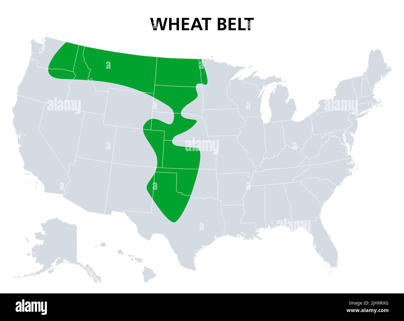 Wheat Belt of the United States, political map. Part of the North American Great Plains where wheat is the dominant crop. Stock Photohttps://www.alamy.com/image-license-details/?v=1https://www.alamy.com/wheat-belt-of-the-united-states-political-map-part-of-the-north-american-great-plains-where-wheat-is-the-dominant-crop-image475718616.html
RF2JHXRXG–Wheat Belt of the United States, political map. Part of the North American Great Plains where wheat is the dominant crop.
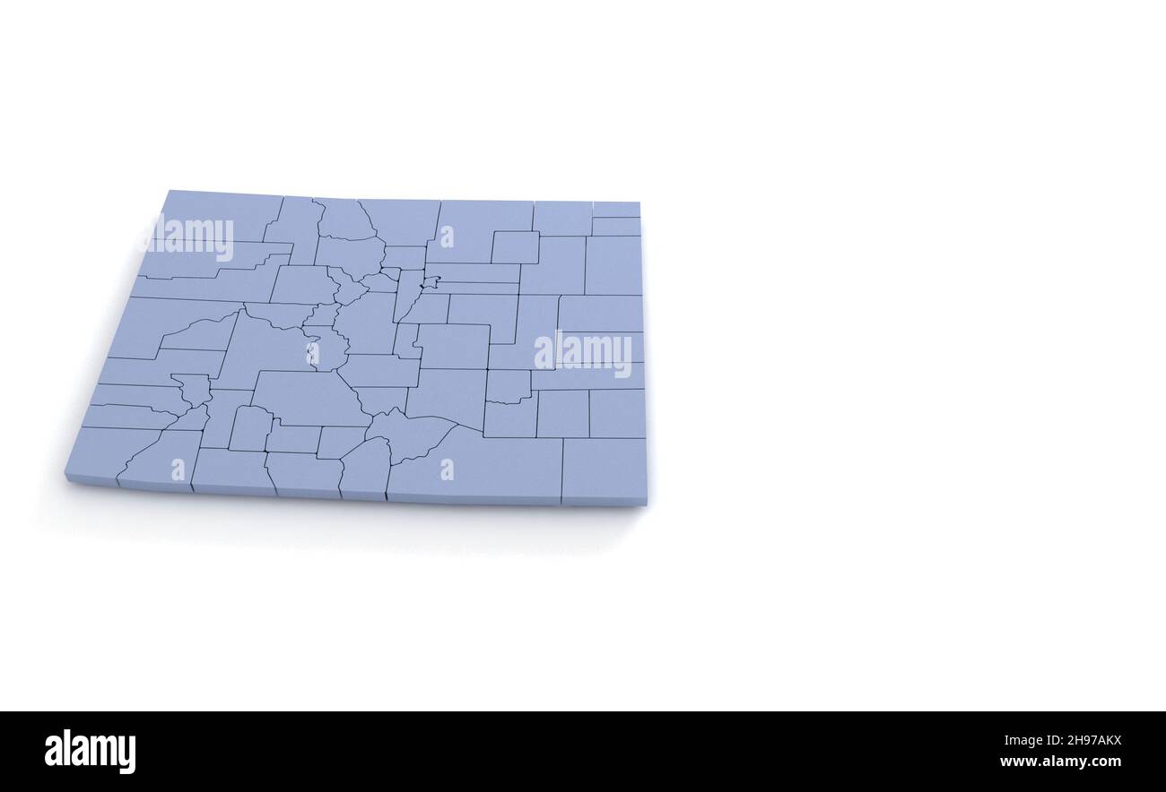 Colorado State Map 3d. State 3D rendering set in the United States. Stock Photohttps://www.alamy.com/image-license-details/?v=1https://www.alamy.com/colorado-state-map-3d-state-3d-rendering-set-in-the-united-states-image453163534.html
RF2H97AKX–Colorado State Map 3d. State 3D rendering set in the United States.
 Black Map of the United States of America on a white background. Stock Photohttps://www.alamy.com/image-license-details/?v=1https://www.alamy.com/black-map-of-the-united-states-of-america-on-a-white-background-image543485161.html
RF2PG5TT9–Black Map of the United States of America on a white background.
 Map of The United States of America (USA) Outline Illustration on White Background. Stock Photohttps://www.alamy.com/image-license-details/?v=1https://www.alamy.com/map-of-the-united-states-of-america-usa-outline-illustration-on-white-background-image247464570.html
RFTAGYGA–Map of The United States of America (USA) Outline Illustration on White Background.
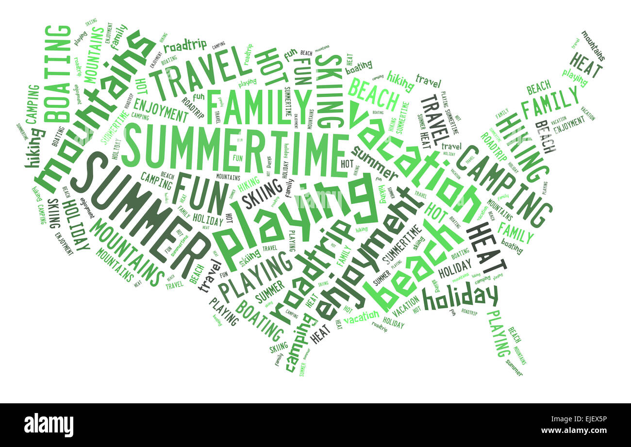 Word cloud in summer colors showing words dealing with a fun summertime vacation in the shape of the United States Stock Photohttps://www.alamy.com/image-license-details/?v=1https://www.alamy.com/stock-photo-word-cloud-in-summer-colors-showing-words-dealing-with-a-fun-summertime-80233154.html
RFEJEX5P–Word cloud in summer colors showing words dealing with a fun summertime vacation in the shape of the United States
 State of Oregon map. Oregon map design template. Vector and illustration. Stock Vectorhttps://www.alamy.com/image-license-details/?v=1https://www.alamy.com/state-of-oregon-map-oregon-map-design-template-vector-and-illustration-image560383357.html
RF2RFKJK9–State of Oregon map. Oregon map design template. Vector and illustration.
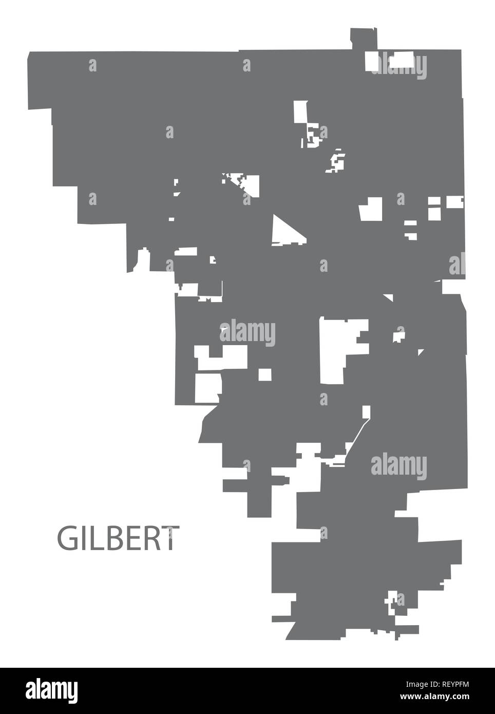 Gilbert Arizona city map grey illustration silhouette Stock Vectorhttps://www.alamy.com/image-license-details/?v=1https://www.alamy.com/gilbert-arizona-city-map-grey-illustration-silhouette-image232950360.html
RFREYPFM–Gilbert Arizona city map grey illustration silhouette
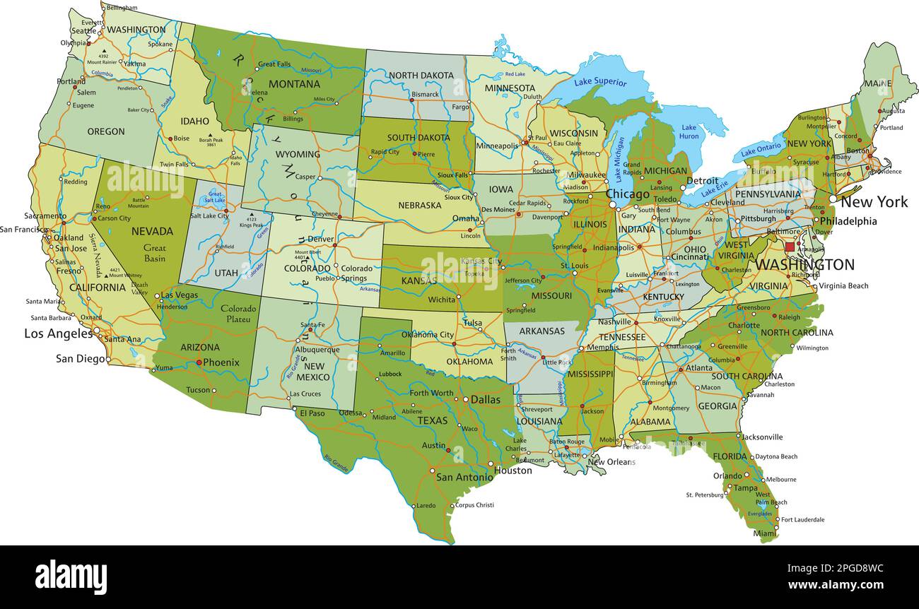 Highly detailed editable political map with separated layers. United States of America. Stock Vectorhttps://www.alamy.com/image-license-details/?v=1https://www.alamy.com/highly-detailed-editable-political-map-with-separated-layers-united-states-of-america-image543648264.html
RF2PGD8WC–Highly detailed editable political map with separated layers. United States of America.
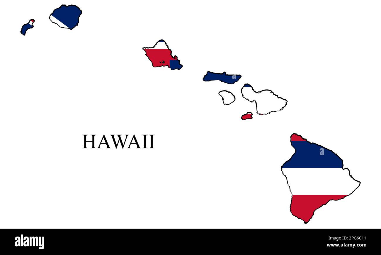 Hawaii map vector illustration. Global economy. State in America. North America. United States. America. U.S.A Stock Vectorhttps://www.alamy.com/image-license-details/?v=1https://www.alamy.com/hawaii-map-vector-illustration-global-economy-state-in-america-north-america-united-states-america-usa-image543497053.html
RF2PG6C11–Hawaii map vector illustration. Global economy. State in America. North America. United States. America. U.S.A
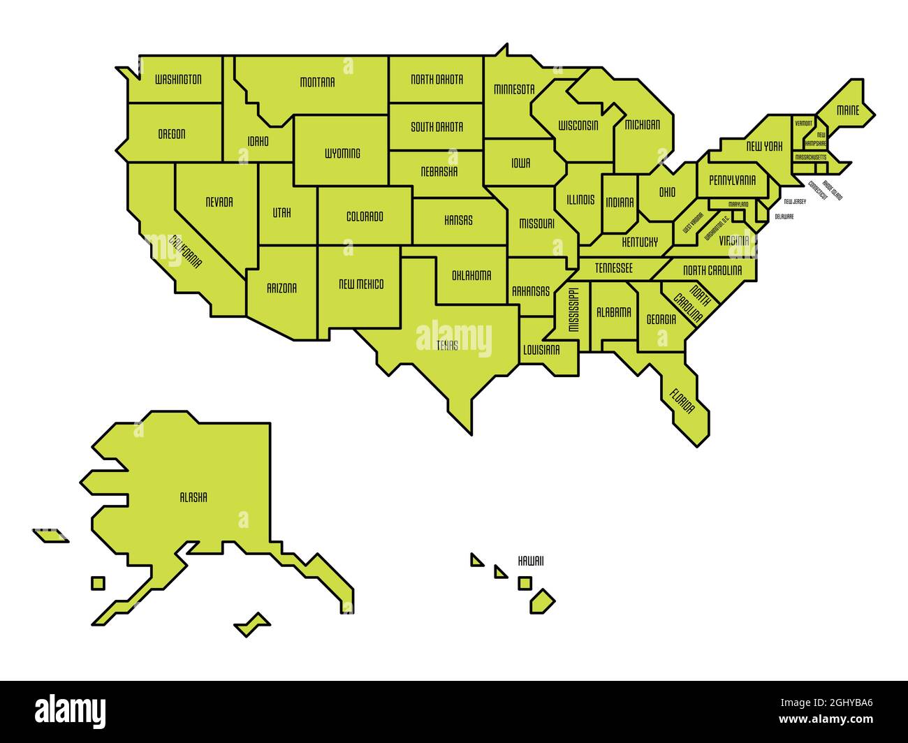 Green simplified map of USA, United States of America. Retro style. Geometrical shapes of states with sharp borders. Simple flat vector map with state name labels Stock Vectorhttps://www.alamy.com/image-license-details/?v=1https://www.alamy.com/green-simplified-map-of-usa-united-states-of-america-retro-style-geometrical-shapes-of-states-with-sharp-borders-simple-flat-vector-map-with-state-name-labels-image441309966.html
RF2GHYBA6–Green simplified map of USA, United States of America. Retro style. Geometrical shapes of states with sharp borders. Simple flat vector map with state name labels
 3d golden map of the united states of america Stock Photohttps://www.alamy.com/image-license-details/?v=1https://www.alamy.com/stock-photo-3d-golden-map-of-the-united-states-of-america-16434738.html
RFAW1FGK–3d golden map of the united states of america
 United States map background. Vector eps10 illustration Stock Vectorhttps://www.alamy.com/image-license-details/?v=1https://www.alamy.com/united-states-map-background-vector-eps10-illustration-image259867018.html
RFW2NY0X–United States map background. Vector eps10 illustration
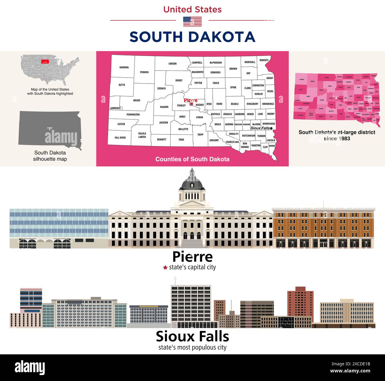 South Dakota counties map and congressional districts since 2023 map. Pierre (state's capital city) and Sioux Falls (state's most populous city) skyli Stock Vectorhttps://www.alamy.com/image-license-details/?v=1https://www.alamy.com/south-dakota-counties-map-and-congressional-districts-since-2023-map-pierre-states-capital-city-and-sioux-falls-states-most-populous-city-skyli-image610035143.html
RF2XCDE1B–South Dakota counties map and congressional districts since 2023 map. Pierre (state's capital city) and Sioux Falls (state's most populous city) skyli
 United States Map. on white background, vector illustration. Stock Vectorhttps://www.alamy.com/image-license-details/?v=1https://www.alamy.com/united-states-map-on-white-background-vector-illustration-image333811294.html
RF2AB2BKX–United States Map. on white background, vector illustration.
 united states map Stock Photohttps://www.alamy.com/image-license-details/?v=1https://www.alamy.com/united-states-map-image69218869.html
RFE0H5AD–united states map
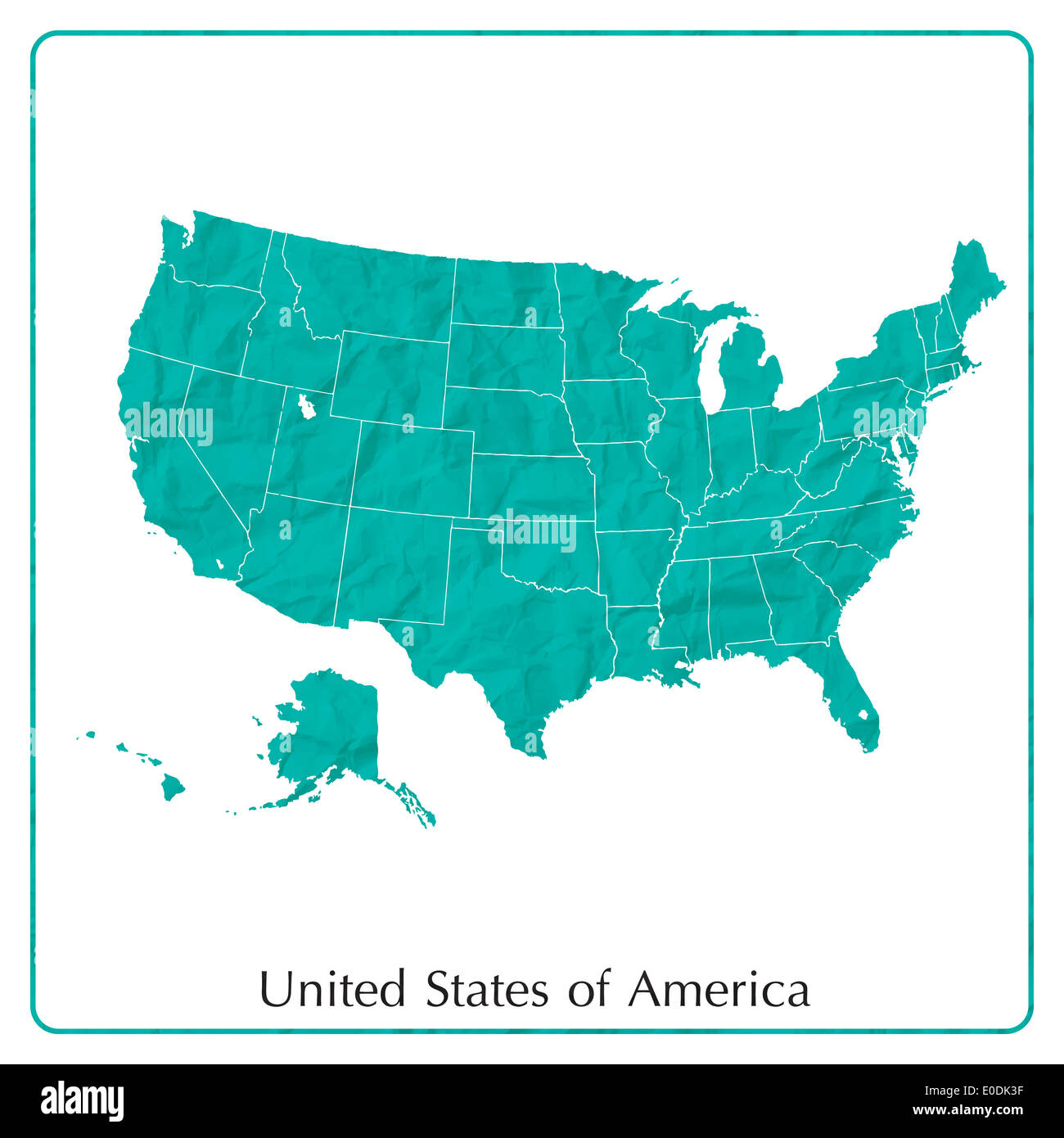 United States map on paper texture Stock Photohttps://www.alamy.com/image-license-details/?v=1https://www.alamy.com/united-states-map-on-paper-texture-image69141843.html
RFE0DK3F–United States map on paper texture
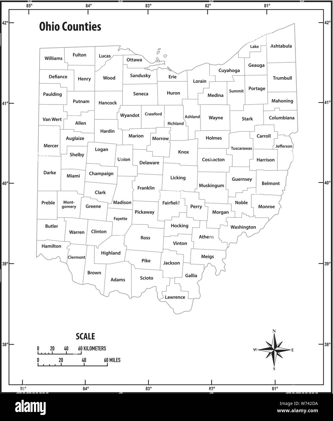 Ohio state outline administrative and political vector map in black and white Stock Vectorhttps://www.alamy.com/image-license-details/?v=1https://www.alamy.com/ohio-state-outline-administrative-and-political-vector-map-in-black-and-white-image262547862.html
RFW742DA–Ohio state outline administrative and political vector map in black and white
 Stylized simple yellow outline map of USA Stock Vectorhttps://www.alamy.com/image-license-details/?v=1https://www.alamy.com/stylized-simple-yellow-outline-map-of-usa-image349052845.html
RF2B7TMD1–Stylized simple yellow outline map of USA
 Map of United States of America Stock Photohttps://www.alamy.com/image-license-details/?v=1https://www.alamy.com/stock-photo-map-of-united-states-of-america-24153021.html
RFBB87BW–Map of United States of America
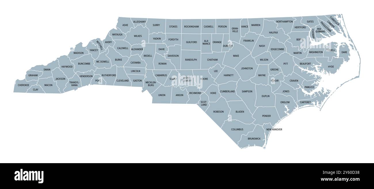 North Carolina counties, gray political map with borders and county names. State in Southeastern region of United States subdivided into 100 counties. Stock Photohttps://www.alamy.com/image-license-details/?v=1https://www.alamy.com/north-carolina-counties-gray-political-map-with-borders-and-county-names-state-in-southeastern-region-of-united-states-subdivided-into-100-counties-image623271468.html
RF2Y60D38–North Carolina counties, gray political map with borders and county names. State in Southeastern region of United States subdivided into 100 counties.
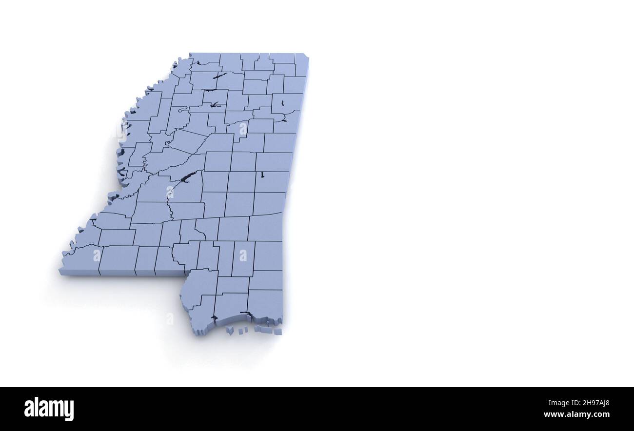 Mississippi State Map 3d. State 3D rendering set in the United States. Stock Photohttps://www.alamy.com/image-license-details/?v=1https://www.alamy.com/mississippi-state-map-3d-state-3d-rendering-set-in-the-united-states-image453163488.html
RF2H97AJ8–Mississippi State Map 3d. State 3D rendering set in the United States.
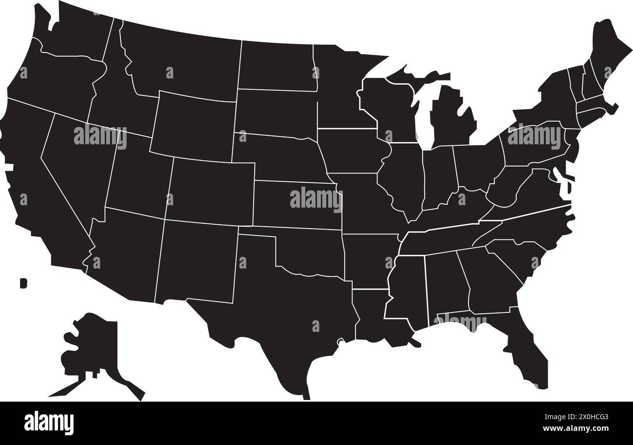 United States map vector illustration simple design Stock Vectorhttps://www.alamy.com/image-license-details/?v=1https://www.alamy.com/united-states-map-vector-illustration-simple-design-image602745923.html
RF2X0HCG3–United States map vector illustration simple design
 Map of The United States of America (USA) Silhouette Illustration on White Background. Stock Photohttps://www.alamy.com/image-license-details/?v=1https://www.alamy.com/map-of-the-united-states-of-america-usa-silhouette-illustration-on-white-background-image247464596.html
RFTAGYH8–Map of The United States of America (USA) Silhouette Illustration on White Background.
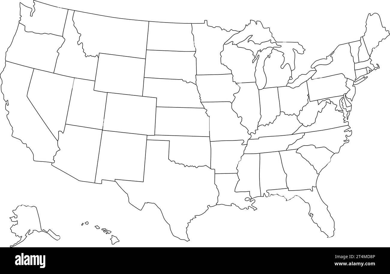 United States map vector isolated on white backdrop Stock Vectorhttps://www.alamy.com/image-license-details/?v=1https://www.alamy.com/united-states-map-vector-isolated-on-white-backdrop-image570850246.html
RF2T4MD8P–United States map vector isolated on white backdrop
 State of Oregon map. Oregon map design template. Vector and illustration. Stock Vectorhttps://www.alamy.com/image-license-details/?v=1https://www.alamy.com/state-of-oregon-map-oregon-map-design-template-vector-and-illustration-image560383580.html
RF2RFKJY8–State of Oregon map. Oregon map design template. Vector and illustration.