Quick filters:
Wheeling virginia map Stock Photos and Images
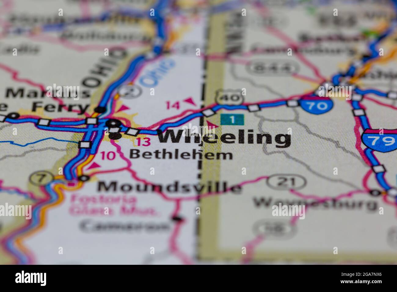 Wheeling Virginia shown on a road map or Geography map Stock Photohttps://www.alamy.com/image-license-details/?v=1https://www.alamy.com/wheeling-virginia-shown-on-a-road-map-or-geography-map-image436576622.html
RM2GA7NX6–Wheeling Virginia shown on a road map or Geography map
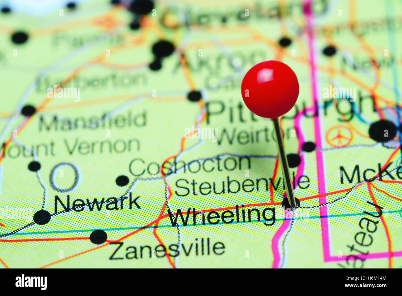 Wheeling pinned on a map of West Virginia, USA Stock Photohttps://www.alamy.com/image-license-details/?v=1https://www.alamy.com/stock-photo-wheeling-pinned-on-a-map-of-west-virginia-usa-124600468.html
RFH6M14M–Wheeling pinned on a map of West Virginia, USA
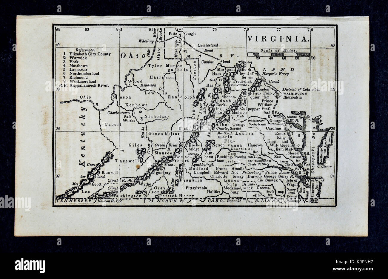 1830 Nathan Hale Map - Virginia & West Virginia - Richmond Norfolk Alexandria - United States Stock Photohttps://www.alamy.com/image-license-details/?v=1https://www.alamy.com/stock-image-1830-nathan-hale-map-virginia-west-virginia-richmond-norfolk-alexandria-169530291.html
RFKRPNH7–1830 Nathan Hale Map - Virginia & West Virginia - Richmond Norfolk Alexandria - United States
 Map of the proposed line of Rail Road connection between tide water Virginia and the Ohio River at Guyandotte, Parkersburg and Wheeling - Cropped to show the Southside Railroad. Stock Photohttps://www.alamy.com/image-license-details/?v=1https://www.alamy.com/map-of-the-proposed-line-of-rail-road-connection-between-tide-water-virginia-and-the-ohio-river-at-guyandotte-parkersburg-and-wheeling-cropped-to-show-the-southside-railroad-image398135794.html
RM2E3MJ7E–Map of the proposed line of Rail Road connection between tide water Virginia and the Ohio River at Guyandotte, Parkersburg and Wheeling - Cropped to show the Southside Railroad.
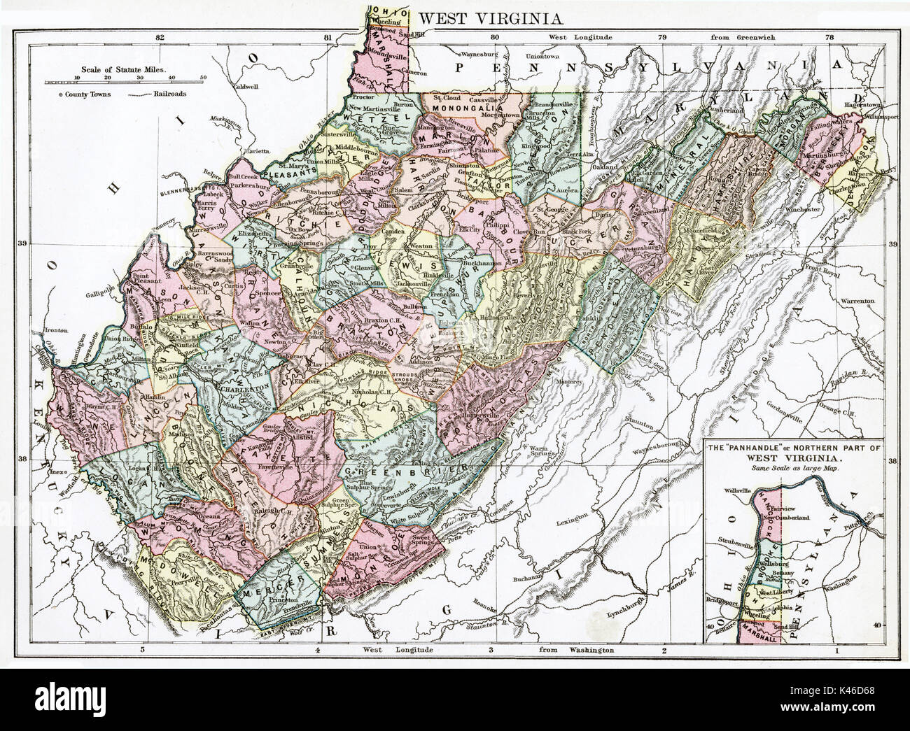 Antique map, circa 1875, of West Virginia Stock Photohttps://www.alamy.com/image-license-details/?v=1https://www.alamy.com/antique-map-circa-1875-of-west-virginia-image157494016.html
RMK46D68–Antique map, circa 1875, of West Virginia
 official flag of Wheeling, West Virginia untied states of America at cloudy sky background on sunset, panoramic view. USA travel and patriot concept. Stock Photohttps://www.alamy.com/image-license-details/?v=1https://www.alamy.com/official-flag-of-wheeling-west-virginia-untied-states-of-america-at-cloudy-sky-background-on-sunset-panoramic-view-usa-travel-and-patriot-concept-image478084033.html
RF2JNPH1N–official flag of Wheeling, West Virginia untied states of America at cloudy sky background on sunset, panoramic view. USA travel and patriot concept.
 Wheeling Heights, Ohio County, US, United States, West Virginia, N 40 2' 40'', S 80 42' 44'', map, Cartascapes Map published in 2024. Explore Cartascapes, a map revealing Earth's diverse landscapes, cultures, and ecosystems. Journey through time and space, discovering the interconnectedness of our planet's past, present, and future. Stock Photohttps://www.alamy.com/image-license-details/?v=1https://www.alamy.com/wheeling-heights-ohio-county-us-united-states-west-virginia-n-40-2-40-s-80-42-44-map-cartascapes-map-published-in-2024-explore-cartascapes-a-map-revealing-earths-diverse-landscapes-cultures-and-ecosystems-journey-through-time-and-space-discovering-the-interconnectedness-of-our-planets-past-present-and-future-image621459236.html
RM2Y31WGM–Wheeling Heights, Ohio County, US, United States, West Virginia, N 40 2' 40'', S 80 42' 44'', map, Cartascapes Map published in 2024. Explore Cartascapes, a map revealing Earth's diverse landscapes, cultures, and ecosystems. Journey through time and space, discovering the interconnectedness of our planet's past, present, and future.
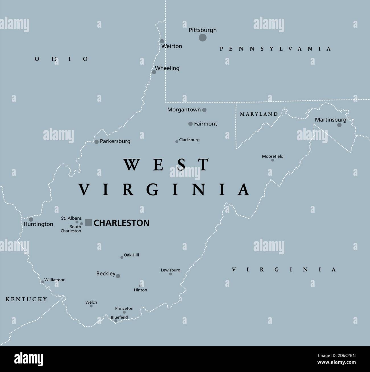 West Virginia, WV, gray political map. State in the Appalachian region of the Southern United States and in the Mid-Atlantic Southeast Region. Stock Photohttps://www.alamy.com/image-license-details/?v=1https://www.alamy.com/west-virginia-wv-gray-political-map-state-in-the-appalachian-region-of-the-southern-united-states-and-in-the-mid-atlantic-southeast-region-image382600953.html
RF2D6CYBN–West Virginia, WV, gray political map. State in the Appalachian region of the Southern United States and in the Mid-Atlantic Southeast Region.
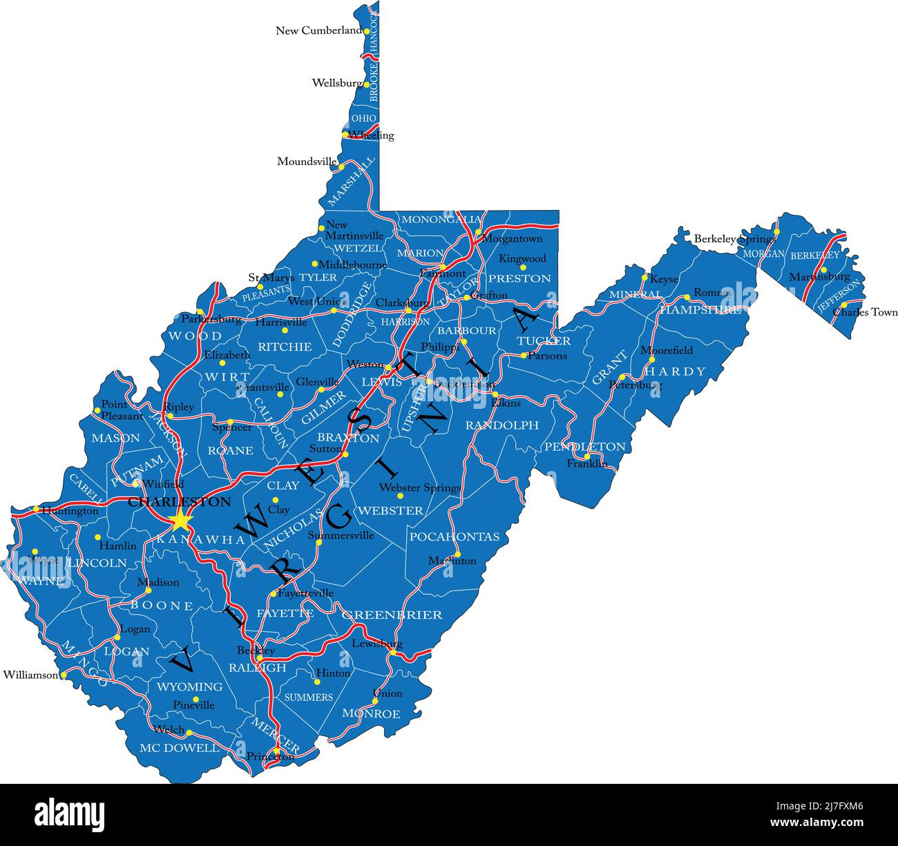 Detailed map of West Virginia state,in vector format,with county borders,roads and major cities. Stock Vectorhttps://www.alamy.com/image-license-details/?v=1https://www.alamy.com/detailed-map-of-west-virginia-statein-vector-formatwith-county-bordersroads-and-major-cities-image469332758.html
RF2J7FXM6–Detailed map of West Virginia state,in vector format,with county borders,roads and major cities.
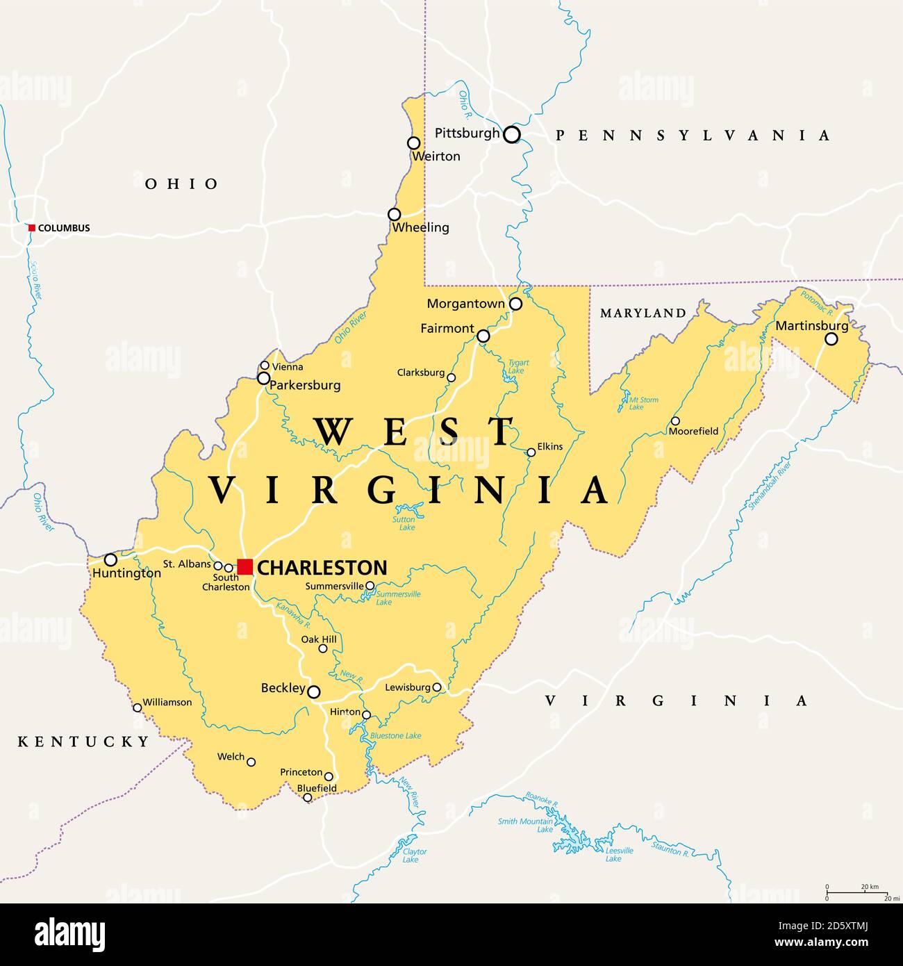 West Virginia, WV, political map. State in the Appalachian region of Southern United States of America. Part of Mid-Atlantic Southeast Region. Stock Photohttps://www.alamy.com/image-license-details/?v=1https://www.alamy.com/west-virginia-wv-political-map-state-in-the-appalachian-region-of-southern-united-states-of-america-part-of-mid-atlantic-southeast-region-image382291522.html
RF2D5XTMJ–West Virginia, WV, political map. State in the Appalachian region of Southern United States of America. Part of Mid-Atlantic Southeast Region.
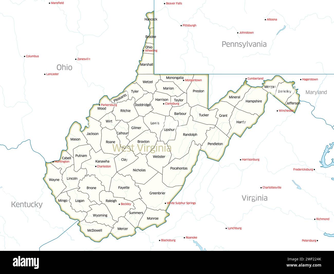 Political map showing the counties of the state of West Virginia. Stock Photohttps://www.alamy.com/image-license-details/?v=1https://www.alamy.com/political-map-showing-the-counties-of-the-state-of-west-virginia-image594417955.html
RF2WF224K–Political map showing the counties of the state of West Virginia.
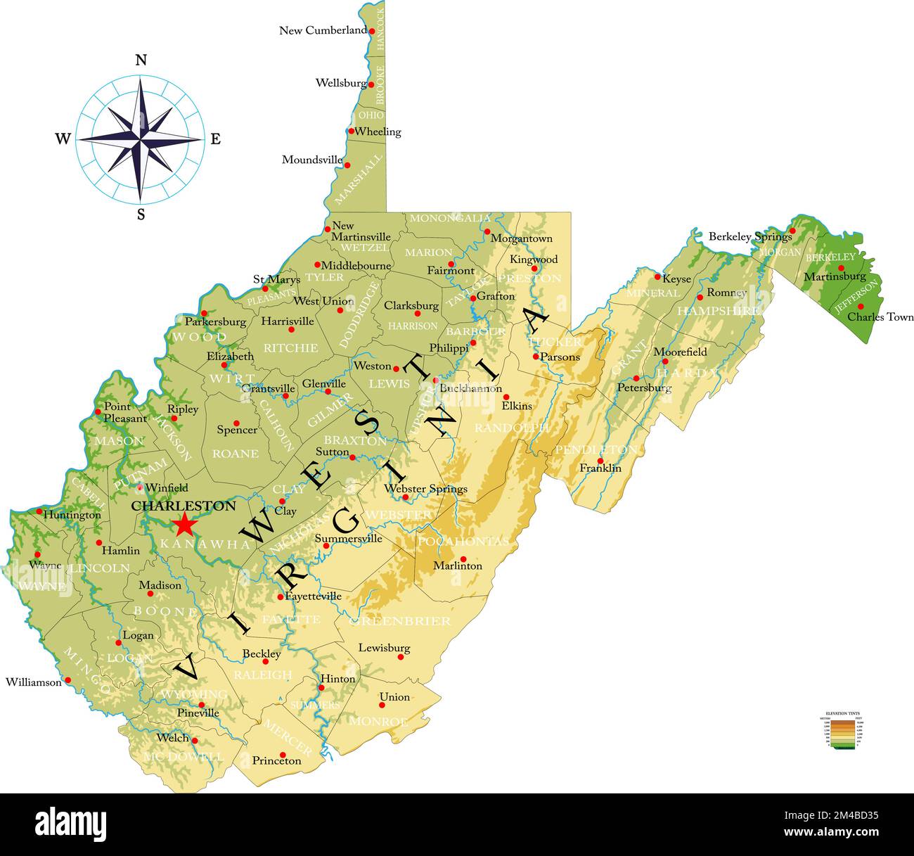 Highly detailed physical map of the West Virginia, in vector format,with all the relief forms,regions and big cities. Stock Vectorhttps://www.alamy.com/image-license-details/?v=1https://www.alamy.com/highly-detailed-physical-map-of-the-west-virginia-in-vector-formatwith-all-the-relief-formsregions-and-big-cities-image501811049.html
RF2M4BD35–Highly detailed physical map of the West Virginia, in vector format,with all the relief forms,regions and big cities.
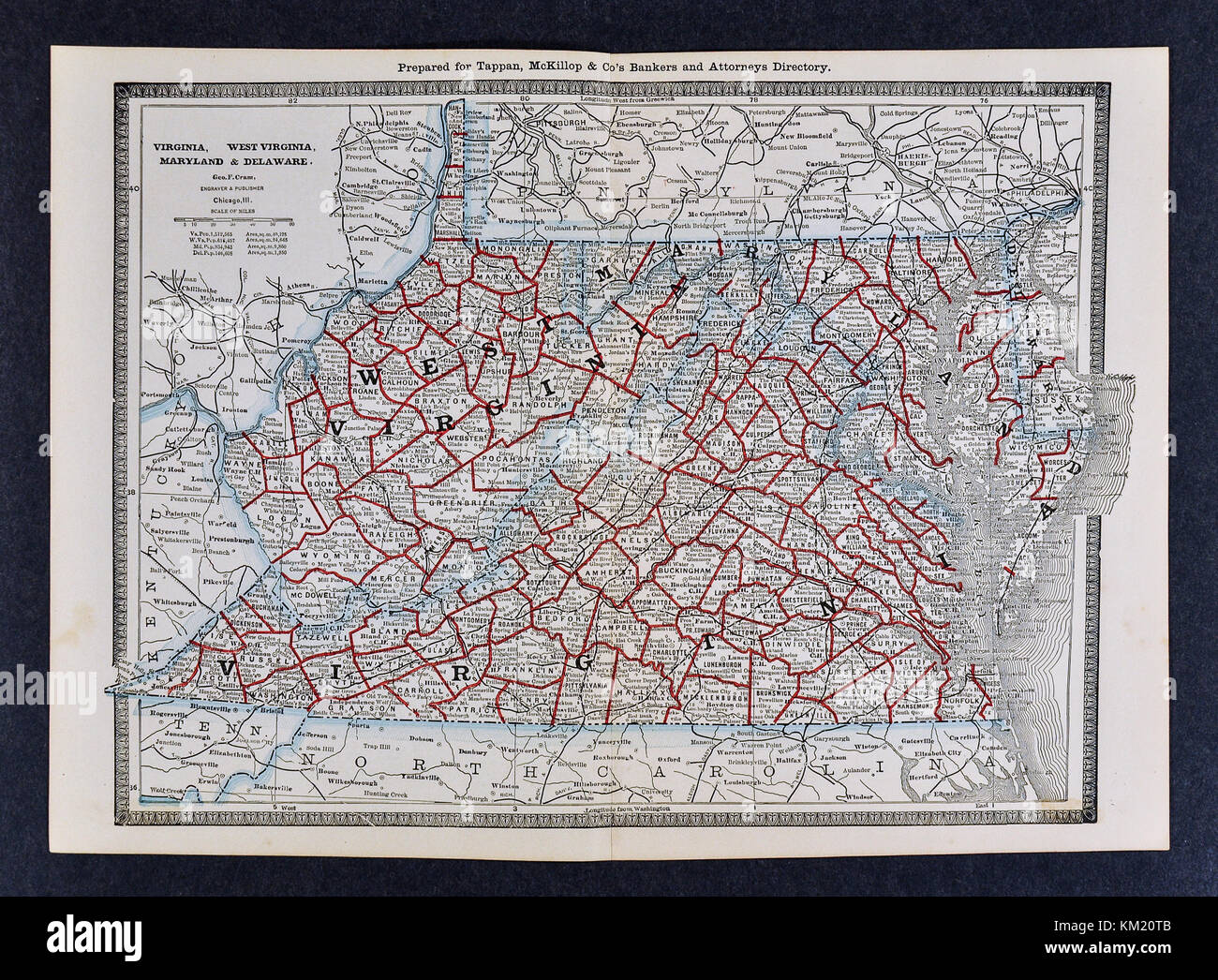 George Cram Antique Map from 1866 Atlas for Attorneys and Bankers: United States - Virginia Maryland West Virginia - Richmond Washington DC Baltimore Stock Photohttps://www.alamy.com/image-license-details/?v=1https://www.alamy.com/stock-image-george-cram-antique-map-from-1866-atlas-for-attorneys-and-bankers-167231019.html
RFKM20TB–George Cram Antique Map from 1866 Atlas for Attorneys and Bankers: United States - Virginia Maryland West Virginia - Richmond Washington DC Baltimore
 0042 Railroad Maps Map of the proposed line of Rail Road connection between tide water Virginia and the Ohio River at Guyandotte Parkersburg and Wheeling Rebuild and Repair Stock Photohttps://www.alamy.com/image-license-details/?v=1https://www.alamy.com/0042-railroad-maps-map-of-the-proposed-line-of-rail-road-connection-between-tide-water-virginia-and-the-ohio-river-at-guyandotte-parkersburg-and-wheeling-rebuild-and-repair-image262007636.html
RMW67DBG–0042 Railroad Maps Map of the proposed line of Rail Road connection between tide water Virginia and the Ohio River at Guyandotte Parkersburg and Wheeling Rebuild and Repair
 Appendix B, project map A, Wheeling Creek Watershed, Pennsylvania and West Virginia Stock Photohttps://www.alamy.com/image-license-details/?v=1https://www.alamy.com/appendix-b-project-map-a-wheeling-creek-watershed-pennsylvania-and-west-virginia-image215000522.html
RMPDP3A2–Appendix B, project map A, Wheeling Creek Watershed, Pennsylvania and West Virginia
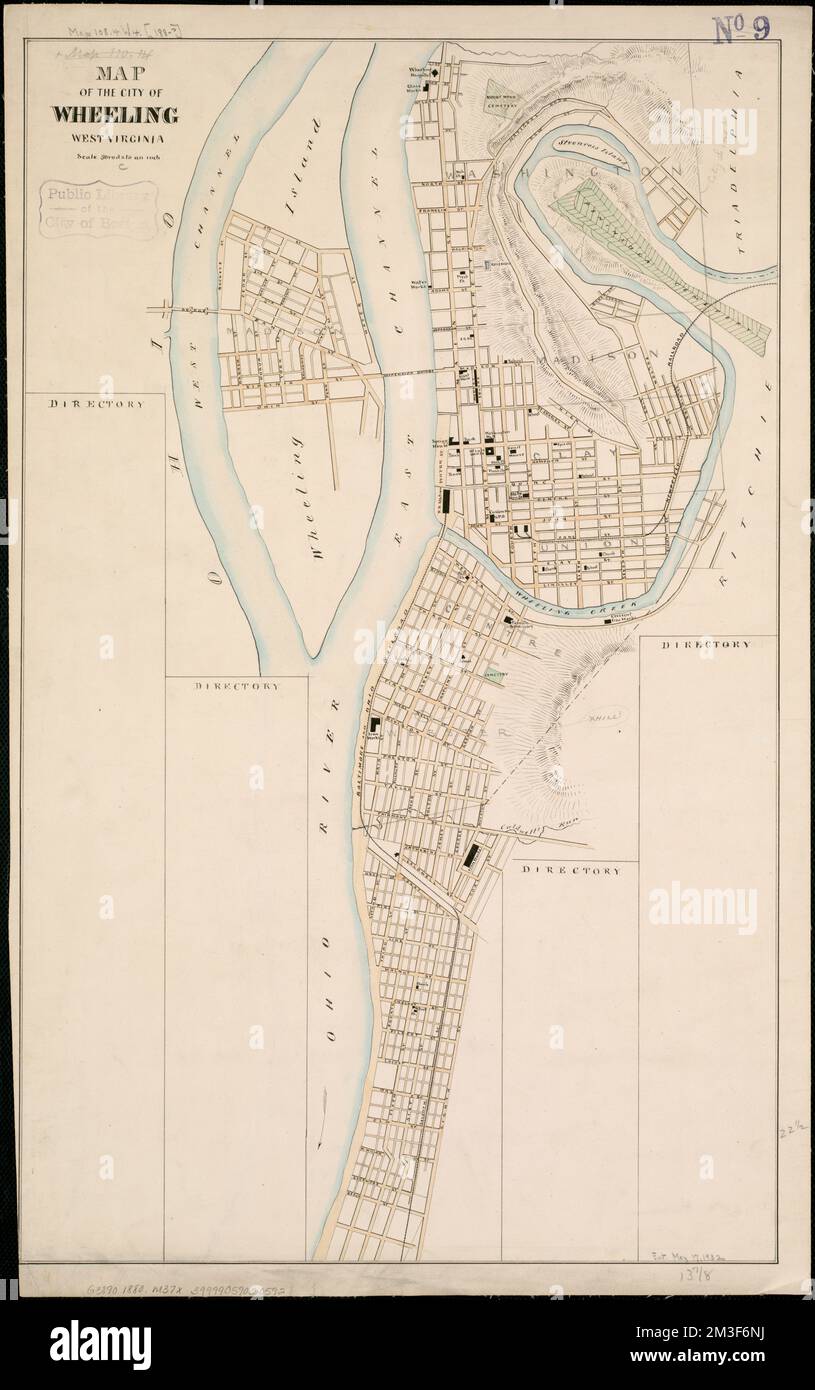 Map of the city of Wheeling, West Virginia , Wheeling W. Va., Maps Norman B. Leventhal Map Center Collection Stock Photohttps://www.alamy.com/image-license-details/?v=1https://www.alamy.com/map-of-the-city-of-wheeling-west-virginia-wheeling-w-va-maps-norman-b-leventhal-map-center-collection-image501279230.html
RM2M3F6NJ–Map of the city of Wheeling, West Virginia , Wheeling W. Va., Maps Norman B. Leventhal Map Center Collection
 official flag of Wheeling, West Virginia untied states of America at cloudy sky background on sunset, panoramic view. USA travel and patriot concept. Stock Photohttps://www.alamy.com/image-license-details/?v=1https://www.alamy.com/official-flag-of-wheeling-west-virginia-untied-states-of-america-at-cloudy-sky-background-on-sunset-panoramic-view-usa-travel-and-patriot-concept-image501656671.html
RF2M44C5K–official flag of Wheeling, West Virginia untied states of America at cloudy sky background on sunset, panoramic view. USA travel and patriot concept.
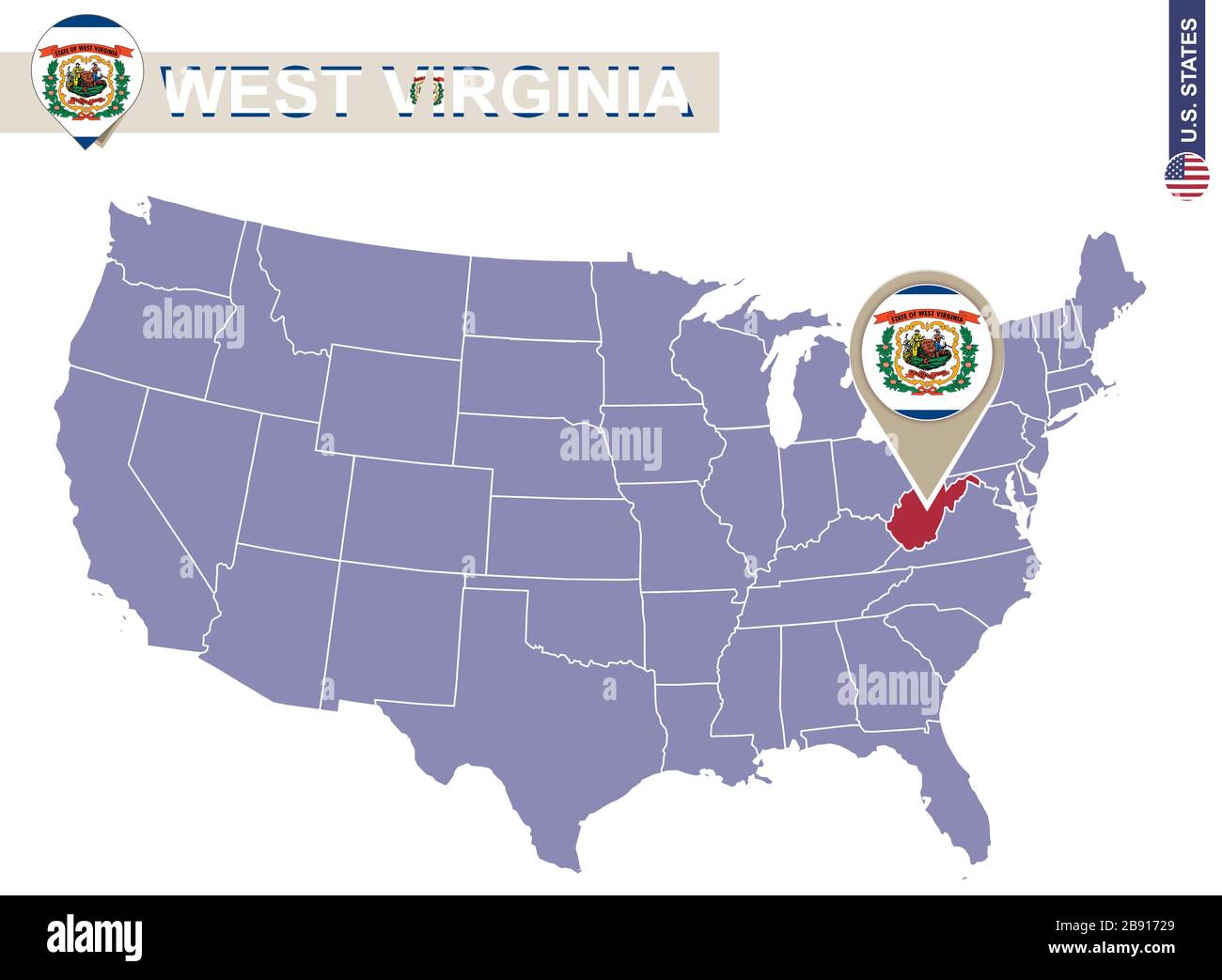 West Virginia State on USA Map. West Virginia flag and map. US States. Stock Vectorhttps://www.alamy.com/image-license-details/?v=1https://www.alamy.com/west-virginia-state-on-usa-map-west-virginia-flag-and-map-us-states-image349766769.html
RF2B91729–West Virginia State on USA Map. West Virginia flag and map. US States.
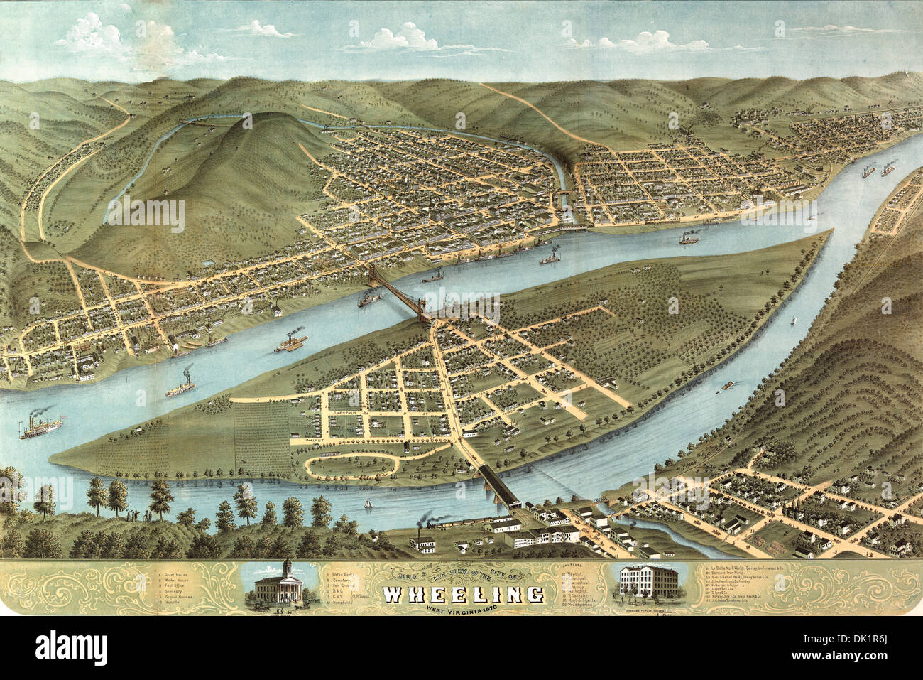 MAP Bird's eye view of the city of Wheeling, West Virginia 1870. Stock Photohttps://www.alamy.com/image-license-details/?v=1https://www.alamy.com/map-birds-eye-view-of-the-city-of-wheeling-west-virginia-1870-image63349738.html
RMDK1R6J–MAP Bird's eye view of the city of Wheeling, West Virginia 1870.
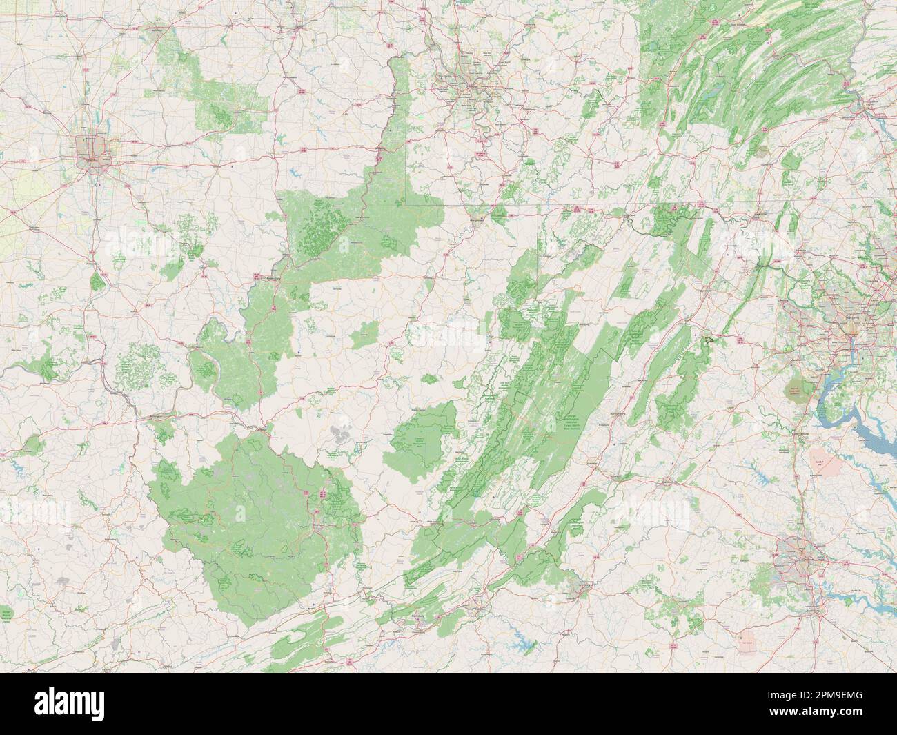 West Virginia, state of United States of America. Open Street Map Stock Photohttps://www.alamy.com/image-license-details/?v=1https://www.alamy.com/west-virginia-state-of-united-states-of-america-open-street-map-image546023648.html
RF2PM9EMG–West Virginia, state of United States of America. Open Street Map
 . The Street railway journal . lone. Overthe other three bridges the Wheeling Traction Companyoperates its cars under leases. The city of Wheeling isserved by two electric railway systems, as shown on the ac-companying map, but this article will describe only the sys-tem of the Wheeling Traction Company and its allied cor-porations, shown by the heavy line on the map. THE WHEELING TRACTION COMPANY The Wheeling Traction Company has been in existencesince 1900, when it was incorporated under the steam railroadlaws of the State of West Virginia for the purpose of effectinga consolidation of sever Stock Photohttps://www.alamy.com/image-license-details/?v=1https://www.alamy.com/the-street-railway-journal-lone-overthe-other-three-bridges-the-wheeling-traction-companyoperates-its-cars-under-leases-the-city-of-wheeling-isserved-by-two-electric-railway-systems-as-shown-on-the-ac-companying-map-but-this-article-will-describe-only-the-sys-tem-of-the-wheeling-traction-company-and-its-allied-cor-porations-shown-by-the-heavy-line-on-the-map-the-wheeling-traction-company-the-wheeling-traction-company-has-been-in-existencesince-1900-when-it-was-incorporated-under-the-steam-railroadlaws-of-the-state-of-west-virginia-for-the-purpose-of-effectinga-consolidation-of-sever-image371920299.html
RM2CH2C3R–. The Street railway journal . lone. Overthe other three bridges the Wheeling Traction Companyoperates its cars under leases. The city of Wheeling isserved by two electric railway systems, as shown on the ac-companying map, but this article will describe only the sys-tem of the Wheeling Traction Company and its allied cor-porations, shown by the heavy line on the map. THE WHEELING TRACTION COMPANY The Wheeling Traction Company has been in existencesince 1900, when it was incorporated under the steam railroadlaws of the State of West Virginia for the purpose of effectinga consolidation of sever
 Image relative to USA travel. West Virginia cities and places names cloud. 3D rendering Stock Photohttps://www.alamy.com/image-license-details/?v=1https://www.alamy.com/image-relative-to-usa-travel-west-virginia-cities-and-places-names-cloud-3d-rendering-image243318960.html
RFT3T3PT–Image relative to USA travel. West Virginia cities and places names cloud. 3D rendering
 Ohio County, State of West Virginia (U.S. county, United States of America, USA, U.S., US) map vector illustration, scribble sketch Ohio map Stock Vectorhttps://www.alamy.com/image-license-details/?v=1https://www.alamy.com/ohio-county-state-of-west-virginia-us-county-united-states-of-america-usa-us-us-map-vector-illustration-scribble-sketch-ohio-map-image432717450.html
RF2G3YYEJ–Ohio County, State of West Virginia (U.S. county, United States of America, USA, U.S., US) map vector illustration, scribble sketch Ohio map
 South Wheeling, Ohio County, US, United States, West Virginia, N 40 2' 29'', S 80 43' 28'', map, Cartascapes Map published in 2024. Explore Cartascapes, a map revealing Earth's diverse landscapes, cultures, and ecosystems. Journey through time and space, discovering the interconnectedness of our planet's past, present, and future. Stock Photohttps://www.alamy.com/image-license-details/?v=1https://www.alamy.com/south-wheeling-ohio-county-us-united-states-west-virginia-n-40-2-29-s-80-43-28-map-cartascapes-map-published-in-2024-explore-cartascapes-a-map-revealing-earths-diverse-landscapes-cultures-and-ecosystems-journey-through-time-and-space-discovering-the-interconnectedness-of-our-planets-past-present-and-future-image621199059.html
RM2Y2J1MK–South Wheeling, Ohio County, US, United States, West Virginia, N 40 2' 29'', S 80 43' 28'', map, Cartascapes Map published in 2024. Explore Cartascapes, a map revealing Earth's diverse landscapes, cultures, and ecosystems. Journey through time and space, discovering the interconnectedness of our planet's past, present, and future.
 Appendix B, project map A, Wheeling Creek Watershed, Pennsylvania and West Virginia Stock Photohttps://www.alamy.com/image-license-details/?v=1https://www.alamy.com/appendix-b-project-map-a-wheeling-creek-watershed-pennsylvania-and-west-virginia-image215000523.html
RMPDP3A3–Appendix B, project map A, Wheeling Creek Watershed, Pennsylvania and West Virginia
 Map of the city of Wheeling, West Virginia. Oriented with north to the upper left. Part of a collection of maps of West Virginia counties.... , West Virginia , Ohio ,county , Wheeling Stock Photohttps://www.alamy.com/image-license-details/?v=1https://www.alamy.com/map-of-the-city-of-wheeling-west-virginia-oriented-with-north-to-the-upper-left-part-of-a-collection-of-maps-of-west-virginia-counties-west-virginia-ohio-county-wheeling-image502726249.html
RM2M5W4CW–Map of the city of Wheeling, West Virginia. Oriented with north to the upper left. Part of a collection of maps of West Virginia counties.... , West Virginia , Ohio ,county , Wheeling
 Top view of retro flag of Wheeling, West Virginia, untied states of America with grunge texture. USA patriot and travel concept. no flagpole. Plane de Stock Photohttps://www.alamy.com/image-license-details/?v=1https://www.alamy.com/top-view-of-retro-flag-of-wheeling-west-virginia-untied-states-of-america-with-grunge-texture-usa-patriot-and-travel-concept-no-flagpole-plane-de-image452521474.html
RF2H863N6–Top view of retro flag of Wheeling, West Virginia, untied states of America with grunge texture. USA patriot and travel concept. no flagpole. Plane de
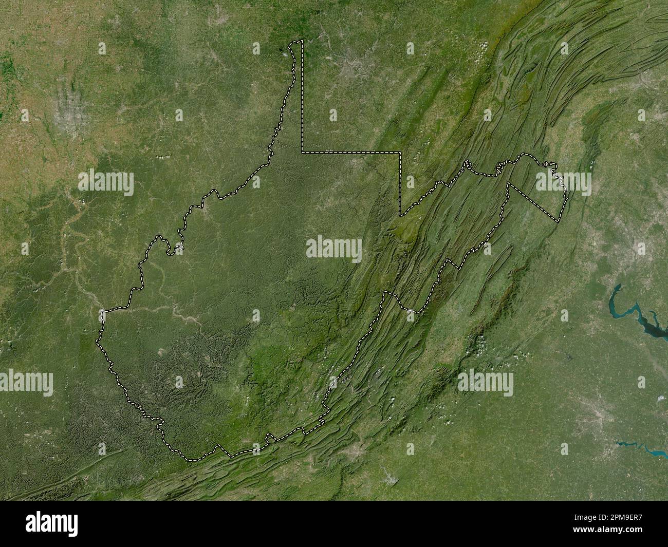 West Virginia, state of United States of America. Low resolution satellite map Stock Photohttps://www.alamy.com/image-license-details/?v=1https://www.alamy.com/west-virginia-state-of-united-states-of-america-low-resolution-satellite-map-image546023723.html
RF2PM9ER7–West Virginia, state of United States of America. Low resolution satellite map
 Ohio County, State of West Virginia (U.S. county, United States of America, USA, U.S., US) map vector illustration, scribble sketch Ohio map Stock Vectorhttps://www.alamy.com/image-license-details/?v=1https://www.alamy.com/ohio-county-state-of-west-virginia-us-county-united-states-of-america-usa-us-us-map-vector-illustration-scribble-sketch-ohio-map-image399468034.html
RF2E5W9FE–Ohio County, State of West Virginia (U.S. county, United States of America, USA, U.S., US) map vector illustration, scribble sketch Ohio map
 East Wheeling, Ohio County, US, United States, West Virginia, N 40 3' 51'', S 80 42' 36'', map, Cartascapes Map published in 2024. Explore Cartascapes, a map revealing Earth's diverse landscapes, cultures, and ecosystems. Journey through time and space, discovering the interconnectedness of our planet's past, present, and future. Stock Photohttps://www.alamy.com/image-license-details/?v=1https://www.alamy.com/east-wheeling-ohio-county-us-united-states-west-virginia-n-40-3-51-s-80-42-36-map-cartascapes-map-published-in-2024-explore-cartascapes-a-map-revealing-earths-diverse-landscapes-cultures-and-ecosystems-journey-through-time-and-space-discovering-the-interconnectedness-of-our-planets-past-present-and-future-image621315563.html
RM2Y2RA9F–East Wheeling, Ohio County, US, United States, West Virginia, N 40 3' 51'', S 80 42' 36'', map, Cartascapes Map published in 2024. Explore Cartascapes, a map revealing Earth's diverse landscapes, cultures, and ecosystems. Journey through time and space, discovering the interconnectedness of our planet's past, present, and future.
 Project map, Wheeling Creek watershed, Marshall and Ohio counties, West Virginia, Greene and Washington counties, Pennsylvania Stock Photohttps://www.alamy.com/image-license-details/?v=1https://www.alamy.com/project-map-wheeling-creek-watershed-marshall-and-ohio-counties-west-virginia-greene-and-washington-counties-pennsylvania-image415103070.html
RM2F39G5J–Project map, Wheeling Creek watershed, Marshall and Ohio counties, West Virginia, Greene and Washington counties, Pennsylvania
 Top view of flag Wheeling, West Virginia, untied states of America. USA patriot and travel concept. no flagpole. Plane design, layout. Flag background Stock Photohttps://www.alamy.com/image-license-details/?v=1https://www.alamy.com/top-view-of-flag-wheeling-west-virginia-untied-states-of-america-usa-patriot-and-travel-concept-no-flagpole-plane-design-layout-flag-background-image467975752.html
RF2J5A3RM–Top view of flag Wheeling, West Virginia, untied states of America. USA patriot and travel concept. no flagpole. Plane design, layout. Flag background
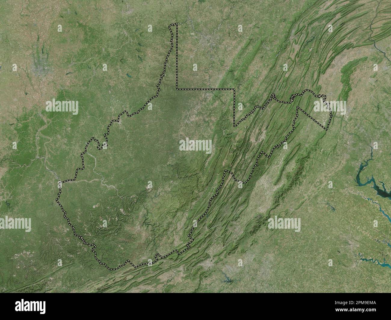 West Virginia, state of United States of America. High resolution satellite map Stock Photohttps://www.alamy.com/image-license-details/?v=1https://www.alamy.com/west-virginia-state-of-united-states-of-america-high-resolution-satellite-map-image546023642.html
RF2PM9EMA–West Virginia, state of United States of America. High resolution satellite map
 Ohio County, State of West Virginia (U.S. county, United States of America, USA, U.S., US) map vector illustration, scribble sketch Ohio map Stock Vectorhttps://www.alamy.com/image-license-details/?v=1https://www.alamy.com/ohio-county-state-of-west-virginia-us-county-united-states-of-america-usa-us-us-map-vector-illustration-scribble-sketch-ohio-map-image419393948.html
RF2FA9178–Ohio County, State of West Virginia (U.S. county, United States of America, USA, U.S., US) map vector illustration, scribble sketch Ohio map
 North Wheeling, Ohio County, US, United States, West Virginia, N 40 4' 53'', S 80 43' 33'', map, Cartascapes Map published in 2024. Explore Cartascapes, a map revealing Earth's diverse landscapes, cultures, and ecosystems. Journey through time and space, discovering the interconnectedness of our planet's past, present, and future. Stock Photohttps://www.alamy.com/image-license-details/?v=1https://www.alamy.com/north-wheeling-ohio-county-us-united-states-west-virginia-n-40-4-53-s-80-43-33-map-cartascapes-map-published-in-2024-explore-cartascapes-a-map-revealing-earths-diverse-landscapes-cultures-and-ecosystems-journey-through-time-and-space-discovering-the-interconnectedness-of-our-planets-past-present-and-future-image620697544.html
RM2Y1R61C–North Wheeling, Ohio County, US, United States, West Virginia, N 40 4' 53'', S 80 43' 33'', map, Cartascapes Map published in 2024. Explore Cartascapes, a map revealing Earth's diverse landscapes, cultures, and ecosystems. Journey through time and space, discovering the interconnectedness of our planet's past, present, and future.
 Map of the proposed line of Rail Road connection between tide water Virginia and the Ohio River at Guyandotte, Parkersburg and Wheeling Stock Photohttps://www.alamy.com/image-license-details/?v=1https://www.alamy.com/map-of-the-proposed-line-of-rail-road-connection-between-tide-water-virginia-and-the-ohio-river-at-guyandotte-parkersburg-and-wheeling-image398170337.html
RM2E3P695–Map of the proposed line of Rail Road connection between tide water Virginia and the Ohio River at Guyandotte, Parkersburg and Wheeling
 Top view of retro flag of Wheeling, West Virginia, untied states of America with grunge texture. USA patriot and travel concept. no flagpole. Plane de Stock Photohttps://www.alamy.com/image-license-details/?v=1https://www.alamy.com/top-view-of-retro-flag-of-wheeling-west-virginia-untied-states-of-america-with-grunge-texture-usa-patriot-and-travel-concept-no-flagpole-plane-de-image452552676.html
RF2H87FFG–Top view of retro flag of Wheeling, West Virginia, untied states of America with grunge texture. USA patriot and travel concept. no flagpole. Plane de
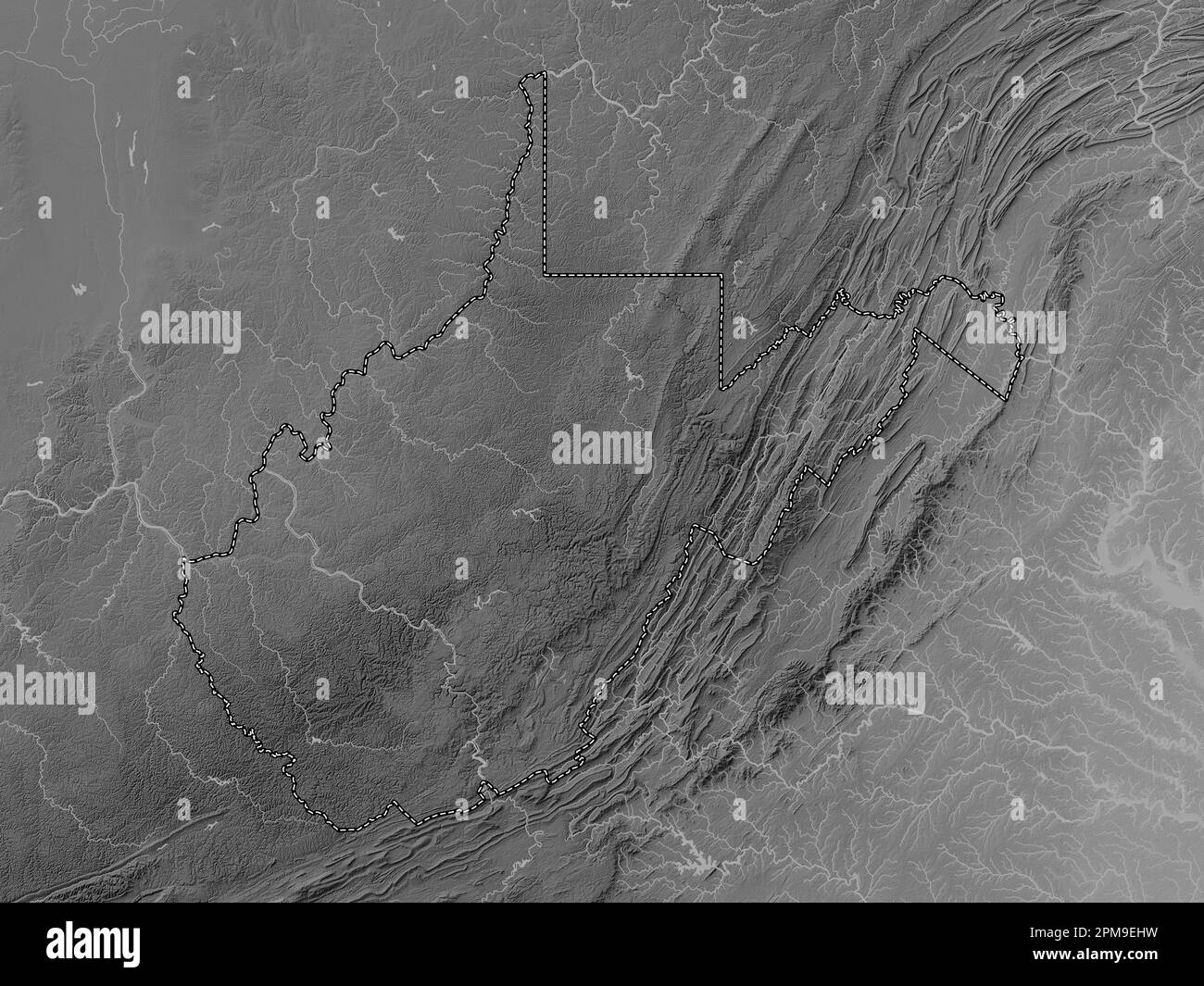 West Virginia, state of United States of America. Grayscale elevation map with lakes and rivers Stock Photohttps://www.alamy.com/image-license-details/?v=1https://www.alamy.com/west-virginia-state-of-united-states-of-america-grayscale-elevation-map-with-lakes-and-rivers-image546023573.html
RF2PM9EHW–West Virginia, state of United States of America. Grayscale elevation map with lakes and rivers
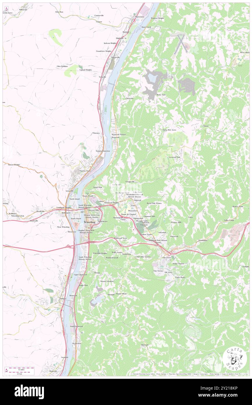 Wheeling, Ohio County, US, United States, West Virginia, N 40 3' 50'', S 80 43' 15'', map, Cartascapes Map published in 2024. Explore Cartascapes, a map revealing Earth's diverse landscapes, cultures, and ecosystems. Journey through time and space, discovering the interconnectedness of our planet's past, present, and future. Stock Photohttps://www.alamy.com/image-license-details/?v=1https://www.alamy.com/wheeling-ohio-county-us-united-states-west-virginia-n-40-3-50-s-80-43-15-map-cartascapes-map-published-in-2024-explore-cartascapes-a-map-revealing-earths-diverse-landscapes-cultures-and-ecosystems-journey-through-time-and-space-discovering-the-interconnectedness-of-our-planets-past-present-and-future-image620831338.html
RM2Y218KP–Wheeling, Ohio County, US, United States, West Virginia, N 40 3' 50'', S 80 43' 15'', map, Cartascapes Map published in 2024. Explore Cartascapes, a map revealing Earth's diverse landscapes, cultures, and ecosystems. Journey through time and space, discovering the interconnectedness of our planet's past, present, and future.
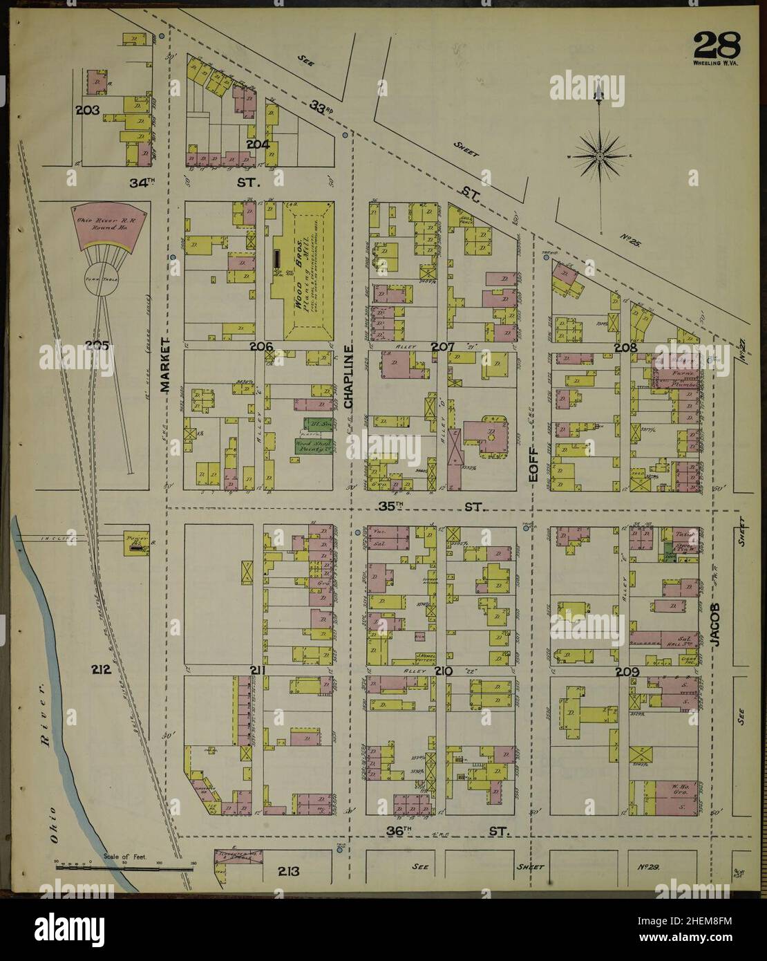 Sanborn Fire Insurance Map from Wheeling, Ohio County, West Virginia. Stock Photohttps://www.alamy.com/image-license-details/?v=1https://www.alamy.com/sanborn-fire-insurance-map-from-wheeling-ohio-county-west-virginia-image456520504.html
RM2HEM8FM–Sanborn Fire Insurance Map from Wheeling, Ohio County, West Virginia.
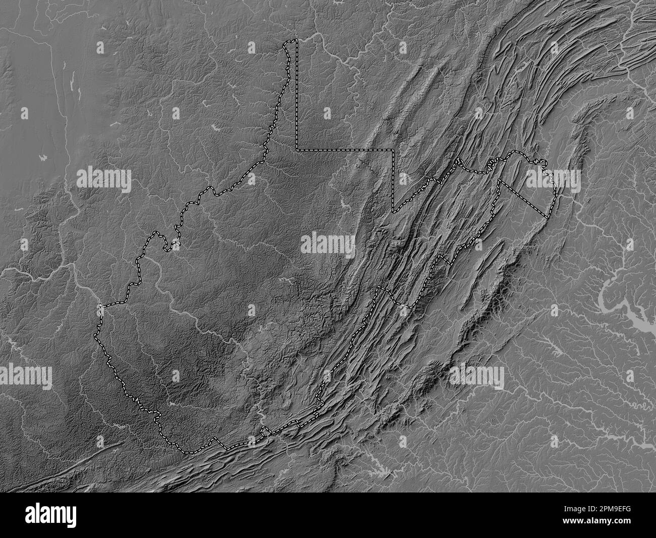 West Virginia, state of United States of America. Bilevel elevation map with lakes and rivers Stock Photohttps://www.alamy.com/image-license-details/?v=1https://www.alamy.com/west-virginia-state-of-united-states-of-america-bilevel-elevation-map-with-lakes-and-rivers-image546023508.html
RF2PM9EFG–West Virginia, state of United States of America. Bilevel elevation map with lakes and rivers
 Wheeling, Ohio County, US, United States, West Virginia, N 40 3' 50'', S 80 43' 15'', map, Cartascapes Map published in 2024. Explore Cartascapes, a map revealing Earth's diverse landscapes, cultures, and ecosystems. Journey through time and space, discovering the interconnectedness of our planet's past, present, and future. Stock Photohttps://www.alamy.com/image-license-details/?v=1https://www.alamy.com/wheeling-ohio-county-us-united-states-west-virginia-n-40-3-50-s-80-43-15-map-cartascapes-map-published-in-2024-explore-cartascapes-a-map-revealing-earths-diverse-landscapes-cultures-and-ecosystems-journey-through-time-and-space-discovering-the-interconnectedness-of-our-planets-past-present-and-future-image620683379.html
RM2Y1PFYF–Wheeling, Ohio County, US, United States, West Virginia, N 40 3' 50'', S 80 43' 15'', map, Cartascapes Map published in 2024. Explore Cartascapes, a map revealing Earth's diverse landscapes, cultures, and ecosystems. Journey through time and space, discovering the interconnectedness of our planet's past, present, and future.
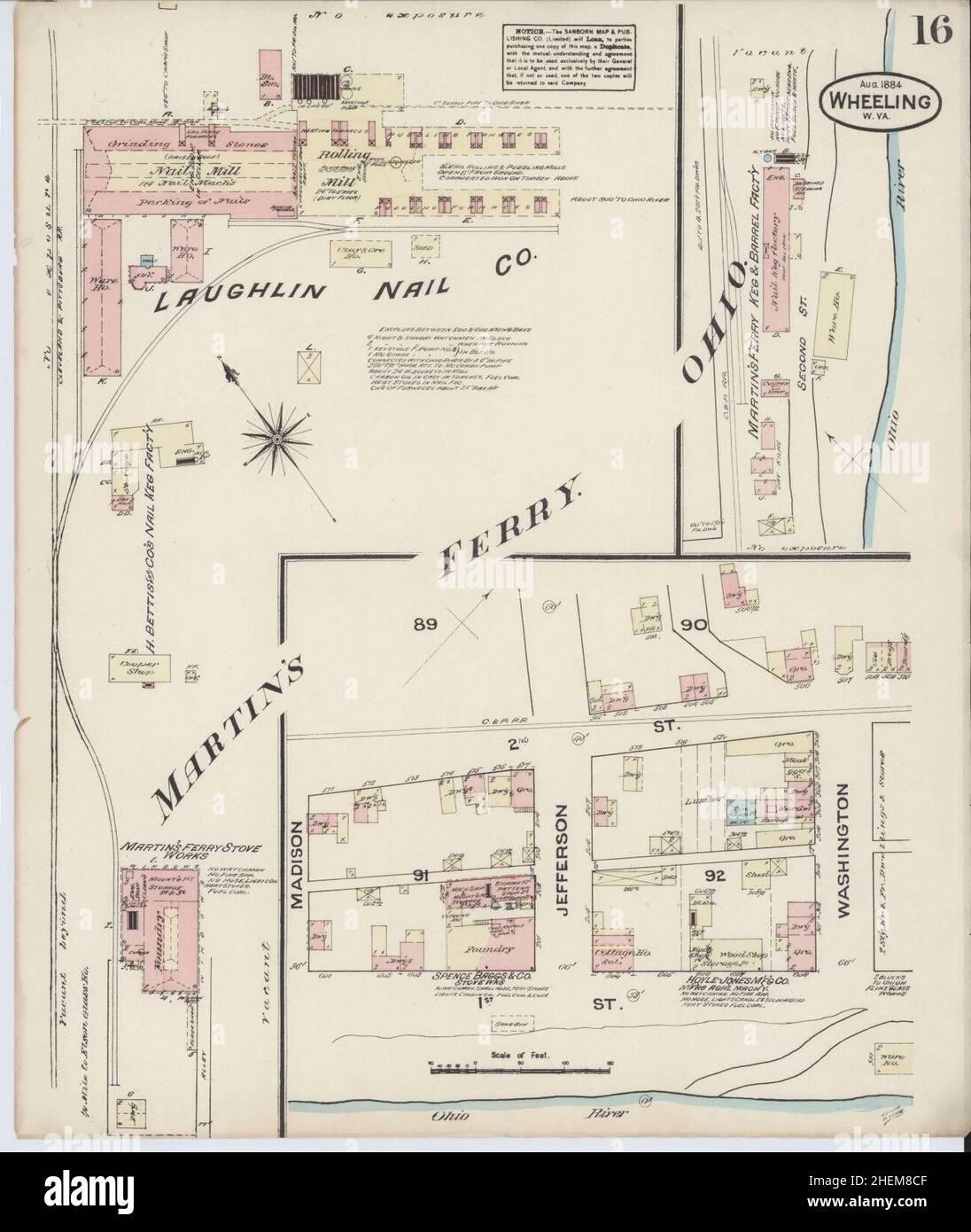 Sanborn Fire Insurance Map from Wheeling, Ohio County, West Virginia. Stock Photohttps://www.alamy.com/image-license-details/?v=1https://www.alamy.com/sanborn-fire-insurance-map-from-wheeling-ohio-county-west-virginia-image456520415.html
RM2HEM8CF–Sanborn Fire Insurance Map from Wheeling, Ohio County, West Virginia.
 West Virginia, state of United States of America. Colored elevation map with lakes and rivers Stock Photohttps://www.alamy.com/image-license-details/?v=1https://www.alamy.com/west-virginia-state-of-united-states-of-america-colored-elevation-map-with-lakes-and-rivers-image546023808.html
RF2PM9EX8–West Virginia, state of United States of America. Colored elevation map with lakes and rivers
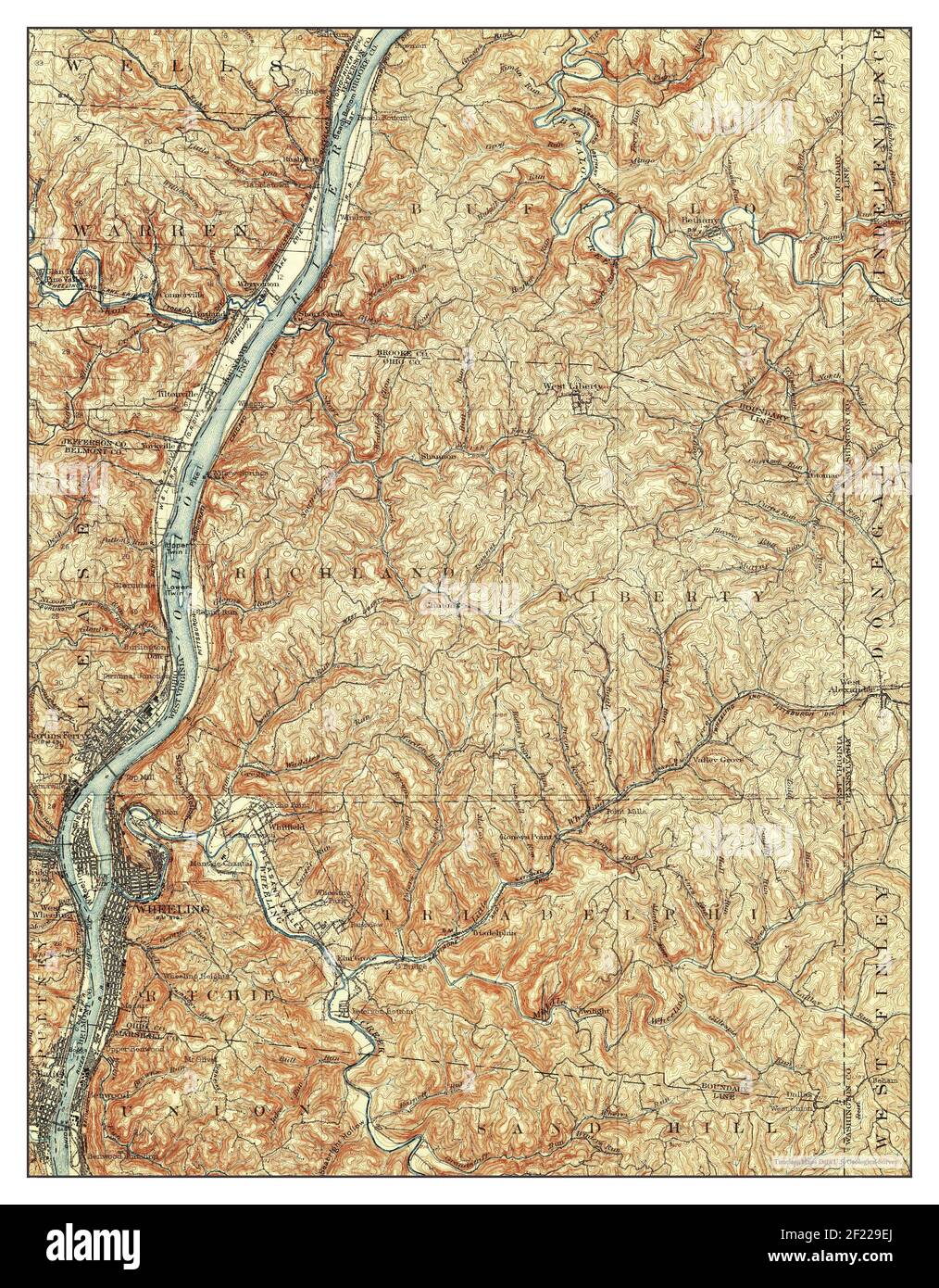 Wheeling, West Virginia, map 1902, 1:62500, United States of America by Timeless Maps, data U.S. Geological Survey Stock Photohttps://www.alamy.com/image-license-details/?v=1https://www.alamy.com/wheeling-west-virginia-map-1902-162500-united-states-of-america-by-timeless-maps-data-us-geological-survey-image414329514.html
RM2F229EJ–Wheeling, West Virginia, map 1902, 1:62500, United States of America by Timeless Maps, data U.S. Geological Survey
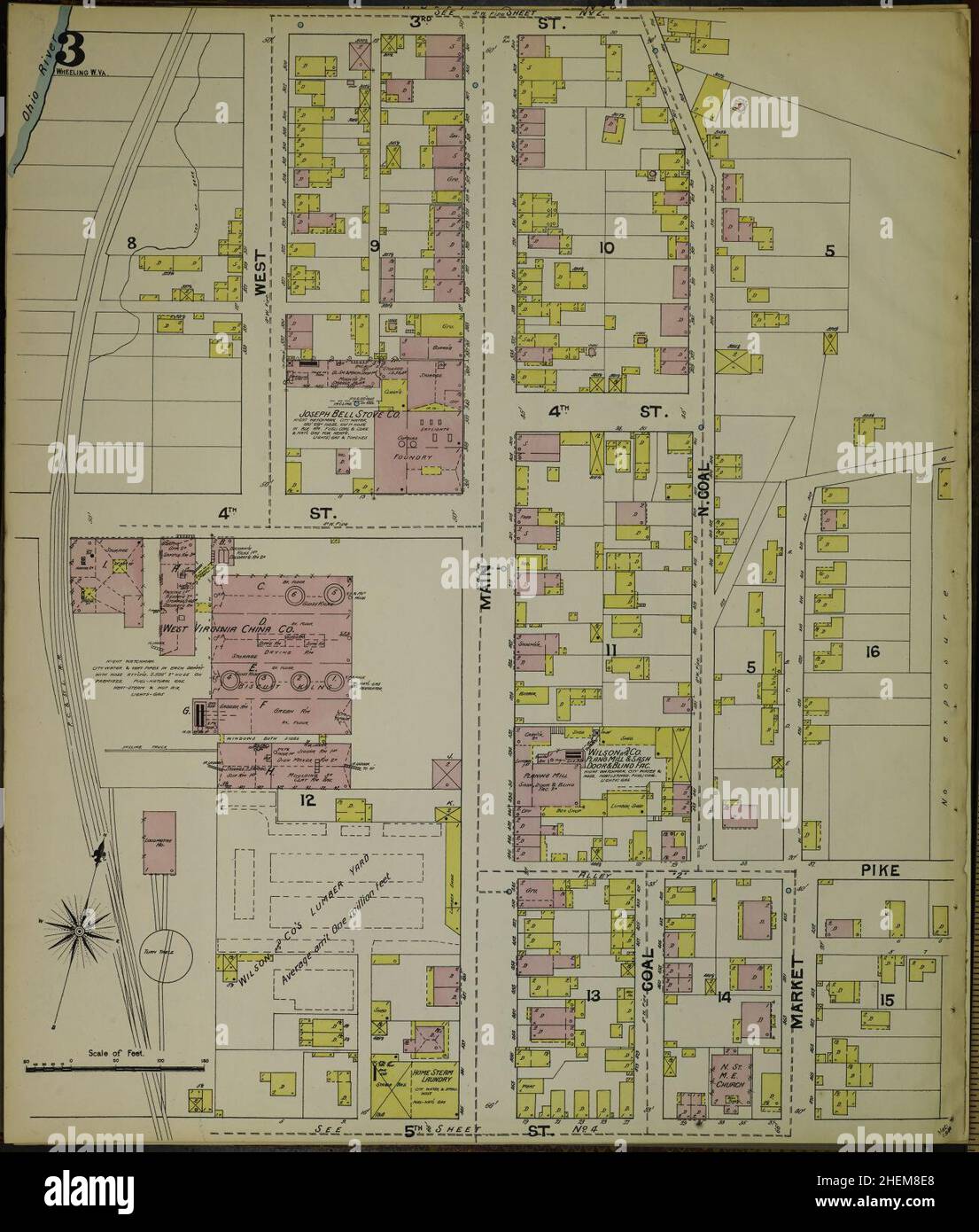 Sanborn Fire Insurance Map from Wheeling, Ohio County, West Virginia. Stock Photohttps://www.alamy.com/image-license-details/?v=1https://www.alamy.com/sanborn-fire-insurance-map-from-wheeling-ohio-county-west-virginia-image456520464.html
RM2HEM8E8–Sanborn Fire Insurance Map from Wheeling, Ohio County, West Virginia.
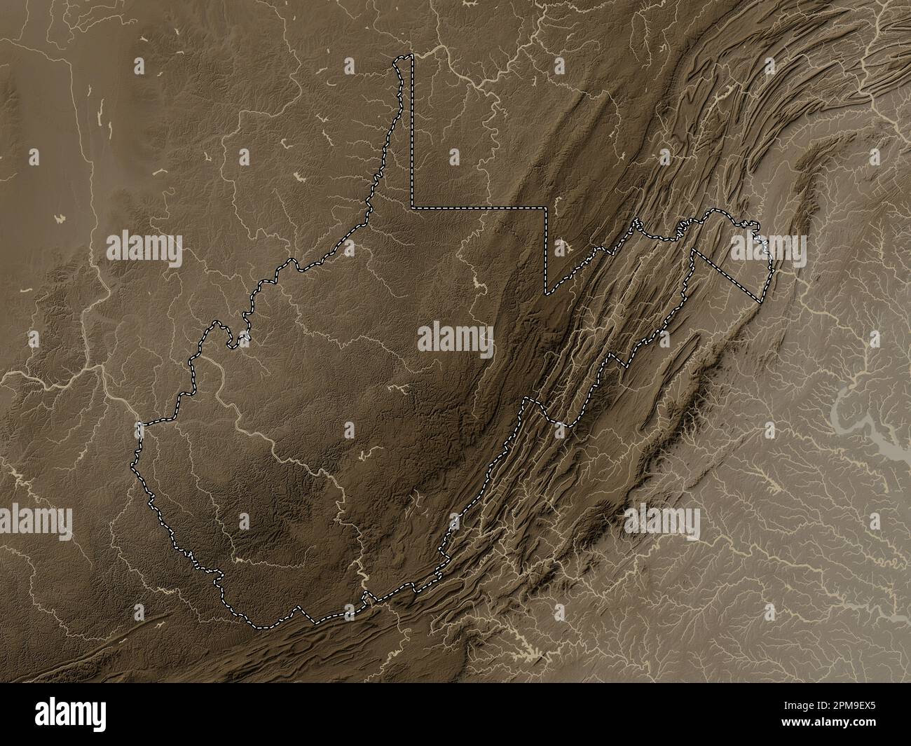 West Virginia, state of United States of America. Elevation map colored in sepia tones with lakes and rivers Stock Photohttps://www.alamy.com/image-license-details/?v=1https://www.alamy.com/west-virginia-state-of-united-states-of-america-elevation-map-colored-in-sepia-tones-with-lakes-and-rivers-image546023805.html
RF2PM9EX5–West Virginia, state of United States of America. Elevation map colored in sepia tones with lakes and rivers
 Wheeling, West Virginia, map 1968, 1:24000, United States of America by Timeless Maps, data U.S. Geological Survey Stock Photohttps://www.alamy.com/image-license-details/?v=1https://www.alamy.com/wheeling-west-virginia-map-1968-124000-united-states-of-america-by-timeless-maps-data-us-geological-survey-image407039407.html
RM2EJ66WK–Wheeling, West Virginia, map 1968, 1:24000, United States of America by Timeless Maps, data U.S. Geological Survey
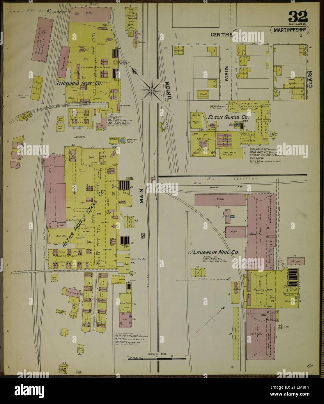 Sanborn Fire Insurance Map from Wheeling, Ohio County, West Virginia. Stock Photohttps://www.alamy.com/image-license-details/?v=1https://www.alamy.com/sanborn-fire-insurance-map-from-wheeling-ohio-county-west-virginia-image456520511.html
RM2HEM8FY–Sanborn Fire Insurance Map from Wheeling, Ohio County, West Virginia.
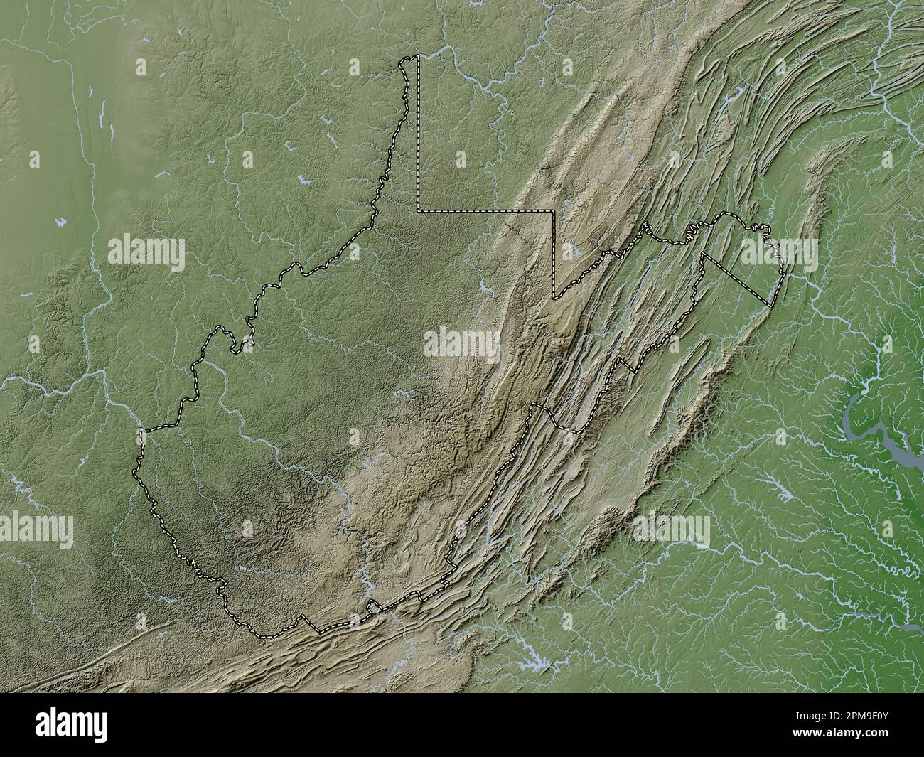 West Virginia, state of United States of America. Elevation map colored in wiki style with lakes and rivers Stock Photohttps://www.alamy.com/image-license-details/?v=1https://www.alamy.com/west-virginia-state-of-united-states-of-america-elevation-map-colored-in-wiki-style-with-lakes-and-rivers-image546023883.html
RF2PM9F0Y–West Virginia, state of United States of America. Elevation map colored in wiki style with lakes and rivers
 Wheeling, West Virginia, map 1968, 1:24000, United States of America by Timeless Maps, data U.S. Geological Survey Stock Photohttps://www.alamy.com/image-license-details/?v=1https://www.alamy.com/wheeling-west-virginia-map-1968-124000-united-states-of-america-by-timeless-maps-data-us-geological-survey-image407039372.html
RM2EJ66TC–Wheeling, West Virginia, map 1968, 1:24000, United States of America by Timeless Maps, data U.S. Geological Survey
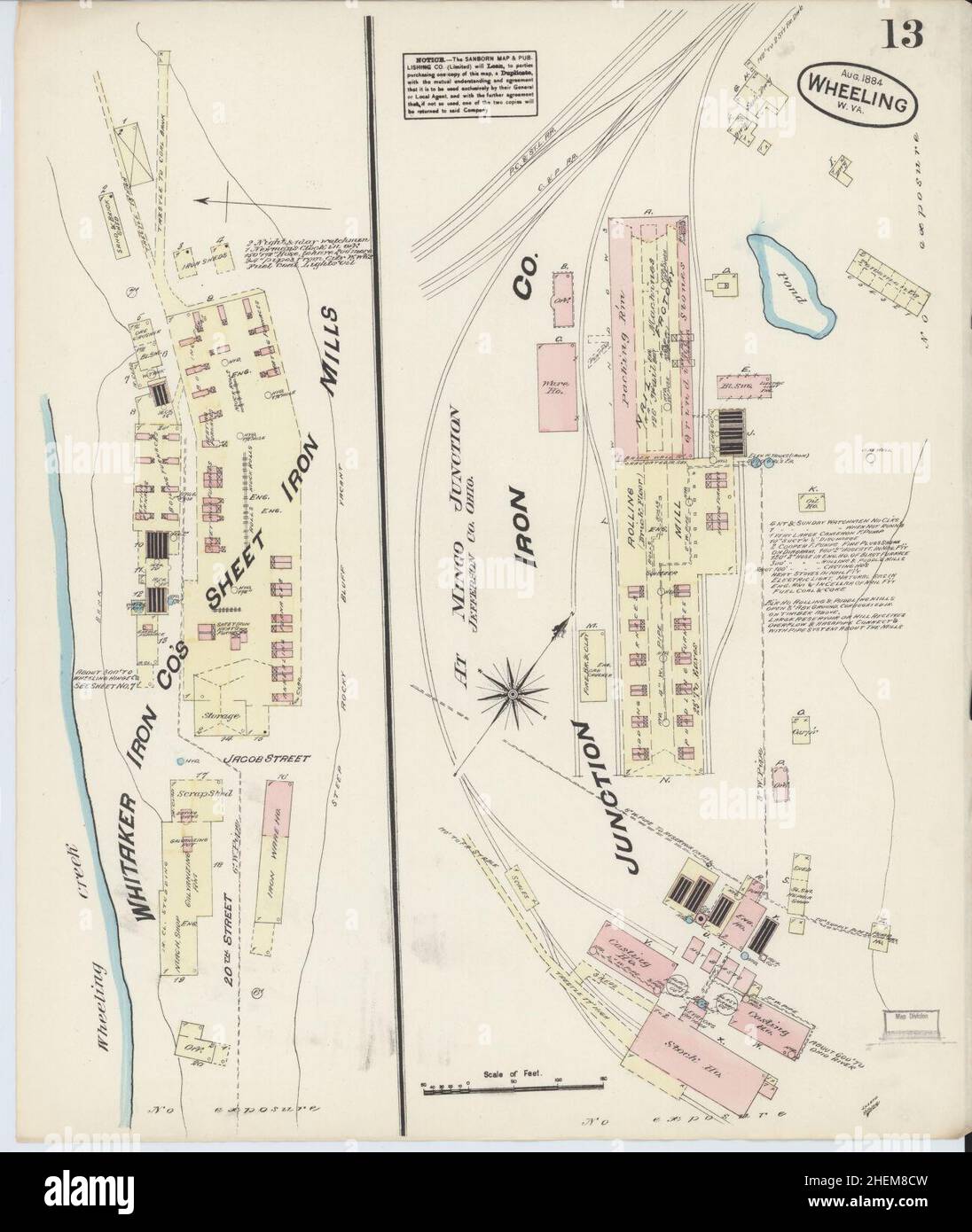 Sanborn Fire Insurance Map from Wheeling, Ohio County, West Virginia. Stock Photohttps://www.alamy.com/image-license-details/?v=1https://www.alamy.com/sanborn-fire-insurance-map-from-wheeling-ohio-county-west-virginia-image456520425.html
RM2HEM8CW–Sanborn Fire Insurance Map from Wheeling, Ohio County, West Virginia.
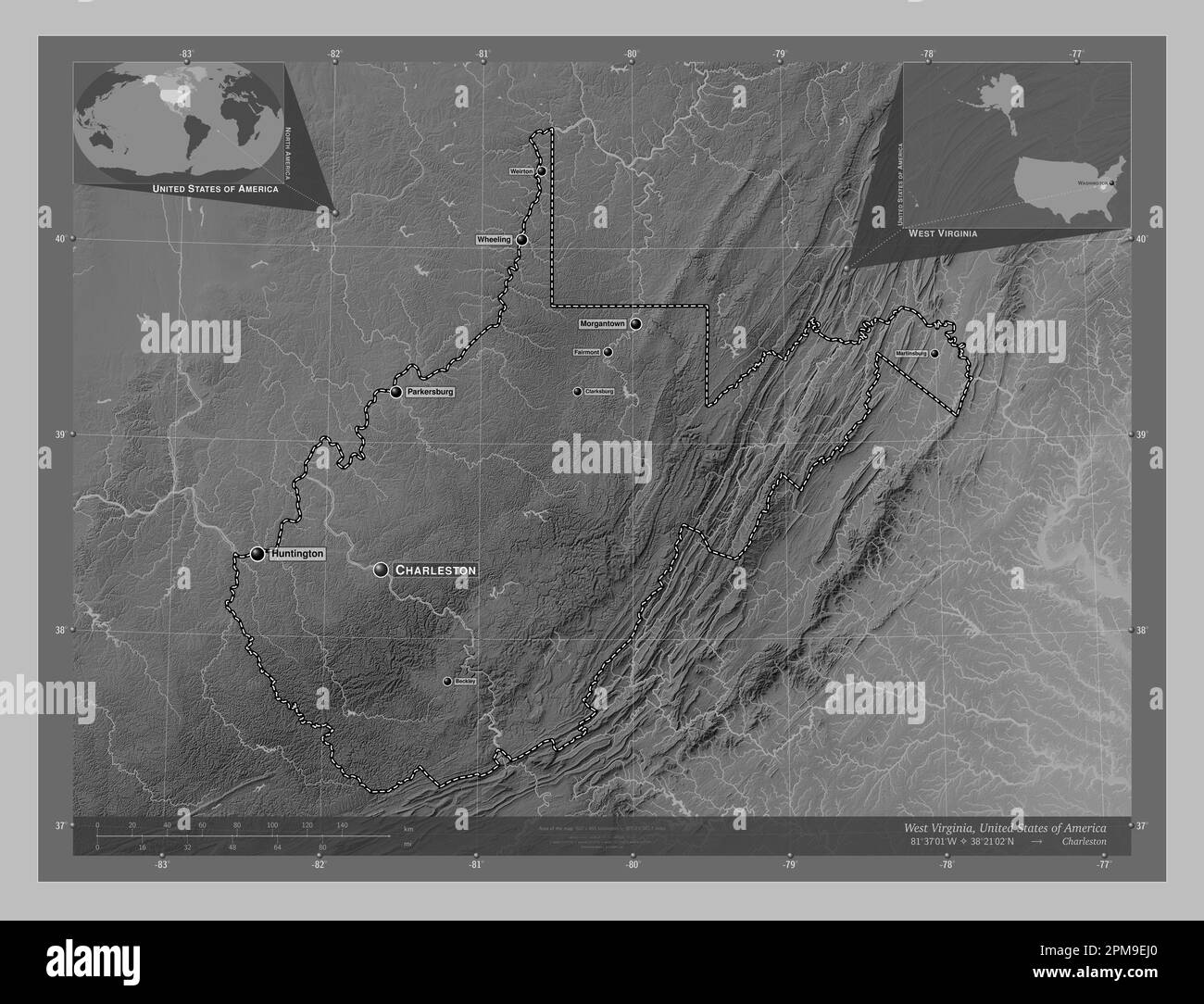 West Virginia, state of United States of America. Grayscale elevation map with lakes and rivers. Locations and names of major cities of the region. Co Stock Photohttps://www.alamy.com/image-license-details/?v=1https://www.alamy.com/west-virginia-state-of-united-states-of-america-grayscale-elevation-map-with-lakes-and-rivers-locations-and-names-of-major-cities-of-the-region-co-image546023576.html
RF2PM9EJ0–West Virginia, state of United States of America. Grayscale elevation map with lakes and rivers. Locations and names of major cities of the region. Co
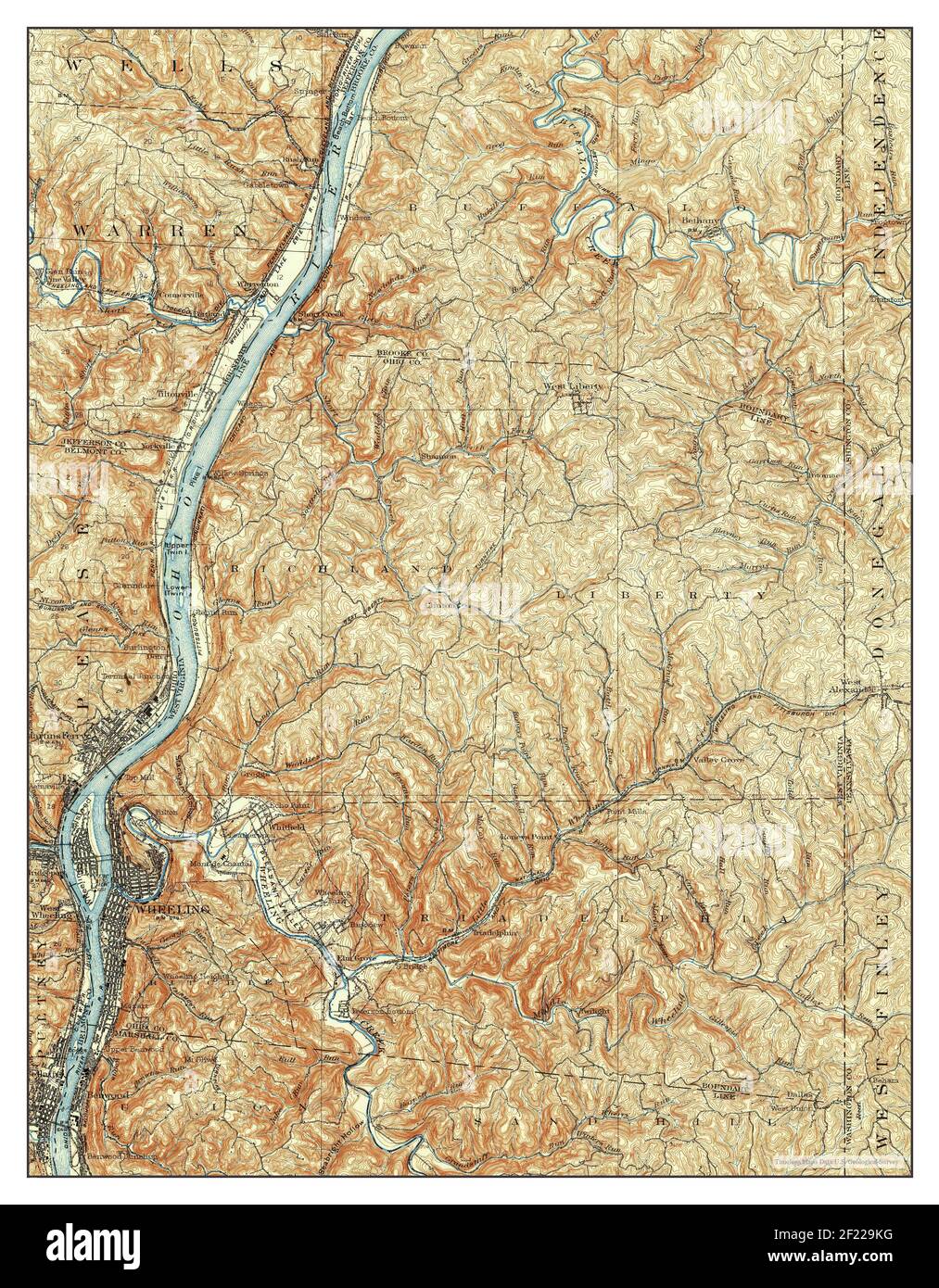 Wheeling, West Virginia, map 1902, 1:62500, United States of America by Timeless Maps, data U.S. Geological Survey Stock Photohttps://www.alamy.com/image-license-details/?v=1https://www.alamy.com/wheeling-west-virginia-map-1902-162500-united-states-of-america-by-timeless-maps-data-us-geological-survey-image414329652.html
RM2F229KG–Wheeling, West Virginia, map 1902, 1:62500, United States of America by Timeless Maps, data U.S. Geological Survey
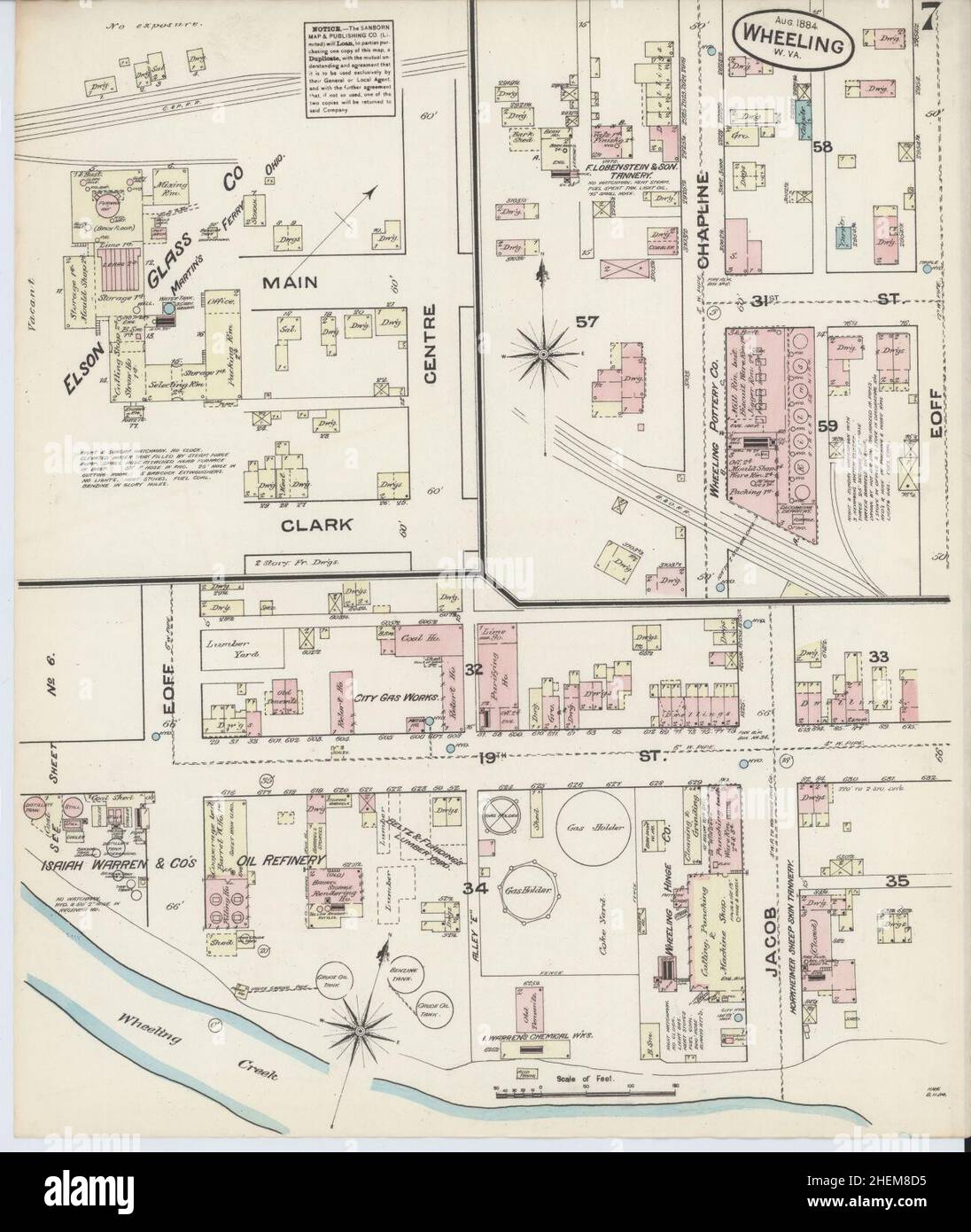 Sanborn Fire Insurance Map from Wheeling, Ohio County, West Virginia. Stock Photohttps://www.alamy.com/image-license-details/?v=1https://www.alamy.com/sanborn-fire-insurance-map-from-wheeling-ohio-county-west-virginia-image456520433.html
RM2HEM8D5–Sanborn Fire Insurance Map from Wheeling, Ohio County, West Virginia.
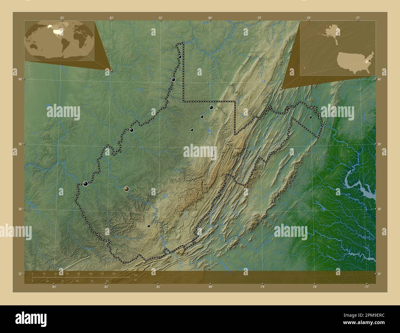 West Virginia, state of United States of America. Colored elevation map with lakes and rivers. Locations of major cities of the region. Corner auxilia Stock Photohttps://www.alamy.com/image-license-details/?v=1https://www.alamy.com/west-virginia-state-of-united-states-of-america-colored-elevation-map-with-lakes-and-rivers-locations-of-major-cities-of-the-region-corner-auxilia-image546023728.html
RF2PM9ERC–West Virginia, state of United States of America. Colored elevation map with lakes and rivers. Locations of major cities of the region. Corner auxilia
 Wheeling, West Virginia, map 1942, 1:62500, United States of America by Timeless Maps, data U.S. Geological Survey Stock Photohttps://www.alamy.com/image-license-details/?v=1https://www.alamy.com/wheeling-west-virginia-map-1942-162500-united-states-of-america-by-timeless-maps-data-us-geological-survey-image414329657.html
RM2F229KN–Wheeling, West Virginia, map 1942, 1:62500, United States of America by Timeless Maps, data U.S. Geological Survey
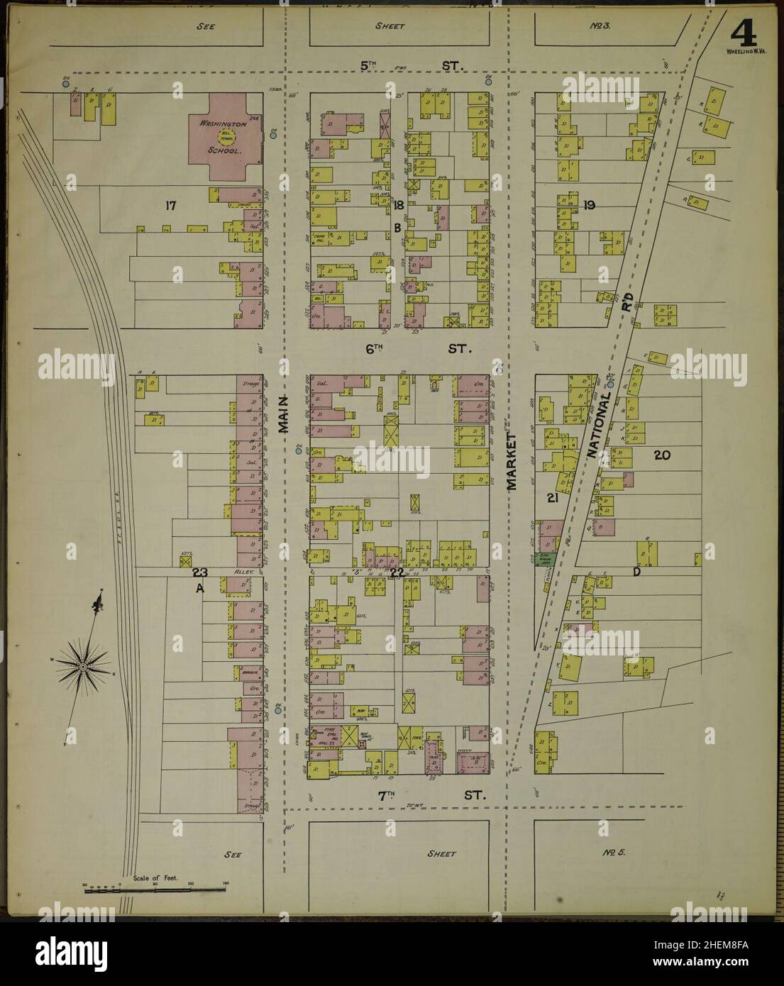 Sanborn Fire Insurance Map from Wheeling, Ohio County, West Virginia. Stock Photohttps://www.alamy.com/image-license-details/?v=1https://www.alamy.com/sanborn-fire-insurance-map-from-wheeling-ohio-county-west-virginia-image456520494.html
RM2HEM8FA–Sanborn Fire Insurance Map from Wheeling, Ohio County, West Virginia.
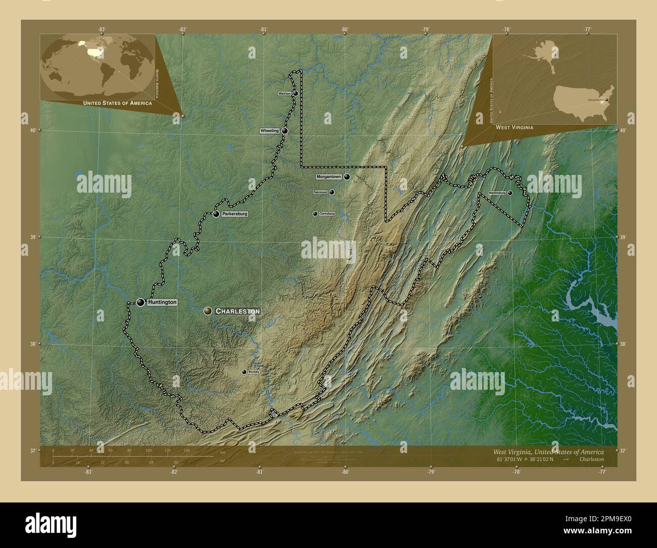 West Virginia, state of United States of America. Colored elevation map with lakes and rivers. Locations and names of major cities of the region. Corn Stock Photohttps://www.alamy.com/image-license-details/?v=1https://www.alamy.com/west-virginia-state-of-united-states-of-america-colored-elevation-map-with-lakes-and-rivers-locations-and-names-of-major-cities-of-the-region-corn-image546023800.html
RF2PM9EX0–West Virginia, state of United States of America. Colored elevation map with lakes and rivers. Locations and names of major cities of the region. Corn
 Wheeling, West Virginia, map 1902, 1:62500, United States of America by Timeless Maps, data U.S. Geological Survey Stock Photohttps://www.alamy.com/image-license-details/?v=1https://www.alamy.com/wheeling-west-virginia-map-1902-162500-united-states-of-america-by-timeless-maps-data-us-geological-survey-image414329511.html
RM2F229EF–Wheeling, West Virginia, map 1902, 1:62500, United States of America by Timeless Maps, data U.S. Geological Survey
 Sanborn Fire Insurance Map from Wheeling, Ohio County, West Virginia. Stock Photohttps://www.alamy.com/image-license-details/?v=1https://www.alamy.com/sanborn-fire-insurance-map-from-wheeling-ohio-county-west-virginia-image456520466.html
RM2HEM8EA–Sanborn Fire Insurance Map from Wheeling, Ohio County, West Virginia.
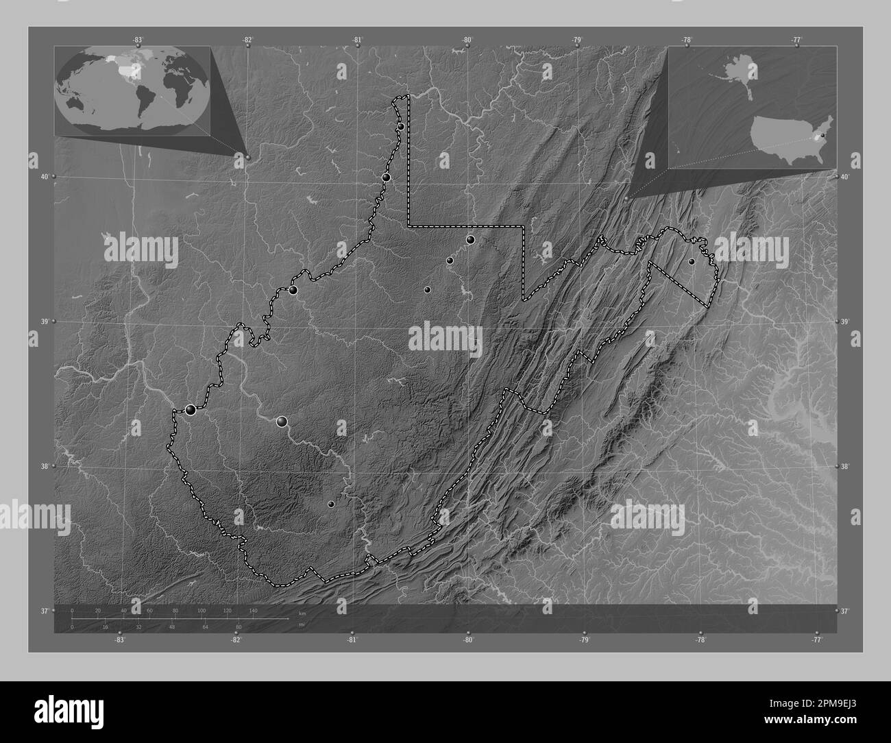 West Virginia, state of United States of America. Grayscale elevation map with lakes and rivers. Locations of major cities of the region. Corner auxil Stock Photohttps://www.alamy.com/image-license-details/?v=1https://www.alamy.com/west-virginia-state-of-united-states-of-america-grayscale-elevation-map-with-lakes-and-rivers-locations-of-major-cities-of-the-region-corner-auxil-image546023579.html
RF2PM9EJ3–West Virginia, state of United States of America. Grayscale elevation map with lakes and rivers. Locations of major cities of the region. Corner auxil
 Wheeling, West Virginia, map 1902, 1:62500, United States of America by Timeless Maps, data U.S. Geological Survey Stock Photohttps://www.alamy.com/image-license-details/?v=1https://www.alamy.com/wheeling-west-virginia-map-1902-162500-united-states-of-america-by-timeless-maps-data-us-geological-survey-image414329650.html
RM2F229KE–Wheeling, West Virginia, map 1902, 1:62500, United States of America by Timeless Maps, data U.S. Geological Survey
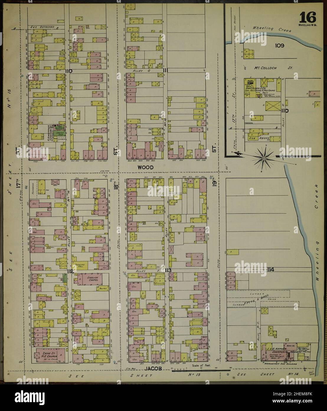 Sanborn Fire Insurance Map from Wheeling, Ohio County, West Virginia. Stock Photohttps://www.alamy.com/image-license-details/?v=1https://www.alamy.com/sanborn-fire-insurance-map-from-wheeling-ohio-county-west-virginia-image456520503.html
RM2HEM8FK–Sanborn Fire Insurance Map from Wheeling, Ohio County, West Virginia.
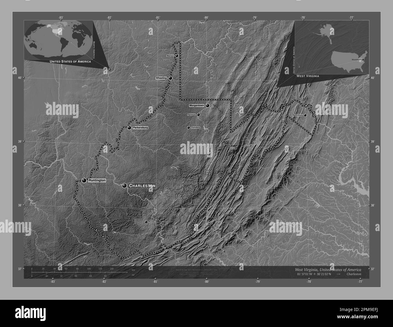 West Virginia, state of United States of America. Bilevel elevation map with lakes and rivers. Locations and names of major cities of the region. Corn Stock Photohttps://www.alamy.com/image-license-details/?v=1https://www.alamy.com/west-virginia-state-of-united-states-of-america-bilevel-elevation-map-with-lakes-and-rivers-locations-and-names-of-major-cities-of-the-region-corn-image546023510.html
RF2PM9EFJ–West Virginia, state of United States of America. Bilevel elevation map with lakes and rivers. Locations and names of major cities of the region. Corn
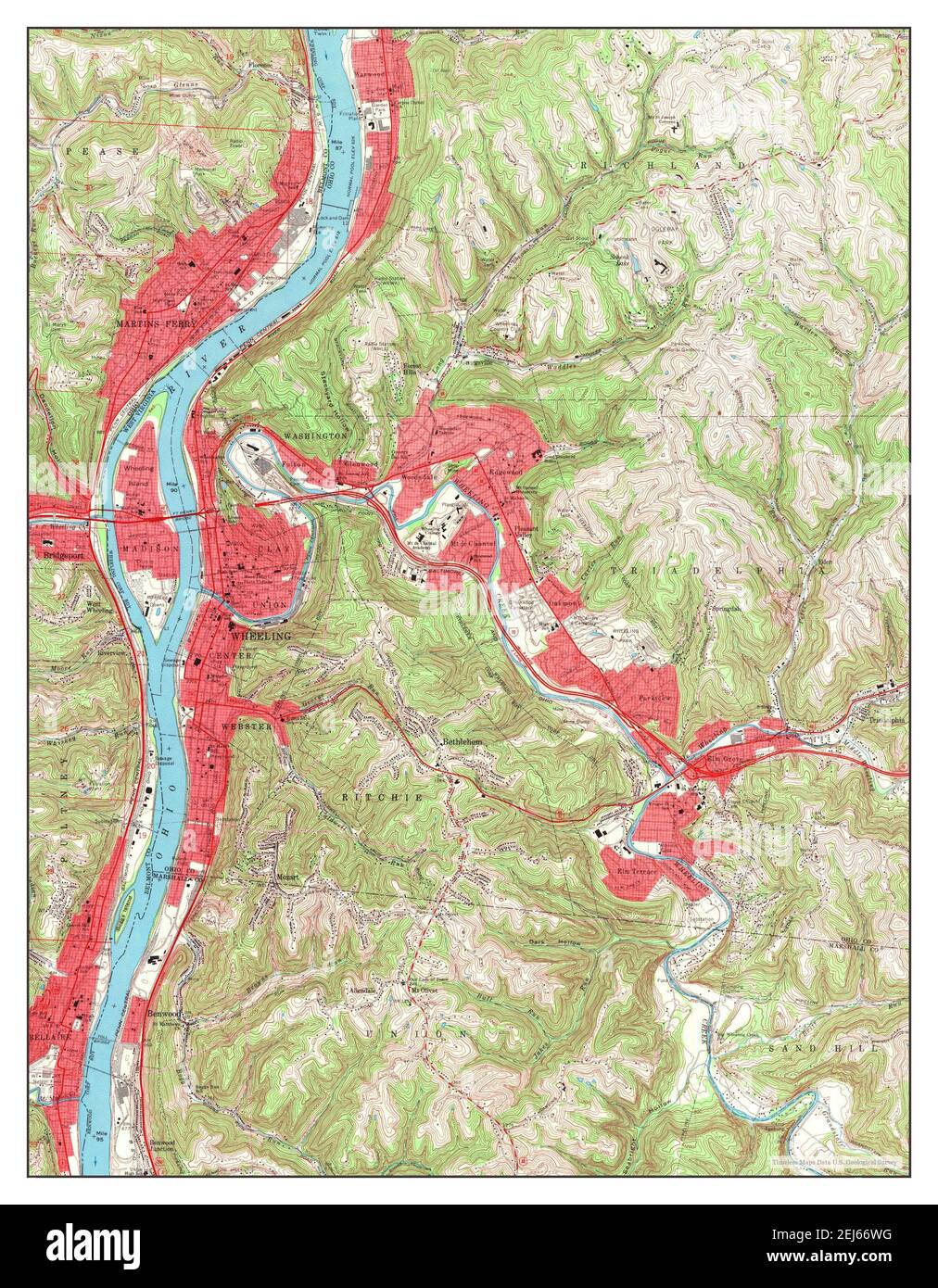 Wheeling, West Virginia, map 1968, 1:24000, United States of America by Timeless Maps, data U.S. Geological Survey Stock Photohttps://www.alamy.com/image-license-details/?v=1https://www.alamy.com/wheeling-west-virginia-map-1968-124000-united-states-of-america-by-timeless-maps-data-us-geological-survey-image407039404.html
RM2EJ66WG–Wheeling, West Virginia, map 1968, 1:24000, United States of America by Timeless Maps, data U.S. Geological Survey
 Sanborn Fire Insurance Map from Wheeling, Ohio County, West Virginia. Stock Photohttps://www.alamy.com/image-license-details/?v=1https://www.alamy.com/sanborn-fire-insurance-map-from-wheeling-ohio-county-west-virginia-image456520495.html
RM2HEM8FB–Sanborn Fire Insurance Map from Wheeling, Ohio County, West Virginia.
 West Virginia, state of United States of America. Open Street Map. Locations of major cities of the region. Corner auxiliary location maps Stock Photohttps://www.alamy.com/image-license-details/?v=1https://www.alamy.com/west-virginia-state-of-united-states-of-america-open-street-map-locations-of-major-cities-of-the-region-corner-auxiliary-location-maps-image546023647.html
RF2PM9EMF–West Virginia, state of United States of America. Open Street Map. Locations of major cities of the region. Corner auxiliary location maps
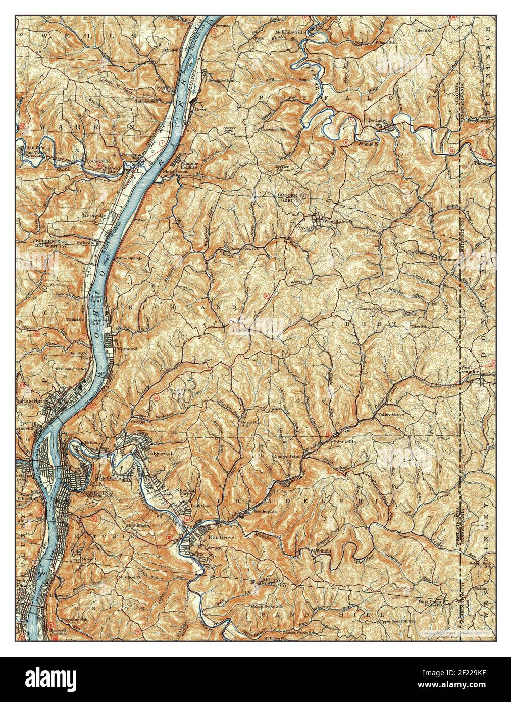 Wheeling, West Virginia, map 1942, 1:62500, United States of America by Timeless Maps, data U.S. Geological Survey Stock Photohttps://www.alamy.com/image-license-details/?v=1https://www.alamy.com/wheeling-west-virginia-map-1942-162500-united-states-of-america-by-timeless-maps-data-us-geological-survey-image414329651.html
RM2F229KF–Wheeling, West Virginia, map 1942, 1:62500, United States of America by Timeless Maps, data U.S. Geological Survey
 Sanborn Fire Insurance Map from Wheeling, Ohio County, West Virginia. Stock Photohttps://www.alamy.com/image-license-details/?v=1https://www.alamy.com/sanborn-fire-insurance-map-from-wheeling-ohio-county-west-virginia-image456520523.html
RM2HEM8GB–Sanborn Fire Insurance Map from Wheeling, Ohio County, West Virginia.
 West Virginia, state of United States of America. Bilevel elevation map with lakes and rivers. Locations of major cities of the region. Corner auxilia Stock Photohttps://www.alamy.com/image-license-details/?v=1https://www.alamy.com/west-virginia-state-of-united-states-of-america-bilevel-elevation-map-with-lakes-and-rivers-locations-of-major-cities-of-the-region-corner-auxilia-image546023522.html
RF2PM9EG2–West Virginia, state of United States of America. Bilevel elevation map with lakes and rivers. Locations of major cities of the region. Corner auxilia
 Wheeling, West Virginia, map 1902, 1:62500, United States of America by Timeless Maps, data U.S. Geological Survey Stock Photohttps://www.alamy.com/image-license-details/?v=1https://www.alamy.com/wheeling-west-virginia-map-1902-162500-united-states-of-america-by-timeless-maps-data-us-geological-survey-image414329513.html
RM2F229EH–Wheeling, West Virginia, map 1902, 1:62500, United States of America by Timeless Maps, data U.S. Geological Survey
 Sanborn Fire Insurance Map from Wheeling, Ohio County, West Virginia. Stock Photohttps://www.alamy.com/image-license-details/?v=1https://www.alamy.com/sanborn-fire-insurance-map-from-wheeling-ohio-county-west-virginia-image456520468.html
RM2HEM8EC–Sanborn Fire Insurance Map from Wheeling, Ohio County, West Virginia.
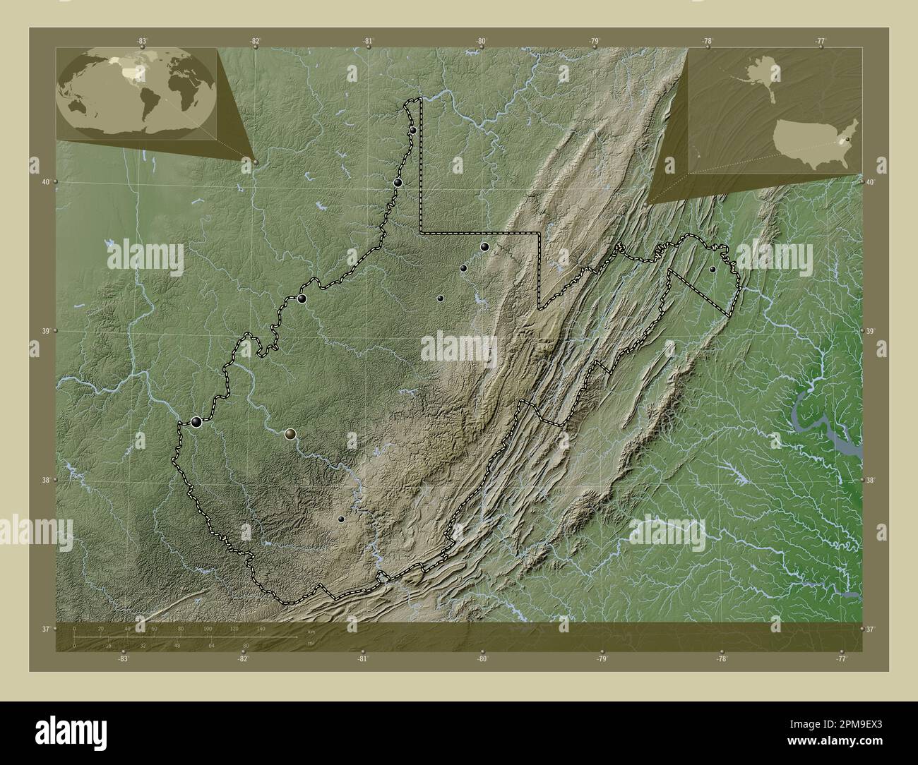 West Virginia, state of United States of America. Elevation map colored in wiki style with lakes and rivers. Locations of major cities of the region. Stock Photohttps://www.alamy.com/image-license-details/?v=1https://www.alamy.com/west-virginia-state-of-united-states-of-america-elevation-map-colored-in-wiki-style-with-lakes-and-rivers-locations-of-major-cities-of-the-region-image546023803.html
RF2PM9EX3–West Virginia, state of United States of America. Elevation map colored in wiki style with lakes and rivers. Locations of major cities of the region.
 Wheeling, West Virginia, map 1902, 1:62500, United States of America by Timeless Maps, data U.S. Geological Survey Stock Photohttps://www.alamy.com/image-license-details/?v=1https://www.alamy.com/wheeling-west-virginia-map-1902-162500-united-states-of-america-by-timeless-maps-data-us-geological-survey-image414329515.html
RM2F229EK–Wheeling, West Virginia, map 1902, 1:62500, United States of America by Timeless Maps, data U.S. Geological Survey
 Sanborn Fire Insurance Map from Wheeling, Ohio County, West Virginia. Stock Photohttps://www.alamy.com/image-license-details/?v=1https://www.alamy.com/sanborn-fire-insurance-map-from-wheeling-ohio-county-west-virginia-image456520439.html
RM2HEM8DB–Sanborn Fire Insurance Map from Wheeling, Ohio County, West Virginia.
 West Virginia, state of United States of America. Open Street Map. Locations and names of major cities of the region. Corner auxiliary location maps Stock Photohttps://www.alamy.com/image-license-details/?v=1https://www.alamy.com/west-virginia-state-of-united-states-of-america-open-street-map-locations-and-names-of-major-cities-of-the-region-corner-auxiliary-location-maps-image546023649.html
RF2PM9EMH–West Virginia, state of United States of America. Open Street Map. Locations and names of major cities of the region. Corner auxiliary location maps
 Wheeling, West Virginia, map 1956, 1:24000, United States of America by Timeless Maps, data U.S. Geological Survey Stock Photohttps://www.alamy.com/image-license-details/?v=1https://www.alamy.com/wheeling-west-virginia-map-1956-124000-united-states-of-america-by-timeless-maps-data-us-geological-survey-image407039373.html
RM2EJ66TD–Wheeling, West Virginia, map 1956, 1:24000, United States of America by Timeless Maps, data U.S. Geological Survey
 Sanborn Fire Insurance Map from Wheeling, Ohio County, West Virginia. Stock Photohttps://www.alamy.com/image-license-details/?v=1https://www.alamy.com/sanborn-fire-insurance-map-from-wheeling-ohio-county-west-virginia-image456520526.html
RM2HEM8GE–Sanborn Fire Insurance Map from Wheeling, Ohio County, West Virginia.
 West Virginia, state of United States of America. High resolution satellite map. Locations of major cities of the region. Corner auxiliary location ma Stock Photohttps://www.alamy.com/image-license-details/?v=1https://www.alamy.com/west-virginia-state-of-united-states-of-america-high-resolution-satellite-map-locations-of-major-cities-of-the-region-corner-auxiliary-location-ma-image546023638.html
RF2PM9EM6–West Virginia, state of United States of America. High resolution satellite map. Locations of major cities of the region. Corner auxiliary location ma
 Wheeling, West Virginia, map 1968, 1:24000, United States of America by Timeless Maps, data U.S. Geological Survey Stock Photohttps://www.alamy.com/image-license-details/?v=1https://www.alamy.com/wheeling-west-virginia-map-1968-124000-united-states-of-america-by-timeless-maps-data-us-geological-survey-image407039378.html
RM2EJ66TJ–Wheeling, West Virginia, map 1968, 1:24000, United States of America by Timeless Maps, data U.S. Geological Survey
 Sanborn Fire Insurance Map from Wheeling, Ohio County, West Virginia. Stock Photohttps://www.alamy.com/image-license-details/?v=1https://www.alamy.com/sanborn-fire-insurance-map-from-wheeling-ohio-county-west-virginia-image456520420.html
RM2HEM8CM–Sanborn Fire Insurance Map from Wheeling, Ohio County, West Virginia.
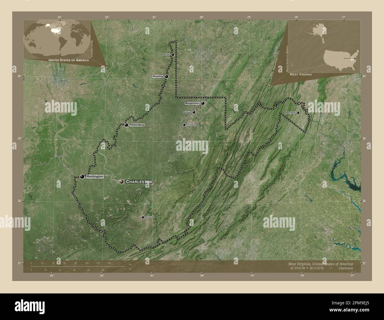 West Virginia, state of United States of America. High resolution satellite map. Locations and names of major cities of the region. Corner auxiliary l Stock Photohttps://www.alamy.com/image-license-details/?v=1https://www.alamy.com/west-virginia-state-of-united-states-of-america-high-resolution-satellite-map-locations-and-names-of-major-cities-of-the-region-corner-auxiliary-l-image546023581.html
RF2PM9EJ5–West Virginia, state of United States of America. High resolution satellite map. Locations and names of major cities of the region. Corner auxiliary l
 Wheeling, West Virginia, map 1935, 1:62500, United States of America by Timeless Maps, data U.S. Geological Survey Stock Photohttps://www.alamy.com/image-license-details/?v=1https://www.alamy.com/wheeling-west-virginia-map-1935-162500-united-states-of-america-by-timeless-maps-data-us-geological-survey-image414329659.html
RM2F229KR–Wheeling, West Virginia, map 1935, 1:62500, United States of America by Timeless Maps, data U.S. Geological Survey
 Sanborn Fire Insurance Map from Wheeling, Ohio County, West Virginia. Stock Photohttps://www.alamy.com/image-license-details/?v=1https://www.alamy.com/sanborn-fire-insurance-map-from-wheeling-ohio-county-west-virginia-image456520471.html
RM2HEM8EF–Sanborn Fire Insurance Map from Wheeling, Ohio County, West Virginia.
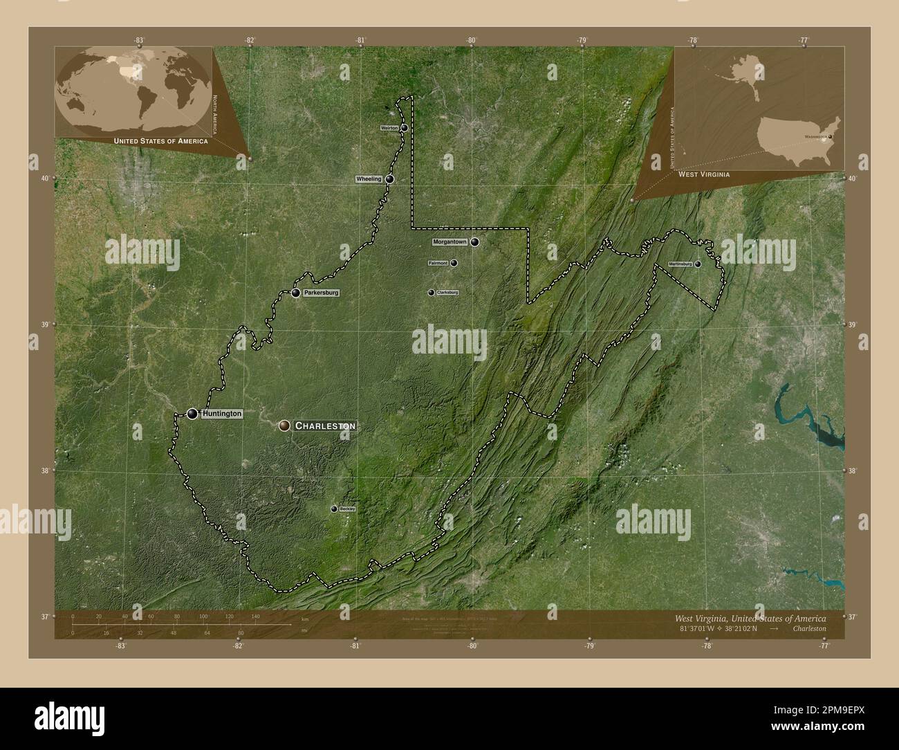 West Virginia, state of United States of America. Low resolution satellite map. Locations and names of major cities of the region. Corner auxiliary lo Stock Photohttps://www.alamy.com/image-license-details/?v=1https://www.alamy.com/west-virginia-state-of-united-states-of-america-low-resolution-satellite-map-locations-and-names-of-major-cities-of-the-region-corner-auxiliary-lo-image546023714.html
RF2PM9EPX–West Virginia, state of United States of America. Low resolution satellite map. Locations and names of major cities of the region. Corner auxiliary lo
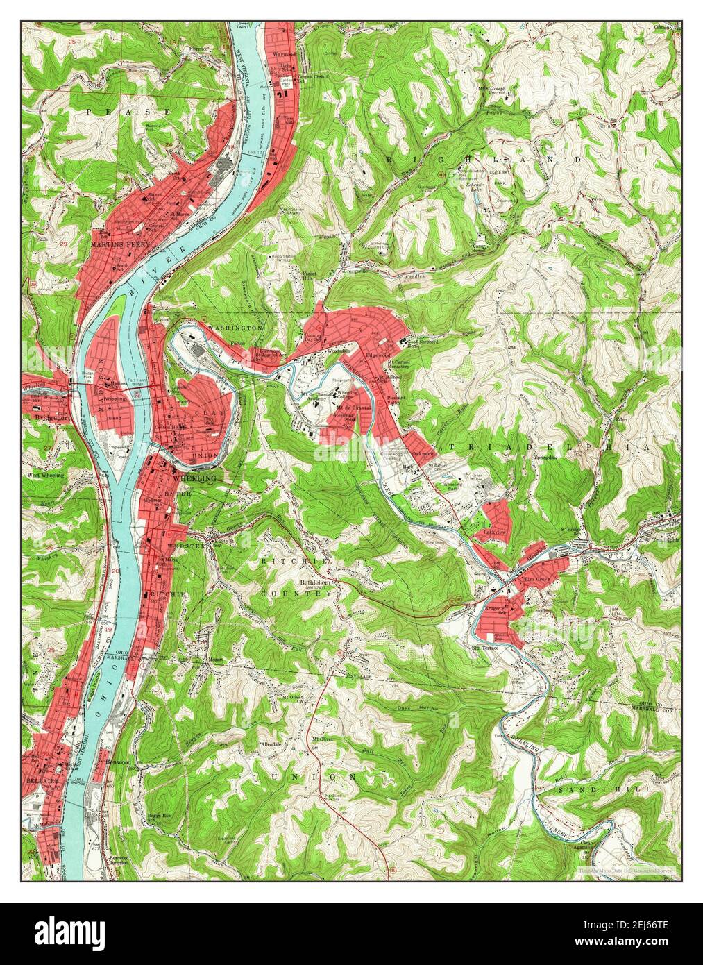 Wheeling, West Virginia, map 1956, 1:24000, United States of America by Timeless Maps, data U.S. Geological Survey Stock Photohttps://www.alamy.com/image-license-details/?v=1https://www.alamy.com/wheeling-west-virginia-map-1956-124000-united-states-of-america-by-timeless-maps-data-us-geological-survey-image407039374.html
RM2EJ66TE–Wheeling, West Virginia, map 1956, 1:24000, United States of America by Timeless Maps, data U.S. Geological Survey
 Sanborn Fire Insurance Map from Wheeling, Ohio County, West Virginia. Stock Photohttps://www.alamy.com/image-license-details/?v=1https://www.alamy.com/sanborn-fire-insurance-map-from-wheeling-ohio-county-west-virginia-image456520418.html
RM2HEM8CJ–Sanborn Fire Insurance Map from Wheeling, Ohio County, West Virginia.
 West Virginia, state of United States of America. Low resolution satellite map. Locations of major cities of the region. Corner auxiliary location map Stock Photohttps://www.alamy.com/image-license-details/?v=1https://www.alamy.com/west-virginia-state-of-united-states-of-america-low-resolution-satellite-map-locations-of-major-cities-of-the-region-corner-auxiliary-location-map-image546023639.html
RF2PM9EM7–West Virginia, state of United States of America. Low resolution satellite map. Locations of major cities of the region. Corner auxiliary location map
 Wheeling, West Virginia, map 1902, 1:62500, United States of America by Timeless Maps, data U.S. Geological Survey Stock Photohttps://www.alamy.com/image-license-details/?v=1https://www.alamy.com/wheeling-west-virginia-map-1902-162500-united-states-of-america-by-timeless-maps-data-us-geological-survey-image414329516.html
RM2F229EM–Wheeling, West Virginia, map 1902, 1:62500, United States of America by Timeless Maps, data U.S. Geological Survey
 Sanborn Fire Insurance Map from Wheeling, Ohio County, West Virginia. Stock Photohttps://www.alamy.com/image-license-details/?v=1https://www.alamy.com/sanborn-fire-insurance-map-from-wheeling-ohio-county-west-virginia-image456520522.html
RM2HEM8GA–Sanborn Fire Insurance Map from Wheeling, Ohio County, West Virginia.
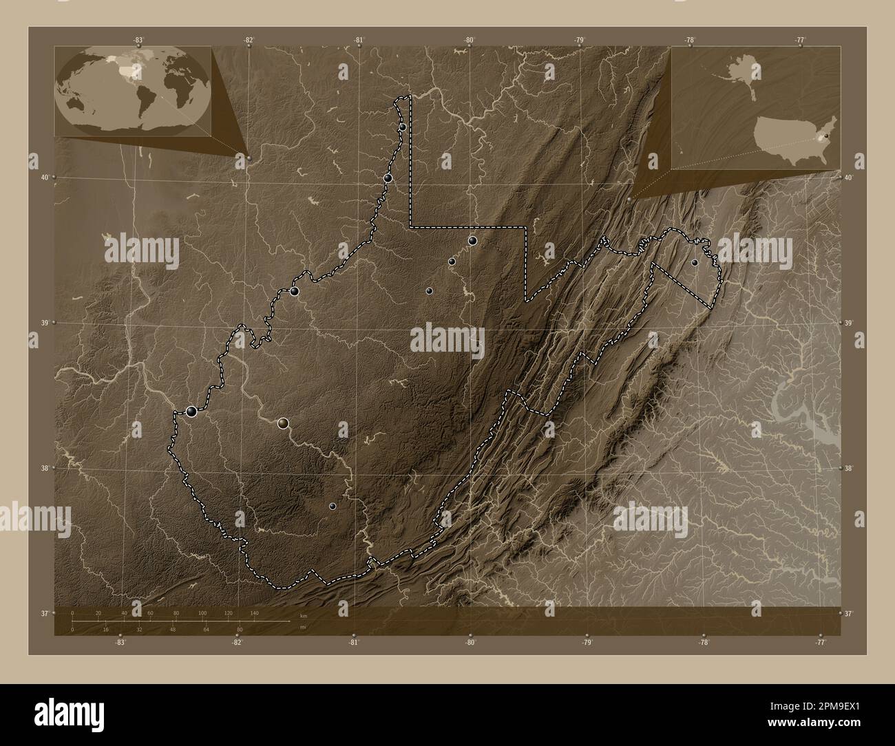 West Virginia, state of United States of America. Elevation map colored in sepia tones with lakes and rivers. Locations of major cities of the region. Stock Photohttps://www.alamy.com/image-license-details/?v=1https://www.alamy.com/west-virginia-state-of-united-states-of-america-elevation-map-colored-in-sepia-tones-with-lakes-and-rivers-locations-of-major-cities-of-the-region-image546023801.html
RF2PM9EX1–West Virginia, state of United States of America. Elevation map colored in sepia tones with lakes and rivers. Locations of major cities of the region.
 Wheeling, West Virginia, map 1994, 1:24000, United States of America by Timeless Maps, data U.S. Geological Survey Stock Photohttps://www.alamy.com/image-license-details/?v=1https://www.alamy.com/wheeling-west-virginia-map-1994-124000-united-states-of-america-by-timeless-maps-data-us-geological-survey-image407039375.html
RM2EJ66TF–Wheeling, West Virginia, map 1994, 1:24000, United States of America by Timeless Maps, data U.S. Geological Survey
 Sanborn Fire Insurance Map from Wheeling, Ohio County, West Virginia. Stock Photohttps://www.alamy.com/image-license-details/?v=1https://www.alamy.com/sanborn-fire-insurance-map-from-wheeling-ohio-county-west-virginia-image456520502.html
RM2HEM8FJ–Sanborn Fire Insurance Map from Wheeling, Ohio County, West Virginia.
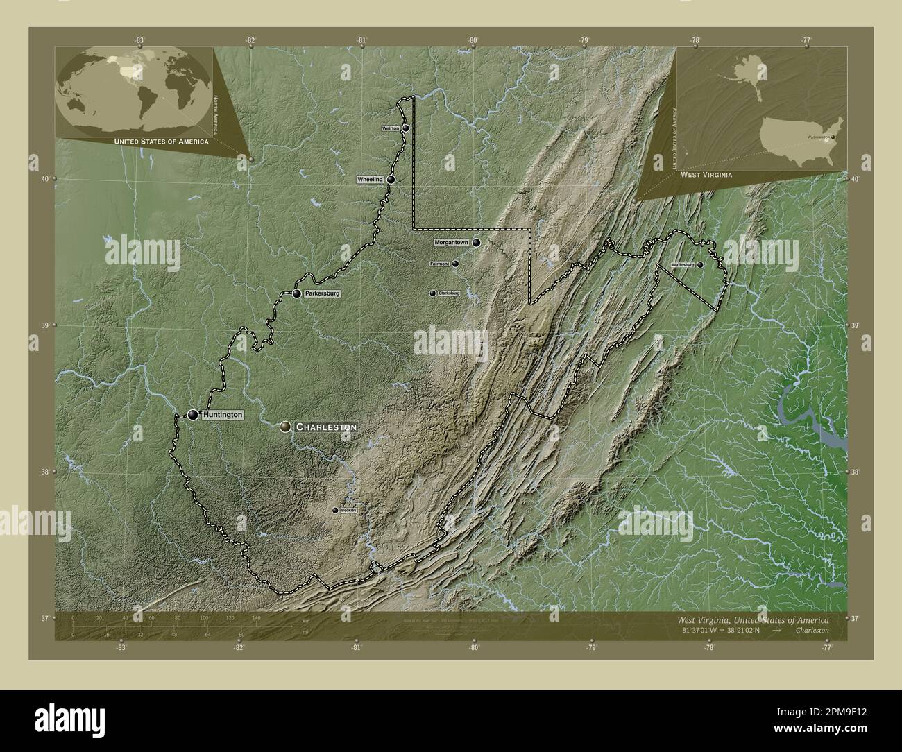 West Virginia, state of United States of America. Elevation map colored in wiki style with lakes and rivers. Locations and names of major cities of th Stock Photohttps://www.alamy.com/image-license-details/?v=1https://www.alamy.com/west-virginia-state-of-united-states-of-america-elevation-map-colored-in-wiki-style-with-lakes-and-rivers-locations-and-names-of-major-cities-of-th-image546023886.html
RF2PM9F12–West Virginia, state of United States of America. Elevation map colored in wiki style with lakes and rivers. Locations and names of major cities of th
 Sanborn Fire Insurance Map from Wheeling, Ohio County, West Virginia. Stock Photohttps://www.alamy.com/image-license-details/?v=1https://www.alamy.com/sanborn-fire-insurance-map-from-wheeling-ohio-county-west-virginia-image456520463.html
RM2HEM8E7–Sanborn Fire Insurance Map from Wheeling, Ohio County, West Virginia.
 West Virginia, state of United States of America. Elevation map colored in sepia tones with lakes and rivers. Locations and names of major cities of t Stock Photohttps://www.alamy.com/image-license-details/?v=1https://www.alamy.com/west-virginia-state-of-united-states-of-america-elevation-map-colored-in-sepia-tones-with-lakes-and-rivers-locations-and-names-of-major-cities-of-t-image546023811.html
RF2PM9EXB–West Virginia, state of United States of America. Elevation map colored in sepia tones with lakes and rivers. Locations and names of major cities of t
 Sanborn Fire Insurance Map from Wheeling, Ohio County, West Virginia. Stock Photohttps://www.alamy.com/image-license-details/?v=1https://www.alamy.com/sanborn-fire-insurance-map-from-wheeling-ohio-county-west-virginia-image456520483.html
RM2HEM8EY–Sanborn Fire Insurance Map from Wheeling, Ohio County, West Virginia.
 West Virginia, state of United States of America. Solid color shape Stock Photohttps://www.alamy.com/image-license-details/?v=1https://www.alamy.com/west-virginia-state-of-united-states-of-america-solid-color-shape-image546023641.html
RF2PM9EM9–West Virginia, state of United States of America. Solid color shape
 Sanborn Fire Insurance Map from Wheeling, Ohio County, West Virginia. Stock Photohttps://www.alamy.com/image-license-details/?v=1https://www.alamy.com/sanborn-fire-insurance-map-from-wheeling-ohio-county-west-virginia-image456520480.html
RM2HEM8ET–Sanborn Fire Insurance Map from Wheeling, Ohio County, West Virginia.