Africa map Black & White Stock Photos
 Outline map of Africa continent in black isolated on white background Stock Photohttps://www.alamy.com/image-license-details/?v=1https://www.alamy.com/stock-photo-outline-map-of-africa-continent-in-black-isolated-on-white-background-21708200.html
RMB78W0T–Outline map of Africa continent in black isolated on white background
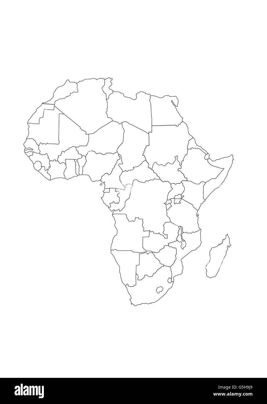 Map of Africa Stock Photohttps://www.alamy.com/image-license-details/?v=1https://www.alamy.com/stock-photo-map-of-africa-106716241.html
RMG5H9J9–Map of Africa
 Typograhpy Illustration of africa map Stock Photohttps://www.alamy.com/image-license-details/?v=1https://www.alamy.com/stock-photo-typograhpy-illustration-of-africa-map-43402852.html
RFCEH4NT–Typograhpy Illustration of africa map
 Elephant on Africa map background with Kilimanjaro mountain, vulture and sun. Collection of hand drawn illustrations (originals, no tracing) Stock Photohttps://www.alamy.com/image-license-details/?v=1https://www.alamy.com/elephant-on-africa-map-background-with-kilimanjaro-mountain-vulture-and-sun-collection-of-hand-drawn-illustrations-originals-no-tracing-image272153116.html
RFWPNJ24–Elephant on Africa map background with Kilimanjaro mountain, vulture and sun. Collection of hand drawn illustrations (originals, no tracing)
 Silhouette of African continent, isolated on white background. Stock Photohttps://www.alamy.com/image-license-details/?v=1https://www.alamy.com/stock-photo-silhouette-of-african-continent-isolated-on-white-background-28514659.html
RMBJAXMK–Silhouette of African continent, isolated on white background.
RFRK7BJK–Vector illustration outline Africa map isolated on white background. African continent icon.
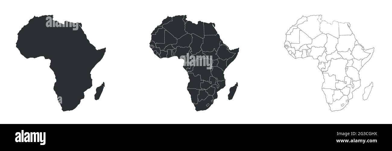 Africa map with federal states. Gary and white map Stock Vectorhttps://www.alamy.com/image-license-details/?v=1https://www.alamy.com/africa-map-with-federal-states-gary-and-white-map-image432379638.html
RF2G3CGHX–Africa map with federal states. Gary and white map
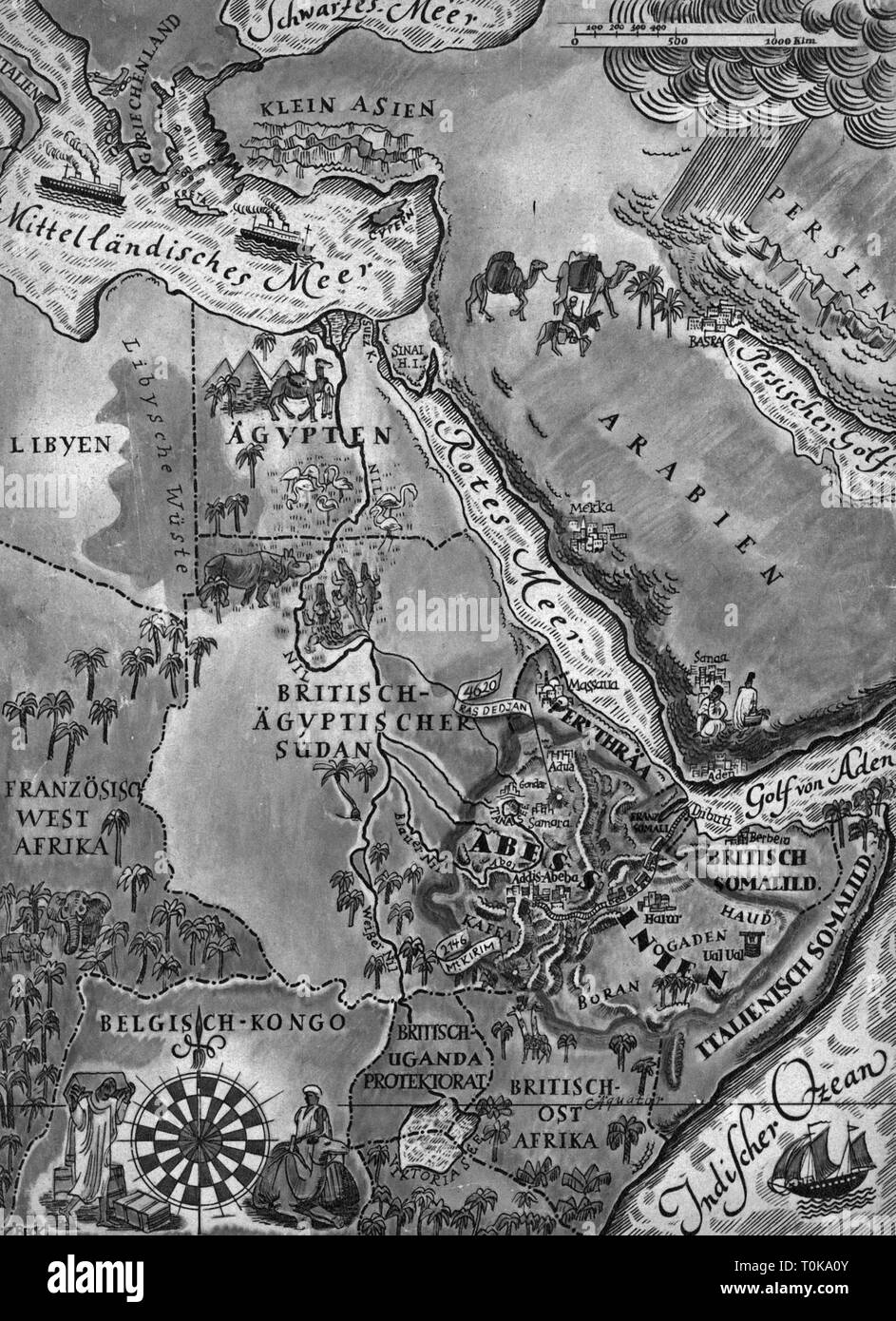 colonialism, Africa, East Africa, map, from: 'Die Woche', Berlin, 1935, Additional-Rights-Clearance-Info-Not-Available Stock Photohttps://www.alamy.com/image-license-details/?v=1https://www.alamy.com/colonialism-africa-east-africa-map-from-die-woche-berlin-1935-additional-rights-clearance-info-not-available-image241370107.html
RMT0KA0Y–colonialism, Africa, East Africa, map, from: 'Die Woche', Berlin, 1935, Additional-Rights-Clearance-Info-Not-Available
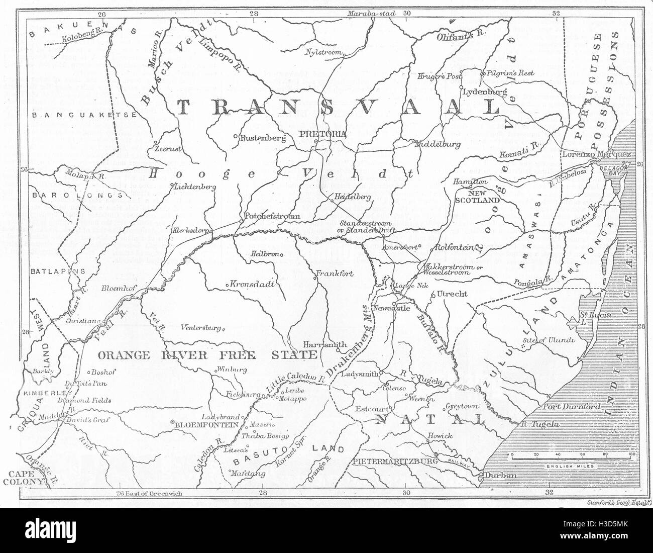 SOUTH AFRICA Map of the Transvaal and adjacent provinces 1881. The Illustrated London News Stock Photohttps://www.alamy.com/image-license-details/?v=1https://www.alamy.com/stock-photo-south-africa-map-of-the-transvaal-and-adjacent-provinces-1881-the-122606419.html
RFH3D5MK–SOUTH AFRICA Map of the Transvaal and adjacent provinces 1881. The Illustrated London News
 World Map represented in a Fingerprint Stock Photohttps://www.alamy.com/image-license-details/?v=1https://www.alamy.com/stock-photo-world-map-represented-in-a-fingerprint-53655370.html
RFD385Y6–World Map represented in a Fingerprint
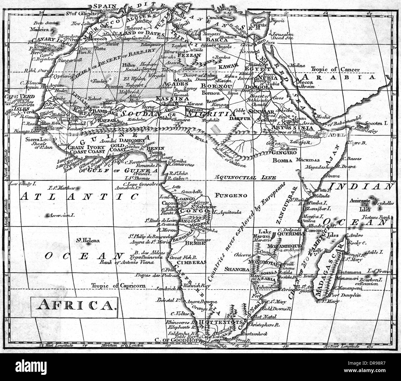 MAP AFRICA Stock Photohttps://www.alamy.com/image-license-details/?v=1https://www.alamy.com/map-africa-image65972683.html
RMDR98R7–MAP AFRICA
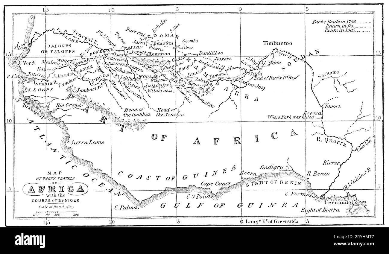 Map of Park's Travels in Africa, with the Course of the Niger, c1902. Mungo Park (1771-1806), was a Scottish explorer of West Africa. After an exploration of the upper Niger River around 1796, he wrote a popular and influential travel book titled 'Travels in the Interior Districts of Africa', in which he theorised that the Niger and Congo rivers merged to become the same river, though it was later proven that they are different rivers. Stock Photohttps://www.alamy.com/image-license-details/?v=1https://www.alamy.com/map-of-parks-travels-in-africa-with-the-course-of-the-niger-c1902-mungo-park-1771-1806-was-a-scottish-explorer-of-west-africa-after-an-exploration-of-the-upper-niger-river-around-1796-he-wrote-a-popular-and-influential-travel-book-titled-travels-in-the-interior-districts-of-africa-in-which-he-theorised-that-the-niger-and-congo-rivers-merged-to-become-the-same-river-though-it-was-later-proven-that-they-are-different-rivers-image567717031.html
RM2RYHMT7–Map of Park's Travels in Africa, with the Course of the Niger, c1902. Mungo Park (1771-1806), was a Scottish explorer of West Africa. After an exploration of the upper Niger River around 1796, he wrote a popular and influential travel book titled 'Travels in the Interior Districts of Africa', in which he theorised that the Niger and Congo rivers merged to become the same river, though it was later proven that they are different rivers.
 Scribble Africa map vector Stock Vectorhttps://www.alamy.com/image-license-details/?v=1https://www.alamy.com/scribble-africa-map-vector-image214304317.html
RFPCJB9H–Scribble Africa map vector
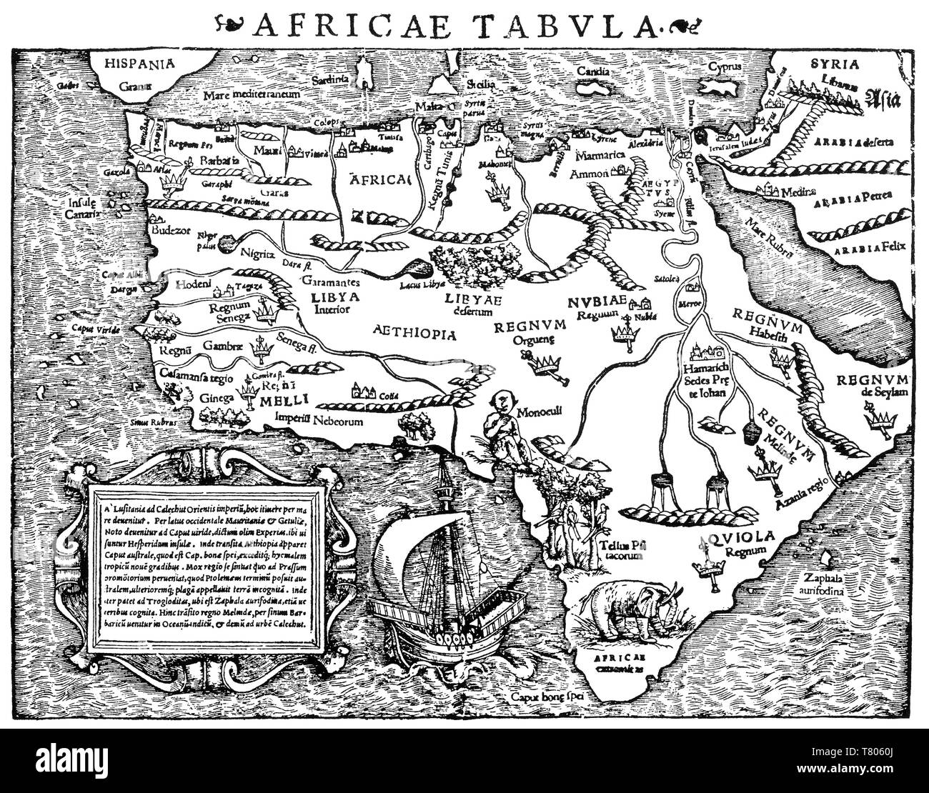 Sebastian Münster, Africa Map, 1550 Stock Photohttps://www.alamy.com/image-license-details/?v=1https://www.alamy.com/sebastian-mnster-africa-map-1550-image245867122.html
RMT8060J–Sebastian Münster, Africa Map, 1550
 South Africa Map Vector Illustration - Silhouette, Outline, South Africa Travel and Tourism Map Stock Vectorhttps://www.alamy.com/image-license-details/?v=1https://www.alamy.com/south-africa-map-vector-illustration-silhouette-outline-south-africa-travel-and-tourism-map-image611795081.html
RF2XF9JT9–South Africa Map Vector Illustration - Silhouette, Outline, South Africa Travel and Tourism Map
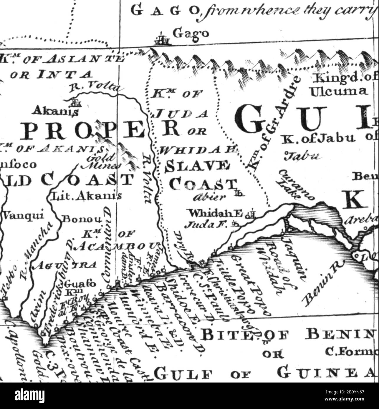 SLAVE COAST West Africa. Map about 1720 Stock Photohttps://www.alamy.com/image-license-details/?v=1https://www.alamy.com/slave-coast-west-africa-map-about-1720-image350348607.html
RM2B9YN67–SLAVE COAST West Africa. Map about 1720
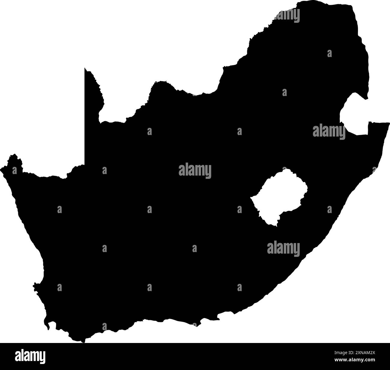 south africa map silhouette vector illustration Stock Vectorhttps://www.alamy.com/image-license-details/?v=1https://www.alamy.com/south-africa-map-silhouette-vector-illustration-image615505938.html
RF2XNAM2X–south africa map silhouette vector illustration
 Plan of the Battle of Elandslaagte, 2nd Boer War, 21 November 1899. Artist: Anon Stock Photohttps://www.alamy.com/image-license-details/?v=1https://www.alamy.com/plan-of-the-battle-of-elandslaagte-2nd-boer-war-21-november-1899-artist-anon-image262729626.html
RMW7CA8X–Plan of the Battle of Elandslaagte, 2nd Boer War, 21 November 1899. Artist: Anon
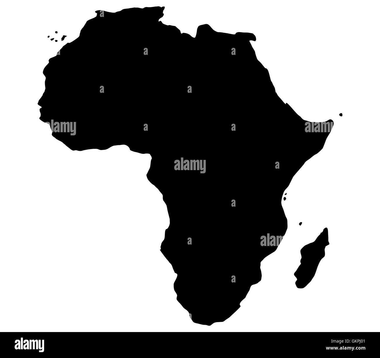 map of africa Stock Photohttps://www.alamy.com/image-license-details/?v=1https://www.alamy.com/stock-photo-map-of-africa-115437729.html
RFGKPJ01–map of africa
 Africa map outline. Black and white concept. vector illustration. Stock Vectorhttps://www.alamy.com/image-license-details/?v=1https://www.alamy.com/africa-map-outline-black-and-white-concept-vector-illustration-image628805138.html
RF2YF0FAA–Africa map outline. Black and white concept. vector illustration.
 Vector illustration banner for Black history month. Black low poly silhouette of Africa map and text. White background. Stock Vectorhttps://www.alamy.com/image-license-details/?v=1https://www.alamy.com/vector-illustration-banner-for-black-history-month-black-low-poly-silhouette-of-africa-map-and-text-white-background-image416993751.html
RF2F6BKNY–Vector illustration banner for Black history month. Black low poly silhouette of Africa map and text. White background.
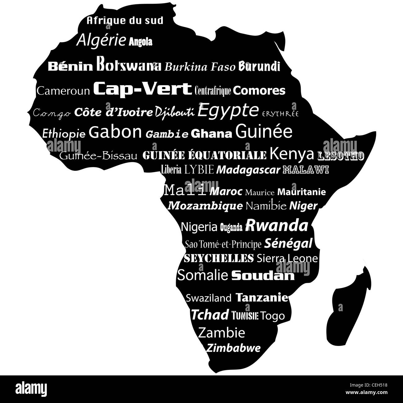 Typograhpy Illustration of africa map Stock Photohttps://www.alamy.com/image-license-details/?v=1https://www.alamy.com/stock-photo-typograhpy-illustration-of-africa-map-43403060.html
RFCEH518–Typograhpy Illustration of africa map
 Hand drawn sketched Africa map (originals, no tracing) Stock Photohttps://www.alamy.com/image-license-details/?v=1https://www.alamy.com/hand-drawn-sketched-africa-map-originals-no-tracing-image224092043.html
RFR0G7K7–Hand drawn sketched Africa map (originals, no tracing)
 Map of African continent, isolated on white background. Stock Photohttps://www.alamy.com/image-license-details/?v=1https://www.alamy.com/stock-photo-map-of-african-continent-isolated-on-white-background-25859655.html
RMBE2073–Map of African continent, isolated on white background.
 Africa map mosaic of black dots in various sizes on white background. Vector illustration. Stock Vectorhttps://www.alamy.com/image-license-details/?v=1https://www.alamy.com/africa-map-mosaic-of-black-dots-in-various-sizes-on-white-background-vector-illustration-image364187934.html
RF2C4E5BX–Africa map mosaic of black dots in various sizes on white background. Vector illustration.
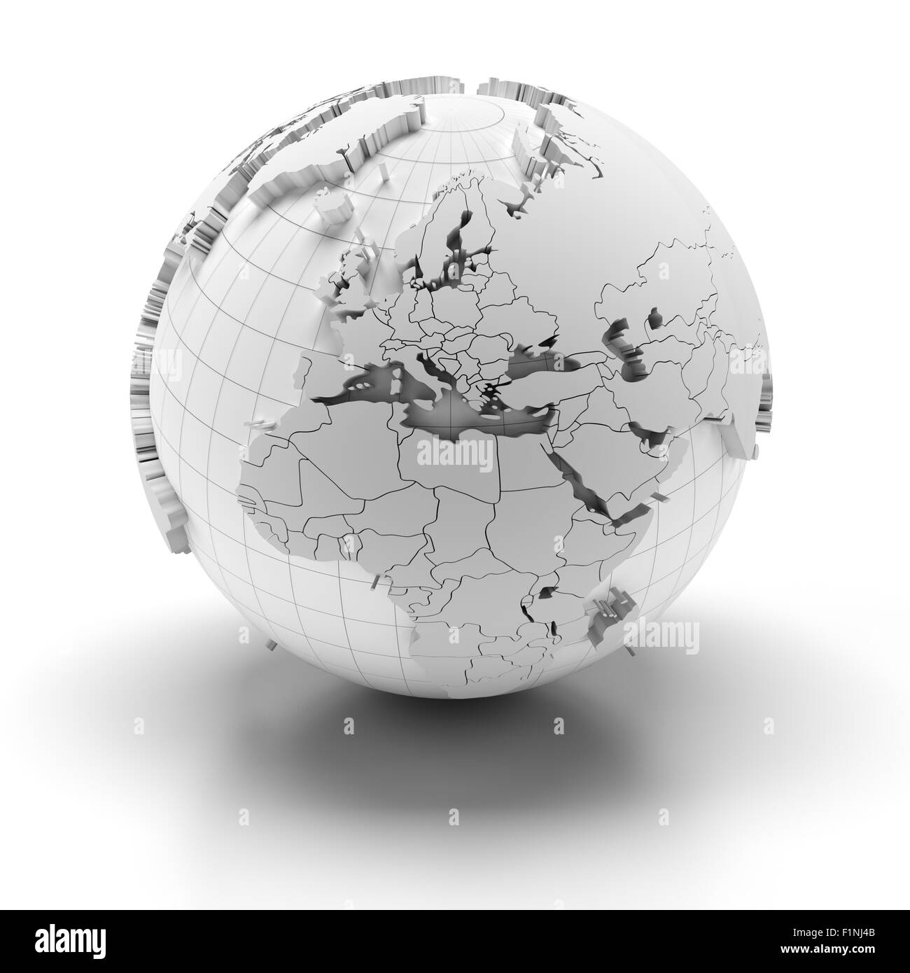 Globe with extruded continents, Europe, Middle East and Africa regions Stock Photohttps://www.alamy.com/image-license-details/?v=1https://www.alamy.com/stock-photo-globe-with-extruded-continents-europe-middle-east-and-africa-regions-87141723.html
RFF1NJ4B–Globe with extruded continents, Europe, Middle East and Africa regions
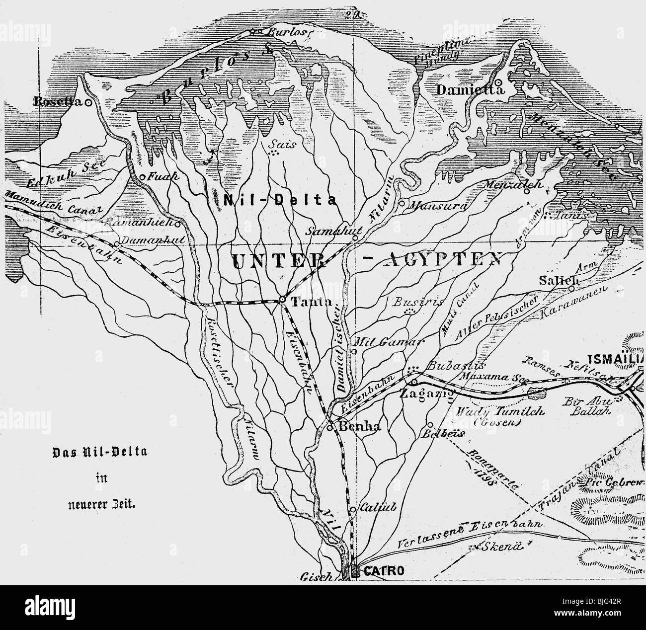 cartography, maps, North Africa, map of the Nile Delta, illustration, wood engraving, circa 1870, Stock Photohttps://www.alamy.com/image-license-details/?v=1https://www.alamy.com/stock-photo-cartography-maps-north-africa-map-of-the-nile-delta-illustration-wood-28628623.html
RMBJG42R–cartography, maps, North Africa, map of the Nile Delta, illustration, wood engraving, circa 1870,
RF2CBJ57D–Africa map on vintage background. Black and white hand drawn illustration. Icon sign for print and labelling.
 Africa Map grey Stock Photohttps://www.alamy.com/image-license-details/?v=1https://www.alamy.com/stock-image-africa-map-grey-169134560.html
RFKR4MT0–Africa Map grey
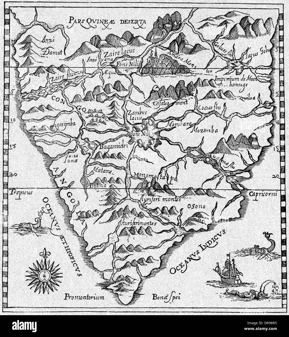 MAP AFRICA Stock Photohttps://www.alamy.com/image-license-details/?v=1https://www.alamy.com/map-africa-image65972681.html
RMDR98R5–MAP AFRICA
 19th century map of Africa Copperplate engraving From the Encyclopaedia Londinensis or, Universal dictionary of arts, sciences, and literature; Volume I; Edited by Wilkes, John. Published in London in 1810 Stock Photohttps://www.alamy.com/image-license-details/?v=1https://www.alamy.com/19th-century-map-of-africa-copperplate-engraving-from-the-encyclopaedia-londinensis-or-universal-dictionary-of-arts-sciences-and-literature-volume-i-edited-by-wilkes-john-published-in-london-in-1810-image401785828.html
RF2E9JWWT–19th century map of Africa Copperplate engraving From the Encyclopaedia Londinensis or, Universal dictionary of arts, sciences, and literature; Volume I; Edited by Wilkes, John. Published in London in 1810
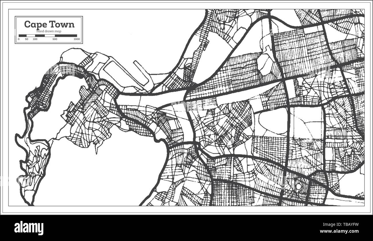 Cape Town South Africa Map in Black and White Color. Vector Illustration. Outline Map. Stock Vectorhttps://www.alamy.com/image-license-details/?v=1https://www.alamy.com/cape-town-south-africa-map-in-black-and-white-color-vector-illustration-outline-map-image247947501.html
RFTBAYFW–Cape Town South Africa Map in Black and White Color. Vector Illustration. Outline Map.
 Africa hand drawn map, continent silhouette, stylized contour borders, black line. Stock Vectorhttps://www.alamy.com/image-license-details/?v=1https://www.alamy.com/africa-hand-drawn-map-continent-silhouette-stylized-contour-borders-black-line-image611852181.html
RF2XFC7KH–Africa hand drawn map, continent silhouette, stylized contour borders, black line.
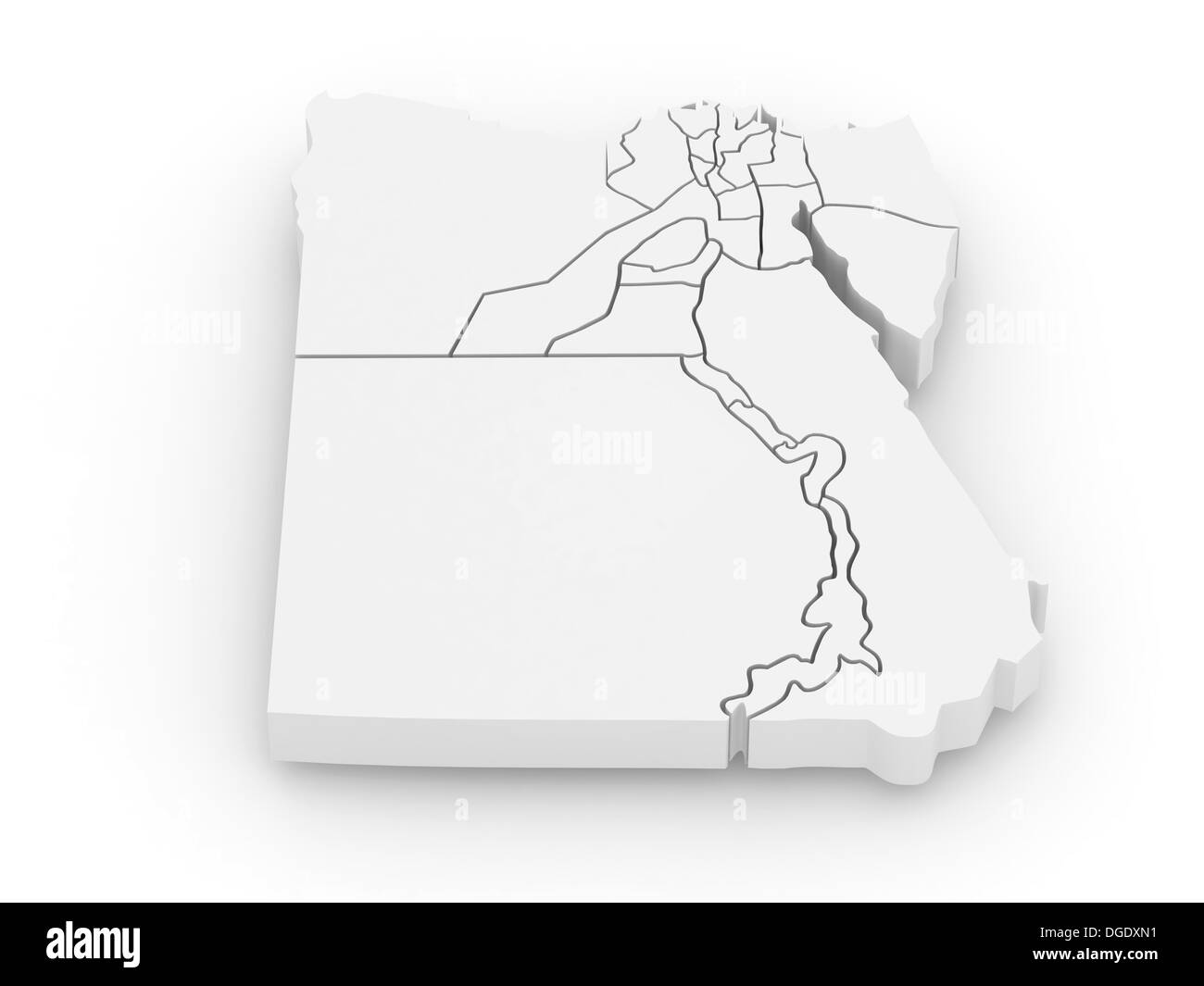 Three-dimensional map of Egypt on white isolated background. 3d Stock Photohttps://www.alamy.com/image-license-details/?v=1https://www.alamy.com/three-dimensional-map-of-egypt-on-white-isolated-background-3d-image61771949.html
RFDGDXN1–Three-dimensional map of Egypt on white isolated background. 3d
 African woman portrait in ethnic turban, silhouette, Africa continent map. Africa Motherland, Afro design, tribal logo template, banner vector isolate Stock Vectorhttps://www.alamy.com/image-license-details/?v=1https://www.alamy.com/african-woman-portrait-in-ethnic-turban-silhouette-africa-continent-map-africa-motherland-afro-design-tribal-logo-template-banner-vector-isolate-image488022507.html
RF2K9Y9K7–African woman portrait in ethnic turban, silhouette, Africa continent map. Africa Motherland, Afro design, tribal logo template, banner vector isolate
 south africa map with dotted pattern vector illustration Stock Vectorhttps://www.alamy.com/image-license-details/?v=1https://www.alamy.com/south-africa-map-with-dotted-pattern-vector-illustration-image615505936.html
RF2XNAM2T–south africa map with dotted pattern vector illustration
 Positions round Ladysmith - November 1899 Second Boer War Stock Photohttps://www.alamy.com/image-license-details/?v=1https://www.alamy.com/stock-photo-positions-round-ladysmith-november-1899-second-boer-war-80036551.html
RMEJ5YC7–Positions round Ladysmith - November 1899 Second Boer War
 In Darkest Africa map return to Ugarrowwas Stock Photohttps://www.alamy.com/image-license-details/?v=1https://www.alamy.com/stock-photo-in-darkest-africa-map-return-to-ugarrowwas-140060688.html
RMJ3T8RC–In Darkest Africa map return to Ugarrowwas
 Africa map silhouette. Black and white concept. vector illustration. Stock Vectorhttps://www.alamy.com/image-license-details/?v=1https://www.alamy.com/africa-map-silhouette-black-and-white-concept-vector-illustration-image628805233.html
RF2YF0FDN–Africa map silhouette. Black and white concept. vector illustration.
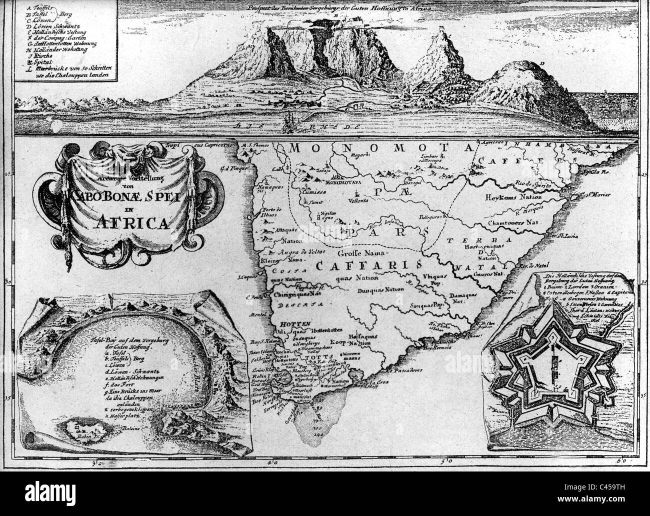 Old map of South Africa Stock Photohttps://www.alamy.com/image-license-details/?v=1https://www.alamy.com/stock-photo-old-map-of-south-africa-36996865.html
RMC459TH–Old map of South Africa
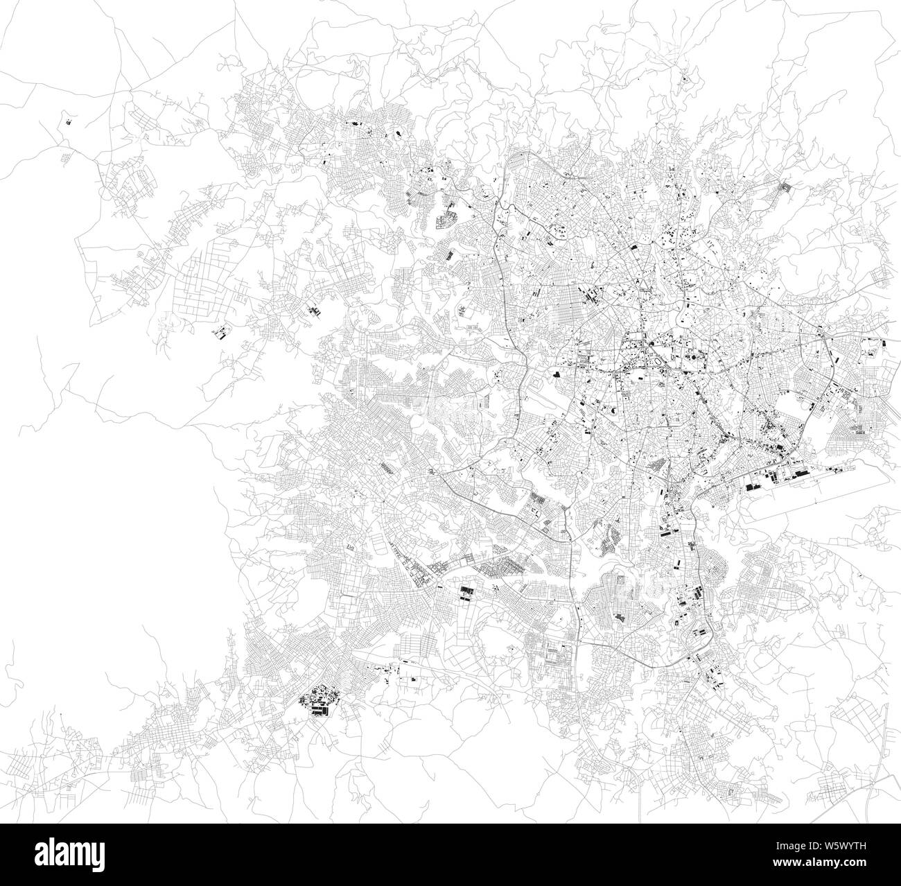 Satellite map of Addis Ababa, it is the capital and largest city of Ethiopia. Africa. Map of streets and buildings of the town center Stock Vectorhttps://www.alamy.com/image-license-details/?v=1https://www.alamy.com/satellite-map-of-addis-ababa-it-is-the-capital-and-largest-city-of-ethiopia-africa-map-of-streets-and-buildings-of-the-town-center-image261799457.html
RFW5WYTH–Satellite map of Addis Ababa, it is the capital and largest city of Ethiopia. Africa. Map of streets and buildings of the town center
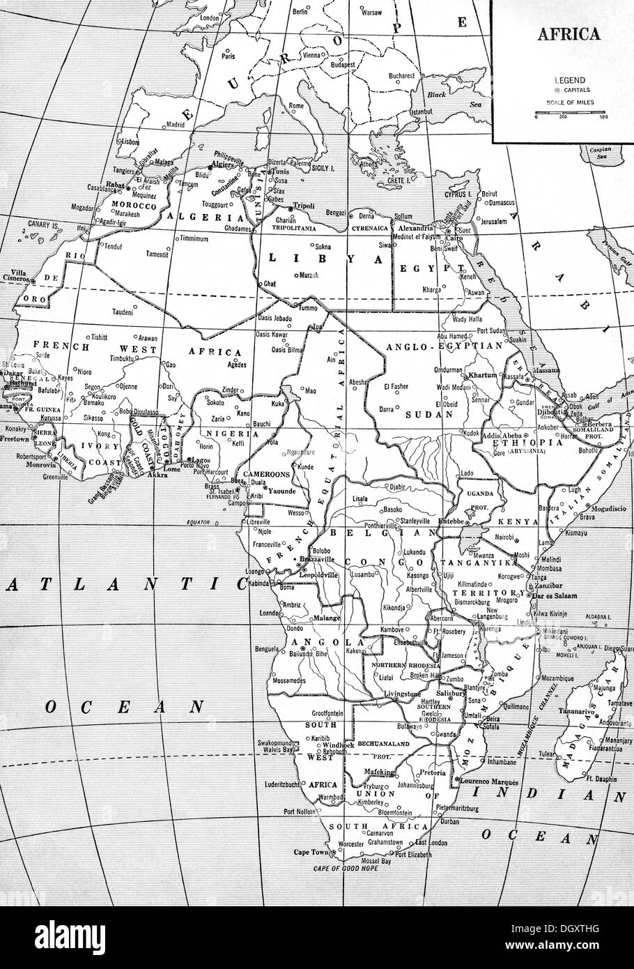 Old map of Africa, 1930's Stock Photohttps://www.alamy.com/image-license-details/?v=1https://www.alamy.com/old-map-of-africa-1930s-image62055660.html
RMDGXTHG–Old map of Africa, 1930's
 Africa shopping bar code isolated on white background. Stock Photohttps://www.alamy.com/image-license-details/?v=1https://www.alamy.com/africa-shopping-bar-code-isolated-on-white-background-image62484447.html
RMDHJBFB–Africa shopping bar code isolated on white background.
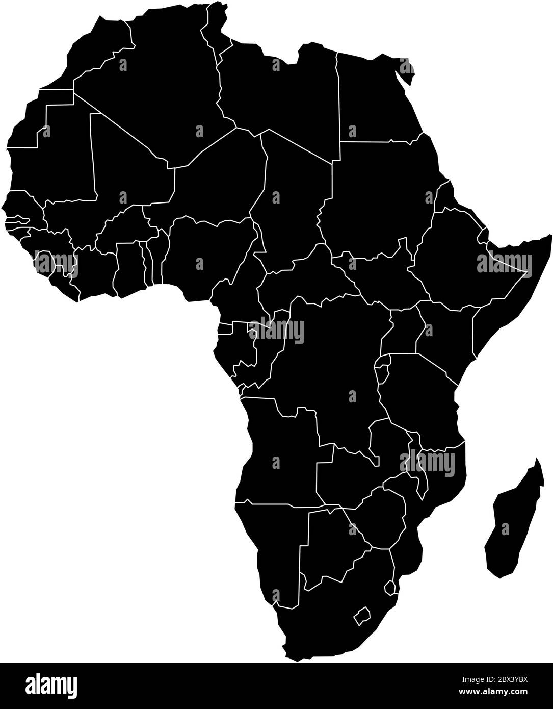 Simple flat black map of Africa continent with national borders isolated on white background. Vector illustration. Stock Vectorhttps://www.alamy.com/image-license-details/?v=1https://www.alamy.com/simple-flat-black-map-of-africa-continent-with-national-borders-isolated-on-white-background-vector-illustration-image360275774.html
RF2BX3YBX–Simple flat black map of Africa continent with national borders isolated on white background. Vector illustration.
 Silhouette map of Africa on white background Stock Photohttps://www.alamy.com/image-license-details/?v=1https://www.alamy.com/stock-photo-silhouette-map-of-africa-on-white-background-52914914.html
RMD22DEA–Silhouette map of Africa on white background
 Silhouette of African continent, isolated on white background. Stock Photohttps://www.alamy.com/image-license-details/?v=1https://www.alamy.com/stock-photo-silhouette-of-african-continent-isolated-on-white-background-28500539.html
RMBJA8MB–Silhouette of African continent, isolated on white background.
RF2AYTDT3–Africa map. Monochrome Africa continent icon. Vector
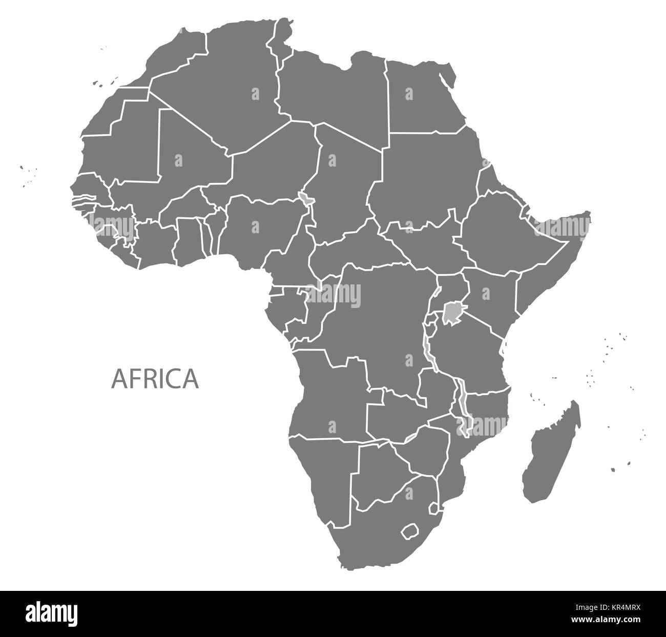 Africa Map with countries grey Stock Photohttps://www.alamy.com/image-license-details/?v=1https://www.alamy.com/stock-image-africa-map-with-countries-grey-169134558.html
RFKR4MRX–Africa Map with countries grey
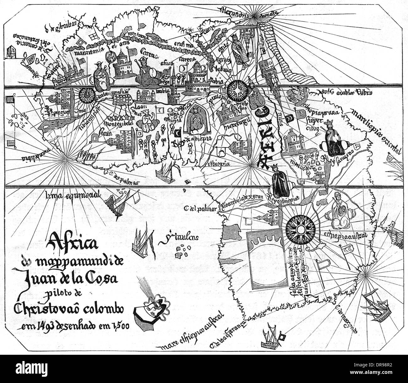 MAP AFRICA Stock Photohttps://www.alamy.com/image-license-details/?v=1https://www.alamy.com/map-africa-image65972678.html
RMDR98R2–MAP AFRICA
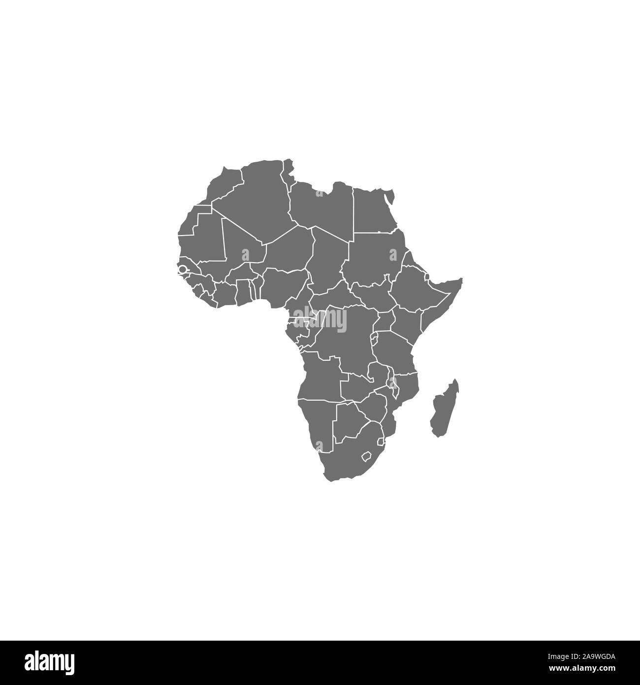 Africa map with country borders, vector illustration. Stock Vectorhttps://www.alamy.com/image-license-details/?v=1https://www.alamy.com/africa-map-with-country-borders-vector-illustration-image333090614.html
RF2A9WGDA–Africa map with country borders, vector illustration.
 Black silhouette from the continent of Africa. World map illustration on the white background. Stock Photohttps://www.alamy.com/image-license-details/?v=1https://www.alamy.com/black-silhouette-from-the-continent-of-africa-world-map-illustration-on-the-white-background-image605174893.html
RF2X4G2N1–Black silhouette from the continent of Africa. World map illustration on the white background.
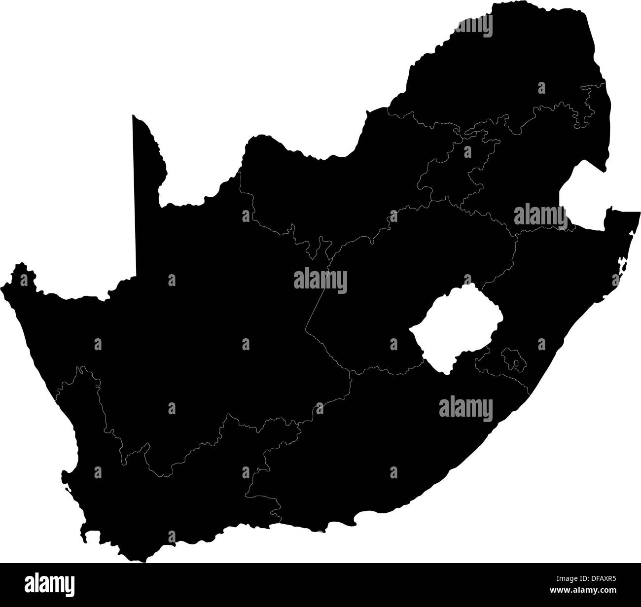 Black South Africa Stock Photohttps://www.alamy.com/image-license-details/?v=1https://www.alamy.com/black-south-africa-image61091497.html
RFDFAXR5–Black South Africa
 Map of Guinea Coast, Africa, Circa 1700 Stock Photohttps://www.alamy.com/image-license-details/?v=1https://www.alamy.com/stock-photo-map-of-guinea-coast-africa-circa-1700-51518710.html
RMCYPTHX–Map of Guinea Coast, Africa, Circa 1700
 Africa Map Stock Photohttps://www.alamy.com/image-license-details/?v=1https://www.alamy.com/stock-photo-africa-map-91712737.html
RFF95TEW–Africa Map
 south africa map with dotted pattern vector illustration Stock Vectorhttps://www.alamy.com/image-license-details/?v=1https://www.alamy.com/south-africa-map-with-dotted-pattern-vector-illustration-image615505986.html
RF2XNAM4J–south africa map with dotted pattern vector illustration
 An Africa map silhouette isolated on a white background Stock Photohttps://www.alamy.com/image-license-details/?v=1https://www.alamy.com/stock-photo-an-africa-map-silhouette-isolated-on-a-white-background-90014786.html
RFF6CENP–An Africa map silhouette isolated on a white background
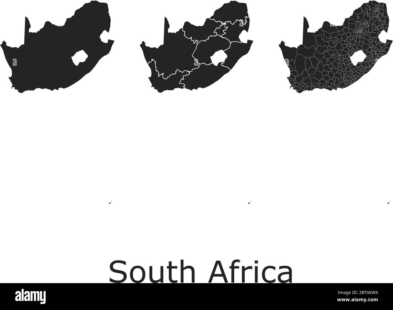 South Africa vector maps with administrative regions, municipalities, departments, borders Stock Vectorhttps://www.alamy.com/image-license-details/?v=1https://www.alamy.com/south-africa-vector-maps-with-administrative-regions-municipalities-departments-borders-image358964534.html
RF2BT06WX–South Africa vector maps with administrative regions, municipalities, departments, borders
 Africa map outline. Black and white concept. vector illustration. Stock Vectorhttps://www.alamy.com/image-license-details/?v=1https://www.alamy.com/africa-map-outline-black-and-white-concept-vector-illustration-image628801624.html
RF2YF0ATT–Africa map outline. Black and white concept. vector illustration.
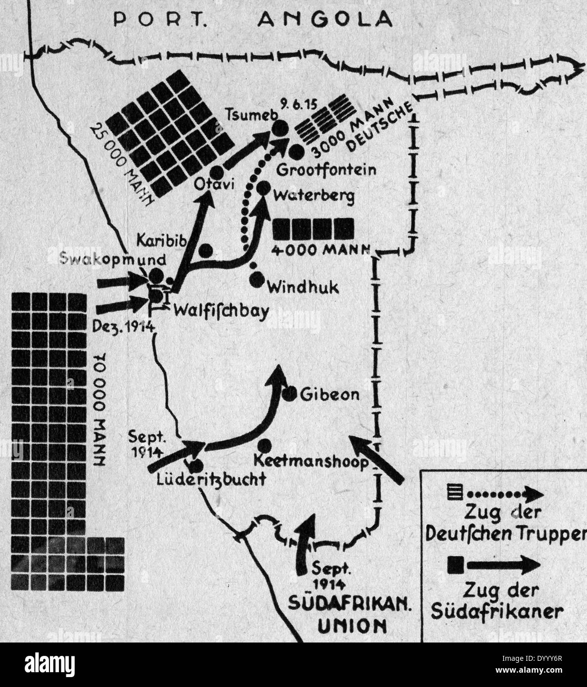 Map of German South-West Africa in World War I Stock Photohttps://www.alamy.com/image-license-details/?v=1https://www.alamy.com/map-of-german-south-west-africa-in-world-war-i-image68840879.html
RMDYYY6R–Map of German South-West Africa in World War I
 Illustration showing Map of Africa, 1939 Stock Photohttps://www.alamy.com/image-license-details/?v=1https://www.alamy.com/illustration-showing-map-of-africa-1939-image235262649.html
RMRJN3WD–Illustration showing Map of Africa, 1939
 South Africa Map. South African Country Map. Black and White National Nation Geography Outline Border Boundary Territory Shape Vector Illustration EPS Stock Vectorhttps://www.alamy.com/image-license-details/?v=1https://www.alamy.com/south-africa-map-south-african-country-map-black-and-white-national-nation-geography-outline-border-boundary-territory-shape-vector-illustration-eps-image477281672.html
RF2JME1J0–South Africa Map. South African Country Map. Black and White National Nation Geography Outline Border Boundary Territory Shape Vector Illustration EPS
RF2WBYRBT–south africa map icon vector illustration design
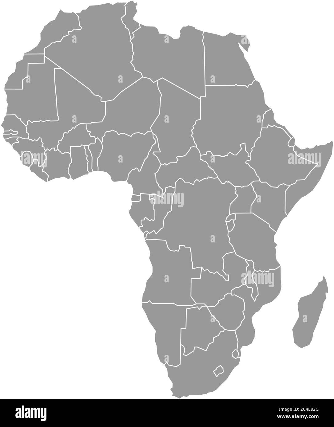 Simple flat grey map of Africa continent with national borders isolated on white background. Vector illustration. Stock Vectorhttps://www.alamy.com/image-license-details/?v=1https://www.alamy.com/simple-flat-grey-map-of-africa-continent-with-national-borders-isolated-on-white-background-vector-illustration-image364190024.html
RF2C4E82G–Simple flat grey map of Africa continent with national borders isolated on white background. Vector illustration.
RF2XEDJBT–Africa map, World Map Image, isolated on white background, Info-graphic, Flat Earth, Globe, world map icon. Travel worldwide
 Africa map, background with text, head and zebra texture Stock Vectorhttps://www.alamy.com/image-license-details/?v=1https://www.alamy.com/africa-map-background-with-text-head-and-zebra-texture-image450461919.html
RF2H4T8NK–Africa map, background with text, head and zebra texture
 In Darkest Africa map return to Ugarrowwas. Stock Photohttps://www.alamy.com/image-license-details/?v=1https://www.alamy.com/in-darkest-africa-map-return-to-ugarrowwas-image364581052.html
RM2C542RT–In Darkest Africa map return to Ugarrowwas.
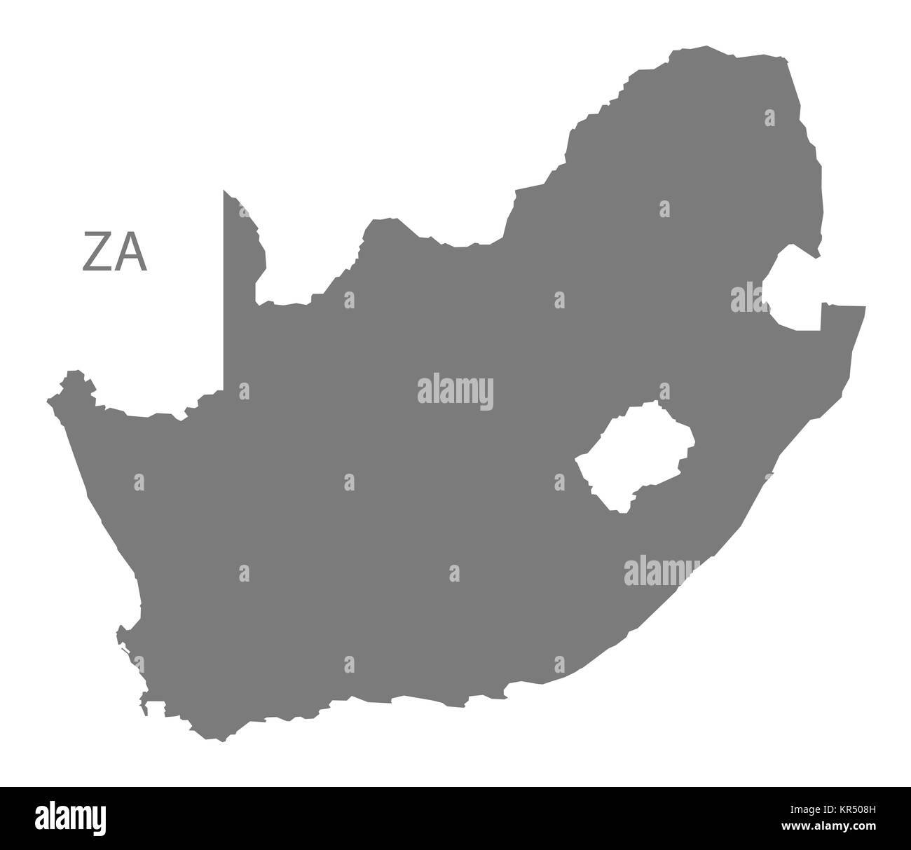 South Africa Map grey Stock Photohttps://www.alamy.com/image-license-details/?v=1https://www.alamy.com/stock-image-south-africa-map-grey-169140401.html
RFKR508H–South Africa Map grey
 MAP/AFRICA/ANGOLA 1714 Stock Photohttps://www.alamy.com/image-license-details/?v=1https://www.alamy.com/stock-photo-mapafricaangola-1714-56735889.html
RMD88F5N–MAP/AFRICA/ANGOLA 1714
 South Africa map drawn on chalkboard. Chalk and blackboard Stock Photohttps://www.alamy.com/image-license-details/?v=1https://www.alamy.com/south-africa-map-drawn-on-chalkboard-chalk-and-blackboard-image619408928.html
RM2XYMEBC–South Africa map drawn on chalkboard. Chalk and blackboard
RF2H4D3B0–Africa map icon line style
 Woodcut Map of Africa, 1540. By Sebastian Munster (1488-1552). Munster's map is the earliest map of the continent of Africa. Stock Photohttps://www.alamy.com/image-license-details/?v=1https://www.alamy.com/woodcut-map-of-africa-1540-by-sebastian-munster-1488-1552-munsters-map-is-the-earliest-map-of-the-continent-of-africa-image484791839.html
RM2K4M4X7–Woodcut Map of Africa, 1540. By Sebastian Munster (1488-1552). Munster's map is the earliest map of the continent of Africa.
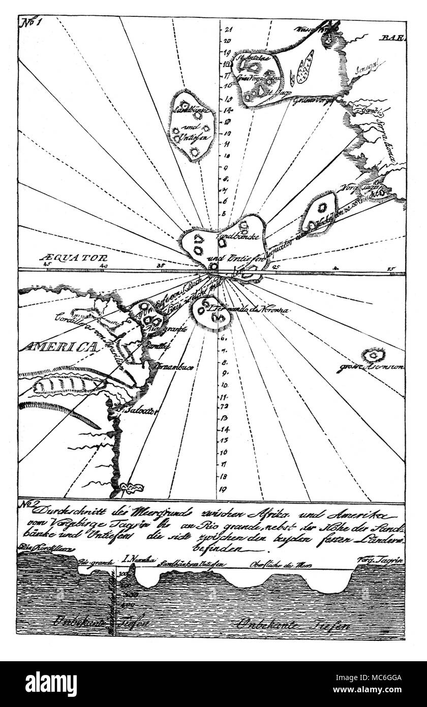 ATLANTIS Map of traces of Atlantis, between South America and Africa. From Briefe ³ber America aus dem Italienischen des Hn. Grafen Carolo Carli ³bersetzt, 1785. Stock Photohttps://www.alamy.com/image-license-details/?v=1https://www.alamy.com/atlantis-map-of-traces-of-atlantis-between-south-america-and-africa-from-briefe-ber-america-aus-dem-italienischen-des-hn-grafen-carolo-carli-bersetzt-1785-image179624266.html
RMMC6GGA–ATLANTIS Map of traces of Atlantis, between South America and Africa. From Briefe ³ber America aus dem Italienischen des Hn. Grafen Carolo Carli ³bersetzt, 1785.
 Africa It's in my DNA. African map into the thumb print with the quote 'It's in my DNA'. Stock Vectorhttps://www.alamy.com/image-license-details/?v=1https://www.alamy.com/africa-its-in-my-dna-african-map-into-the-thumb-print-with-the-quote-its-in-my-dna-image522268588.html
RF2N9KAWG–Africa It's in my DNA. African map into the thumb print with the quote 'It's in my DNA'.
 south africa map with lined pattern vector illustration Stock Vectorhttps://www.alamy.com/image-license-details/?v=1https://www.alamy.com/south-africa-map-with-lined-pattern-vector-illustration-image615505925.html
RF2XNAM2D–south africa map with lined pattern vector illustration
 An Africa map with text and shadow isolated on a white background Stock Photohttps://www.alamy.com/image-license-details/?v=1https://www.alamy.com/stock-photo-an-africa-map-with-text-and-shadow-isolated-on-a-white-background-90014789.html
RFF6CENW–An Africa map with text and shadow isolated on a white background
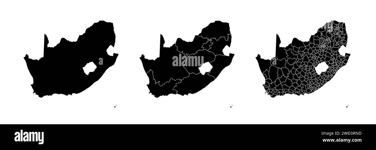 Set of state maps of South Africa with regions and municipalities division. Department borders, isolated vector maps on white background. Stock Vectorhttps://www.alamy.com/image-license-details/?v=1https://www.alamy.com/set-of-state-maps-of-south-africa-with-regions-and-municipalities-division-department-borders-isolated-vector-maps-on-white-background-image593227529.html
RF2WD3RND–Set of state maps of South Africa with regions and municipalities division. Department borders, isolated vector maps on white background.
 black vector africa map on white background Stock Vectorhttps://www.alamy.com/image-license-details/?v=1https://www.alamy.com/black-vector-africa-map-on-white-background-image600470306.html
RF2WTWP02–black vector africa map on white background
RF2AT7PY0–Africa map icon. Simple drawing. Isolated vector illustration.
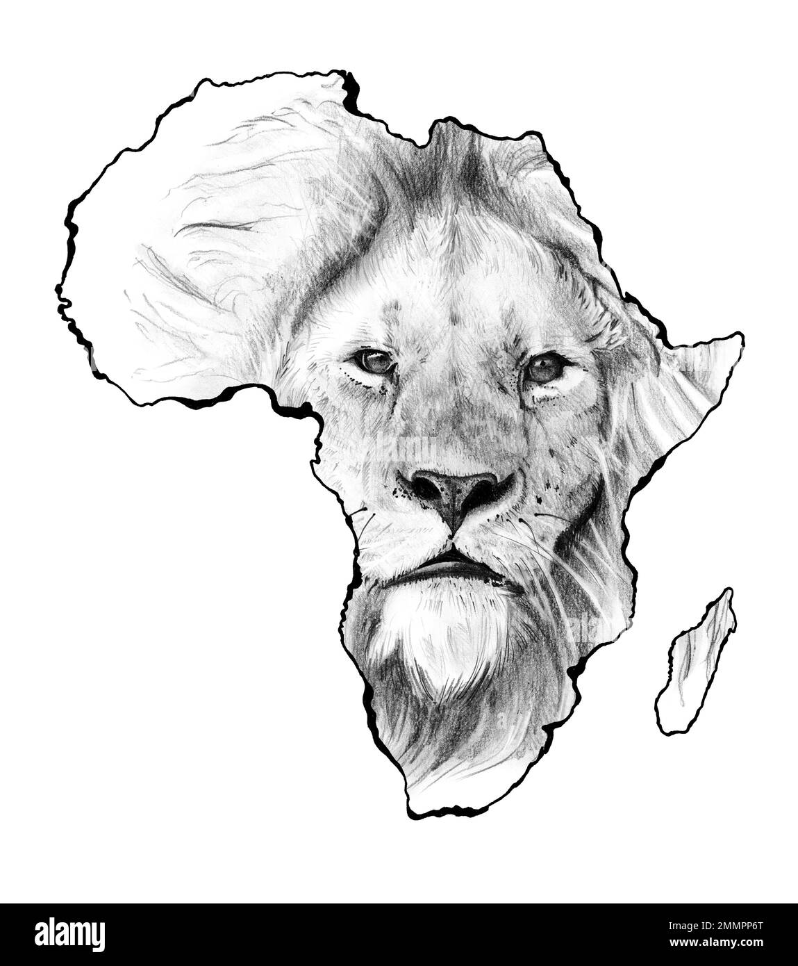 African wildlife, Hand drawn sketched lion face in africa map Stock Photohttps://www.alamy.com/image-license-details/?v=1https://www.alamy.com/african-wildlife-hand-drawn-sketched-lion-face-in-africa-map-image511894176.html
RF2MMPP6T–African wildlife, Hand drawn sketched lion face in africa map
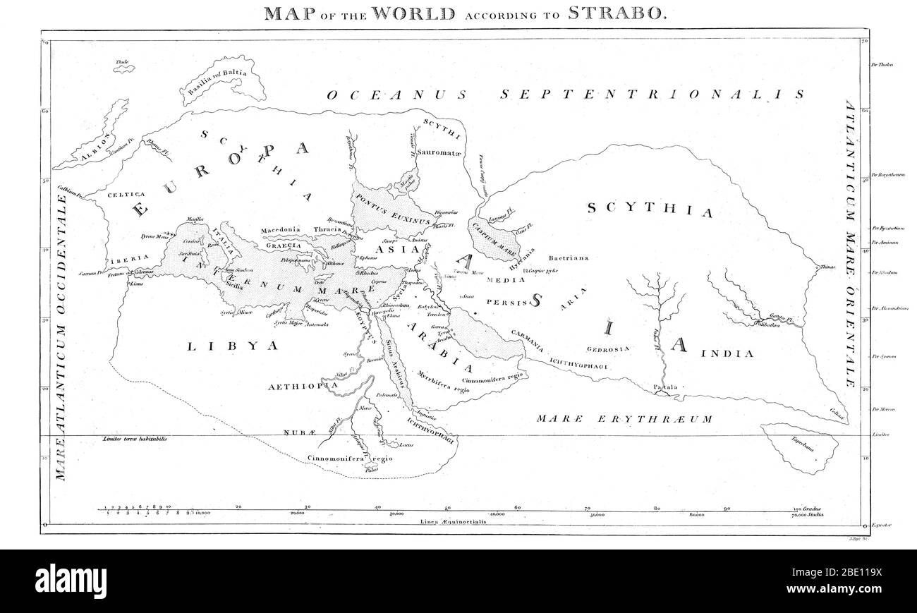 Map of the Word, Strabo, c. 20 CE Stock Photohttps://www.alamy.com/image-license-details/?v=1https://www.alamy.com/map-of-the-word-strabo-c-20-ce-image352835558.html
RM2BE119X–Map of the Word, Strabo, c. 20 CE
RF2WBYRBX–south africa map icon vector illustration design
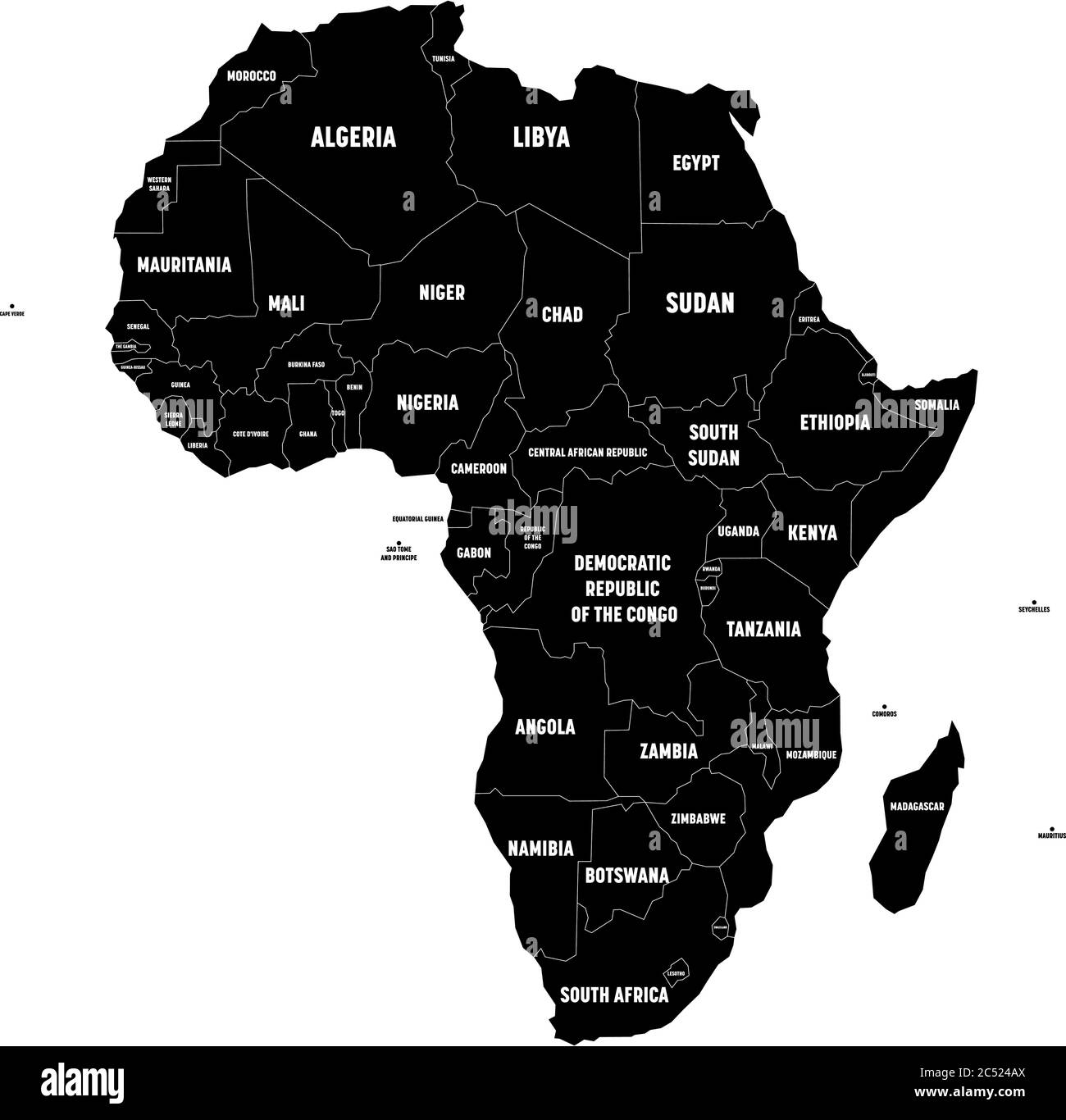 Black map of Africa continent with national borders and country name labels on white background. Vector illustration. Stock Vectorhttps://www.alamy.com/image-license-details/?v=1https://www.alamy.com/black-map-of-africa-continent-with-national-borders-and-country-name-labels-on-white-background-vector-illustration-image364538354.html
RF2C524AX–Black map of Africa continent with national borders and country name labels on white background. Vector illustration.
 Africa map outline - continent shape sharp polygonal geometric style vector. Stock Vectorhttps://www.alamy.com/image-license-details/?v=1https://www.alamy.com/africa-map-outline-continent-shape-sharp-polygonal-geometric-style-vector-image356766784.html
RF2BMC3JT–Africa map outline - continent shape sharp polygonal geometric style vector.
 Africa stone logo design illustration vector template Stock Vectorhttps://www.alamy.com/image-license-details/?v=1https://www.alamy.com/africa-stone-logo-design-illustration-vector-template-image462453617.html
RF2HTAG8H–Africa stone logo design illustration vector template
 AFRICA: Relief, 1943 vintage map Stock Photohttps://www.alamy.com/image-license-details/?v=1https://www.alamy.com/stock-photo-africa-relief-1943-vintage-map-103813299.html
RFG0W2WR–AFRICA: Relief, 1943 vintage map
 Mpumalanga South Africa Map grey Stock Photohttps://www.alamy.com/image-license-details/?v=1https://www.alamy.com/stock-image-mpumalanga-south-africa-map-grey-169216267.html
RFKR8D23–Mpumalanga South Africa Map grey
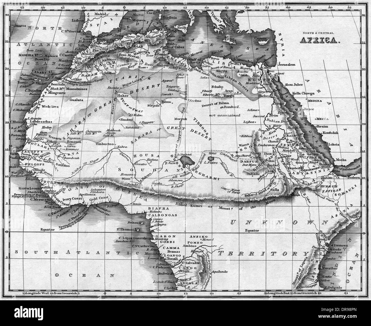 MAP AFRICA NORTH Stock Photohttps://www.alamy.com/image-license-details/?v=1https://www.alamy.com/map-africa-north-image65972669.html
RMDR98PN–MAP AFRICA NORTH
 Outline of Africa Stock Vectorhttps://www.alamy.com/image-license-details/?v=1https://www.alamy.com/stock-photo-outline-of-africa-81312139.html
RFEM82CY–Outline of Africa
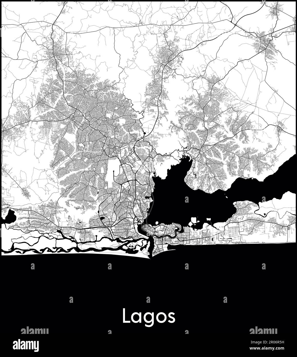 City Map Africa Nigeria Lagos vector illustration Stock Vectorhttps://www.alamy.com/image-license-details/?v=1https://www.alamy.com/city-map-africa-nigeria-lagos-vector-illustration-image550881677.html
RF2R06R5H–City Map Africa Nigeria Lagos vector illustration
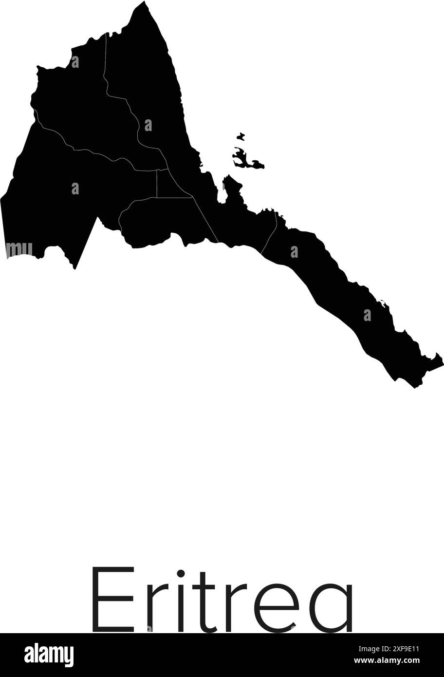 Eritrea Map Vector Illustration - Silhouette, Outline, Eritrea Travel and Tourism Map Stock Vectorhttps://www.alamy.com/image-license-details/?v=1https://www.alamy.com/eritrea-map-vector-illustration-silhouette-outline-eritrea-travel-and-tourism-map-image611791293.html
RF2XF9E11–Eritrea Map Vector Illustration - Silhouette, Outline, Eritrea Travel and Tourism Map
 Even the children have the war fever . Poring over a large scale map of East Africa at their house in Rome , three small girls keenly discuss the Italian campaign in Abyssinia , tracing the route of the advance in Makale . 9 November 1935 Stock Photohttps://www.alamy.com/image-license-details/?v=1https://www.alamy.com/even-the-children-have-the-war-fever-poring-over-a-large-scale-map-of-east-africa-at-their-house-in-rome-three-small-girls-keenly-discuss-the-italian-campaign-in-abyssinia-tracing-the-route-of-the-advance-in-makale-9-november-1935-image359650174.html
RM2BW3DD2–Even the children have the war fever . Poring over a large scale map of East Africa at their house in Rome , three small girls keenly discuss the Italian campaign in Abyssinia , tracing the route of the advance in Makale . 9 November 1935
 Satellite map of Yaoundé, it is the capital of Cameroon. Africa. Map of streets and buildings of the town center Stock Vectorhttps://www.alamy.com/image-license-details/?v=1https://www.alamy.com/satellite-map-of-yaound-it-is-the-capital-of-cameroon-africa-map-of-streets-and-buildings-of-the-town-center-image261893737.html
RFW6283N–Satellite map of Yaoundé, it is the capital of Cameroon. Africa. Map of streets and buildings of the town center
 Africa map silhouette vector illustration Stock Vectorhttps://www.alamy.com/image-license-details/?v=1https://www.alamy.com/africa-map-silhouette-vector-illustration-image617206321.html
RF2XT44XW–Africa map silhouette vector illustration
 An Africa map and flag silhouette with text isolated on a white background Stock Photohttps://www.alamy.com/image-license-details/?v=1https://www.alamy.com/stock-photo-an-africa-map-and-flag-silhouette-with-text-isolated-on-a-white-background-121872996.html
RFH27P70–An Africa map and flag silhouette with text isolated on a white background
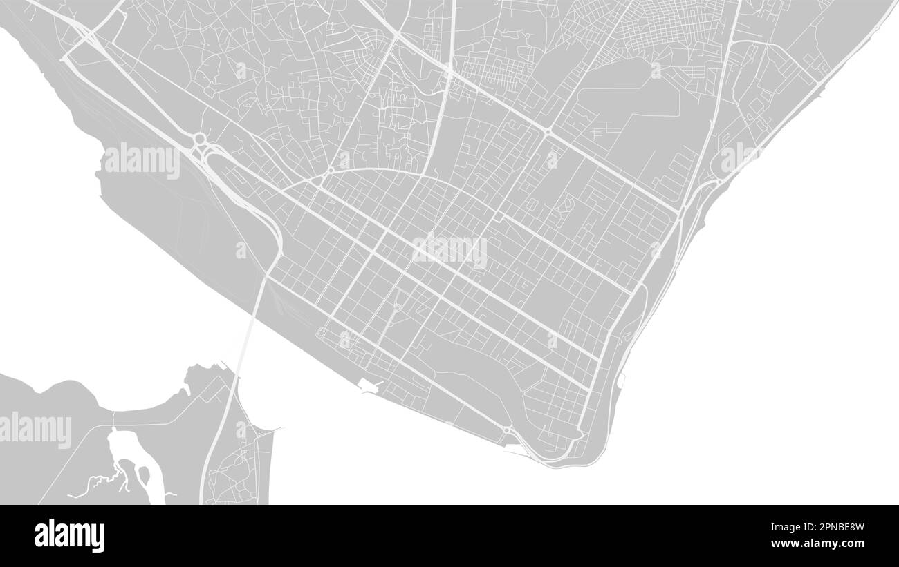 Background Maputo map, Mozambique, white and light grey city poster. Vector map with roads and water. Widescreen proportion, digital flat design roadm Stock Vectorhttps://www.alamy.com/image-license-details/?v=1https://www.alamy.com/background-maputo-map-mozambique-white-and-light-grey-city-poster-vector-map-with-roads-and-water-widescreen-proportion-digital-flat-design-roadm-image546681881.html
RF2PNBE8W–Background Maputo map, Mozambique, white and light grey city poster. Vector map with roads and water. Widescreen proportion, digital flat design roadm
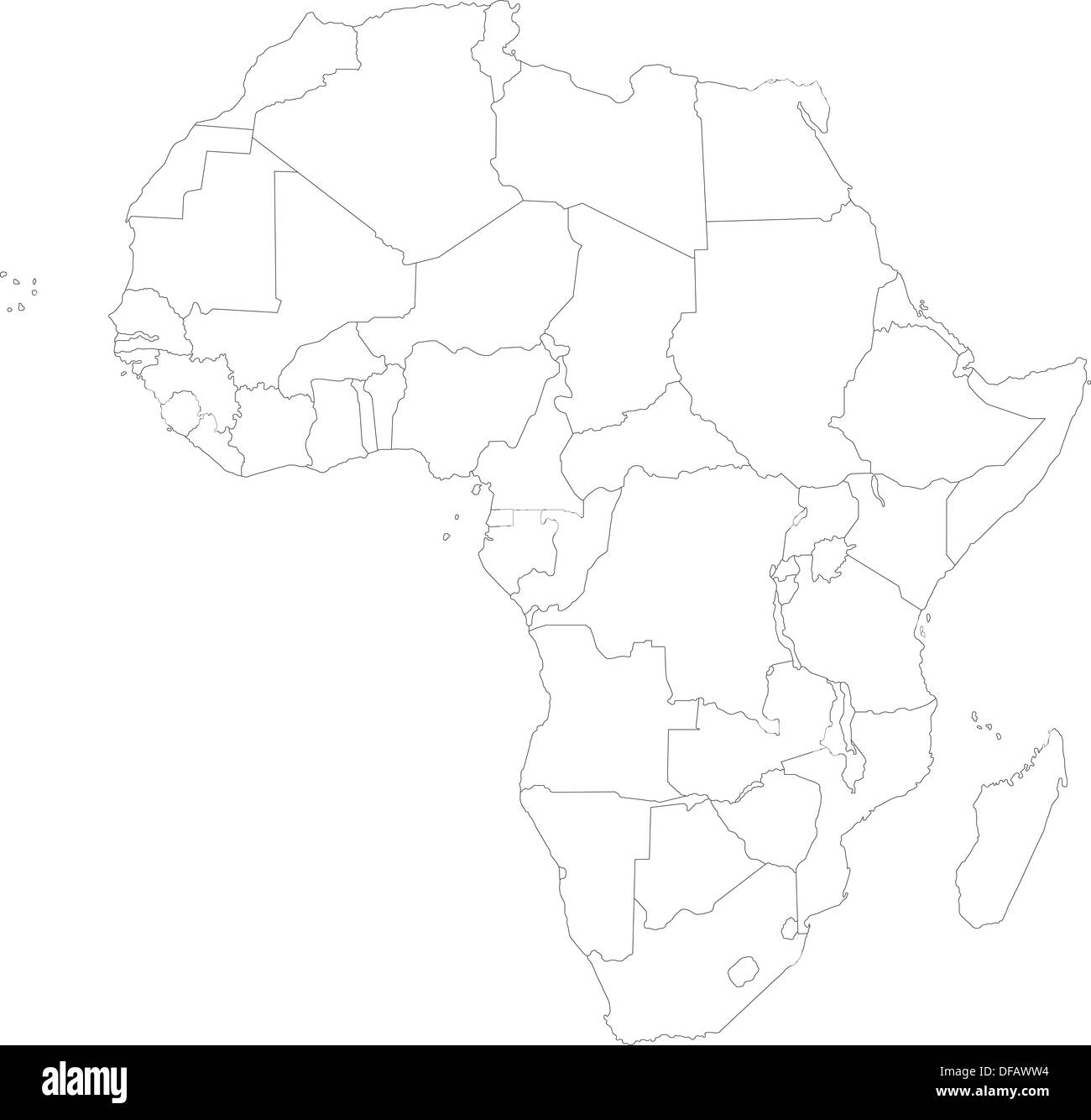 Outline Africa map Stock Photohttps://www.alamy.com/image-license-details/?v=1https://www.alamy.com/outline-africa-map-image61090768.html
RFDFAWW4–Outline Africa map
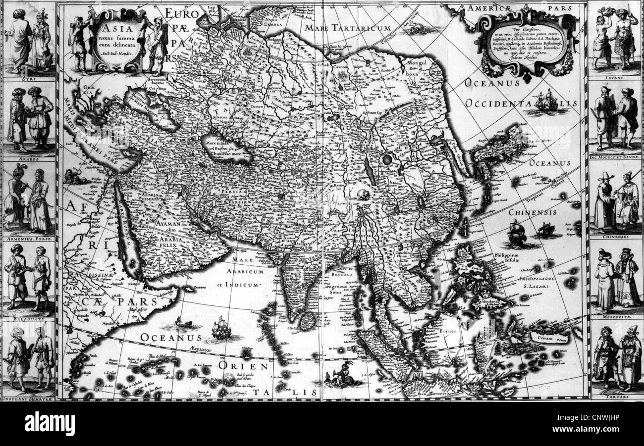 cartography, maps and sea charts, map of Europe, Asia and Africa, 1623, Additional-Rights-Clearences-Not Available Stock Photohttps://www.alamy.com/image-license-details/?v=1https://www.alamy.com/stock-photo-cartography-maps-and-sea-charts-map-of-europe-asia-and-africa-1623-47891922.html
RMCNWJHP–cartography, maps and sea charts, map of Europe, Asia and Africa, 1623, Additional-Rights-Clearences-Not Available
 Vulture on Africa map background with Kilimanjaro mountain and sun. Collection of hand drawn illustrations (originals, no tracing) Stock Photohttps://www.alamy.com/image-license-details/?v=1https://www.alamy.com/vulture-on-africa-map-background-with-kilimanjaro-mountain-and-sun-collection-of-hand-drawn-illustrations-originals-no-tracing-image272153130.html
RFWPNJ2J–Vulture on Africa map background with Kilimanjaro mountain and sun. Collection of hand drawn illustrations (originals, no tracing)
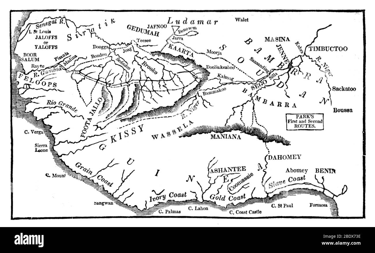 Mungo Park, Expeditions Map Stock Photohttps://www.alamy.com/image-license-details/?v=1https://www.alamy.com/mungo-park-expeditions-map-image352774226.html
RF2BDX73E–Mungo Park, Expeditions Map
RF2XD2173–Cameroon map icon, African continent country illustration design