Quick filters:
Canada greenland map Stock Photos and Images
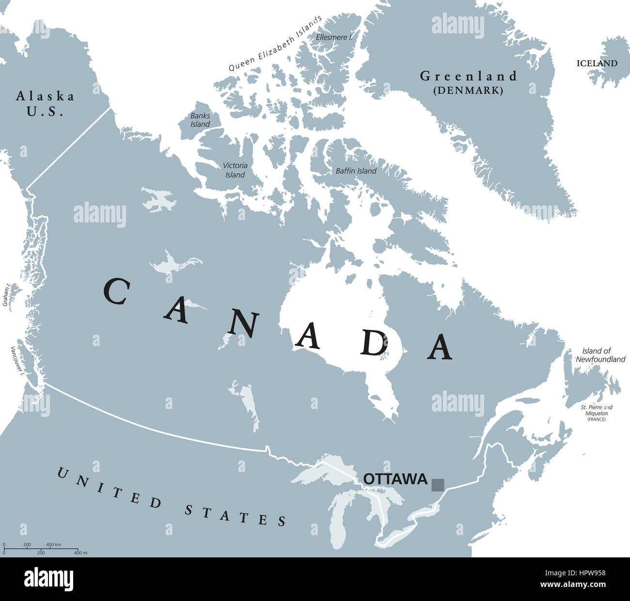 Canada political map with capital Ottawa, national borders and its neighbors. Country in northern half of North America. Stock Photohttps://www.alamy.com/image-license-details/?v=1https://www.alamy.com/stock-photo-canada-political-map-with-capital-ottawa-national-borders-and-its-134551012.html
RFHPW958–Canada political map with capital Ottawa, national borders and its neighbors. Country in northern half of North America.
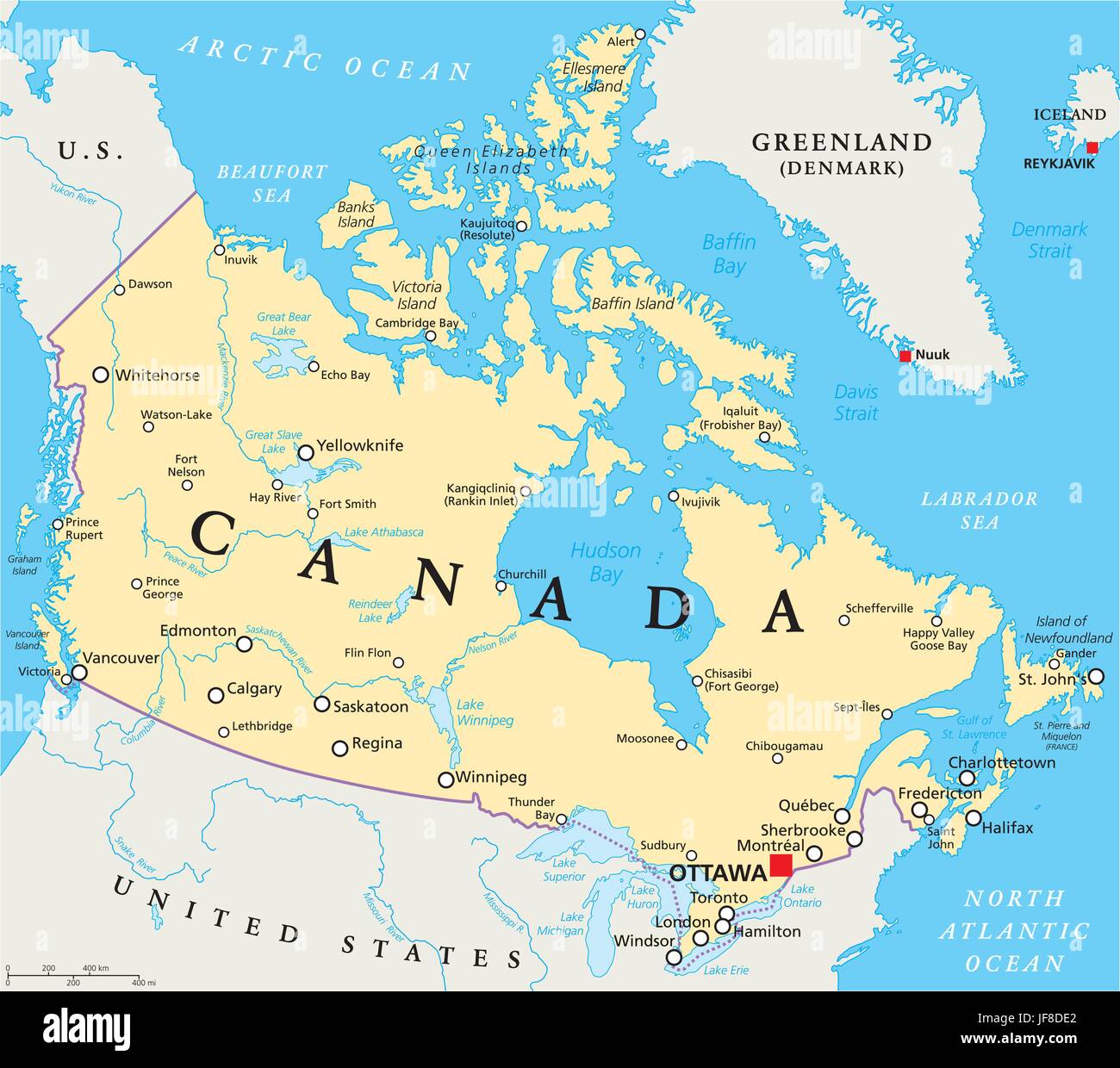 Canada Political Map Stock Vectorhttps://www.alamy.com/image-license-details/?v=1https://www.alamy.com/stock-photo-canada-political-map-147088986.html
RFJF8DE2–Canada Political Map
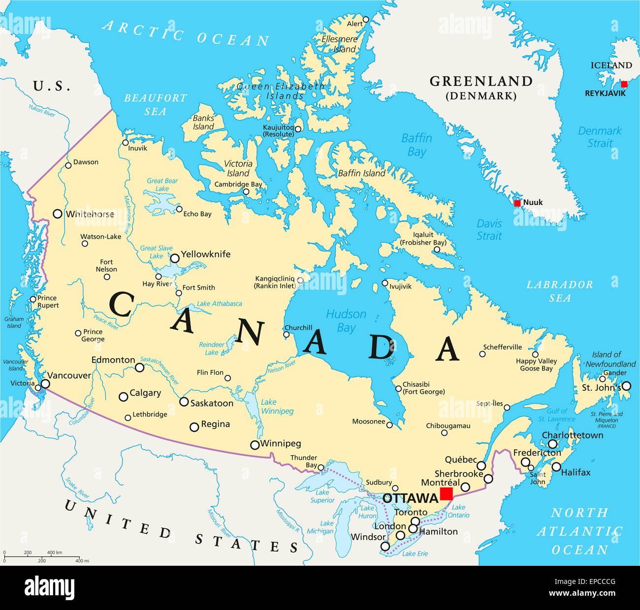 Canada Political Map with capital Ottawa, national borders, important cities, rivers and lakes. English labeling and scaling. Stock Photohttps://www.alamy.com/image-license-details/?v=1https://www.alamy.com/stock-photo-canada-political-map-with-capital-ottawa-national-borders-important-82637088.html
RFEPCCCG–Canada Political Map with capital Ottawa, national borders, important cities, rivers and lakes. English labeling and scaling.
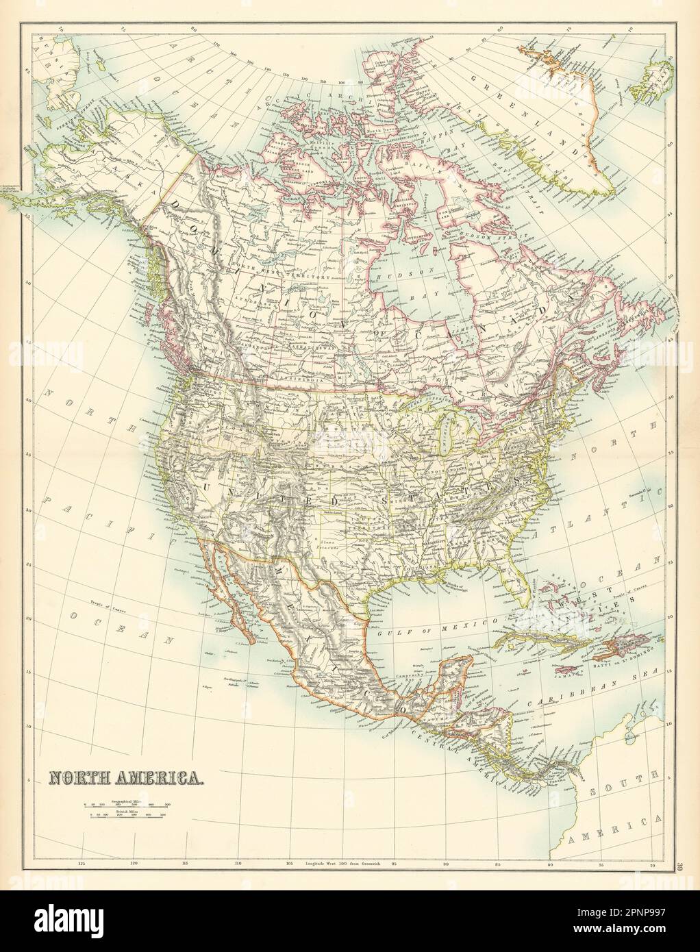 North America. USA. Dominion of Canada. Mexico Greenland. BARTHOLOMEW 1898 map Stock Photohttps://www.alamy.com/image-license-details/?v=1https://www.alamy.com/north-america-usa-dominion-of-canada-mexico-greenland-bartholomew-1898-map-image546919443.html
RF2PNP997–North America. USA. Dominion of Canada. Mexico Greenland. BARTHOLOMEW 1898 map
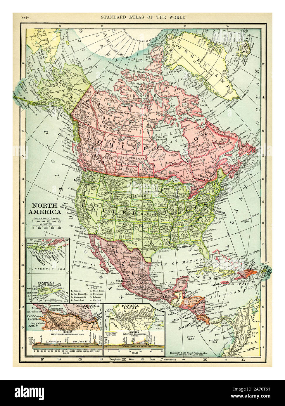 Vintage 1906 map of North America. Countries included on this map are: Canada, Greenland, United States, Mexico, Guatemala, Honduras, Nicaragua, Costa Rica, Cuba and Haiti. C. S. Hammond map printed and published 1906. Stock Photohttps://www.alamy.com/image-license-details/?v=1https://www.alamy.com/vintage-1906-map-of-north-america-countries-included-on-this-map-are-canada-greenland-united-states-mexico-guatemala-honduras-nicaragua-costa-rica-cuba-and-haiti-c-s-hammond-map-printed-and-published-1906-image331318569.html
RM2A70T61–Vintage 1906 map of North America. Countries included on this map are: Canada, Greenland, United States, Mexico, Guatemala, Honduras, Nicaragua, Costa Rica, Cuba and Haiti. C. S. Hammond map printed and published 1906.
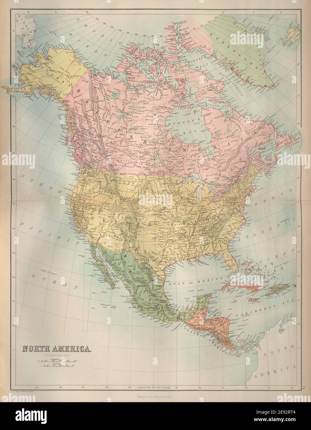 North America. USA. Dominion of Canada. Mexico Greenland. BARTHOLOMEW 1870 map Stock Photohttps://www.alamy.com/image-license-details/?v=1https://www.alamy.com/north-america-usa-dominion-of-canada-mexico-greenland-bartholomew-1870-map-image401432980.html
RF2E92RT4–North America. USA. Dominion of Canada. Mexico Greenland. BARTHOLOMEW 1870 map
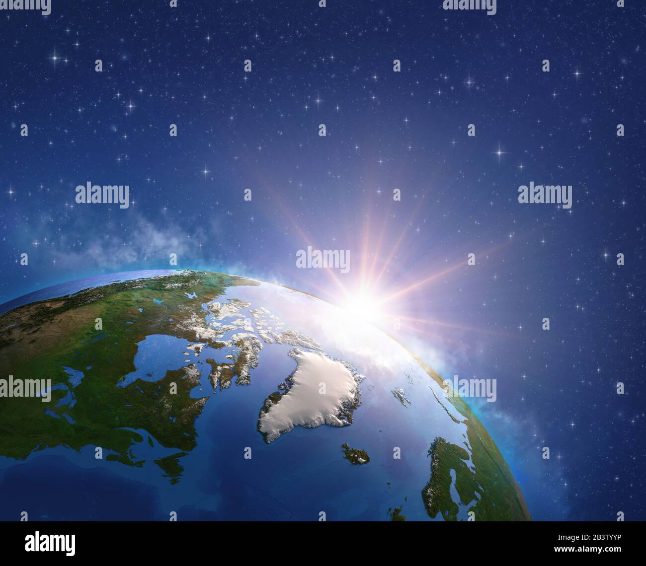 Arctic region, Greenland and Canada viewed from a satellite, sun rising on the horizon. Physical map of North Pole. 3D illustration - Elements of this Stock Photohttps://www.alamy.com/image-license-details/?v=1https://www.alamy.com/arctic-region-greenland-and-canada-viewed-from-a-satellite-sun-rising-on-the-horizon-physical-map-of-north-pole-3d-illustration-elements-of-this-image346600122.html
RF2B3TYYP–Arctic region, Greenland and Canada viewed from a satellite, sun rising on the horizon. Physical map of North Pole. 3D illustration - Elements of this
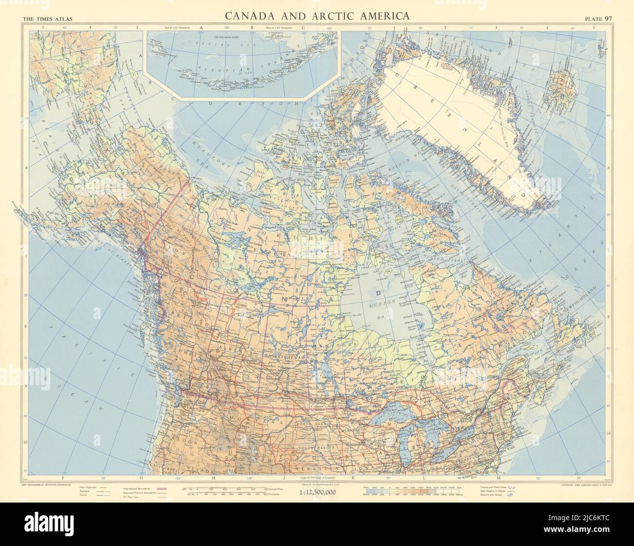 Canada and Arctic America. Greenland Alaska. TIMES 1957 old vintage map chart Stock Photohttps://www.alamy.com/image-license-details/?v=1https://www.alamy.com/canada-and-arctic-america-greenland-alaska-times-1957-old-vintage-map-chart-image472203100.html
RF2JC6KTC–Canada and Arctic America. Greenland Alaska. TIMES 1957 old vintage map chart
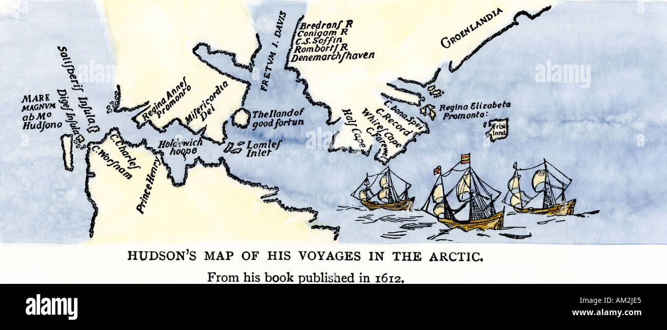 Map of Henry Hudson voyages in the Arctic published in 1612. Hand-colored woodcut Stock Photohttps://www.alamy.com/image-license-details/?v=1https://www.alamy.com/map-of-henry-hudson-voyages-in-the-arctic-published-in-1612-hand-colored-image4938468.html
RMAM2JE5–Map of Henry Hudson voyages in the Arctic published in 1612. Hand-colored woodcut
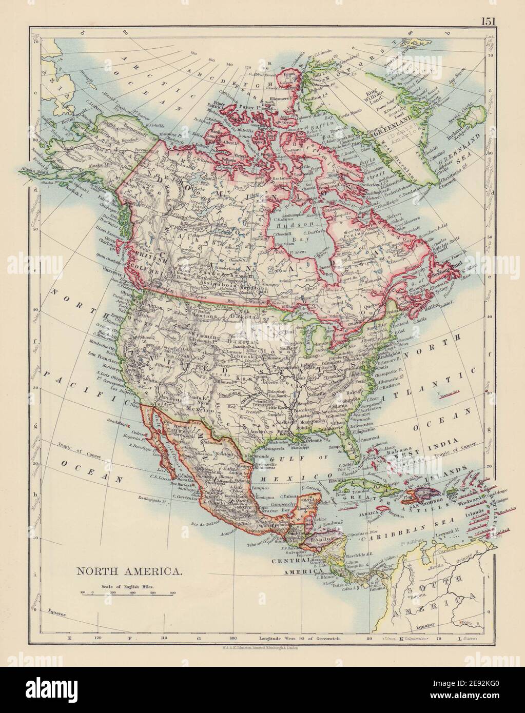 NORTH AMERICA POLITICAL. Greenland 'Danish America' USA Canada Mexico 1901 map Stock Photohttps://www.alamy.com/image-license-details/?v=1https://www.alamy.com/north-america-political-greenland-danish-america-usa-canada-mexico-1901-map-image401429616.html
RF2E92KG0–NORTH AMERICA POLITICAL. Greenland 'Danish America' USA Canada Mexico 1901 map
 Map of Greenland 1666 Stock Photohttps://www.alamy.com/image-license-details/?v=1https://www.alamy.com/map-of-greenland-1666-image184215343.html
RMMKKMFB–Map of Greenland 1666
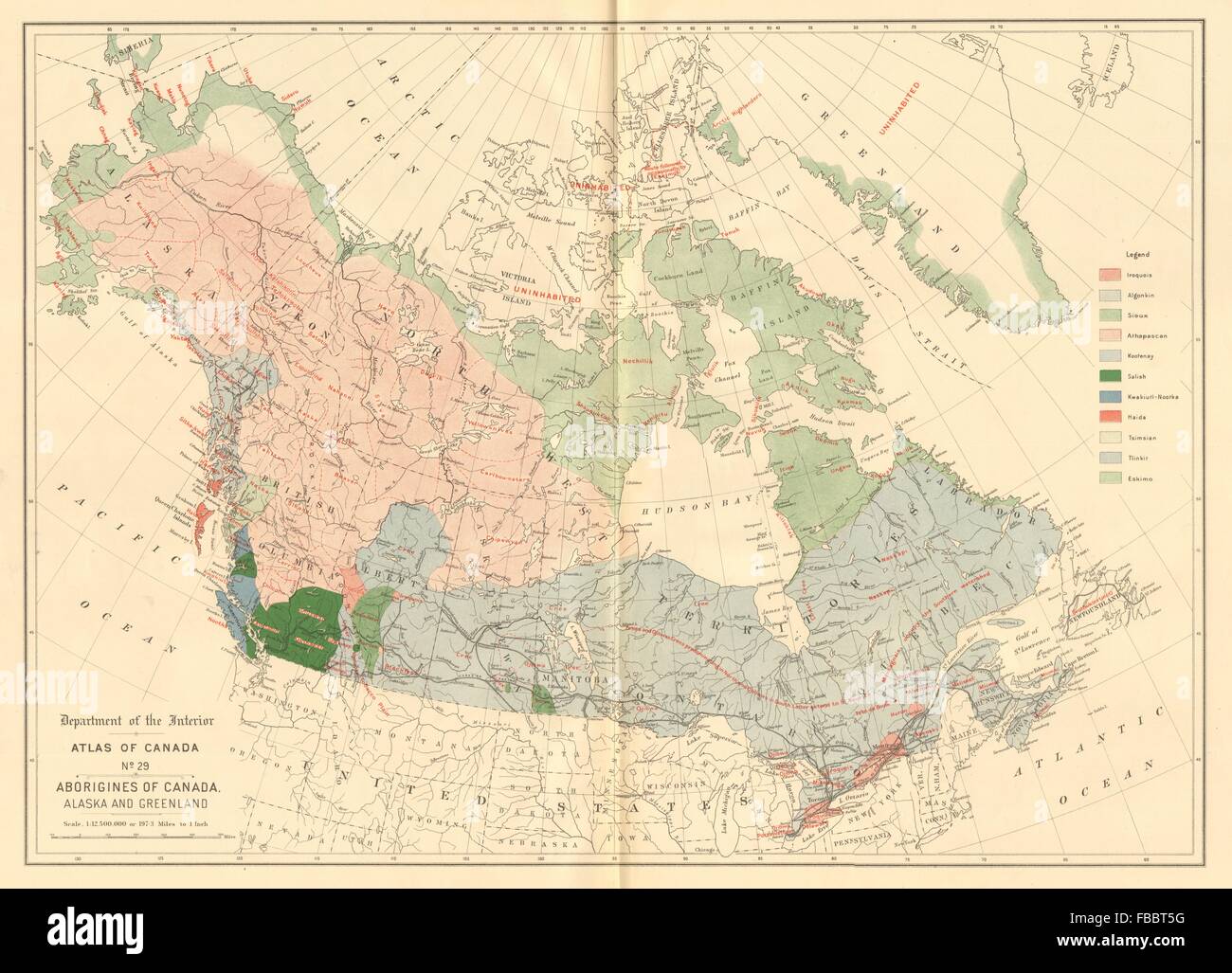 CANADA ALASKA GREENLAND ABORIGINALS Eskimo Athapascan Tlinkit Salish &c 1906 map Stock Photohttps://www.alamy.com/image-license-details/?v=1https://www.alamy.com/stock-photo-canada-alaska-greenland-aboriginals-eskimo-athapascan-tlinkit-salish-93073500.html
RFFBBT5G–CANADA ALASKA GREENLAND ABORIGINALS Eskimo Athapascan Tlinkit Salish &c 1906 map
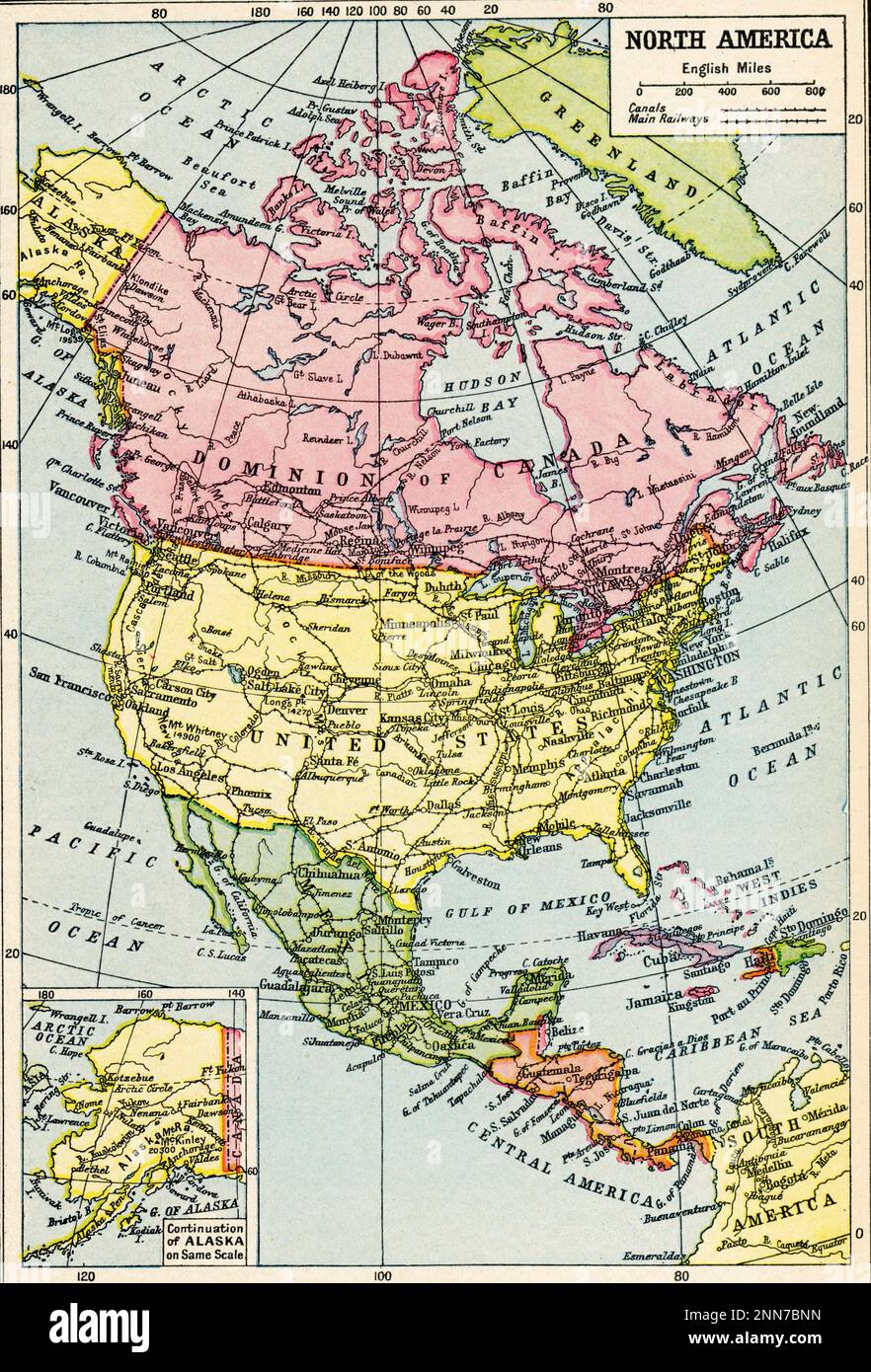 A map of North America, c1922. A 1920s map of North America. Stock Photohttps://www.alamy.com/image-license-details/?v=1https://www.alamy.com/a-map-of-north-america-c1922-a-1920s-map-of-north-america-image529381713.html
RM2NN7BNN–A map of North America, c1922. A 1920s map of North America.
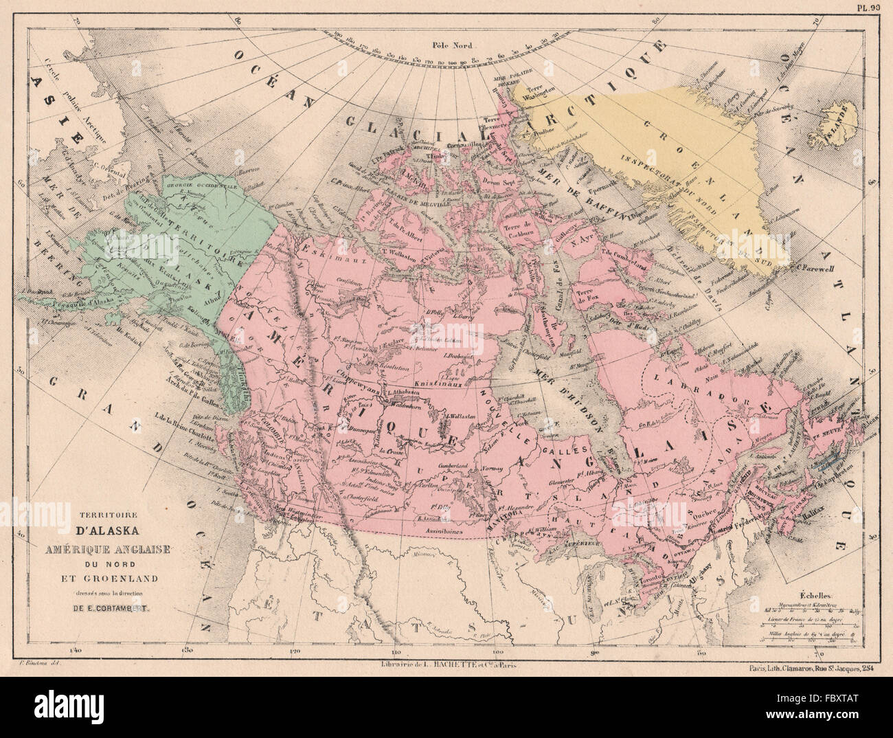 BRITISH AMERICA, GREENLAND & ALASKA. Canada. North America. CORTAMBERT, 1880 map Stock Photohttps://www.alamy.com/image-license-details/?v=1https://www.alamy.com/stock-photo-british-america-greenland-alaska-canada-north-america-cortambert-1880-93402928.html
RFFBXTAT–BRITISH AMERICA, GREENLAND & ALASKA. Canada. North America. CORTAMBERT, 1880 map
 Greenland, Canada, Newfoundland and Labrador, N 47 33' 59'', W 53 10' 52'', map, Timeless Map published in 2021. Travelers, explorers and adventurers like Florence Nightingale, David Livingstone, Ernest Shackleton, Lewis and Clark and Sherlock Holmes relied on maps to plan travels to the world's most remote corners, Timeless Maps is mapping most locations on the globe, showing the achievement of great dreams Stock Photohttps://www.alamy.com/image-license-details/?v=1https://www.alamy.com/greenland-canada-newfoundland-and-labrador-n-47-33-59-w-53-10-52-map-timeless-map-published-in-2021-travelers-explorers-and-adventurers-like-florence-nightingale-david-livingstone-ernest-shackleton-lewis-and-clark-and-sherlock-holmes-relied-on-maps-to-plan-travels-to-the-worlds-most-remote-corners-timeless-maps-is-mapping-most-locations-on-the-globe-showing-the-achievement-of-great-dreams-image457865321.html
RM2HGWFTW–Greenland, Canada, Newfoundland and Labrador, N 47 33' 59'', W 53 10' 52'', map, Timeless Map published in 2021. Travelers, explorers and adventurers like Florence Nightingale, David Livingstone, Ernest Shackleton, Lewis and Clark and Sherlock Holmes relied on maps to plan travels to the world's most remote corners, Timeless Maps is mapping most locations on the globe, showing the achievement of great dreams
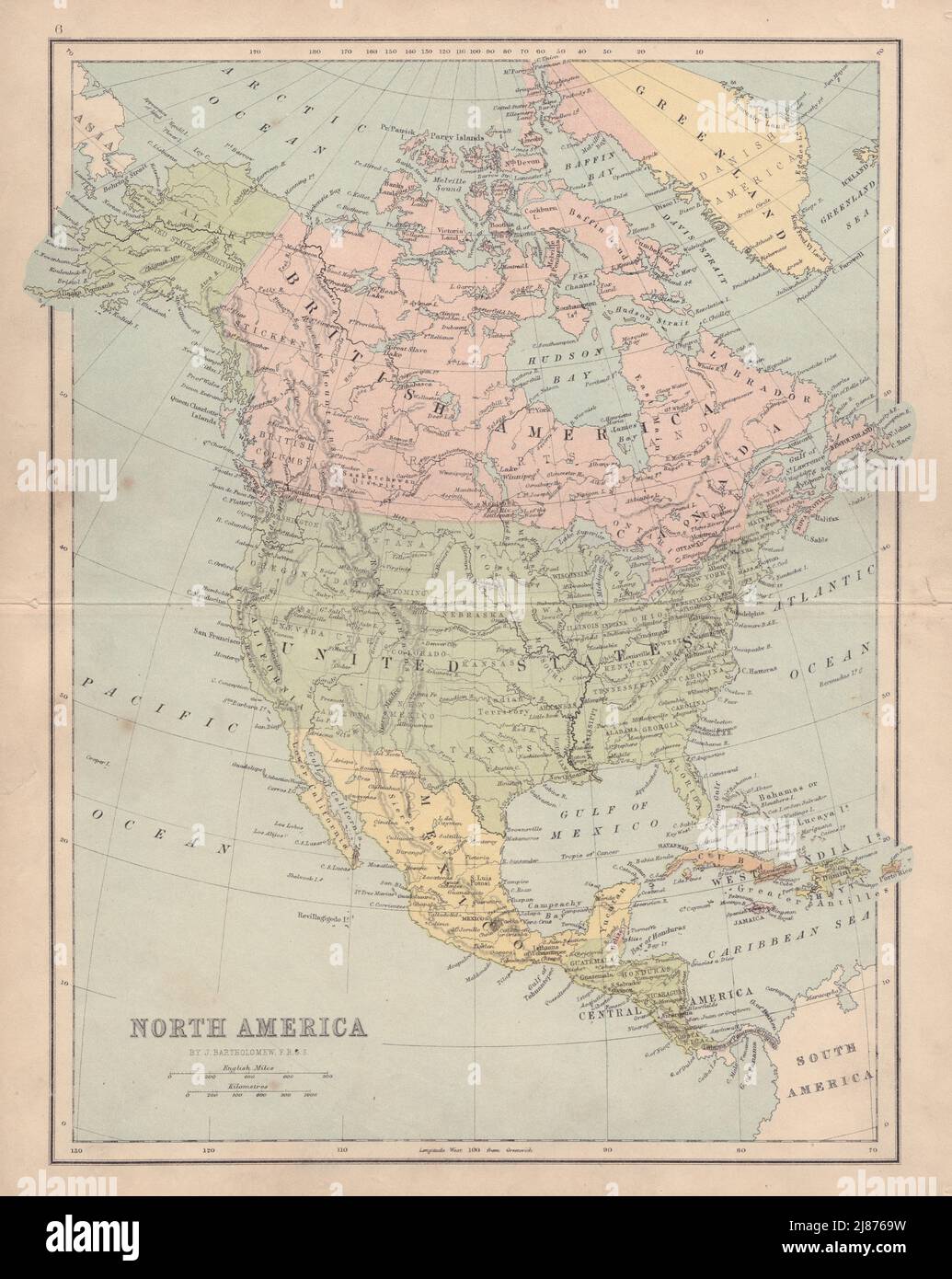 NORTH AMERICA Mosquito Coast. Canada includes part of Greenland COLLINS 1873 map Stock Photohttps://www.alamy.com/image-license-details/?v=1https://www.alamy.com/north-america-mosquito-coast-canada-includes-part-of-greenland-collins-1873-map-image469755829.html
RF2J8769W–NORTH AMERICA Mosquito Coast. Canada includes part of Greenland COLLINS 1873 map
 Pass map of a part of the coast of Northern Canada and Greenland, Pascaarte van de Noorder Zee coast of America, from the West-hoek of Island through Straet Davis and Hudson, to a Terra Neuf (title on object), Pass map of a part of the coast of North Canada and Greenland, with two compass roses, North is on the left. At the top right the title and publisher's address are surrounded by a bear hunt. At the bottom left, men of different origins near the scale, shown in German, Spanish and English or French miles., print maker: Jan Luyken, publisher: Johannes van Keulen (I), unknown Stock Photohttps://www.alamy.com/image-license-details/?v=1https://www.alamy.com/pass-map-of-a-part-of-the-coast-of-northern-canada-and-greenland-pascaarte-van-de-noorder-zee-coast-of-america-from-the-west-hoek-of-island-through-straet-davis-and-hudson-to-a-terra-neuf-title-on-object-pass-map-of-a-part-of-the-coast-of-north-canada-and-greenland-with-two-compass-roses-north-is-on-the-left-at-the-top-right-the-title-and-publishers-address-are-surrounded-by-a-bear-hunt-at-the-bottom-left-men-of-different-origins-near-the-scale-shown-in-german-spanish-and-english-or-french-miles-print-maker-jan-luyken-publisher-johannes-van-keulen-i-unknown-image599445854.html
RM2WR738E–Pass map of a part of the coast of Northern Canada and Greenland, Pascaarte van de Noorder Zee coast of America, from the West-hoek of Island through Straet Davis and Hudson, to a Terra Neuf (title on object), Pass map of a part of the coast of North Canada and Greenland, with two compass roses, North is on the left. At the top right the title and publisher's address are surrounded by a bear hunt. At the bottom left, men of different origins near the scale, shown in German, Spanish and English or French miles., print maker: Jan Luyken, publisher: Johannes van Keulen (I), unknown
 'Northern Regions'. North Pole Arctic Canada Siberia Greenland. COLTON 1869 map Stock Photohttps://www.alamy.com/image-license-details/?v=1https://www.alamy.com/northern-regions-north-pole-arctic-canada-siberia-greenland-colton-1869-map-image419503503.html
RF2FAE0YY–'Northern Regions'. North Pole Arctic Canada Siberia Greenland. COLTON 1869 map
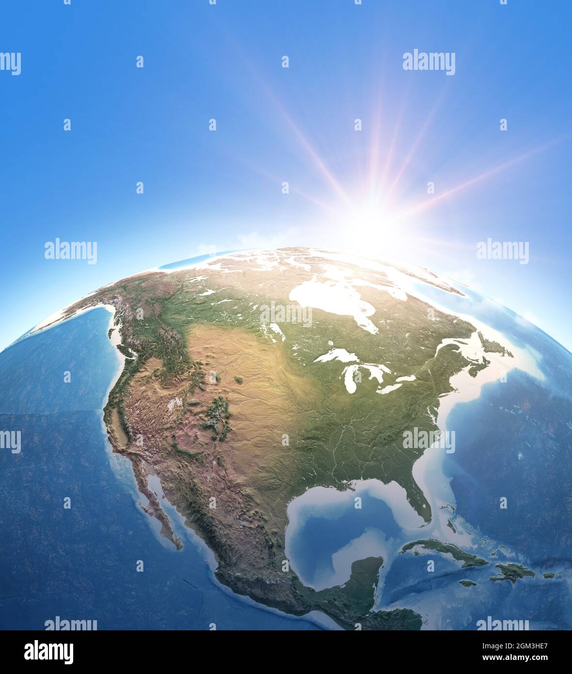 Sun shining over Planet Earth. Physical map of North America, USA, Canada, Alaska ans Greenland. Elements of this image furnished by NASA Stock Photohttps://www.alamy.com/image-license-details/?v=1https://www.alamy.com/sun-shining-over-planet-earth-physical-map-of-north-america-usa-canada-alaska-ans-greenland-elements-of-this-image-furnished-by-nasa-image442631903.html
RF2GM3HE7–Sun shining over Planet Earth. Physical map of North America, USA, Canada, Alaska ans Greenland. Elements of this image furnished by NASA
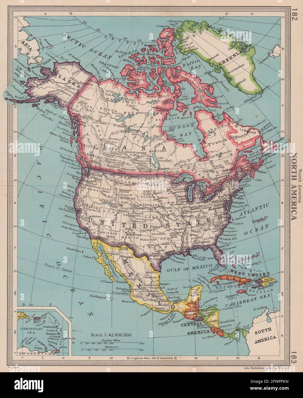 North America. USA United States Canada Mexico Greenland. BARTHOLOMEW 1949 map Stock Photohttps://www.alamy.com/image-license-details/?v=1https://www.alamy.com/north-america-usa-united-states-canada-mexico-greenland-bartholomew-1949-map-image428910489.html
RF2FWPFKN–North America. USA United States Canada Mexico Greenland. BARTHOLOMEW 1949 map
 1877 Petermann Mittheilungen Map of the Utlak Soak, Smith Sound Kennedy Channel between Greenland and Grinnell Land to illustrate the George Nares Arctic Expedition Stock Photohttps://www.alamy.com/image-license-details/?v=1https://www.alamy.com/stock-photo-1877-petermann-mittheilungen-map-of-the-utlak-soak-smith-sound-kennedy-175617981.html
RFM5M2EN–1877 Petermann Mittheilungen Map of the Utlak Soak, Smith Sound Kennedy Channel between Greenland and Grinnell Land to illustrate the George Nares Arctic Expedition
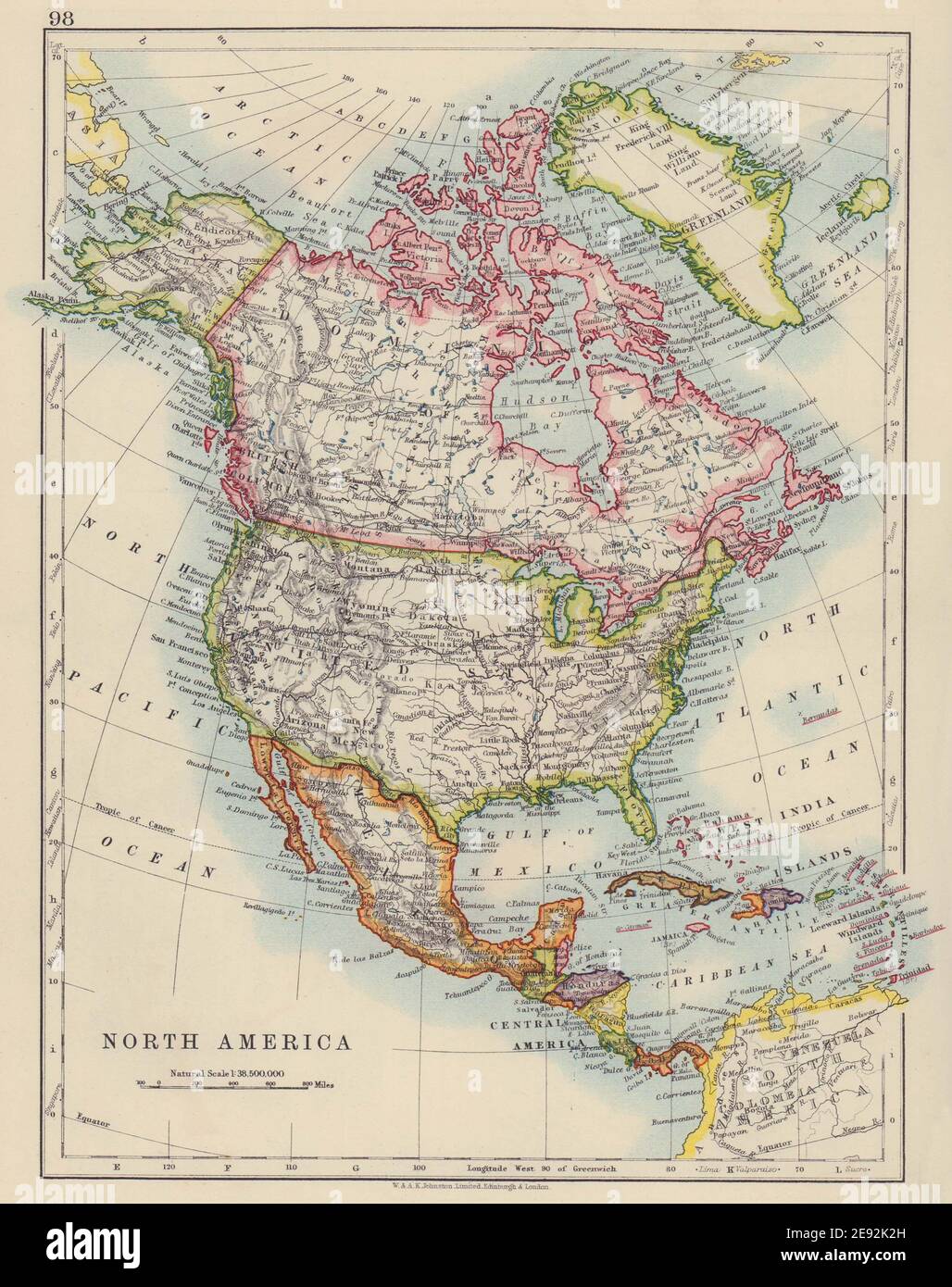 NORTH AMERICA POLITICAL. Greenland USA Canada Mexico. JOHNSTON 1910 old map Stock Photohttps://www.alamy.com/image-license-details/?v=1https://www.alamy.com/north-america-political-greenland-usa-canada-mexico-johnston-1910-old-map-image401429241.html
RF2E92K2H–NORTH AMERICA POLITICAL. Greenland USA Canada Mexico. JOHNSTON 1910 old map
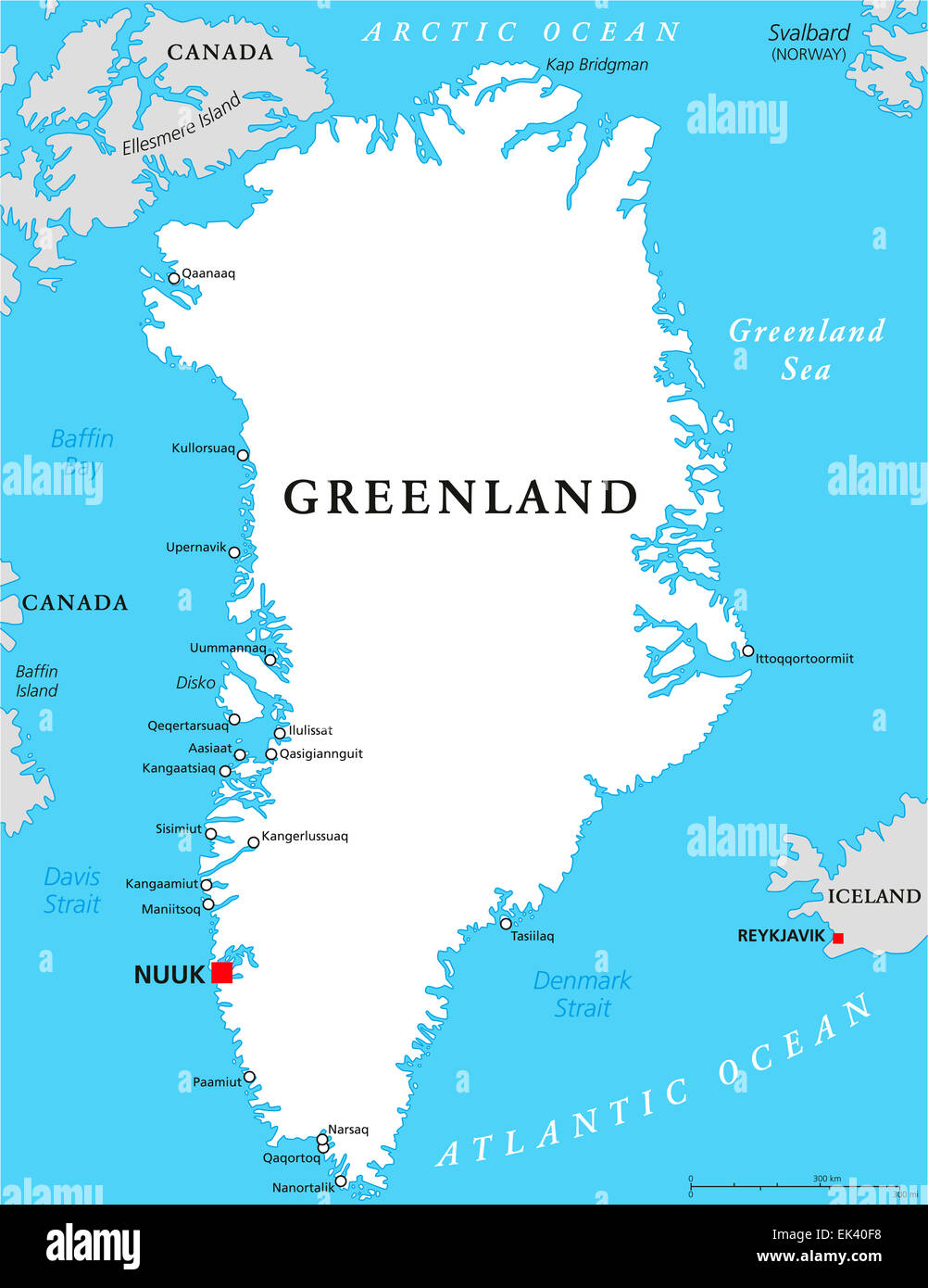 Greenland Political Map Stock Photohttps://www.alamy.com/image-license-details/?v=1https://www.alamy.com/stock-photo-greenland-political-map-80608172.html
RFEK40F8–Greenland Political Map
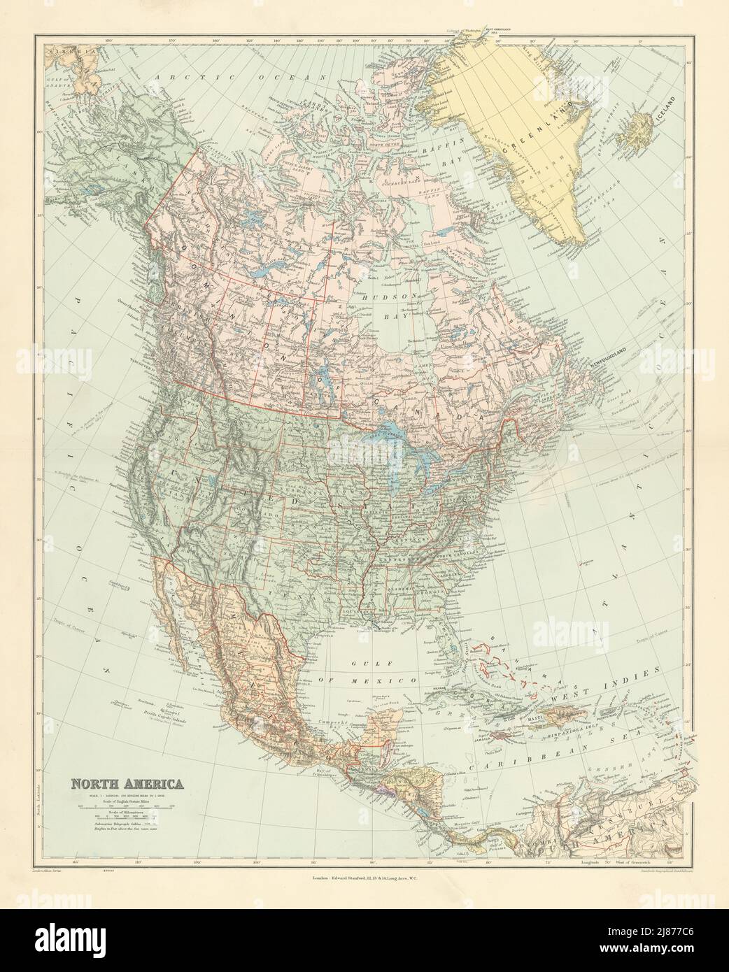 North America. United States Canada Mexico Greenland. 65x52cm STANFORD 1904 map Stock Photohttps://www.alamy.com/image-license-details/?v=1https://www.alamy.com/north-america-united-states-canada-mexico-greenland-65x52cm-stanford-1904-map-image469756678.html
RF2J877C6–North America. United States Canada Mexico Greenland. 65x52cm STANFORD 1904 map
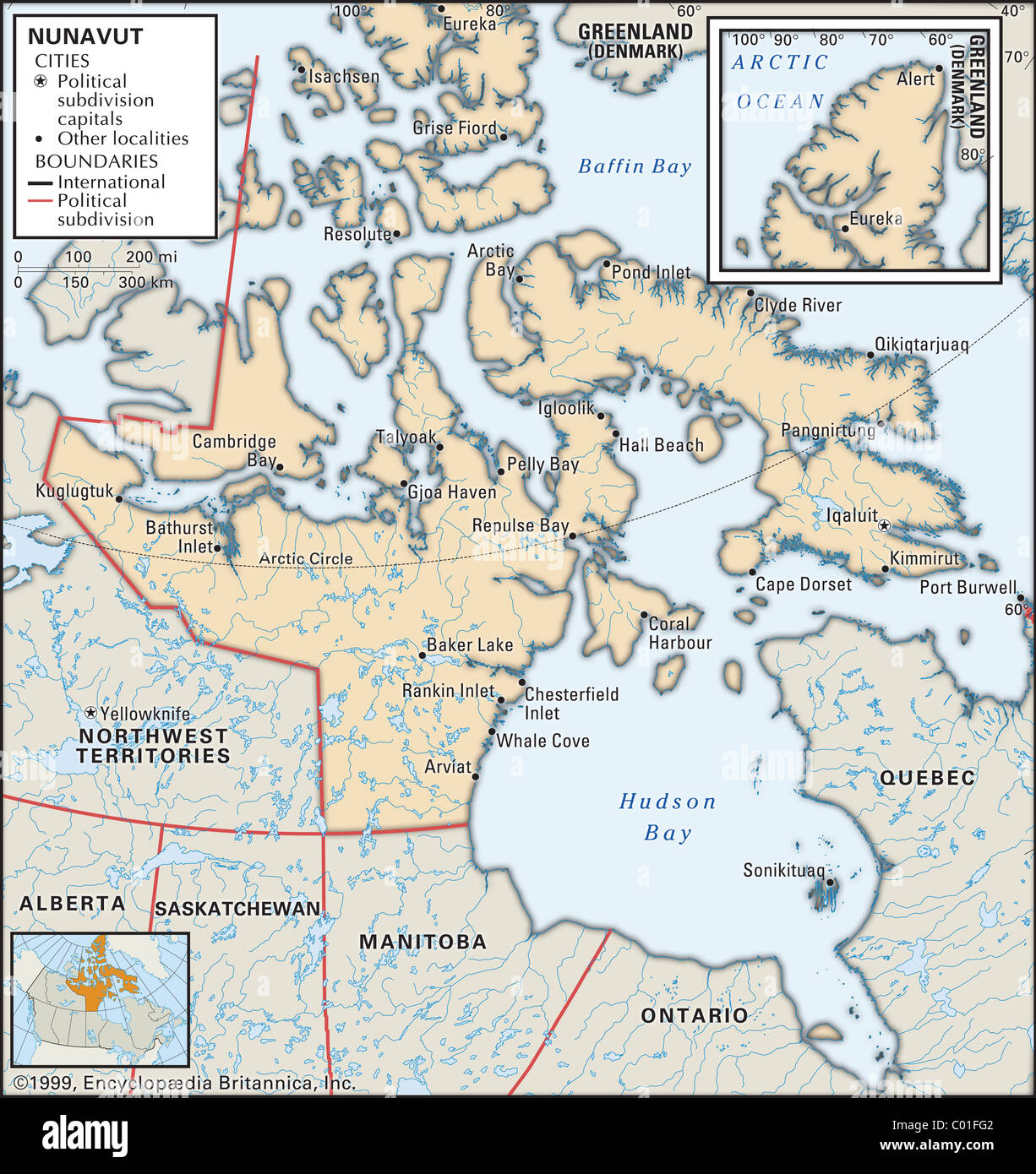 Map of Nunavut Stock Photohttps://www.alamy.com/image-license-details/?v=1https://www.alamy.com/stock-photo-map-of-nunavut-34454898.html
RMC01FG2–Map of Nunavut
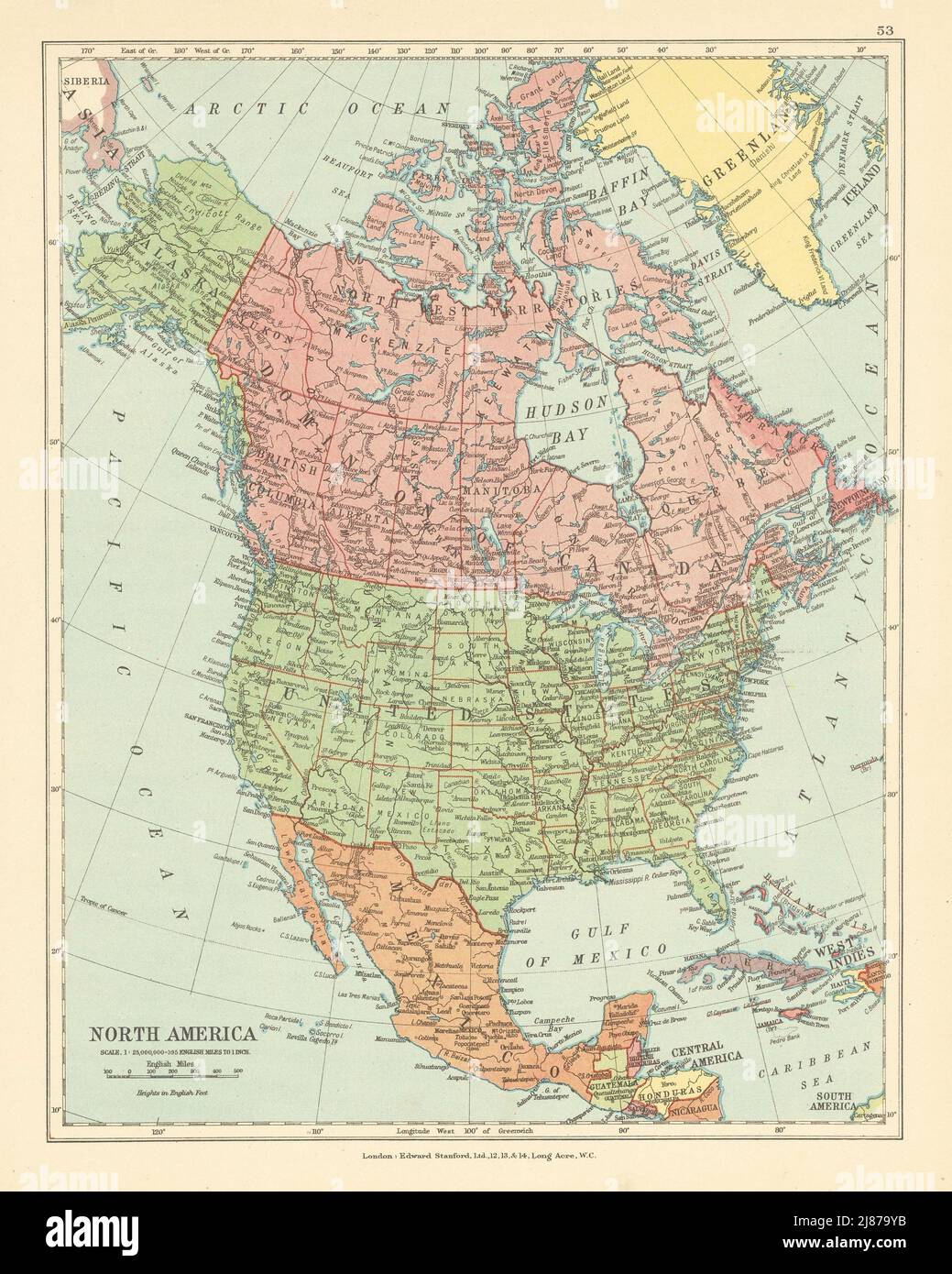 North America. United States Canada Mexico Greenland. STANFORD c1925 old map Stock Photohttps://www.alamy.com/image-license-details/?v=1https://www.alamy.com/north-america-united-states-canada-mexico-greenland-stanford-c1925-old-map-image469758671.html
RF2J879YB–North America. United States Canada Mexico Greenland. STANFORD c1925 old map
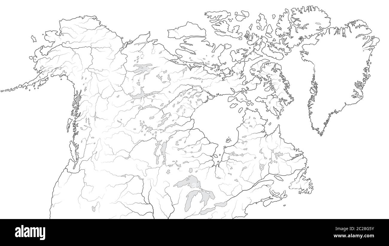 World Map of CANADA and NORTH AMERICA REGION: America, Canada, Greenland, Alaska. (Geographic chart). Stock Photohttps://www.alamy.com/image-license-details/?v=1https://www.alamy.com/world-map-of-canada-and-north-america-region-america-canada-greenland-alaska-geographic-chart-image362835367.html
RM2C28G5Y–World Map of CANADA and NORTH AMERICA REGION: America, Canada, Greenland, Alaska. (Geographic chart).
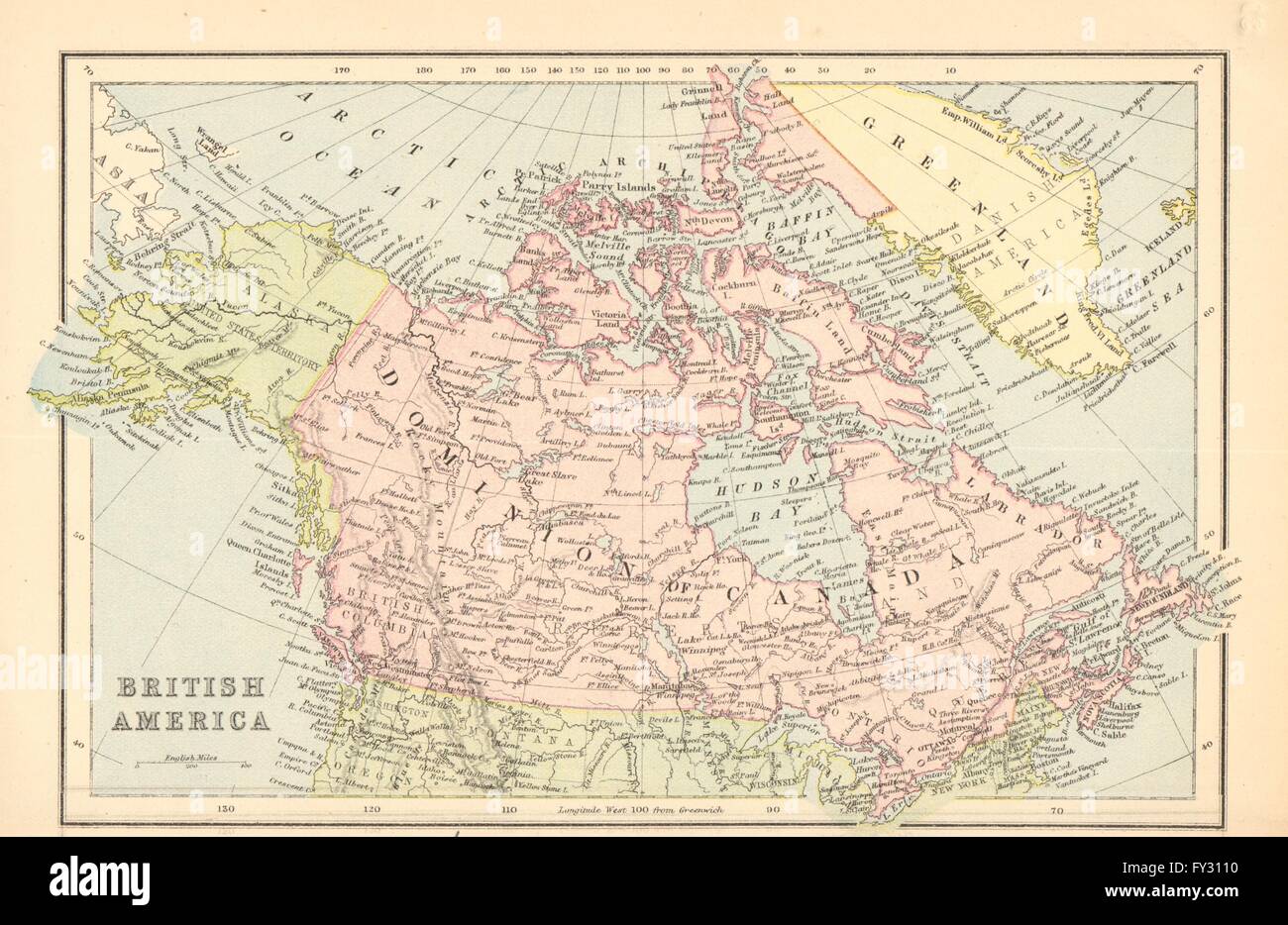 BRITISH AMERICA. Dominion of Canada.Shows part of Greenland as British, 1876 map Stock Photohttps://www.alamy.com/image-license-details/?v=1https://www.alamy.com/stock-photo-british-america-dominion-of-canadashows-part-of-greenland-as-british-102714220.html
RFFY3110–BRITISH AMERICA. Dominion of Canada.Shows part of Greenland as British, 1876 map
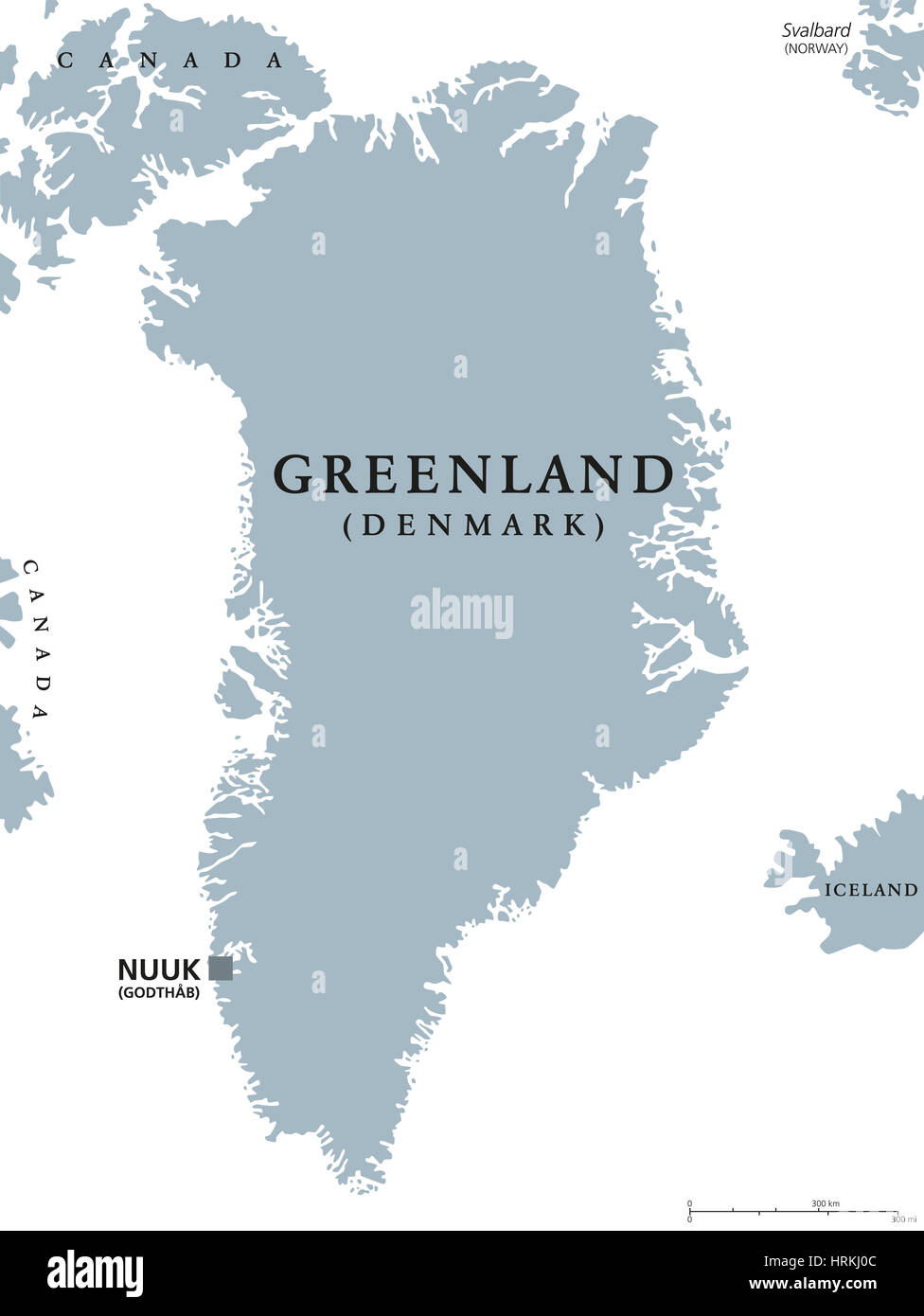 Greenland political map with capital Nuuk and neighbor countries. Autonomous country and part of Kingdom of Denmark in North Atlantic. Stock Photohttps://www.alamy.com/image-license-details/?v=1https://www.alamy.com/stock-photo-greenland-political-map-with-capital-nuuk-and-neighbor-countries-autonomous-135040876.html
RFHRKJ0C–Greenland political map with capital Nuuk and neighbor countries. Autonomous country and part of Kingdom of Denmark in North Atlantic.
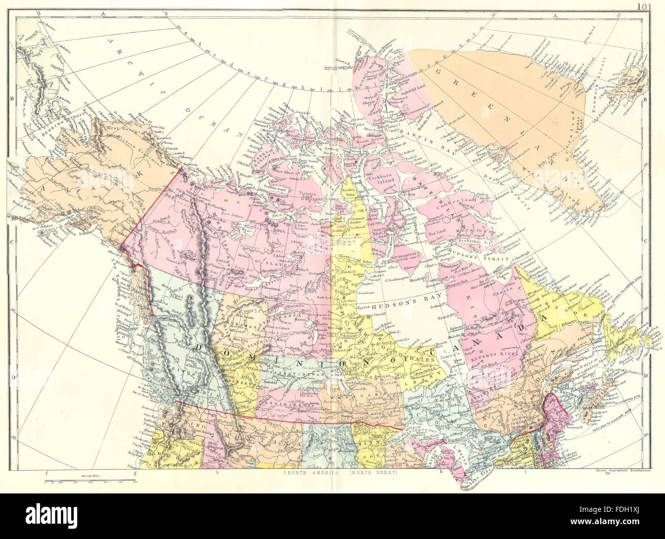 CANADA: North America North sheet. Dominion of Canada Greenland. Bacon, 1895 map Stock Photohttps://www.alamy.com/image-license-details/?v=1https://www.alamy.com/stock-photo-canada-north-america-north-sheet-dominion-of-canada-greenland-bacon-94417082.html
RFFDH1XJ–CANADA: North America North sheet. Dominion of Canada Greenland. Bacon, 1895 map
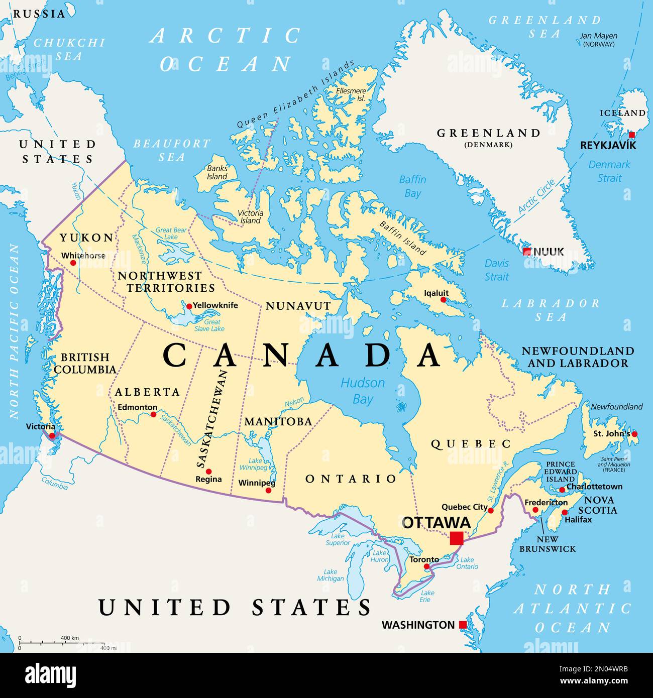 Canada, administrative divisions, political map. The ten provinces and three territories of Canada, with their borders and capitals. Stock Photohttps://www.alamy.com/image-license-details/?v=1https://www.alamy.com/canada-administrative-divisions-political-map-the-ten-provinces-and-three-territories-of-canada-with-their-borders-and-capitals-image516419103.html
RF2N04WRB–Canada, administrative divisions, political map. The ten provinces and three territories of Canada, with their borders and capitals.
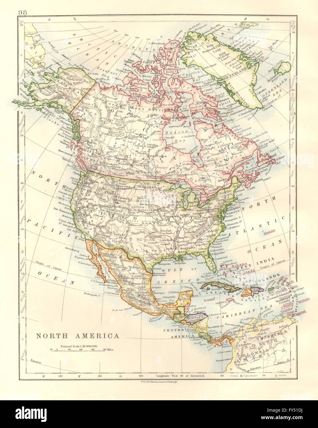 NORTH AMERICA POLITICAL. Greenland USA Canada Mexico. JOHNSTON, 1920 old map Stock Photohttps://www.alamy.com/image-license-details/?v=1https://www.alamy.com/stock-photo-north-america-political-greenland-usa-canada-mexico-johnston-1920-102758478.html
RFFY51DJ–NORTH AMERICA POLITICAL. Greenland USA Canada Mexico. JOHNSTON, 1920 old map
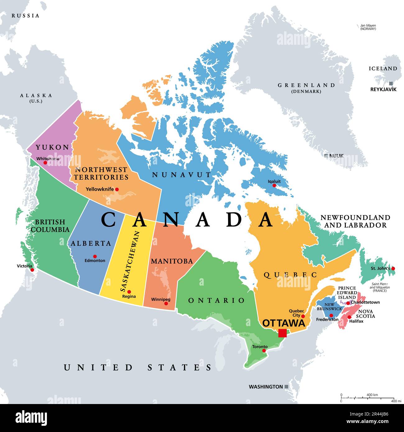 Canada, administrative divisions, colored political map. Ten provinces and three territories of Canada, with borders and capitals. Stock Photohttps://www.alamy.com/image-license-details/?v=1https://www.alamy.com/canada-administrative-divisions-colored-political-map-ten-provinces-and-three-territories-of-canada-with-borders-and-capitals-image553292634.html
RF2R44JB6–Canada, administrative divisions, colored political map. Ten provinces and three territories of Canada, with borders and capitals.
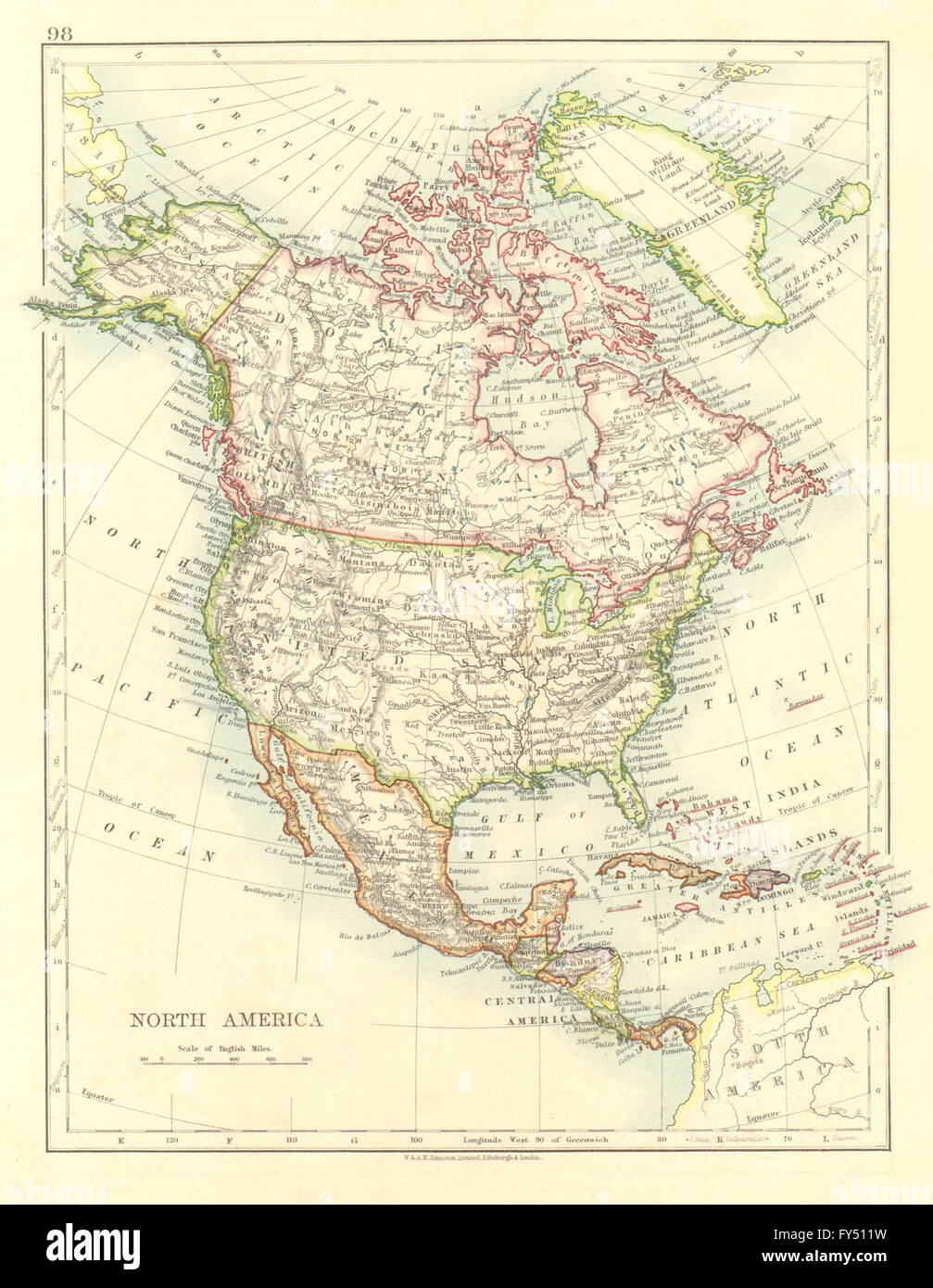 NORTH AMERICA POLITICAL. Greenland USA Canada Mexico. JOHNSTON, 1906 old map Stock Photohttps://www.alamy.com/image-license-details/?v=1https://www.alamy.com/stock-photo-north-america-political-greenland-usa-canada-mexico-johnston-1906-102758149.html
RFFY511W–NORTH AMERICA POLITICAL. Greenland USA Canada Mexico. JOHNSTON, 1906 old map
 Greenland, Canada, Nova Scotia, N 44 34' 46'', W 65 34' 46'', map, Timeless Map published in 2021. Travelers, explorers and adventurers like Florence Nightingale, David Livingstone, Ernest Shackleton, Lewis and Clark and Sherlock Holmes relied on maps to plan travels to the world's most remote corners, Timeless Maps is mapping most locations on the globe, showing the achievement of great dreams Stock Photohttps://www.alamy.com/image-license-details/?v=1https://www.alamy.com/greenland-canada-nova-scotia-n-44-34-46-w-65-34-46-map-timeless-map-published-in-2021-travelers-explorers-and-adventurers-like-florence-nightingale-david-livingstone-ernest-shackleton-lewis-and-clark-and-sherlock-holmes-relied-on-maps-to-plan-travels-to-the-worlds-most-remote-corners-timeless-maps-is-mapping-most-locations-on-the-globe-showing-the-achievement-of-great-dreams-image457865328.html
RM2HGWFW4–Greenland, Canada, Nova Scotia, N 44 34' 46'', W 65 34' 46'', map, Timeless Map published in 2021. Travelers, explorers and adventurers like Florence Nightingale, David Livingstone, Ernest Shackleton, Lewis and Clark and Sherlock Holmes relied on maps to plan travels to the world's most remote corners, Timeless Maps is mapping most locations on the globe, showing the achievement of great dreams
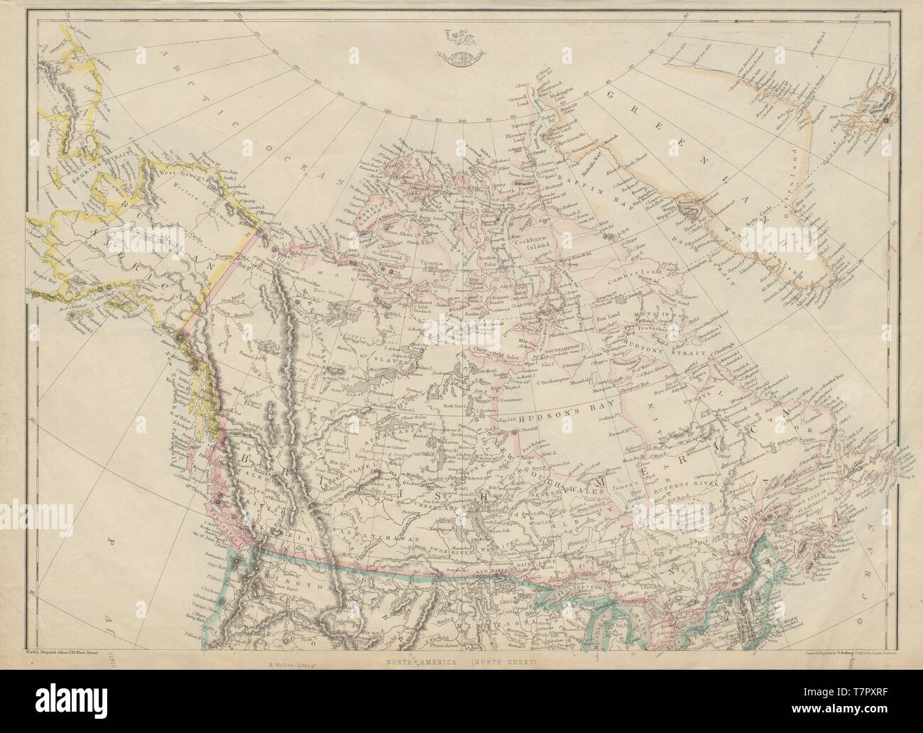 BRITISH AMERICA, RUSSIAN AMERICA & GREENLAND. Canada & Alaska. ETTLING 1863 map Stock Photohttps://www.alamy.com/image-license-details/?v=1https://www.alamy.com/british-america-russian-america-greenland-canada-alaska-ettling-1863-map-image245751731.html
RFT7PXRF–BRITISH AMERICA, RUSSIAN AMERICA & GREENLAND. Canada & Alaska. ETTLING 1863 map
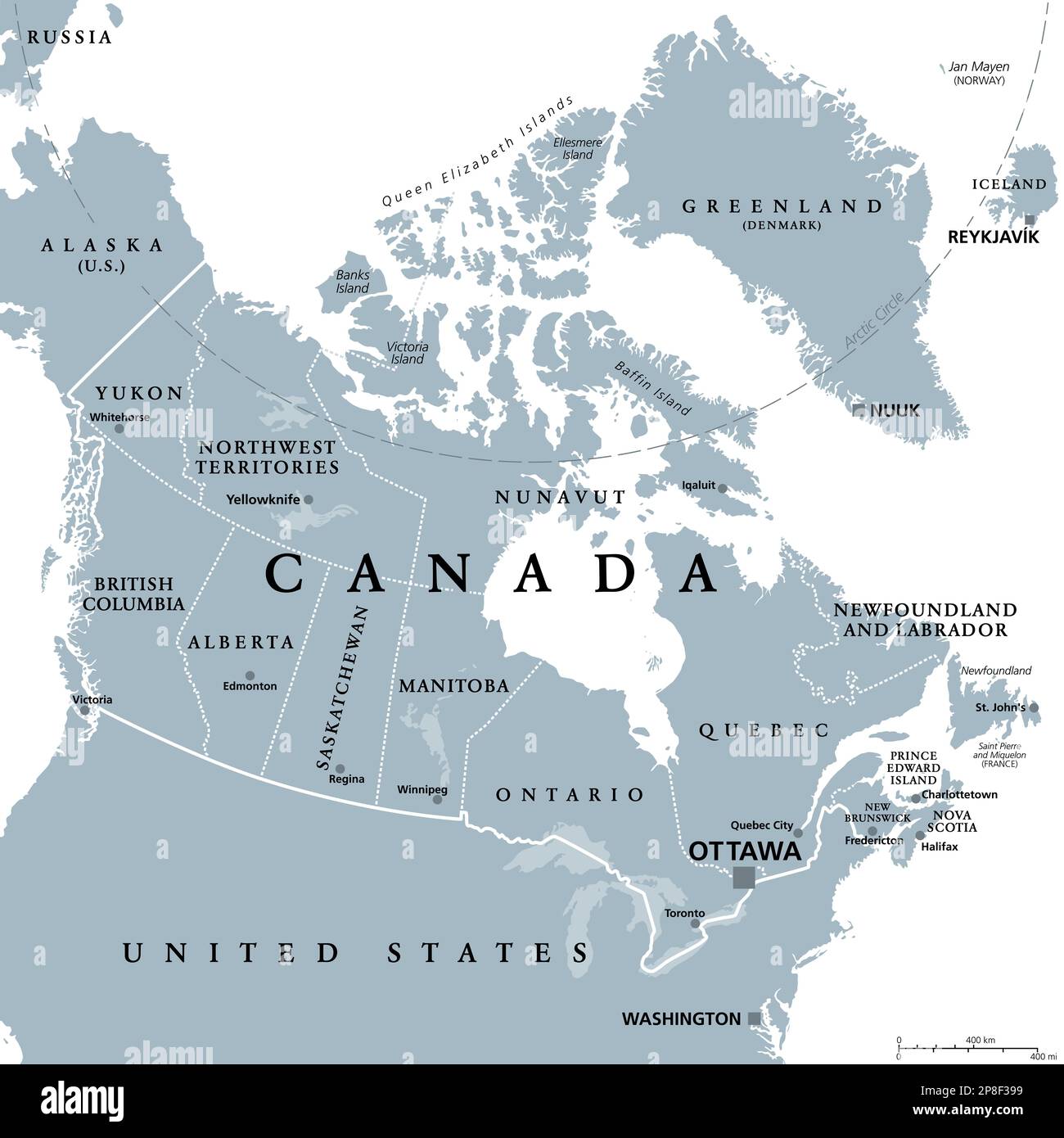 Canada, administrative divisions, gray political map. Ten provinces and three territories of Canada, with their borders and capitals. Stock Photohttps://www.alamy.com/image-license-details/?v=1https://www.alamy.com/canada-administrative-divisions-gray-political-map-ten-provinces-and-three-territories-of-canada-with-their-borders-and-capitals-image538770549.html
RF2P8F399–Canada, administrative divisions, gray political map. Ten provinces and three territories of Canada, with their borders and capitals.
 BRITISH NORTH AMERICA. Russian America. Canadian West Greenland. SDUK 1857 map Stock Photohttps://www.alamy.com/image-license-details/?v=1https://www.alamy.com/british-north-america-russian-america-canadian-west-greenland-sduk-1857-map-image385038590.html
RF2DAC0J6–BRITISH NORTH AMERICA. Russian America. Canadian West Greenland. SDUK 1857 map
 A late 19th century British coloured map of Canada showing place names, lakes, regional divisions as they were at that time and distances in English miles Stock Photohttps://www.alamy.com/image-license-details/?v=1https://www.alamy.com/a-late-19th-century-british-coloured-map-of-canada-showing-place-names-lakes-regional-divisions-as-they-were-at-that-time-and-distances-in-english-miles-image471947853.html
RM2JBR28D–A late 19th century British coloured map of Canada showing place names, lakes, regional divisions as they were at that time and distances in English miles
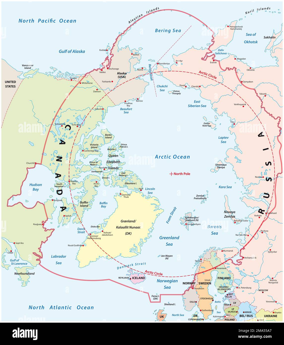 Vector map of the arctic and polar region Stock Photohttps://www.alamy.com/image-license-details/?v=1https://www.alamy.com/vector-map-of-the-arctic-and-polar-region-image505361199.html
RF2MA55A7–Vector map of the arctic and polar region
 NORTH AMERICA POLITICAL. Greenland Danish America USA Canada Mexico, 1906 map Stock Photohttps://www.alamy.com/image-license-details/?v=1https://www.alamy.com/stock-photo-north-america-political-greenland-danish-america-usa-canada-mexico-114662134.html
RFGJF8M6–NORTH AMERICA POLITICAL. Greenland Danish America USA Canada Mexico, 1906 map
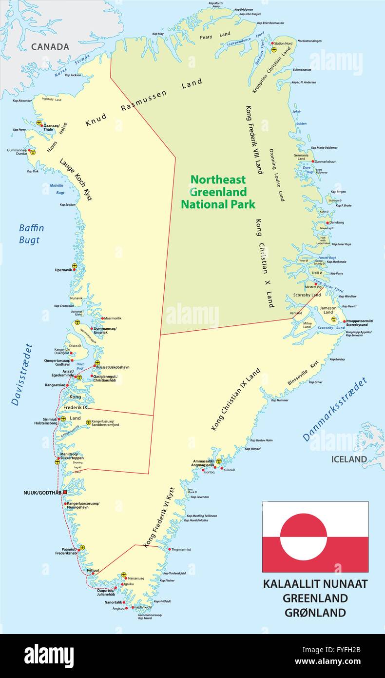 vector map with flag of the state greenland Stock Vectorhttps://www.alamy.com/image-license-details/?v=1https://www.alamy.com/stock-photo-vector-map-with-flag-of-the-state-greenland-102990227.html
RFFYFH2B–vector map with flag of the state greenland
 NORTH AMERICA POLITICAL. Greenland 'Danish America' USA Canada Mexico, 1903 map Stock Photohttps://www.alamy.com/image-license-details/?v=1https://www.alamy.com/stock-photo-north-america-political-greenland-danish-america-usa-canada-mexico-115395757.html
RFGKMMD1–NORTH AMERICA POLITICAL. Greenland 'Danish America' USA Canada Mexico, 1903 map
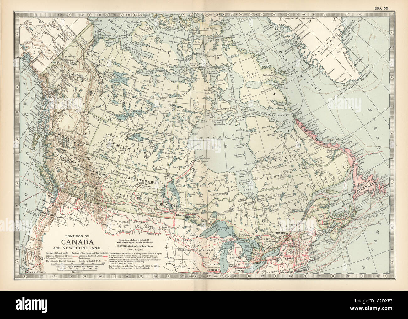 Map of Canada Stock Photohttps://www.alamy.com/image-license-details/?v=1https://www.alamy.com/stock-photo-map-of-canada-35956235.html
RMC2DXF7–Map of Canada
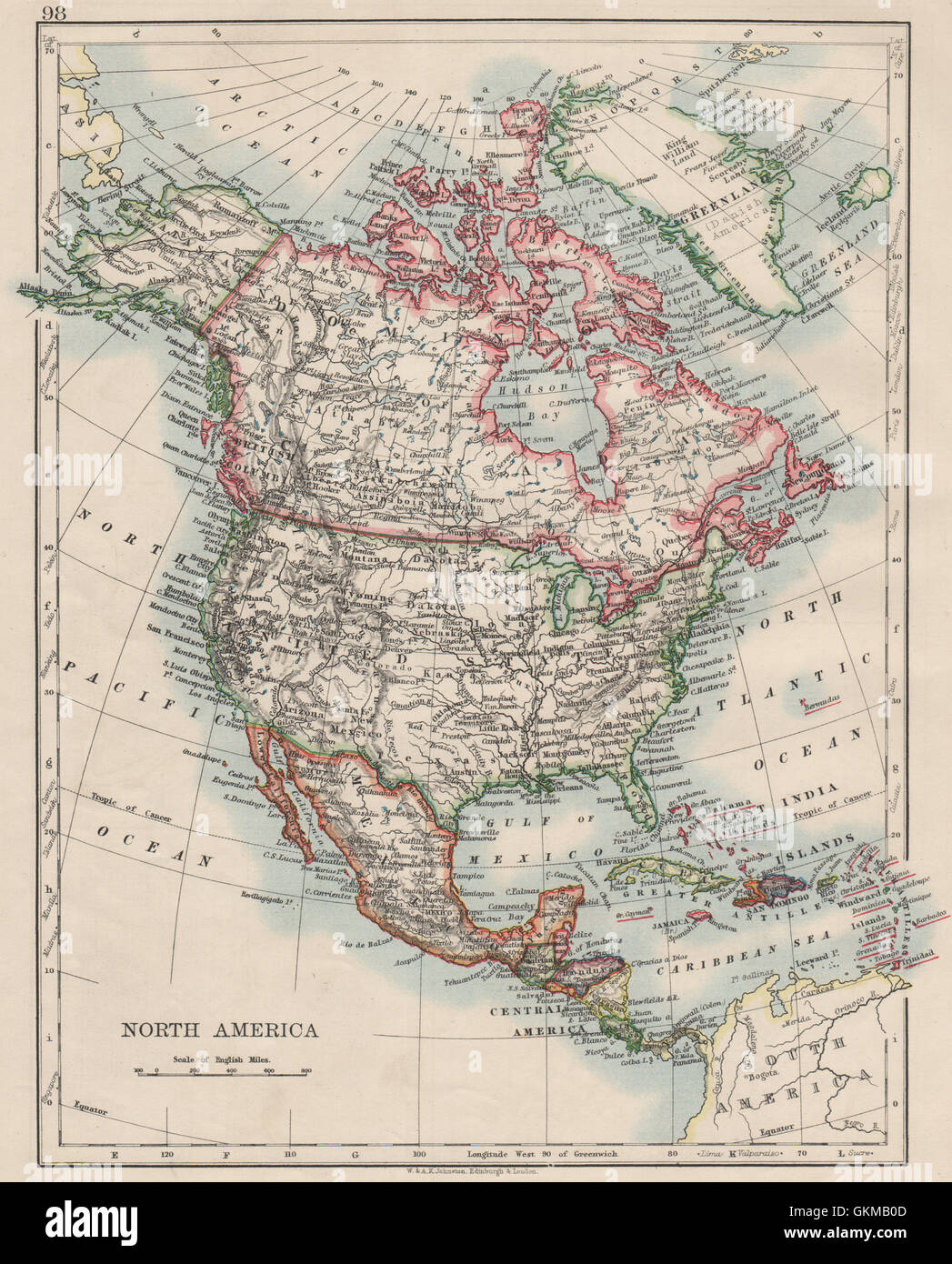 NORTH AMERICA POLITICAL. Greenland 'Danish America' USA Canada Mexico, 1900 map Stock Photohttps://www.alamy.com/image-license-details/?v=1https://www.alamy.com/stock-photo-north-america-political-greenland-danish-america-usa-canada-mexico-115388349.html
RFGKMB0D–NORTH AMERICA POLITICAL. Greenland 'Danish America' USA Canada Mexico, 1900 map
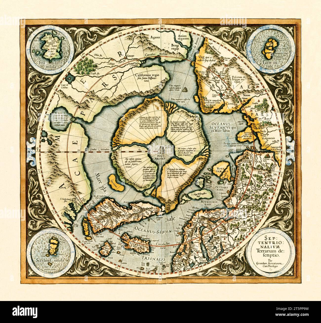 Old map of North Pole and northern regions. By Mercator, publ. 1595 Stock Photohttps://www.alamy.com/image-license-details/?v=1https://www.alamy.com/old-map-of-north-pole-and-northern-regions-by-mercator-publ-1595-image571515888.html
RF2T5PP9M–Old map of North Pole and northern regions. By Mercator, publ. 1595
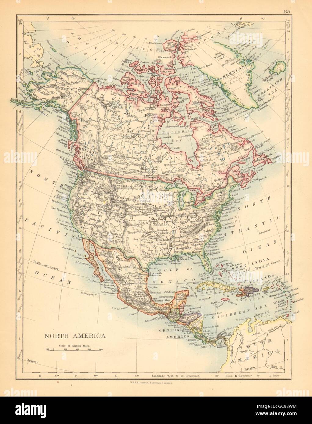 NORTH AMERICA POLITICAL. Greenland 'Danish America' USA Canada Mexico, 1897 map Stock Photohttps://www.alamy.com/image-license-details/?v=1https://www.alamy.com/stock-photo-north-america-political-greenland-danish-america-usa-canada-mexico-110842640.html
RFGC98WM–NORTH AMERICA POLITICAL. Greenland 'Danish America' USA Canada Mexico, 1897 map
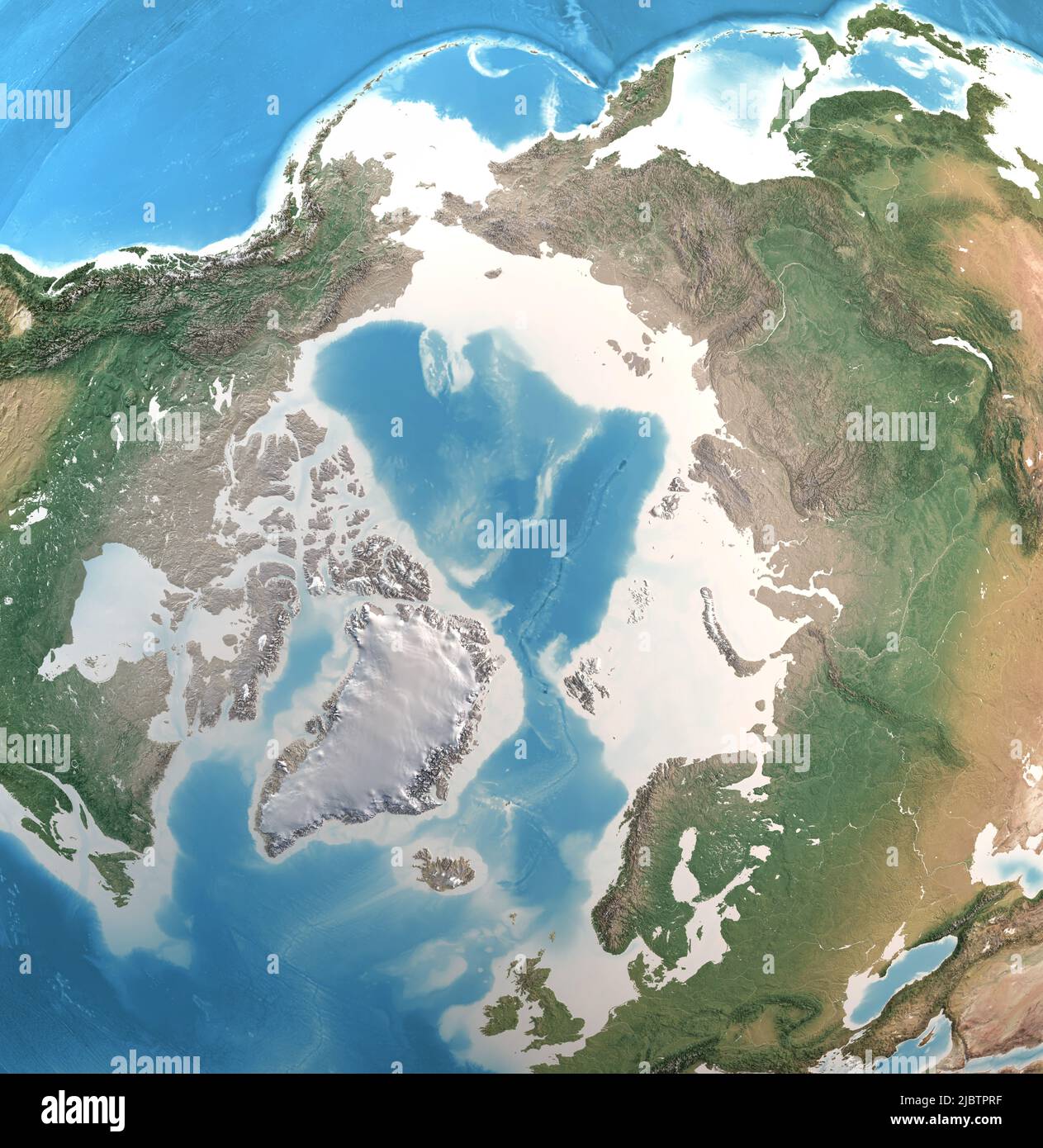 Physical map of North Pole, Arctic Ocean and Greenland, with high resolution details. Satellite view of Planet Earth. Elements furnished by NASA Stock Photohttps://www.alamy.com/image-license-details/?v=1https://www.alamy.com/physical-map-of-north-pole-arctic-ocean-and-greenland-with-high-resolution-details-satellite-view-of-planet-earth-elements-furnished-by-nasa-image471985907.html
RF2JBTPRF–Physical map of North Pole, Arctic Ocean and Greenland, with high resolution details. Satellite view of Planet Earth. Elements furnished by NASA
 NORTH AMERICA POLITICAL. Greenland 'Danish America' USA Canada Mexico, 1895 map Stock Photohttps://www.alamy.com/image-license-details/?v=1https://www.alamy.com/stock-photo-north-america-political-greenland-danish-america-usa-canada-mexico-115449633.html
RFGKR555–NORTH AMERICA POLITICAL. Greenland 'Danish America' USA Canada Mexico, 1895 map
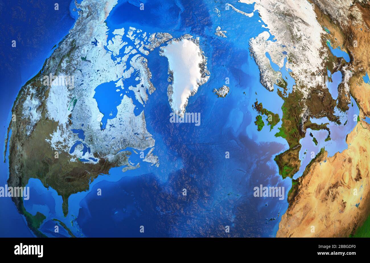 Arctic region and Greenland viewed from a satellite. Physical map of North Pole. 3D illustration - Elements of this image furnished by NASA. Stock Photohttps://www.alamy.com/image-license-details/?v=1https://www.alamy.com/arctic-region-and-greenland-viewed-from-a-satellite-physical-map-of-north-pole-3d-illustration-elements-of-this-image-furnished-by-nasa-image351330420.html
RF2BBGDF0–Arctic region and Greenland viewed from a satellite. Physical map of North Pole. 3D illustration - Elements of this image furnished by NASA.
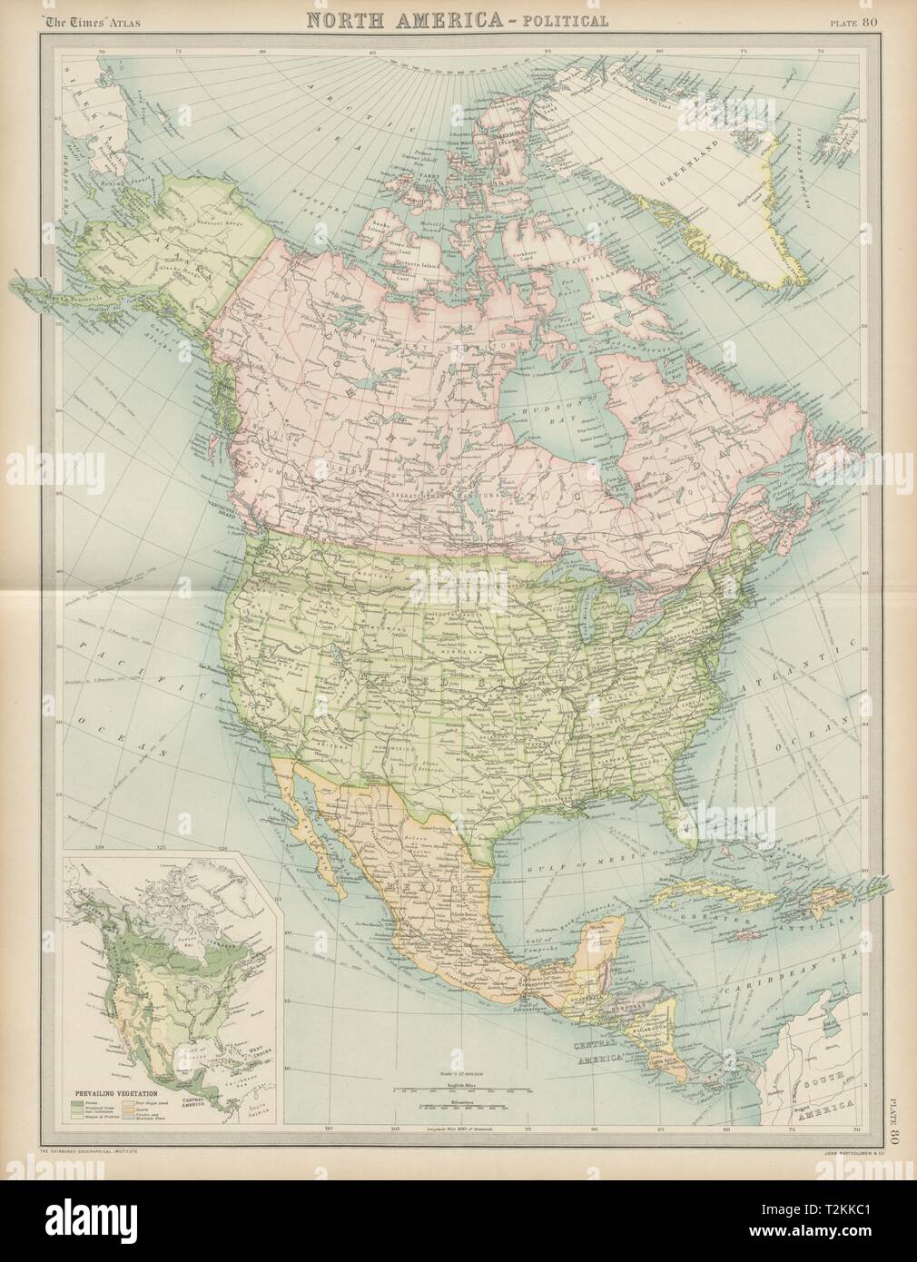 North America - Political. United States Canada Mexico Greenland. TIMES 1922 map Stock Photohttps://www.alamy.com/image-license-details/?v=1https://www.alamy.com/north-america-political-united-states-canada-mexico-greenland-times-1922-map-image242606785.html
RFT2KKC1–North America - Political. United States Canada Mexico Greenland. TIMES 1922 map
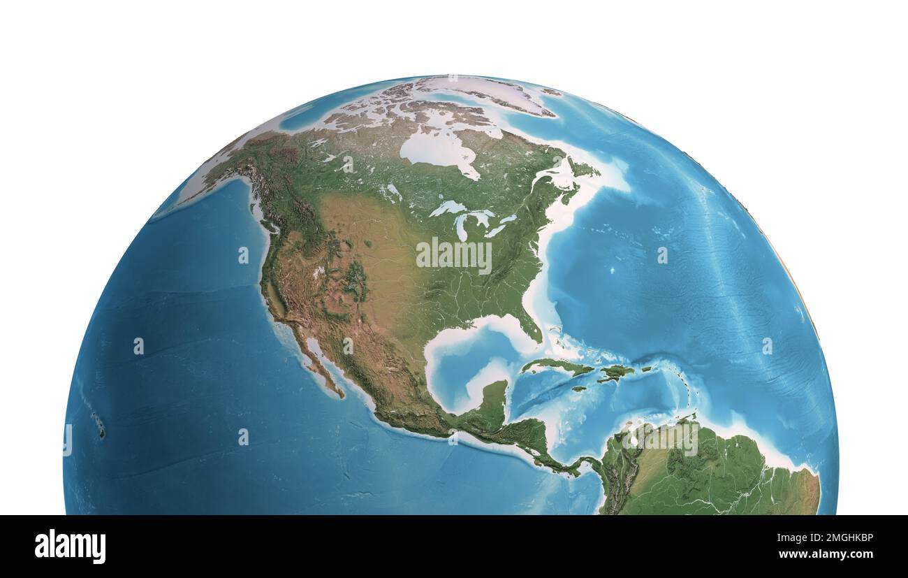 High resolution satellite view of Planet Earth, focused on North and Central America, Mexico, USA, Canada, Alaska and Greenland - NASA elements Stock Photohttps://www.alamy.com/image-license-details/?v=1https://www.alamy.com/high-resolution-satellite-view-of-planet-earth-focused-on-north-and-central-america-mexico-usa-canada-alaska-and-greenland-nasa-elements-image509323578.html
RF2MGHKBP–High resolution satellite view of Planet Earth, focused on North and Central America, Mexico, USA, Canada, Alaska and Greenland - NASA elements
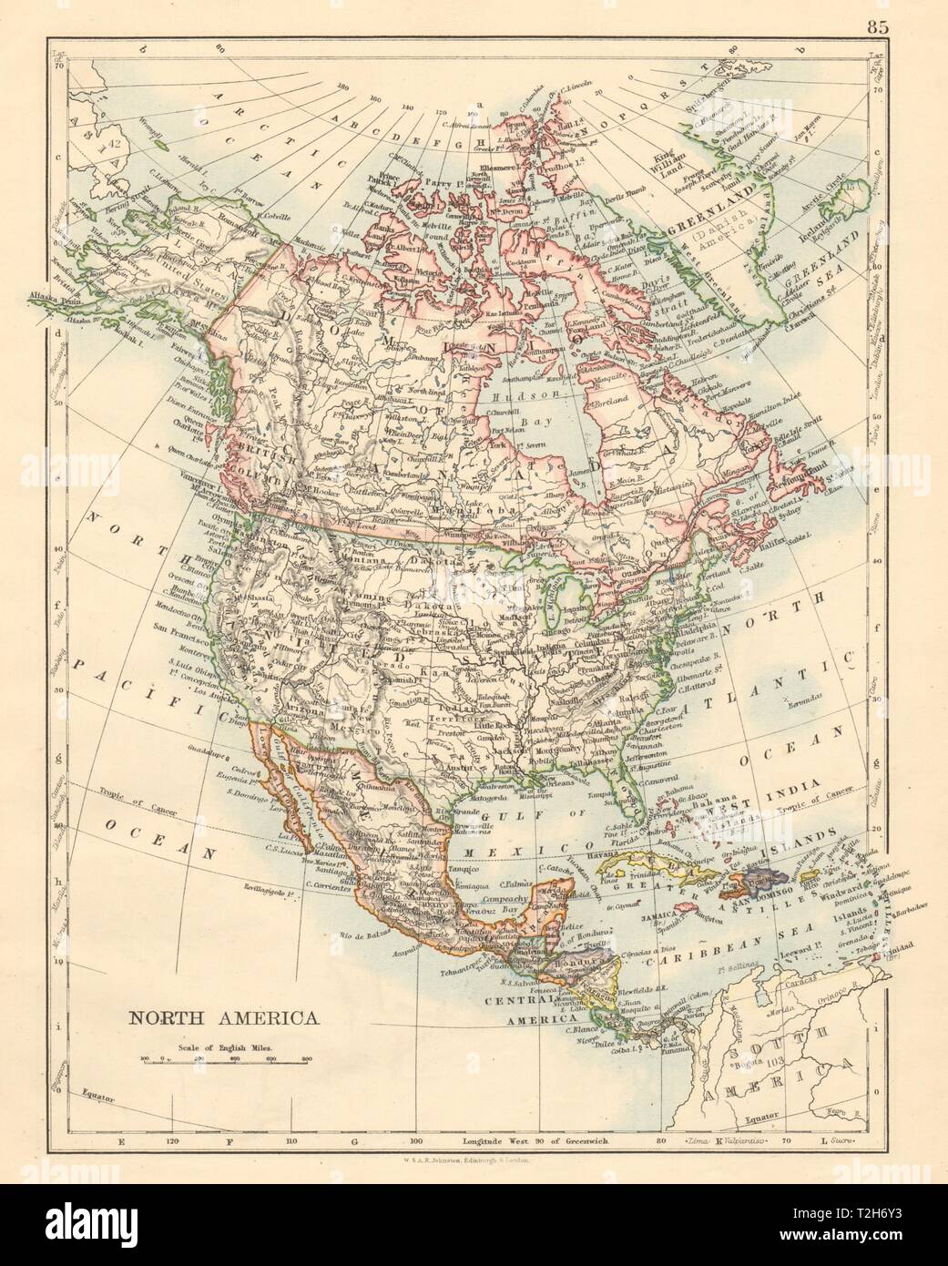 NORTH AMERICA POLITICAL Greenland 'Danish America' USA Canada Mexico 1892 map Stock Photohttps://www.alamy.com/image-license-details/?v=1https://www.alamy.com/north-america-political-greenland-danish-america-usa-canada-mexico-1892-map-image242553111.html
RFT2H6Y3–NORTH AMERICA POLITICAL Greenland 'Danish America' USA Canada Mexico 1892 map
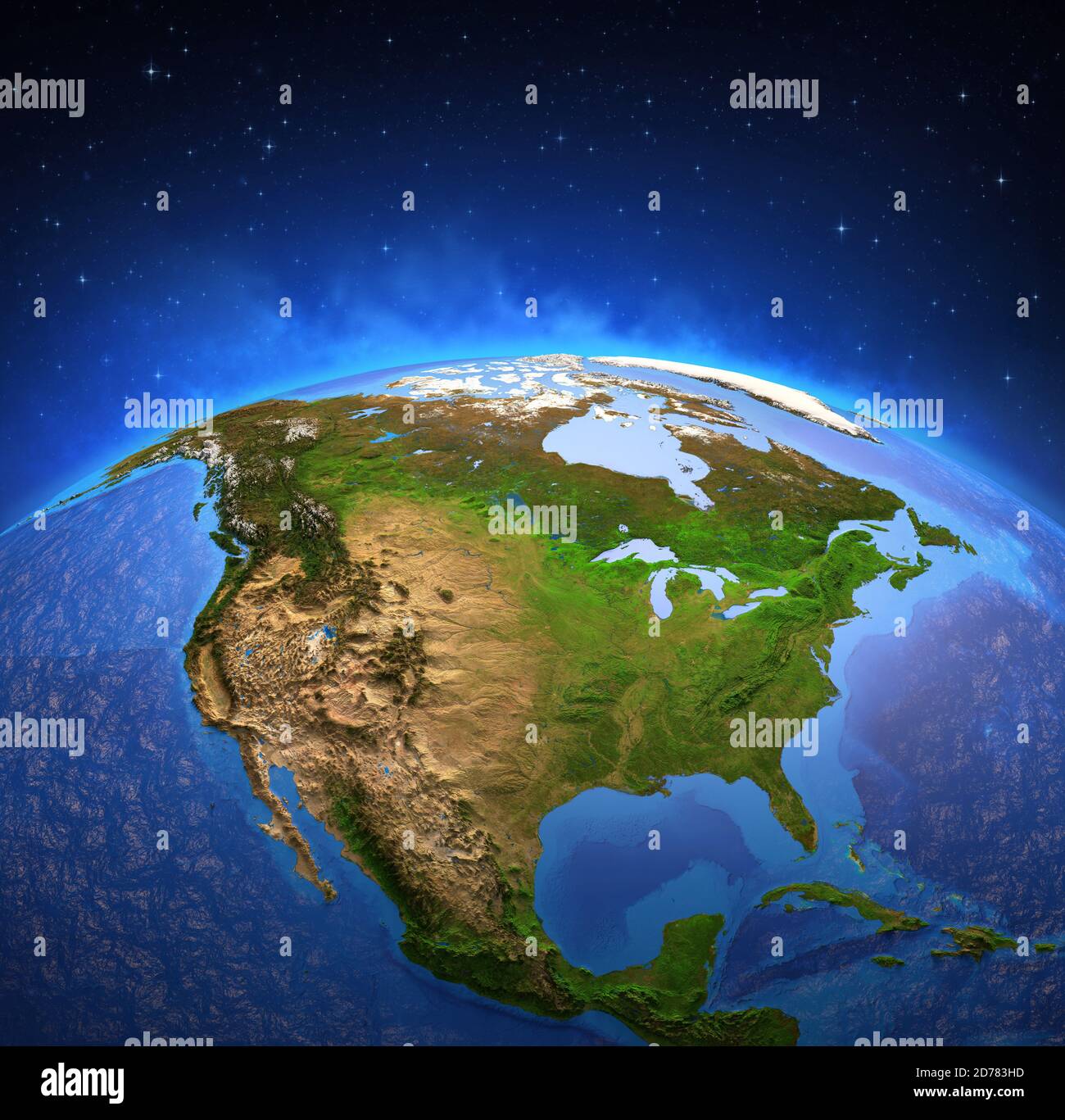 Surface of Planet Earth viewed from a satellite, focused on North America. Physical map of The United States USA and Canada. 3D illustration - Element Stock Photohttps://www.alamy.com/image-license-details/?v=1https://www.alamy.com/surface-of-planet-earth-viewed-from-a-satellite-focused-on-north-america-physical-map-of-the-united-states-usa-and-canada-3d-illustration-element-image383109145.html
RF2D783HD–Surface of Planet Earth viewed from a satellite, focused on North America. Physical map of The United States USA and Canada. 3D illustration - Element
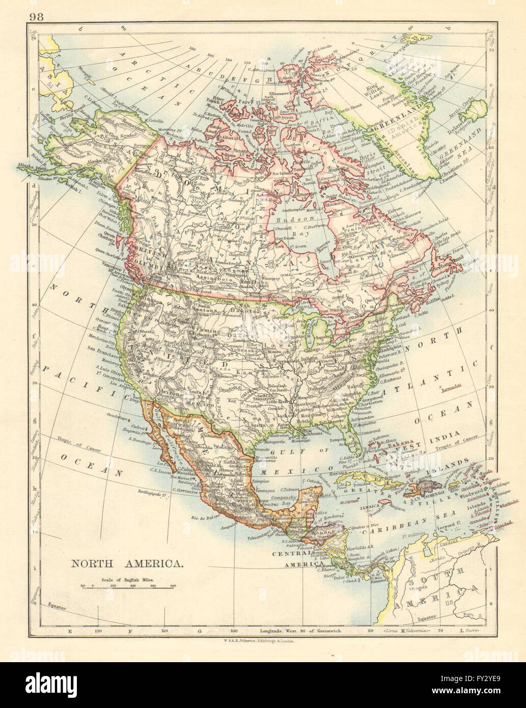 NORTH AMERICA POLITICAL. Greenland 'Danish America' USA Canada Mexico, 1899 map Stock Photohttps://www.alamy.com/image-license-details/?v=1https://www.alamy.com/stock-photo-north-america-political-greenland-danish-america-usa-canada-mexico-102713025.html
RFFY2YE9–NORTH AMERICA POLITICAL. Greenland 'Danish America' USA Canada Mexico, 1899 map
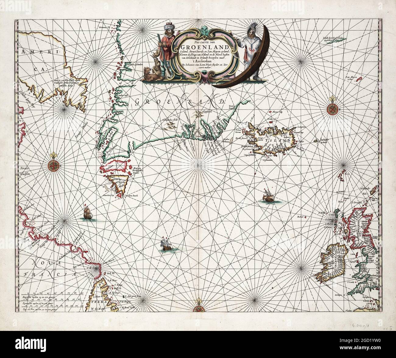 Antique map including Greenland, Iceland, Jan Mayen, Davis Strait, Canada. From van Loon's Klaer lichtende noort ster ofte zee atlas, 1661. Stock Photohttps://www.alamy.com/image-license-details/?v=1https://www.alamy.com/antique-map-including-greenland-iceland-jan-mayen-davis-strait-canada-from-van-loons-klaer-lichtende-noort-ster-ofte-zee-atlas-1661-image438293548.html
RF2GD1YW0–Antique map including Greenland, Iceland, Jan Mayen, Davis Strait, Canada. From van Loon's Klaer lichtende noort ster ofte zee atlas, 1661.
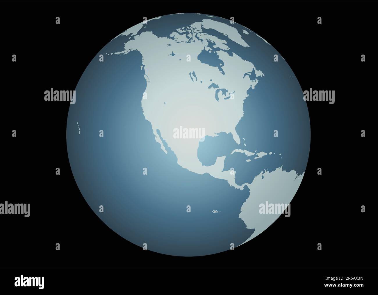 North America (Vector). Accurate map of North America. Mapped onto a globe. Includes Canada, USA, Mexico, Hawaii, Aleutians. Includes all the large... Stock Vectorhttps://www.alamy.com/image-license-details/?v=1https://www.alamy.com/north-america-vector-accurate-map-of-north-america-mapped-onto-a-globe-includes-canada-usa-mexico-hawaii-aleutians-includes-all-the-large-image554659721.html
RF2R6AX3N–North America (Vector). Accurate map of North America. Mapped onto a globe. Includes Canada, USA, Mexico, Hawaii, Aleutians. Includes all the large...
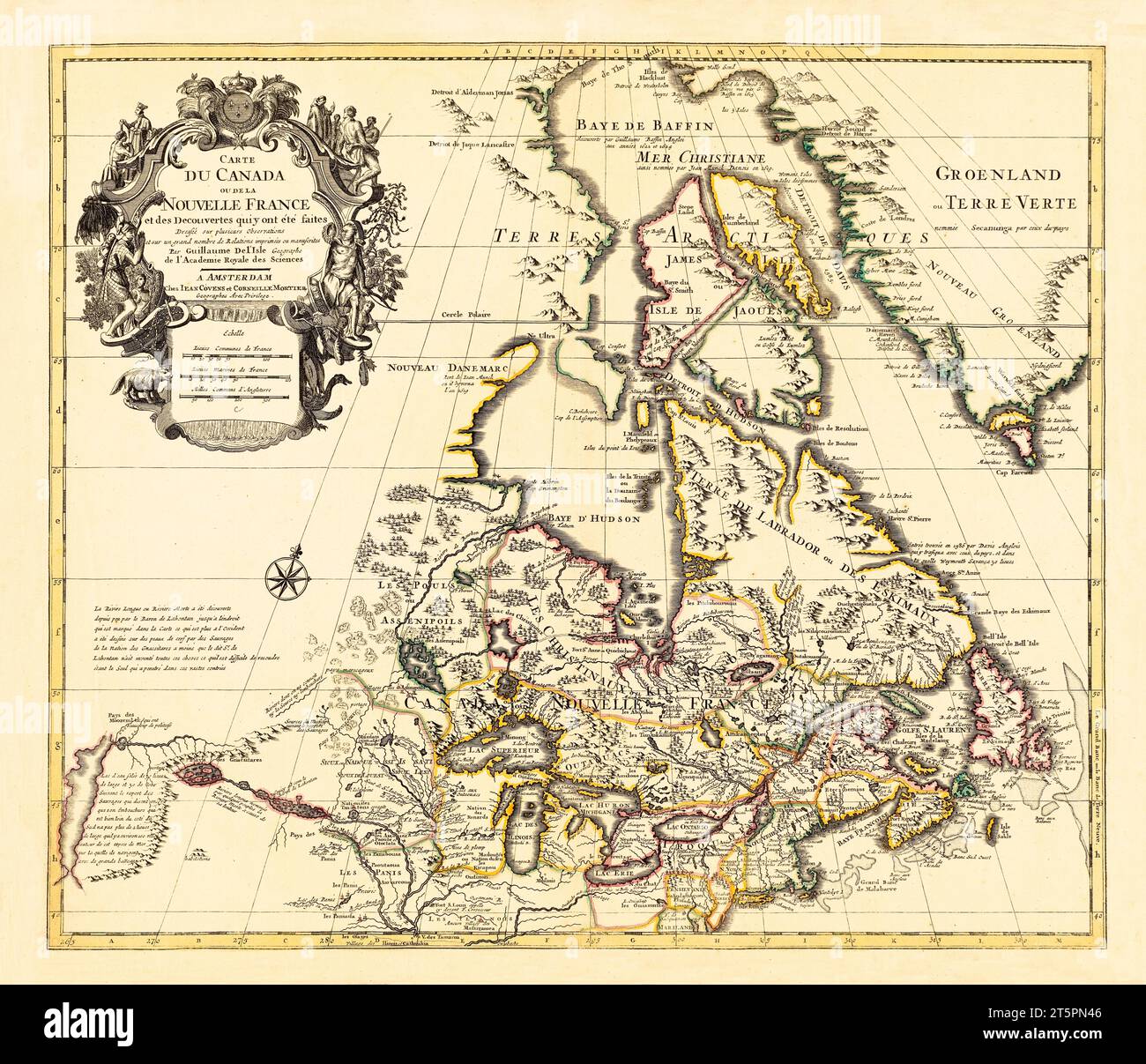 Old map of Canada (New France). By L'Isle, publ. ca. 1730 Stock Photohttps://www.alamy.com/image-license-details/?v=1https://www.alamy.com/old-map-of-canada-new-france-by-lisle-publ-ca-1730-image571514950.html
RF2T5PN46–Old map of Canada (New France). By L'Isle, publ. ca. 1730
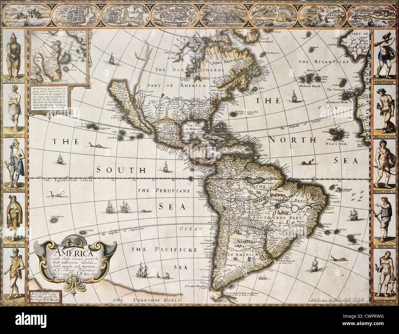 America old map with Greenland insert map Stock Photohttps://www.alamy.com/image-license-details/?v=1https://www.alamy.com/stock-photo-america-old-map-with-greenland-insert-map-50288828.html
RFCWPRWG–America old map with Greenland insert map
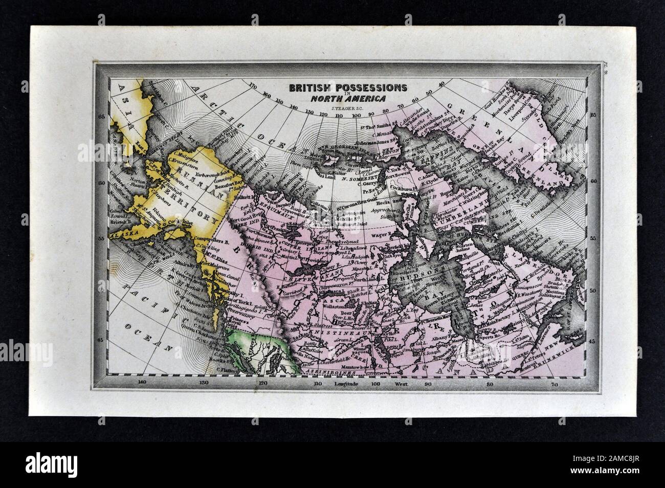 1834 Carey Map of British Possessions in North America Canada and Russian Alaska Territory Stock Photohttps://www.alamy.com/image-license-details/?v=1https://www.alamy.com/1834-carey-map-of-british-possessions-in-north-america-canada-and-russian-alaska-territory-image339560335.html
RF2AMC8JR–1834 Carey Map of British Possessions in North America Canada and Russian Alaska Territory
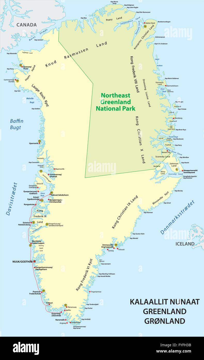 greenland detailed vector map of the state Stock Vectorhttps://www.alamy.com/image-license-details/?v=1https://www.alamy.com/stock-photo-greenland-detailed-vector-map-of-the-state-102990255.html
RFFYFH3B–greenland detailed vector map of the state
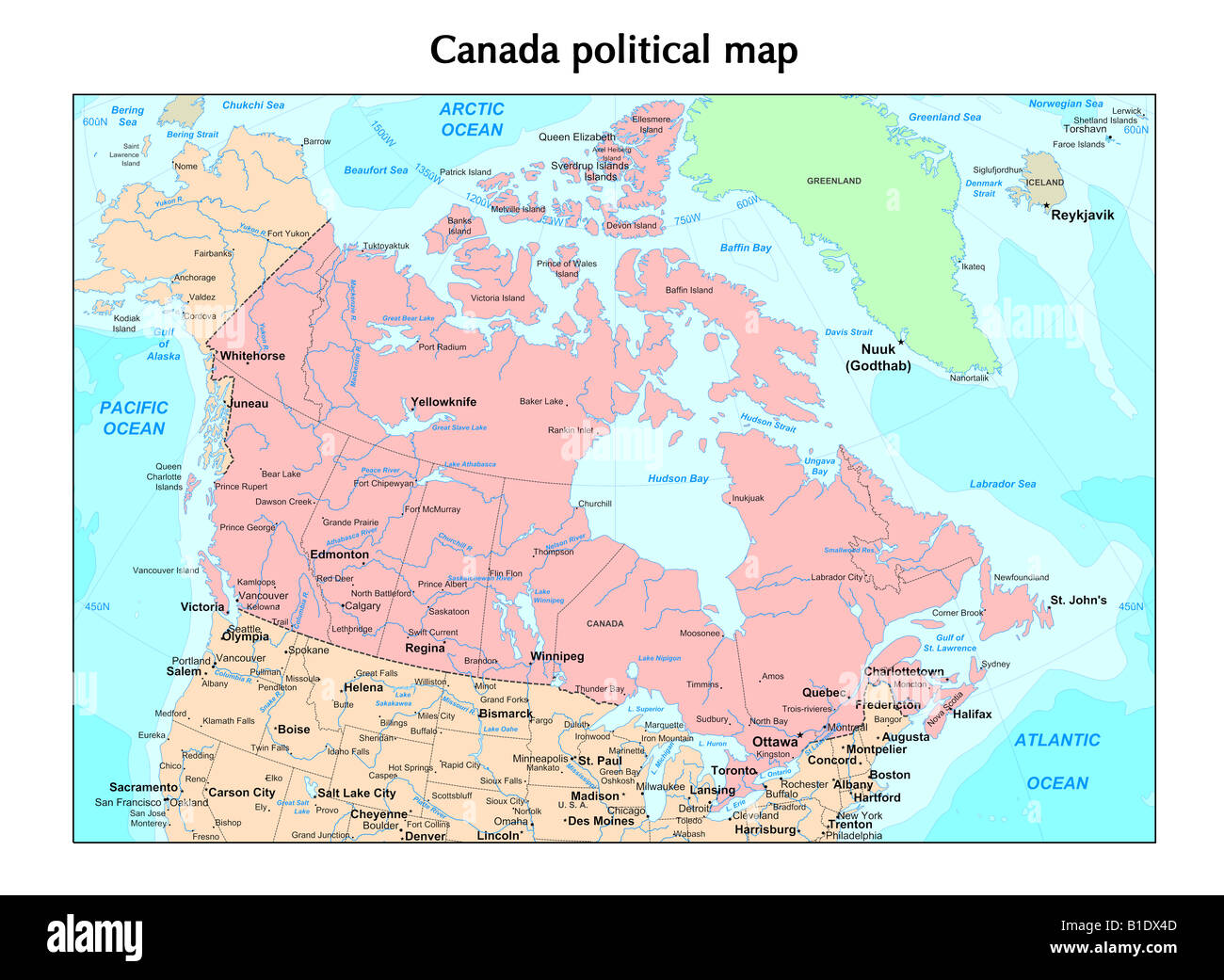 Canada political map Stock Photohttps://www.alamy.com/image-license-details/?v=1https://www.alamy.com/stock-photo-canada-political-map-18130909.html
RFB1DX4D–Canada political map
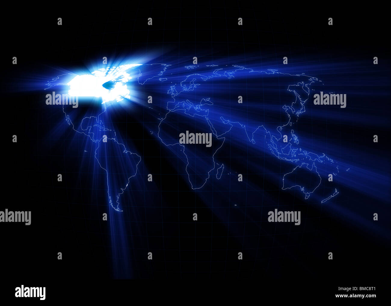 World map with the Canada glowing with black background. Stock Photohttps://www.alamy.com/image-license-details/?v=1https://www.alamy.com/stock-photo-world-map-with-the-canada-glowing-with-black-background-29773857.html
RFBMC8T1–World map with the Canada glowing with black background.
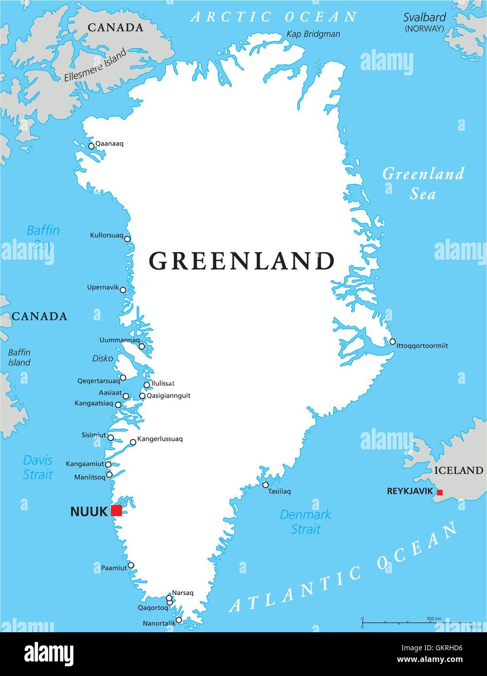 arctic greenland denmark map atlas map of the world travel arctic greenland europe denmark atlantic Stock Vectorhttps://www.alamy.com/image-license-details/?v=1https://www.alamy.com/stock-photo-arctic-greenland-denmark-map-atlas-map-of-the-world-travel-arctic-115459266.html
RFGKRHD6–arctic greenland denmark map atlas map of the world travel arctic greenland europe denmark atlantic
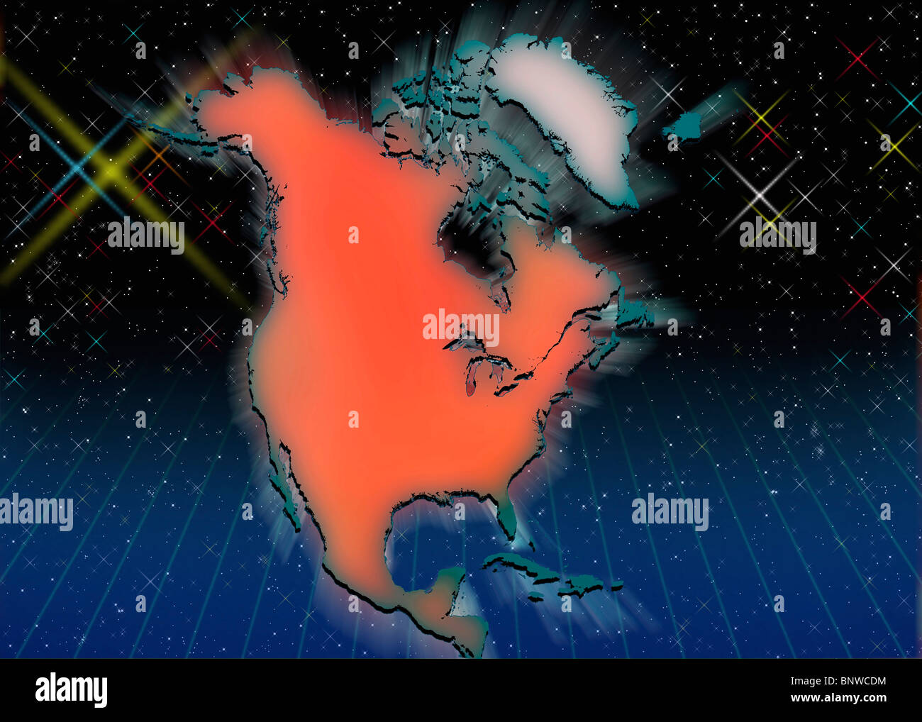 Outline map of North America Stock Photohttps://www.alamy.com/image-license-details/?v=1https://www.alamy.com/stock-photo-outline-map-of-north-america-30676736.html
RMBNWCDM–Outline map of North America
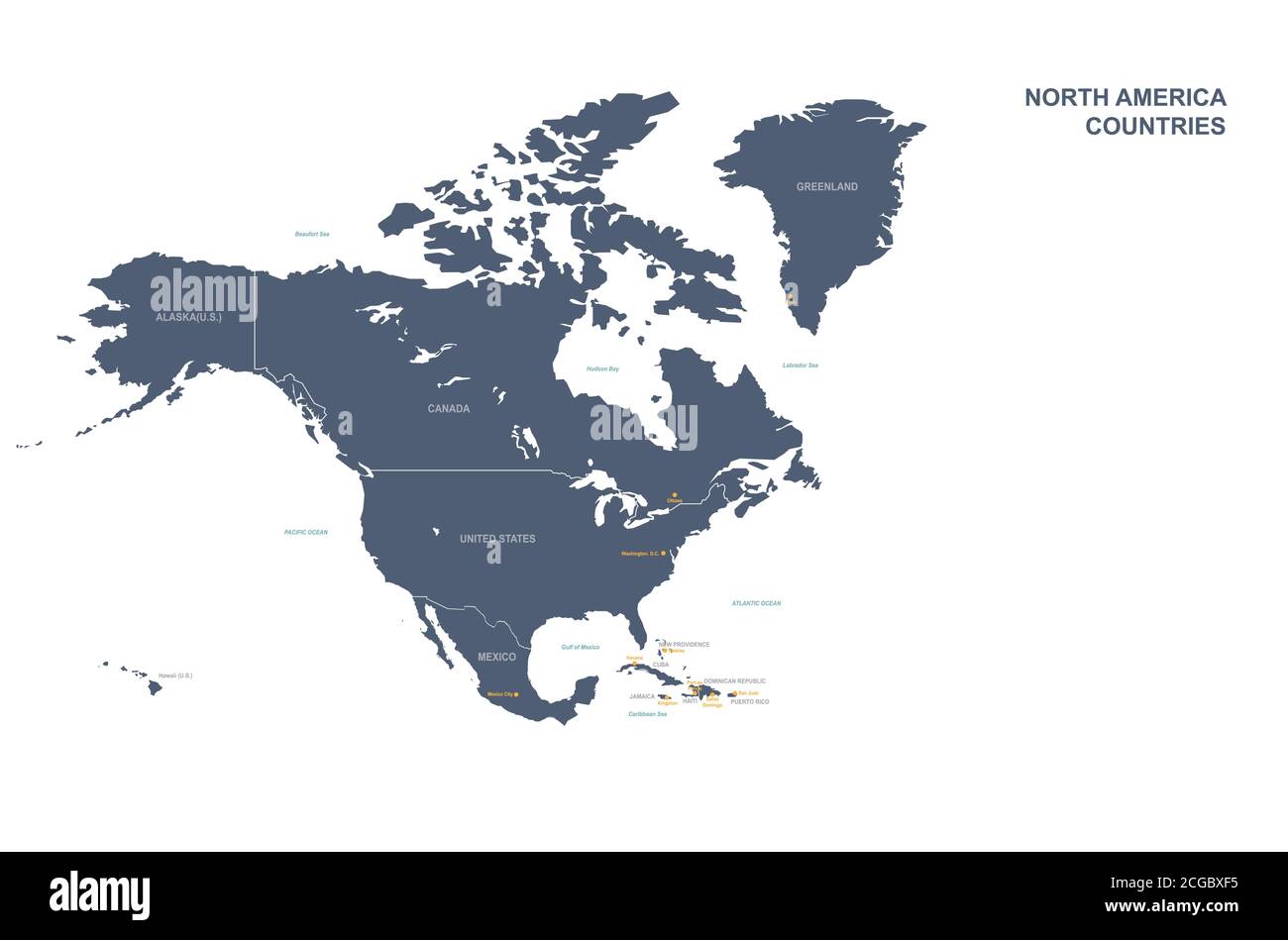 North american countries detailed vector map. Stock Vectorhttps://www.alamy.com/image-license-details/?v=1https://www.alamy.com/north-american-countries-detailed-vector-map-image371514505.html
RF2CGBXF5–North american countries detailed vector map.
 Map of Greenland 1666 Stock Photohttps://www.alamy.com/image-license-details/?v=1https://www.alamy.com/map-of-greenland-1666-image230693465.html
RMRB8YT9–Map of Greenland 1666
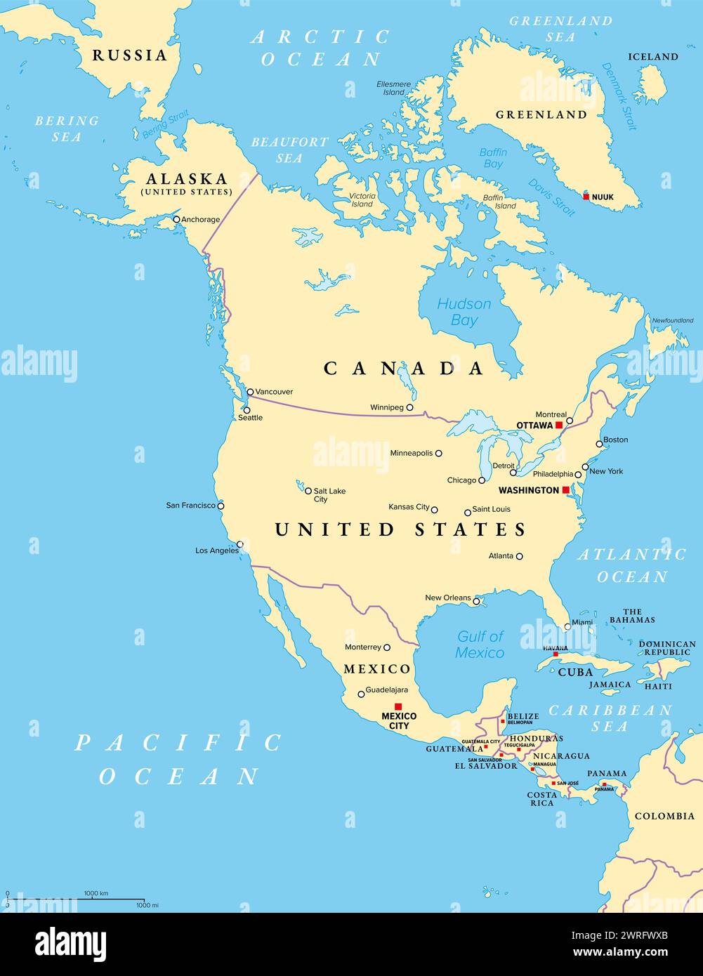 North America, political map. Continent bordered by South America, the Caribbean Sea, and by the Arctic, Atlantic and Pacific Ocean. Stock Photohttps://www.alamy.com/image-license-details/?v=1https://www.alamy.com/north-america-political-map-continent-bordered-by-south-america-the-caribbean-sea-and-by-the-arctic-atlantic-and-pacific-ocean-image599639219.html
RF2WRFWXB–North America, political map. Continent bordered by South America, the Caribbean Sea, and by the Arctic, Atlantic and Pacific Ocean.
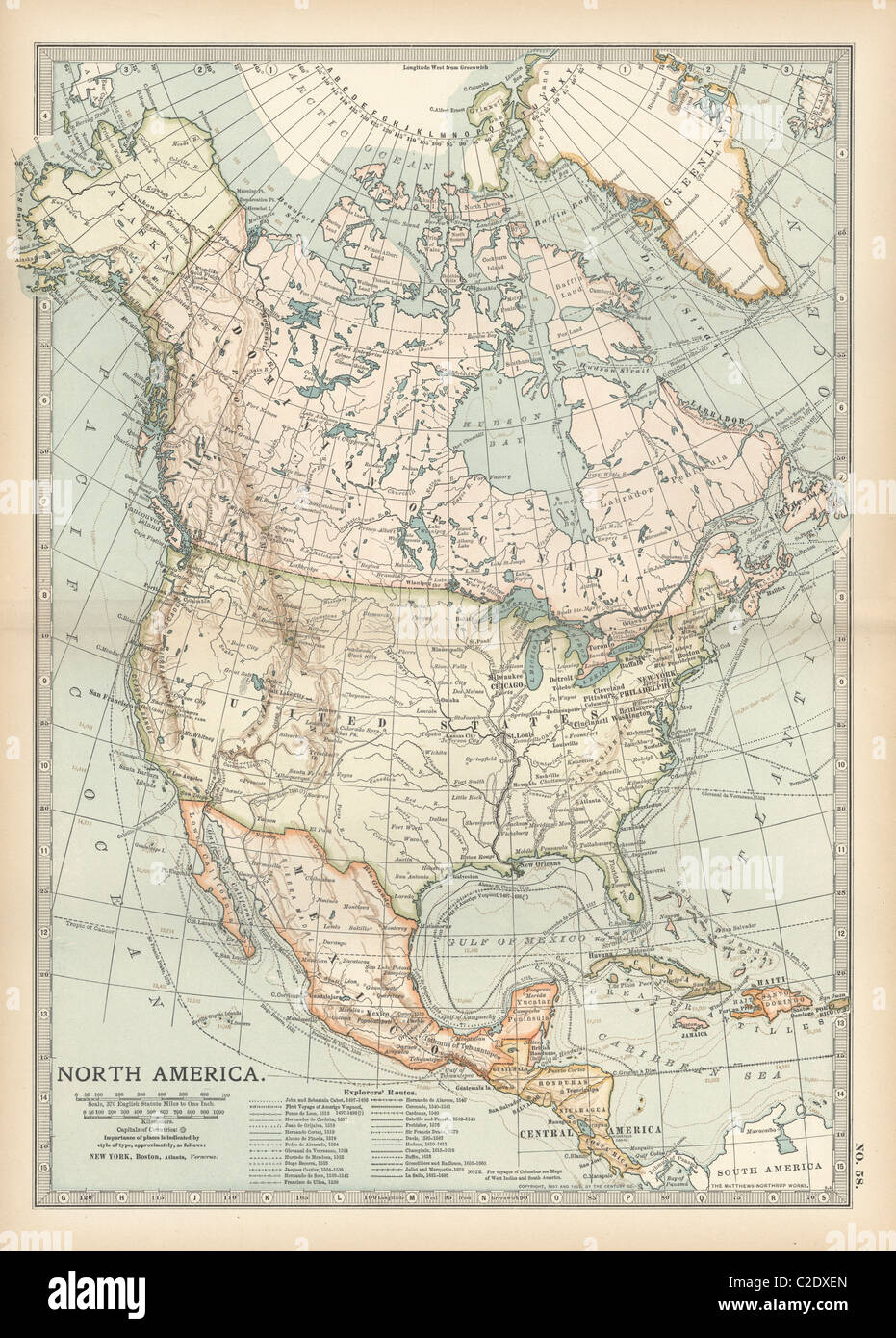 Map of North America and Central America Stock Photohttps://www.alamy.com/image-license-details/?v=1https://www.alamy.com/stock-photo-map-of-north-america-and-central-america-35956221.html
RMC2DXEN–Map of North America and Central America
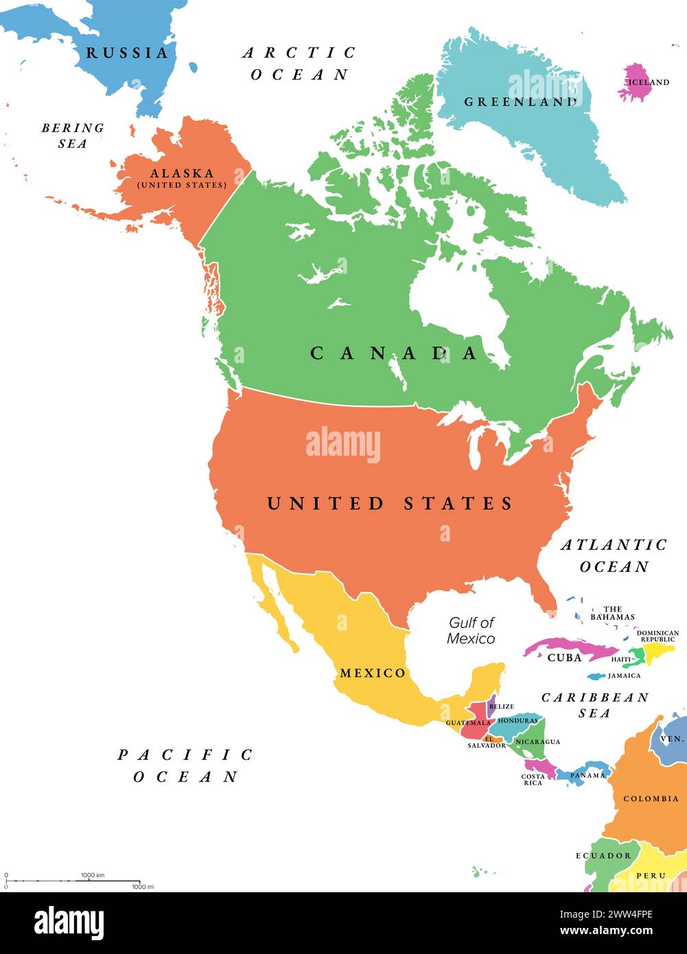 North America countries, political map. Continent bordered by South America, Caribbean Sea, and by Arctic, Atlantic and Pacific Ocean. Stock Photohttps://www.alamy.com/image-license-details/?v=1https://www.alamy.com/north-america-countries-political-map-continent-bordered-by-south-america-caribbean-sea-and-by-arctic-atlantic-and-pacific-ocean-image600619110.html
RF2WW4FPE–North America countries, political map. Continent bordered by South America, Caribbean Sea, and by Arctic, Atlantic and Pacific Ocean.
 North Canada, Arctic and Greenland 3d rendering Stock Photohttps://www.alamy.com/image-license-details/?v=1https://www.alamy.com/north-canada-arctic-and-greenland-3d-rendering-image159260935.html
RFK72XXF–North Canada, Arctic and Greenland 3d rendering
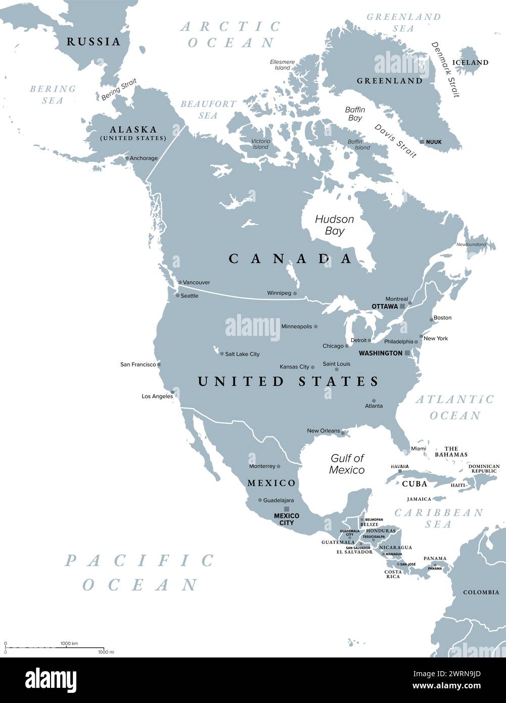 North America, gray political map. Continent bordered by South America, Caribbean Sea, and by the Arctic, Atlantic and Pacific Ocean. Stock Photohttps://www.alamy.com/image-license-details/?v=1https://www.alamy.com/north-america-gray-political-map-continent-bordered-by-south-america-caribbean-sea-and-by-the-arctic-atlantic-and-pacific-ocean-image599758165.html
RF2WRN9JD–North America, gray political map. Continent bordered by South America, Caribbean Sea, and by the Arctic, Atlantic and Pacific Ocean.
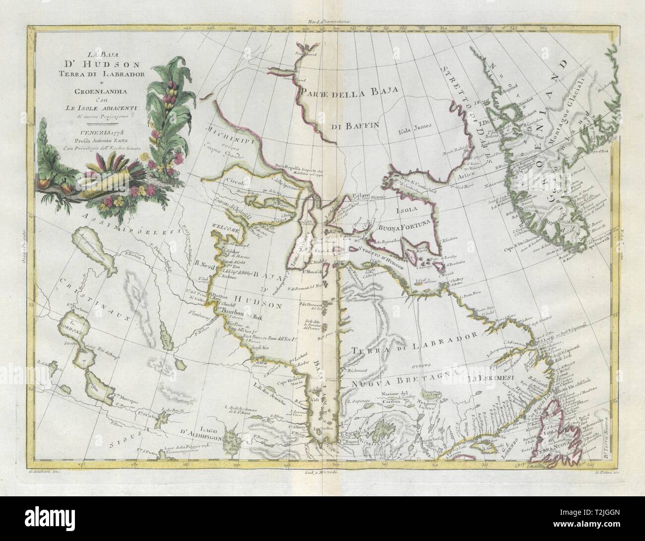 'La Baja d'Hudson, Terra di Labrador…' Hudson Bay & Greenland. ZATTA 1779 map Stock Photohttps://www.alamy.com/image-license-details/?v=1https://www.alamy.com/la-baja-dhudson-terra-di-labrador-hudson-bay-greenland-zatta-1779-map-image242582613.html
RFT2JGGN–'La Baja d'Hudson, Terra di Labrador…' Hudson Bay & Greenland. ZATTA 1779 map
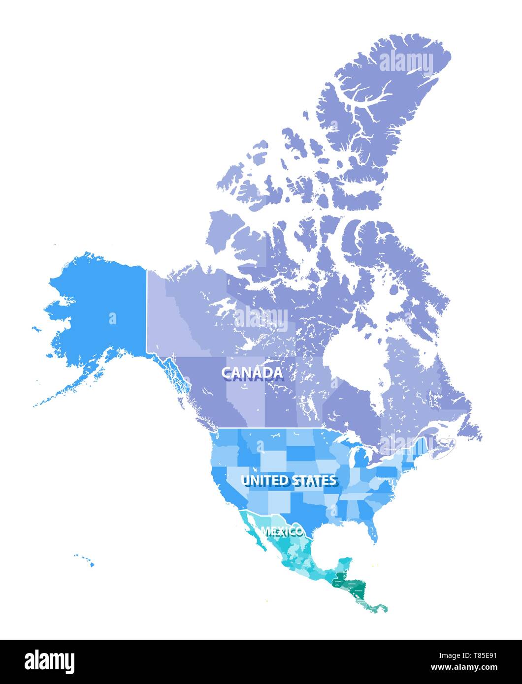 North America high detailed vector map with states borders of Canada, USA and Mexico Stock Vectorhttps://www.alamy.com/image-license-details/?v=1https://www.alamy.com/north-america-high-detailed-vector-map-with-states-borders-of-canada-usa-and-mexico-image245983389.html
RFT85E91–North America high detailed vector map with states borders of Canada, USA and Mexico
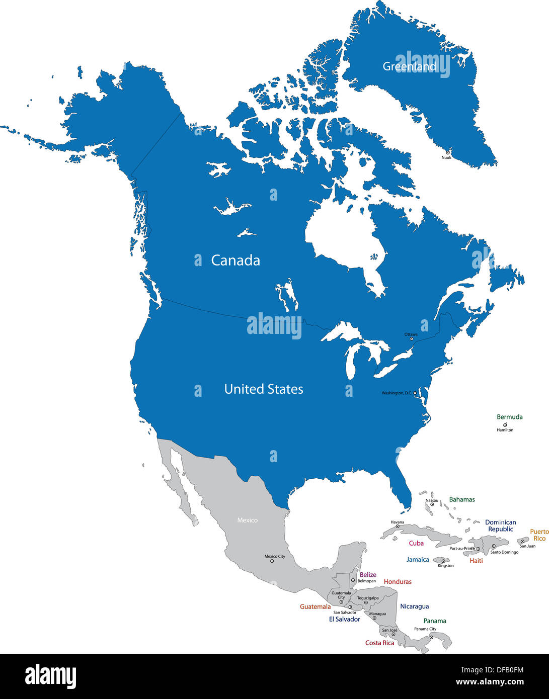 NATO in North America Stock Photohttps://www.alamy.com/image-license-details/?v=1https://www.alamy.com/nato-in-north-america-image61092856.html
RFDFB0FM–NATO in North America
RF2R6BPEX–america map and icon on white background
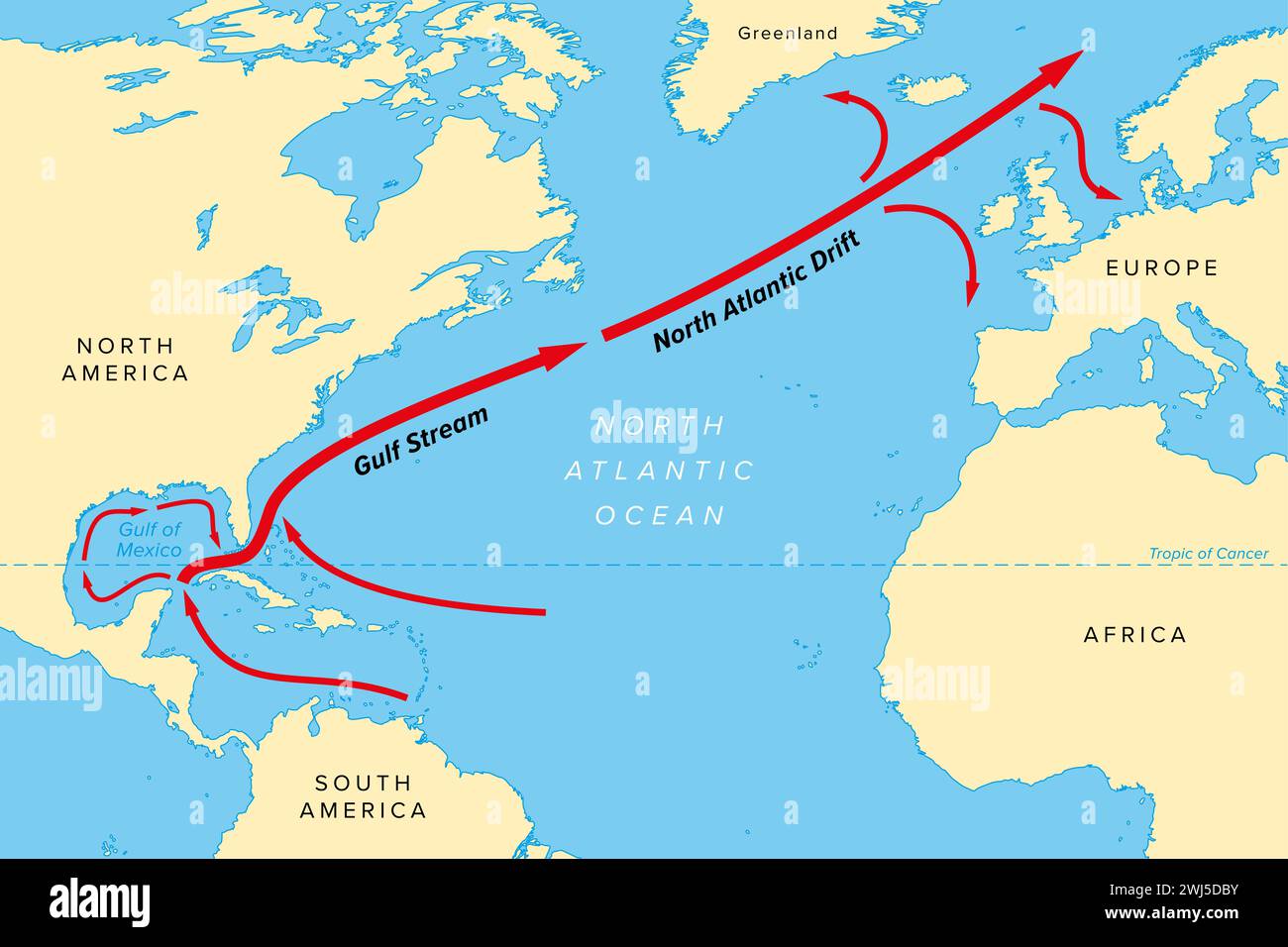 Map of the Gulf Stream with its northern extension North Atlantic Drift. Warm and swift Atlantic Ocean current, originates in Gulf of Mexico. Stock Photohttps://www.alamy.com/image-license-details/?v=1https://www.alamy.com/map-of-the-gulf-stream-with-its-northern-extension-north-atlantic-drift-warm-and-swift-atlantic-ocean-current-originates-in-gulf-of-mexico-image596336607.html
RF2WJ5DBY–Map of the Gulf Stream with its northern extension North Atlantic Drift. Warm and swift Atlantic Ocean current, originates in Gulf of Mexico.
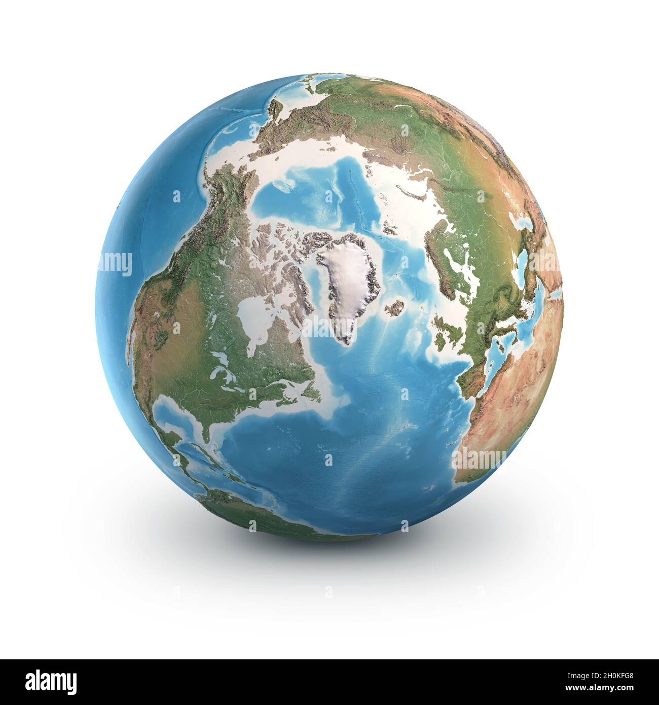 Planet Earth globe, isolated on white. Geography of the world from space, focused on North Pole and Greenland. Elements furnished by NASA Stock Photohttps://www.alamy.com/image-license-details/?v=1https://www.alamy.com/planet-earth-globe-isolated-on-white-geography-of-the-world-from-space-focused-on-north-pole-and-greenland-elements-furnished-by-nasa-image447898872.html
RF2H0KFG8–Planet Earth globe, isolated on white. Geography of the world from space, focused on North Pole and Greenland. Elements furnished by NASA
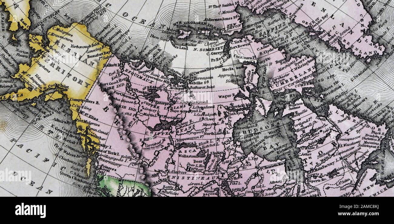 1834 Carey Map of British Possessions in North America Canada and Russian Alaska Territory Stock Photohttps://www.alamy.com/image-license-details/?v=1https://www.alamy.com/1834-carey-map-of-british-possessions-in-north-america-canada-and-russian-alaska-territory-image339560358.html
RF2AMC8KJ–1834 Carey Map of British Possessions in North America Canada and Russian Alaska Territory
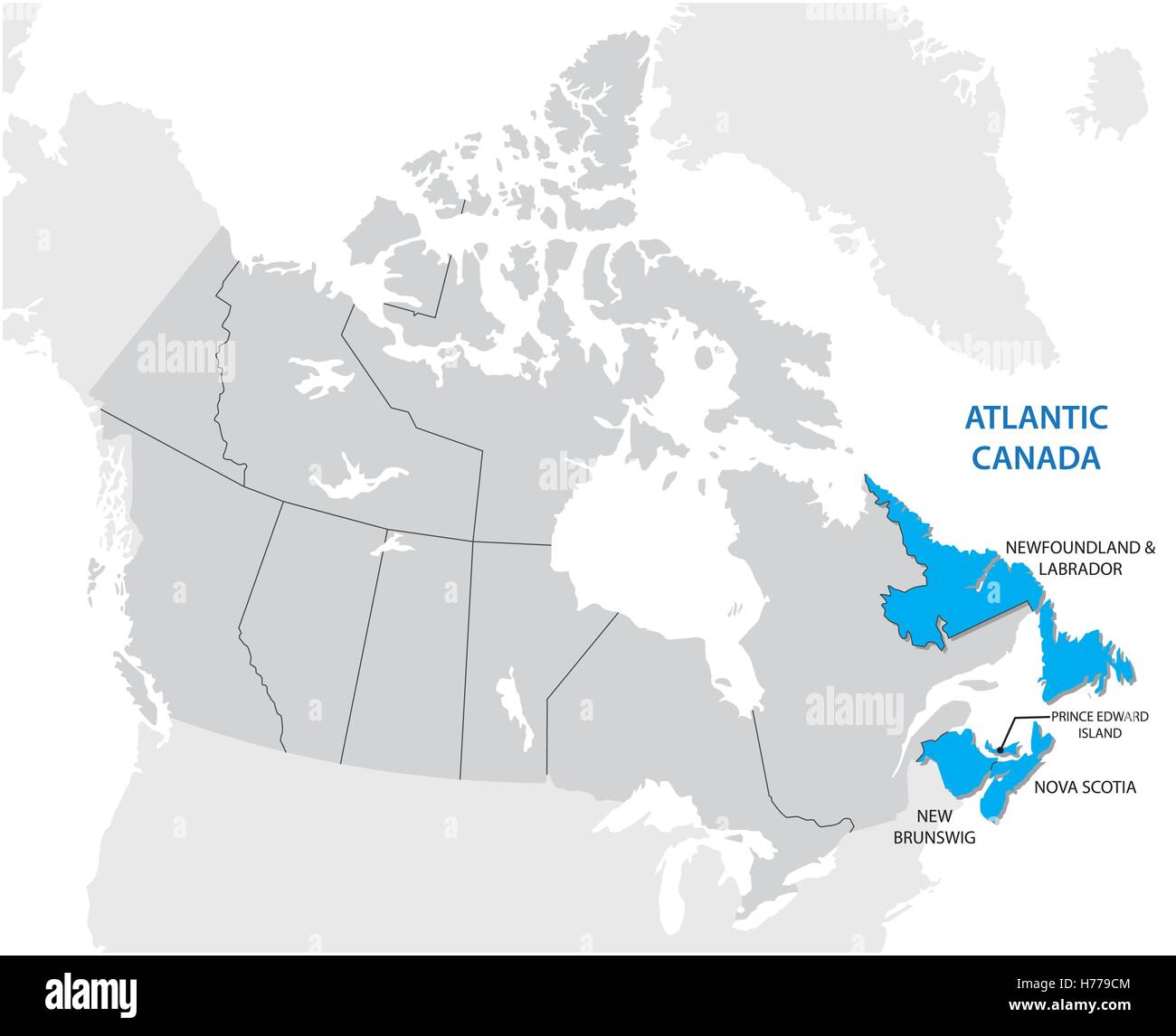 Survey map of the four Canadian Atlantic States, Atlantic canada Stock Vectorhttps://www.alamy.com/image-license-details/?v=1https://www.alamy.com/stock-photo-survey-map-of-the-four-canadian-atlantic-states-atlantic-canada-124936244.html
RFH779CM–Survey map of the four Canadian Atlantic States, Atlantic canada
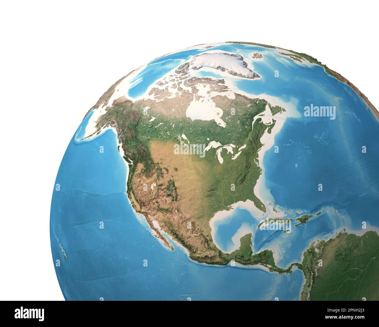 High resolution satellite view of Planet Earth, focused on North America, USA, Mexico, Alaska, North pole, Greenland - elements furnished by NASA Stock Photohttps://www.alamy.com/image-license-details/?v=1https://www.alamy.com/high-resolution-satellite-view-of-planet-earth-focused-on-north-america-usa-mexico-alaska-north-pole-greenland-elements-furnished-by-nasa-image546804443.html
RF2PNH2J3–High resolution satellite view of Planet Earth, focused on North America, USA, Mexico, Alaska, North pole, Greenland - elements furnished by NASA
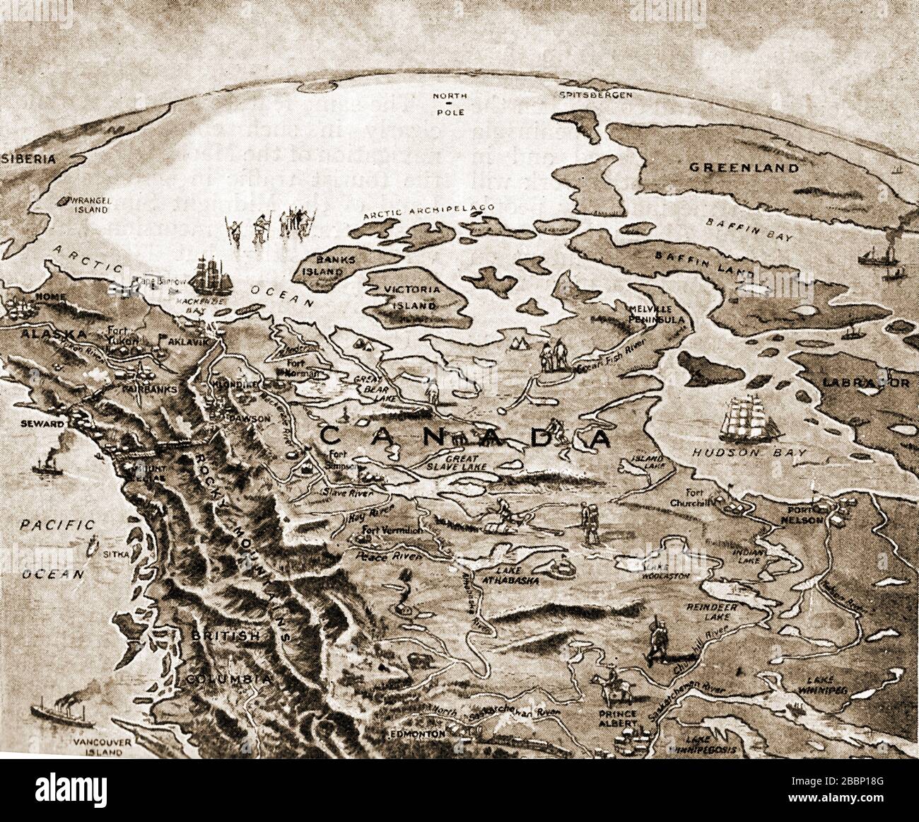 A 1920 printed map showing how civilization was slowly creeping north in Canada at that time Stock Photohttps://www.alamy.com/image-license-details/?v=1https://www.alamy.com/a-1920-printed-map-showing-how-civilization-was-slowly-creeping-north-in-canada-at-that-time-image351452544.html
RM2BBP18G–A 1920 printed map showing how civilization was slowly creeping north in Canada at that time
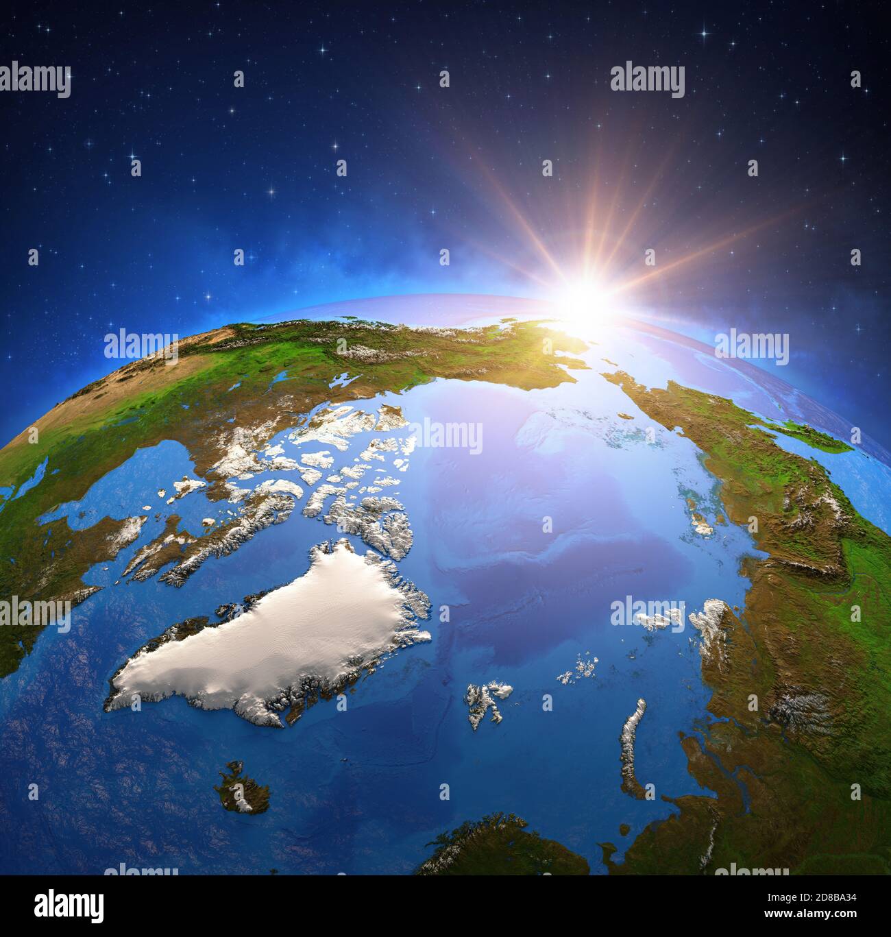 Surface of Planet Earth viewed from a satellite, focused on North Pole and Arctic Ocean. Global warming on Greenland. Elements furnished by NASA Stock Photohttps://www.alamy.com/image-license-details/?v=1https://www.alamy.com/surface-of-planet-earth-viewed-from-a-satellite-focused-on-north-pole-and-arctic-ocean-global-warming-on-greenland-elements-furnished-by-nasa-image383794744.html
RF2D8BA34–Surface of Planet Earth viewed from a satellite, focused on North Pole and Arctic Ocean. Global warming on Greenland. Elements furnished by NASA
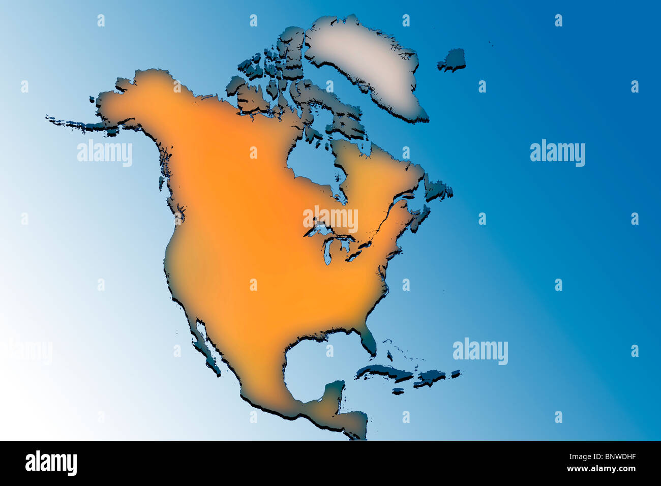 Outline map of North America Stock Photohttps://www.alamy.com/image-license-details/?v=1https://www.alamy.com/stock-photo-outline-map-of-north-america-30677627.html
RMBNWDHF–Outline map of North America
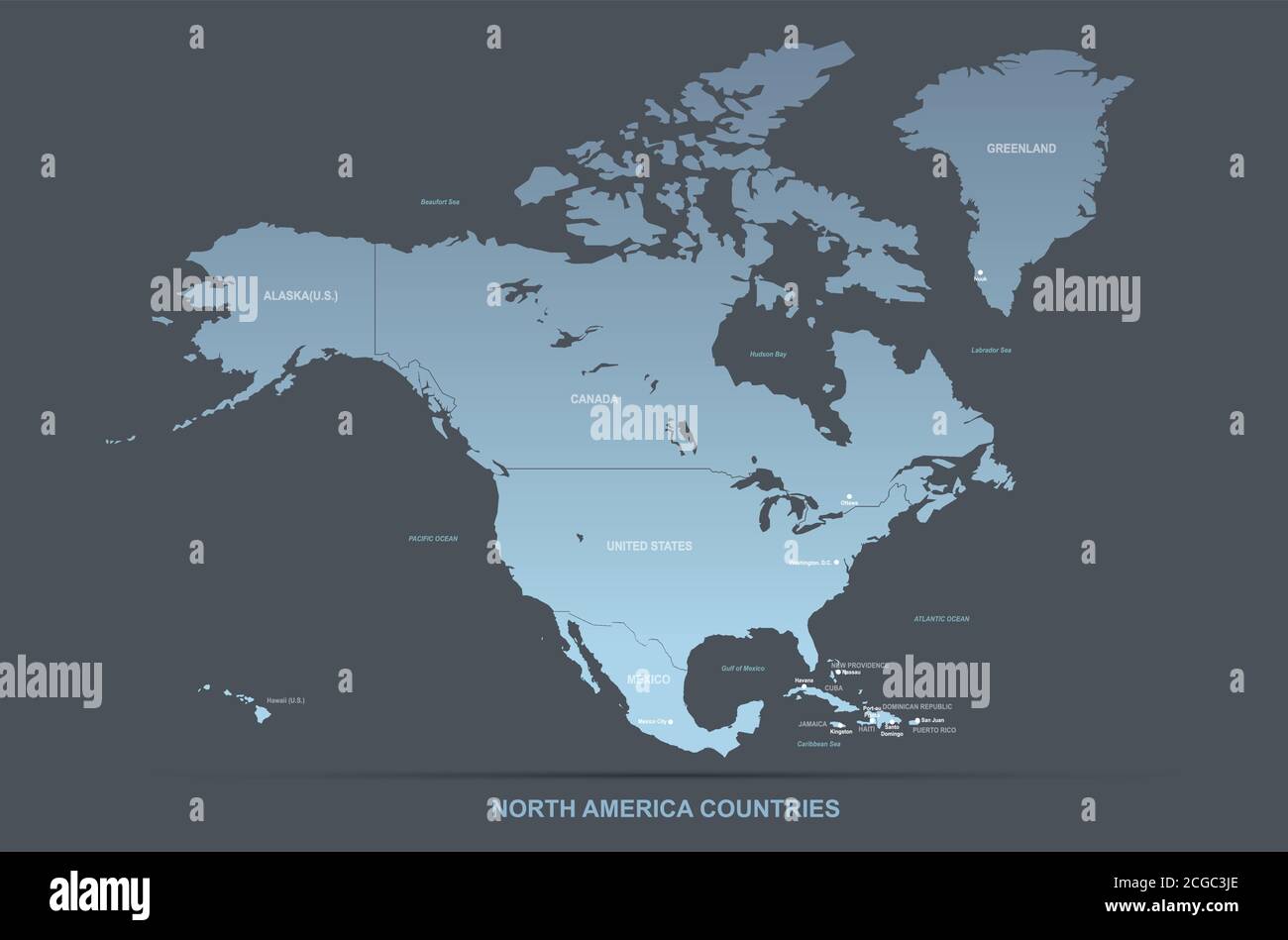 North american countries detailed vector map. Stock Vectorhttps://www.alamy.com/image-license-details/?v=1https://www.alamy.com/north-american-countries-detailed-vector-map-image371518518.html
RF2CGC3JE–North american countries detailed vector map.
RFRM59M2–Canada, North America, Siberia and Japan Global World, Vector Map Icon of the World Globe
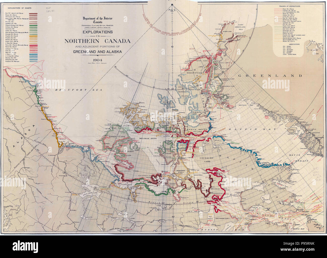 Map Showing Explorations in Northern Canada and Adjacent Portions of Greenland and Alaska 1904 Stock Photohttps://www.alamy.com/image-license-details/?v=1https://www.alamy.com/map-showing-explorations-in-northern-canada-and-adjacent-portions-of-greenland-and-alaska-1904-image212184719.html
RMP95RNK–Map Showing Explorations in Northern Canada and Adjacent Portions of Greenland and Alaska 1904
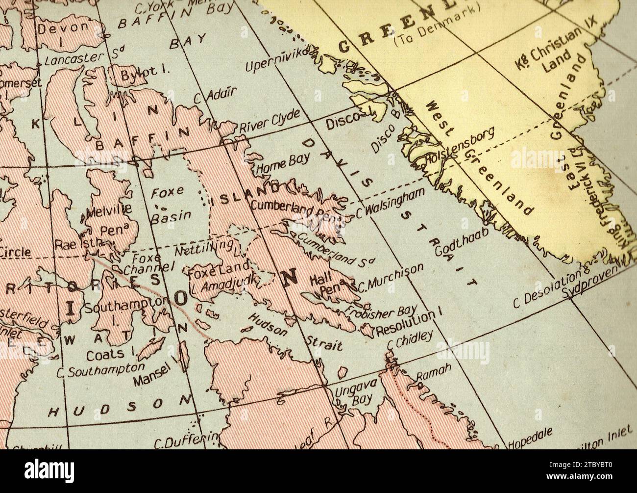 A vintage/antique political map in sepia showing Canada and Greenland. Stock Photohttps://www.alamy.com/image-license-details/?v=1https://www.alamy.com/a-vintageantique-political-map-in-sepia-showing-canada-and-greenland-image575305360.html
RF2TBYBT0–A vintage/antique political map in sepia showing Canada and Greenland.
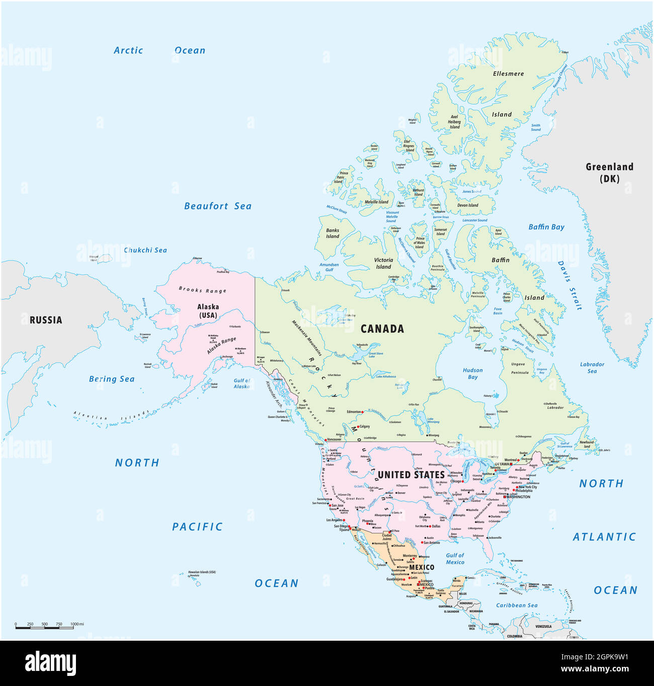 detailed vector map of North America, Mexico, Canada and the United States Stock Vectorhttps://www.alamy.com/image-license-details/?v=1https://www.alamy.com/detailed-vector-map-of-north-america-mexico-canada-and-the-united-states-image444206477.html
RF2GPK9W1–detailed vector map of North America, Mexico, Canada and the United States
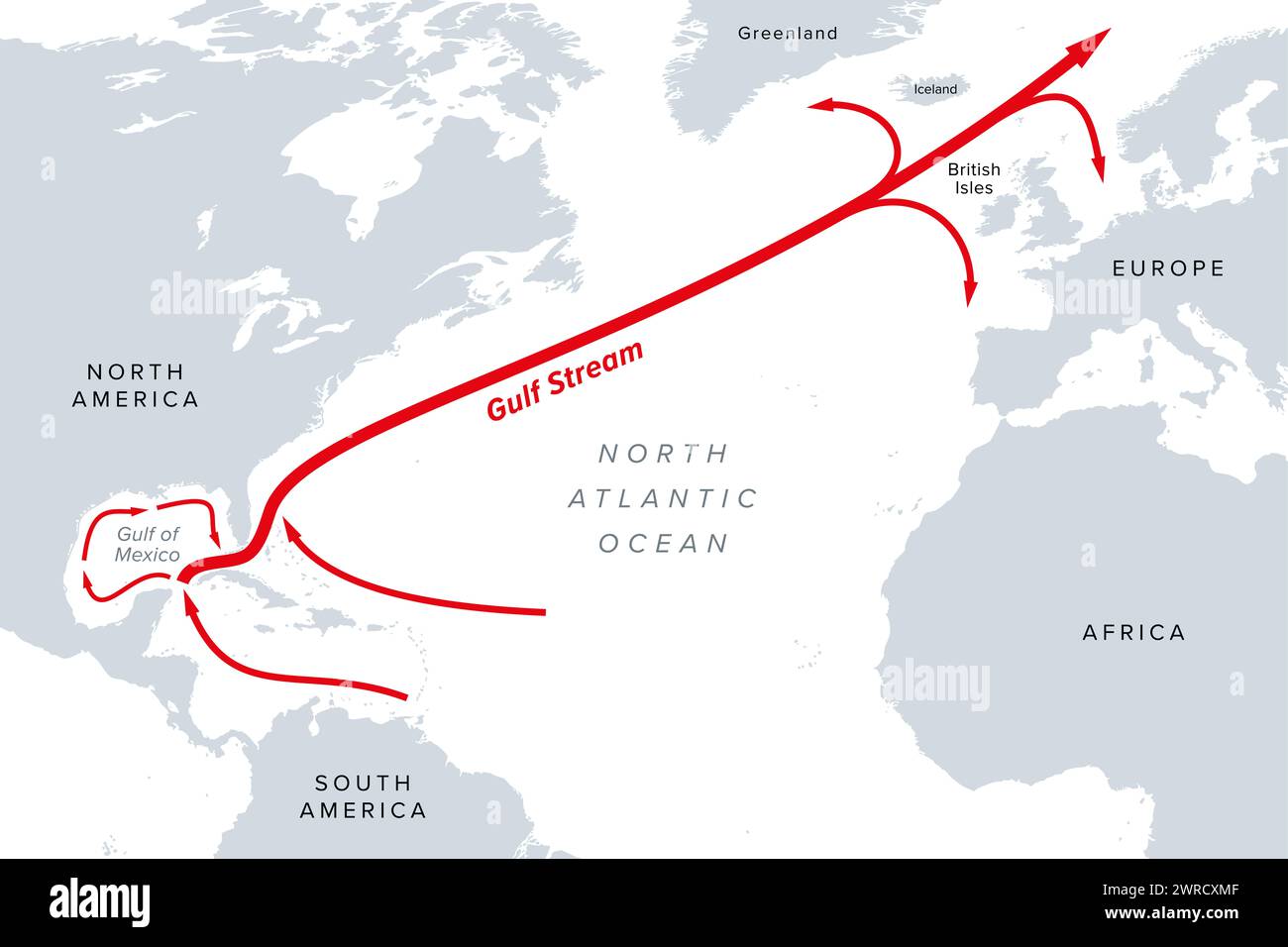 Gulf Stream, gray political map. A warm and swift Atlantic Ocean current, originating in the Gulf of Mexico, flowing up coastlines of USA and Canada. Stock Photohttps://www.alamy.com/image-license-details/?v=1https://www.alamy.com/gulf-stream-gray-political-map-a-warm-and-swift-atlantic-ocean-current-originating-in-the-gulf-of-mexico-flowing-up-coastlines-of-usa-and-canada-image599573983.html
RF2WRCXMF–Gulf Stream, gray political map. A warm and swift Atlantic Ocean current, originating in the Gulf of Mexico, flowing up coastlines of USA and Canada.
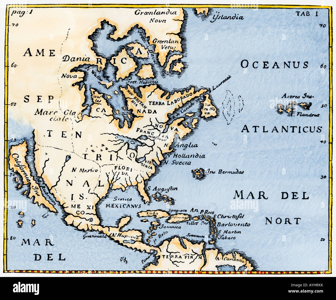 Map of North America as known in the mid-1600s with California as an island. Hand-colored woodcut Stock Photohttps://www.alamy.com/image-license-details/?v=1https://www.alamy.com/stock-photo-map-of-north-america-as-known-in-the-mid-1600s-with-california-as-17114838.html
RMAYHRKK–Map of North America as known in the mid-1600s with California as an island. Hand-colored woodcut
 Canada and Greenland at night Stock Photohttps://www.alamy.com/image-license-details/?v=1https://www.alamy.com/canada-and-greenland-at-night-image546007926.html
RF2PM8PK2–Canada and Greenland at night
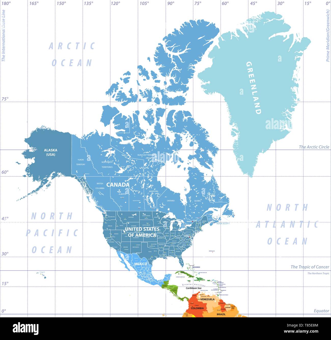 North America high detailed vector map with states borders of Canada, USA and Mexico Stock Vectorhttps://www.alamy.com/image-license-details/?v=1https://www.alamy.com/north-america-high-detailed-vector-map-with-states-borders-of-canada-usa-and-mexico-image245983380.html
RFT85E8M–North America high detailed vector map with states borders of Canada, USA and Mexico
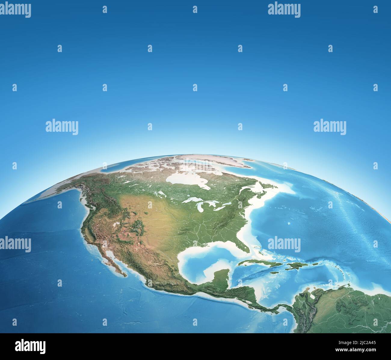 Physical map of Planet Earth, focused on North America, USA, Canada, Mexico and Central America. 3D illustration - Elements furnished by NASA Stock Photohttps://www.alamy.com/image-license-details/?v=1https://www.alamy.com/physical-map-of-planet-earth-focused-on-north-america-usa-canada-mexico-and-central-america-3d-illustration-elements-furnished-by-nasa-image472107669.html
RF2JC2A45–Physical map of Planet Earth, focused on North America, USA, Canada, Mexico and Central America. 3D illustration - Elements furnished by NASA
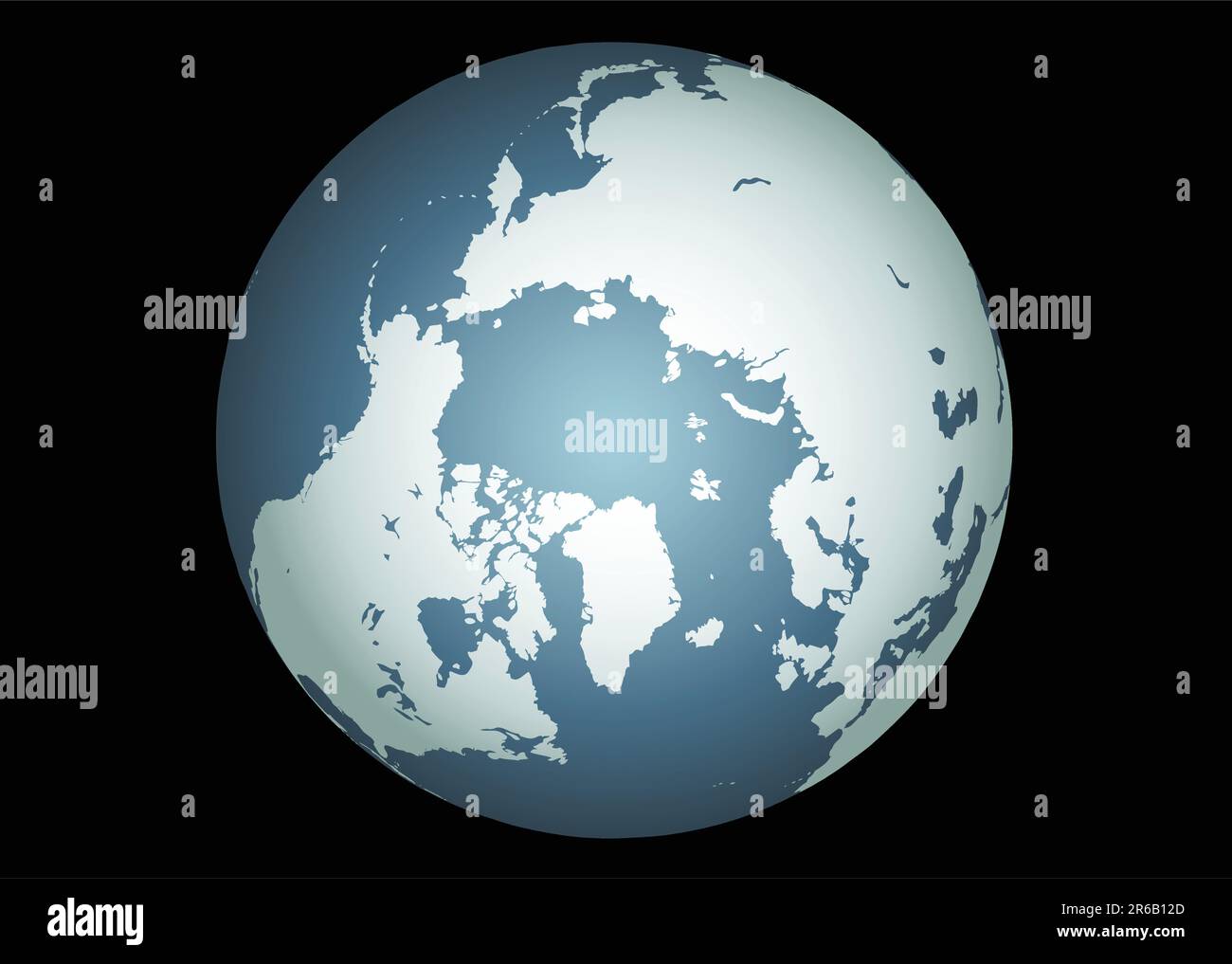 Arctic (Vector). Accurate map of the arctic. Mapped onto a globe. Includes greenland, iceland, baffin island, and all the other islands of the far ... Stock Vectorhttps://www.alamy.com/image-license-details/?v=1https://www.alamy.com/arctic-vector-accurate-map-of-the-arctic-mapped-onto-a-globe-includes-greenland-iceland-baffin-island-and-all-the-other-islands-of-the-far-image554662037.html
RF2R6B12D–Arctic (Vector). Accurate map of the arctic. Mapped onto a globe. Includes greenland, iceland, baffin island, and all the other islands of the far ...
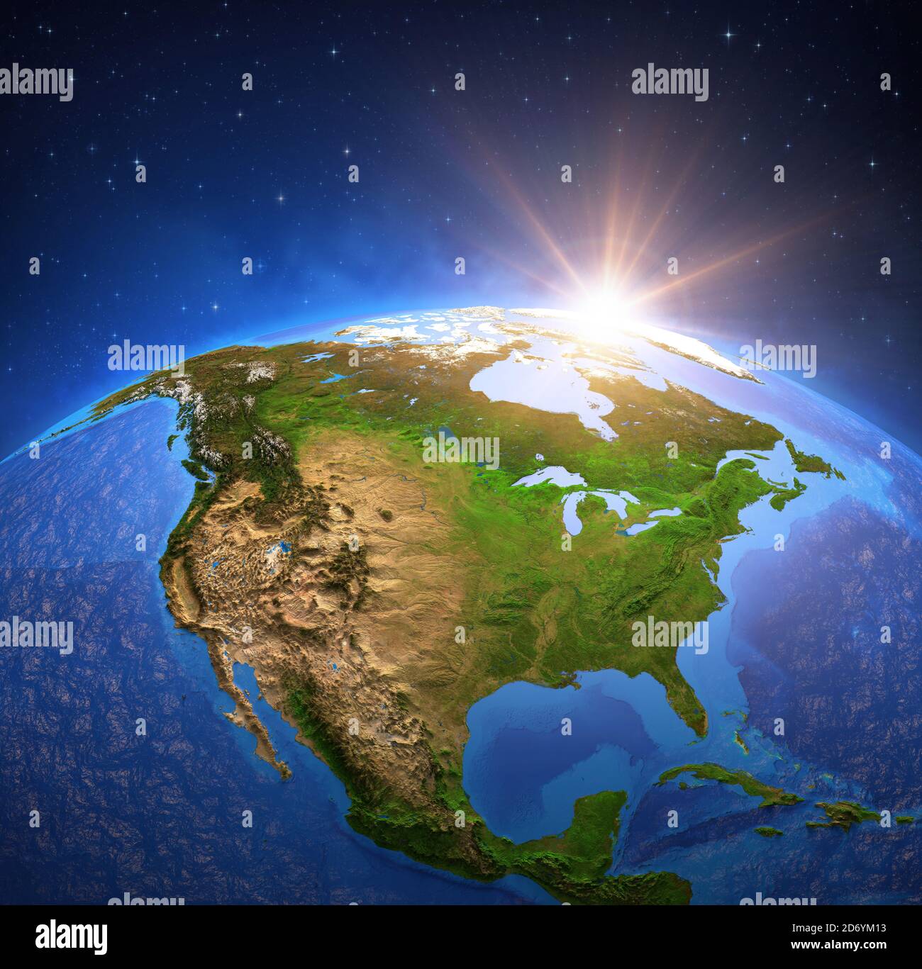 Surface of Planet Earth viewed from a satellite, focused on North America, sun rising on the horizon. Physical map of The United States USA and Canada Stock Photohttps://www.alamy.com/image-license-details/?v=1https://www.alamy.com/surface-of-planet-earth-viewed-from-a-satellite-focused-on-north-america-sun-rising-on-the-horizon-physical-map-of-the-united-states-usa-and-canada-image382924447.html
RF2D6YM13–Surface of Planet Earth viewed from a satellite, focused on North America, sun rising on the horizon. Physical map of The United States USA and Canada
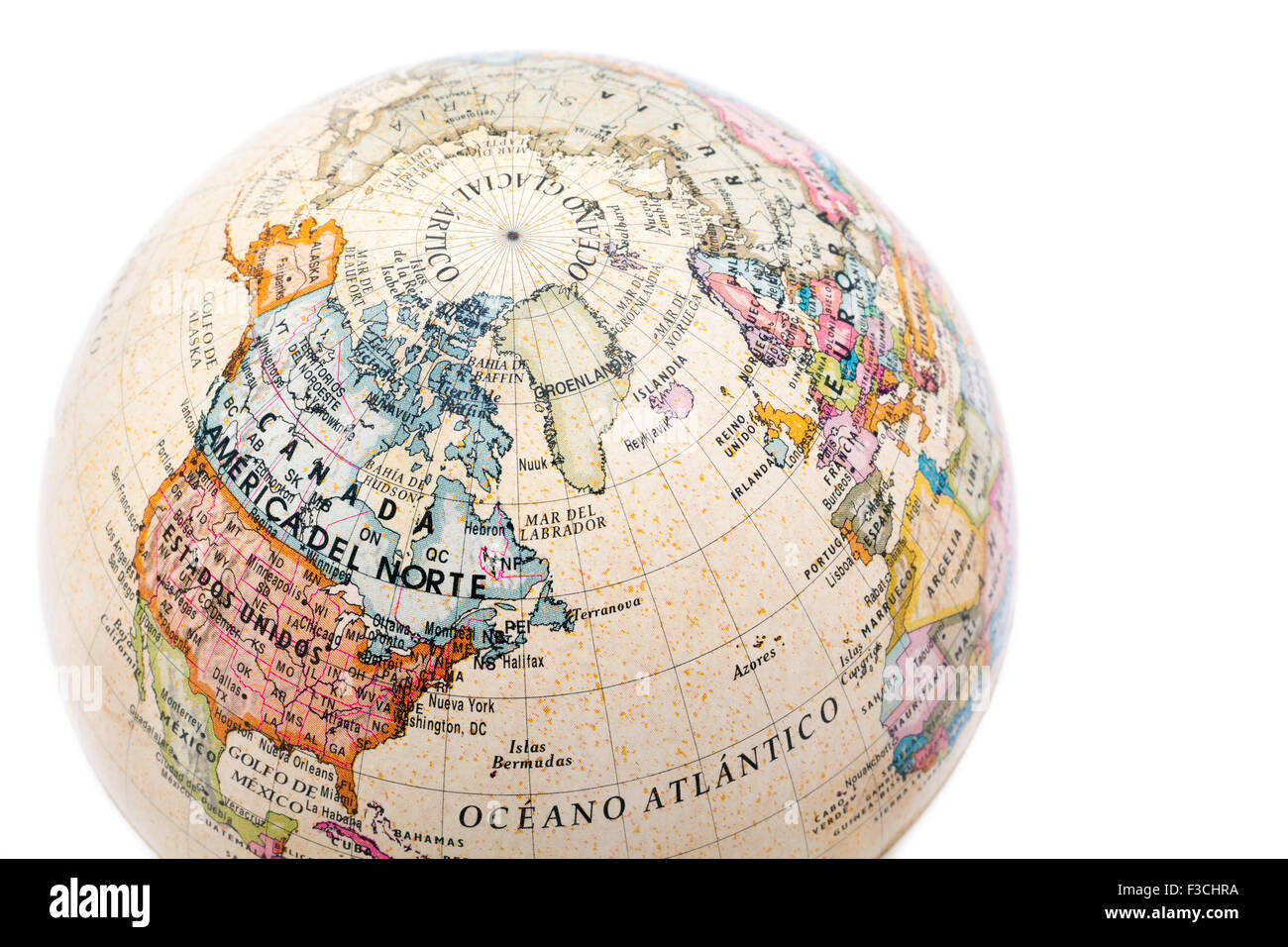 Part of a globe with map of Canada, USA and Greenland isolated on white background Stock Photohttps://www.alamy.com/image-license-details/?v=1https://www.alamy.com/stock-photo-part-of-a-globe-with-map-of-canada-usa-and-greenland-isolated-on-white-88173214.html
RFF3CHRA–Part of a globe with map of Canada, USA and Greenland isolated on white background
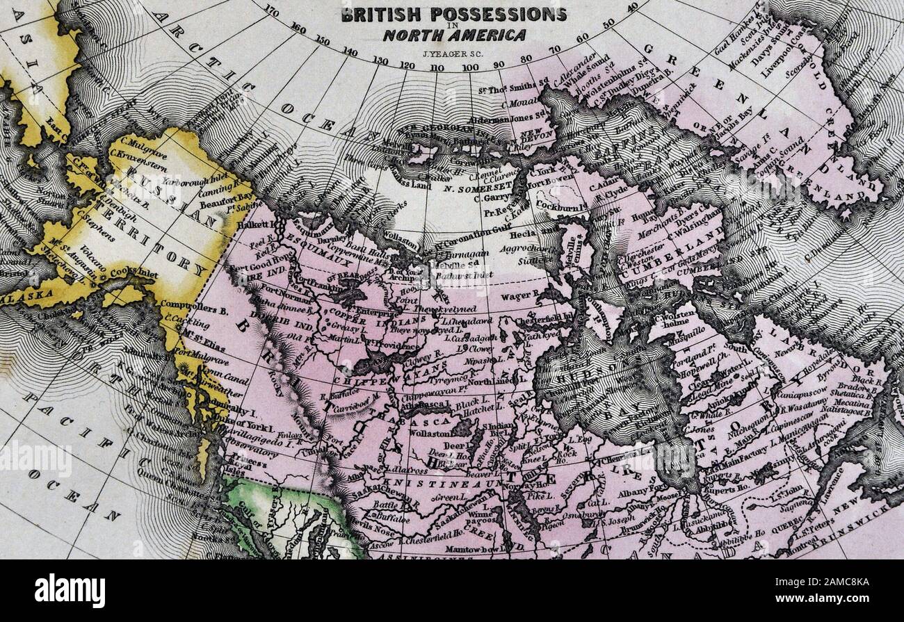 1834 Carey Map of British Possessions in North America Canada and Russian Alaska Territory Stock Photohttps://www.alamy.com/image-license-details/?v=1https://www.alamy.com/1834-carey-map-of-british-possessions-in-north-america-canada-and-russian-alaska-territory-image339560350.html
RF2AMC8KA–1834 Carey Map of British Possessions in North America Canada and Russian Alaska Territory
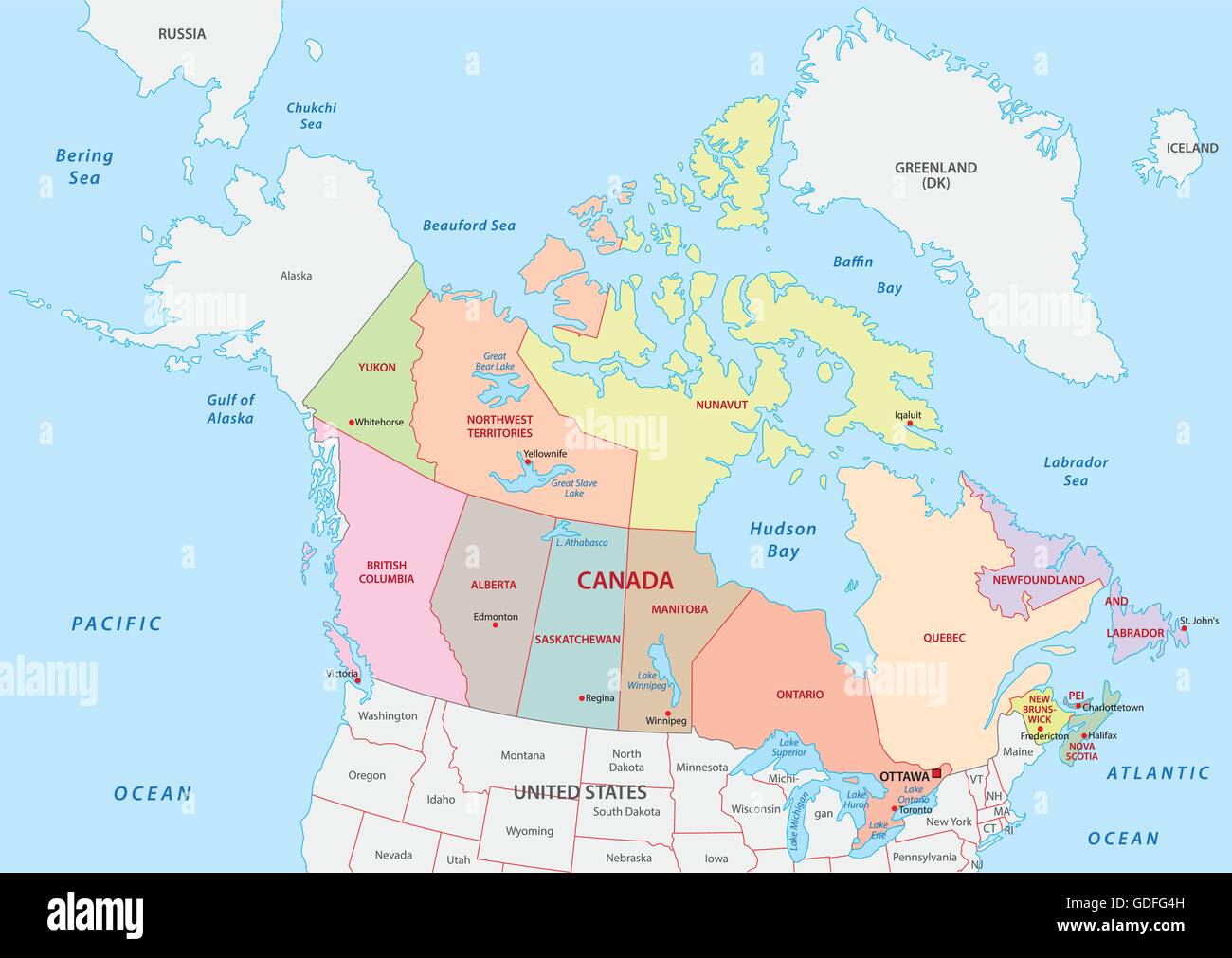 Vector Illustration of a Administrative and Political Map of Canada Stock Vectorhttps://www.alamy.com/image-license-details/?v=1https://www.alamy.com/stock-photo-vector-illustration-of-a-administrative-and-political-map-of-canada-111594689.html
RFGDFG4H–Vector Illustration of a Administrative and Political Map of Canada
