Map macedonia and thrace Stock Photos and Images
(1,058)See map macedonia and thrace stock video clipsQuick filters:
Map macedonia and thrace Stock Photos and Images
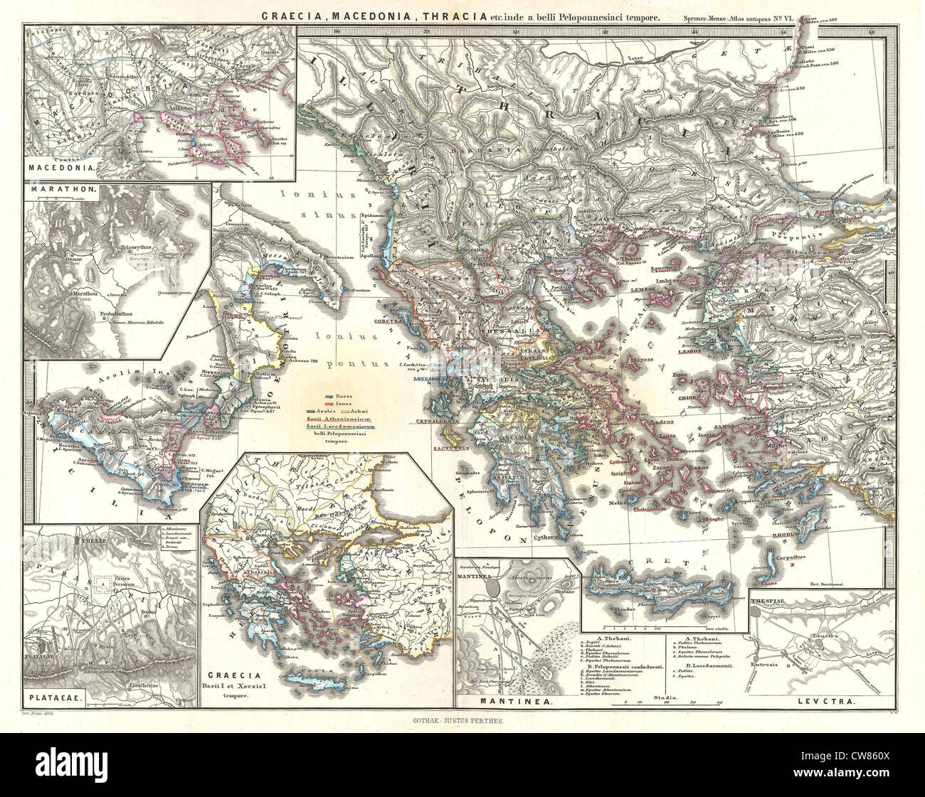 1865 Spruner Map of Greece, Macedonia and Thrace before the Peloponnesian War. Stock Photohttps://www.alamy.com/image-license-details/?v=1https://www.alamy.com/stock-photo-1865-spruner-map-of-greece-macedonia-and-thrace-before-the-peloponnesian-49967482.html
RMCW860X–1865 Spruner Map of Greece, Macedonia and Thrace before the Peloponnesian War.
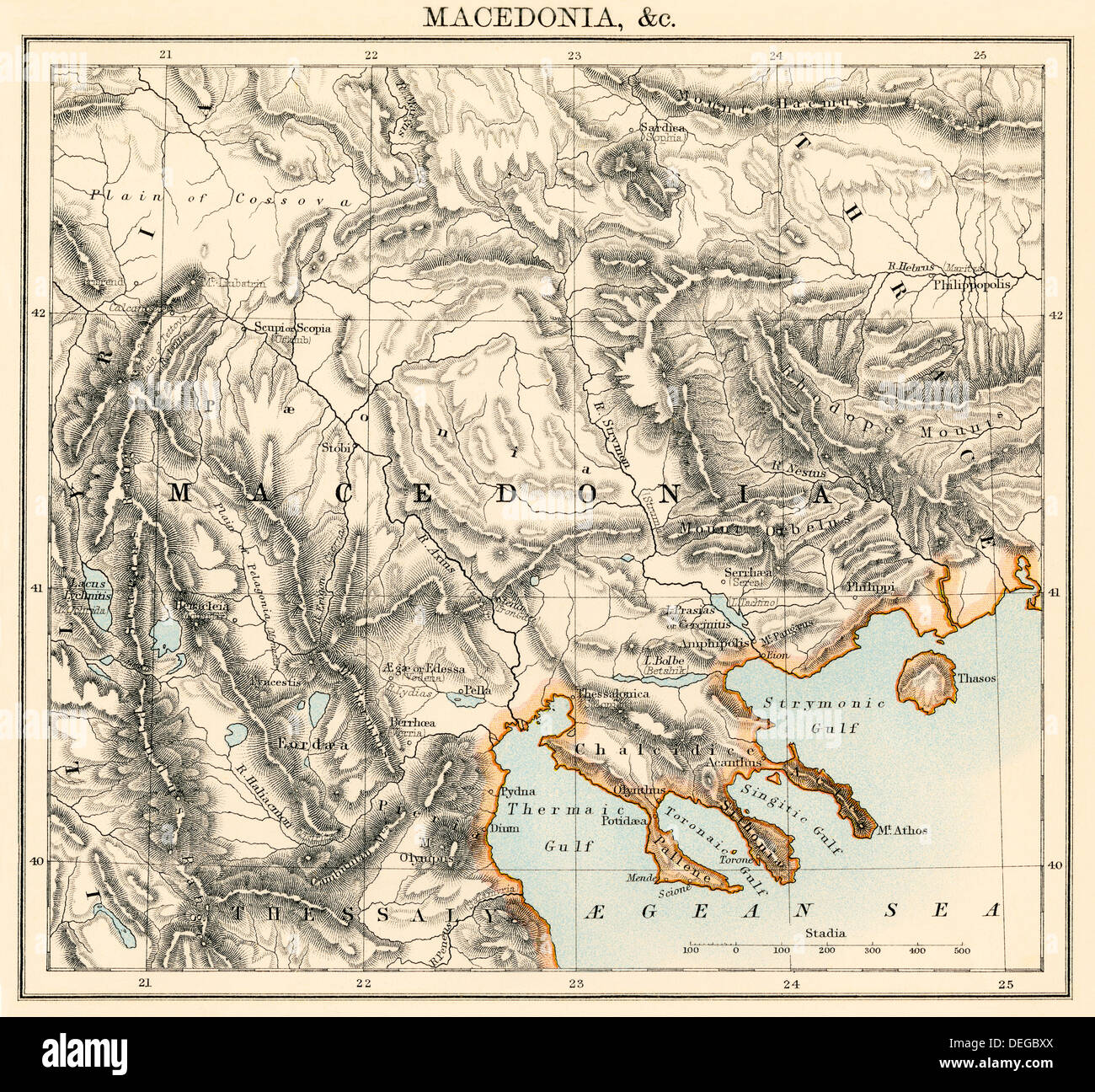 Map of Macedonia, 1870s. Color lithograph Stock Photohttps://www.alamy.com/image-license-details/?v=1https://www.alamy.com/map-of-macedonia-1870s-color-lithograph-image60596898.html
RMDEGBXX–Map of Macedonia, 1870s. Color lithograph
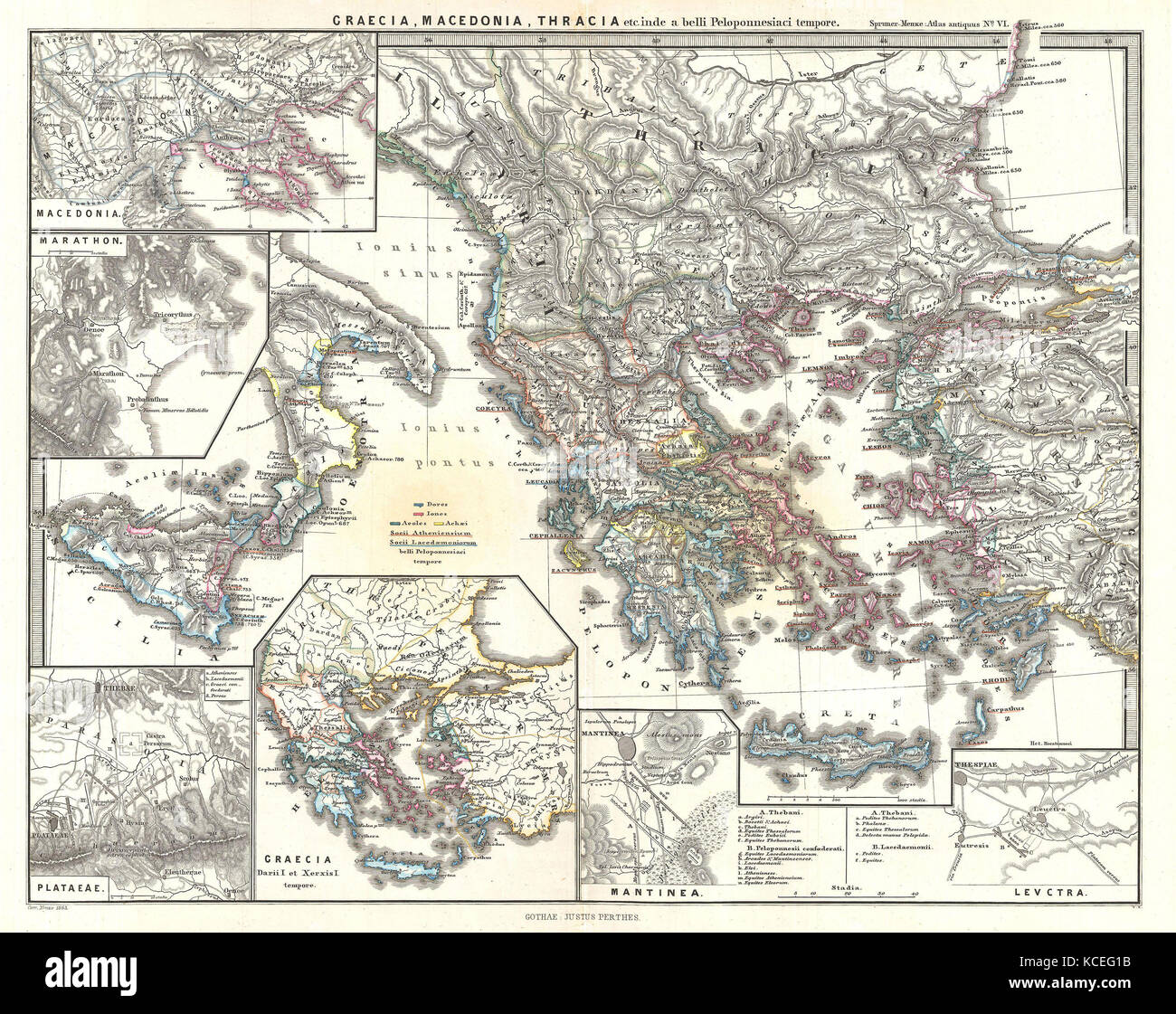 1865, Spruner Map of Greece, Macedonia and Thrace before the Peloponnesian War Stock Photohttps://www.alamy.com/image-license-details/?v=1https://www.alamy.com/stock-image-1865-spruner-map-of-greece-macedonia-and-thrace-before-the-peloponnesian-162589095.html
RMKCEG1B–1865, Spruner Map of Greece, Macedonia and Thrace before the Peloponnesian War
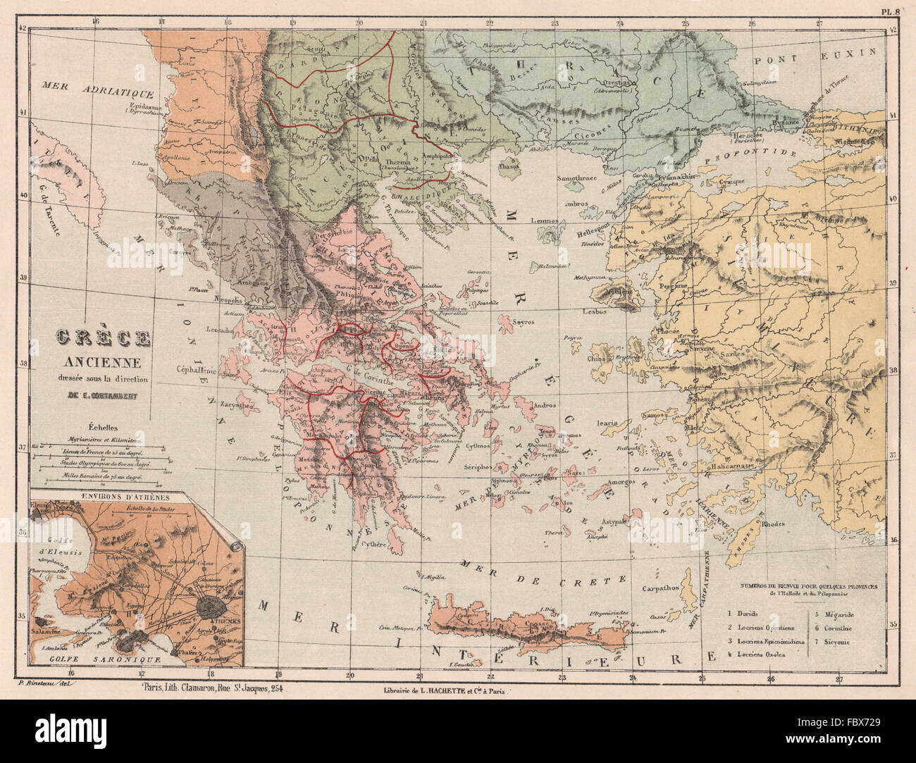 ANCIENT GREECE in provinces. Thrace Thessaly Macedonia &c. CORTAMBERT, 1880 map Stock Photohttps://www.alamy.com/image-license-details/?v=1https://www.alamy.com/stock-photo-ancient-greece-in-provinces-thrace-thessaly-macedonia-c-cortambert-93389361.html
RFFBX729–ANCIENT GREECE in provinces. Thrace Thessaly Macedonia &c. CORTAMBERT, 1880 map
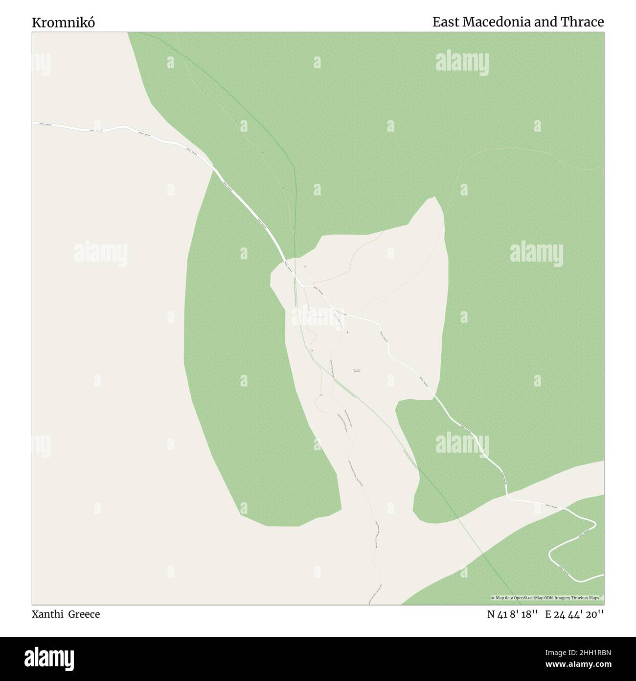 Kromnikó, Xanthi, Greece, East Macedonia and Thrace, N 41 8' 18'', E 24 44' 20'', map, Timeless Map published in 2021. Travelers, explorers and adventurers like Florence Nightingale, David Livingstone, Ernest Shackleton, Lewis and Clark and Sherlock Holmes relied on maps to plan travels to the world's most remote corners, Timeless Maps is mapping most locations on the globe, showing the achievement of great dreams Stock Photohttps://www.alamy.com/image-license-details/?v=1https://www.alamy.com/kromnik-xanthi-greece-east-macedonia-and-thrace-n-41-8-18-e-24-44-20-map-timeless-map-published-in-2021-travelers-explorers-and-adventurers-like-florence-nightingale-david-livingstone-ernest-shackleton-lewis-and-clark-and-sherlock-holmes-relied-on-maps-to-plan-travels-to-the-worlds-most-remote-corners-timeless-maps-is-mapping-most-locations-on-the-globe-showing-the-achievement-of-great-dreams-image457959033.html
RM2HH1RBN–Kromnikó, Xanthi, Greece, East Macedonia and Thrace, N 41 8' 18'', E 24 44' 20'', map, Timeless Map published in 2021. Travelers, explorers and adventurers like Florence Nightingale, David Livingstone, Ernest Shackleton, Lewis and Clark and Sherlock Holmes relied on maps to plan travels to the world's most remote corners, Timeless Maps is mapping most locations on the globe, showing the achievement of great dreams
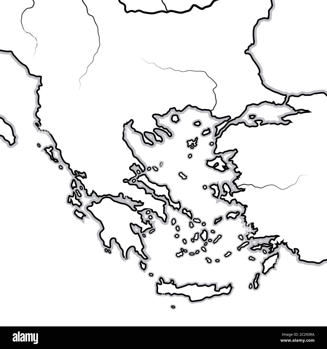 Map of The GREEK Lands: Greece, Peloponnese, Thrace, Macedonia, Balkans, Aegean Sea. Geographic chart. Stock Photohttps://www.alamy.com/image-license-details/?v=1https://www.alamy.com/map-of-the-greek-lands-greece-peloponnese-thrace-macedonia-balkans-aegean-sea-geographic-chart-image362847614.html
RM2C293RA–Map of The GREEK Lands: Greece, Peloponnese, Thrace, Macedonia, Balkans, Aegean Sea. Geographic chart.
 Eastern Macedonia and Thrace region watercolor map of Greece in front of a white background Stock Photohttps://www.alamy.com/image-license-details/?v=1https://www.alamy.com/eastern-macedonia-and-thrace-region-watercolor-map-of-greece-in-front-of-a-white-background-image223227368.html
RFPY4TP0–Eastern Macedonia and Thrace region watercolor map of Greece in front of a white background
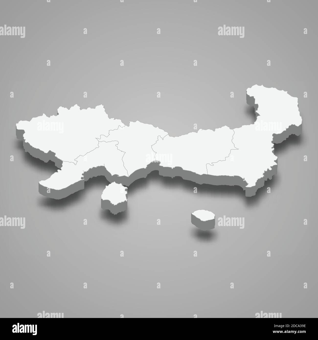 3d isometric map of Eastern Macedonia and Thrace is a region of Greece, vector illustration Stock Vectorhttps://www.alamy.com/image-license-details/?v=1https://www.alamy.com/3d-isometric-map-of-eastern-macedonia-and-thrace-is-a-region-of-greece-vector-illustration-image386226106.html
RF2DCA39E–3d isometric map of Eastern Macedonia and Thrace is a region of Greece, vector illustration
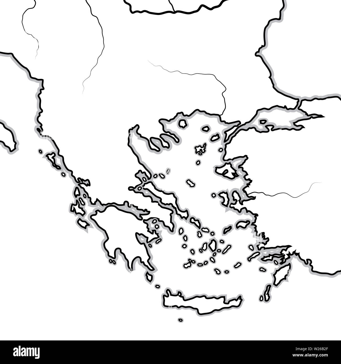 Map of The BALKAN / GREEK Lands: Greece (Hellas), Balkans, Peloponnese, Thessalia, Thracia, Macedonia, Albania, Illyria, Ionia, Anatolia, Aegean Sea. Stock Photohttps://www.alamy.com/image-license-details/?v=1https://www.alamy.com/map-of-the-balkan-greek-lands-greece-hellas-balkans-peloponnese-thessalia-thracia-macedonia-albania-illyria-ionia-anatolia-aegean-sea-image259525239.html
RFW26B2F–Map of The BALKAN / GREEK Lands: Greece (Hellas), Balkans, Peloponnese, Thessalia, Thracia, Macedonia, Albania, Illyria, Ionia, Anatolia, Aegean Sea.
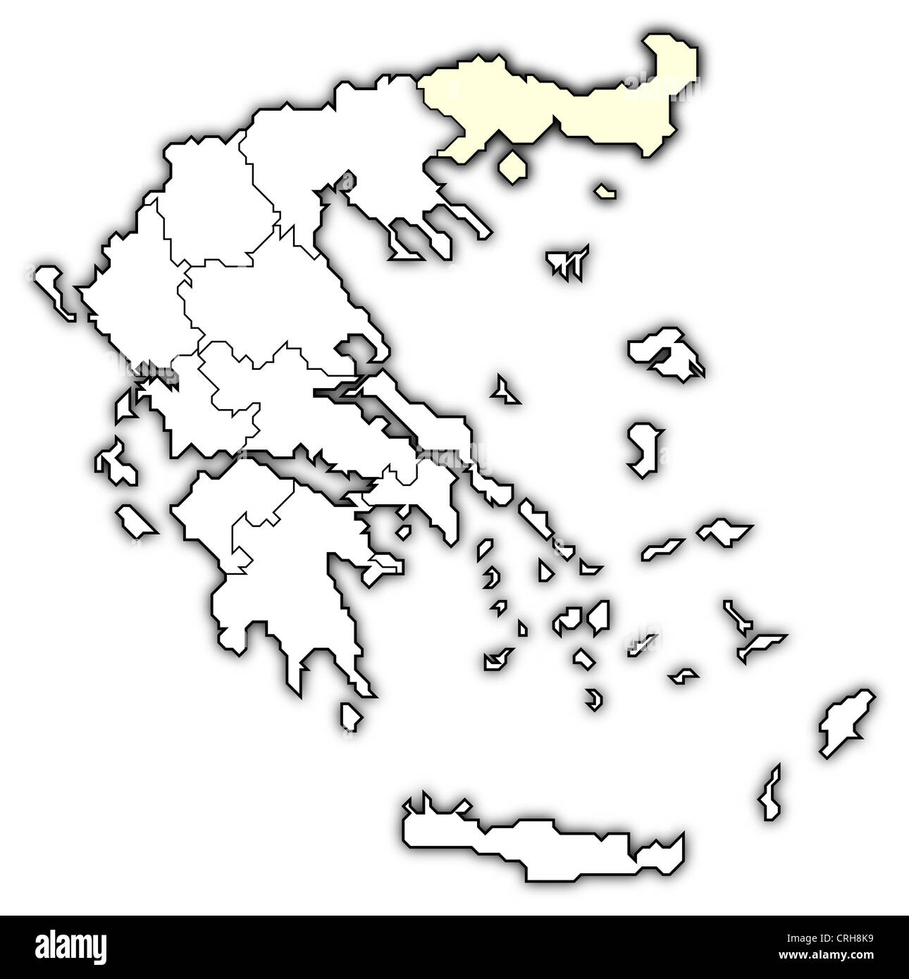 Political map of Greece with the several states where East Macedonia and Thrace is highlighted. Stock Photohttps://www.alamy.com/image-license-details/?v=1https://www.alamy.com/stock-photo-political-map-of-greece-with-the-several-states-where-east-macedonia-48937821.html
RFCRH8K9–Political map of Greece with the several states where East Macedonia and Thrace is highlighted.
 A new map of ancient Thrace, as also of the northern parts of Old Greece, viz. Macedonia, and Thessalia (NYPL b15114268-1630715) Stock Photohttps://www.alamy.com/image-license-details/?v=1https://www.alamy.com/stock-photo-a-new-map-of-ancient-thrace-as-also-of-the-northern-parts-of-old-greece-148535062.html
RMJHJ9YJ–A new map of ancient Thrace, as also of the northern parts of Old Greece, viz. Macedonia, and Thessalia (NYPL b15114268-1630715)
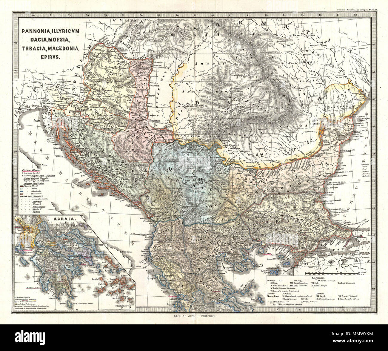 . English: This is Karl von Spruner’s 1865 map of Pannonia, Illyria, Dacia, Moesia, Thrace, Macedonia, and Epirus, collectively known as “The Balkans”. This highly detailed map shows present day Romania, Bulgaria, Macedonia, Albania, Serbia, Bosnia, Croatia, Slovenia, and Northern Greece. Spruner also includes an inset in the lower-left quadrant showing Achaea (Achaia), an ancient province and a present prefecture of Greece. Shows names of ancient tribes and peoples and the areas they inhabited. Map includes two legends, one detailing “free states” (Civitates liberae) and one shows the dispos Stock Photohttps://www.alamy.com/image-license-details/?v=1https://www.alamy.com/english-this-is-karl-von-spruners-1865-map-of-pannonia-illyria-dacia-moesia-thrace-macedonia-and-epirus-collectively-known-as-the-balkans-this-highly-detailed-map-shows-present-day-romania-bulgaria-macedonia-albania-serbia-bosnia-croatia-slovenia-and-northern-greece-spruner-also-includes-an-inset-in-the-lower-left-quadrant-showing-achaea-achaia-an-ancient-province-and-a-present-prefecture-of-greece-shows-names-of-ancient-tribes-and-peoples-and-the-areas-they-inhabited-map-includes-two-legends-one-detailing-free-states-civitates-liberae-and-one-shows-the-dispos-image184967320.html
RMMMWYKM–. English: This is Karl von Spruner’s 1865 map of Pannonia, Illyria, Dacia, Moesia, Thrace, Macedonia, and Epirus, collectively known as “The Balkans”. This highly detailed map shows present day Romania, Bulgaria, Macedonia, Albania, Serbia, Bosnia, Croatia, Slovenia, and Northern Greece. Spruner also includes an inset in the lower-left quadrant showing Achaea (Achaia), an ancient province and a present prefecture of Greece. Shows names of ancient tribes and peoples and the areas they inhabited. Map includes two legends, one detailing “free states” (Civitates liberae) and one shows the dispos
 A new map of ancient Thrace, as also of the northern parts of Old Greece, viz. Macedonia, and Thessalia Stock Photohttps://www.alamy.com/image-license-details/?v=1https://www.alamy.com/a-new-map-of-ancient-thrace-as-also-of-the-northern-parts-of-old-greece-viz-macedonia-and-thessalia-image212897481.html
RMPAA8WD–A new map of ancient Thrace, as also of the northern parts of Old Greece, viz. Macedonia, and Thessalia
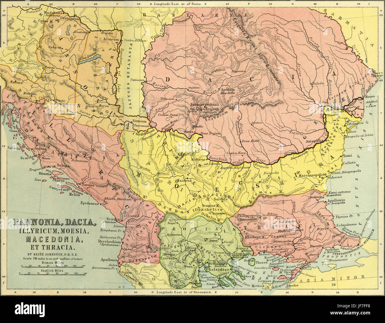 Map of Pannonia, Dacia, Illyricum, Moesia, Macedonia and Thrace - Roman central and eastern Europe. Drawn by Keith Johnston F.R.S.E. Published in The Unrivalled Classical Atlas by W. and A.K. Johnston in 1877. Stock Photohttps://www.alamy.com/image-license-details/?v=1https://www.alamy.com/stock-photo-map-of-pannonia-dacia-illyricum-moesia-macedonia-and-thrace-roman-147068636.html
RMJF7FF8–Map of Pannonia, Dacia, Illyricum, Moesia, Macedonia and Thrace - Roman central and eastern Europe. Drawn by Keith Johnston F.R.S.E. Published in The Unrivalled Classical Atlas by W. and A.K. Johnston in 1877.
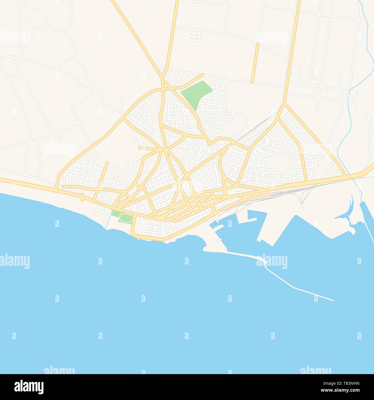 Printable map of Alexandroupoli, Greece with main and secondary roads and larger railways. This map is carefully designed for routing and placing indi Stock Vectorhttps://www.alamy.com/image-license-details/?v=1https://www.alamy.com/printable-map-of-alexandroupoli-greece-with-main-and-secondary-roads-and-larger-railways-this-map-is-carefully-designed-for-routing-and-placing-indi-image245945217.html
RFT83NHN–Printable map of Alexandroupoli, Greece with main and secondary roads and larger railways. This map is carefully designed for routing and placing indi
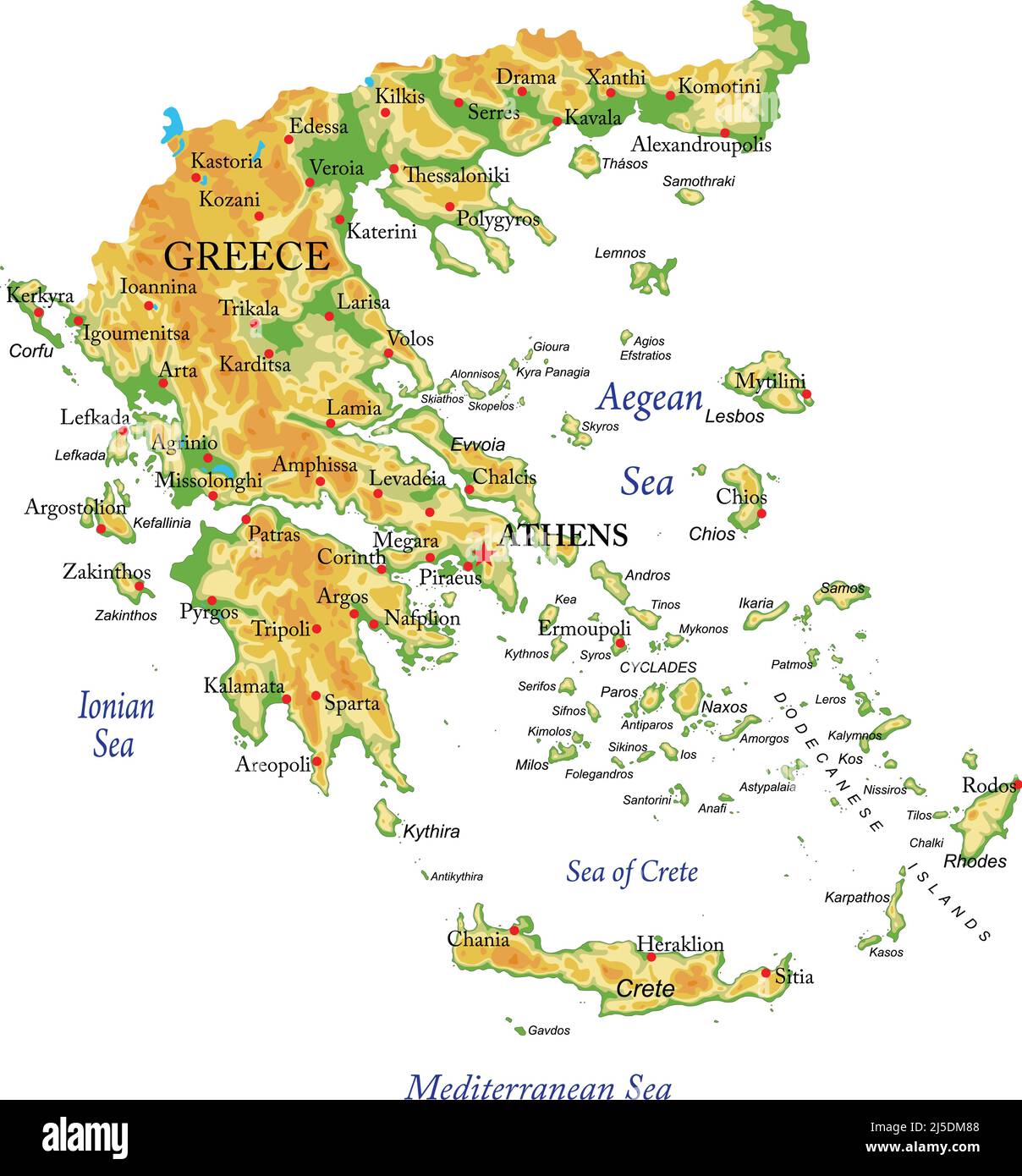 Highly detailed physical map of Greece,in vector format,with all the relief forms,regions and big cities. Stock Vectorhttps://www.alamy.com/image-license-details/?v=1https://www.alamy.com/highly-detailed-physical-map-of-greecein-vector-formatwith-all-the-relief-formsregions-and-big-cities-image468054504.html
RF2J5DM88–Highly detailed physical map of Greece,in vector format,with all the relief forms,regions and big cities.
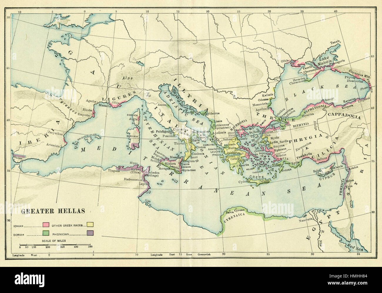 map of europe Stock Photohttps://www.alamy.com/image-license-details/?v=1https://www.alamy.com/stock-photo-map-of-europe-133152436.html
RFHMHH84–map of europe
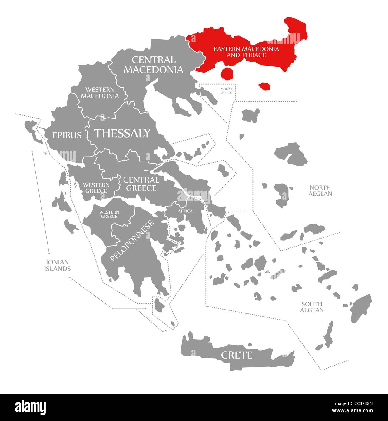 Eastern Macedonia and Thrace red highlighted in map of Greece Stock Photohttps://www.alamy.com/image-license-details/?v=1https://www.alamy.com/eastern-macedonia-and-thrace-red-highlighted-in-map-of-greece-image363417957.html
RF2C3738N–Eastern Macedonia and Thrace red highlighted in map of Greece
 A new map of ancient Thrace, as also of the northern parts of Old Greece, viz. Macedonia, and Thessalia. Thessalia, Macedonia, and Thracia. Cartographic. Maps, Atlases. 1700. Lionel Pincus and Princess Firyal Map Division. Atlases, British, Geography, Ancient, Maps in education , England, Maps Stock Photohttps://www.alamy.com/image-license-details/?v=1https://www.alamy.com/a-new-map-of-ancient-thrace-as-also-of-the-northern-parts-of-old-greece-viz-macedonia-and-thessalia-thessalia-macedonia-and-thracia-cartographic-maps-atlases-1700-lionel-pincus-and-princess-firyal-map-division-atlases-british-geography-ancient-maps-in-education-england-maps-image484337280.html
RM2K3YD40–A new map of ancient Thrace, as also of the northern parts of Old Greece, viz. Macedonia, and Thessalia. Thessalia, Macedonia, and Thracia. Cartographic. Maps, Atlases. 1700. Lionel Pincus and Princess Firyal Map Division. Atlases, British, Geography, Ancient, Maps in education , England, Maps
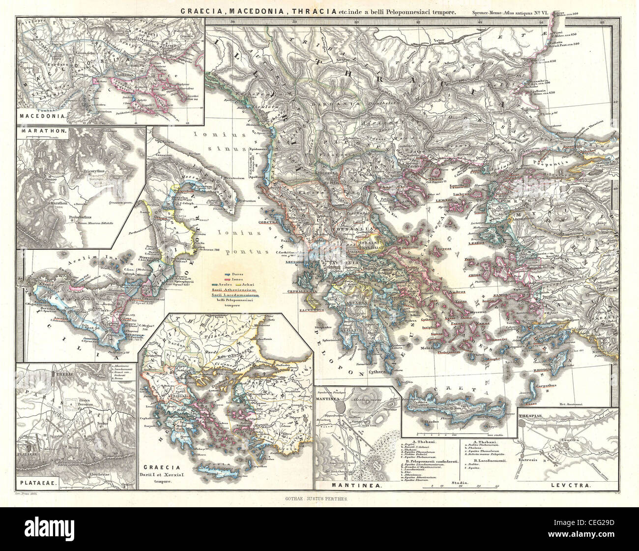 1865 Spruner Map of Greece, Macedonia and Thrace before the Peloponnesian War. Stock Photohttps://www.alamy.com/image-license-details/?v=1https://www.alamy.com/stock-photo-1865-spruner-map-of-greece-macedonia-and-thrace-before-the-peloponnesian-43378985.html
RMCEG29D–1865 Spruner Map of Greece, Macedonia and Thrace before the Peloponnesian War.
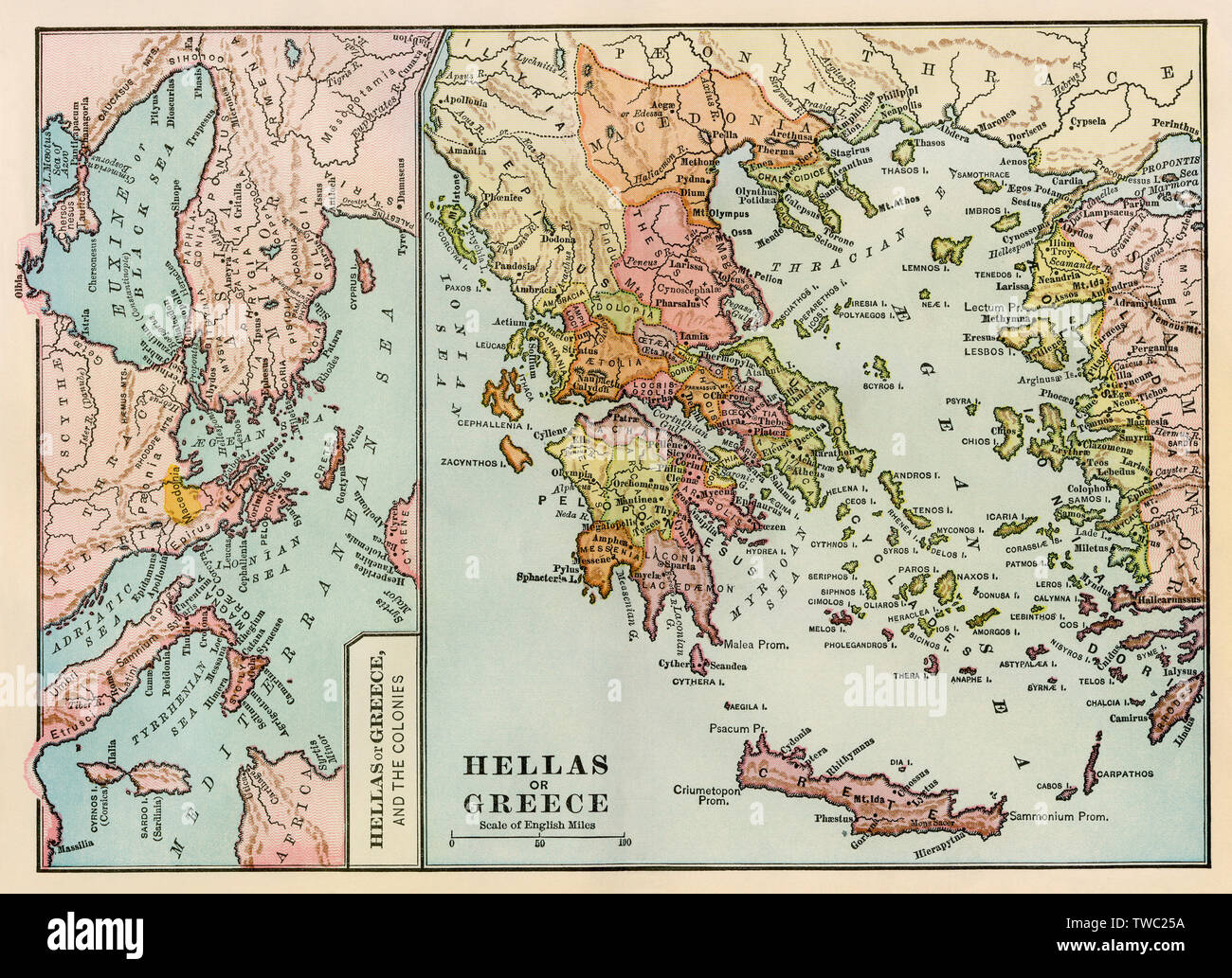 Map of ancient Greece and the Greek empire. Color lithograph Stock Photohttps://www.alamy.com/image-license-details/?v=1https://www.alamy.com/map-of-ancient-greece-and-the-greek-empire-color-lithograph-image256576694.html
RMTWC25A–Map of ancient Greece and the Greek empire. Color lithograph
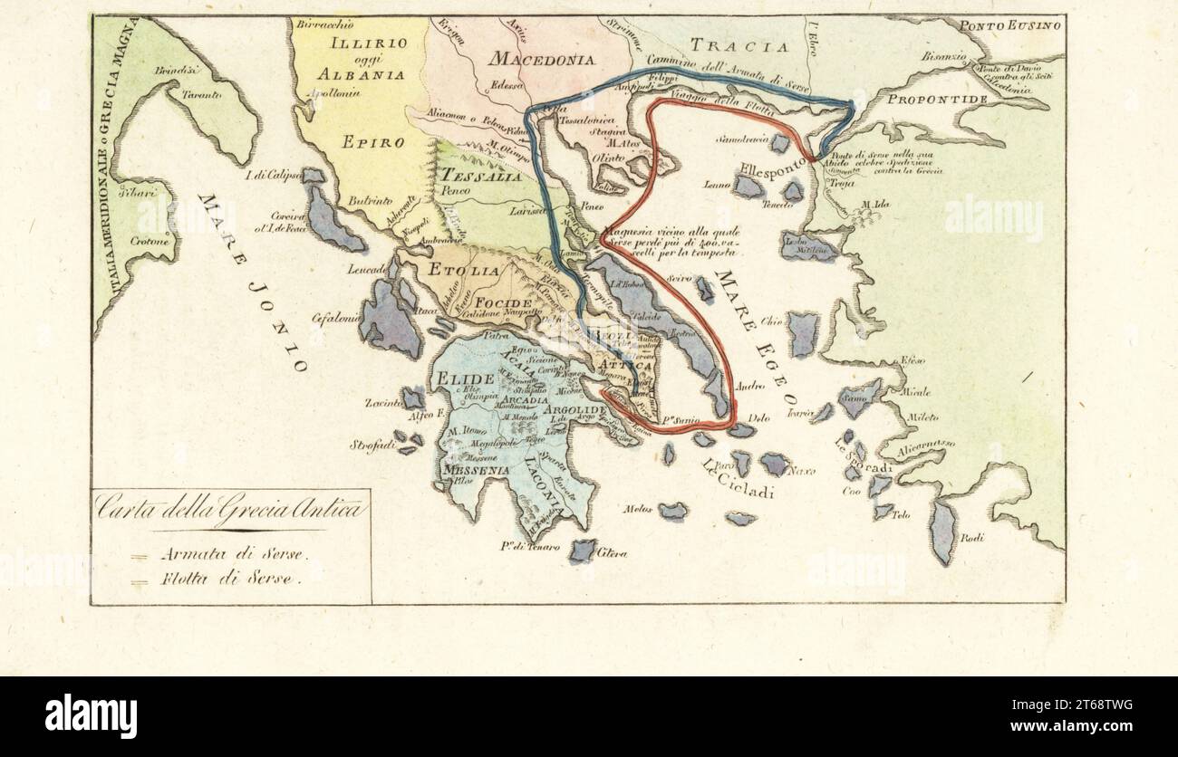 Map of Ancient Greece. Routes of King of Persia Xerxes Is army (blue) and navy (red) during its failed invasion of Greece 480BC. Carta della Grecia Antica. Handcoloured copperplate engraving from Giulio Ferrarios Costumes Ancient and Modern of the Peoples of the World, Il Costume Antico e Moderno, Florence, 1842. Stock Photohttps://www.alamy.com/image-license-details/?v=1https://www.alamy.com/map-of-ancient-greece-routes-of-king-of-persia-xerxes-is-army-blue-and-navy-red-during-its-failed-invasion-of-greece-480bc-carta-della-grecia-antica-handcoloured-copperplate-engraving-from-giulio-ferrarios-costumes-ancient-and-modern-of-the-peoples-of-the-world-il-costume-antico-e-moderno-florence-1842-image571825228.html
RM2T68TWG–Map of Ancient Greece. Routes of King of Persia Xerxes Is army (blue) and navy (red) during its failed invasion of Greece 480BC. Carta della Grecia Antica. Handcoloured copperplate engraving from Giulio Ferrarios Costumes Ancient and Modern of the Peoples of the World, Il Costume Antico e Moderno, Florence, 1842.
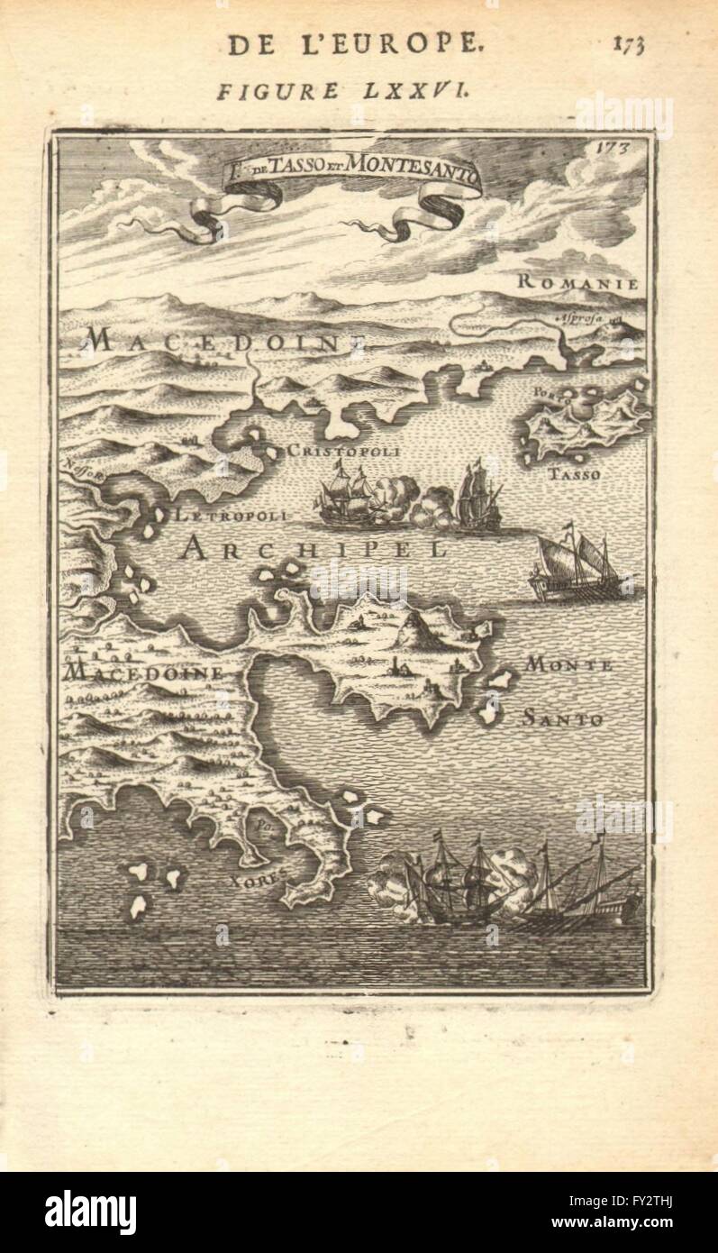 NORTH AEGEAN:Tasso(Thasos).Macedonia & Thrace coast.Montesanto.MALLET, 1683 map Stock Photohttps://www.alamy.com/image-license-details/?v=1https://www.alamy.com/stock-photo-north-aegeantassothasosmacedonia-thrace-coastmontesantomallet-1683-102710766.html
RFFY2THJ–NORTH AEGEAN:Tasso(Thasos).Macedonia & Thrace coast.Montesanto.MALLET, 1683 map
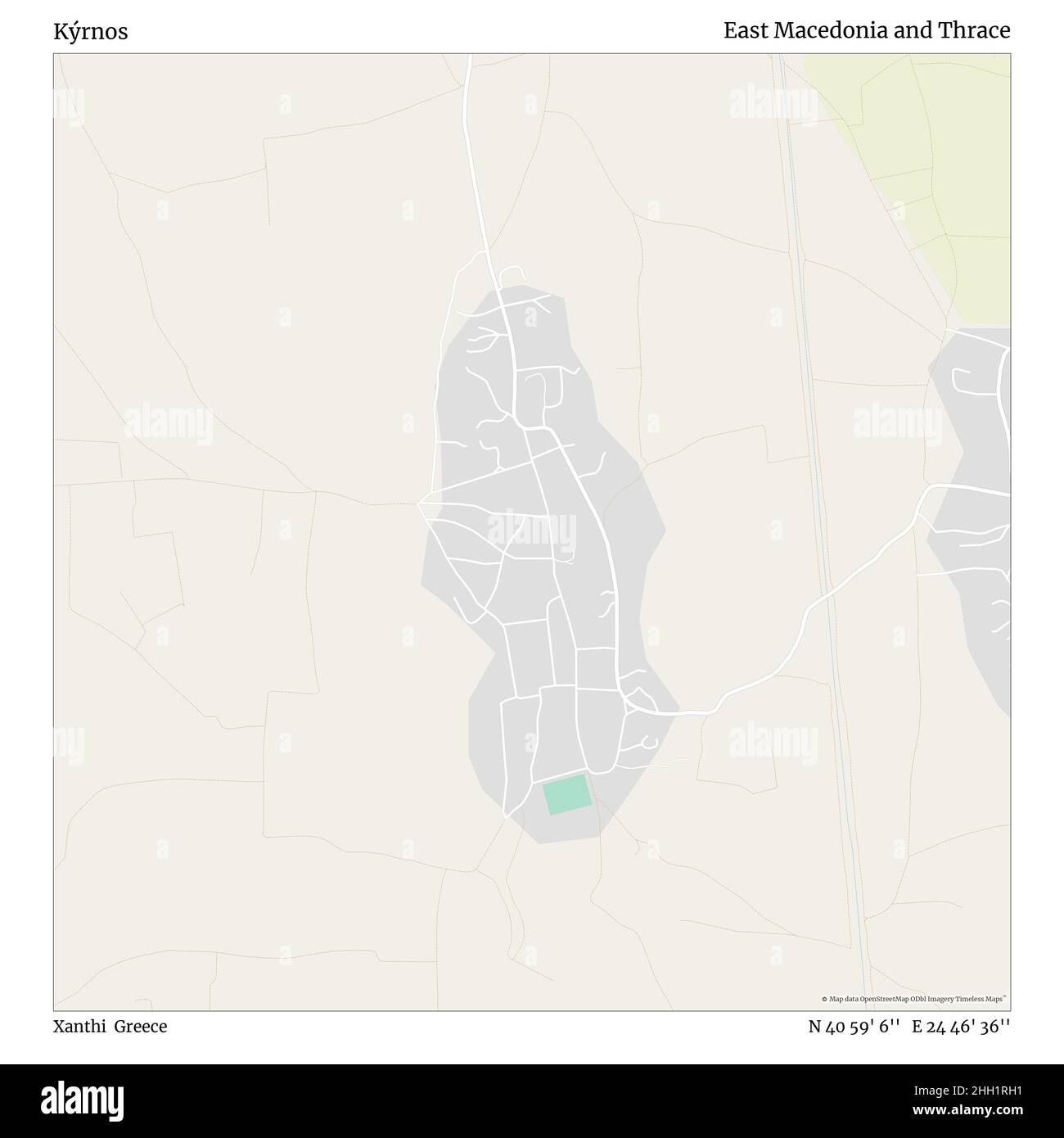 Kýrnos, Xanthi, Greece, East Macedonia and Thrace, N 40 59' 6'', E 24 46' 36'', map, Timeless Map published in 2021. Travelers, explorers and adventurers like Florence Nightingale, David Livingstone, Ernest Shackleton, Lewis and Clark and Sherlock Holmes relied on maps to plan travels to the world's most remote corners, Timeless Maps is mapping most locations on the globe, showing the achievement of great dreams Stock Photohttps://www.alamy.com/image-license-details/?v=1https://www.alamy.com/krnos-xanthi-greece-east-macedonia-and-thrace-n-40-59-6-e-24-46-36-map-timeless-map-published-in-2021-travelers-explorers-and-adventurers-like-florence-nightingale-david-livingstone-ernest-shackleton-lewis-and-clark-and-sherlock-holmes-relied-on-maps-to-plan-travels-to-the-worlds-most-remote-corners-timeless-maps-is-mapping-most-locations-on-the-globe-showing-the-achievement-of-great-dreams-image457959181.html
RM2HH1RH1–Kýrnos, Xanthi, Greece, East Macedonia and Thrace, N 40 59' 6'', E 24 46' 36'', map, Timeless Map published in 2021. Travelers, explorers and adventurers like Florence Nightingale, David Livingstone, Ernest Shackleton, Lewis and Clark and Sherlock Holmes relied on maps to plan travels to the world's most remote corners, Timeless Maps is mapping most locations on the globe, showing the achievement of great dreams
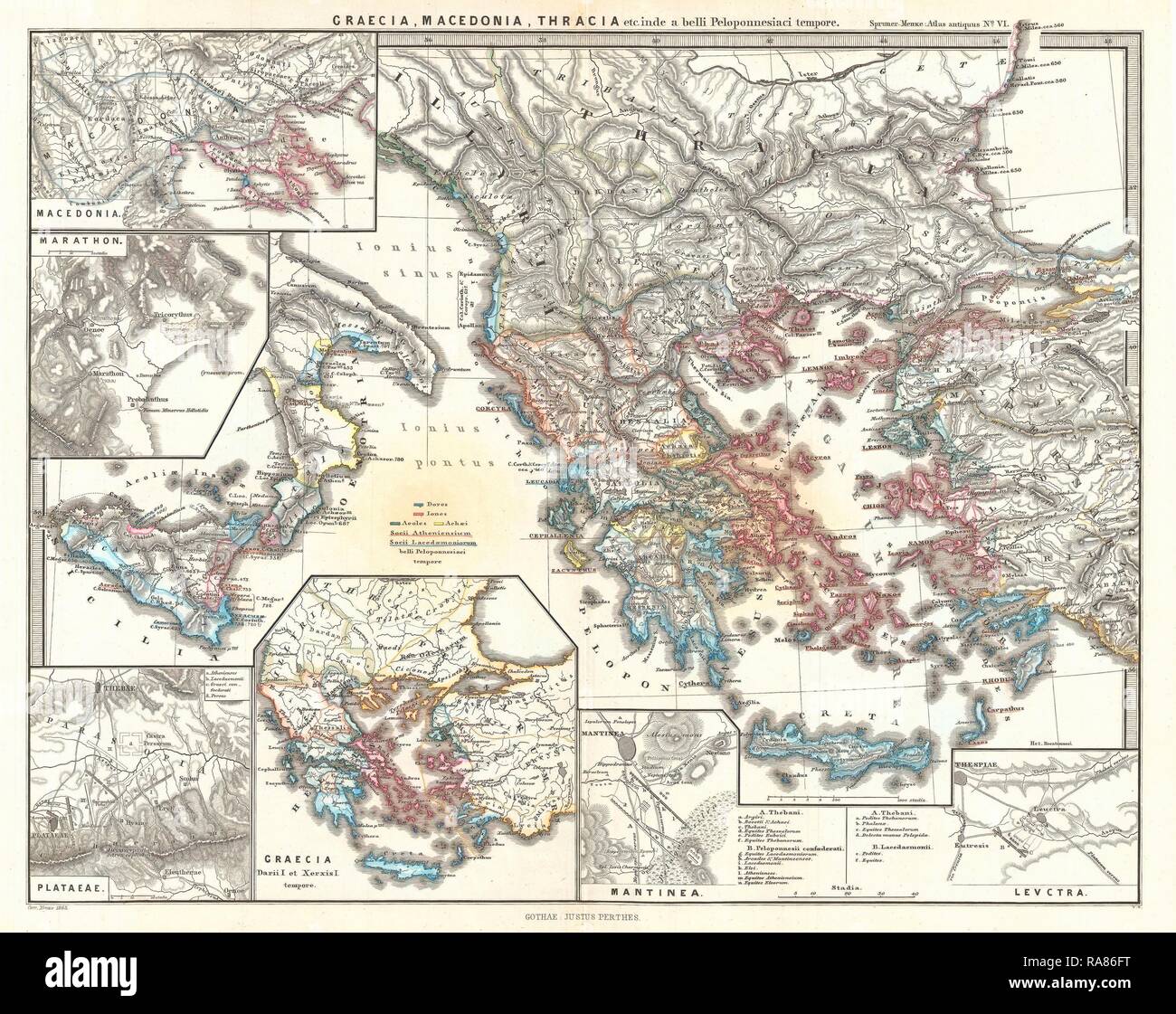 1865, Spruner Map of Greece, Macedonia and Thrace before the Peloponnesian War. Reimagined by Gibon. Classic art with reimagined Stock Photohttps://www.alamy.com/image-license-details/?v=1https://www.alamy.com/1865-spruner-map-of-greece-macedonia-and-thrace-before-the-peloponnesian-war-reimagined-by-gibon-classic-art-with-reimagined-image230062108.html
RFRA86FT–1865, Spruner Map of Greece, Macedonia and Thrace before the Peloponnesian War. Reimagined by Gibon. Classic art with reimagined
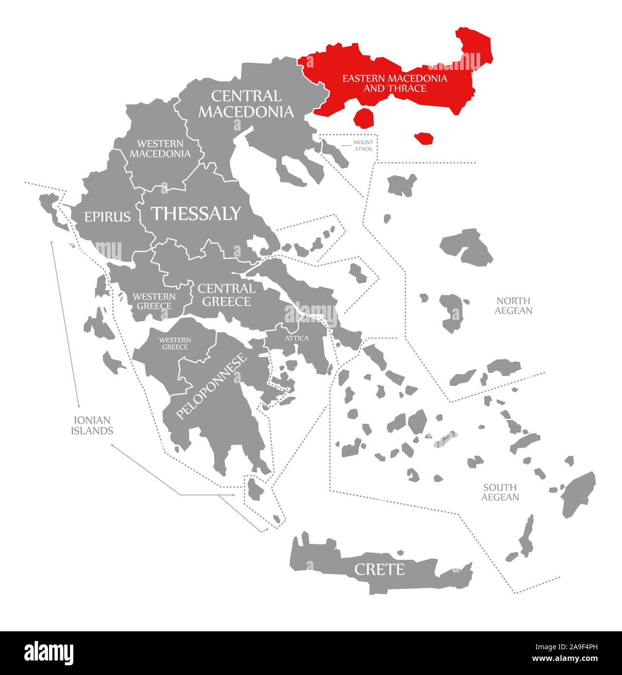 Eastern Macedonia and Thrace red highlighted in map of Greece Stock Photohttps://www.alamy.com/image-license-details/?v=1https://www.alamy.com/eastern-macedonia-and-thrace-red-highlighted-in-map-of-greece-image332861945.html
RF2A9F4PH–Eastern Macedonia and Thrace red highlighted in map of Greece
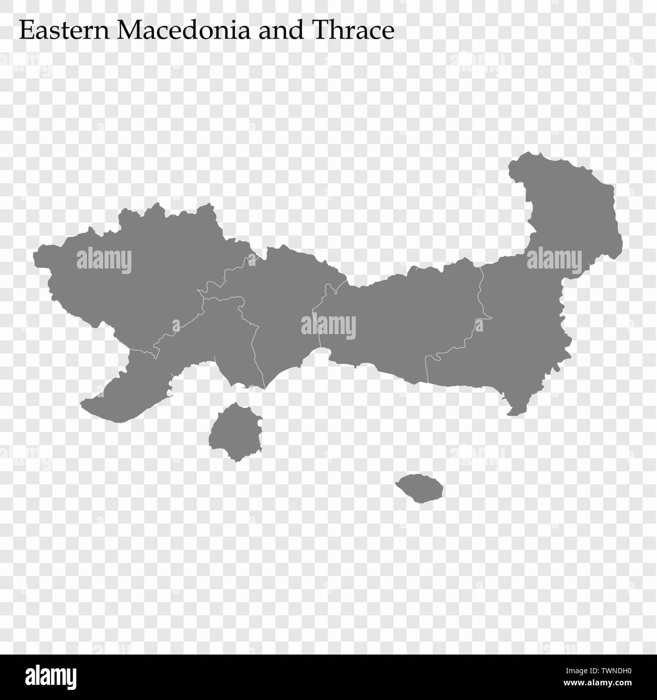 High Quality map of Eastern Macedonia and Thrace is a region of Greece, with borders of the regional units Stock Vectorhttps://www.alamy.com/image-license-details/?v=1https://www.alamy.com/high-quality-map-of-eastern-macedonia-and-thrace-is-a-region-of-greece-with-borders-of-the-regional-units-image256783212.html
RFTWNDH0–High Quality map of Eastern Macedonia and Thrace is a region of Greece, with borders of the regional units
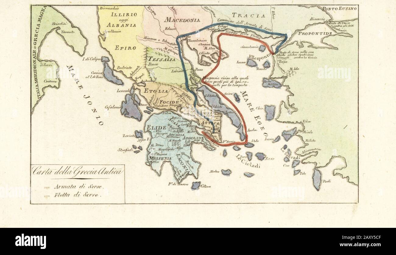 Map of Ancient Greece. Routes of King of Persia Xerxes I’s army (blue) and navy (red) during its failed invasion of Greece 480BC. Carta della Grecia Antica. Handcoloured copperplate engraving from Giulio Ferrario’s Costumes Ancient and Modern of the Peoples of the World, Il Costume Antico e Moderno, Florence, 1842. Stock Photohttps://www.alamy.com/image-license-details/?v=1https://www.alamy.com/map-of-ancient-greece-routes-of-king-of-persia-xerxes-is-army-blue-and-navy-red-during-its-failed-invasion-of-greece-480bc-carta-della-grecia-antica-handcoloured-copperplate-engraving-from-giulio-ferrarios-costumes-ancient-and-modern-of-the-peoples-of-the-world-il-costume-antico-e-moderno-florence-1842-image343575023.html
RM2AXY5CF–Map of Ancient Greece. Routes of King of Persia Xerxes I’s army (blue) and navy (red) during its failed invasion of Greece 480BC. Carta della Grecia Antica. Handcoloured copperplate engraving from Giulio Ferrario’s Costumes Ancient and Modern of the Peoples of the World, Il Costume Antico e Moderno, Florence, 1842.
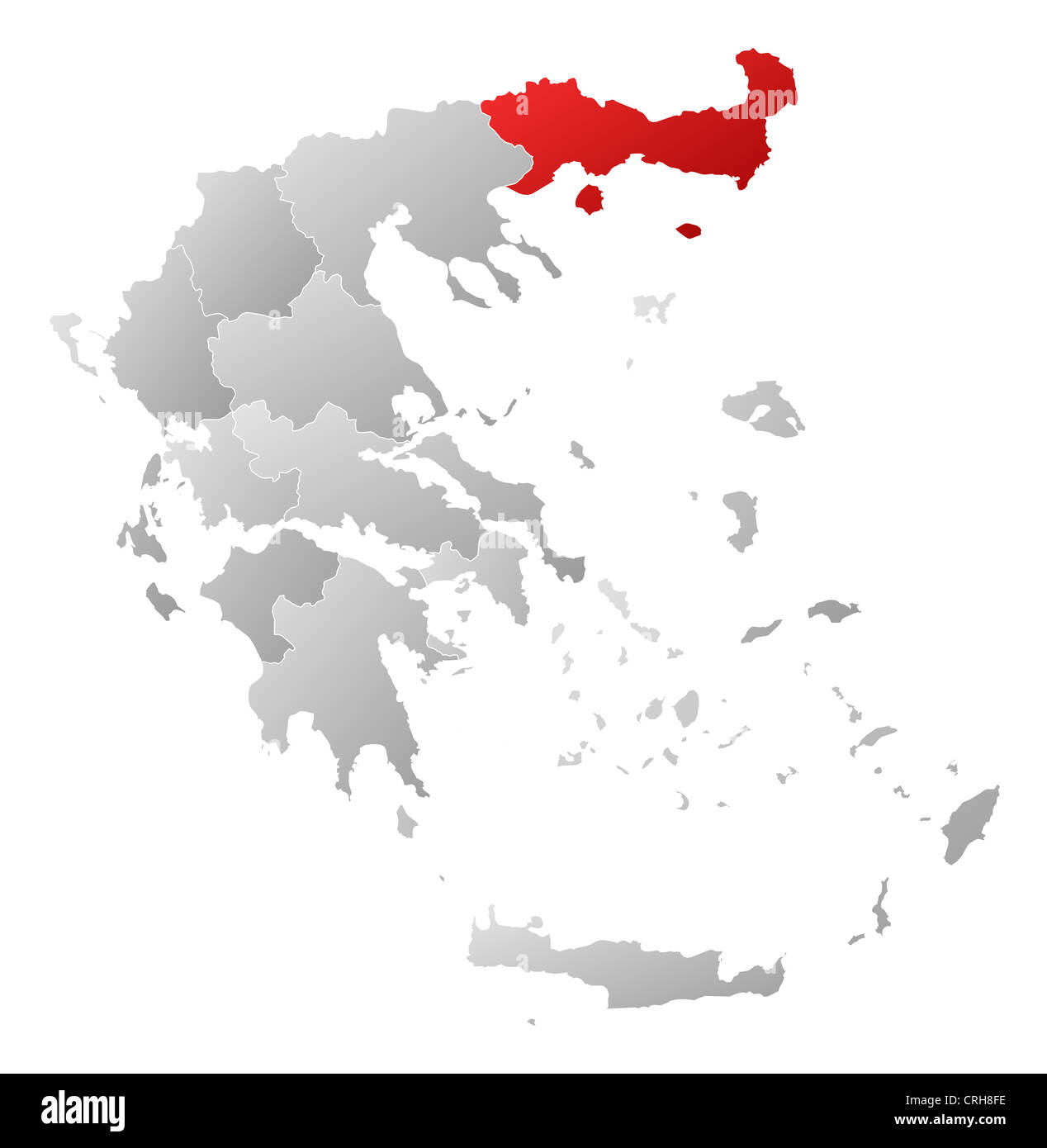 Political map of Greece with the several states where East Macedonia and Thrace is highlighted. Stock Photohttps://www.alamy.com/image-license-details/?v=1https://www.alamy.com/stock-photo-political-map-of-greece-with-the-several-states-where-east-macedonia-48937714.html
RFCRH8FE–Political map of Greece with the several states where East Macedonia and Thrace is highlighted.
 Thrace Shop Macedonia Stock Photohttps://www.alamy.com/image-license-details/?v=1https://www.alamy.com/stock-photo-thrace-shop-macedonia-140694148.html
RMJ4W4R0–Thrace Shop Macedonia
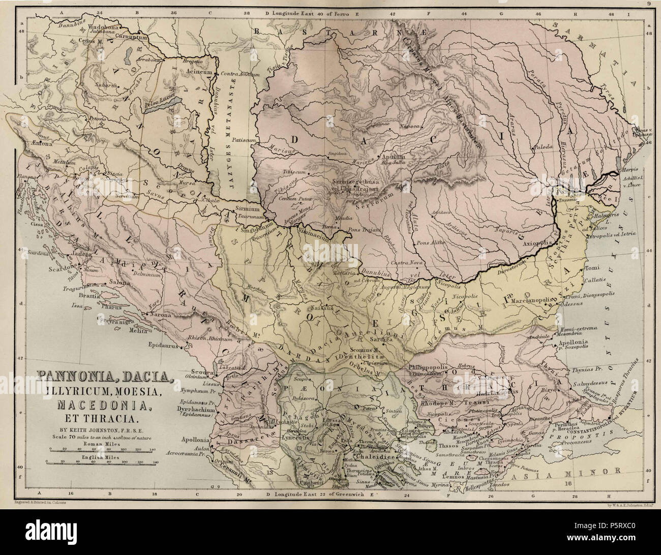 N/A. English: Map of Central Europe: Pannonia, Dacia, Illyricum, Thrace, Moesia, Macedonia and Thrace . 1886. Alexander Keith Johnston (1804–1871) Alternative names W. and A. K. Johnston Description Scottish lexicographer, linguist, geographer and cartographer Date of birth/death 28 December 1804 9 July 1871 / 11 July 1871 Location of birth/death Kirkhill, Scotland Ben Rhydding, Yorkshire Authority control : Q1378365 VIAF:22441278 ISNI:0000 0000 7368 5072 LCCN:nr00005887 NLA:35165641 Open Library:OL2567560A WorldCat 286 Central Europemap Pannonia Dacia and others Stock Photohttps://www.alamy.com/image-license-details/?v=1https://www.alamy.com/na-english-map-of-central-europe-pannonia-dacia-illyricum-thrace-moesia-macedonia-and-thrace-1886-alexander-keith-johnston-18041871-alternative-names-w-and-a-k-johnston-description-scottish-lexicographer-linguist-geographer-and-cartographer-date-of-birthdeath-28-december-1804-9-july-1871-11-july-1871-location-of-birthdeath-kirkhill-scotland-ben-rhydding-yorkshire-authority-control-q1378365-viaf22441278-isni0000-0000-7368-5072-lccnnr00005887-nla35165641-open-libraryol2567560a-worldcat-286-central-europemap-pannonia-dacia-and-others-image210123312.html
RMP5RXC0–N/A. English: Map of Central Europe: Pannonia, Dacia, Illyricum, Thrace, Moesia, Macedonia and Thrace . 1886. Alexander Keith Johnston (1804–1871) Alternative names W. and A. K. Johnston Description Scottish lexicographer, linguist, geographer and cartographer Date of birth/death 28 December 1804 9 July 1871 / 11 July 1871 Location of birth/death Kirkhill, Scotland Ben Rhydding, Yorkshire Authority control : Q1378365 VIAF:22441278 ISNI:0000 0000 7368 5072 LCCN:nr00005887 NLA:35165641 Open Library:OL2567560A WorldCat 286 Central Europemap Pannonia Dacia and others
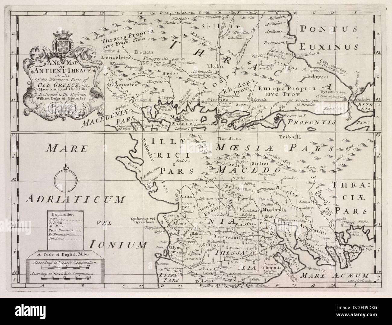 A new map of ancient Thrace, as also of the northern parts of Old Greece, viz. Macedonia, and Thessalia Stock Photohttps://www.alamy.com/image-license-details/?v=1https://www.alamy.com/a-new-map-of-ancient-thrace-as-also-of-the-northern-parts-of-old-greece-viz-macedonia-and-thessalia-image404036992.html
RM2ED9D8G–A new map of ancient Thrace, as also of the northern parts of Old Greece, viz. Macedonia, and Thessalia
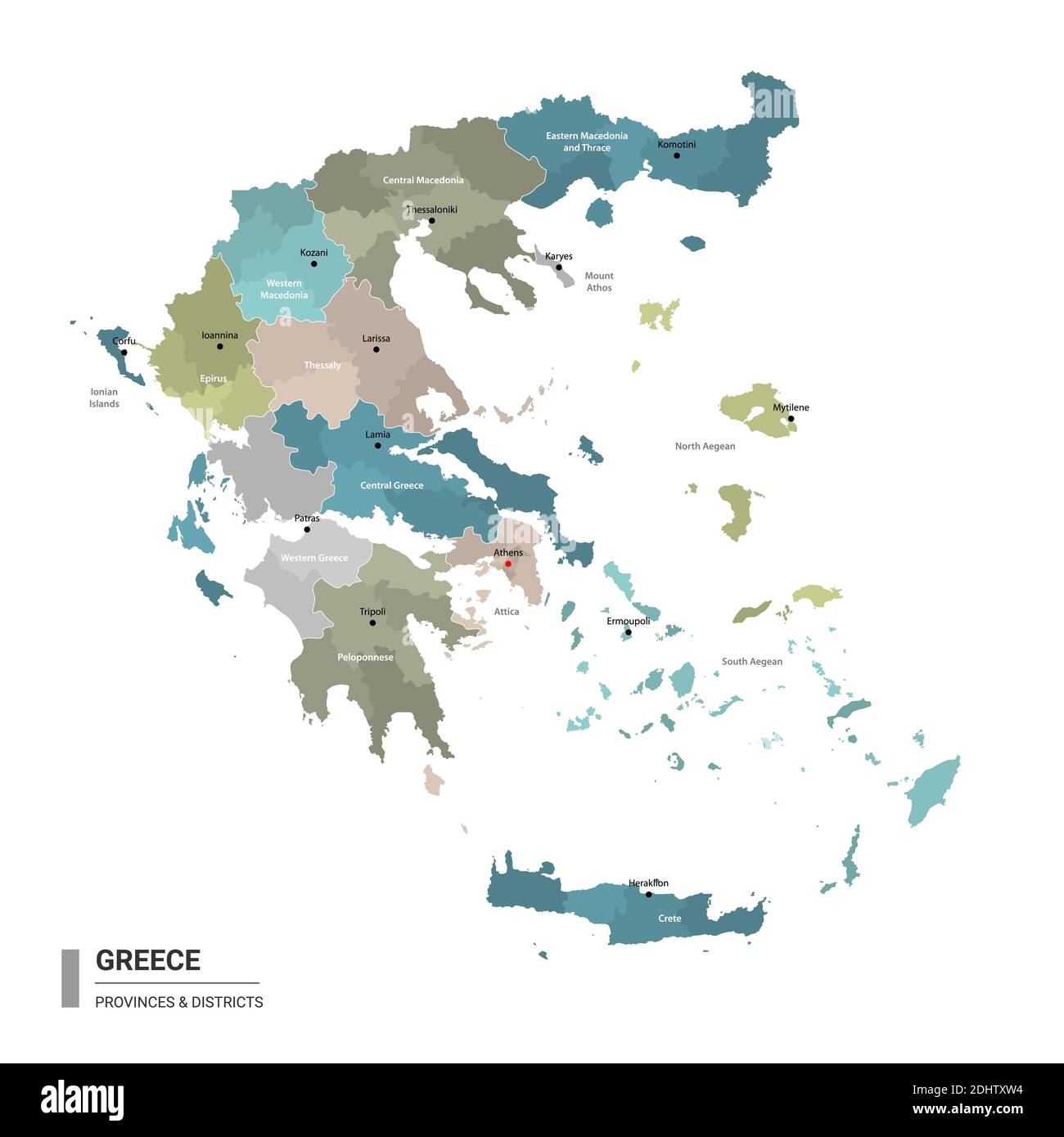 Greece higt detailed map with subdivisions. Administrative map of Greece with districts and cities name, colored by states and administrative district Stock Vectorhttps://www.alamy.com/image-license-details/?v=1https://www.alamy.com/greece-higt-detailed-map-with-subdivisions-administrative-map-of-greece-with-districts-and-cities-name-colored-by-states-and-administrative-district-image389625184.html
RF2DHTXW4–Greece higt detailed map with subdivisions. Administrative map of Greece with districts and cities name, colored by states and administrative district
 Printable map of Komotini, Greece with main and secondary roads and larger railways. This map is carefully designed for routing and placing individual Stock Vectorhttps://www.alamy.com/image-license-details/?v=1https://www.alamy.com/printable-map-of-komotini-greece-with-main-and-secondary-roads-and-larger-railways-this-map-is-carefully-designed-for-routing-and-placing-individual-image245945280.html
RFT83NM0–Printable map of Komotini, Greece with main and secondary roads and larger railways. This map is carefully designed for routing and placing individual
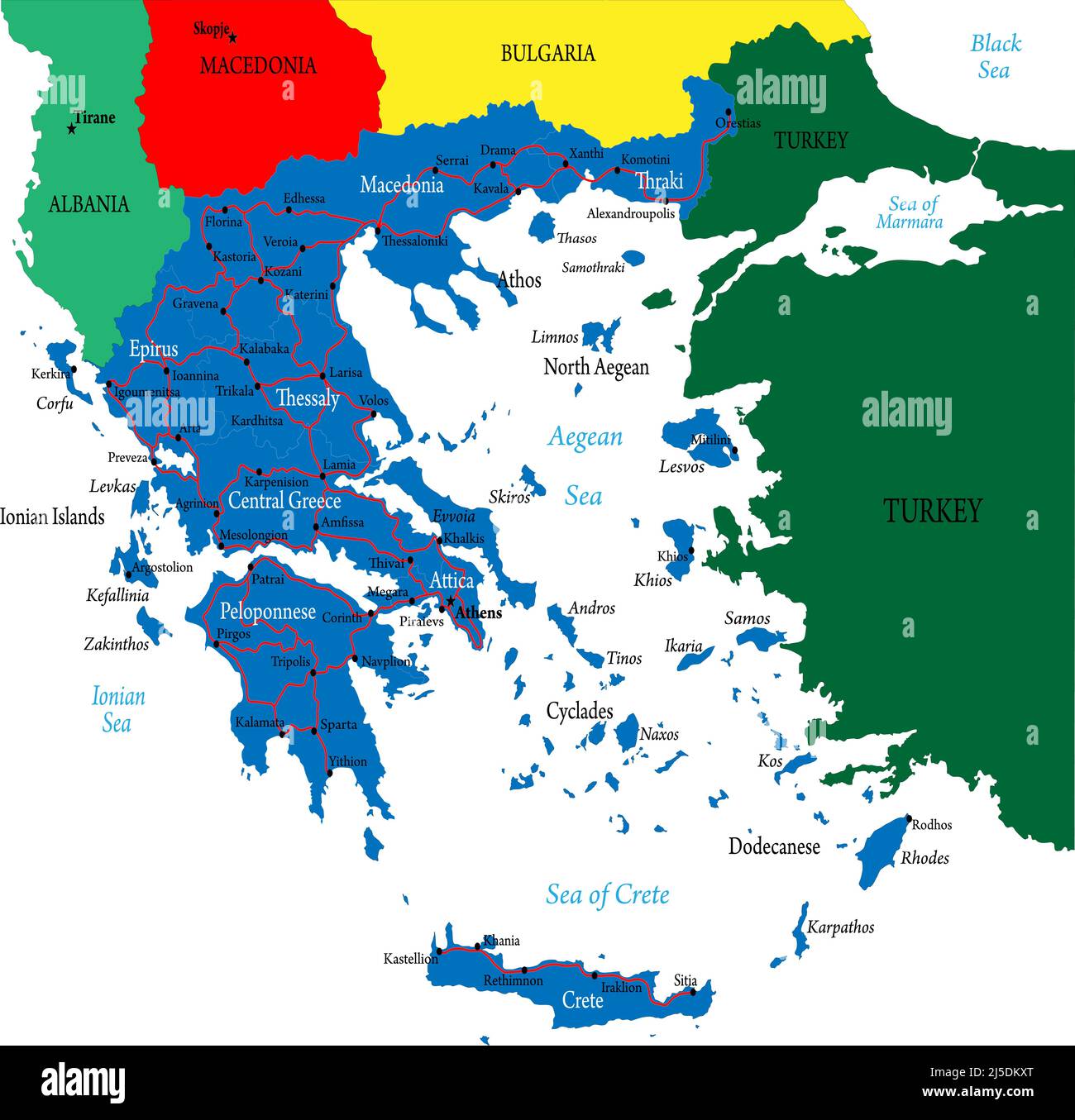 Highly detailed vector map of Greece with administrative regions, main cities and roads Stock Vectorhttps://www.alamy.com/image-license-details/?v=1https://www.alamy.com/highly-detailed-vector-map-of-greece-with-administrative-regions-main-cities-and-roads-image468054240.html
RF2J5DKXT–Highly detailed vector map of Greece with administrative regions, main cities and roads
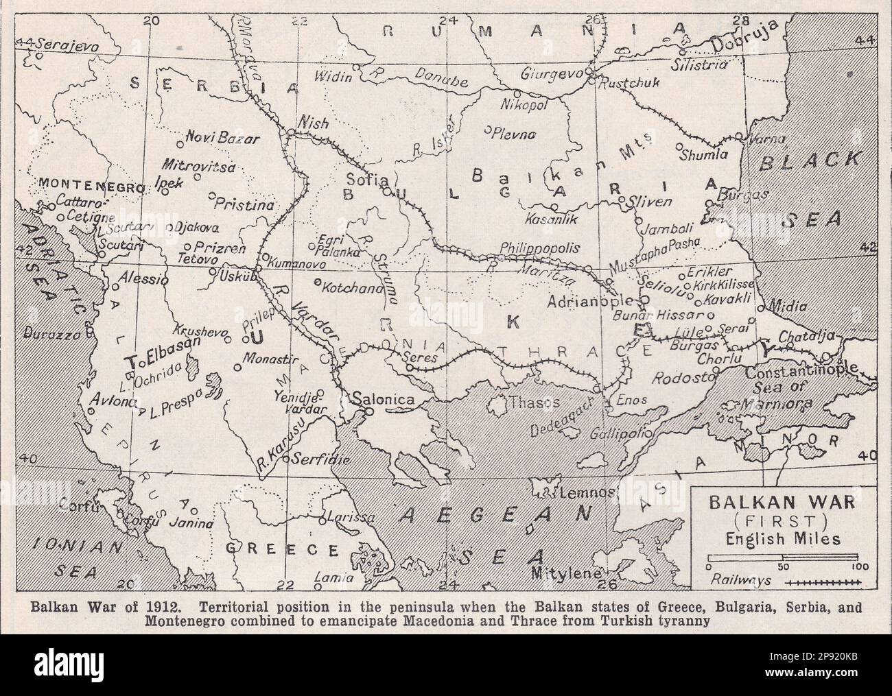 Vintage map of the Balkan War of 1912. Stock Photohttps://www.alamy.com/image-license-details/?v=1https://www.alamy.com/vintage-map-of-the-balkan-war-of-1912-image539097759.html
RF2P920KB–Vintage map of the Balkan War of 1912.
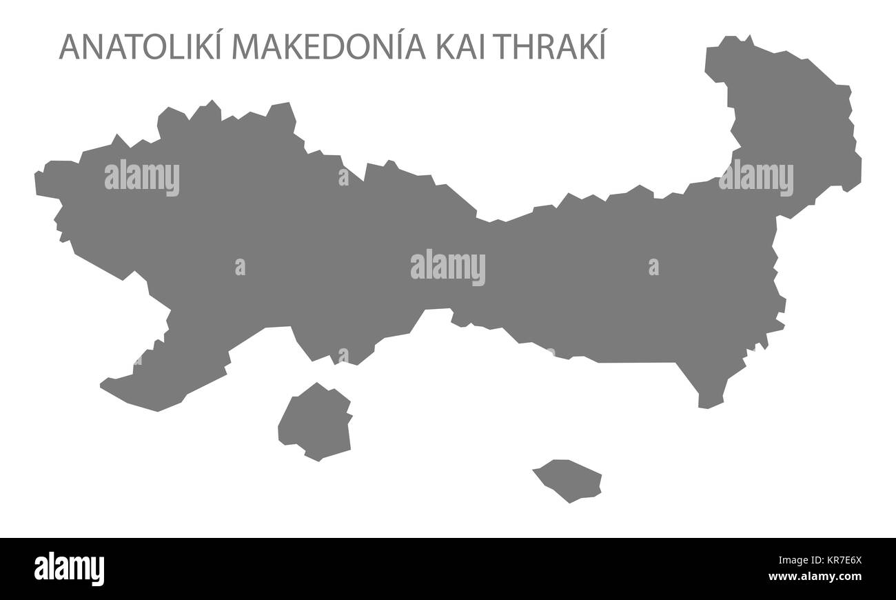 Anatoliki Makedonia kai Thraki Greece Map grey Stock Photohttps://www.alamy.com/image-license-details/?v=1https://www.alamy.com/stock-image-anatoliki-makedonia-kai-thraki-greece-map-grey-169195234.html
RFKR7E6X–Anatoliki Makedonia kai Thraki Greece Map grey
 Eastern Macedonia and Thrace Region (Greece, Hellenic Republic, Hellas) map vector illustration, scribble sketch Eastern Macedonia and Thrace map Stock Vectorhttps://www.alamy.com/image-license-details/?v=1https://www.alamy.com/eastern-macedonia-and-thrace-region-greece-hellenic-republic-hellas-map-vector-illustration-scribble-sketch-eastern-macedonia-and-thrace-map-image262704200.html
RFW7B5TT–Eastern Macedonia and Thrace Region (Greece, Hellenic Republic, Hellas) map vector illustration, scribble sketch Eastern Macedonia and Thrace map
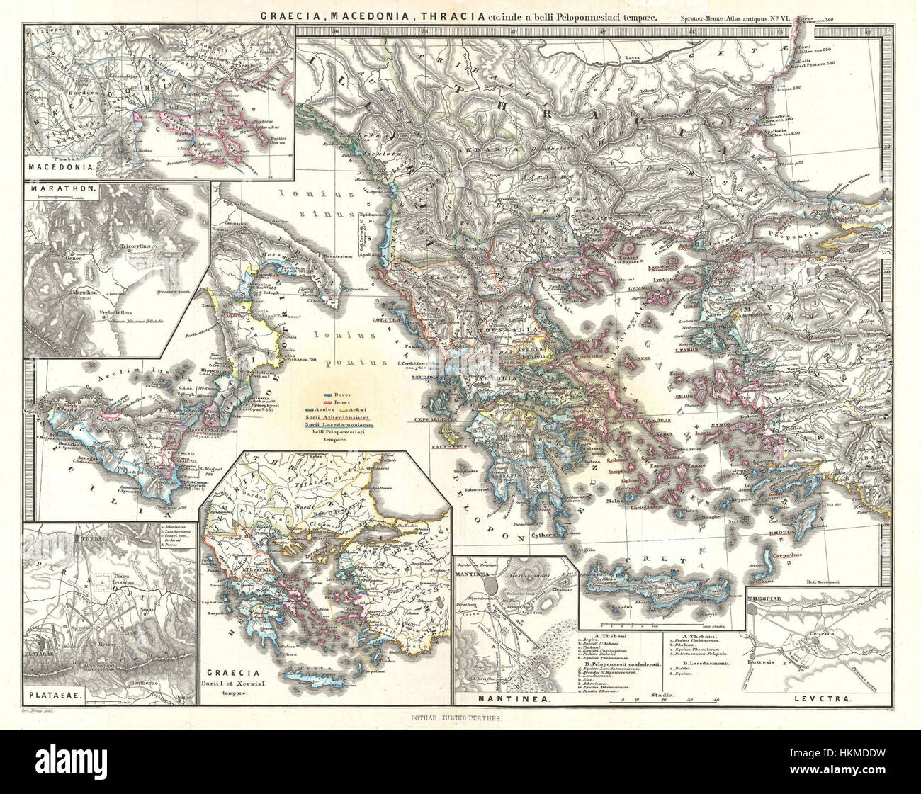 1865 Spruner Map of Greece, Macedonia and Thrace before the Peloponnesian War. - Geographicus - GraeciaMacedoniaThracia-spruner-1865 Stock Photohttps://www.alamy.com/image-license-details/?v=1https://www.alamy.com/stock-photo-1865-spruner-map-of-greece-macedonia-and-thrace-before-the-peloponnesian-132600661.html
RMHKMDDW–1865 Spruner Map of Greece, Macedonia and Thrace before the Peloponnesian War. - Geographicus - GraeciaMacedoniaThracia-spruner-1865
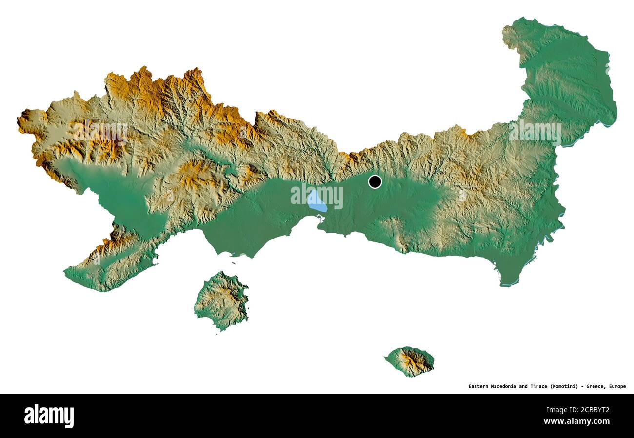 Shape of Eastern Macedonia and Thrace, decentralized administration of Greece, with its capital isolated on white background. Topographic relief map. Stock Photohttps://www.alamy.com/image-license-details/?v=1https://www.alamy.com/shape-of-eastern-macedonia-and-thrace-decentralized-administration-of-greece-with-its-capital-isolated-on-white-background-topographic-relief-map-image368442258.html
RF2CBBYT2–Shape of Eastern Macedonia and Thrace, decentralized administration of Greece, with its capital isolated on white background. Topographic relief map.
 Official government ensigns of Makedonia Stock Vectorhttps://www.alamy.com/image-license-details/?v=1https://www.alamy.com/stock-photo-official-government-ensigns-of-makedonia-149978064.html
RFJM02FC–Official government ensigns of Makedonia
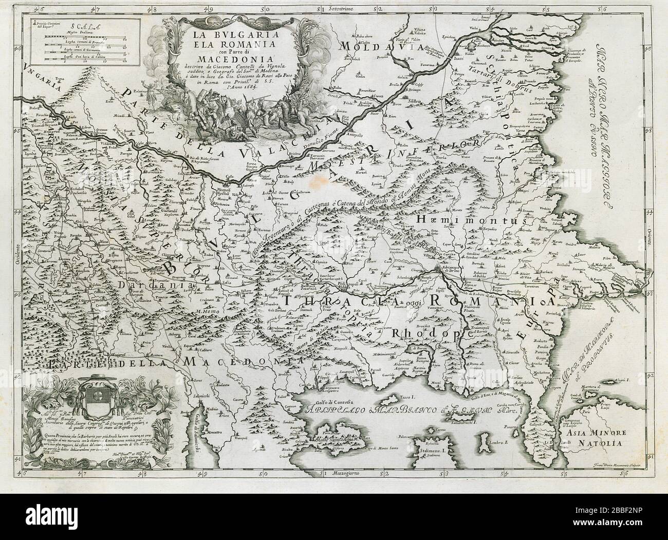 La Bulgaria e La Romania con parte di Macedonia. Thrace. ROSSI/CANTELLI 1689 map Stock Photohttps://www.alamy.com/image-license-details/?v=1https://www.alamy.com/la-bulgaria-e-la-romania-con-parte-di-macedonia-thrace-rossicantelli-1689-map-image351300034.html
RF2BBF2NP–La Bulgaria e La Romania con parte di Macedonia. Thrace. ROSSI/CANTELLI 1689 map
 Arísvi, Nomós Rodópis, Greece, East Macedonia and Thrace, N 41 4' 12'', E 25 35' 25'', map, Timeless Map published in 2021. Travelers, explorers and adventurers like Florence Nightingale, David Livingstone, Ernest Shackleton, Lewis and Clark and Sherlock Holmes relied on maps to plan travels to the world's most remote corners, Timeless Maps is mapping most locations on the globe, showing the achievement of great dreams Stock Photohttps://www.alamy.com/image-license-details/?v=1https://www.alamy.com/arsvi-noms-rodpis-greece-east-macedonia-and-thrace-n-41-4-12-e-25-35-25-map-timeless-map-published-in-2021-travelers-explorers-and-adventurers-like-florence-nightingale-david-livingstone-ernest-shackleton-lewis-and-clark-and-sherlock-holmes-relied-on-maps-to-plan-travels-to-the-worlds-most-remote-corners-timeless-maps-is-mapping-most-locations-on-the-globe-showing-the-achievement-of-great-dreams-image457960211.html
RM2HH1TWR–Arísvi, Nomós Rodópis, Greece, East Macedonia and Thrace, N 41 4' 12'', E 25 35' 25'', map, Timeless Map published in 2021. Travelers, explorers and adventurers like Florence Nightingale, David Livingstone, Ernest Shackleton, Lewis and Clark and Sherlock Holmes relied on maps to plan travels to the world's most remote corners, Timeless Maps is mapping most locations on the globe, showing the achievement of great dreams
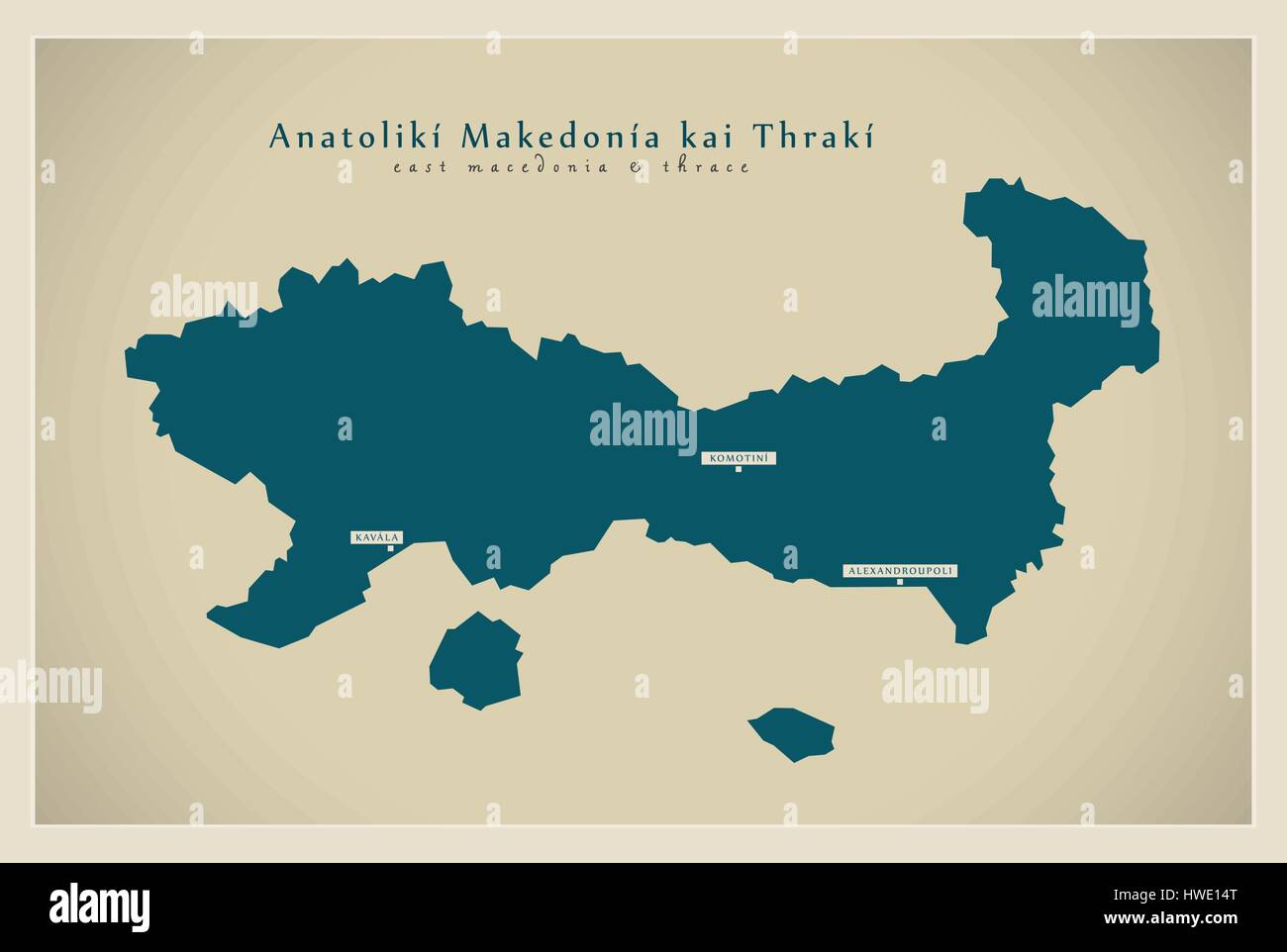 Modern Map - Anatoliki Makedonia ki Thraki GR Stock Vectorhttps://www.alamy.com/image-license-details/?v=1https://www.alamy.com/stock-photo-modern-map-anatoliki-makedonia-ki-thraki-gr-136147224.html
RFHWE14T–Modern Map - Anatoliki Makedonia ki Thraki GR
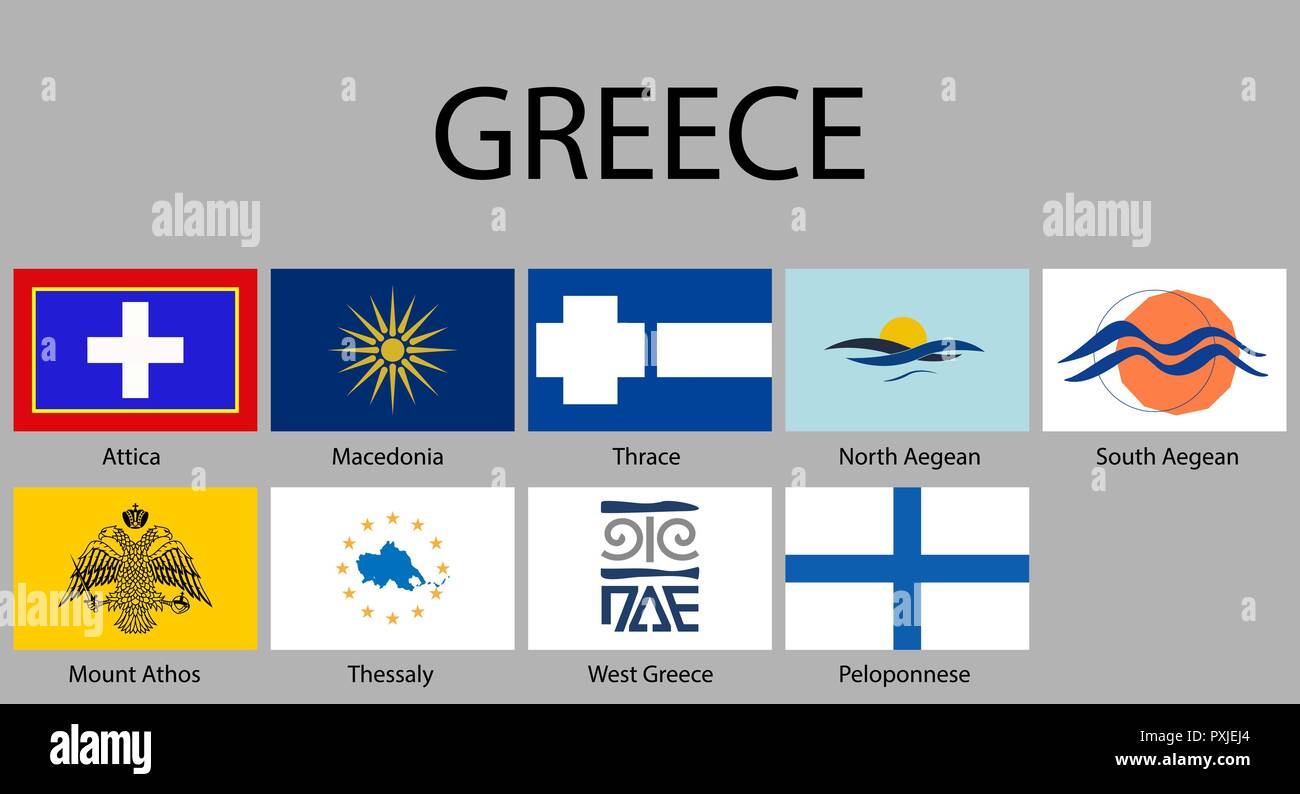 Flags of regions of Greece. Vector illustraion Stock Vectorhttps://www.alamy.com/image-license-details/?v=1https://www.alamy.com/flags-of-regions-of-greece-vector-illustraion-image222912092.html
RFPXJEJ4–Flags of regions of Greece. Vector illustraion
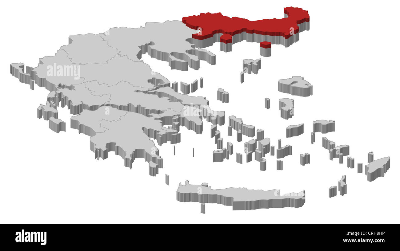 Political map of Greece with the several states where East Macedonia and Thrace is highlighted. Stock Photohttps://www.alamy.com/image-license-details/?v=1https://www.alamy.com/stock-photo-political-map-of-greece-with-the-several-states-where-east-macedonia-48937778.html
RFCRH8HP–Political map of Greece with the several states where East Macedonia and Thrace is highlighted.
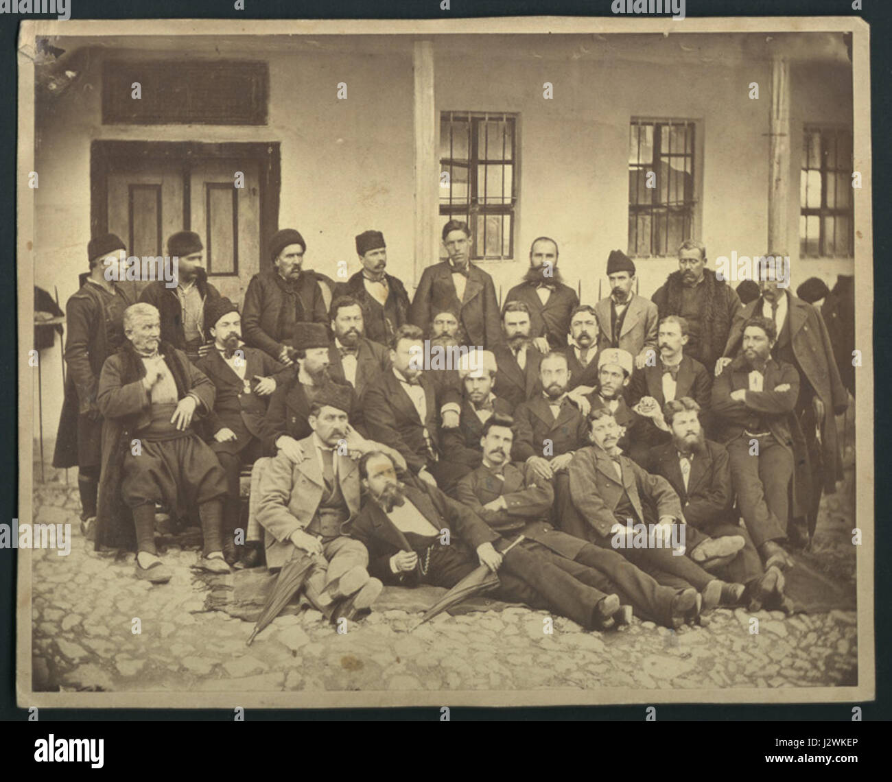 Bulgarian Constituent Assembly Macedonia and Thrace Representatives 1879 Stock Photohttps://www.alamy.com/image-license-details/?v=1https://www.alamy.com/stock-photo-bulgarian-constituent-assembly-macedonia-and-thrace-representatives-139476366.html
RMJ2WKEP–Bulgarian Constituent Assembly Macedonia and Thrace Representatives 1879
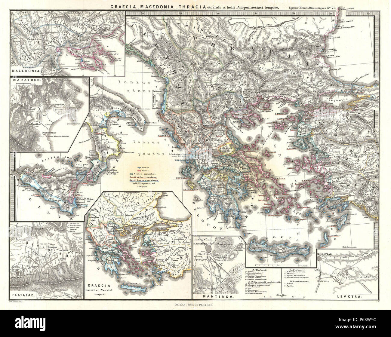 1865 Spruner Map of Greece, Macedonia and Thrace before the Peloponnesian War. - Geographicus - GraeciaMacedoniaThracia-spruner-1865. Stock Photohttps://www.alamy.com/image-license-details/?v=1https://www.alamy.com/1865-spruner-map-of-greece-macedonia-and-thrace-before-the-peloponnesian-war-geographicus-graeciamacedoniathracia-spruner-1865-image210298576.html
RMP63WYC–1865 Spruner Map of Greece, Macedonia and Thrace before the Peloponnesian War. - Geographicus - GraeciaMacedoniaThracia-spruner-1865.
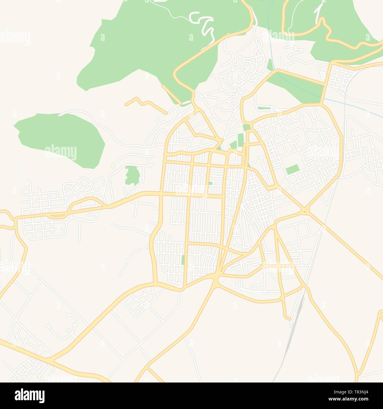 Printable map of Xanthi, Greece with main and secondary roads and larger railways. This map is carefully designed for routing and placing individual d Stock Vectorhttps://www.alamy.com/image-license-details/?v=1https://www.alamy.com/printable-map-of-xanthi-greece-with-main-and-secondary-roads-and-larger-railways-this-map-is-carefully-designed-for-routing-and-placing-individual-d-image245945228.html
RFT83NJ4–Printable map of Xanthi, Greece with main and secondary roads and larger railways. This map is carefully designed for routing and placing individual d
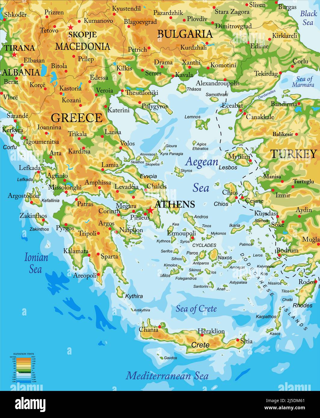 Highly detailed physical map of Greece,in vector format,with all the relief forms,regions and big cities. Stock Vectorhttps://www.alamy.com/image-license-details/?v=1https://www.alamy.com/highly-detailed-physical-map-of-greecein-vector-formatwith-all-the-relief-formsregions-and-big-cities-image468054441.html
RF2J5DM61–Highly detailed physical map of Greece,in vector format,with all the relief forms,regions and big cities.
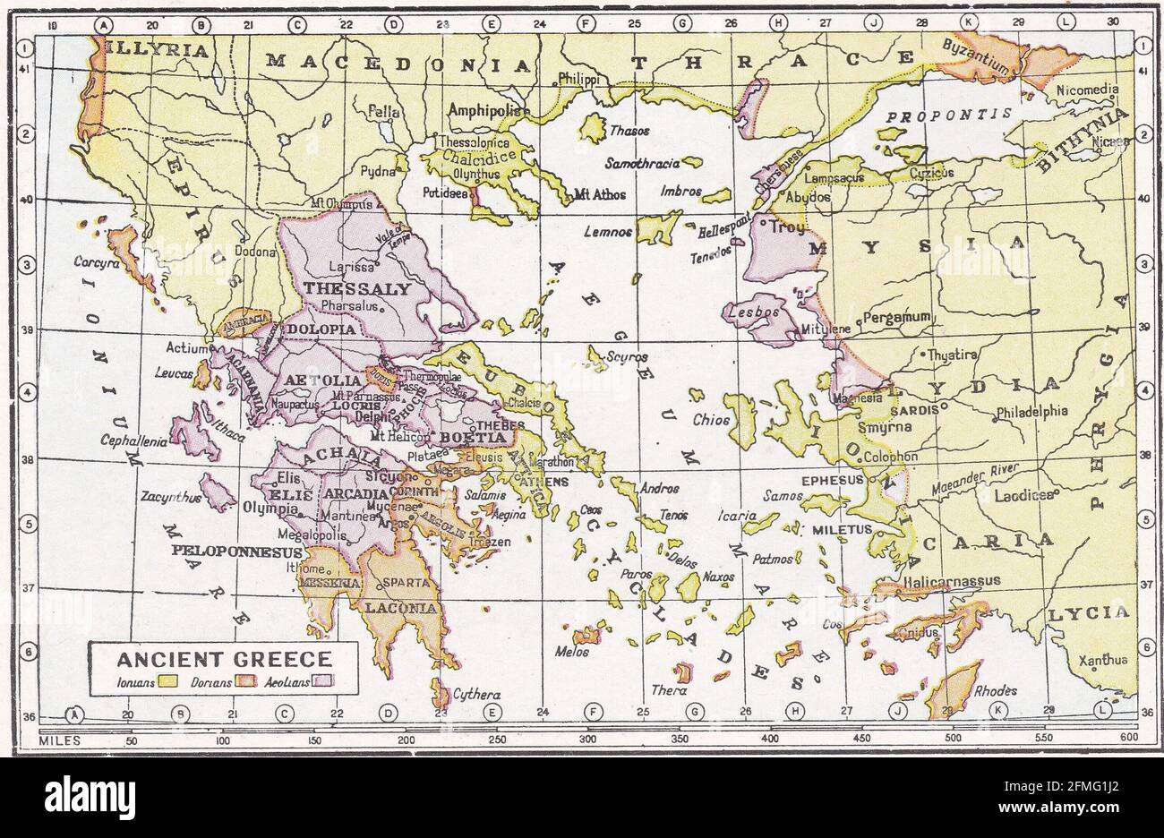 Vintage map of Ancient Greece. Stock Photohttps://www.alamy.com/image-license-details/?v=1https://www.alamy.com/vintage-map-of-ancient-greece-image425694474.html
RF2FMG1J2–Vintage map of Ancient Greece.
 Eastern Macedonia and Thrace Region (Greece, Hellenic Republic, Hellas) map vector illustration, scribble sketch Eastern Macedonia and Thrace map Stock Vectorhttps://www.alamy.com/image-license-details/?v=1https://www.alamy.com/eastern-macedonia-and-thrace-region-greece-hellenic-republic-hellas-map-vector-illustration-scribble-sketch-eastern-macedonia-and-thrace-map-image270314306.html
RFWKNTJA–Eastern Macedonia and Thrace Region (Greece, Hellenic Republic, Hellas) map vector illustration, scribble sketch Eastern Macedonia and Thrace map
 Shape of Eastern Macedonia and Thrace, decentralized administration of Greece, with its capital isolated on white background. Colored elevation map. 3 Stock Photohttps://www.alamy.com/image-license-details/?v=1https://www.alamy.com/shape-of-eastern-macedonia-and-thrace-decentralized-administration-of-greece-with-its-capital-isolated-on-white-background-colored-elevation-map-3-image368442159.html
RF2CBBYMF–Shape of Eastern Macedonia and Thrace, decentralized administration of Greece, with its capital isolated on white background. Colored elevation map. 3
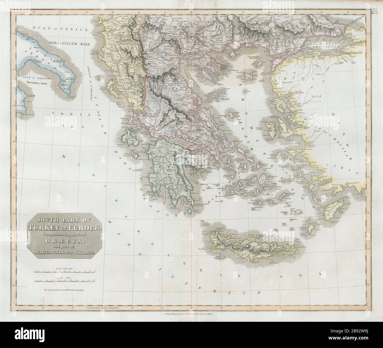 South Part of Turkey in Europe. Greece & Aegean. Albania. THOMSON 1830 old map Stock Photohttps://www.alamy.com/image-license-details/?v=1https://www.alamy.com/south-part-of-turkey-in-europe-greece-aegean-albania-thomson-1830-old-map-image349803038.html
RF2B92W9J–South Part of Turkey in Europe. Greece & Aegean. Albania. THOMSON 1830 old map
 Pontolivado, Kavala, Greece, East Macedonia and Thrace, N 40 58' 18'', E 24 34' 51'', map, Timeless Map published in 2021. Travelers, explorers and adventurers like Florence Nightingale, David Livingstone, Ernest Shackleton, Lewis and Clark and Sherlock Holmes relied on maps to plan travels to the world's most remote corners, Timeless Maps is mapping most locations on the globe, showing the achievement of great dreams Stock Photohttps://www.alamy.com/image-license-details/?v=1https://www.alamy.com/pontolivado-kavala-greece-east-macedonia-and-thrace-n-40-58-18-e-24-34-51-map-timeless-map-published-in-2021-travelers-explorers-and-adventurers-like-florence-nightingale-david-livingstone-ernest-shackleton-lewis-and-clark-and-sherlock-holmes-relied-on-maps-to-plan-travels-to-the-worlds-most-remote-corners-timeless-maps-is-mapping-most-locations-on-the-globe-showing-the-achievement-of-great-dreams-image457957854.html
RM2HH1NWJ–Pontolivado, Kavala, Greece, East Macedonia and Thrace, N 40 58' 18'', E 24 34' 51'', map, Timeless Map published in 2021. Travelers, explorers and adventurers like Florence Nightingale, David Livingstone, Ernest Shackleton, Lewis and Clark and Sherlock Holmes relied on maps to plan travels to the world's most remote corners, Timeless Maps is mapping most locations on the globe, showing the achievement of great dreams
 Modern Map - Anatoliki Makedonia Kai Thraki Greece GR illustration Stock Photohttps://www.alamy.com/image-license-details/?v=1https://www.alamy.com/stock-photo-modern-map-anatoliki-makedonia-kai-thraki-greece-gr-illustration-131332810.html
RFHHJM9E–Modern Map - Anatoliki Makedonia Kai Thraki Greece GR illustration
 Political map of Greece with the several states where East Macedonia and Thrace is highlighted. Stock Photohttps://www.alamy.com/image-license-details/?v=1https://www.alamy.com/stock-photo-political-map-of-greece-with-the-several-states-where-east-macedonia-48938212.html
RFCRH958–Political map of Greece with the several states where East Macedonia and Thrace is highlighted.
 Statute of the fourth grade schools in Macedonia and Thrace Stock Photohttps://www.alamy.com/image-license-details/?v=1https://www.alamy.com/stock-photo-statute-of-the-fourth-grade-schools-in-macedonia-and-thrace-140490740.html
RMJ4FWAC–Statute of the fourth grade schools in Macedonia and Thrace
 A New Map of Antient Thrace, as also of the Northern Parts of Old Greece, viz Macedonia, and Thessalia.. Dedicated to his Highness William Duke of Glocester. Stock Photohttps://www.alamy.com/image-license-details/?v=1https://www.alamy.com/a-new-map-of-antient-thrace-as-also-of-the-northern-parts-of-old-greece-viz-macedonia-and-thessalia-dedicated-to-his-highness-william-duke-of-glocester-image592949168.html
RM2WCK4M0–A New Map of Antient Thrace, as also of the Northern Parts of Old Greece, viz Macedonia, and Thessalia.. Dedicated to his Highness William Duke of Glocester.
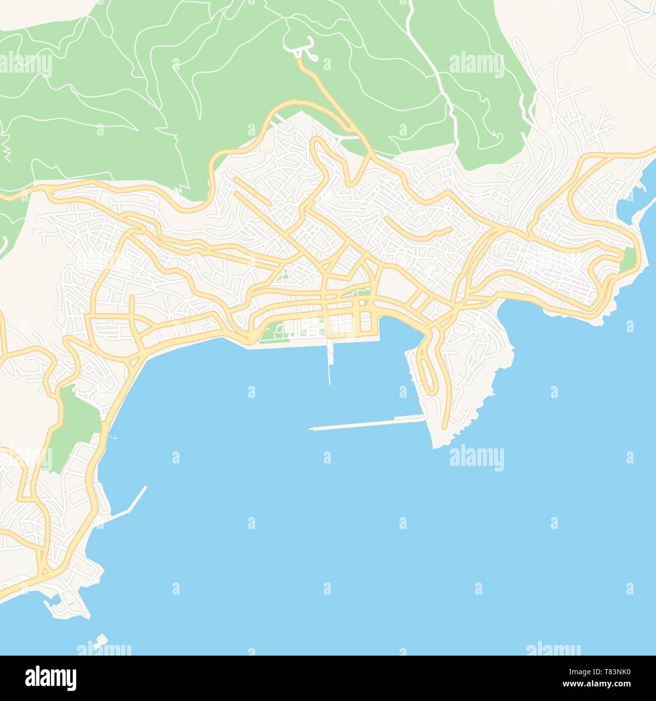 Printable map of Kavala, Greece with main and secondary roads and larger railways. This map is carefully designed for routing and placing individual d Stock Vectorhttps://www.alamy.com/image-license-details/?v=1https://www.alamy.com/printable-map-of-kavala-greece-with-main-and-secondary-roads-and-larger-railways-this-map-is-carefully-designed-for-routing-and-placing-individual-d-image245945252.html
RFT83NK0–Printable map of Kavala, Greece with main and secondary roads and larger railways. This map is carefully designed for routing and placing individual d
 Eastern Macedonia and Thrace Region (Greece, Hellenic Republic, Hellas) map vector illustration, scribble sketch Eastern Macedonia and Thrace map Stock Vectorhttps://www.alamy.com/image-license-details/?v=1https://www.alamy.com/eastern-macedonia-and-thrace-region-greece-hellenic-republic-hellas-map-vector-illustration-scribble-sketch-eastern-macedonia-and-thrace-map-image273742138.html
RFWWA0TX–Eastern Macedonia and Thrace Region (Greece, Hellenic Republic, Hellas) map vector illustration, scribble sketch Eastern Macedonia and Thrace map
 Shape of Eastern Macedonia and Thrace, decentralized administration of Greece, with its capital isolated on white background. Bilevel elevation map. 3 Stock Photohttps://www.alamy.com/image-license-details/?v=1https://www.alamy.com/shape-of-eastern-macedonia-and-thrace-decentralized-administration-of-greece-with-its-capital-isolated-on-white-background-bilevel-elevation-map-3-image368442157.html
RF2CBBYMD–Shape of Eastern Macedonia and Thrace, decentralized administration of Greece, with its capital isolated on white background. Bilevel elevation map. 3
 Eora, Xanthi, Greece, East Macedonia and Thrace, N 41 12' 3'', E 24 52' 15'', map, Timeless Map published in 2021. Travelers, explorers and adventurers like Florence Nightingale, David Livingstone, Ernest Shackleton, Lewis and Clark and Sherlock Holmes relied on maps to plan travels to the world's most remote corners, Timeless Maps is mapping most locations on the globe, showing the achievement of great dreams Stock Photohttps://www.alamy.com/image-license-details/?v=1https://www.alamy.com/eora-xanthi-greece-east-macedonia-and-thrace-n-41-12-3-e-24-52-15-map-timeless-map-published-in-2021-travelers-explorers-and-adventurers-like-florence-nightingale-david-livingstone-ernest-shackleton-lewis-and-clark-and-sherlock-holmes-relied-on-maps-to-plan-travels-to-the-worlds-most-remote-corners-timeless-maps-is-mapping-most-locations-on-the-globe-showing-the-achievement-of-great-dreams-image457944195.html
RM2HH14DR–Eora, Xanthi, Greece, East Macedonia and Thrace, N 41 12' 3'', E 24 52' 15'', map, Timeless Map published in 2021. Travelers, explorers and adventurers like Florence Nightingale, David Livingstone, Ernest Shackleton, Lewis and Clark and Sherlock Holmes relied on maps to plan travels to the world's most remote corners, Timeless Maps is mapping most locations on the globe, showing the achievement of great dreams
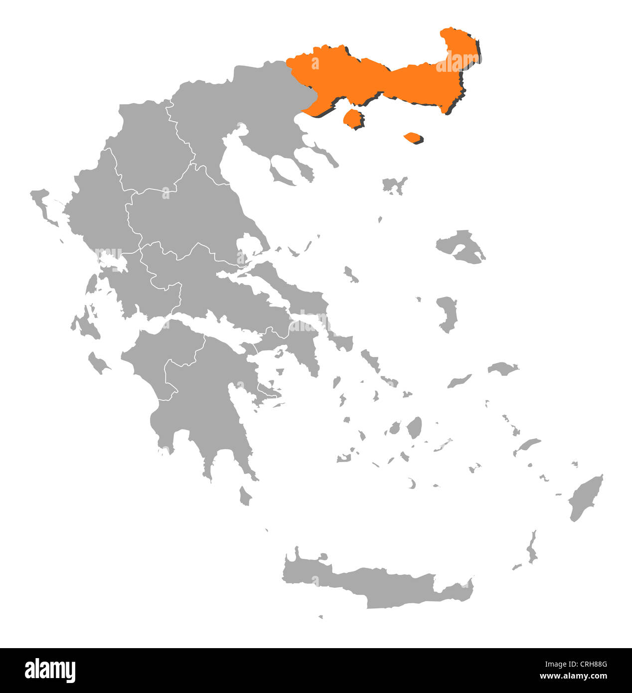 Political map of Greece with the several states where East Macedonia and Thrace is highlighted. Stock Photohttps://www.alamy.com/image-license-details/?v=1https://www.alamy.com/stock-photo-political-map-of-greece-with-the-several-states-where-east-macedonia-48937520.html
RFCRH88G–Political map of Greece with the several states where East Macedonia and Thrace is highlighted.
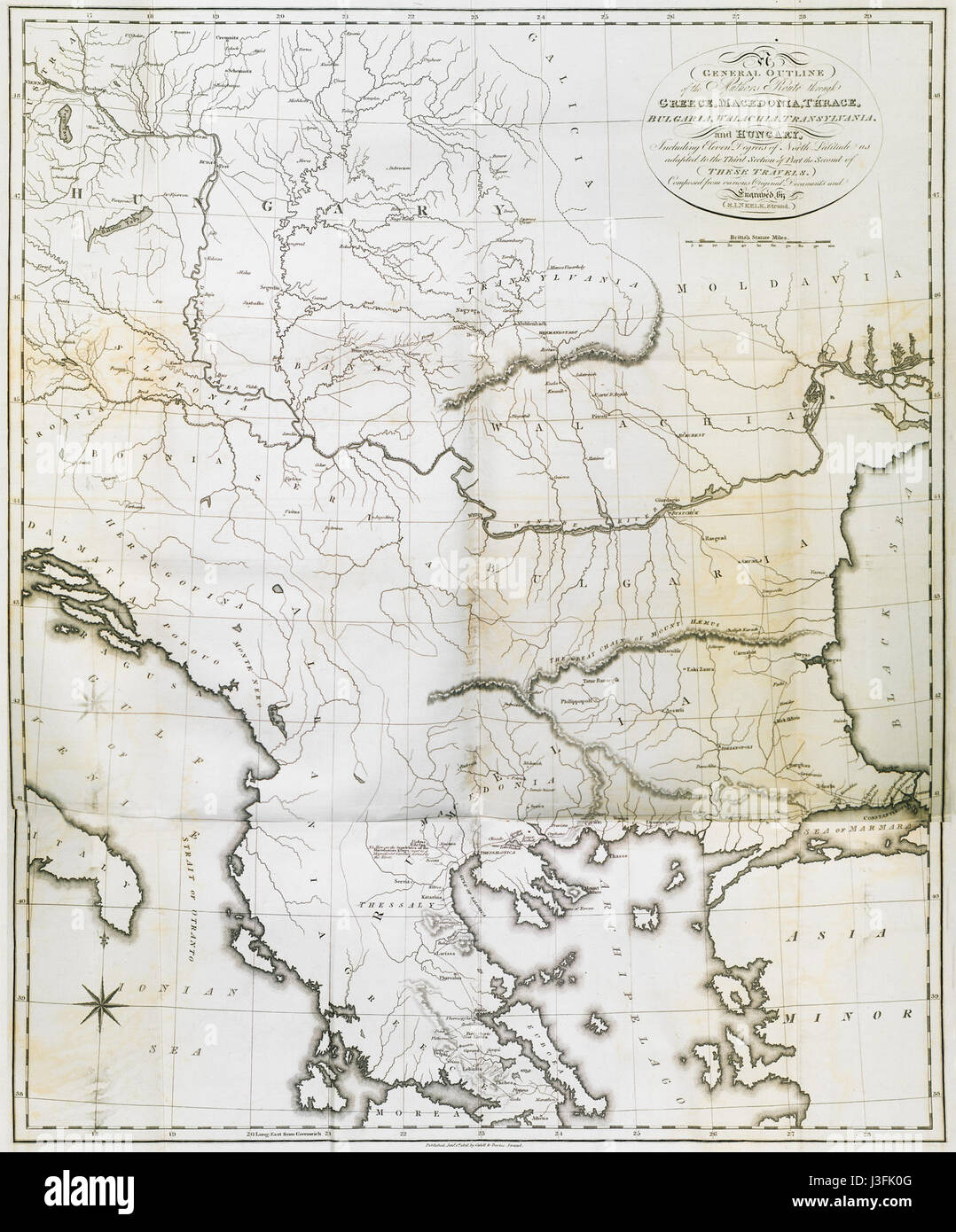 General Outline of the Authors Route through, Greece, Macedonia, Thrace, Bulgaria, Walachia, Transylvania, and Hungary Clarke Edward Daniel 1816 Stock Photohttps://www.alamy.com/image-license-details/?v=1https://www.alamy.com/stock-photo-general-outline-of-the-authors-route-through-greece-macedonia-thrace-139871104.html
RMJ3FK0G–General Outline of the Authors Route through, Greece, Macedonia, Thrace, Bulgaria, Walachia, Transylvania, and Hungary Clarke Edward Daniel 1816
 Printable map of Drama, Greece with main and secondary roads and larger railways. This map is carefully designed for routing and placing individual da Stock Vectorhttps://www.alamy.com/image-license-details/?v=1https://www.alamy.com/printable-map-of-drama-greece-with-main-and-secondary-roads-and-larger-railways-this-map-is-carefully-designed-for-routing-and-placing-individual-da-image245946047.html
RFT83PKB–Printable map of Drama, Greece with main and secondary roads and larger railways. This map is carefully designed for routing and placing individual da
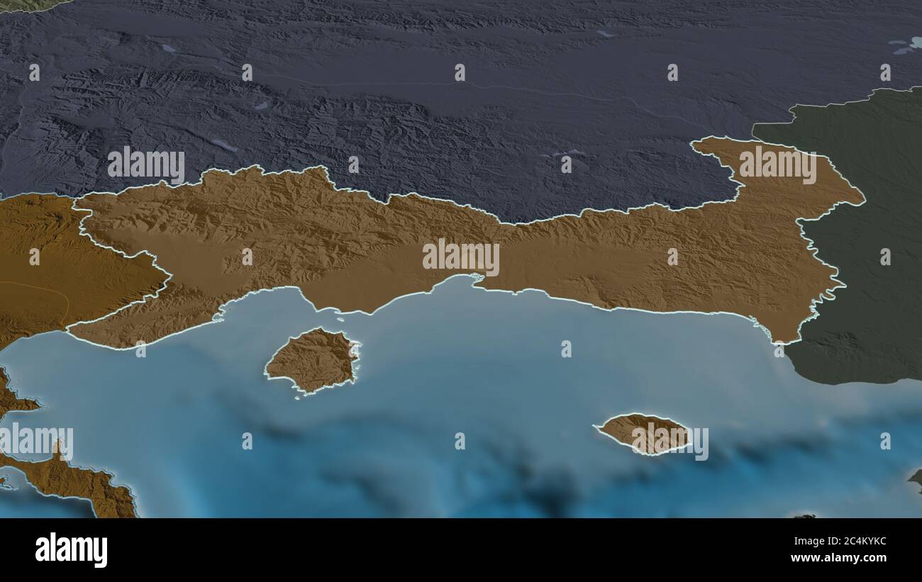 Zoom in on Eastern Macedonia and Thrace (decentralized administration of Greece) outlined. Oblique perspective. Colored and bumped map of the administ Stock Photohttps://www.alamy.com/image-license-details/?v=1https://www.alamy.com/zoom-in-on-eastern-macedonia-and-thrace-decentralized-administration-of-greece-outlined-oblique-perspective-colored-and-bumped-map-of-the-administ-image364315152.html
RF2C4KYKC–Zoom in on Eastern Macedonia and Thrace (decentralized administration of Greece) outlined. Oblique perspective. Colored and bumped map of the administ
 Mitrikón, Nomós Rodópis, Greece, East Macedonia and Thrace, N 40 58' 59'', E 25 18' 0'', map, Timeless Map published in 2021. Travelers, explorers and adventurers like Florence Nightingale, David Livingstone, Ernest Shackleton, Lewis and Clark and Sherlock Holmes relied on maps to plan travels to the world's most remote corners, Timeless Maps is mapping most locations on the globe, showing the achievement of great dreams Stock Photohttps://www.alamy.com/image-license-details/?v=1https://www.alamy.com/mitrikn-noms-rodpis-greece-east-macedonia-and-thrace-n-40-58-59-e-25-18-0-map-timeless-map-published-in-2021-travelers-explorers-and-adventurers-like-florence-nightingale-david-livingstone-ernest-shackleton-lewis-and-clark-and-sherlock-holmes-relied-on-maps-to-plan-travels-to-the-worlds-most-remote-corners-timeless-maps-is-mapping-most-locations-on-the-globe-showing-the-achievement-of-great-dreams-image457958554.html
RM2HH1PPJ–Mitrikón, Nomós Rodópis, Greece, East Macedonia and Thrace, N 40 58' 59'', E 25 18' 0'', map, Timeless Map published in 2021. Travelers, explorers and adventurers like Florence Nightingale, David Livingstone, Ernest Shackleton, Lewis and Clark and Sherlock Holmes relied on maps to plan travels to the world's most remote corners, Timeless Maps is mapping most locations on the globe, showing the achievement of great dreams
 Political map of Greece with the several states where East Macedonia and Thrace is highlighted. Stock Photohttps://www.alamy.com/image-license-details/?v=1https://www.alamy.com/stock-photo-political-map-of-greece-with-the-several-states-where-east-macedonia-48937806.html
RFCRH8JP–Political map of Greece with the several states where East Macedonia and Thrace is highlighted.
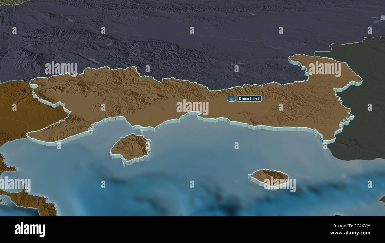 Zoom in on Eastern Macedonia and Thrace (decentralized administration of Greece) extruded. Oblique perspective. Colored and bumped map of the administ Stock Photohttps://www.alamy.com/image-license-details/?v=1https://www.alamy.com/zoom-in-on-eastern-macedonia-and-thrace-decentralized-administration-of-greece-extruded-oblique-perspective-colored-and-bumped-map-of-the-administ-image364315139.html
RF2C4KYJY–Zoom in on Eastern Macedonia and Thrace (decentralized administration of Greece) extruded. Oblique perspective. Colored and bumped map of the administ
 Néa Kessáni, Xanthi, Greece, East Macedonia and Thrace, N 41 2' 2'', E 25 4' 16'', map, Timeless Map published in 2021. Travelers, explorers and adventurers like Florence Nightingale, David Livingstone, Ernest Shackleton, Lewis and Clark and Sherlock Holmes relied on maps to plan travels to the world's most remote corners, Timeless Maps is mapping most locations on the globe, showing the achievement of great dreams Stock Photohttps://www.alamy.com/image-license-details/?v=1https://www.alamy.com/na-kessni-xanthi-greece-east-macedonia-and-thrace-n-41-2-2-e-25-4-16-map-timeless-map-published-in-2021-travelers-explorers-and-adventurers-like-florence-nightingale-david-livingstone-ernest-shackleton-lewis-and-clark-and-sherlock-holmes-relied-on-maps-to-plan-travels-to-the-worlds-most-remote-corners-timeless-maps-is-mapping-most-locations-on-the-globe-showing-the-achievement-of-great-dreams-image457958508.html
RM2HH1PN0–Néa Kessáni, Xanthi, Greece, East Macedonia and Thrace, N 41 2' 2'', E 25 4' 16'', map, Timeless Map published in 2021. Travelers, explorers and adventurers like Florence Nightingale, David Livingstone, Ernest Shackleton, Lewis and Clark and Sherlock Holmes relied on maps to plan travels to the world's most remote corners, Timeless Maps is mapping most locations on the globe, showing the achievement of great dreams
 Political map of Greece with the several states where East Macedonia and Thrace is highlighted. Stock Photohttps://www.alamy.com/image-license-details/?v=1https://www.alamy.com/stock-photo-political-map-of-greece-with-the-several-states-where-east-macedonia-48937487.html
RFCRH87B–Political map of Greece with the several states where East Macedonia and Thrace is highlighted.
 Eastern Macedonia and Thrace, decentralized administration of Greece. Grayscaled map with lakes and rivers. Shape presented against its country area w Stock Photohttps://www.alamy.com/image-license-details/?v=1https://www.alamy.com/eastern-macedonia-and-thrace-decentralized-administration-of-greece-grayscaled-map-with-lakes-and-rivers-shape-presented-against-its-country-area-w-image364204767.html
RF2C4EXW3–Eastern Macedonia and Thrace, decentralized administration of Greece. Grayscaled map with lakes and rivers. Shape presented against its country area w
 Psili Ammos, Kavala, Greece, East Macedonia and Thrace, N 40 35' 3'', E 24 37' 50'', map, Timeless Map published in 2021. Travelers, explorers and adventurers like Florence Nightingale, David Livingstone, Ernest Shackleton, Lewis and Clark and Sherlock Holmes relied on maps to plan travels to the world's most remote corners, Timeless Maps is mapping most locations on the globe, showing the achievement of great dreams Stock Photohttps://www.alamy.com/image-license-details/?v=1https://www.alamy.com/psili-ammos-kavala-greece-east-macedonia-and-thrace-n-40-35-3-e-24-37-50-map-timeless-map-published-in-2021-travelers-explorers-and-adventurers-like-florence-nightingale-david-livingstone-ernest-shackleton-lewis-and-clark-and-sherlock-holmes-relied-on-maps-to-plan-travels-to-the-worlds-most-remote-corners-timeless-maps-is-mapping-most-locations-on-the-globe-showing-the-achievement-of-great-dreams-image457962905.html
RM2HH20A1–Psili Ammos, Kavala, Greece, East Macedonia and Thrace, N 40 35' 3'', E 24 37' 50'', map, Timeless Map published in 2021. Travelers, explorers and adventurers like Florence Nightingale, David Livingstone, Ernest Shackleton, Lewis and Clark and Sherlock Holmes relied on maps to plan travels to the world's most remote corners, Timeless Maps is mapping most locations on the globe, showing the achievement of great dreams
 Eastern Macedonia and Thrace, decentralized administration of Greece. Grayscaled map with lakes and rivers. Shape outlined against its country area. 3 Stock Photohttps://www.alamy.com/image-license-details/?v=1https://www.alamy.com/eastern-macedonia-and-thrace-decentralized-administration-of-greece-grayscaled-map-with-lakes-and-rivers-shape-outlined-against-its-country-area-3-image364204783.html
RF2C4EXWK–Eastern Macedonia and Thrace, decentralized administration of Greece. Grayscaled map with lakes and rivers. Shape outlined against its country area. 3
 Lagyná, Evros, Greece, East Macedonia and Thrace, N 41 5' 2'', E 26 17' 56'', map, Timeless Map published in 2021. Travelers, explorers and adventurers like Florence Nightingale, David Livingstone, Ernest Shackleton, Lewis and Clark and Sherlock Holmes relied on maps to plan travels to the world's most remote corners, Timeless Maps is mapping most locations on the globe, showing the achievement of great dreams Stock Photohttps://www.alamy.com/image-license-details/?v=1https://www.alamy.com/lagyn-evros-greece-east-macedonia-and-thrace-n-41-5-2-e-26-17-56-map-timeless-map-published-in-2021-travelers-explorers-and-adventurers-like-florence-nightingale-david-livingstone-ernest-shackleton-lewis-and-clark-and-sherlock-holmes-relied-on-maps-to-plan-travels-to-the-worlds-most-remote-corners-timeless-maps-is-mapping-most-locations-on-the-globe-showing-the-achievement-of-great-dreams-image457958997.html
RM2HH1RAD–Lagyná, Evros, Greece, East Macedonia and Thrace, N 41 5' 2'', E 26 17' 56'', map, Timeless Map published in 2021. Travelers, explorers and adventurers like Florence Nightingale, David Livingstone, Ernest Shackleton, Lewis and Clark and Sherlock Holmes relied on maps to plan travels to the world's most remote corners, Timeless Maps is mapping most locations on the globe, showing the achievement of great dreams
 Zoom in on Eastern Macedonia and Thrace (decentralized administration of Greece) outlined. Oblique perspective. Bilevel elevation map with surface wat Stock Photohttps://www.alamy.com/image-license-details/?v=1https://www.alamy.com/zoom-in-on-eastern-macedonia-and-thrace-decentralized-administration-of-greece-outlined-oblique-perspective-bilevel-elevation-map-with-surface-wat-image364315131.html
RF2C4KYJK–Zoom in on Eastern Macedonia and Thrace (decentralized administration of Greece) outlined. Oblique perspective. Bilevel elevation map with surface wat
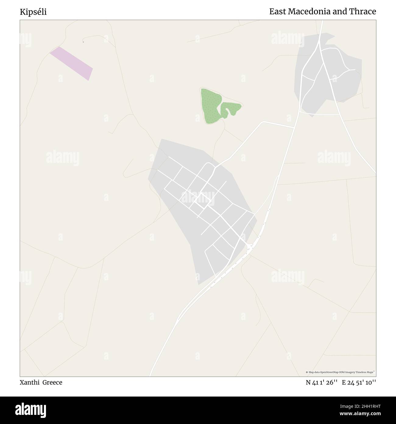 Kipséli, Xanthi, Greece, East Macedonia and Thrace, N 41 1' 26'', E 24 51' 10'', map, Timeless Map published in 2021. Travelers, explorers and adventurers like Florence Nightingale, David Livingstone, Ernest Shackleton, Lewis and Clark and Sherlock Holmes relied on maps to plan travels to the world's most remote corners, Timeless Maps is mapping most locations on the globe, showing the achievement of great dreams Stock Photohttps://www.alamy.com/image-license-details/?v=1https://www.alamy.com/kipsli-xanthi-greece-east-macedonia-and-thrace-n-41-1-26-e-24-51-10-map-timeless-map-published-in-2021-travelers-explorers-and-adventurers-like-florence-nightingale-david-livingstone-ernest-shackleton-lewis-and-clark-and-sherlock-holmes-relied-on-maps-to-plan-travels-to-the-worlds-most-remote-corners-timeless-maps-is-mapping-most-locations-on-the-globe-showing-the-achievement-of-great-dreams-image457959204.html
RM2HH1RHT–Kipséli, Xanthi, Greece, East Macedonia and Thrace, N 41 1' 26'', E 24 51' 10'', map, Timeless Map published in 2021. Travelers, explorers and adventurers like Florence Nightingale, David Livingstone, Ernest Shackleton, Lewis and Clark and Sherlock Holmes relied on maps to plan travels to the world's most remote corners, Timeless Maps is mapping most locations on the globe, showing the achievement of great dreams
 Zoom in on Eastern Macedonia and Thrace (decentralized administration of Greece) outlined. Oblique perspective. Topographic relief map with surface wa Stock Photohttps://www.alamy.com/image-license-details/?v=1https://www.alamy.com/zoom-in-on-eastern-macedonia-and-thrace-decentralized-administration-of-greece-outlined-oblique-perspective-topographic-relief-map-with-surface-wa-image364315143.html
RF2C4KYK3–Zoom in on Eastern Macedonia and Thrace (decentralized administration of Greece) outlined. Oblique perspective. Topographic relief map with surface wa
 Kóvalo, Nomós Rodópis, Greece, East Macedonia and Thrace, N 41 12' 28'', E 25 41' 32'', map, Timeless Map published in 2021. Travelers, explorers and adventurers like Florence Nightingale, David Livingstone, Ernest Shackleton, Lewis and Clark and Sherlock Holmes relied on maps to plan travels to the world's most remote corners, Timeless Maps is mapping most locations on the globe, showing the achievement of great dreams Stock Photohttps://www.alamy.com/image-license-details/?v=1https://www.alamy.com/kvalo-noms-rodpis-greece-east-macedonia-and-thrace-n-41-12-28-e-25-41-32-map-timeless-map-published-in-2021-travelers-explorers-and-adventurers-like-florence-nightingale-david-livingstone-ernest-shackleton-lewis-and-clark-and-sherlock-holmes-relied-on-maps-to-plan-travels-to-the-worlds-most-remote-corners-timeless-maps-is-mapping-most-locations-on-the-globe-showing-the-achievement-of-great-dreams-image457959080.html
RM2HH1RDC–Kóvalo, Nomós Rodópis, Greece, East Macedonia and Thrace, N 41 12' 28'', E 25 41' 32'', map, Timeless Map published in 2021. Travelers, explorers and adventurers like Florence Nightingale, David Livingstone, Ernest Shackleton, Lewis and Clark and Sherlock Holmes relied on maps to plan travels to the world's most remote corners, Timeless Maps is mapping most locations on the globe, showing the achievement of great dreams
 Zoom in on Eastern Macedonia and Thrace (decentralized administration of Greece) extruded. Oblique perspective. Topographic relief map with surface wa Stock Photohttps://www.alamy.com/image-license-details/?v=1https://www.alamy.com/zoom-in-on-eastern-macedonia-and-thrace-decentralized-administration-of-greece-extruded-oblique-perspective-topographic-relief-map-with-surface-wa-image364315125.html
RF2C4KYJD–Zoom in on Eastern Macedonia and Thrace (decentralized administration of Greece) extruded. Oblique perspective. Topographic relief map with surface wa
 Fylaktó, Evros, Greece, East Macedonia and Thrace, N 41 3' 14'', E 26 16' 25'', map, Timeless Map published in 2021. Travelers, explorers and adventurers like Florence Nightingale, David Livingstone, Ernest Shackleton, Lewis and Clark and Sherlock Holmes relied on maps to plan travels to the world's most remote corners, Timeless Maps is mapping most locations on the globe, showing the achievement of great dreams Stock Photohttps://www.alamy.com/image-license-details/?v=1https://www.alamy.com/fylakt-evros-greece-east-macedonia-and-thrace-n-41-3-14-e-26-16-25-map-timeless-map-published-in-2021-travelers-explorers-and-adventurers-like-florence-nightingale-david-livingstone-ernest-shackleton-lewis-and-clark-and-sherlock-holmes-relied-on-maps-to-plan-travels-to-the-worlds-most-remote-corners-timeless-maps-is-mapping-most-locations-on-the-globe-showing-the-achievement-of-great-dreams-image457959748.html
RM2HH1T98–Fylaktó, Evros, Greece, East Macedonia and Thrace, N 41 3' 14'', E 26 16' 25'', map, Timeless Map published in 2021. Travelers, explorers and adventurers like Florence Nightingale, David Livingstone, Ernest Shackleton, Lewis and Clark and Sherlock Holmes relied on maps to plan travels to the world's most remote corners, Timeless Maps is mapping most locations on the globe, showing the achievement of great dreams
 Zoom in on Eastern Macedonia and Thrace (decentralized administration of Greece) extruded. Oblique perspective. Bilevel elevation map with surface wat Stock Photohttps://www.alamy.com/image-license-details/?v=1https://www.alamy.com/zoom-in-on-eastern-macedonia-and-thrace-decentralized-administration-of-greece-extruded-oblique-perspective-bilevel-elevation-map-with-surface-wat-image364315146.html
RF2C4KYK6–Zoom in on Eastern Macedonia and Thrace (decentralized administration of Greece) extruded. Oblique perspective. Bilevel elevation map with surface wat
 Kikidio, Nomós Rodópis, Greece, East Macedonia and Thrace, N 41 6' 26'', E 25 25' 55'', map, Timeless Map published in 2021. Travelers, explorers and adventurers like Florence Nightingale, David Livingstone, Ernest Shackleton, Lewis and Clark and Sherlock Holmes relied on maps to plan travels to the world's most remote corners, Timeless Maps is mapping most locations on the globe, showing the achievement of great dreams Stock Photohttps://www.alamy.com/image-license-details/?v=1https://www.alamy.com/kikidio-noms-rodpis-greece-east-macedonia-and-thrace-n-41-6-26-e-25-25-55-map-timeless-map-published-in-2021-travelers-explorers-and-adventurers-like-florence-nightingale-david-livingstone-ernest-shackleton-lewis-and-clark-and-sherlock-holmes-relied-on-maps-to-plan-travels-to-the-worlds-most-remote-corners-timeless-maps-is-mapping-most-locations-on-the-globe-showing-the-achievement-of-great-dreams-image457959238.html
RM2HH1RK2–Kikidio, Nomós Rodópis, Greece, East Macedonia and Thrace, N 41 6' 26'', E 25 25' 55'', map, Timeless Map published in 2021. Travelers, explorers and adventurers like Florence Nightingale, David Livingstone, Ernest Shackleton, Lewis and Clark and Sherlock Holmes relied on maps to plan travels to the world's most remote corners, Timeless Maps is mapping most locations on the globe, showing the achievement of great dreams
 Eastern Macedonia and Thrace, decentralized administration of Greece. Open Street Map Stock Photohttps://www.alamy.com/image-license-details/?v=1https://www.alamy.com/eastern-macedonia-and-thrace-decentralized-administration-of-greece-open-street-map-image484667529.html
RF2K4EEAH–Eastern Macedonia and Thrace, decentralized administration of Greece. Open Street Map
 Diásparto, Xanthi, Greece, East Macedonia and Thrace, N 41 23' 2'', E 24 55' 43'', map, Timeless Map published in 2021. Travelers, explorers and adventurers like Florence Nightingale, David Livingstone, Ernest Shackleton, Lewis and Clark and Sherlock Holmes relied on maps to plan travels to the world's most remote corners, Timeless Maps is mapping most locations on the globe, showing the achievement of great dreams Stock Photohttps://www.alamy.com/image-license-details/?v=1https://www.alamy.com/disparto-xanthi-greece-east-macedonia-and-thrace-n-41-23-2-e-24-55-43-map-timeless-map-published-in-2021-travelers-explorers-and-adventurers-like-florence-nightingale-david-livingstone-ernest-shackleton-lewis-and-clark-and-sherlock-holmes-relied-on-maps-to-plan-travels-to-the-worlds-most-remote-corners-timeless-maps-is-mapping-most-locations-on-the-globe-showing-the-achievement-of-great-dreams-image457959945.html
RM2HH1TG9–Diásparto, Xanthi, Greece, East Macedonia and Thrace, N 41 23' 2'', E 24 55' 43'', map, Timeless Map published in 2021. Travelers, explorers and adventurers like Florence Nightingale, David Livingstone, Ernest Shackleton, Lewis and Clark and Sherlock Holmes relied on maps to plan travels to the world's most remote corners, Timeless Maps is mapping most locations on the globe, showing the achievement of great dreams
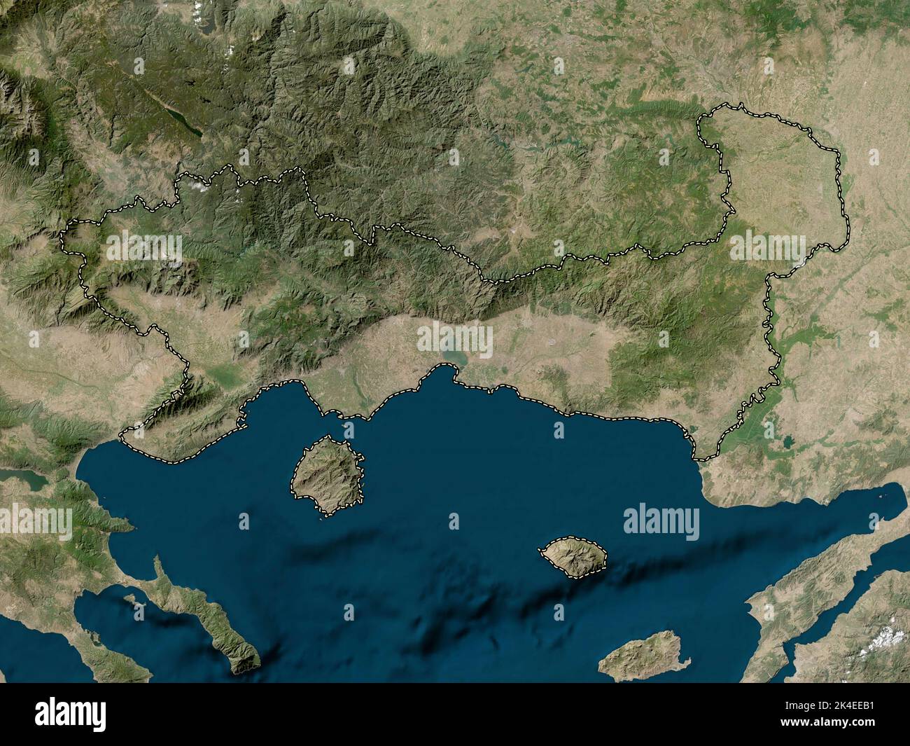 Eastern Macedonia and Thrace, decentralized administration of Greece. Low resolution satellite map Stock Photohttps://www.alamy.com/image-license-details/?v=1https://www.alamy.com/eastern-macedonia-and-thrace-decentralized-administration-of-greece-low-resolution-satellite-map-image484667541.html
RF2K4EEB1–Eastern Macedonia and Thrace, decentralized administration of Greece. Low resolution satellite map
 Sálpi, Nomós Rodópis, Greece, East Macedonia and Thrace, N 41 3' 6'', E 25 11' 27'', map, Timeless Map published in 2021. Travelers, explorers and adventurers like Florence Nightingale, David Livingstone, Ernest Shackleton, Lewis and Clark and Sherlock Holmes relied on maps to plan travels to the world's most remote corners, Timeless Maps is mapping most locations on the globe, showing the achievement of great dreams Stock Photohttps://www.alamy.com/image-license-details/?v=1https://www.alamy.com/slpi-noms-rodpis-greece-east-macedonia-and-thrace-n-41-3-6-e-25-11-27-map-timeless-map-published-in-2021-travelers-explorers-and-adventurers-like-florence-nightingale-david-livingstone-ernest-shackleton-lewis-and-clark-and-sherlock-holmes-relied-on-maps-to-plan-travels-to-the-worlds-most-remote-corners-timeless-maps-is-mapping-most-locations-on-the-globe-showing-the-achievement-of-great-dreams-image457957747.html
RM2HH1NNR–Sálpi, Nomós Rodópis, Greece, East Macedonia and Thrace, N 41 3' 6'', E 25 11' 27'', map, Timeless Map published in 2021. Travelers, explorers and adventurers like Florence Nightingale, David Livingstone, Ernest Shackleton, Lewis and Clark and Sherlock Holmes relied on maps to plan travels to the world's most remote corners, Timeless Maps is mapping most locations on the globe, showing the achievement of great dreams
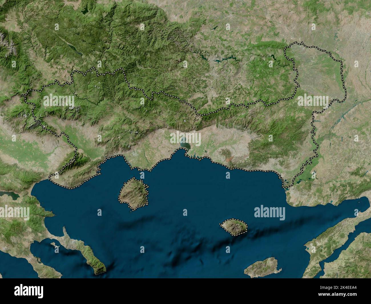 Eastern Macedonia and Thrace, decentralized administration of Greece. High resolution satellite map Stock Photohttps://www.alamy.com/image-license-details/?v=1https://www.alamy.com/eastern-macedonia-and-thrace-decentralized-administration-of-greece-high-resolution-satellite-map-image484667516.html
RF2K4EEA4–Eastern Macedonia and Thrace, decentralized administration of Greece. High resolution satellite map
 Kýknos, Xanthi, Greece, East Macedonia and Thrace, N 41 15' 33'', E 24 52' 15'', map, Timeless Map published in 2021. Travelers, explorers and adventurers like Florence Nightingale, David Livingstone, Ernest Shackleton, Lewis and Clark and Sherlock Holmes relied on maps to plan travels to the world's most remote corners, Timeless Maps is mapping most locations on the globe, showing the achievement of great dreams Stock Photohttps://www.alamy.com/image-license-details/?v=1https://www.alamy.com/kknos-xanthi-greece-east-macedonia-and-thrace-n-41-15-33-e-24-52-15-map-timeless-map-published-in-2021-travelers-explorers-and-adventurers-like-florence-nightingale-david-livingstone-ernest-shackleton-lewis-and-clark-and-sherlock-holmes-relied-on-maps-to-plan-travels-to-the-worlds-most-remote-corners-timeless-maps-is-mapping-most-locations-on-the-globe-showing-the-achievement-of-great-dreams-image457959240.html
RM2HH1RK4–Kýknos, Xanthi, Greece, East Macedonia and Thrace, N 41 15' 33'', E 24 52' 15'', map, Timeless Map published in 2021. Travelers, explorers and adventurers like Florence Nightingale, David Livingstone, Ernest Shackleton, Lewis and Clark and Sherlock Holmes relied on maps to plan travels to the world's most remote corners, Timeless Maps is mapping most locations on the globe, showing the achievement of great dreams
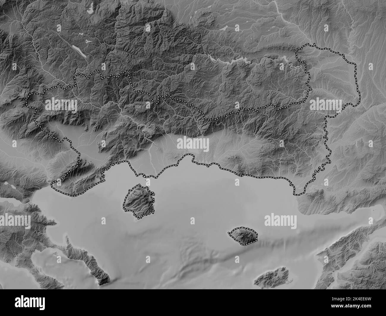 Eastern Macedonia and Thrace, decentralized administration of Greece. Grayscale elevation map with lakes and rivers Stock Photohttps://www.alamy.com/image-license-details/?v=1https://www.alamy.com/eastern-macedonia-and-thrace-decentralized-administration-of-greece-grayscale-elevation-map-with-lakes-and-rivers-image484667425.html
RF2K4EE6W–Eastern Macedonia and Thrace, decentralized administration of Greece. Grayscale elevation map with lakes and rivers
 Kými, Nomós Rodópis, Greece, East Macedonia and Thrace, N 41 18' 14'', E 25 40' 16'', map, Timeless Map published in 2021. Travelers, explorers and adventurers like Florence Nightingale, David Livingstone, Ernest Shackleton, Lewis and Clark and Sherlock Holmes relied on maps to plan travels to the world's most remote corners, Timeless Maps is mapping most locations on the globe, showing the achievement of great dreams Stock Photohttps://www.alamy.com/image-license-details/?v=1https://www.alamy.com/kmi-noms-rodpis-greece-east-macedonia-and-thrace-n-41-18-14-e-25-40-16-map-timeless-map-published-in-2021-travelers-explorers-and-adventurers-like-florence-nightingale-david-livingstone-ernest-shackleton-lewis-and-clark-and-sherlock-holmes-relied-on-maps-to-plan-travels-to-the-worlds-most-remote-corners-timeless-maps-is-mapping-most-locations-on-the-globe-showing-the-achievement-of-great-dreams-image457959228.html
RM2HH1RJM–Kými, Nomós Rodópis, Greece, East Macedonia and Thrace, N 41 18' 14'', E 25 40' 16'', map, Timeless Map published in 2021. Travelers, explorers and adventurers like Florence Nightingale, David Livingstone, Ernest Shackleton, Lewis and Clark and Sherlock Holmes relied on maps to plan travels to the world's most remote corners, Timeless Maps is mapping most locations on the globe, showing the achievement of great dreams
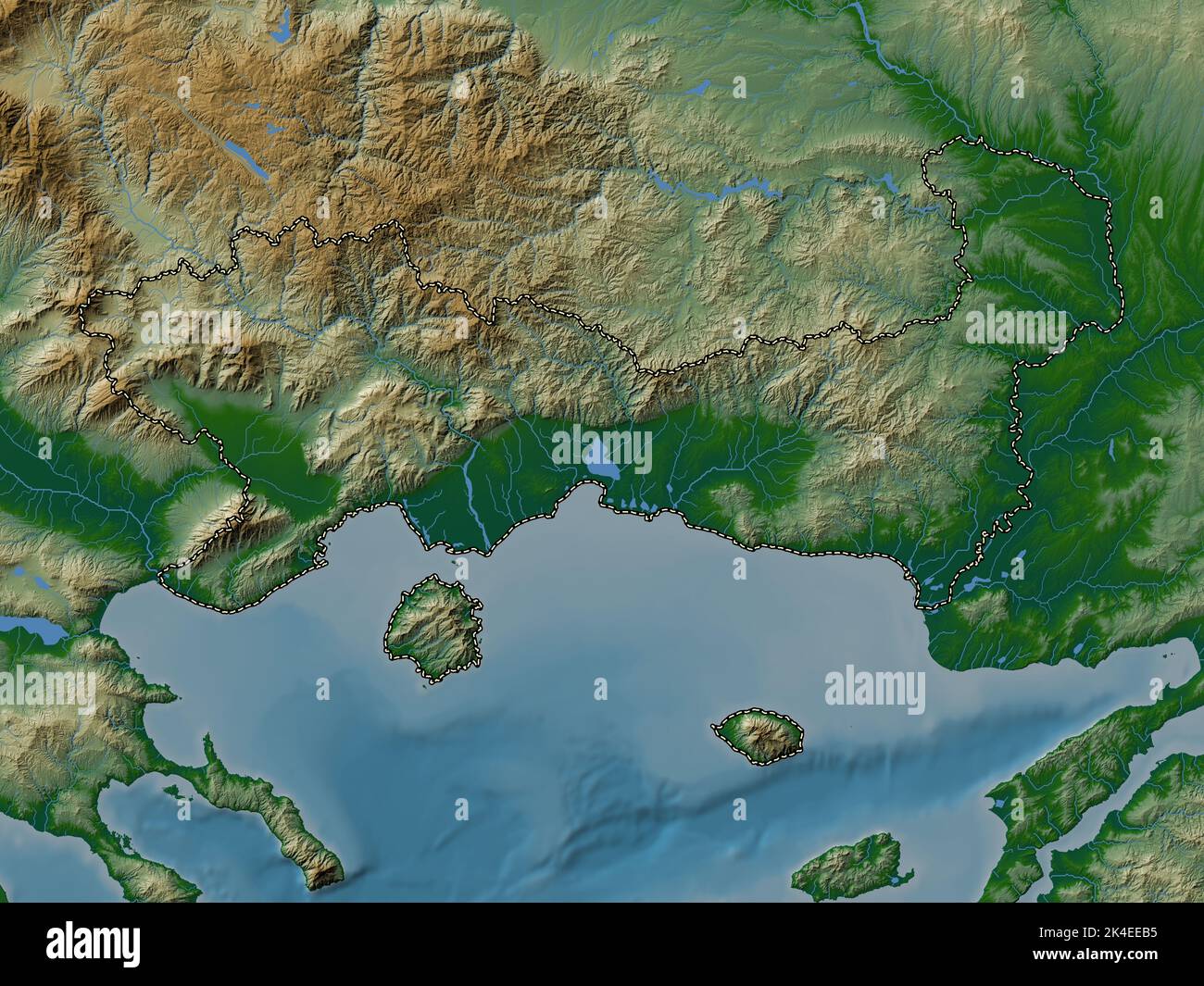 Eastern Macedonia and Thrace, decentralized administration of Greece. Colored elevation map with lakes and rivers Stock Photohttps://www.alamy.com/image-license-details/?v=1https://www.alamy.com/eastern-macedonia-and-thrace-decentralized-administration-of-greece-colored-elevation-map-with-lakes-and-rivers-image484667545.html
RF2K4EEB5–Eastern Macedonia and Thrace, decentralized administration of Greece. Colored elevation map with lakes and rivers
 Ragáda, Nomós Rodópis, Greece, East Macedonia and Thrace, N 41 13' 3'', E 25 43' 43'', map, Timeless Map published in 2021. Travelers, explorers and adventurers like Florence Nightingale, David Livingstone, Ernest Shackleton, Lewis and Clark and Sherlock Holmes relied on maps to plan travels to the world's most remote corners, Timeless Maps is mapping most locations on the globe, showing the achievement of great dreams Stock Photohttps://www.alamy.com/image-license-details/?v=1https://www.alamy.com/ragda-noms-rodpis-greece-east-macedonia-and-thrace-n-41-13-3-e-25-43-43-map-timeless-map-published-in-2021-travelers-explorers-and-adventurers-like-florence-nightingale-david-livingstone-ernest-shackleton-lewis-and-clark-and-sherlock-holmes-relied-on-maps-to-plan-travels-to-the-worlds-most-remote-corners-timeless-maps-is-mapping-most-locations-on-the-globe-showing-the-achievement-of-great-dreams-image457957741.html
RM2HH1NNH–Ragáda, Nomós Rodópis, Greece, East Macedonia and Thrace, N 41 13' 3'', E 25 43' 43'', map, Timeless Map published in 2021. Travelers, explorers and adventurers like Florence Nightingale, David Livingstone, Ernest Shackleton, Lewis and Clark and Sherlock Holmes relied on maps to plan travels to the world's most remote corners, Timeless Maps is mapping most locations on the globe, showing the achievement of great dreams
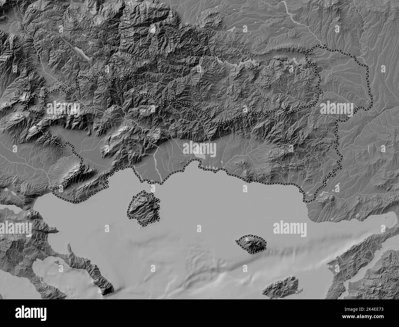 Eastern Macedonia and Thrace, decentralized administration of Greece. Bilevel elevation map with lakes and rivers Stock Photohttps://www.alamy.com/image-license-details/?v=1https://www.alamy.com/eastern-macedonia-and-thrace-decentralized-administration-of-greece-bilevel-elevation-map-with-lakes-and-rivers-image484667431.html
RF2K4EE73–Eastern Macedonia and Thrace, decentralized administration of Greece. Bilevel elevation map with lakes and rivers
 Poimenikó, Evros, Greece, East Macedonia and Thrace, N 41 27' 36'', E 26 23' 1'', map, Timeless Map published in 2021. Travelers, explorers and adventurers like Florence Nightingale, David Livingstone, Ernest Shackleton, Lewis and Clark and Sherlock Holmes relied on maps to plan travels to the world's most remote corners, Timeless Maps is mapping most locations on the globe, showing the achievement of great dreams Stock Photohttps://www.alamy.com/image-license-details/?v=1https://www.alamy.com/poimenik-evros-greece-east-macedonia-and-thrace-n-41-27-36-e-26-23-1-map-timeless-map-published-in-2021-travelers-explorers-and-adventurers-like-florence-nightingale-david-livingstone-ernest-shackleton-lewis-and-clark-and-sherlock-holmes-relied-on-maps-to-plan-travels-to-the-worlds-most-remote-corners-timeless-maps-is-mapping-most-locations-on-the-globe-showing-the-achievement-of-great-dreams-image457957902.html
RM2HH1NYA–Poimenikó, Evros, Greece, East Macedonia and Thrace, N 41 27' 36'', E 26 23' 1'', map, Timeless Map published in 2021. Travelers, explorers and adventurers like Florence Nightingale, David Livingstone, Ernest Shackleton, Lewis and Clark and Sherlock Holmes relied on maps to plan travels to the world's most remote corners, Timeless Maps is mapping most locations on the globe, showing the achievement of great dreams
 Eastern Macedonia and Thrace, decentralized administration of Greece. Open Street Map. Corner auxiliary location maps Stock Photohttps://www.alamy.com/image-license-details/?v=1https://www.alamy.com/eastern-macedonia-and-thrace-decentralized-administration-of-greece-open-street-map-corner-auxiliary-location-maps-image484667539.html
RF2K4EEAY–Eastern Macedonia and Thrace, decentralized administration of Greece. Open Street Map. Corner auxiliary location maps
 Komotini, Nomós Rodópis, Greece, East Macedonia and Thrace, N 41 7' 9'', E 25 24' 19'', map, Timeless Map published in 2021. Travelers, explorers and adventurers like Florence Nightingale, David Livingstone, Ernest Shackleton, Lewis and Clark and Sherlock Holmes relied on maps to plan travels to the world's most remote corners, Timeless Maps is mapping most locations on the globe, showing the achievement of great dreams Stock Photohttps://www.alamy.com/image-license-details/?v=1https://www.alamy.com/komotini-noms-rodpis-greece-east-macedonia-and-thrace-n-41-7-9-e-25-24-19-map-timeless-map-published-in-2021-travelers-explorers-and-adventurers-like-florence-nightingale-david-livingstone-ernest-shackleton-lewis-and-clark-and-sherlock-holmes-relied-on-maps-to-plan-travels-to-the-worlds-most-remote-corners-timeless-maps-is-mapping-most-locations-on-the-globe-showing-the-achievement-of-great-dreams-image457959193.html
RM2HH1RHD–Komotini, Nomós Rodópis, Greece, East Macedonia and Thrace, N 41 7' 9'', E 25 24' 19'', map, Timeless Map published in 2021. Travelers, explorers and adventurers like Florence Nightingale, David Livingstone, Ernest Shackleton, Lewis and Clark and Sherlock Holmes relied on maps to plan travels to the world's most remote corners, Timeless Maps is mapping most locations on the globe, showing the achievement of great dreams
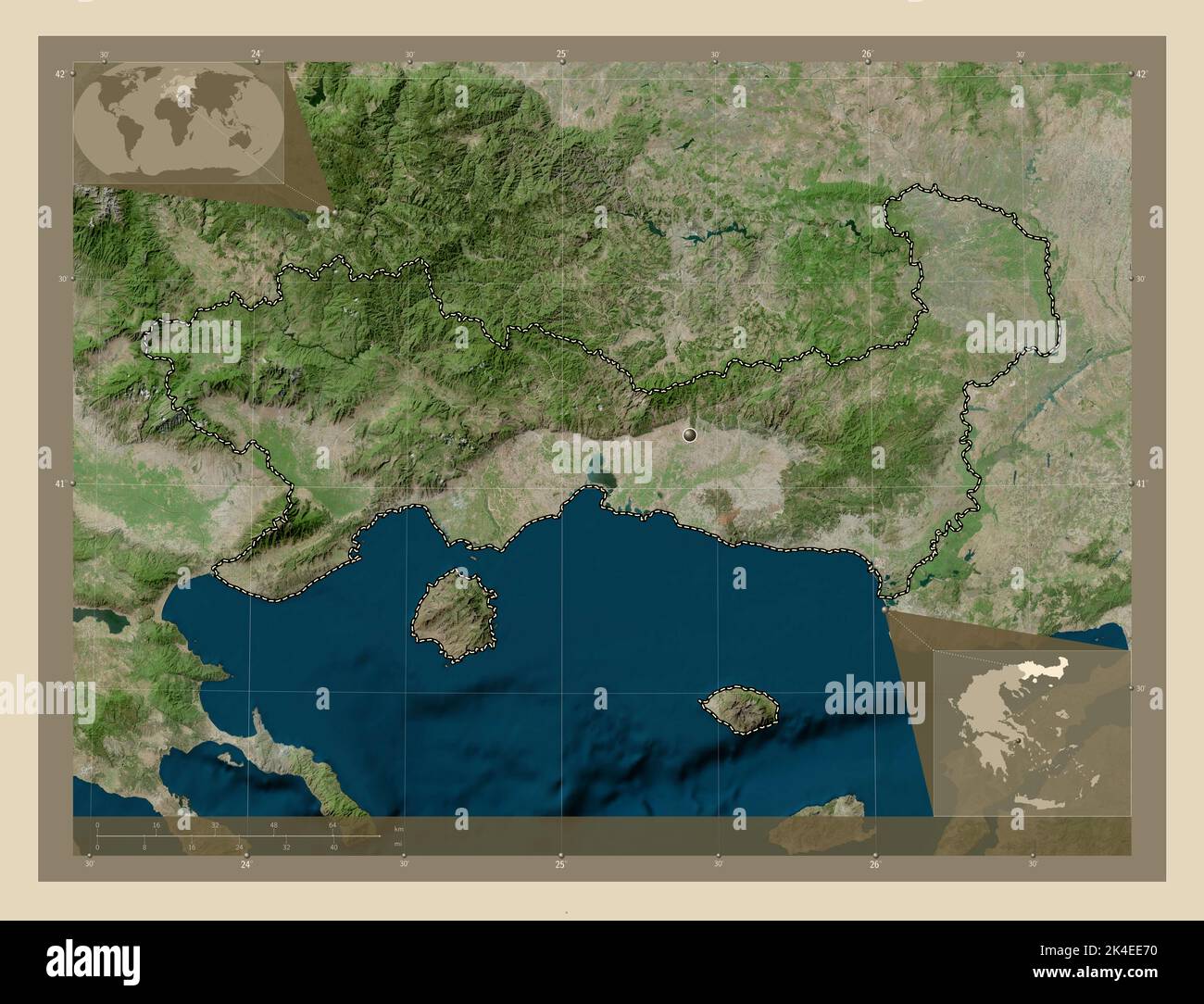 Eastern Macedonia and Thrace, decentralized administration of Greece. High resolution satellite map. Corner auxiliary location maps Stock Photohttps://www.alamy.com/image-license-details/?v=1https://www.alamy.com/eastern-macedonia-and-thrace-decentralized-administration-of-greece-high-resolution-satellite-map-corner-auxiliary-location-maps-image484667428.html
RF2K4EE70–Eastern Macedonia and Thrace, decentralized administration of Greece. High resolution satellite map. Corner auxiliary location maps
 Néa Iraklítsa, Kavala, Greece, East Macedonia and Thrace, N 40 51' 51'', E 24 18' 59'', map, Timeless Map published in 2021. Travelers, explorers and adventurers like Florence Nightingale, David Livingstone, Ernest Shackleton, Lewis and Clark and Sherlock Holmes relied on maps to plan travels to the world's most remote corners, Timeless Maps is mapping most locations on the globe, showing the achievement of great dreams Stock Photohttps://www.alamy.com/image-license-details/?v=1https://www.alamy.com/na-irakltsa-kavala-greece-east-macedonia-and-thrace-n-40-51-51-e-24-18-59-map-timeless-map-published-in-2021-travelers-explorers-and-adventurers-like-florence-nightingale-david-livingstone-ernest-shackleton-lewis-and-clark-and-sherlock-holmes-relied-on-maps-to-plan-travels-to-the-worlds-most-remote-corners-timeless-maps-is-mapping-most-locations-on-the-globe-showing-the-achievement-of-great-dreams-image457958522.html
RM2HH1PNE–Néa Iraklítsa, Kavala, Greece, East Macedonia and Thrace, N 40 51' 51'', E 24 18' 59'', map, Timeless Map published in 2021. Travelers, explorers and adventurers like Florence Nightingale, David Livingstone, Ernest Shackleton, Lewis and Clark and Sherlock Holmes relied on maps to plan travels to the world's most remote corners, Timeless Maps is mapping most locations on the globe, showing the achievement of great dreams