Quick filters:
Map of darlington Stock Photos and Images
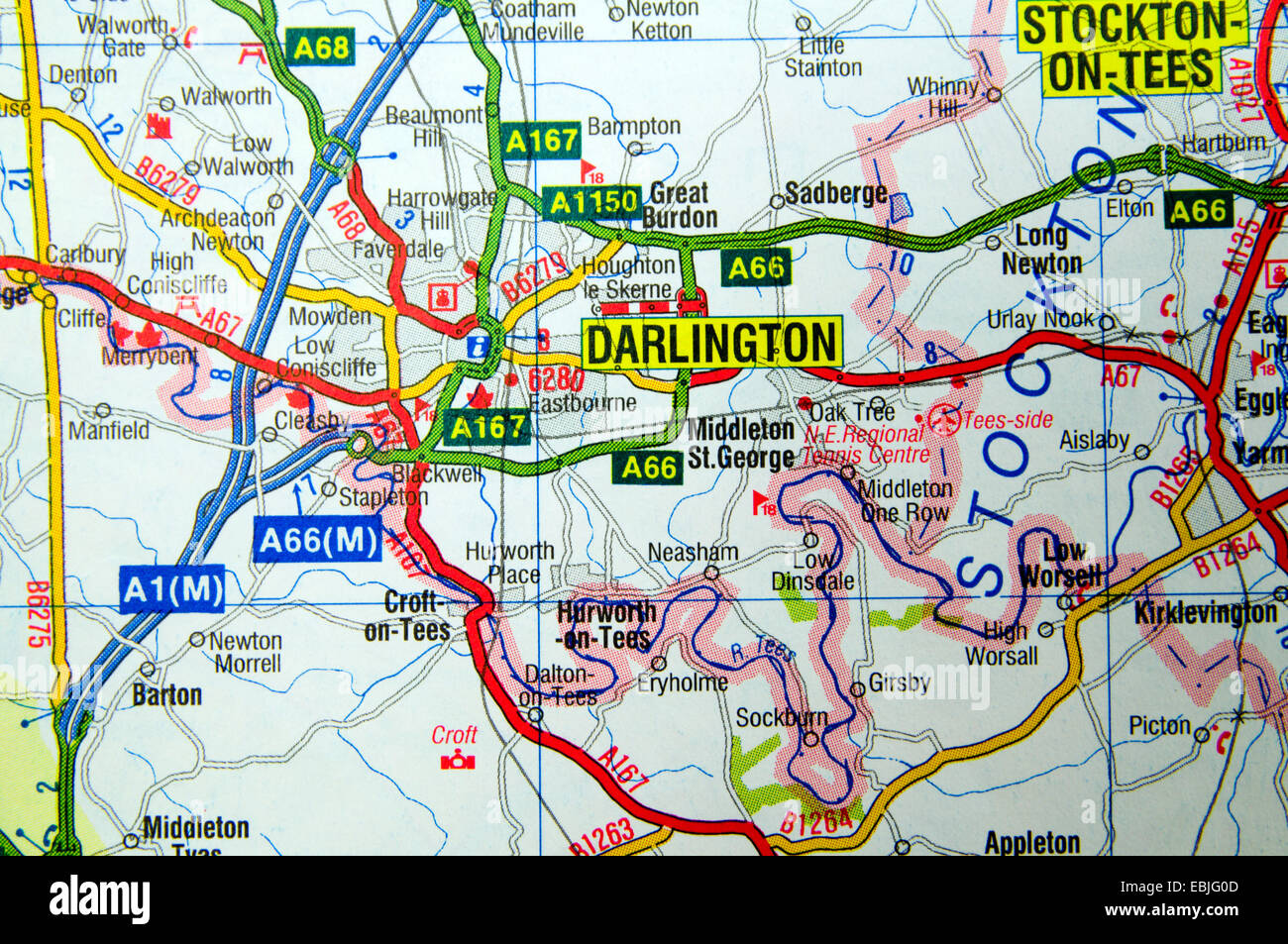 Road Map of Darlington Northern England Stock Photohttps://www.alamy.com/image-license-details/?v=1https://www.alamy.com/stock-photo-road-map-of-darlington-northern-england-76010381.html
RMEBJG0D–Road Map of Darlington Northern England
 Darlington Saskatchewan Canada Shown on a road map or Geography map Stock Photohttps://www.alamy.com/image-license-details/?v=1https://www.alamy.com/darlington-saskatchewan-canada-shown-on-a-road-map-or-geography-map-image438949537.html
RM2GE3TH5–Darlington Saskatchewan Canada Shown on a road map or Geography map
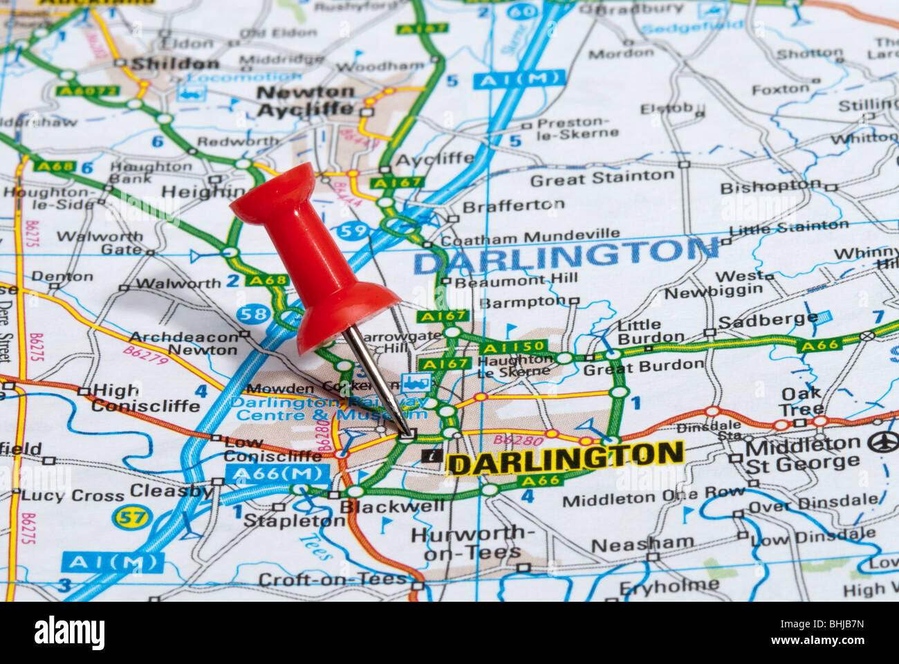 red map pin in road map pointing to city of Darlington Stock Photohttps://www.alamy.com/image-license-details/?v=1https://www.alamy.com/stock-photo-red-map-pin-in-road-map-pointing-to-city-of-darlington-28063497.html
RMBHJB7N–red map pin in road map pointing to city of Darlington
 Darlington Wisconsin USA shown on a road map or Geography map Stock Photohttps://www.alamy.com/image-license-details/?v=1https://www.alamy.com/darlington-wisconsin-usa-shown-on-a-road-map-or-geography-map-image437724017.html
RM2GC41CH–Darlington Wisconsin USA shown on a road map or Geography map
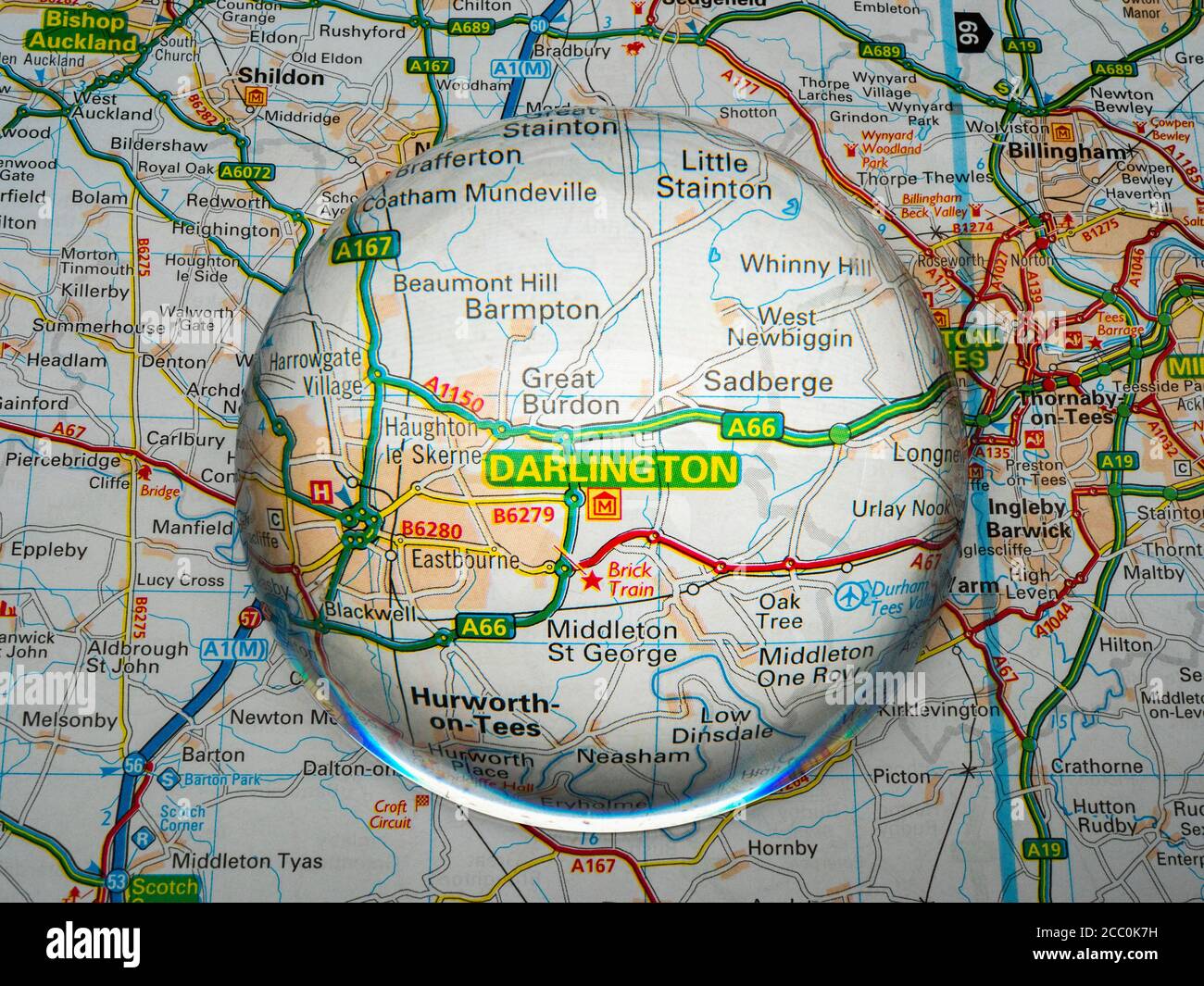 Closeup of a dome shaped magnifying glass over a page of a British road atlas map, with the Darlington area of England enlarged for a closer view. Stock Photohttps://www.alamy.com/image-license-details/?v=1https://www.alamy.com/closeup-of-a-dome-shaped-magnifying-glass-over-a-page-of-a-british-road-atlas-map-with-the-darlington-area-of-england-enlarged-for-a-closer-view-image368808709.html
RM2CC0K7H–Closeup of a dome shaped magnifying glass over a page of a British road atlas map, with the Darlington area of England enlarged for a closer view.
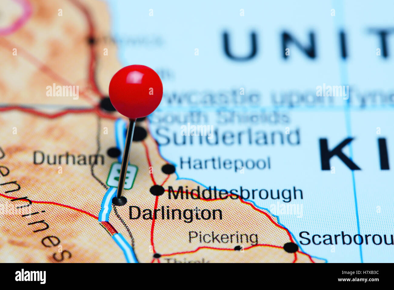 Darlington pinned on a map of UK Stock Photohttps://www.alamy.com/image-license-details/?v=1https://www.alamy.com/stock-photo-darlington-pinned-on-a-map-of-uk-125354640.html
RFH7XB3C–Darlington pinned on a map of UK
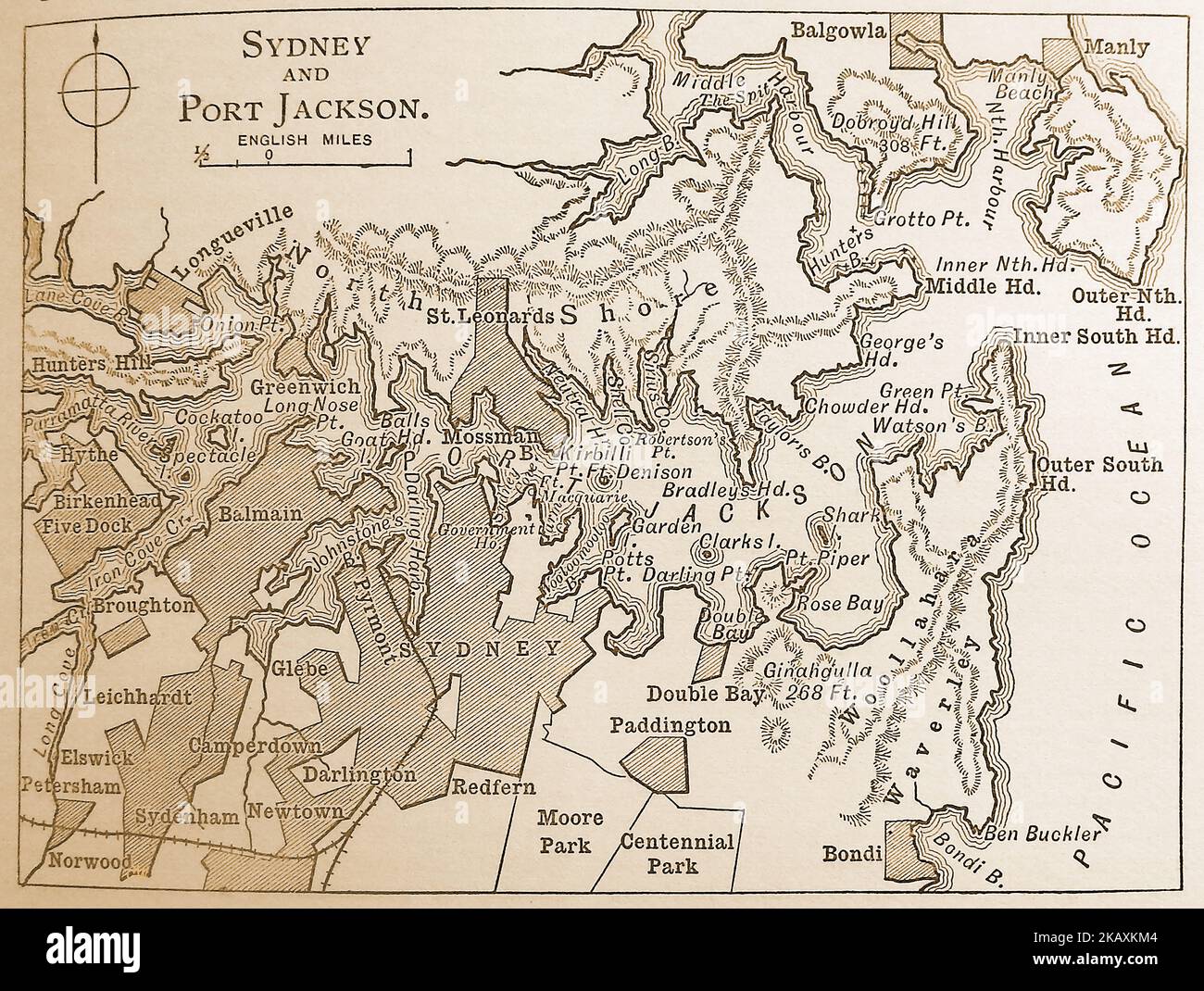 A late 19thcentury map of Sydney and Port Jackson regions Stock Photohttps://www.alamy.com/image-license-details/?v=1https://www.alamy.com/a-late-19thcentury-map-of-sydney-and-port-jackson-regions-image488623076.html
RM2KAXKM4–A late 19thcentury map of Sydney and Port Jackson regions
 View through departure lounge window, Teesside International Airport, Darlington, County Durham, England, UK Stock Photohttps://www.alamy.com/image-license-details/?v=1https://www.alamy.com/view-through-departure-lounge-window-teesside-international-airport-darlington-county-durham-england-uk-image632125537.html
RM2YMBPG1–View through departure lounge window, Teesside International Airport, Darlington, County Durham, England, UK
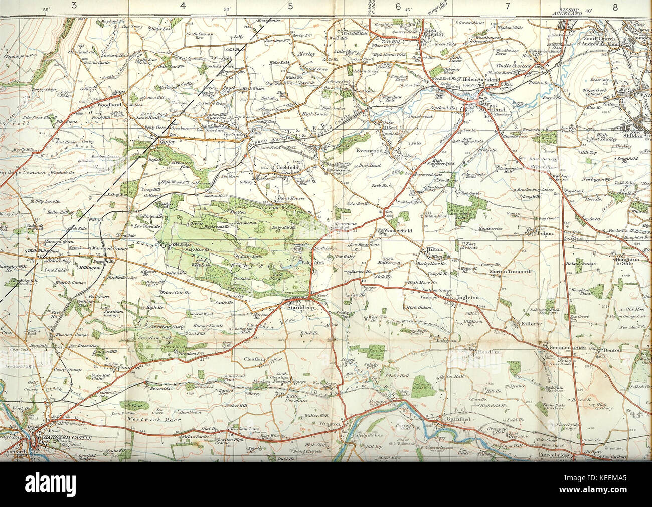 Ordnance Survey Popular Edition 1 map Darlington sheet 1925 a section Stock Photohttps://www.alamy.com/image-license-details/?v=1https://www.alamy.com/stock-image-ordnance-survey-popular-edition-1-map-darlington-sheet-1925-a-section-163821789.html
RMKEEMA5–Ordnance Survey Popular Edition 1 map Darlington sheet 1925 a section
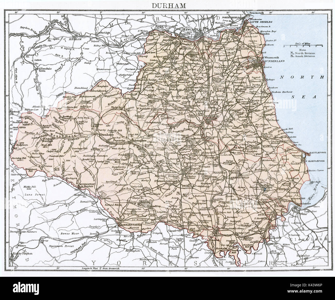 Antique map, circa 1875, of Durham Stock Photohttps://www.alamy.com/image-license-details/?v=1https://www.alamy.com/antique-map-circa-1875-of-durham-image157437582.html
RMK43W6P–Antique map, circa 1875, of Durham
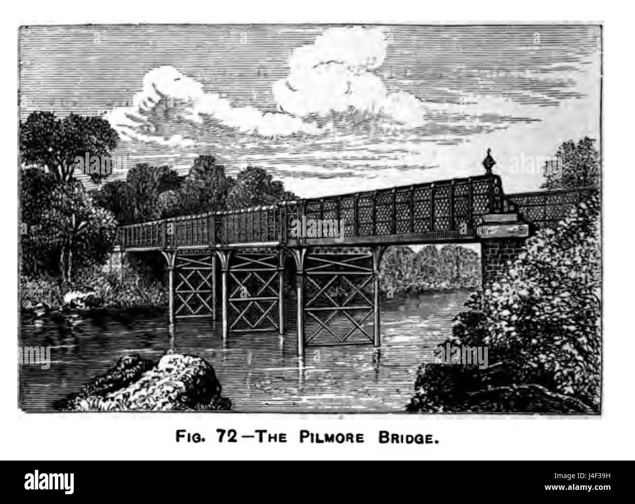 Pilmore bridge river Tees nr. Darlington Stock Photohttps://www.alamy.com/image-license-details/?v=1https://www.alamy.com/stock-photo-pilmore-bridge-river-tees-nr-darlington-140473469.html
RMJ4F39H–Pilmore bridge river Tees nr. Darlington
 2014-10-05-Allegheny-Cemetery-Darlington-01 Stock Photohttps://www.alamy.com/image-license-details/?v=1https://www.alamy.com/stock-photo-2014-10-05-allegheny-cemetery-darlington-01-146519461.html
RMJEAF1W–2014-10-05-Allegheny-Cemetery-Darlington-01
 Deaf Dumb and Blind Institute building Darlington May 1939 Stock Photohttps://www.alamy.com/image-license-details/?v=1https://www.alamy.com/stock-photo-deaf-dumb-and-blind-institute-building-darlington-may-1939-140470753.html
RMJ4EYTH–Deaf Dumb and Blind Institute building Darlington May 1939
 Darlington Range, , AU, Australia, Queensland, S 28 4' 50'', N 153 7' 12'', map, Cartascapes Map published in 2024. Explore Cartascapes, a map revealing Earth's diverse landscapes, cultures, and ecosystems. Journey through time and space, discovering the interconnectedness of our planet's past, present, and future. Stock Photohttps://www.alamy.com/image-license-details/?v=1https://www.alamy.com/darlington-range-au-australia-queensland-s-28-4-50-n-153-7-12-map-cartascapes-map-published-in-2024-explore-cartascapes-a-map-revealing-earths-diverse-landscapes-cultures-and-ecosystems-journey-through-time-and-space-discovering-the-interconnectedness-of-our-planets-past-present-and-future-image625832480.html
RM2YA53M0–Darlington Range, , AU, Australia, Queensland, S 28 4' 50'', N 153 7' 12'', map, Cartascapes Map published in 2024. Explore Cartascapes, a map revealing Earth's diverse landscapes, cultures, and ecosystems. Journey through time and space, discovering the interconnectedness of our planet's past, present, and future.
 General John Forbes from the Darlington Digital Collection University of Pittsburgh Stock Photohttps://www.alamy.com/image-license-details/?v=1https://www.alamy.com/stock-photo-general-john-forbes-from-the-darlington-digital-collection-university-139869166.html
RMJ3FGFA–General John Forbes from the Darlington Digital Collection University of Pittsburgh
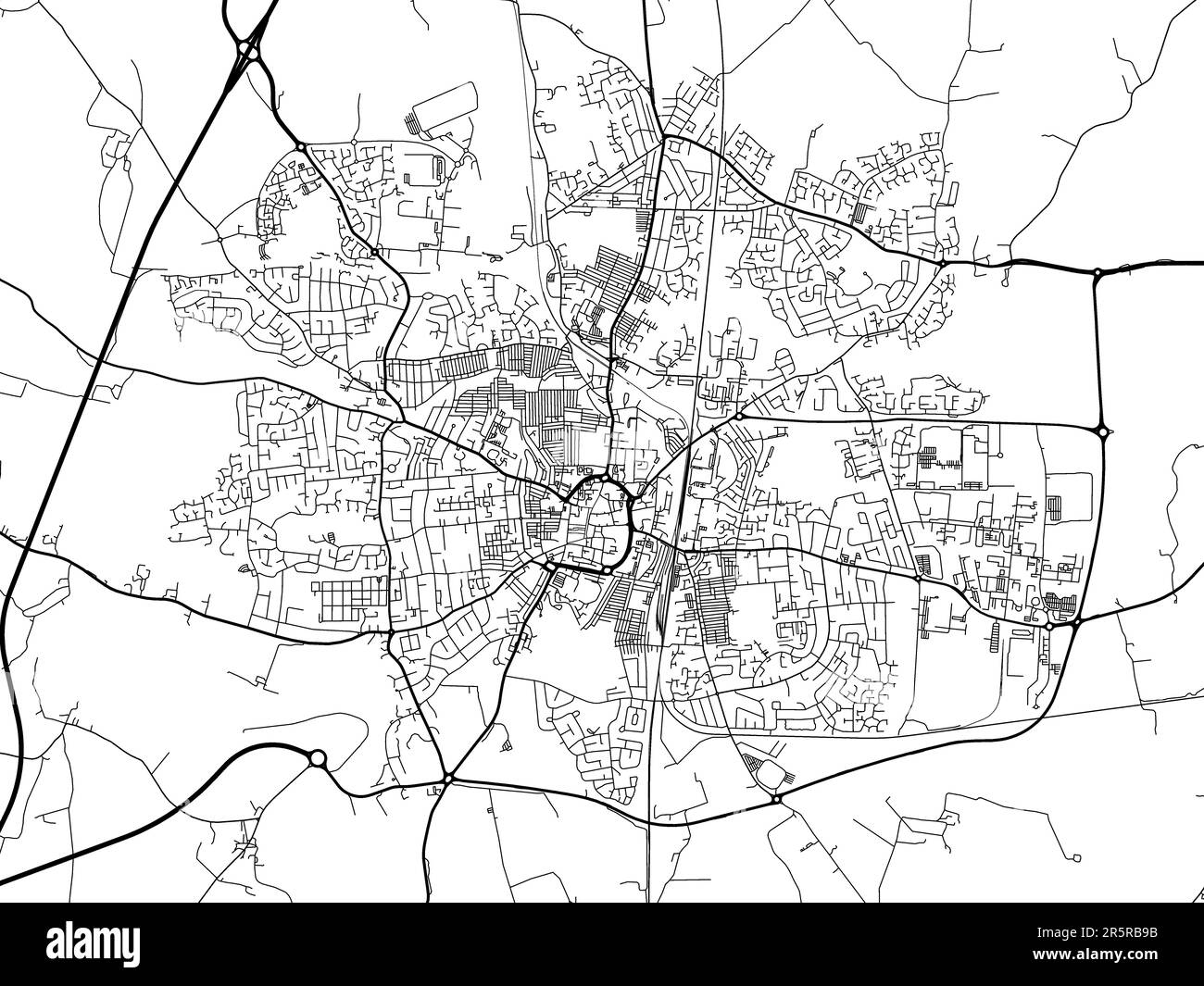 Road map of the city of Darlington in the United Kingdom on a white background. Stock Photohttps://www.alamy.com/image-license-details/?v=1https://www.alamy.com/road-map-of-the-city-of-darlington-in-the-united-kingdom-on-a-white-background-image554318839.html
RF2R5RB9B–Road map of the city of Darlington in the United Kingdom on a white background.
 Darlington Memorial Fountain Stock Photohttps://www.alamy.com/image-license-details/?v=1https://www.alamy.com/stock-image-darlington-memorial-fountain-162760011.html
RMKCPA1F–Darlington Memorial Fountain
 Sanborn Fire Insurance Map from Darlington, Lafayette County, Wisconsin. Stock Photohttps://www.alamy.com/image-license-details/?v=1https://www.alamy.com/sanborn-fire-insurance-map-from-darlington-lafayette-county-wisconsin-image456359023.html
RM2HECXGF–Sanborn Fire Insurance Map from Darlington, Lafayette County, Wisconsin.
 Darlington Memorial Fountain 5 Stock Photohttps://www.alamy.com/image-license-details/?v=1https://www.alamy.com/stock-image-darlington-memorial-fountain-5-162780174.html
RMKCR7NJ–Darlington Memorial Fountain 5
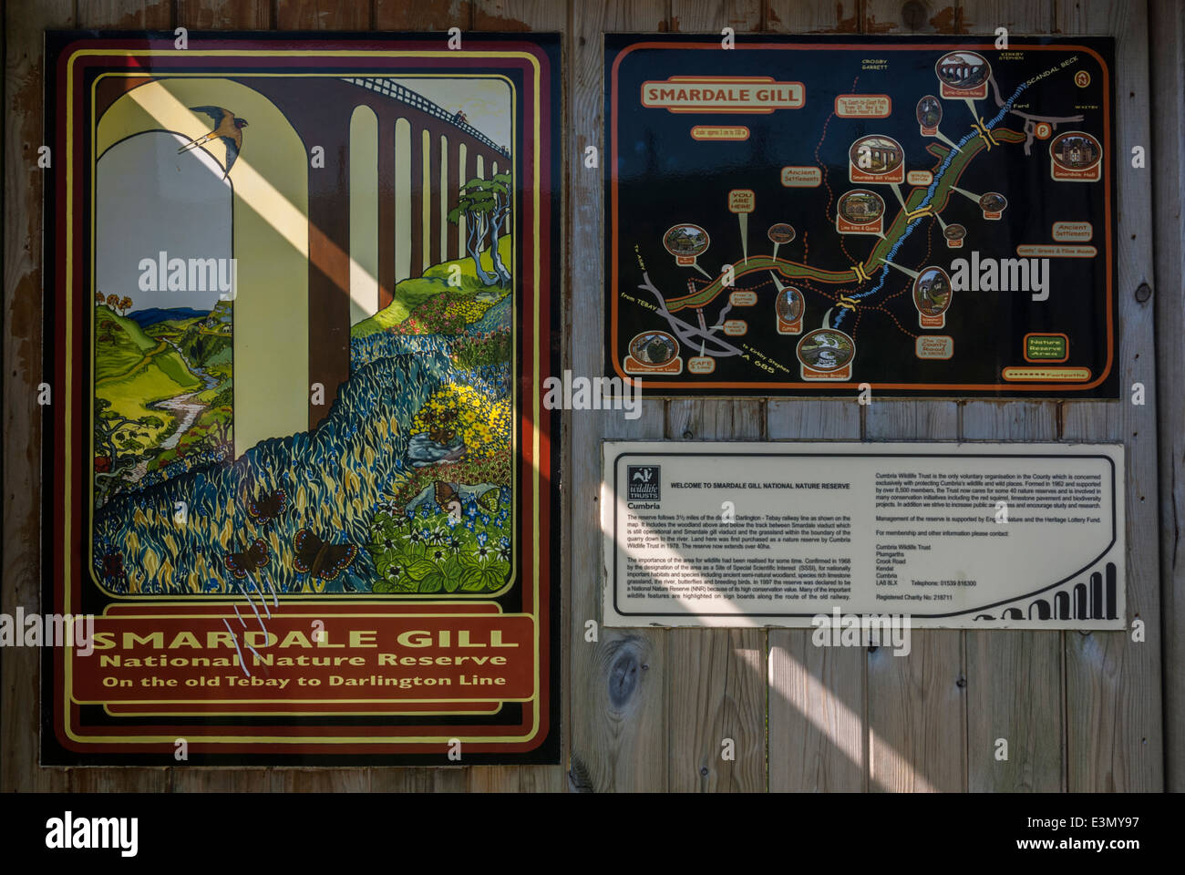 A noticeboard in the Smardale Gill National Nature Reserve. Part of the old Tebay to Darlington railway line Stock Photohttps://www.alamy.com/image-license-details/?v=1https://www.alamy.com/stock-photo-a-noticeboard-in-the-smardale-gill-national-nature-reserve-part-of-71145907.html
RME3MY97–A noticeboard in the Smardale Gill National Nature Reserve. Part of the old Tebay to Darlington railway line
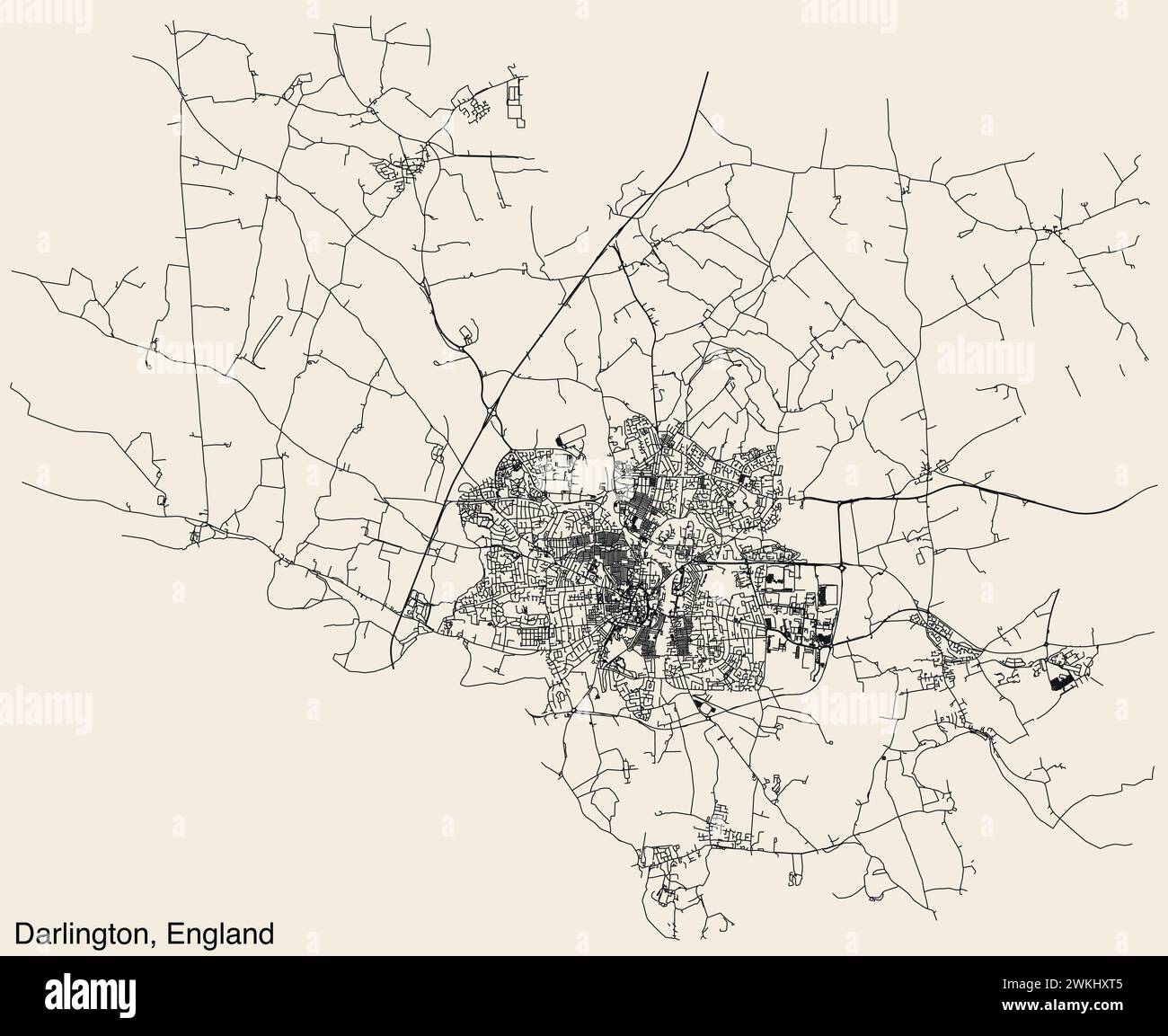 Street roads map of the British town of DARLINGTON, ENGLAND Stock Vectorhttps://www.alamy.com/image-license-details/?v=1https://www.alamy.com/street-roads-map-of-the-british-town-of-darlington-england-image597225221.html
RF2WKHXT5–Street roads map of the British town of DARLINGTON, ENGLAND
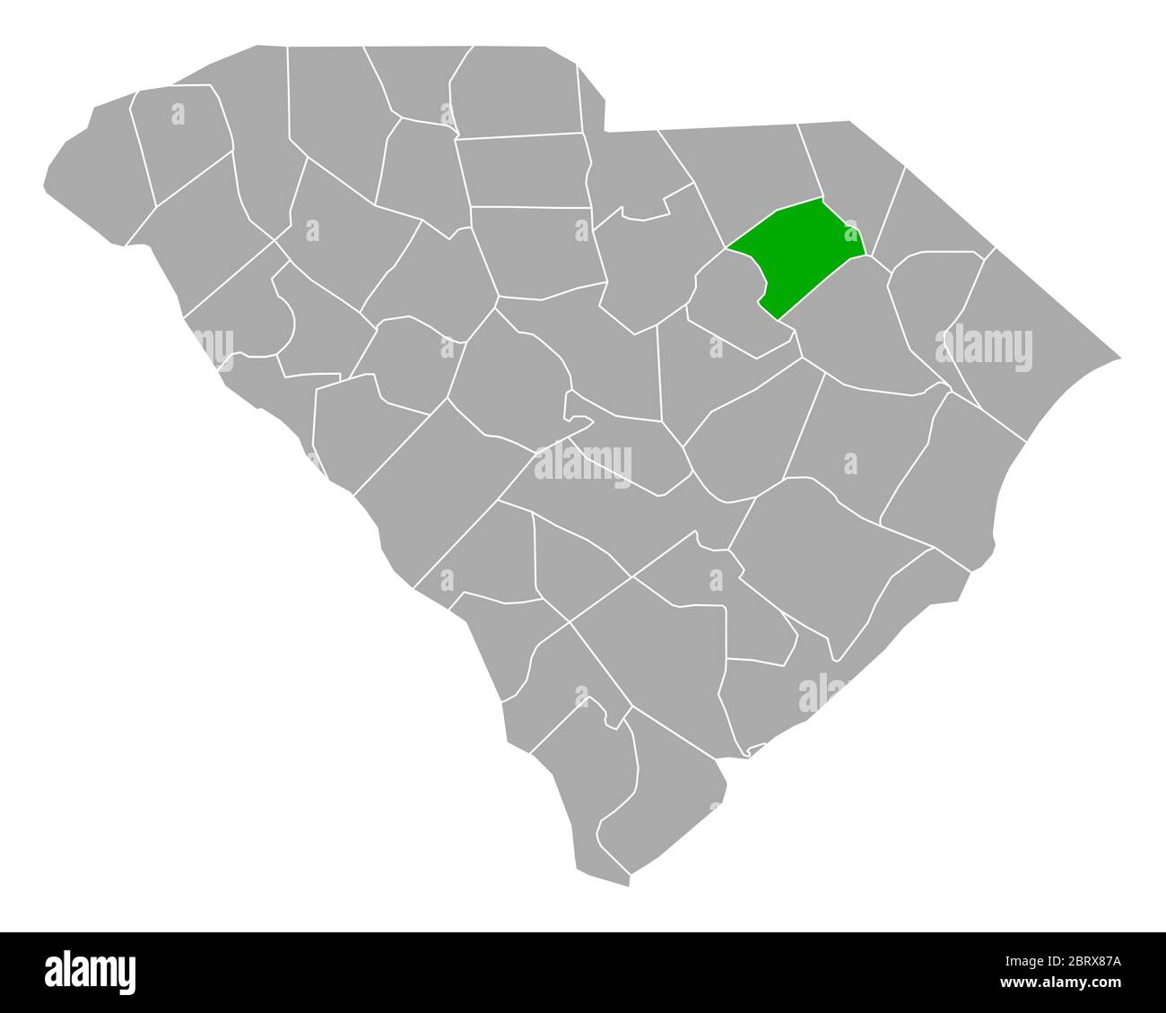 Map of Darlington in South Carolina Stock Photohttps://www.alamy.com/image-license-details/?v=1https://www.alamy.com/map-of-darlington-in-south-carolina-image358921678.html
RF2BRX87A–Map of Darlington in South Carolina
 Darlington Wisconsin USA shown on a road map or Geography map Stock Photohttps://www.alamy.com/image-license-details/?v=1https://www.alamy.com/darlington-wisconsin-usa-shown-on-a-road-map-or-geography-map-image437722979.html
RM2GC403F–Darlington Wisconsin USA shown on a road map or Geography map
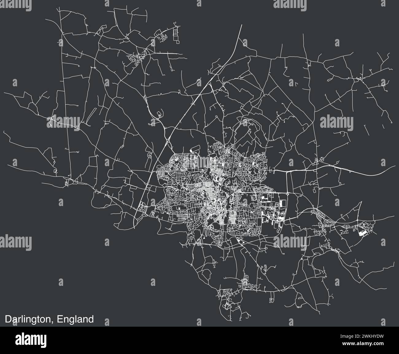 Street roads map of the British town of DARLINGTON, ENGLAND Stock Vectorhttps://www.alamy.com/image-license-details/?v=1https://www.alamy.com/street-roads-map-of-the-british-town-of-darlington-england-image597225717.html
RF2WKHYDW–Street roads map of the British town of DARLINGTON, ENGLAND
 Darlington and surrounding areas shown on a road map or Geography map Stock Photohttps://www.alamy.com/image-license-details/?v=1https://www.alamy.com/darlington-and-surrounding-areas-shown-on-a-road-map-or-geography-map-image406536722.html
RM2EHB9MJ–Darlington and surrounding areas shown on a road map or Geography map
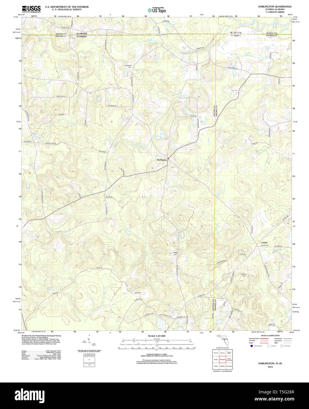 USGS TOPO Map Florida FL Darlington 20120703 TM Restoration Stock Photohttps://www.alamy.com/image-license-details/?v=1https://www.alamy.com/usgs-topo-map-florida-fl-darlington-20120703-tm-restoration-image244371479.html
RMT5G28R–USGS TOPO Map Florida FL Darlington 20120703 TM Restoration
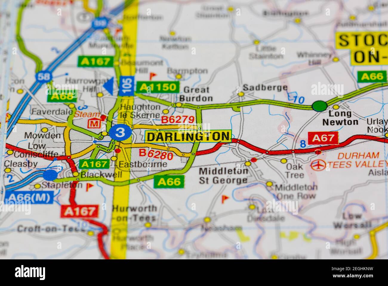 darlington and surrounding areas shown on a road map or geography map Stock Photohttps://www.alamy.com/image-license-details/?v=1https://www.alamy.com/darlington-and-surrounding-areas-shown-on-a-road-map-or-geography-map-image406061653.html
RM2EGHKNW–darlington and surrounding areas shown on a road map or geography map
 372 Darlington map of the bahamas 1680 Stock Photohttps://www.alamy.com/image-license-details/?v=1https://www.alamy.com/372-darlington-map-of-the-bahamas-1680-image212608771.html
RMP9W4JB–372 Darlington map of the bahamas 1680
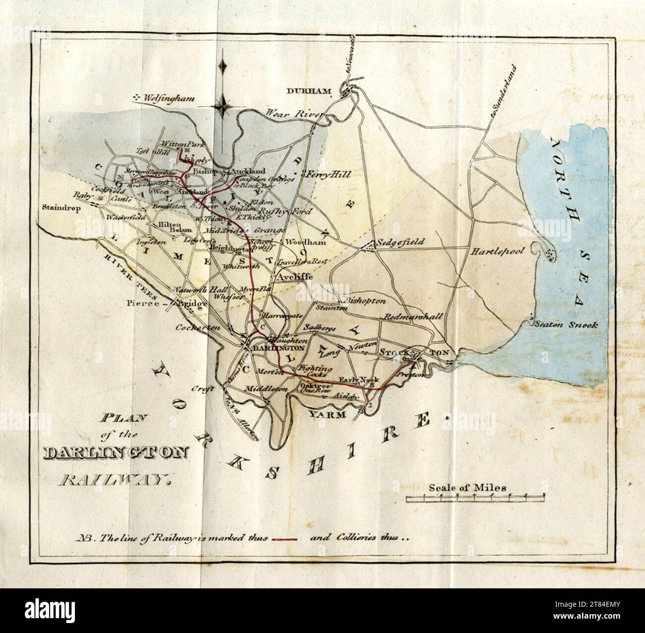 Map by unsigned cartographer within 1821 Stockton and Darlington Railway report Stock Photohttps://www.alamy.com/image-license-details/?v=1https://www.alamy.com/map-by-unsigned-cartographer-within-1821-stockton-and-darlington-railway-report-image572958763.html
RM2T84EMY–Map by unsigned cartographer within 1821 Stockton and Darlington Railway report
![South East Aspect of Darlington, in the County of Durham. Author Bailey, J. 12.32.a. Place of publication: [London] Publisher: Publish'd April 1.st, Date of publication: 1776. Item type: 1 print Medium: etching and engraving Dimensions: sheet 24.9 x 53.3 cm Former owner: George III, King of Great Britain, 1738-1820 Stock Photo South East Aspect of Darlington, in the County of Durham. Author Bailey, J. 12.32.a. Place of publication: [London] Publisher: Publish'd April 1.st, Date of publication: 1776. Item type: 1 print Medium: etching and engraving Dimensions: sheet 24.9 x 53.3 cm Former owner: George III, King of Great Britain, 1738-1820 Stock Photo](https://c8.alamy.com/comp/2E9GHJE/south-east-aspect-of-darlington-in-the-county-of-durham-author-bailey-j-1232a-place-of-publication-london-publisher-publishd-april-1st-date-of-publication-1776-item-type-1-print-medium-etching-and-engraving-dimensions-sheet-249-x-533-cm-former-owner-george-iii-king-of-great-britain-1738-1820-2E9GHJE.jpg) South East Aspect of Darlington, in the County of Durham. Author Bailey, J. 12.32.a. Place of publication: [London] Publisher: Publish'd April 1.st, Date of publication: 1776. Item type: 1 print Medium: etching and engraving Dimensions: sheet 24.9 x 53.3 cm Former owner: George III, King of Great Britain, 1738-1820 Stock Photohttps://www.alamy.com/image-license-details/?v=1https://www.alamy.com/south-east-aspect-of-darlington-in-the-county-of-durham-author-bailey-j-1232a-place-of-publication-london-publisher-publishd-april-1st-date-of-publication-1776-item-type-1-print-medium-etching-and-engraving-dimensions-sheet-249-x-533-cm-former-owner-george-iii-king-of-great-britain-1738-1820-image401735446.html
South East Aspect of Darlington, in the County of Durham. Author Bailey, J. 12.32.a. Place of publication: [London] Publisher: Publish'd April 1.st, Date of publication: 1776. Item type: 1 print Medium: etching and engraving Dimensions: sheet 24.9 x 53.3 cm Former owner: George III, King of Great Britain, 1738-1820 Stock Photohttps://www.alamy.com/image-license-details/?v=1https://www.alamy.com/south-east-aspect-of-darlington-in-the-county-of-durham-author-bailey-j-1232a-place-of-publication-london-publisher-publishd-april-1st-date-of-publication-1776-item-type-1-print-medium-etching-and-engraving-dimensions-sheet-249-x-533-cm-former-owner-george-iii-king-of-great-britain-1738-1820-image401735446.htmlRM2E9GHJE–South East Aspect of Darlington, in the County of Durham. Author Bailey, J. 12.32.a. Place of publication: [London] Publisher: Publish'd April 1.st, Date of publication: 1776. Item type: 1 print Medium: etching and engraving Dimensions: sheet 24.9 x 53.3 cm Former owner: George III, King of Great Britain, 1738-1820
 Darlington, Durham. JAMES. Parliamentary Boundary Commission 1868 old map Stock Photohttps://www.alamy.com/image-license-details/?v=1https://www.alamy.com/darlington-durham-james-parliamentary-boundary-commission-1868-old-map-image556853737.html
RF2R9XTHD–Darlington, Durham. JAMES. Parliamentary Boundary Commission 1868 old map
 Darlington District, South Carolina : improved for Mills' Atlas, 1820 ; enga by H. S. Tanner & assistants. 1825 by Mills Robert, Tanner Henry Schenck Stock Photohttps://www.alamy.com/image-license-details/?v=1https://www.alamy.com/darlington-district-south-carolina-improved-for-mills-atlas-1820-enga-by-h-s-tanner-assistants-1825-by-mills-robert-tanner-henry-schenck-image641115779.html
RM2S719M3–Darlington District, South Carolina : improved for Mills' Atlas, 1820 ; enga by H. S. Tanner & assistants. 1825 by Mills Robert, Tanner Henry Schenck
 Darlington Bay, , AU, Australia, Tasmania, S 42 34' 47'', N 148 3' 36'', map, Cartascapes Map published in 2024. Explore Cartascapes, a map revealing Earth's diverse landscapes, cultures, and ecosystems. Journey through time and space, discovering the interconnectedness of our planet's past, present, and future. Stock Photohttps://www.alamy.com/image-license-details/?v=1https://www.alamy.com/darlington-bay-au-australia-tasmania-s-42-34-47-n-148-3-36-map-cartascapes-map-published-in-2024-explore-cartascapes-a-map-revealing-earths-diverse-landscapes-cultures-and-ecosystems-journey-through-time-and-space-discovering-the-interconnectedness-of-our-planets-past-present-and-future-image625468406.html
RM2Y9GF9A–Darlington Bay, , AU, Australia, Tasmania, S 42 34' 47'', N 148 3' 36'', map, Cartascapes Map published in 2024. Explore Cartascapes, a map revealing Earth's diverse landscapes, cultures, and ecosystems. Journey through time and space, discovering the interconnectedness of our planet's past, present, and future.
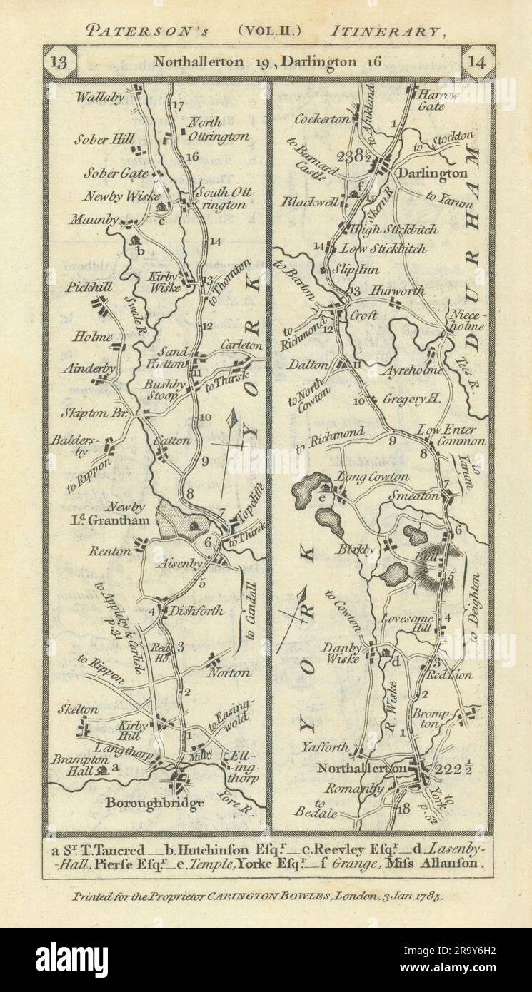 Boroughbridge-Northallerton-Darlington road strip map PATERSON 1785 old Stock Photohttps://www.alamy.com/image-license-details/?v=1https://www.alamy.com/boroughbridge-northallerton-darlington-road-strip-map-paterson-1785-old-image556861566.html
RF2R9Y6H2–Boroughbridge-Northallerton-Darlington road strip map PATERSON 1785 old
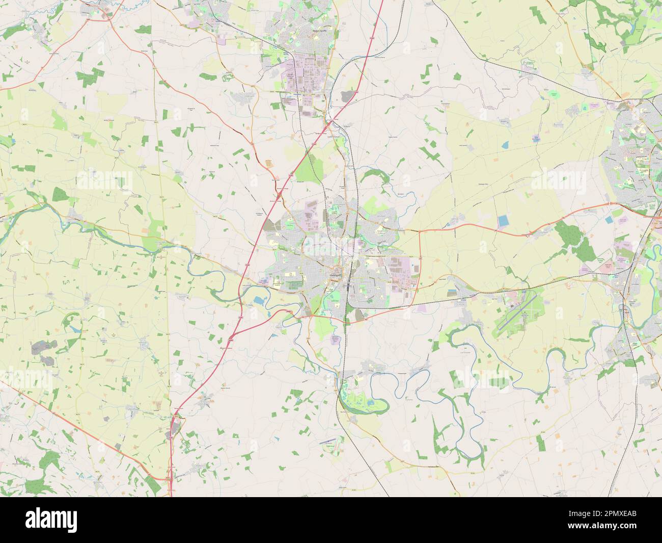 Darlington, unitary authority of England - Great Britain. Open Street Map Stock Photohttps://www.alamy.com/image-license-details/?v=1https://www.alamy.com/darlington-unitary-authority-of-england-great-britain-open-street-map-image546396547.html
RF2PMXEAB–Darlington, unitary authority of England - Great Britain. Open Street Map
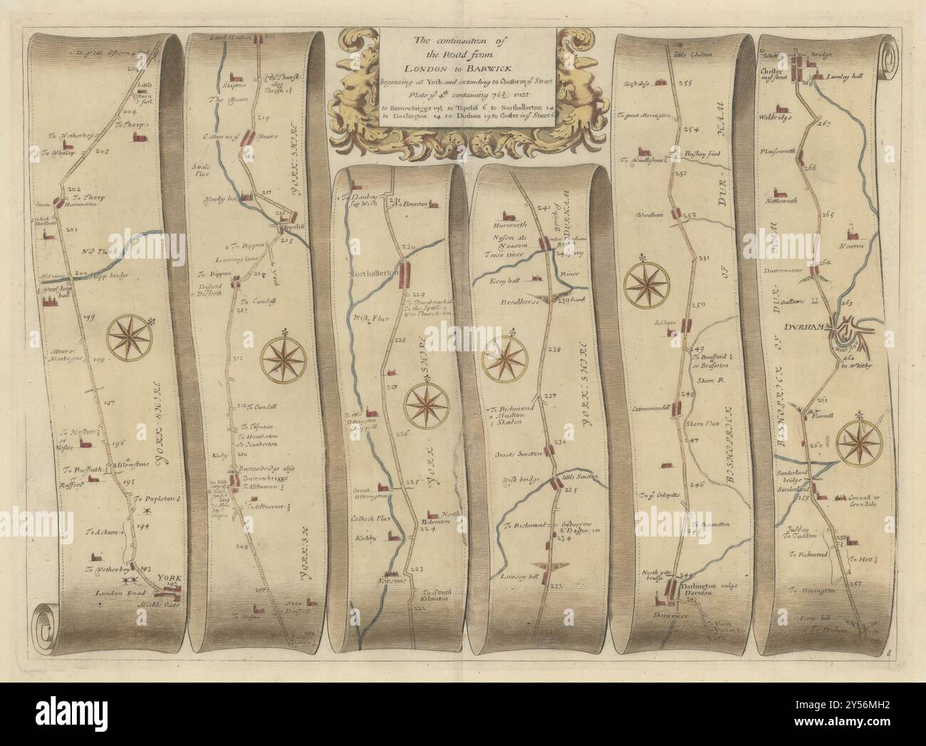 York-Northallerton-Darlington-Durham-Chester/Street OGILBY road map #8 1675 Stock Photohttps://www.alamy.com/image-license-details/?v=1https://www.alamy.com/york-northallerton-darlington-durham-chesterstreet-ogilby-road-map-8-1675-image622794398.html
RF2Y56MH2–York-Northallerton-Darlington-Durham-Chester/Street OGILBY road map #8 1675
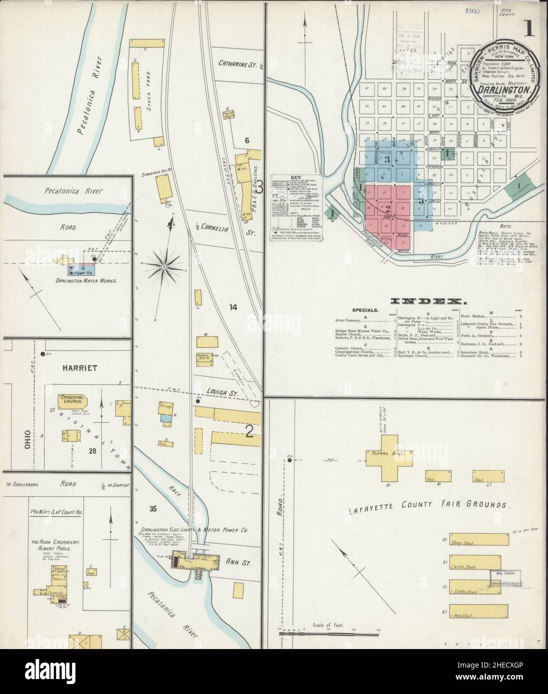 Sanborn Fire Insurance Map from Darlington, Lafayette County, Wisconsin. Stock Photohttps://www.alamy.com/image-license-details/?v=1https://www.alamy.com/sanborn-fire-insurance-map-from-darlington-lafayette-county-wisconsin-image456359030.html
RM2HECXGP–Sanborn Fire Insurance Map from Darlington, Lafayette County, Wisconsin.
 Darlington Memorial Fountain 2 Stock Photohttps://www.alamy.com/image-license-details/?v=1https://www.alamy.com/stock-image-darlington-memorial-fountain-2-162780169.html
RMKCR7ND–Darlington Memorial Fountain 2
 York-Northallerton-Darlington-Durham-Chester/Street GARDNER road map #8 1719 Stock Photohttps://www.alamy.com/image-license-details/?v=1https://www.alamy.com/york-northallerton-darlington-durham-chesterstreet-gardner-road-map-8-1719-image610578674.html
RF2XDA796–York-Northallerton-Darlington-Durham-Chester/Street GARDNER road map #8 1719
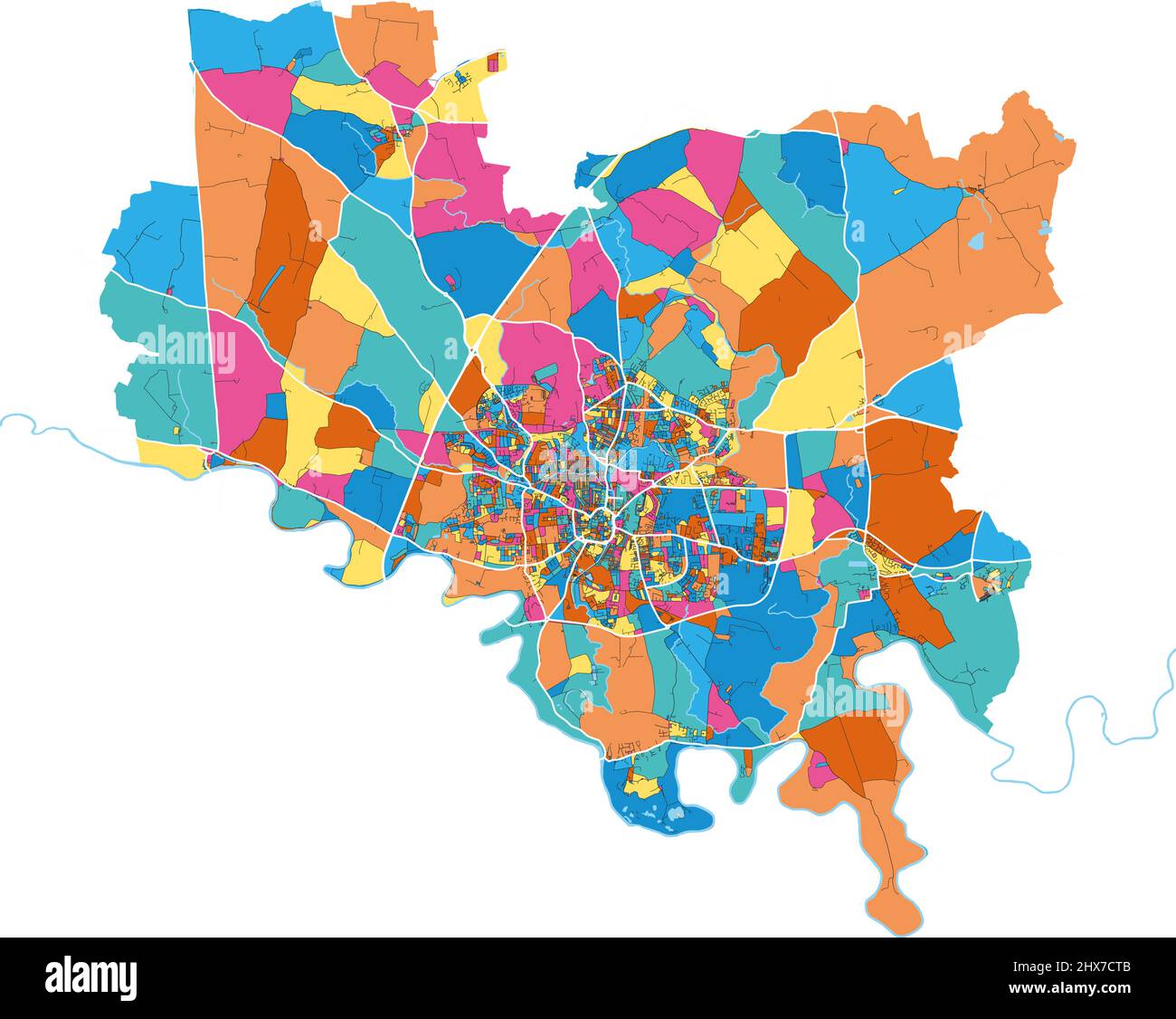 Darlington, North East England, England colorful high resolution vector art map with city boundaries. White outlines for main roads. Many details. Blu Stock Vectorhttps://www.alamy.com/image-license-details/?v=1https://www.alamy.com/darlington-north-east-england-england-colorful-high-resolution-vector-art-map-with-city-boundaries-white-outlines-for-main-roads-many-details-blu-image463614379.html
RF2HX7CTB–Darlington, North East England, England colorful high resolution vector art map with city boundaries. White outlines for main roads. Many details. Blu
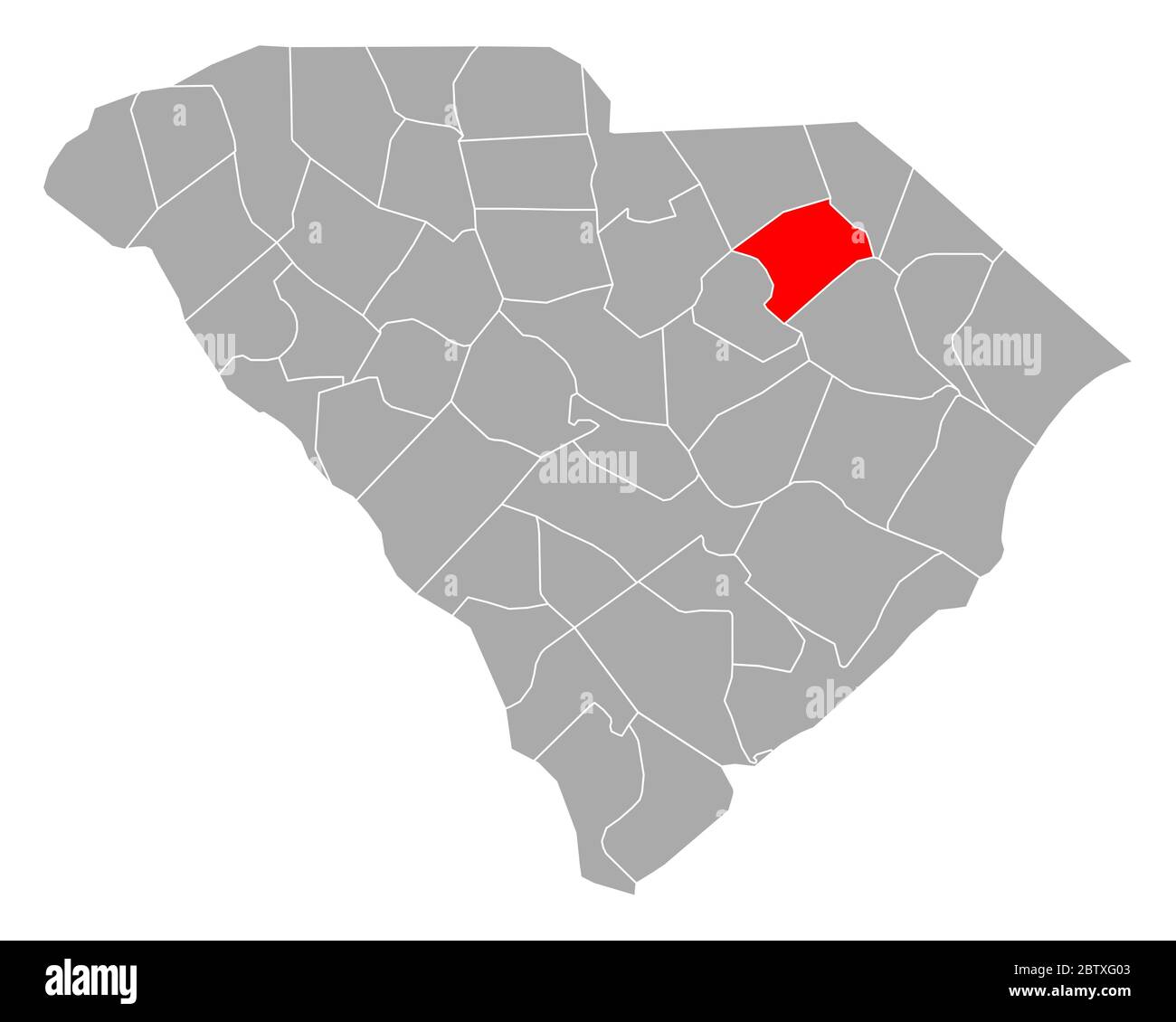 Map of Darlington in South Carolina Stock Photohttps://www.alamy.com/image-license-details/?v=1https://www.alamy.com/map-of-darlington-in-south-carolina-image359542403.html
RF2BTXG03–Map of Darlington in South Carolina
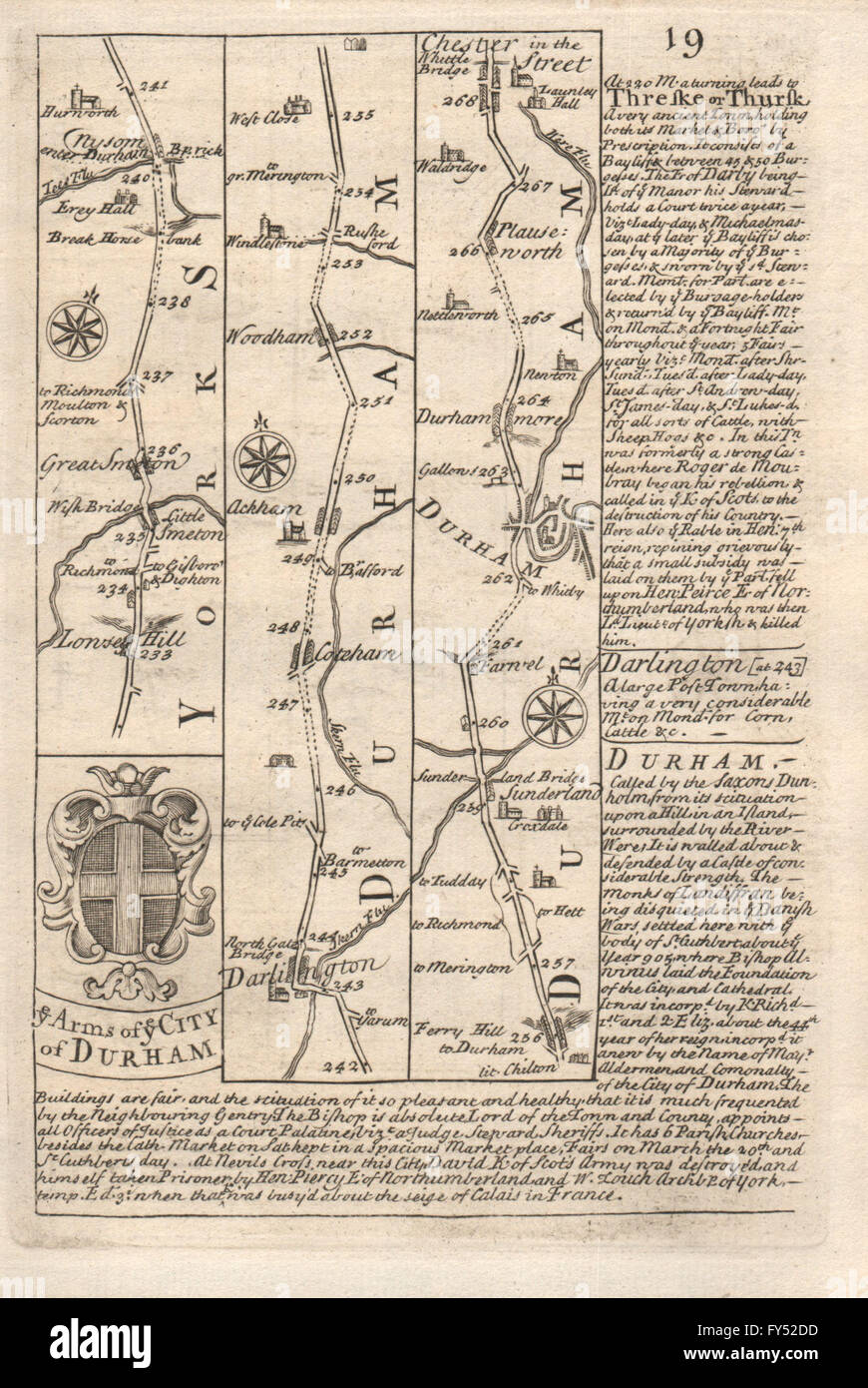 Great Smeaton-Darlington-Woodham-Durham road map by J. OWEN & E. BOWEN, 1753 Stock Photohttps://www.alamy.com/image-license-details/?v=1https://www.alamy.com/stock-photo-great-smeaton-darlington-woodham-durham-road-map-by-j-owen-e-bowen-102759257.html
RFFY52DD–Great Smeaton-Darlington-Woodham-Durham road map by J. OWEN & E. BOWEN, 1753
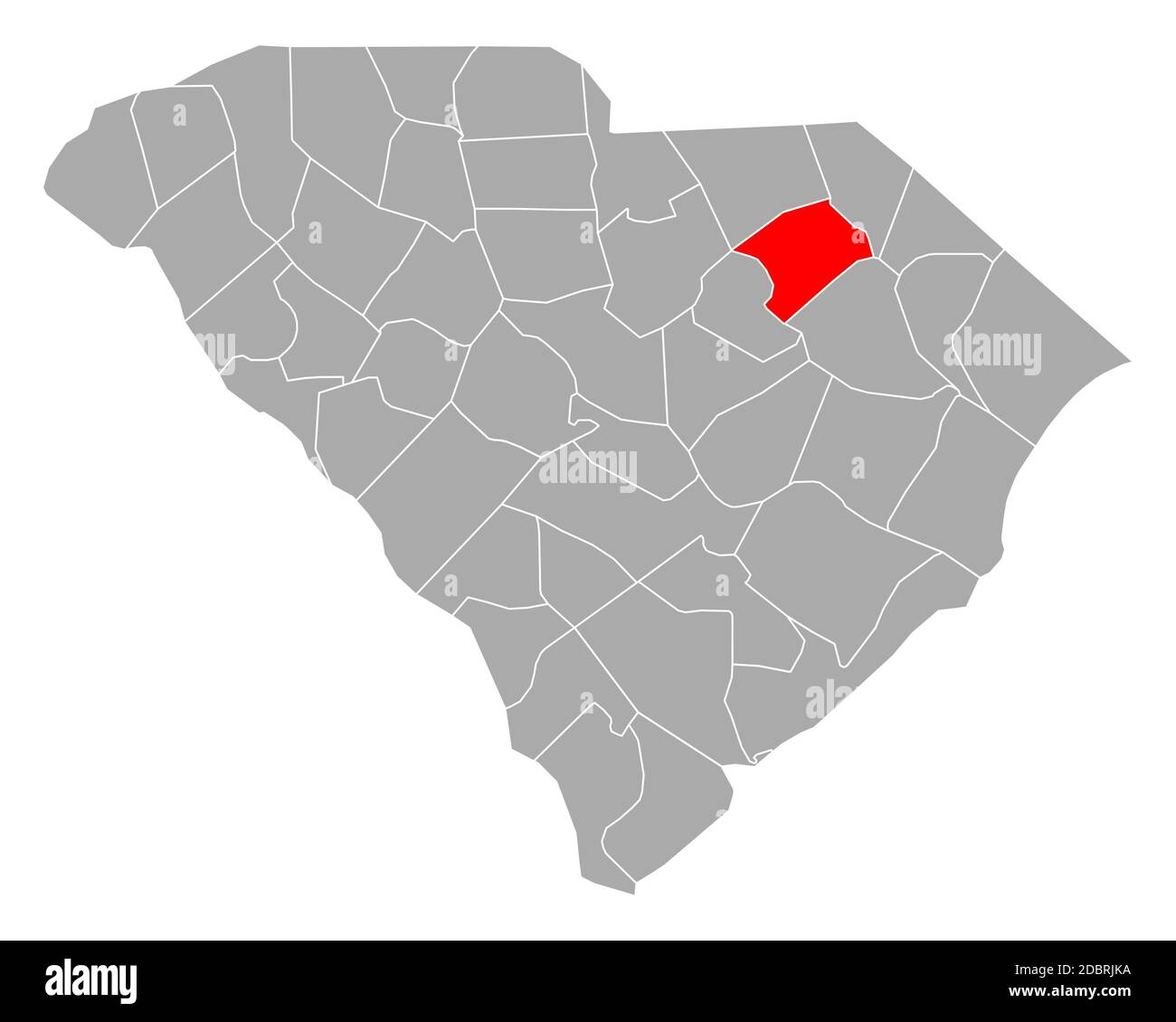 Map of Darlington in South Carolina Stock Photohttps://www.alamy.com/image-license-details/?v=1https://www.alamy.com/map-of-darlington-in-south-carolina-image385908862.html
RF2DBRJKA–Map of Darlington in South Carolina
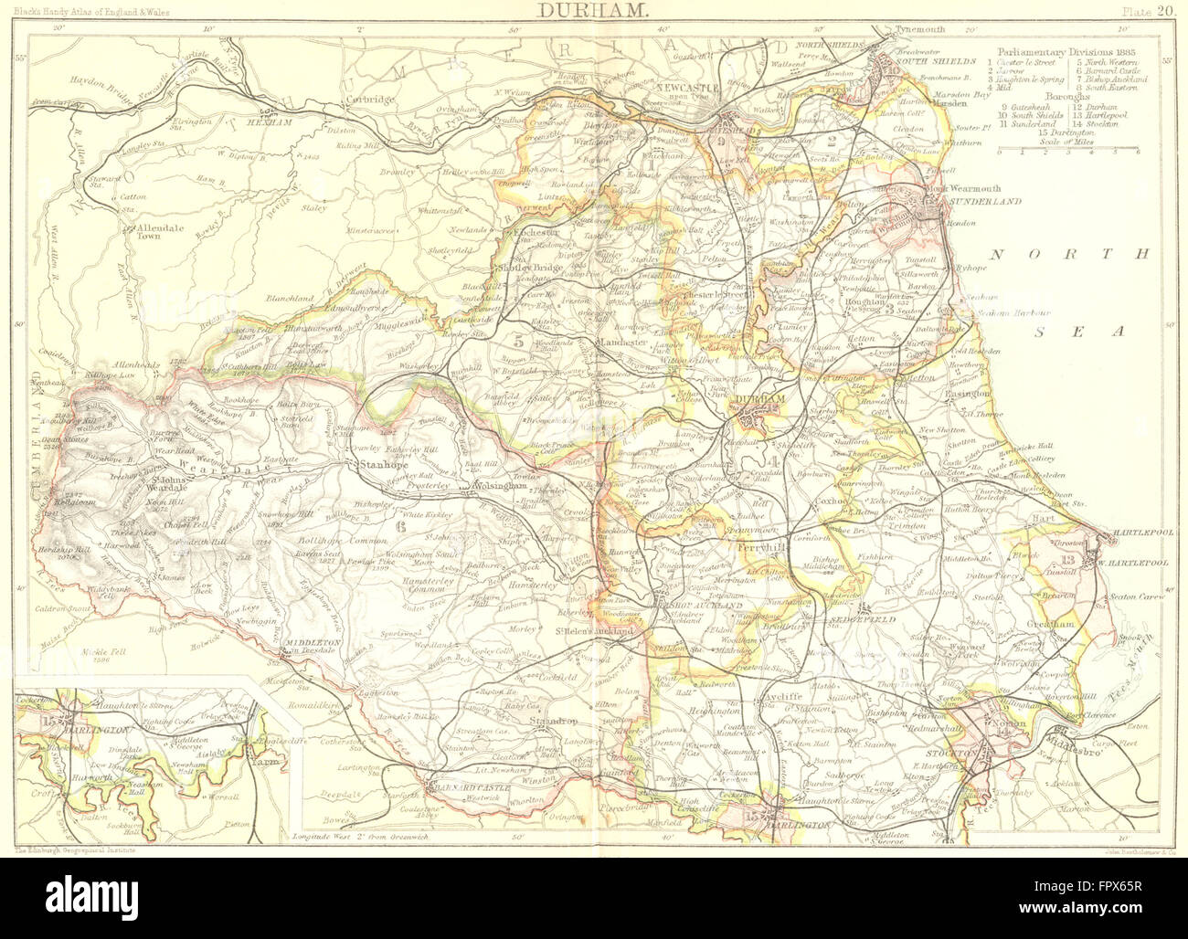 DURHAM: Black Inset Darlington, 1892 antique map Stock Photohttps://www.alamy.com/image-license-details/?v=1https://www.alamy.com/stock-photo-durham-black-inset-darlington-1892-antique-map-100149891.html
RFFPX65R–DURHAM: Black Inset Darlington, 1892 antique map
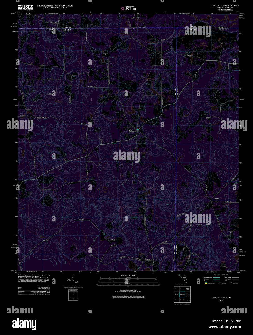 USGS TOPO Map Florida FL Darlington 20120703 TM Inverted Restoration Stock Photohttps://www.alamy.com/image-license-details/?v=1https://www.alamy.com/usgs-topo-map-florida-fl-darlington-20120703-tm-inverted-restoration-image244371478.html
RMT5G28P–USGS TOPO Map Florida FL Darlington 20120703 TM Inverted Restoration
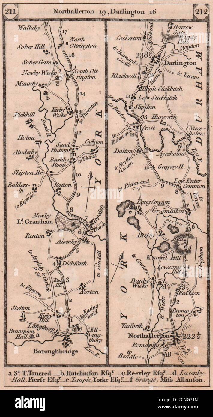 Boroughbridge-Northallerton-Darlington road strip map PATERSON 1803 old Stock Photohttps://www.alamy.com/image-license-details/?v=1https://www.alamy.com/boroughbridge-northallerton-darlington-road-strip-map-paterson-1803-old-image374682273.html
RF2CNG71N–Boroughbridge-Northallerton-Darlington road strip map PATERSON 1803 old
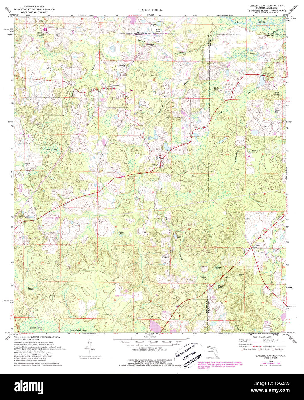 USGS TOPO Map Florida FL Darlington 345730 1973 24000 Restoration Stock Photohttps://www.alamy.com/image-license-details/?v=1https://www.alamy.com/usgs-topo-map-florida-fl-darlington-345730-1973-24000-restoration-image244371528.html
RMT5G2AG–USGS TOPO Map Florida FL Darlington 345730 1973 24000 Restoration
 372 Darlington map of jamaica 1680 Stock Photohttps://www.alamy.com/image-license-details/?v=1https://www.alamy.com/372-darlington-map-of-jamaica-1680-image212608754.html
RMP9W4HP–372 Darlington map of jamaica 1680
![LAURA TOWER, SHREWSBURY CASTLE. Seat of the Earl of Darlington. Author Pye, John 36.18.g.1. Place of publication: [London] Publisher: [William Peacock] Date of publication: [1815] Item type: 1 print Medium: etching Dimensions: sheet 3.8 x 6.5 cm (trimmed below platemark) Former owner: George III, King of Great Britain, 1738-1820 Stock Photo LAURA TOWER, SHREWSBURY CASTLE. Seat of the Earl of Darlington. Author Pye, John 36.18.g.1. Place of publication: [London] Publisher: [William Peacock] Date of publication: [1815] Item type: 1 print Medium: etching Dimensions: sheet 3.8 x 6.5 cm (trimmed below platemark) Former owner: George III, King of Great Britain, 1738-1820 Stock Photo](https://c8.alamy.com/comp/2E9HNEY/laura-tower-shrewsbury-castle-seat-of-the-earl-of-darlington-author-pye-john-3618g1-place-of-publication-london-publisher-william-peacock-date-of-publication-1815-item-type-1-print-medium-etching-dimensions-sheet-38-x-65-cm-trimmed-below-platemark-former-owner-george-iii-king-of-great-britain-1738-1820-2E9HNEY.jpg) LAURA TOWER, SHREWSBURY CASTLE. Seat of the Earl of Darlington. Author Pye, John 36.18.g.1. Place of publication: [London] Publisher: [William Peacock] Date of publication: [1815] Item type: 1 print Medium: etching Dimensions: sheet 3.8 x 6.5 cm (trimmed below platemark) Former owner: George III, King of Great Britain, 1738-1820 Stock Photohttps://www.alamy.com/image-license-details/?v=1https://www.alamy.com/laura-tower-shrewsbury-castle-seat-of-the-earl-of-darlington-author-pye-john-3618g1-place-of-publication-london-publisher-william-peacock-date-of-publication-1815-item-type-1-print-medium-etching-dimensions-sheet-38-x-65-cm-trimmed-below-platemark-former-owner-george-iii-king-of-great-britain-1738-1820-image401760435.html
LAURA TOWER, SHREWSBURY CASTLE. Seat of the Earl of Darlington. Author Pye, John 36.18.g.1. Place of publication: [London] Publisher: [William Peacock] Date of publication: [1815] Item type: 1 print Medium: etching Dimensions: sheet 3.8 x 6.5 cm (trimmed below platemark) Former owner: George III, King of Great Britain, 1738-1820 Stock Photohttps://www.alamy.com/image-license-details/?v=1https://www.alamy.com/laura-tower-shrewsbury-castle-seat-of-the-earl-of-darlington-author-pye-john-3618g1-place-of-publication-london-publisher-william-peacock-date-of-publication-1815-item-type-1-print-medium-etching-dimensions-sheet-38-x-65-cm-trimmed-below-platemark-former-owner-george-iii-king-of-great-britain-1738-1820-image401760435.htmlRM2E9HNEY–LAURA TOWER, SHREWSBURY CASTLE. Seat of the Earl of Darlington. Author Pye, John 36.18.g.1. Place of publication: [London] Publisher: [William Peacock] Date of publication: [1815] Item type: 1 print Medium: etching Dimensions: sheet 3.8 x 6.5 cm (trimmed below platemark) Former owner: George III, King of Great Britain, 1738-1820
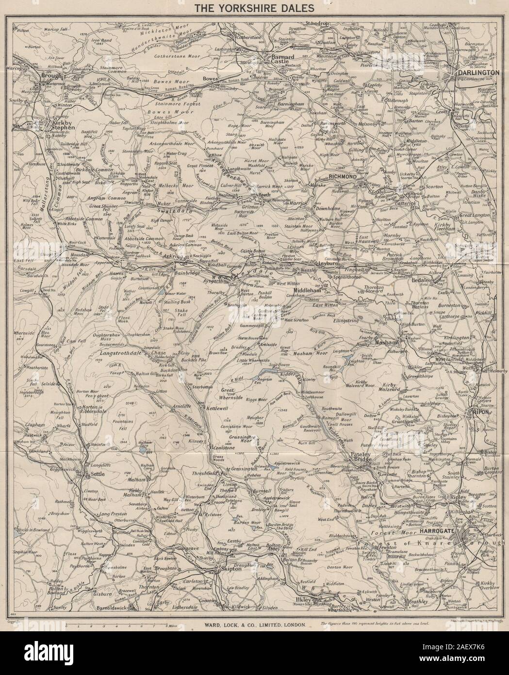 YORKSHIRE DALES. Harrogate Darlington Richmond Wensleydale Swaledale 1946 map Stock Photohttps://www.alamy.com/image-license-details/?v=1https://www.alamy.com/yorkshire-dales-harrogate-darlington-richmond-wensleydale-swaledale-1946-map-image336178954.html
RF2AEX7K6–YORKSHIRE DALES. Harrogate Darlington Richmond Wensleydale Swaledale 1946 map
 Darlington District, South Carolina : improved for Mills' Atlas, 1820 ; enga by H. S. Tanner & assistants. 1825 by Mills Robert, Tanner Henry Schenck Stock Photohttps://www.alamy.com/image-license-details/?v=1https://www.alamy.com/darlington-district-south-carolina-improved-for-mills-atlas-1820-enga-by-h-s-tanner-assistants-1825-by-mills-robert-tanner-henry-schenck-image641289208.html
RM2S796X0–Darlington District, South Carolina : improved for Mills' Atlas, 1820 ; enga by H. S. Tanner & assistants. 1825 by Mills Robert, Tanner Henry Schenck
 Darlington, Moyne, AU, Australia, Victoria, S 38 0' 0'', N 143 3' 0'', map, Cartascapes Map published in 2024. Explore Cartascapes, a map revealing Earth's diverse landscapes, cultures, and ecosystems. Journey through time and space, discovering the interconnectedness of our planet's past, present, and future. Stock Photohttps://www.alamy.com/image-license-details/?v=1https://www.alamy.com/darlington-moyne-au-australia-victoria-s-38-0-0-n-143-3-0-map-cartascapes-map-published-in-2024-explore-cartascapes-a-map-revealing-earths-diverse-landscapes-cultures-and-ecosystems-journey-through-time-and-space-discovering-the-interconnectedness-of-our-planets-past-present-and-future-image625529077.html
RM2Y9K8M5–Darlington, Moyne, AU, Australia, Victoria, S 38 0' 0'', N 143 3' 0'', map, Cartascapes Map published in 2024. Explore Cartascapes, a map revealing Earth's diverse landscapes, cultures, and ecosystems. Journey through time and space, discovering the interconnectedness of our planet's past, present, and future.
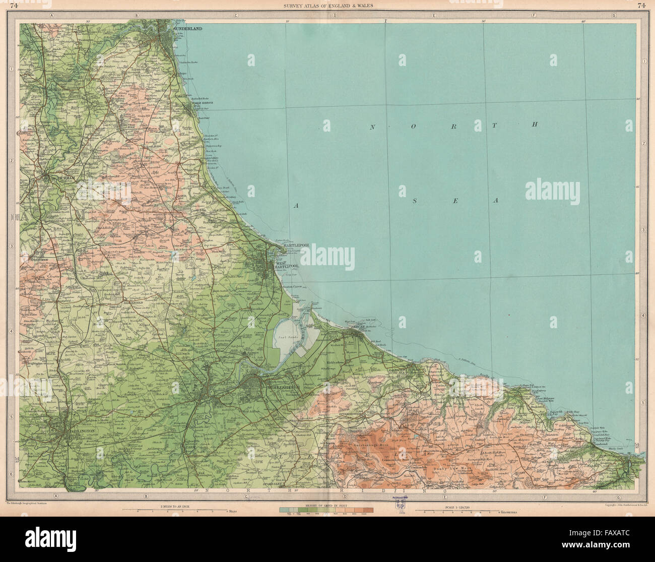 NE ENGLAND COAST: Teeside Middlesbrough Sunderland Darlington Whitby, 1939 map Stock Photohttps://www.alamy.com/image-license-details/?v=1https://www.alamy.com/stock-photo-ne-england-coast-teeside-middlesbrough-sunderland-darlington-whitby-92777676.html
RFFAXATC–NE ENGLAND COAST: Teeside Middlesbrough Sunderland Darlington Whitby, 1939 map
 Darlington, unitary authority of England - Great Britain. High resolution satellite map Stock Photohttps://www.alamy.com/image-license-details/?v=1https://www.alamy.com/darlington-unitary-authority-of-england-great-britain-high-resolution-satellite-map-image546396326.html
RF2PMXE2E–Darlington, unitary authority of England - Great Britain. High resolution satellite map
 Kelly's handbook of distinguished people . smouth Isle of Wight (with Special Map) Southampton and Suburbs Hastings and St. LEONARDS N KWCASTLE-ON-TY.N F 18811881 1 885188518801SS018871SS71887 5/05/05/08/010/08/04/03/04/61 /CG/G Sunderland 1883| Gateshead 1887 North Shields with tynemofth 1887Middlesbrough 1887 South Shields with JarrowStockton with Darlington...Hartlepool, East and West Birmingham and suburbs Leeds and surroundings Manchest 1887 4/03/63/63/63/G 1887 3/G1887 3/G188G 15/0 1886 16/0 1887 1G/0 LIVERPOOL 1887 16/0 K LONDON:E L L Y & C O Publishing Office : 51, GREAT QUEEN STREET- Stock Photohttps://www.alamy.com/image-license-details/?v=1https://www.alamy.com/kellys-handbook-of-distinguished-people-smouth-isle-of-wight-with-special-map-southampton-and-suburbs-hastings-and-st-leonards-n-kwcastle-on-tyn-f-18811881-1-885188518801ss018871ss71887-50505080100804030461-cgg-sunderland-1883-gateshead-1887-north-shields-with-tynemofth-1887middlesbrough-1887-south-shields-with-jarrowstockton-with-darlingtonhartlepool-east-and-west-birmingham-and-suburbs-leeds-and-surroundings-manchest-1887-403636363g-1887-3g1887-3g188g-150-1886-160-1887-1g0-liverpool-1887-160-k-londone-l-l-y-c-o-publishing-office-51-great-queen-street-image342784572.html
RM2AWK564–Kelly's handbook of distinguished people . smouth Isle of Wight (with Special Map) Southampton and Suburbs Hastings and St. LEONARDS N KWCASTLE-ON-TY.N F 18811881 1 885188518801SS018871SS71887 5/05/05/08/010/08/04/03/04/61 /CG/G Sunderland 1883| Gateshead 1887 North Shields with tynemofth 1887Middlesbrough 1887 South Shields with JarrowStockton with Darlington...Hartlepool, East and West Birmingham and suburbs Leeds and surroundings Manchest 1887 4/03/63/63/63/G 1887 3/G1887 3/G188G 15/0 1886 16/0 1887 1G/0 LIVERPOOL 1887 16/0 K LONDON:E L L Y & C O Publishing Office : 51, GREAT QUEEN STREET-
 Sanborn Fire Insurance Map from Darlington, Lafayette County, Wisconsin. Stock Photohttps://www.alamy.com/image-license-details/?v=1https://www.alamy.com/sanborn-fire-insurance-map-from-darlington-lafayette-county-wisconsin-image456359046.html
RM2HECXHA–Sanborn Fire Insurance Map from Darlington, Lafayette County, Wisconsin.
 Darlington Memorial Fountain 4 Stock Photohttps://www.alamy.com/image-license-details/?v=1https://www.alamy.com/stock-image-darlington-memorial-fountain-4-162780172.html
RMKCR7NG–Darlington Memorial Fountain 4
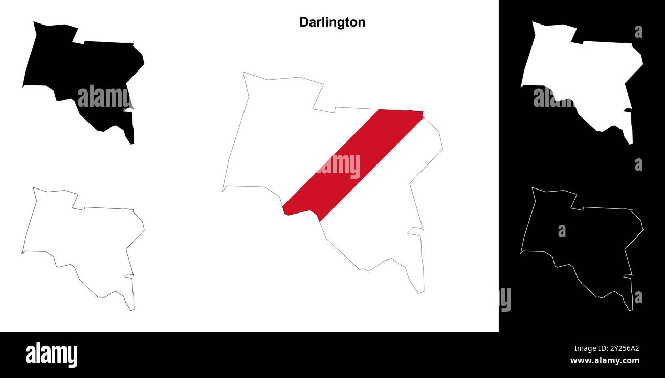 Darlington blank outline map set Stock Vectorhttps://www.alamy.com/image-license-details/?v=1https://www.alamy.com/darlington-blank-outline-map-set-image620917306.html
RF2Y256A2–Darlington blank outline map set
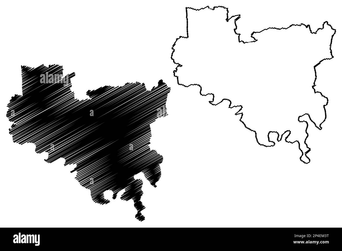 Unitary authority area, borough Darlington (United Kingdom of Great Britain and Northern Ireland, ceremonial county Durham, England) map vector illust Stock Vectorhttps://www.alamy.com/image-license-details/?v=1https://www.alamy.com/unitary-authority-area-borough-darlington-united-kingdom-of-great-britain-and-northern-ireland-ceremonial-county-durham-england-map-vector-illust-image536303148.html
RF2P4EM3T–Unitary authority area, borough Darlington (United Kingdom of Great Britain and Northern Ireland, ceremonial county Durham, England) map vector illust
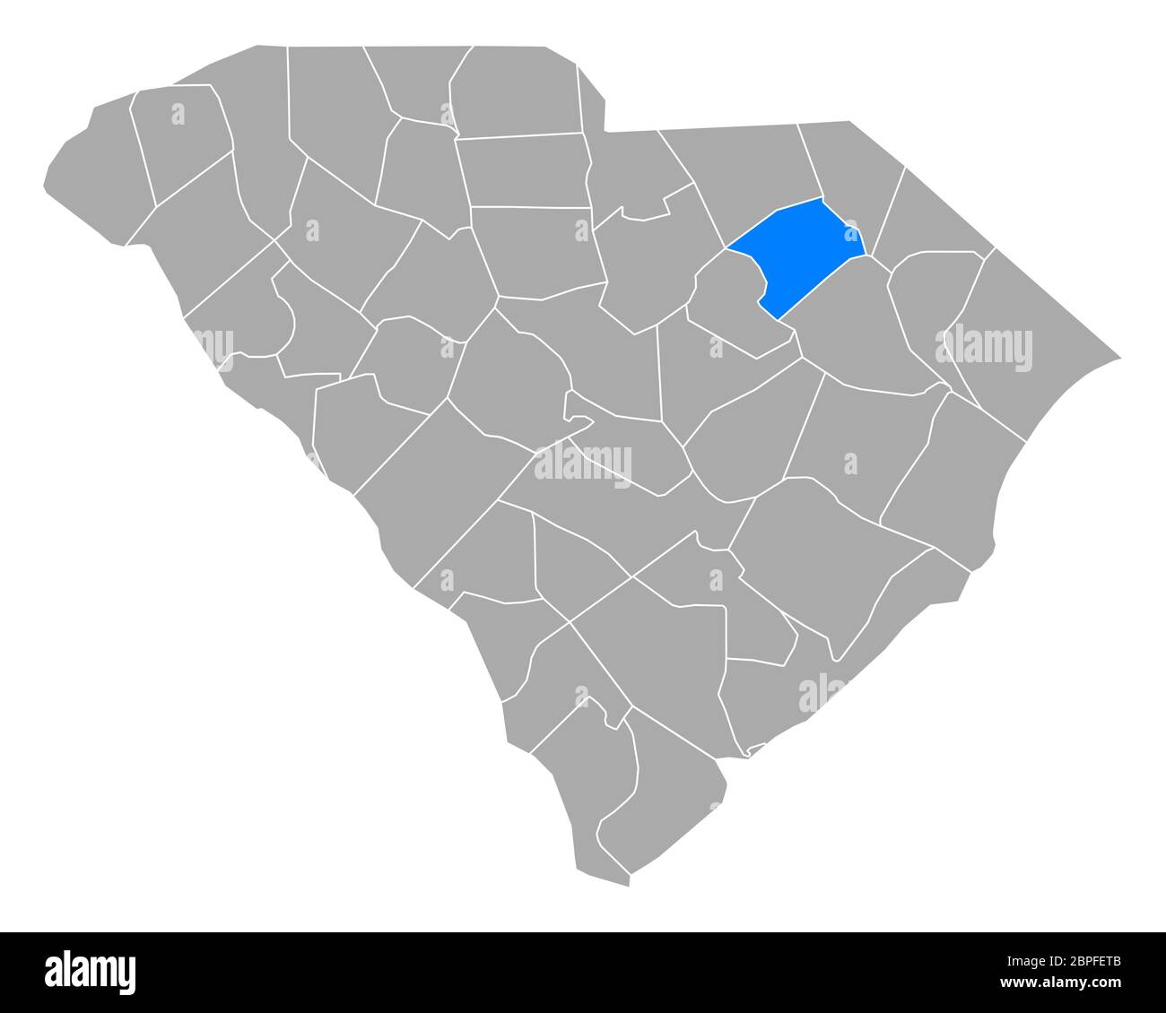 Map of Darlington in South Carolina Stock Photohttps://www.alamy.com/image-license-details/?v=1https://www.alamy.com/map-of-darlington-in-south-carolina-image358070731.html
RF2BPFETB–Map of Darlington in South Carolina
 Image taken from page 63 of 'Upper Canada Sketches ... With illustrations, portraits and map' Image taken from page 63 of 'Upper Cana Stock Photohttps://www.alamy.com/image-license-details/?v=1https://www.alamy.com/stock-photo-image-taken-from-page-63-of-upper-canada-sketches-with-illustrations-132349994.html
RMHK91NE–Image taken from page 63 of 'Upper Canada Sketches ... With illustrations, portraits and map' Image taken from page 63 of 'Upper Cana
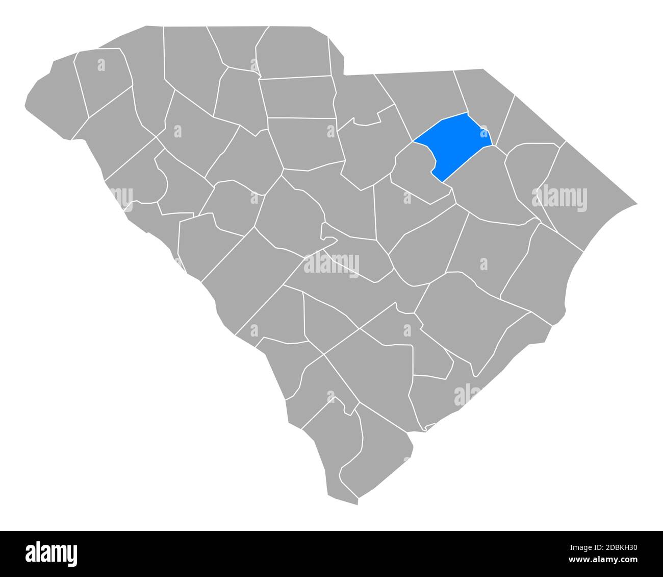 Map of Darlington in South Carolina Stock Photohttps://www.alamy.com/image-license-details/?v=1https://www.alamy.com/map-of-darlington-in-south-carolina-image385819812.html
RF2DBKH30–Map of Darlington in South Carolina
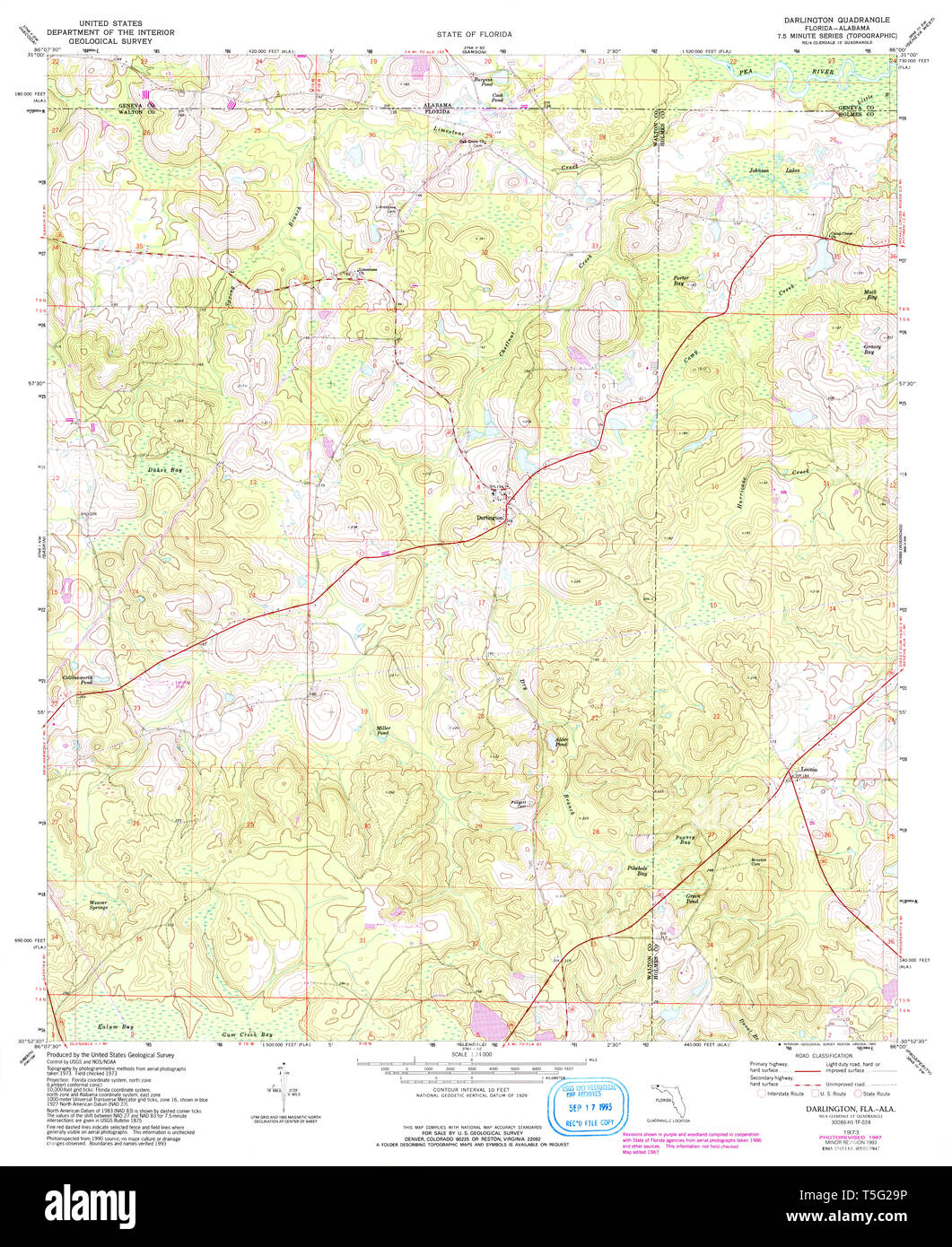 USGS TOPO Map Florida FL Darlington 345729 1987 24000 Restoration Stock Photohttps://www.alamy.com/image-license-details/?v=1https://www.alamy.com/usgs-topo-map-florida-fl-darlington-345729-1987-24000-restoration-image244371506.html
RMT5G29P–USGS TOPO Map Florida FL Darlington 345729 1987 24000 Restoration
 372 Darlington map of Ontario 1680 Stock Photohttps://www.alamy.com/image-license-details/?v=1https://www.alamy.com/372-darlington-map-of-ontario-1680-image212608769.html
RMP9W4J9–372 Darlington map of Ontario 1680
![Darlington Bridge Dur. Visual Material information: Title: Darlington Bridge Dur. 12.32.e. Place of publication: [London ?] Publisher: [unidentified publisher] Date of publication: [1700 c.] Item type: 1 print Medium: etching Dimensions: sheet 16.2 x 9.2 cm [trimmed within platemark] Former owner: George III, King of Great Britain, 1738-1820 Stock Photo Darlington Bridge Dur. Visual Material information: Title: Darlington Bridge Dur. 12.32.e. Place of publication: [London ?] Publisher: [unidentified publisher] Date of publication: [1700 c.] Item type: 1 print Medium: etching Dimensions: sheet 16.2 x 9.2 cm [trimmed within platemark] Former owner: George III, King of Great Britain, 1738-1820 Stock Photo](https://c8.alamy.com/comp/2E9GHKM/darlington-bridge-dur-visual-material-information-title-darlington-bridge-dur-1232e-place-of-publication-london-publisher-unidentified-publisher-date-of-publication-1700-c-item-type-1-print-medium-etching-dimensions-sheet-162-x-92-cm-trimmed-within-platemark-former-owner-george-iii-king-of-great-britain-1738-1820-2E9GHKM.jpg) Darlington Bridge Dur. Visual Material information: Title: Darlington Bridge Dur. 12.32.e. Place of publication: [London ?] Publisher: [unidentified publisher] Date of publication: [1700 c.] Item type: 1 print Medium: etching Dimensions: sheet 16.2 x 9.2 cm [trimmed within platemark] Former owner: George III, King of Great Britain, 1738-1820 Stock Photohttps://www.alamy.com/image-license-details/?v=1https://www.alamy.com/darlington-bridge-dur-visual-material-information-title-darlington-bridge-dur-1232e-place-of-publication-london-publisher-unidentified-publisher-date-of-publication-1700-c-item-type-1-print-medium-etching-dimensions-sheet-162-x-92-cm-trimmed-within-platemark-former-owner-george-iii-king-of-great-britain-1738-1820-image401735480.html
Darlington Bridge Dur. Visual Material information: Title: Darlington Bridge Dur. 12.32.e. Place of publication: [London ?] Publisher: [unidentified publisher] Date of publication: [1700 c.] Item type: 1 print Medium: etching Dimensions: sheet 16.2 x 9.2 cm [trimmed within platemark] Former owner: George III, King of Great Britain, 1738-1820 Stock Photohttps://www.alamy.com/image-license-details/?v=1https://www.alamy.com/darlington-bridge-dur-visual-material-information-title-darlington-bridge-dur-1232e-place-of-publication-london-publisher-unidentified-publisher-date-of-publication-1700-c-item-type-1-print-medium-etching-dimensions-sheet-162-x-92-cm-trimmed-within-platemark-former-owner-george-iii-king-of-great-britain-1738-1820-image401735480.htmlRM2E9GHKM–Darlington Bridge Dur. Visual Material information: Title: Darlington Bridge Dur. 12.32.e. Place of publication: [London ?] Publisher: [unidentified publisher] Date of publication: [1700 c.] Item type: 1 print Medium: etching Dimensions: sheet 16.2 x 9.2 cm [trimmed within platemark] Former owner: George III, King of Great Britain, 1738-1820
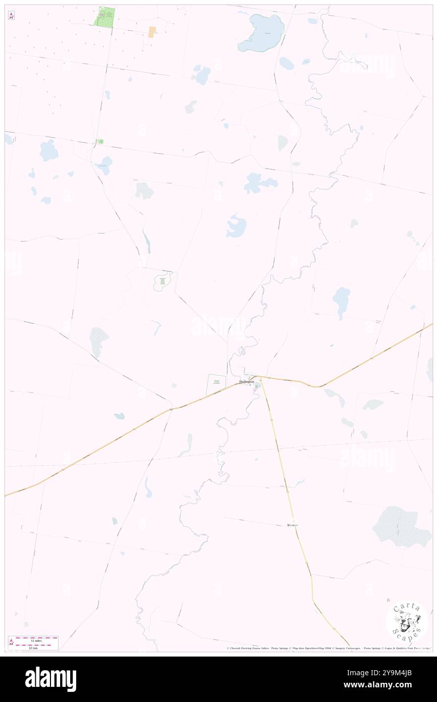 Darlington, Moyne, AU, Australia, Victoria, S 38 0' 0'', N 143 3' 0'', map, Cartascapes Map published in 2024. Explore Cartascapes, a map revealing Earth's diverse landscapes, cultures, and ecosystems. Journey through time and space, discovering the interconnectedness of our planet's past, present, and future. Stock Photohttps://www.alamy.com/image-license-details/?v=1https://www.alamy.com/darlington-moyne-au-australia-victoria-s-38-0-0-n-143-3-0-map-cartascapes-map-published-in-2024-explore-cartascapes-a-map-revealing-earths-diverse-landscapes-cultures-and-ecosystems-journey-through-time-and-space-discovering-the-interconnectedness-of-our-planets-past-present-and-future-image625547843.html
RM2Y9M4JB–Darlington, Moyne, AU, Australia, Victoria, S 38 0' 0'', N 143 3' 0'', map, Cartascapes Map published in 2024. Explore Cartascapes, a map revealing Earth's diverse landscapes, cultures, and ecosystems. Journey through time and space, discovering the interconnectedness of our planet's past, present, and future.
 NORTH PENNINES: Durham Appleby Consett Darlington Barnard Castle.LARGE, 1939 map Stock Photohttps://www.alamy.com/image-license-details/?v=1https://www.alamy.com/stock-photo-north-pennines-durham-appleby-consett-darlington-barnard-castlelarge-92777567.html
RFFAXAMF–NORTH PENNINES: Durham Appleby Consett Darlington Barnard Castle.LARGE, 1939 map
 Darlington, unitary authority of England - Great Britain. Low resolution satellite map Stock Photohttps://www.alamy.com/image-license-details/?v=1https://www.alamy.com/darlington-unitary-authority-of-england-great-britain-low-resolution-satellite-map-image546396454.html
RF2PMXE72–Darlington, unitary authority of England - Great Britain. Low resolution satellite map
 Northallerton Darlington Durham Newcastle upon Tyne. KITCHIN road map 1767 Stock Photohttps://www.alamy.com/image-license-details/?v=1https://www.alamy.com/stock-photo-northallerton-darlington-durham-newcastle-upon-tyne-kitchin-road-map-176387830.html
RFM6Y4DA–Northallerton Darlington Durham Newcastle upon Tyne. KITCHIN road map 1767
 Sanborn Fire Insurance Map from Darlington, Lafayette County, Wisconsin. Stock Photohttps://www.alamy.com/image-license-details/?v=1https://www.alamy.com/sanborn-fire-insurance-map-from-darlington-lafayette-county-wisconsin-image456359050.html
RM2HECXHE–Sanborn Fire Insurance Map from Darlington, Lafayette County, Wisconsin.
 Darlington Memorial Fountain 1 Stock Photohttps://www.alamy.com/image-license-details/?v=1https://www.alamy.com/stock-image-darlington-memorial-fountain-1-162780168.html
RMKCR7NC–Darlington Memorial Fountain 1
 NORTH PENNINES. Durham Appleby Consett Darlington Barnard Castle. LARGE 1903 map Stock Photohttps://www.alamy.com/image-license-details/?v=1https://www.alamy.com/stock-photo-north-pennines-durham-appleby-consett-darlington-barnard-castle-large-115474681.html
RFGKT93N–NORTH PENNINES. Durham Appleby Consett Darlington Barnard Castle. LARGE 1903 map
 Darlington County (South Carolina) outline map set Stock Vectorhttps://www.alamy.com/image-license-details/?v=1https://www.alamy.com/darlington-county-south-carolina-outline-map-set-image620962365.html
RF2Y277R9–Darlington County (South Carolina) outline map set
 Northallerton Darlington Durham Newcastle upon Tyne SENEX #8 road map 1719 Stock Photohttps://www.alamy.com/image-license-details/?v=1https://www.alamy.com/stock-photo-northallerton-darlington-durham-newcastle-upon-tyne-senex-8-road-map-176388004.html
RFM6Y4KG–Northallerton Darlington Durham Newcastle upon Tyne SENEX #8 road map 1719
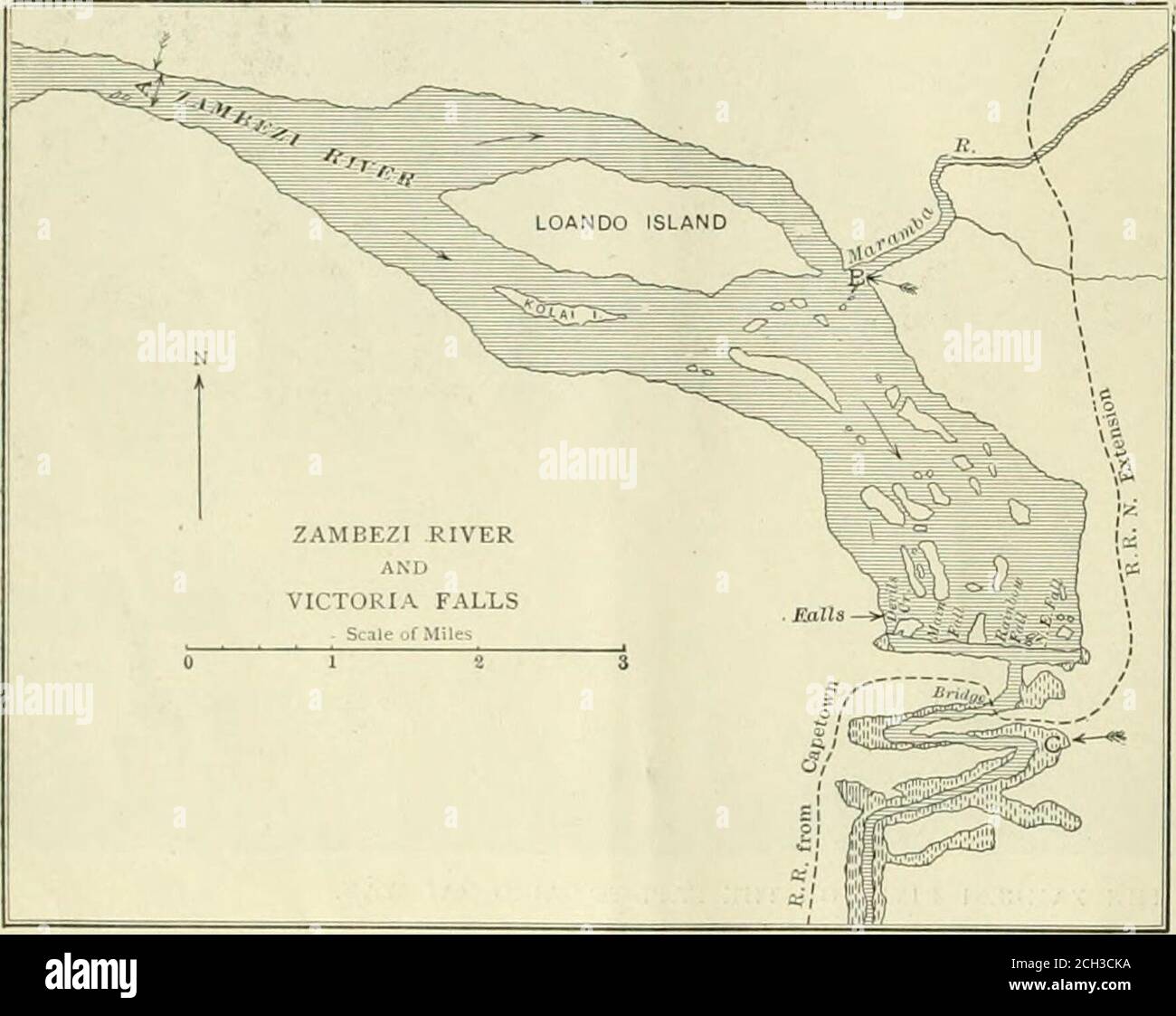 . Railway and locomotive engineering : a practical journal of railway motive power and rolling stock . MAP OF THE VICTORIA FALLS SHOWING POSITION OF THE RAILWAY BRIDGE. each. The cost of the bridge was about£70,000 or equal to about $340,000 of ourmoney. The contract for this bridge wasgiven to.the Cleveland Bridge and Engi-neering Company, Ltd., of Darlington,England, by the Rhodeasia Railways, Ltd. engineer in charge of the work for thecontractors. The upper end of thevertical shore posts were providedwith long steel pins 7 ins. in diam-eter. Around these pins U-shaped piecesof iron were pla Stock Photohttps://www.alamy.com/image-license-details/?v=1https://www.alamy.com/railway-and-locomotive-engineering-a-practical-journal-of-railway-motive-power-and-rolling-stock-map-of-the-victoria-falls-showing-position-of-the-railway-bridge-each-the-cost-of-the-bridge-was-about70000-or-equal-to-about-340000-of-ourmoney-the-contract-for-this-bridge-wasgiven-tothe-cleveland-bridge-and-engi-neering-company-ltd-of-darlingtonengland-by-the-rhodeasia-railways-ltd-engineer-in-charge-of-the-work-for-thecontractors-the-upper-end-of-thevertical-shore-posts-were-providedwith-long-steel-pins-7-ins-in-diam-eter-around-these-pins-u-shaped-piecesof-iron-were-pla-image371942686.html
RM2CH3CKA–. Railway and locomotive engineering : a practical journal of railway motive power and rolling stock . MAP OF THE VICTORIA FALLS SHOWING POSITION OF THE RAILWAY BRIDGE. each. The cost of the bridge was about£70,000 or equal to about $340,000 of ourmoney. The contract for this bridge wasgiven to.the Cleveland Bridge and Engi-neering Company, Ltd., of Darlington,England, by the Rhodeasia Railways, Ltd. engineer in charge of the work for thecontractors. The upper end of thevertical shore posts were providedwith long steel pins 7 ins. in diam-eter. Around these pins U-shaped piecesof iron were pla
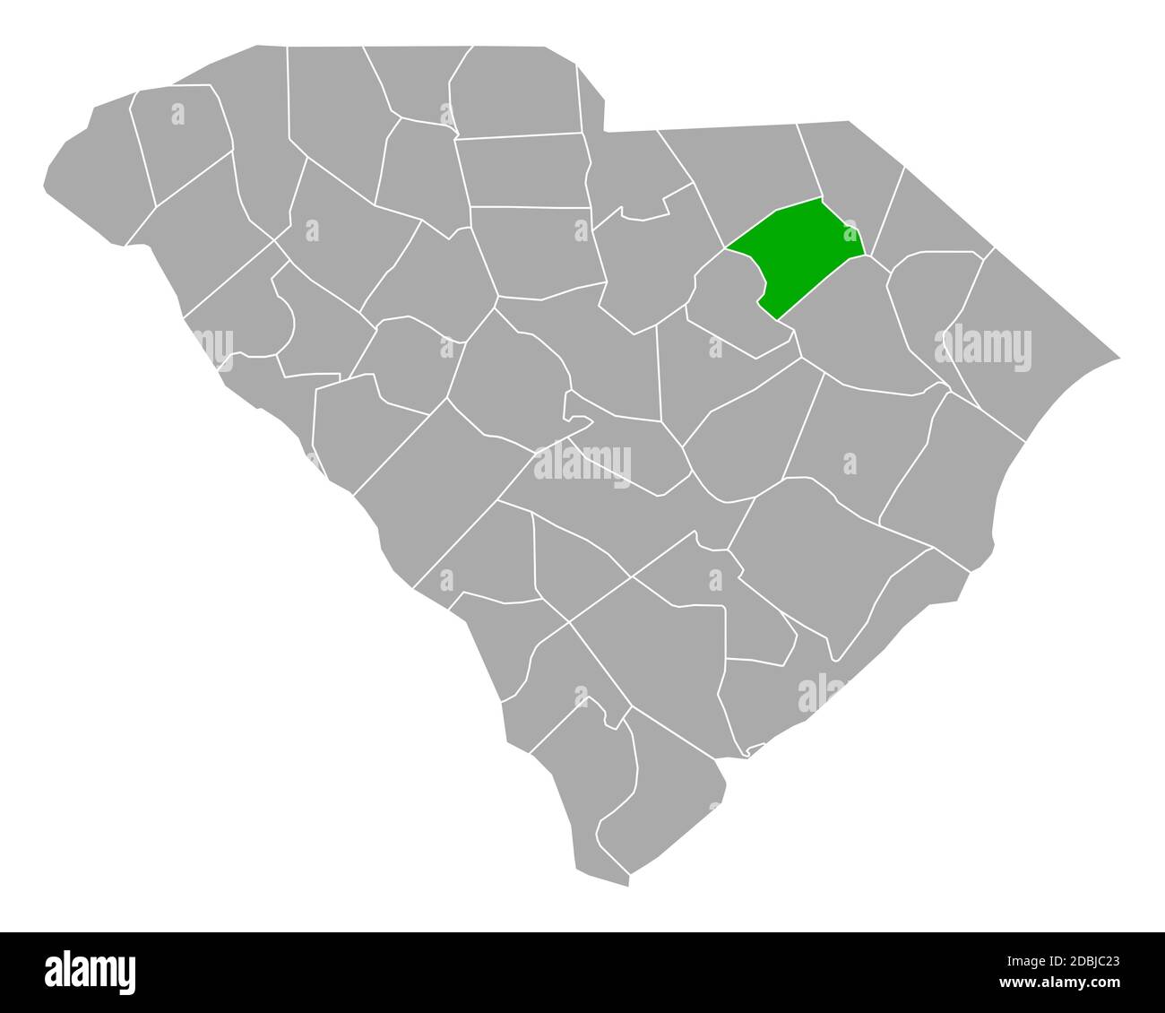 Map of Darlington in South Carolina Stock Photohttps://www.alamy.com/image-license-details/?v=1https://www.alamy.com/map-of-darlington-in-south-carolina-image385793915.html
RF2DBJC23–Map of Darlington in South Carolina
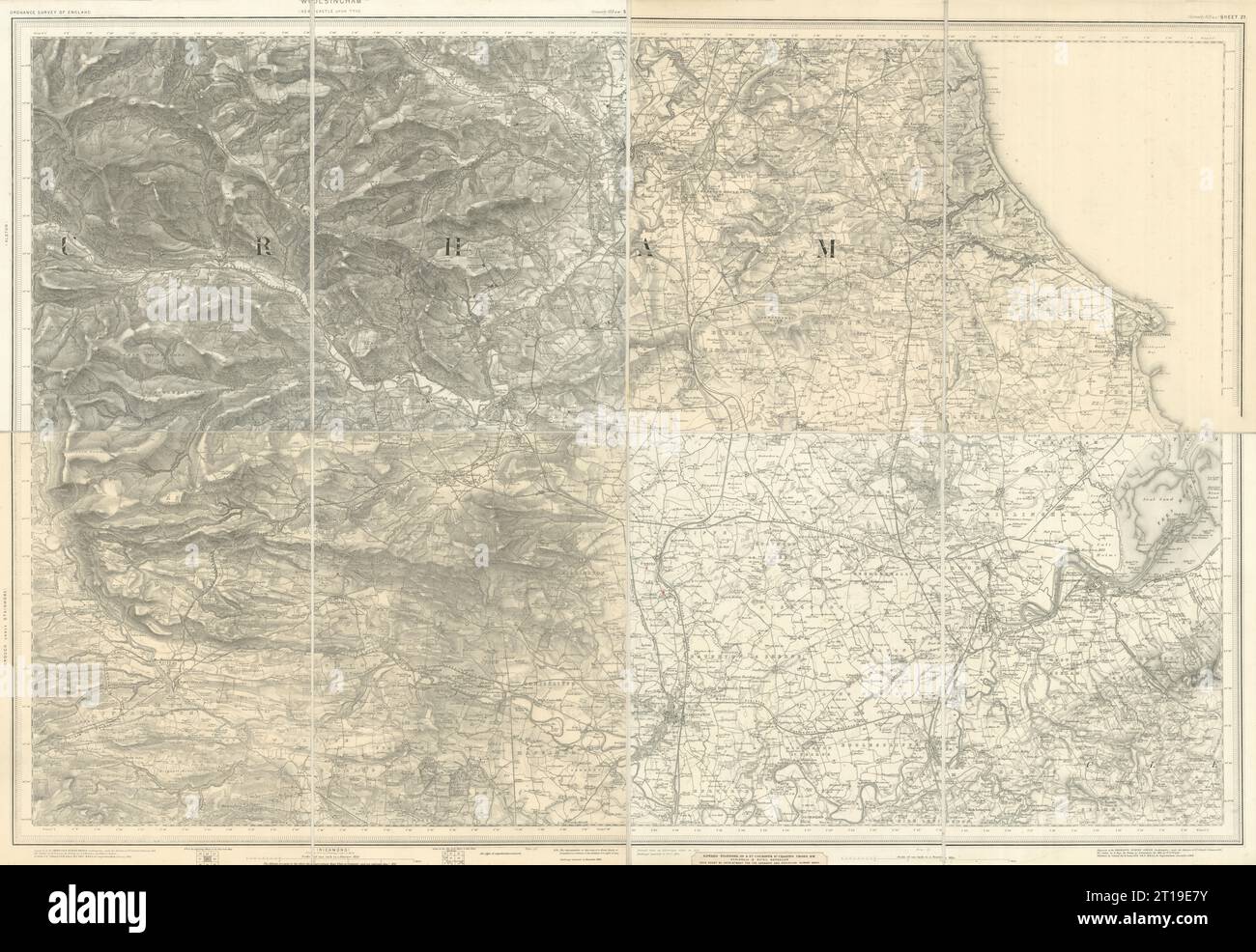 OS #103 Teeside, North Pennines & Durham Coalfield. Middlesborough 1882 map Stock Photohttps://www.alamy.com/image-license-details/?v=1https://www.alamy.com/os-103-teeside-north-pennines-durham-coalfield-middlesborough-1882-map-image568765567.html
RF2T19E7Y–OS #103 Teeside, North Pennines & Durham Coalfield. Middlesborough 1882 map
 Unitary authority area, borough Darlington (United Kingdom of Great Britain and Northern Ireland, ceremonial county Durham, England) map vector illust Stock Vectorhttps://www.alamy.com/image-license-details/?v=1https://www.alamy.com/unitary-authority-area-borough-darlington-united-kingdom-of-great-britain-and-northern-ireland-ceremonial-county-durham-england-map-vector-illust-image556561321.html
RF2R9DFJ1–Unitary authority area, borough Darlington (United Kingdom of Great Britain and Northern Ireland, ceremonial county Durham, England) map vector illust
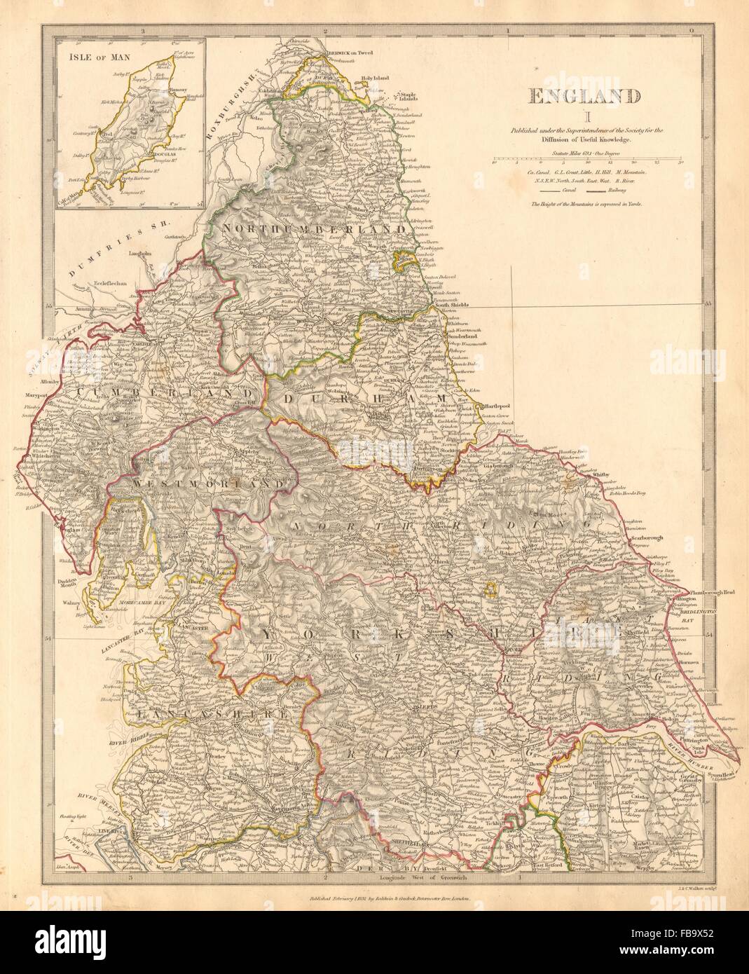 ENGLAND NORTH.Yorkshire Cumbs Lancs Durham Northumbs;Isle of Man.SDUK, 1844 map Stock Photohttps://www.alamy.com/image-license-details/?v=1https://www.alamy.com/stock-photo-england-northyorkshire-cumbs-lancs-durham-northumbsisle-of-mansduk-93031150.html
RFFB9X52–ENGLAND NORTH.Yorkshire Cumbs Lancs Durham Northumbs;Isle of Man.SDUK, 1844 map
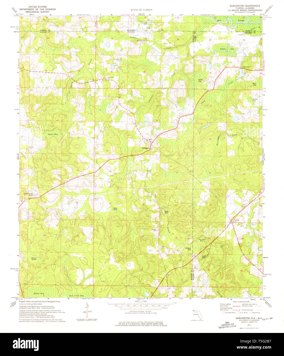 USGS TOPO Map Florida FL Darlington 345731 1973 24000 Restoration Stock Photohttps://www.alamy.com/image-license-details/?v=1https://www.alamy.com/usgs-topo-map-florida-fl-darlington-345731-1973-24000-restoration-image244371547.html
RMT5G2B7–USGS TOPO Map Florida FL Darlington 345731 1973 24000 Restoration
 372 Darlington map of louisiana 1680 Stock Photohttps://www.alamy.com/image-license-details/?v=1https://www.alamy.com/372-darlington-map-of-louisiana-1680-image212608758.html
RMP9W4HX–372 Darlington map of louisiana 1680
![A South West View of Darlington Church, in the County of Durham. Author Rooker, Edward 12.32.c. Place of publication: [London ?] Publisher: Publish'd 1.st May 1774. by John Cade, Date of publication: [1774] Item type: 1 print Medium: etching and engraving Dimensions: sheet 33.8 x 43.0 cm [trimmed within platemark] Former owner: George III, King of Great Britain, 1738-1820 Stock Photo A South West View of Darlington Church, in the County of Durham. Author Rooker, Edward 12.32.c. Place of publication: [London ?] Publisher: Publish'd 1.st May 1774. by John Cade, Date of publication: [1774] Item type: 1 print Medium: etching and engraving Dimensions: sheet 33.8 x 43.0 cm [trimmed within platemark] Former owner: George III, King of Great Britain, 1738-1820 Stock Photo](https://c8.alamy.com/comp/2E9GHKG/a-south-west-view-of-darlington-church-in-the-county-of-durham-author-rooker-edward-1232c-place-of-publication-london-publisher-publishd-1st-may-1774-by-john-cade-date-of-publication-1774-item-type-1-print-medium-etching-and-engraving-dimensions-sheet-338-x-430-cm-trimmed-within-platemark-former-owner-george-iii-king-of-great-britain-1738-1820-2E9GHKG.jpg) A South West View of Darlington Church, in the County of Durham. Author Rooker, Edward 12.32.c. Place of publication: [London ?] Publisher: Publish'd 1.st May 1774. by John Cade, Date of publication: [1774] Item type: 1 print Medium: etching and engraving Dimensions: sheet 33.8 x 43.0 cm [trimmed within platemark] Former owner: George III, King of Great Britain, 1738-1820 Stock Photohttps://www.alamy.com/image-license-details/?v=1https://www.alamy.com/a-south-west-view-of-darlington-church-in-the-county-of-durham-author-rooker-edward-1232c-place-of-publication-london-publisher-publishd-1st-may-1774-by-john-cade-date-of-publication-1774-item-type-1-print-medium-etching-and-engraving-dimensions-sheet-338-x-430-cm-trimmed-within-platemark-former-owner-george-iii-king-of-great-britain-1738-1820-image401735476.html
A South West View of Darlington Church, in the County of Durham. Author Rooker, Edward 12.32.c. Place of publication: [London ?] Publisher: Publish'd 1.st May 1774. by John Cade, Date of publication: [1774] Item type: 1 print Medium: etching and engraving Dimensions: sheet 33.8 x 43.0 cm [trimmed within platemark] Former owner: George III, King of Great Britain, 1738-1820 Stock Photohttps://www.alamy.com/image-license-details/?v=1https://www.alamy.com/a-south-west-view-of-darlington-church-in-the-county-of-durham-author-rooker-edward-1232c-place-of-publication-london-publisher-publishd-1st-may-1774-by-john-cade-date-of-publication-1774-item-type-1-print-medium-etching-and-engraving-dimensions-sheet-338-x-430-cm-trimmed-within-platemark-former-owner-george-iii-king-of-great-britain-1738-1820-image401735476.htmlRM2E9GHKG–A South West View of Darlington Church, in the County of Durham. Author Rooker, Edward 12.32.c. Place of publication: [London ?] Publisher: Publish'd 1.st May 1774. by John Cade, Date of publication: [1774] Item type: 1 print Medium: etching and engraving Dimensions: sheet 33.8 x 43.0 cm [trimmed within platemark] Former owner: George III, King of Great Britain, 1738-1820
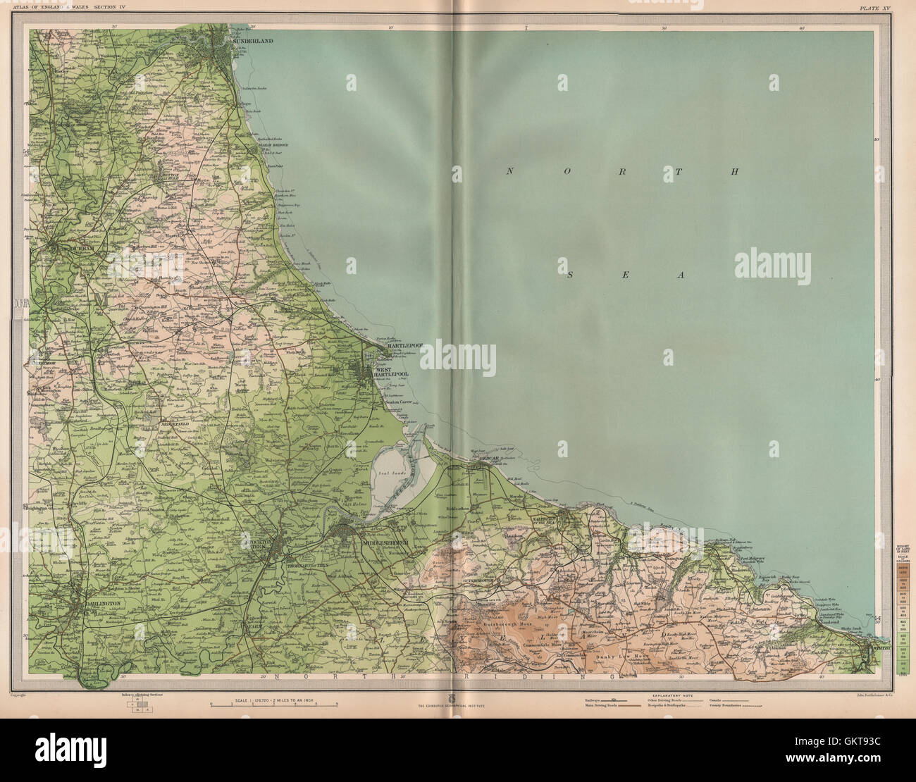 NE ENGLAND COAST. Teeside Middlesbrough Sunderland Darlington Whitby, 1903 map Stock Photohttps://www.alamy.com/image-license-details/?v=1https://www.alamy.com/stock-photo-ne-england-coast-teeside-middlesbrough-sunderland-darlington-whitby-115474672.html
RFGKT93C–NE ENGLAND COAST. Teeside Middlesbrough Sunderland Darlington Whitby, 1903 map
 Correspondence - Darlington (William) and Engelmann (George) (Dec 22, 1859 (2)) Stock Photohttps://www.alamy.com/image-license-details/?v=1https://www.alamy.com/stock-photo-correspondence-darlington-william-and-engelmann-george-dec-22-1859-121971062.html
RMH2C79A–Correspondence - Darlington (William) and Engelmann (George) (Dec 22, 1859 (2))
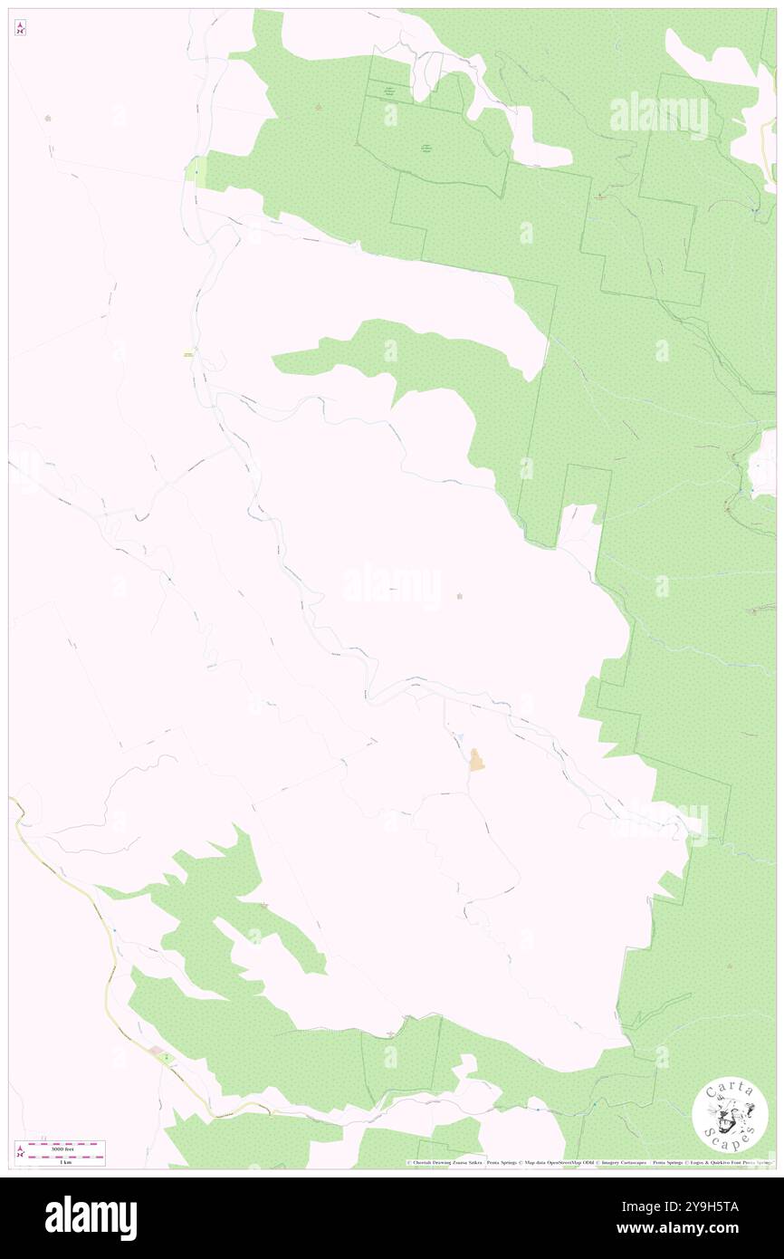 Darlington, Scenic Rim, AU, Australia, Queensland, S 28 14' 20'', N 153 4' 1'', map, Cartascapes Map published in 2024. Explore Cartascapes, a map revealing Earth's diverse landscapes, cultures, and ecosystems. Journey through time and space, discovering the interconnectedness of our planet's past, present, and future. Stock Photohttps://www.alamy.com/image-license-details/?v=1https://www.alamy.com/darlington-scenic-rim-au-australia-queensland-s-28-14-20-n-153-4-1-map-cartascapes-map-published-in-2024-explore-cartascapes-a-map-revealing-earths-diverse-landscapes-cultures-and-ecosystems-journey-through-time-and-space-discovering-the-interconnectedness-of-our-planets-past-present-and-future-image625482938.html
RM2Y9H5TA–Darlington, Scenic Rim, AU, Australia, Queensland, S 28 14' 20'', N 153 4' 1'', map, Cartascapes Map published in 2024. Explore Cartascapes, a map revealing Earth's diverse landscapes, cultures, and ecosystems. Journey through time and space, discovering the interconnectedness of our planet's past, present, and future.
 NORTH PENNINES & YORKSHIRE DALES:Durham Newcastle On Tyne Richmond.CARY 1794 map Stock Photohttps://www.alamy.com/image-license-details/?v=1https://www.alamy.com/stock-photo-north-pennines-yorkshire-dalesdurham-newcastle-on-tyne-richmondcary-107125992.html
RFG68088–NORTH PENNINES & YORKSHIRE DALES:Durham Newcastle On Tyne Richmond.CARY 1794 map
 Darlington, unitary authority of England - Great Britain. Open Street Map. Corner auxiliary location maps Stock Photohttps://www.alamy.com/image-license-details/?v=1https://www.alamy.com/darlington-unitary-authority-of-england-great-britain-open-street-map-corner-auxiliary-location-maps-image546396662.html
RF2PMXEEE–Darlington, unitary authority of England - Great Britain. Open Street Map. Corner auxiliary location maps
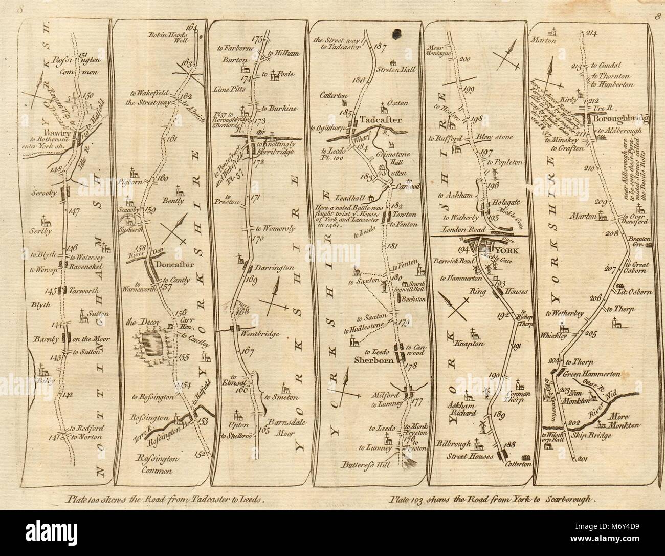 Doncaster Ferrybridge Tadcaster York Boroughbridge. KITCHIN road map 1767 Stock Photohttps://www.alamy.com/image-license-details/?v=1https://www.alamy.com/stock-photo-doncaster-ferrybridge-tadcaster-york-boroughbridge-kitchin-road-map-176387829.html
RFM6Y4D9–Doncaster Ferrybridge Tadcaster York Boroughbridge. KITCHIN road map 1767
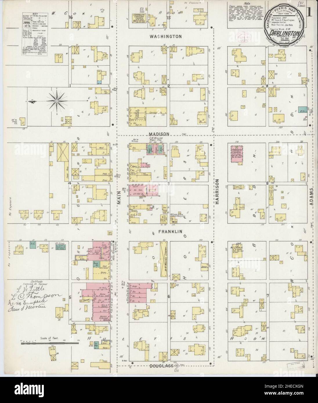 Sanborn Fire Insurance Map from Darlington, Montgomery County, Indiana. Stock Photohttps://www.alamy.com/image-license-details/?v=1https://www.alamy.com/sanborn-fire-insurance-map-from-darlington-montgomery-county-indiana-image456359029.html
RM2HECXGN–Sanborn Fire Insurance Map from Darlington, Montgomery County, Indiana.
 Darlington Memorial Fountain 3 Stock Photohttps://www.alamy.com/image-license-details/?v=1https://www.alamy.com/stock-image-darlington-memorial-fountain-3-162780170.html
RMKCR7NE–Darlington Memorial Fountain 3
 ENGLAND NORTH.Yorkshire Cumbs Lancs Durham Northumbs;Isle of Man.SDUK 1844 map Stock Photohttps://www.alamy.com/image-license-details/?v=1https://www.alamy.com/england-northyorkshire-cumbs-lancs-durham-northumbsisle-of-mansduk-1844-map-image470930691.html
RF2JA4MW7–ENGLAND NORTH.Yorkshire Cumbs Lancs Durham Northumbs;Isle of Man.SDUK 1844 map
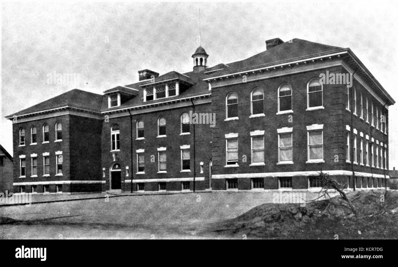 Darlington School, Pawtucket, RI Stock Photohttps://www.alamy.com/image-license-details/?v=1https://www.alamy.com/stock-image-darlington-school-pawtucket-ri-162779948.html
RMKCR7DG–Darlington School, Pawtucket, RI
 Darlington Memorial Fountain Judiciary Square Stock Photohttps://www.alamy.com/image-license-details/?v=1https://www.alamy.com/stock-image-darlington-memorial-fountain-judiciary-square-162787827.html
RMKCRHEY–Darlington Memorial Fountain Judiciary Square
 . Bulletin of the Museum of Comparative Zoology at Harvard College. Zoology. The carabid beetles of New Guinea • Darlington 141 areas: e. g., Wissel Lakes, Cyclops Moun- tains, Sepik River, and Waigeo Island. The best map of New Guinea for general puiposes is (I think) the current set of USAF Operational Navigational Charts (see Bibliography). For spellings of well- known islands, mountain ranges, and localities I have usually followed Webster's Geographical Dictionary. To find less- known localities in New Guinea I have used primarily the blue, paper-bound gazetteers of the United States Boar Stock Photohttps://www.alamy.com/image-license-details/?v=1https://www.alamy.com/bulletin-of-the-museum-of-comparative-zoology-at-harvard-college-zoology-the-carabid-beetles-of-new-guinea-darlington-141-areas-e-g-wissel-lakes-cyclops-moun-tains-sepik-river-and-waigeo-island-the-best-map-of-new-guinea-for-general-puiposes-is-i-think-the-current-set-of-usaf-operational-navigational-charts-see-bibliography-for-spellings-of-well-known-islands-mountain-ranges-and-localities-i-have-usually-followed-websters-geographical-dictionary-to-find-less-known-localities-in-new-guinea-i-have-used-primarily-the-blue-paper-bound-gazetteers-of-the-united-states-boar-image233872696.html
RMRGDR08–. Bulletin of the Museum of Comparative Zoology at Harvard College. Zoology. The carabid beetles of New Guinea • Darlington 141 areas: e. g., Wissel Lakes, Cyclops Moun- tains, Sepik River, and Waigeo Island. The best map of New Guinea for general puiposes is (I think) the current set of USAF Operational Navigational Charts (see Bibliography). For spellings of well- known islands, mountain ranges, and localities I have usually followed Webster's Geographical Dictionary. To find less- known localities in New Guinea I have used primarily the blue, paper-bound gazetteers of the United States Boar
 Darlington Memorial Fountain by Carl Paul Jennewein Washington, DC DSC05652 Stock Photohttps://www.alamy.com/image-license-details/?v=1https://www.alamy.com/stock-image-darlington-memorial-fountain-by-carl-paul-jennewein-washington-dc-162755199.html
RMKCP3WK–Darlington Memorial Fountain by Carl Paul Jennewein Washington, DC DSC05652
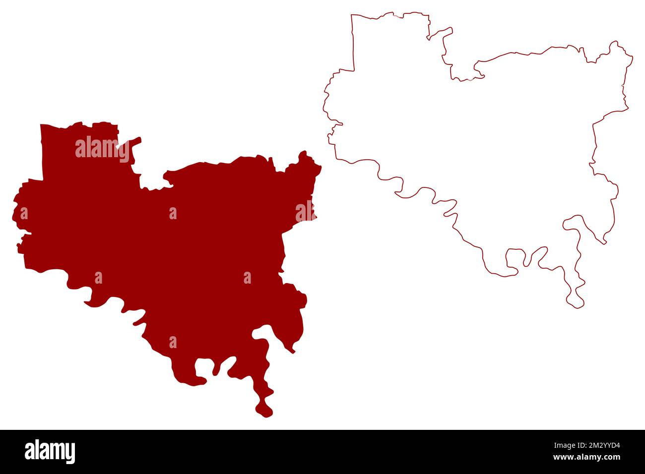 Unitary authority area, borough Darlington (United Kingdom of Great Britain and Northern Ireland, ceremonial county Durham, England) map vector illust Stock Vectorhttps://www.alamy.com/image-license-details/?v=1https://www.alamy.com/unitary-authority-area-borough-darlington-united-kingdom-of-great-britain-and-northern-ireland-ceremonial-county-durham-england-map-vector-illust-image500944224.html
RF2M2YYD4–Unitary authority area, borough Darlington (United Kingdom of Great Britain and Northern Ireland, ceremonial county Durham, England) map vector illust
 USGS TOPO Map Florida FL Darlington 345730 1973 24000 Inverted Restoration Stock Photohttps://www.alamy.com/image-license-details/?v=1https://www.alamy.com/usgs-topo-map-florida-fl-darlington-345730-1973-24000-inverted-restoration-image244371527.html
RMT5G2AF–USGS TOPO Map Florida FL Darlington 345730 1973 24000 Inverted Restoration
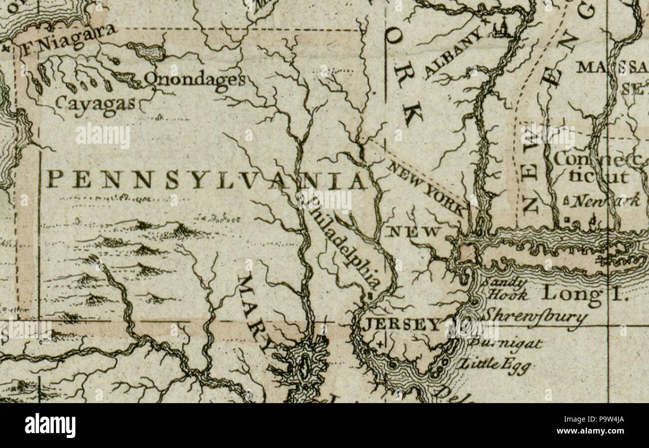 372 Darlington map of Pennsylvania 1680 Stock Photohttps://www.alamy.com/image-license-details/?v=1https://www.alamy.com/372-darlington-map-of-pennsylvania-1680-image212608770.html
RMP9W4JA–372 Darlington map of Pennsylvania 1680
![Com. Sigillum. Lib. Gramatical. Schol. Reg. Elizabeth. In. Villa. De. Darlington. 1567. Visual Material information: Title: Com. Sigillum. Lib. Gramatical. Schol. Reg. Elizabeth. In. Villa. De. Darlington. 1567. 12.32.d. Place of publication: [unknown place of publication] Publisher: [unknown publisher] Date of publication: [1700s c.] Item type: 1 print Medium: etching Dimensions: sheet 7.2 x 6.6 cm [trimmed within platemark] Former owner: George III, King of Great Britain, 1738-1820 Stock Photo Com. Sigillum. Lib. Gramatical. Schol. Reg. Elizabeth. In. Villa. De. Darlington. 1567. Visual Material information: Title: Com. Sigillum. Lib. Gramatical. Schol. Reg. Elizabeth. In. Villa. De. Darlington. 1567. 12.32.d. Place of publication: [unknown place of publication] Publisher: [unknown publisher] Date of publication: [1700s c.] Item type: 1 print Medium: etching Dimensions: sheet 7.2 x 6.6 cm [trimmed within platemark] Former owner: George III, King of Great Britain, 1738-1820 Stock Photo](https://c8.alamy.com/comp/2E9GHK5/com-sigillum-lib-gramatical-schol-reg-elizabeth-in-villa-de-darlington-1567-visual-material-information-title-com-sigillum-lib-gramatical-schol-reg-elizabeth-in-villa-de-darlington-1567-1232d-place-of-publication-unknown-place-of-publication-publisher-unknown-publisher-date-of-publication-1700s-c-item-type-1-print-medium-etching-dimensions-sheet-72-x-66-cm-trimmed-within-platemark-former-owner-george-iii-king-of-great-britain-1738-1820-2E9GHK5.jpg) Com. Sigillum. Lib. Gramatical. Schol. Reg. Elizabeth. In. Villa. De. Darlington. 1567. Visual Material information: Title: Com. Sigillum. Lib. Gramatical. Schol. Reg. Elizabeth. In. Villa. De. Darlington. 1567. 12.32.d. Place of publication: [unknown place of publication] Publisher: [unknown publisher] Date of publication: [1700s c.] Item type: 1 print Medium: etching Dimensions: sheet 7.2 x 6.6 cm [trimmed within platemark] Former owner: George III, King of Great Britain, 1738-1820 Stock Photohttps://www.alamy.com/image-license-details/?v=1https://www.alamy.com/com-sigillum-lib-gramatical-schol-reg-elizabeth-in-villa-de-darlington-1567-visual-material-information-title-com-sigillum-lib-gramatical-schol-reg-elizabeth-in-villa-de-darlington-1567-1232d-place-of-publication-unknown-place-of-publication-publisher-unknown-publisher-date-of-publication-1700s-c-item-type-1-print-medium-etching-dimensions-sheet-72-x-66-cm-trimmed-within-platemark-former-owner-george-iii-king-of-great-britain-1738-1820-image401735465.html
Com. Sigillum. Lib. Gramatical. Schol. Reg. Elizabeth. In. Villa. De. Darlington. 1567. Visual Material information: Title: Com. Sigillum. Lib. Gramatical. Schol. Reg. Elizabeth. In. Villa. De. Darlington. 1567. 12.32.d. Place of publication: [unknown place of publication] Publisher: [unknown publisher] Date of publication: [1700s c.] Item type: 1 print Medium: etching Dimensions: sheet 7.2 x 6.6 cm [trimmed within platemark] Former owner: George III, King of Great Britain, 1738-1820 Stock Photohttps://www.alamy.com/image-license-details/?v=1https://www.alamy.com/com-sigillum-lib-gramatical-schol-reg-elizabeth-in-villa-de-darlington-1567-visual-material-information-title-com-sigillum-lib-gramatical-schol-reg-elizabeth-in-villa-de-darlington-1567-1232d-place-of-publication-unknown-place-of-publication-publisher-unknown-publisher-date-of-publication-1700s-c-item-type-1-print-medium-etching-dimensions-sheet-72-x-66-cm-trimmed-within-platemark-former-owner-george-iii-king-of-great-britain-1738-1820-image401735465.htmlRM2E9GHK5–Com. Sigillum. Lib. Gramatical. Schol. Reg. Elizabeth. In. Villa. De. Darlington. 1567. Visual Material information: Title: Com. Sigillum. Lib. Gramatical. Schol. Reg. Elizabeth. In. Villa. De. Darlington. 1567. 12.32.d. Place of publication: [unknown place of publication] Publisher: [unknown publisher] Date of publication: [1700s c.] Item type: 1 print Medium: etching Dimensions: sheet 7.2 x 6.6 cm [trimmed within platemark] Former owner: George III, King of Great Britain, 1738-1820
 Correspondence - Darlington (William) and Engelmann (George) (Sep 13, 1847 (2)) Stock Photohttps://www.alamy.com/image-license-details/?v=1https://www.alamy.com/stock-photo-correspondence-darlington-william-and-engelmann-george-sep-13-1847-121971076.html
RMH2C79T–Correspondence - Darlington (William) and Engelmann (George) (Sep 13, 1847 (2))