Prince edward island map Stock Photos and Images
(1,295)See prince edward island map stock video clipsQuick filters:
Prince edward island map Stock Photos and Images
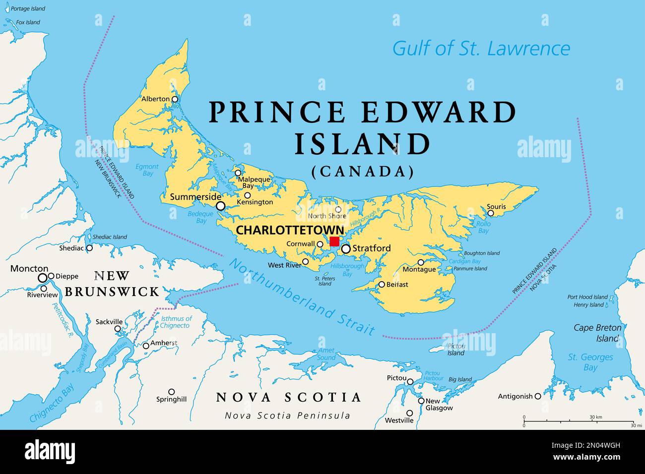 Prince Edward Island, Maritime and Atlantic province of Canada, political map. The Island, located in the Gulf of St. Lawrence. Stock Photohttps://www.alamy.com/image-license-details/?v=1https://www.alamy.com/prince-edward-island-maritime-and-atlantic-province-of-canada-political-map-the-island-located-in-the-gulf-of-st-lawrence-image516418913.html
RF2N04WGH–Prince Edward Island, Maritime and Atlantic province of Canada, political map. The Island, located in the Gulf of St. Lawrence.
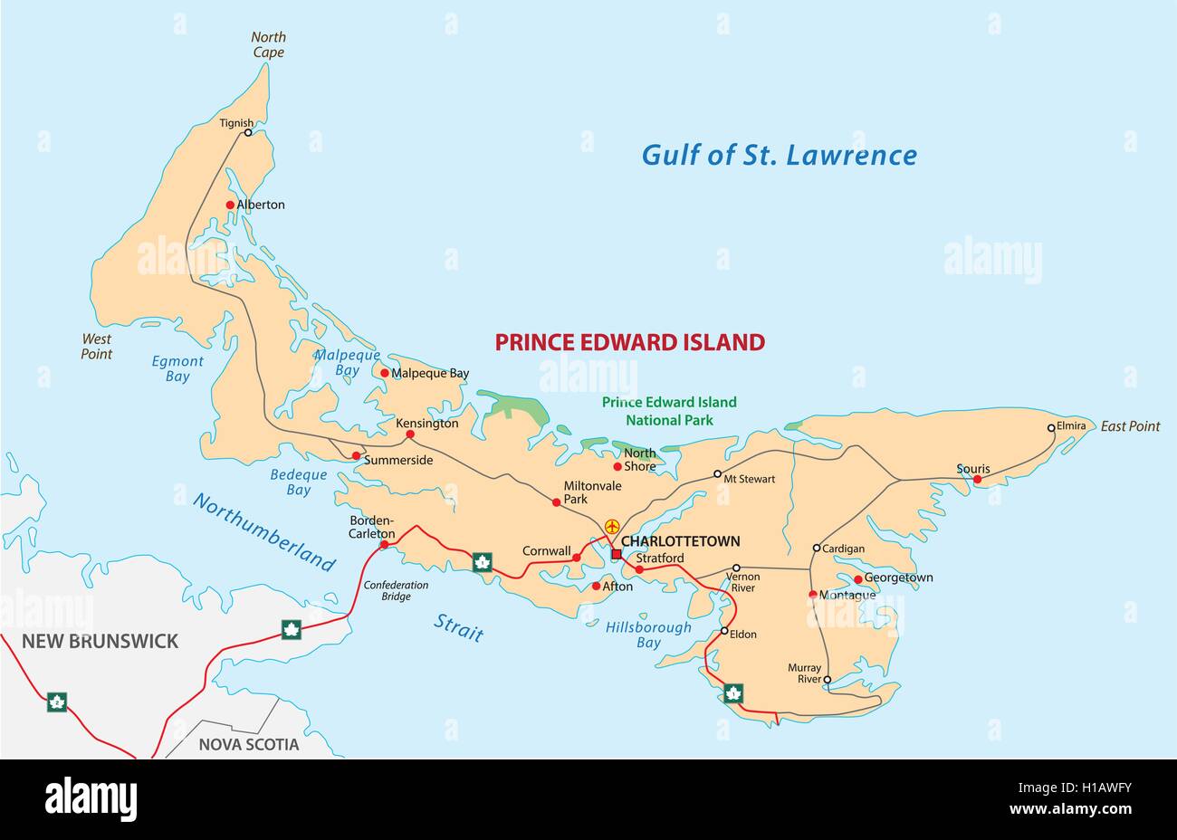 Prince Edward Island road map Stock Vectorhttps://www.alamy.com/image-license-details/?v=1https://www.alamy.com/stock-photo-prince-edward-island-road-map-121326799.html
RFH1AWFY–Prince Edward Island road map
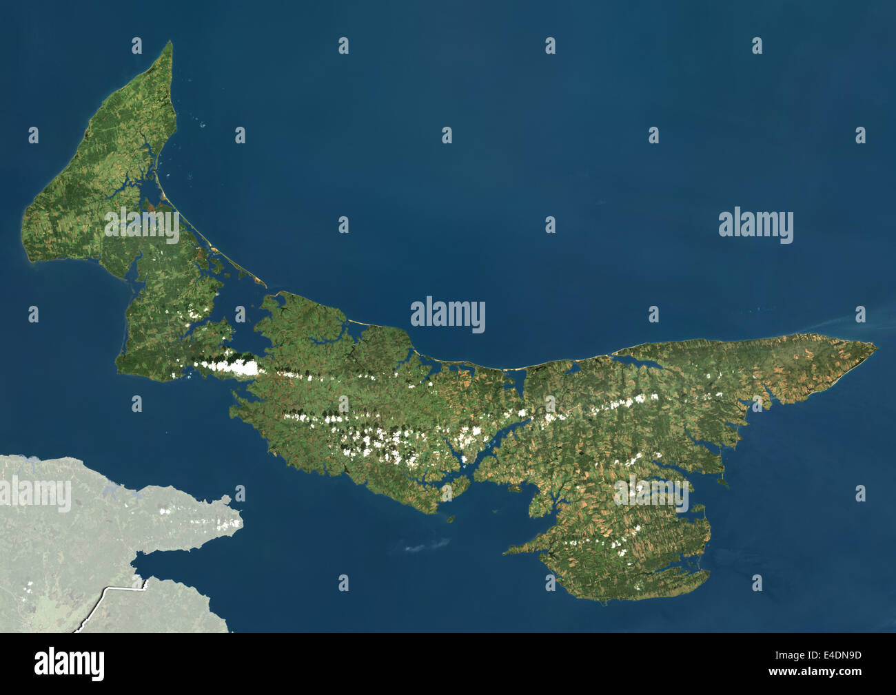 Prince Edward Island, Canada, True Colour Satellite Image Stock Photohttps://www.alamy.com/image-license-details/?v=1https://www.alamy.com/stock-photo-prince-edward-island-canada-true-colour-satellite-image-71602201.html
RME4DN9D–Prince Edward Island, Canada, True Colour Satellite Image
 Prince Edward Island outline map Stock Vectorhttps://www.alamy.com/image-license-details/?v=1https://www.alamy.com/prince-edward-island-outline-map-image365344829.html
RF2C6AW1H–Prince Edward Island outline map
 Canada state of Prince Edward Island map flag button isolated on a white background. Stock Photohttps://www.alamy.com/image-license-details/?v=1https://www.alamy.com/stock-photo-canada-state-of-prince-edward-island-map-flag-button-isolated-on-a-114971512.html
RMGK1B9C–Canada state of Prince Edward Island map flag button isolated on a white background.
 Map of Prince Edward Island on weathered concrete Stock Photohttps://www.alamy.com/image-license-details/?v=1https://www.alamy.com/map-of-prince-edward-island-on-weathered-concrete-image402542091.html
RF2EAWAF7–Map of Prince Edward Island on weathered concrete
 Prince Edward Island Map Flag. Map of PE, Canada with flag. Canadian province. Vector illustration Banner. Stock Vectorhttps://www.alamy.com/image-license-details/?v=1https://www.alamy.com/prince-edward-island-map-flag-map-of-pe-canada-with-flag-canadian-province-vector-illustration-banner-image465274008.html
RF2J0Y1MT–Prince Edward Island Map Flag. Map of PE, Canada with flag. Canadian province. Vector illustration Banner.
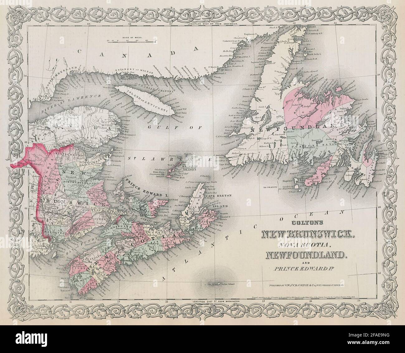 Colton's New Brunswick, Nova Scotia, Newfoundland & Prince Edward Is. 1869 map Stock Photohttps://www.alamy.com/image-license-details/?v=1https://www.alamy.com/coltons-new-brunswick-nova-scotia-newfoundland-prince-edward-is-1869-map-image419510380.html
RF2FAE9NG–Colton's New Brunswick, Nova Scotia, Newfoundland & Prince Edward Is. 1869 map
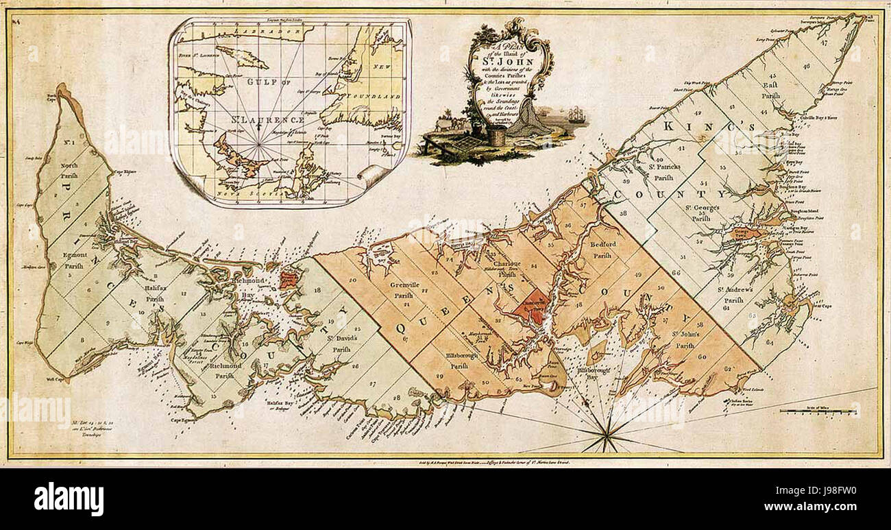 Prince Edward Island map 1775 Stock Photohttps://www.alamy.com/image-license-details/?v=1https://www.alamy.com/stock-photo-prince-edward-island-map-1775-143402924.html
RMJ98FW0–Prince Edward Island map 1775
 Prince Edward Island map 1775. Stock Photohttps://www.alamy.com/image-license-details/?v=1https://www.alamy.com/prince-edward-island-map-1775-image415063756.html
RM2F37P1G–Prince Edward Island map 1775.
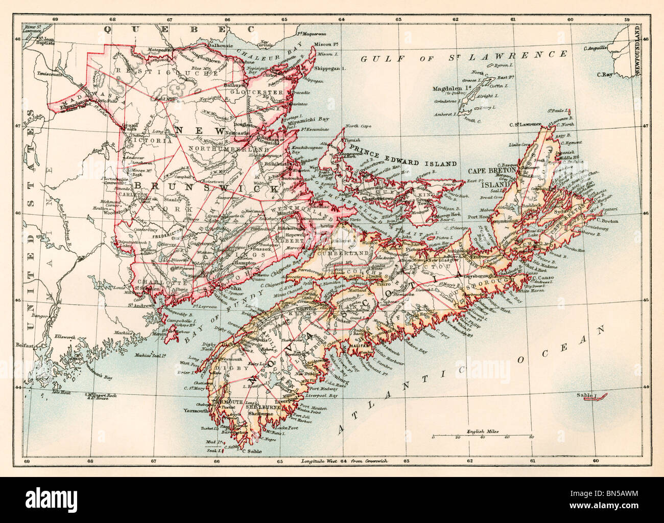 Map of Nova Scotia, Prince Edward Island, and New Brunswick, 1870s. Color lithograph Stock Photohttps://www.alamy.com/image-license-details/?v=1https://www.alamy.com/stock-photo-map-of-nova-scotia-prince-edward-island-and-new-brunswick-1870s-color-30236464.html
RMBN5AWM–Map of Nova Scotia, Prince Edward Island, and New Brunswick, 1870s. Color lithograph
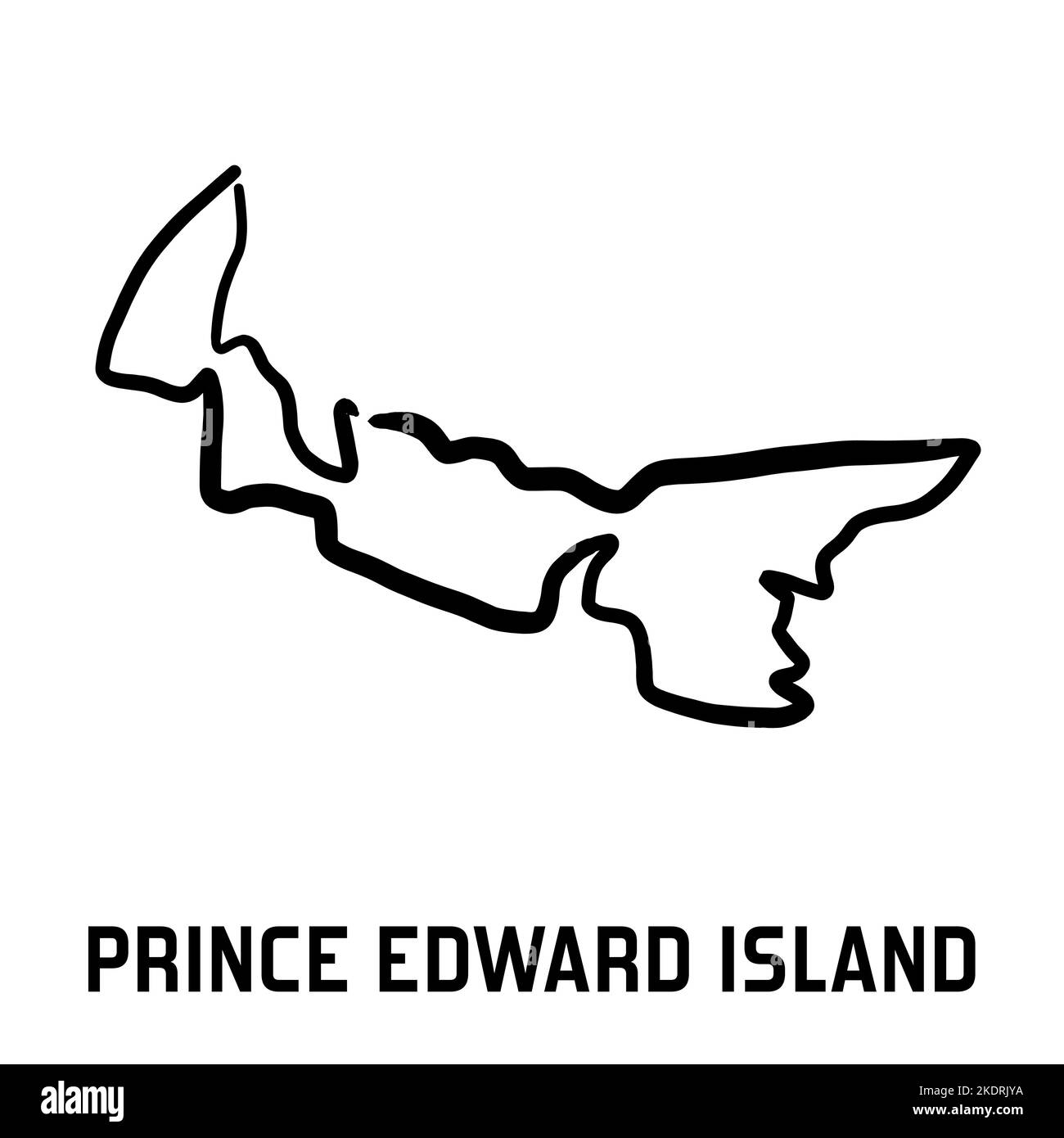 Prince Edward Island map outline - smooth simple hand-drawn Canadian province shape map vector. Province in Canada. Stock Vectorhttps://www.alamy.com/image-license-details/?v=1https://www.alamy.com/prince-edward-island-map-outline-smooth-simple-hand-drawn-canadian-province-shape-map-vector-province-in-canada-image490400606.html
RF2KDRJYA–Prince Edward Island map outline - smooth simple hand-drawn Canadian province shape map vector. Province in Canada.
 Vintage map (counties) of Nova Scotia, Cape Breton, New Brunswick, and Prince Edward Island with city and harbor of Halifax inset 1863, before Confederation Stock Photohttps://www.alamy.com/image-license-details/?v=1https://www.alamy.com/vintage-map-counties-of-nova-scotia-cape-breton-new-brunswick-and-prince-edward-island-with-city-and-harbor-of-halifax-inset-1863-before-confederation-image614353791.html
RM2XKE6ER–Vintage map (counties) of Nova Scotia, Cape Breton, New Brunswick, and Prince Edward Island with city and harbor of Halifax inset 1863, before Confederation
 St. Edward, Canada, Prince Edward Island, N 46 53' 0'', W 64 10' 55'', map, Timeless Map published in 2021. Travelers, explorers and adventurers like Florence Nightingale, David Livingstone, Ernest Shackleton, Lewis and Clark and Sherlock Holmes relied on maps to plan travels to the world's most remote corners, Timeless Maps is mapping most locations on the globe, showing the achievement of great dreams Stock Photohttps://www.alamy.com/image-license-details/?v=1https://www.alamy.com/st-edward-canada-prince-edward-island-n-46-53-0-w-64-10-55-map-timeless-map-published-in-2021-travelers-explorers-and-adventurers-like-florence-nightingale-david-livingstone-ernest-shackleton-lewis-and-clark-and-sherlock-holmes-relied-on-maps-to-plan-travels-to-the-worlds-most-remote-corners-timeless-maps-is-mapping-most-locations-on-the-globe-showing-the-achievement-of-great-dreams-image457885971.html
RM2HGXE6B–St. Edward, Canada, Prince Edward Island, N 46 53' 0'', W 64 10' 55'', map, Timeless Map published in 2021. Travelers, explorers and adventurers like Florence Nightingale, David Livingstone, Ernest Shackleton, Lewis and Clark and Sherlock Holmes relied on maps to plan travels to the world's most remote corners, Timeless Maps is mapping most locations on the globe, showing the achievement of great dreams
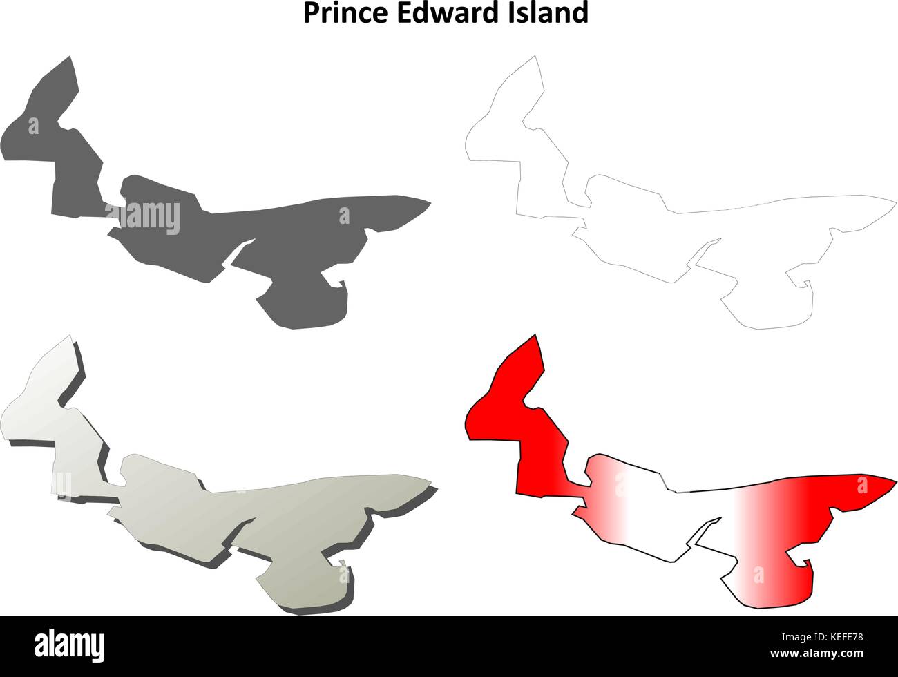 Prince Edward Island blank outline map set Stock Vectorhttps://www.alamy.com/image-license-details/?v=1https://www.alamy.com/stock-image-prince-edward-island-blank-outline-map-set-163838956.html
RFKEFE78–Prince Edward Island blank outline map set
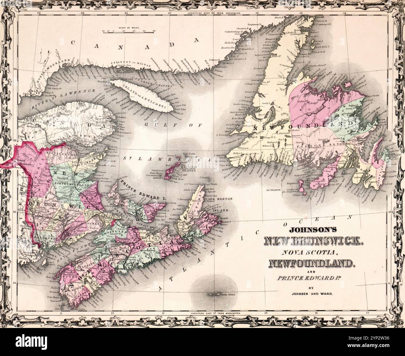 New Brunswick, Nova Scotia, Newfoundland, & Prince Edward Island - Johnson's new illustrated (steel plate) family atlas, with descriptions, geographical, statistical, and historical Stock Photohttps://www.alamy.com/image-license-details/?v=1https://www.alamy.com/new-brunswick-nova-scotia-newfoundland-prince-edward-island-johnsons-new-illustrated-steel-plate-family-atlas-with-descriptions-geographical-statistical-and-historical-image633159274.html
RM2YP2W36–New Brunswick, Nova Scotia, Newfoundland, & Prince Edward Island - Johnson's new illustrated (steel plate) family atlas, with descriptions, geographical, statistical, and historical
 Provinces and territories of Canada - map of Prince Edward Island with paper cut effect. Please look at my other images of cartographic series - they Stock Vectorhttps://www.alamy.com/image-license-details/?v=1https://www.alamy.com/stock-photo-provinces-and-territories-of-canada-map-of-prince-edward-island-with-173766051.html
RFM2KMAB–Provinces and territories of Canada - map of Prince Edward Island with paper cut effect. Please look at my other images of cartographic series - they
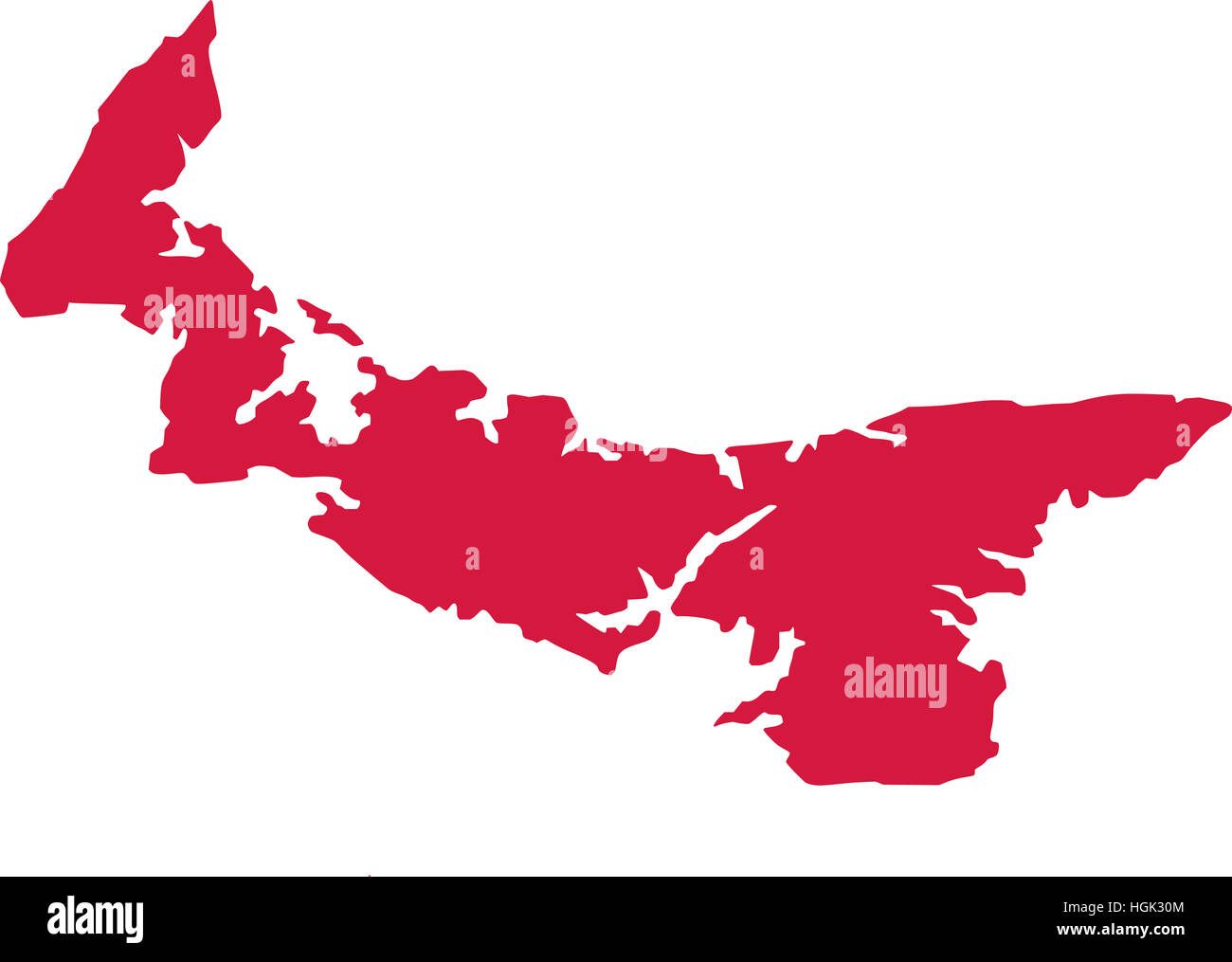 Map of prince edward island Stock Photohttps://www.alamy.com/image-license-details/?v=1https://www.alamy.com/stock-photo-map-of-prince-edward-island-130726532.html
RFHGK30M–Map of prince edward island
 Map of Prince Edward Island Stock Photohttps://www.alamy.com/image-license-details/?v=1https://www.alamy.com/stock-photo-map-of-prince-edward-island-82177016.html
RFENKDHC–Map of Prince Edward Island
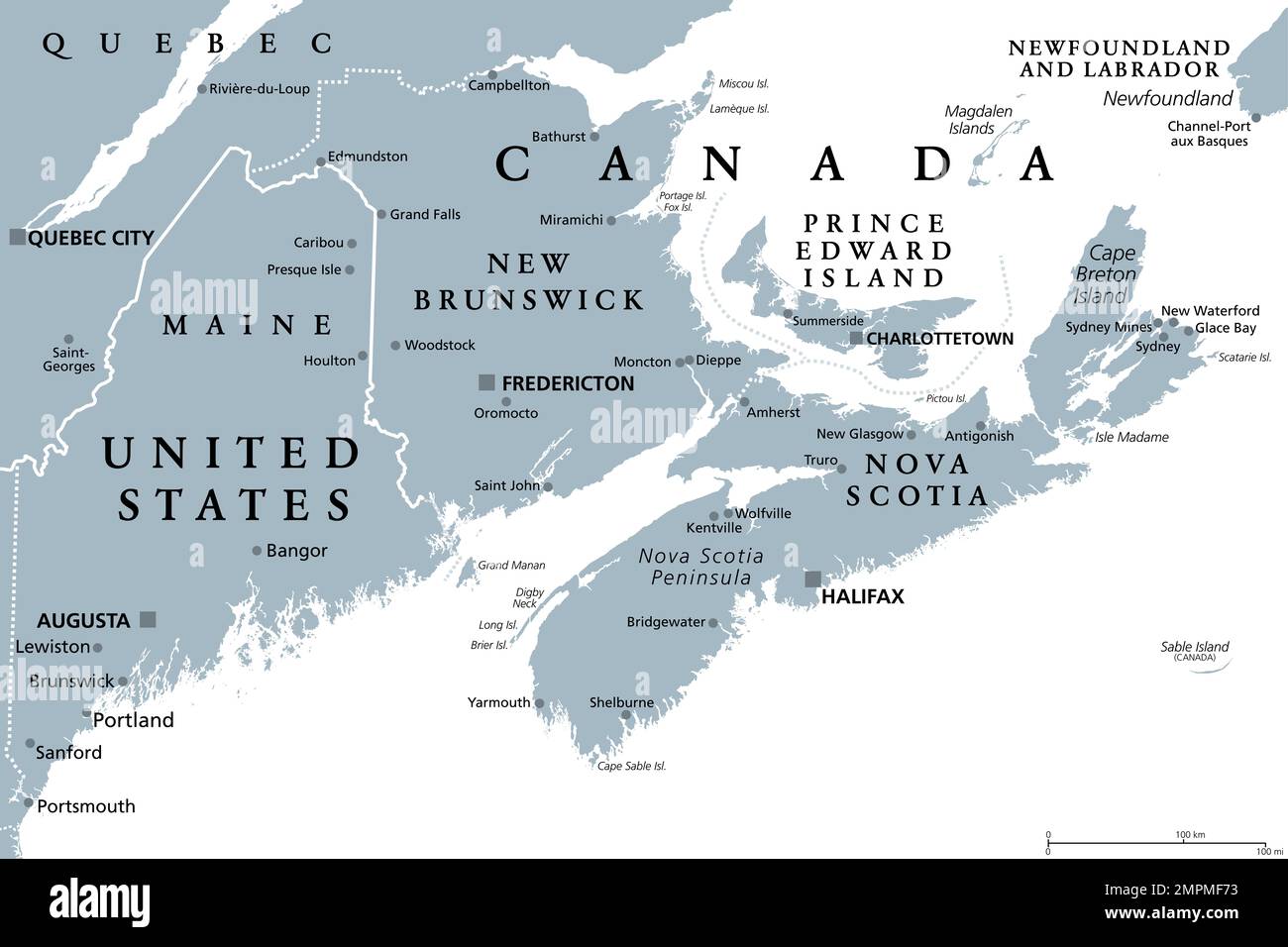 Maritimes region of Eastern Canada, Maritime provinces, gray political map. New Brunswick, Nova Scotia, and Prince Edward Island. Stock Photohttps://www.alamy.com/image-license-details/?v=1https://www.alamy.com/maritimes-region-of-eastern-canada-maritime-provinces-gray-political-map-new-brunswick-nova-scotia-and-prince-edward-island-image513074103.html
RF2MPMF73–Maritimes region of Eastern Canada, Maritime provinces, gray political map. New Brunswick, Nova Scotia, and Prince Edward Island.
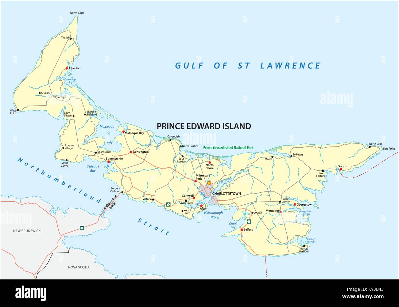 Prince Edward Island vector road map Stock Vectorhttps://www.alamy.com/image-license-details/?v=1https://www.alamy.com/stock-photo-prince-edward-island-vector-road-map-171563619.html
RFKY3B43–Prince Edward Island vector road map
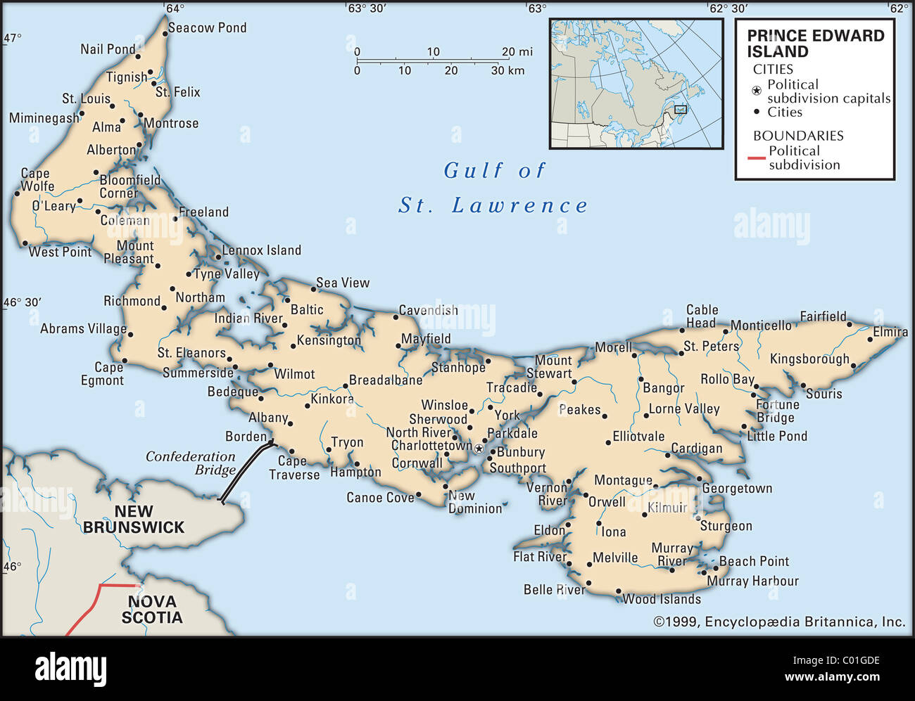 Map of Prince Edward Island Stock Photohttps://www.alamy.com/image-license-details/?v=1https://www.alamy.com/stock-photo-map-of-prince-edward-island-34455610.html
RMC01GDE–Map of Prince Edward Island
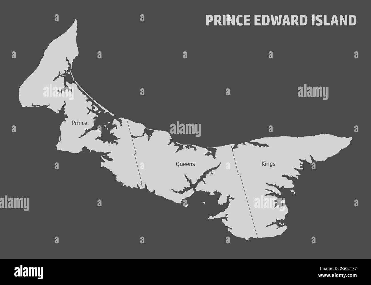 Prince Edward Island map divided in counties with labels, Canada Stock Vectorhttps://www.alamy.com/image-license-details/?v=1https://www.alamy.com/prince-edward-island-map-divided-in-counties-with-labels-canada-image437697995.html
RF2GC2T77–Prince Edward Island map divided in counties with labels, Canada
 Canadian state of Prince Edward Island travel map with push pins on black background. Stock Photohttps://www.alamy.com/image-license-details/?v=1https://www.alamy.com/stock-photo-canadian-state-of-prince-edward-island-travel-map-with-push-pins-on-41719310.html
RMCBTDBA–Canadian state of Prince Edward Island travel map with push pins on black background.
 map of prince edward iceland Stock Photohttps://www.alamy.com/image-license-details/?v=1https://www.alamy.com/stock-photo-map-of-prince-edward-iceland-131092898.html
RFHH7P96–map of prince edward iceland
RF2GCK5BK–Prince Edward Island Map on Canadian Flag. PE, CA Province Map on Canada Flag. EPS Vector Graphic Clipart Icon
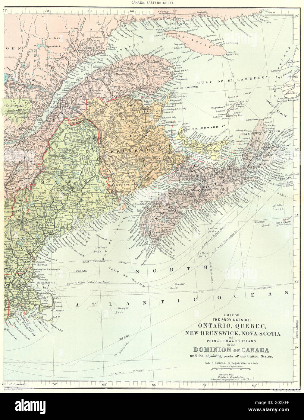 CANADA EAST: Quebec New Brunswick NS Prince Edward Is. STANFORD, 1906 old map Stock Photohttps://www.alamy.com/image-license-details/?v=1https://www.alamy.com/stock-photo-canada-east-quebec-new-brunswick-ns-prince-edward-is-stanford-1906-103839667.html
RFG0X8FF–CANADA EAST: Quebec New Brunswick NS Prince Edward Is. STANFORD, 1906 old map
 Prince Edward Island 1775 Stock Photohttps://www.alamy.com/image-license-details/?v=1https://www.alamy.com/prince-edward-island-1775-image184215354.html
RMMKKMFP–Prince Edward Island 1775
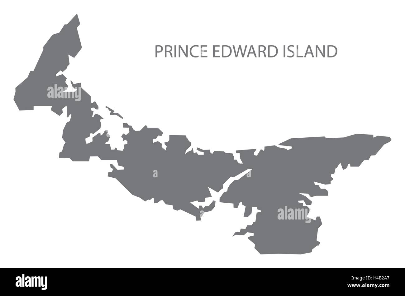 Prince Edward Island Canada Map in grey Stock Vectorhttps://www.alamy.com/image-license-details/?v=1https://www.alamy.com/stock-photo-prince-edward-island-canada-map-in-grey-123174527.html
RFH4B2A7–Prince Edward Island Canada Map in grey
 Map of PRINCE EDWARD ISLAND, North American, isolated map, showing its states and cities, with name, World map, vector, EPS, Government, politics Stock Vectorhttps://www.alamy.com/image-license-details/?v=1https://www.alamy.com/map-of-prince-edward-island-north-american-isolated-map-showing-its-states-and-cities-with-name-world-map-vector-eps-government-politics-image612136535.html
RF2XFW6B3–Map of PRINCE EDWARD ISLAND, North American, isolated map, showing its states and cities, with name, World map, vector, EPS, Government, politics
 Map of Prince Edward Island on rusty metal Stock Photohttps://www.alamy.com/image-license-details/?v=1https://www.alamy.com/map-of-prince-edward-island-on-rusty-metal-image634543436.html
RF2YT9XHG–Map of Prince Edward Island on rusty metal
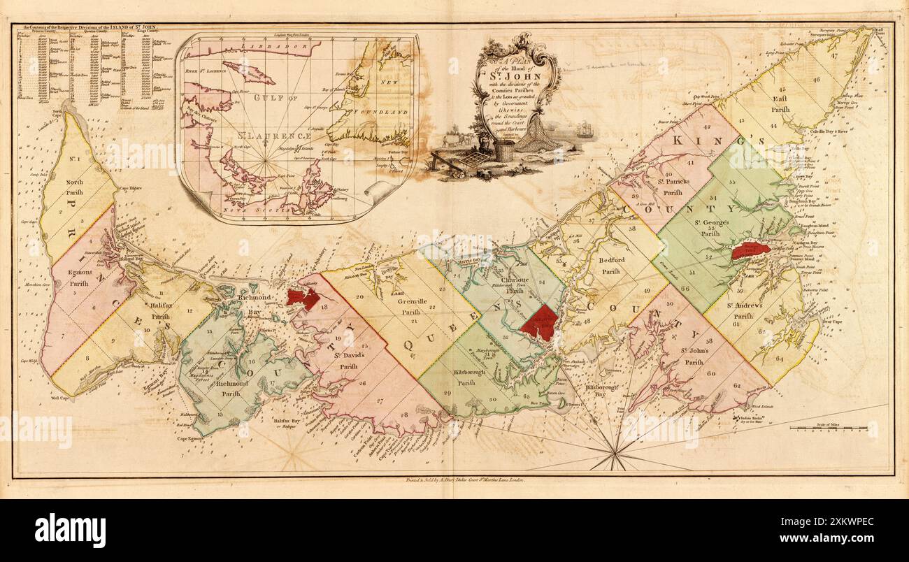 Vintage map plan of the Island of St. John, which became the Canadian province of Prince Edward Island, showing counties, parishes, and lots ca. 1775 Stock Photohttps://www.alamy.com/image-license-details/?v=1https://www.alamy.com/vintage-map-plan-of-the-island-of-st-john-which-became-the-canadian-province-of-prince-edward-island-showing-counties-parishes-and-lots-ca-1775-image614607796.html
RM2XKWPEC–Vintage map plan of the Island of St. John, which became the Canadian province of Prince Edward Island, showing counties, parishes, and lots ca. 1775
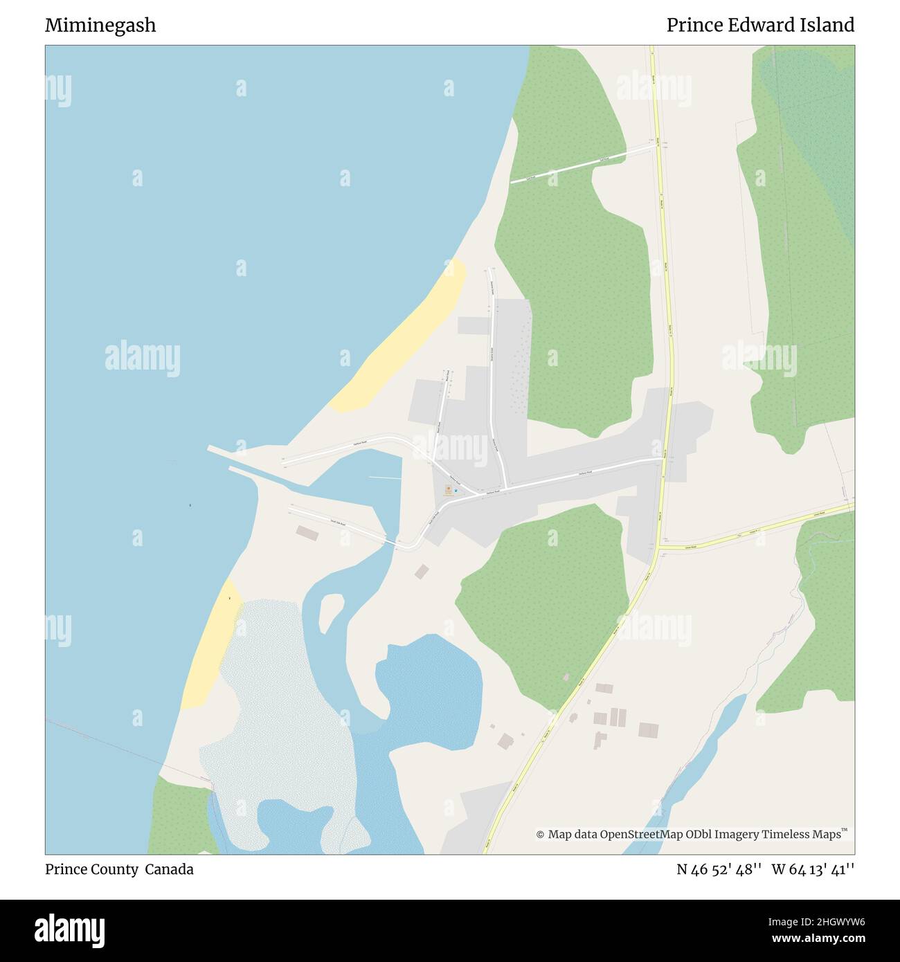 Miminegash, Prince County, Canada, Prince Edward Island, N 46 52' 48'', W 64 13' 41'', map, Timeless Map published in 2021. Travelers, explorers and adventurers like Florence Nightingale, David Livingstone, Ernest Shackleton, Lewis and Clark and Sherlock Holmes relied on maps to plan travels to the world's most remote corners, Timeless Maps is mapping most locations on the globe, showing the achievement of great dreams Stock Photohttps://www.alamy.com/image-license-details/?v=1https://www.alamy.com/miminegash-prince-county-canada-prince-edward-island-n-46-52-48-w-64-13-41-map-timeless-map-published-in-2021-travelers-explorers-and-adventurers-like-florence-nightingale-david-livingstone-ernest-shackleton-lewis-and-clark-and-sherlock-holmes-relied-on-maps-to-plan-travels-to-the-worlds-most-remote-corners-timeless-maps-is-mapping-most-locations-on-the-globe-showing-the-achievement-of-great-dreams-image457874738.html
RM2HGWYW6–Miminegash, Prince County, Canada, Prince Edward Island, N 46 52' 48'', W 64 13' 41'', map, Timeless Map published in 2021. Travelers, explorers and adventurers like Florence Nightingale, David Livingstone, Ernest Shackleton, Lewis and Clark and Sherlock Holmes relied on maps to plan travels to the world's most remote corners, Timeless Maps is mapping most locations on the globe, showing the achievement of great dreams
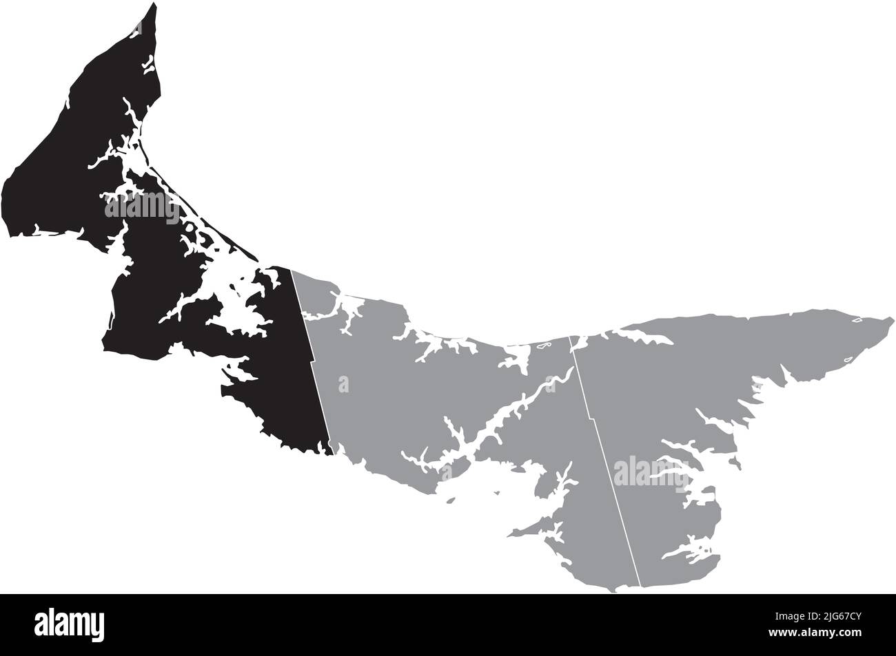 Black flat blank highlighted location map of the PRINCE COUNTY inside gray administrative map of counties of Canadian province of Prince Edward Island Stock Vectorhttps://www.alamy.com/image-license-details/?v=1https://www.alamy.com/black-flat-blank-highlighted-location-map-of-the-prince-county-inside-gray-administrative-map-of-counties-of-canadian-province-of-prince-edward-island-image474651995.html
RF2JG67CY–Black flat blank highlighted location map of the PRINCE COUNTY inside gray administrative map of counties of Canadian province of Prince Edward Island
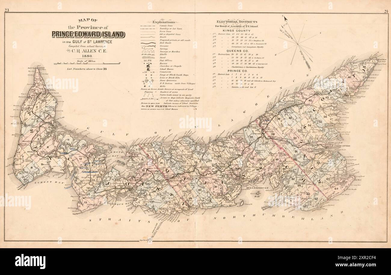 Vintage Map of the Province of Prince Edward Island, Canada, 1880 Stock Photohttps://www.alamy.com/image-license-details/?v=1https://www.alamy.com/vintage-map-of-the-province-of-prince-edward-island-canada-1880-image616553704.html
RM2XR2CF4–Vintage Map of the Province of Prince Edward Island, Canada, 1880
 Designing a nation sign at the province house in downtown Charlottetown, Prince Edward Island, Canada Stock Photohttps://www.alamy.com/image-license-details/?v=1https://www.alamy.com/designing-a-nation-sign-at-the-province-house-in-downtown-charlottetown-prince-edward-island-canada-image607580051.html
RF2X8DJFF–Designing a nation sign at the province house in downtown Charlottetown, Prince Edward Island, Canada
 Detailed Map of Prince Edward Island, Canada with several variations Stock Photohttps://www.alamy.com/image-license-details/?v=1https://www.alamy.com/stock-photo-detailed-map-of-prince-edward-island-canada-with-several-variations-50993425.html
RFCXXXHN–Detailed Map of Prince Edward Island, Canada with several variations
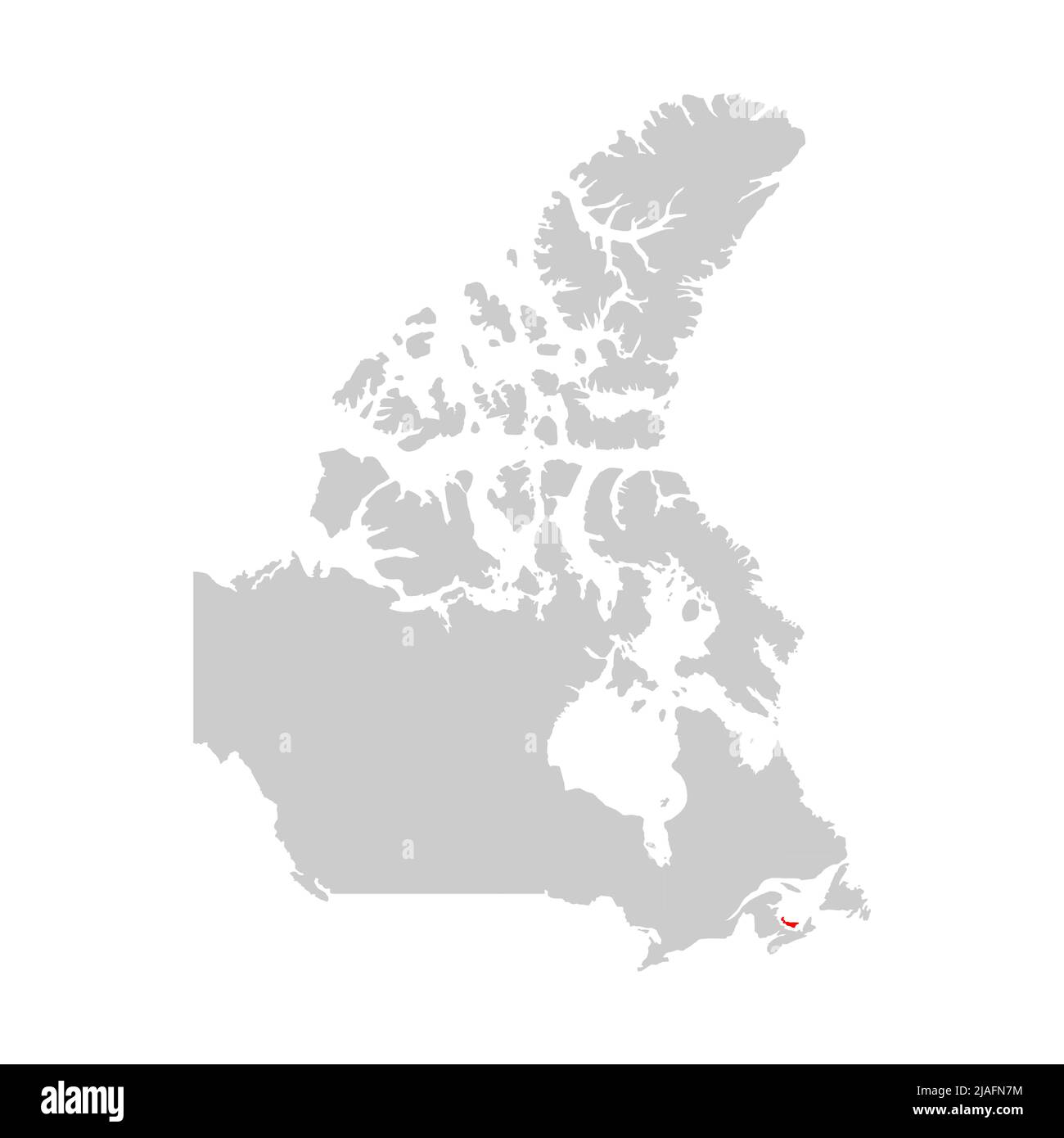 Prince Edward Island highlighted on map of Canada Stock Vectorhttps://www.alamy.com/image-license-details/?v=1https://www.alamy.com/prince-edward-island-highlighted-on-map-of-canada-image471172456.html
RF2JAFN7M–Prince Edward Island highlighted on map of Canada
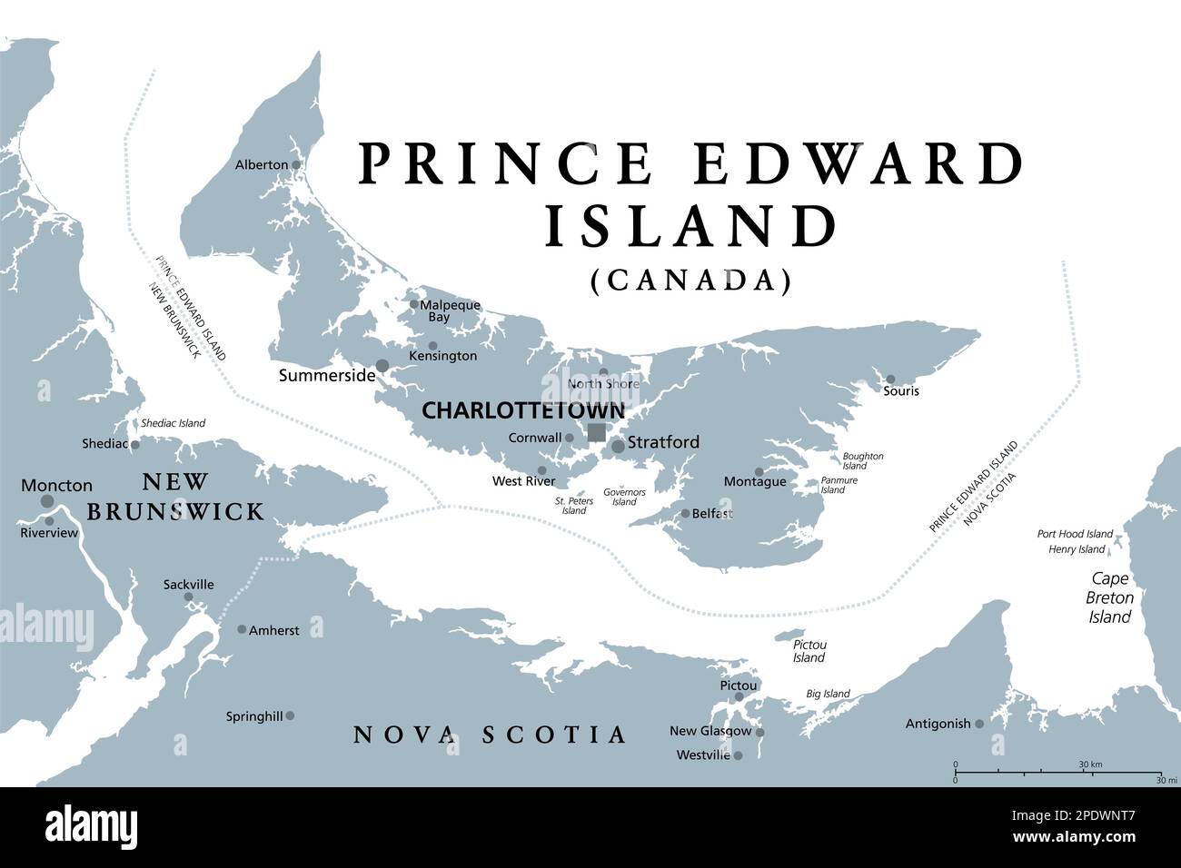 Prince Edward Island, Maritime and Atlantic province of Canada, gray political map. Known as The Island, in Gulf of St. Lawrence. Stock Photohttps://www.alamy.com/image-license-details/?v=1https://www.alamy.com/prince-edward-island-maritime-and-atlantic-province-of-canada-gray-political-map-known-as-the-island-in-gulf-of-st-lawrence-image542077879.html
RF2PDWNT7–Prince Edward Island, Maritime and Atlantic province of Canada, gray political map. Known as The Island, in Gulf of St. Lawrence.
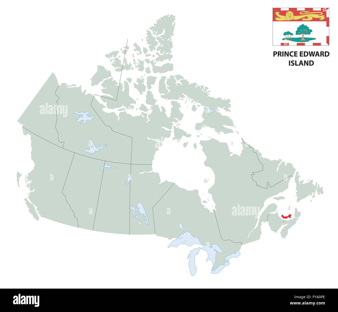 outline map of the Canadian province Prince Edward Island with flag Stock Vectorhttps://www.alamy.com/image-license-details/?v=1https://www.alamy.com/stock-photo-outline-map-of-the-canadian-province-prince-edward-island-with-flag-102867702.html
RFFYA0PE–outline map of the Canadian province Prince Edward Island with flag
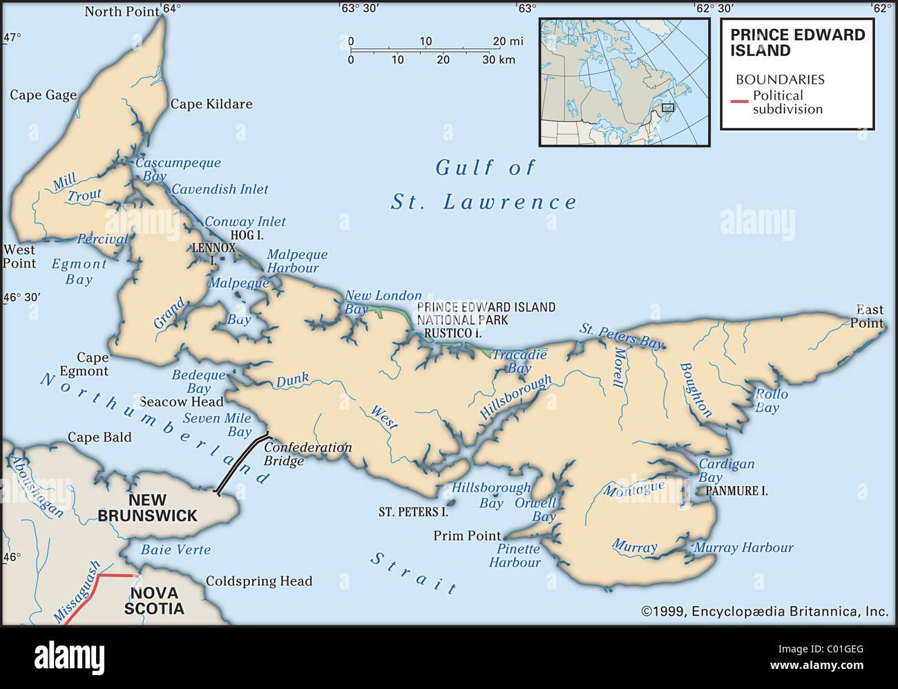 Physical map of Prince Edward Island Stock Photohttps://www.alamy.com/image-license-details/?v=1https://www.alamy.com/stock-photo-physical-map-of-prince-edward-island-34455640.html
RMC01GEG–Physical map of Prince Edward Island
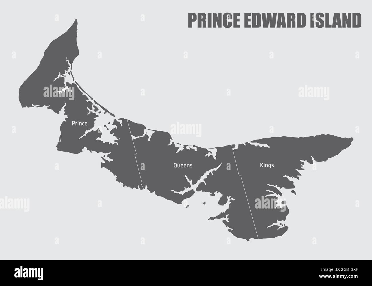 Prince Edward Island map divided in counties with labels, Canada Stock Vectorhttps://www.alamy.com/image-license-details/?v=1https://www.alamy.com/prince-edward-island-map-divided-in-counties-with-labels-canada-image437550359.html
RF2GBT3XF–Prince Edward Island map divided in counties with labels, Canada
 Prince Edward island state in Canada responsive flat web design map button isolated with clipping path. Stock Photohttps://www.alamy.com/image-license-details/?v=1https://www.alamy.com/prince-edward-island-state-in-canada-responsive-flat-web-design-map-image66333151.html
RMDRWMH3–Prince Edward island state in Canada responsive flat web design map button isolated with clipping path.
 map of prince edward iceland Stock Photohttps://www.alamy.com/image-license-details/?v=1https://www.alamy.com/stock-photo-map-of-prince-edward-iceland-143648643.html
RFJ9KN8K–map of prince edward iceland
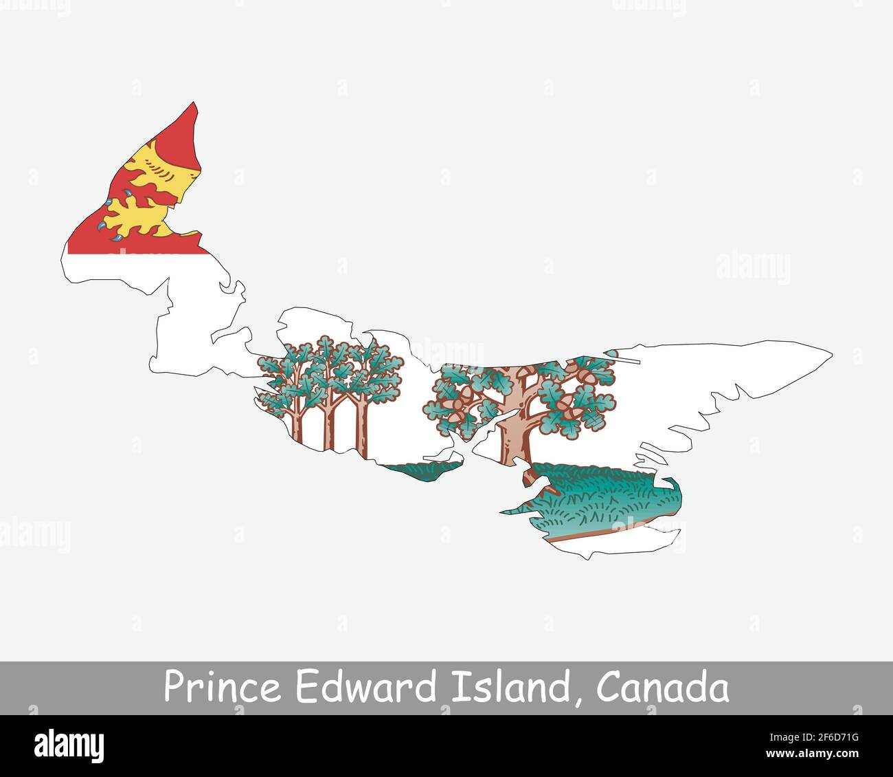 Prince Edward Island Map Flag. Map of PE, Canada with flag isolated on a white background. Canadian province. Vector illustration. Stock Vectorhttps://www.alamy.com/image-license-details/?v=1https://www.alamy.com/prince-edward-island-map-flag-map-of-pe-canada-with-flag-isolated-on-a-white-background-canadian-province-vector-illustration-image417027676.html
RF2F6D71G–Prince Edward Island Map Flag. Map of PE, Canada with flag isolated on a white background. Canadian province. Vector illustration.
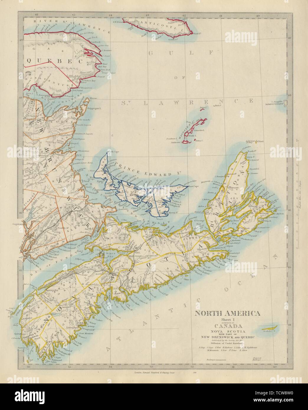 NOVA SCOTIA, New Brunswick Quebec Prince Edward's Island. Canada. SDUK 1874 map Stock Photohttps://www.alamy.com/image-license-details/?v=1https://www.alamy.com/nova-scotia-new-brunswick-quebec-prince-edwards-island-canada-sduk-1874-map-image248876796.html
RFTCW8W0–NOVA SCOTIA, New Brunswick Quebec Prince Edward's Island. Canada. SDUK 1874 map
 Prince Edward Island in the Gulf of St. Lawrence on a colored elevation map Stock Photohttps://www.alamy.com/image-license-details/?v=1https://www.alamy.com/prince-edward-island-in-the-gulf-of-st-lawrence-on-a-colored-elevation-map-image619521651.html
RF2XYWJ57–Prince Edward Island in the Gulf of St. Lawrence on a colored elevation map
 Prince Edward Island Province watercolor map of Canada in front of a white background Stock Photohttps://www.alamy.com/image-license-details/?v=1https://www.alamy.com/prince-edward-island-province-watercolor-map-of-canada-in-front-of-a-white-background-image221207085.html
RFPRTRW1–Prince Edward Island Province watercolor map of Canada in front of a white background
 Prince Edward Island blank outline map set Stock Vectorhttps://www.alamy.com/image-license-details/?v=1https://www.alamy.com/stock-photo-prince-edward-island-blank-outline-map-set-116071419.html
RFGMRE7R–Prince Edward Island blank outline map set
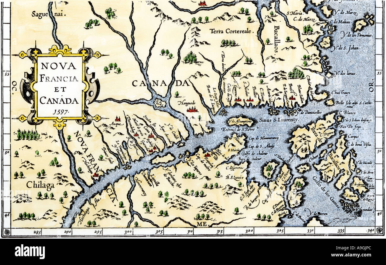 Map of New France and Canada in 1597. Hand-colored woodcut Stock Photohttps://www.alamy.com/image-license-details/?v=1https://www.alamy.com/map-of-new-france-and-canada-in-1597-hand-colored-woodcut-image7064043.html
RMA9GJPC–Map of New France and Canada in 1597. Hand-colored woodcut
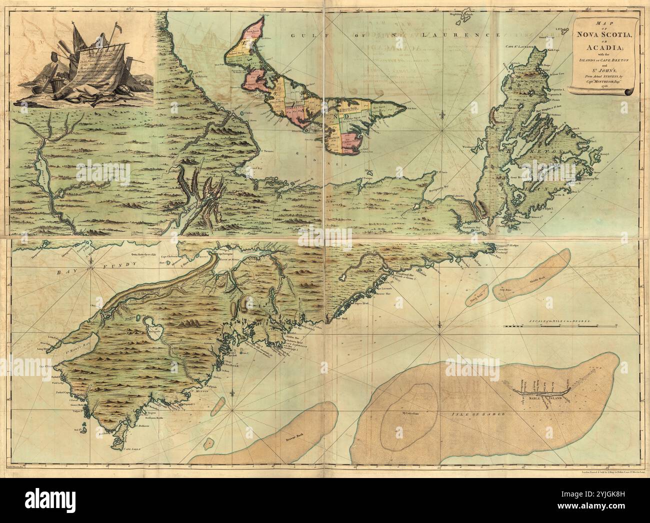 Vintage color map of Nova Scotia and Acadia with the islands of St. John's and Cape Breton ca. 1768 Stock Photohttps://www.alamy.com/image-license-details/?v=1https://www.alamy.com/vintage-color-map-of-nova-scotia-and-acadia-with-the-islands-of-st-johns-and-cape-breton-ca-1768-image631003425.html
RM2YJGK8H–Vintage color map of Nova Scotia and Acadia with the islands of St. John's and Cape Breton ca. 1768
 Summerside, Prince County, Canada, Prince Edward Island, N 46 23' 45'', W 63 47' 15'', map, Timeless Map published in 2021. Travelers, explorers and adventurers like Florence Nightingale, David Livingstone, Ernest Shackleton, Lewis and Clark and Sherlock Holmes relied on maps to plan travels to the world's most remote corners, Timeless Maps is mapping most locations on the globe, showing the achievement of great dreams Stock Photohttps://www.alamy.com/image-license-details/?v=1https://www.alamy.com/summerside-prince-county-canada-prince-edward-island-n-46-23-45-w-63-47-15-map-timeless-map-published-in-2021-travelers-explorers-and-adventurers-like-florence-nightingale-david-livingstone-ernest-shackleton-lewis-and-clark-and-sherlock-holmes-relied-on-maps-to-plan-travels-to-the-worlds-most-remote-corners-timeless-maps-is-mapping-most-locations-on-the-globe-showing-the-achievement-of-great-dreams-image457886722.html
RM2HGXF56–Summerside, Prince County, Canada, Prince Edward Island, N 46 23' 45'', W 63 47' 15'', map, Timeless Map published in 2021. Travelers, explorers and adventurers like Florence Nightingale, David Livingstone, Ernest Shackleton, Lewis and Clark and Sherlock Holmes relied on maps to plan travels to the world's most remote corners, Timeless Maps is mapping most locations on the globe, showing the achievement of great dreams
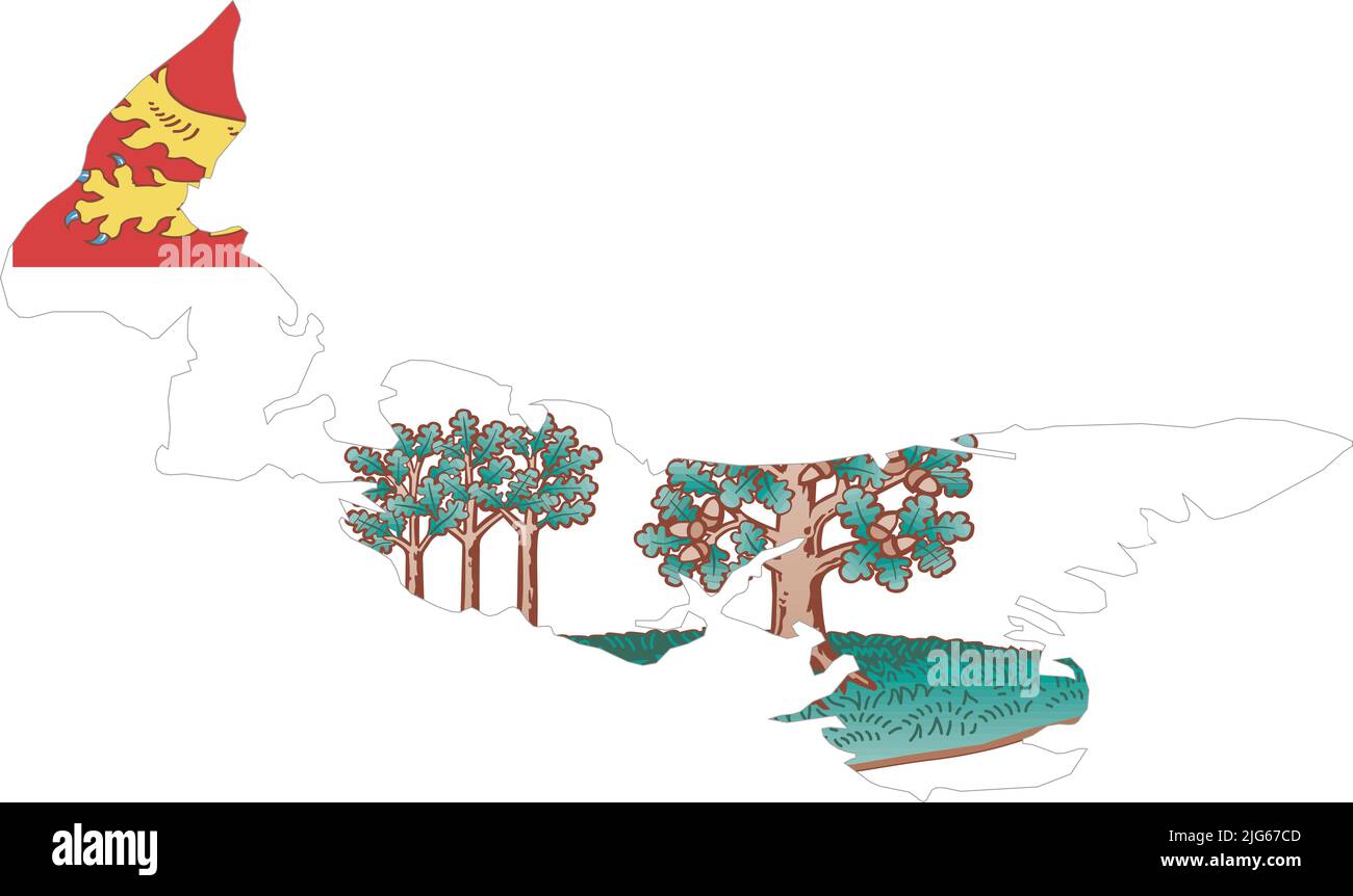 Flat vector administrative flag map of the Canadian province of PRINCE EDWARD ISLAND CANADA Stock Vectorhttps://www.alamy.com/image-license-details/?v=1https://www.alamy.com/flat-vector-administrative-flag-map-of-the-canadian-province-of-prince-edward-island-canada-image474651981.html
RF2JG67CD–Flat vector administrative flag map of the Canadian province of PRINCE EDWARD ISLAND CANADA
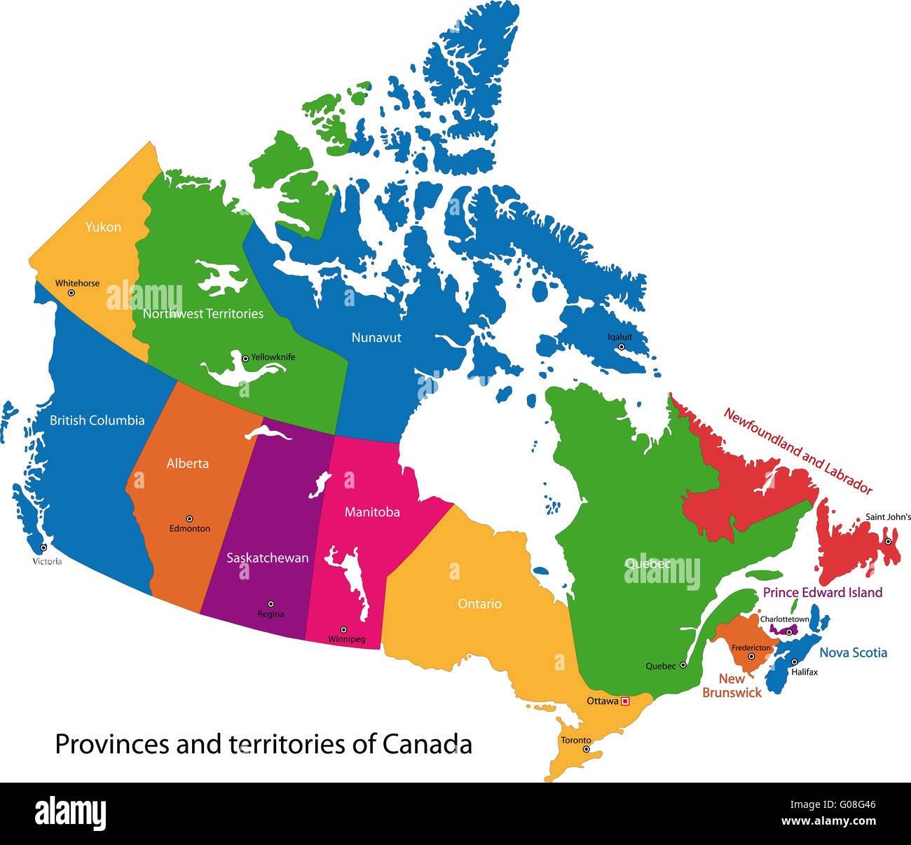 Colorful Canada map Stock Photohttps://www.alamy.com/image-license-details/?v=1https://www.alamy.com/stock-photo-colorful-canada-map-103450486.html
RMG08G46–Colorful Canada map
 . English: This is the uncommon 1857 issue of J. H. Colton’s map of Canada's Maritime Provinces, including New Brunswick, Nova Scotia, Newfoundland, and Prince Edward Island. Covers all of New Brunswick, Nova Scotia, Newfoundland and Prince Edward, along with a portion of Canada in the north and the Island of Anticosti. Divided and color coded according to province and country. Shows major roadways and railroads as well as geological features such as lakes and rivers. Like most Colton maps this map is dated 1855, but most likely was issued in the 1857 issue of Colton’s Atlas . This was the on Stock Photohttps://www.alamy.com/image-license-details/?v=1https://www.alamy.com/english-this-is-the-uncommon-1857-issue-of-j-h-coltons-map-of-canadas-maritime-provinces-including-new-brunswick-nova-scotia-newfoundland-and-prince-edward-island-covers-all-of-new-brunswick-nova-scotia-newfoundland-and-prince-edward-along-with-a-portion-of-canada-in-the-north-and-the-island-of-anticosti-divided-and-color-coded-according-to-province-and-country-shows-major-roadways-and-railroads-as-well-as-geological-features-such-as-lakes-and-rivers-like-most-colton-maps-this-map-is-dated-1855-but-most-likely-was-issued-in-the-1857-issue-of-coltons-atlas-this-was-the-on-image184961715.html
RMMMWMFF–. English: This is the uncommon 1857 issue of J. H. Colton’s map of Canada's Maritime Provinces, including New Brunswick, Nova Scotia, Newfoundland, and Prince Edward Island. Covers all of New Brunswick, Nova Scotia, Newfoundland and Prince Edward, along with a portion of Canada in the north and the Island of Anticosti. Divided and color coded according to province and country. Shows major roadways and railroads as well as geological features such as lakes and rivers. Like most Colton maps this map is dated 1855, but most likely was issued in the 1857 issue of Colton’s Atlas . This was the on
 Detailed Map of Prince Edward Island, Canada with several variations Stock Vectorhttps://www.alamy.com/image-license-details/?v=1https://www.alamy.com/stock-photo-detailed-map-of-prince-edward-island-canada-with-several-variations-86905334.html
RFF1ATHX–Detailed Map of Prince Edward Island, Canada with several variations
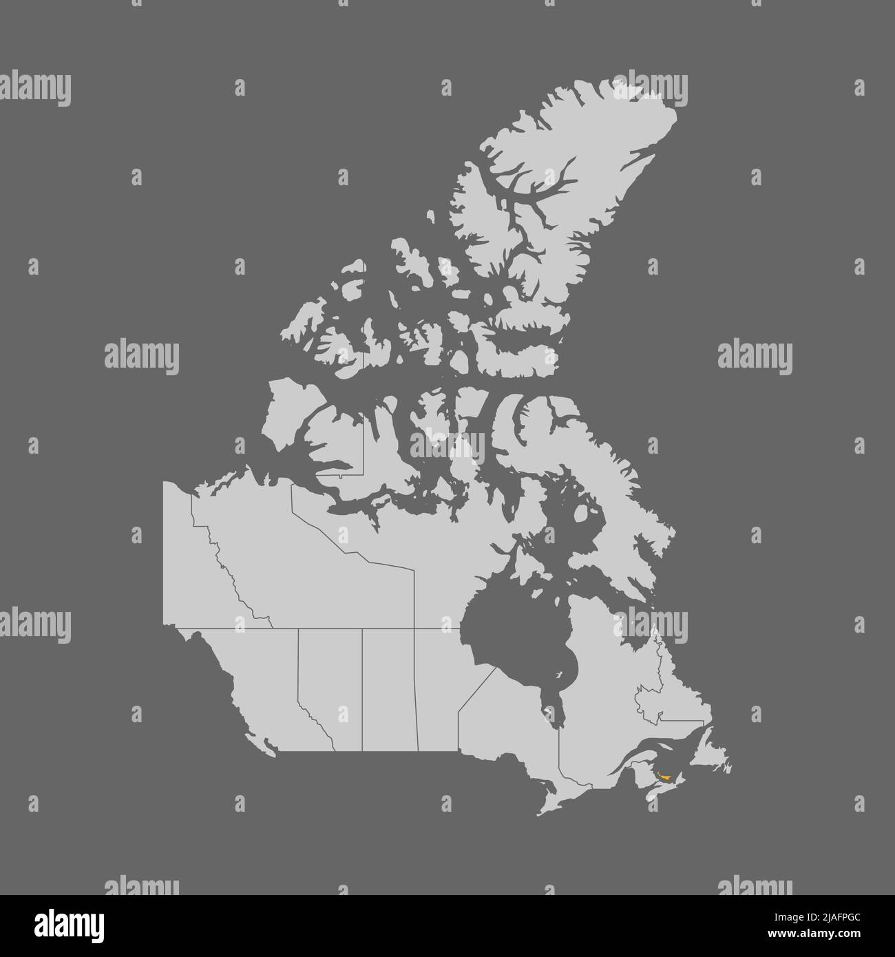 Prince Edward Island highlighted on map of Canada Stock Vectorhttps://www.alamy.com/image-license-details/?v=1https://www.alamy.com/prince-edward-island-highlighted-on-map-of-canada-image471173484.html
RF2JAFPGC–Prince Edward Island highlighted on map of Canada
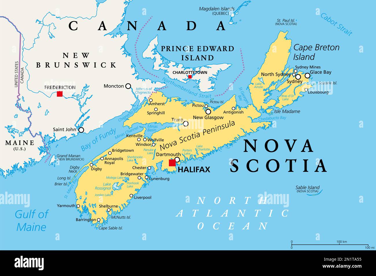 Nova Scotia, Maritime and Atlantic province of Canada, political map. Cape Breton Island and Nova Scotia Peninsula, with capital Halifax. Stock Photohttps://www.alamy.com/image-license-details/?v=1https://www.alamy.com/nova-scotia-maritime-and-atlantic-province-of-canada-political-map-cape-breton-island-and-nova-scotia-peninsula-with-capital-halifax-image517460529.html
RF2N1TA55–Nova Scotia, Maritime and Atlantic province of Canada, political map. Cape Breton Island and Nova Scotia Peninsula, with capital Halifax.
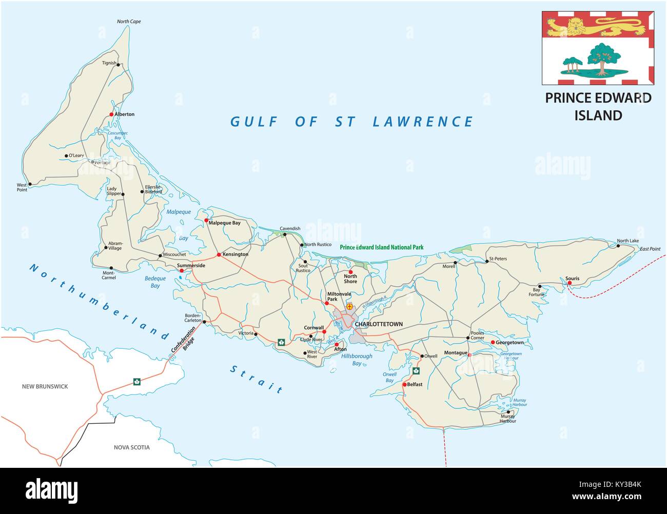 Prince Edward Island vector road map with flag Stock Vectorhttps://www.alamy.com/image-license-details/?v=1https://www.alamy.com/stock-photo-prince-edward-island-vector-road-map-with-flag-171563635.html
RFKY3B4K–Prince Edward Island vector road map with flag
 Prince Edward Island, Canada, Relief Map Stock Photohttps://www.alamy.com/image-license-details/?v=1https://www.alamy.com/stock-photo-prince-edward-island-canada-relief-map-71601643.html
RME4DMHF–Prince Edward Island, Canada, Relief Map
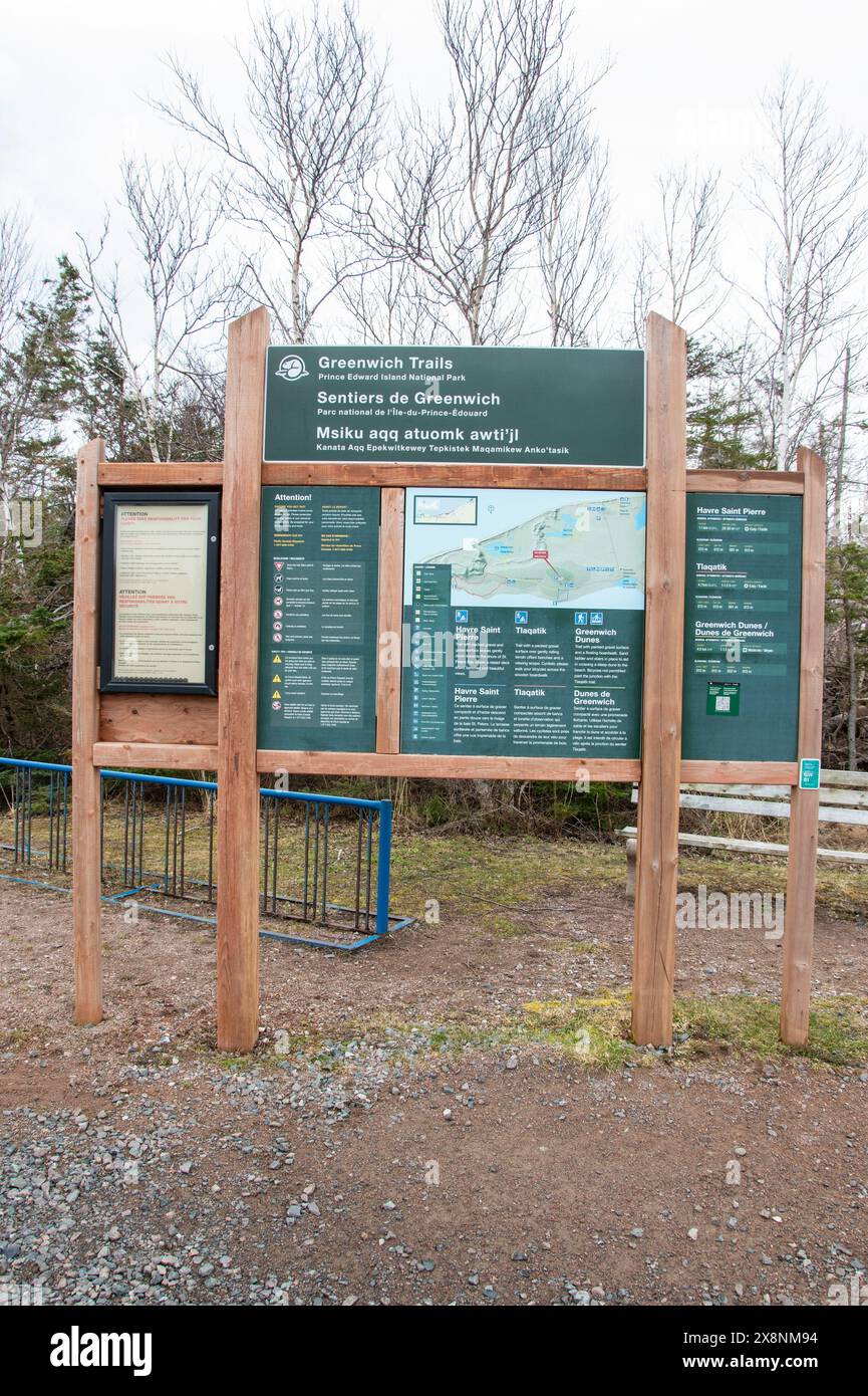 Greenwich trails sign in St. Peters Bay, Prince Edward Island, Canada Stock Photohttps://www.alamy.com/image-license-details/?v=1https://www.alamy.com/greenwich-trails-sign-in-st-peters-bay-prince-edward-island-canada-image607757056.html
RF2X8NM94–Greenwich trails sign in St. Peters Bay, Prince Edward Island, Canada
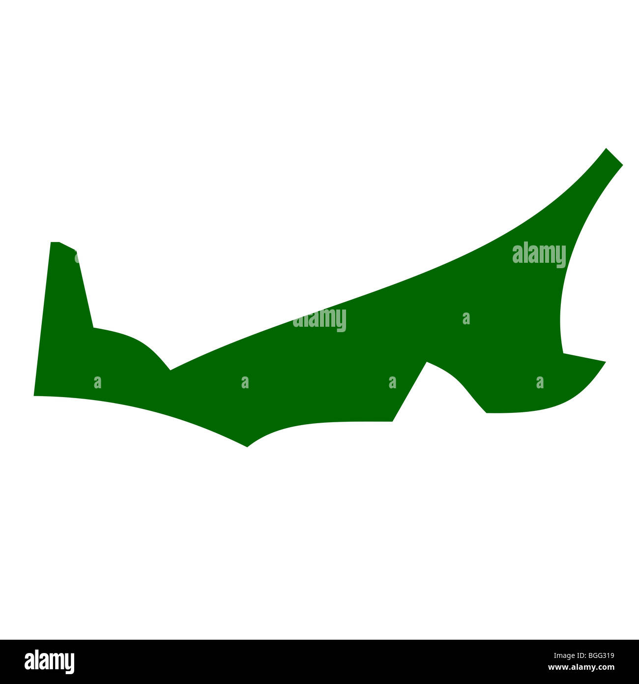 Map of Prince Edward Island province or territory in Canada, isolated on white background. Stock Photohttps://www.alamy.com/image-license-details/?v=1https://www.alamy.com/stock-photo-map-of-prince-edward-island-province-or-territory-in-canada-isolated-27398485.html
RMBGG319–Map of Prince Edward Island province or territory in Canada, isolated on white background.
 map of prince edward iceland Stock Photohttps://www.alamy.com/image-license-details/?v=1https://www.alamy.com/stock-photo-map-of-prince-edward-iceland-131140087.html
RFHH9XEF–map of prince edward iceland
RF2GCJCG9–Prince Edward Island Map on Canadian Flag. PE, CA Province Map on Canada Flag. EPS Vector Graphic Clipart Icon
 NOVA SCOTIA New Brunswick Quebec Prince Edward's Island. Canada. SDUK 1846 map Stock Photohttps://www.alamy.com/image-license-details/?v=1https://www.alamy.com/stock-photo-nova-scotia-new-brunswick-quebec-prince-edwards-island-canada-sduk-139123256.html
RFJ29H3M–NOVA SCOTIA New Brunswick Quebec Prince Edward's Island. Canada. SDUK 1846 map
 Prince Edward Island in the Gulf of St. Lawrence on a topographic, OSM Humanitarian style map Stock Photohttps://www.alamy.com/image-license-details/?v=1https://www.alamy.com/prince-edward-island-in-the-gulf-of-st-lawrence-on-a-topographic-osm-humanitarian-style-map-image619533772.html
RF2XYX5J4–Prince Edward Island in the Gulf of St. Lawrence on a topographic, OSM Humanitarian style map
 Prince Edward Island dark silhouette map Stock Vectorhttps://www.alamy.com/image-license-details/?v=1https://www.alamy.com/prince-edward-island-dark-silhouette-map-image365349343.html
RF2C6B2PR–Prince Edward Island dark silhouette map
 Confederation Centre, Charlottetown, Prince Edward Island, The Maritimes, Canada. Stock Photohttps://www.alamy.com/image-license-details/?v=1https://www.alamy.com/stock-photo-confederation-centre-charlottetown-prince-edward-island-the-maritimes-33391359.html
RMBX930F–Confederation Centre, Charlottetown, Prince Edward Island, The Maritimes, Canada.
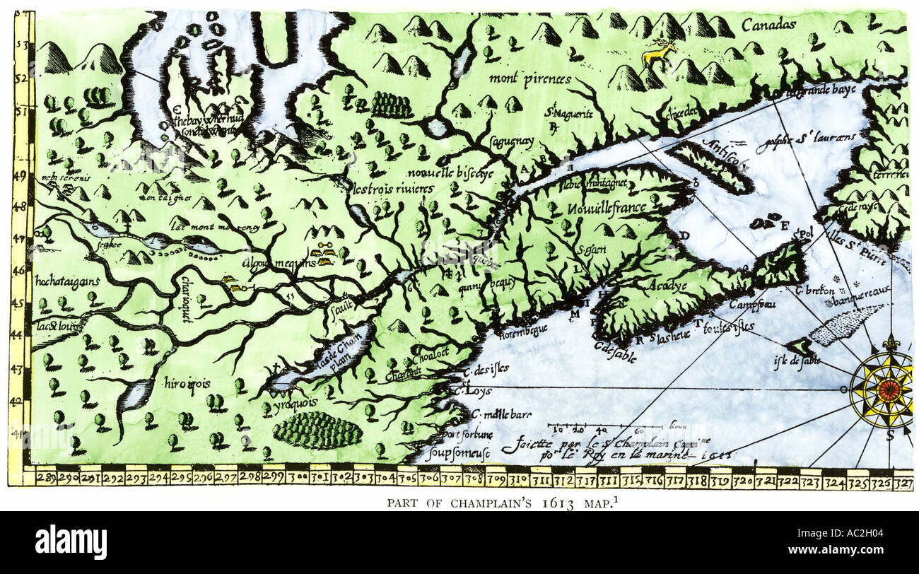 Part of the 1613 Samuel de Champlain map of New France. Hand-colored woodcut Stock Photohttps://www.alamy.com/image-license-details/?v=1https://www.alamy.com/part-of-the-1613-samuel-de-champlain-map-of-new-france-hand-colored-image4249859.html
RMAC2H04–Part of the 1613 Samuel de Champlain map of New France. Hand-colored woodcut
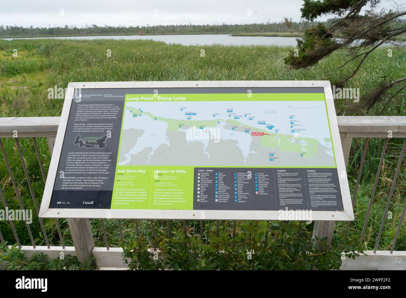 Informational board with map of the Gulf Shore Way in Prince Edward Island National Park, Canada Stock Photohttps://www.alamy.com/image-license-details/?v=1https://www.alamy.com/informational-board-with-map-of-the-gulf-shore-way-in-prince-edward-island-national-park-canada-image594703622.html
RM2WFF2F2–Informational board with map of the Gulf Shore Way in Prince Edward Island National Park, Canada
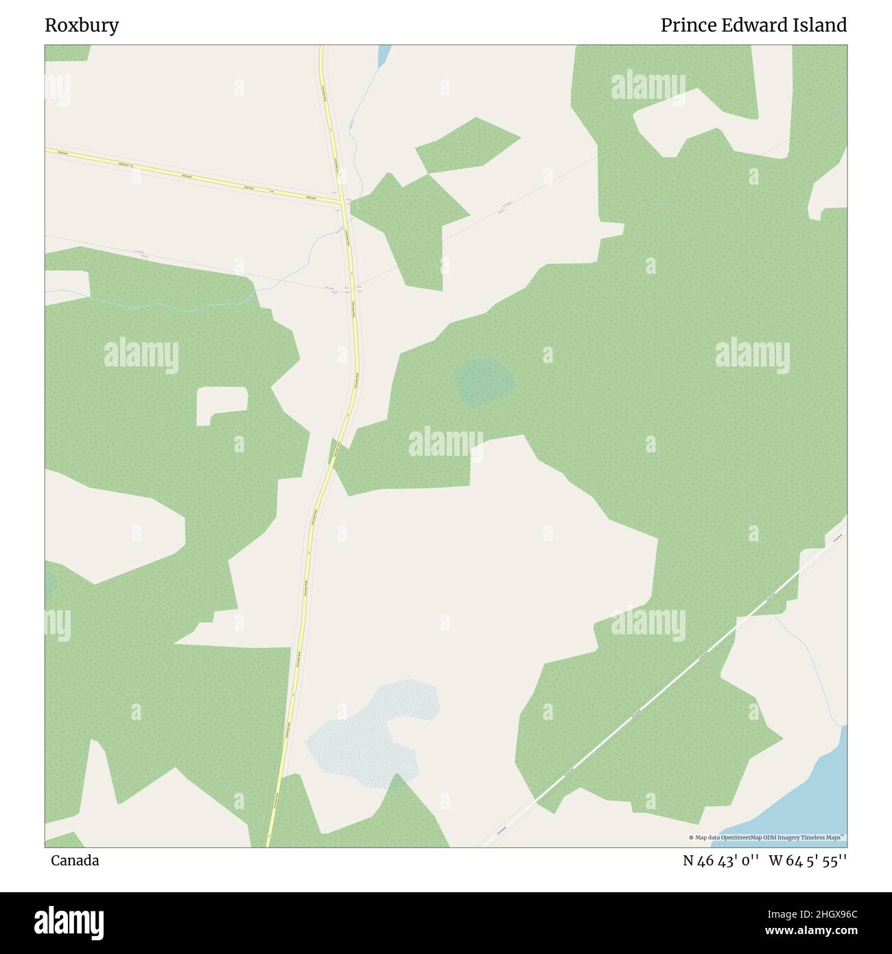 Roxbury, Canada, Prince Edward Island, N 46 43' 0'', W 64 5' 55'', map, Timeless Map published in 2021. Travelers, explorers and adventurers like Florence Nightingale, David Livingstone, Ernest Shackleton, Lewis and Clark and Sherlock Holmes relied on maps to plan travels to the world's most remote corners, Timeless Maps is mapping most locations on the globe, showing the achievement of great dreams Stock Photohttps://www.alamy.com/image-license-details/?v=1https://www.alamy.com/roxbury-canada-prince-edward-island-n-46-43-0-w-64-5-55-map-timeless-map-published-in-2021-travelers-explorers-and-adventurers-like-florence-nightingale-david-livingstone-ernest-shackleton-lewis-and-clark-and-sherlock-holmes-relied-on-maps-to-plan-travels-to-the-worlds-most-remote-corners-timeless-maps-is-mapping-most-locations-on-the-globe-showing-the-achievement-of-great-dreams-image457882052.html
RM2HGX96C–Roxbury, Canada, Prince Edward Island, N 46 43' 0'', W 64 5' 55'', map, Timeless Map published in 2021. Travelers, explorers and adventurers like Florence Nightingale, David Livingstone, Ernest Shackleton, Lewis and Clark and Sherlock Holmes relied on maps to plan travels to the world's most remote corners, Timeless Maps is mapping most locations on the globe, showing the achievement of great dreams
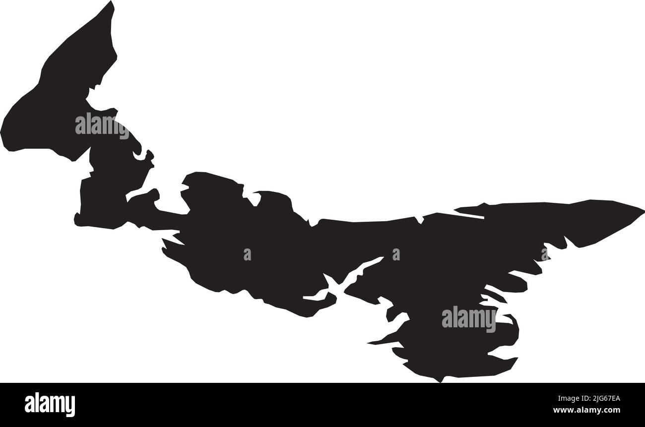 Black flat blank vector administrative map of the Canadian province of PRINCE EDWARD ISLAND, CANADA Stock Vectorhttps://www.alamy.com/image-license-details/?v=1https://www.alamy.com/black-flat-blank-vector-administrative-map-of-the-canadian-province-of-prince-edward-island-canada-image474652034.html
RF2JG67EA–Black flat blank vector administrative map of the Canadian province of PRINCE EDWARD ISLAND, CANADA
 Symbol Map of the Province Prince Edward Island (Canada) showing the territory with a pattern of randomly distributed black circles of different sizes Stock Vectorhttps://www.alamy.com/image-license-details/?v=1https://www.alamy.com/symbol-map-of-the-province-prince-edward-island-canada-showing-the-territory-with-a-pattern-of-randomly-distributed-black-circles-of-different-sizes-image621722397.html
RF2Y3DW79–Symbol Map of the Province Prince Edward Island (Canada) showing the territory with a pattern of randomly distributed black circles of different sizes
 . English: A fine map of the Canadian provinces of New Brunswick, Nova Scotia, Newfoundland and Prince Edward Island. Cartographically this map is based upon the earlier work of J. H. Colton who himself may have referenced early 19th century British material, possibly Wyld’s 1836 map. Page no. 19 in the 1864 Johnson and Ward edition of Johnson’s Family Atlas. Johnson’s New Brunswick, Nova Scotia, Newfoundland and Prince Edward Id.. 1864. 1864 Johnson's Map of New Brunswick, Nova Scotia and Newfoundland (Canada) - Geographicus - NewBrunswick-j-1864 Stock Photohttps://www.alamy.com/image-license-details/?v=1https://www.alamy.com/english-a-fine-map-of-the-canadian-provinces-of-new-brunswick-nova-scotia-newfoundland-and-prince-edward-island-cartographically-this-map-is-based-upon-the-earlier-work-of-j-h-colton-who-himself-may-have-referenced-early-19th-century-british-material-possibly-wylds-1836-map-page-no-19-in-the-1864-johnson-and-ward-edition-of-johnsons-family-atlas-johnsons-new-brunswick-nova-scotia-newfoundland-and-prince-edward-id-1864-1864-johnsons-map-of-new-brunswick-nova-scotia-and-newfoundland-canada-geographicus-newbrunswick-j-1864-image184965951.html
RMMMWWXR–. English: A fine map of the Canadian provinces of New Brunswick, Nova Scotia, Newfoundland and Prince Edward Island. Cartographically this map is based upon the earlier work of J. H. Colton who himself may have referenced early 19th century British material, possibly Wyld’s 1836 map. Page no. 19 in the 1864 Johnson and Ward edition of Johnson’s Family Atlas. Johnson’s New Brunswick, Nova Scotia, Newfoundland and Prince Edward Id.. 1864. 1864 Johnson's Map of New Brunswick, Nova Scotia and Newfoundland (Canada) - Geographicus - NewBrunswick-j-1864
 3d map of Prince Edward Island is a province of Canada Stock Vectorhttps://www.alamy.com/image-license-details/?v=1https://www.alamy.com/3d-map-of-prince-edward-island-is-a-province-of-canada-image359563076.html
RF2BTYEAC–3d map of Prince Edward Island is a province of Canada
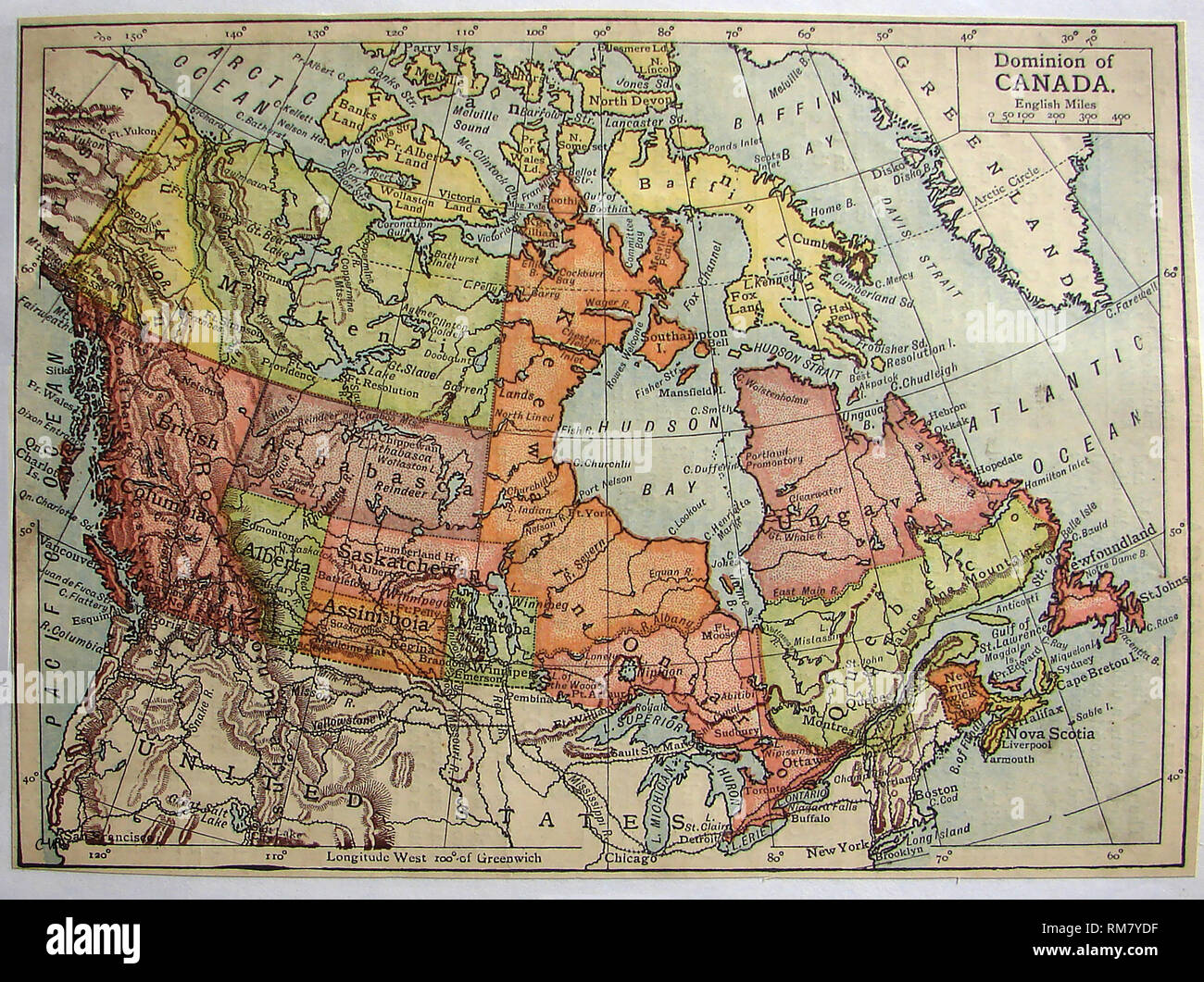 1901 coloured map of the Dominion of Canada.showing districts of Saskatchewan, Alberta, Assiniboia, Athabasca, Franklin, Keewatin, Mackenzie, and Ungava etc. Stock Photohttps://www.alamy.com/image-license-details/?v=1https://www.alamy.com/1901-coloured-map-of-the-dominion-of-canadashowing-districts-of-saskatchewan-alberta-assiniboia-athabasca-franklin-keewatin-mackenzie-and-ungava-etc-image236203115.html
RMRM7YDF–1901 coloured map of the Dominion of Canada.showing districts of Saskatchewan, Alberta, Assiniboia, Athabasca, Franklin, Keewatin, Mackenzie, and Ungava etc.
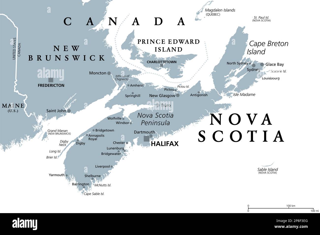 Nova Scotia, Maritime and Atlantic province of Canada, gray political map. Cape Breton Island and Nova Scotia Peninsula, with capital Halifax. Stock Photohttps://www.alamy.com/image-license-details/?v=1https://www.alamy.com/nova-scotia-maritime-and-atlantic-province-of-canada-gray-political-map-cape-breton-island-and-nova-scotia-peninsula-with-capital-halifax-image538770696.html
RF2P8F3EG–Nova Scotia, Maritime and Atlantic province of Canada, gray political map. Cape Breton Island and Nova Scotia Peninsula, with capital Halifax.
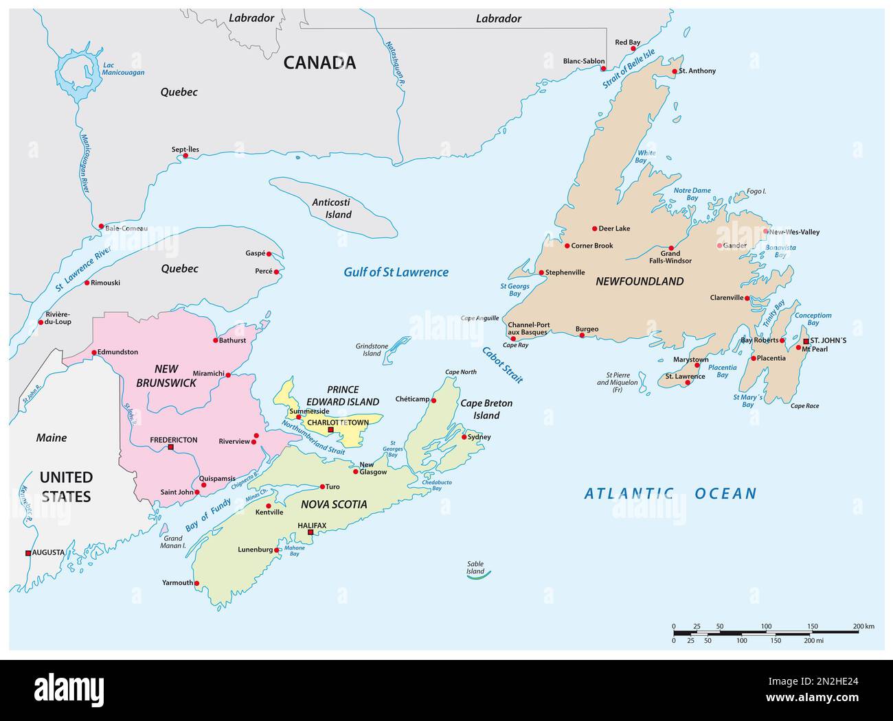 Vector map of the four Canadian maritime provinces Stock Photohttps://www.alamy.com/image-license-details/?v=1https://www.alamy.com/vector-map-of-the-four-canadian-maritime-provinces-image517924572.html
RF2N2HE24–Vector map of the four Canadian maritime provinces
 Prince Edward Island, Canada, Relief Map Stock Photohttps://www.alamy.com/image-license-details/?v=1https://www.alamy.com/stock-photo-prince-edward-island-canada-relief-map-71602200.html
RME4DN9C–Prince Edward Island, Canada, Relief Map
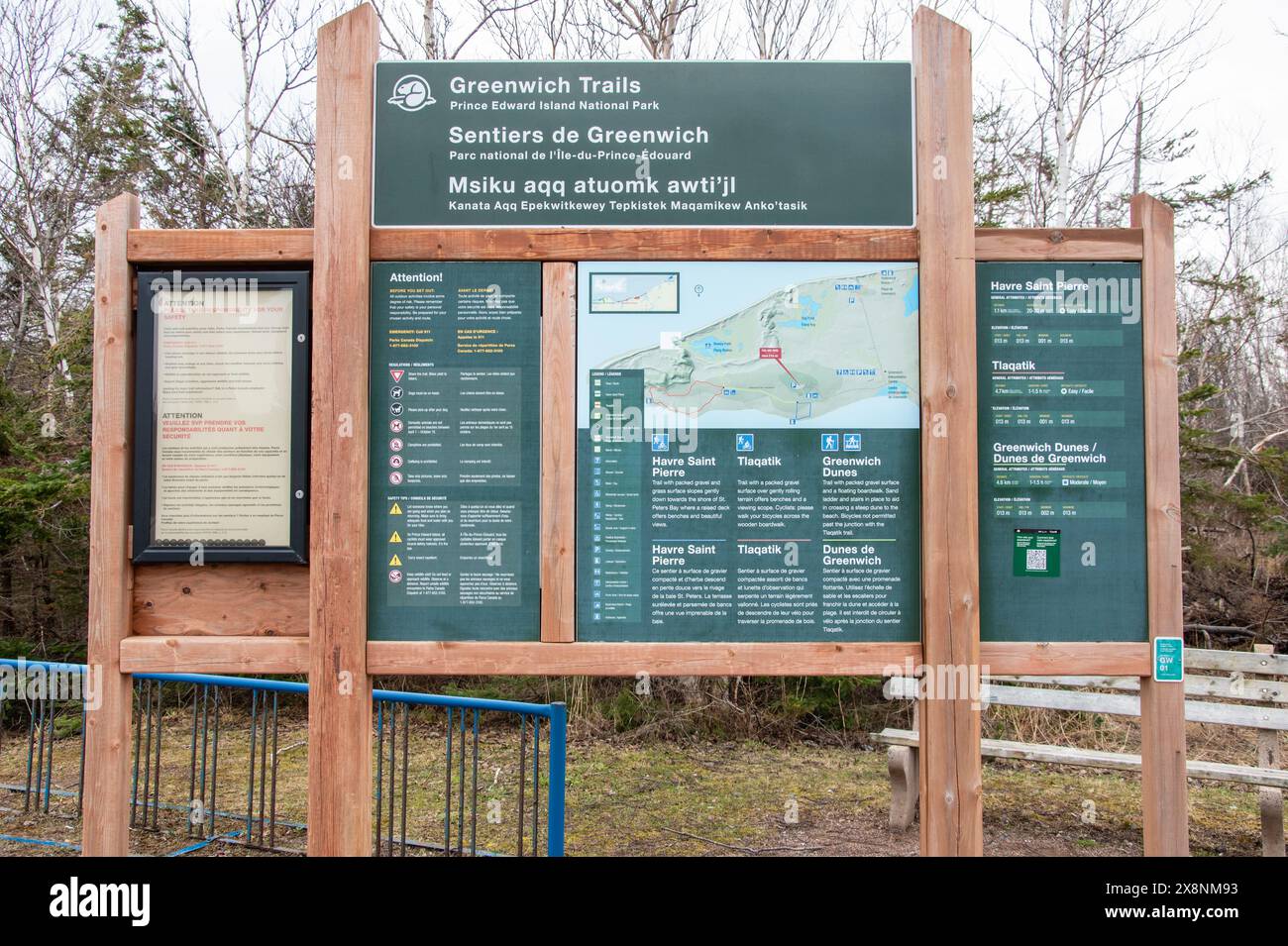 Greenwich trails sign in St. Peters Bay, Prince Edward Island, Canada Stock Photohttps://www.alamy.com/image-license-details/?v=1https://www.alamy.com/greenwich-trails-sign-in-st-peters-bay-prince-edward-island-canada-image607757055.html
RF2X8NM93–Greenwich trails sign in St. Peters Bay, Prince Edward Island, Canada
 Dark silhouetted and textured map of Prince Edward Island province of Canada isolated on white background. Stock Photohttps://www.alamy.com/image-license-details/?v=1https://www.alamy.com/stock-photo-dark-silhouetted-and-textured-map-of-prince-edward-island-province-52695463.html
RMD1MDGR–Dark silhouetted and textured map of Prince Edward Island province of Canada isolated on white background.
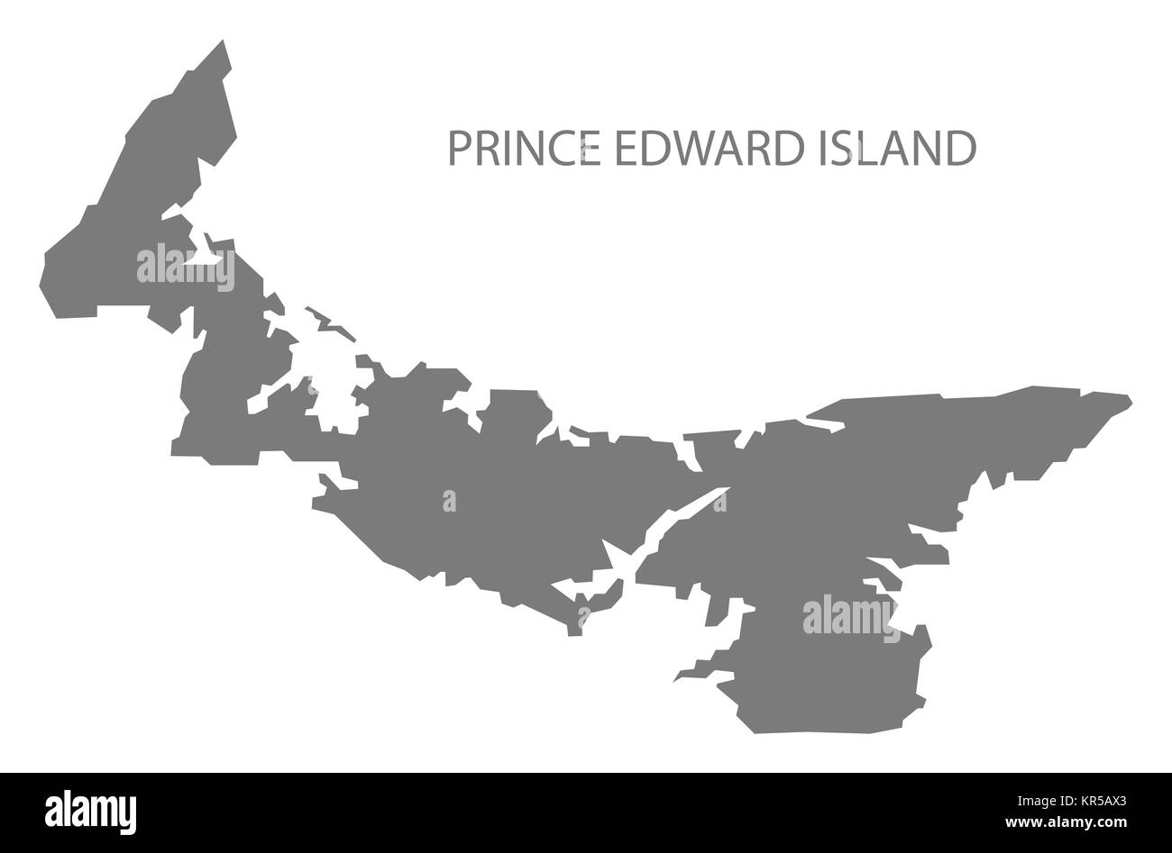 Prince Edward Island Canada Map grey Stock Photohttps://www.alamy.com/image-license-details/?v=1https://www.alamy.com/stock-image-prince-edward-island-canada-map-grey-169148731.html
RFKR5AX3–Prince Edward Island Canada Map grey
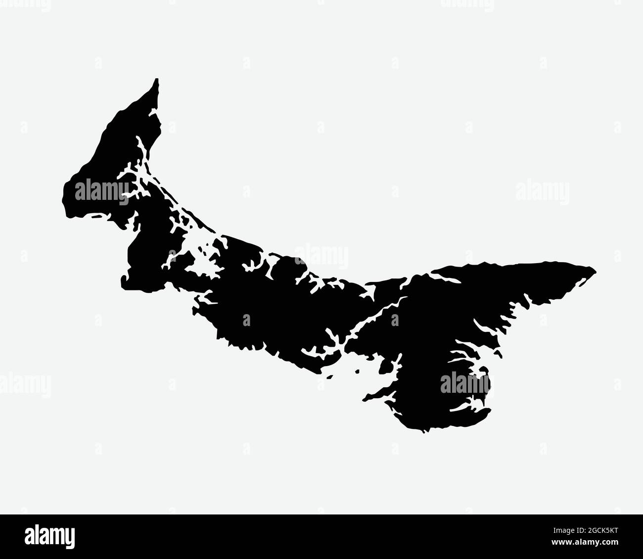 Prince Edward Island Canada Map Black Silhouette. PEI, Canadian Province Shape Geography Atlas Border Boundary. Black Map Isolated on White Background Stock Vectorhttps://www.alamy.com/image-license-details/?v=1https://www.alamy.com/prince-edward-island-canada-map-black-silhouette-pei-canadian-province-shape-geography-atlas-border-boundary-black-map-isolated-on-white-background-image438056636.html
RF2GCK5KT–Prince Edward Island Canada Map Black Silhouette. PEI, Canadian Province Shape Geography Atlas Border Boundary. Black Map Isolated on White Background
 NOVA SCOTIA:& New Brunswick Quebec Prince Edward's Island.Canada.SDUK, 1848 map Stock Photohttps://www.alamy.com/image-license-details/?v=1https://www.alamy.com/stock-photo-nova-scotia-new-brunswick-quebec-prince-edwards-islandcanadasduk-1848-92966258.html
RFFB6YBE–NOVA SCOTIA:& New Brunswick Quebec Prince Edward's Island.Canada.SDUK, 1848 map
 Prince Edward Island in the Gulf of St. Lawrence, belonging to Canada, isolated on a bilevel elevation map, with distance scale Stock Photohttps://www.alamy.com/image-license-details/?v=1https://www.alamy.com/prince-edward-island-in-the-gulf-of-st-lawrence-belonging-to-canada-isolated-on-a-bilevel-elevation-map-with-distance-scale-image619541704.html
RF2XYXFNC–Prince Edward Island in the Gulf of St. Lawrence, belonging to Canada, isolated on a bilevel elevation map, with distance scale
 Political map of Canada with the several provinces where Prince Edward Island is highlighted. Stock Photohttps://www.alamy.com/image-license-details/?v=1https://www.alamy.com/stock-photo-political-map-of-canada-with-the-several-provinces-where-prince-edward-49289205.html
RFCT58TN–Political map of Canada with the several provinces where Prince Edward Island is highlighted.
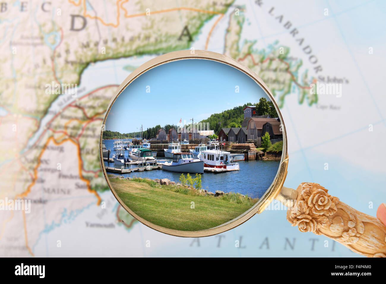 Looking in on the Montague, Prince Edward Island, Canada Stock Photohttps://www.alamy.com/image-license-details/?v=1https://www.alamy.com/stock-photo-looking-in-on-the-montague-prince-edward-island-canada-88997104.html
RFF4P4M0–Looking in on the Montague, Prince Edward Island, Canada
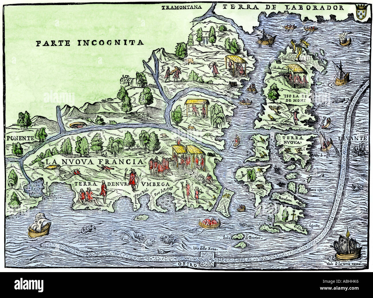 Map of New France in 1550 showing the coast of Canada and the Gulf of Saint Lawrence. Hand-colored woodcut Stock Photohttps://www.alamy.com/image-license-details/?v=1https://www.alamy.com/map-of-new-france-in-1550-showing-the-coast-of-canada-and-the-gulf-image7370229.html
RMABHHK6–Map of New France in 1550 showing the coast of Canada and the Gulf of Saint Lawrence. Hand-colored woodcut
 Informational board with map of the Gulf Shore Way in Prince Edward Island National Park, Canada Stock Photohttps://www.alamy.com/image-license-details/?v=1https://www.alamy.com/informational-board-with-map-of-the-gulf-shore-way-in-prince-edward-island-national-park-canada-image594703681.html
RM2WFF2H5–Informational board with map of the Gulf Shore Way in Prince Edward Island National Park, Canada
 Surrey, Canada, Prince Edward Island, N 46 4' 0'', W 62 48' 55'', map, Timeless Map published in 2021. Travelers, explorers and adventurers like Florence Nightingale, David Livingstone, Ernest Shackleton, Lewis and Clark and Sherlock Holmes relied on maps to plan travels to the world's most remote corners, Timeless Maps is mapping most locations on the globe, showing the achievement of great dreams Stock Photohttps://www.alamy.com/image-license-details/?v=1https://www.alamy.com/surrey-canada-prince-edward-island-n-46-4-0-w-62-48-55-map-timeless-map-published-in-2021-travelers-explorers-and-adventurers-like-florence-nightingale-david-livingstone-ernest-shackleton-lewis-and-clark-and-sherlock-holmes-relied-on-maps-to-plan-travels-to-the-worlds-most-remote-corners-timeless-maps-is-mapping-most-locations-on-the-globe-showing-the-achievement-of-great-dreams-image457887078.html
RM2HGXFHX–Surrey, Canada, Prince Edward Island, N 46 4' 0'', W 62 48' 55'', map, Timeless Map published in 2021. Travelers, explorers and adventurers like Florence Nightingale, David Livingstone, Ernest Shackleton, Lewis and Clark and Sherlock Holmes relied on maps to plan travels to the world's most remote corners, Timeless Maps is mapping most locations on the globe, showing the achievement of great dreams
 Gray flat blank vector administrative map of the Canadian province of PRINCE EDWARD ISLAND, CANADA Stock Vectorhttps://www.alamy.com/image-license-details/?v=1https://www.alamy.com/gray-flat-blank-vector-administrative-map-of-the-canadian-province-of-prince-edward-island-canada-image474651985.html
RF2JG67CH–Gray flat blank vector administrative map of the Canadian province of PRINCE EDWARD ISLAND, CANADA
 Symbol Map of the Province Prince Edward Island (Canada). Abstract map showing the state/province with a pattern of overlapping colorful squares like Stock Vectorhttps://www.alamy.com/image-license-details/?v=1https://www.alamy.com/symbol-map-of-the-province-prince-edward-island-canada-abstract-map-showing-the-stateprovince-with-a-pattern-of-overlapping-colorful-squares-like-image611835306.html
RF2XFBE4X–Symbol Map of the Province Prince Edward Island (Canada). Abstract map showing the state/province with a pattern of overlapping colorful squares like
 Map of Prince Edward Island Stock Photohttps://www.alamy.com/image-license-details/?v=1https://www.alamy.com/stock-photo-map-of-prince-edward-island-91734470.html
RFF96T72–Map of Prince Edward Island
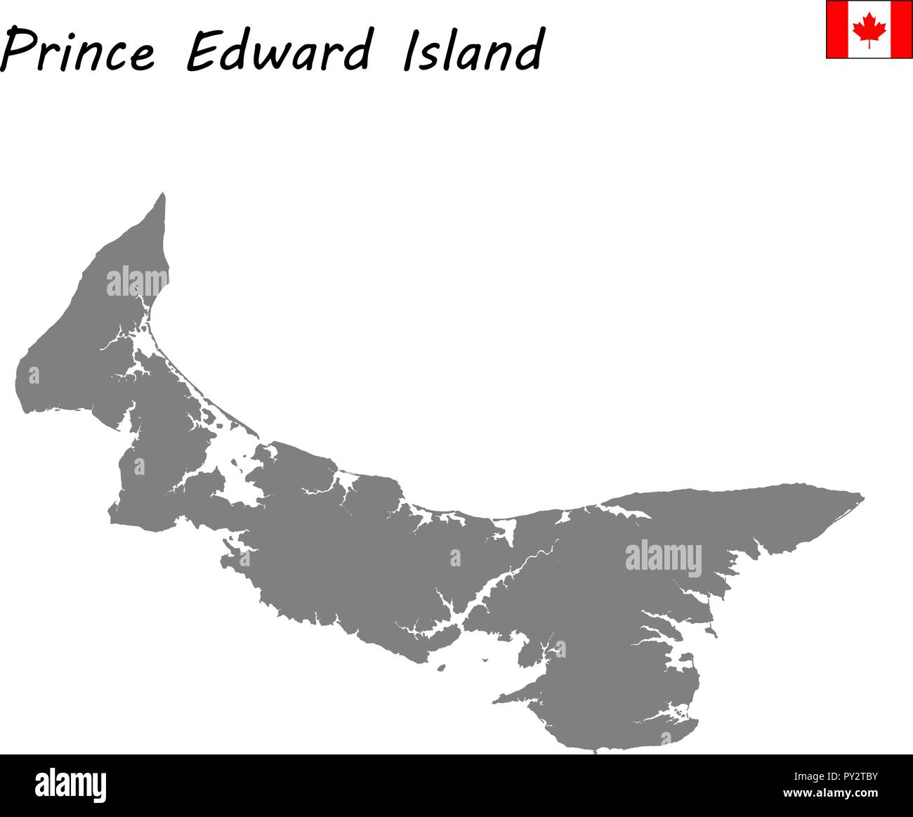 High Quality map of Prince Edward Island is a province of Canada Stock Vectorhttps://www.alamy.com/image-license-details/?v=1https://www.alamy.com/high-quality-map-of-prince-edward-island-is-a-province-of-canada-image223183183.html
RFPY2TBY–High Quality map of Prince Edward Island is a province of Canada
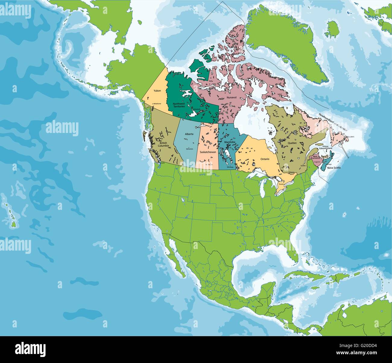 Map of Canada Stock Vectorhttps://www.alamy.com/image-license-details/?v=1https://www.alamy.com/stock-photo-map-of-canada-104502080.html
RFG20DD4–Map of Canada
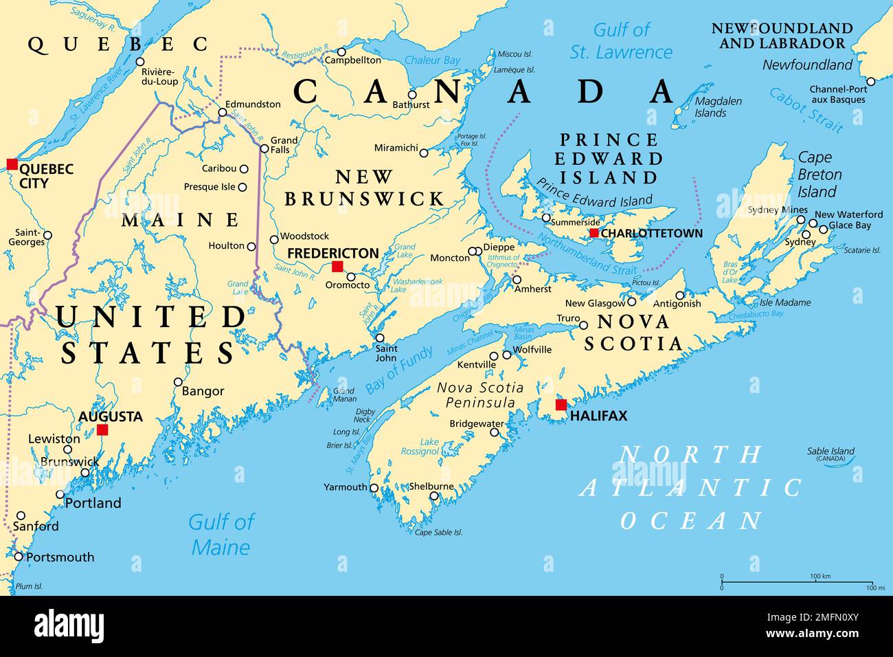 The Maritimes, also called Maritime provinces, a region of Eastern Canada, political map, with capitals, borders and largest cities. Stock Photohttps://www.alamy.com/image-license-details/?v=1https://www.alamy.com/the-maritimes-also-called-maritime-provinces-a-region-of-eastern-canada-political-map-with-capitals-borders-and-largest-cities-image508782259.html
RF2MFN0XY–The Maritimes, also called Maritime provinces, a region of Eastern Canada, political map, with capitals, borders and largest cities.
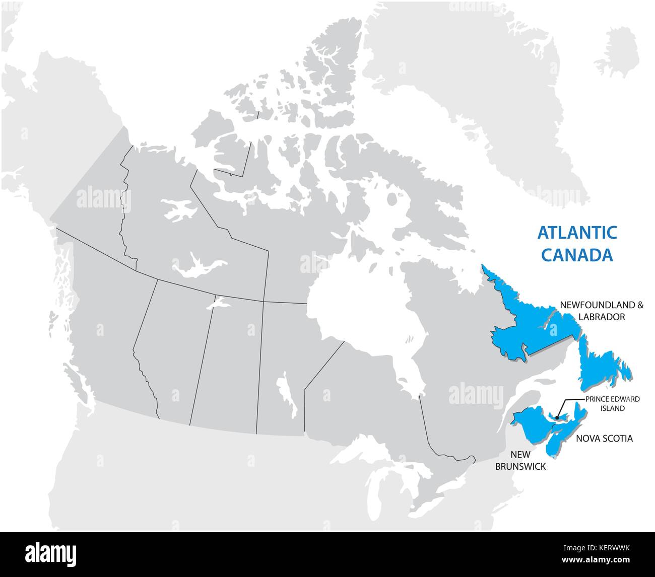 Survey map of the four Canadian Atlantic States Atlantic canada Stock Vectorhttps://www.alamy.com/image-license-details/?v=1https://www.alamy.com/stock-image-survey-map-of-the-four-canadian-atlantic-states-atlantic-canada-164023711.html
RFKERWWK–Survey map of the four Canadian Atlantic States Atlantic canada
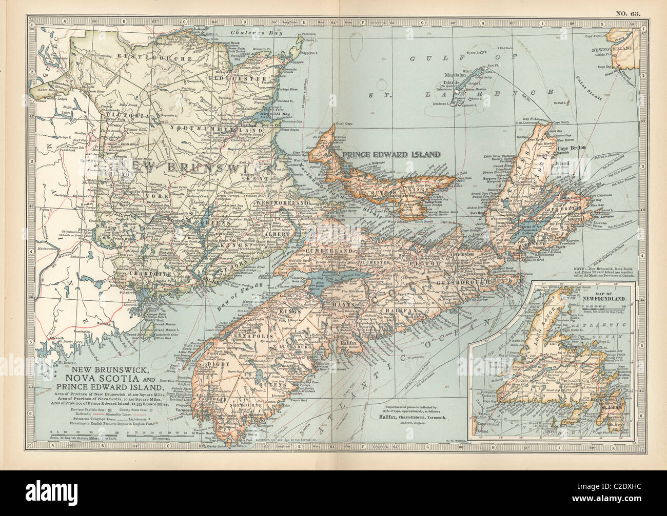 New Brunswick, Nova Scotia & Prince Edward Island Stock Photohttps://www.alamy.com/image-license-details/?v=1https://www.alamy.com/stock-photo-new-brunswick-nova-scotia-prince-edward-island-35956296.html
RMC2DXHC–New Brunswick, Nova Scotia & Prince Edward Island
 Basin Head marine protected area sign in Kingsboro, Prince Edward Island, Canada Stock Photohttps://www.alamy.com/image-license-details/?v=1https://www.alamy.com/basin-head-marine-protected-area-sign-in-kingsboro-prince-edward-island-canada-image607757202.html
RF2X8NMEA–Basin Head marine protected area sign in Kingsboro, Prince Edward Island, Canada
 Canadian state of Prince Edward Island road sign isolated on a white background. Stock Photohttps://www.alamy.com/image-license-details/?v=1https://www.alamy.com/stock-photo-canadian-state-of-prince-edward-island-road-sign-isolated-on-a-white-41719293.html
RMCBTDAN–Canadian state of Prince Edward Island road sign isolated on a white background.